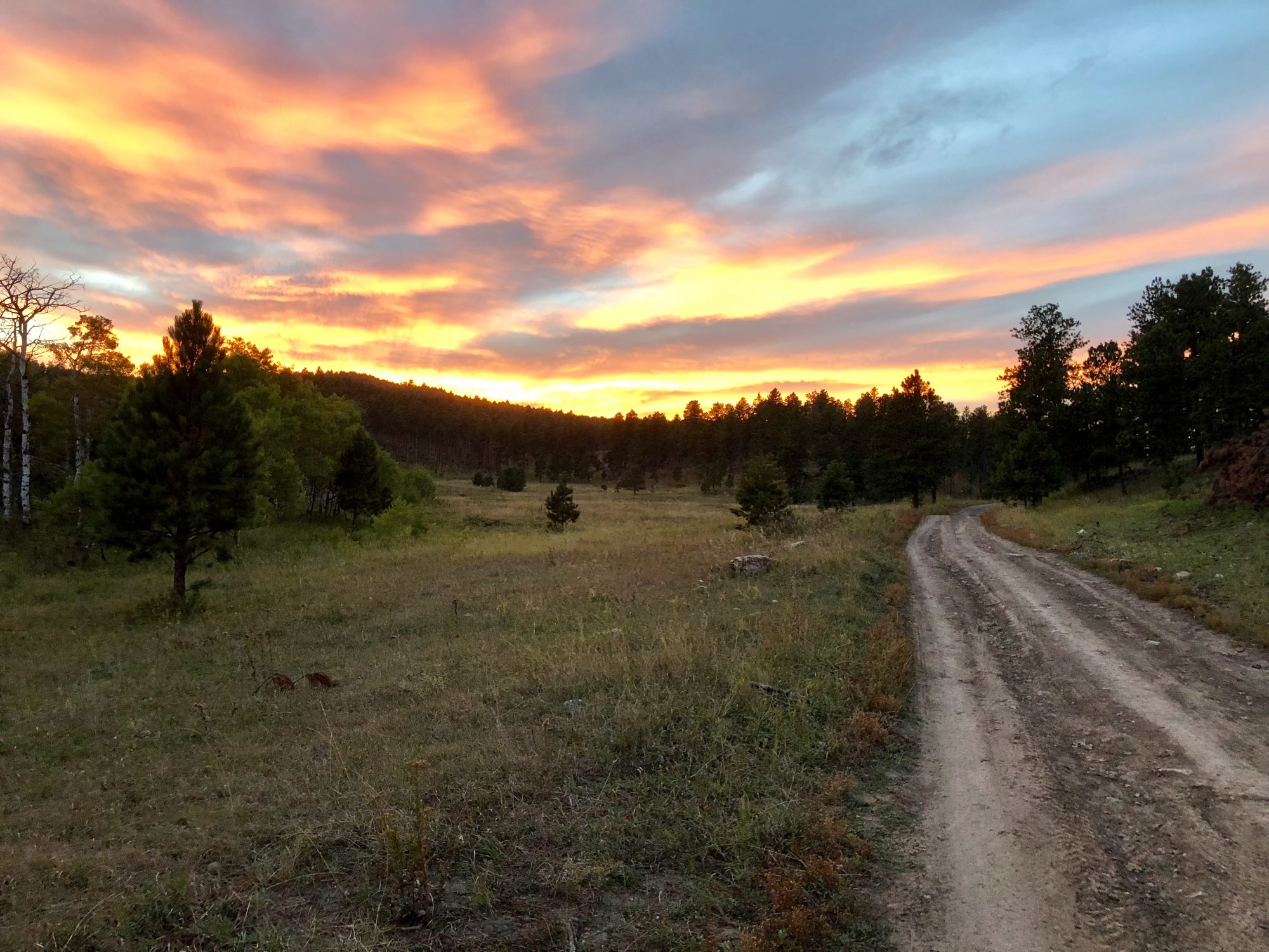

We have been keenly interested in cycling the significant network of Rails to Trails in Virginia and West Virginia for sometime. For a variety of reasons our previous plans to do so did not come to fruition.
Happily, we found while riding the trails in West Virginia and Virginia our expectations have been exceeded. The trails are well maintained and surrounded with breathtaking scenery and rich history.
In this post we are providing a brief overview of each of the trails we have completed in Virginia. We hope you enjoy it!
High bridge trail (HBT)
After riding the Greenbrier Trail in West Virginia, we journeyed east over the Allegheny Mountains and through the picturesque and pastoral Virginia Highlands to ride the High Bridge Trail.
The HBT is operated by the state of Virginia as a linear park. The trail itself is 32 miles long. The right of way that is now the bicycle trail dates back to 1838 when a nine mile section of track was completed and the City Point Railroad began operations. As with all of these abandoned lines, the original railroad was acquired by a number of successor companies finally coming under the ownership of the Norfolk & Southern. The Norfolk & Southern ceased operations on this line in 2005 and transferred the right of way to the state of Virginina.

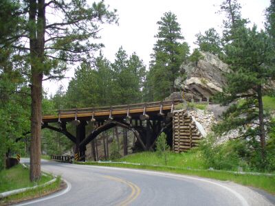
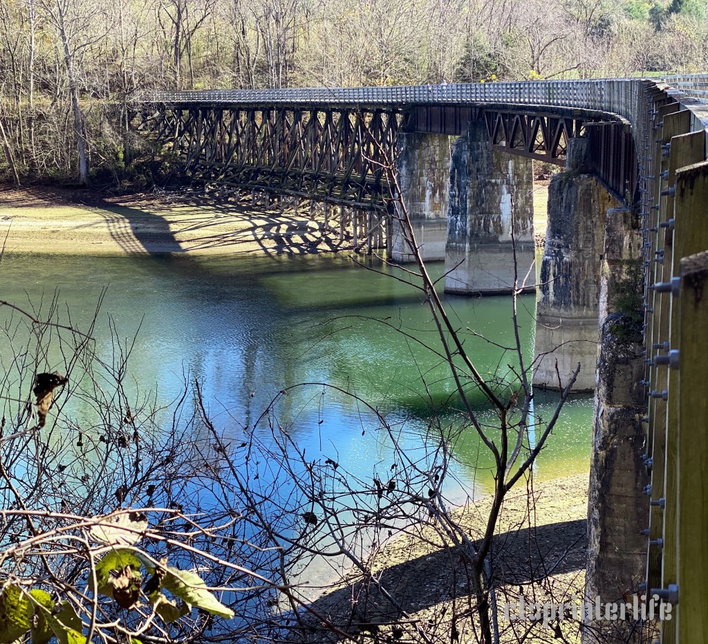
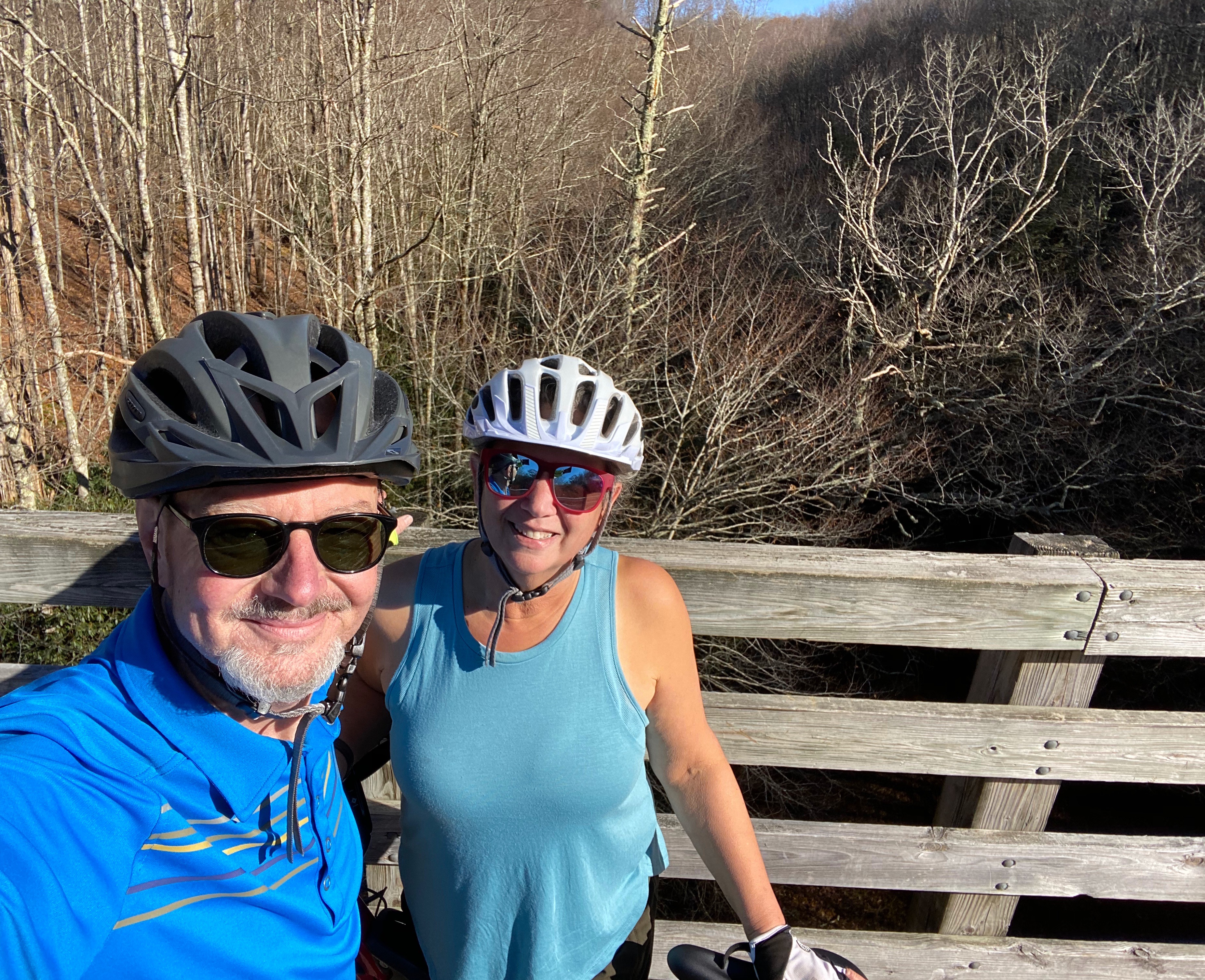
The high point of this trail is figuratively and literally the High Bridge Trestle. The trestle is almost a half mile in length and sits 125 feet above the Appomattox River, making it an exhilarating span to cycle.
The High Bridge is an historically significant bridge – beyond the engineering feat – as it was the site of two Civil War battles. During the first battle the Union Army attempted to destroy the bridge in order to stop Confederate troops from fleeing over the Appomattox River, however the Confederate troops repelled the Union Soldiers and were able to retreat across the bridge.
The very next day, 7 April, 1865 the Confederate troops attempted to burn the bridge in order to stop the Union troops from using the bridge to pursue the Southern troops. The High Bridge was rendered unusable but unfortunately for the Confederates the Union troops were able cross downstream on a wagon bridge and caught up with them just three miles north of the Appomattox River.
The High Bridge was repaired and put back into service by the Union Army to transport supplies and troops until the end of the war soon after these two battles.


TOBACCO HERITAGE TRAIL (THT)
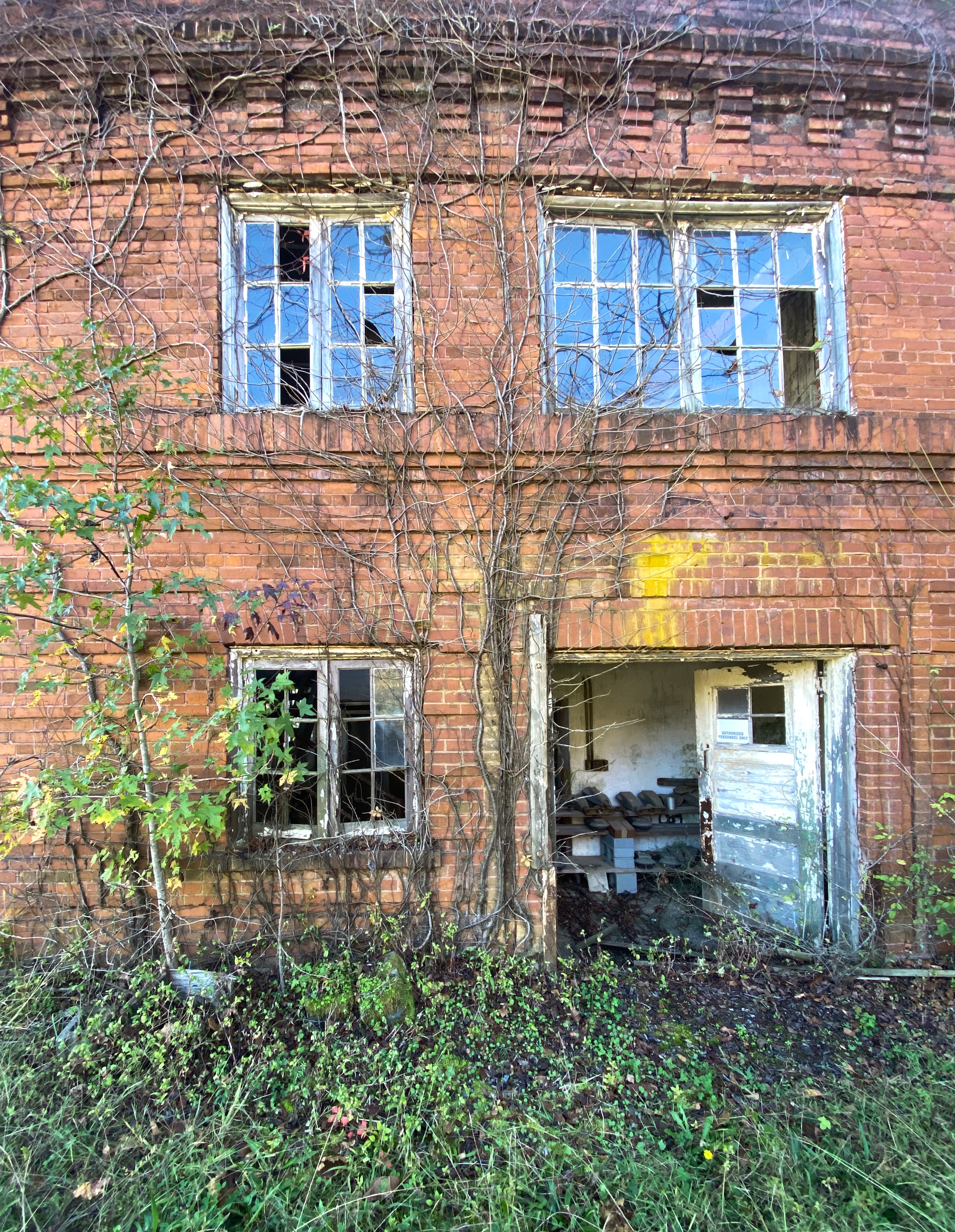
The THT runs from La Crosse to Lawrenceville in Southside Virginia. This area is in the heart of what was once the “Old Belt” of Virginia tobacco country. This trail was built on the former Atlantic and Danville Railway – which was formed to haul agrarian products including tobacco to market. LaCrosse, which is the current eastern trail head for this bicycle trail, was the site of the People’s Warehouse Company which stored and sold the tobacco grown in this area. Today, LaCrosse is a tiny town with a population of 575.
Tobacco in Virginia was cultivated during the early 1600s by British settlers. Prior to the British arriving the Native Americans were already growing and utilizing tobacco.
The British tobacco growers initially utilized indentured servants from Scotland and other European countries, but by the early 1700’s the growers could not import enough laborers from Europe so they turned to Africa and began importing slaves.
Tobacco is still very much part of the economy of Virginia today. The state is the third largest tobacco grower in the United States. Most of the “Virginia Gold” is used in cigarette manufacturing, although most cigarette manufacturing plants are located outside of the United States.
The five counties that the THT runs through are part of what has been called the Southern Black Belt. The Black Belt was originally areas in the deep south where cotton was grown and in North Carolina and Virgina where tobacco was grown. These areas had large populations of blacks because of the slave labor used to support the plantation economy. Today, many of these these counties still have majority black populations and the term Black Belt is used as a political construct as blacks are seen as voting largely as a block by political analysts.

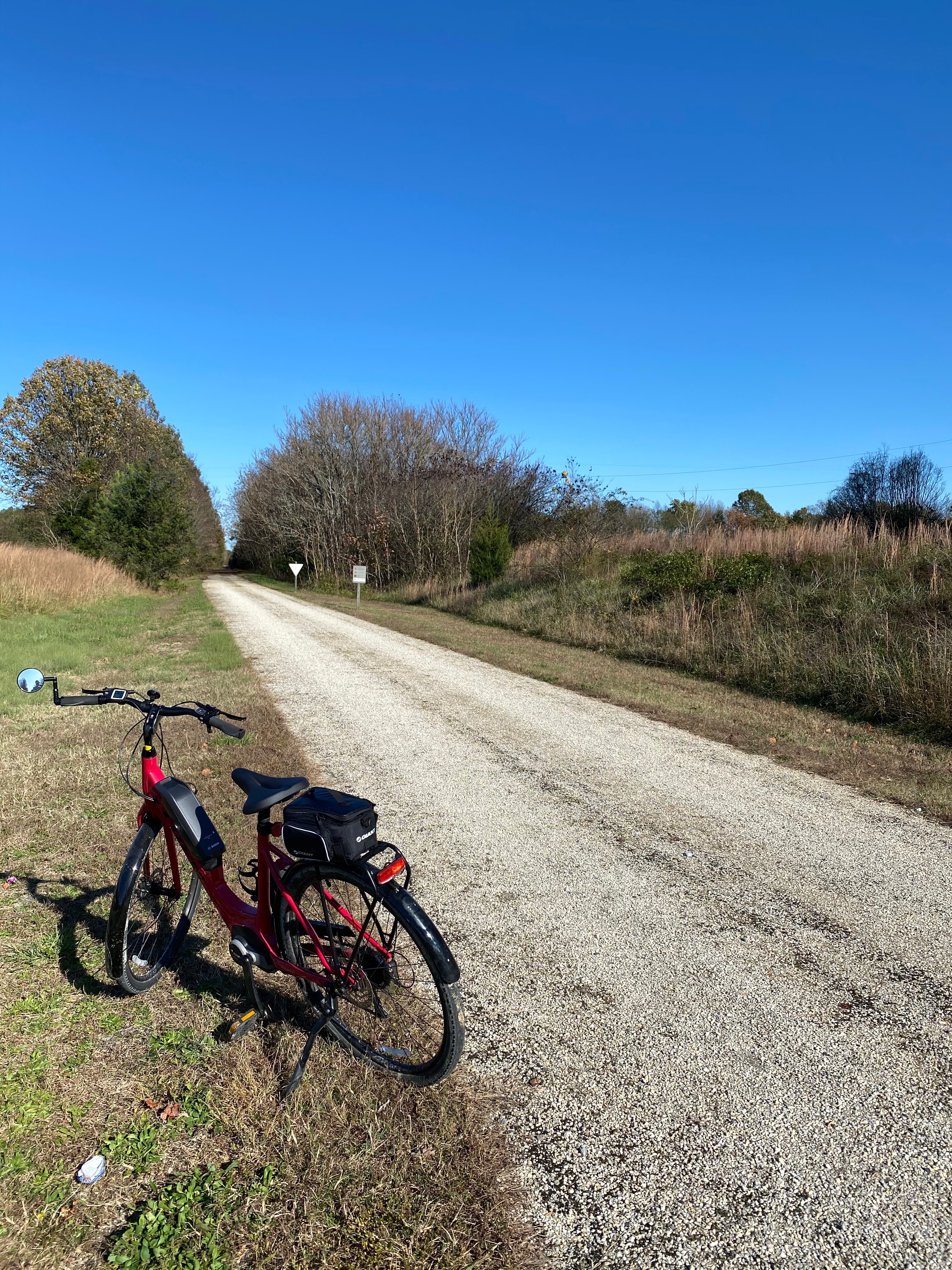

The THT is a 22 mile trail and the plan is to double it in length as more funding is available to complete work on the abandoned right of way in additional towns.
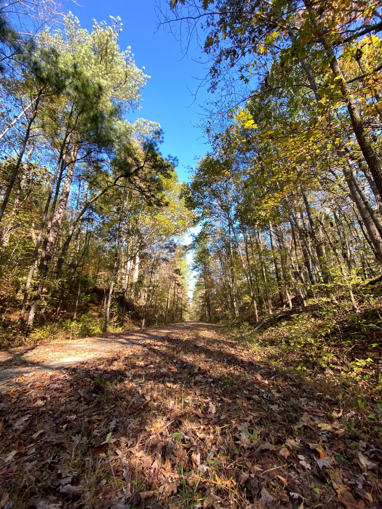
It is an enjoyable ride through forest and field but lacks the dramatic aspects of the trestles, tunnels, waterfalls, river, mountain and valley views afforded by many of the other trails. THT is a trail that is less traveled than others we have ridden on this trip and we had the trail to ourselves.
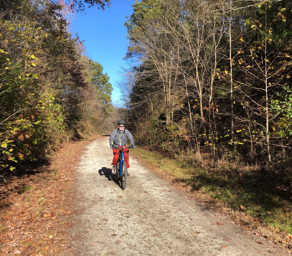
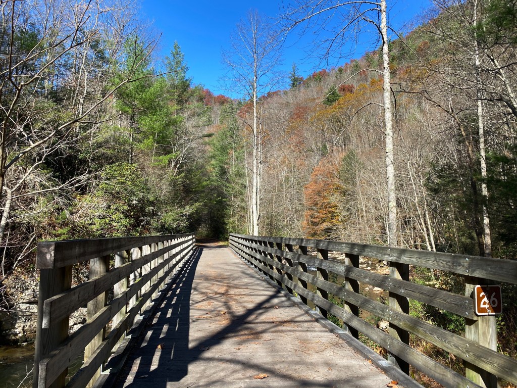
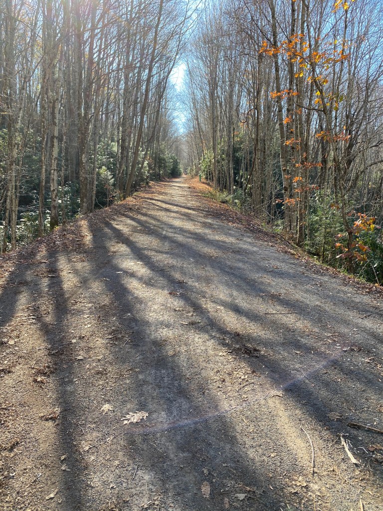
Virginia Creeper trail (VCT)
The VIrginia Creeper Trail is a 33 mile bicycle trail running from Abingdon at the western terminus to Whitetop at the eastern terminus. The trail had its origins as a Native American footpath and was later used by early Euro-American settlers including Daniel Boone.
During the early 1900s a railroad was constructed between Abingdon and Damascus and operated as the Virginia-Carolina Railroad. The railroad hauled timber, iron ore and passengers. The line was taken over by the Norfolk and Western Railroad which continued operations as a branch line until 1977. It is surprising that the line was operated through 1977 as it was never financially profitable. The Virginia Creeper moniker was the nickname of the line because the original steam locomotives had to “creep” up the steep and winding grades.


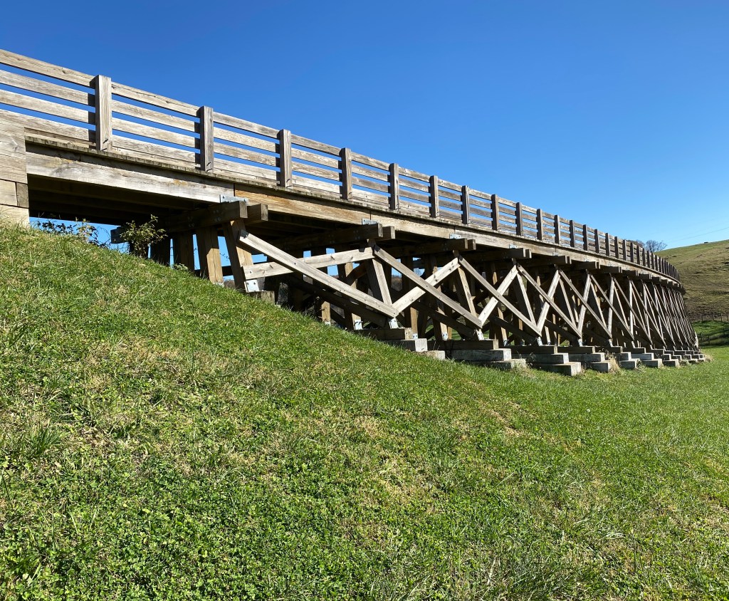

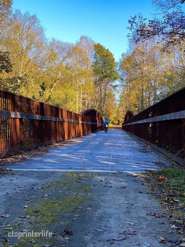
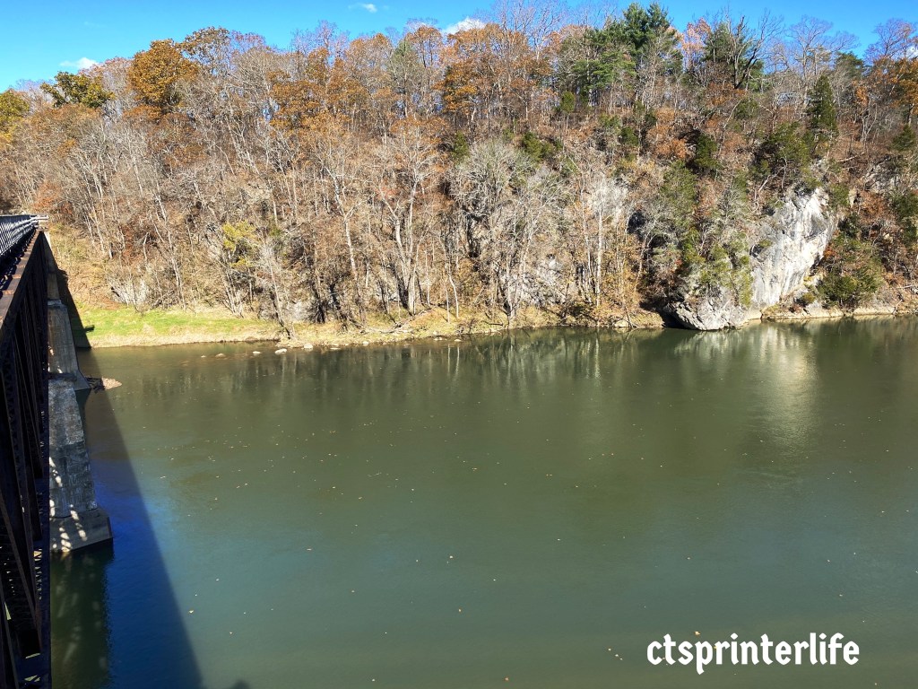
The former Virginia-Carolina has 50 trestles and bridges even though it was just a 33 mile branch line. From a bicycling perspective, the variety and number of high and curved trestles across hollows, valleys and rivers really adds to the excitement and enjoyment of this ride.

Riding Down from Whitetop 
Green Cove Depot 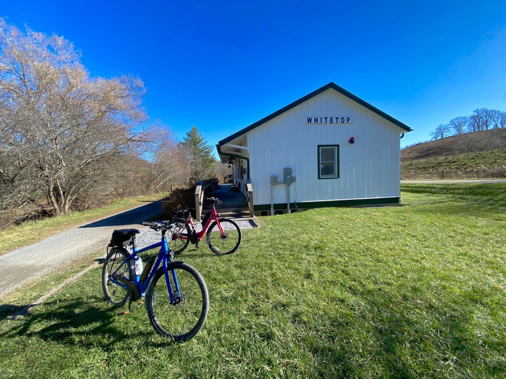
Whitetop Depot 
Whitetop Depot 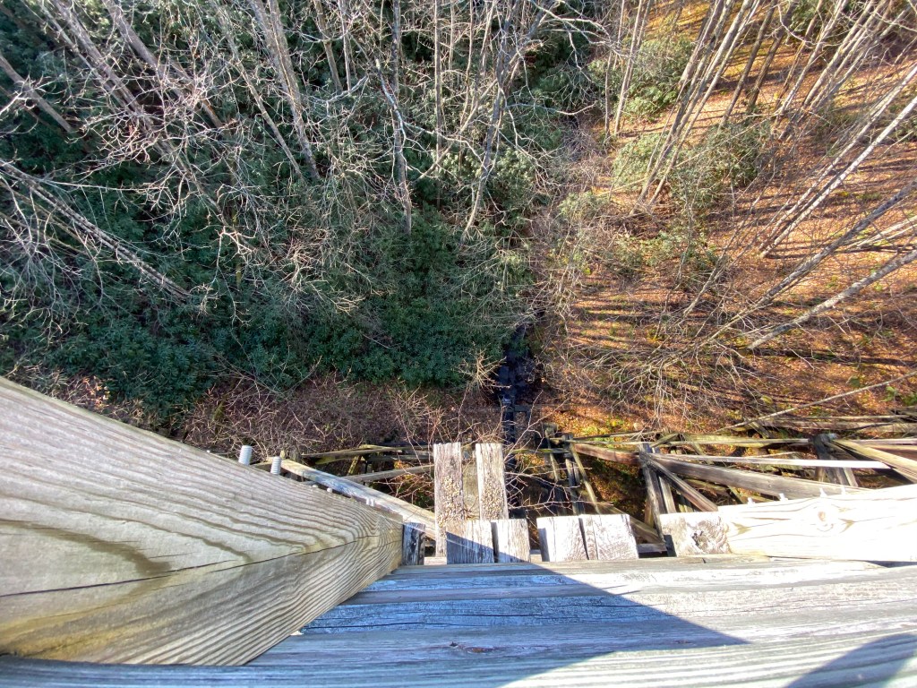
View Down from Trestle

As you can see from the photographs we had beautiful weather during our two days of riding this trail and lots of solitude. The VCT is one of the best trails we have ever ridden.
New River Trail State Park (NRT)

The New River Trail is a 58 mile trail which follows the rail bed of the former Norfolk & Western Railway. The rail line was established primarily to haul iron ore to the railway’s main line in Pulaski. This line was in service from 1882 until 1982 when the successor company, Norfolk Southern, abandoned the line and donated the right of way to the state.
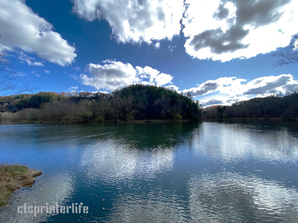
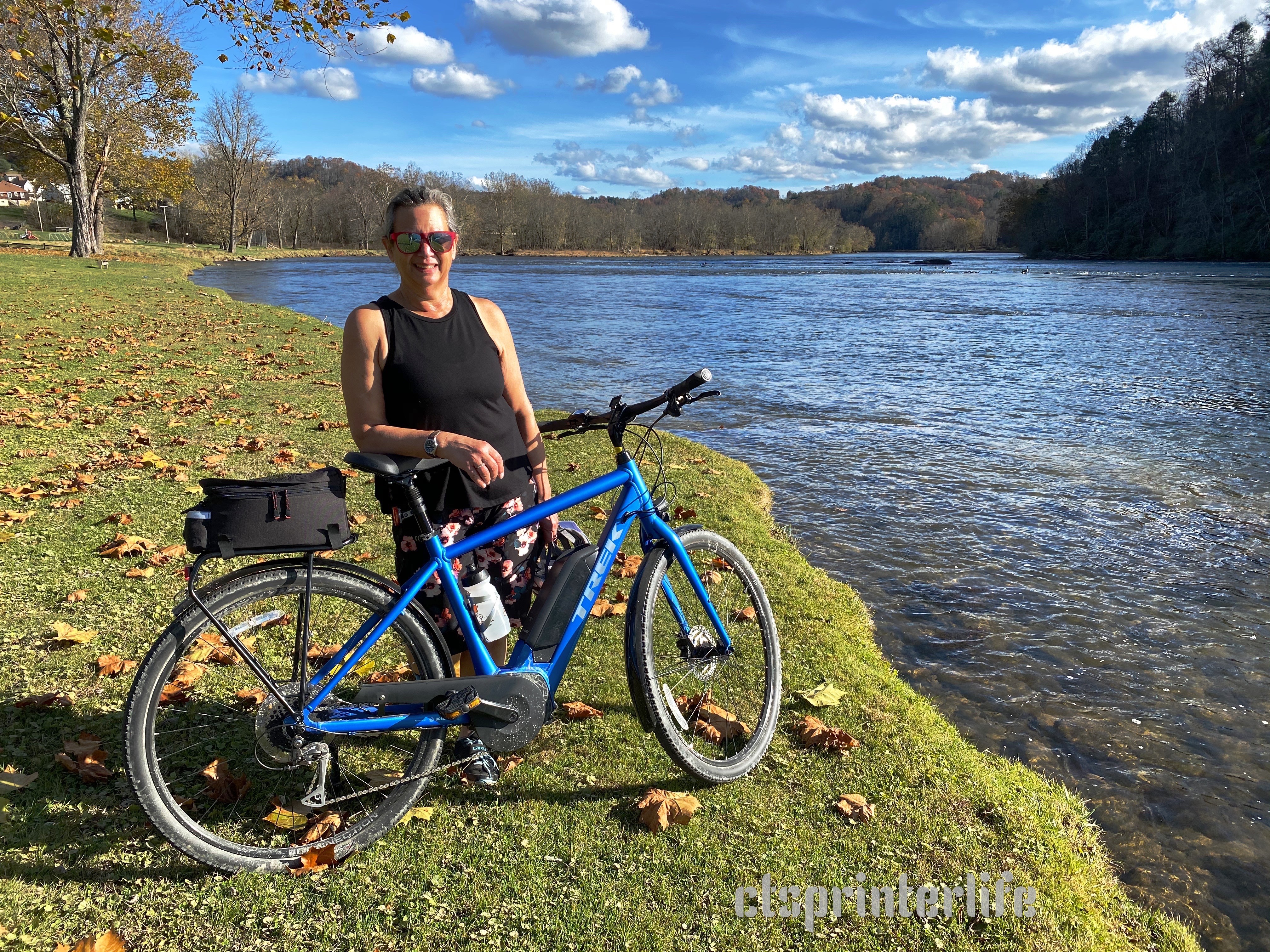

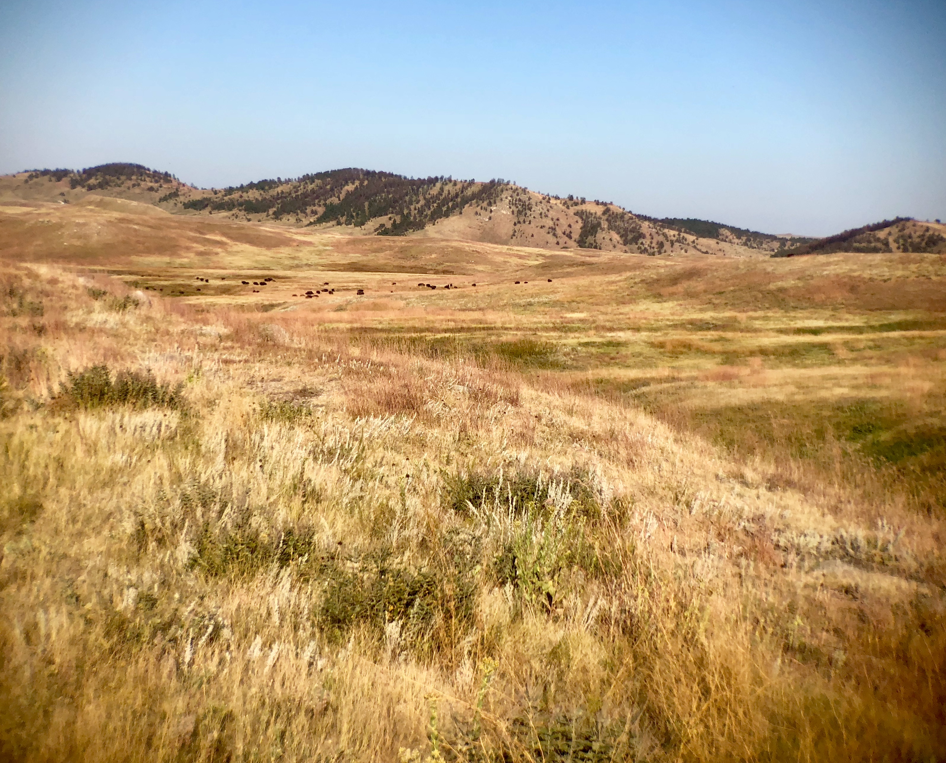
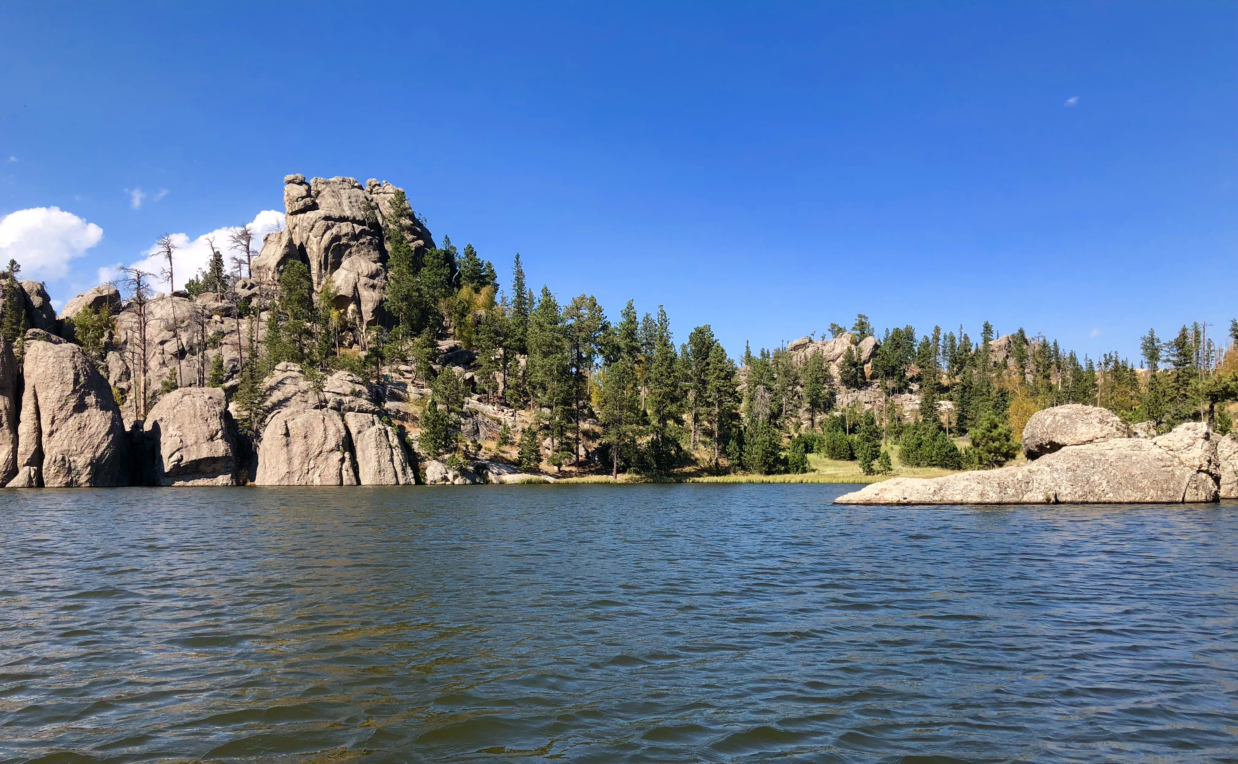
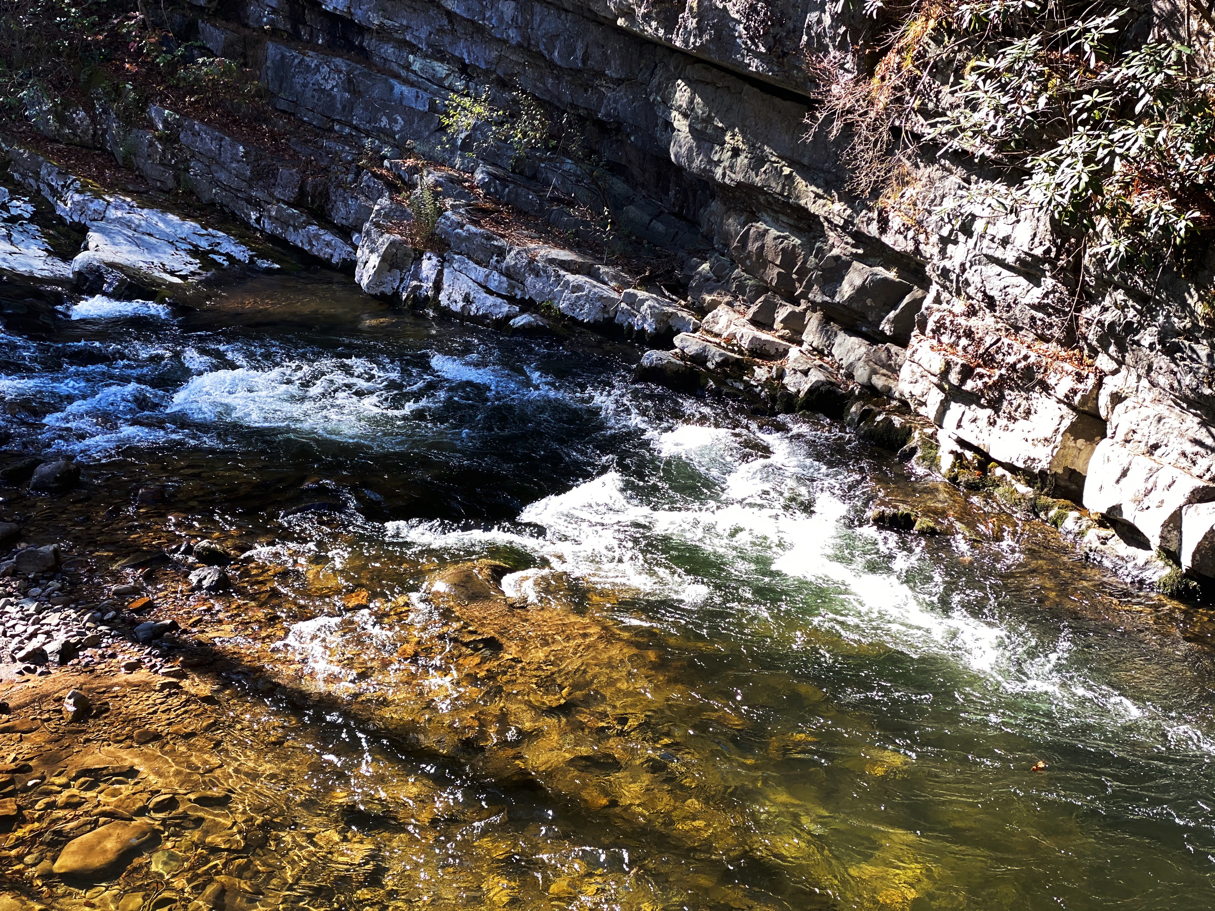
The NRT follows the the New River closely for most of the route and crosses the river several times as you travel from the terminus in Galax to the terminus in Pulaski. The trail provides wonderful views of the river and the surrounding rolling hills dotted with grazing cows.


Between our time at New River Gorge and our three days cycling the NRT we have spent a fair amount of time with the river as a travel companion. The New River runs through three states and affords breathtaking scenery as it carves its way through the Appalachian Mountains.
Interestingly, the New River is claimed to be the second oldest river on the planet although there is some disagreement by the National Park Service. It is not disputed that it is among the top five oldest rivers while the Appalachian Mountains are considered by many geoligists to be the oldest mountains on earth.

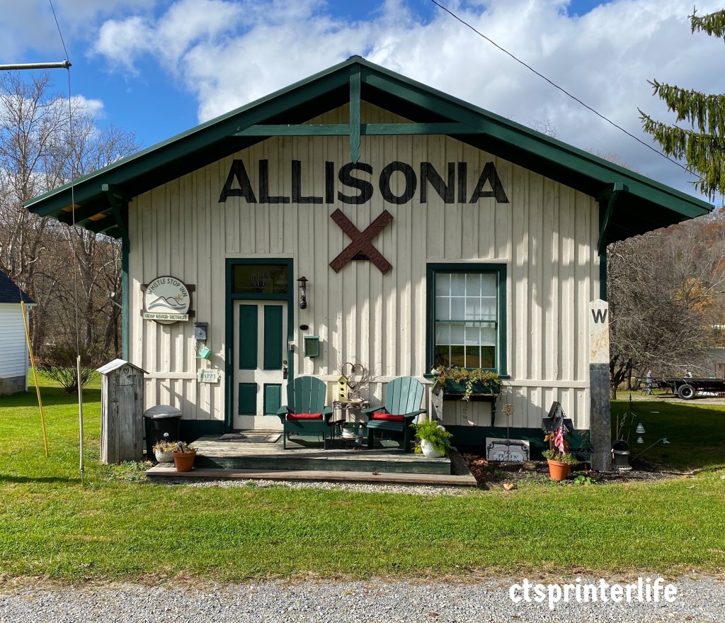
Alisonia, one of the tiny towns that was a stop on the former Northern & Western Railway line. The town still exists today, with a current population of 114.


In a future post we will share the highlights of our Rails to Trails cycling adventures in West Virginia.
Be seeing you!