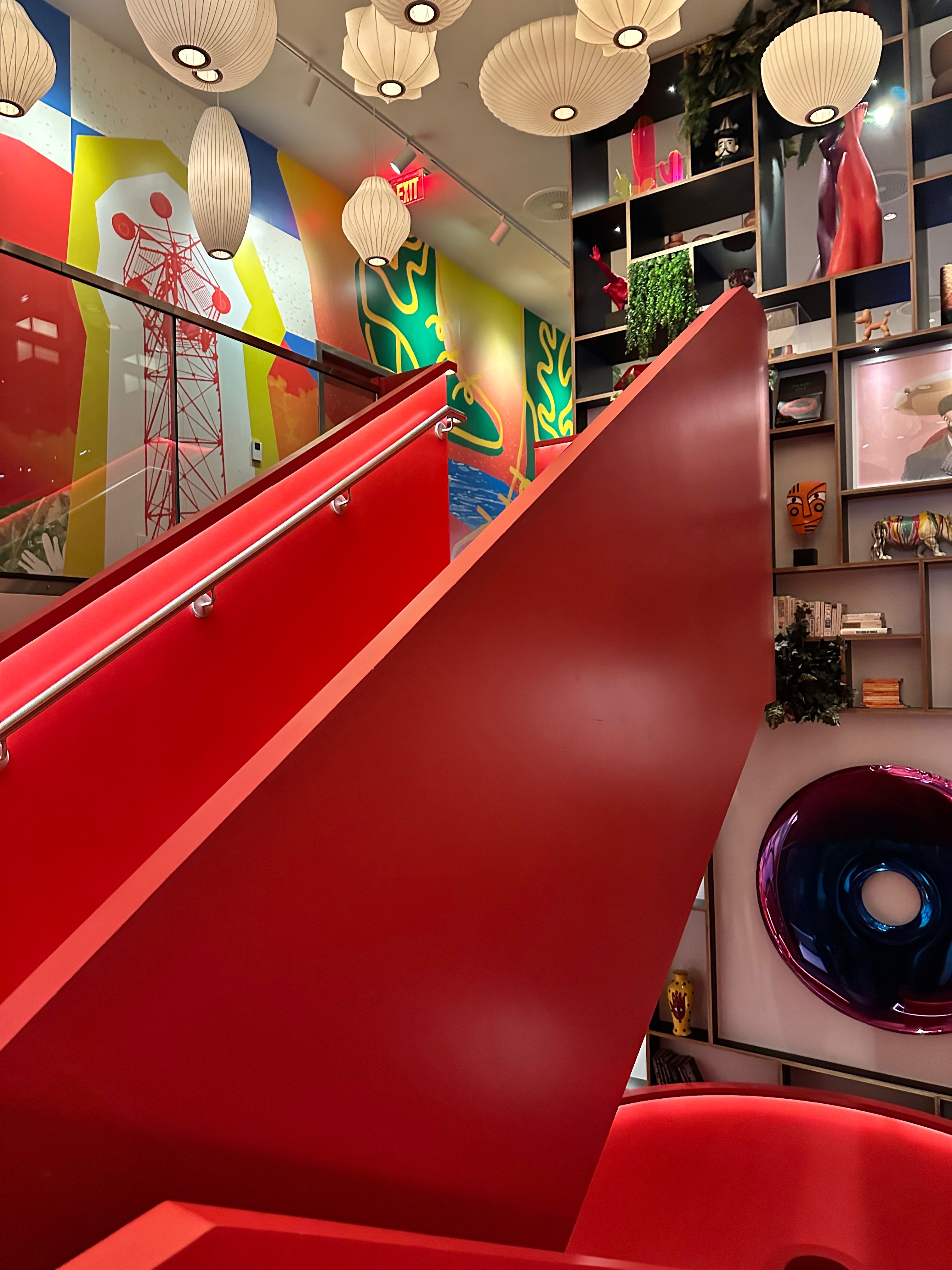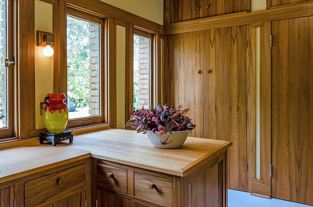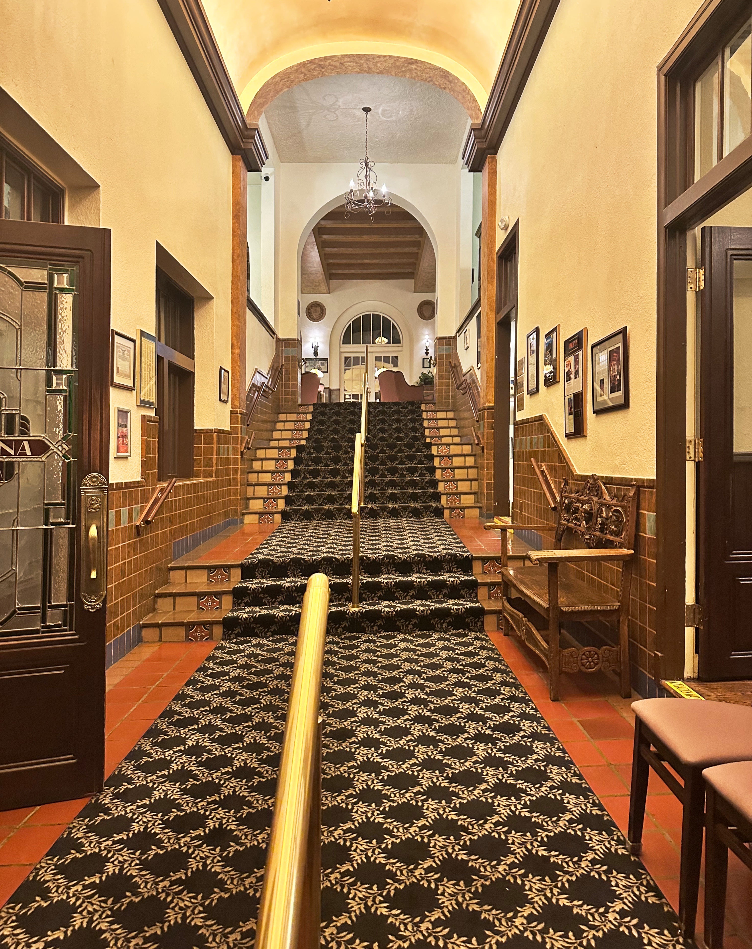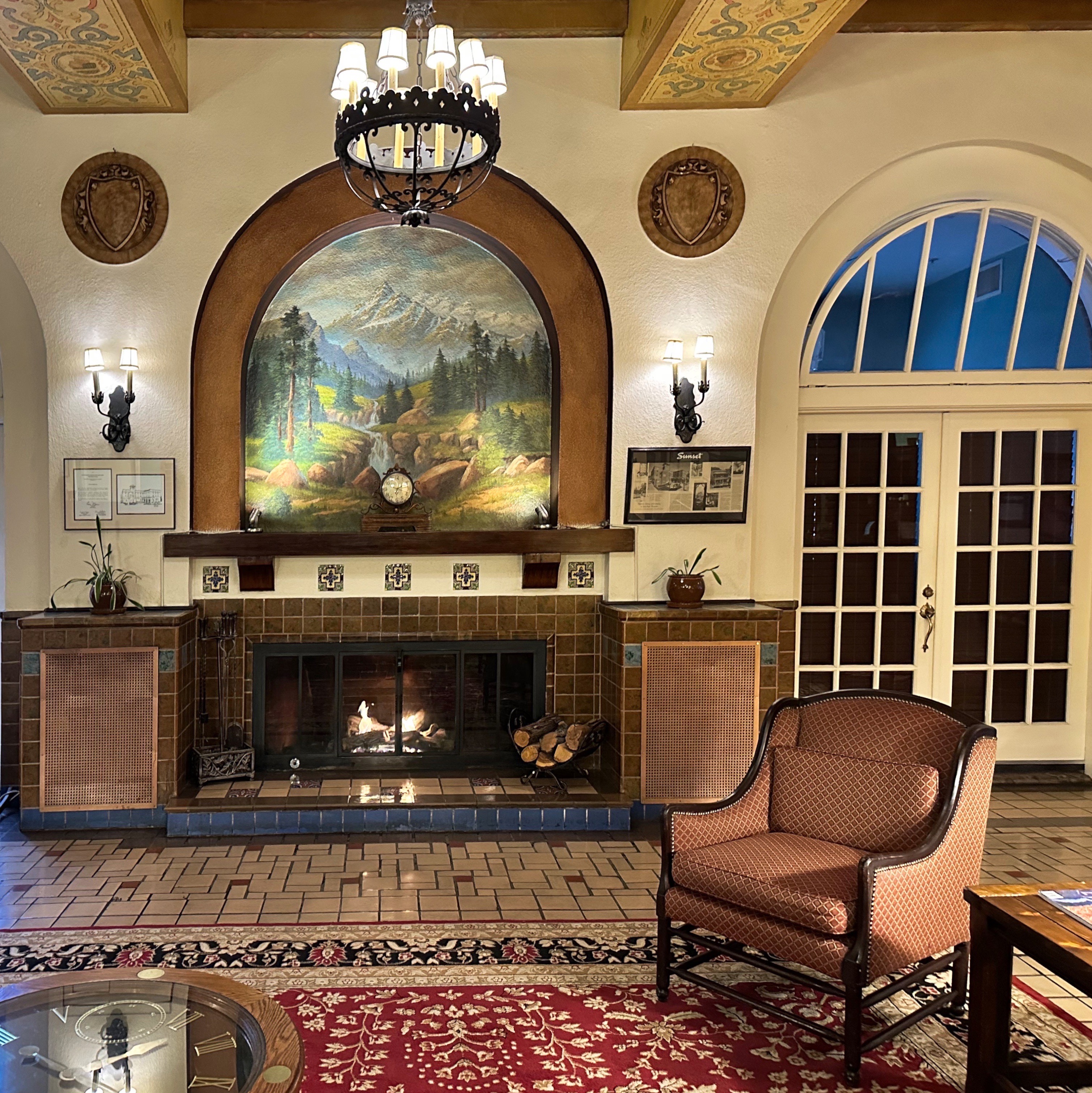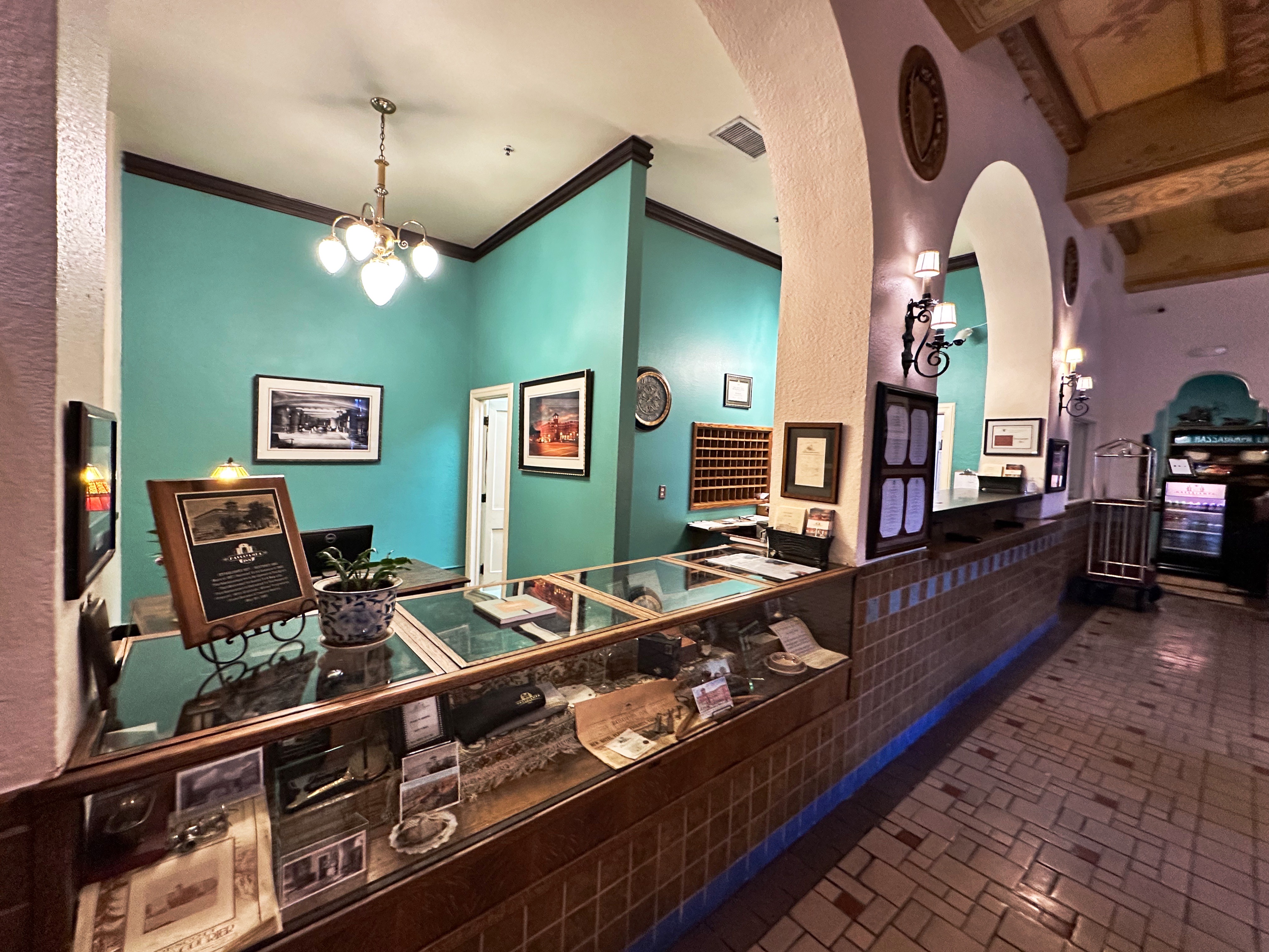
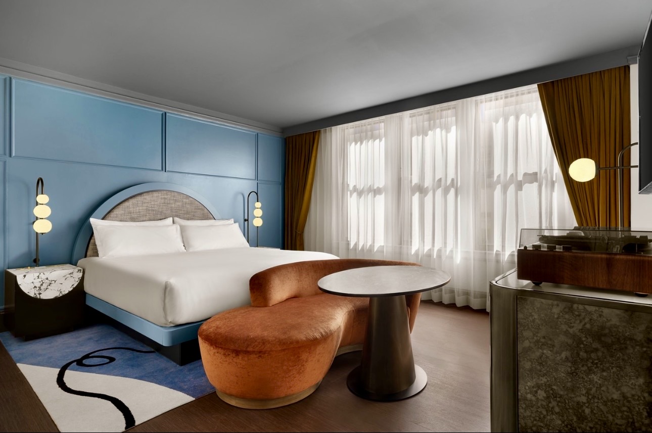
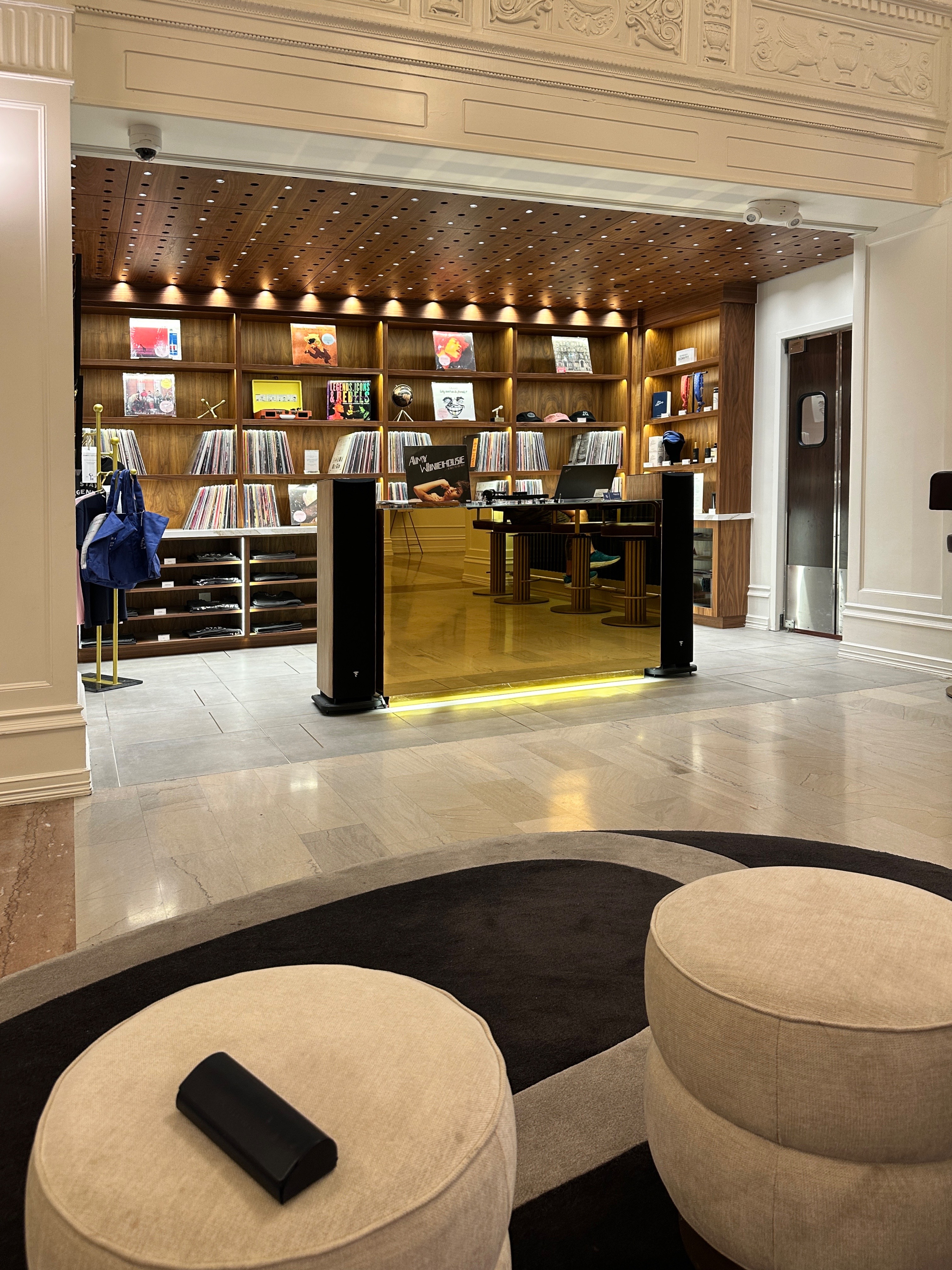
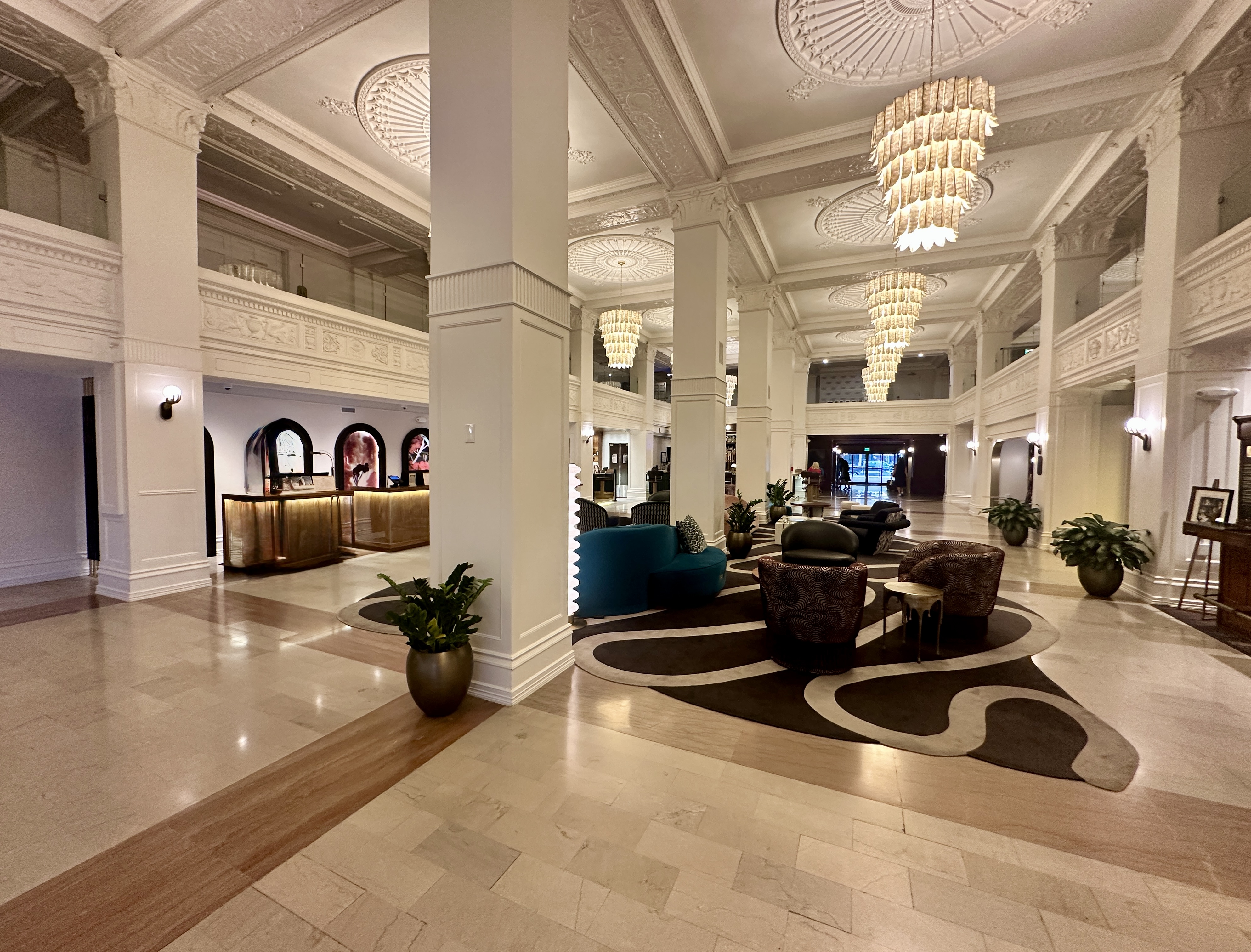
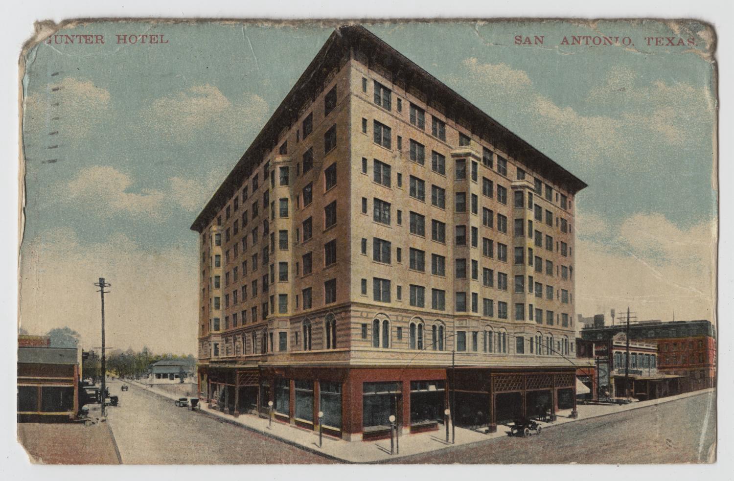
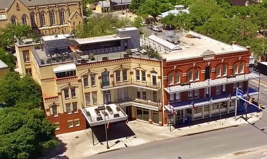
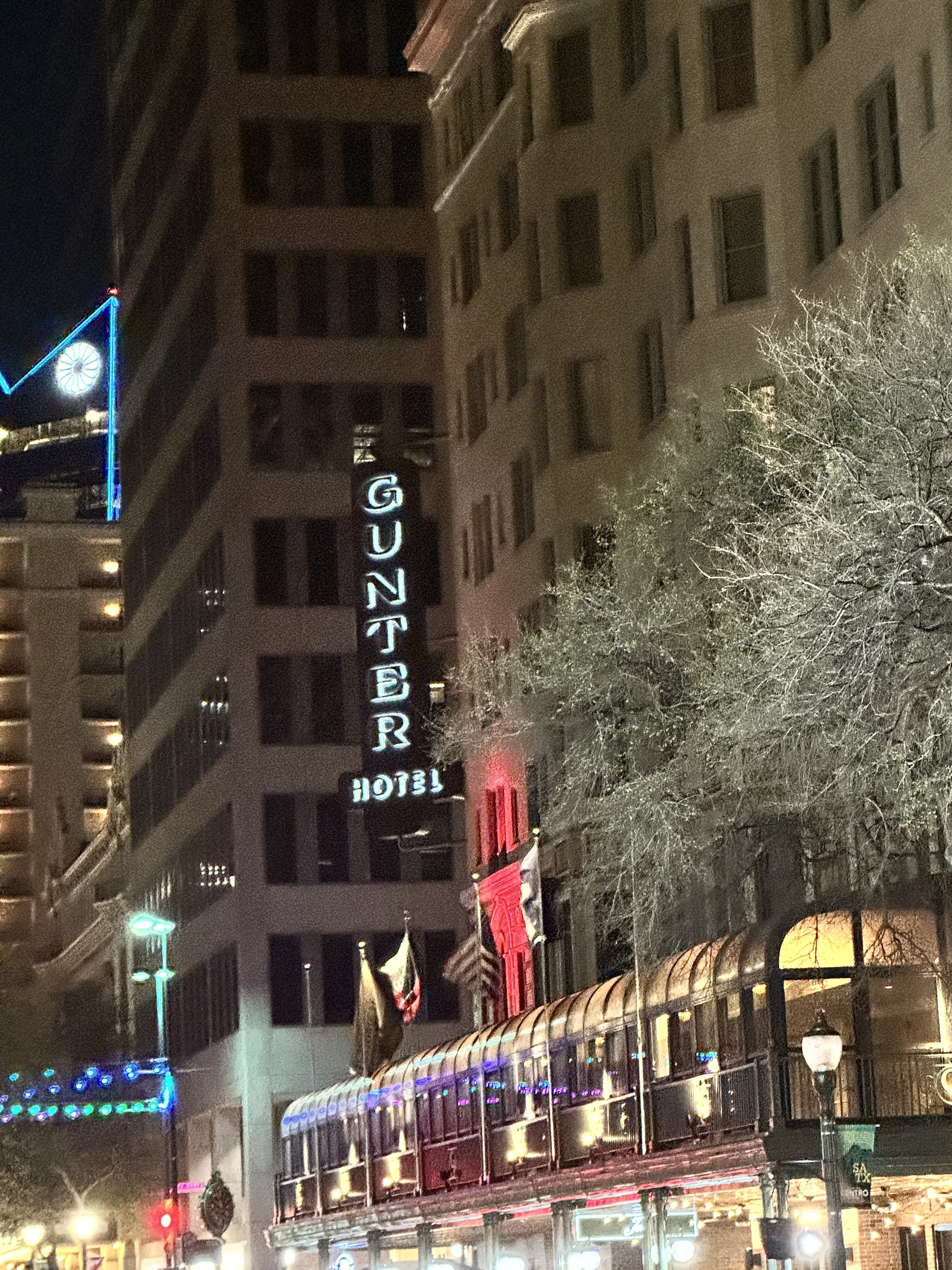
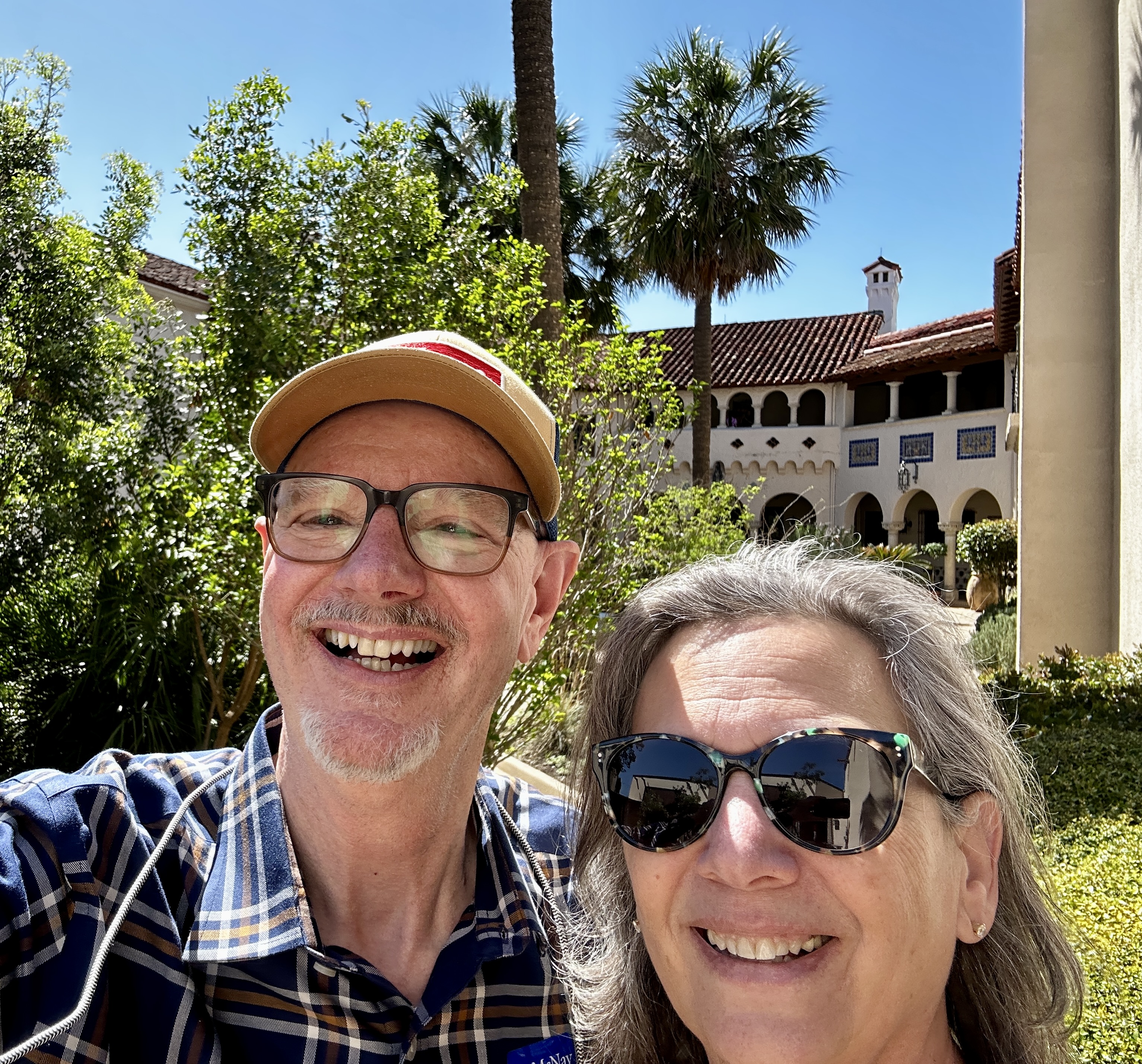
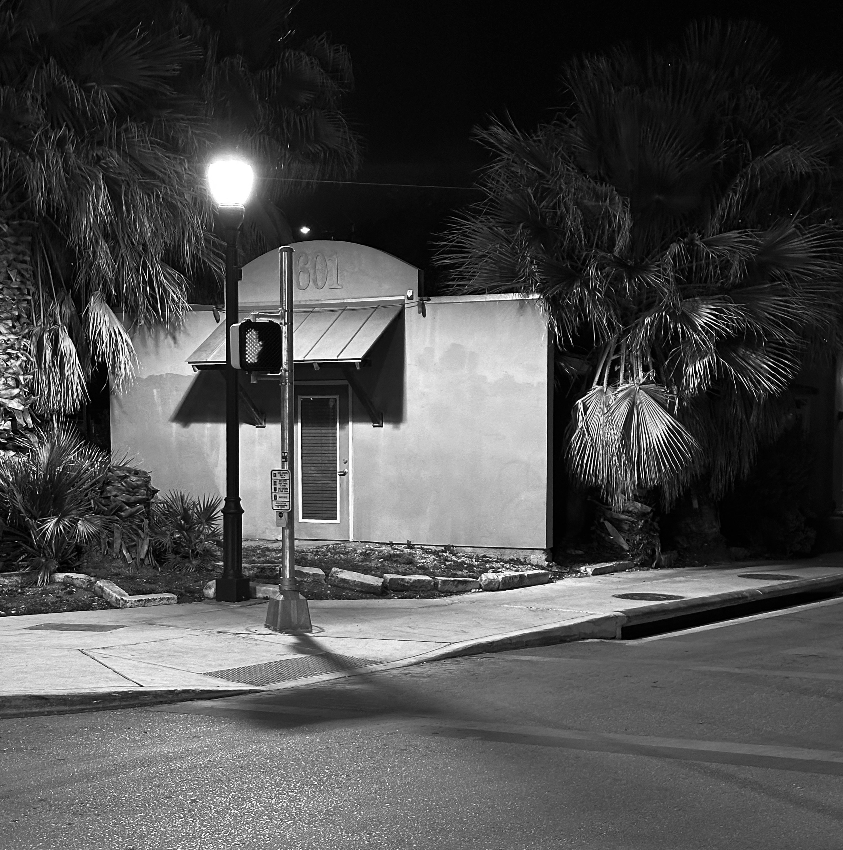
For our city tour of San Antonio we selected the historic Gunter Hotel located in the heart of downtown. When the Gunter was constructed in 1909 it was the largest building in the city standing eight stories high.The hotel was quite luxurious by the standards of the day with central heating, four elevators and en suite bathrooms. Four stories were added during the 1920s. As with many other luxury hotels in this part of the United States the hotel was a hub for cattlemen when visiting San Antonio.
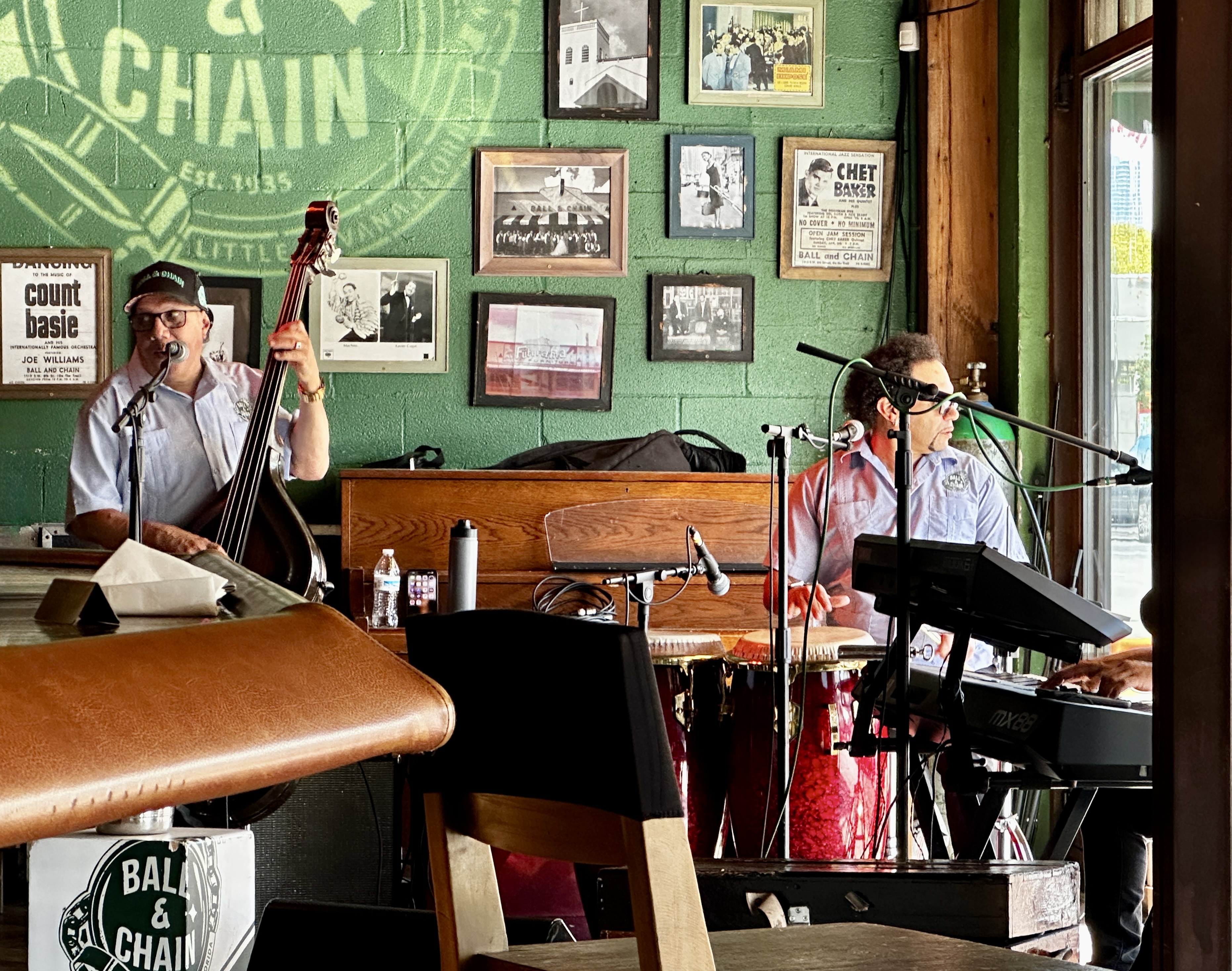
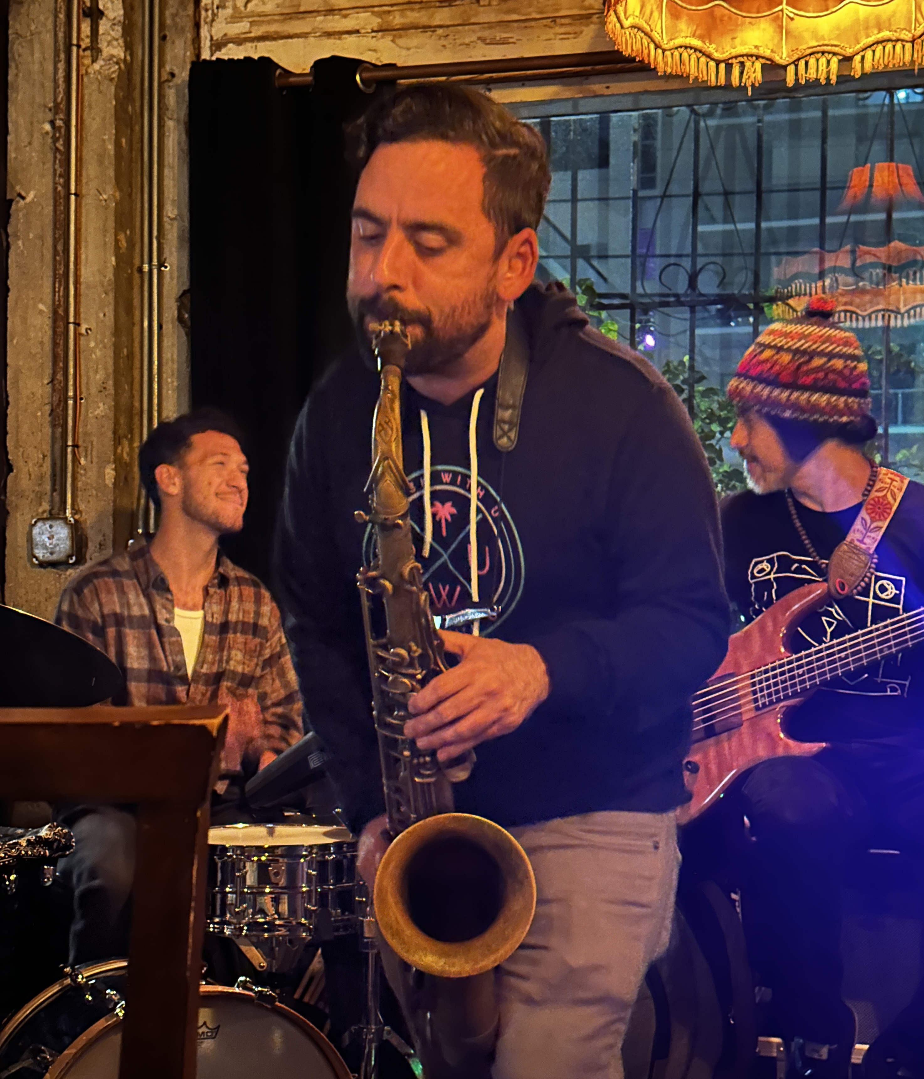
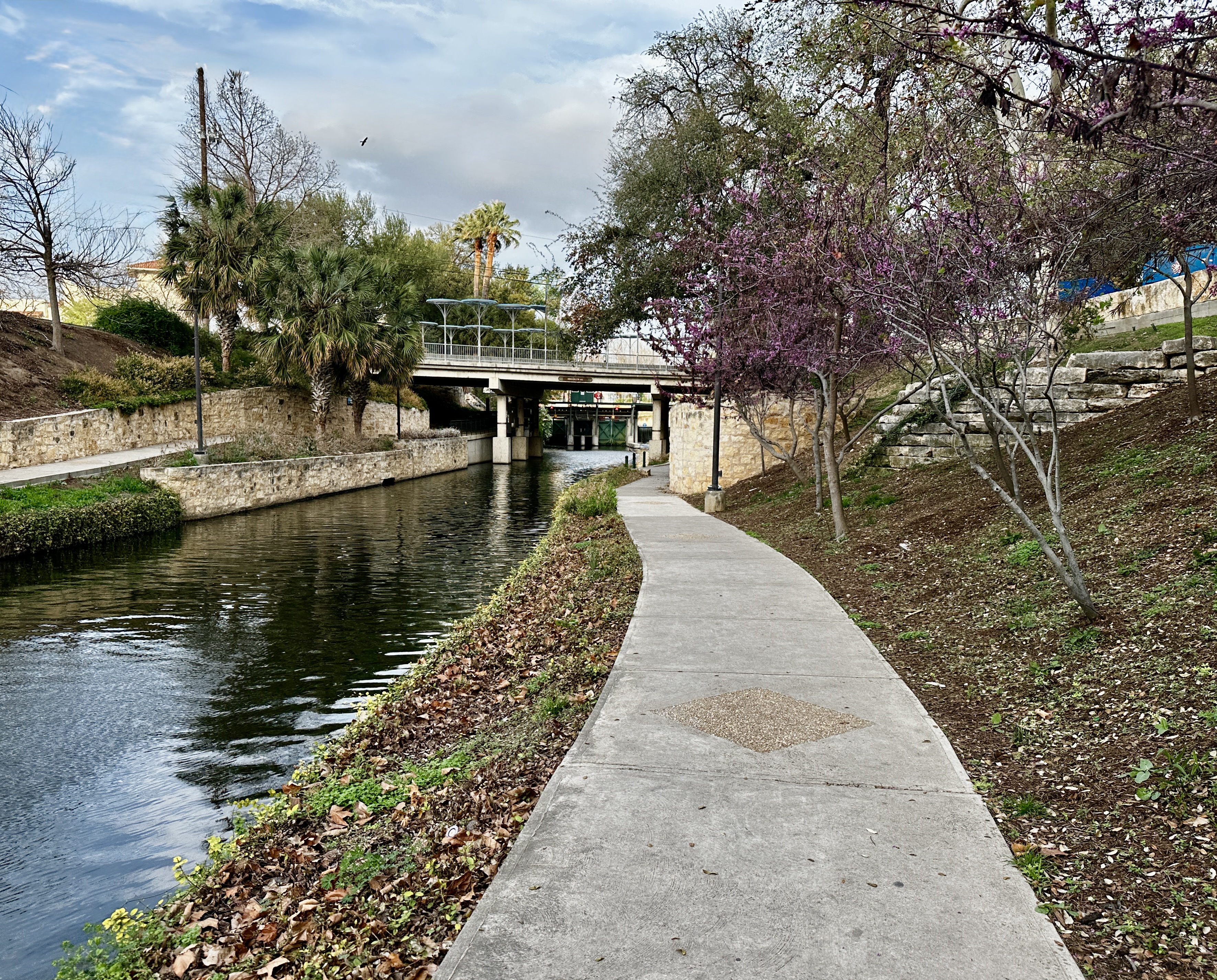
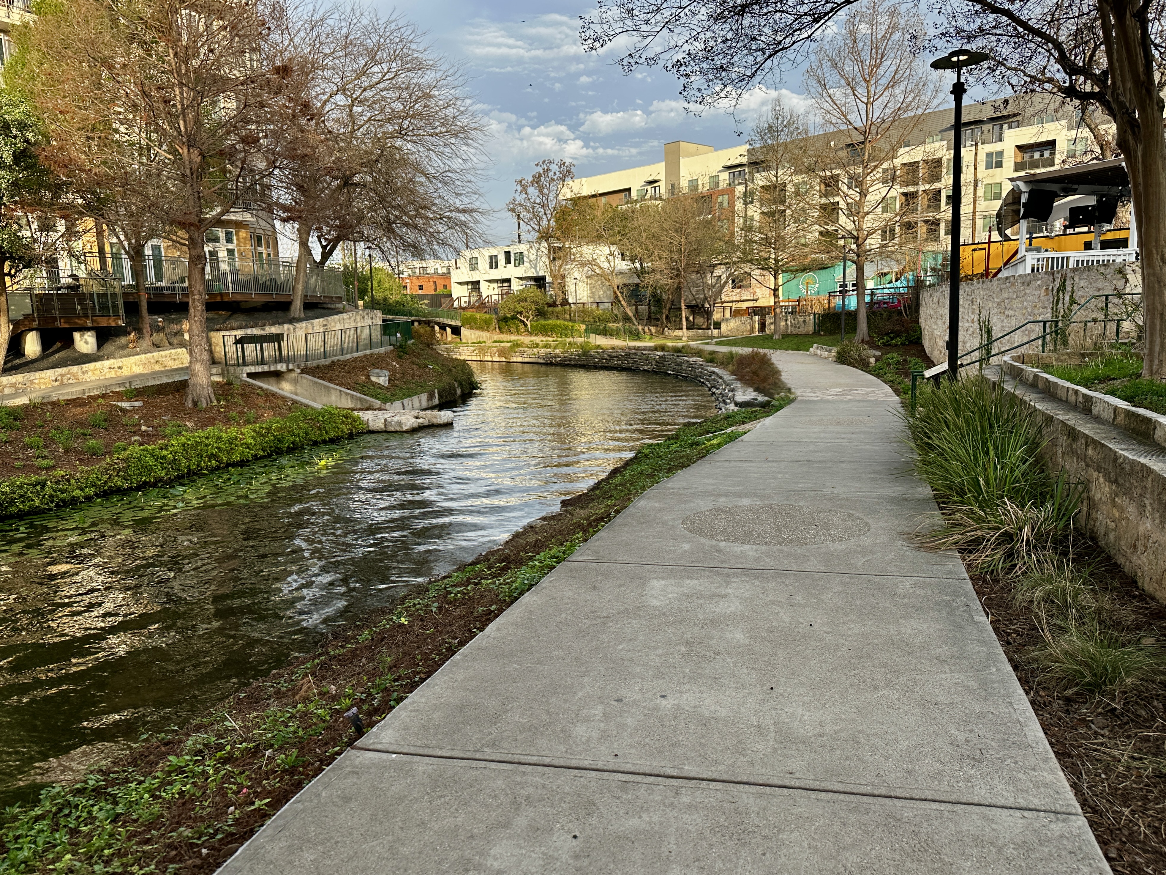
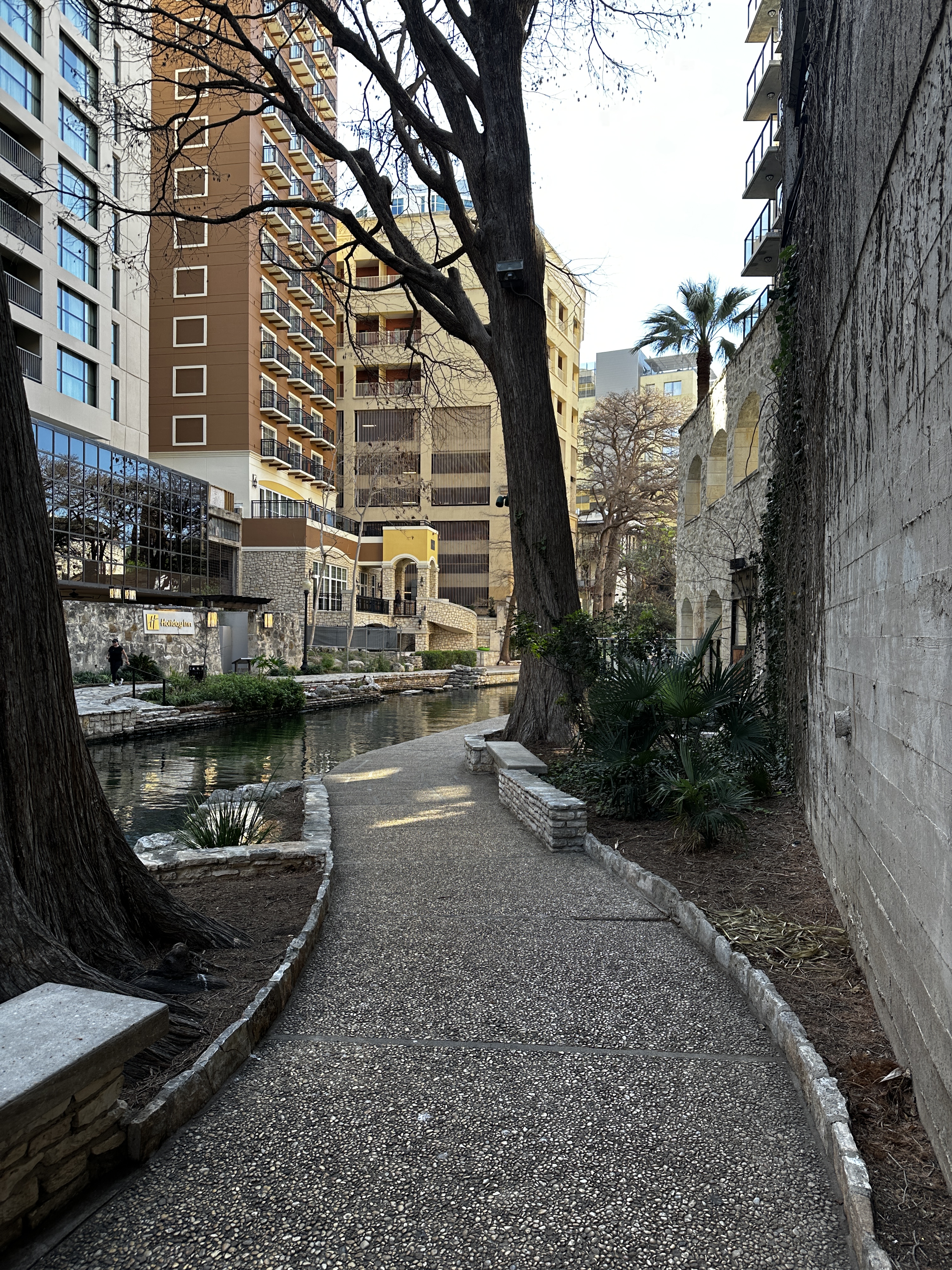
Day One: After checking into the hotel we walked along the Riverwalk north to The Pearl District for dinner and a live music performance.
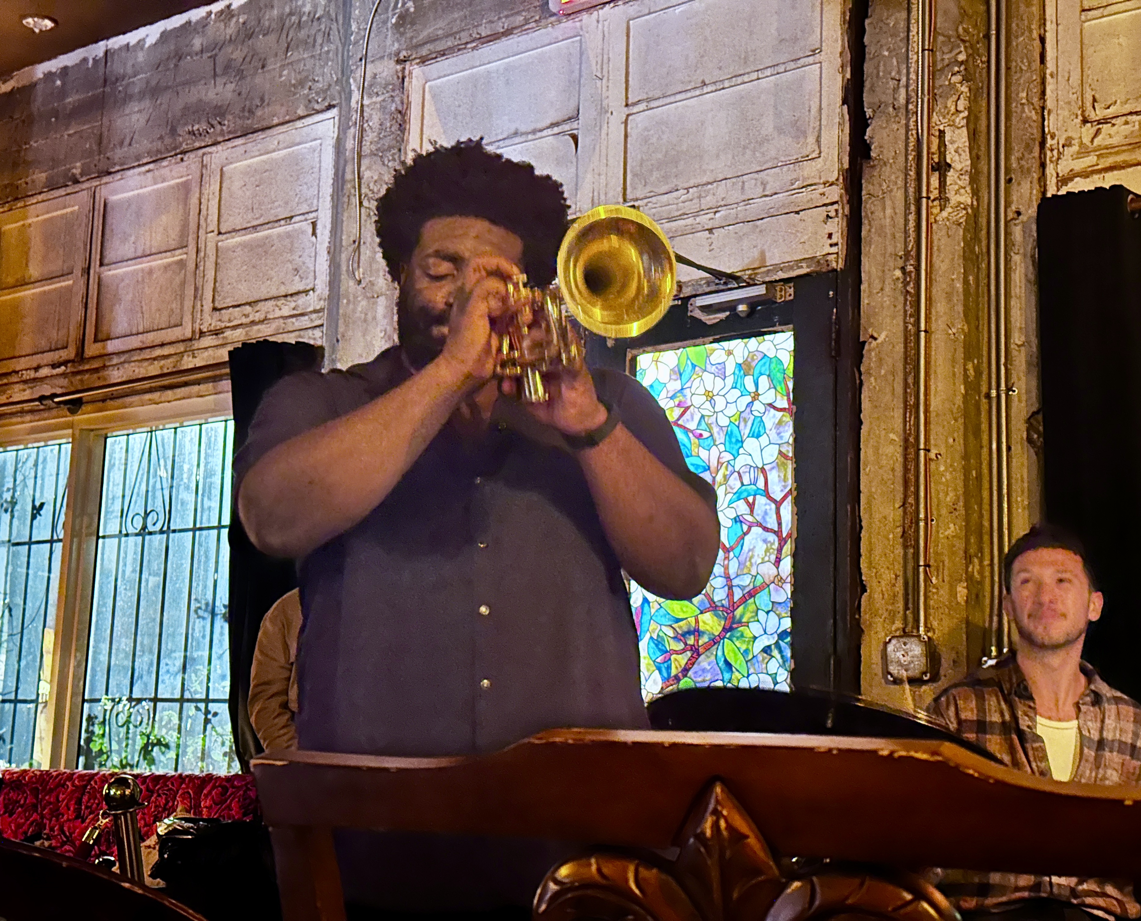
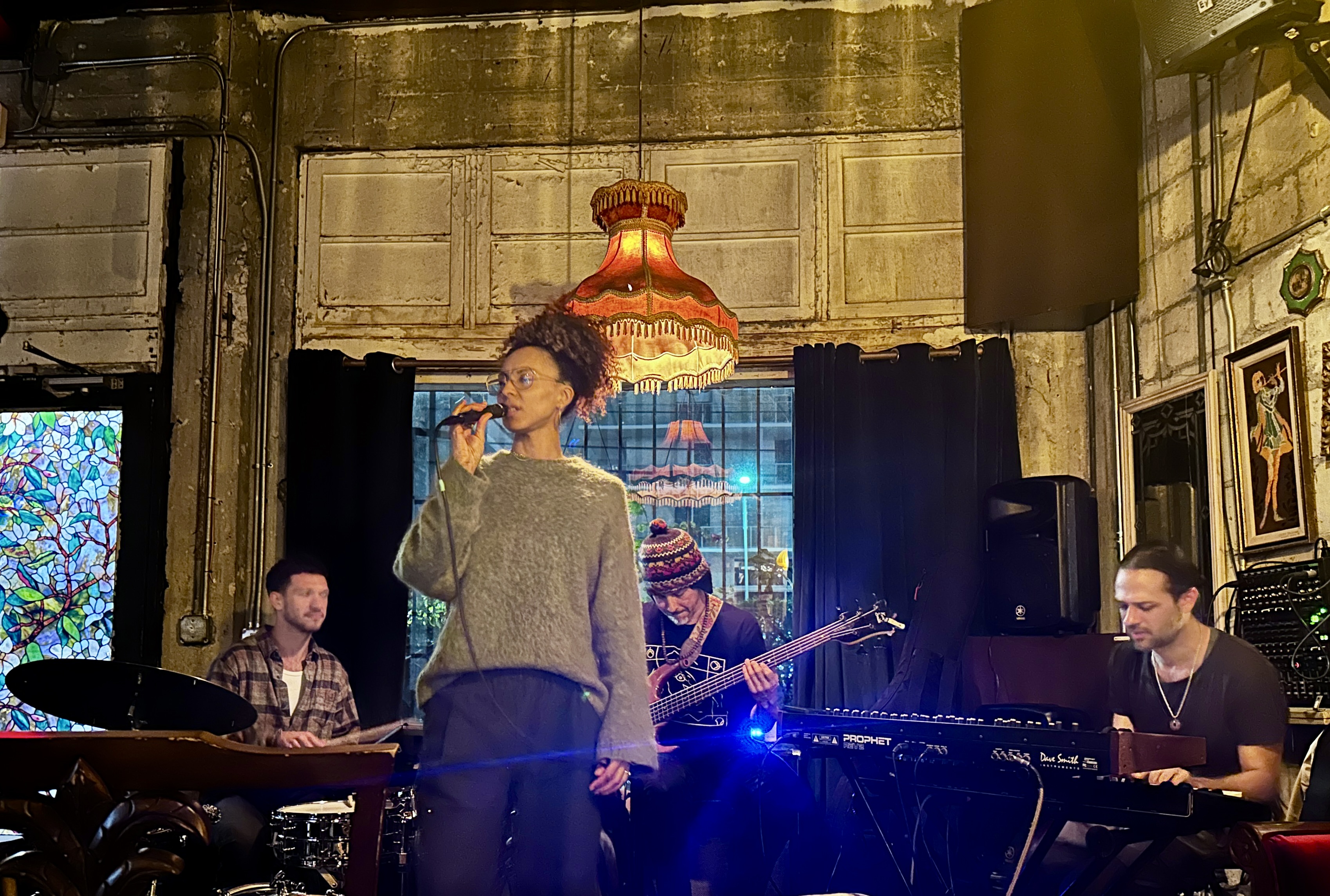
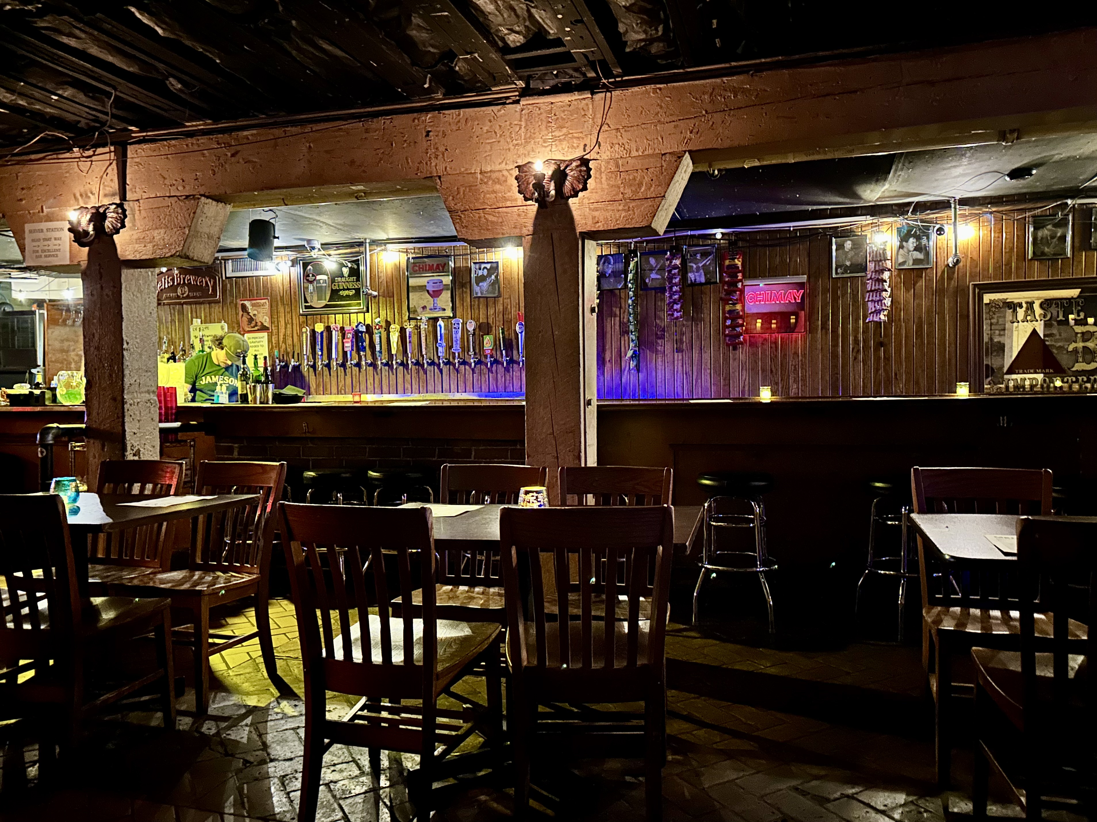
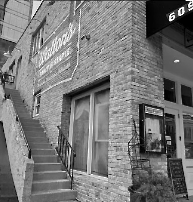
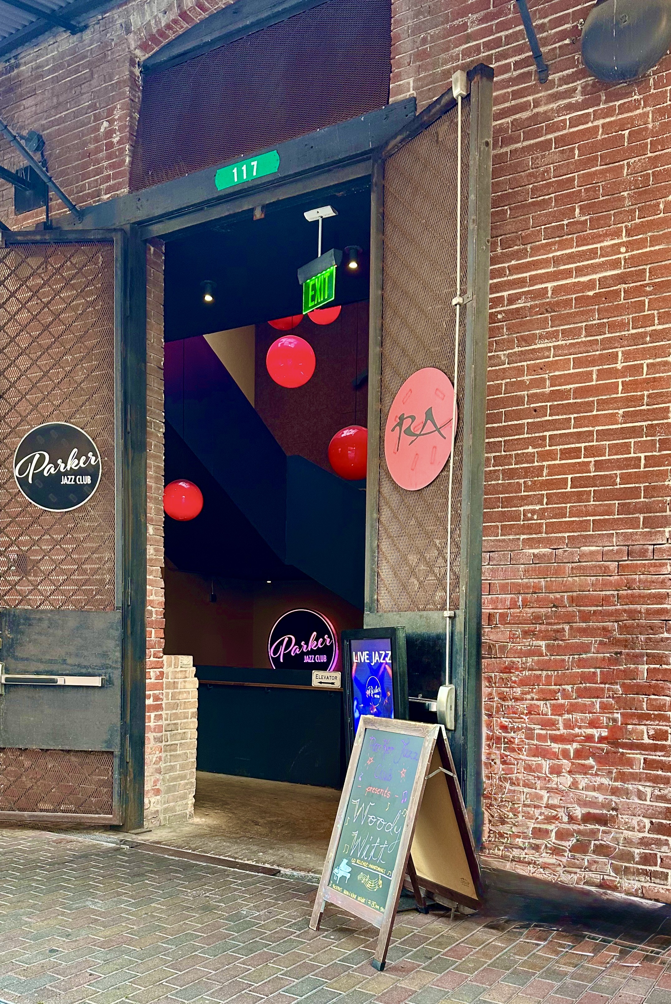
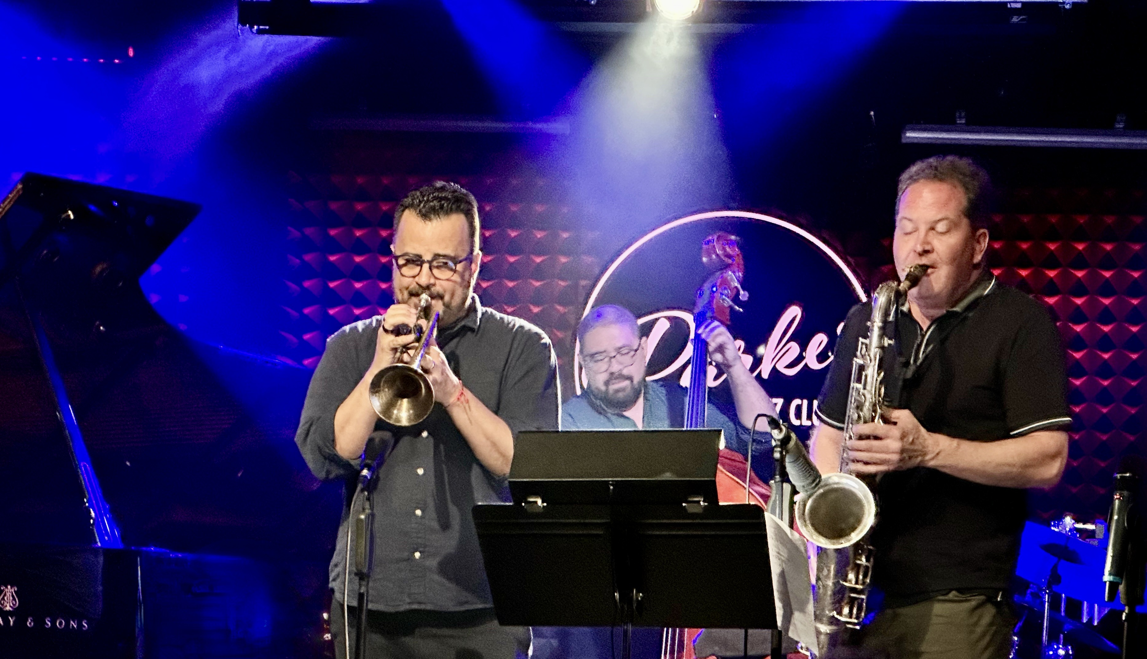
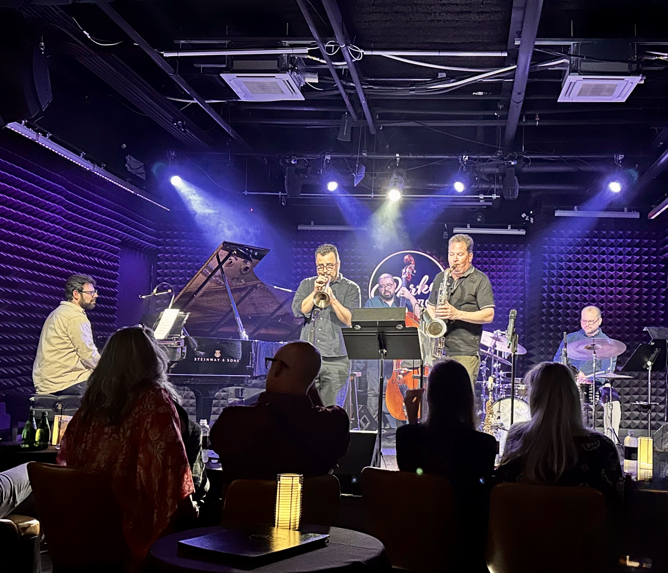
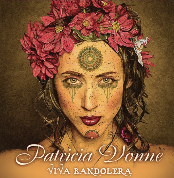
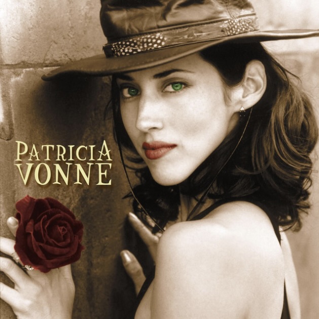
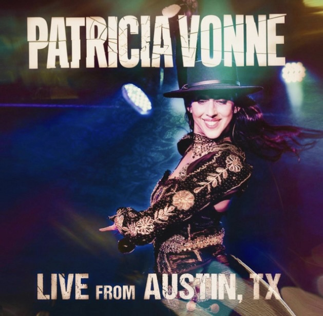
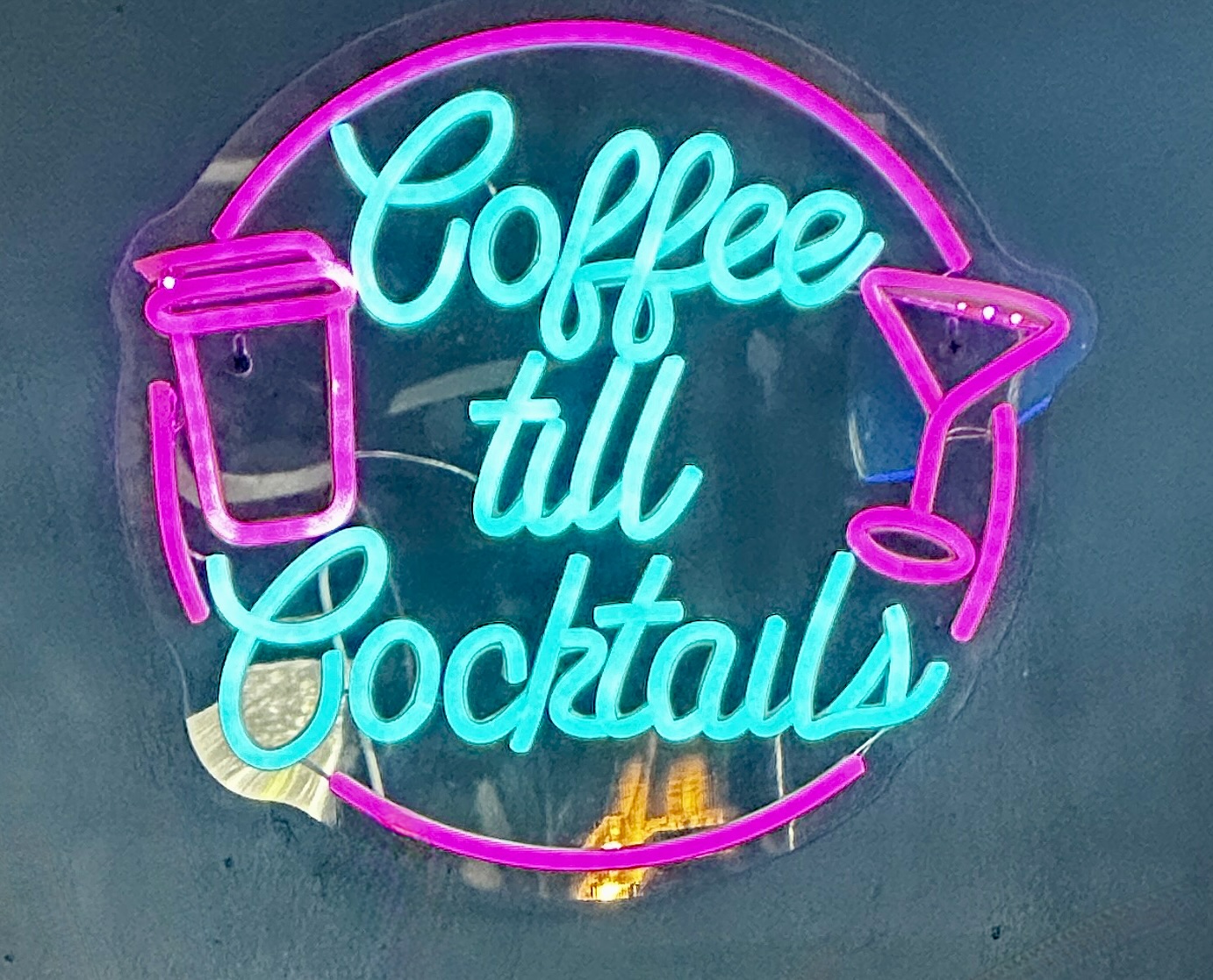
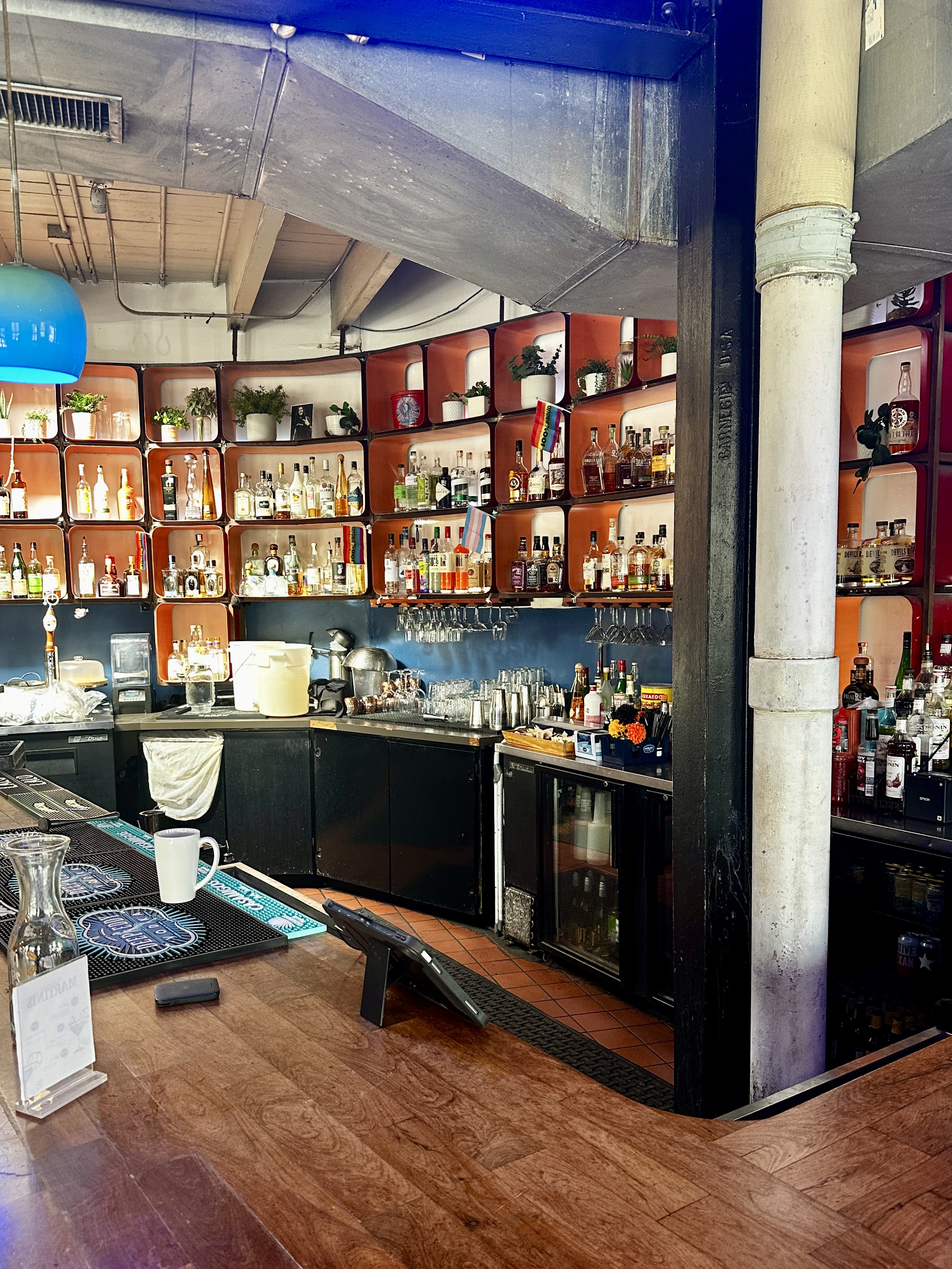
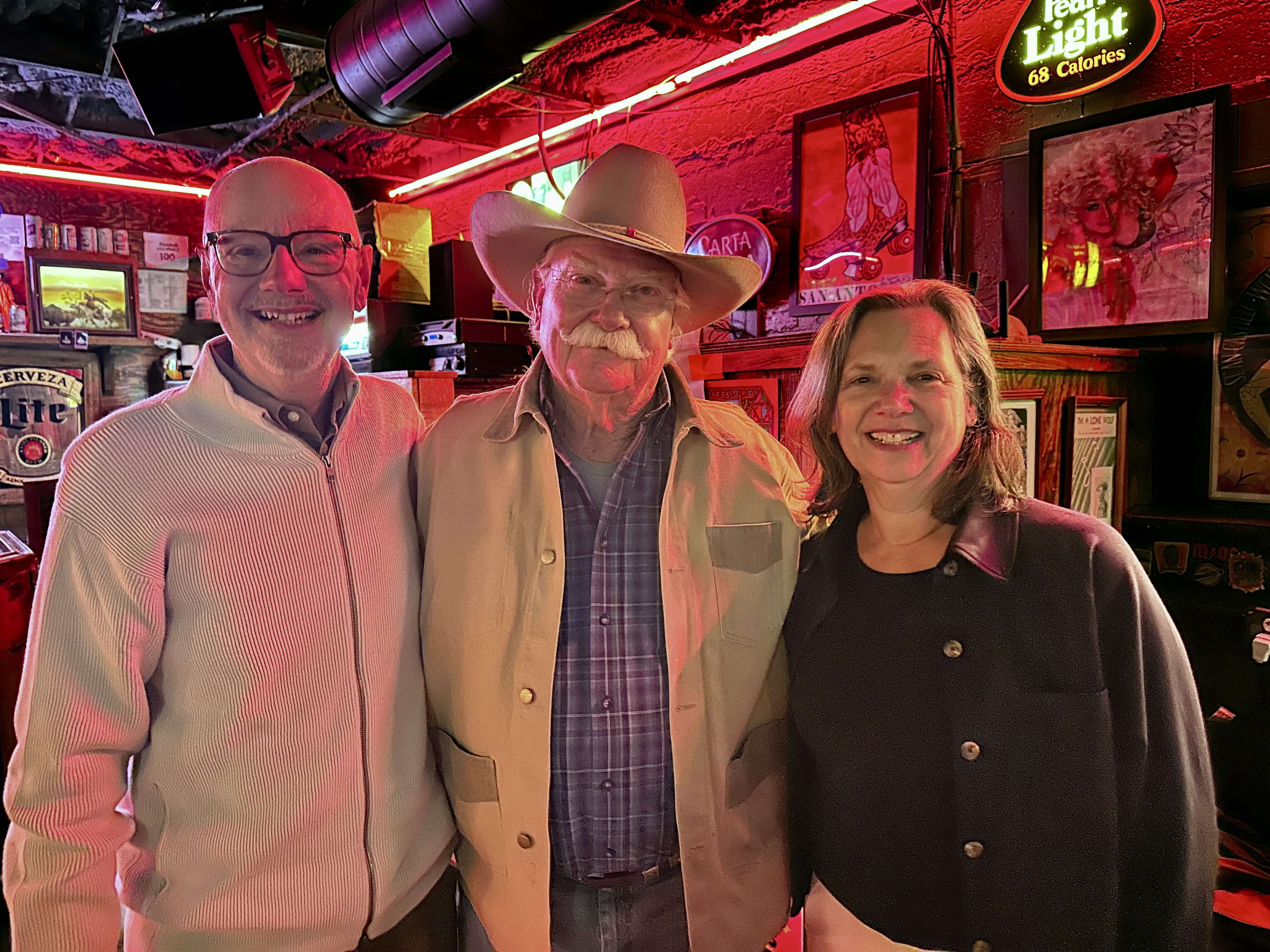
Jazz,TX is a jazz venue located in the basement of one of the buildings at the Pearl (more on the Pearl later in this post). Patricia Vonne is a San Antonio native. She is a musician, songwriter, actor and award winning filmaker who has performed all over the globe. Her music is a unique blend of Tejano and Flamenco sometimes called “ranchera rock ‘n’ roll”. The New York Times described her as the “Renaissance woman of Austin, Texas”.
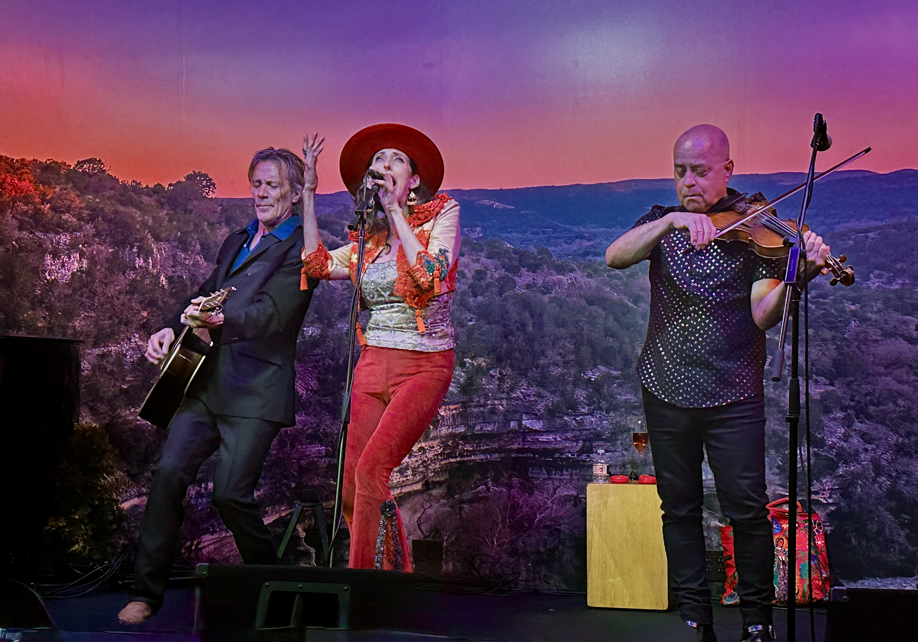
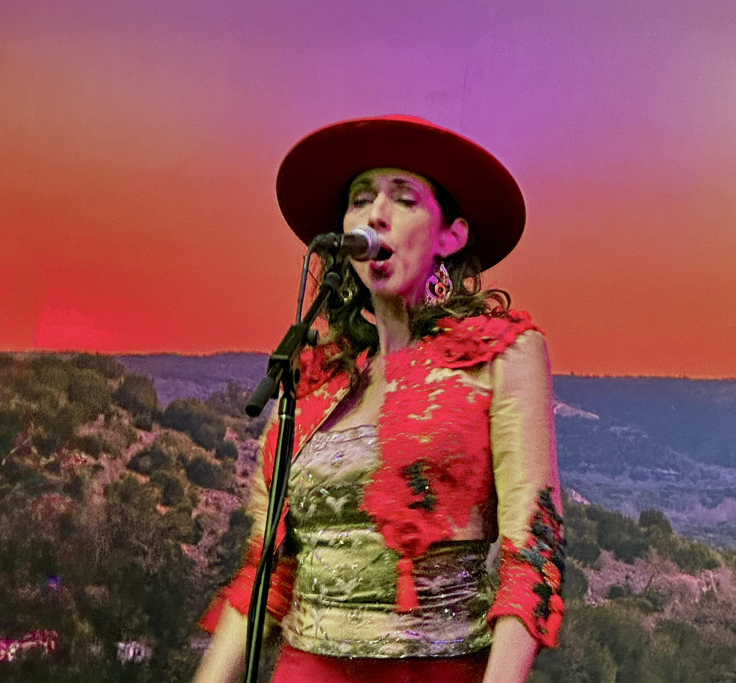
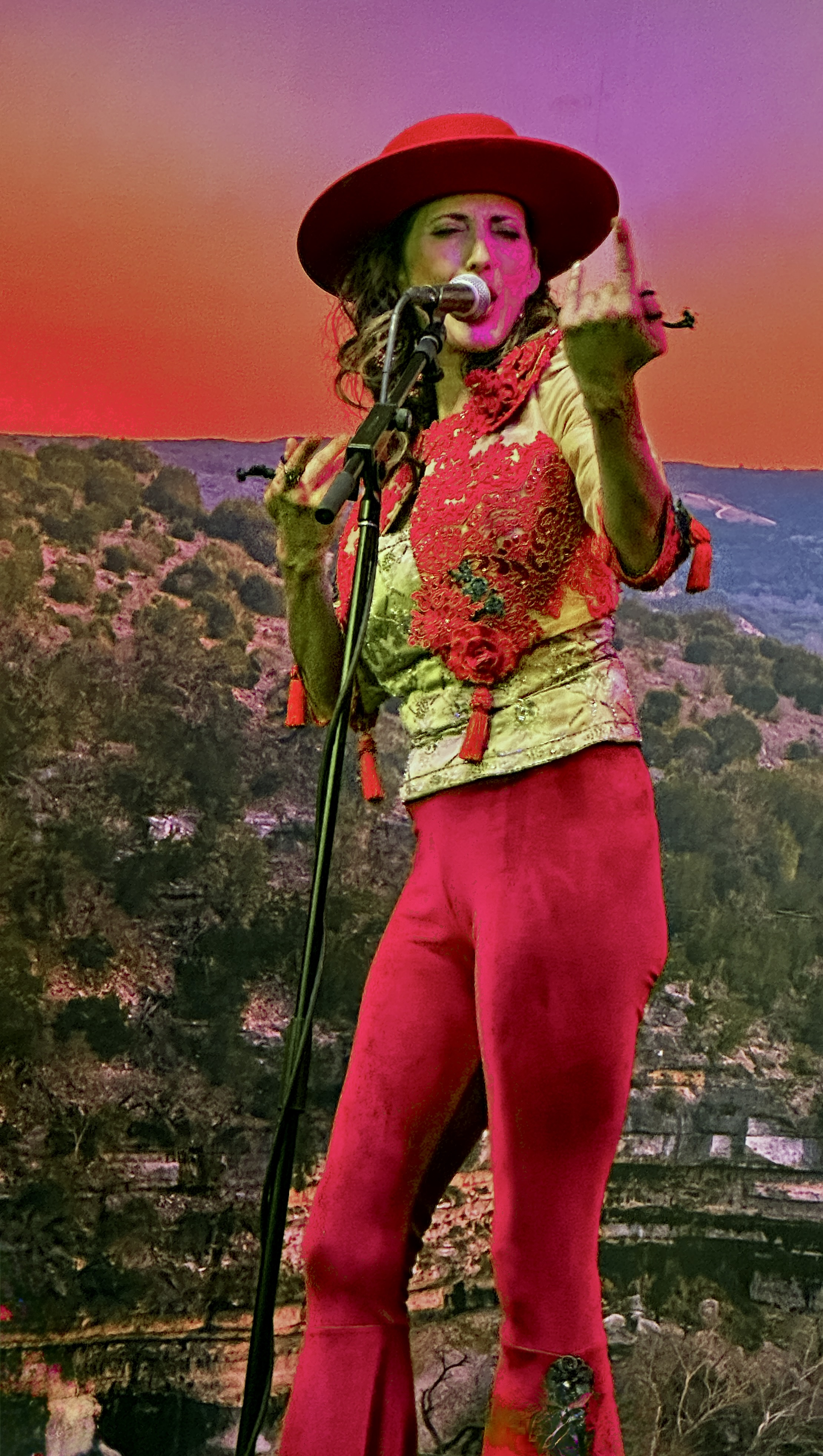
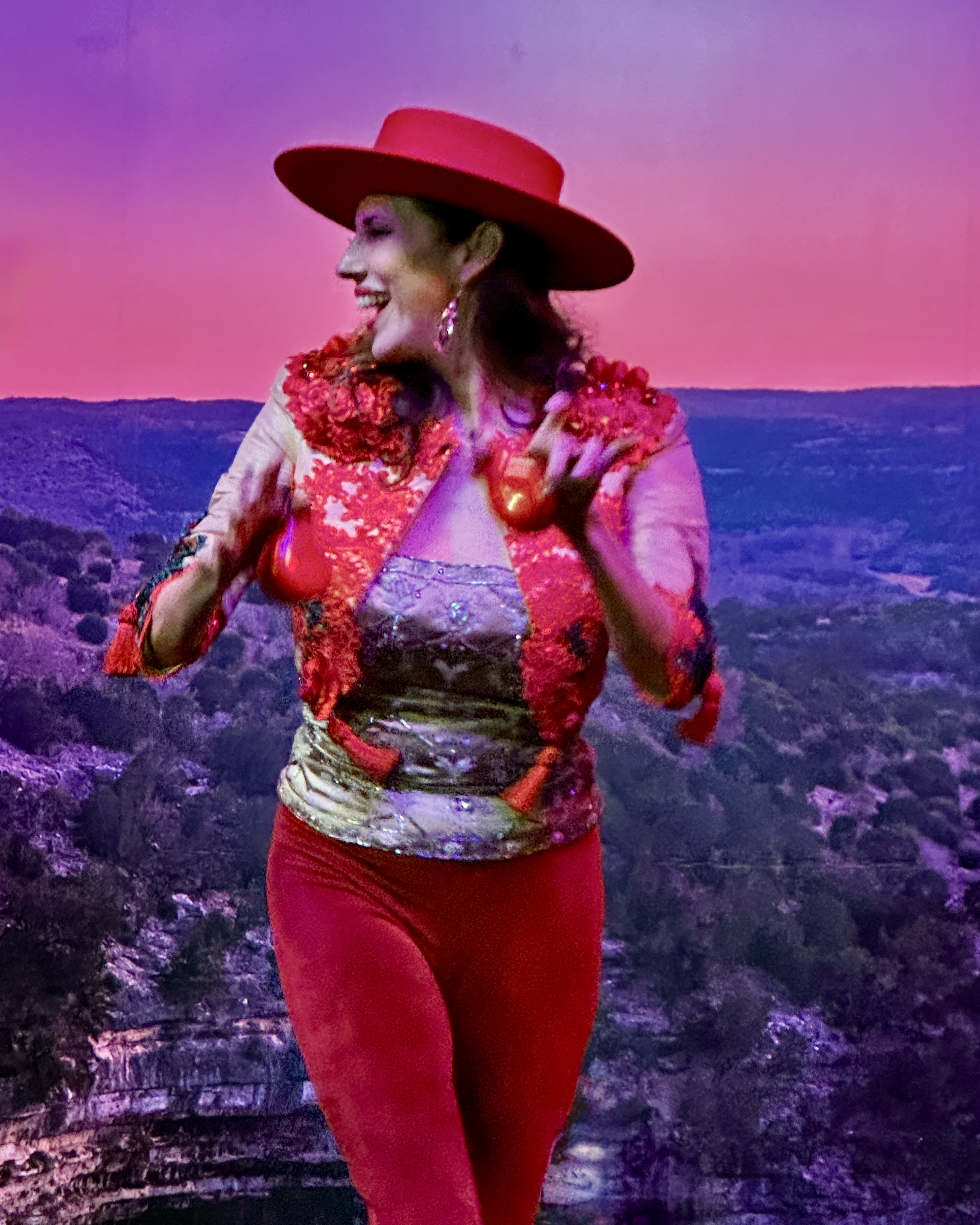
Patricia put on a great show which included several new songs from an upcoming album. Her 93 year old dad joined her onstage and accompanied her on one of her songs. Very cool.
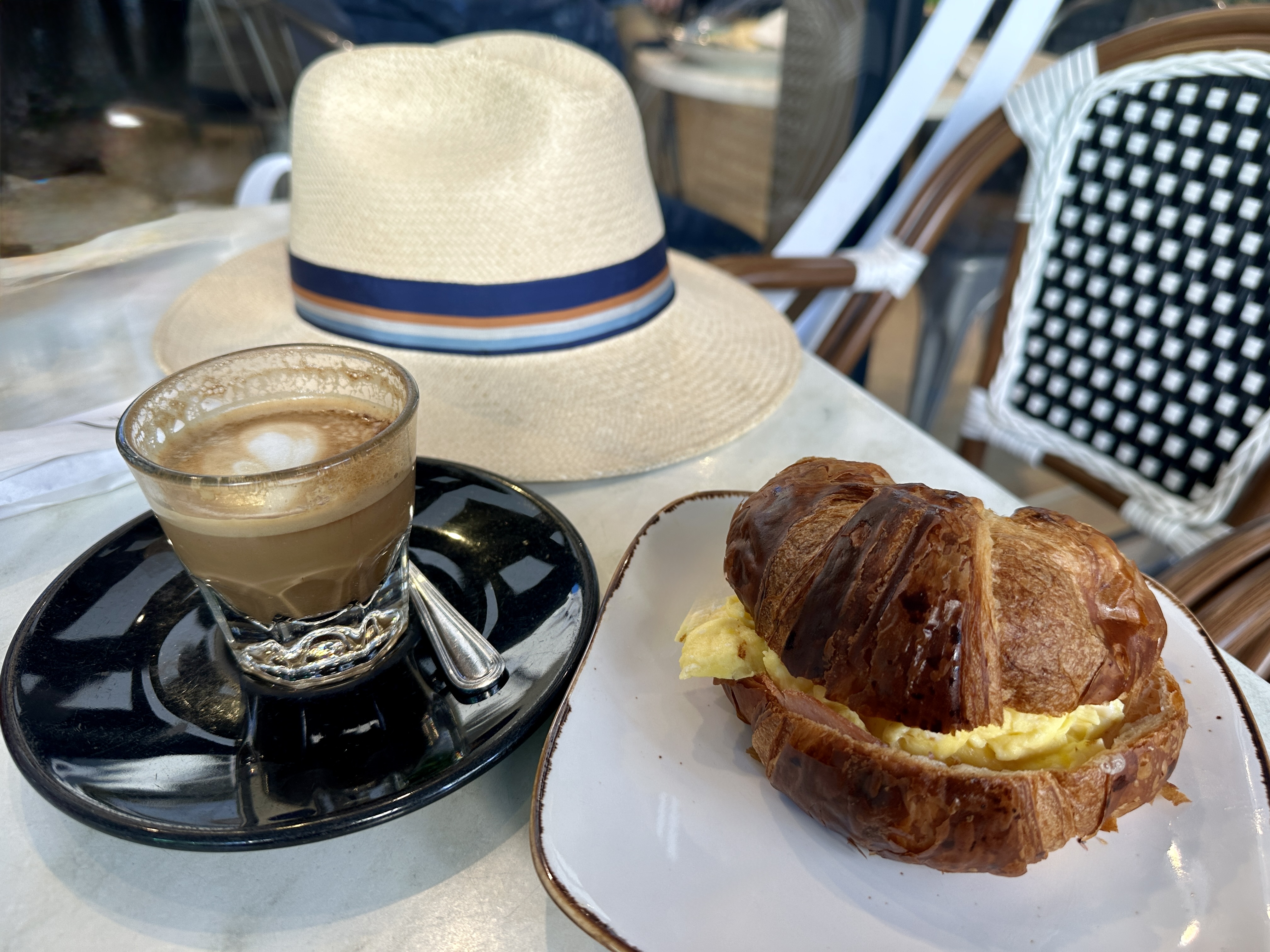
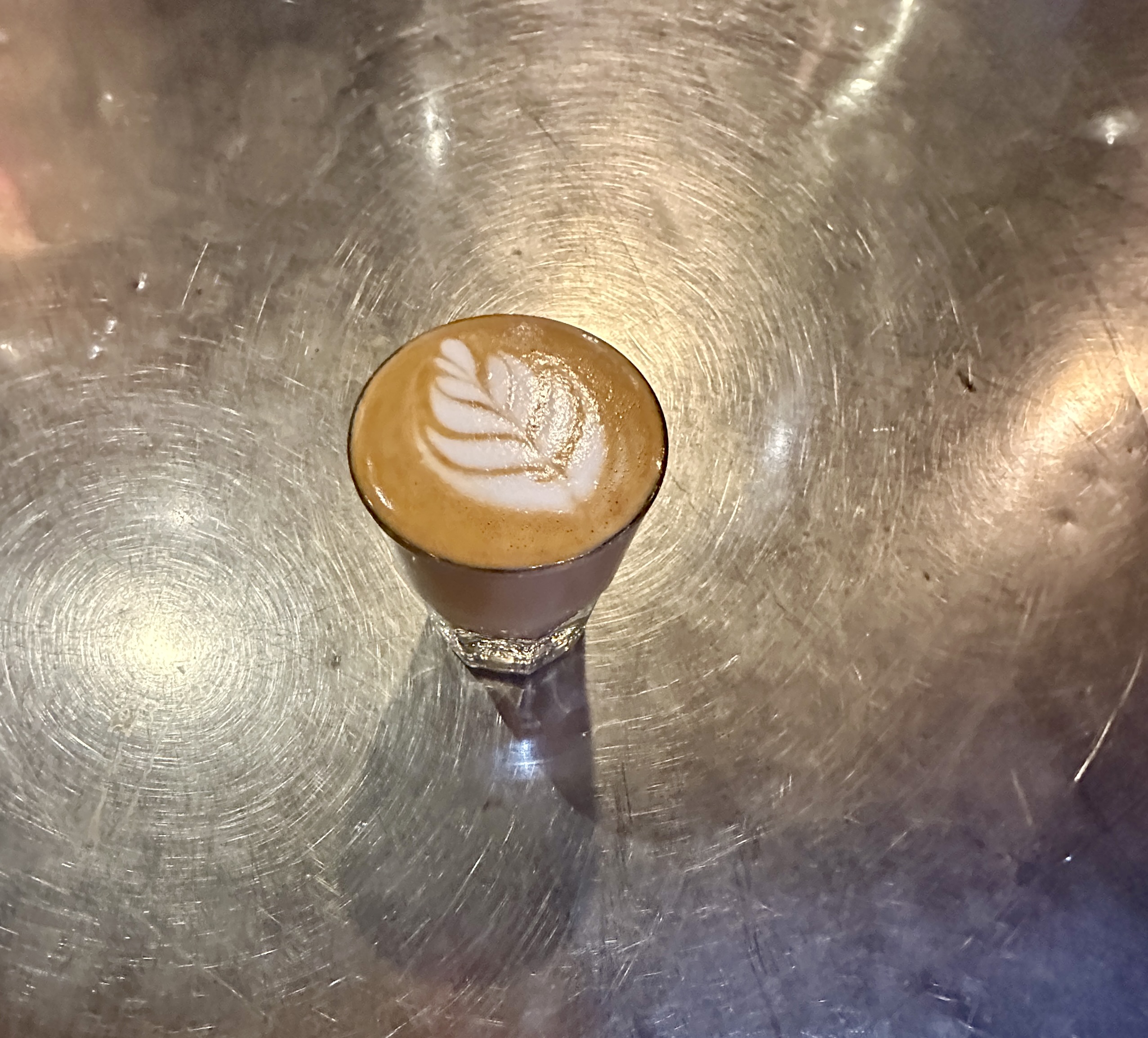
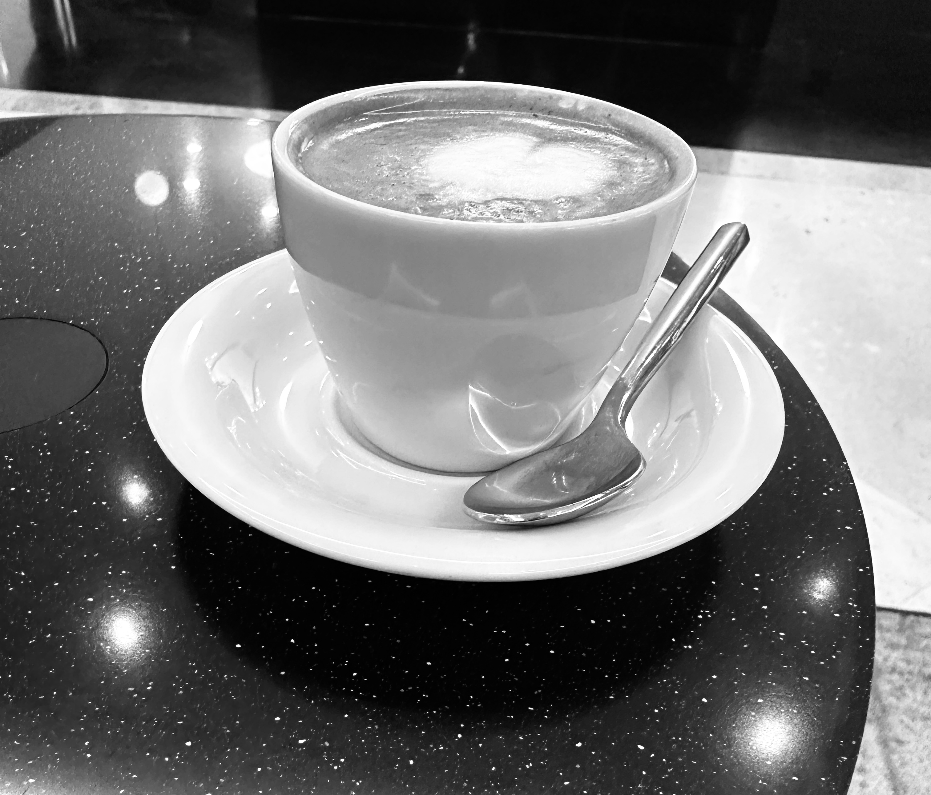
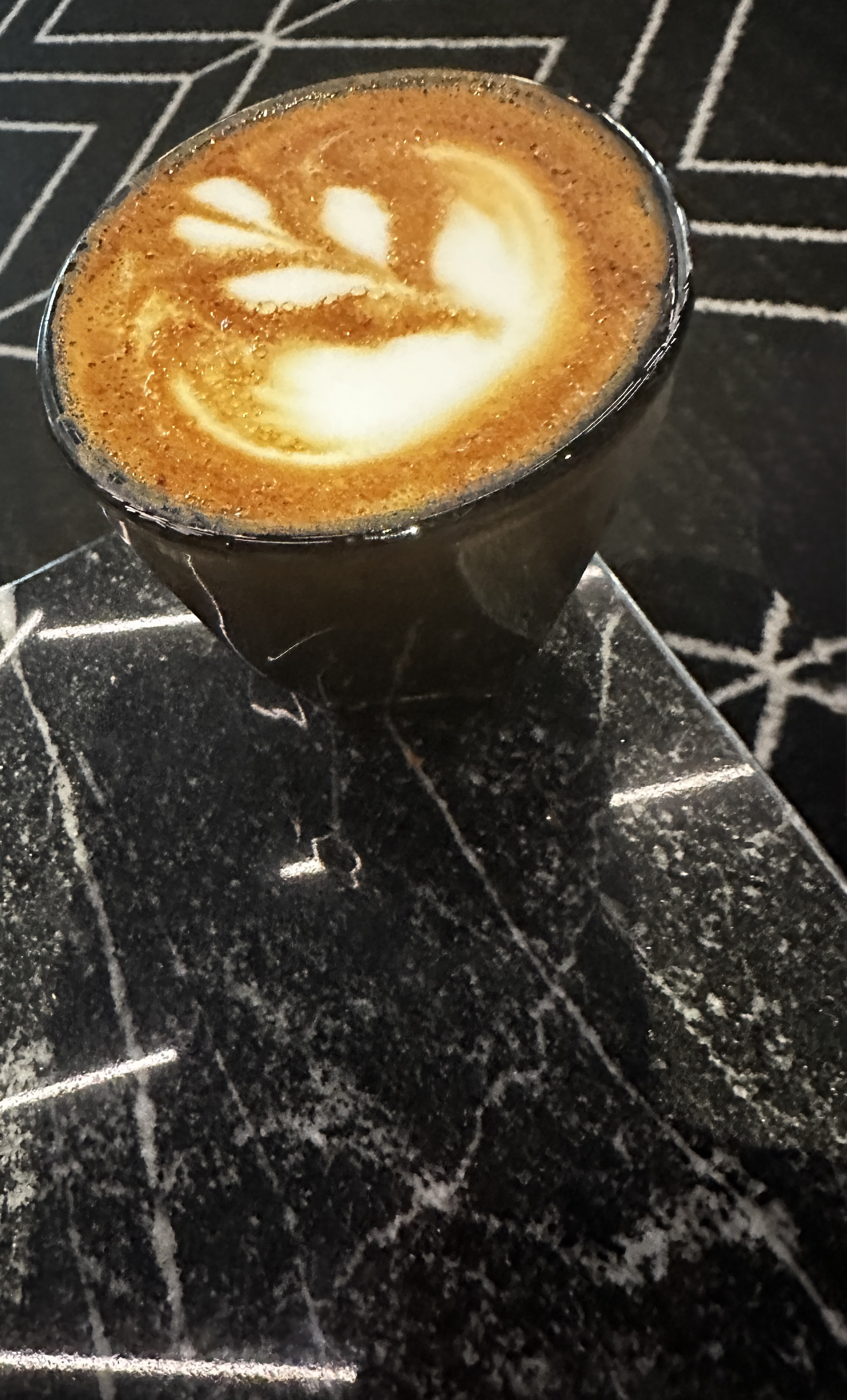
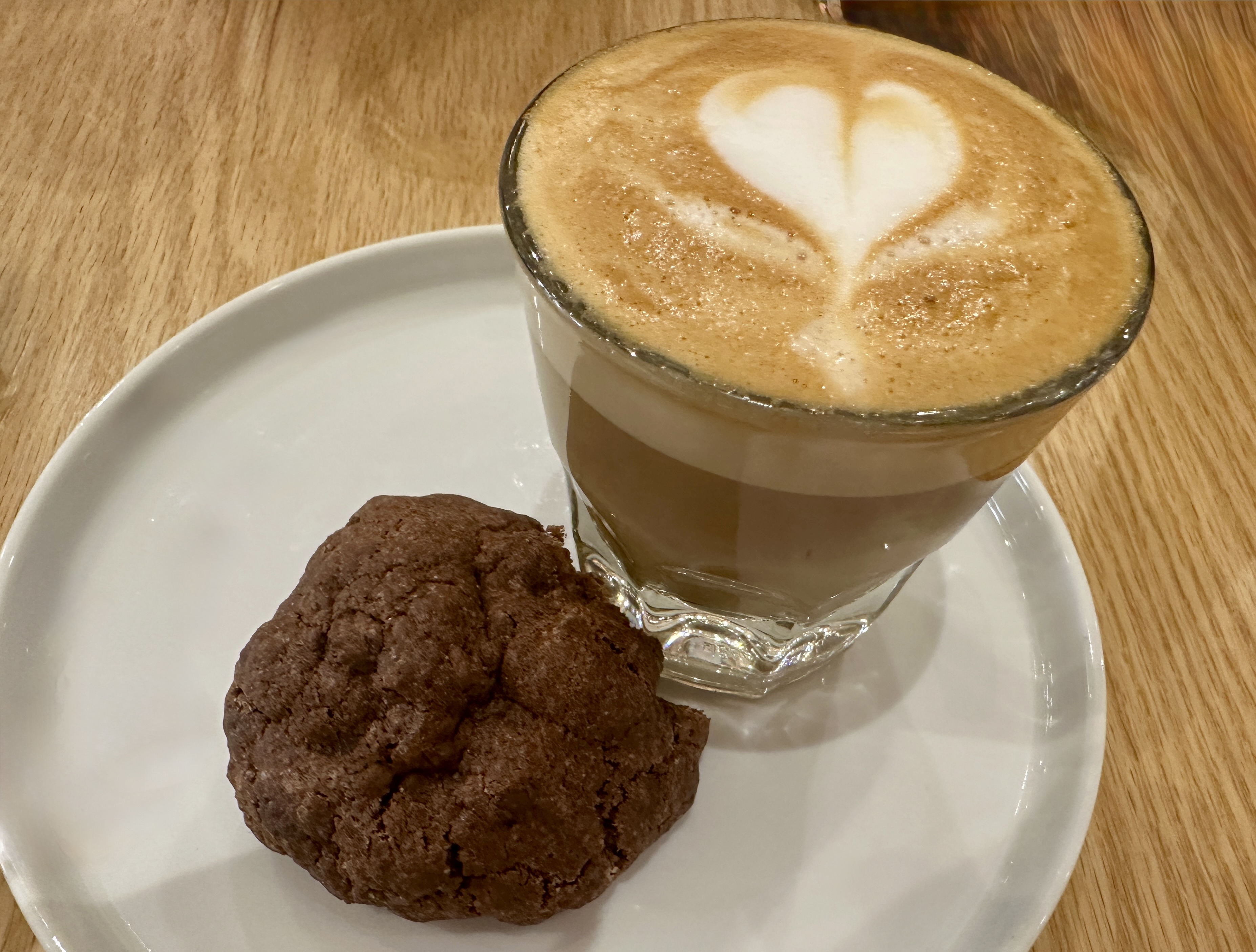
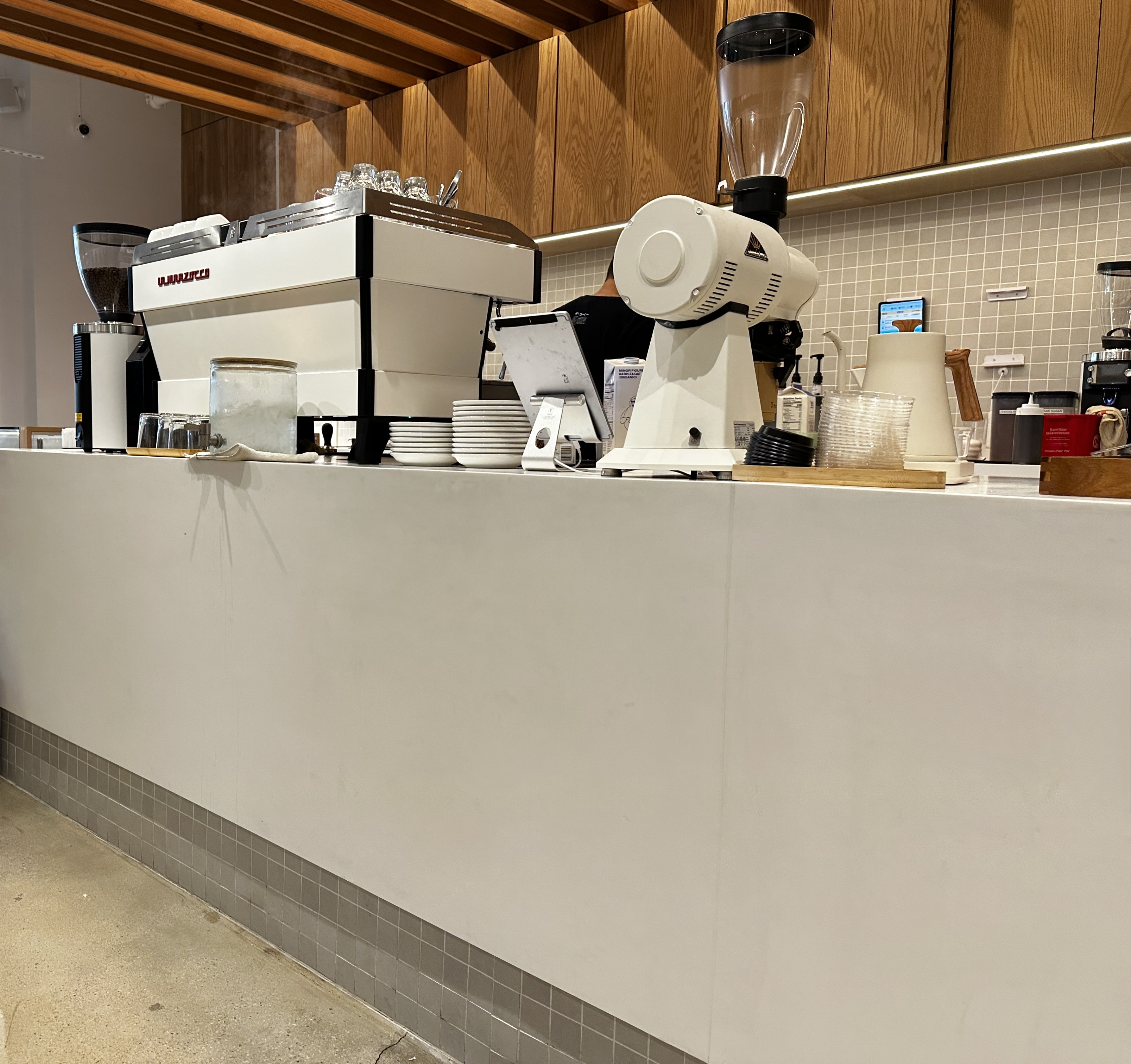
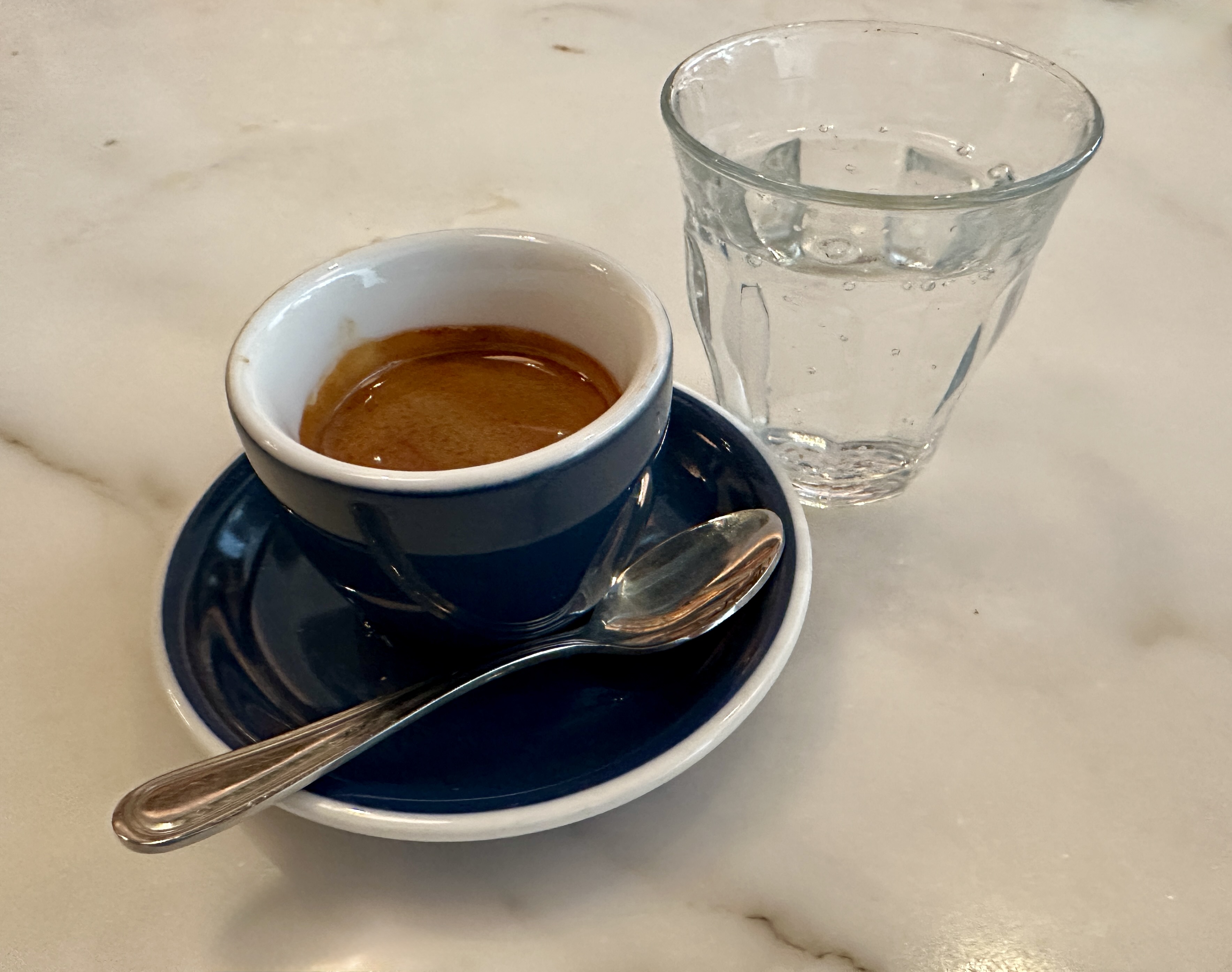
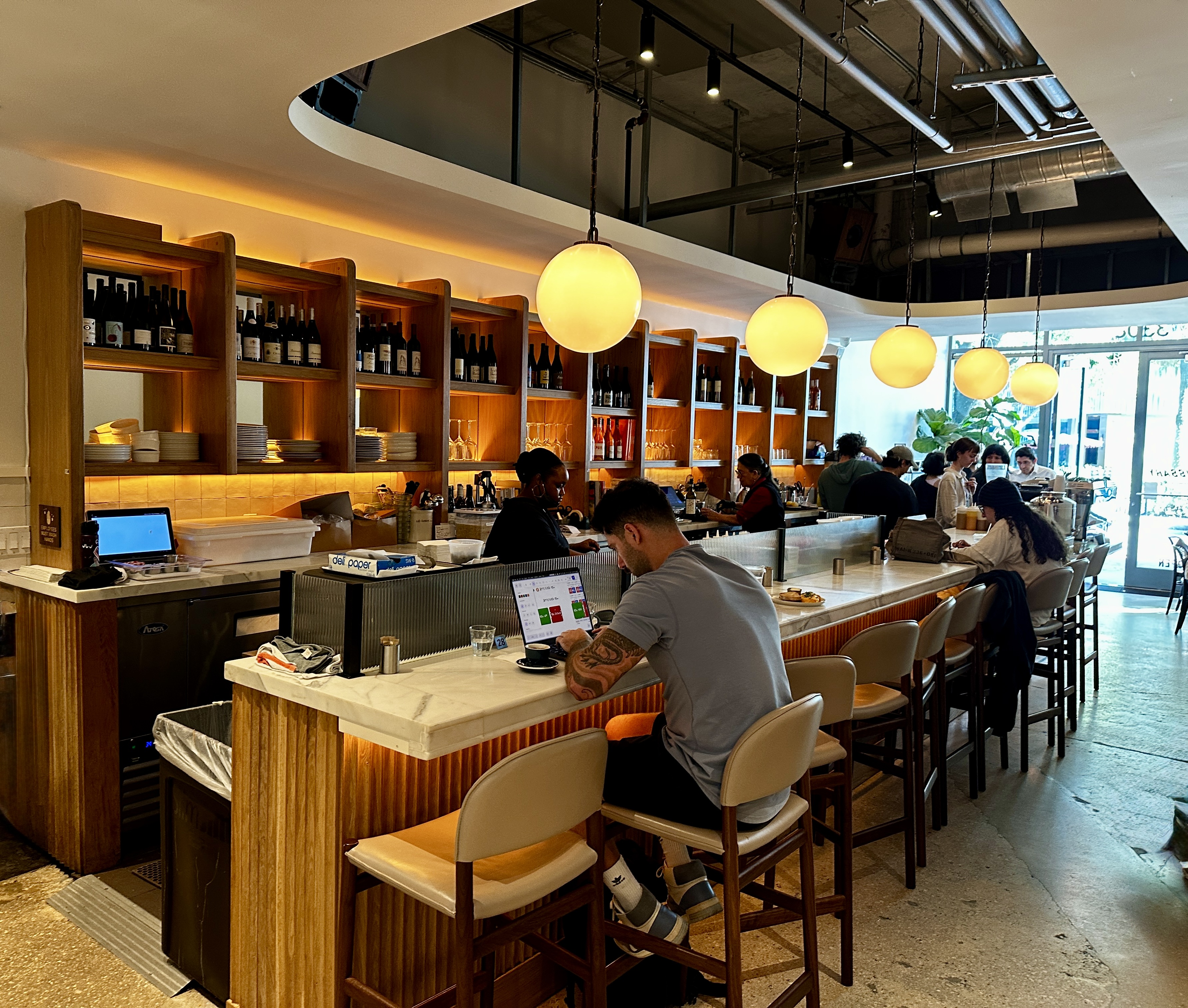
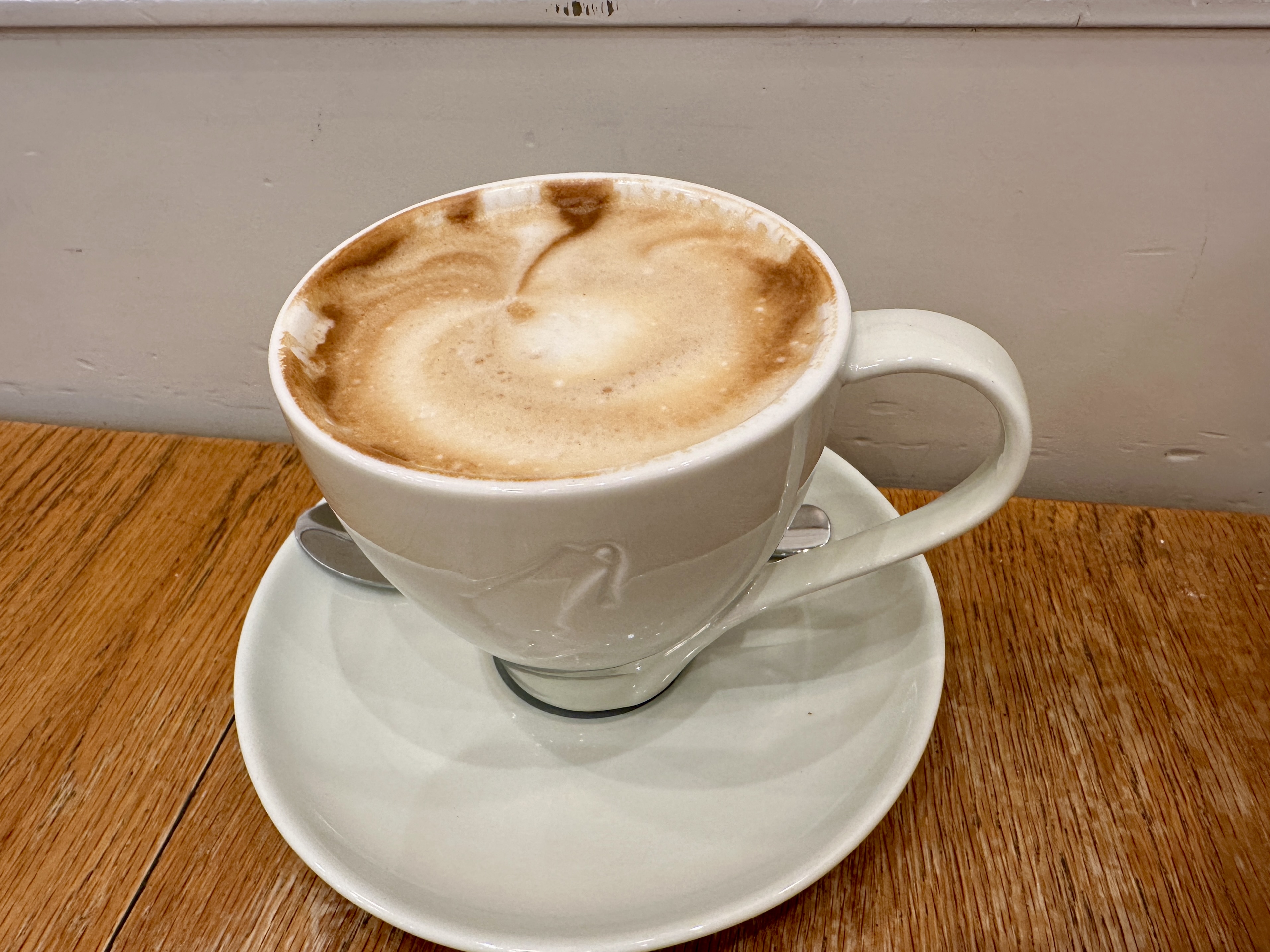
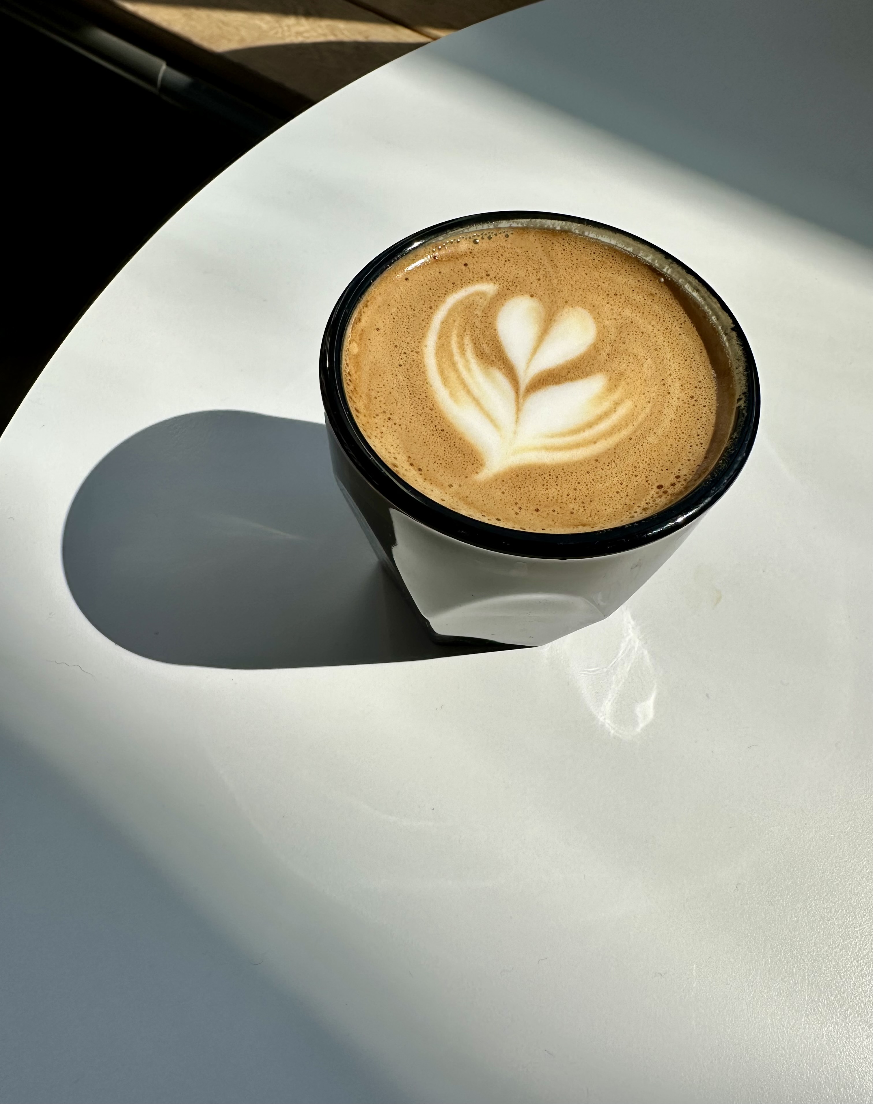
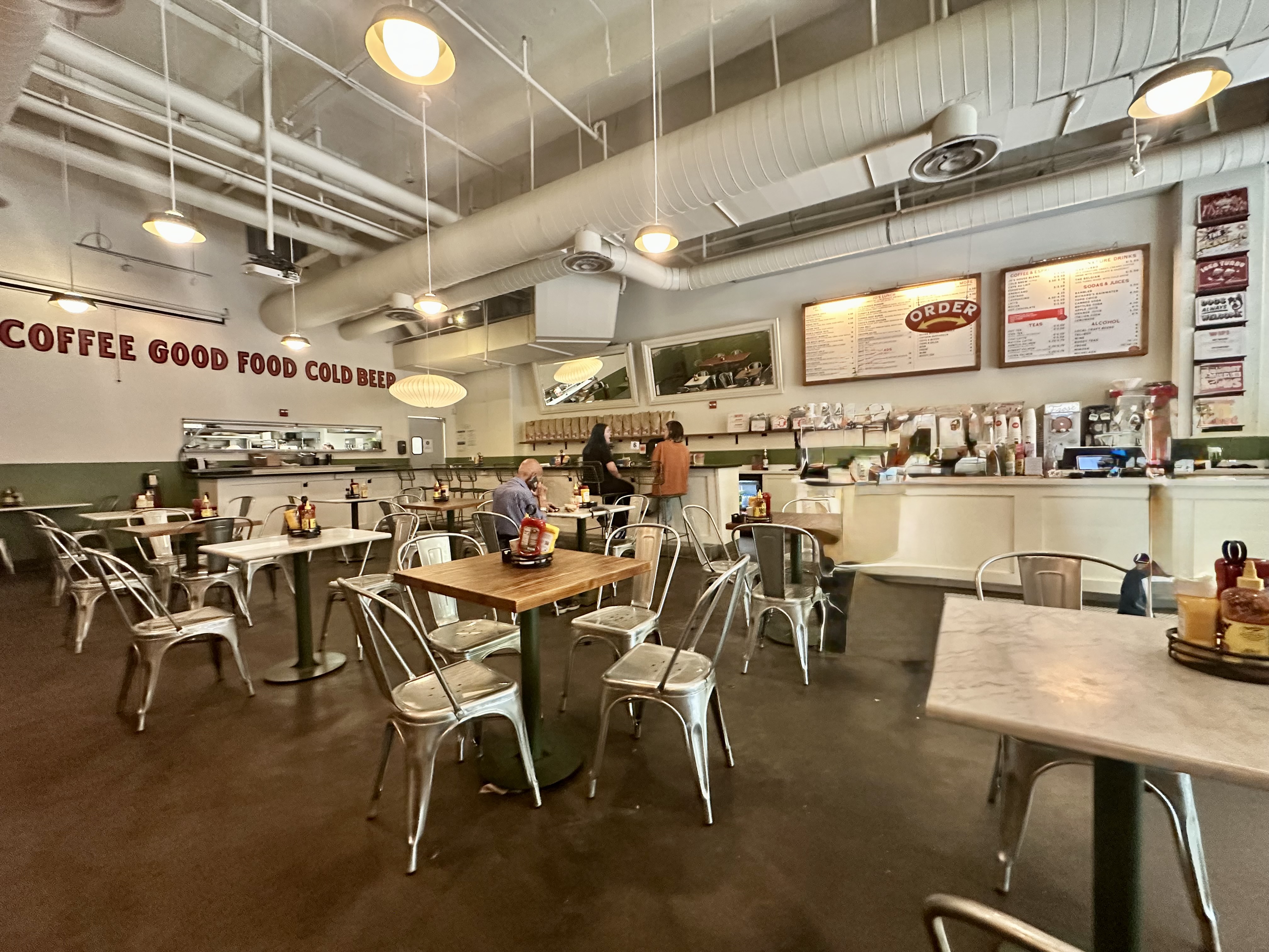
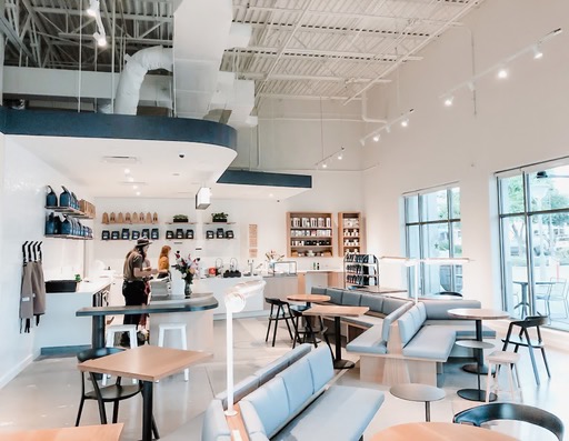
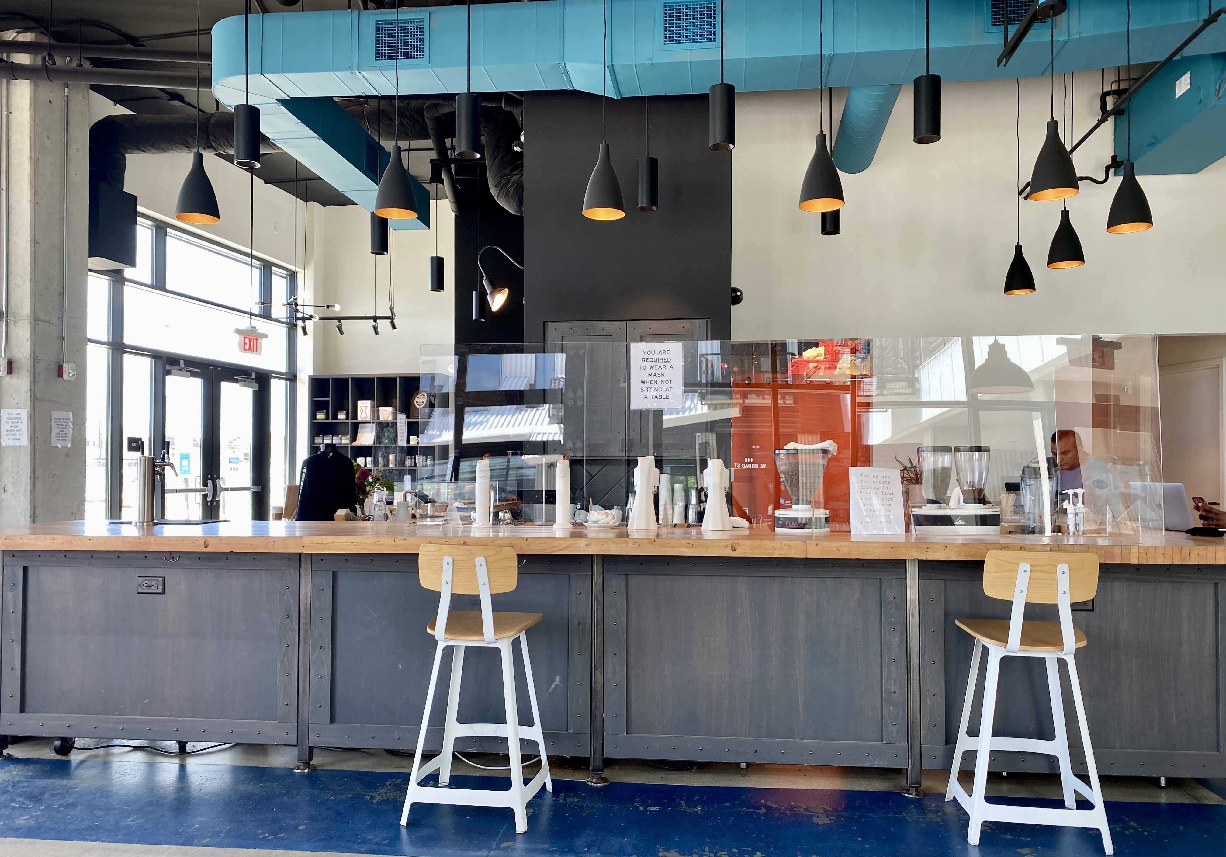
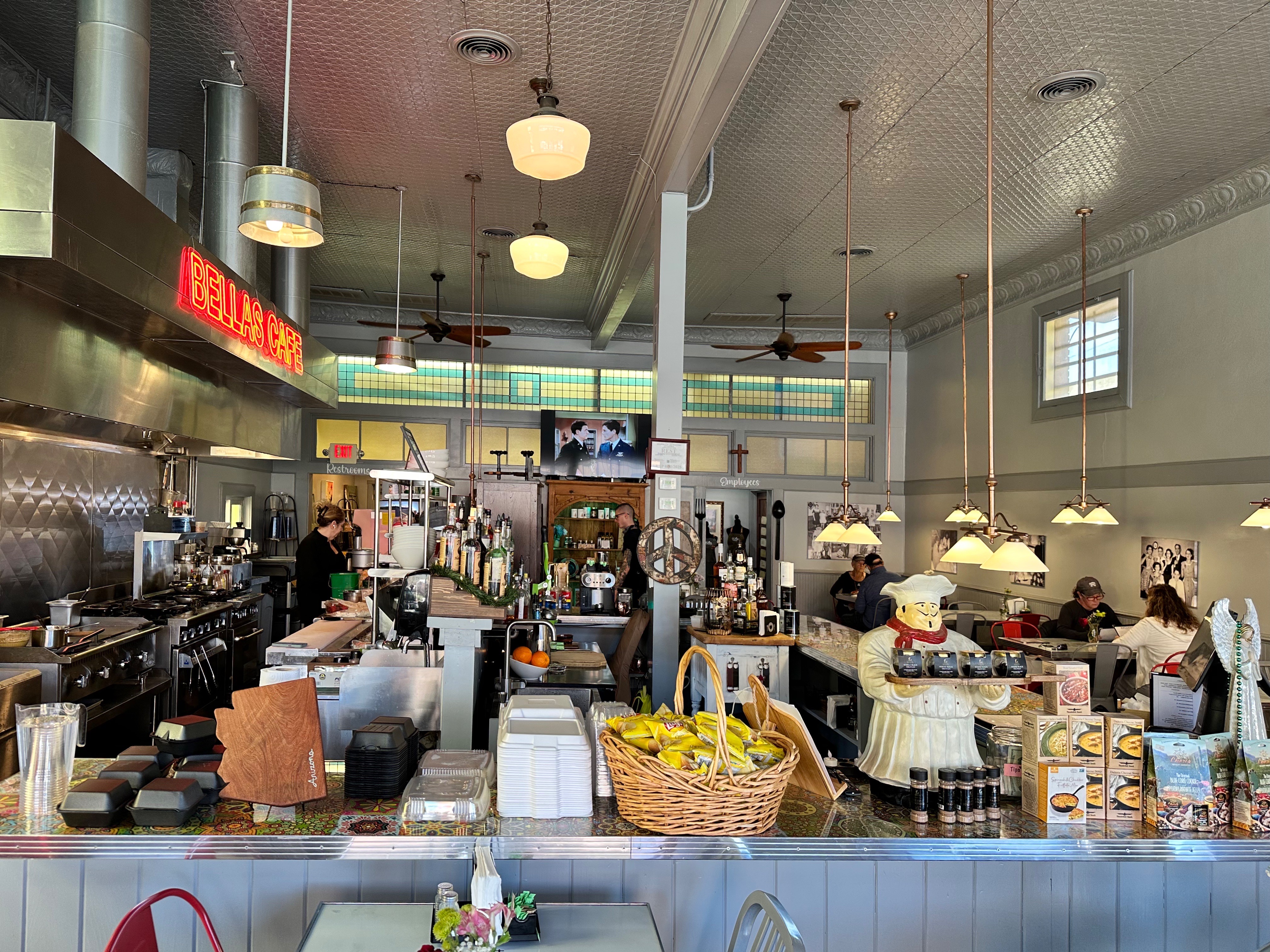
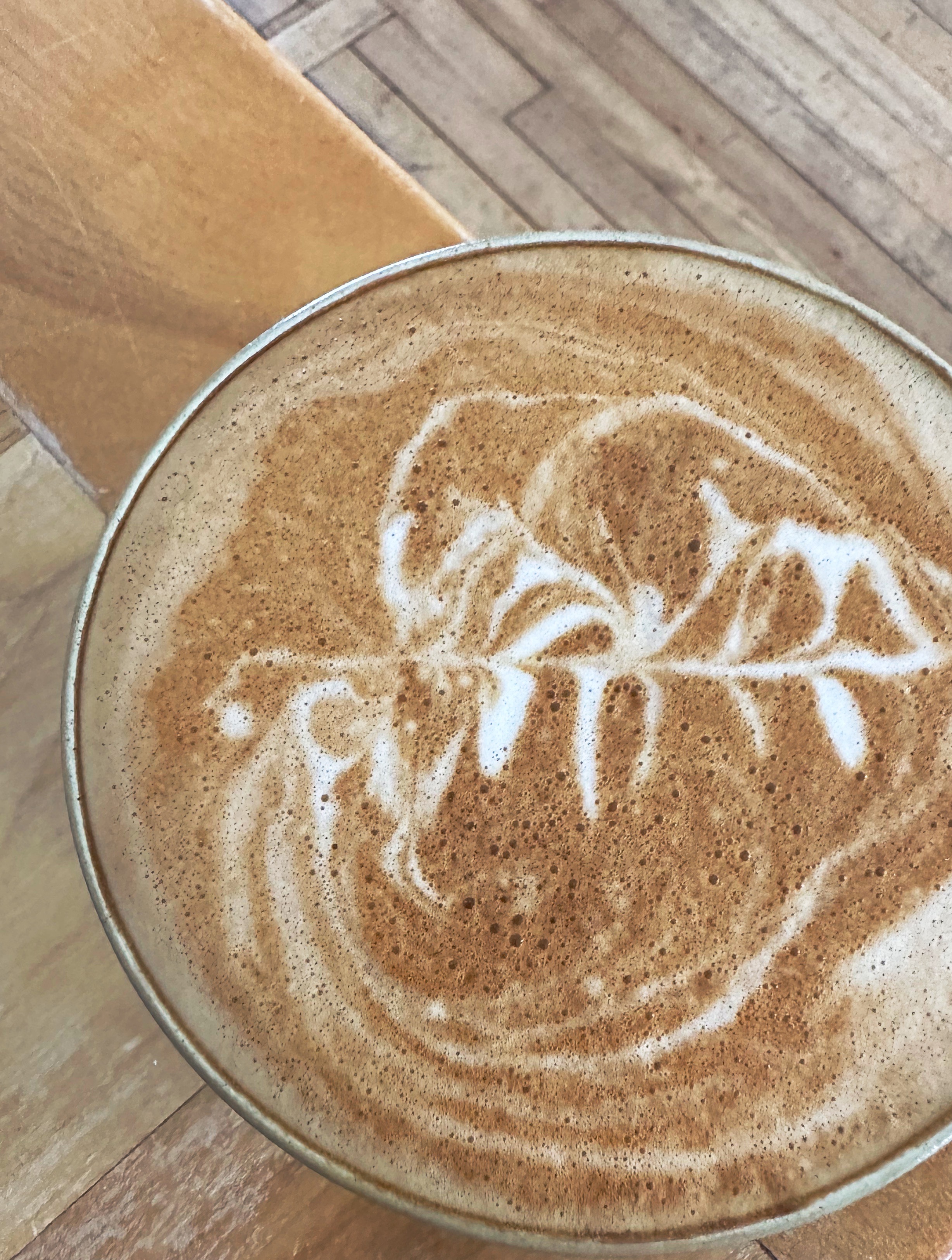
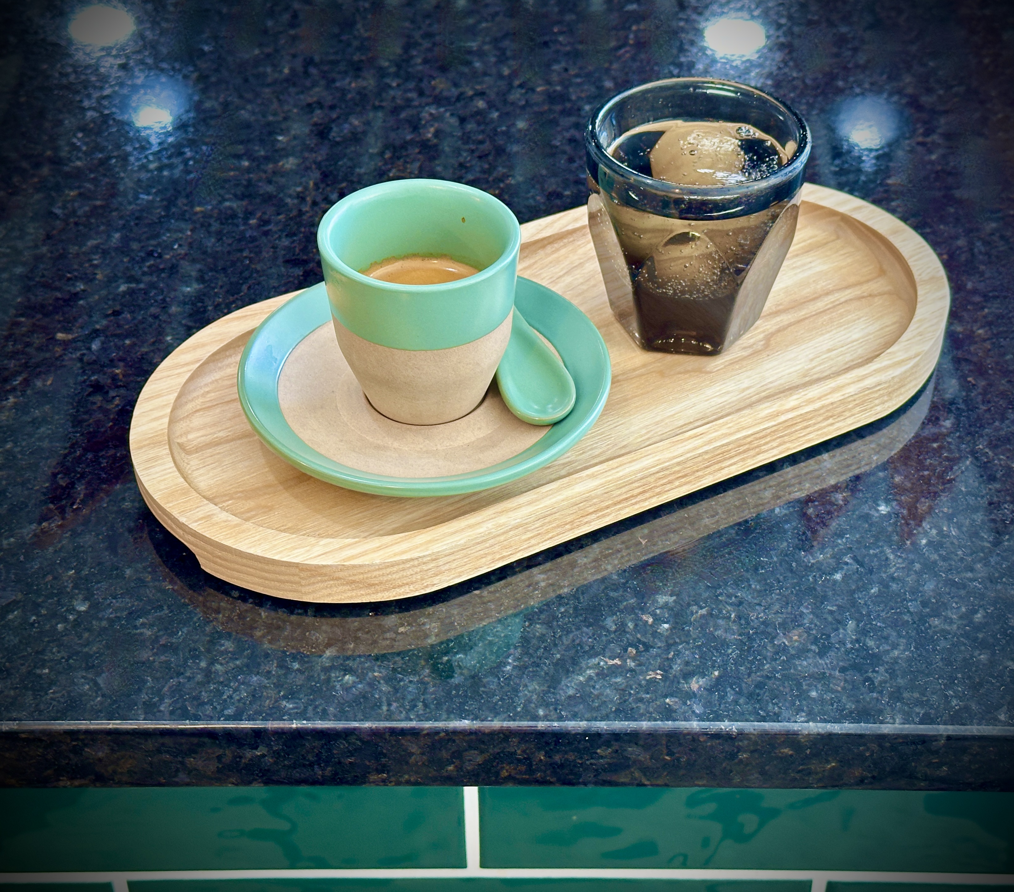
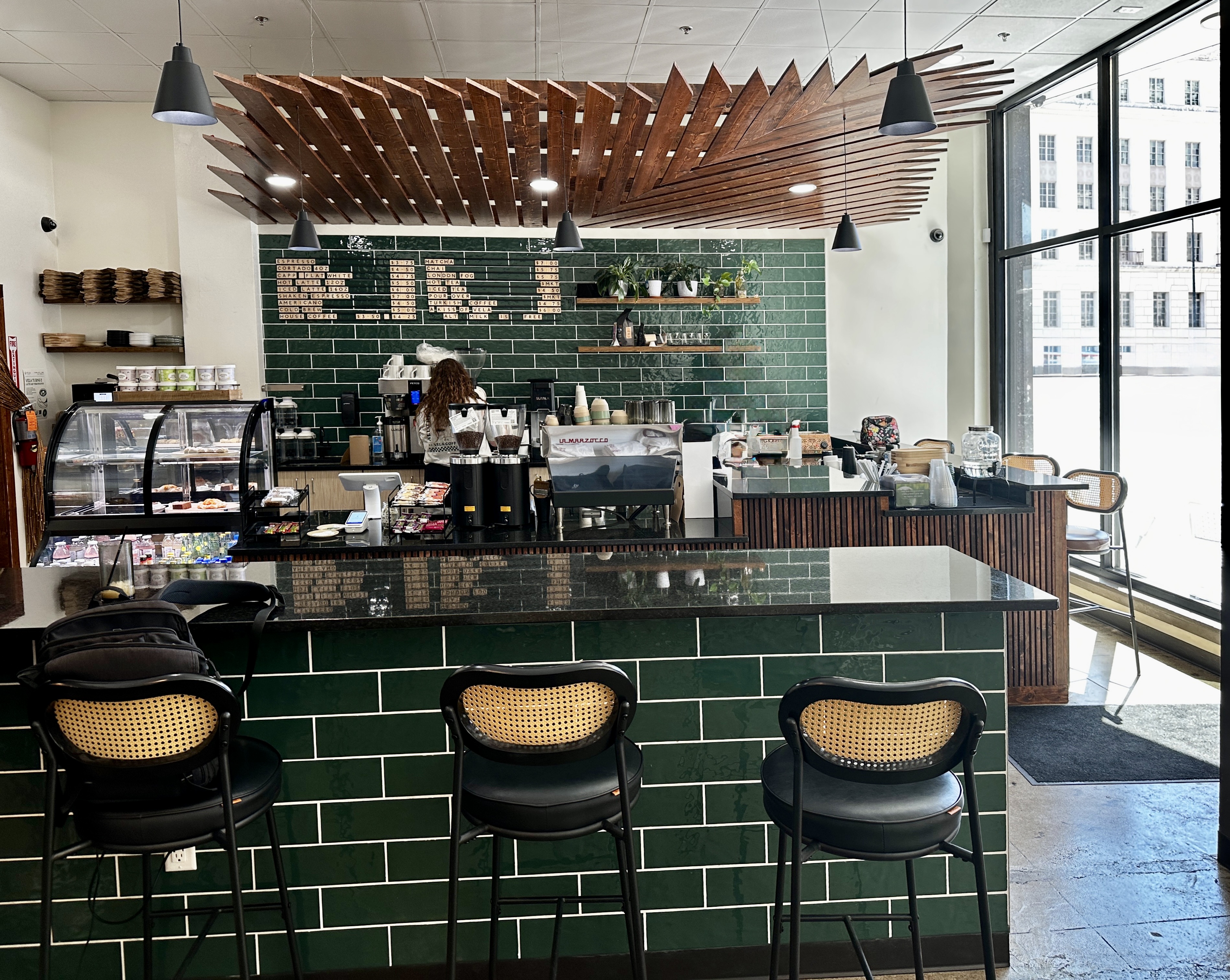
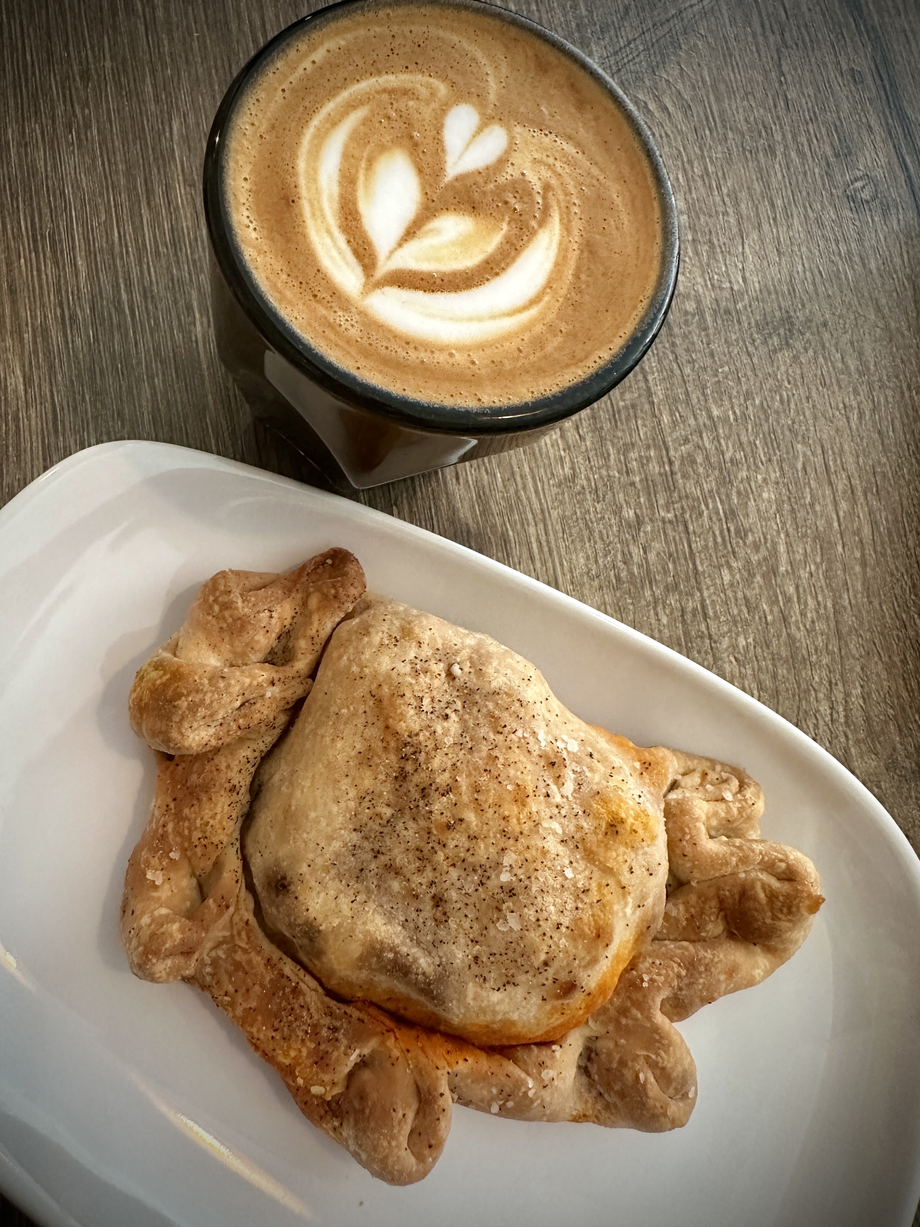
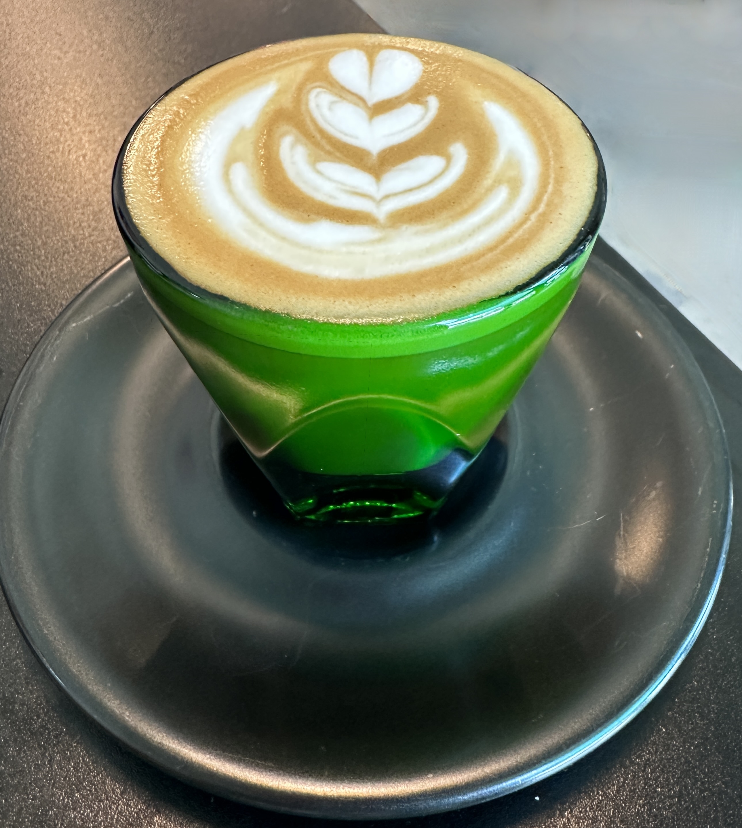
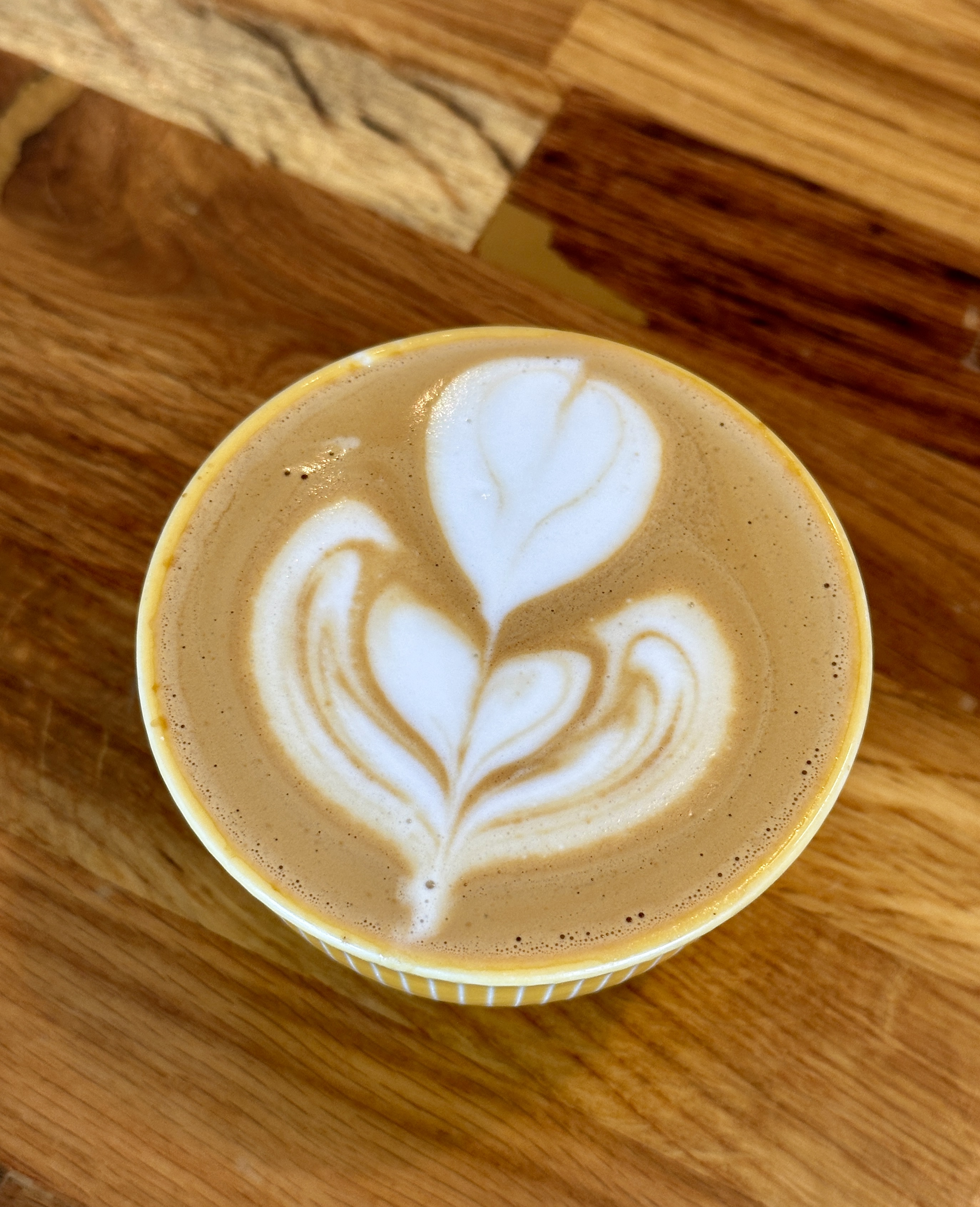
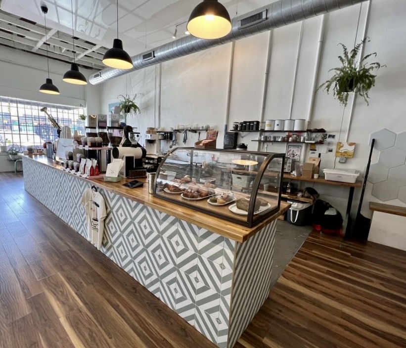
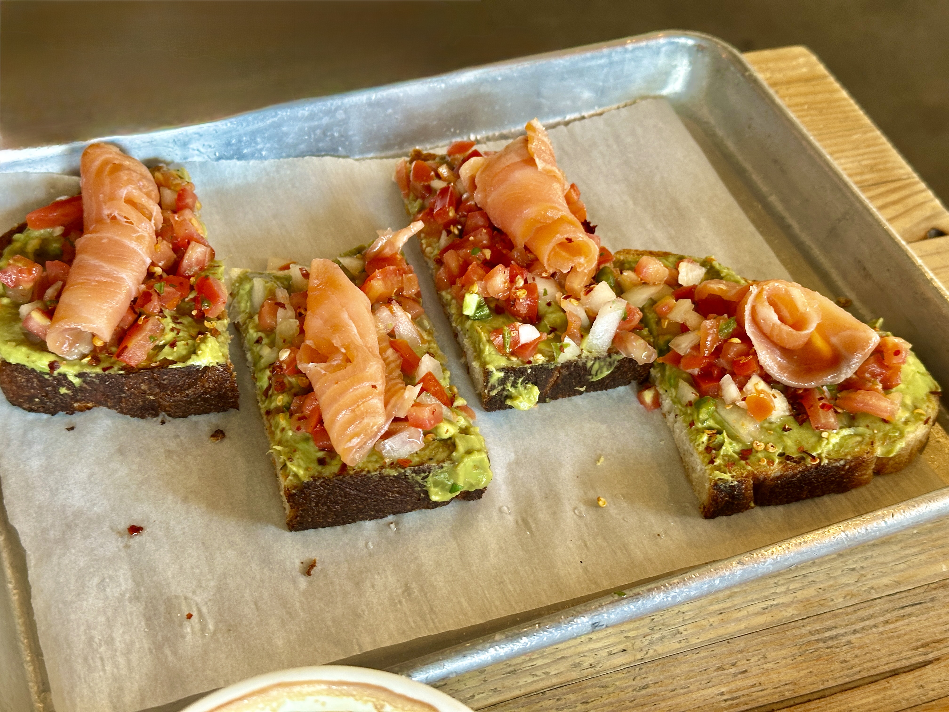
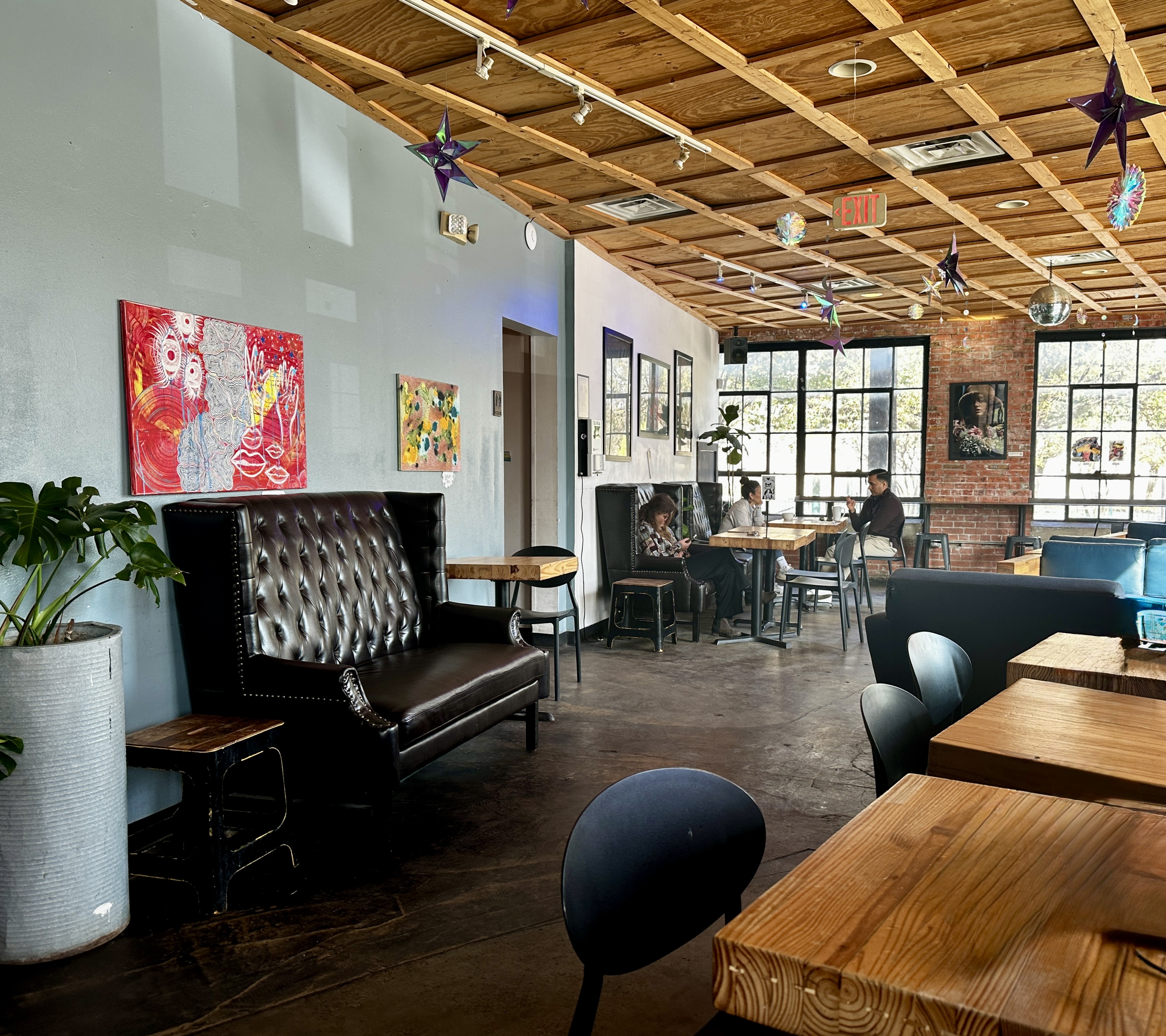
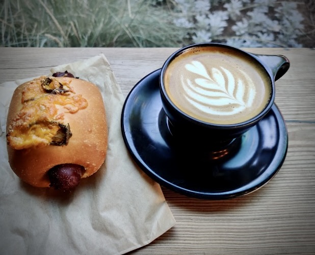
Day Two: We started our day with a short walk to Vela Coffee. Vela is a relatively new entrant into the San Antonio specialty coffee community. We had an opportunity to chat with the manager who had relocated from Seattle to help open up the shop. A bit of a shock for her from a cultural and weather perspective. Vela is worth a visit if you are in downtown San Antonio.
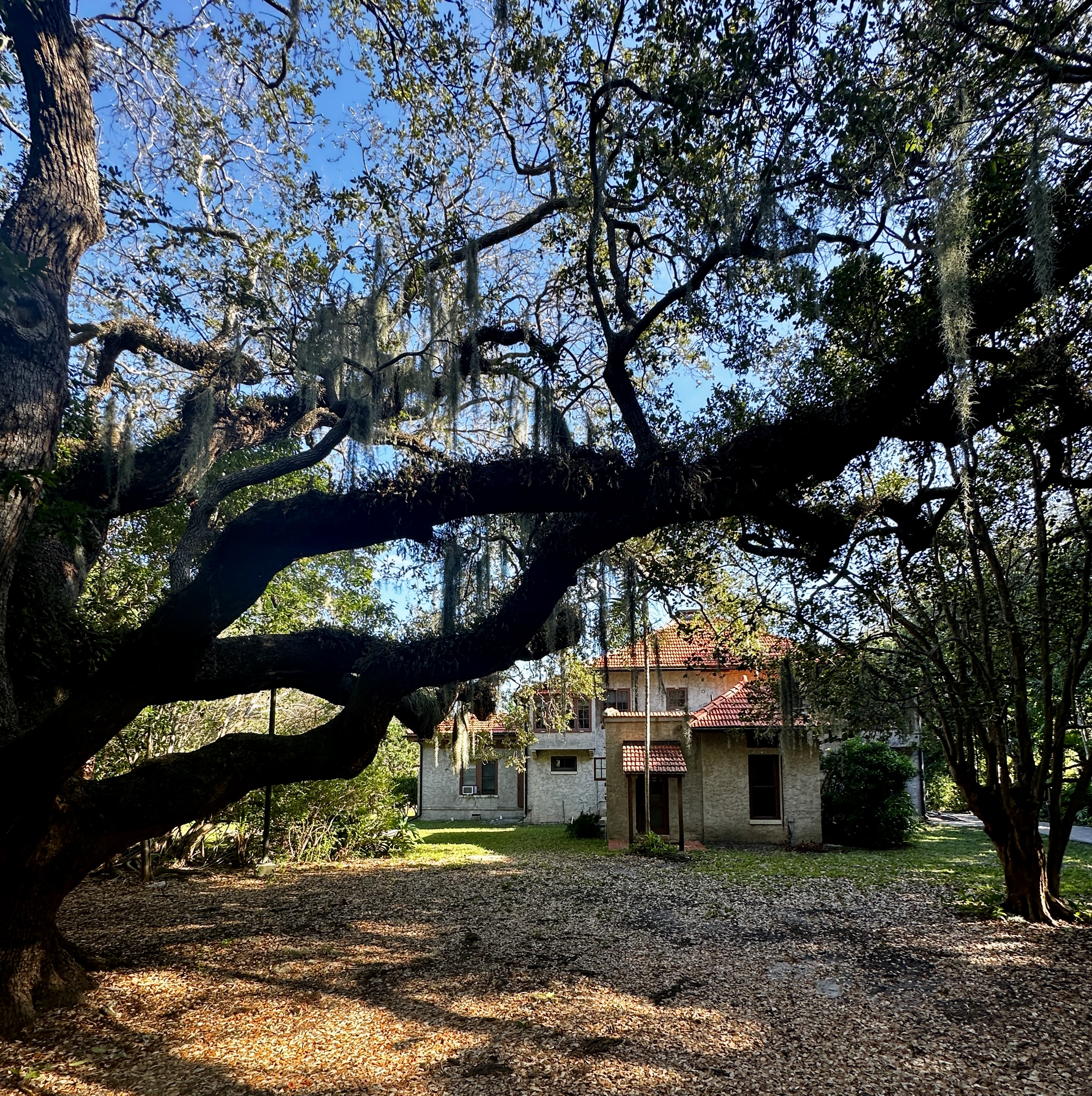
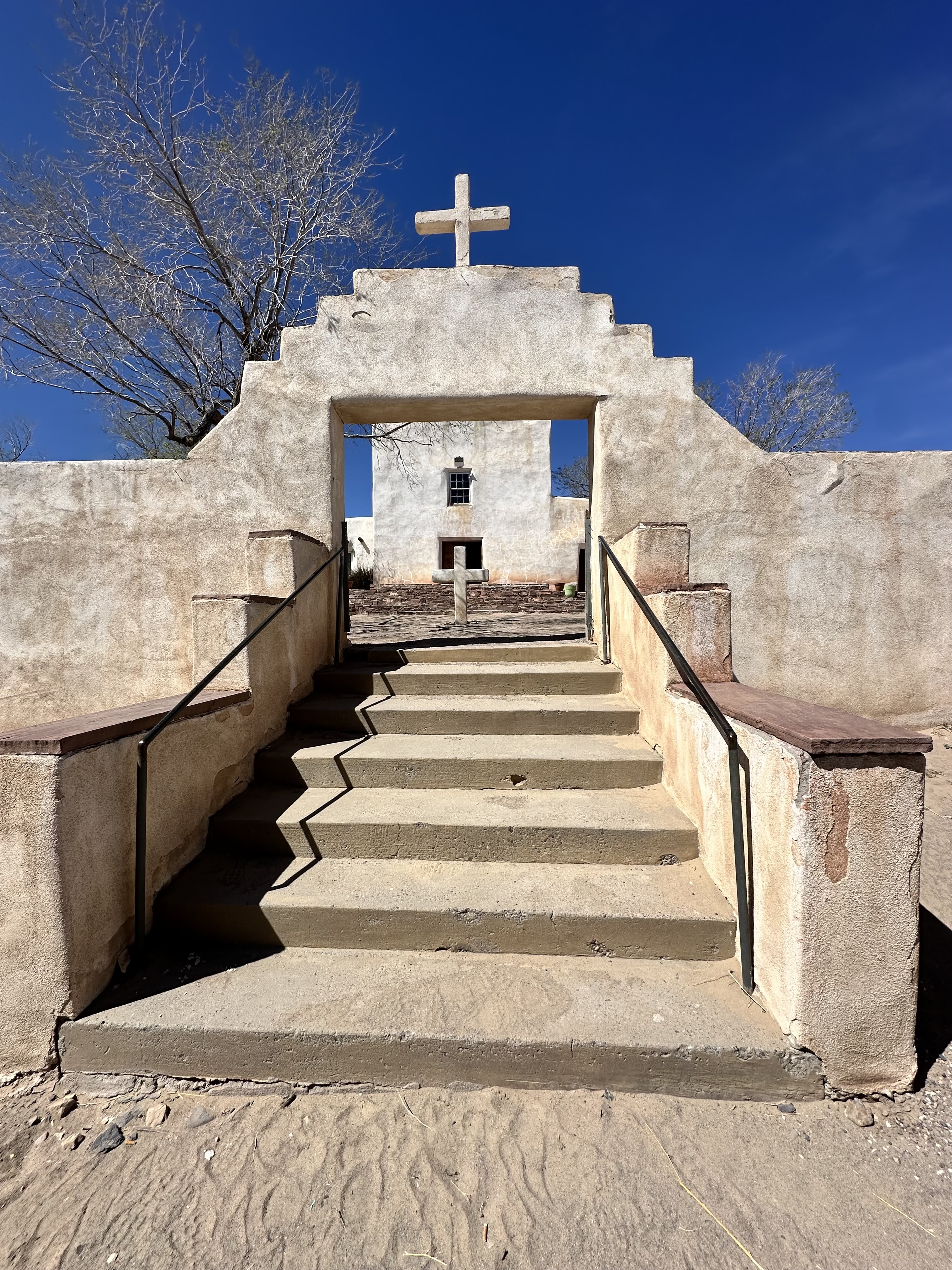
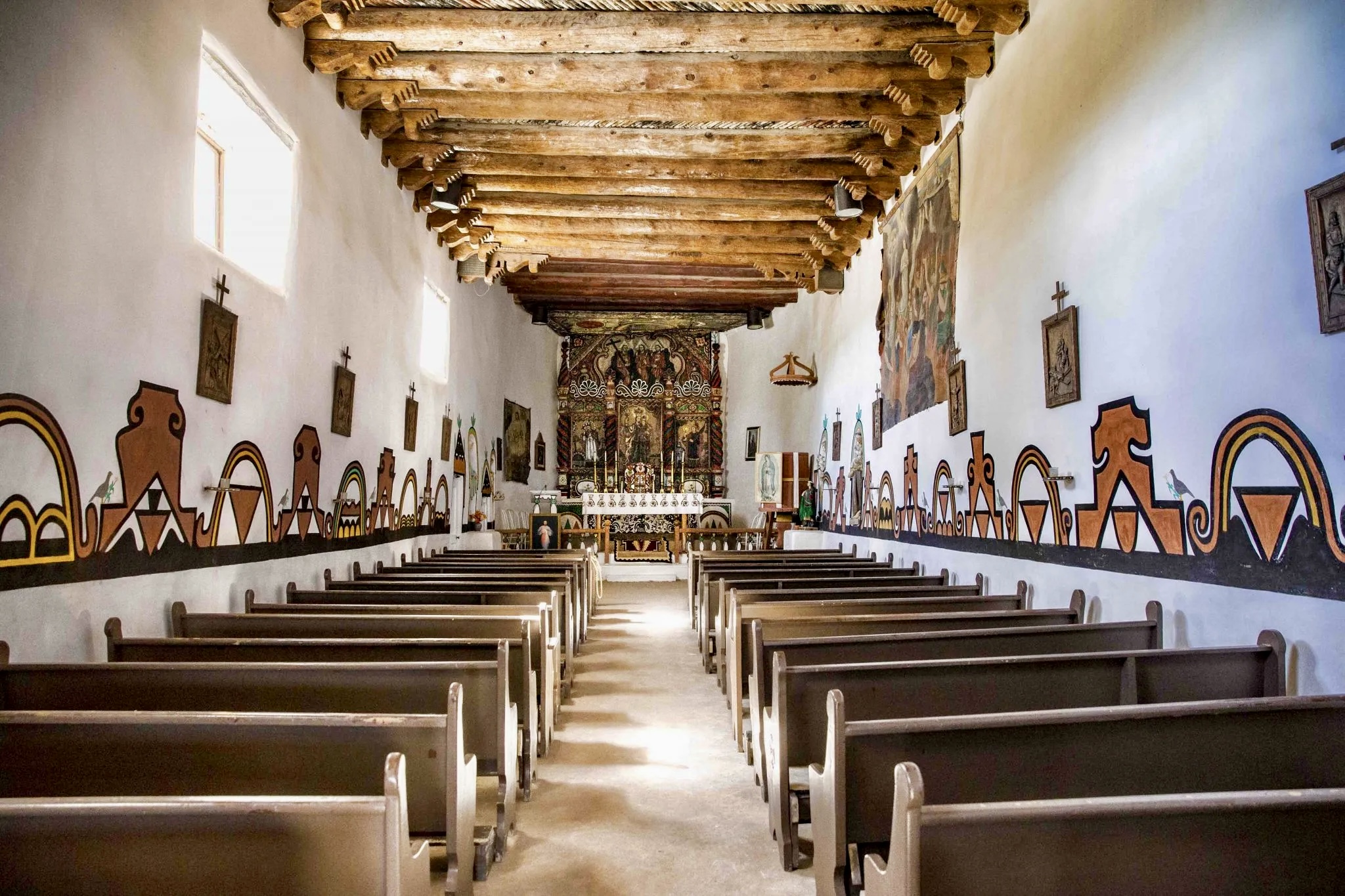
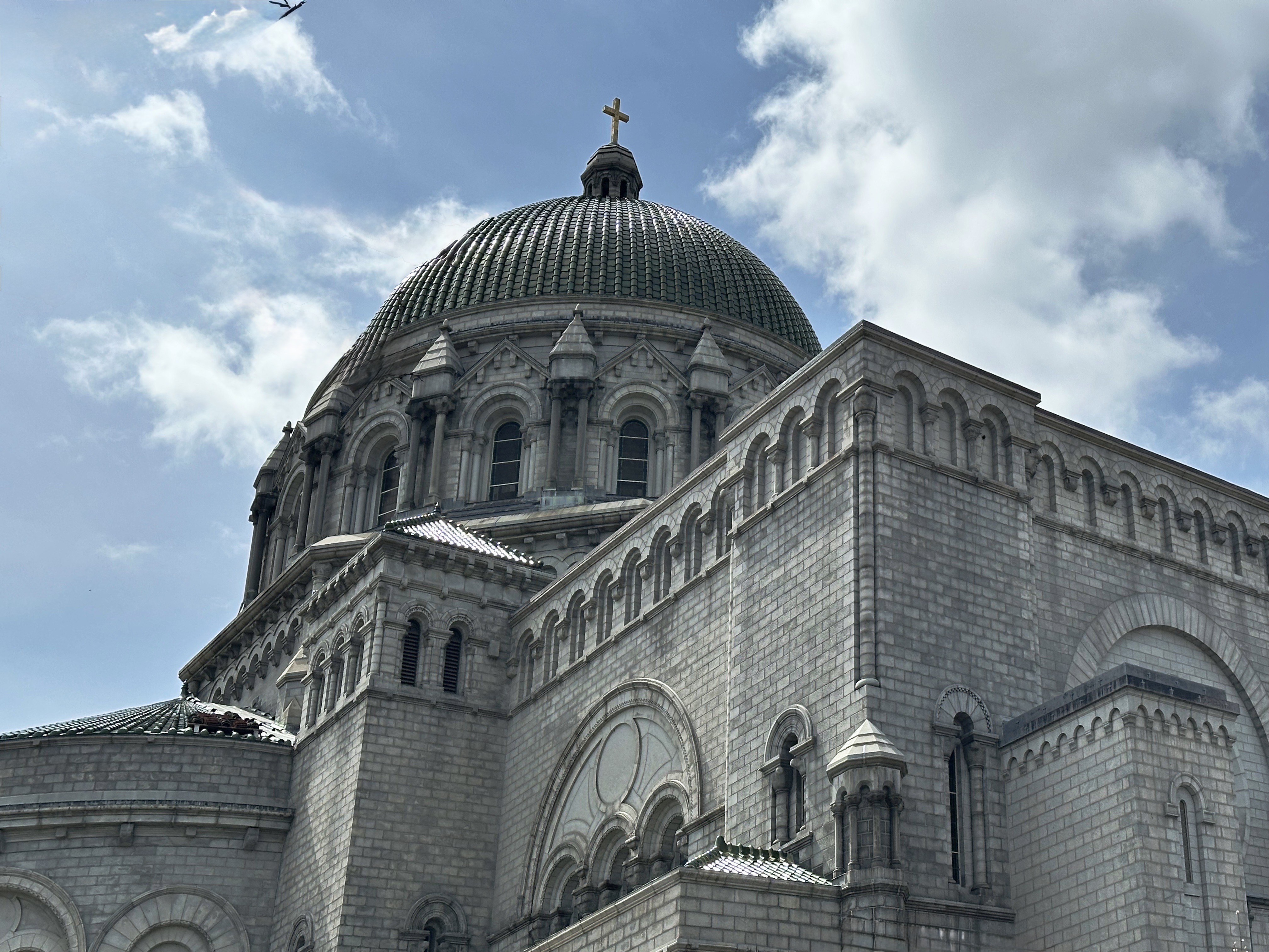
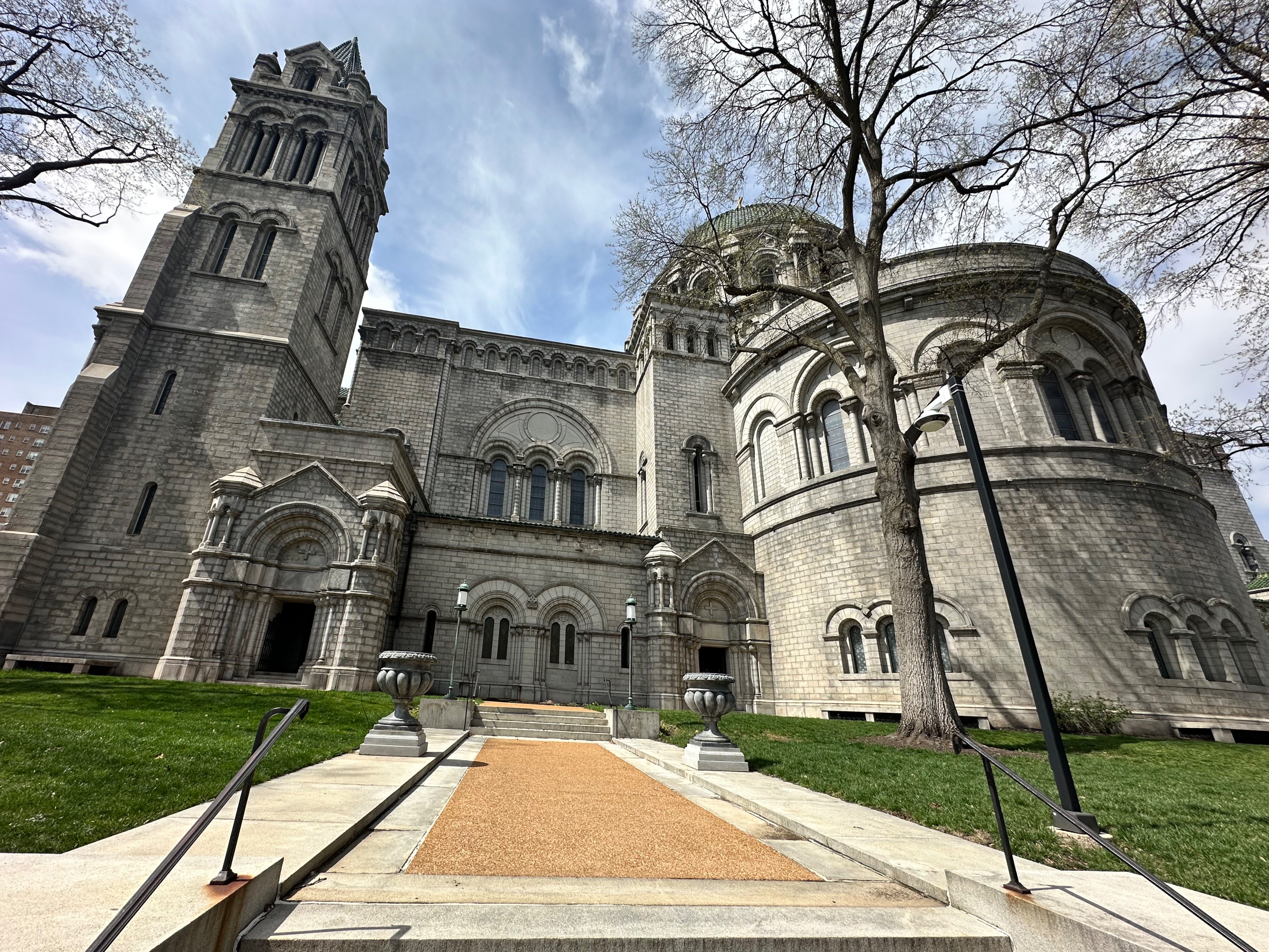
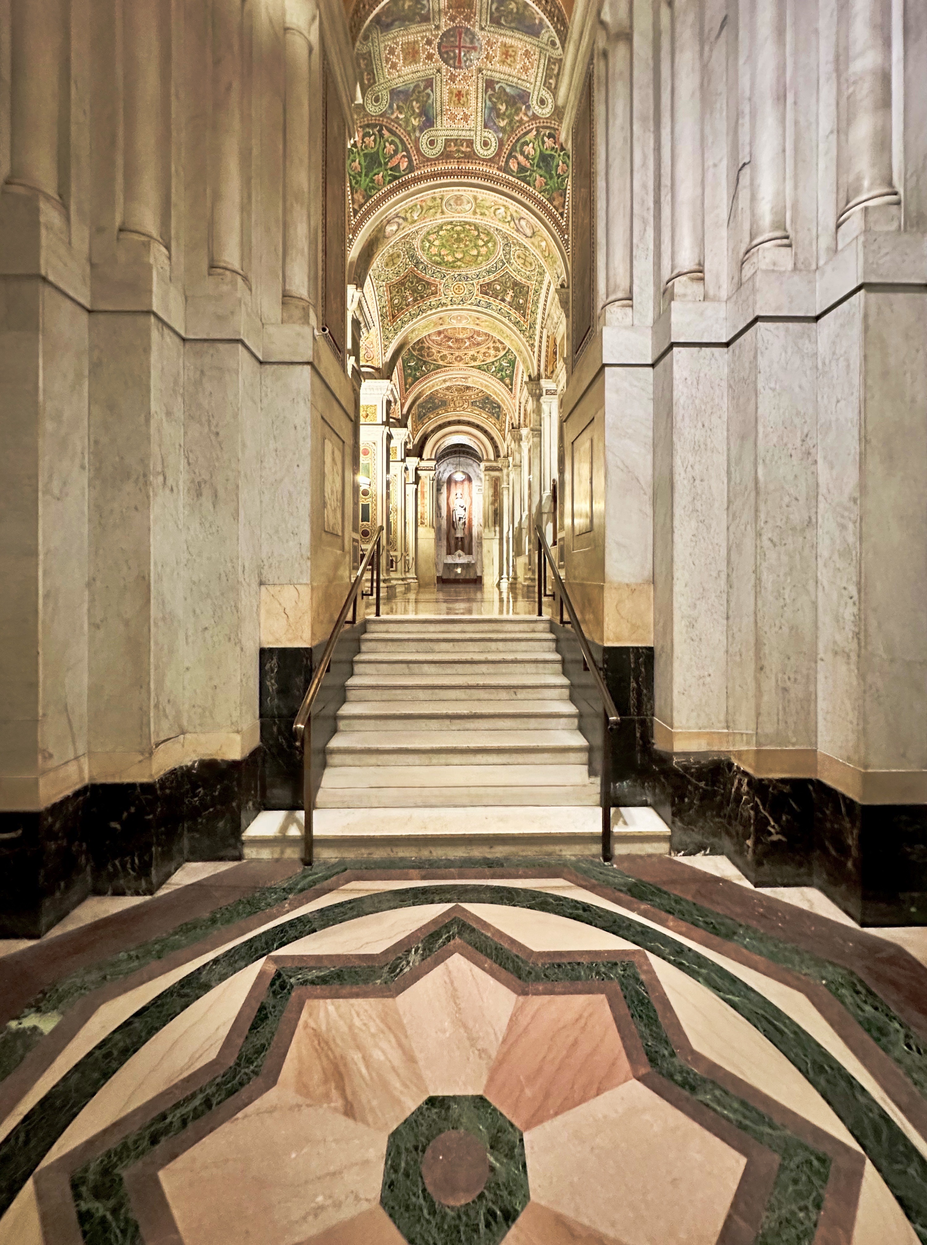
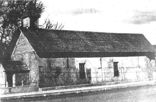
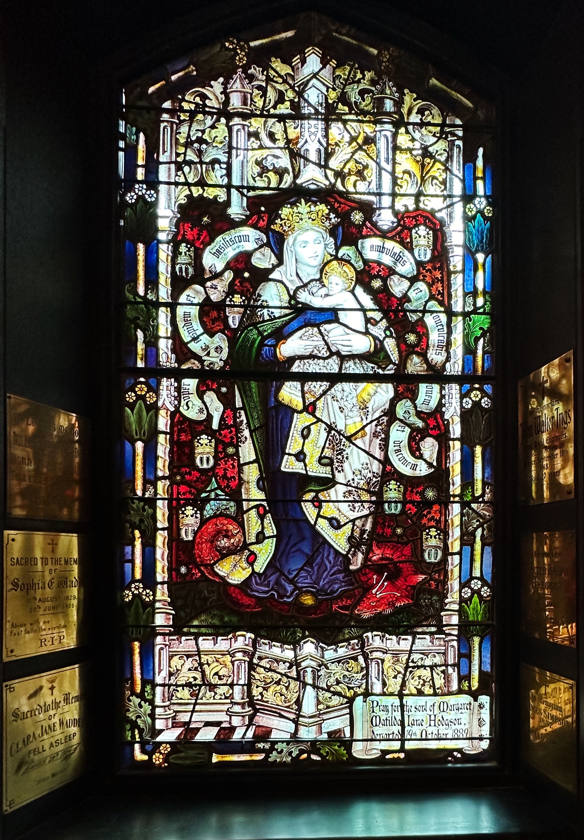
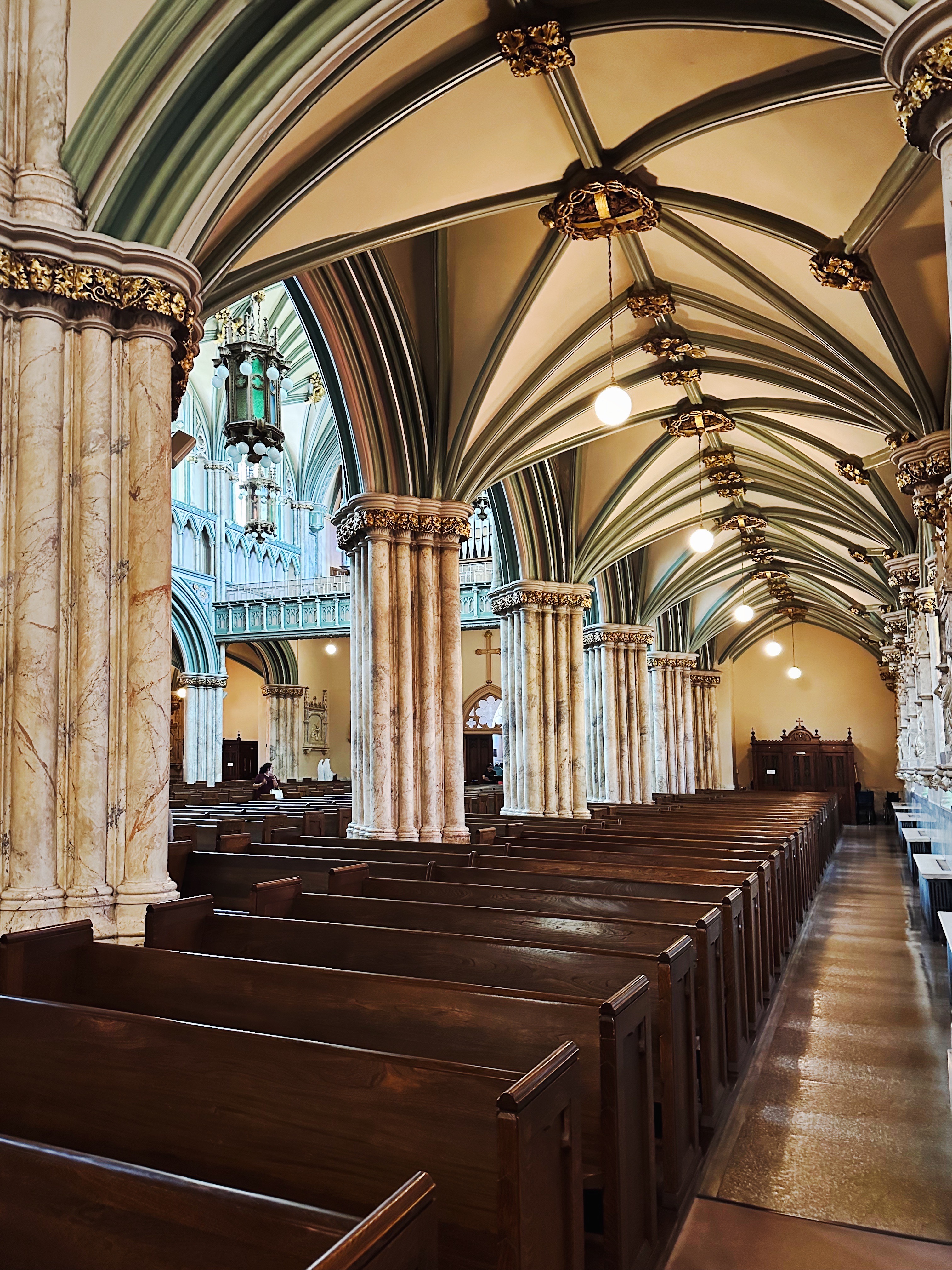
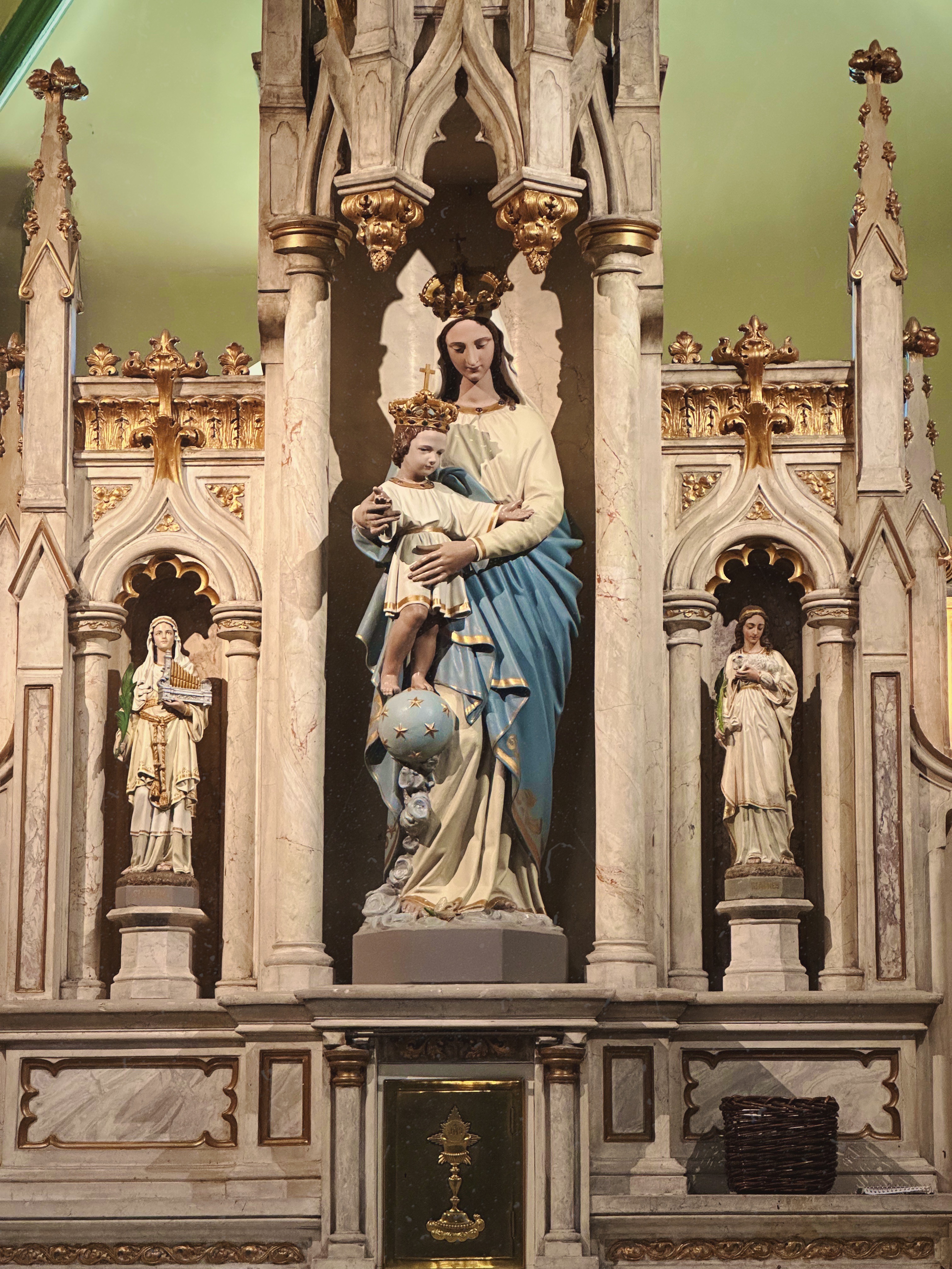
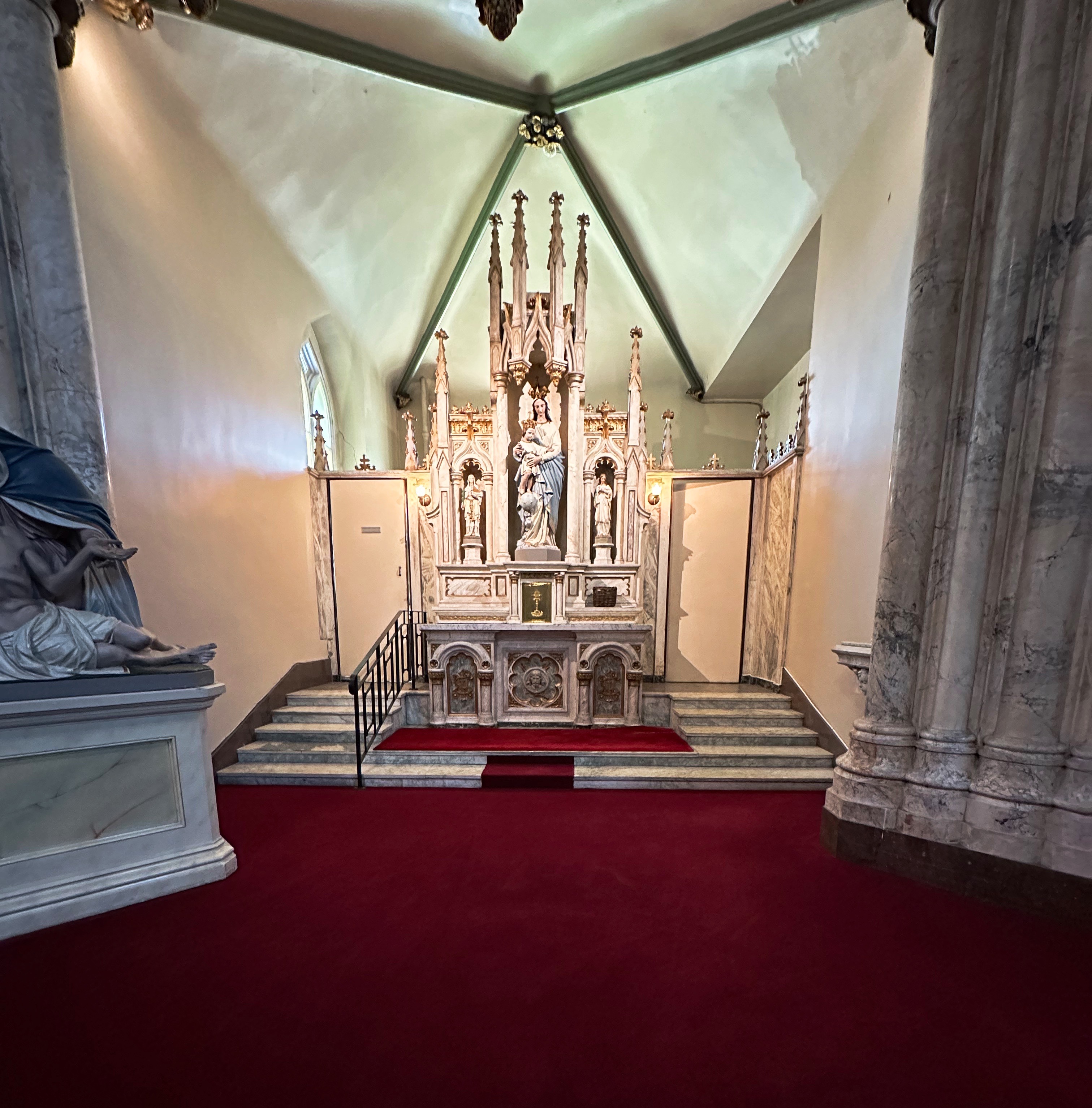
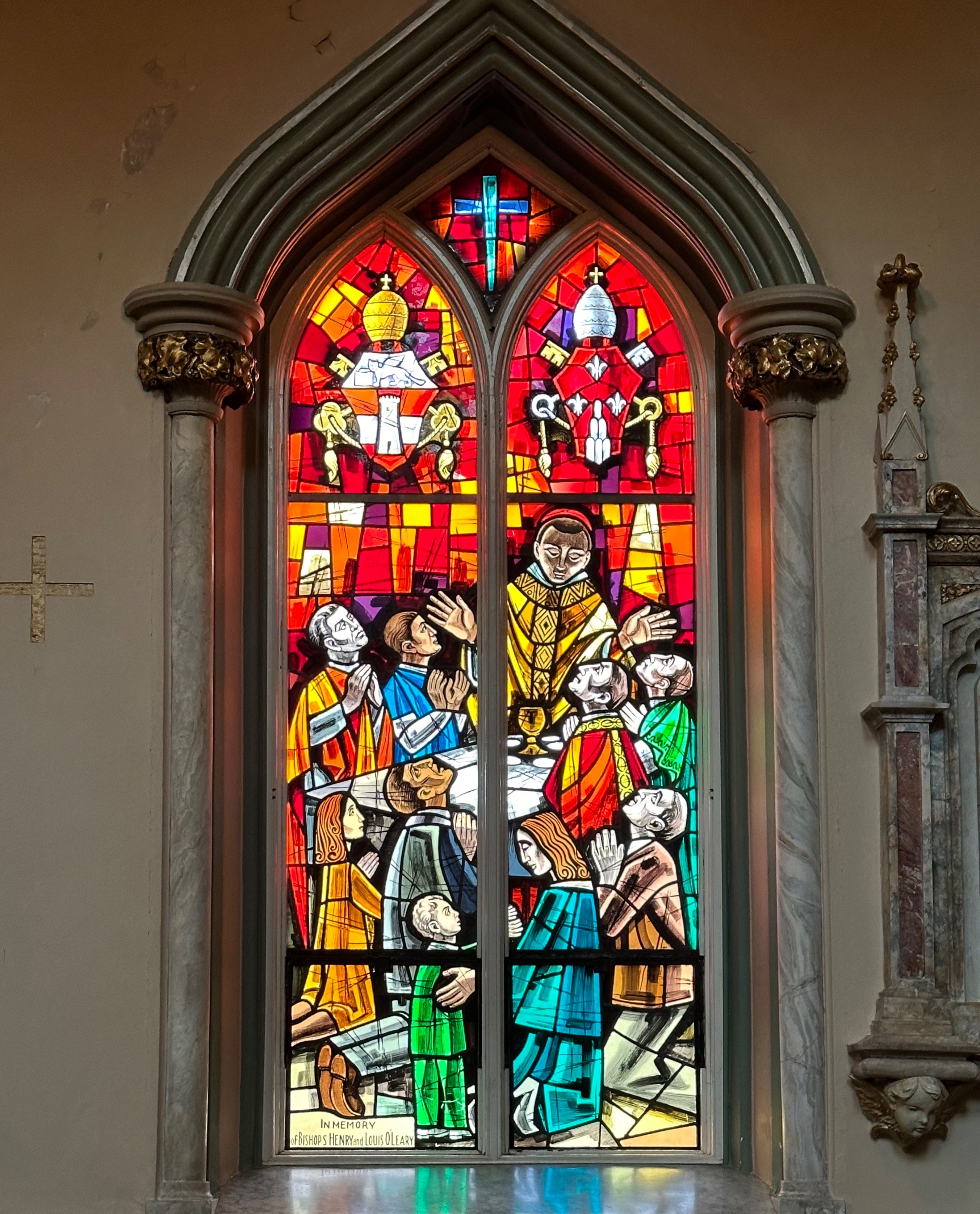
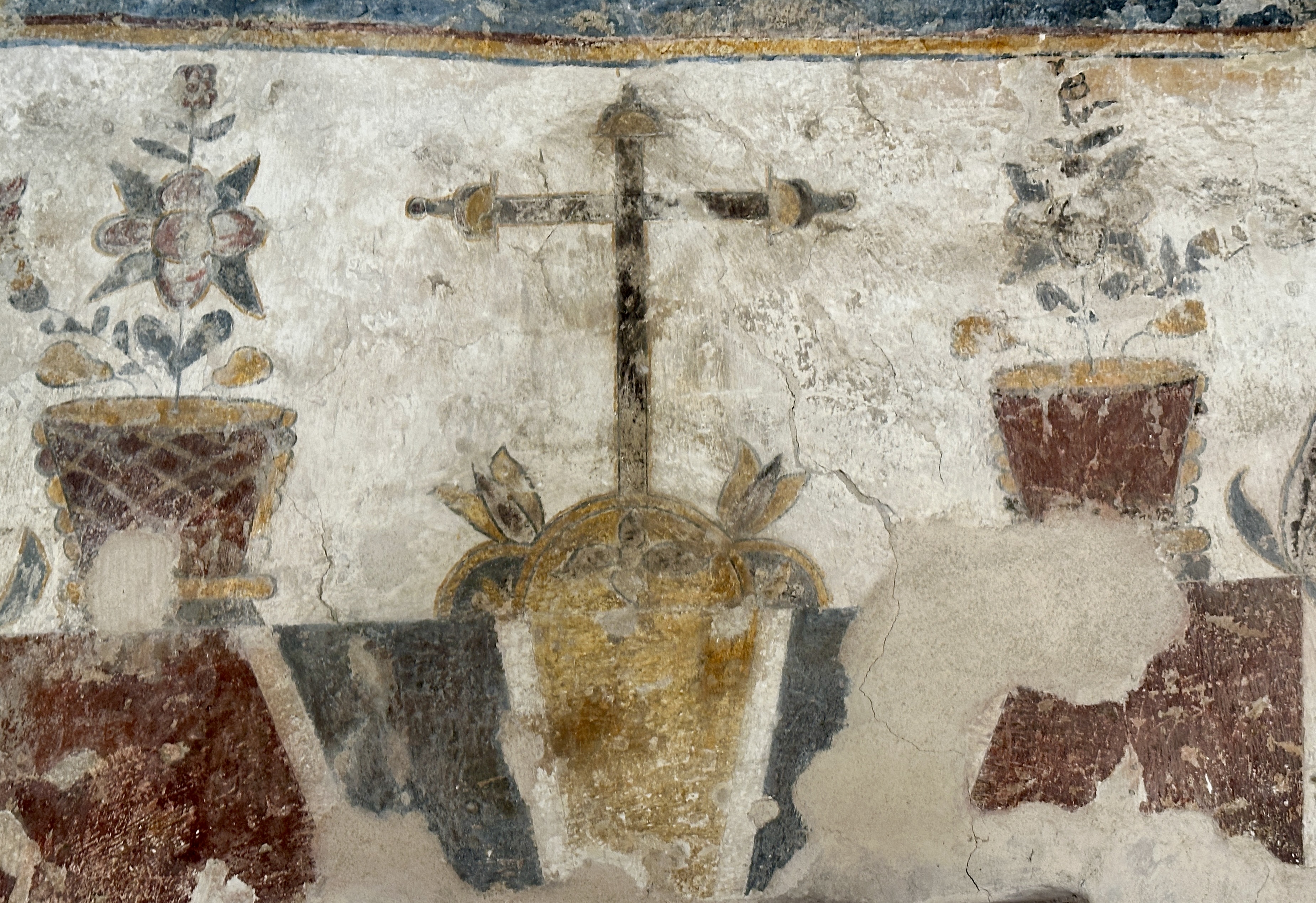
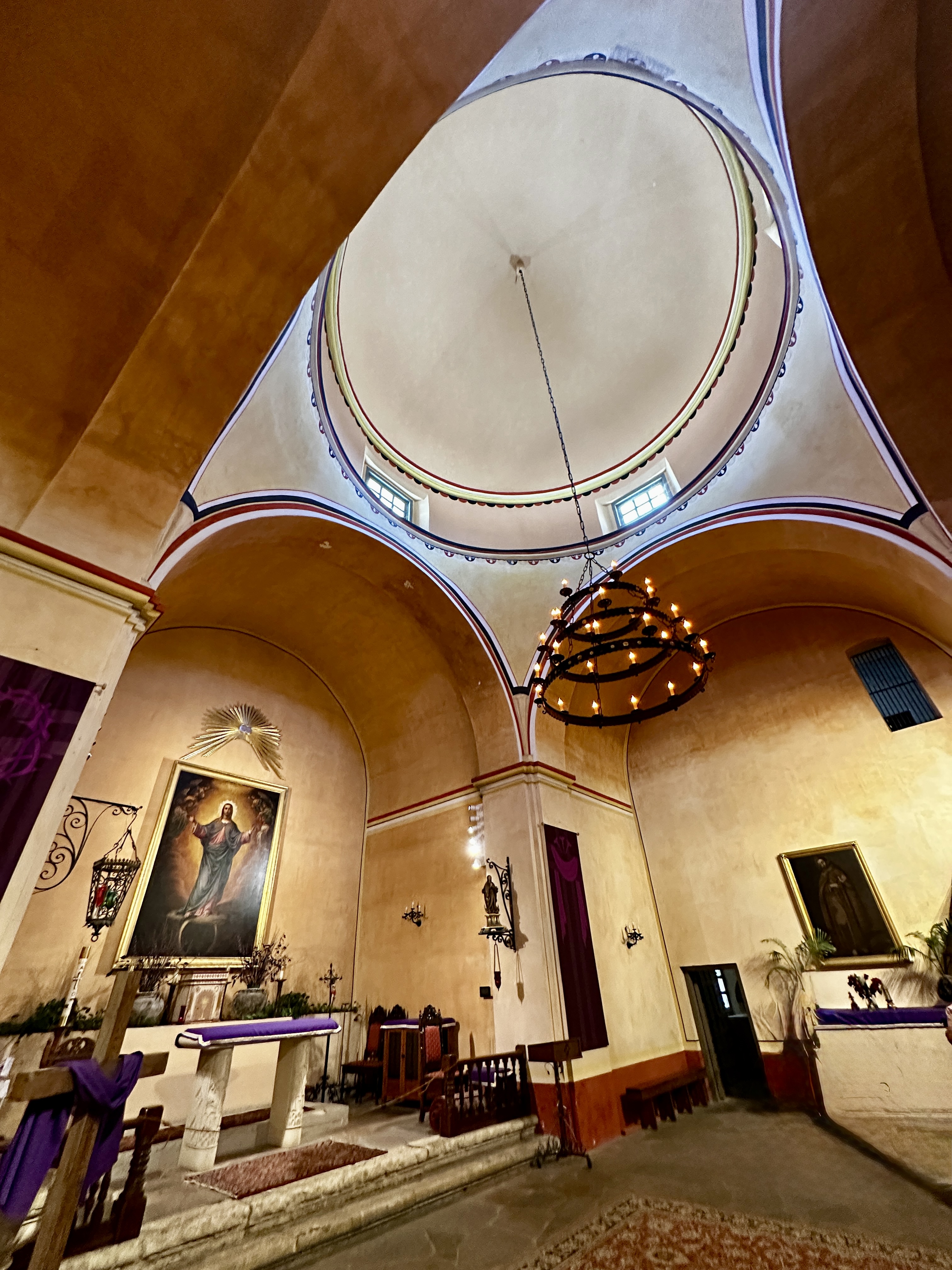
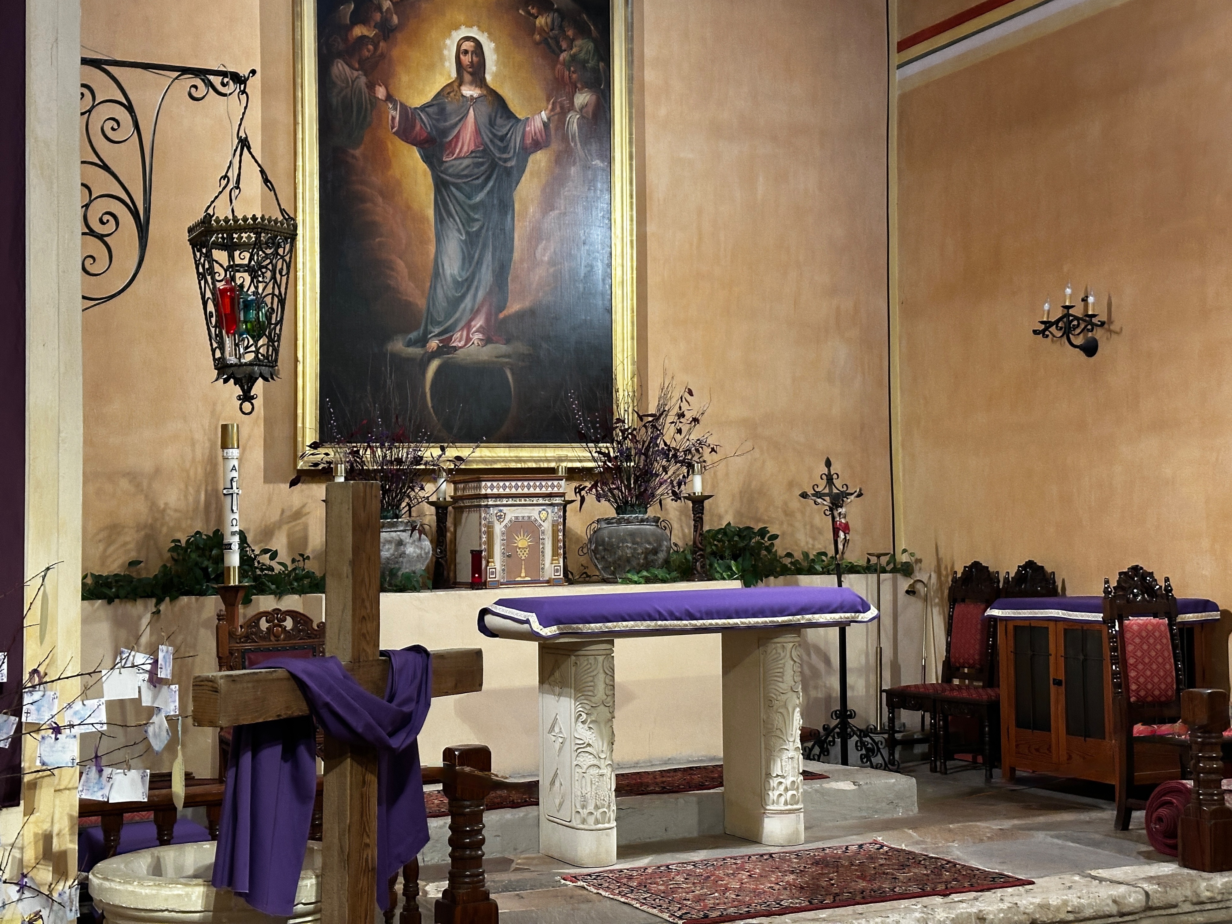
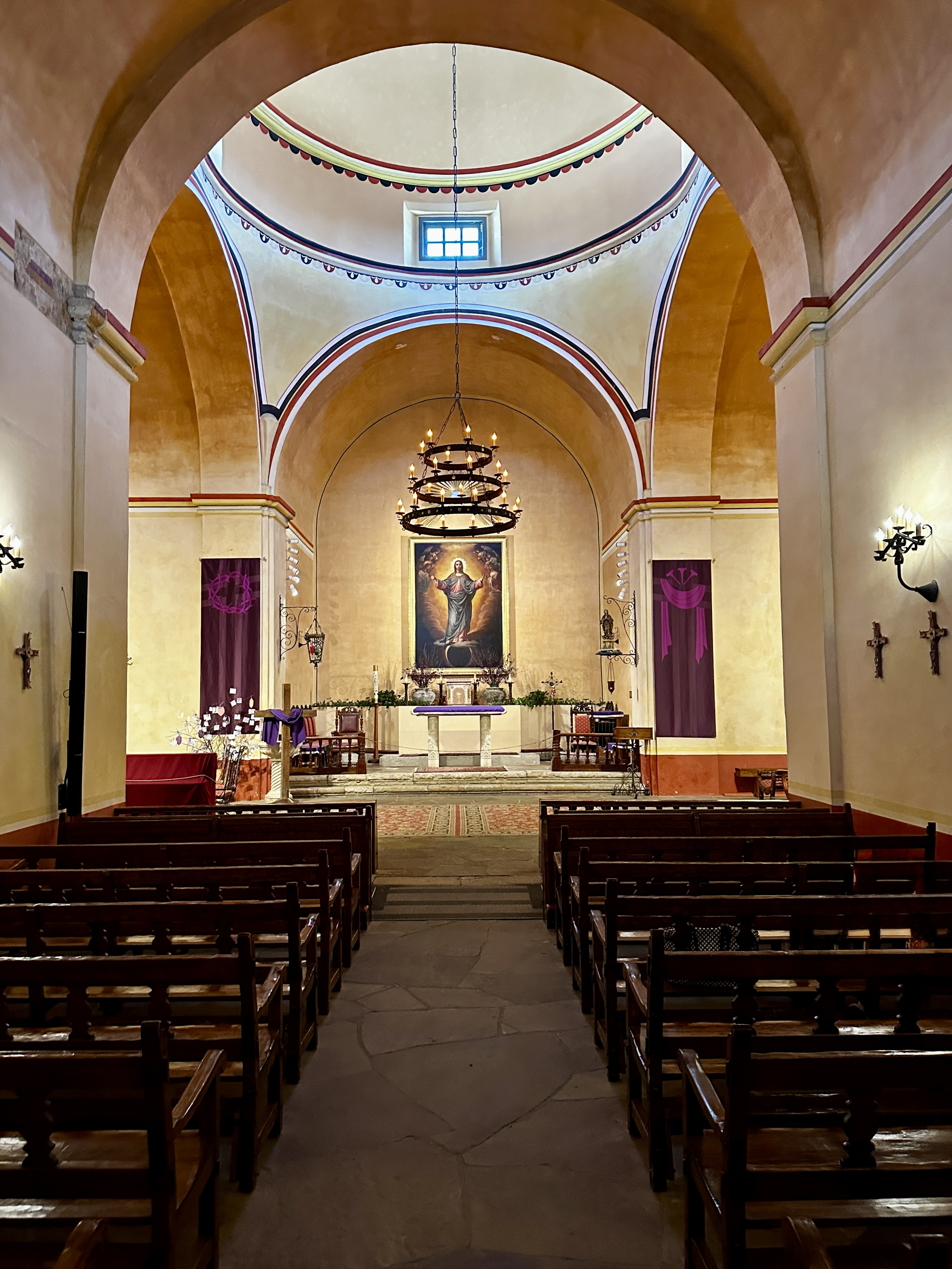
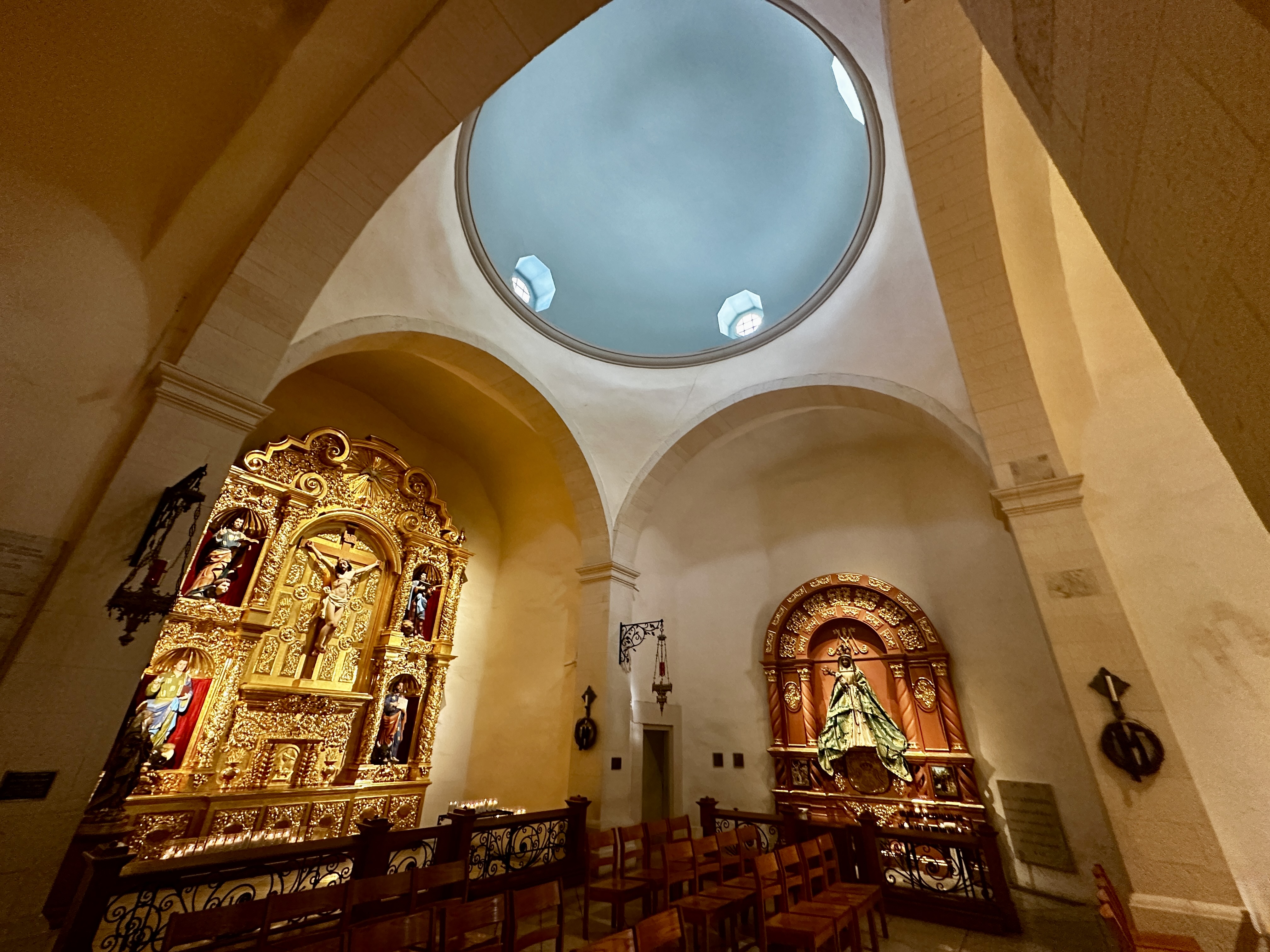
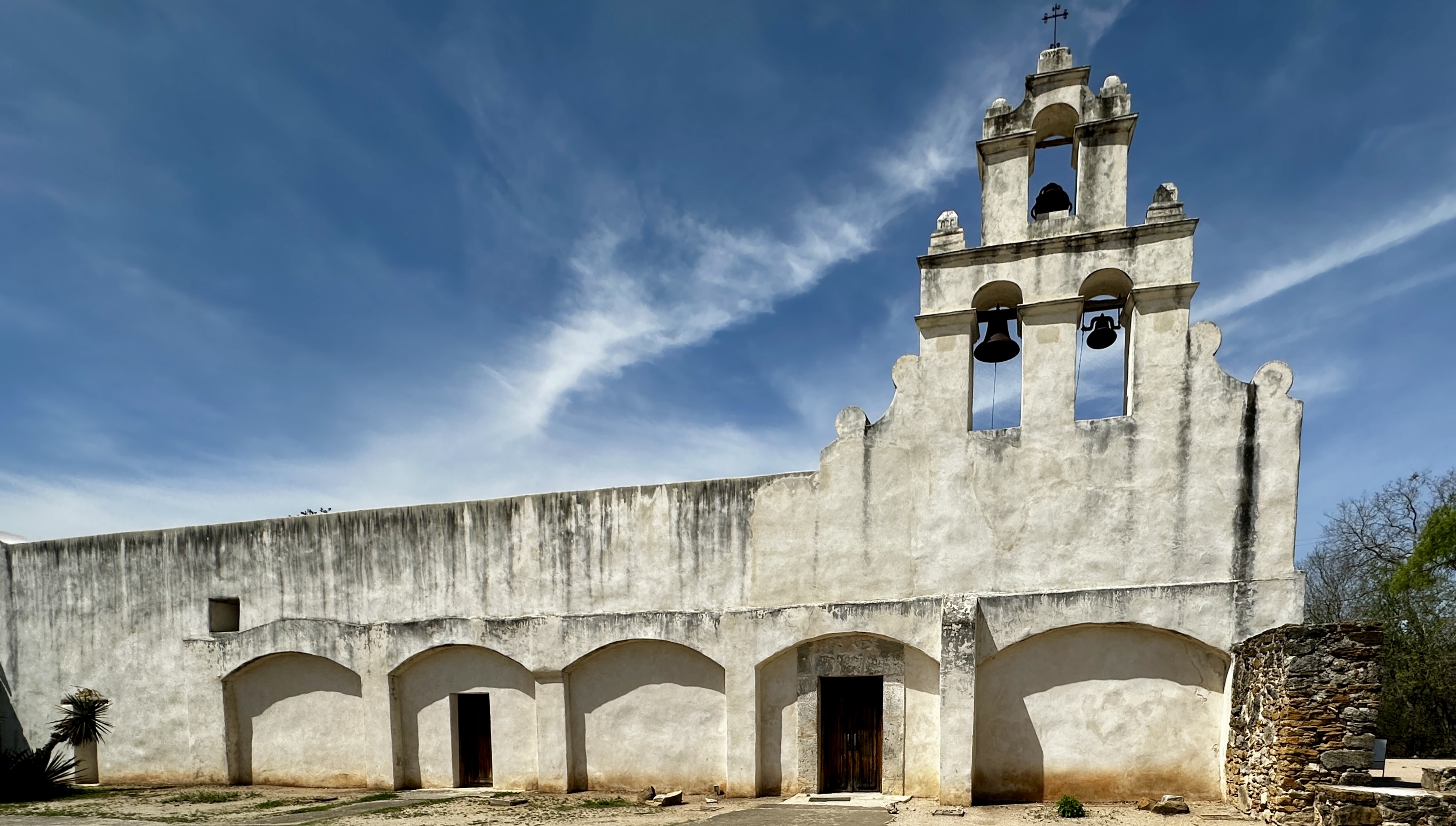
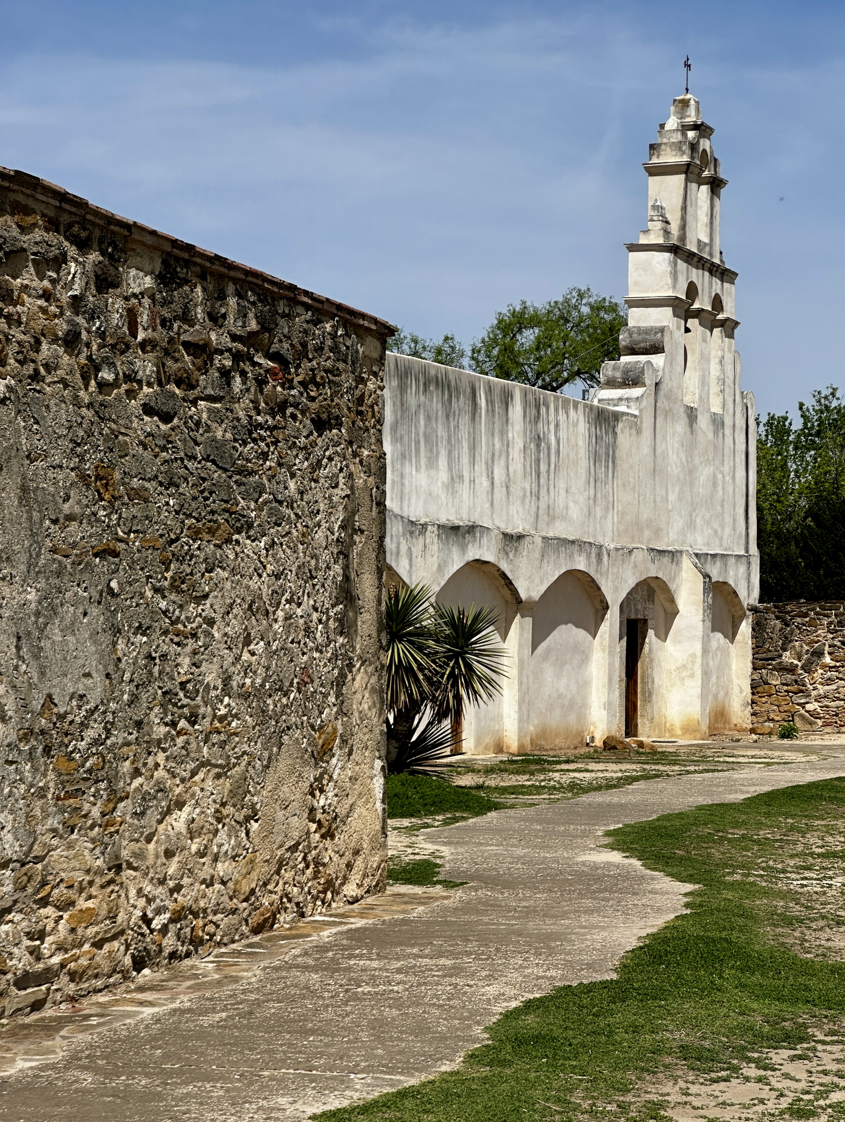
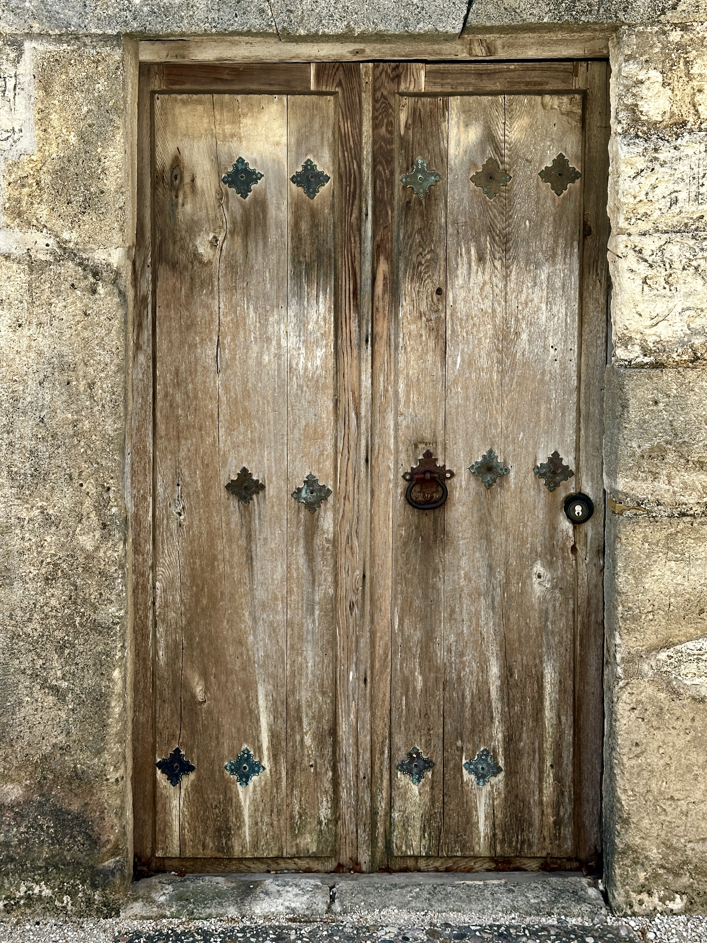
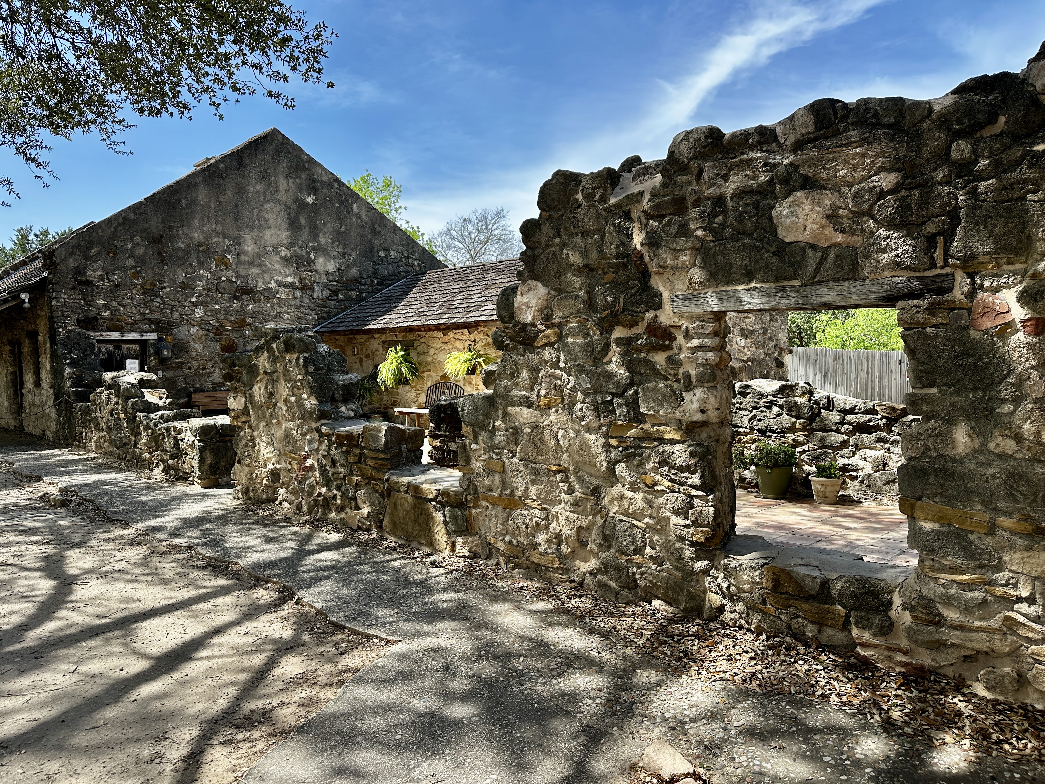
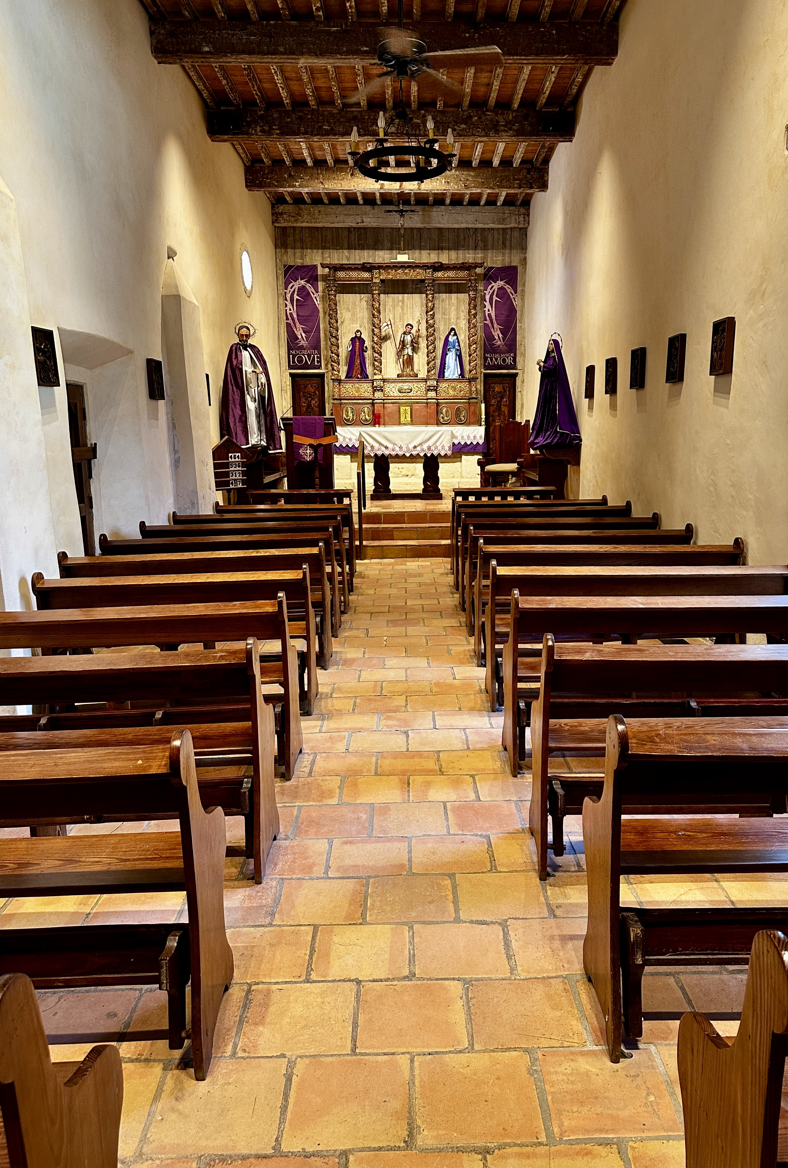
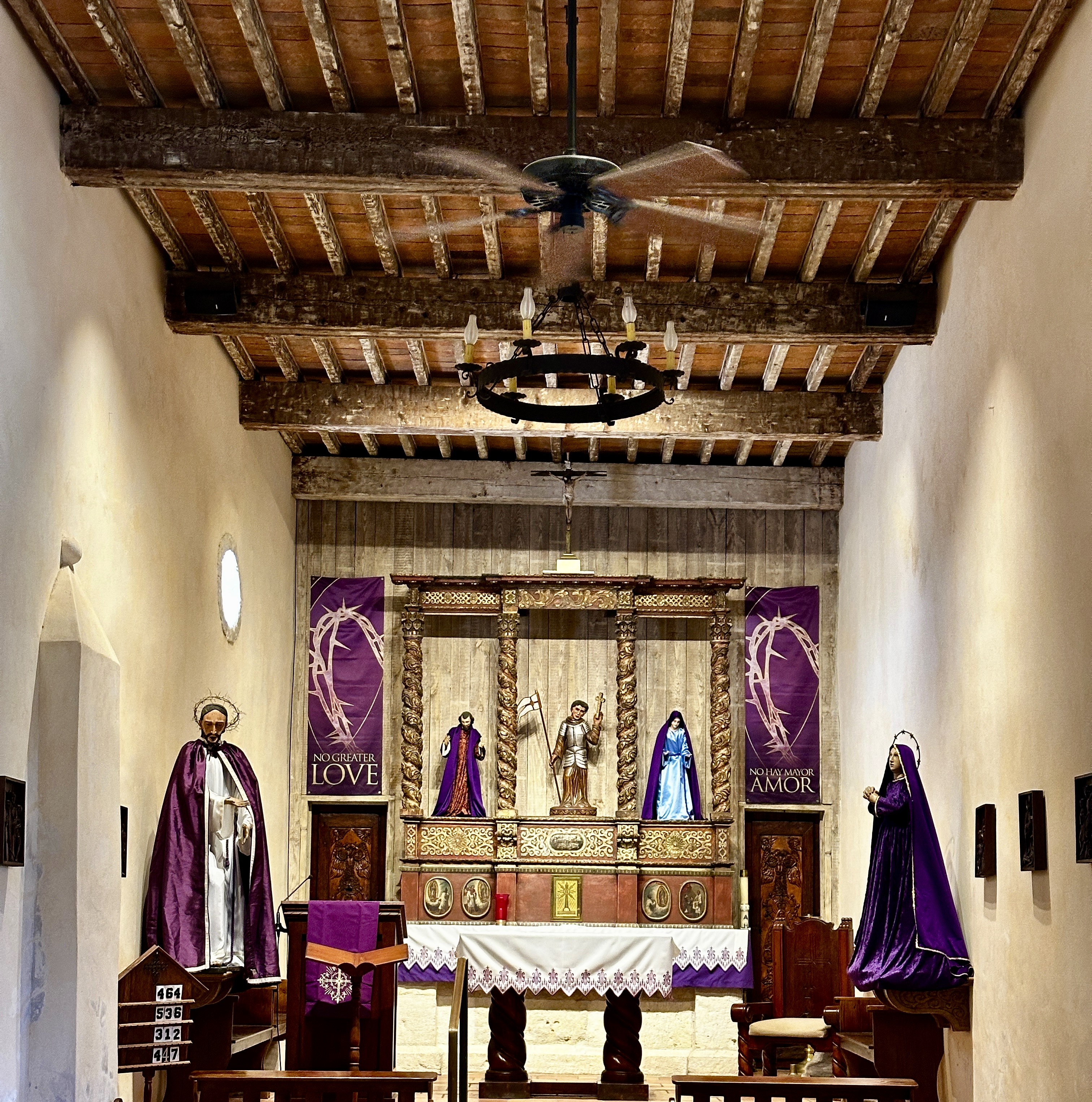
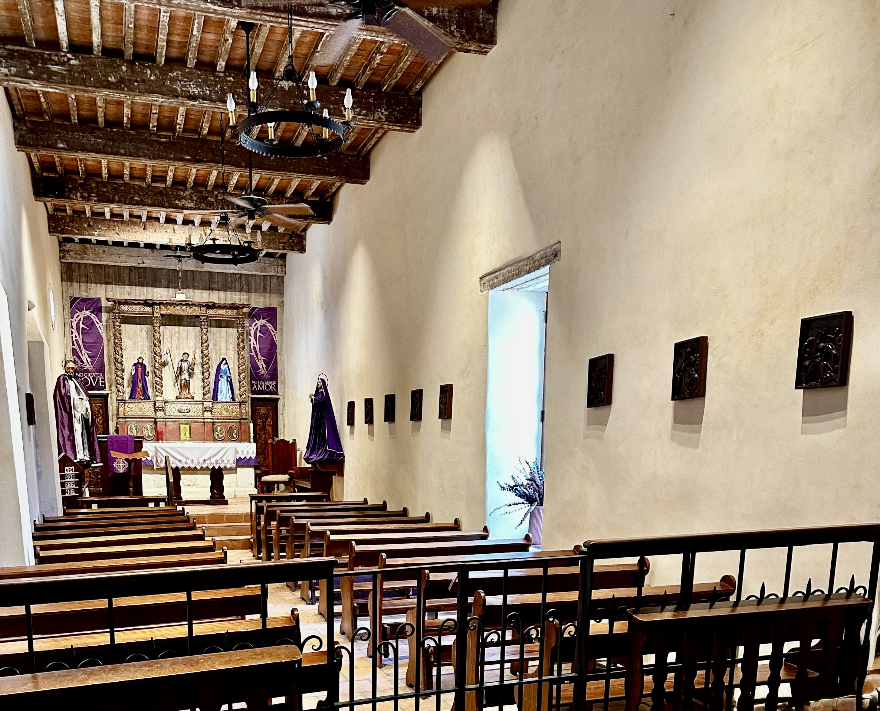
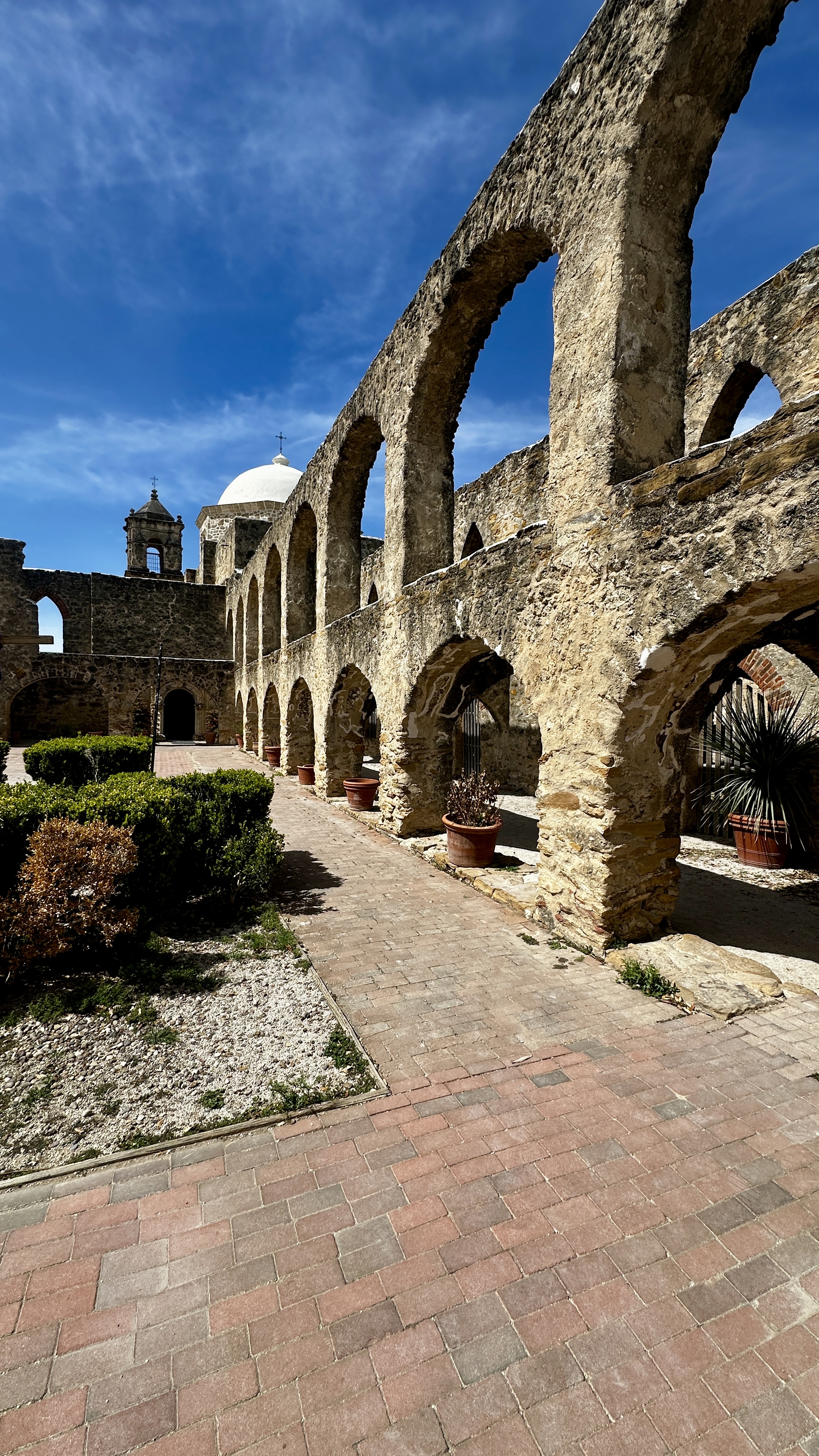
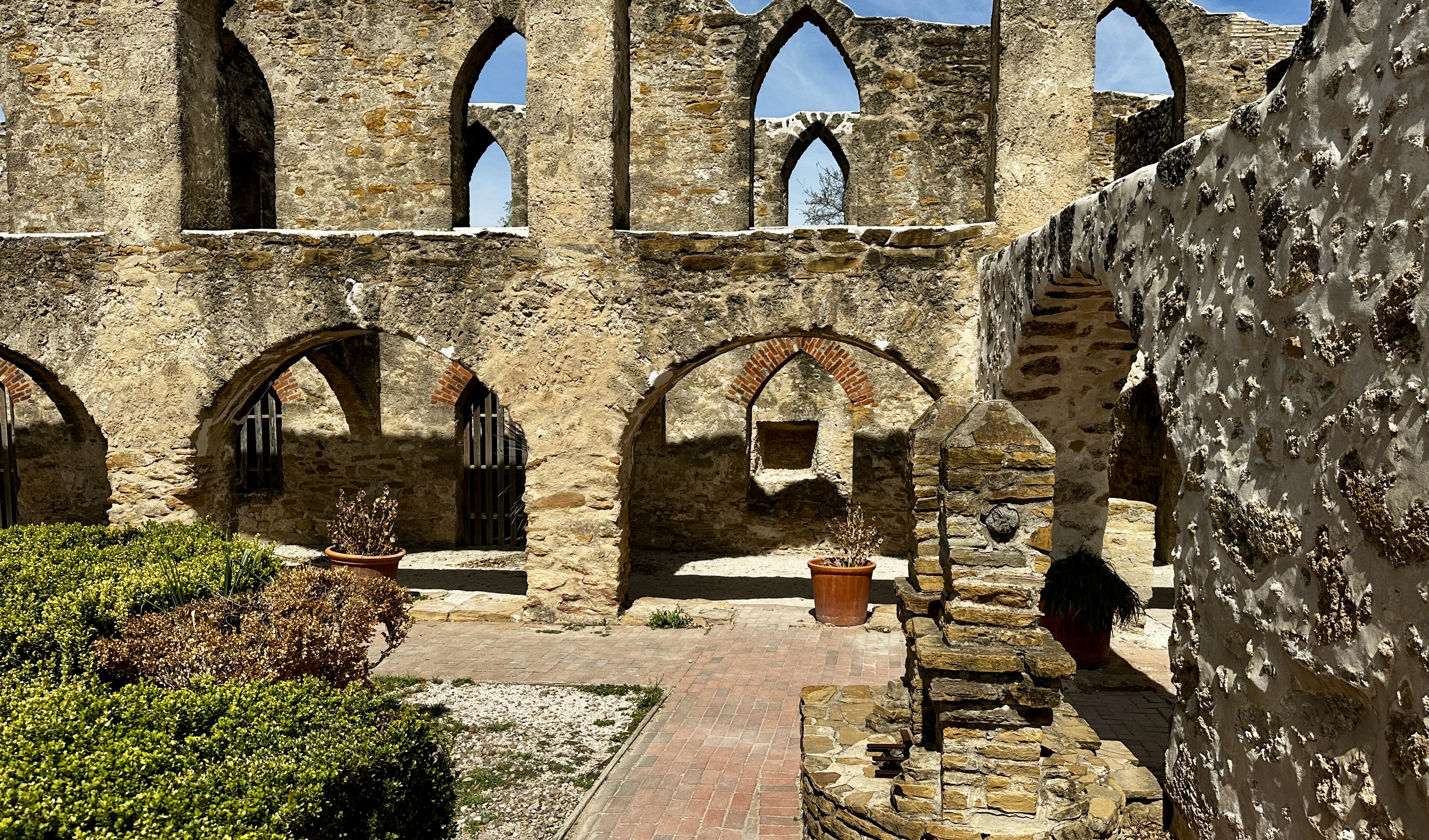
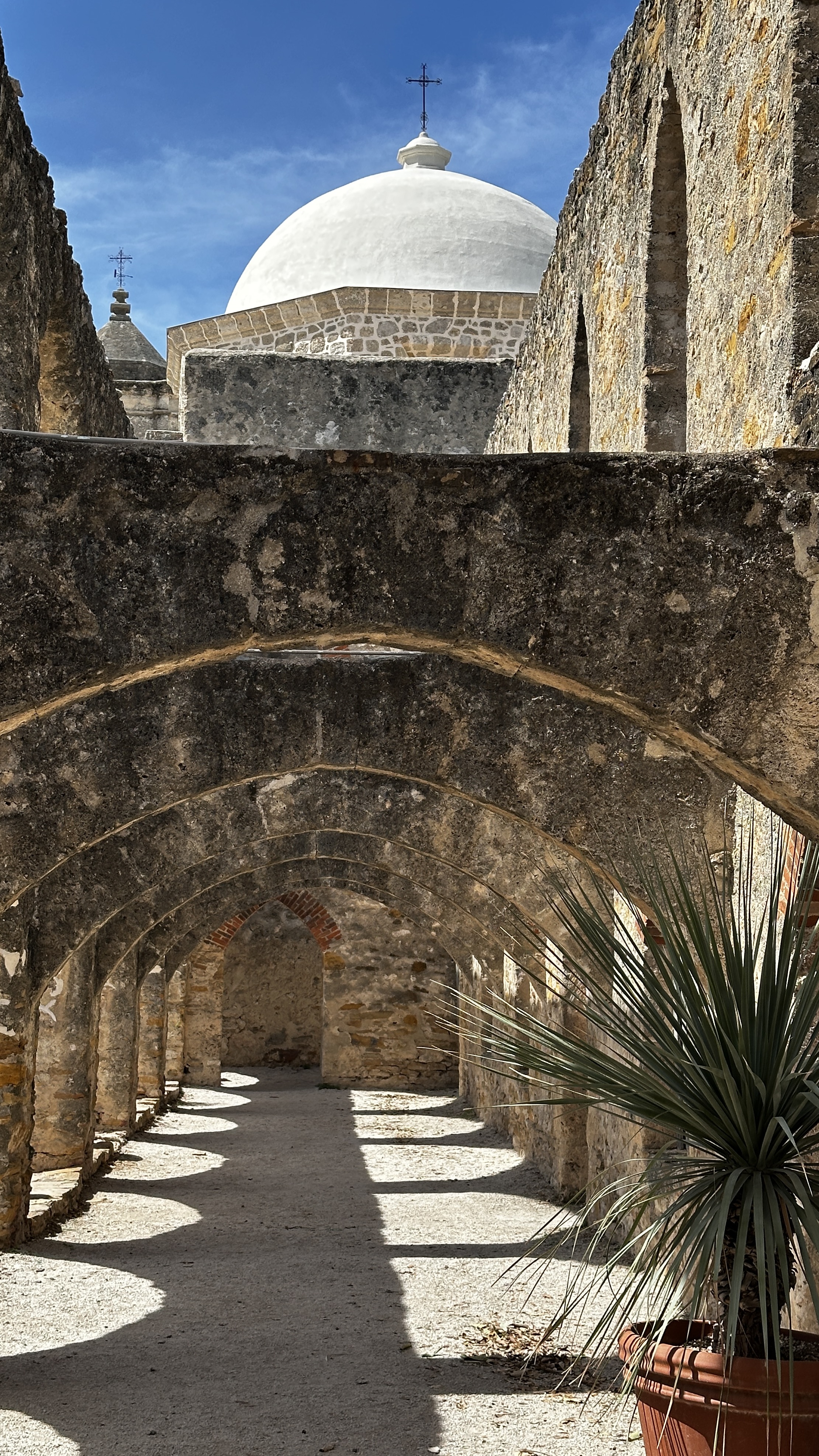
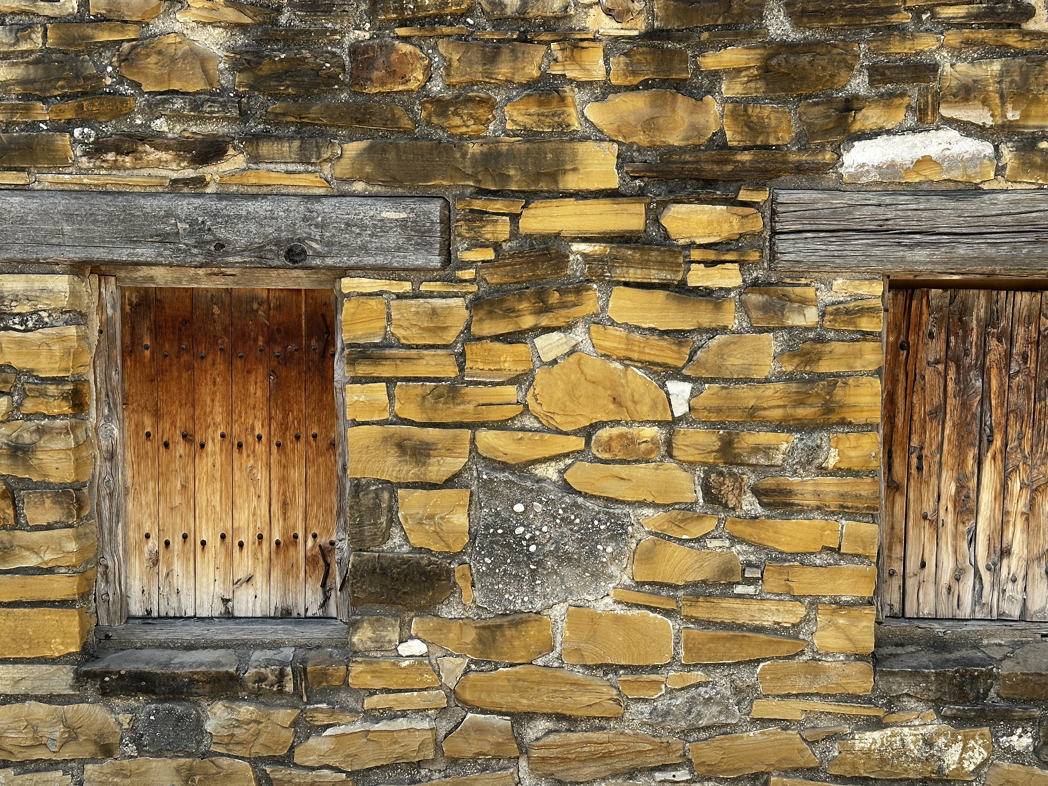
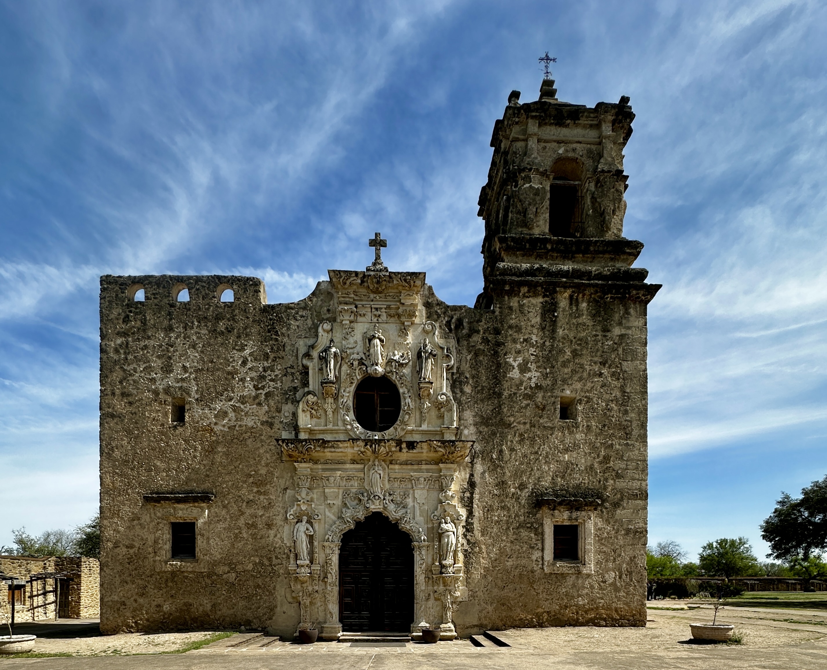
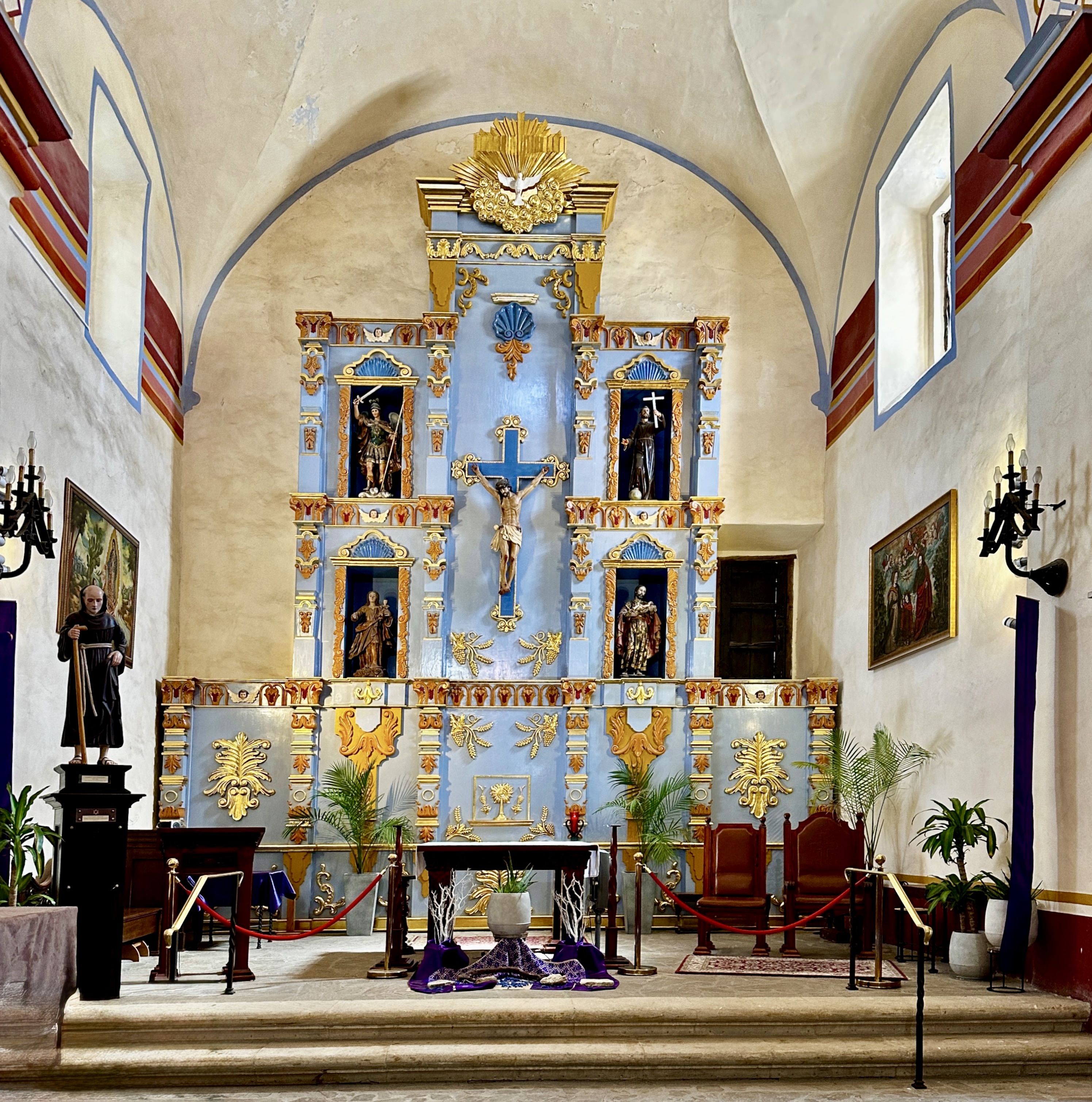
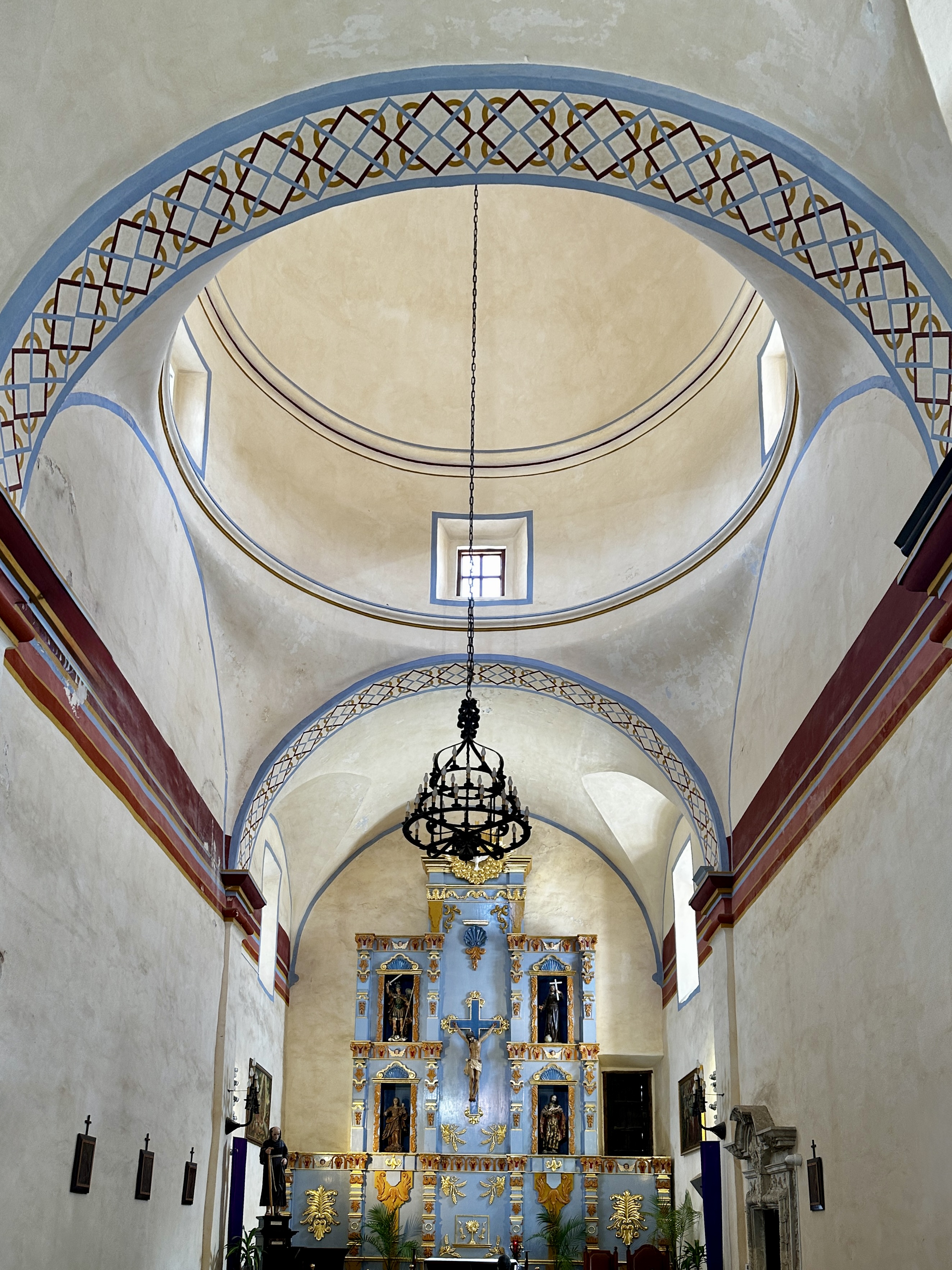
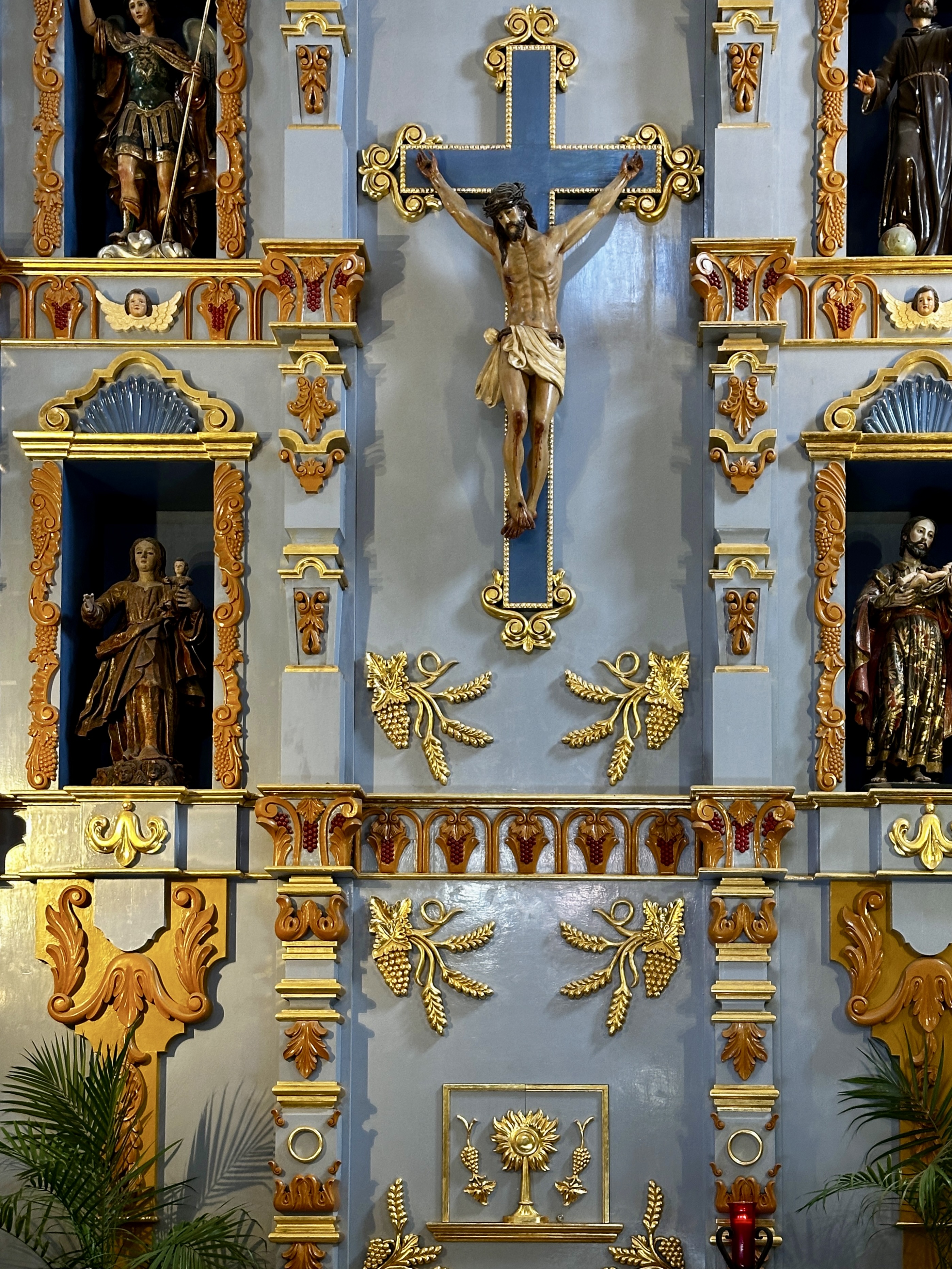
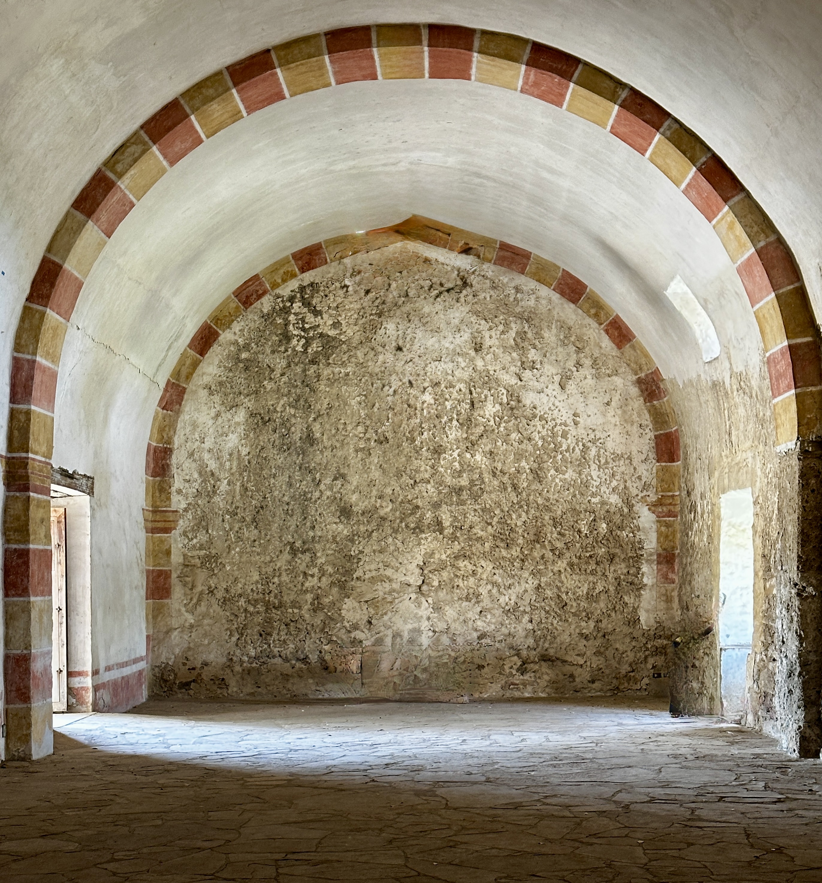
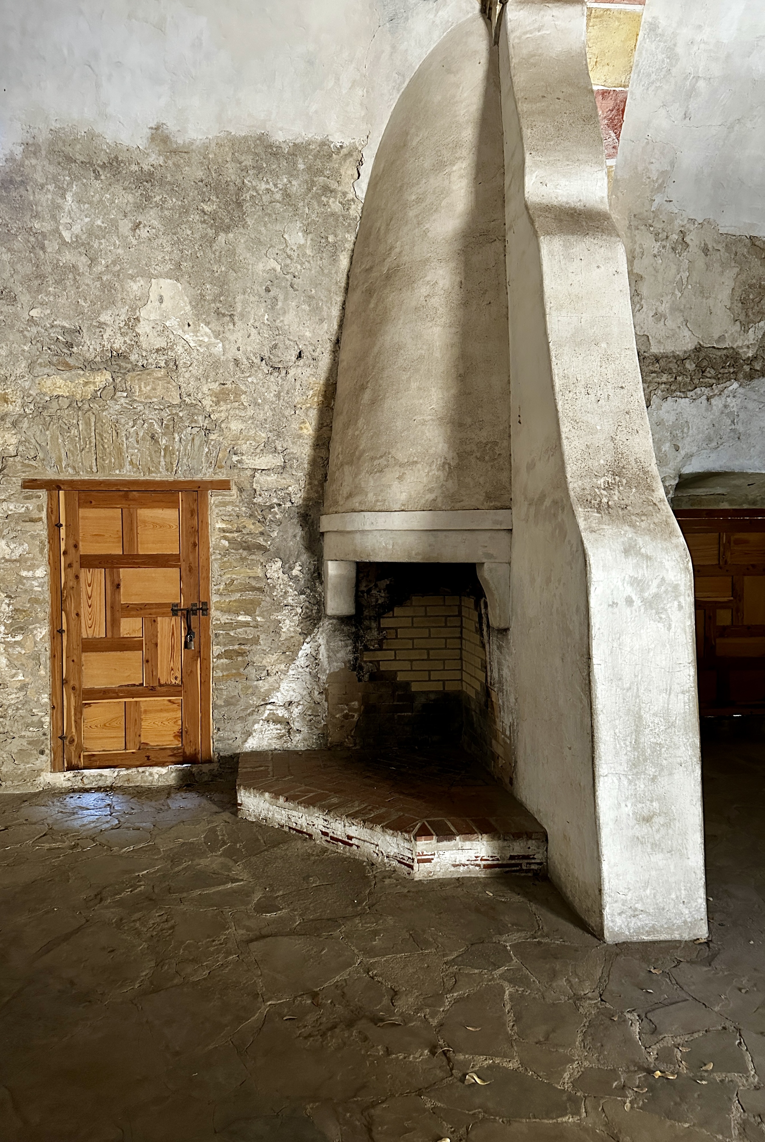
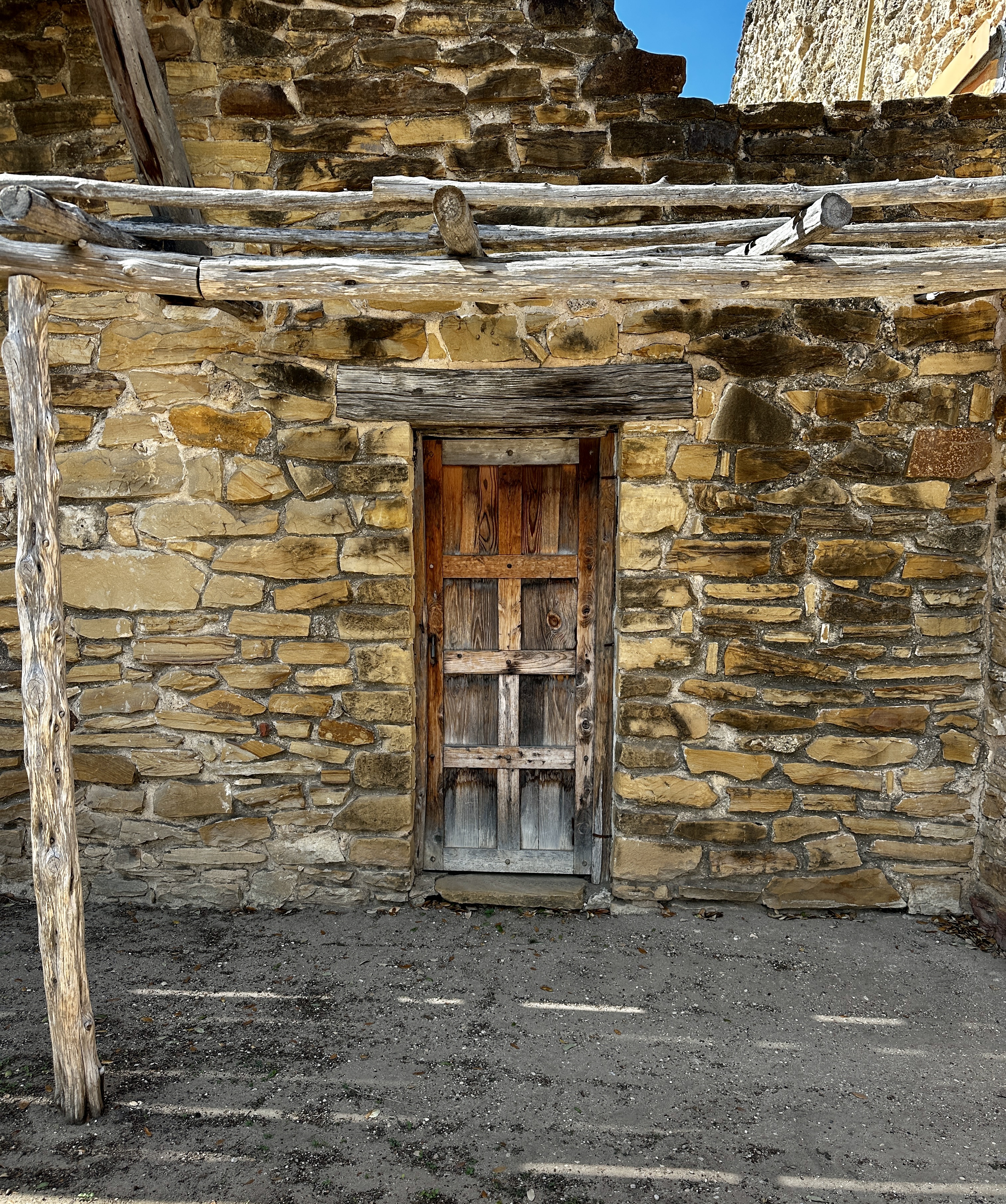
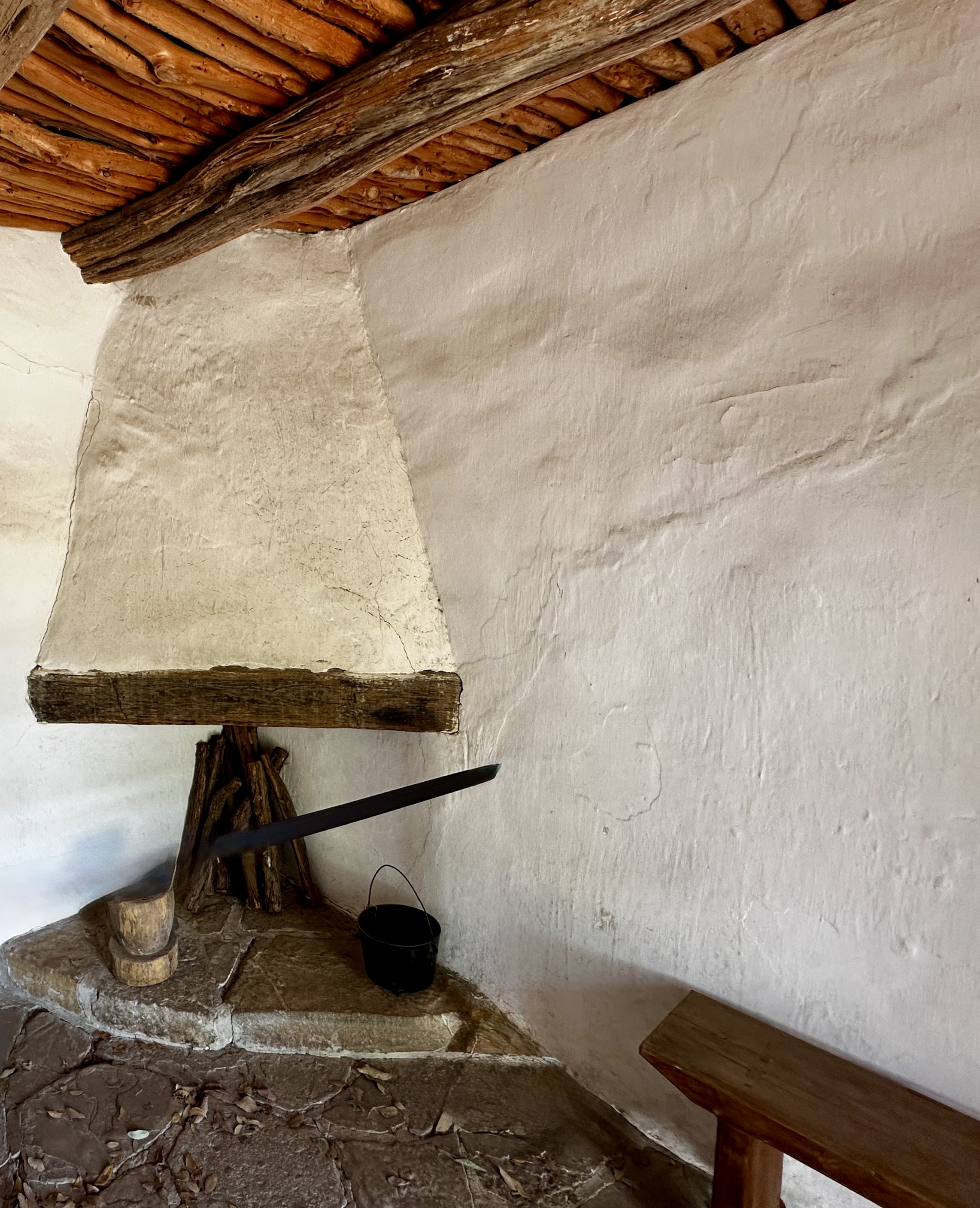
From Vela we made our way to Mission Nuestra Senora de la Purisma Concepcion de Acuna. The mission is one of five missions built along the San Antonio River under the guidance of Spanish Franciscan friars. The mission was founded in 1716 with construction completed in 1731. This mission is noted for a number of surviving frescos painted over 250 years ago.
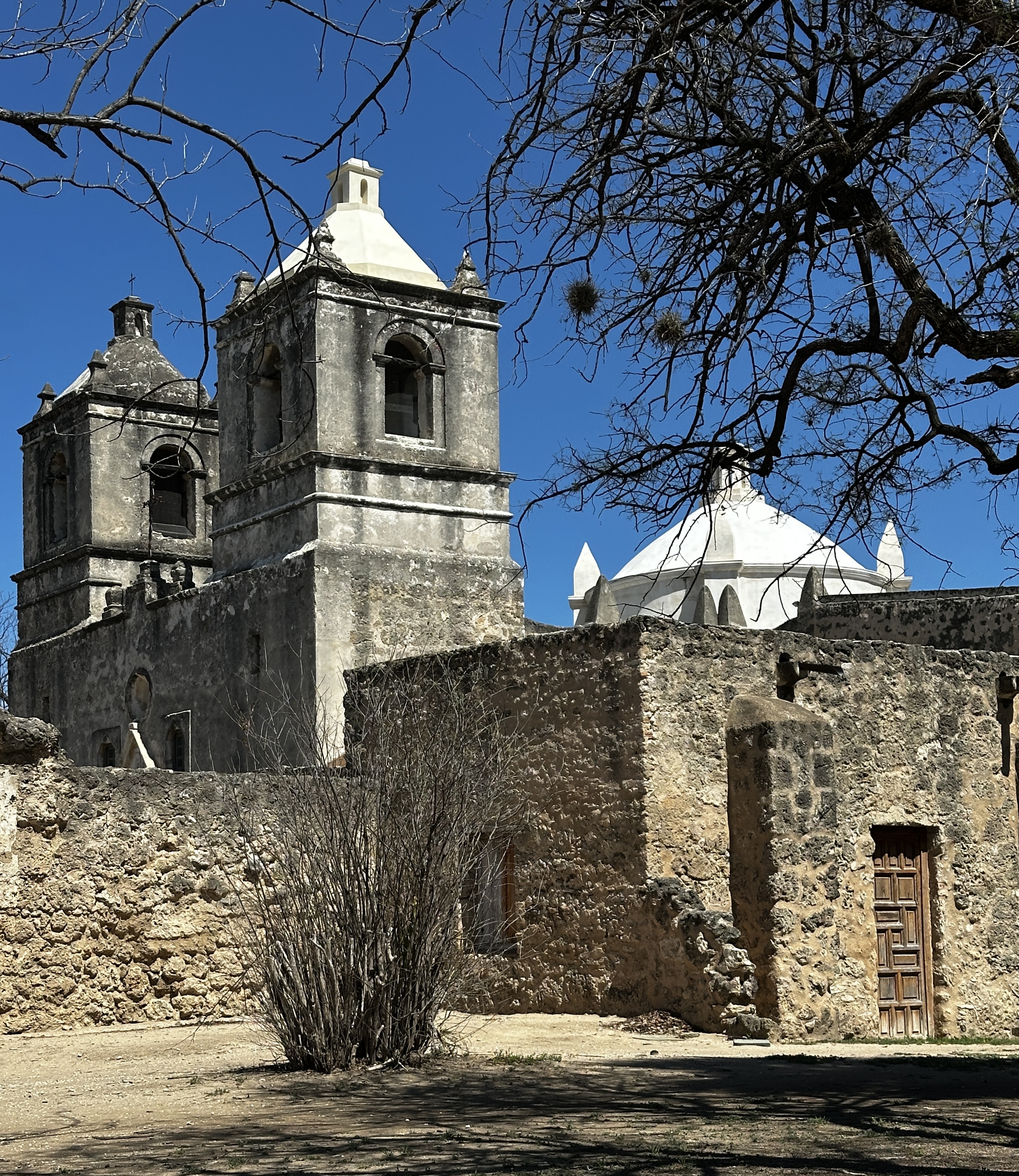
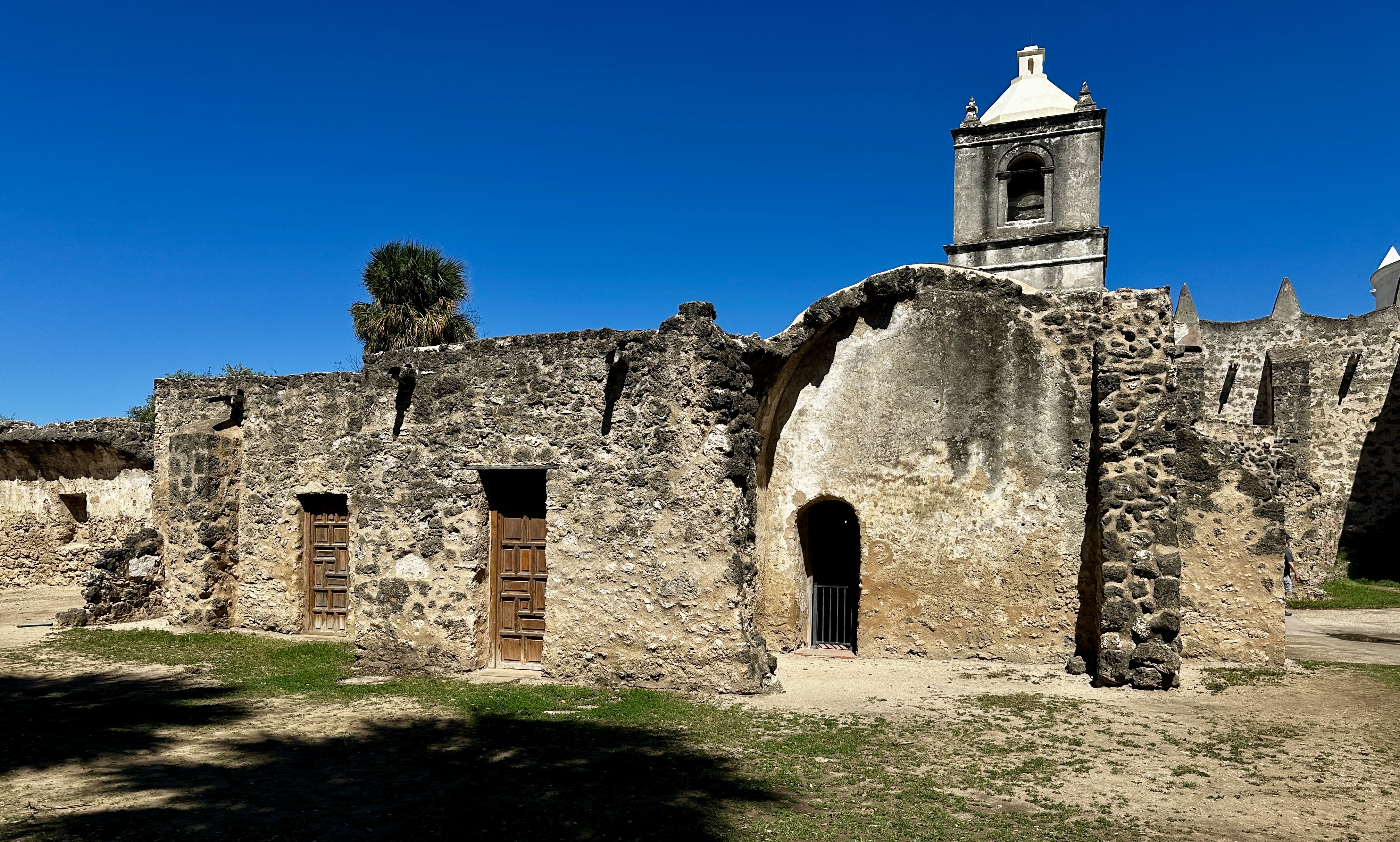
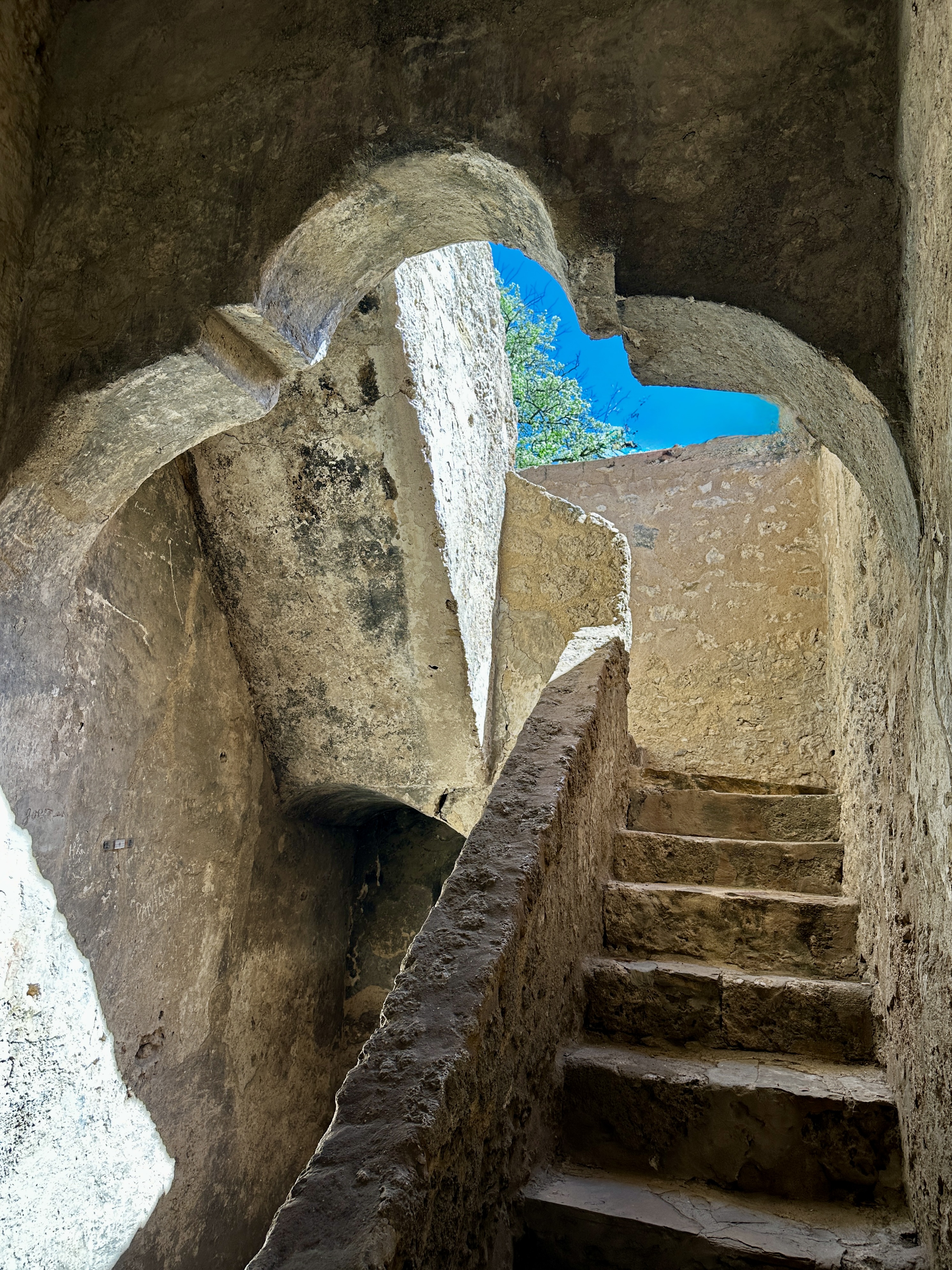
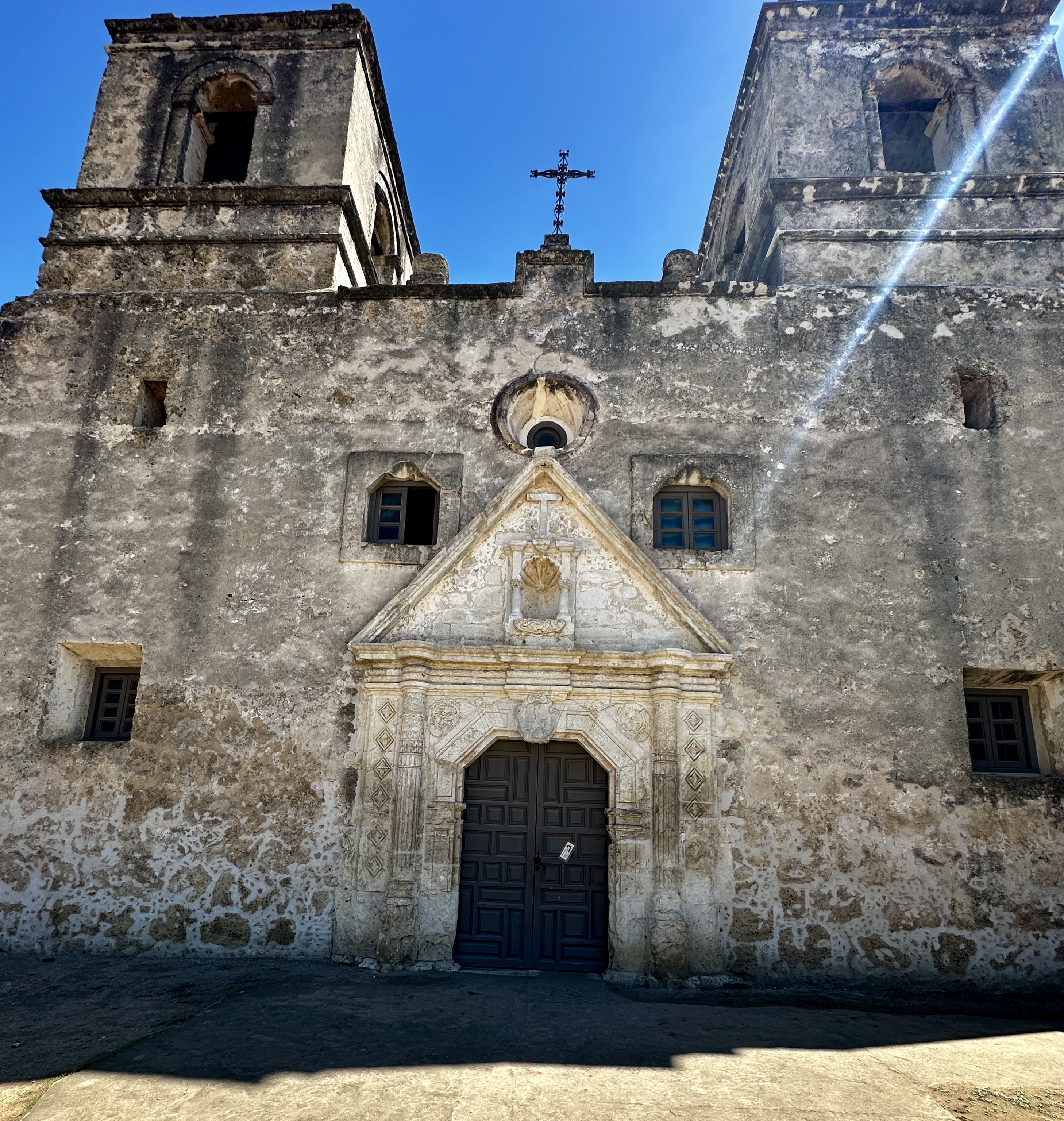
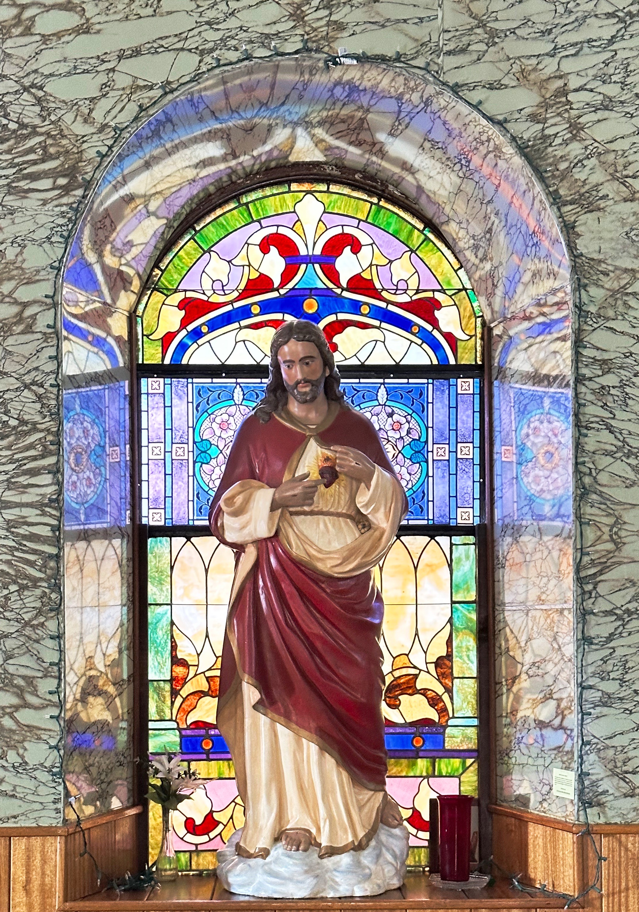
Mission Concepcion is still an operating Catholic church with Sunday masses held in the chapel pictured below.
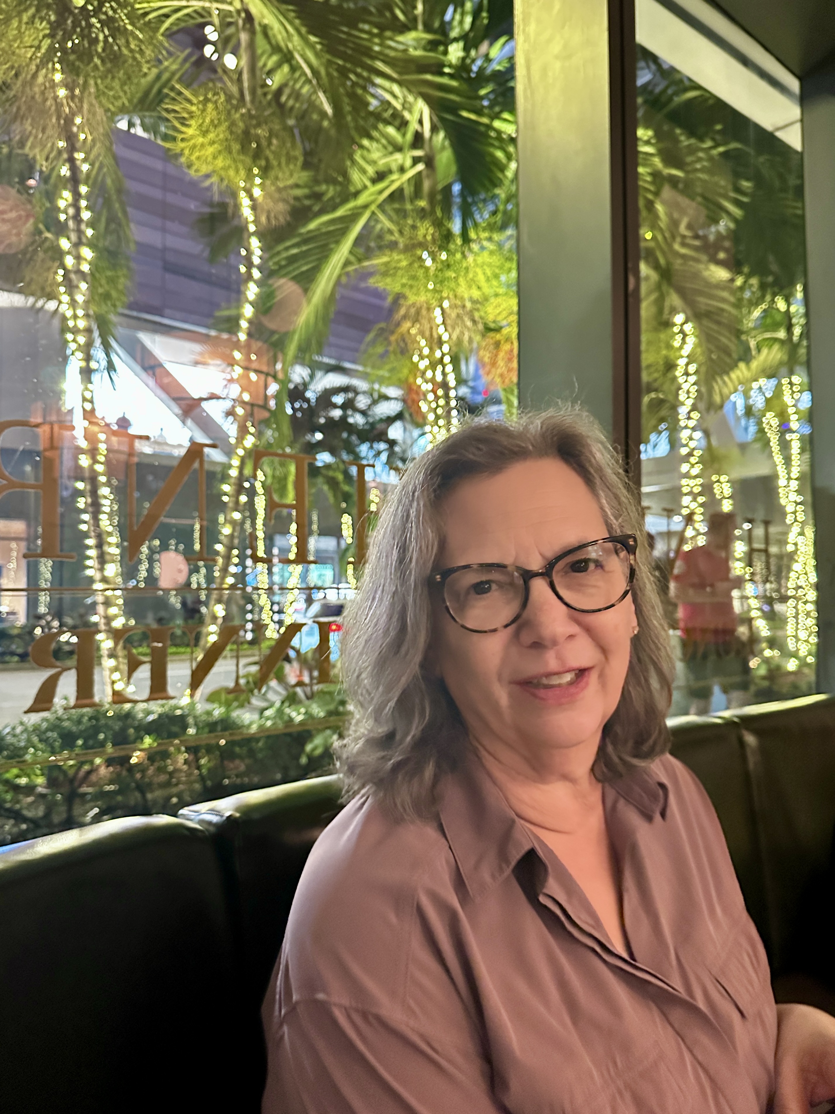
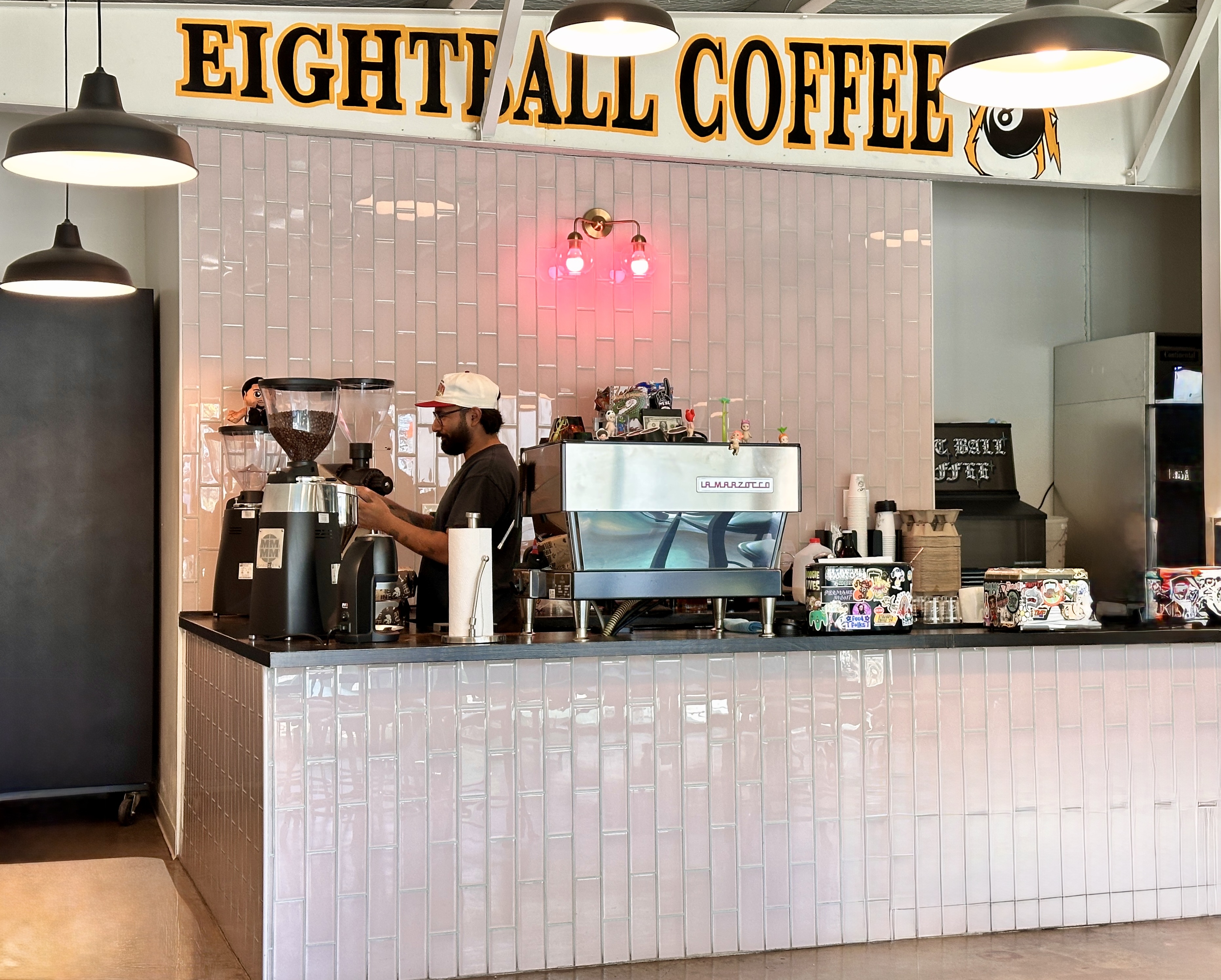
After touring the mission we walked north on the Riverwalk to the King William District, where we departed the trail for afternoon fika at Eightball Coffee.
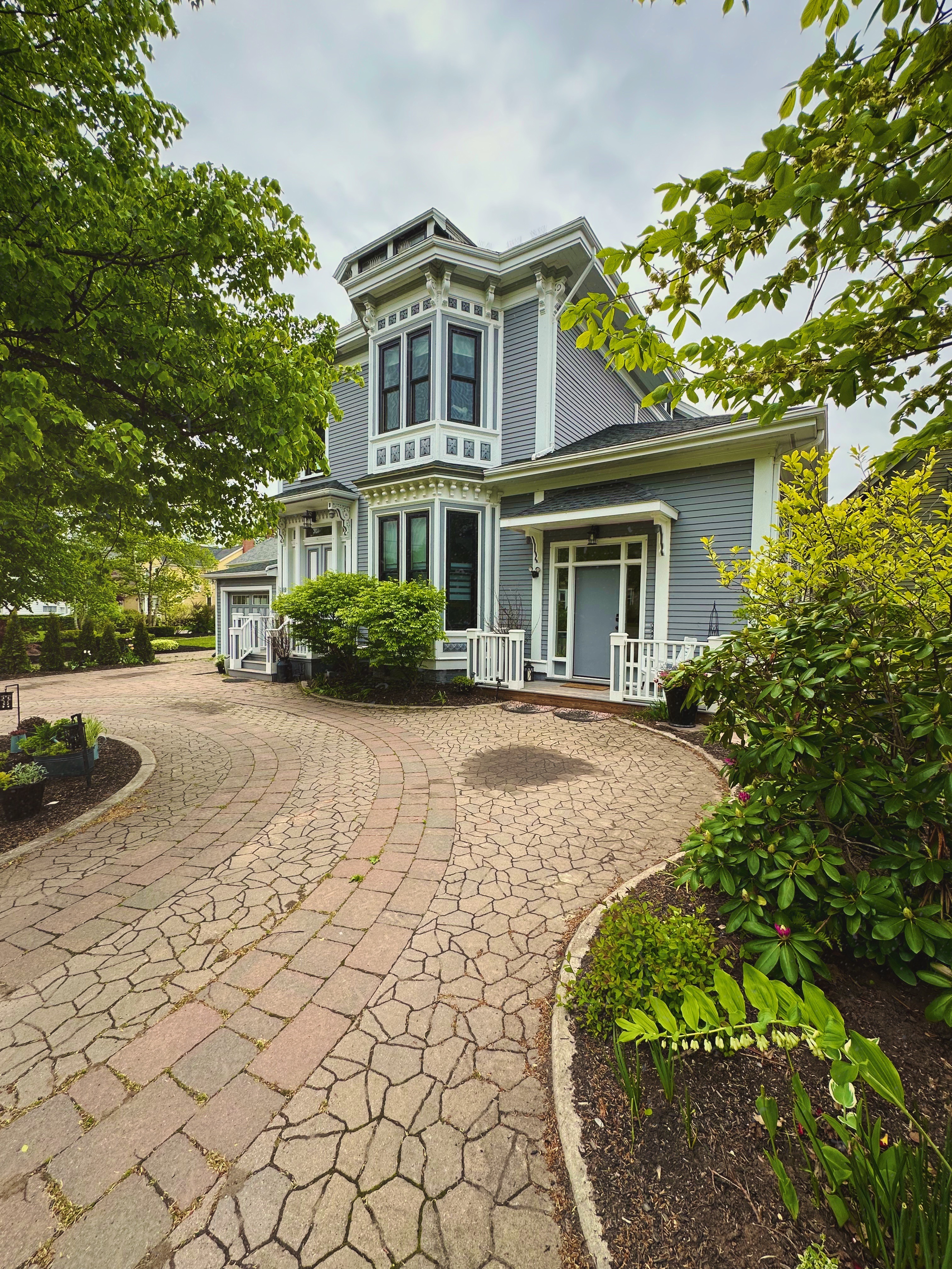
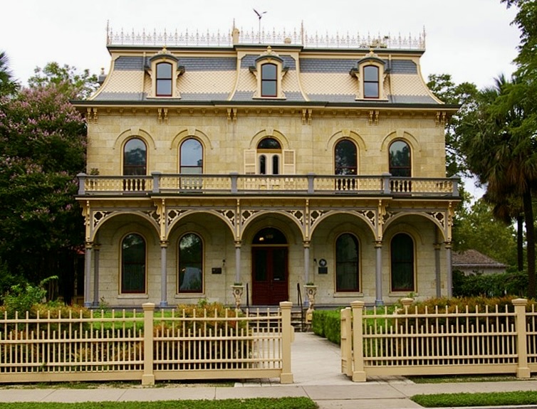
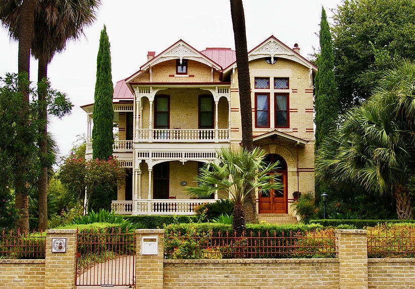
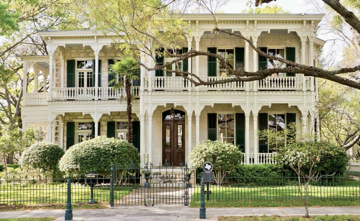
The KIng William Historic District was named for King Wilhelm I of Prussia (later the emperor of Germany). Not surprising since prior to the Civil War more than 30,000 Germans had immigrated to San Antonio and congregated in this area. The wealthiest of the German immigrants built grand homes in the neighborhood – many of which are still standing today.
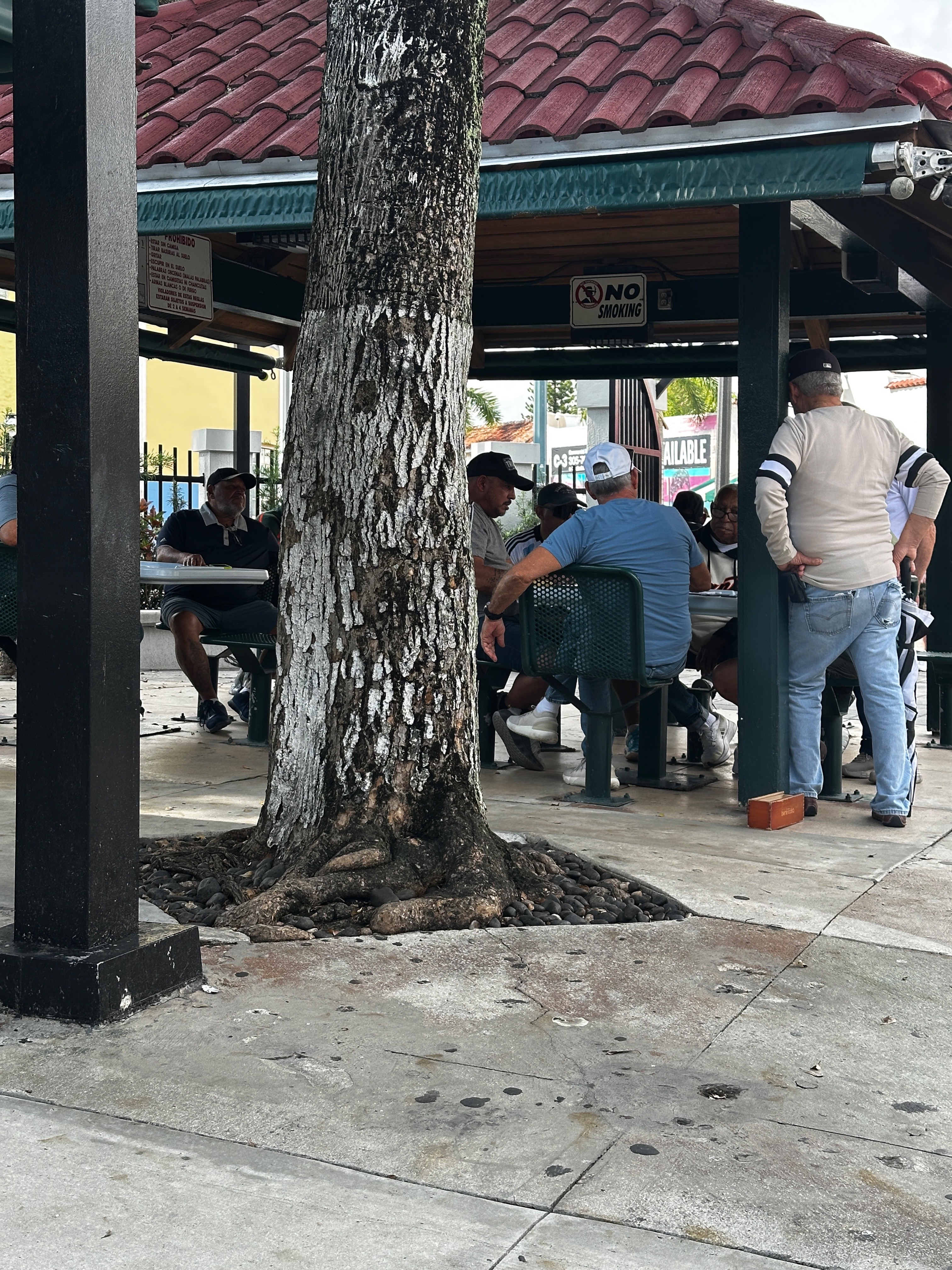
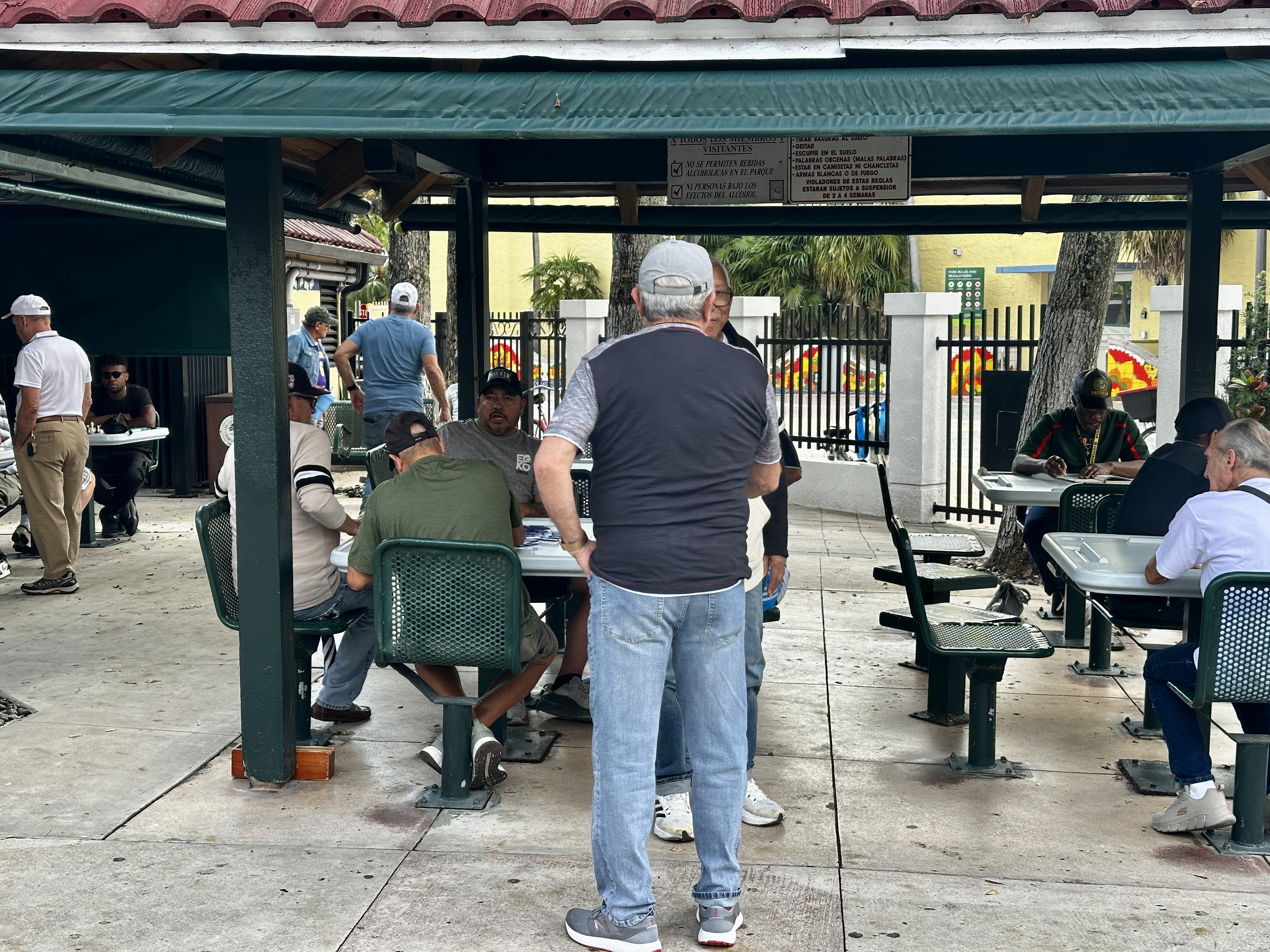
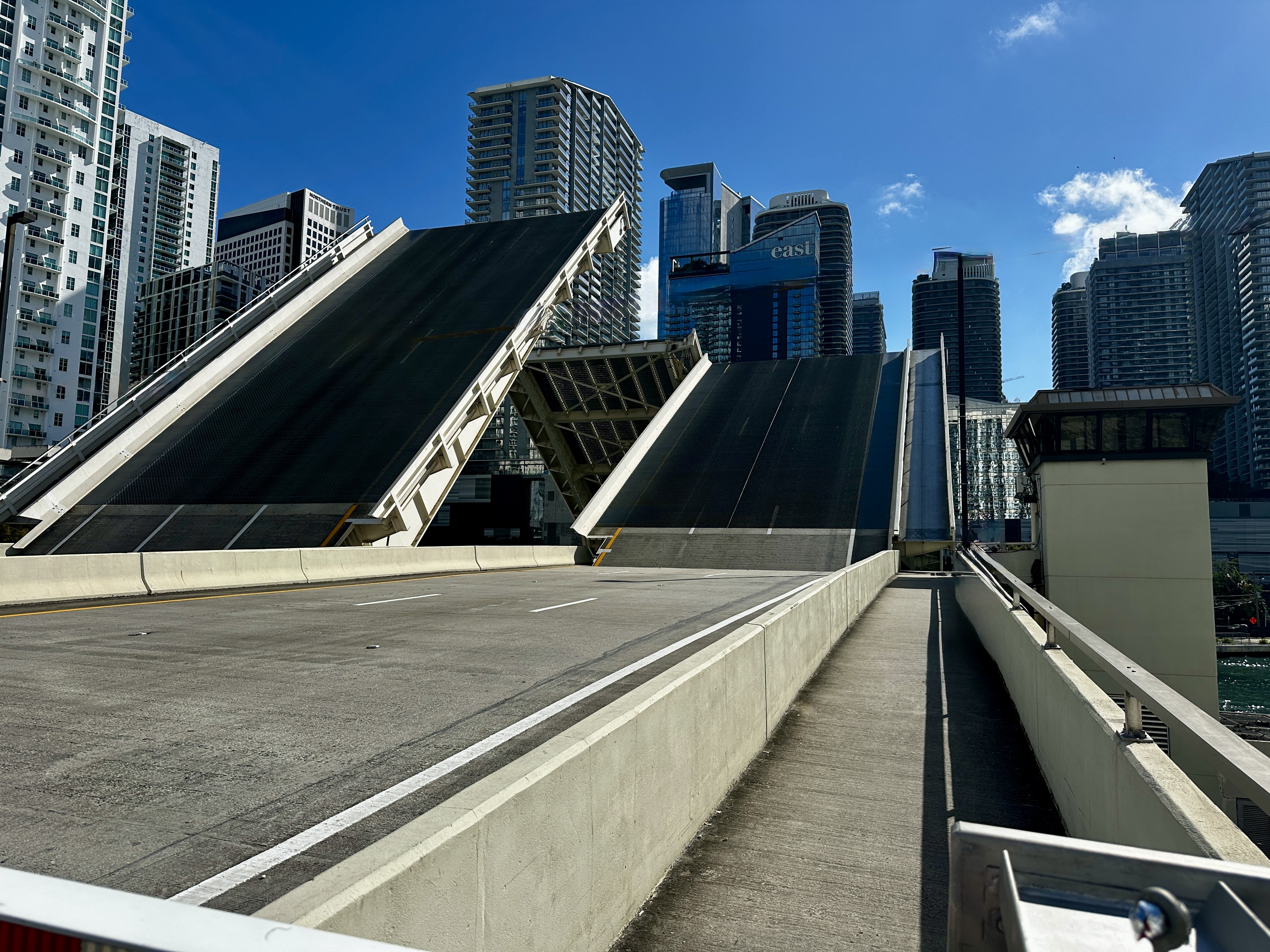
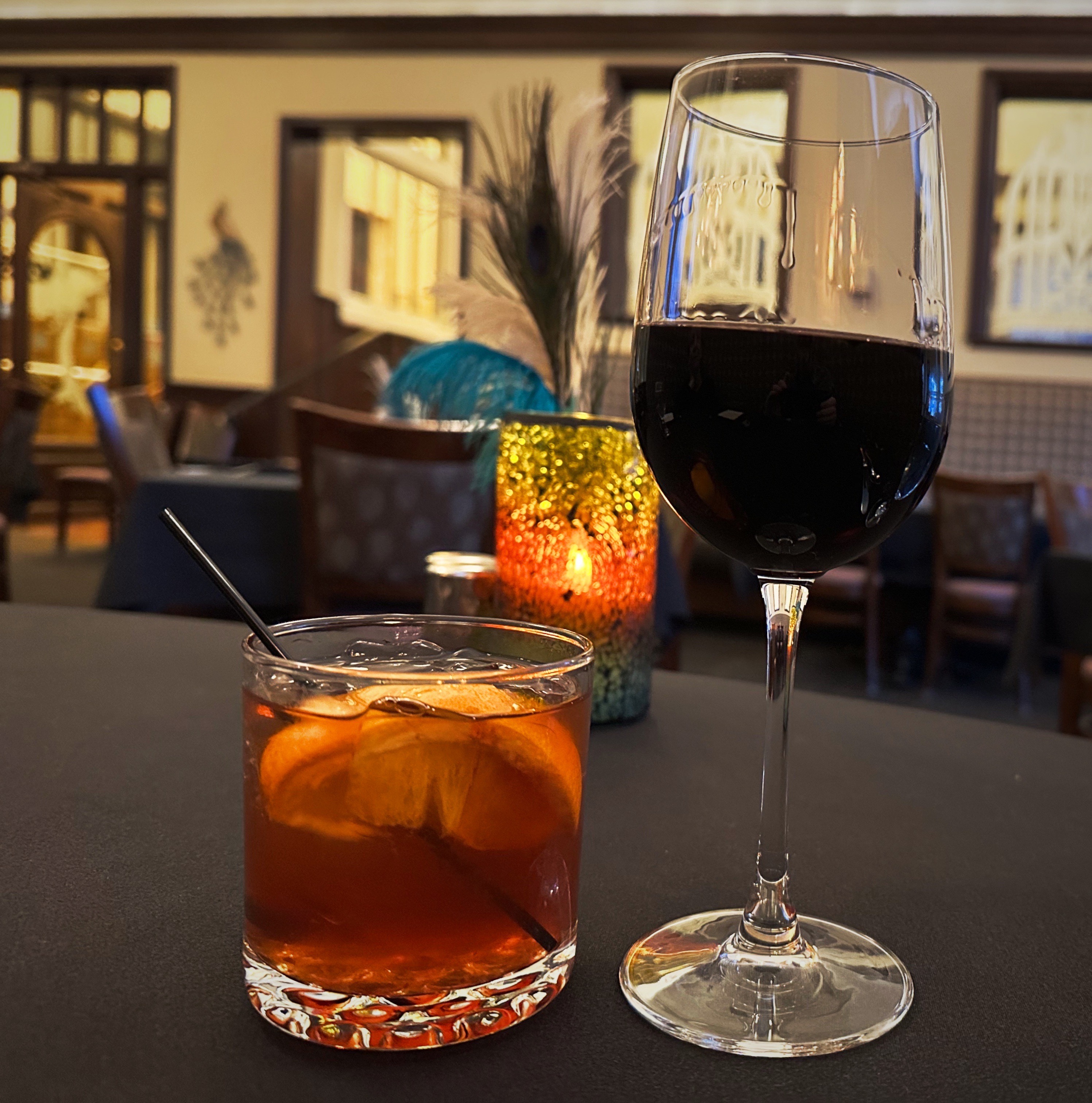
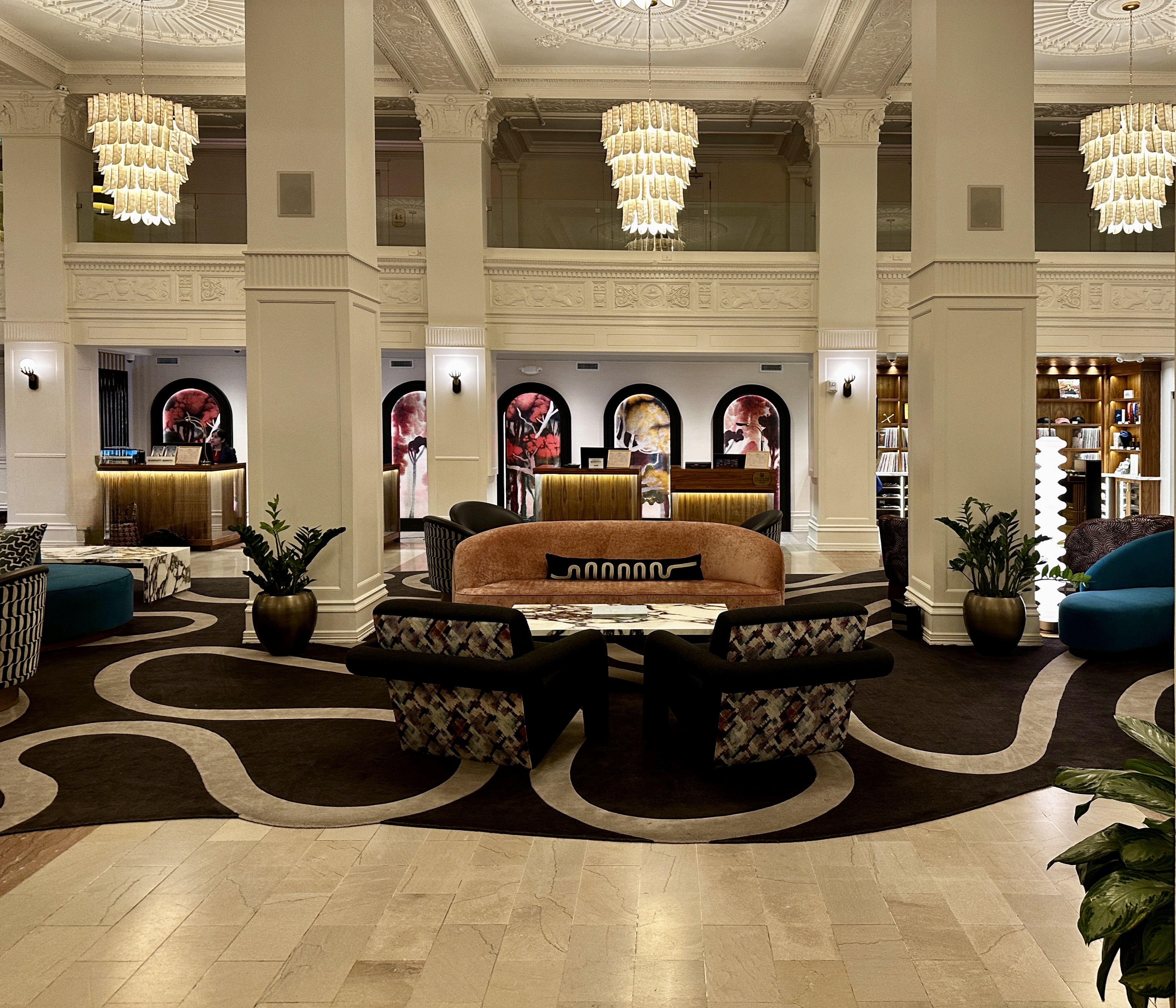
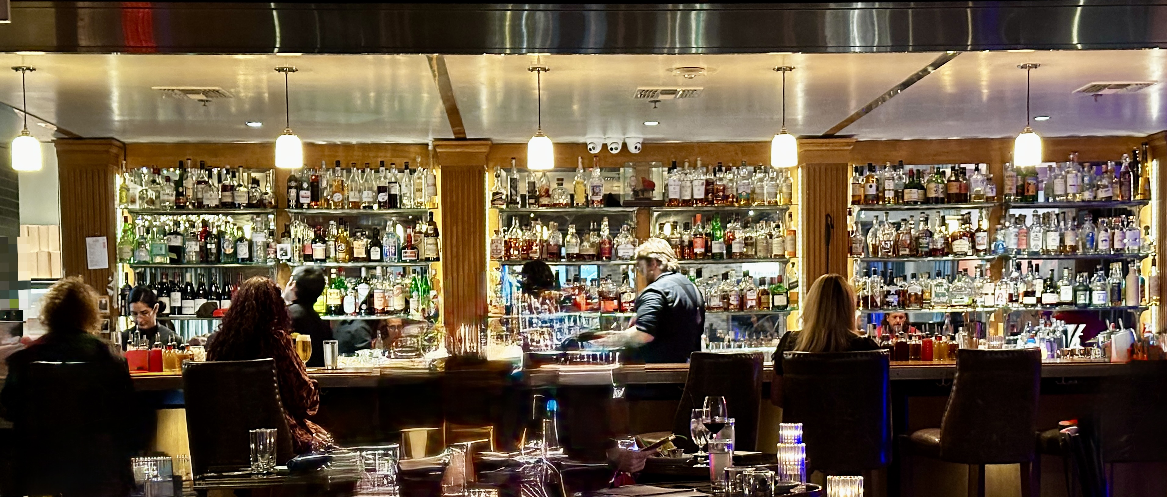
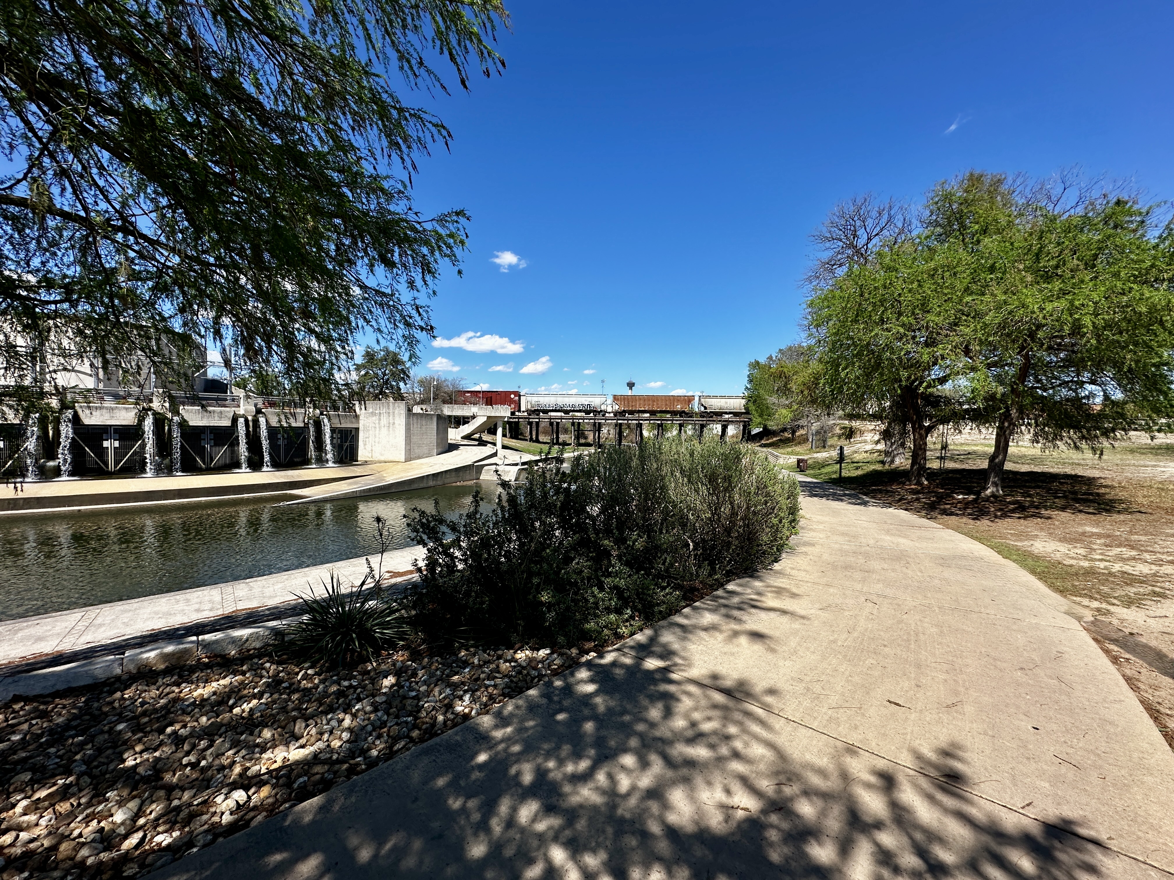
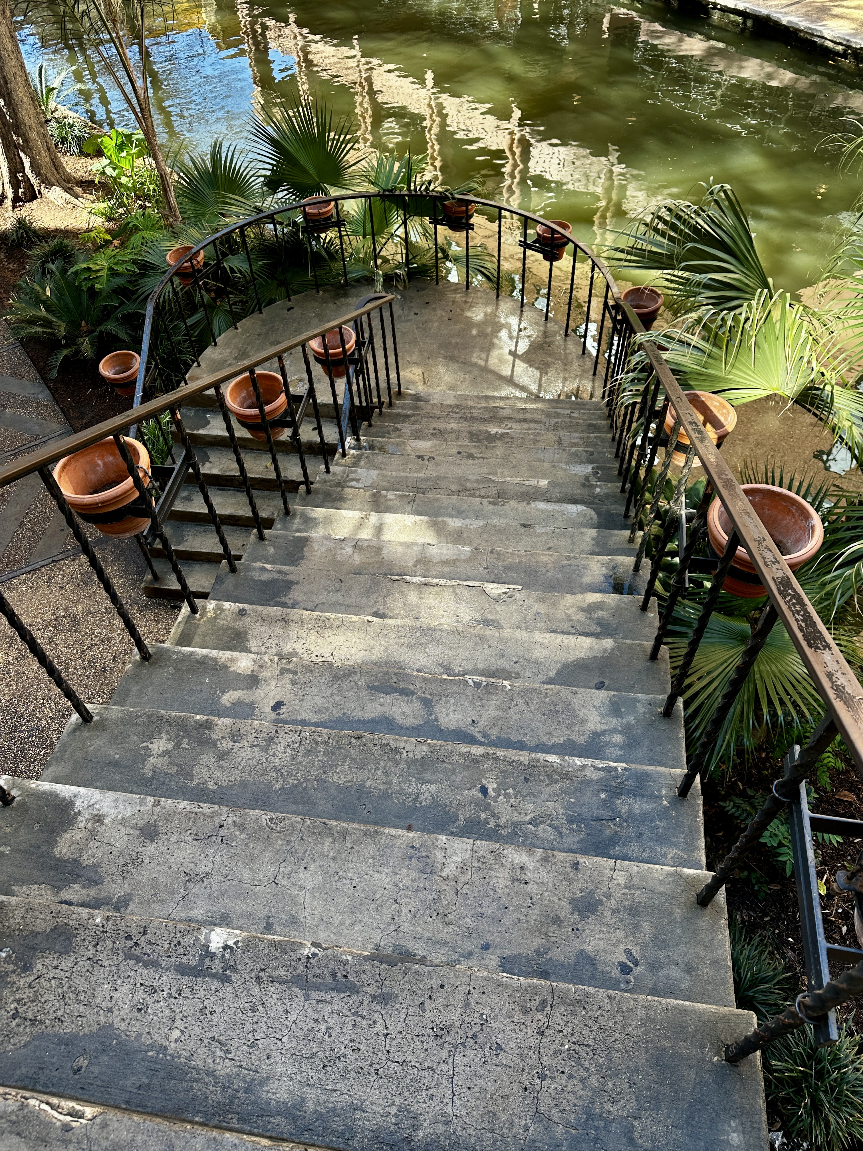
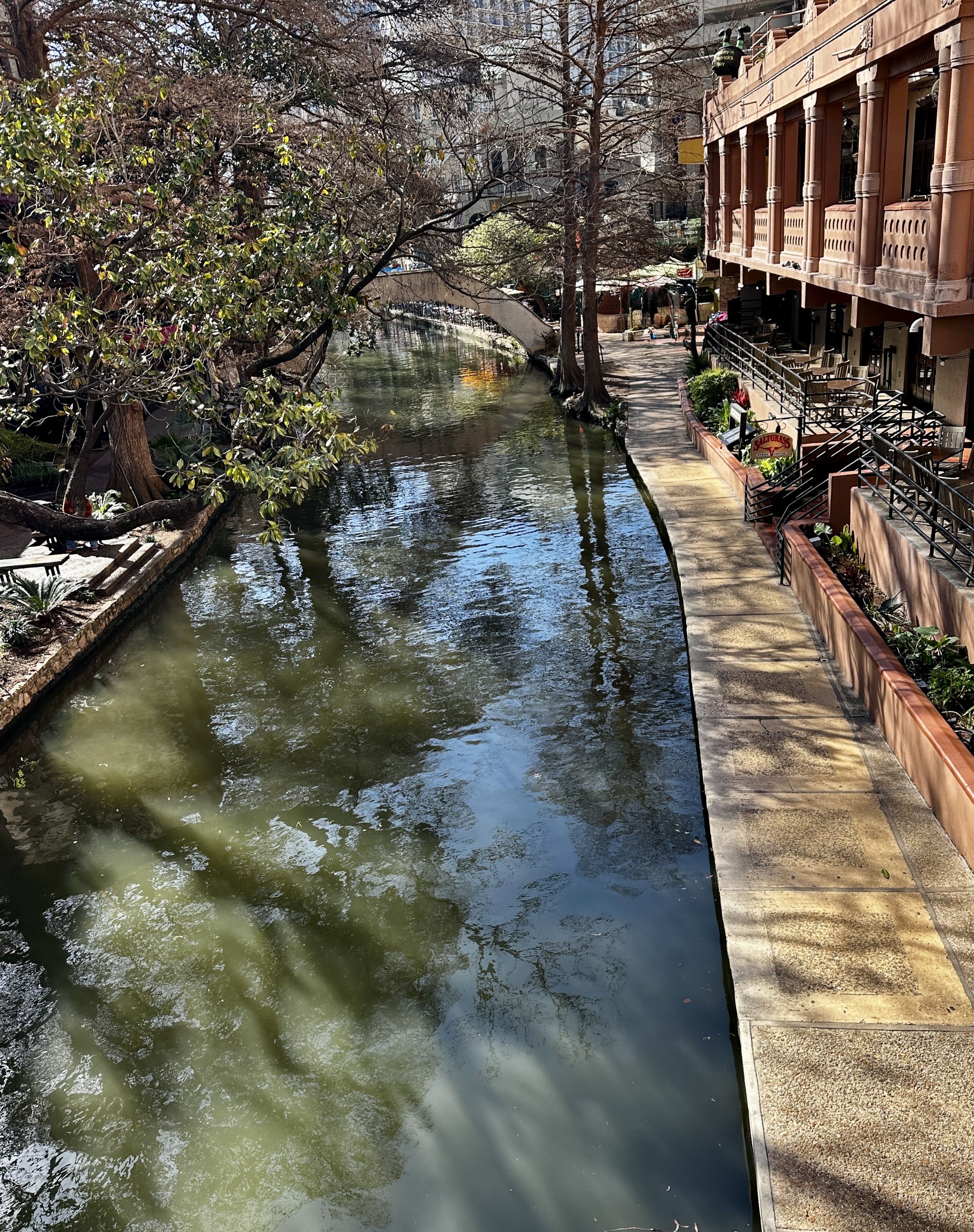
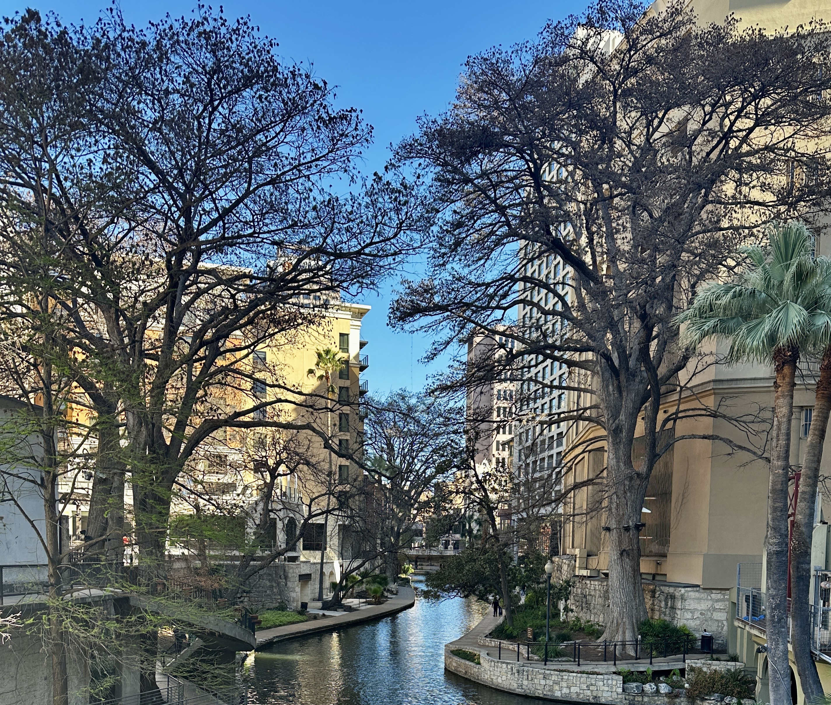
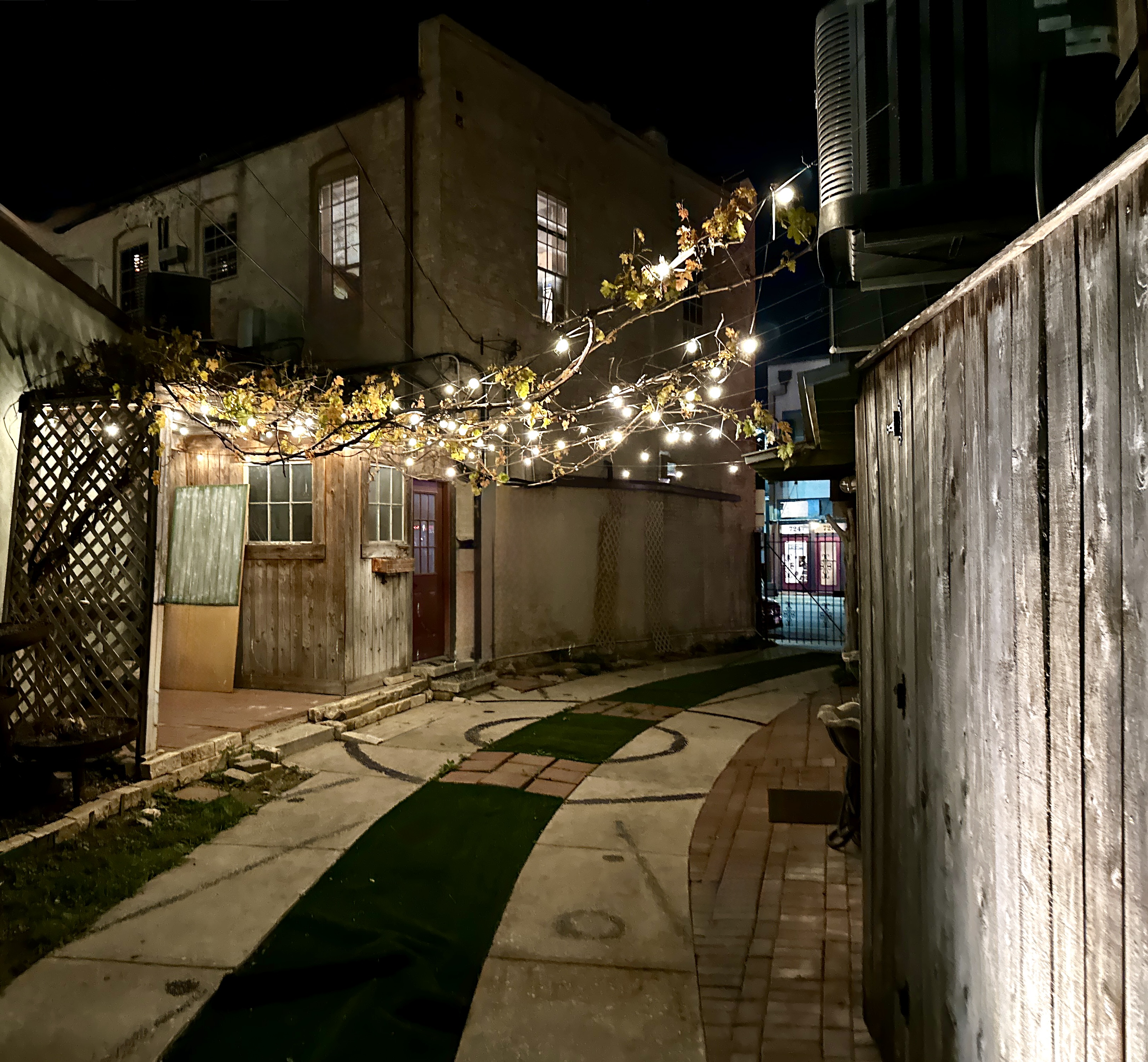
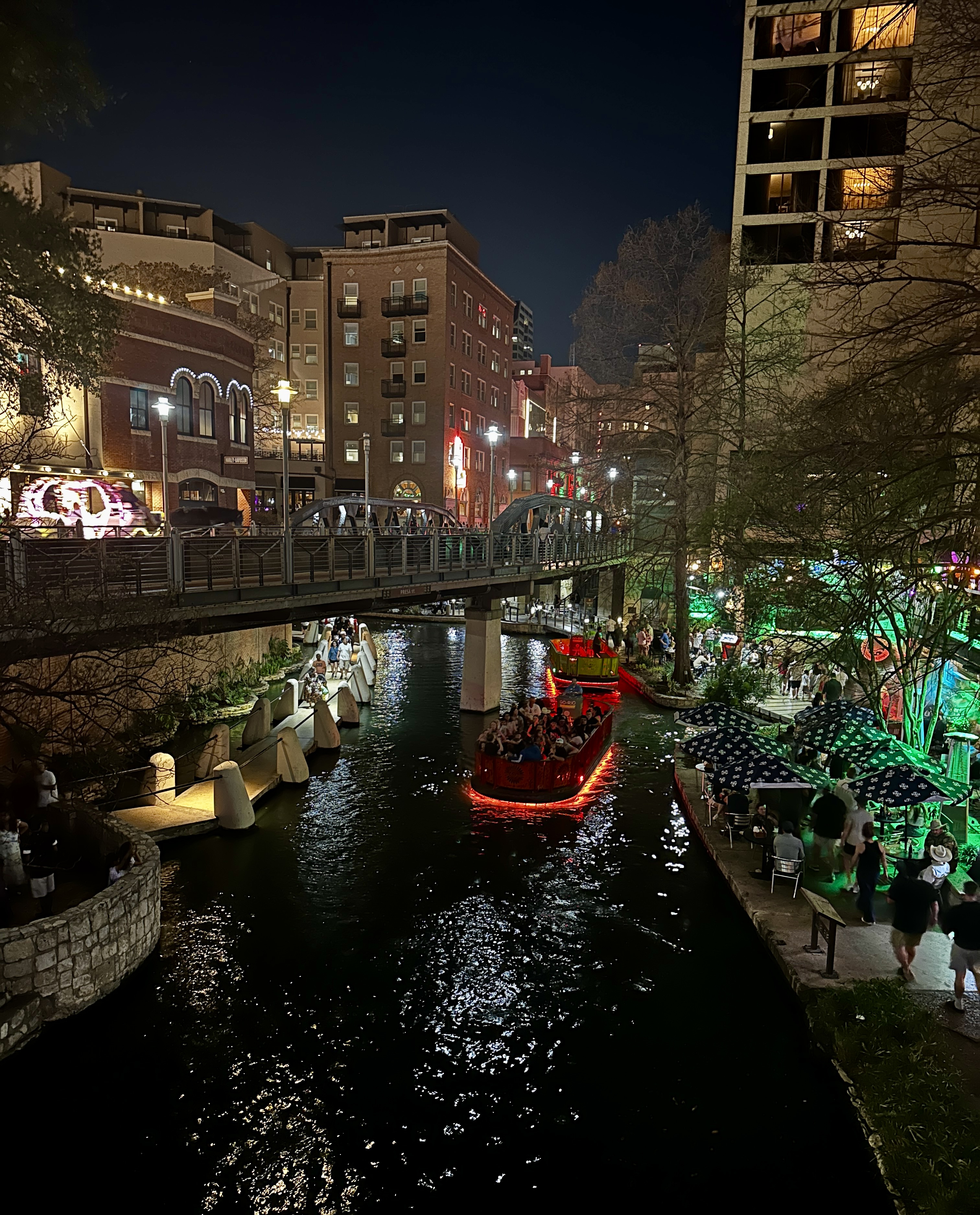
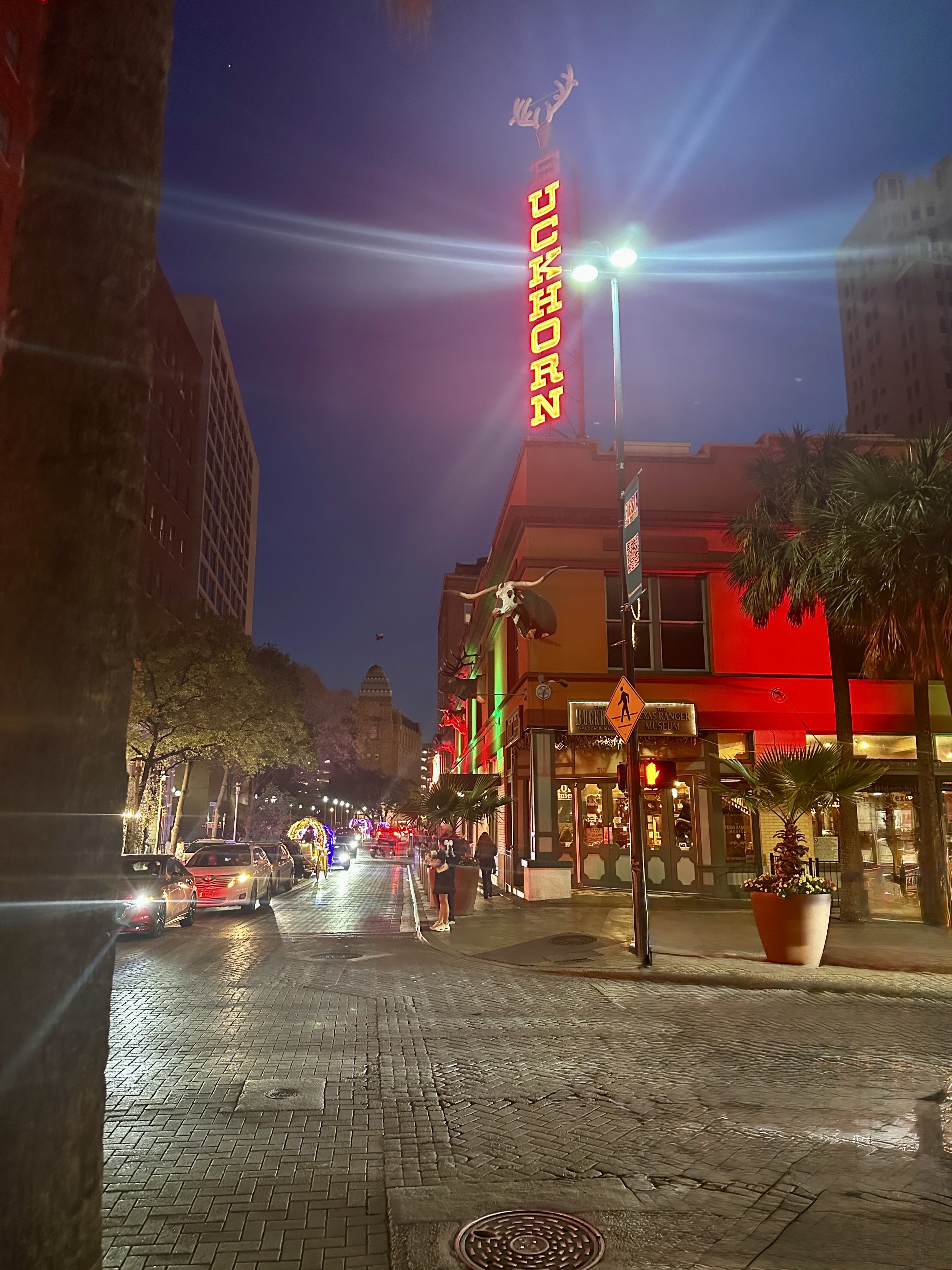
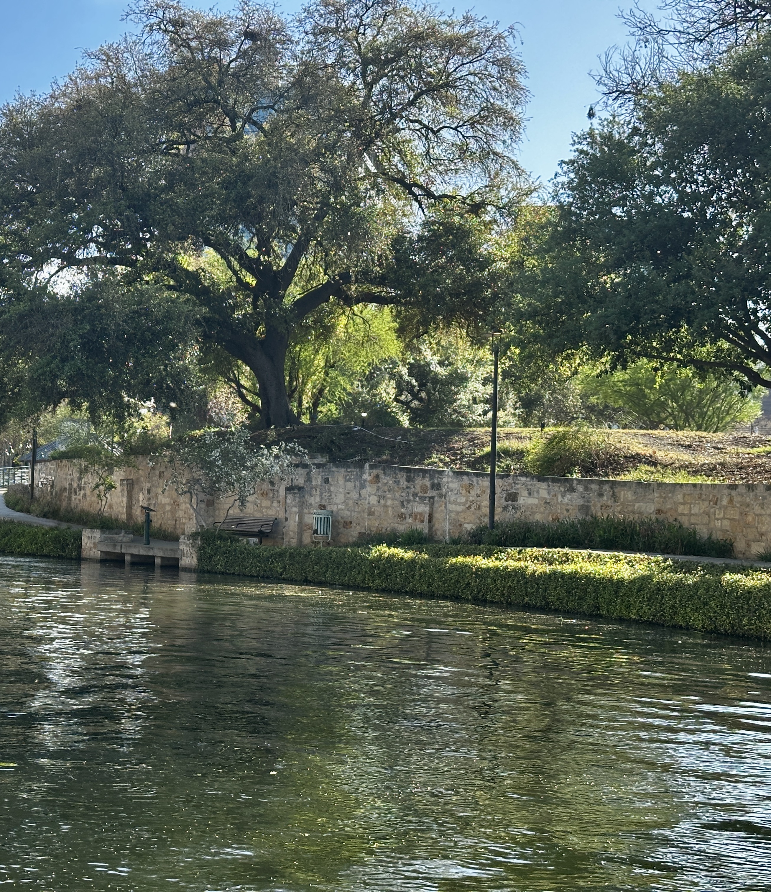
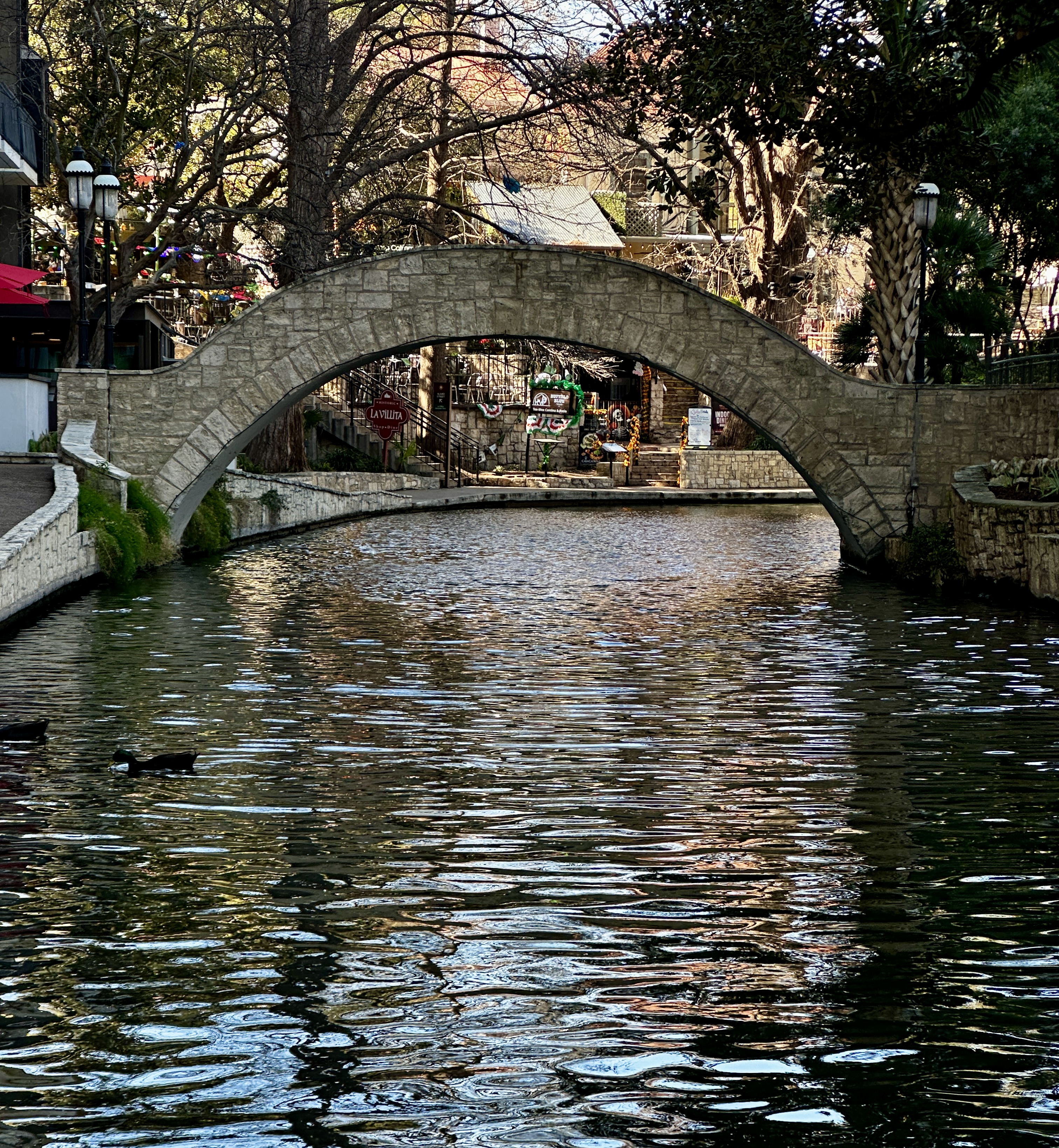
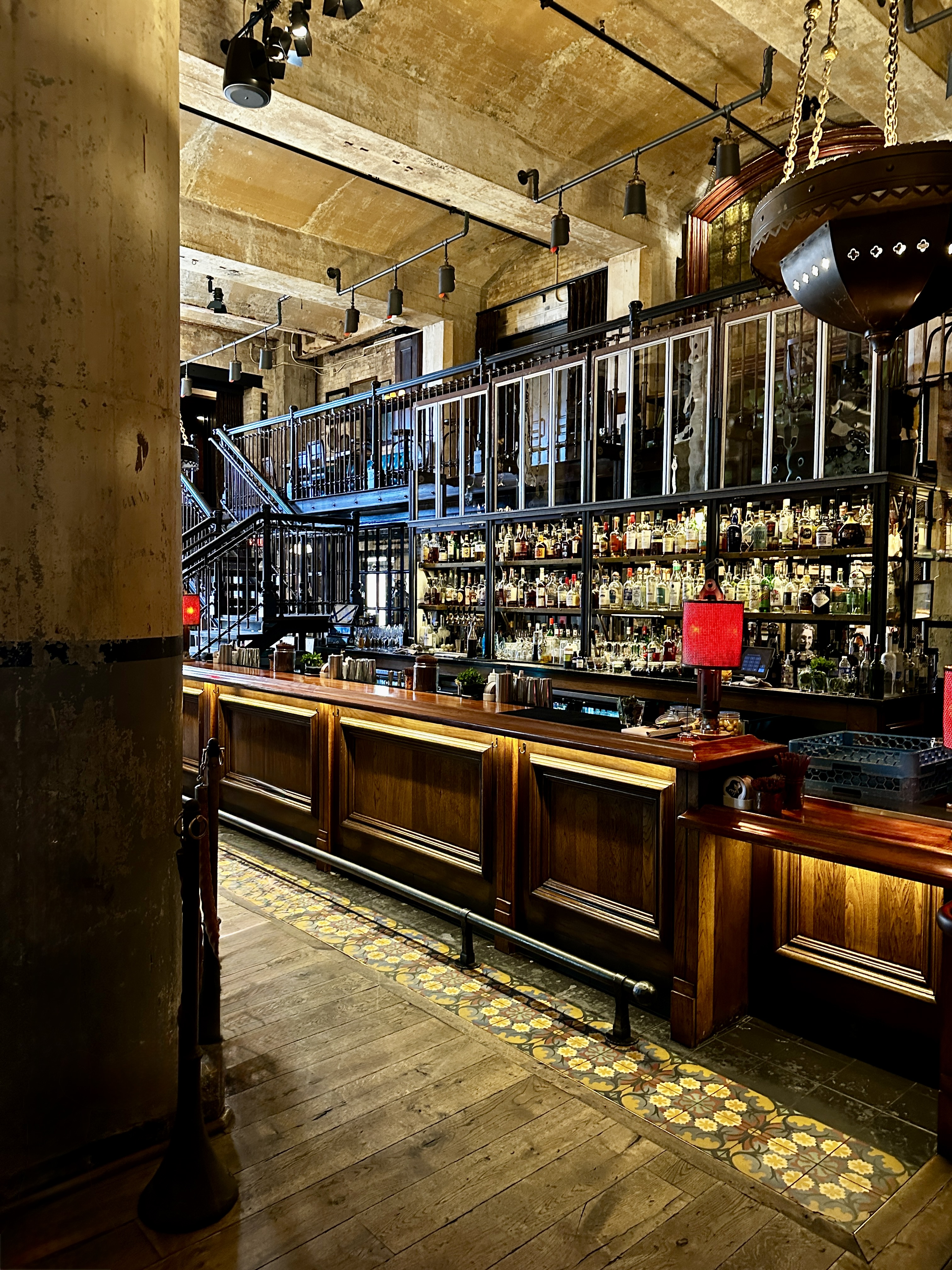
We returned to the hotel for our customary late afternoon reset (and perhaps a cocktail at the lobby bar). After our reset we made our way around the downtown loop of the Riverwalk. The setting is quite charming although the loop is quite crowded with tourists dining and drinking at the many restaurants and bars located on this part of the Riverwalk.

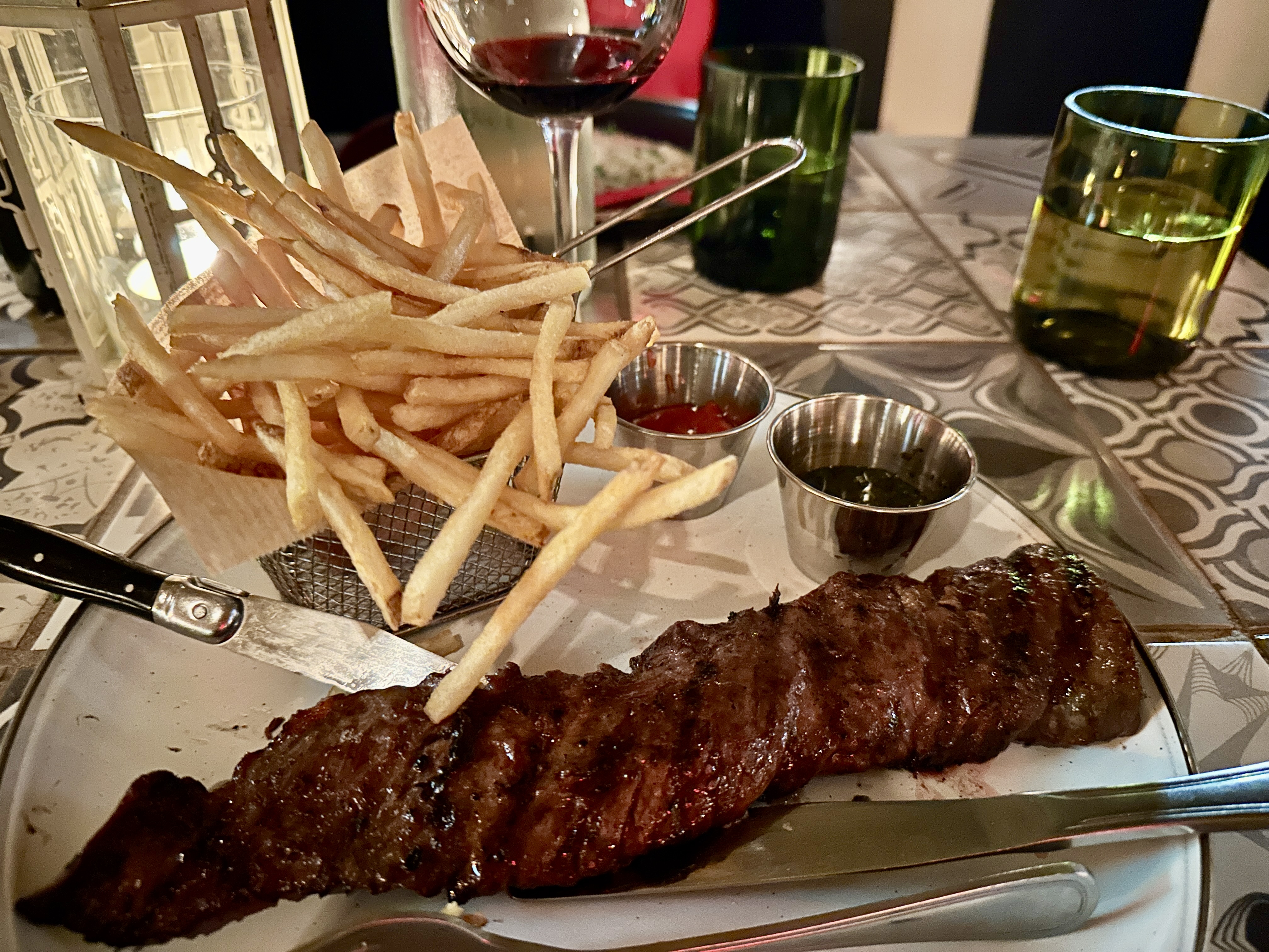
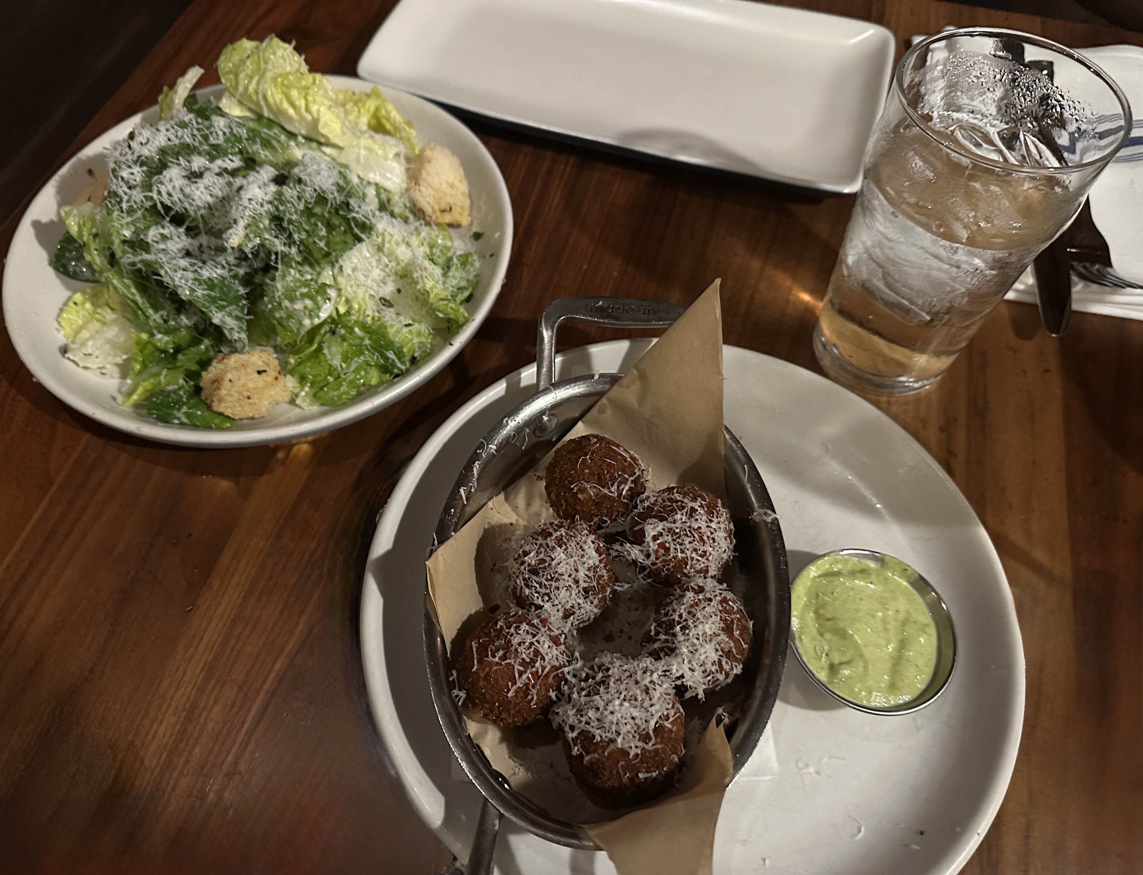
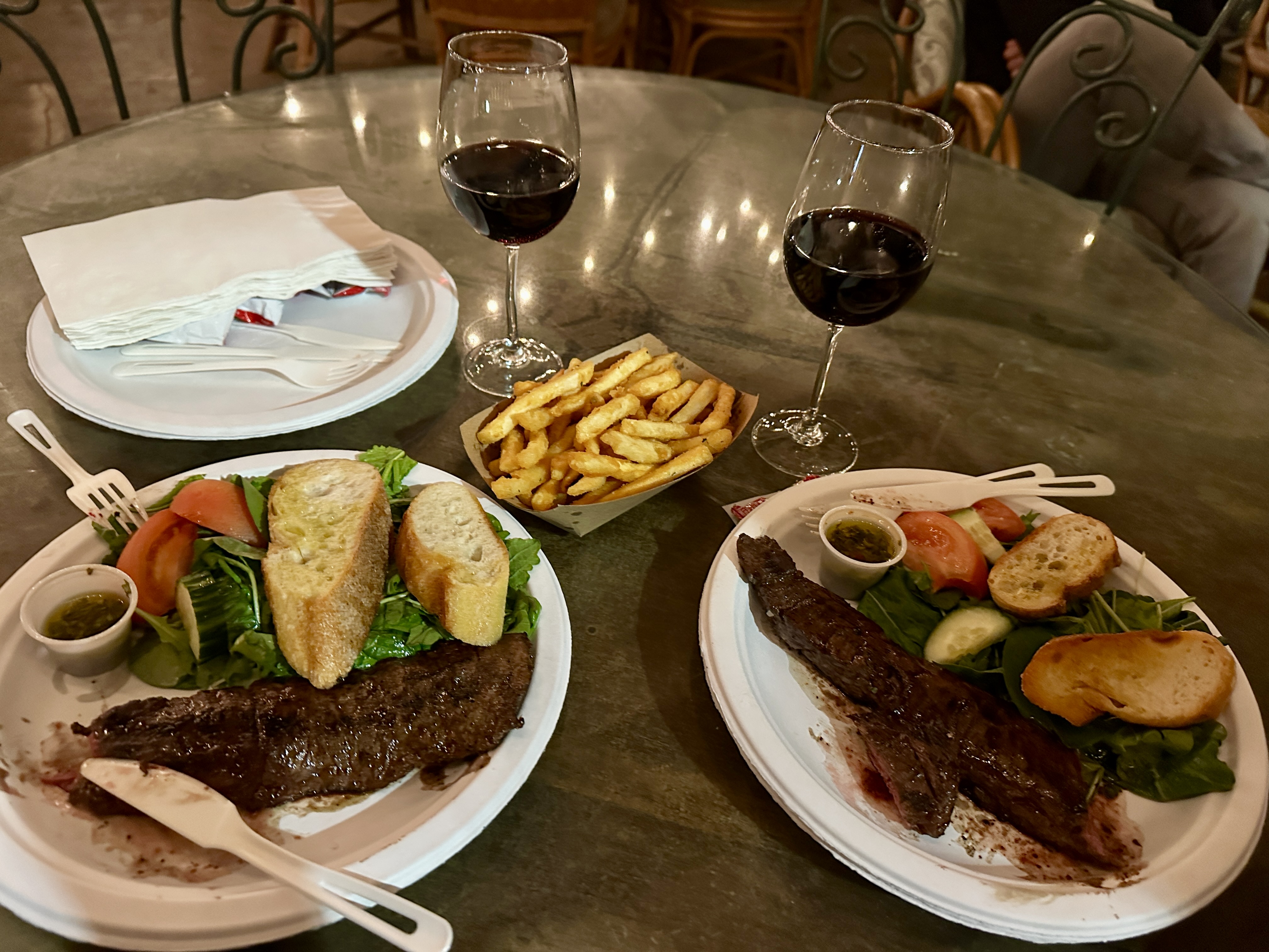
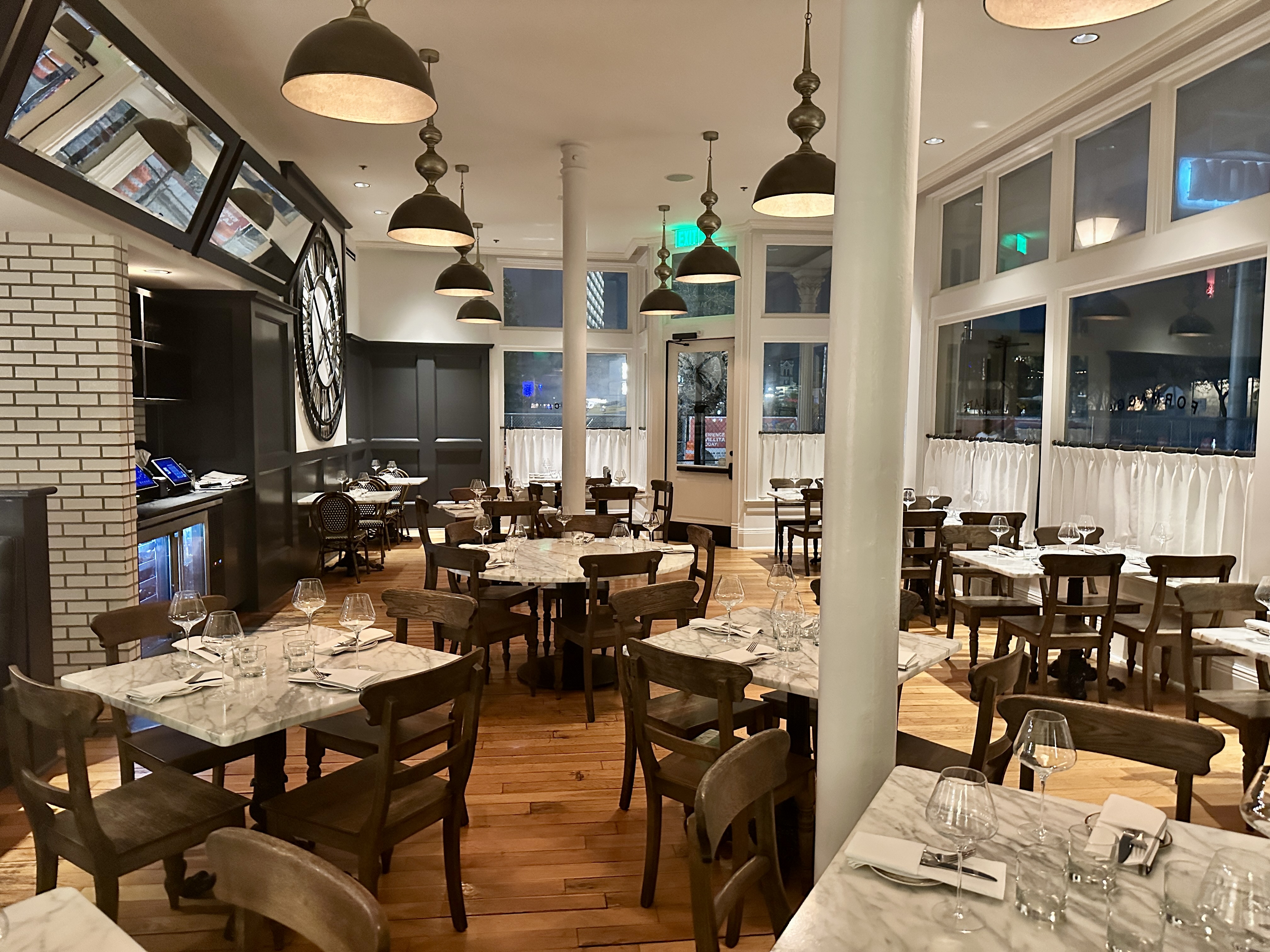
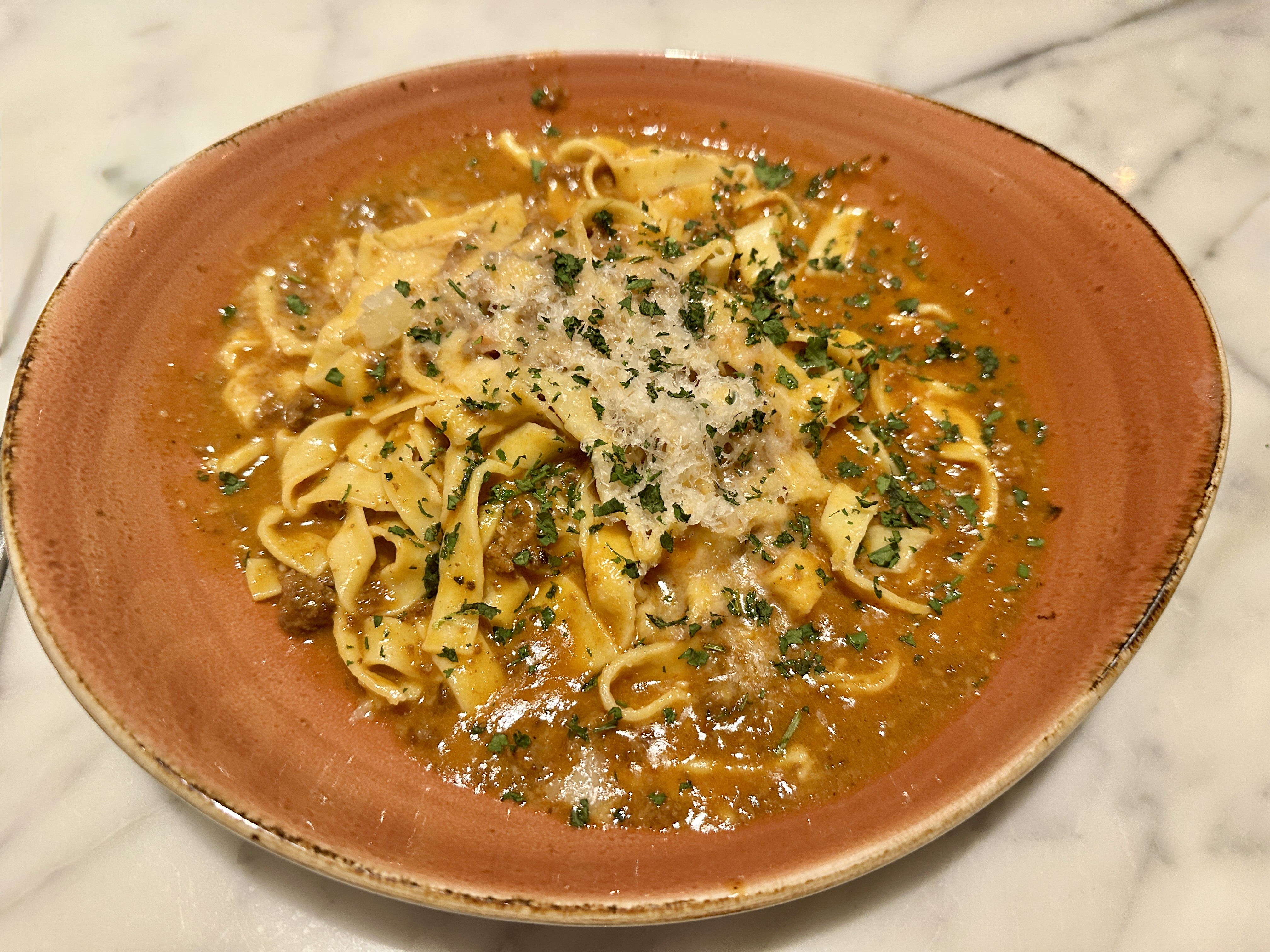
We departed the loop walking several blocks south on Alamo Street to dine at NONNA Osteria which is located inside the Fairmont Hotel (Photo below courtesy of the Fairmont Hotel).
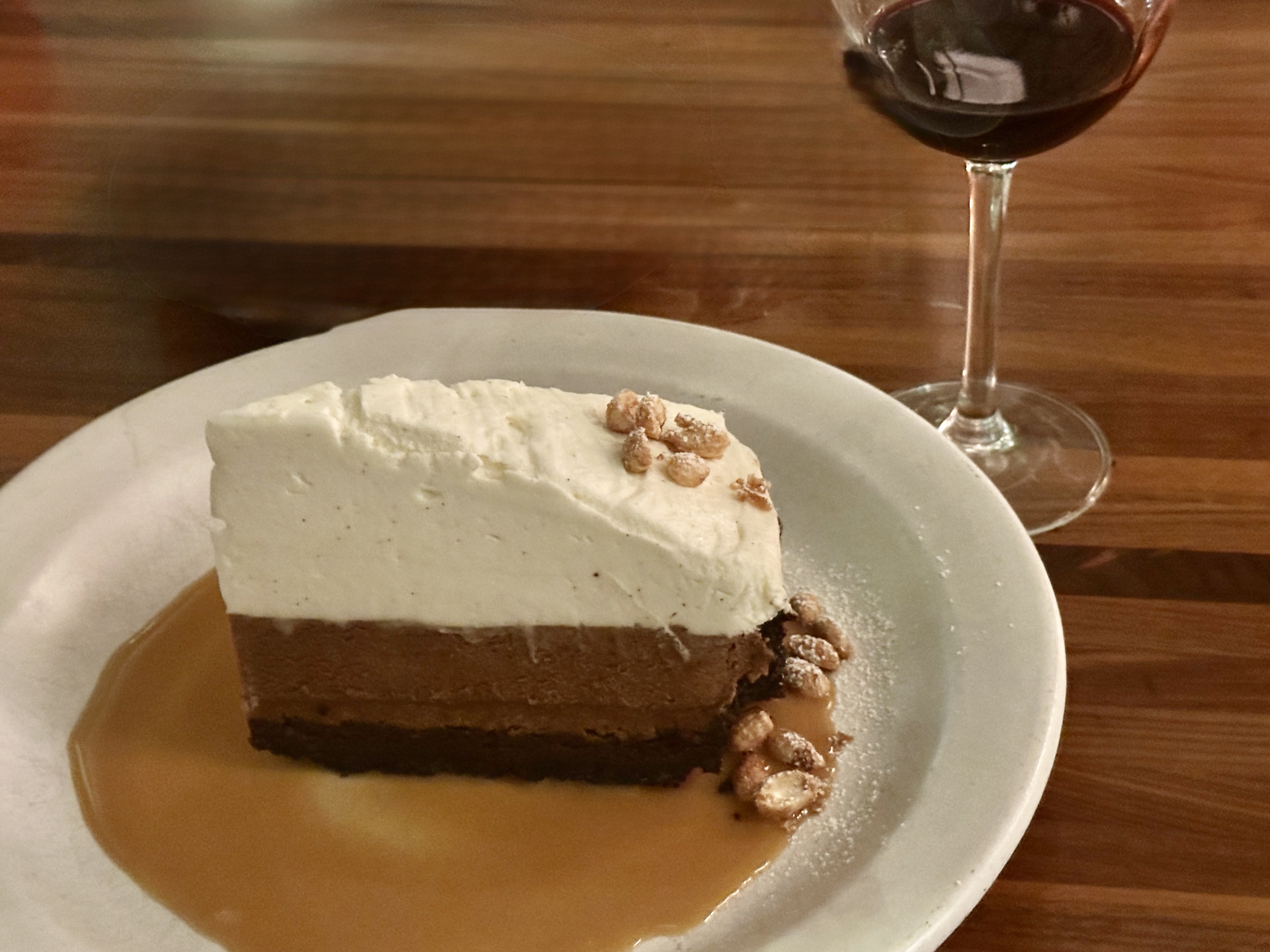
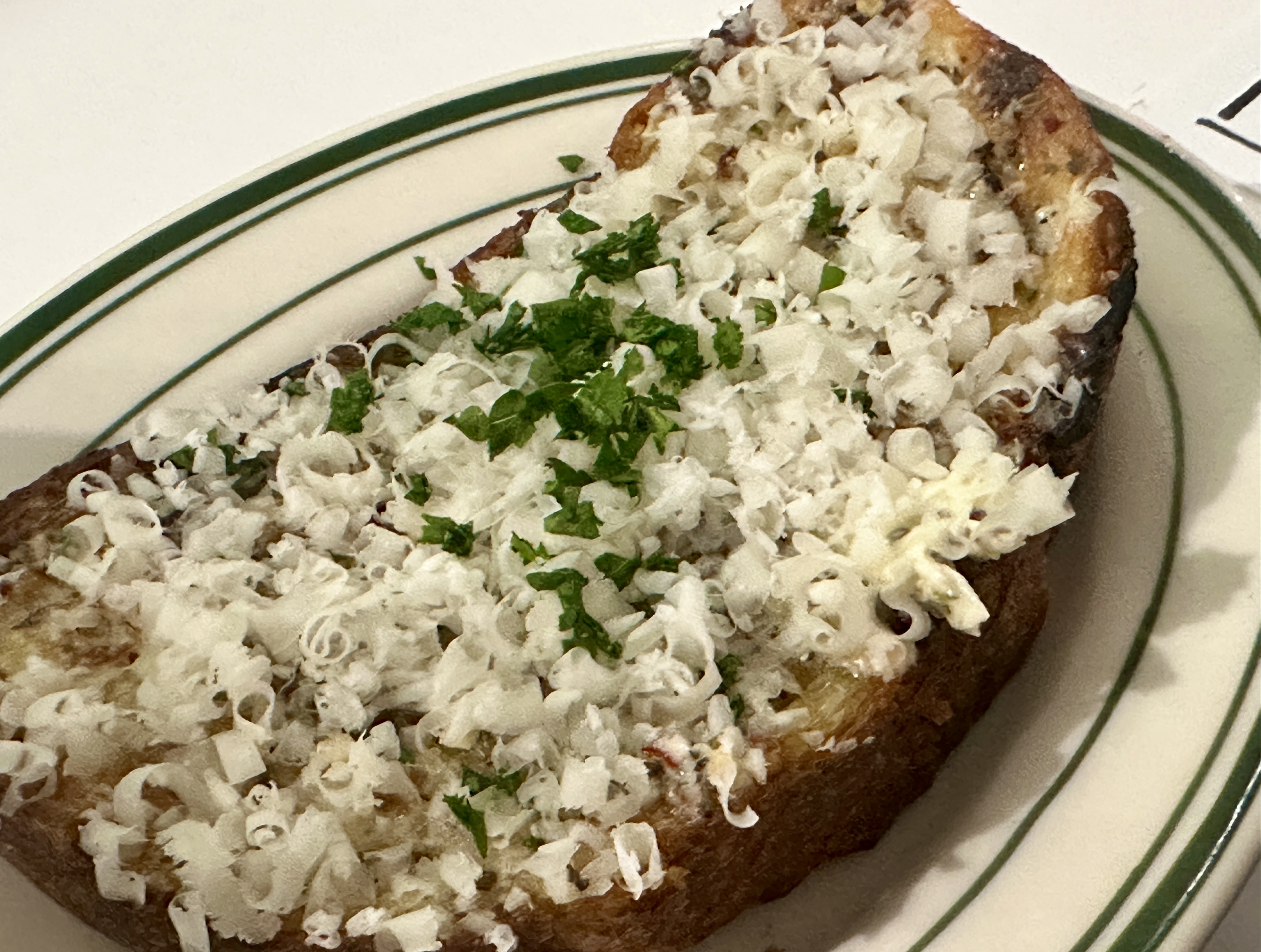
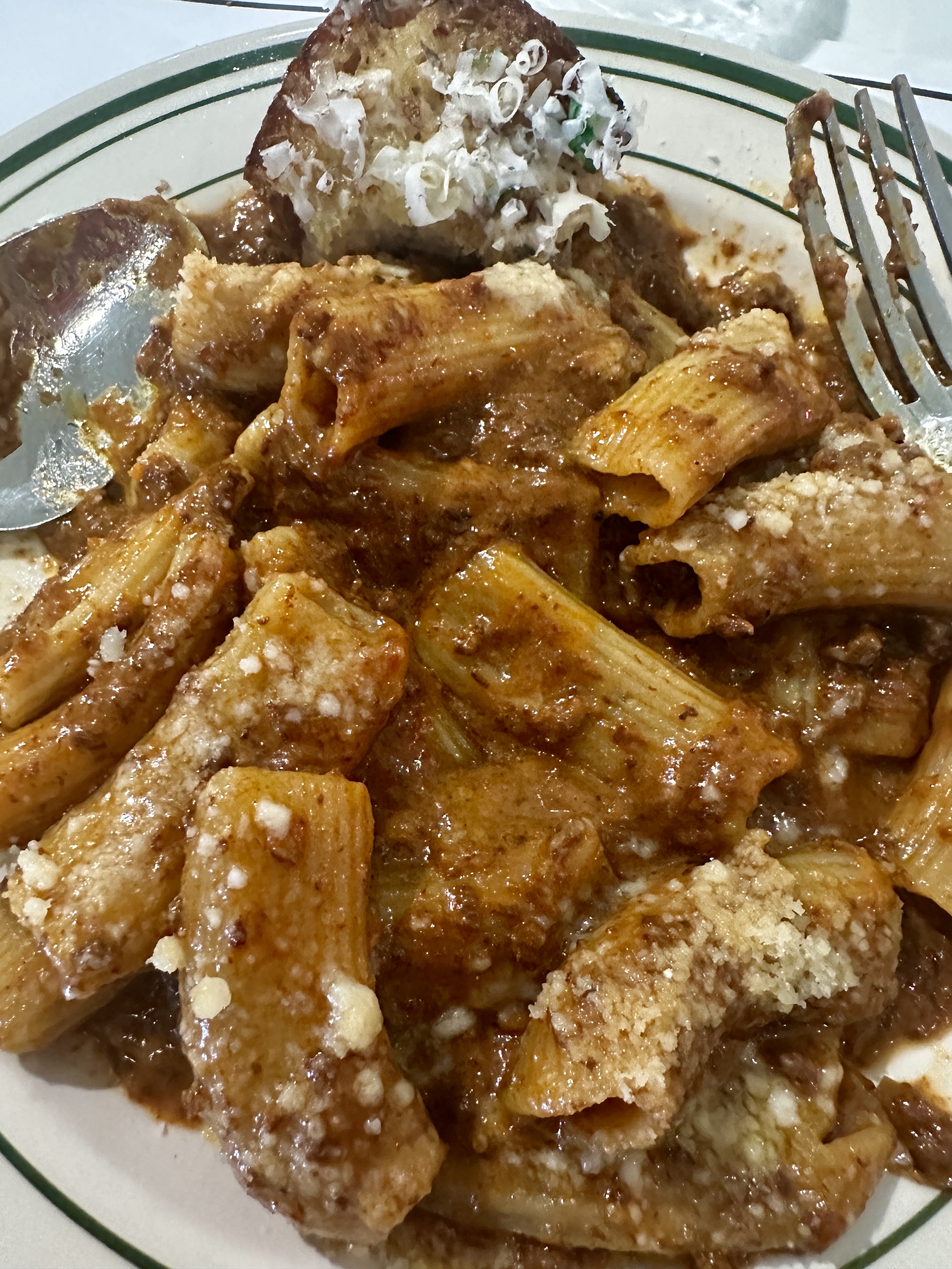
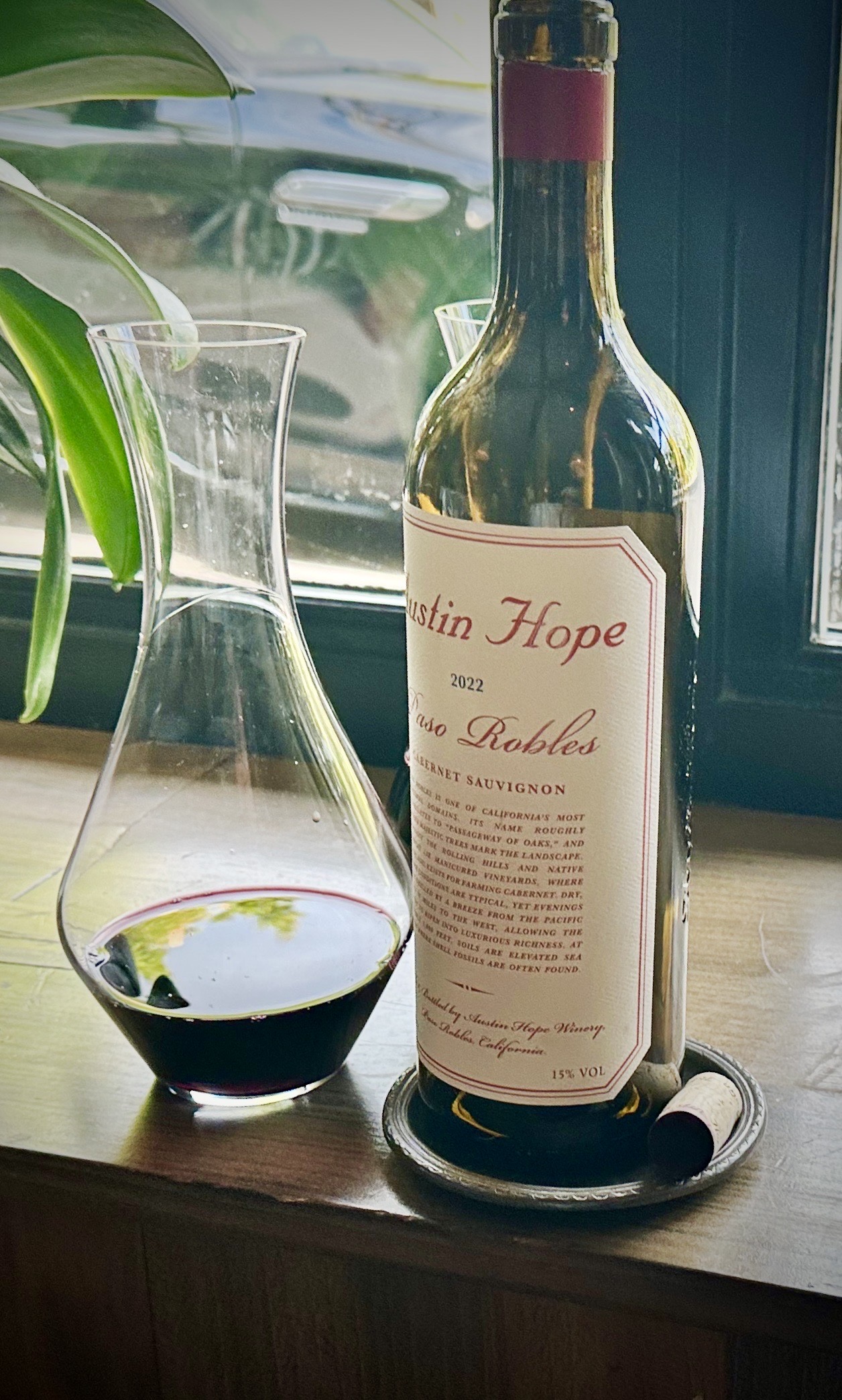
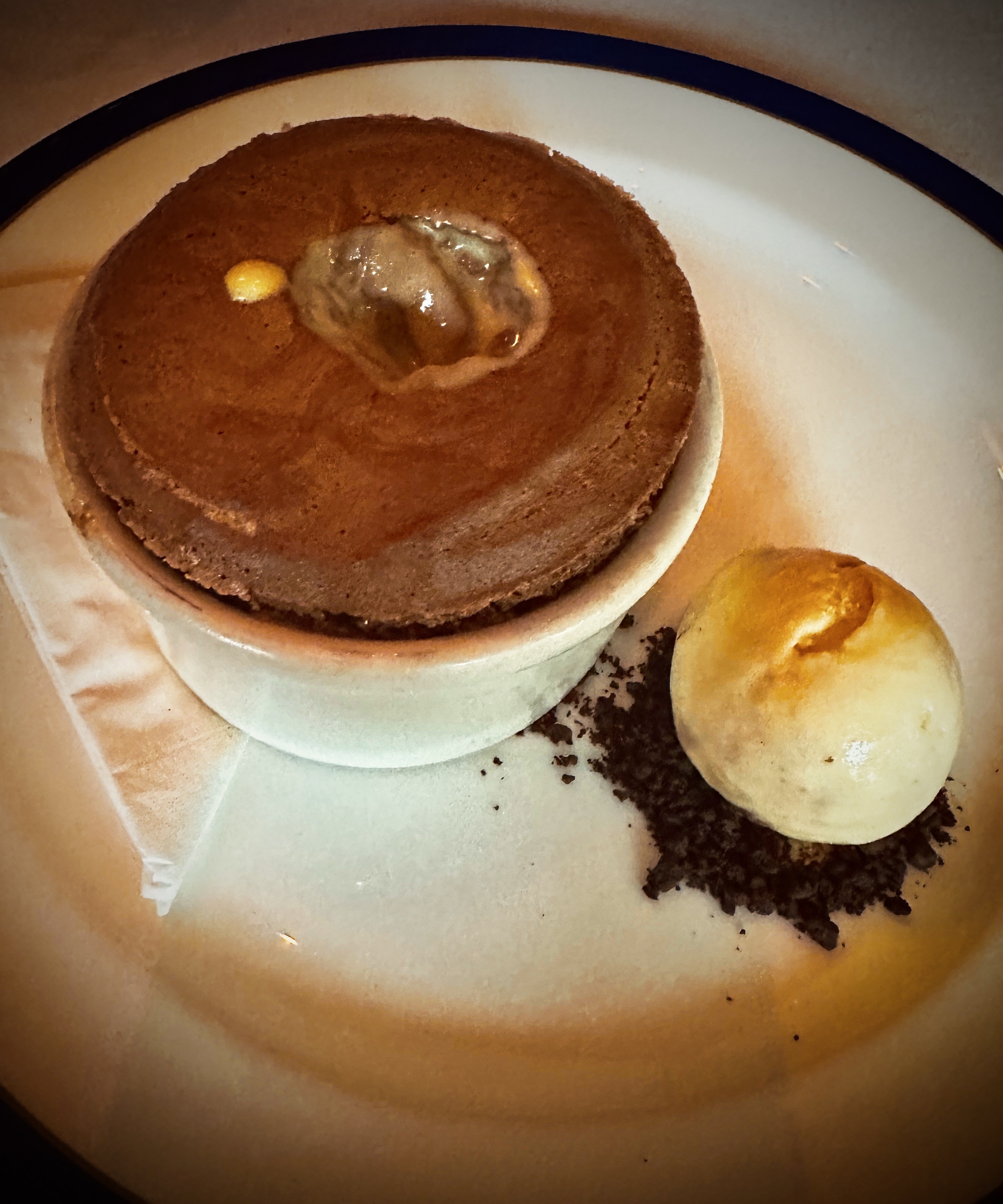
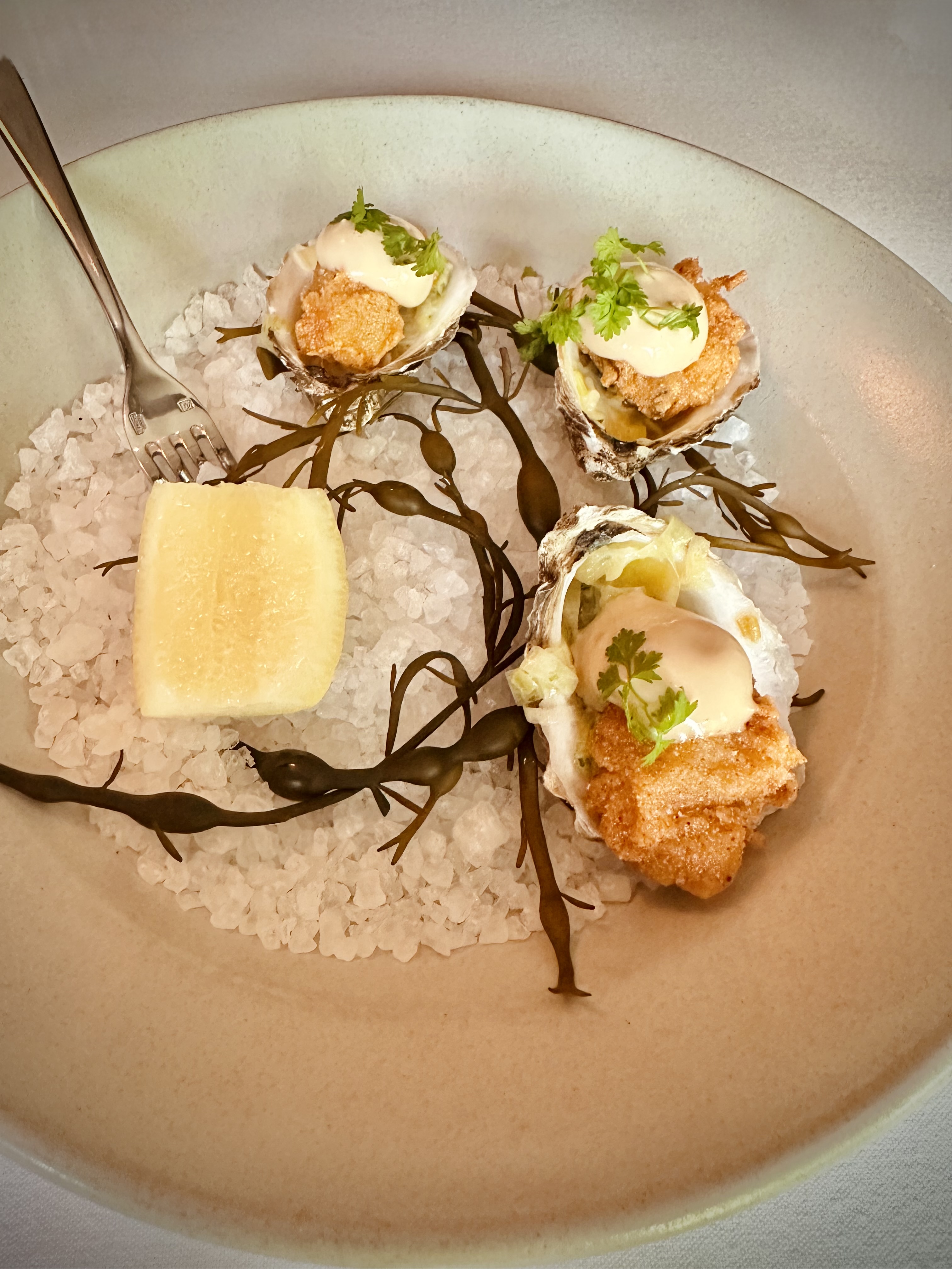
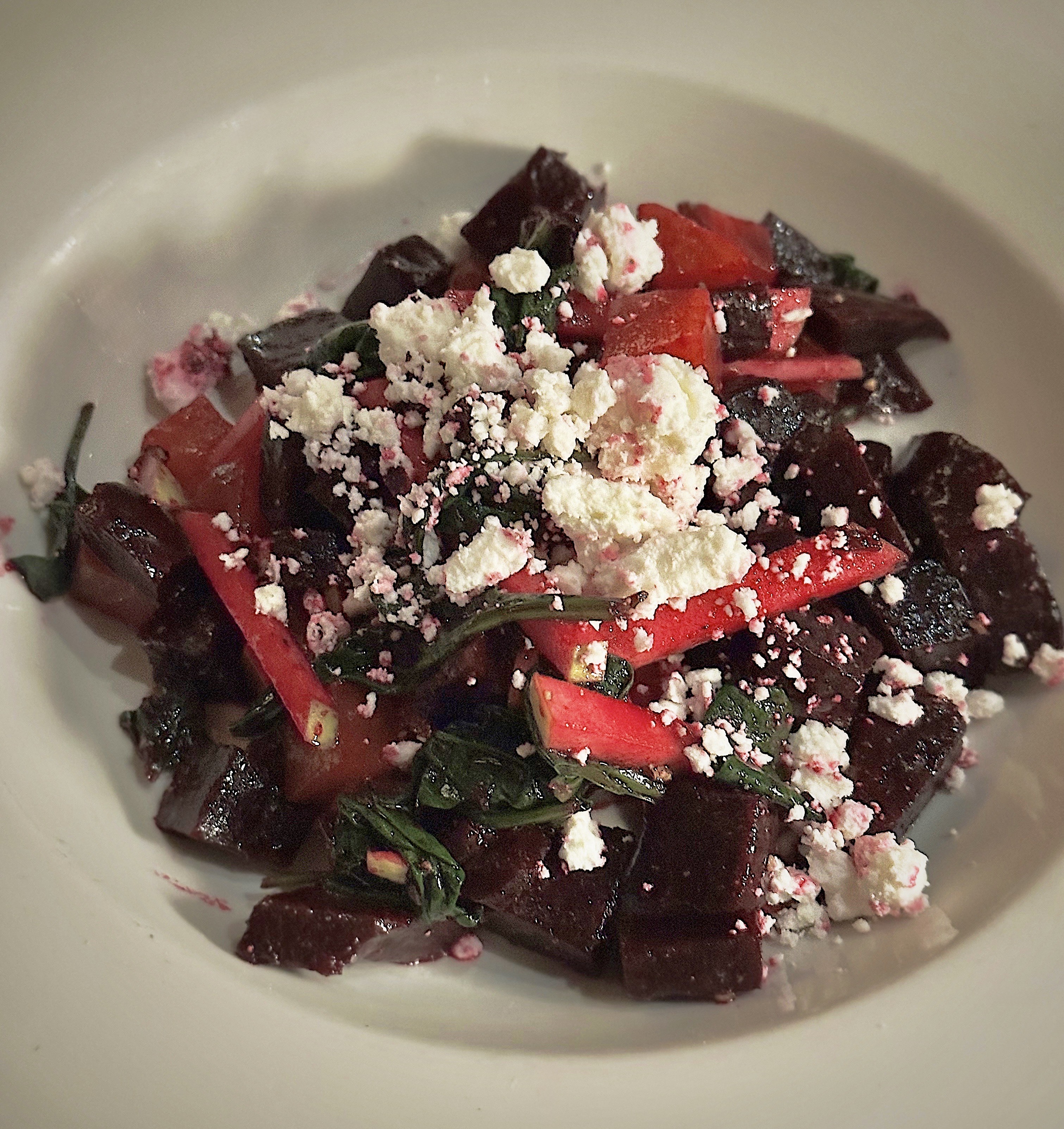
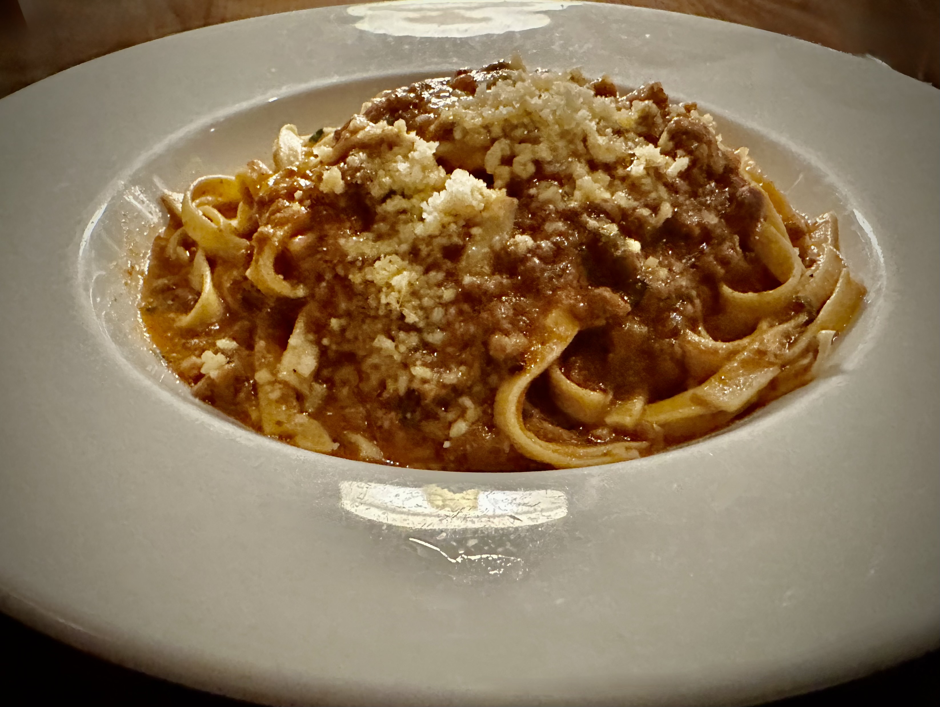
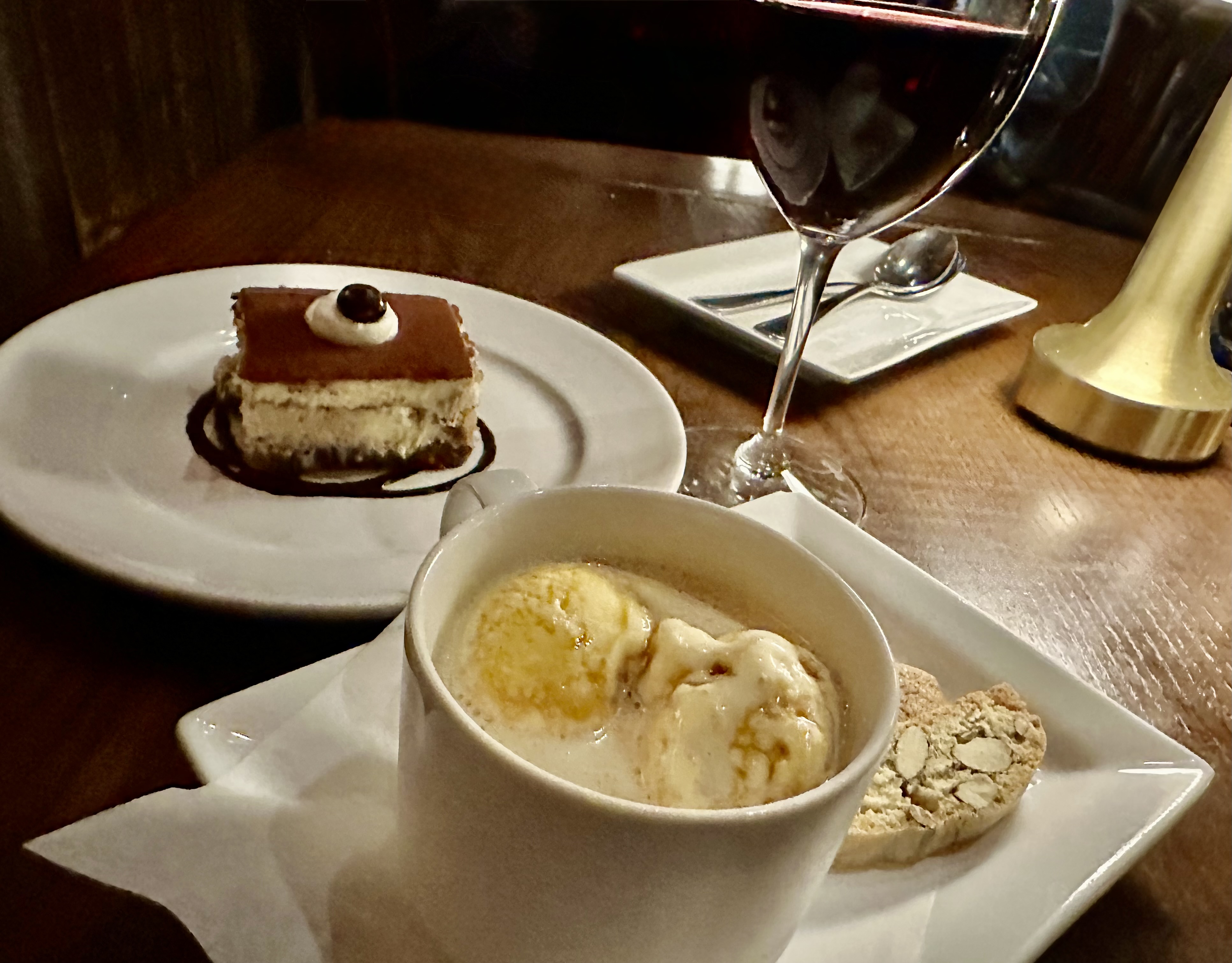
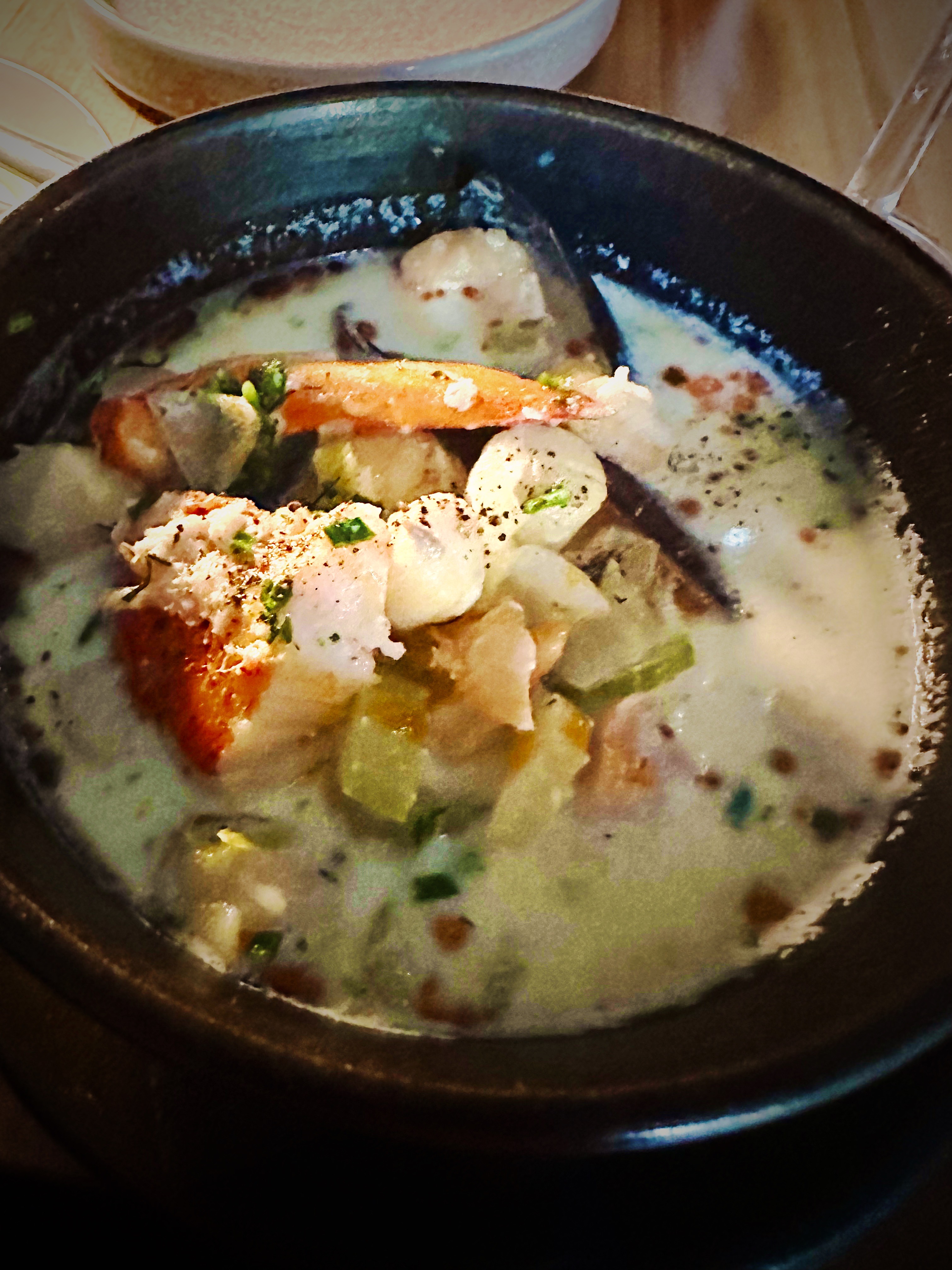
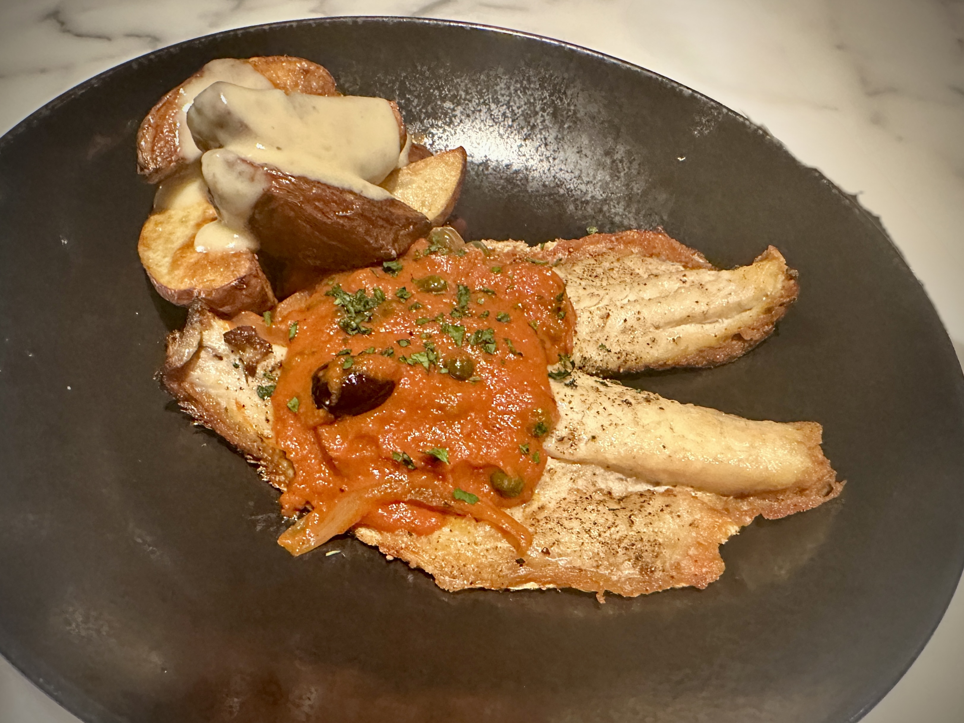
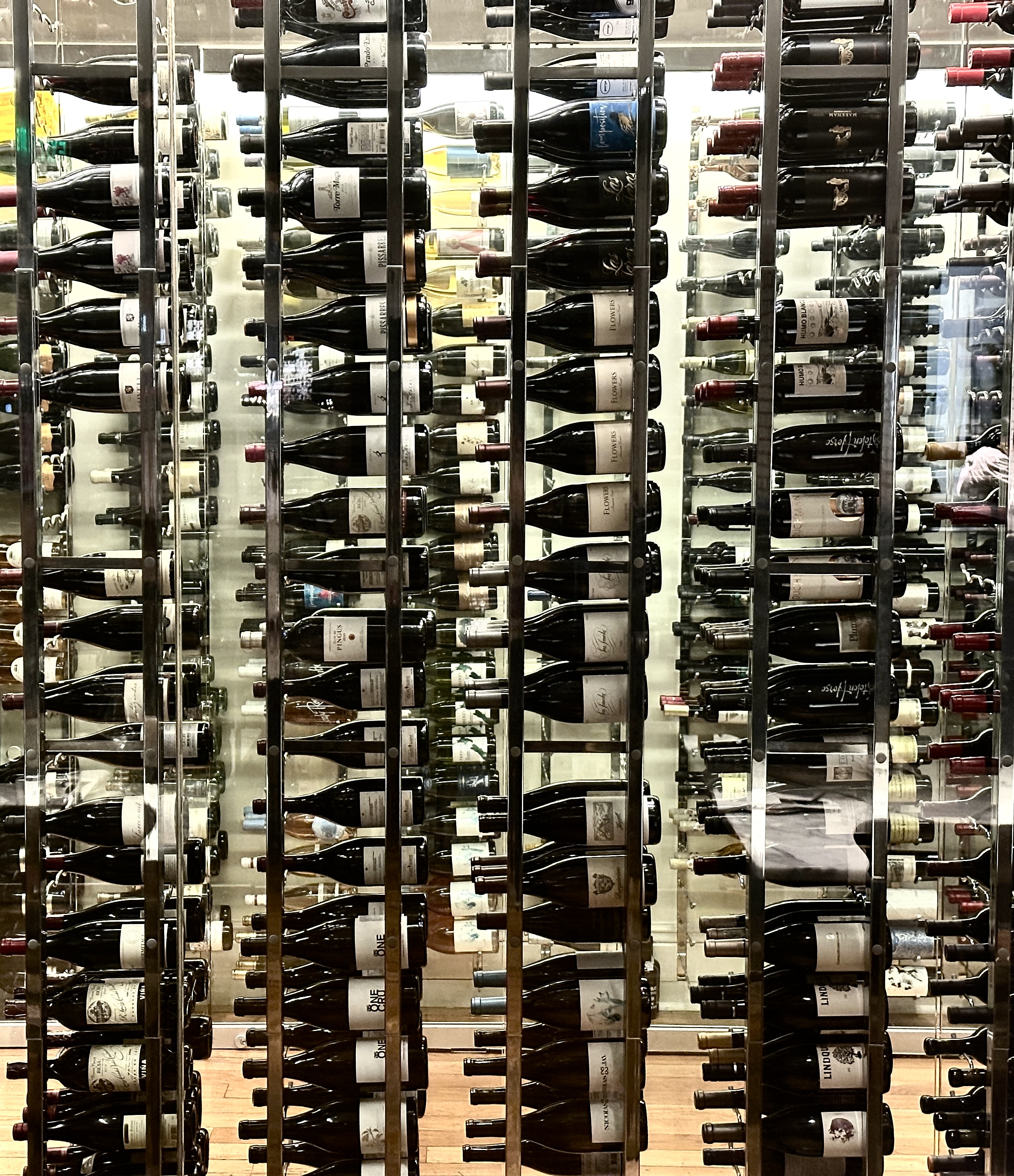
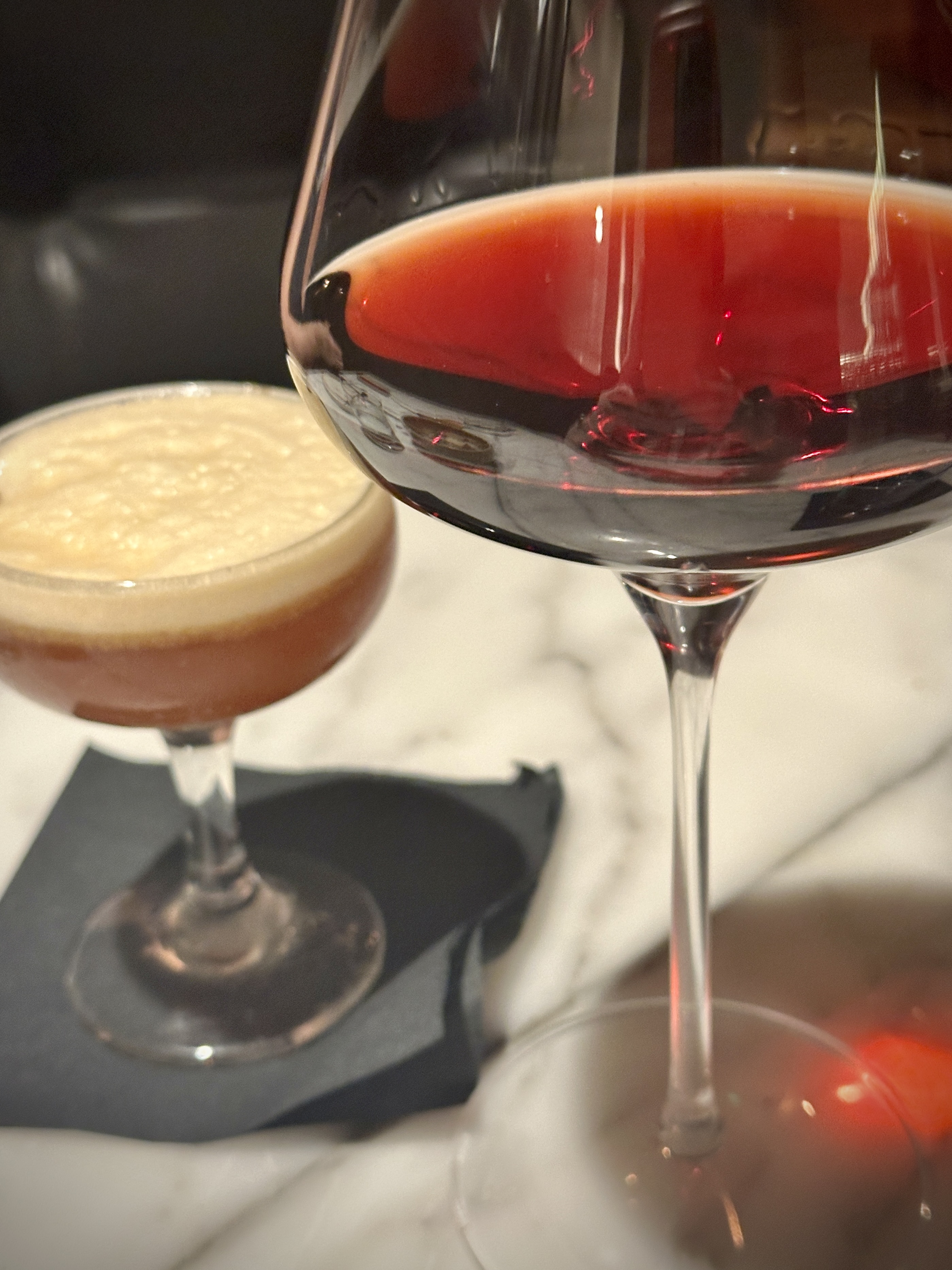
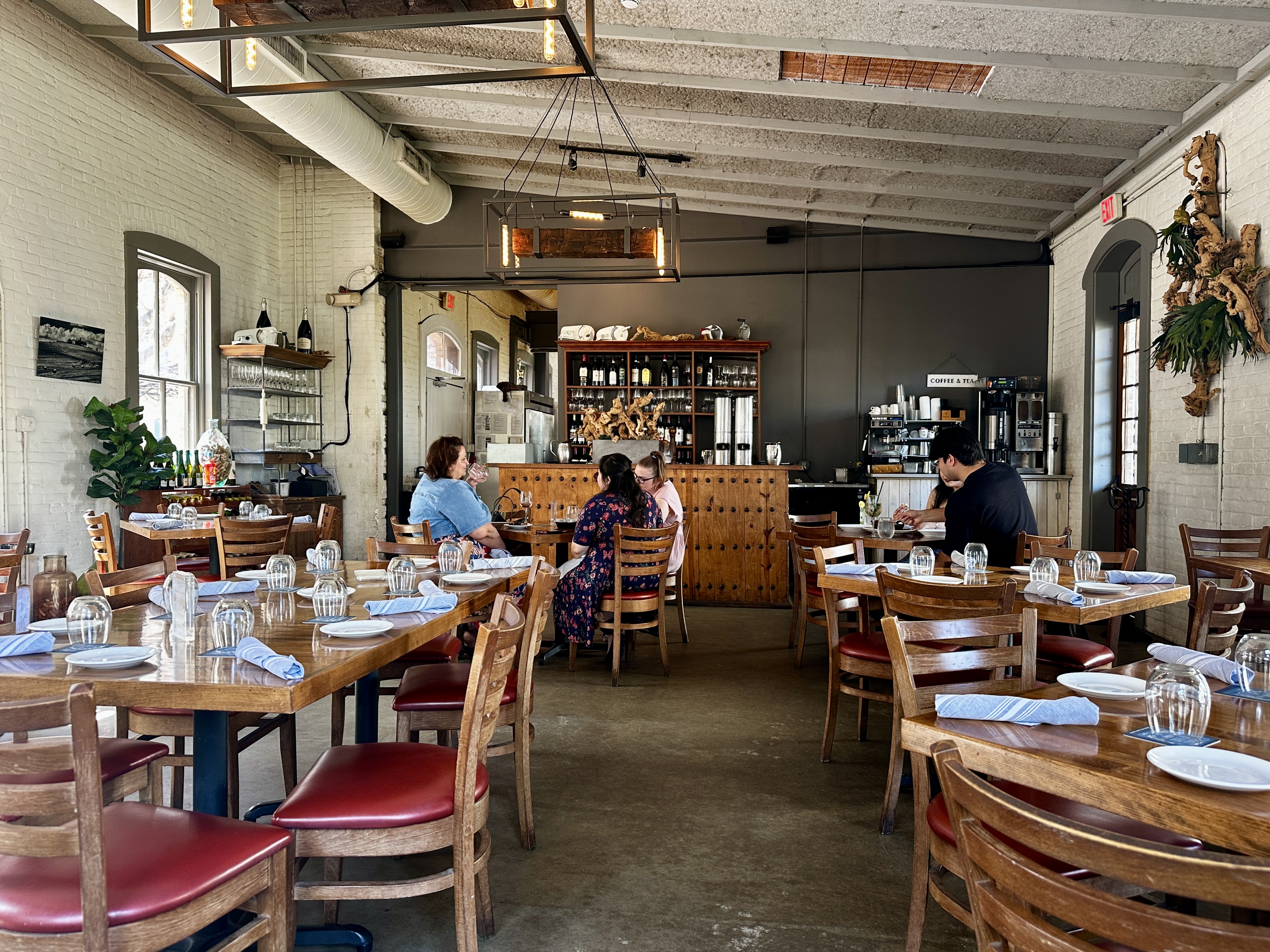
We had a fantastic dining experience at NONNA Osteria. Our appetizers and entrees were delicious and the service was impeccable. Our server was very knowledgable about the menu and their mostly Italian wine list. We would highly recommend dining here when you visit San Antonio.
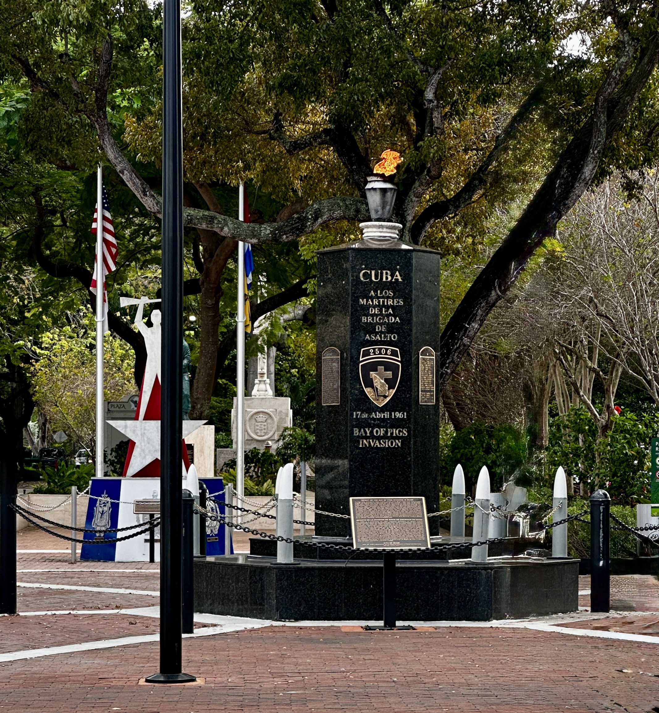
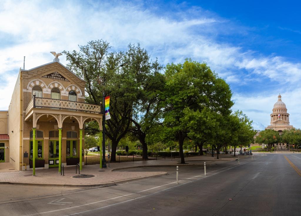
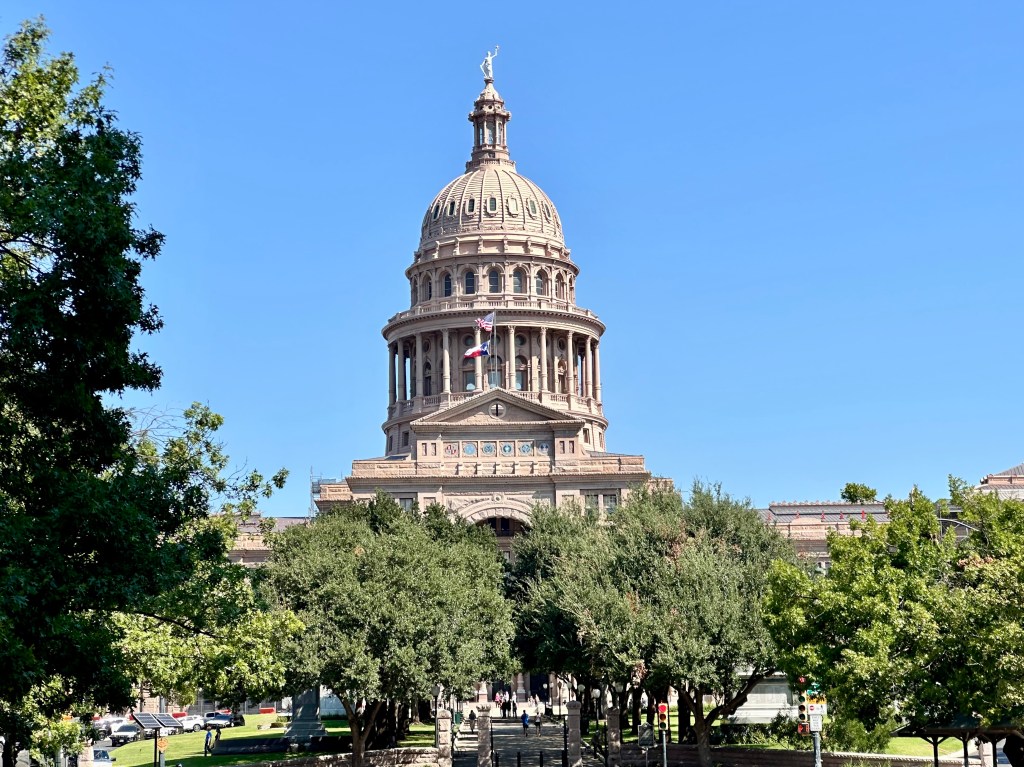
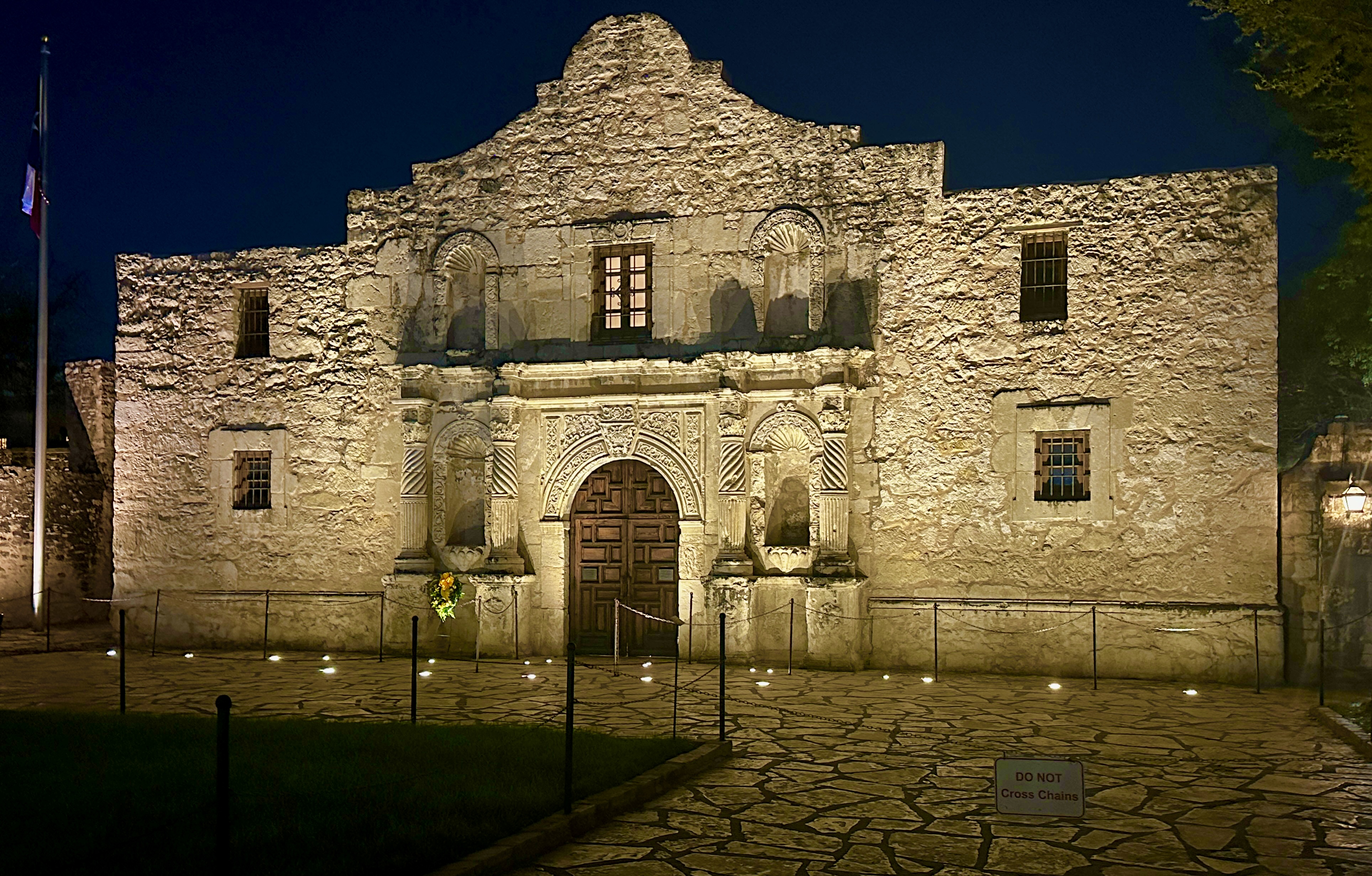
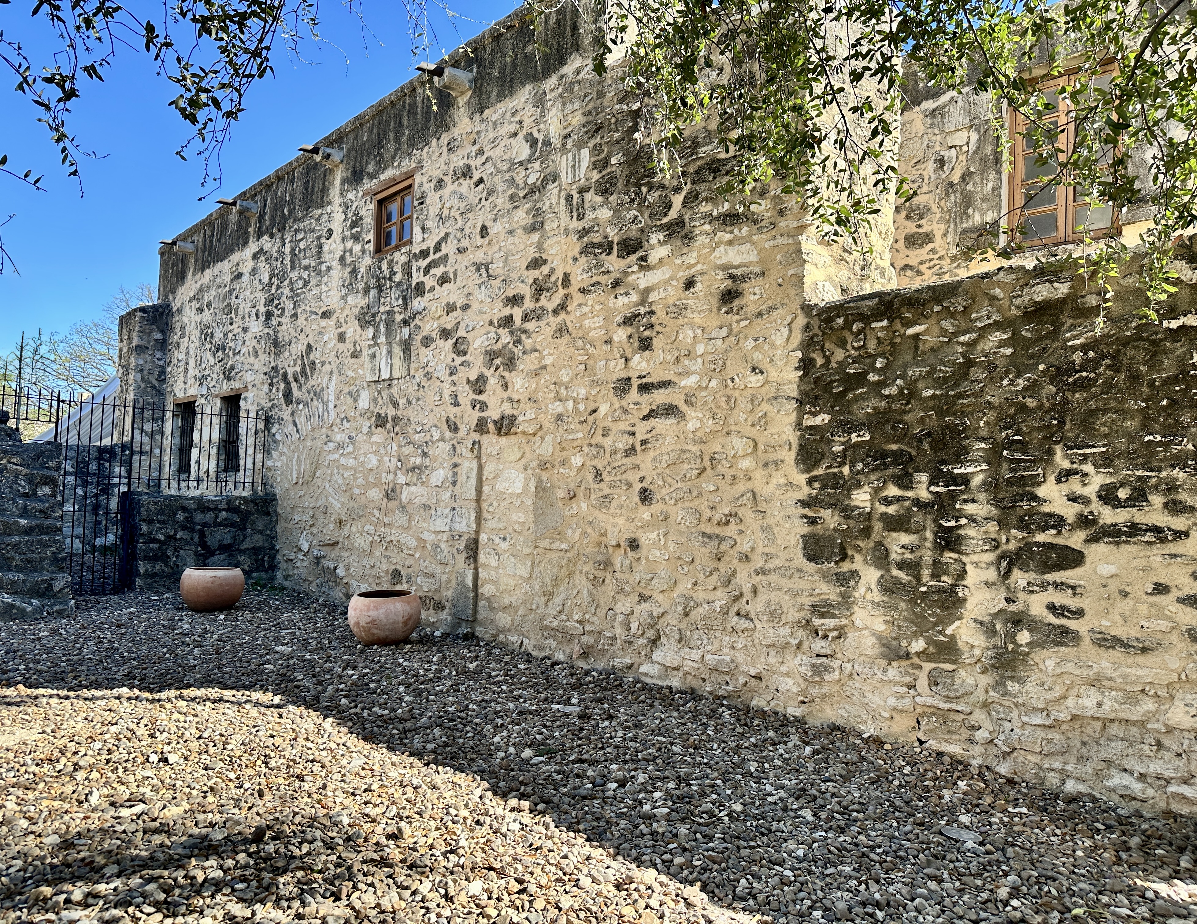
Day Three: We took a relaxed walk around the Alamo area. The Alamo is a BIG DEAL in San Antonio and Texas history and lore. The Alamo is actually one of the five missions constructed by the Franciscan order in East Texas.
Mission San Antonio de Valero (later the Alamo) was established in 1718 and after being abandoned in the late 1700s became a military garrison of the Mexican Army. Of course, what followed was the seige of the Alamo (which was by then occupied by Texans) by the Mexican Army. Every one of the Texans defending the fort was killed!
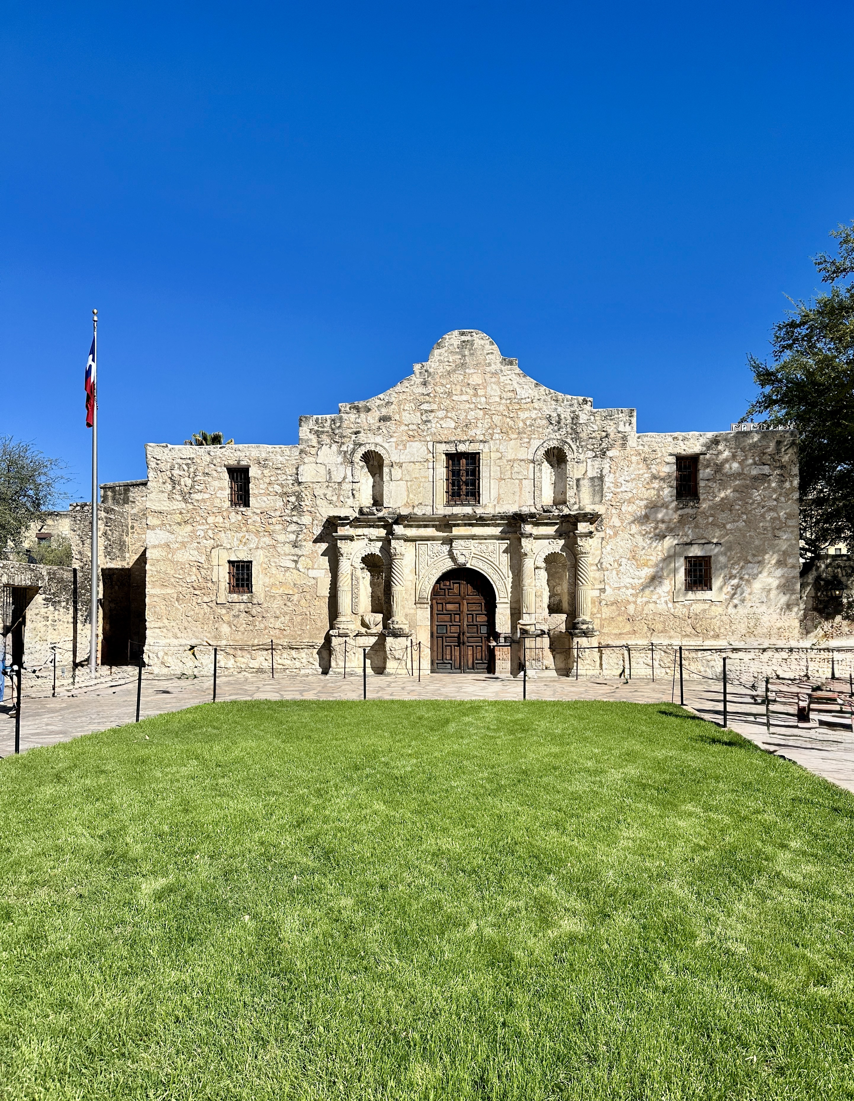
The defeat at The Alamo became the rallying cry for Texans as they fought for and ultimately achieved independence as the Republic of Texas. Texas eventually joined the Union in 1845 because the Republic was financially in tatters and feared an invasion by Mexican forces to take back the land. The process of joining the union took several years as Texas was a slave state and many politicians were against adding another slave state to the Union.
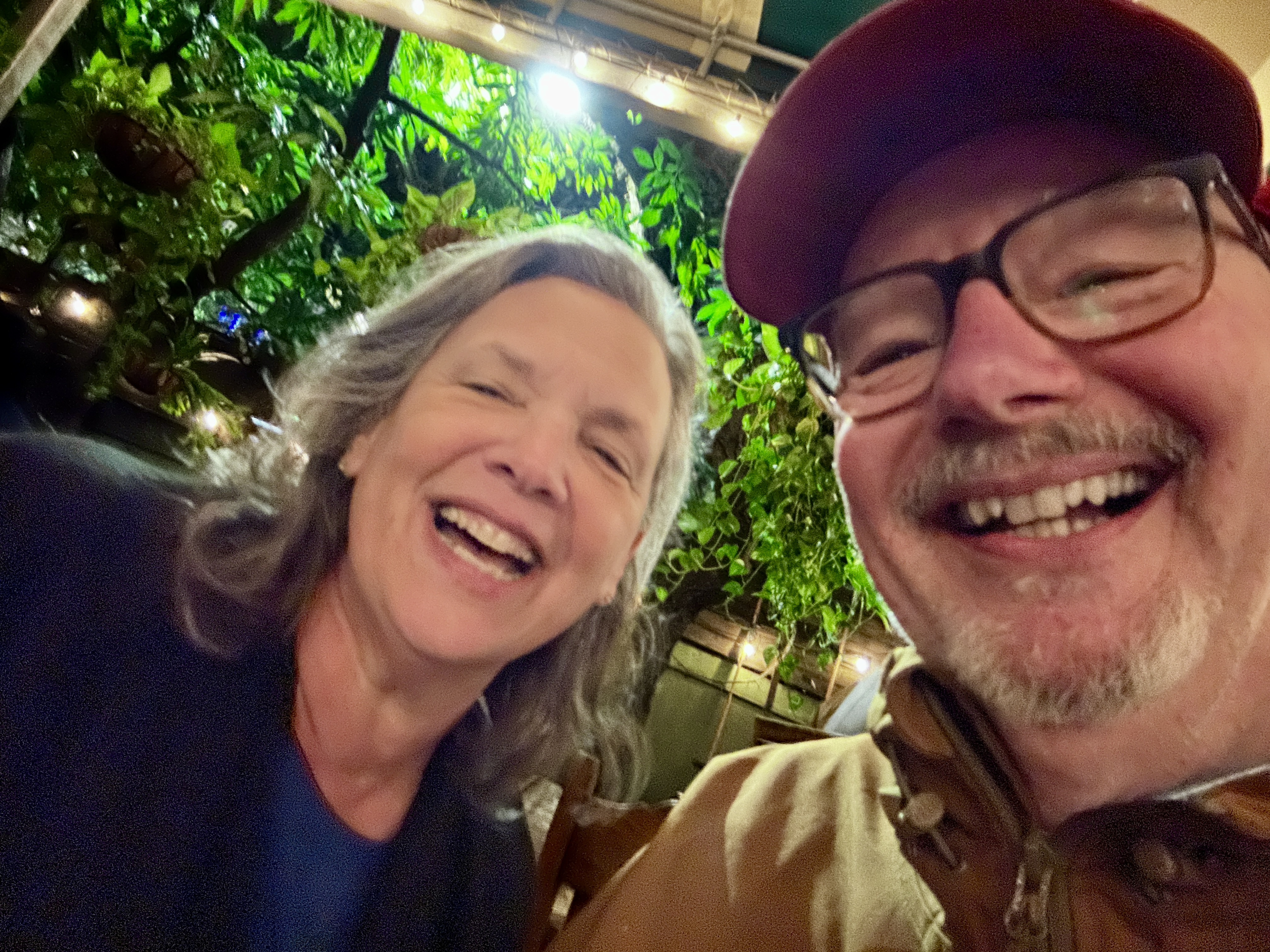
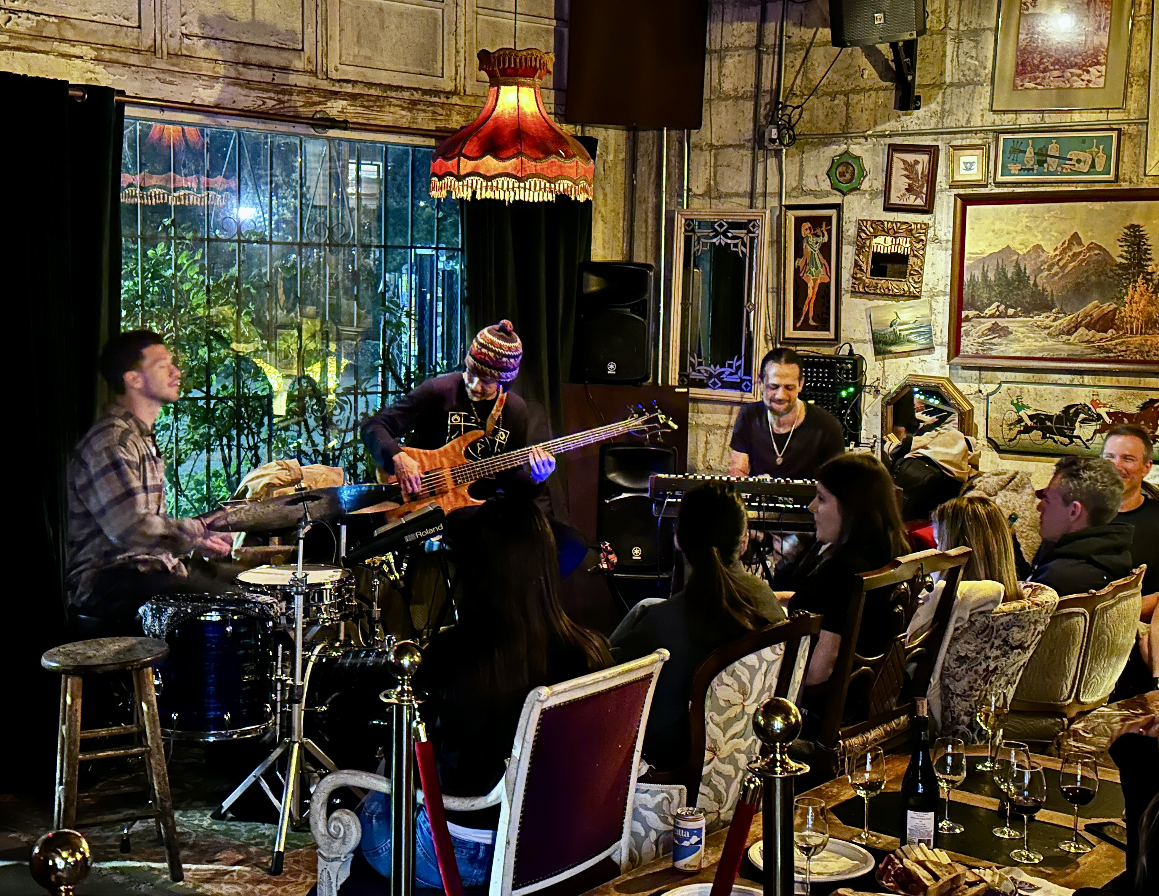
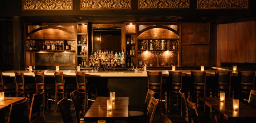
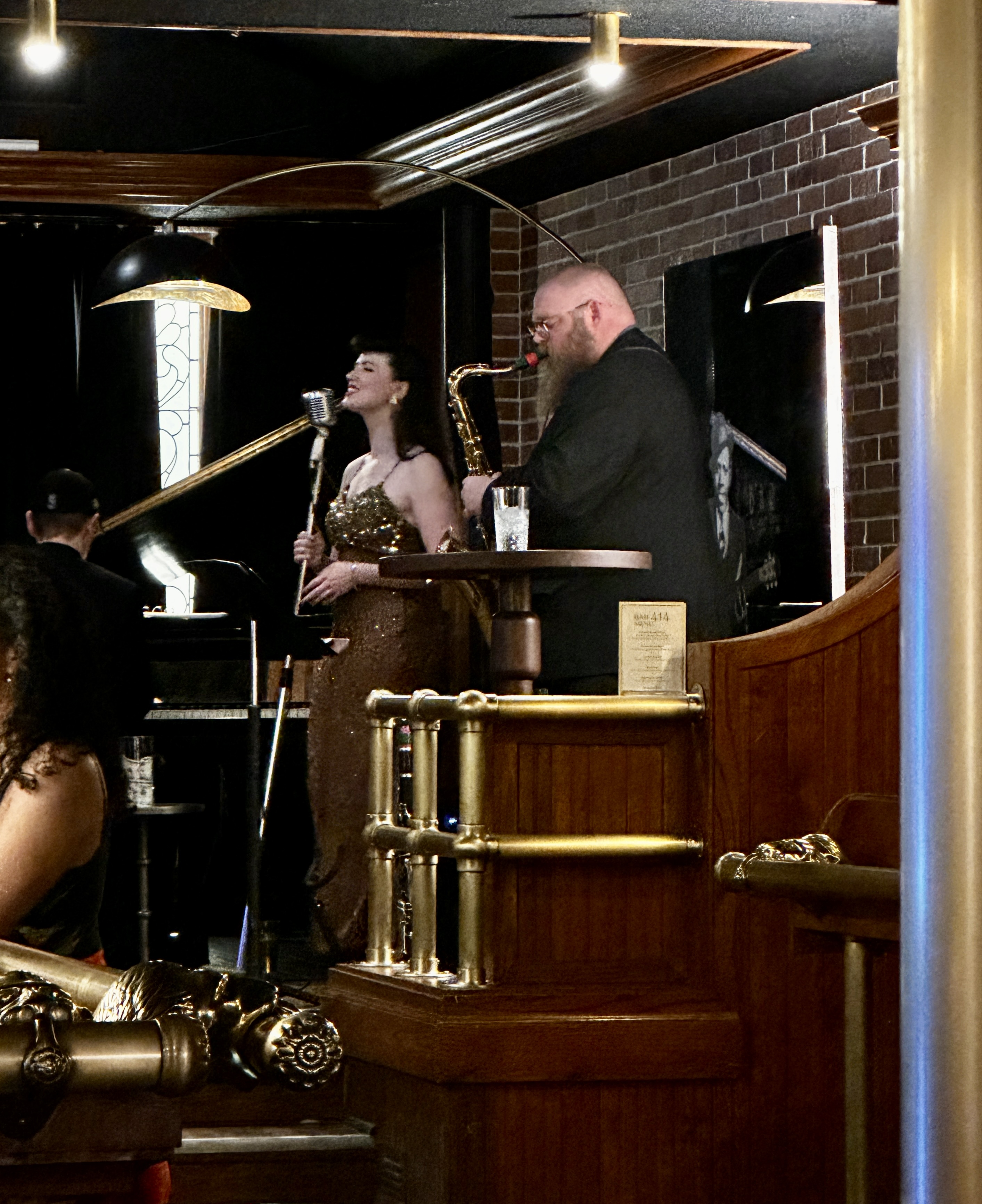
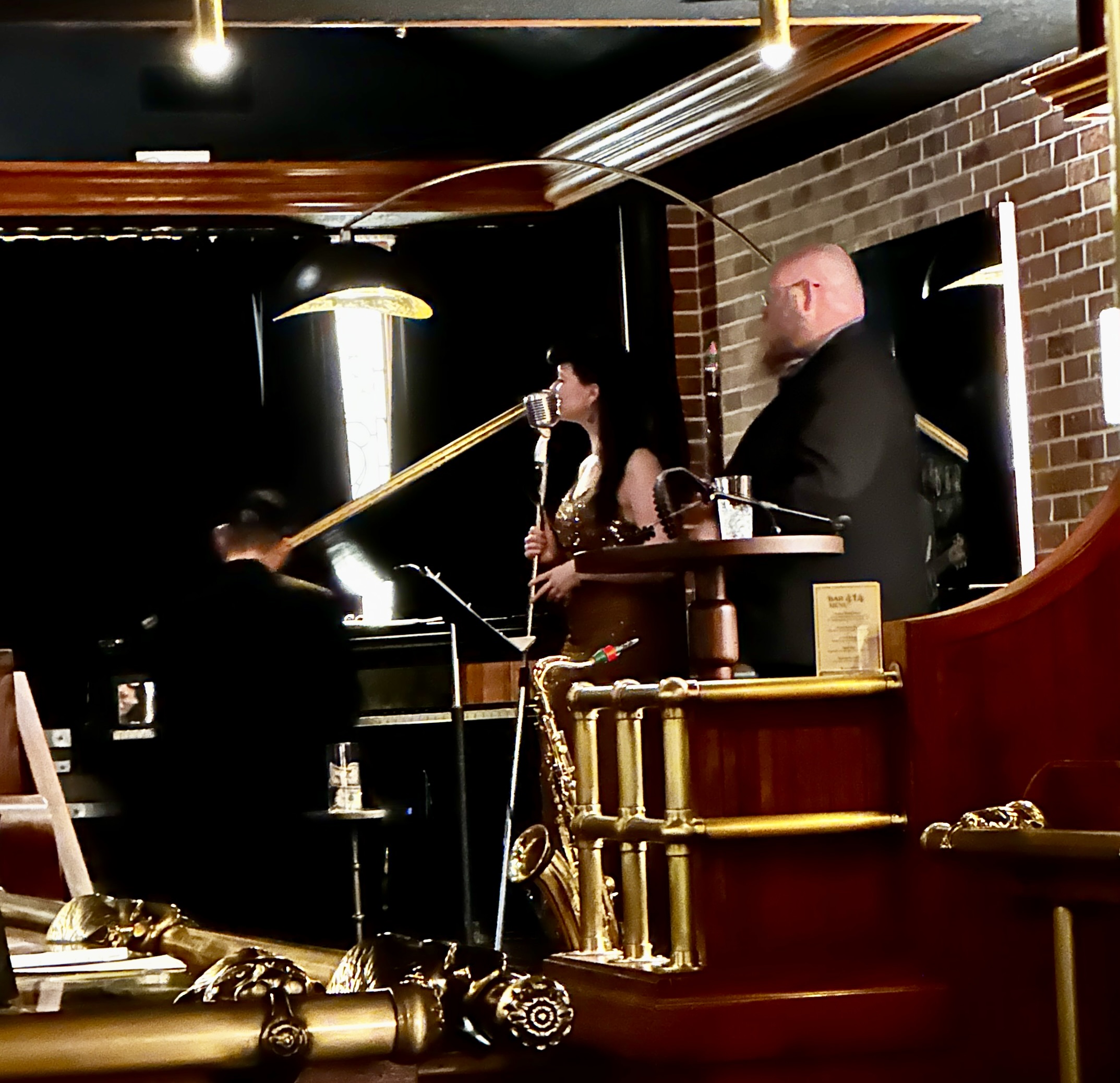
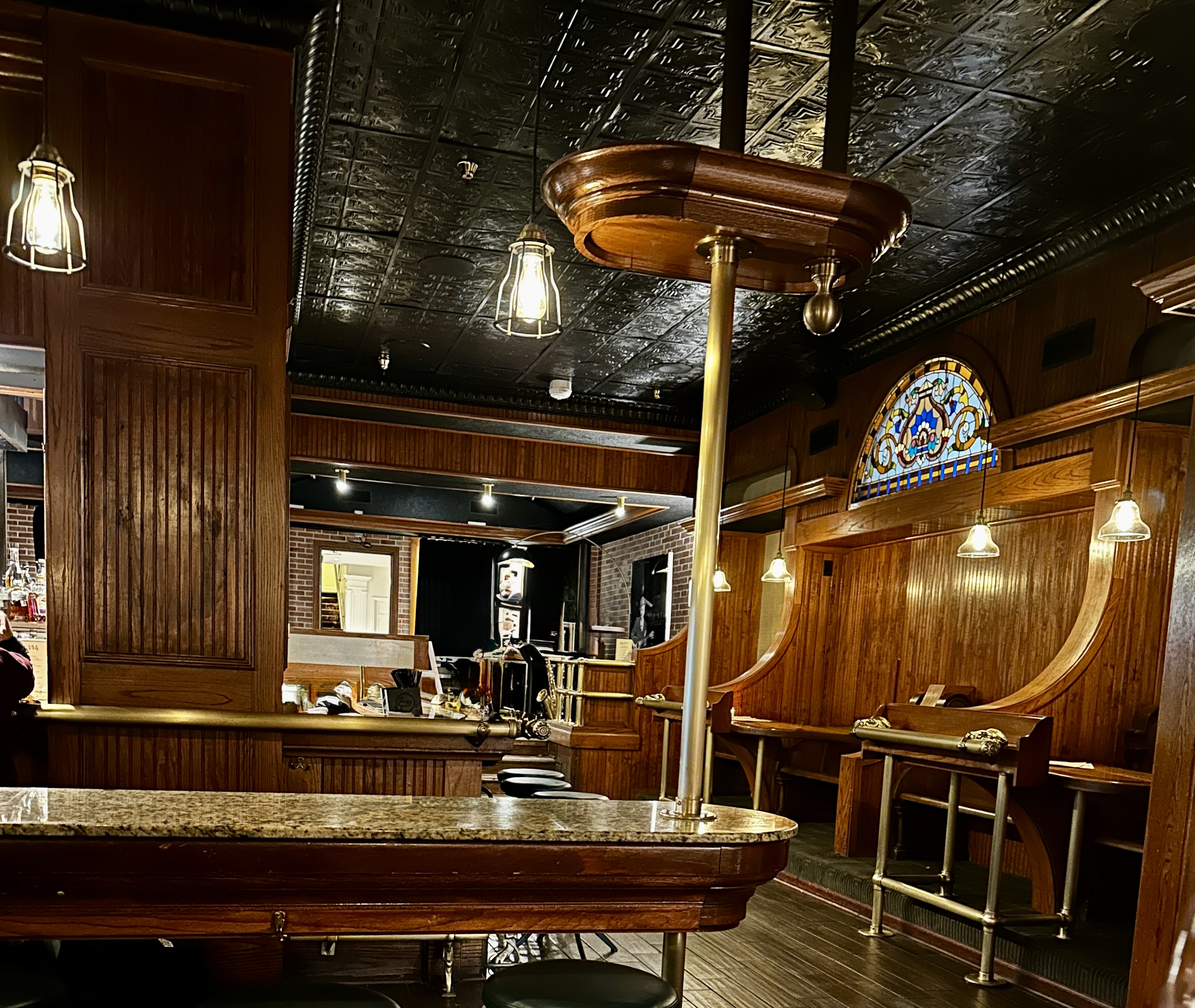
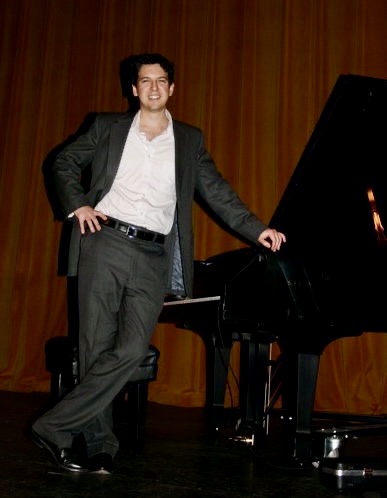
That evening we dined in at the hotel restaurant – Jots and then walked across the lobby to the Bar 414 Speakeasy to take in a couple of jazz sets by the Aaron Prado Trio. We have noted during our recent travels that the Speakeasy theme (dim lighting, cozy, basement locations, back alley entrances) is quite popular at jazz venues – perhaps because jazz was often featured at the original prohibition era speakeasy bars.
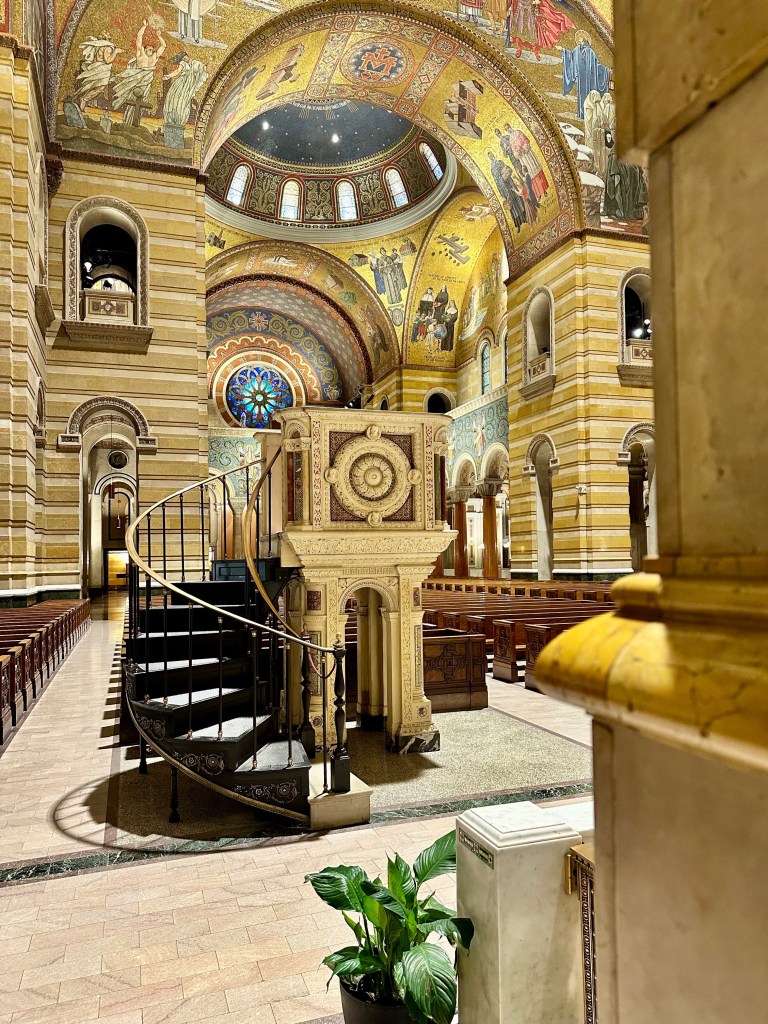
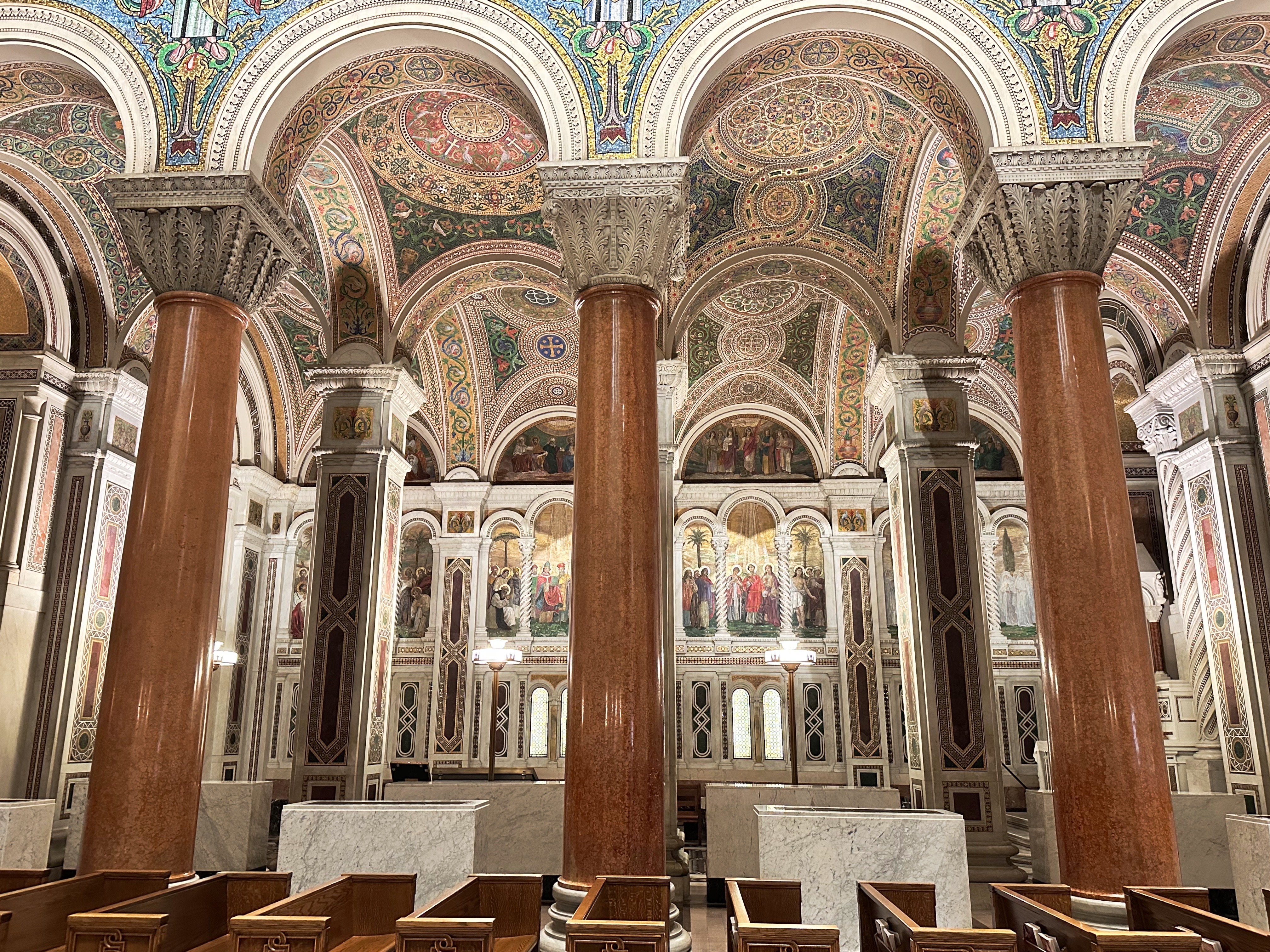
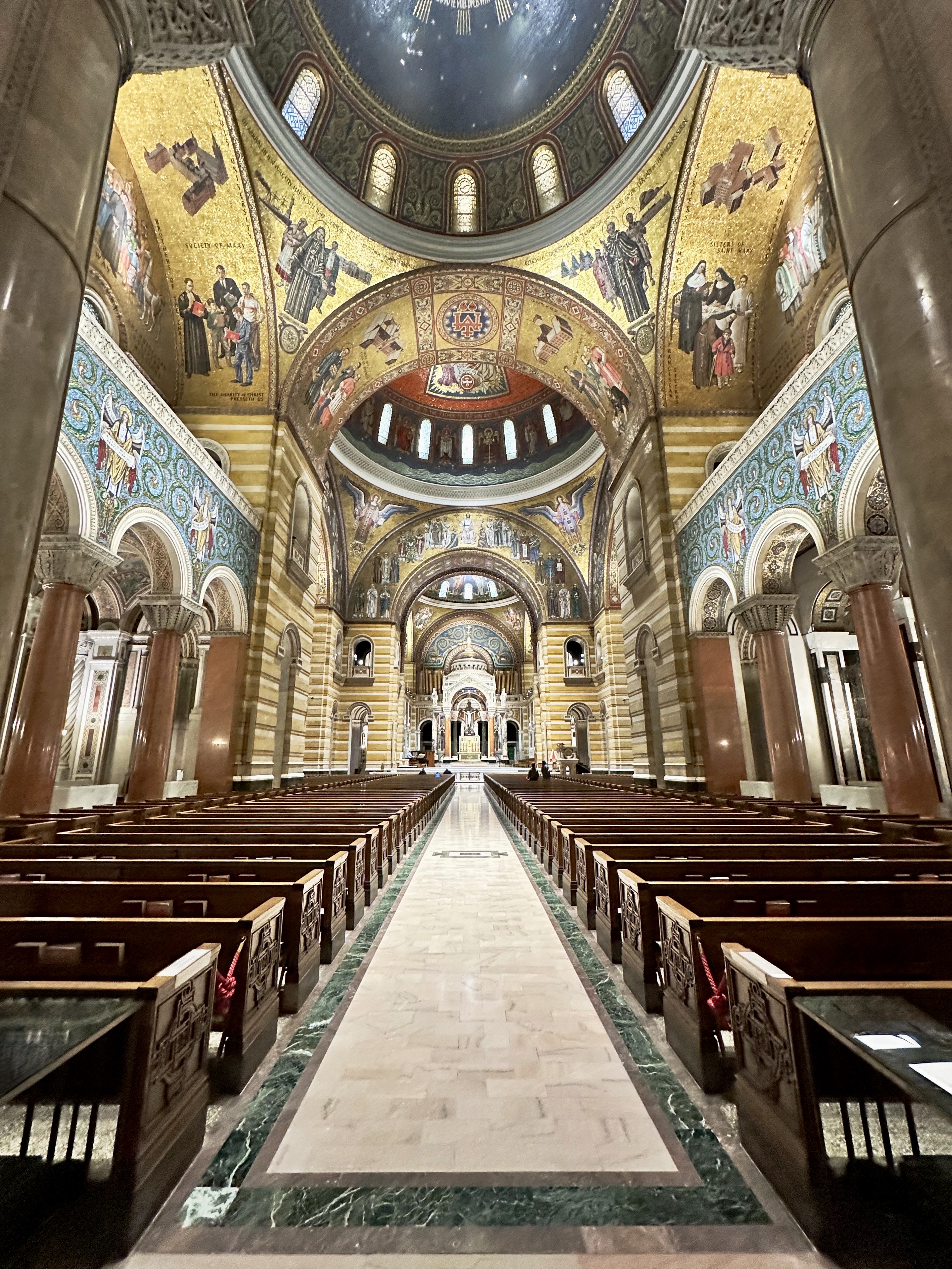
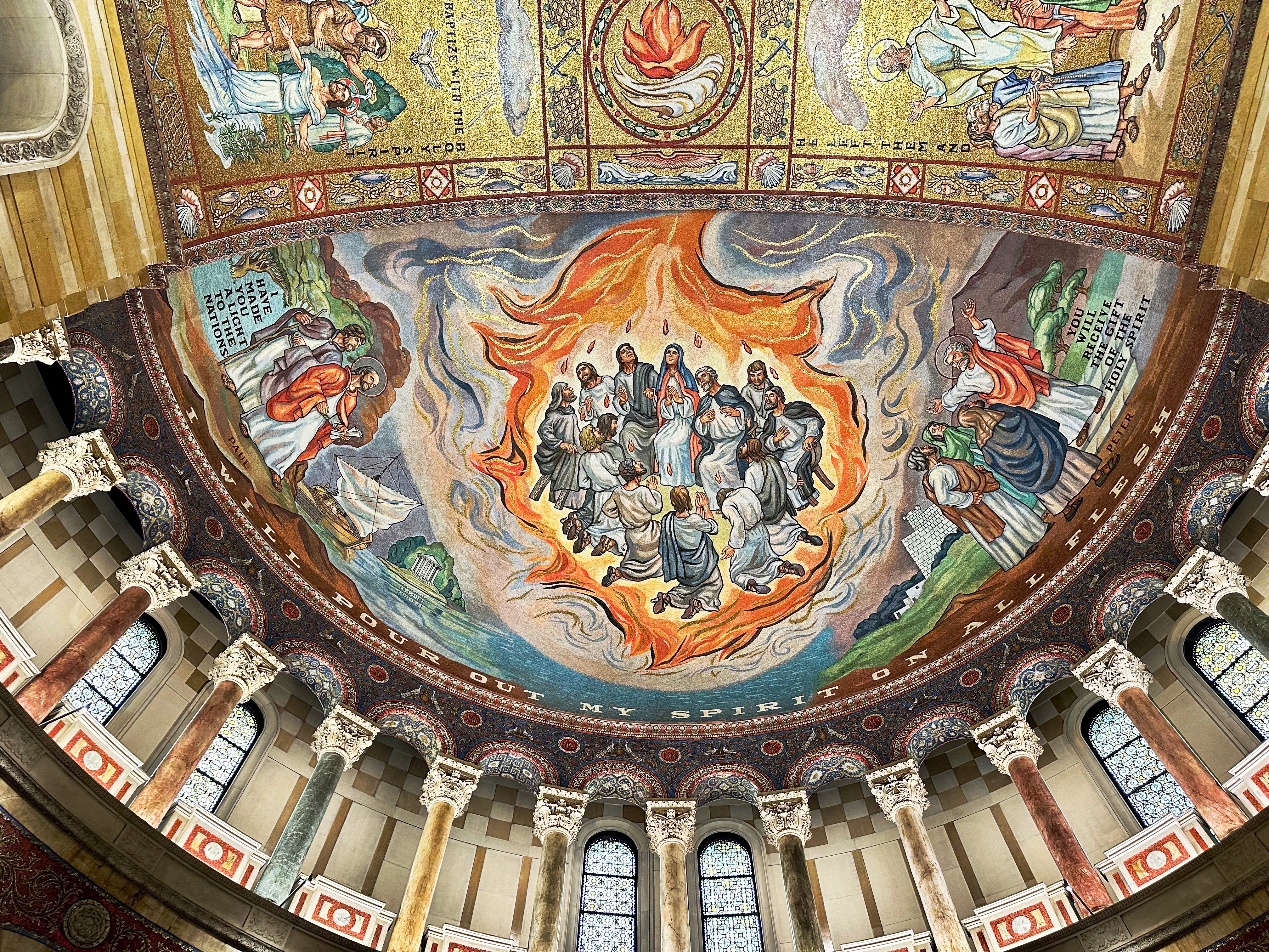
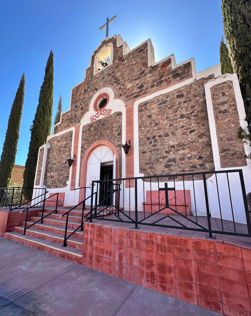
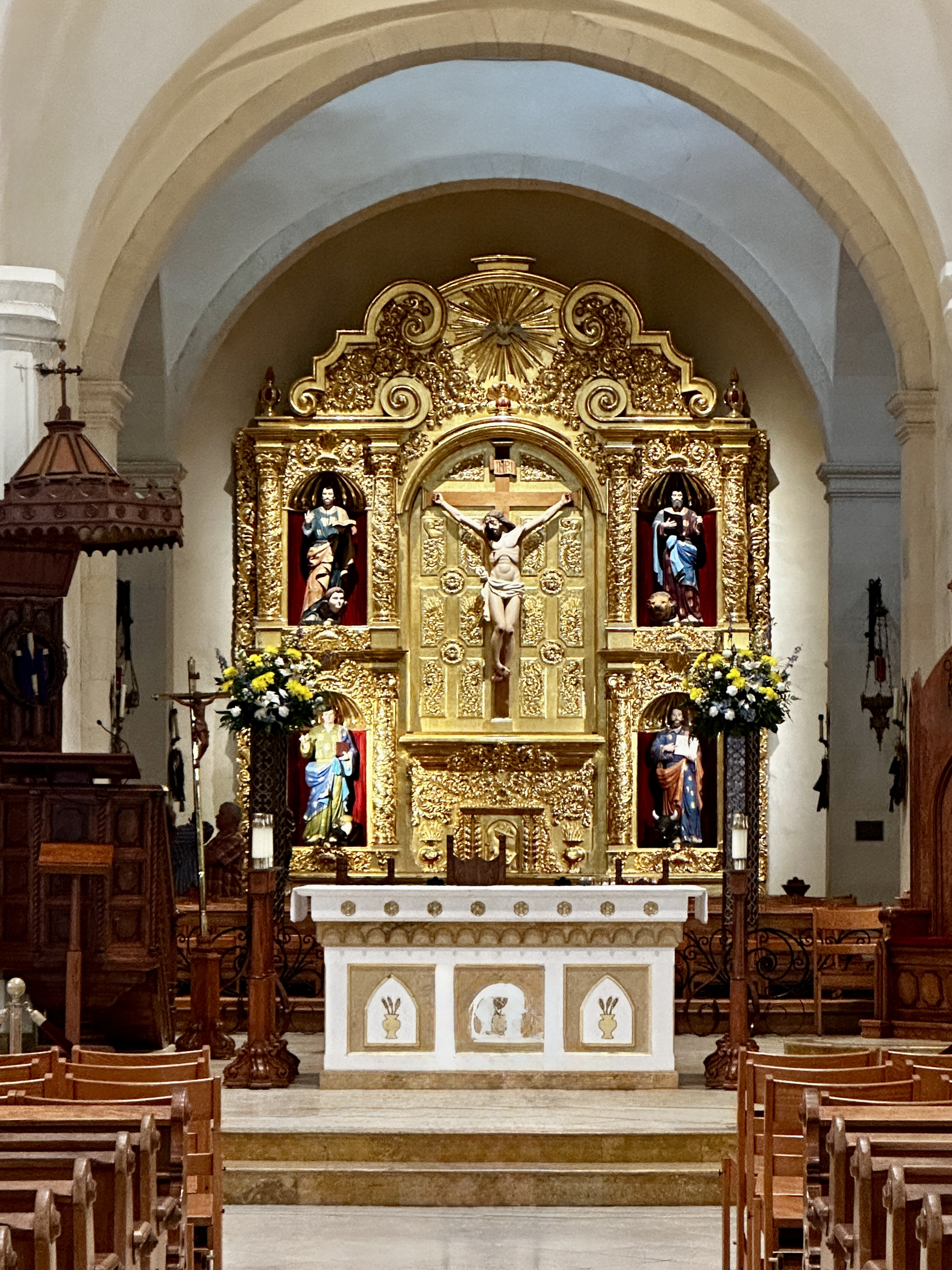
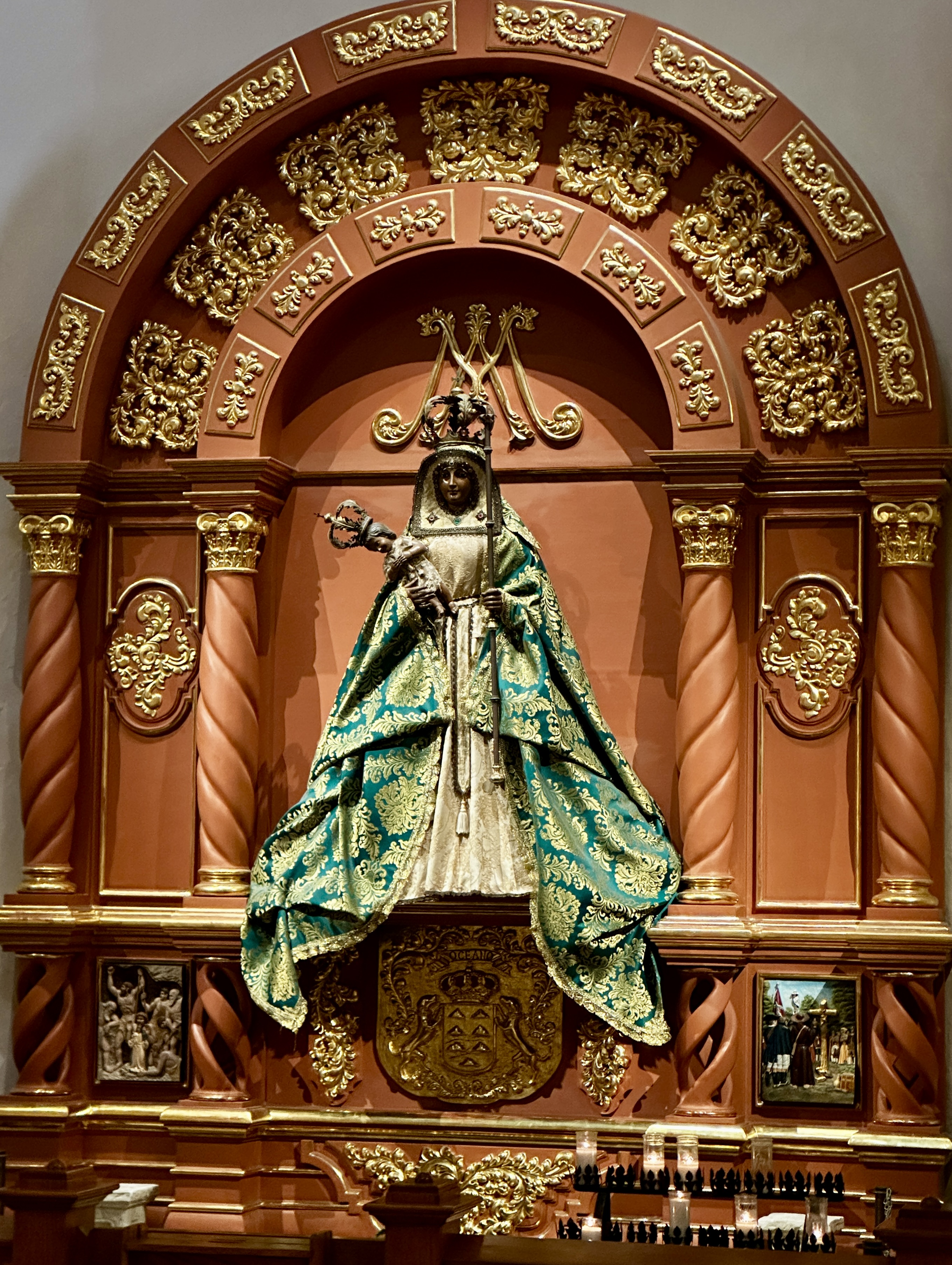
Day Four: After an entirely unhealthy but delicious breakfast at Paris Baguette (located in the hotel) we strolled along the Riverwalk to visit the San Fernando Cathedral.
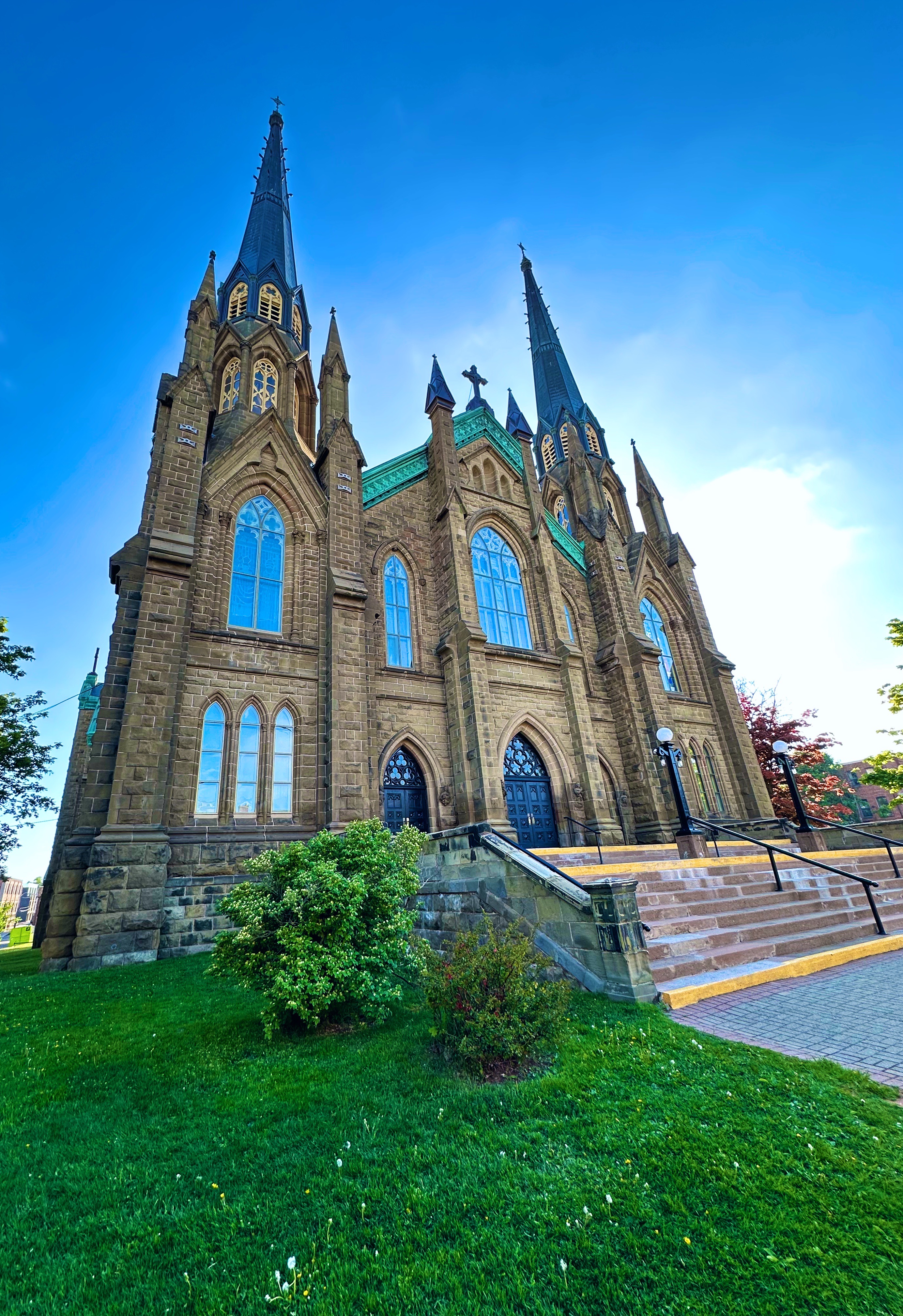
The cathedral is the oldest standing church in Texas. The history around the cathedral is quite fascinating. The non-native population that settled here were Canary Islanders who had been selected by the Spanish government to populate the area that surrounds the cathedral. Construction of the cathedral was completed in 1755.
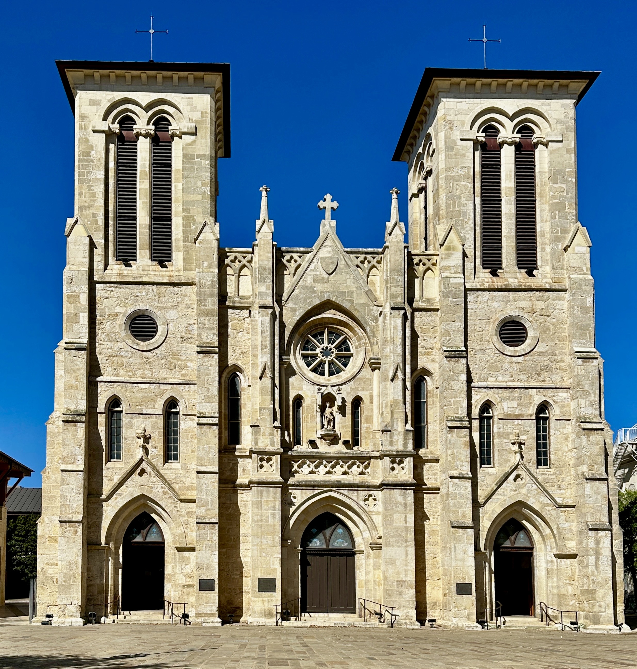
In 1835 during the Texas Revolution the cathedral was occupied by the Mexican Army. The army placed cannons on the rooftop and flew a red flag (no mercy) for the benefit of Texas Army soldiers at the Alamo.
The church was in poor repair as one might imagine with all of the going ons during this very turbulent time but fortunately has been beautifully restored.
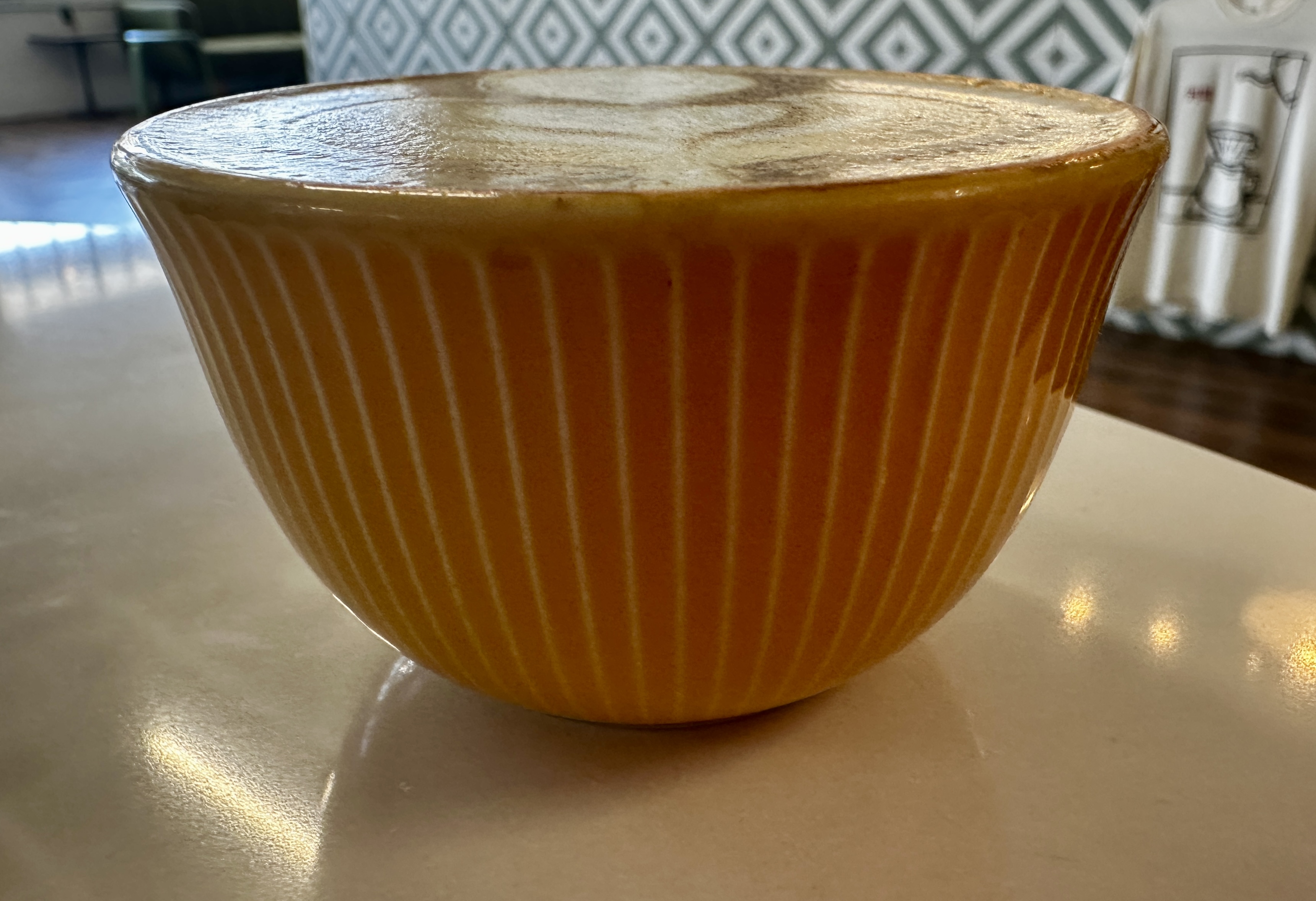
After visiting the cathedral we made our way north of downtown to the Beacon Hill neighborhood for fika at Bright Coffee. Bright was recommended to us by the barista at Vela Coffee. An excellent recommendation indeed. Bright is a first rate coffee shop with friendly staff and is also an art space with paintings by local artists exhibited on a rotating basis. A very pleasant spot for fika.
The Beacon Hill neighborhood dates back to the 1850s. The neighborhood began growing in earnest as a result of the completion of the San Antonio Street Railway Trolley which ran from the city center through the Beacon Hill area out to San Pedro Springs Park. The park is the second oldest park in the United States (Boston Common is the oldest).
Today the neighborhood is home to about 5500 residents and definitely possesses an artsy “urban forward” vibe. There are many boutiques, galleries, small eateries and street murals. We stopped for lunch at the Beacon Hill Market & Deli and then set off for an afternoon of fine art.
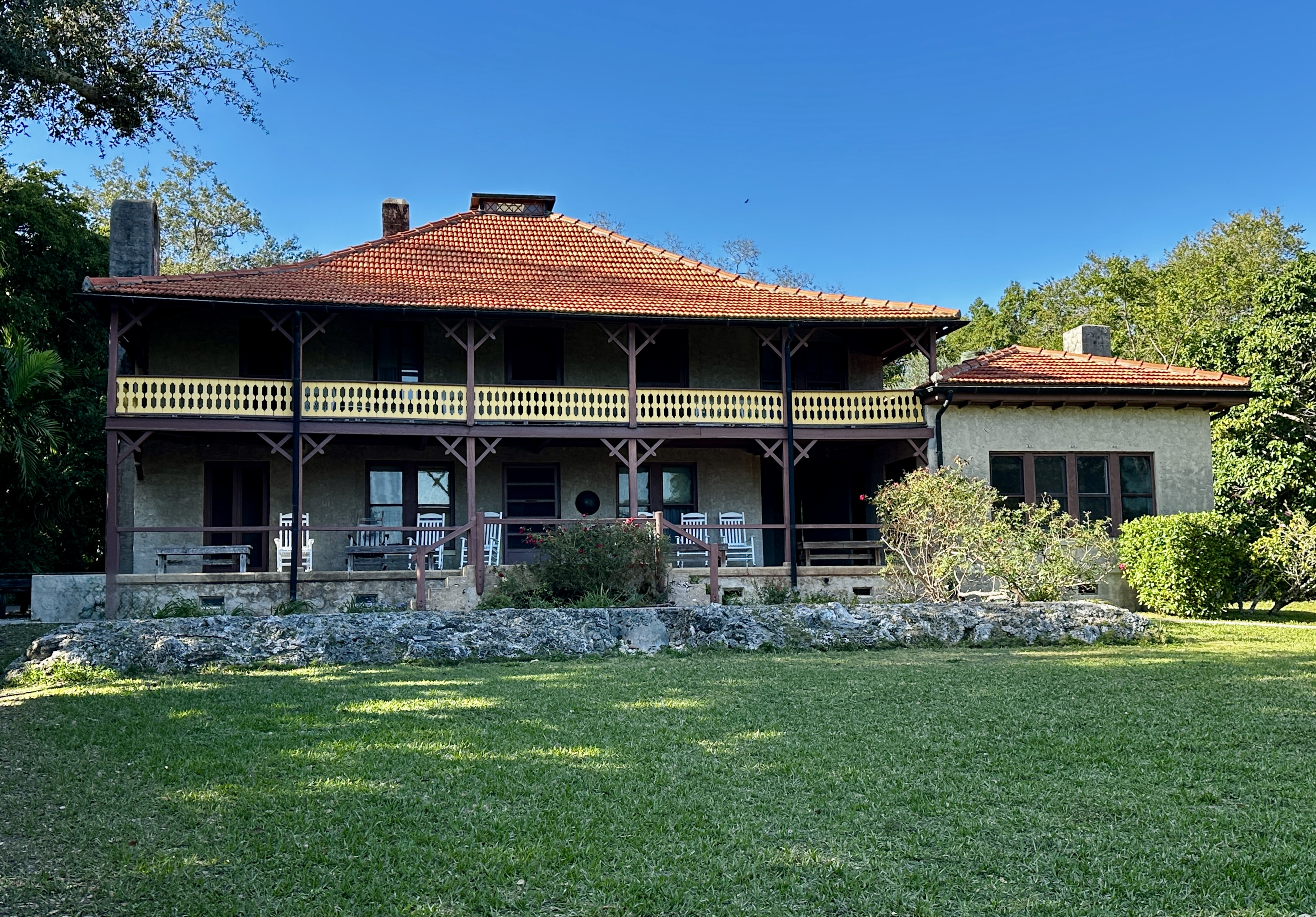
We traveled through several exclusive residential neighborhoods in Alamo Heights on our way to the museum. Alamo Heights is actually an independent, incorporated city physically surrounded by the city of San Antonio. This enclave has its own school district and police. It is also home to multiple museums and the San Antonio Zoo. The city of San Antonio attempted to annex the Heights during the 1920s but was thwarted when residents voted to incorporate. Today this tiny city (2.1 square miles) has a population of approximately 7500 people.
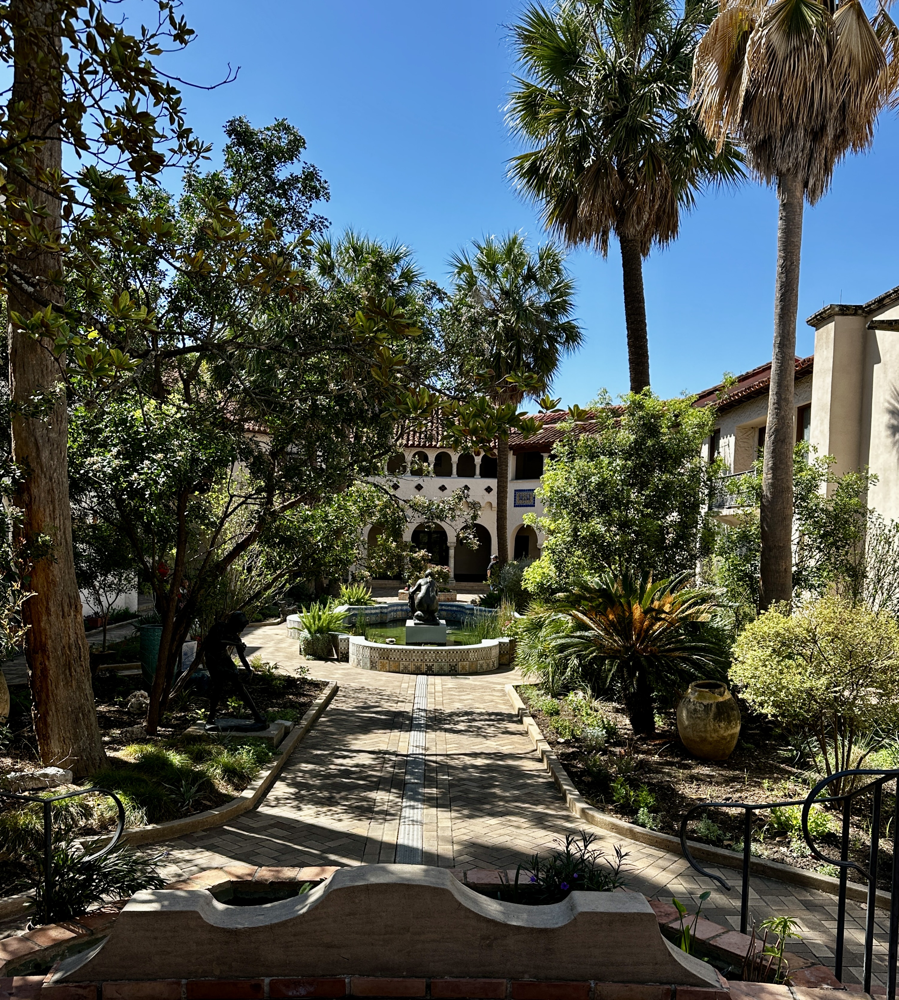
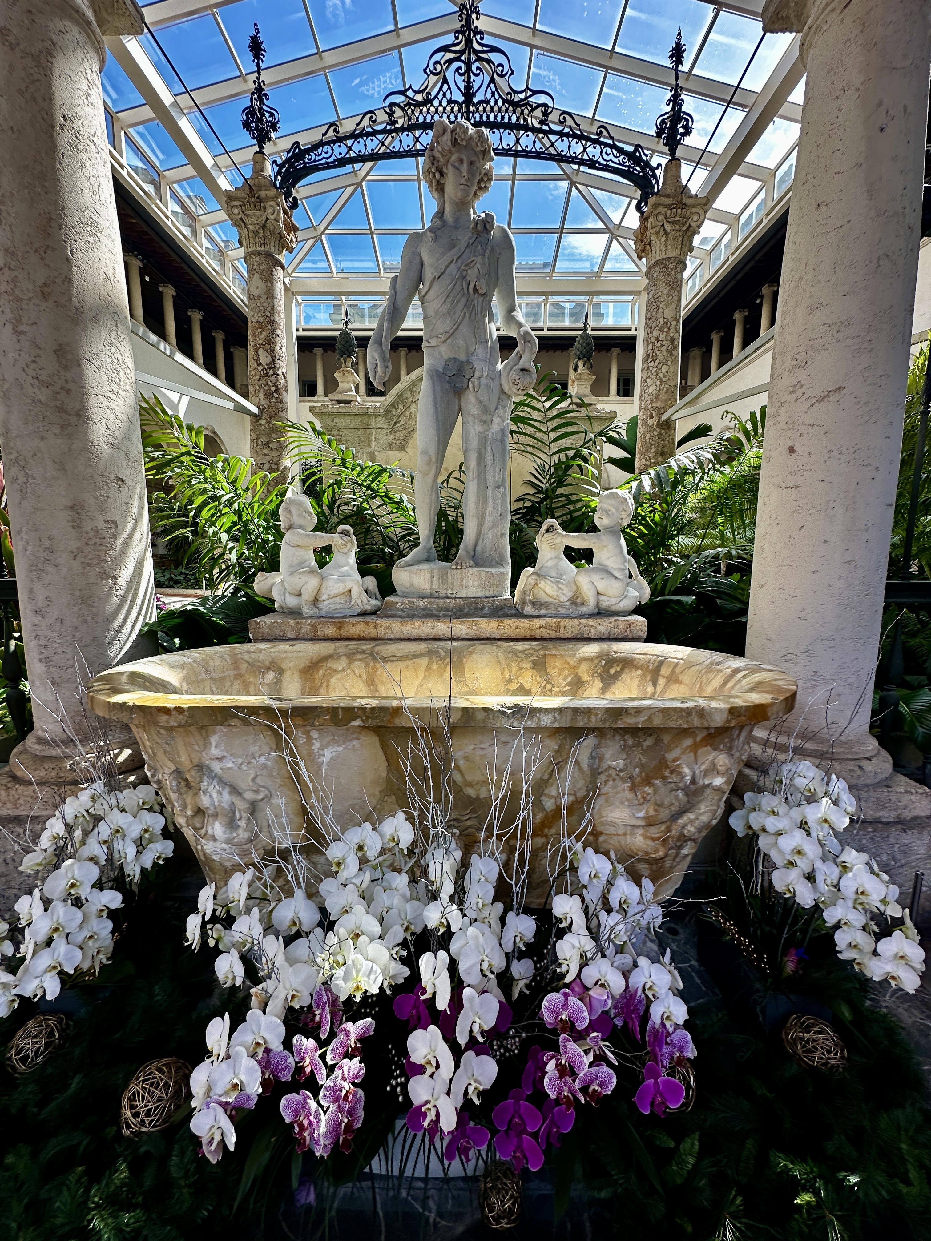
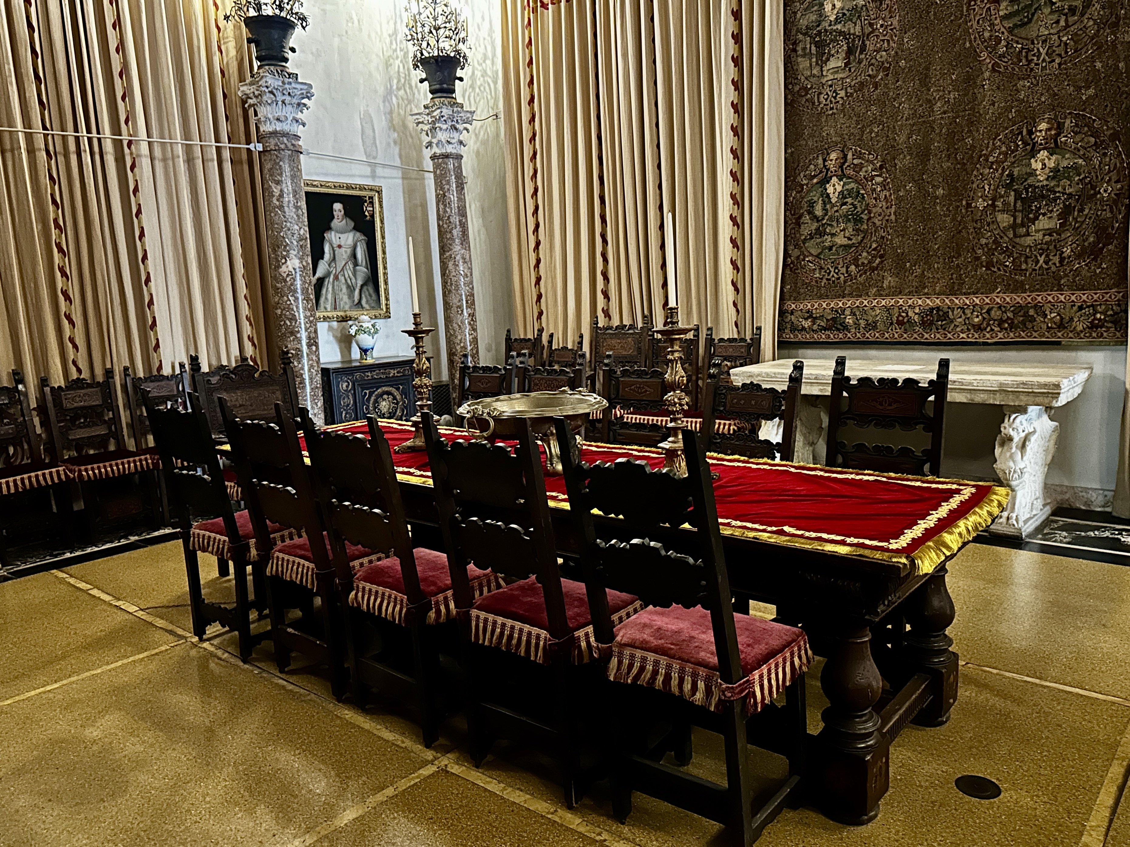
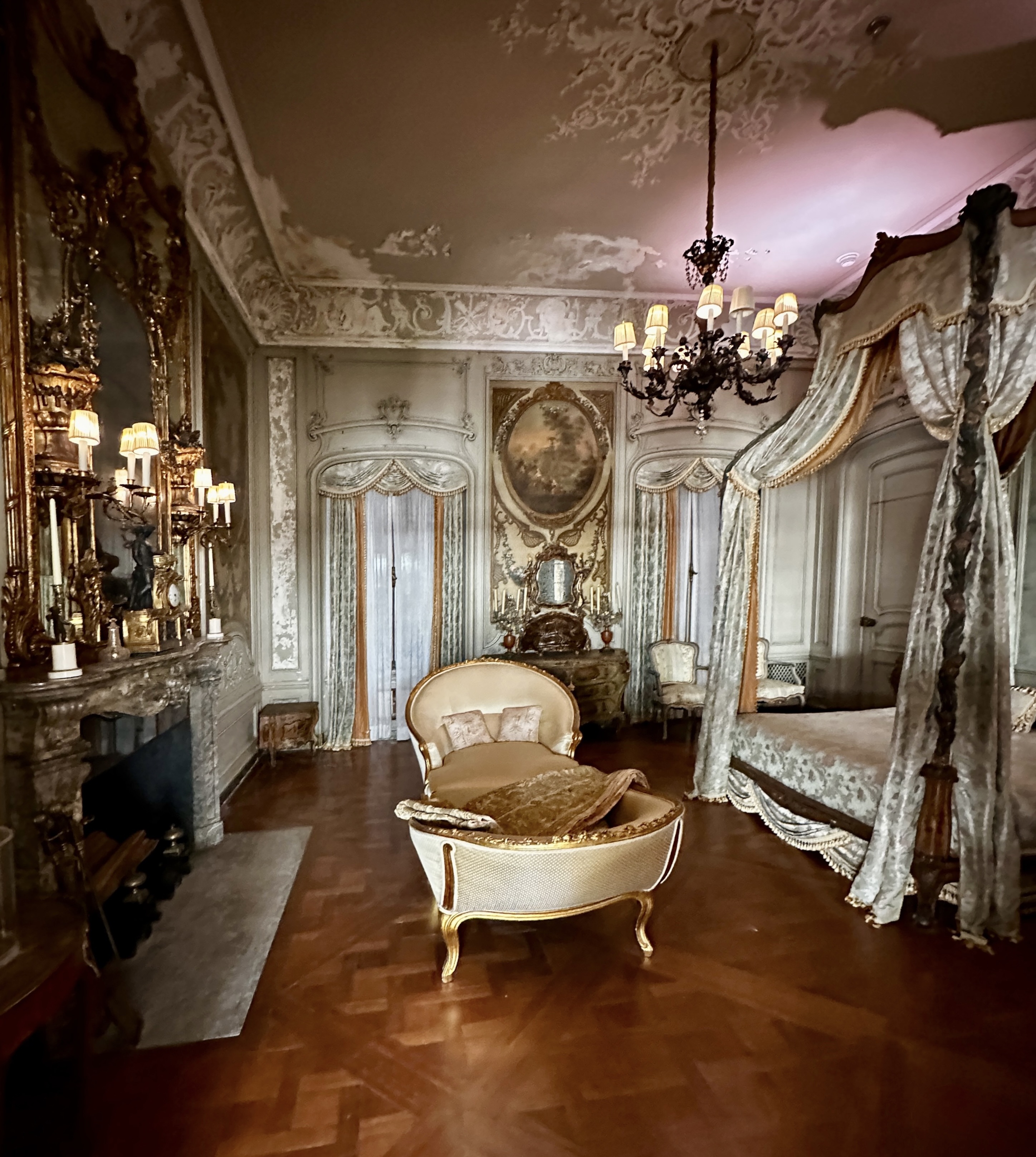
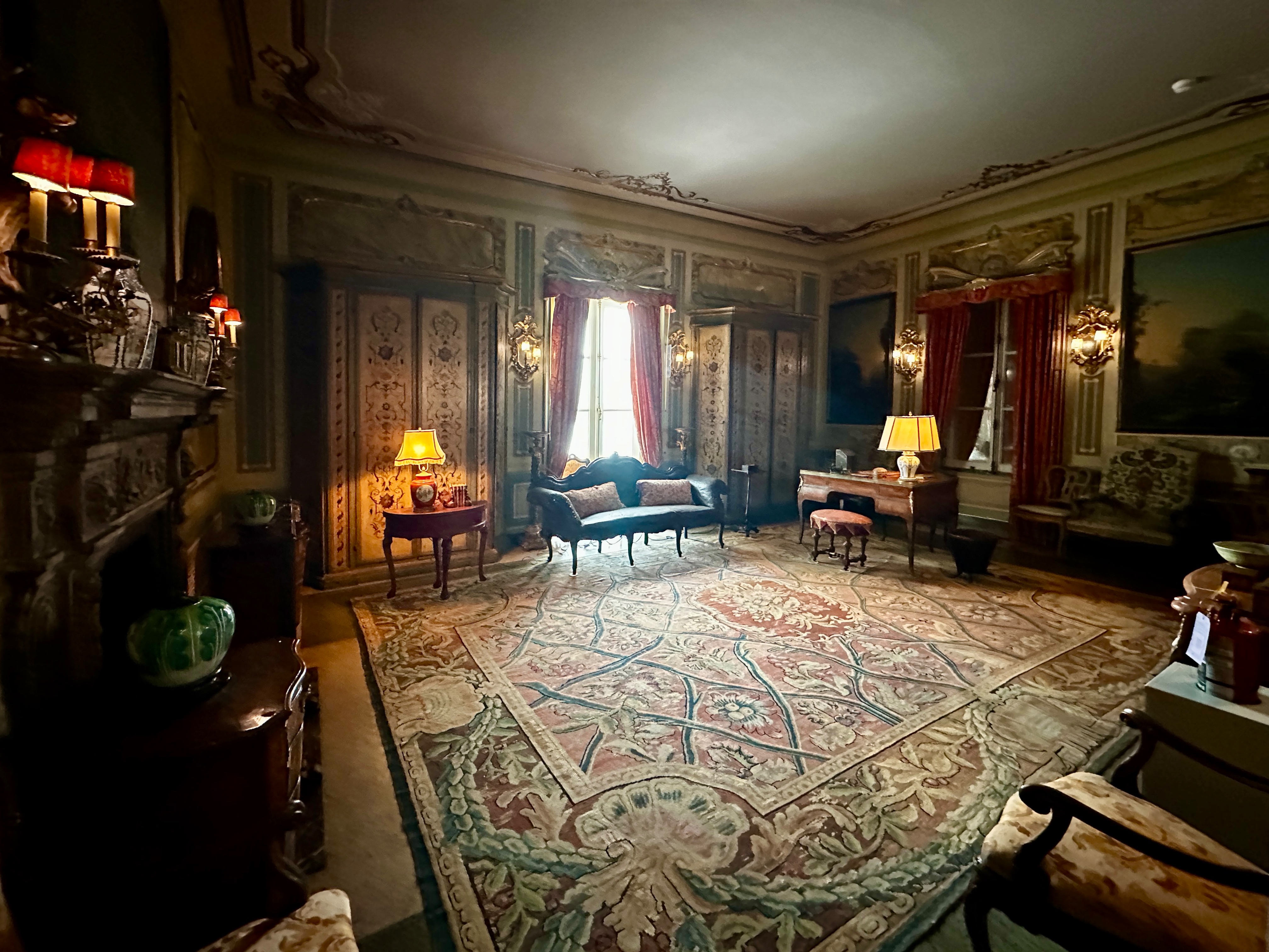
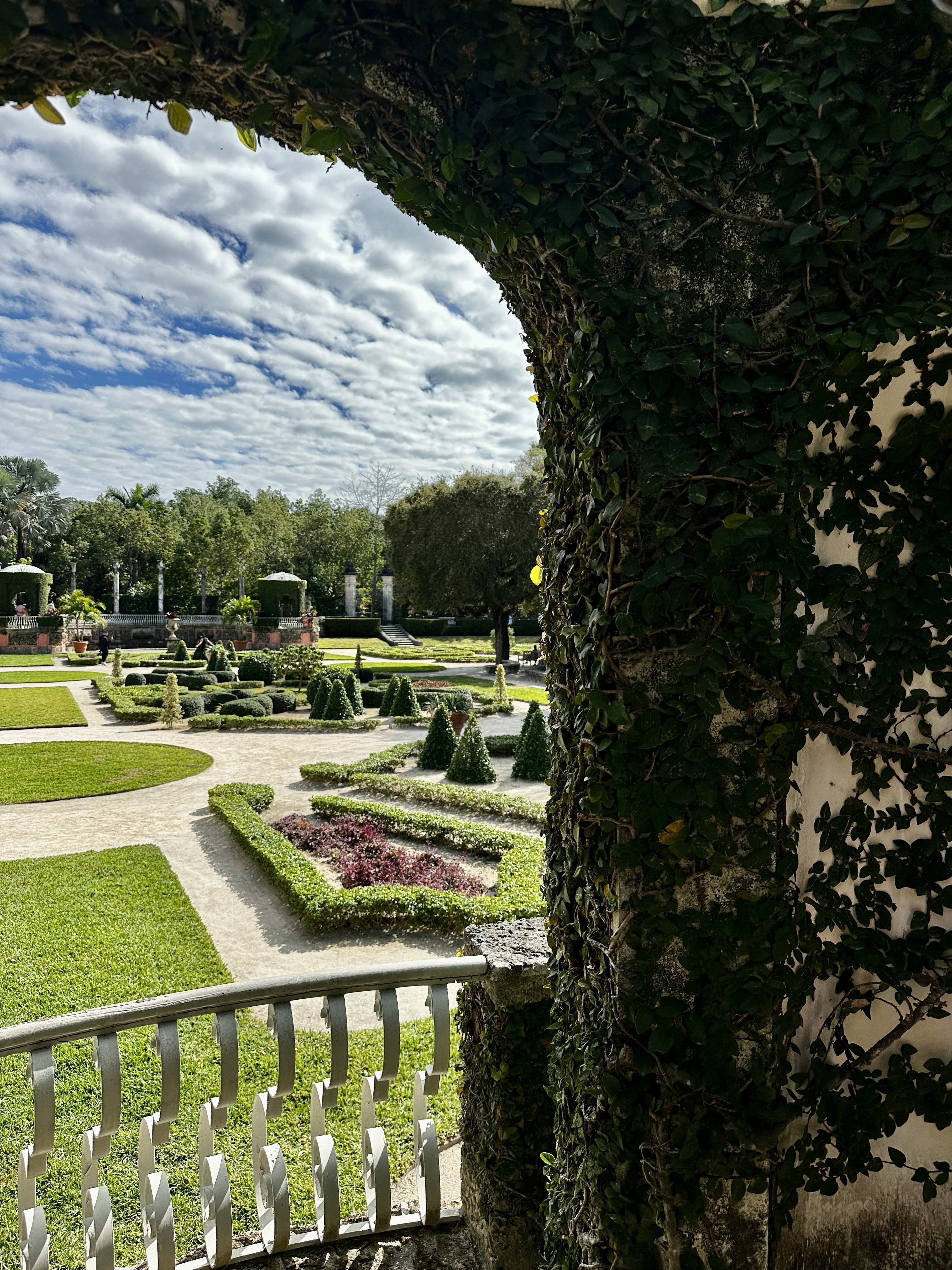
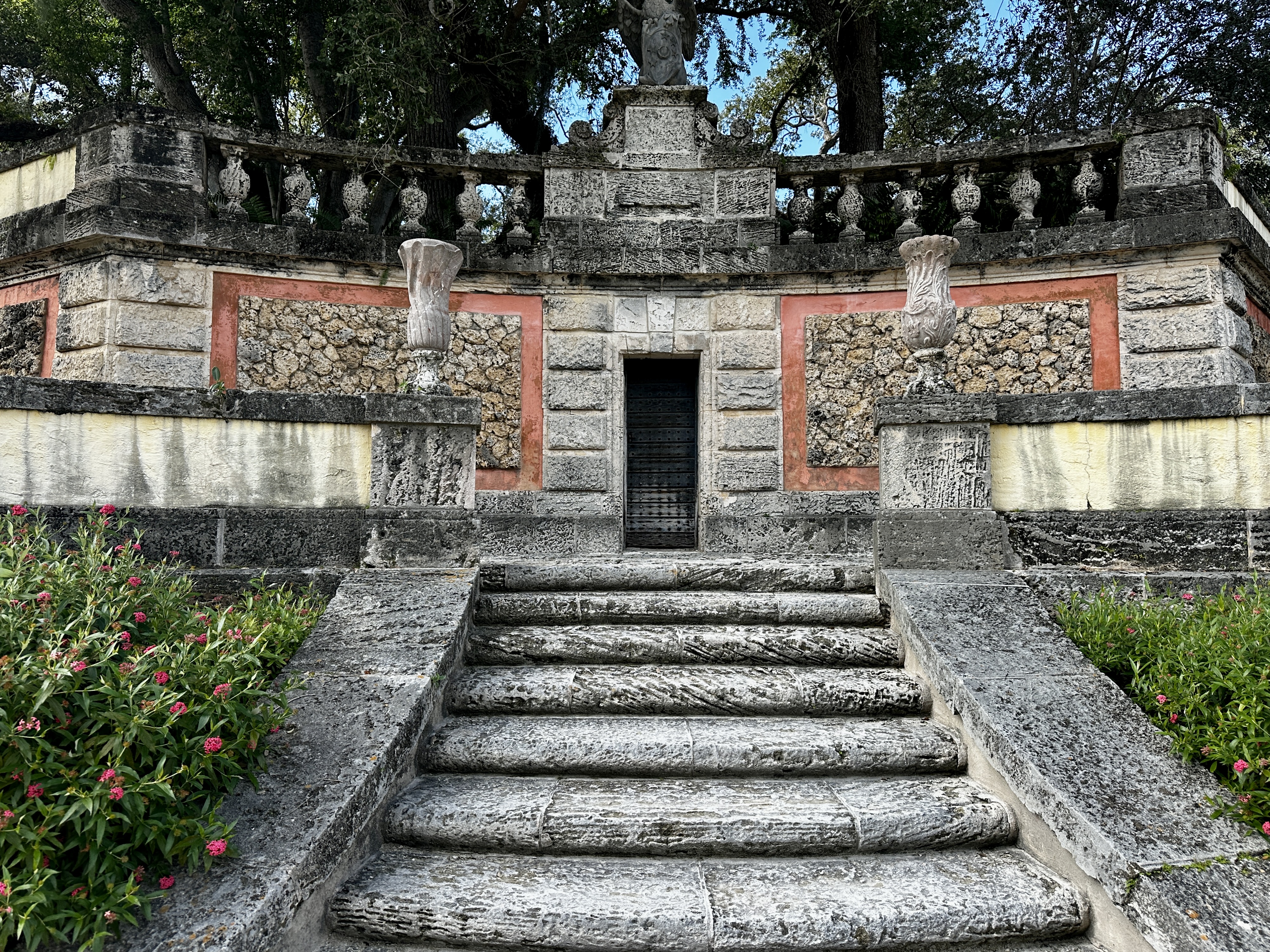
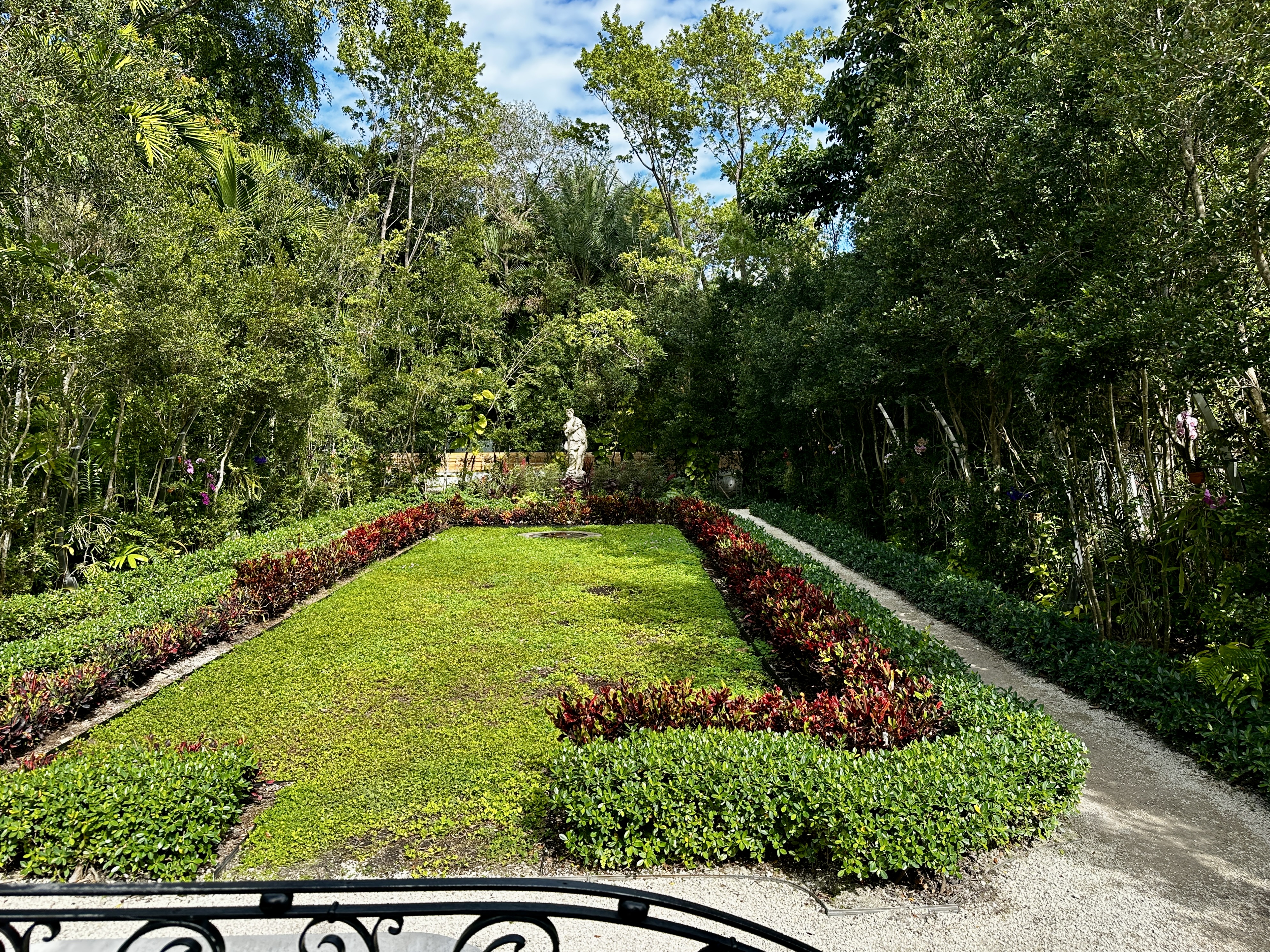
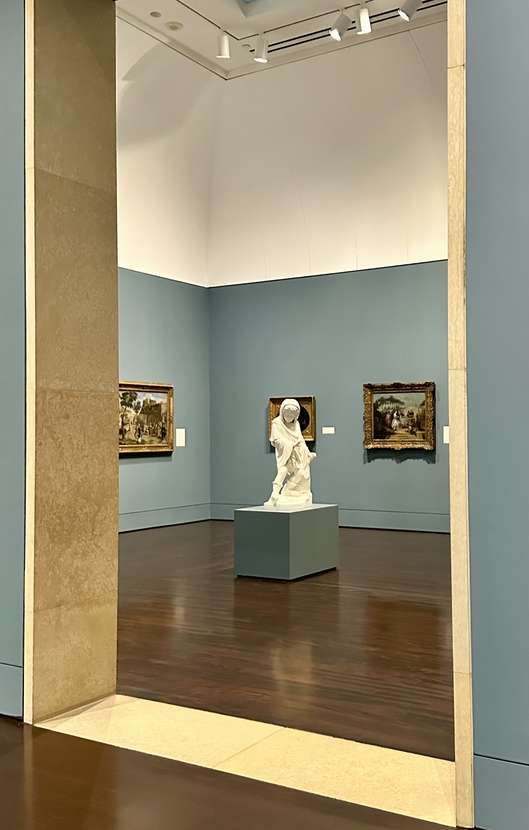
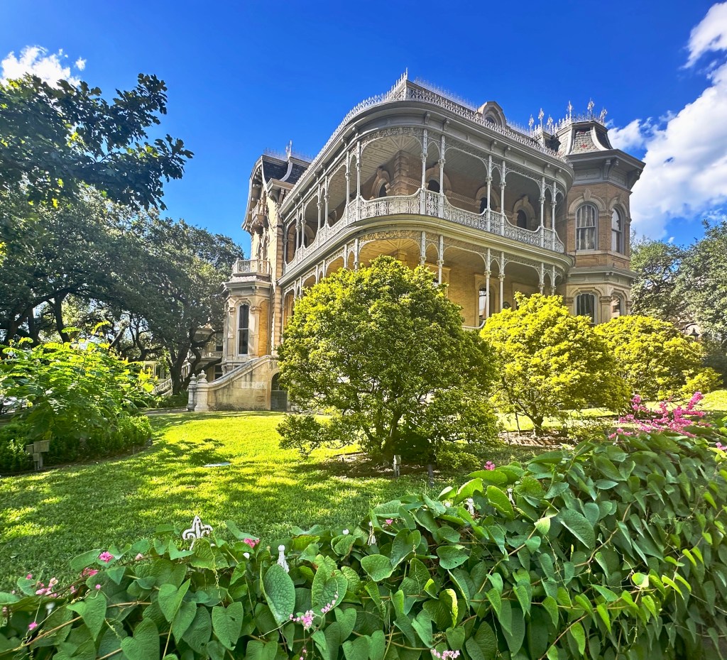
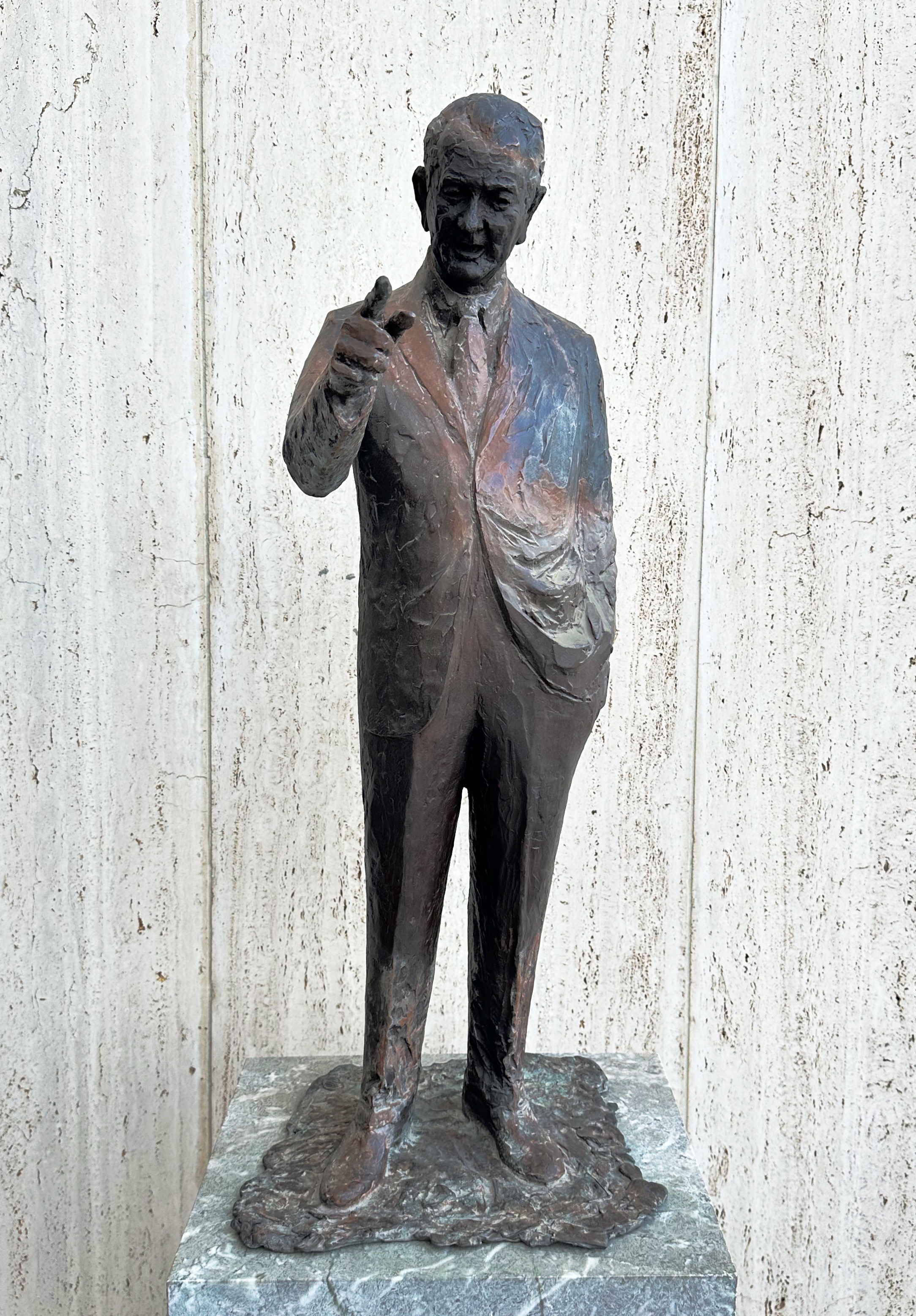
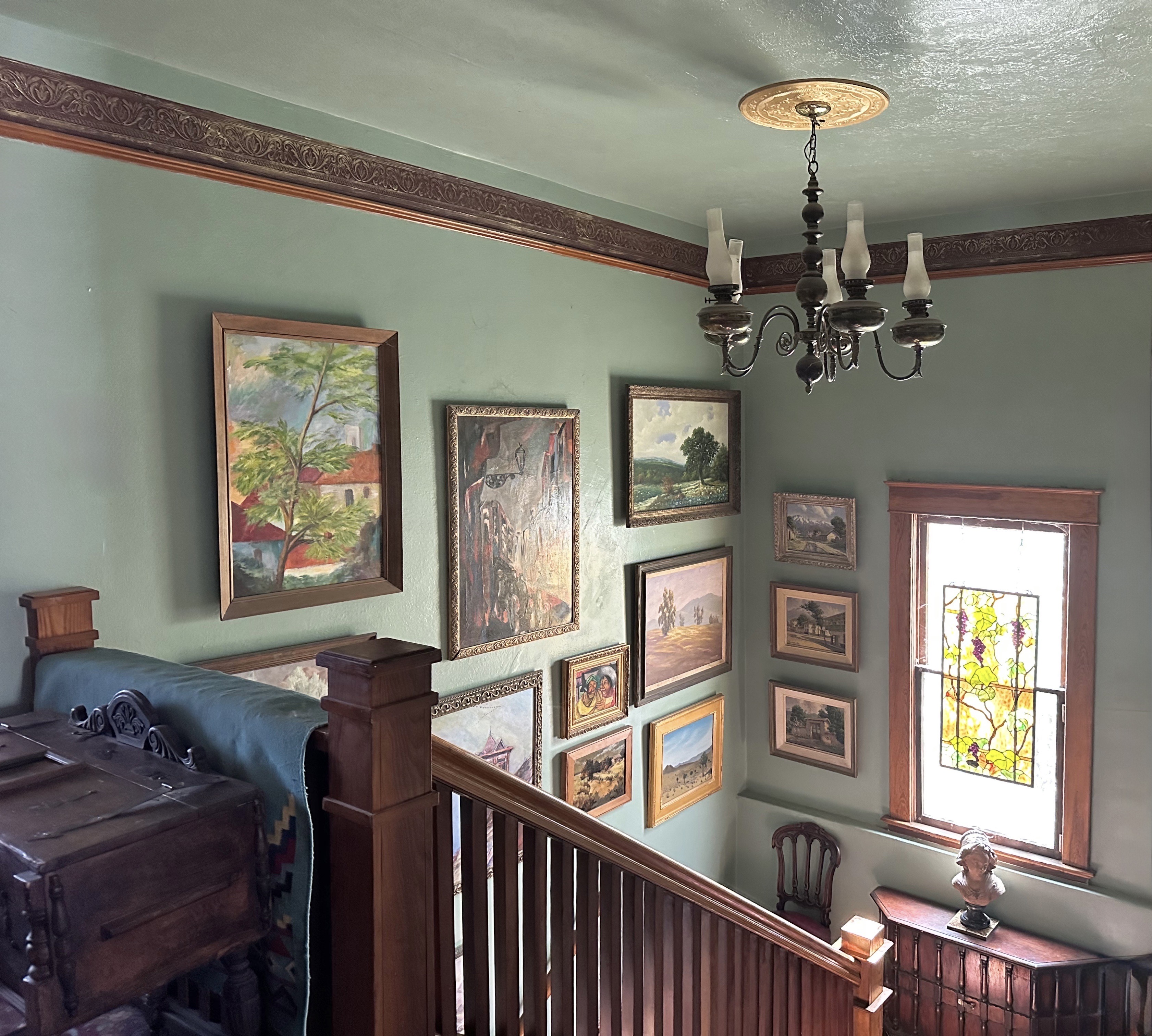
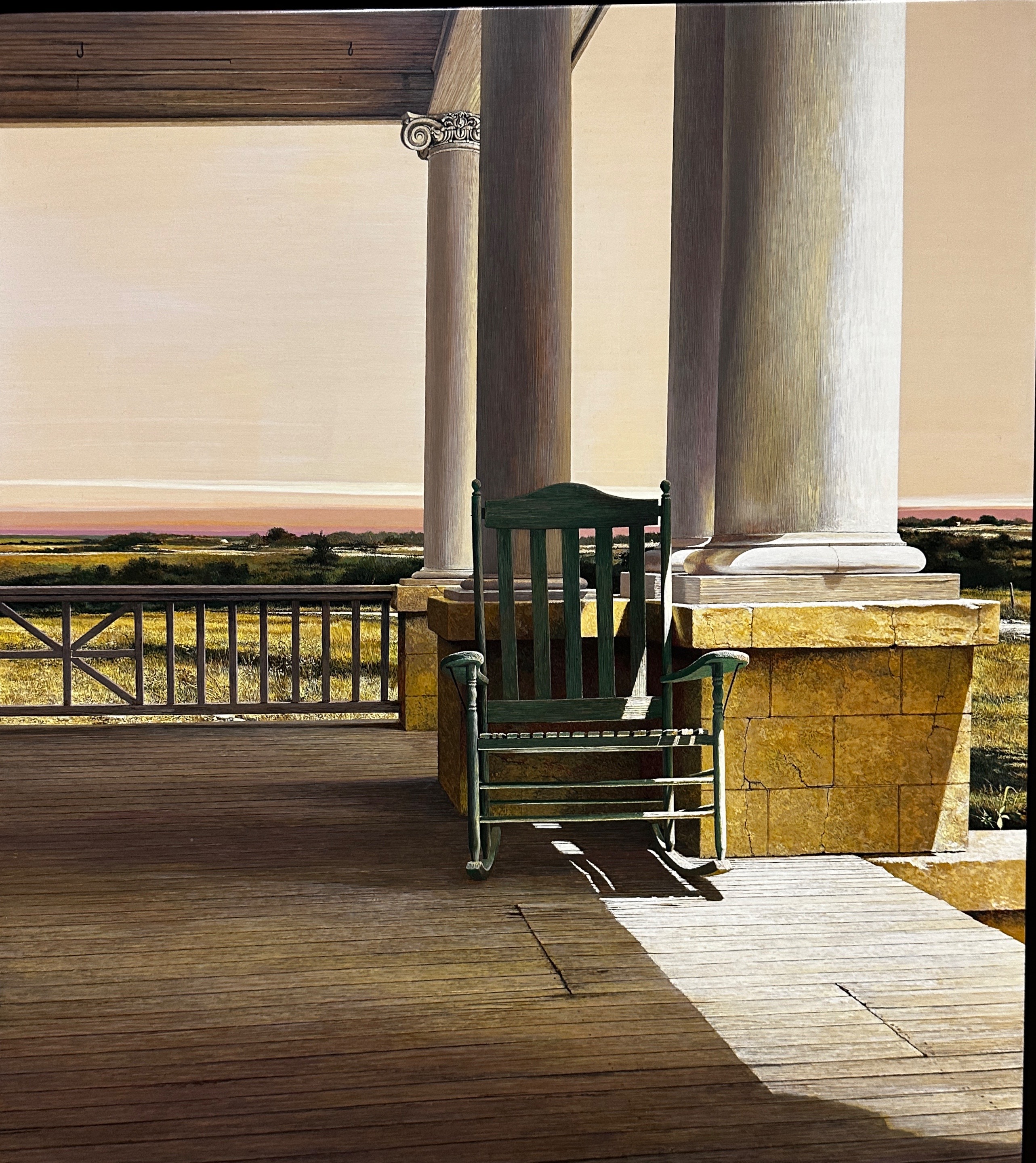
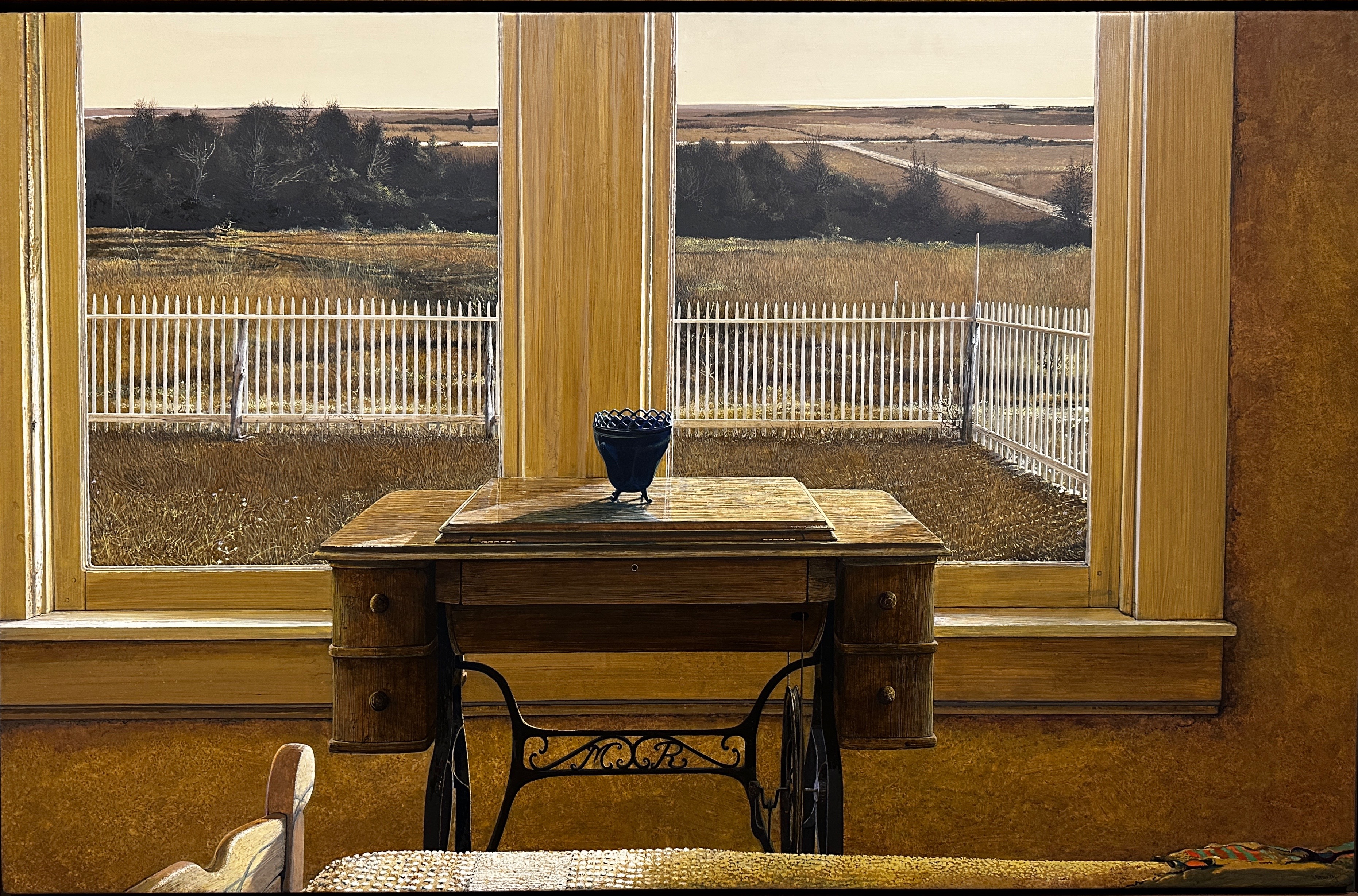
The McNay Art Museum is a fantastic example of the wealth that exists in this enclave. The Spanish Colonial style building that houses the museum was once the home to local heiress Marion McNay. The original house was built in 1927 and contained 24 rooms on 23 acres of land.
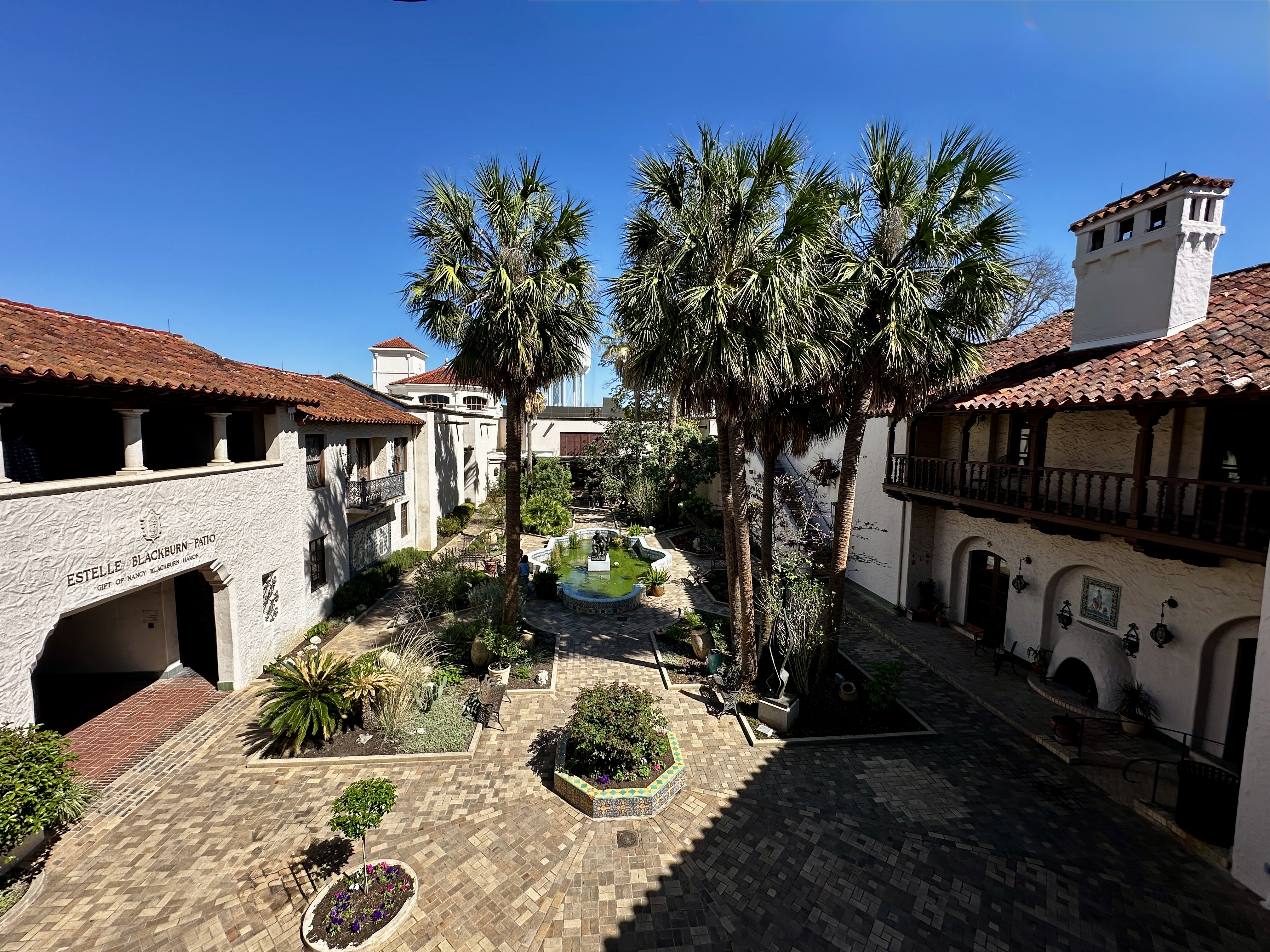
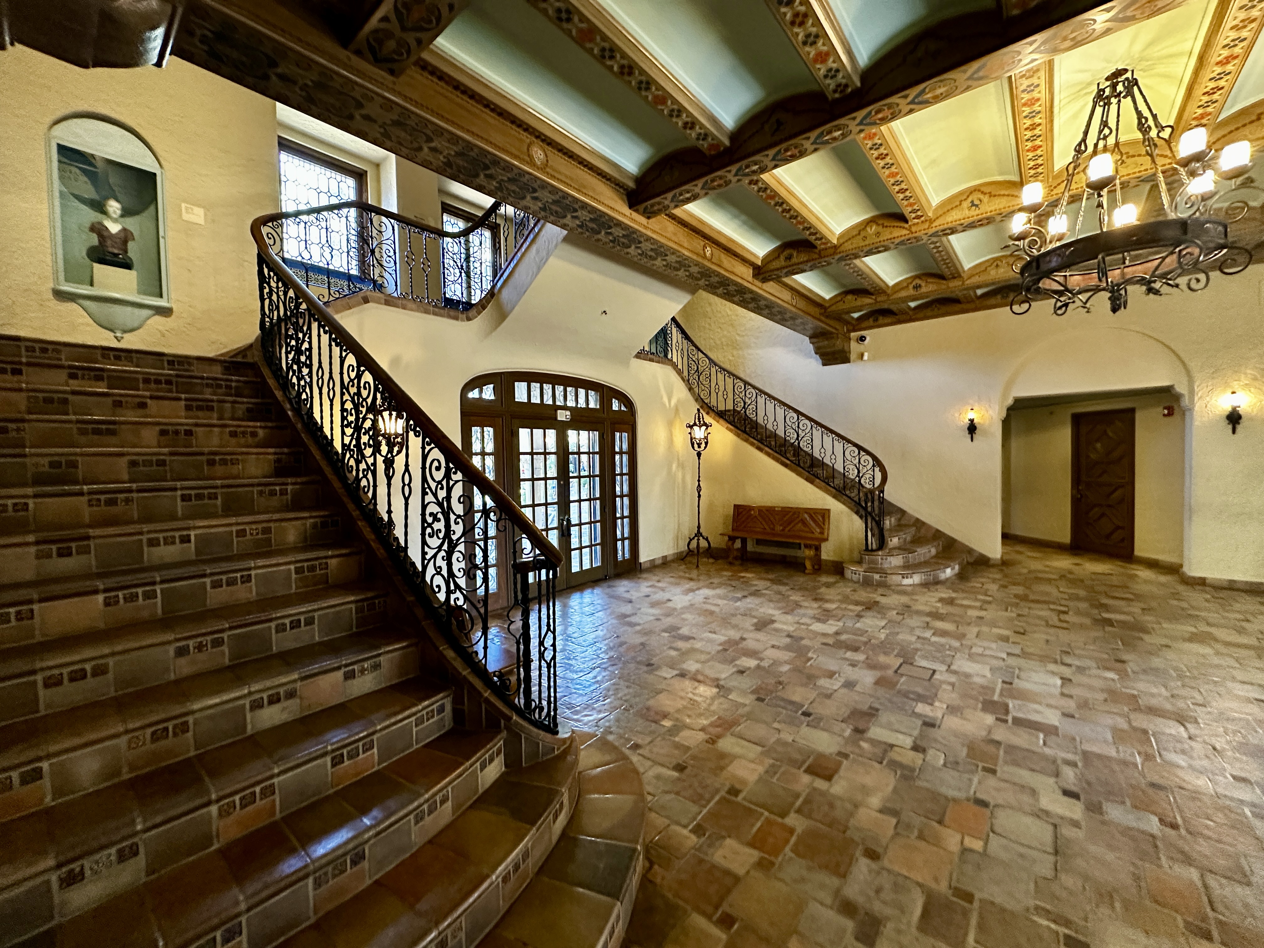
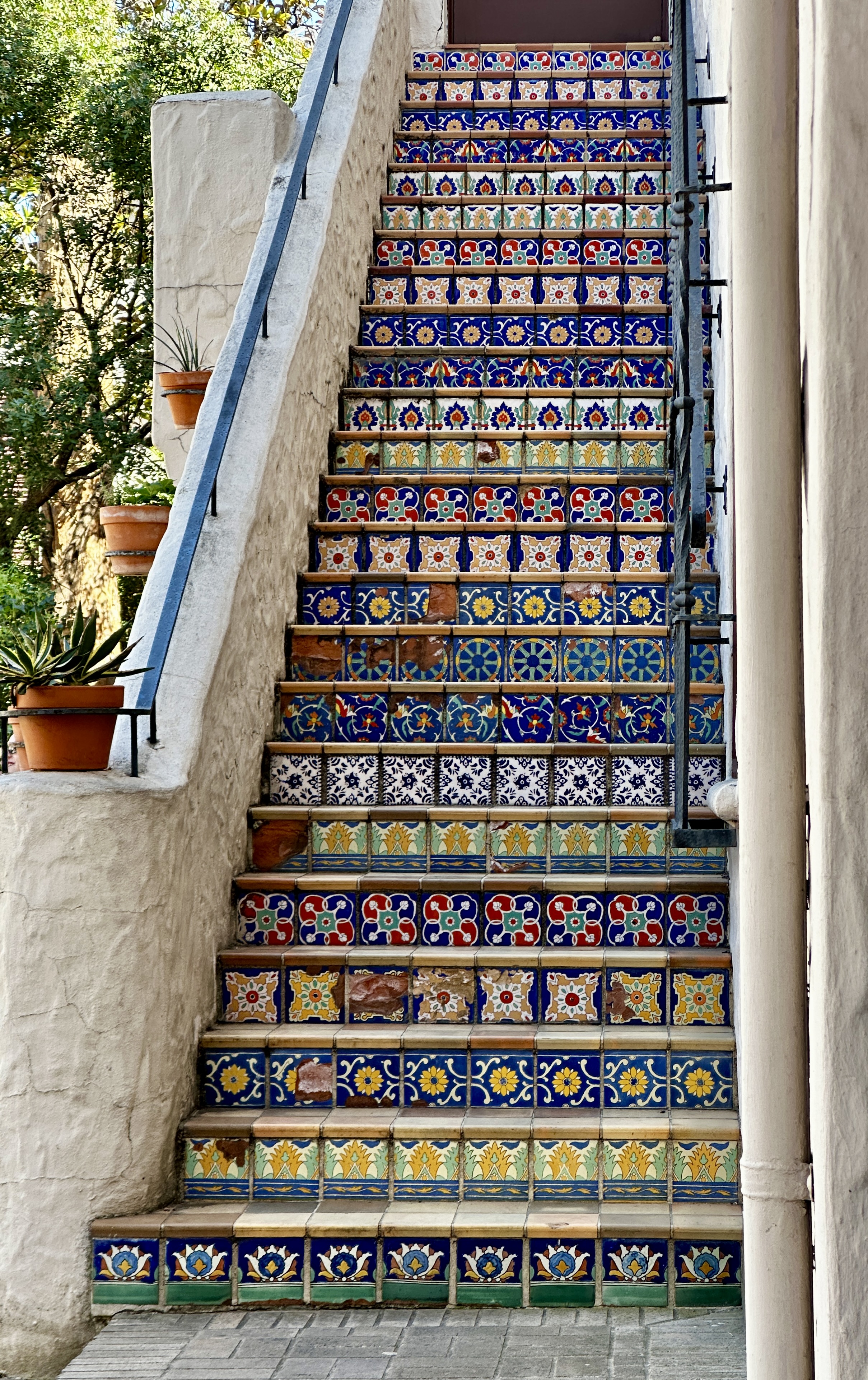
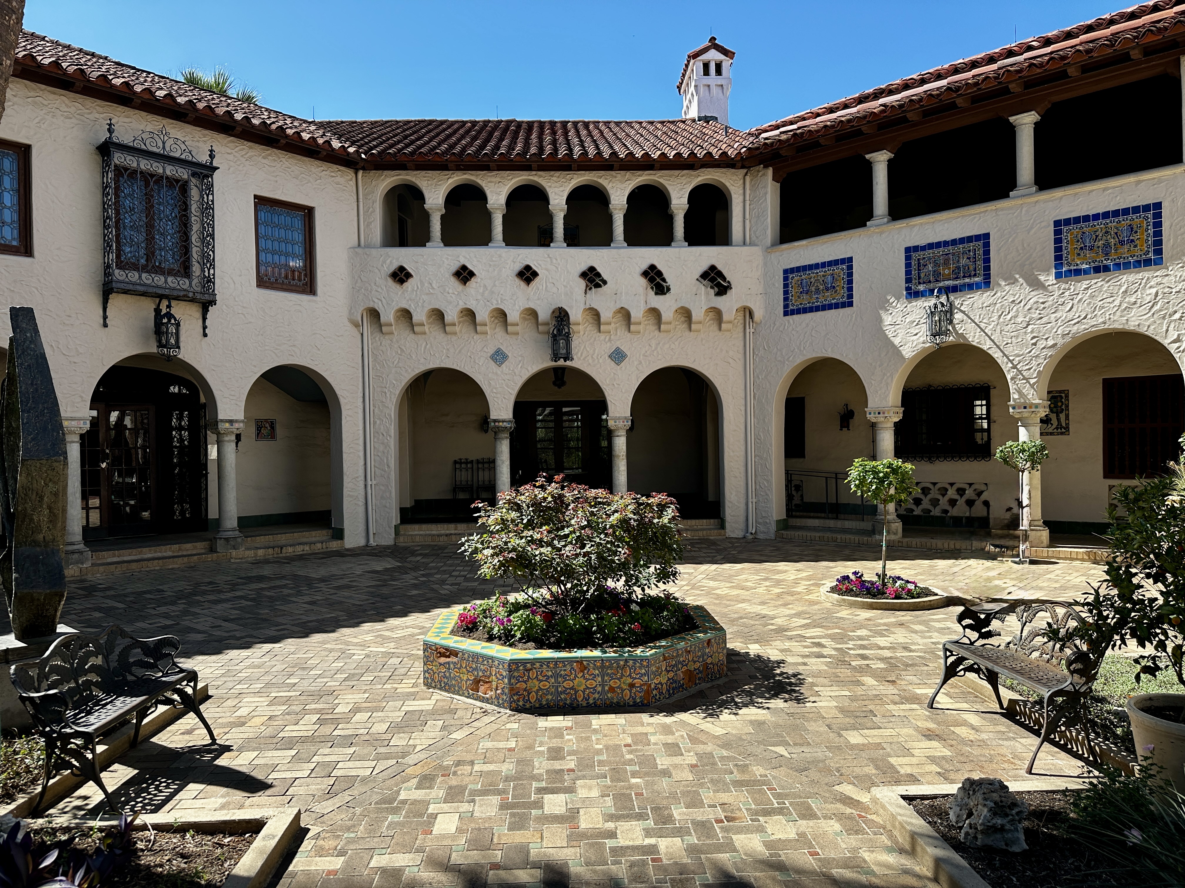
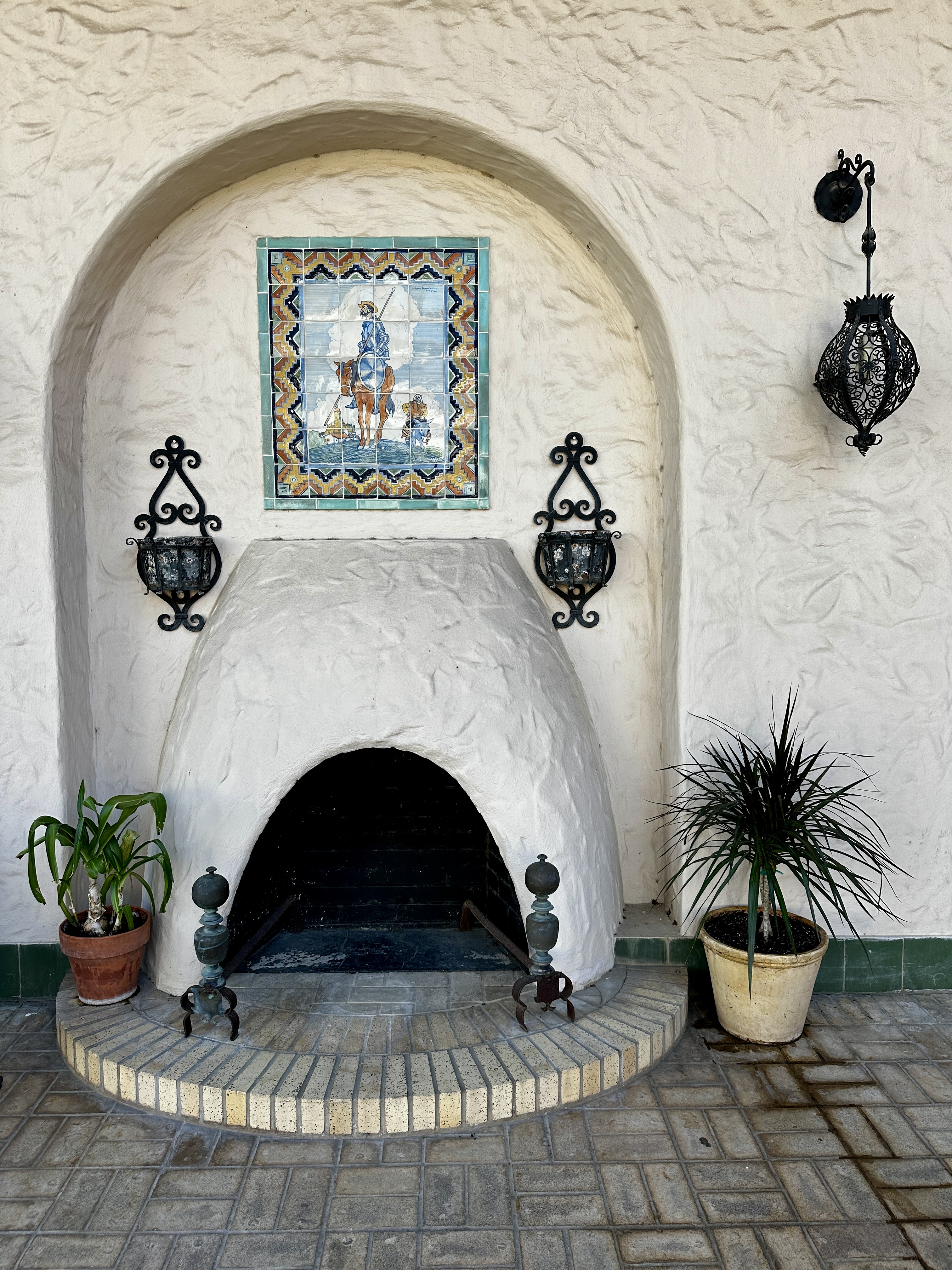
As you can see from the photos above the mansion is a beautiful setting for the prestigious collection of art under the stewardship of the museum. This museum is a must see for architecture and fine art fans.
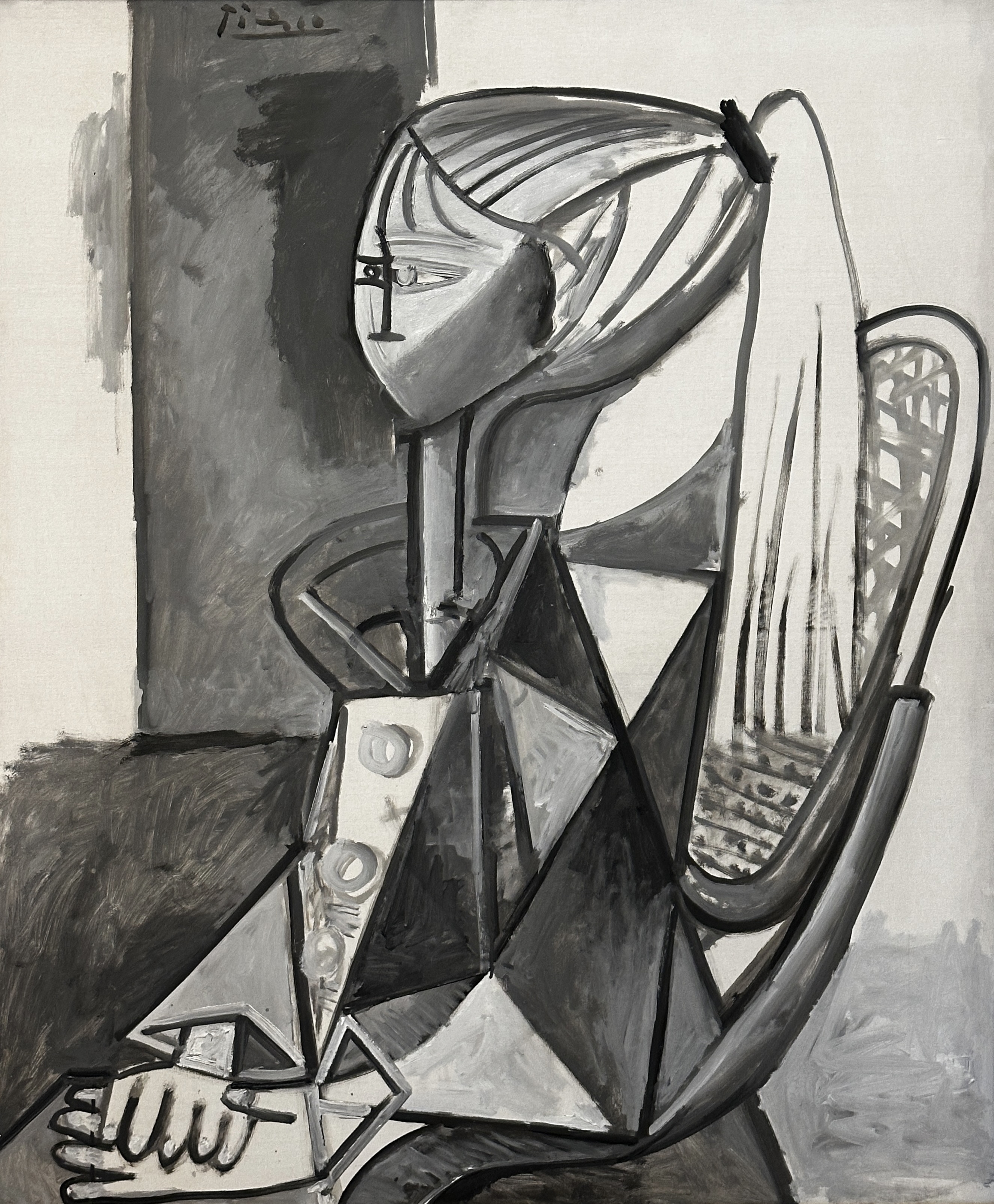
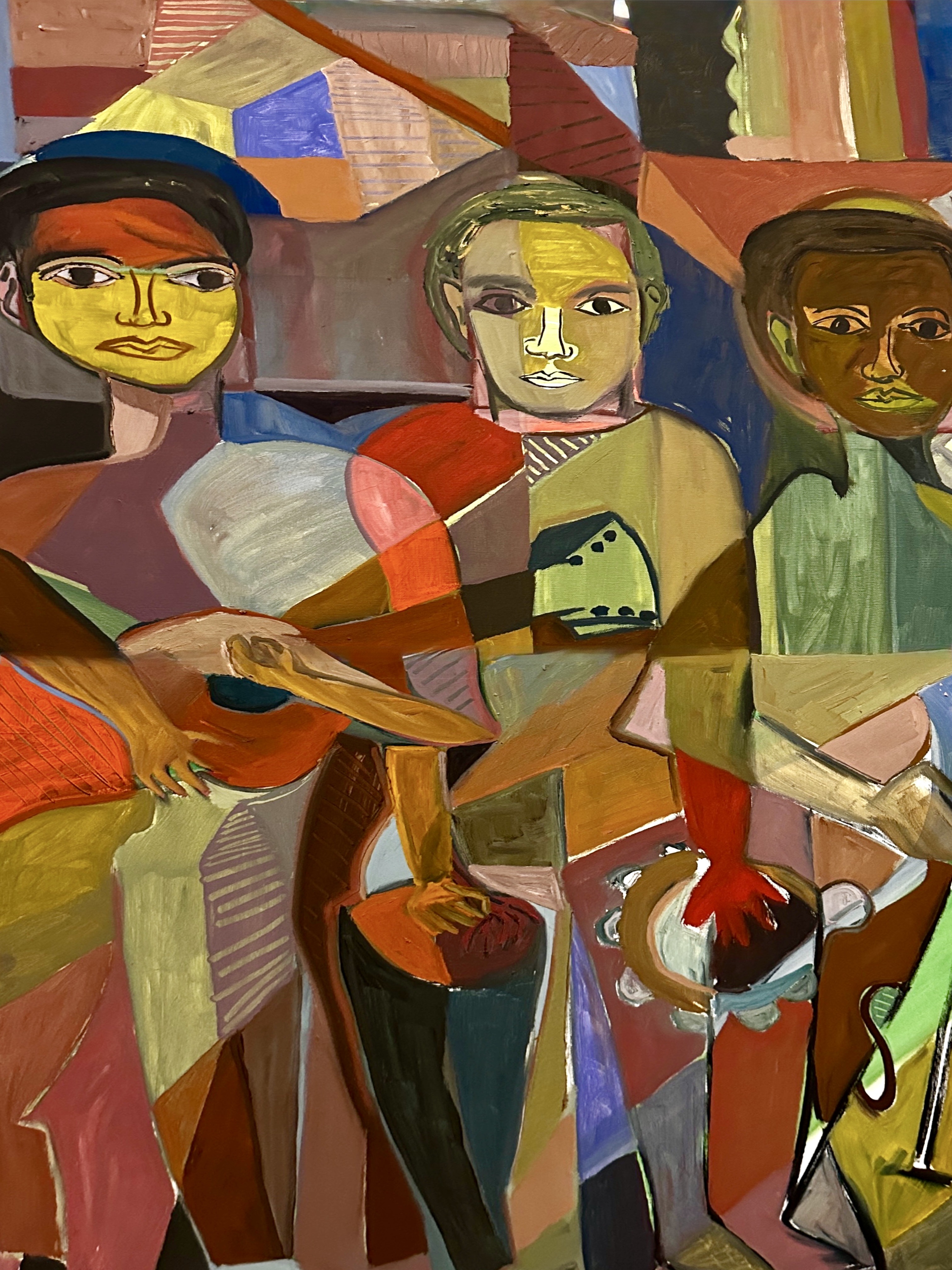
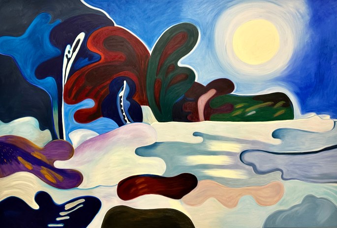
Pablo Picasso | Spanish | 1881-1973 | Portraits of Sylvette | 1954 | Oil on canvas
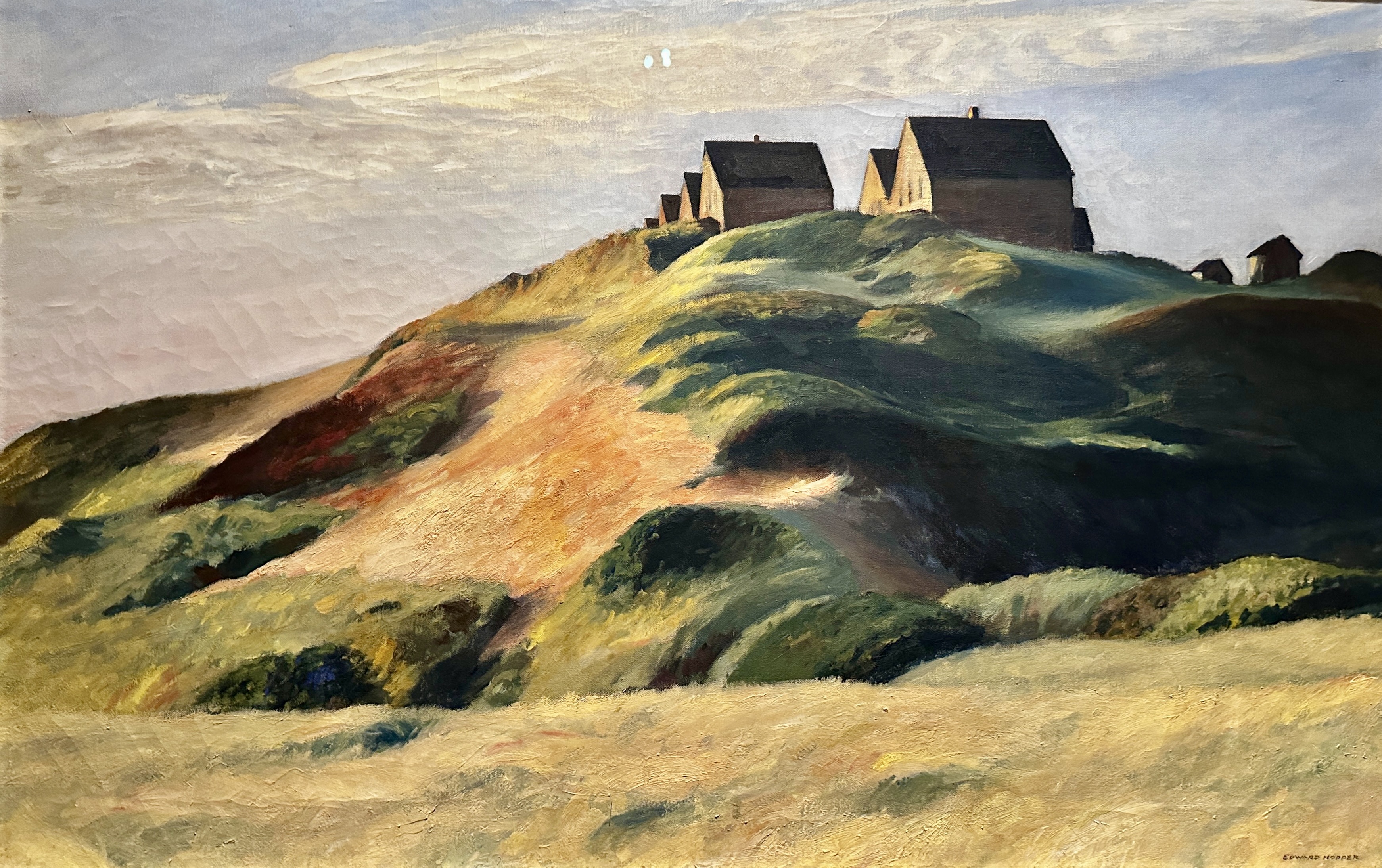
Edward Hopper | American | 1882-1967 | Corn Hill | 1930 | Oil on canvas
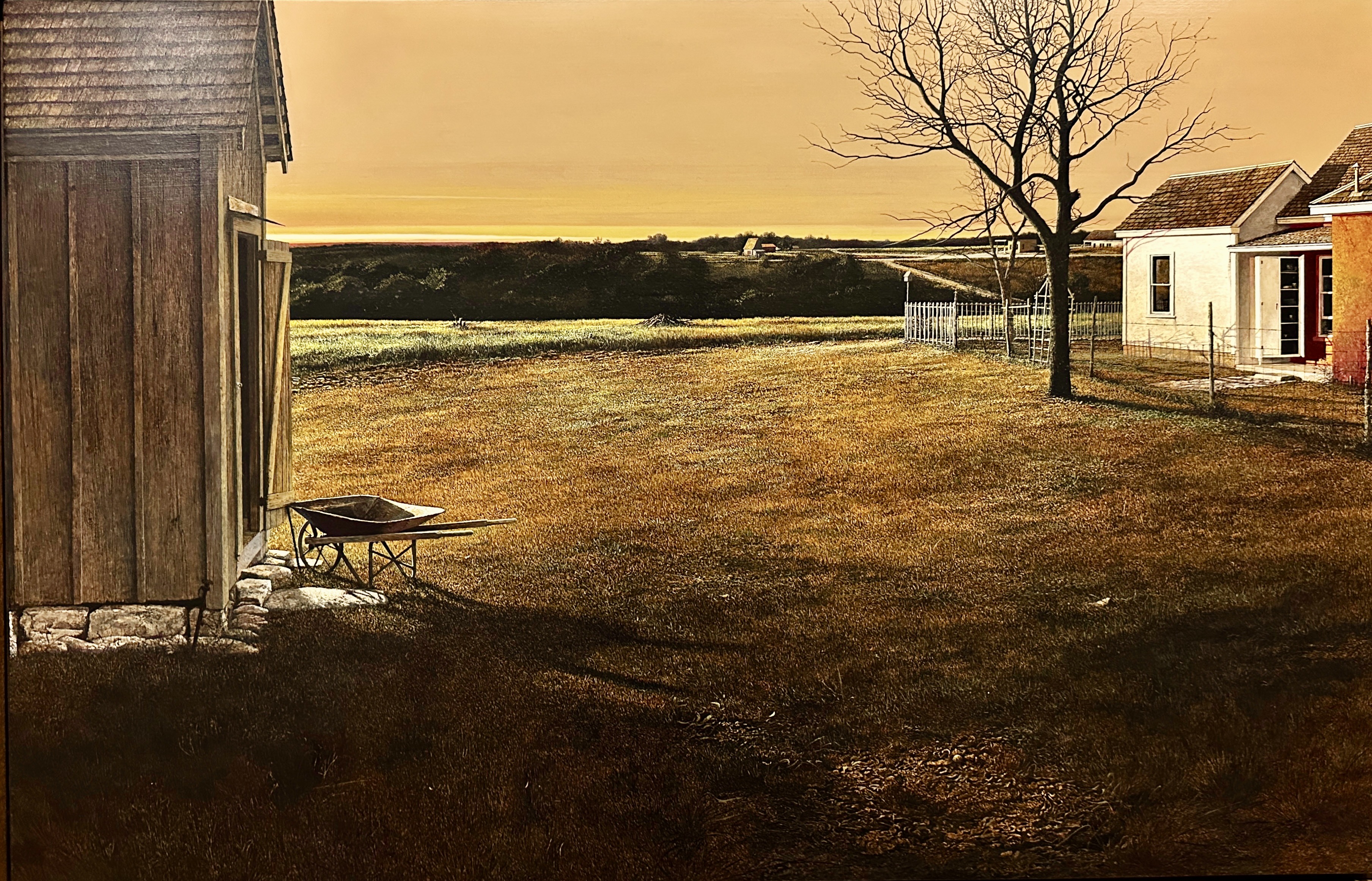
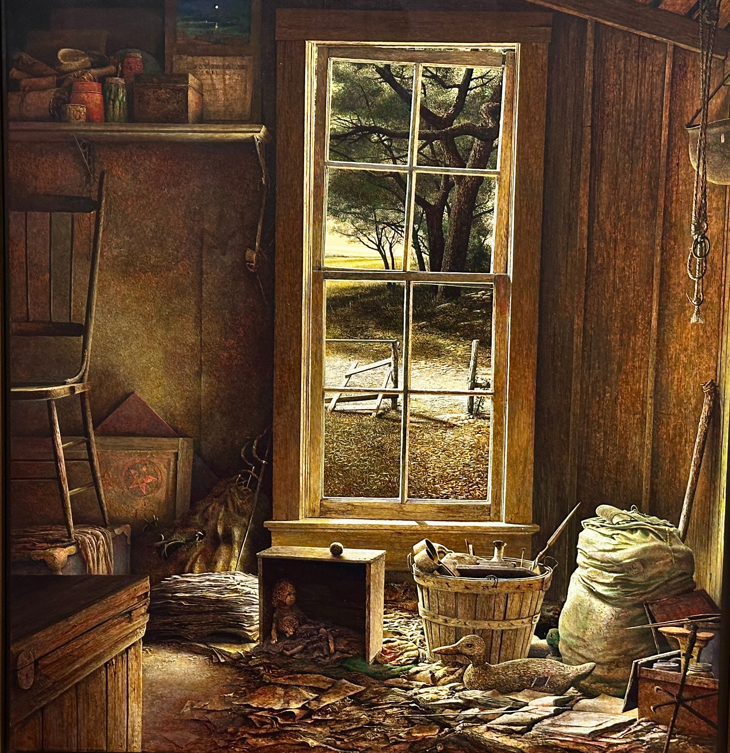
Carl Rice Embrey | American | 1938-2022 | And the Rivers Flow | 1979 | Acrylic on panel
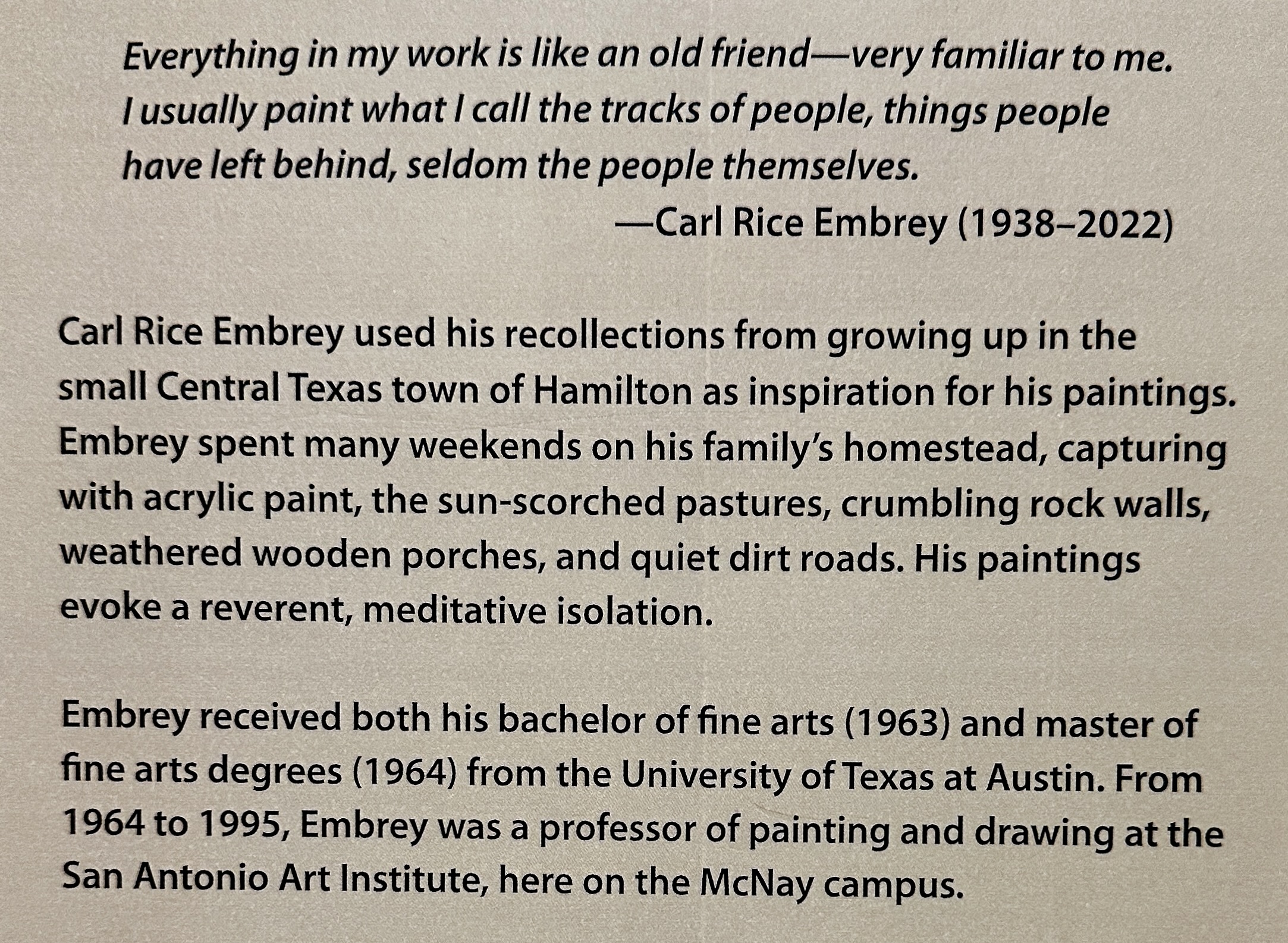
Carl Rice Embrey
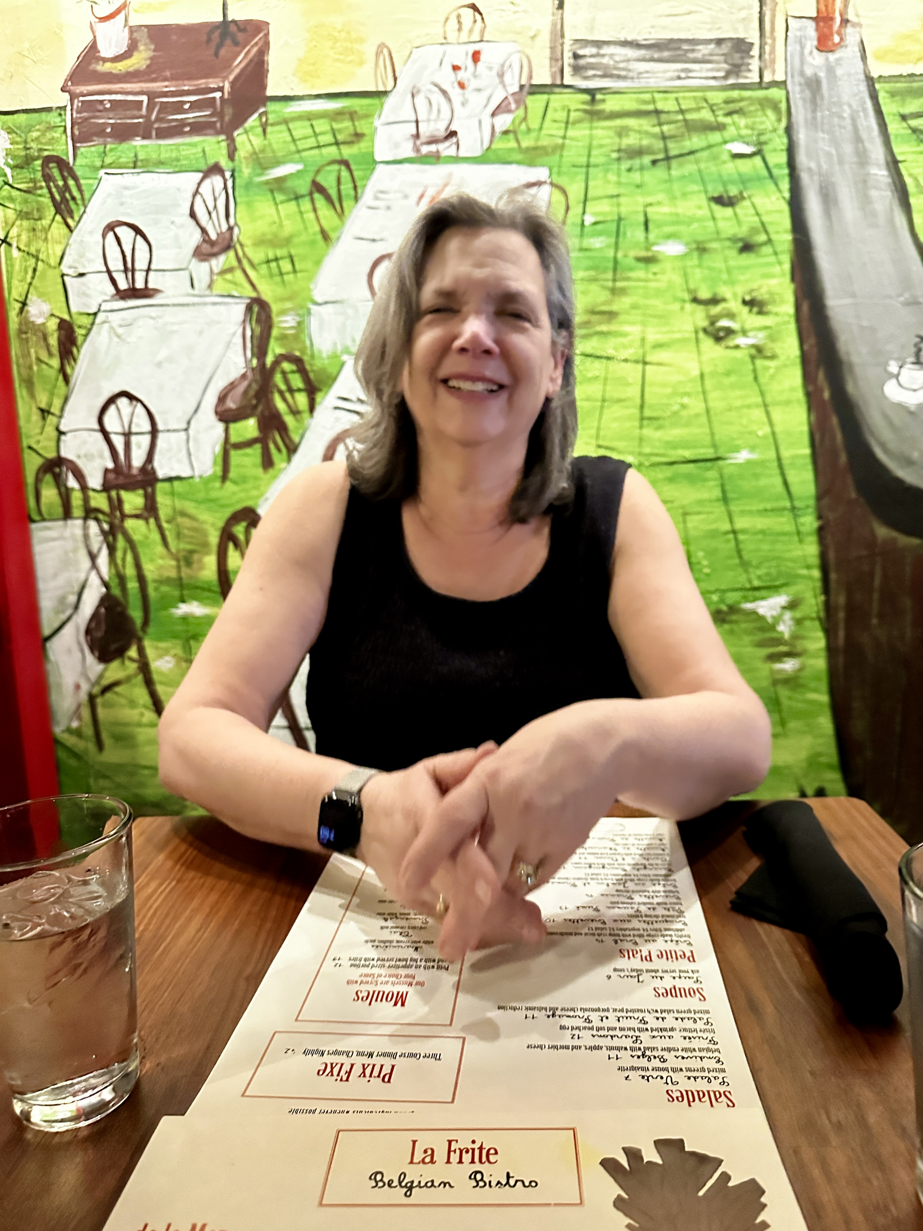
After a thoroughly enjoyable afternoon at the McNay we returned to the Gunter via Uber. We treated ourselves to a cocktail at the lobby bar and some Bossa Nova on vinyl before freshening up and heading to Southtown for dinner at La Frite Belgian Bistro.
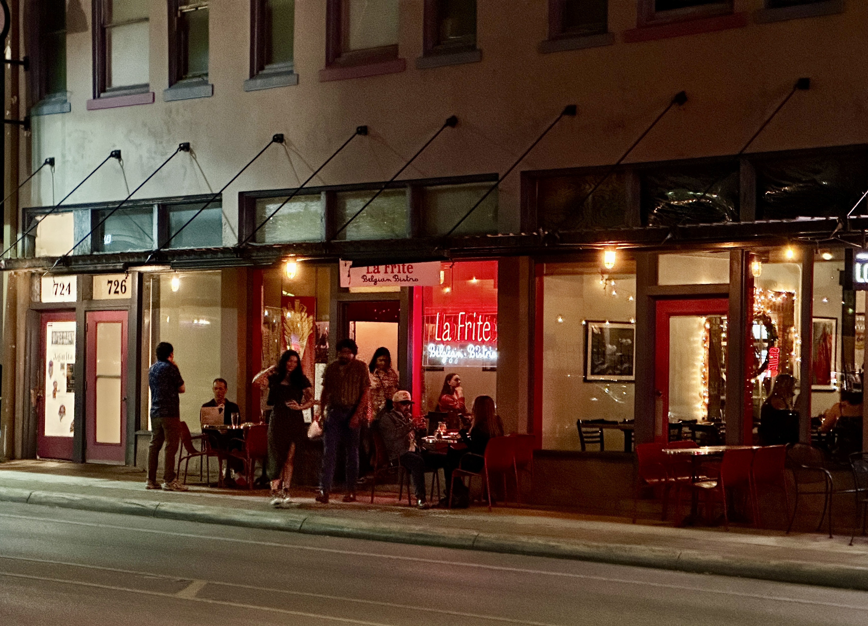
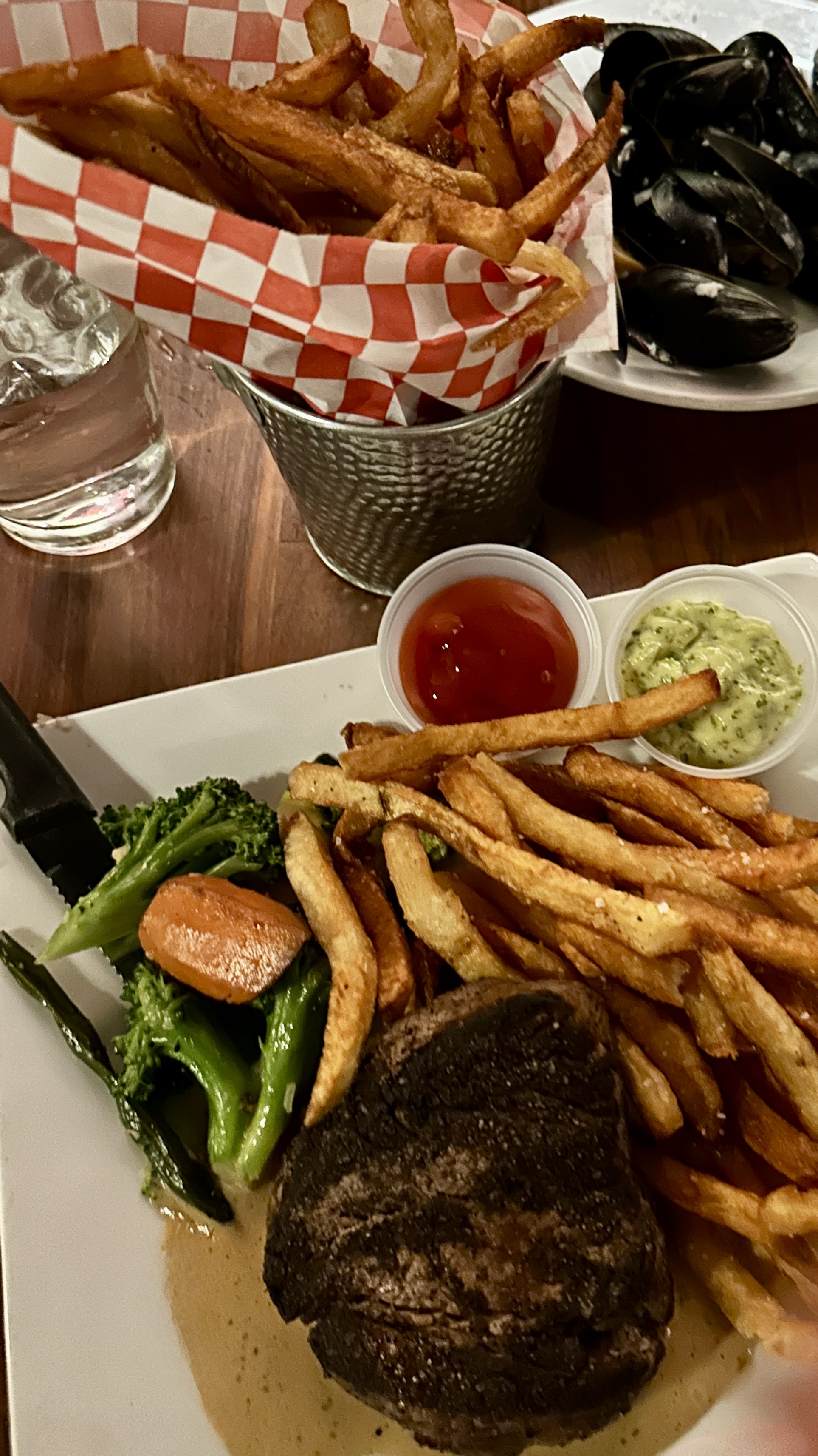
After a delicious meal we wandered around Southtown a bit before walking back to the hotel. Southtown has plenty of art, shops, restaurants and nightlife and is worth a visit.
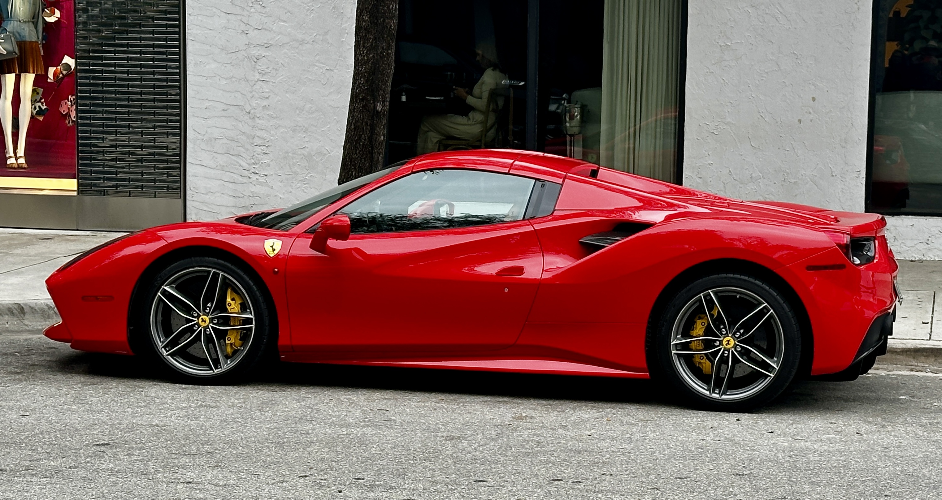
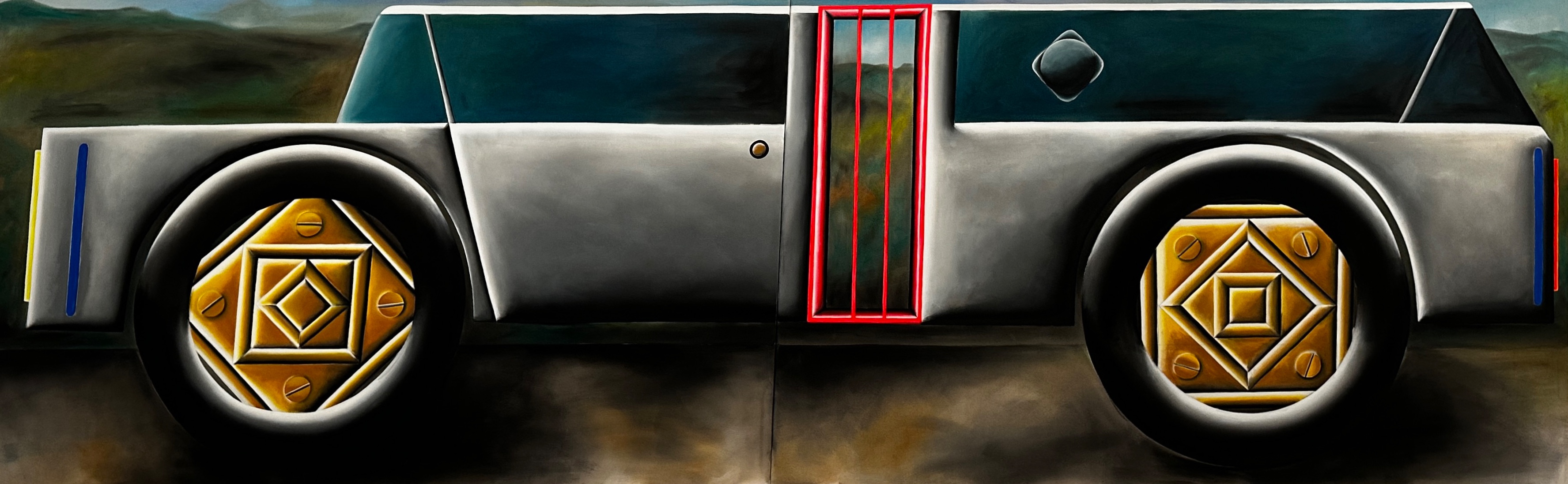
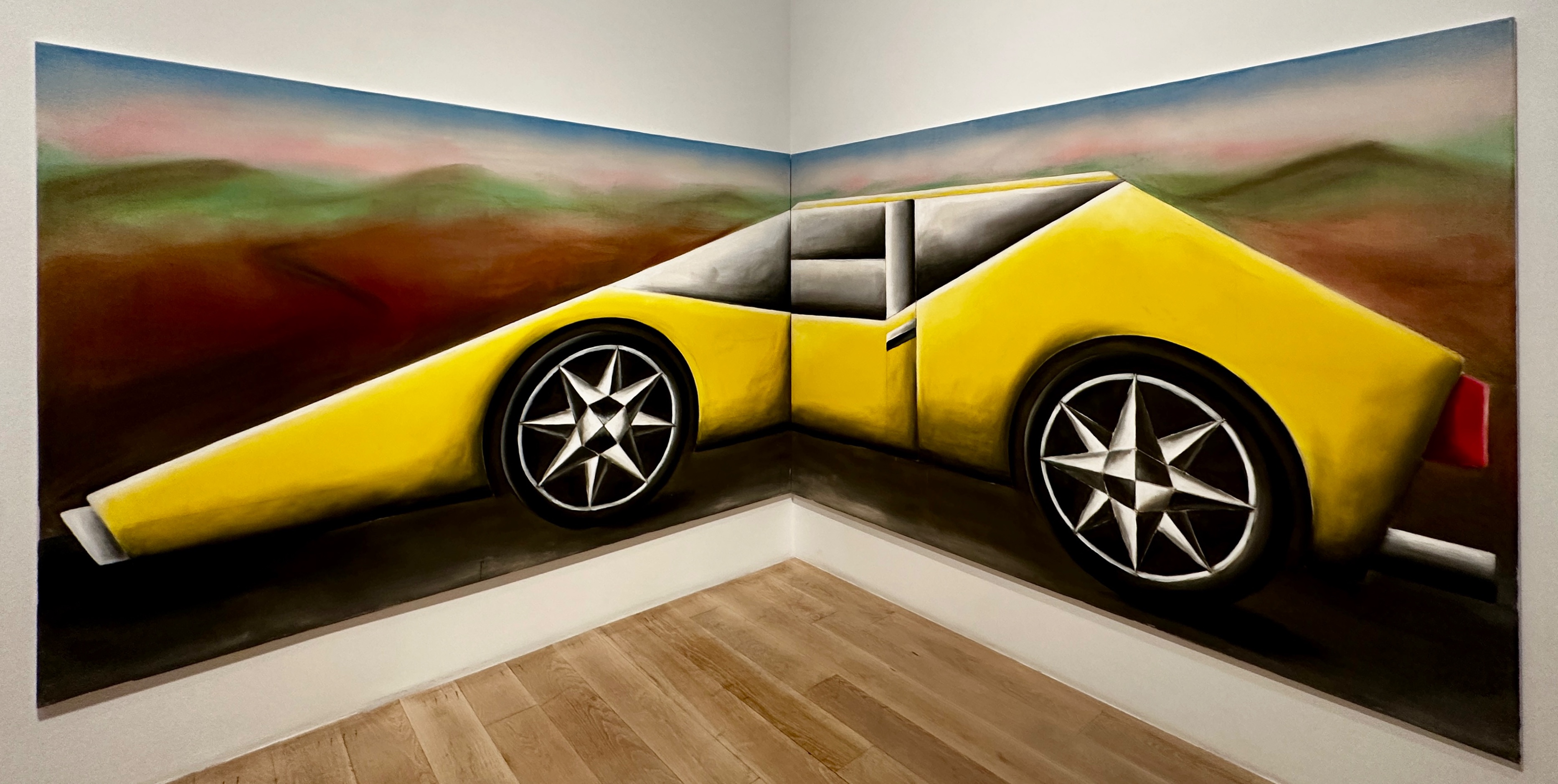
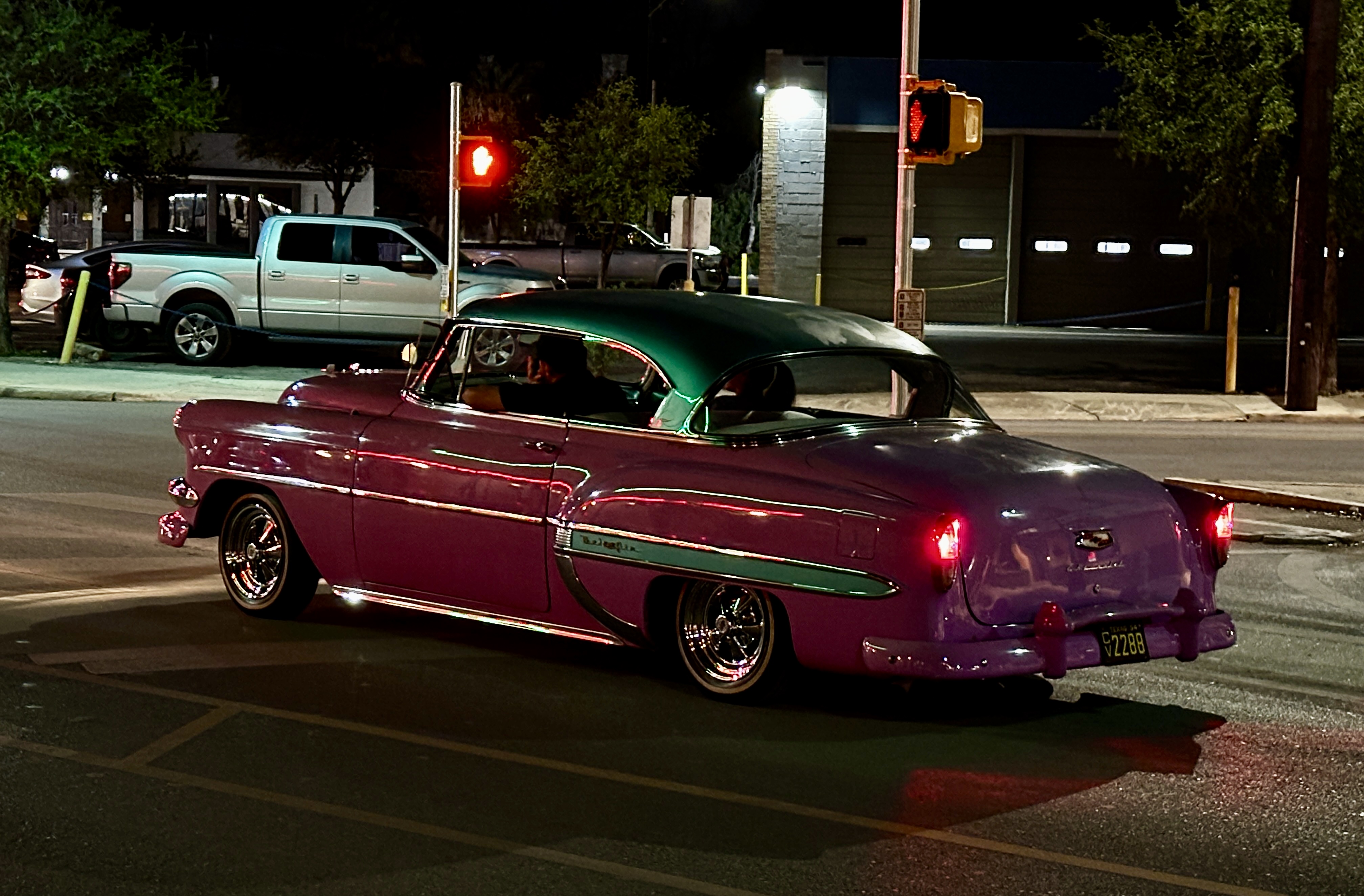
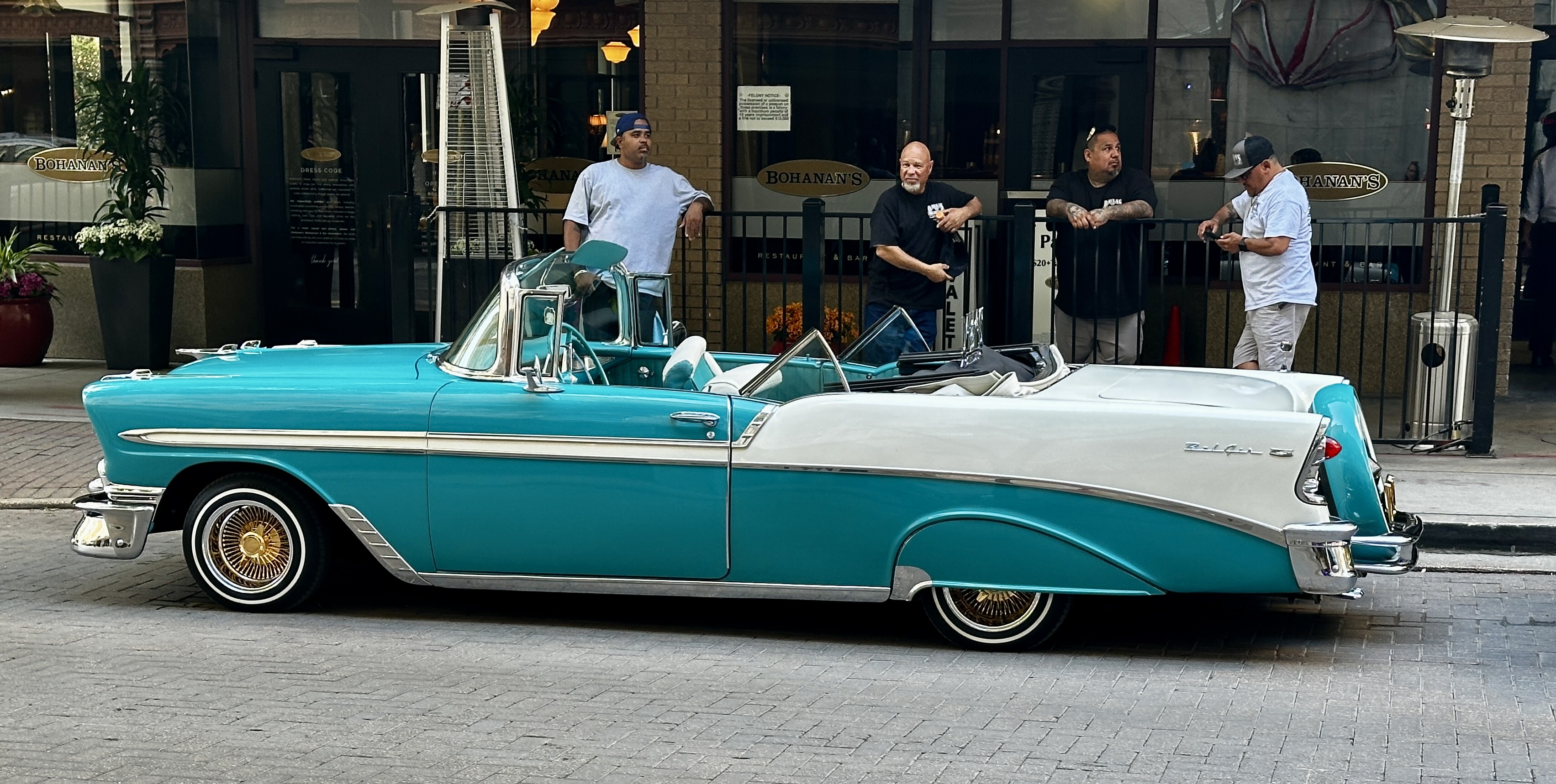
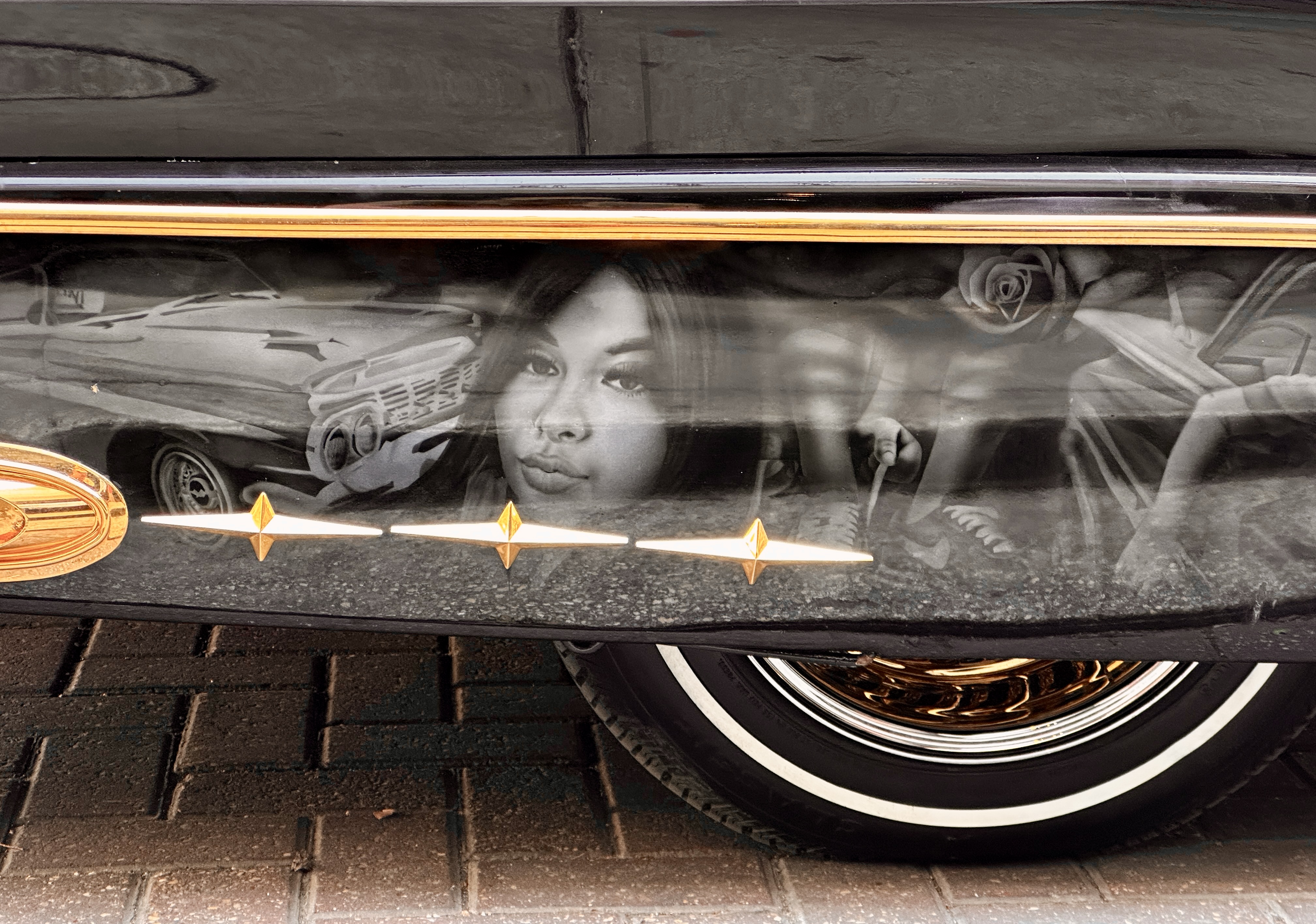
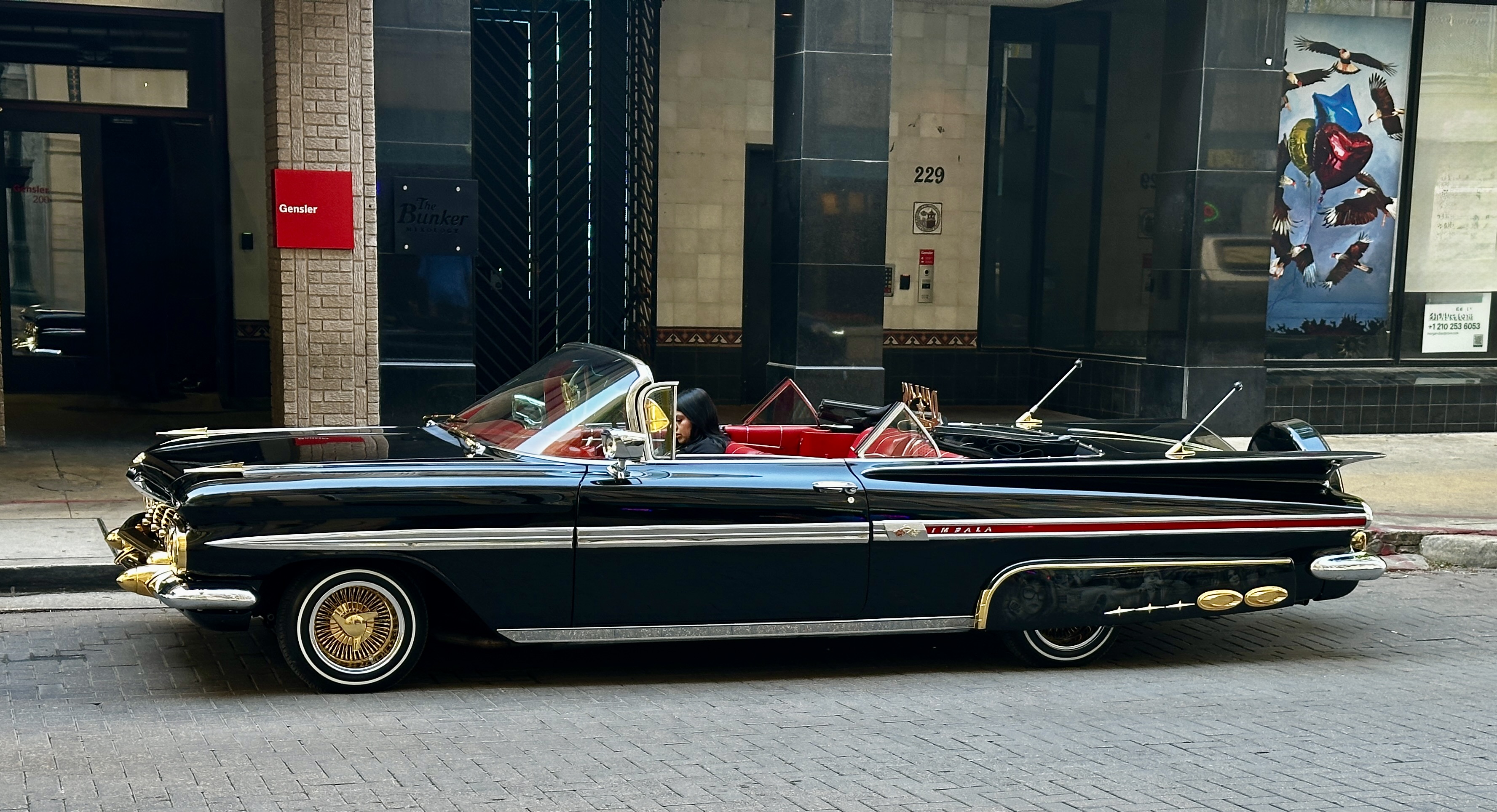
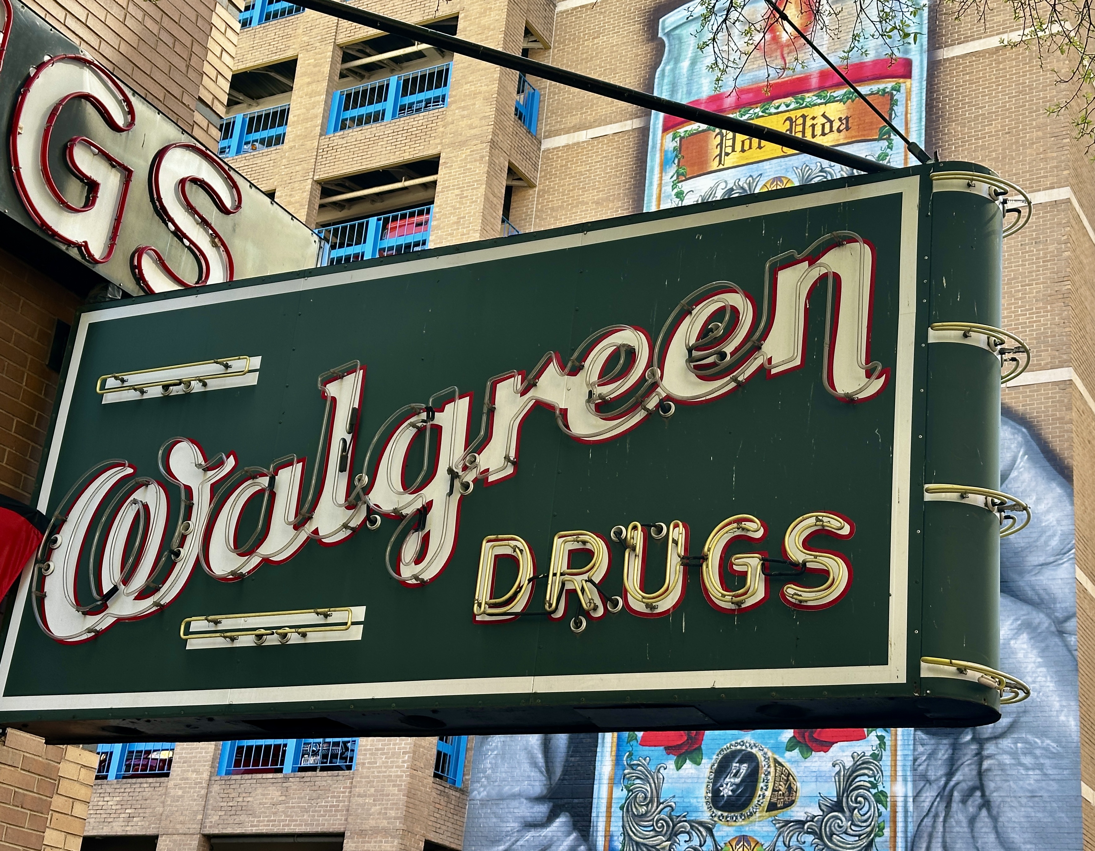
Day Five: We decided on a slower pace at the halfway point of our tour in order to recharge for the second half of the tour. We walked around the downtown area checking out some of the historic sites and architecture. Our bonus for the day was the parade of low riders that were in town for a low rider show. The photos below are cars owned by members of the Dallas Low Riders Club.
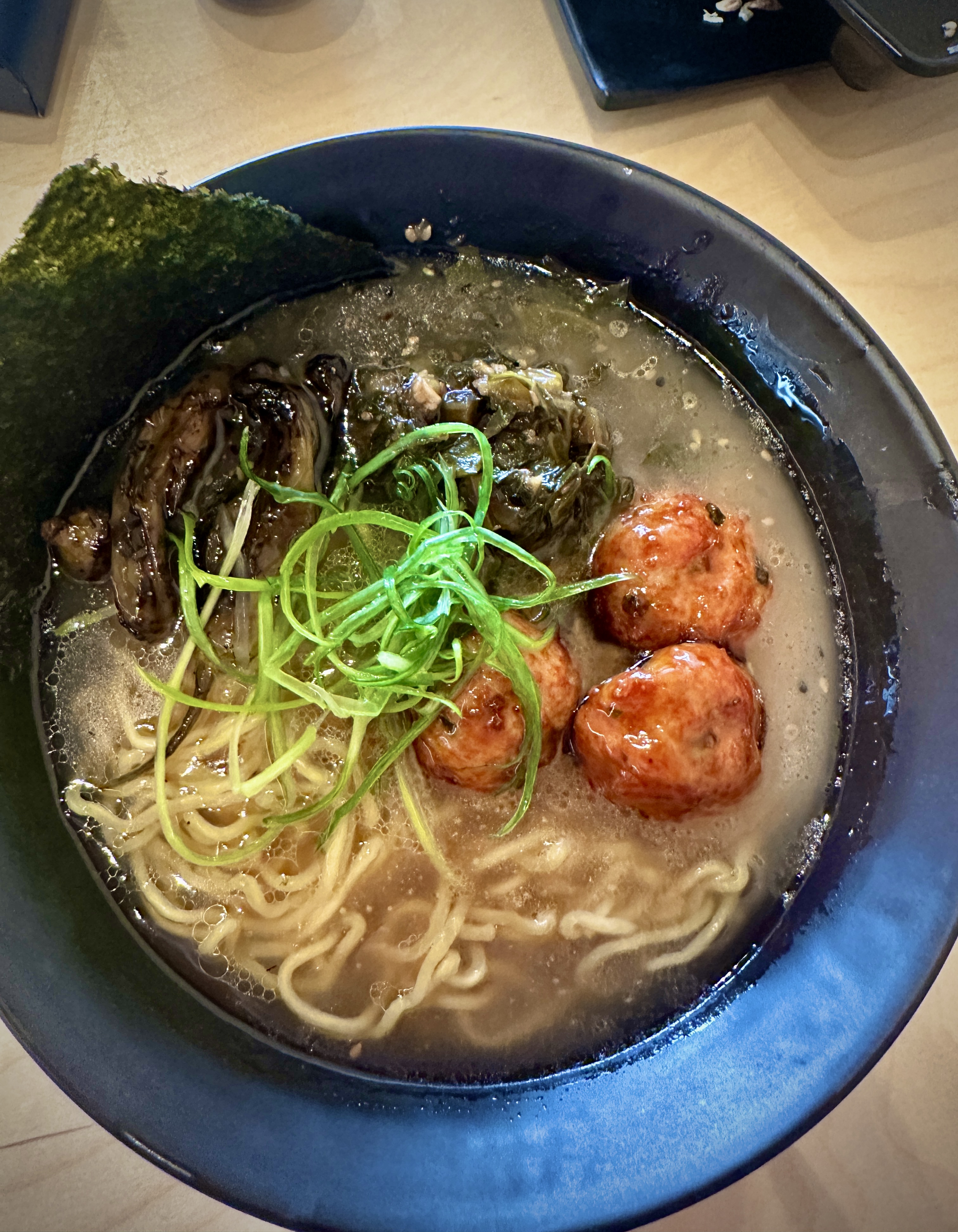
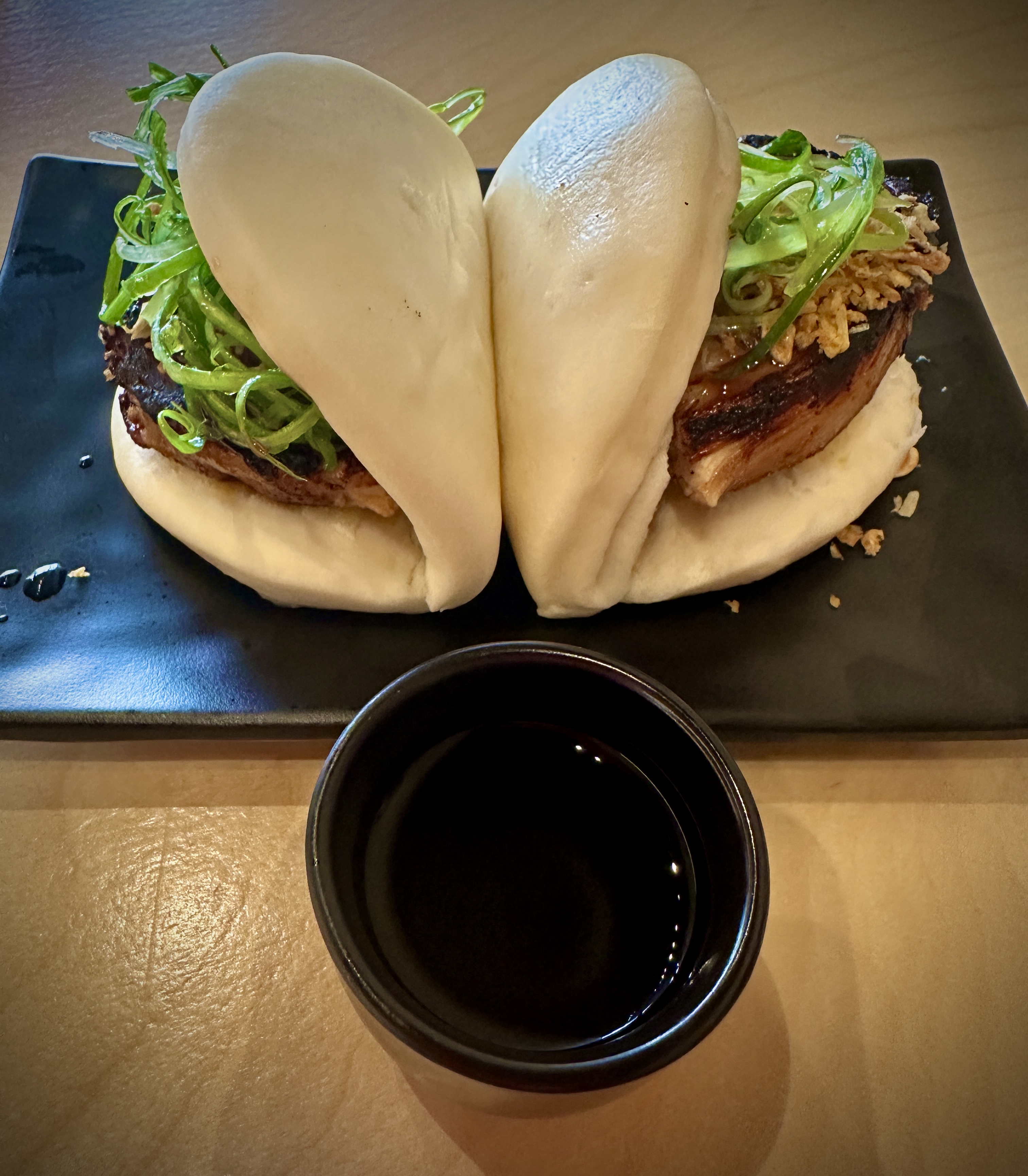
After a short rest stop at the hotel and a cocktail in the lobby we made the three minute walk to Kaedama Battleship for dinner and sake. Quite delicious and convenient.
After dinner we took an evening stroll and eventually made our way to The Alamo to see it at night and without the crowds.

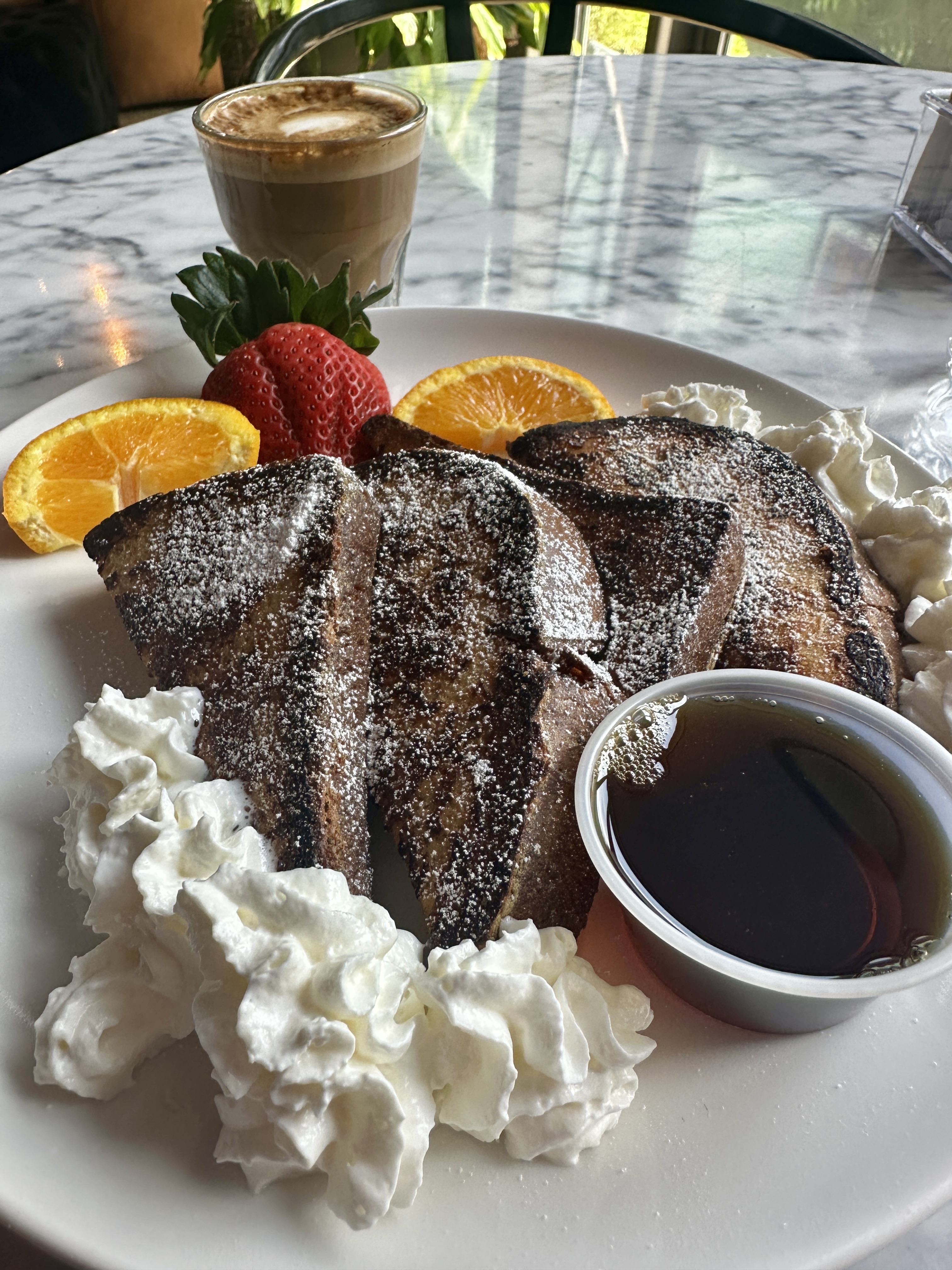
Day Six: We strolled along the Riverwalk for breakfast at Commonwealth Coffee House & Bakery Good coffee products (and French Toast) along with a very soothing and relaxing atmosphere.
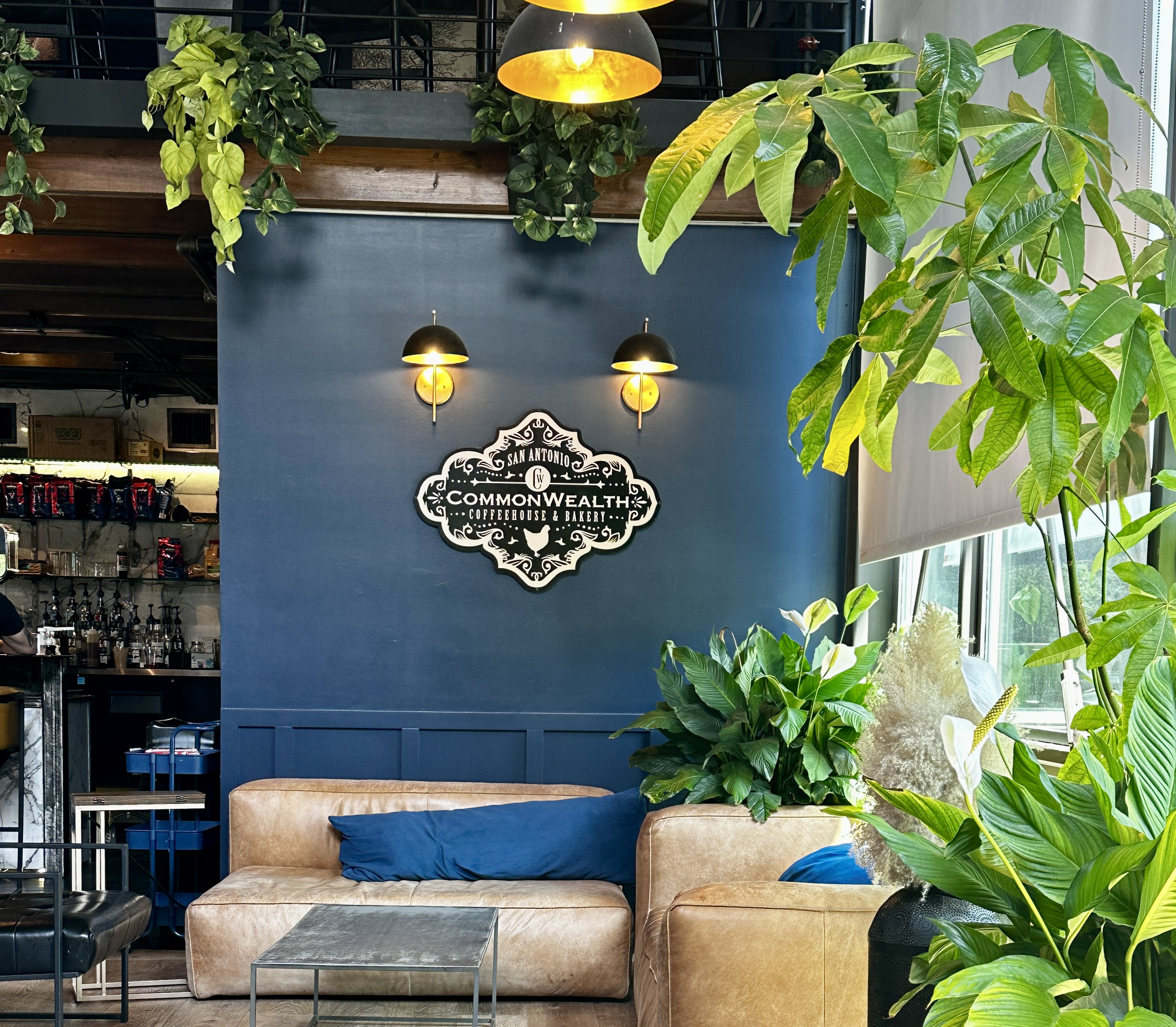
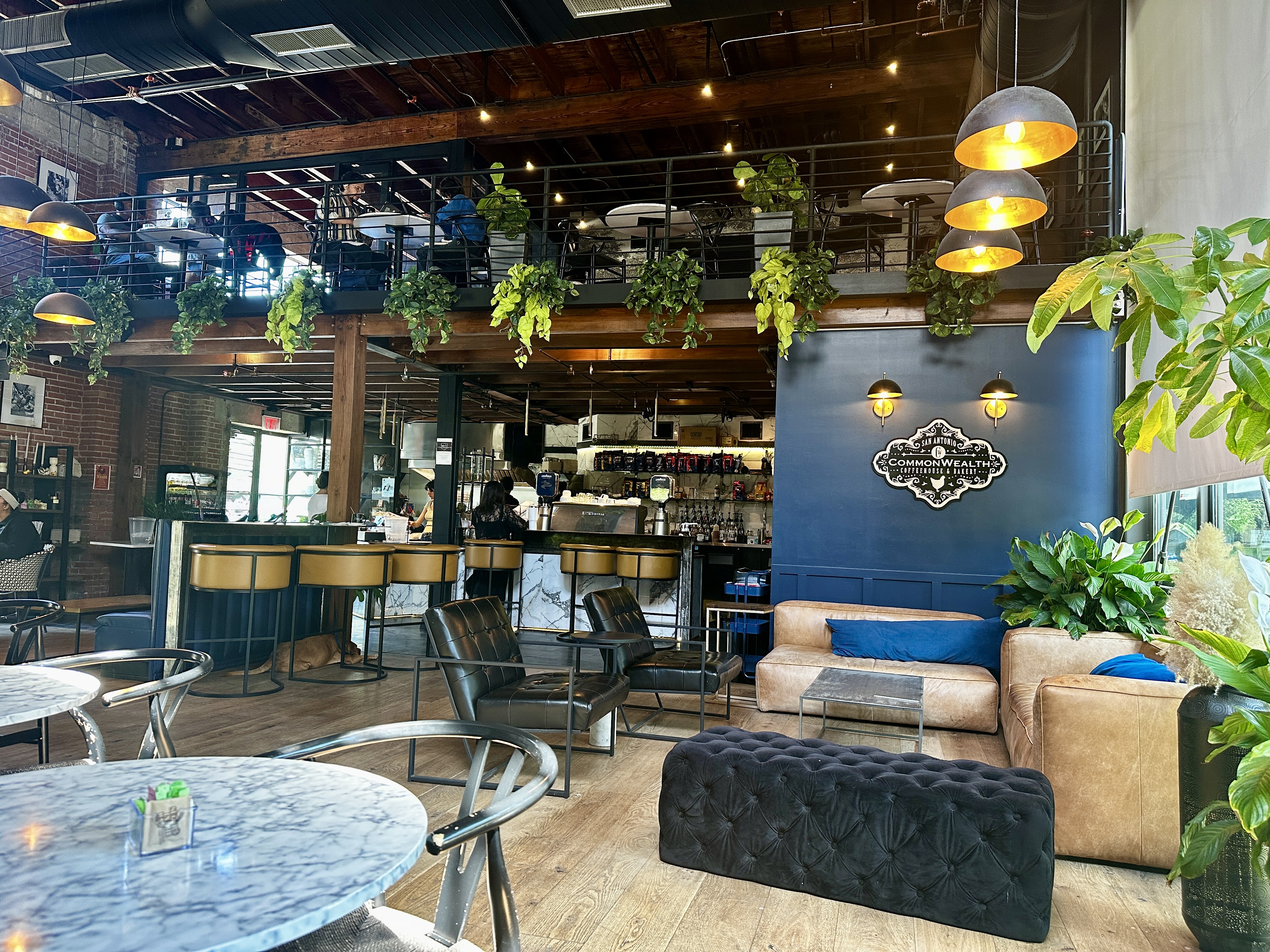
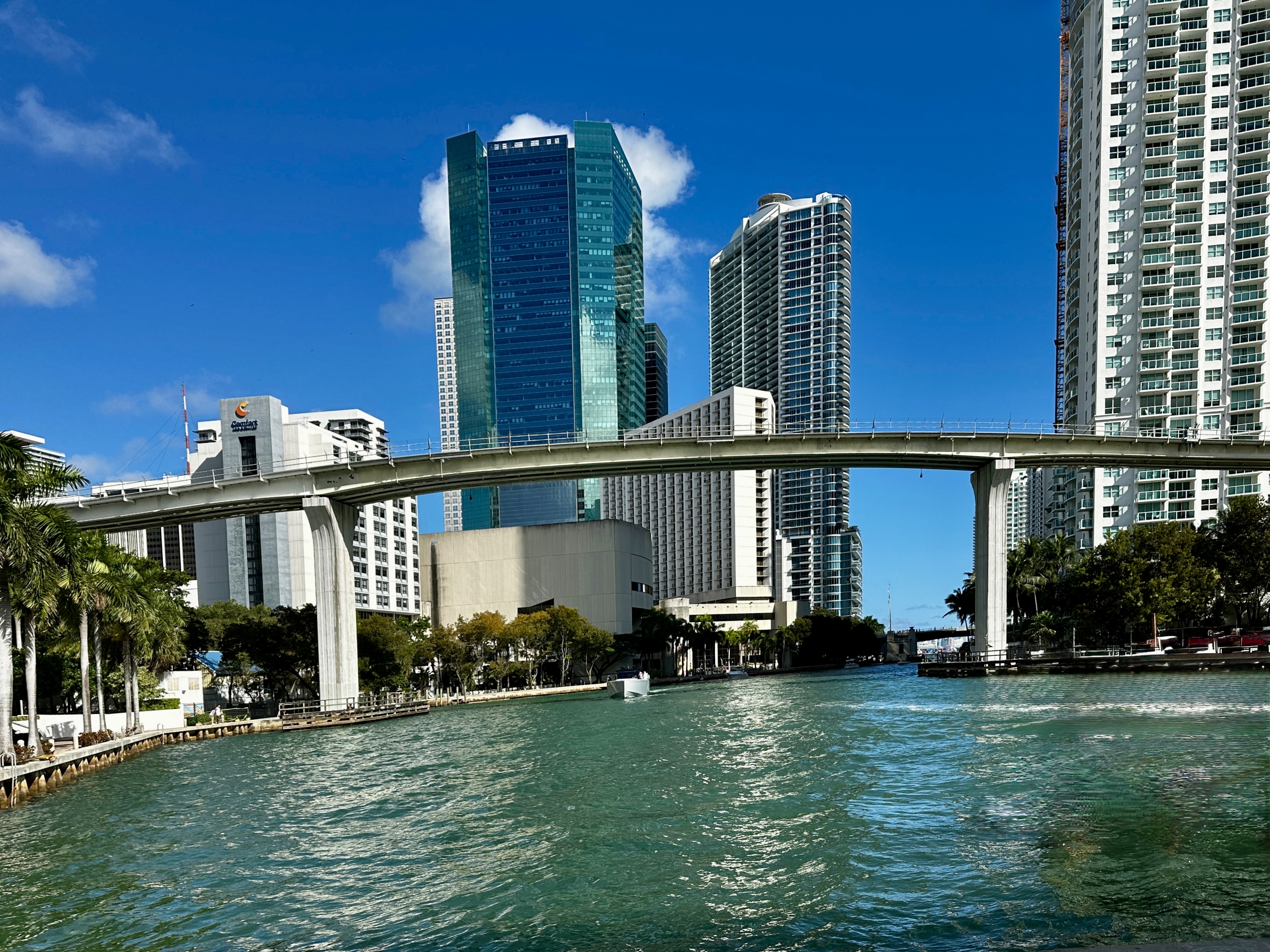
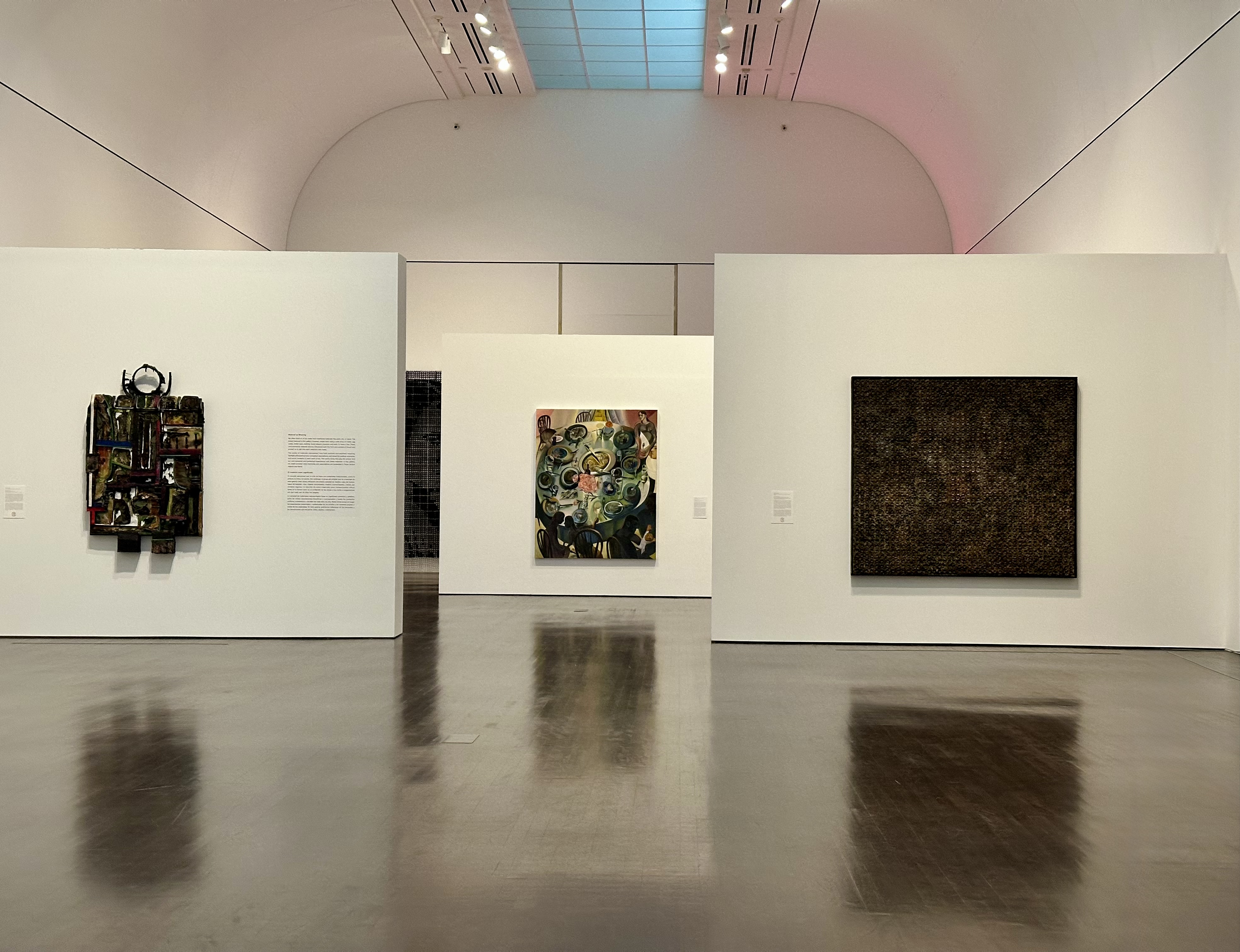
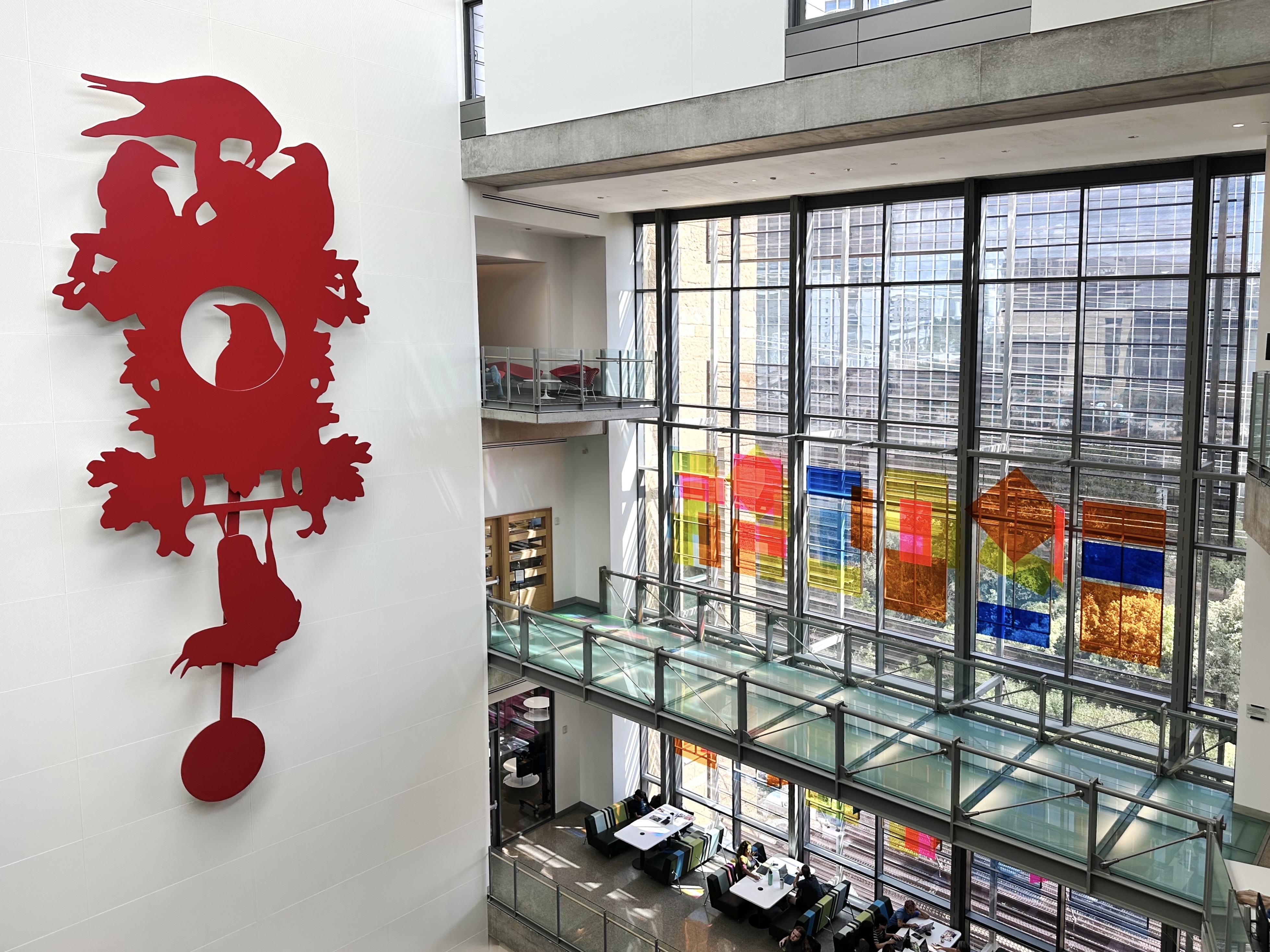
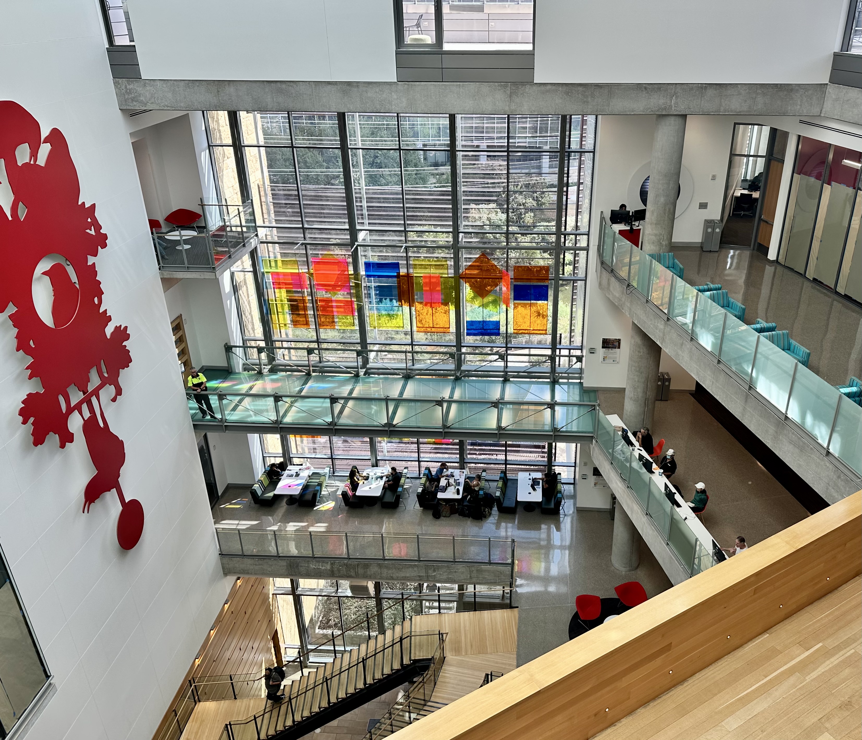
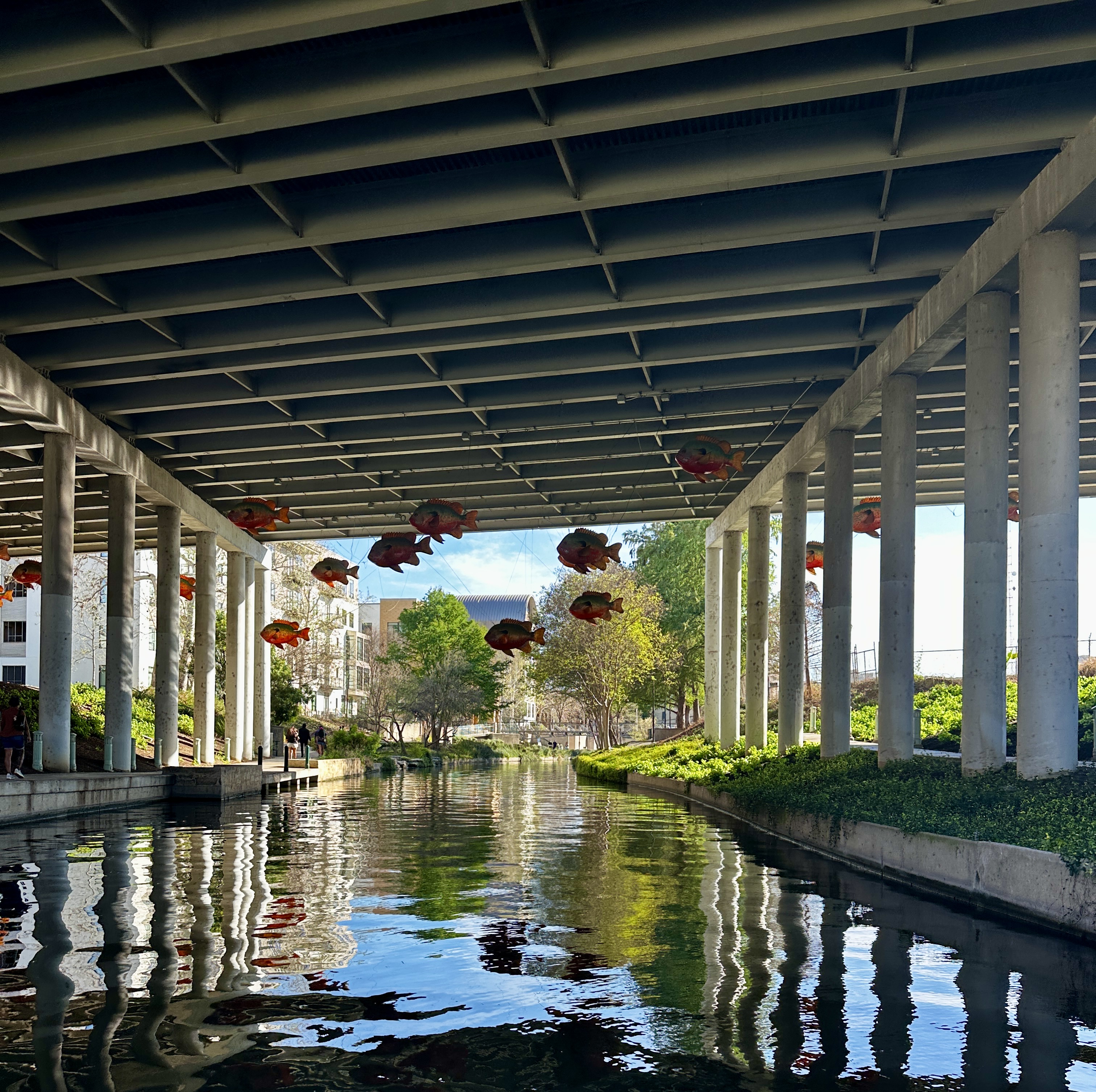
One of the reasons we chose Commonwealth was that it positioned us for a short walk to the San Antonio Museum of Art (SAMA) just across the river.
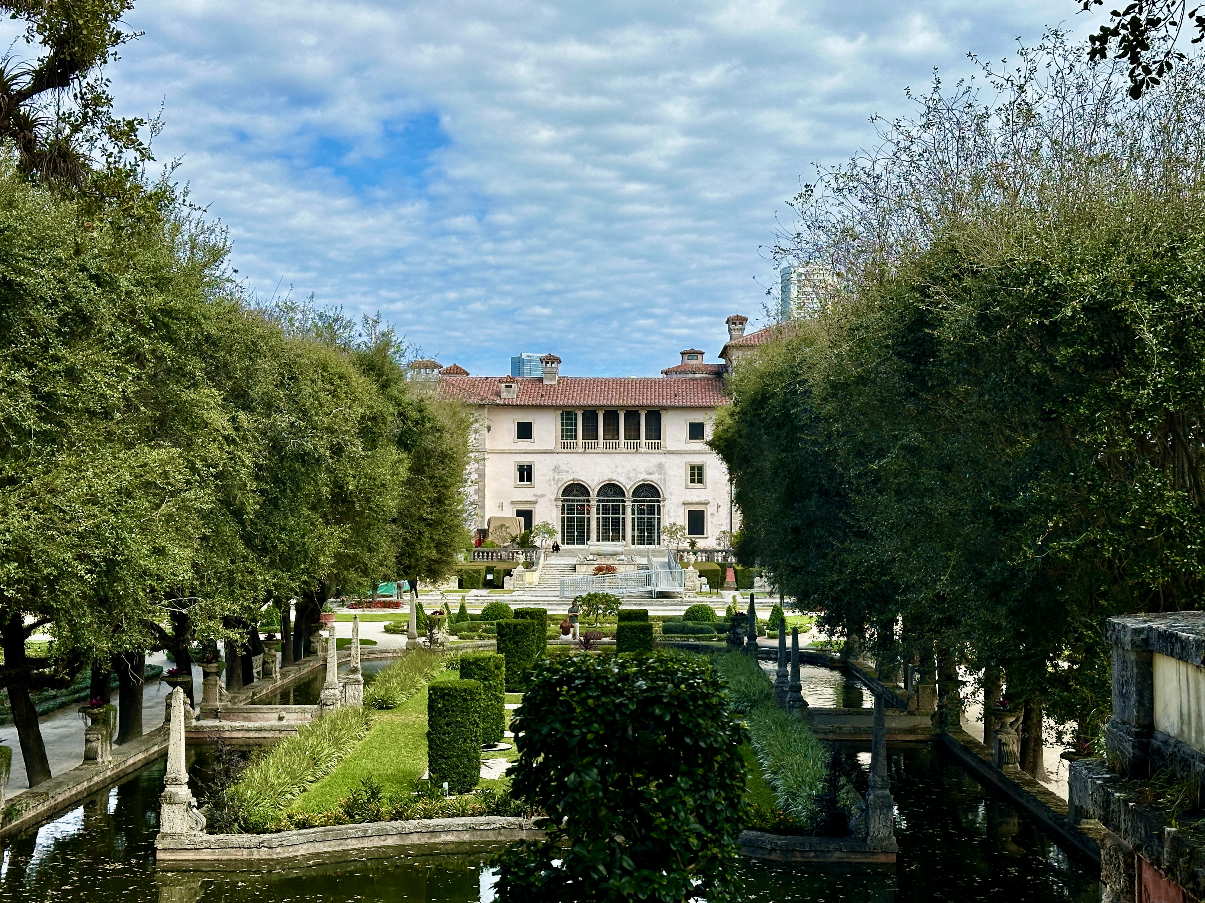
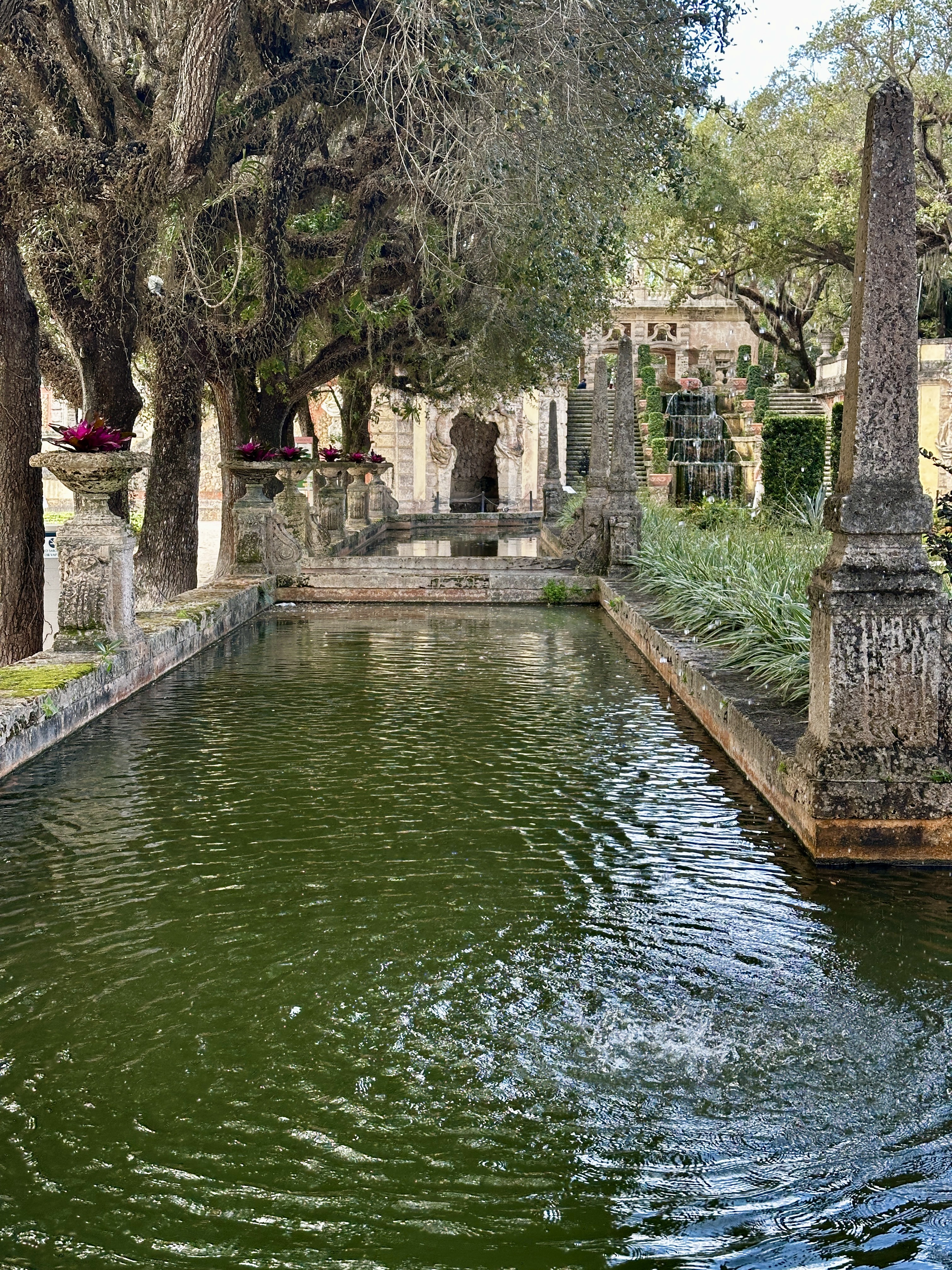
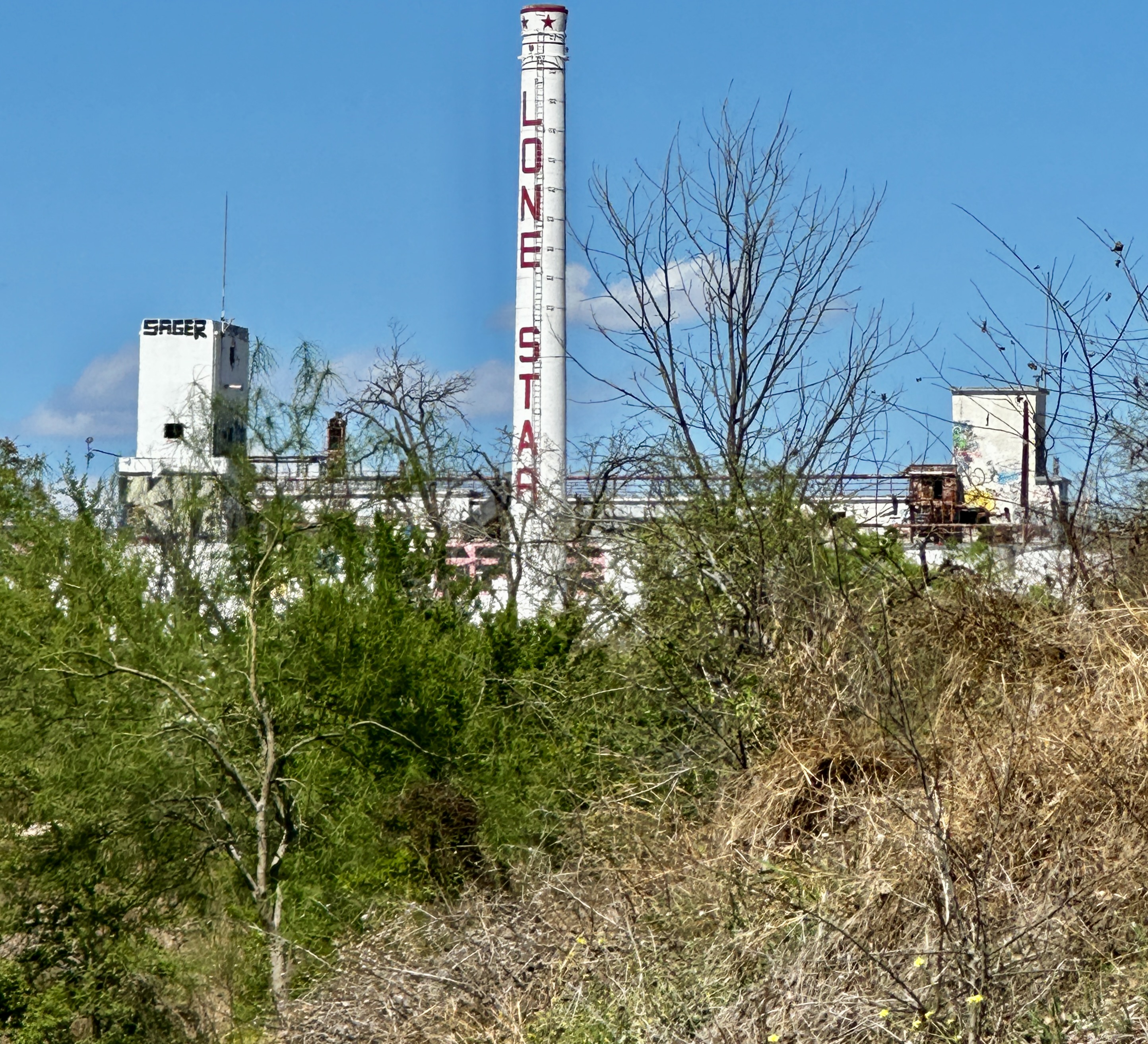
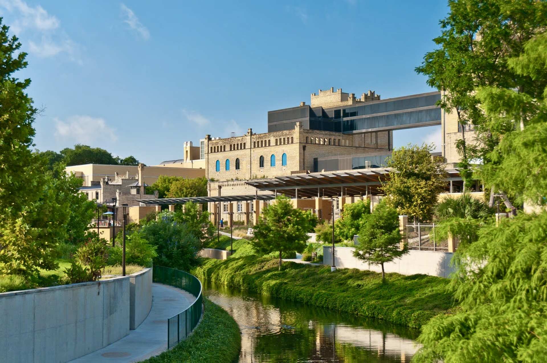
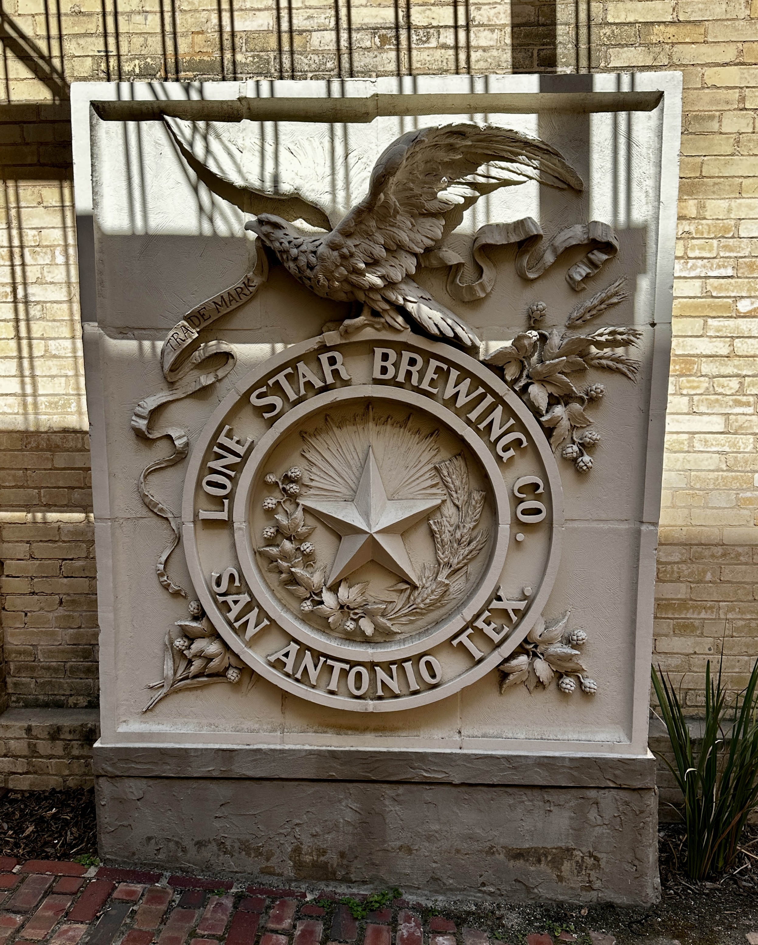
The SAMA is housed in spectacular quarters as is the McNay Museum, although of a completely different nature. The McNay is housed in a former mansion while the SAMA made stunning use of the former Lone Star Brewing Company complex.
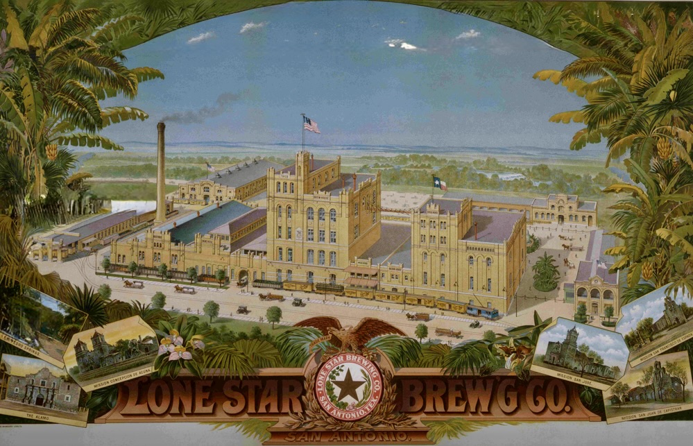
Lone Star Brewing Company was founded in 1884 and brewed Alamo Beer (of course!). Weirdly, Lone Star Brewing never produced a beer named Lone Star. Today Lone Star Beer is produced and sold by a completely unrelated company.
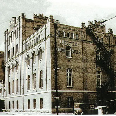
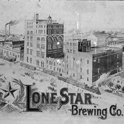
The brewery started winding down during the WWI as supplies needed for the war effort made brewing too costly and the approaching implementation of prohibition saw sales declining dramatically. The complex sat vacant until the 1970s when local philanthropists funded the purchase and renovation of the complex to house SAMA.
San Antonio Museum of Art
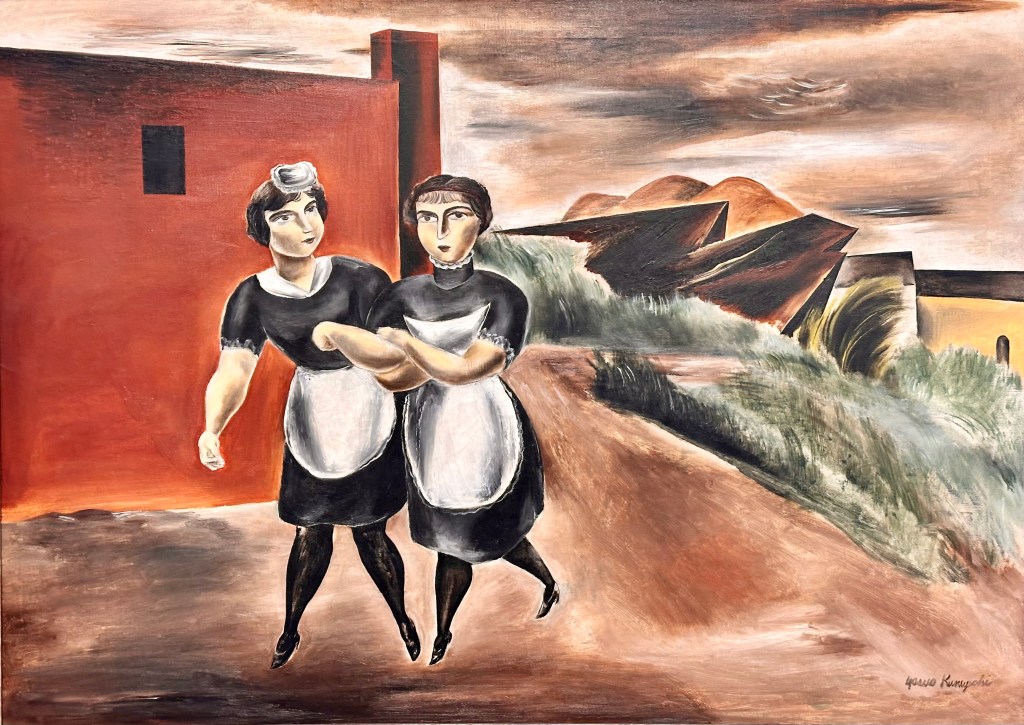
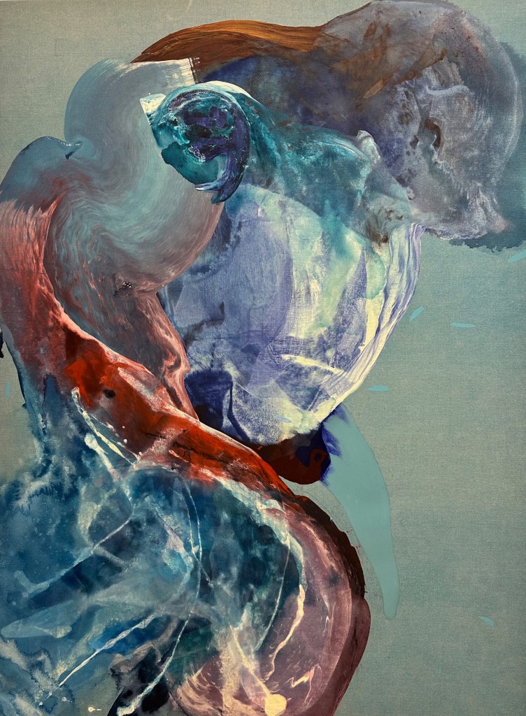
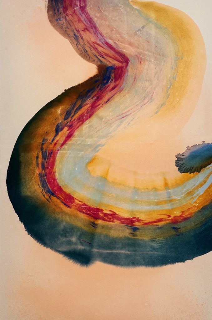
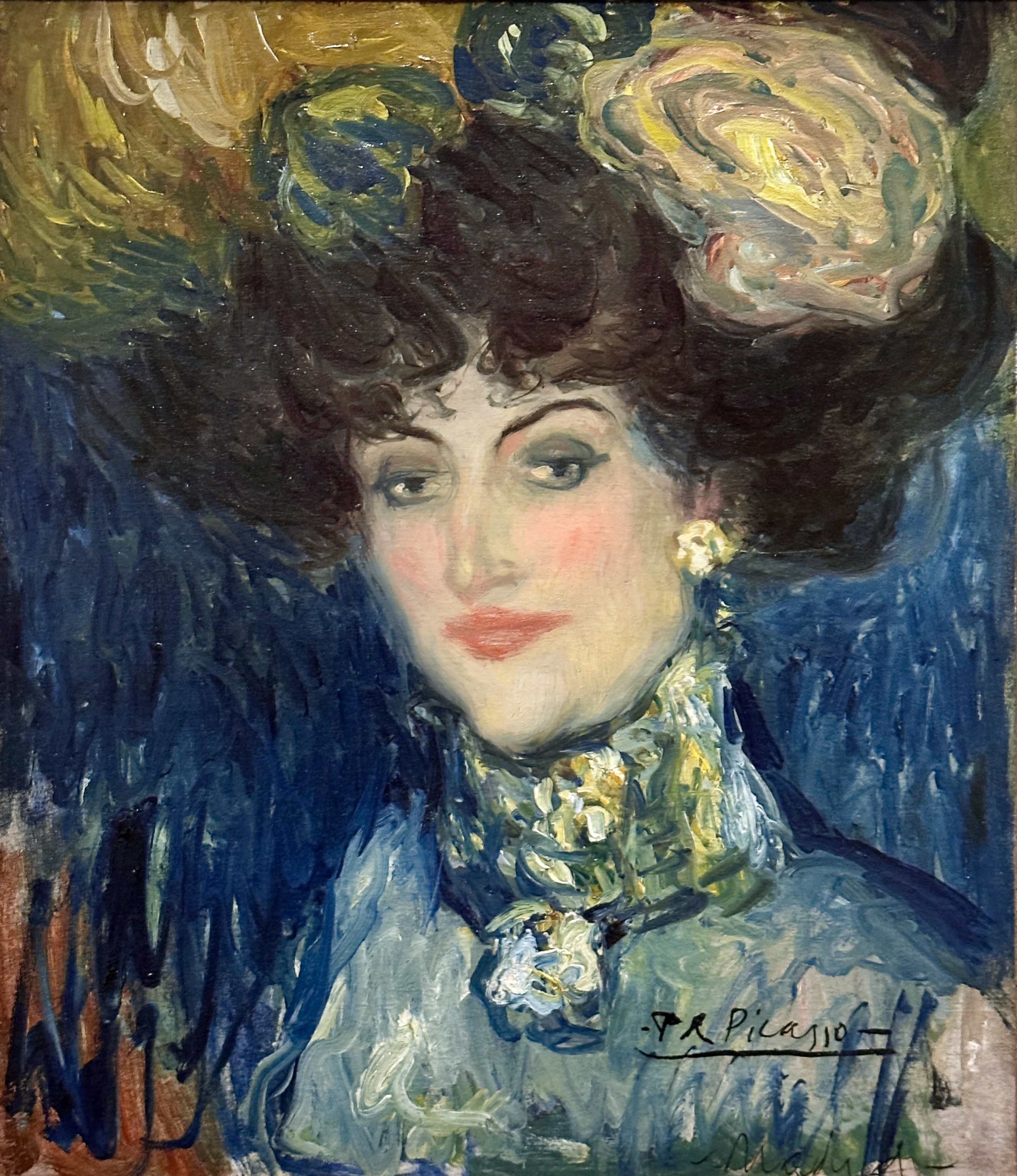
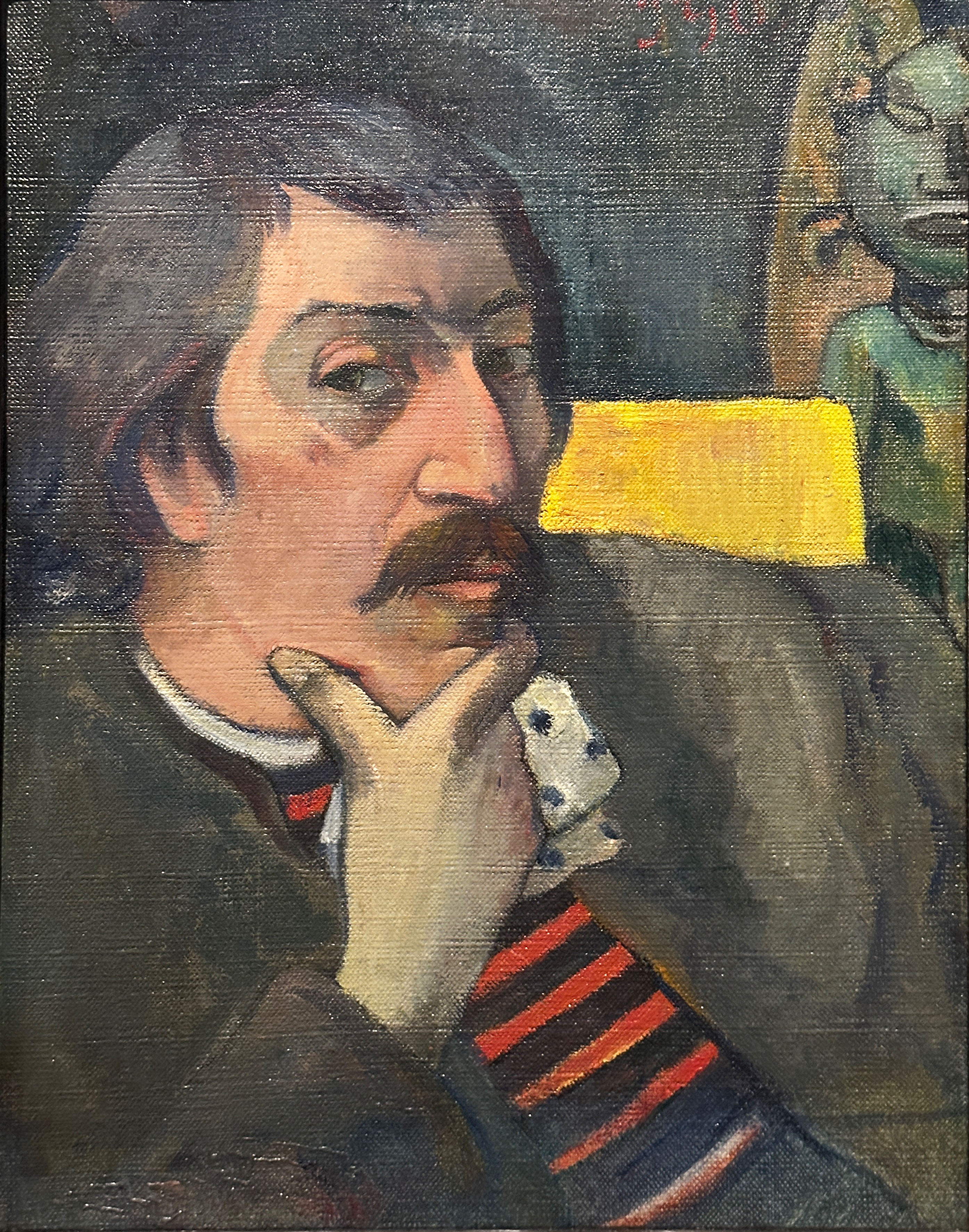
Below are few photos of paintings that we quite enjoyed.
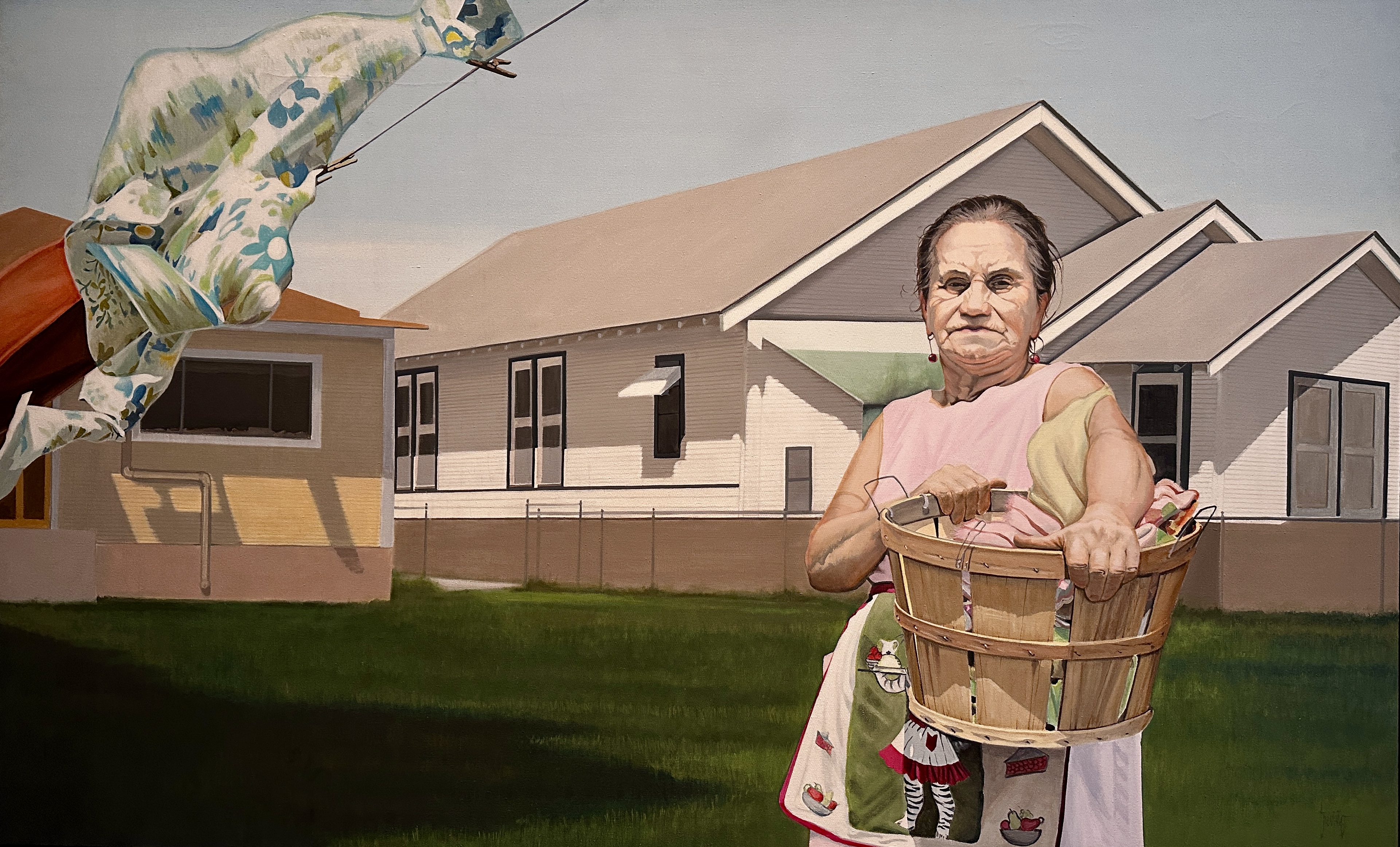
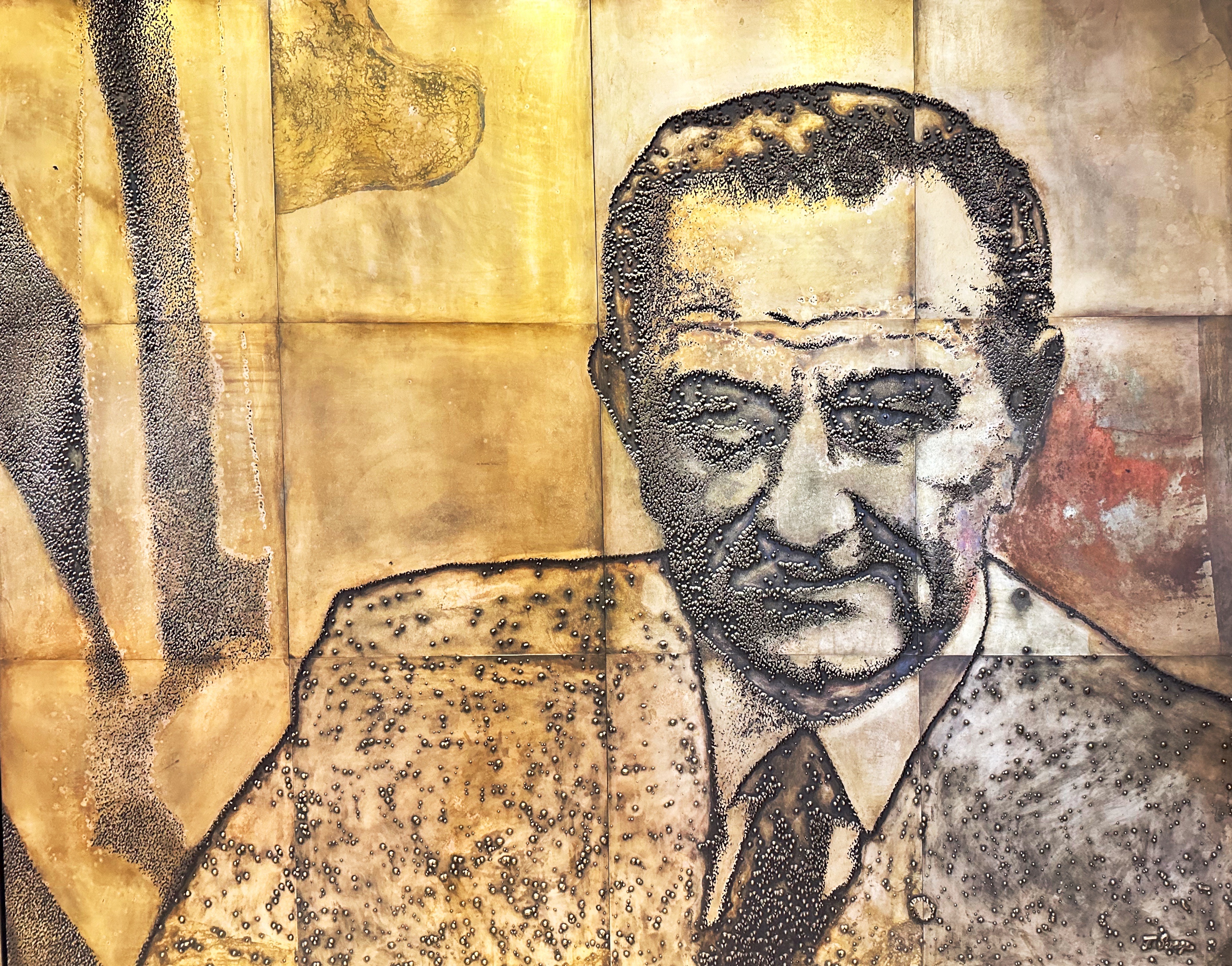
Jesse Treviño | American, born Mexico | 1946-2023 | Señora Dolores Treviño | 1983 | Acrylic on canvas
Clad in an apron and clutching a laundry basket at her hip, a woman stares boldly at the viewer. She is the artist’s mother, Dolores Treviño, whom he honors through a heroic portrait that monumentalizes everyday experience and dignifies her labor as a mother and wife. Jesse Treviño first gained attention in the 1970s for his photorealistic paintings that depict people in San Antonio’s West Side neighborhood and celebrate Mexican American history, culture, and community. After tragically losing his right arm after an explosion during the Vietnam War, Treviño masterfully re-learned to paint left-handed.
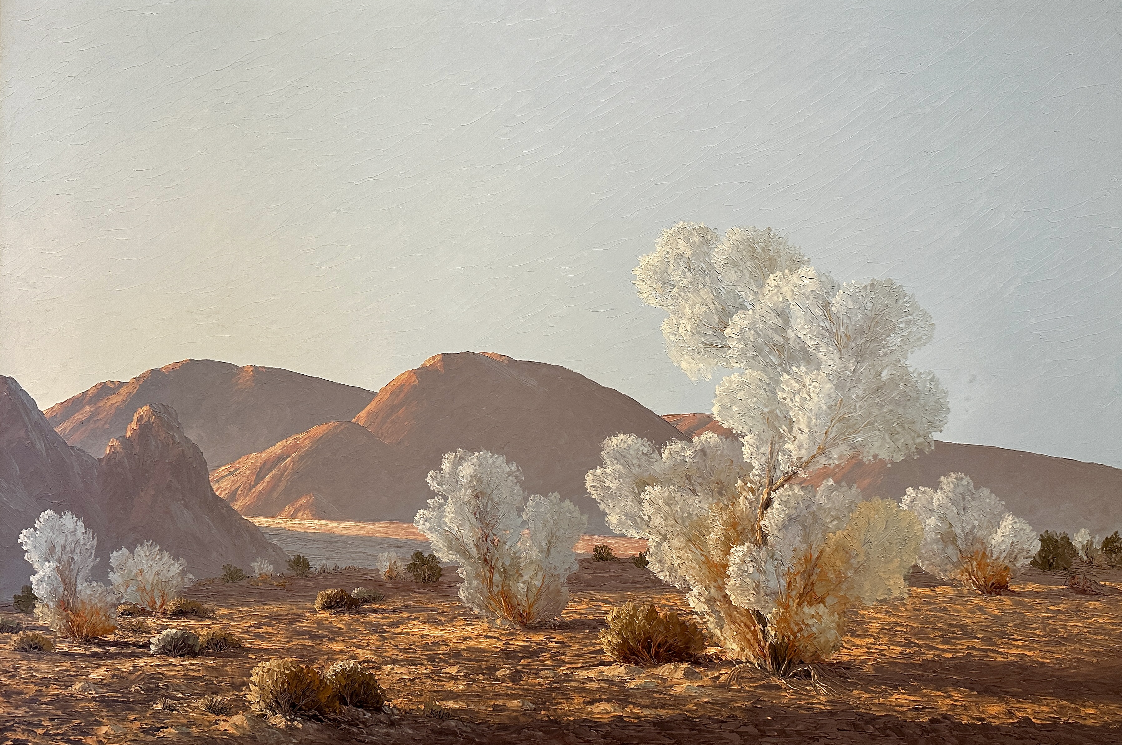
John William Hilton | American | 1904-1983 |Time of Growing Shadows | 1961 | Oil on canvas
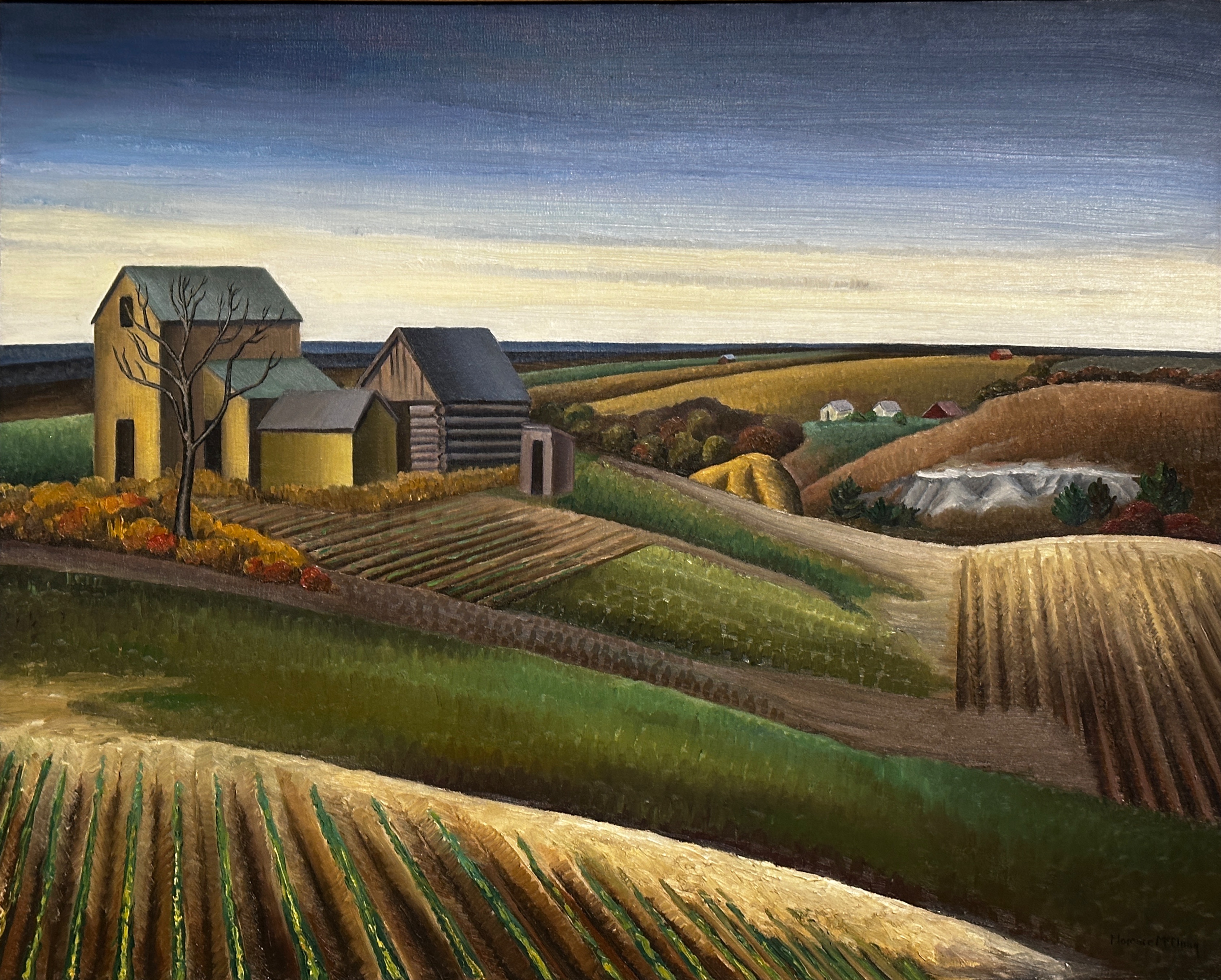
Florence McClung | American | 1894-1992 | Lancaster Valley | 1936 | Oil on canvas
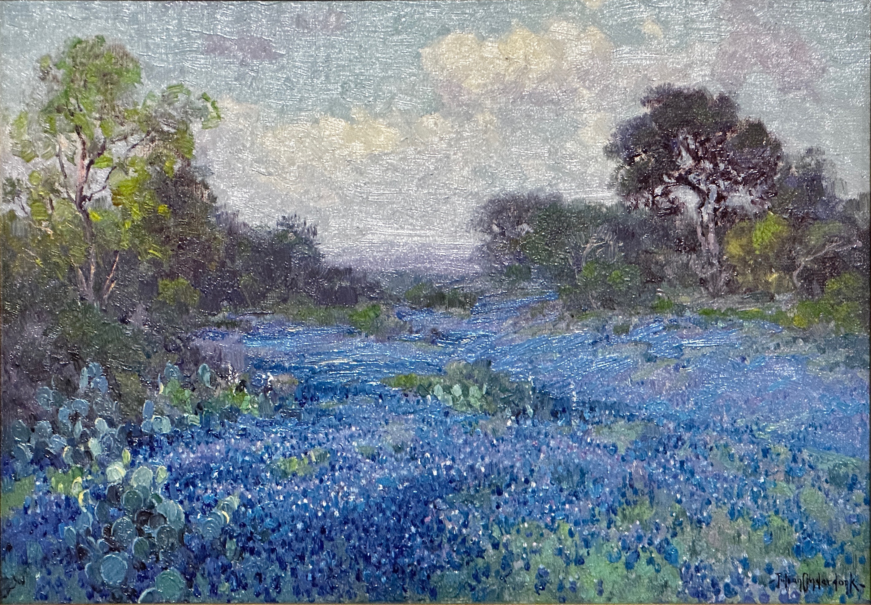
Julian Onderdonk | American | 1882-1922 | Blue Bonnets at Late Afternoon | 1915 | Oil on canvas
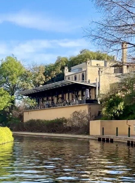
After completing our tour of the galleries we lunched at Tre Trattoria. The restaurant is located within the museum complex and faces the river. A delightful way to finish our visit at SAMA. We highly recommend visiting this museum and dining at Tre Trattoria when you are in San Antonio. Also, another nice feature is the river shuttle stop at the museum which allowed us to travel back down the river to a downtown stop just five minutes from the hotel.
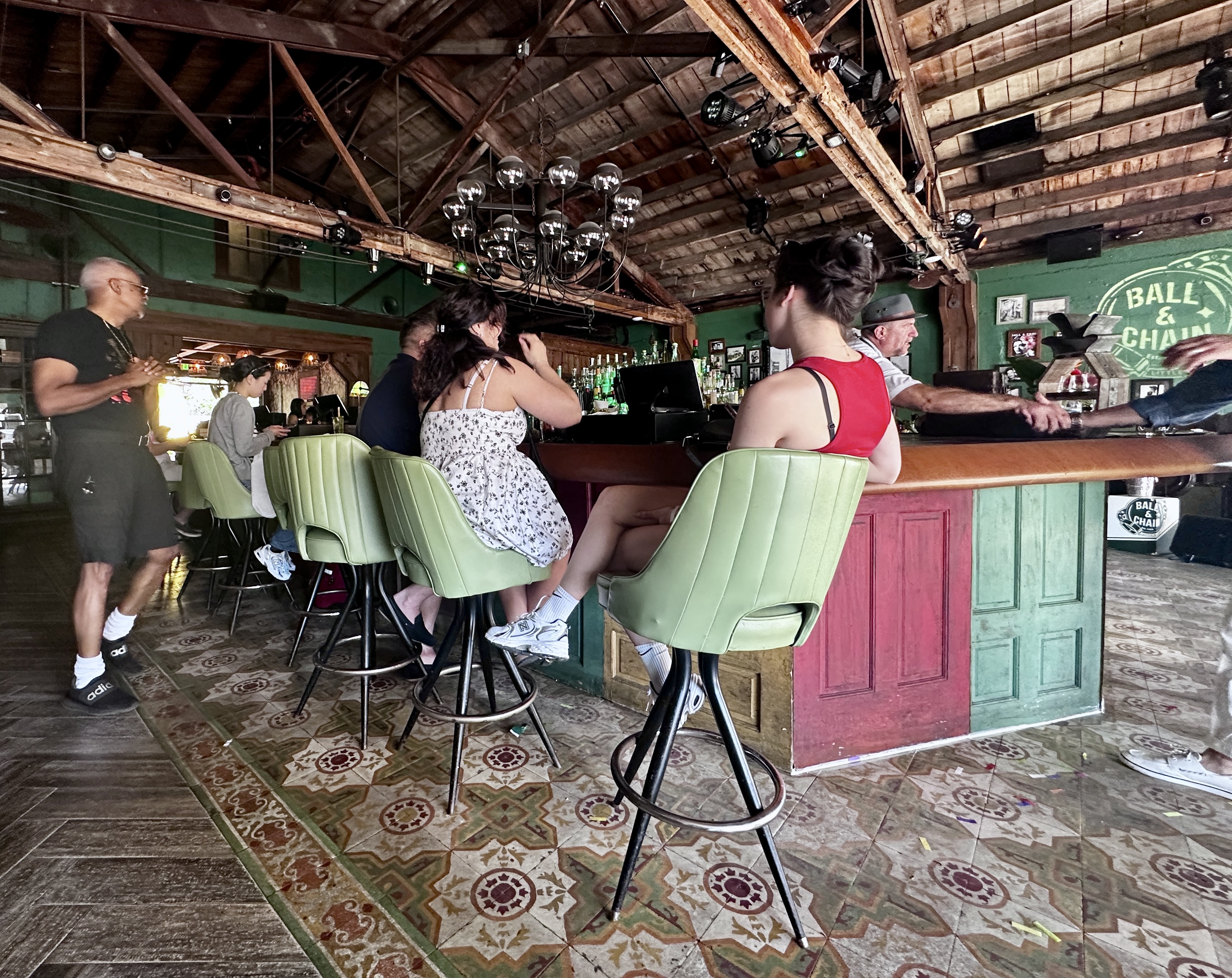
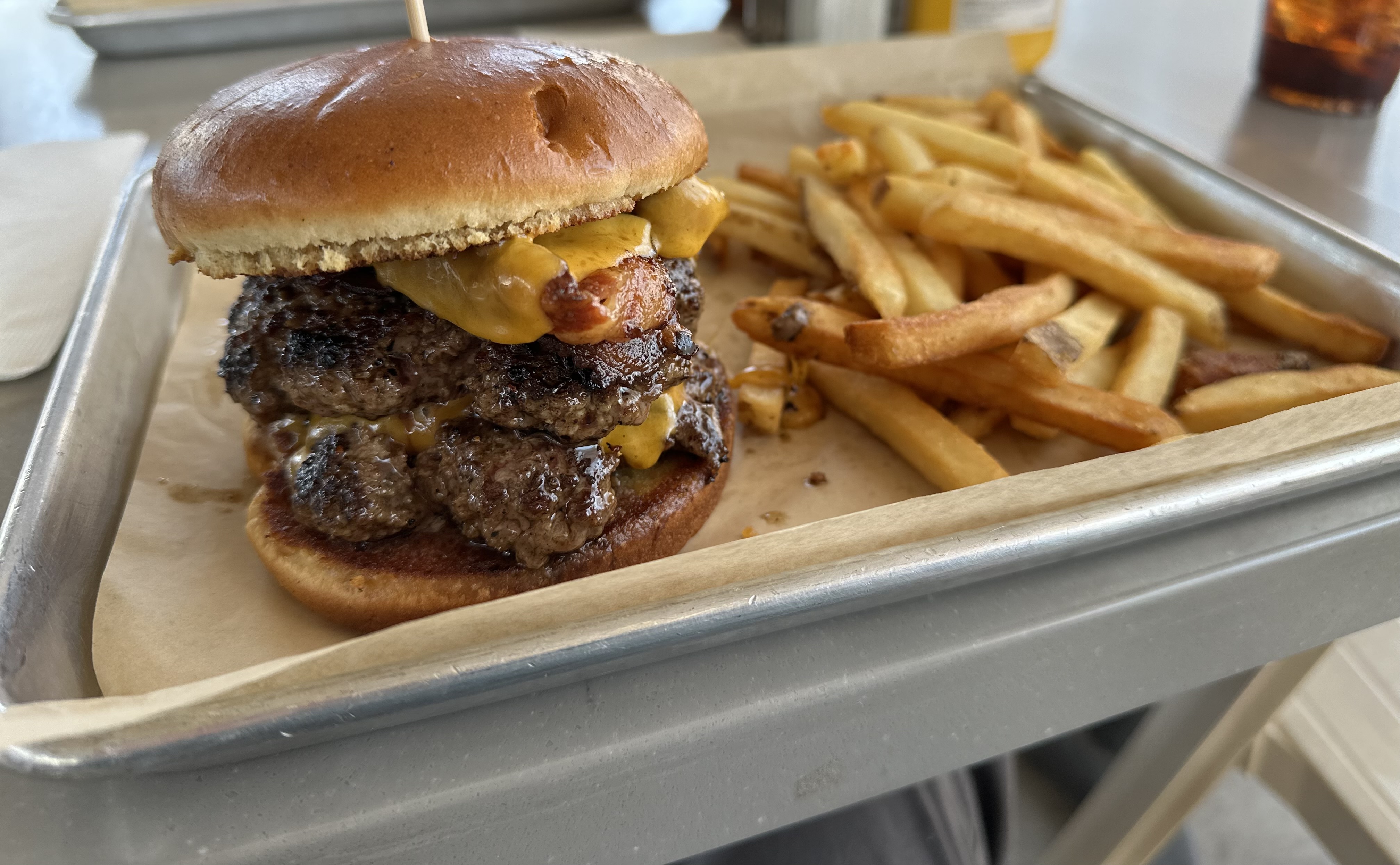
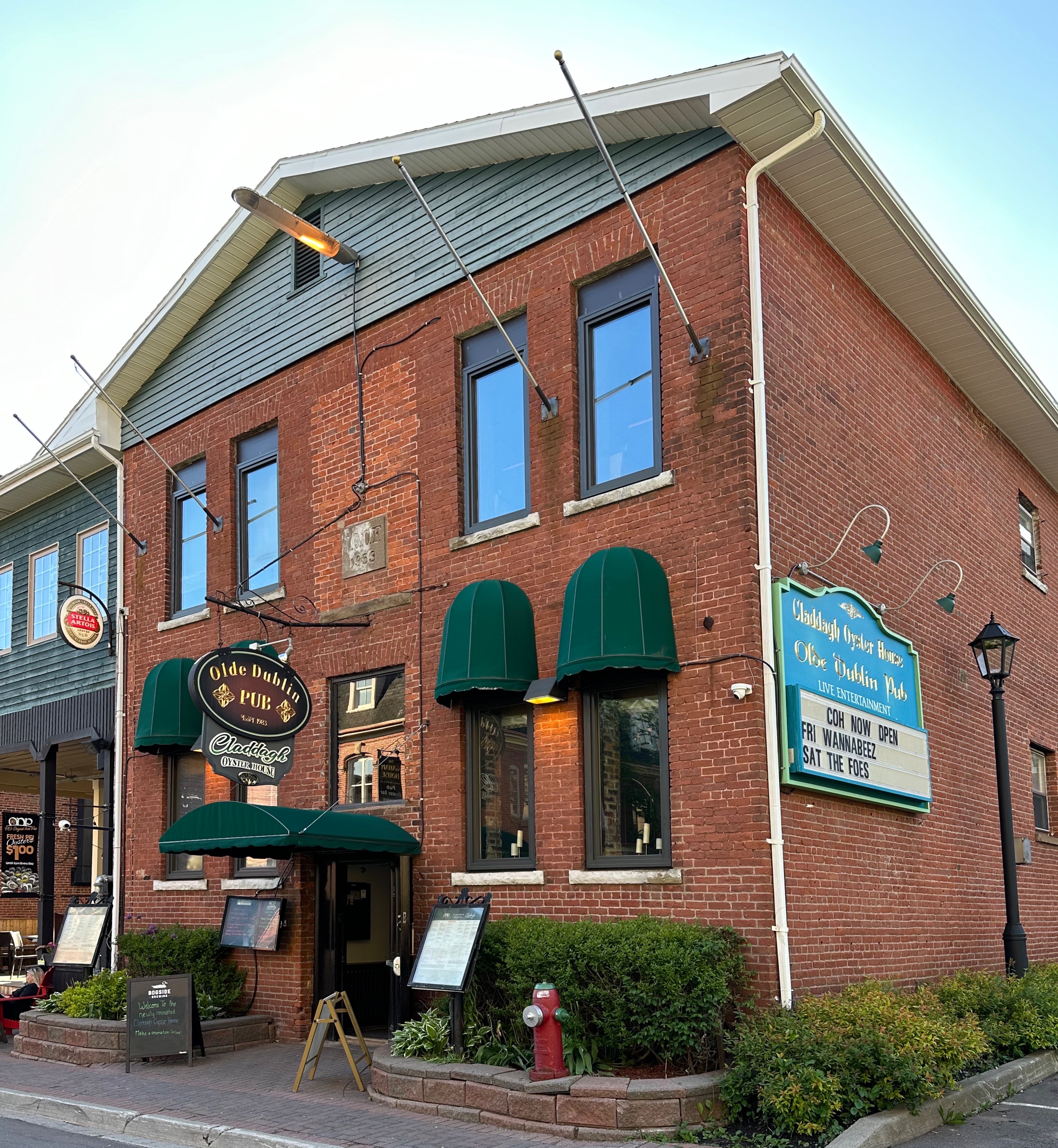
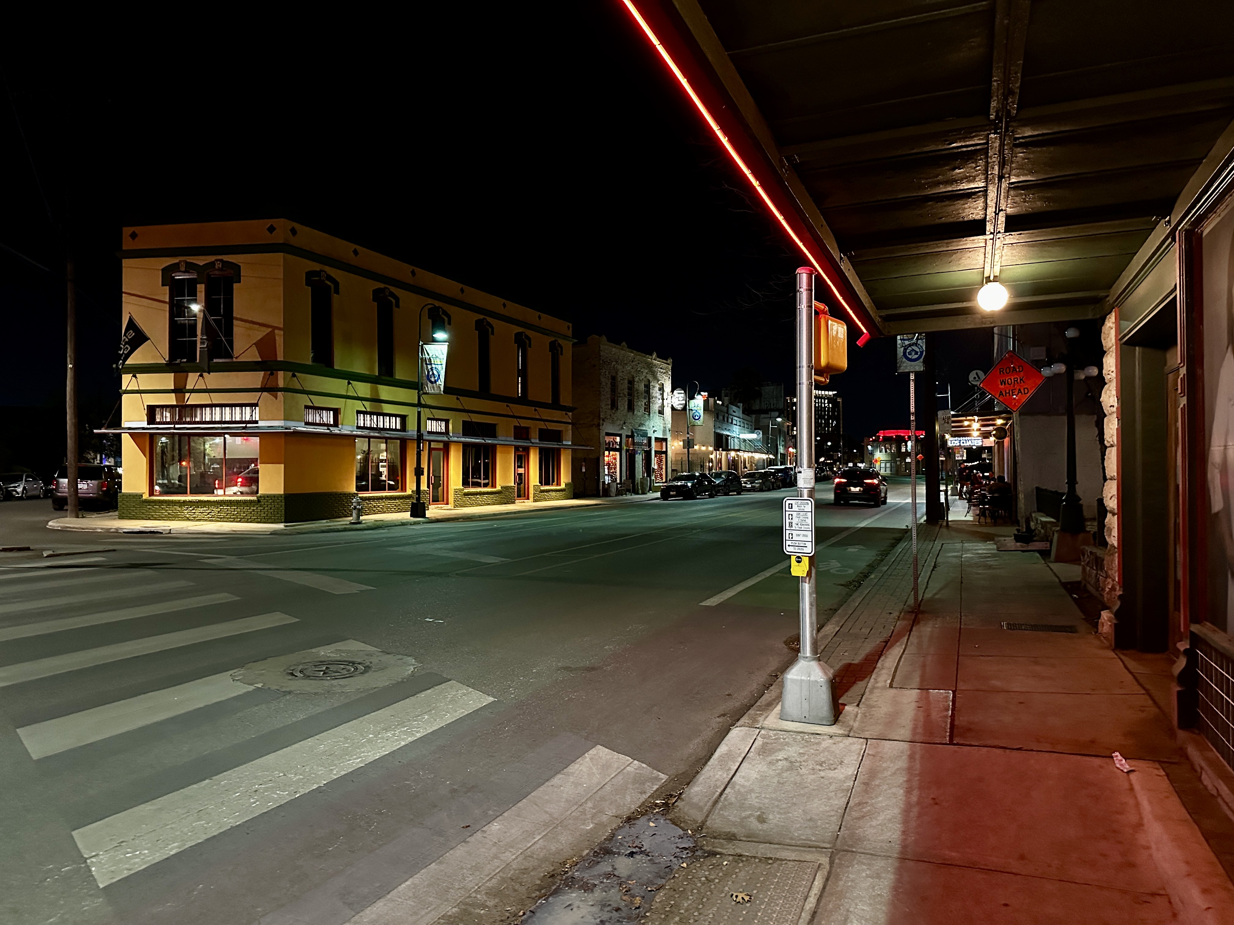
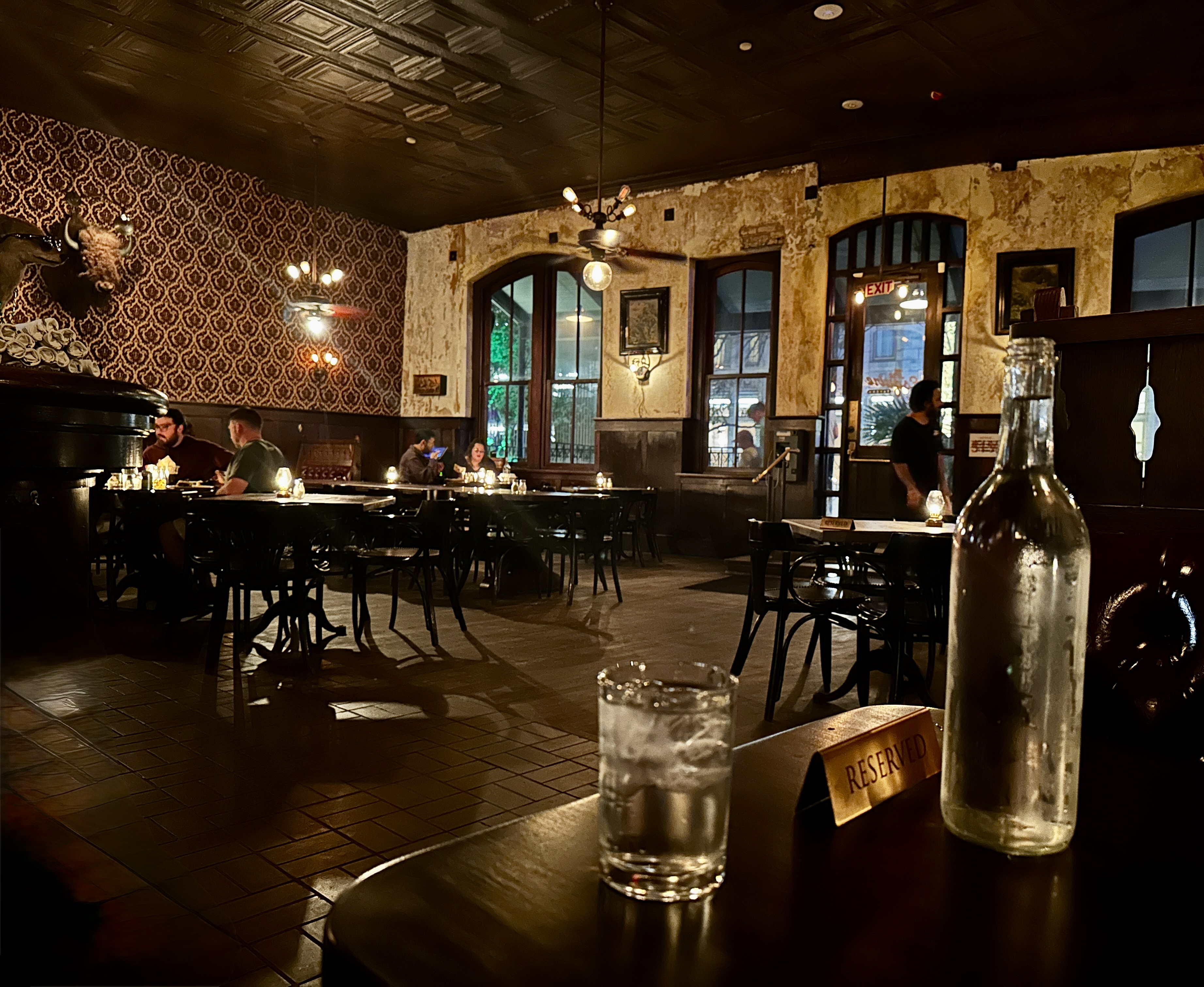
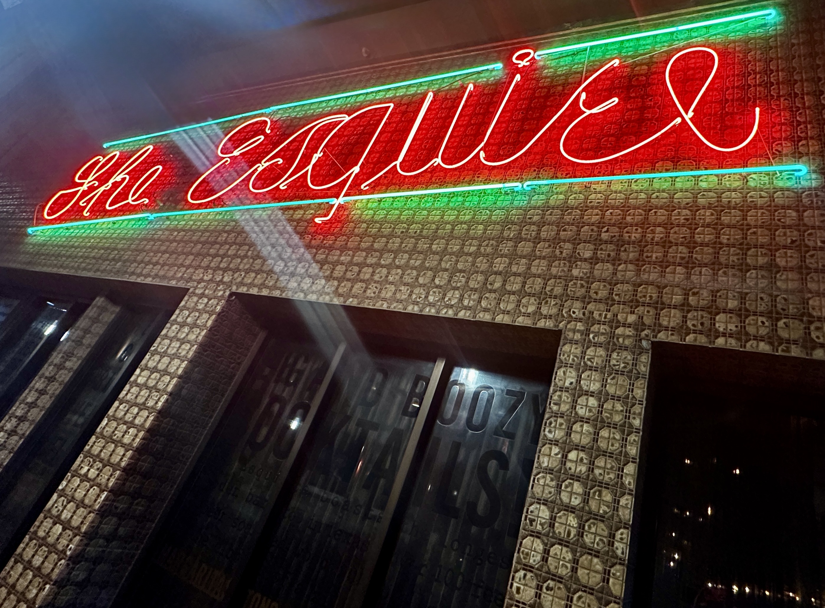
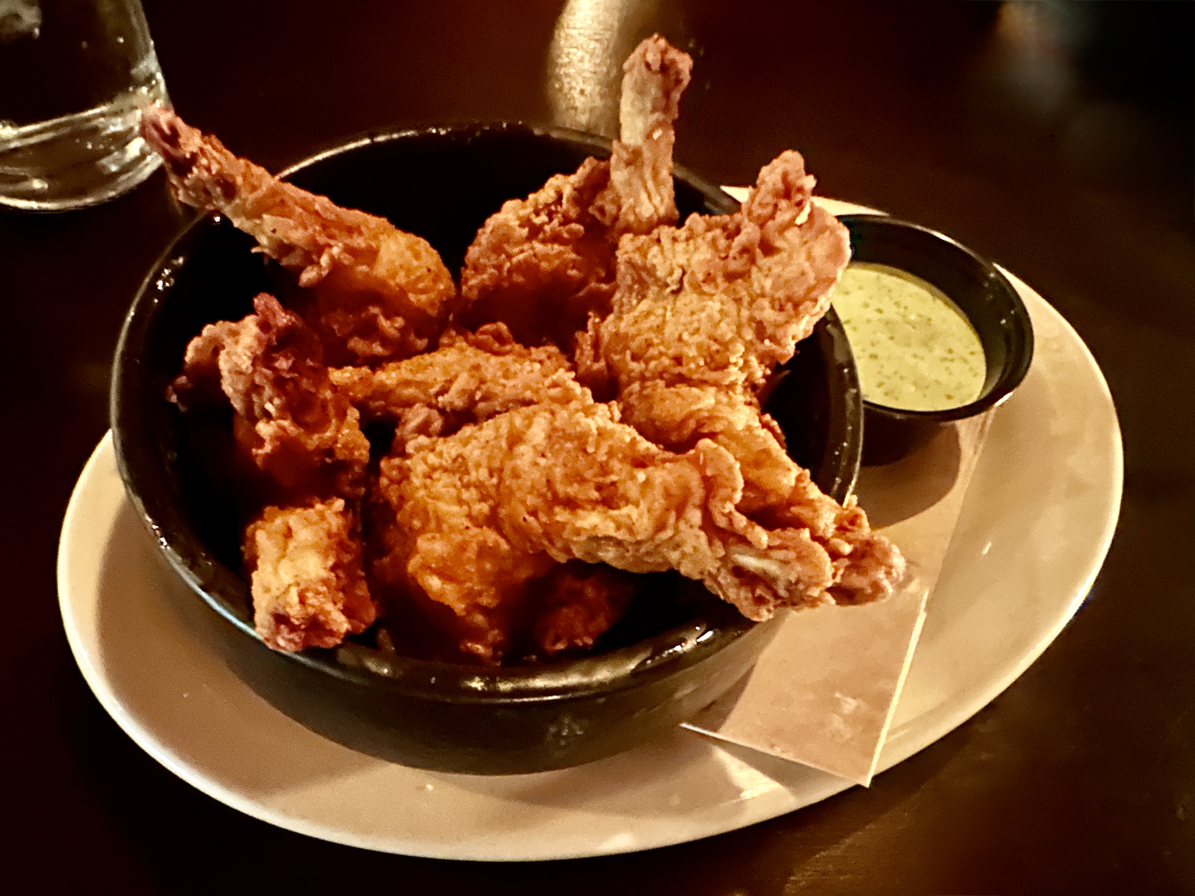
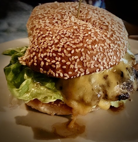
After our obligatory cocktail in the Gunter lobby and our pre-dinner lie down we were both in the mood for a Texas burger. The Esquire Tavern is a short walk from the Gunter and many local folks advised that if we were in the mood for a burger in downtown it was the place.
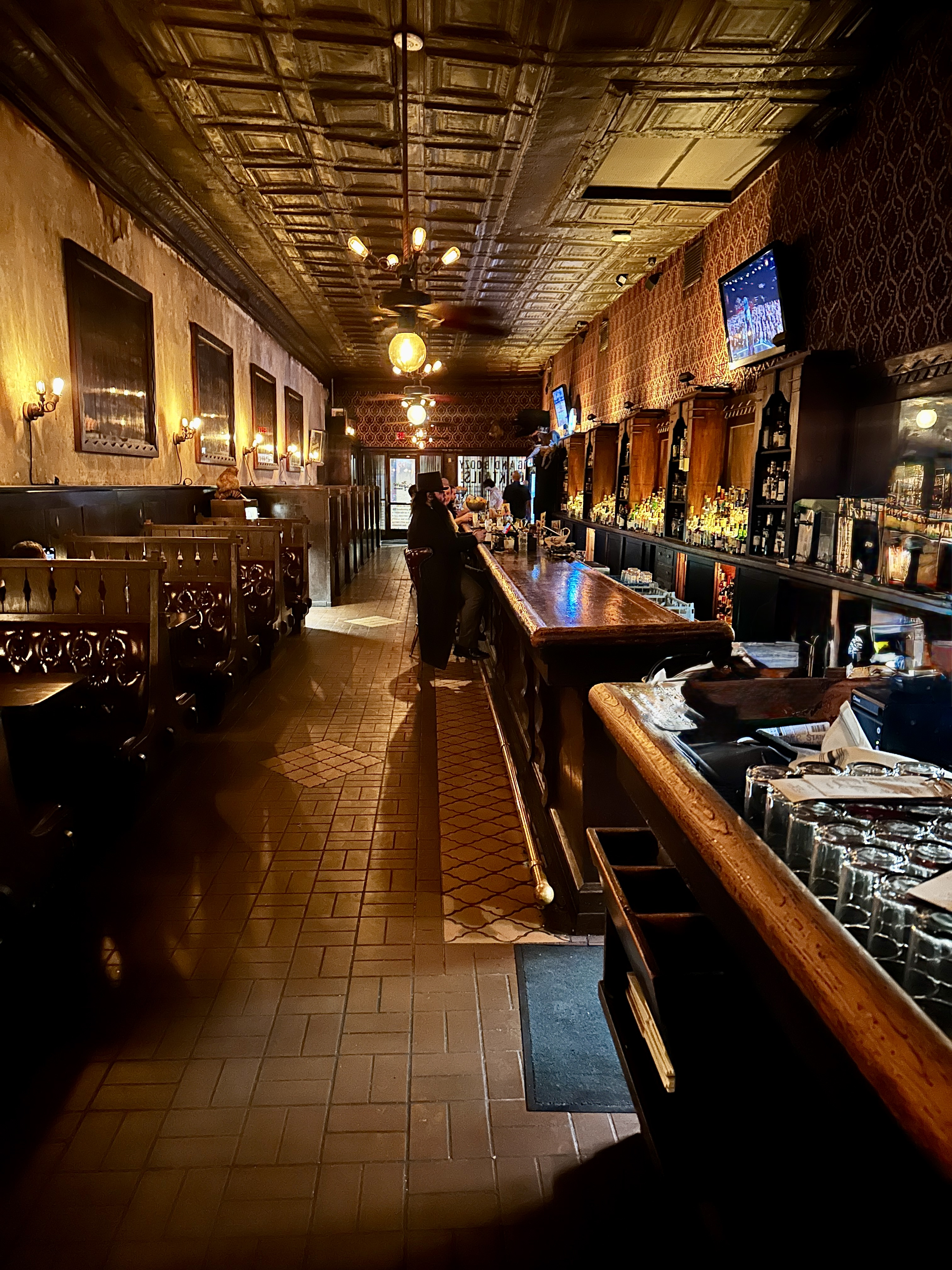
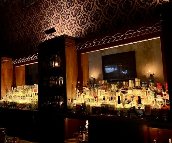
Originally named The Esquire Bar, the establishment stretches from Commerce Street to the Riverwalk. The bar was in existence before the Riverwalk – opening in 1933 to celebrate the end of Prohibition. The bar itself is reputed to be the longest bar in Texas (see photo above). Yes – the burgers are delicious!
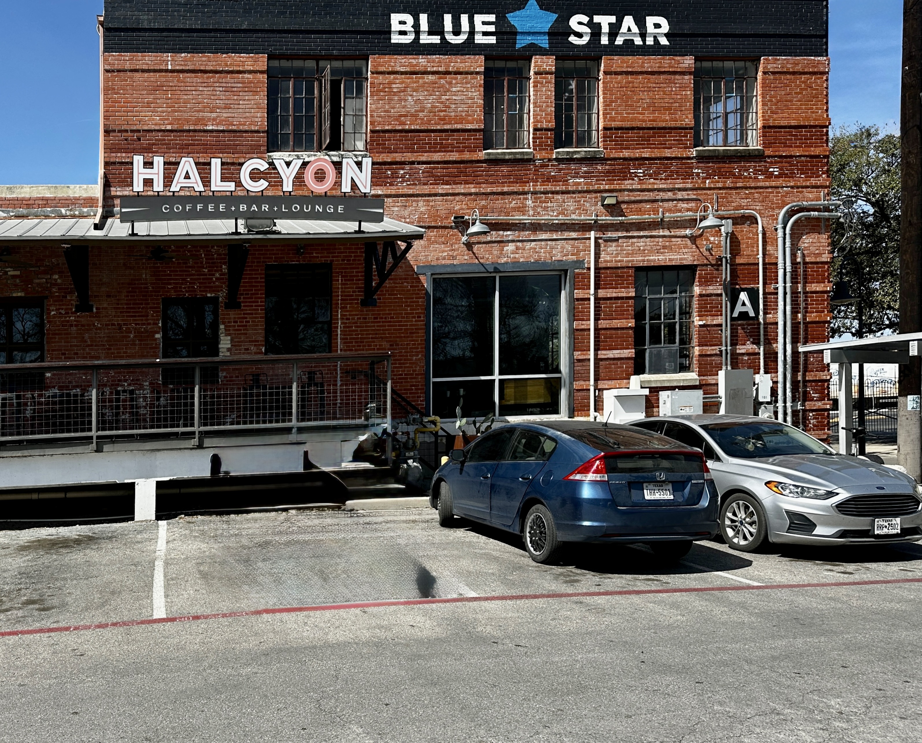
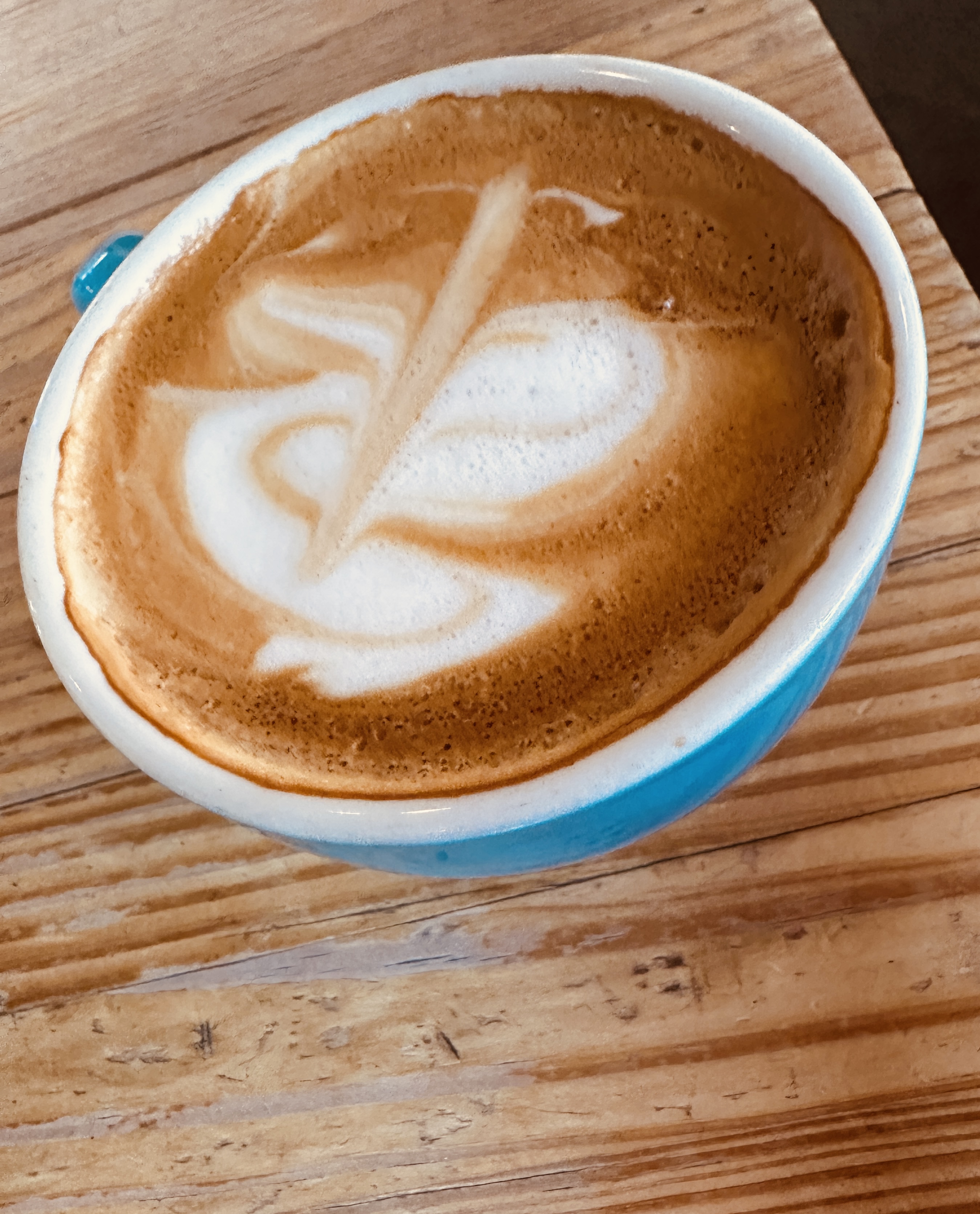
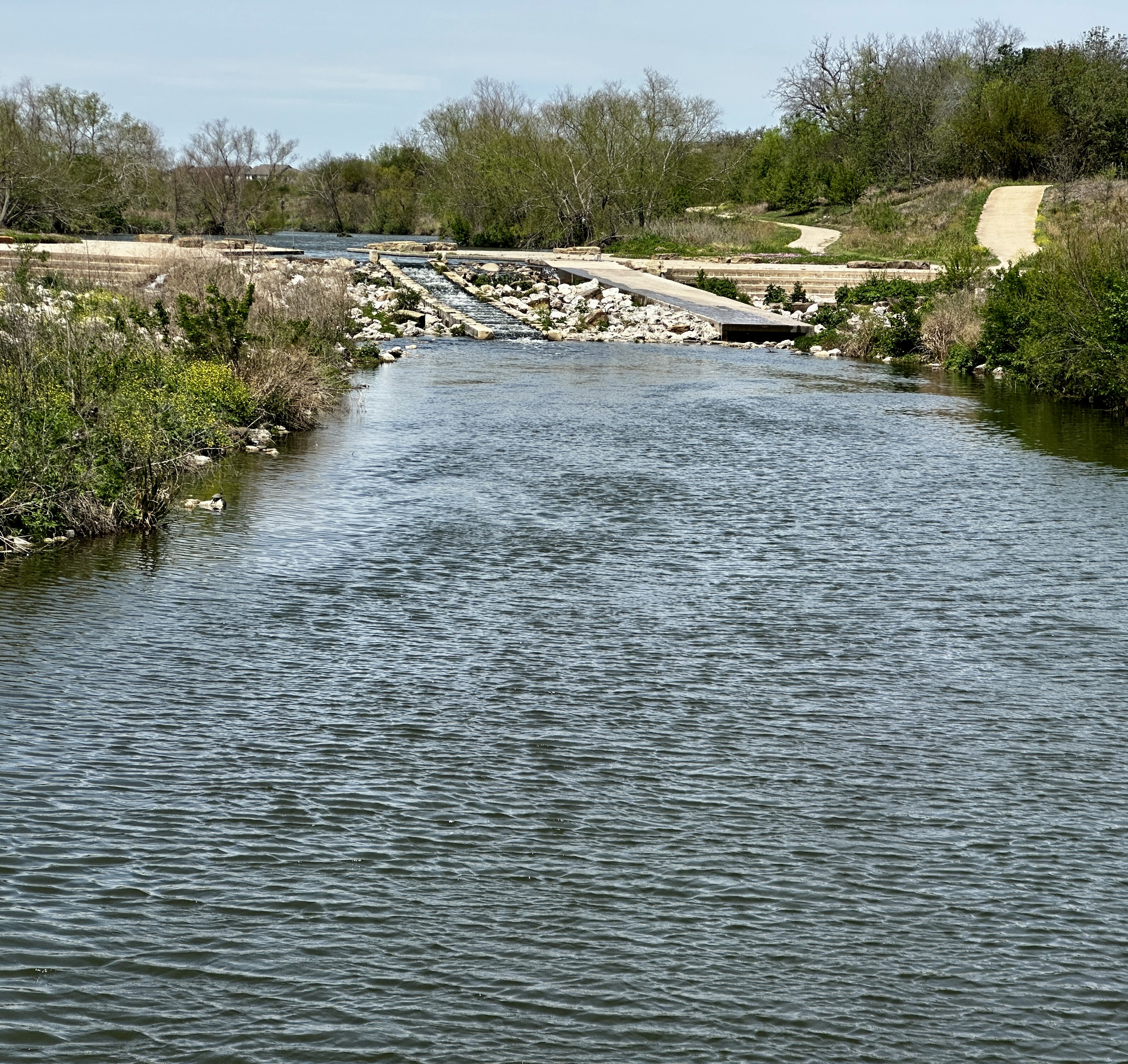
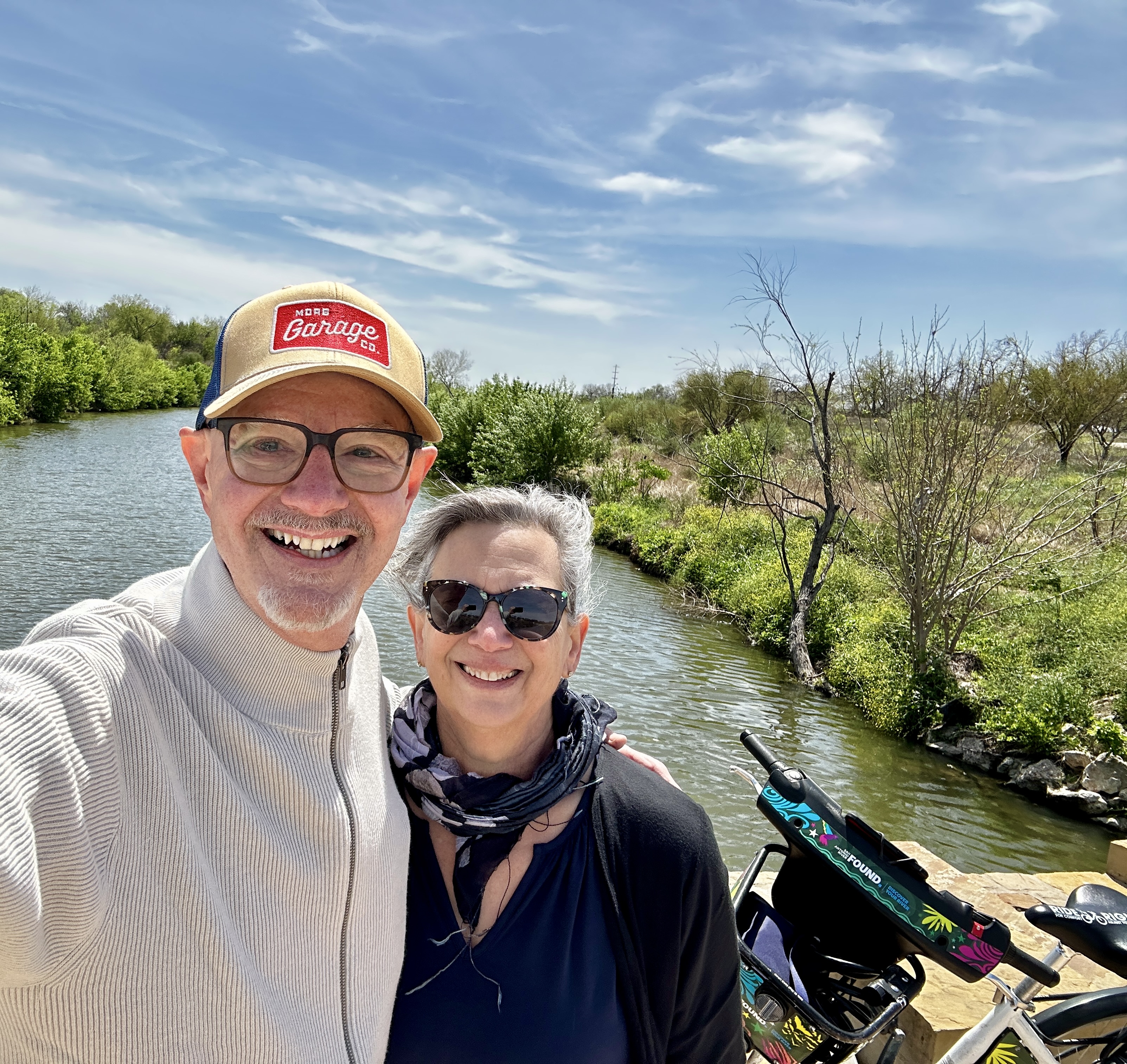
Day Seven: Our mission on day seven was to visit two of the missions on the Mission Trail by bicycle. Of course, all activities require coffee beforehand so we started the day at Halcyon Coffee. Halcyon is located in the Blue Star Arts Complex in Southtown. The arts complex is great place for poking around with a number of galleries, retail shops and restaurants.
The arts complex is right on the Riverwalk and most conveniently has a bike rental kiosk. From Halcyon we biked south to Mission San Juan Capistrano.
Mission San Juan was established in 1731 by the Franciscan Order as part of the six missions authorized by Spain. The Spanish government wanted to establish a firm presence in East Texas to keep the French at bay while the church was desirous, as always, to convert the indigenous population to Catholicism and learn to live as civilized Spanish citizens.
From Mission San Juan we biked further south along the river to Mission San Jose.
Mission San José y San Miguel de Aguayo is known as the “Queen of the Missions”. It is by far the largest of the missions and it is in excellent condition as the result of a restoration completed in the 1930s. The restoration work was done by the Works Progress Administration (WPA).
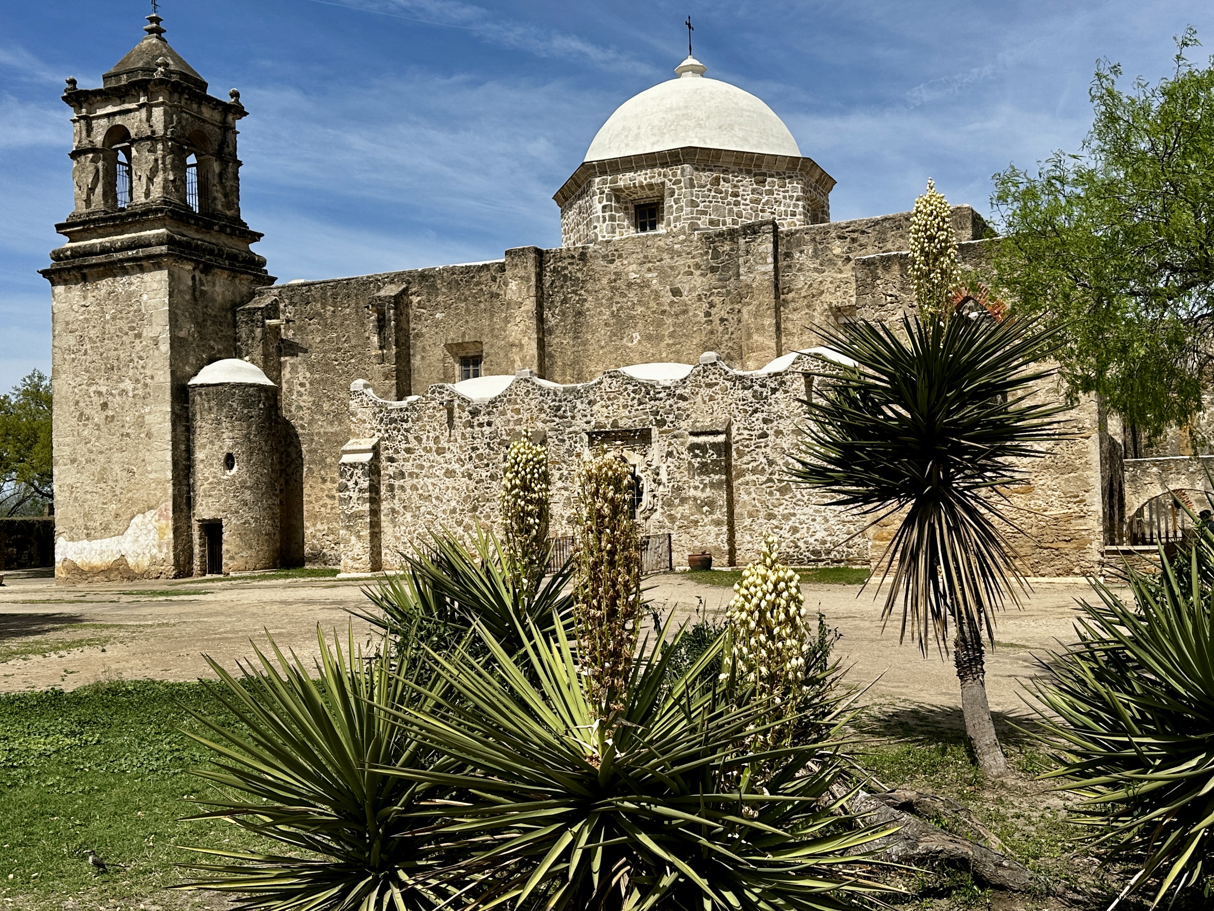
Mission San Jose was founded in 1720. The church is the most impressive of the missions churches in our opinion from both a size and an architectural perspective. Construction of the church building began in 1768.
Mission San Jose is also well know for the weekly Mariachi Mass held every Sunday at noon. We did not attend the service but understand it is quite interesting with a mariachi band and church choir performing as part of the mass.
From Mission San Jose we biked back to Halcyon Coffee and made the always delightful transition from caffeine to cocktails (in keeping with Halcyon’s motto).
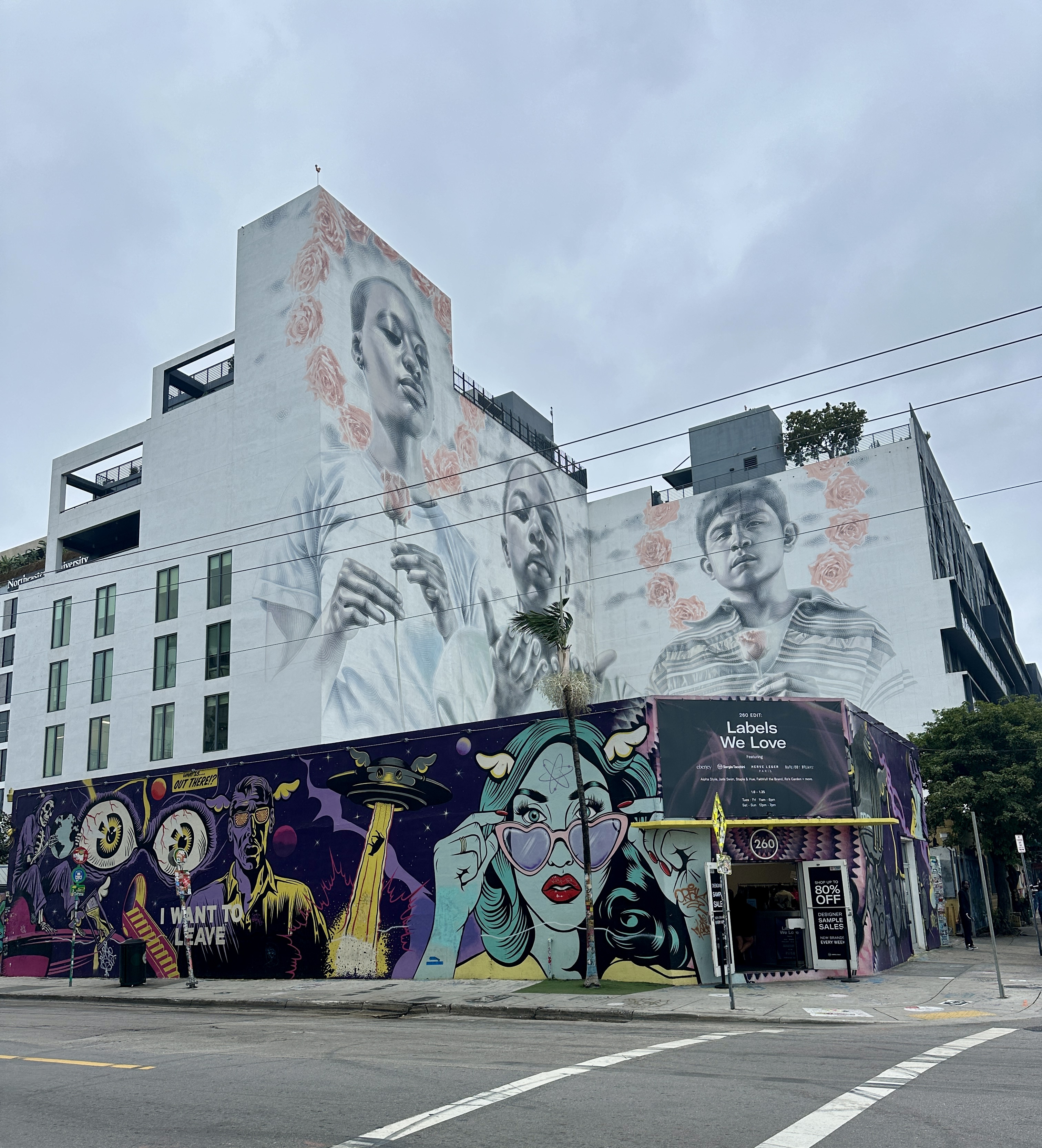
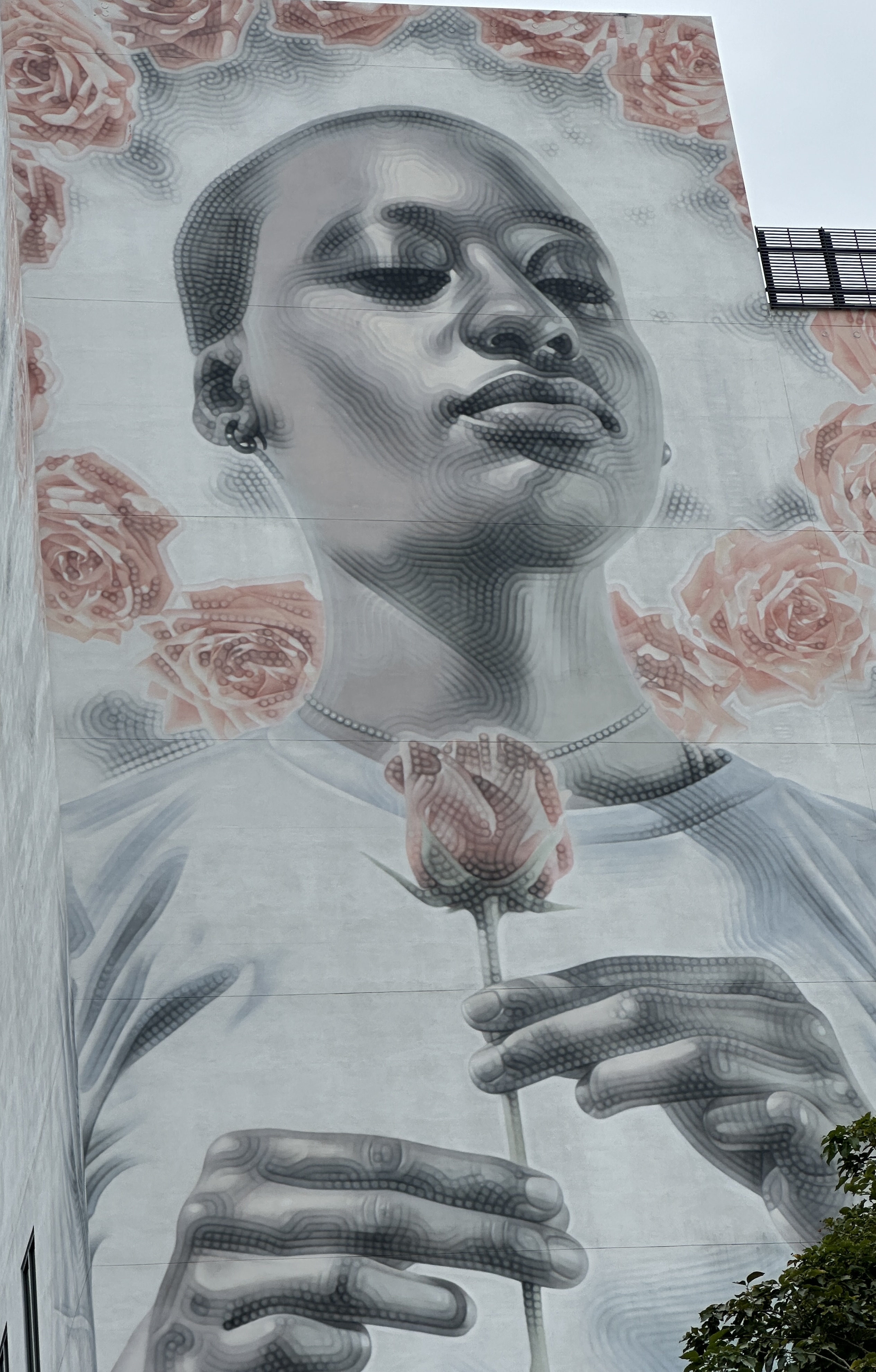
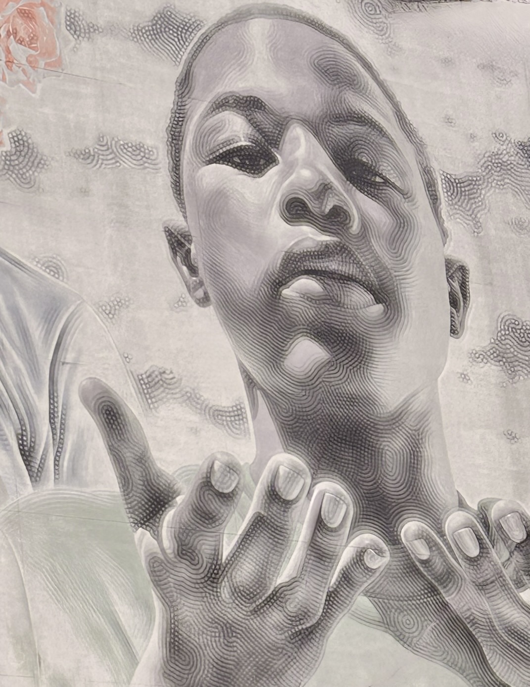
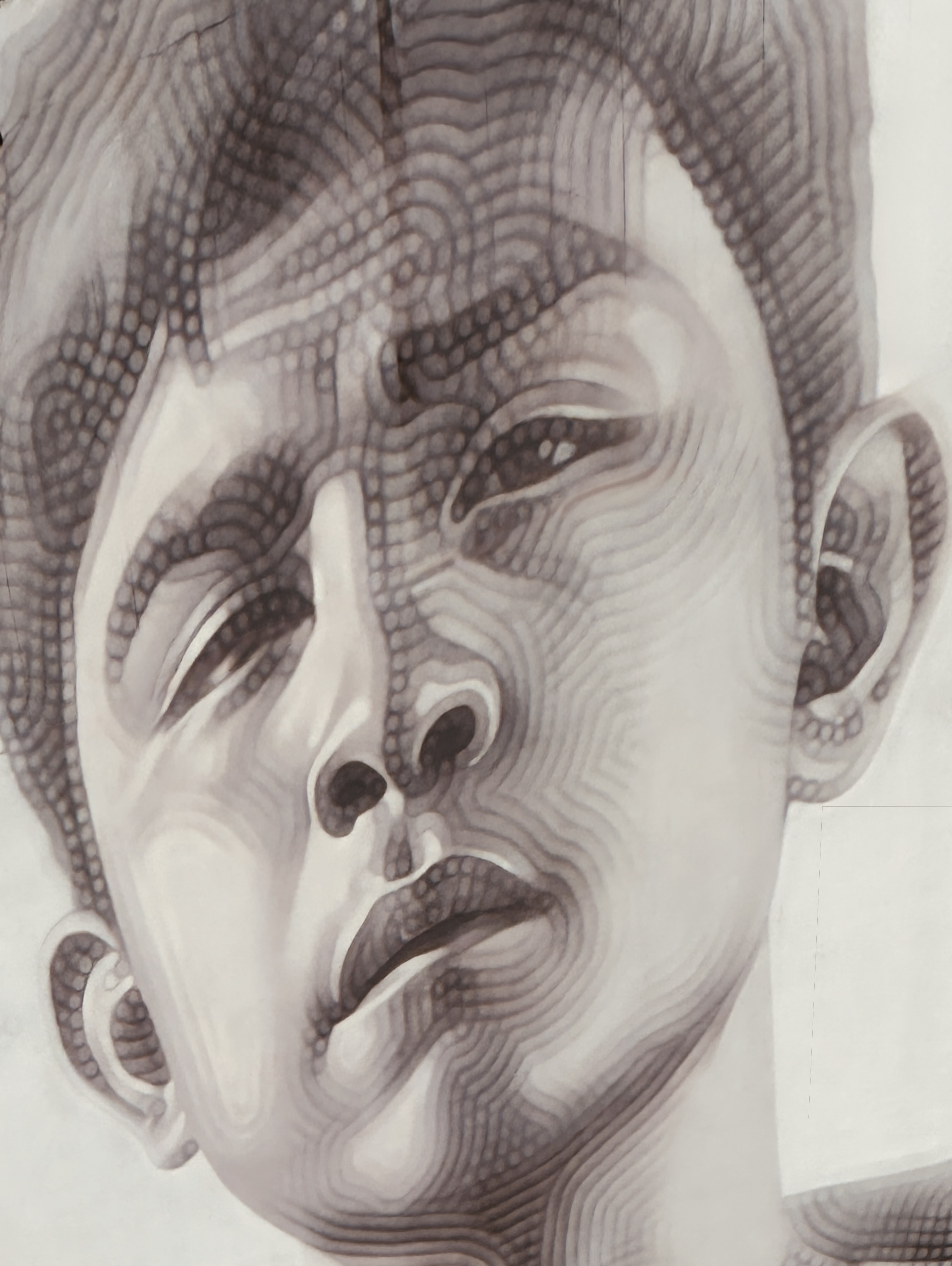
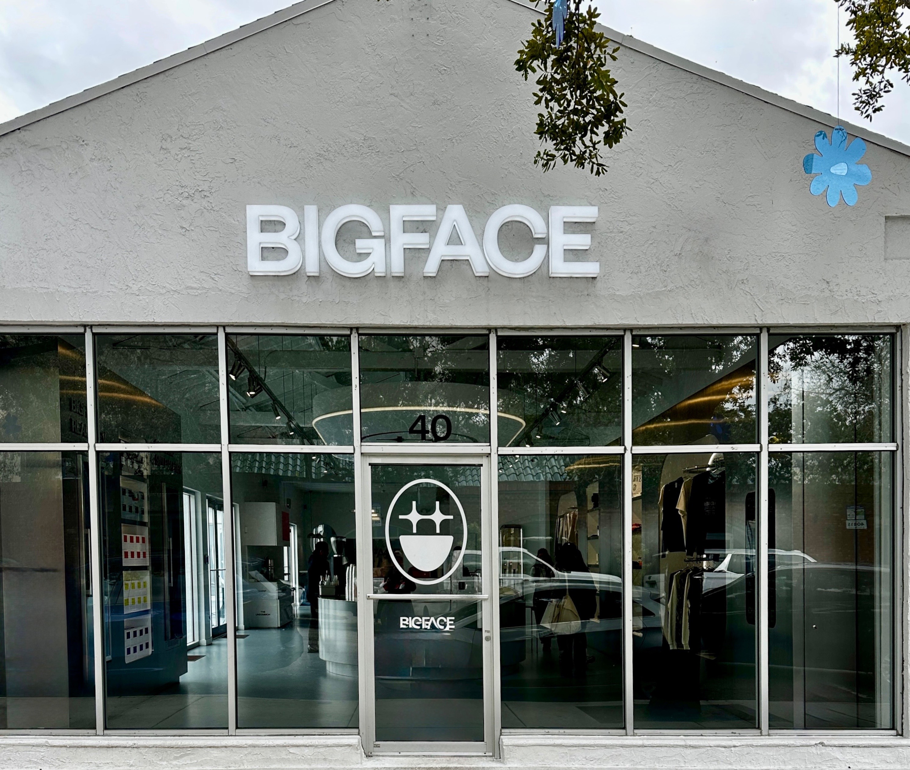
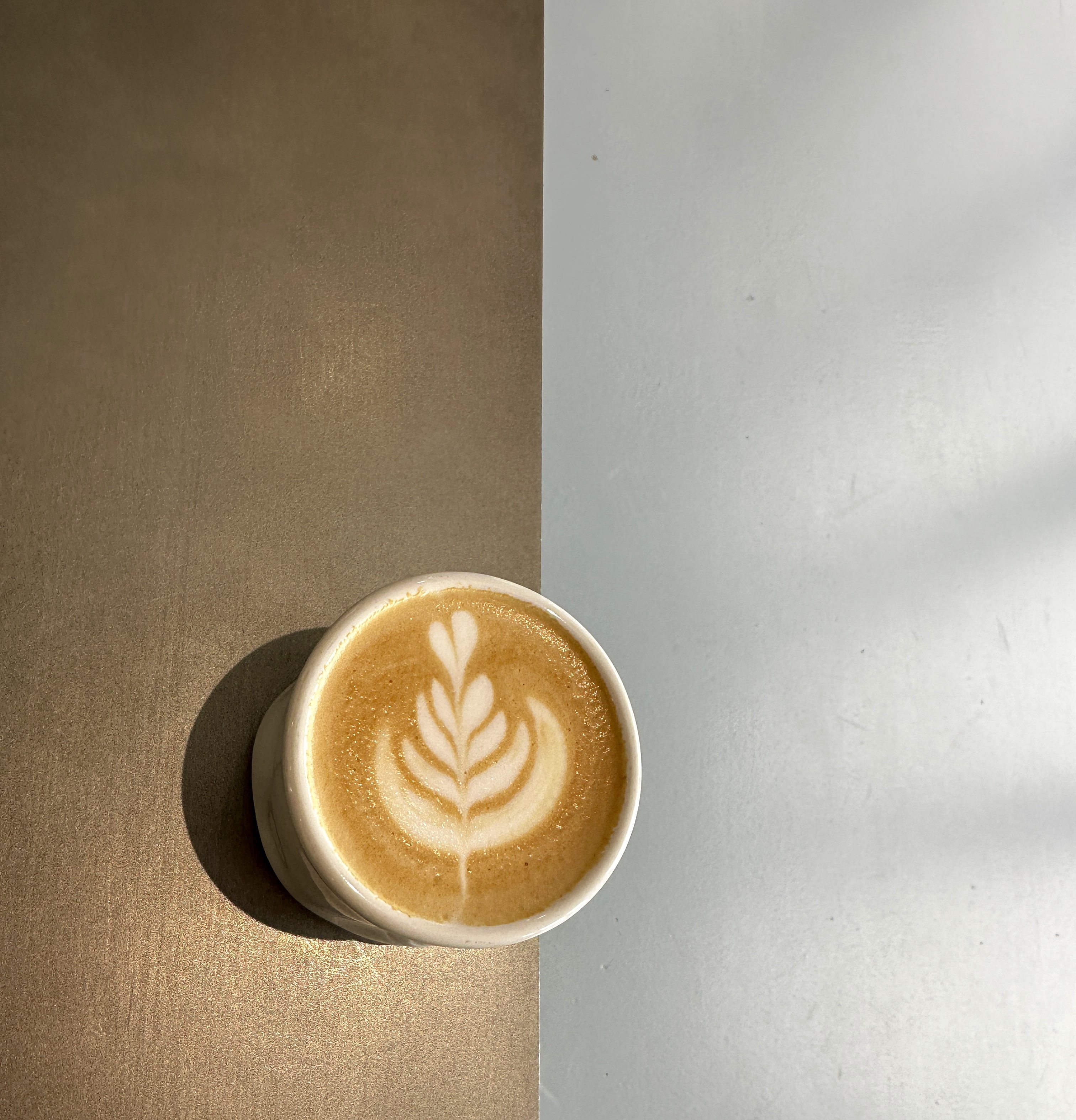
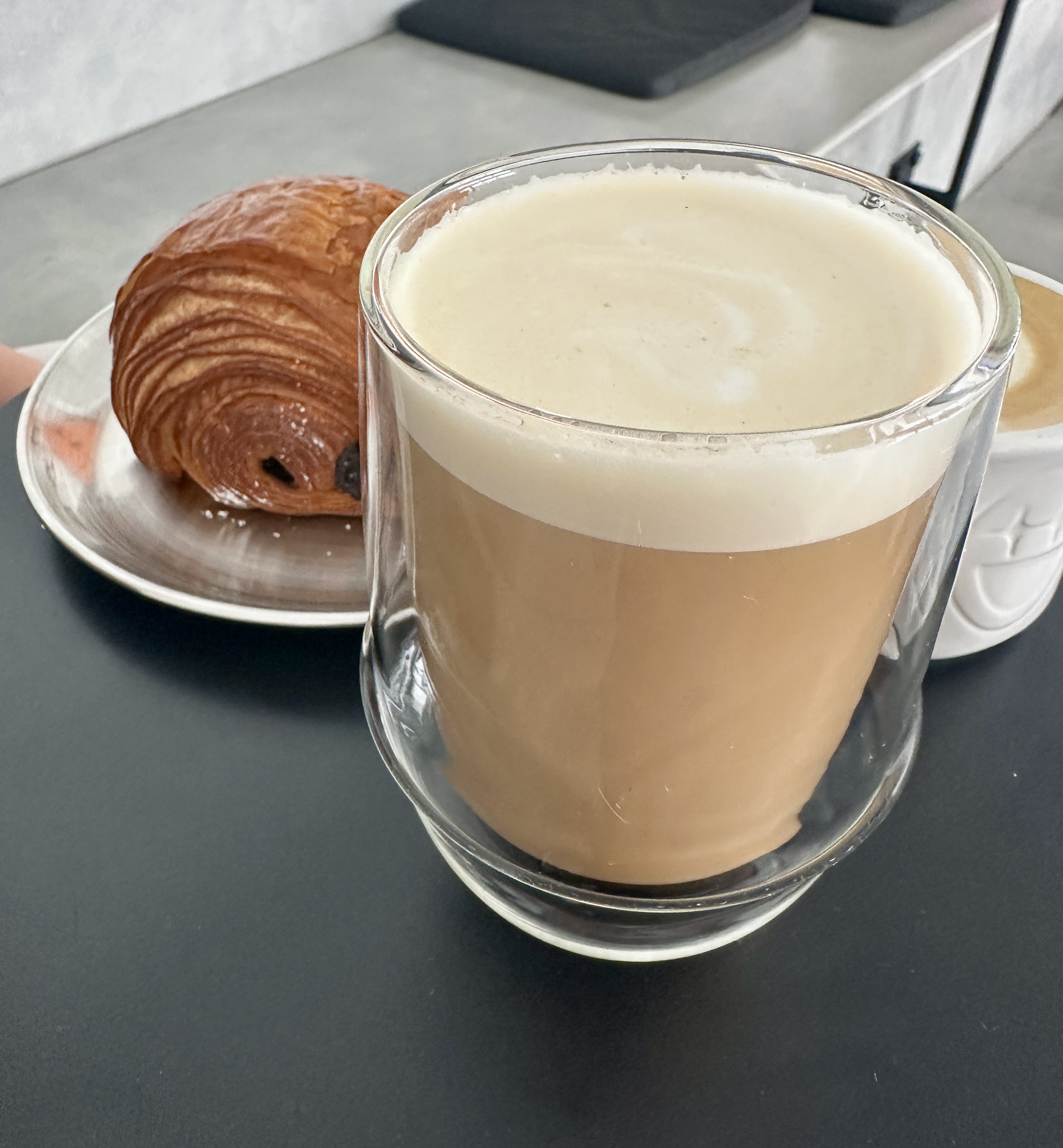
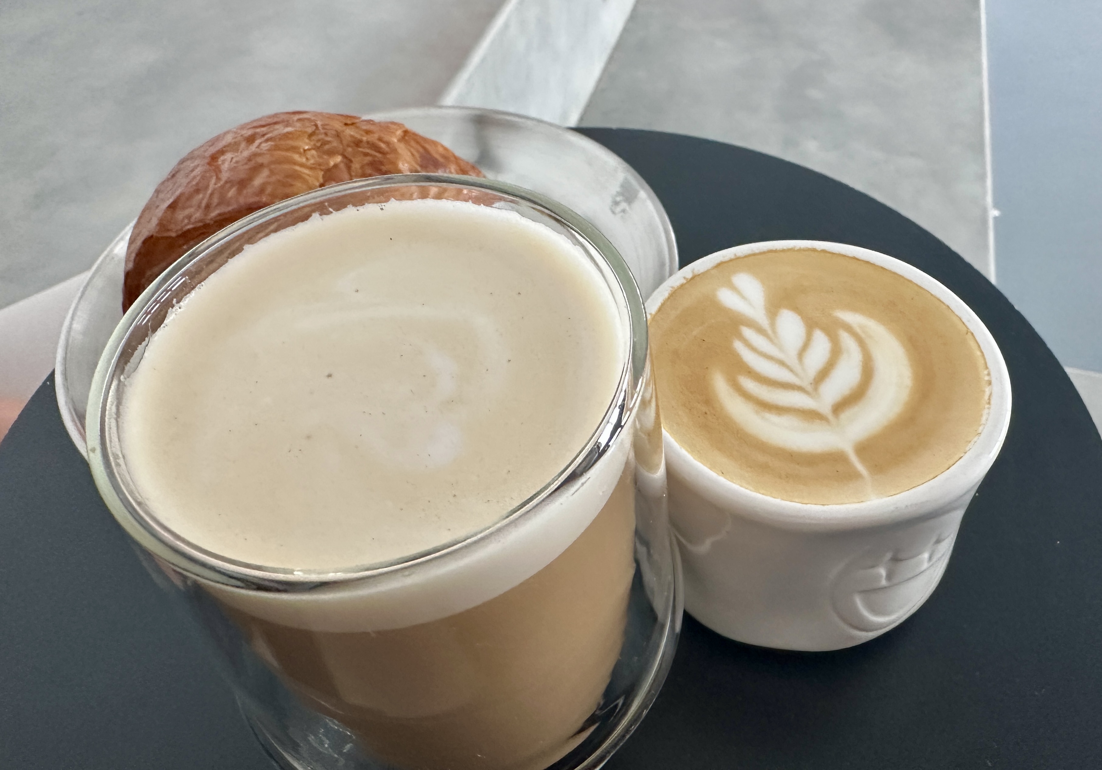
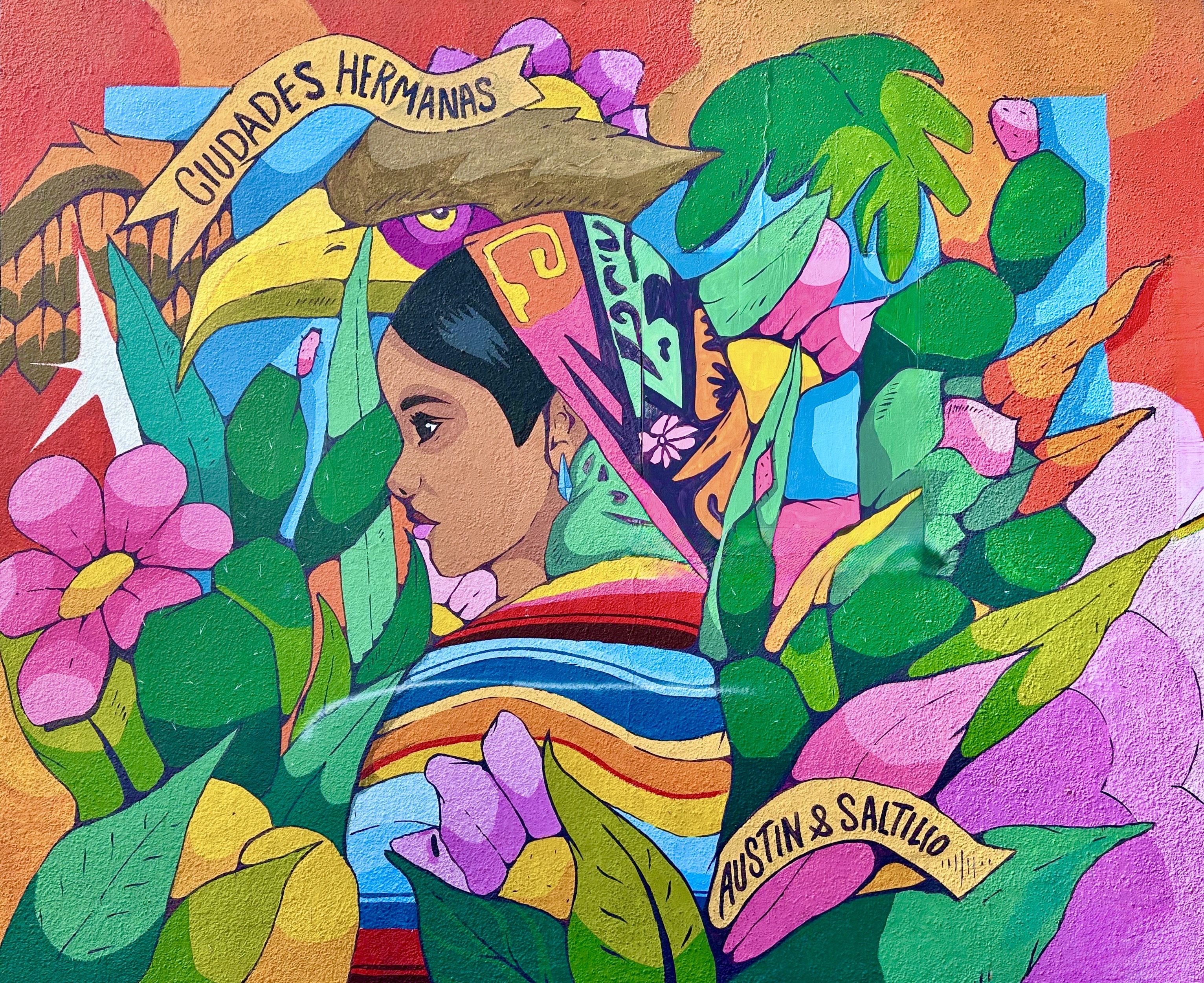
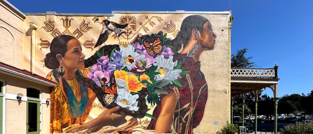
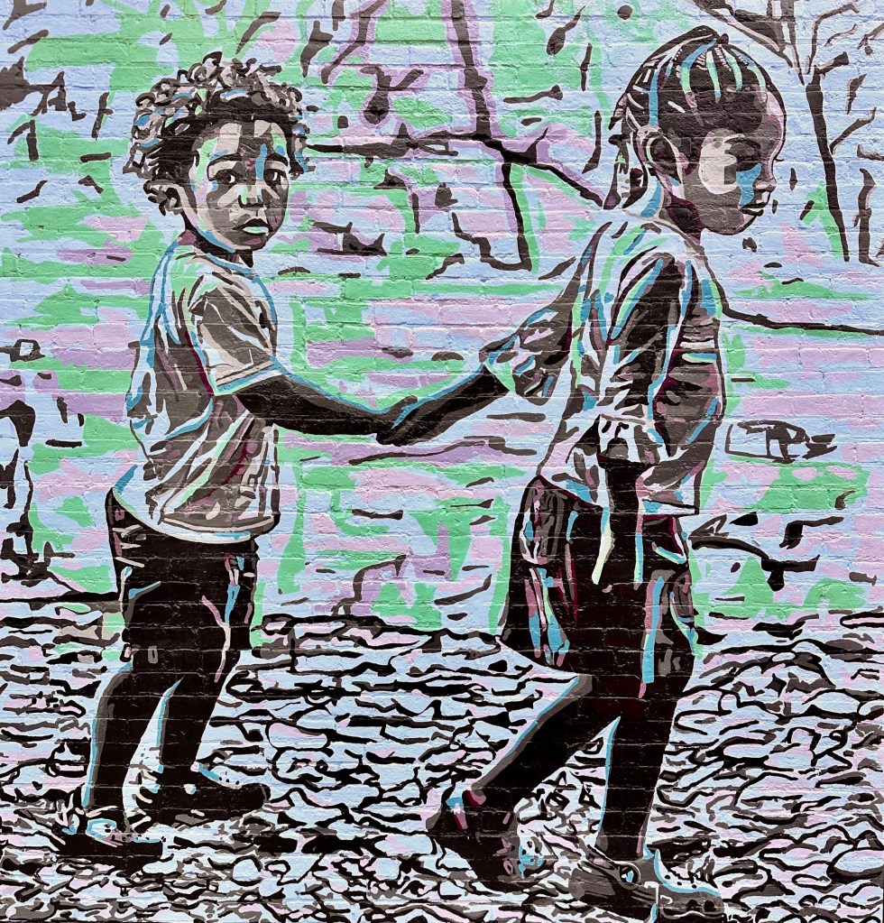
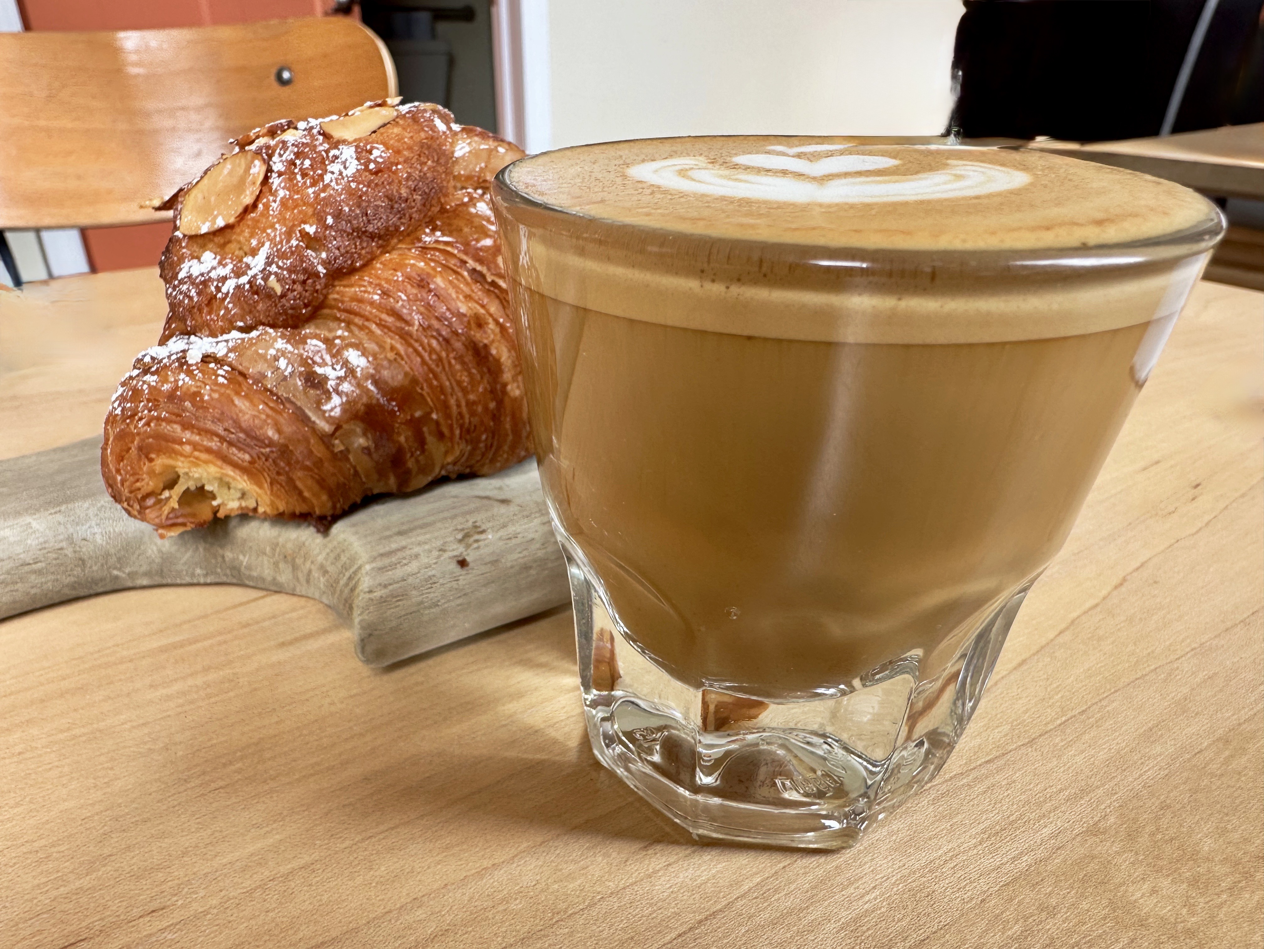
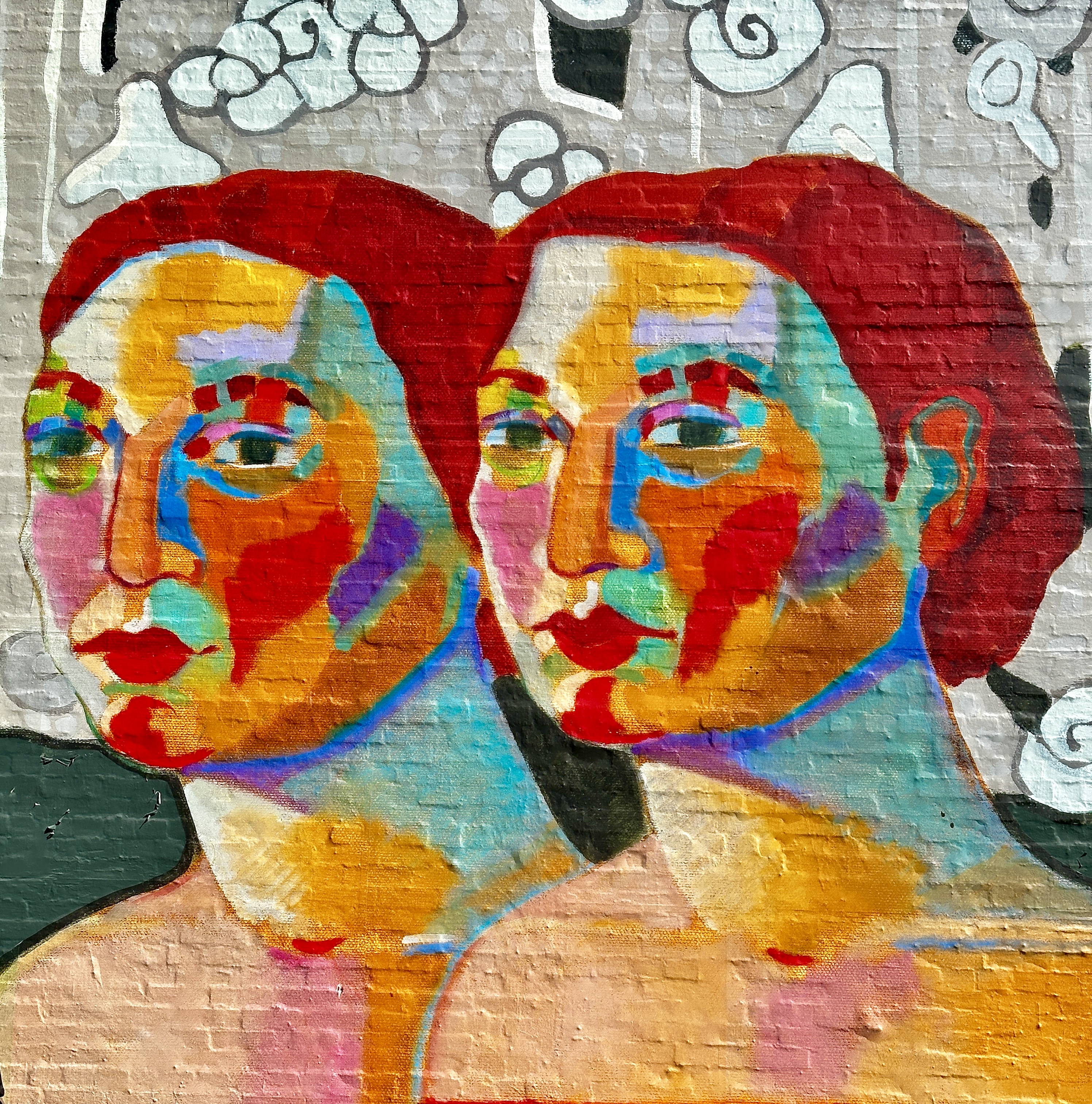
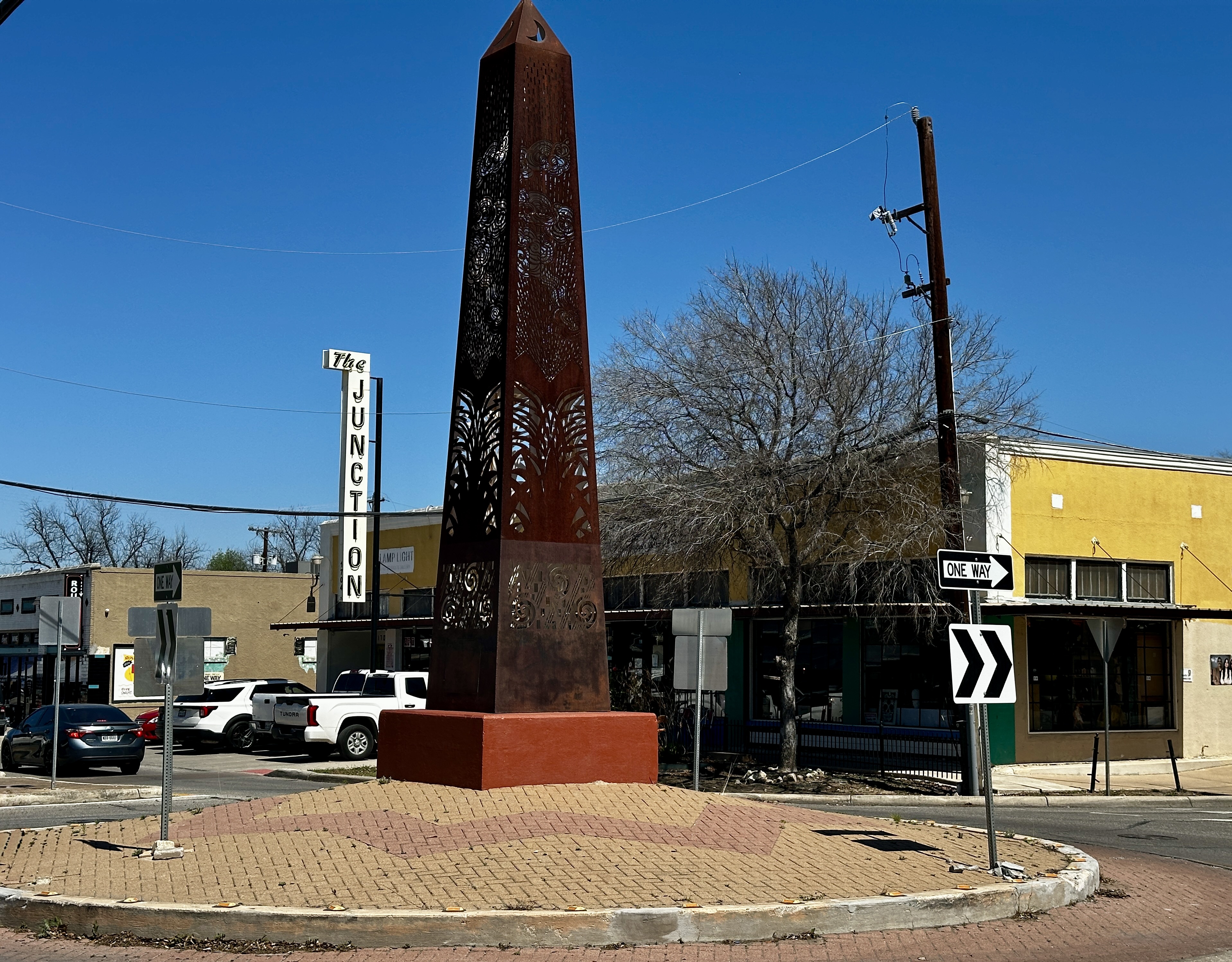
Day Eight: A beautiful day for coffee, street art hunting and live music. We started with fika at the Merit Coffee outpost on Broadway in Alamo Heights. Merit operates about a dozen cafes in Dallas, Austin and San Antonio. Each cafe is unique in regard to the interior design and consistent in maintaining quality. So, while they are continuing to add locations this is not a cookie cutter chain in the making.They operate their own roastery in San Antonio.
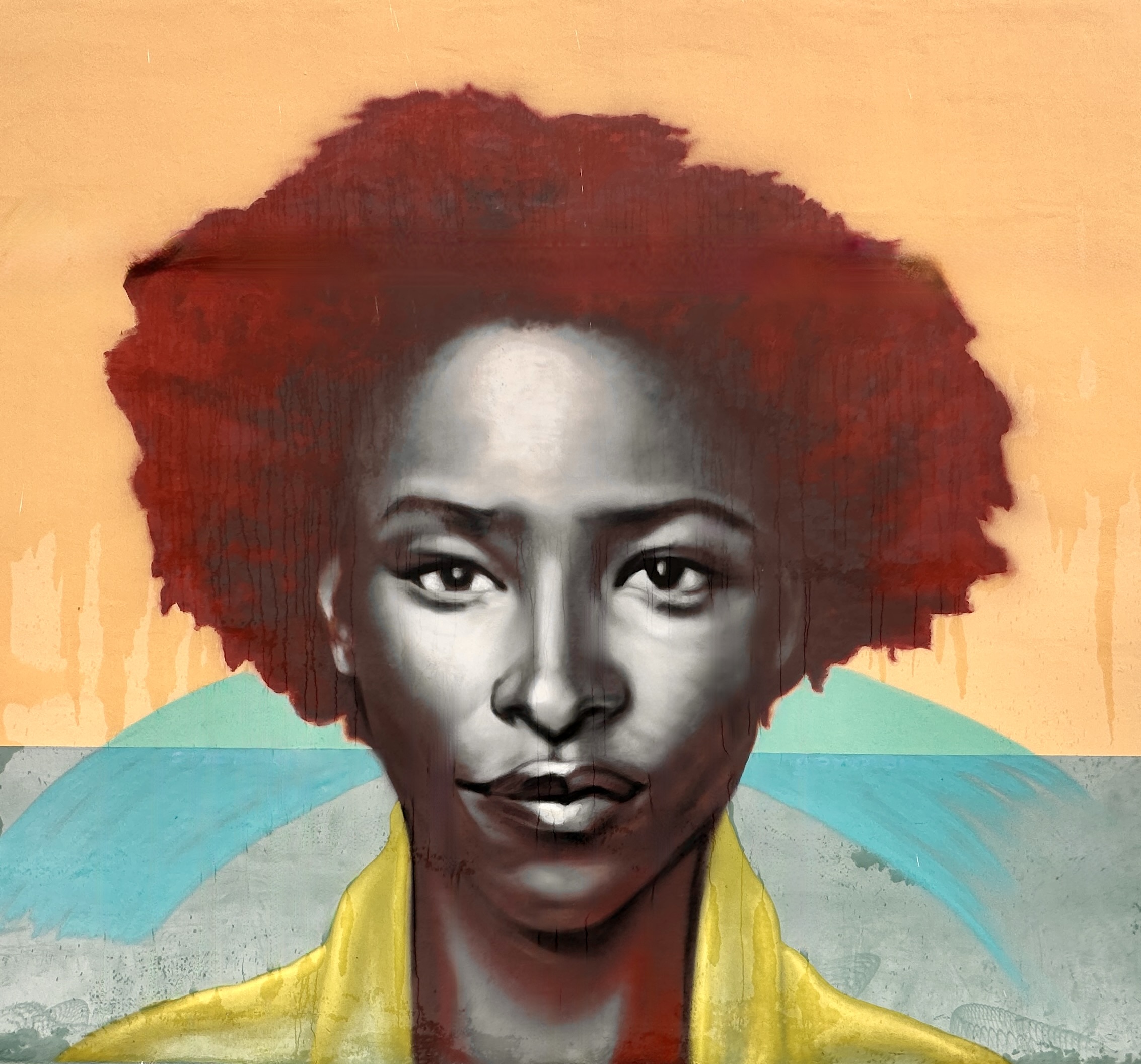
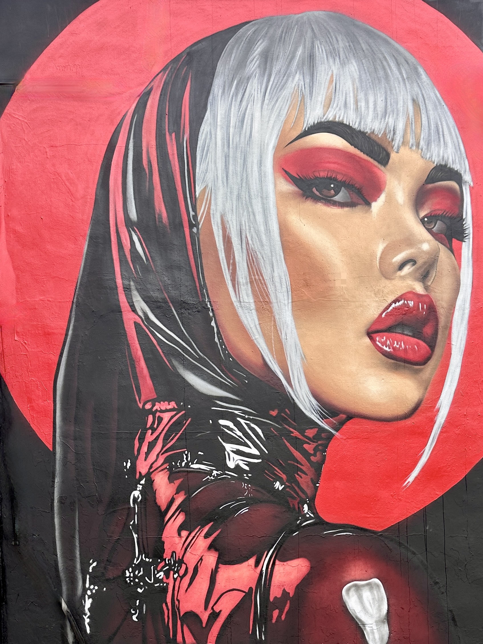
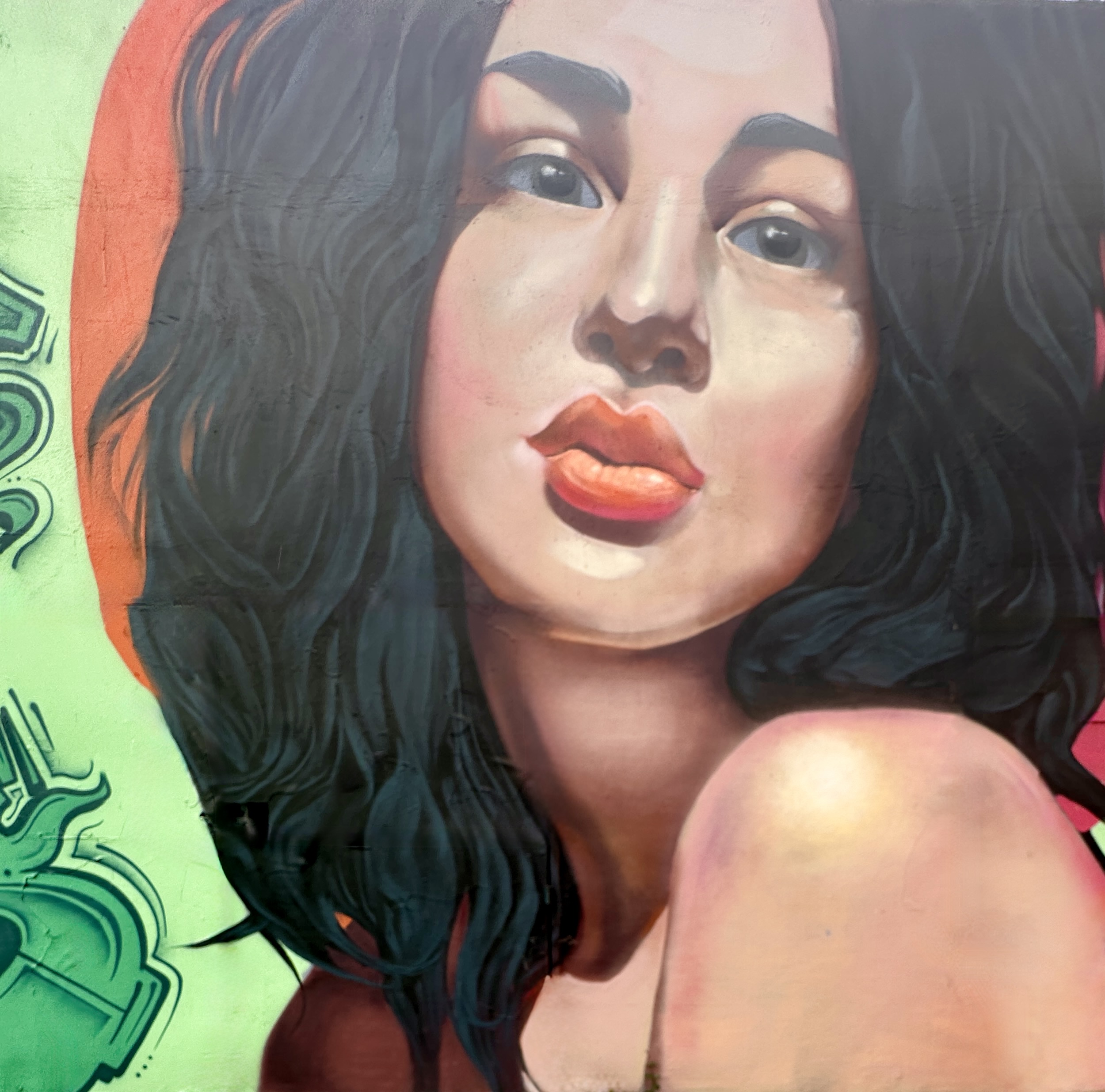
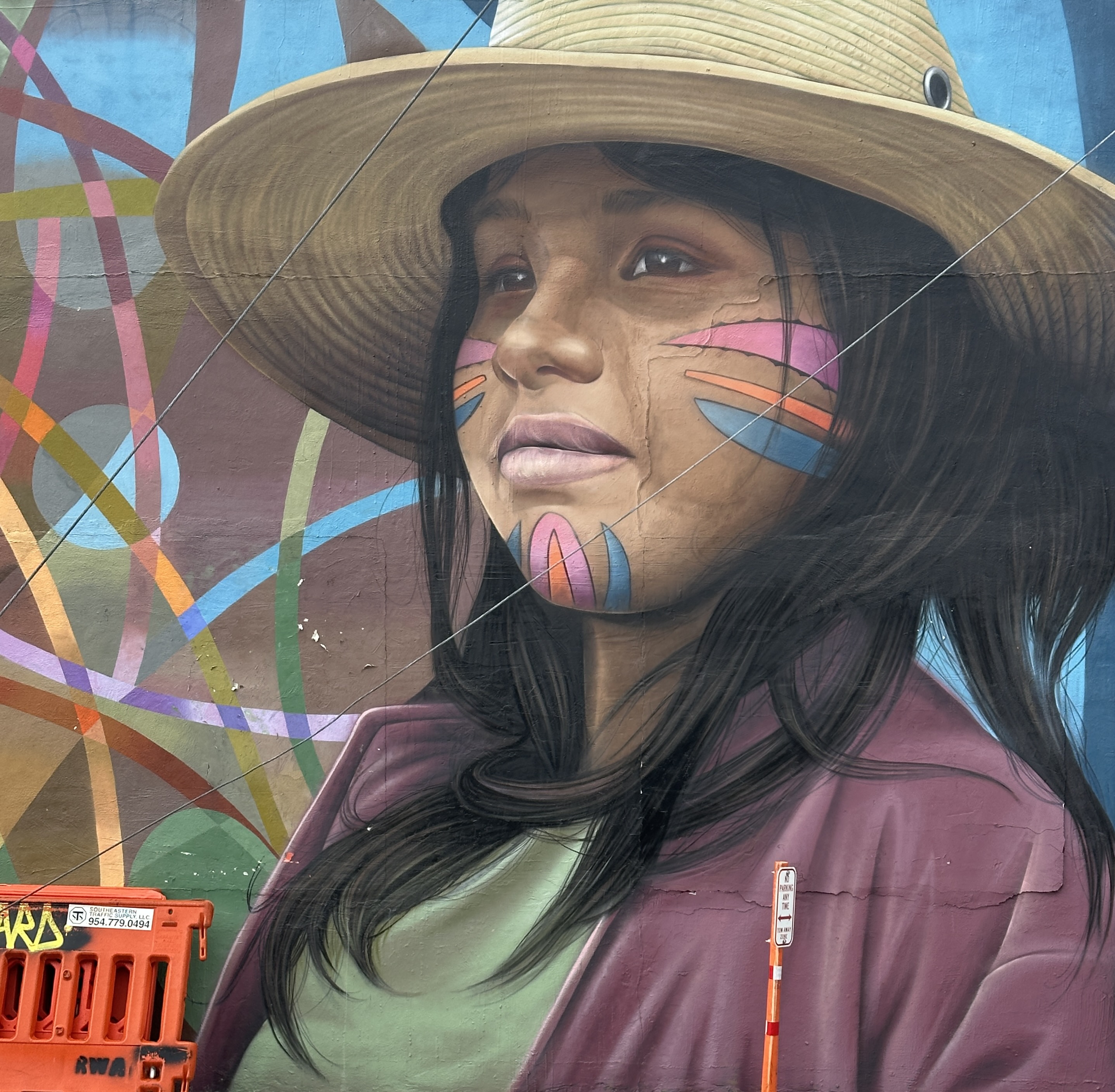
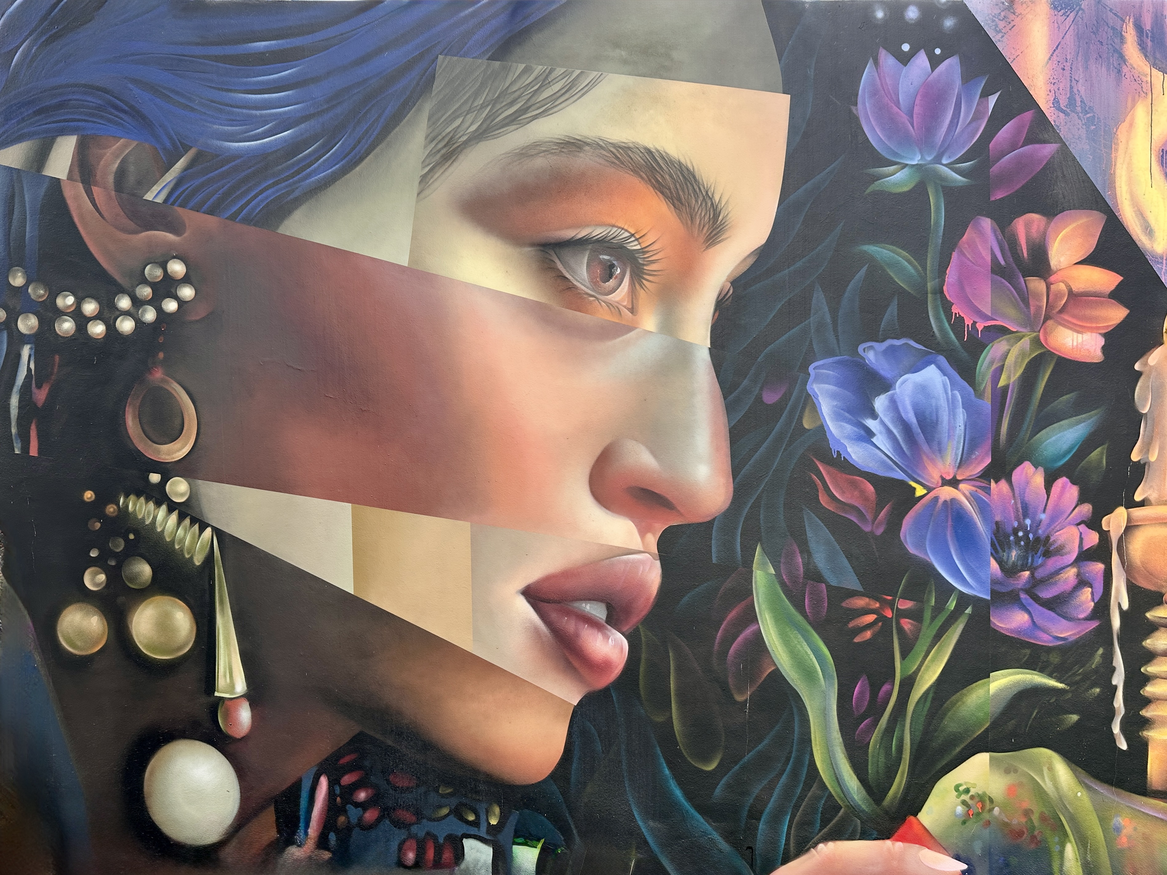
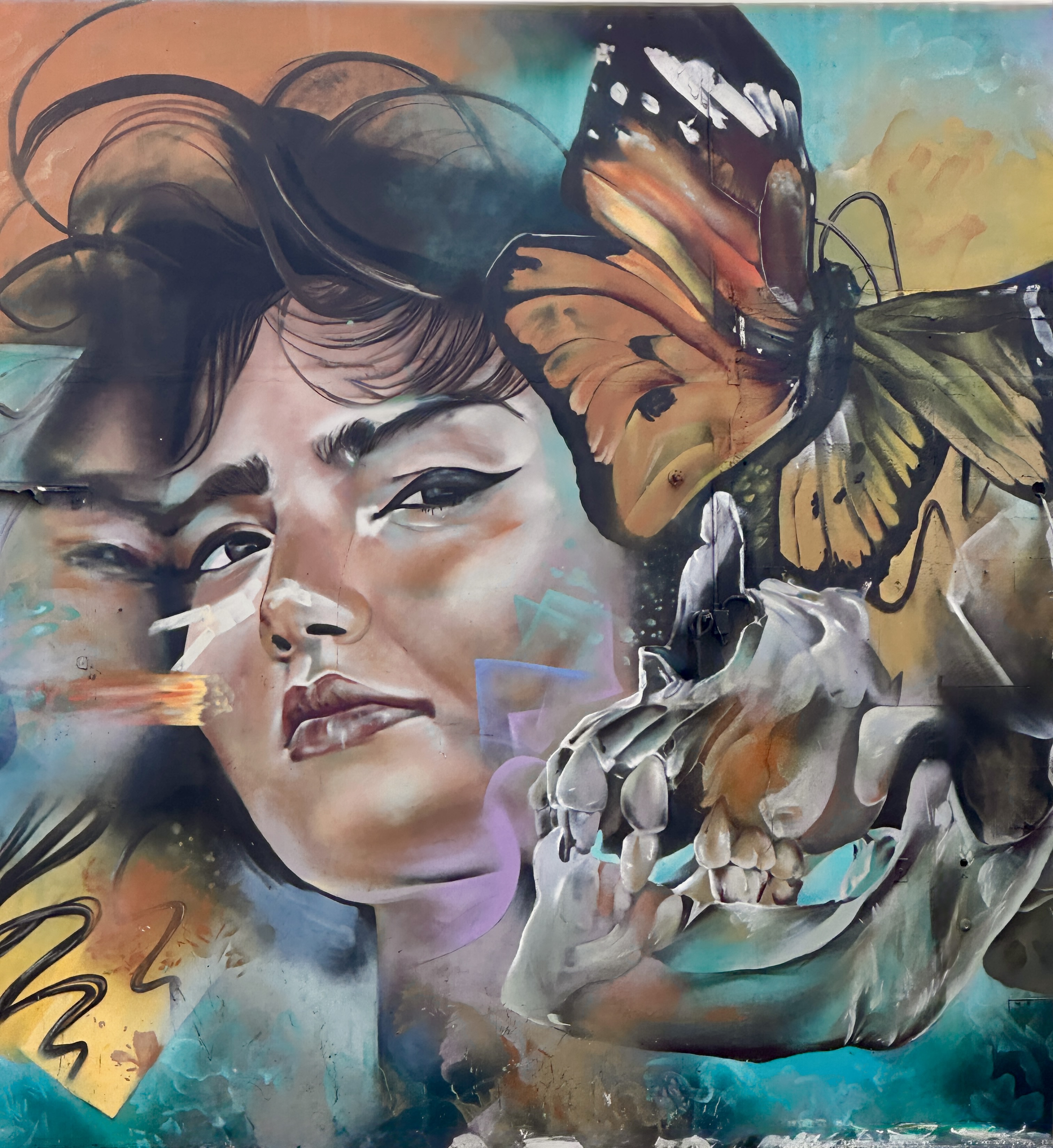
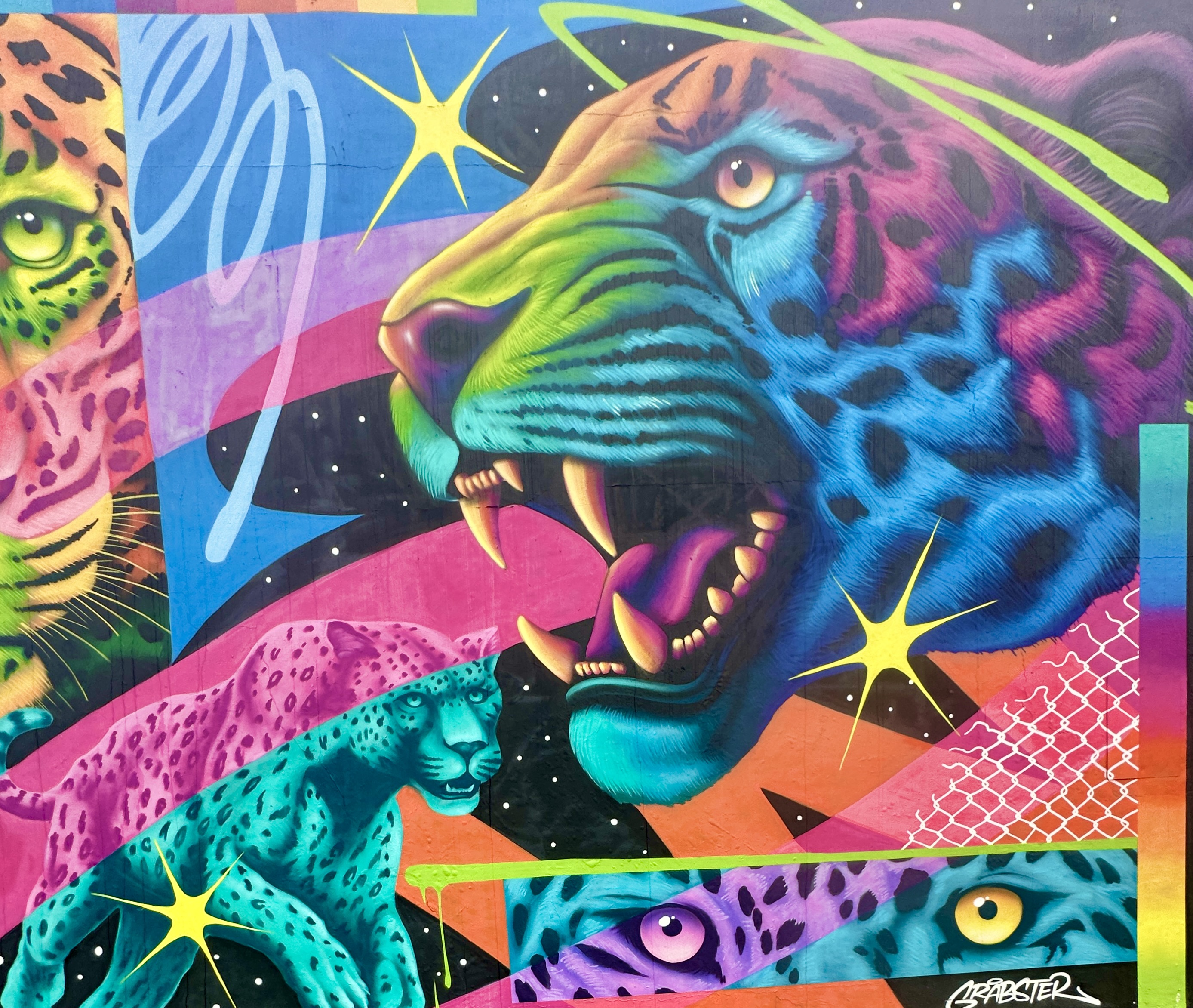
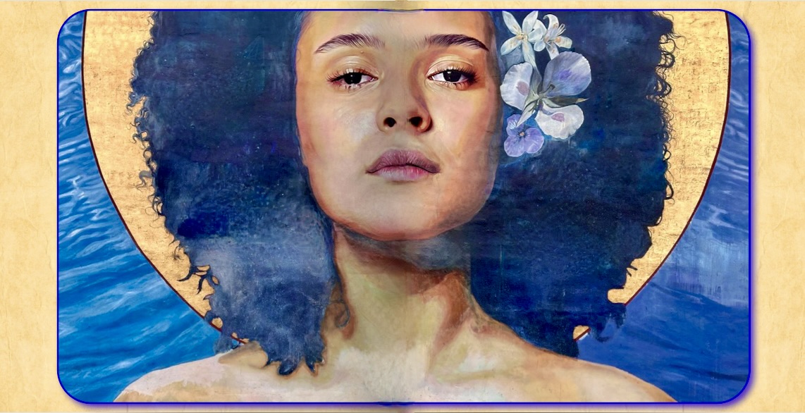
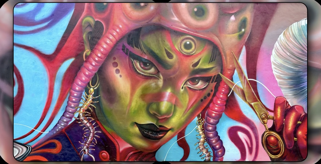
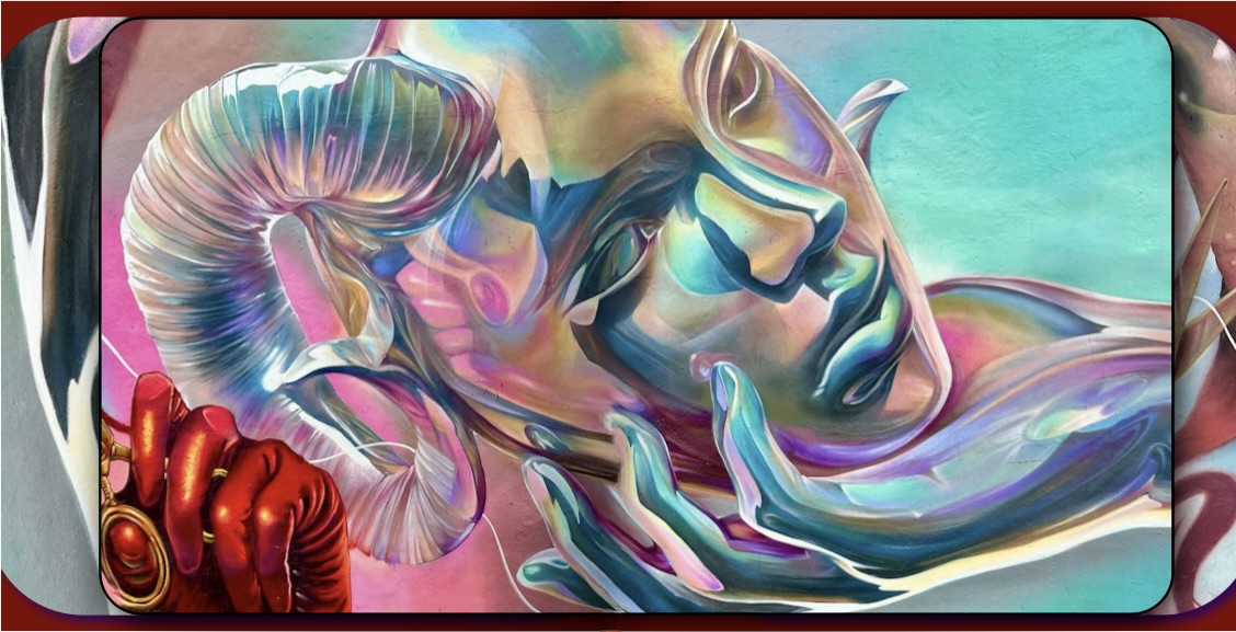
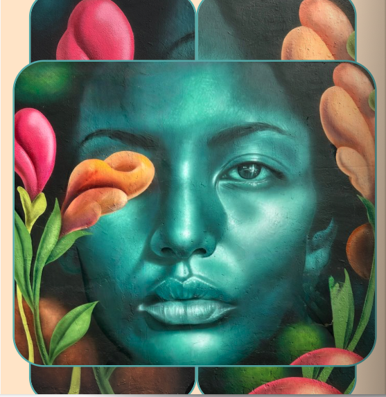
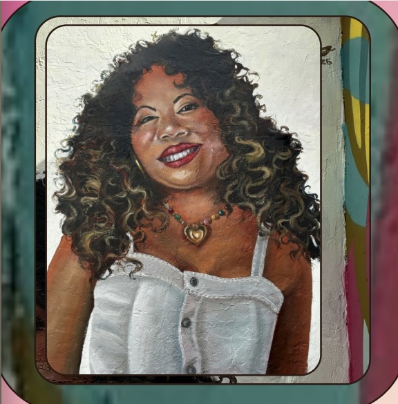
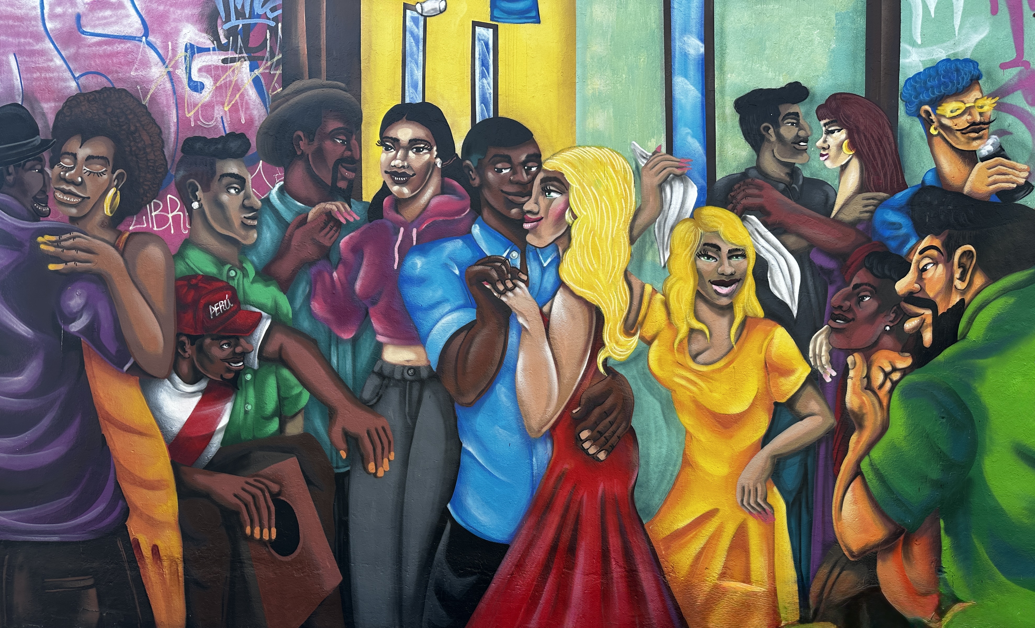
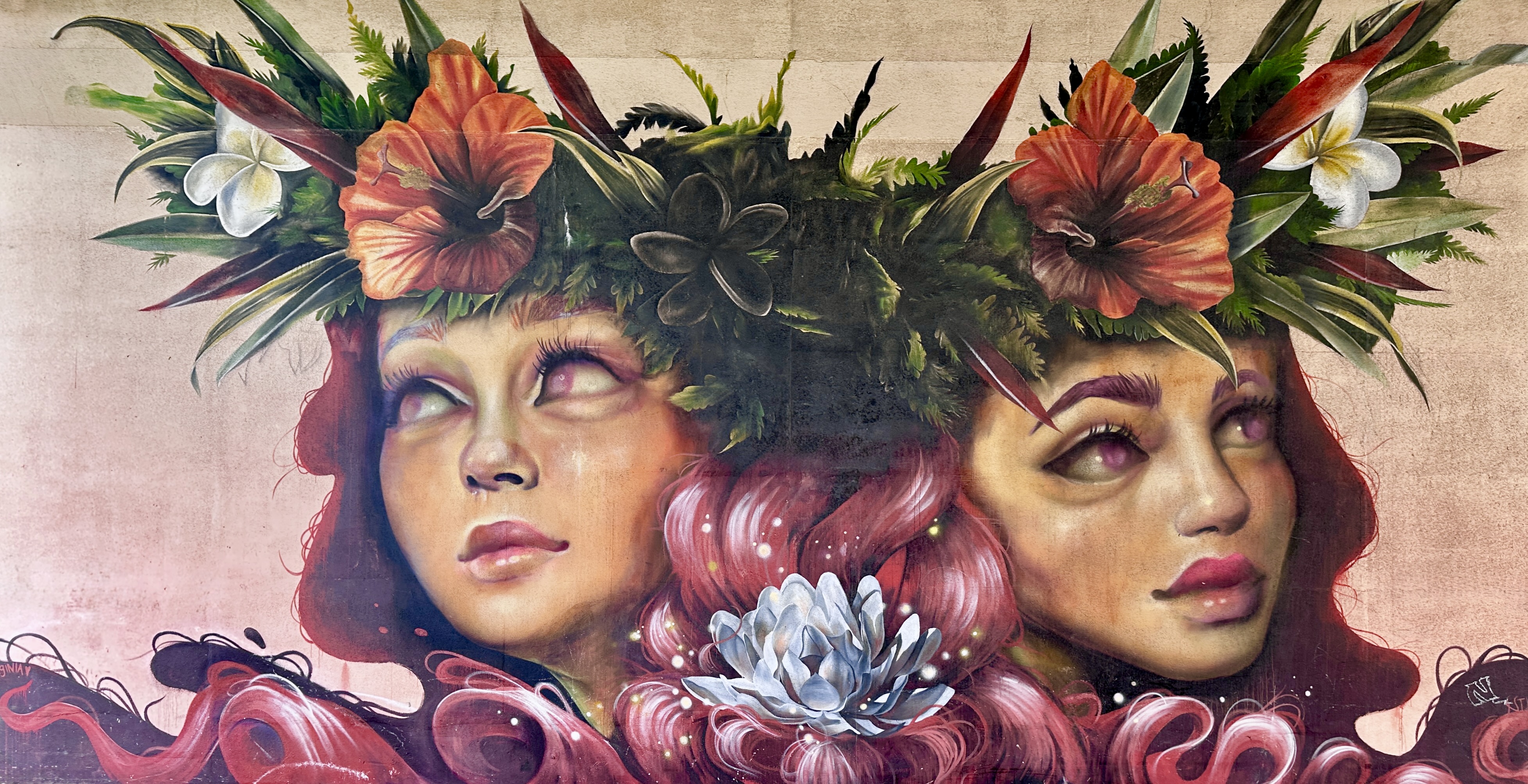
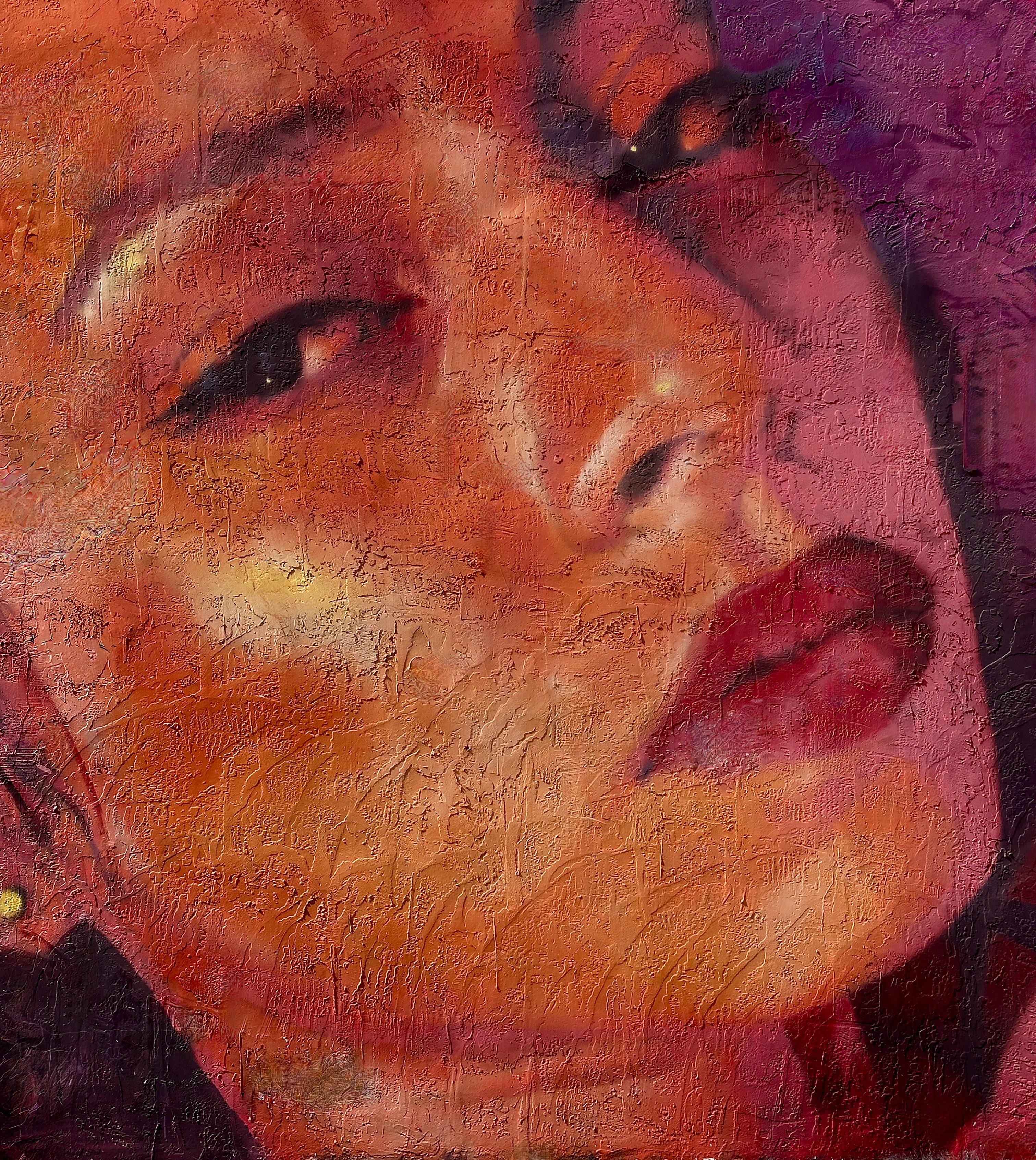
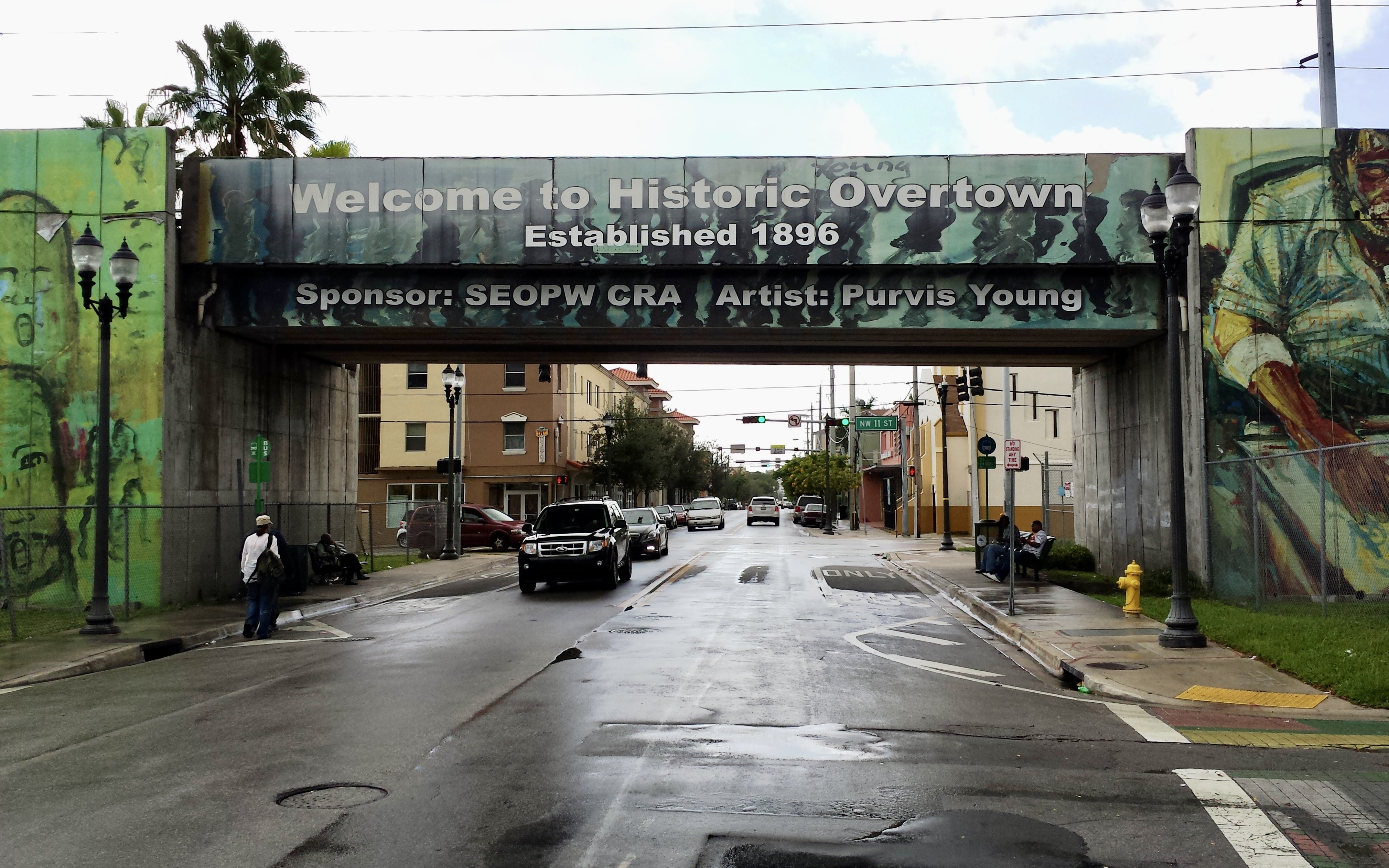
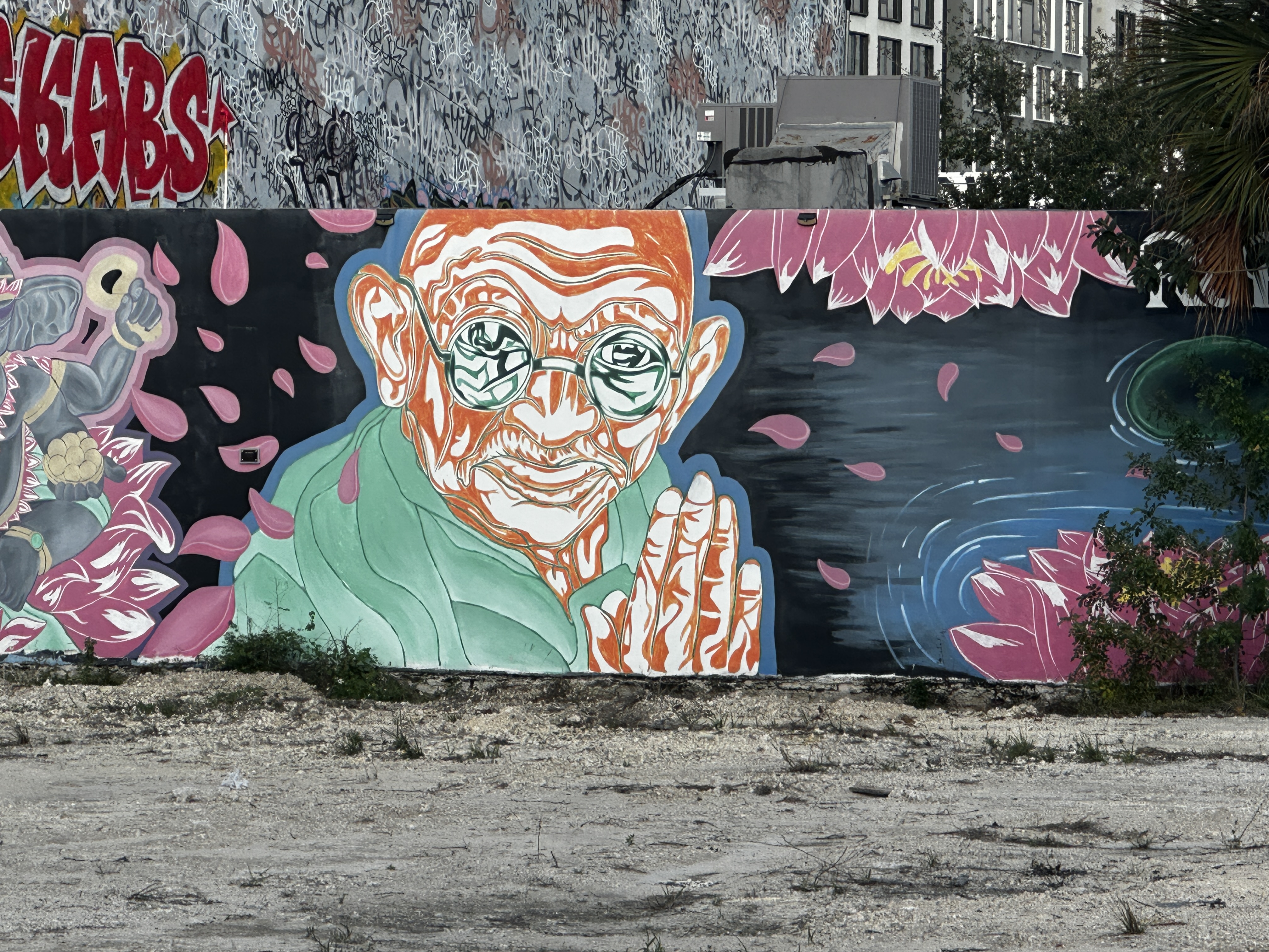
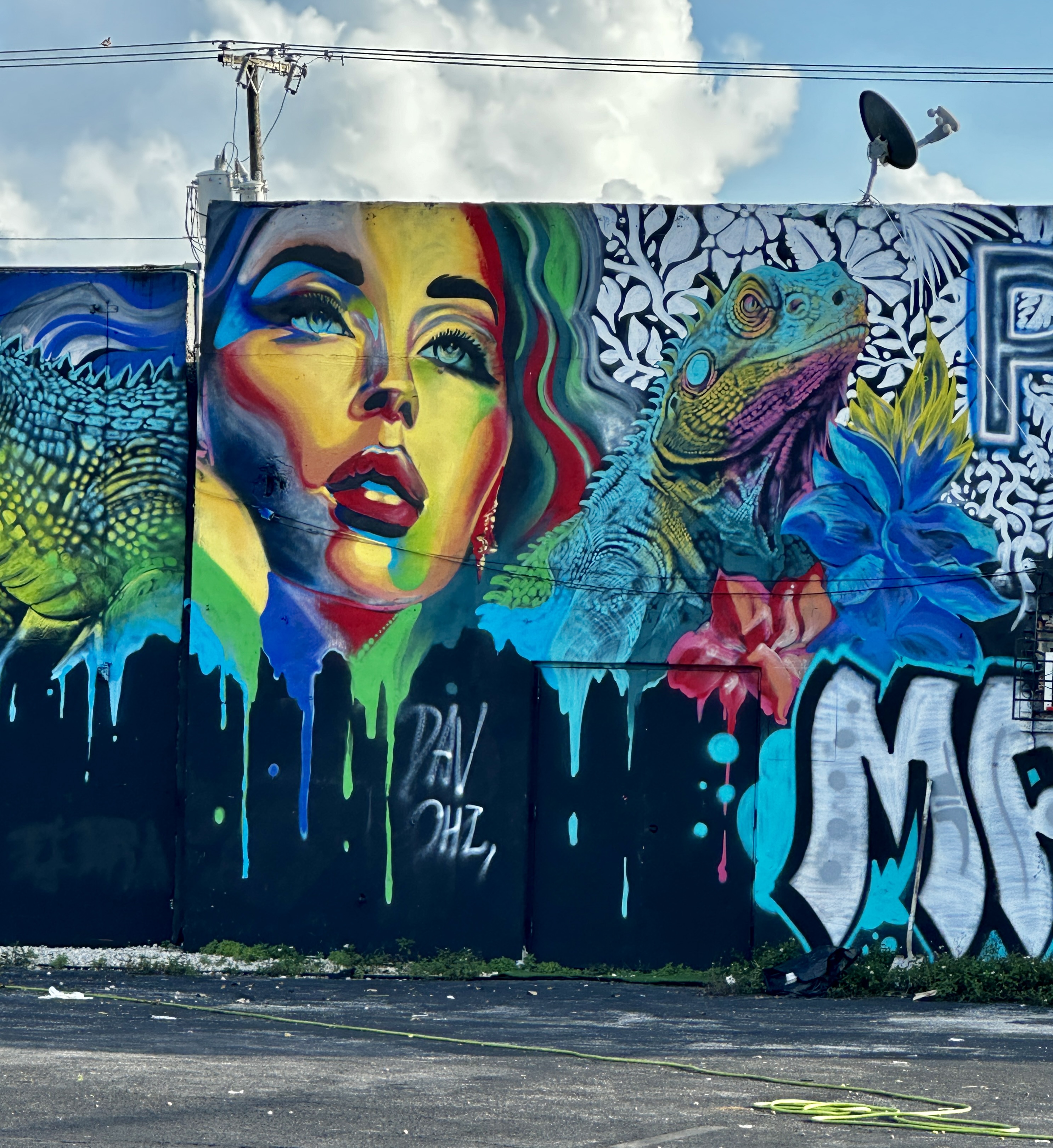
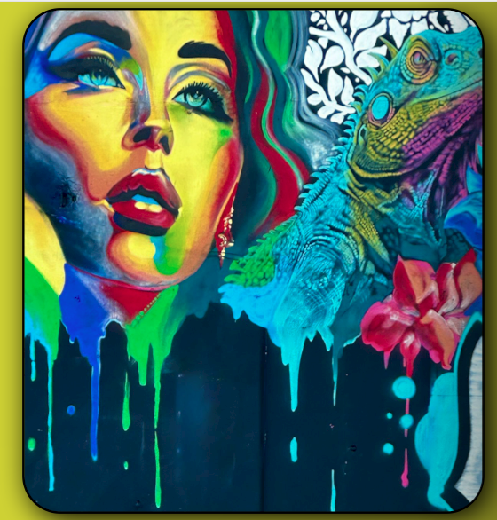
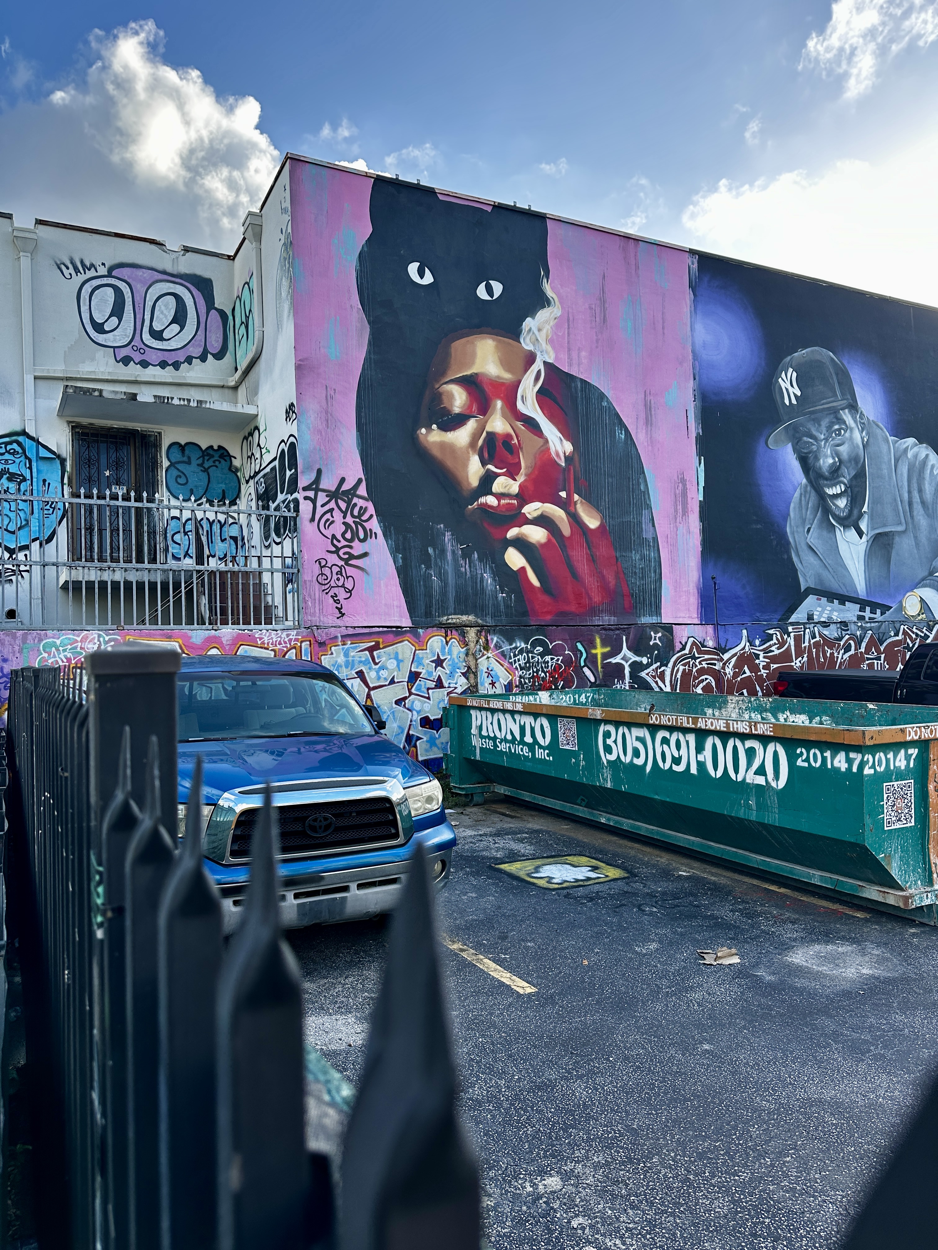
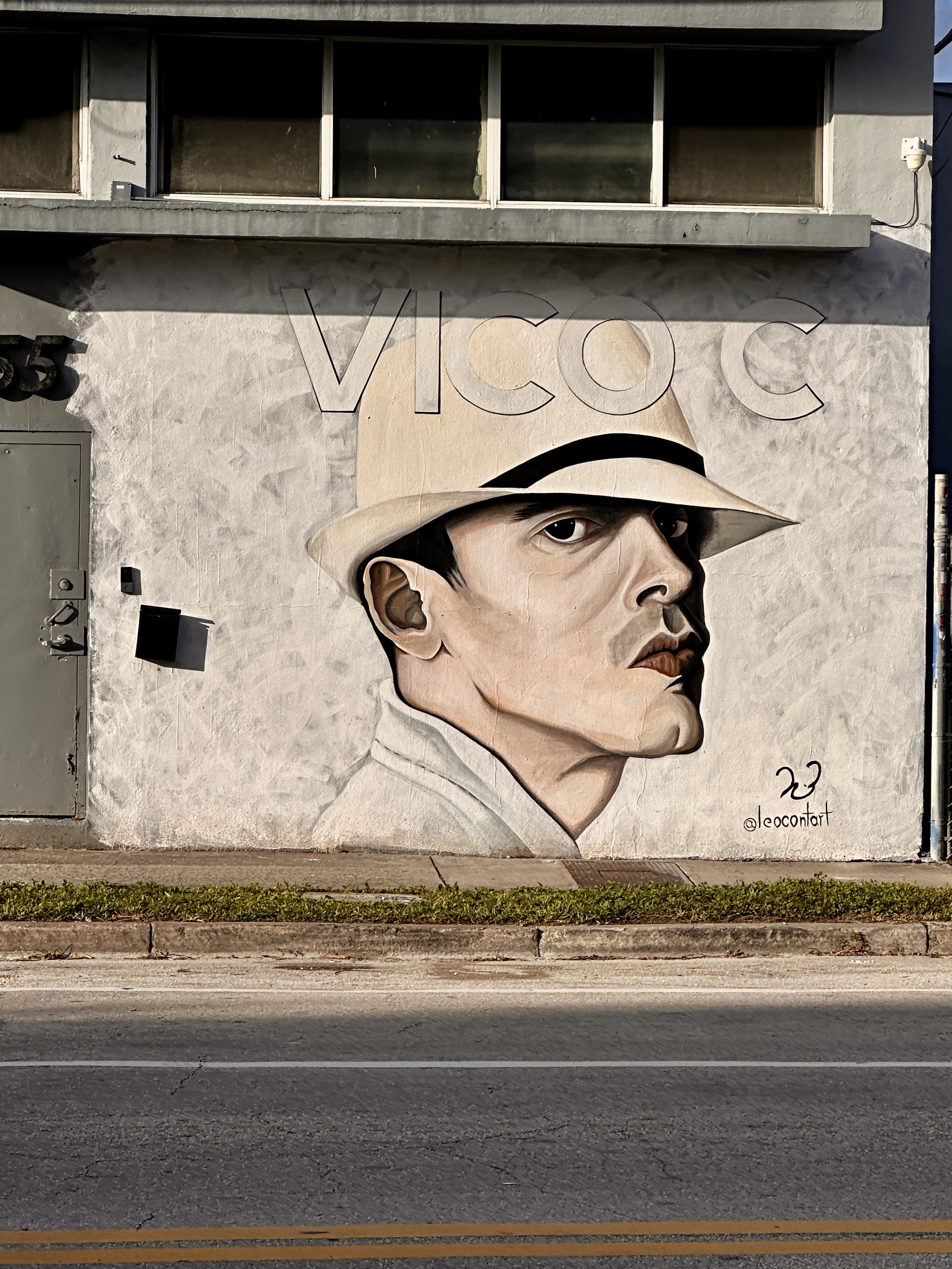
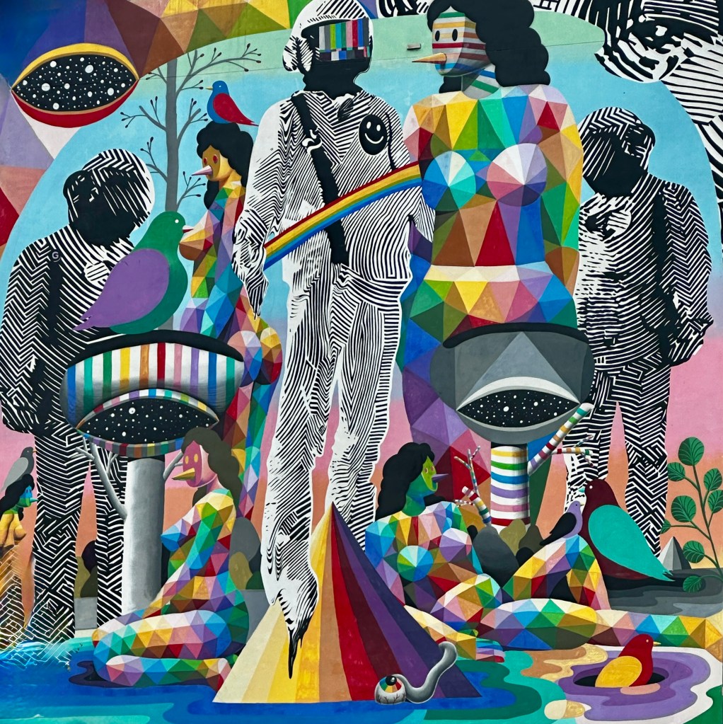
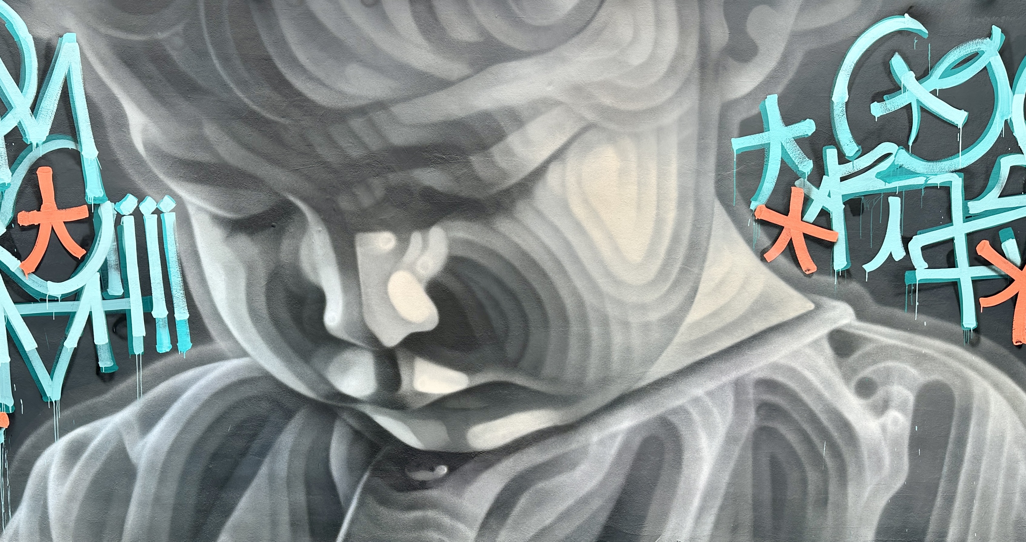
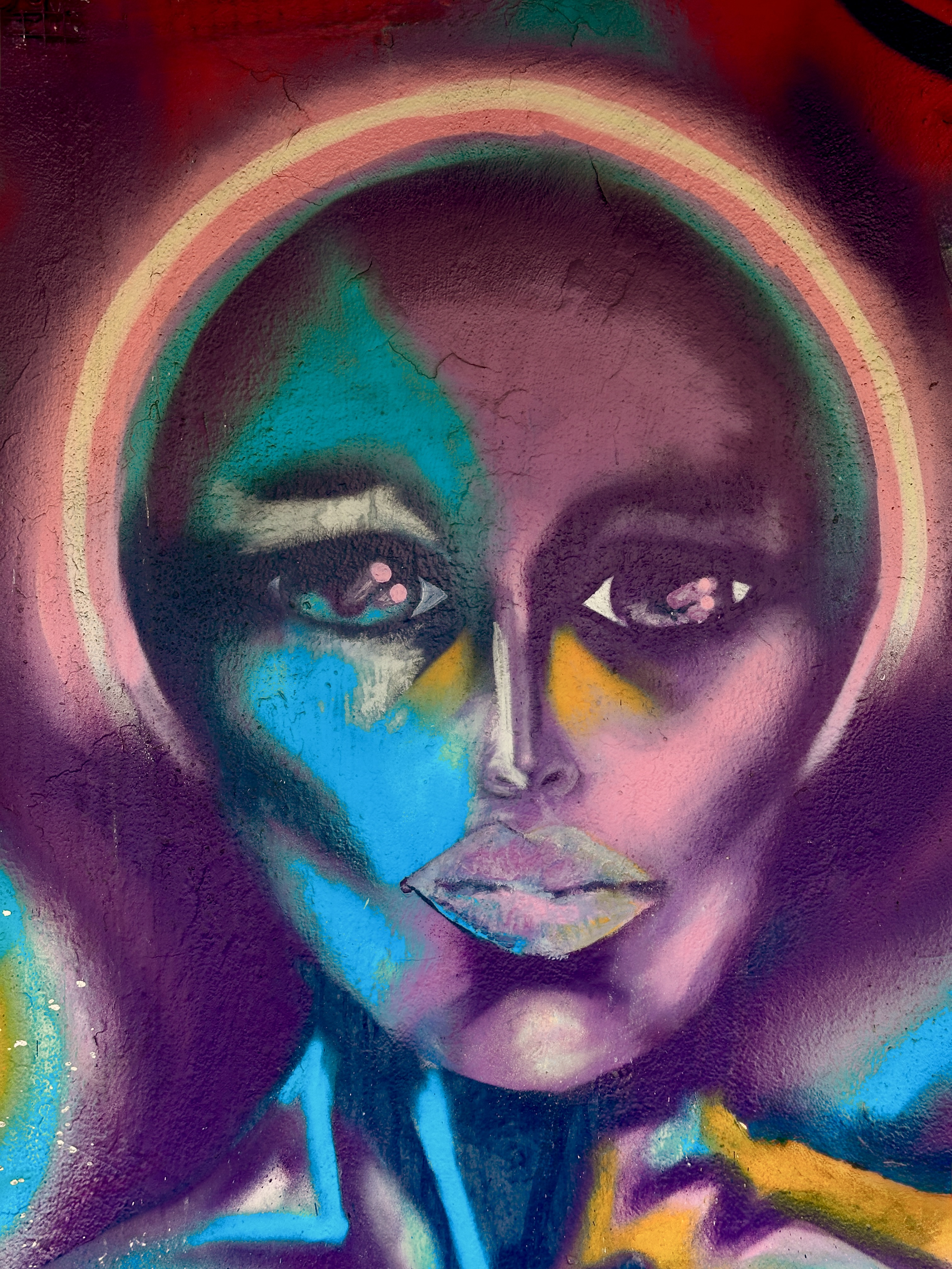
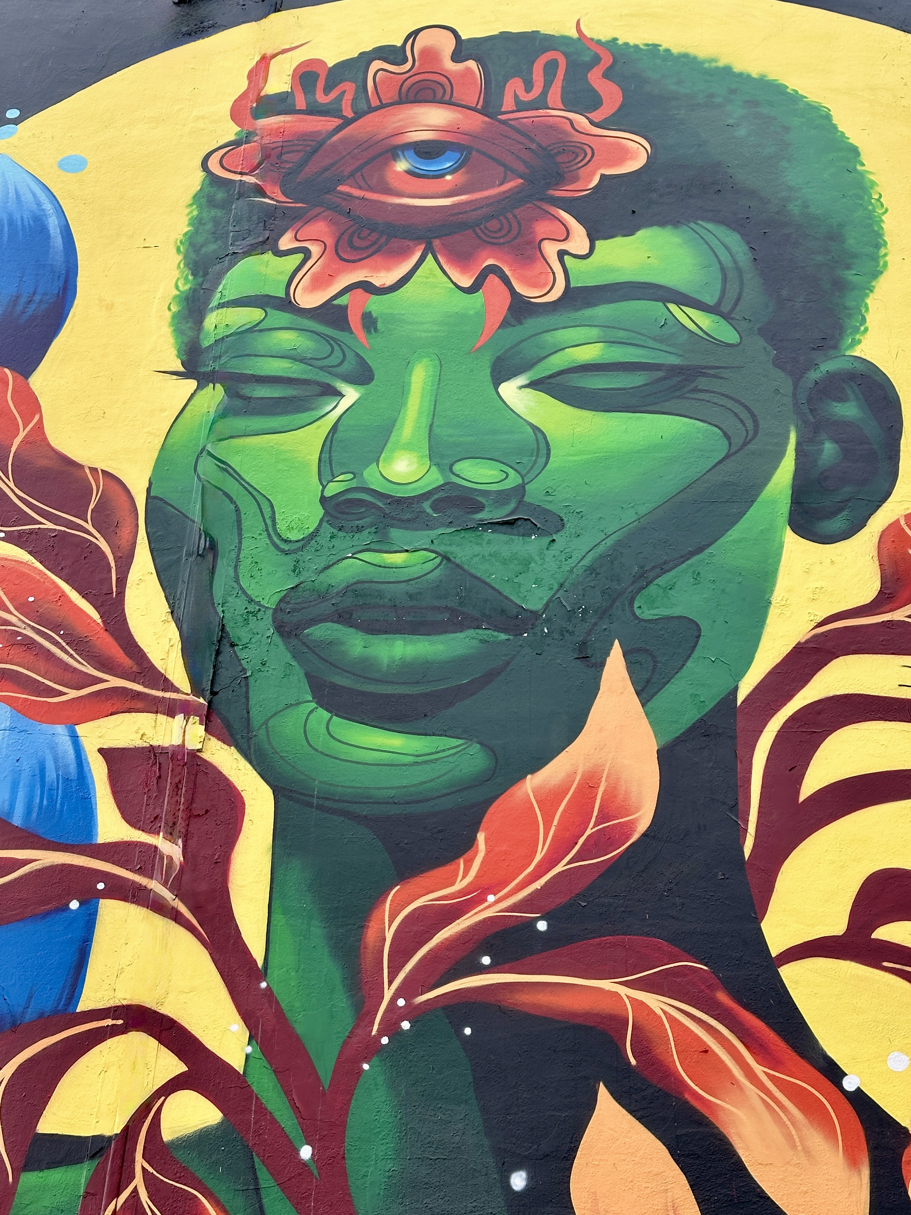
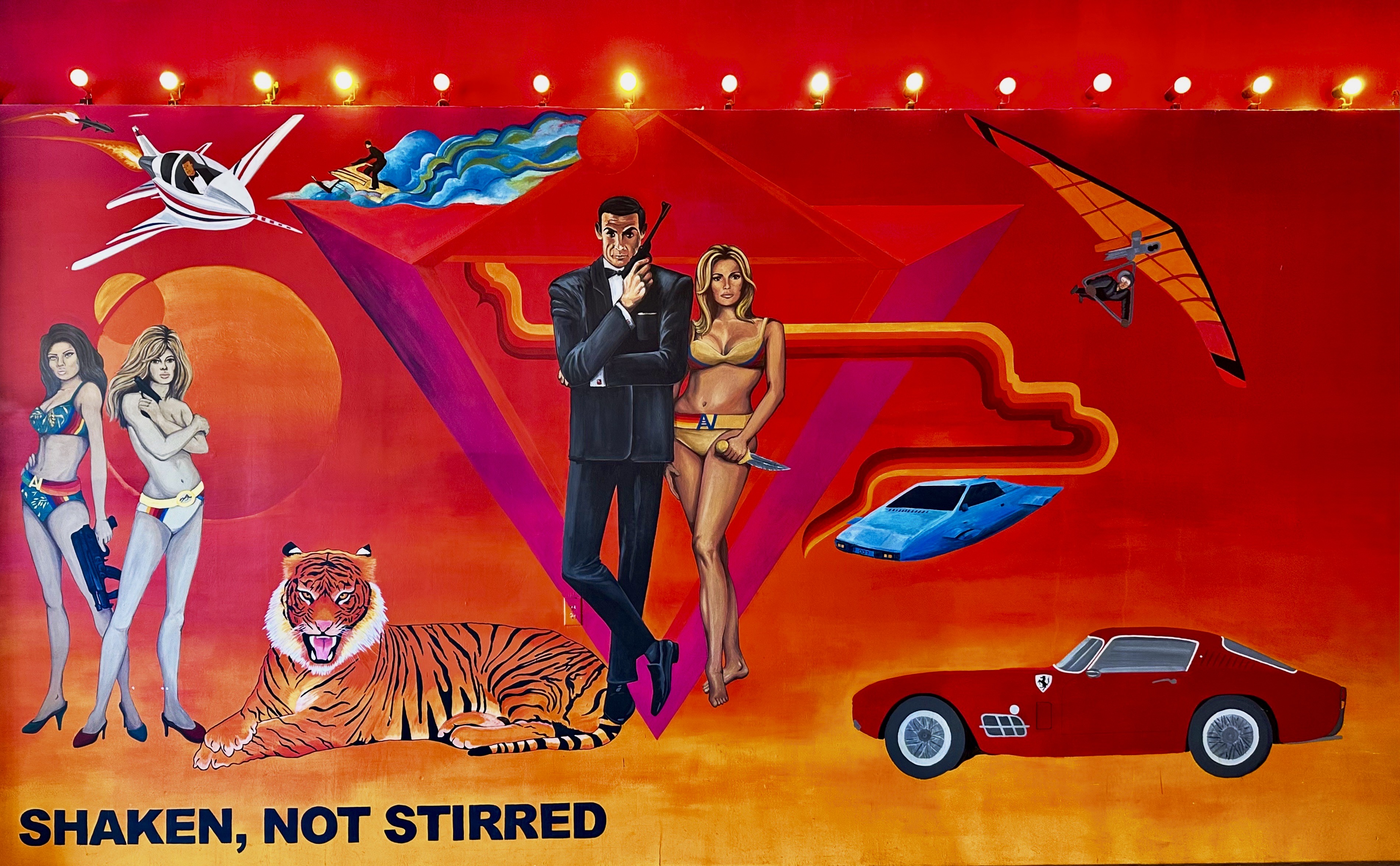
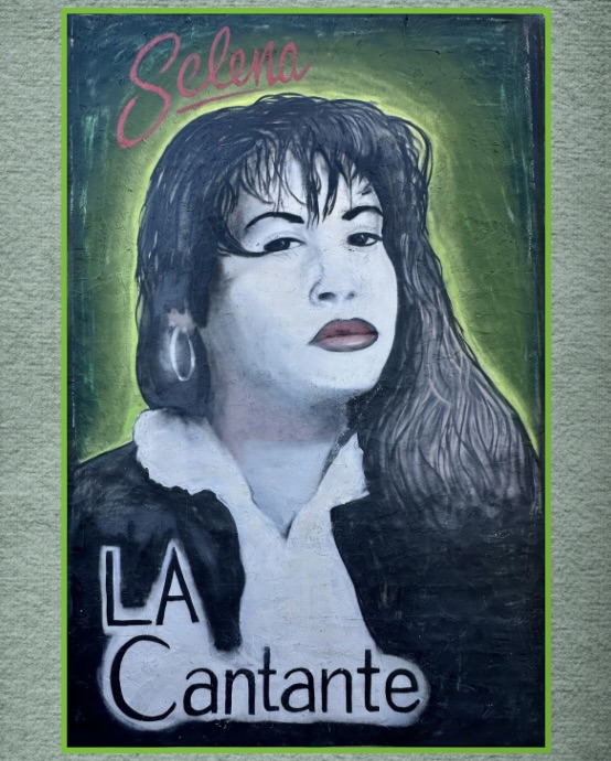
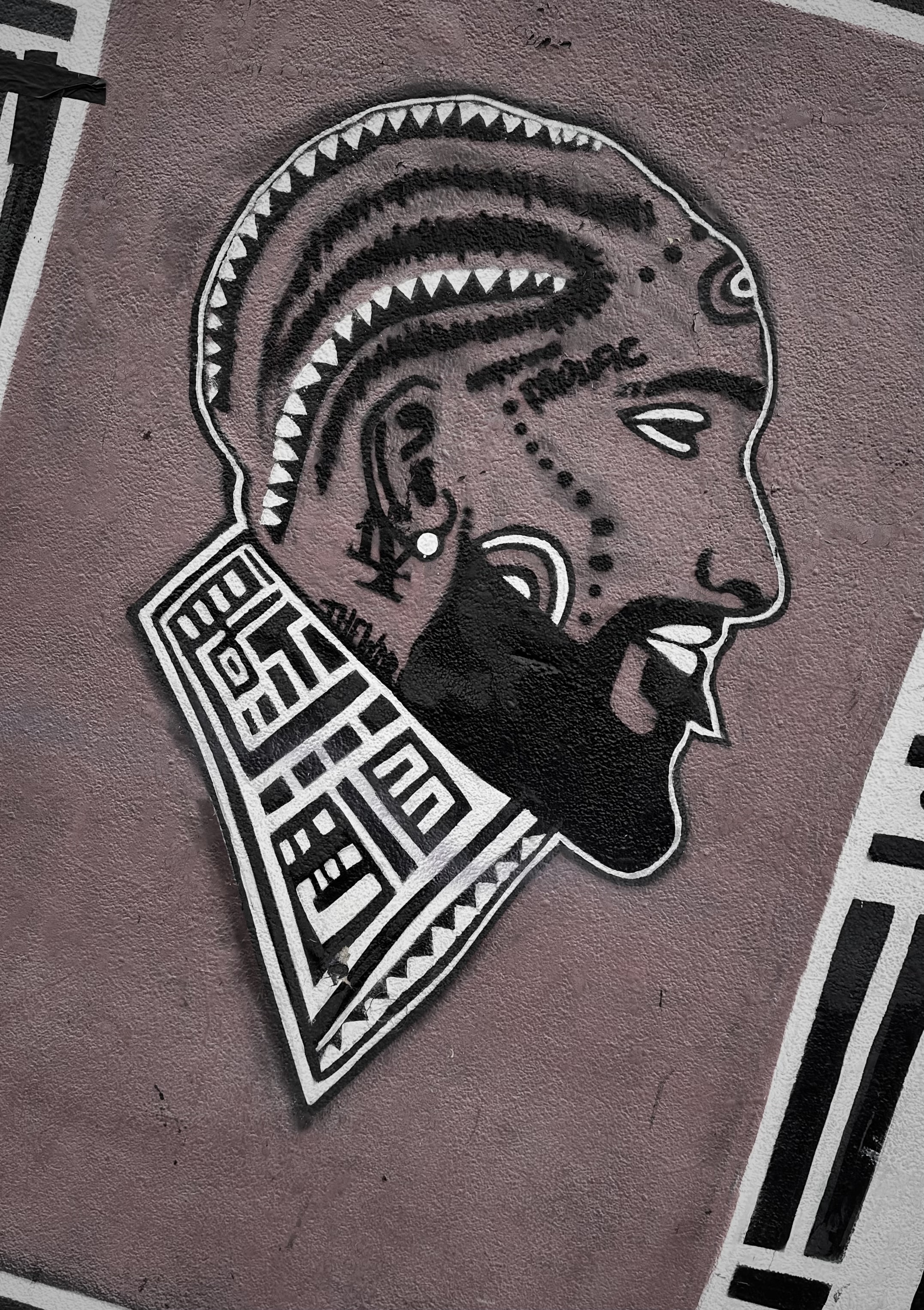
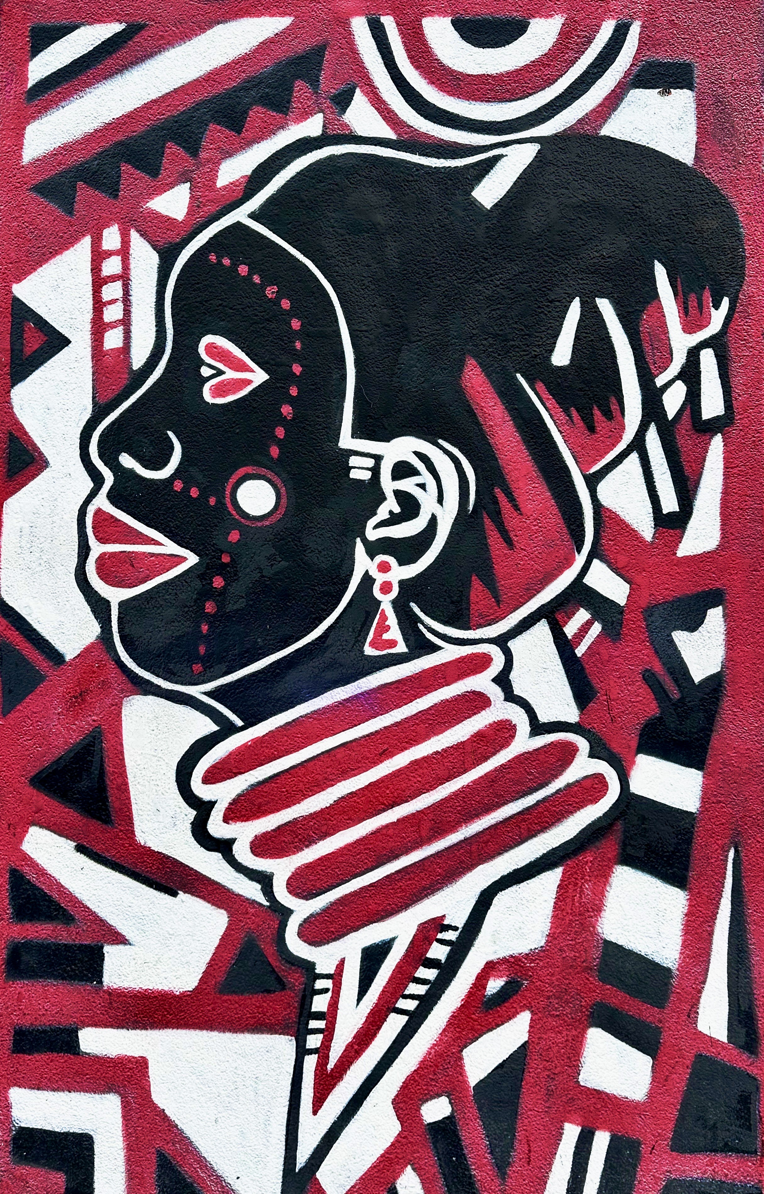
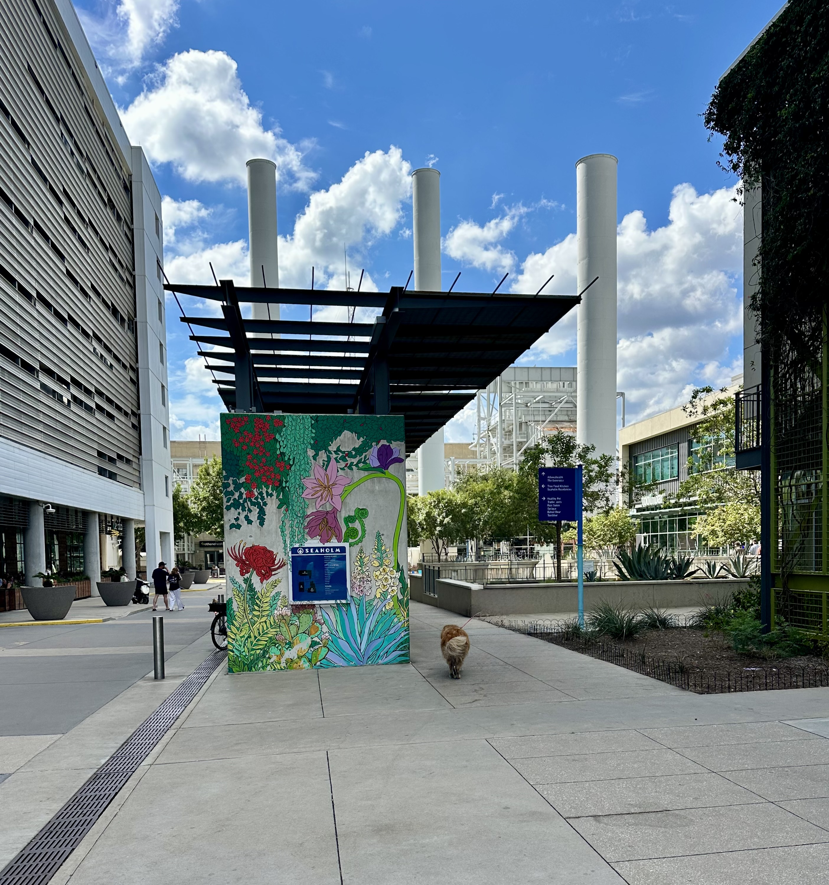
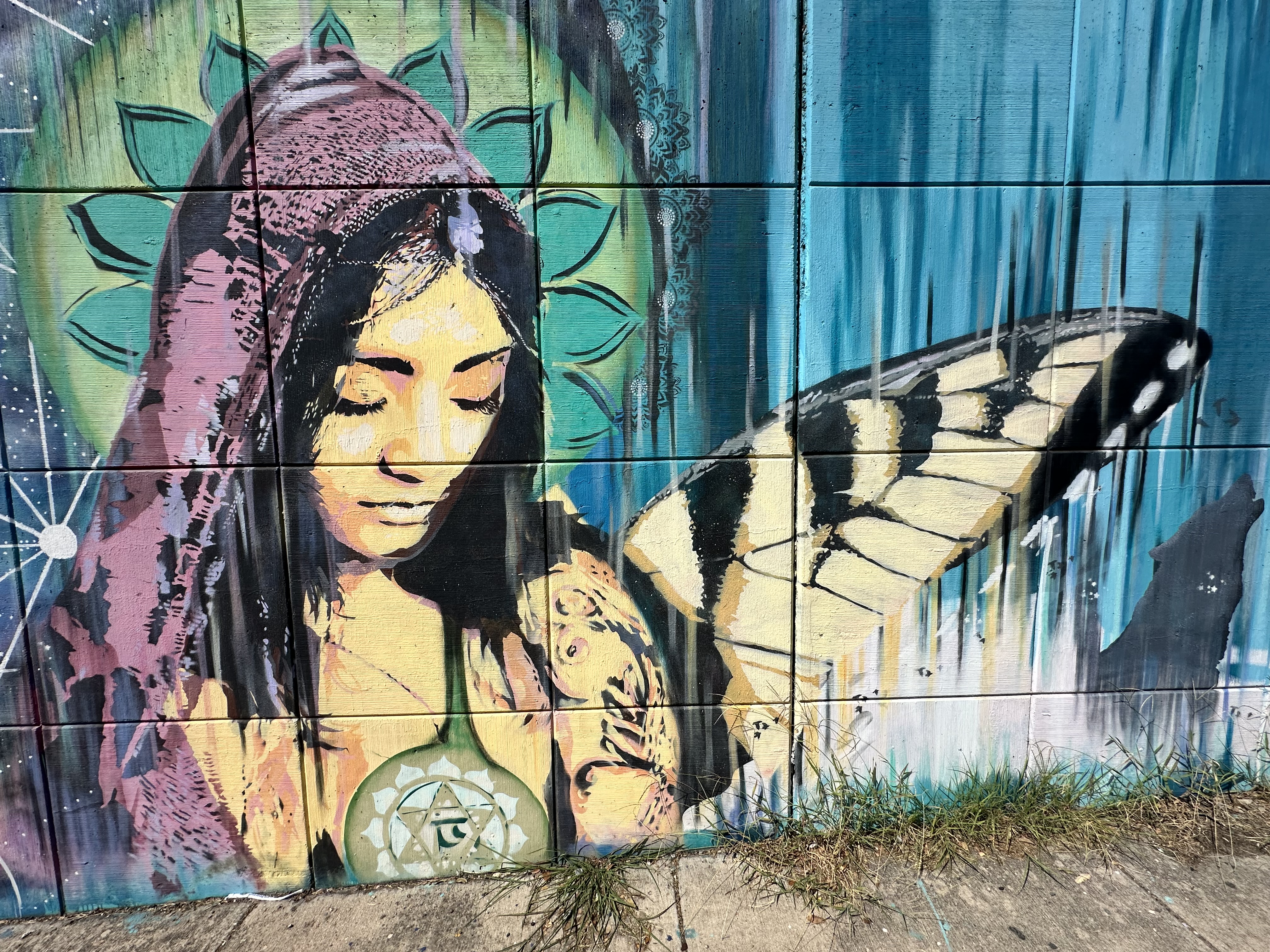
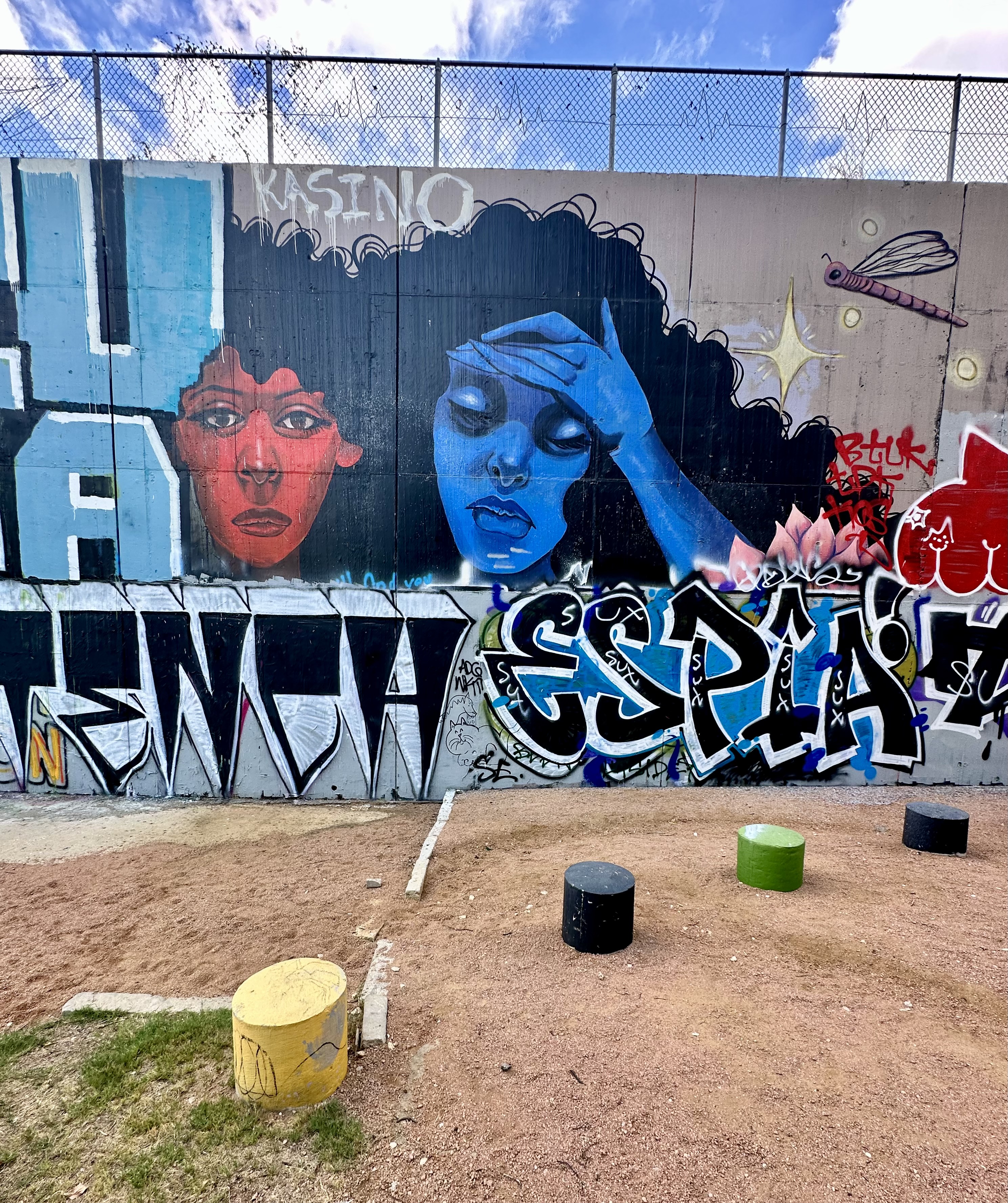
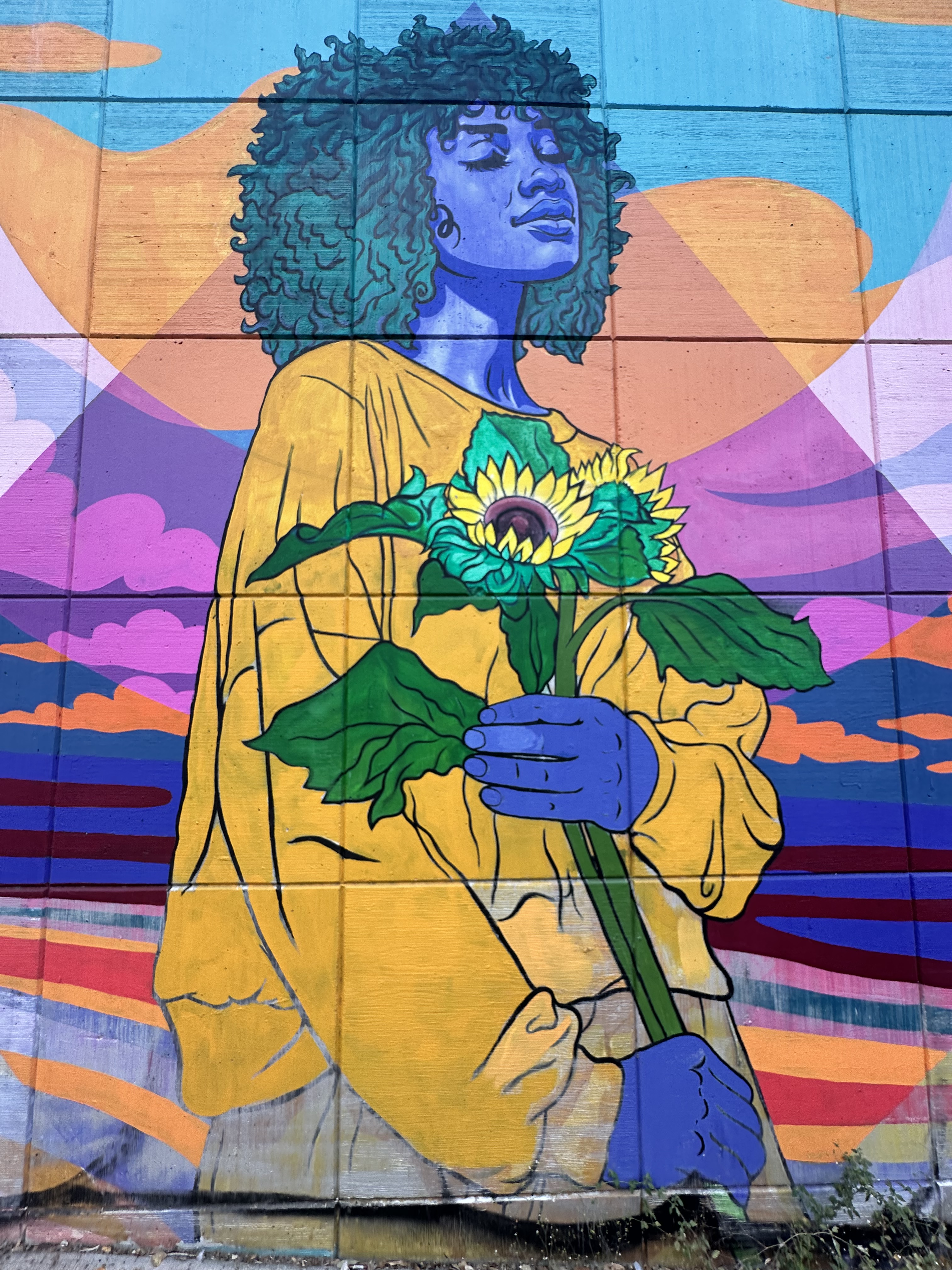
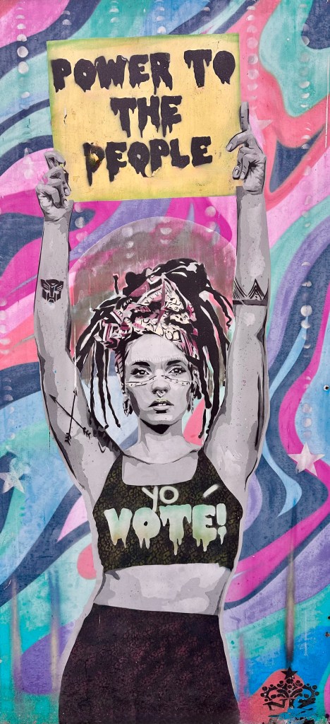
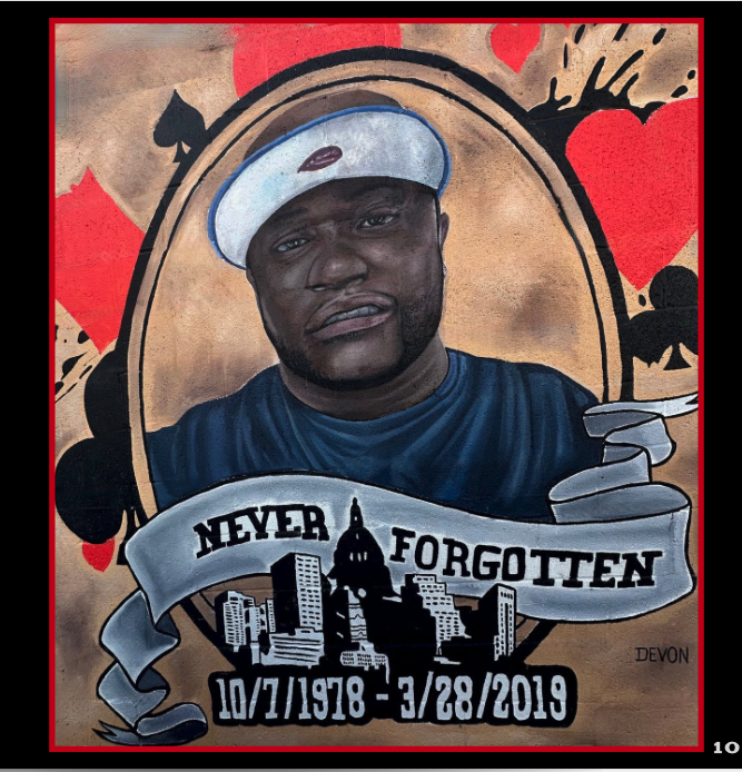
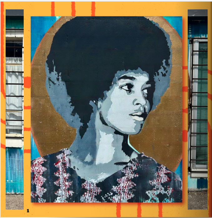
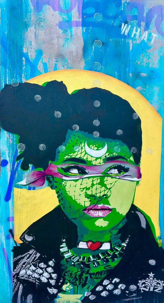
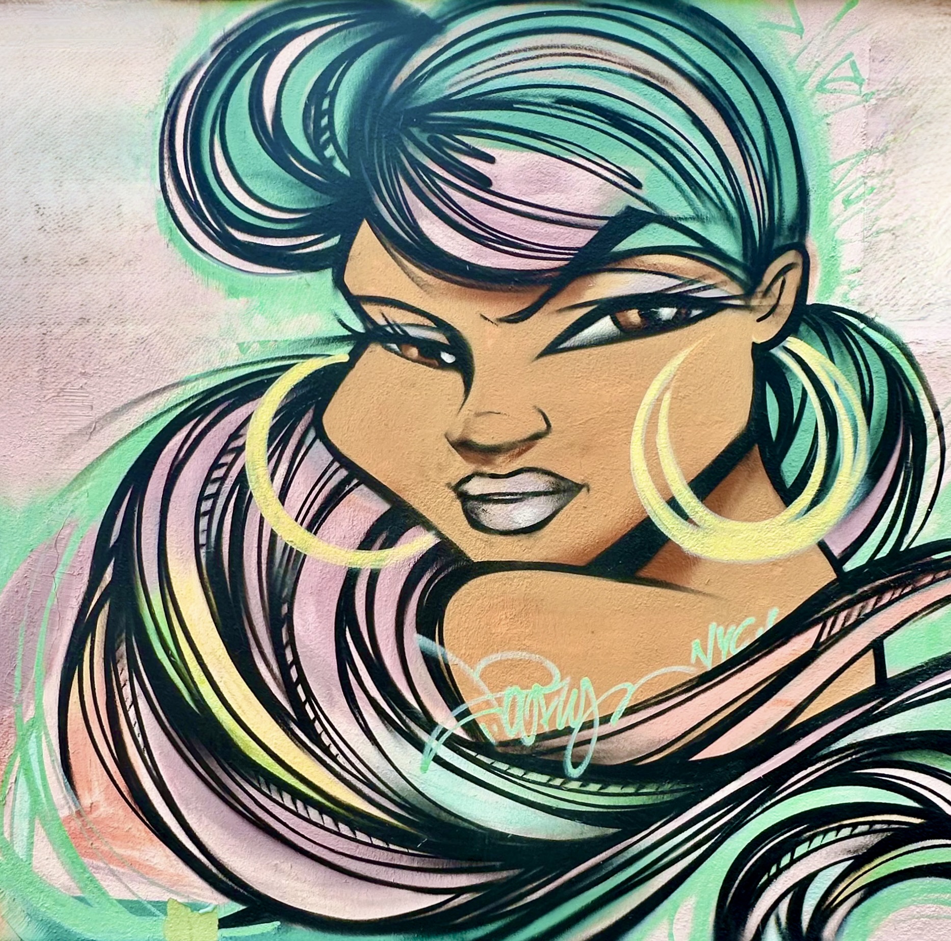
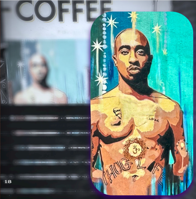
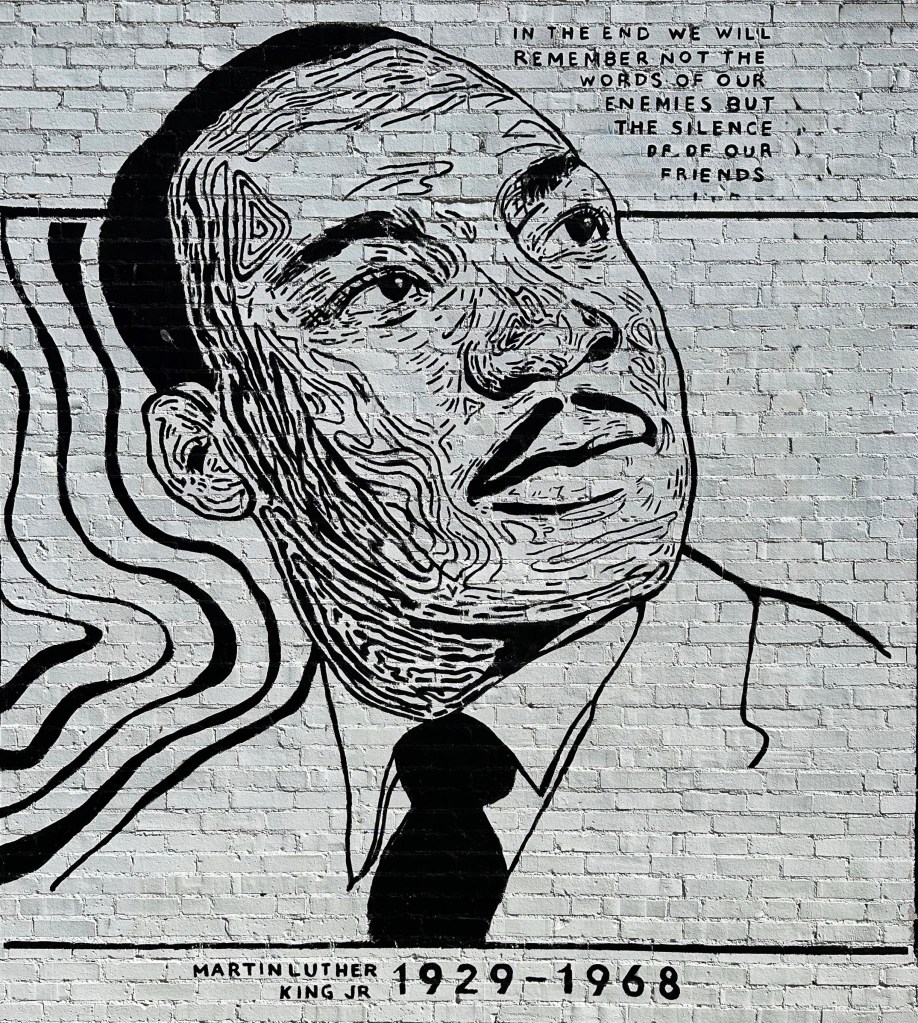
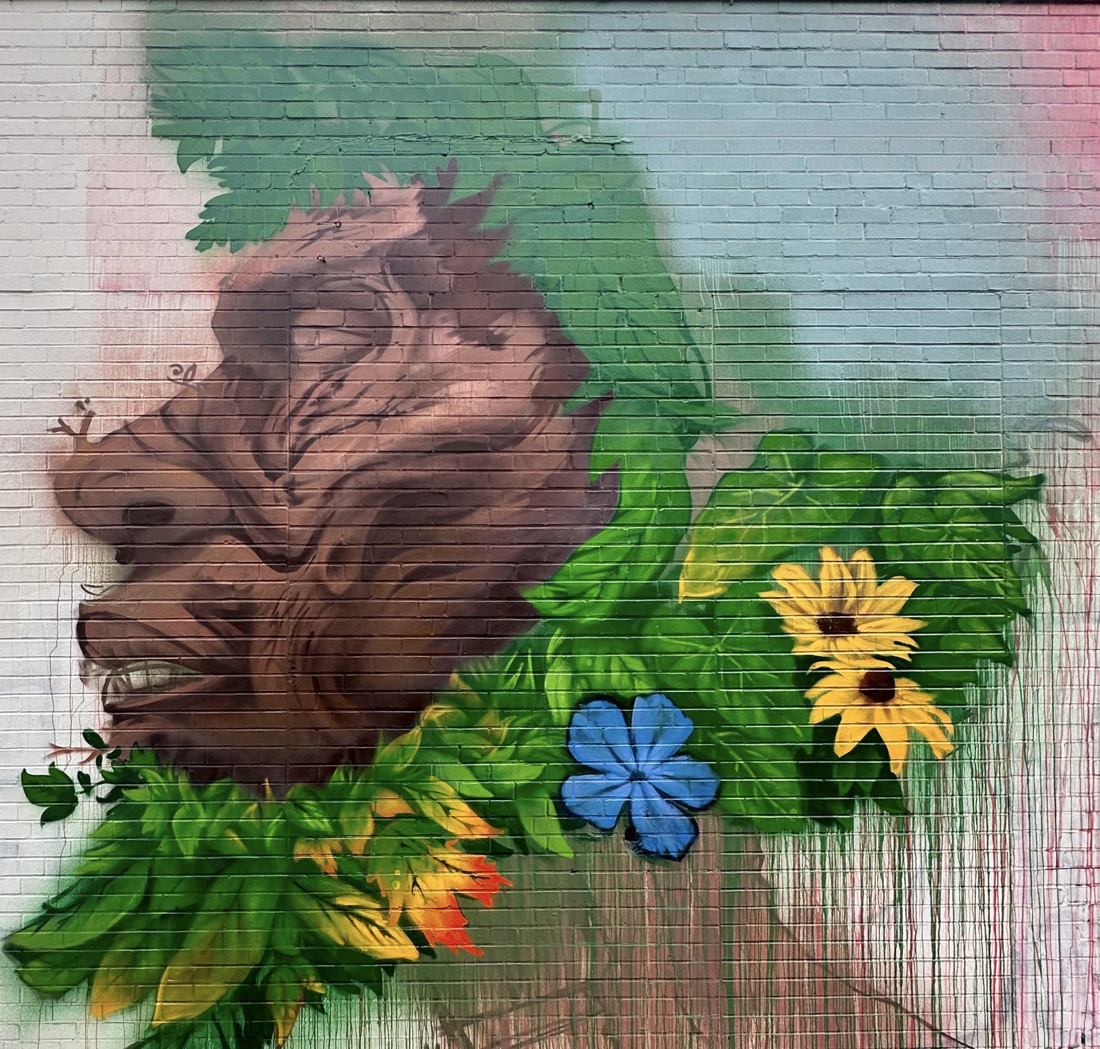
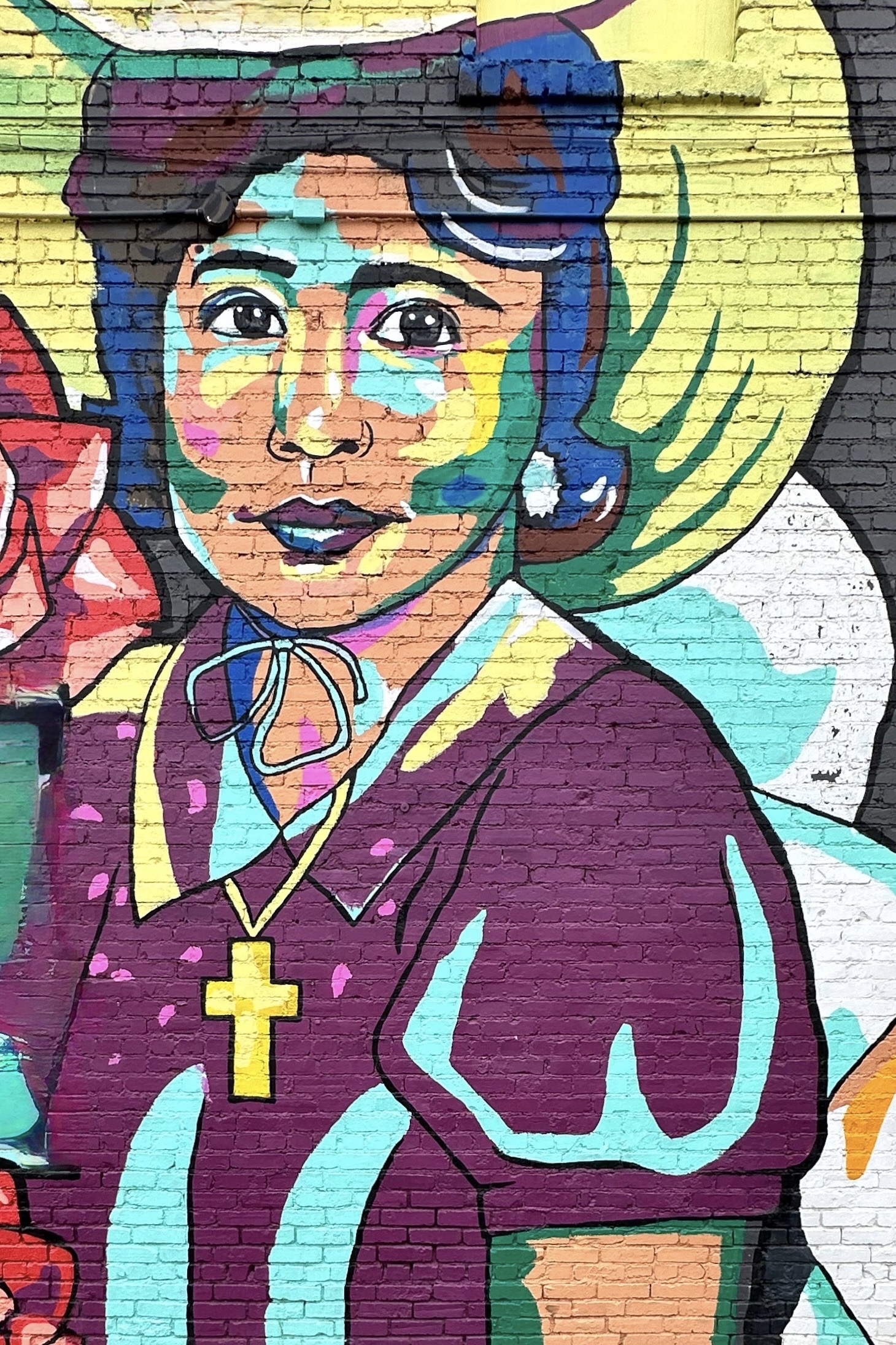
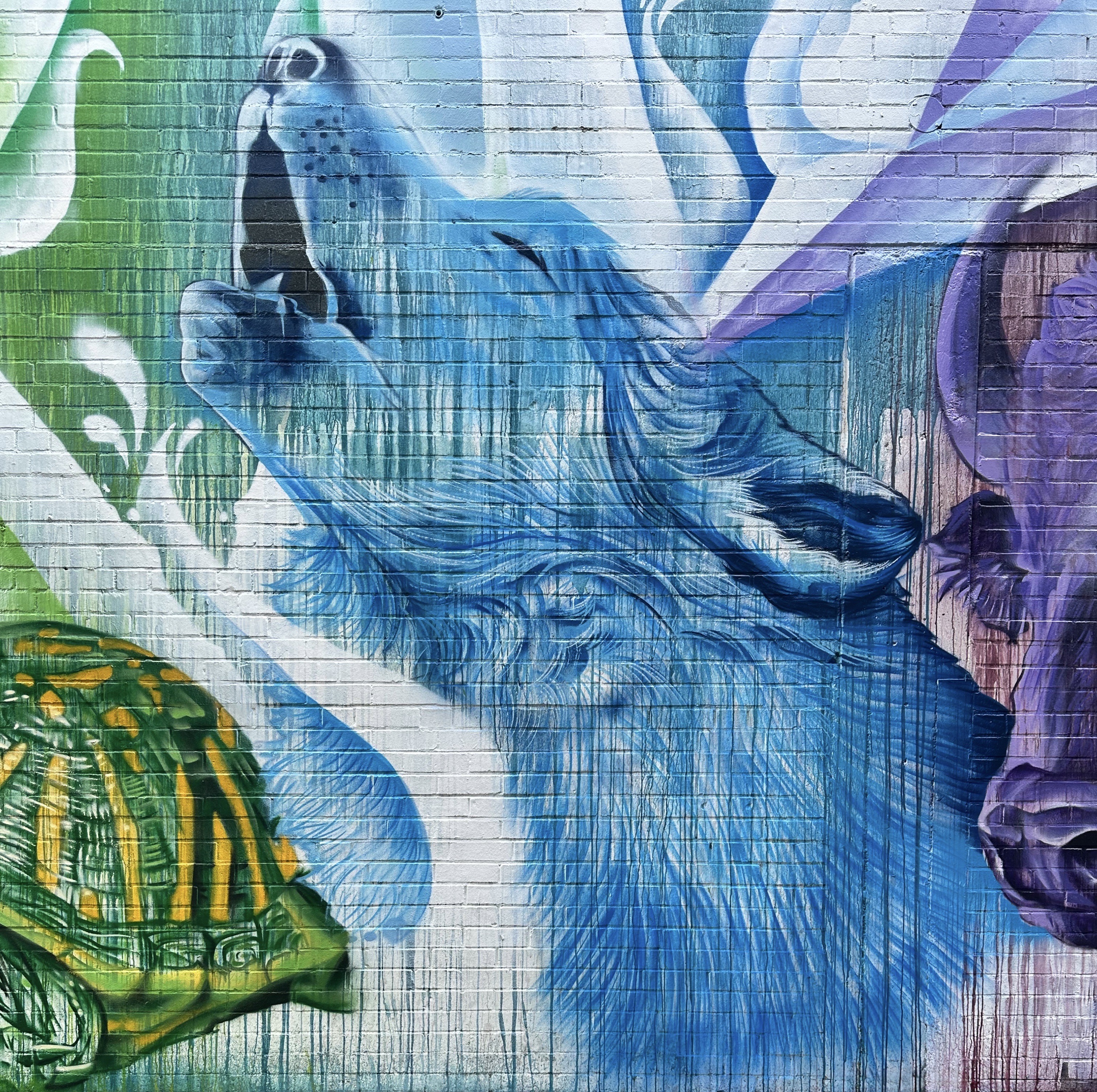
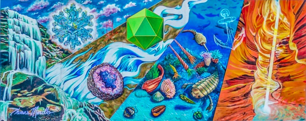
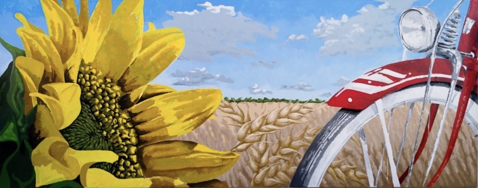
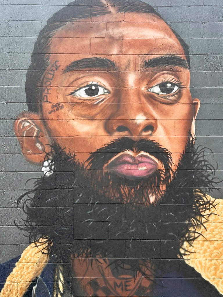
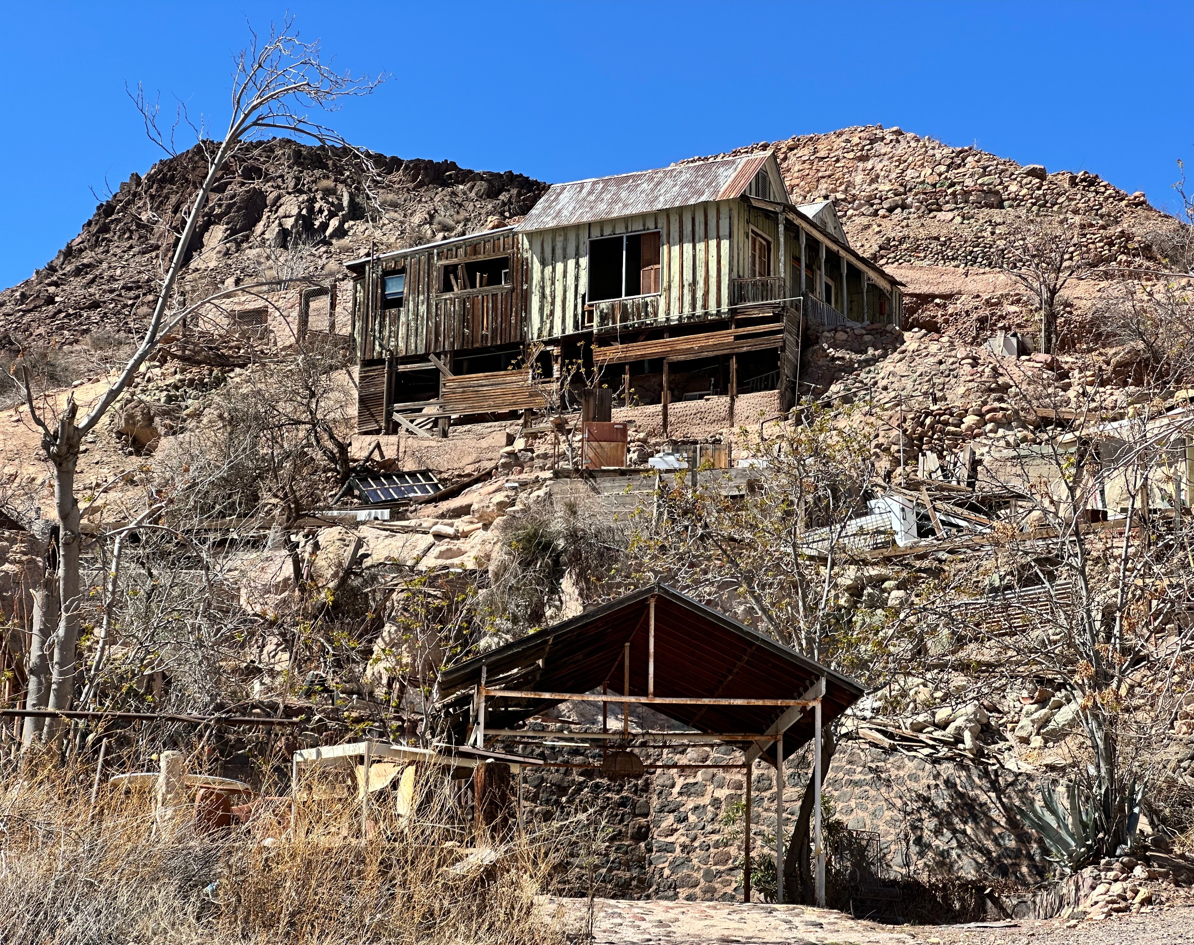
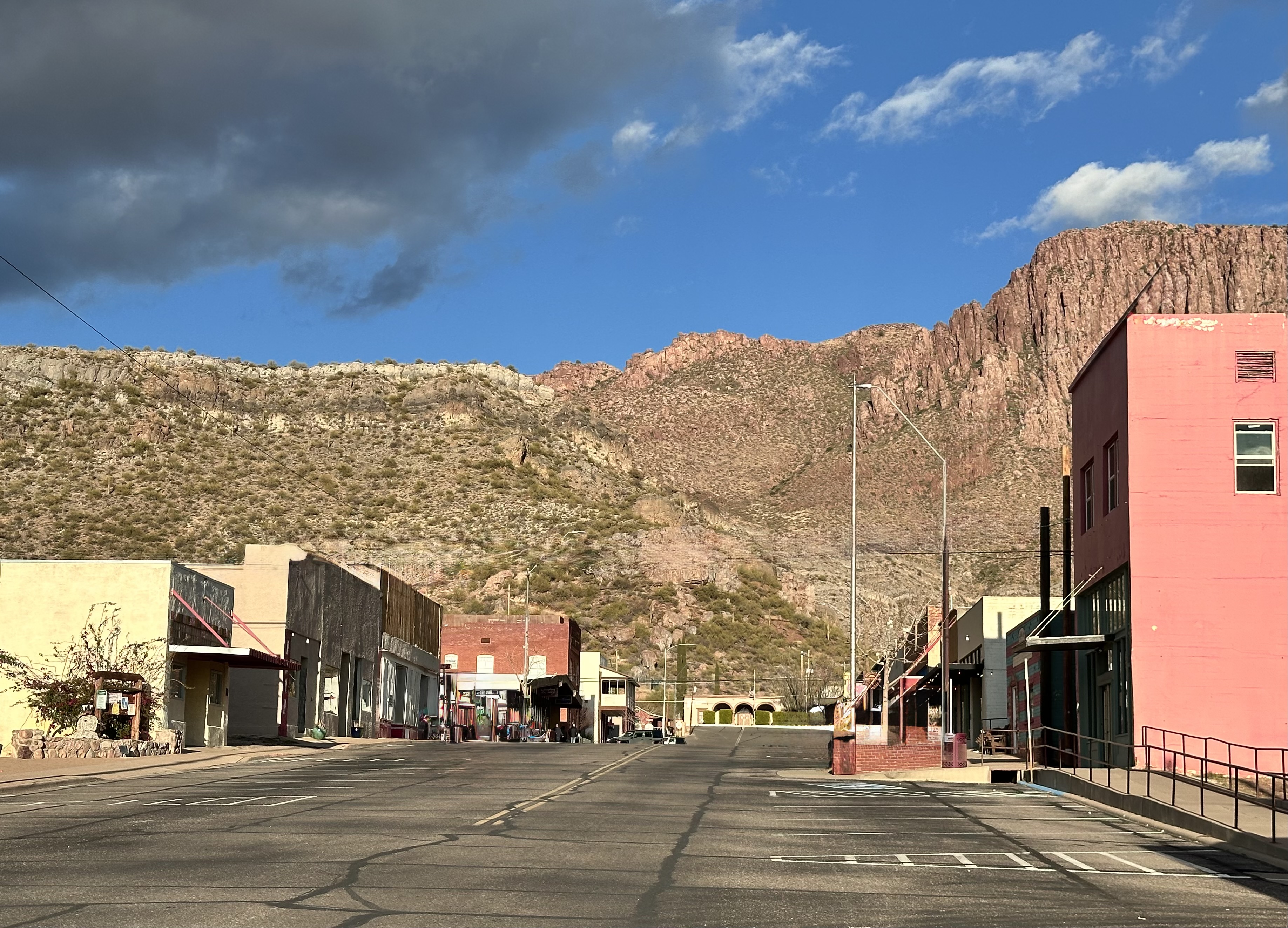
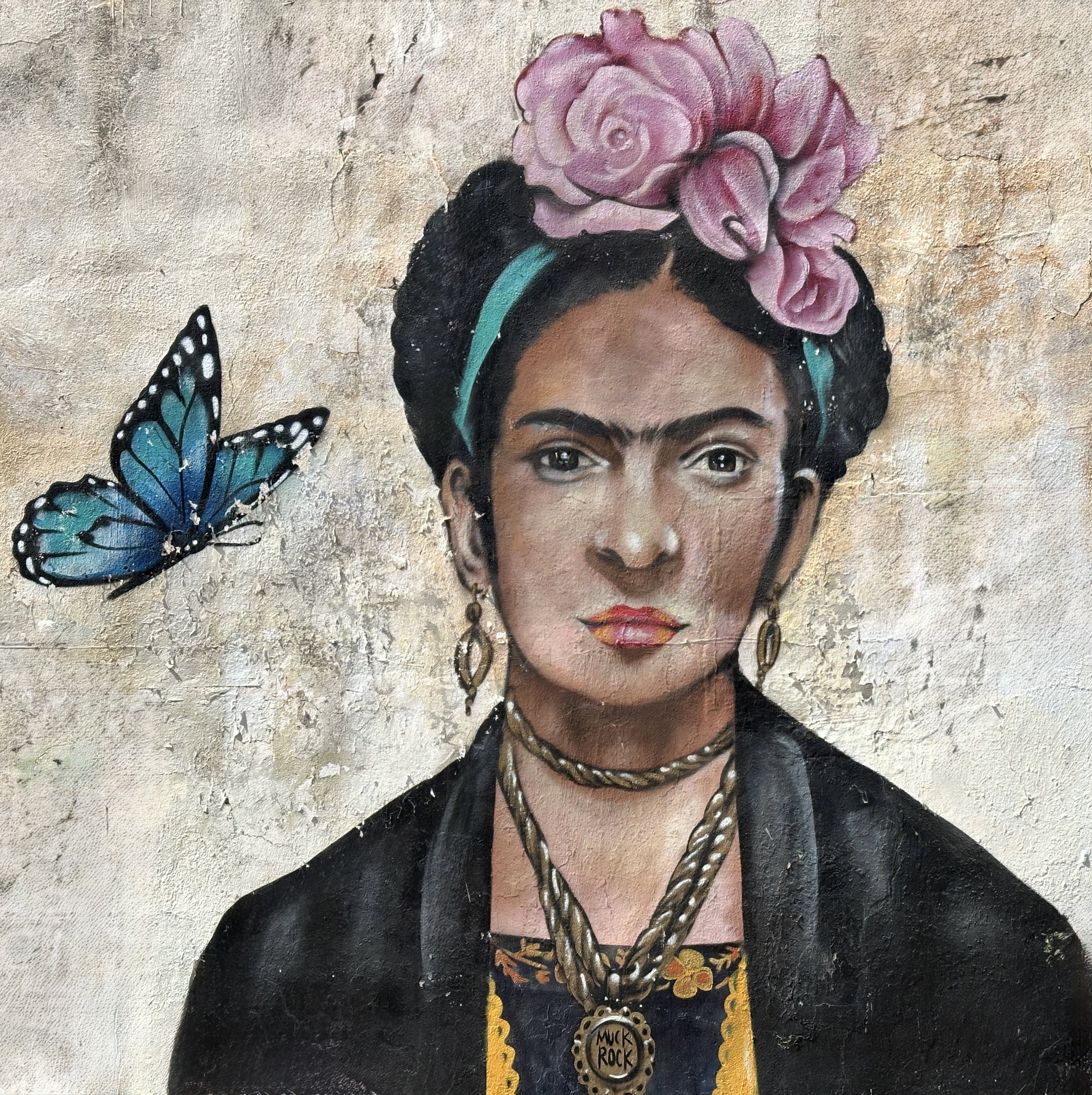
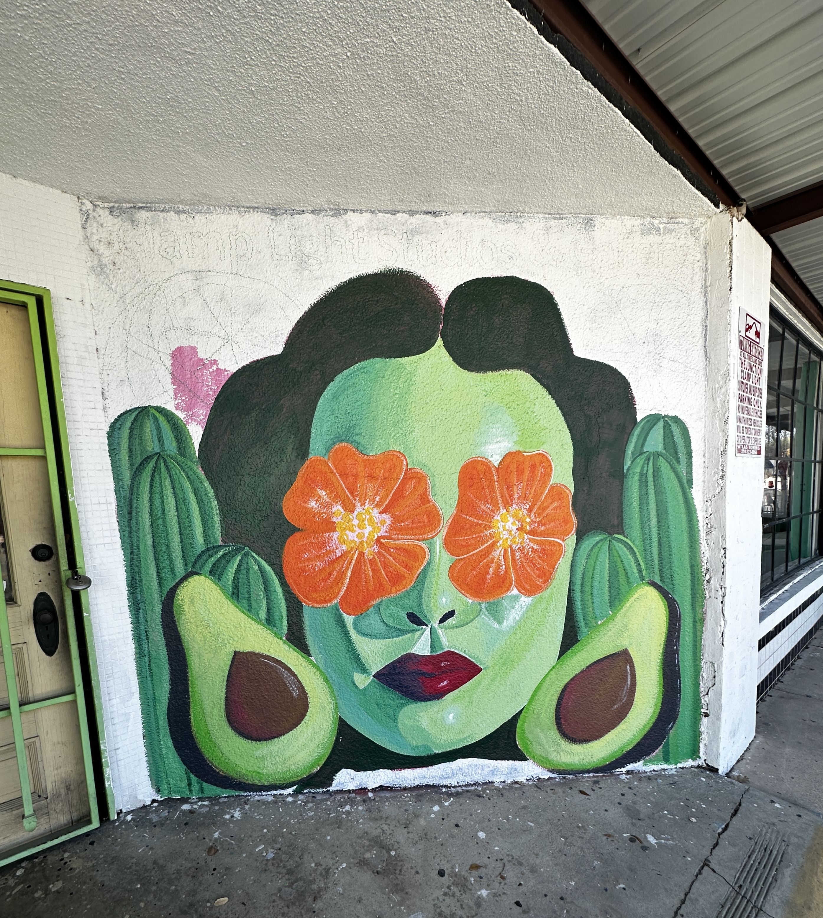
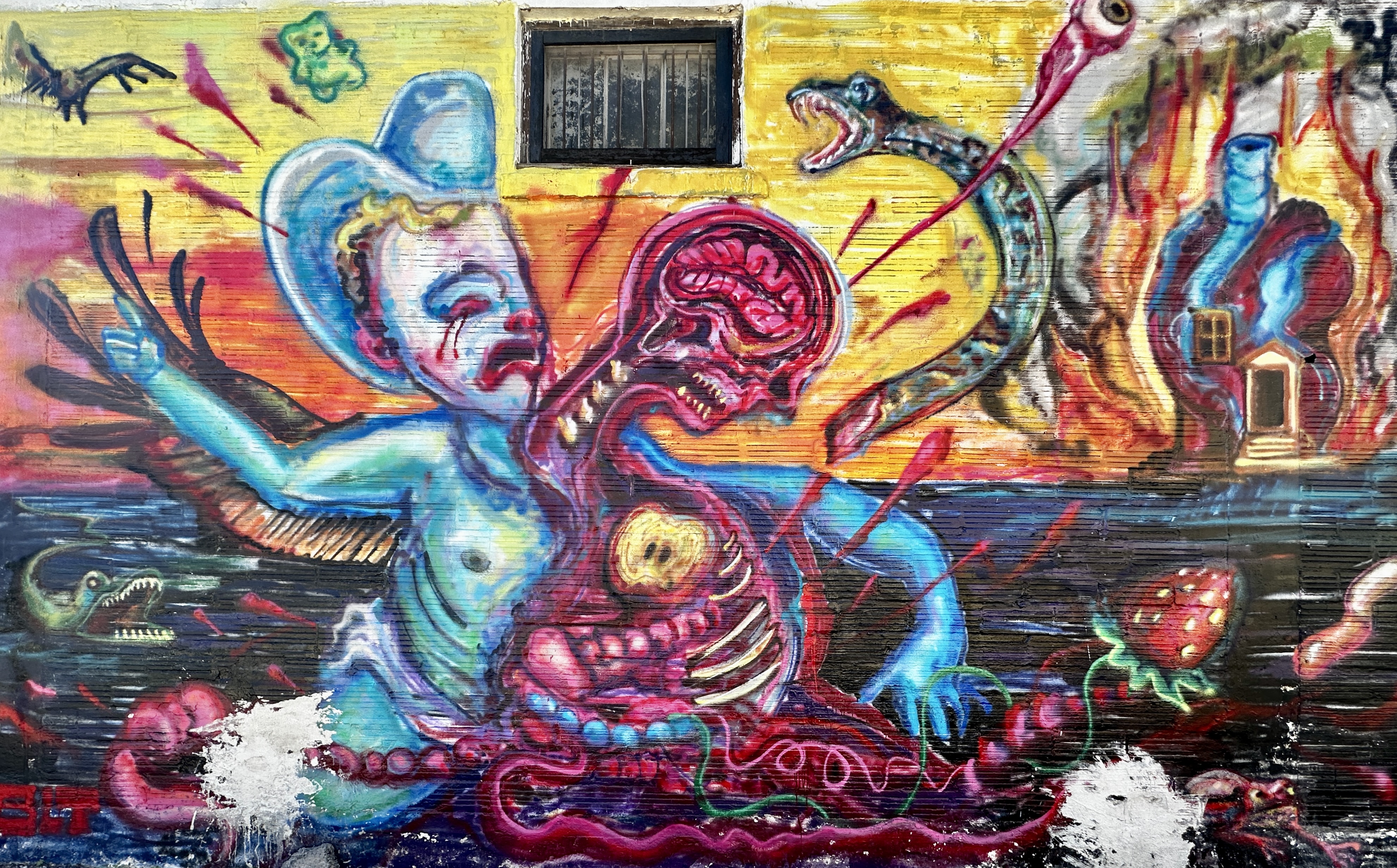
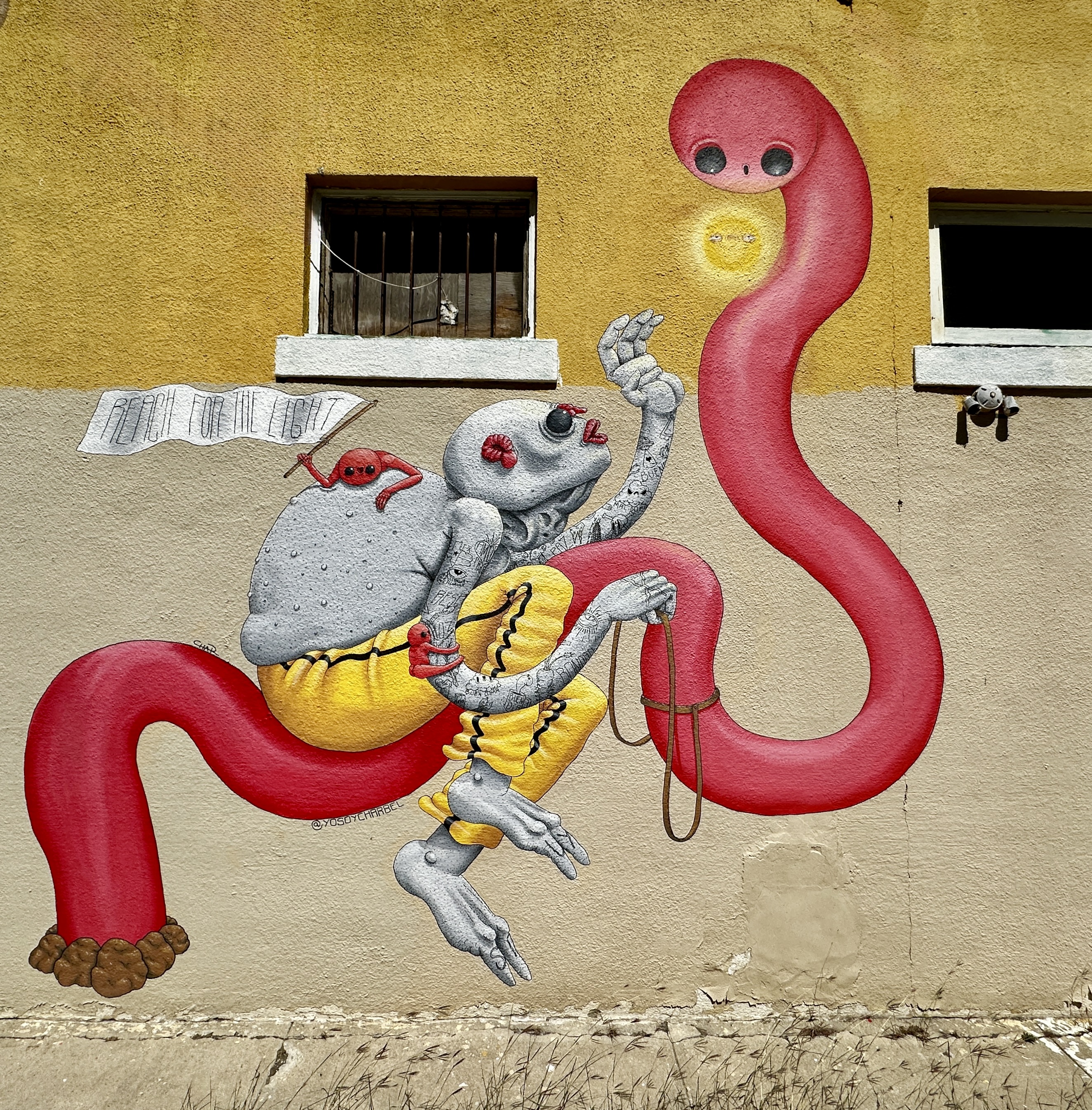
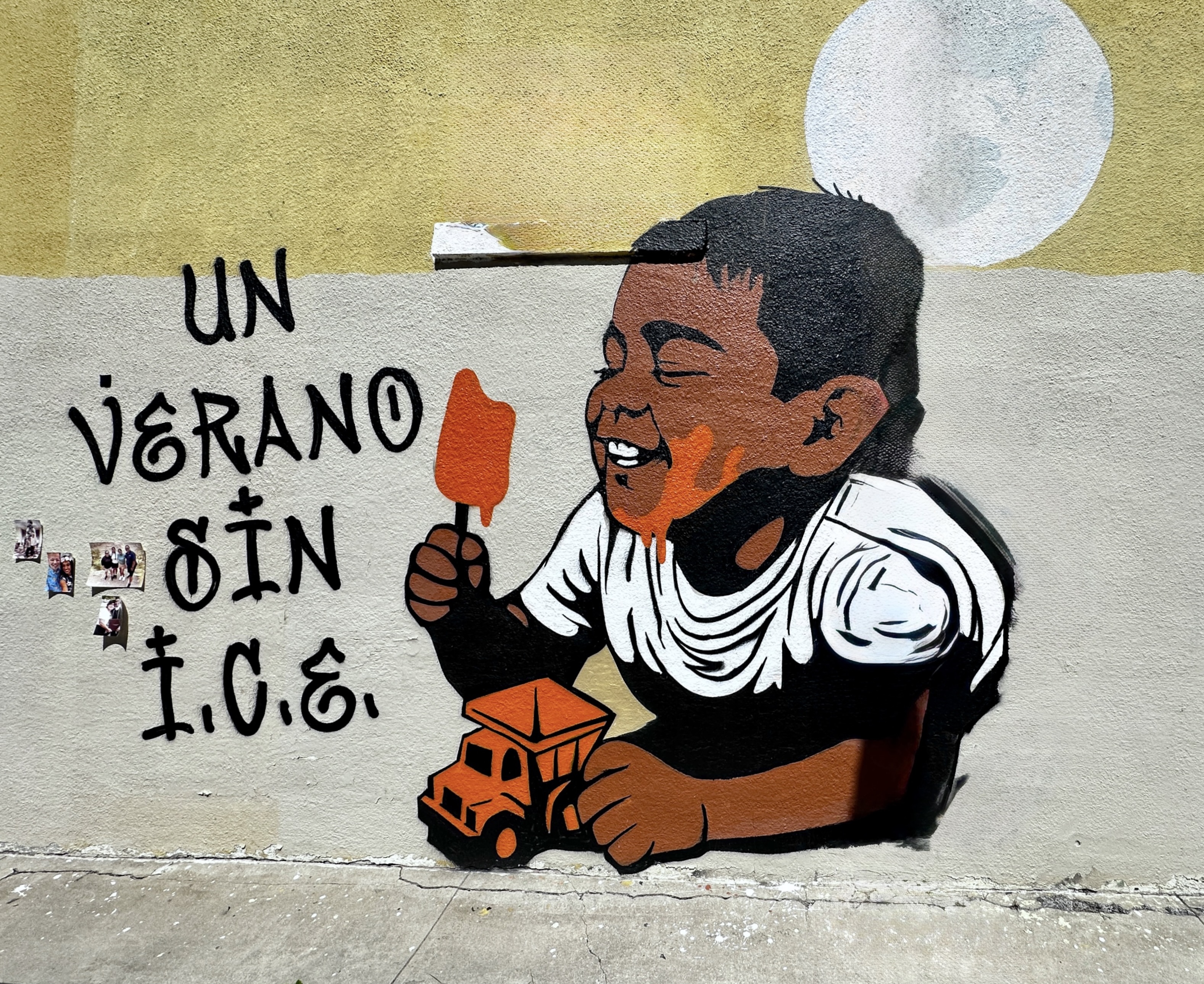
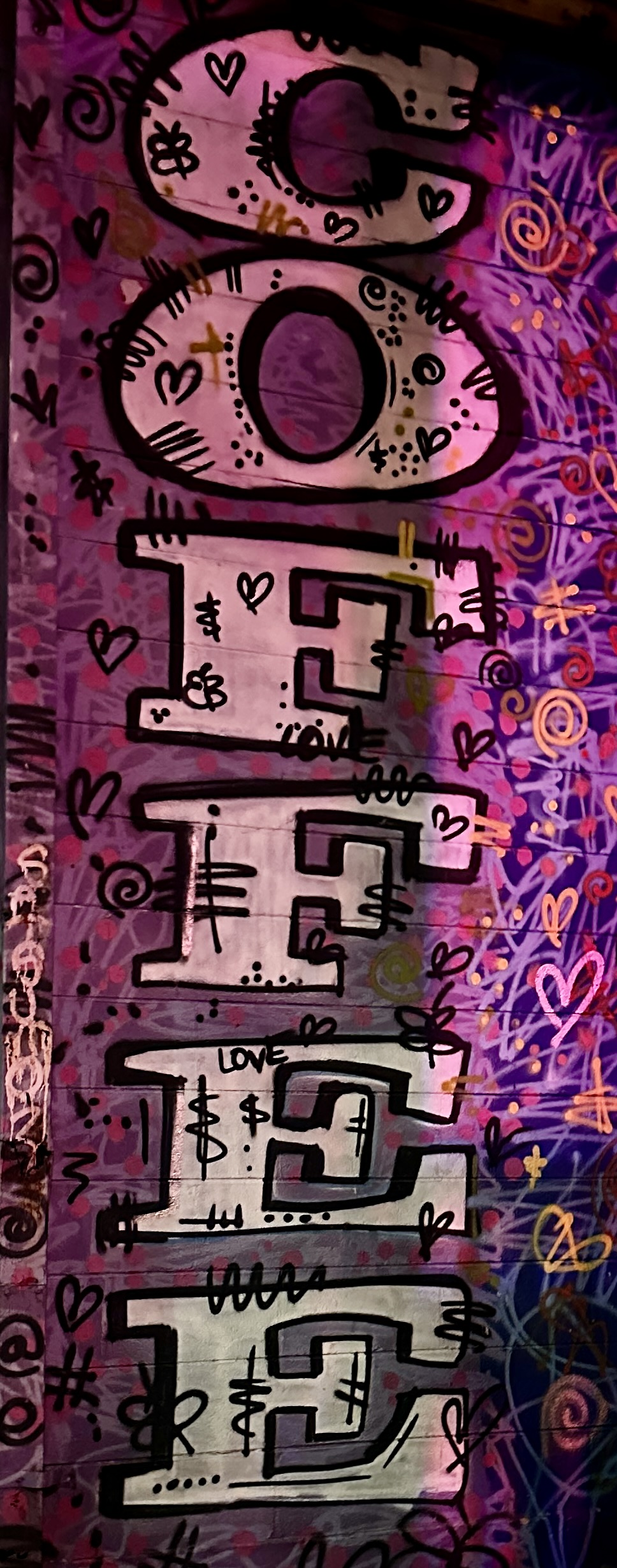
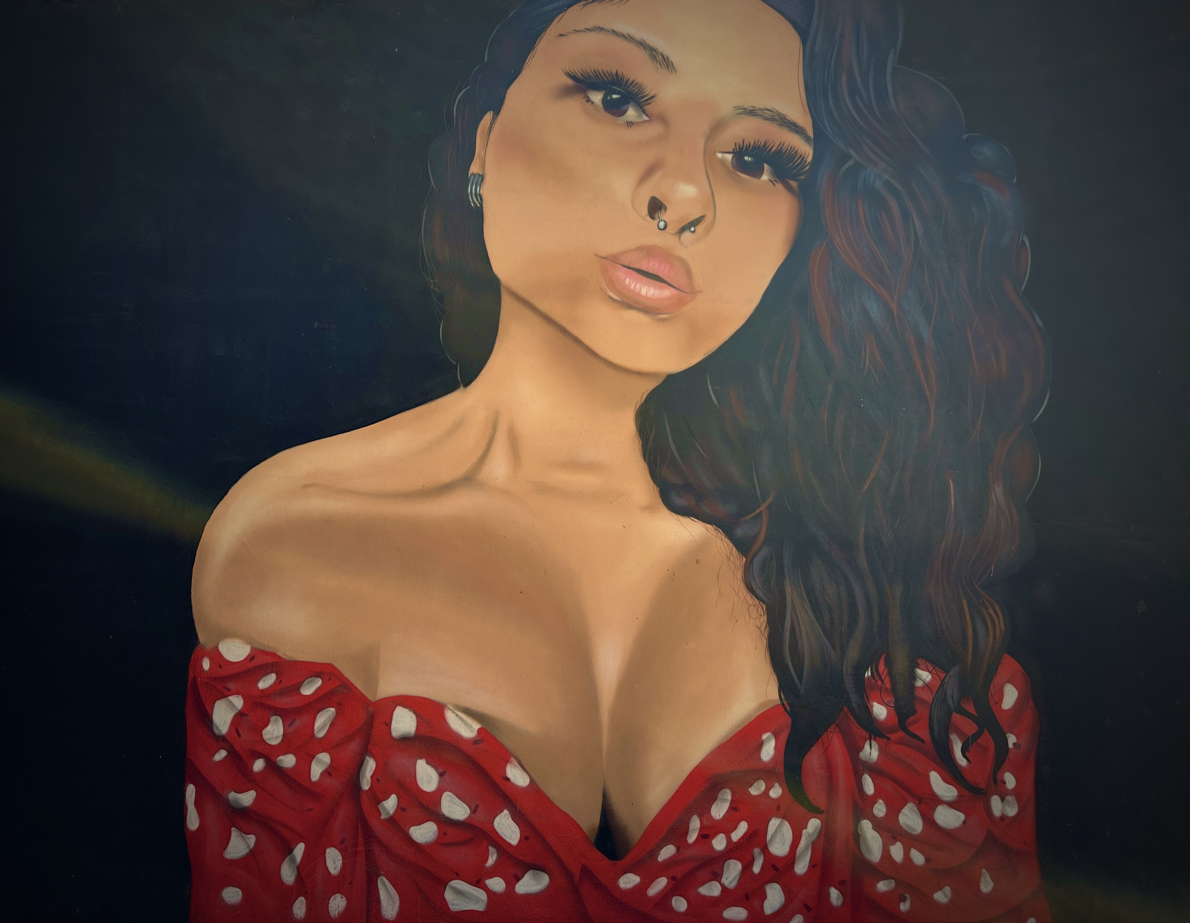
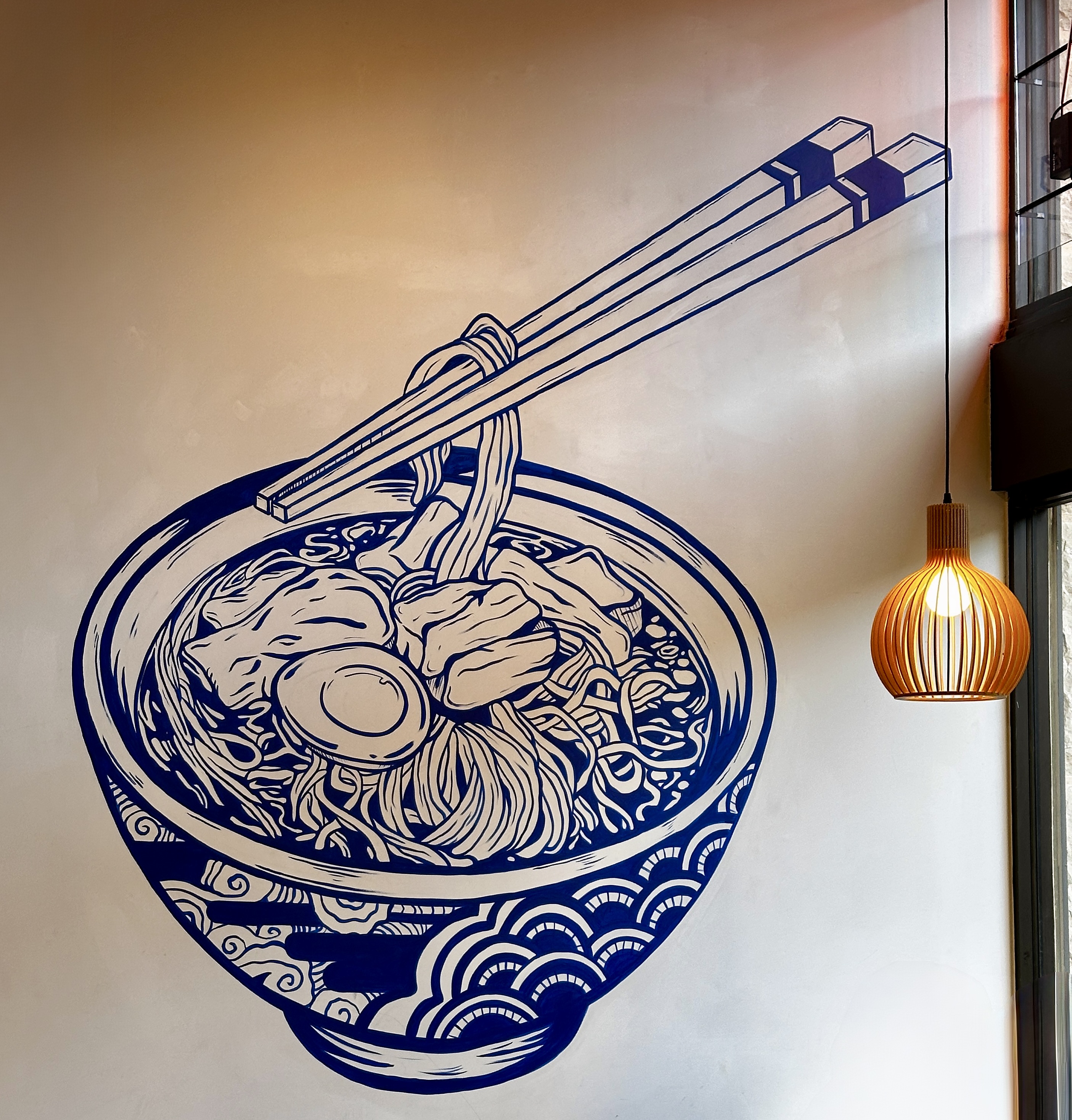
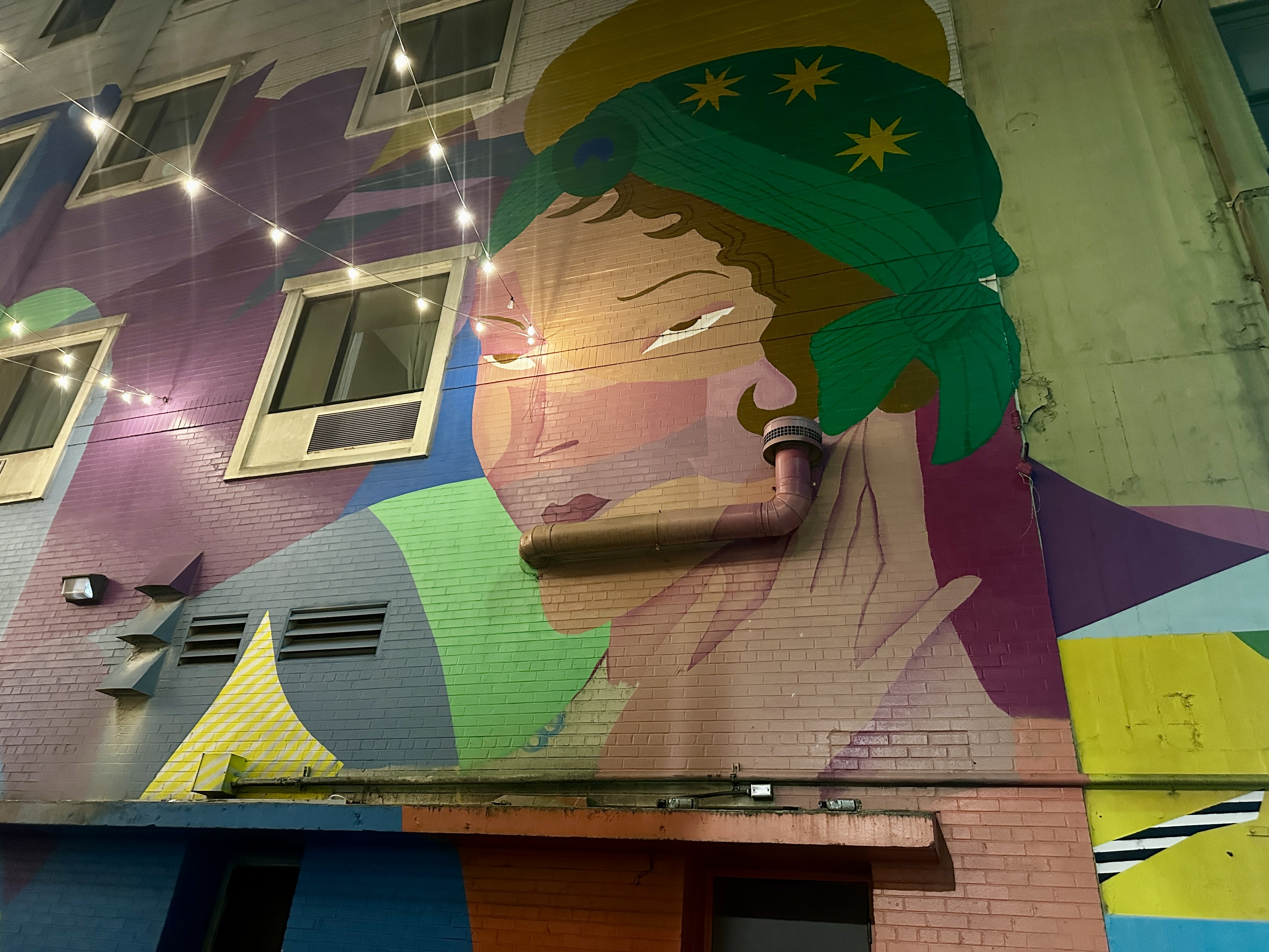
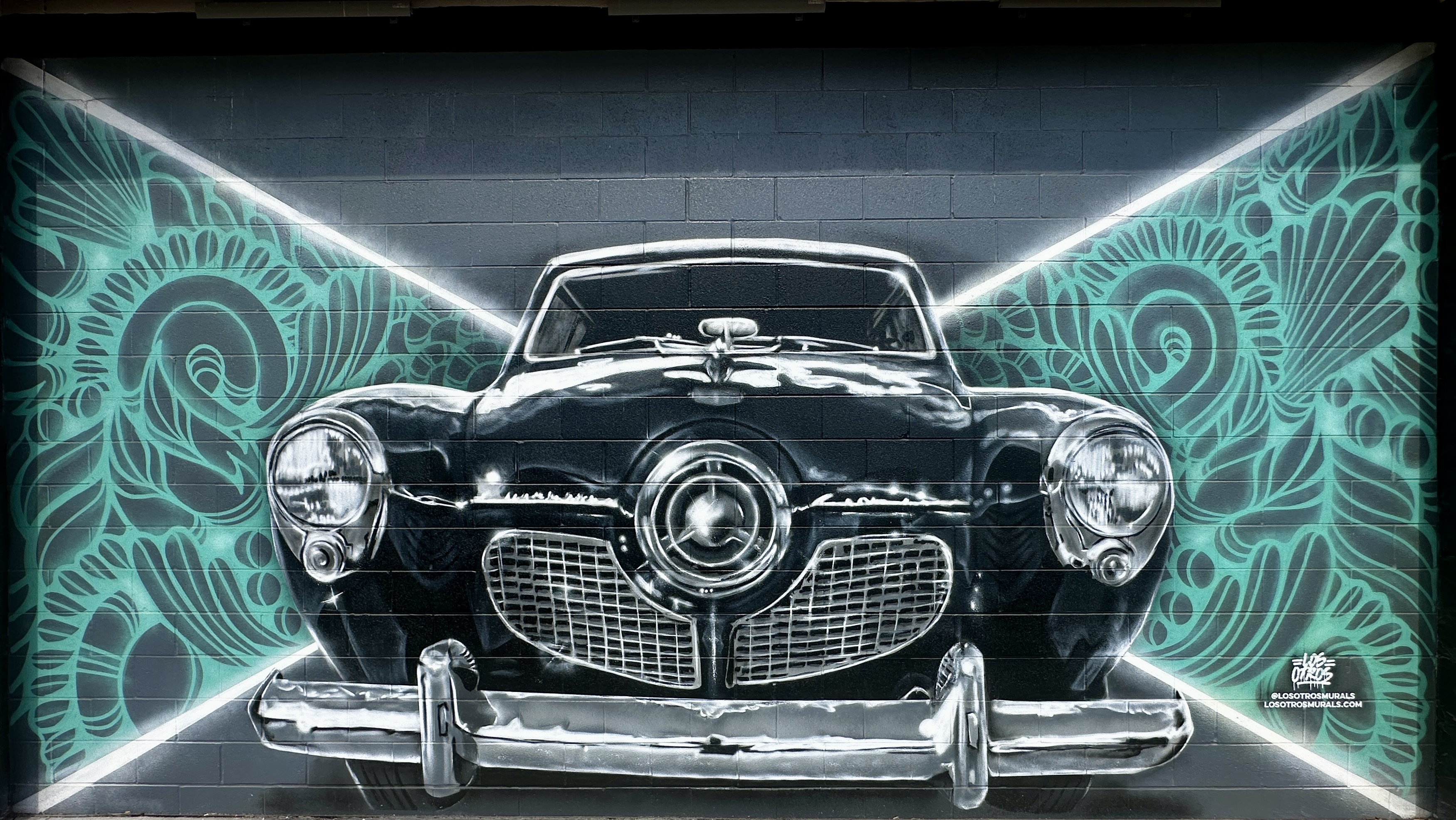
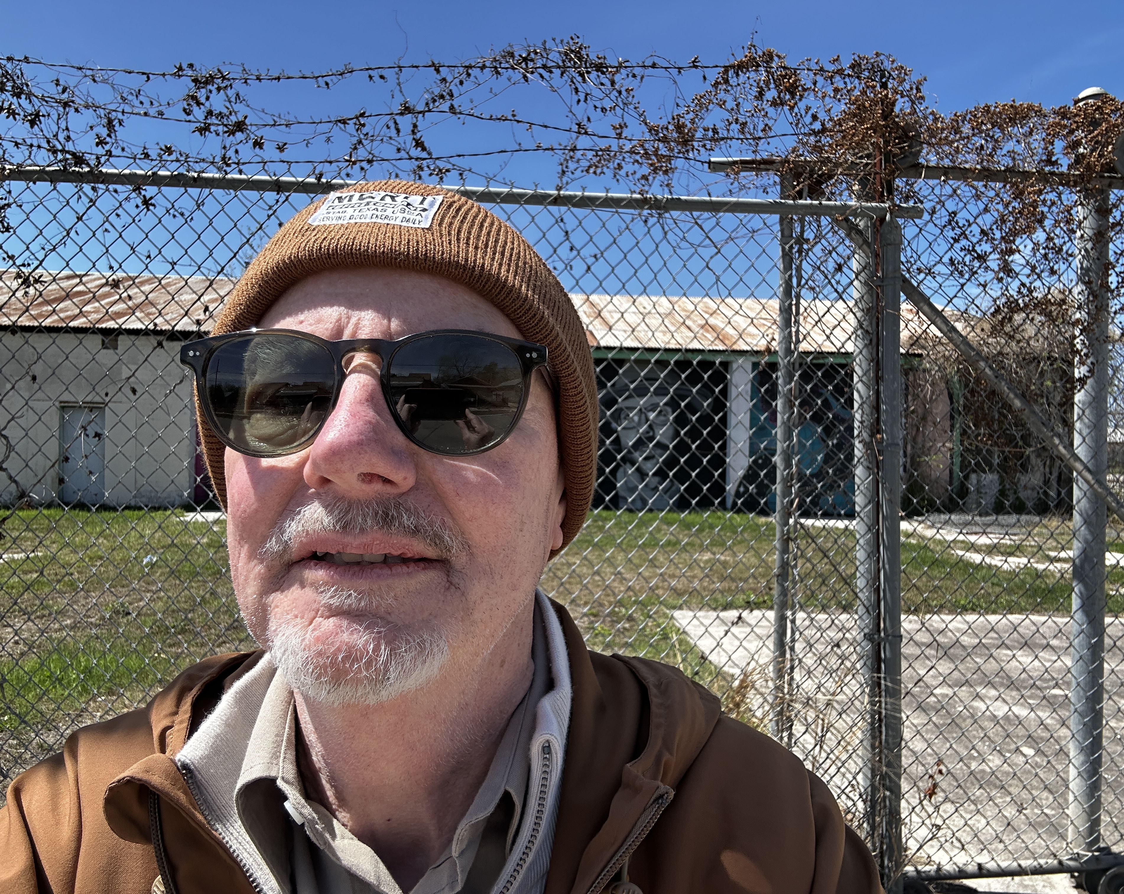
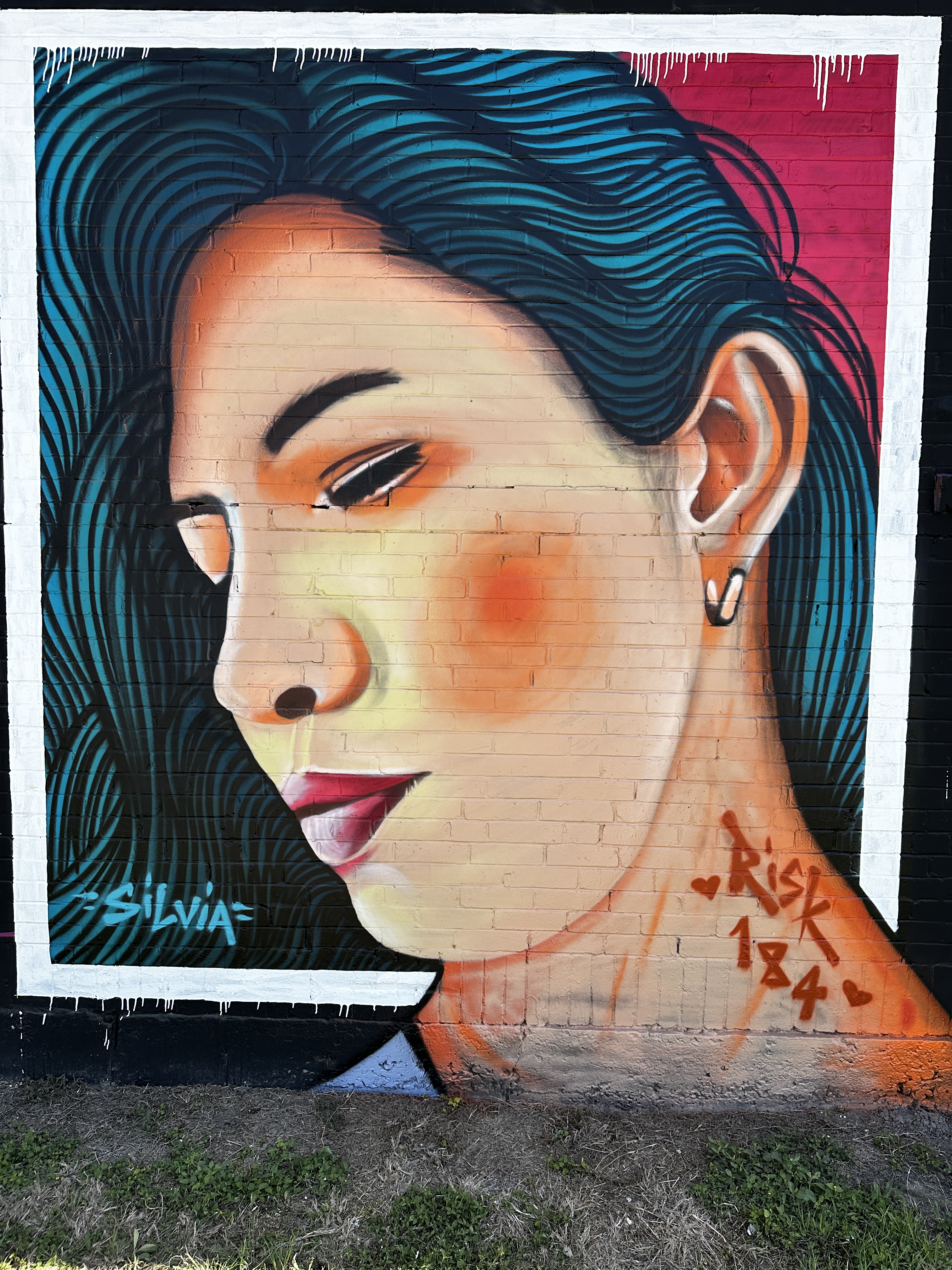
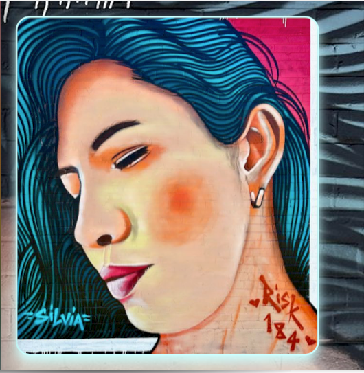
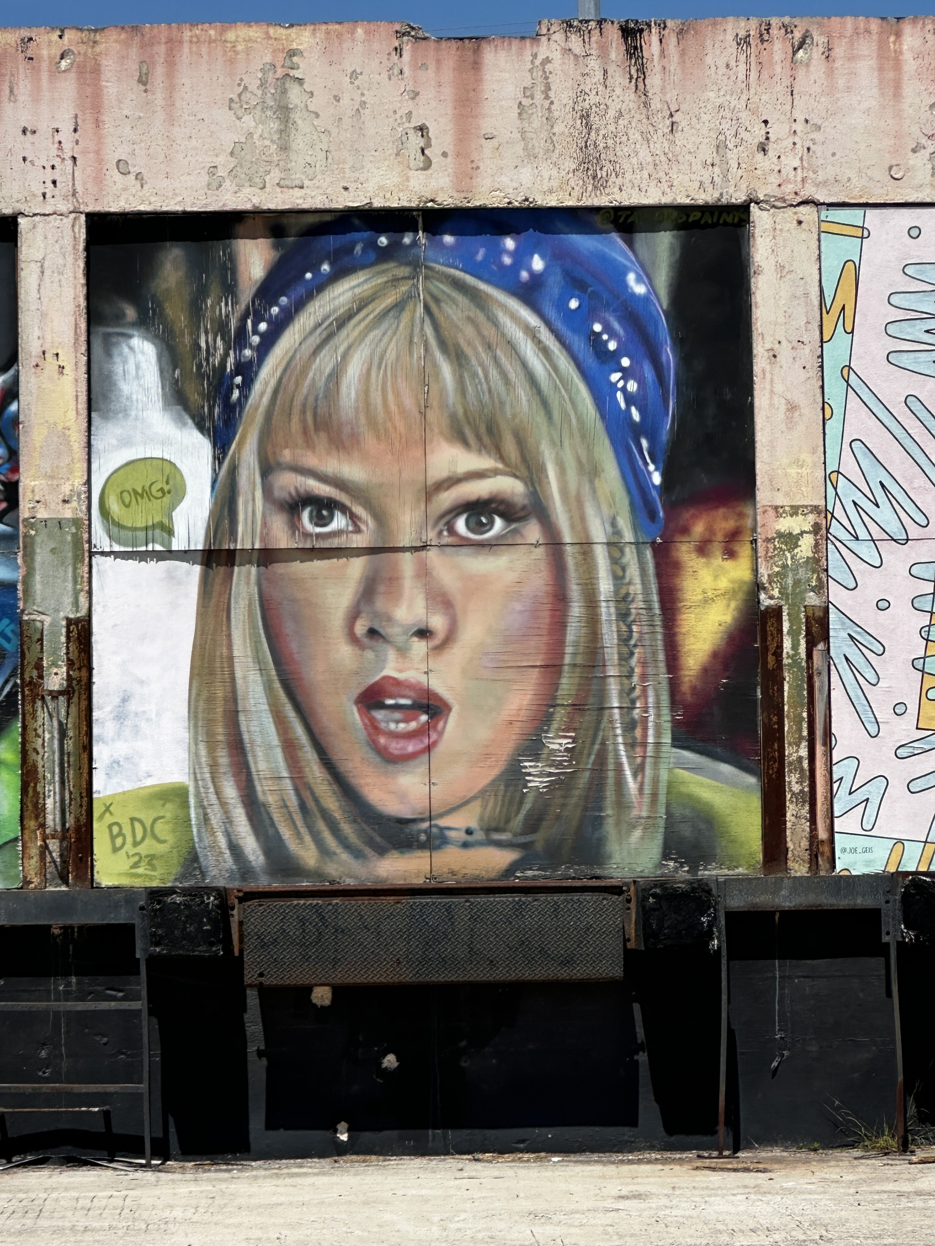
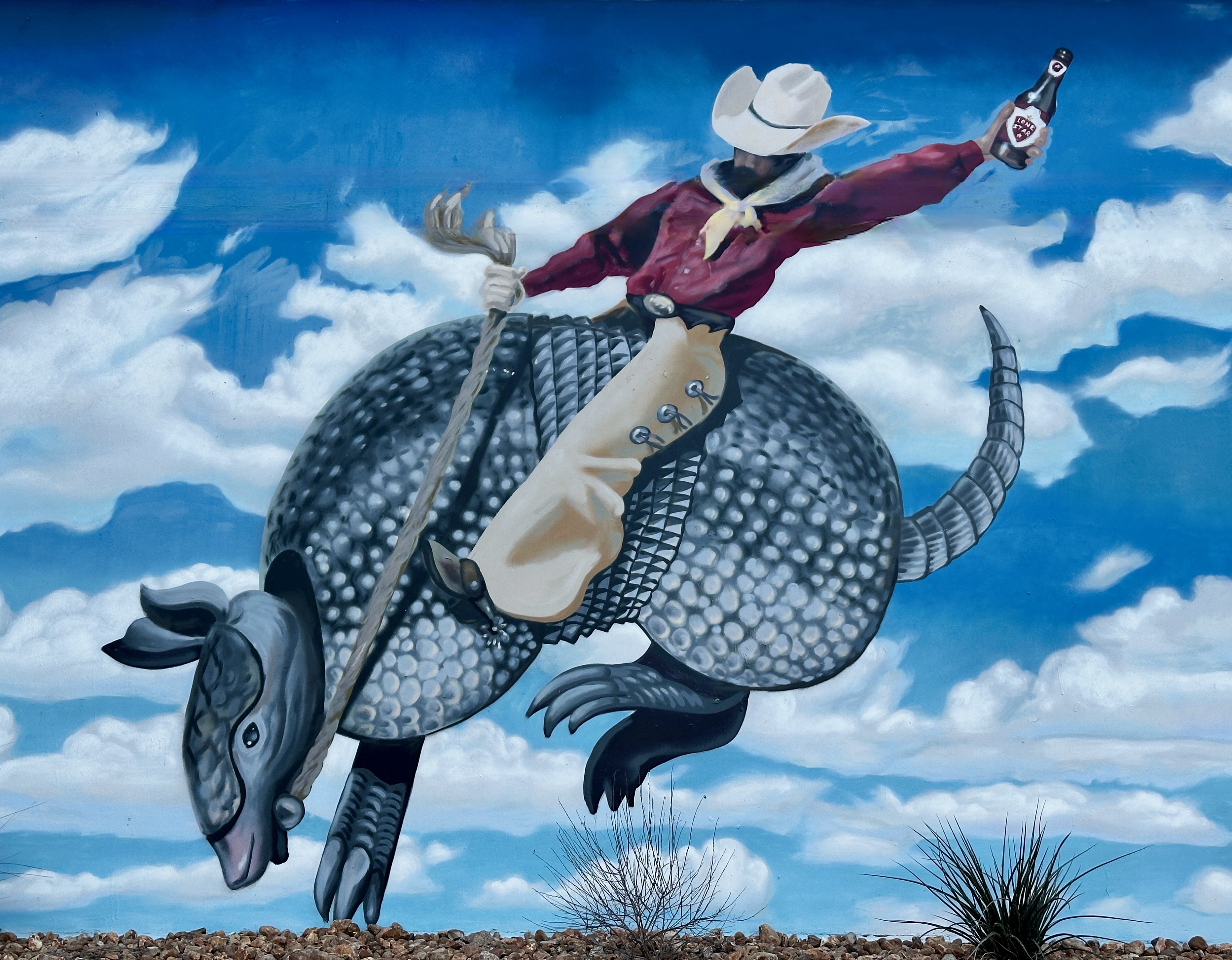
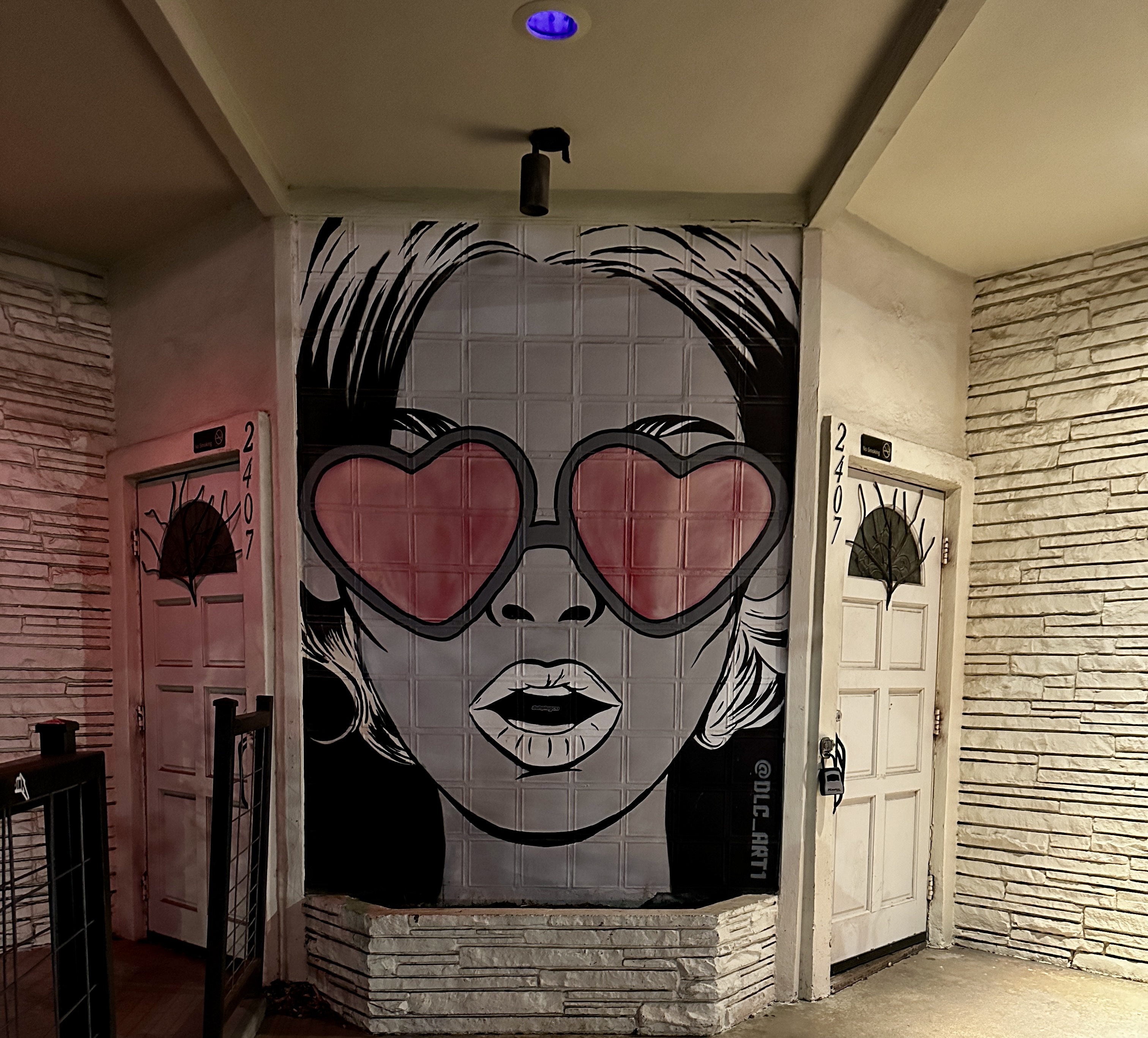
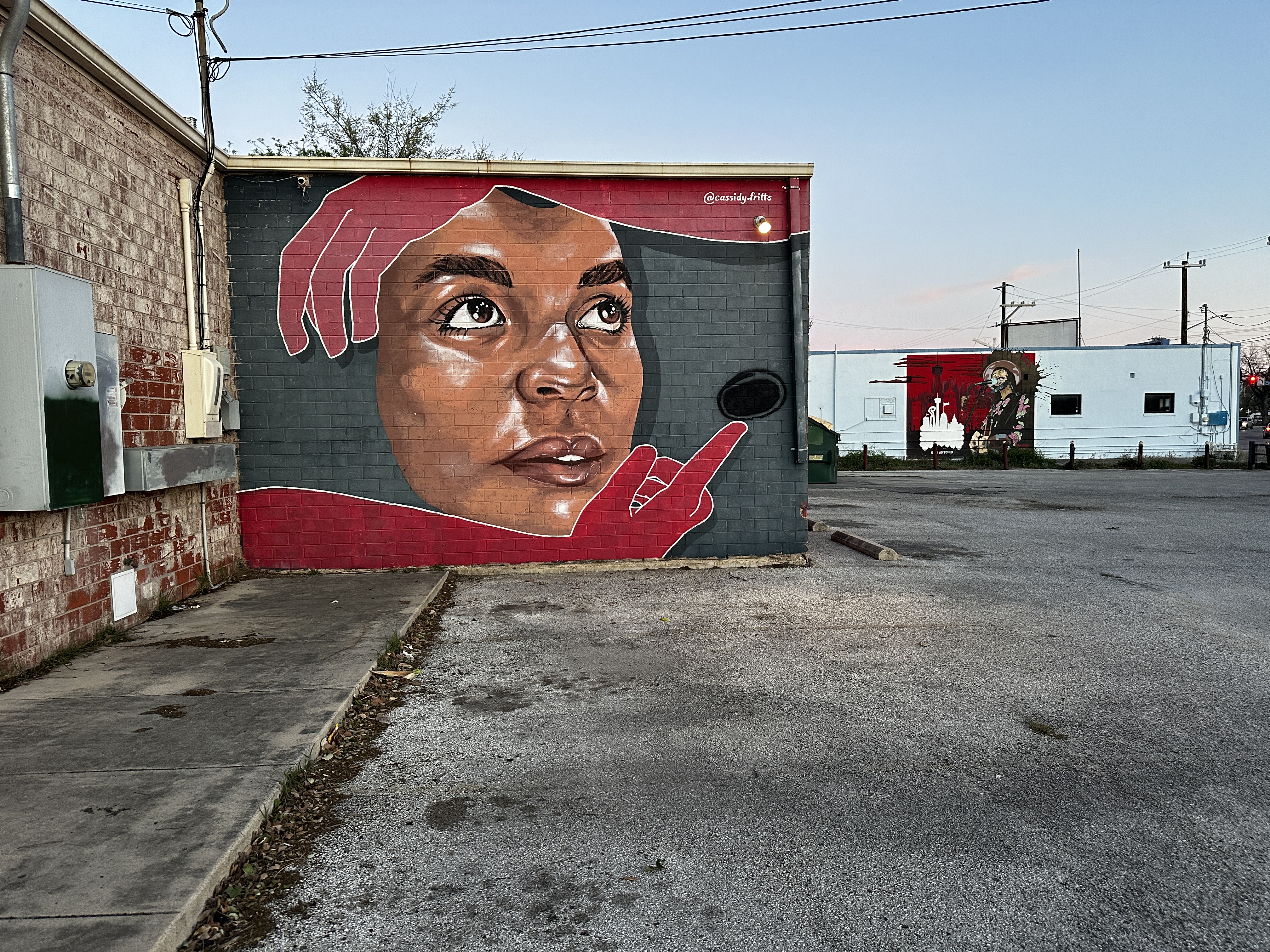
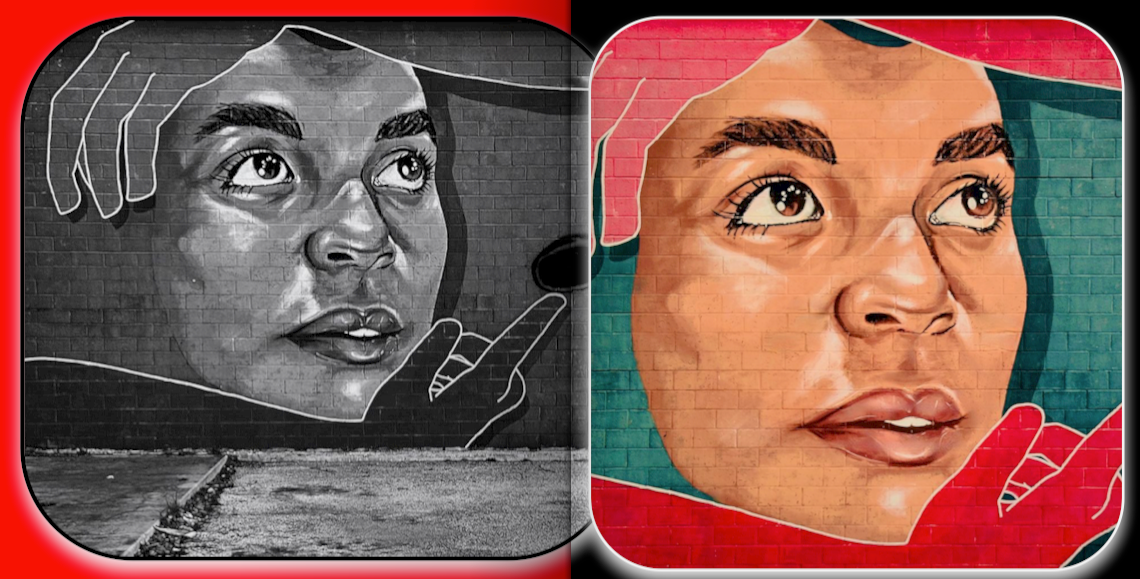
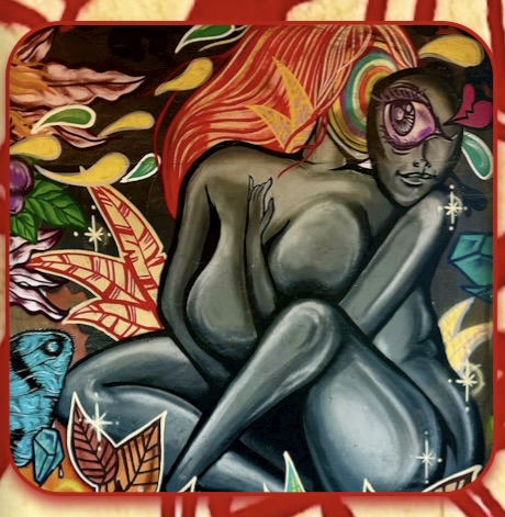
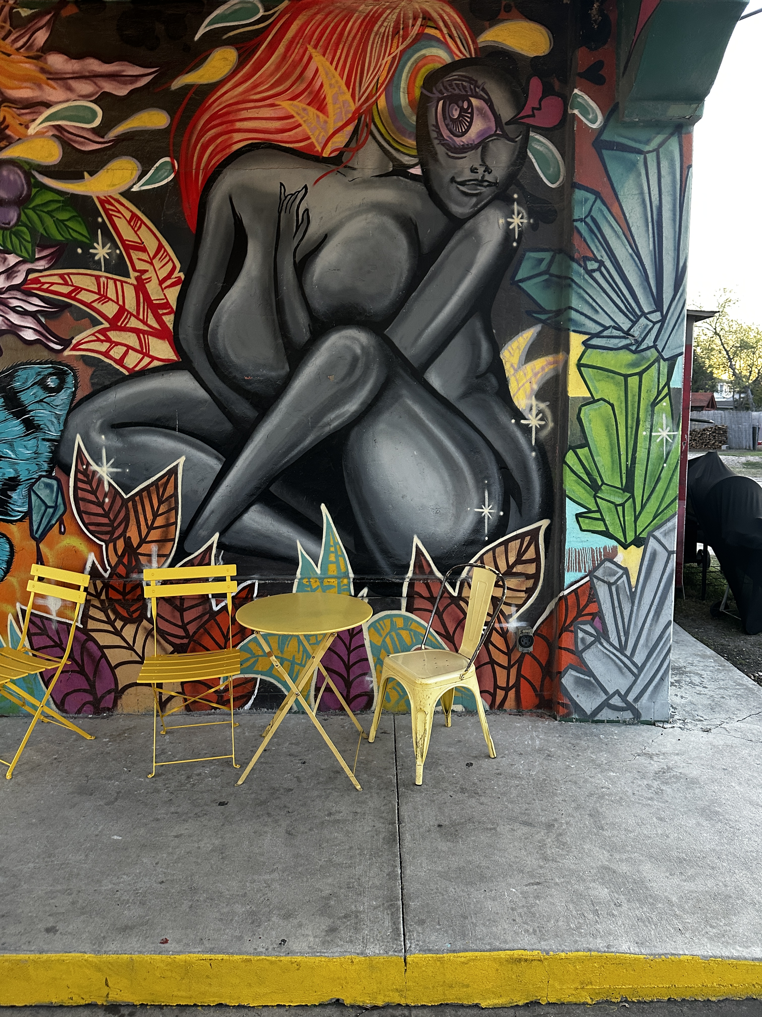
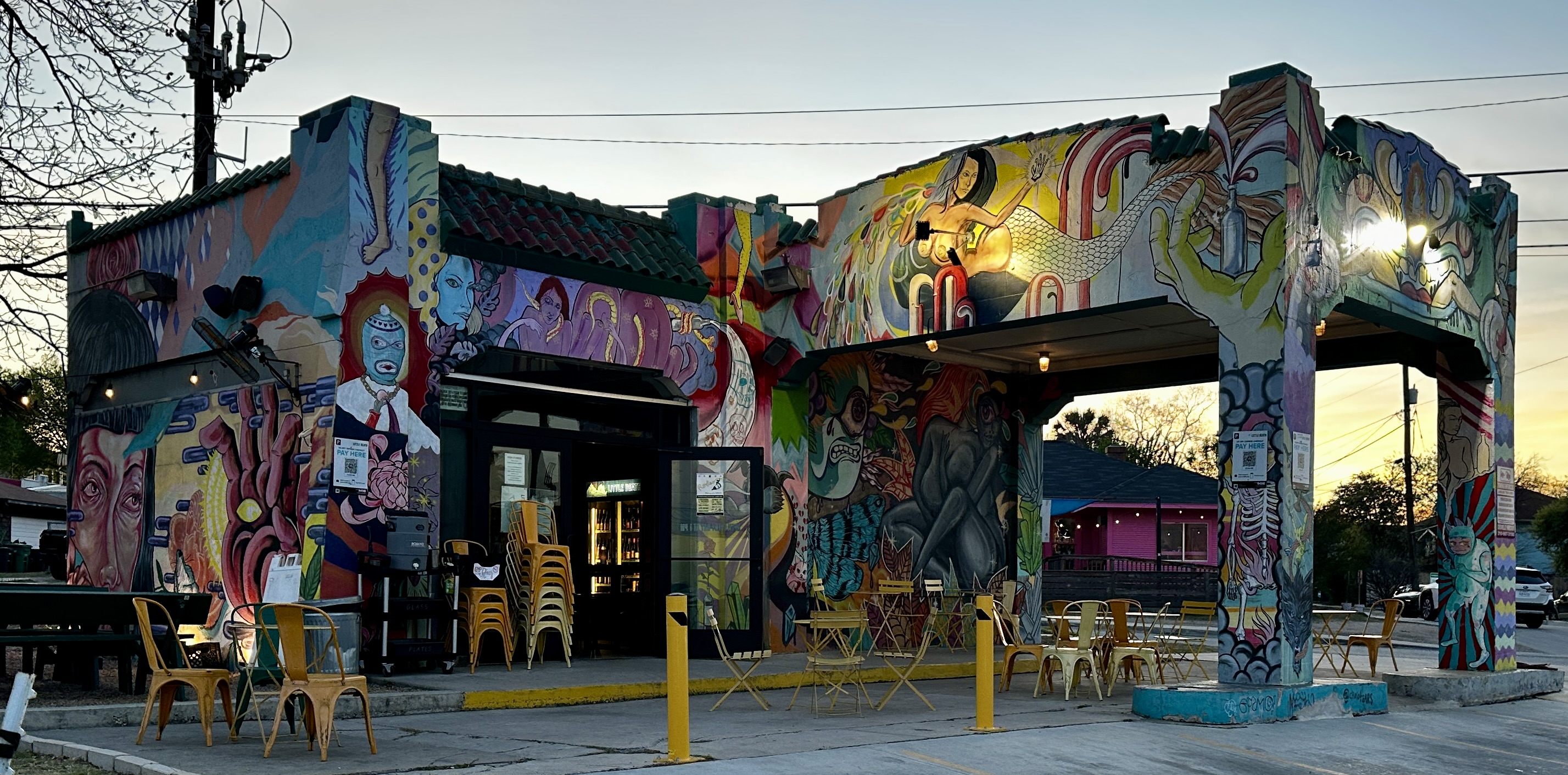
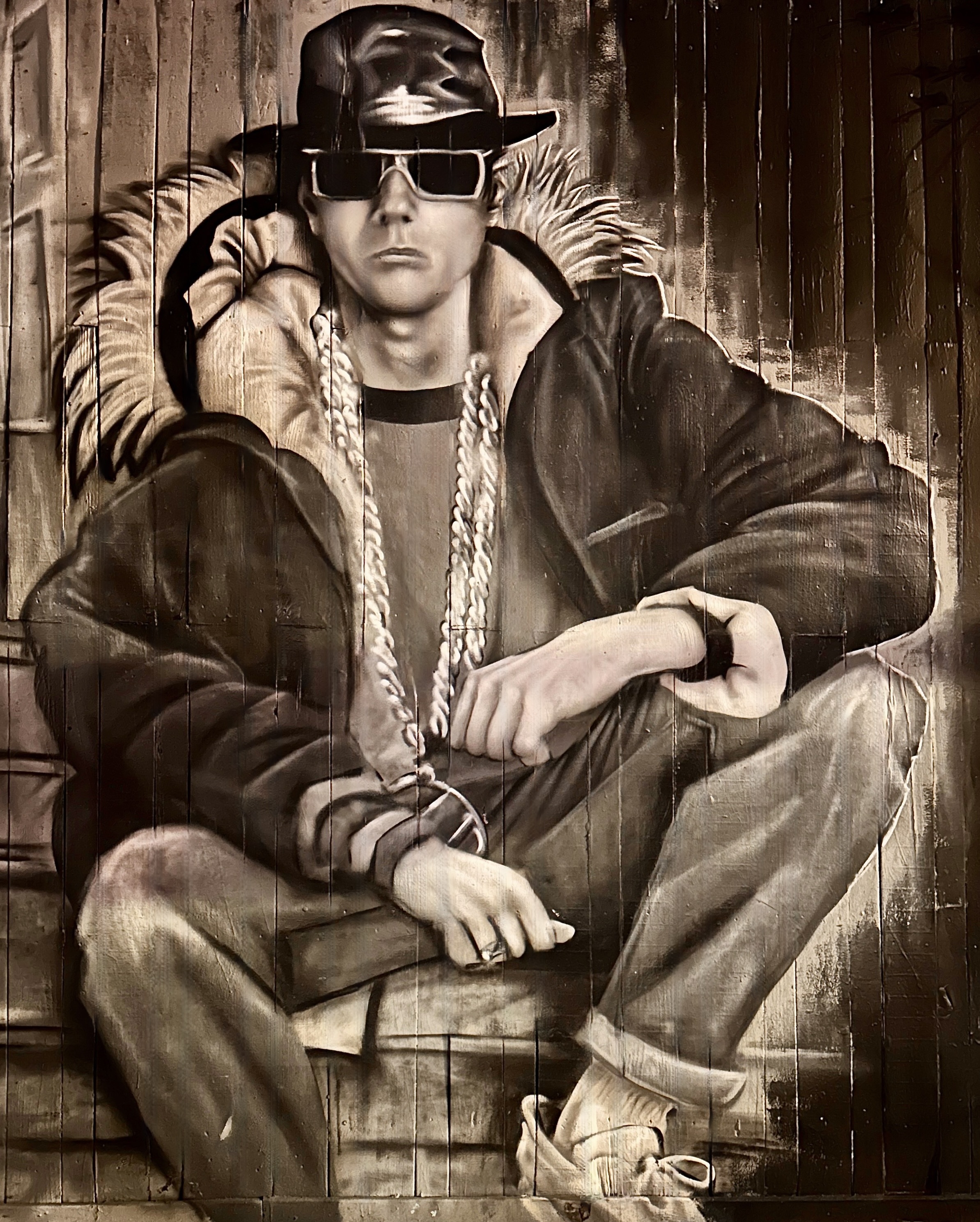
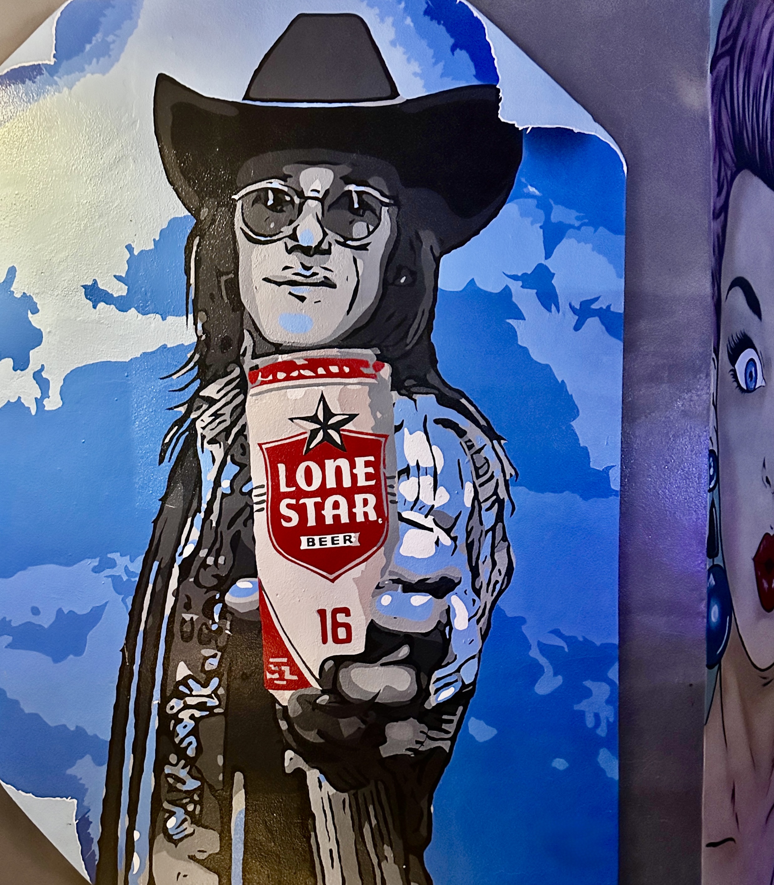
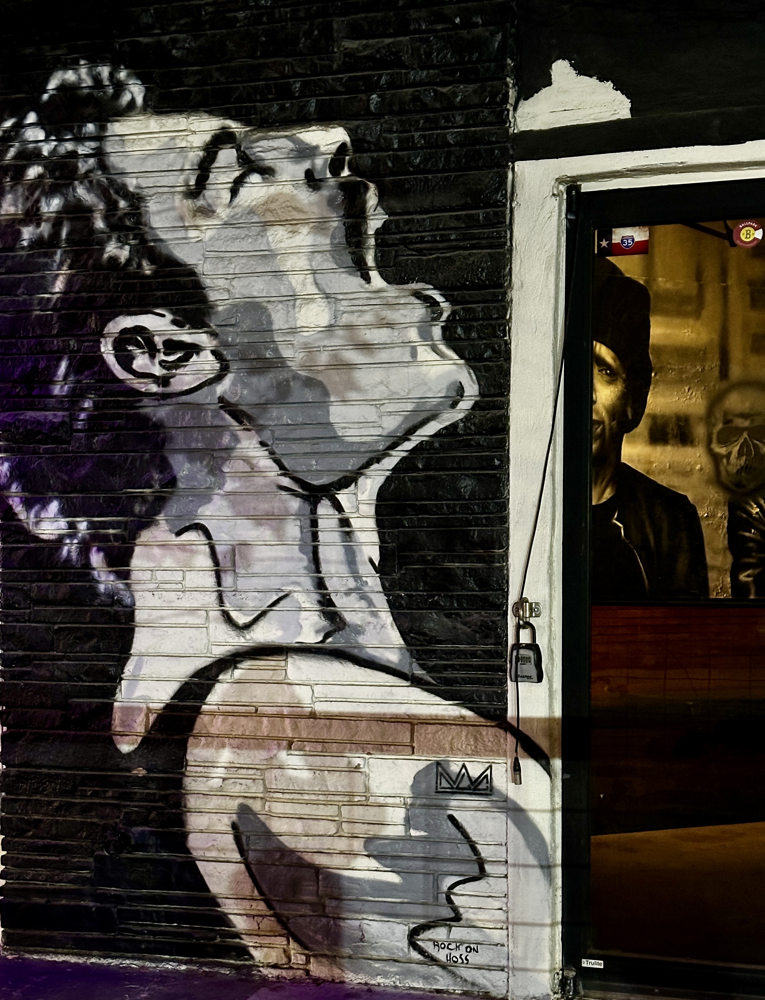
After fika we secured an electric sit down scooter and set out on our mural hunting expedition. Our first stop was the Hoefgen Street Walls in the near east side of the Lavaca Historic District and from there to the failed Essex Modern City project. These two areas have a large number of murals although many are suffering from neglect. Additionally, the murals at the Essex Modern City project location require some creativity to obtain photos as the project is fenced and locked. Love a challenge!
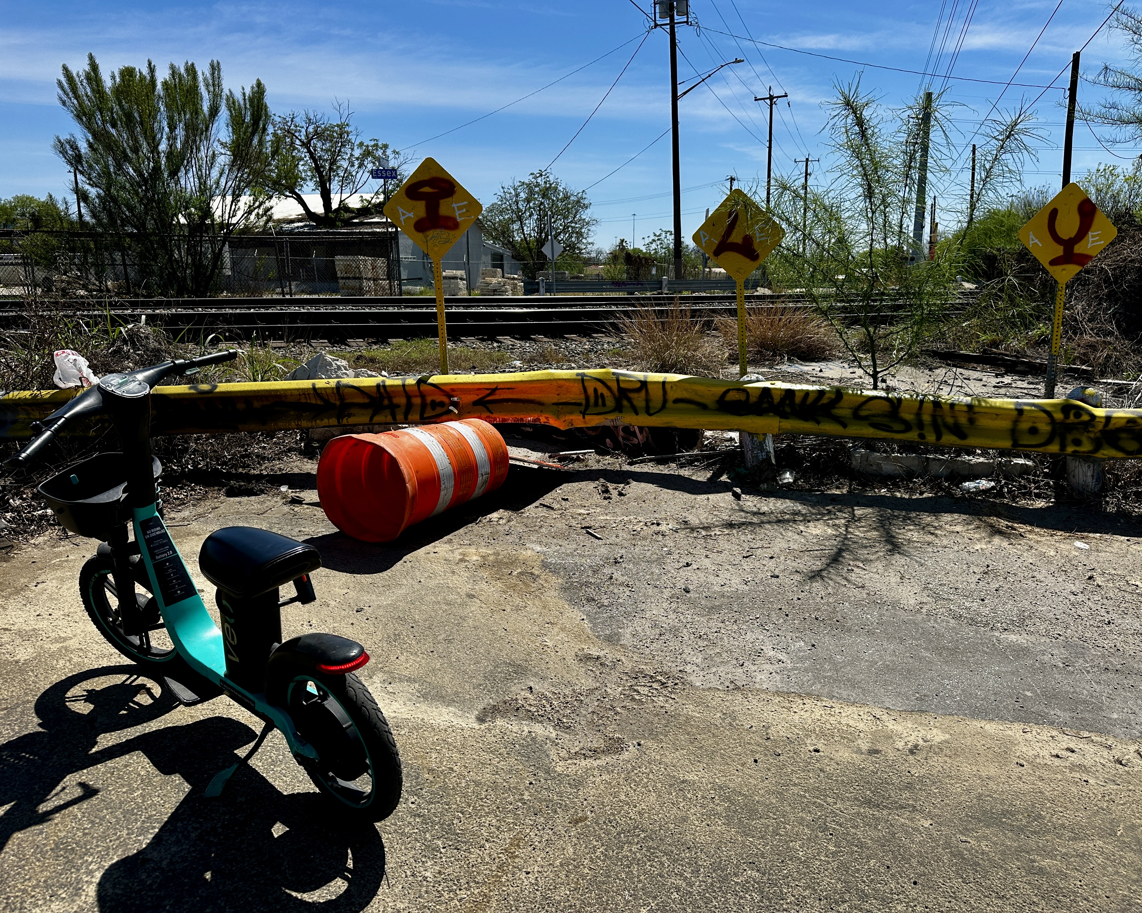
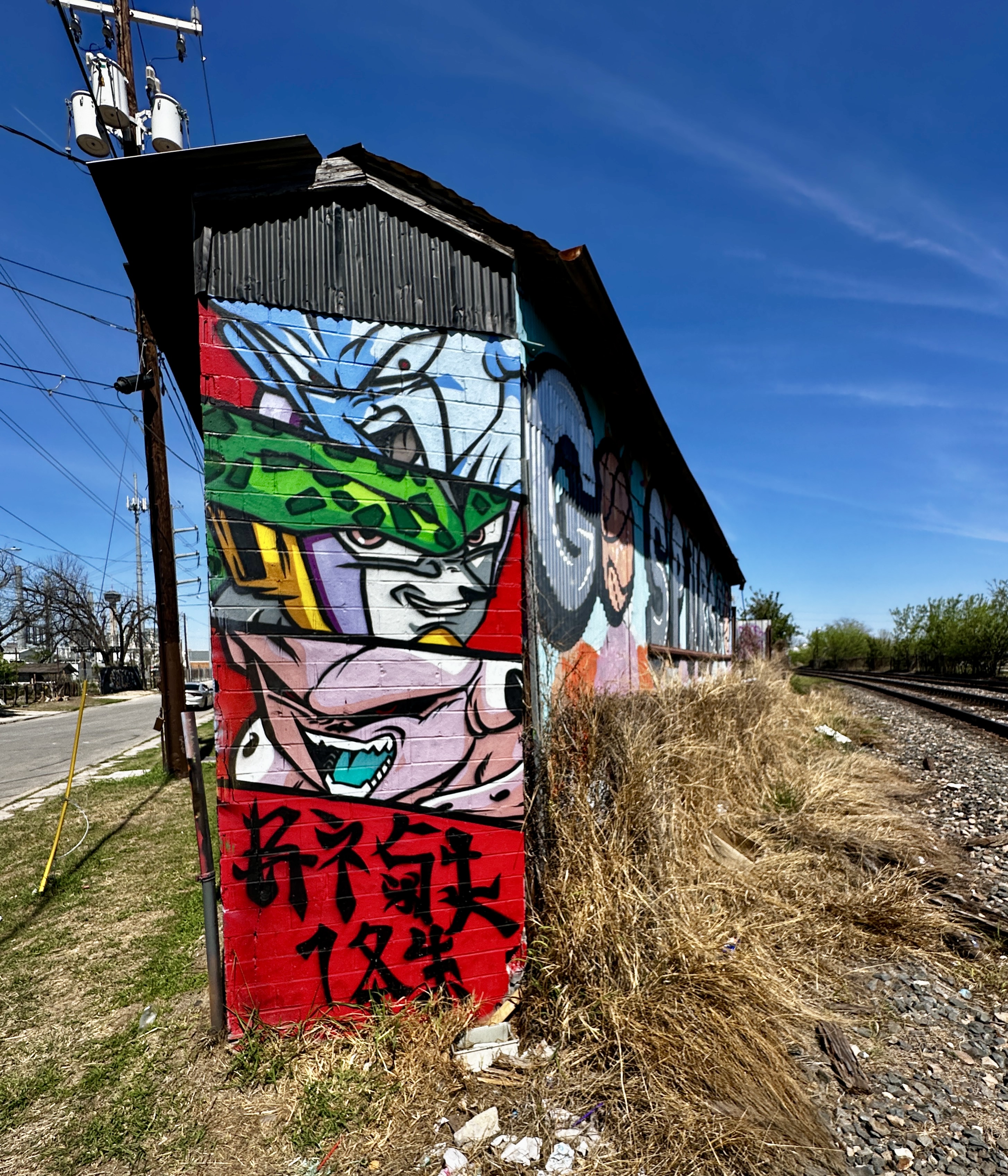
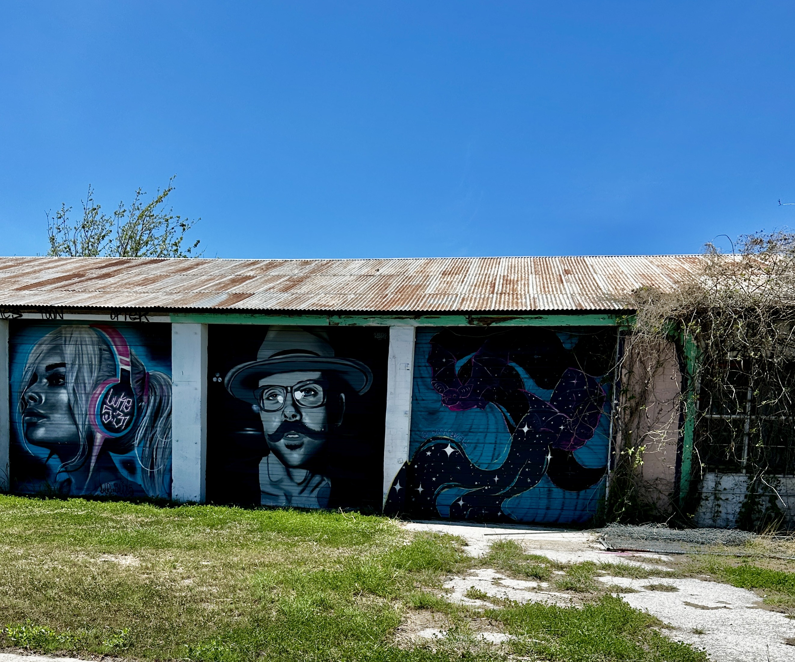
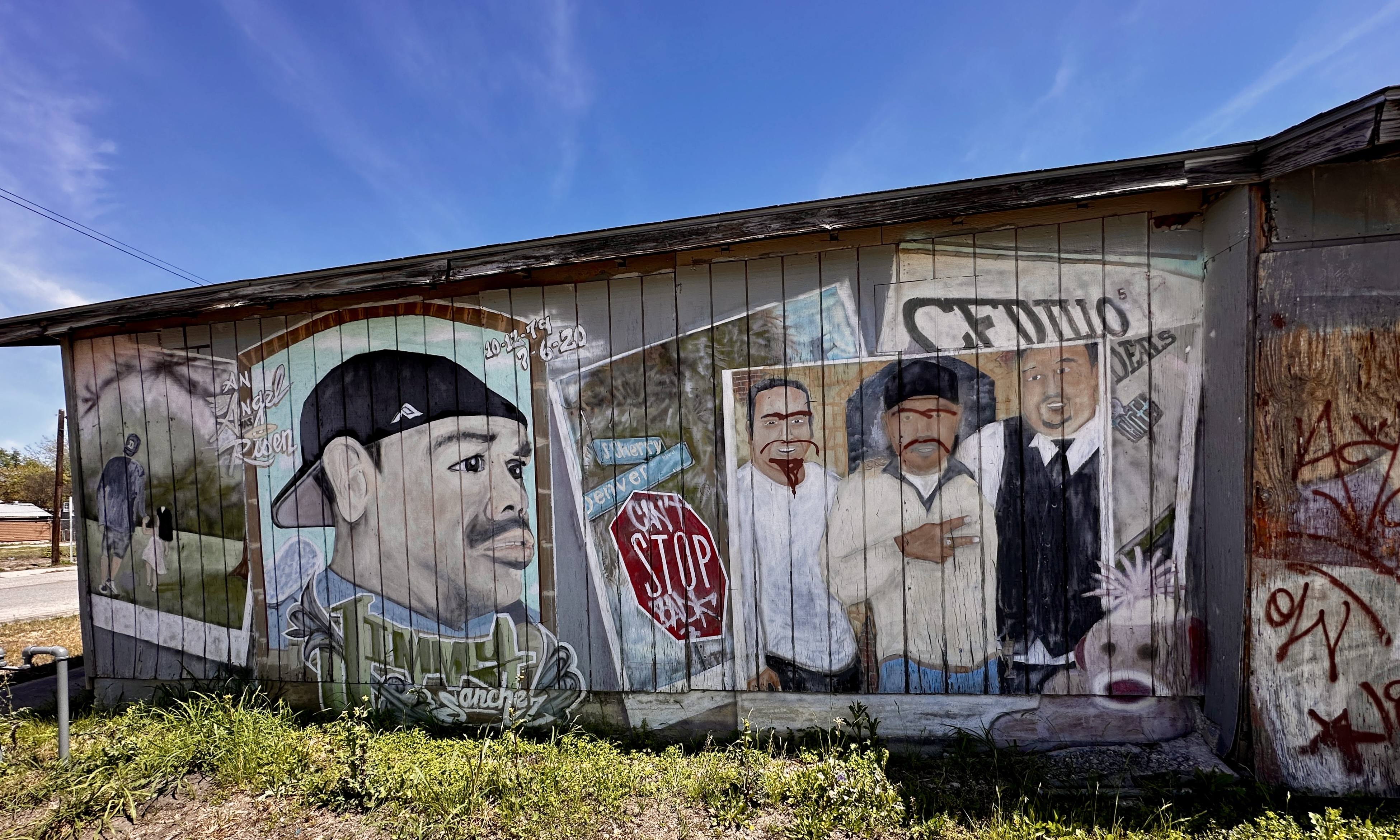
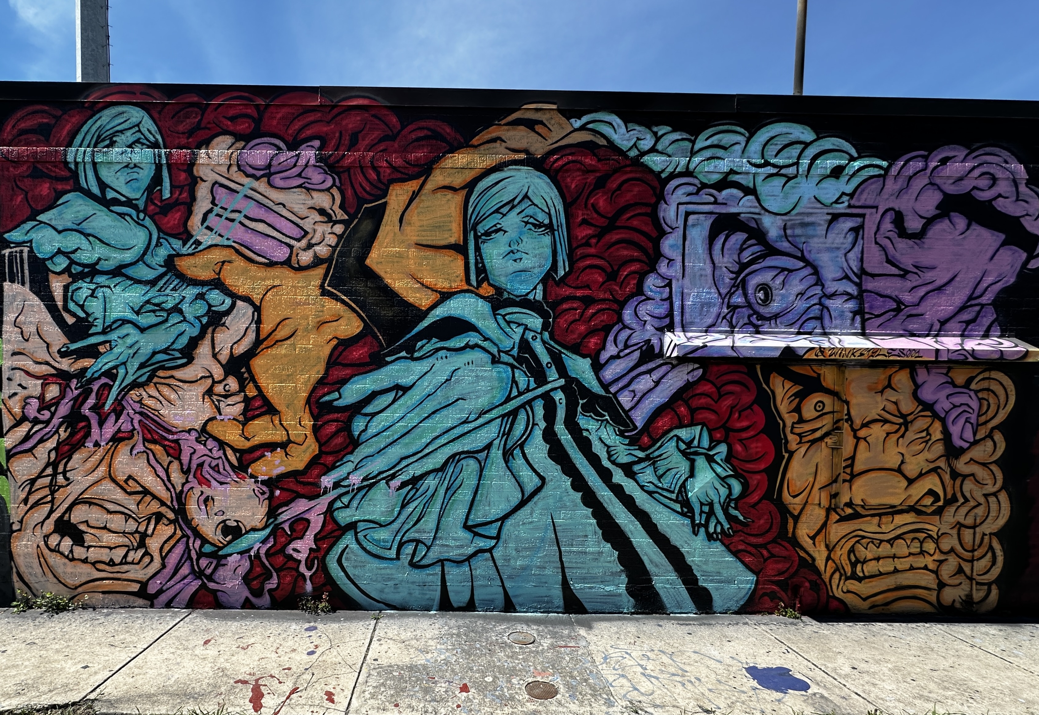
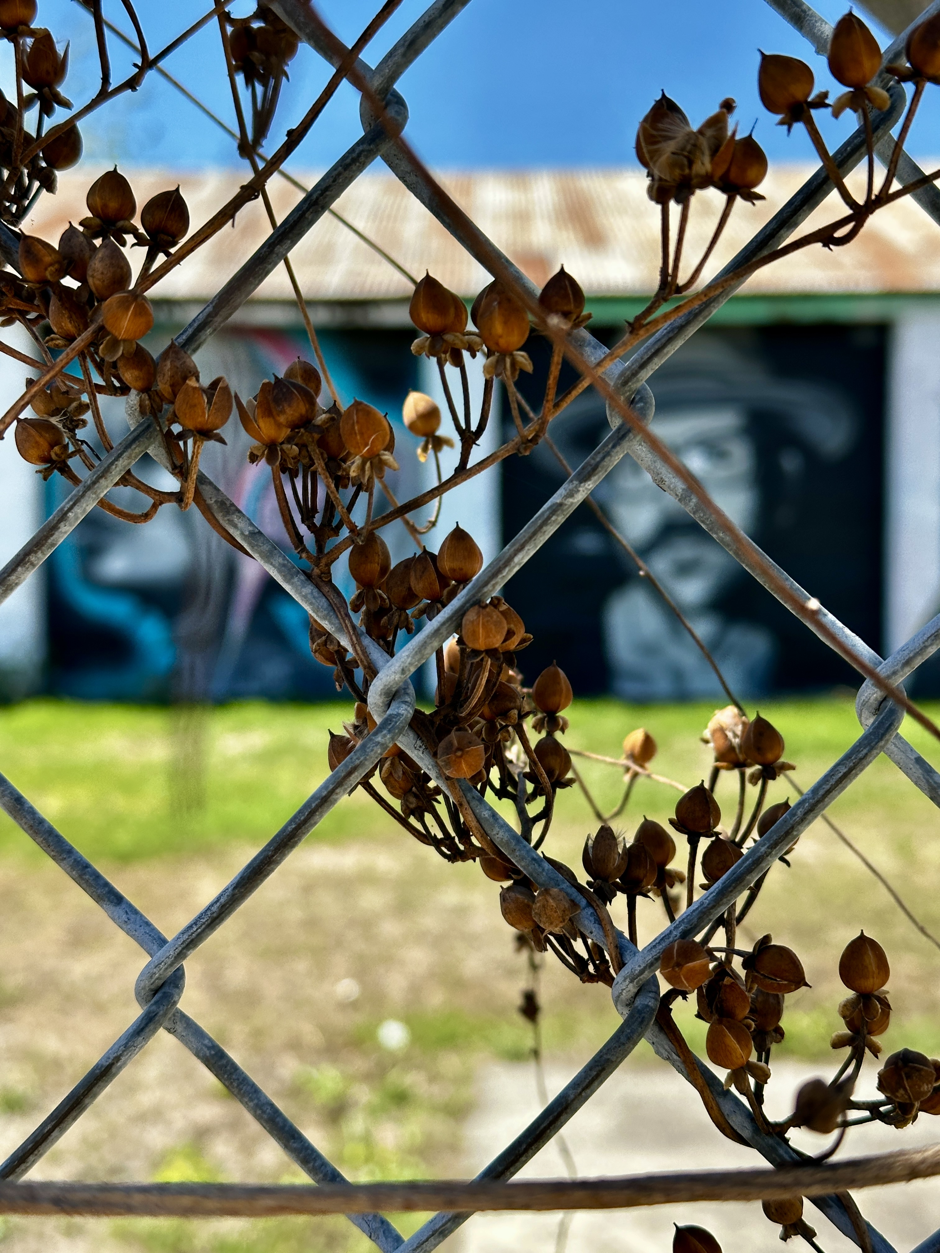
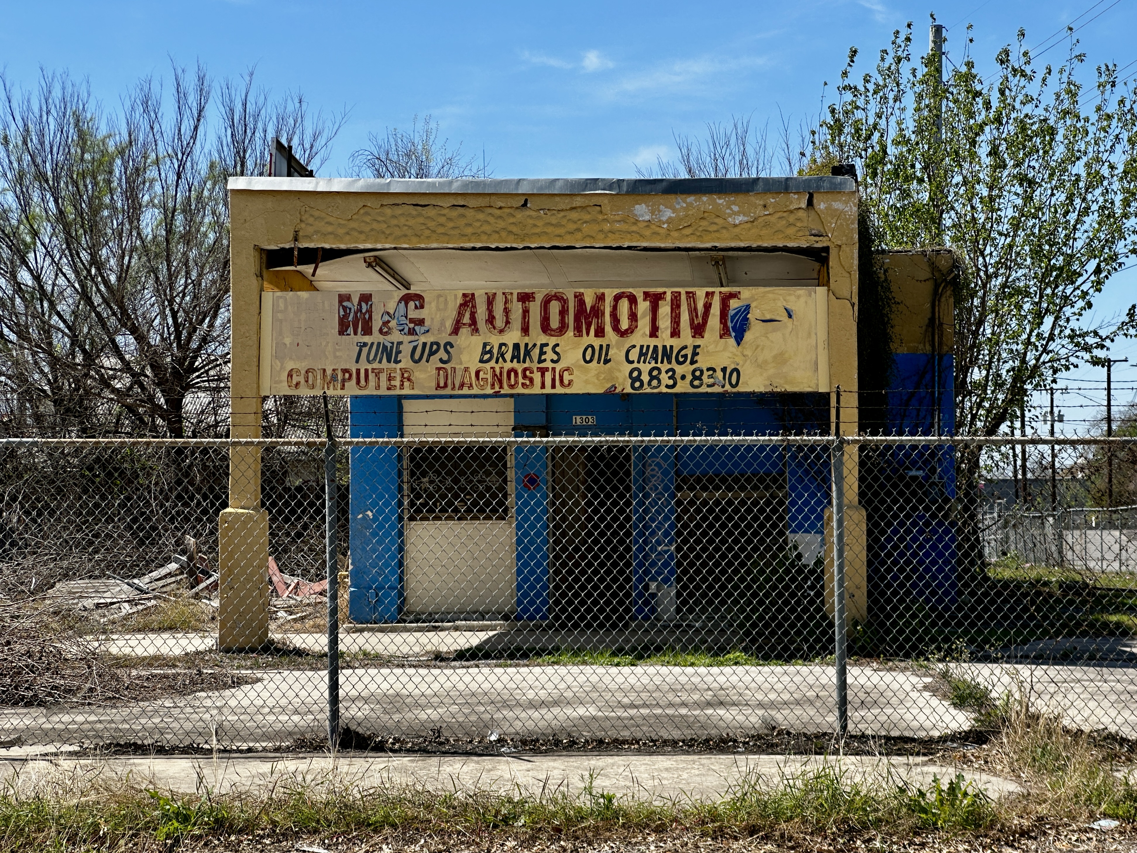
The area where the murals are concentrated is a mix of warehouses, empty buildings and some single family homes as the planned redevelopment of this area has not gone forward. As street art aficionados this area is the equivalent of finding gold!
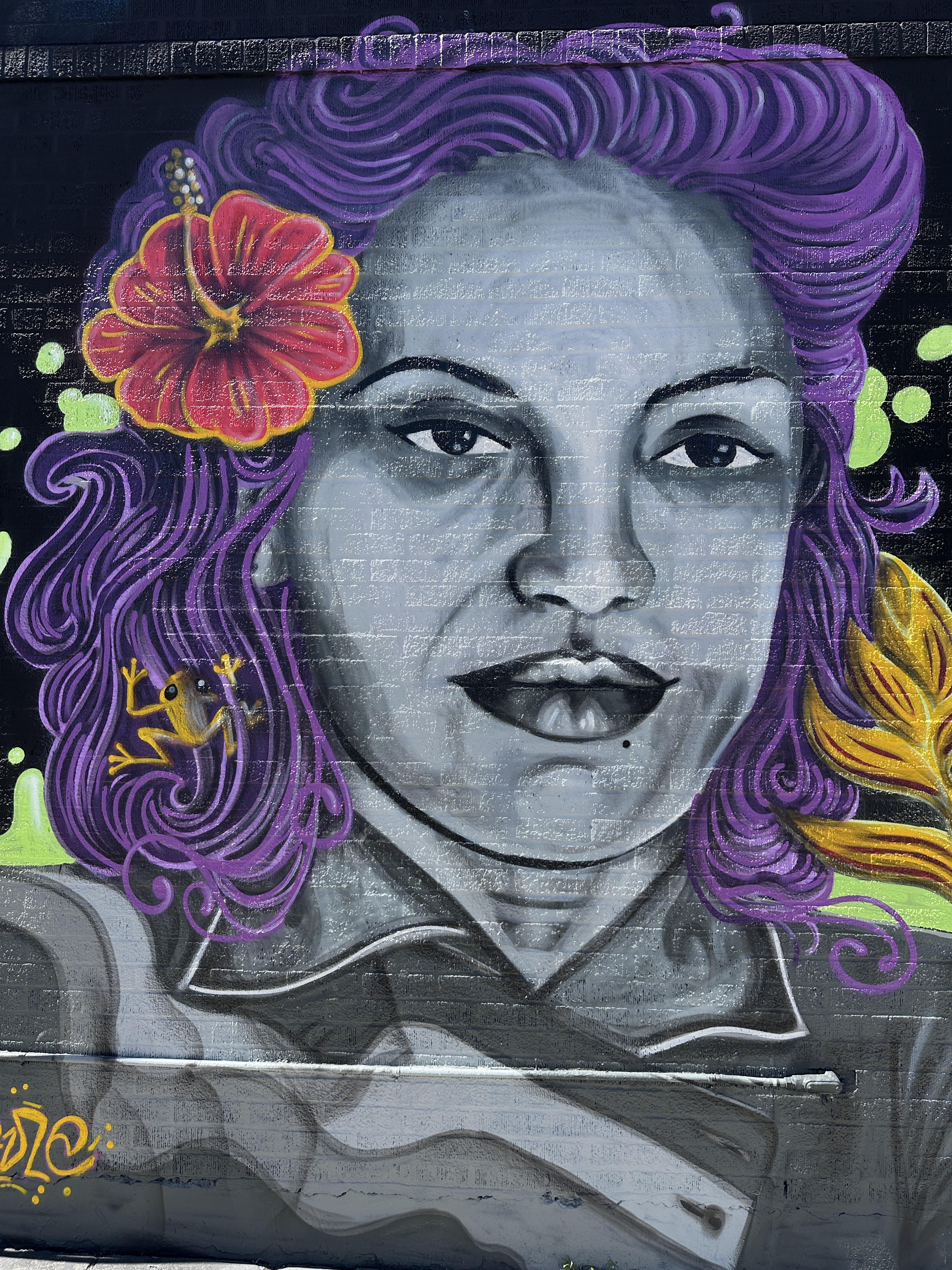
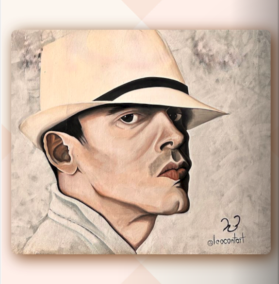
The photos on left above and below are the murals in their current state while the photos on the right are our best effort at repairing and restoring the artists’ work and adding backgrounds for our Street Art Tourist volumes.

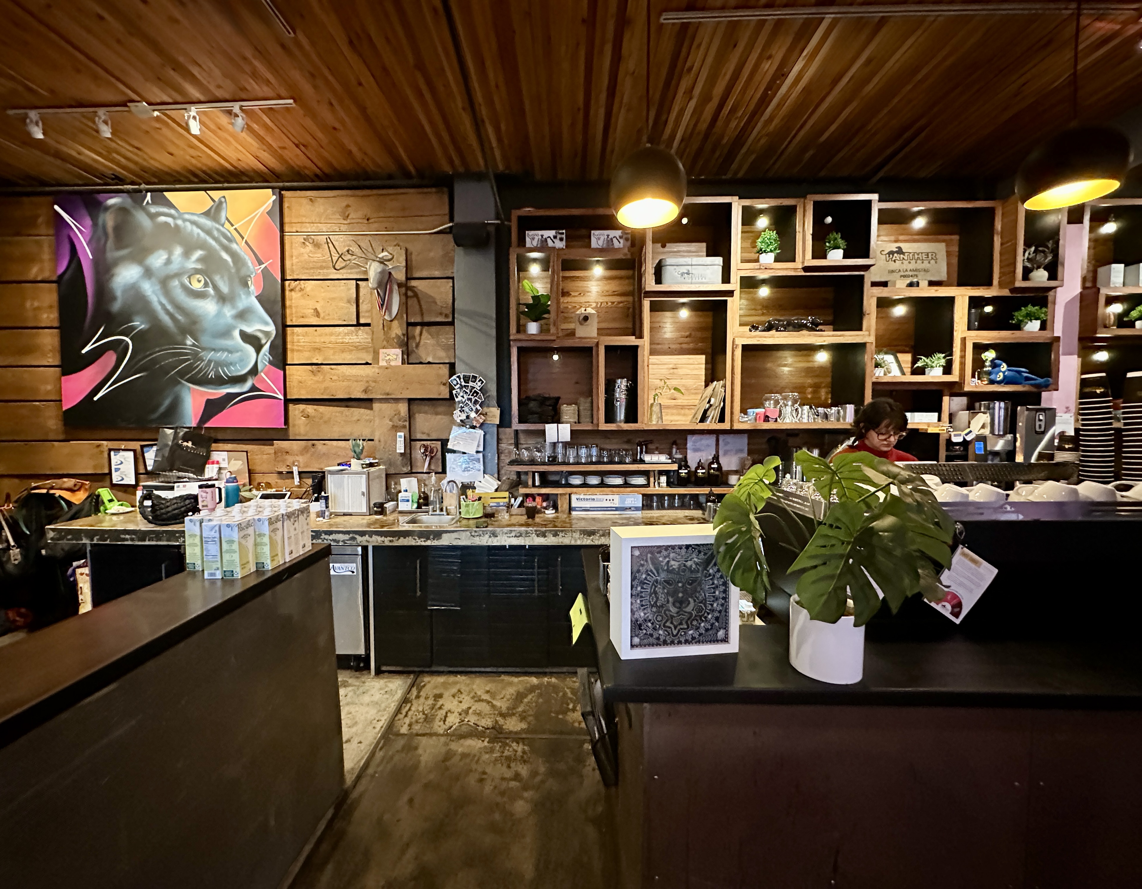
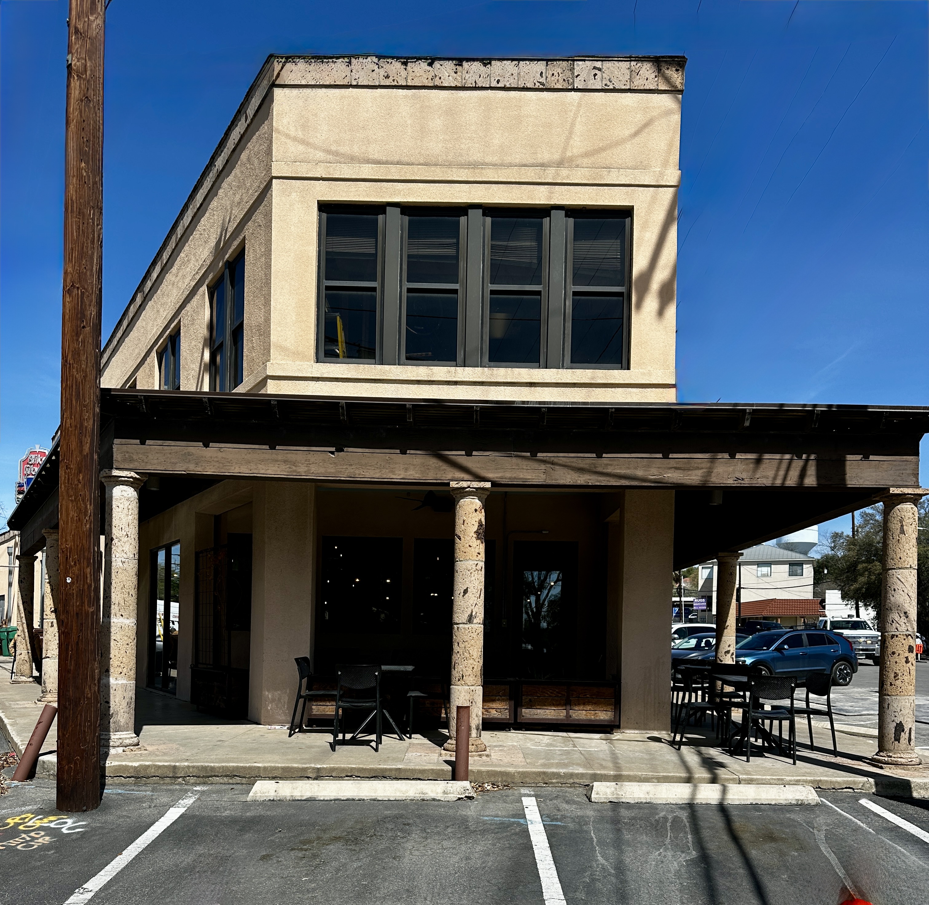
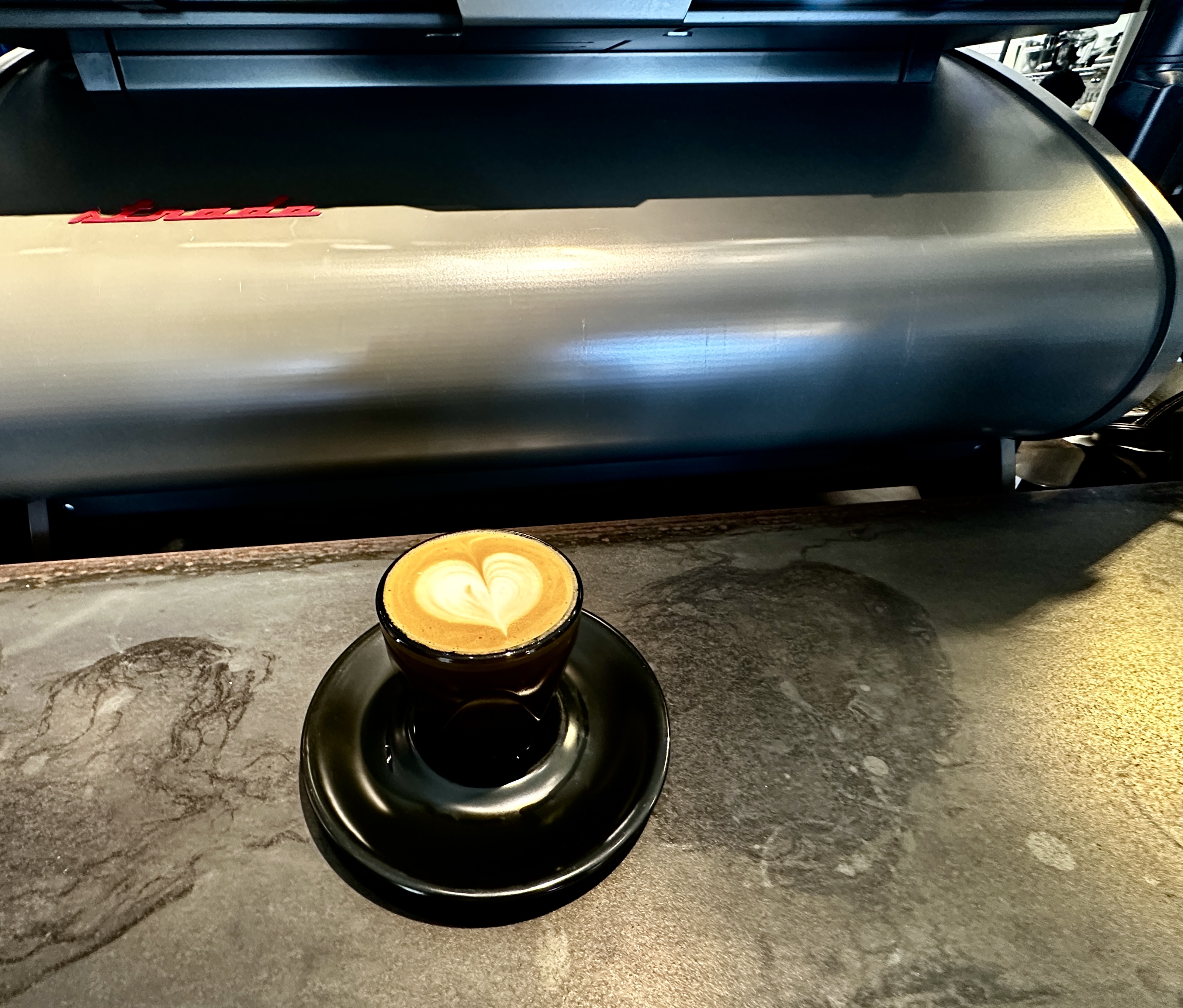
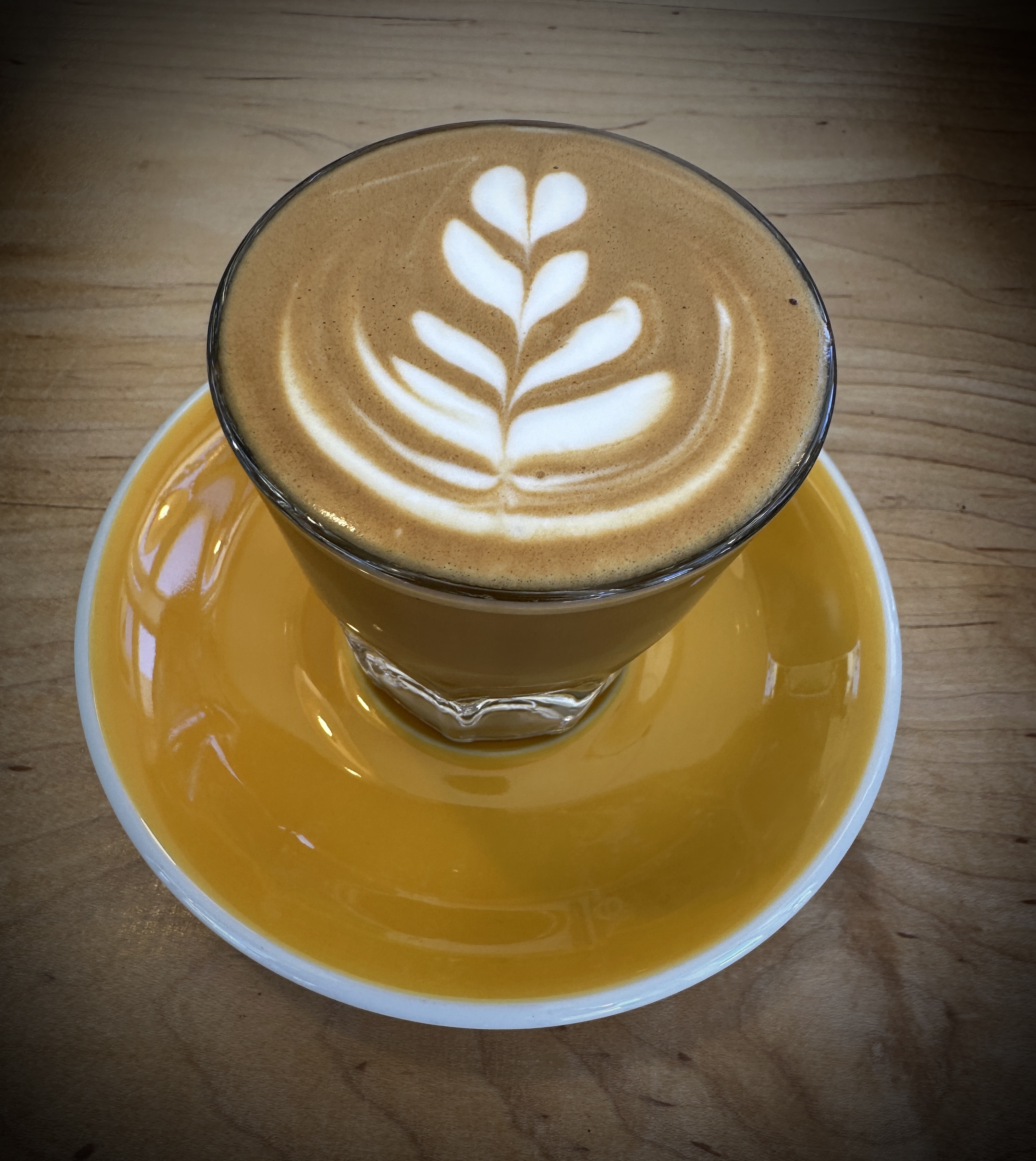
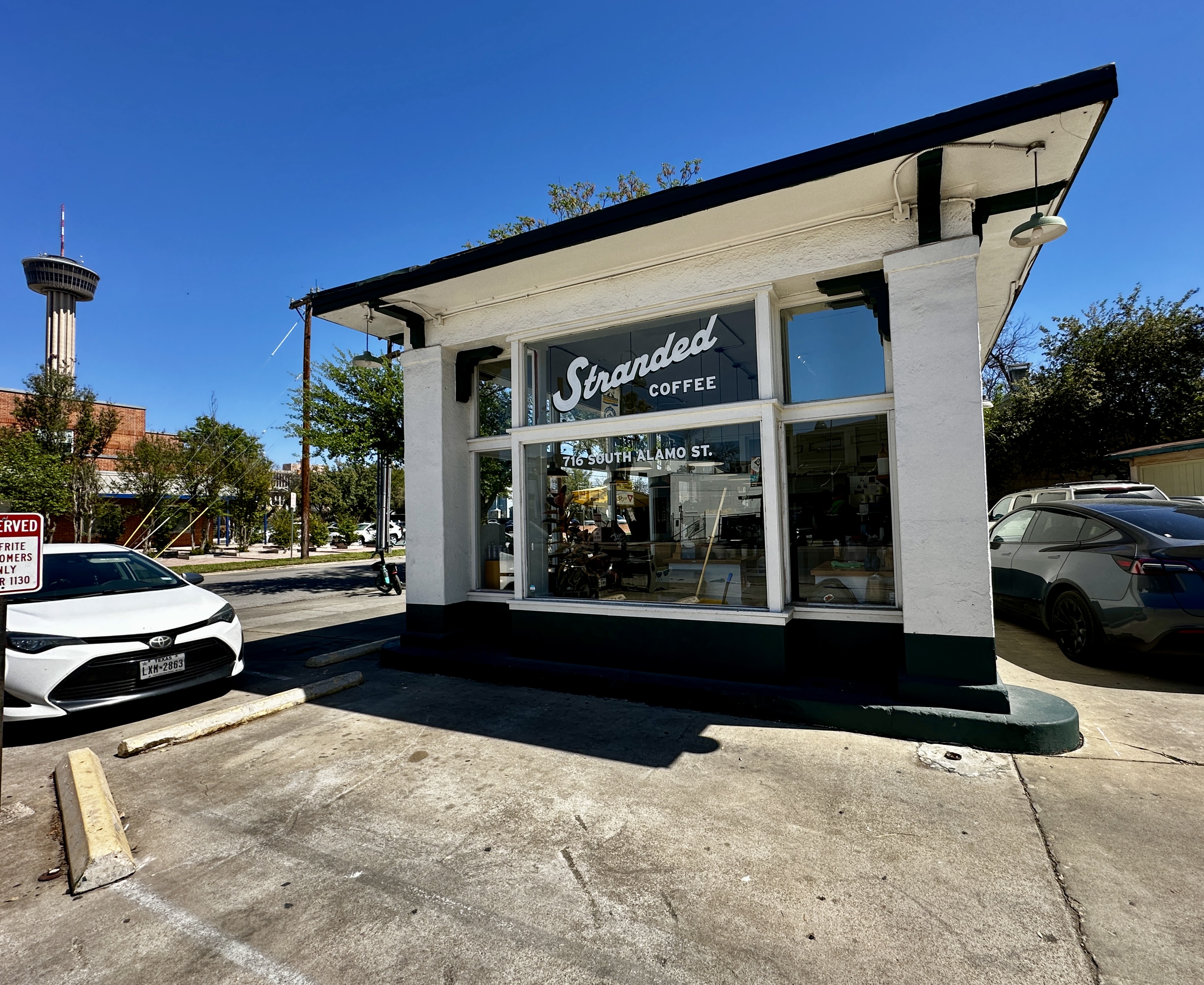
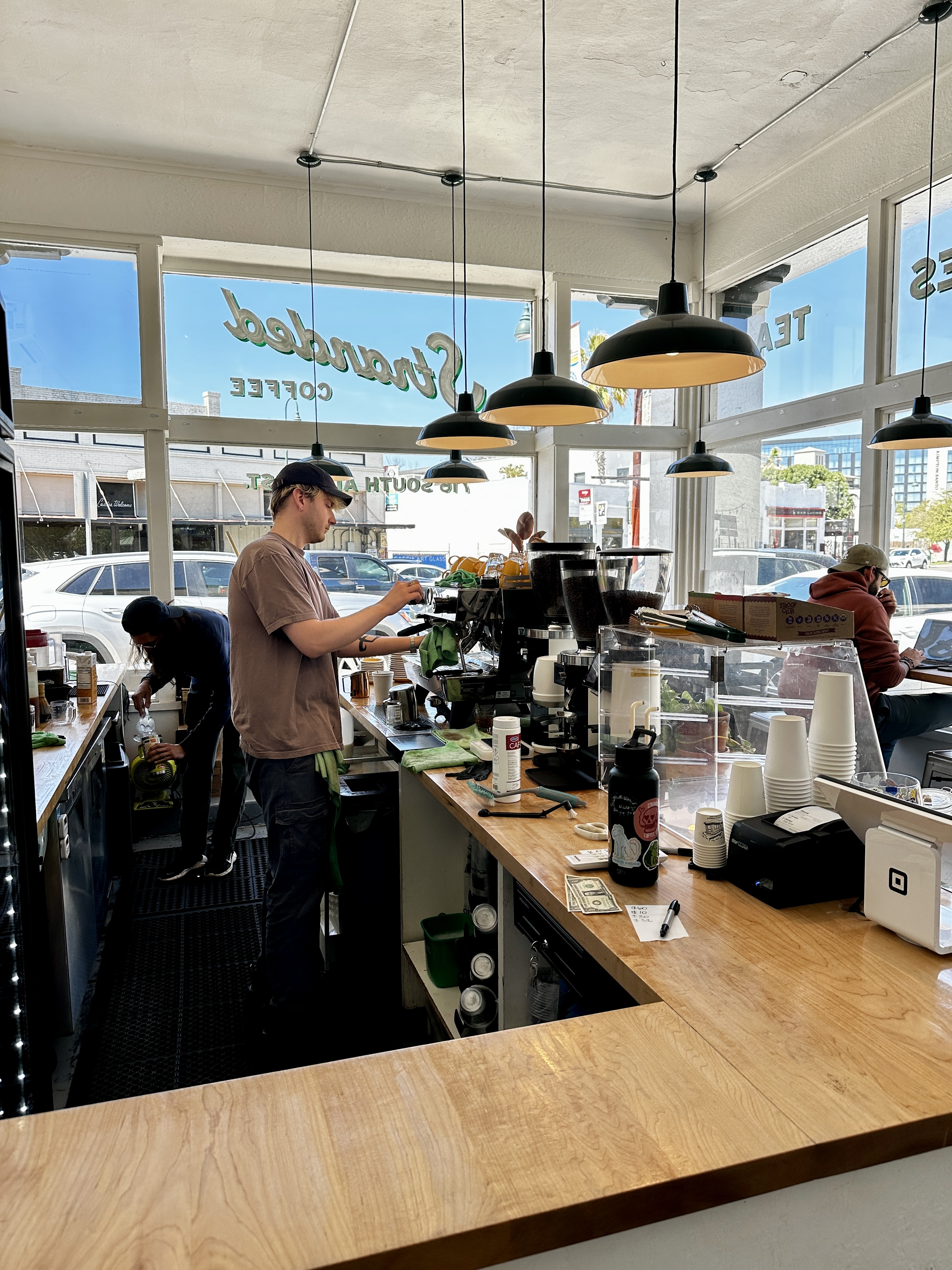
After wrapping up our mural pic shoot we toured the area by scooter and eventually made our way to Stranded Coffee. The cafe occupies a former Texaco Gas station in the more gentrified area of Lavaca close to the King William neighborhood. Make this your coffee stop when in Lavaca (Southtown area).
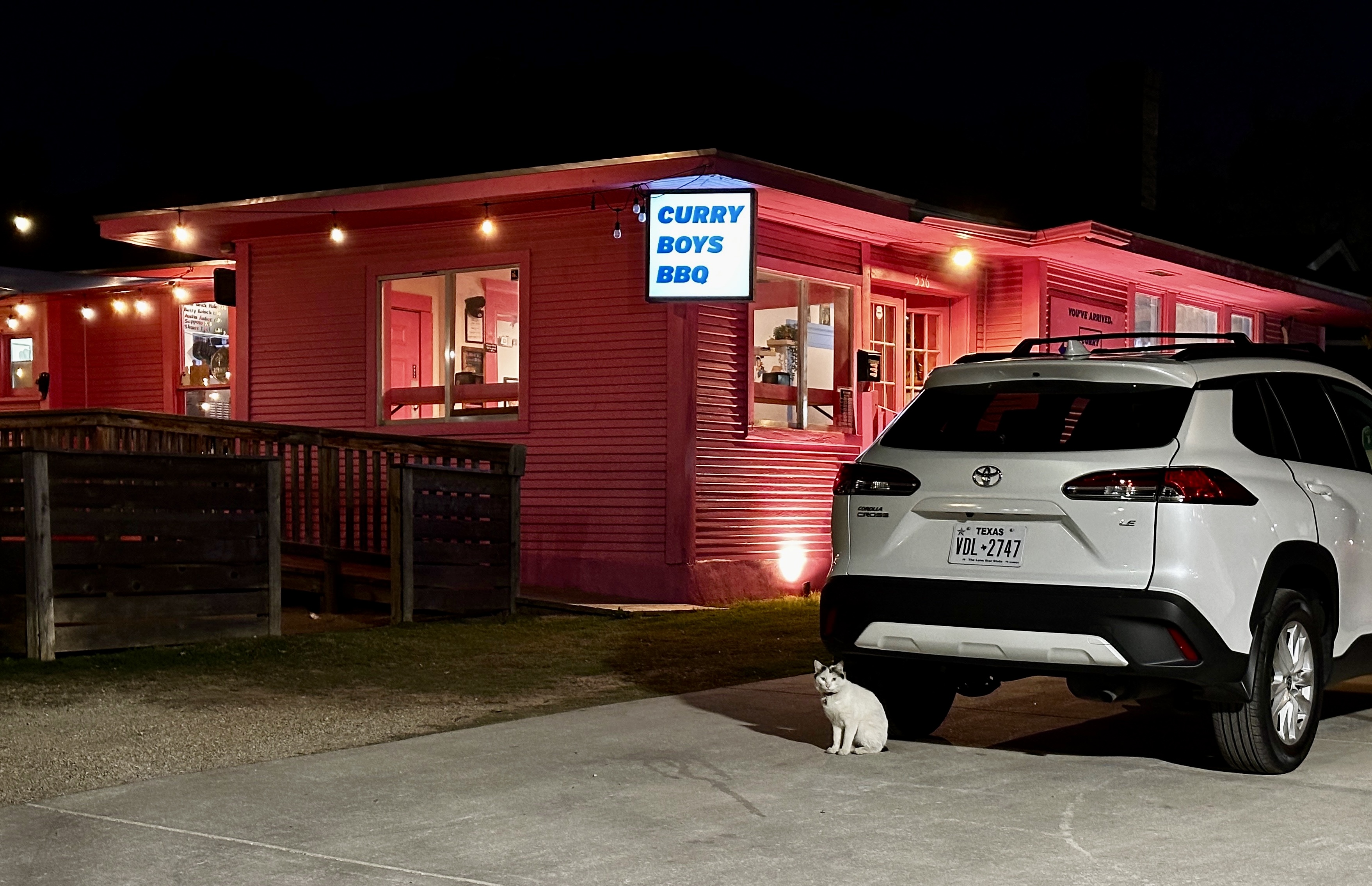
After coffee we scootered back to the Gunter for a well deserved Lie Down (even if we say so ourselves). Our evening segment took us to the St Mary’s (The Strip) District for some curry and live music (and street art).
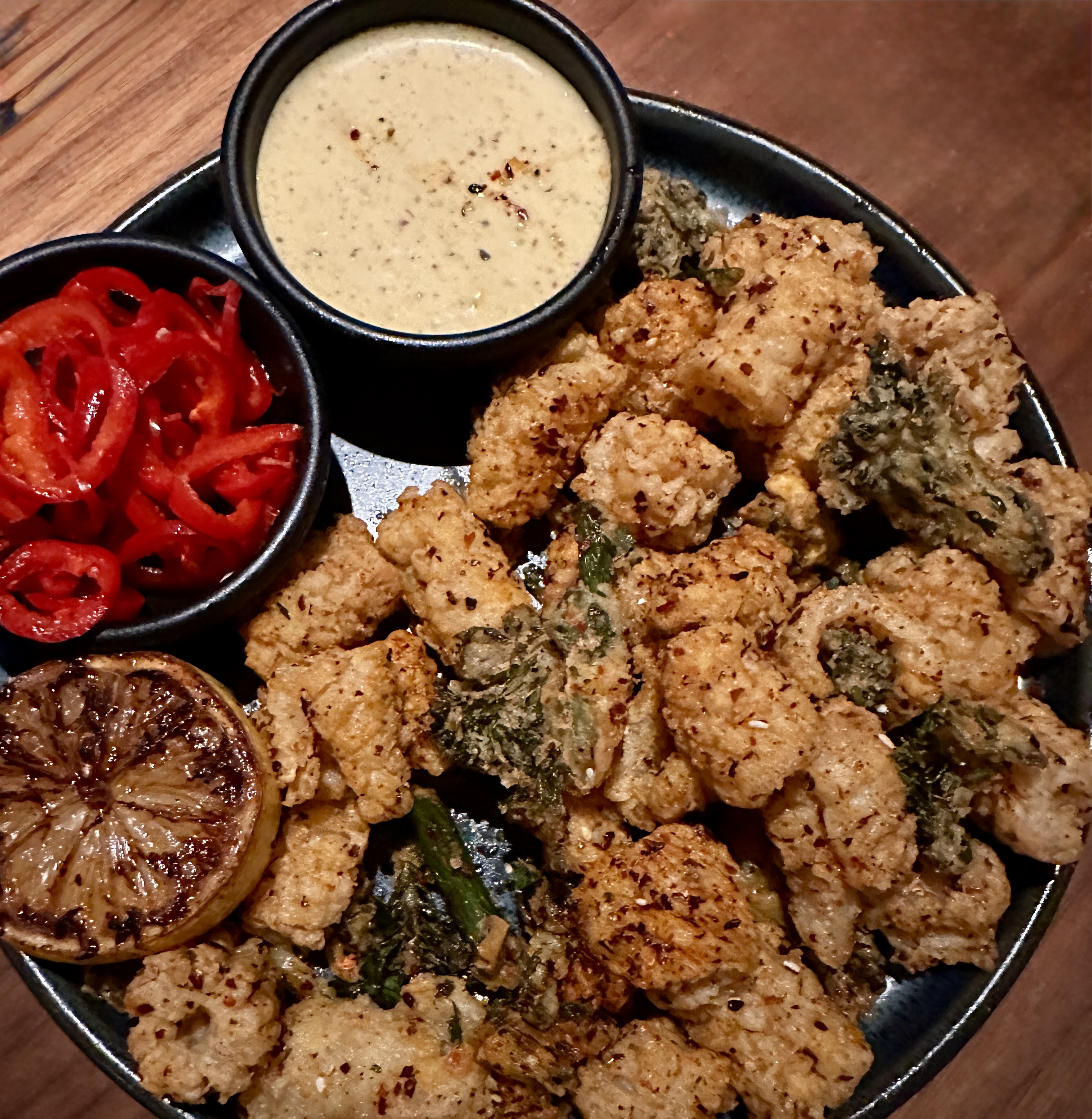
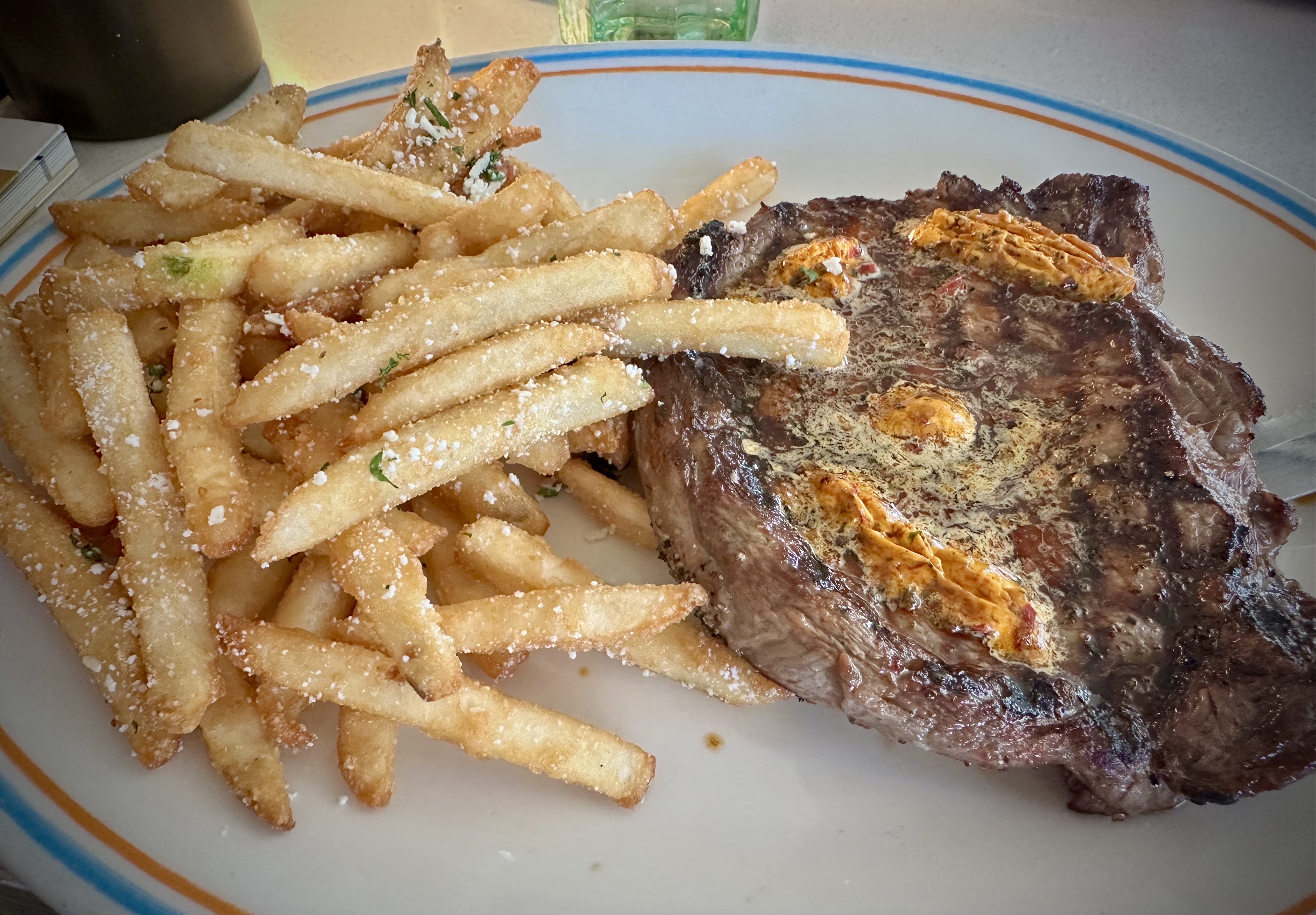
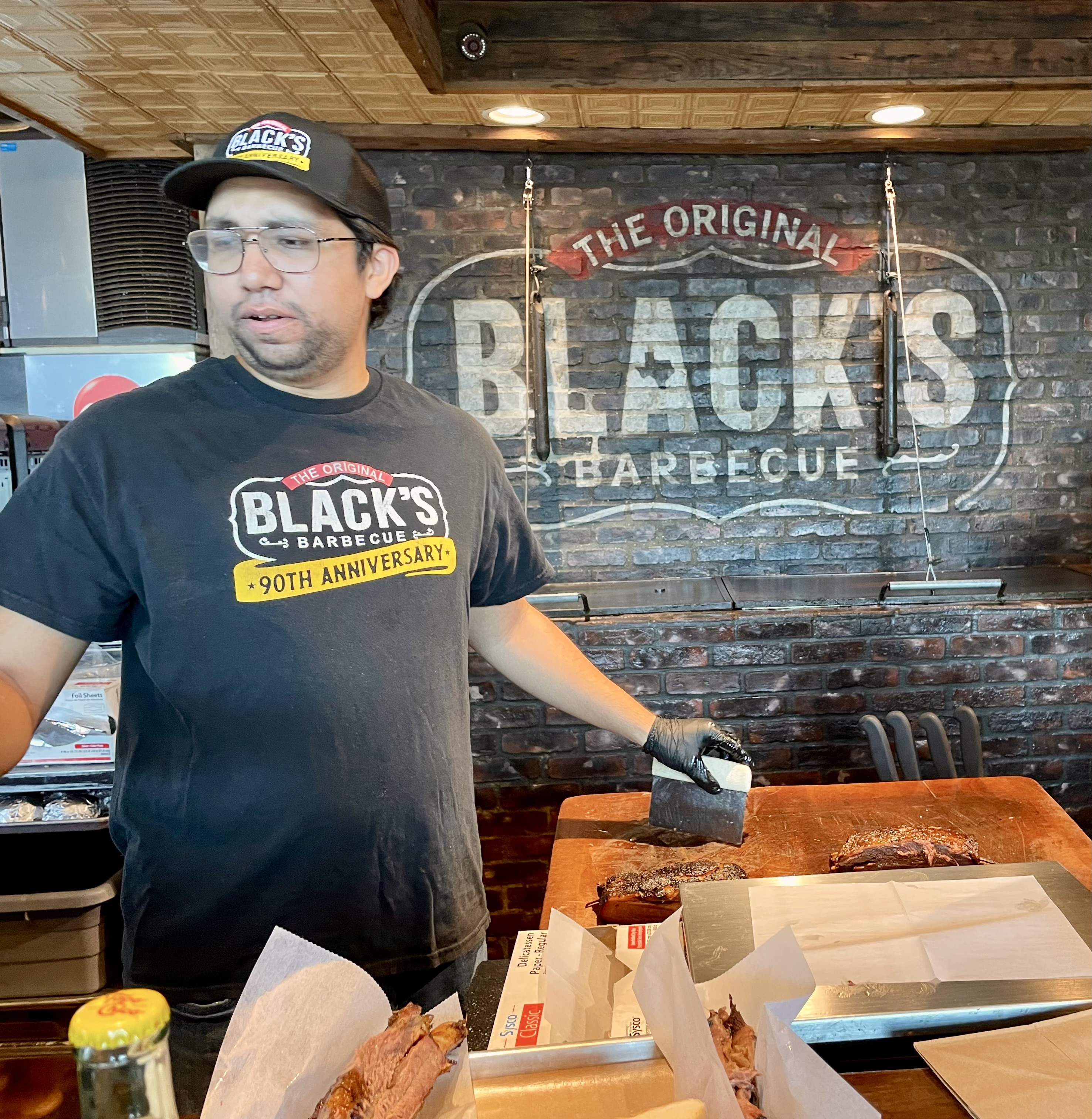
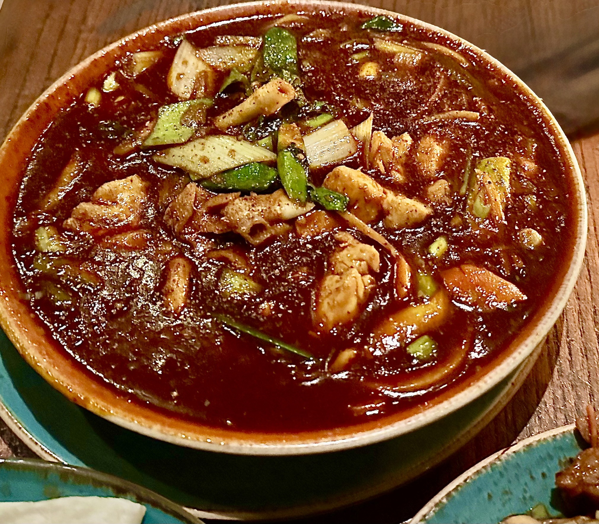
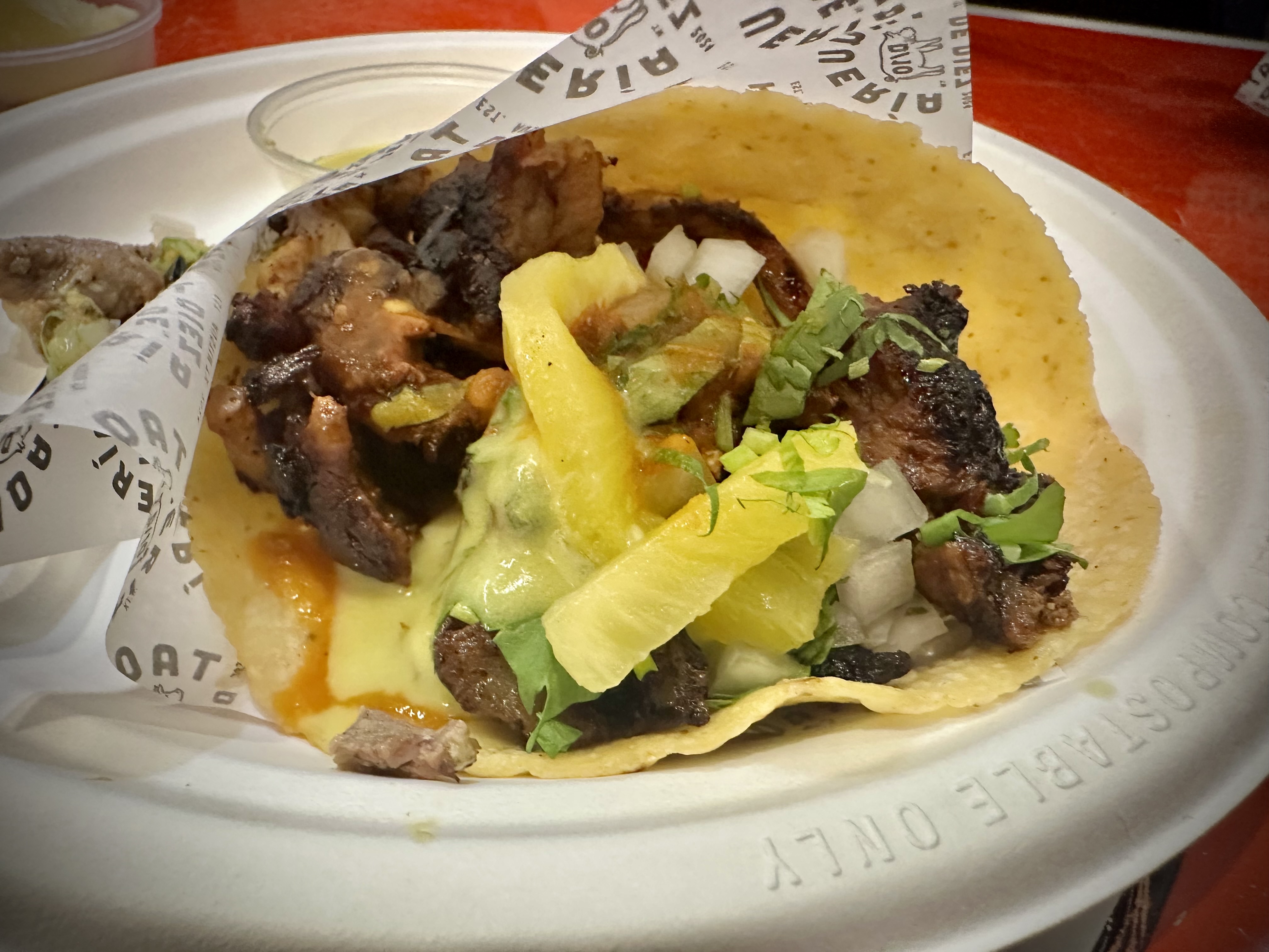
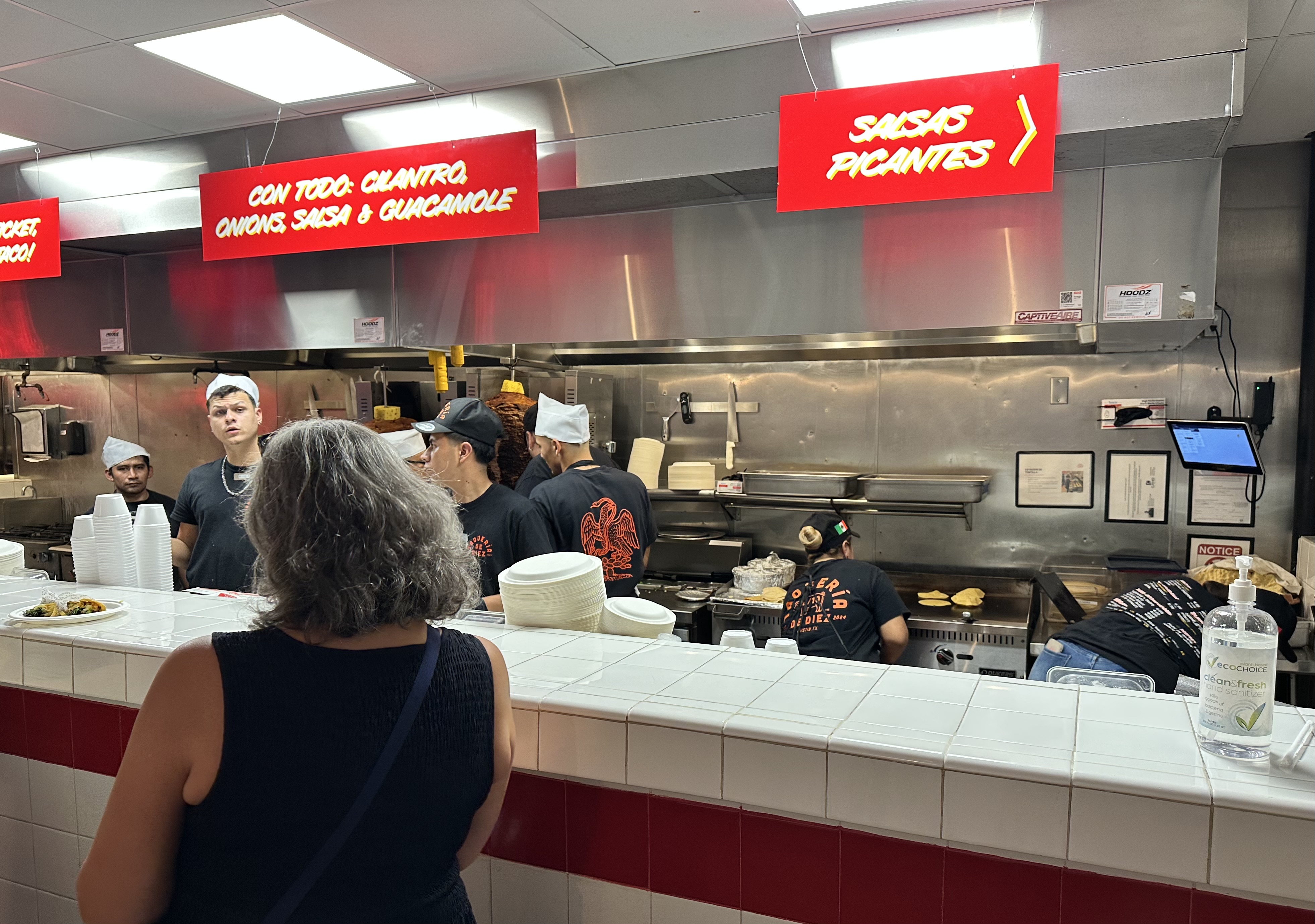
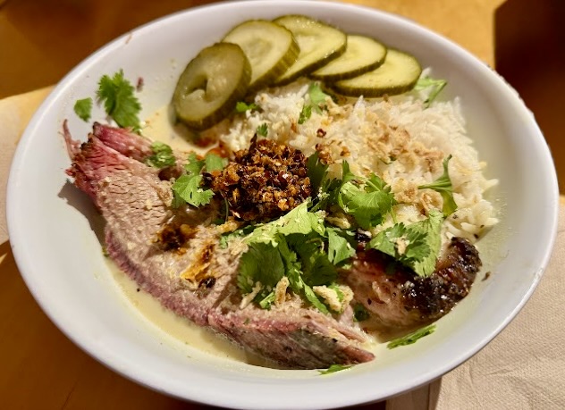
We were not familiar with the curry and barbecue genre and it’s growing popularity prior to dining at Curry Boys BBQ. Curry Boys mix smoked meats with a variety of Vietnamese and Thai curry sauces. Tasty!

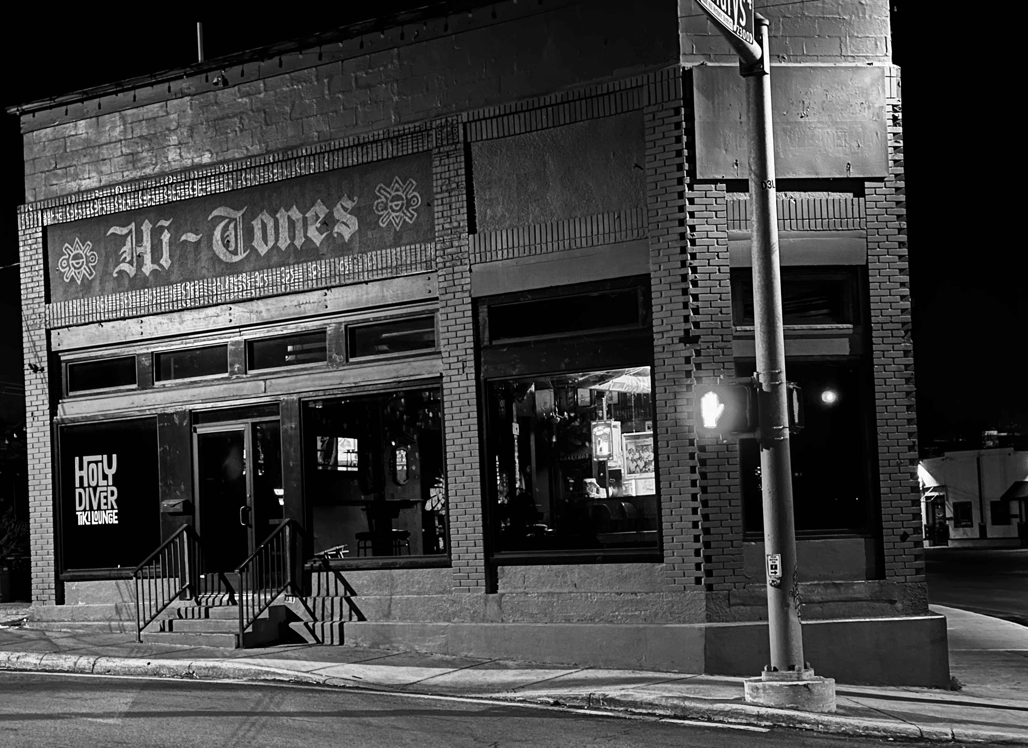
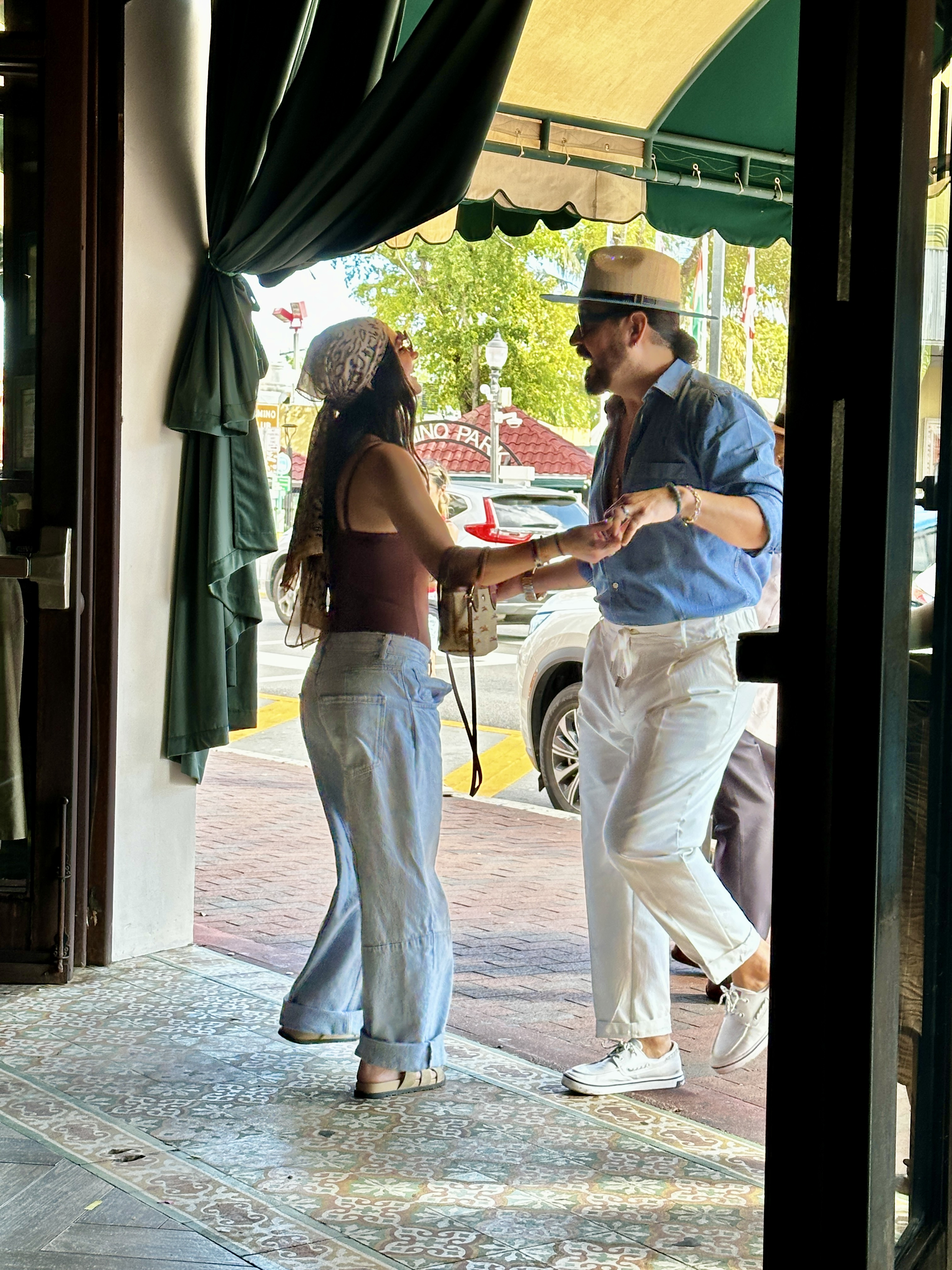
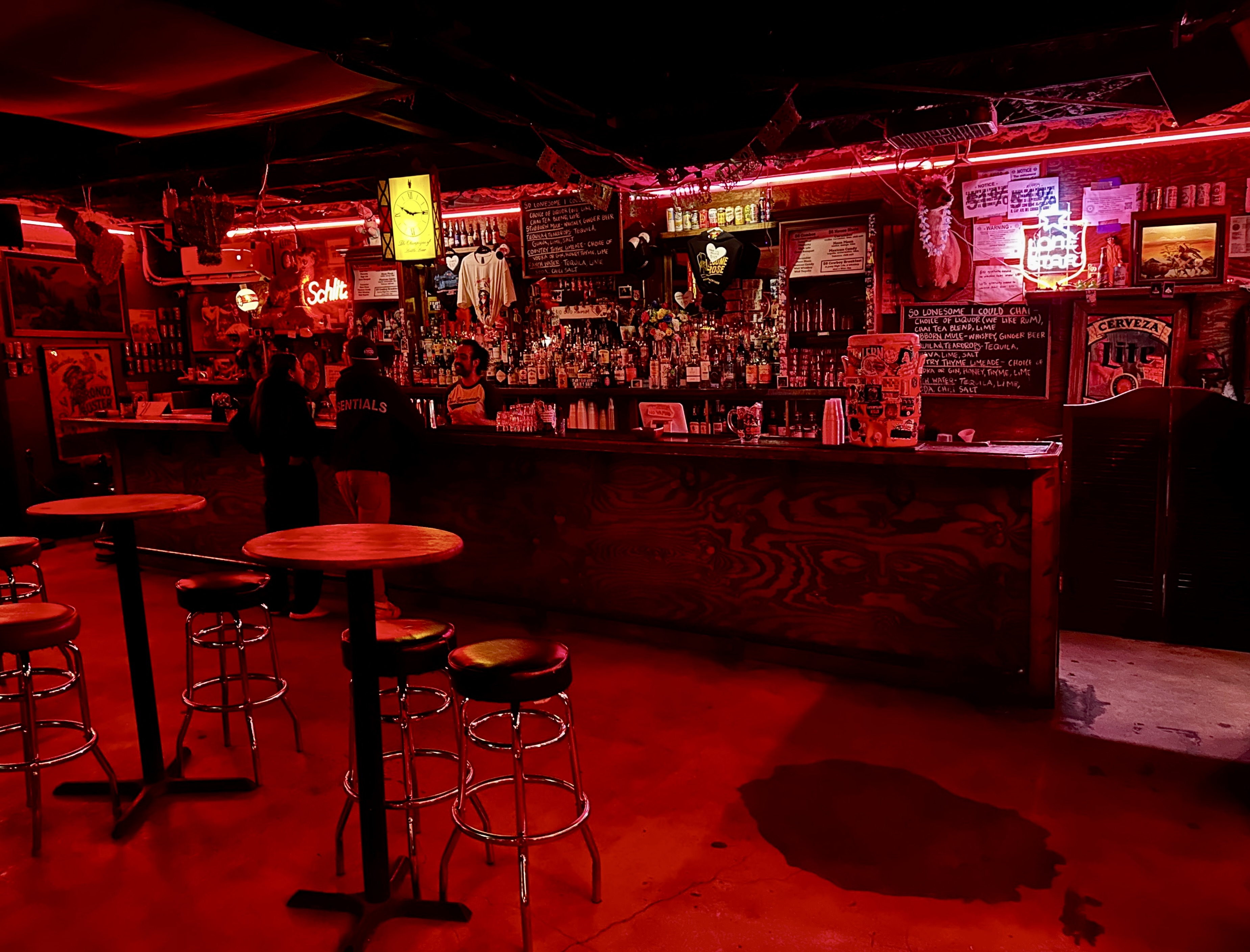
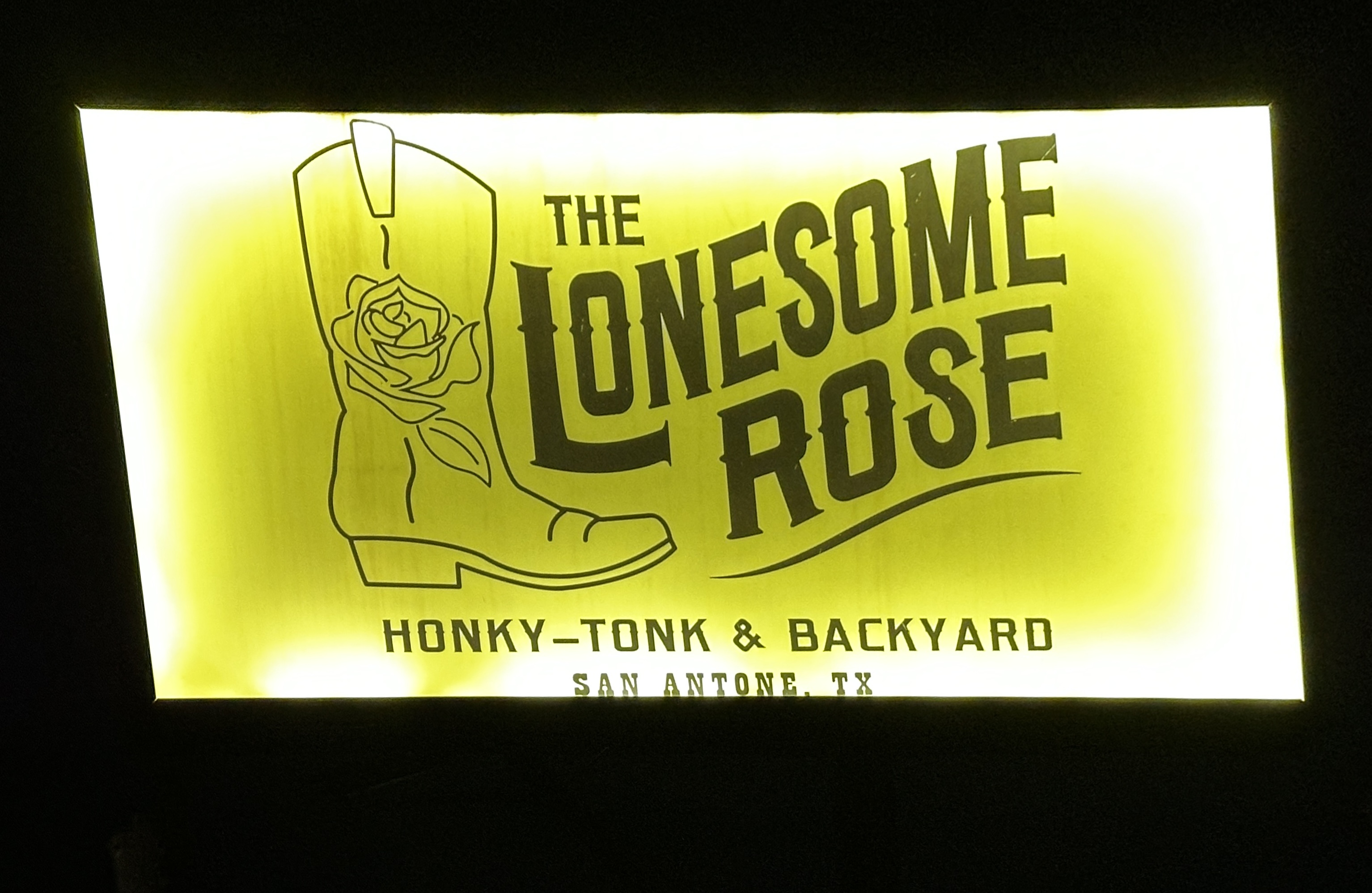
After dinner we explored the Strip before heading to The Lonesome Rose to take in some Western Swing with Sam Platts & The Plainsmen.
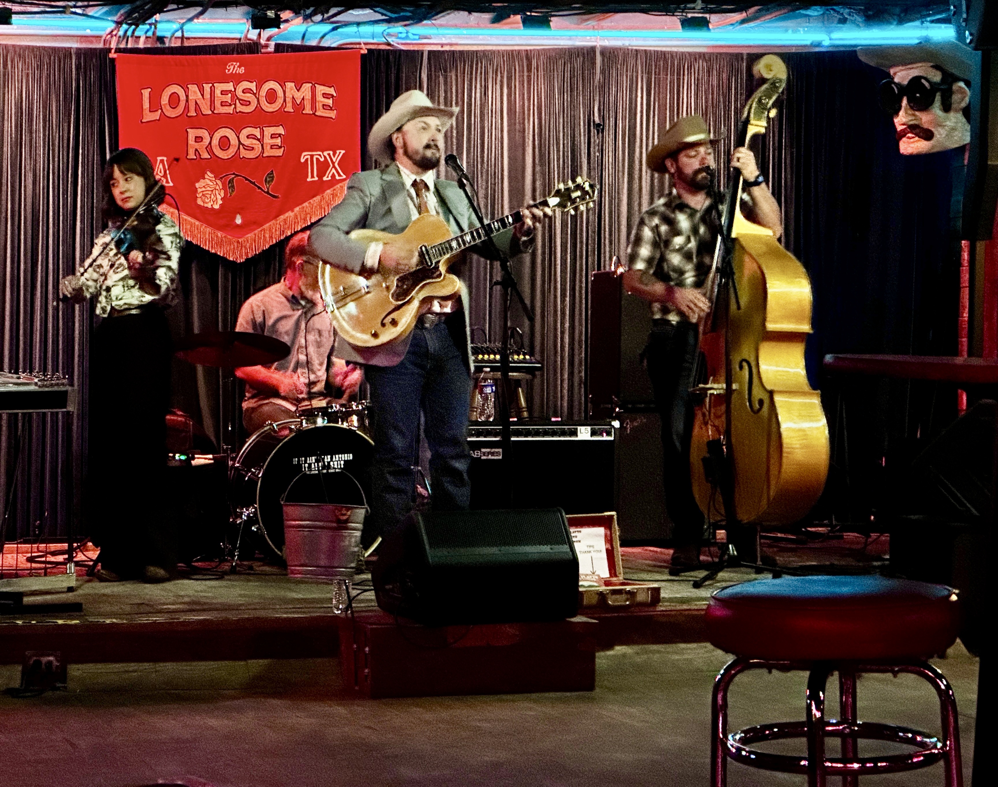
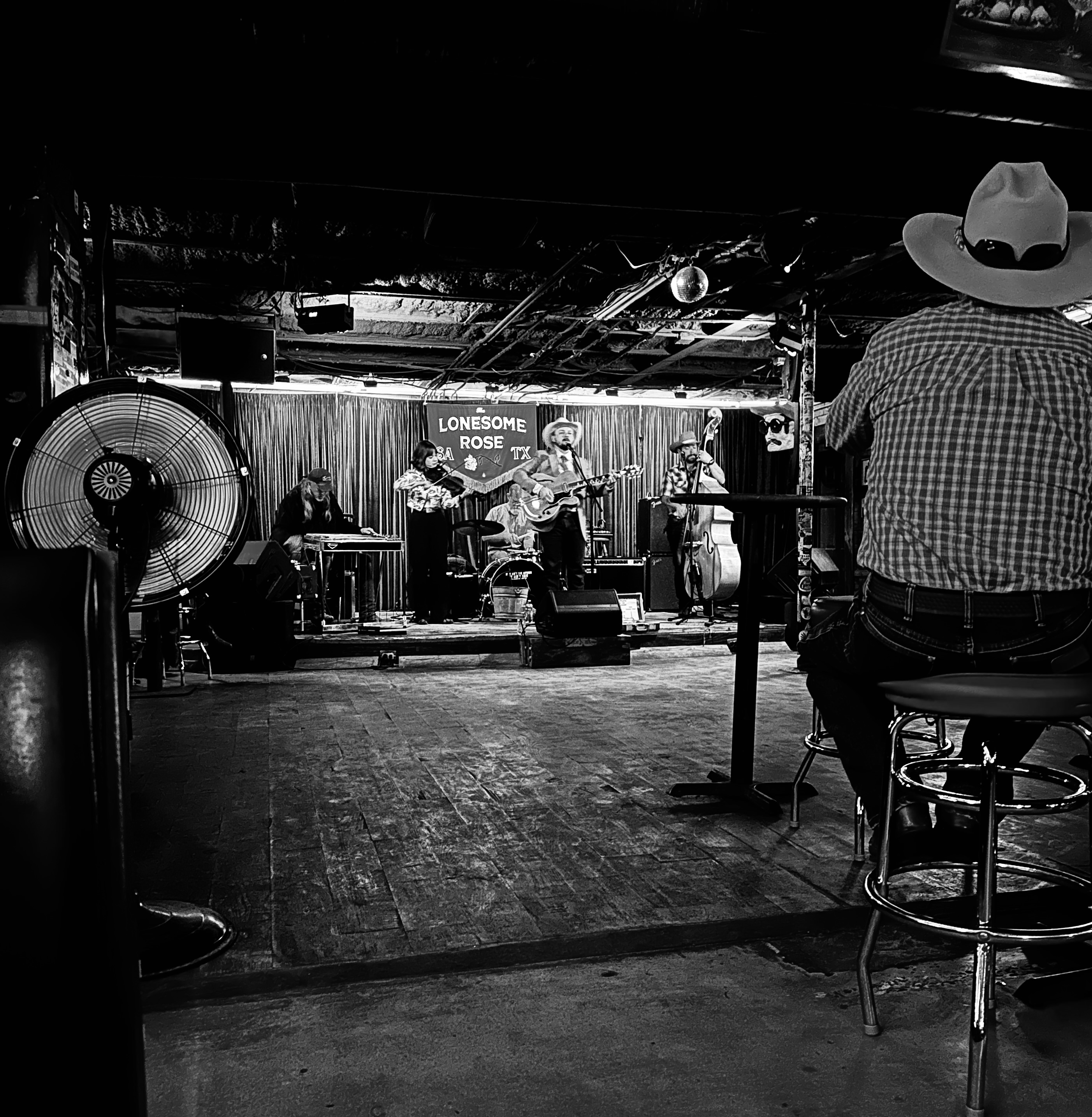
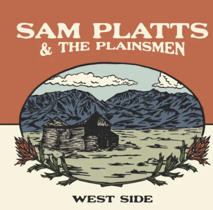
We had a fantastic night of listening to authentic Western Swing; we made many new acquaintances with a very friendly crowd of ranchers who are big fans of Sam and his band.
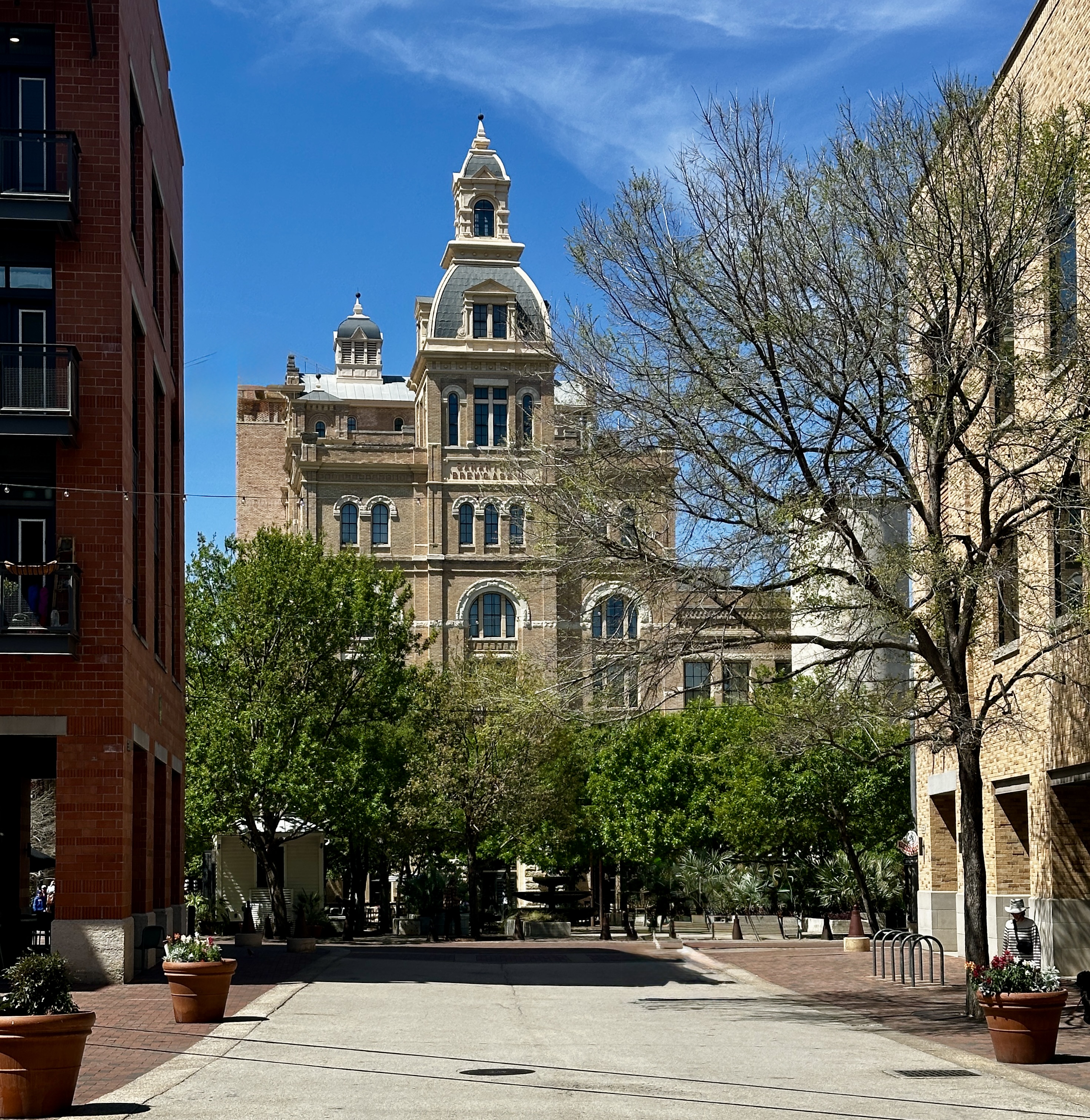
Day Nine: We decided to check out the Pearl District as part of a leisurely last day. We were beginning our walk north along the river but stopped to chat with a river shuttle driver. He was heading to the northern end of the Riverwalk without passengers in order to bring passengers south. So we continued walking north only to have him pull up to us and take us on board.

The driver had spoken with his boss and he had given him permission to give us a lift. So good – we had our own private shuttle ride from downtown to the northern end of the Riverwalk. Our driver was a very nice guy who had just relocated to San Antonio from Atlanta. He was just completing his first month driving on the river.
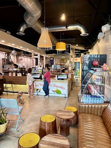
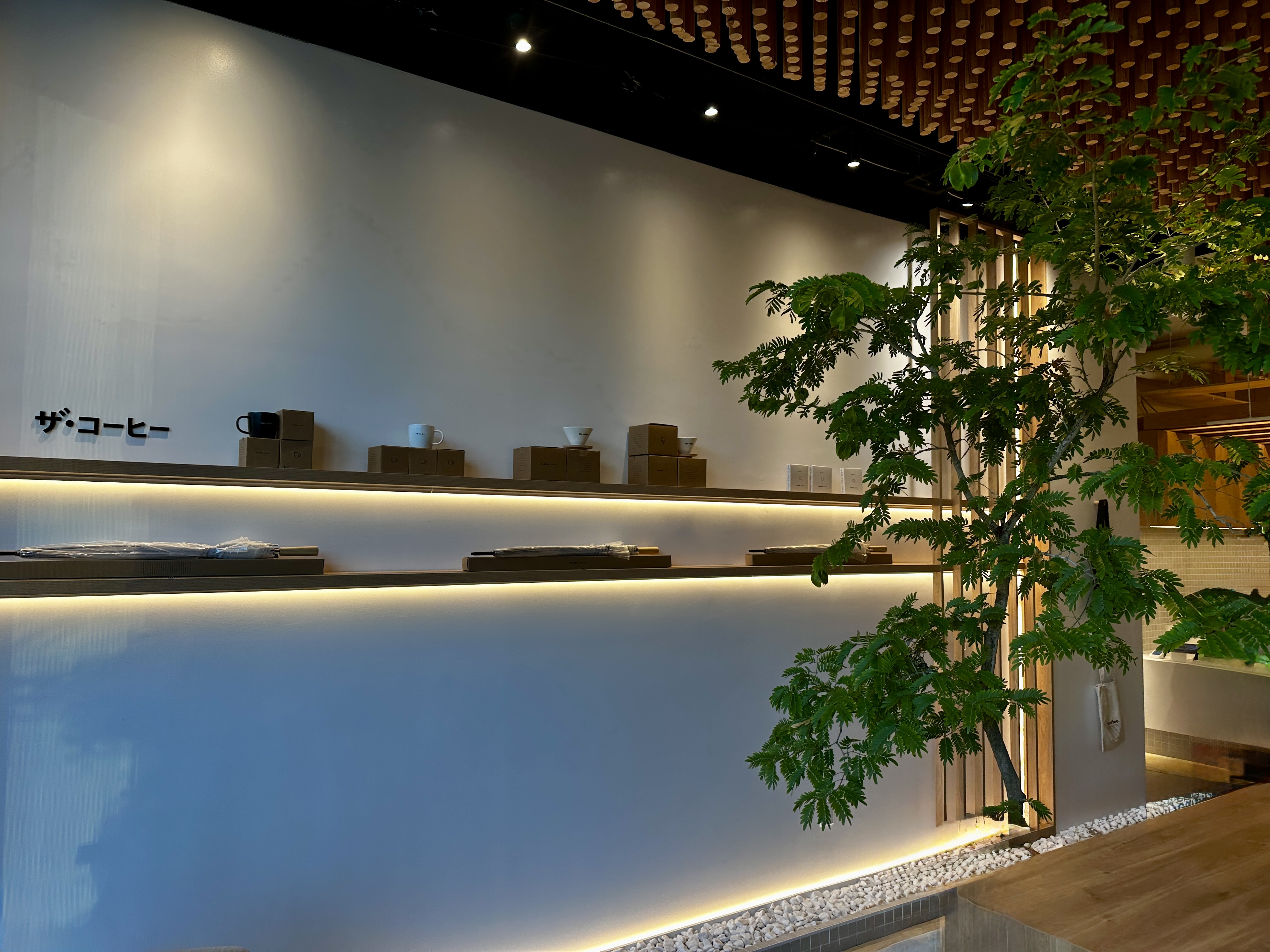
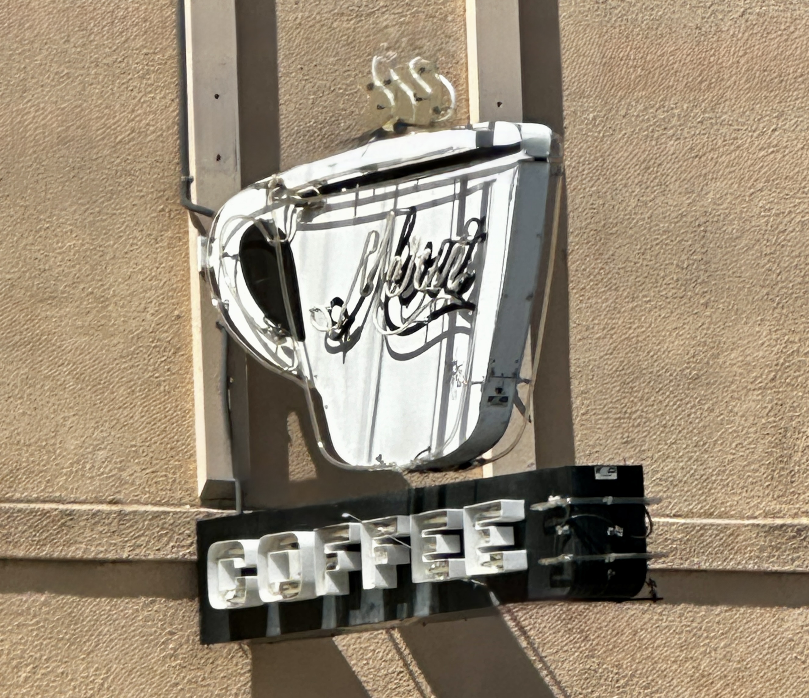
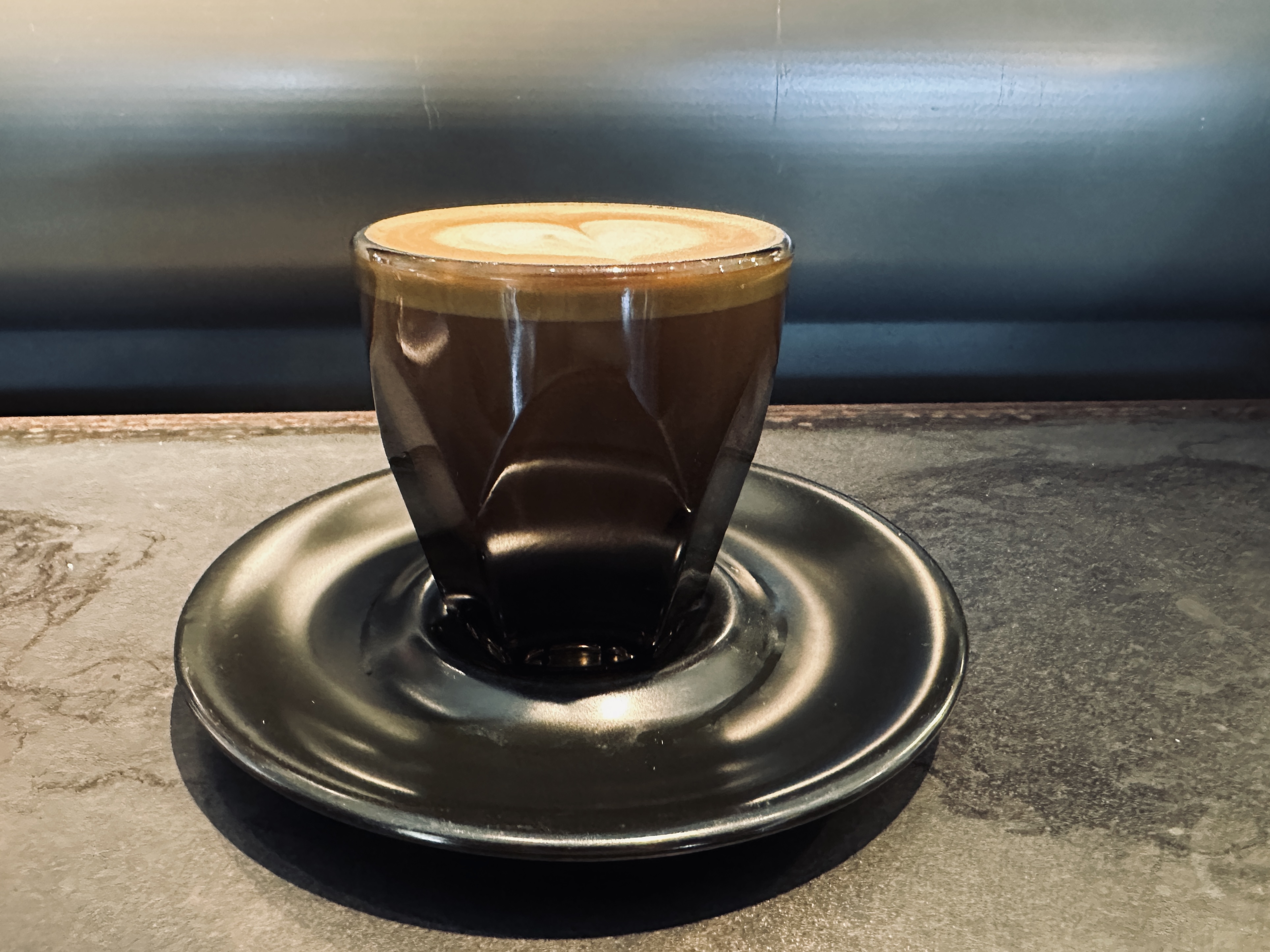
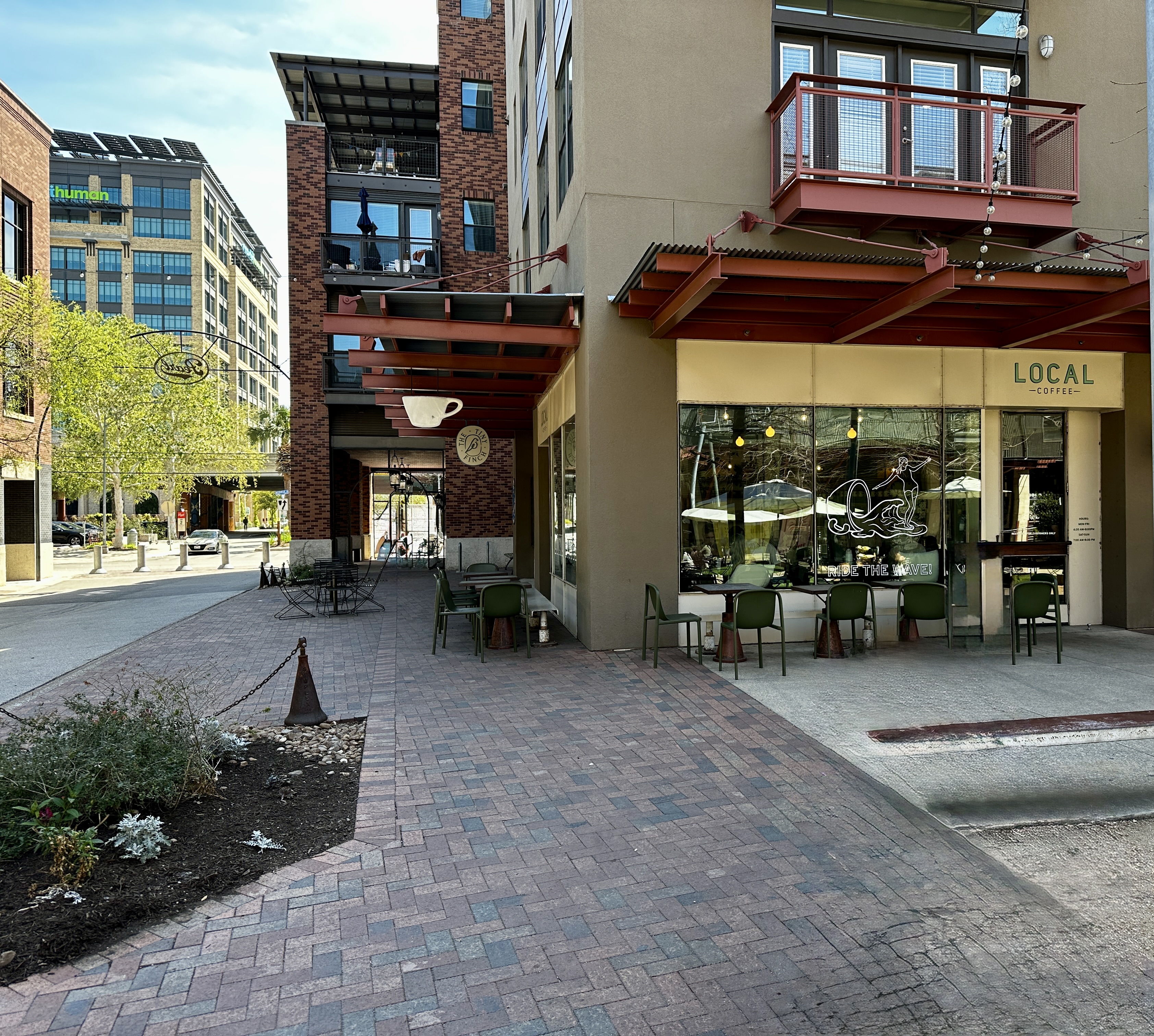
First stop – you know – coffee. Local Coffee is the original location of what is now Merit Coffee. The owners sold the business but retained the right to keep the Local Coffee name and the Pearl location.
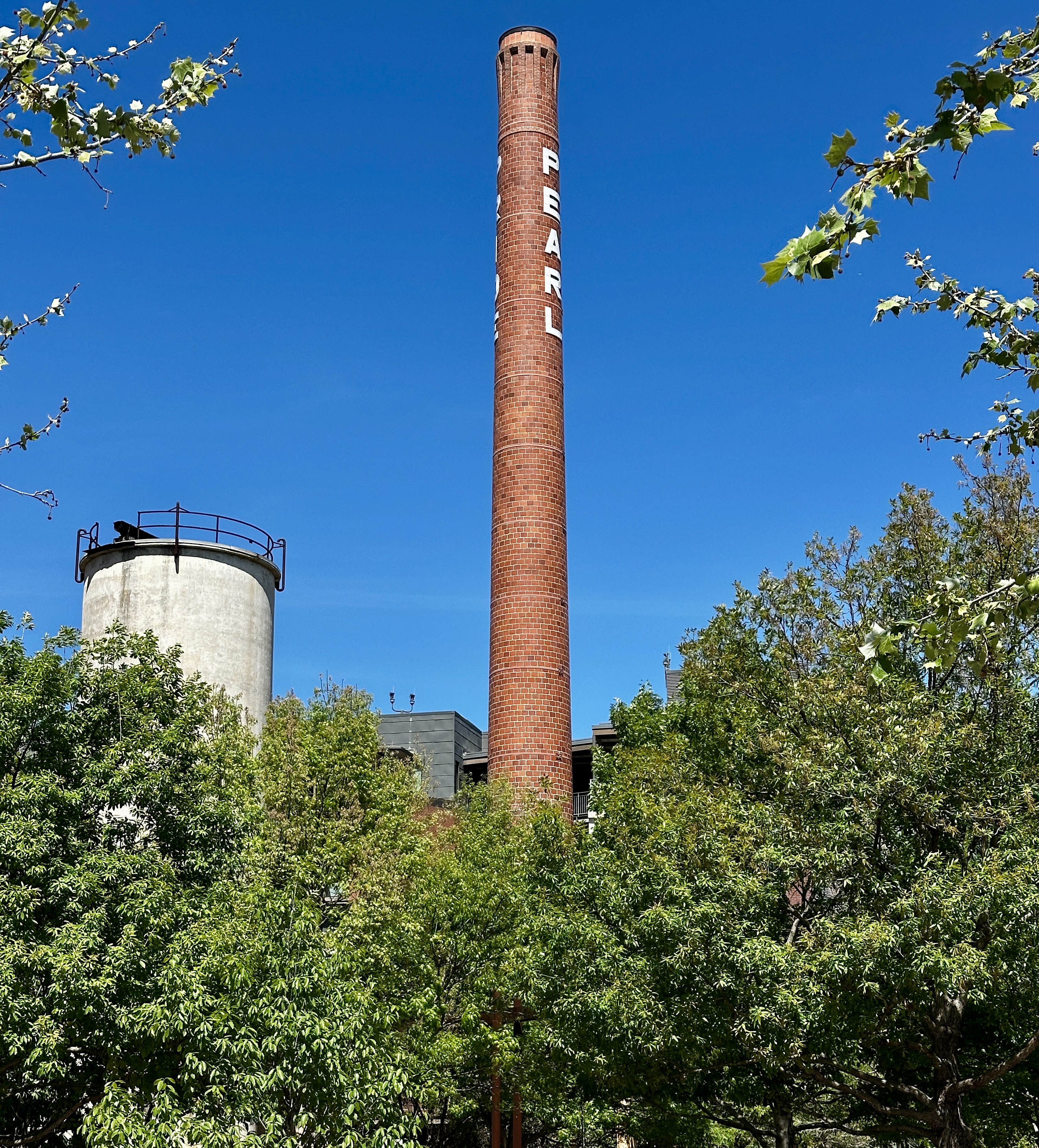
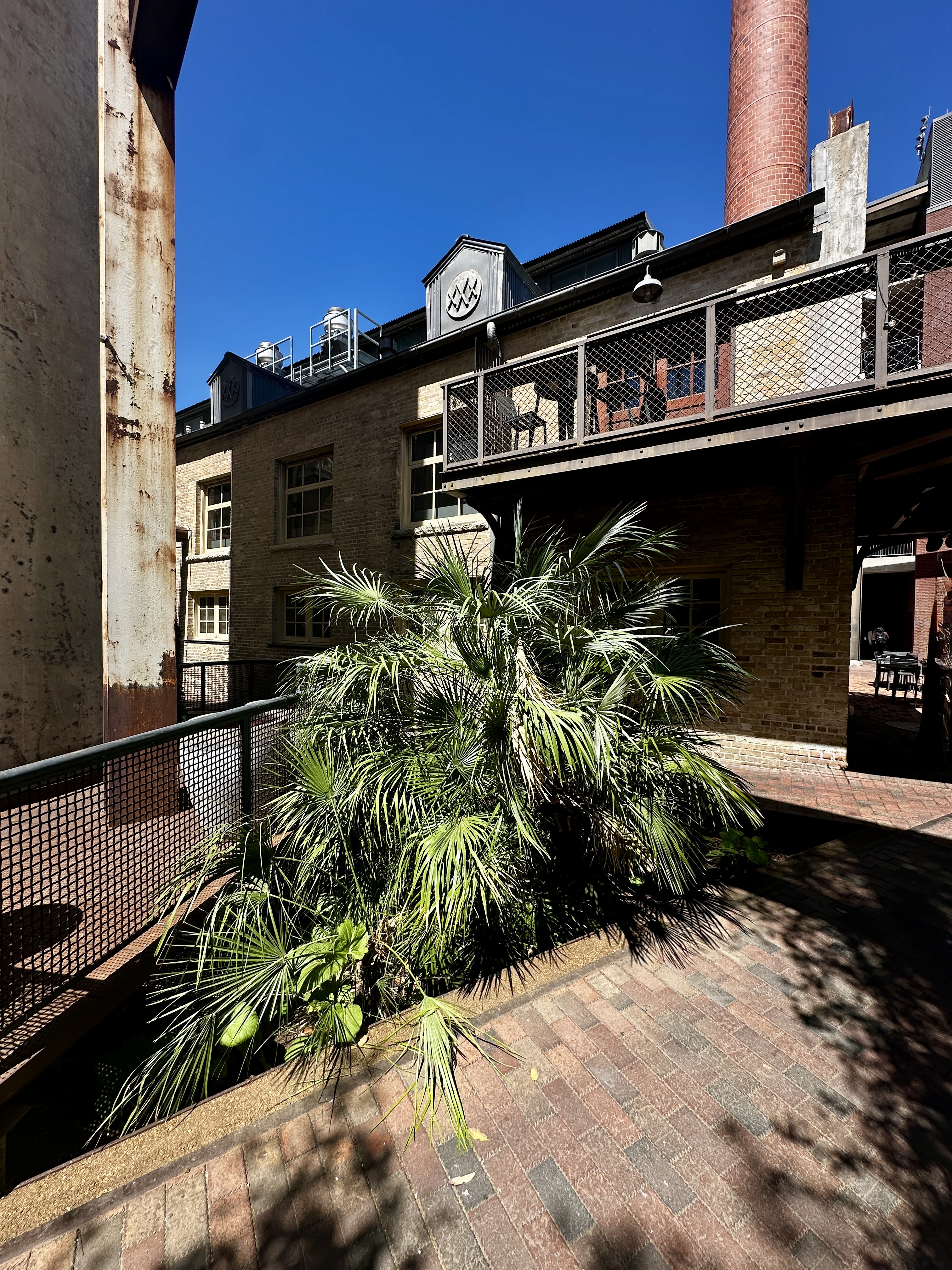
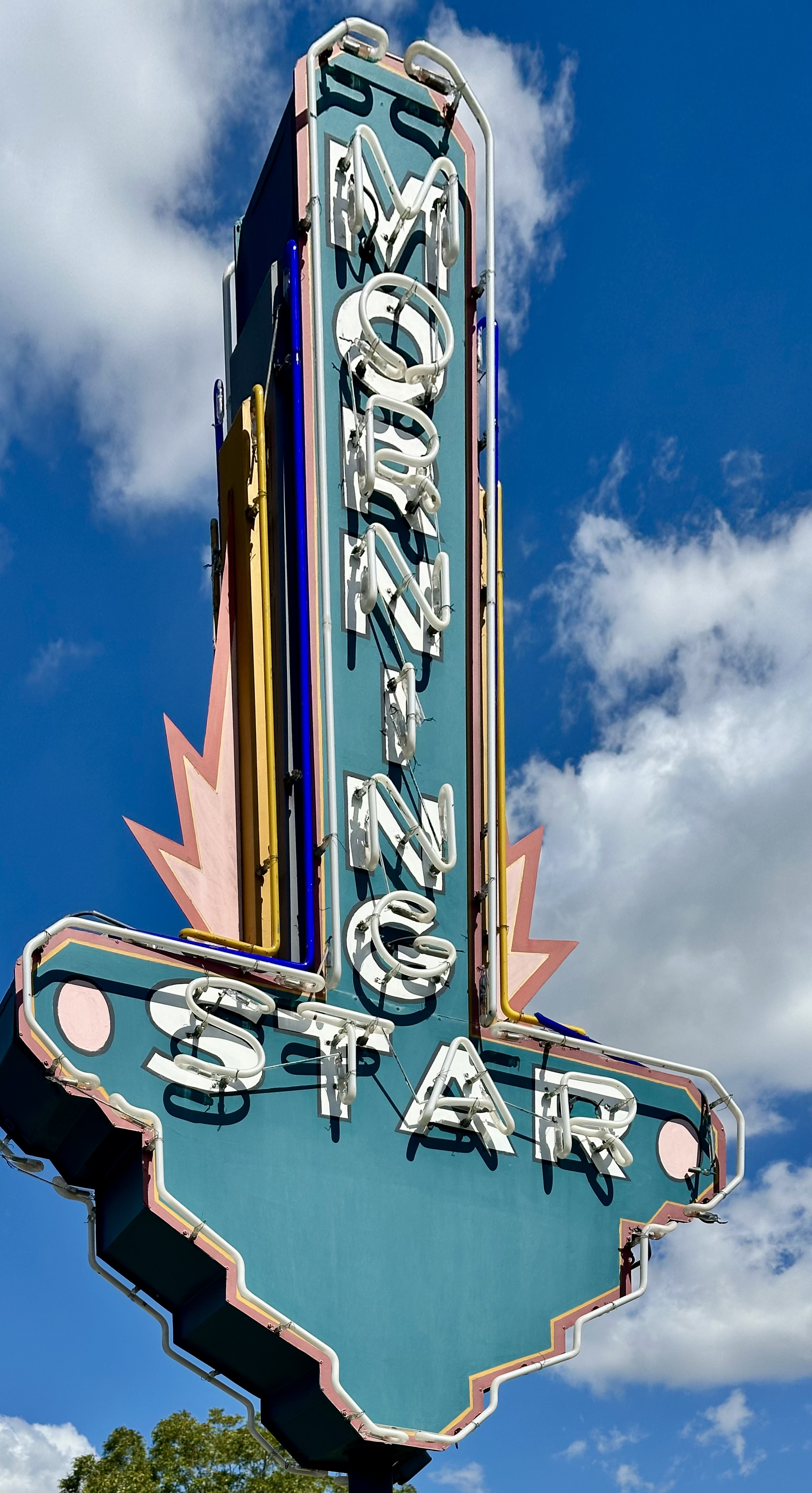
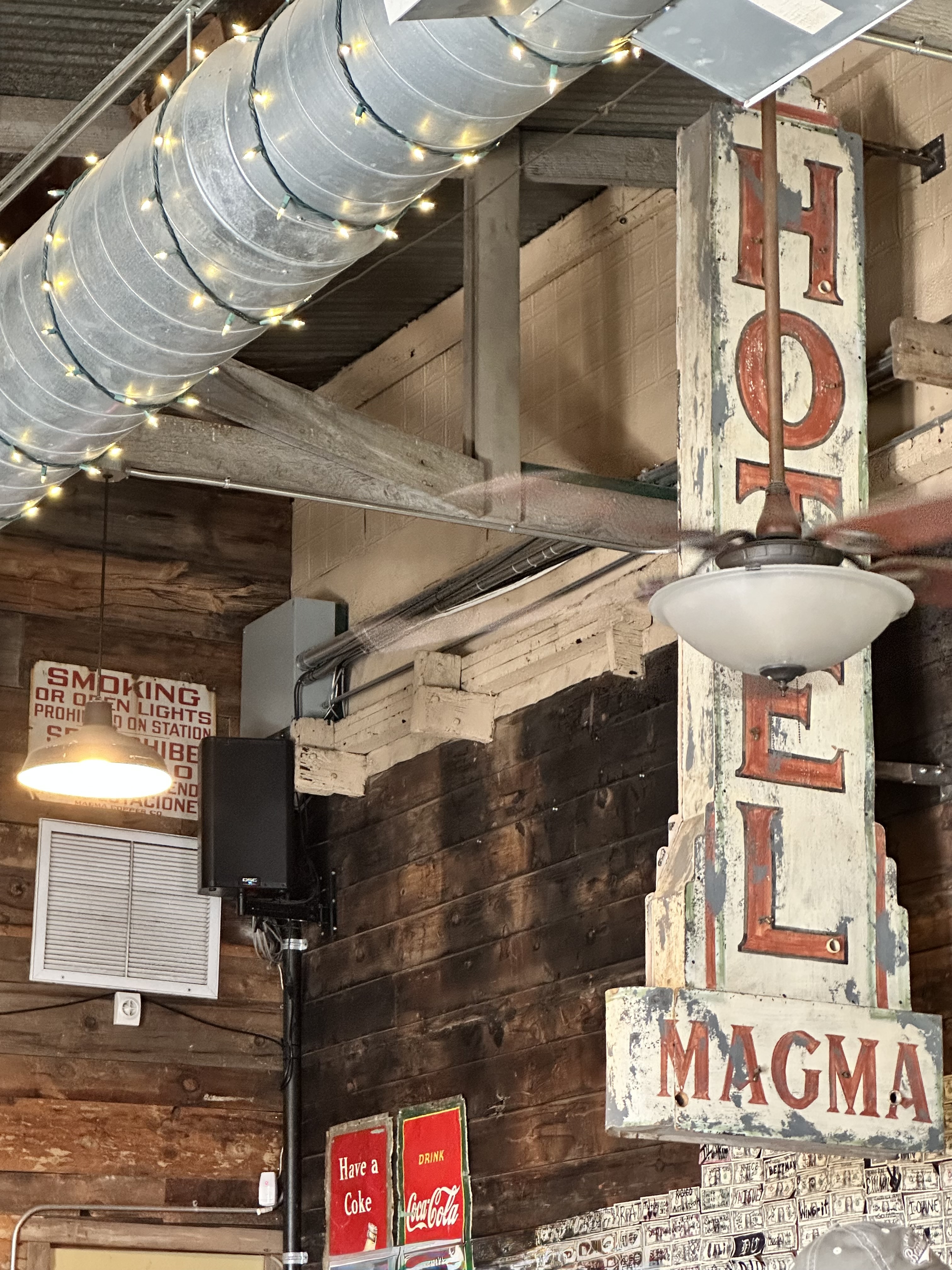
The Pearl complex is another stylishly renovated brewery. The Pearl Brewing Company dates back to 1883 but closed its doors in 2001. Pearl Beer and Lone Star are still sold in Texas with the manufacturing subcontracted to Pabst.
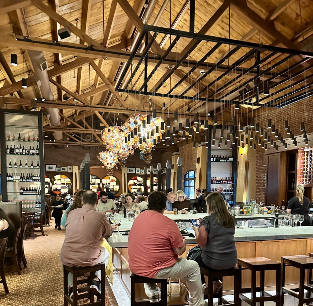
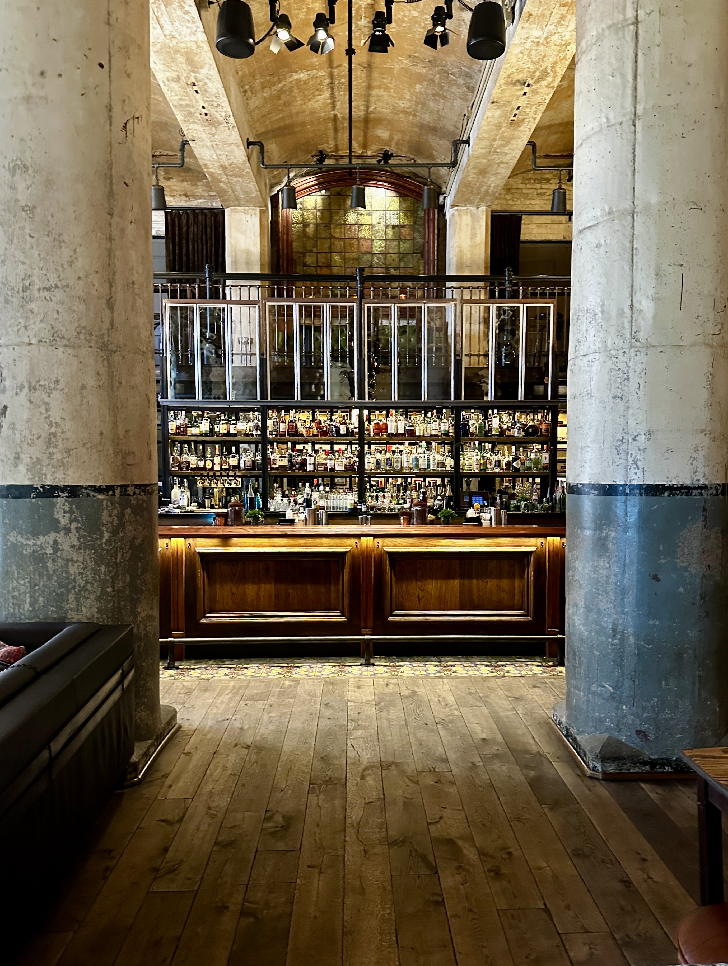
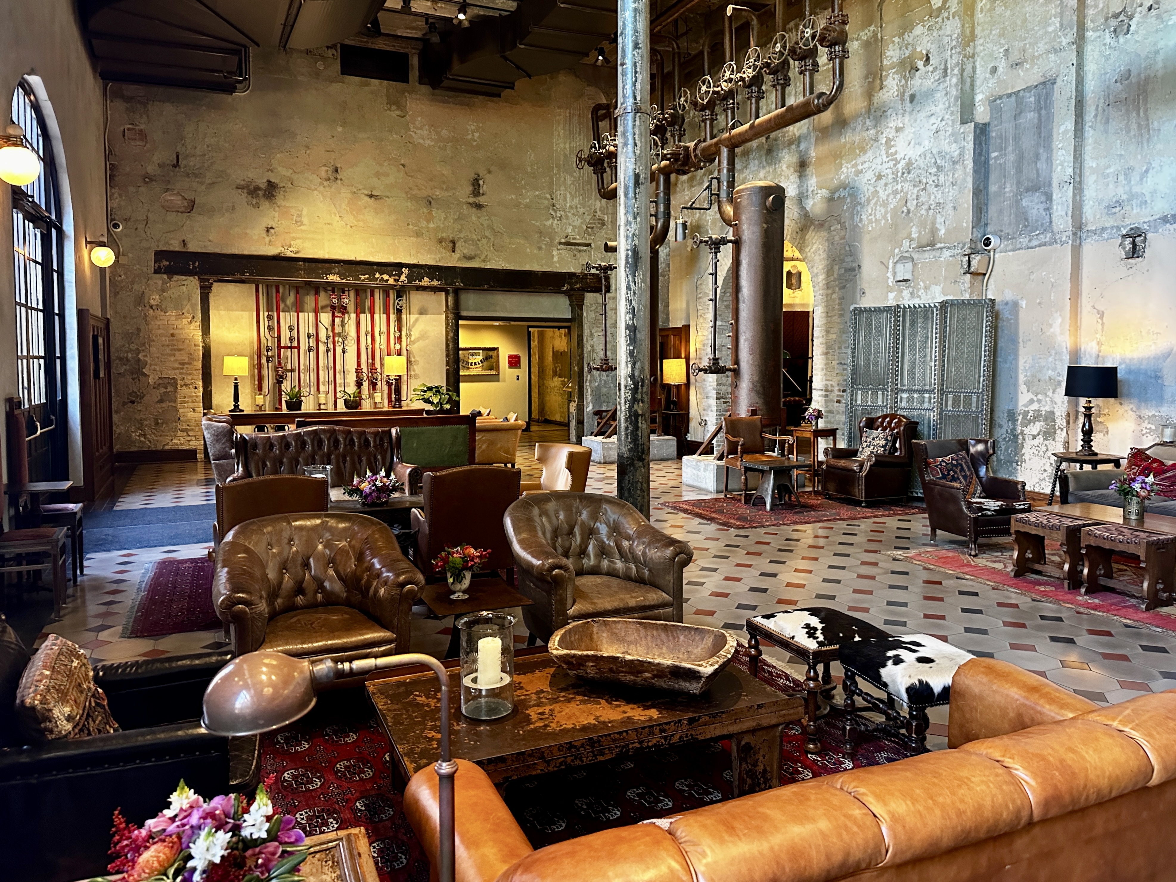
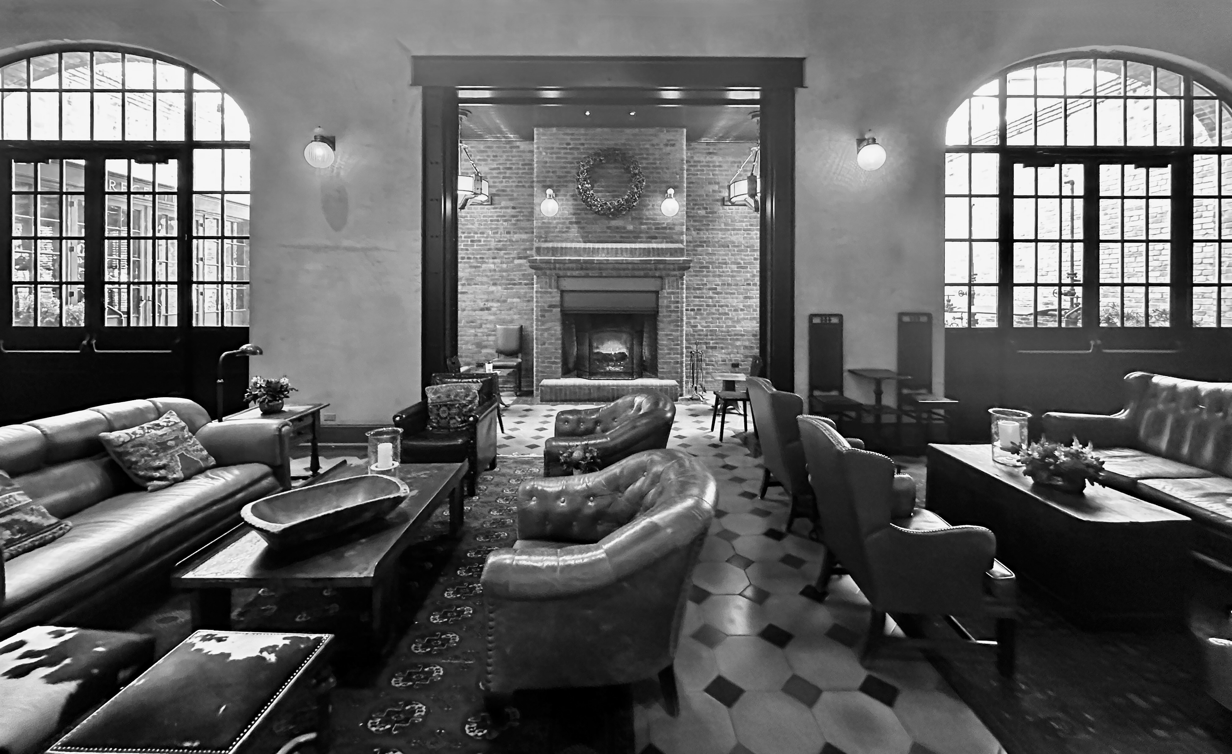
Hotel Emma
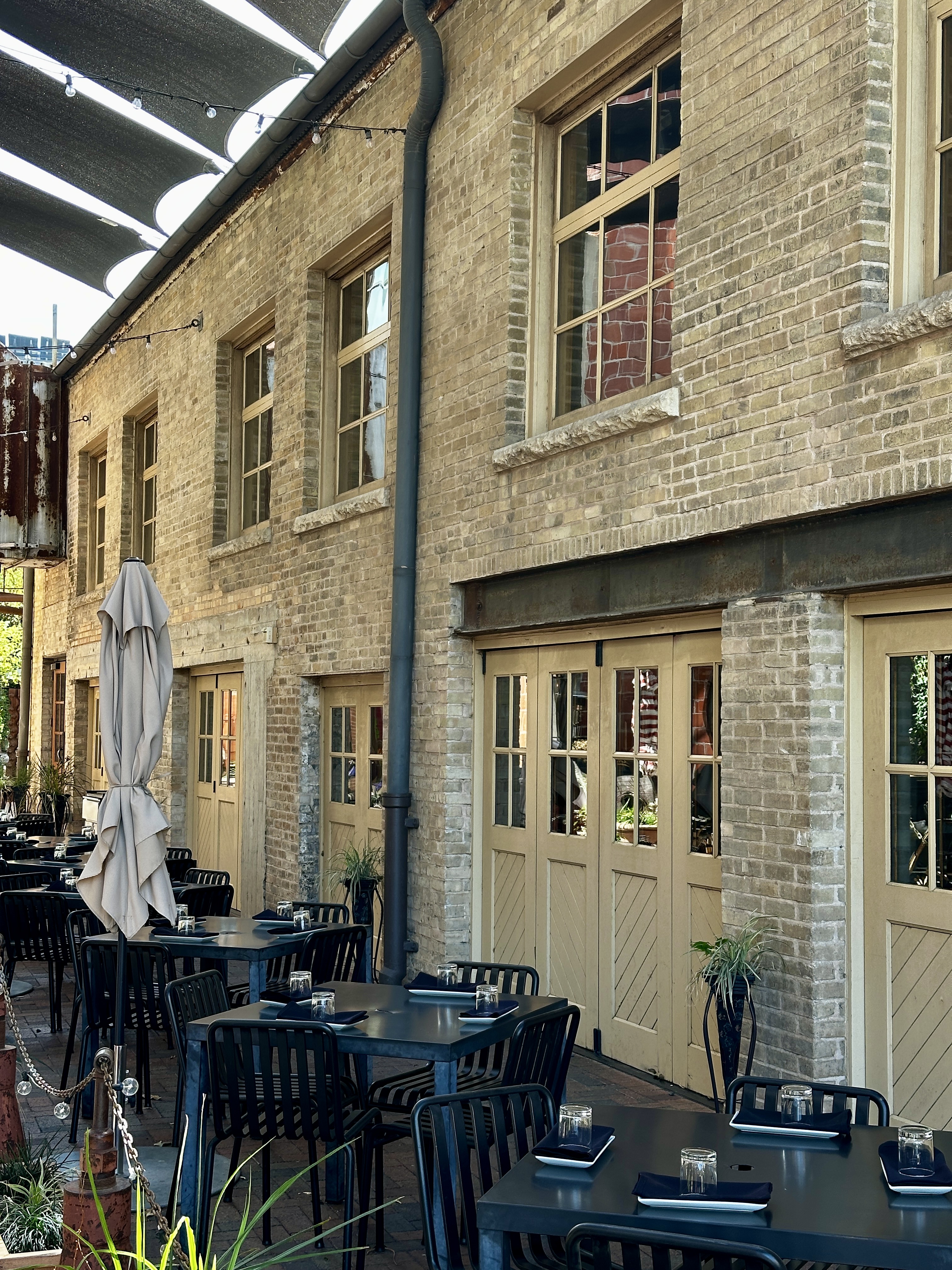
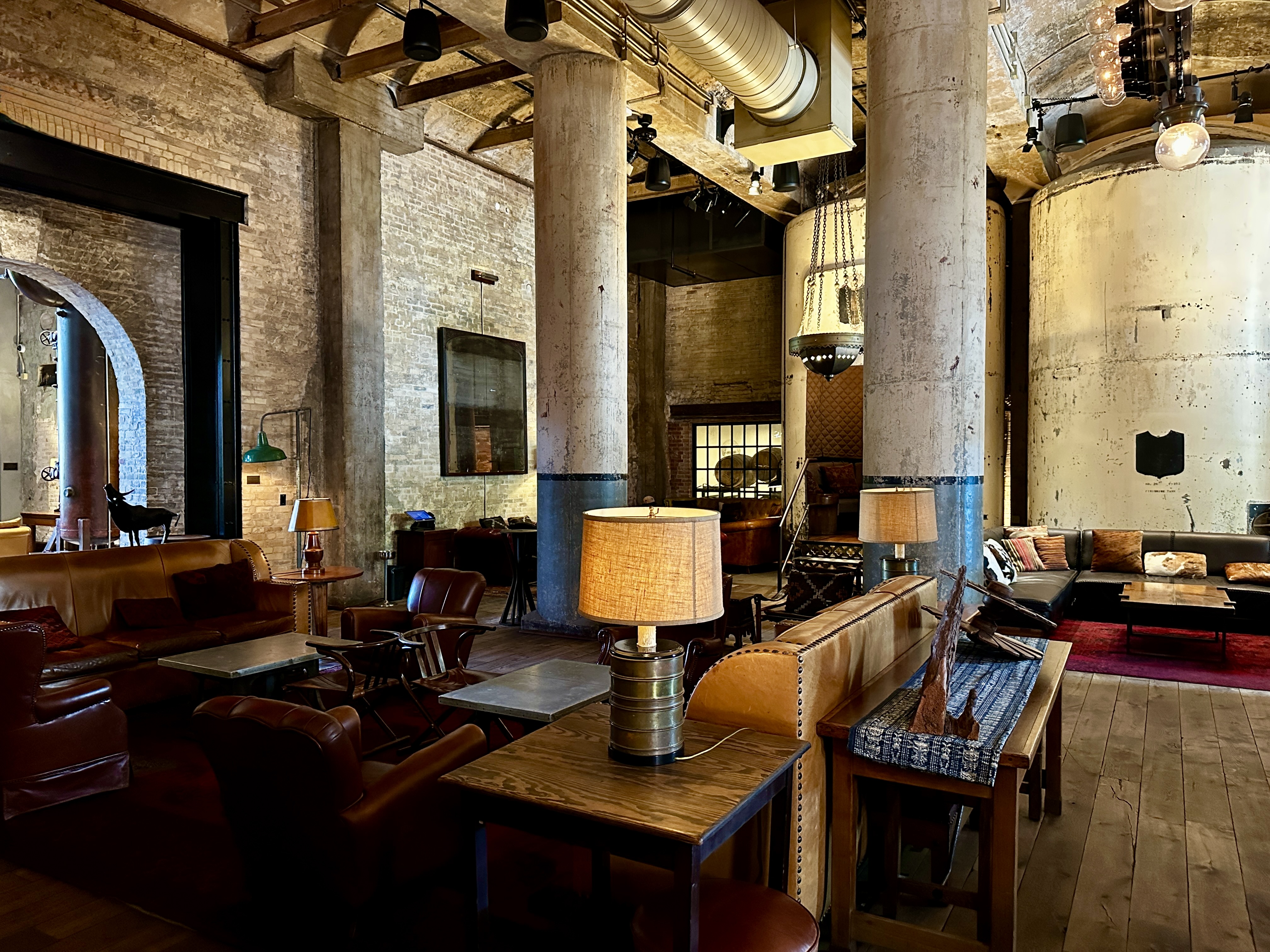
The Hotel Emma opened in the former Pearl Brewhouse in 2015 after several years of renovation. The architects preserved a substantial amount of the brewing equipment while creating a luxurious space.
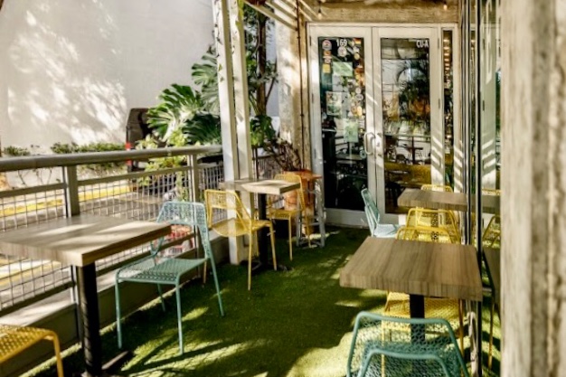
We finished our visit to the hotel with a late luncheon on the patio. Delicious, of course.
San Antonio is the seventh largest city by population in the United States. It feels like a much smaller city to us, perhaps because of its many distinctive neighborhoods. This is a city worth exploring and offers an array of excellent museums, historic sights, live music, specialty coffee, fine dining and street art. Also, our weather in mid March was delightful with 75F to 80F daytime highs and lots of sunshine. Remember the Alamo!
Be seeing you!