From Gallup, New Mexico, we motored across a very scenic portion of the I40 stopping in Laguna to visit the Laguna Pueblo.
Pueblo of laguna
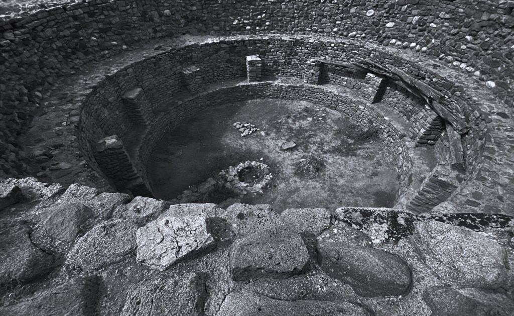
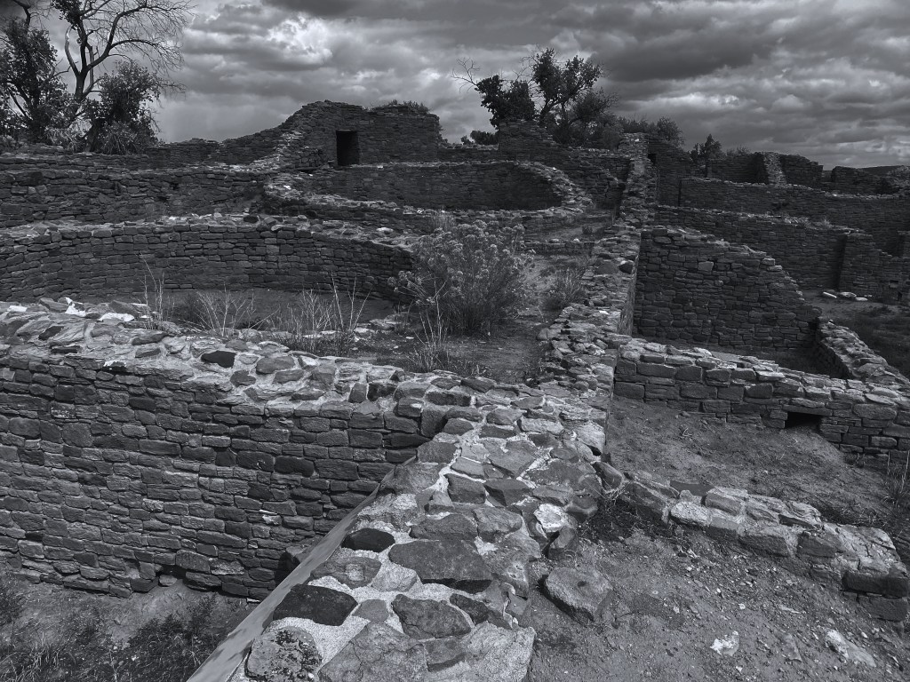
The Pueblo of Laguna was formed in 1699 by refugees from several other pueblos in the aftermath of the Pueblo Revolt of 1680. We were most interested in visiting the Mission San Jose’ de Laguna which was constructed between 1699 and 1701 under the supervision of the Franciscans who had returned to the area.

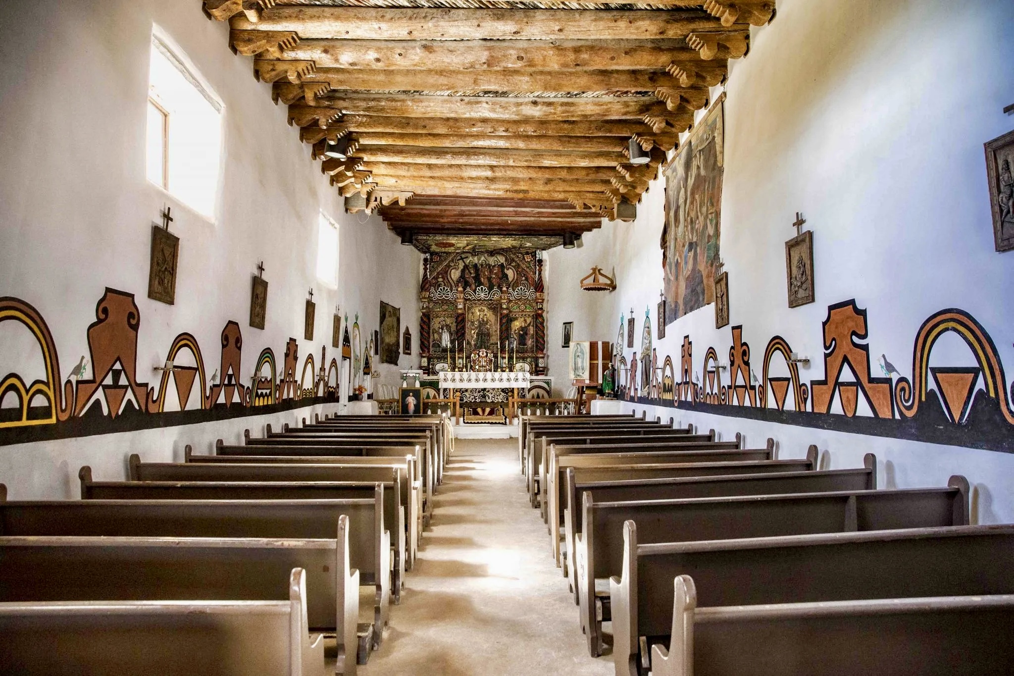
This church is still an active parish and, in fact, we visited just as a funeral had ended. Our timing was good in that the caretaker saw us milling around outside the mission and invited us in to see the interior. The caretaker and his wife provided us with some interesting local history about the pueblo and their personal history. The caretaker’s wife, who is Native American, shared some of her experiences of living in an American Indian boarding school.

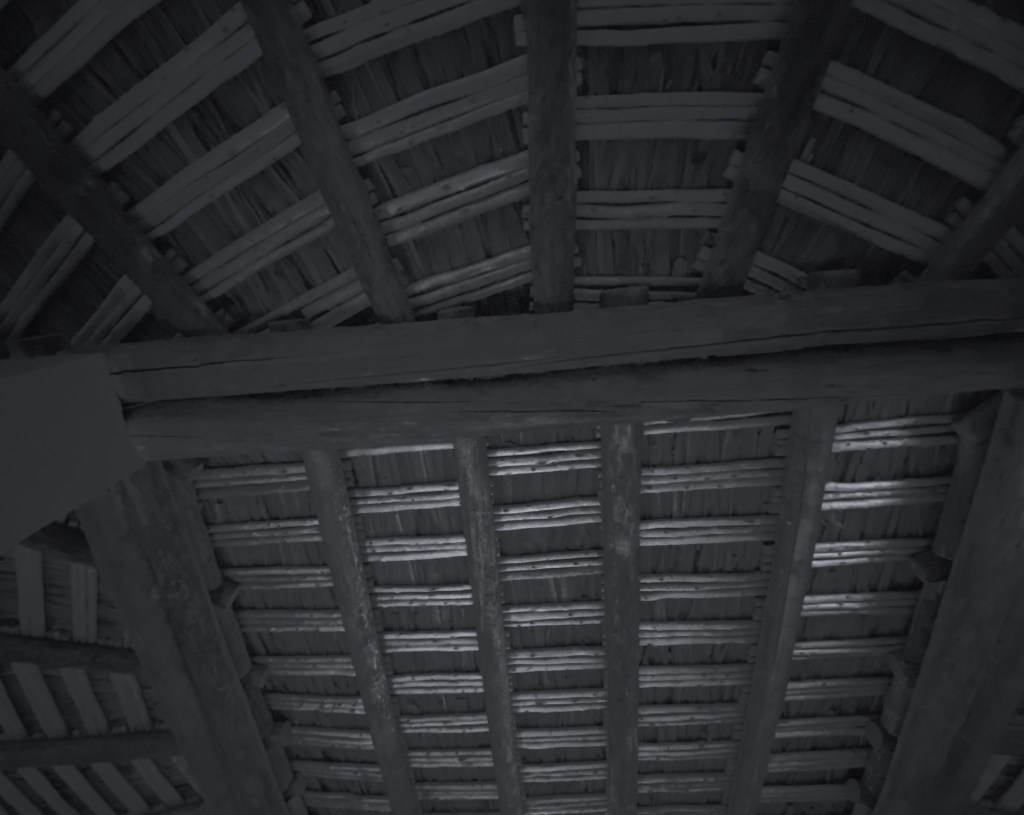
This church is extremely well-preserved. The hand carved wooden doors and vigas (ceiling beams) are original and demonstrate great craftsmanship by the Spanish and Native Americans that designed and built the church. Quite remarkable. Additionally, the interior church walls are decorated with both Laguna art and Spanish paintings.
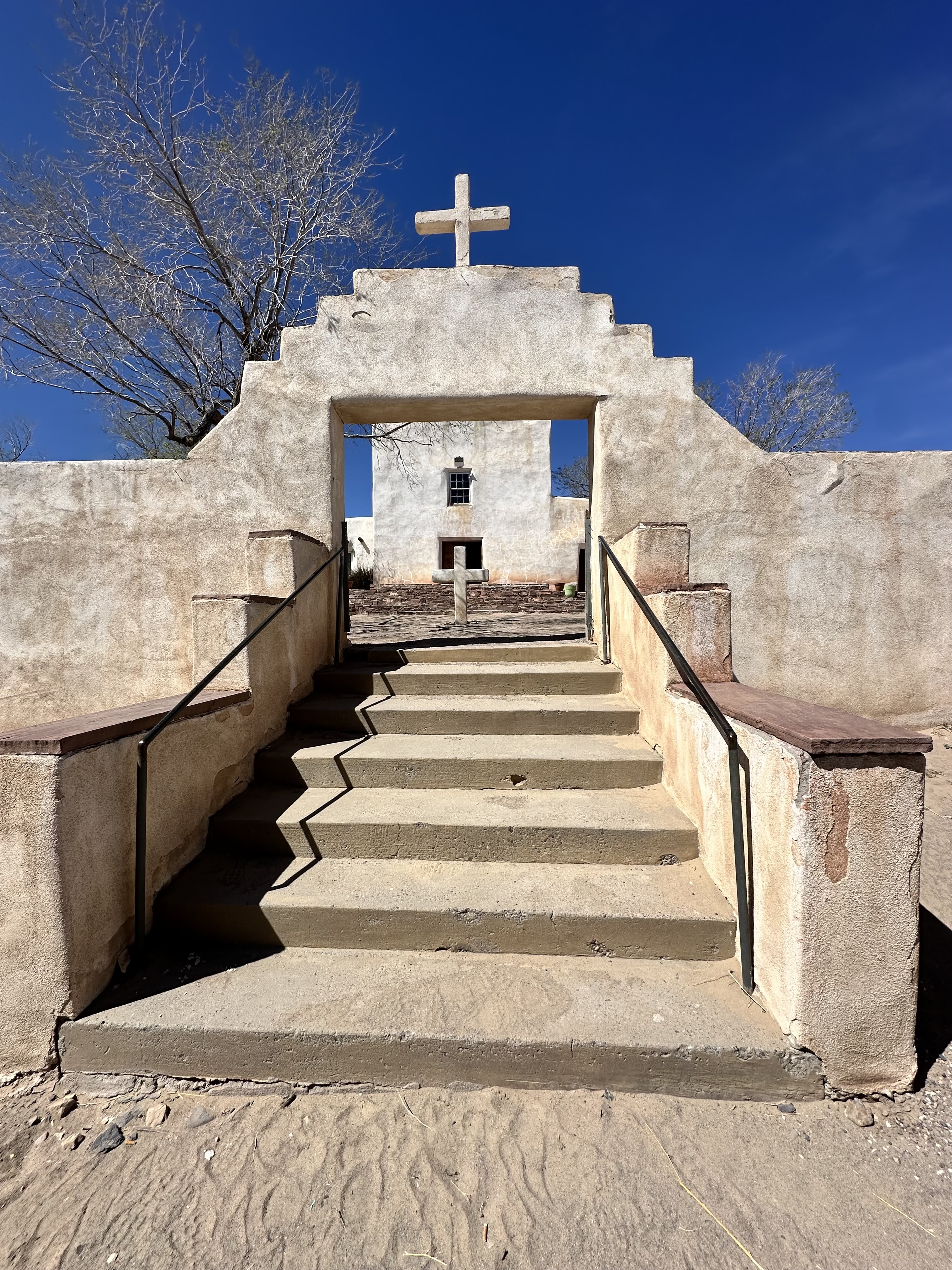
While this mission is small by comparison to many of the other Spanish Colonial Missions we have toured, we recommend visiting if you are crossing New Mexico on I40 or historic Route 66. The pueblo is about 45 miles west of Albuquerque.
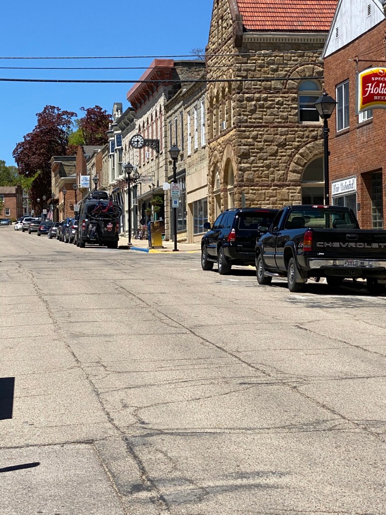
Tucumcari, Nm (Founded 1901, Pop. 5058, Elev. 4091′)
We continued across I40- stopping in Albuquerque for lunch- remounted and continued across New Mexico eastward, stopping in Tucumacari for the evening. Tucumacari’s origins date back to 1901 when the Chicago, Rock Island and Pacific Railroad built a construction camp there. It was known as Ragtown, most likely because it was a tent city. When the railroad made the location a hub for operations, the town boomed and the name was changed to Tucumacari. The town was a major transportation hub for transcontinental rail traffic until the 1950s. The increase in automobile travel and airline travel after World War 2 significantly reduced rail passenger traffic.
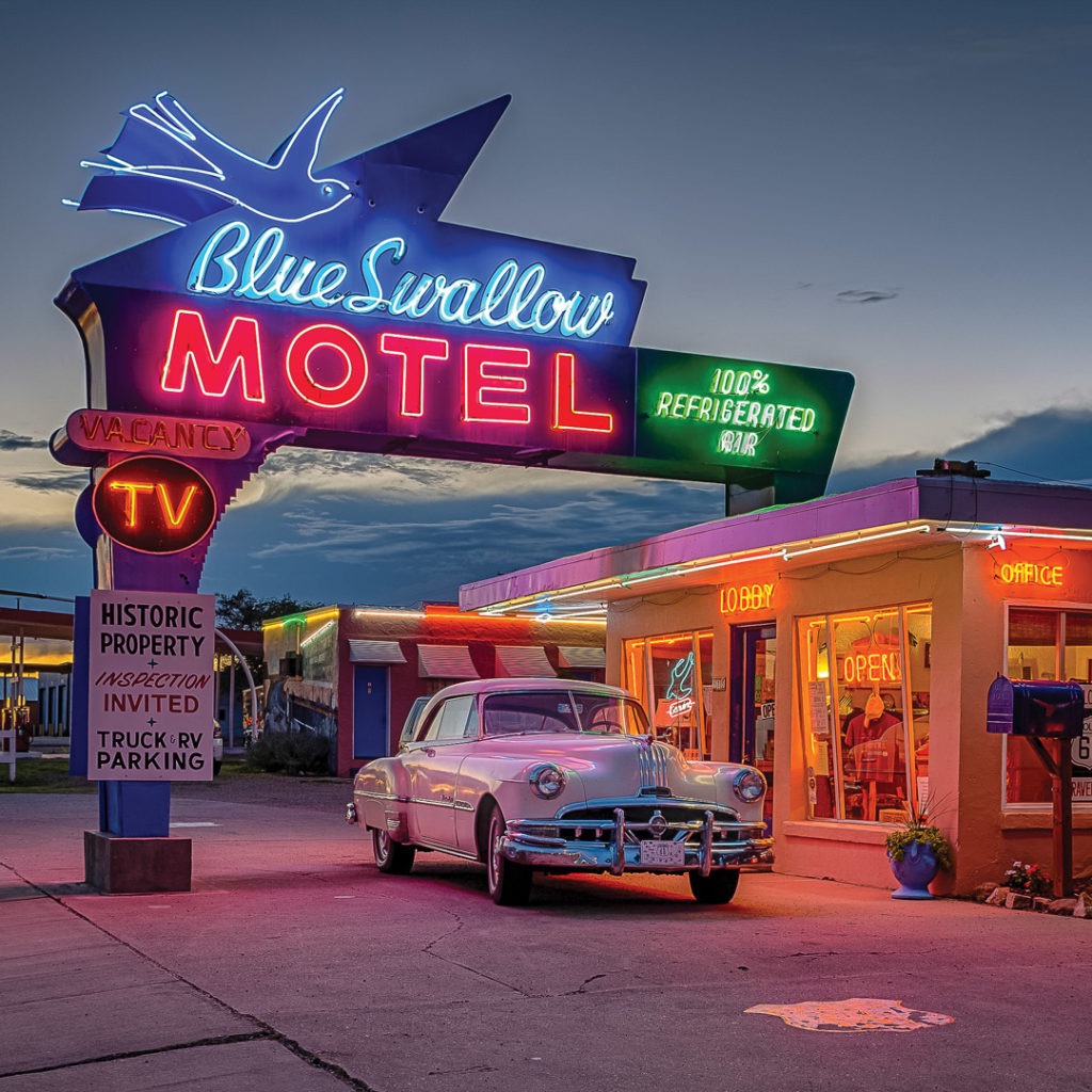
While Route 66 continued to bring many automobile travelers through the city, the advent of the interstate system and I40 ended Tucumacari’s days as a travel hub. The town has somehow maintained a five mile stretch of Historic Route 66 – with all the attendant neon lighting, retro motels and artifacts.
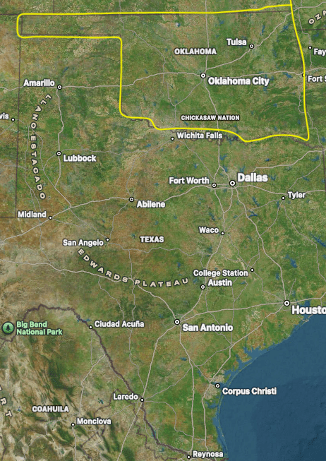
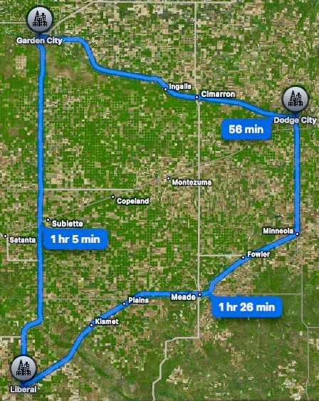
We departed the I40 in Tucumacari to follow United States Highway 54. The 54 is a two lane U.S. highway that runs 1197 miles from El Paso, Texas to Grigssville, Illinois. We have been endeavoring to travel pieces of the old US highway system over the last several years (several of which run coast to coast) to get a feel for highway travel before the interstate system was constructed. The 54 would take us out of New Mexico and through a slice of the Texas Panhandle and then through the Oklahoma Panhandle (did you know Oklahoma had a panhandle-be honest) and into Kansas. The land that now comprises the Oklahoma Panhandle was once part of Texas. Texas had to cede the land to the federal government when it became a state as slavery was not allowed above latitude 36’30’N (and Texas was a slave state). The ceded land was eventually apportioned between Kansas, Missouri and, of course, Oklahoma.

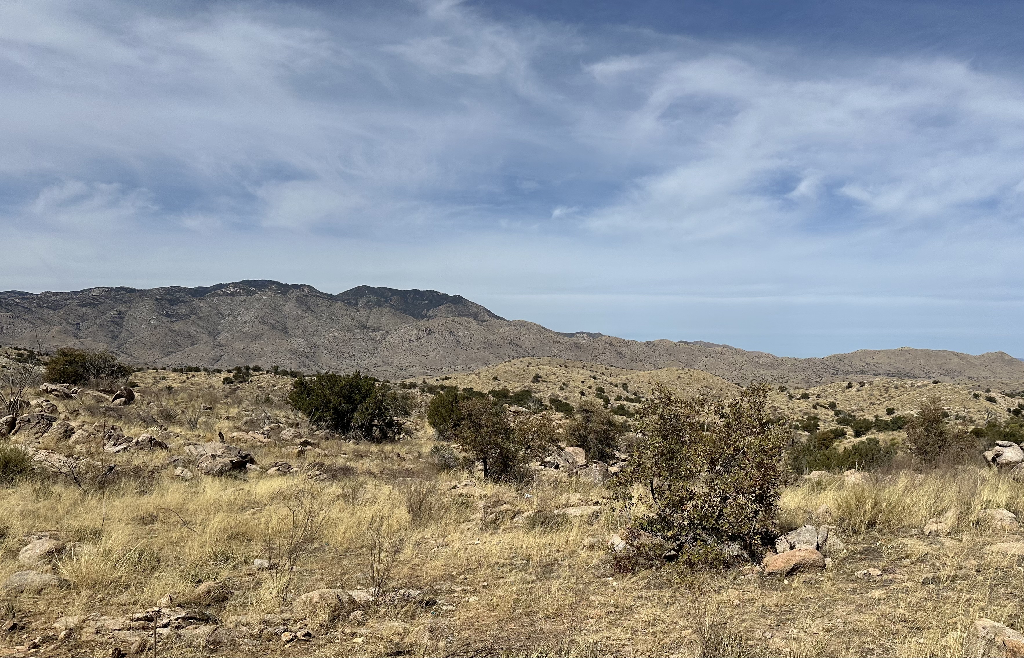
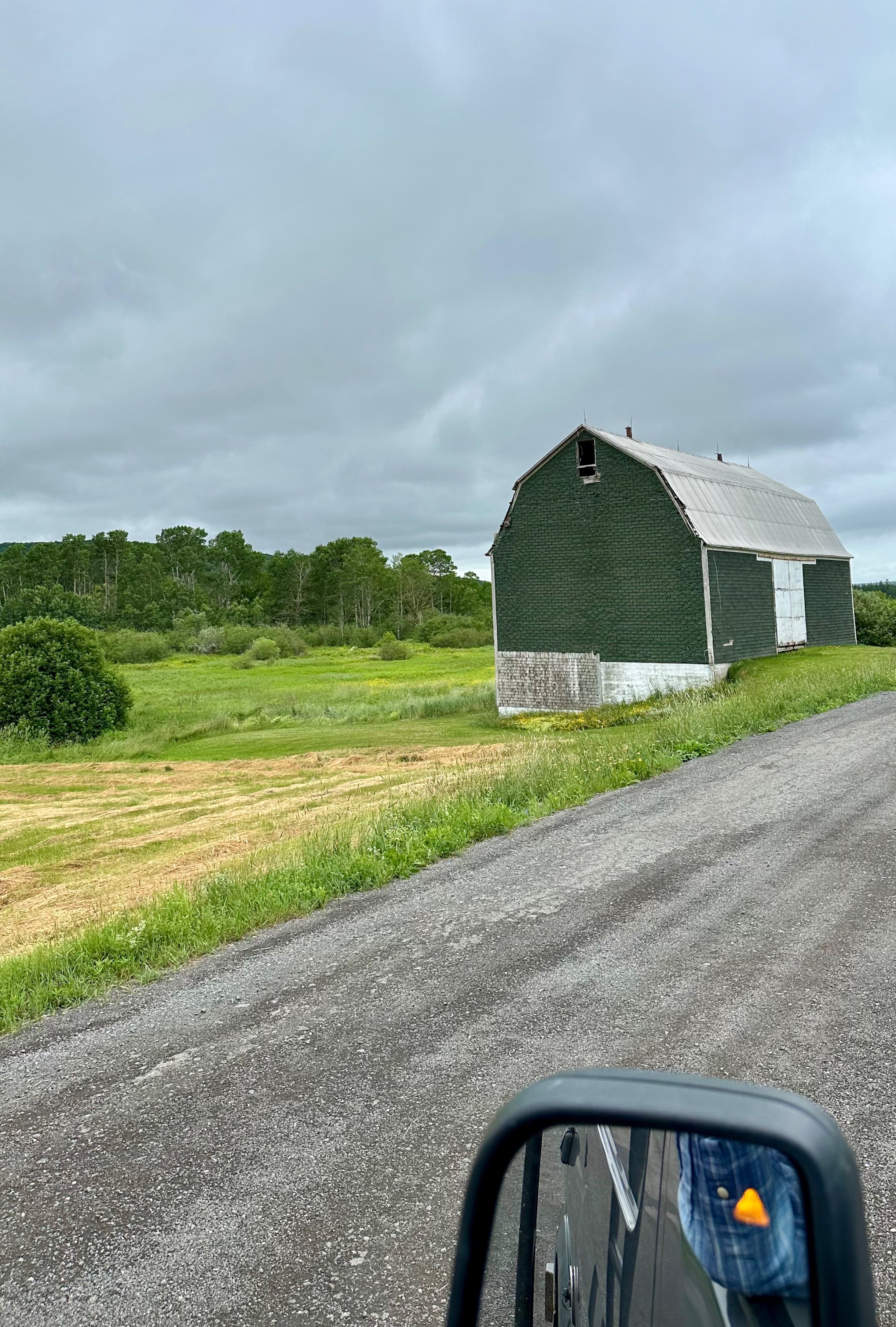
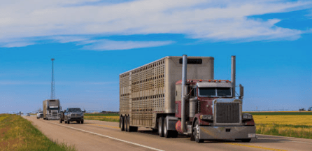
As we transited through the panhandles, the prevalent landscape became rolling grasslands and then flat fields inhabited by massive cattle feedlots (along both sides of the road). The photos below are of Nextgen Cattle Co. which has the capacity for as many as 50,000 head of cattle.


While not an interstate, the majority of traffic on the road were cattle carriers (some were full of cattle heading in our direction and empty heading the opposite way).
Liberal, KS (Founded 1888, Pop. 18743, Elev. 2848′)
After transiting through the panhandles we stopped for the night in the city of Liberal, Kansas which sits just north of the Oklahoma/Kansas state line. Liberal is part of the Golden Triangle of Beef (what a day – two panhandles and a triangle of beef -although we would have to say it is a poor excuse for a triangle).
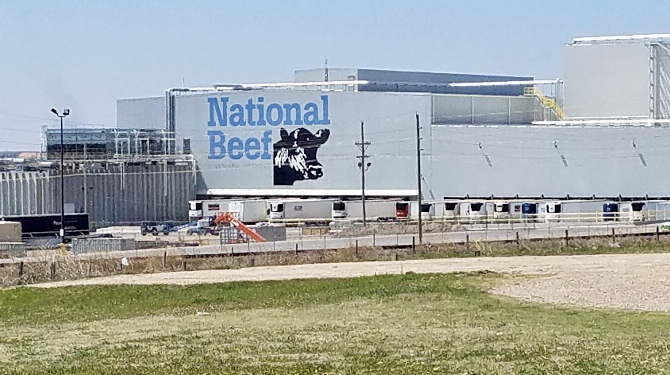

Liberal is home to one of National Beef’s two meat packing plants that form part of the Golden Triangle. Their other plant is located in Dodge City, Kansas. These are two of the largest meat packing plants in the world and considered state of art (more automation of the processing of carcasses). The concentration of these massive meatpacking facilities has dramatically changed the population and demographics in Southwestern Kansas. As an example, the population of Liberal has grown from 17,000 in 1980 to over 22,000 today. From a demographic perspective the town is now 66% hispanic. This statistic answered our initial question when we entered the town – why were most of the businesses along Main Street clearly hispanic-owned or -themed. This makes complete sense when one understands that meatpacking is the largest employer in town and frontline employees in the meatpacking industry constitute almost half of the workforce.
We had a tasty dinner at Brickyard BBQ & Brew and drove around town a bit more to see the massive meatpacking factory before turning in for the evening.


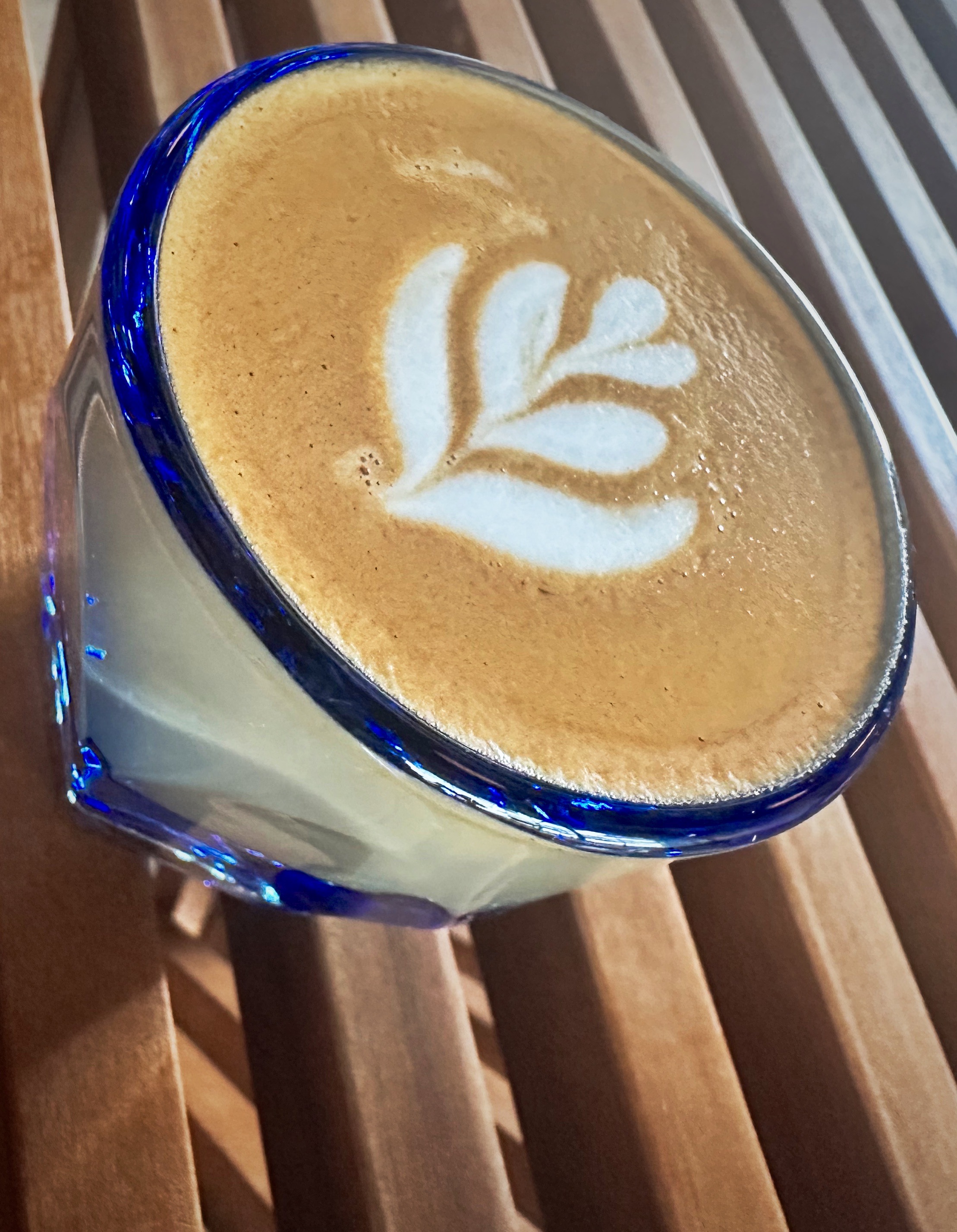
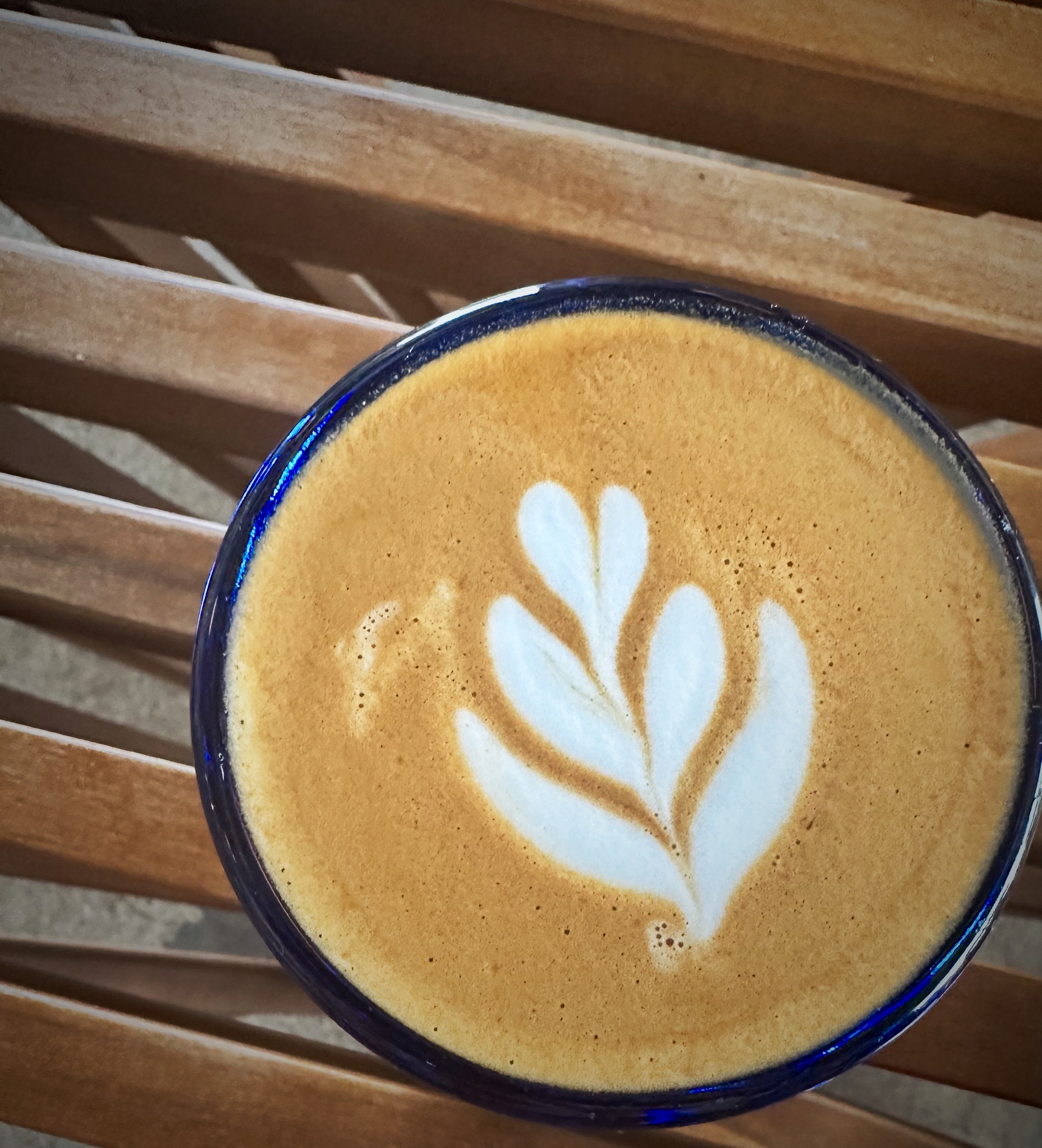
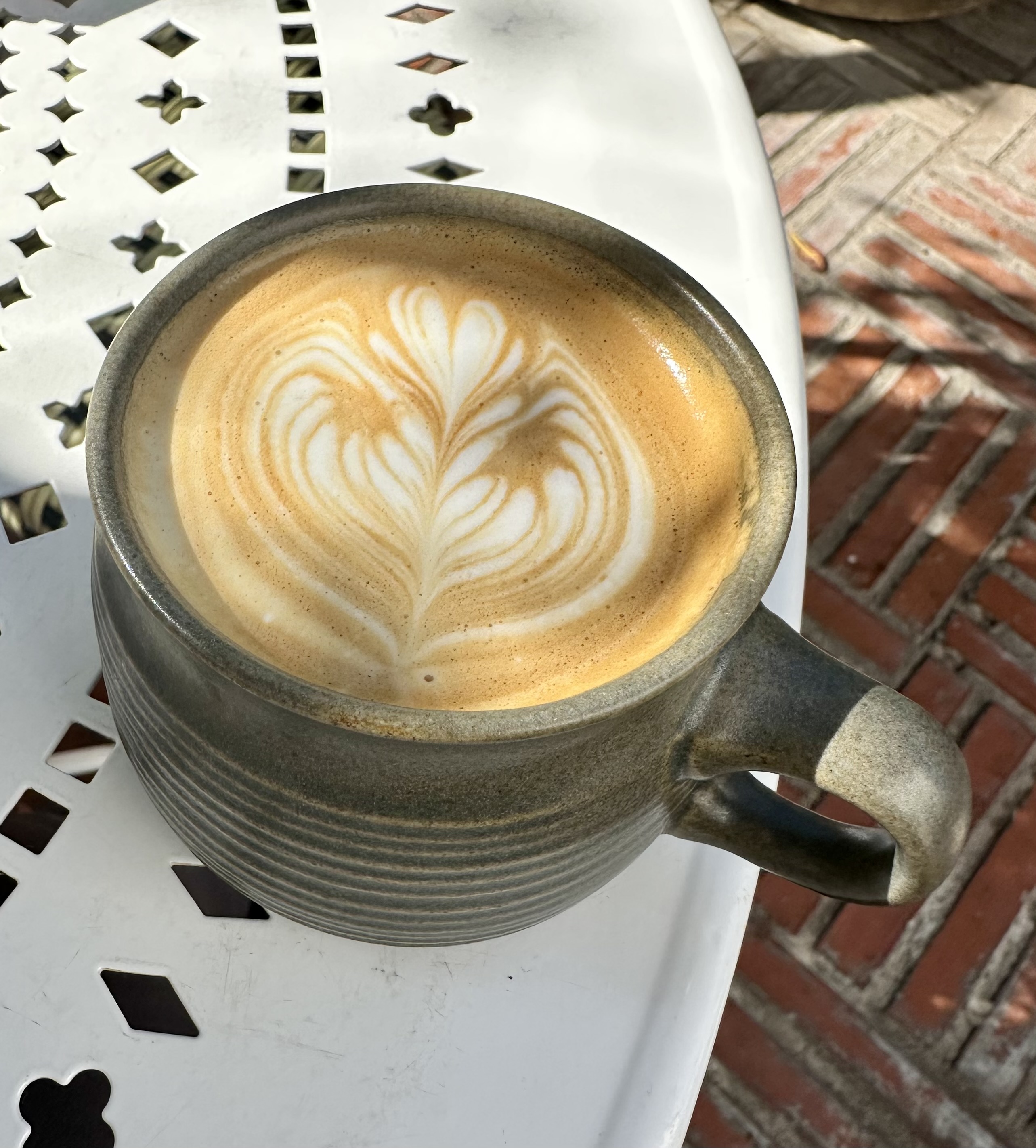
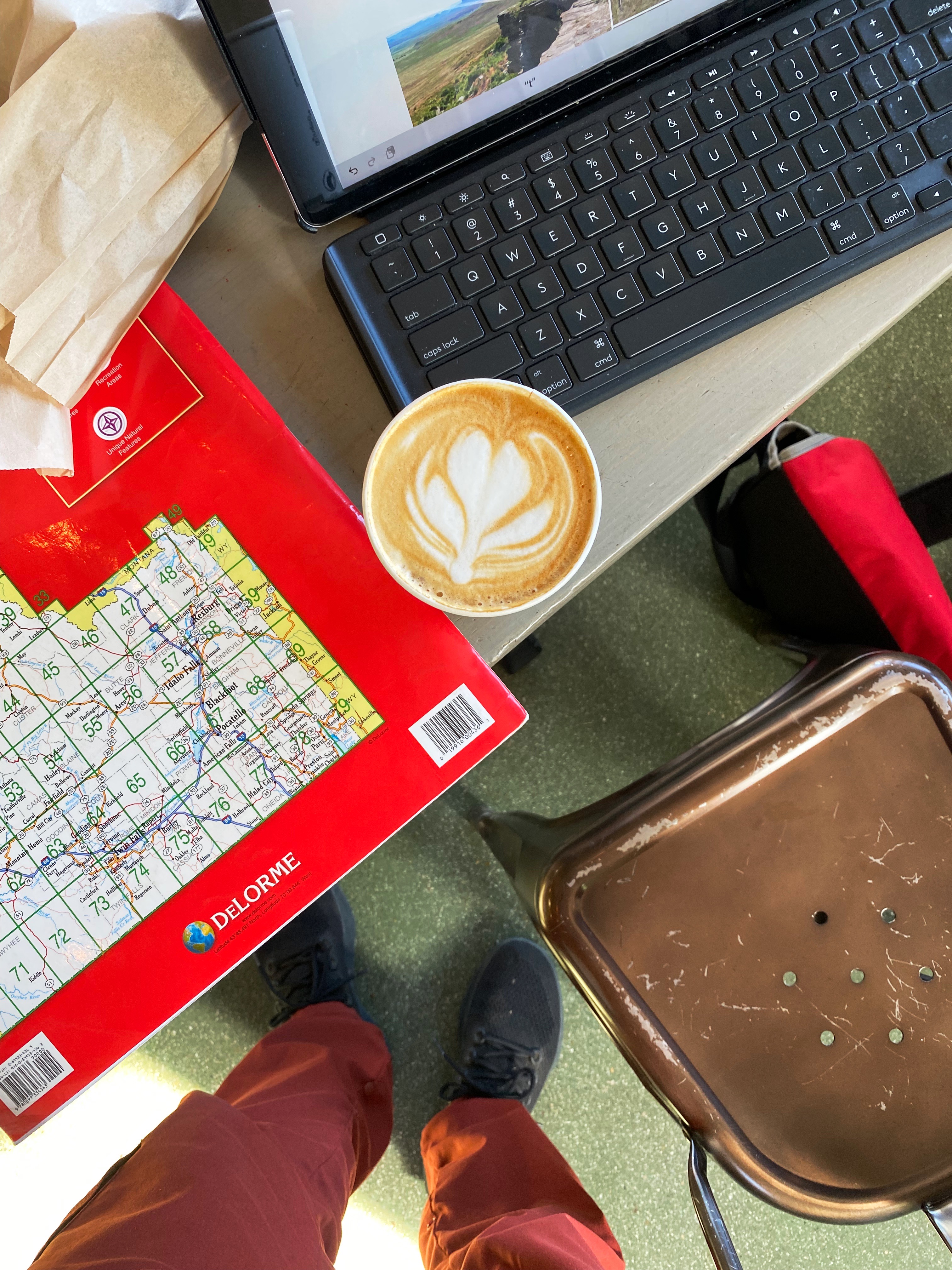
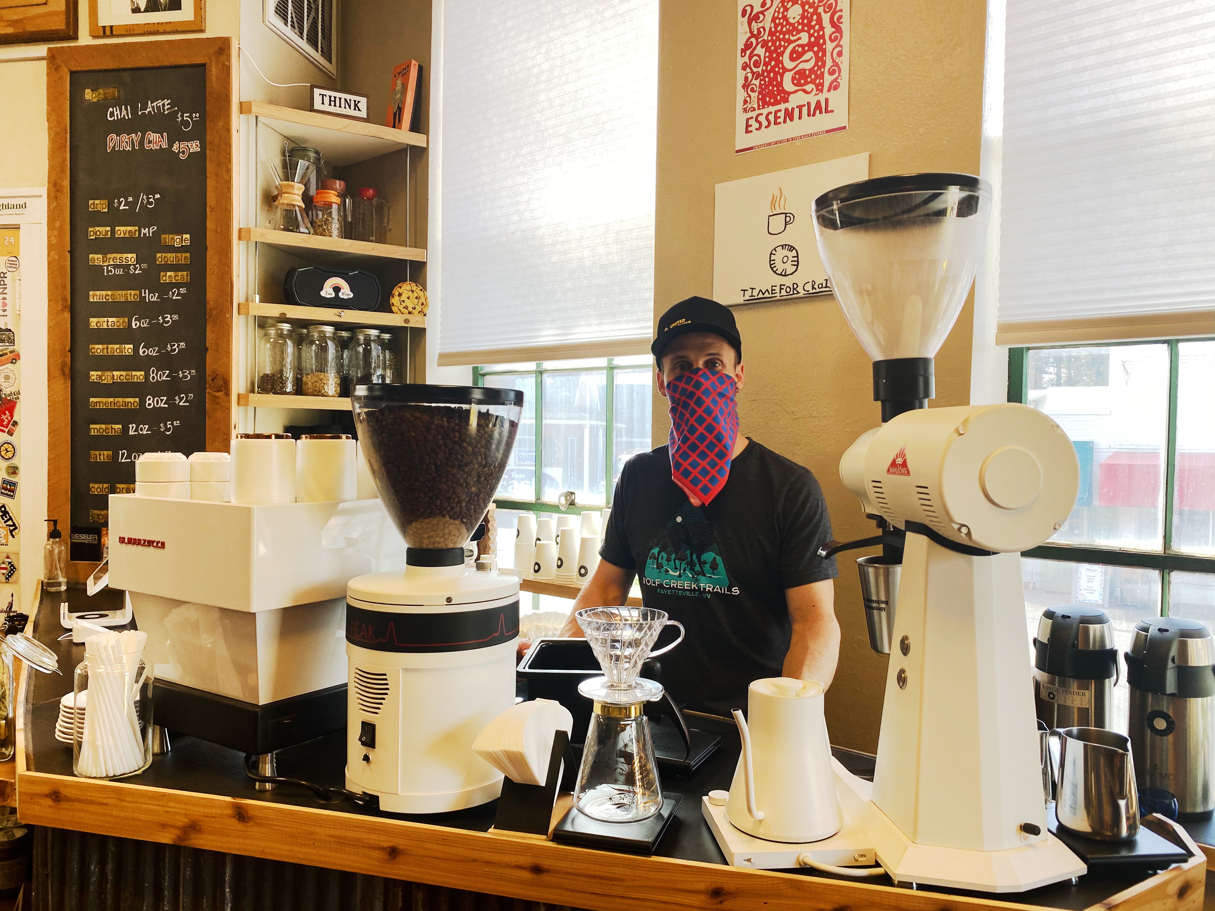
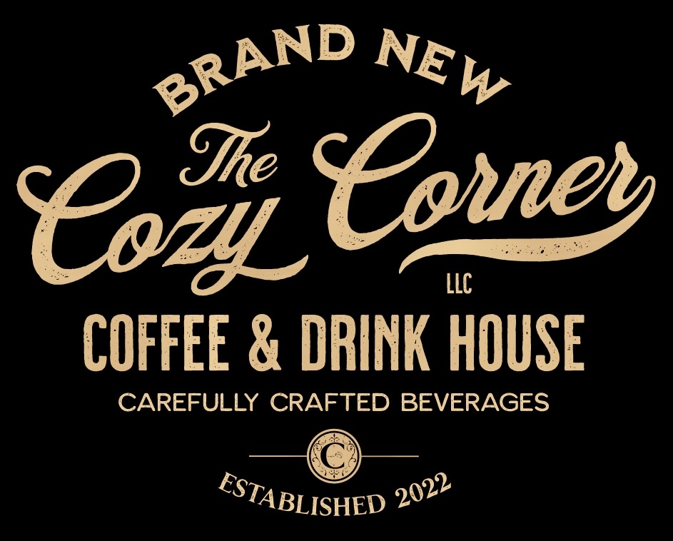
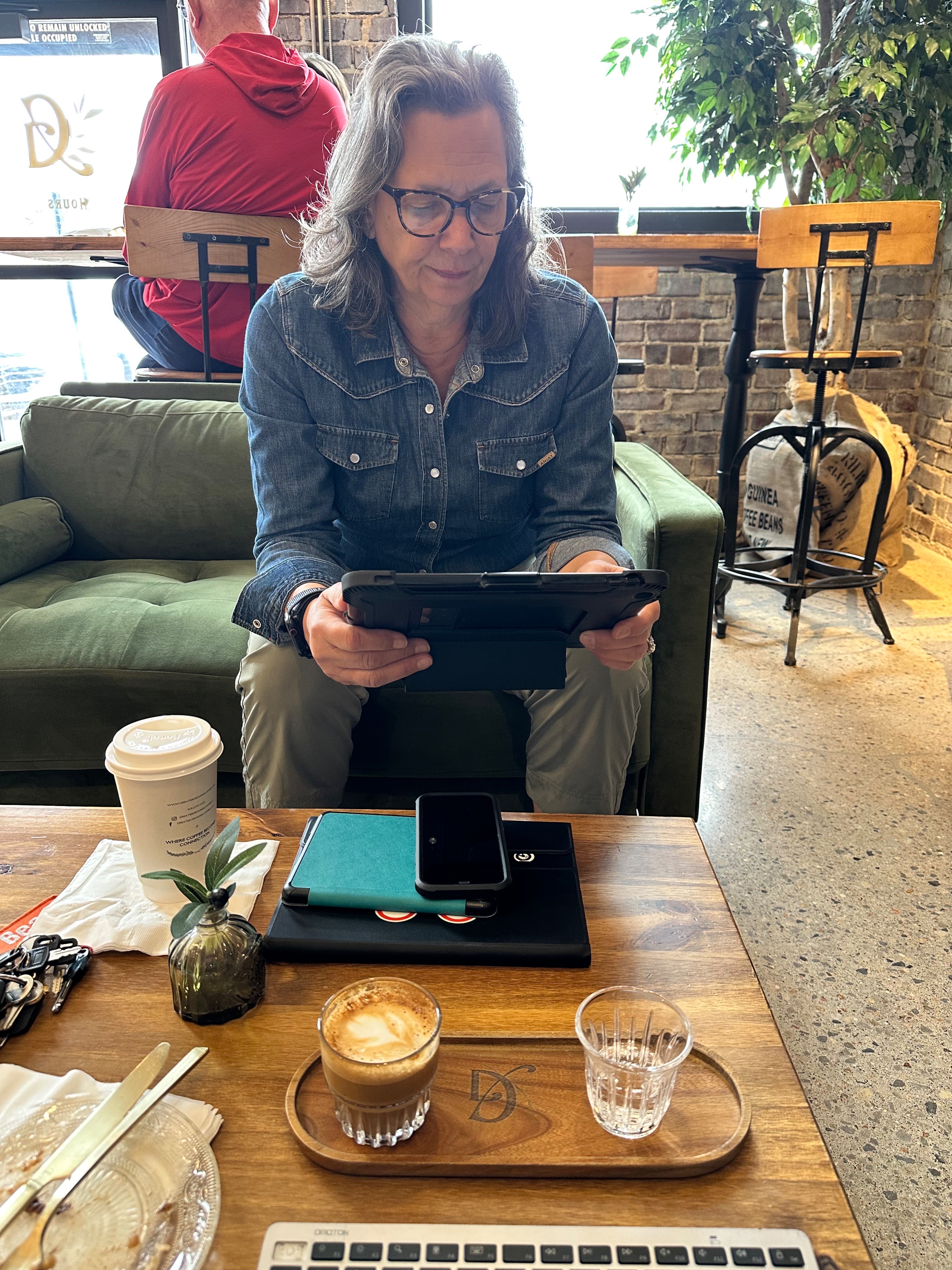
In the morning we checked out the Cozy Corner for coffee and tea. It is cozy and it is on the corner (and thank you so much for not spelling it Kozy Korner)! More importantly, our beverages were solid and the barista was friendly. As a life long resident she shared with us her experiences of living in a town where the make up of the town and the culture has dramatically shifted over the last ten years. Some were positive and some were not.


From Liberal we followed the 54 to Wichita. Not the most beautiful part of the country in our opinion, but the heartland feeds the United States and much of the world. Thank you!
Wichita, Ks (Founded 1863, Pop. 397,532, elev. 1303′)
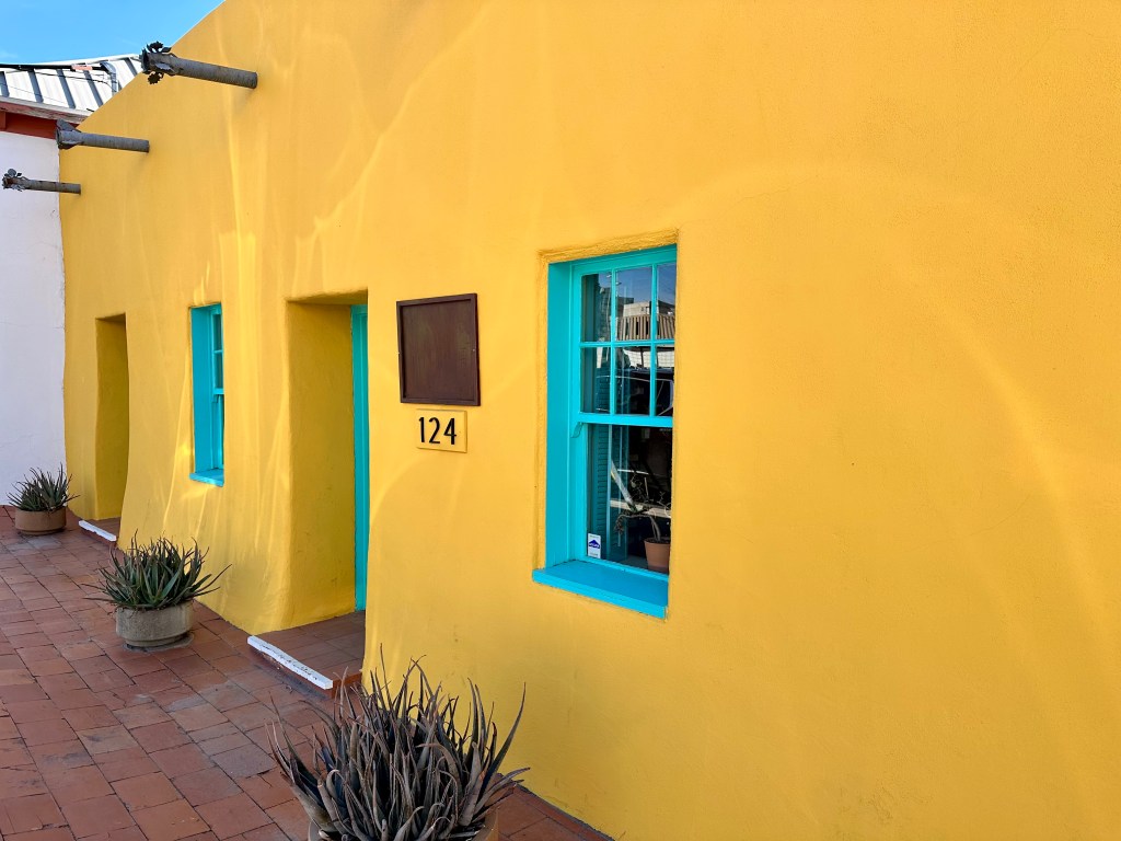
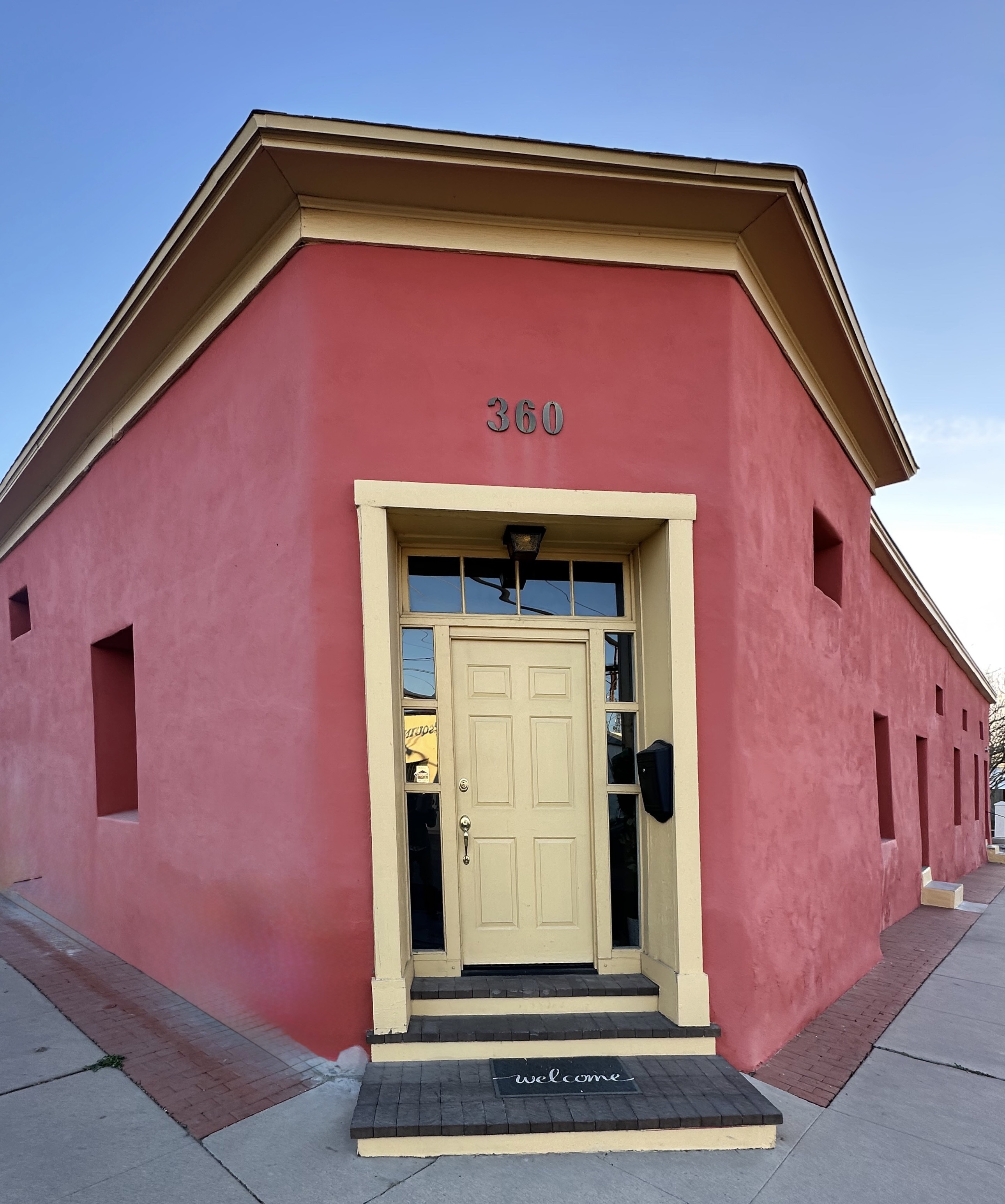
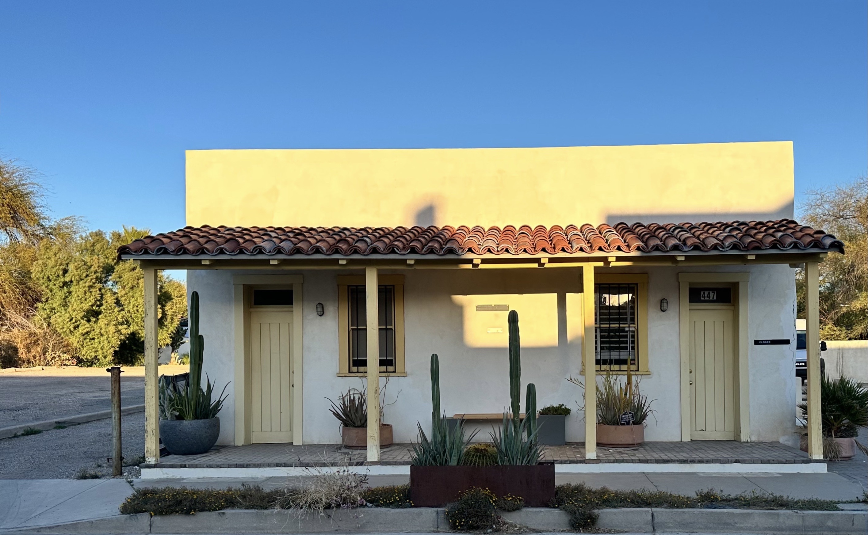
Wichita was a new city for OTR. Our research had indicated that we would find the necessities of travel in fair measure – bicycle trails, street art, art museums, excellent coffee and tea and perhaps best of all–another home designed by Frank Loyd Wright which was open to the public. Boy Howdy!
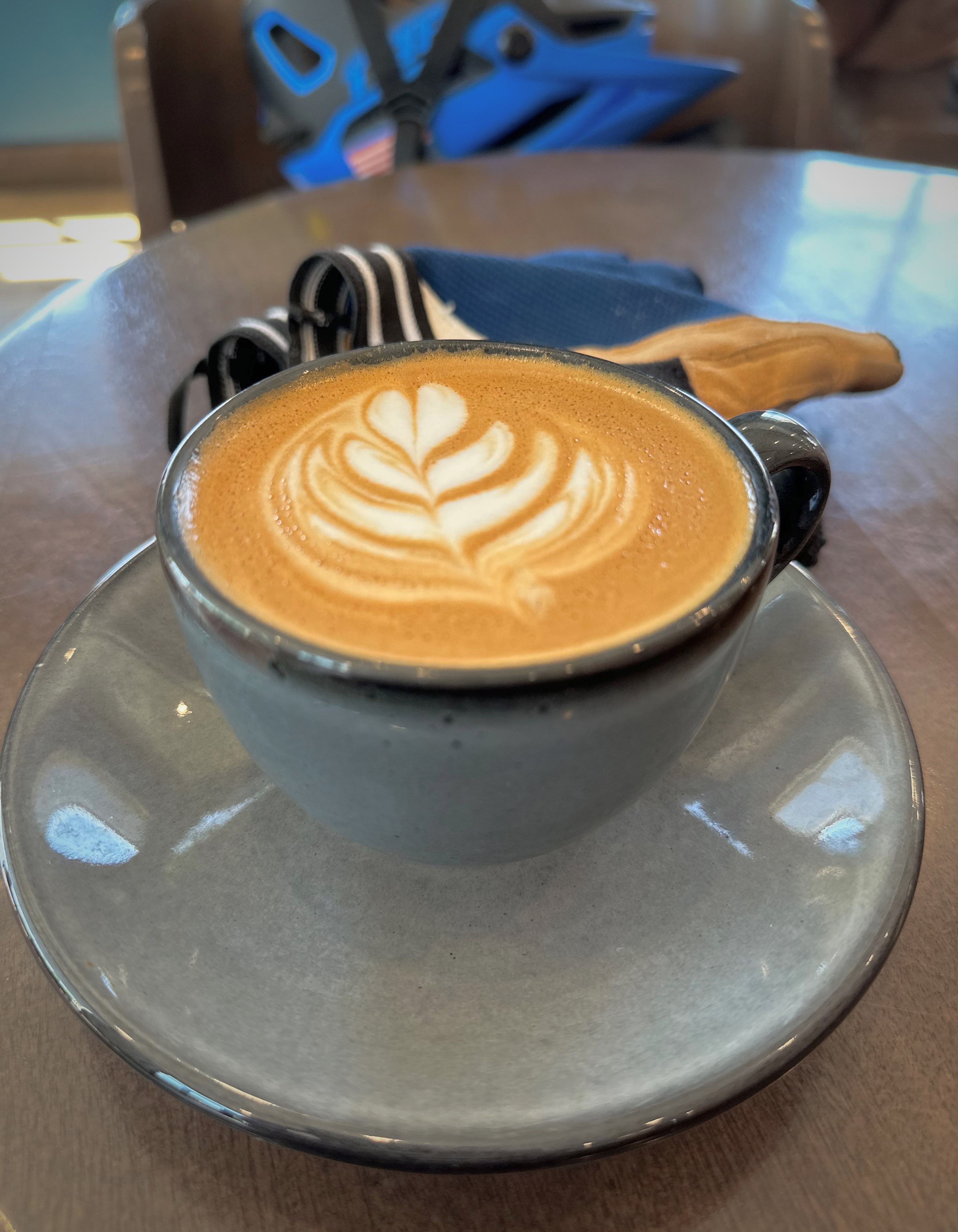
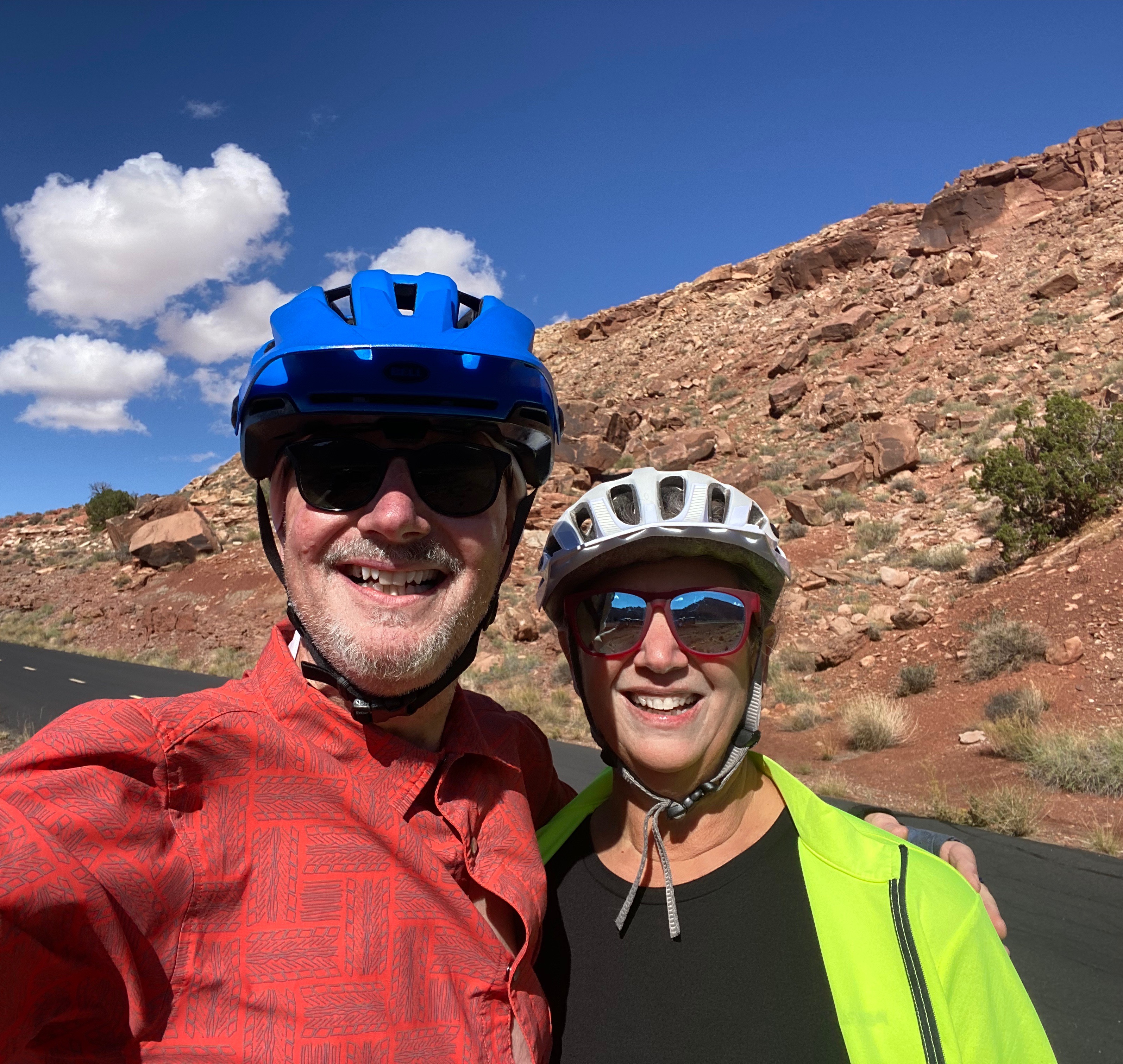
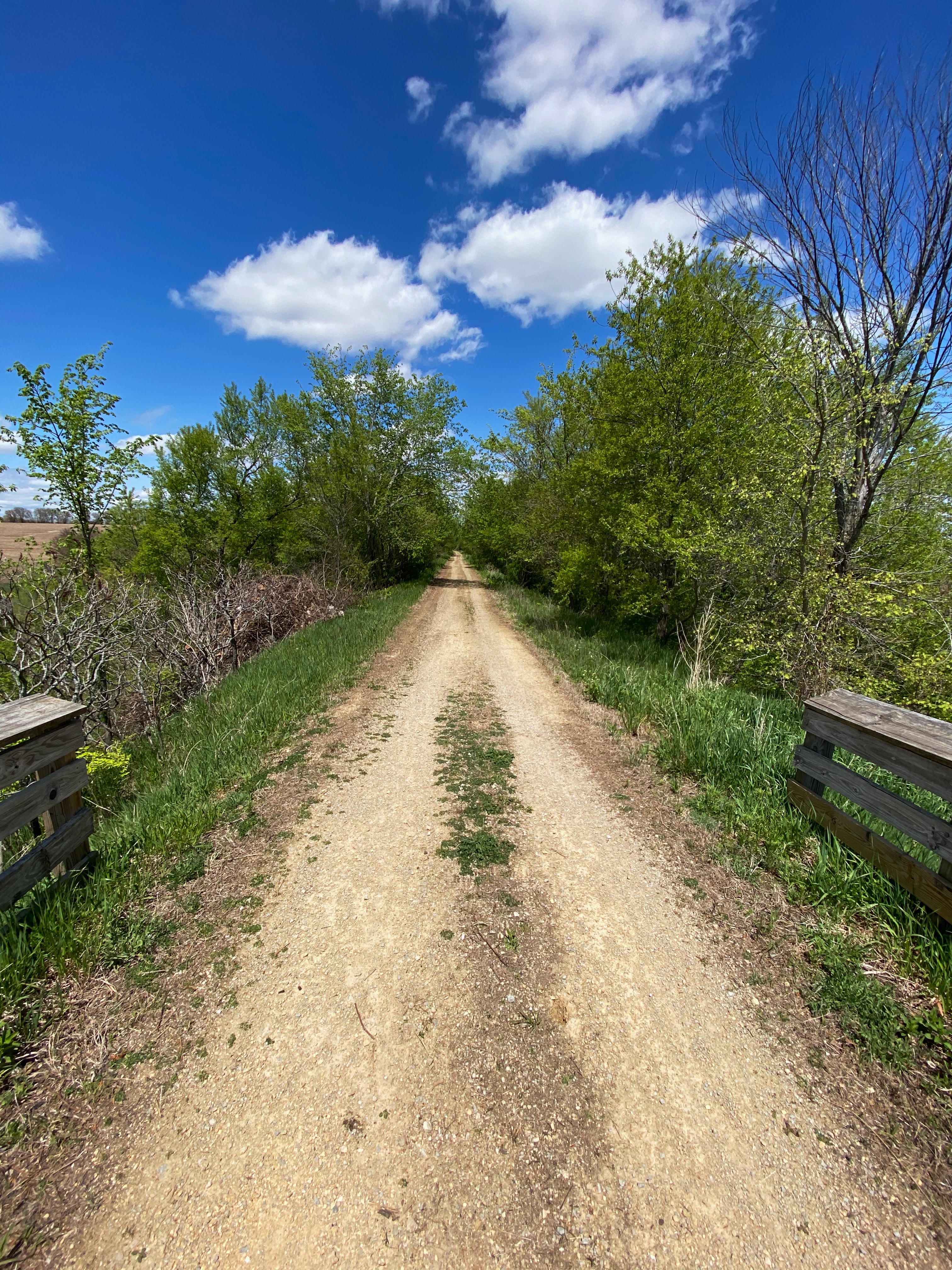
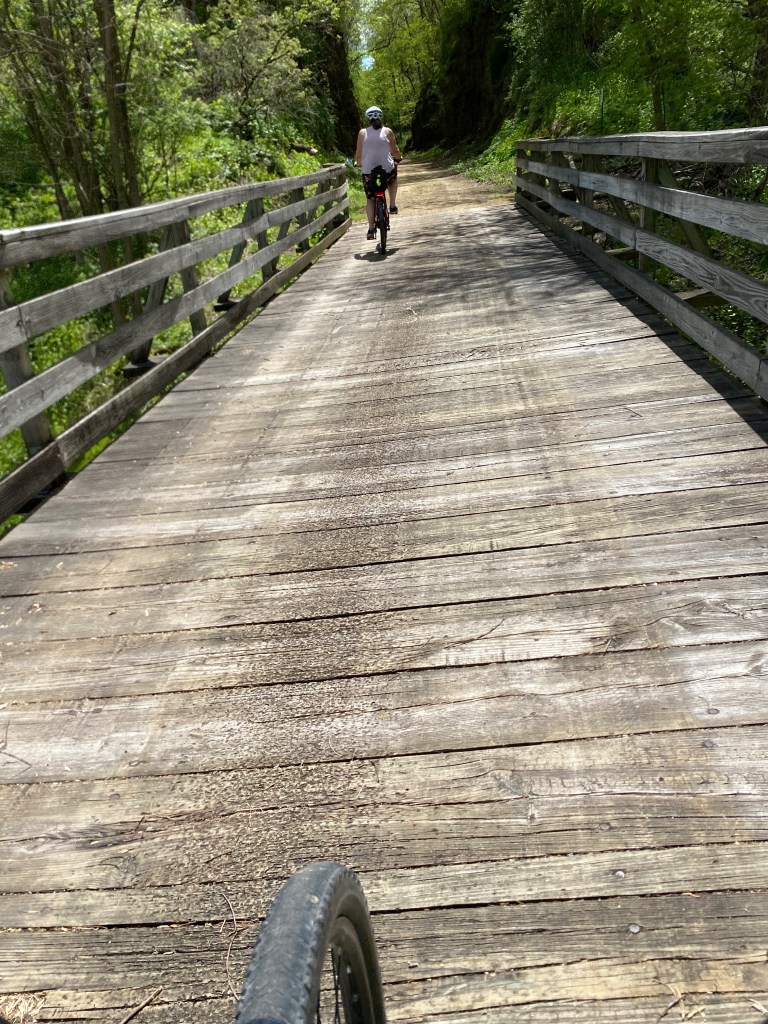
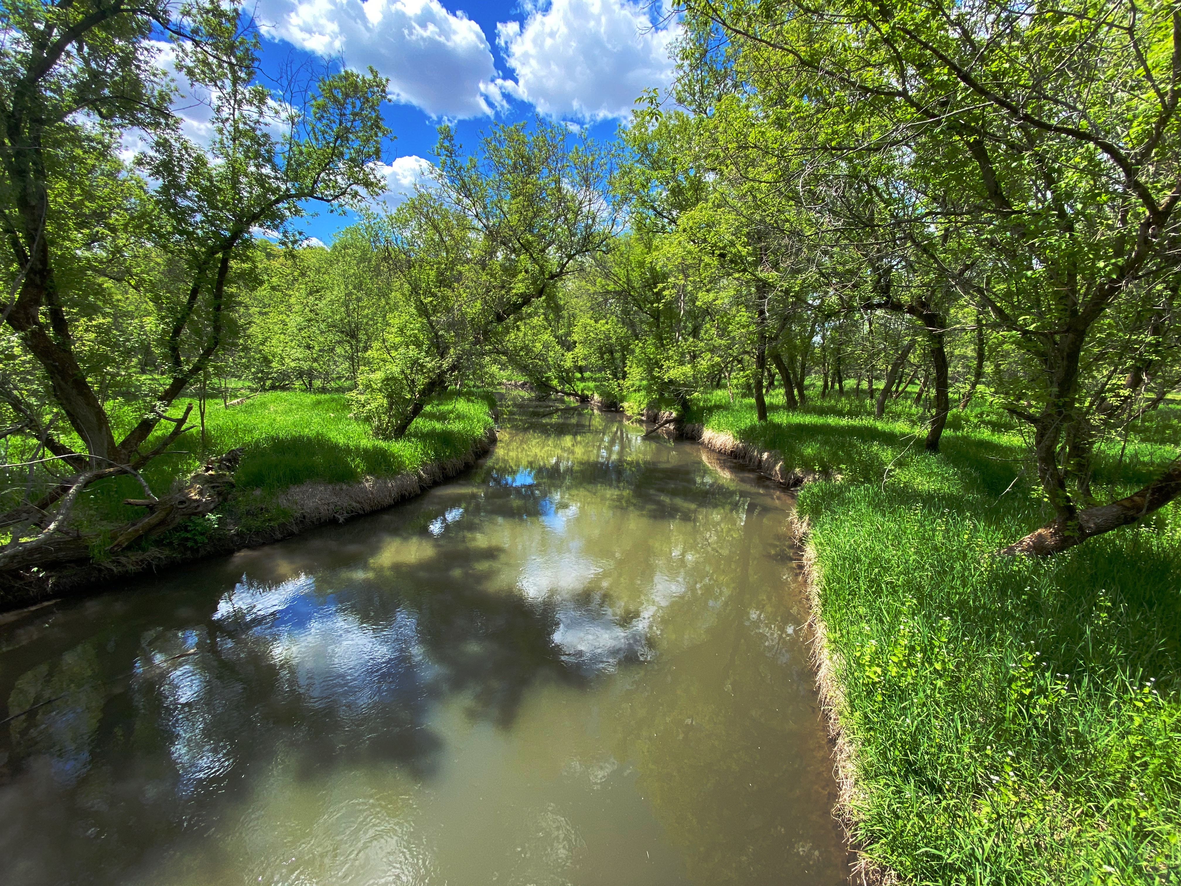
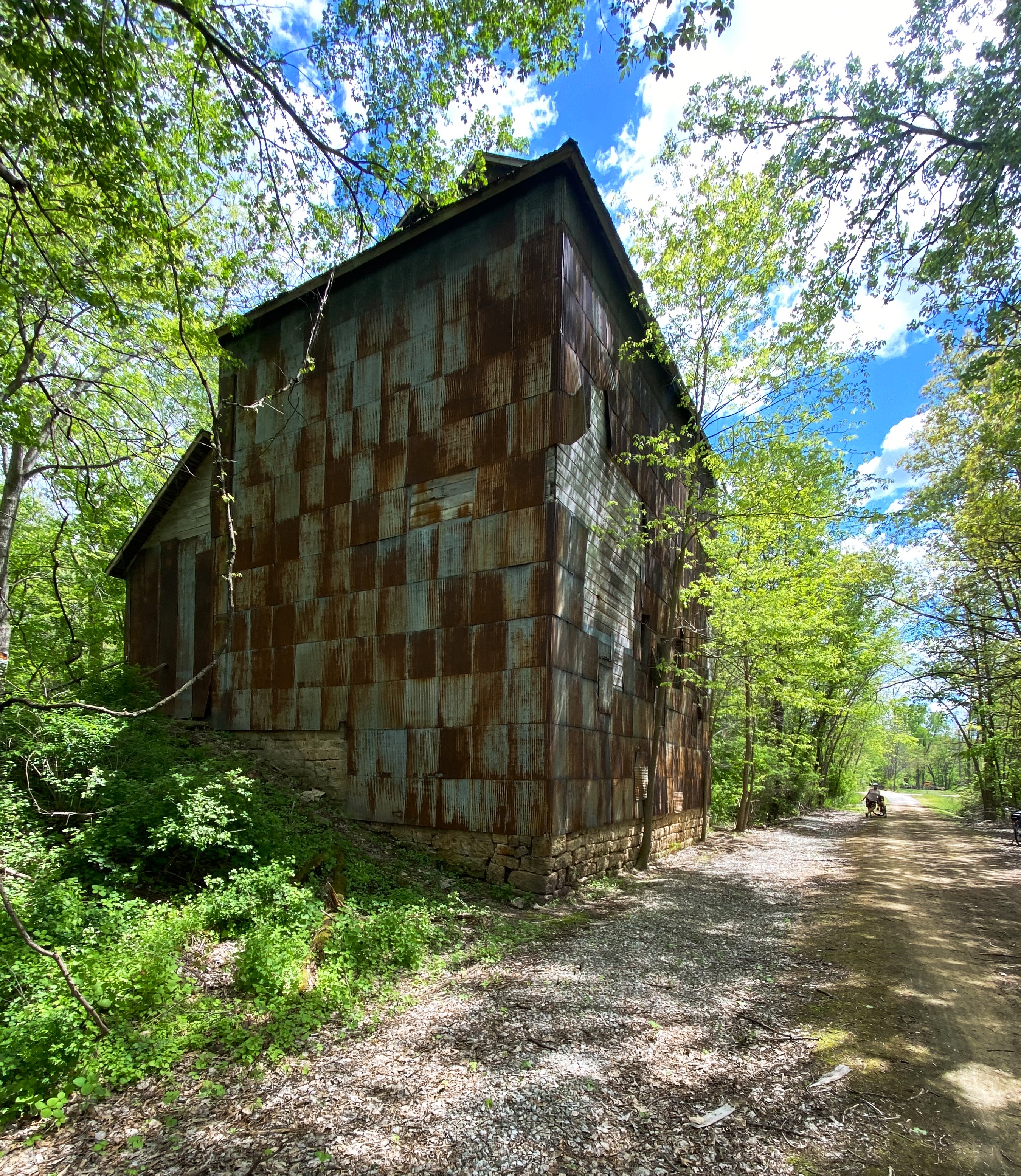
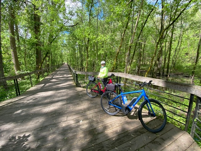
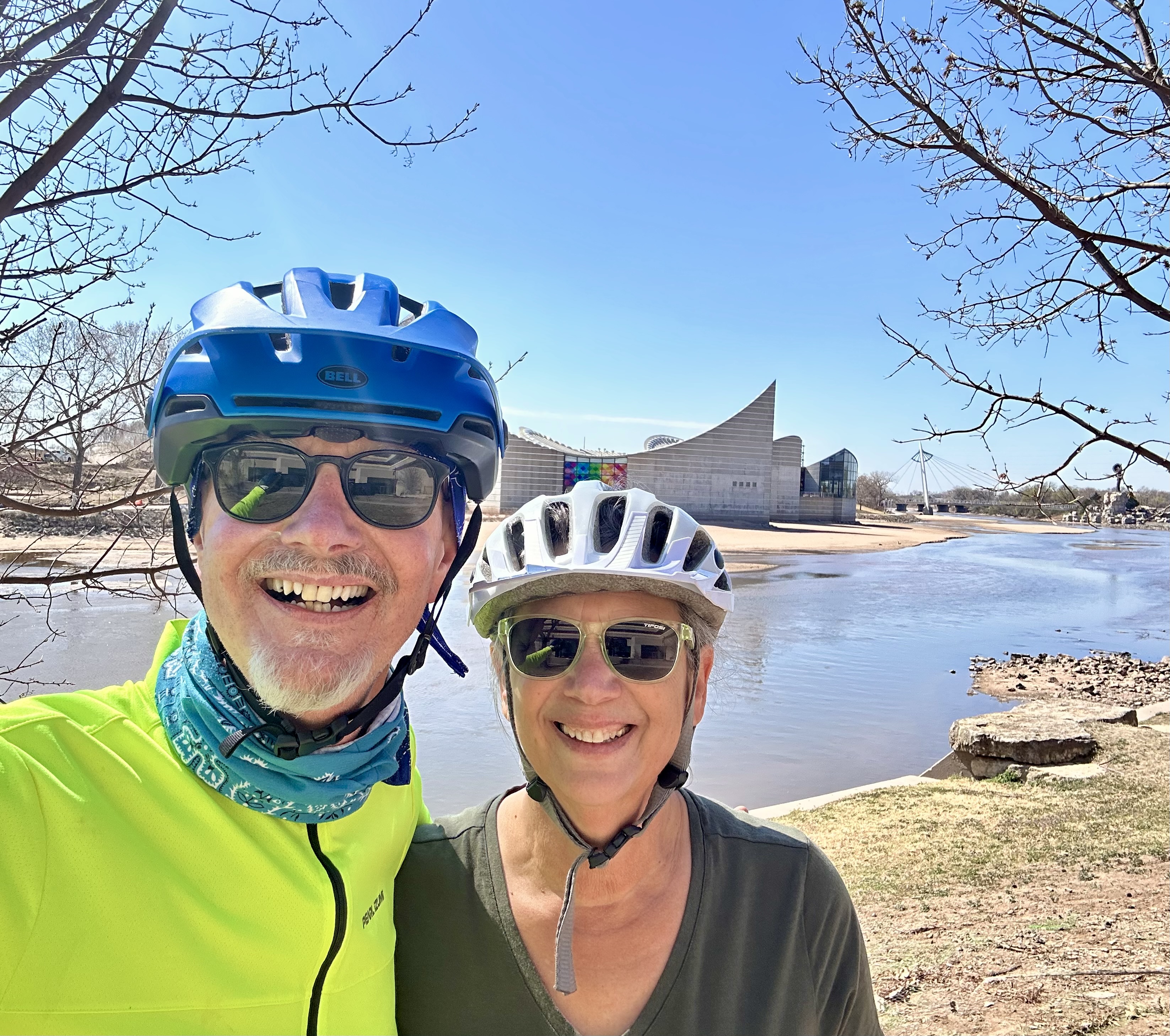
The weather was ideal when we arrived so we stopped for coffee and then took a delightful spin on the Arkansas River Bike Path.

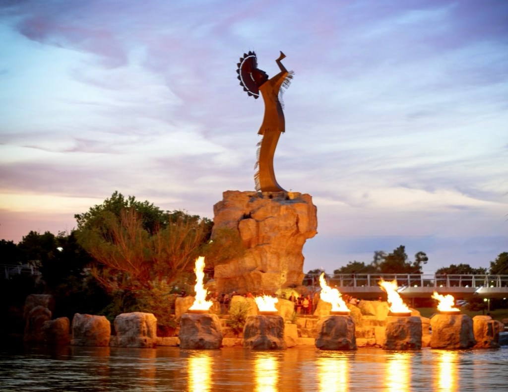
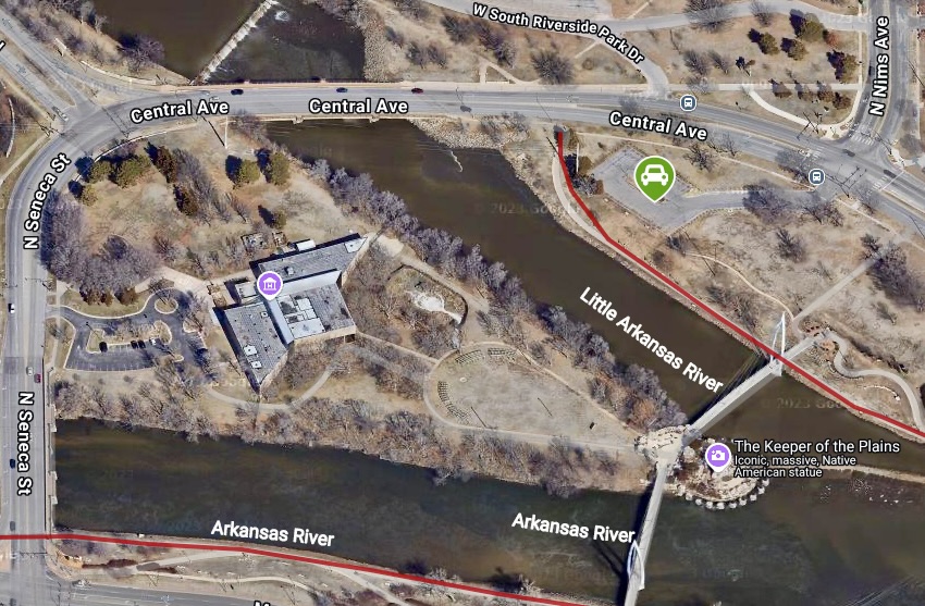
We started our ride at the northern trailhead which follows the Arkansas River as it courses through the west end of the city, eventually arriving at the confluence of the Arkansas River and the Little Arkansas River. There are three bridges along the way that provide access to the eastern side of the river and the Keeper of the Plains which sits on a point of land at the confluence of the rivers.


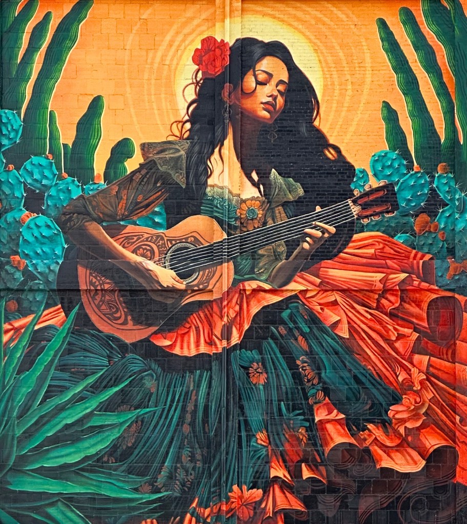
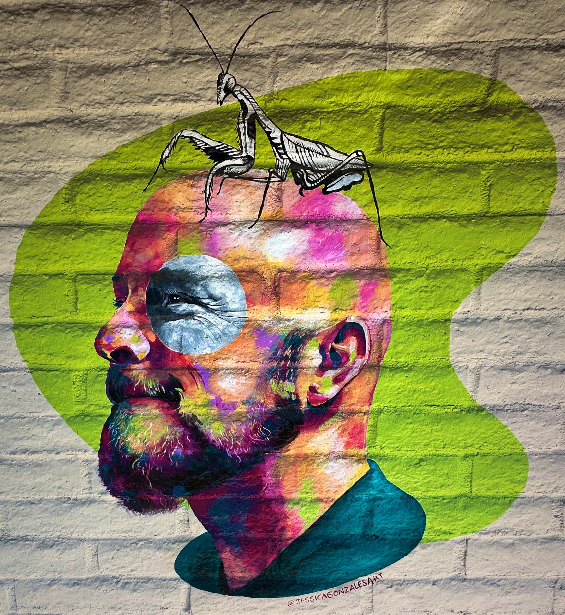
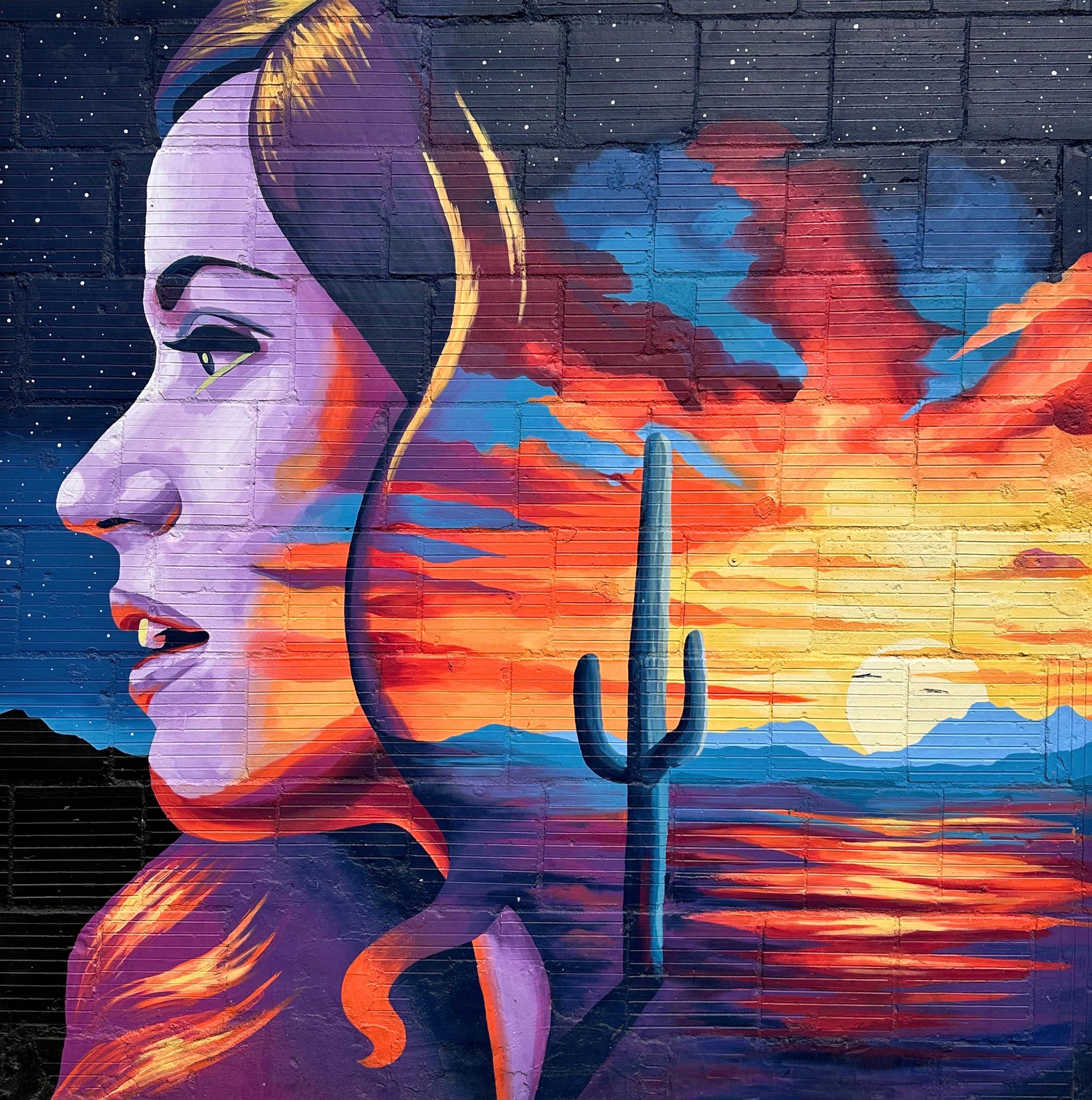
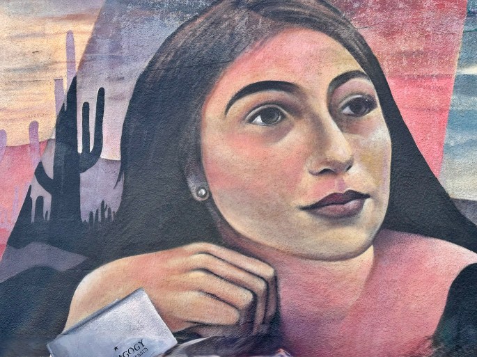
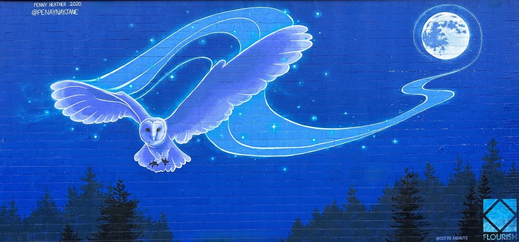
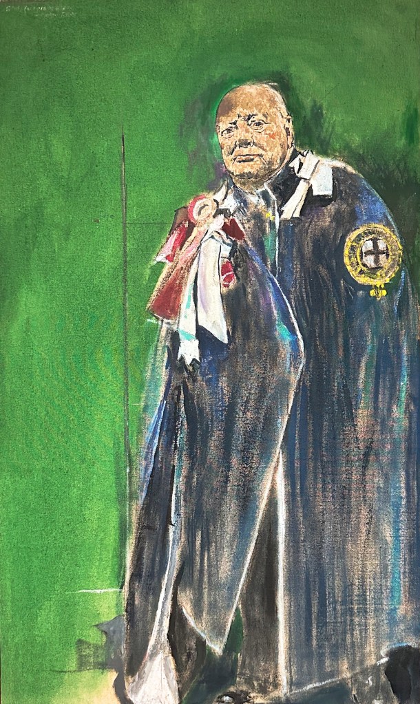
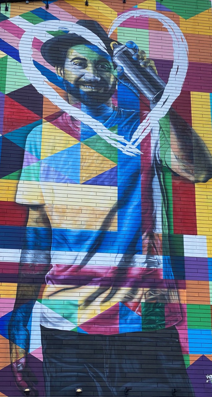
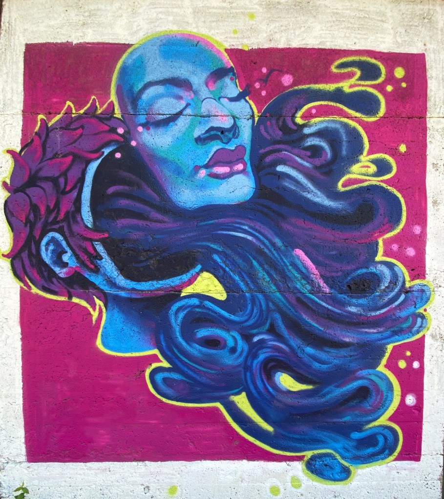
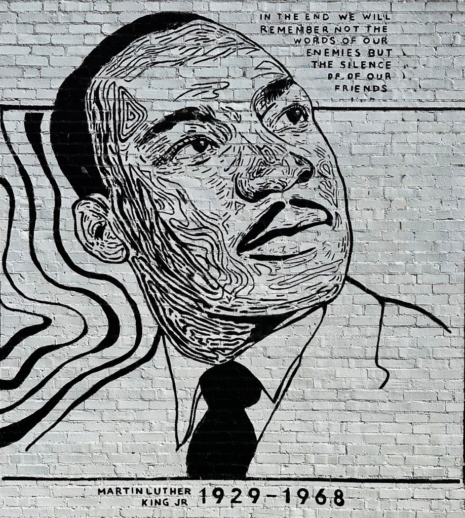
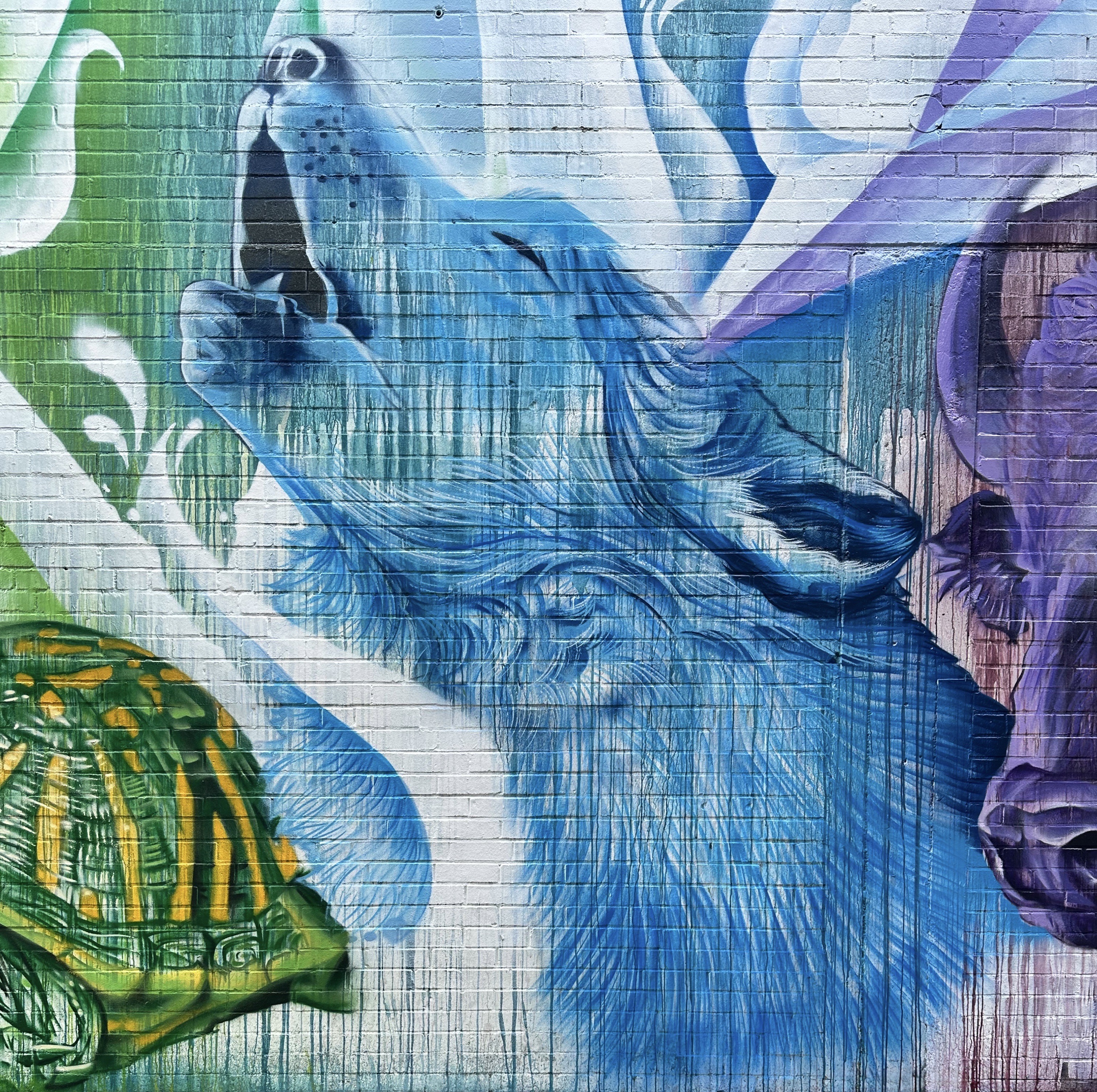
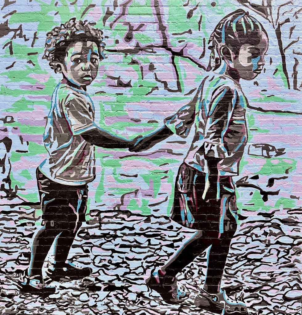
Wichita claims to have 120 street murals and we believe that to be the case based on our tour. We have included above and below some of our favorites.

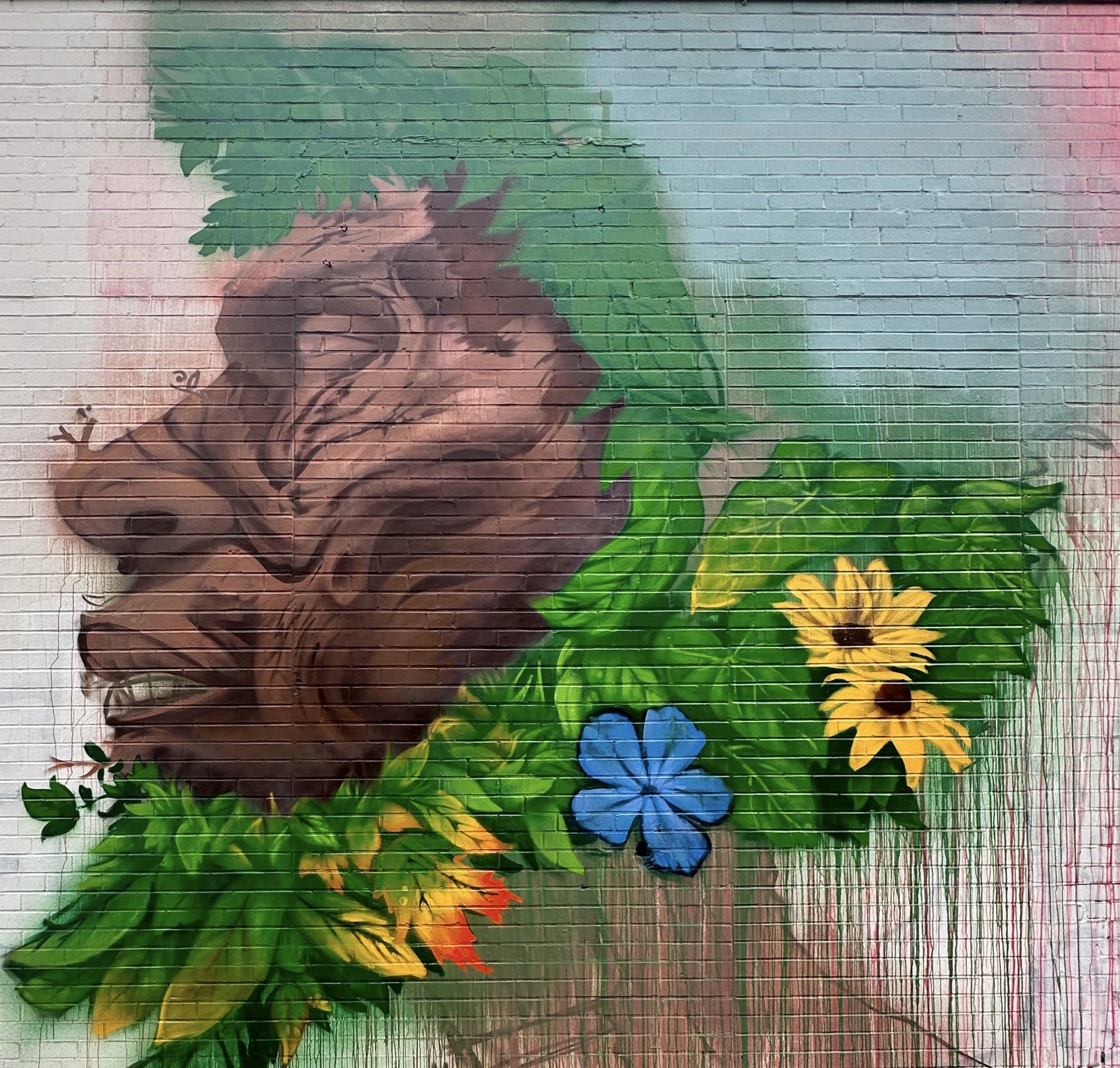
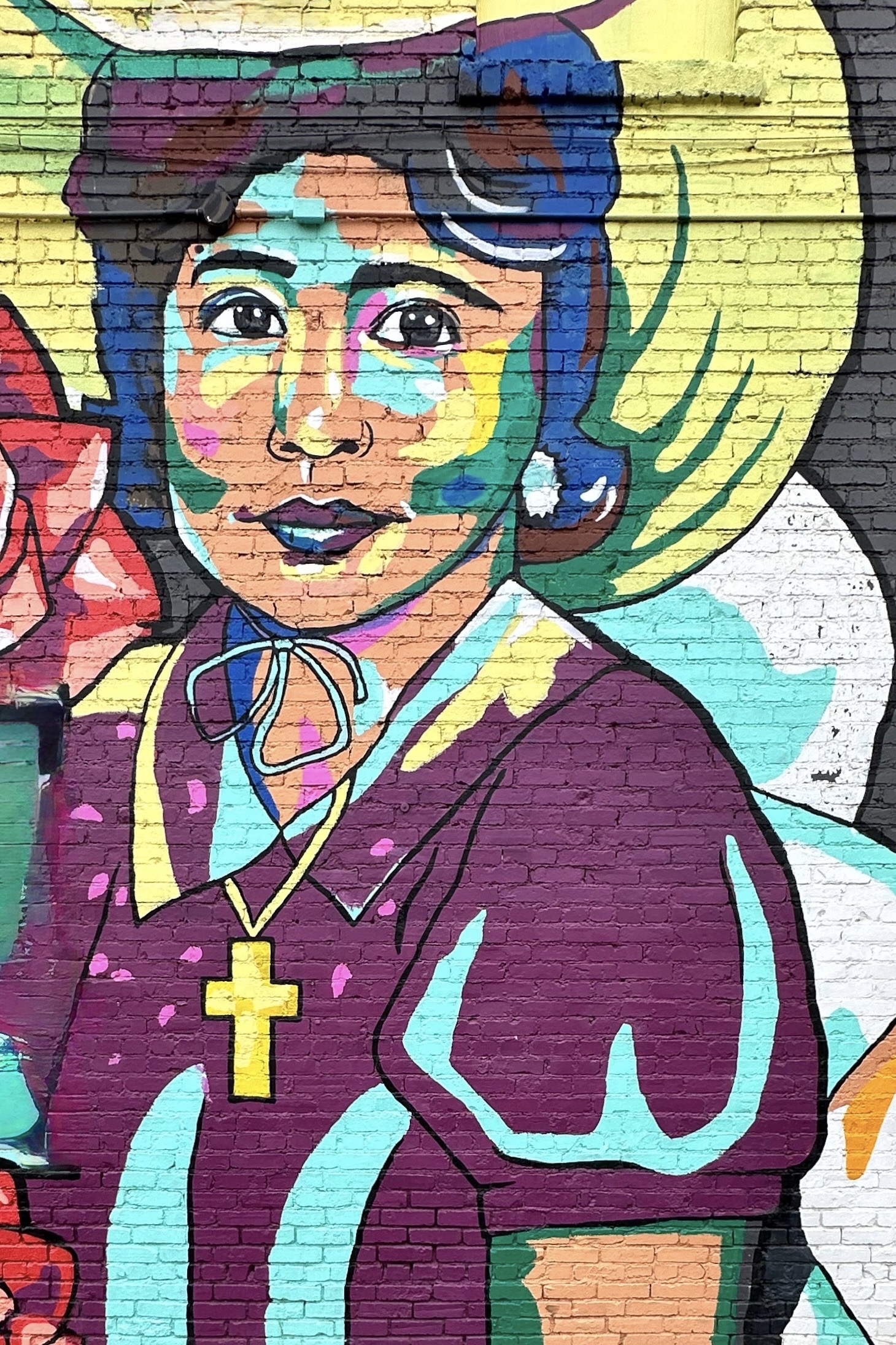
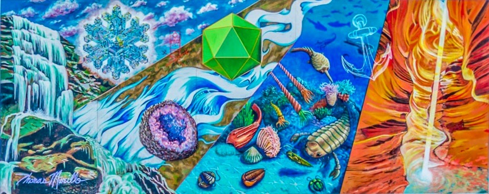
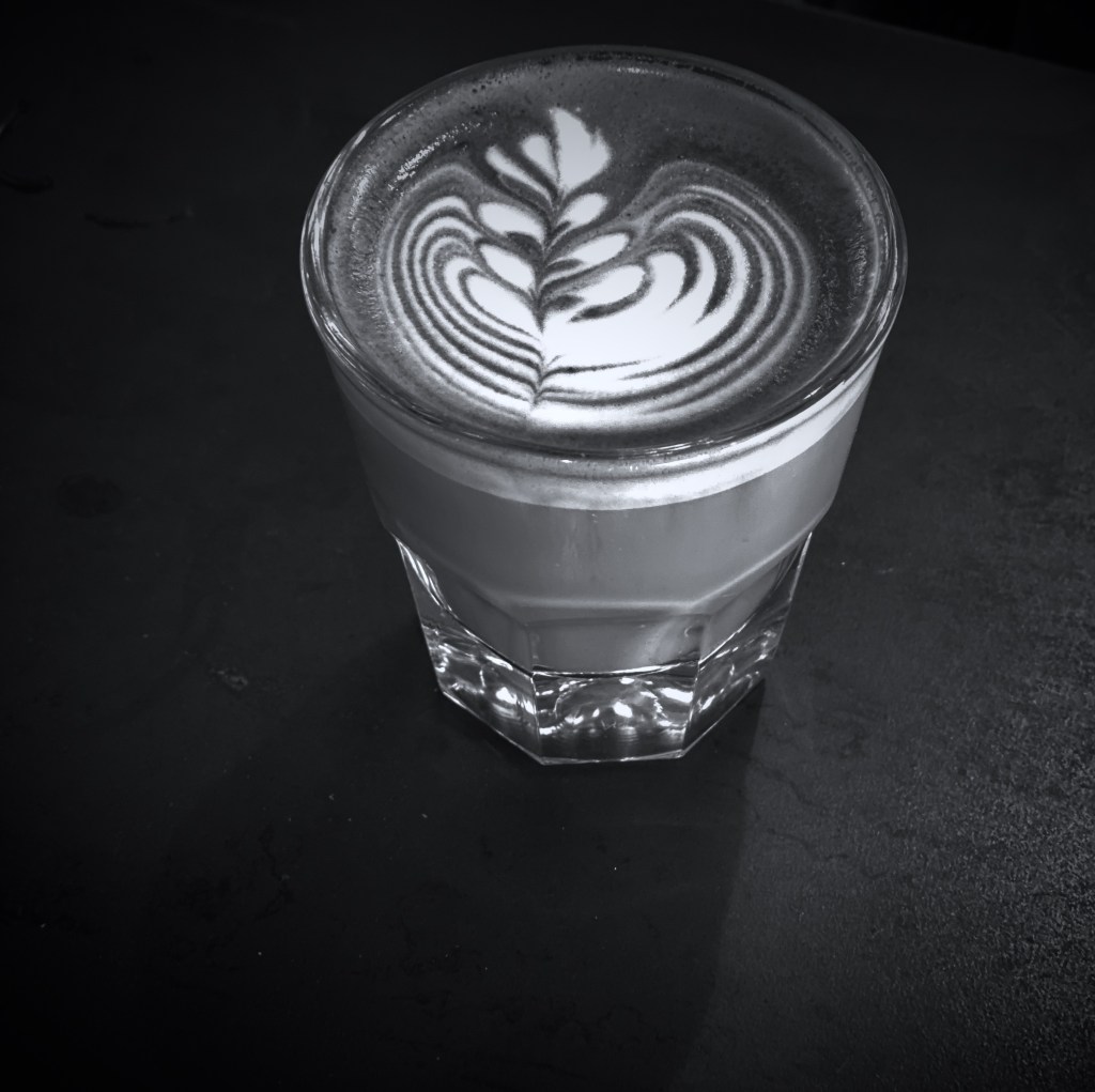
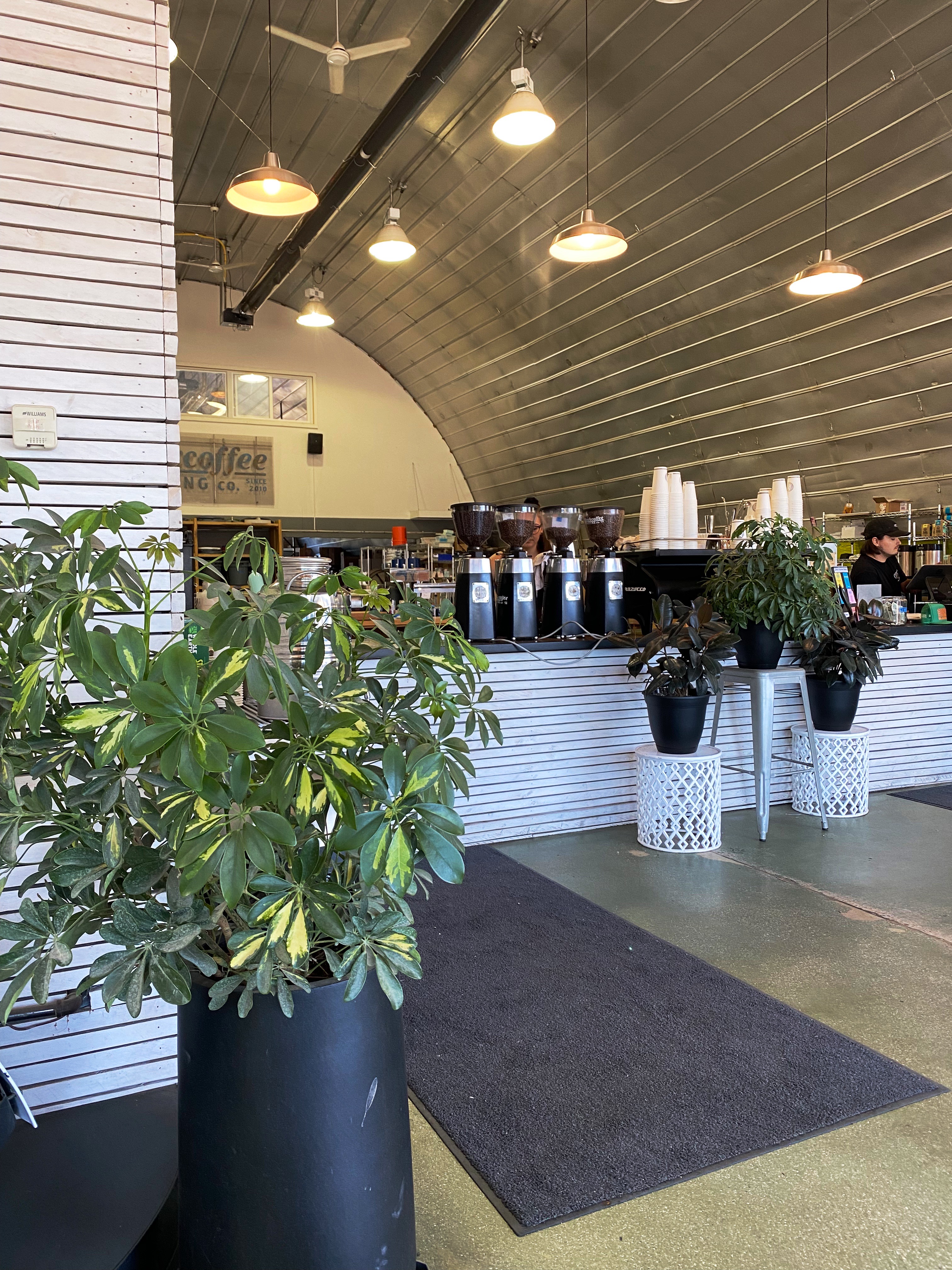
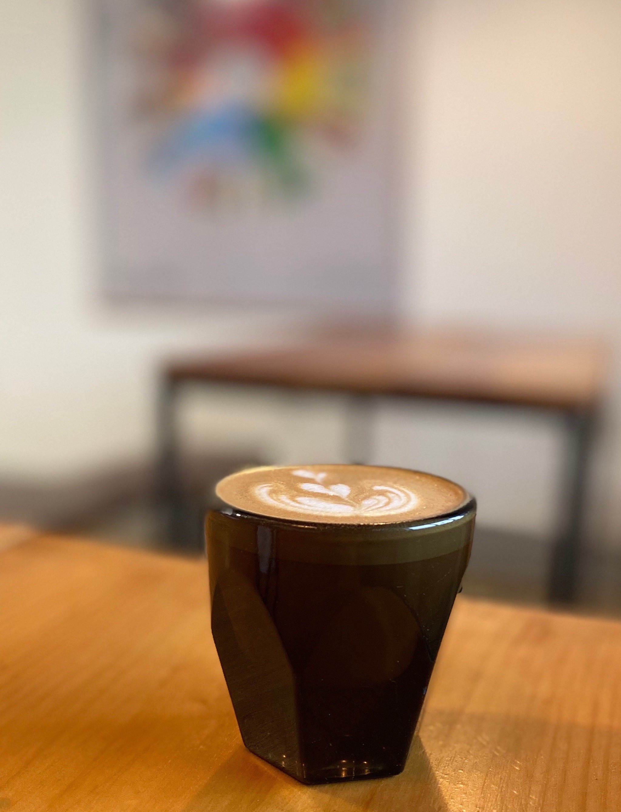
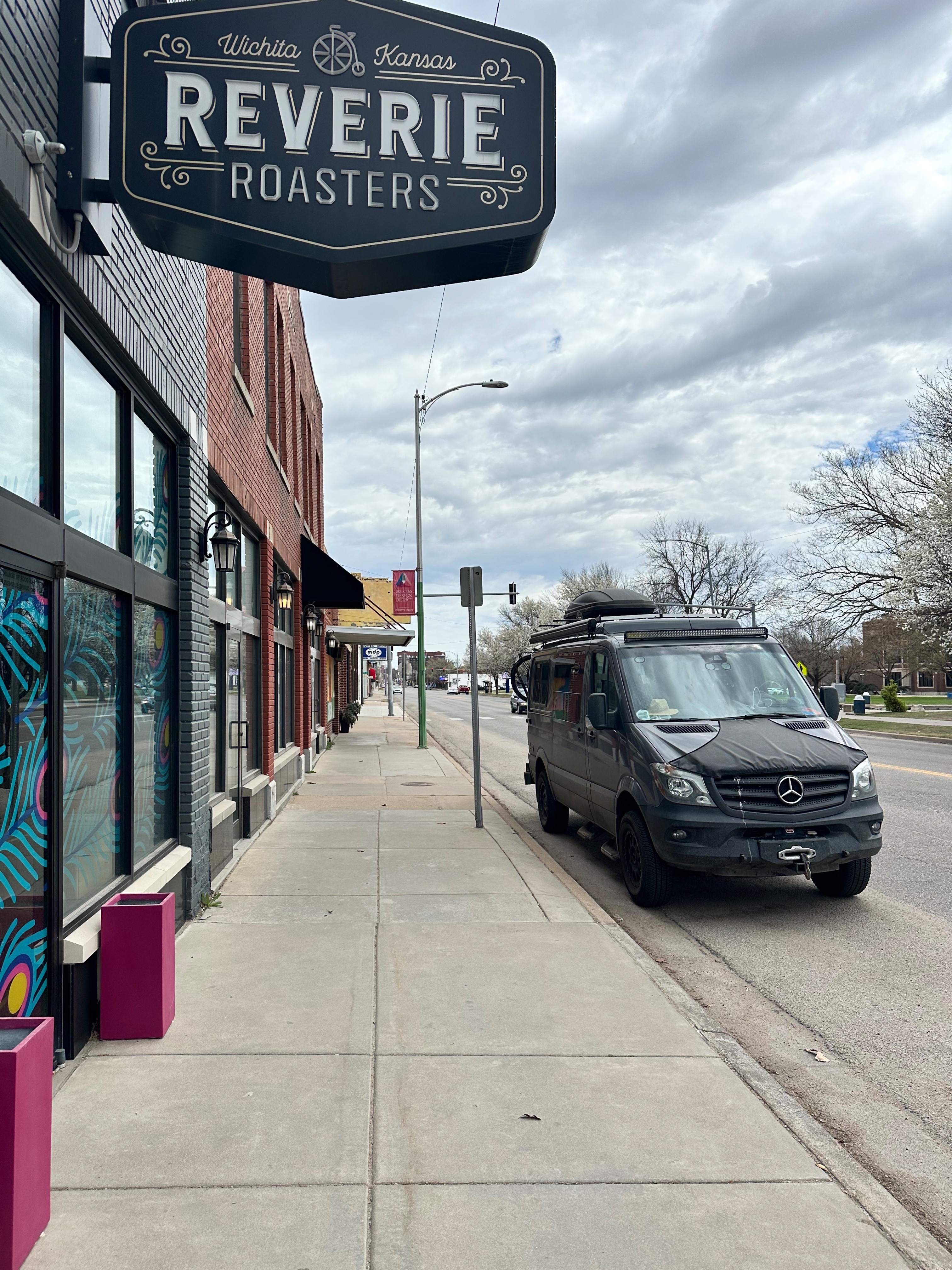
During our stay in Wichita we split our Fika sessions between two very fine specialty coffee cafes. We used Reveries Roasters in the New Salem district as our base while searching for murals in the vicinity of the cafe (first three mural photos above).


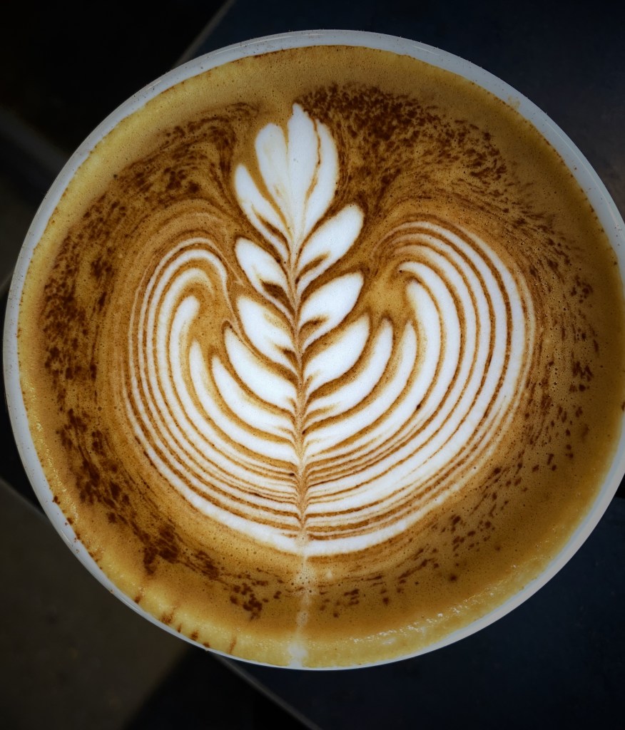
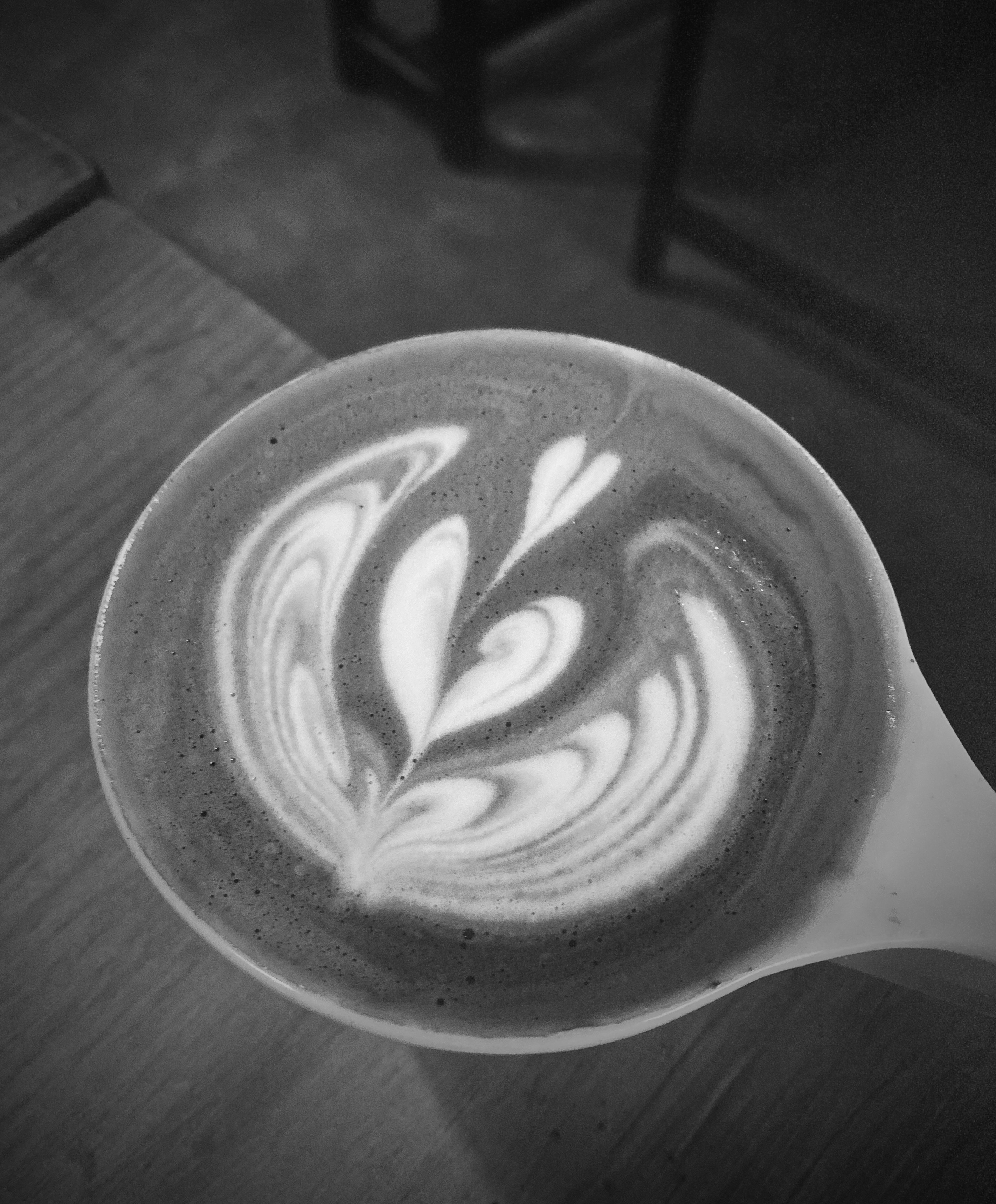
While touring Old Town Wichita we set up our command center at Greater Grounds Coffee & Co., which is located in the heart of the Old Town district.
Much to our pleasure, we were able to visit a number of Frank Loyld Wright (FLW) designed properties during OTR 11.0.

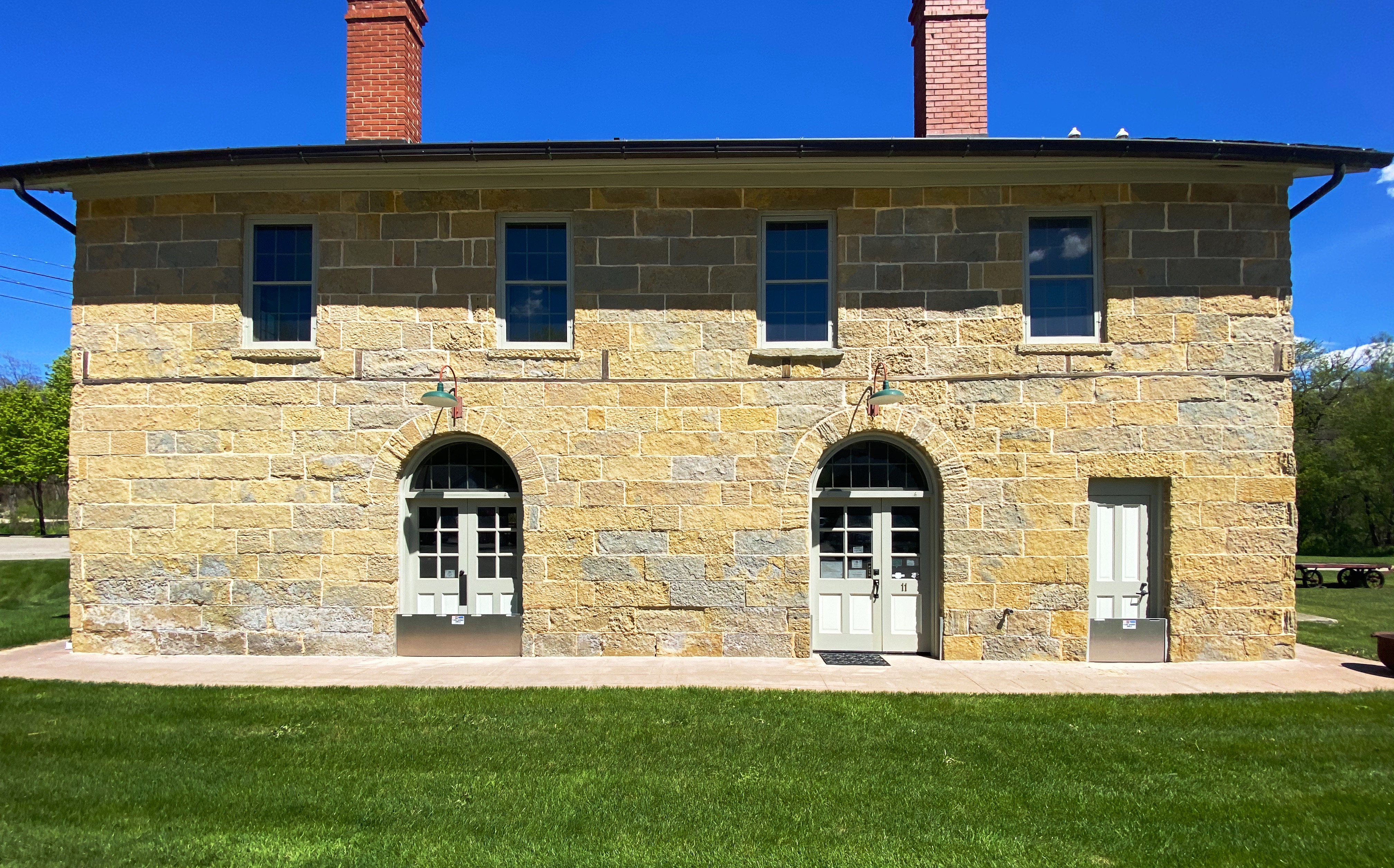
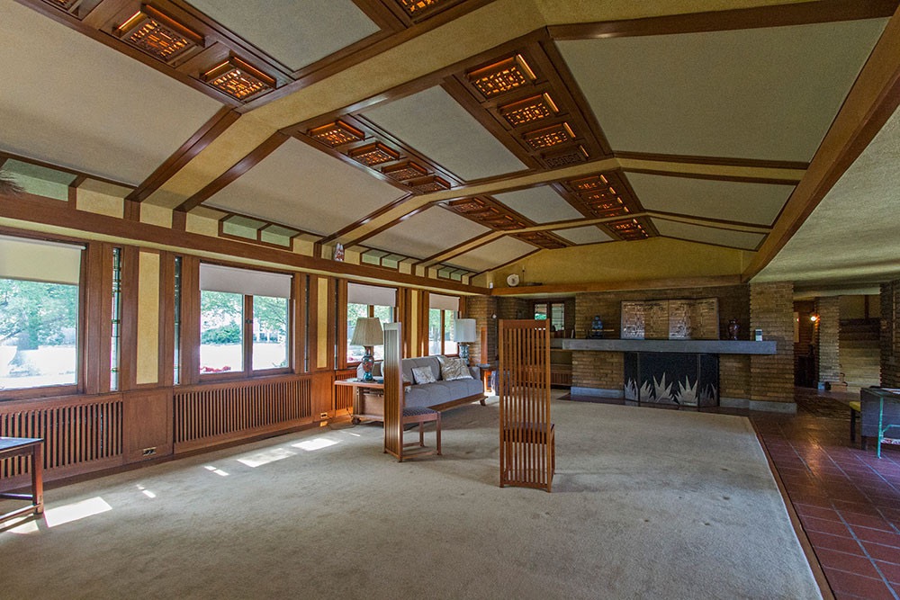
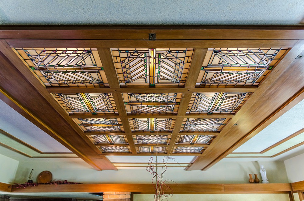
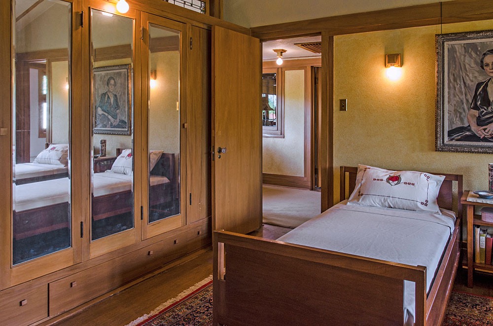
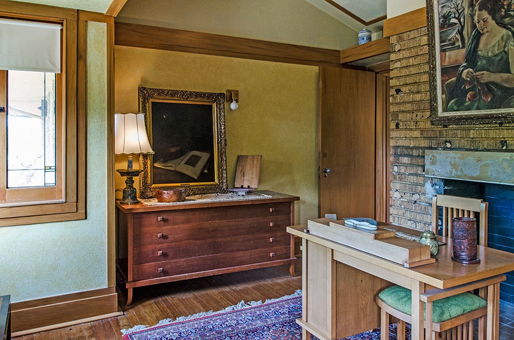
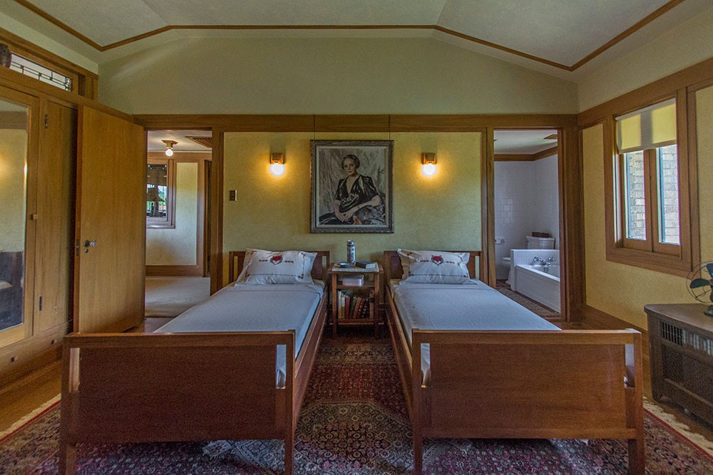
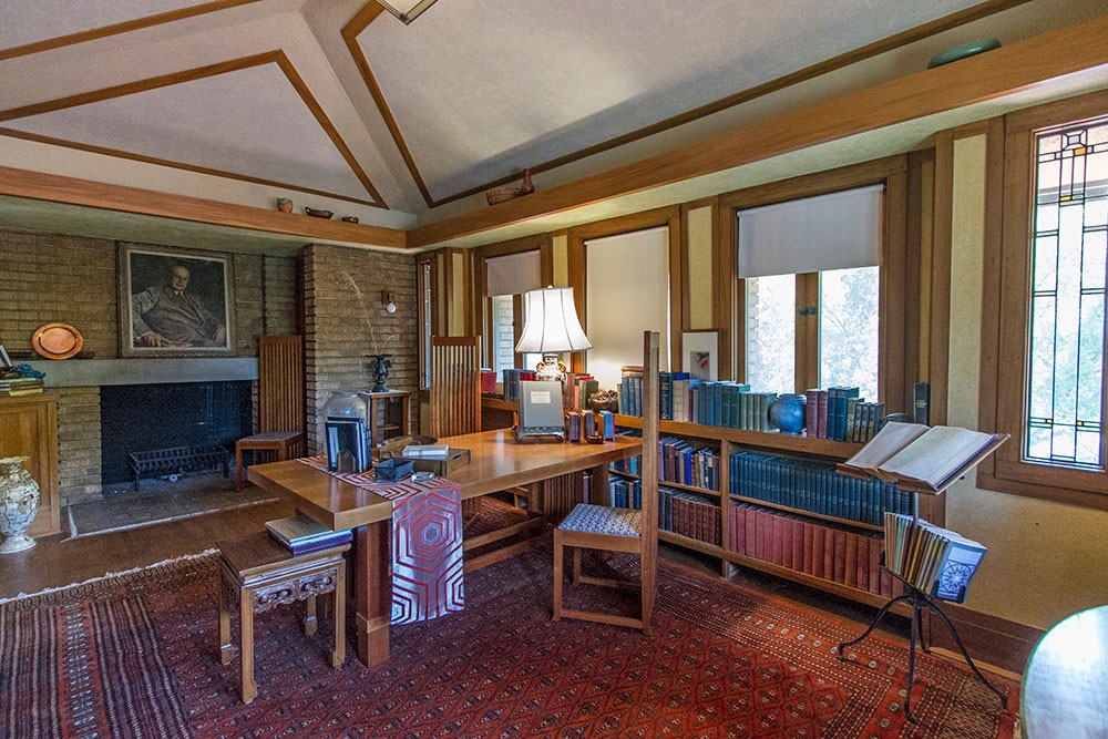
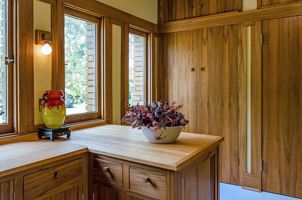
Wichita provided us with the opportunity to visit the Prairie Style home FLW designed for Henry and Elsie Allen. Henry Allen was a newspaper publisher and later became the governor of Kansas.
The Henry J. Allen House is located in the genteel College Hill neighborhood. The construction of the home was completed in 1918. FLW also designed much of the furniture in the home.


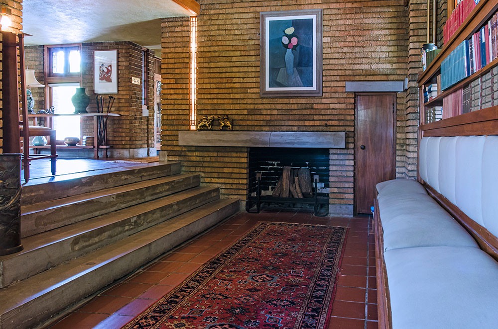

Today the home is maintained and preserved by the non-profit Allen House Foundation. The wonderful photos of the interior are courtesy of the Foundation as interior photography is not allowed.


kansas city, mo (founded 1830, POP. 510,704, ELEV. 909′)
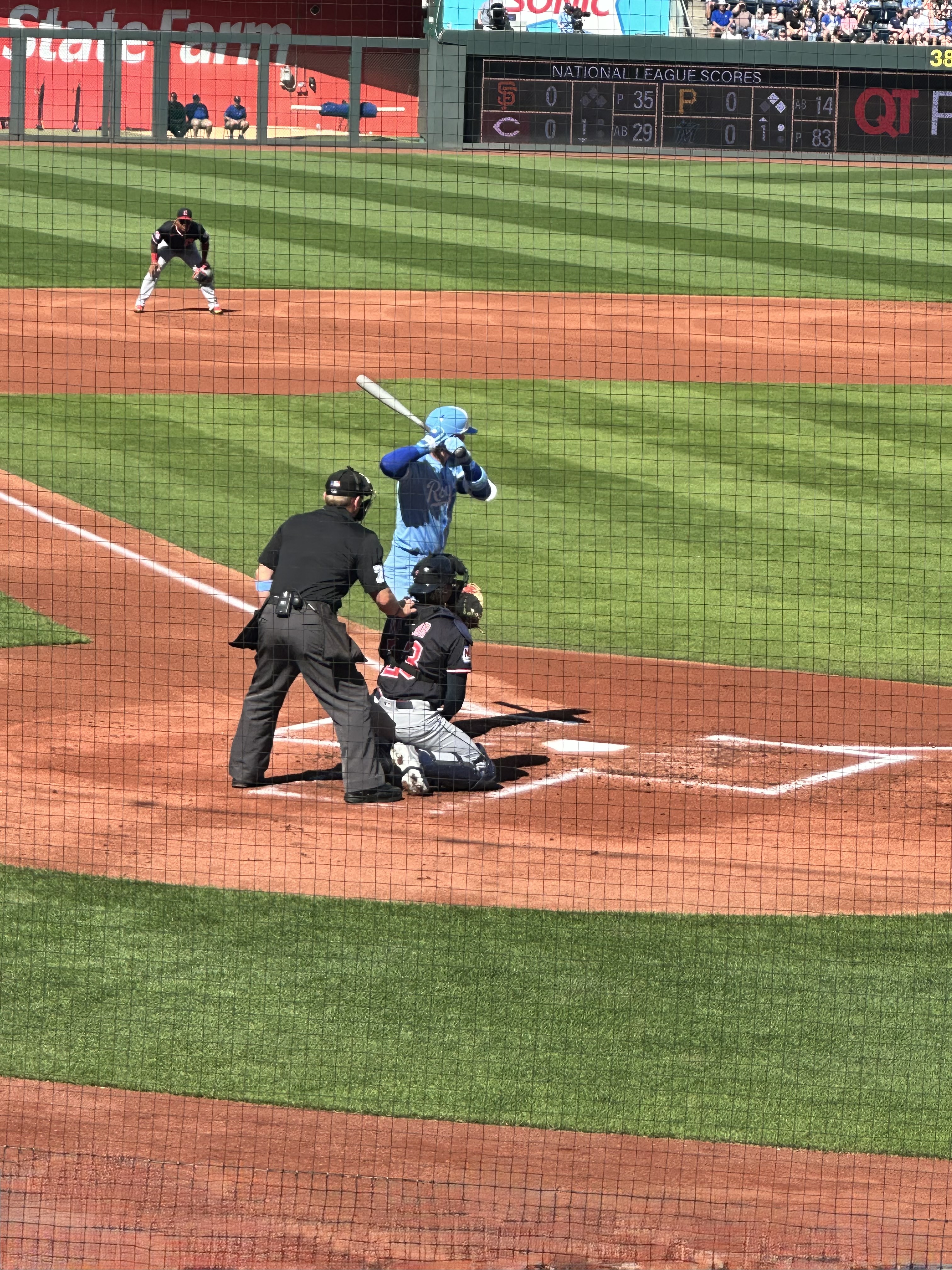
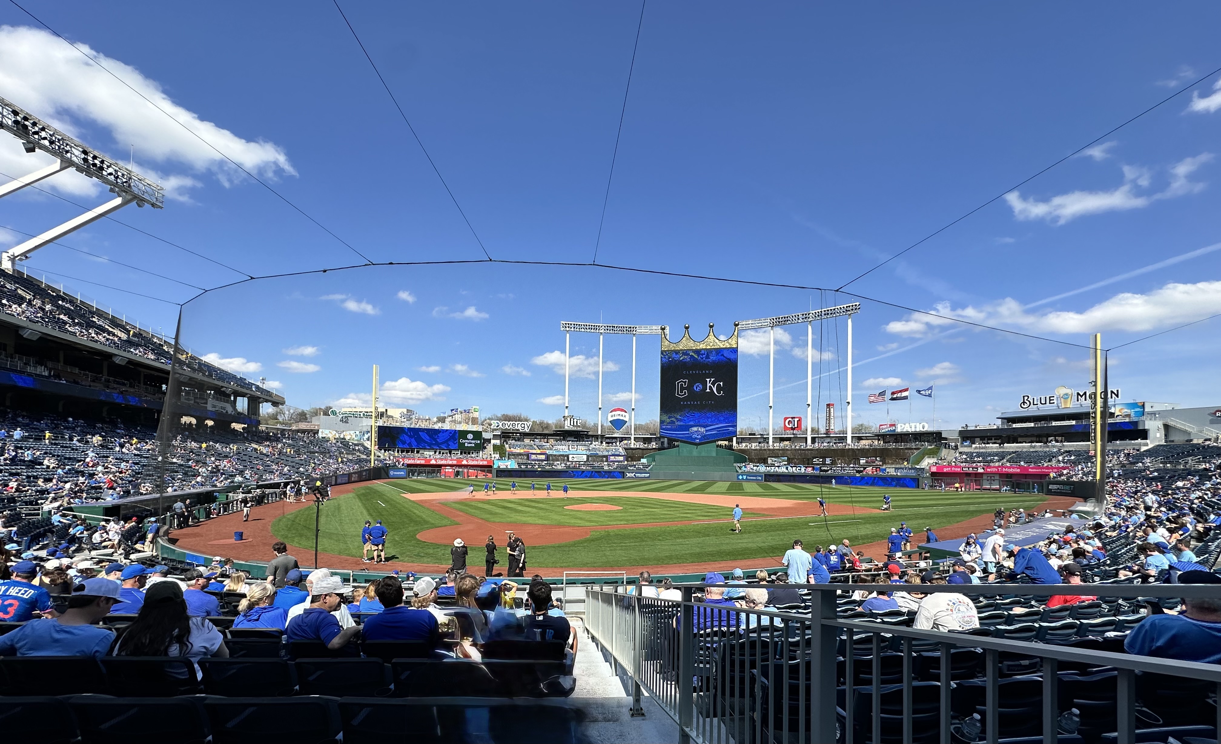
Departing Wichita, we were able to complete another section of U.S. Highway 50 (Atlantic to Pacific) as we cruised east to our next stop in Kansas City (Missouri). Our timing was such that we were able to stay overnight in Kansas City, poke around the city a bit and catch a KC Royals baseball game. The weather was perfect as well, making for a great late afternoon game at Kaufman Stadium.

We had great seats at “the K” and the Royals treated us to a nifty 4-3 come from behind win against the Cleveland Guardians. Now that is Mid-Western hospitality at it’s finest!


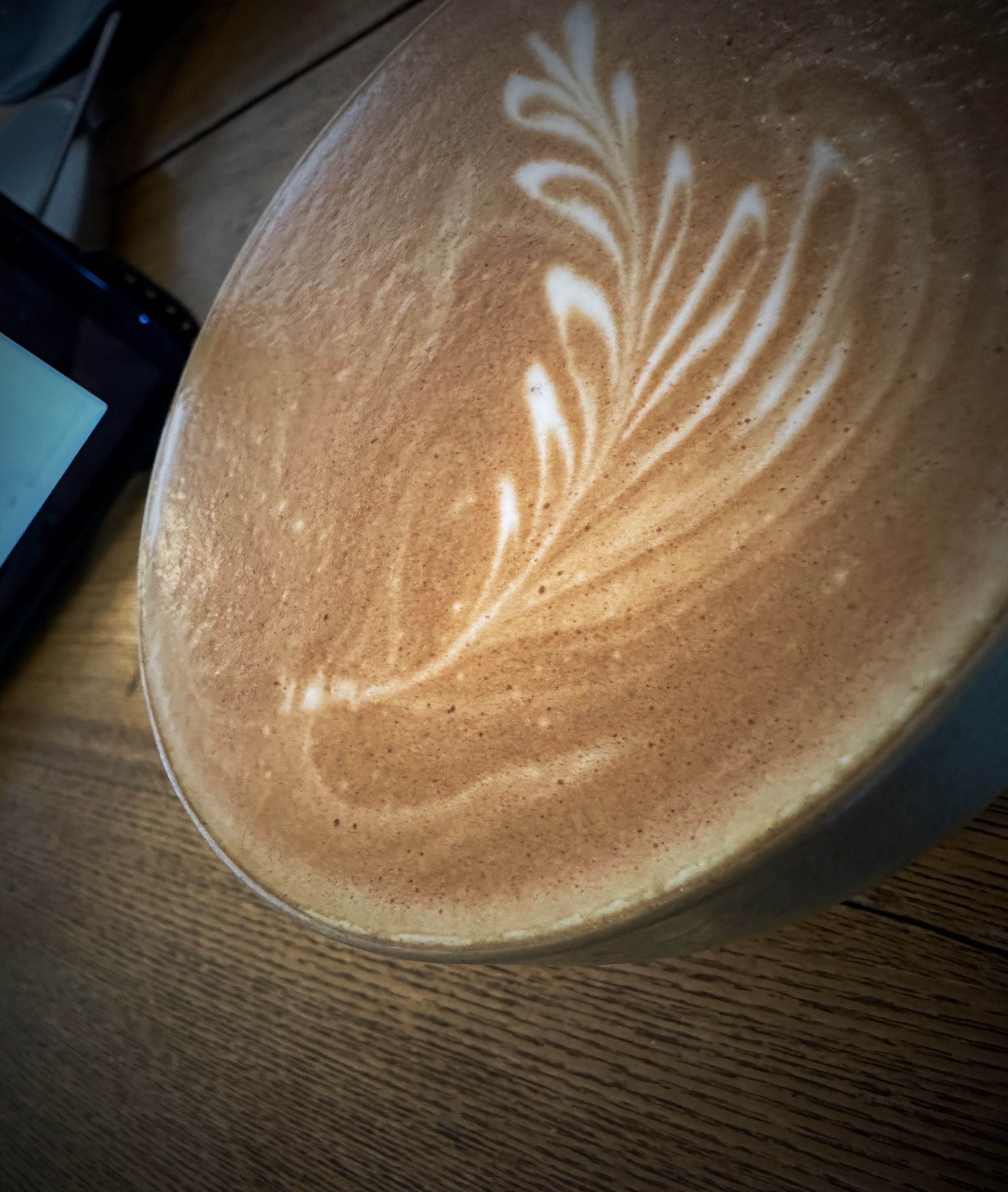
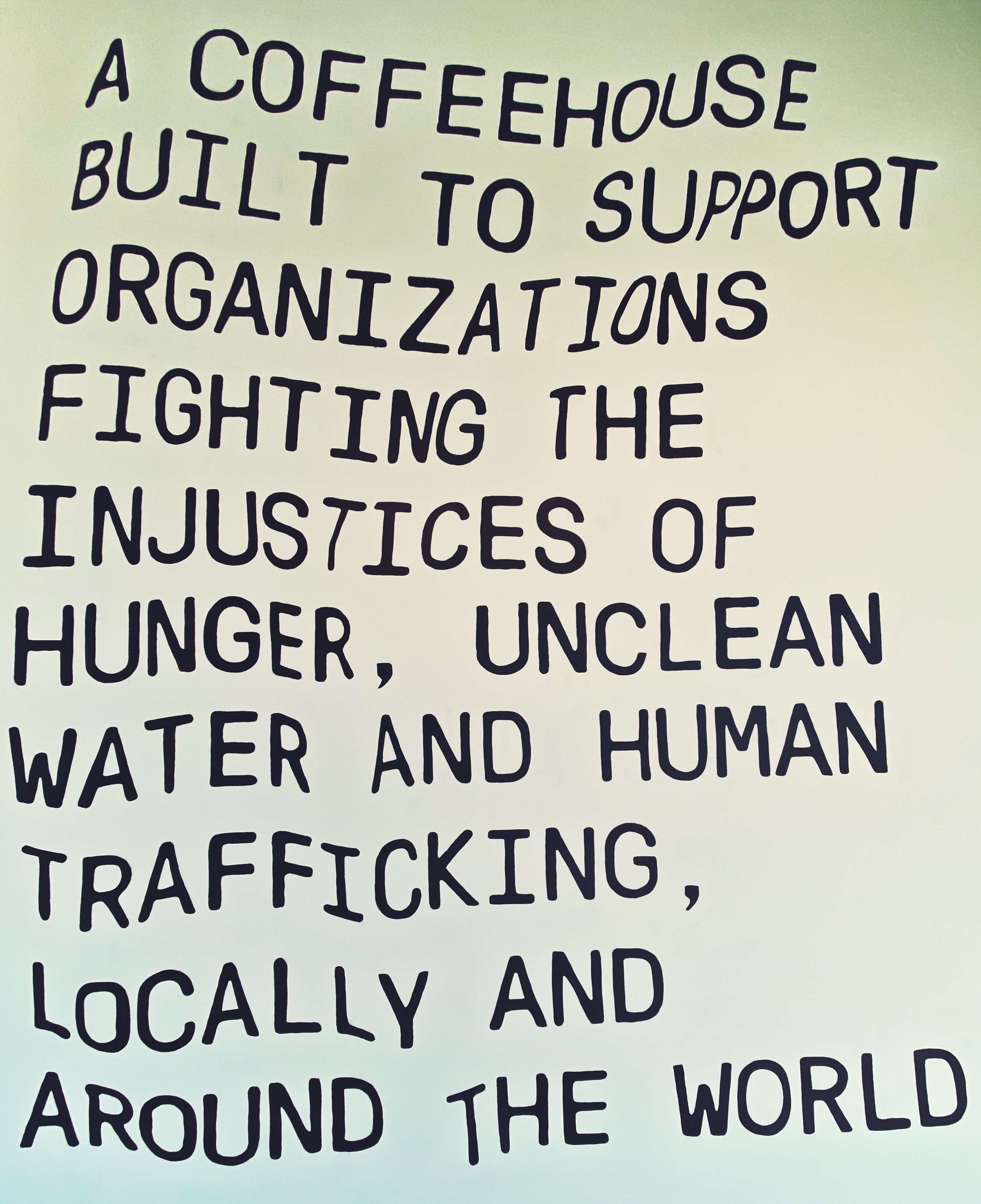
We were very much looking forward to our first visit to the iconic Messenger Coffee location in downtown KC. The situation was a bit chaotic during our first visit as there was a large anti-Trump rally underway (and protesters need caffeine)!

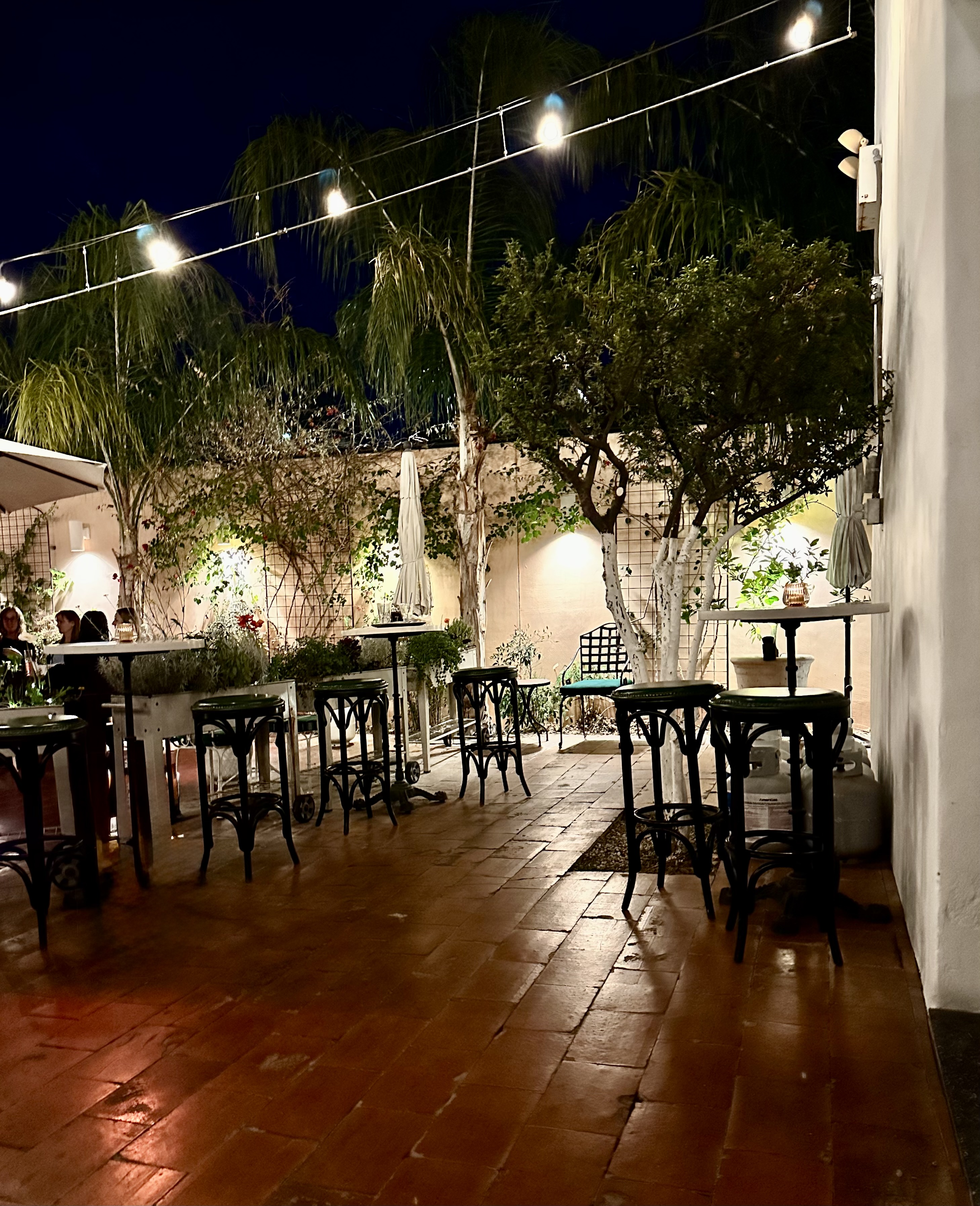
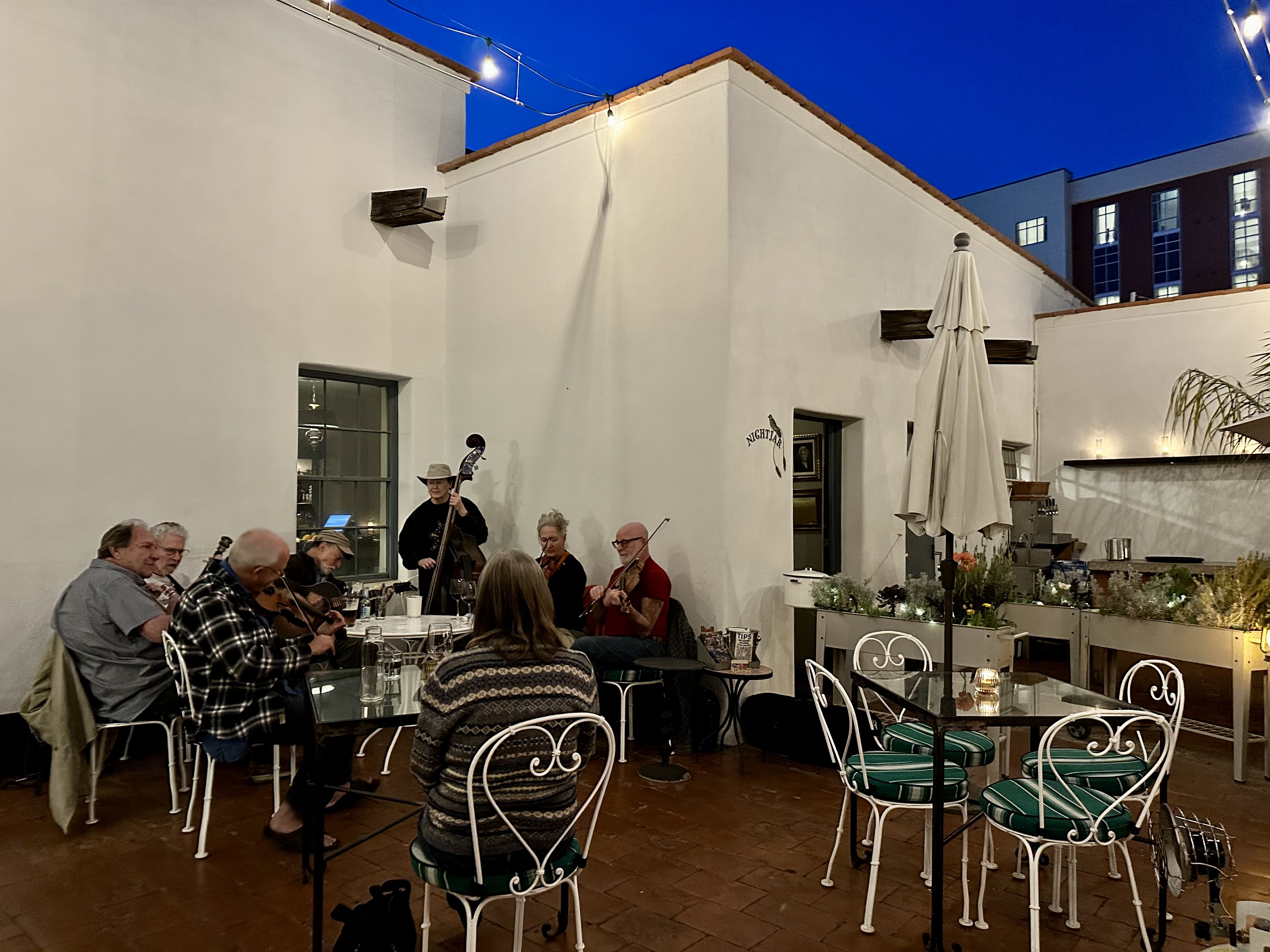
Fika at Messenger Coffee did not disappoint despite the hoards of protesters and regulars. Messenger is partnered with Ibis Bakery. Ibis shares the space with Messenger at the Grand Boulevard location that we visited. The bakery space is open and you can sit at the bar and watch the bakers work their craft. Nifty! P.S. This is our first coffee cafe with a rooftop space (photo below) as best as we can remember (sad).


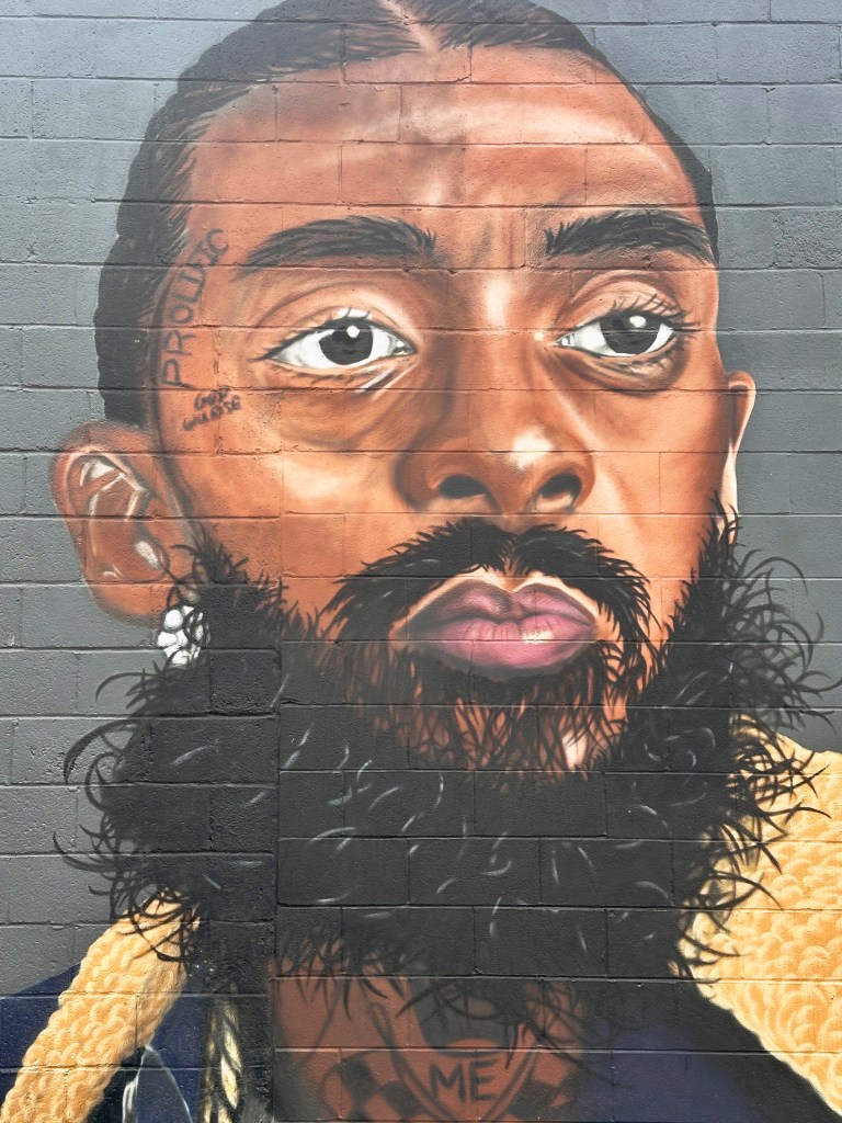
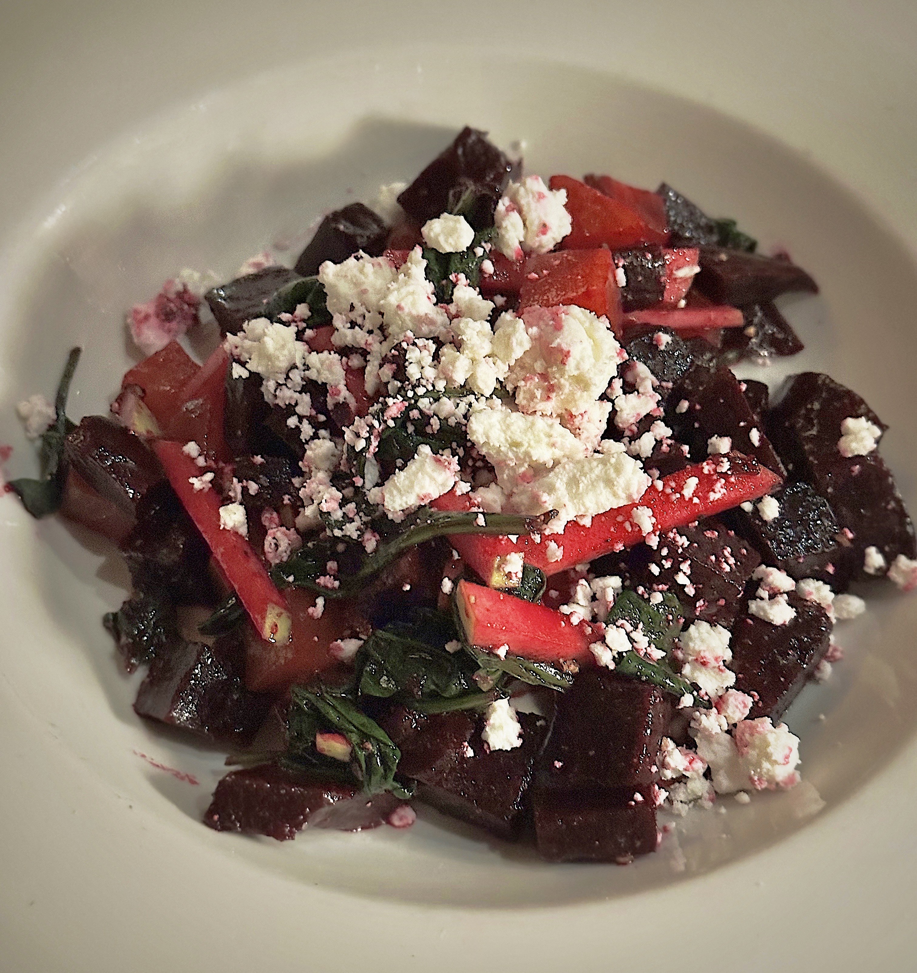
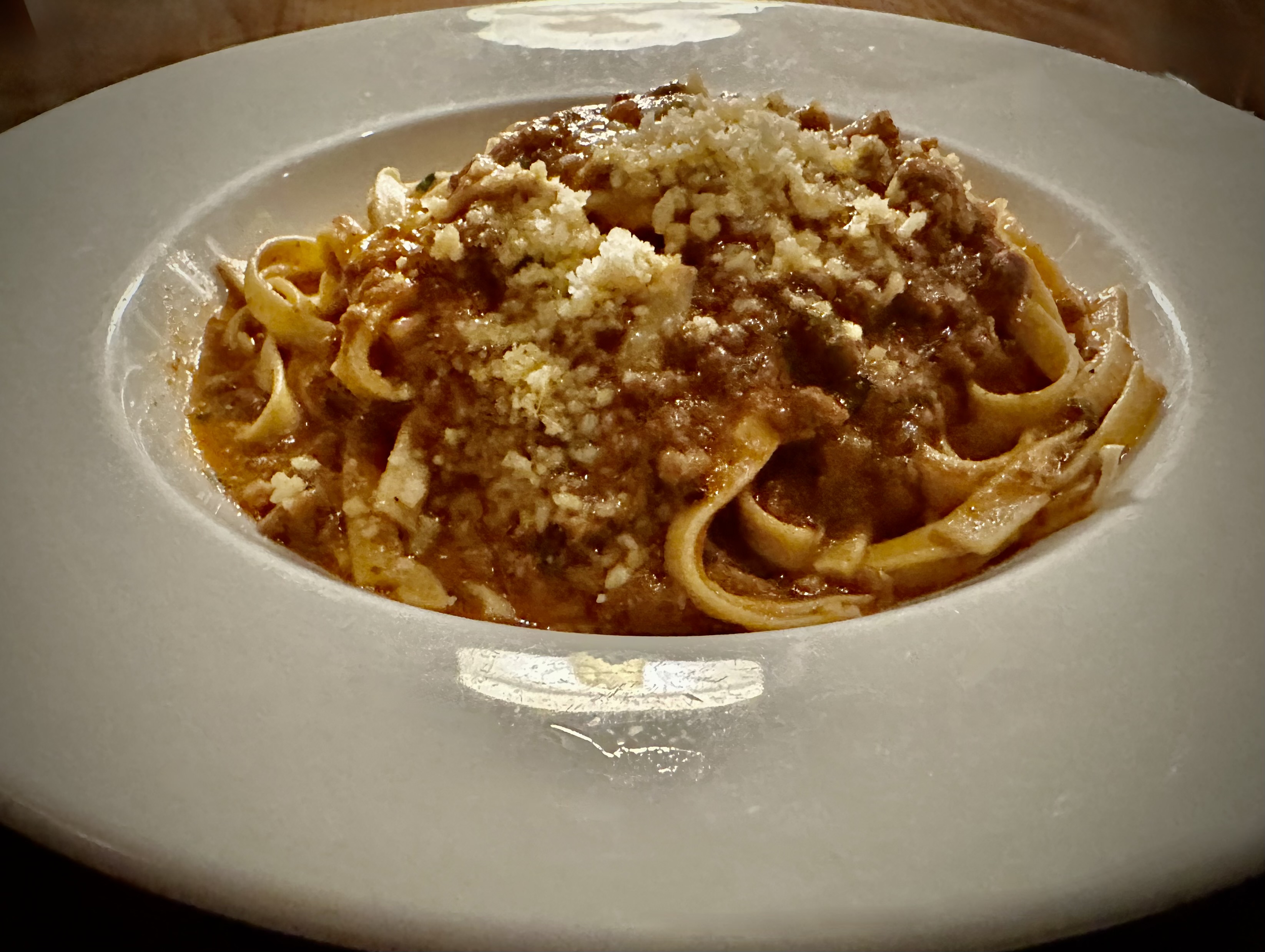
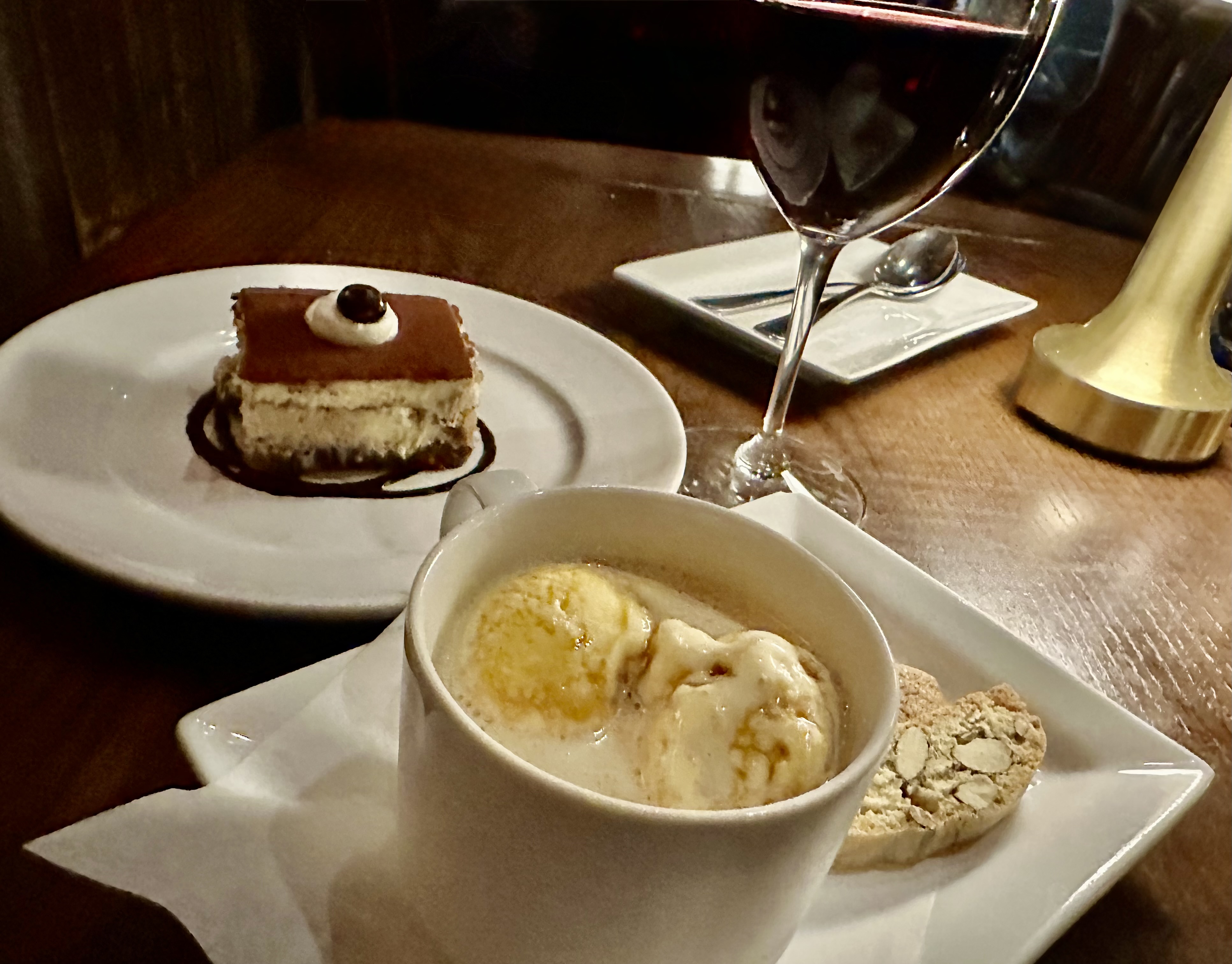
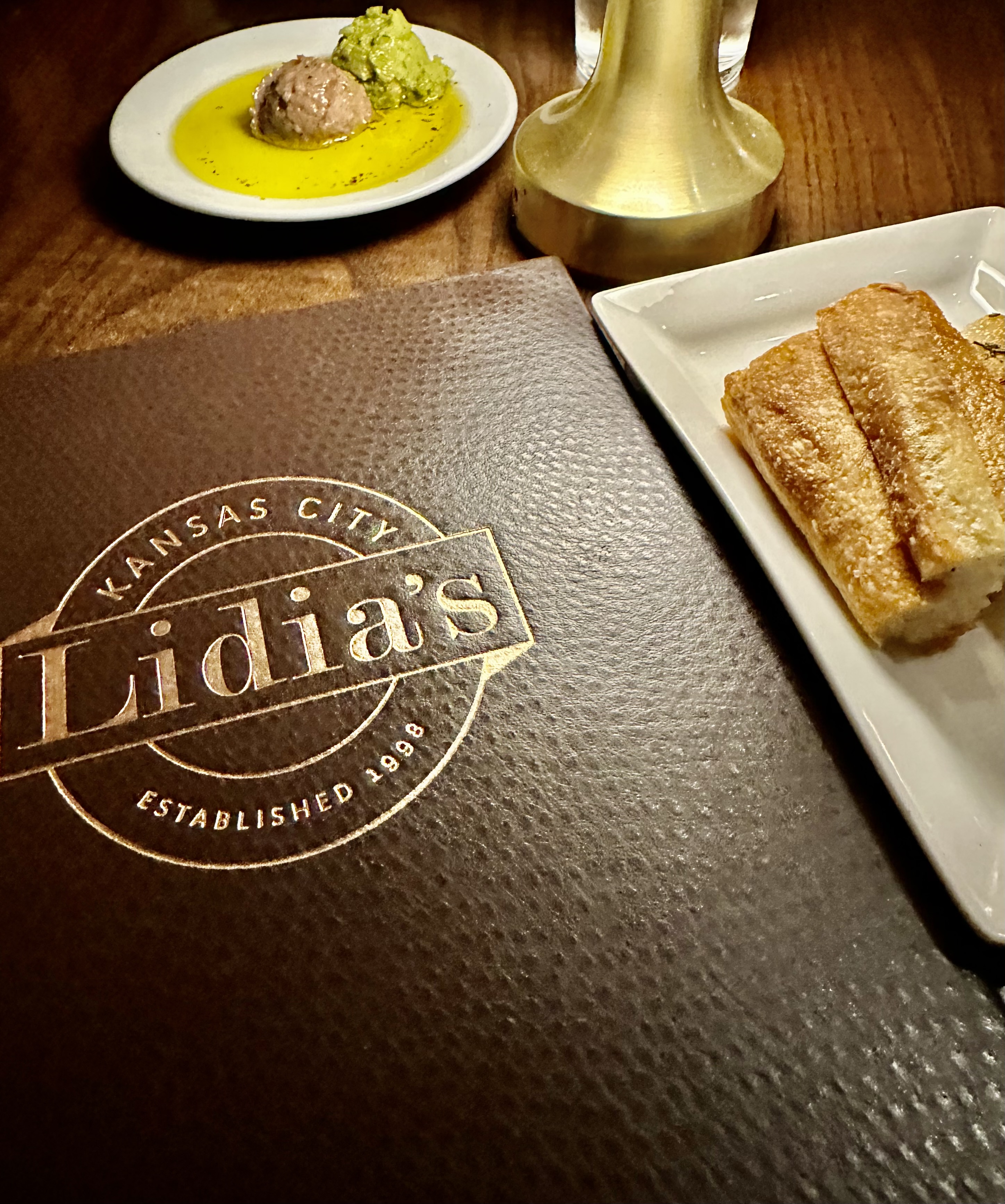
After fika we meandered over to the Crossroads Arts District to check out the street art scene, followed by dinner at Lidia’s Kansas City. Some of our favorites from this pic shoot are below.


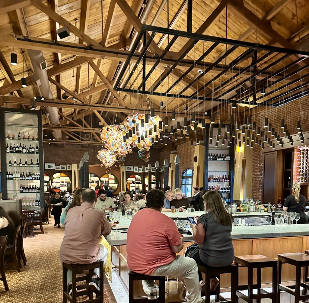
Celebrity chef Lidia Bastianich opened this outpost in 1998 and it is still going strong. We had a fabulous meal with very prompt and professional service even though this very large restaurant was packed. Well done Lidia and team!


Saint Louis, MO (Founded 1764, pop. 281, 754, elev. 466′)
From KC, it was a straight shot across the I70 to St. Louis to spend the night and catch another MLB ballgame. We would like to thank MLB for accommodating our travel schedule so nicely and arranging for good weather for each of our games.

We saw another close, well played game but, unfortunately for the home crowd, the California Angels won the game in ten innings.


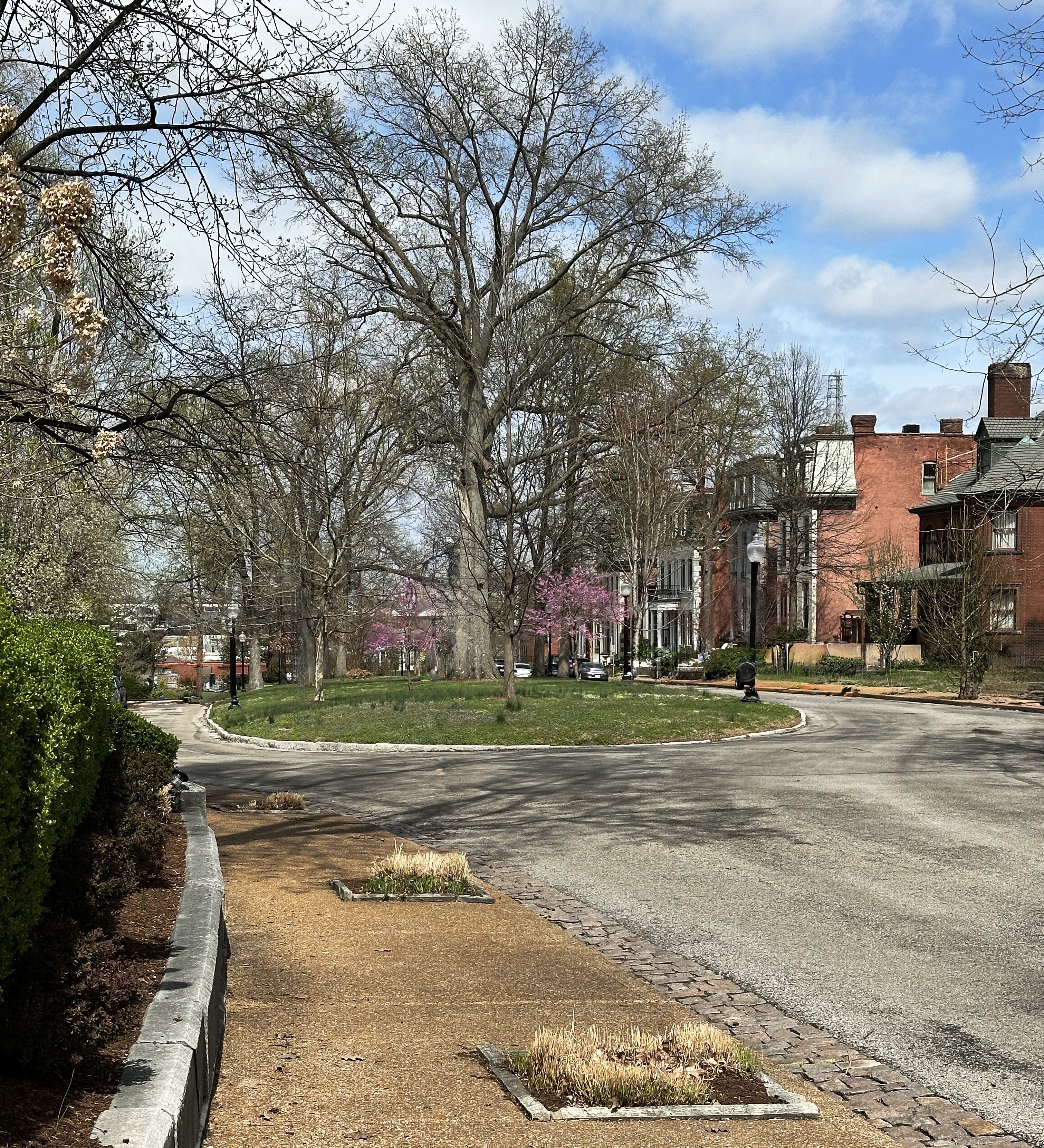
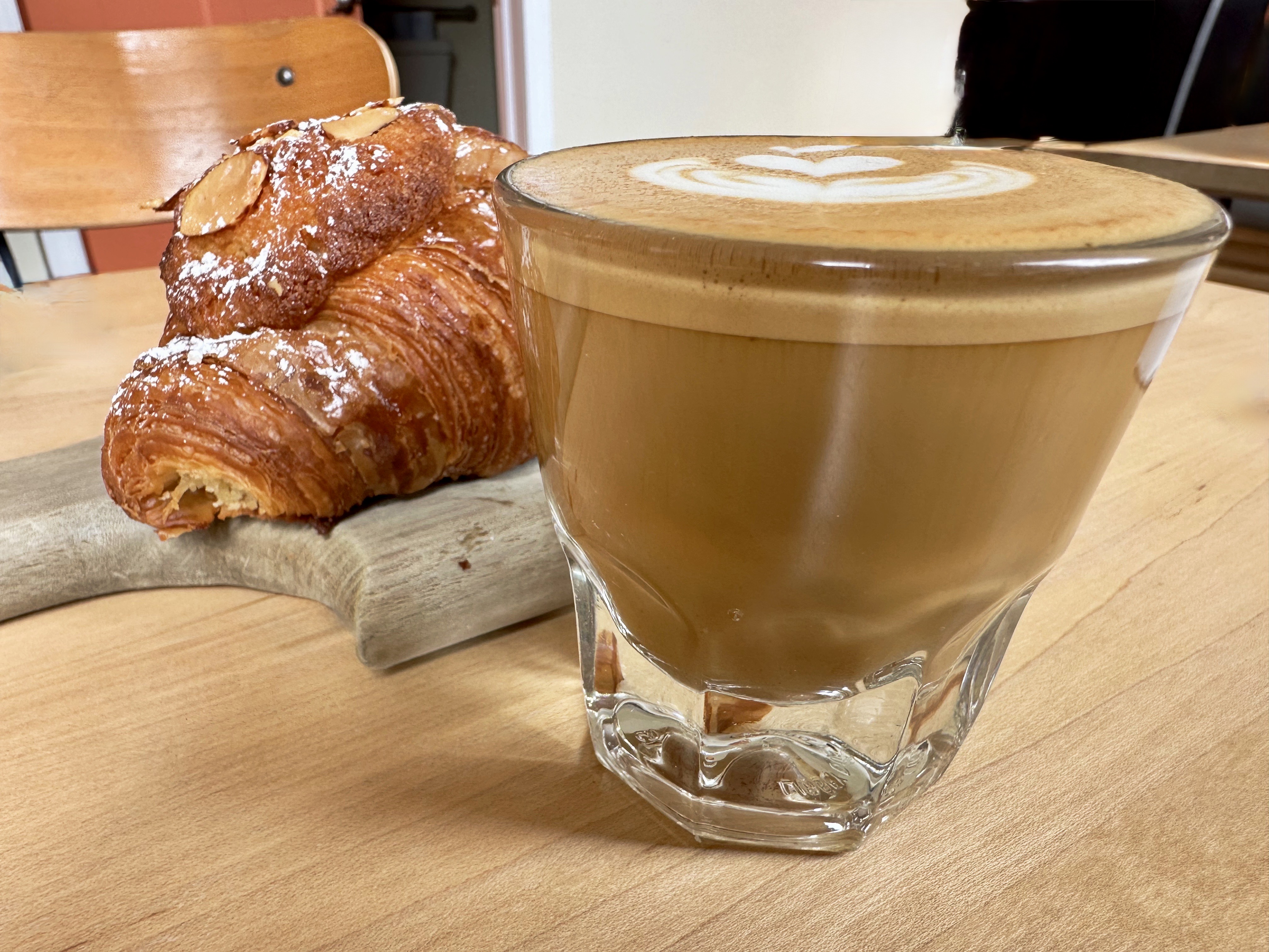
The next morning we found coffee at Coma Coffee Roasters (excellent) in the Richmond Heights area and then drove to the Lafayette Square neighborhood for a self guided walking tour of this historic gem.

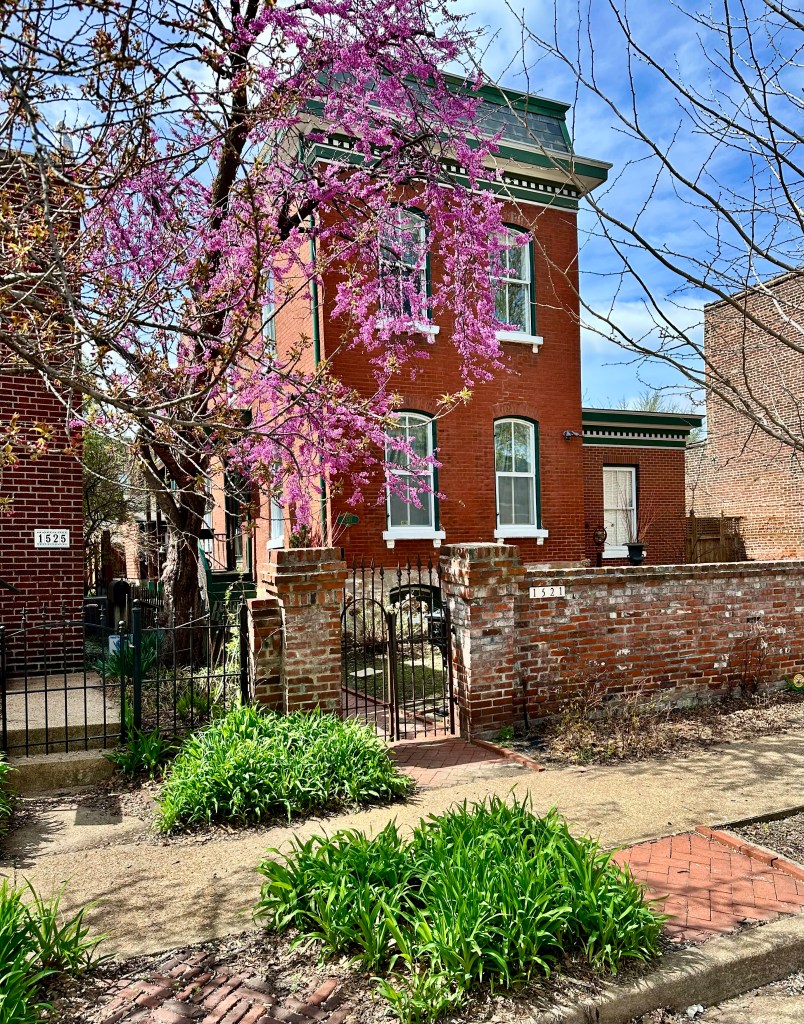
The Lafayette Square neighborhood dates back to the 1860s while the park itself was platted in 1836. The neighborhood has had its ups and downs throughout the years. The neighborhood was rescued during the 1960s by a group of citizens committed to preserving the park and the surrounding neighborhood. Today the neighborhood is home to dozens of meticulously restored Victorian residences and a number of small shops and eateries.


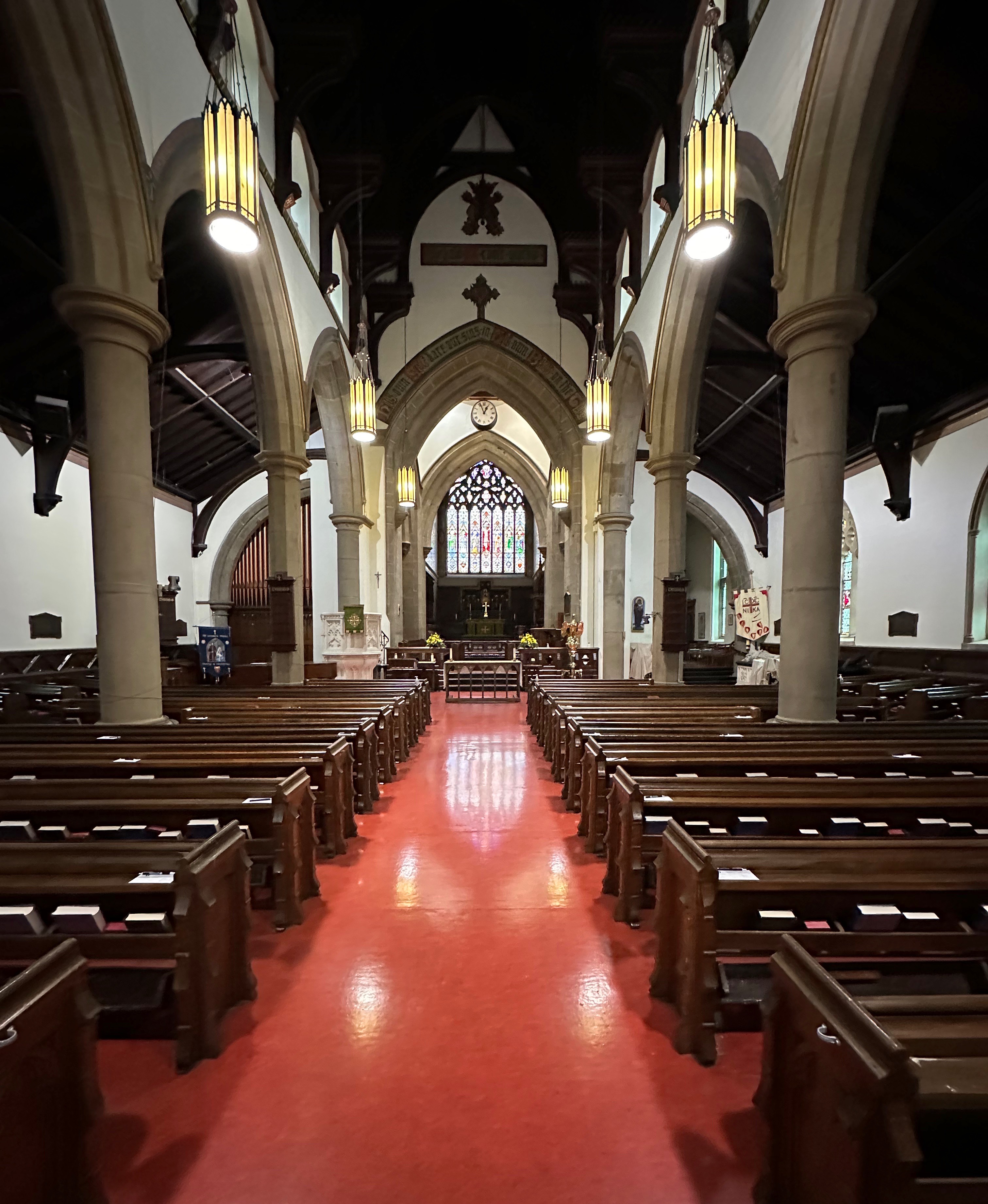
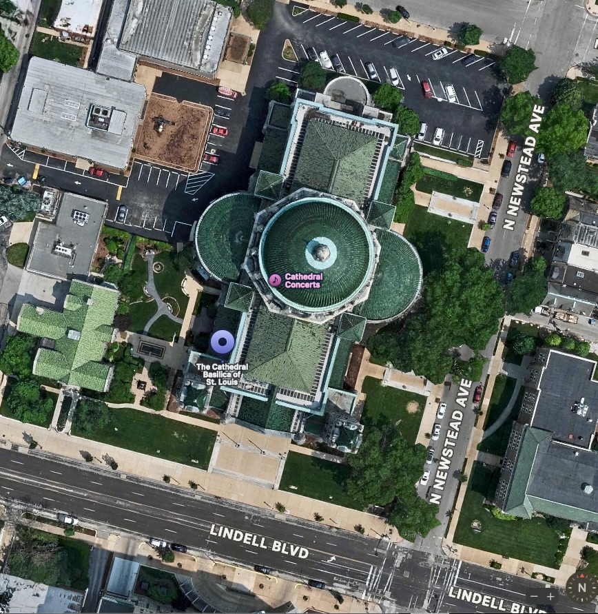
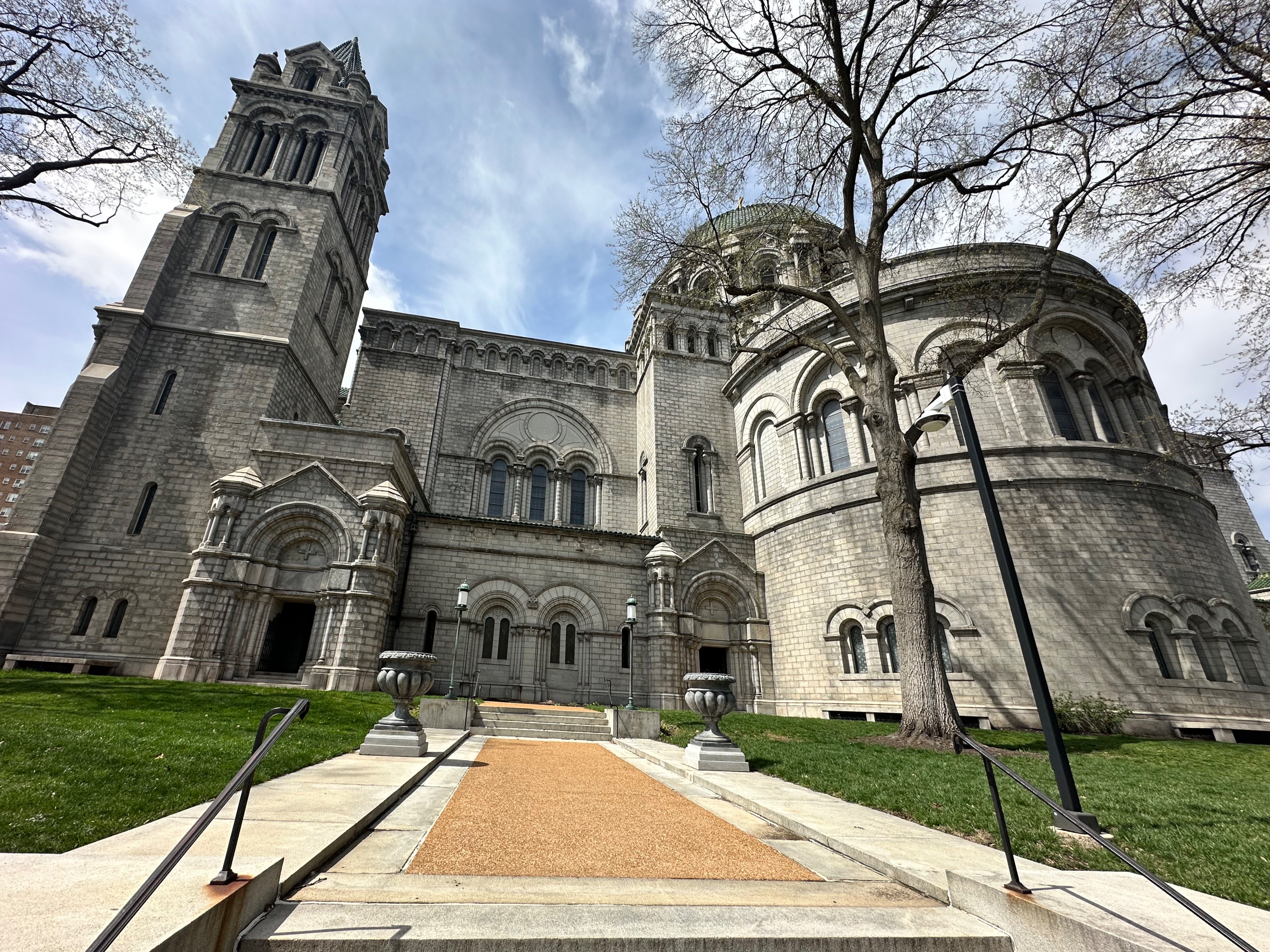
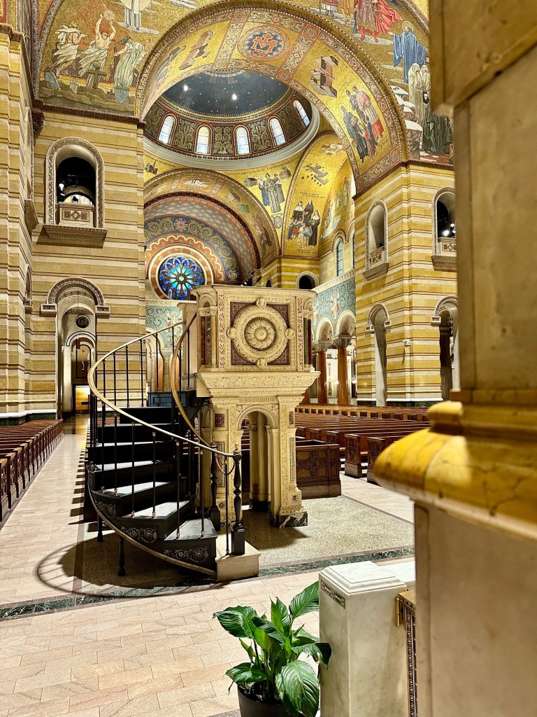
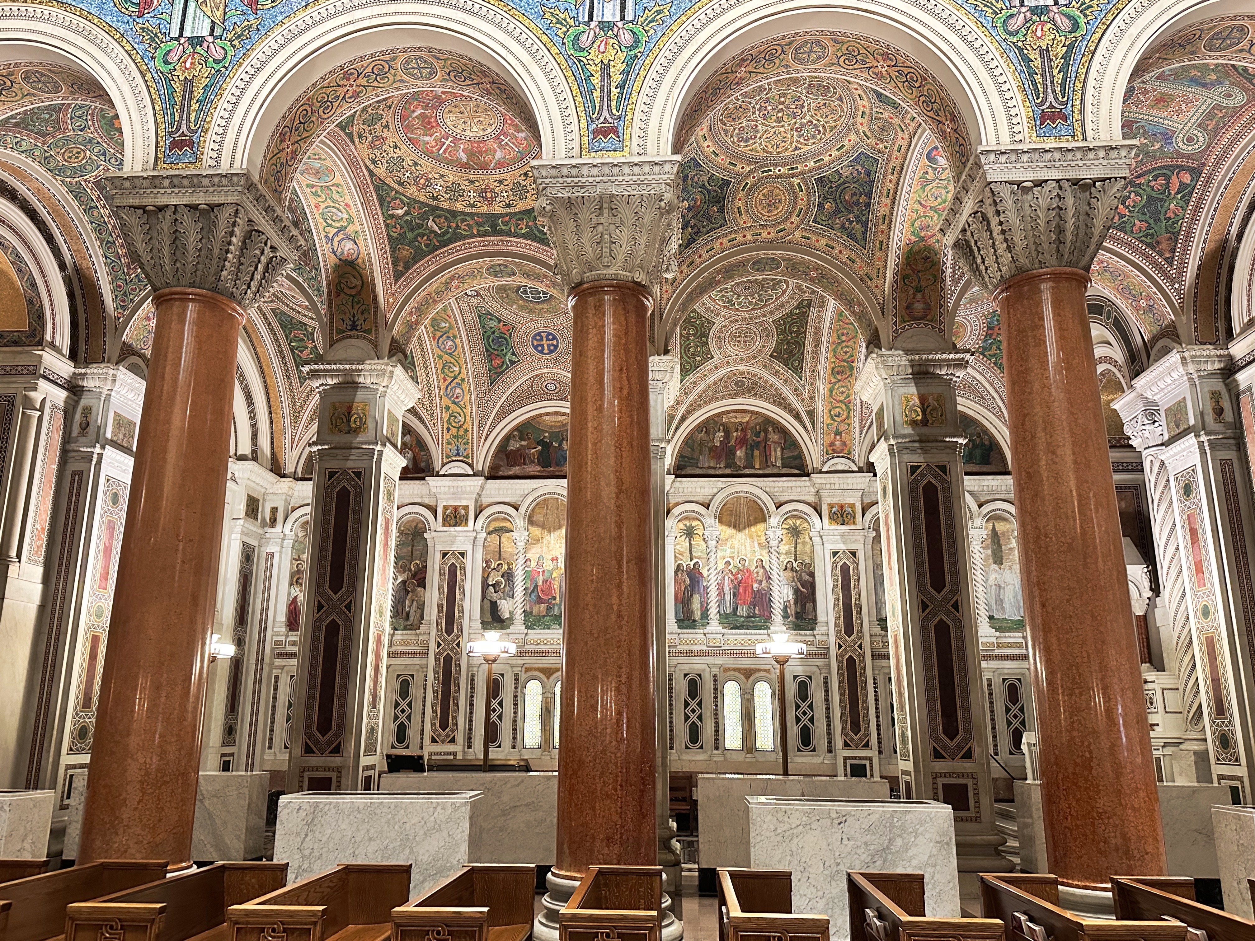
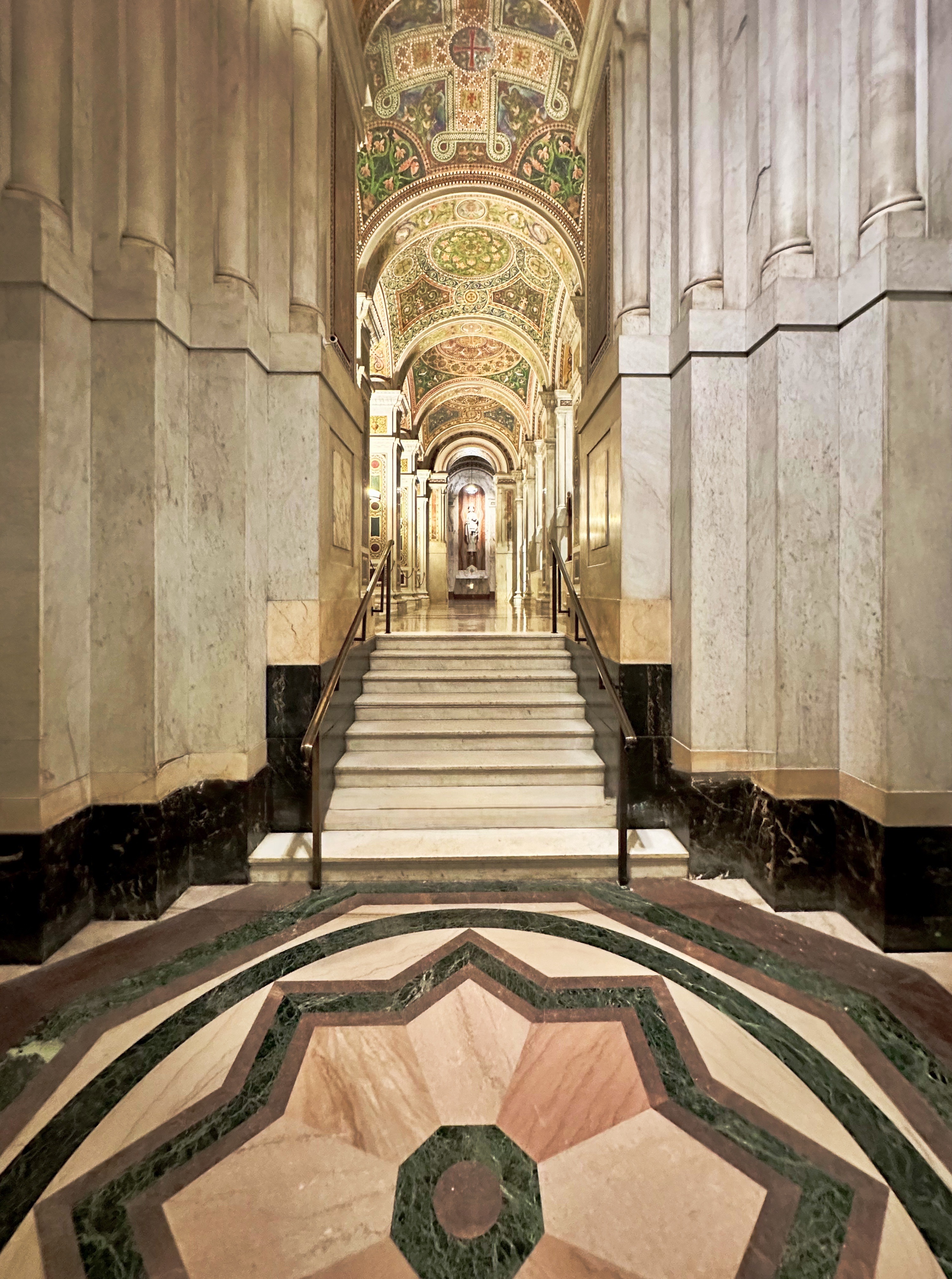
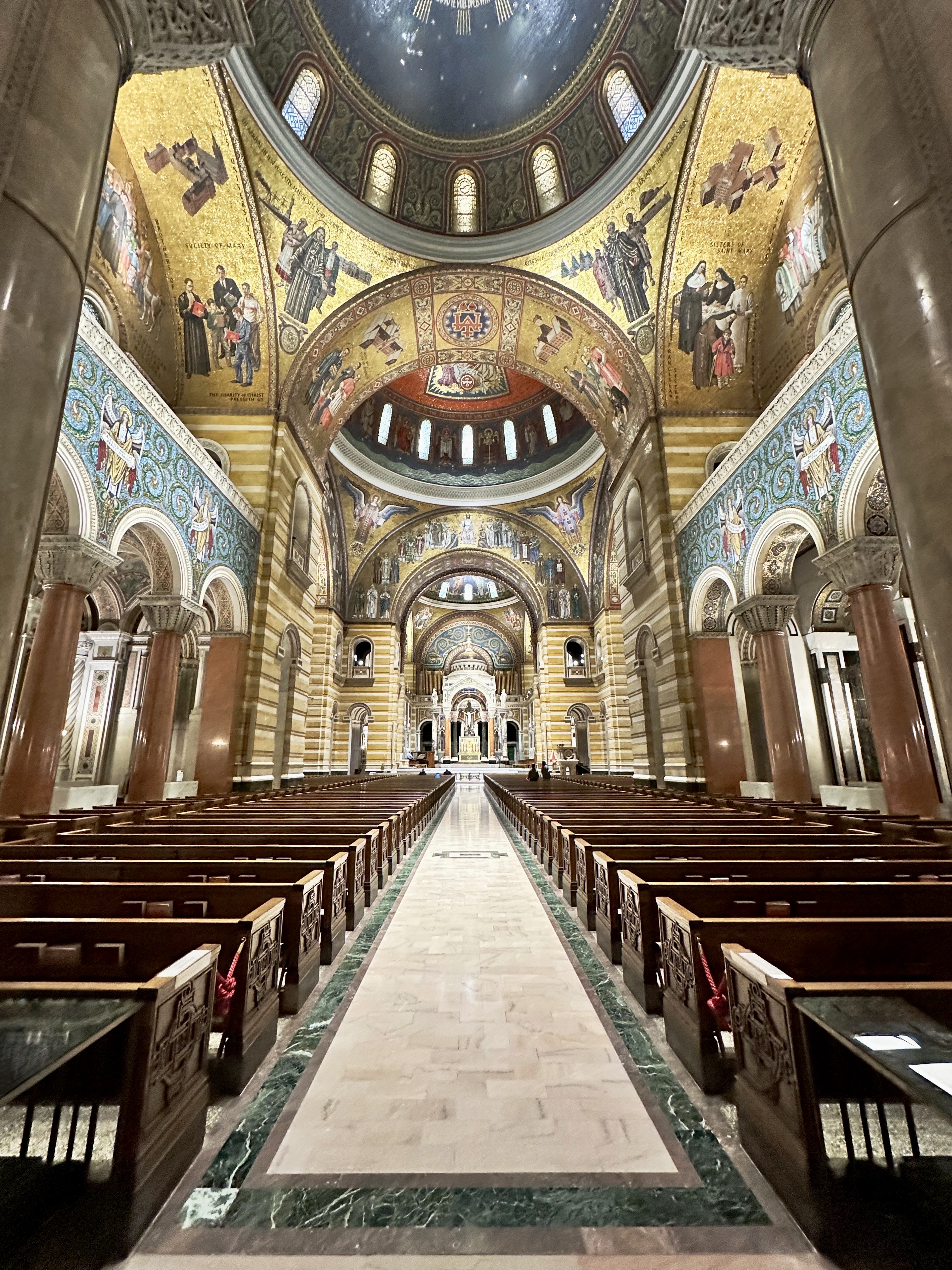
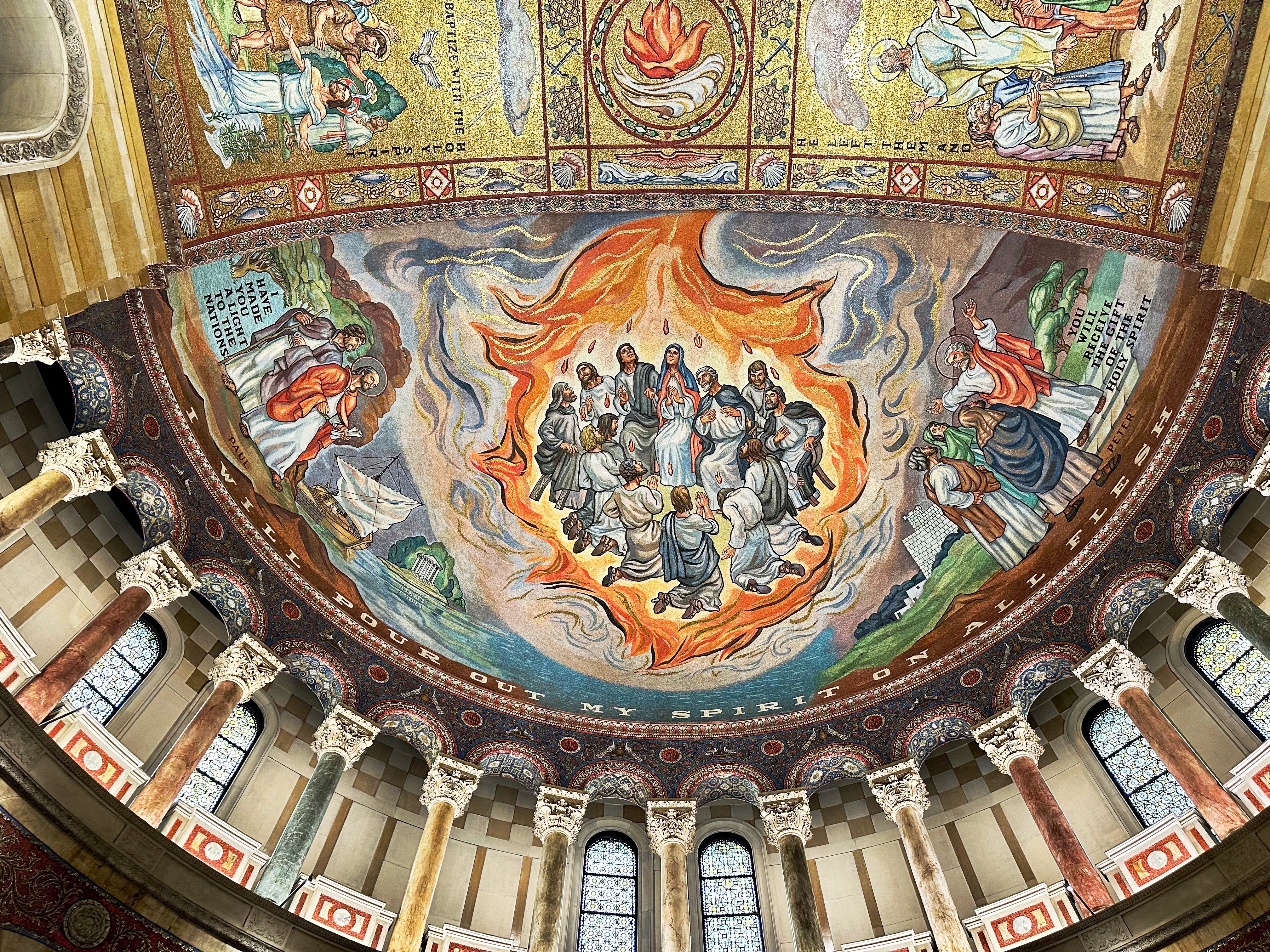
After our walking tour of the Lafayette Square neighborhood we paid a visit to the Cathedral Basilica of Saint Louis.The cathedral’s Romanesque exterior is an imposing structure. The dome is impressive from the outside but even more so from the interior where it reaches upward for 143 feet from the floor. We personally think the monochromatic exterior diminishes the “curb appeal” a tad.
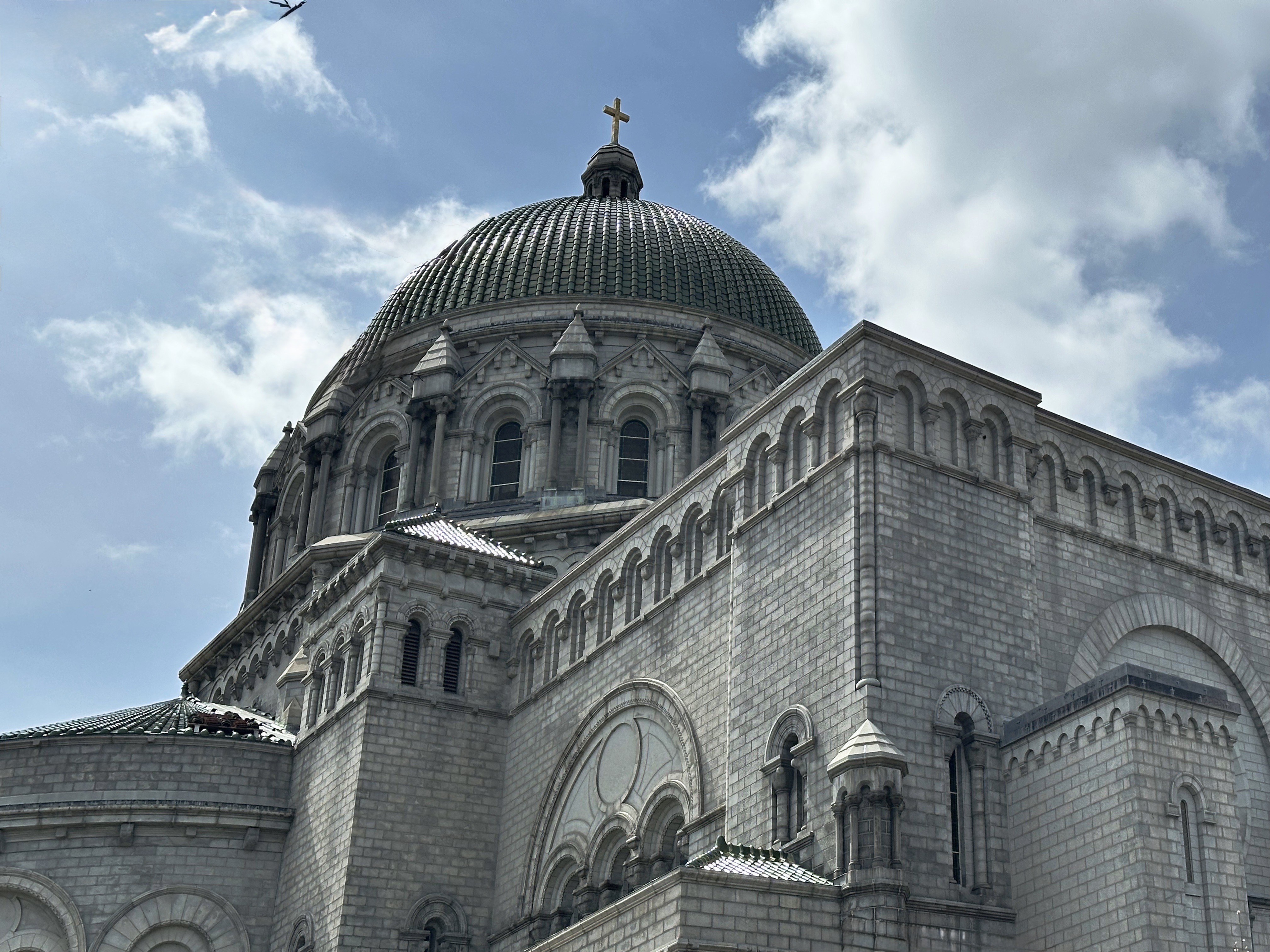

The Byzantine style interior, on the other hand, is spectacular. The mosaics that adorn the interior were completed in 1988 after 76 years of work by 20 different artists! The cathedral was designated a basilica by Pope John Paul II in recognition of the stunning beauty of the interior. If you are a fan of church architecture and art work this is a good visit. You can find detailed information regarding cathedral history, tours and services in the link embedded in the previous paragraph.


Over-The-Rhine, CINCINNATI, Oh
En route to Columbus we stopped in for coffee and tea at the Collective Espresso located by Ziegler Park (Over-the-Rhine, Cincinnati). This was our first visit to this new location for Collective Espresso and we were quite pleased with the product and the barista. After our fika session at Collective, we took a walkabout in the immediate neighborhood to check out the progress the city is making in revitalizing the Over-the-Rhine district of the city (see our previous post). Fortunately, many of the architecturally significant buildings were not demolished and many have been beautifully restored.


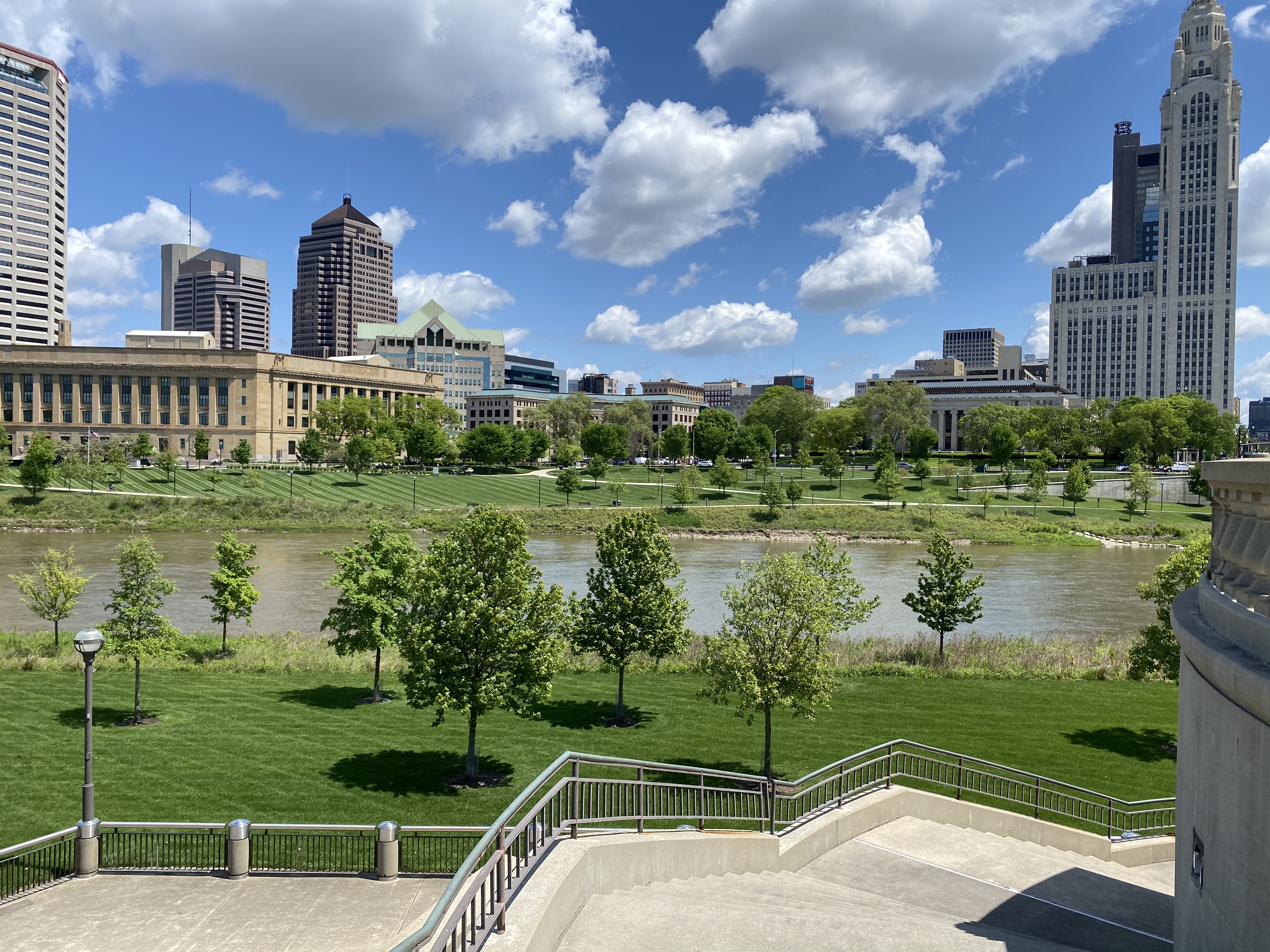
Columbus, ohio (Founded 1812, pop. 915,427, elev. 902)
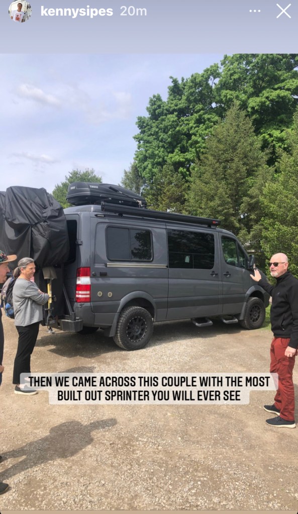
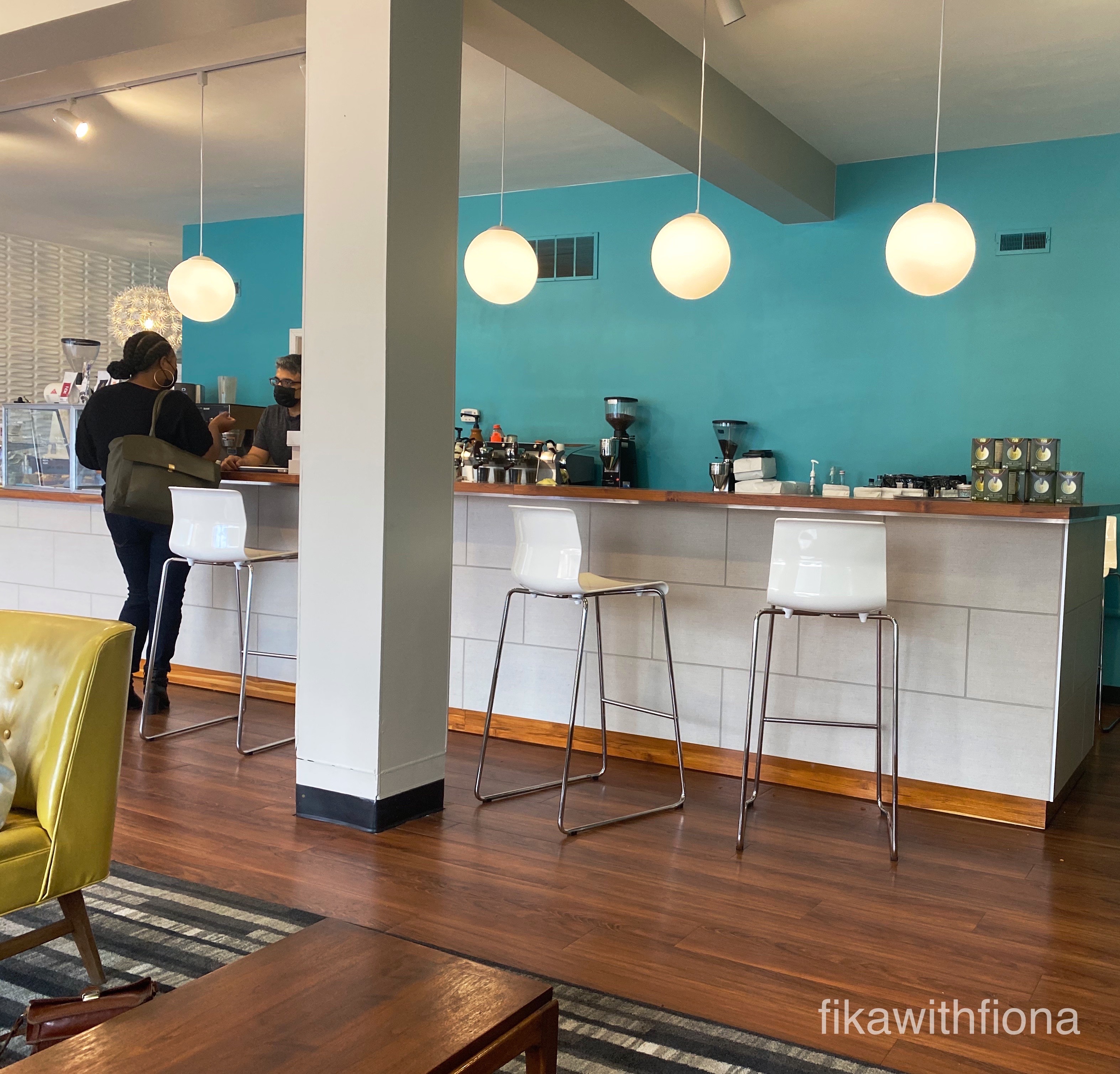
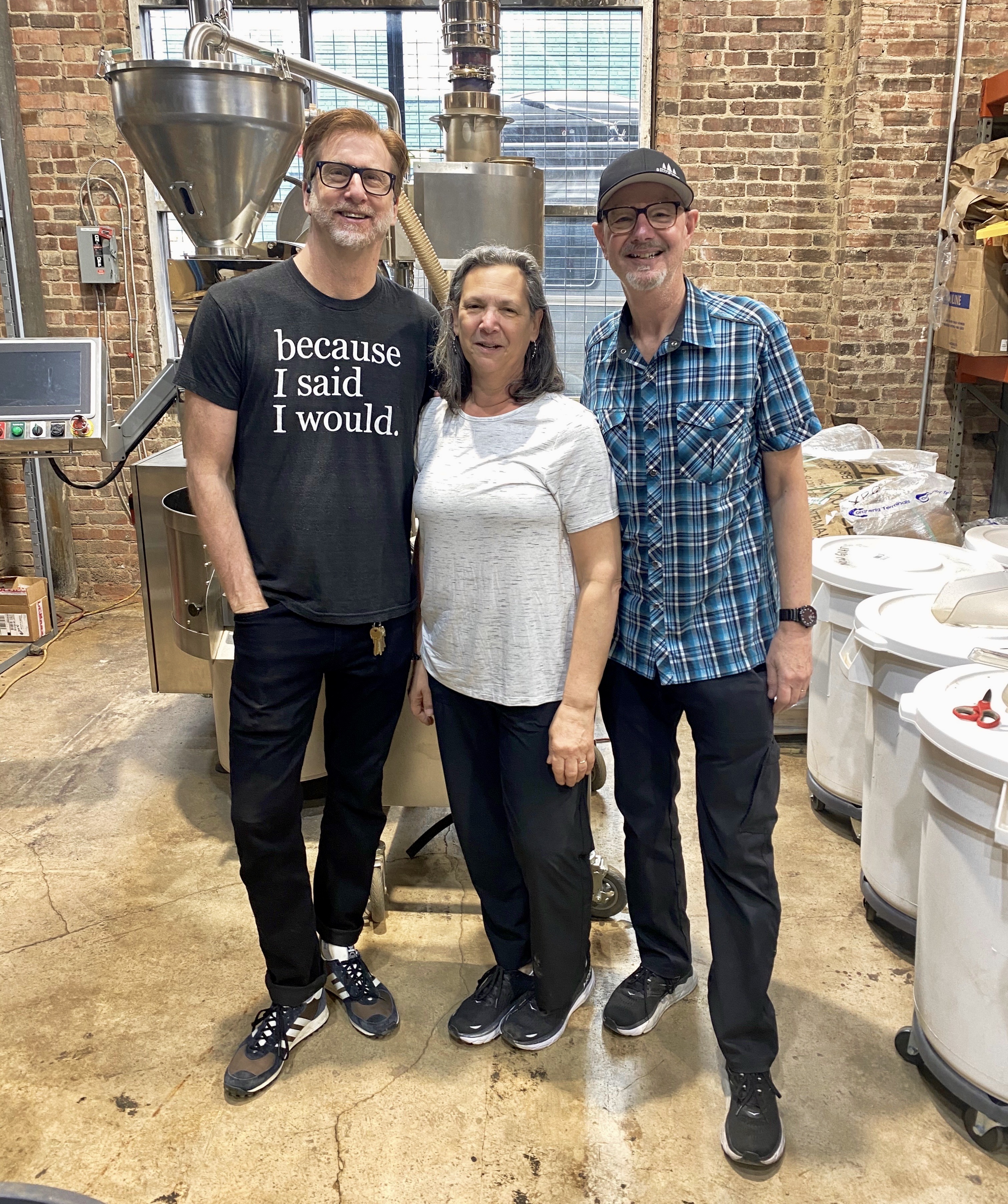
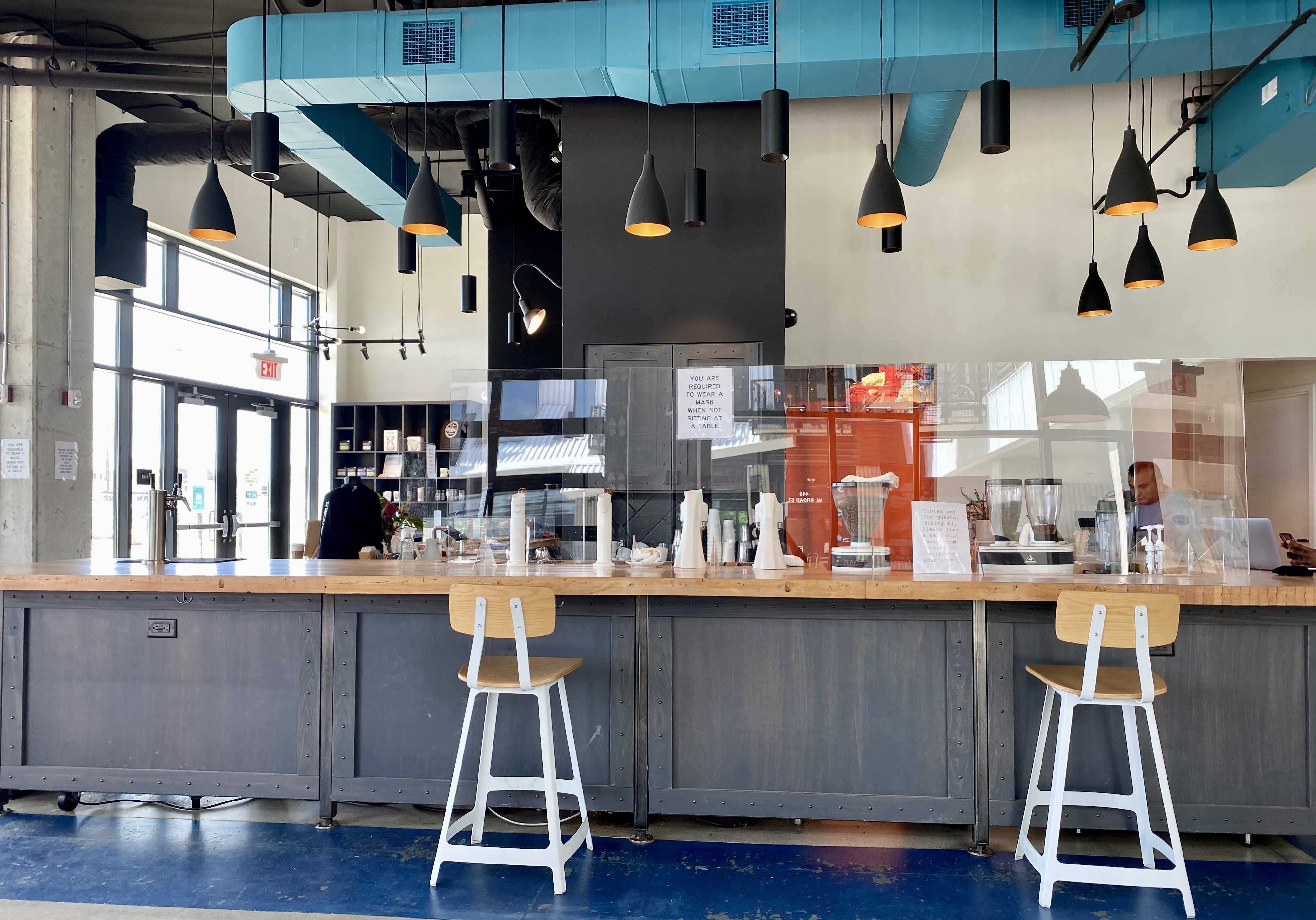
Departing Cincinnati we turned north to Columbus to attend a Columbus Clippers AAA game that evening and visit with our friend Kenny Sipes at Roosevelt Coffeehouse the next morning.
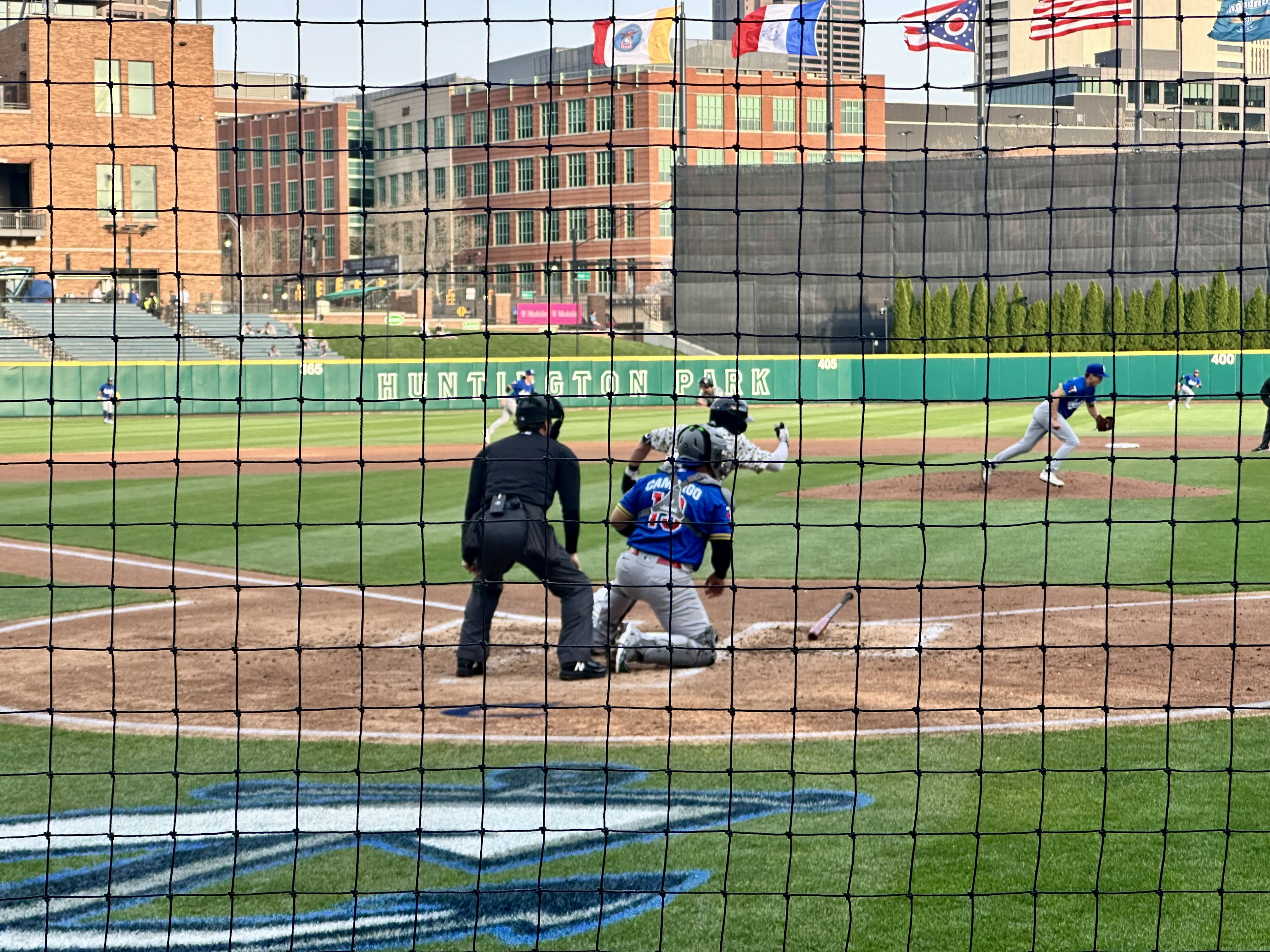


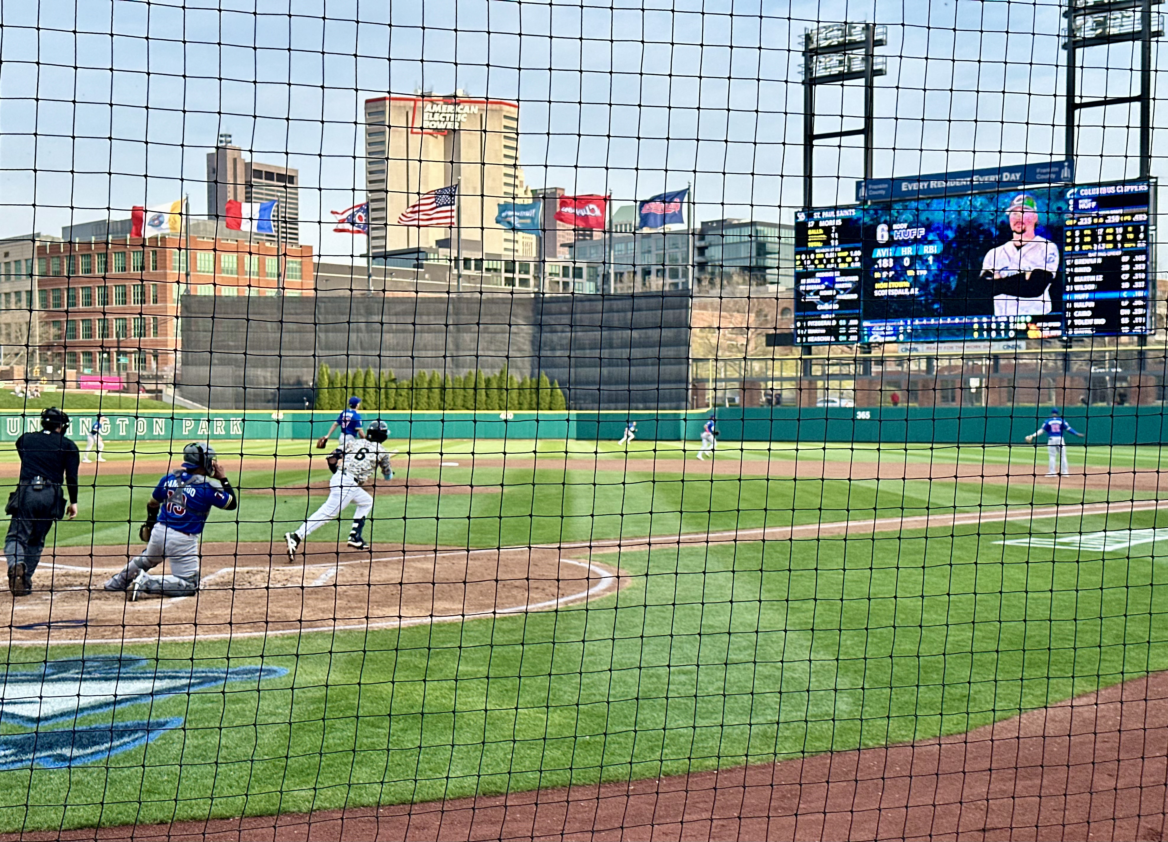

We are pleased to report that the Clippers were in fine form as was Kenny and the Roosevelt Coffeehouse crew.

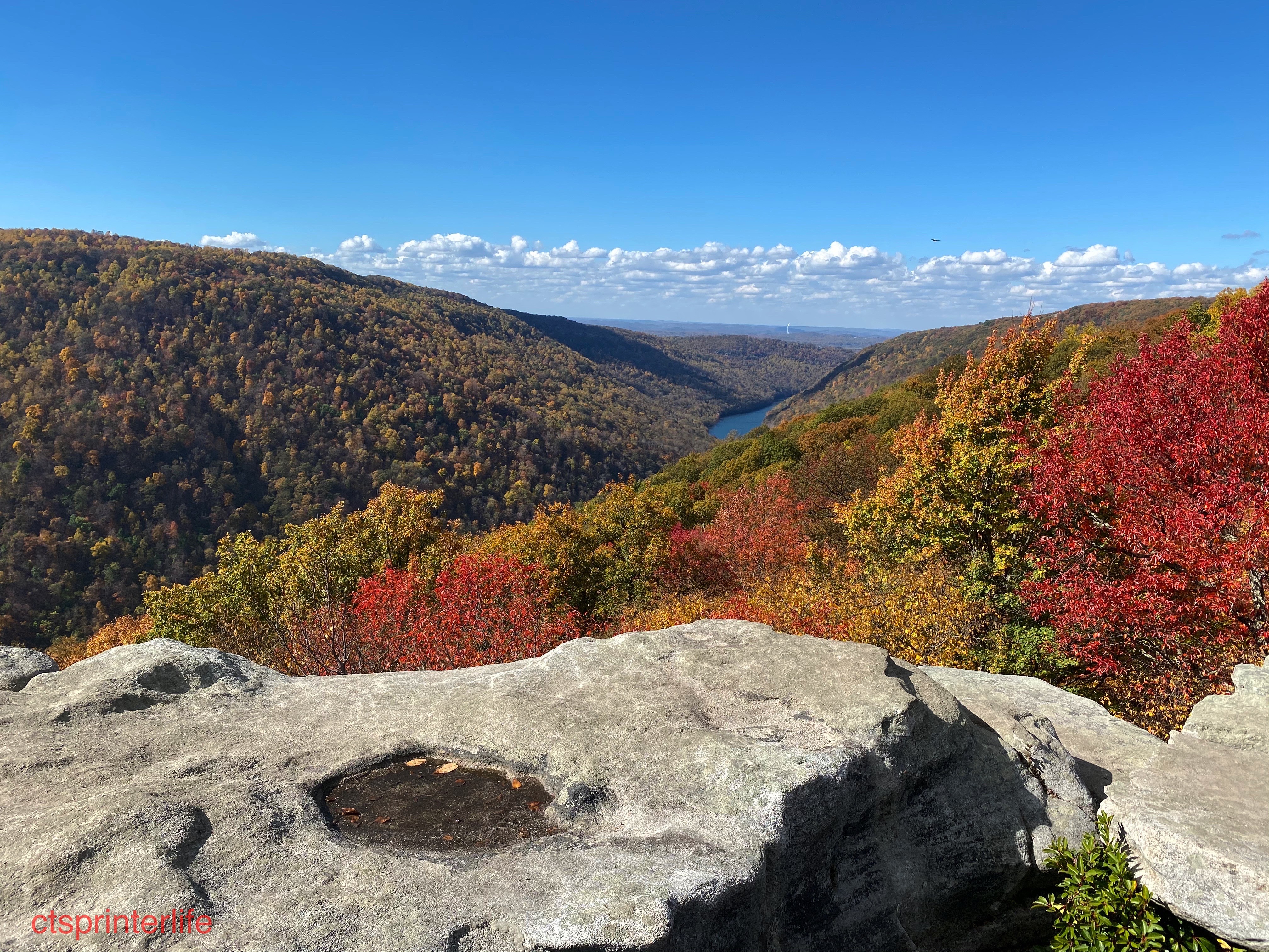
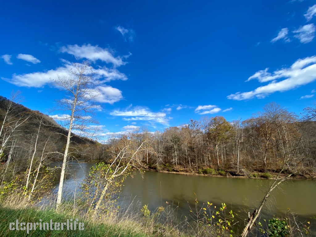
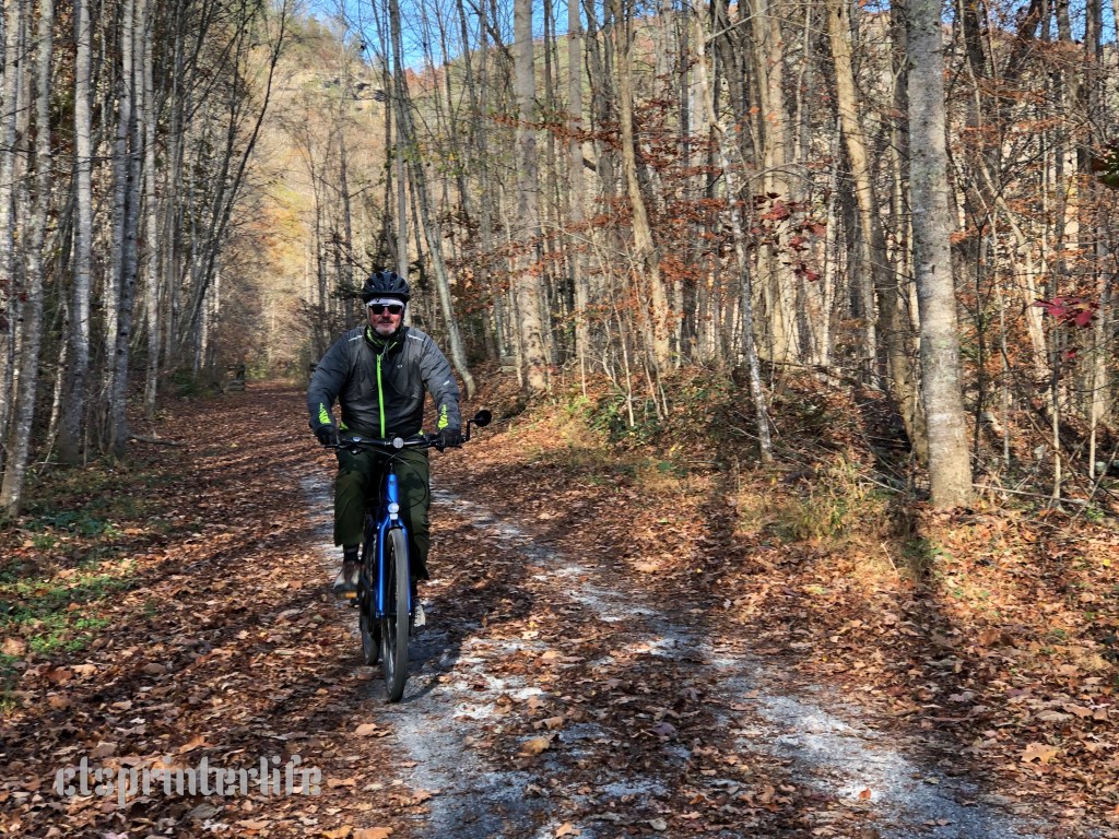
After our visit with Kenny we motored to Dubois, Pennsylvania where we stopped for the evening. On Friday 4 April we arrived at the Fort, marking the completion of OTR 11.0 – The Never Better Tour. Thanks for following along.
Be seeing you!