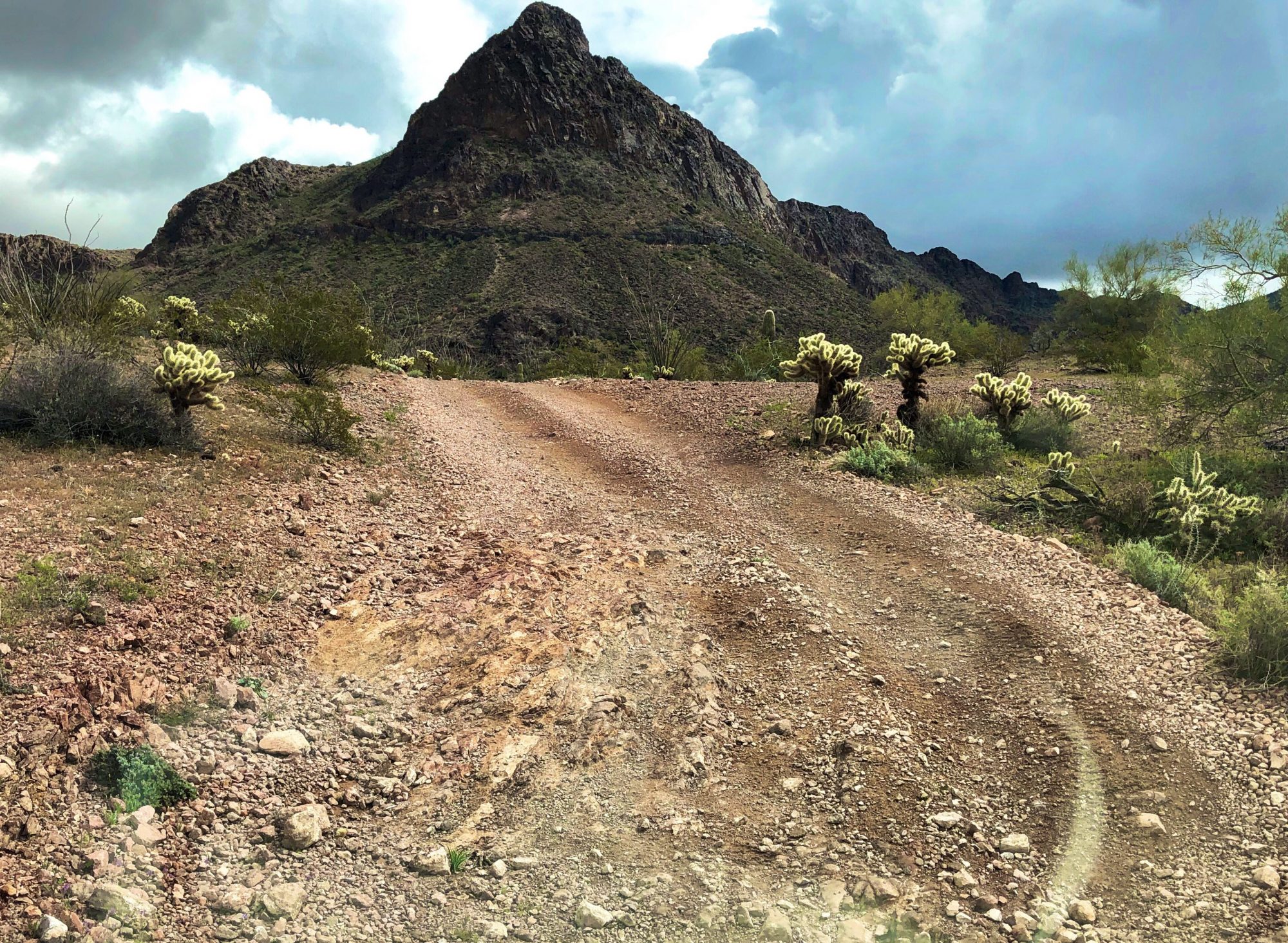


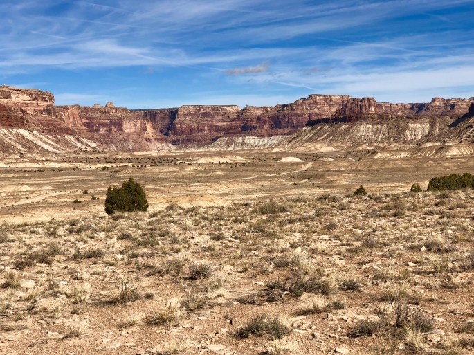
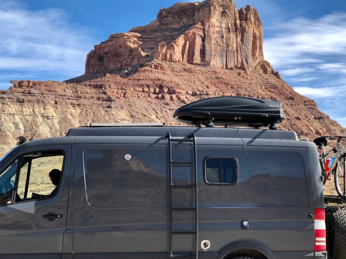
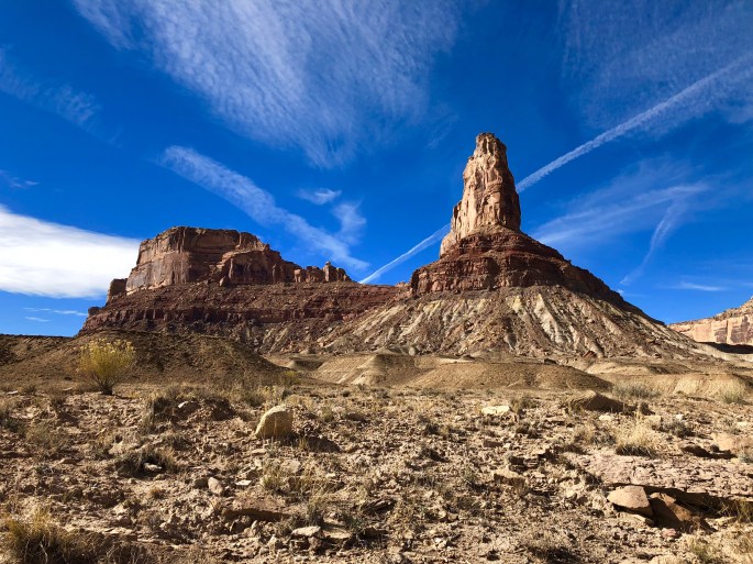
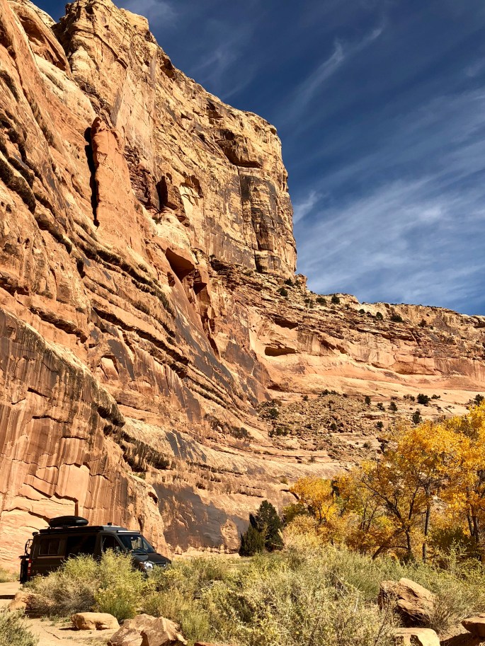
After departing Moab we ventured into the northern portion of the San Rafael Swell. The Swell is a rugged and undeveloped wilderness managed by the BLM. As is the case with most BLM public lands, there is unrestricted access for camping, hiking, driving and other activities. We followed the Buckhorn Draw Road which is unpaved but was dry and in good condition during our trip. The Swell is canyon country with many of the canyon walls reaching up to 500 feet. A number of the canyon walls also have pictographs and petroglyphs which were created about 2000 years ago by Barrier Canyon Indians.
The Swell was at one time a source of uranium but those mines are largely played out. The only other use of the land in the Swell is for grazing cattle. There are also a fair number of wild horses and burros roaming through the Swell.
The Swell is a starkly beautiful, undeveloped area and we hope that the BLM continues to keep it that way.


With out a doubt some of the most beautiful landscapes I’ve ever seen. Looking forward to spending time with you guys once you make it back to CT.
LikeLiked by 1 person