Bandelier National Monument

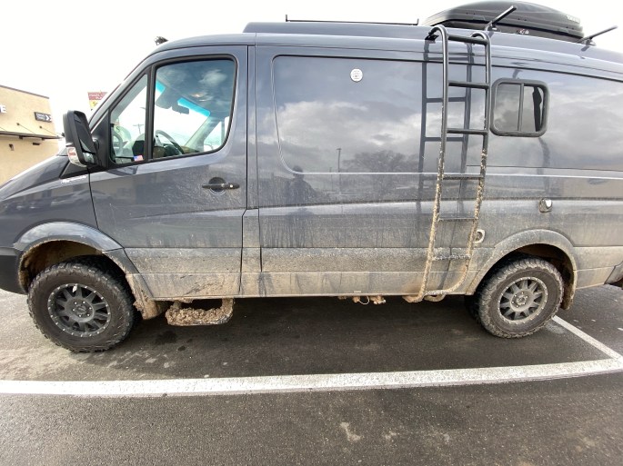
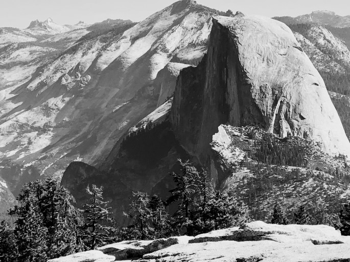
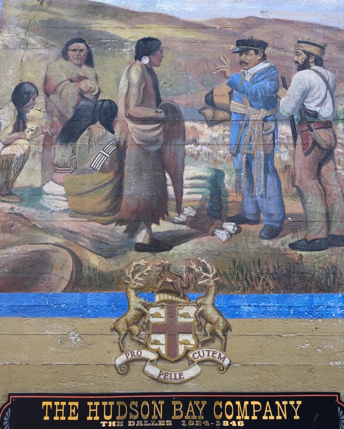
As we mentioned in closing our last post we were planning on traveling south to spend two days exploring and camping at Chaco Culture National Historical Park near Nageezi, NM. Chaco Canyon was occupied as early as 900 B.C. and as an archaeological site is on par with the fantastic Mesa Verde cliff dwellings. Unfortunately, the storm that passed through northern New Mexico rendered the 25 mile dirt road into the park impassable.

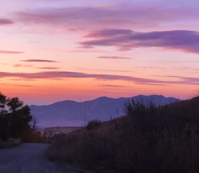
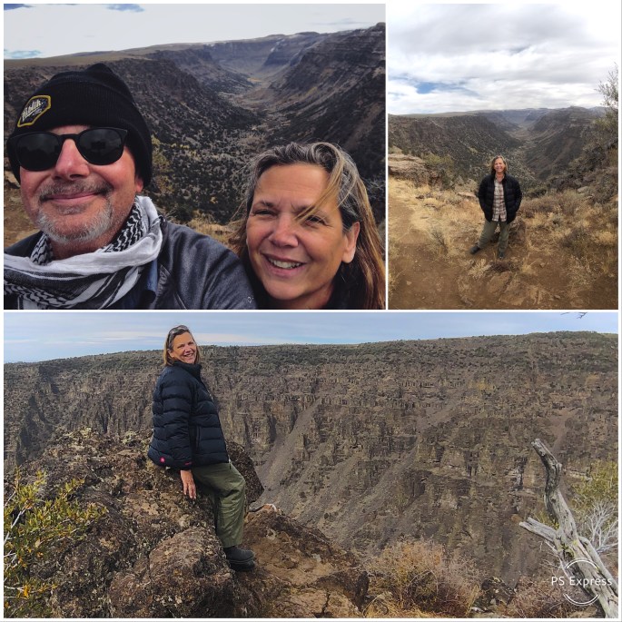
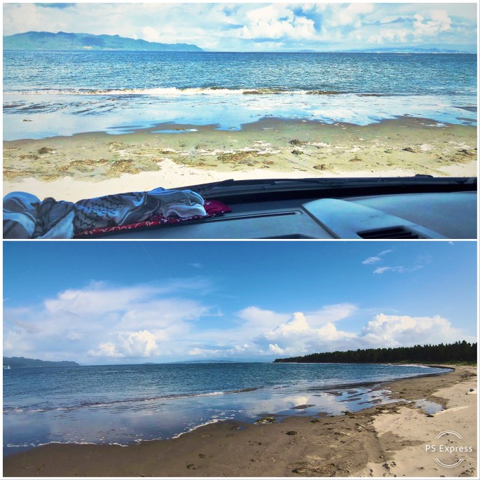
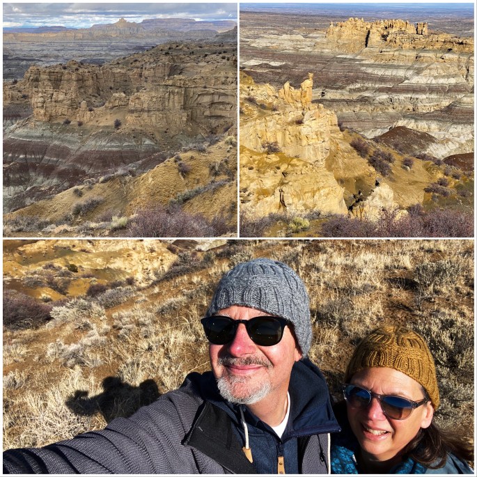
Not to worry! Northern New Mexico is rich with significant archaelogical sites. In fact, there are 19 ancestral locations which can be accessed in the Four Corners Region. So after a brief stopover in the badlands surrounding Angel Peak we set our sights on Bandelier National Monument.

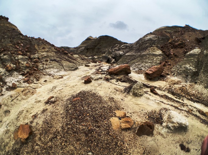
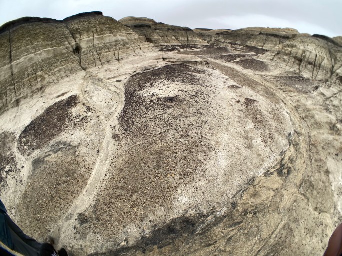
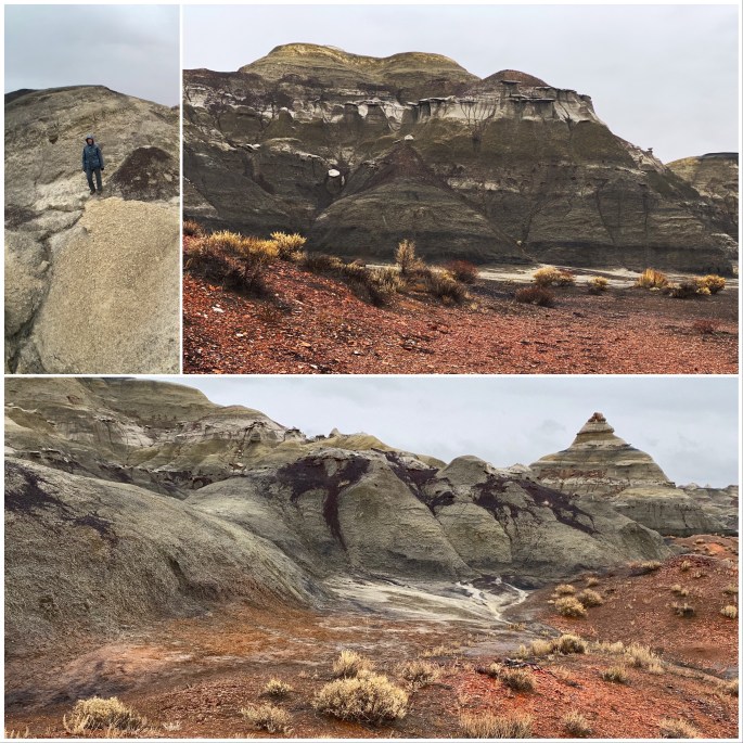
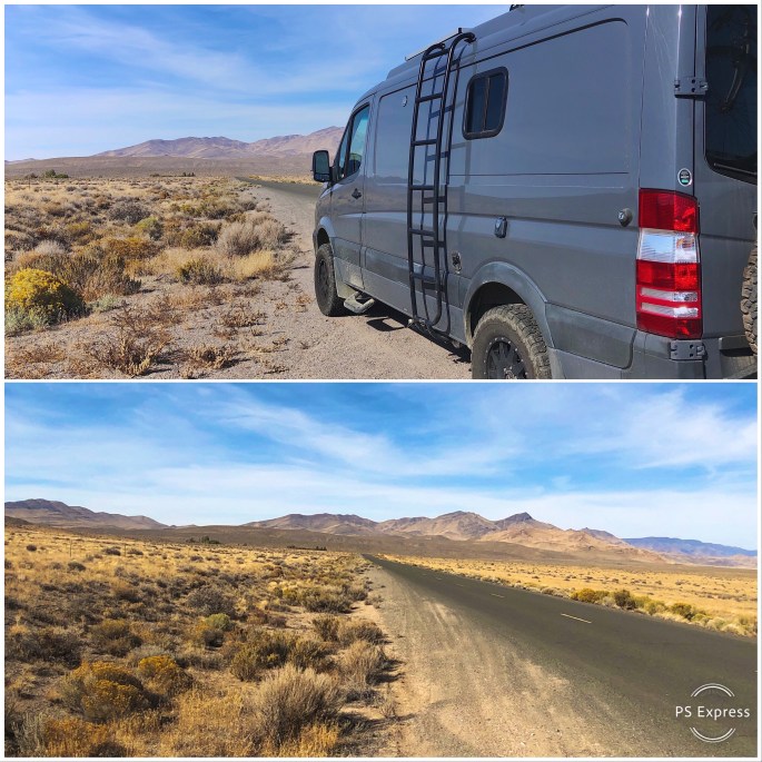
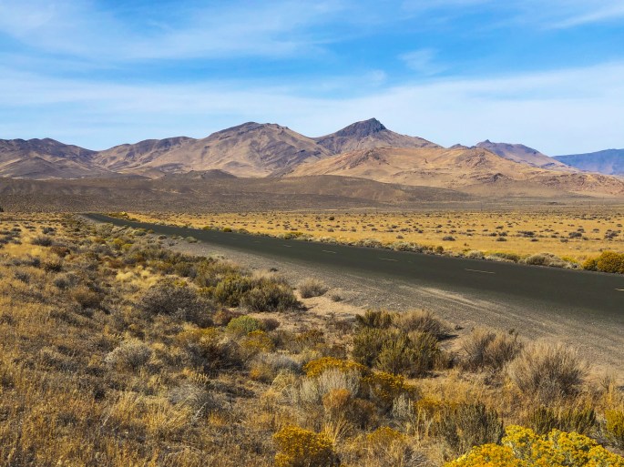
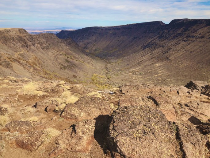
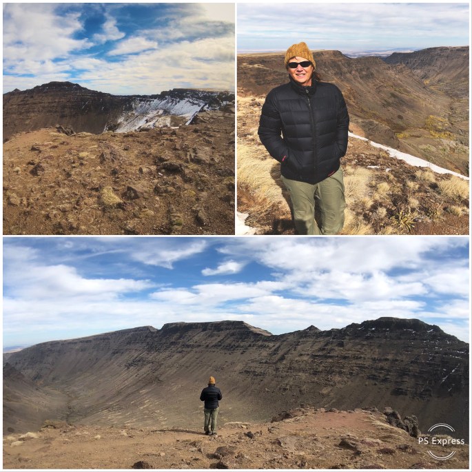
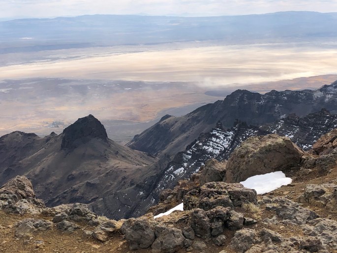
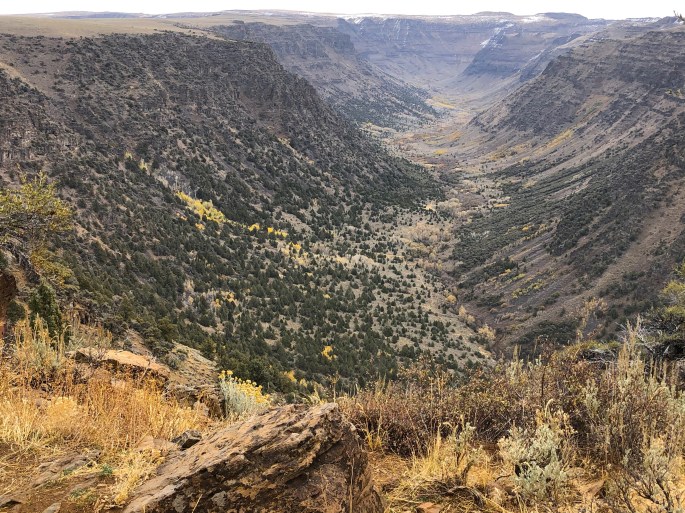
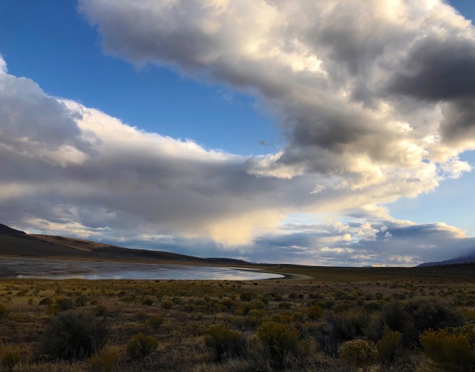
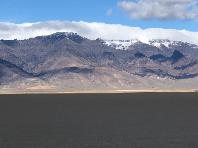
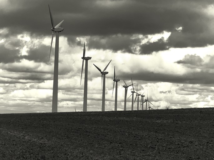
The Angel Peak Recreation Area is managed by the BLM. It is a beautiful area of desolate badlands, occasionally marred by oil or fracking sites scattered through out the 10,000 acres. Angel Peak is still worth a visit.

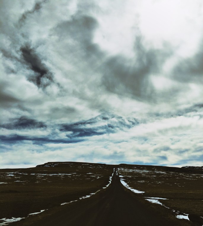
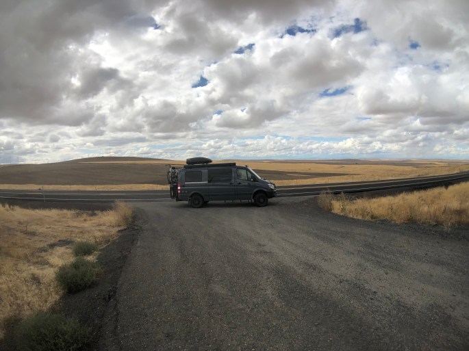
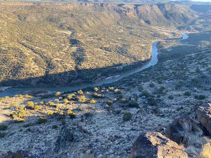
We joined Route 96 to make the drive to Bandelier NP. Route 96 runs north then east skirting the northern boundary of the Santa Fe National Forest and parallels the Old Spanish National Historic Trail. This area is sparsely settled with only five settlements along the 60 miles -between Cuba and Abiquiu. The total population of all of the settlements is apx. 500 people.

Abiquiu is where artist Georgia O’Keefe did much of her painting while in New Mexico. We plan on visiting the Georgia O’Keefe Museum when we visit Santa Fe.

Badlands in Angel Peak Recreation Area
Angel Peak (elev. 6988 feet) Background Upper Left Frame
Sangre de Christo Mountains
Rio Chama from White Rock

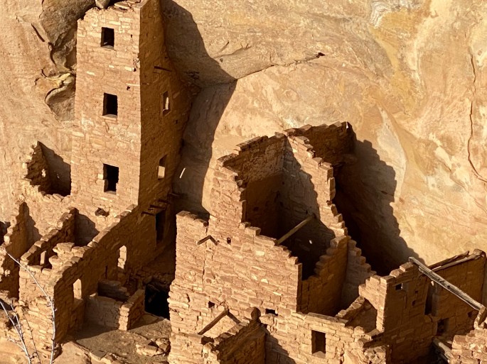
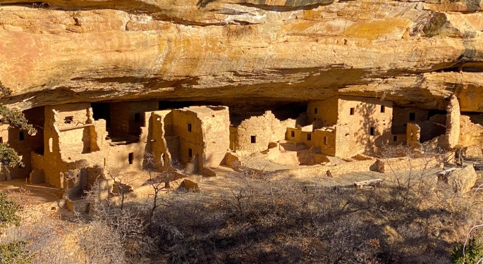
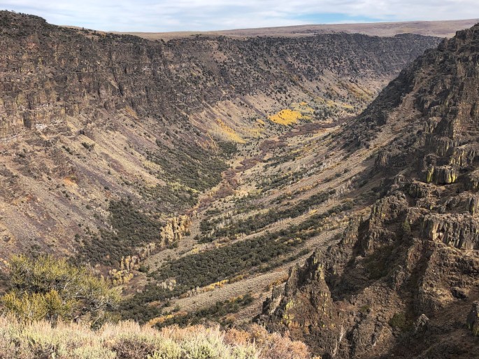
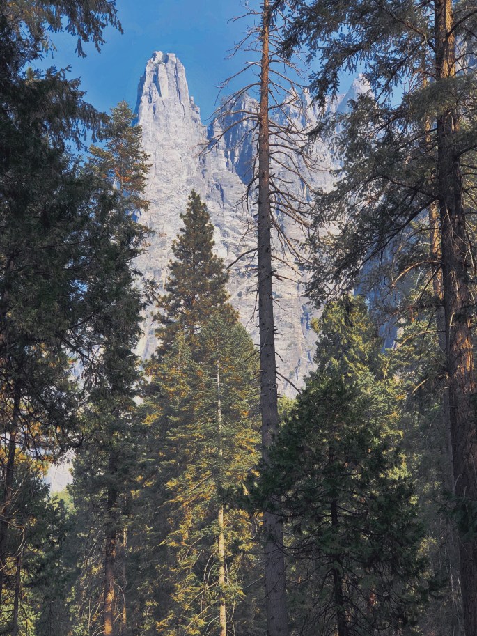
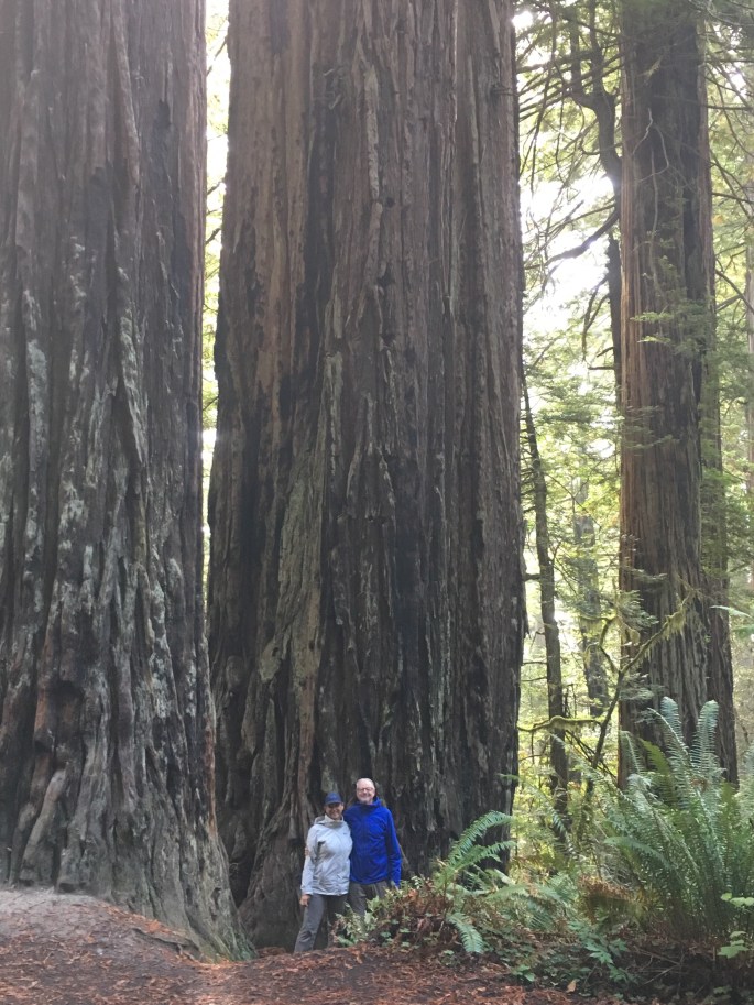
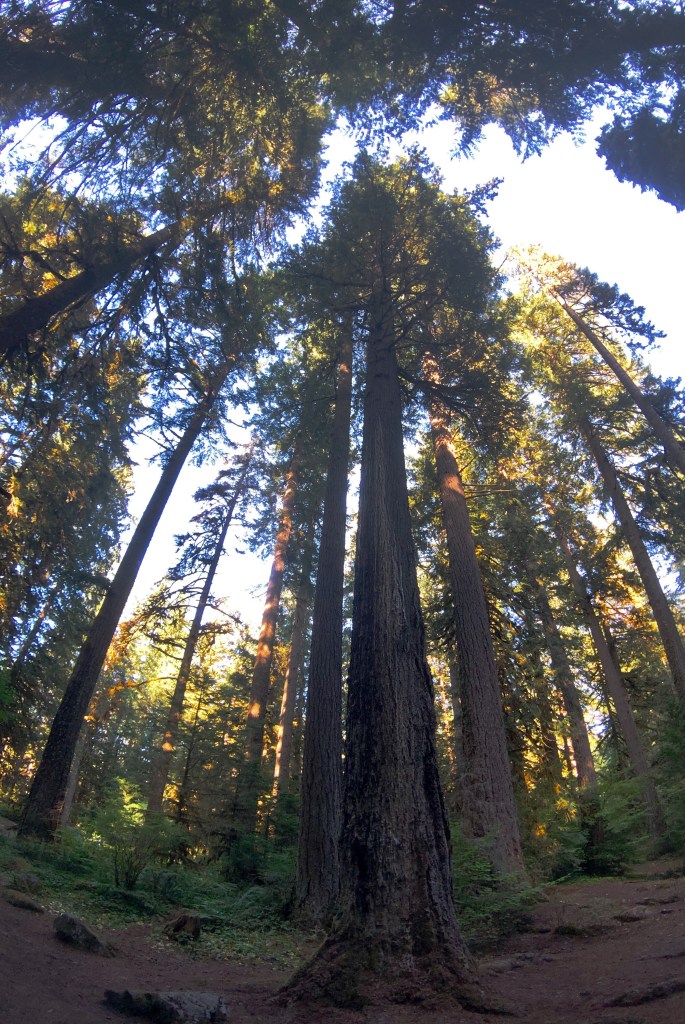
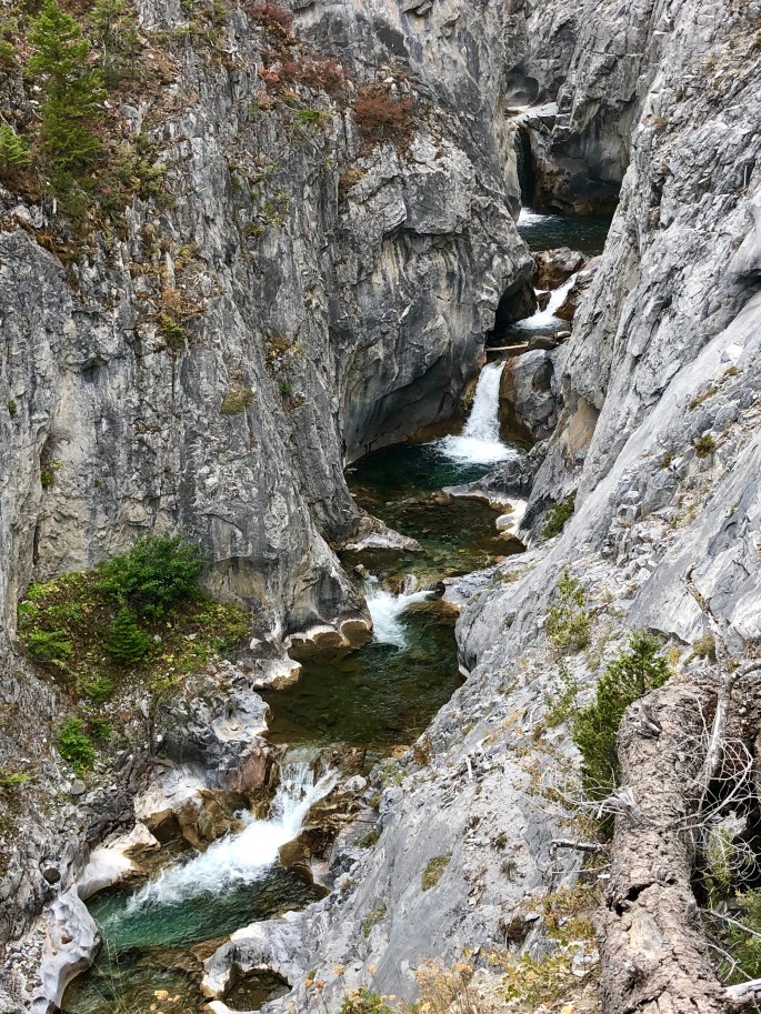
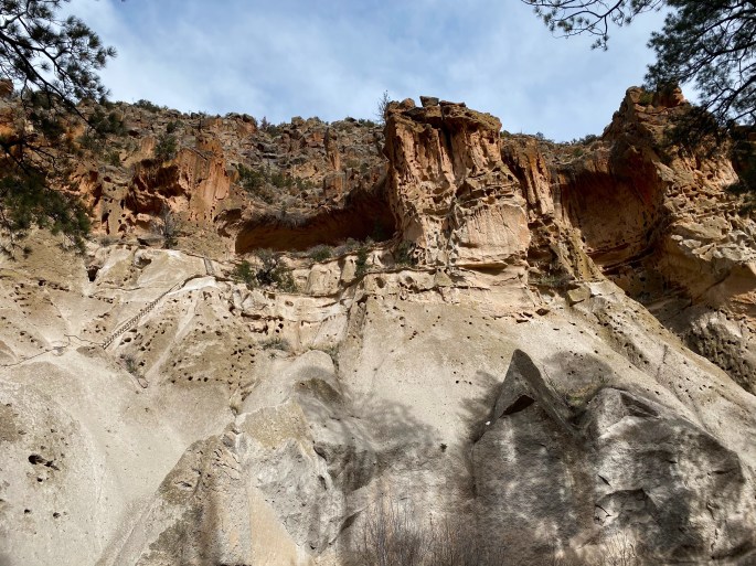
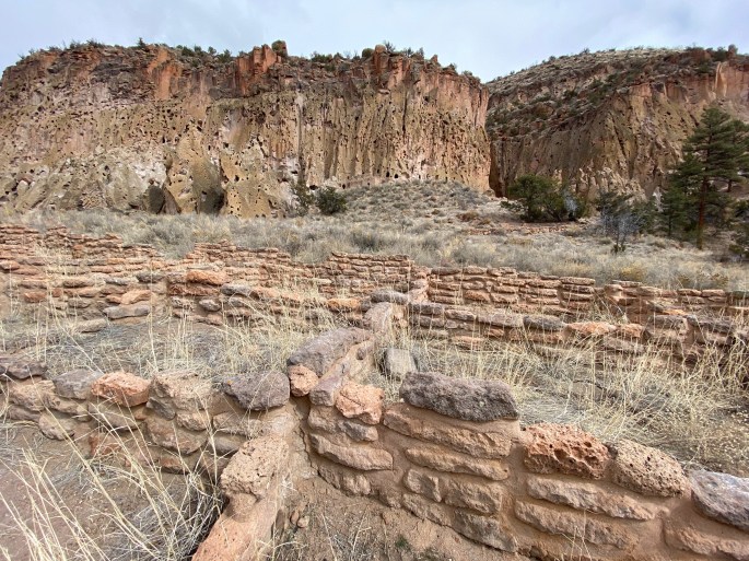
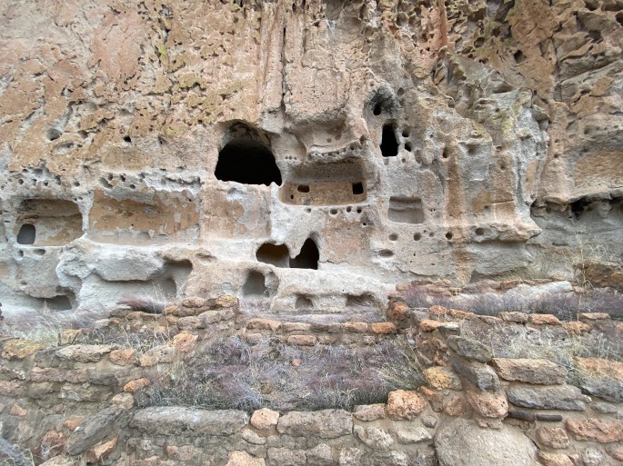
Bandelier National Monument is a relatively small (33,000 acres) monument but protects an area of mesas and canyons where humans lived as long as 11,000 years ago. This area features both cliff dwellings and multi-room dwellings on the canyon floor. Much of the material here is tuff (compacted volcanic ash) which allowed the Puebloans to carve into the cliffs.

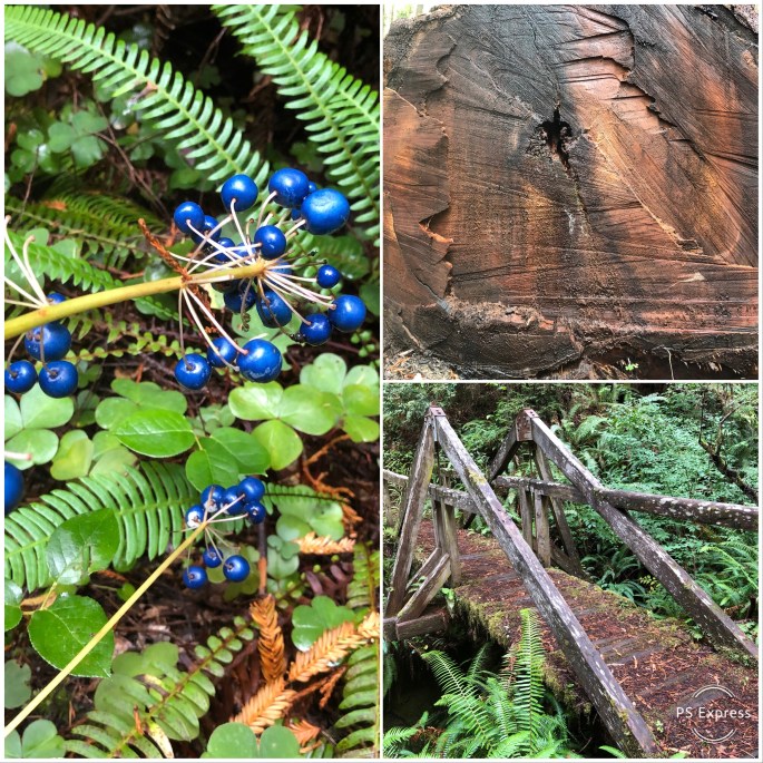
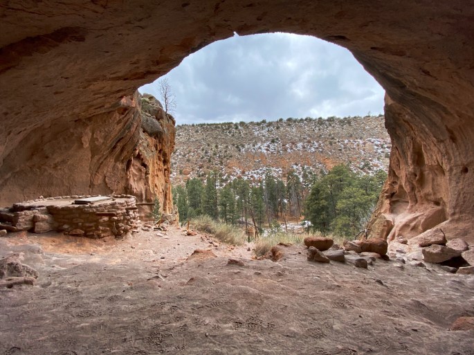
There are a number of dwellings where you can climb up into cliff dwellings using ladders modeled after the ladders the Puebloans used. The Alcove House pictured below provides the opportunity to climb up a series of ladders and provide the view of the canyon that the Ancesteral Puebloans had so long ago. Additionally, there are many petroglyphs on the cliff walls.

Alcove House
Maria Climbing One of the Four Ladders required to Reach Alcove House
View from Alcove House – 140 Feet Above Canyon Floor

Large Kiva on Frijoles Canyon Floor

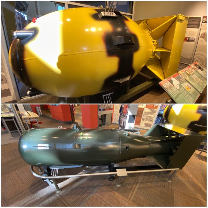
BNP was closed to the public during World War 2 as the buildings and lodging were appropriated for the Manhattan Project which was based in nearby Los Alamos. The Bradbury Science Museum in Los Alamos depicts the history of the Manhattan Project which produced the first atomic bombs which were dropped on Japan in an attempt to hasten the end of the war with Japan. Replicas of the “Fat Man” and “Little Boy” atomic bombs pictured below.

Bradbury Science Museum, Los Alamos

BNP is within easy driving distance of Santa Fe. The park offers primitive camping and there are hotels in nearby White Rock. We would recommend visiting in the off season as parking is limited and the crowds make for lines if you want to climb up into the dwellings (according to the park rangers). We recommend one to two days here in order to hike the Frey Trail, visit the Long House, the Alcove House and the Falls Trail.

Be seeing you!

P.S. The Revolt Coffee truck is parked on Route 4 in White Rock so you can grab a great coffee to go on your way into or out of the monument.

Bisti/Di-Na-Zin Wilderness Area

From Mesa Verde National Park we traveled south into New Mexico spending our first night in Farmington (fika @ Studio Bake Shoppe). From Farmington we journeyed due south on NM371 through the Navajo Nation to access the Bisti Badlands. As wilderness areas by defintion allow no motorized traffic the only access from the parking area is by foot. There are no trails or markers of any sort. So bring your compass and utilize your gps. Line of sight navigation is impossible as once you enter into the outcroppings you are in a maze of strange sandstone, shale, coal, mudstone and silt formations. There are a plethora of hoodoos and just strange looking features that evolve based on the ongoing wind and water erosion that takes place with these soft materials.

The closest lodging is in Farmington which is apx. 40 miles north. There is no developed camping within the vicinty of the access area. However, exploring here is an easy day trip from Farmington. We boondocked in the wilderness area.

Our next segment will be at the Chaco NHP to visit more ancesteral sites assuming the road is passable in the aftermath of the major storm the occurred overnight.

Be seeing you!

Mesa Verde National Park

This trip will take us through New Mexico and deep into (the heart of) Texas before turning east along the Gulf Coast and eventually driving back to Connecticut. As usual we began our trip in Salt Lake City where we have been storing the Beast between trips.

After a day of travel to SLC and a day of preparing the Beast for this journey we departed for Moab, UT. We spent an overnight in Moab, UT (Moab Coffee Roasters) before traveling to southwestern Colorado to view some of the finest examples of Peubloan cliff and mesa communities in existence today.

Mesa Verde National Park was created by President Theodore Roosevelt in 1906 for the explicit purpose of preserving the remarkable Ancesteral Peublo architecture. Mesa Verde was occupied by the Pueblo people for about 750 years beginning in 550 A.D.

MVNP is definitely a bit off the beaten path but we think more than worth the drive. The park is laid out with a loop drive that allows you to see many of the cliff villages from excellent view points. There are a number of kivas that have been excavated which are easily accessible by foot.

In the summer months you can also tour several of the cliff dwellings on ranger guided tours. The Far View Lodge offers acommodations with outstanding views of the mesa and canyons below. There is also a small musueum located in the park about twenty miles from the entrance.

There are a number of indigenous sites in the Four Corners area which could easily be combined with a visit to MVNP for an extended tour; Canyons of the Ancients and Chaco Culture National Historic Park are two major sites.

A definite recommend on our part.

Be seeing you!

The Oregon Outback: Steens Mountain and the Alvord Desert

After departing Yosemite we traveled through northern Nevada to return to Oregon and spend the last week of OTR 3.0 in the high desert of eastern Oregon. We had originally planned to spend time here after leaving Boise but the temperatures in the Alvord Desert persuaded us to defer visiting until later in the trip.

The area around the Steens is known as the Oregon “Outback” with good reason. Steens sits within Harney County which is the ninth largest county in the United States, spanning more than 10,000 square miles. The population is a mere 7600 people of which 4400 live in two adjacent towns. Because the population is so sparse Harney County operates a public boarding high school in Crane, Oregon. It is one of a handful of public boarding high schools remaining in the United States.

Economically this area is predominately supported by cattle ranching and farming. There are 14 head of cattle for every person living in the county. The cattle and farming economy has been in conflict with the federal government on a number of occasions. Federal agencies (BLM, USFWS, USDA) manage about 75% of the land in the county. Some of the ranchers believe that they should have access to the public land without having to pay for grazing rights.

The conflict came to a head in 2016 the Malheur Wildlife Refuge headquarters was occupied by Amon Bundy and a group of armed anti-government activists. The occupation lasted for 40 days and culminated with the death of one protestor and the arrest of many of the activists.

Geologically the Steens formed as a result of glacial and volcanic activity which has created a fascinating landscape of impressive glacial gorges and volcanic cones and craters. The BLM has created a number of auto tour routes through the craters and up onto Steens Mountain. The road to the summit is the highest road in Oregon at just over 9700 feet. We drove both the Diamond Craters and Steens Mountain loops.

There are also numerous hikes throughout the area which provide views of the gorges from the rims and access into the gorges.

From the Steens we drove north and then circled back south to spend time on the eastern slope of the Steens and the Alvord Desert. The Alvord is a small (84 sq. miles) desert that is suitable for driving during the dry season. It is not uncommon to see small planes land on the playa. The area shows up as Princeton, Oregon on a map but there is no town or station – just cattle ranches and BLM administered land including the desert playa. Opportunities for solitude abound. An evening by the campfire brings a miraculous night sky and the howls and yips of coyotes in the distance.

During the day the view of the already snow covered Steens rising from the desert floor from the eastern side was quite impressive. There are several excellent hikes from the desert side up through creeks into the Steens.The Alvord Desert sits in a rain shadow created by the north-south running Steens Mountain. We watched rain and snow fall on the mountain and dissipate before reaching the playa.

We definitely recommend driving out on to the playa. You can access the playa at Alvord Hot Springs for a five dollar fee or if you have a high clearance vehicle for free about two miles south of the hot springs. Driving on the playa is exhilarating – you can drive as fast as you like or as fast as your vehicle will go or as fast as you are comfortable going – your call – there are no rules!!! By the way, the hot springs are terrific! Sort of a ramshackle affair but the 130 degree water is very enjoyable and therapeutic. Nude bathing is allowed if you are so inclined – thankfully we did not encounter any nudists during our soak!

It takes some time to get to the Orgeon Outback of Harney County but we found the experience more than worth the effort it takes to get there. One thing to keep in mind is that many of the roads are not paved in this area – the roads are very rutted and rough on the Steen and Diamond Craters Loops – and you and your vehicle will be absolutely covered with dust!

Heading across northern Nevada to Salt Lake City and our flight home.

Be seeing you!

Winnemucca Mountain, Winnemucca, Nevada

Water Canyon Road, Winnemucca, Nevada

On The Road – Powered by Caffeine – Global Espresso and Telegraph Cofffee

Oregon 205, Fields, Oregon

Pueblo Mountains

Fields Station, Fields, Oregon (population 9) Established 1881

Driving the Rim of Red Bomb Crater, Diamond Craters ONA

Diamond Craters ONA

Frenchglen, Oregon (Population 97)

Our New Friend Drover @ Frenchglen Mercantile

Kiger Gorge, Steens Mountain

Alvord Desert from East Rim of Steens Mountain

Big Indian Gorge, Steens Mountain

Little Blitzen Gorge, Steens Mountain

High Desert – Oregon Outback

Steens Mountain

Mann Lake, Princeton, Oregon

Alvord Playa and Steens Mountain

Yosemite National Park

With repairs to the Beast completed we set out to Yosemite National Park for our first ever visit. We had perfect weather during our three day visit to the park. We did have to contend with smoke from the Briceburg Fire settling in the Yosemite Valley on our first day.

Yosemite is located in the Western Sierra Nevada and features a number of dramatic, well known granite formations. Many of these formations are in Yosemite Valley and should be seen or experienced in some fashion – hiking, climbing or driving. We particularly enjoyed the hikes accessed from Glacier Point Road which provide many spectacular views.

We also recommend visiting other areas of the park outside of the valley. The park is almost 1200 square miles in size – there are many opportunites to see and experience the park outside of Yosemite Valley, without the traffic and crowds.

Yosemite NP is a must see if you are a national park fan. We camped outside the park in the Stanislaus NF. If you want to to stay in one of the park campgrounds or lodges you will need to reserve many months in advance. Regardless of where you stay, driving will be required to access the various areas of the park. Also, go early as trailhead parking is very limited.

Working our way through northern Nevada to get to the Alvord Desert and Steens Mountain Wilderness in Oregon.

Be seeing you!

Half Dome


El Capitan, Yosemite Valley


Three Brothers


Merced River, Yosemite Valley from Roosevelt Point

Smoke from Briceburg Fire Drifting Through the Valley


Tenaya Lake and Polly Dome, Yosemite High Country


East View from Sentinel Dome, 8130 Elevation


Cathedral Spires


Camping Stanislaus NF, Merced River, Highway 41


Redwood National and State Parks

‘Good night, good night! Parting is such sweet sorrow’ …or we departed Ashland, home of the Oregon Shakespeare Festival, for the Northern California coast and the majesty of the Redwood forests in Redwood National and State Parks.

The Southern Oregon and Northern California coast is home to the vast majority of coastal Redwood trees in existence today. These trees are as tall as 360 feet, with a trunk diameter of 30 feet and may live up to 2000 years.

Just a fraction of the old growth Redwoods remain standing today as logging of these magnificent trees continued as late as the 1960s. Today the majority of Coastal Redwoods reside within state and federal lands and are protected by law. Additionally, state and federal agencies are working to ensure the survival of new growth Redwoods through careful management of the environment surrounding the current generation of trees.

Hiking and camping within a Redwood forest was an experience that reminded us of how small we are as human beings and how temporary our stay here is in regard to the natural order of all things. These silent giants dwarf everything around them and demand reverence and silence as you walk among them – we cannot articulate why – they just do.

There are many camping opportunities within the forest and along the coast from which to visit and enjoy the Redwoods, so come and enjoy the beauty.

We will spend a few more days on the coast before moving inland to go to Fresno for repairs to the Beast. After that, weather permitting we will visit Yosemite National Park.

Be seeing you!

Cal-Barrow Road, Prairie Creek Redwoods SP


Lady Bird Johnson Grove


Cal-Barrow Road, Redwoods N+SP


Gold Bluffs Beach, Prairie Creek Redwoods SP


Rhododendron Trail, Redwood NP


Perfect Setting for Yoga!


Crater Lake National Park

After leaving the Oregon coast we followed the Umpqua River east to visit Crater Lake National Park. Crater Lake is fascinating geologically and quite the natural phenomenon to behold. The crater was formed about 7700 years ago when Mt. Mazama erupted. Years of rain and snowfall into the crater, which has no outlet, gave birth to the lake. It is believed to contain the cleanest water in the world and the average water depth of 6500 feet makes it the deepest lake in the U.S.

Having said that, we would not recommend more than a day or two if you plan on visiting the park. The rim drive allows you to stop at a significant number of lookouts and view the lake from various vantage points but the entire drive is only 31 miles and at most consumes half a day.

There are a number of hikes in the park but only a handful provide views of the lake and only one goes down to the lake. If you visit CLNP, most definitely have a drink (or two) on the porch of the lodge in Rim Village in the late afternoon. And yes, the water is really that blue!

Heading back to the coast and Redwood National Forest after a quick stop in Ashland, Oregon to visit Noble Coffee Roasting (Good Foods Award winning roaster of Ethiopa Buku beans).

Be seeing you!

Crater Lake viewed from Rim Village Lodge


Wizard Island


Crater Lake from Cleetwood Cove

Crater Lake from Watchman Overlook


Camping at Diamond Lake, Umpqua NF


Oregon Coast: Astoria to Reedsport

After our stay in Portland we traveled west along the banks of the Columbia River to Astoria where we would begin our journey south along the Oregon coast. Astoria sits at the confluence of the Columbia and the Pacific Ocean. Due to the massive flow from the Columbia into the Pacific entering and departing the river is often extremely hazardous due to the ever shifting “bar”. The Columbia River Maritime Museum in Astoria is an excellent museum which provides a much deeper understanding of the maritime history of the river. The museum sits right on the bank of the river and has a retired light ship which can be toured as well.

From Astoria we followed the Pacific Coast Highway south as far as Reedsport before turning inland to visit Crater Lake NP. The Oregon coast is breathtakingly beautiful and pristine. The state of Oregon purchased the land along the coastline back in the 1930s. As a result there is no commercial development on the beaches and the entire coastline is dotted with state parks and recreation areas where you can camp with a view of the ocean and walk five minutes through the dunes to the beach. Most of the beaches range from three to seven miles in length with broad flat expanses of firm sand making for great walks along the shore. Temperatures this time of the year average around 65F as the high.

There are also a number of small beach towns lining the coast which offered us the opportunity to dine on fresh seafood and enjoy good coffee and tea during our leisurely tour.

The Oregon coast also has numerous smaller rivers emptying into the Pacific. We capitalized on this by kayaking on the Nehalem and Siltcoos Rivers. We particularly enjoyed the Siltcoos as we were able to kayak all the way to the Pacific.

We had never been to the Oregon coast before this trip but came away as big fans. We cannot speak to the summer season (crowds) but September is glorious. And, by the way, the sunsets viewed from the beaches here are magnificent!

Be seeing you!

Columbia River, Fort Stevens

Haystack Rock, Cannon Beach, Oregon

Kayaking, Nehalem River, Wheeler, Oregon

Three Arch Rocks National Wildlife Refuge

Migrating Grey Whales, Cape Lookout

Fishing Fleet, Newport, Oregon

Beachside SRA, Waldport, Oregon

Devils Churn, Cape Perpetua

Cape Perpetua Light, Siuslaw NF

Oregon Dunes NRA

Siltcoos River

Coffee with a View, Siuslaw River, Florence, Oregon

Mt Hood National Forest

After a couple of days of vicariously living the cowboy and cowgirl life at the Pendleton Round-Up (“let ‘er buck”) we took off the spurs and began our journey westward towards Portland and ultimately the Oregon coast.

We charted a course to Cottonwood Canyon in order to camp and hike along the John Day River. Our route took us through Gilliam and Morrow Counties which are dominated by large ranches and grain growing operations. What we did not realize prior to this trip was that this vast agricultural landscape has become home to four of the largest wind farms in the United States (some thoughts on this subject in closing).

Cottonwood Canyon SP was created in 2008 when the Western Rivers Conservancy purchased the 8000 acre Murtha cattle ranch and in turn sold the land to the state of Oregon. The Western Rivers Conservancy made this purchase to ensure that the John Day River remains free-flowing from its source in the Strawberry Mountains until it merges into the Columbia River. The John Day river is the third longest free-flowing river in the lower 48 states at 284 miles (Yellowstone River and Salmon River are first and second longest).

We were keen to hike and camp here to experience the spectacularly beautiful and pristine canyons rising along both sides of the river and explore some of the beautiful and rugged side canyons. The scenery did not disappoint. Camping is limited to 21 primitive sights available on a first come first served basis – so keep that point in mind when you set out to this area.

From Cottonwood Canyon we drove north to the Columbia River and traveled west to The Dalles which is a city of apx. 15,000 sitting hard on the river. The Dalles’ history goes back 10,000 years as a major Native American trading post. In the early 1800s Lewis and Clark stopped here and within several years the Hudson Bay and other fur trading companies were actively doing business in The Dalles.

We have included below several photographs of various murals that we saw in The Dalles. The Dalles, like other western towns we have visited, have active mural societies which focus on preserving the history of the town through these works.

Our ultimate stop before Portland was Mt. Hood National Forest. The “centerpiece” here is of course Mt. Hood which dominates the skyline at an elevation above sea level of over 11,000 feet and a prominence of over 7,000 feet. Mt. Hood is certainly spectacular but the Mt. Hood NF would be worth visiting without the draw of the peak.

Mt. Hood NF covers almost 1.8 million acres and has eight distinct wilderness areas. There are over 1000 miles of hiking trails, numerous lakes for boating and unlimited camping opportunities through out the forest. In winter Mt. Hood NF is a “snow zone” affording snowshoeing, nordic skiing, and alpine skiing opportunities at any of the many snow parks accessed from Routes 35 or 26. These two roads which bisect the park are kept open all year. Lastly, if all that does not tire you out you can attempt to climb Mt. Hood!

We were able to camp along rivers or creeks every night during our stay and enjoy the rush of the water and the night sky in complete solitude while being comfortably surrounded by towering Douglas-fir trees. It does not get any better for us!

Okay…wind power. As we have traveled across the west during the last 13 months we have seen vast tracts of land lined with massive wind turbines marring the beauty of the landscape. What we have observed is that there is no consideration of the asethetic damage inflicted upon our eyes and souls. Five hundred foot tall turbines lining the ridges of the Sierra Nevada Mountains is an awful sight plain and simple. The fact that the large wind farms in Eastern Oregon are placed in lightly populated agricultural areas does not change the equation in our opinion.

But in our minds the real issue is that this scarring of the landscape – the beauty of our world – can never replace fossil fuels. Wind provides intermittent power and will always need to be supplemented by current power sources. Economically wind power owes its perceived viability to deep tax credits provided at the federal and state level. Not a single turbine would have been erected without these credits. This is nothing short of crony capitalism.

So let’s postulate that we all agree that the world would be better if we did not need to create electricity by burning coal which releases so much CO2. Natural gas is better but emits CO2 at about 50% the rate of coal.

It might surprise you to know that nuclear power is the lowest cost means to generate electricity and produces zero emissions. France committed to nuclear power 40 years ago and generates over 70% of its electricity via nuclear power with just 58 power reactors.

Perhaps it is time to reconsider nuclear power as the viable replacement for fossil fuels as the power source for electricity generation.

https://www.spiked-online.com/2021/10/03/re-making-the-case-for-nuclear-energy/

Stateline Wind Farm

John Day River, Cottonwood Canyon

Mount Hood (Elev. 11,249)

Camping Mt Hood NF

Kainos Coffee, The Dalles

Northeastern Oregon

After leaving Hat Point and the breathtaking views of Hells Canyon and the Snake River we followed the Hells Canyon Scenic Byway to Joseph, Oregon. Joseph is a small town (pop. 1081) named after Chief Joseph, the leader of the Nez Pearce. The town was historically highly dependent on agriculture and timber as the major drivers of its economy. Tourism and three local bronze foundaries have replaced agriculture and timber.

Joseph is a gem. Despite its small size it has a number of fine restaurants, coffee shops and interesting retail stores. The town is the classic main street with no traffic lights and diagonal parking (no chain stores here!).

We stayed at a brand new hotel called the Jennings located in a turn of the century brick building that was formerly…you guessed it…the Jennings Hotel. A local artist by the name of Greg Hennes brought the hotel back to life through a Kickstarter funding campaign. Each room is unique – designed by a different artist or designer.

The Jennings also has an artist in-residency program and a cooking and crafts school. A very cool and fun place to stay. The second floor has a covered porch where you can sit and watch everything happening on Main Street or take in the Wallowa Mountains that lie just outside the town.

The Wallowa-Whitman NF offers an abundance of hiking, fishing, equestrian and camping opportunities. After leaving the Jennings we ventured into the Wallowa by journeying south some 20 miles into the Lostine Canyon. We camped along the banks of the Wild and Scenic Lostine River from where we could access a number of challenging hikes that provided us with the opportunity to climb high into the Wallowas for views of the Hurrincane Divide and wading in glacially formed lakes surrounded by granite cirques.

We left Lostine Canyon exhausted but happy!

We completed the Hells Canyon Scenic Byway with stops in Enterprise, Wallowa and La Grande before departing further north for the city of Pendleton. Pendleton is the home of Pendleton Woolen Mills and very much the classic cowboy town.

Our visit to Pendleton coincided with the 109th Pendleton Round-Up. The Round-Up takes place over a full week with many activities – parades, rodeo events, pageants, dances and concerts. Rodeo contestants come from all over to participate and the round-up includes a Professional Bull Riders (PBR) competition.

We extended our stay to watch the womens barrel racing event. These riders and their horses have no fear. The speed and power of the horses is amazing – particularly to the unitiated like us.

We are working our way west from Pendleton with the expectation (at least for now) that we make the Oregon coast about a week from now.

Be seeing you!

Hurricane Creek Rapids

Sacajawea Peak, Eagle Cap Wilderness, Wallowa NF

Slippery Rock Creek, Wallowa Mountains

Maxwell Lake, Eagle Cap Wilderness

Hurricane Divide, Wallowa Mountains, Eagle Cap Wilderness

Van Gogh in Oregon!

Womens Barrel Racing, Pendleton Round-Up