Flagstaff, Arizona

We spent a couple of nights in Flagstaff or “Flag” as the locals refer to the city. This city of approximately 70,000 sits at 7000 feet above sea level in the Coconino NF with the San Francisco Peaks as the backdrop. The town still boasts a lively and well preserved downtown with local merchants, restaurants and most importantly good coffee. Flag is home to Northern Arizona University (The Lumberjacks). We have found that many of the towns we have visited that have a nice vibe like Flag have a university or college located within the city or town. 

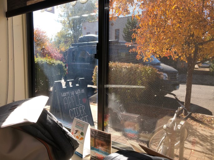
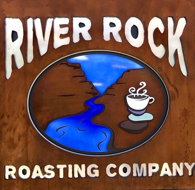
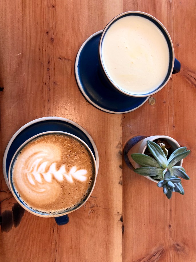
We visited three coffee roasters while in Flag. All were legit but our favorite was Firecreek Coffee Company. We have included photos from all three below.

While traveling our focus is to see new places, meet new people, try new adventures, however, as we wander we do need to deal with the mundane. For one of us that means doing laundry, for the other it means getting a haircut. Pictured below is Hermanis Ulibarri. A haircut from Mr. Ulibarri turned out to be anything but mundane. Mr. Ulibarri is 77 years old and has been “barbering” since his return from serving in Vietnam over 50 years ago. He has given haircuts to tourists from all over the world and has quite a following of French clients that spend time in Flag on a regular basis. Lots of interesting stories. Oh, and cash only if you stop in for a haircut on your next visit to Flagstaff.

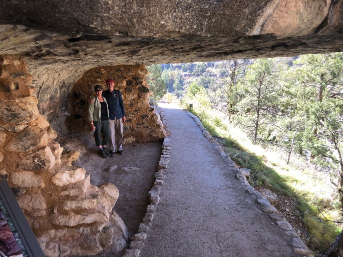
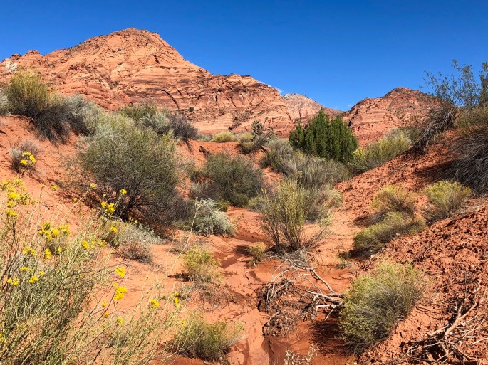
Just a few miles east of Flag is the Walnut Canyon NM. We spent an afternoon there viewing some of the extremely well preserved ancient cliff dwellings. These dwellings were constructed by the Sinagua People during the 12th to 13th centuries. The dwellings sit 300 feet above the canyon floor and provided protection from the weather, animals and rivals. The Island Trail has been constructed so that visitors can descend 200 feet down into the canyon and actually go inside a number of the dwellings. Amazing to think of an entire community raising families, growing crops, hunting, storing water and food while living 300 feet above the canyon floor.

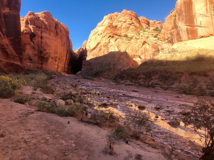
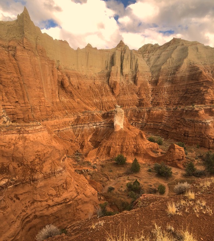
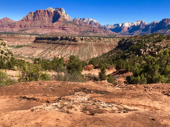
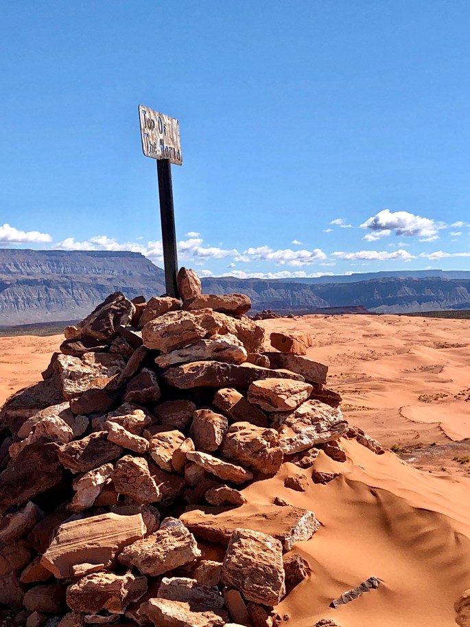
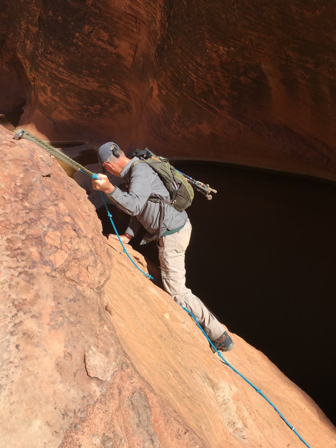
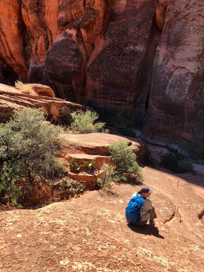
We are off to Sedona for some hiking in the Red Rocks and perhaps to experience the energy of the purported vortices!

B45A1B17-7BEC-465D-B712-0733908421AE

B642139A-47DE-4B88-BABF-AC4BDAE2BAC6

8A0288E7-50B0-47B3-B7A9-C9505C6B8A05
Mr. Hermanis Ulibarri
6DF55235-B78A-4B51-B639-28045BB015EA
Walnut Canyon

A1368F25-6803-4794-8001-AD0713976A52

7542C124-4764-4A77-BA18-B696D24112BC.jpeg


Wire Pass to Buckskin Gulch Slots

Today we hiked from the Wire Pass Trailhead through the Wire Pass Narrows to the intersection with The Buckskin Gulch and then east in the Gulch until the water made progress impossible without hiking through the pools. These slots are located in the Paria Canyon-Vermilion Cliffs Wilderness Area managed by the BLM. There are a number of petroglyphs where the Wire Pass meets Buckskin Gulch. The Buckskin Gulch is where the famous “Wave” slot is located but access is limited to 20 permits a day! The Wave became famous when Microsoft 7 added a photo as an option for their desktop wallpaper. I have included a photo of the Wave directly below. 

4A8A7B83-5123-413B-8F55-BA8BB121C646.jpeg

3F1EF553-4E47-4BC7-9FEC-65DE870504EA

0C189372-8F67-458B-B0AC-4107BC2A4872
Wire Pass Narrows 
22F932A5-A85D-4066-B9B1-D6557C0134F4
Buckskin Gulch
05E8EA15-6529-4888-B419-43EA4E9946E6
Intersection of Wire Pass and Buckskin Gulch 

Kodachrome Basin

We were hoping to head to Arizona via the Cottonwood Canyon Scenic Backway, unfortunately, heavy rains have made the road impassable. We have extended our stay in Kodachrome Basin for a couple of days. Kodachrome Basin is the first “step” of the Grand Staircase and has a bounty of impressive spires and great hikes. If Cottonwood remains impassable tomorrow we will travel east towards Lake Powell before turning south and working our way to Sedona, Arizona. 0076,0077

72E99A55-A38C-4CCA-B728-AA6A1D0D14F6

Southern Utah Part 2

We have been taking full advantage of the great weather to boondock and hike in the Hurricane area and Zion NP. We also had an great afternoon on the dunes in Sand Hollow. We have arived in Kanab after about a four hour wait as a section of the Smithsonian Butte was impassable due to a strom that passed through early this morning. Fortunately the Sun appeared with a light breeze to help the road dry out enough for us to make it through the clay section. If the weather remains dry over the next several days we will be able to hike in several exciting slot canyons in the nearby Vermillion Cliffs area.


5F5D9205-C262-4DE3-9BB9-418D310C2CDD

8966DFAC-2918-418F-8D93-1CB74C66E16B
Pizza Night
EF59E057-DC82-4654-8BBC-39D190931706
Boondocking on Grafton Mesa
14740F96-9AF3-4A14-943B-9E8D205D5F8C
Zion NP from Rockville Mesa 
E5161E30-9C5D-479D-88BD-F14D5E708C97
Boondocking on Rockville Mesa

72A824F3-A6B1-4FD7-8182-265779C8D248

964016DF-A1FF-41E7-B54A-943C0F2D7FFC
Sand Hollow

Southern Utah

We have journeyed to Southern Utah near the Arizona border and we are enjoying the beautiful weather. Enjoying Fika with our old friends at River Rock Roasting in La Verkin. Camping in the Dixie NF under breathtaking night sky. Phenomenal scenery, hiking and scrambling! Not sure what else to say…..life is good. 0065,0066,0067,0068,0069

92C97CBE-7196-4204-9C1F-5F2509147FFD

2781EC26-5986-4455-B773-3F771BB47645

77BBC502-708E-4945-9F0F-E87D68E2F7D5

FCD9B55F-81E1-4FB4-8CF2-E976514B4CDD

Red Cliff Recreation Area

09DA180B-231B-4FB4-B059-C8F2079480C4
Red Reef, Leeds, Utah

Dixie NF, Silver Reef, Utah

Fish Lake NF, Kanosh, UT

C7AD9FE6-38BA-4804-88F4-B2DCDF3643D5
La Barba Coffee, Draper, Utah

Craters of the Moon National Monument

We did an overnight at CMNM which is in Eastern Idaho about 20 miles west of Arco. This is a 752,000 acre monument and wilderness area. This massive tract was once an area of significant volcanic activity and features huge lava fields, spatter cones and the remnants of a number of smaller volcanoes. This monument is so otherworldly that NASA sends astronauts to train here for Moon and Mars walks. We also did some caving in several lava tube caves which were formed by underground molten lava flows. 0058,0059

7E57BA9C-6770-4BD5-8E6B-4640CD455ECF

Grand Teton National Park

GTNP is a small NP compared to YNP. The dozen or so peaks that exceed 12,000 feet are a spectacular sight rising straight up from the floor of the Jackson Hole with no foothills. The park is abundant with Elk and Moose feeding along the Snake River.

Over the last several years hundreds of miles of mountain bike trails and paved trails have been added all around the Jackson Hole. You can ride your bike from Jackson all the way to and through way the park. This area is really becoming a biking meca. Aditionally, there are a number of excellent hiking trails of which we were able to take advantage of with the mild day time temperatures and dry conditions.

The town of Jackson has become very touristy and pricey. There has been a considerable influx of foreign tourists coming in large bus convoys. The good news is that despite all the crowds you can still find relative solitude on the trails since most of these groups hop on and off the buses to take photos and then move to the next scenic look out. Can’t help but feel sometimes that the more popular parks feel  Disney like in the way they now have to manage transportation and crowds to accommodate up to four million visitors a year. Some of the parks are way to small to handle these numbers and now have waits of hours to get a shuttle into the park.

Excited to be heading west into Idaho to spend some time at several unique national monuments that require backcounty travel capability.

678346A2-3289-4571-BA5B-680F91D13932
Taggert Lake
FEDBF5BA-A00E-49B6-8D55-95714D1B1AB4
Bald Eagle Snake River
EDDB4A44-4385-4DBC-B4D4-EE972EE41F65
Bird Watching at Snake River

Big Horn National Forest and Yellowstone National Park

We traveled through Big Horn NF on our way to Yellowstone NP. The weather in Big Horn was cold and windy but we managed to hike out to the Medicine Wheel. The Medicine Wheel is a sacred site for Native Americans, constructed by Plains Indians between 300 and 800 years ago. The various spokes of the circle align to astronomical events.

The weather at Yellowstone NP was cool but mostly dry, so we were able to complete a number of hikes and drive the park loop roads.

We made the obligatory visit to Old Faithful Geyser to see the eruption which we have to say is pretty cool. The thermal activity throughout the park is spectacular, especially in the morning when the air is cool.

Grizzly Bears were out and about while we were in the park. Many folks seem disappointed not to have seen a Grizzly up close however, they clearly do not understand the danger of an encounter with a Grizzly. We did have a terrific view from a safe distance of a female Grizzly by the lake. We also had to wait on one trail while park law enforcement drove off a Grizzly by firing blank shotgun rounds – a little too close for comfort.

The night time temperatures are dipping consistently under freezing so we are heading south towards warmer weather.


3777E09A-C589-4F74-A2E8-9057AA67ABE4
Medicine Mountain 

Medicine Wheel


664432D7-7D4A-4A2B-A0BA-D351072191B6
Yellowstone Canyon
DE3665F6-108C-4BE2-BF07-CEEFFC9C84E8
Lower Falls Yellowstone River


Devils Tower National Monument

We camped and hiked at Devils Tower NM near Moorcroft, Wyoming. This is the rock structure that was prominently featured in the Spielberg film Close Encounters of the Third Kind. This formation rises over 1200 feet including the base. It is a sacred site for Native Americans and as you hike around the formation you will see prayer flags hanging from rocks and trees.

The bottom left photo was the view from our campsite. The formation so dominates the landscape that you just find yourself drawn to it and staring at it for several minutes at a time. 

Heading further West and North today and hoping the weather cooperates for a bit longer. The nighttime tempertures are dipping down into the thirties already and snow is falling in the higher elevations. 

92913183-98E3-48B4-85C8-AAE92BBB2668.jpeg
Devils Tower

8590B271-E6A7-4CA0-B1B9-639F2FDF363A.jpeg

D0512587-5253-44F0-A233-FF5E8F6DDE2A
Belle Fourche River

Badlands National Park and Buffalo National Grassland

From Rapid City we looped back east to spend some time in Badlands NP. We had fabulous weather which enhanced the spectacular scenery. We did several short hikes and were fortunate to catch spectacular sunsets. We also took advantage of the Baja Motorized Travel Area within Buffalo Gap to spend some time driving overland and putting the “Beast” to the test on some great terrain.

688A04C5-EFD5-4E18-B61A-5FDC8CC2B990

23F13305-F829-4B62-A695-47350E847A3A
Baja Motorized Travel Area

369CBF50-90F1-4820-9678-E5D81D94182F

0E42B63D-0A1E-42B1-9B13-657934A7E3EA

EBEDC9B4-B6FB-43D6-BD16-AA70DD5A9B0B.jpeg

13DDA9B5-9110-42BA-BE42-117BCEA610DD.jpeg
Gold Mounds

B085D10B-AA2A-4928-9416-8620E4660CC4

8F2A8A5F-9F96-43CC-9B5F-8E46246B1DDD