After a couple of days of vicariously living the cowboy and cowgirl life at the Pendleton Round-Up (“let ‘er buck”) we took off the spurs and began our journey westward towards Portland and ultimately the Oregon coast.
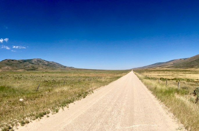
We charted a course to Cottonwood Canyon in order to camp and hike along the John Day River. Our route took us through Gilliam and Morrow Counties which are dominated by large ranches and grain growing operations. What we did not realize prior to this trip was that this vast agricultural landscape has become home to four of the largest wind farms in the United States (some thoughts on this subject in closing).
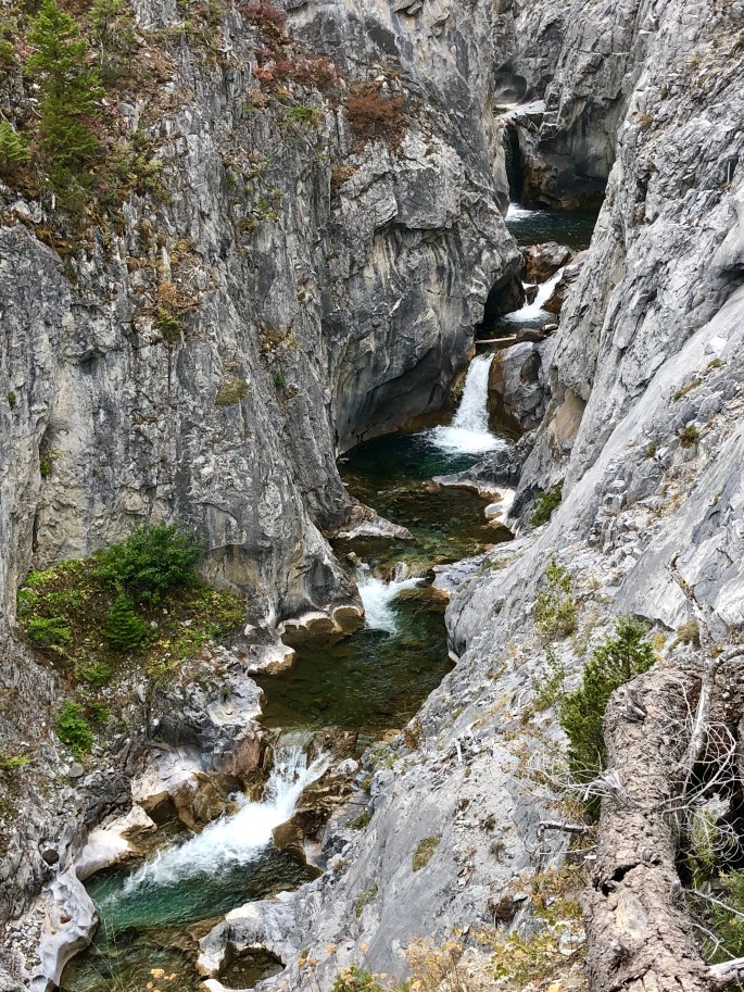
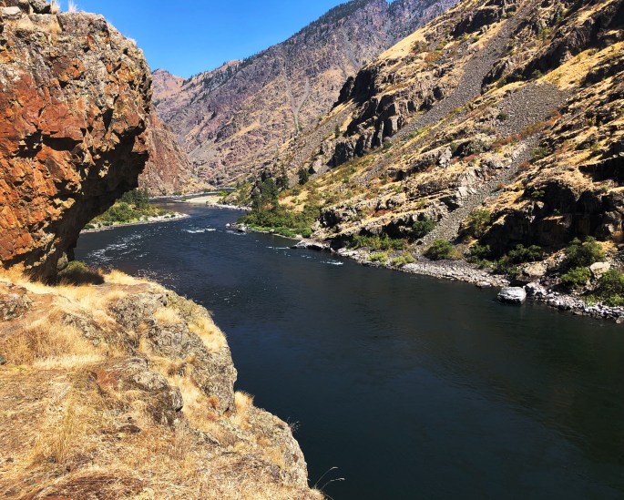
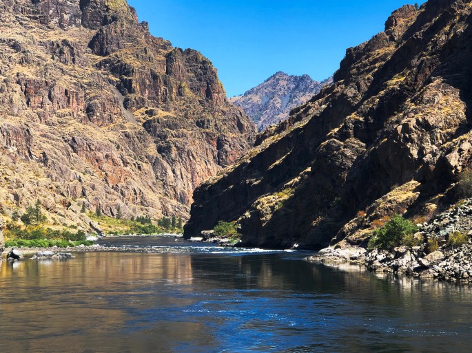
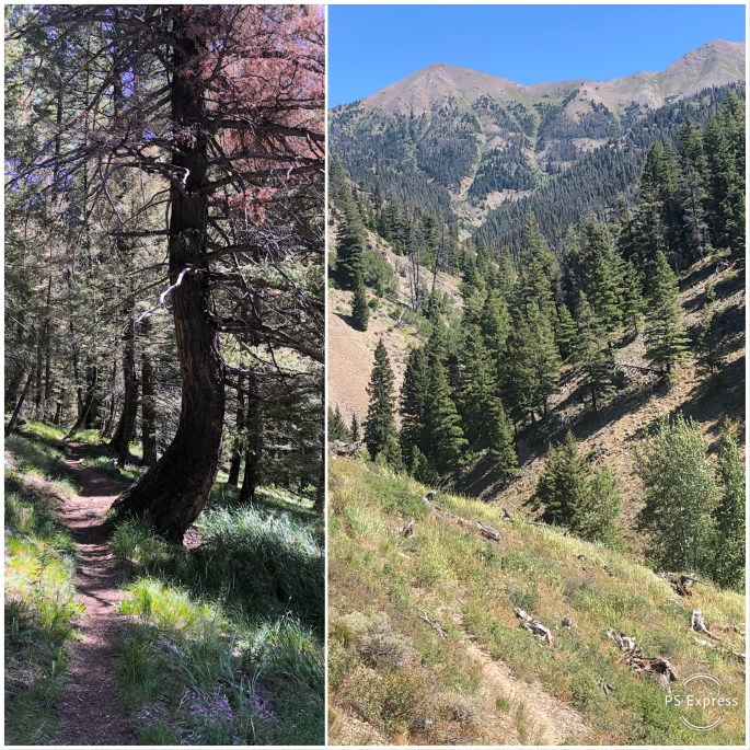
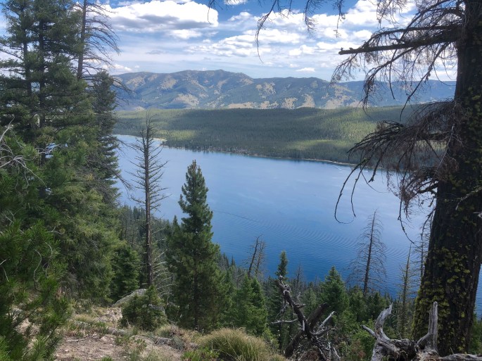
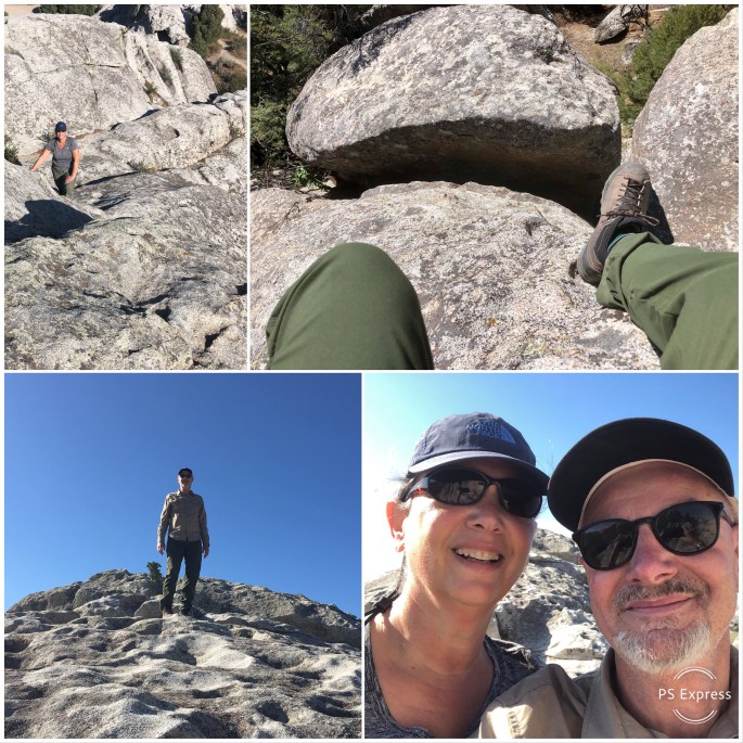
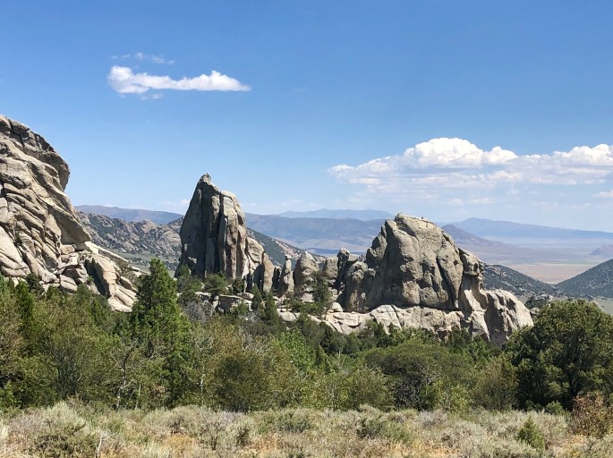
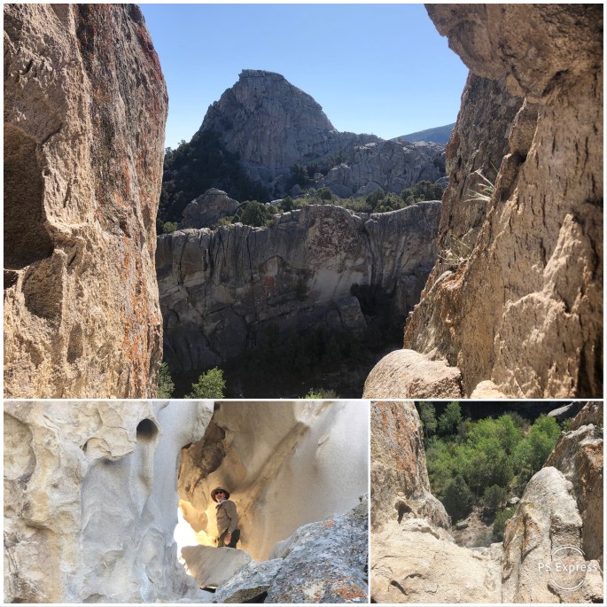
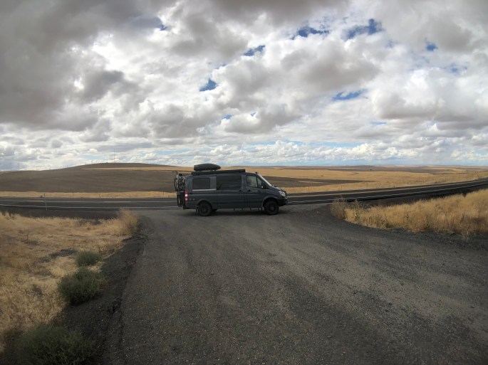
Cottonwood Canyon SP was created in 2008 when the Western Rivers Conservancy purchased the 8000 acre Murtha cattle ranch and in turn sold the land to the state of Oregon. The Western Rivers Conservancy made this purchase to ensure that the John Day River remains free-flowing from its source in the Strawberry Mountains until it merges into the Columbia River. The John Day river is the third longest free-flowing river in the lower 48 states at 284 miles (Yellowstone River and Salmon River are first and second longest).
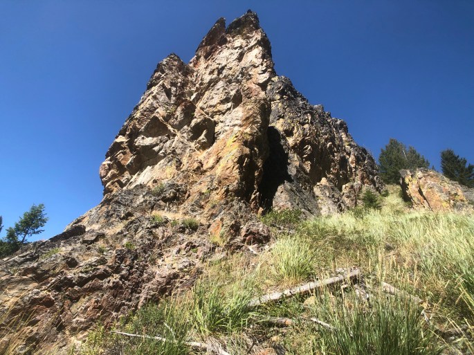
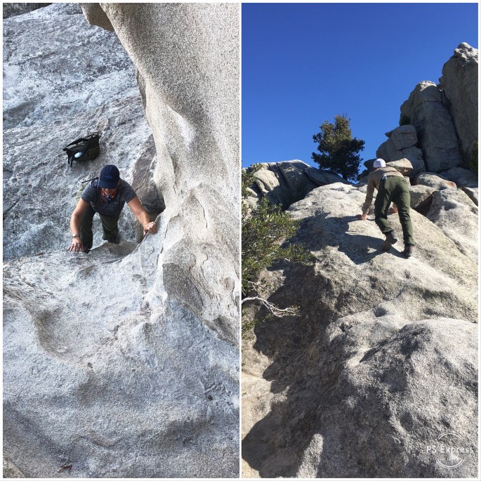
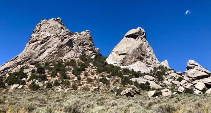
We were keen to hike and camp here to experience the spectacularly beautiful and pristine canyons rising along both sides of the river and explore some of the beautiful and rugged side canyons. The scenery did not disappoint. Camping is limited to 21 primitive sights available on a first come first served basis – so keep that point in mind when you set out to this area.
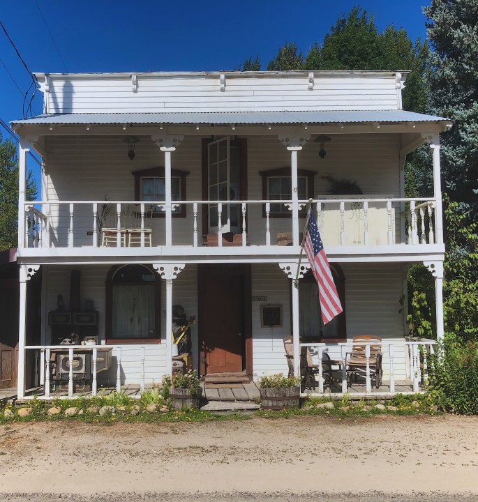
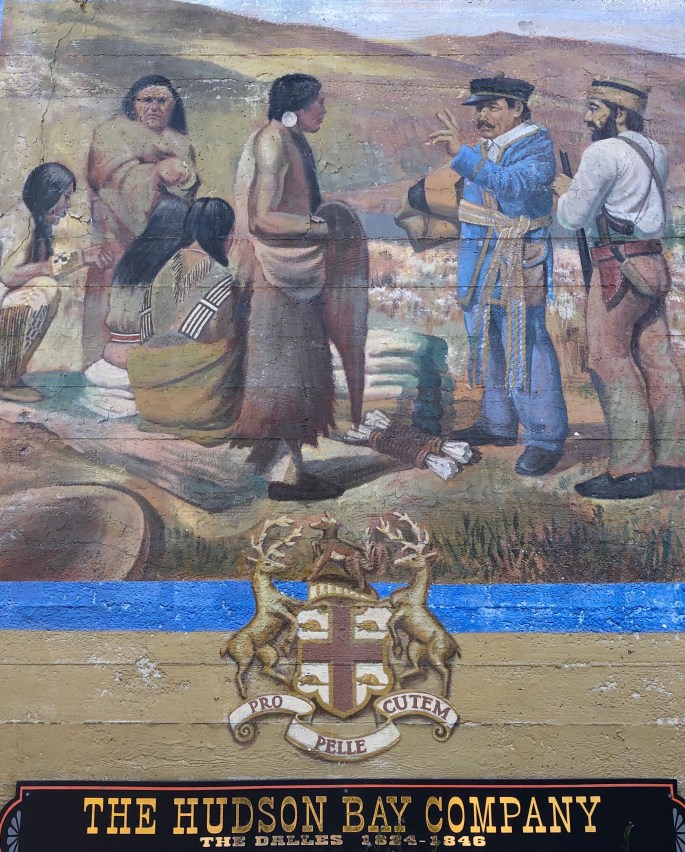
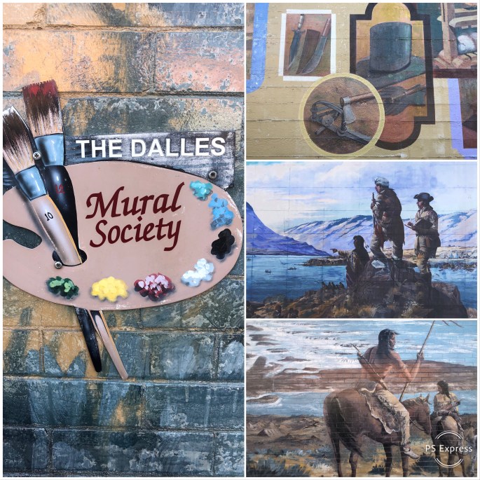
From Cottonwood Canyon we drove north to the Columbia River and traveled west to The Dalles which is a city of apx. 15,000 sitting hard on the river. The Dalles’ history goes back 10,000 years as a major Native American trading post. In the early 1800s Lewis and Clark stopped here and within several years the Hudson Bay and other fur trading companies were actively doing business in The Dalles.
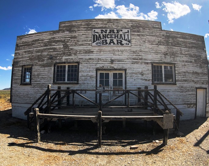
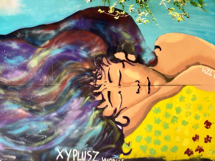
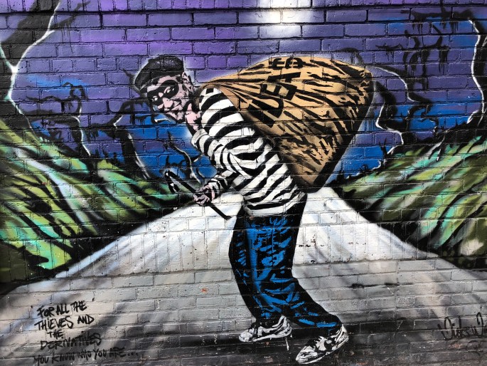
We have included below several photographs of various murals that we saw in The Dalles. The Dalles, like other western towns we have visited, have active mural societies which focus on preserving the history of the town through these works.
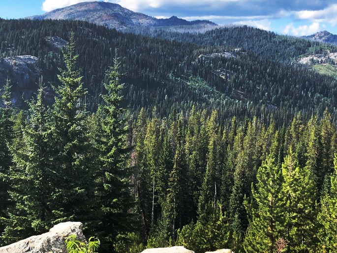
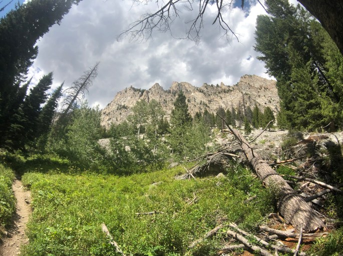
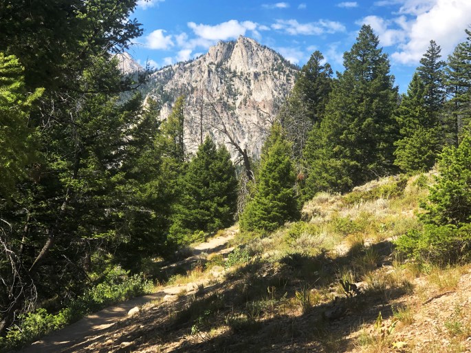
Our ultimate stop before Portland was Mt. Hood National Forest. The “centerpiece” here is of course Mt. Hood which dominates the skyline at an elevation above sea level of over 11,000 feet and a prominence of over 7,000 feet. Mt. Hood is certainly spectacular but the Mt. Hood NF would be worth visiting without the draw of the peak.
Mt. Hood NF covers almost 1.8 million acres and has eight distinct wilderness areas. There are over 1000 miles of hiking trails, numerous lakes for boating and unlimited camping opportunities through out the forest. In winter Mt. Hood NF is a “snow zone” affording snowshoeing, nordic skiing, and alpine skiing opportunities at any of the many snow parks accessed from Routes 35 or 26. These two roads which bisect the park are kept open all year. Lastly, if all that does not tire you out you can attempt to climb Mt. Hood!
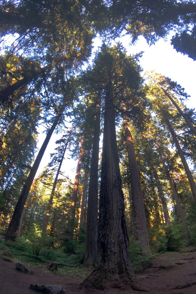
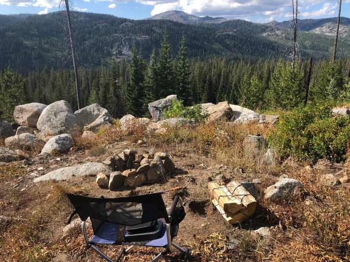
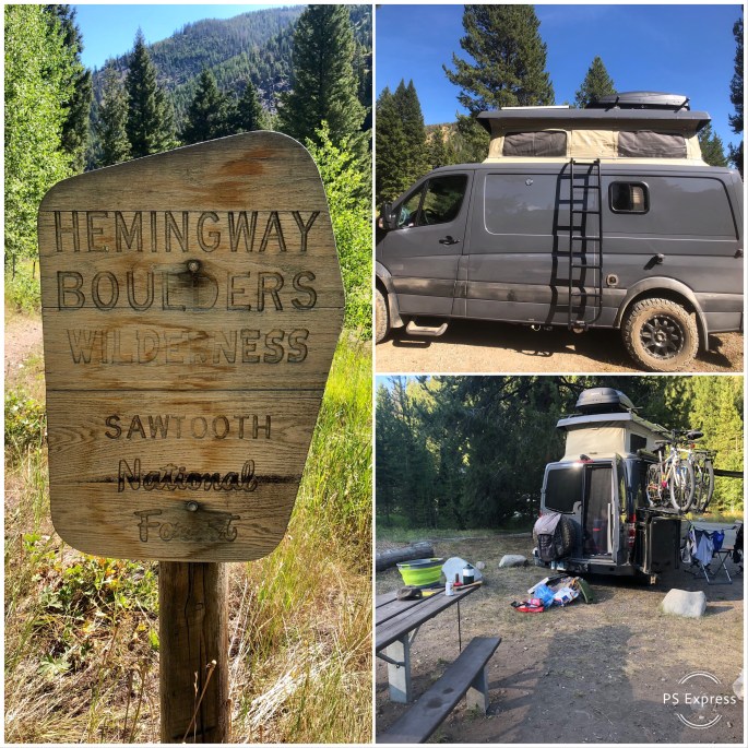
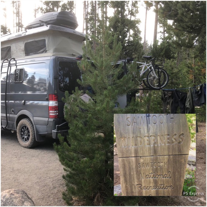
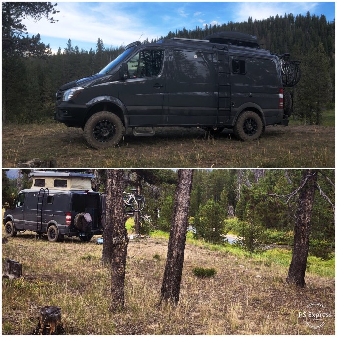
We were able to camp along rivers or creeks every night during our stay and enjoy the rush of the water and the night sky in complete solitude while being comfortably surrounded by towering Douglas-fir trees. It does not get any better for us!
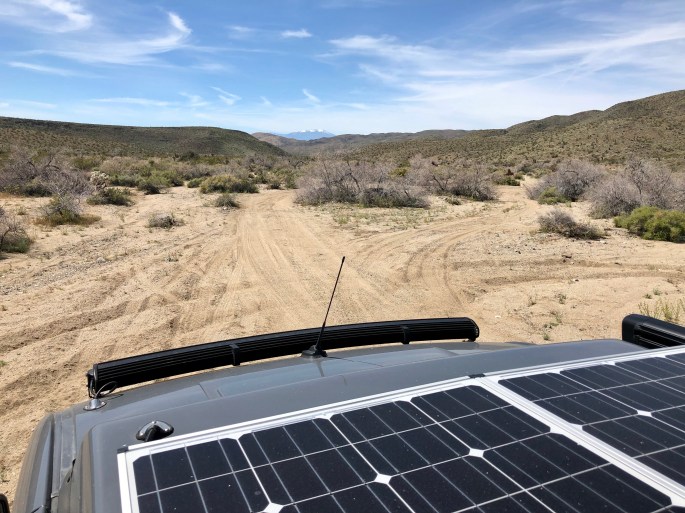
Okay…wind power. As we have traveled across the west during the last 13 months we have seen vast tracts of land lined with massive wind turbines marring the beauty of the landscape. What we have observed is that there is no consideration of the asethetic damage inflicted upon our eyes and souls. Five hundred foot tall turbines lining the ridges of the Sierra Nevada Mountains is an awful sight plain and simple. The fact that the large wind farms in Eastern Oregon are placed in lightly populated agricultural areas does not change the equation in our opinion.
But in our minds the real issue is that this scarring of the landscape – the beauty of our world – can never replace fossil fuels. Wind provides intermittent power and will always need to be supplemented by current power sources. Economically wind power owes its perceived viability to deep tax credits provided at the federal and state level. Not a single turbine would have been erected without these credits. This is nothing short of crony capitalism.
So let’s postulate that we all agree that the world would be better if we did not need to create electricity by burning coal which releases so much CO2. Natural gas is better but emits CO2 at about 50% the rate of coal.
It might surprise you to know that nuclear power is the lowest cost means to generate electricity and produces zero emissions. France committed to nuclear power 40 years ago and generates over 70% of its electricity via nuclear power with just 58 power reactors.
Perhaps it is time to reconsider nuclear power as the viable replacement for fossil fuels as the power source for electricity generation.
https://www.spiked-online.com/2021/10/03/re-making-the-case-for-nuclear-energy/
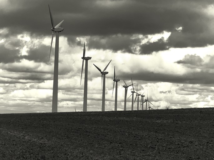
Stateline Wind Farm

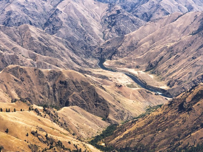
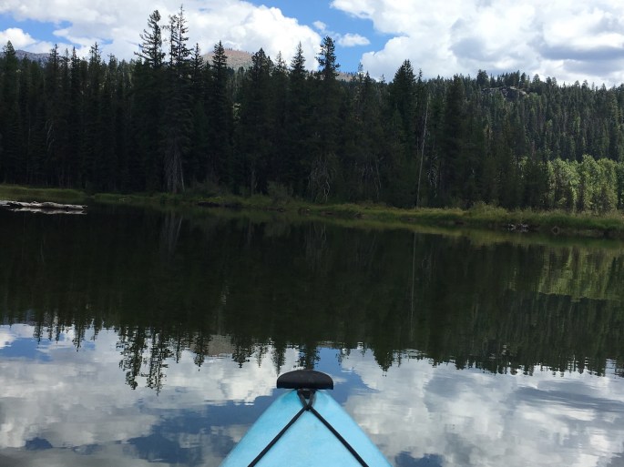
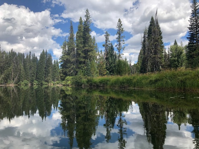
John Day River, Cottonwood Canyon


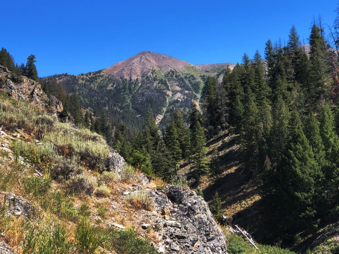
Mount Hood (Elev. 11,249)

Camping Mt Hood NF