As we departed Bisbee (see previous post) we decided to make a quick detour to the border to check out the small town of Naco.

Naco, Arizona is a census designated place with a population of 1176. Naco, Sonora, the sister city (pop. 6064), is immediately on the other side of the border. While the border was finalized by the Gadsden Treaty of 1853, the two Nacos functioned as a single community regarding everyday living. Recently, Naco, Sonora was also very popular with United States citizens who could easily cross the border and purchase prescription drugs and other items (see Pancho Villa post) . Additionally, the younger drinking age in Mexico (18 vs. 21 Arizona) saw many teens crossing over for an evening of drinking.
The situation changed dramatically during the 1990’s as routes for smuggling migrants and drugs moved to this area after other parts of the border were more effectively sealed. The reverse flow of the smuggling business is the movement of large quantities of weapons south from the U.S. into Mexico for use by drug cartels (shameful).
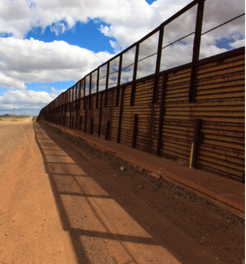
The increase in smuggling coupled with 9/11 resulted in much tighter security. Residents were no longer able to cross back and forth across the border as freely. The completion of a new border fence in 2017 (pictured above) made the separation of the two towns very real. The residents of Naco, Arizona were not apprised of the new fence – they literally woke up one morning to the sound of construction equipment rolling into town.
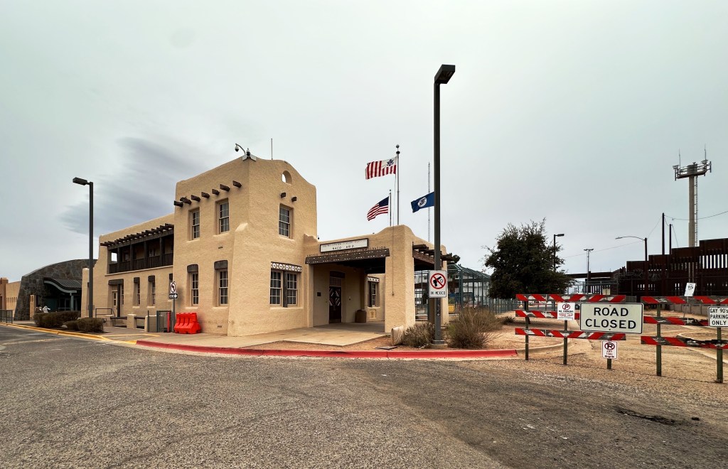
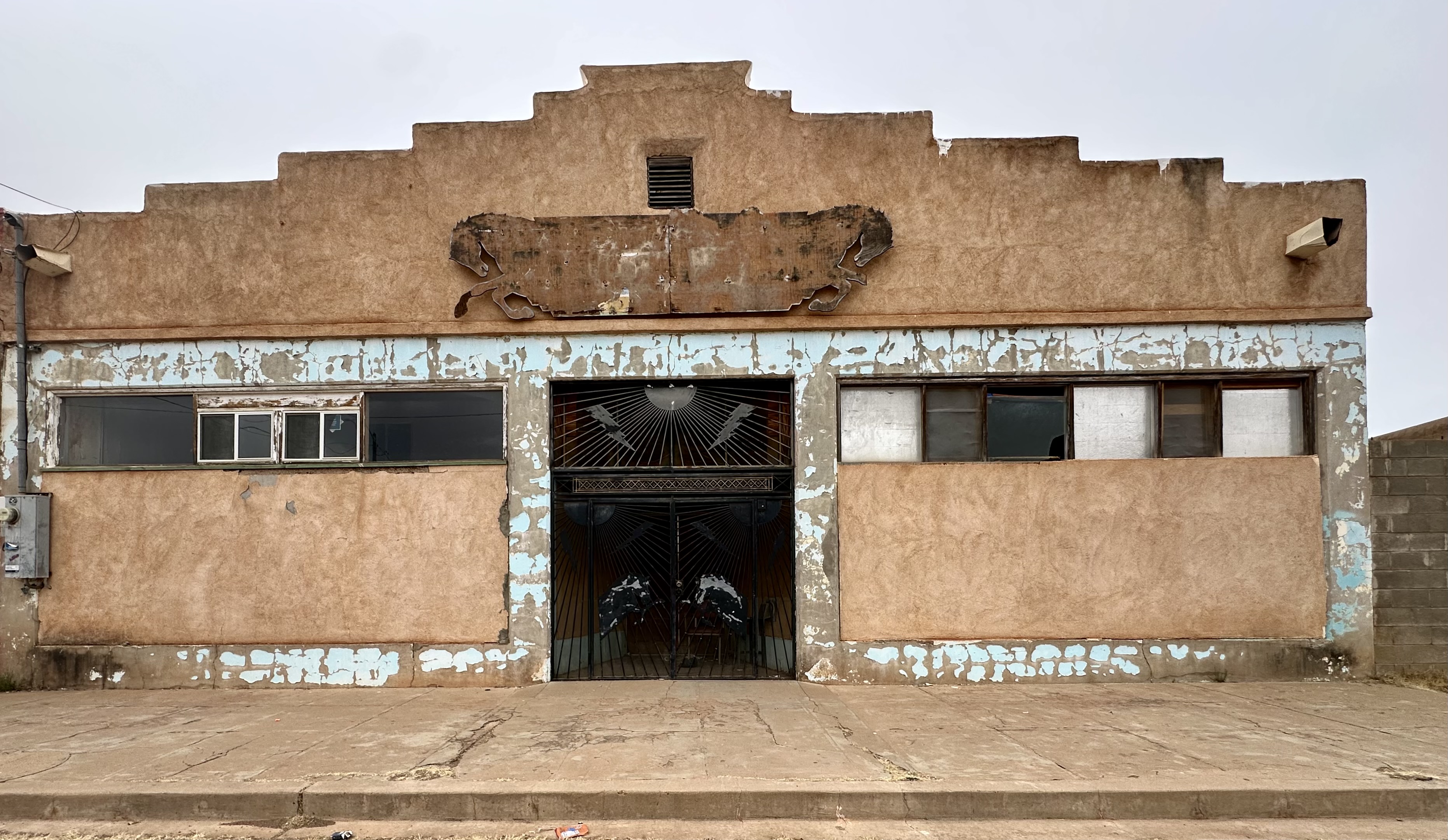
Many residents claim that this event was the beginning of the end for Naco from a business perspective. An additional factor is that the port of entry restricted its operating hours – moving from 24 hours per day to closing at 10:00 PM – sending more traffic to Douglas where the port of entry is 24/7. Today, there is just one remaining business in Naco.

The last business standing in Naco is not unsurprisingly a bar! But not just any bar it is the Gay 90’s Bar as in the 1890s! The bar, which serves food, has pool tables and live music, has been in business since 1931. Why anyone would open a bar during prohibition does not make sense on surface of the issue, but there is probably more to the story than we will ever know. More importantly, they are still in business despite all the turmoil and hard times.
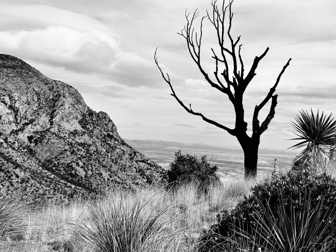
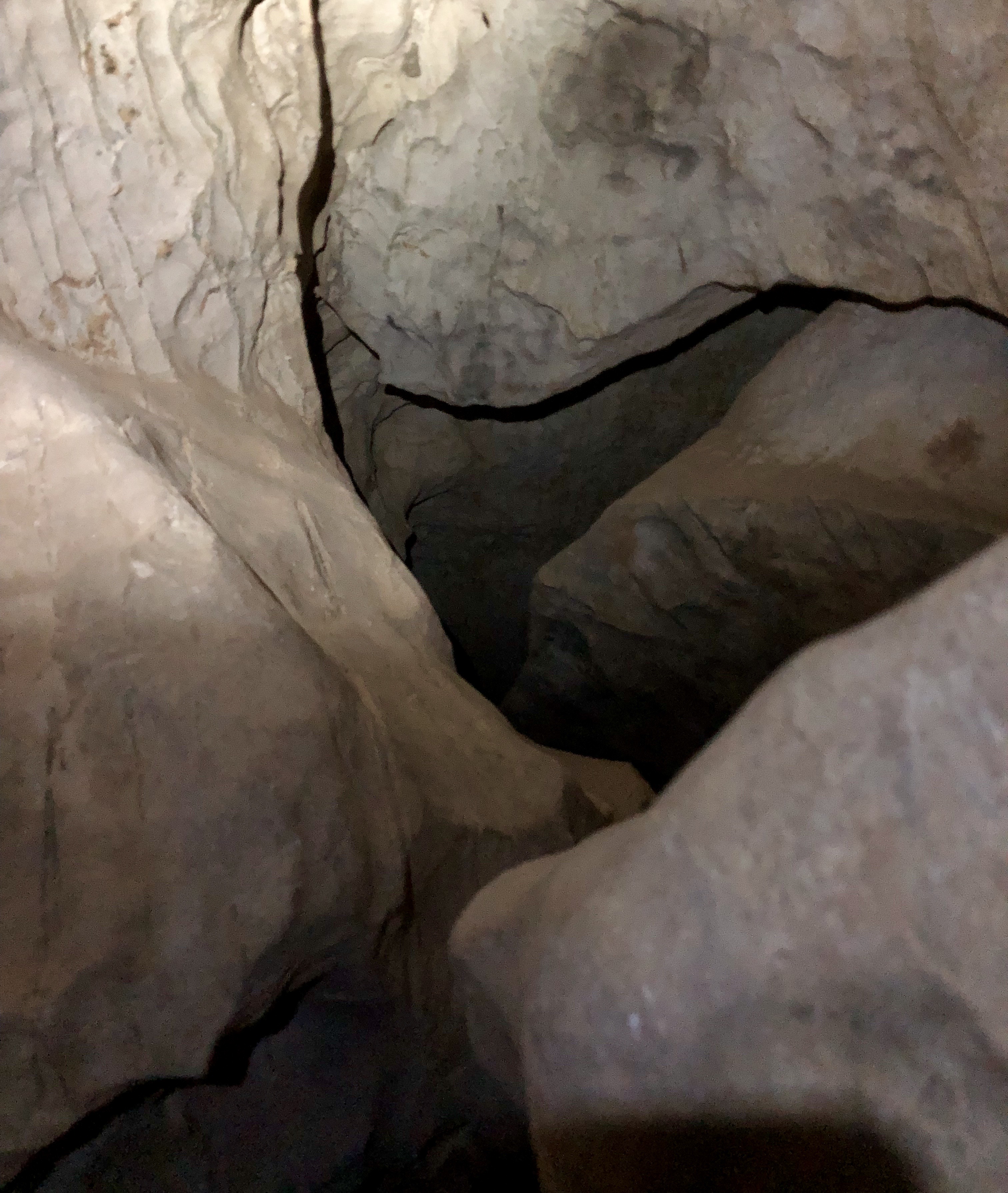
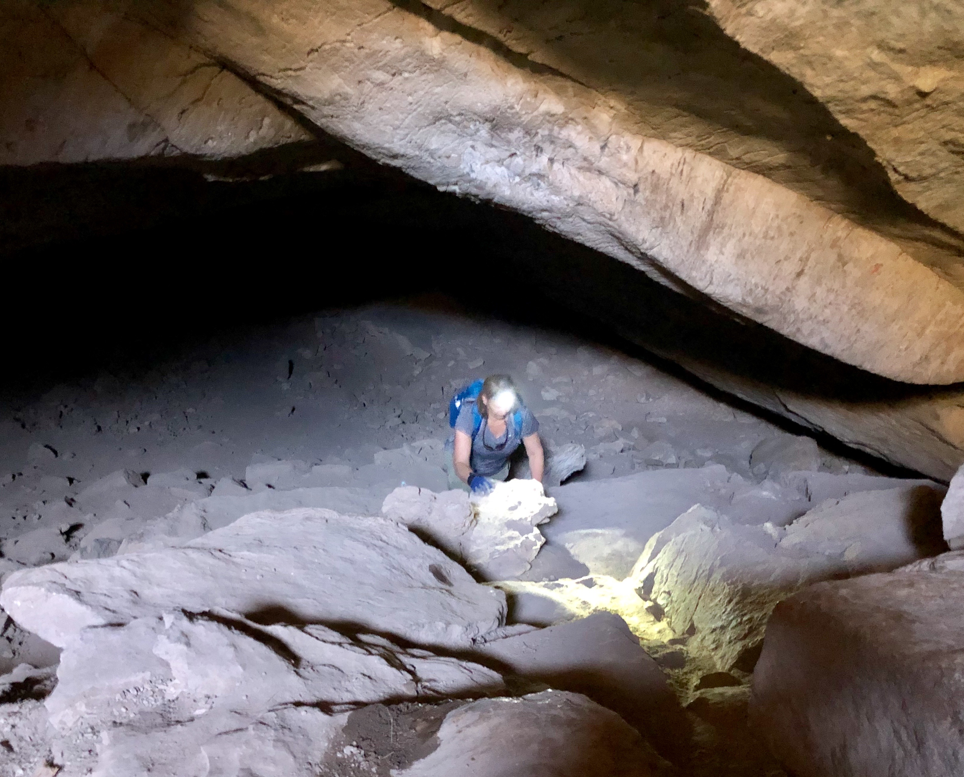
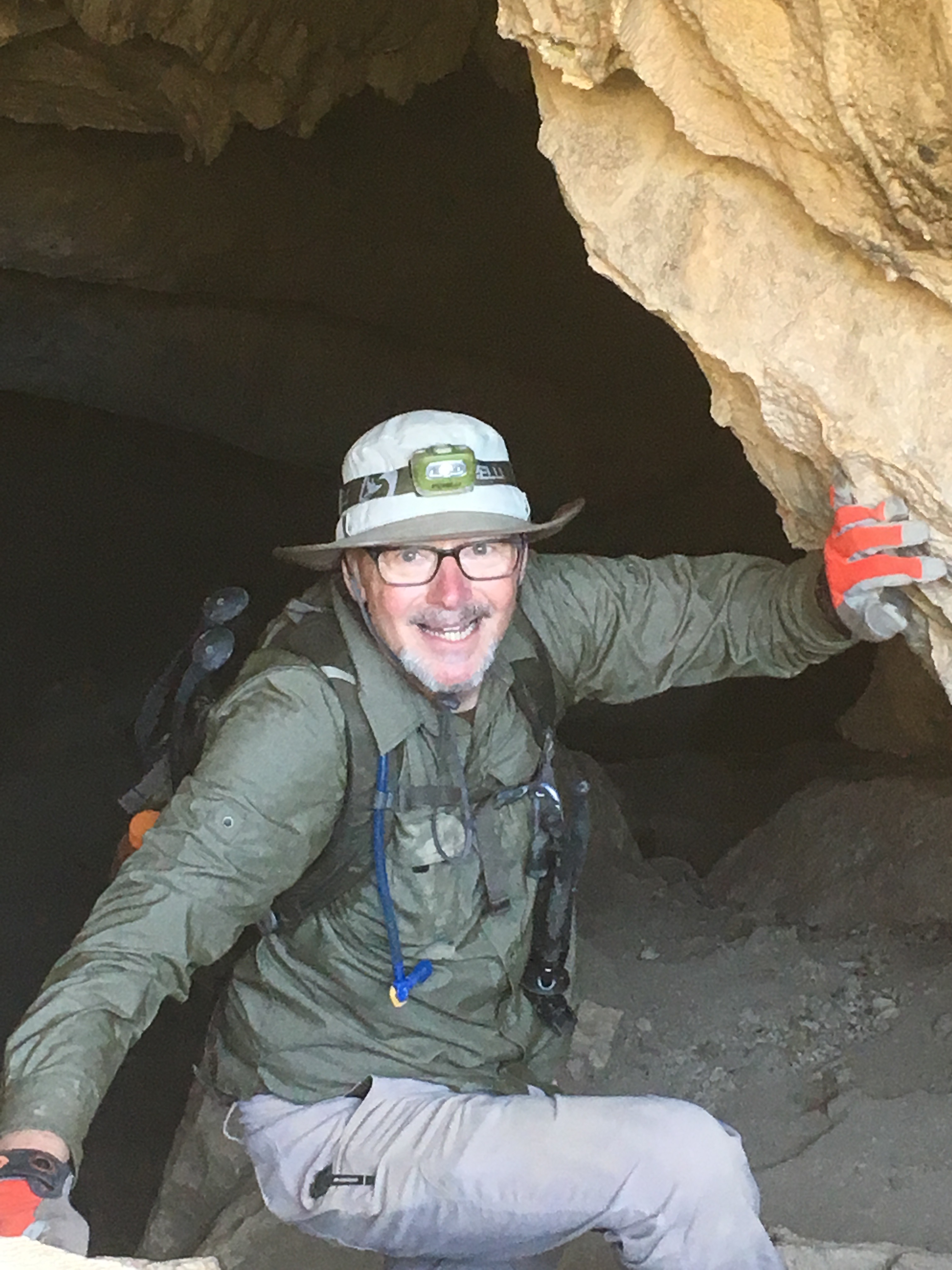
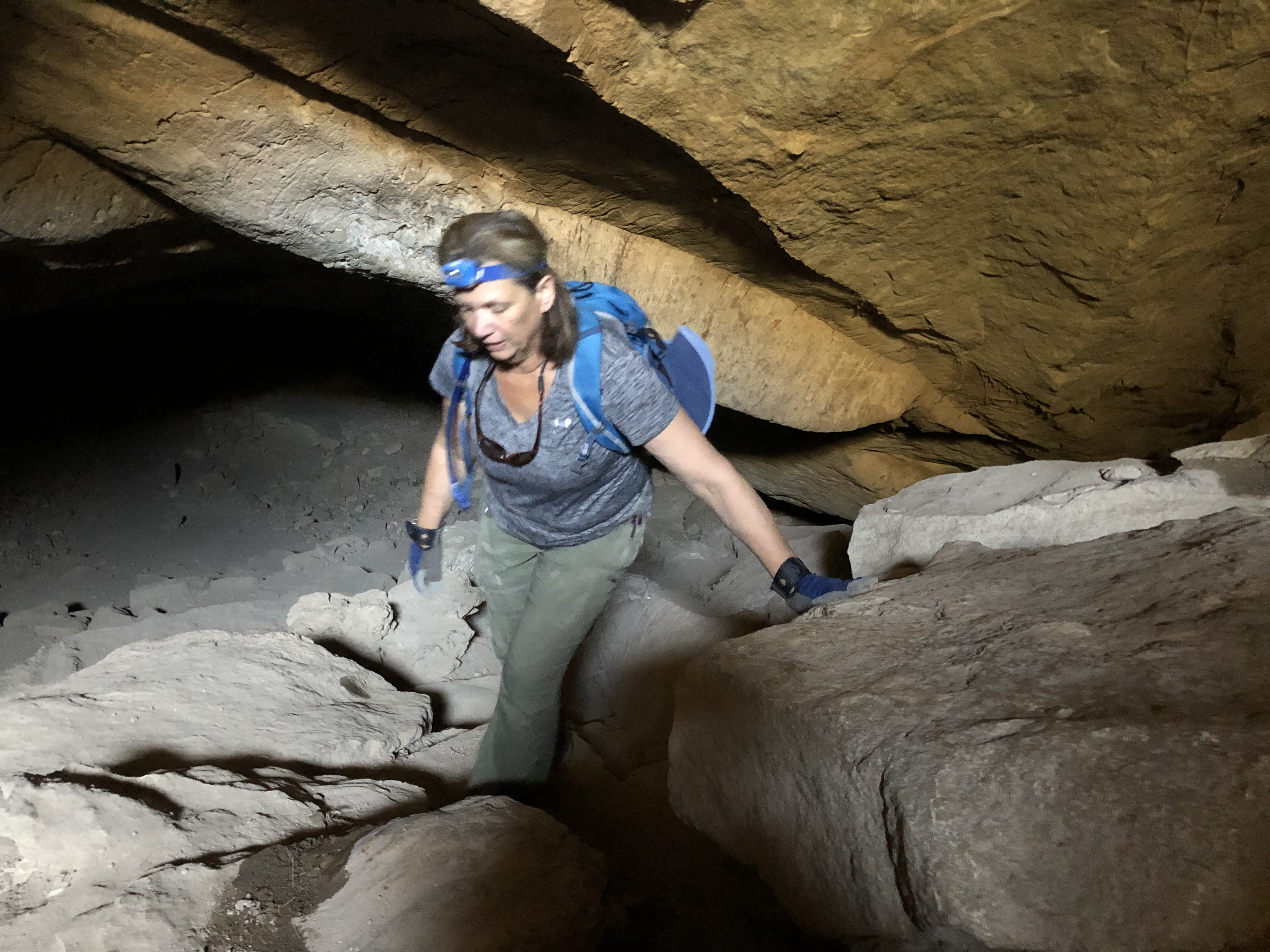
After our brief and somewhat depressing stop in Naco, we cotinued west across beautiful grasslands and entered the Coronado National Memorial. We had visited the Memorial in 2019 to explore the Coronado Cave but did not continue up to the pass. The photographs below are from our caving adventure in 2019. The entrance to the cave is a half mile hike up the south slope of Montezuma Peak and definitely worth the trip. The cave is 600 feet long with lots of small spurs.


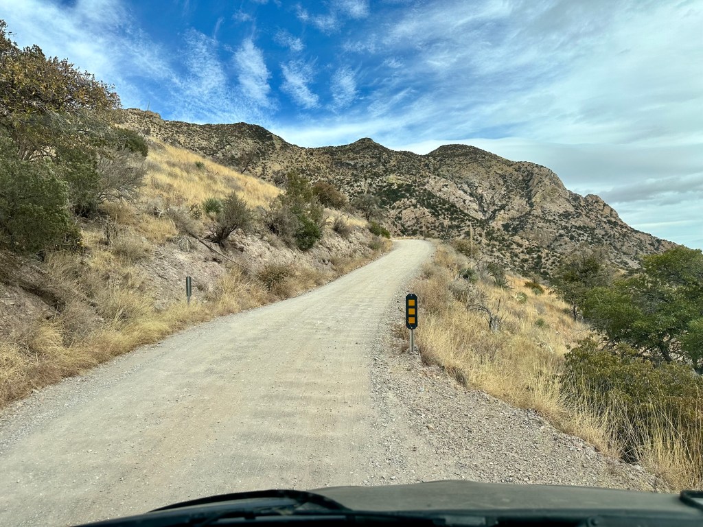
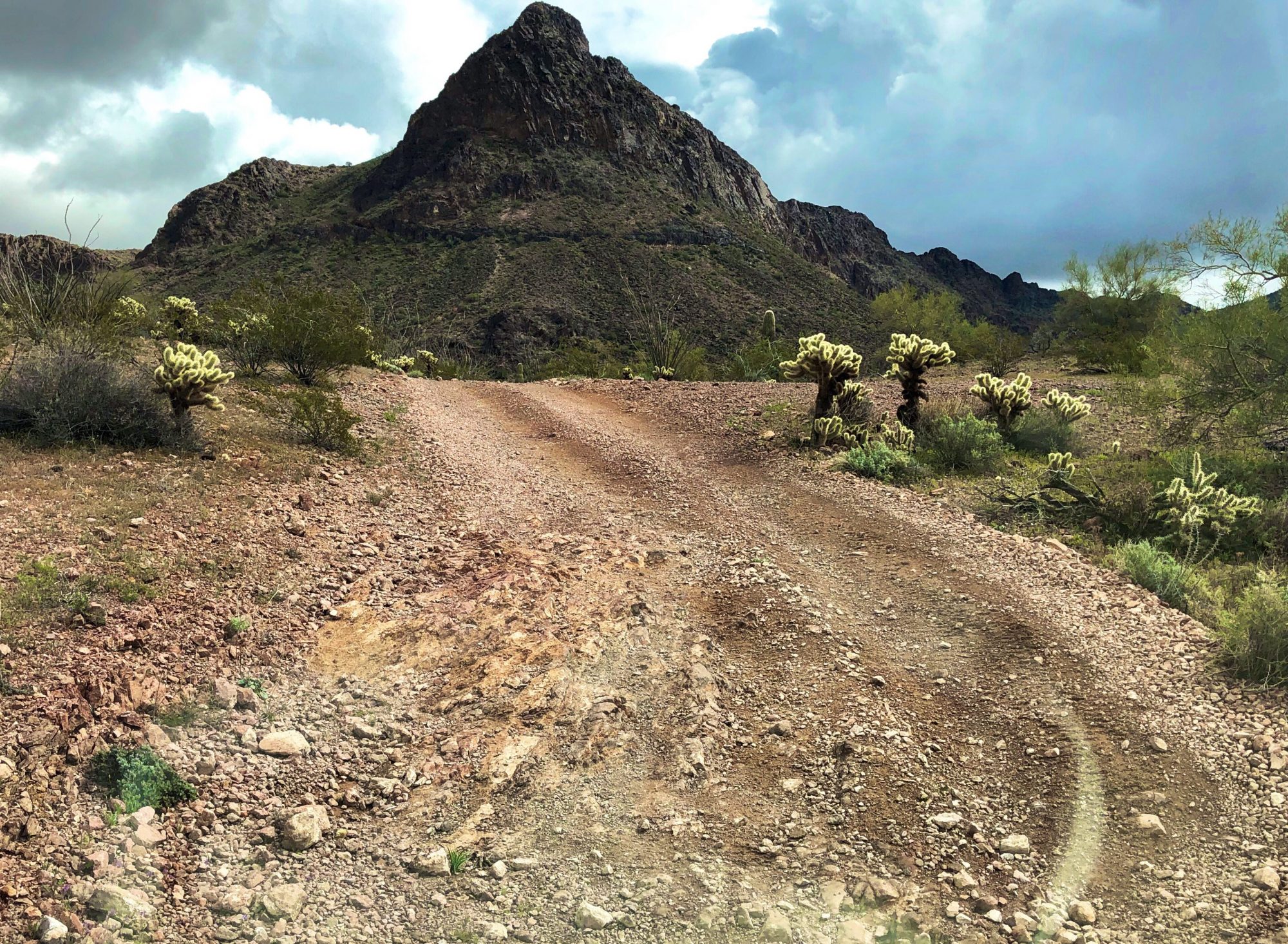
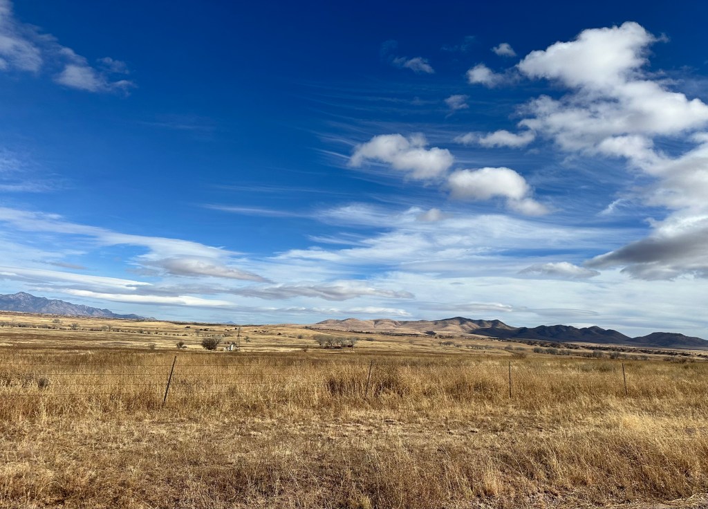
Back tothe present — we wound our way up the canyon road of the 7640 foot high Montezuma Peak and stopped at the pass to take in the views back to the east and west to the immense (330 square miles) San Rafael Valley.


The road beyond the pass heading west is best suited to 4WD, high clearance vehicles as it becomes progressively more rutted and rocky.

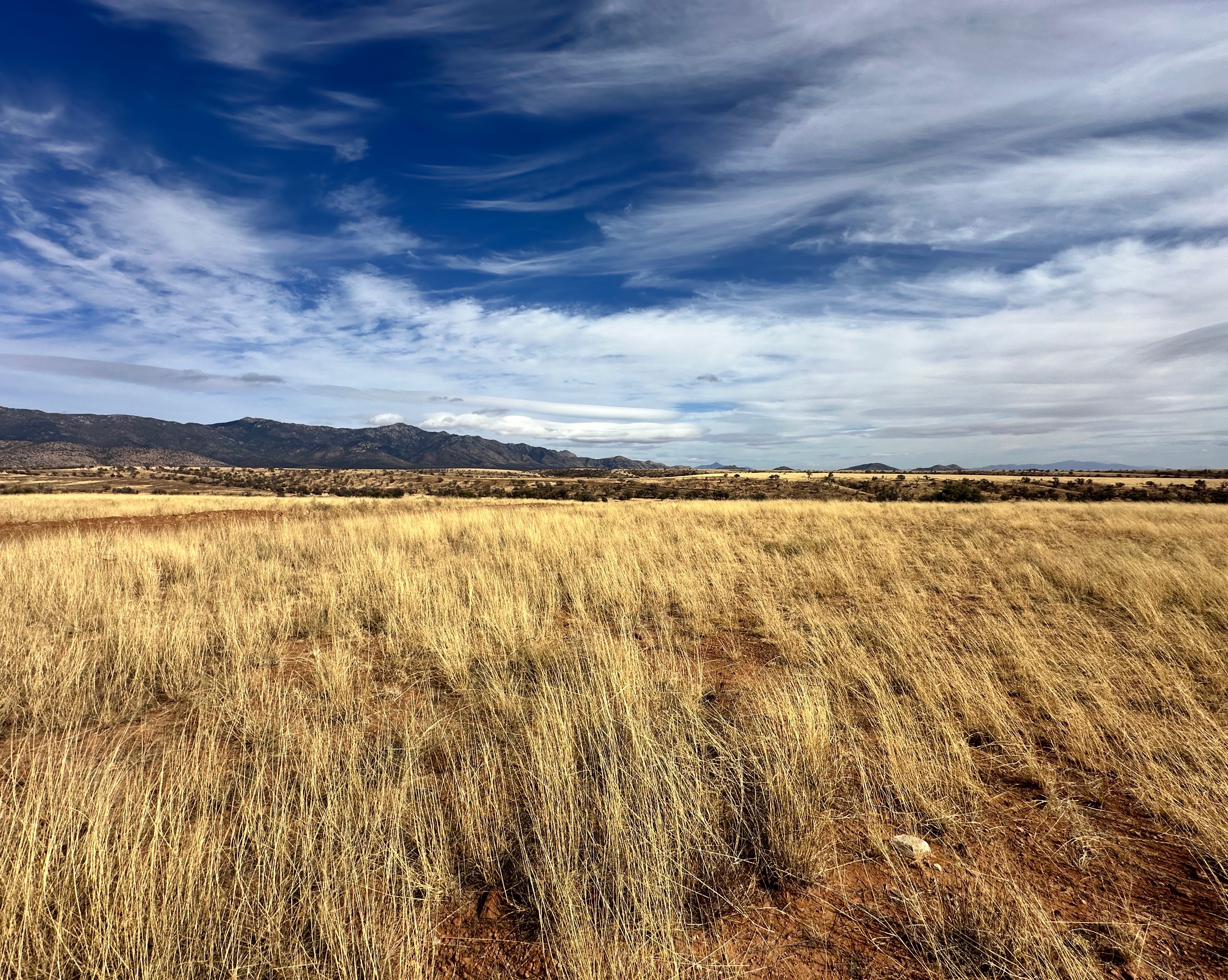
From the pass we continued down the road admiring the views of the valley below. It is hard for us to fathom that the majority of the valley’s 90,000 acres is privately owned by a handful of ranchers. But then again, the valley has been home to cattle ranching for 175 years!

The largest ranch in the valley was owned and operated by the Sharp family from 1903 to 1999. The ranch, The San Rafael Ranch, lies in the center of the valley and consisted of 22,000 acres. The state acquired the land and designated it as natural area in order to protect what is considered the finest stand of grassland in the state. Sadly, when the state purchased the land and designated it as a natural area, it closed access to the ranch house and all of the property (although the state allows the remaining ranchers to graze their cattle on the land). The other interesting historical note is that the property that comprised the ranch was the last remaining intact Spanish Land Grant (well, we think it is interesting).


Being very cognizant of the fact that we were traveling through a fragile area, we carefully followed an established track which took us out through the grasslands. The video below provides some perspective of the experience of riding through the grasslands with the mountains ahead of us — quite spectacular!
After our jaunt through the grass we returned to the road to complete our crossing of the valley.
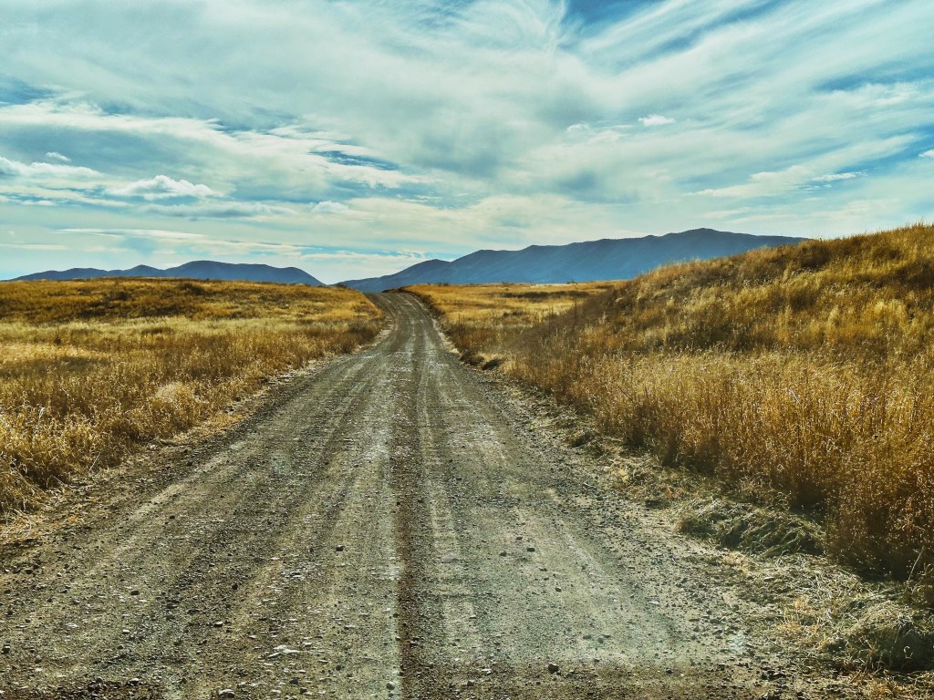
At the end of the drive across the valley, we arrived at the border town of Lochiel. The town was originally named La Noria by Mexican settlers. It was renamed Lochiel (Low—Keel) in 1885 by rancher Colin Cameron in honor of his Scottish ancestors.

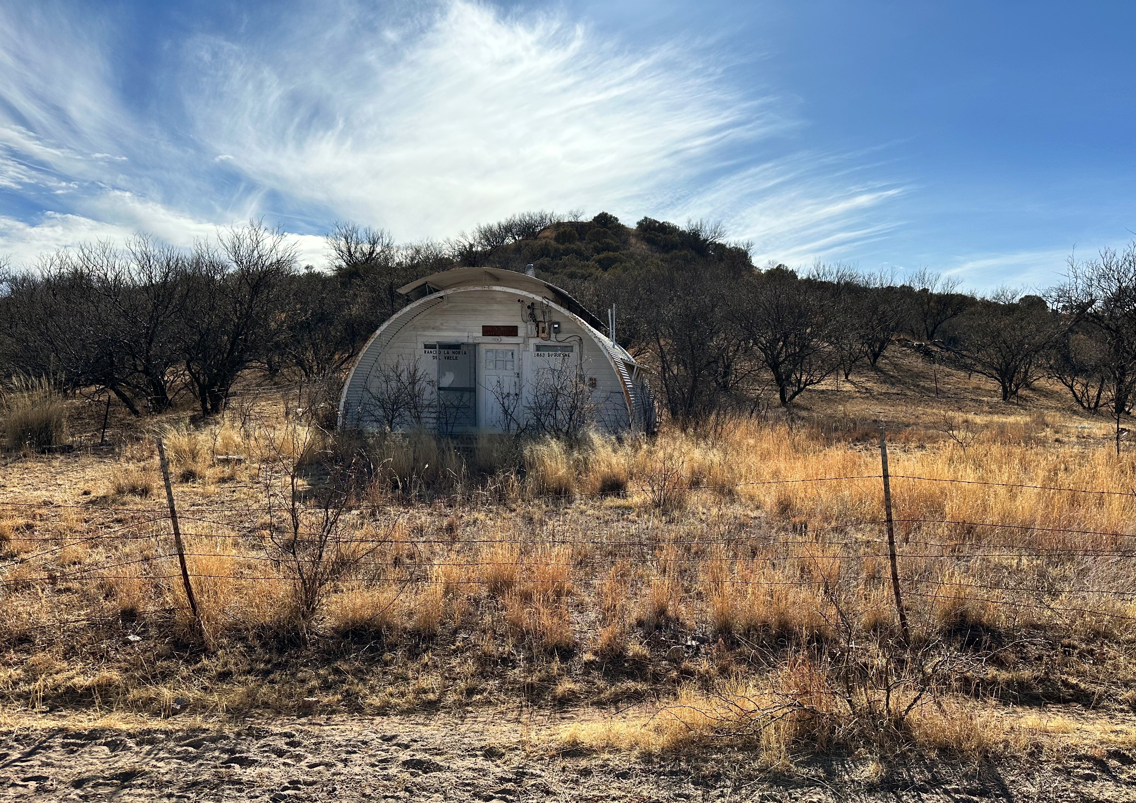
Lochiel is often described as a ghost town but it appears there a handful of inhabitants. Our research comes up with ten people. We don’t think anyone really knows and historical records indicate that the population peaked at 400 when the mine in nearby Patagonia was in full operation. We can’t warrant that anyone actually lives there because while we saw several dwellings that appeared to be inhabited we did not see any people while in Lochiel. In fact, we only saw one person during our ride across the valley — a man in a pick up truck — who we let pass us by as he was traveling at a much higher rate of speed than we could or would on the rough and winding road.

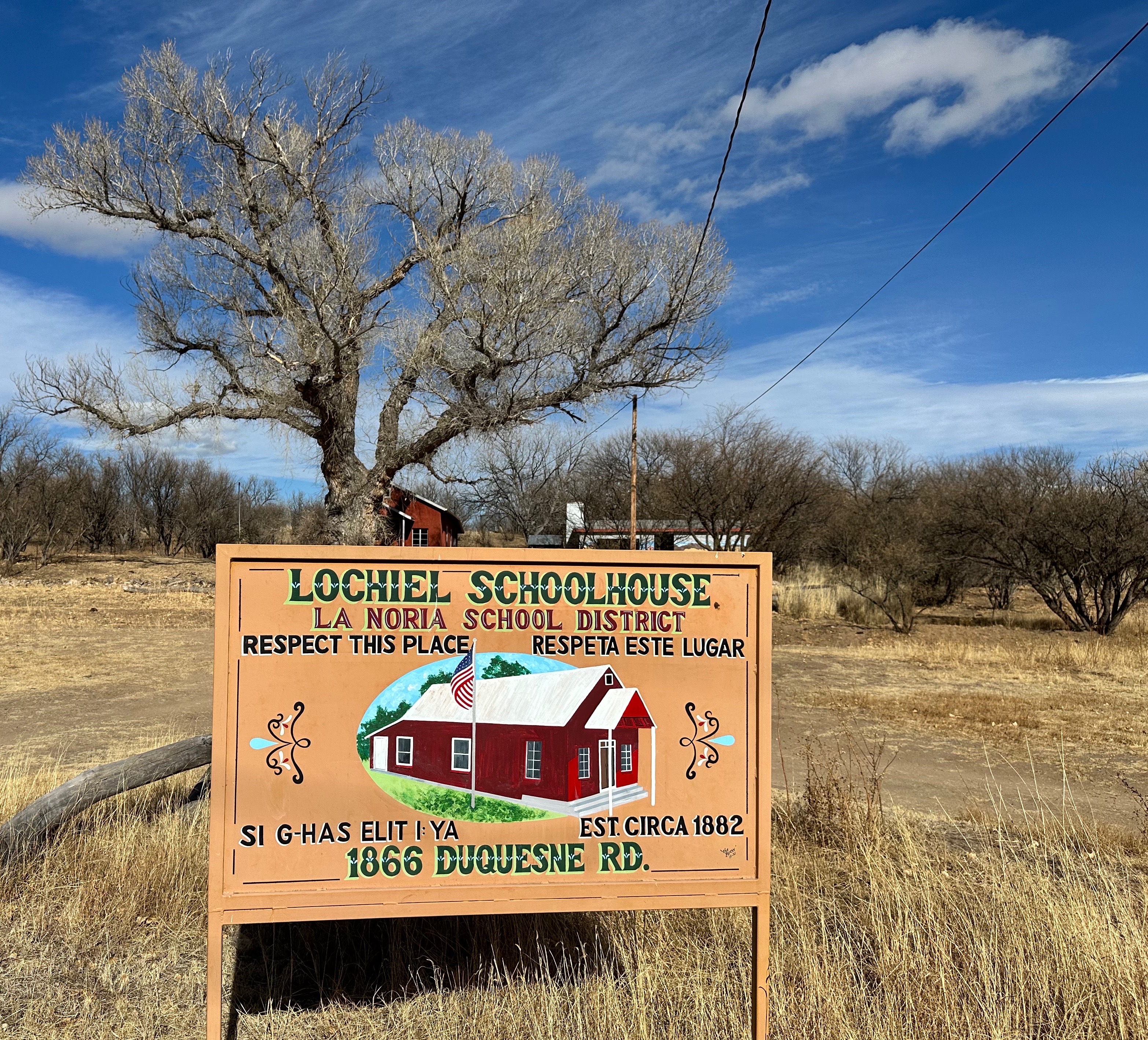
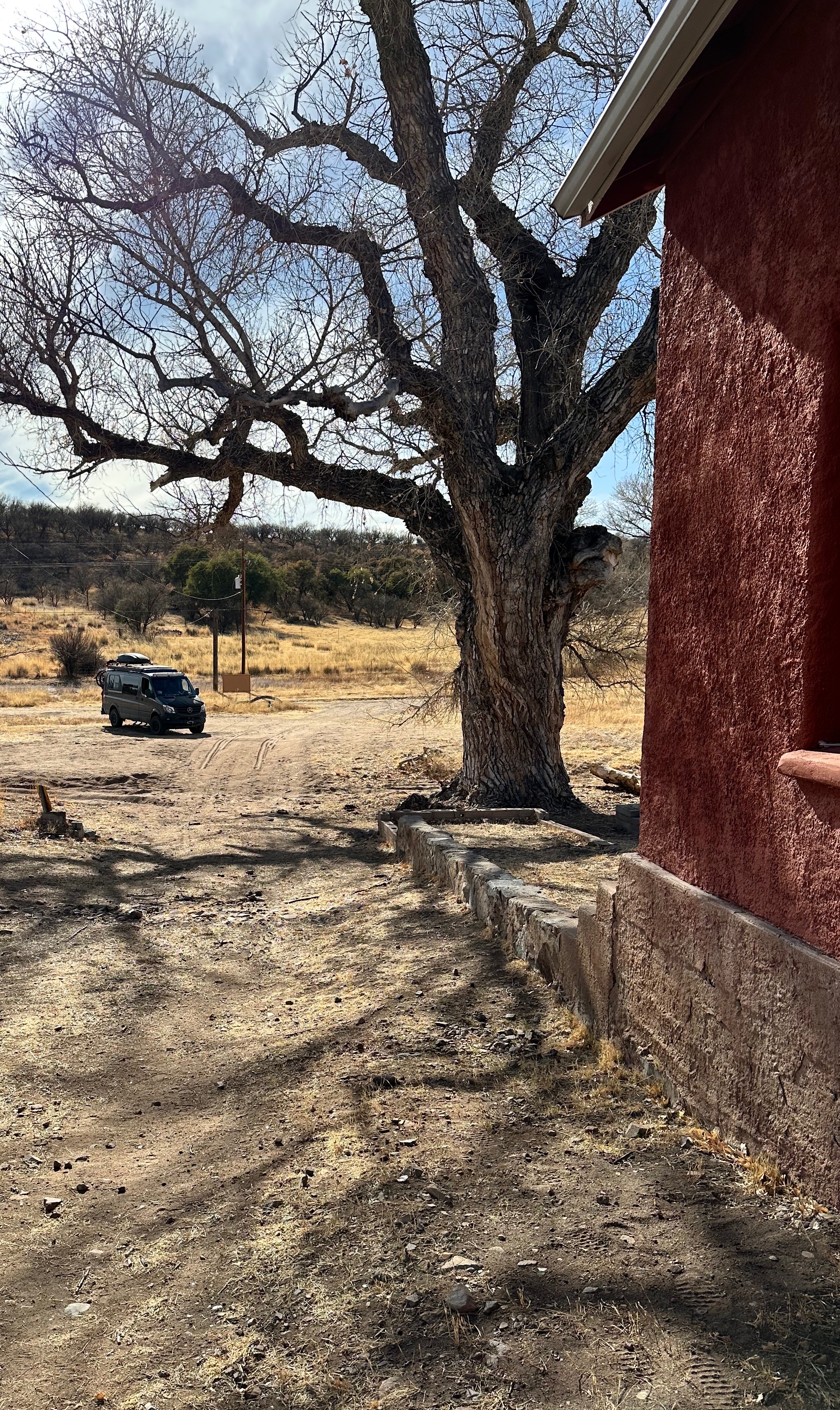

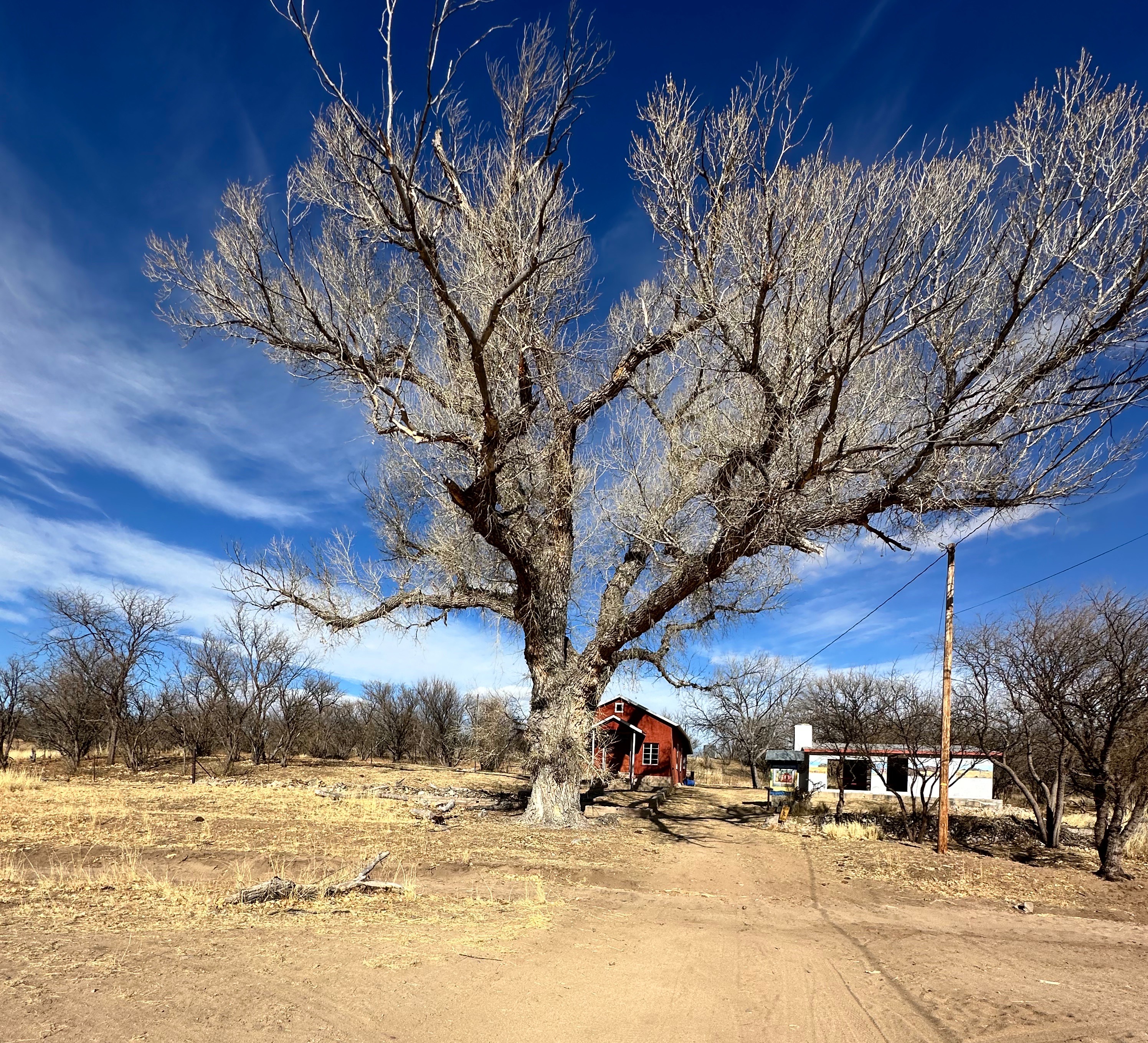
We visited the red schoolhouse pictured above. It is an adobe structure and operated as a classic one room schoolhouse for all of the children in town. The schoolhouse began operation in 1892 and closed in 1972 in response to declining enrollment. The remaining kids were bussed to school in Patagonia. Today the school is maintained by the Patagonia Museum.
There is also small church in Lochiel. We could not visit the church as the fence around the church is gated and locked. It appears to be of adobe construction as well. The fence directly behind the church is the border fence with Mexico. We unfortunately could not find any history regarding the church.

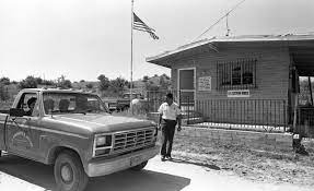
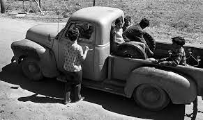
We mentioned that Lochiel is a border town. The border fence here is just a chain link fence with some barbed wire on top. Quite a contrast from the other sections of the border we have seen on this trip. Years ago, from the 1960s until 1983 there was a port of entry in Lochiel. It was operated by Customs Inspector Helen Mills during the 60s and 70s and then Custom Inspector Mike Daniels until closing in 1983. We found some fantastic photos (below) of Helen and the port of entry from an article in Tucson.com


Well, that is our report on our experience overlanding through the Coronado Memorial NM and the San Rafael Valley. This trip really helped us to envision a different time in our country.
From Lochiel we drove north and camped in the Patagonia Mountains for an evening. Our next segment will take us to Mission San Jose’ de Tumaca’cori north of Nogales and then on up to Tucson for a city segment.
Be seeing you!
