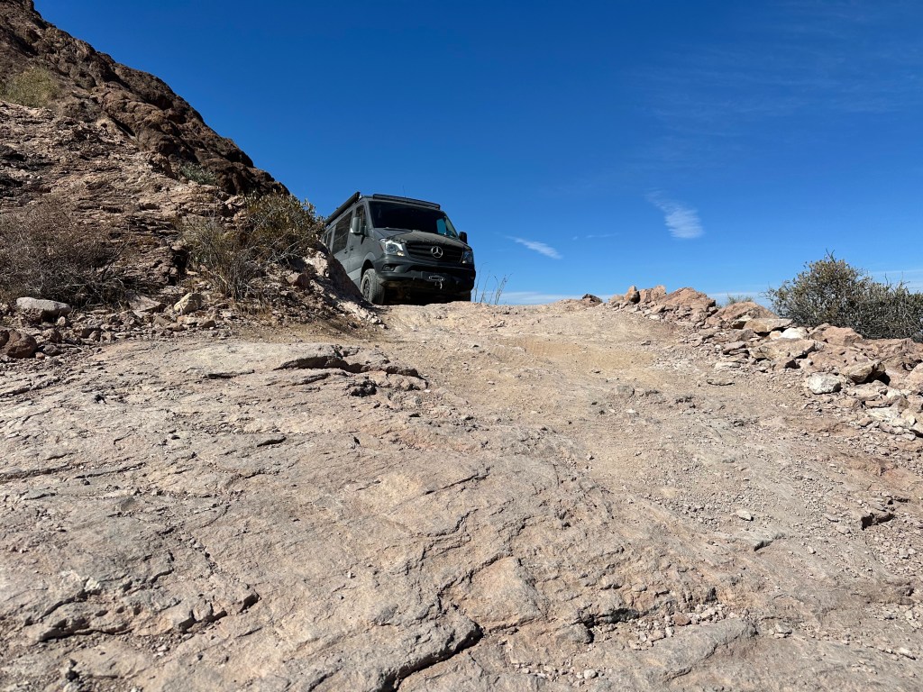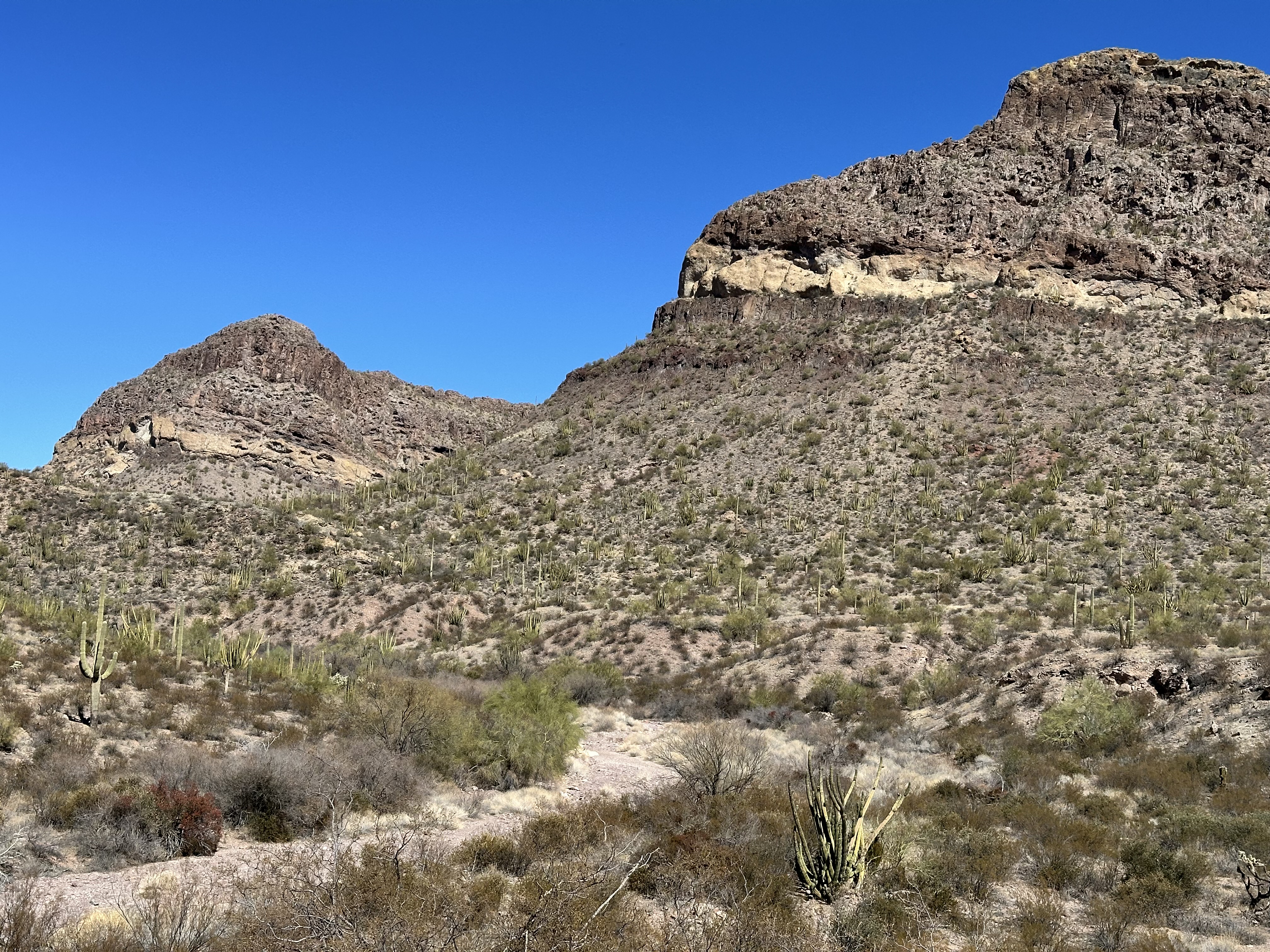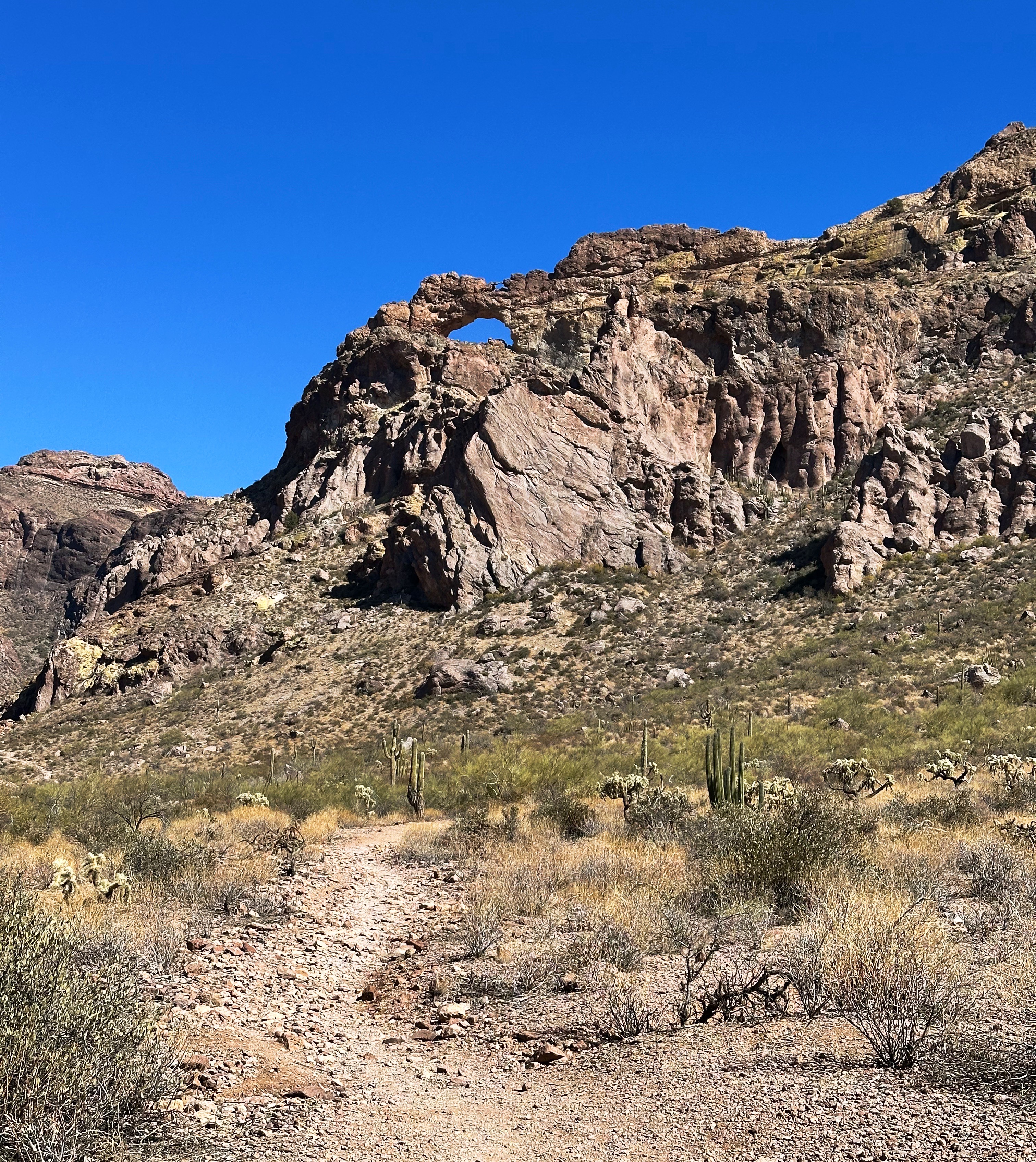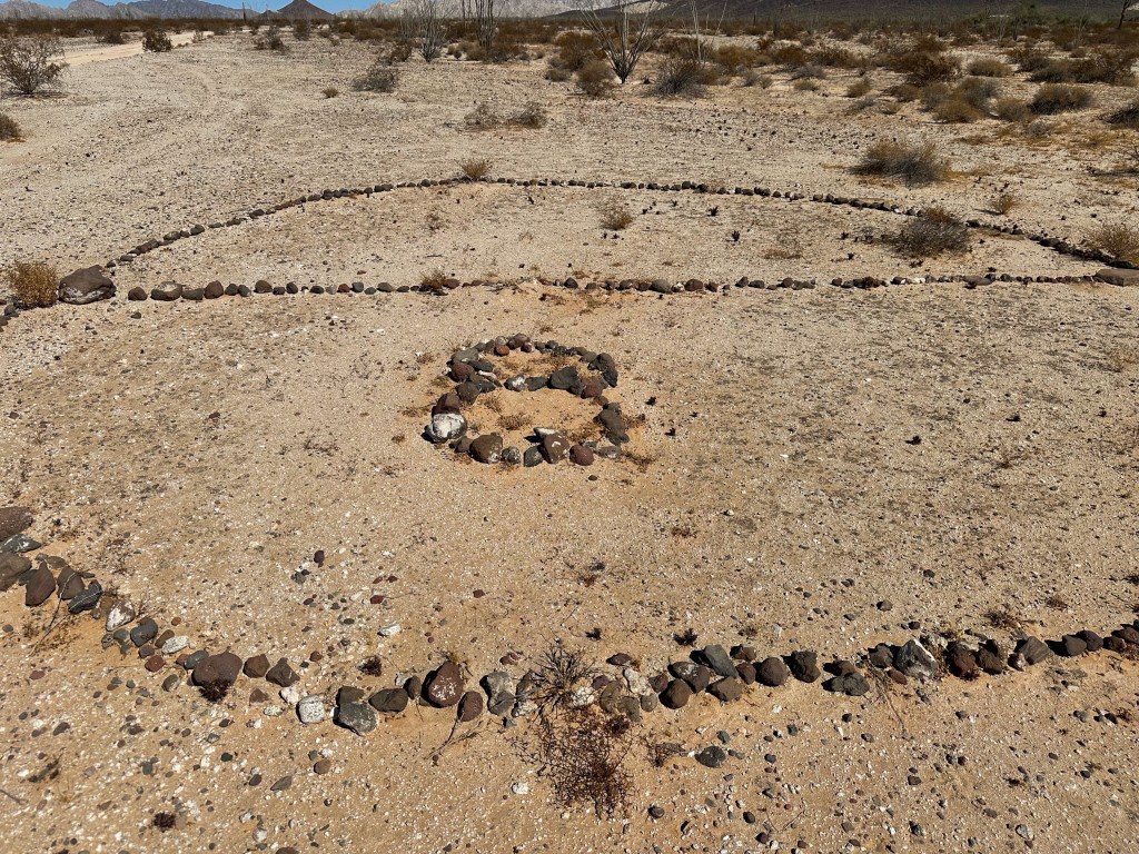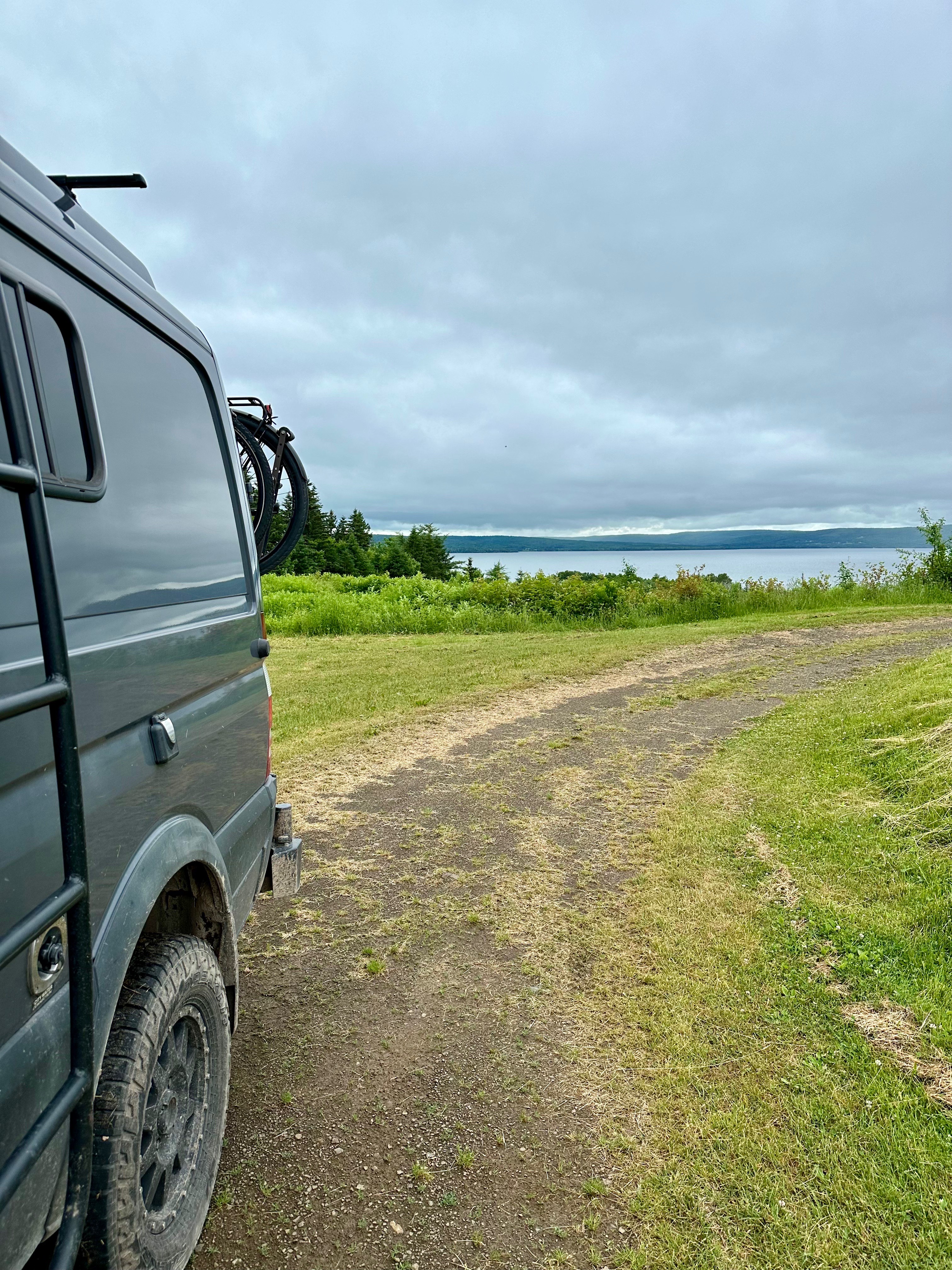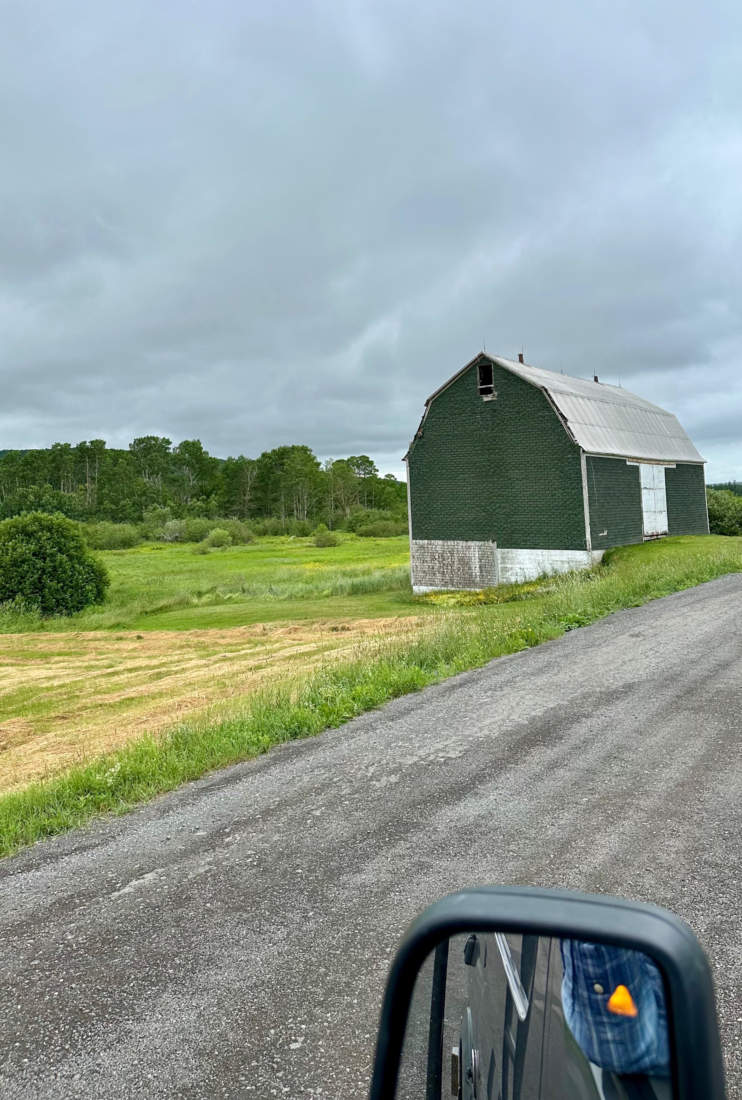
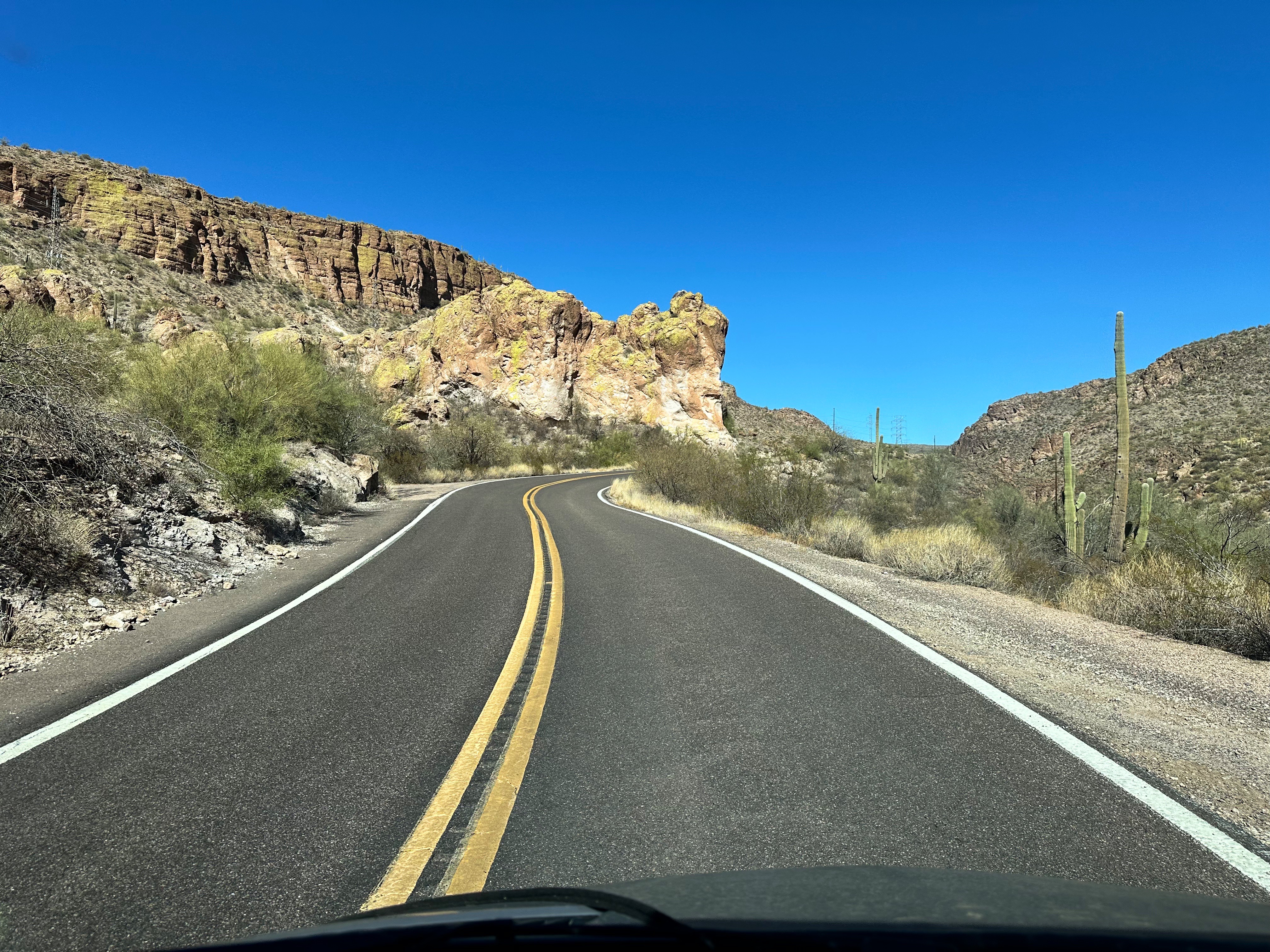
The Apache Trail begins in Apache Junction, Arizona on the eastern edge of Phoenix and winds northeastward to the Roosevelt Dam. The trail begins as a two lane paved highway (SR 88) and becomes dirt at mile 22 (which is when the fun begins)! The scenery along the route is legendary and with good reason. This byway takes you up and over peaks and down deep into canyons providing massively gorgeous views of the Superstition Mountains and two lakes along the way.

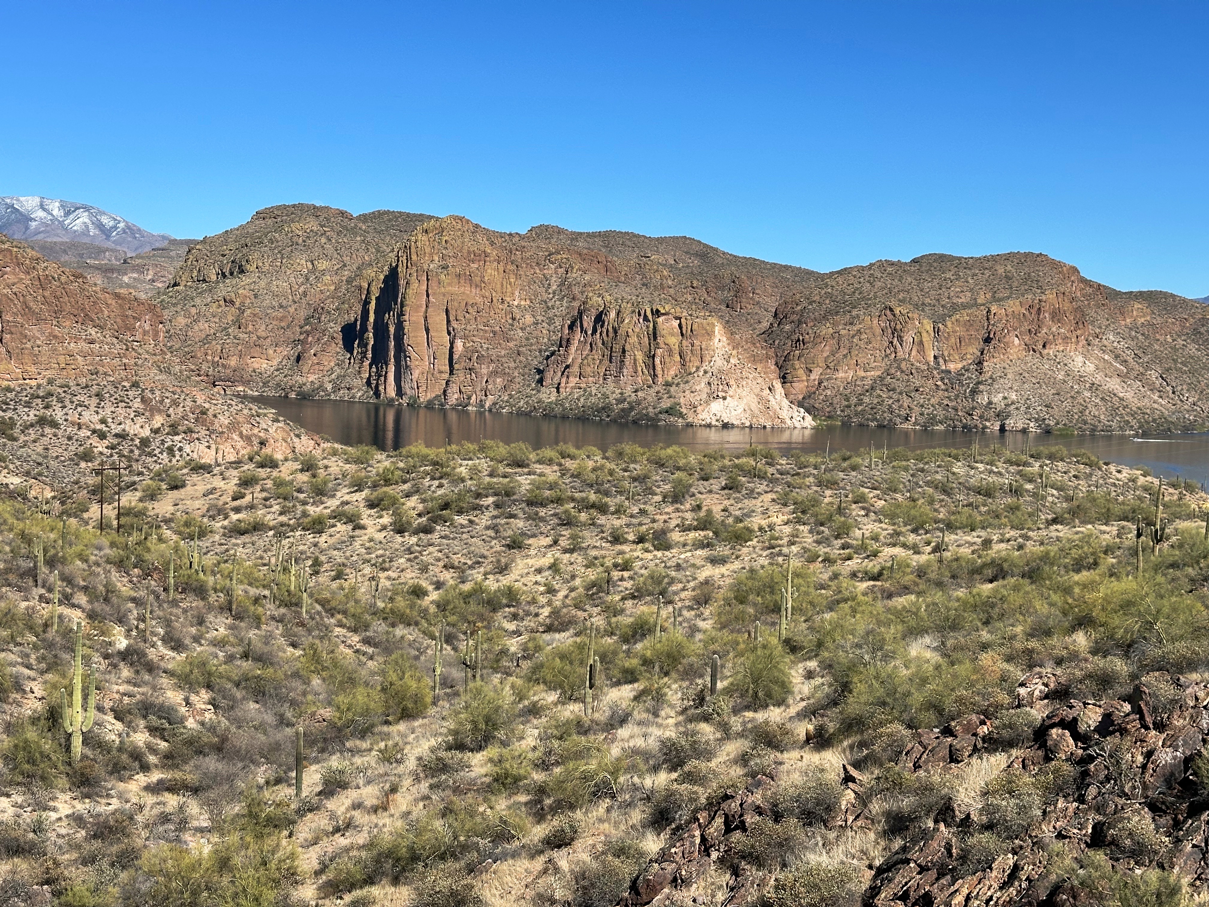

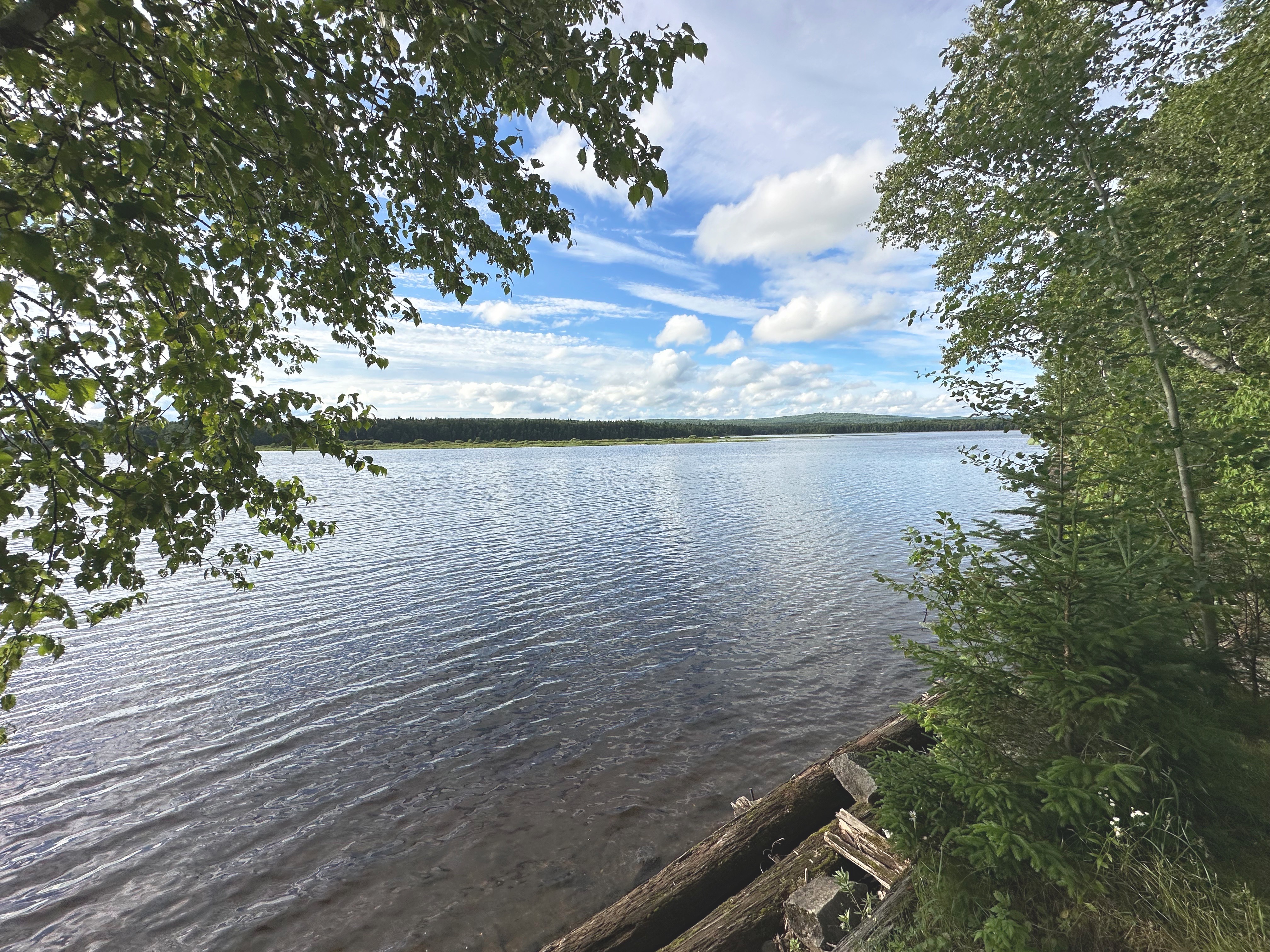
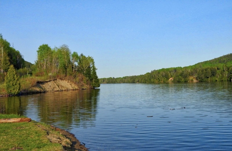
Our first stop was at Canyon Lake, one of four reservoirs created by damming the once mighty Salt River. The Mormon Lake Dam was completed in 1925 and was the third lake to be created by damming the river. It is the smallest of the lakes at 950 acres. The average depth of Canyon Lake is 130 feet (no kayaking for us – we prefer knee deep). All of the reservoirs created by the Salt River Project are recreational – allowing boating, water sports and fishing.
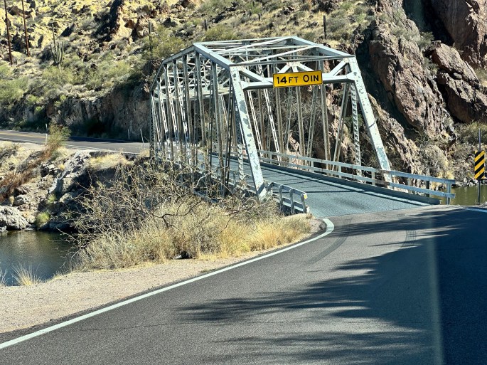
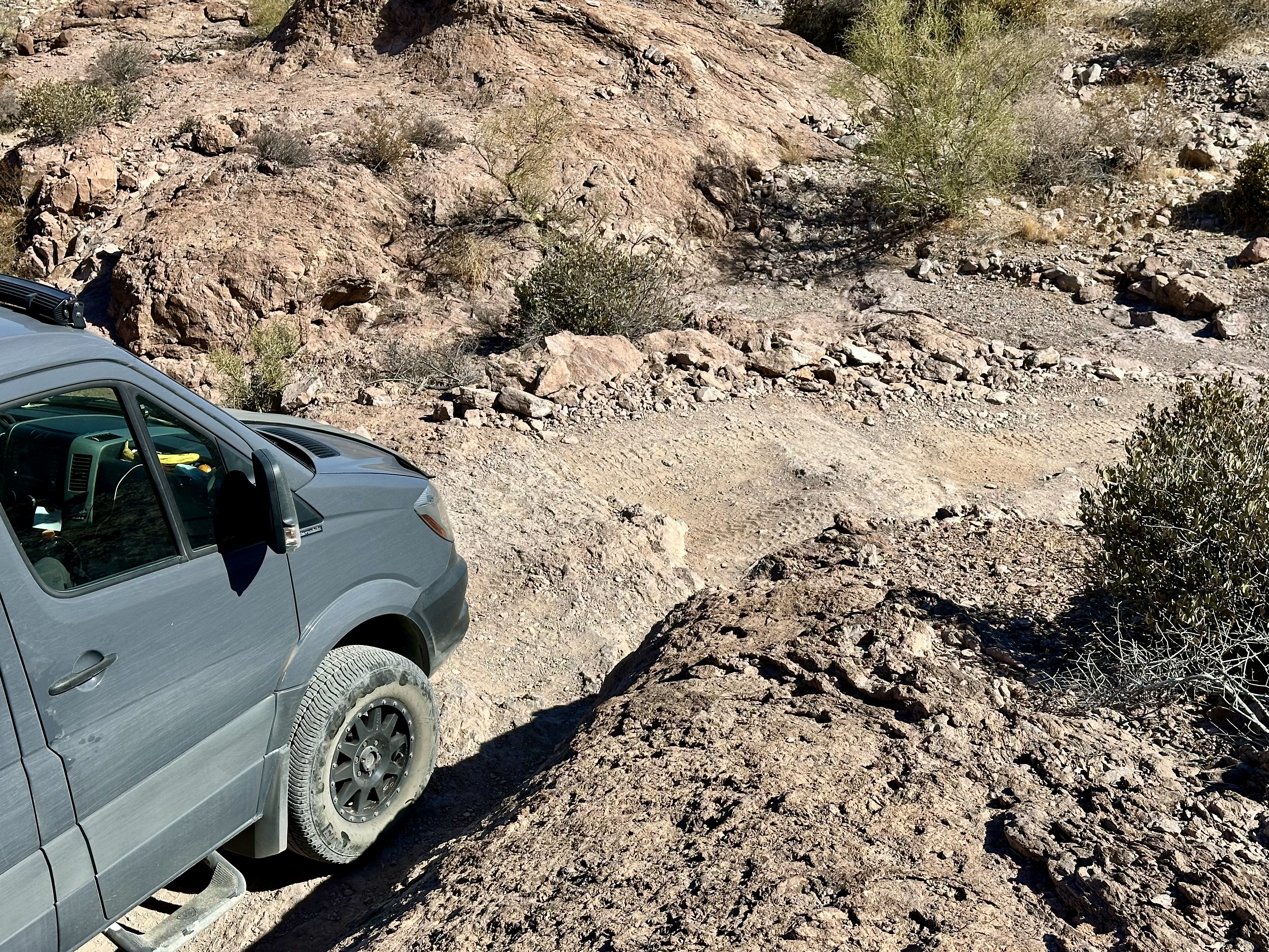
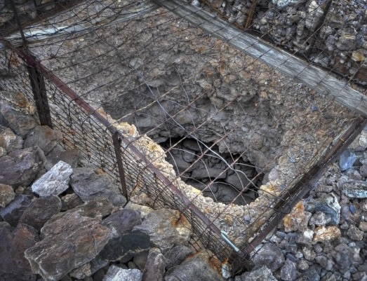
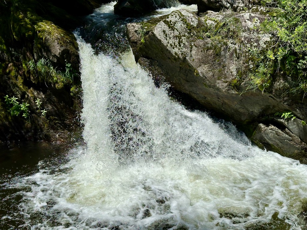
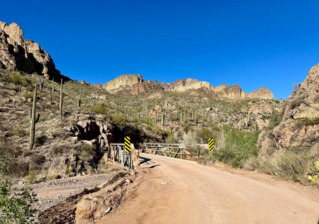
At pavement’s end, we began the exciting drive down to the Fish Creek Canyon bottom. It is incredible to think that this was once a stagecoach route (we saw several sites where cars went over the side – maybe the stagecoach was actually safer)! We have included two videos below to provide a sense of the drive down.


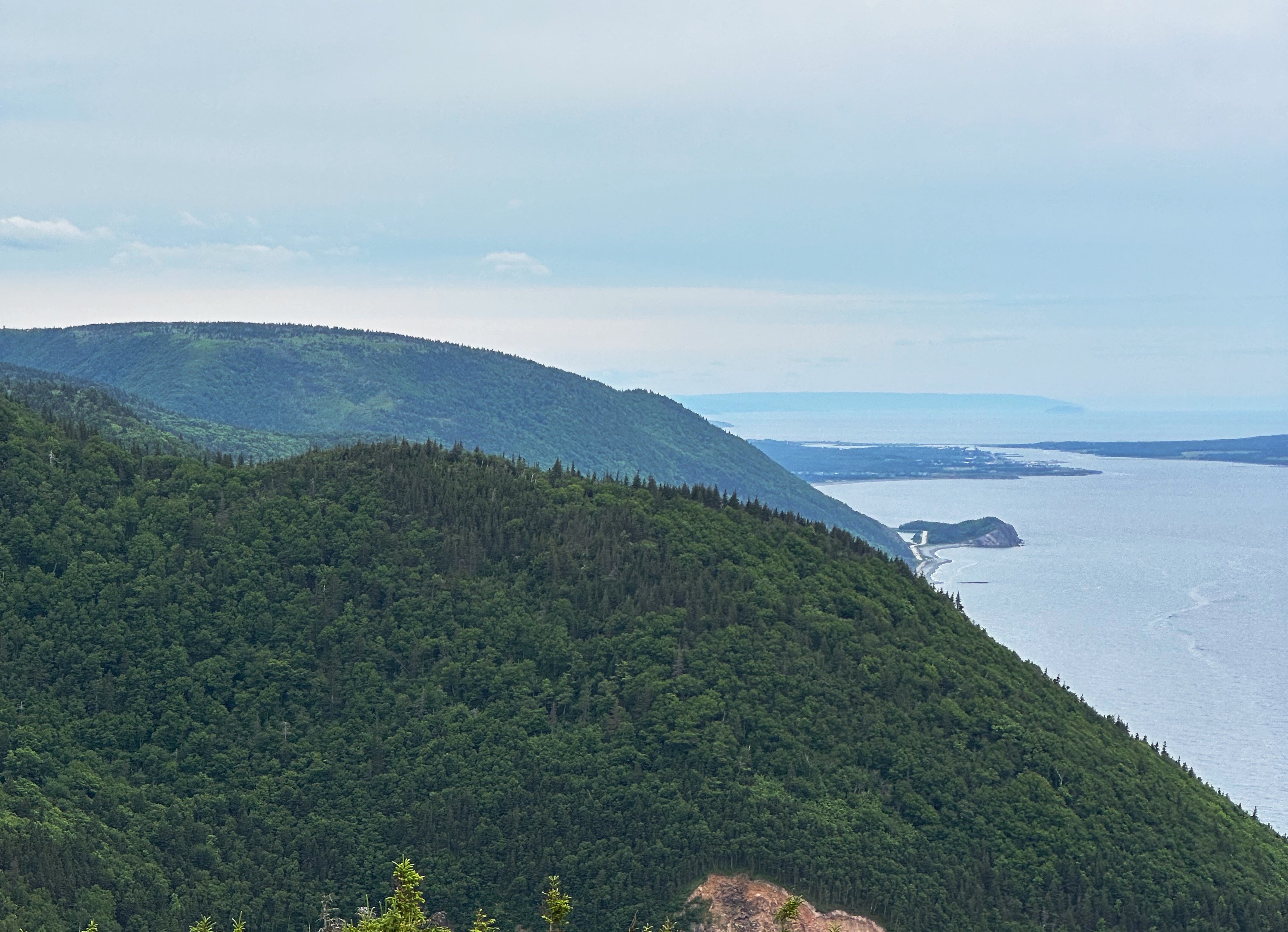
After following the Lewis and Pranty Creek for several miles, the road angles in a more northerly direction and we began to climb out of the canyon and got our first views of Apache Lake.
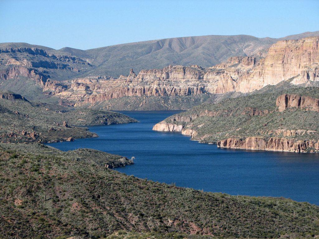
Apache Lake is the second largest of the four lakes created by damming. The lake was created by the completion of the Horse Mesa Dam. The dam (660 foot long and 300 feet high) is a hydroelectric generating station capable of producing 129 megawatts of electricity. The energy from here helps power the Phoenix metropolitan area.


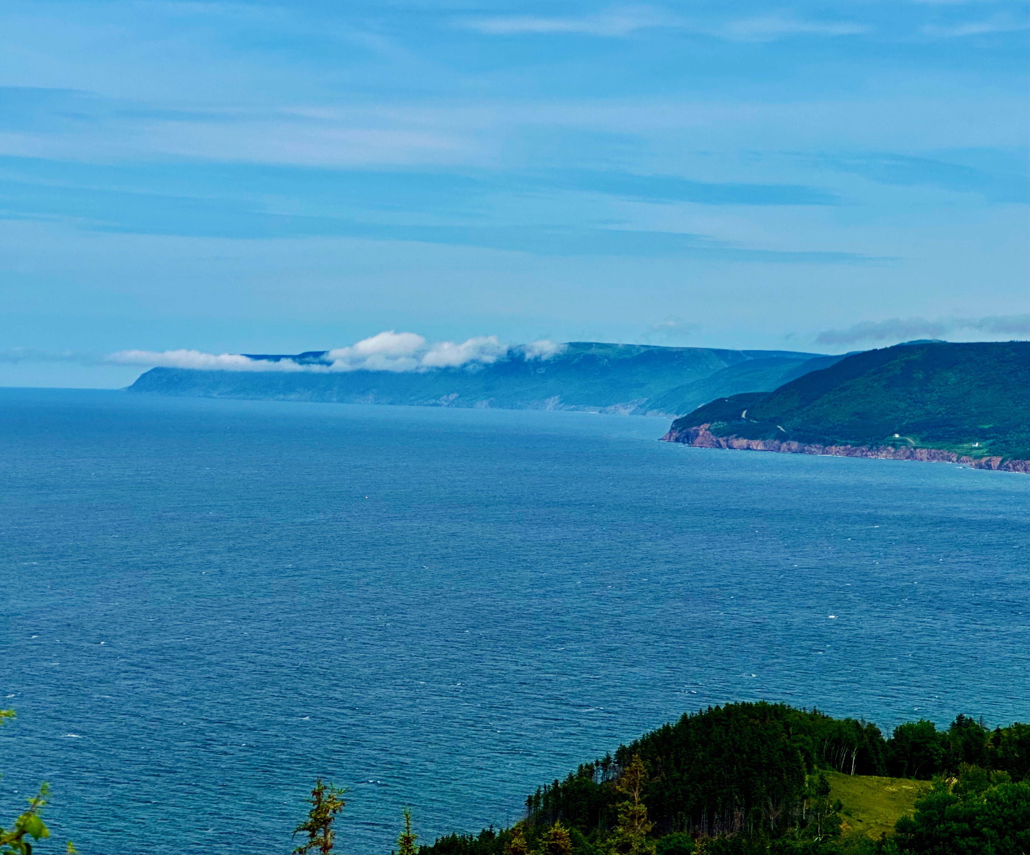
The final dam along the Apache Trail is the Theodore Roosevelt Lake Dam named after (two guesses only please) a former president. The original dam was completed in 1911, after six years of construction. While it also generates electricity (since the 1996 modernization) it’s primary purpose was to contain water for irrigation in what was arid desert.
The dam created the largest lake in Arizona. The resulting lake is over 20 miles long and can store as much as 2.9 million acre-feet of water (one acre foot of water equals 325,000 gallons). We didn’t do the math but we are pretty sure it is a lot of water!
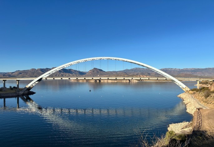
The Theodore Roosevelt (that name again) Bridge is a beauty. The bridge was completed in 1990. The bridge is the longest single span bridge in North America at 1080 feet. Before the bridge was completed, the only way north was to drive over the dam (sorry we missed that experience).

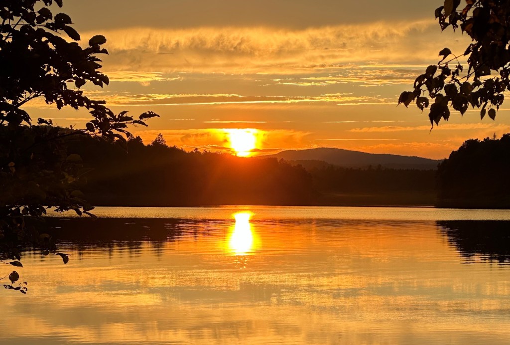
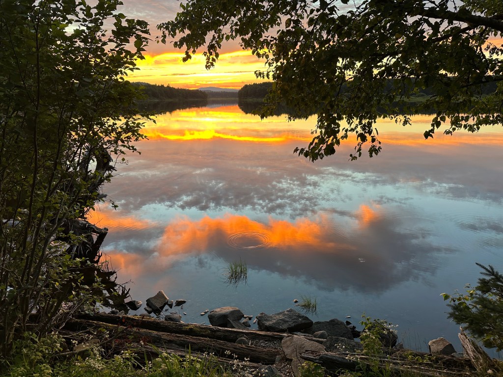
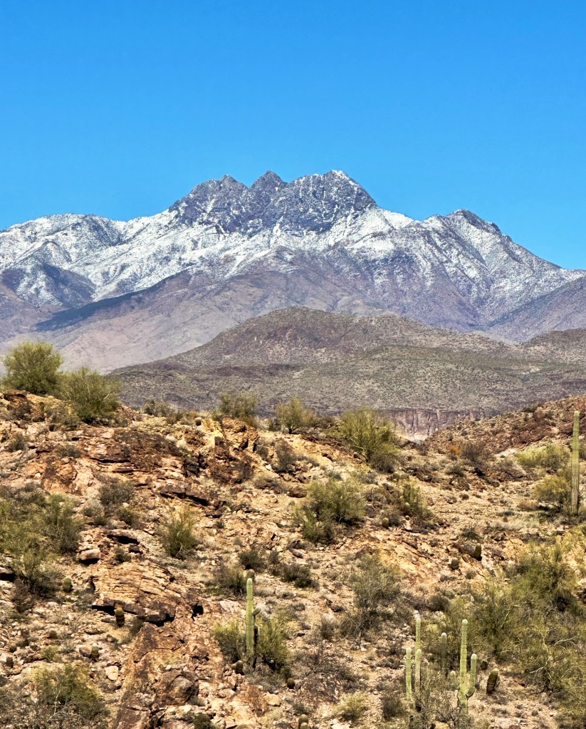
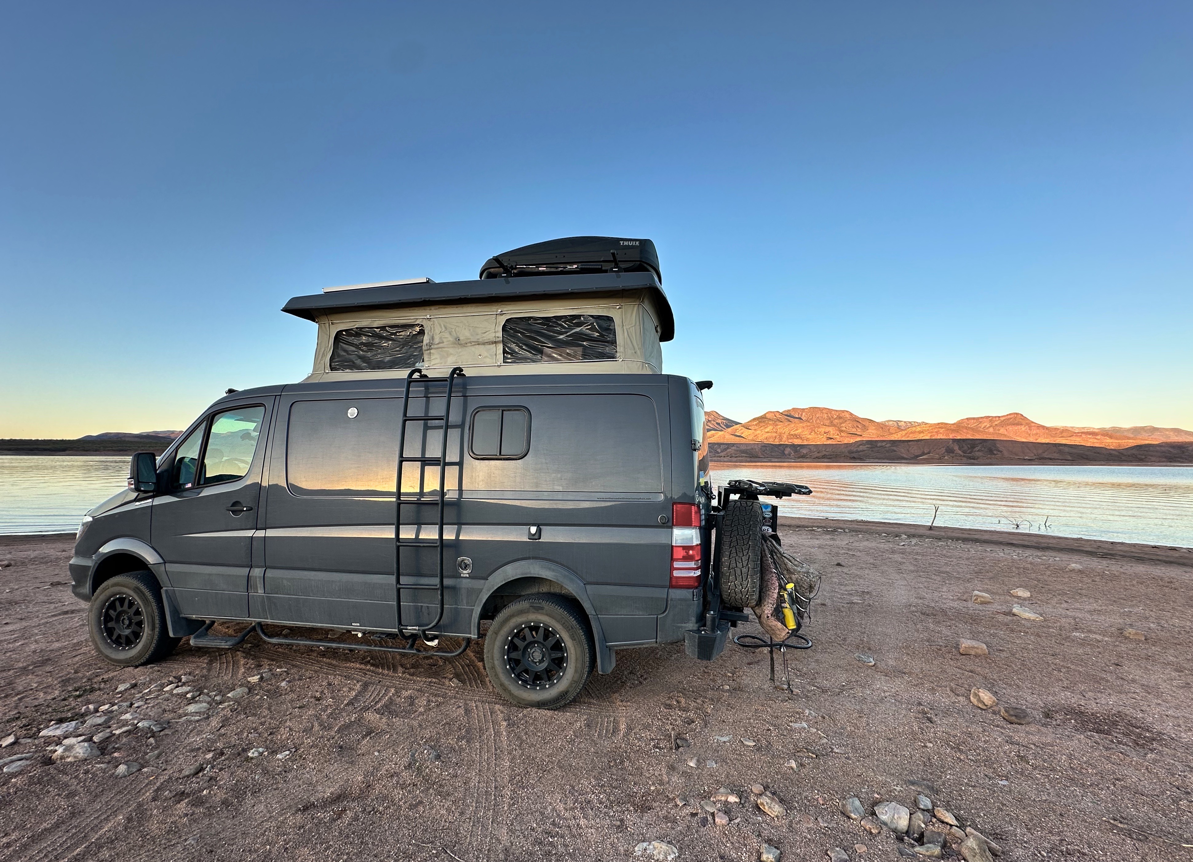
After crossing the bridge we followed the western shore of the lake north on SR 188. We found a lovely spot to camp on the beach and enjoyed a cool but beautiful evening. Our site allowed a panoramic view of the Sierra Ancha across the lake to our east and the snow capped Mazatzal Mountains to our west. Quite spectacular, if we’re honest!


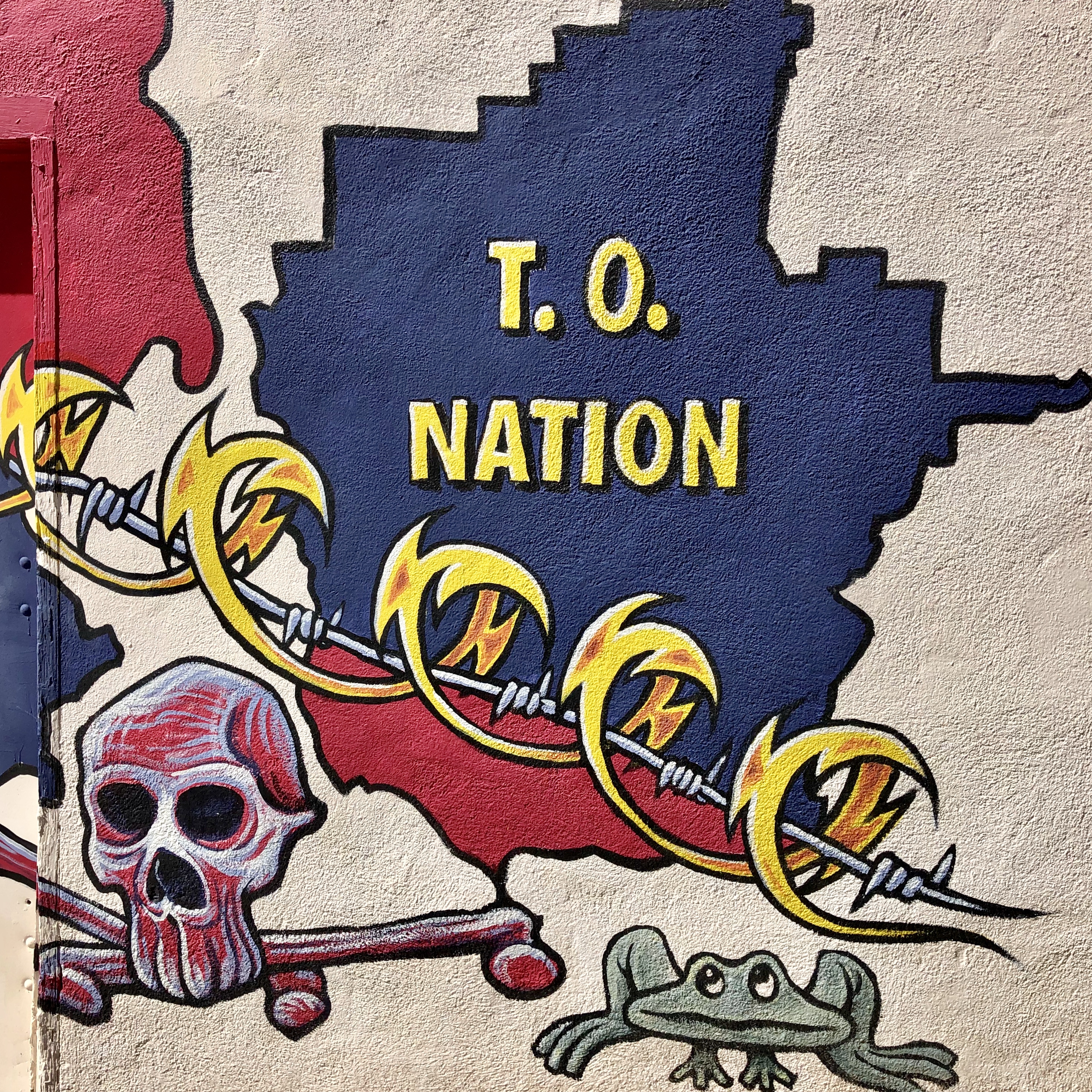
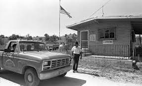
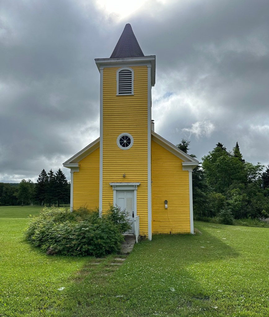
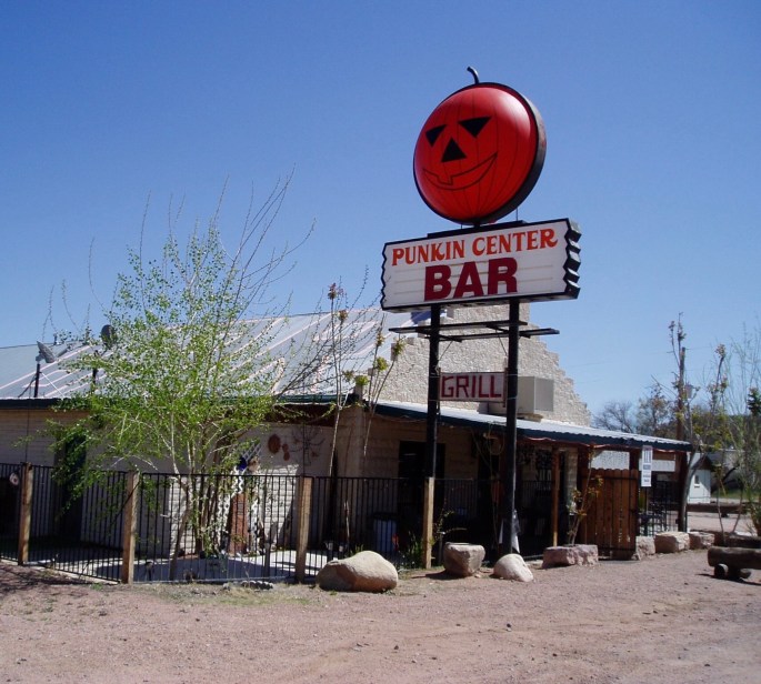
In the morning we broke camp and traveled further north looking for coffee before venturing up to the Mogollon Rim. Along the way we drove through our favorite named community of this trip – Punkin Center – which is one of a handful of census designated places in the Tonto Basin. We couldn’t find a population statistic anywhere or any obvious reason for it’s existence, but how can you not like a place called Punkin Center where the main attraction is the bar!
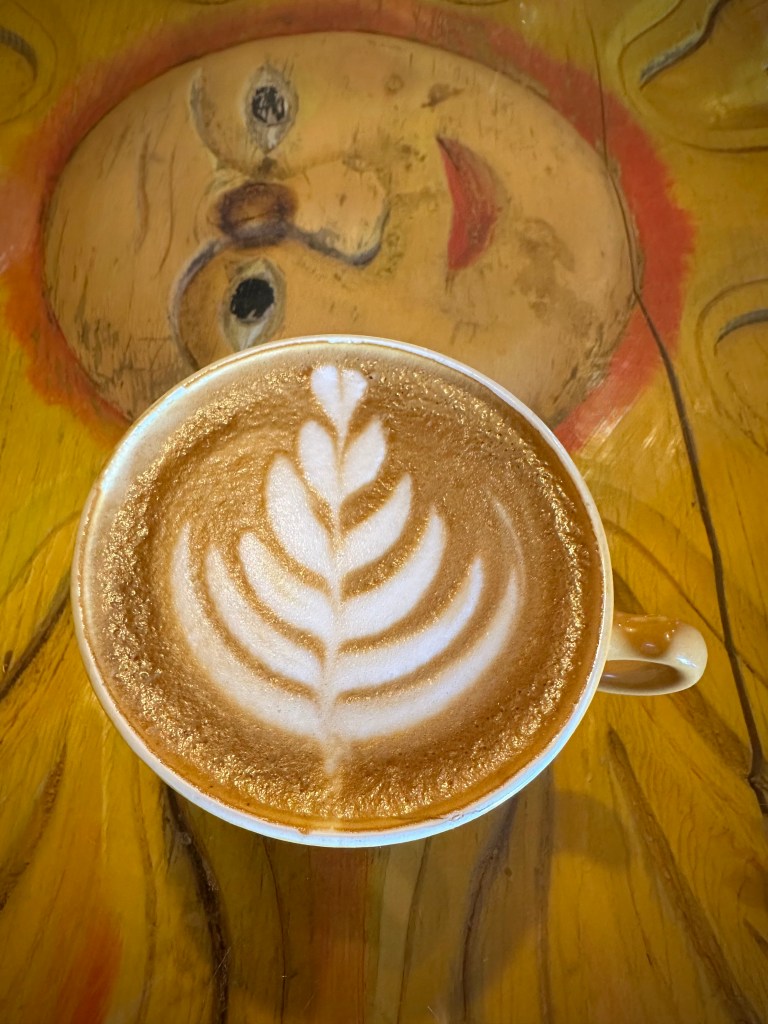
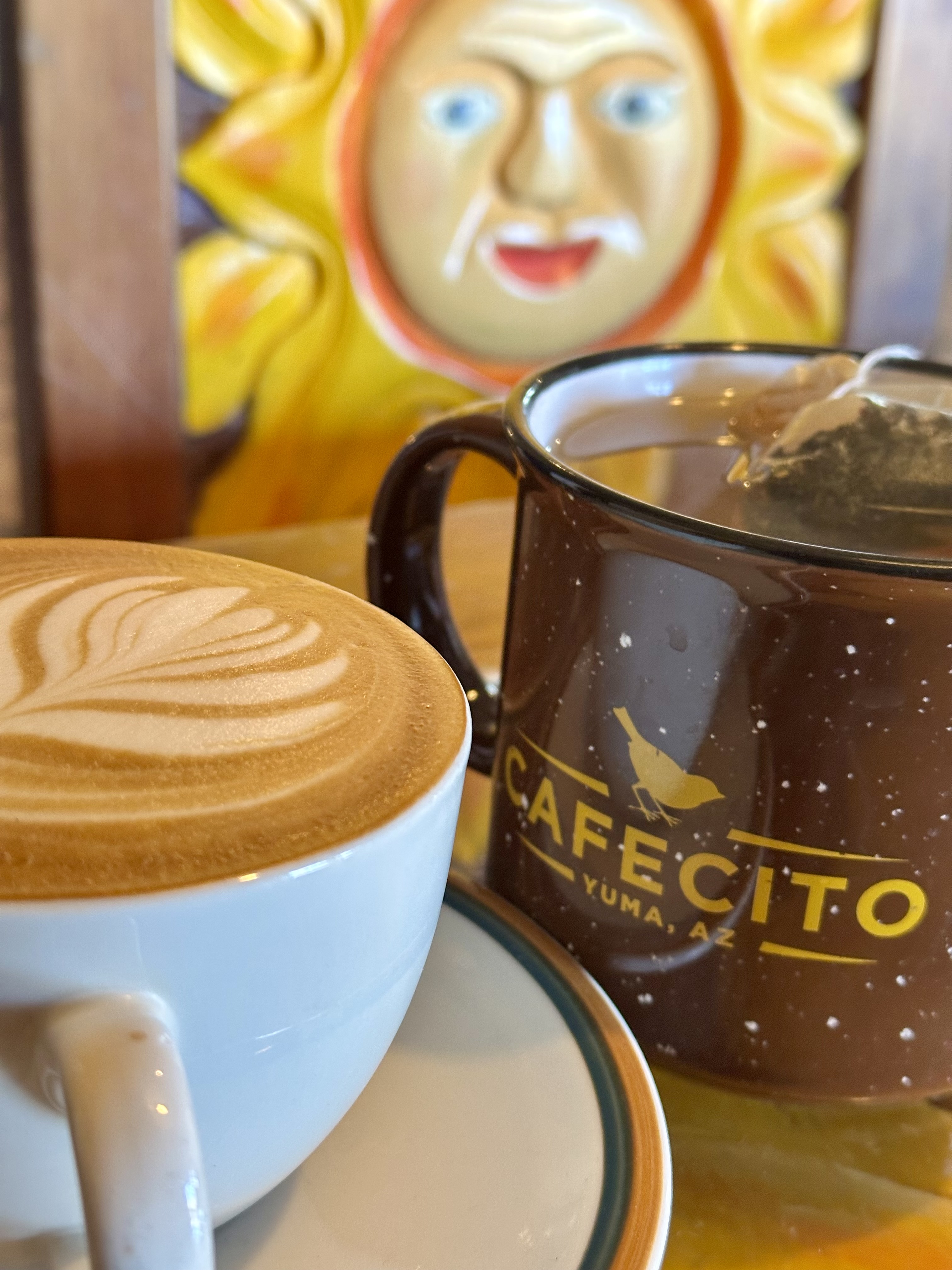
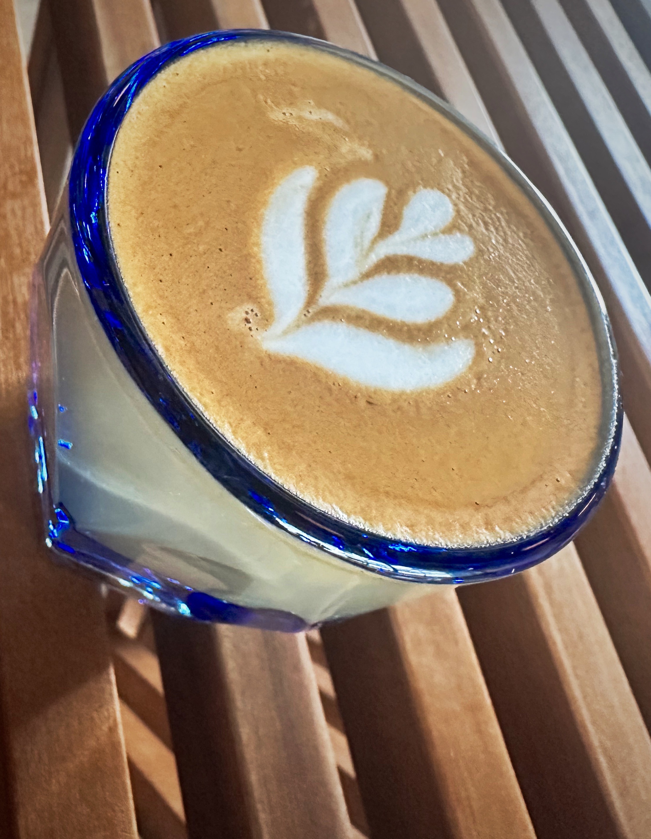
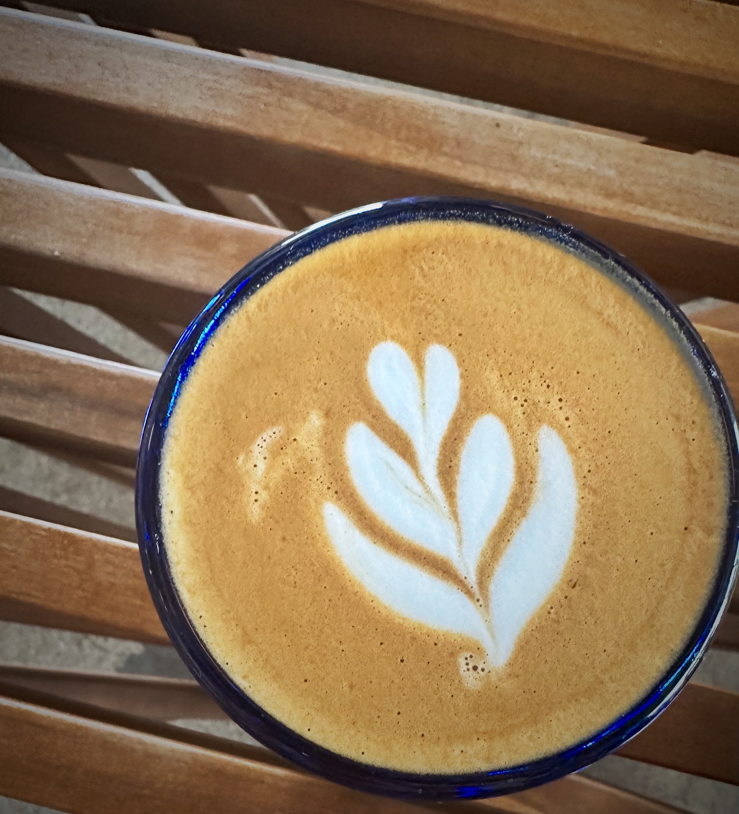
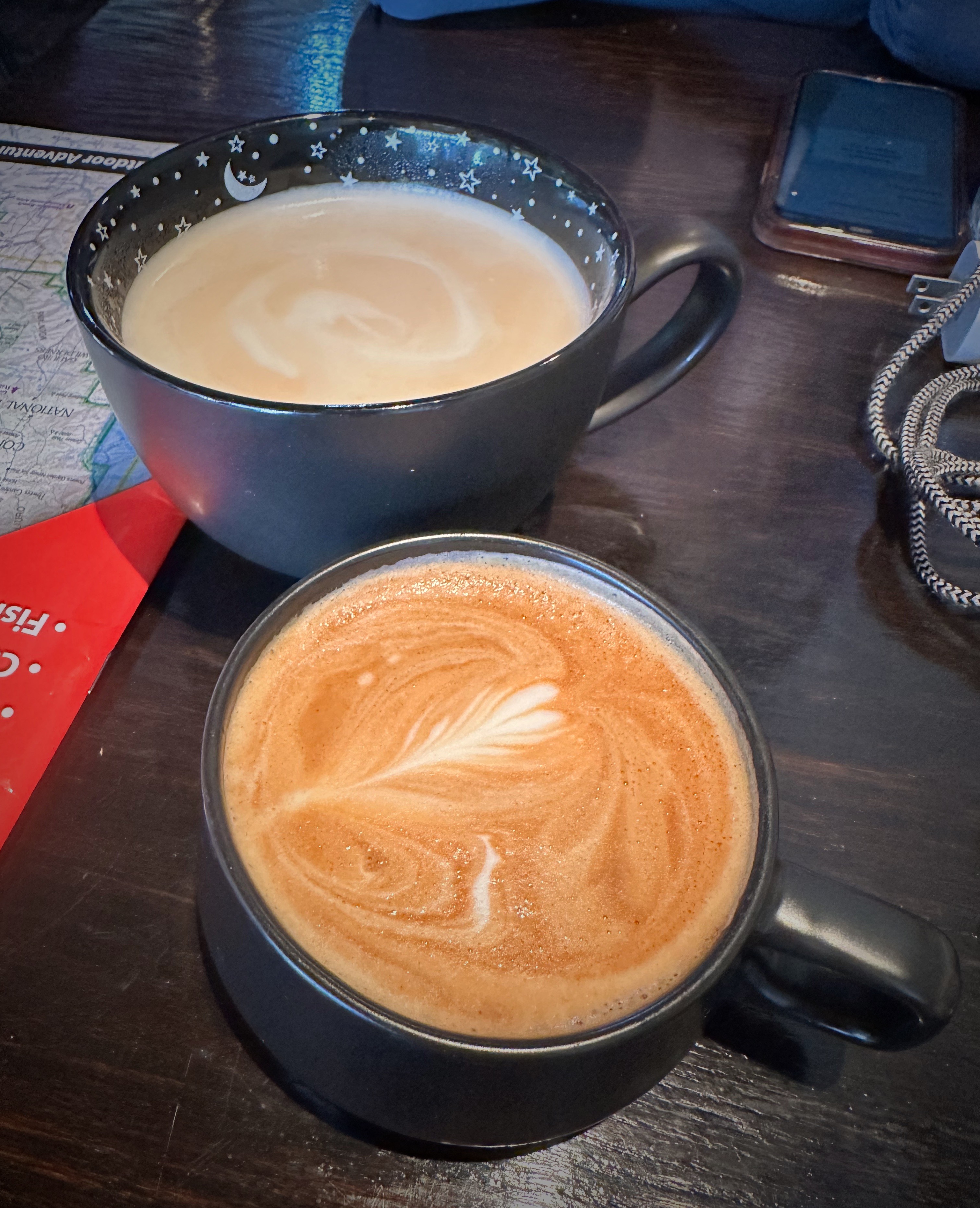
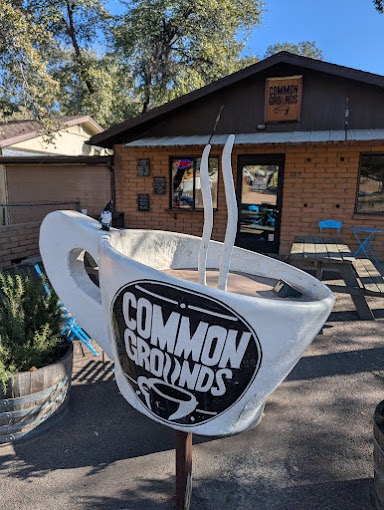
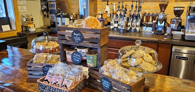
We found coffee at Common Grounds in Payson. Our barista and her younger brother requested a tour of the Beast and while we were chatting provided us with a number of hiking opportunities nearby. Thank you!

Payson (population 16,000) was founded by gold miners in the early 1880s, but it is timber and cattle that sustained this area. During prohibition the town’s extremely remote location fostered the manufacture of moonshine with 30-40 stills scattered around the area. The moonshine from Payson was known as “Payson Dew“.

Payson sits at an elevation of 5,000 feet and offers a multitude of recreational opportunities in the surrounding Tonto National Forest, making it a popular spot for Phoenicians during the summer months.
In addition to a coffee stop, Payson was our starting point for accessing the Mogollon (mug-e-YOHN) Rim which forms the southern edge of the massive Colorado Plateau.
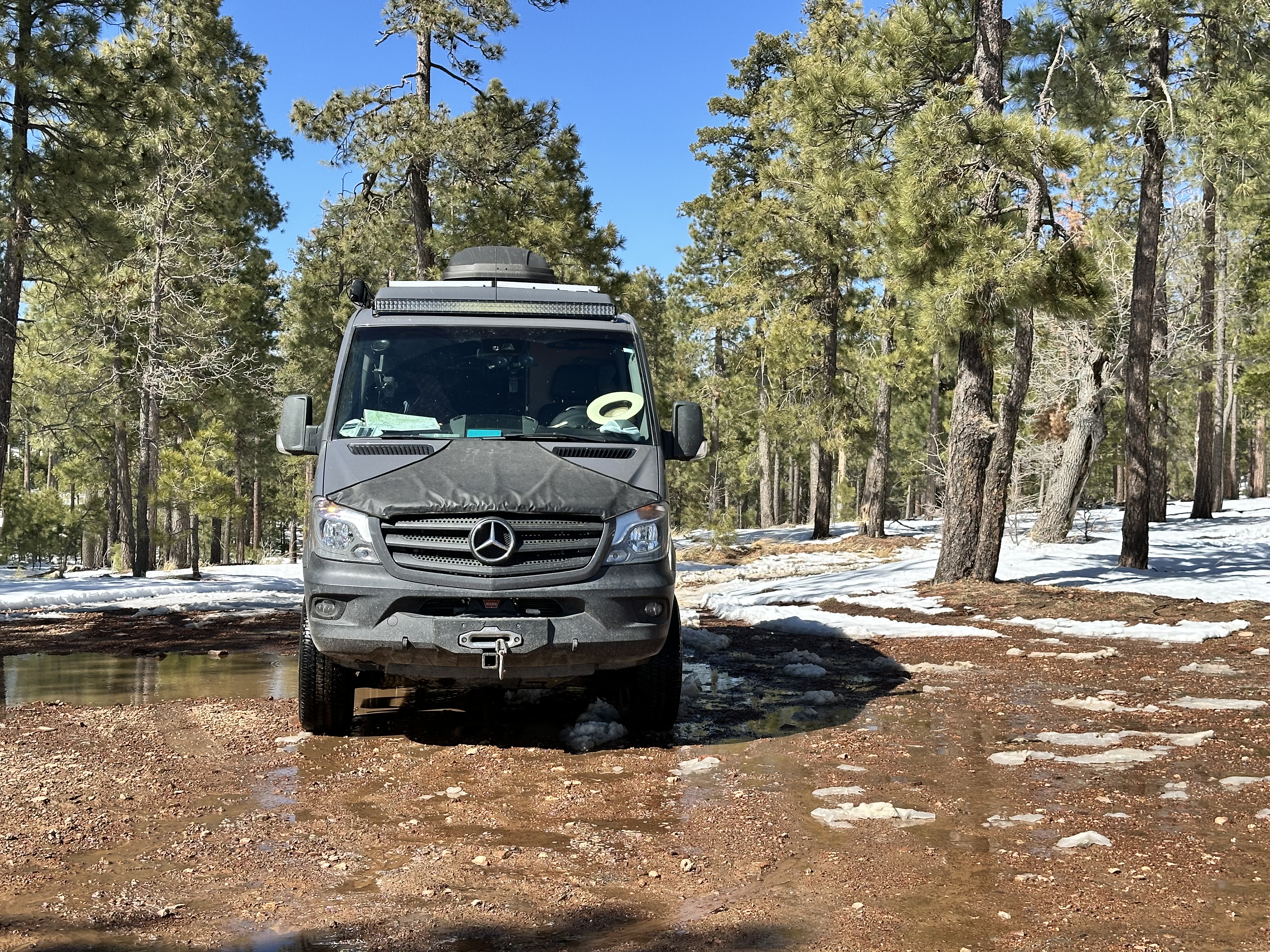
Our timing in exploring central and northern Arizona was once again accompanied by a snow storm in the mountains. Mother Nature obviously didn’t get the memo that we were coming! After checking with the Forest Service and confirming that the Rim Road was open albeit a bit muddy, we fired up the Beast.
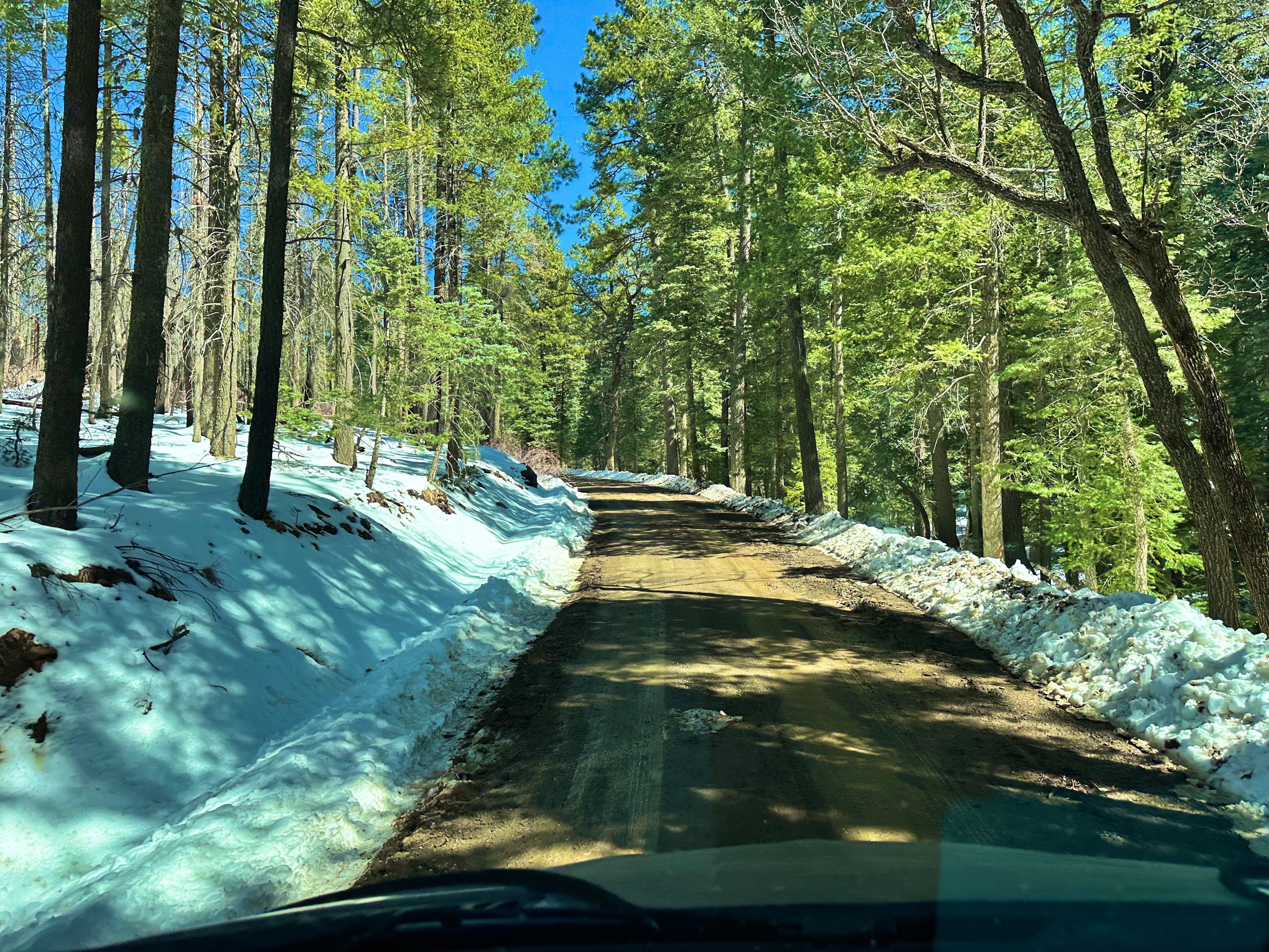


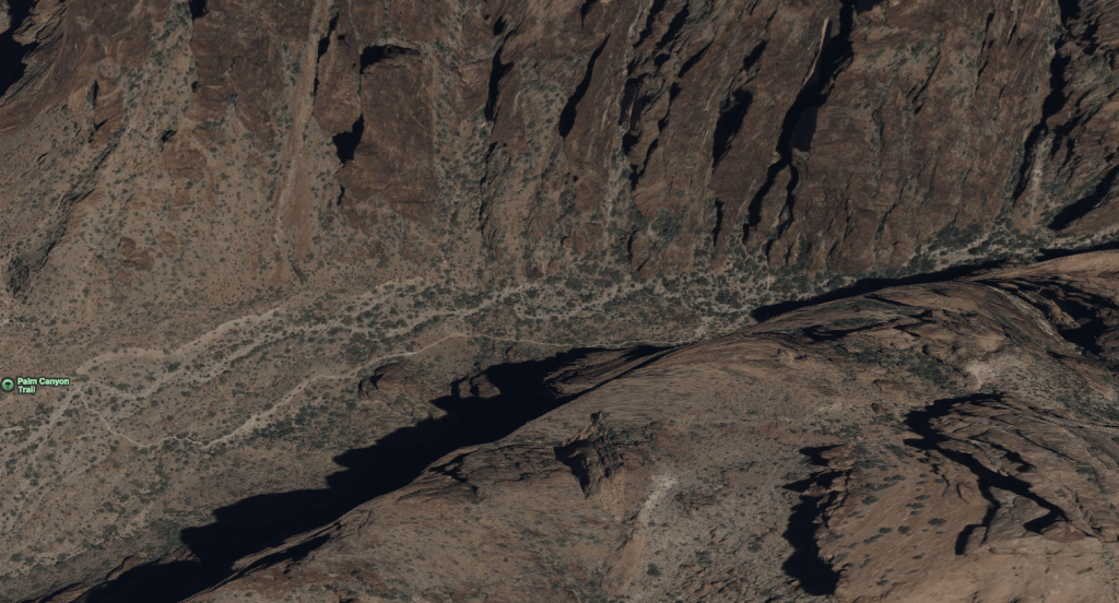
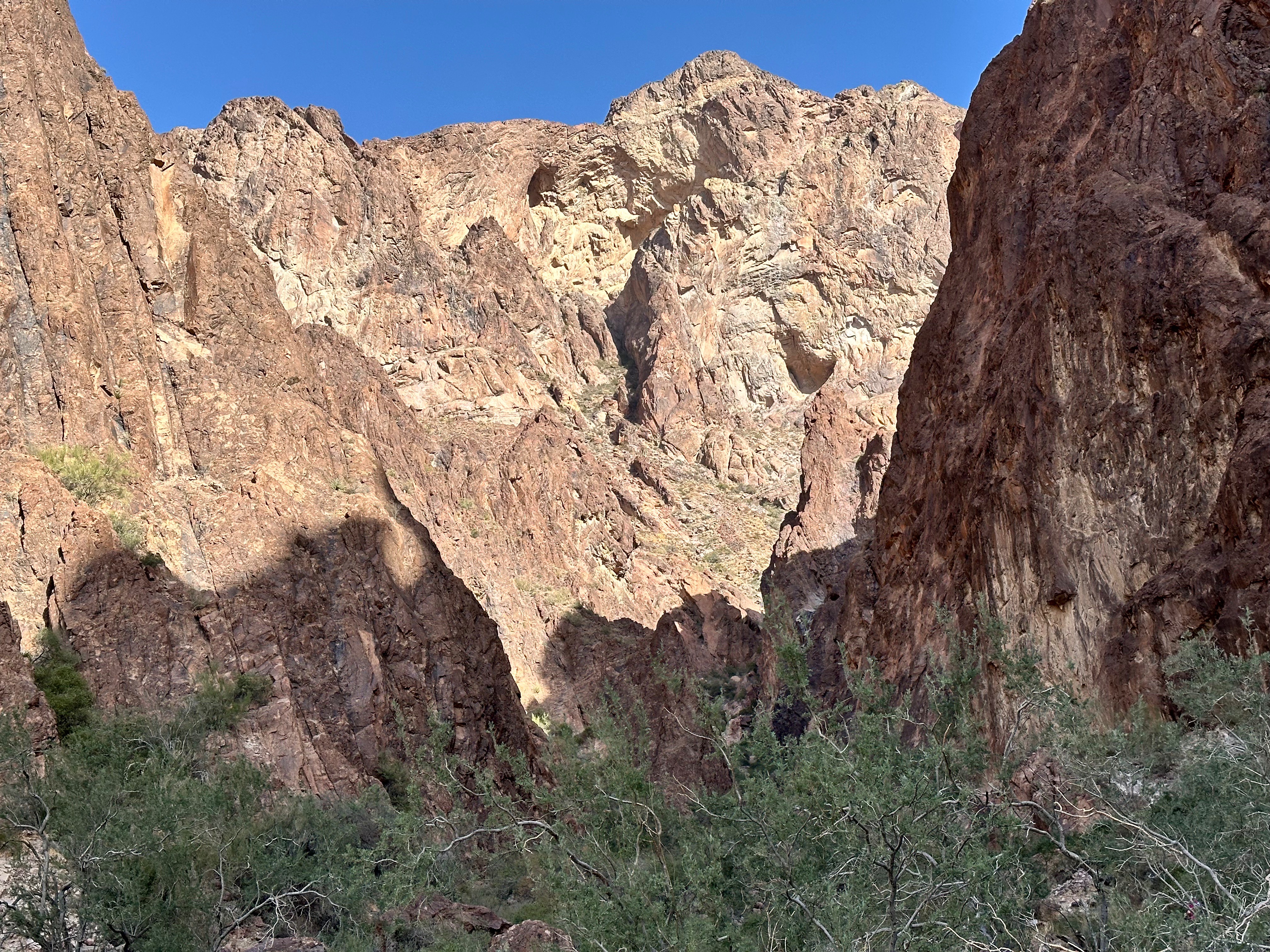
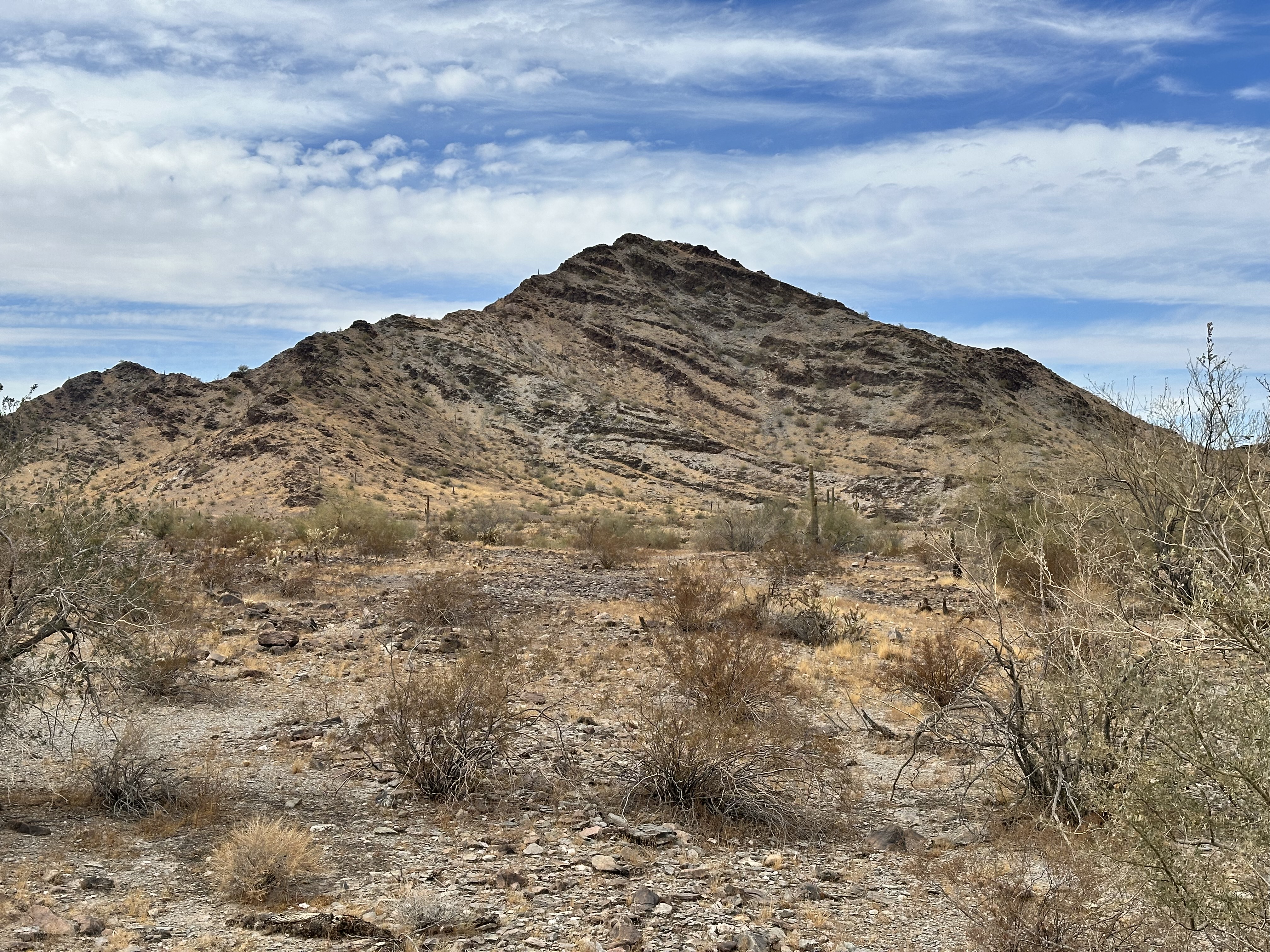
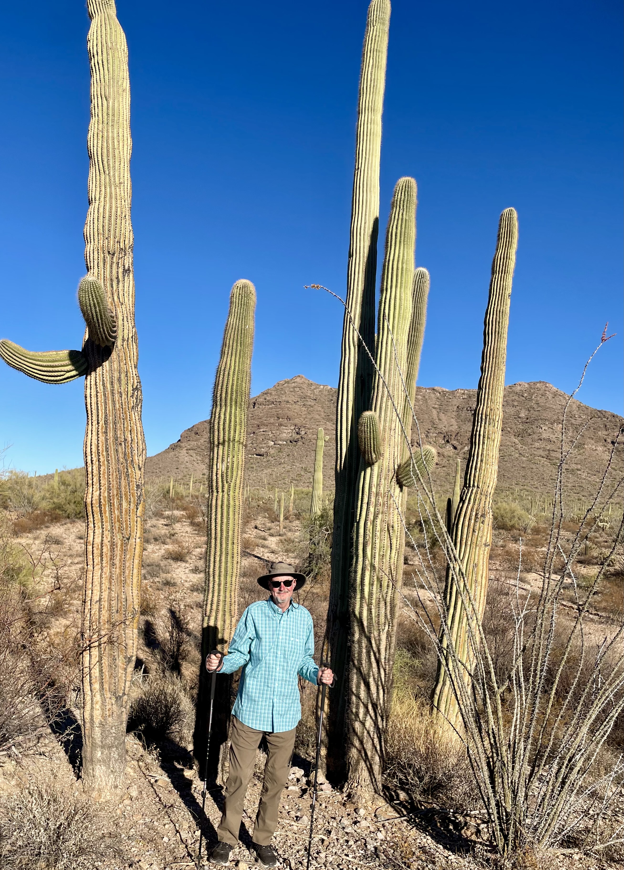
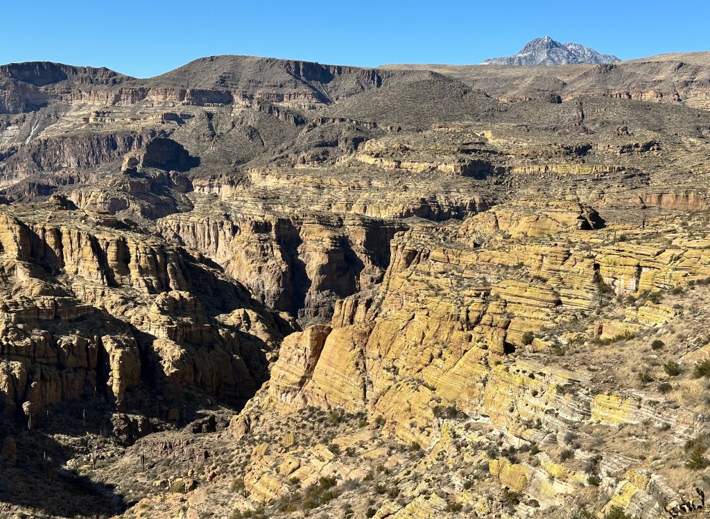
The Mogollon Rim (MR) is 200 miles long, extending from Flagstaff to the New Mexico border.The elevation ranges between 7000 and 8000 feet above sea level. The MR is an escarpment which delineates the pine forests and the Sonoran Desert to the south. It was fascinating to see how the landscape changed so rapidly as we climbed from the desert floor into higher elevation – desert vegetation to pine forests in just a matter of a couple thousand feet of elevation gain.

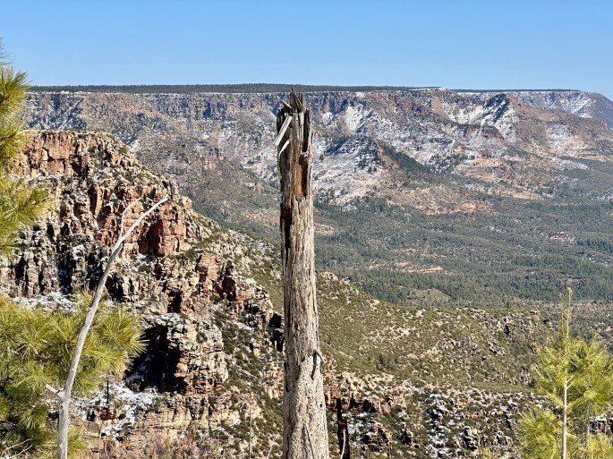
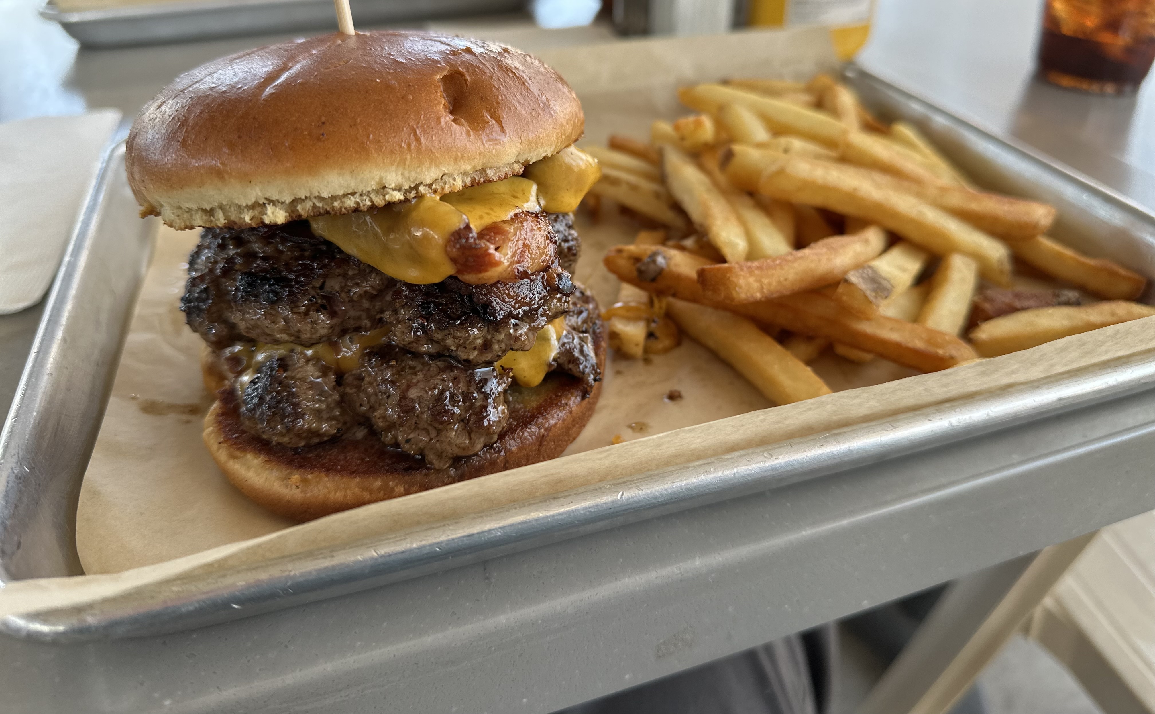
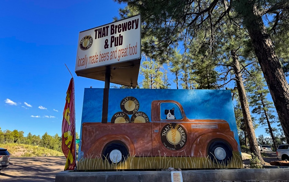
We spent the afternoon taking in the views from the MR and eventually turned around to begin our descent. As often happens after an afternoon of taking in beautiful views and scenery we found ourselves feeling a bit peckish. We stopped at That Brewery in Pine for a late lunch/early dinner or what we call it when we are on the road – a lundin.
After our delish burgers and cocktails we got on the road southward and began to look for a camping spot between Pine and Phoenix. Our ride was interrupted by an Arizona State Trooper who claimed we did not have a license plate. We do, of course, have a license plate – the trooper just did not know where to look on the van. Okay, our bad, our firewood bag had shifted downward and obscured the plate. After a friendly verbal and written warning (and rehanging the bag) we were again on our way south.

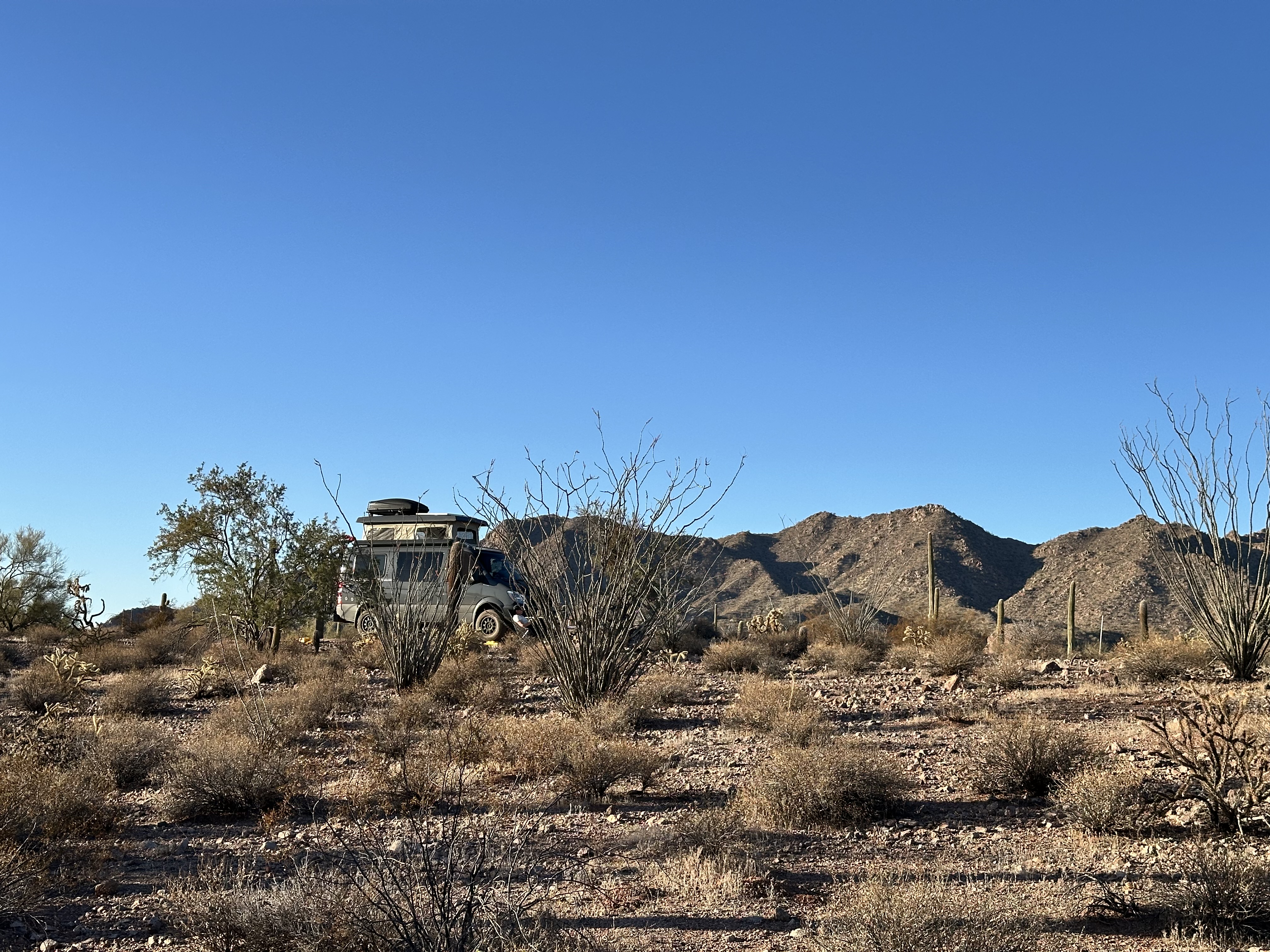
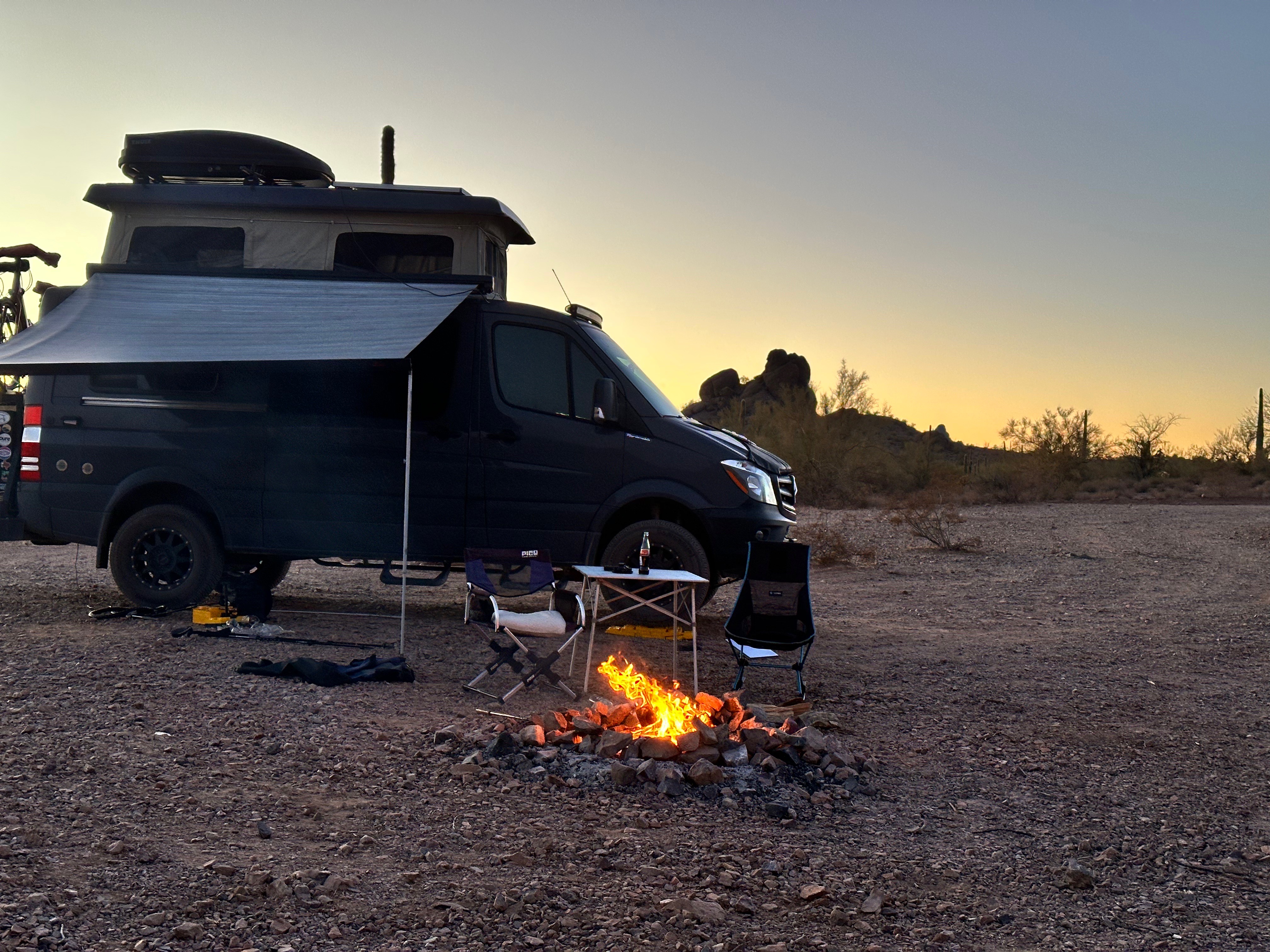
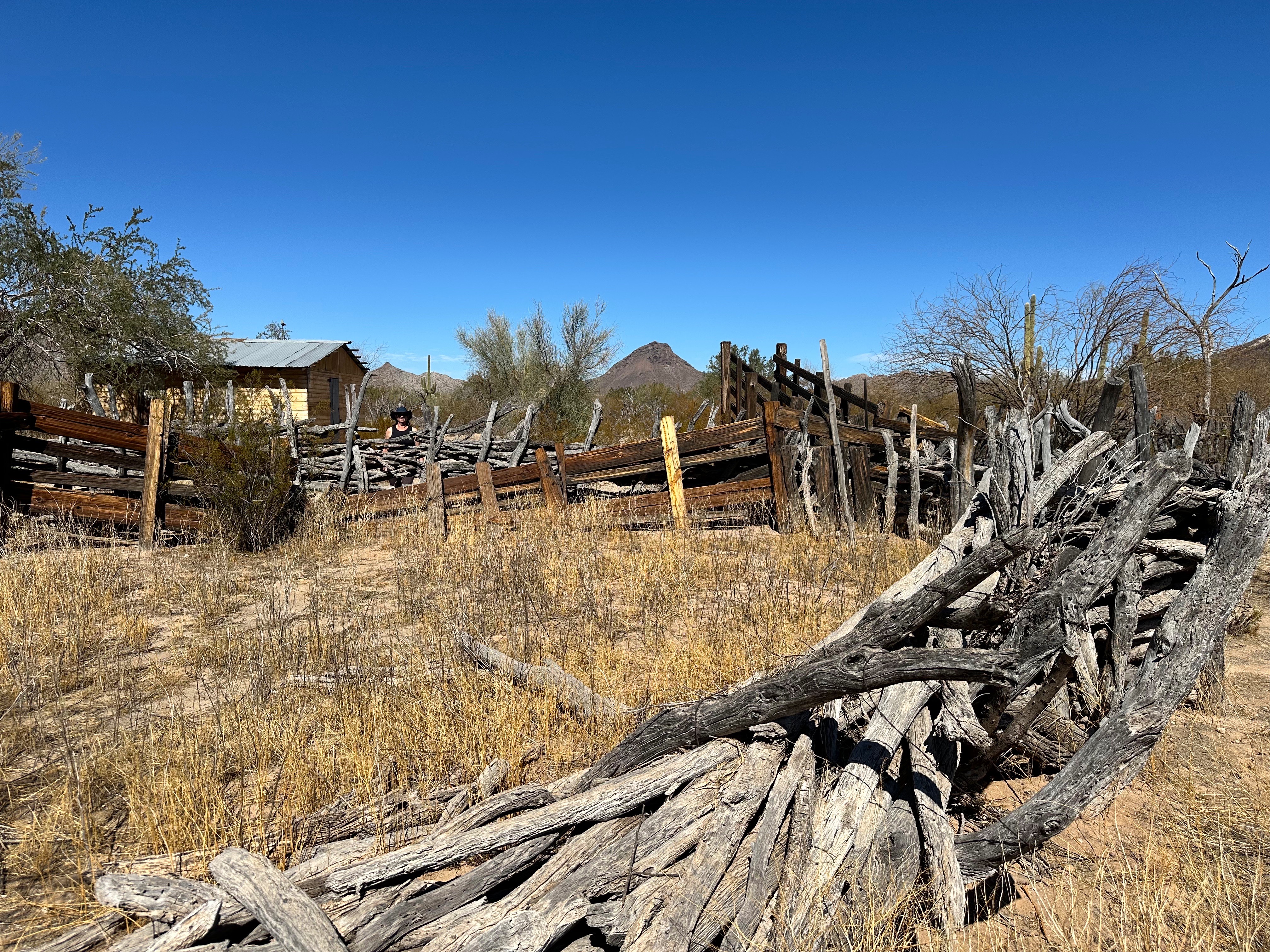
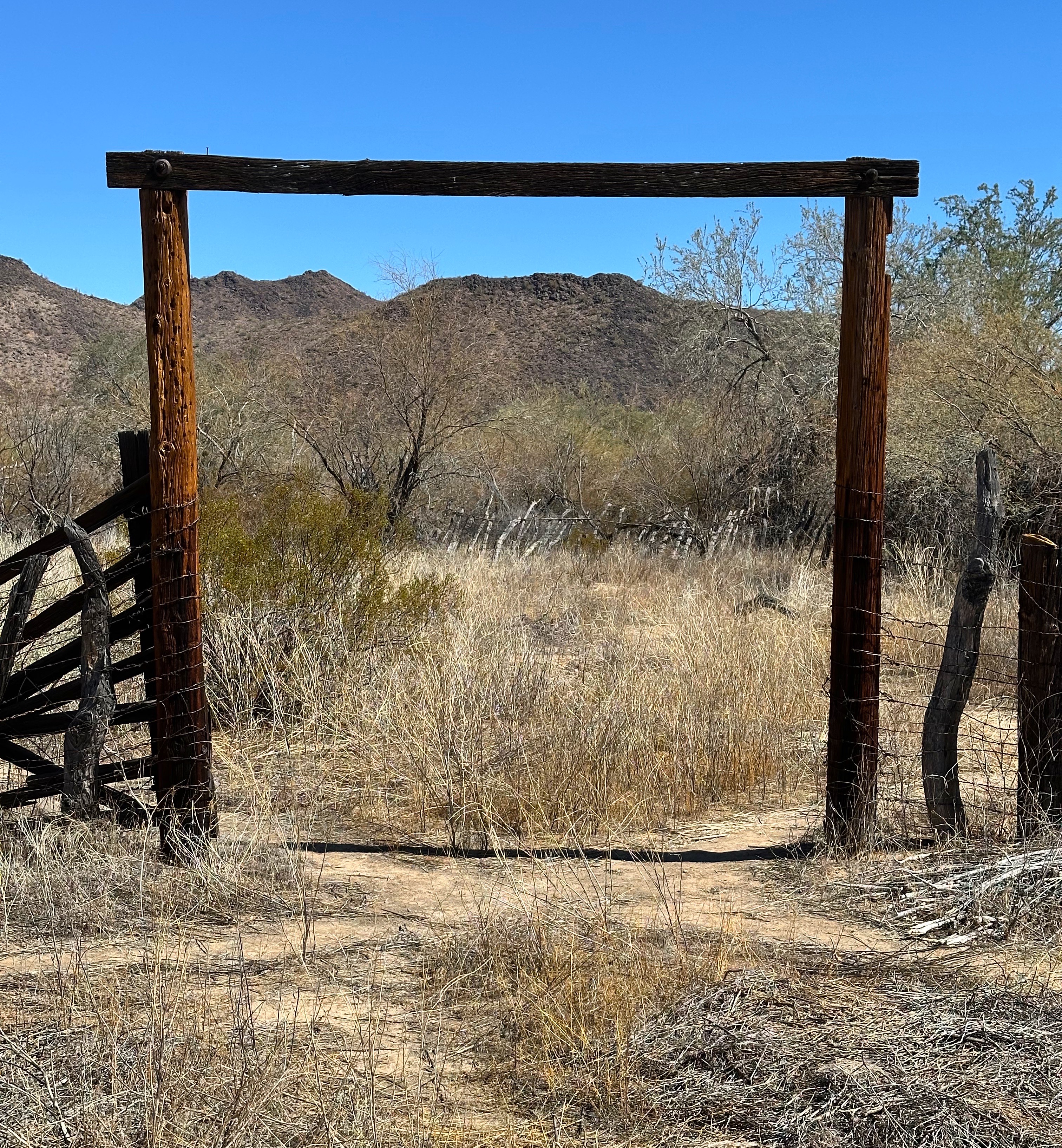
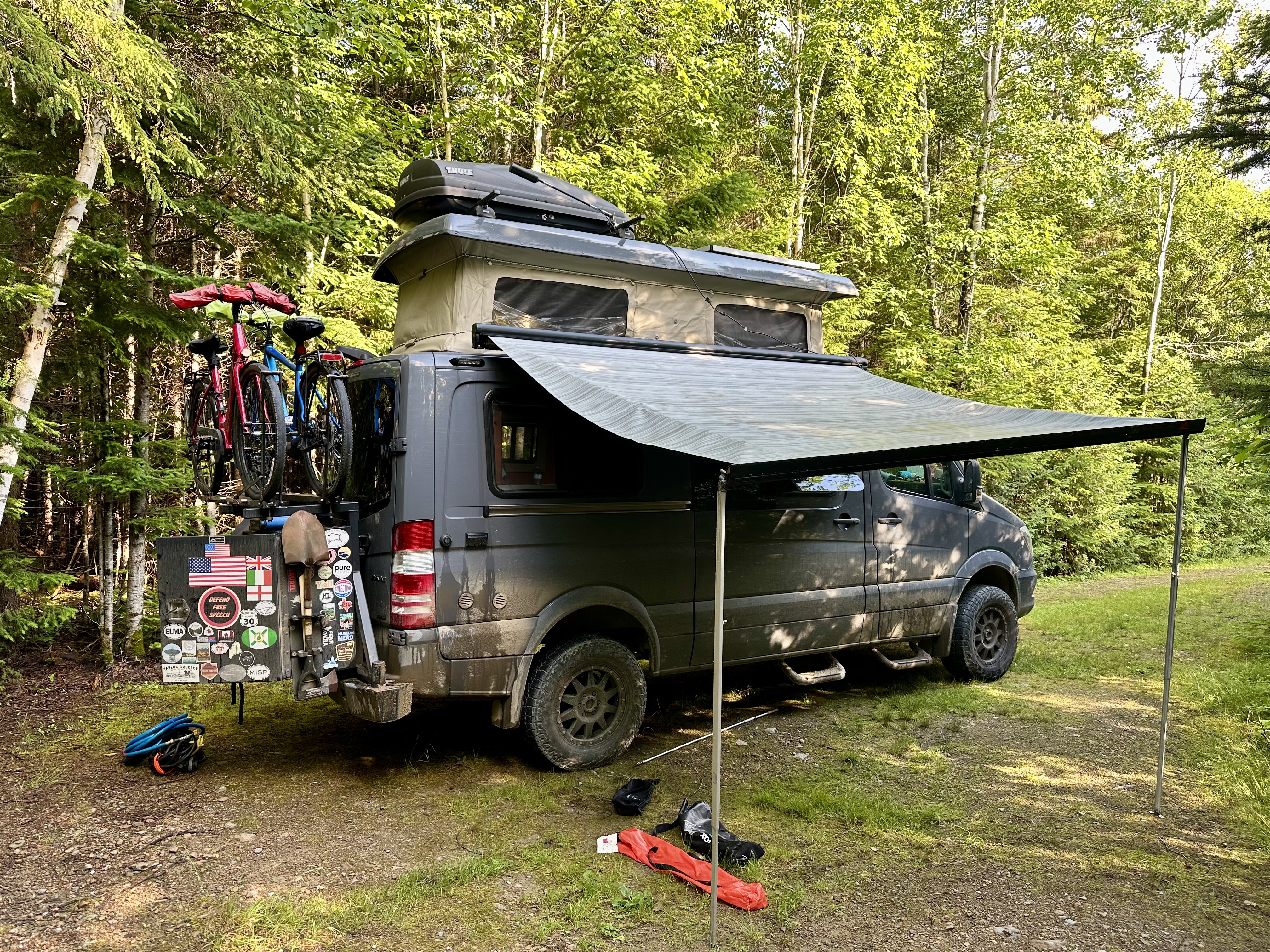
We found a secluded spot to camp not to far off our route south to Phoenix. One of the delightful parts of traveling in the west is that there are almost endless opportunities for secluded and scenic camping that require no fees or reservations. As an example, the Log Corral Canyon where we camped that evening is within the Tonto National Forest which stretches from the MR to the Sonoran Desert (2.9 million acres).


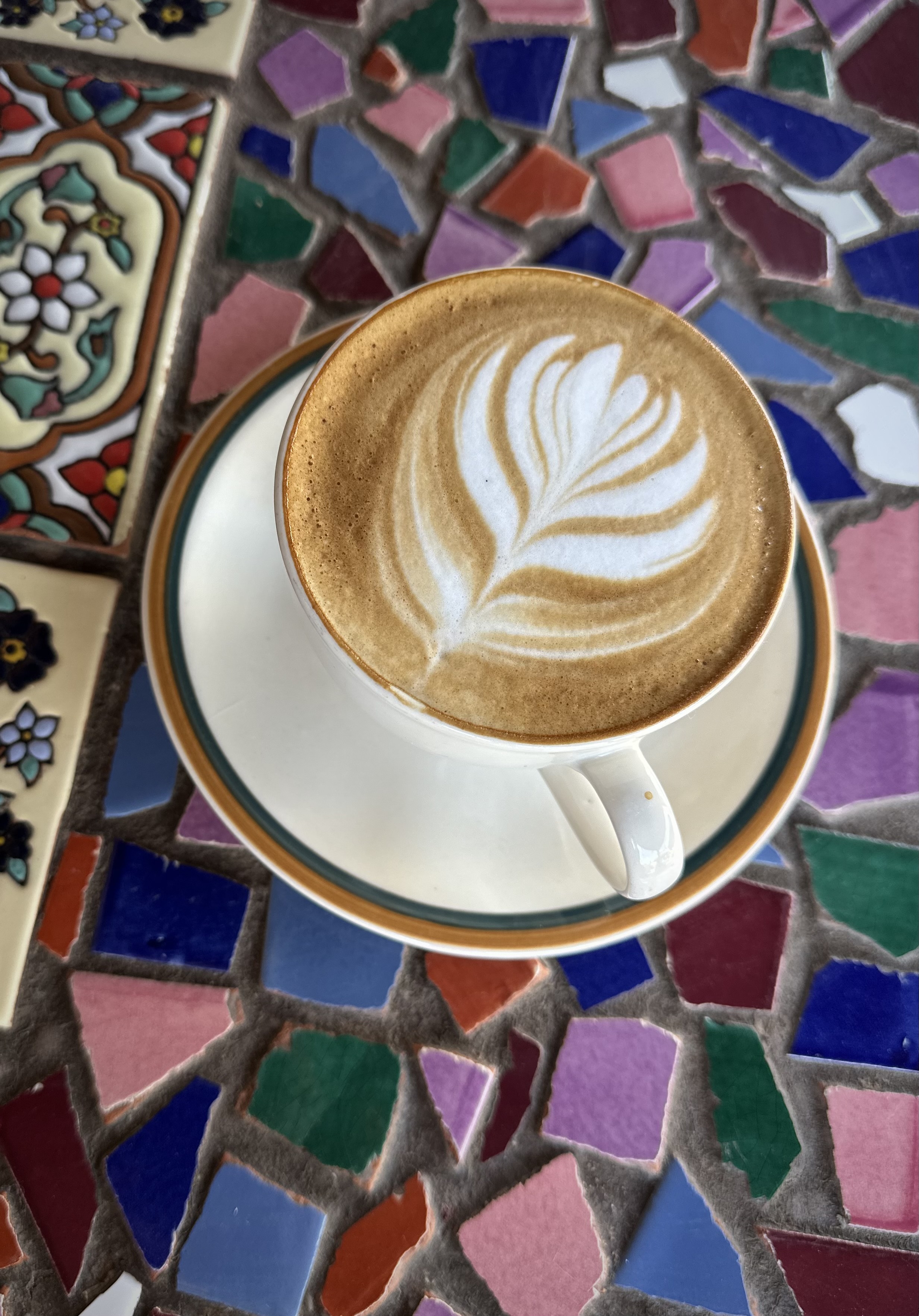
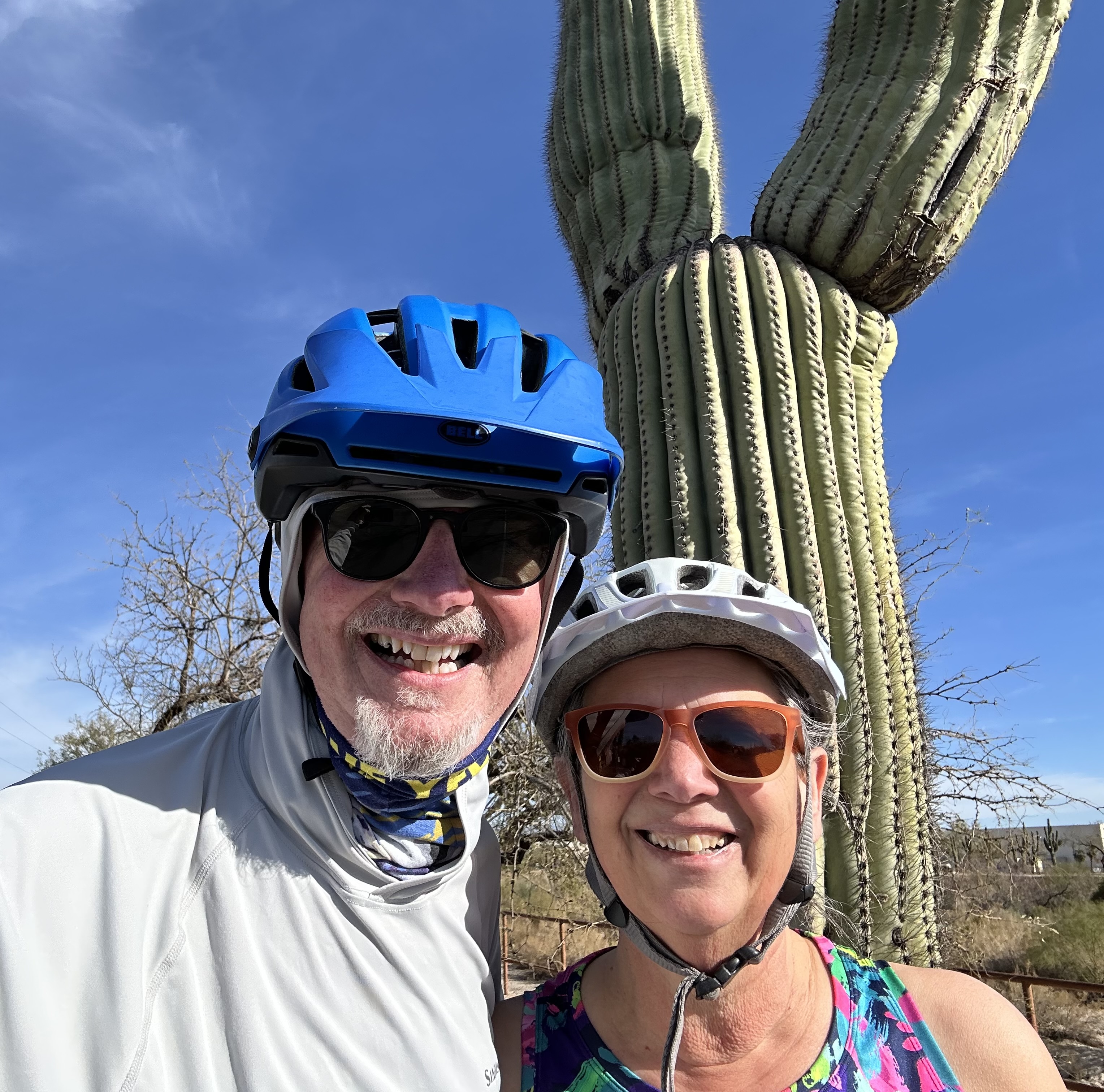
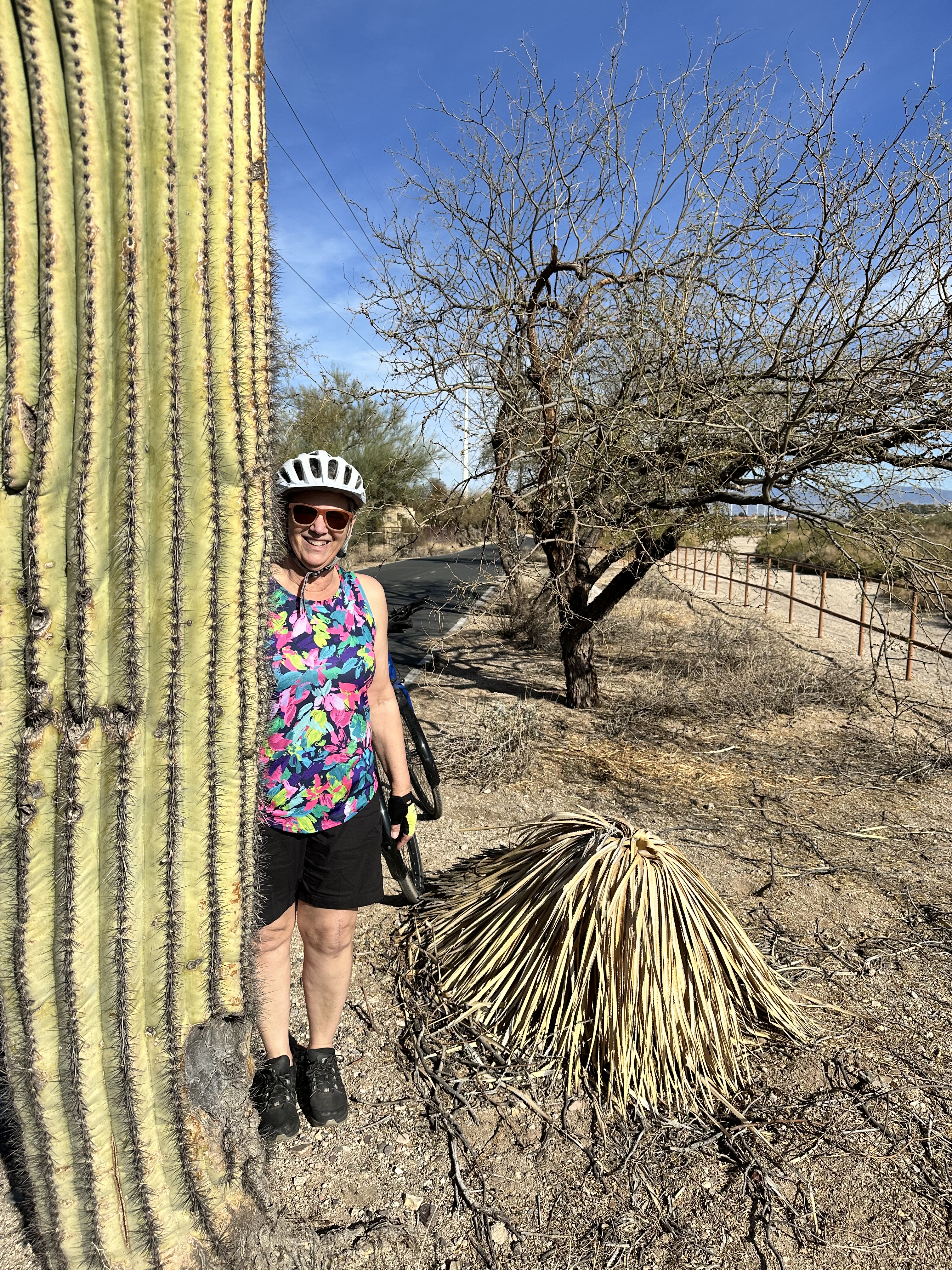
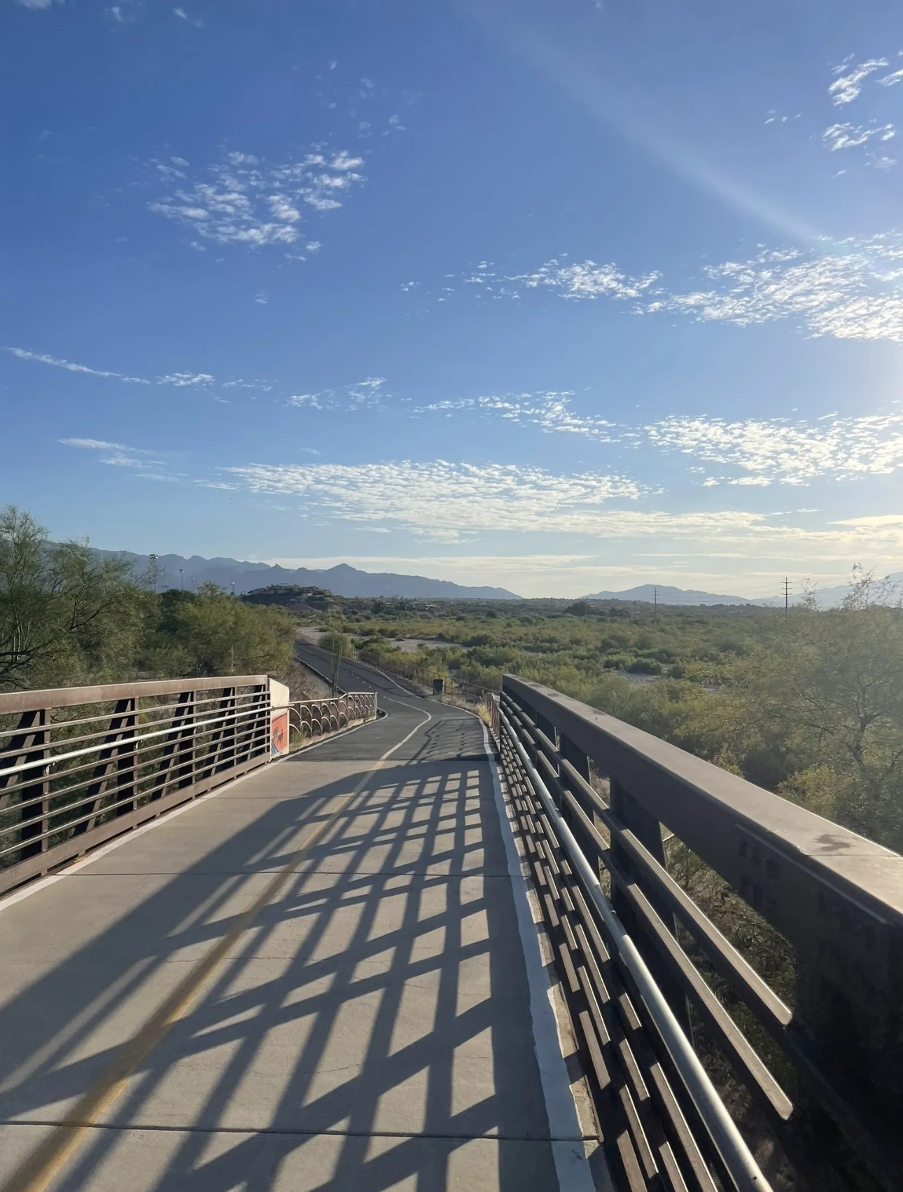
In the morning we returned to Phoenix for two nights and some additional bike riding (and excellent coffee at Peixeto (pay-shay-tow).
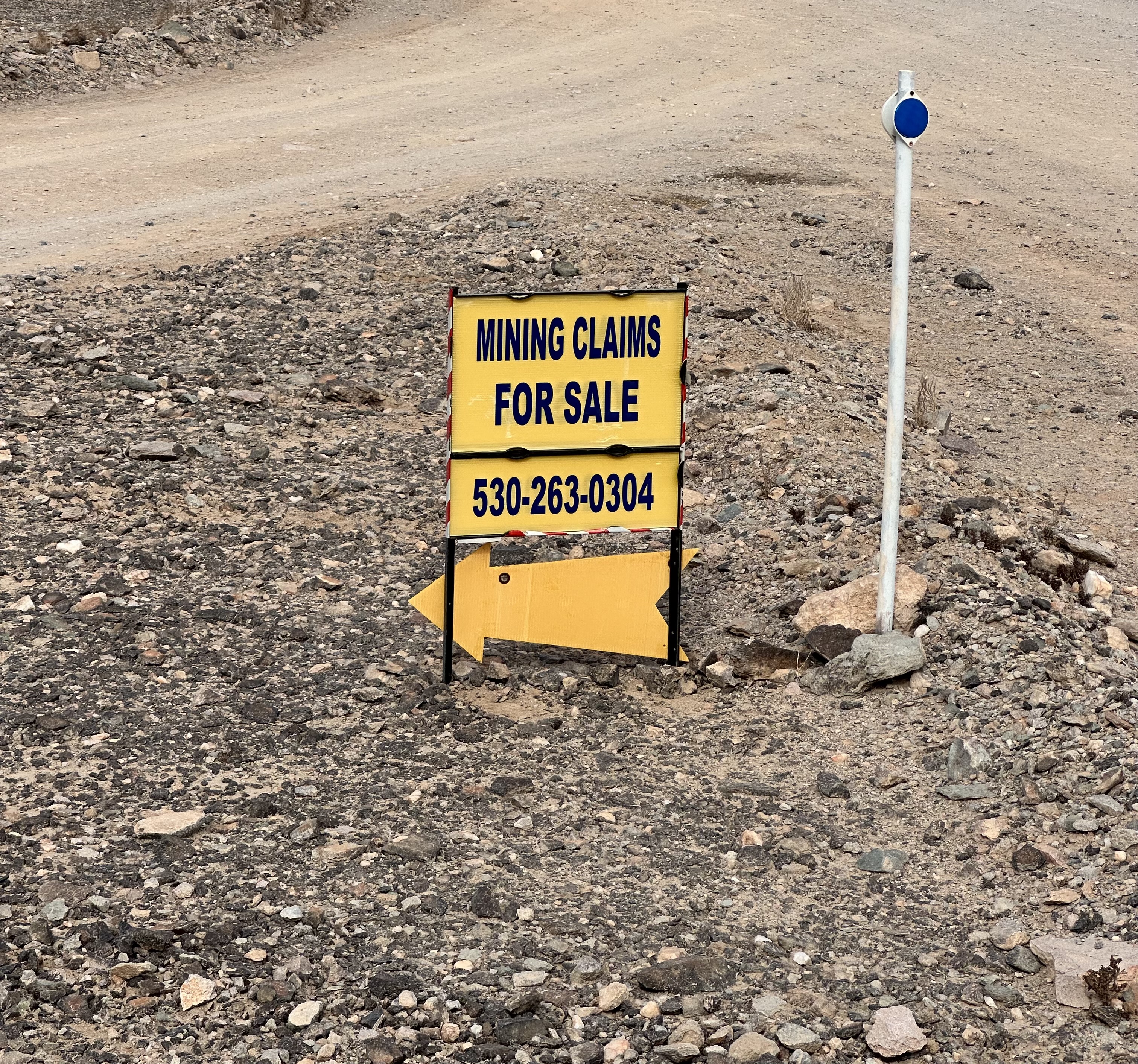
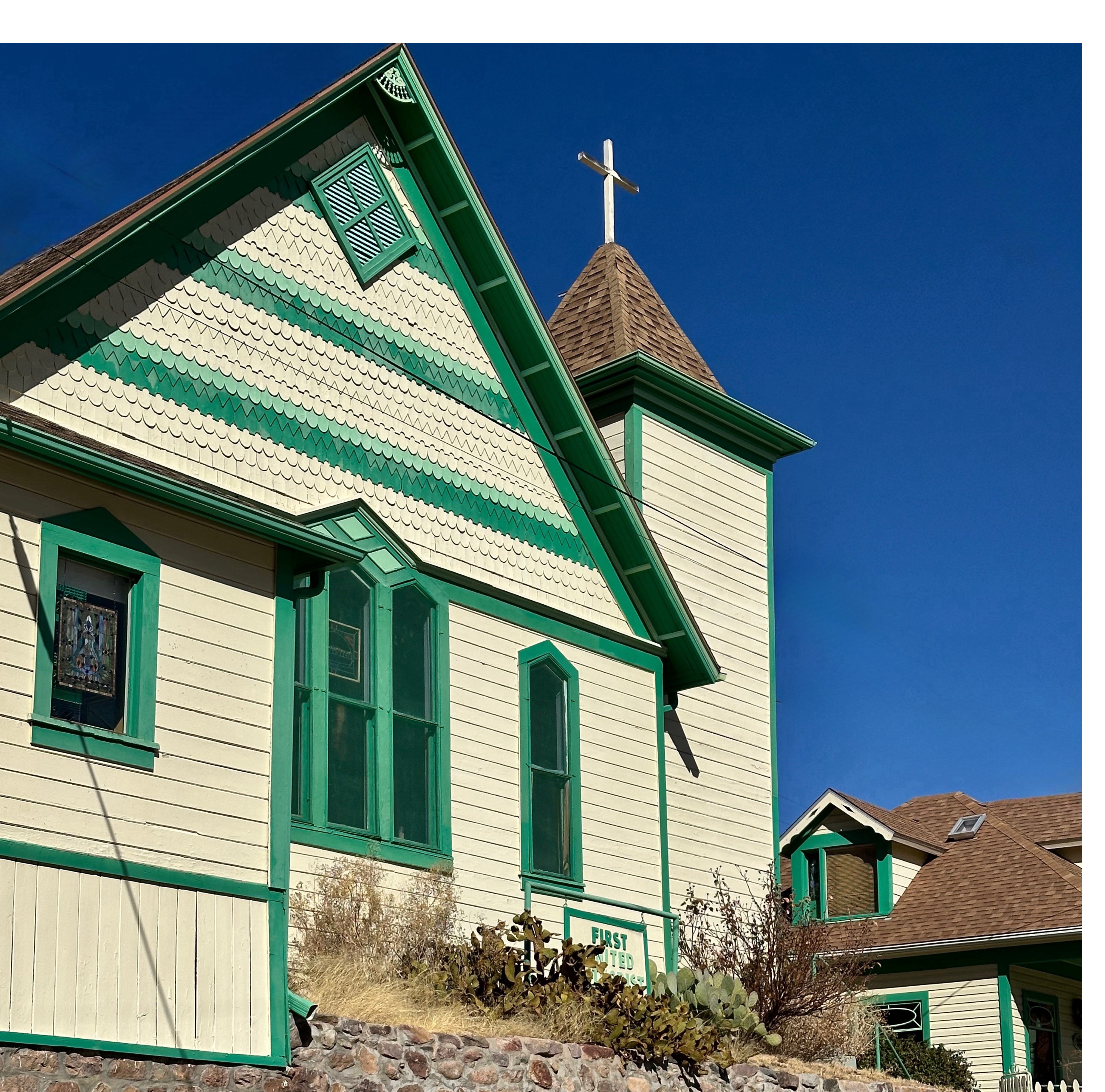
After our second stay in Phoenix we again set out for northern Arizona. Our first stop was the town of Prescott (press-kit). We had never visited but had read many wonderful reviews of the town and a number of Arizonians we met during this trip had also highly recommended we go.
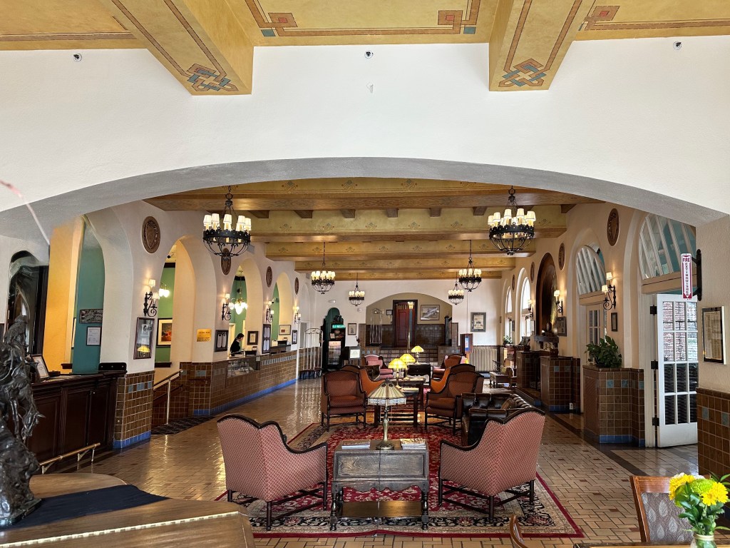
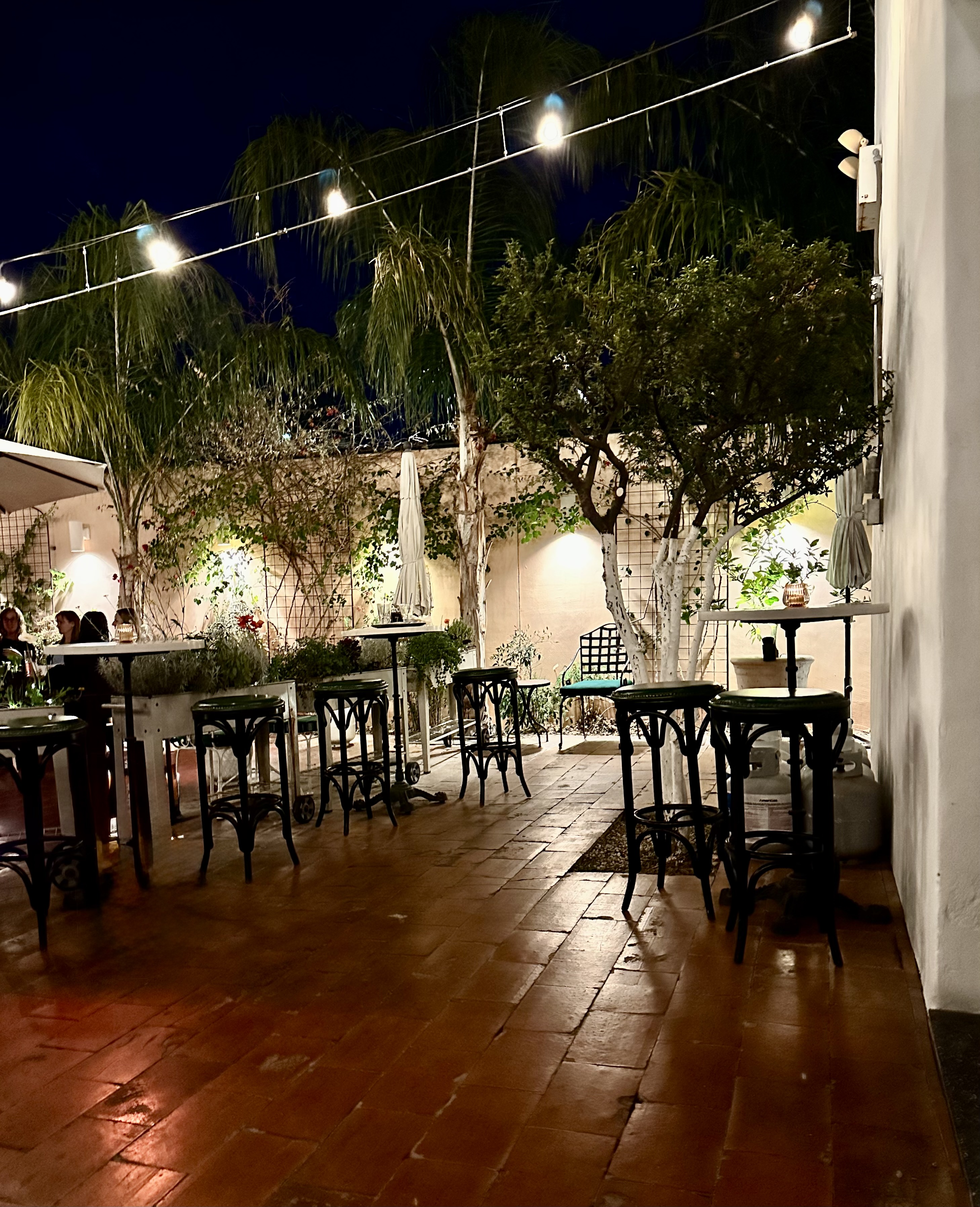
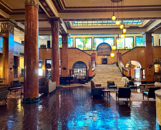
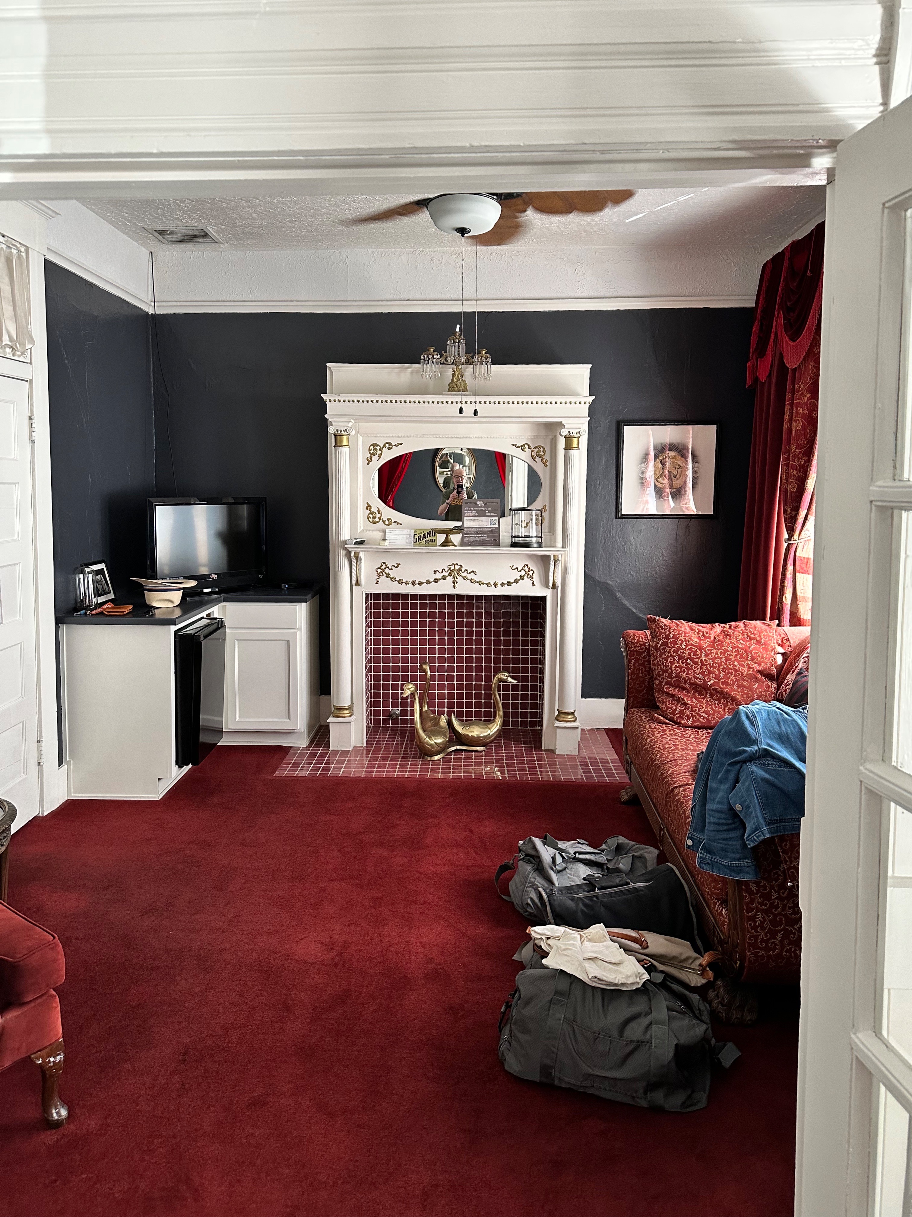
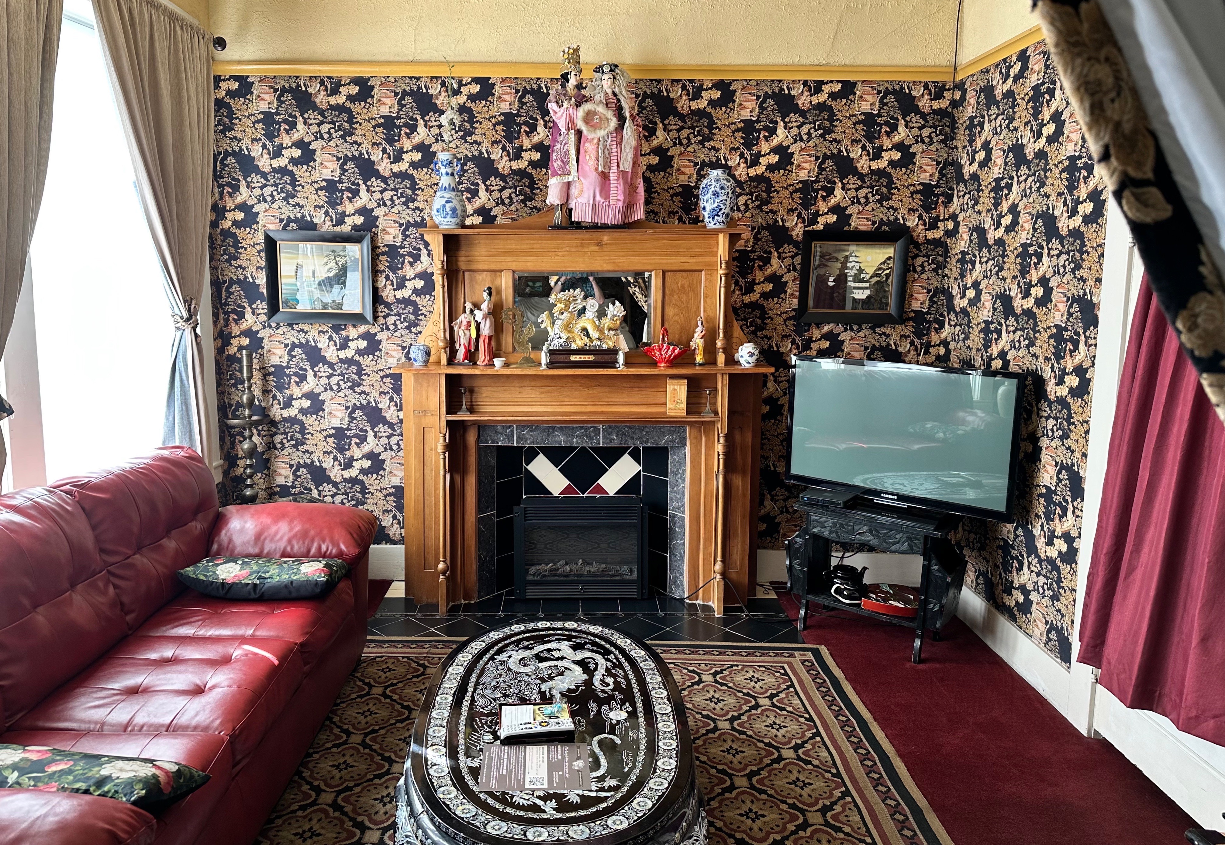
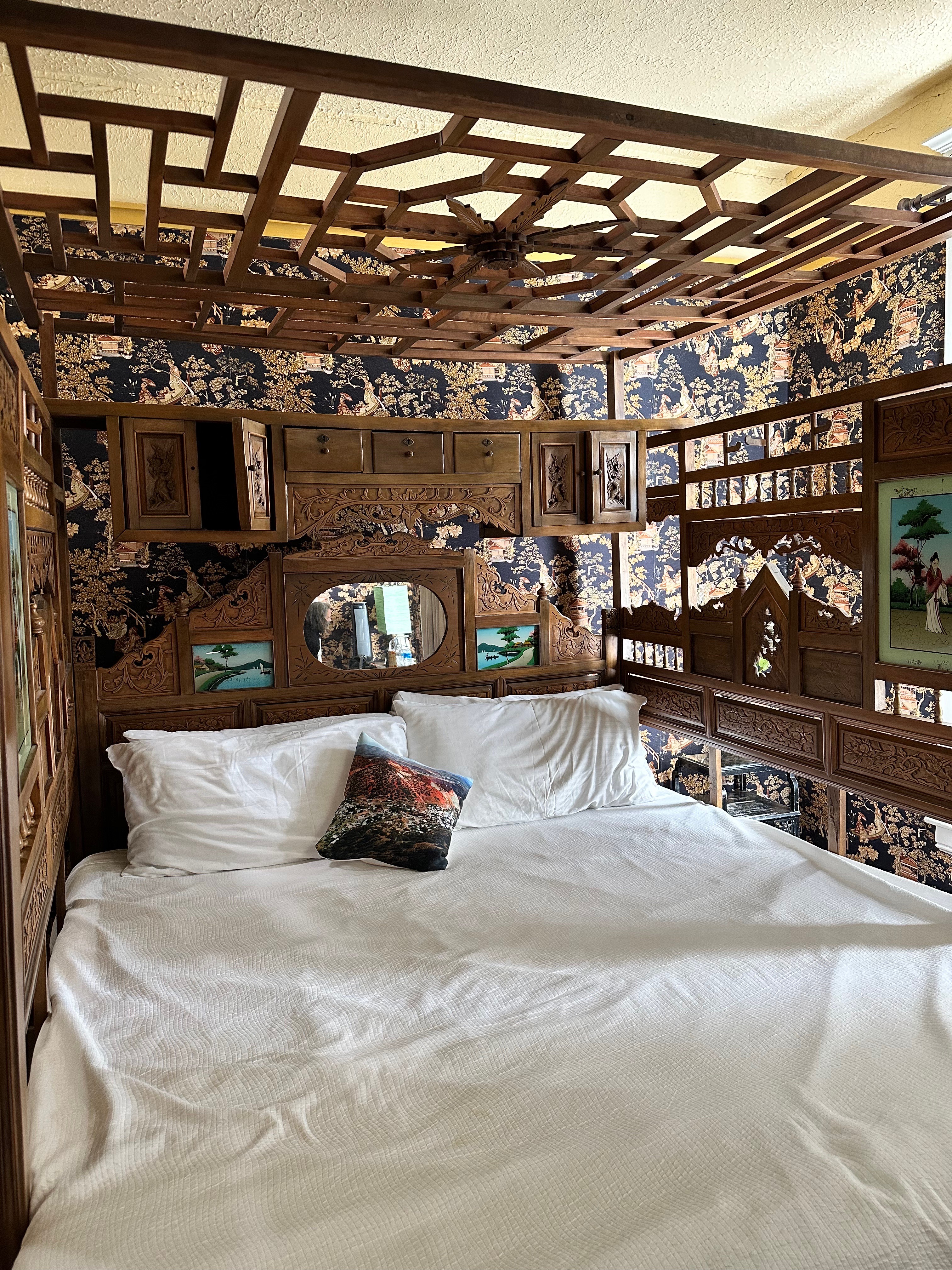
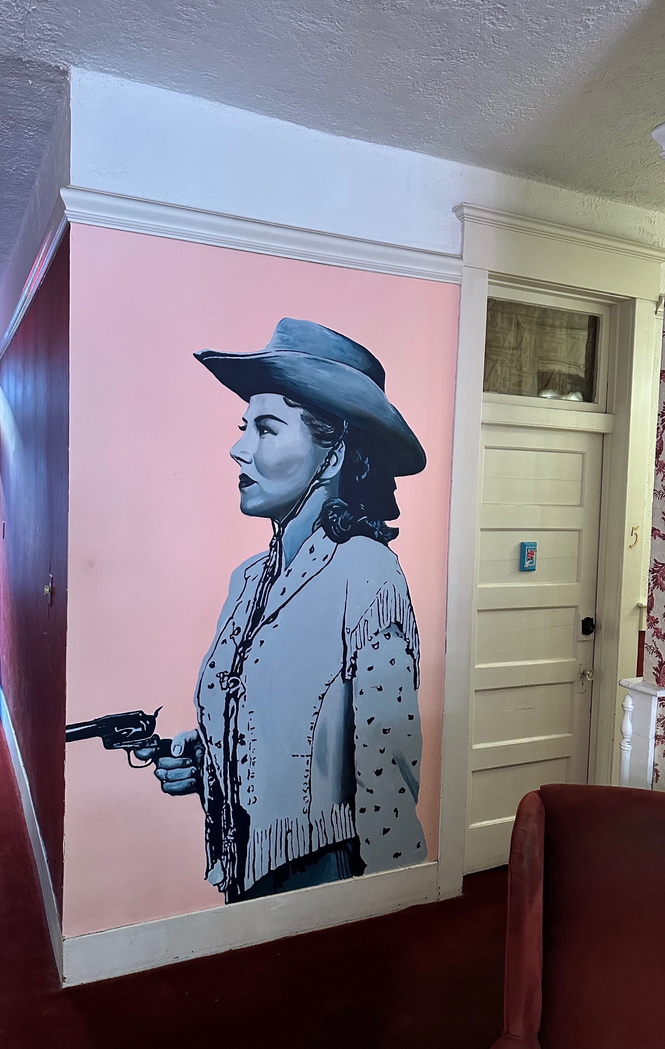
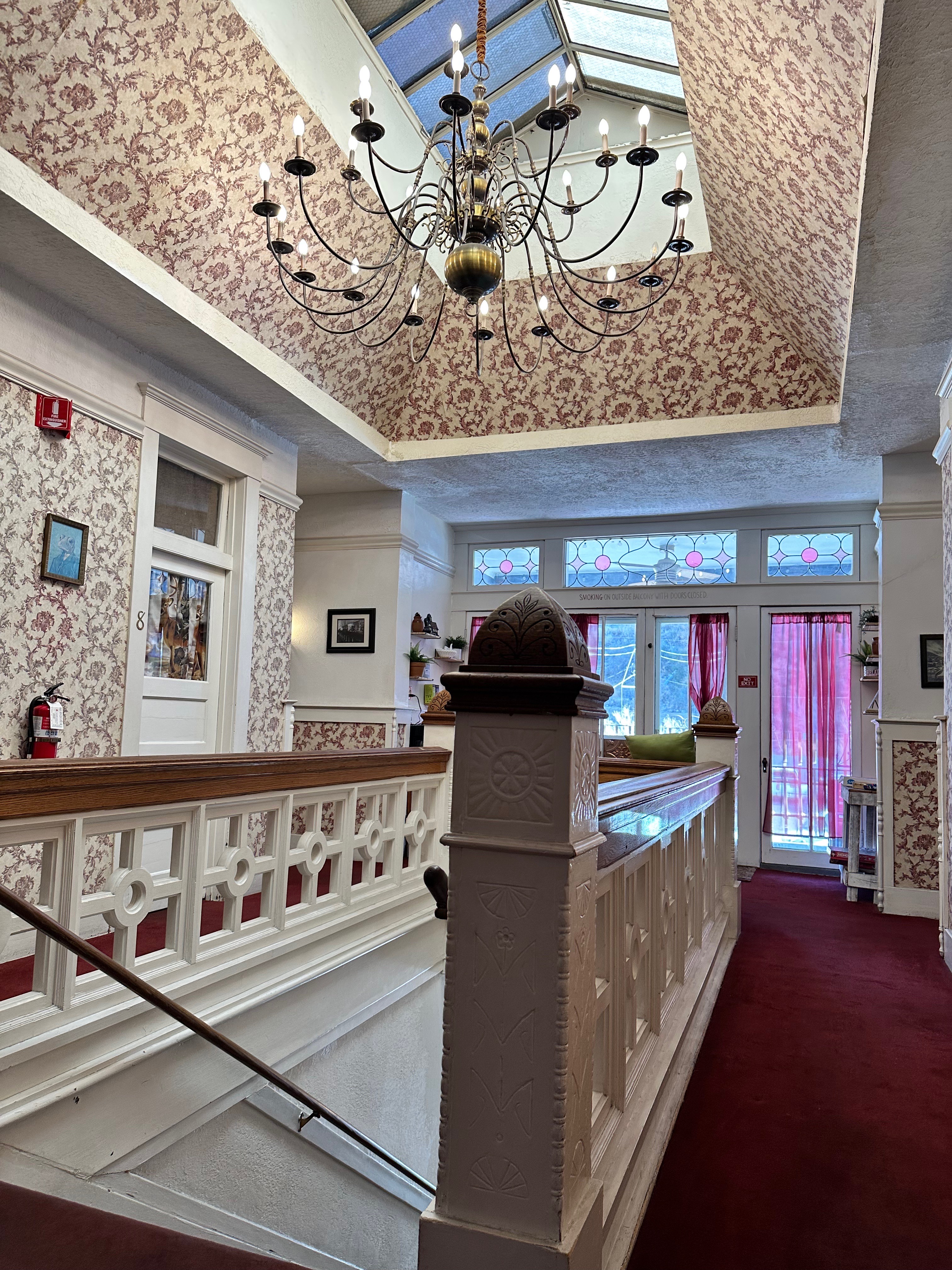
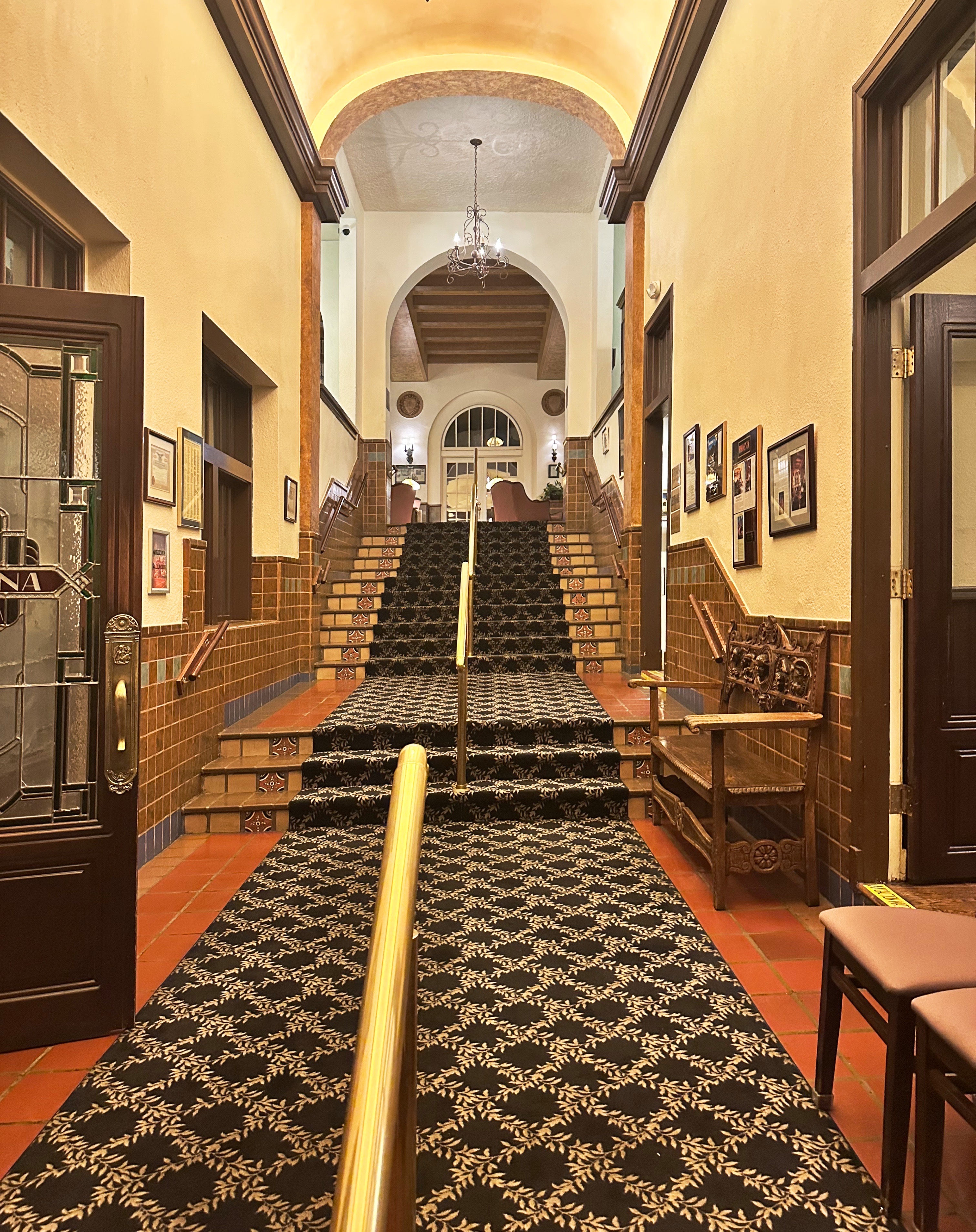
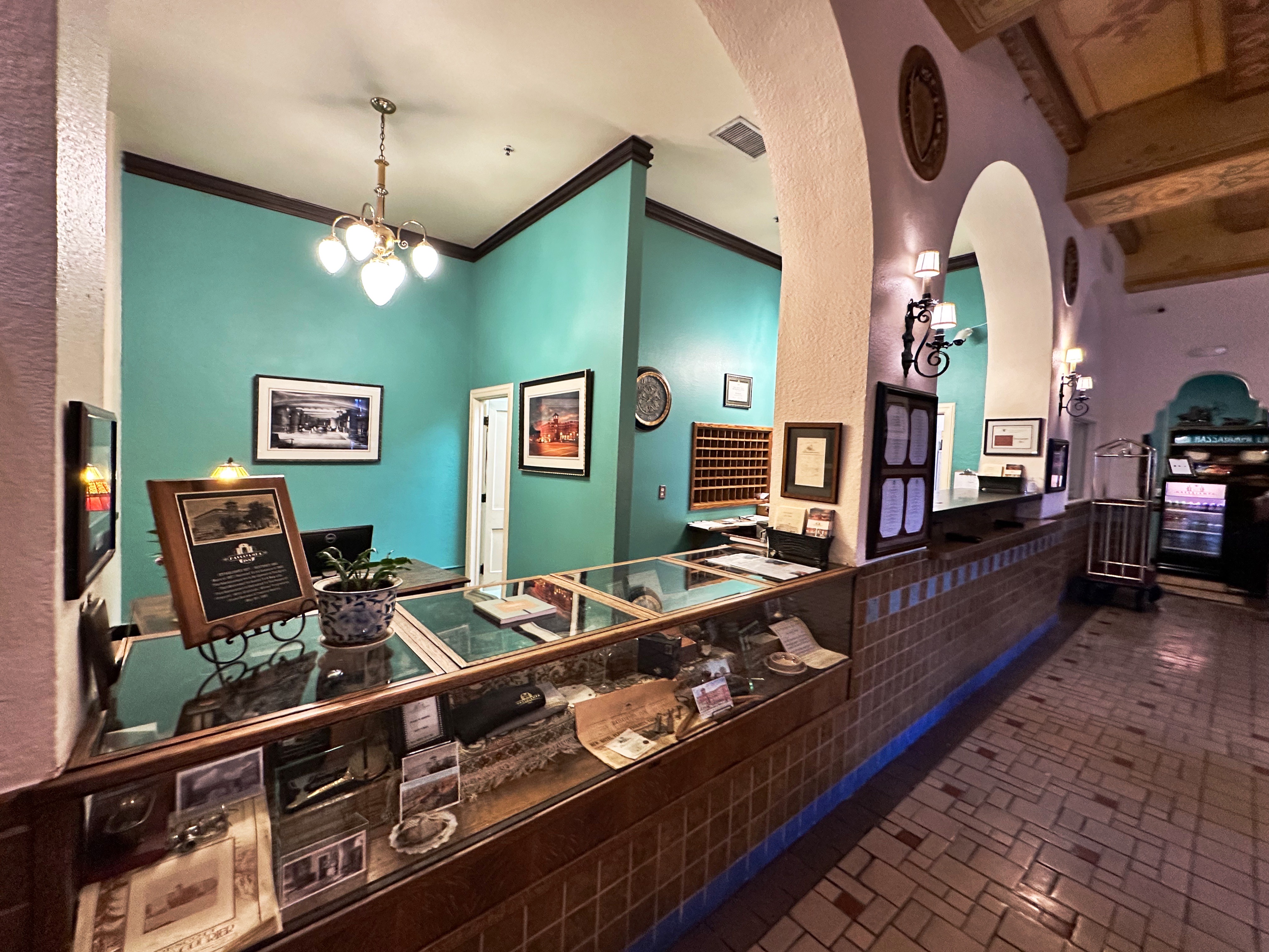
Our secondary motivation for visiting Prescott was to stay at the Hassayampa Inn. The inn opened in 1927 to provide lodging for the growing number of tourists who had discovered the charms of this former mining and logging town. The inn was designed by our favorite hotel architect Henry Trost. The bottom right photo shows the original and still operational elevator.
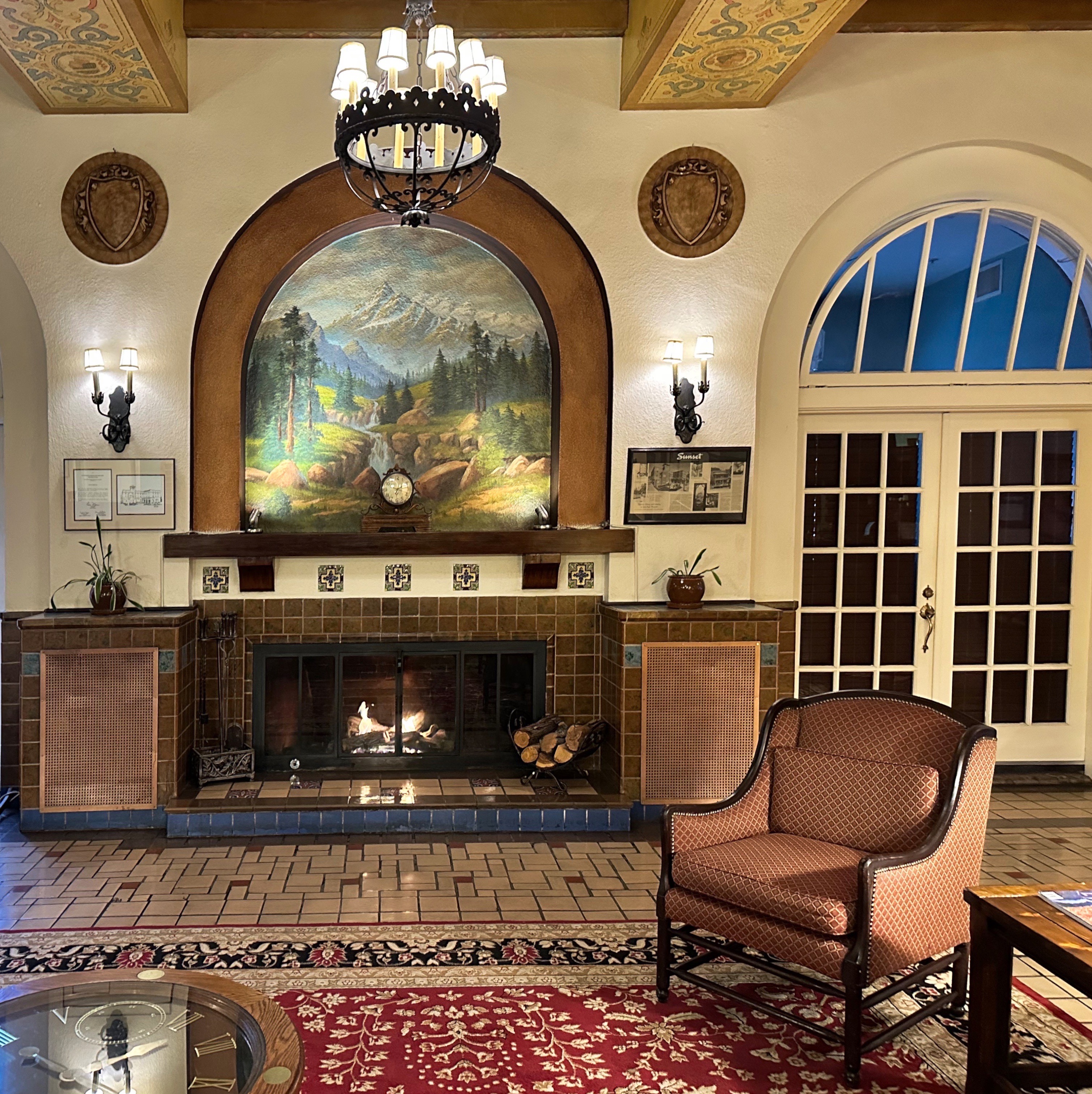

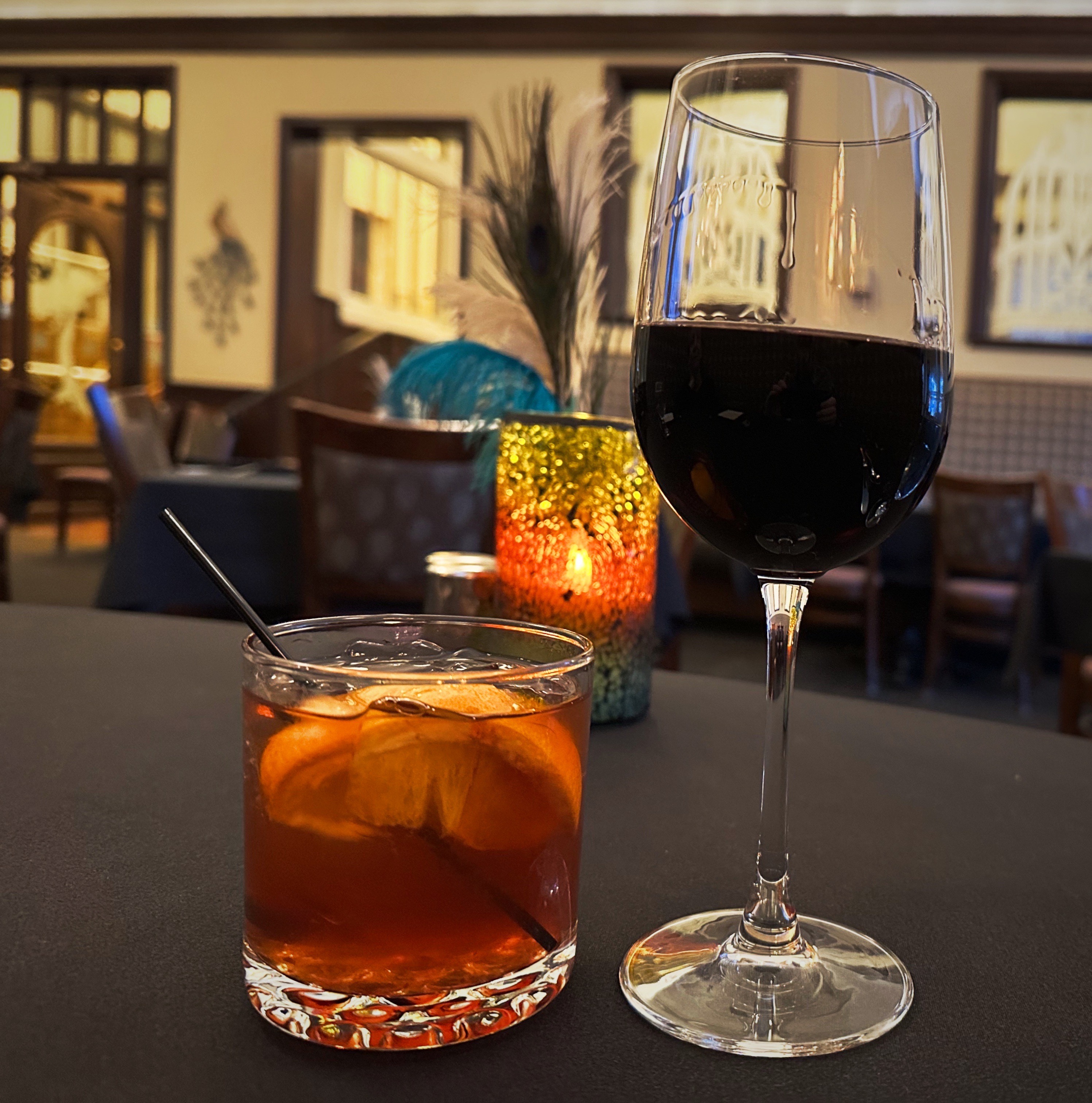

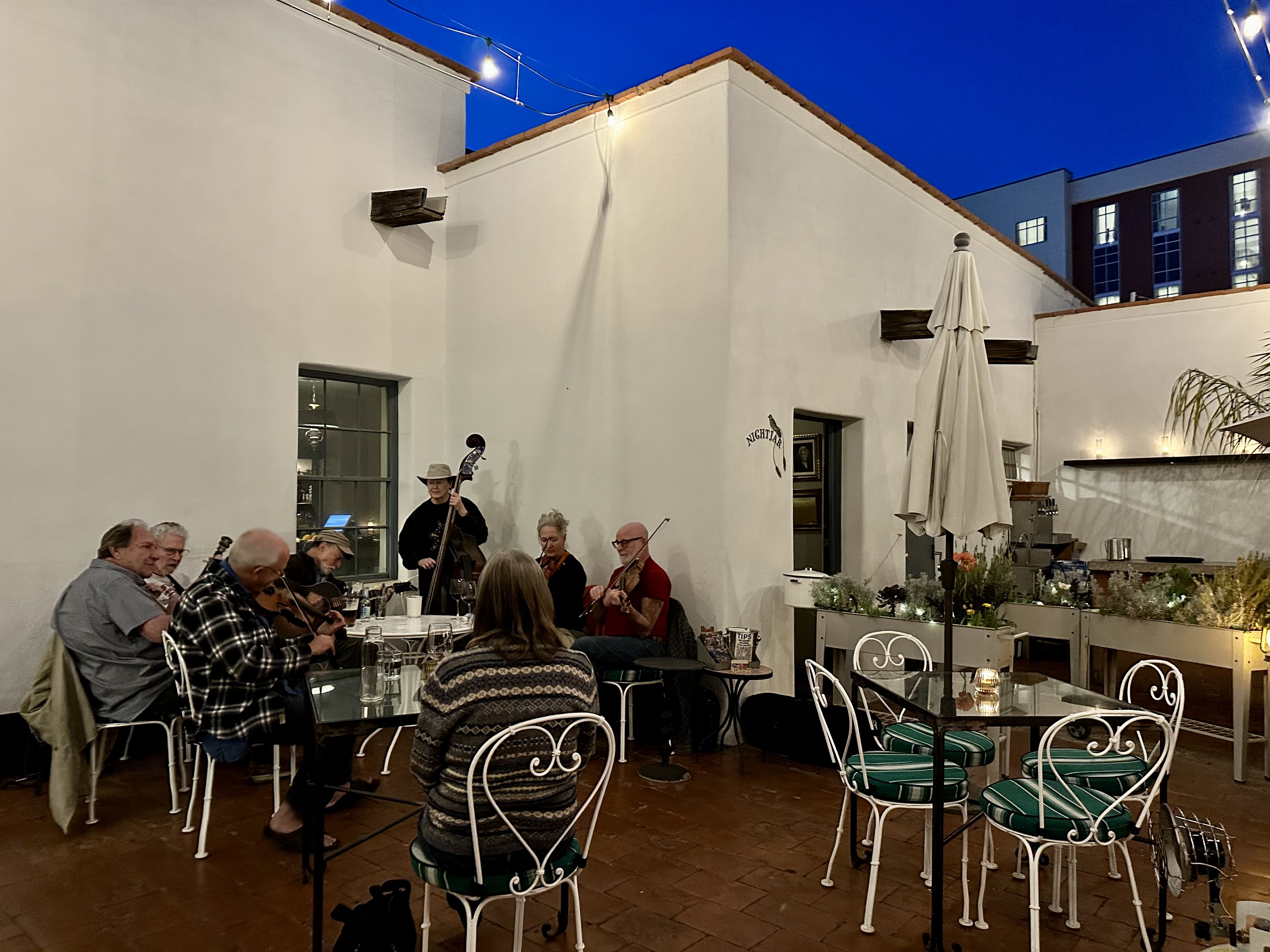
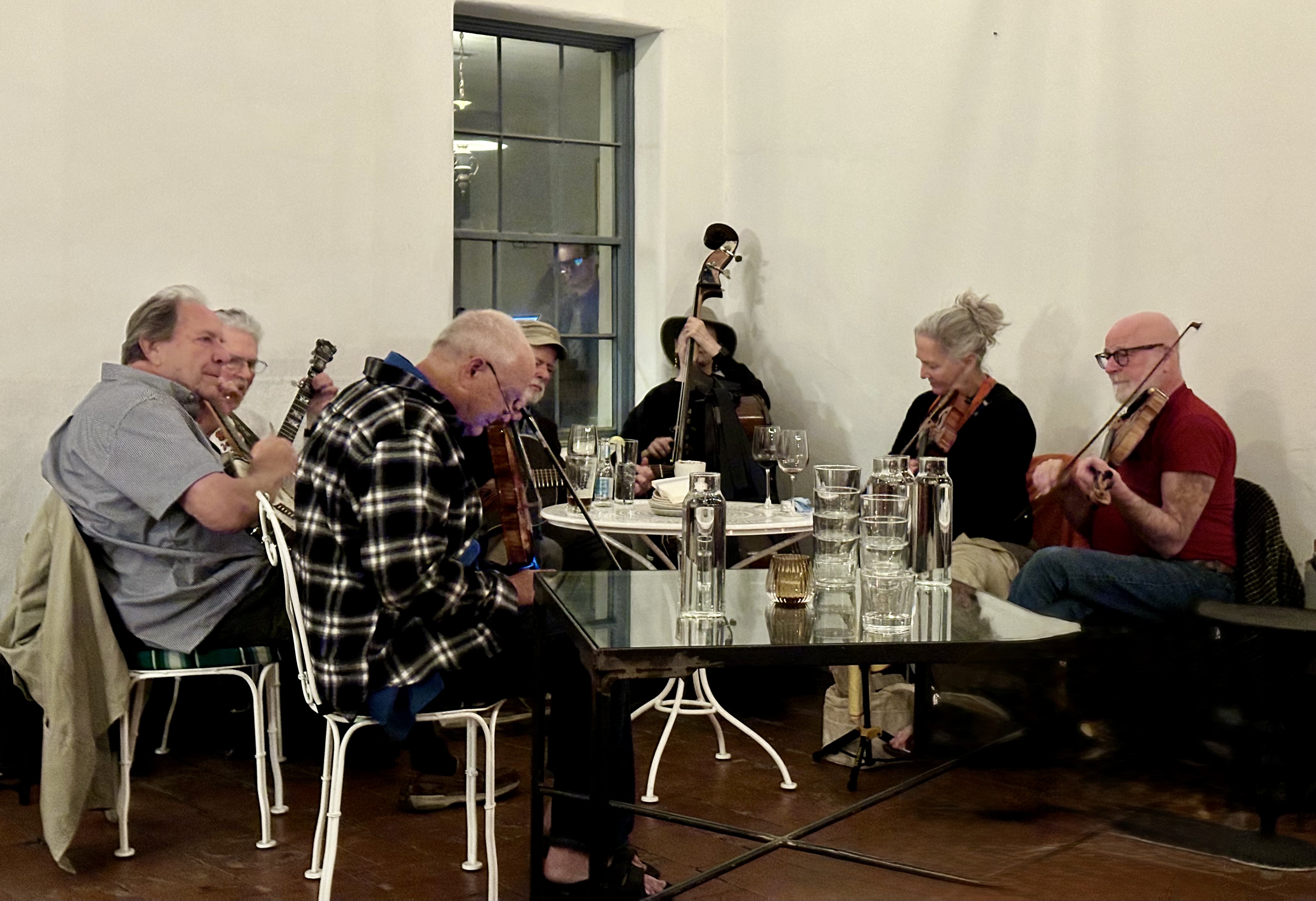
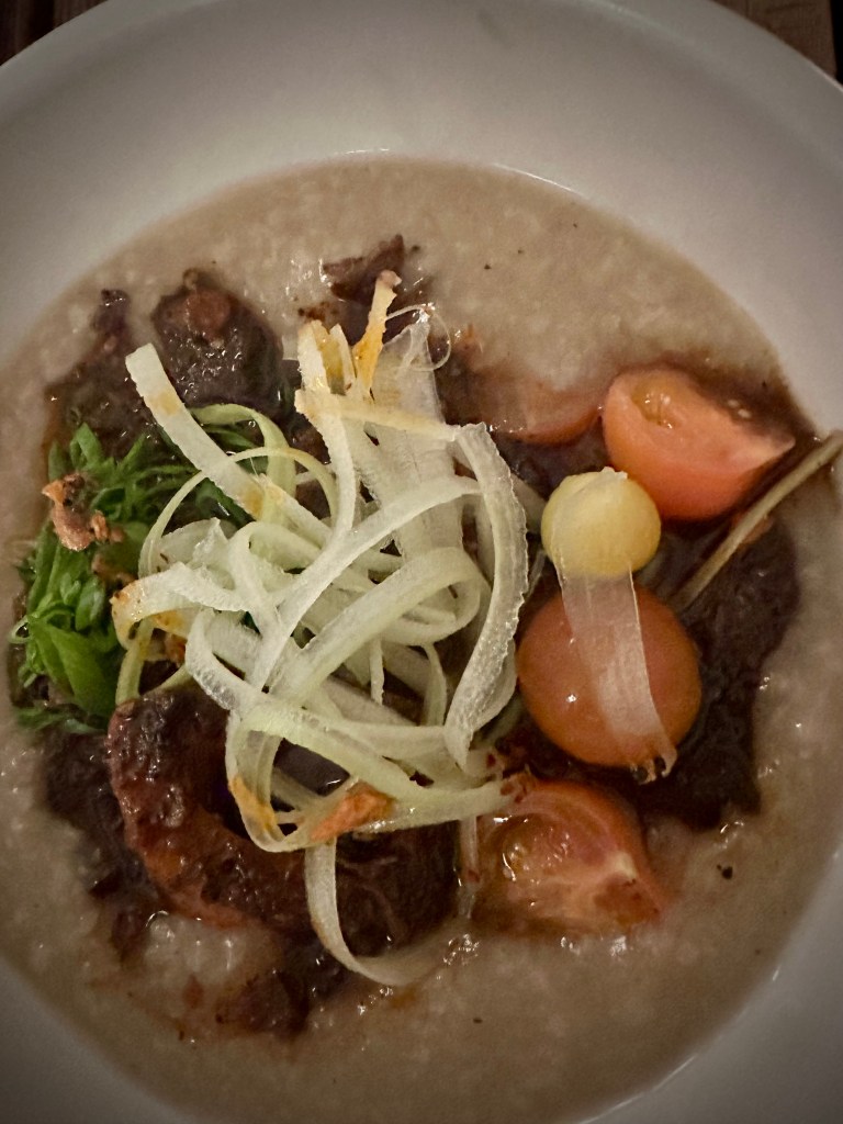
By the time we arrived at the hotel it was snowing ( Prescott elevation 5300 feet). We were tucked in nice and cosy at the inn, so a bit of snow was not a concern for us as we had booked two nights. Excellent restaurant, outstanding cocktails in front of the fireplace in the beautiful Trost lobby and fantastic coffee a short walk down the street. Yippee Ki Aye!

However, our plans to continue north hit a snag when we learned the road north was closed due the weather and that Sedona and Flagstaff were a mess. Flagstaff had received over 20 inches of snow and the temperatures were remaining bitterly cold. Not why we had come to Arizona! Once again, time to revise our itinerary – ah, life on the road.
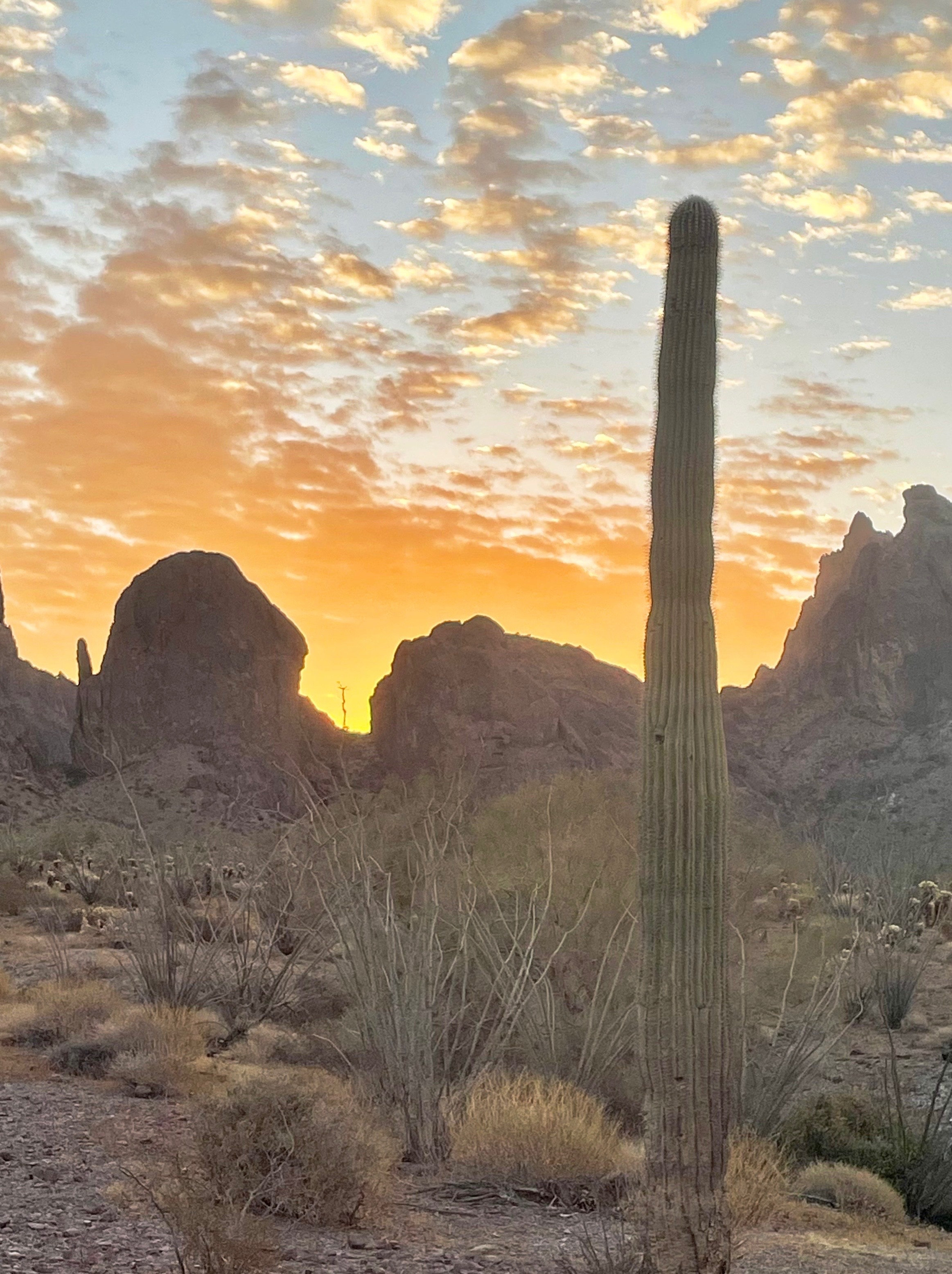
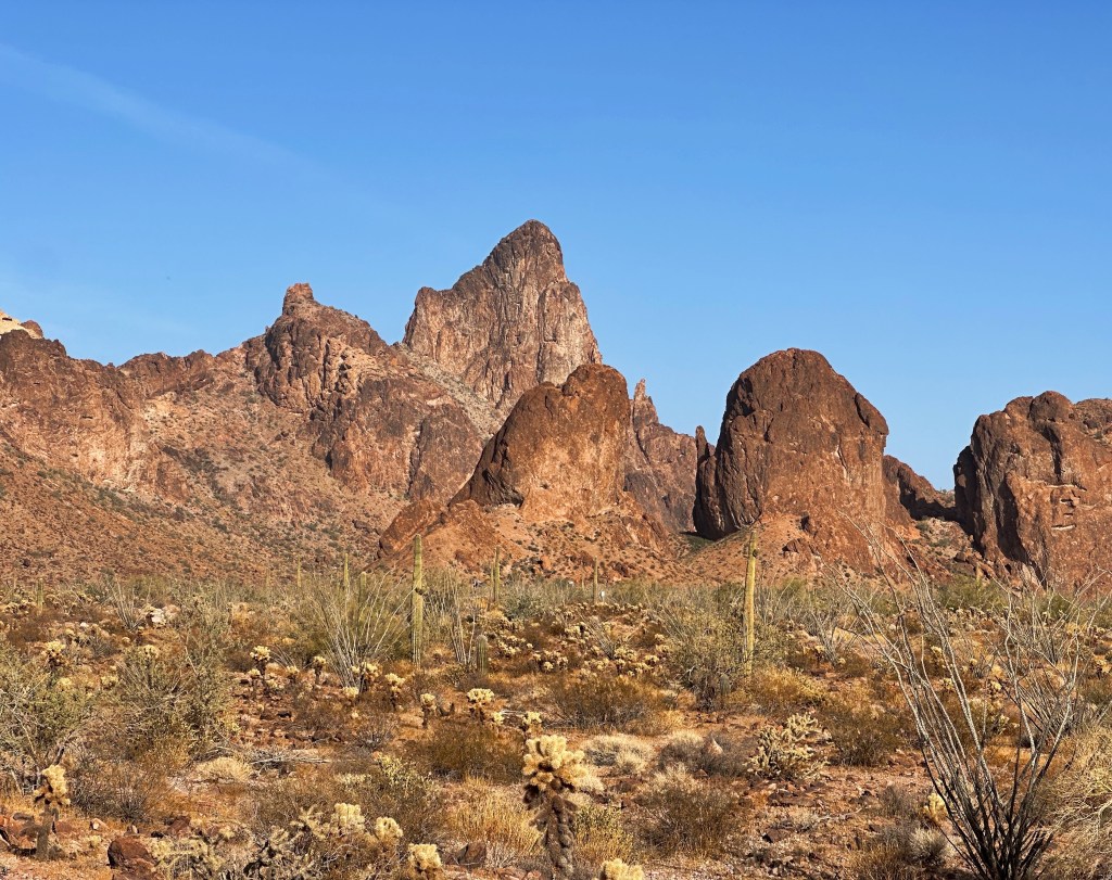
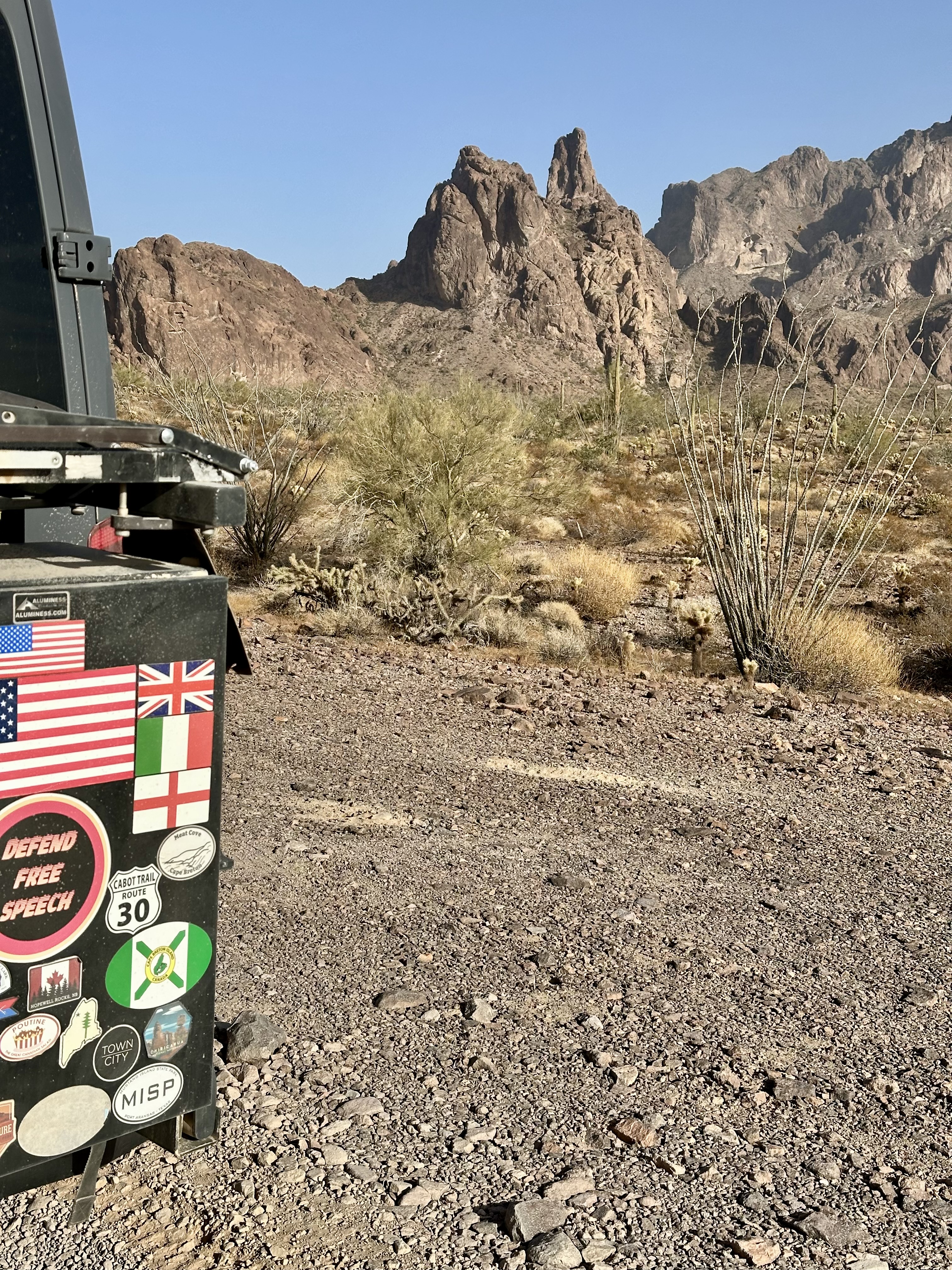
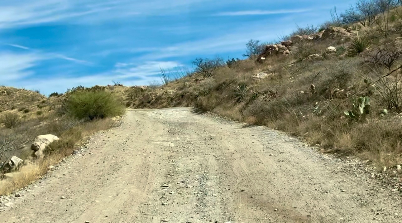
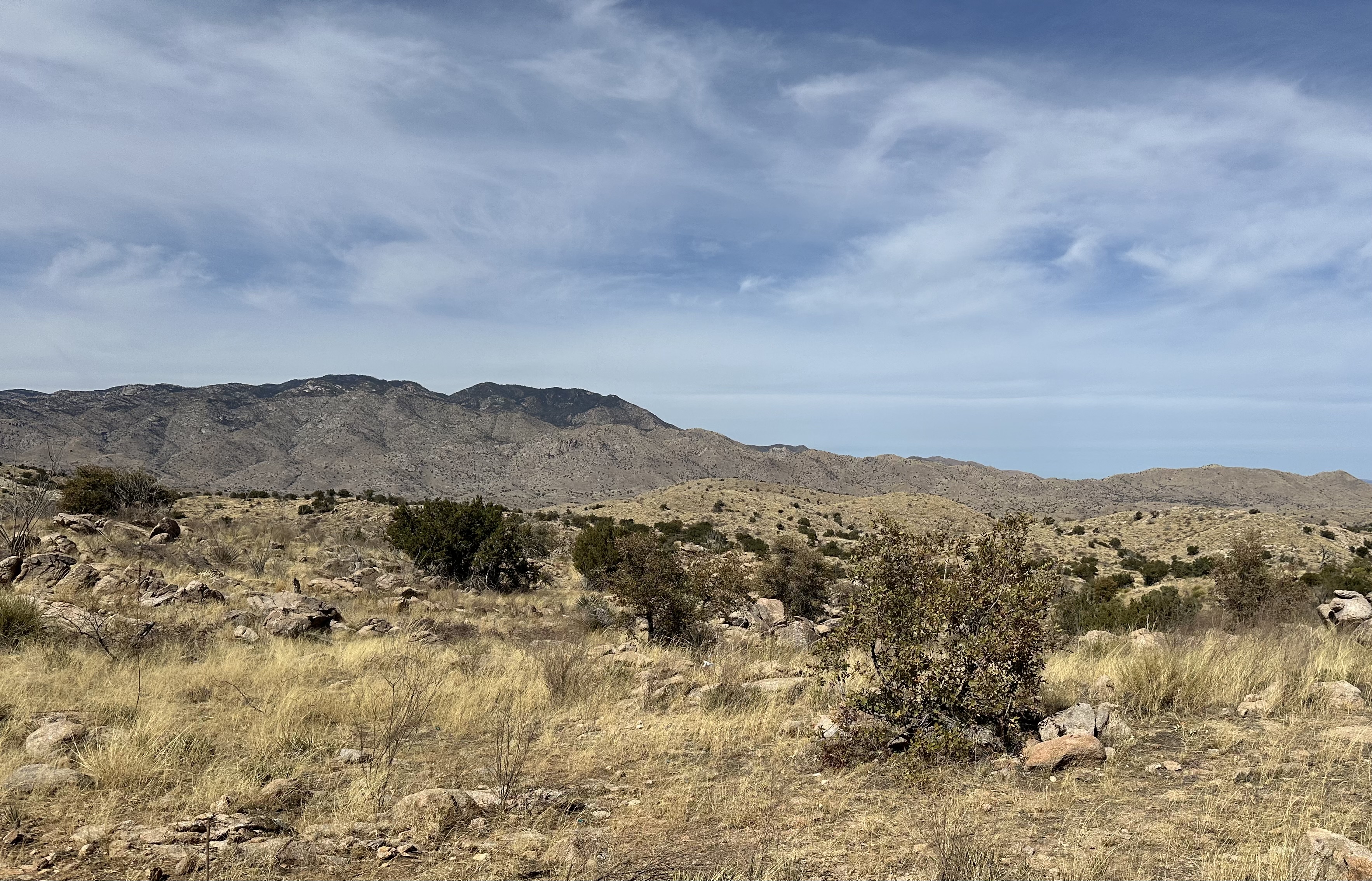
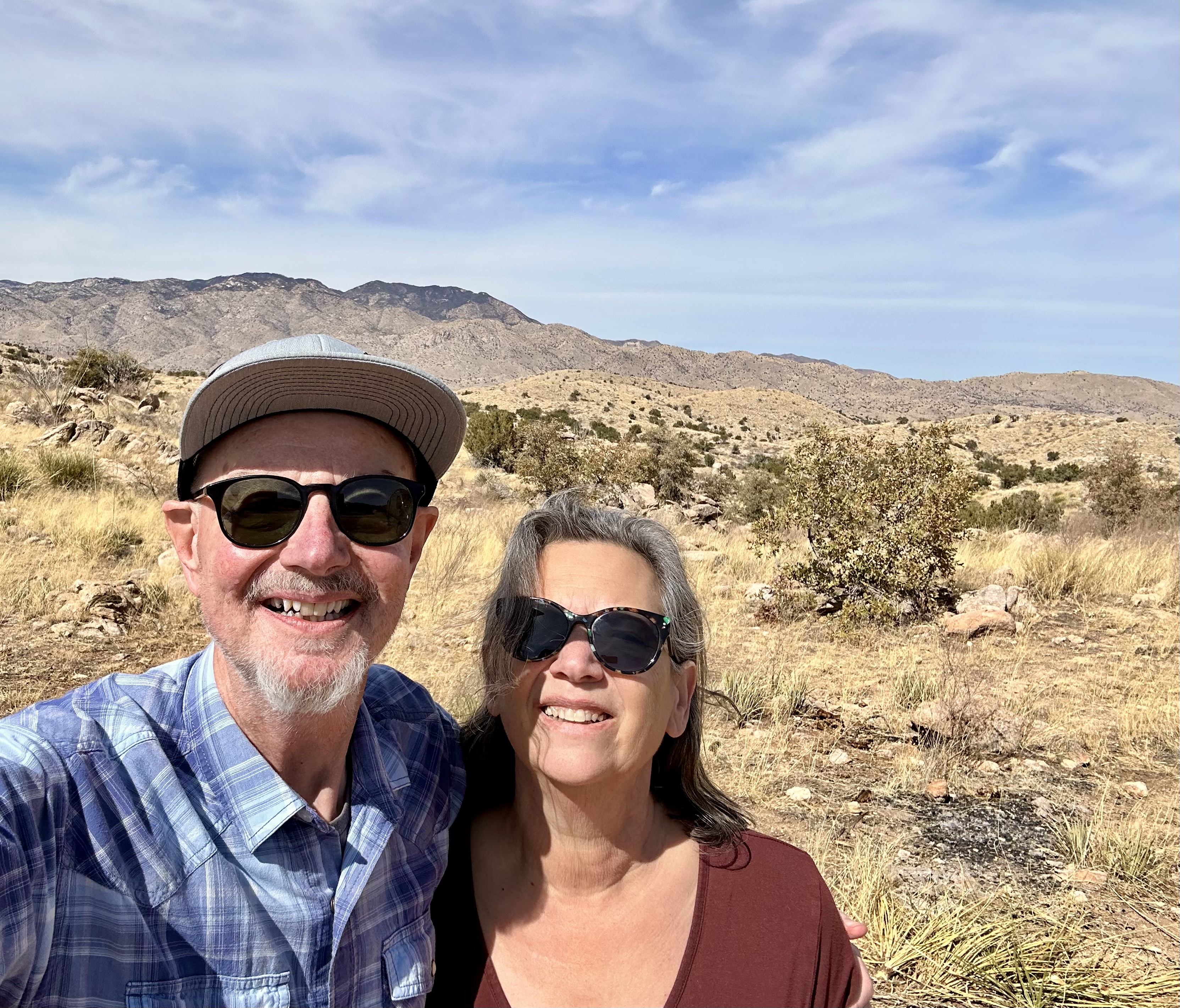
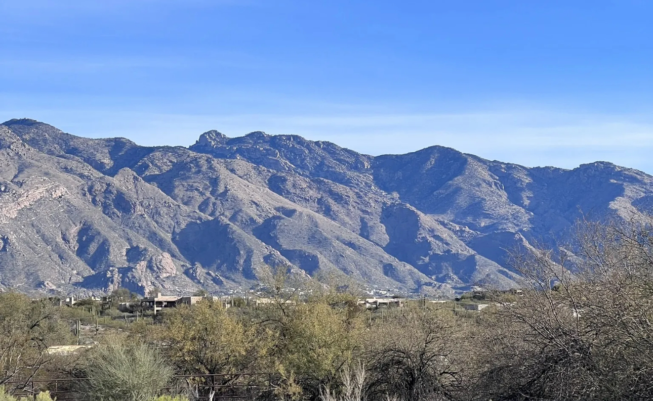
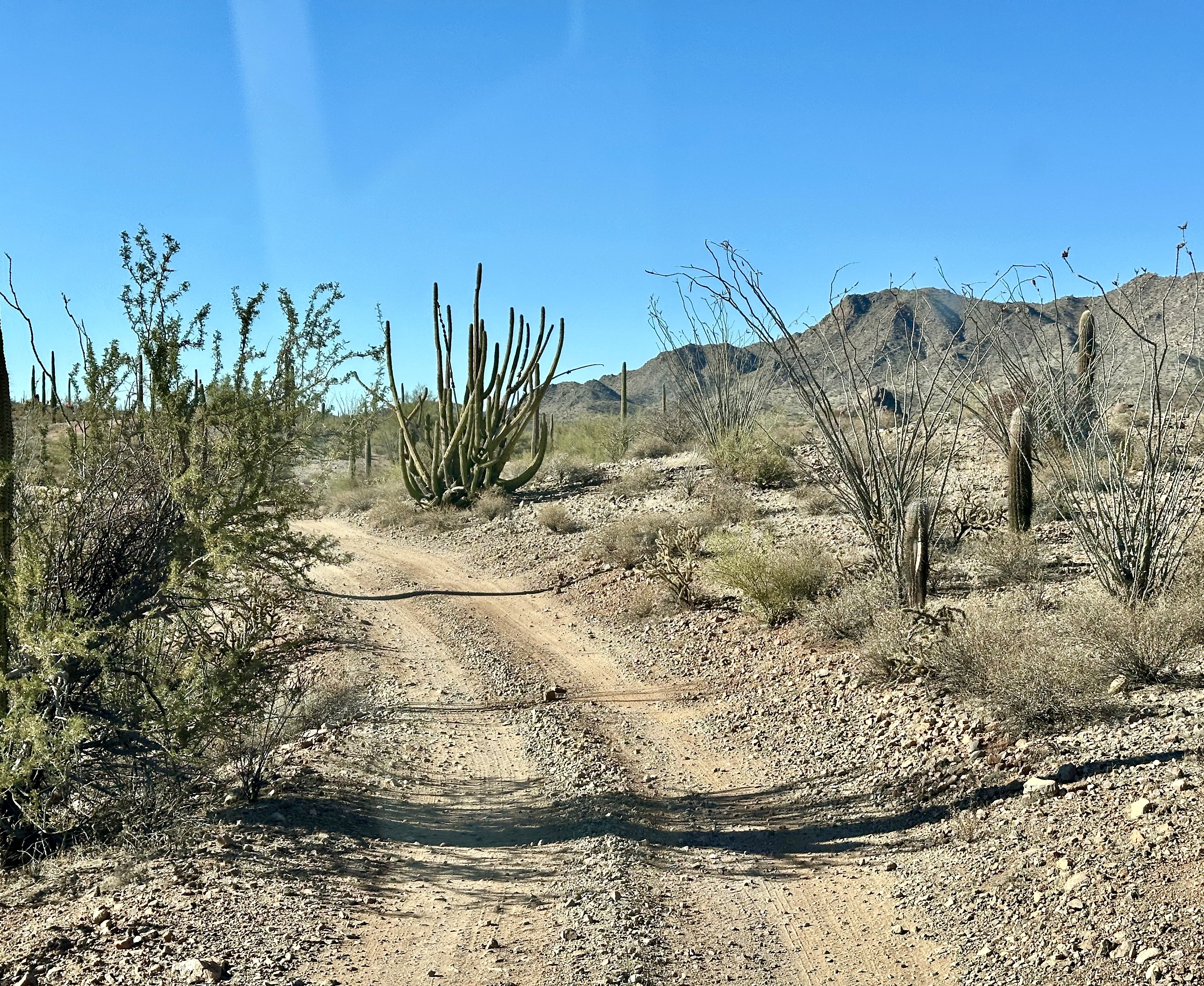
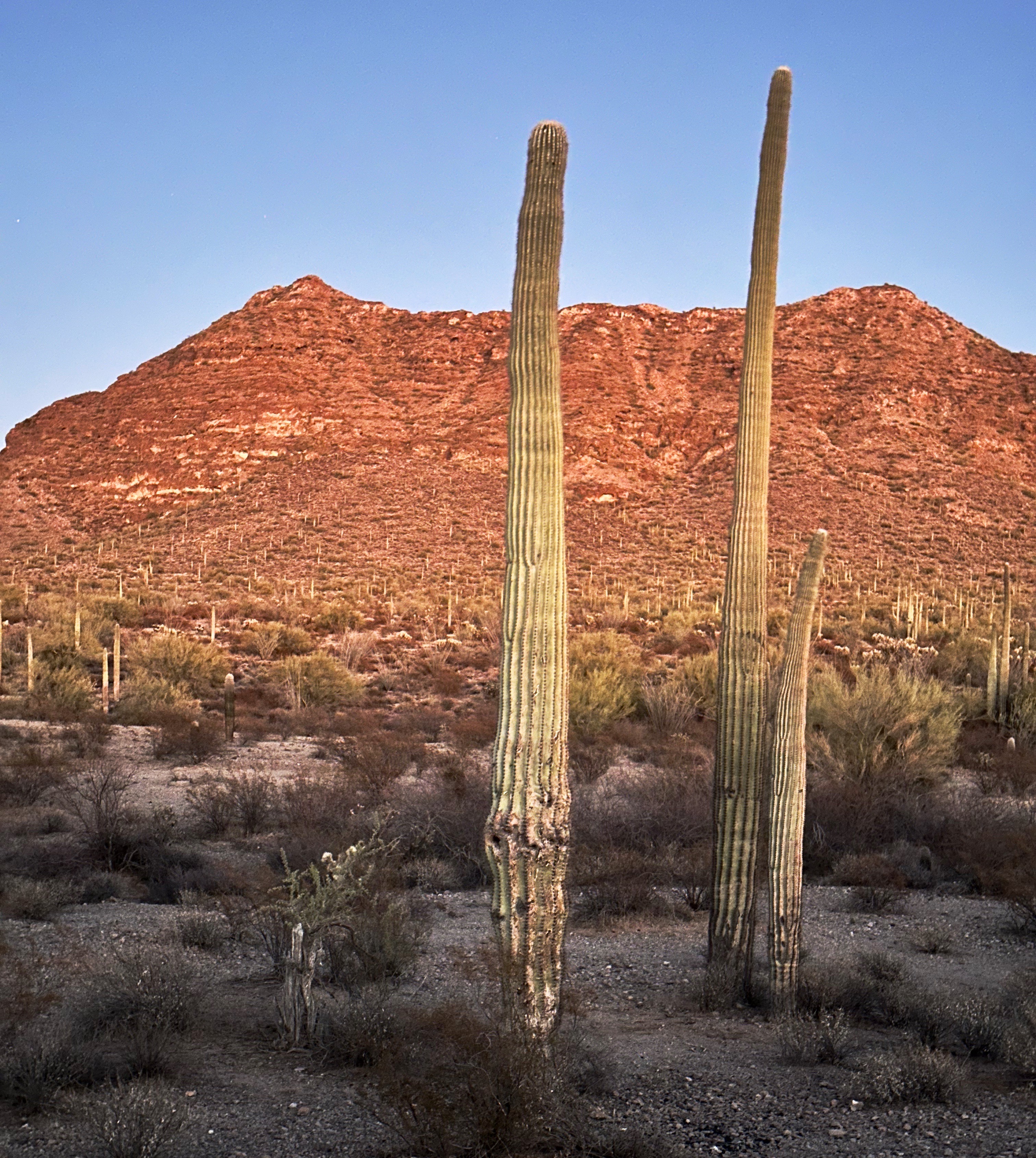
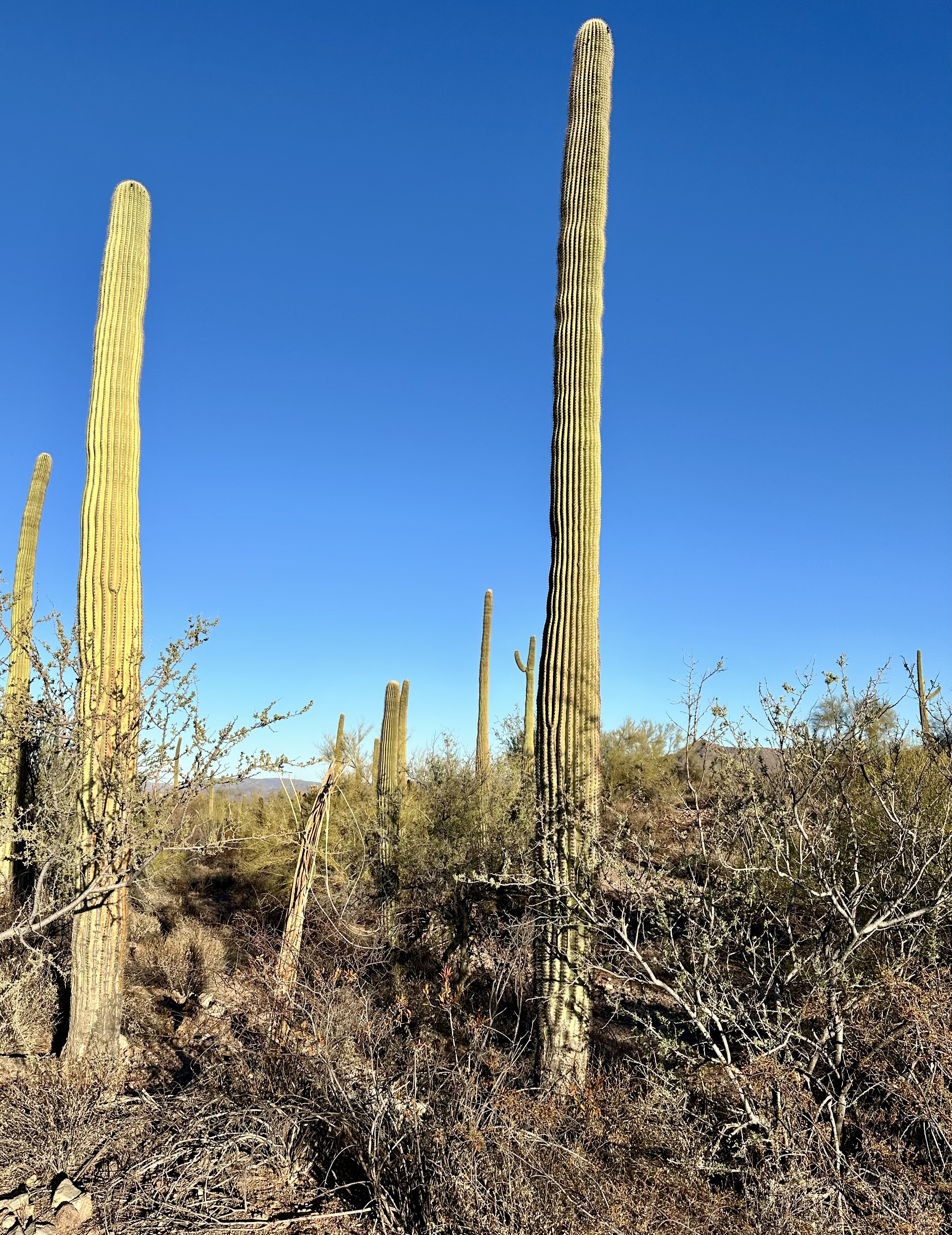
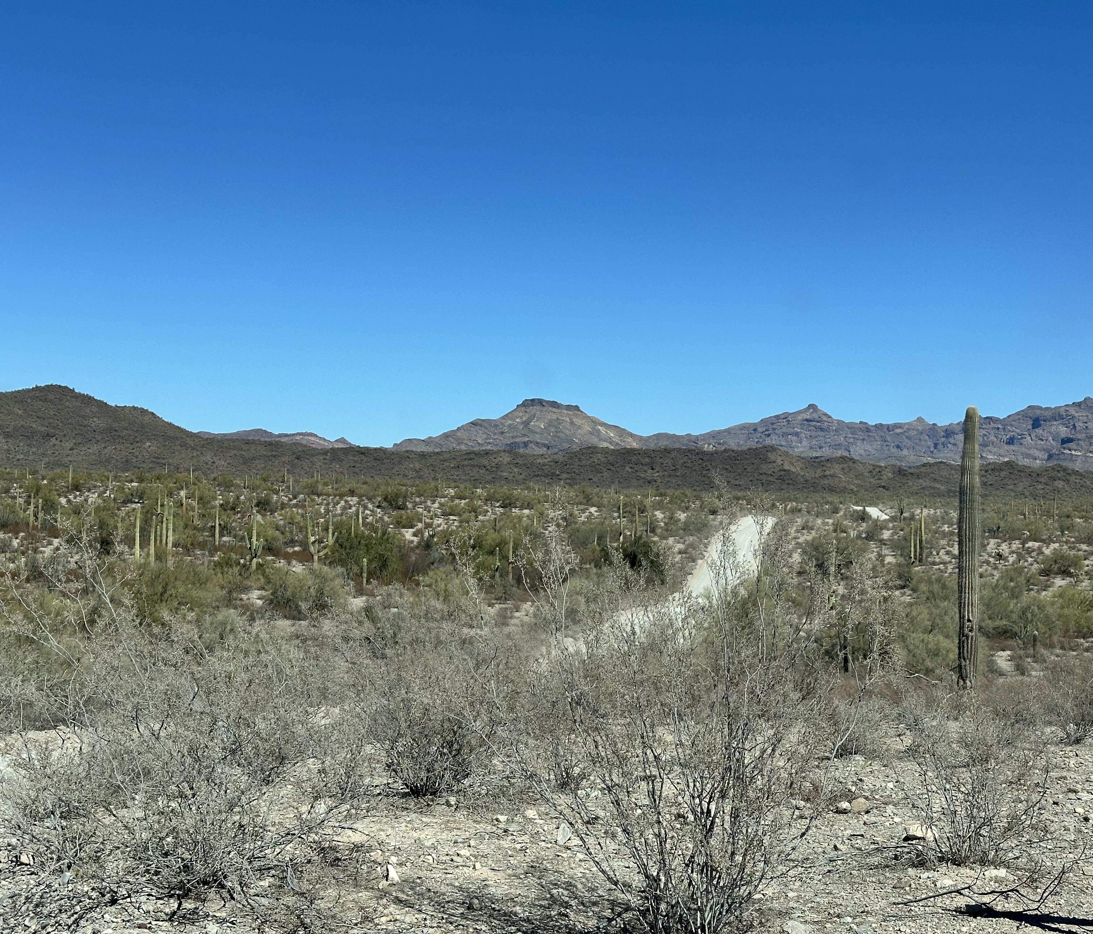
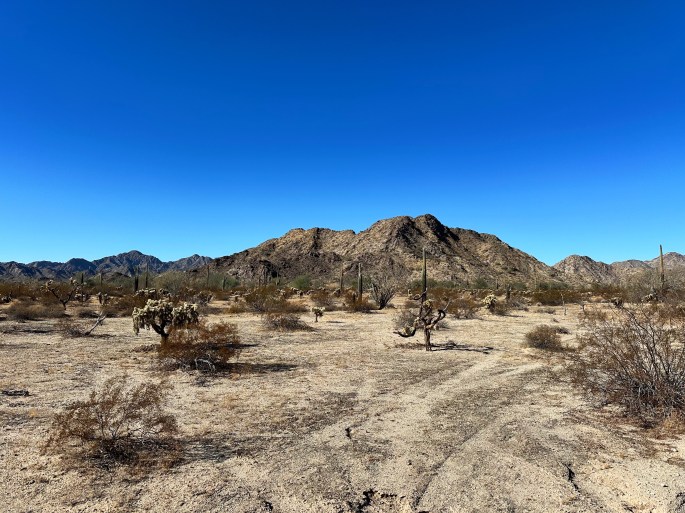
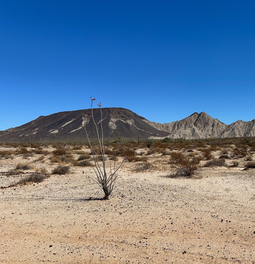
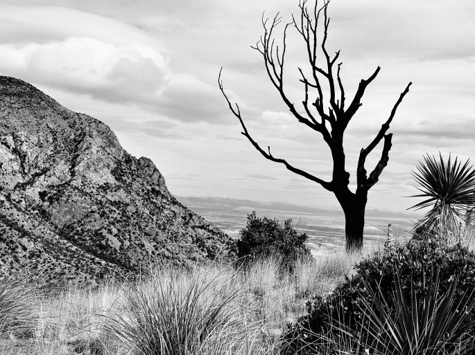
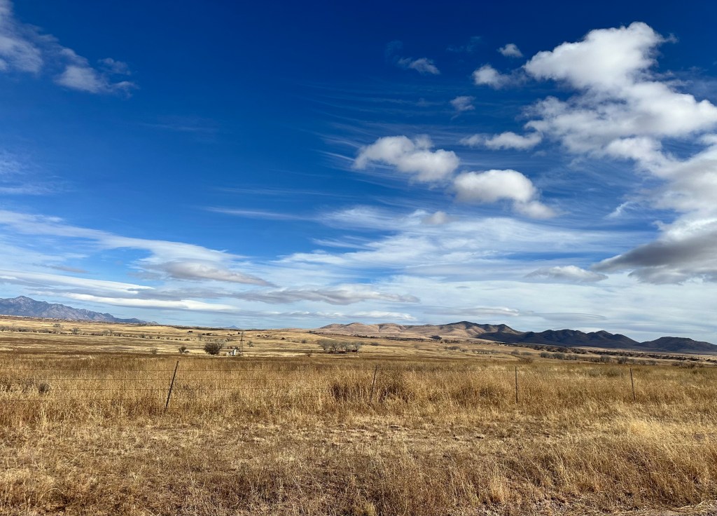
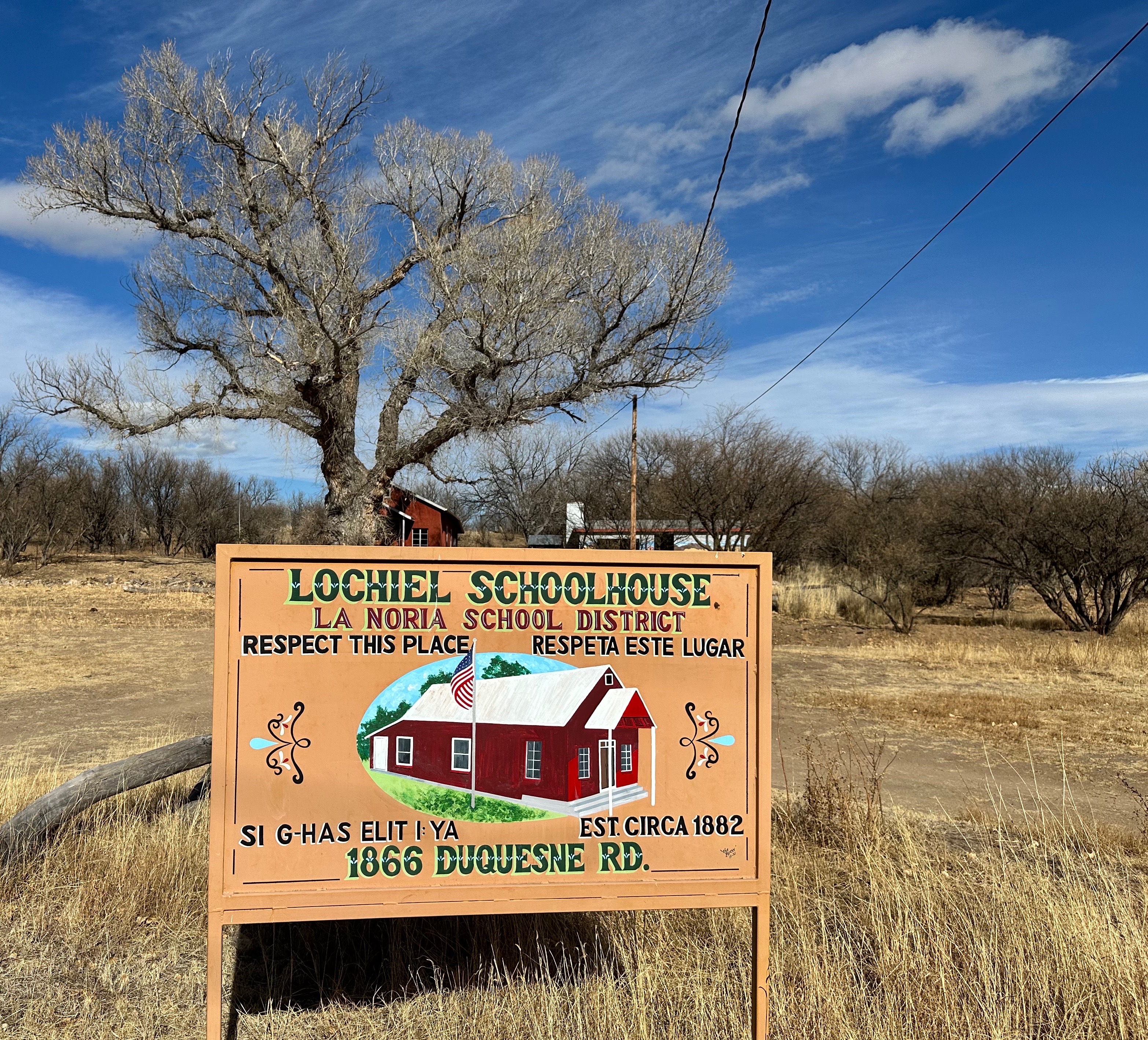
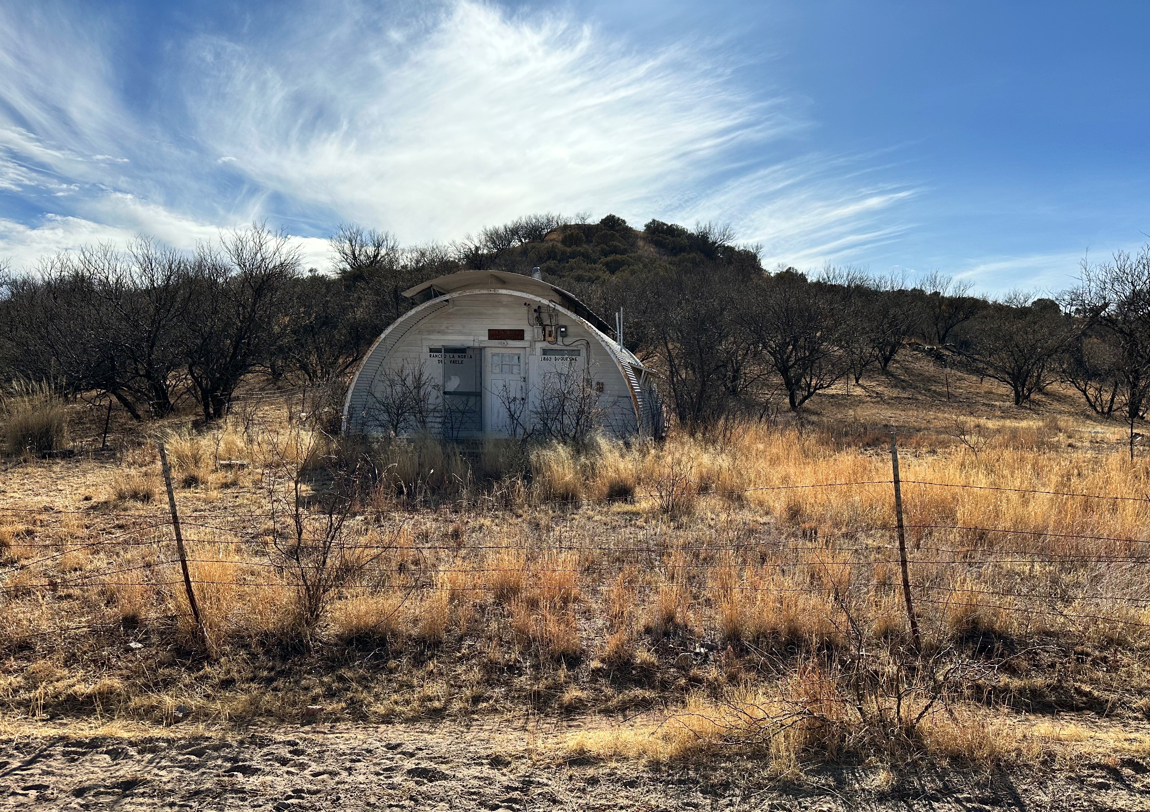
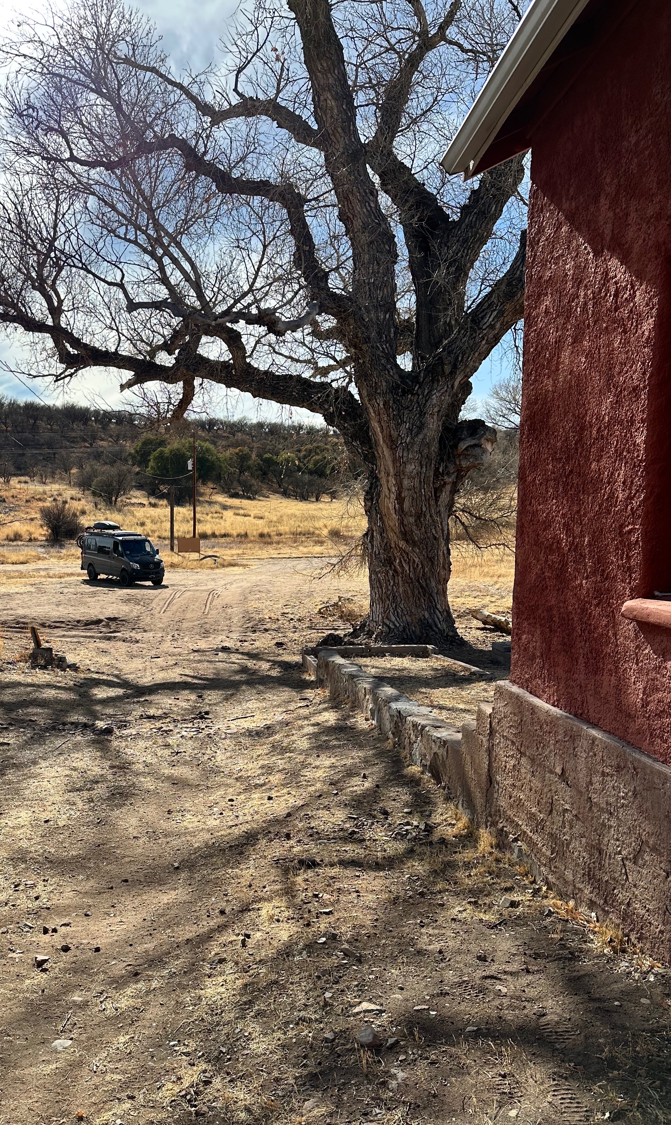
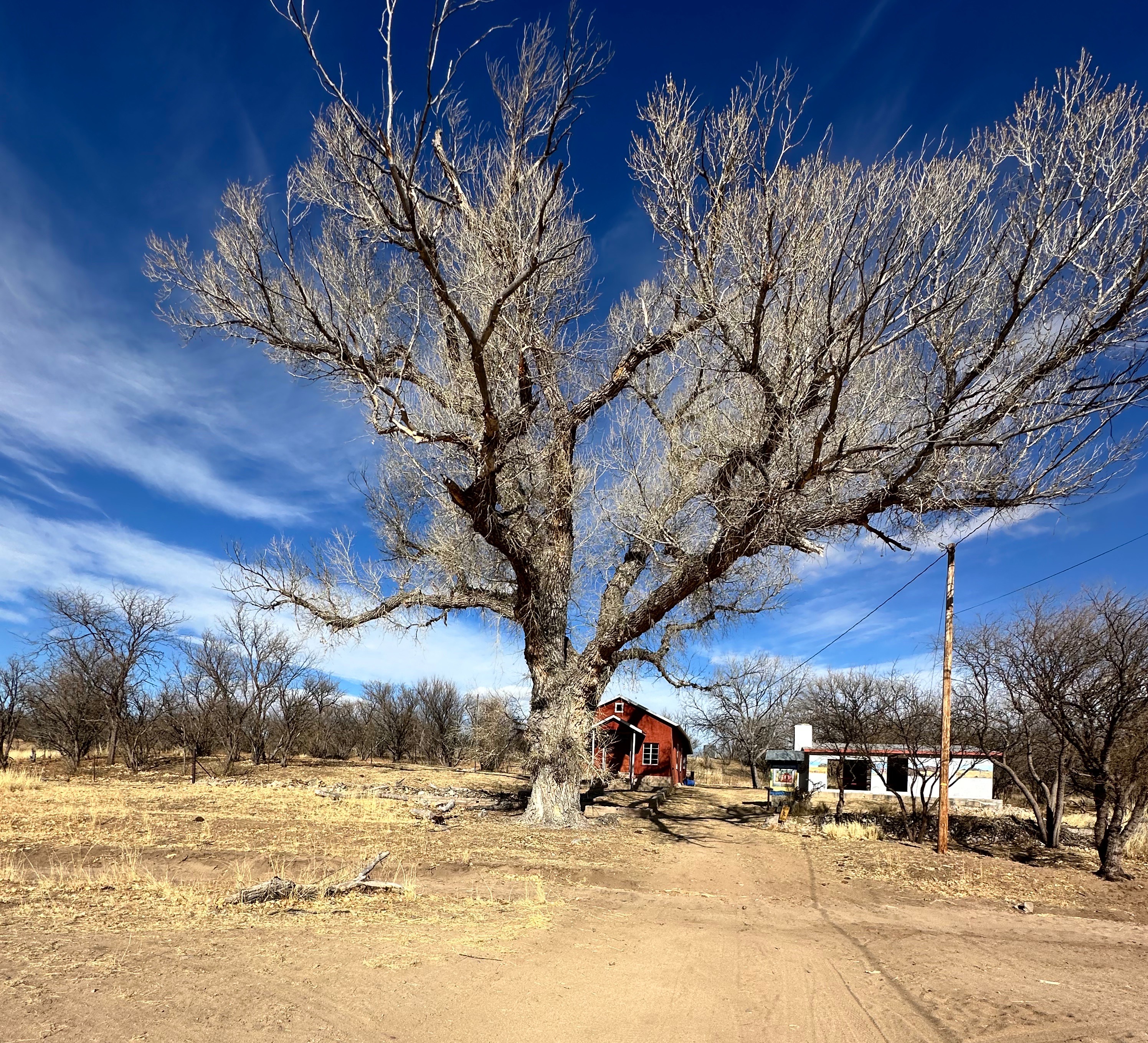
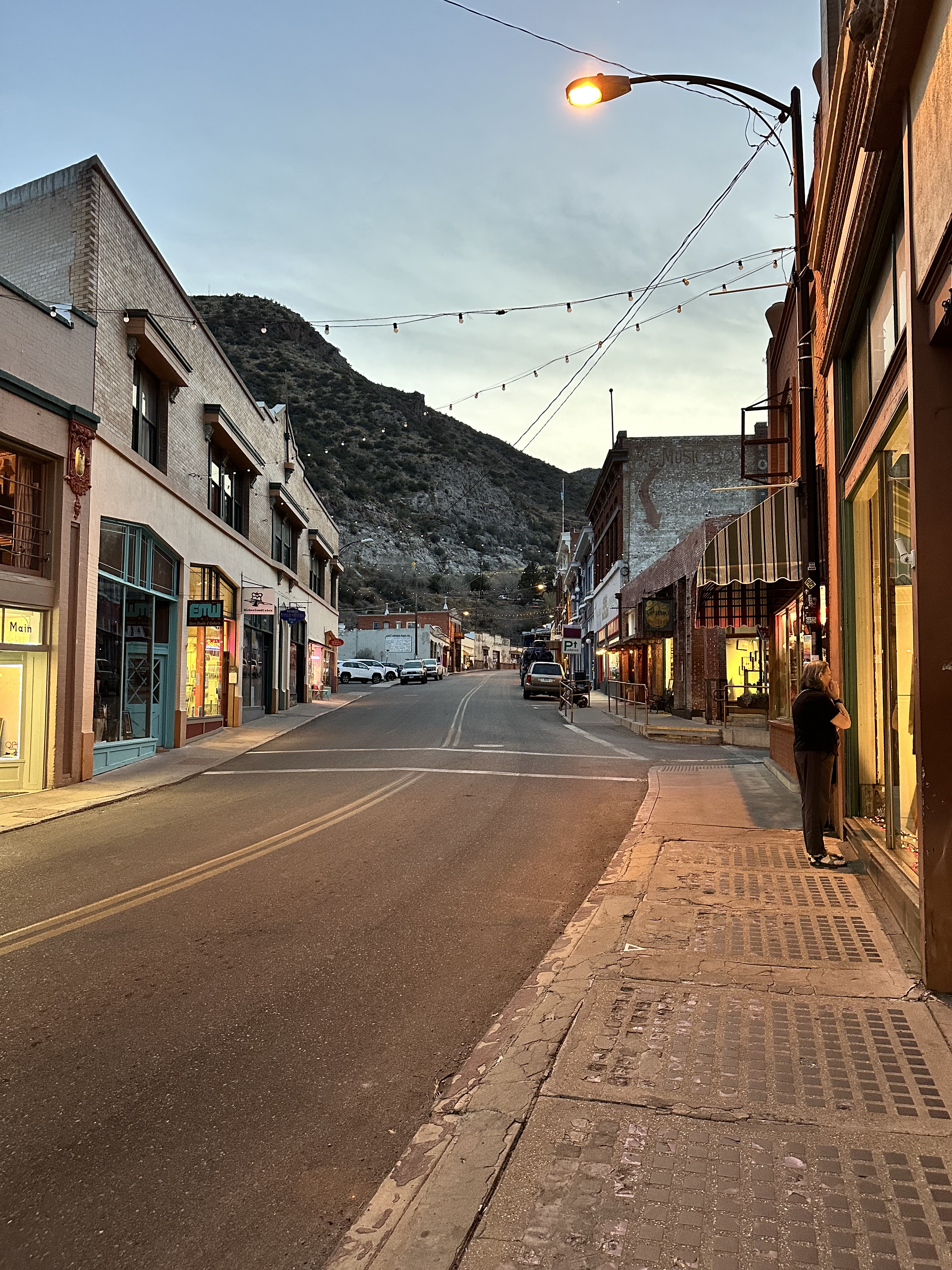
Realizing that exiting Arizona to the north was not meant to be, we decided to head to Southeastern Arizona where the forecasted weather looked delightful (see photo below).

Be seeing you!