


Fika at Velodrome Coffee in Marquette was our first destination as we returned to the Upper Peninsula of Michigan for the first time in over two years.
Pictured Rock National lakeshore

The Pictured Rock National Lakeshore (PRNL) was created in 1966 to protect a 42 mile section of coastline along Lake Superior. The 15 mile stretch of sandstone cliffs rising as high as 200 feet above the water is the real attraction here. The total protected area is around 71,000 acres which provides a buffer zone between the lakeshore and commercial logging.
We toured the lakeshore by boat. While there are a substantial amount of hiking trails throughout the park which lead to the cliffs the best views of the various formations are from the water. We would recommend a boat tour if you are going to be in the area but would not recommend PRNL as a multi-day destination unless you are going to camp in the park and kayak from the beach through the formations.
Iron mining
While iron ore mining and production is very often portrayed as nonexistent today in the United States, it is still quite active in parts of the Upper Peninsula and Minnesota. In fact iron ore mining has been ongoing here in the Marquette Iron Range since 1847.
The completion of the various shipping canals and locks throughout the Great Lakes facilitated the efficient movement of iron ore by lake freighters to ports further south-close to major manufacturing operations for steel and auto-making.
More to come on iron mining when we post from Minnesota where we will be traveling through the Iron Range.

Iron ore heritage trail

The Iron Ore Heritage Trail (IOHT) is a winding and hilly 47 mile trail that utilizes the former rail lines that were used to bring timber and iron ore to Lake Superior. The trail runs through many wetlands and wooded areas as well as a number of closed and abandoned mines.


We rode the trail from the west to east (from Ispheming towards Marquette) which means a long uphill climb as you return from Marquette to your starting point. One of our favorite trails to date because of the fast downhills and corners.
Keweenaw Peninsula (KP)

The Portage Lake Lift Bridge pictured above connects Houghton and Hancock, Michigan. The bridge is the widest and heaviest double deck lift bridge in the world. When the bridge is in position for automobile traffic it sits a mere four feet above the water. The bridge fully raised provides 100 feet of clearance allowing large lake freighters (lakers) to use the canal.
The canal itself came about as mining companies sought to decrease the time it took to haul copper from the copper-rich Keweenaw Peninsula to markets. Work on the canal began in the 1860’s with dredging and widening of several narrow riverways to Portage Lake thereby creating a east/west canal and shaving 100 miles off the trip.
When the canal was completed, the northern half of Keneewaw Peninsula technically became Copper Island. For a number of years all traffic had to go across the canal via ferry boats while winter allowed for crossing on ice roads. As the demand to cross the canal increased, a series of bridges were constructed to allow people, vehicles and trains to cross the canal. The current bridge is the fourth bridge to connect the southern and northern halves of the peninsula. The first three were swing bridges which were slow and unreliable. The second bridge was destroyed when a freighter collided with the bridge. The current bridge came into use in 1959.


Copper mining

Copper was first utilized on the peninsula by Native Americans long before the arrival of Euro-Americans. The Native Americans utilized copper for tools and jewelry. Copper had been separated from rock by retreating glaciers and was scattered around the surface in abundant quantities requiring no mining or excavating.
While the first copper mine in the Upper Peninsula began operation around 1771 it was not until around 1840 that large scale commercial extraction of copper (as well as iron and silver) commenced. The rush began in earnest when the the state’s first geologist, Douglass Houghton, released his report affirming the abundance of high grade copper on the Keweenaw Peninsula.
Copper was mined for the next 150 years on the Keweenaw Peninsula where a narrow seam of copper runs from the Wisconsin border to the tip of Keweenaw Peninsula (Copper Harbor). The mines in Michigan produced more than 14 billion pounds of copper during that period of time and during the late 1800s was the largest copper producer in the world.
The mines began to mature around 1900 as the depth of the shafts made the cost of extraction unviable. A number of mining operations closed down and the population of Keweenaw Penninsula declined for a number years.
War is good for business and the increased demand for copper during World War II brought prices to a level which made copper mining in the penisula viable again. Several mines continued operation until 1969 when a labor dispute triggered the closure of those mines. Today most of the copper production in the United States takes place in Arizona.
The legacy of the cooper mining industry is still highly visible on the Keweenaw Peninsula today. There are numerous mine-shaft rockhouses scattered along what is now Highway 41. The rockhouse stood over the mine shaft. The rock was brought up the shaft in train cars (skips) and dumped into rock crushers below, which then fed uniform sized pieces of rocks into rail cars below the crushing machines.


Another lasting legacy of the copper mining on the Keneewaw Peninsula is pollution. The good news in that regard is that because the copper here was native copper is it 99.99% pure and as such the slag, rock waste and tailings are much less toxic. Having said that, there was enough concern that an EPA Superfund Site was created to deal with the waste. The site has been removed from the Superfund list as a result of the remediation effort.
The Keweenaw Peninsula economy has transitioned to focus on tourism and timber as the main sources of employment. This area is a haven for boating, fishing, hunting, hiking, mountain biking and OHV riding.
Copper Harbor via the m26…but first, breakfast
WIth a day of exploration in front of us we have learned that is is essential to be well fortified. So we stopped at Slim’s Cafe in Mohawk. Slim’s Cafe has been serving breakfast to Yoopers and visitors for over 40 years. In addition to the massive and tasty breakfast it is mandatory to have their absolutely delicious cinnamon rolls. Do not leave without purchasing cinnamon rolls!


After fortification at Slim’s, we spent the day touring the KP from Houghton to land’s end at Copper Harbor. The M26 winds along the western coast of the peninsula providing wonderful views of Lake Superior and the coastline. Beautifully preserved lighthouses dot the coastline and provide excellent opportunities to learn about the history of the area.


We veered off the M26 a few miles south of Copper Harbor to take in the views from Brockway Mountain. The “mountain”is 720 feet above Lake Superior and on a clear day provides a panoramic view of the lake as well as Copper Harbor and several other lakes.


After descending Brockway Mountain we continued to Copper Harbor and followed US Highway 41 through the village where the highway terminates. This is one of those places where you feel as if you are at the top of the world.
On the day we visited the village, the sun was shining and the sky and lake were deep blue. We had a picnic lunch sitting at the waters edge. We could not, however, keep ourselves from envisioning being here in the dead of winter with the 85 brave souls that call this village home. The cold, the wind and prolonged darkness that occur at this parallel is requires a level of self-sufficiency we do not possess.

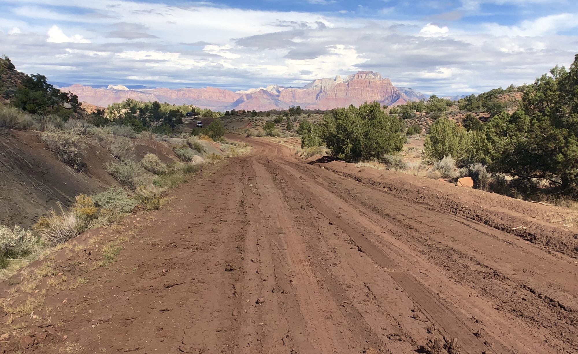
We decided to return to Houghton by a more rustic route. While Highway 41 ends in Copper Harbor you can continue on via the dirt roads used by loggers and eventually loop southward down the peninsula.


We had the opportunity to meet with many residents of the Upper Peninsula – known as Yoopers. Yoopers do not consider themselves as Michiganders. In fact, there have been numerous attempts in the past by Yoopers to form their own state – unsuccessfully, obviously.
Yoopers clearly see themselves as separate and distinct from the city folk downstate. This is outdoor country where sled racing, skating, ice fishing, snowshoeing are part of everyday life. Of course the most Yooper outdoor winter sport of all is probably outhouse racing (paint your own mental picture!)
Many of the Yoopers we met made it very clear that to be able to live here year round a person must be extremely self-reliant and self-sufficient and you better know how to drive in the snow! Yep!
Next stop Minnesota.
Be seeing you!
Another great post! What are those little black boxes on the front of your bikes in the Carp River picture?
Batteries – we have gone over pedal-assisted bikes! Thanks.