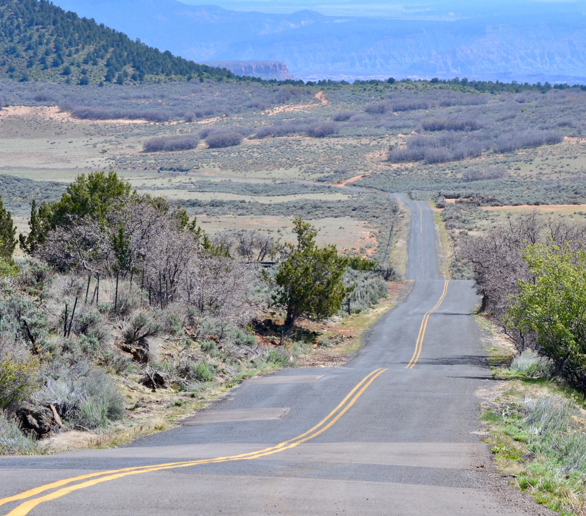
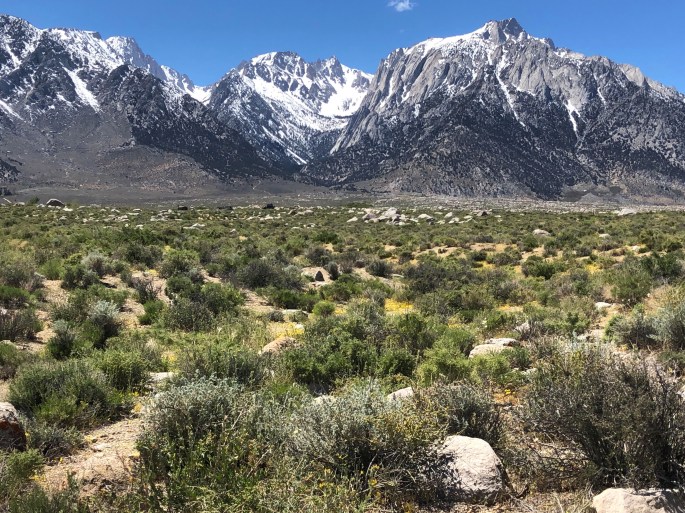
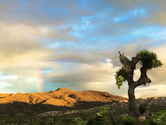
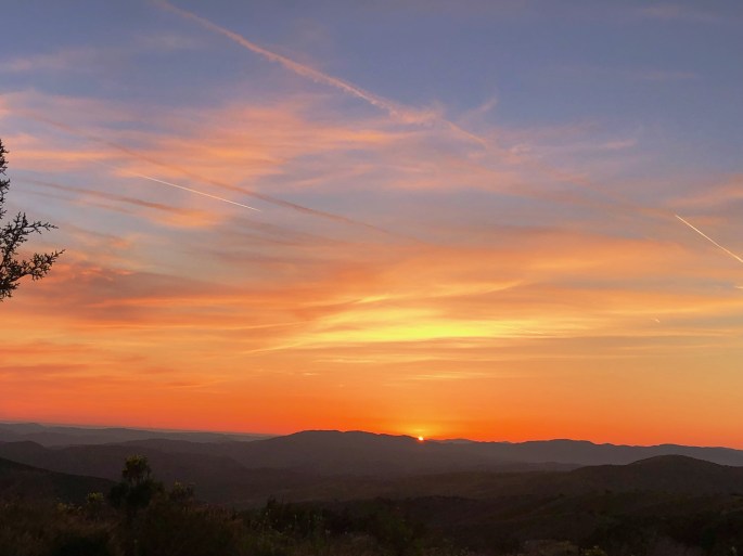
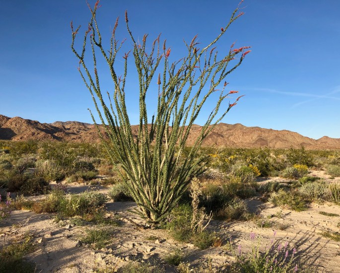
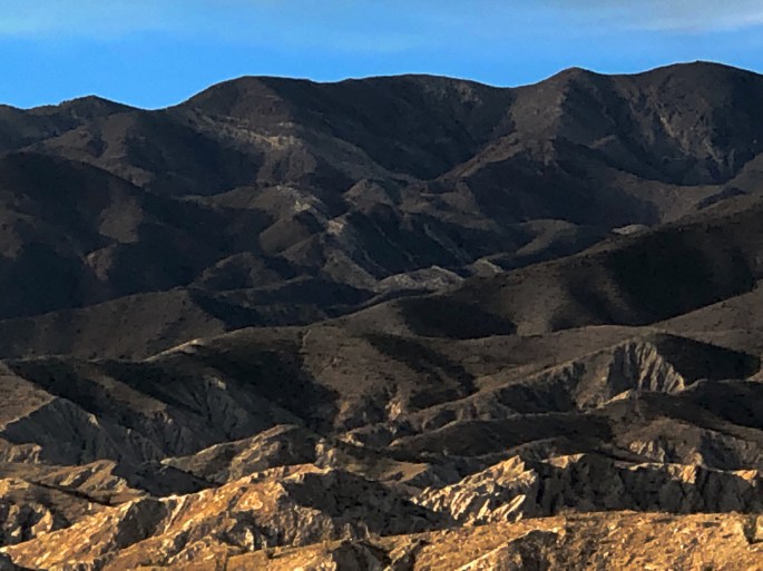
After our stay in DVNP we journeyed northward on Route 395 in the shadow of the Sierra Nevada Mountain range. The SN is massive with a north-south length of over 400 miles and an east-west width of 70 miles. Mt. Whitney, the highest peak in the U.S. at 14,505 feet sits just west of the town of Lone Pine. Yosemite and several other national parks also sit within this range. The SN is very impressive physically and stunningly beautiful with an unending line of jagged, snow covered peaks.
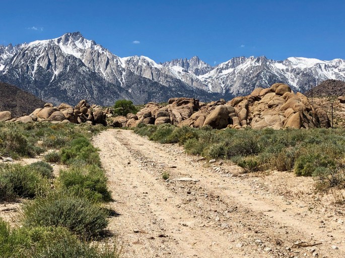
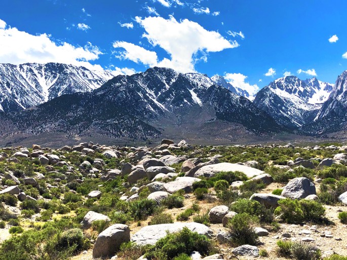
We camped in the Alabama Hills, foothills to the Eastern Sierra Range, west of Lone Pine, CA. As camping locations go, this area is one of the most spectacular we have experienced and we have been fortunate to camp in some incredible locations.
The Alabama Hills are also know as Little Hollywood. Many films and television shows have been filmed in the hills which are blessed with incredible rock formations (great for scrambling) and the SN as background.
When you find yourself in this area definitely make a point of eating at the Alabama Hills Cafe & Bakery. If you are feeling adventurous try the Red Beer ( Bloody Mary with beer instead of vodka). All of the baked goods are baked on premises each morning and delicious!
Our next destination is Carson City where we will stay for several days before beginning the trek across Nevada to Salt Lake City.
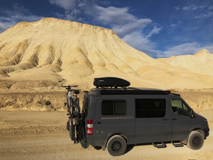
Death Valley welcomed us to the park with 100F plus temperatures – a combination of somewhat hotter than usual temperatures for this time in April and our arriving later than we originally envisioned. We however, were determined to work around the weather and experience the park for at least several days.
We knew we would not be able to hike in the full heat of the day so we set our alarm for the early morning in order to hit the hiking trail by 6:30AM each morning. This approach gave us four to five hours each day to hike with safe conditions. We also went out in the evenings to drive to various vista points and view the impressive night sky.
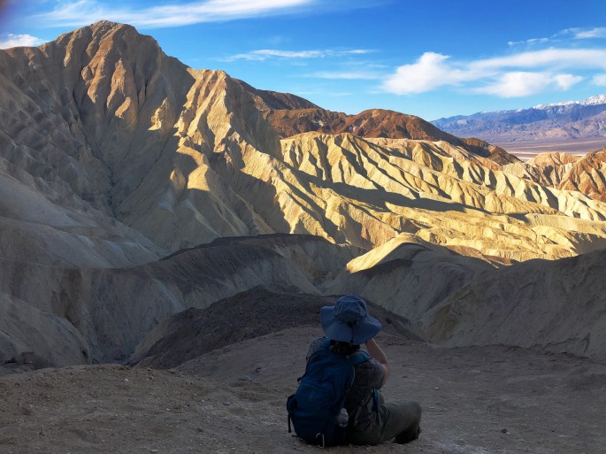
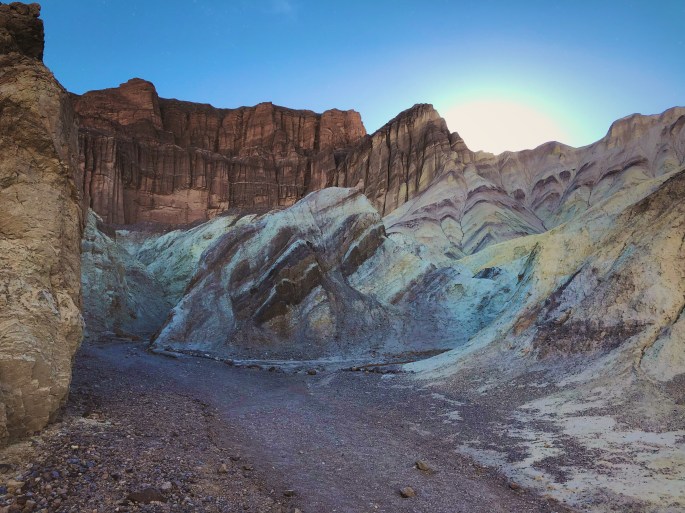
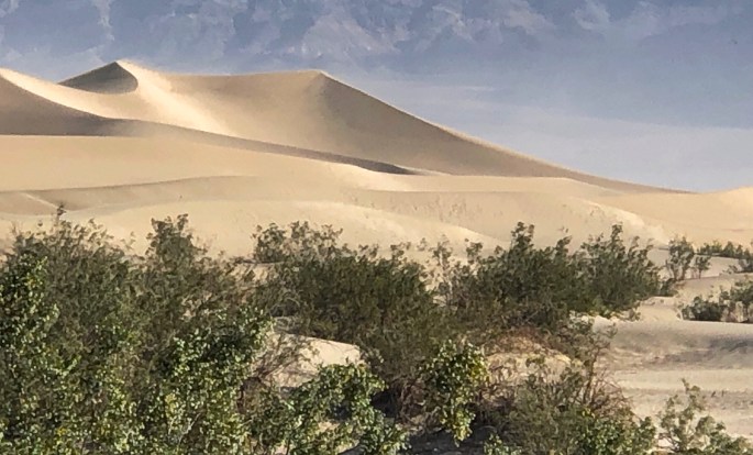
We have included some photos from several of our hikes including Golden Canyon, Red Cathedral, Gower Gulch and Natural Arch. The Natural Arch Canyon hike features an easily reachable natural arch about one third of a mile from the trailhead. The interesting and increasingly challenging hike comes after passing through the arch as you encounter a series of dry waterfalls which must be climbed to continue up the canyon.
The USAF flies low level training missions through Rainbow Canyon. As aviation buffs, we were thrilled to be at Rainbow Canyon when four F16 fighter jets came roaring through the canyon fast and low. We managed to photograph one of the fighters in the canyon and we have included that photo in this post.
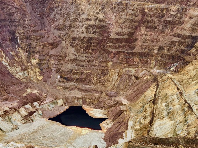
We ventured to the Keane Wonder Mine to see the remains of this abandoned gold mine and mill. It was one of the few mines to utilize an aerial tramway to haul ore down the mountain. This mine closed in 1912.
The Billie Mine, an underground mine, was the last mine to operate in DVNP, closing in 2005. There are still thousands of mining claims that exist within the area that is now DVNP. However, it is unlikely that the National Park Service will allow any further mining within the park.
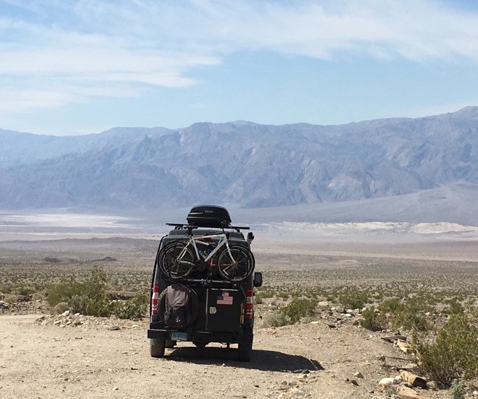
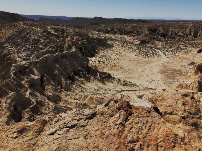
Badwater Basin is the lowest point in the western hemisphere at 282 feet below sea level. We walked out onto the salt flats early one morning and found the experience of being on the valley floor – the immense scale, the complete quiet and the forces of nature so evident – very humbling.
It is quite apparent to us that we could spend months exploring DVNP and not come close to seeing and experiencing all the wonders of nature that exist in this vast park. DVNP is larger than Connecticut and ninety percent wilderness.
It is also apparent to us that this place is not to be taken lightly if you are going to seriously explore the more remote locations within the park. This park is both extremely beautiful and inherently dangerous. Regardless, we recommend that you experience it first hand if you have the opportunity.
P.S. As with many of the public lands within the United States there is a saga related to Native Americans. The Timbisha Shoshone Tribe have lived in now what is Death Valley for over 1000 years. When the precursor to the national park, DV National Monument, was created in 1933 the Timbisha were displaced with no provision for a new homeland. It was not until 1982 that the tribe was recognized by the federal government and allowed to have a reservation within the park – initially a grant of 40 acres for the 199 tribal members (in three million acre park!). In 2000 the Timbisha Homeland Act returned 7500 acres to the tribe. The reservation is located within the Furnace Creek area of the park.
Badwater Basin
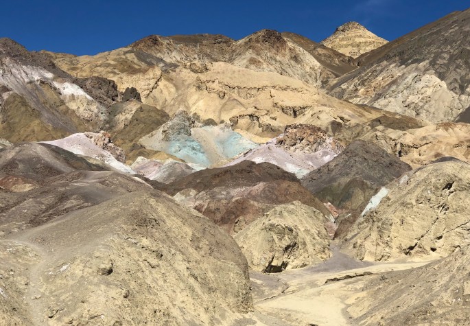
View from Red Cathedral Red Cathedral Golden Canyon Artists Palette Rainbow CanyonF16 Falcon Flying Through Rainbow Canyon 20 Mule Team Canyon20 Mule Team Canyon
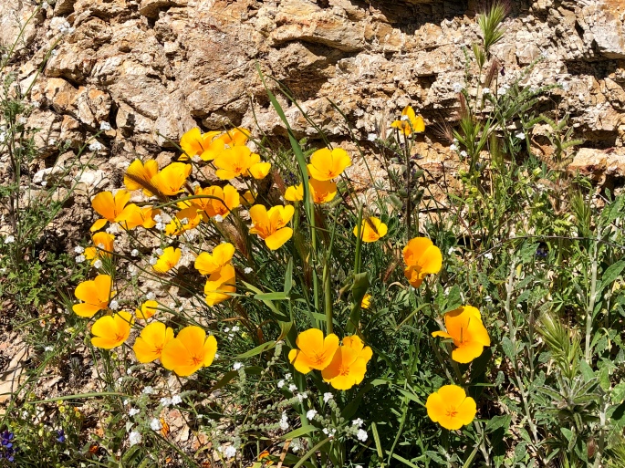
We spent a couple of days camping and hiking in Red Rock Canyon SP as we journeyed eastward towards Death Valley NP. Red Rock Canyon SP sits between the southern end of the Sierra Nevada Mountain Range and the El Paso Mountains in the northernmost part of the Mojave Desert. This area abounds with colorful rock formations and a plethora of washes that meander for miles making for great hiking and exploring (bring your compass!). We enjoyed beautiful weather and moonlit nights during our stay and as you can see below there are still plenty of desert flowers in bloom.
We found this park to be a nice stop for a couple of days of hiking. The public lands surrounding the park are BLM managed and largely designated for OHV riding with hundreds of miles of trails. The park, however, does not allow OHV riding which ensures safe hiking and a quiet, peaceful setting for camping.
You may also see some unusual aircraft flying overhead if you visit this park. The Mojave Air & Space Port is about 25 miles south of the park. This facility is utilized by many firms to test very high tech and innovative air and spacecraft. During our stay the largest aircraft in the world (based on wingspan – 355 feet) made its first flight from the spaceport. The Stratolaunch, as it is called, is designed to launch rockets into space from an altitude of 35,000 feet. Cool stuff!
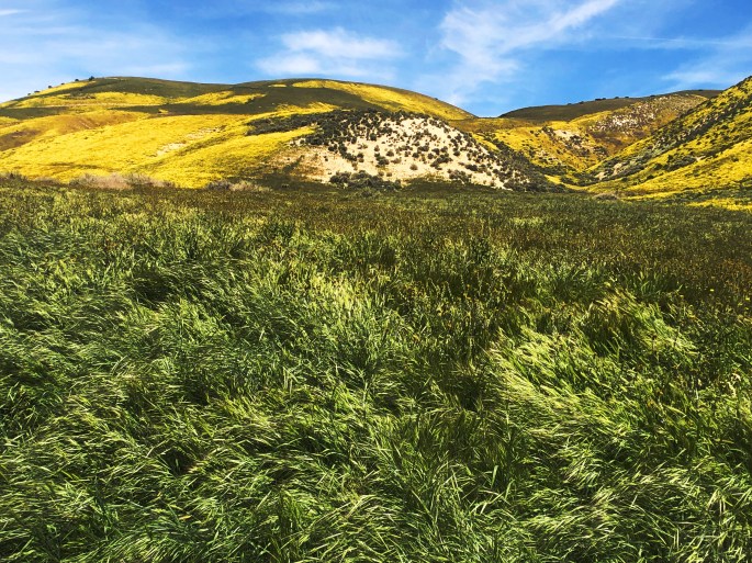
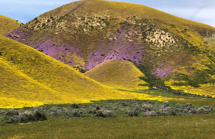
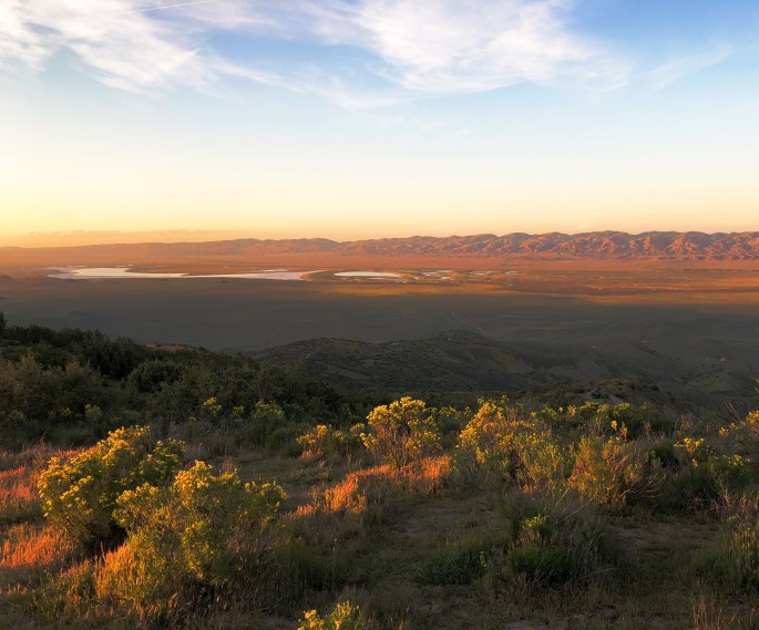
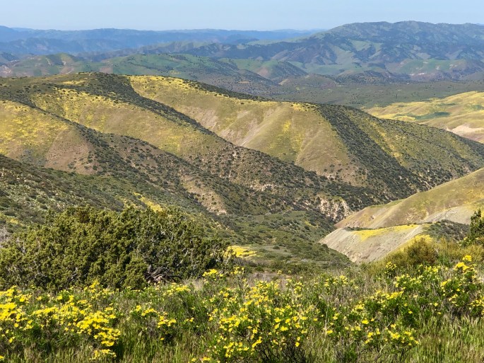
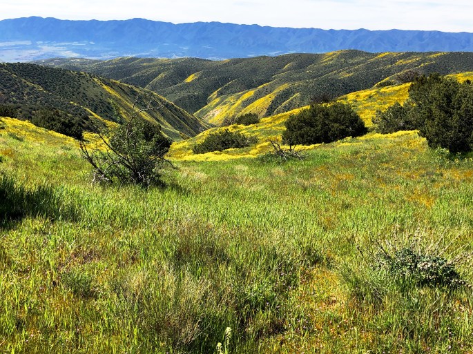
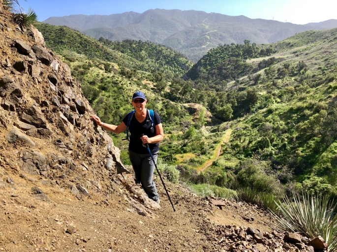
We spent three delightful days boondocking and hiking in the Carrizo Plain NM. CPNM is managed by the BLM and covers apx. 250,000 acres in San Luis Obispo County. The plain is an internal drainage basin which doesn’t sound all that appealing but it carries significant water into the 50 mile long plain which at this time of the year translates into a verdant landscape covered with colorful wildflowers. The plain runs north – south and is bounded by the Caliente Mountains on the west and the Temblor Mountains on the east. The Temblor Mountains derive its name from the spanish word terremoto which means earthquake. Uncoincidentally, the San Andres Fault runs parallel to the base of this range down the length of the plain.
The water all drains into Soda Lake. Since this is an internal drainage with no outlet the water evaporates during the spring and summer as temperatures reach into the 100F range. What is left after the water evaporates is a salt-covered dry lake bed as you can see in the photo below.
We also spent some time walking on the Wallace Trail where you can see evidence – in the form of offset creeks and channels – of how the earth has shifted along the San Andreas Fault – which is pretty cool – as long as the earth does not shift while you are there!
We had the good fortune to find a camping spot on the Caliente Ridge at 3700 feet which gave us a spectacular view of the plain and Soda Lake.
We should be at Death Valley NP later this week after a stop at Red Rock Canyon.
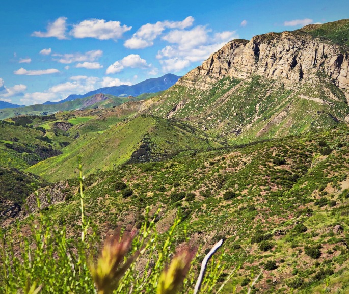
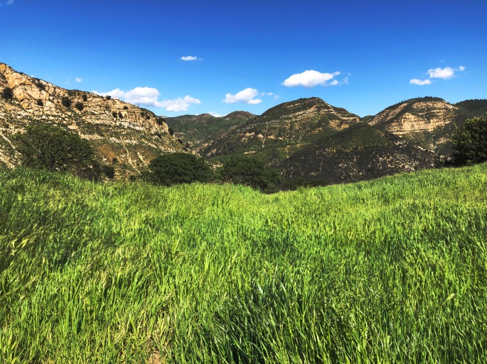
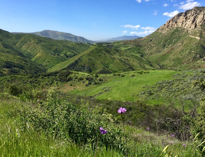
We just completed several days of camping in the Los Padres NF. This forest encompasses 1.75 million acres and stretches 220 miles from Santa Barbara to Monterey, California. We camped in the Santa Barbara District along the Santa Ynez River which provides access to numerous canyons and ridgelines from which to take in the gorgeous scenery. This forest is a multi-use forest open to hiking, mountain biking, horseback riding, fishing, hunting and OHV riding (on designated trails and areas).
The weather in SoCal continues to be idyllic as you can see from the photos. We explored the Aliso Canyon area and were treated to the views you see below (inadequately represented by our photos).
After departing JTNP we spent a day in the town of Joshua Tree just north of the park. JT, like many other small and remote towns or name places we have visited, emanates a quirky, free thinking and independent vibe.
We have met a number of artists – painters and scupltors – who were originally passing through a town but ended up staying or coming back. Clearly, many artists find the setting in these towns or areas conducive to pursuing whatever form of art it is that they have a passion for without regard to commercial success – perhaps just the opposite.
An additional observation is that there also exists in JT and many of the other small towns we have visited a freely expressed deep and fundamental belief in God and Country. This is just a general observation based on what we have seen and the people we have met – we are not expressing an opinion or personal point of view in making this comment.
Changing gears: We left Joshua Tree and drove north through the Mojave Desert and then turned westward to climb up into the San Bernadino Mountains on the Rim of the World Highway (CA 18, 38, 138). The road gains almost 5000 feet in elevation in just a matter of several miles and then provides breathtaking views as you eventually cross the entire range before descending down into Cajon Junction and leaving the SBNF.
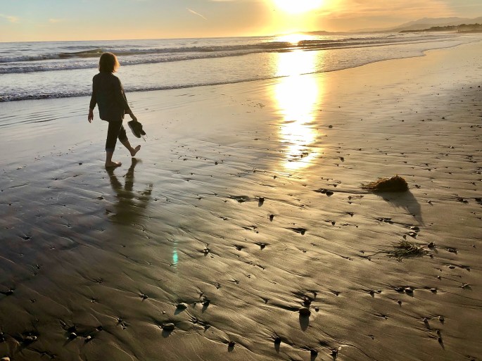
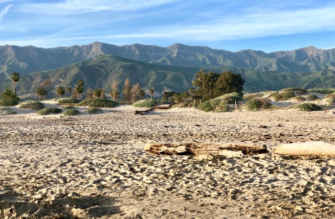
We will be moving north along the coast of California again over the next week and then tackling Death Valley NP. We included some photos below from the beach in Carpenteria where we are staying for a couple of days.
Thanks for continuing to follow along and allowing us to share our experiences, observations and opinions as we wander about our amazing country. 0152
Carpenteria, California
Santa Ynez Mountains – Los Padres NFCafe Luxxe – Malibu – Gratuitius Cappuccino Photo!Lake ArrowheadFawnskin, CA – San Bernardino NF
Giant Rock Coffee – Route 247 – Mojave Desert – In the middle of nowhere a great coffee joint!
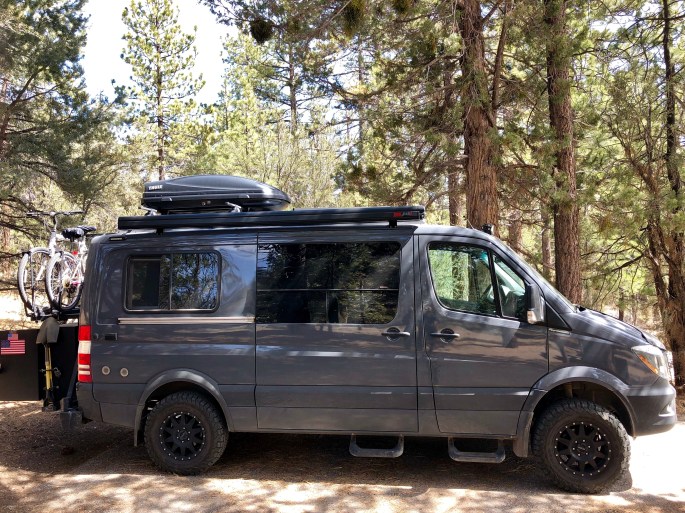
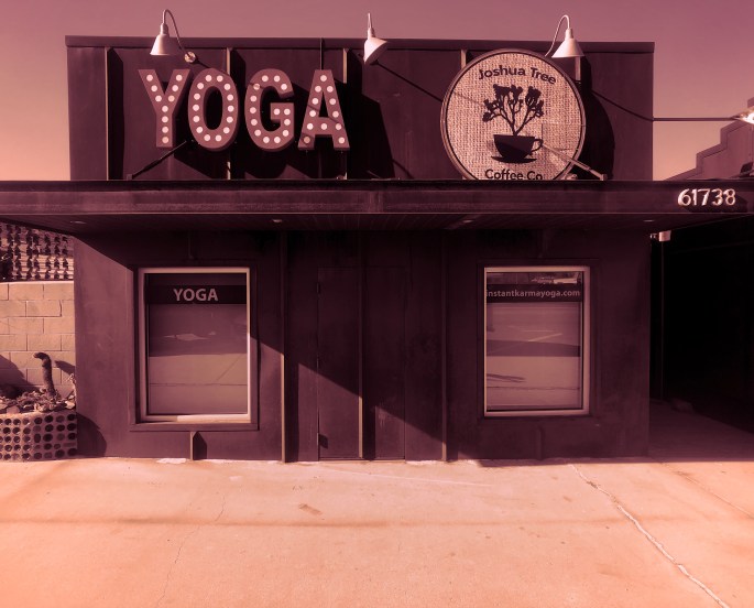
JHOPJHOPWhat Constitutes a Town – Coffee + Yoga?Camping in the Mojave Desert – Joshua Tree City
After extending our stay in both San Diego and San Clemente, we are back on the road. Our first stop was at JTNP where the wildflower “super bloom” is at its peak.
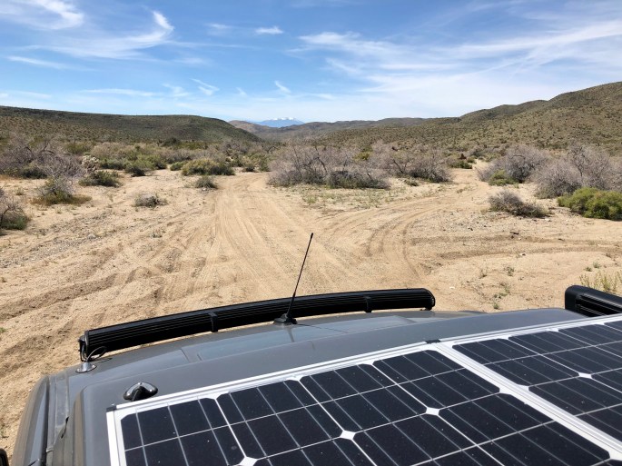
JTNP is one of a limited number of National Parks that allows access to back country high clearance 4WD trails. Many of these trails exist due to the significant number of mines (300) that at various times operated in the area which is now JTNP. We took advantage of the opportunity by spending an afternoon traveling through Pinkham Canyon and were treated to spectacular scenery and solitude.
There are a number of great hiking trails within the park. Because this is the busy season at the park we chose several hikes that we thought would be less crowded including Mastodon Peak and 49 Palms Oasis.
An interesting aspect of the park is that portions of both the Colorado Desert and the Mojave Desert are within its boundaries. While the park is named after the Joshua Tree there are no Joshua Trees in the Colorado Desert area of the park; they are only found in the Mojave Desert area of the park.
JTNP is extremely beautiful at this time of the year and the temperatures are reasonable for hiking. But as this is a true desert environment we would recommend you that you visit between late fall and early spring before high temperatures go into the triple digits!
49 Palms Oasis – 49 Palms Canyon, JTNPBLM Joshua Tree North Dispersed Camping
Pinkham Canyon 4WD TrailRattle Snake at Mastodon Peak
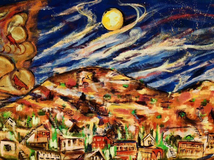
This post is well out of sequence as we were in Bisbee several weeks ago – oh well – we are confident you will forgive us or more likley that you don’t care.
But, under the better late than never category, we wanted to post about Bisbee. Any place where the town motto is “Keep Bisbee Bizarre” is worthy of comment from our perspective.
We knew we had to visit Bisbee after reading about it’s storied past. Bisbee is located in the Mule Mountains of Southern Arizona, a stones throw from the Mexico border. It’s origin lies with the discovery of minerals in the area – predominately copper. The Copper Queen Mine (which we toured) was one of the richest mineral locations in the world. More than three million ounces of gold and eight billion pounds of copper were extracted from this mine alone. Copper mines also yield turqoise – Copper Queen turqoise is considered some of the best in the world. You may have heard of Bisbee Blue which is the name given to turqoise from Bisbee mines.
The storied past – Phelps Dodge Mining consolidated most of the mining claims in Bisbee and owned and operated the massive mining operation that once supported 20,000 residents. But in 1917 everything changed when the International Workers of the World local (IWW) went on strike. Phelps hired thousands of strike breakers to round up all the union employees. The employees were marched out to a local ballpark and given an ultimatum – go back to work or else! About 800 workers agreed to go back to work. The remaining workers received the “or else” now known as the “Great Deportation”. They were put on railroad cattle cars full of manure. They were taken to Hermosa, New Mexico where they were taken off the train and told to never return to Bisbee – none ever did.
Today Bisbee is an eclectic town of approximately 6,000 residents. It is a mix of transplants fleeing cold weather, artists, individualists, hippies and off-gridders mixed in with a steady flow of tourists. Think a combination of Key West and Provincetown with a mountain backdrop in lieu of the ocean!
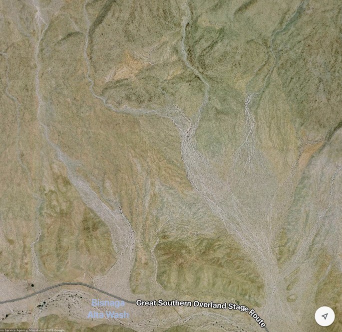
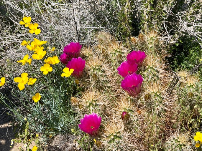
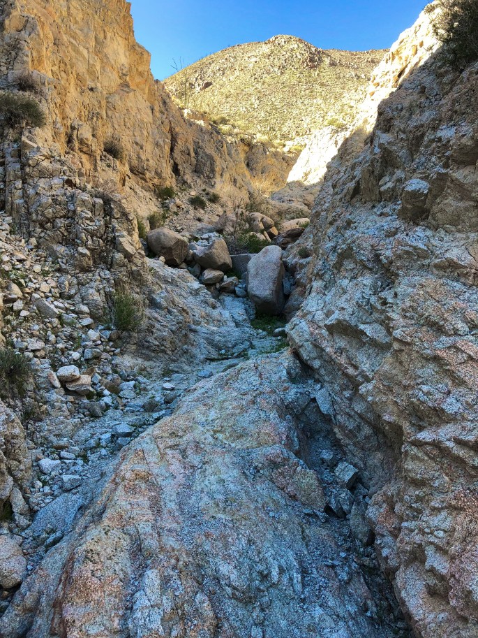
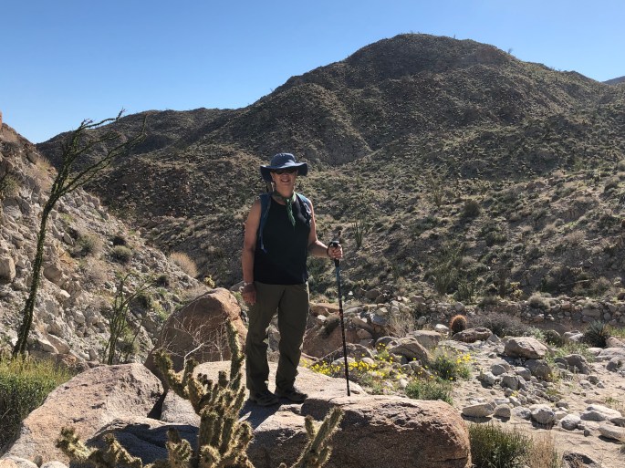
We have been enjoying the “Super Bloom” ( desert wildflowers benefiting from a wet winter) in the Colorado Desert located within the Anza Borrego State Park, California. The weather and scenery here is so idyllic that we keeping extending our stay here – moving every couple of days to a new spot in the desert to camp.
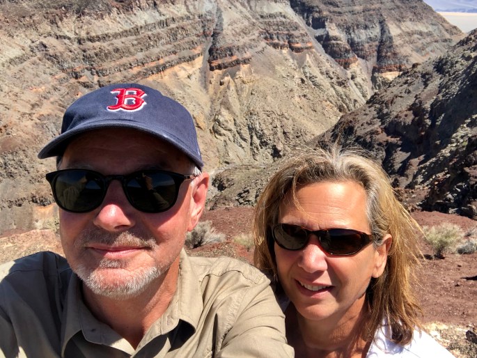
Great hiking and exploring – temperatures averaging 75F during the day and bottoming out at 50F overnight. We have met a number of Connecticut transplants of late – fortunately all Red Sox fans.
Nothing profound from our end at the moment. Extended periods of time without connectivity is good for the soul. We are feeling very content all in all. Over and out!
Boondocking in Arroyo Saleda – Borrego Badlands
Seventeen Palms Oasis – Borrego BadlandsSanta Rosa Mountains