

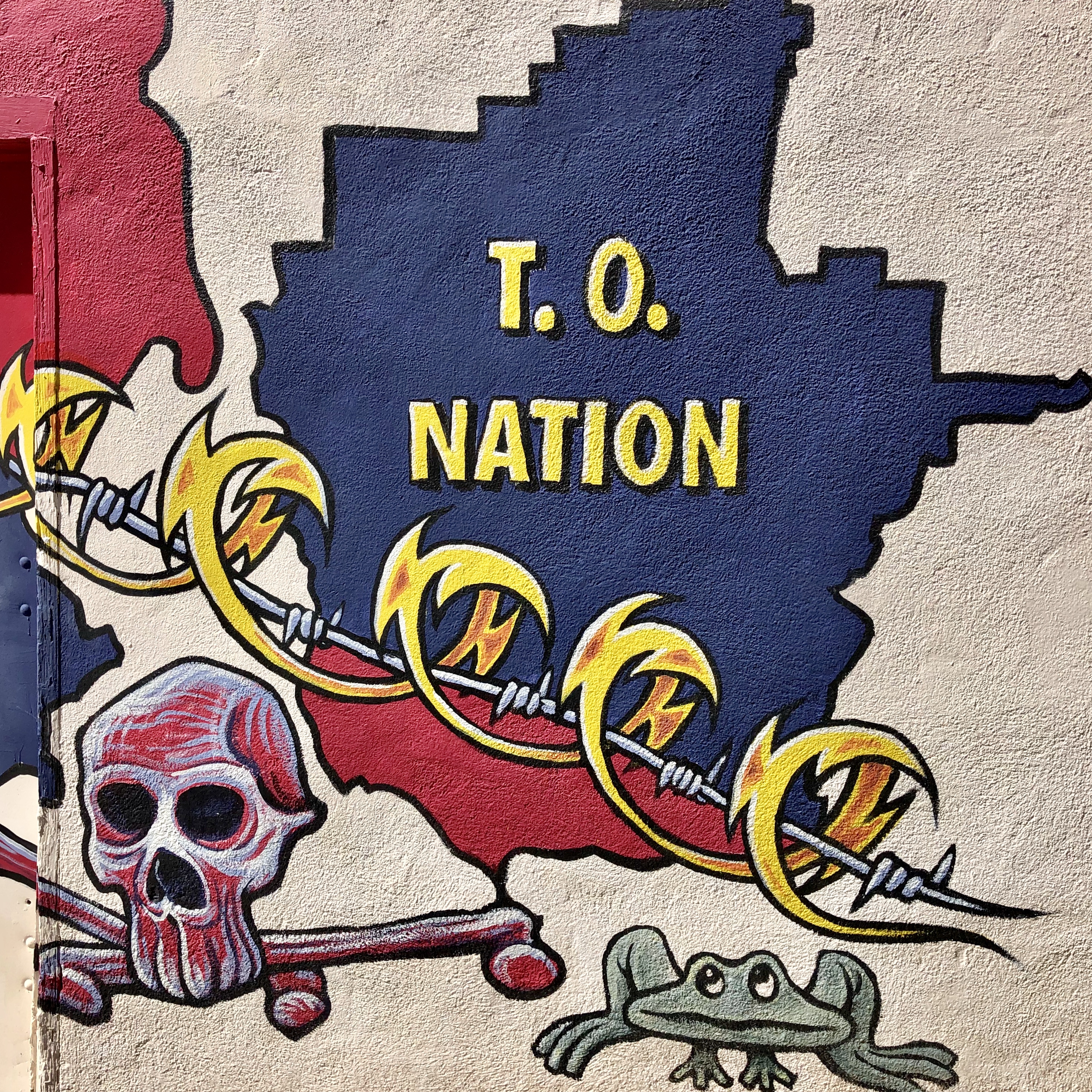
We departed Tucson (future post) on a southwesterly course heading for Ajo Townsite. The journey took us through the large and mostly desolate Tohono O’Odham Nation. The reservation is about the size of Connecticut with an on reservation population of approximately 9000 members. There are 28,000 enrolled members of the tribe. The Tohono O’odham Nation sits on both sides of the U.S./Mexico border.


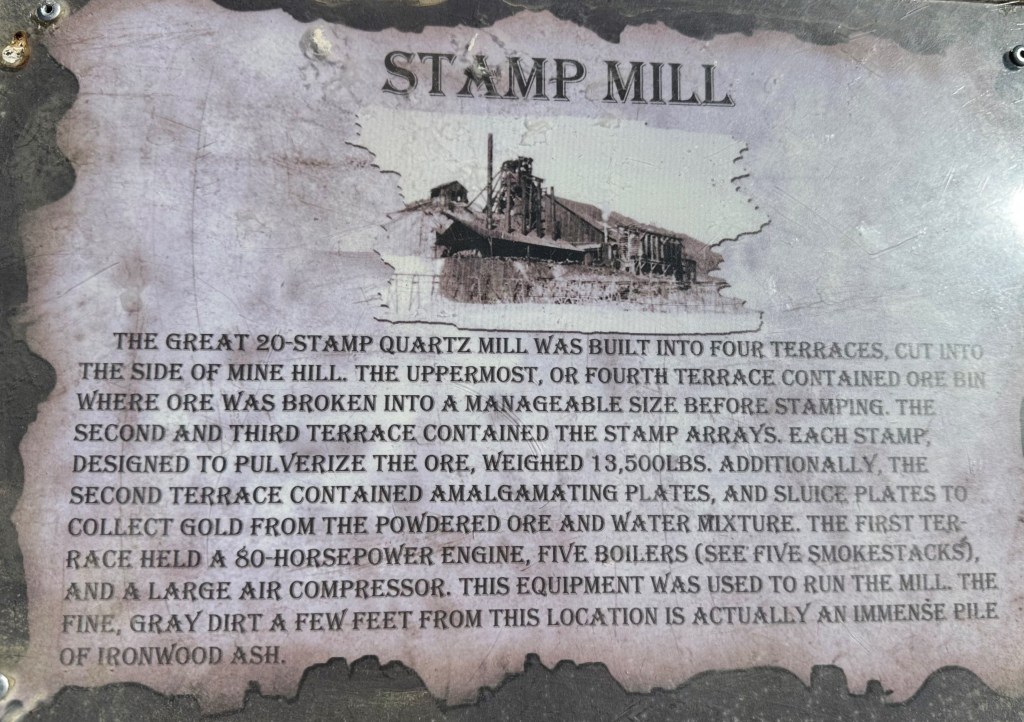
Ajo has been the site of copper mining since the 1840’s. Copper has been extracted by Native American, Spanish and Euro-Americans. By the early 1900’s the production of copper in Ajo caught the attention of Phelps Dodge, the largest copper mining company in the United States. Phelps purchased the mine in 1921 and continued to operate the mine until 1985. During those years the mine employed several thousand people and the town boomed. An employee strike in 1983 ultimately led to the permanent closure of the mine in 1985 . Today, all that remains is a very large pit just outside of the town center.

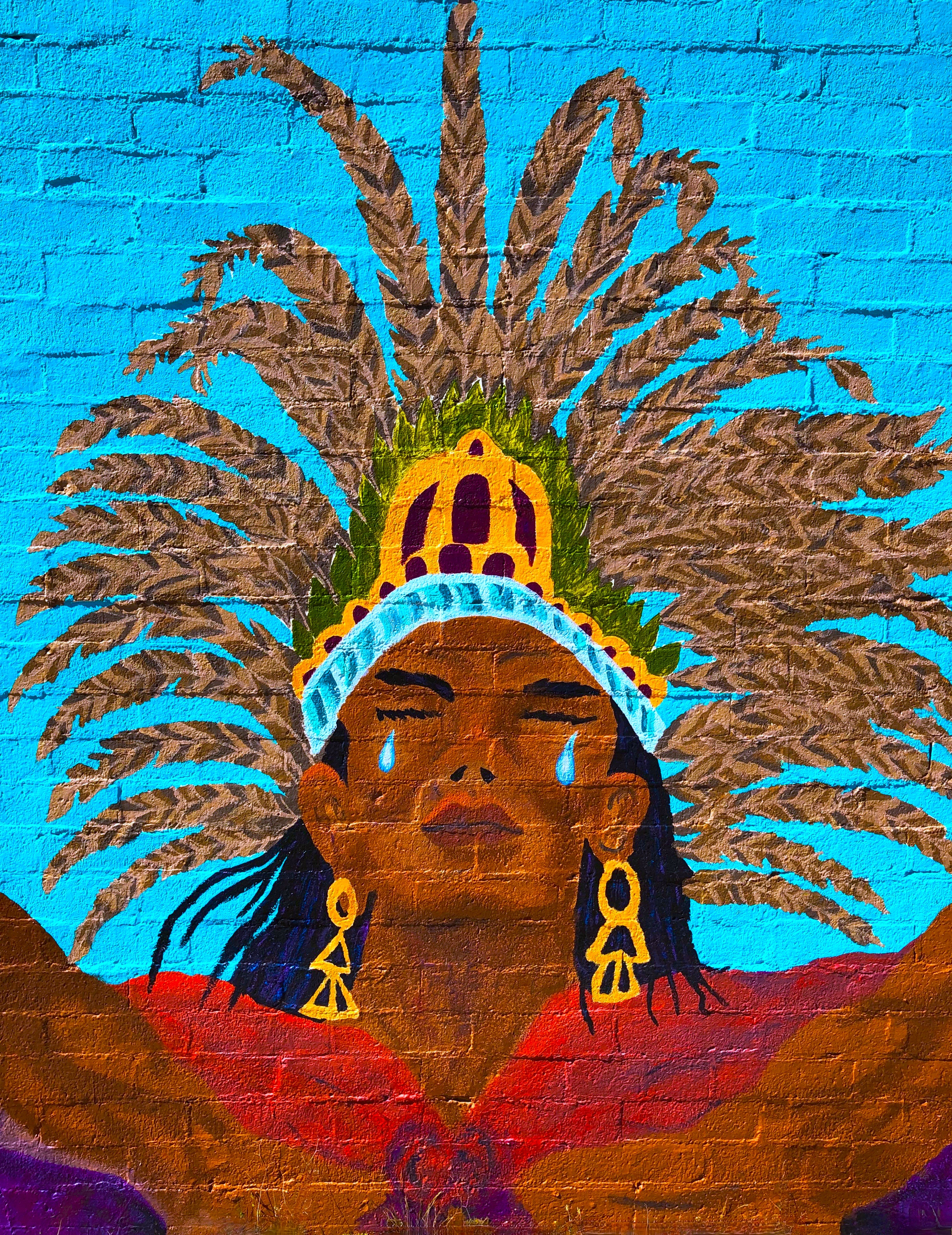
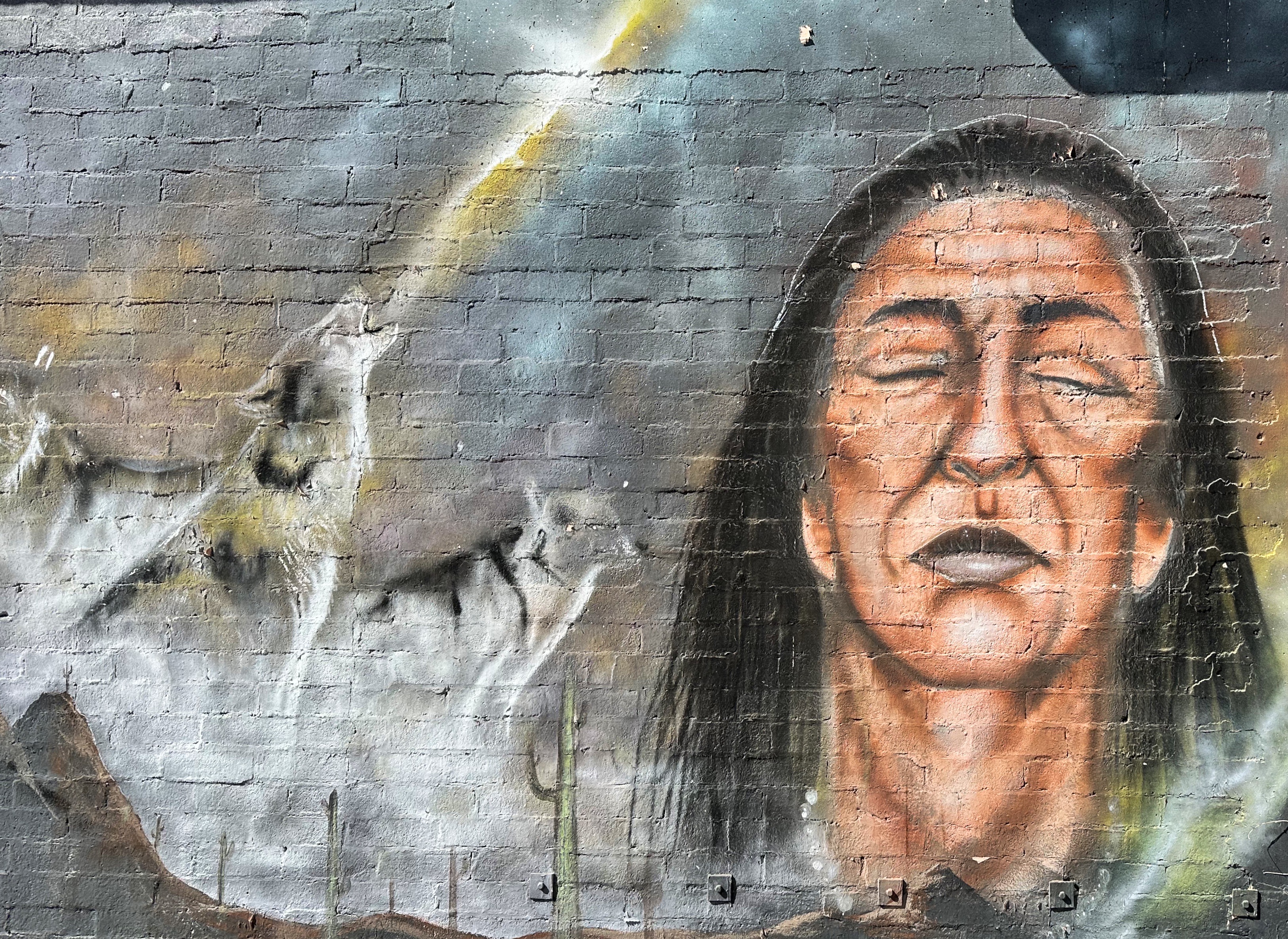
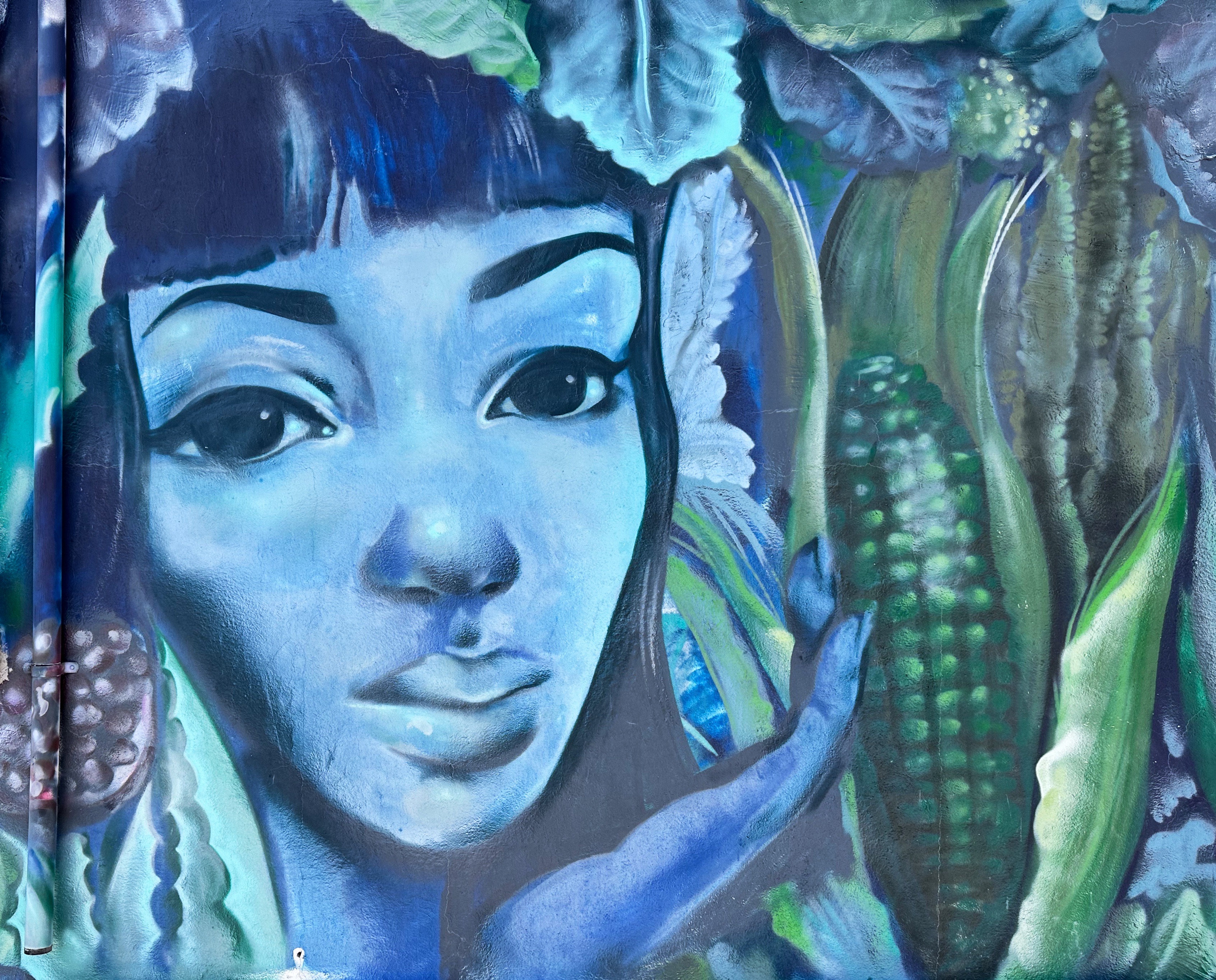
The town’s attractive square and architecture was built by Phelps Dodge to make working and living in town more appealing. The year round population in Ajo is 3300. The town has become a popular snowbird destination during the winter due to the delightful weather. There is also a small artist colony living and working here.


The photos below are two notable murals that have been painted in Ajo since our last visit.
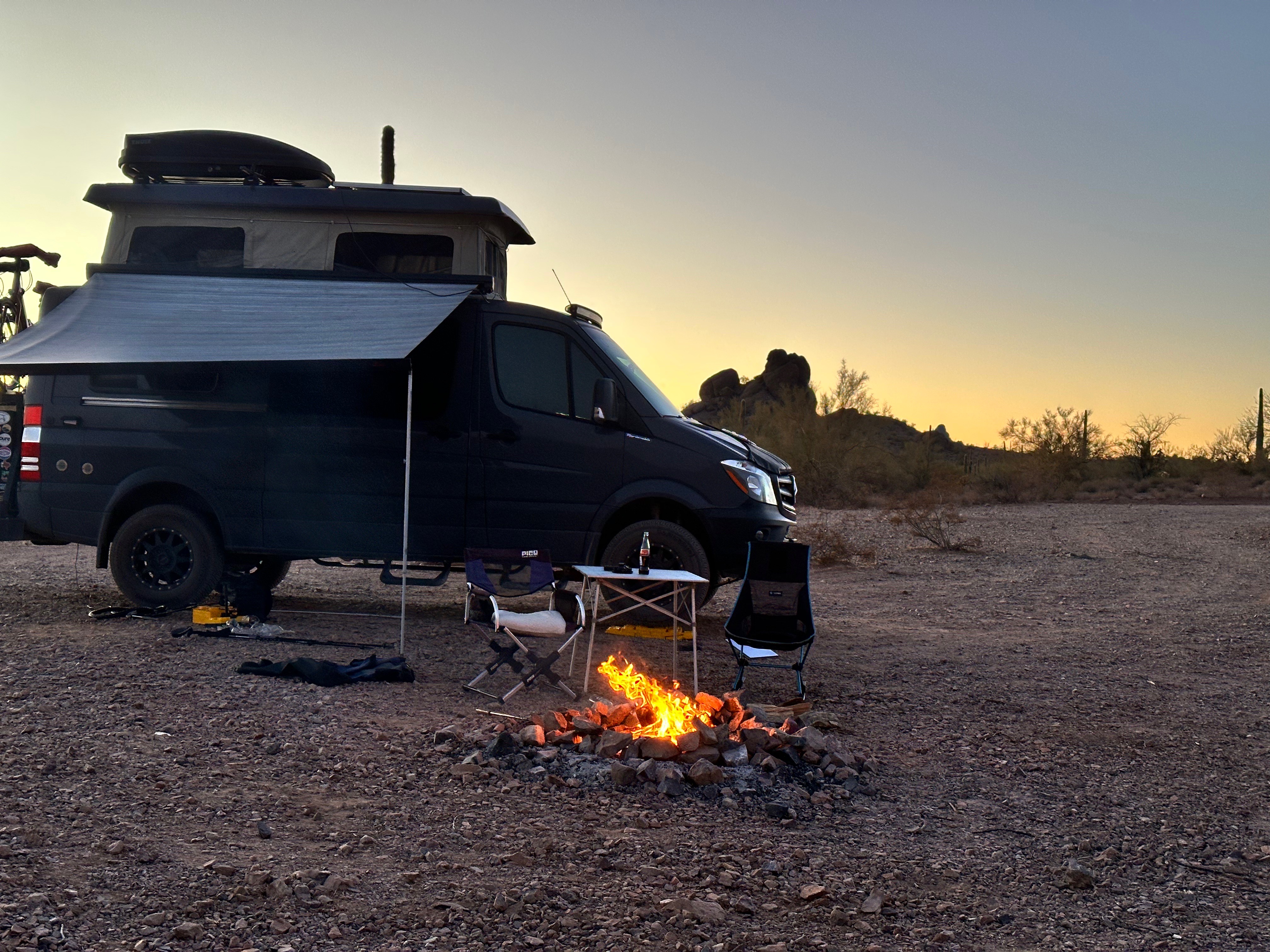
We decided to camp and relax for several days in an area of the desert south of Ajo known as Darby Well.
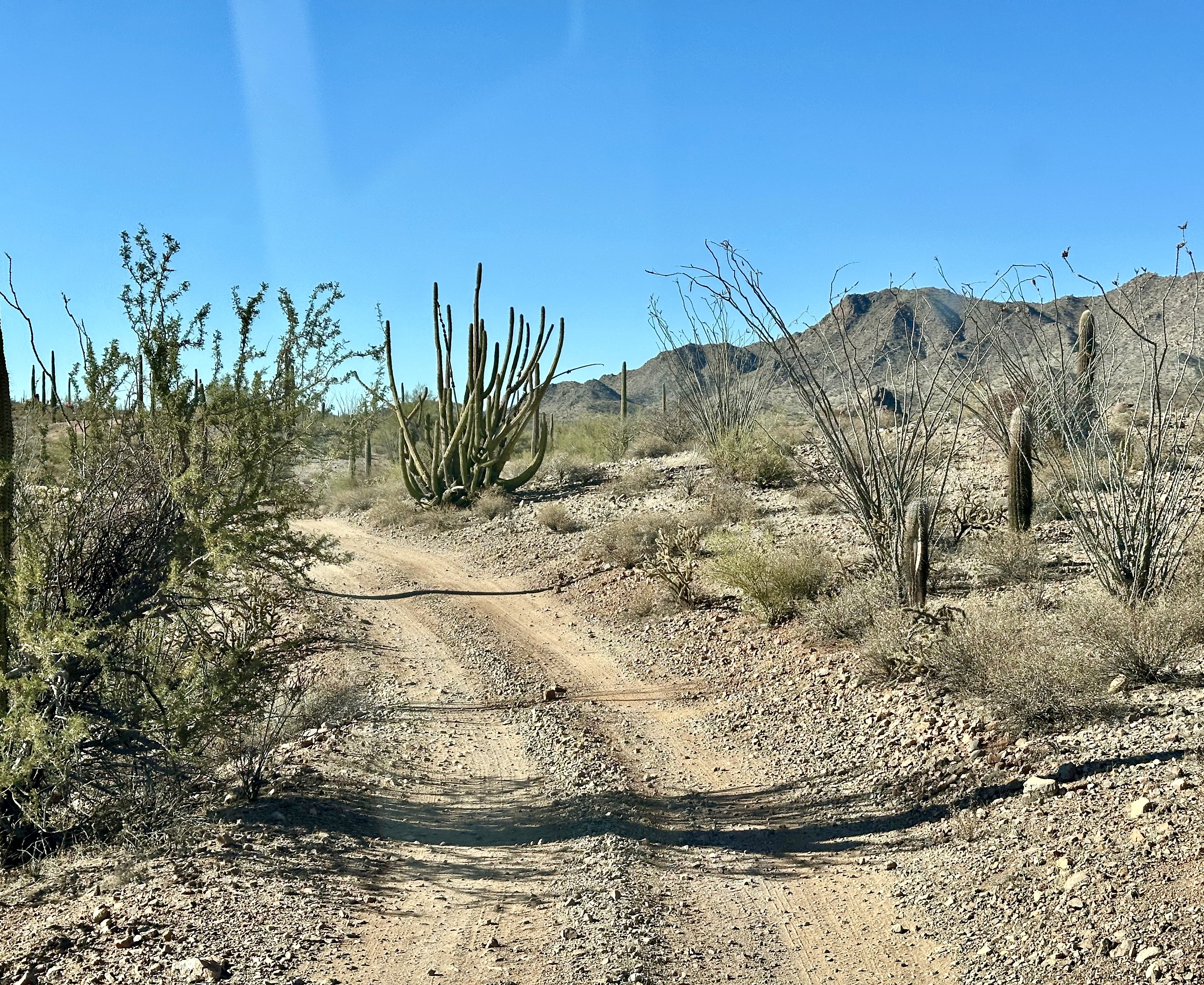


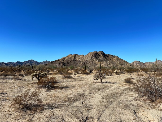
On our second day of camping at Darby Well we drove south on Route 85 to visit the Organ Pipe Cactus National Monument (OPCNM). After stopping at the visitor center and speaking with the rangers we opted to drive the Ajo Mountain Loop as the best way to take in the OPCNM in an afternoon.
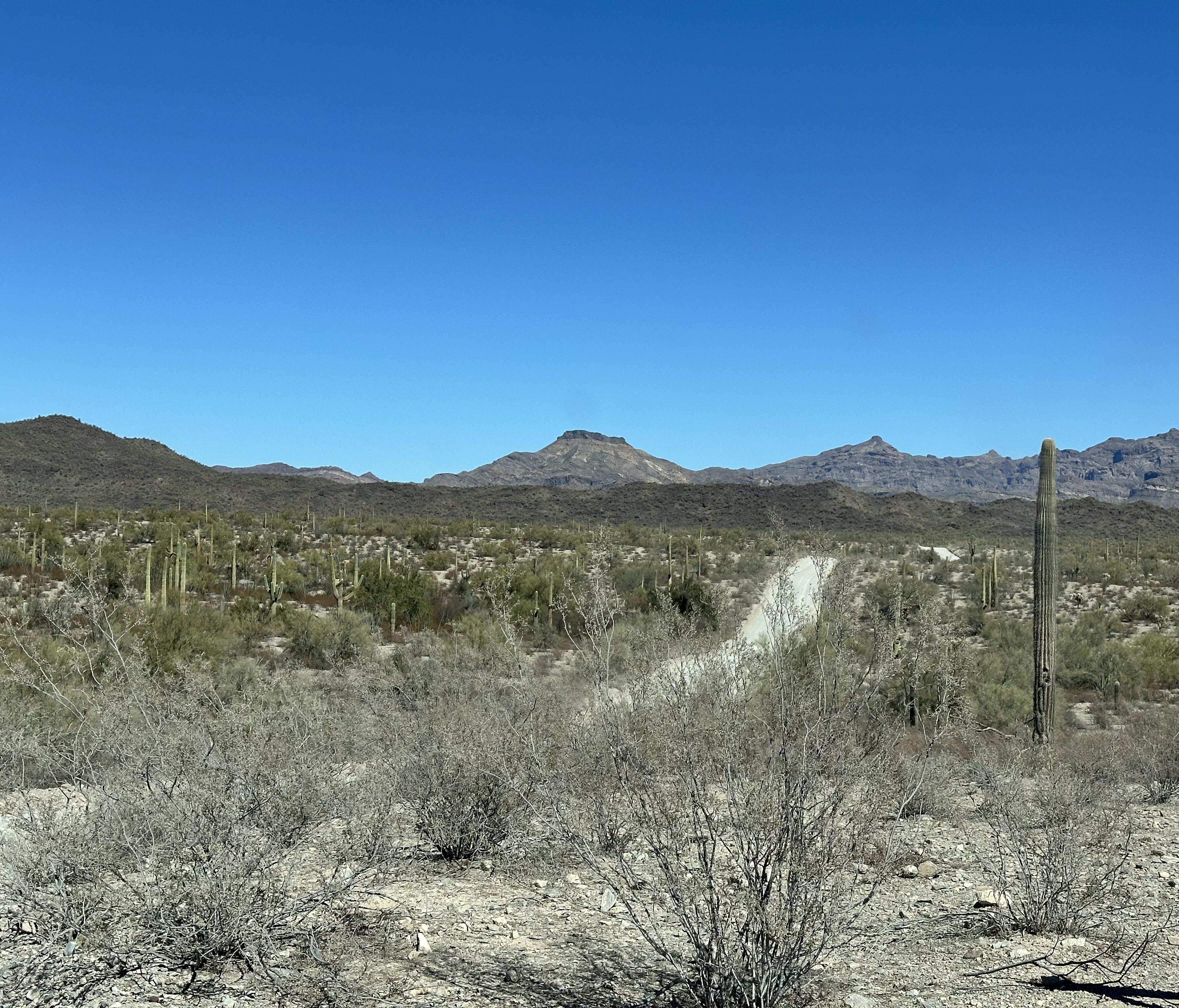
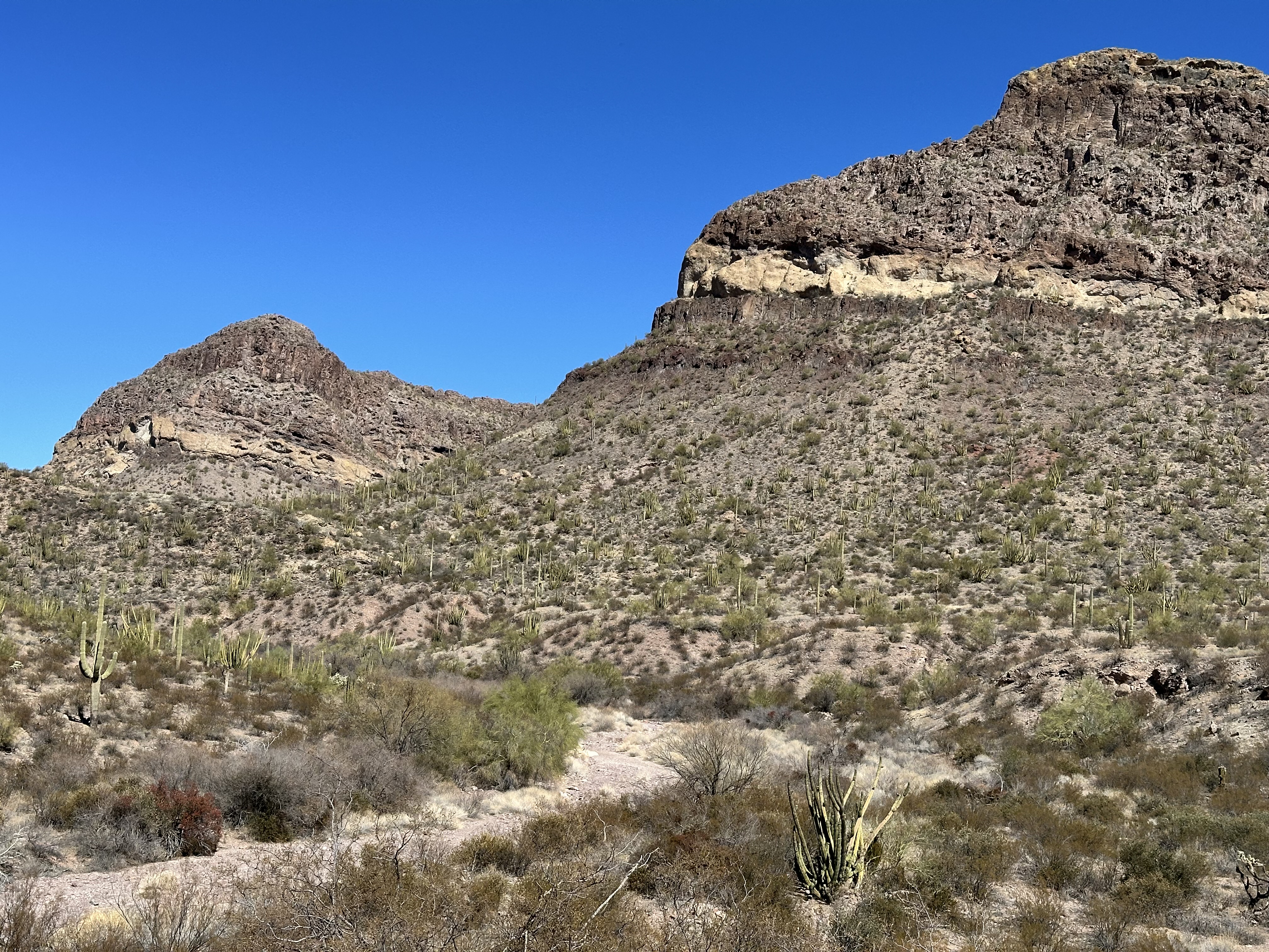
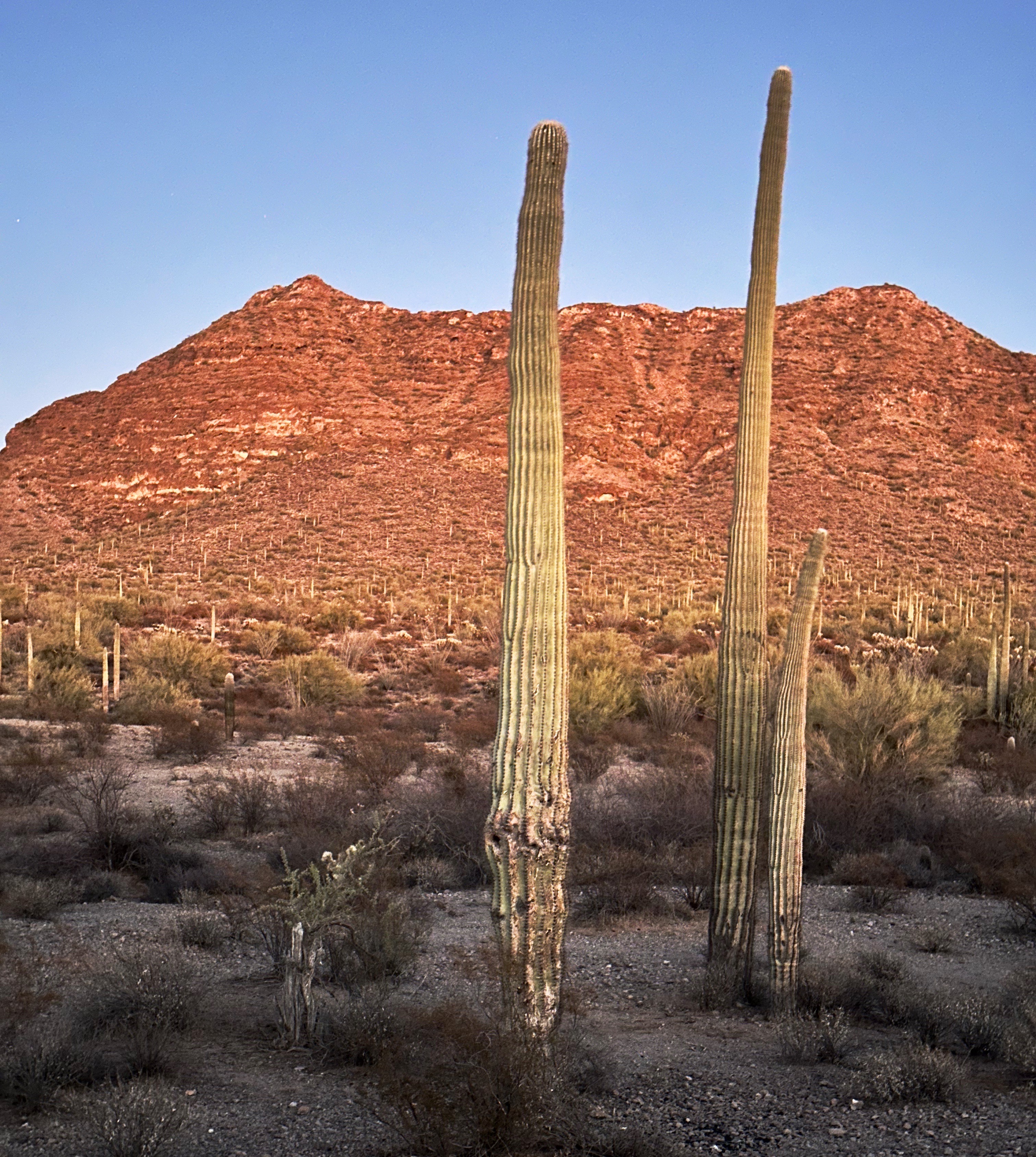
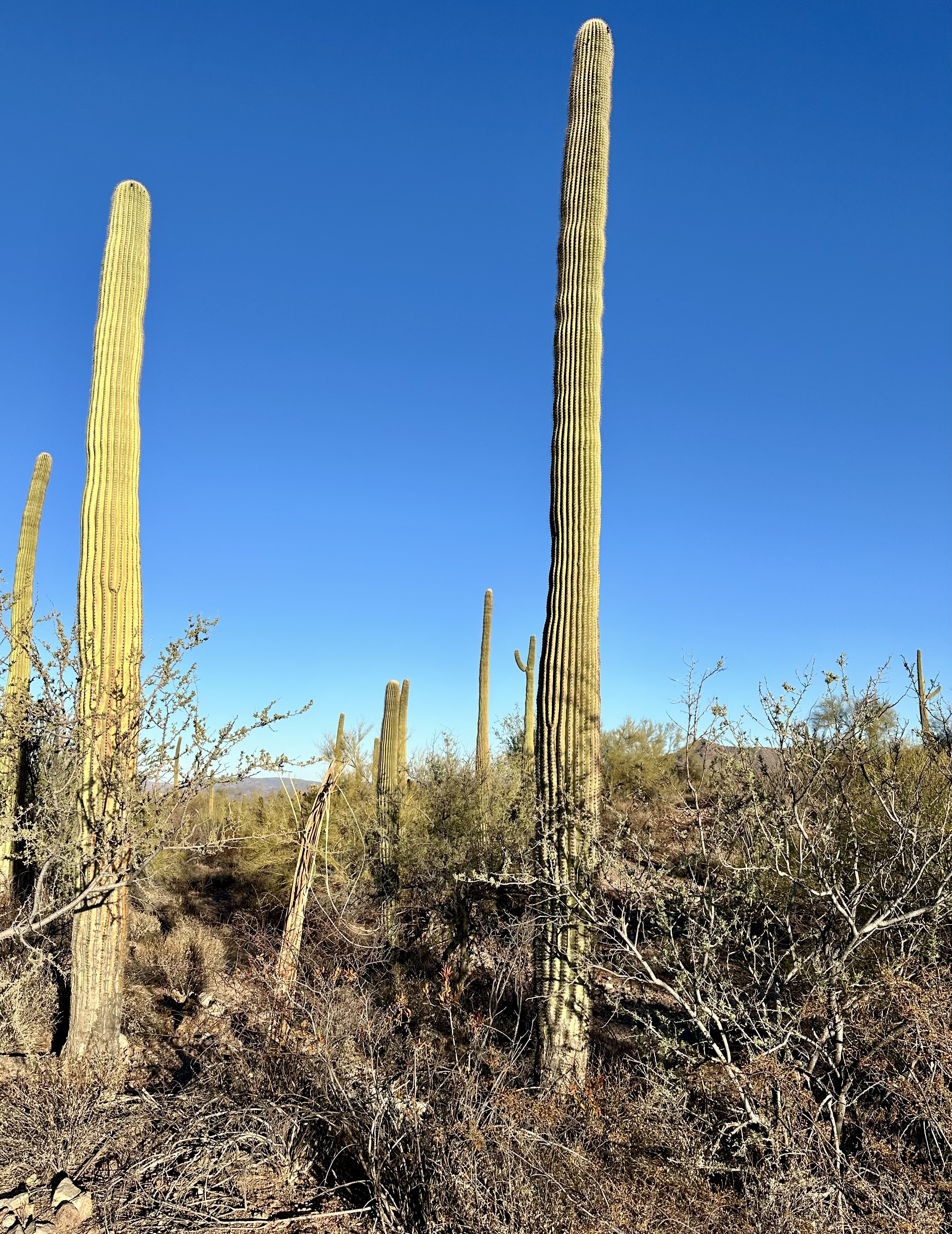
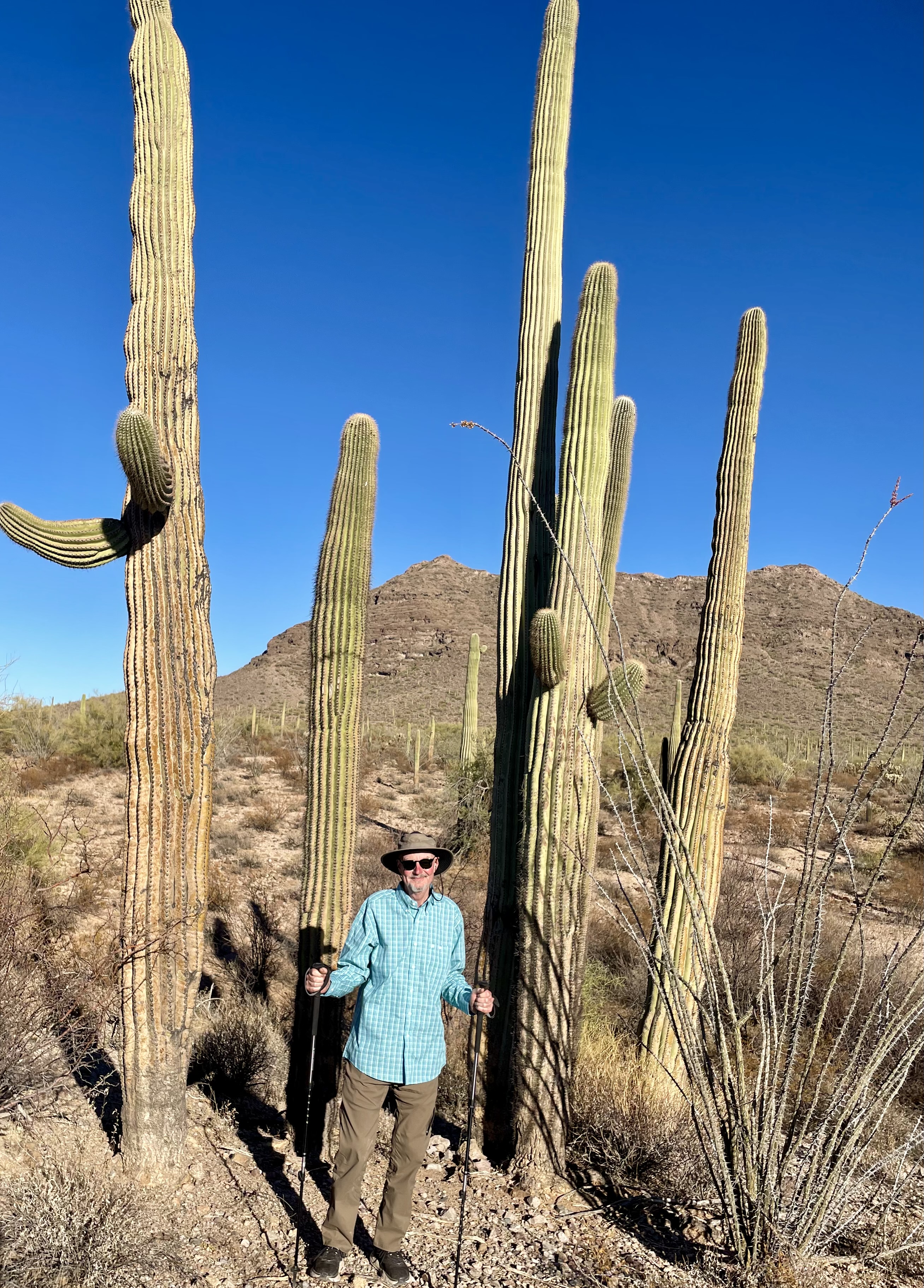
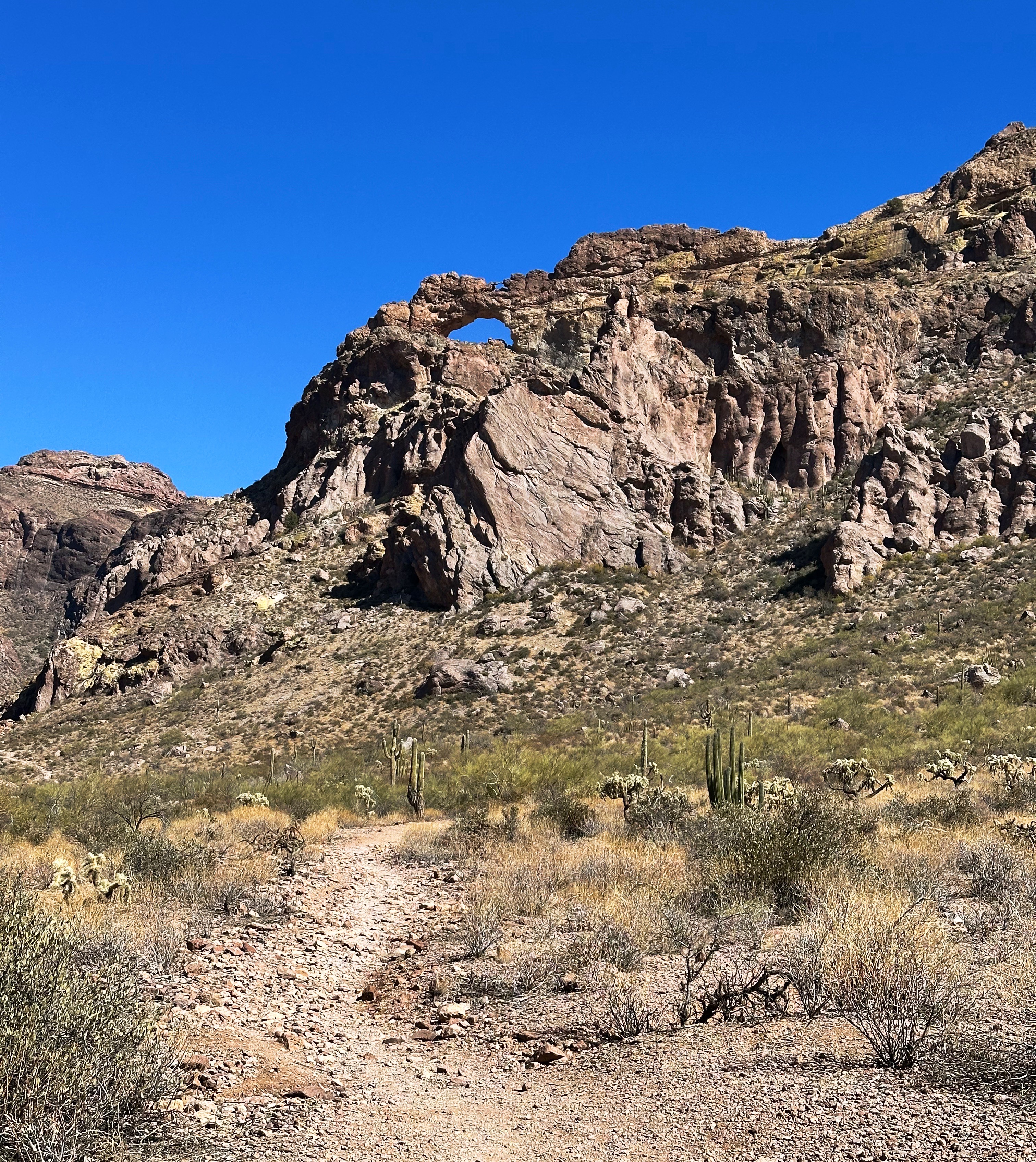
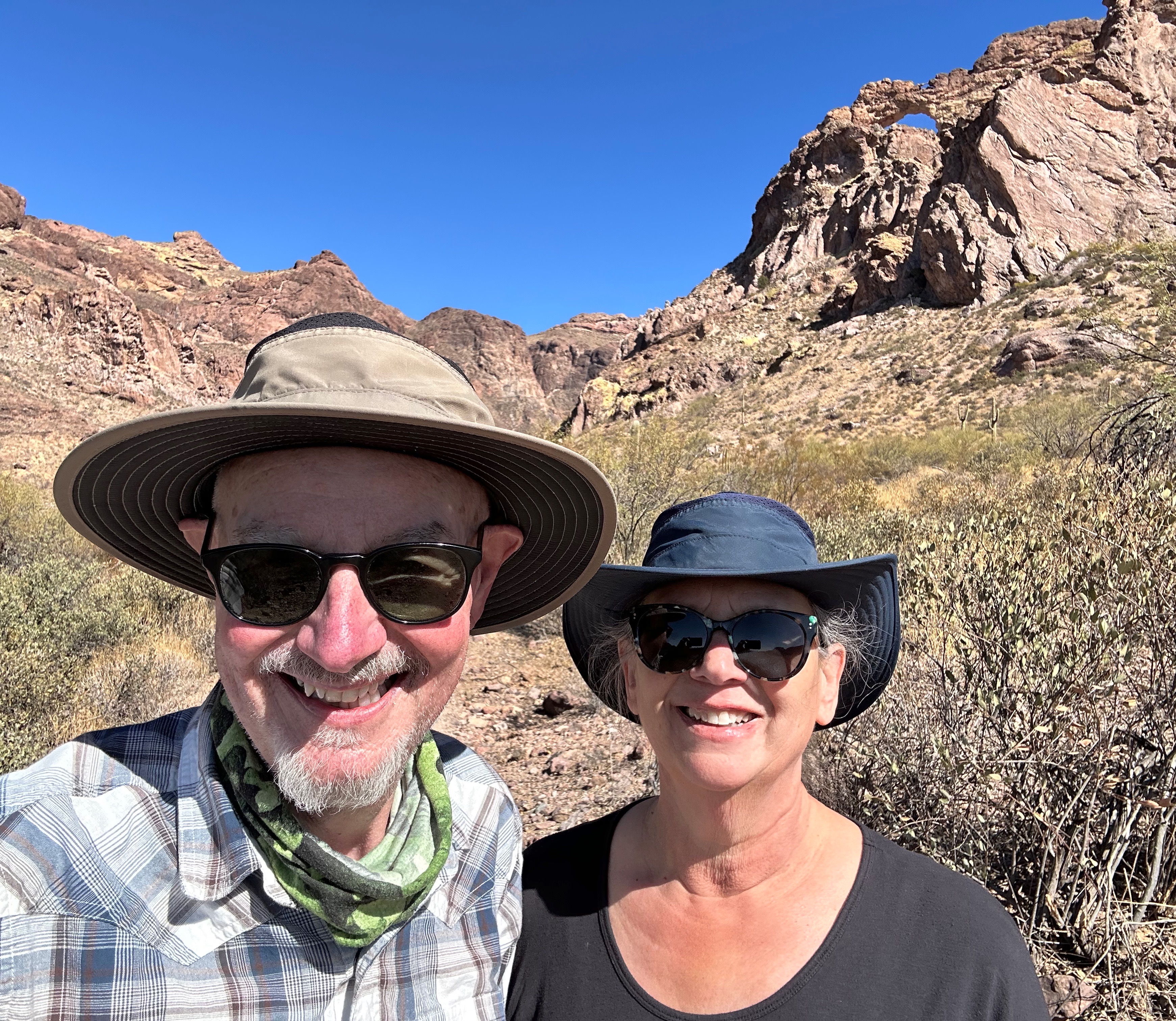
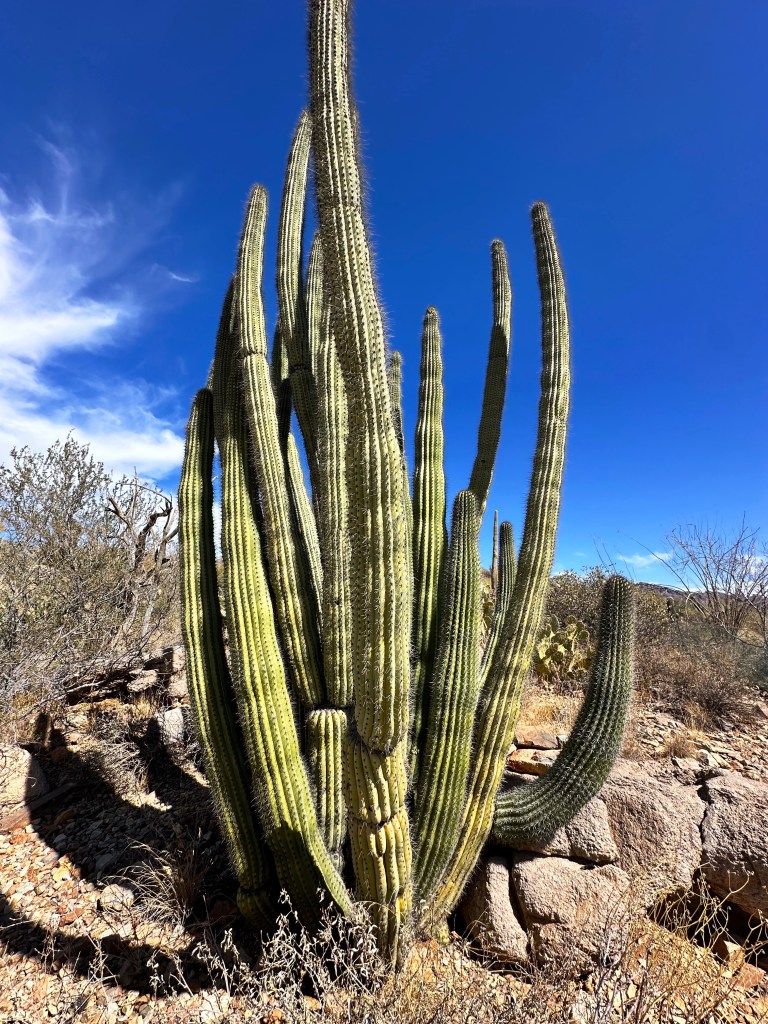
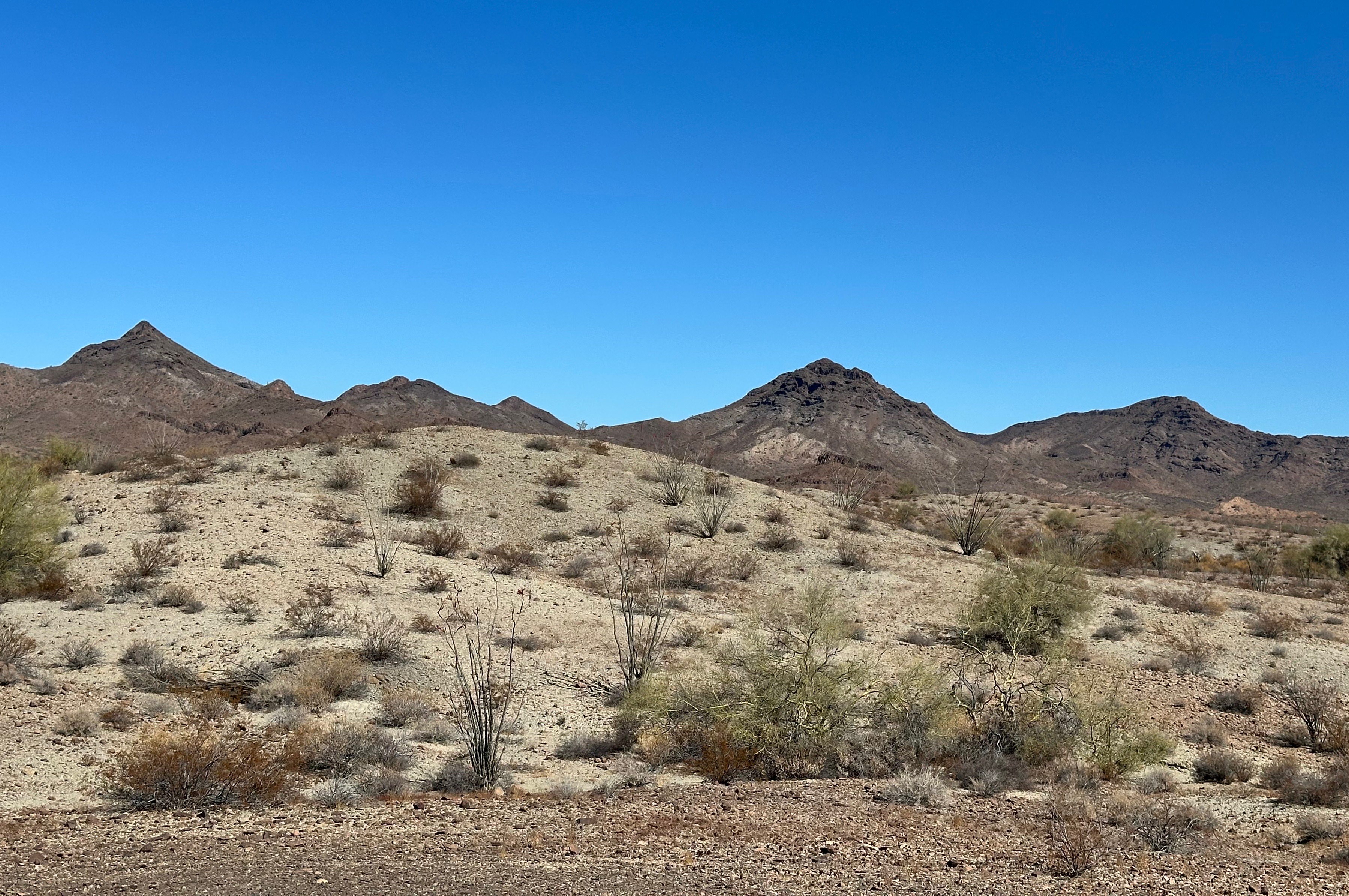
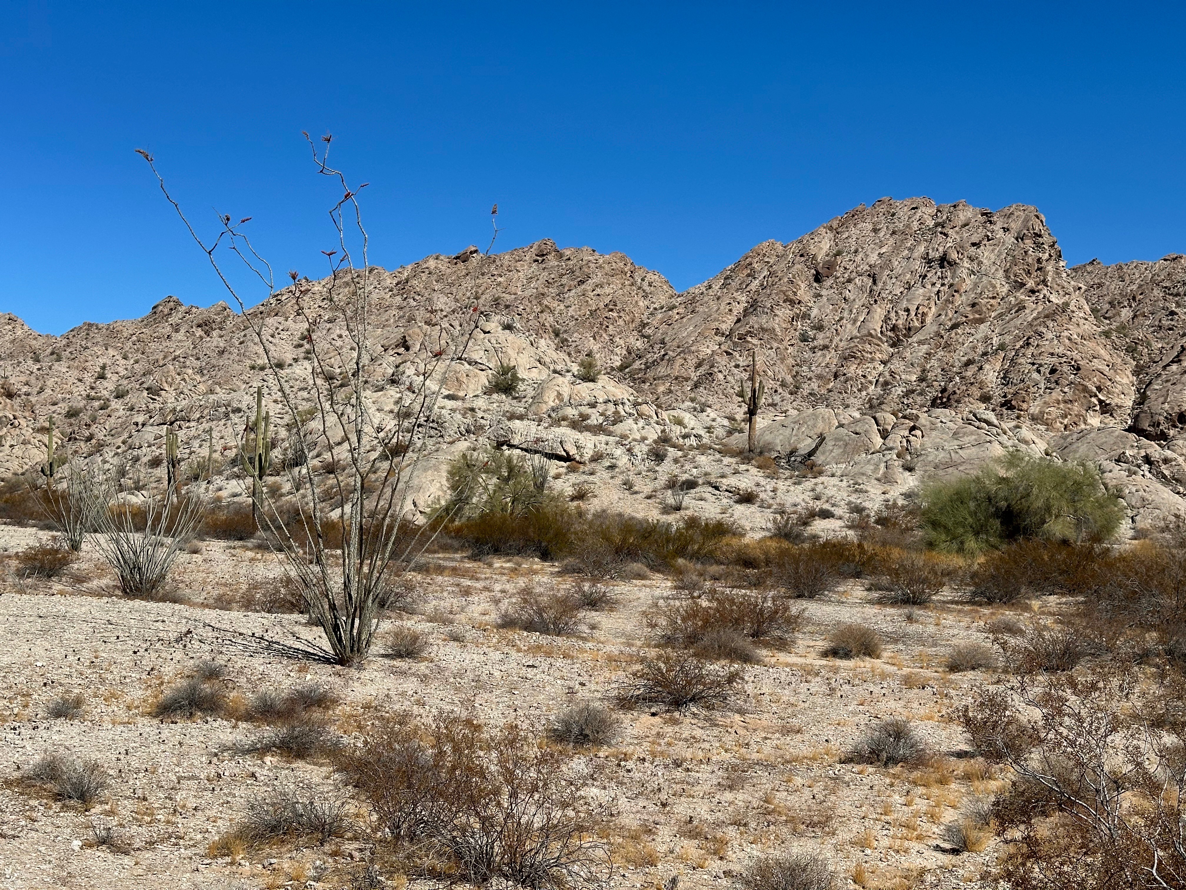
The Ajo Mountain Loop is a 21 mile road which provides a great sample of the variety of terrain and vegetation in the monument. The loop starts on the desert floor and winds up into the Ajo Mountains. We took a short hike into the Estes Canyon (photos below -note the arch in the photo directly below).

OPCNM does not receive many visitors relative to other National Monuments and National Parks. The remote location, extreme weather (heat) and proximity to the Mexico border are all contributing factors.
https://www.nationalparkstraveler.org/2017/09/organ-pipe-cactus-sonoran-desert-treasure
https://www.nps.gov/orpi/planyourvisit/basicinfo.htm
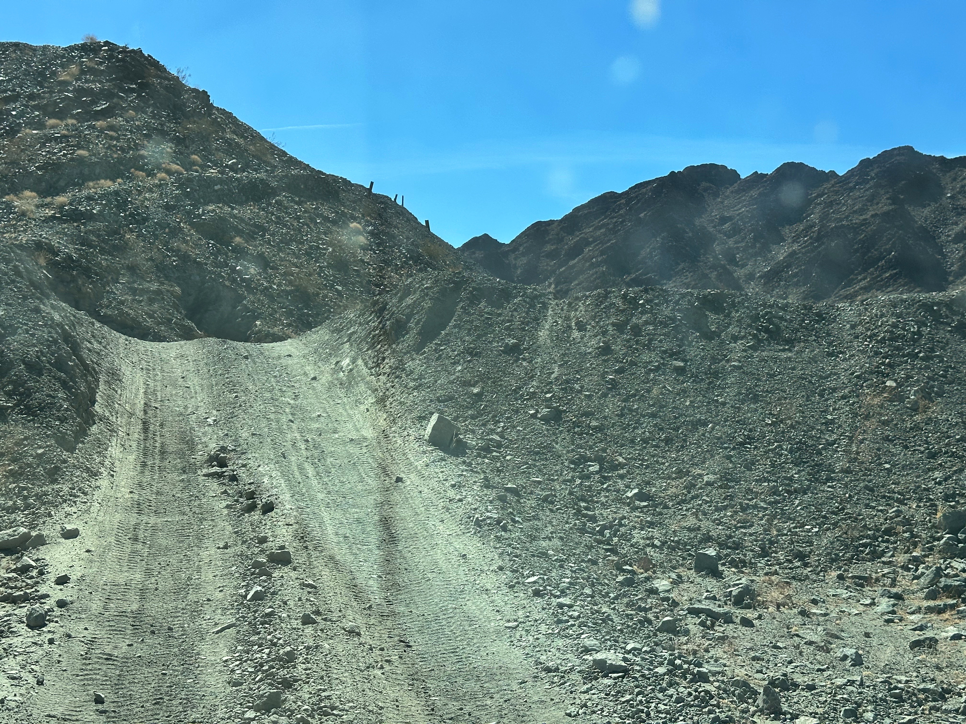
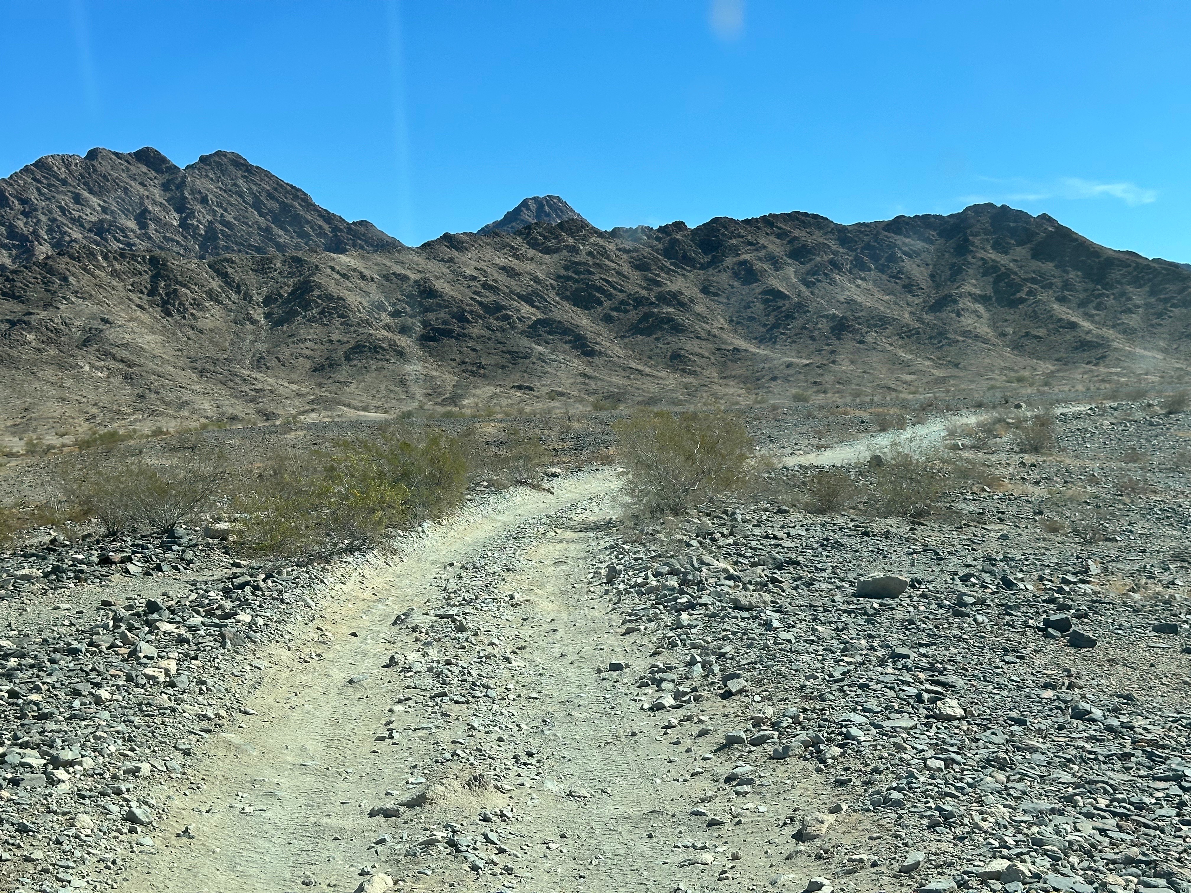
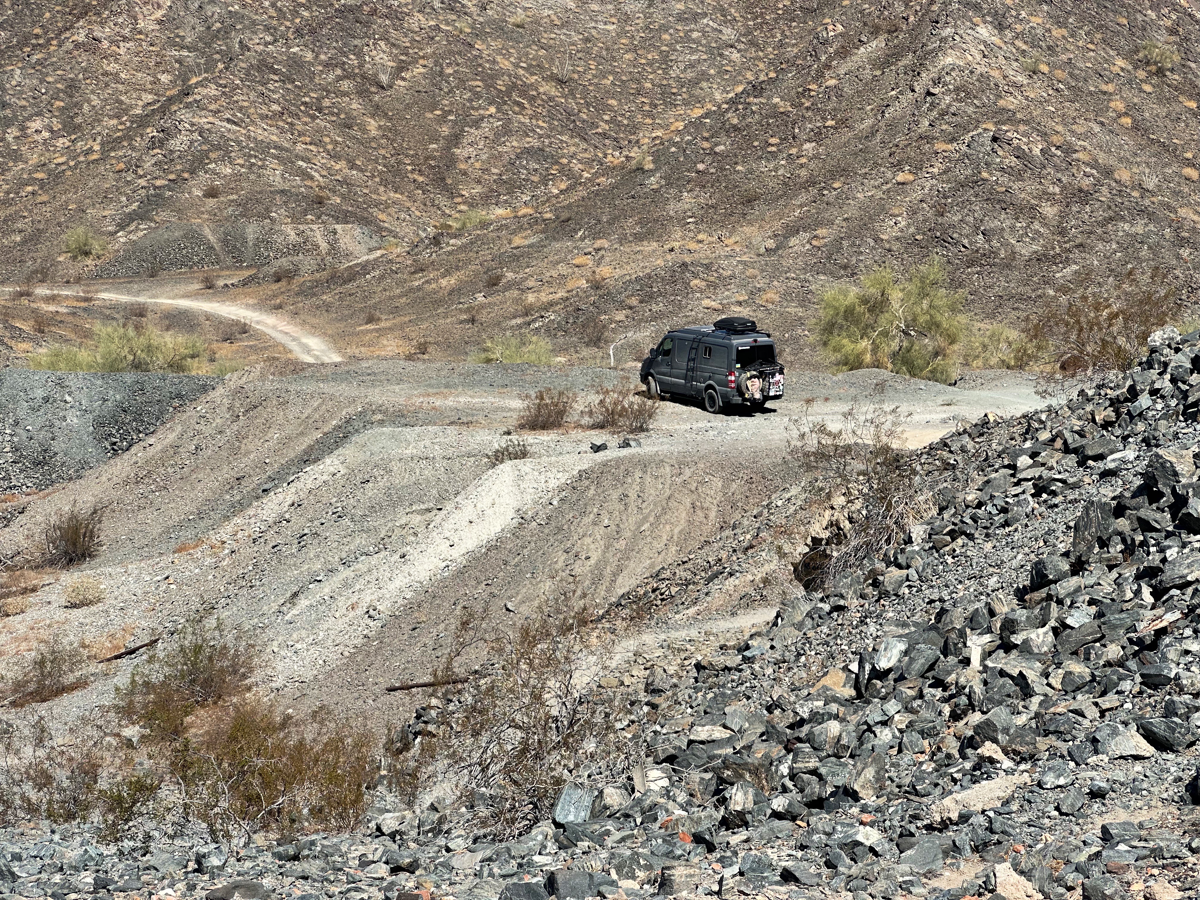
After several days camping in the Darby Well and our visit to OPCNM we decided we were ready to tackle the El Camino. The El Camino is a 142 mile trail through the Southern Sonoran Desert. It starts south of Ajo from the Darby Well Road and then follows an east/west route through a portion of the Organ Pipe Cactus NM, the Cabeza Prieta NWR and finally the Barry M. Goldwater Air Force Range.


This overland adventure does come with risks. One of the risks is captured in the photo directly above. The other risks are inherent in any extended overland trip – adequate fuel and water, mechanical breakdown, flat tire and, finally, getting stuck in sand or mud. Fortunately, other than a damaged bike carrier and the obligatory addition of more desert pinstriping we did not have any issues.


Our first stop was at the Bates Well Ranch which was owned and operated by the Gray family from 1935 until 1976. The operation consisted of 15 cattle ranches and line camps across the Southern Sonoran Desert.

The ranch is inside the boundaries of the OPCNM. The National Monument was established in 1937 but the Gray family was allowed to continue to ranch the land (many national parks consist of land appropriated from private owners). The National Park Service does not allow cattle grazing but in this case made an exception. Harry Gray, the last member of the family made maximum use of the “exception” raising cattle on the ranch until his death in 1976.


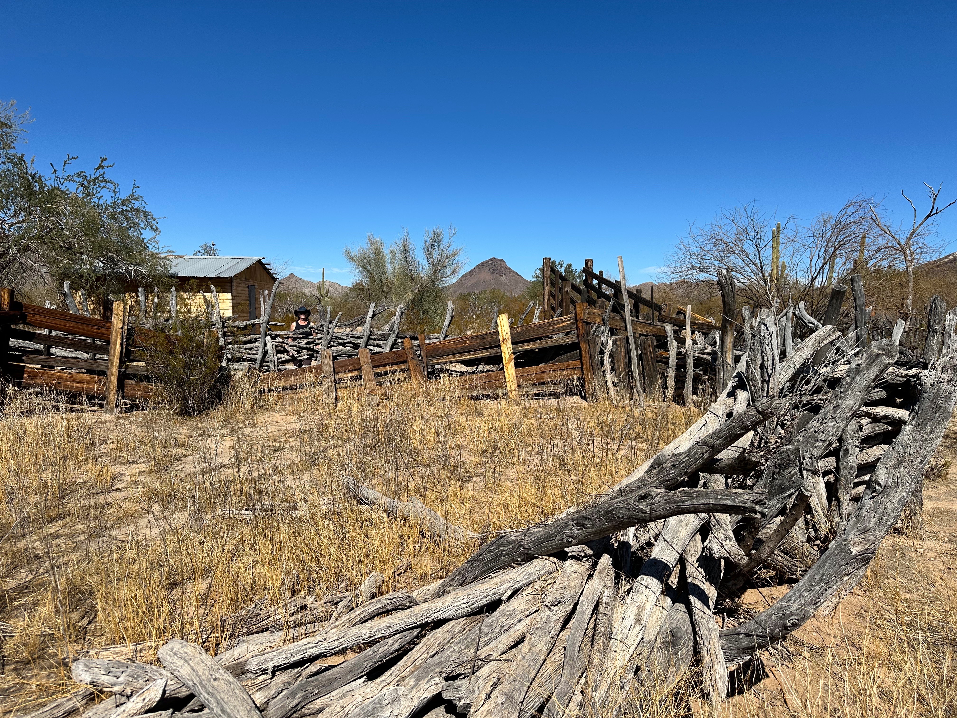
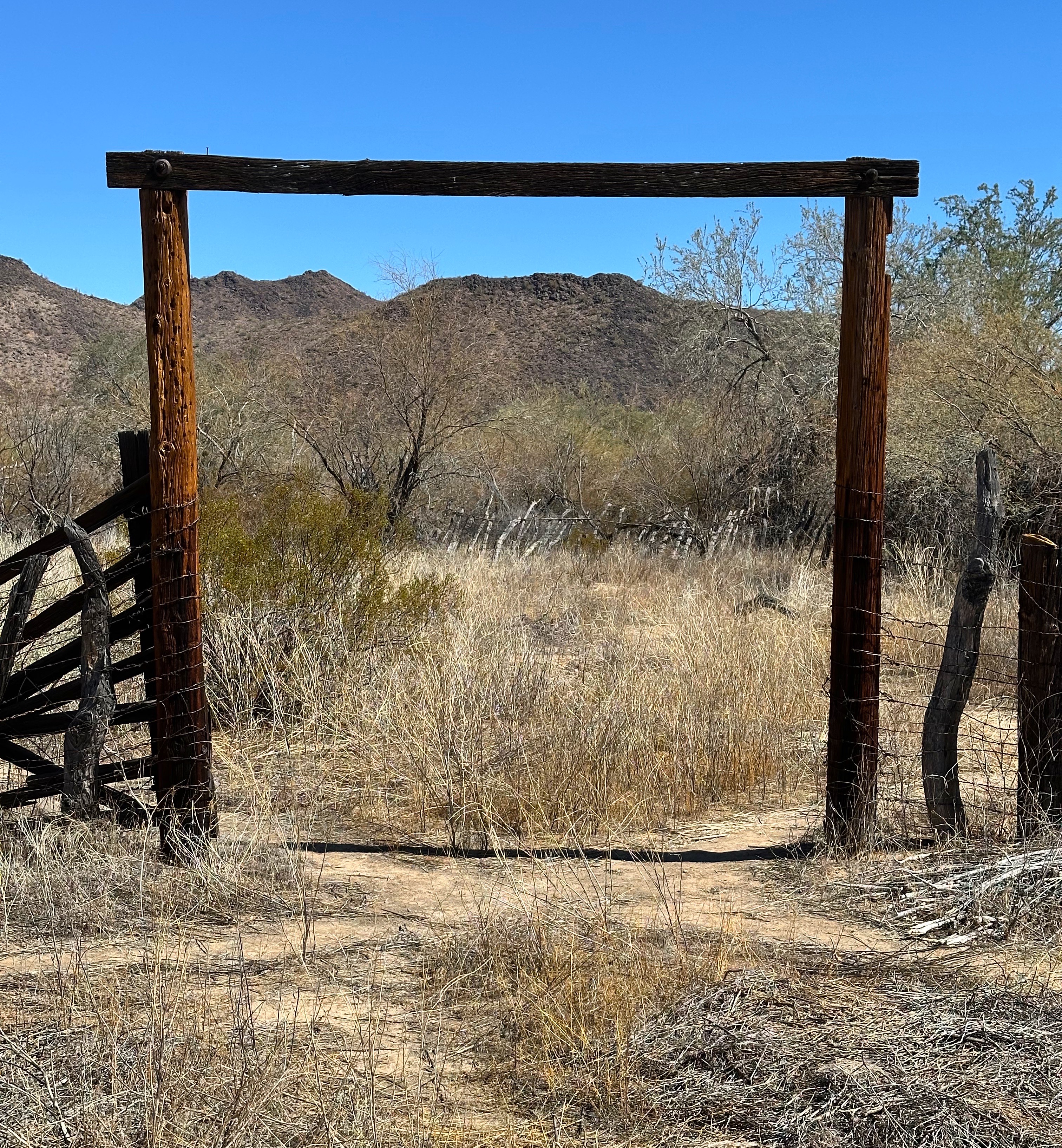
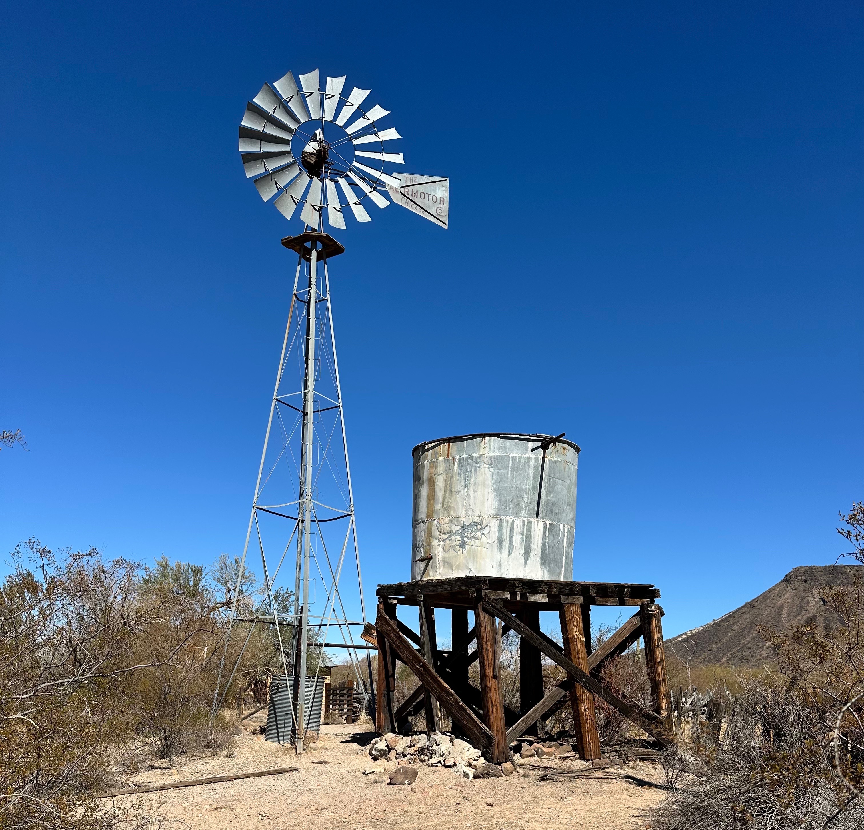


The one advantage of the ranch property becoming public land is that is protected and overseen by the park service. Much of the property is intact and provides a great example of a frontier ranch.
We pushed on from the Bates Well past the Camp Grip Border Patrol Outpost where we could see four border patrollers on a hill scanning southward with their binoculars while the electronic gear above them whirred away.
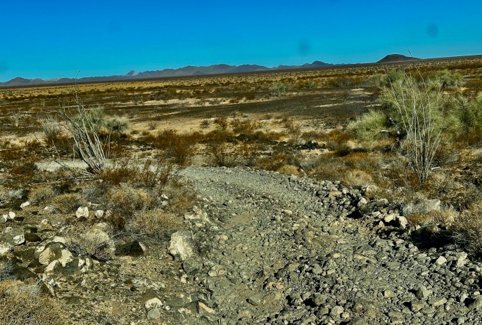
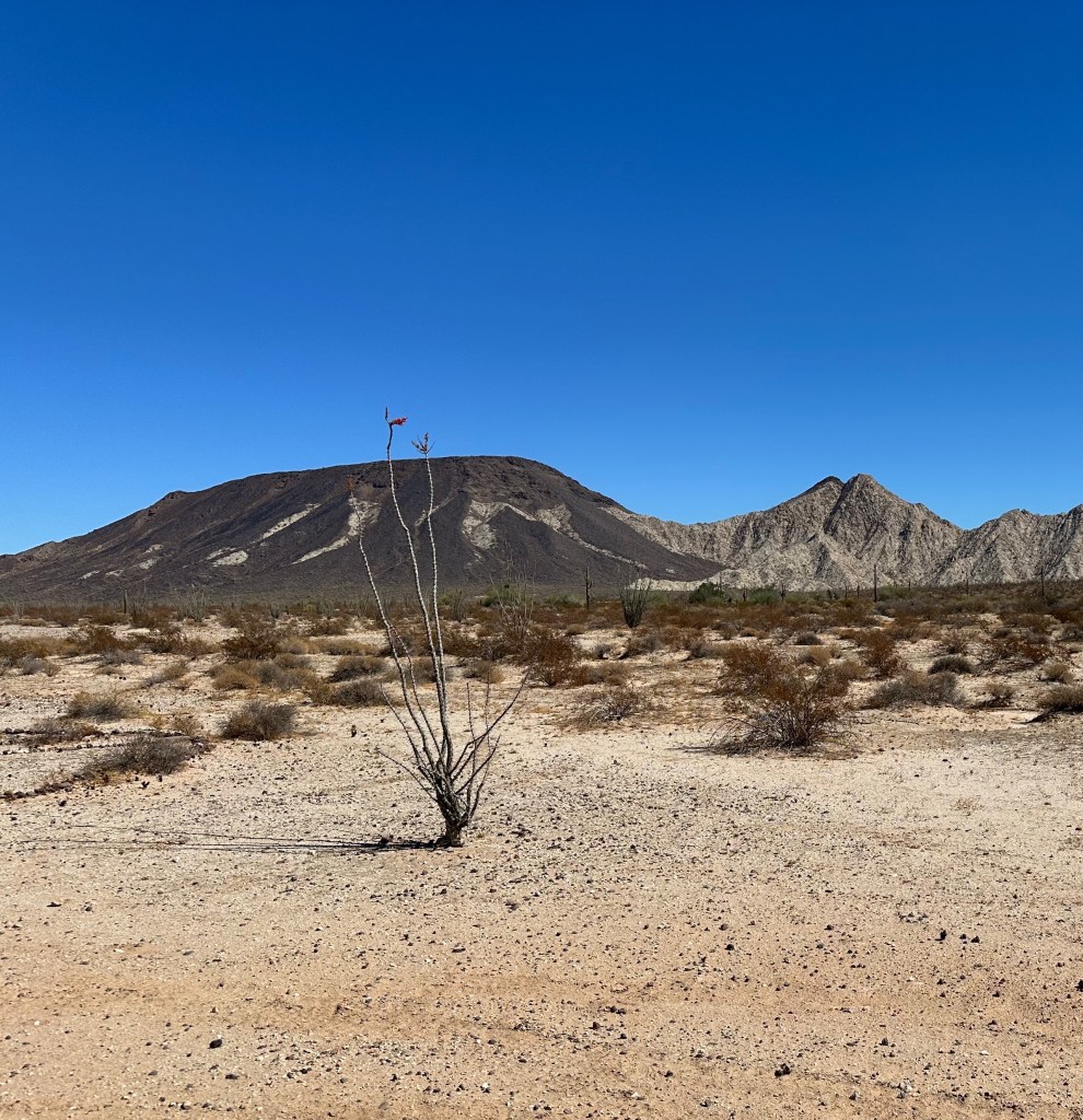
The next section of the trail brought us into the Pinta Sands. The Sands area was undoubtedly the most enjoyable segment of the trip from a pure driving perspective. Soft sand —deep but not too deep—smooth riding and higher speeds!
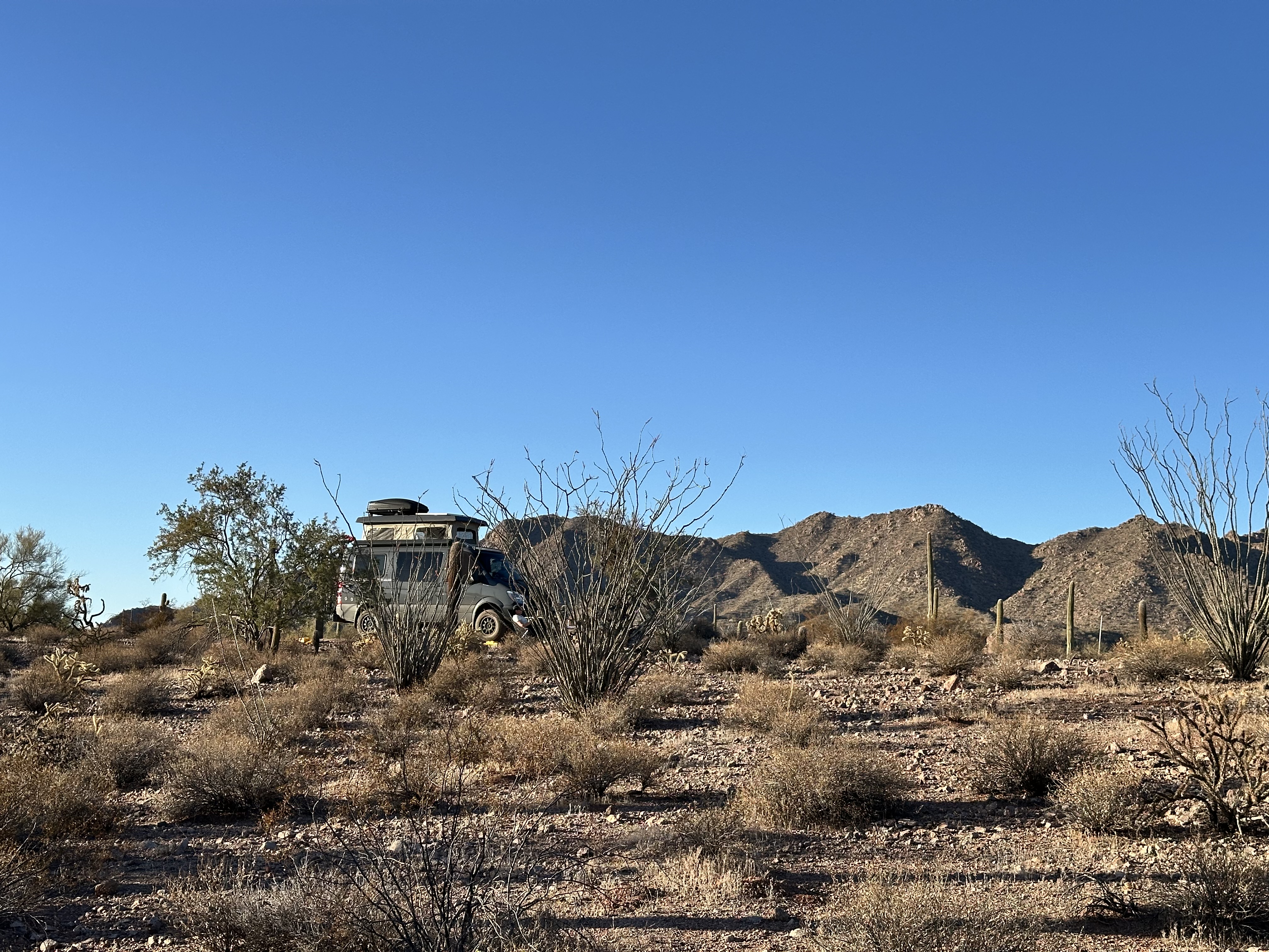
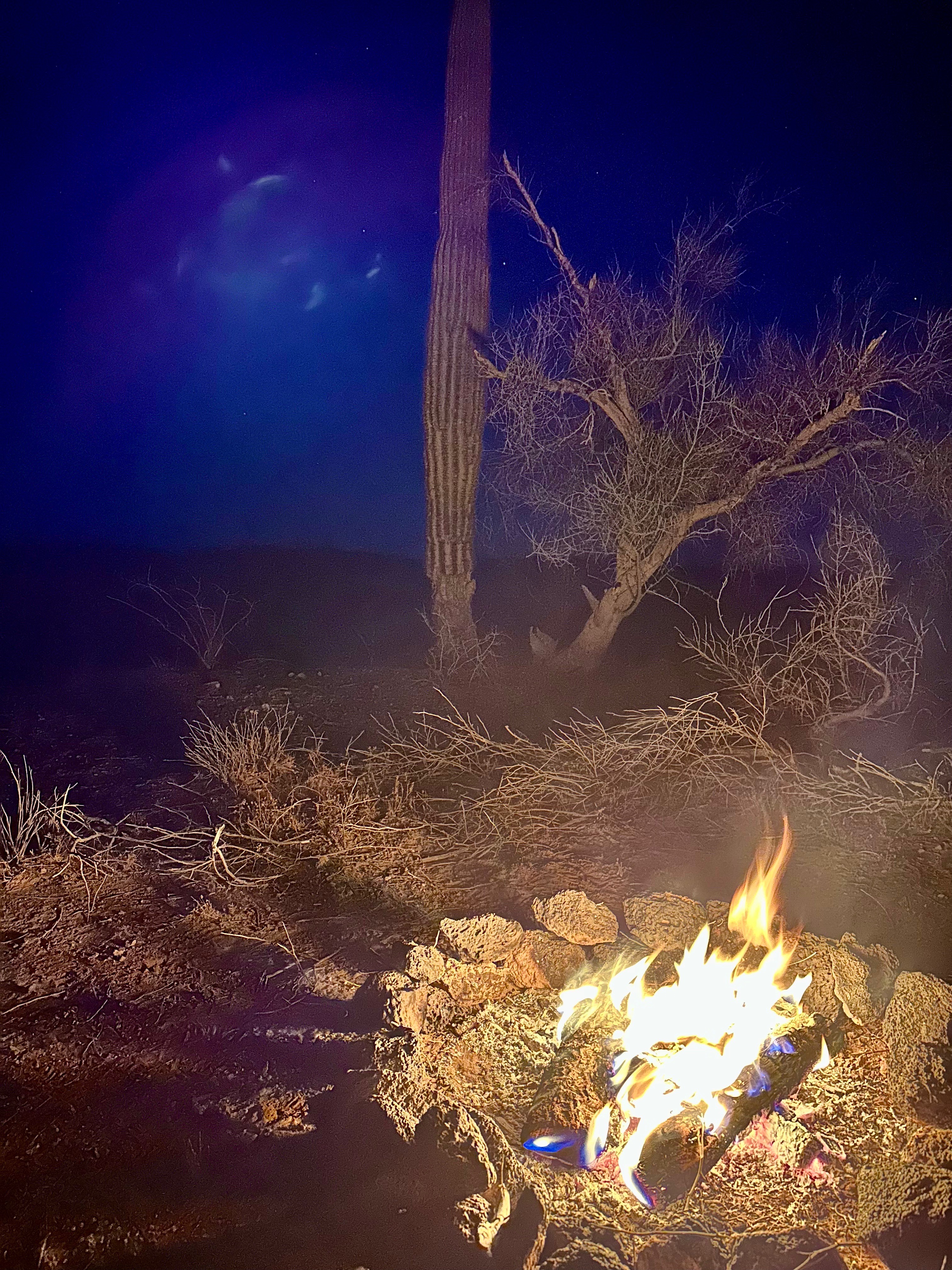
From the Pinta Sands we transitioned to a dramatically rougher environment as we began transiting through the Pinacate Lava Flow. We decided that this area would be good for camping as it was reasonably level and provided a 360 degree view of the surrounding mountains and unobstructed views for stargazing.


On day two, we continued west until we arrived at the site of the Tule Well. In the 1840s many Mexicans from the state of Sonora were traveling north to work the gold diggings on the Colorado River. One of them decided to dig a well (by hand) and to sell the water to his fellow countrymen as they traveled north. Some accounts claim that the well digger was killed by a traveler who refused to pay for the water. The well fell into disuse between the 1860s and 1890s as this route was all but abandoned due the frequency of deaths from dehydration.


After visiting the Tule Well and the Circle 8 Gravesite we continued west towards the Tinjas Atlas Mountains. We were hoping to follow a trail that would lead us to the remains of the Fortuna Mine. As you can see from the video below this area has numerous narrow washes. Ultimately, we were foiled by a wash too deep and steep for the Beast.
We worked our way back until we found a route that took us in a northeasterly direction to the town of Wellton. This route took us through the Barry M. Goldwater Air Force Range. It is most advisable to stay on the road if you choose this route as it is an active military gunnery and bombing range! Fortunately, we had obtained the necessary permit and pass to transit through the range.


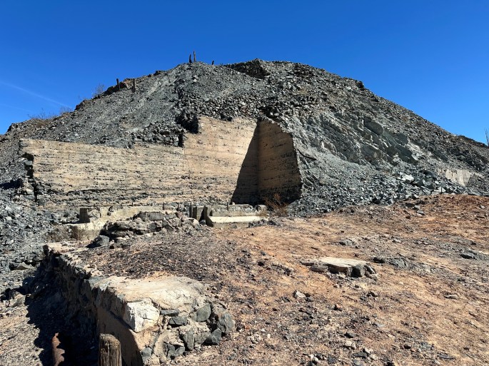
We exited the desert in Wellton driving through the encroaching housing subdivisions spreading east from Yuma. We spent the evening in Yuma; in the morning , we decided to head back out into the Sonoran Desert and visit the Fortuna Mine using a route from Yuma. The road out from Yuma was extremely rough and rocky but were committed to going out to the mine as part of our completion of the El Camino del Diablo.


As so often appears to be the case, gold was discovered accidentally – in this case by three men looking for stray cattle in the foothills of the Gila Mountains in 1894. They filed land claims and gold was mined here from 1896 to 1904. The story of Fortuna is similar to many of the old west mining scenarios – boom and then quickly bust. The mine was productive – producing 125,000 ounces of recorded gold during its short run. The vertical shafts are still visible (photo below). The remnants of the town that quickly blossomed above the mine are still accessible by foot.


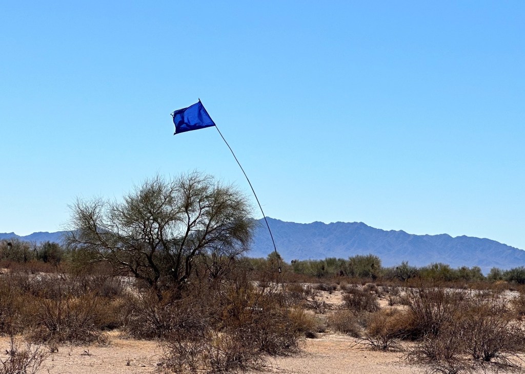
One other item that we wanted to share relates to the photo below. Periodically as we crossed the desert we would see blue flags placed within sight of the trail. The blue flags are on 30 foot high poles so that they are visible from a great distance. At each of these sites there is a 55 gallon drum of potable water. These drums are placed and maintained by an organization called Humane Borders. The organization has obtained permission to place the water drums along the border (the El Camino is within sight of the border for much of the route). You may read about the Humane Borders organization in the article linked below.
https://www.humaneborders.org/
Our two day journey across El Camino del Diablo was an exciting adventure. This is a trip we have wanted to do for some time and we recognized that in the context of our OTR story arc this was the time to make the crossing. There is a point where the physical rigors of this trip would be beyond our capability.
After resting for a couple days in Yuma we will be heading north to explore the Northern Sonoran Desert and the KOFA National Wildlife Refuge.
Be seeing you!
