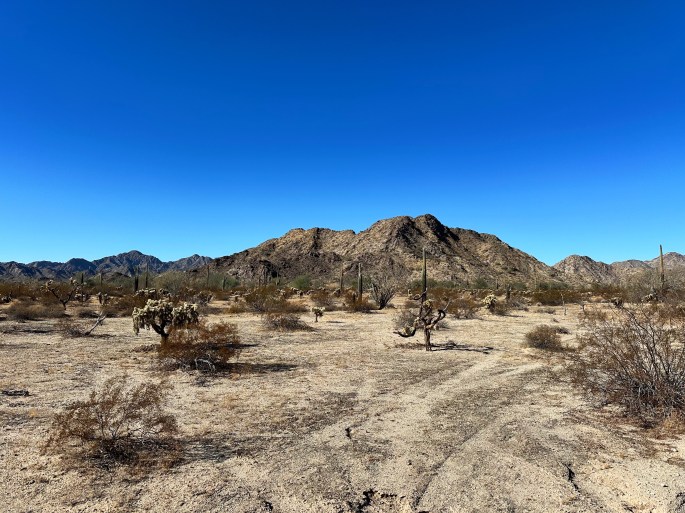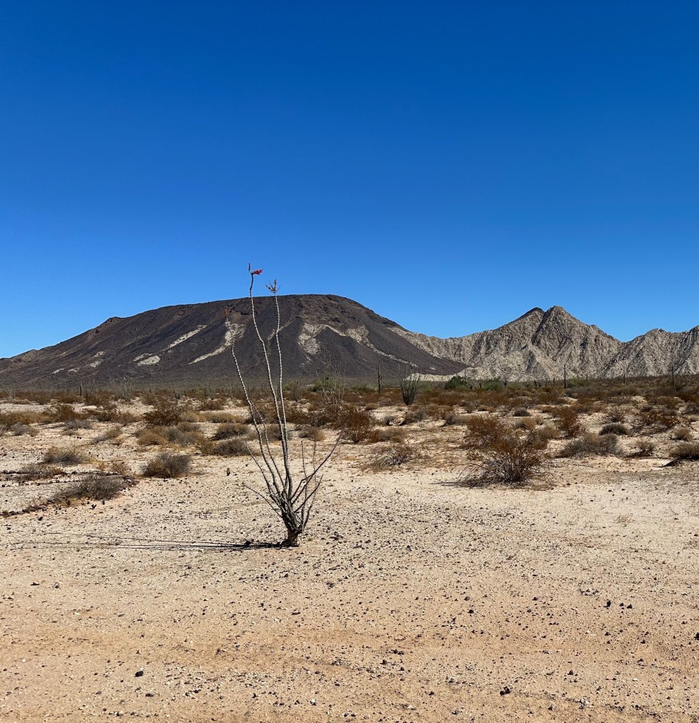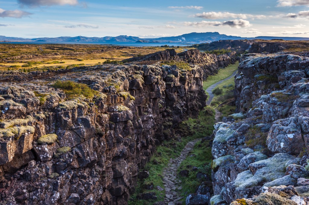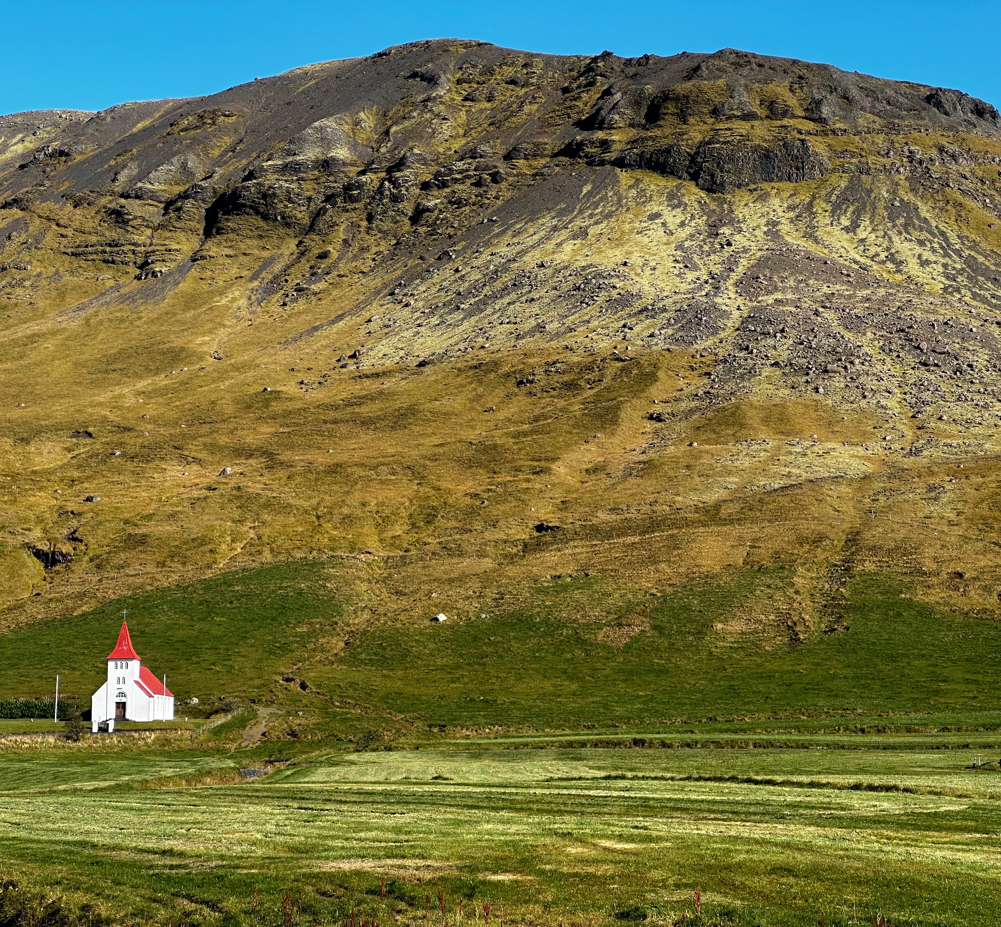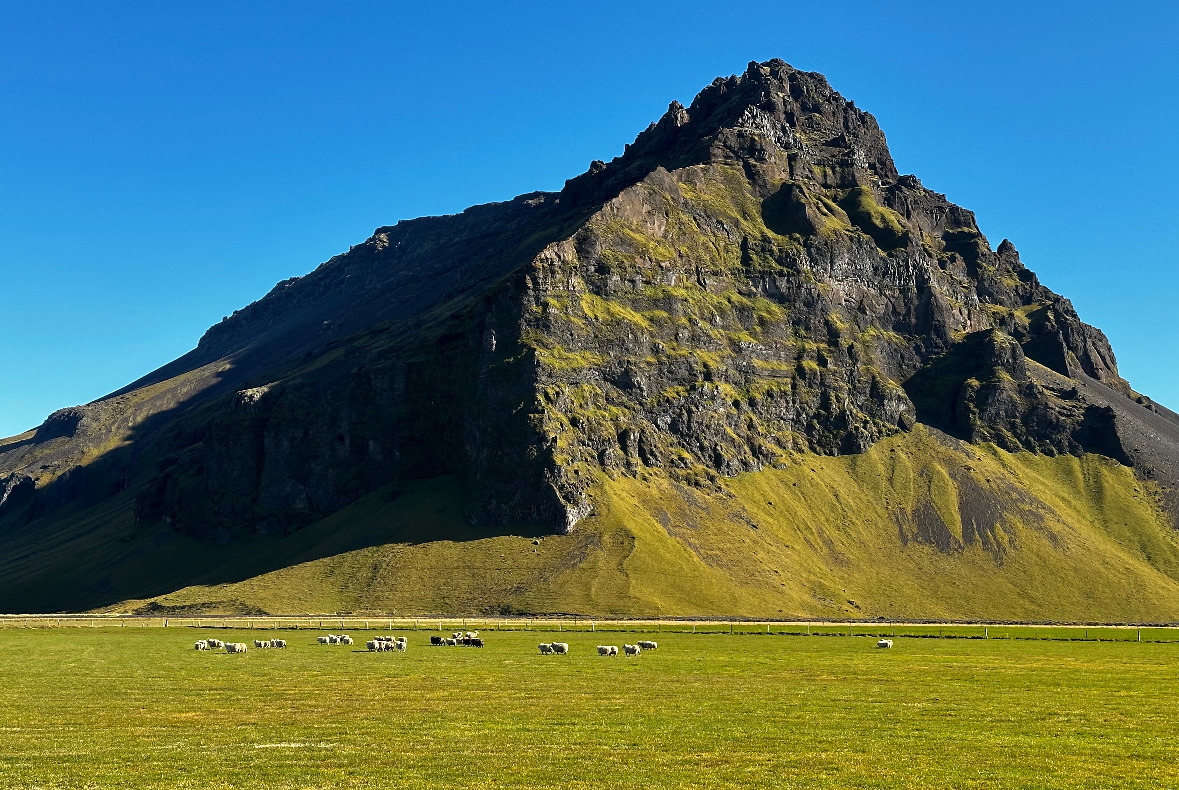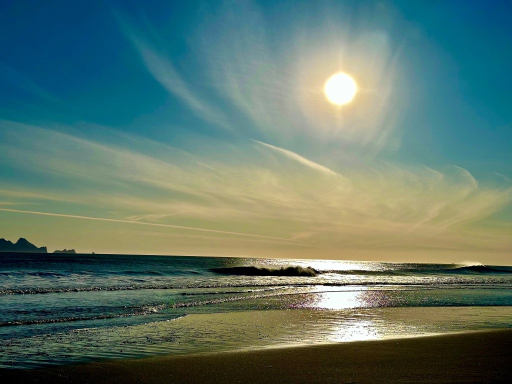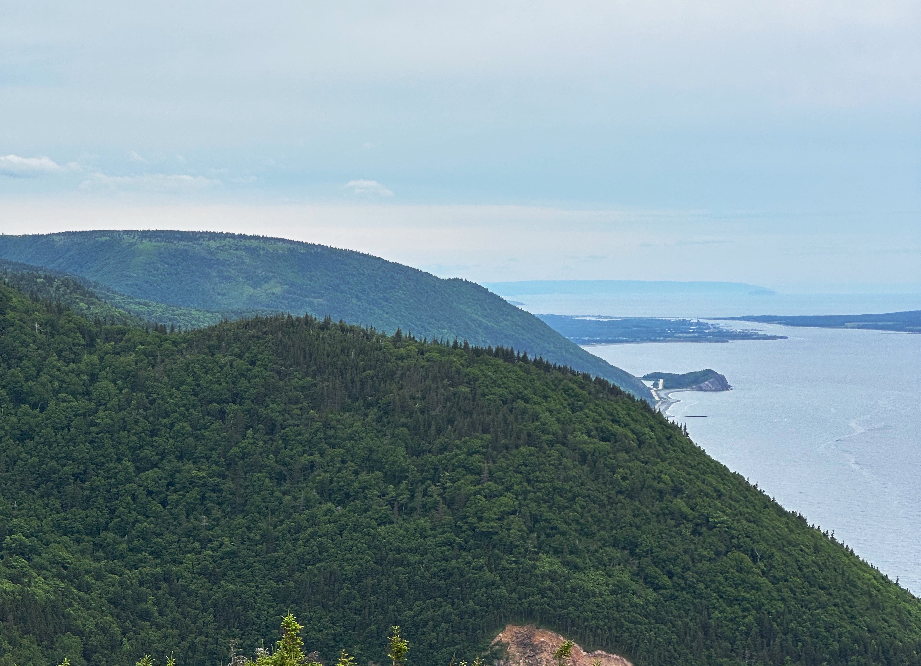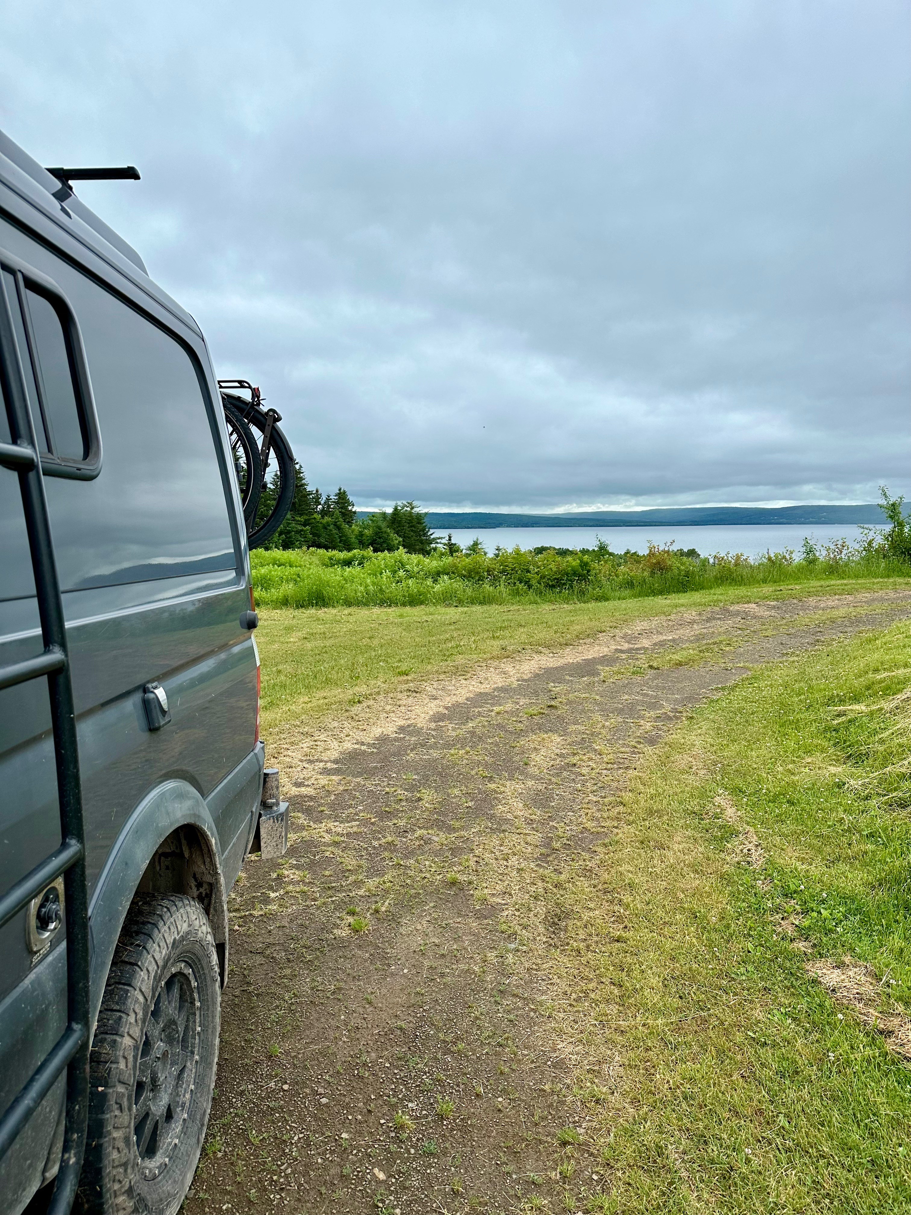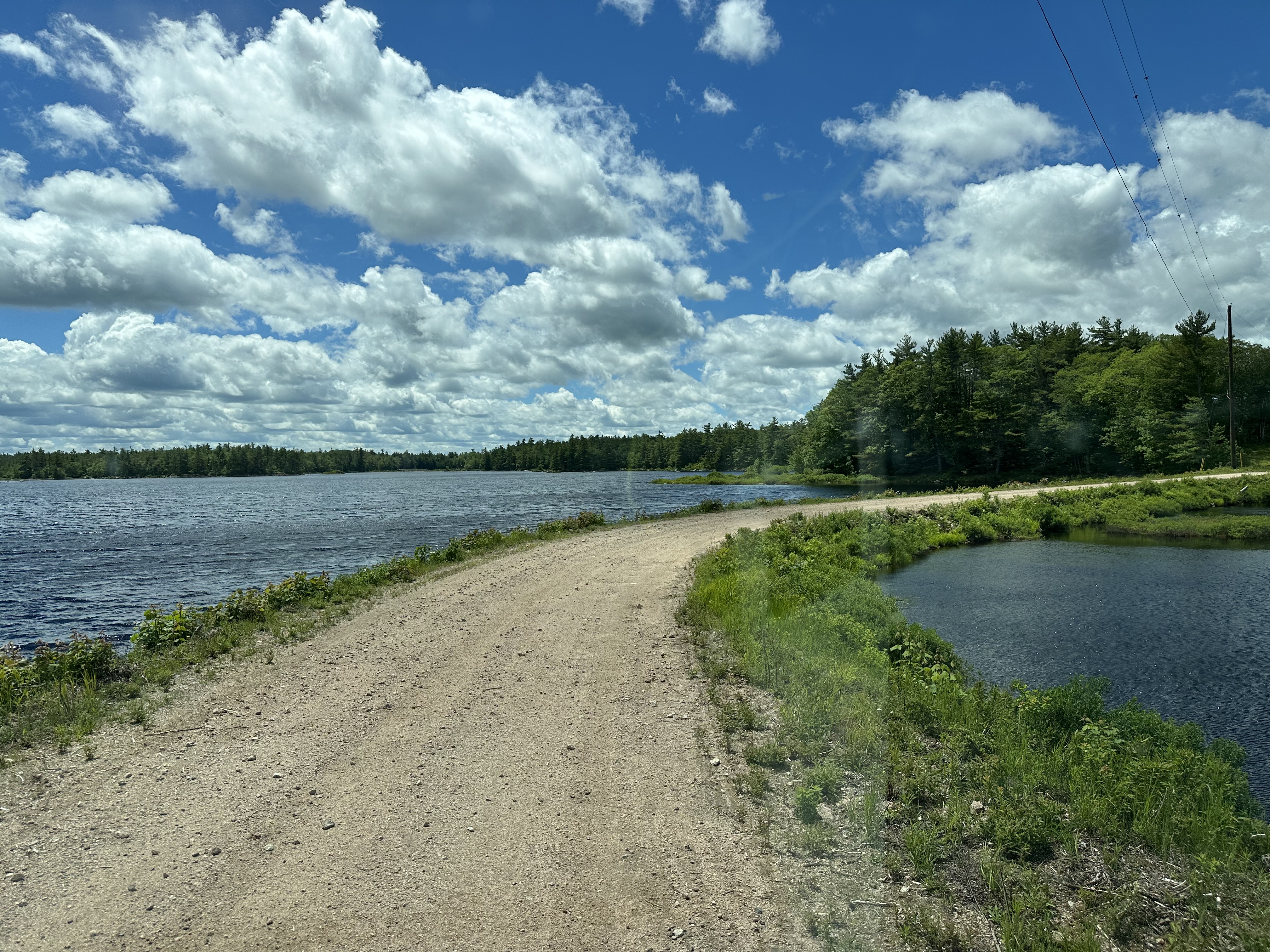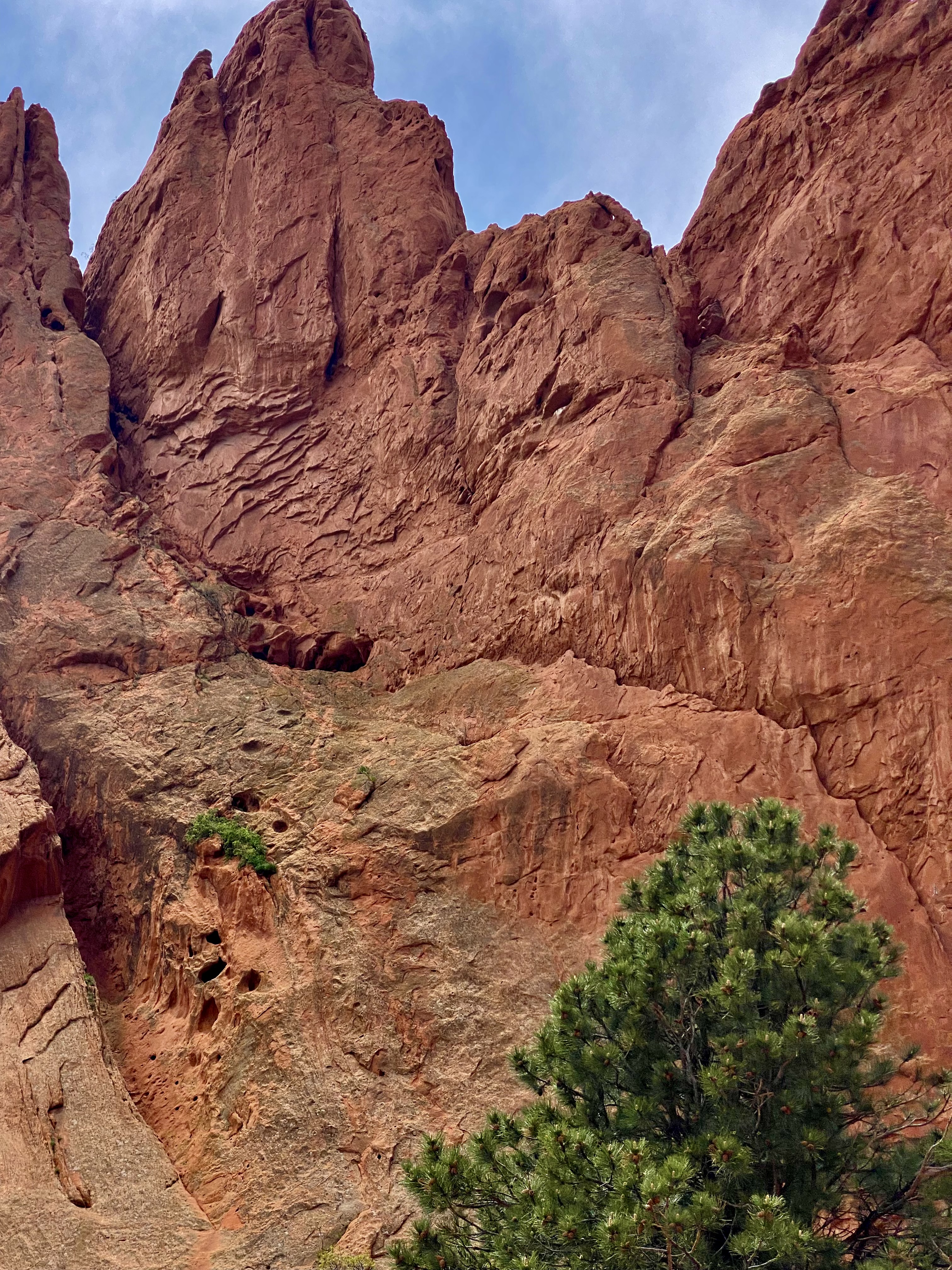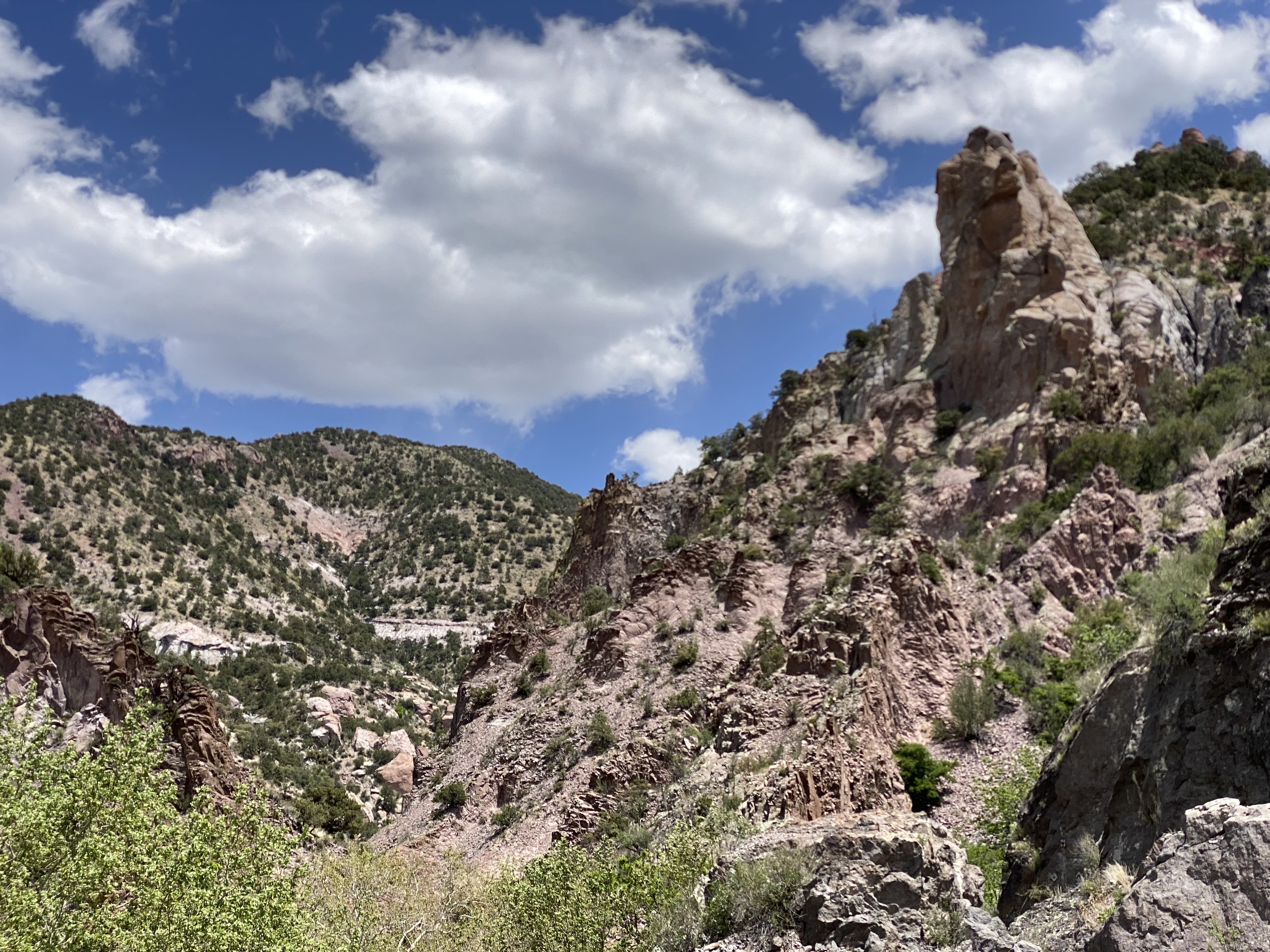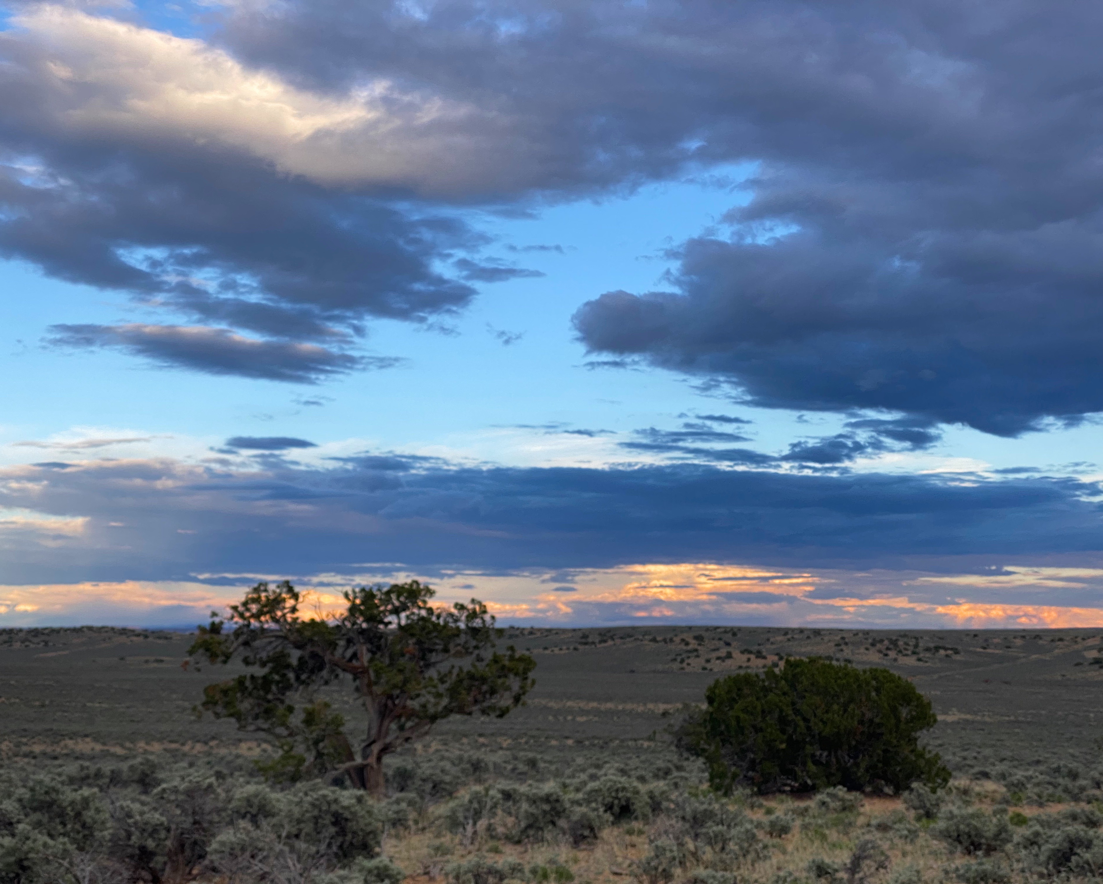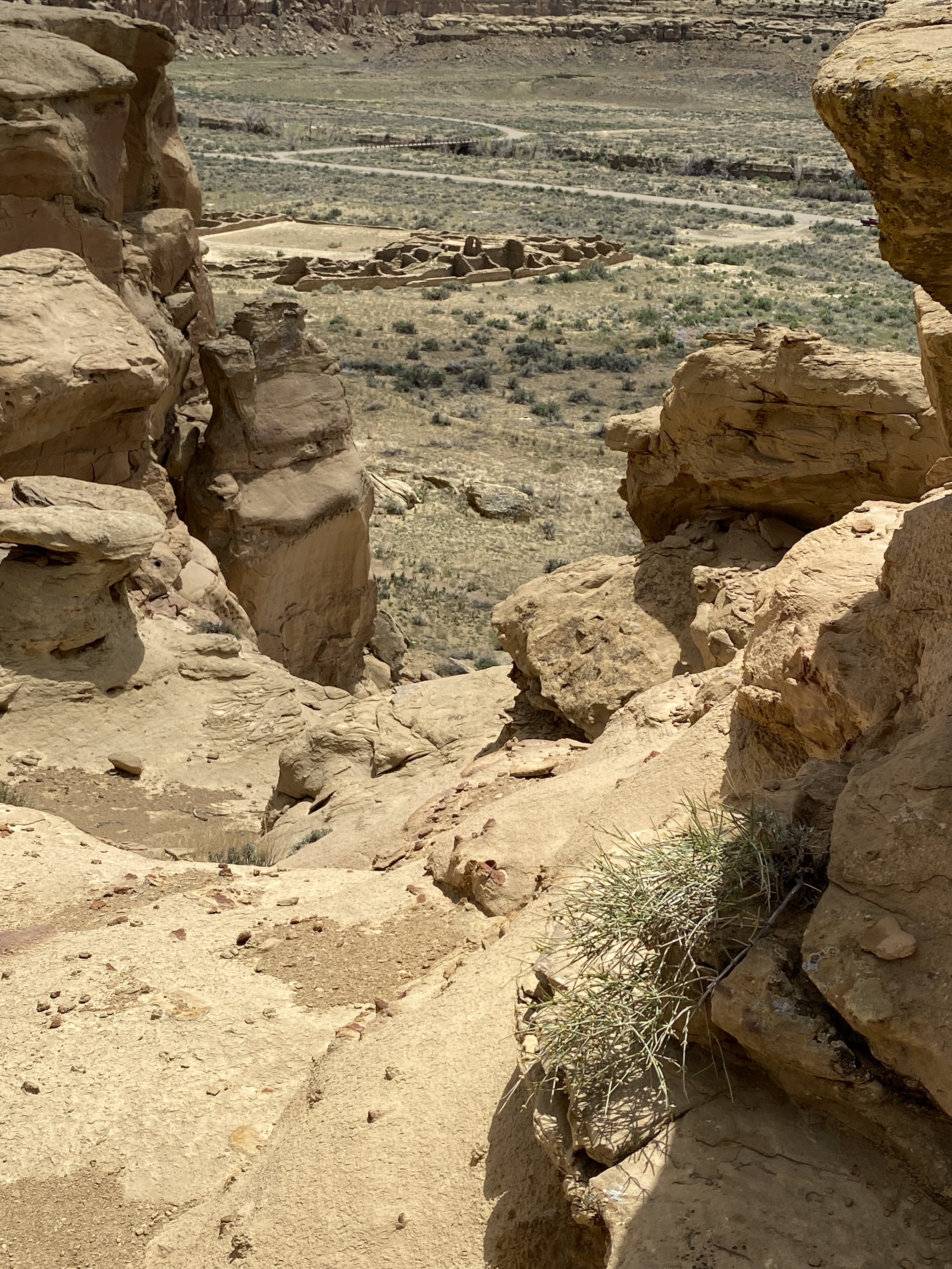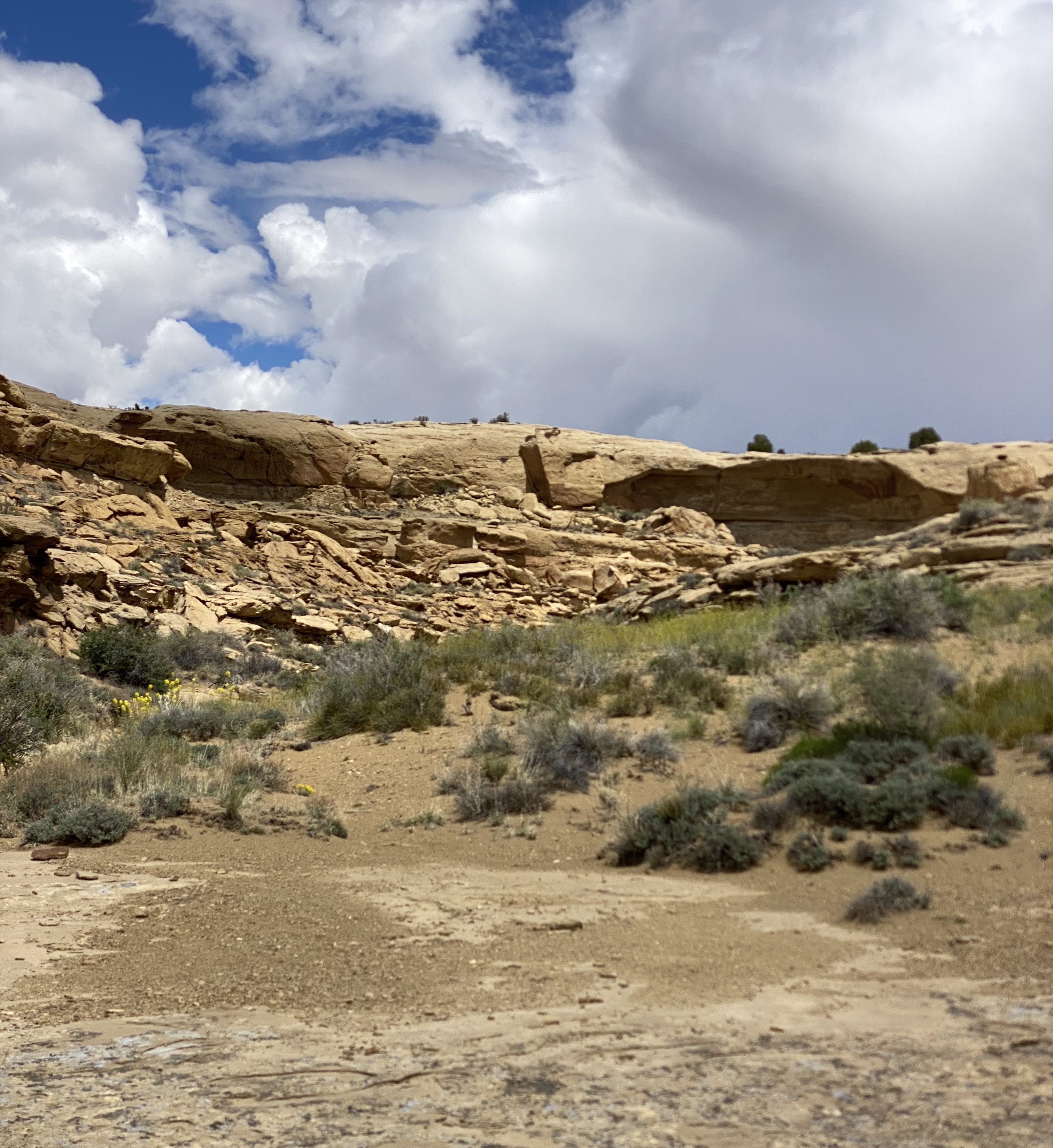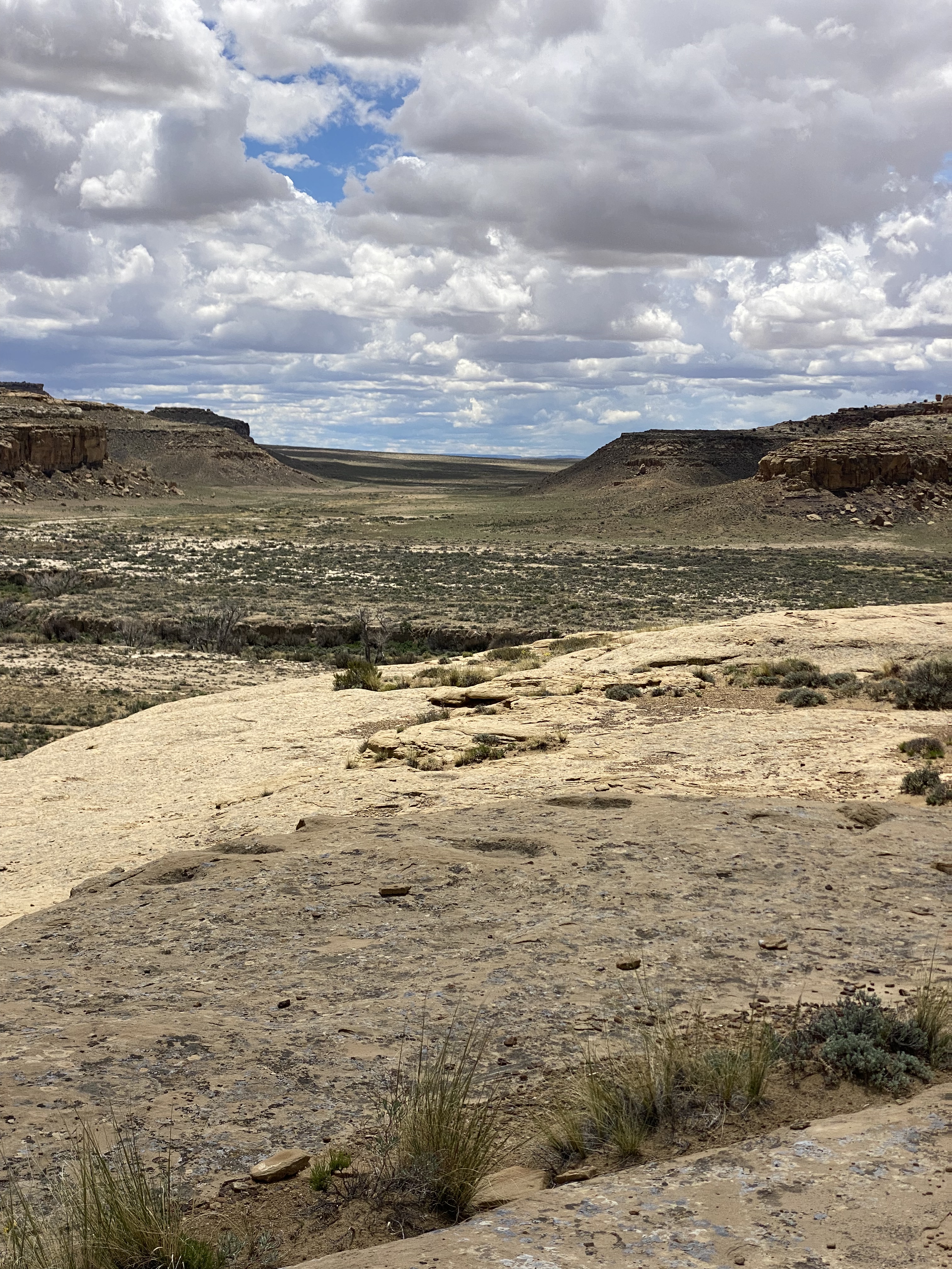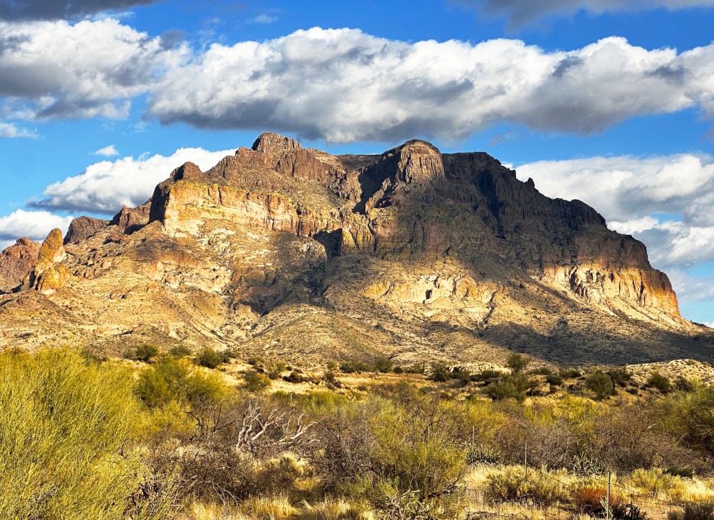
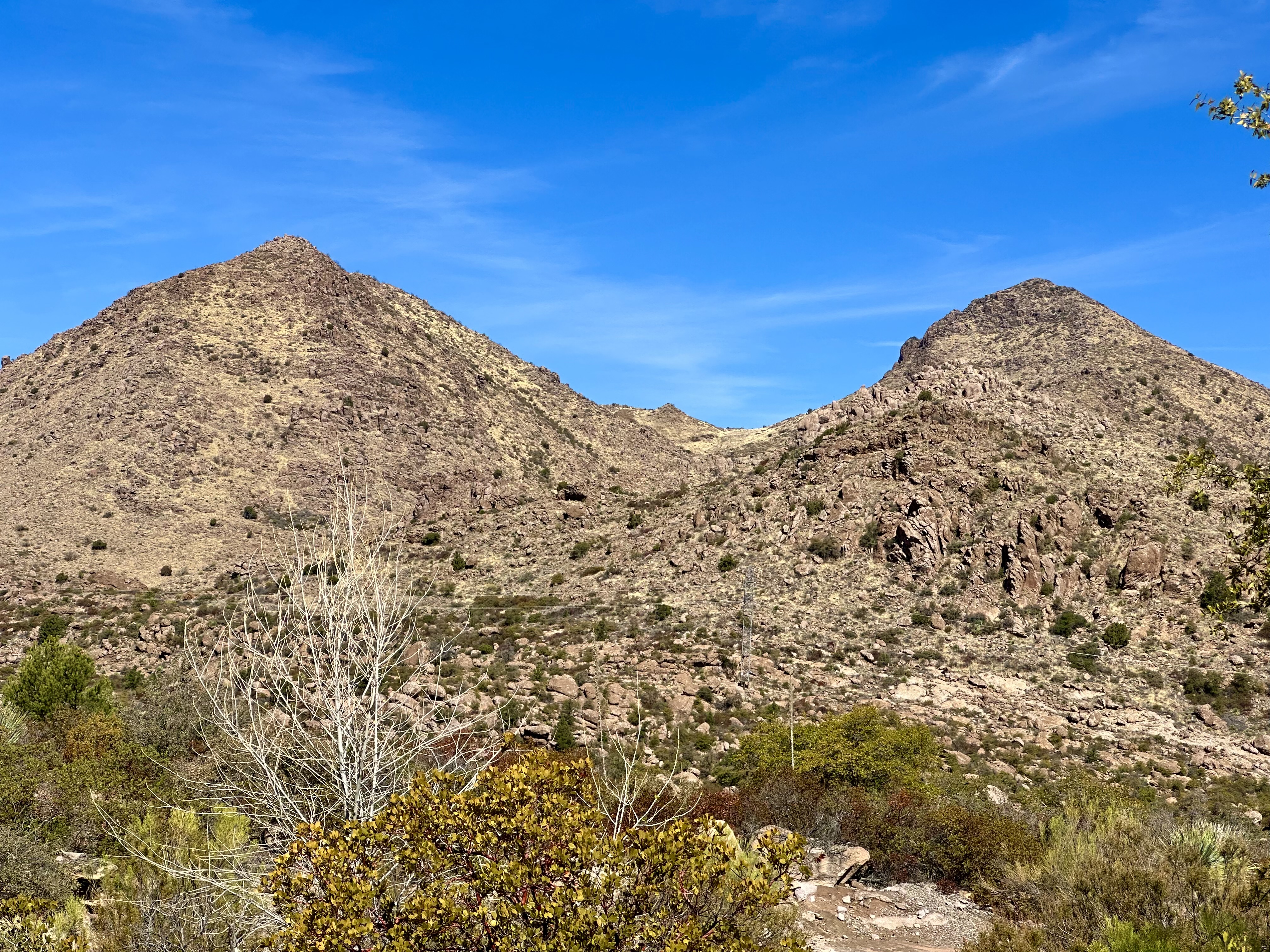
This segment of our adventure took us from the Phoenix area across the Sonoran Desert towards the New Mexico border. We headed out toward Superior through a visually jarring landscape, although we were traveling just 65 miles east of Phoenix. We passed through a string of mining towns with their unearthly landscapes, the desolate San Carlos Reservation, the riparian Gila River Valley, the Pinal Mountains and finally, the most impressive Pinaleno Mountains.
SUPERIOR(FOUNDED 1882, POP. 2571, ELEV. 2,888′)
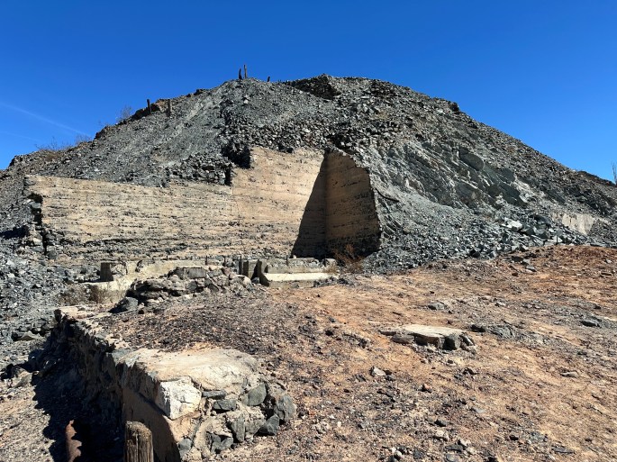
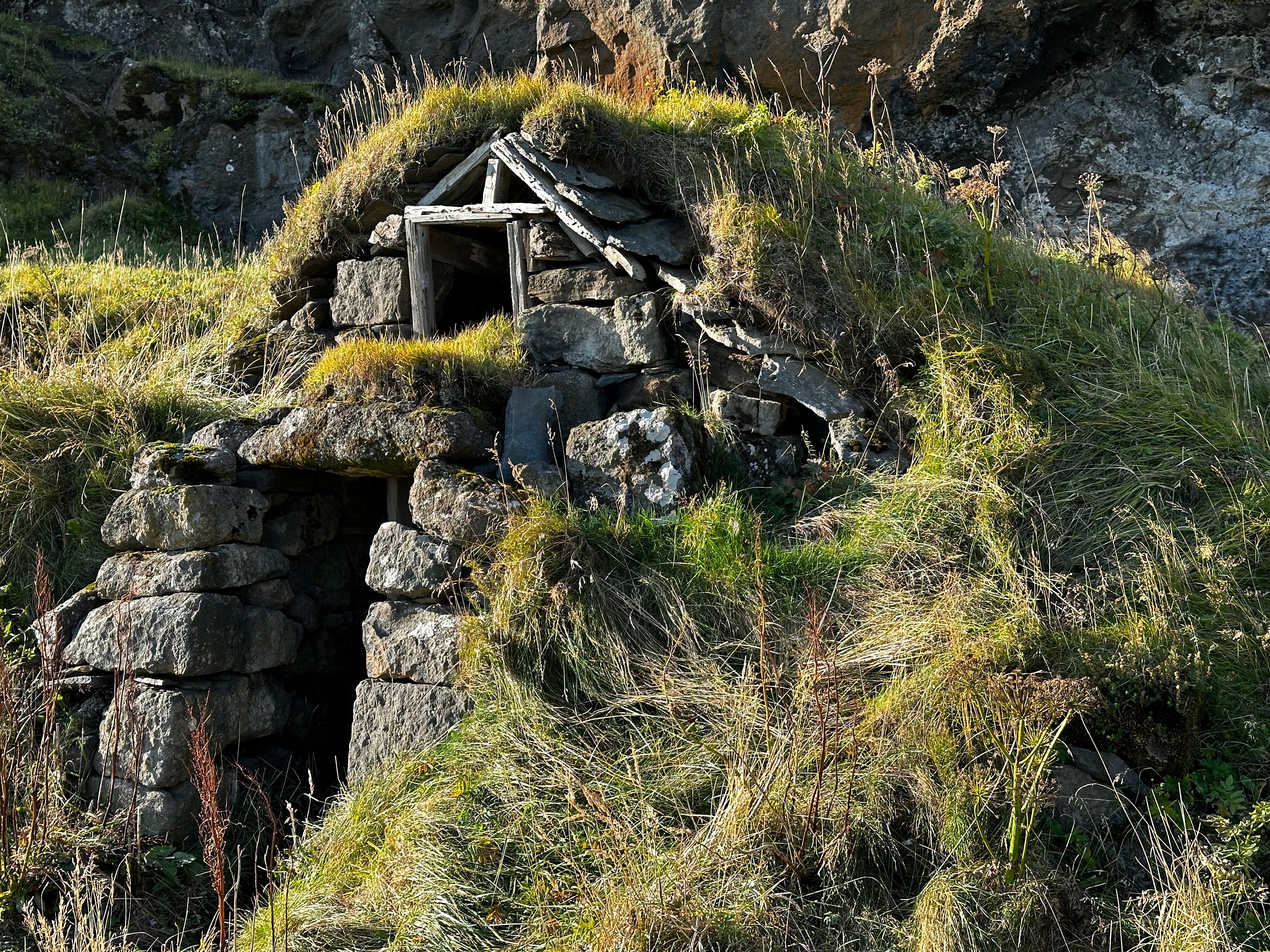
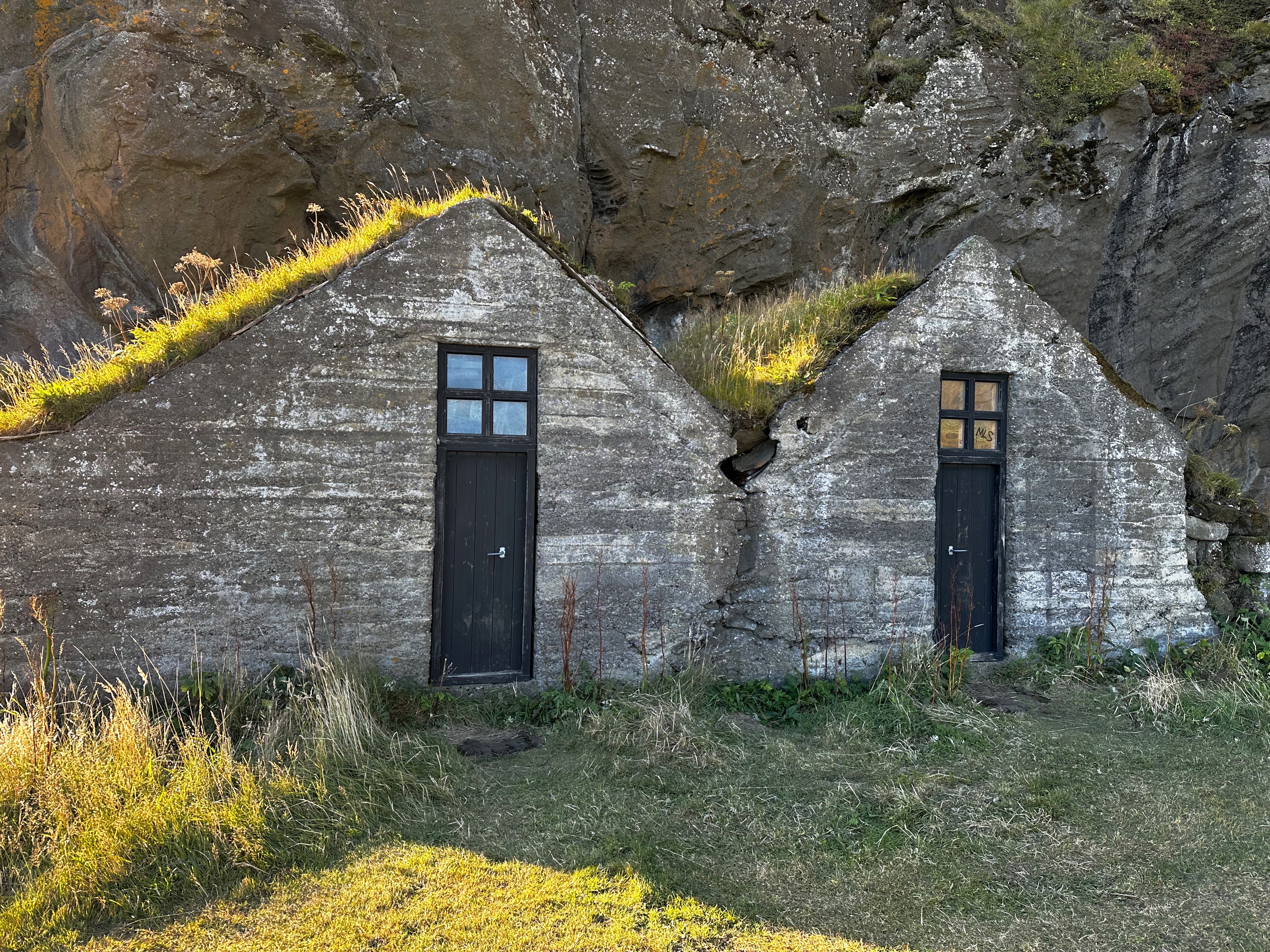
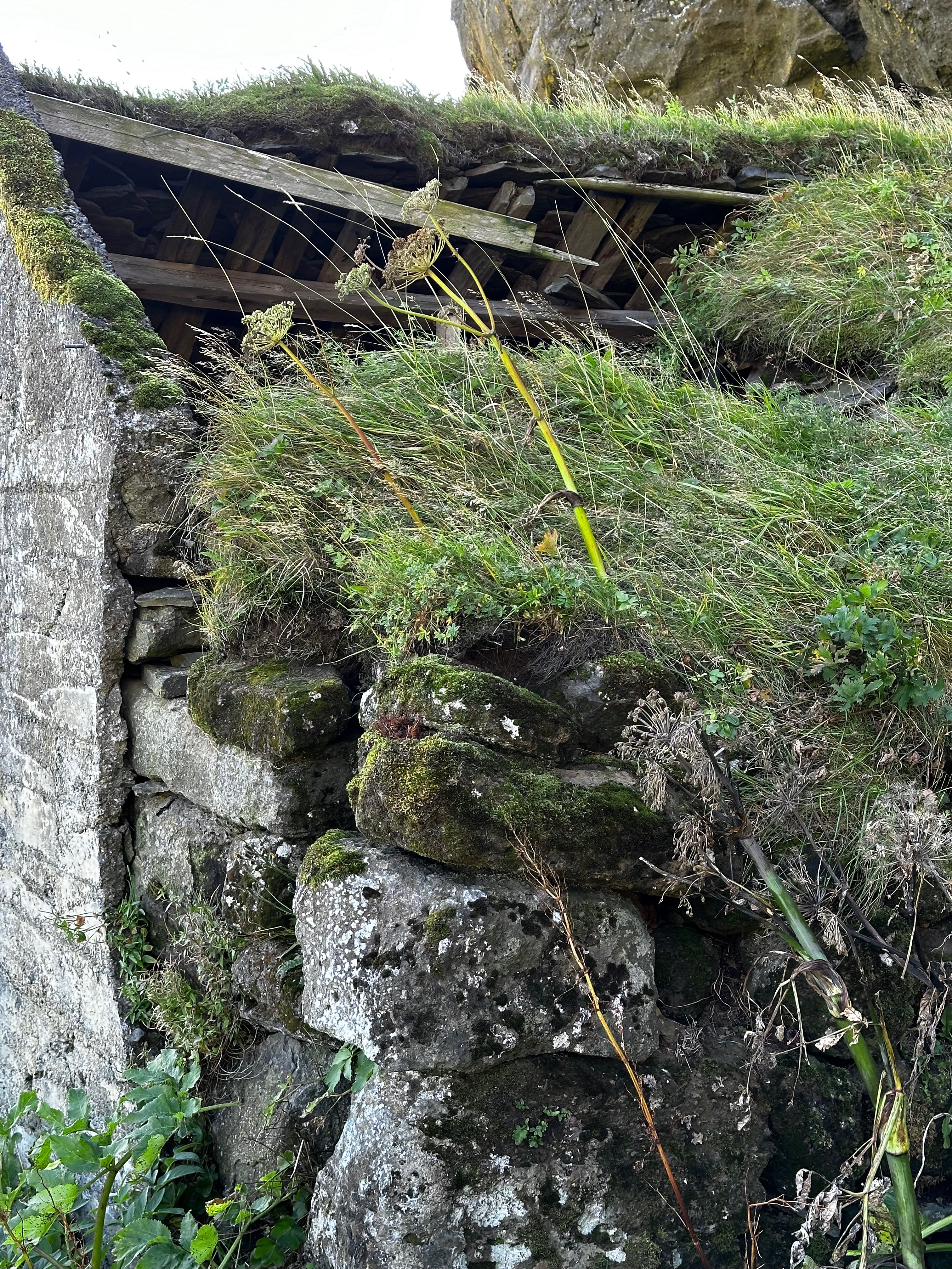
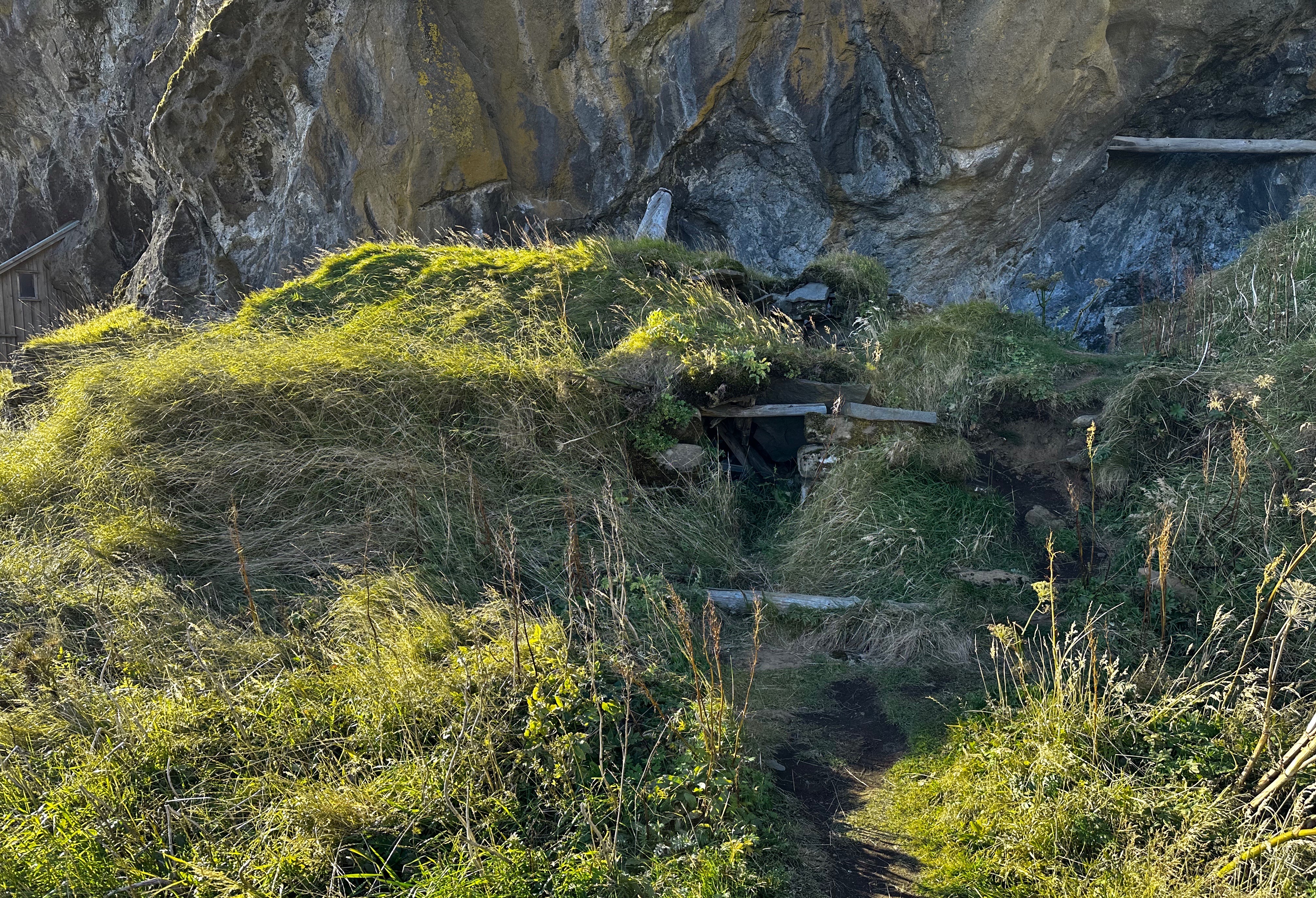
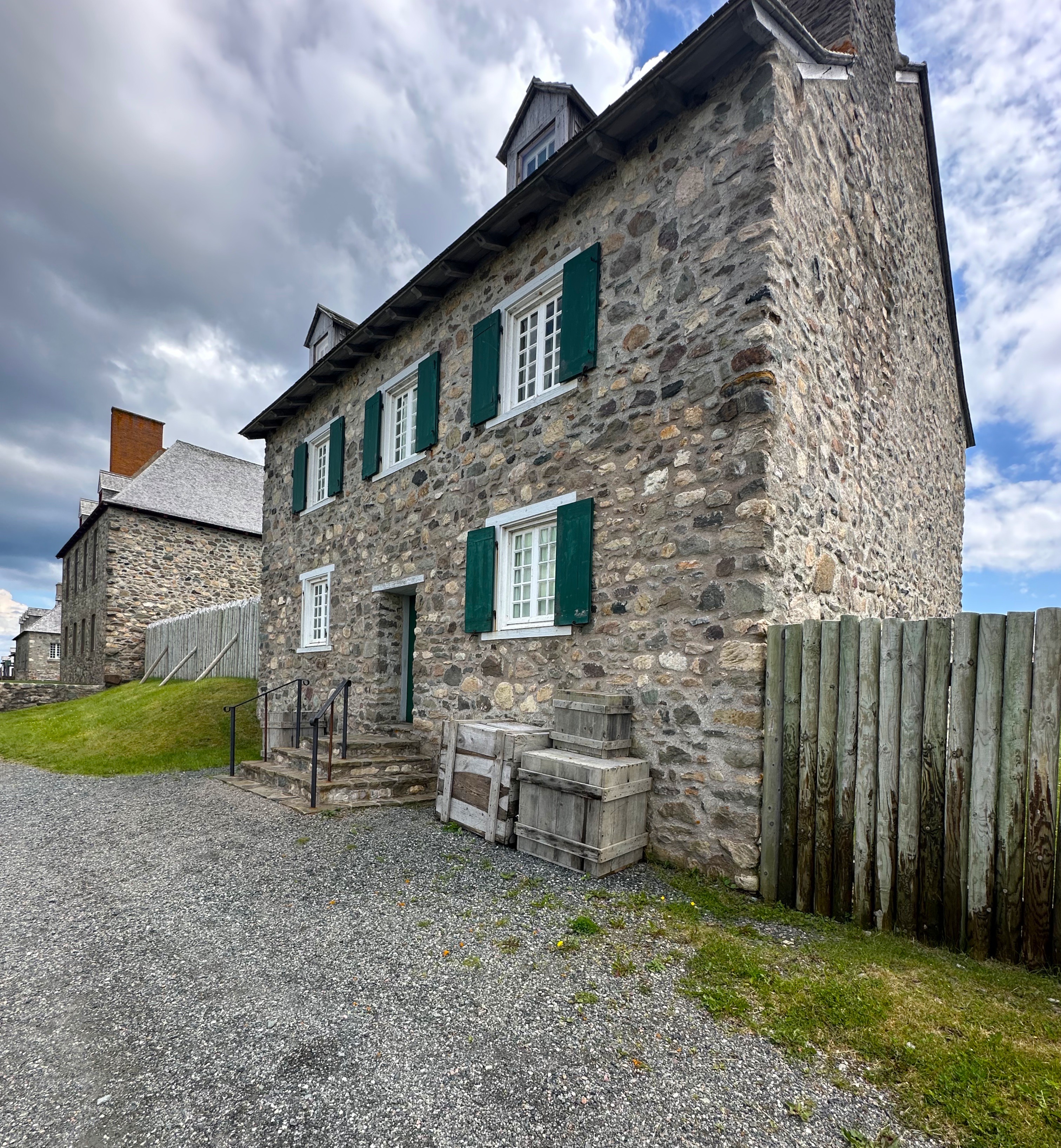
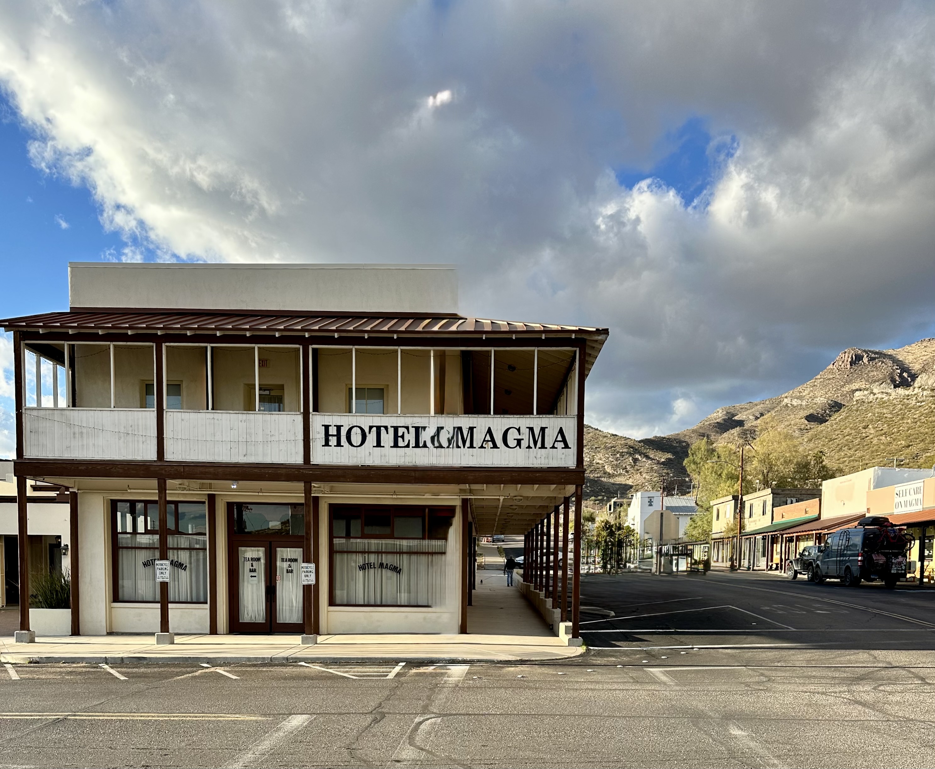
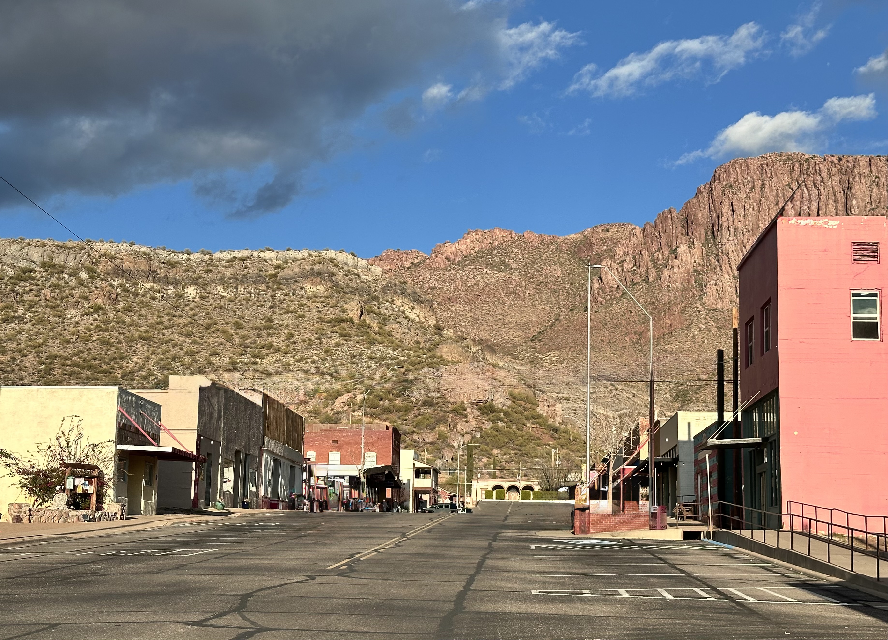
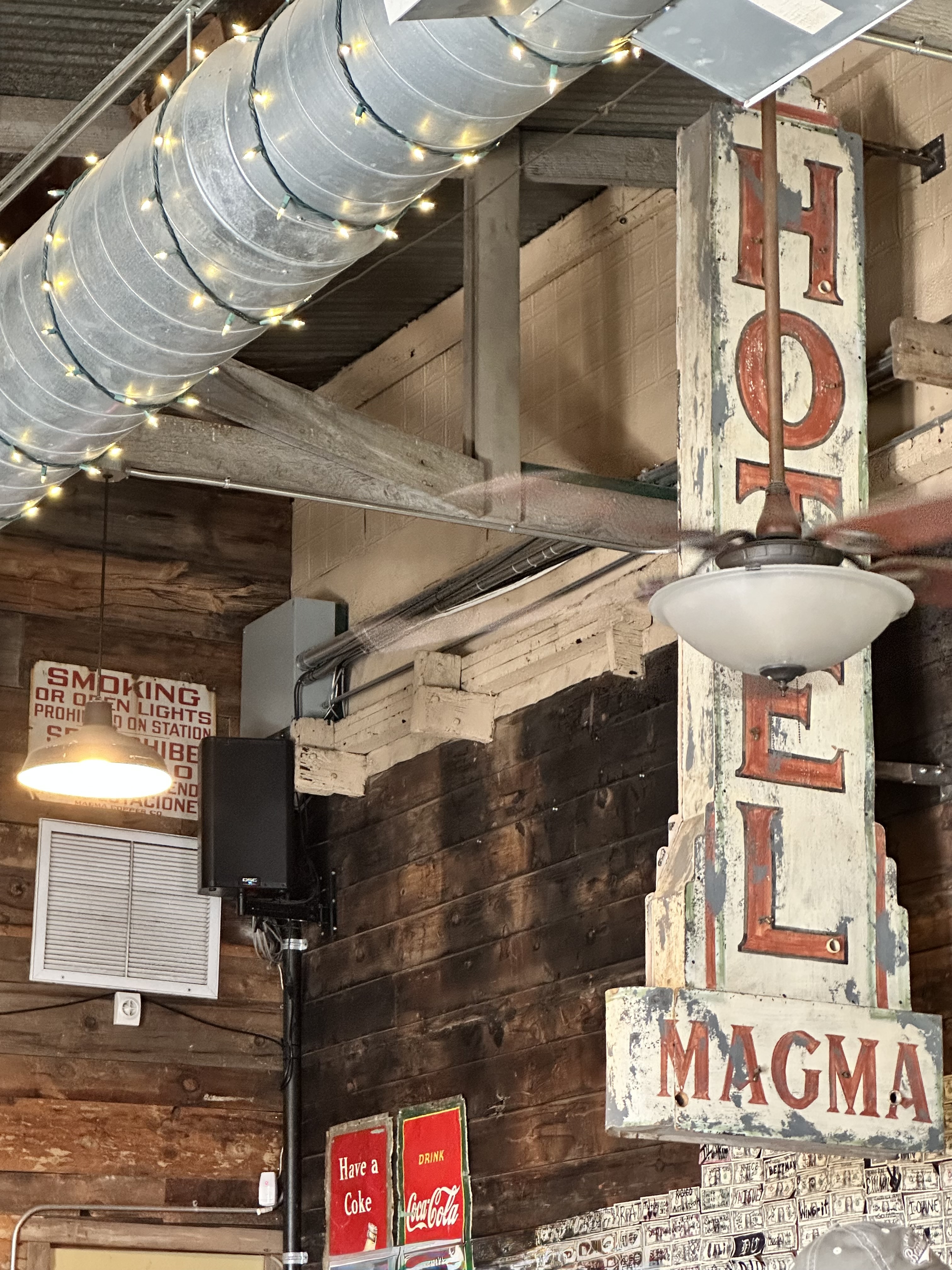
The town of Superior was the first of the mining or former mining towns on this trek. The town was formed in 1875 with the discovery of rich veins of silver resulting in the creation of the Silver King Mine. The silver market crashed within several years, but fortunately for the town folks, copper was discovered and the boom was on again. The Magma Copper Company operated from 1914 to 1996. Back to the bust portion of the program.

Today, the town with its proximity to Phoenix, beautiful scenery, bountiful hiking, rock climbing opportunities and the botanical garden is in the process of becoming discovered.
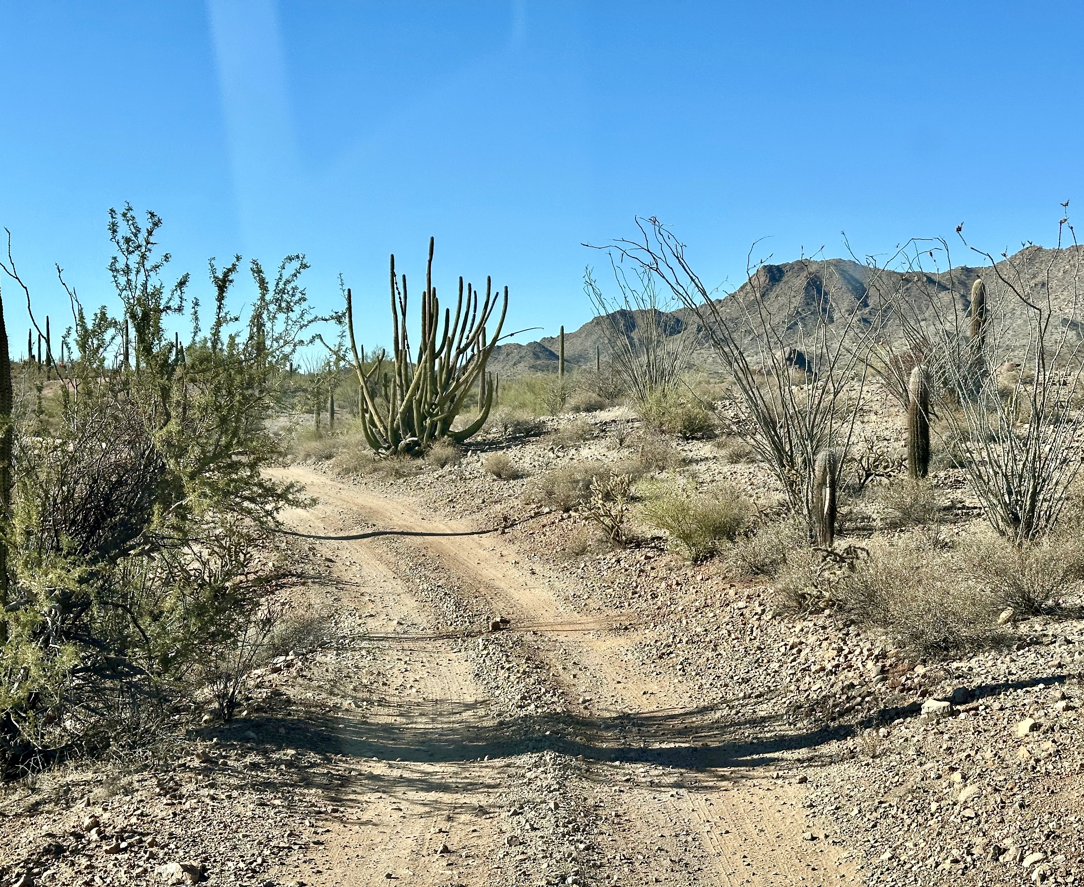
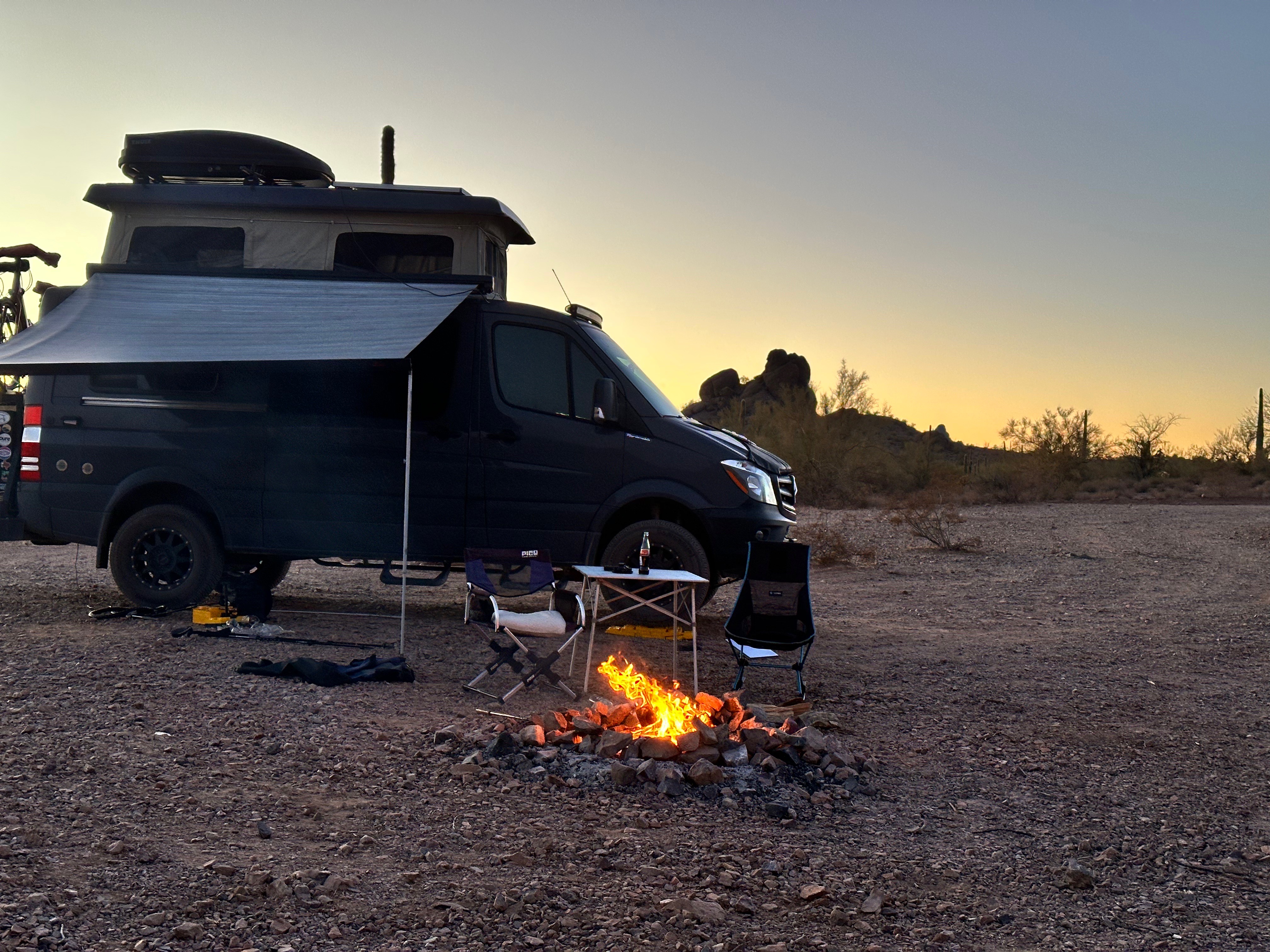
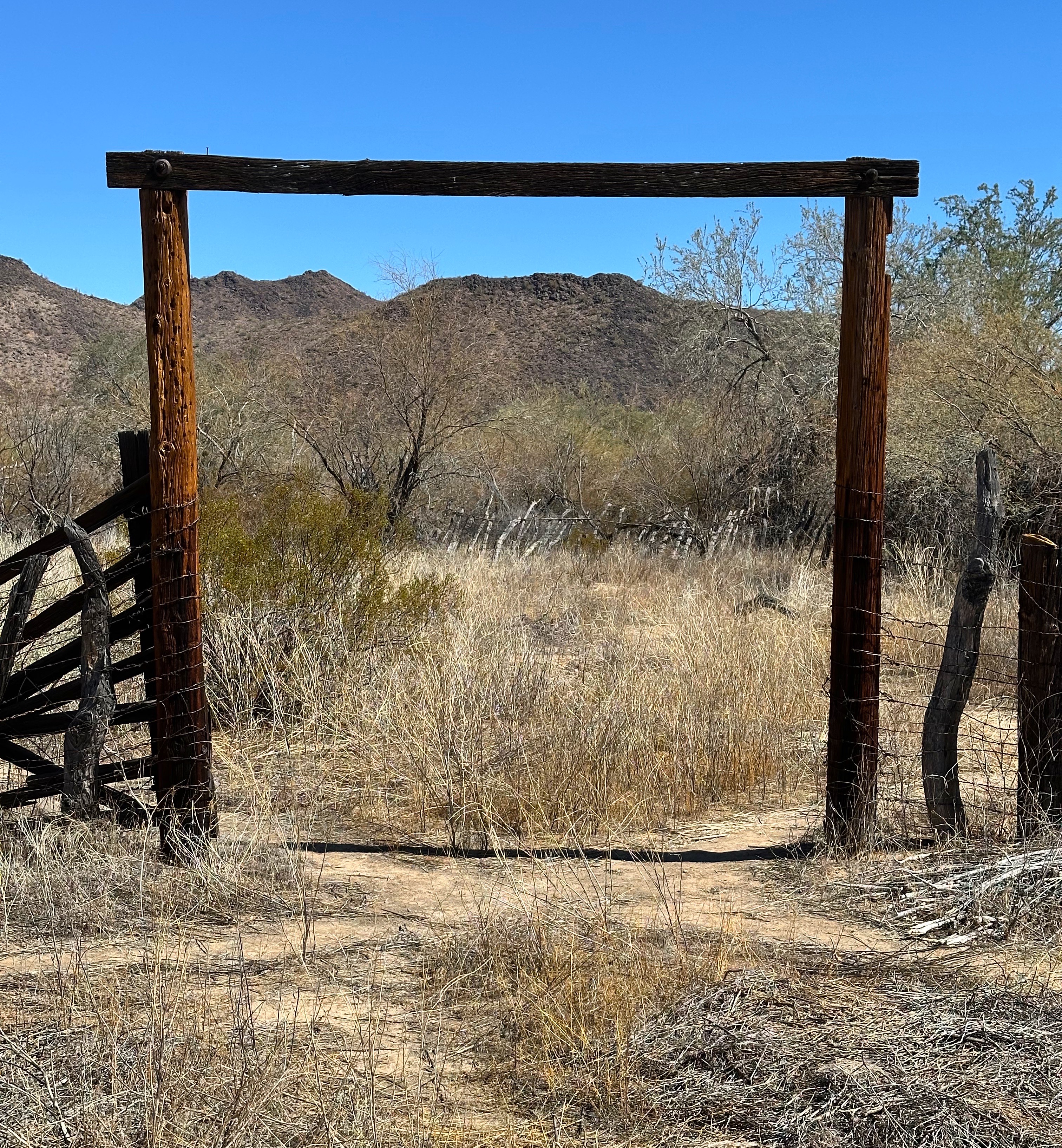
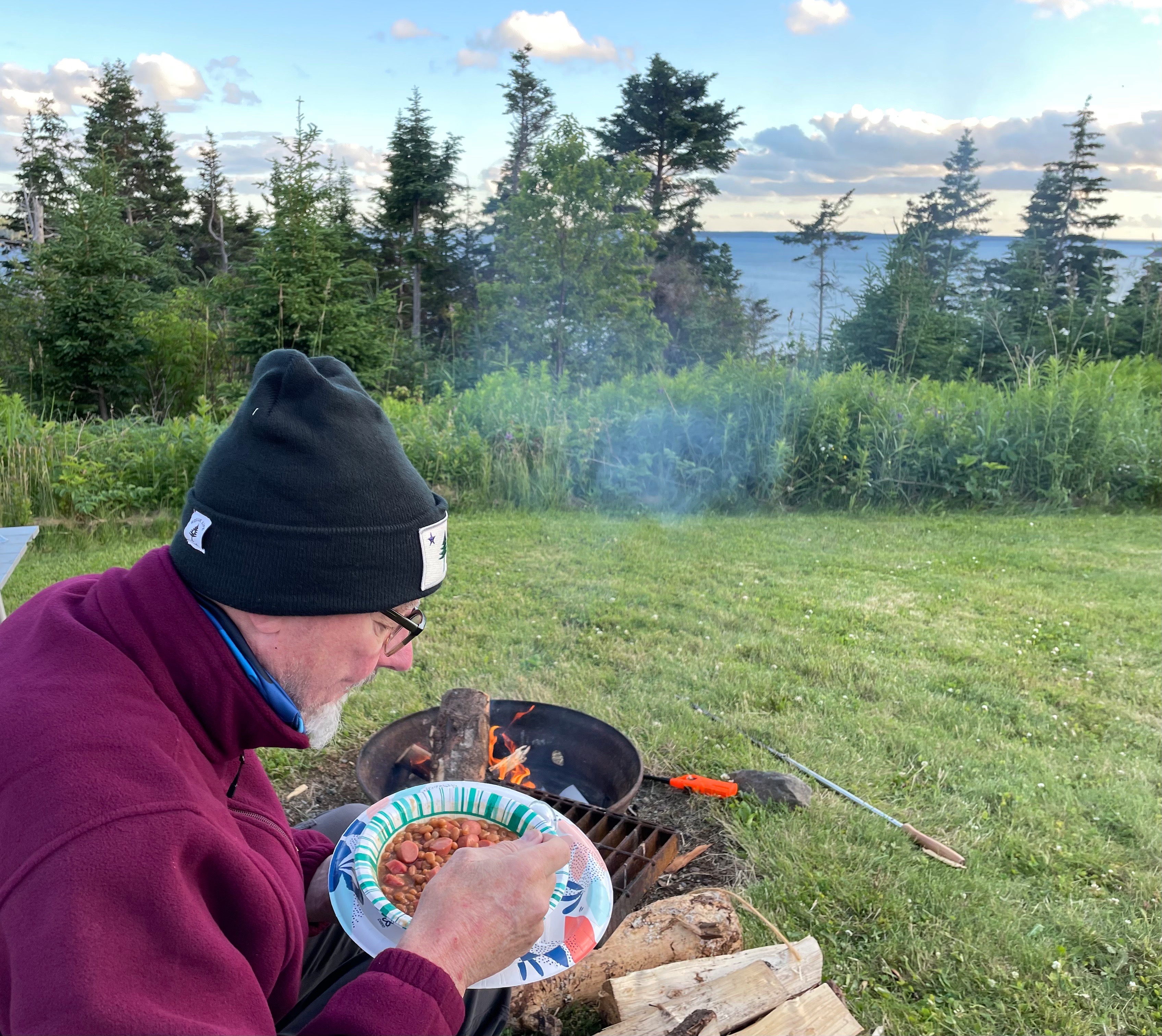
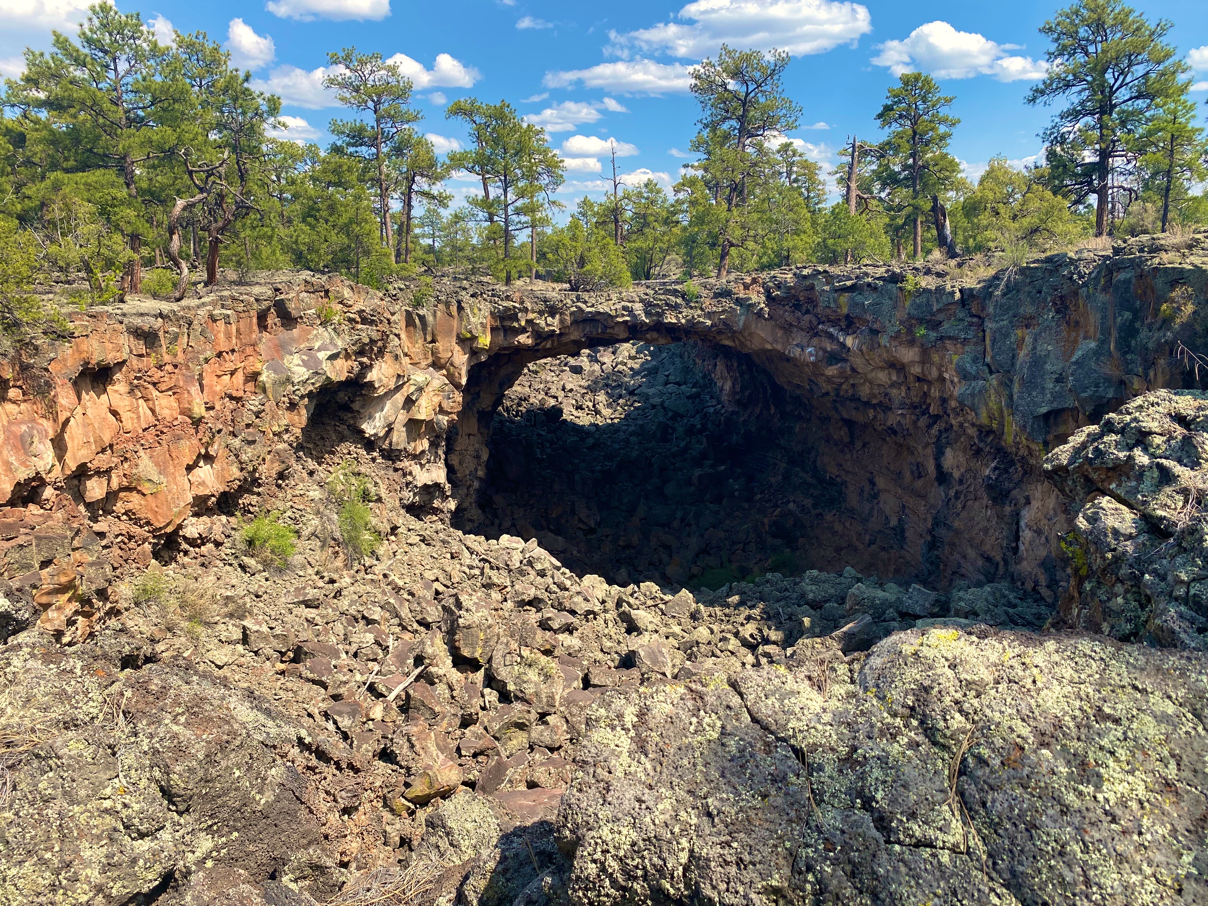
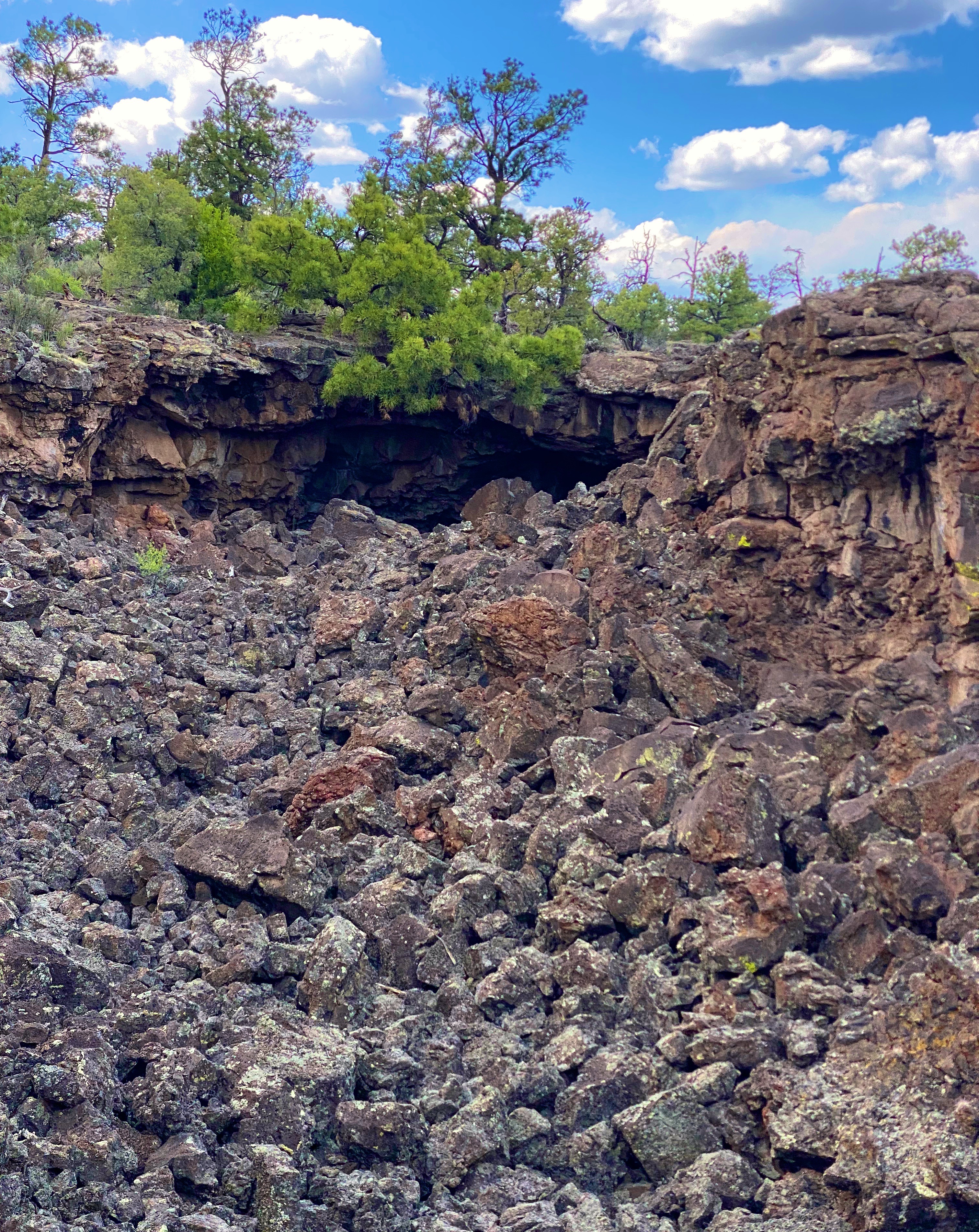
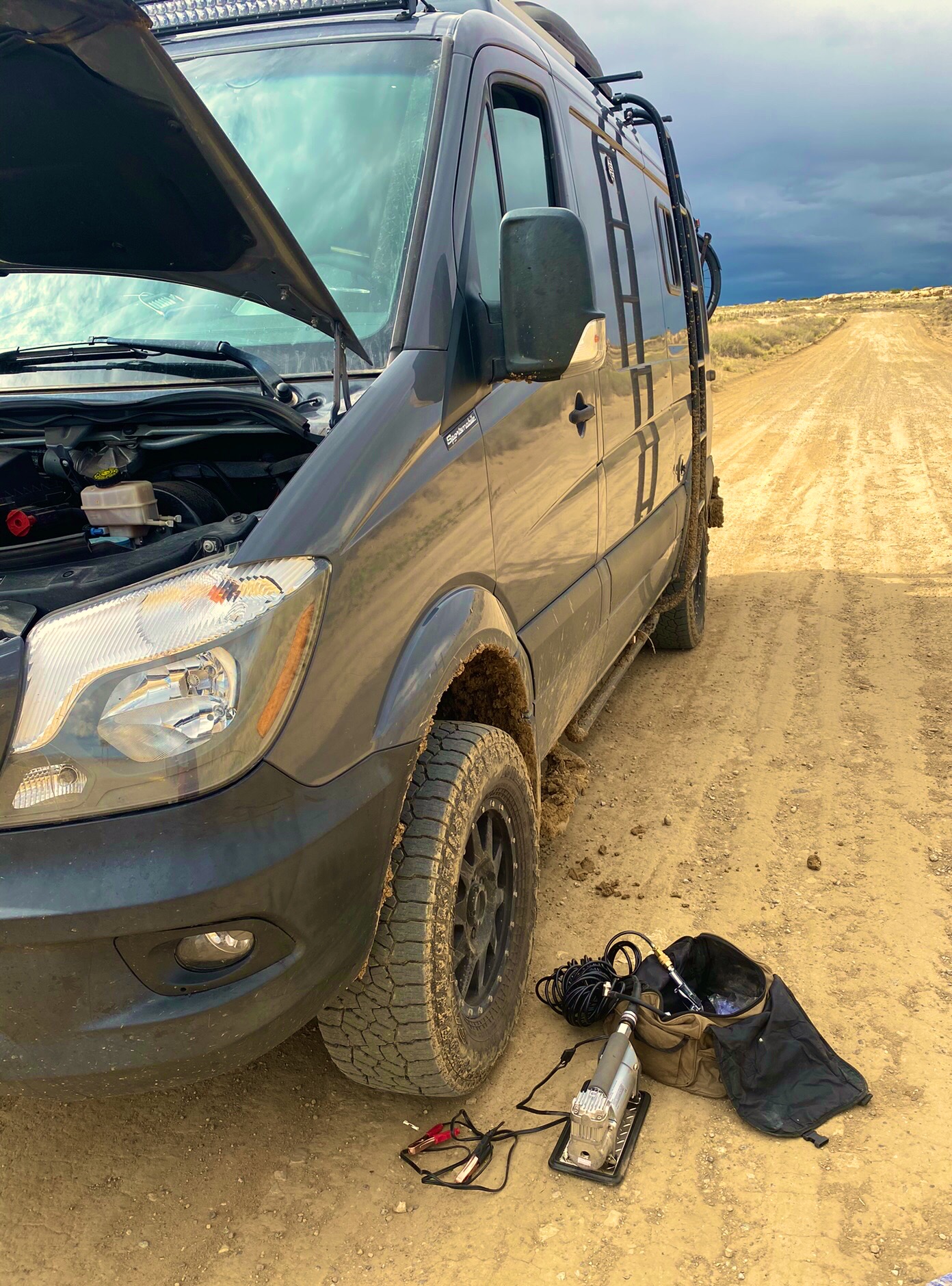
We stopped in Superior at the Circle K for fuel and firewood before heading up through the Queen Creek Canyon to look for a camping spot in the Oak Flat Recreation Area a few miles east of Superior.

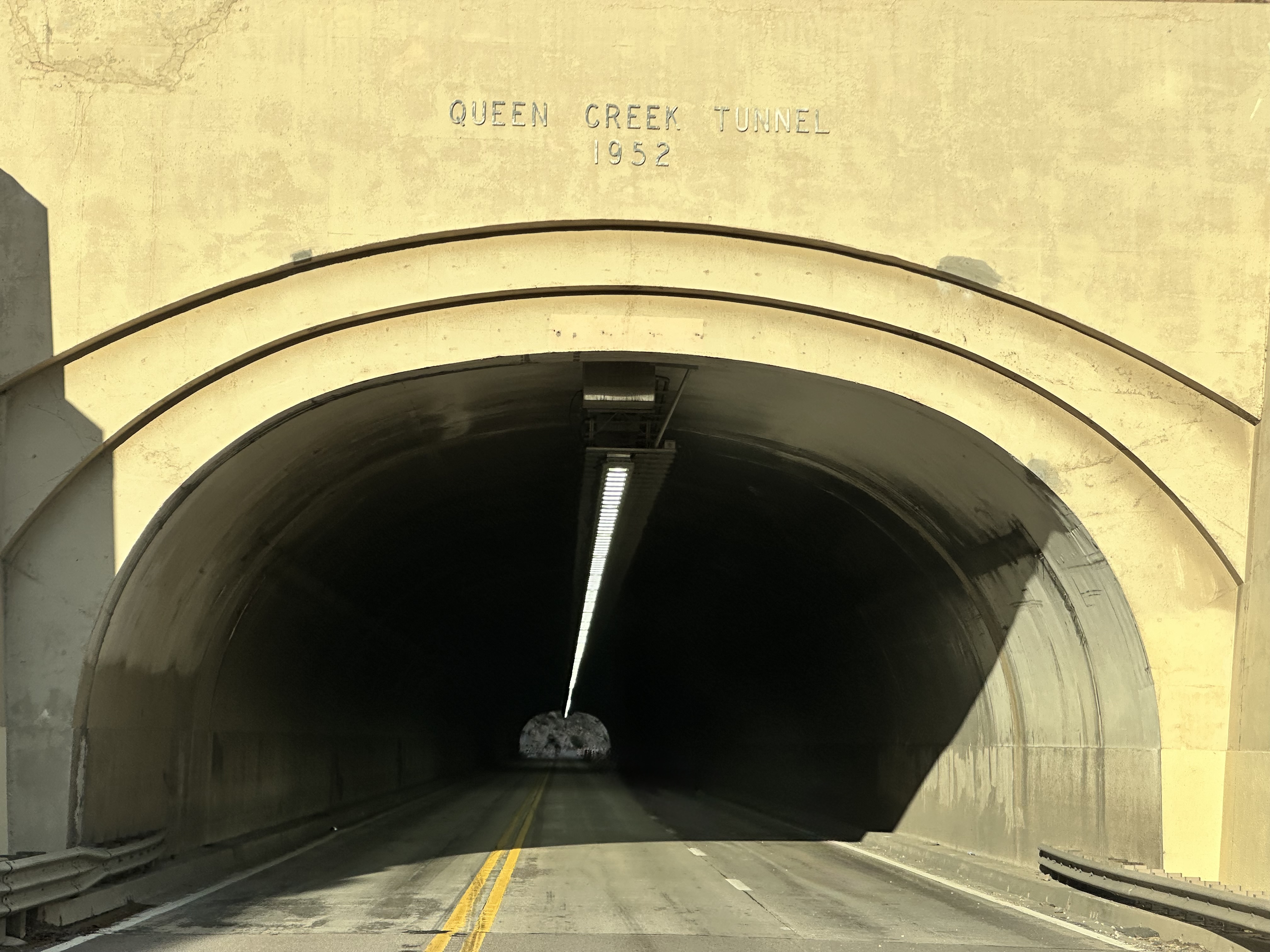
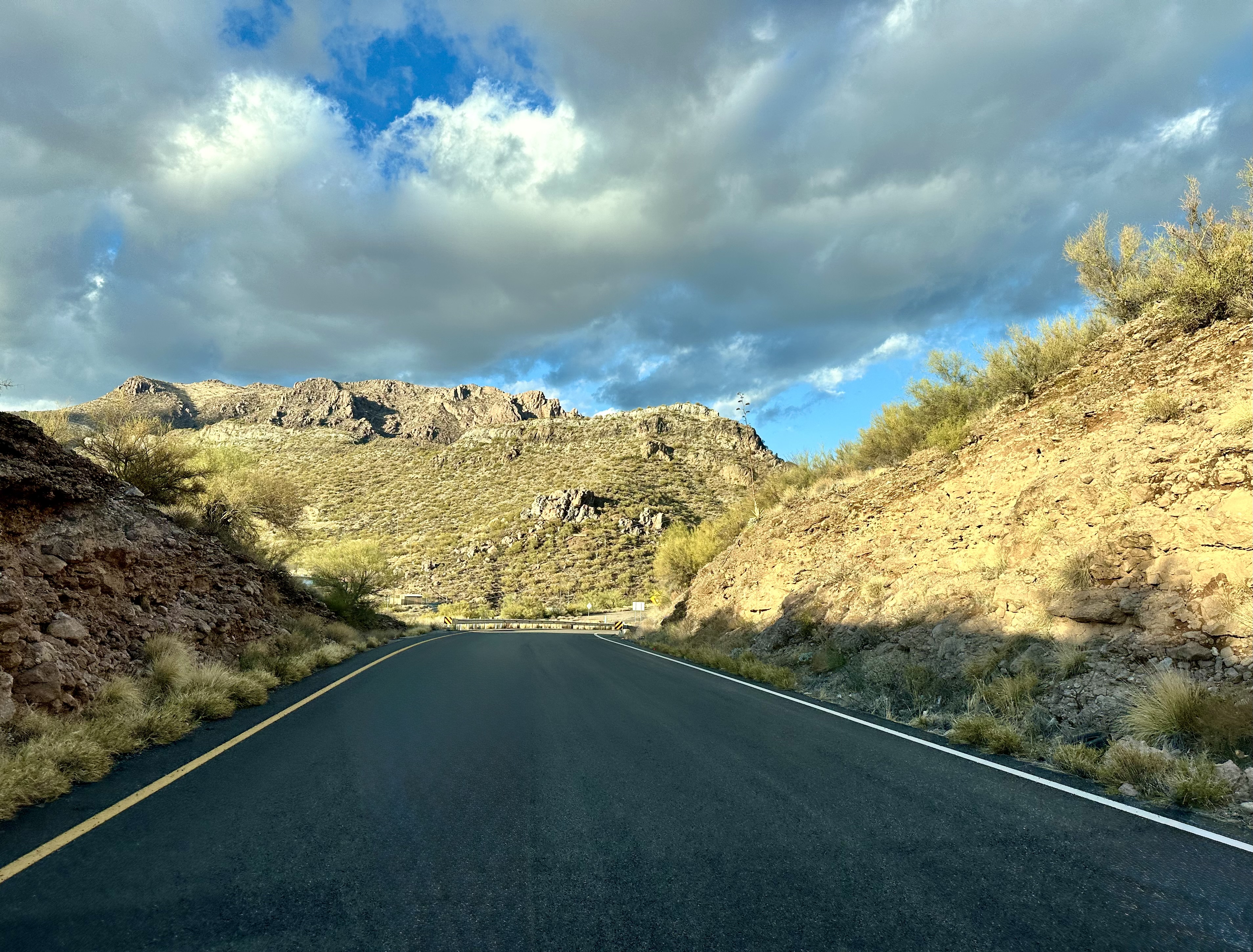


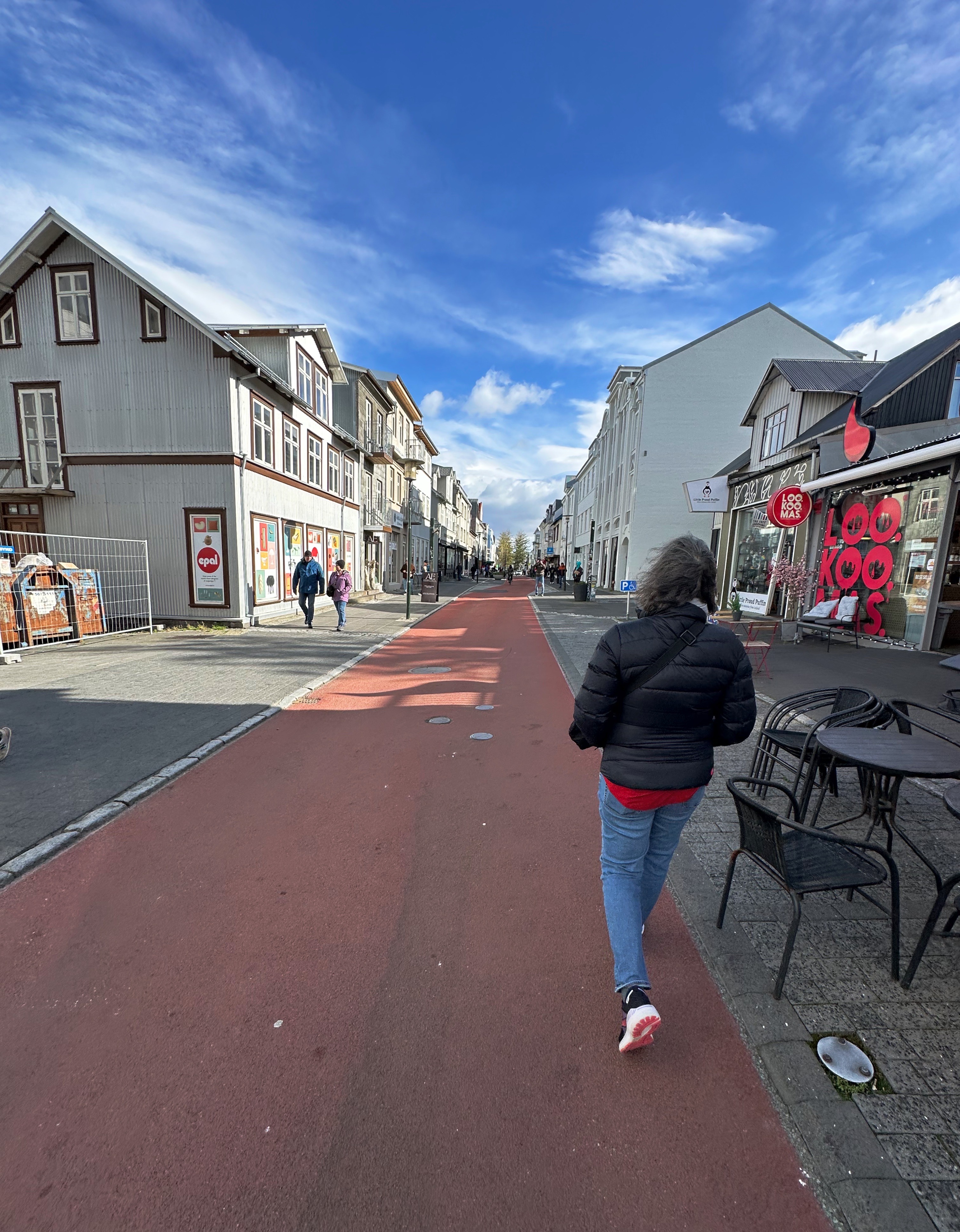
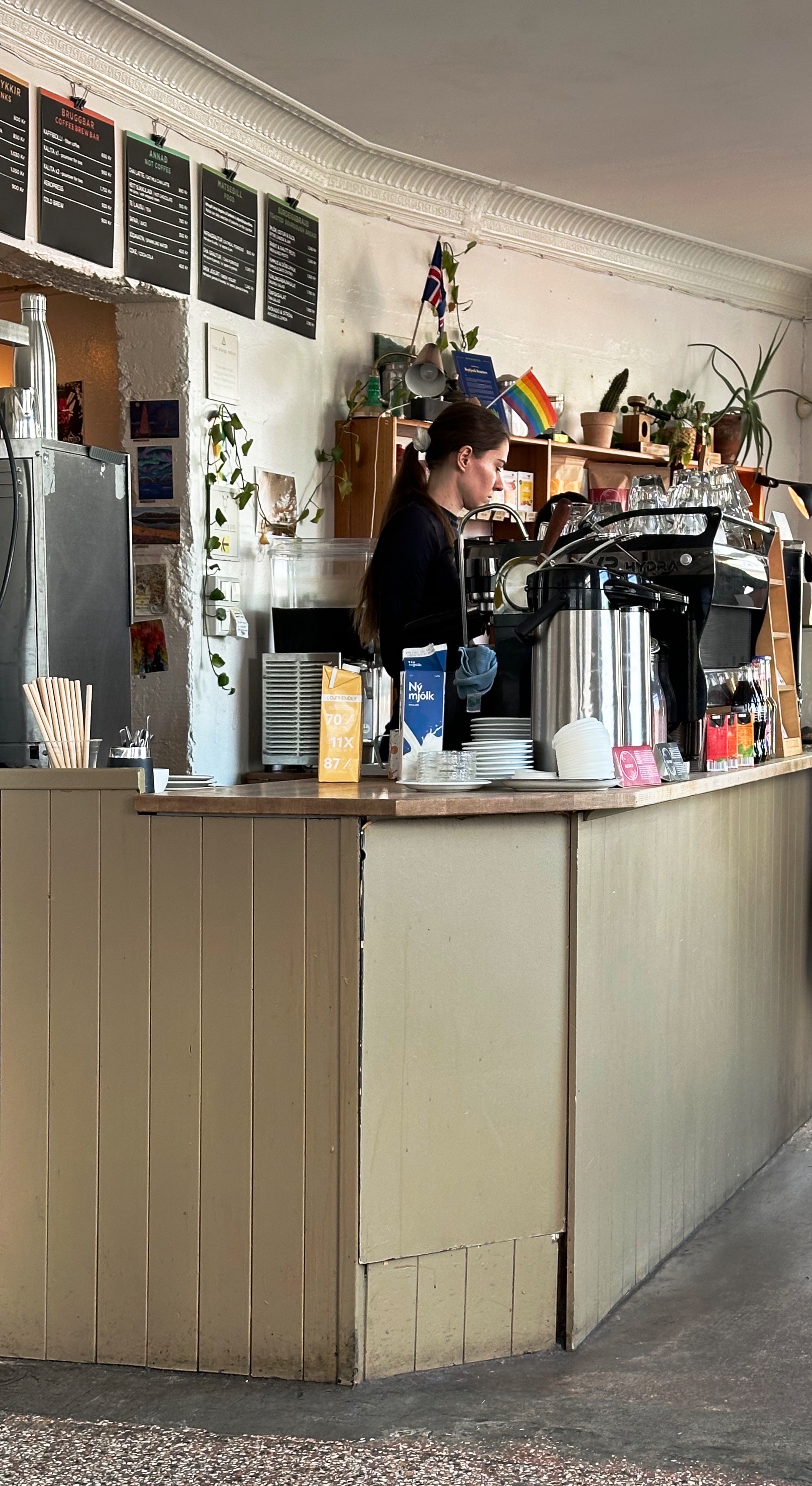
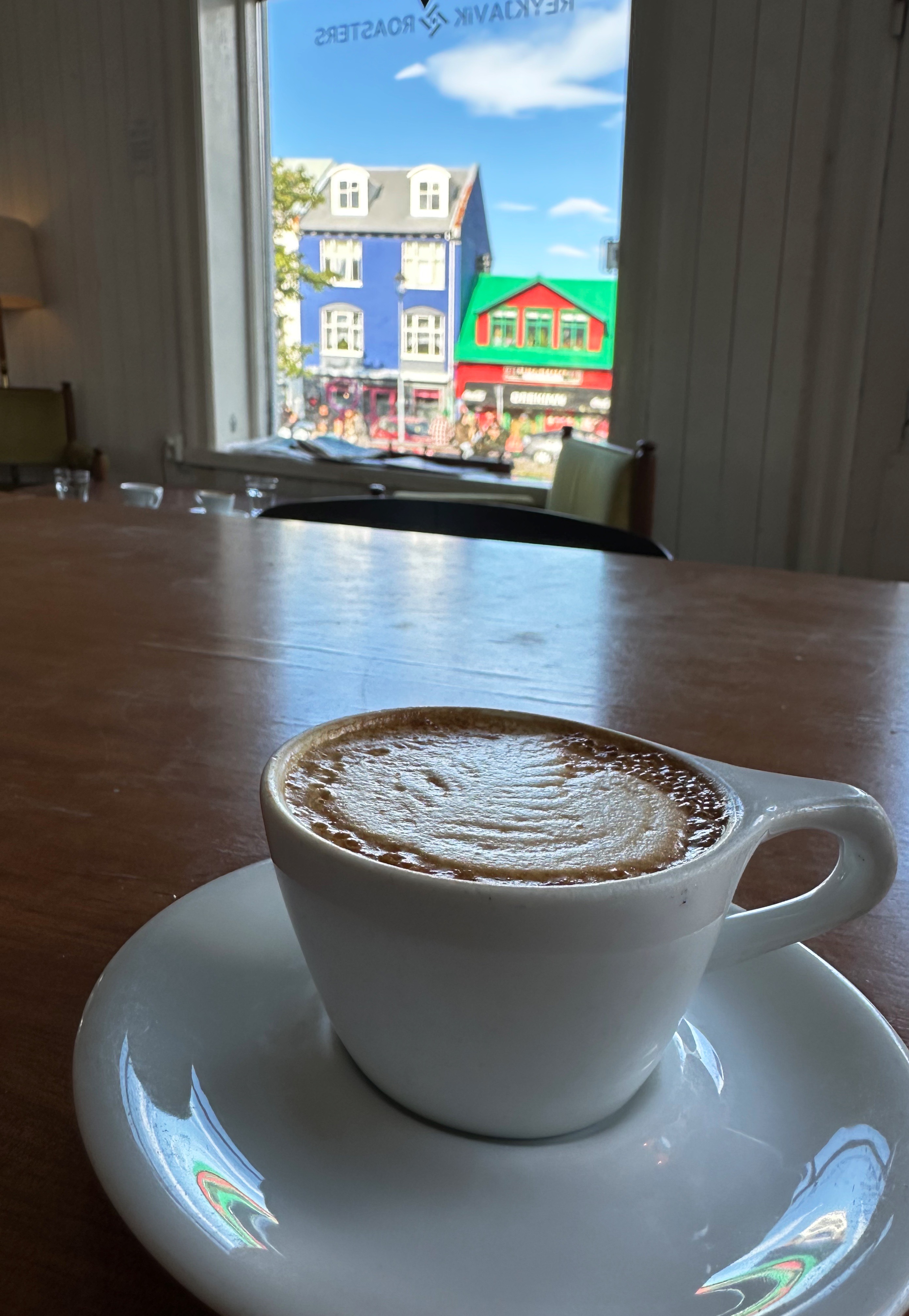
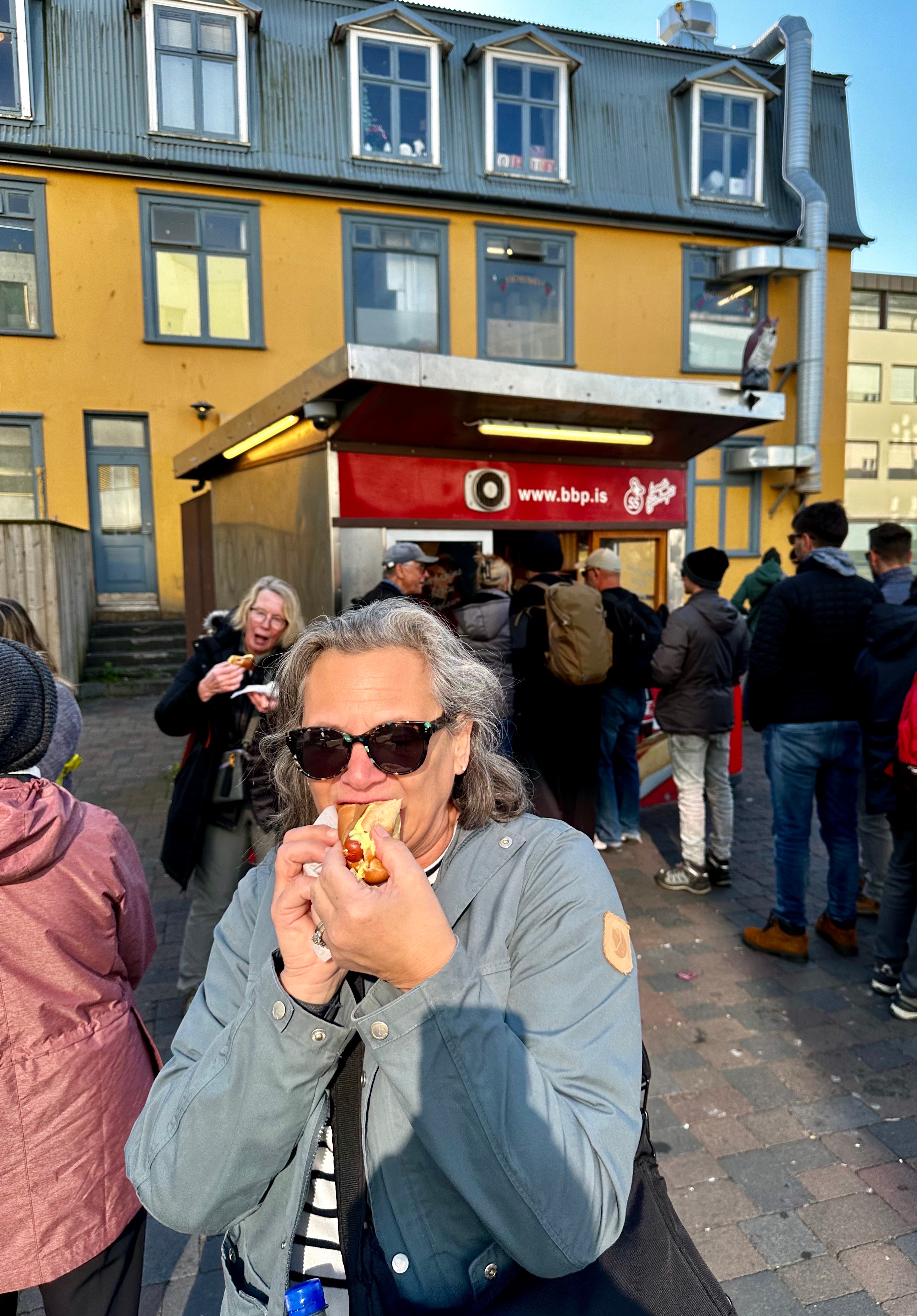
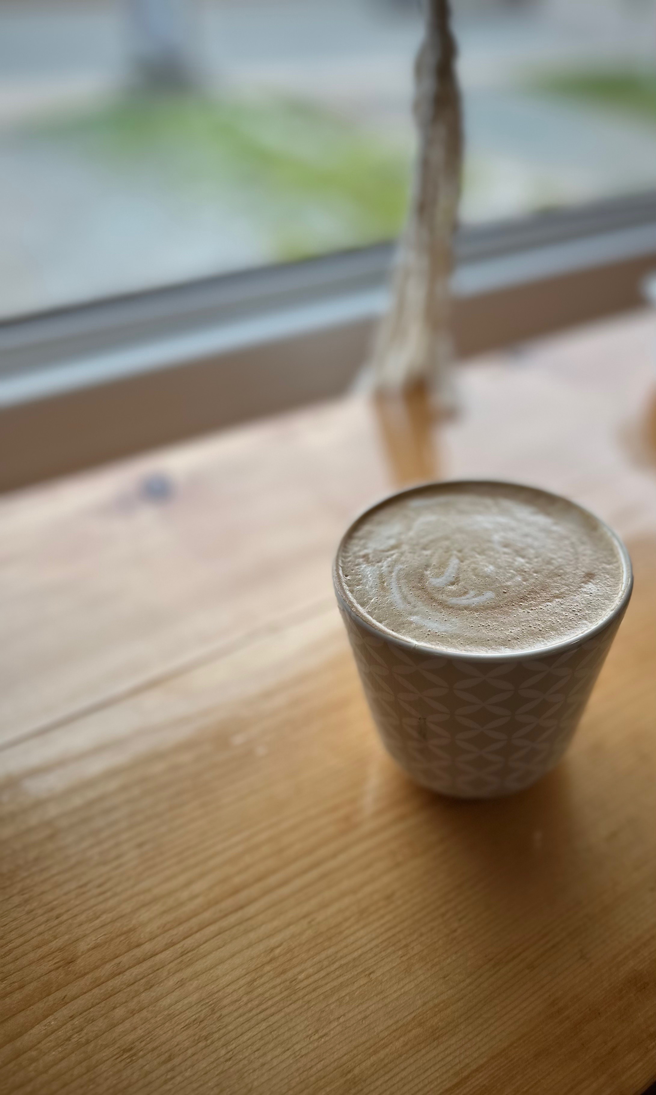
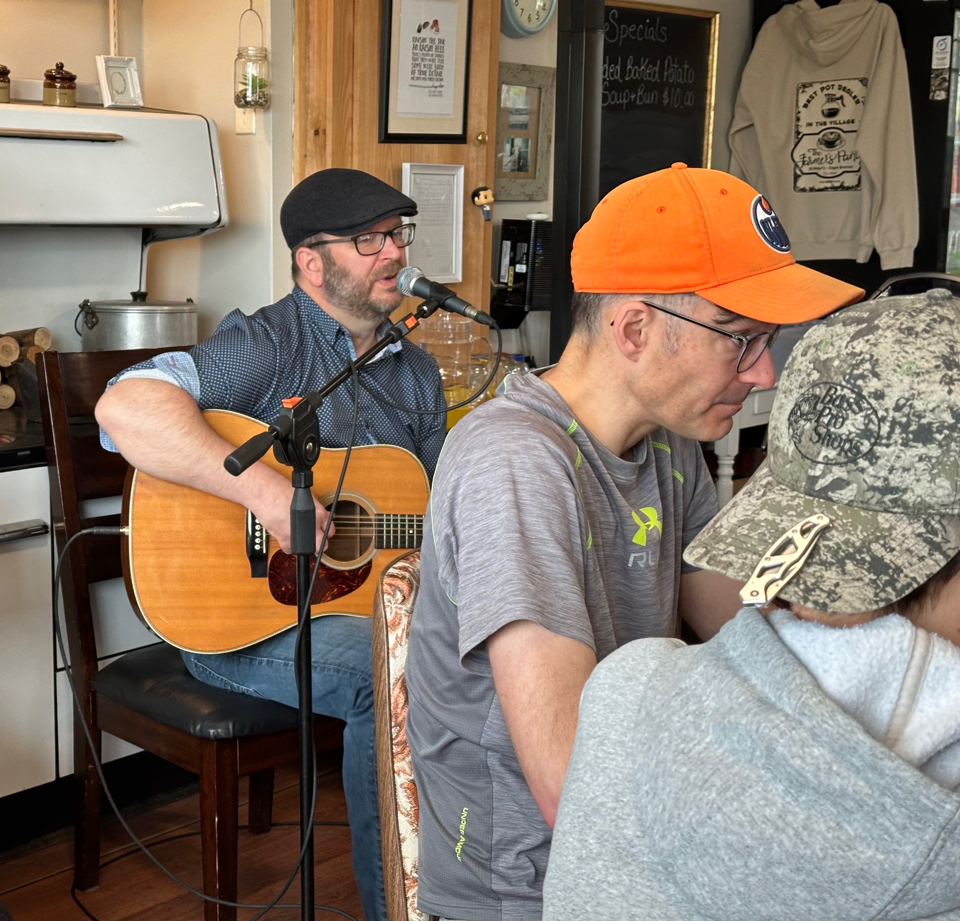
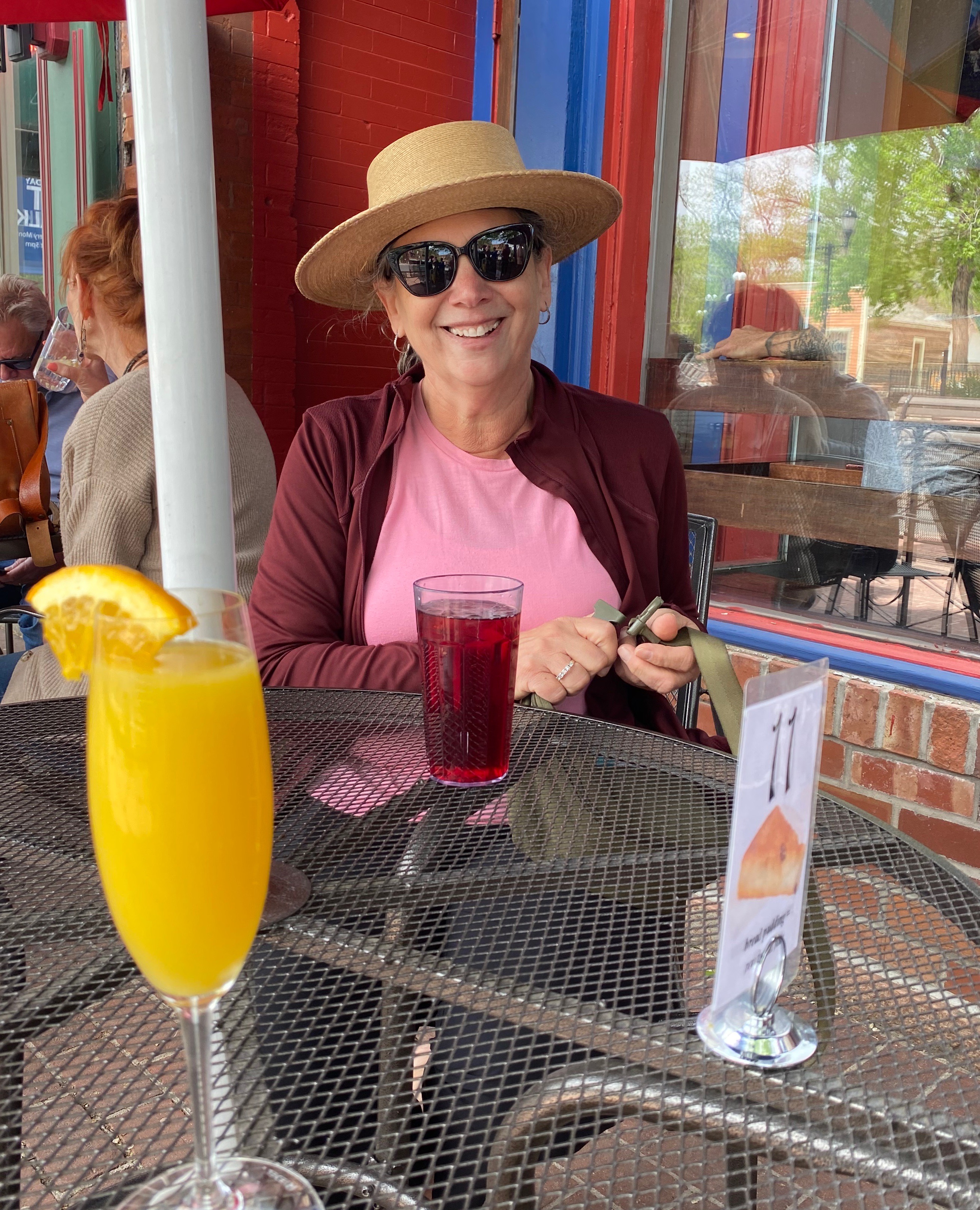
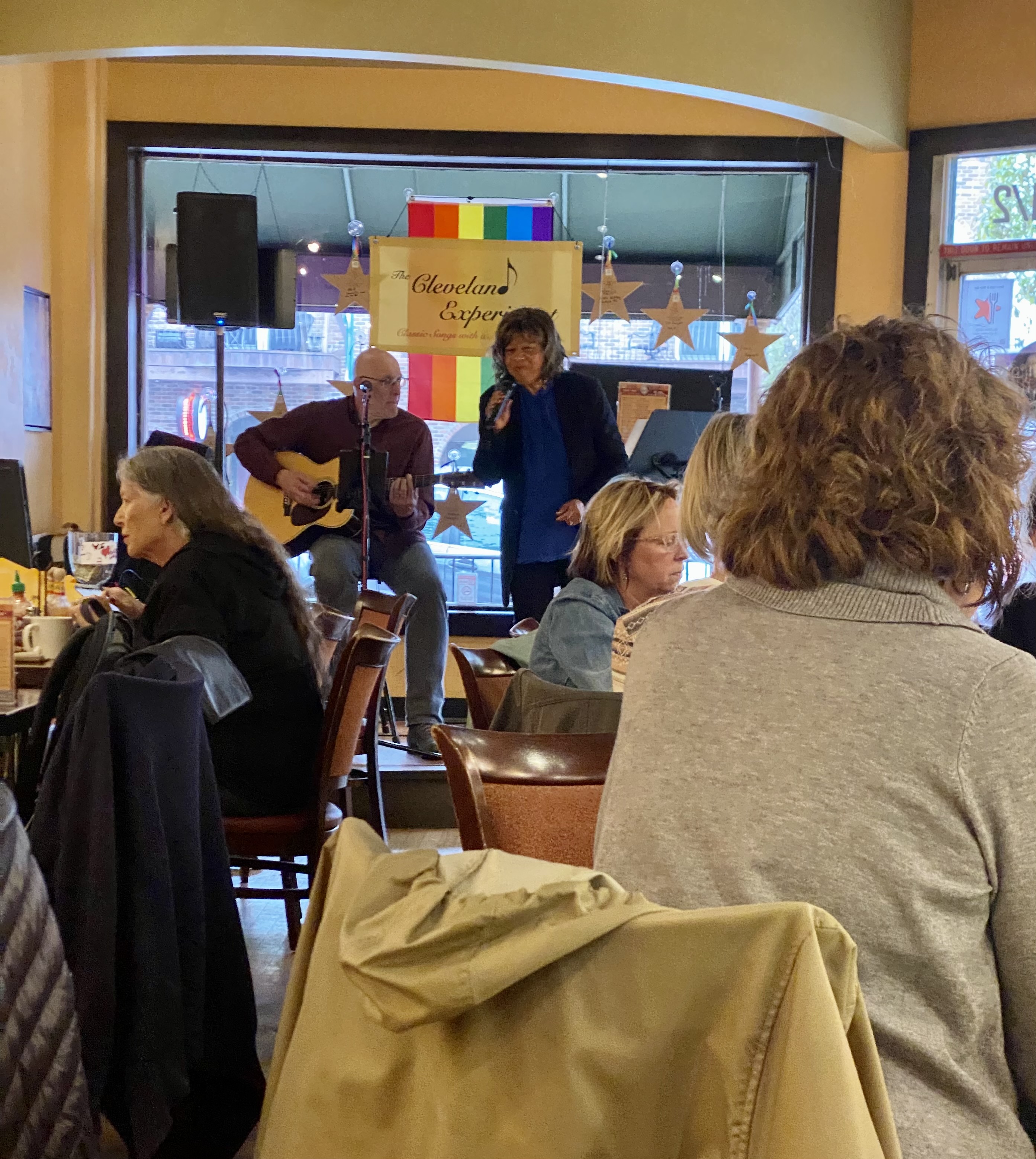
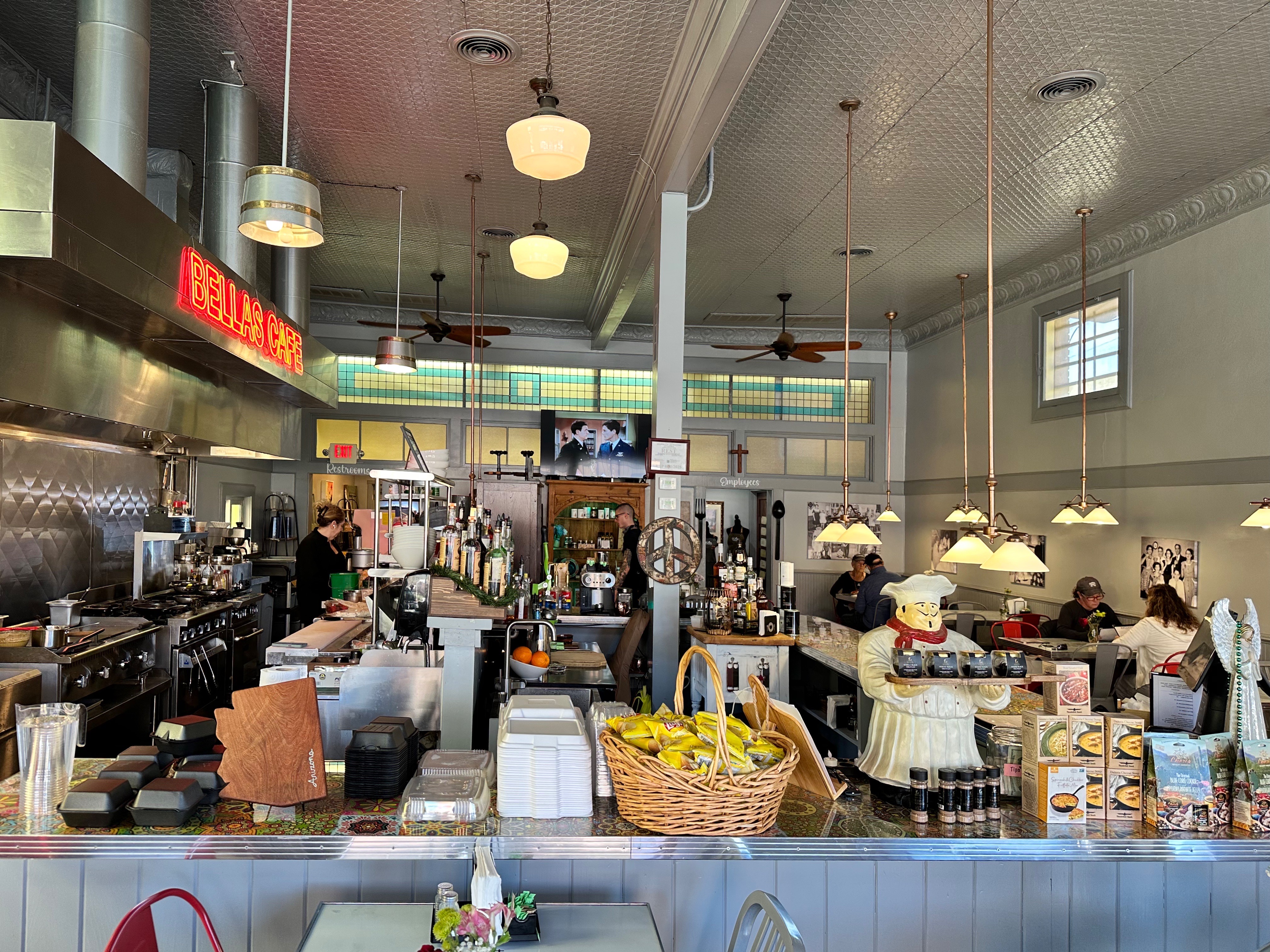
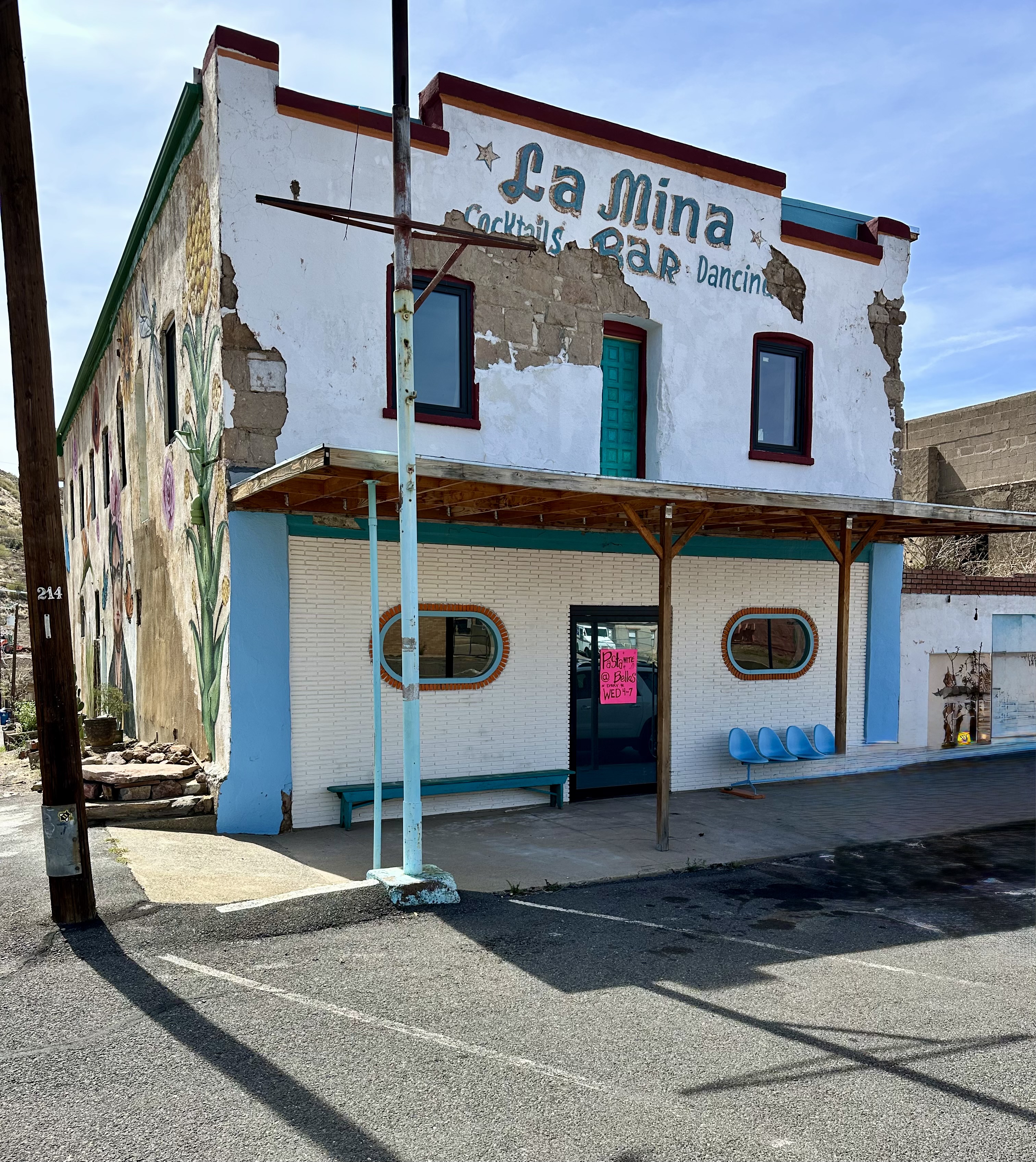
The following morning we drove back down through the spectacular Queen Creek Canyon into Superior. First order of business, as always, was coffee and tea. Bellas Cafe appeared as if on cue immediately after we turned the corner on to Main Street. One of the employees we met is a musician and he and his band have played many venues in New Haven.
We fueled up and then wandered around town for a bit. Main Street and the two side streets are not yet entirely occupied, but enough so that town is lively with shops, restaurants, saloons and even a wine bar!


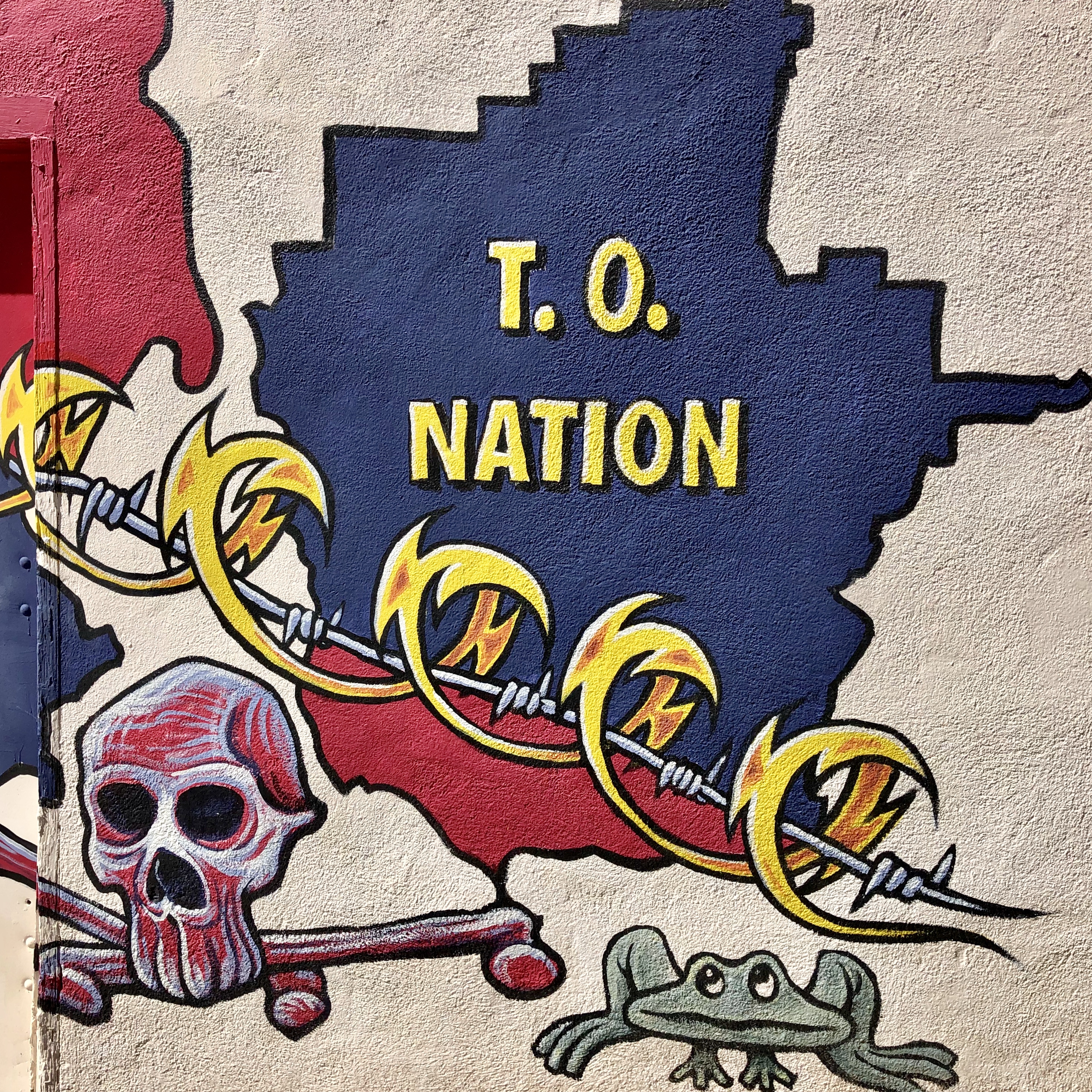
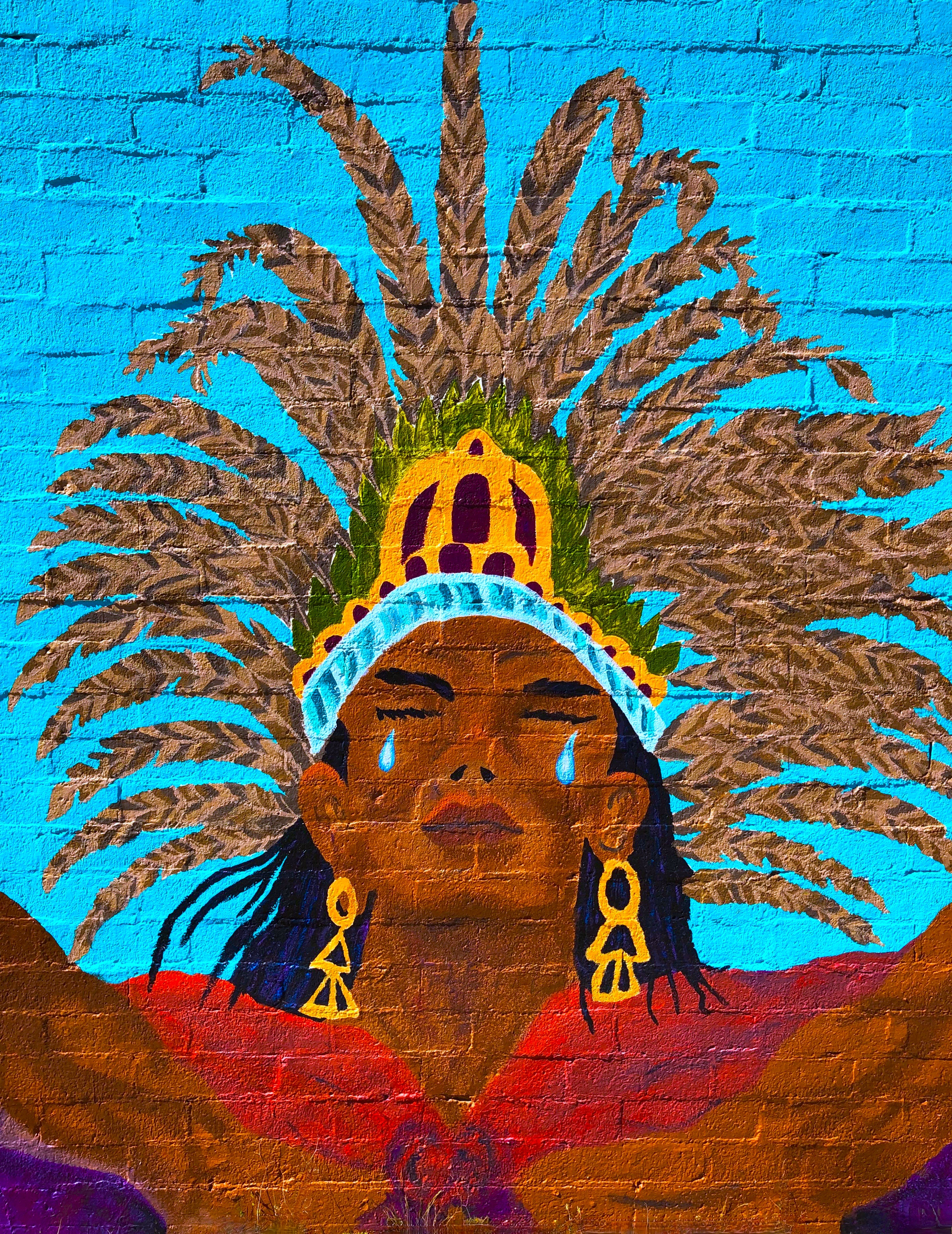
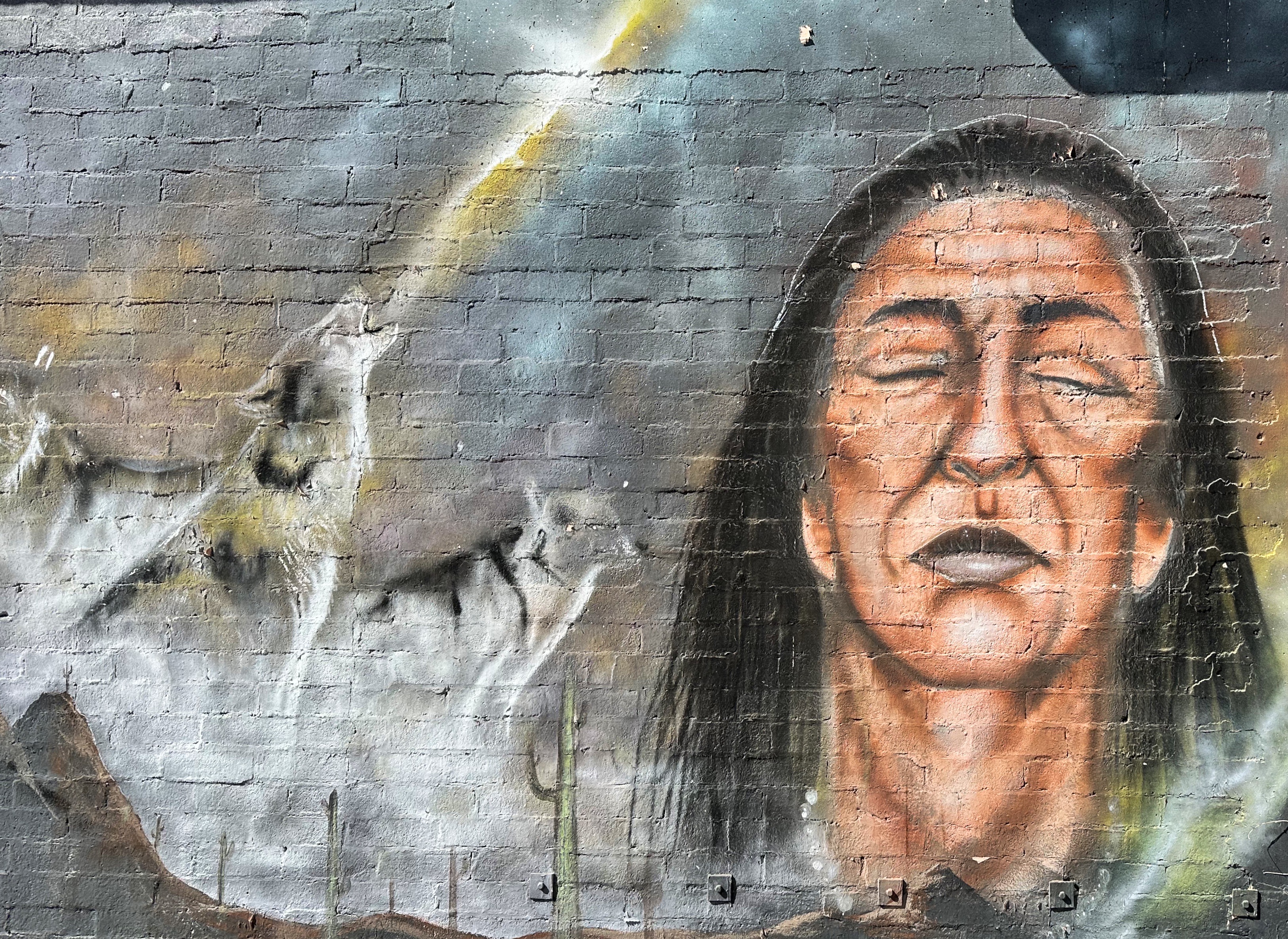
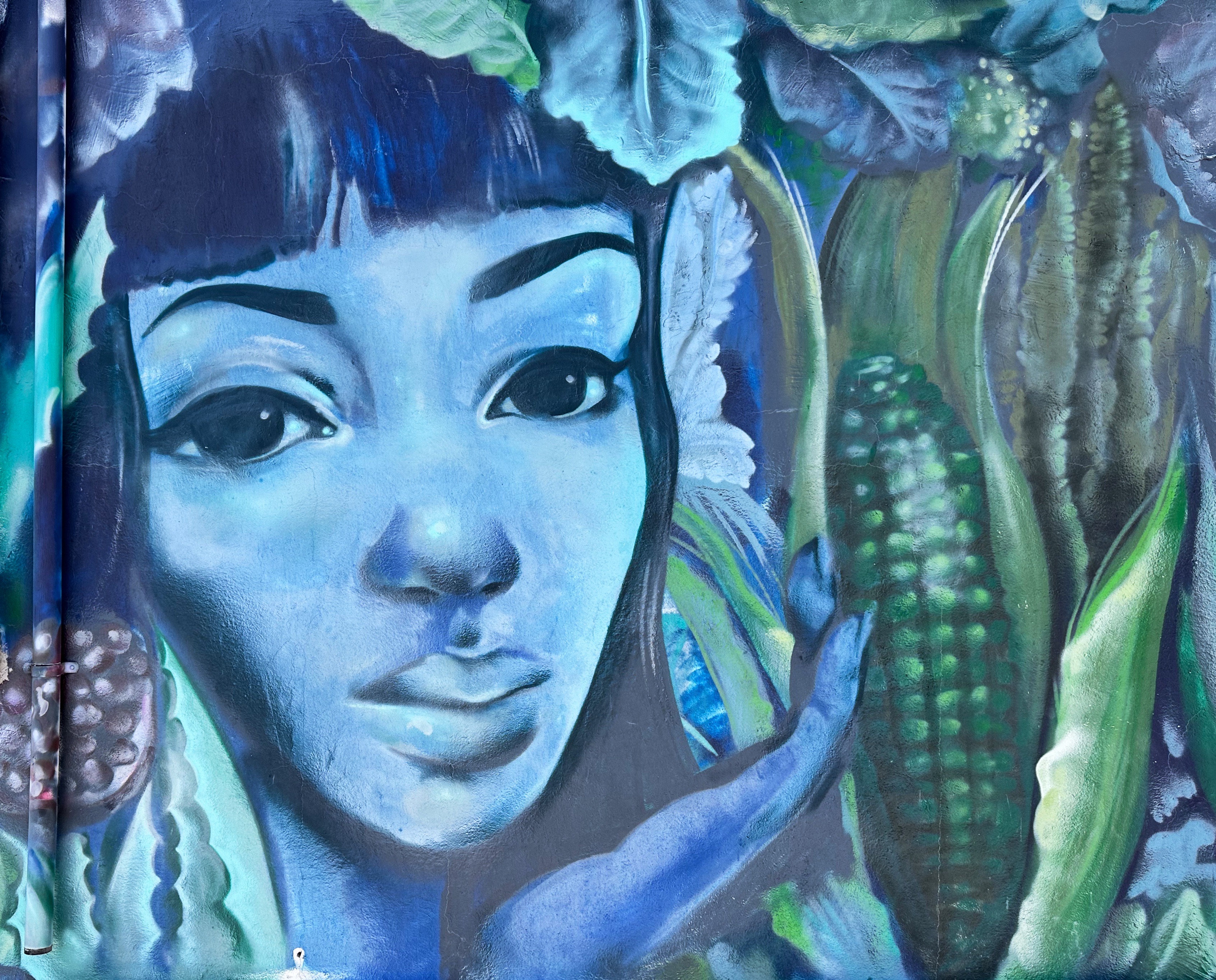
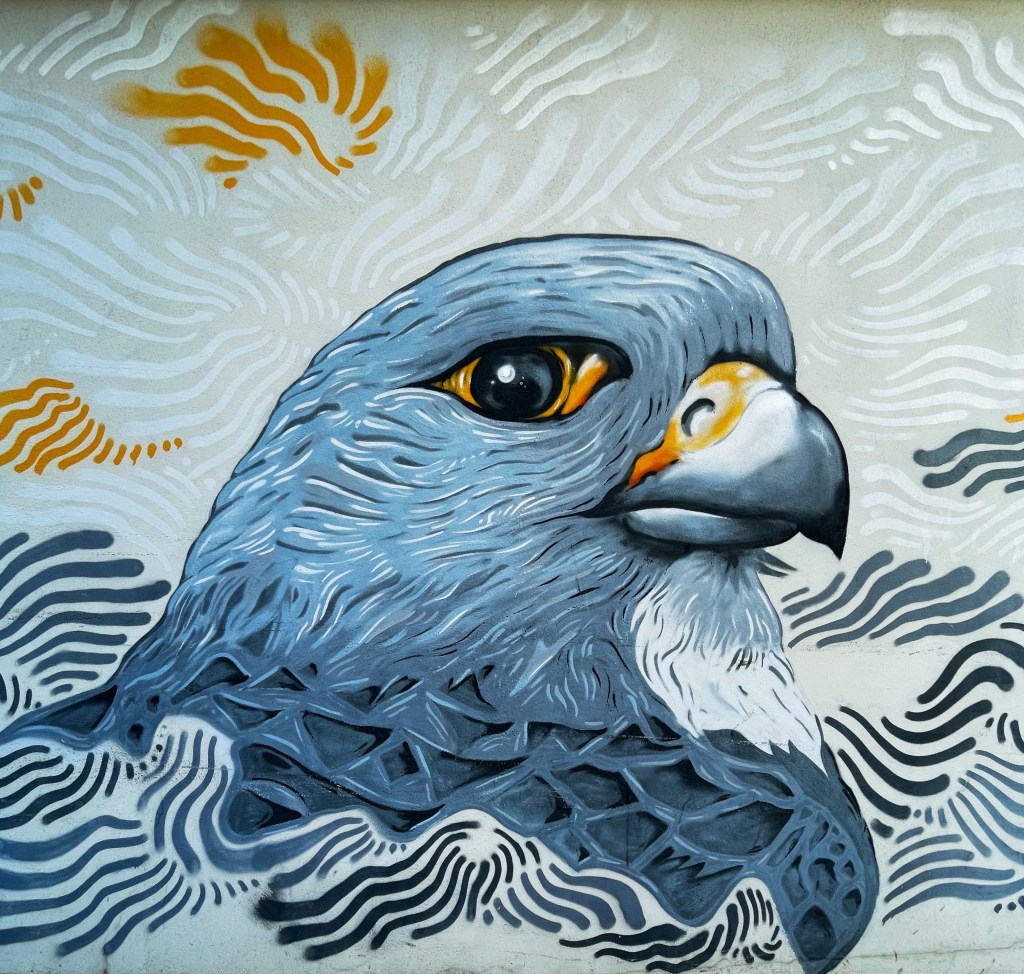
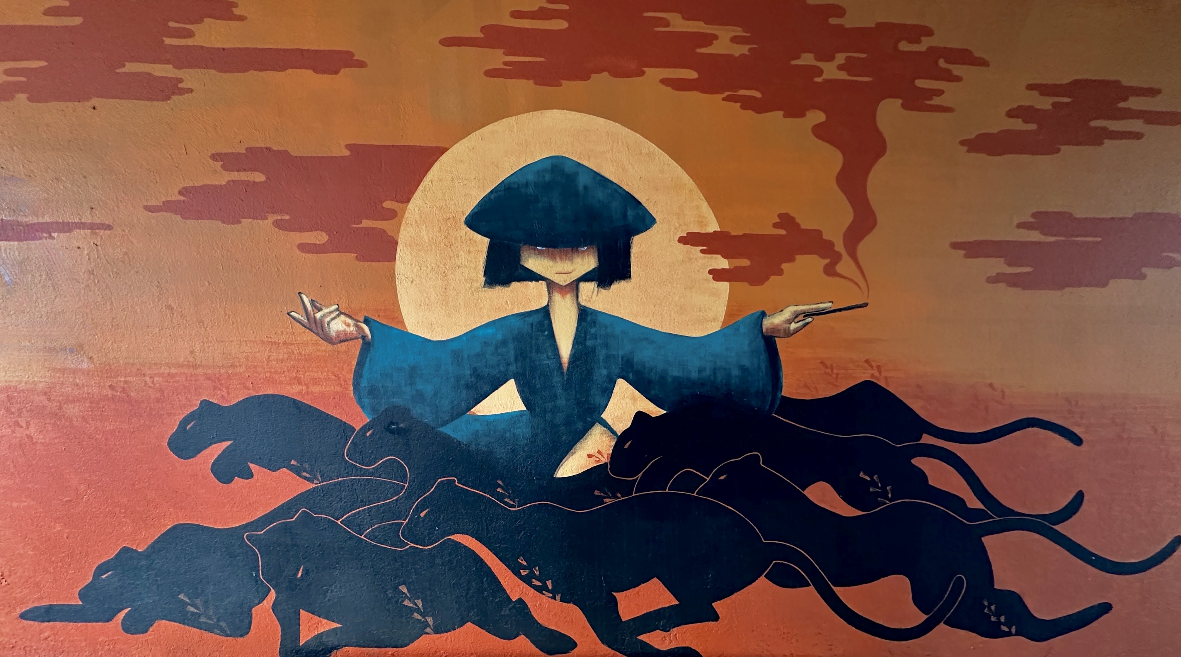
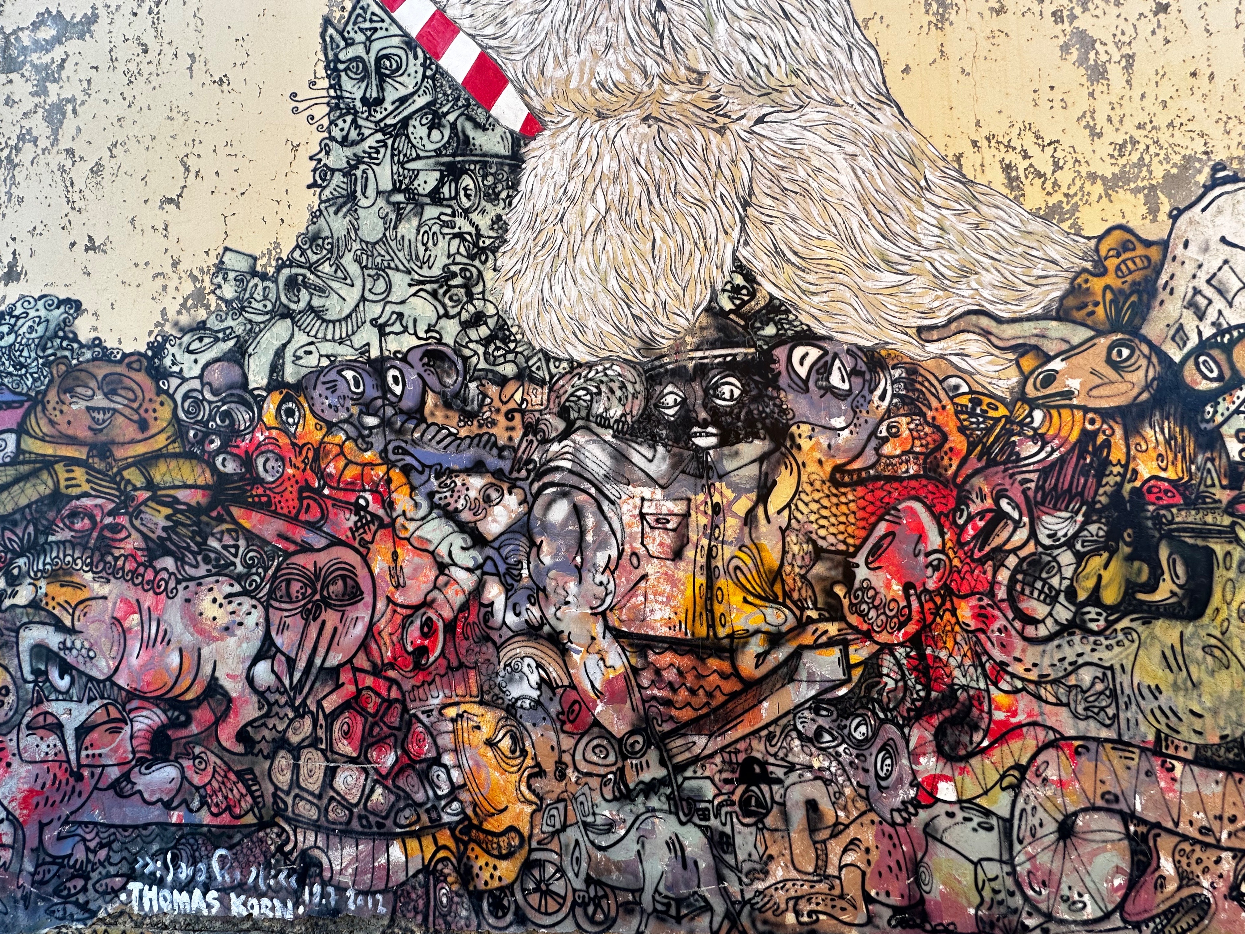
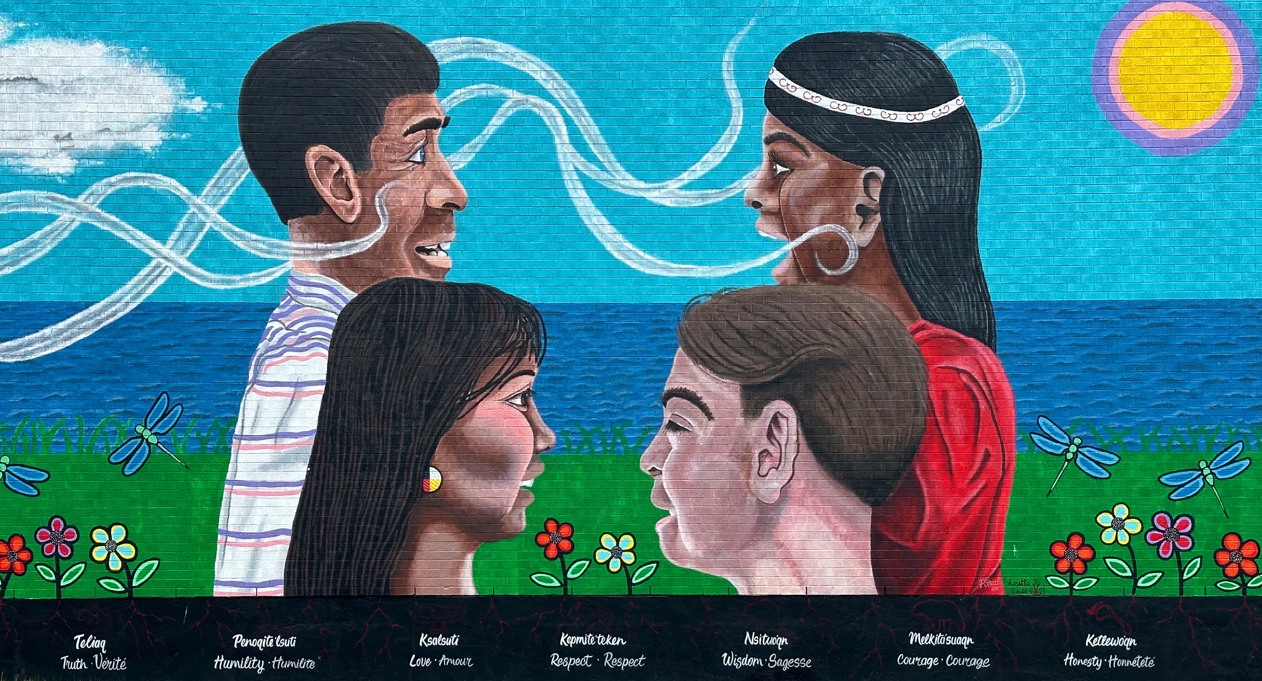
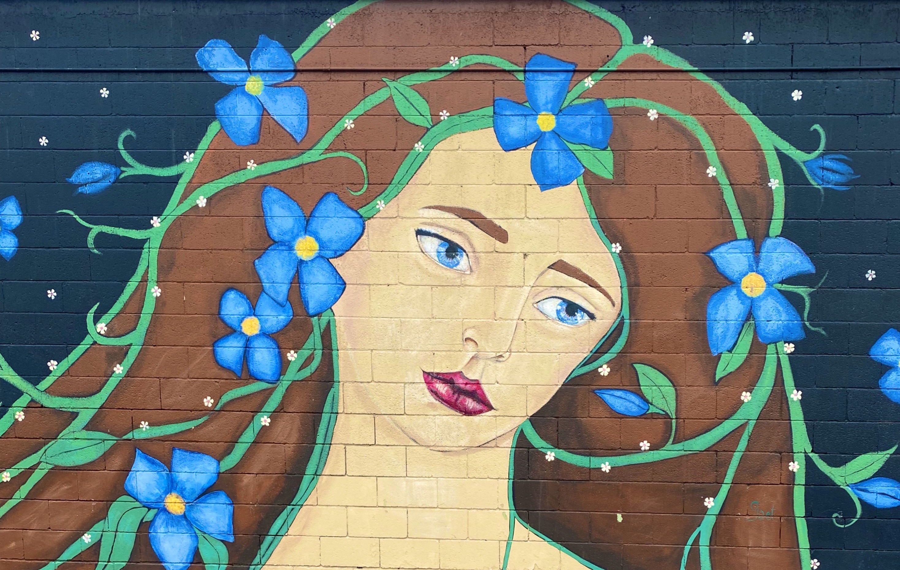
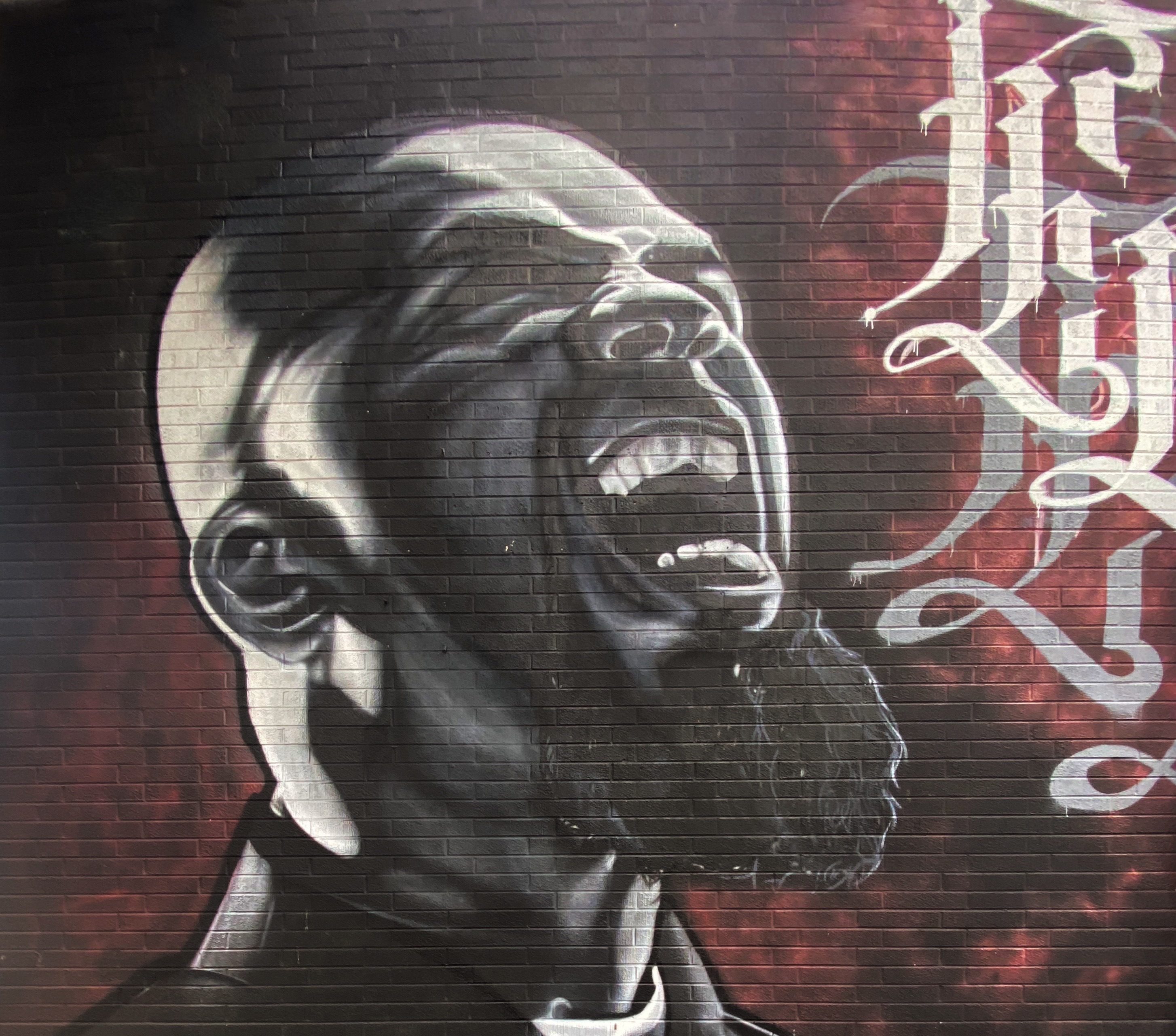
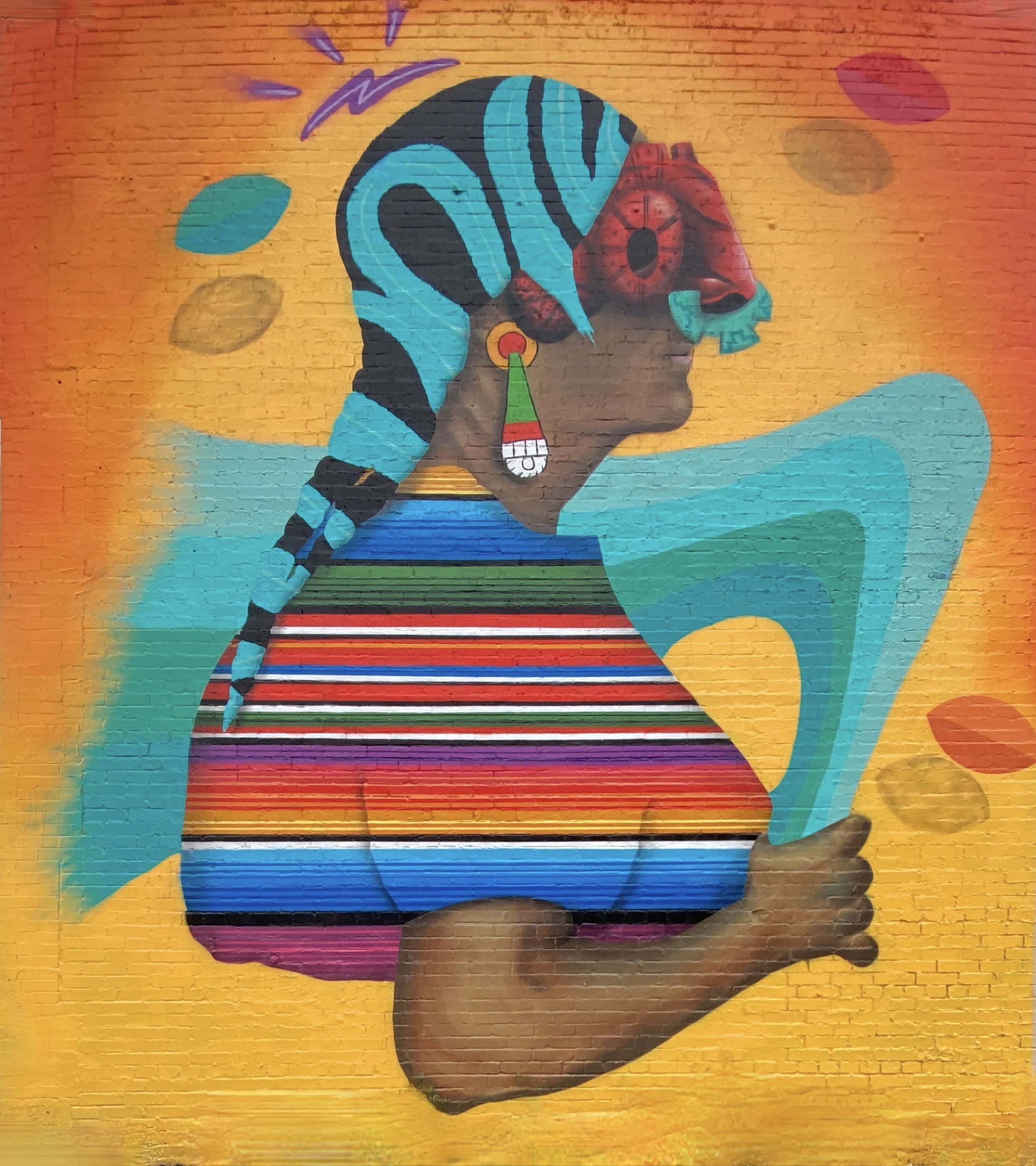
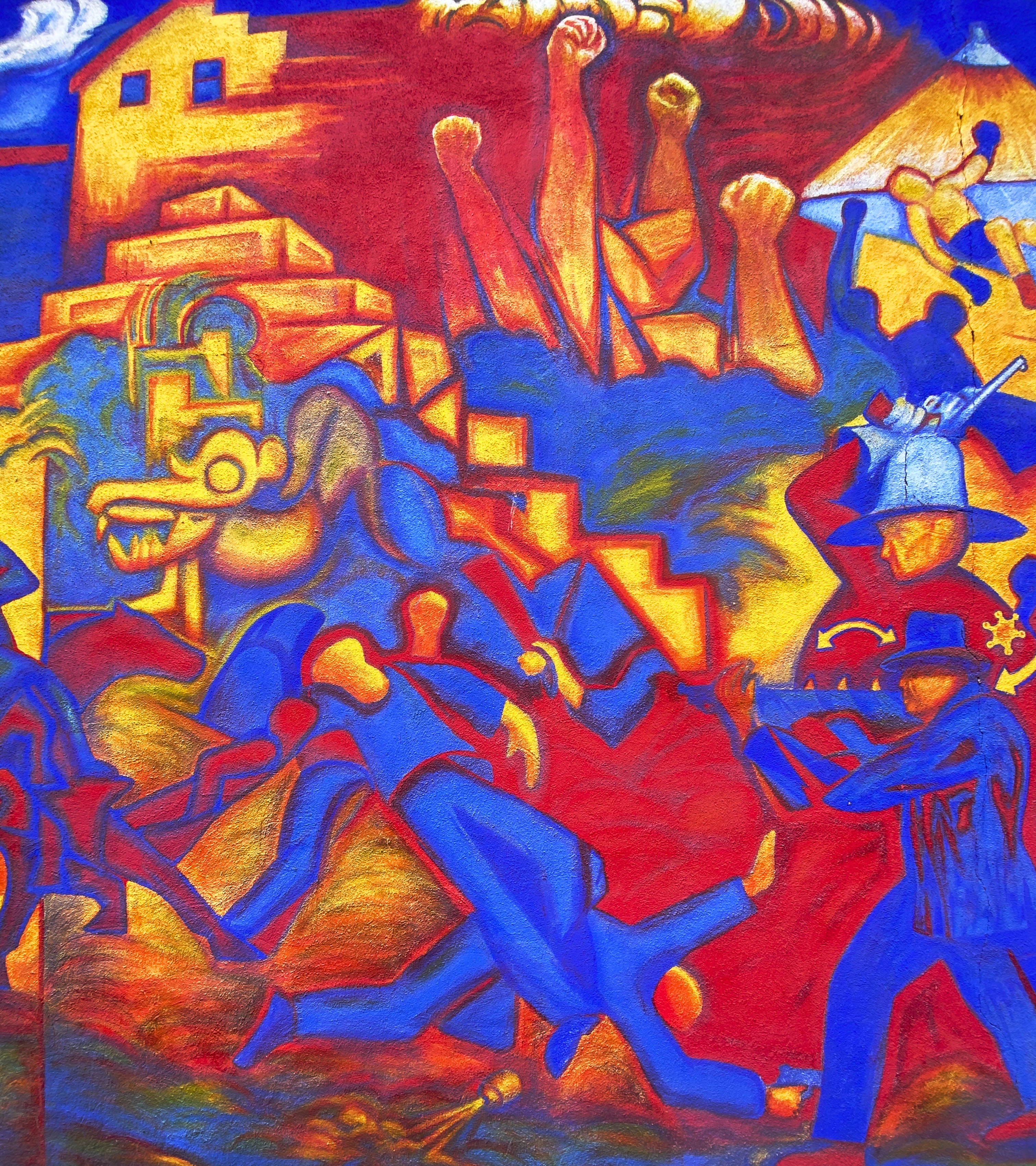
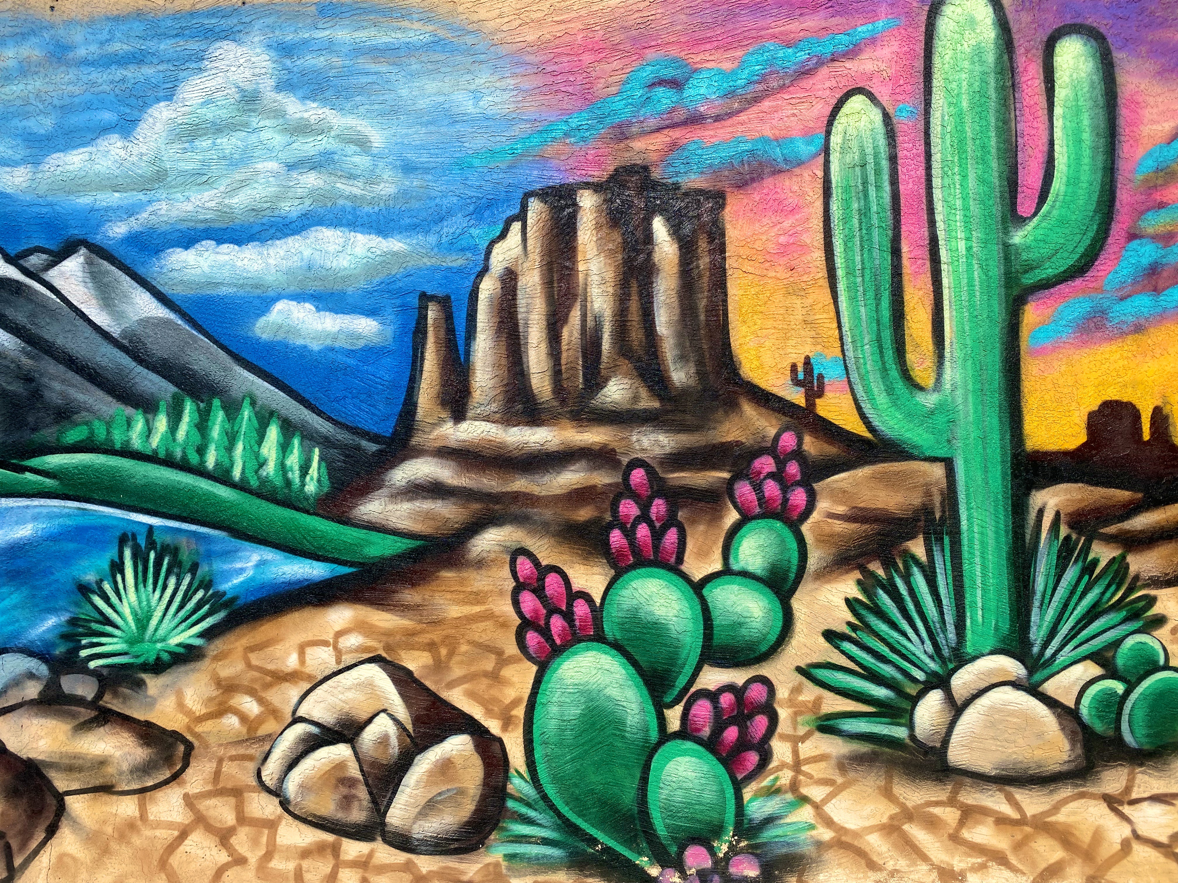
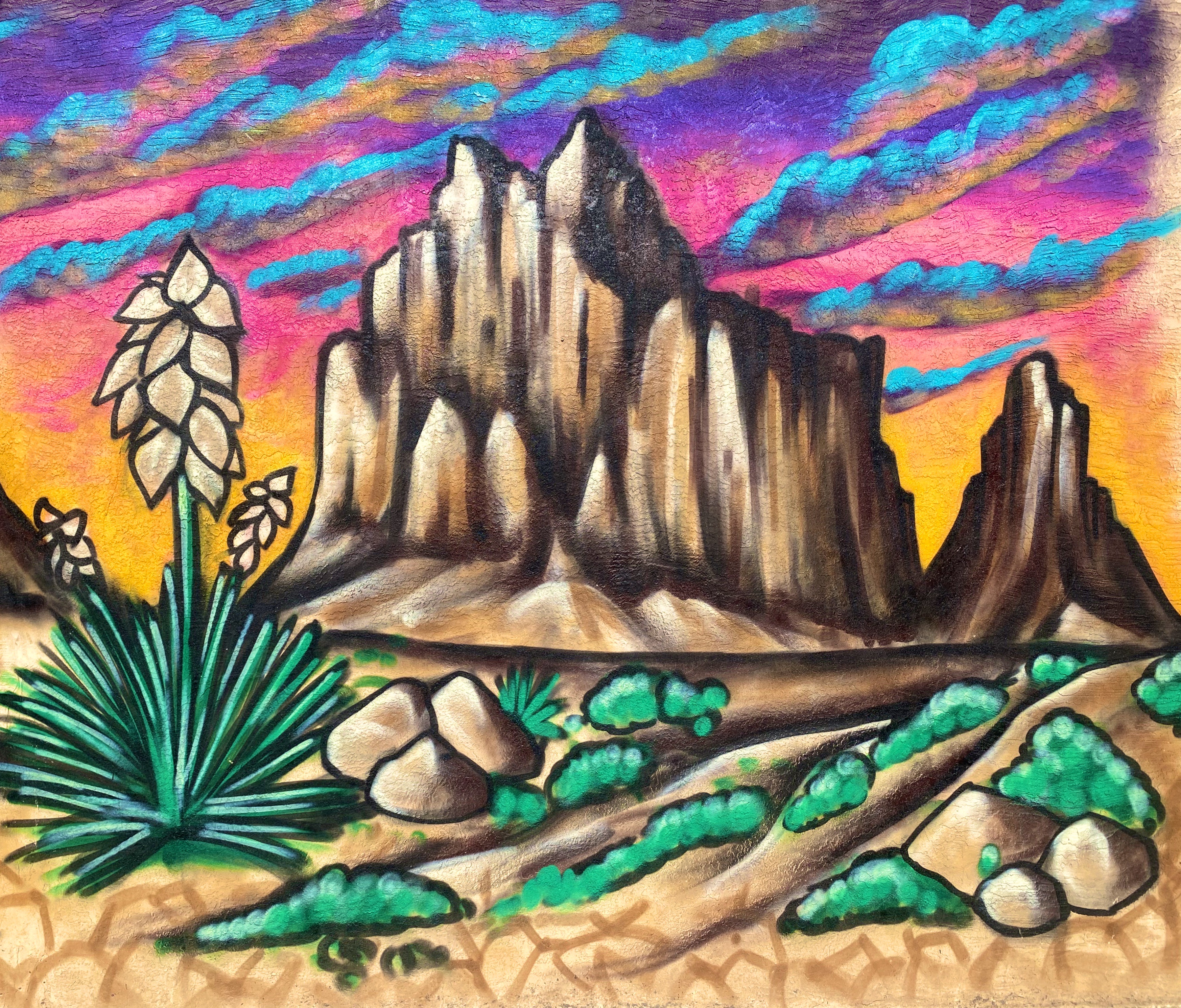
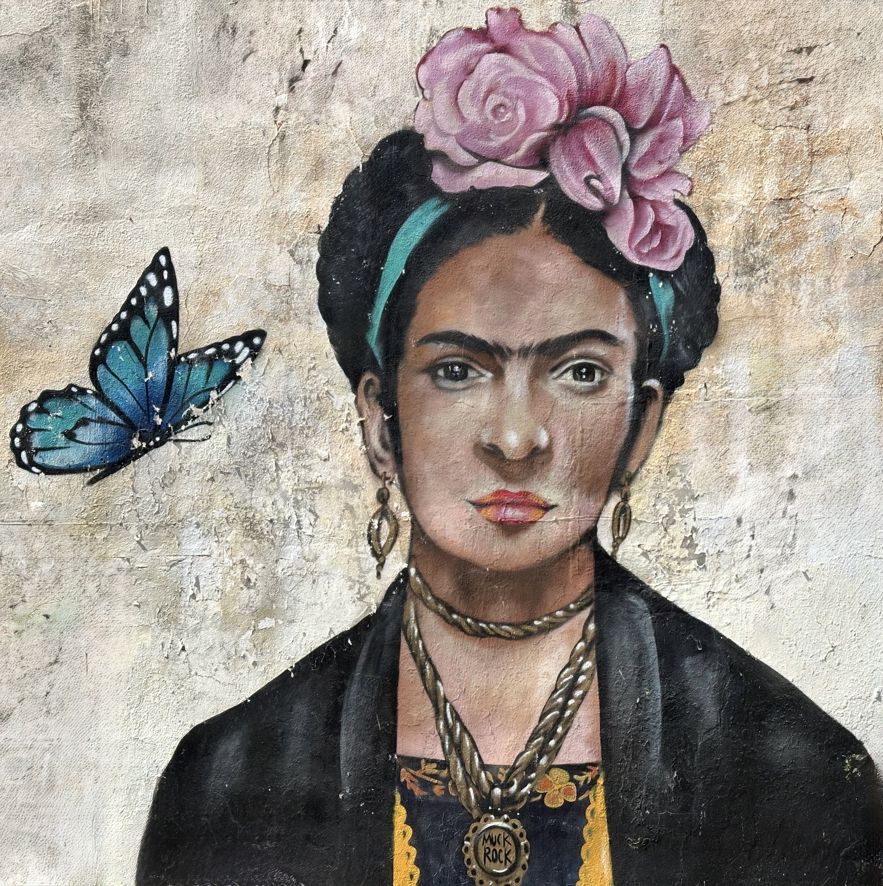
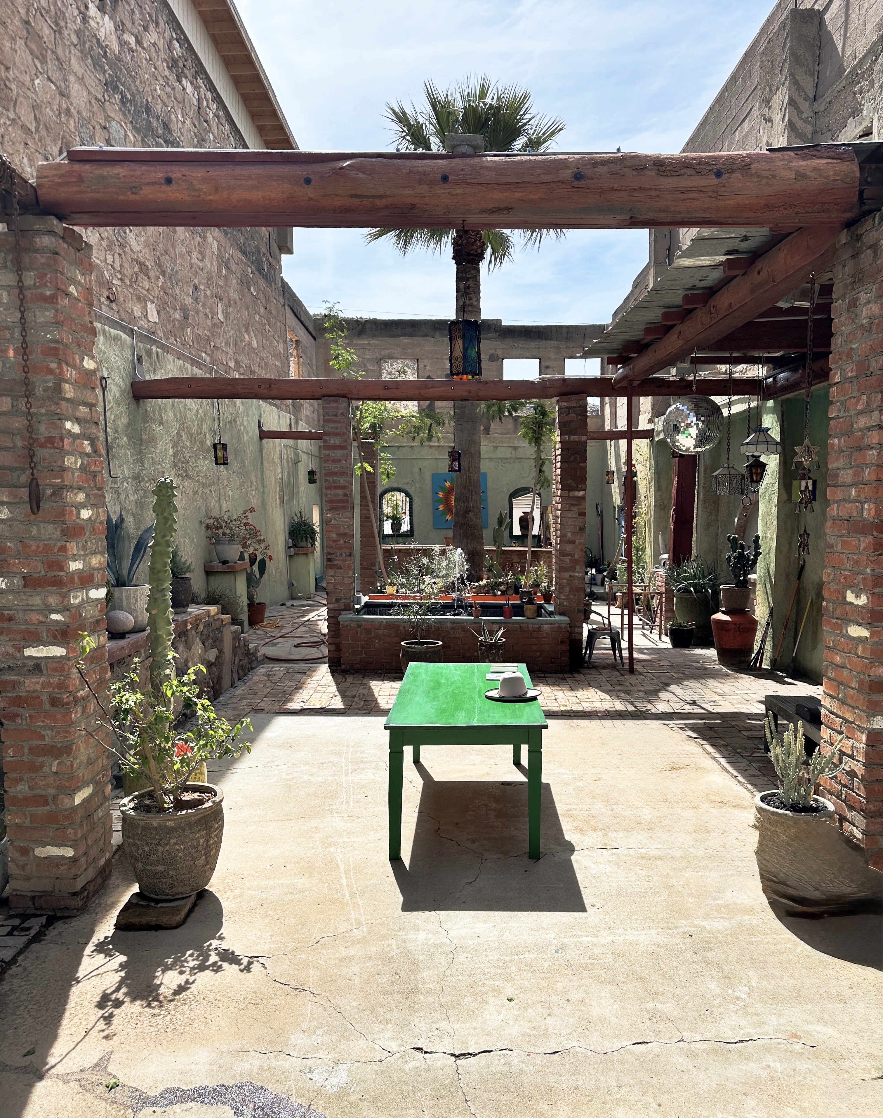
We met one of the artists of the mural below, he owns the building with the courtyard pictured below. He has moved to Superior from Los Angeles and is converting the building (formerly a bar/restaurant) to an art gallery. Bring on the tourists!
BOYCE THOMPSON ARBORETUM (BTA)

After exploring Superior we drove east a couple of miles to visit the BTA. The BTA was founded by Colonel William Boyce Thompson. The Colonel was at the time the owner of the Magma Copper Company in Superior and had built a winter home there in the early 1920’s, Picket Post House. In 1924, Boyce Thompson built the arboretum on 400 acres around Picket Post House. He was an interesting character (click on the link above to read more about Colonel Boyce as well as the BTA).
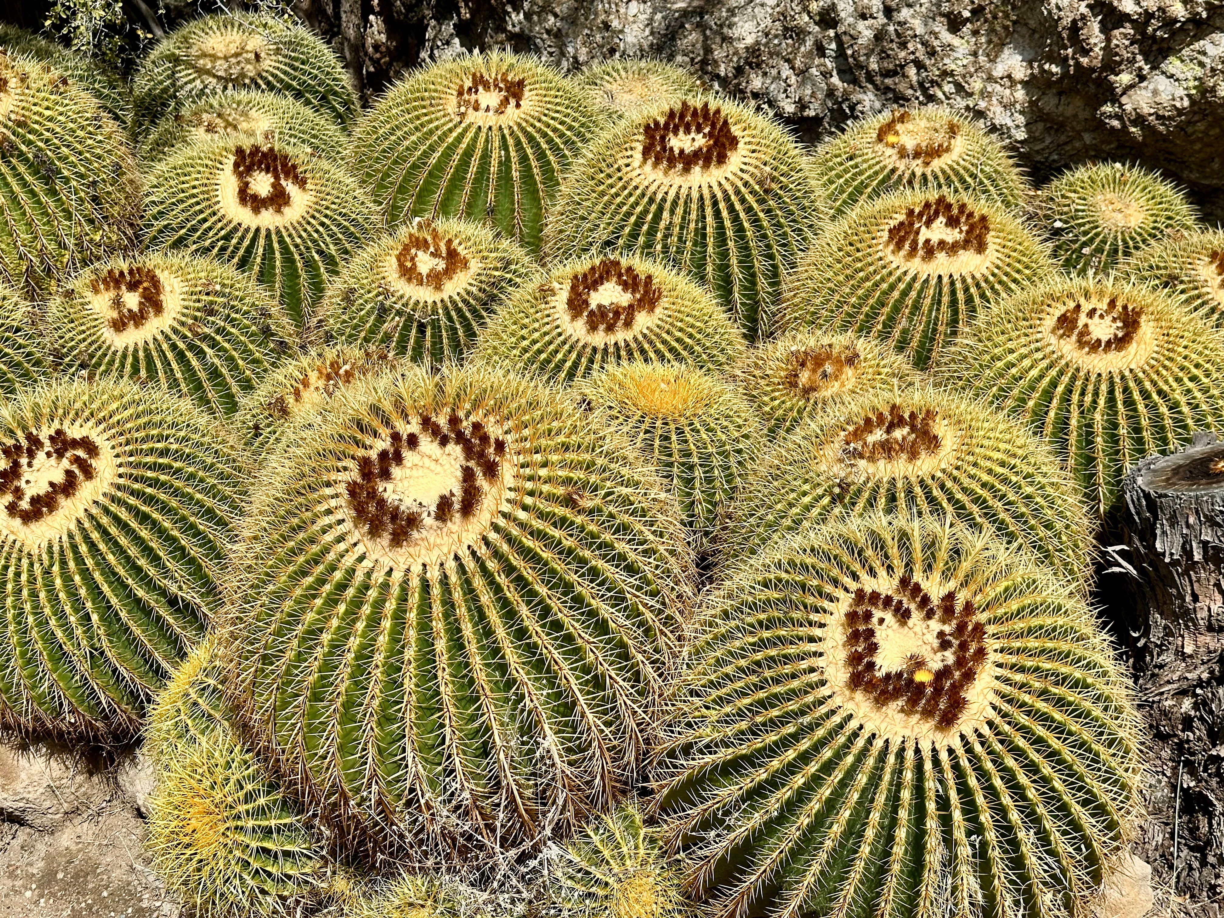


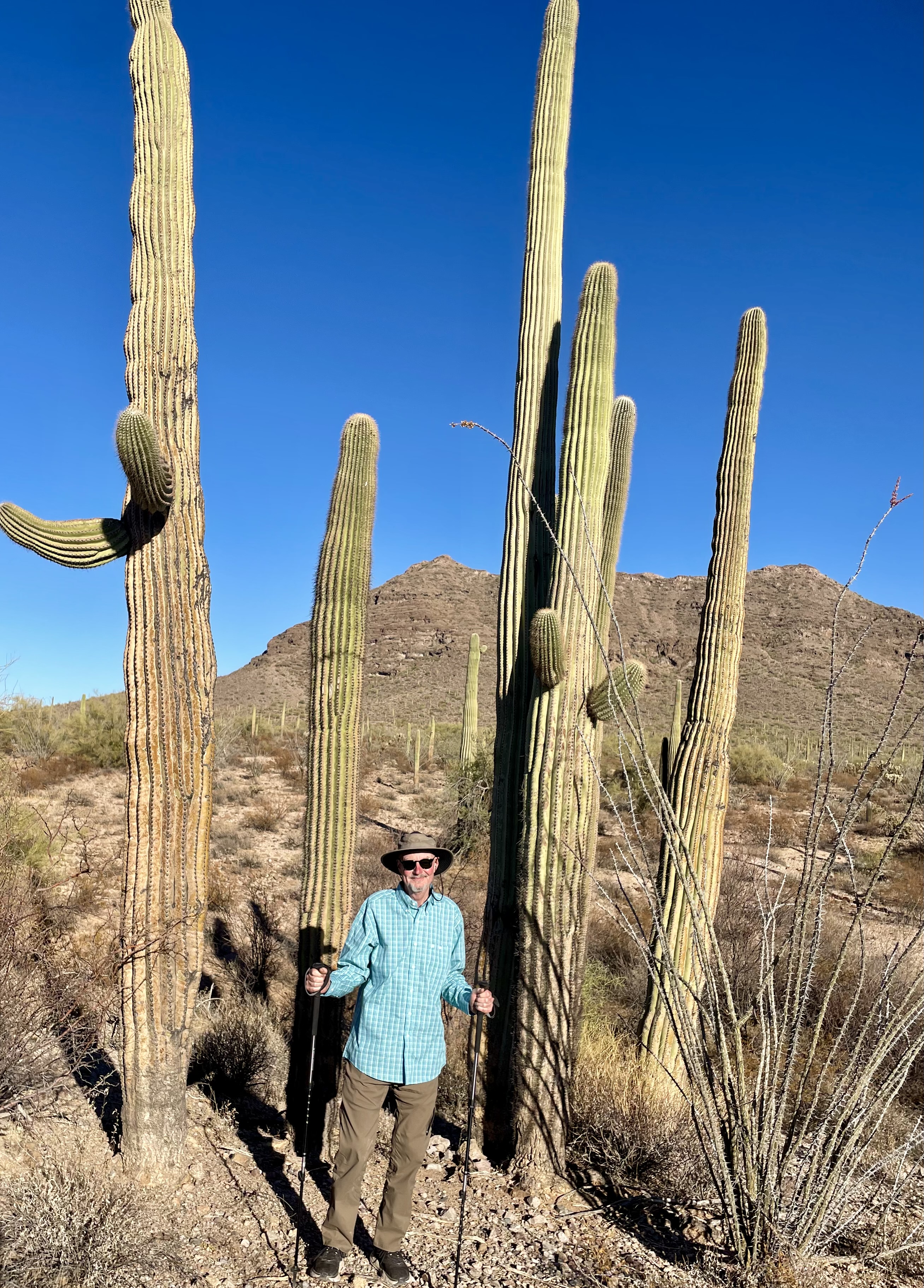
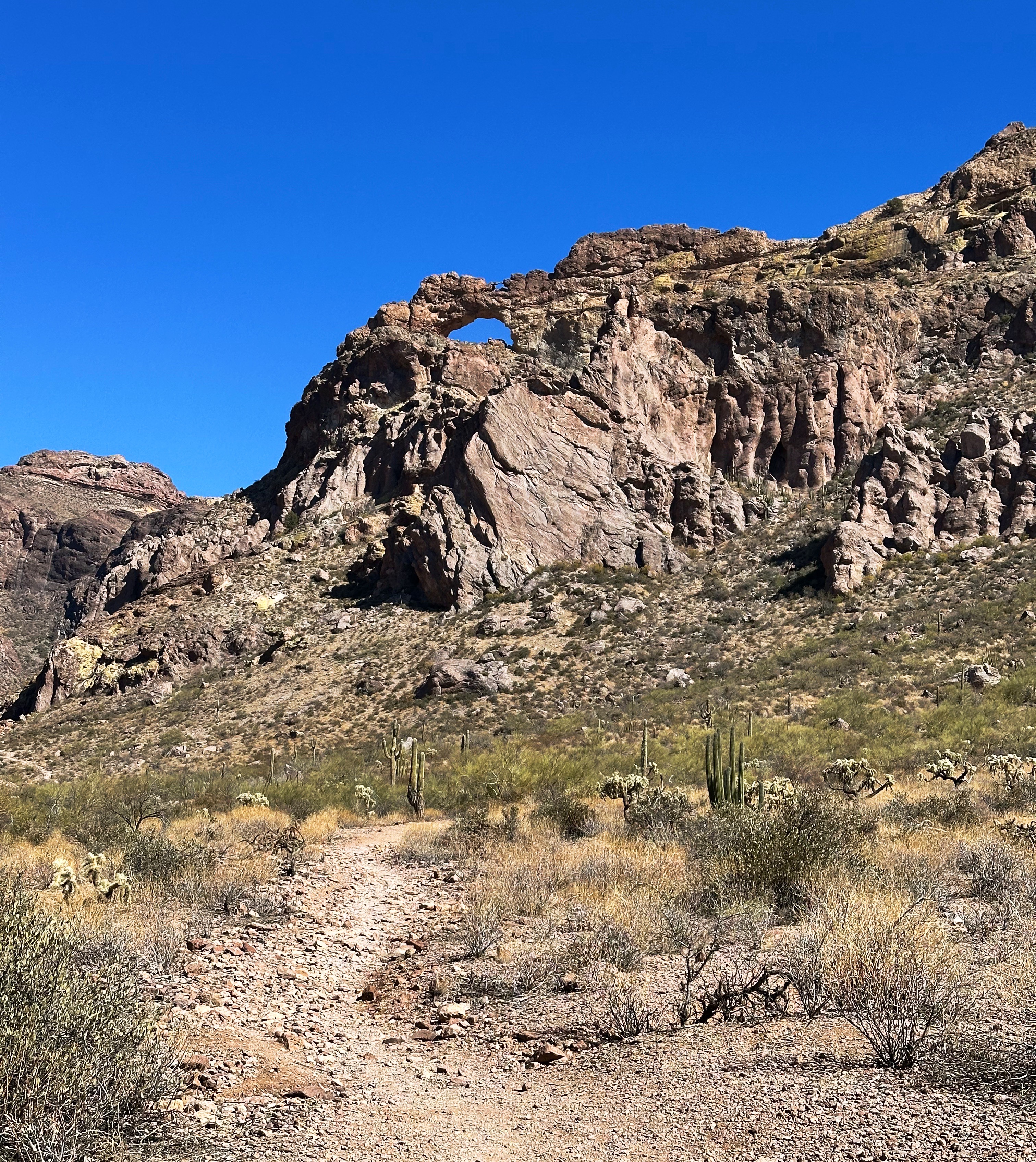
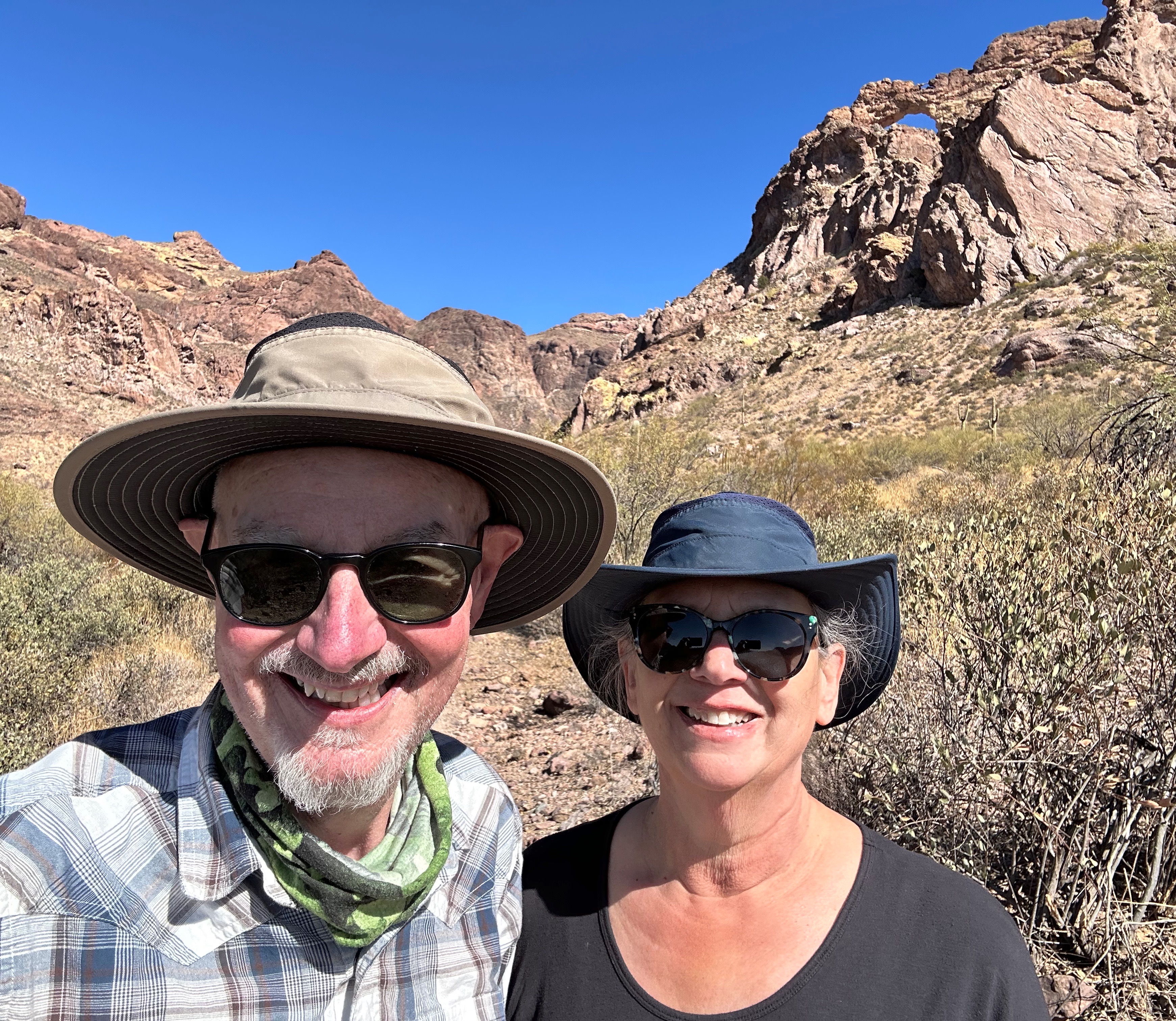
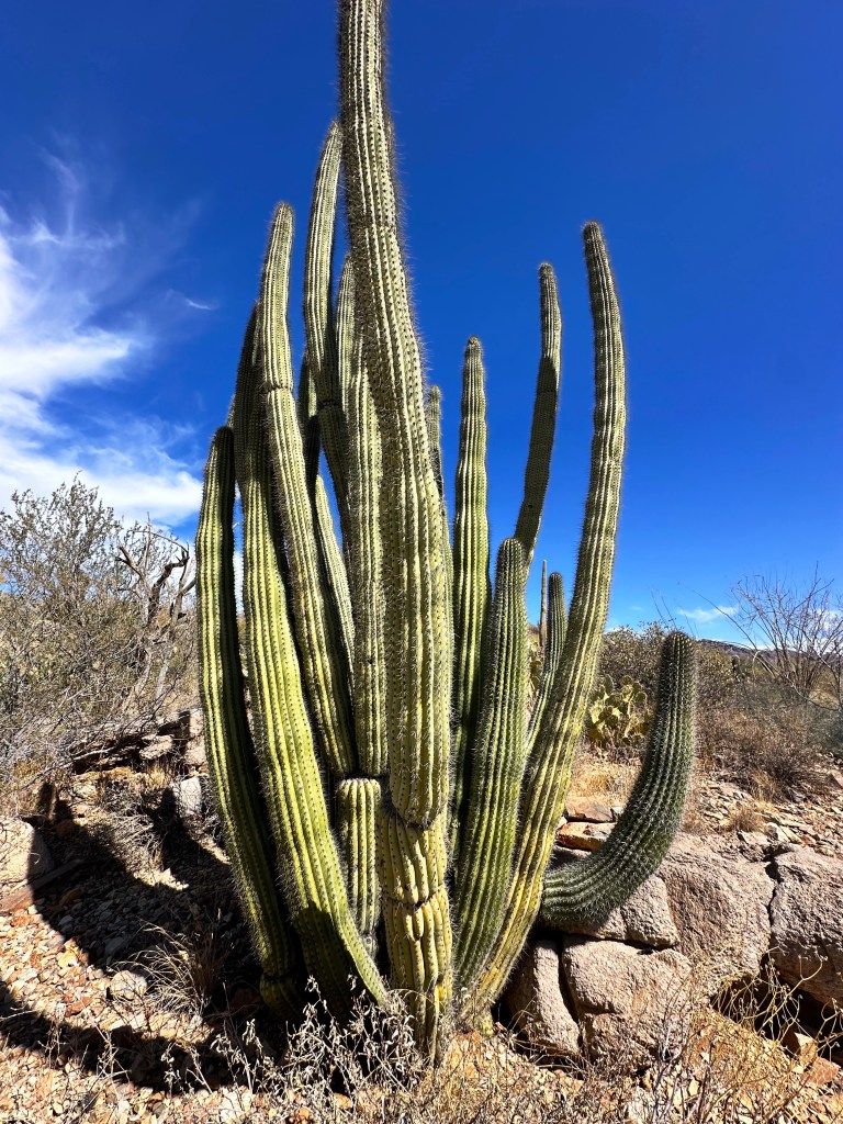
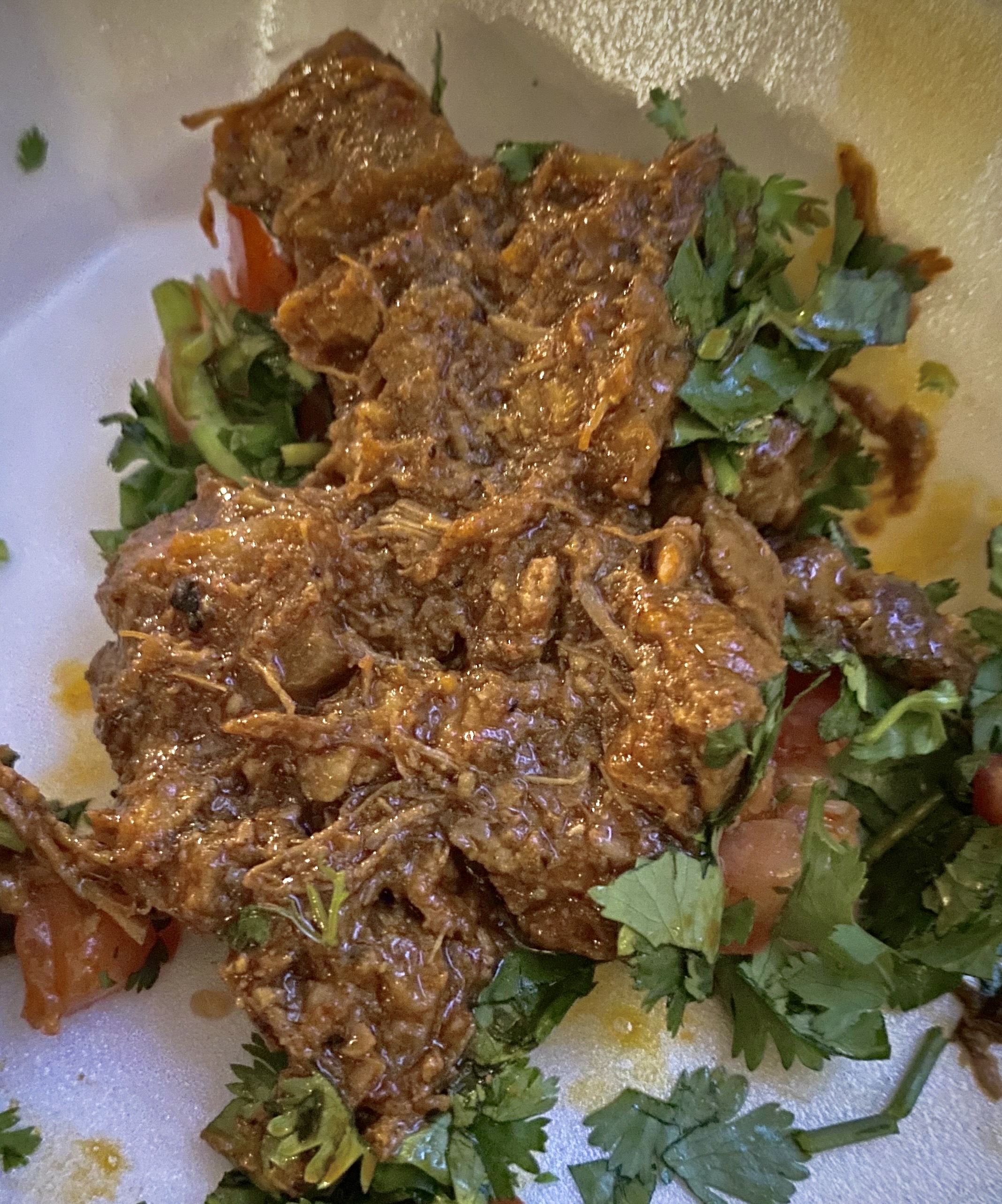
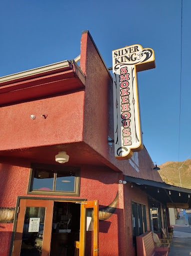
The BTA covers 372 acres with collections of desert plants from around the world. The collections from diverse desert locations provided us with the opportunity to see desert plants not naturally found in the United States-quite interesting. The arboretum also has five miles of hiking trails which gave us the opportunity to hike up a trail which provided views of the canyon and surrounding mountains. If you ever find yourself in Superior we recommend a visit to the BTA (not so much in the summer). After we finished our visit at BTA we stopped back in Superior for lunch at the Silver King Smokehouse and Saloon.

MIAMI(FOUNDED 1876, POP. 1528, ELEV. 3402′)
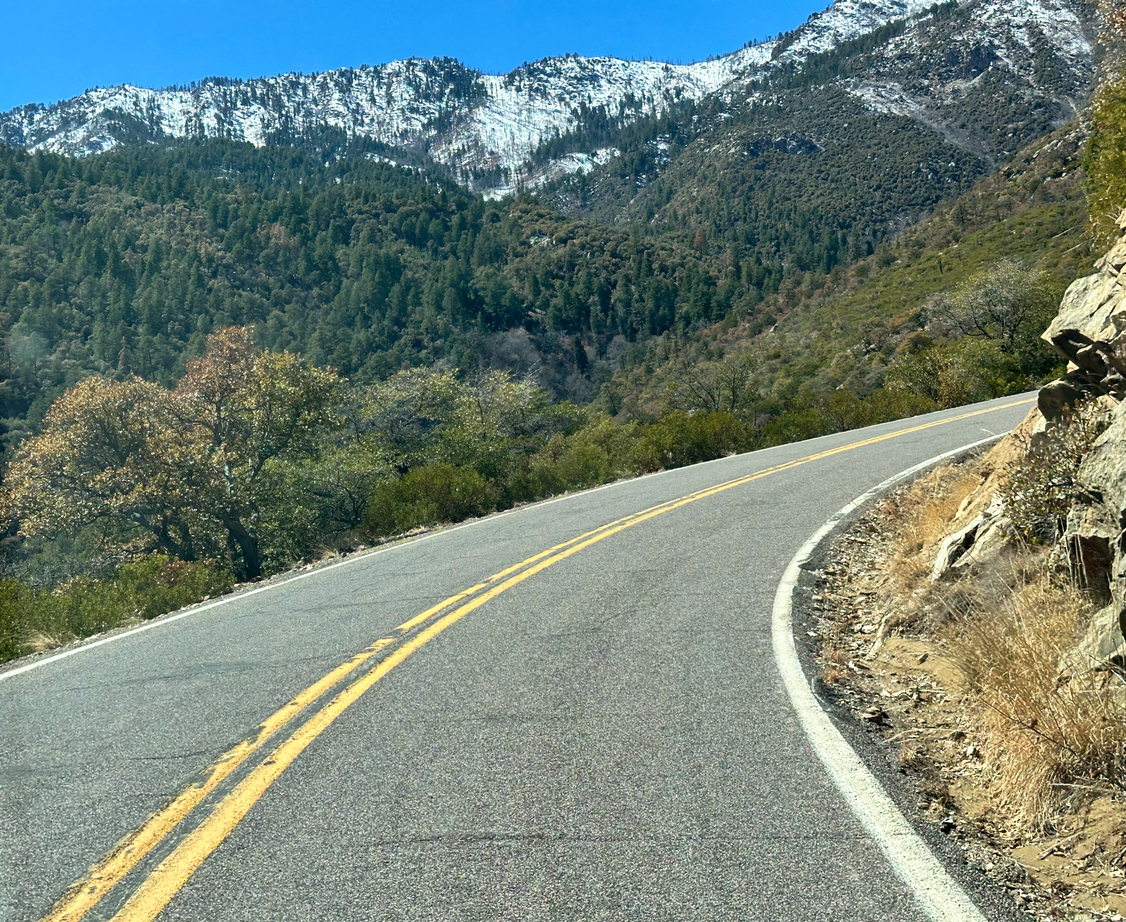
From Superior we continued east on U.S. Highway 60 which is still intact in Arizona ( Highway 60 at one point ran from Los Angeles, California to Virginia Beach, Virginia) with a plan to find camping east of Globe in the Pinal Mountains.
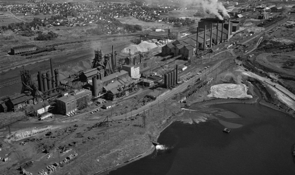
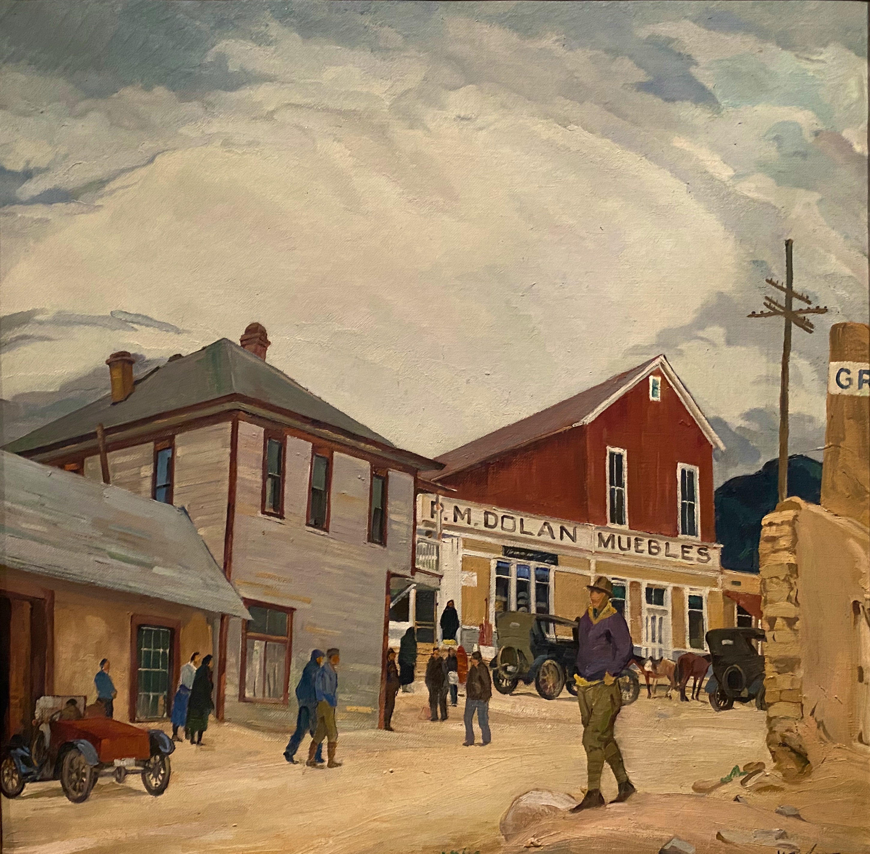
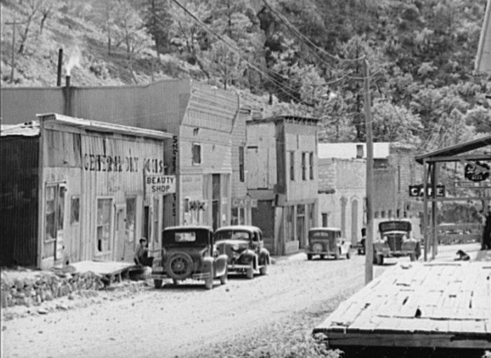
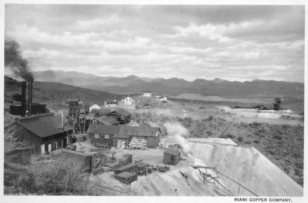
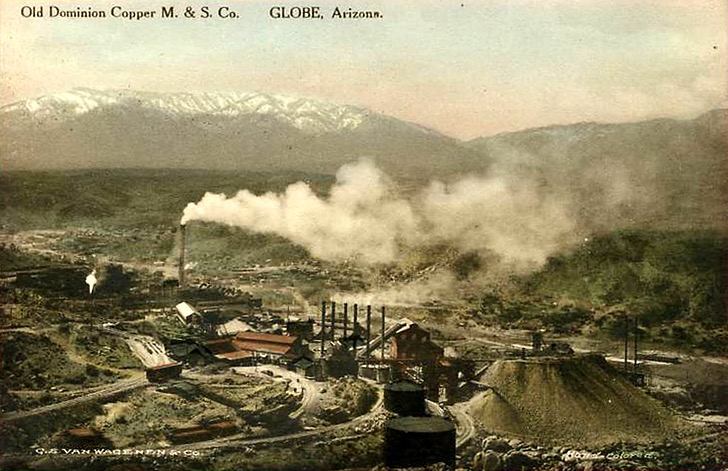
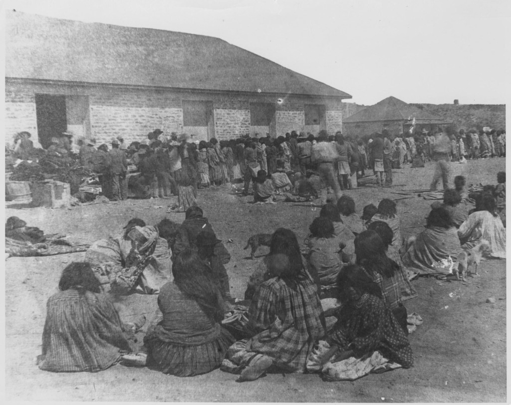
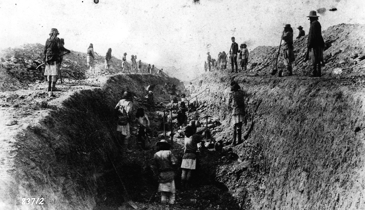
(Photos above and below courtesy of Arizona Memory Project)
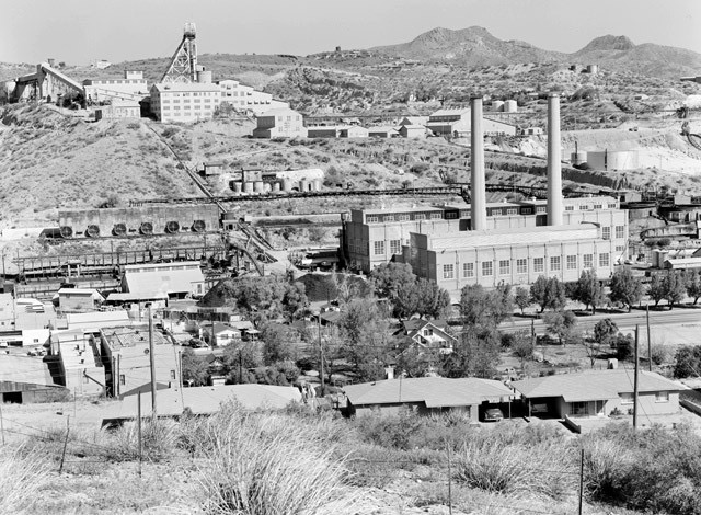
We were not planning on stopping in Miami (this link has an excellent photo gallery of Miami and the smelter) but we were dumbfounded by the size of the mining operations and how the town itself is jammed onto the hills at the base of the mine and across the other side of U.S. 60. So, we found ourselves driving back and forth through town to take in the (to us) surreal scenery. This mine is one of five open pit copper mines in Arizona operated by Freeport-McMoRan (more on that later).

GLOBE(FOUNDED 1876, POP. 7179, ELEV. 3510′)
Globe is one of the communities along our route east which is in the category of former mining towns. The Old Dominion Mining Company produced copper here for 50 years. The mine had weathered a violent strike in 1917 and reopened in 1919 but only lasted another twelve years as the mine was in poor repair and the shafts were filling with water.
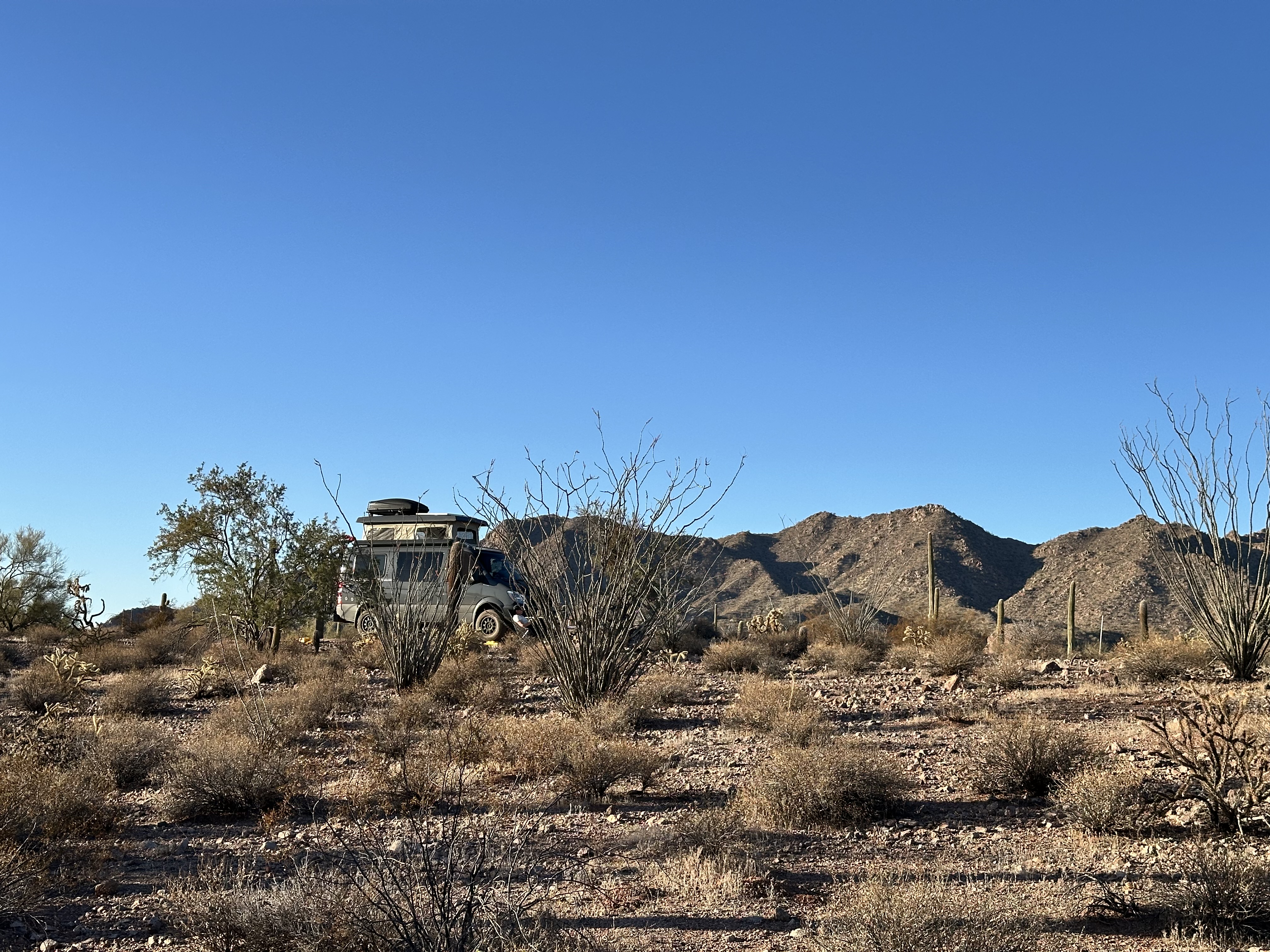
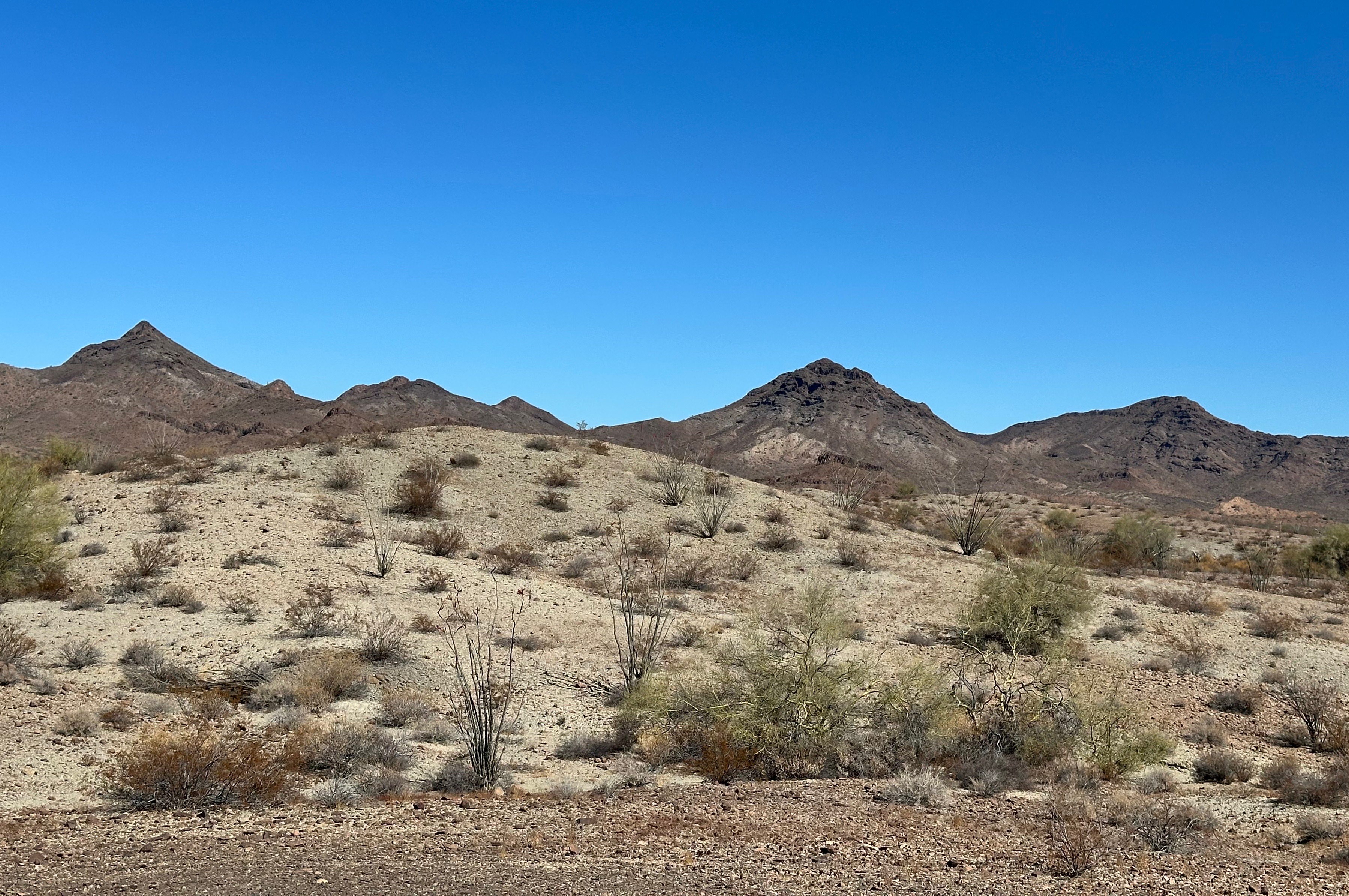
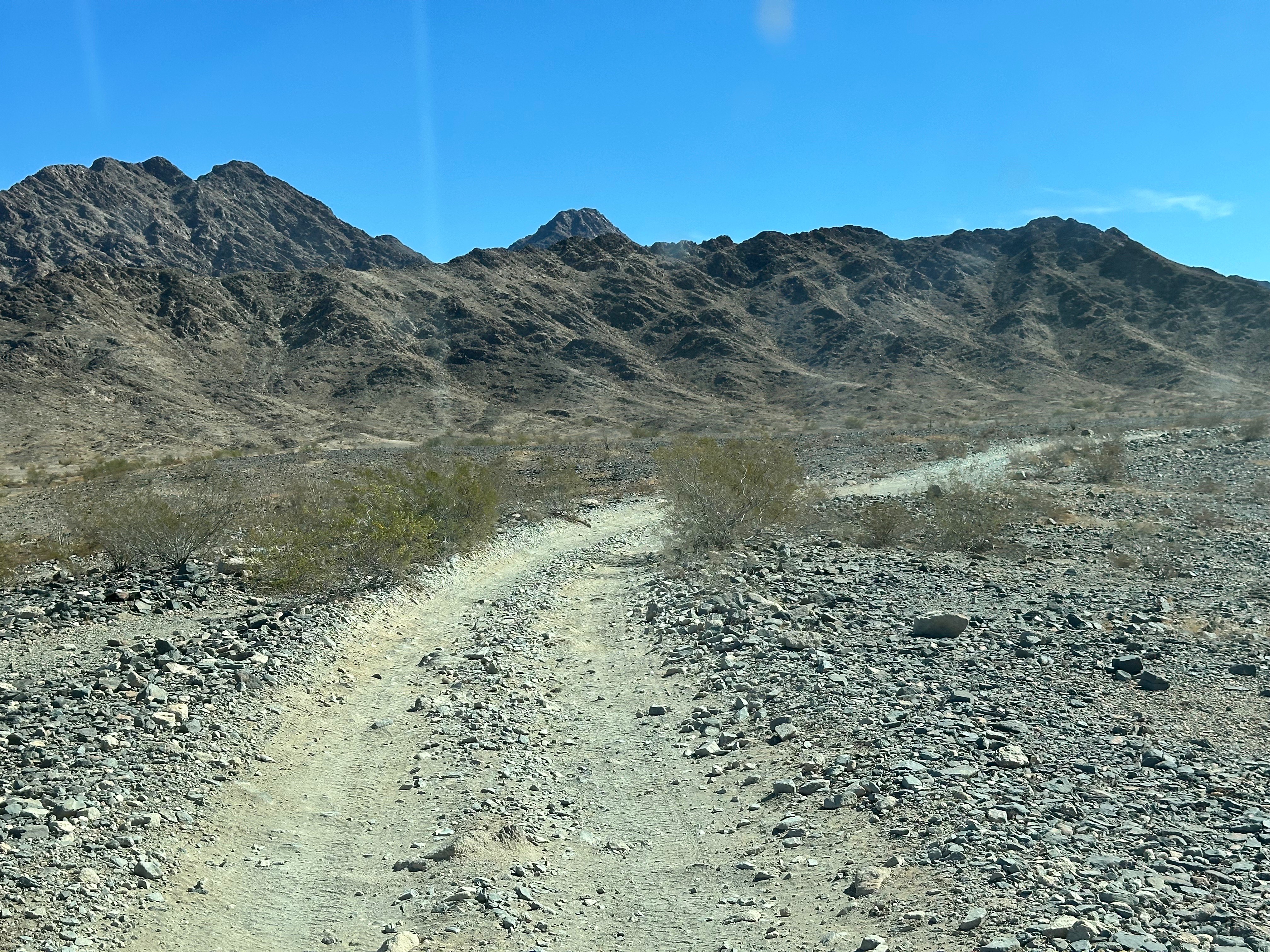
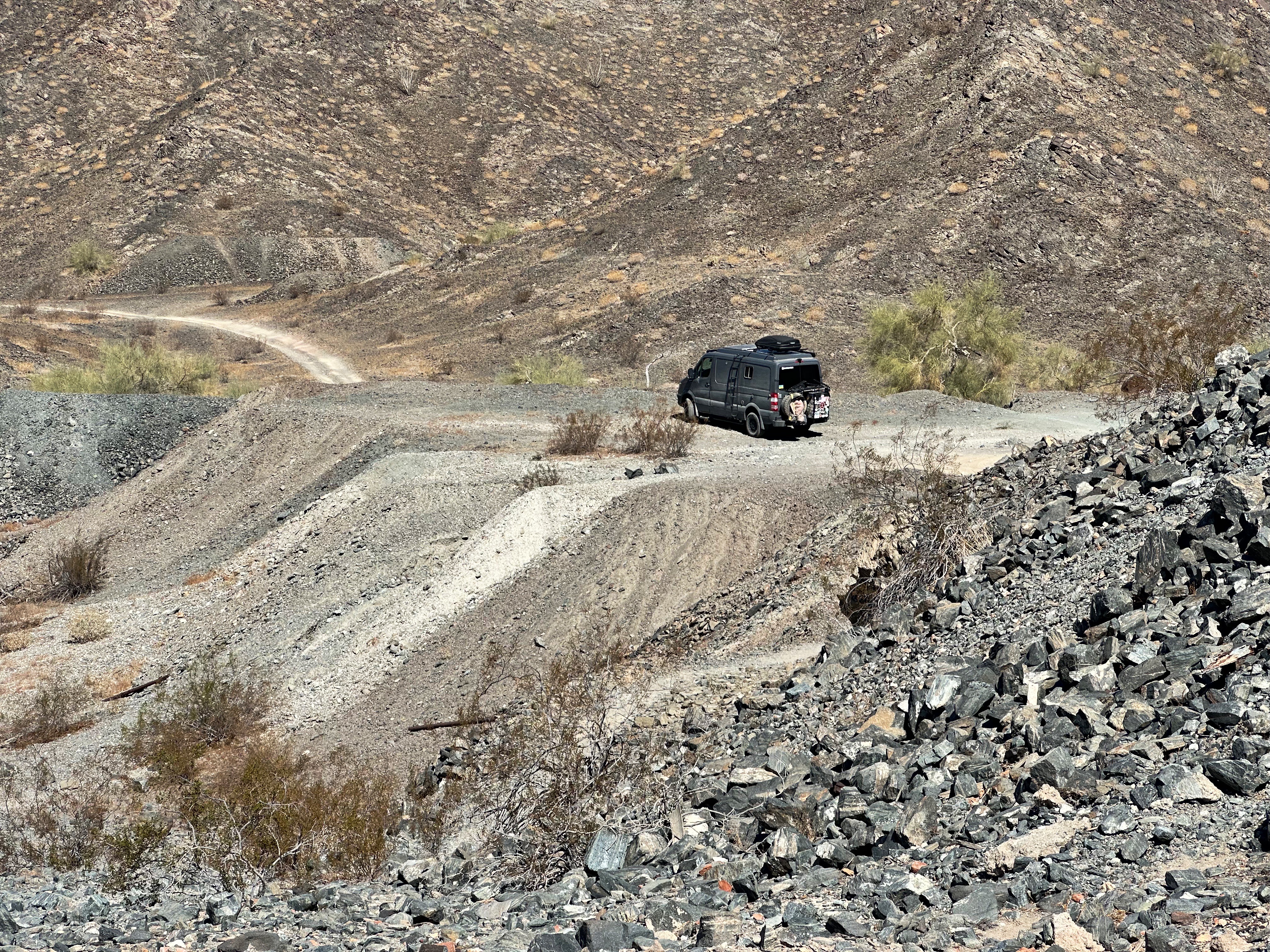
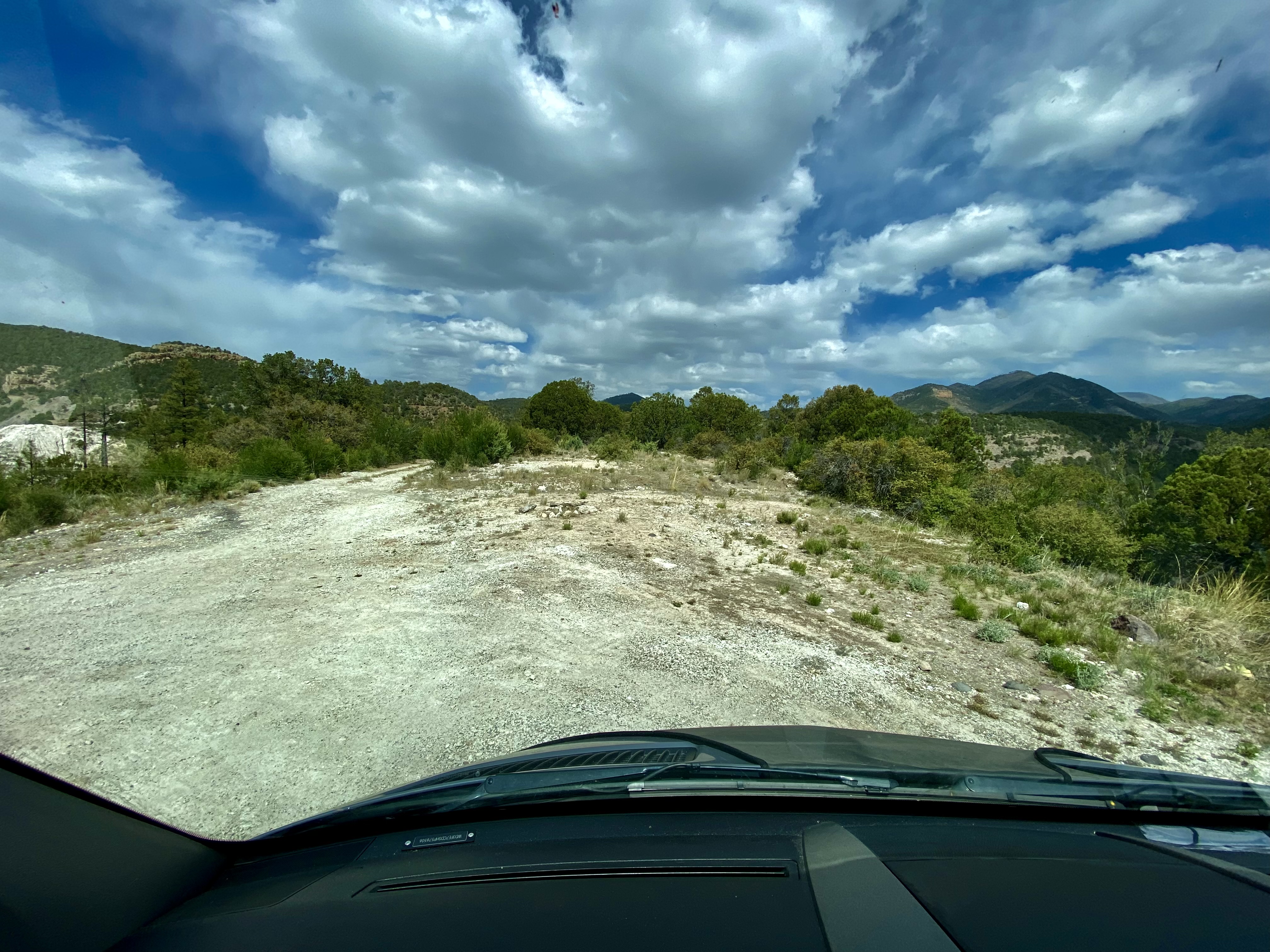
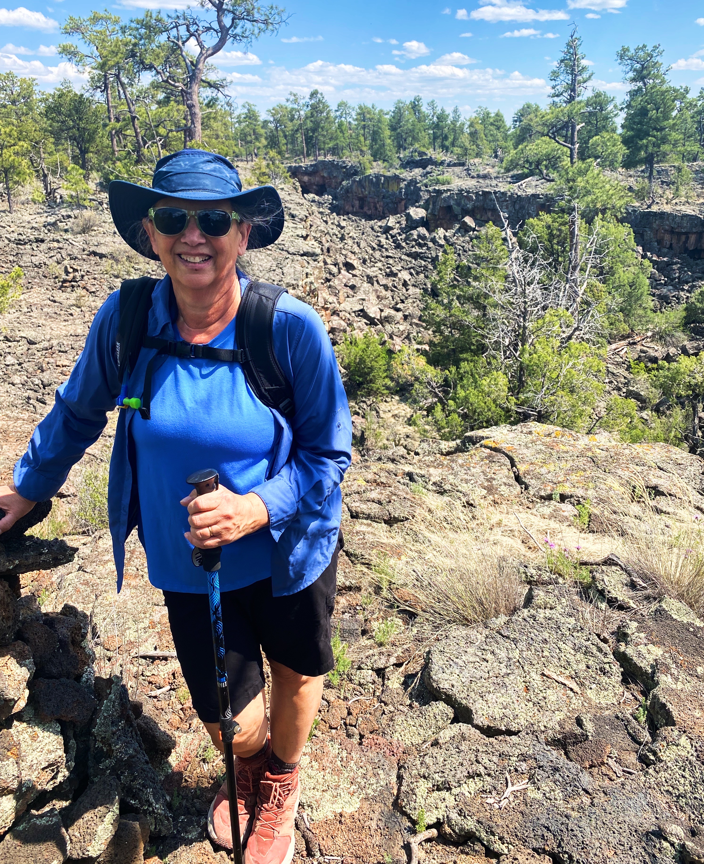
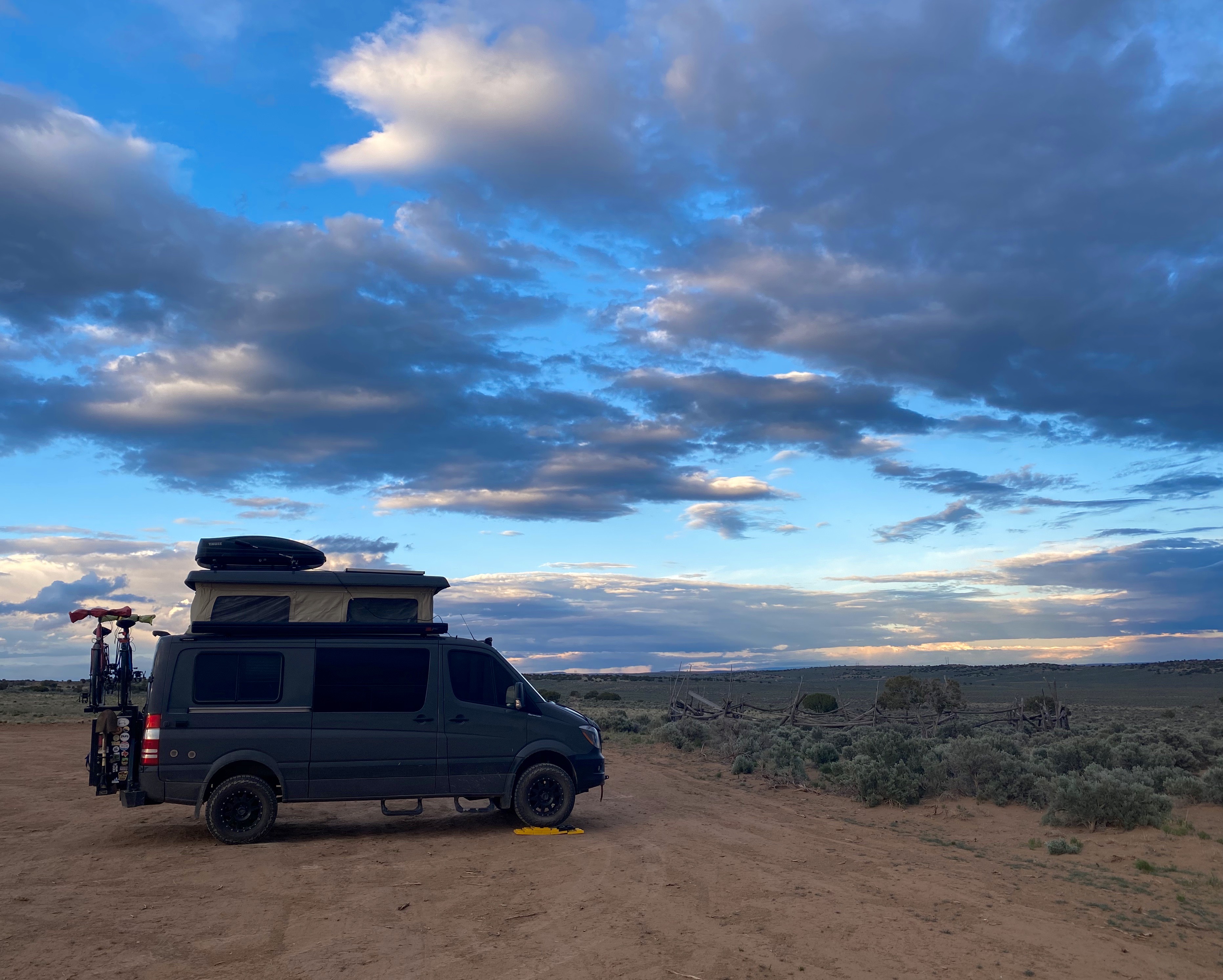
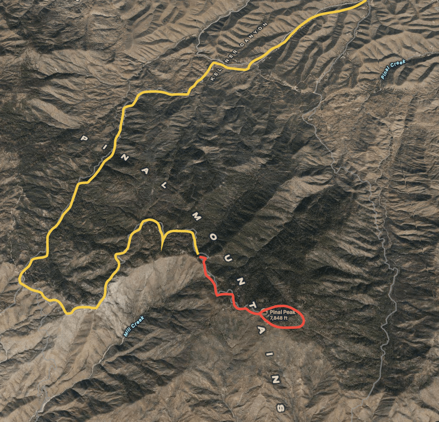
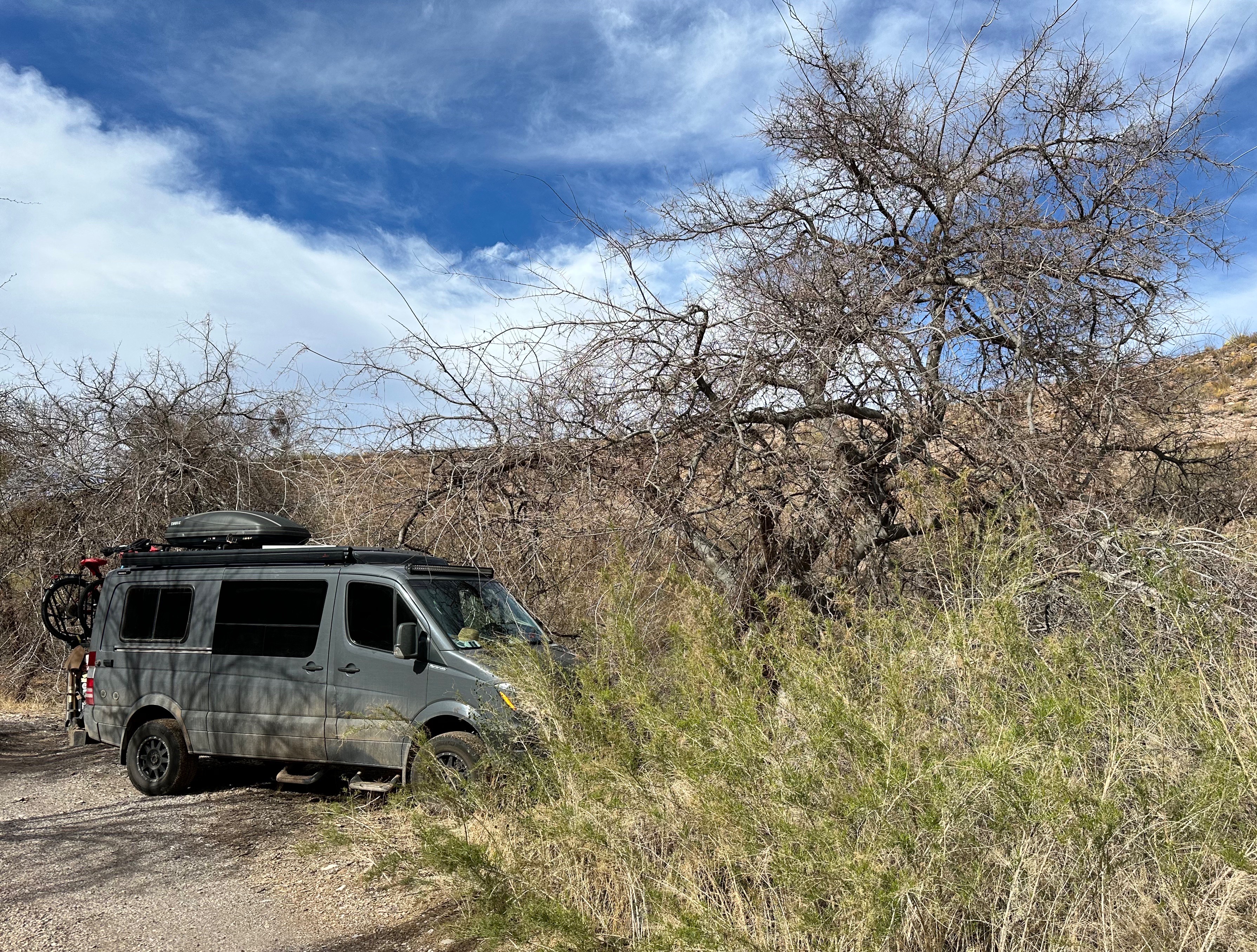
After a slow cruise through downtown Globe (and finding nothing open) we navigated to FR 112 to find a camping spot in the Pinal Mountains.
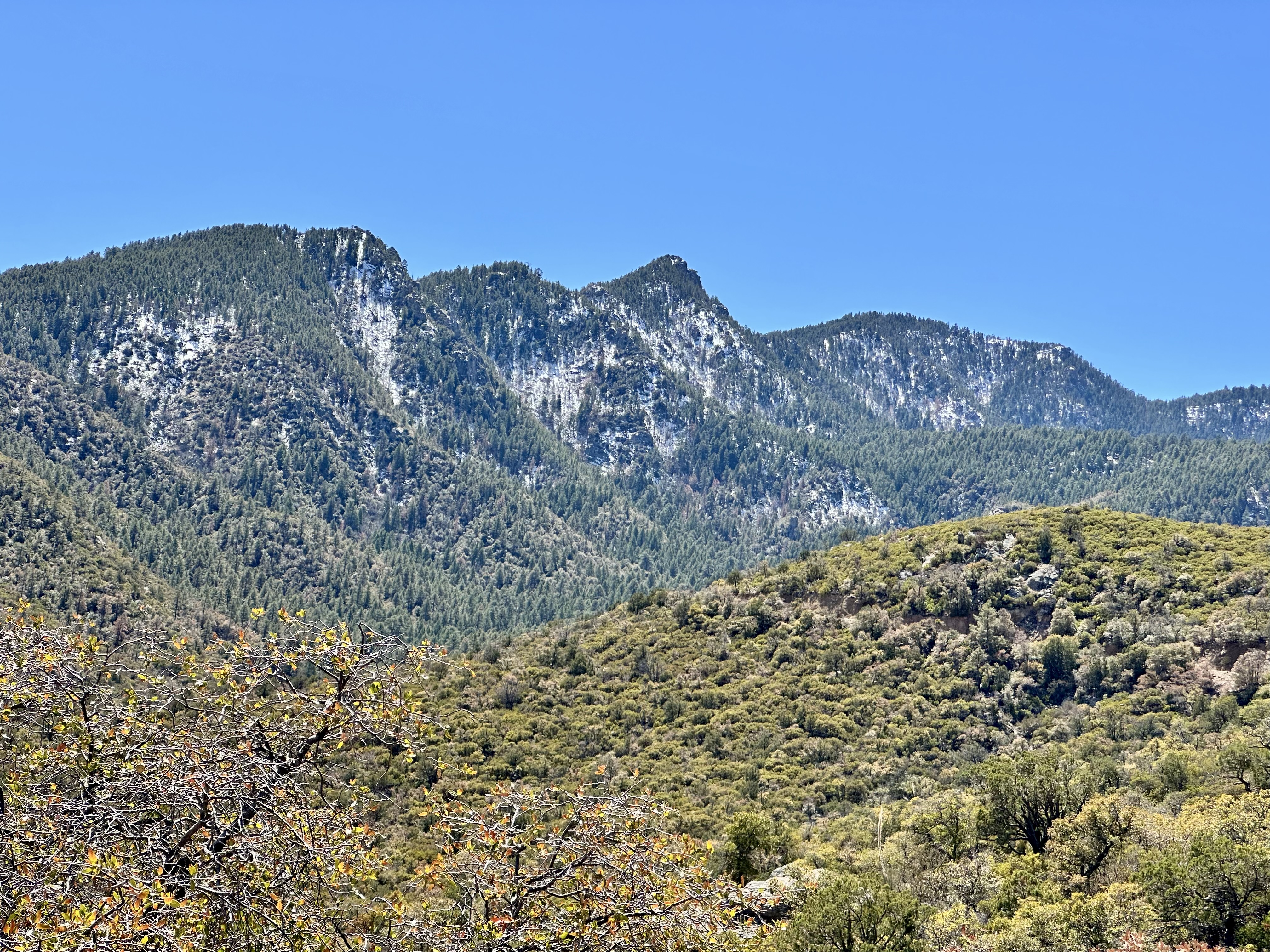
Since we could see that Pinal Peak (7800′) was still covered in snow, we had no illusions that we would make it all the way to the peak. We had pulled off into a layby as the road is a single lane and there was a vehicle coming down (downhill has right of way). He reported through the open passenger window of his mud spattered pickup that conditions at the top were too muddy for our tires We took his word at face value and camped in the layby. No fools, us!
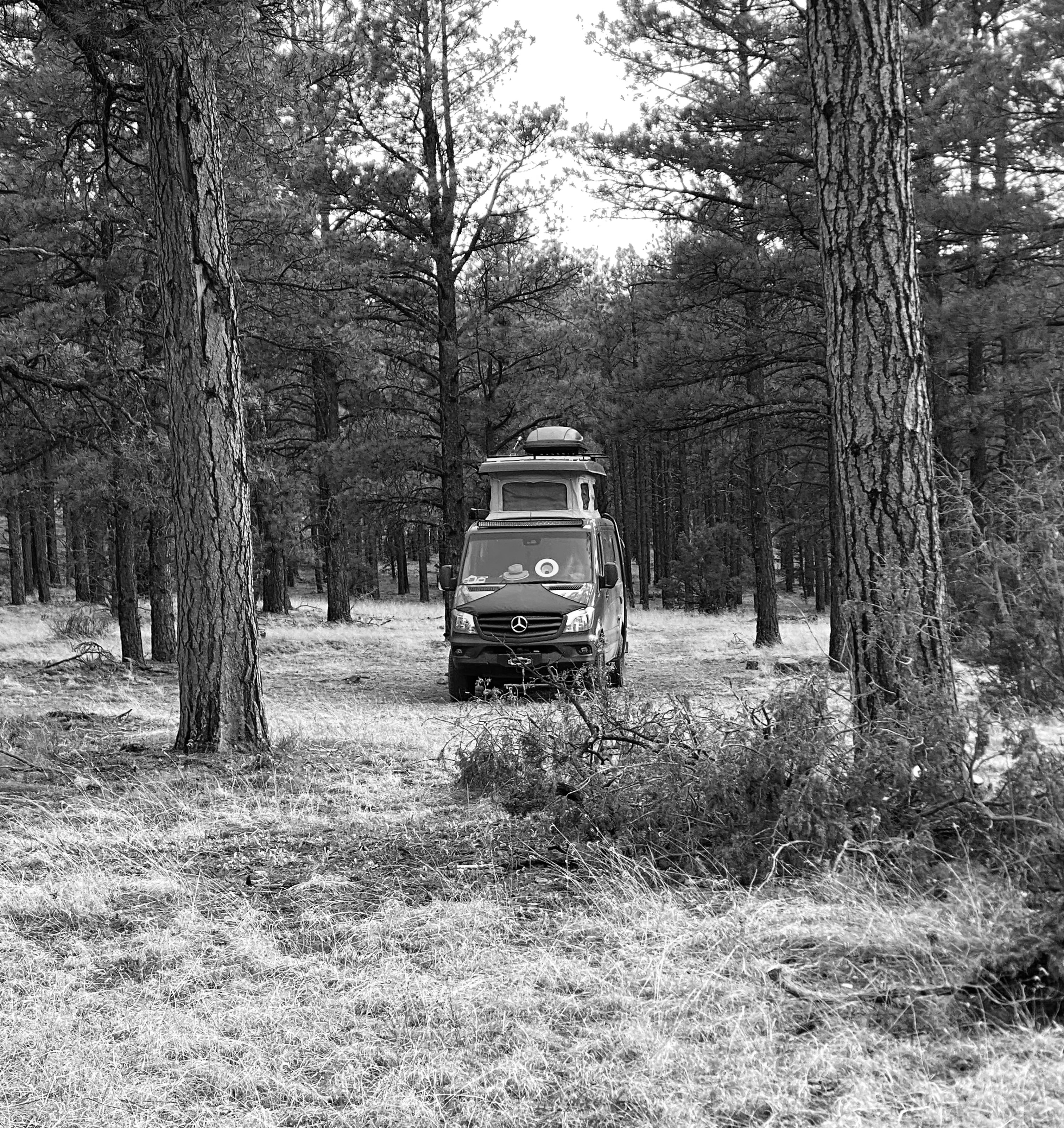
We awoke to a beautiful morning and began the trek back down the mountain to travel east to the town of Safford. If you watch the video below to the end you will see a herd of Javalina crossing the road.
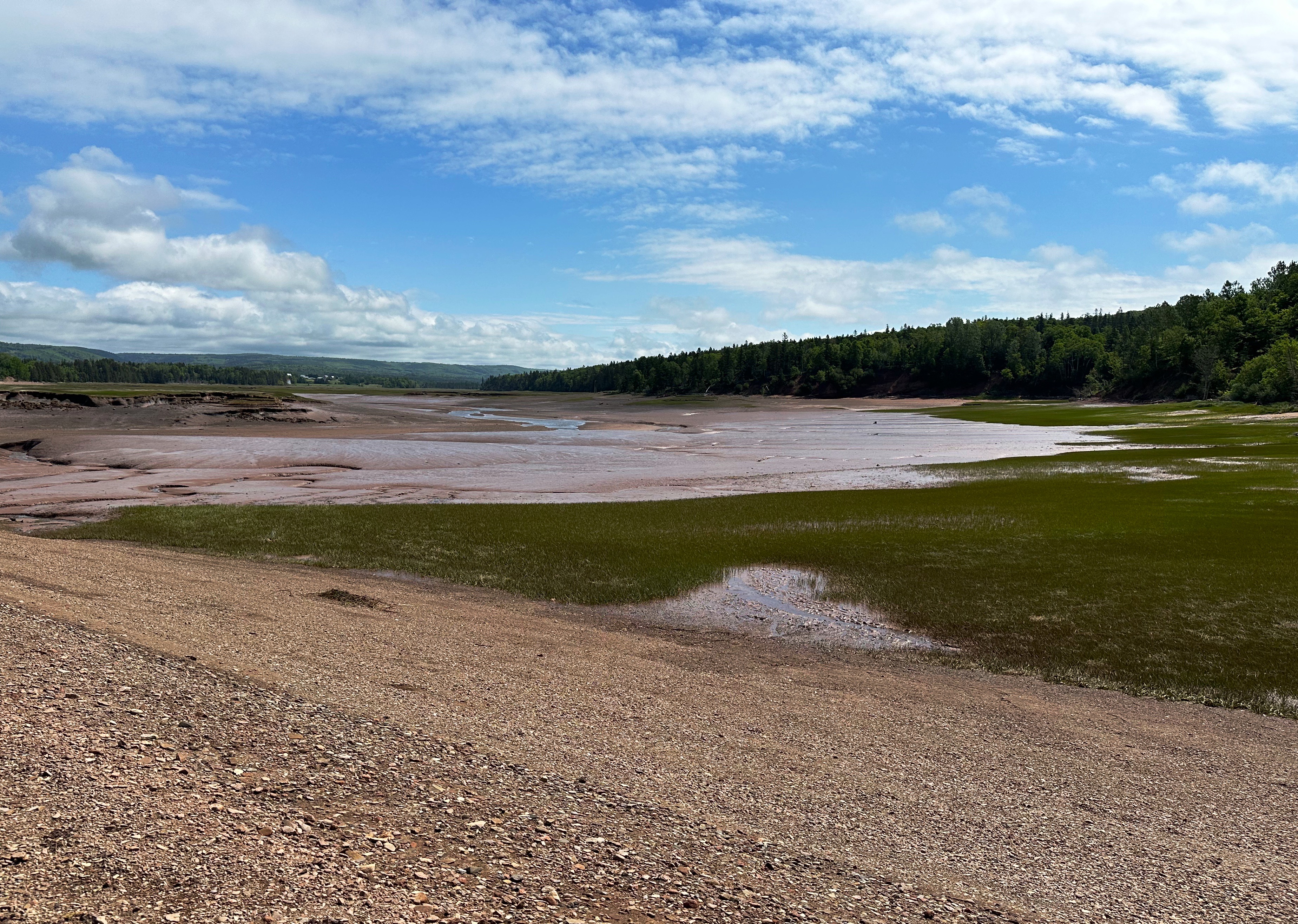
Once we reached pavement we followed Highway 70 east through the San Carlos Reservation and then traveled along the Gila River to Safford.
SAN CARLOS RESERVATION (FOUNDED 1871, POP. 10,000′)
The San Carlos Reservation was established in 1871 and is home to the San Carlos Apache Tribe. The original inhabitants of the reservation were the Chiricahua Apache tribe; they were joined by members of other tribes soon after. The federal government closed the Camp Verde Reservation in 1875 and force marched the Yavapai 180 miles to the San Carlos Reservation. Of the 1400 marched to San Carlos, 375 died en route to their new “home”. Over time the reservation became a consolidation point for a number of different Apache speaking tribes. To make room for the new residents the federal government thoughtfully transported the original Chiricahua Apaches to Florida in 1886.

Today approximately 10,000 of 16,000 tribal members live on the reservation. The reservation was federally recognized in 1934 and encompasses 1.8 million acres (3000 sq. miles). About thirty percent of the members live in San Carlos and the remainder in several other tiny settlements along Highway 70.
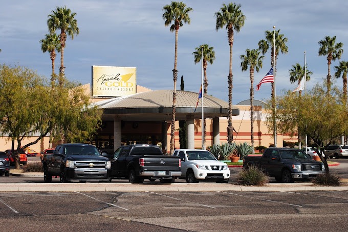
Economically, the San Carlos members seem to be worse off than many other reservations. There is, of course, a casino (two in fact) but beyond that there is little industry other than revenue generated from recreation and wildlife permits and a handful of small Peridot mines (open to tribal members only). 49% of the population lives below the poverty line and 36% of working age members are unemployed.
safford(pop. 10,700, elev. 2920′)
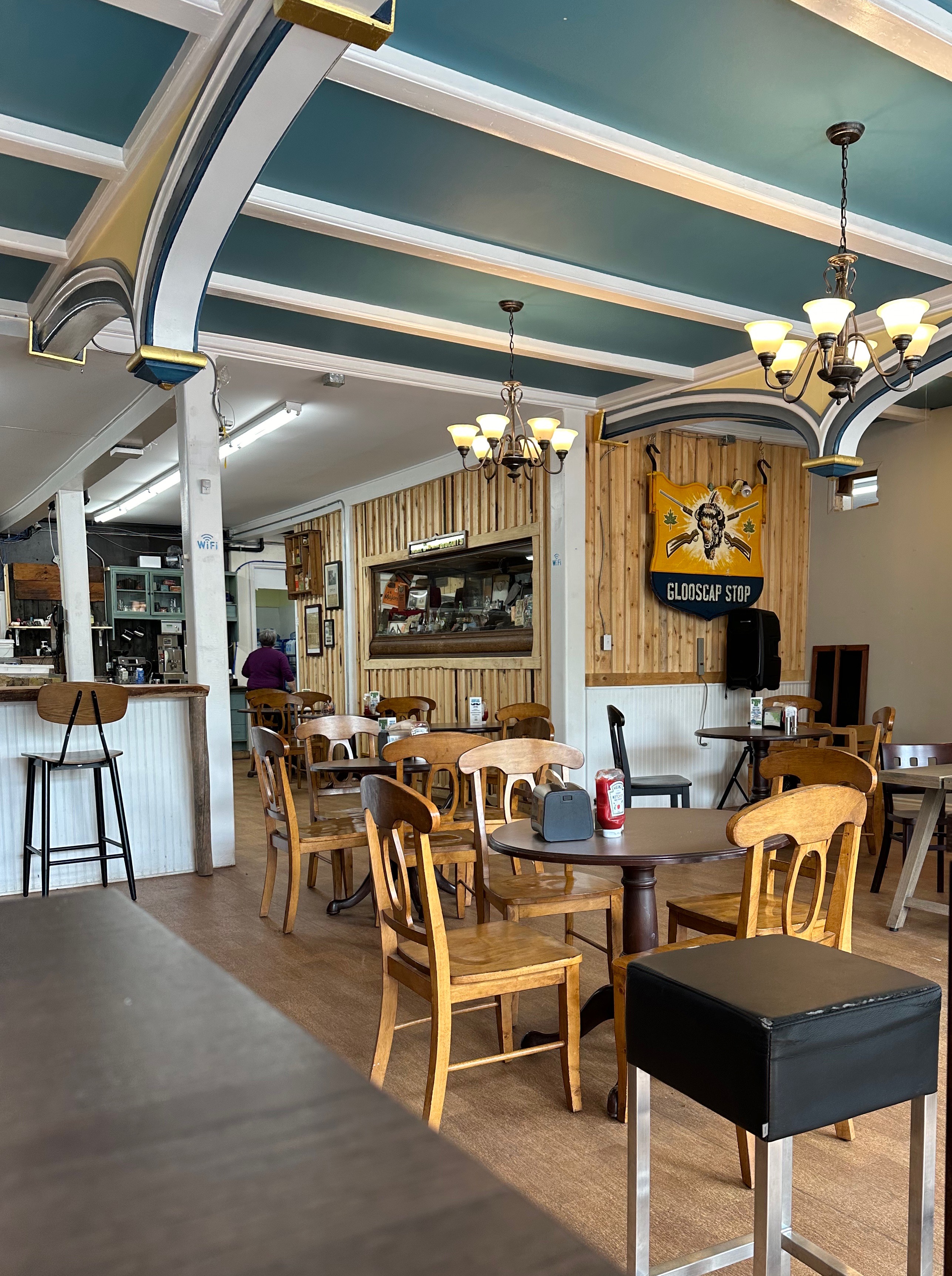
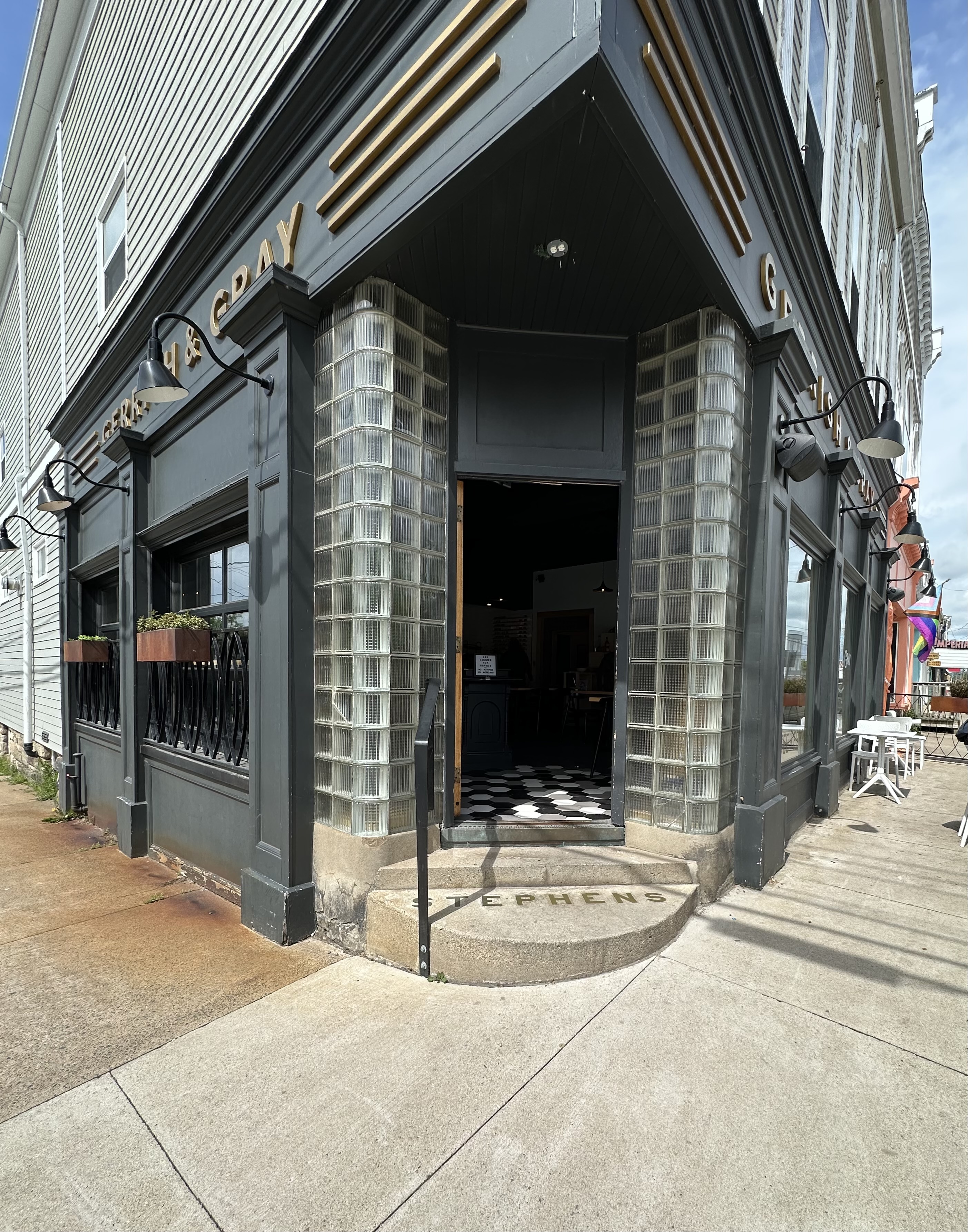
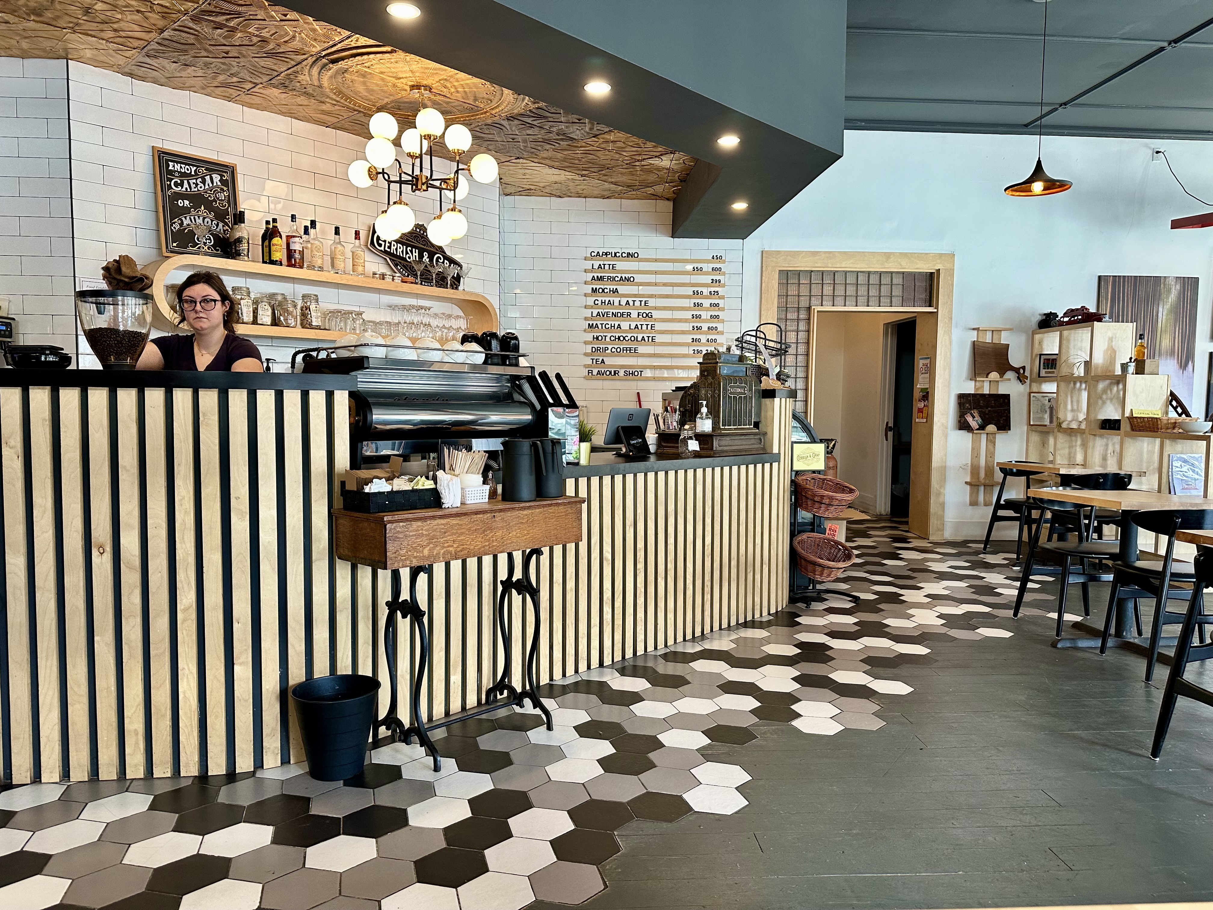
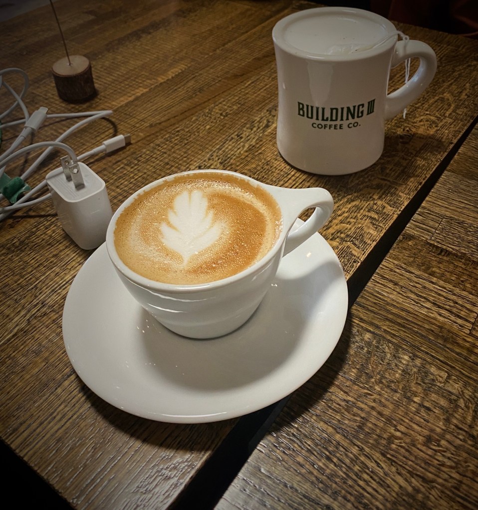
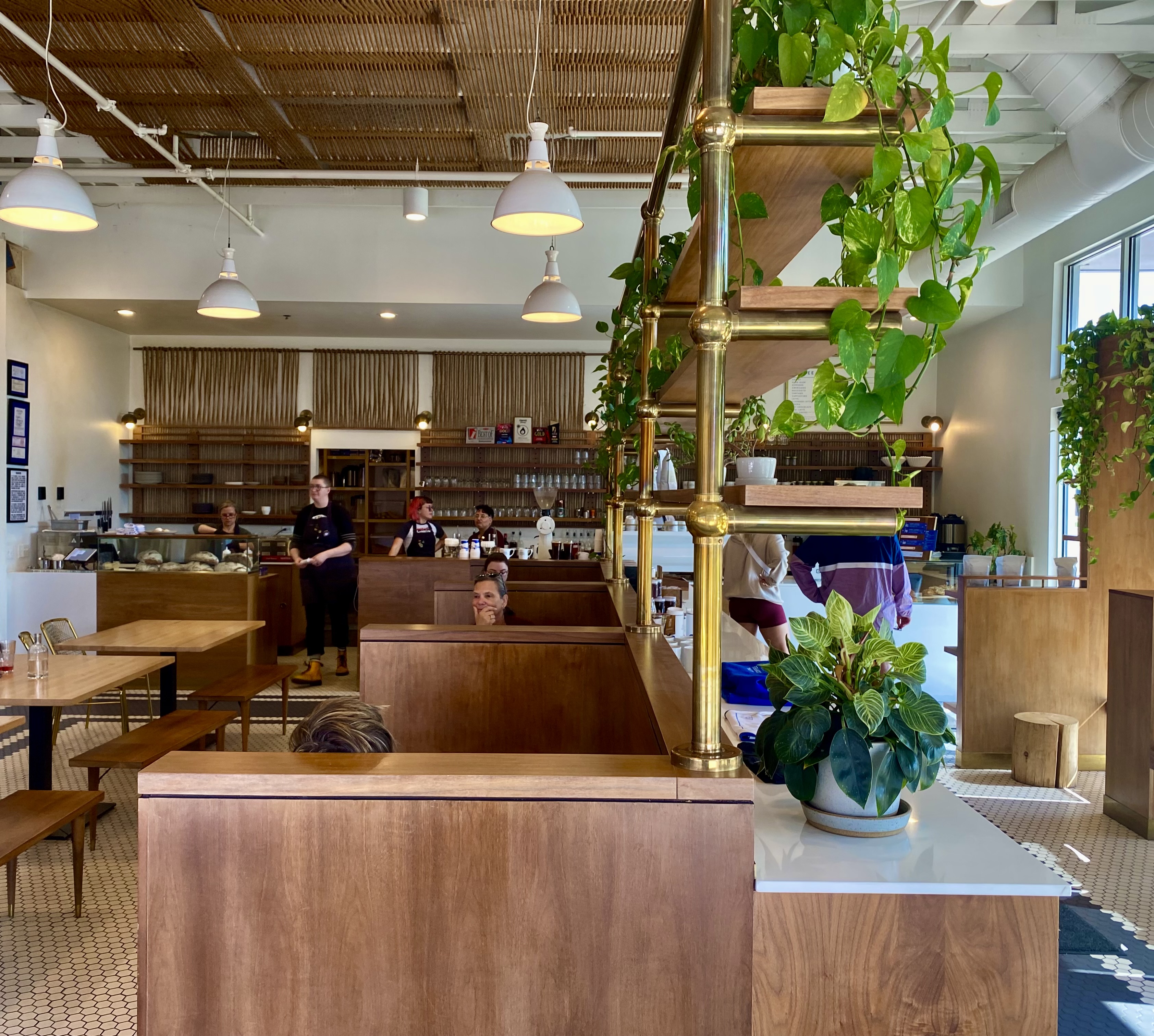
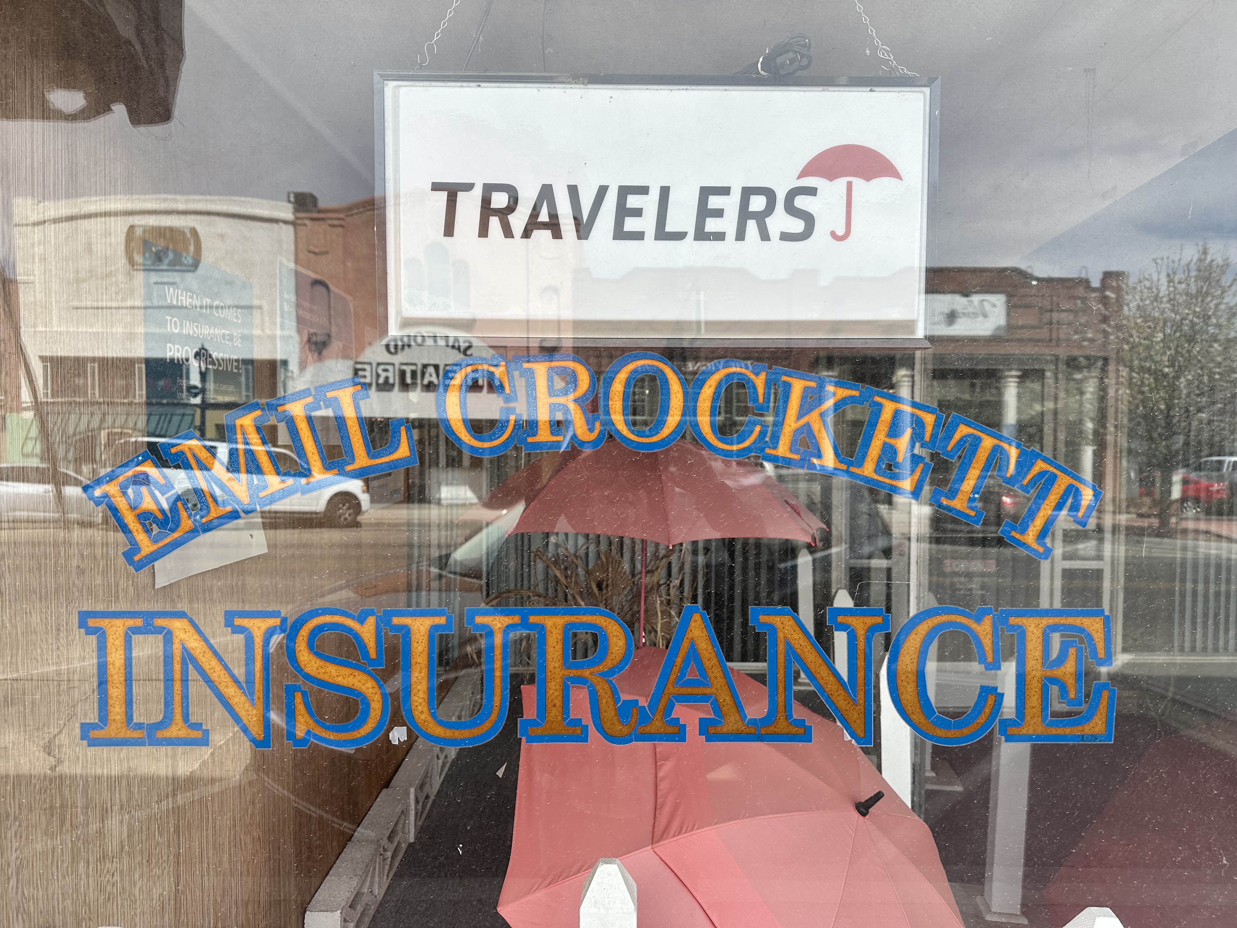
Safford was by far the biggest town by population on our route, with almost 11,000 people. The portion of Highway 70 in Safford is lined with the usual “civi town” suspects – fast food chains, Walmart, Home Depot, etc. Fortunately, one block off of the 70, Main Street is intact with local retailers, restaurants and, most importantly, coffee (Ginaveve’s). During our walk around town we also happened upon the local insurance agency, where the big red umbrella is prominently on display.


Agriculture is the primary industry in Safford. The main crop is cotton, which was introduced into the area by Mormon settlers during the 1870s. You are probably familiar with Pima cotton which comes from the fertile soil in the Gila Valley. Latter Day Saints remain influential in the area – about one third of the population is LDS.
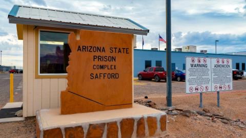
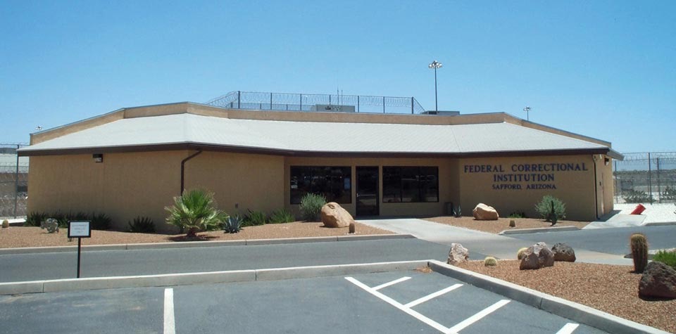
From an employment standpoint, many of the residents work in the two mines north of town; the nearby state and federal prisons are also significant employers.
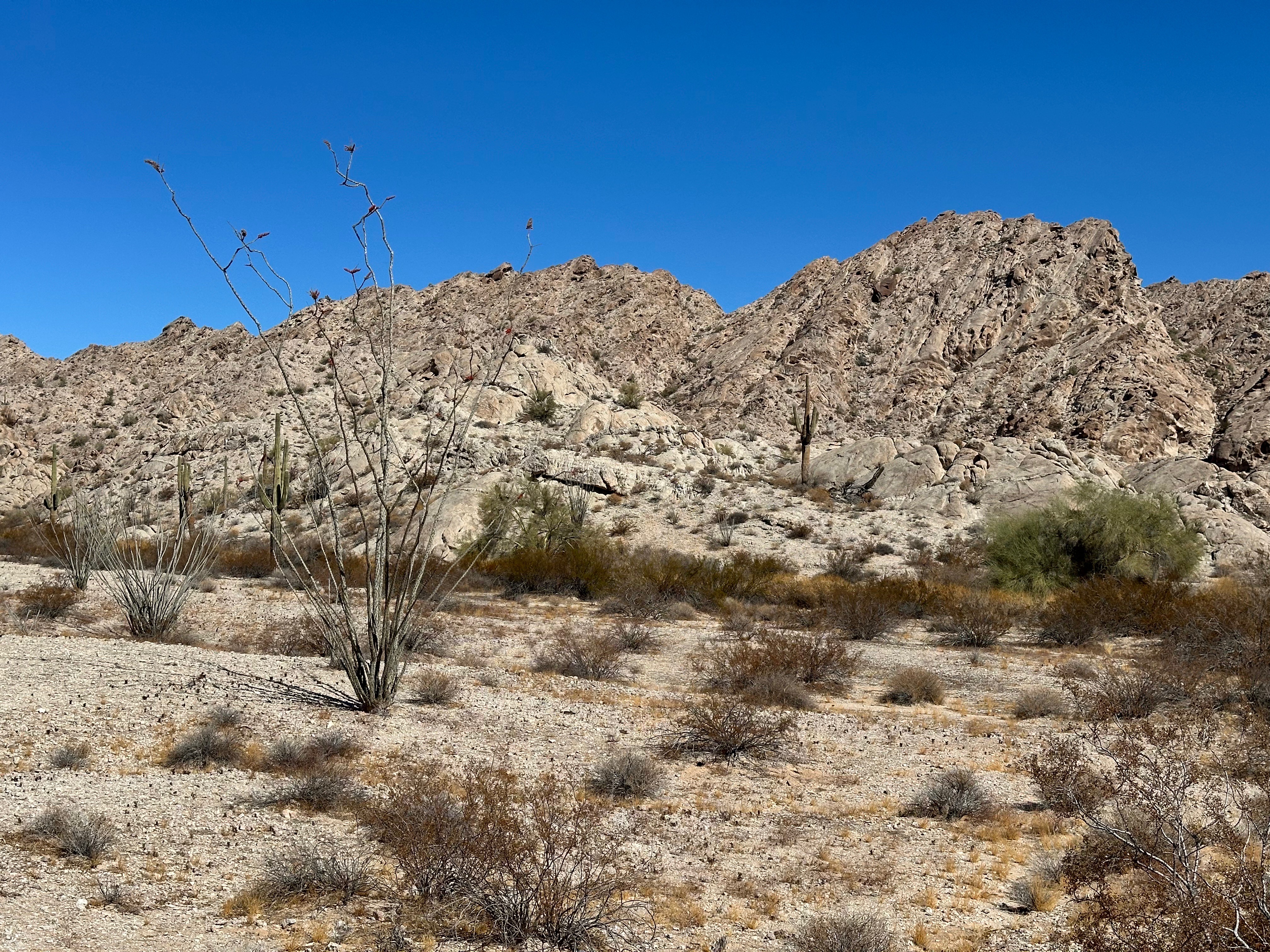
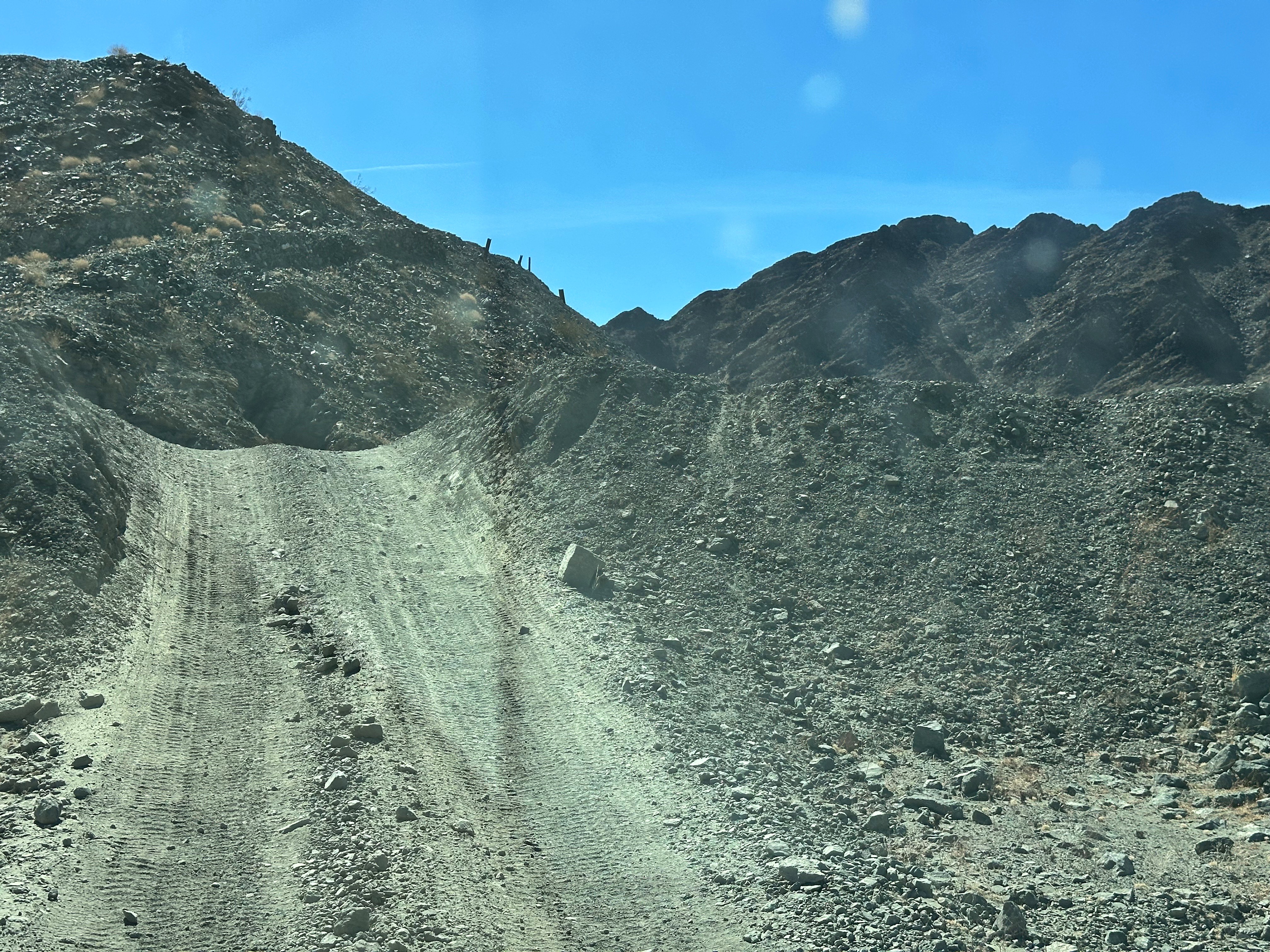
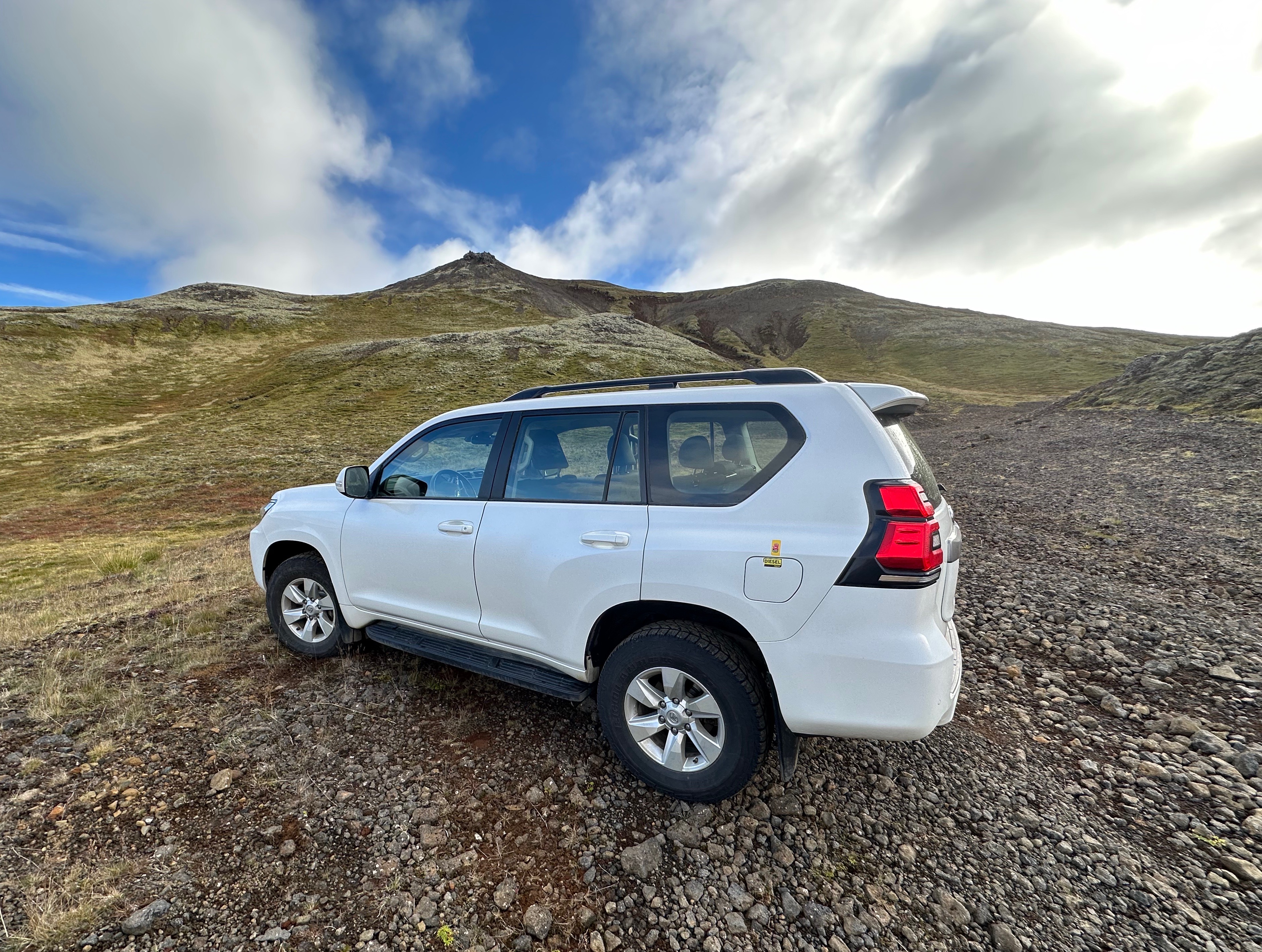
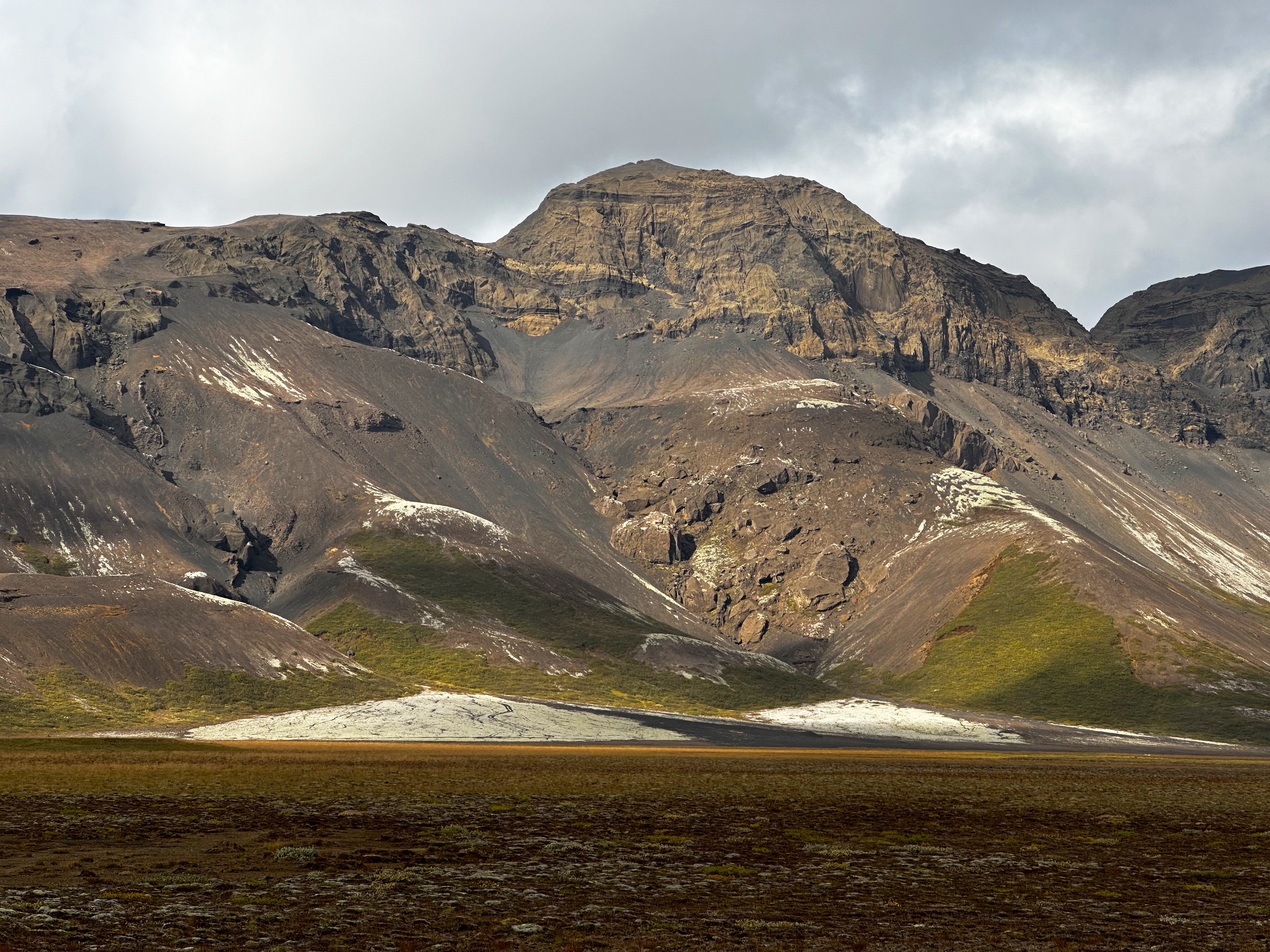
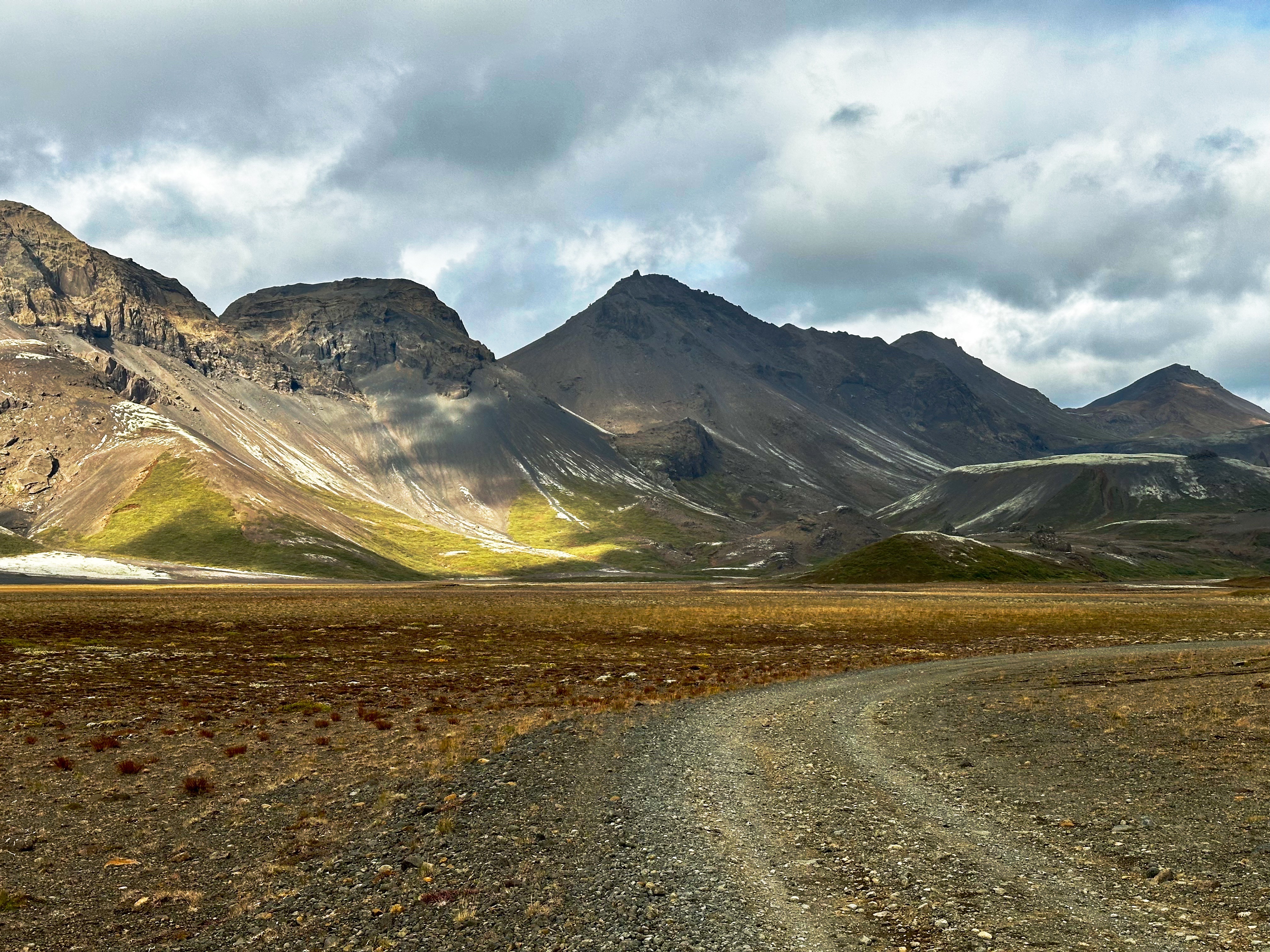
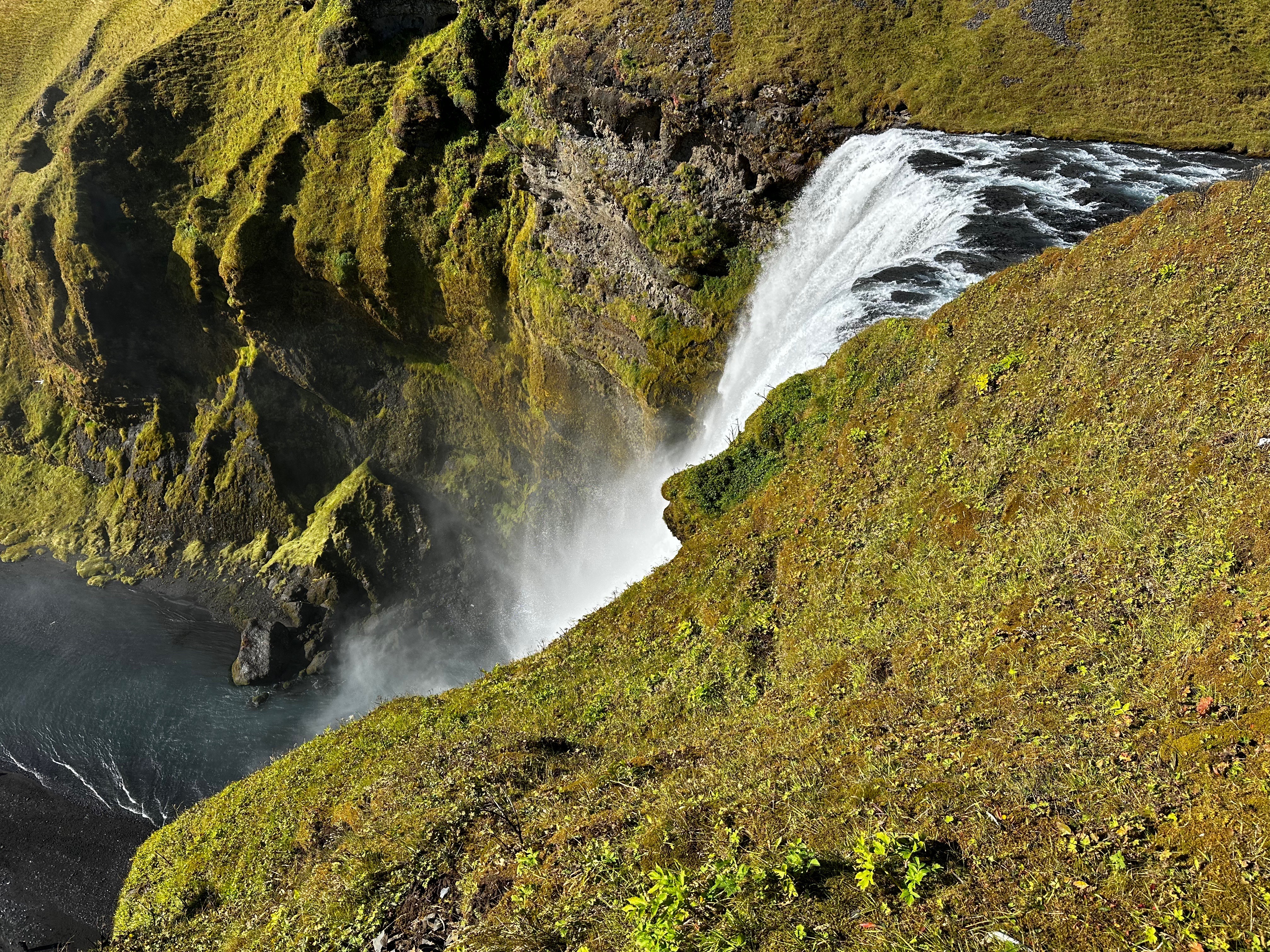
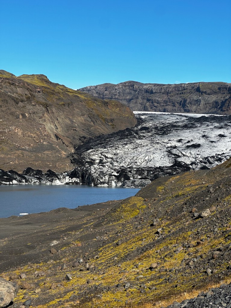
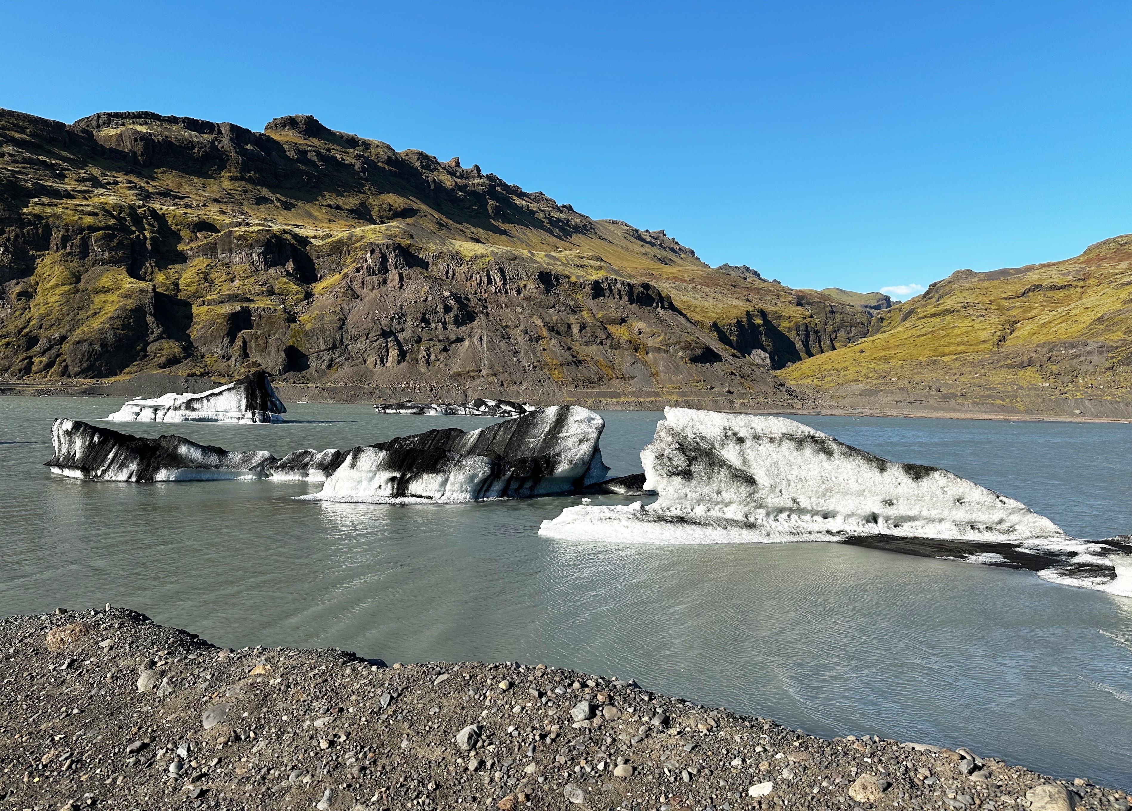
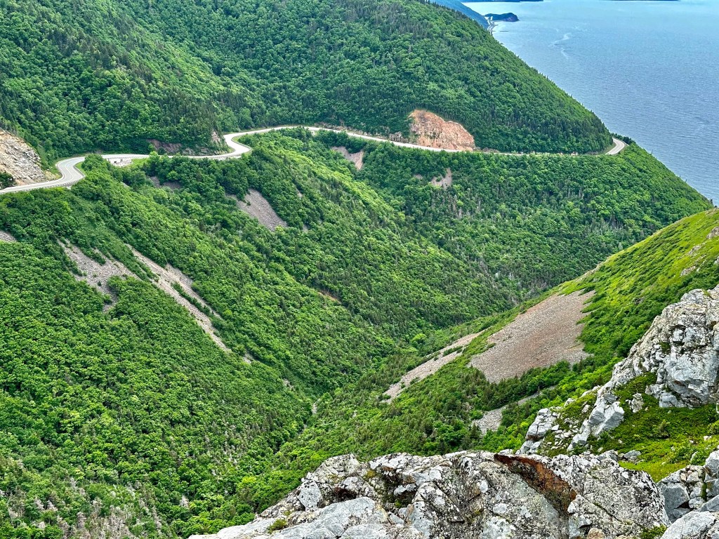
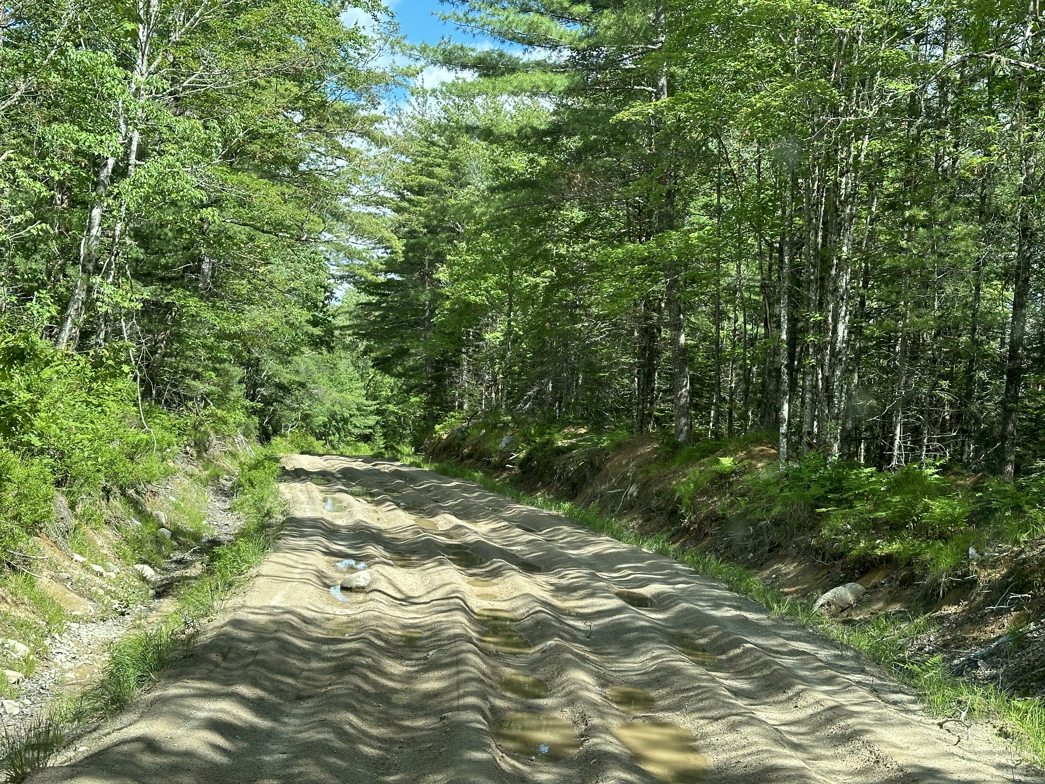
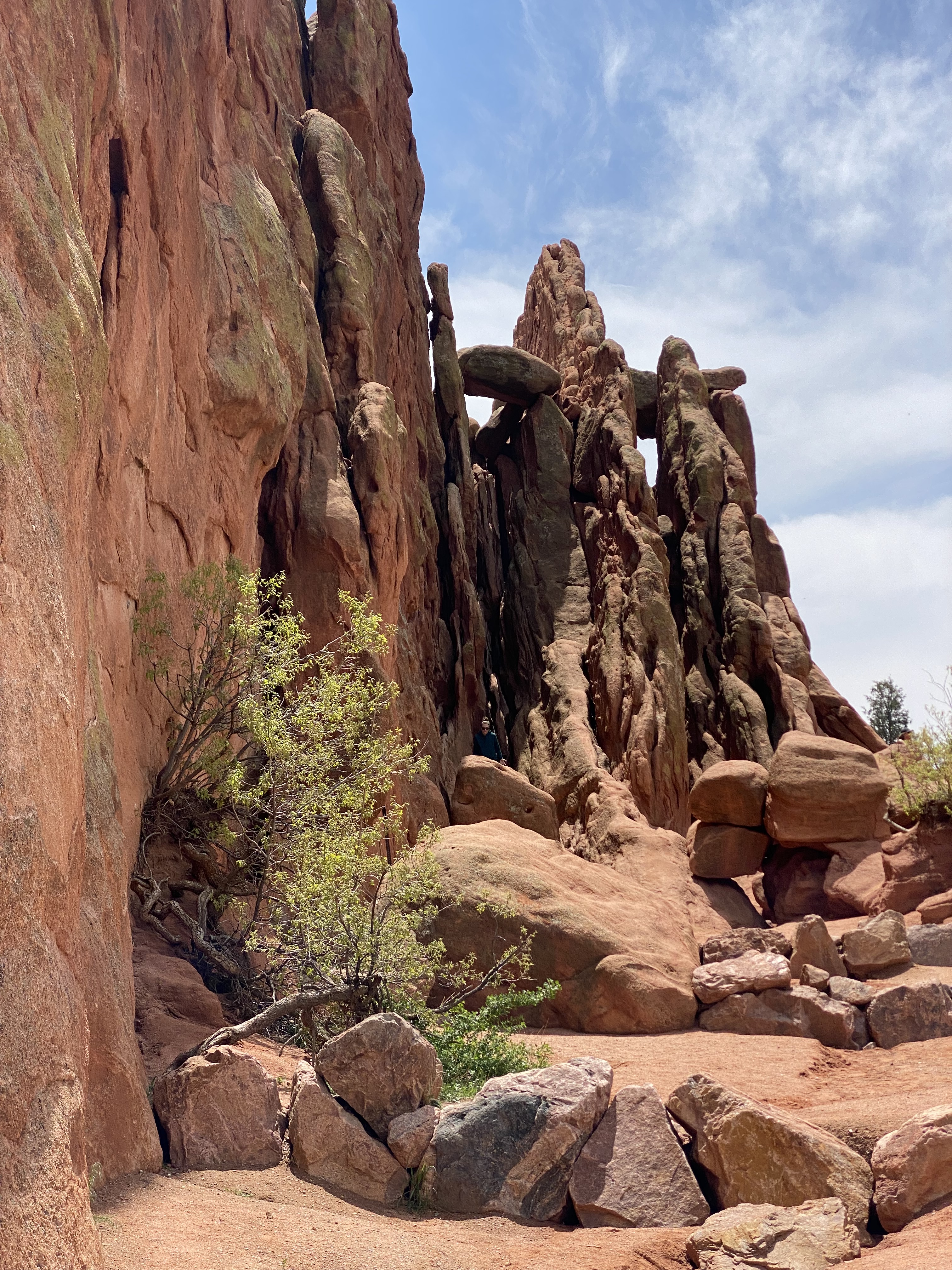
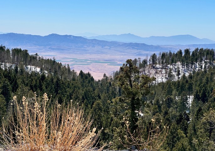
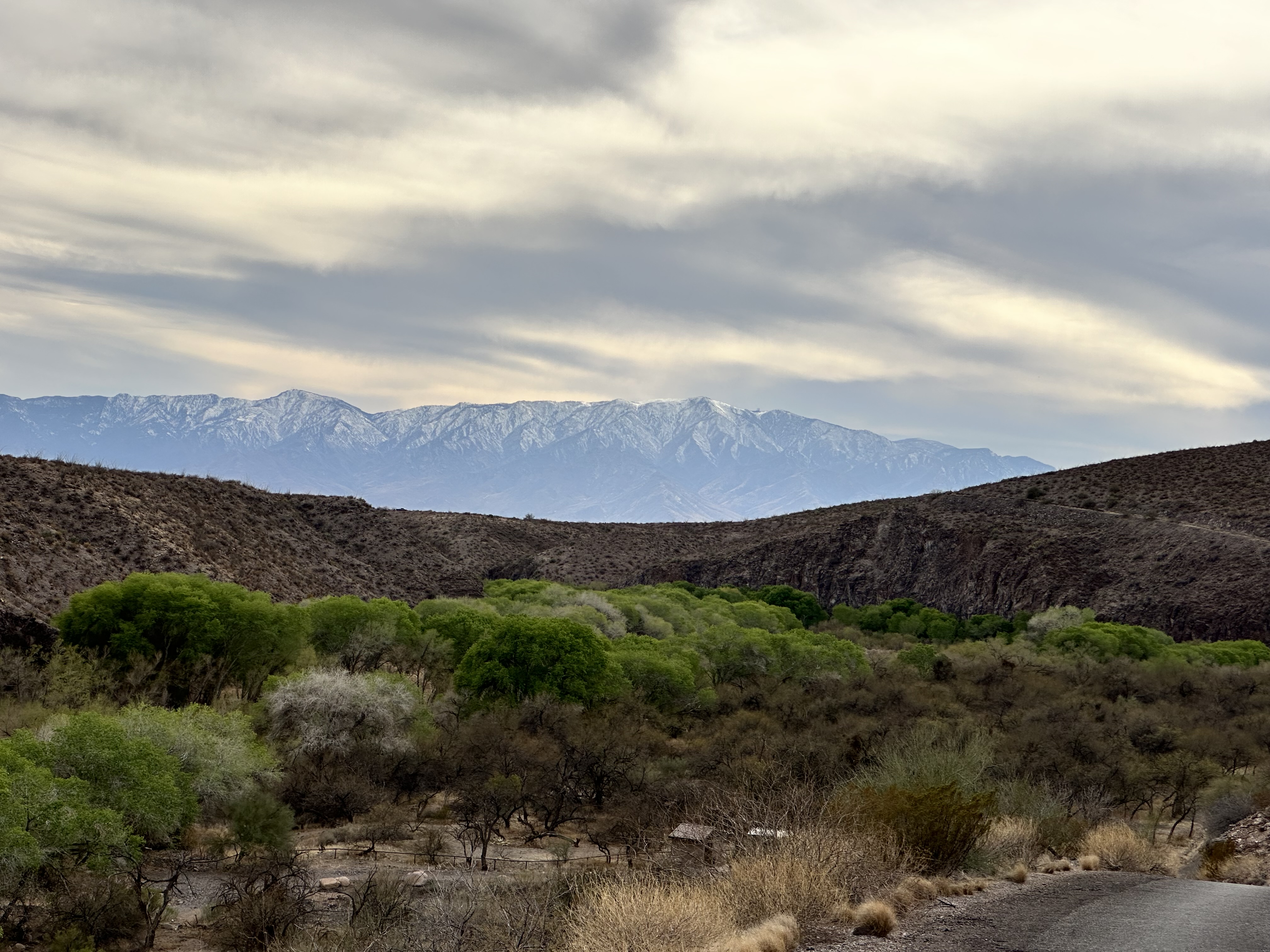
The main attraction for us in stopping in Safford was the opportunity to drive the Swift Trail which winds up over 7000 feet through the Pinaleno Mountains to Mount Graham (10,696′). The trail is paved for the first 22 miles and dirt the final 13 miles.
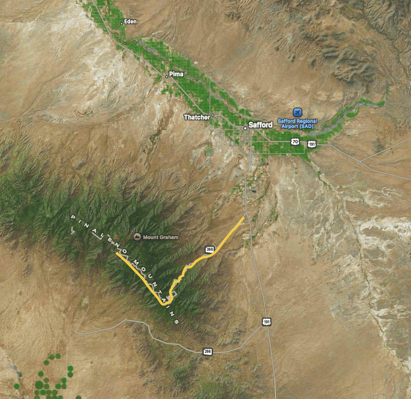

The upper elevations of the Pinaleno Mountains are heavily pine forested. So, when Mormon farmers arrived in the late 1800, the trail was built as a wagon route for lumber needed by the farmers and later for the mining operations that were opened in the early 1900s.


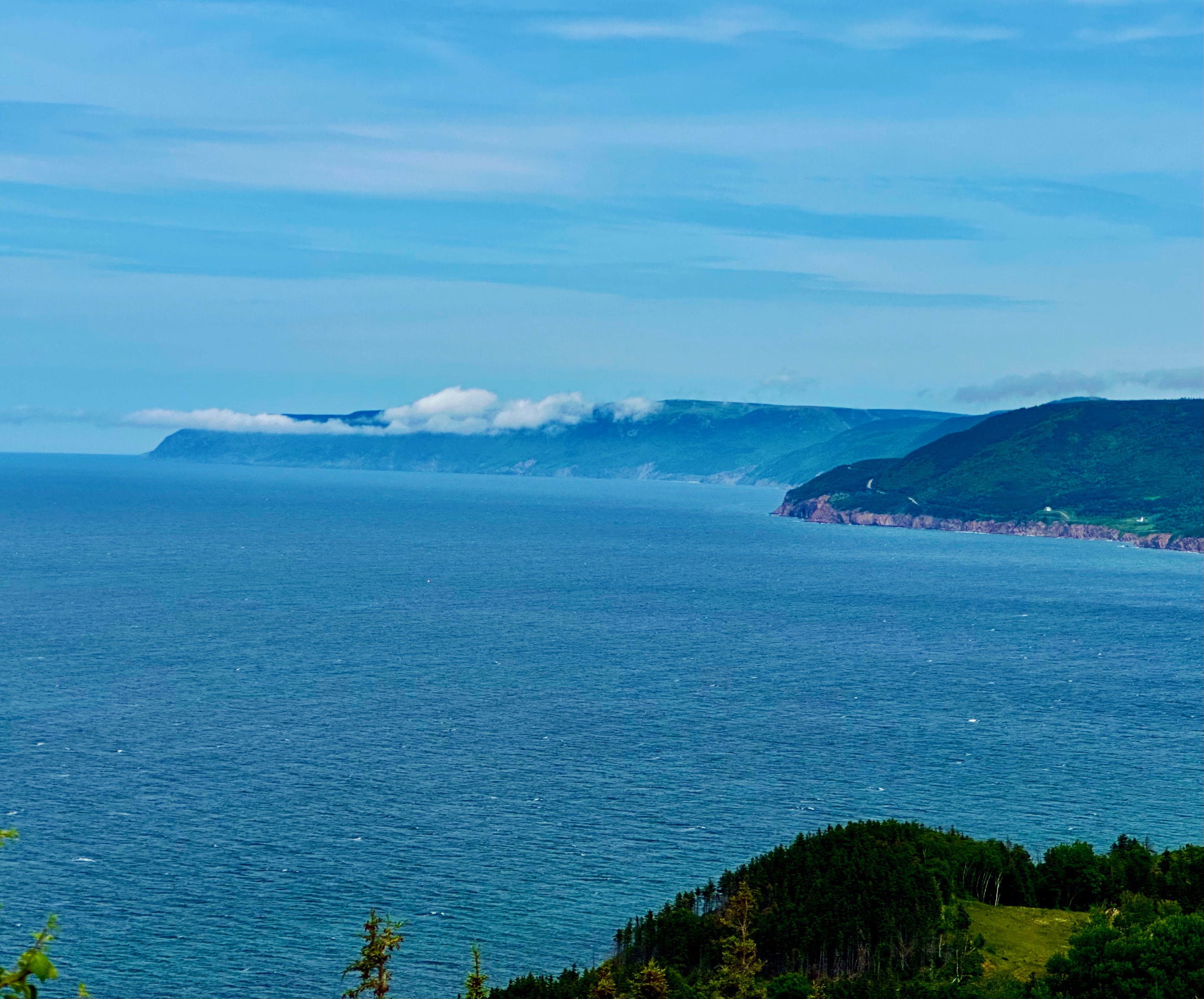
The views were as breathtaking as advertised! The drive itself was fun as we navigated the seemingly unending switchbacks that lead around the mountains and eventually up to the top. Once at the top we could see why the Western Apache considered Mount Graham (Dzil Nchaa Si’an) a sacred place. As is often the case, the Native Americans were removed and placed on reservations so that our extraction of natural resources could continue unabated. Fortunately, for all of us, this land is now protected as part of the Coronado National Forest.

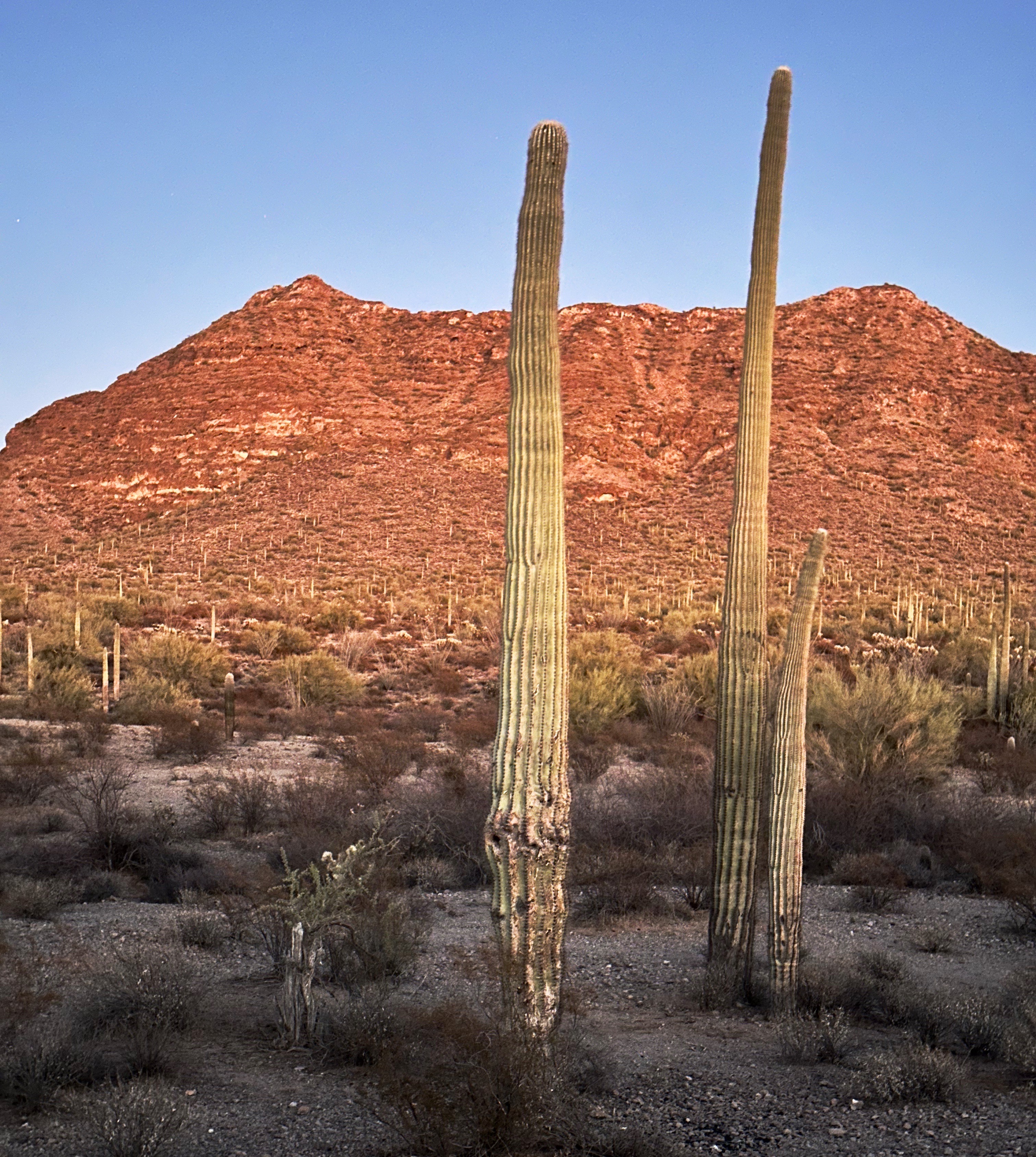
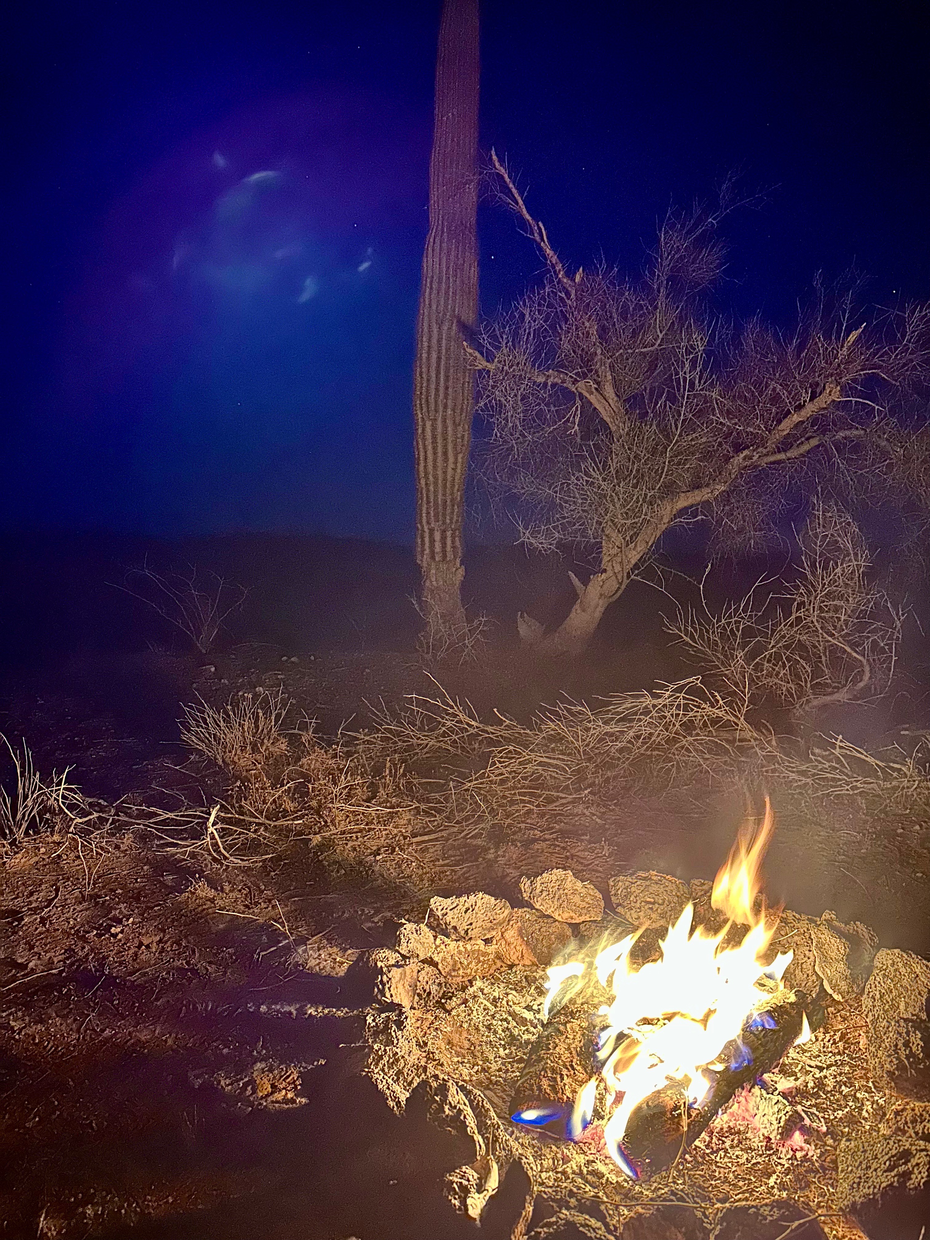
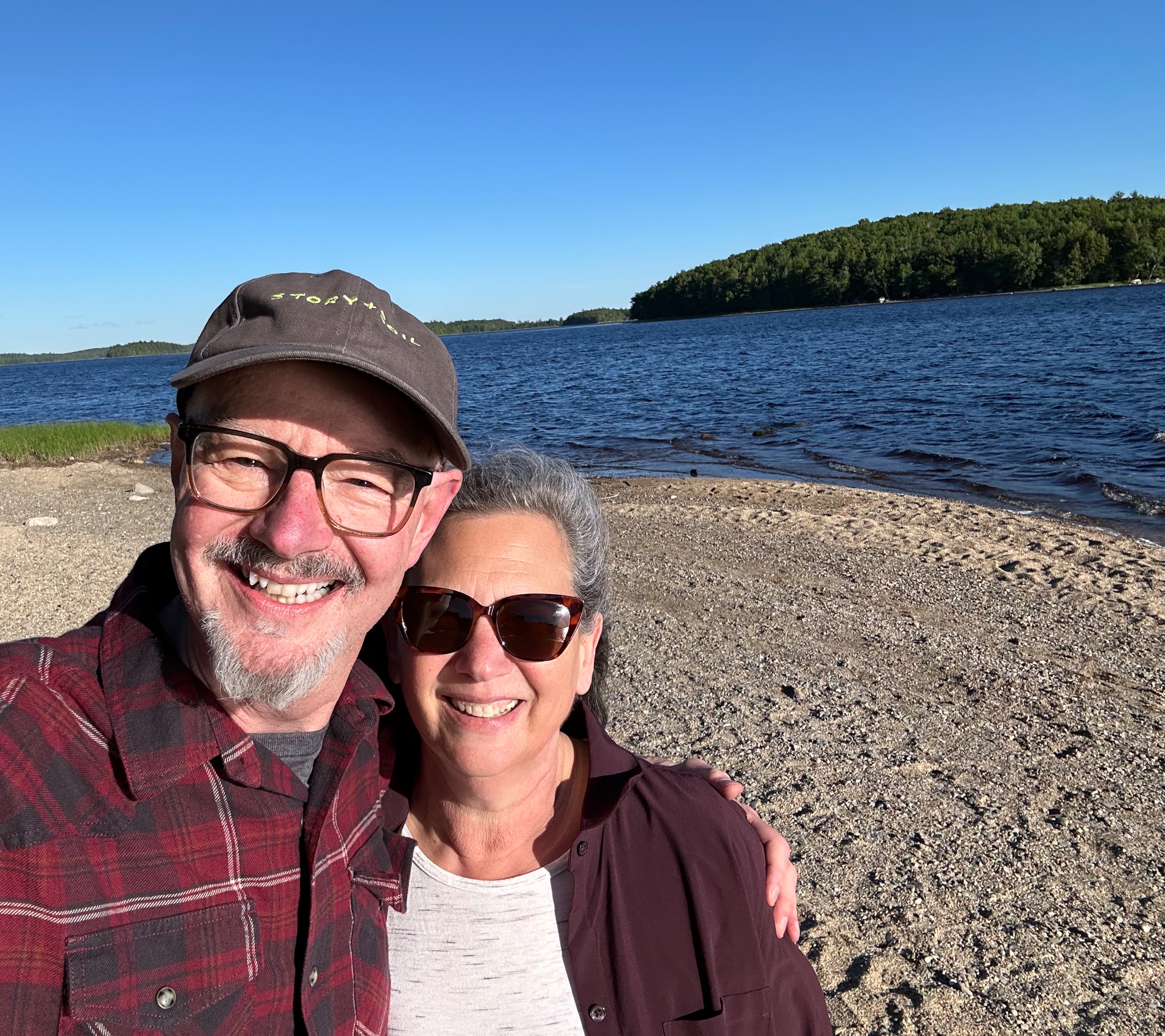
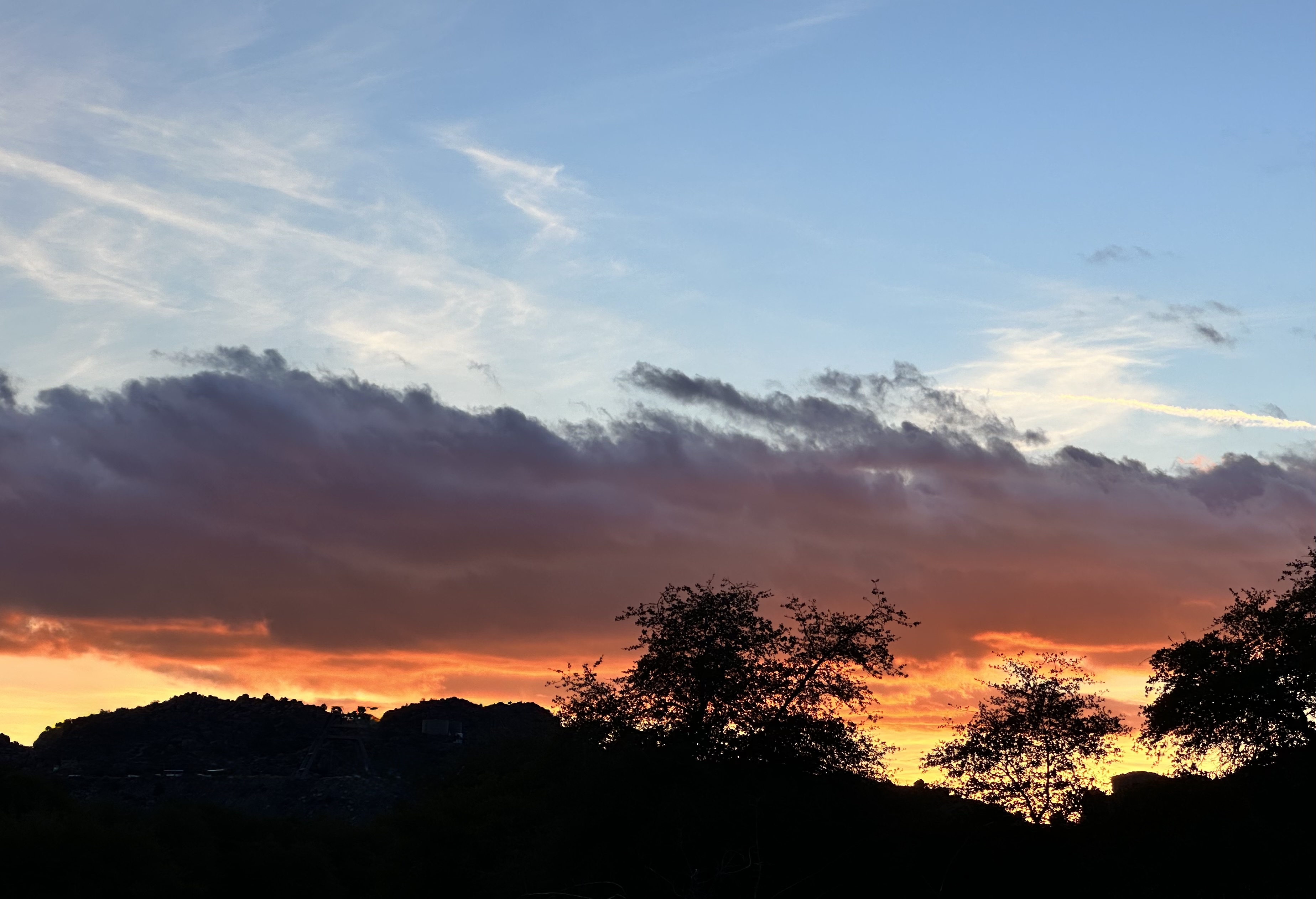
After descending the trail we camped at the base, which afforded us an evening soaking in panoramic views of the snowcapped mountain range – mesmerizing – nature never disappoints!

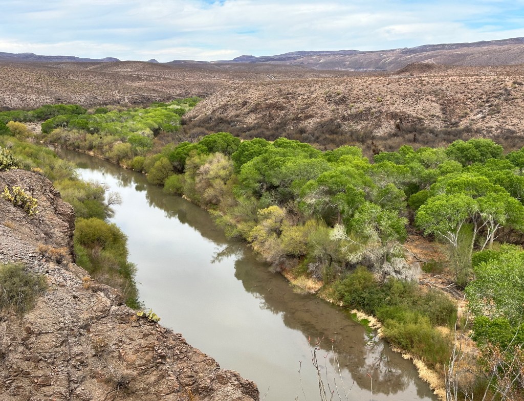
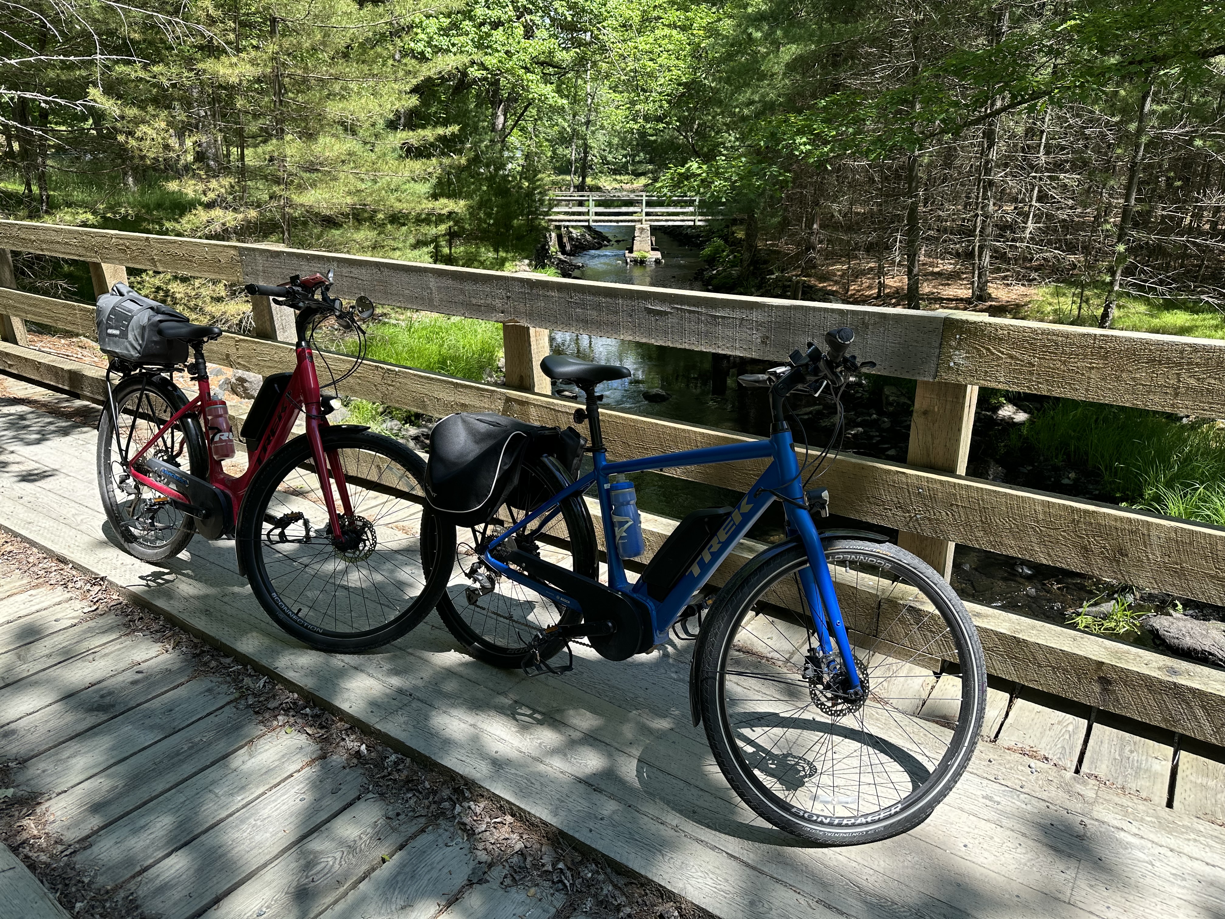
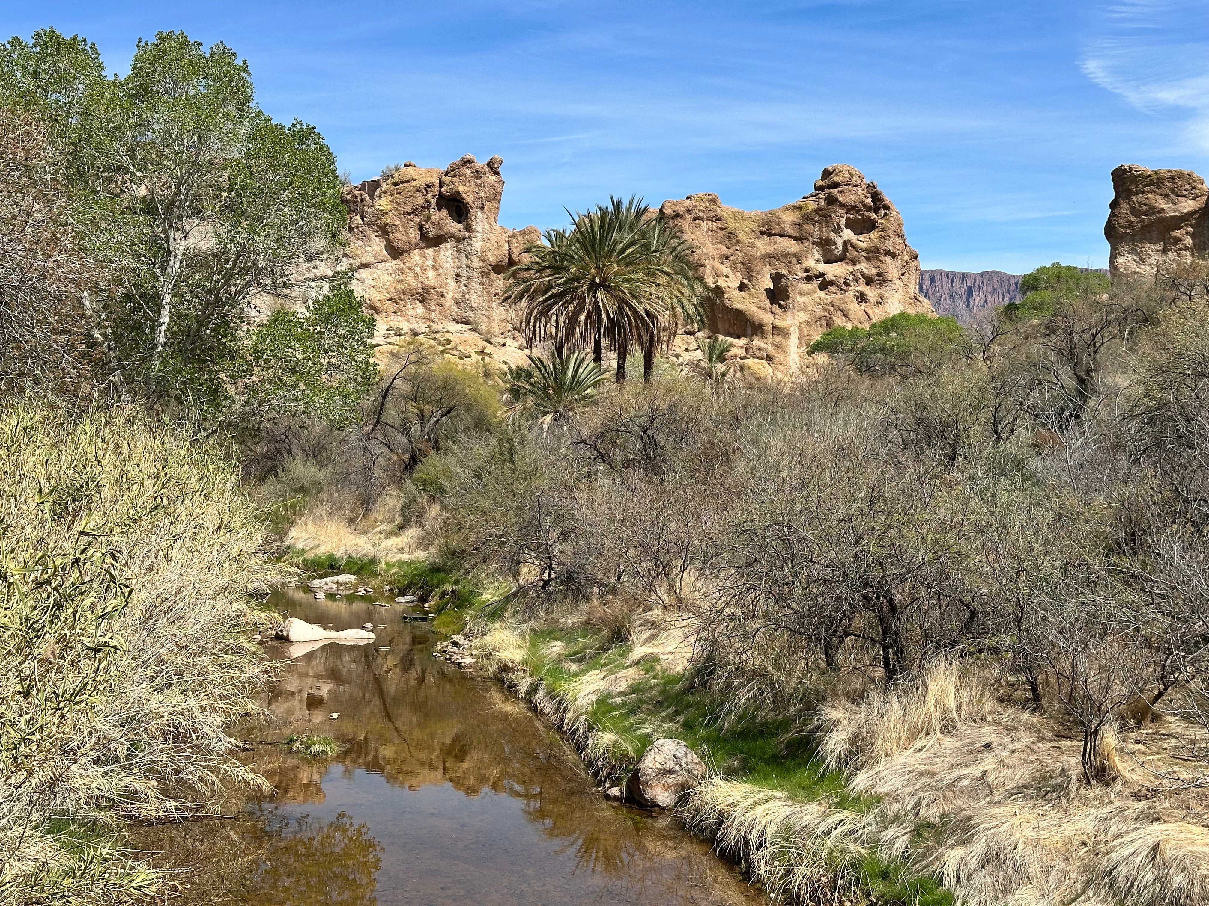
In the morning we grabbed coffee and tea at Ginaveve’s and set out to hike along the Gila River within the Gila Box Riparian National Conservation Area. The Gila is a 649 mile long tributary of the Colorado and flows all year through the section within the conversation area creating this green strip through the desert. Below this area the Gila and its tributaries are damed several times. By the time the river reaches the Phoenix area it is usually just a dry wash.
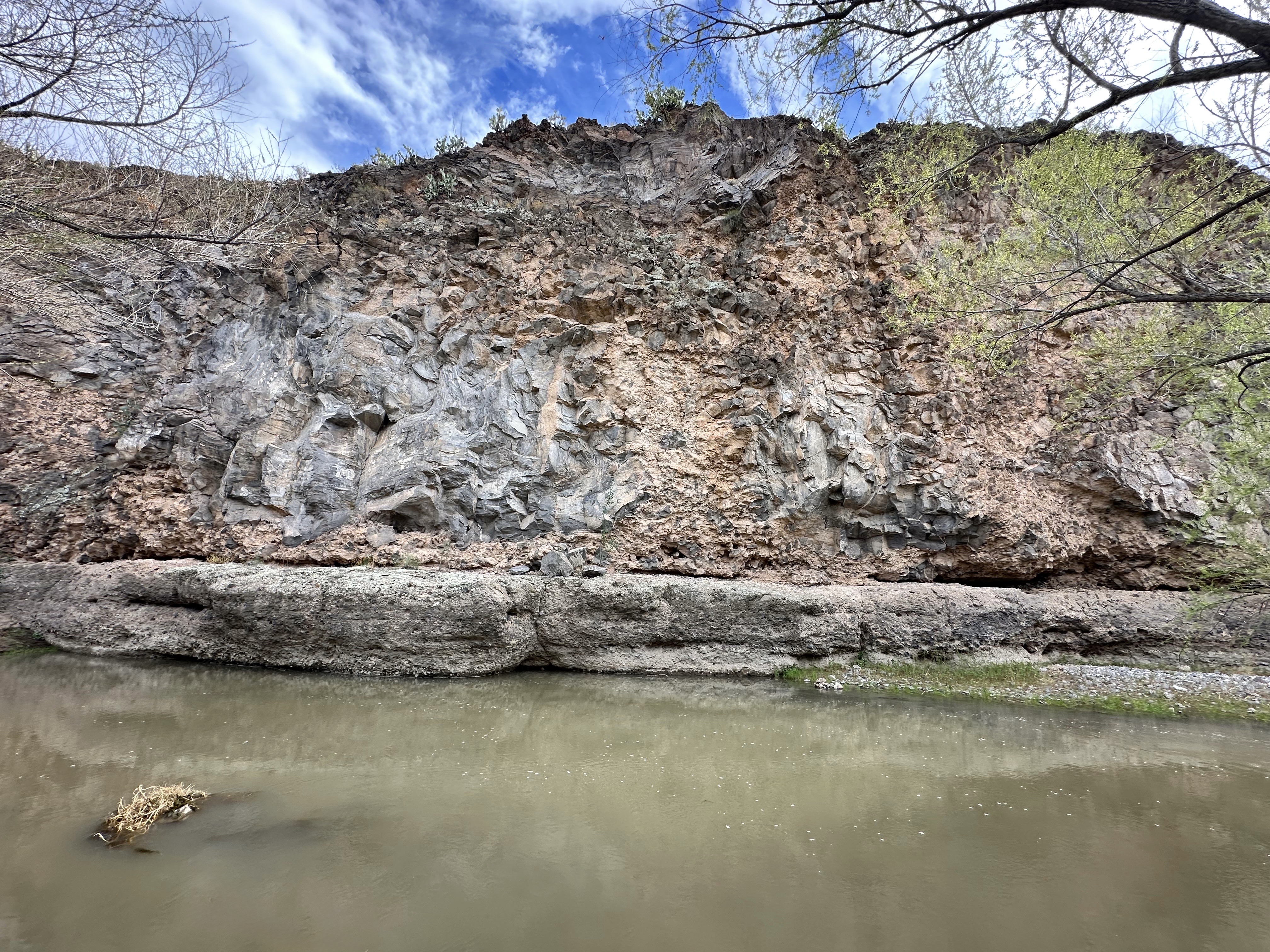

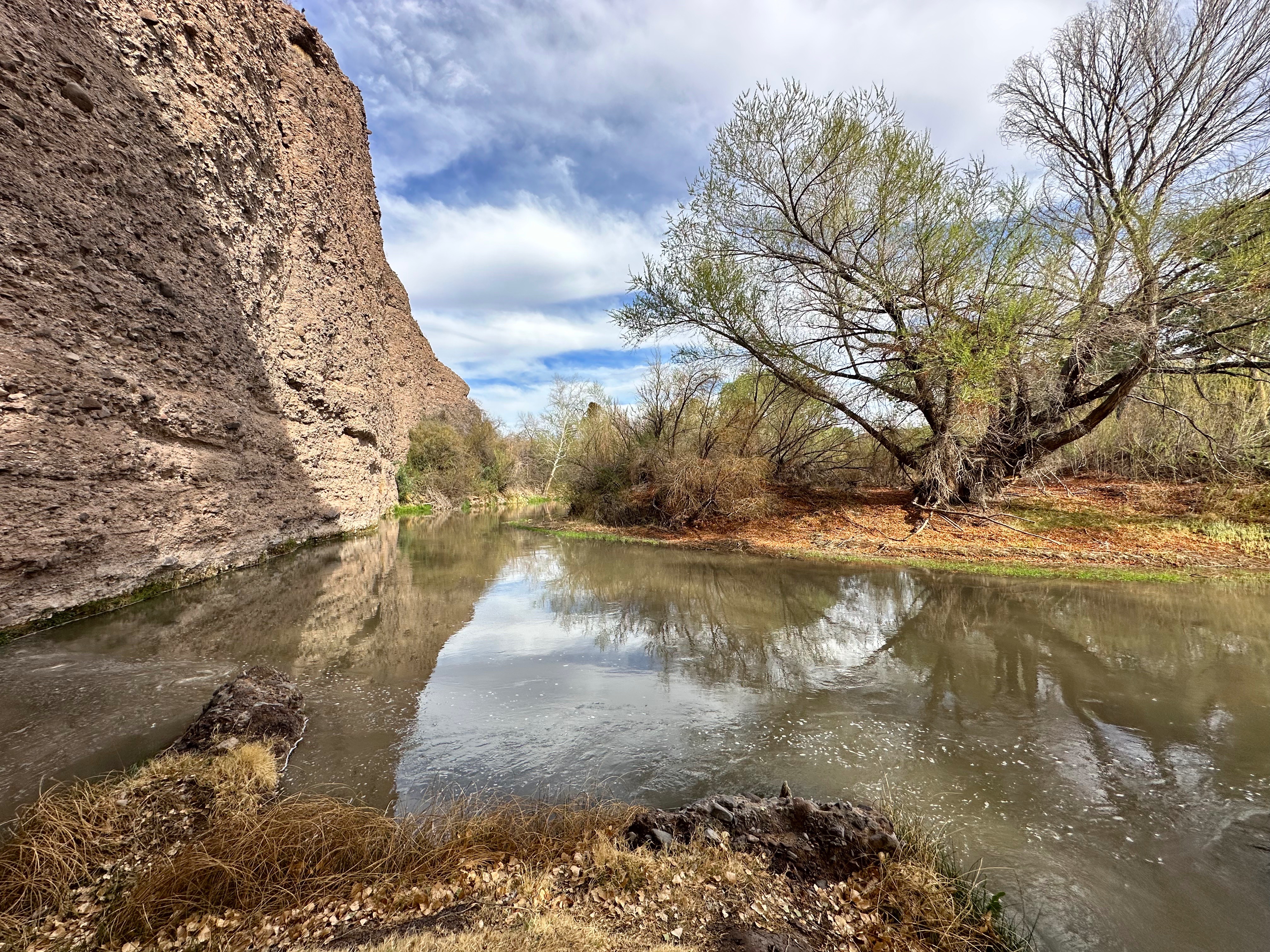
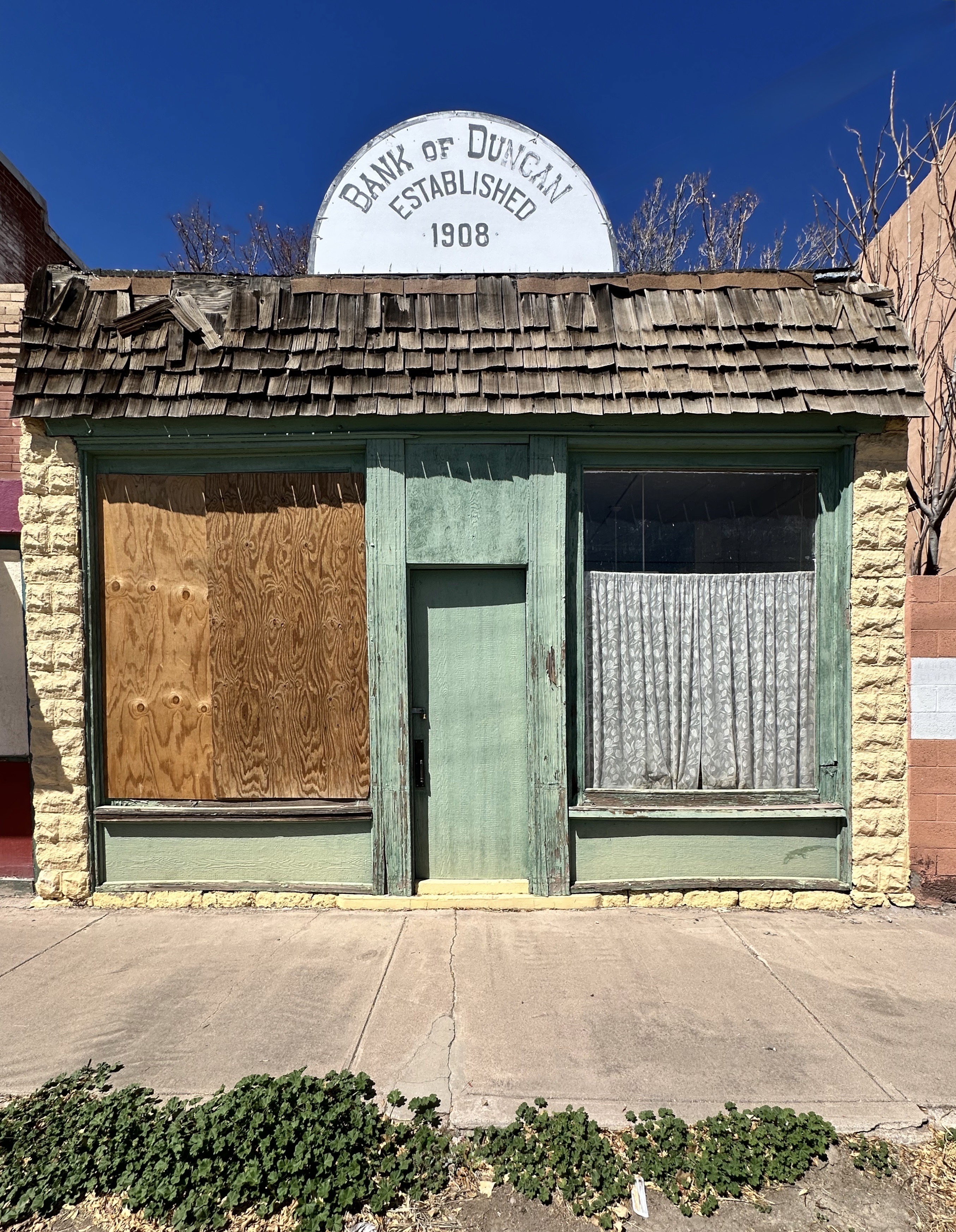
After hiking along several sections of the Gila, we returned to the Beast and made our way back to Highway 70 (The Old West Highway) to make the short drive east to Duncan. The Gila River loops north from where we hiked but we rejoined the river in Duncan. Duncan sits within the Duncan Valley and is another agricultural hub in an otherwise barren land. Duncan, like Safford, is a cotton producer. Cattle ranching and copper mining (about 40 miles north is the largest open pit copper mine in North America) are also found in and around Duncan-three of the Five Cs of Arizona – Copper, Cotton and Cattle – the other two being climate and citrus.
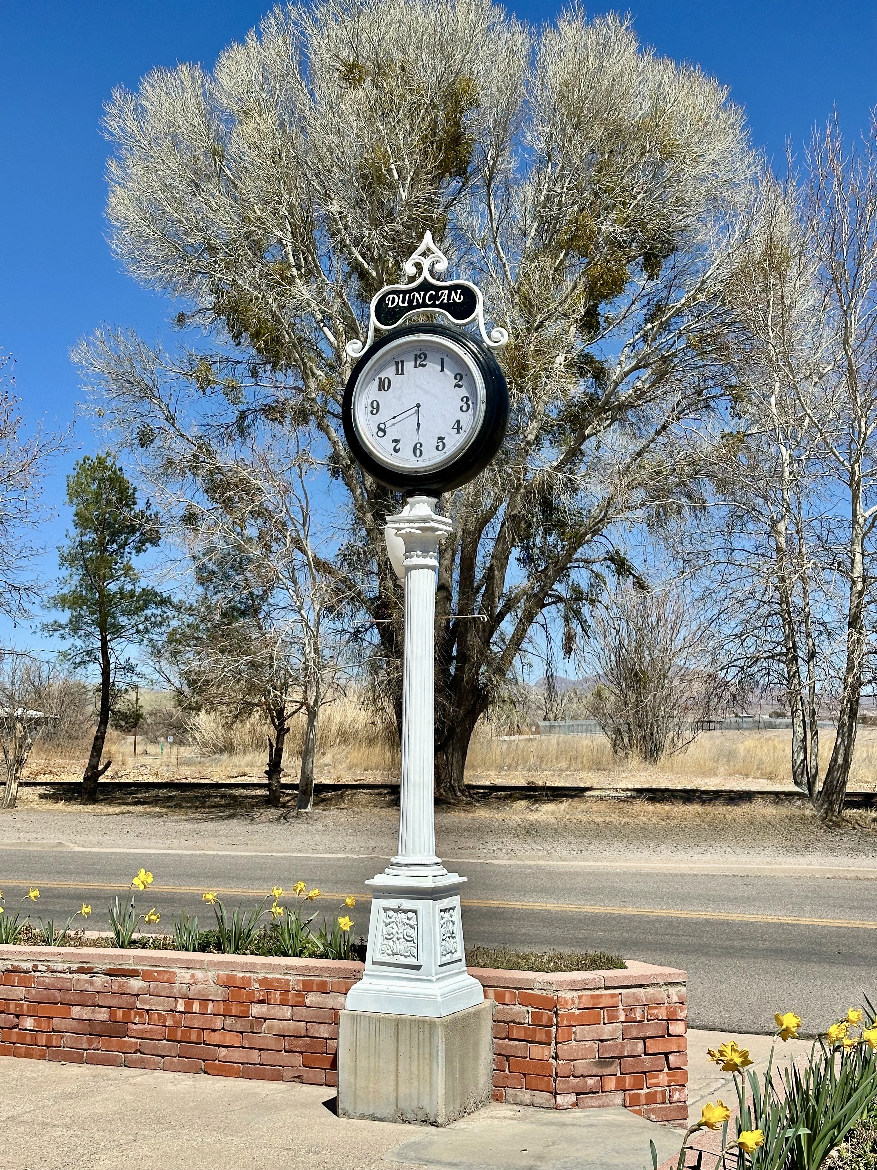
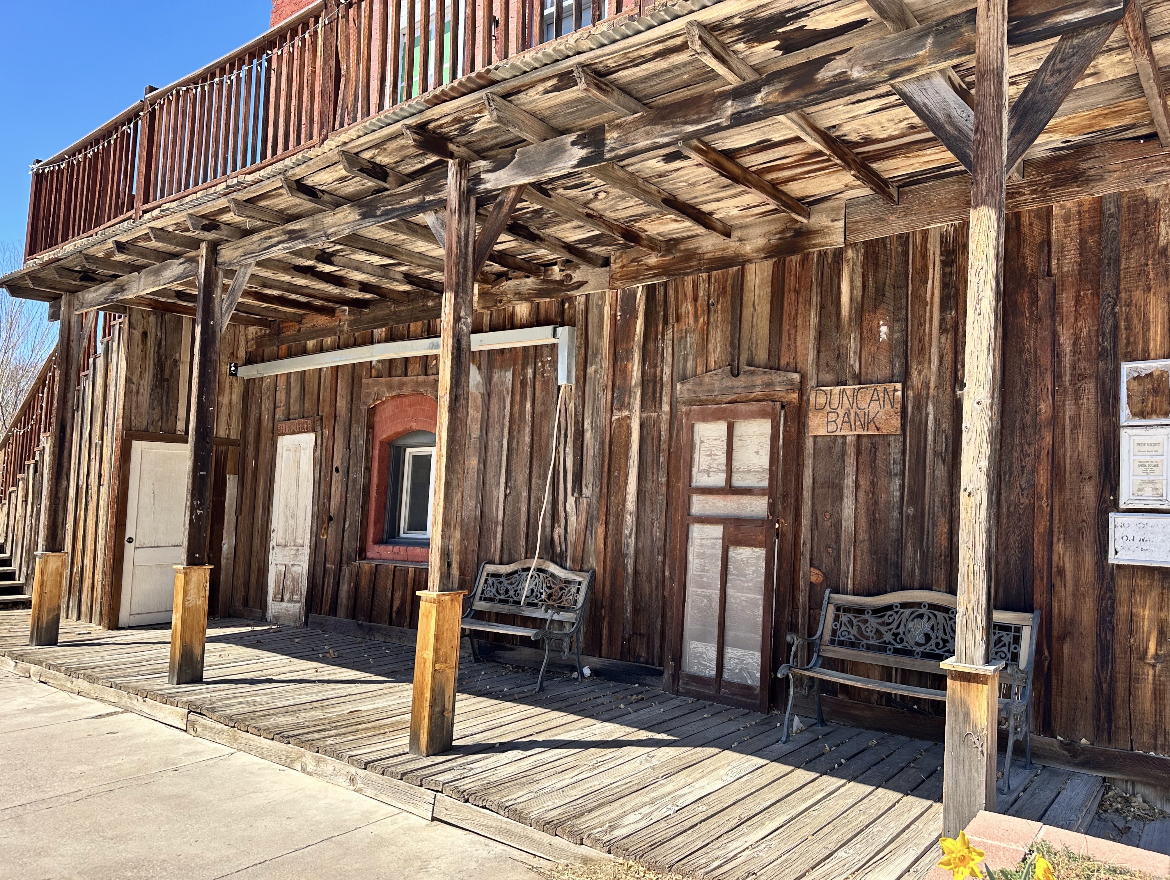
DUNCAn(FOUNDED 1883, POP. 879, elev. 3400′)

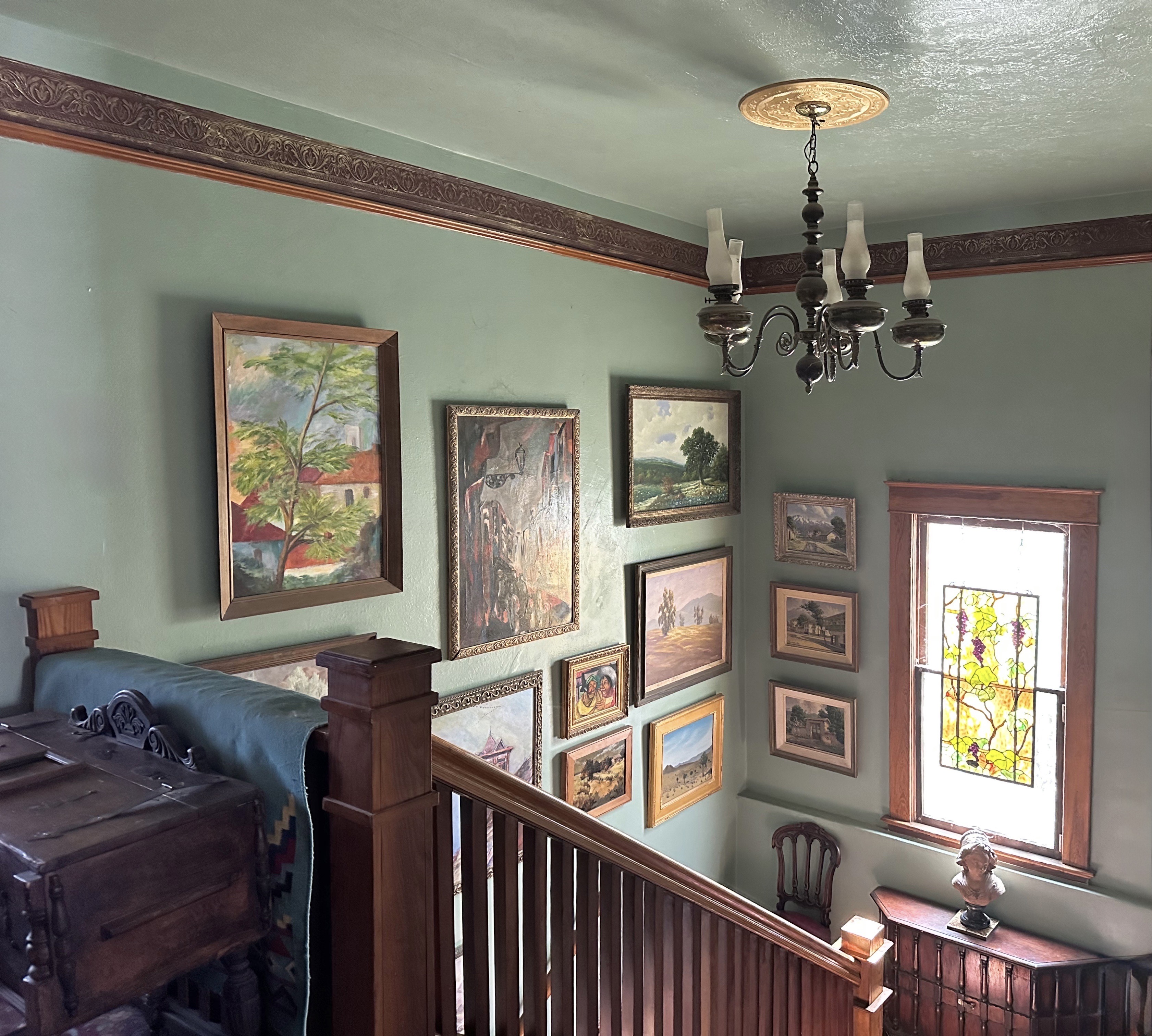
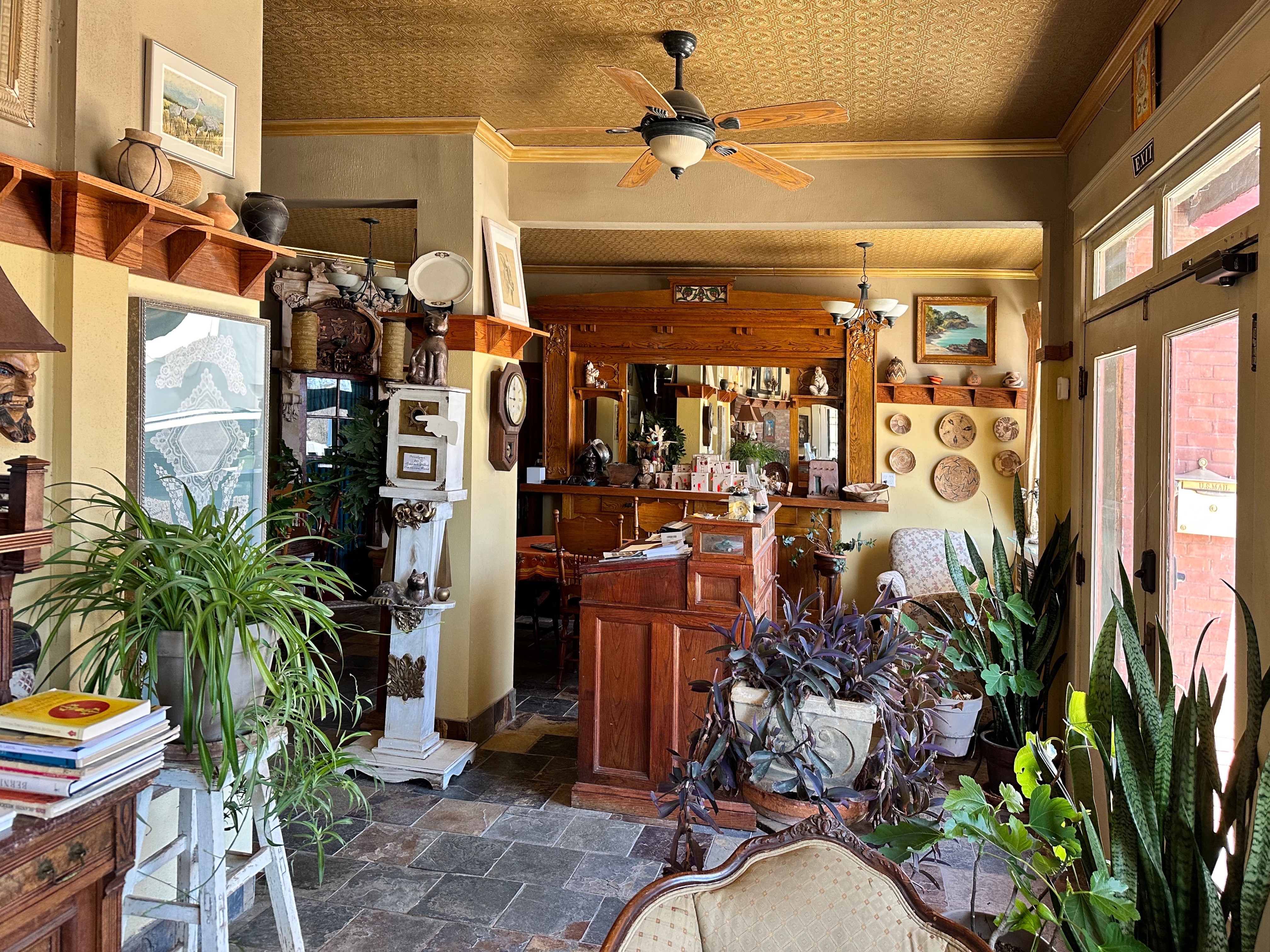
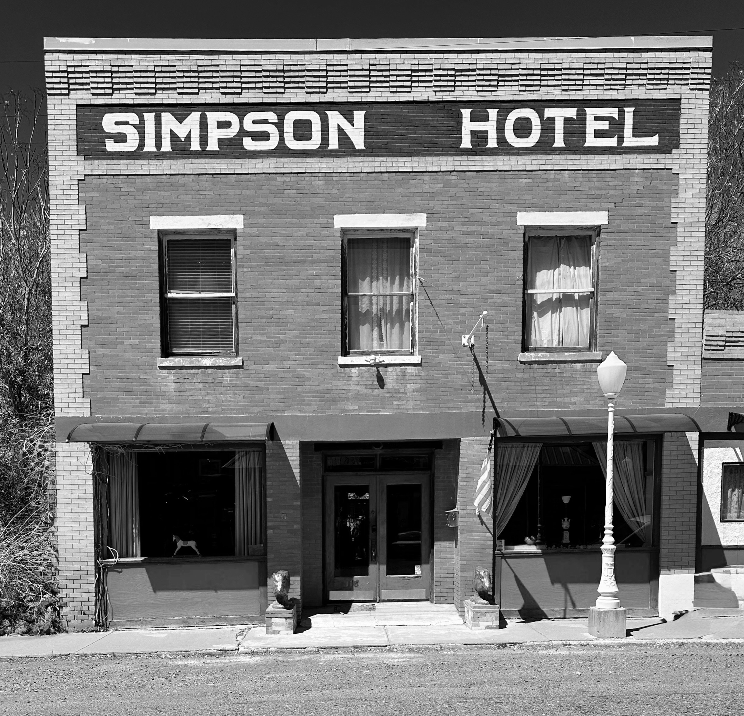


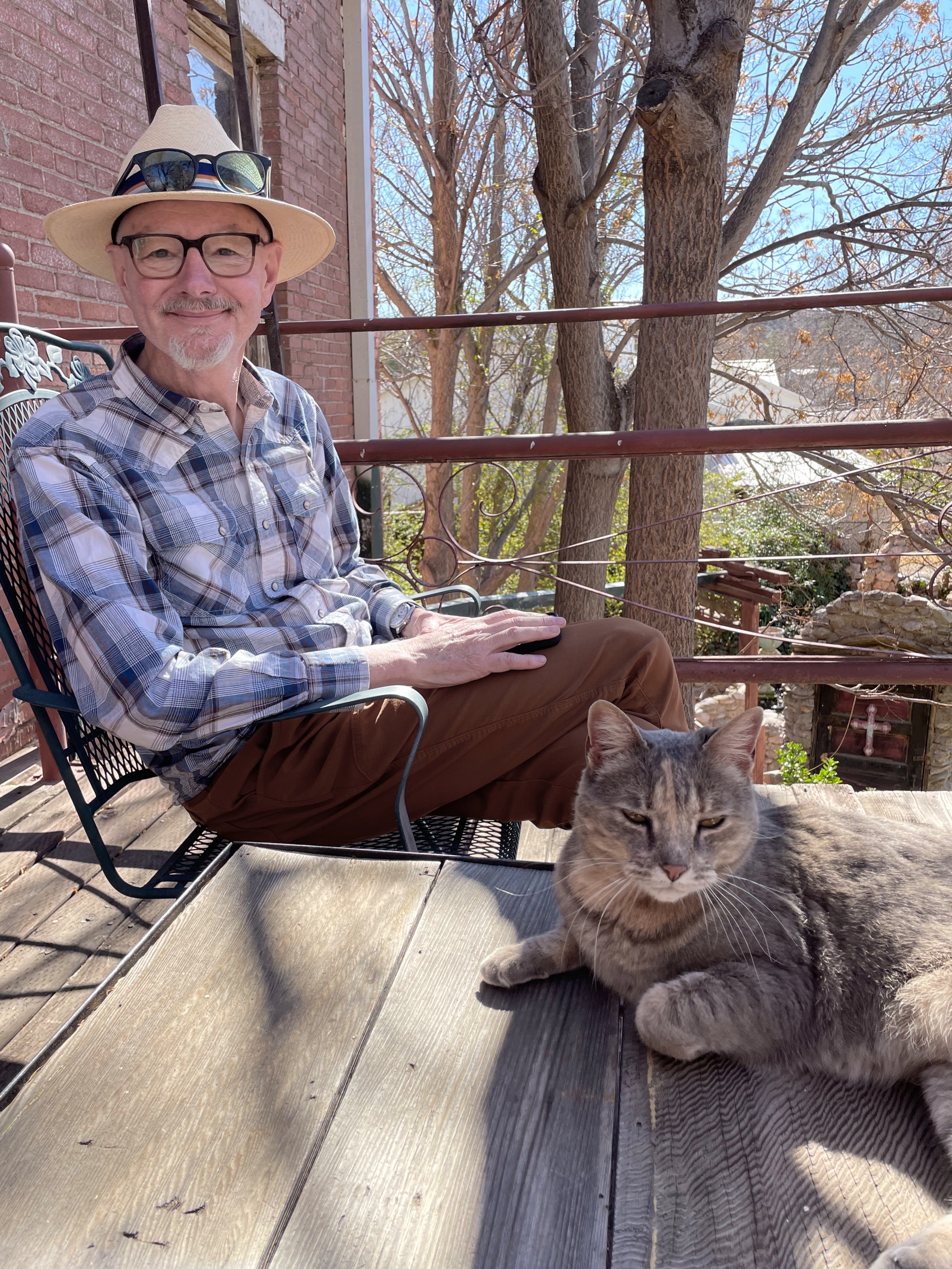
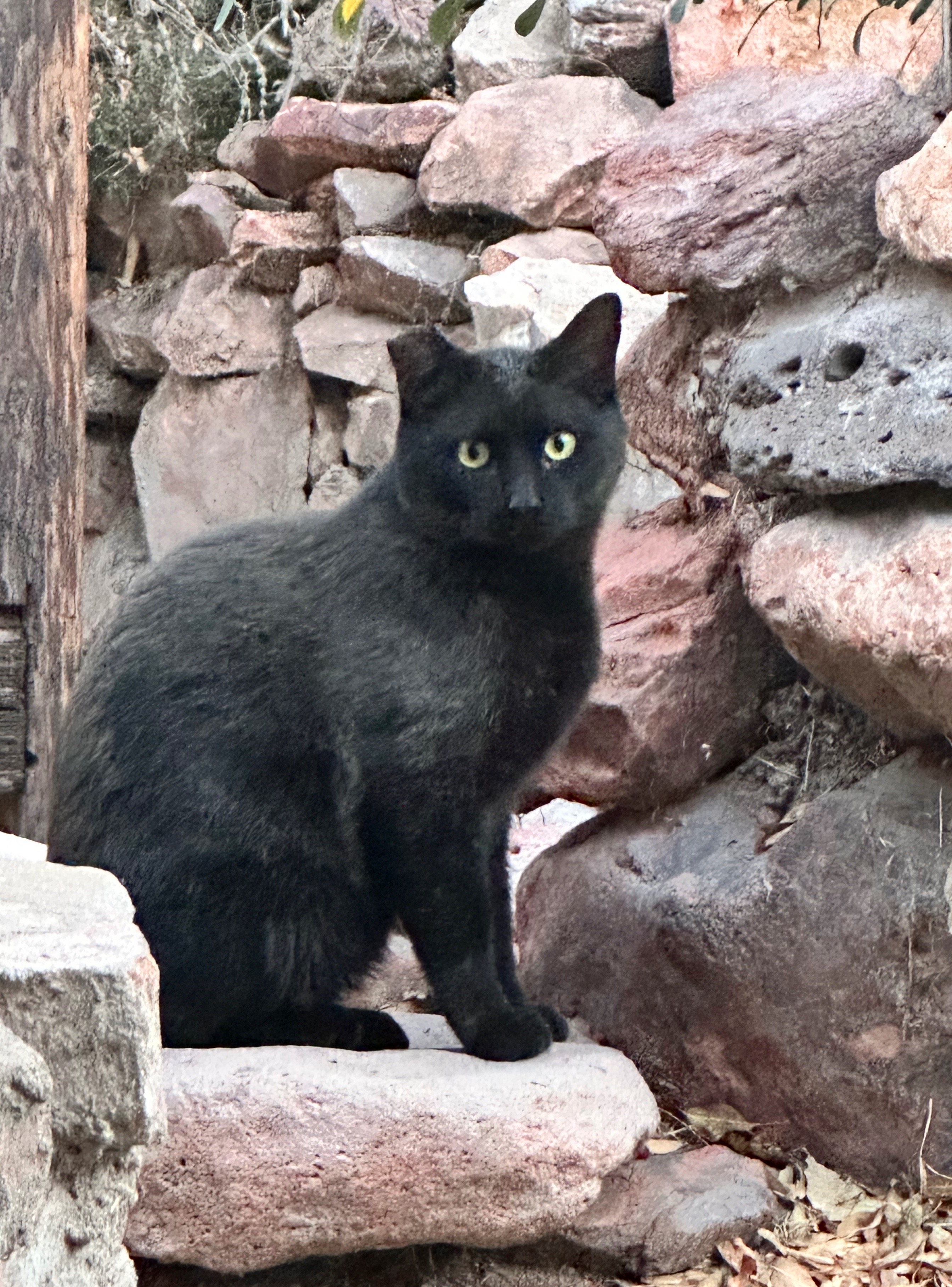
We had read about the Simpson Hotel and it sounded charming (it is – subject to liking cats- which we do) and the location in Duncan was perfect for kicking off our final segment in Arizona (Coronado Trail Scenic Road). The link to the hotel website (above) is a treasure trove of interesting information and worth a look.
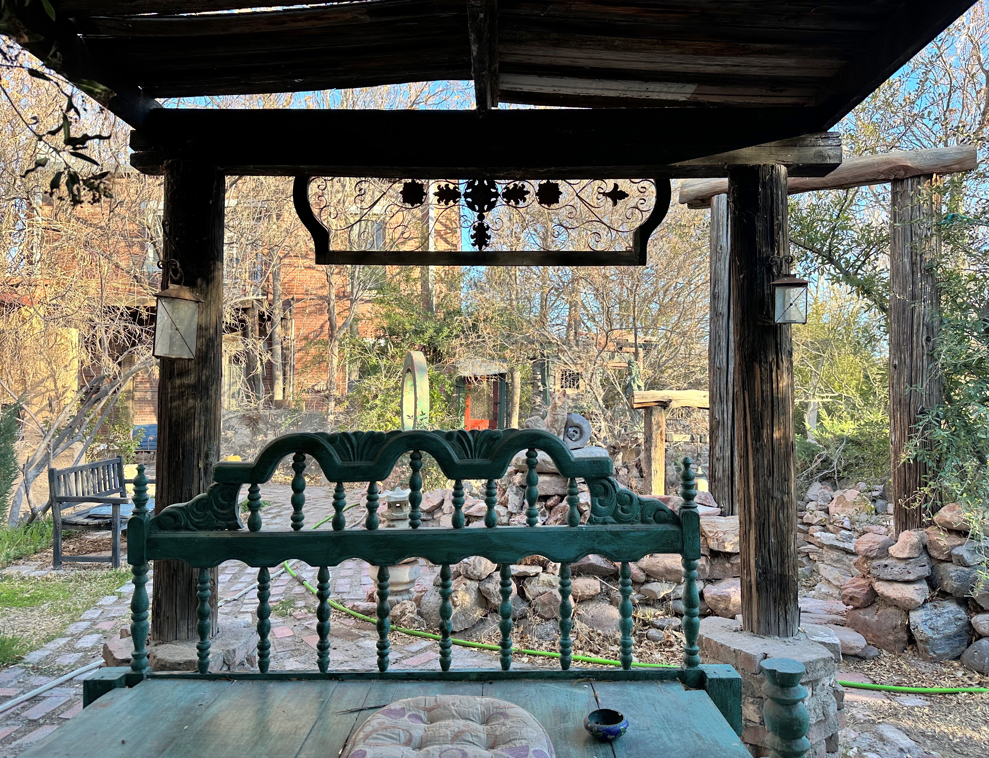
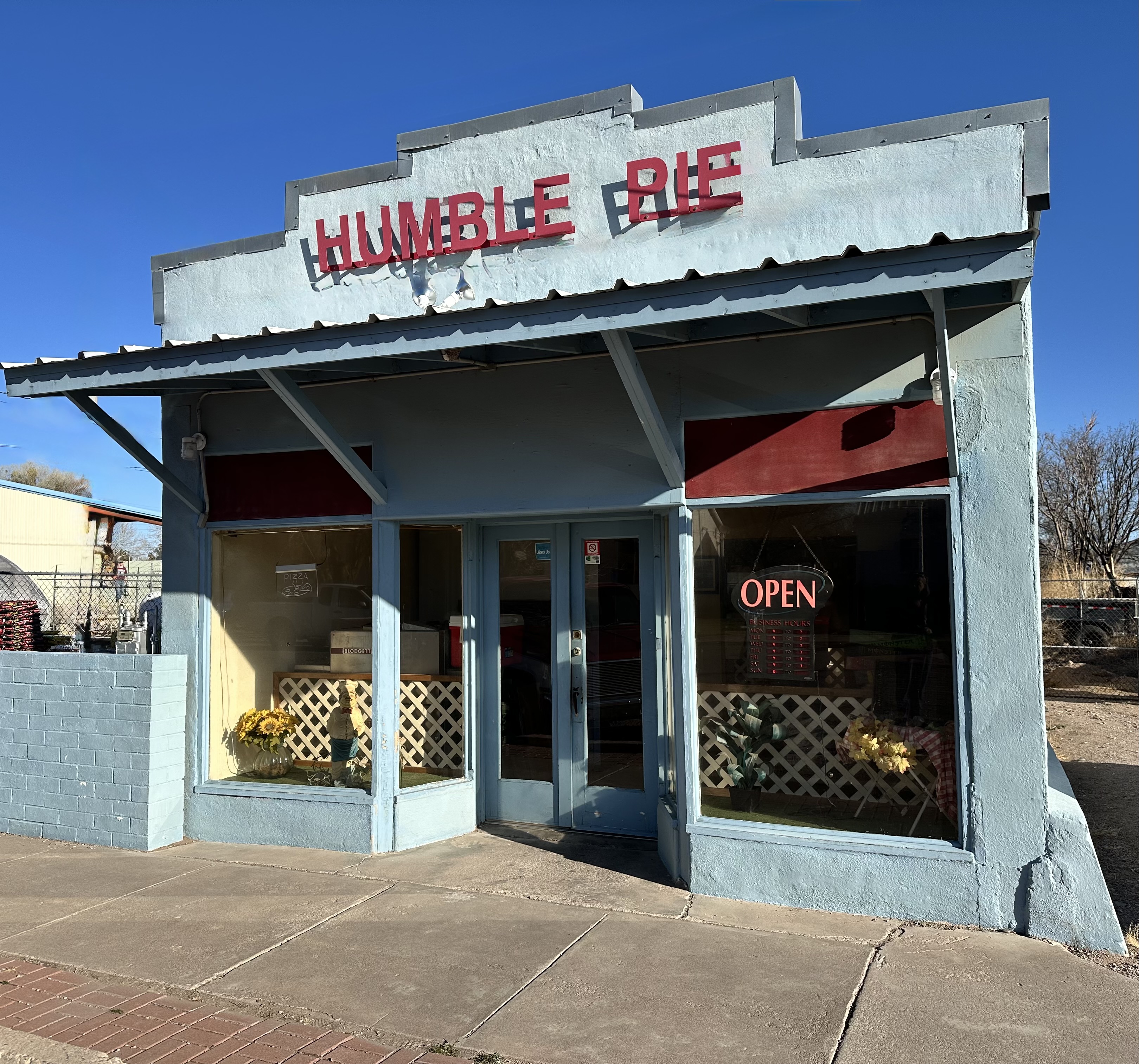
The original hotel opened in 1914 as the Hotel Hobbs. Subsequently, the property was owned and operated by several different families. The current innkeepers, Clayton Jarvis and Deborah Mendelsohn began renovations in January of 2006 and opened in May of 2007 after 18 months of demolition and renovation. Deborah and Clayton are wonderful hosts adding to the charm of this classic territorial building’s exterior and art gallery interior. Clayton is an accomplished artist and has a studio in the courtyard behind the hotel. We completed our stay with a pizza pie to go from Humble Pie which conveniently sits about 200 feet up Main Street from the Simpson.


This is our post covering the Superior to Duncan segment of OTR 11.0, our penultimate segment in Arizona. We hope you found it interesting.
Be seeing you!