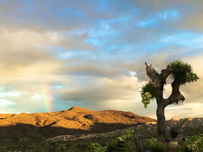
When we last posted we thought we were heading to Eastern Oregon but…….98-100F temperatures in the Alvord Desert caused us to reconsider. Ultimately, we opted to head north to McCall, Idaho where the daily high temperatures were in the 80F range.
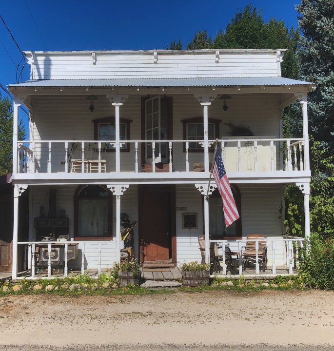
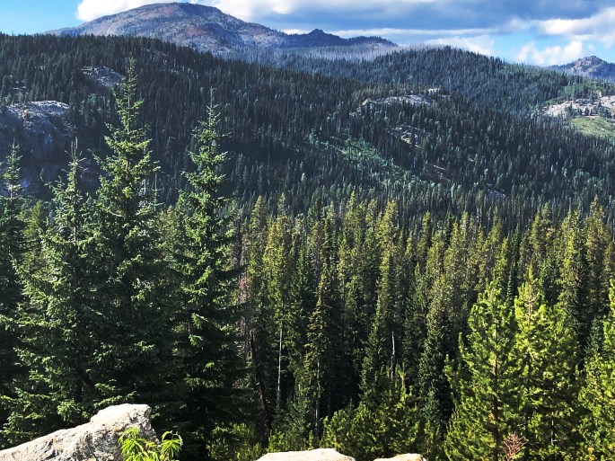
McCall is a summer resort town sitting on the eastern shore of beautiful Payette Lake and nestled at the southern base of the mountainous Payette NF.
The drive north from Boise on the Payette River Scenic Byway is splendid as the road winds north hugging the rapid filled Payette River.
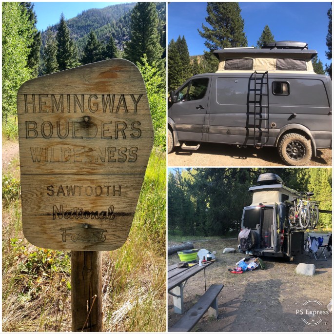
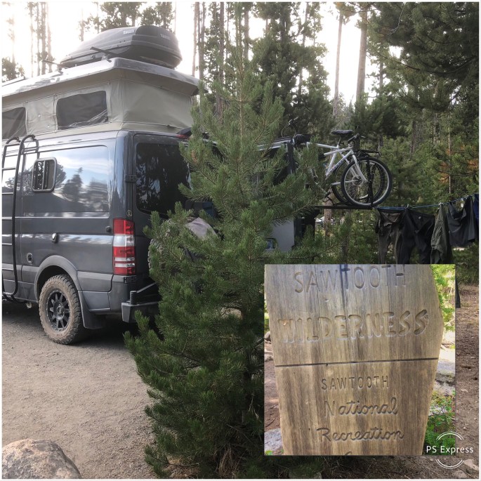
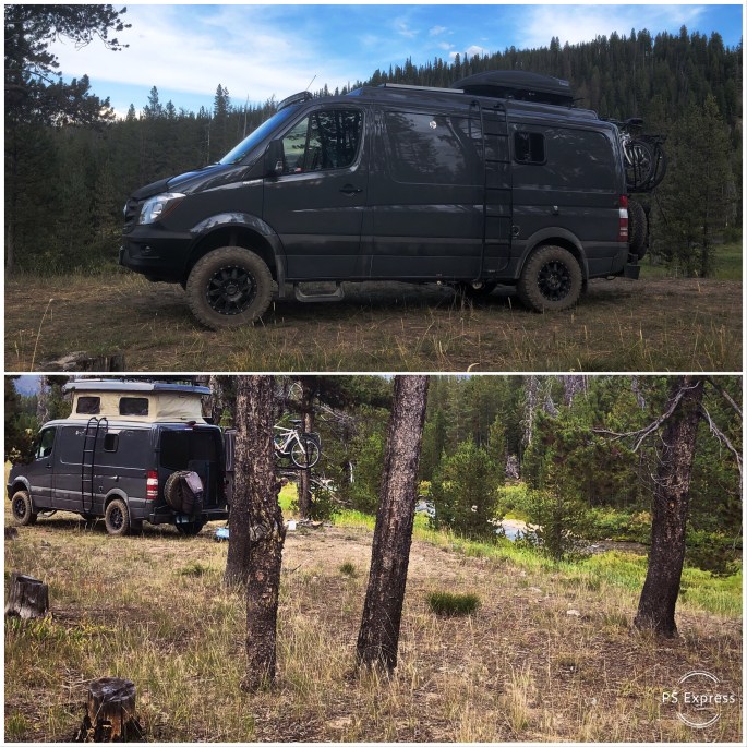
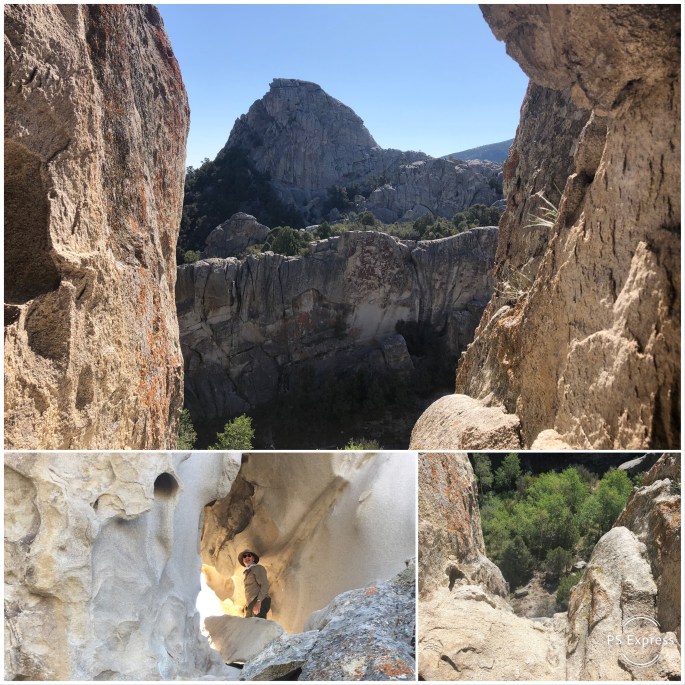
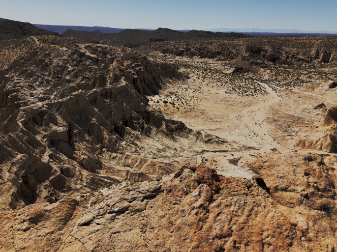
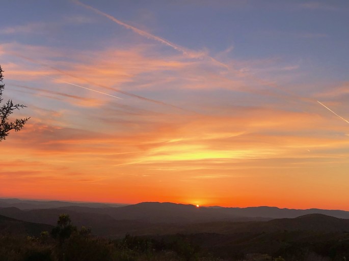
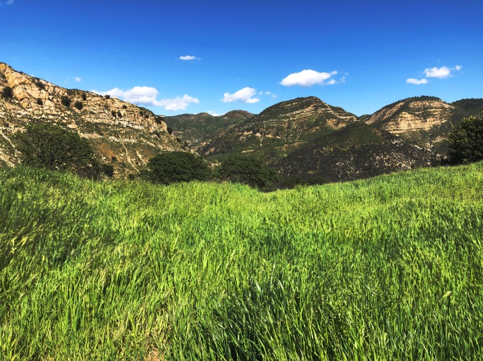
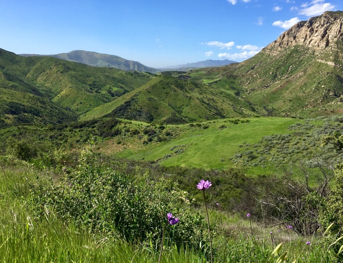
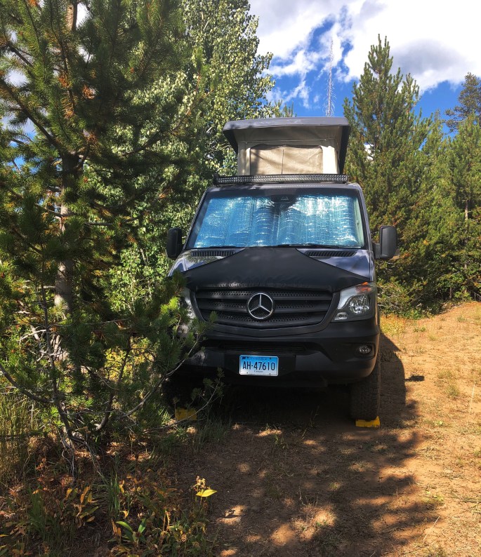
We camped at Ponderosa State Park for the first couple of nights before heading up into the Payette NF ahead of the Labor Day weekend crowd. The night sky from our mountain top campsite in the Payette was absolutely stunning. We were transfixed by the enormity and brillance of the Milky Way, the consellations and the numerous satellites and rockets criss crossing the sky.
Additionally, our stay here was most pleasant since we were able to bike into town from our camping location at Ponderosa SP and drink cappuccino and tea and then cycle back to our campsite.
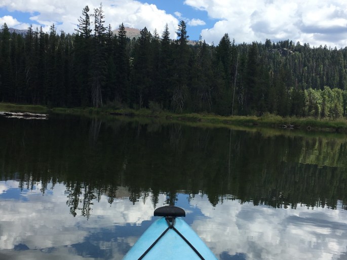
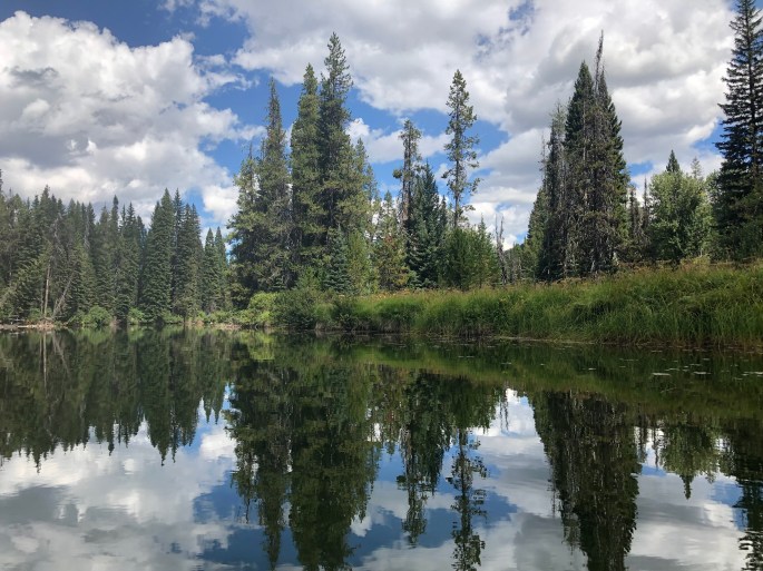
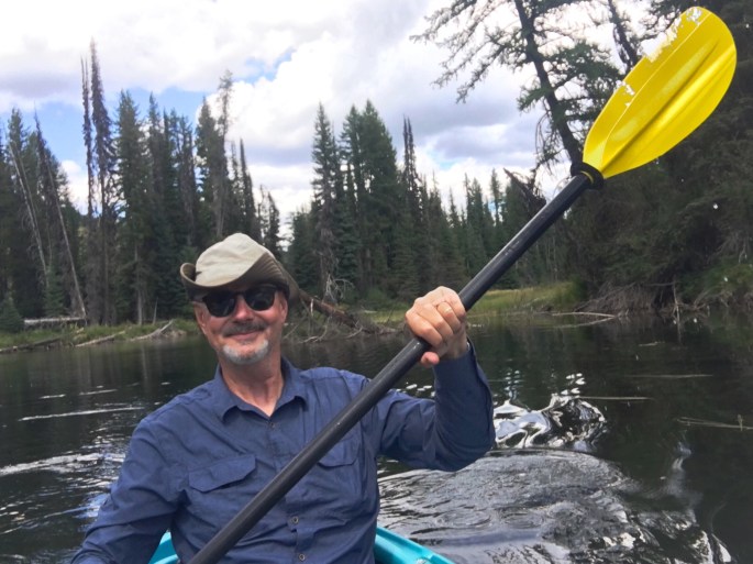
The highlight of our stay in the McCall area was our kayaking trip on the North Fork of the Payette River. We were treated to great beauty, solitude and the magic of observing deer and birds of prey along the banks of the river.
We honestly never thought we would spend three full weeks in Idaho but it is beautiful and the weather was perfect. Nonetheless, time to move on…..current plan is to head to Hells Canyon on the border of Idaho and Oregon and then explore the northeastern corner of Oregon.
Be seeing you!
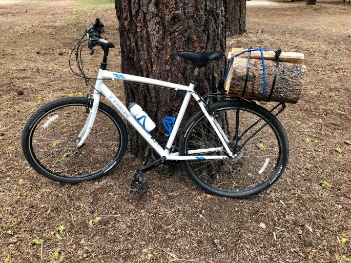
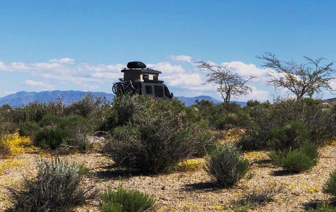
Firewood Express!
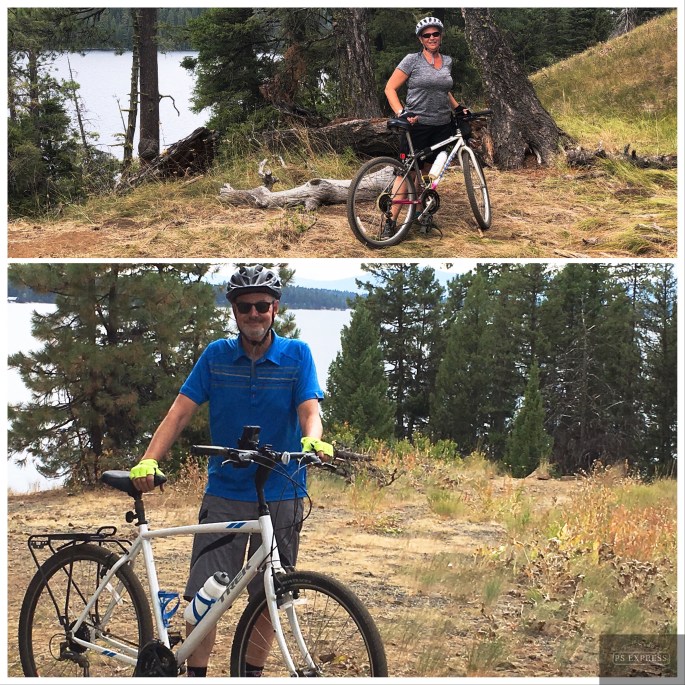
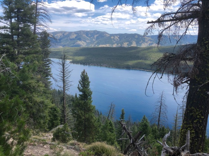
Biking Peninsula Trail, Payette Lake

Kayaking, North Fork of Payette River, McCall, Idaho

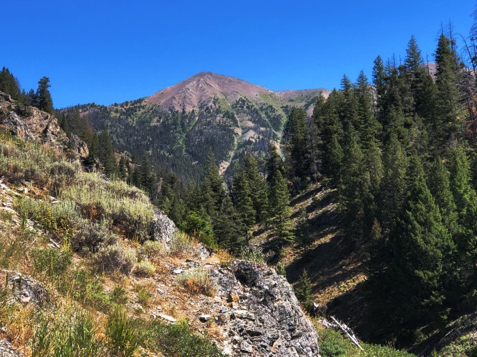
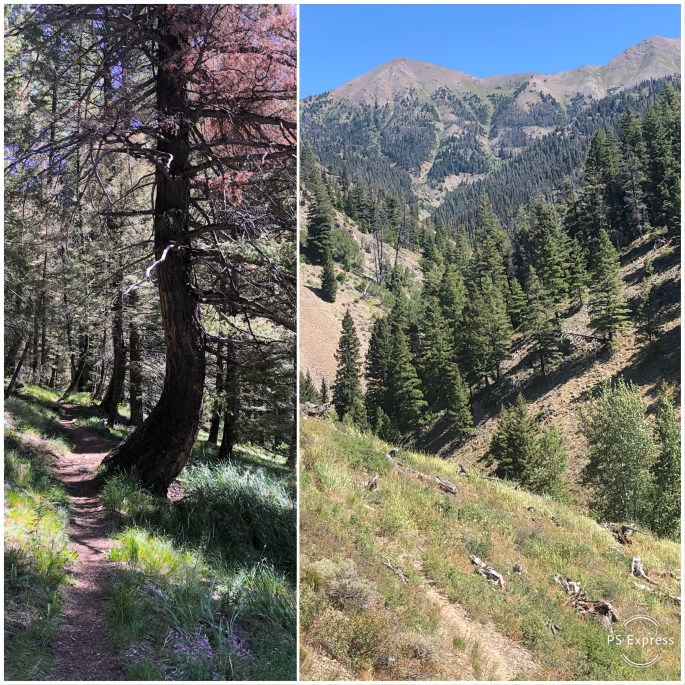
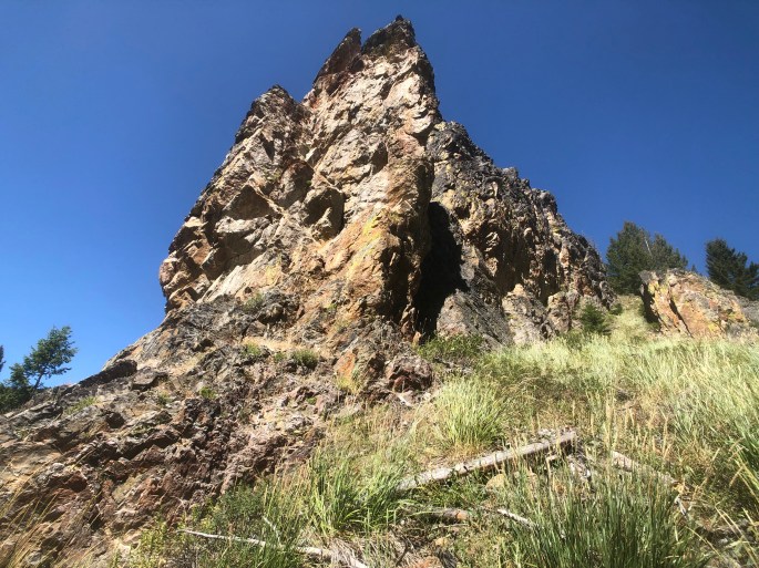
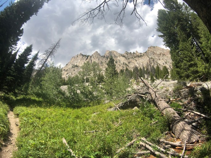
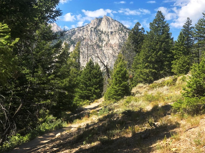
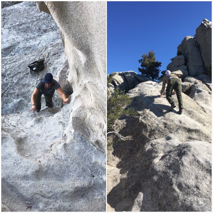
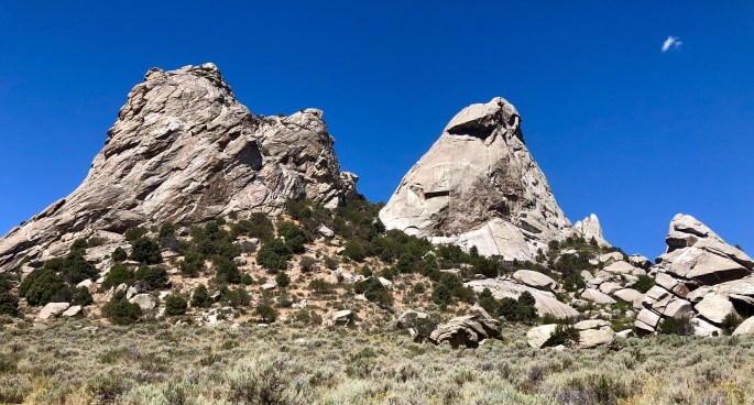
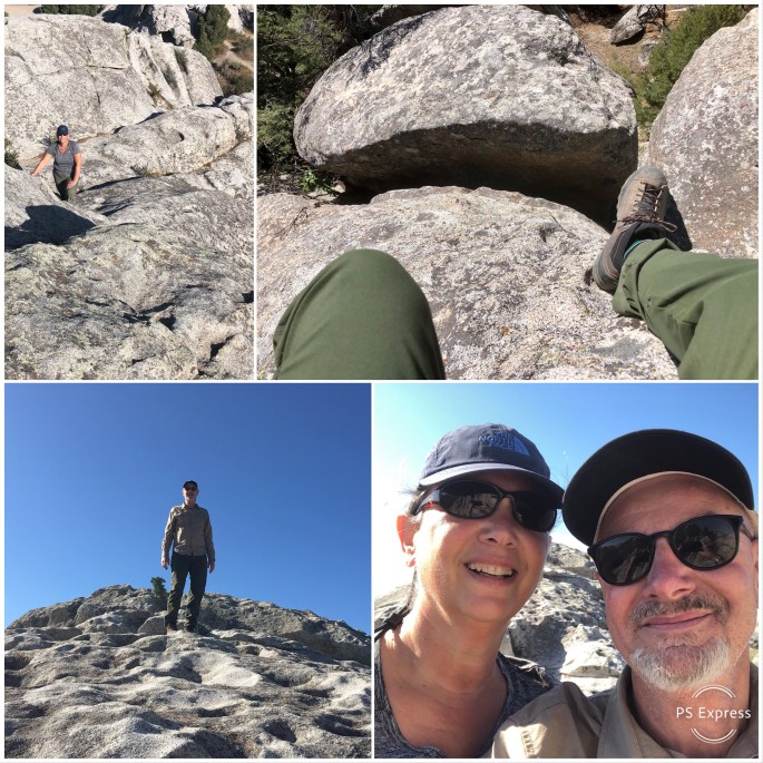
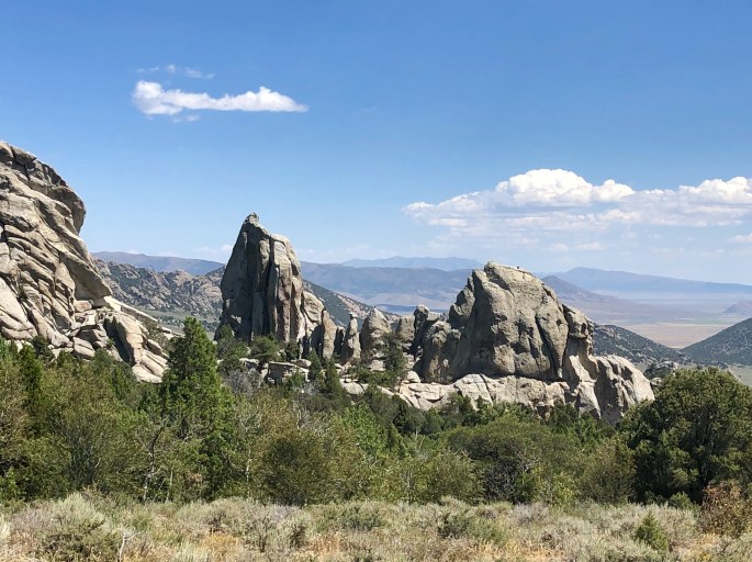
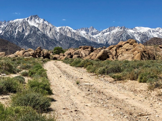
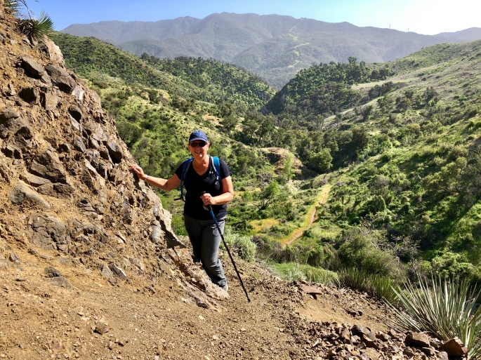
Bruin Mountain
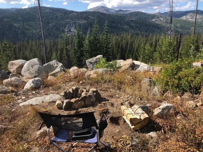
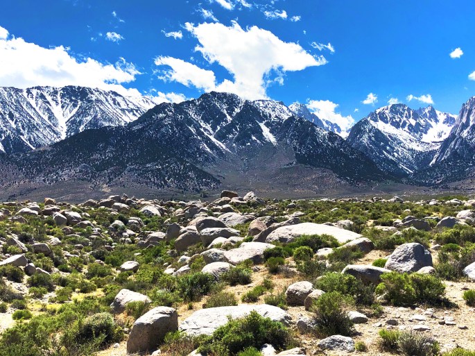
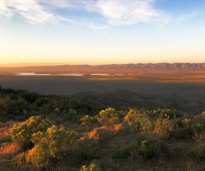
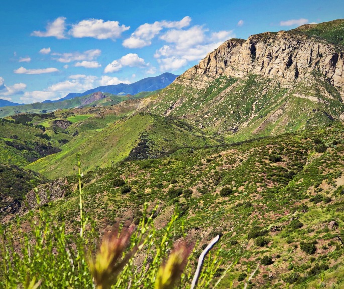
Camping with a View, Outlook Creek Rd, Diamond Ridge, Payette NF