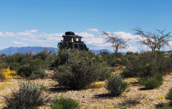
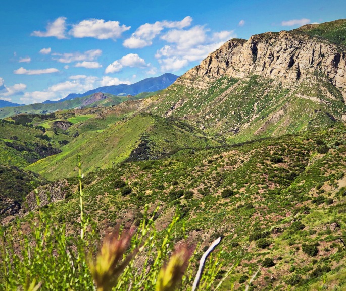
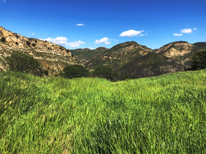
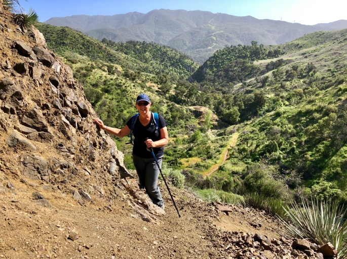
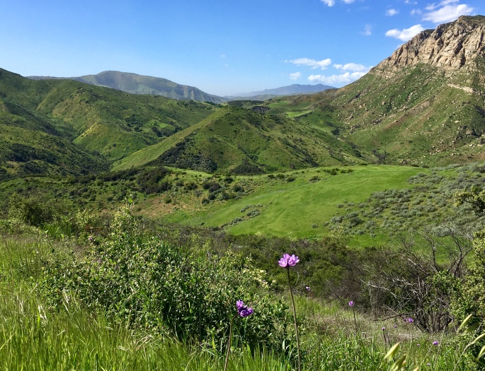
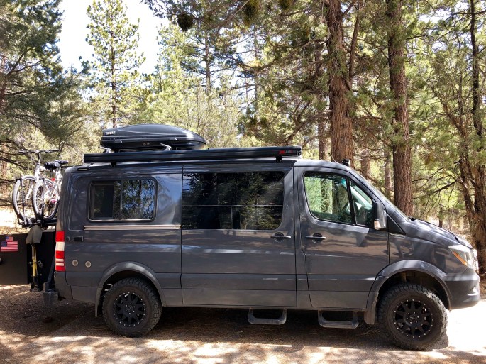
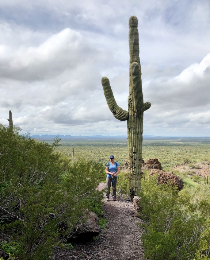
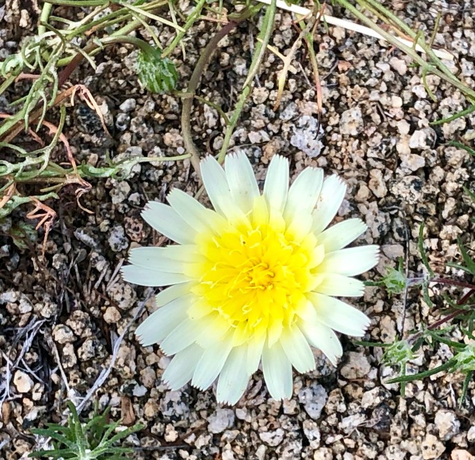
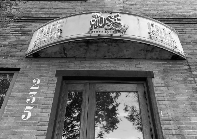
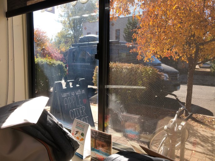
After arriving in Carson City and finding it very much to our liking (good espresso, tea, yoga, restaurants and friendly folk) we extended our stay to five days. We took day trips for hiking and sightseeing after our morning yoga and fika: very delightful!
Our extended stay in Carson City did necessitate a speedy trip across Nevada to return the Beast for storage and make our flight from Salt Lake City to Hartford. We covered 650 miles over our last two days on the road. Most of the drive was on Route 50 which runs all the way from Carson City to the Utah border.
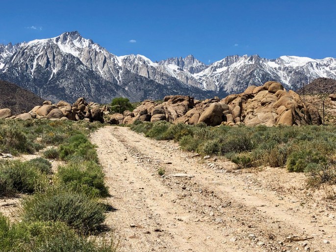
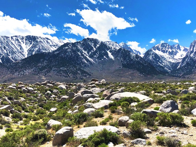
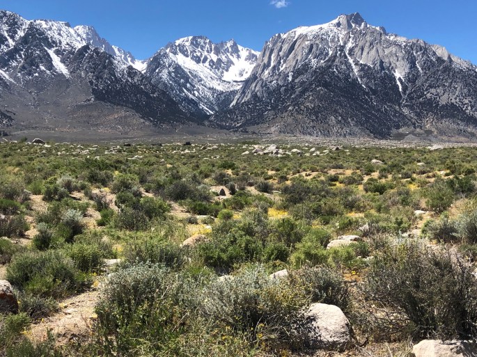
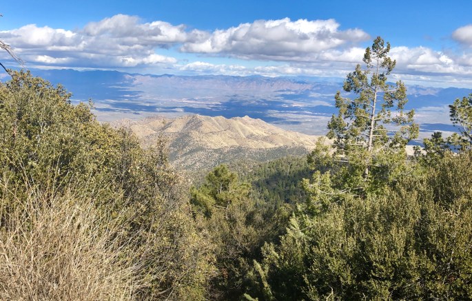
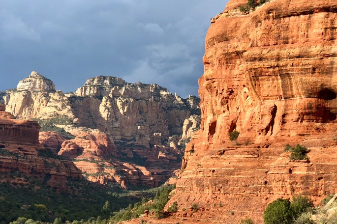
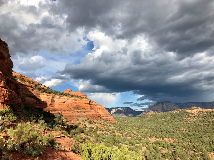
The scenery along Route 50 is spectacular. Driving west to east you traverse numerous mountain ranges and valleys between the ranges. These are big mountains – 9000 to almost 11,000 foot peaks and valleys ranging from five to 20 miles across. The peaks are snow capped and the valleys vary between salt flats, sand dunes and prairie.
This is mining country with a handful of extremely large cattle and sheep ranches. The mining towns of Eureka and Ely are pretty run down despite the fact that there are still very large mining operations in the towns of Eureka and Ely. There are two major pits, one producing gold and the other copper. Even traditional pit mines are highly mechanized today and do not require significant labor to operate the mines. Both of these mines are owned and operated by foreign based companies which is very common today in this industry.
Make sure you are well prepared if you choose to cross Nevada on Route 50, known as the loneliest road in America for good reason. There are only two gas stations between Fallon and Eureka, a distance of 180 miles (and they are not 24 hour stations!) Bring your own food and water as well.
We are planning our next trip as we make this final post of On The Road with Maria + Stephen. We will be departing for the Pacific Northwest in August. Thanks for following along.
Safe travels!
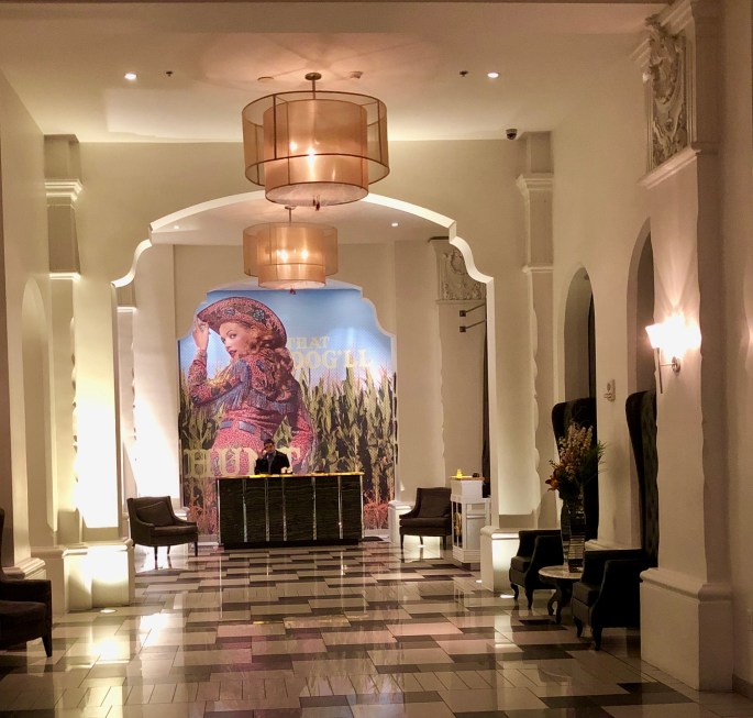
P.S. If you find yourself for any reason (we won’t hazard a guess) with the need to be in Bakersfield, California do yourself a huge favor and stay at the Padre Hotel. Classic western hotel with a great bar, cool lobby and friendly staff. Added bonus, and a big one at that is that Rig City Coffee Roasters is 252 feet from the lobby entrance to the hotel.


Final Preparation for Our Return to CT


Route 50 – America’s Loneliest Road


Garnet Hill – Ely, NV


Eureka – Mining + Basque Shepards + Good Grub


Reno – Baseball


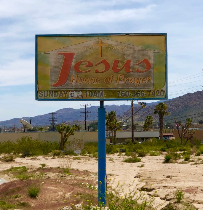
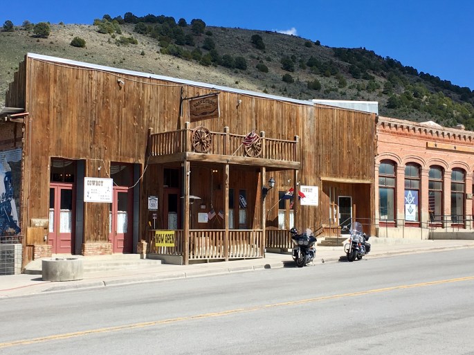
Virginia City – Coffee, Saloons + Prayer


Genoa – Hiking + Thirst


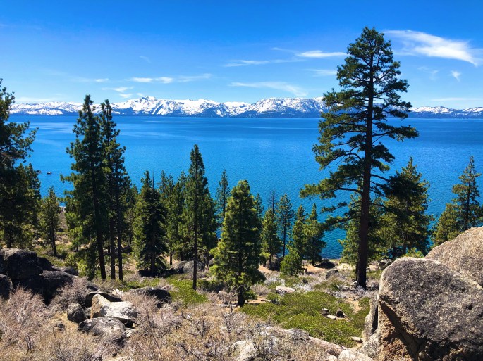
Lake Tahoe
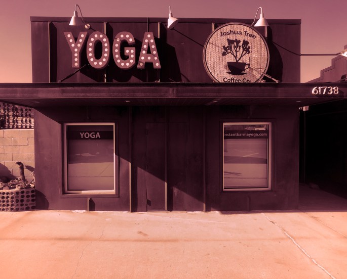
Carson City – Yoga, Coffee + Calamari!