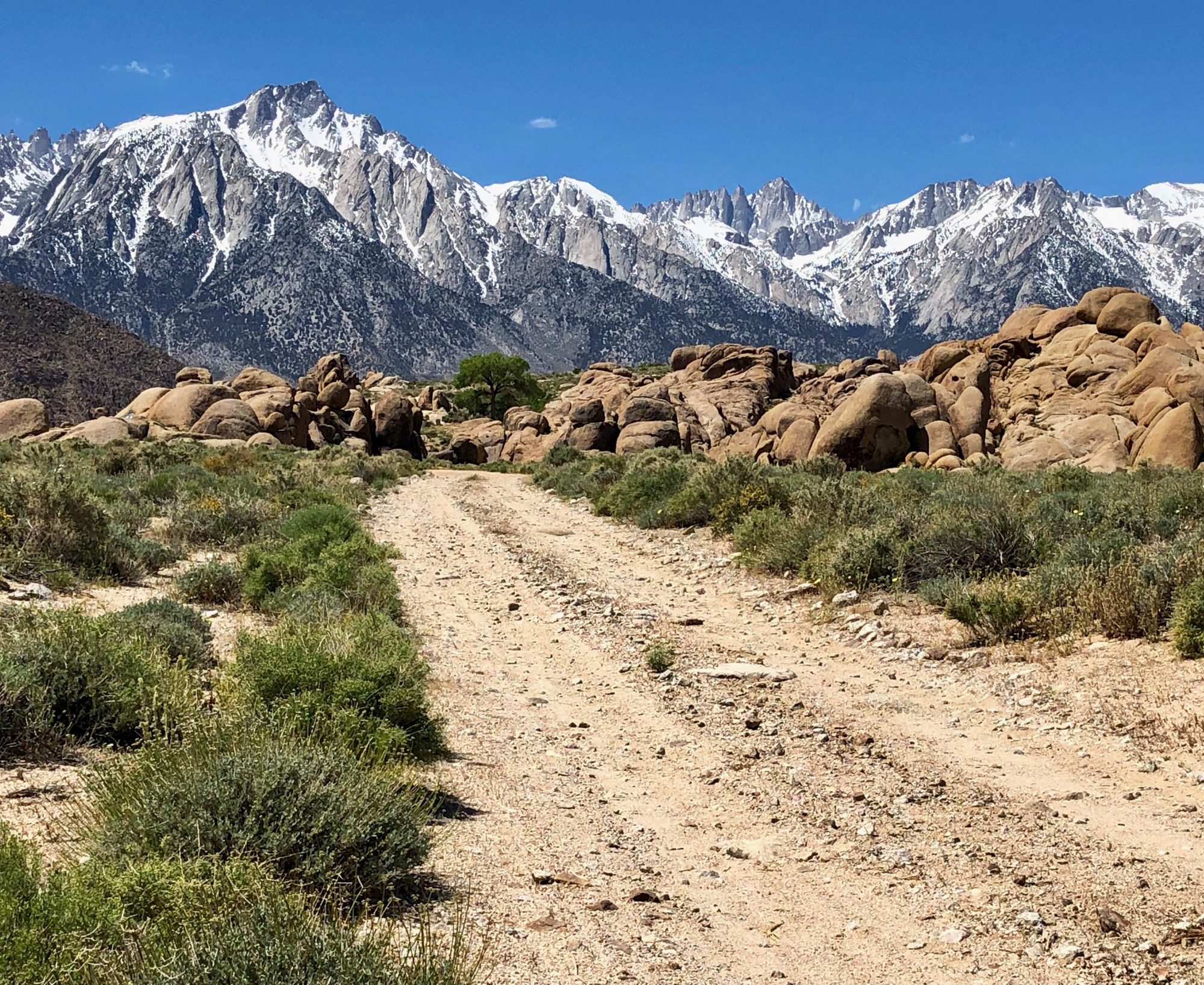
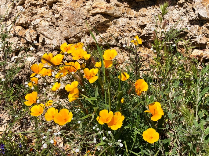
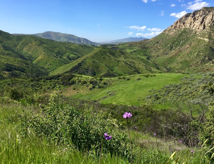
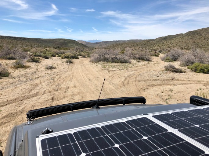
We just completed several days of camping in the Los Padres NF. This forest encompasses 1.75 million acres and stretches 220 miles from Santa Barbara to Monterey, California. We camped in the Santa Barbara District along the Santa Ynez River which provides access to numerous canyons and ridgelines from which to take in the gorgeous scenery. This forest is a multi-use forest open to hiking, mountain biking, horseback riding, fishing, hunting and OHV riding (on designated trails and areas).
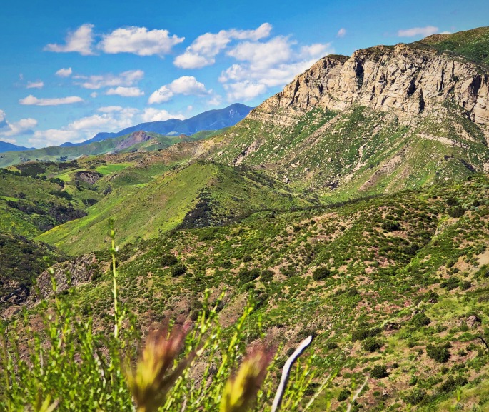
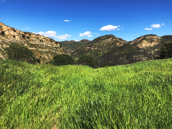
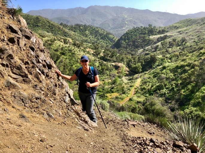
The weather in SoCal continues to be idyllic as you can see from the photos. We explored the Aliso Canyon area and were treated to the views you see below (inadequately represented by our photos).
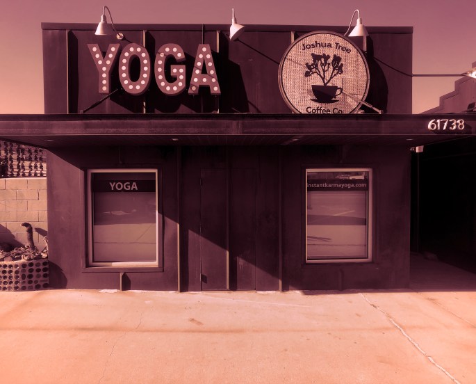
After departing JTNP we spent a day in the town of Joshua Tree just north of the park. JT, like many other small and remote towns or name places we have visited, emanates a quirky, free thinking and independent vibe.
We have met a number of artists – painters and scupltors – who were originally passing through a town but ended up staying or coming back. Clearly, many artists find the setting in these towns or areas conducive to pursuing whatever form of art it is that they have a passion for without regard to commercial success – perhaps just the opposite.
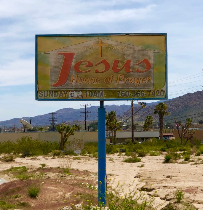
An additional observation is that there also exists in JT and many of the other small towns we have visited a freely expressed deep and fundamental belief in God and Country. This is just a general observation based on what we have seen and the people we have met – we are not expressing an opinion or personal point of view in making this comment.
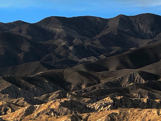
Changing gears: We left Joshua Tree and drove north through the Mojave Desert and then turned westward to climb up into the San Bernadino Mountains on the Rim of the World Highway (CA 18, 38, 138). The road gains almost 5000 feet in elevation in just a matter of several miles and then provides breathtaking views as you eventually cross the entire range before descending down into Cajon Junction and leaving the SBNF.
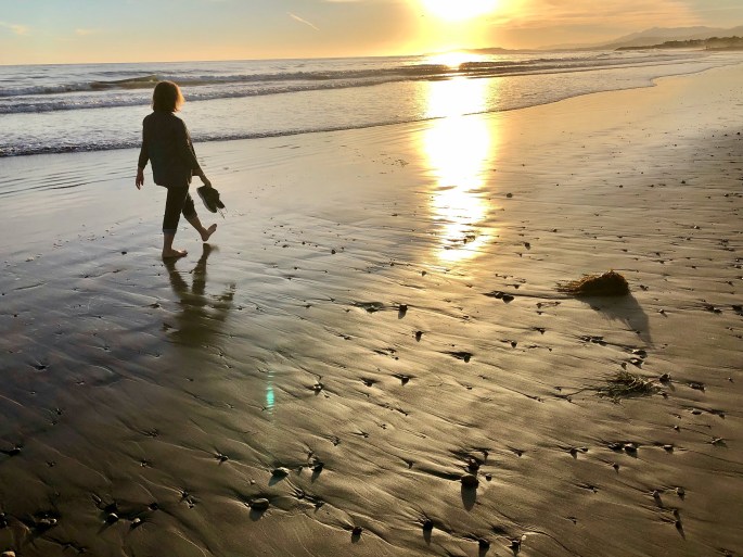
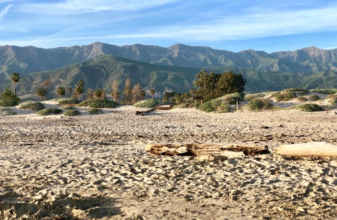
We will be moving north along the coast of California again over the next week and then tackling Death Valley NP. We included some photos below from the beach in Carpenteria where we are staying for a couple of days.
Thanks for continuing to follow along and allowing us to share our experiences, observations and opinions as we wander about our amazing country. 0152
Carpenteria, California
Santa Ynez Mountains – Los Padres NFCafe Luxxe – Malibu – Gratuitius Cappuccino Photo!Lake ArrowheadFawnskin, CA – San Bernardino NF
Giant Rock Coffee – Route 247 – Mojave Desert – In the middle of nowhere a great coffee joint!
JHOPJHOPWhat Constitutes a Town – Coffee + Yoga?Camping in the Mojave Desert – Joshua Tree City
After extending our stay in both San Diego and San Clemente, we are back on the road. Our first stop was at JTNP where the wildflower “super bloom” is at its peak.
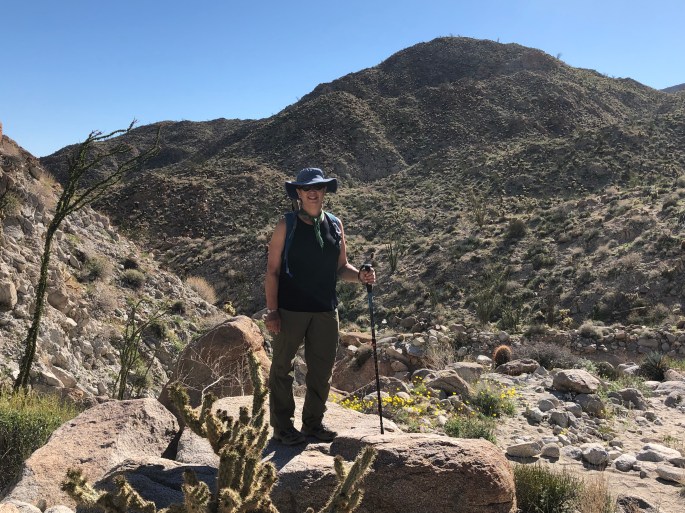
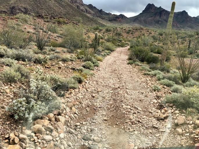
JTNP is one of a limited number of National Parks that allows access to back country high clearance 4WD trails. Many of these trails exist due to the significant number of mines (300) that at various times operated in the area which is now JTNP. We took advantage of the opportunity by spending an afternoon traveling through Pinkham Canyon and were treated to spectacular scenery and solitude.
There are a number of great hiking trails within the park. Because this is the busy season at the park we chose several hikes that we thought would be less crowded including Mastodon Peak and 49 Palms Oasis.
An interesting aspect of the park is that portions of both the Colorado Desert and the Mojave Desert are within its boundaries. While the park is named after the Joshua Tree there are no Joshua Trees in the Colorado Desert area of the park; they are only found in the Mojave Desert area of the park.
JTNP is extremely beautiful at this time of the year and the temperatures are reasonable for hiking. But as this is a true desert environment we would recommend you that you visit between late fall and early spring before high temperatures go into the triple digits!
49 Palms Oasis – 49 Palms Canyon, JTNPBLM Joshua Tree North Dispersed Camping
Pinkham Canyon 4WD TrailRattle Snake at Mastodon Peak
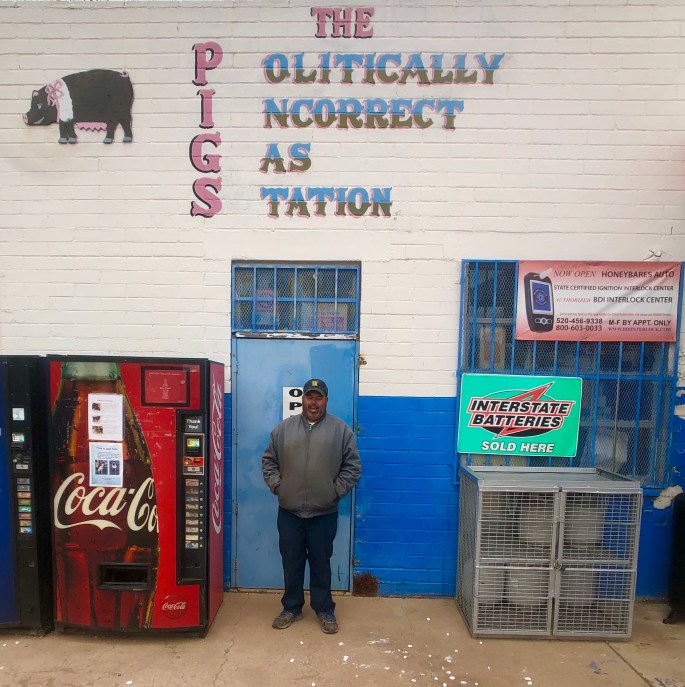
This post is well out of sequence as we were in Bisbee several weeks ago – oh well – we are confident you will forgive us or more likley that you don’t care.
But, under the better late than never category, we wanted to post about Bisbee. Any place where the town motto is “Keep Bisbee Bizarre” is worthy of comment from our perspective.
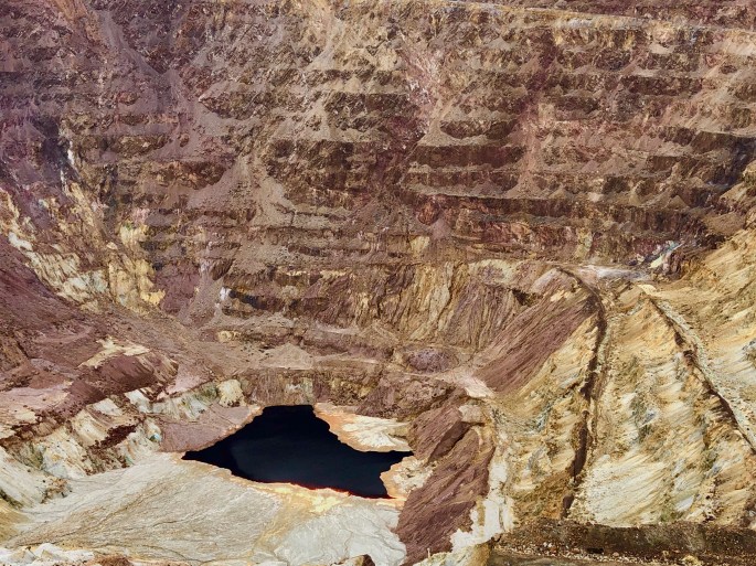
We knew we had to visit Bisbee after reading about it’s storied past. Bisbee is located in the Mule Mountains of Southern Arizona, a stones throw from the Mexico border. It’s origin lies with the discovery of minerals in the area – predominately copper. The Copper Queen Mine (which we toured) was one of the richest mineral locations in the world. More than three million ounces of gold and eight billion pounds of copper were extracted from this mine alone. Copper mines also yield turqoise – Copper Queen turqoise is considered some of the best in the world. You may have heard of Bisbee Blue which is the name given to turqoise from Bisbee mines.
The storied past – Phelps Dodge Mining consolidated most of the mining claims in Bisbee and owned and operated the massive mining operation that once supported 20,000 residents. But in 1917 everything changed when the International Workers of the World local (IWW) went on strike. Phelps hired thousands of strike breakers to round up all the union employees. The employees were marched out to a local ballpark and given an ultimatum – go back to work or else! About 800 workers agreed to go back to work. The remaining workers received the “or else” now known as the “Great Deportation”. They were put on railroad cattle cars full of manure. They were taken to Hermosa, New Mexico where they were taken off the train and told to never return to Bisbee – none ever did.
Today Bisbee is an eclectic town of approximately 6,000 residents. It is a mix of transplants fleeing cold weather, artists, individualists, hippies and off-gridders mixed in with a steady flow of tourists. Think a combination of Key West and Provincetown with a mountain backdrop in lieu of the ocean!
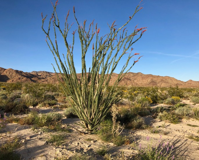
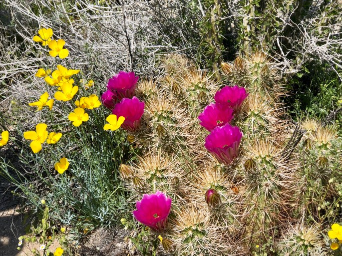
We have been enjoying the “Super Bloom” ( desert wildflowers benefiting from a wet winter) in the Colorado Desert located within the Anza Borrego State Park, California. The weather and scenery here is so idyllic that we keeping extending our stay here – moving every couple of days to a new spot in the desert to camp.
Great hiking and exploring – temperatures averaging 75F during the day and bottoming out at 50F overnight. We have met a number of Connecticut transplants of late – fortunately all Red Sox fans.
Nothing profound from our end at the moment. Extended periods of time without connectivity is good for the soul. We are feeling very content all in all. Over and out!
Boondocking in Arroyo Saleda – Borrego Badlands
Seventeen Palms Oasis – Borrego BadlandsSanta Rosa Mountains
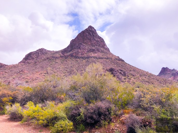
After a two day pit stop in Yuma (warning – no legit coffee!) we drove north for our final Arizona segment. We camped in the Kofa NWR in the shadow of Castle Dome Peak and then journeyed overland via McPherson Pass. As we came across the pass and began our descent into the King Valley we were treated to a panoramic view of the Kofa Mountain Range. The Kofa Mountains are named after the King of Arizona gold mine (K of A) which operated in the King Valley during the very late 1800’s.
A storm moved through during the night bringing cold temperature, high winds and rain. However, we consider that a small price to pay for the solitude and beauty that we experienced while in the refuge, and of course the exhilaration of a 4WD overland adventure.
After a taking three days off from the road in Bisbee we have started our journey west to California along the Mexican border. Our first day of travel took as far as the Buenos Aires NWR which lies just west of Arivaca, AZ (pop. 700).
The BANWR was created in 1985 with the purchase of 117,464 acres of land. As with all of the 585 national wildlife refuges in the U.S. the land was purchased under the authority of the Endangered Species Act. In this particular case the endangered specie was the Masked Bobwhite Quail. The U.S. Fish & Wildlife Service which manages this refuge also reintroduced grasses that had vanished from the area and Pronghorn Antelope.
While the BANWR was created to protect an endangered specie this is public land and open for camping, hunting, horesback riding and hiking. We took advantage of the camping opportunity and were treated to a beautiful sunset and dark sky. We saw no other humans during our stay here. From a wildlife perspective we did not see any quail but did see our first javelinas of the trip.
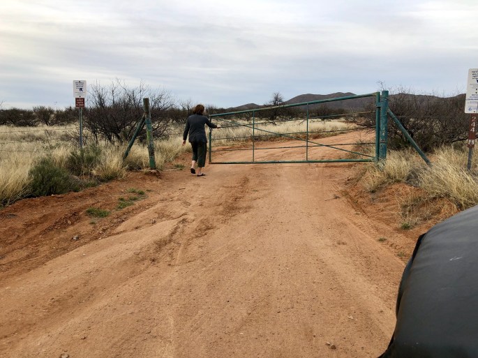
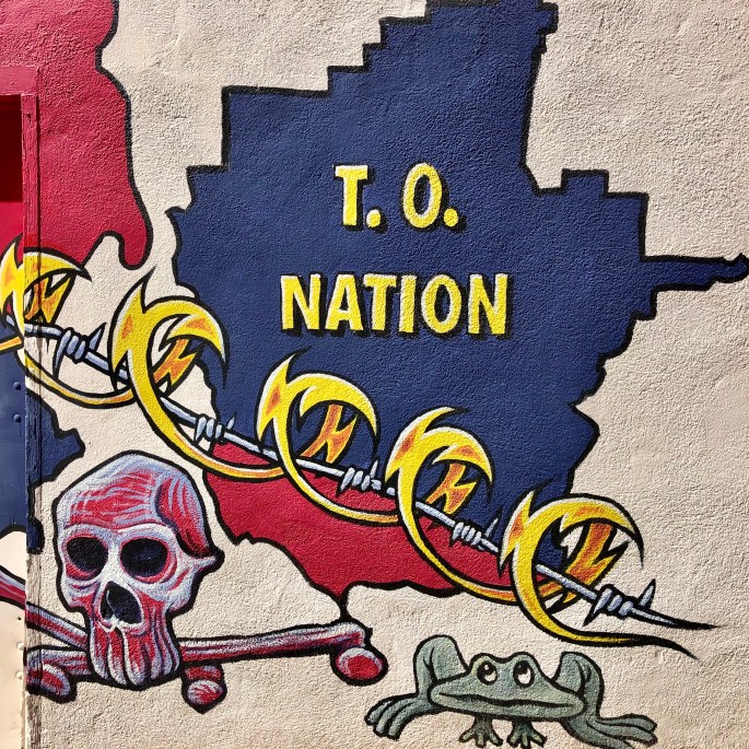
From BANWR we traveled through the Tohono O’odham Nation Reservation. The T.O. Nation is a 2.8 million acre reservation with a current population of apx. 14,000. Tohono O’odham means “desert people”. In this case the desert is the Sonoran desert of southwestern Arizona and Sonora, Mexico.
The T.O. Nation extends into Mexico. The residents of T.O. consider the reservation to be one nation irrespective of the U.S. – Mexico border and believe they should be able to travel freely within the nation. The U.S. Border Patrol disagrees and this has resulted in an ongoing conflict between the two parties. Additionally, the Border Patrol wants unfettered access to the border within the reservation which the T.O. Nation is not willing to provide.
Politics aside, we were fortunate to travel through the reservation at a time when the Sonoran Desert is in full bloom. Purple, yellow and orange flowers lined the highway against a backdrop of cacti and mountains making for breathtaking scenery.
We stopped briefly in Ajo just west of the T.O. Nation before proceeding to Yuma. Ajo was another town which came into existence as a result of a large copper mining operation which is now defunct. The art work pictured below is part of an arts project in Ajo.
Baboquivari Peak – Tohono O’odham NahtionBuenos Aires National Wildlife Refuge
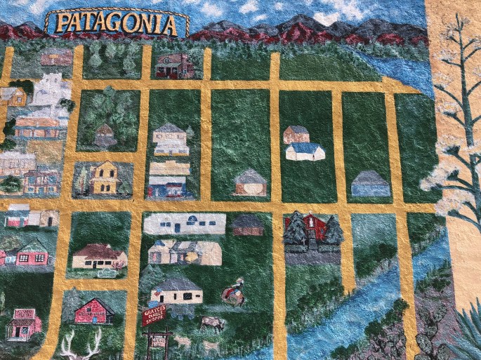
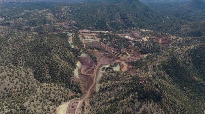
Our various treks have taken us through the quaint town of Patagonia several times. Patagonia is nestled in the Patagonia Mountains and its heritage is mining – not unusual in this part of the world. During our stops in Patagonia we have had the opportunity to chat with a number of people. One thing that became clear during conversations is that there is a lot of animosity between newer residents of the town and long time residents. Many of the newer residents are artists and environmentalists who oppose the current plan to expand the mining operations. The current investment is known as the Hermosa Project and is backed by Australia based mining company, South32. This company has paid $1.3b in order to gain the rights to mine for zinc and copper at this site. Many long time residents work at the mine or are involved in businesses that support mining operations.
Copper mines are not attractive to say the least. The are huge open pit mines. In this case the current mine is a 4000 foot long by 900 foot deep hole, however, it is located six miles from town and is not visible from the road. At the same time there is no arguing that there is a demand for copper and zinc in the technology driven world we live in today.
South32 plans to expand the mining operation underground using environmentally compliant technology they have used successfully in Australia. The newer residents insist it does not matter because all mining is bad for the environment (at least in Patagonia).
One of the individuals we met is Charlie. He grew up in Patagonia and is the owner of Pat Gas & Services. Charlie voiced support for the Hermosa Project at a town hall meeting. The newer residents then began boycotting his business and his fuel contract with the town was terminated. Charlie is currently trying to sell the business.
We are not smart enough to know if there is a pure right or wrong here in regard to the environmental or financial issues. We do think it is a shame that residents whose families have lived in Patagonia for generations can be driven out of their town by monied newcomers.
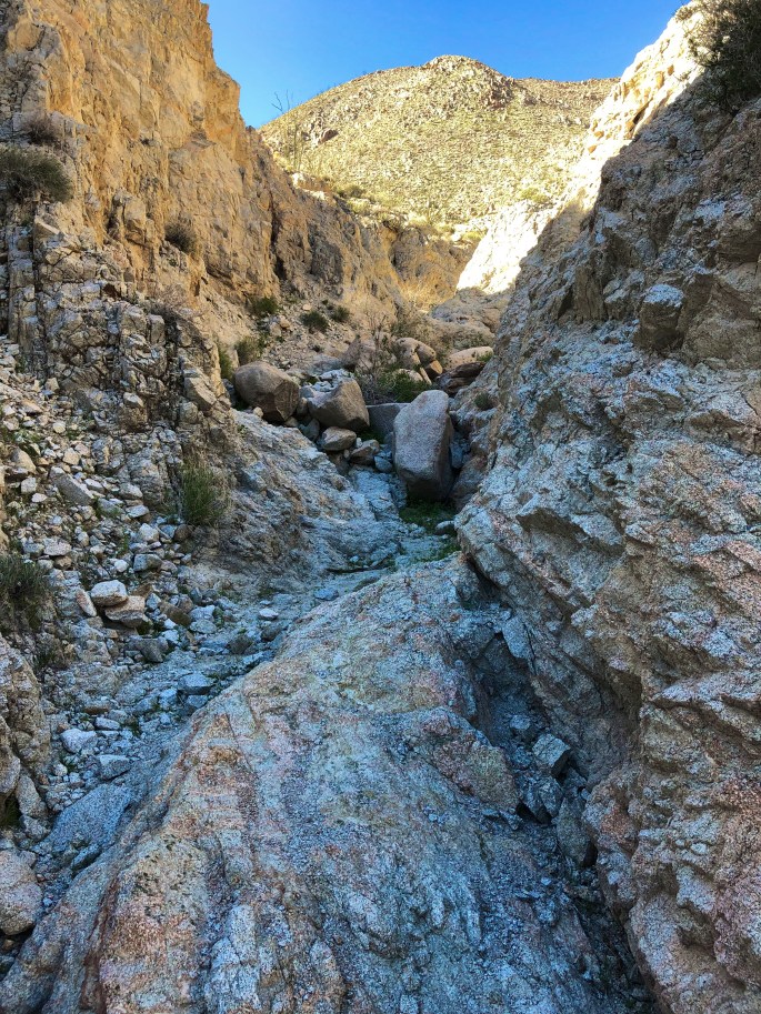
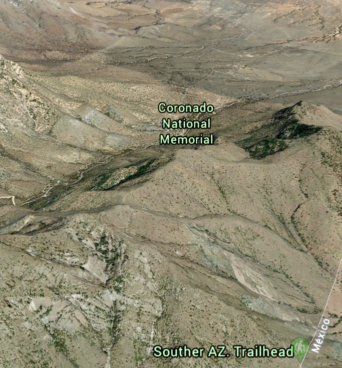
While spending a few days in Bisbee we took a drive to Coronado National Memorial. This NPS managed area bordering Mexico was created to “interpret the Coronado expedition”. As there are no physical remnants of this expedition of conquest within the memorial boundaries we are not sure we understand the rationale for creating this park.
The good news is that we visited the memorial to hike and do some caving. The better news is that we hiked up to the Coronado Cave and spent a couple of hours exploring the cave in complete solitude (and darkness)!
This is one of the few caves within the NPS system that requires no guide and is still in a completely natural state – no lighting, stairs, rails, etc. To access the cave requires a 500 foot climb up Montezuma Peak and then a rock scramble down to the cave floor. The cave is only about 600 feet long but has a number of side and downward tunnels which require crawling to explore.
The cave is not home to bats if you were wondering, but does have growing stalagmites and stalactites.