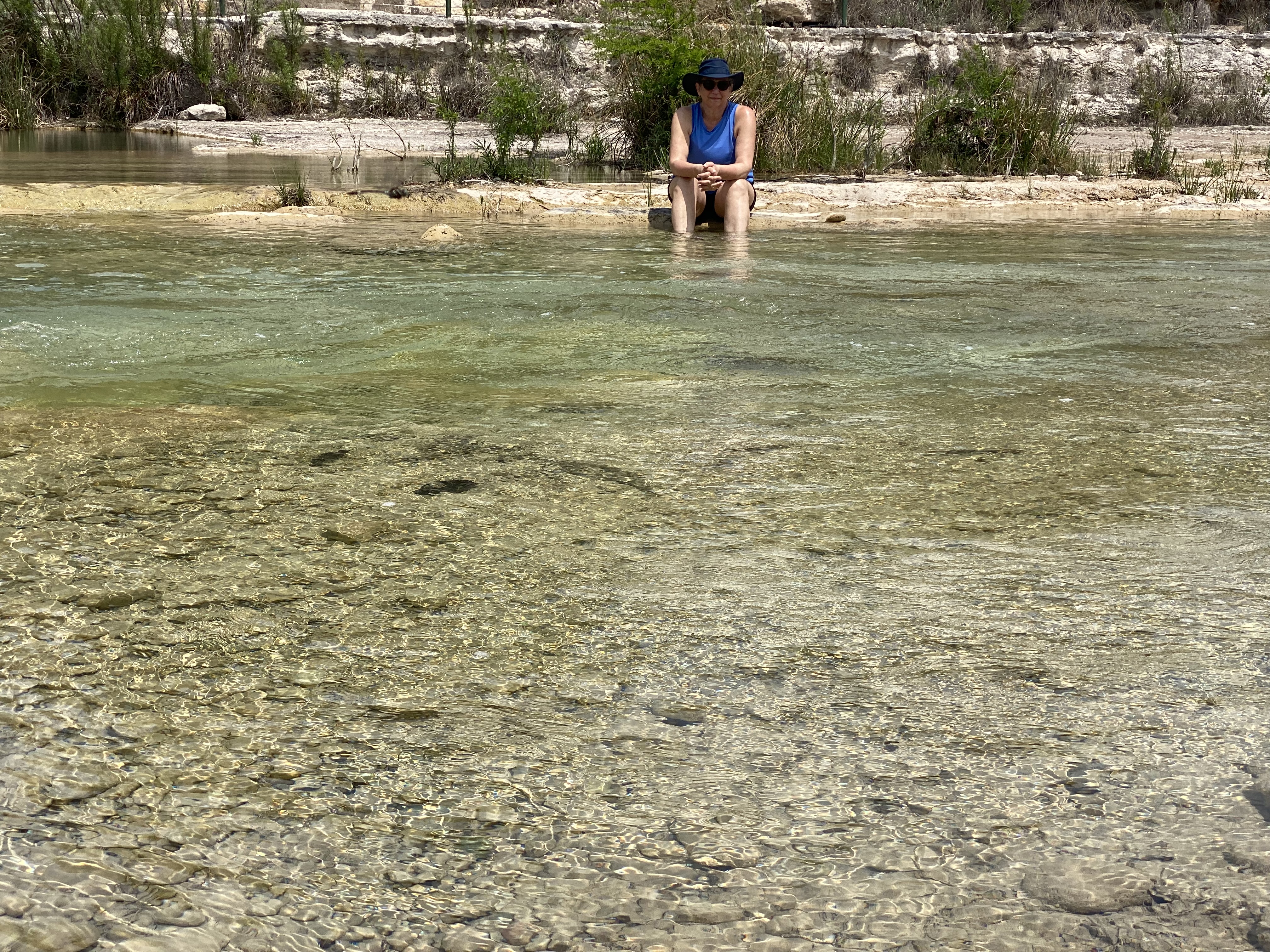


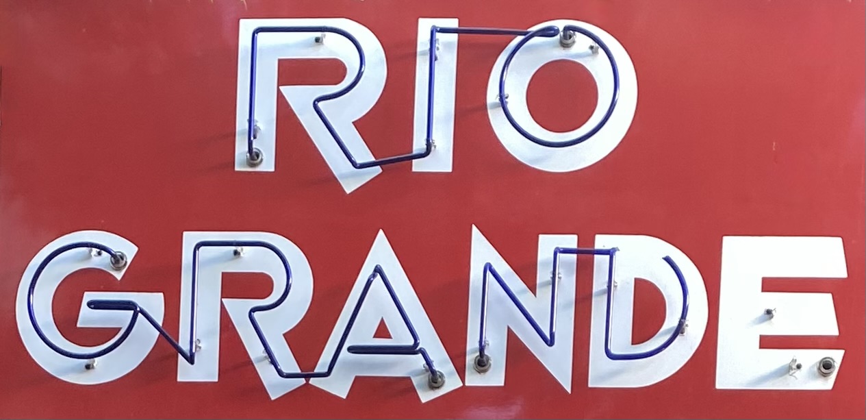
After departing Seminole Canyon, we made our way west to Marathon (Mare-a-thun) to spend a couple of days in comfort, before heading to the Big Bend backcountry. While our attempt to drive the entire way from Seminole Canyon to Marathon via ranch roads was not successful, it did not dampen our appetites. First order of business, Texas style bbq at the Brick Vault Brewery & BBQ. Mighty fine beef brisket (almost as good as Keef’s!). After our hardy and delicious lunch, we strolled down the block to check in at the Gage Hotel.


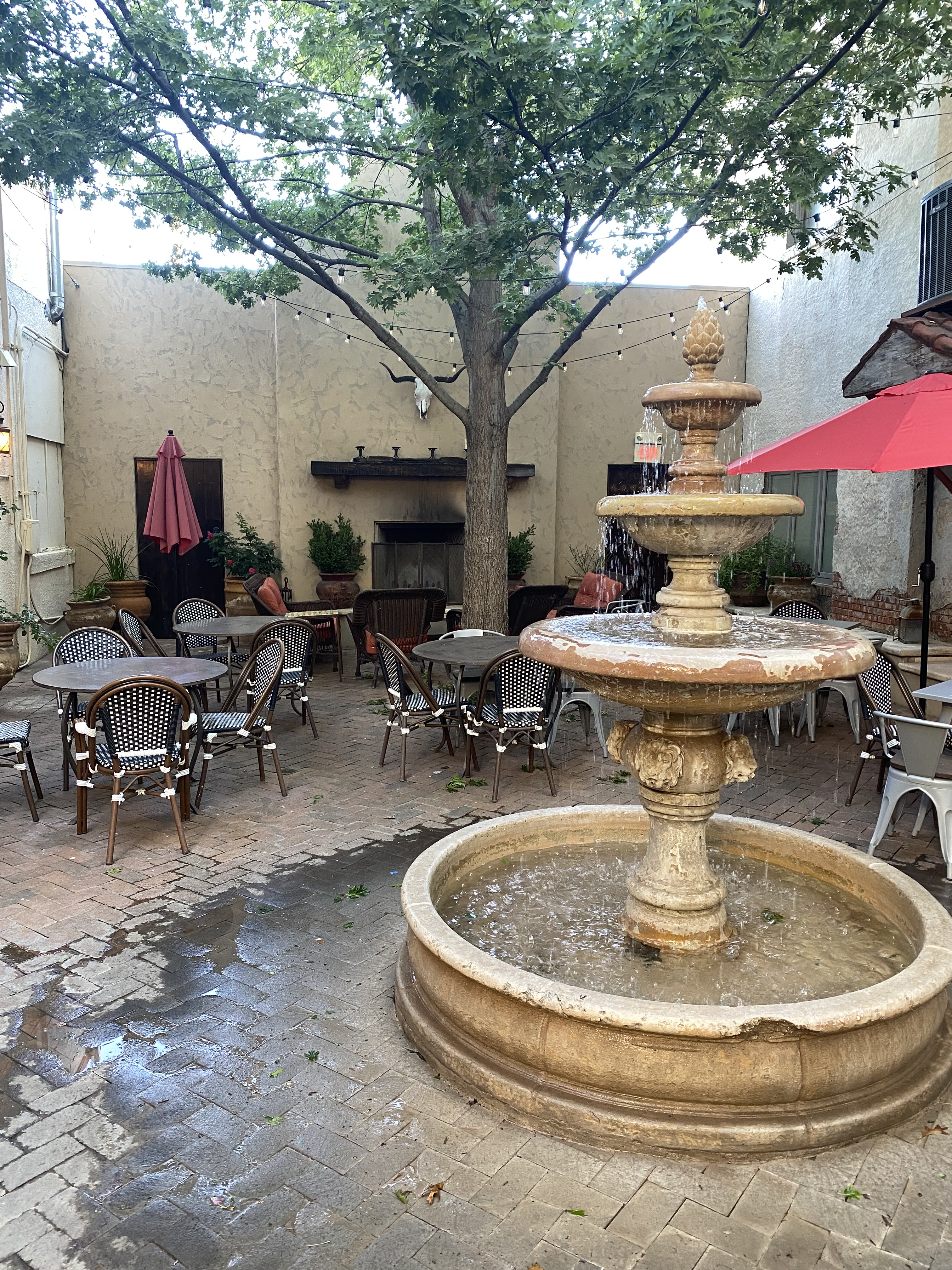
After checking in, we enjoyed our first hot shower in several days, followed by a lie down. When we awoke we were very thirsty. Fortunately, the White Buffalo Bar is adjacent to the hotel and was ready to serve us cocktails and wine. With our thirst at least partially quenched, we made our way from the bar to the dining room of the 12 Gage Restaurant.


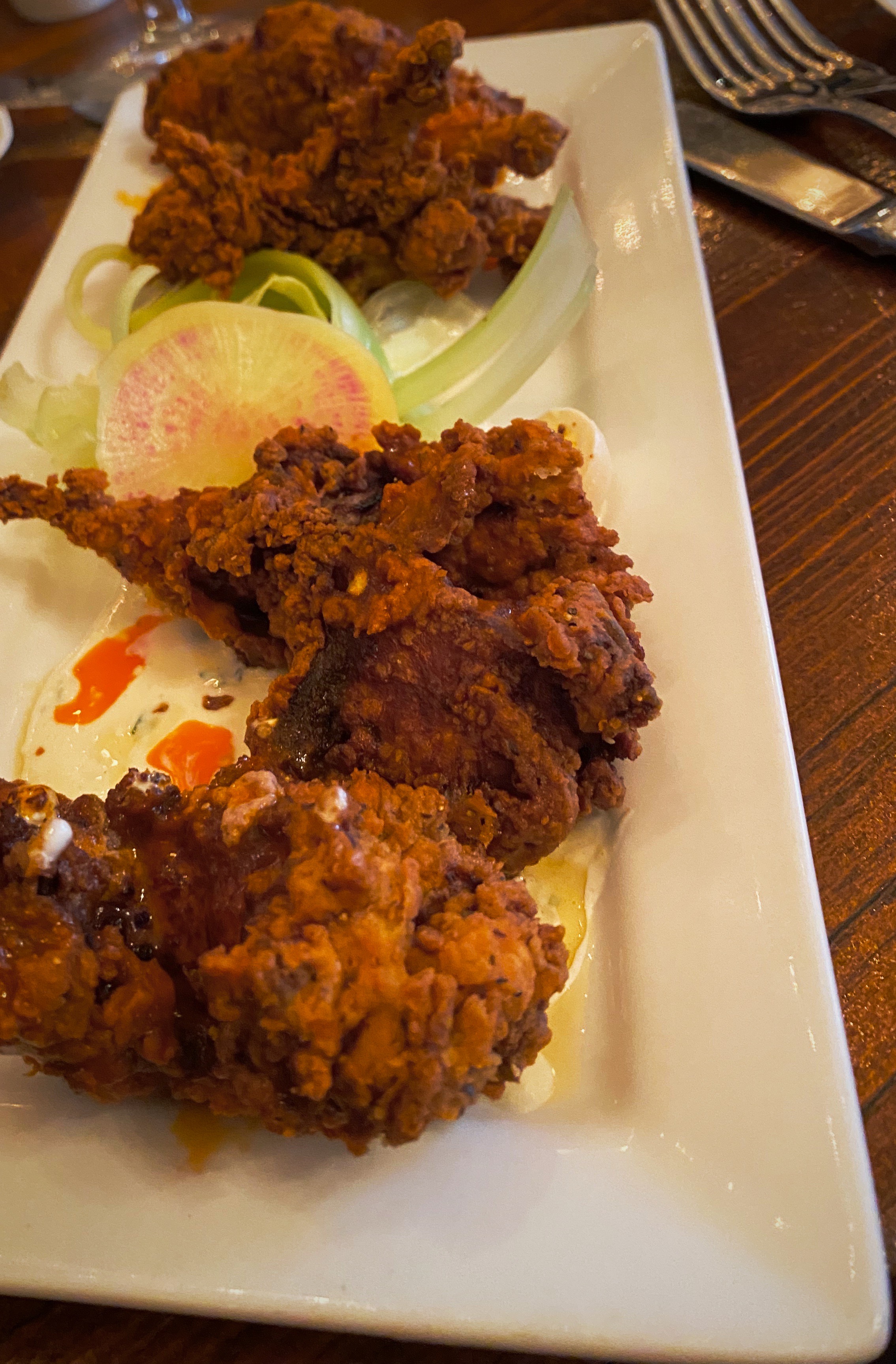
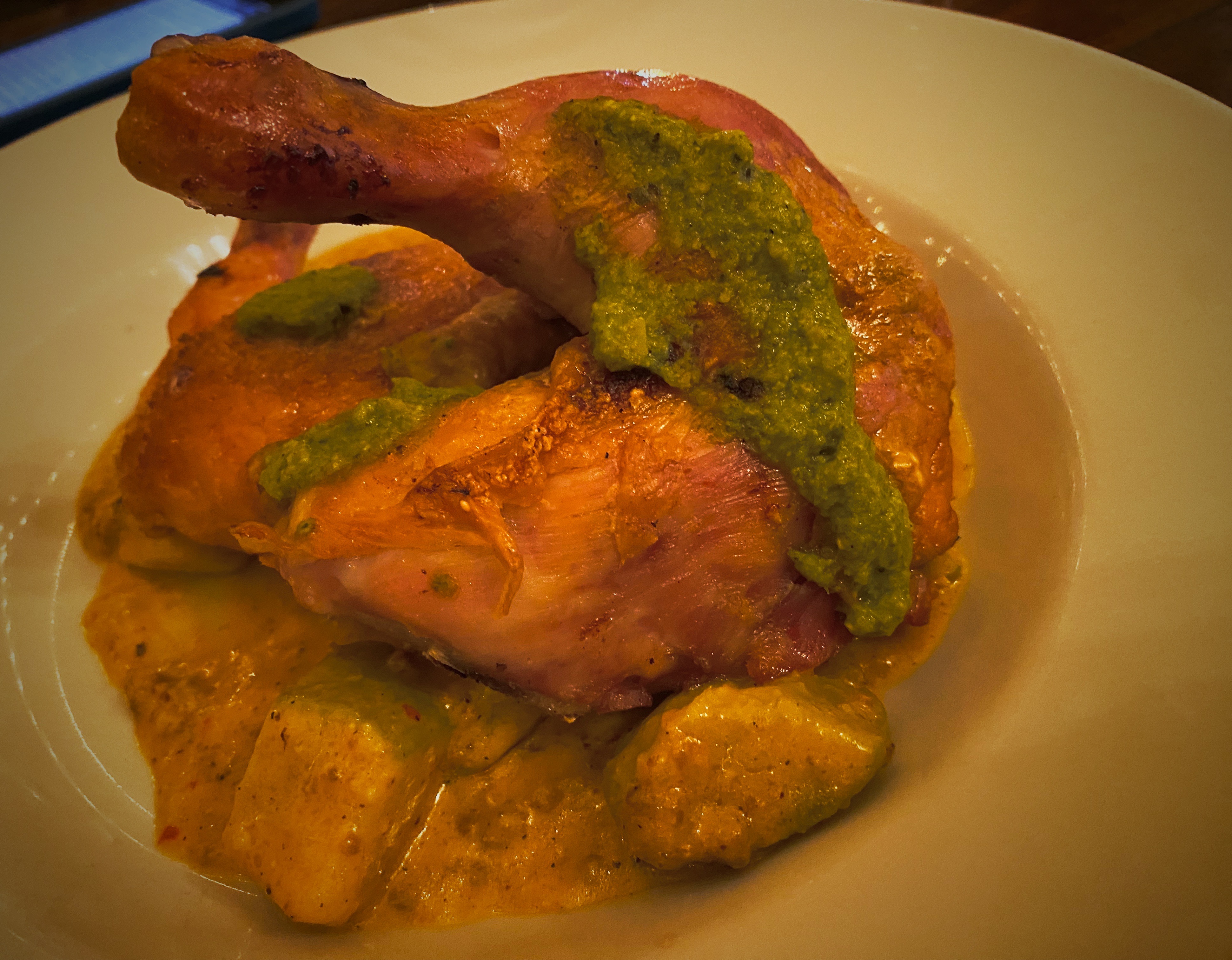

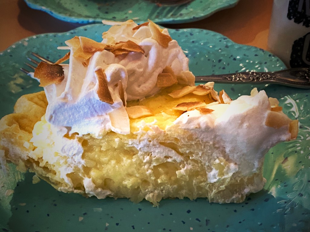
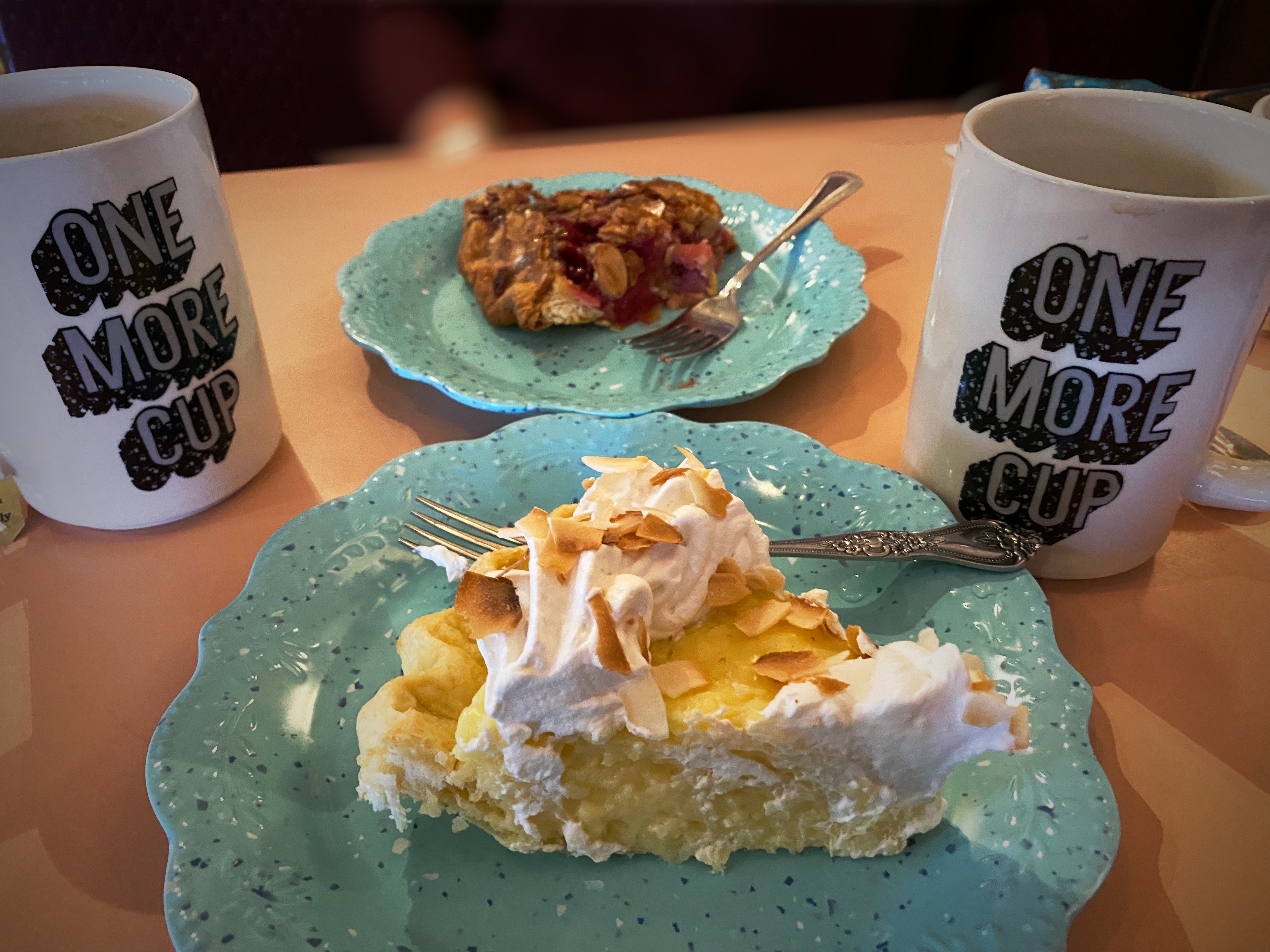
The restaurant markets their fare as “West Texas Cuisine with a gourmet twist”. We totally agree with the description. All of the restaurant’s vegetables and herbs are grown in their own garden. All of the wild game and fowl is sourced locally and the beef comes from the Iron Mountain Ranch about seven miles up the road. All of the food was delicious!
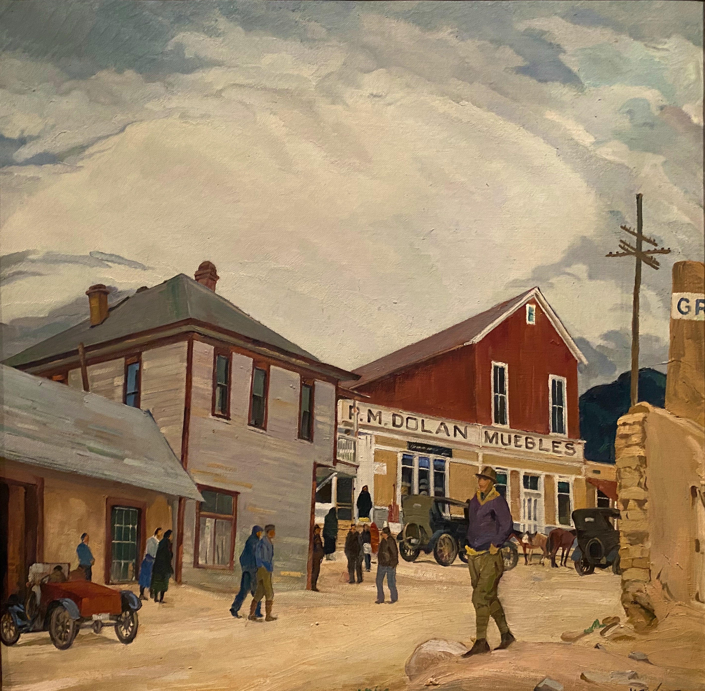
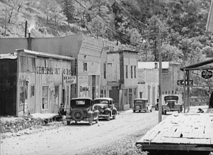
Marathon, like many of the other towns in the Trans-Pecos region of Texas, was founded when the railroad arrived. Railroad workers building east from El Paso reached what is now Marathon in 1882. In this case, it was the Galveston, Harrisburg and San Antonio Railway (later the Southern Pacific). Around the same time, a former sea captain by the name of Albion Shepard had purchased land north of Marathon to develop a ranch (Iron Mountain). Shepard is credited with naming the town Marathon, because it reminded him of the plains of Marathon, Greece, which he had seen during his seafaring days.


Alfred Gage was a native of the Green Mountain State (Vermont) who ventured to Texas in 1878 at the age of 18 to make his fortune. He did just that – building a 500,000 acre ranching empire. As Marathon became an established shipping center for the ranching industry, he recognized the need for hotel accommodations for business and other travelers. He commissioned the construction of the hotel which opened in 1927. Gage was based in San Antonio but spend considerable time in Marathon, utilizing the hotel as his residence, office and entertainment venue while in town.

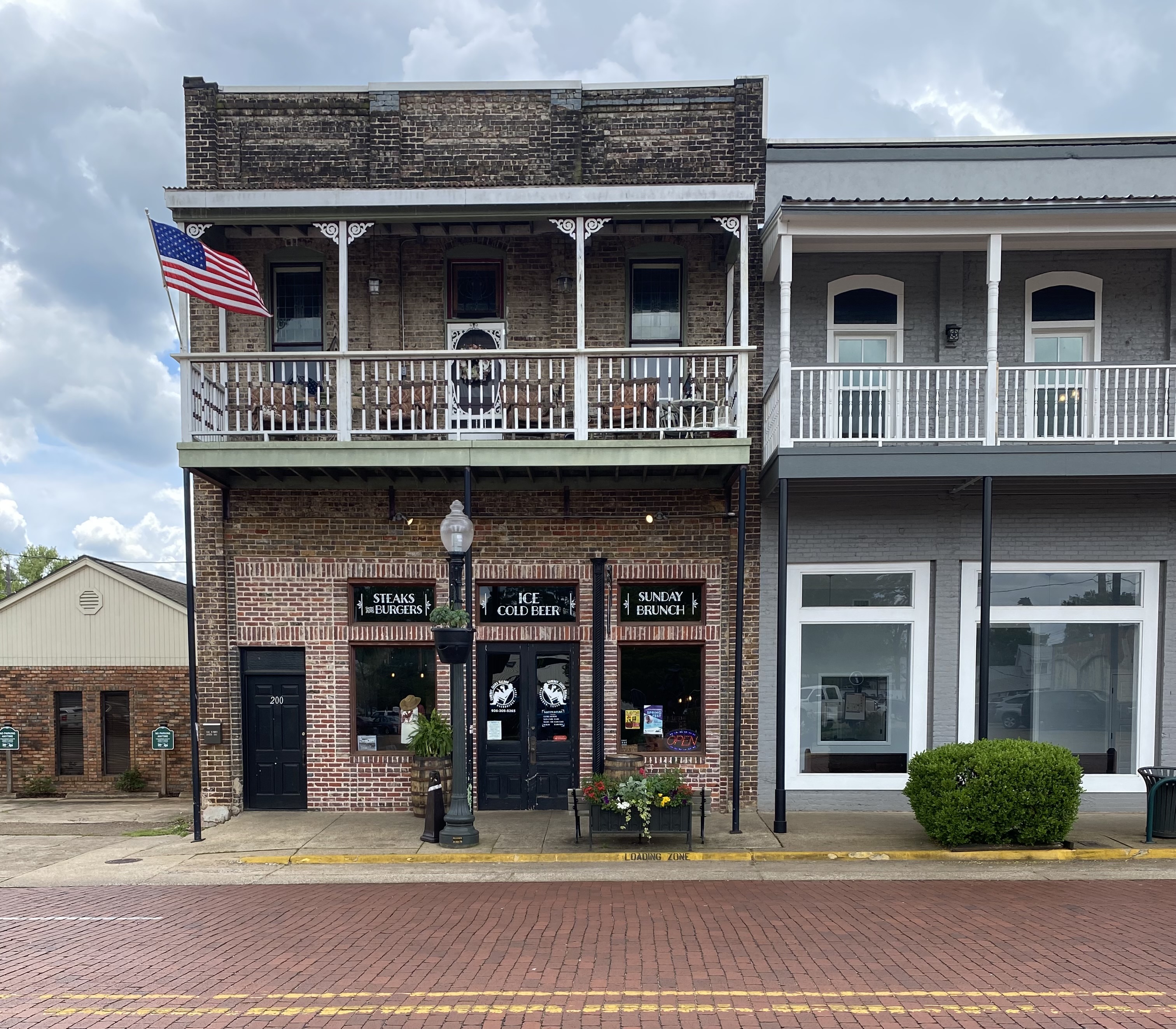
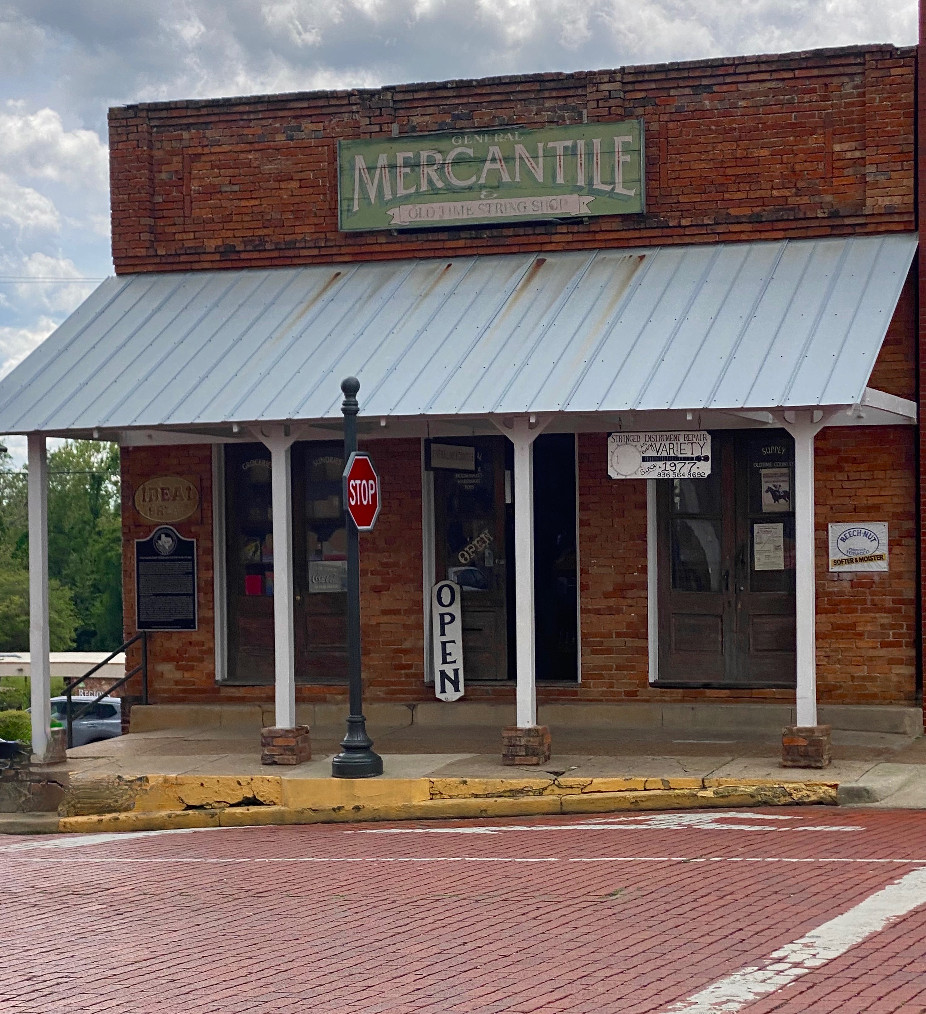
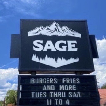
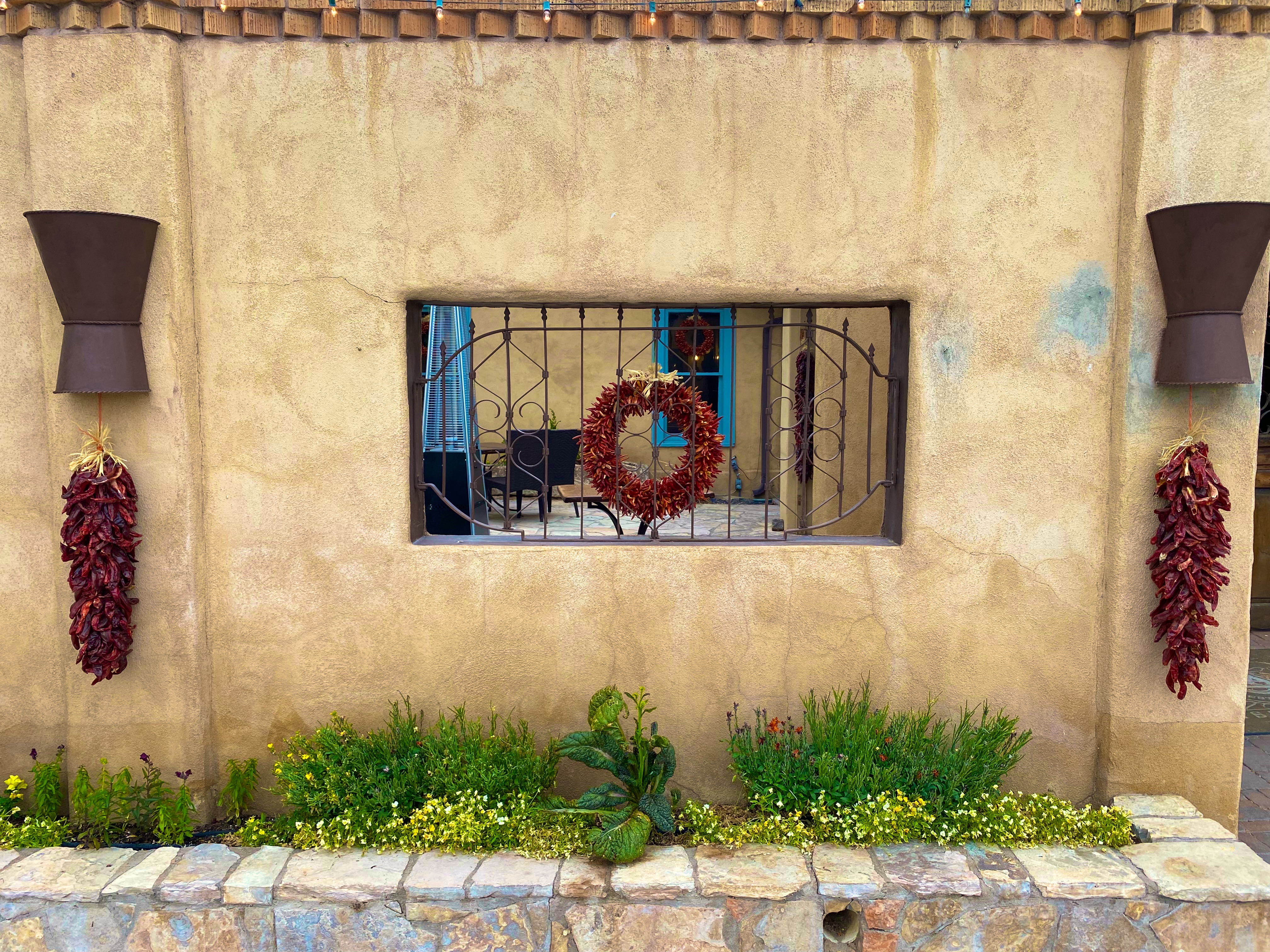
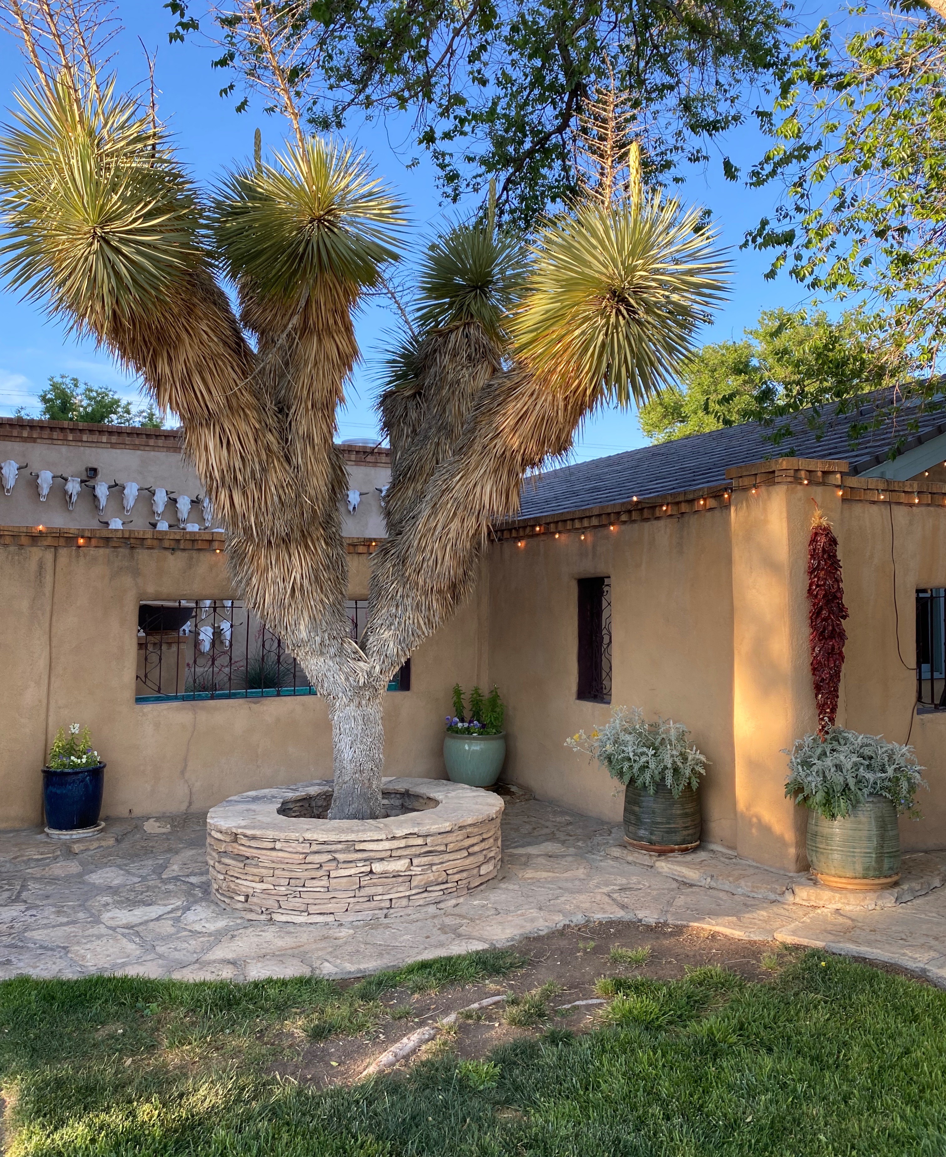
Over the last several years, Marathon has become a destination in its own right. Previously, it was mostly a jumping off place for people on their way to Big Bend NP (BIBE). The current owner of the Gage Hotel (JP Bryan) also owns and operates the White Buffalo Bar, 12 Gage Restaurant, Brick Vault Brewery and the V6 Coffee Bar. Additionally, he has purchased and renovated a number of properties in town for retail space and art galleries. We found that Marathon more than lived up to our expectations for a couple day stay to unwind and enjoy find food and lodging before our adventures in Big Bend NP. We definitely recommend a visit to Marathon on your way into or out of BIBE.

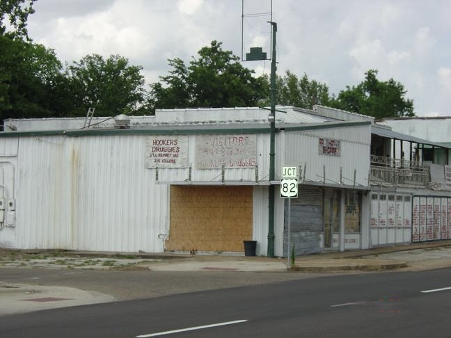
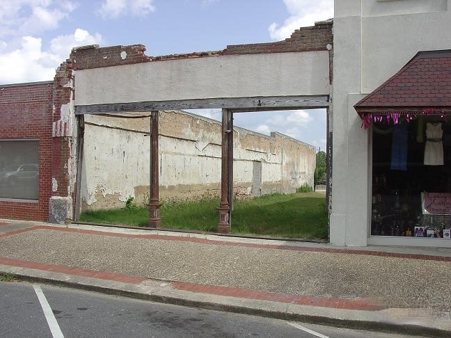
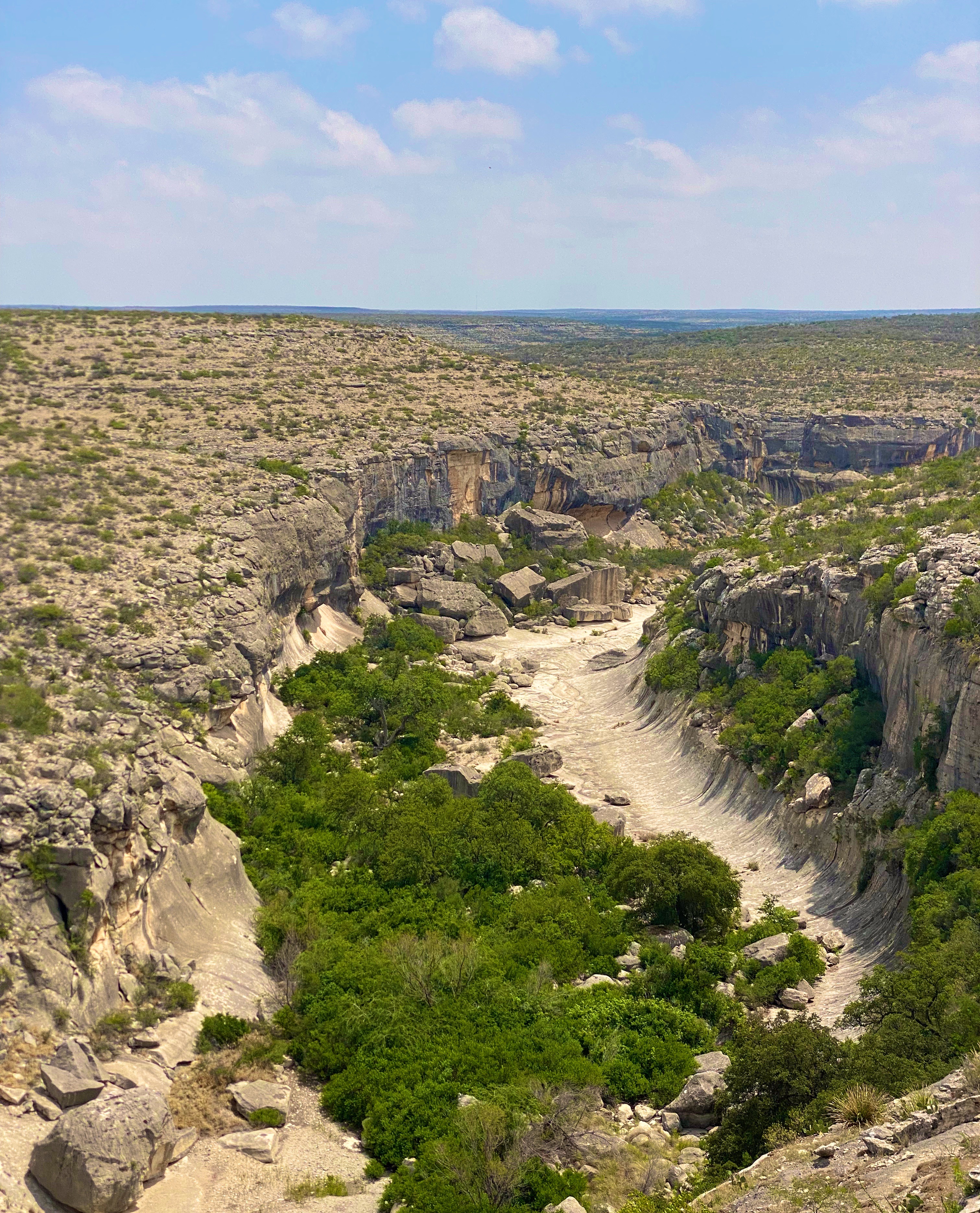
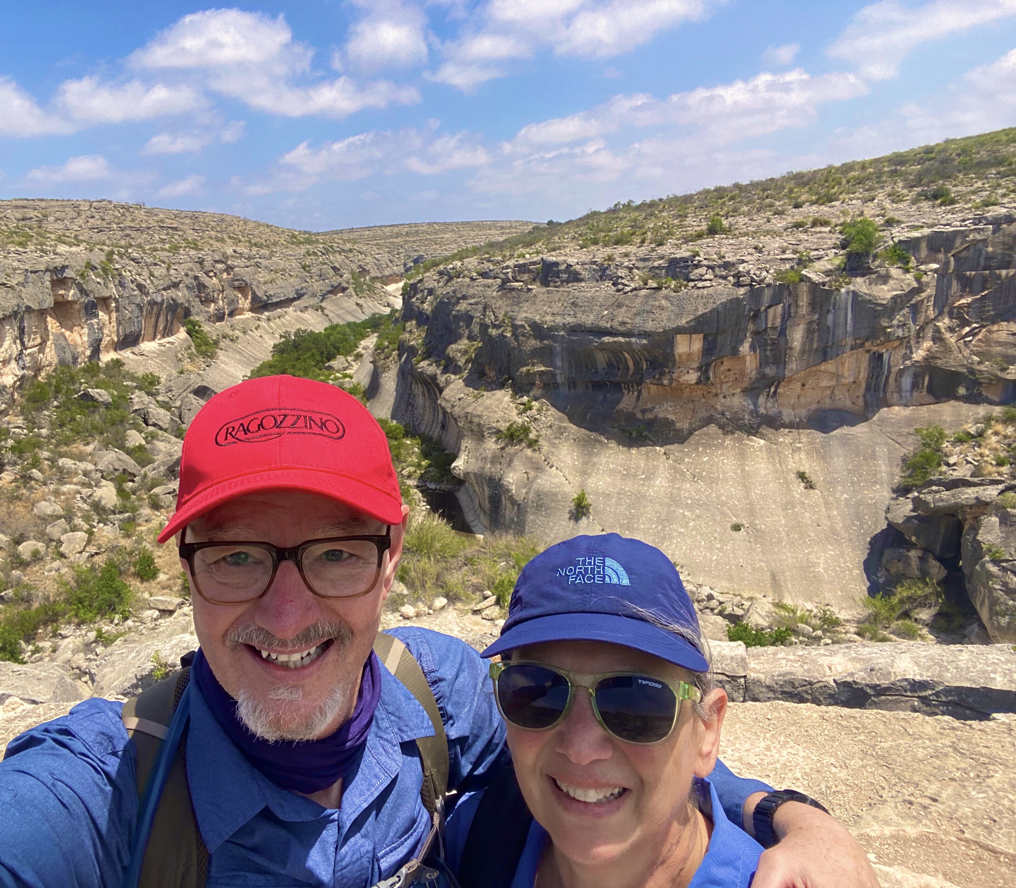
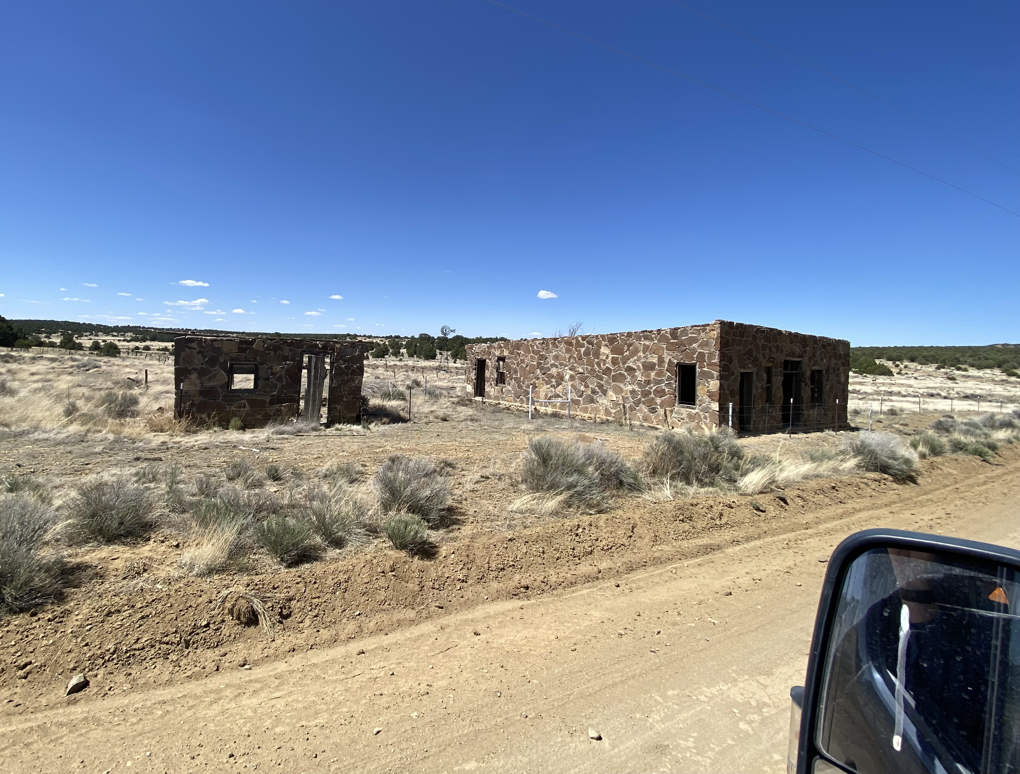
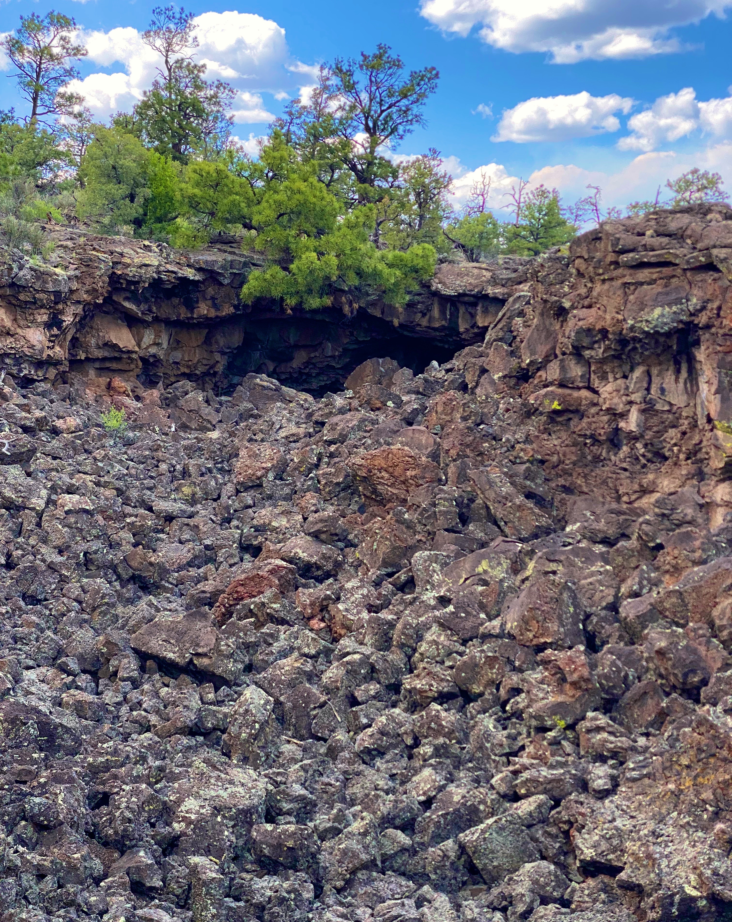
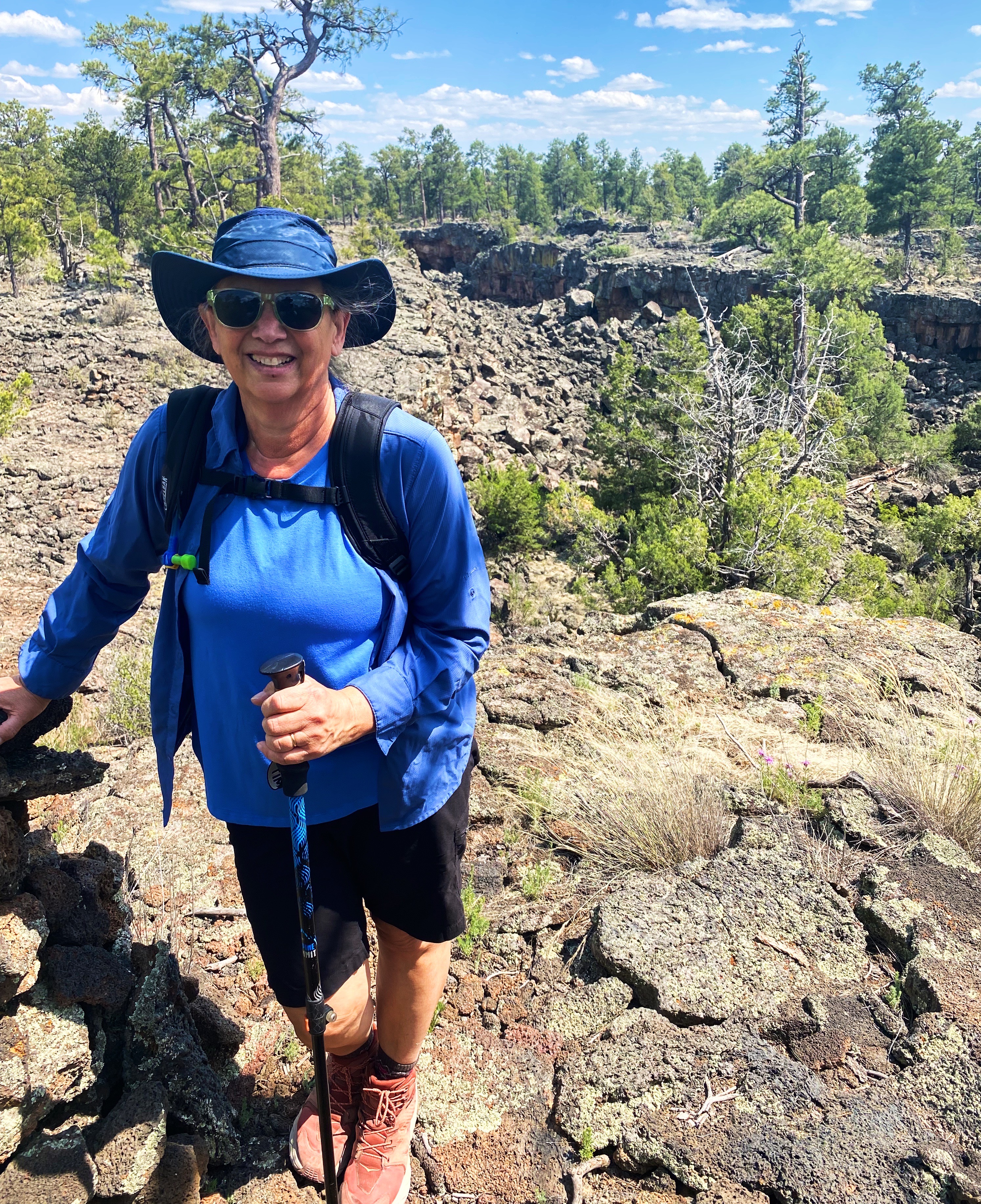
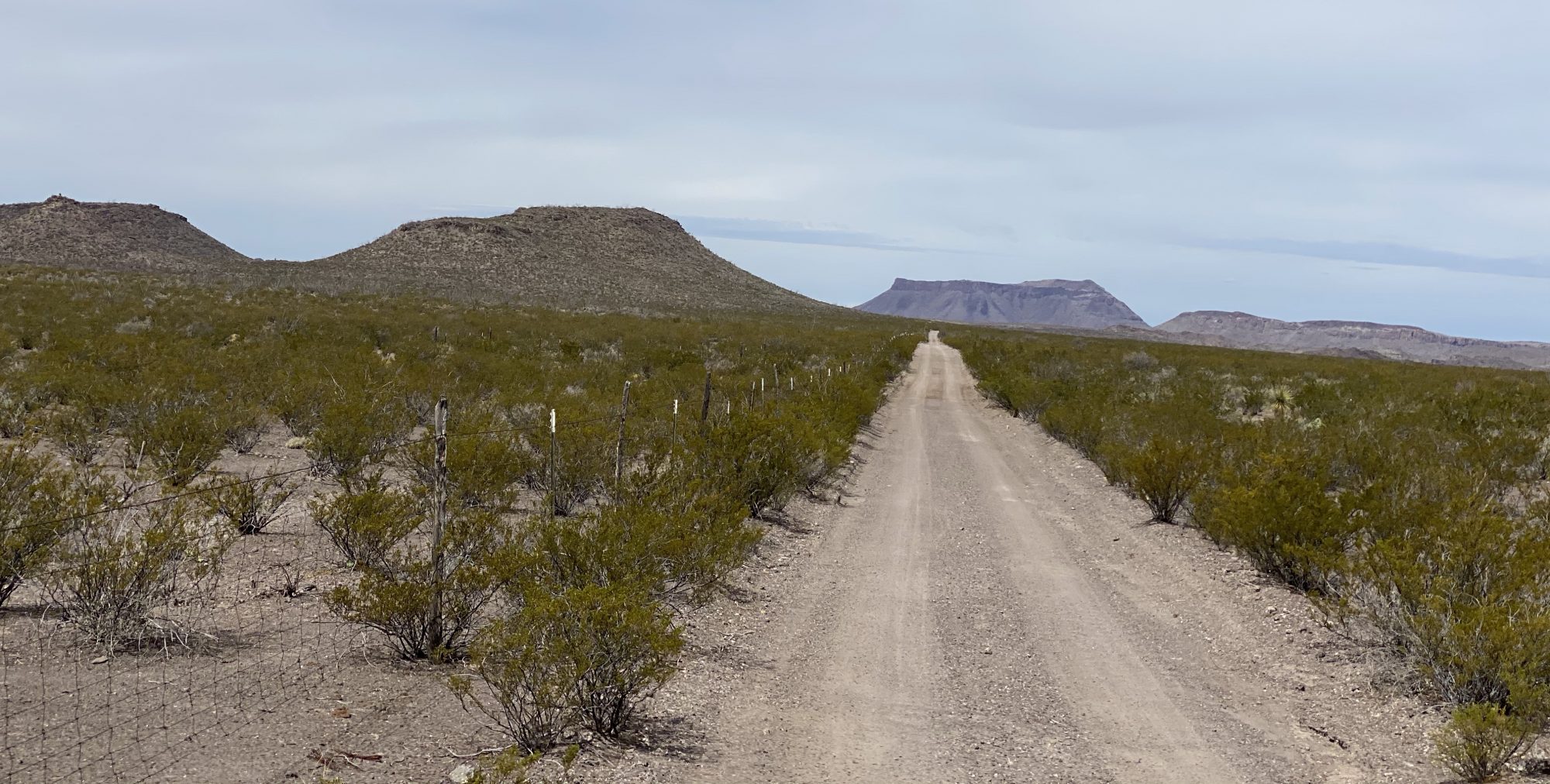
After our stay we drove the 60 or so miles south to BIBE (see our post Three Nights in the Backcountry). After our stay in BIBE we made the drive up the immensely scenic Texas State Highway 118 to spend a couple of days in Alpine. The 118 runs through Study Butte (Stew-dee) and Terlingua before heading north through the Chichuahuan Desert.


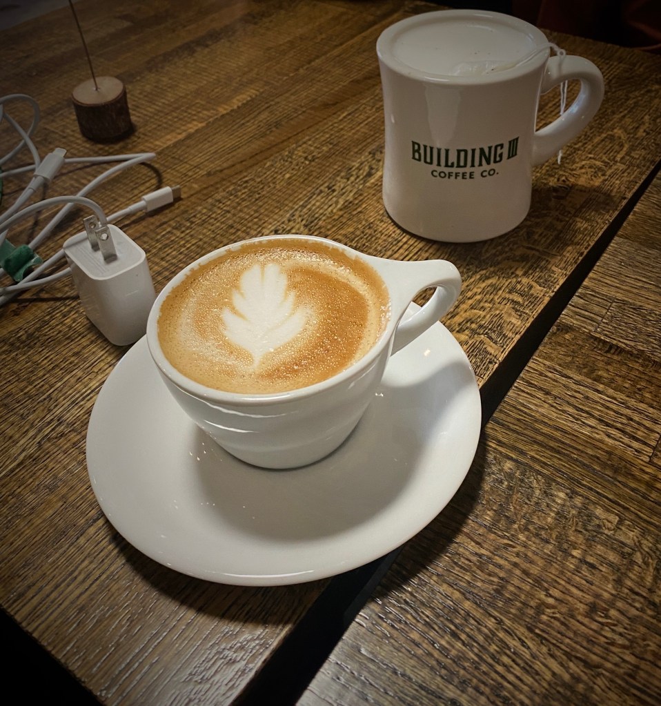
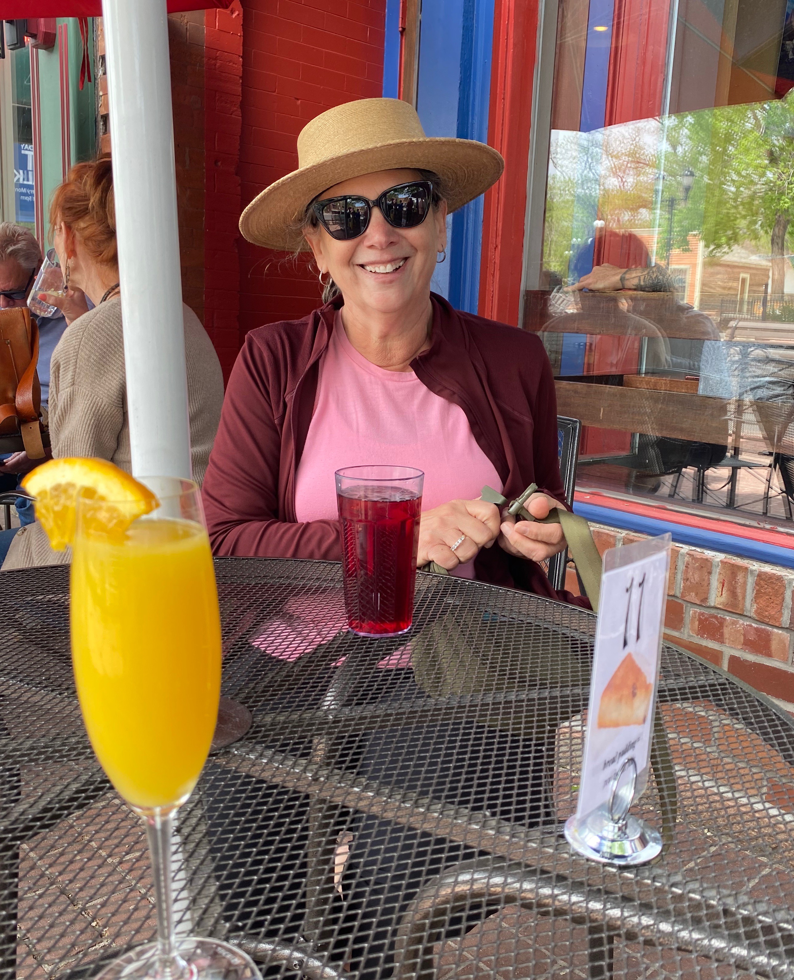
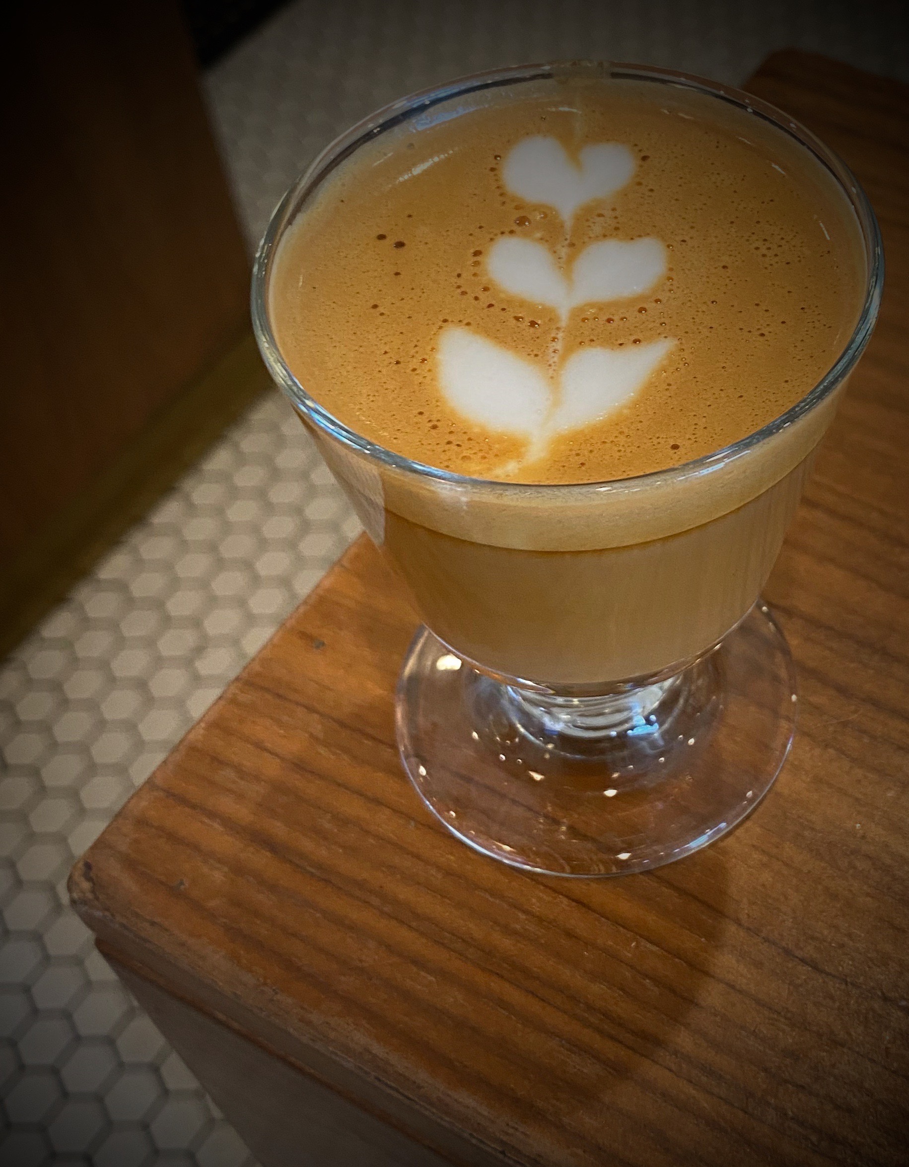
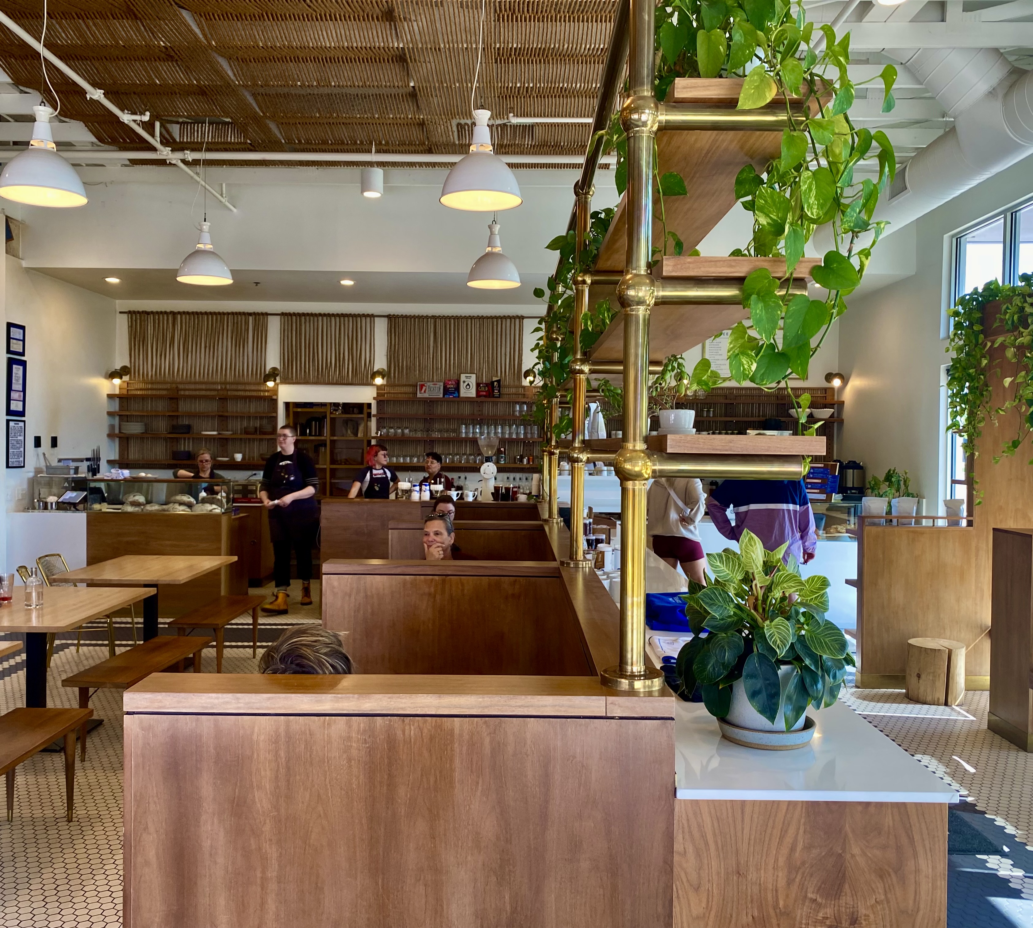
Our first stop in Alpine, unsurprisingly to any of our regular readers, was for coffee and tea. We had spent an afternoon in Alpine in March 2020 before the pandemic lockdown made its way to Far West Texas and knew from that visit that Cedar Coffee and Supply would meet our needs.


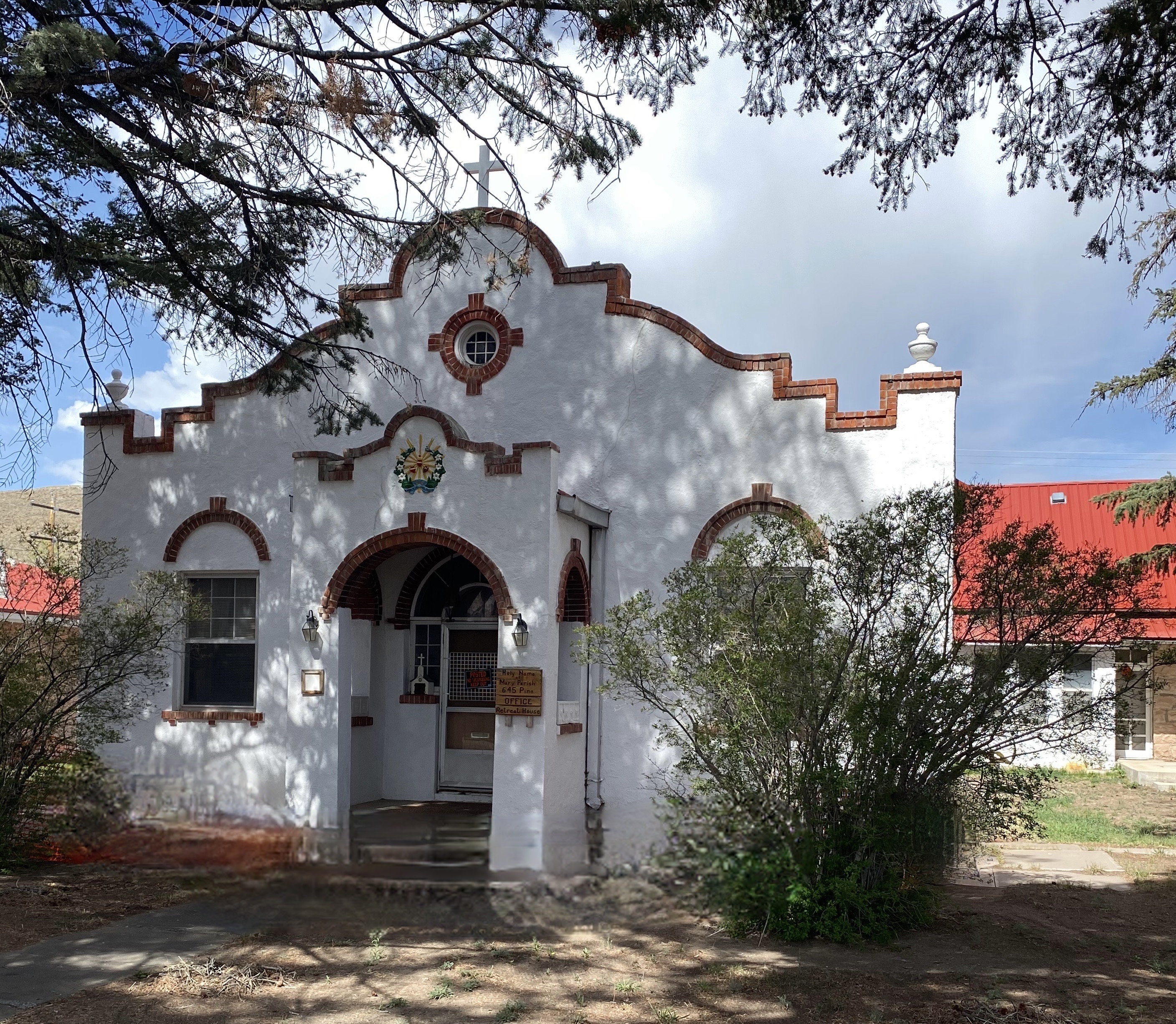
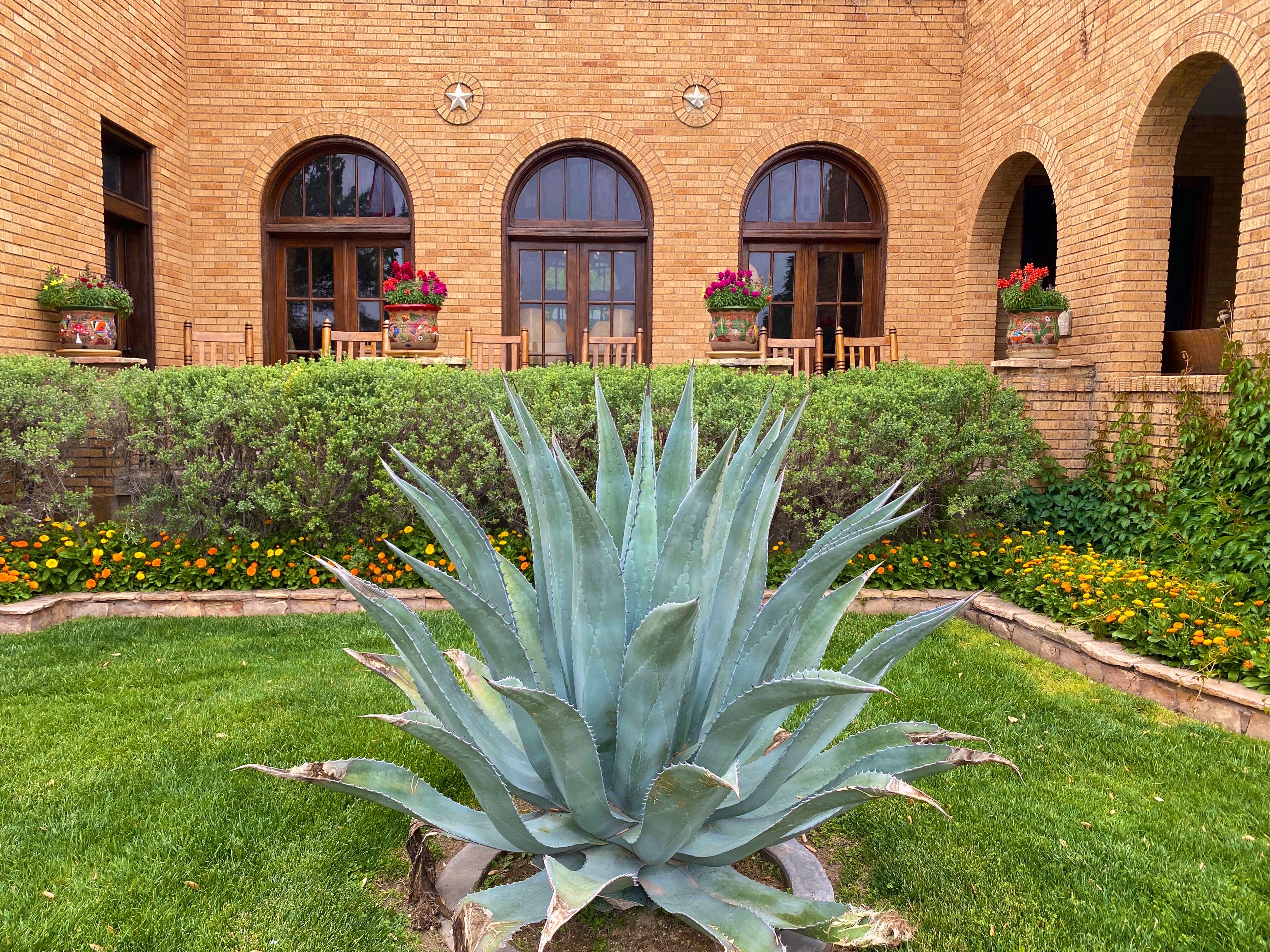
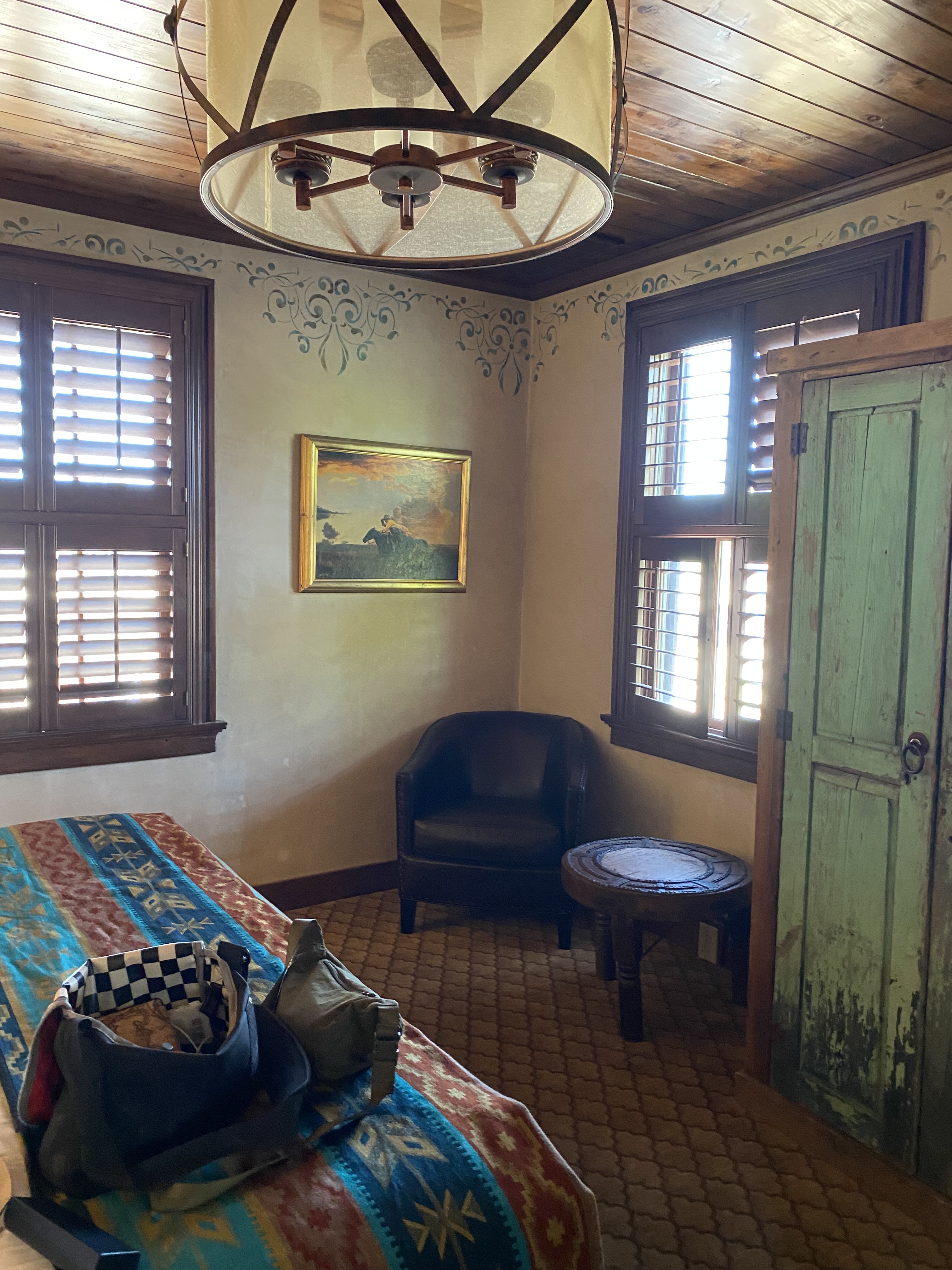
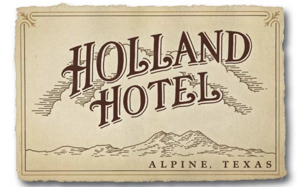
Staying in Alpine provided us with the opportunity to stay at the Holland Hotel, our fourth Henry Trost designed hotel. Henry and his brother Gustavus were early 20th century architects based in El Paso. They were renowned for their Spanish Colonial Revival Style hotel designs – tile floors and roofs, courtyards, exposed beams and wrought iron are used throughout. The lobbies and courtyards are the centerpiece attractions for us – comfortable, wonderful spots to read, drink coffee or wine and perhaps do a bit of people watching.


Alpine’s origins are similar to Marathon’s and many other towns in the Trans-Pecos–cattle and the railroad. Alpine grew from a tent encampment of railroad workers in cattlemen along a spring fed creek in 1882, to a small town. The spring was the key element for the railroad as the locomotives were steam powered at that time. In 1921, the state opened Sul Ross State Normal College in Alpine. The opening of the college brought a significant increase in population and, as an added bonus, the first paved roads in town. At the turn of the century the population was estimated at 300 people. After the college opened the population ballooned to around 3000.
Today, the freight trains continue to chug through town, although they have no need to stop for water as the steam locomotives have long since been replaced. The town is serviced by AMTRAK as Alpine serves as a jumping off point for BIBE for those people that would prefer to travel by rail to this remote national park. The Sunset Limited stops in Alpine six times per week – three times from the west and three times from the east. The eastbound Sunset Limited originates in Los Angeles from the west and New Orleans from the east. The town continues to be anchored by what is now the Sul Ross State University.


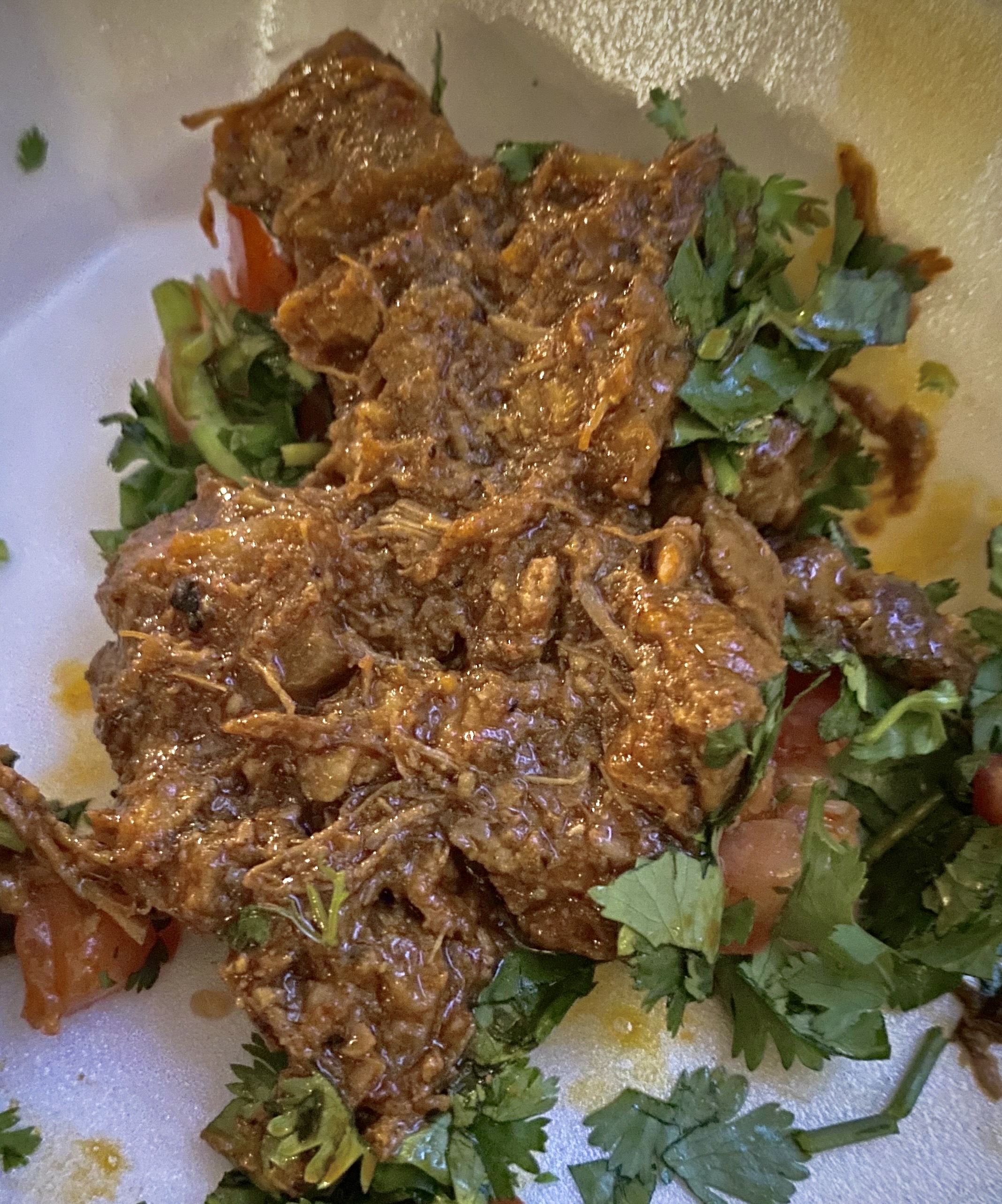
On our first evening in Alpine we dined at the The Century Bar and Grill located in the Holland Hotel. The Century provided us with another fine dining experience featuring delicious regional cuisine. We also had the opportunity to chat with our servers, both students at the university who were actually a couple. They were quite friendly and most knowledgable about the geology and history of the area. We meet the nicest people on the road!


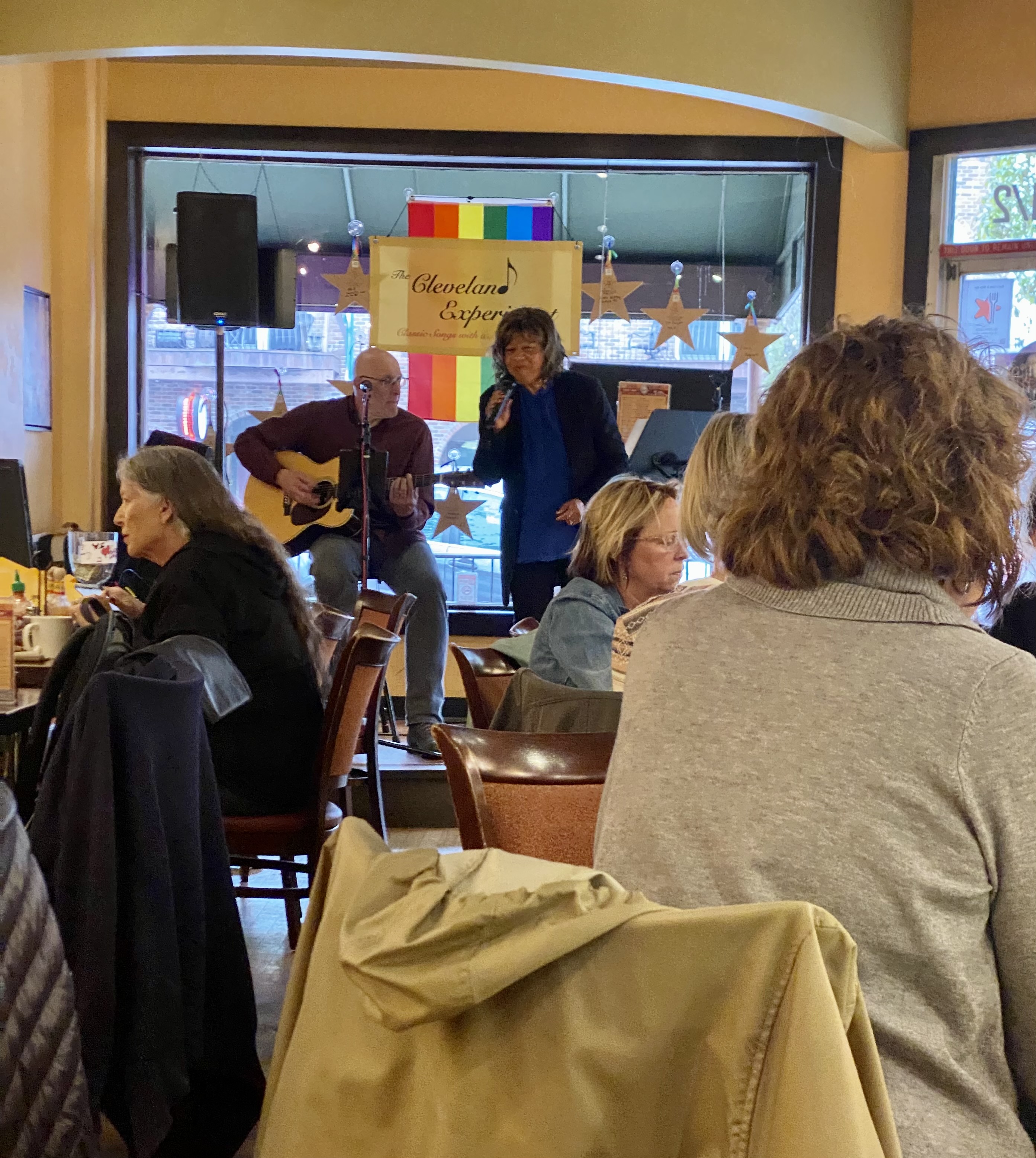
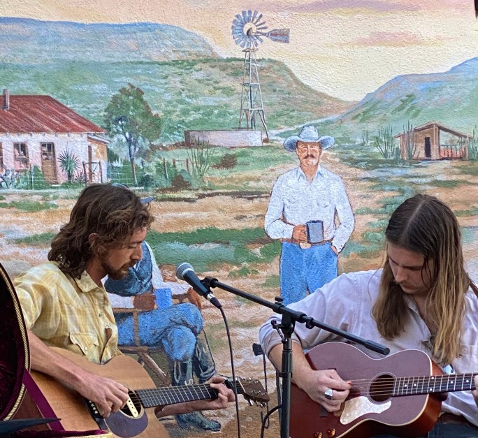
On our second evening in Alpine we decided to take advantage of the live music scene in town. The Petit Bijou bills itself as the “teeniest tiniest wine bar in Texas”, contrary to the usual boast that everything is bigger in Texas. You can see the Airstream bar in one of the photos below – the claim that it is the teeniest tiniest wine bar in Texas just might be valid. We were in for a treat – a jazz show that was canceled earlier in the week due to a wind storm was set to open the evening, followed by a country duo from Austin.


We enjoyed a couple sets of great jazz and country music while getting acquainted with a number of the very friendly folks sitting at our neighboring tables. The food and wine was delicious and we were fortunate to meet and spend some time chatting with Ginger Hillary, the petit Bijou proprietor. As Hans Christian wrote “to travel is to live”.

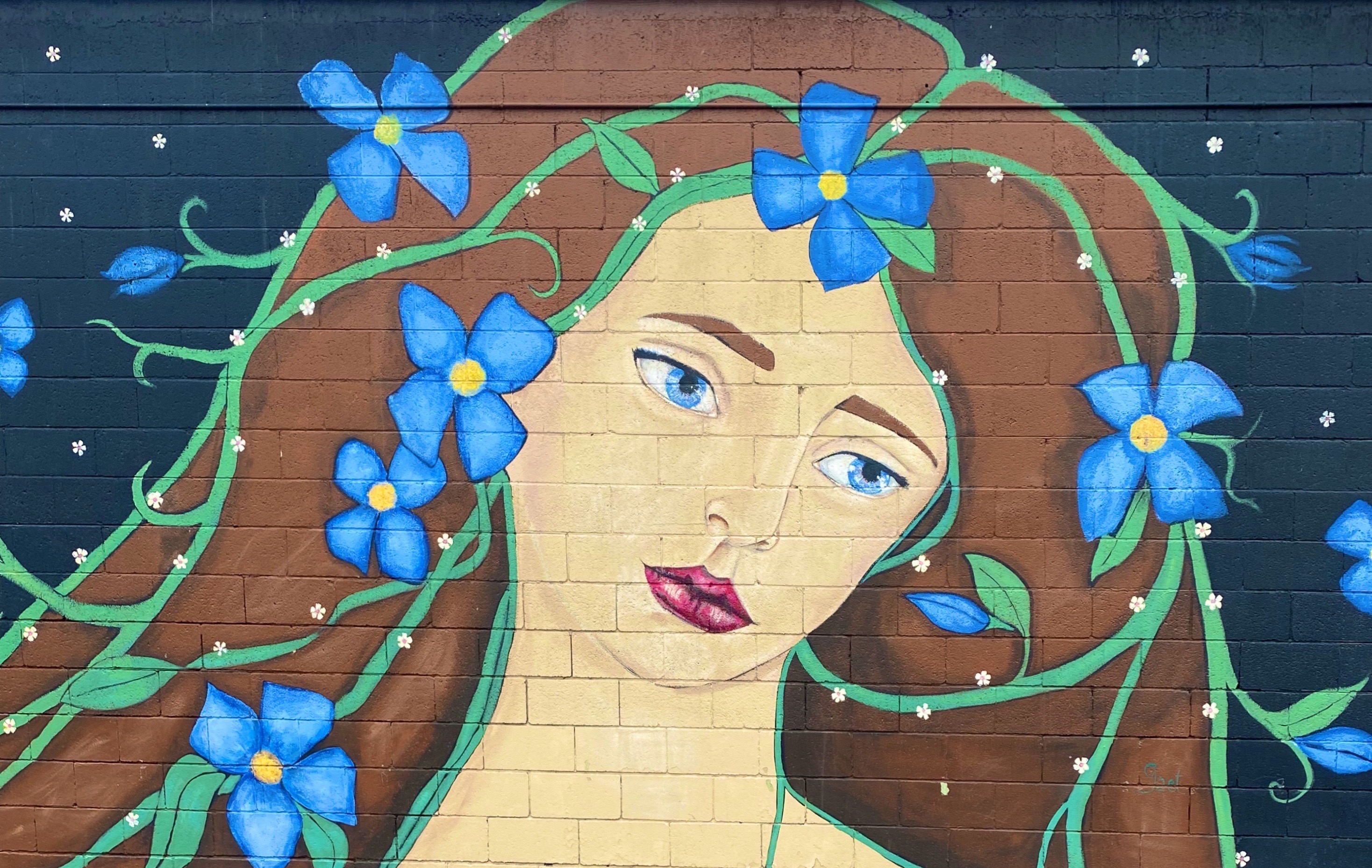
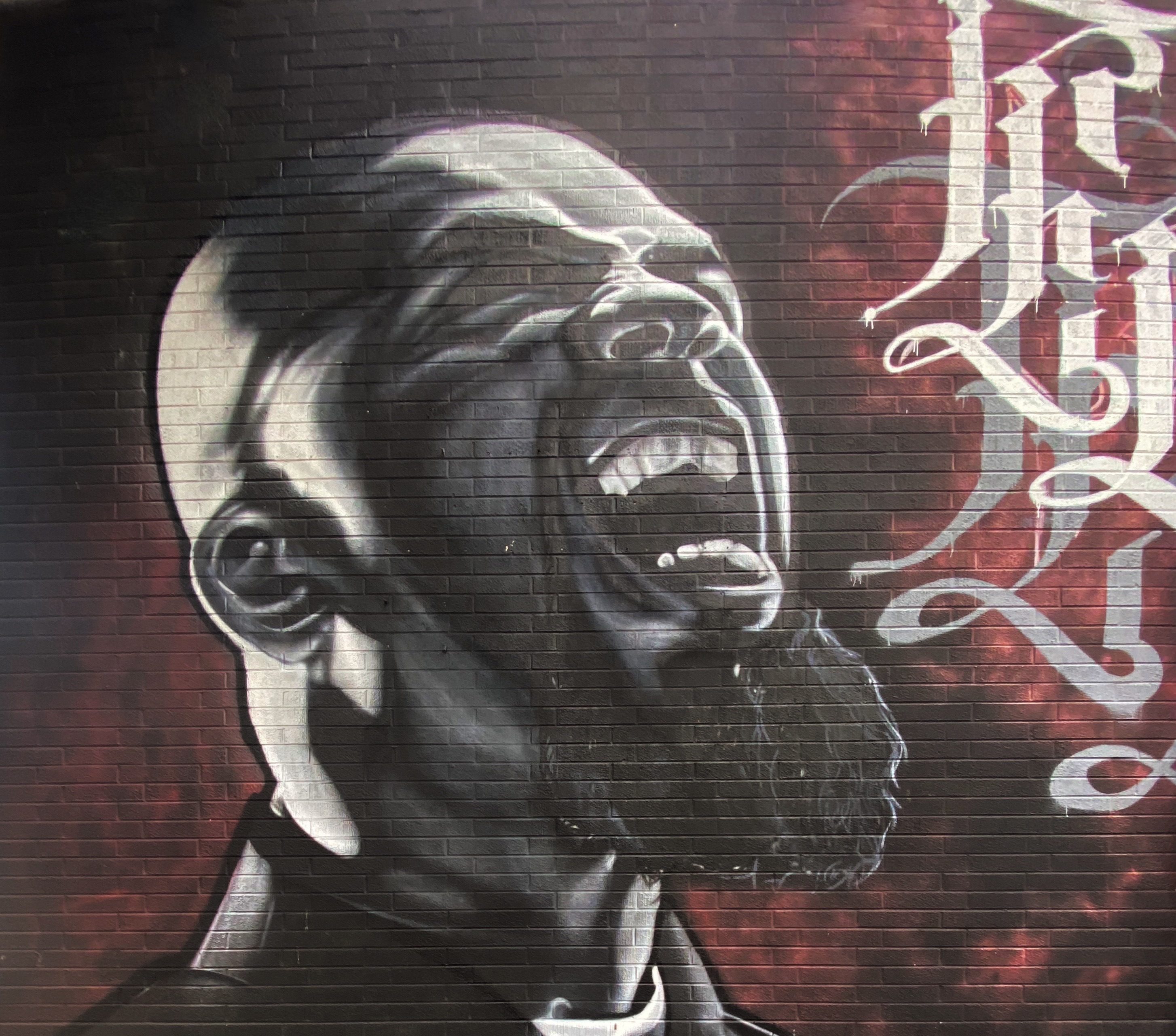
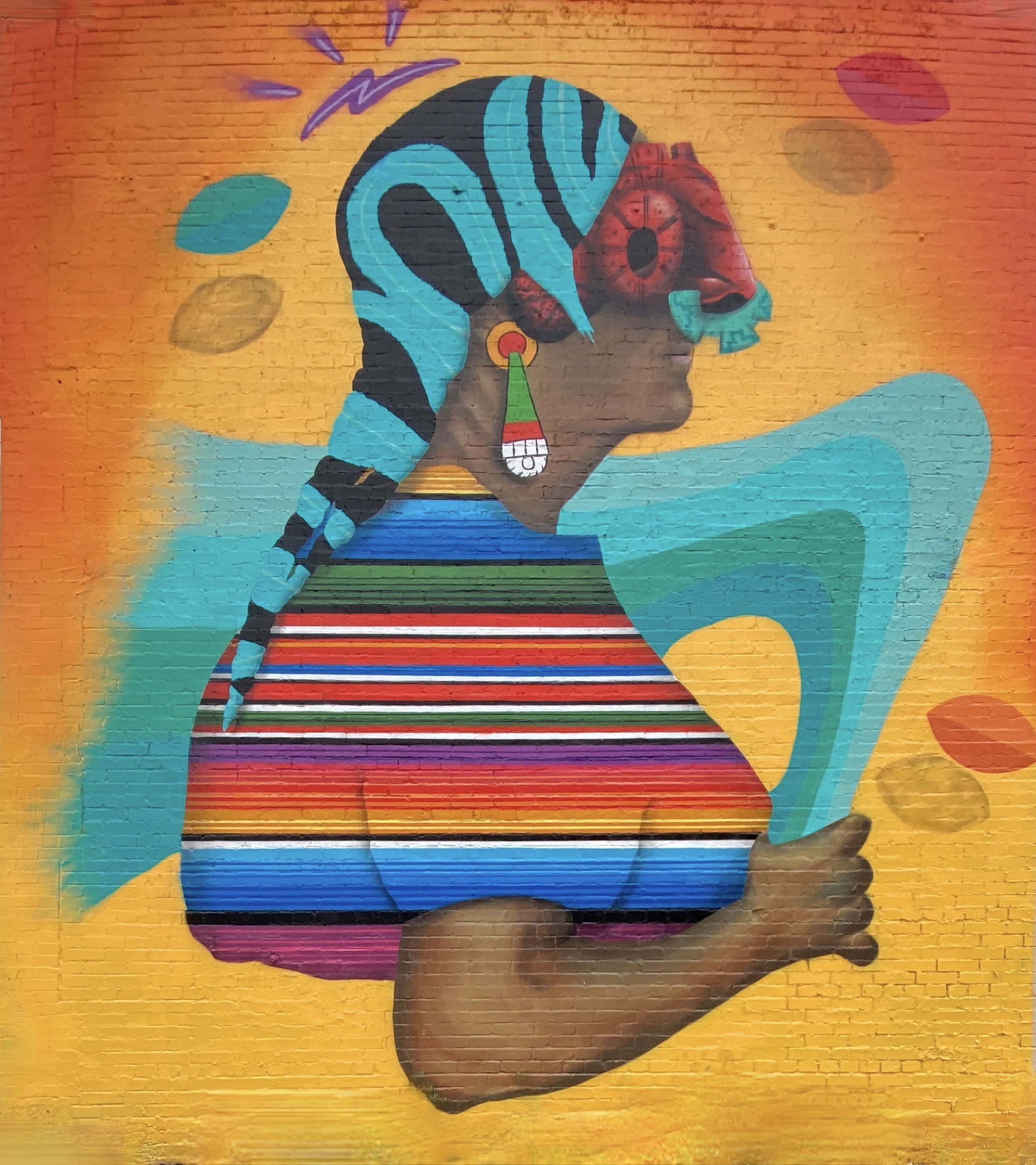
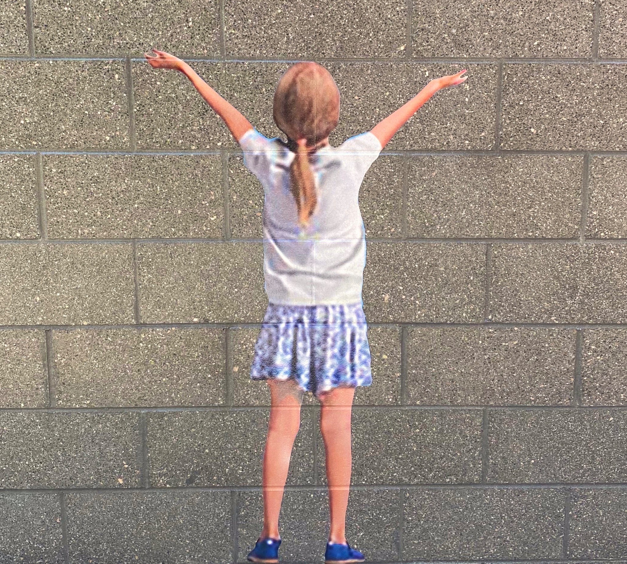
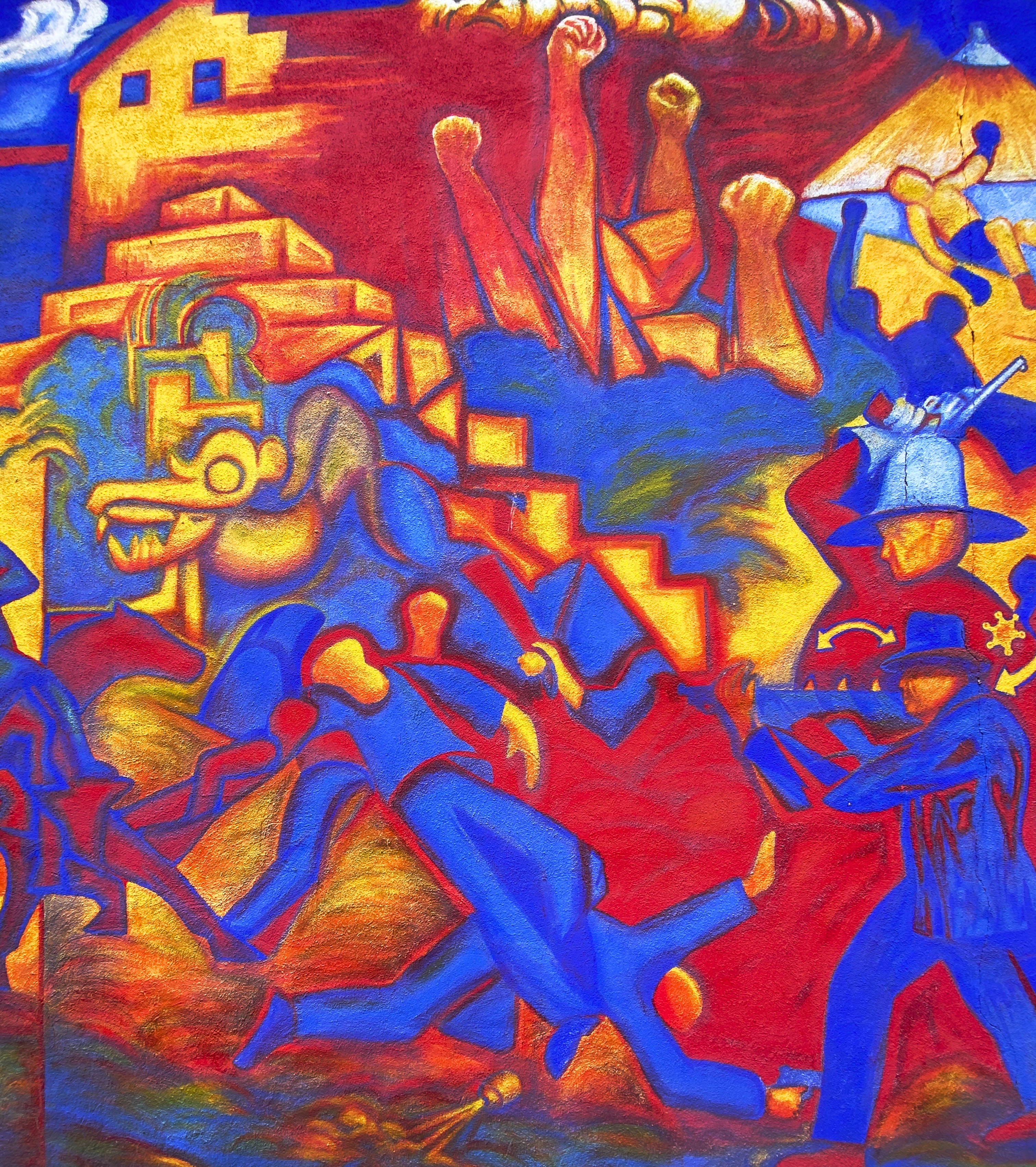
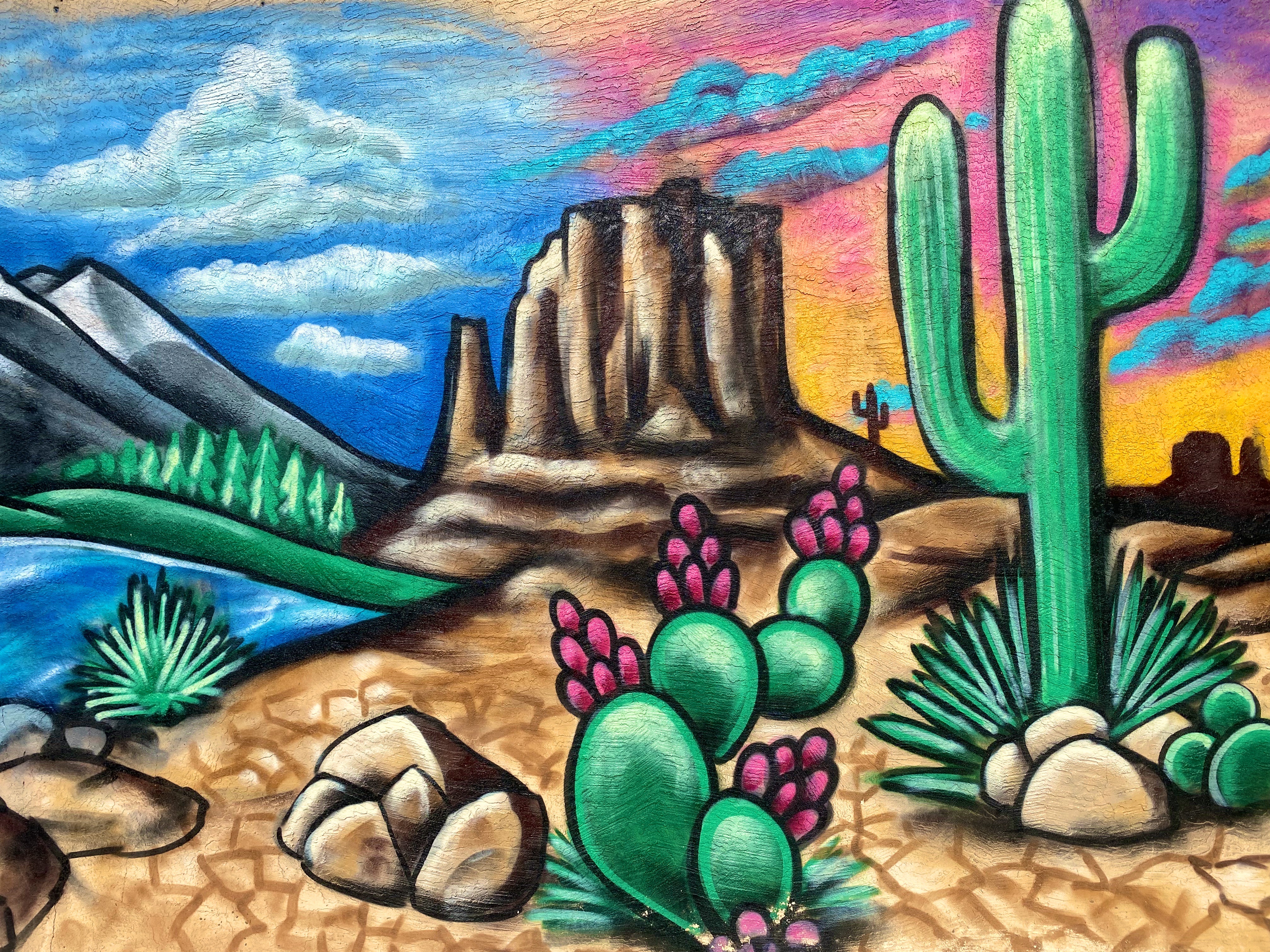
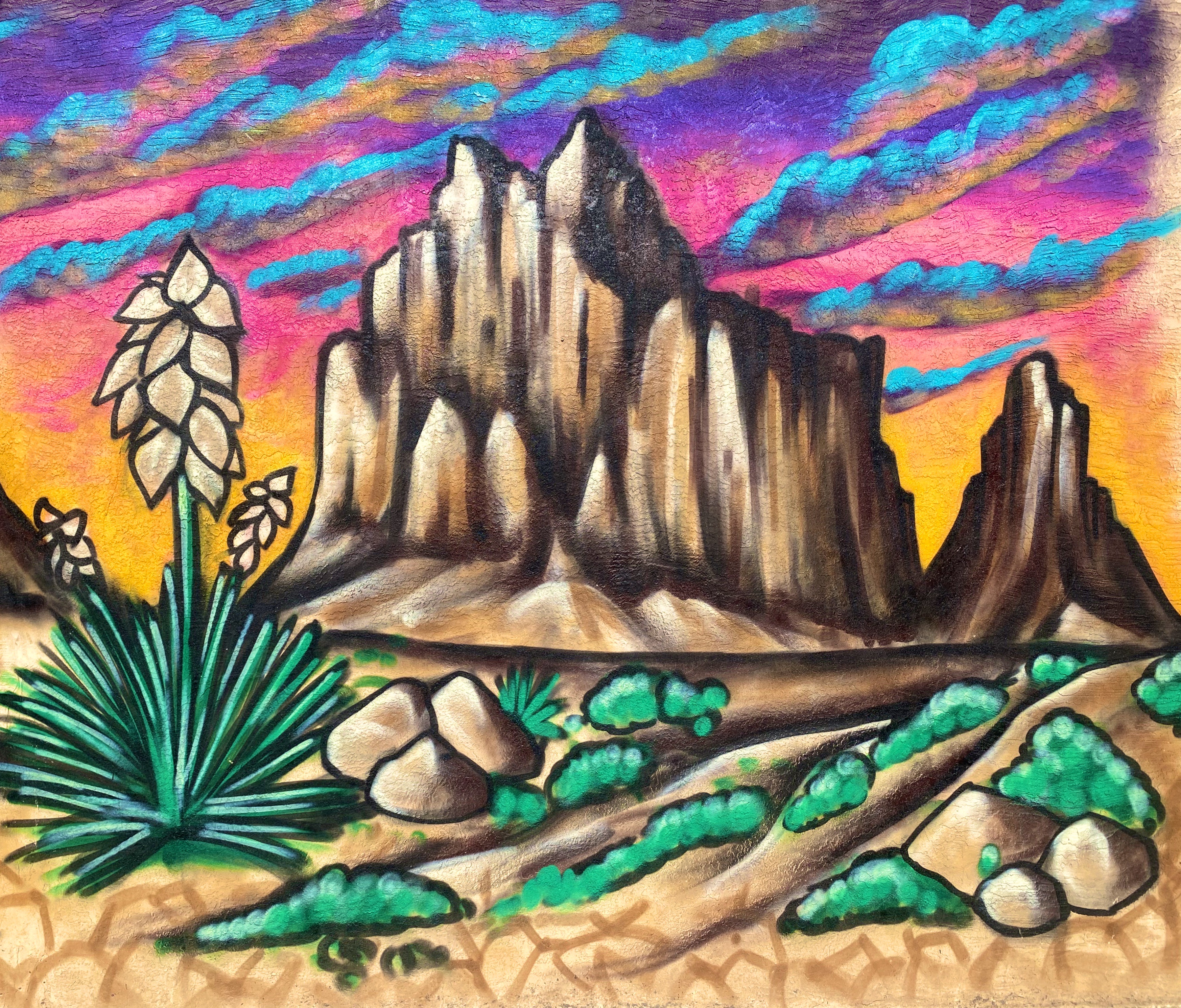
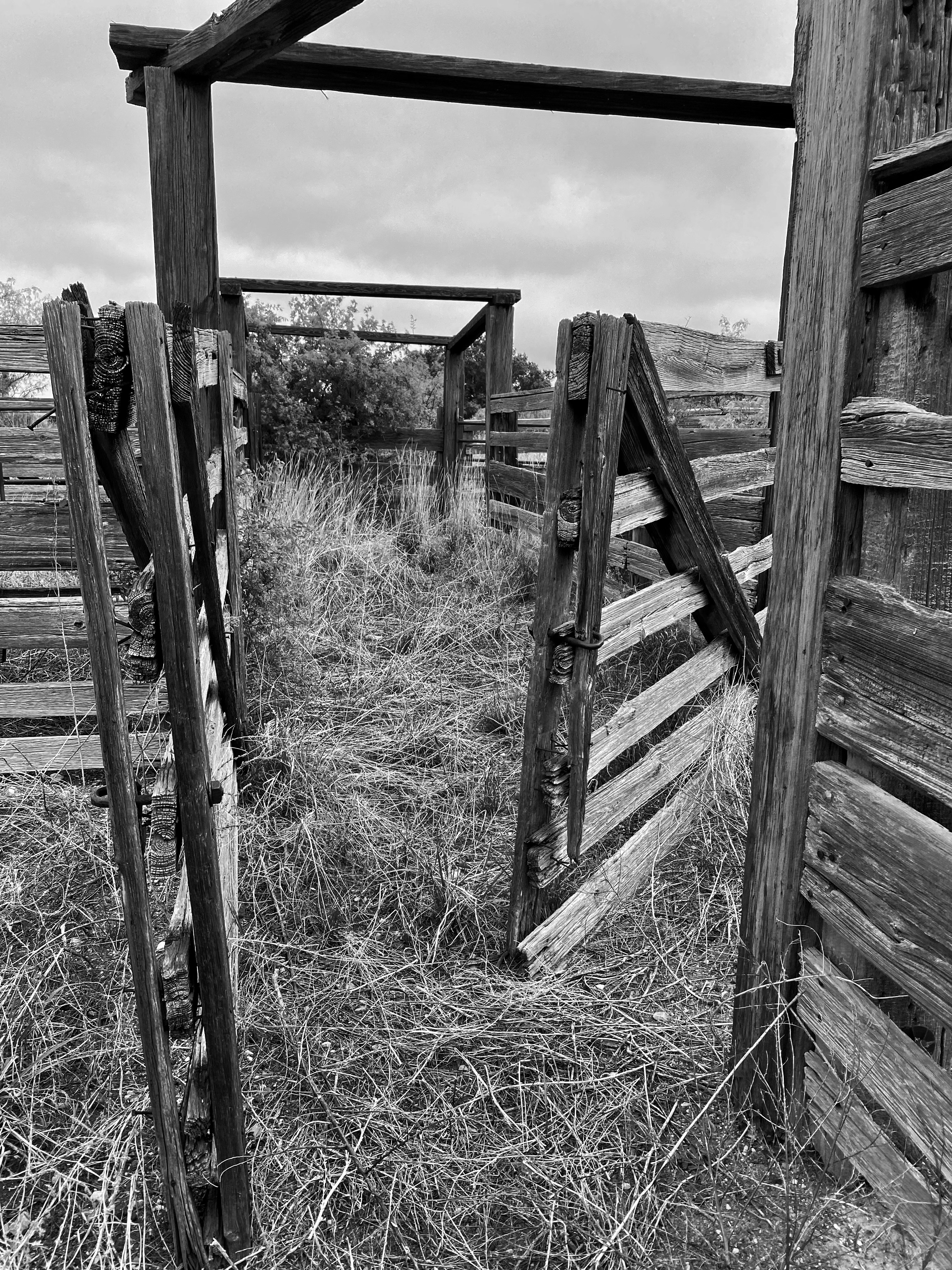
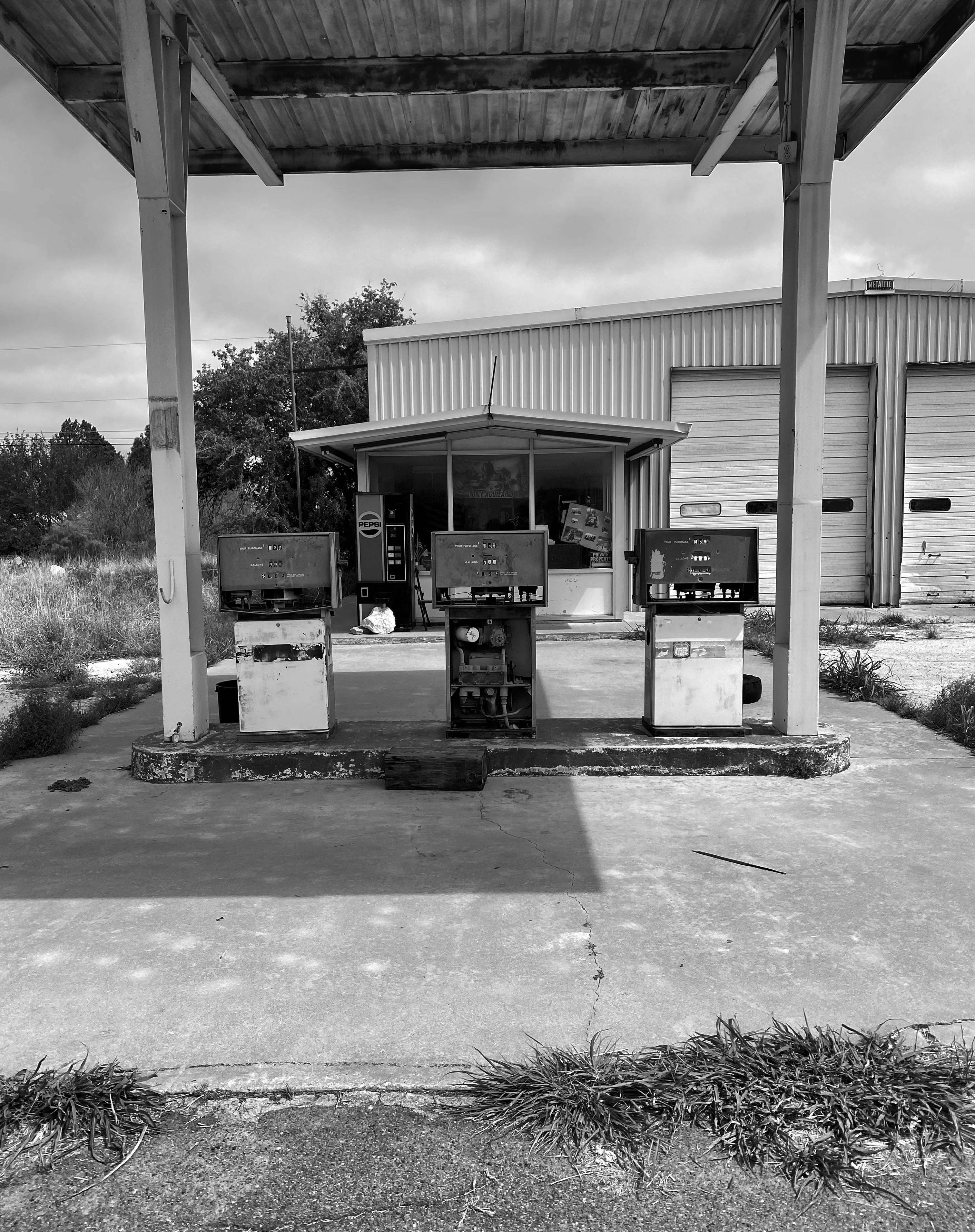
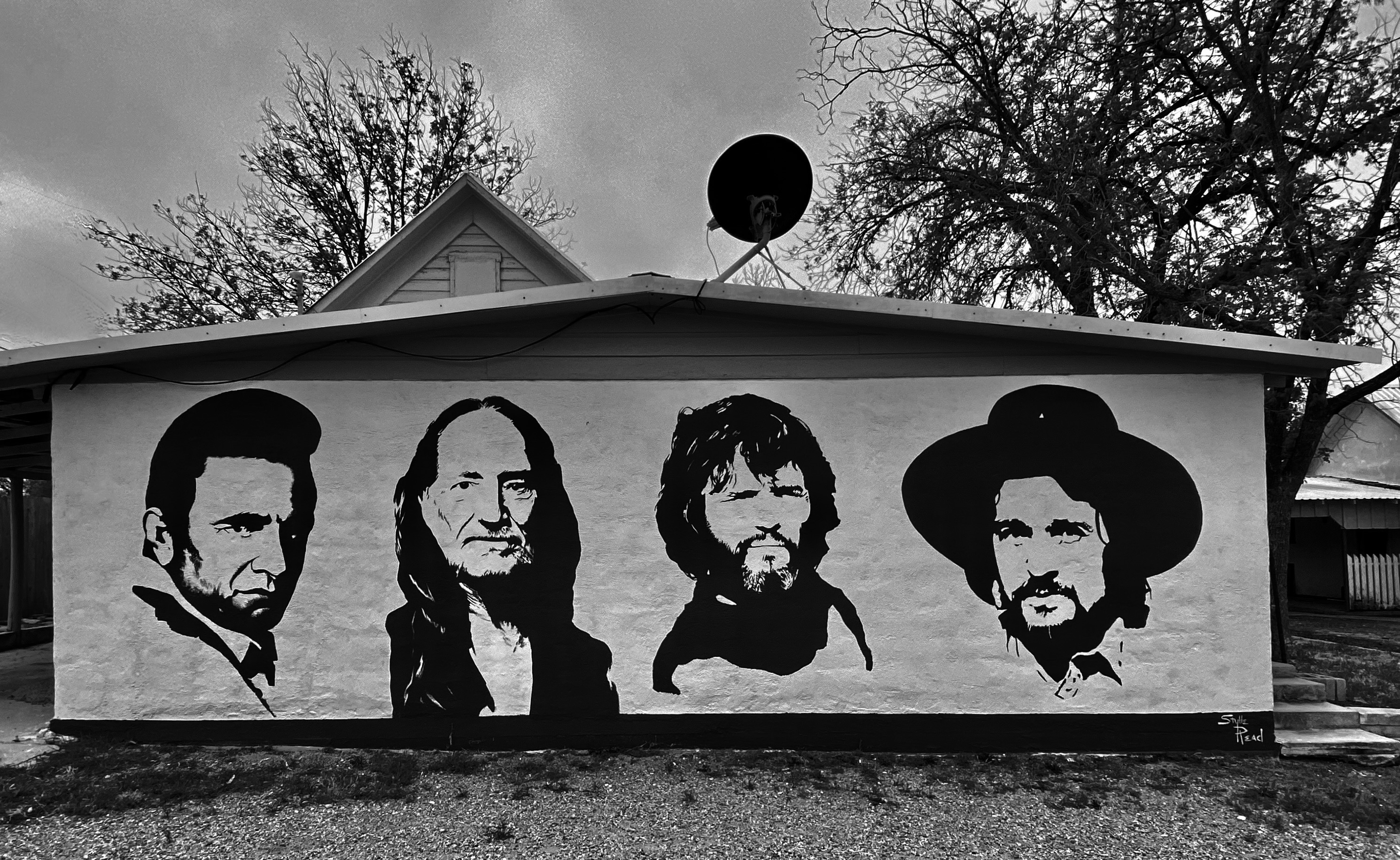
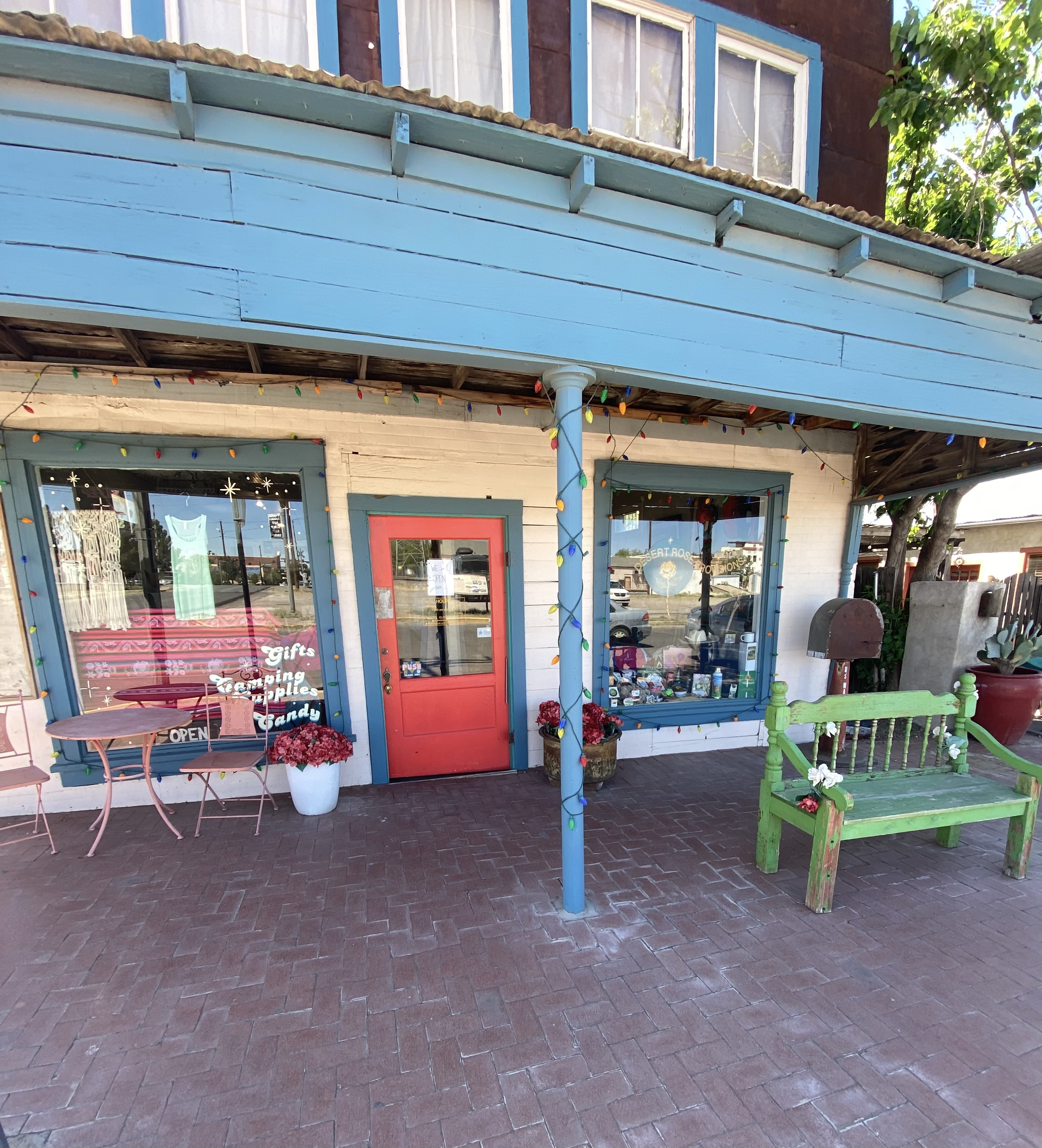
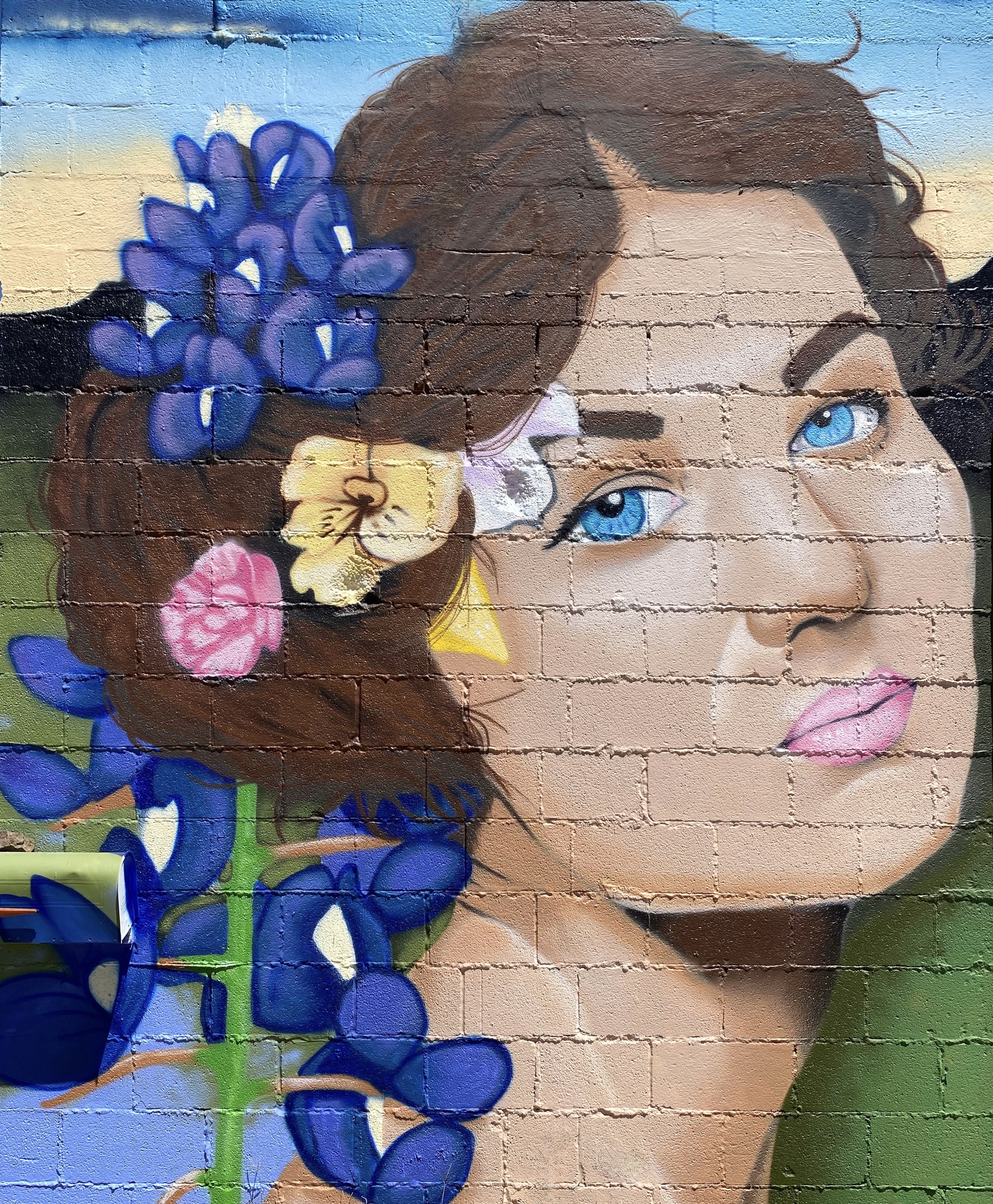
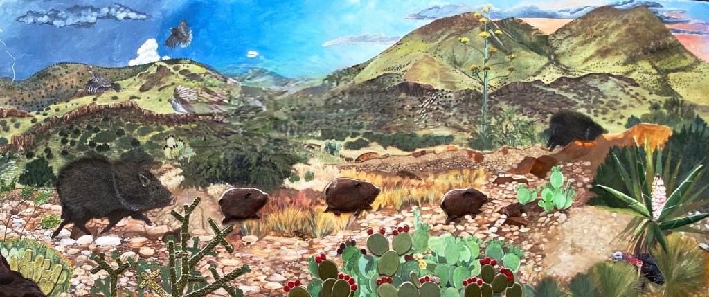
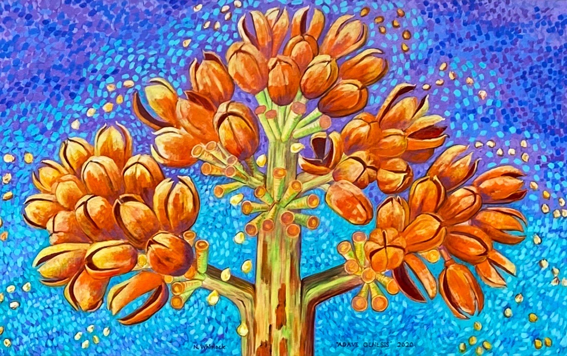
One of the reasons we visited in March 2020 was the town’s reputation as home to excellent street art. We found several murals that we had not seen previously which we have included in the photos below.


We hope you enjoyed this post. As always, we look forward to your comments and suggestions. Our next post will feature El Paso, our last stop in Texas.
Be seeing you! April 2023, OTR 9.0