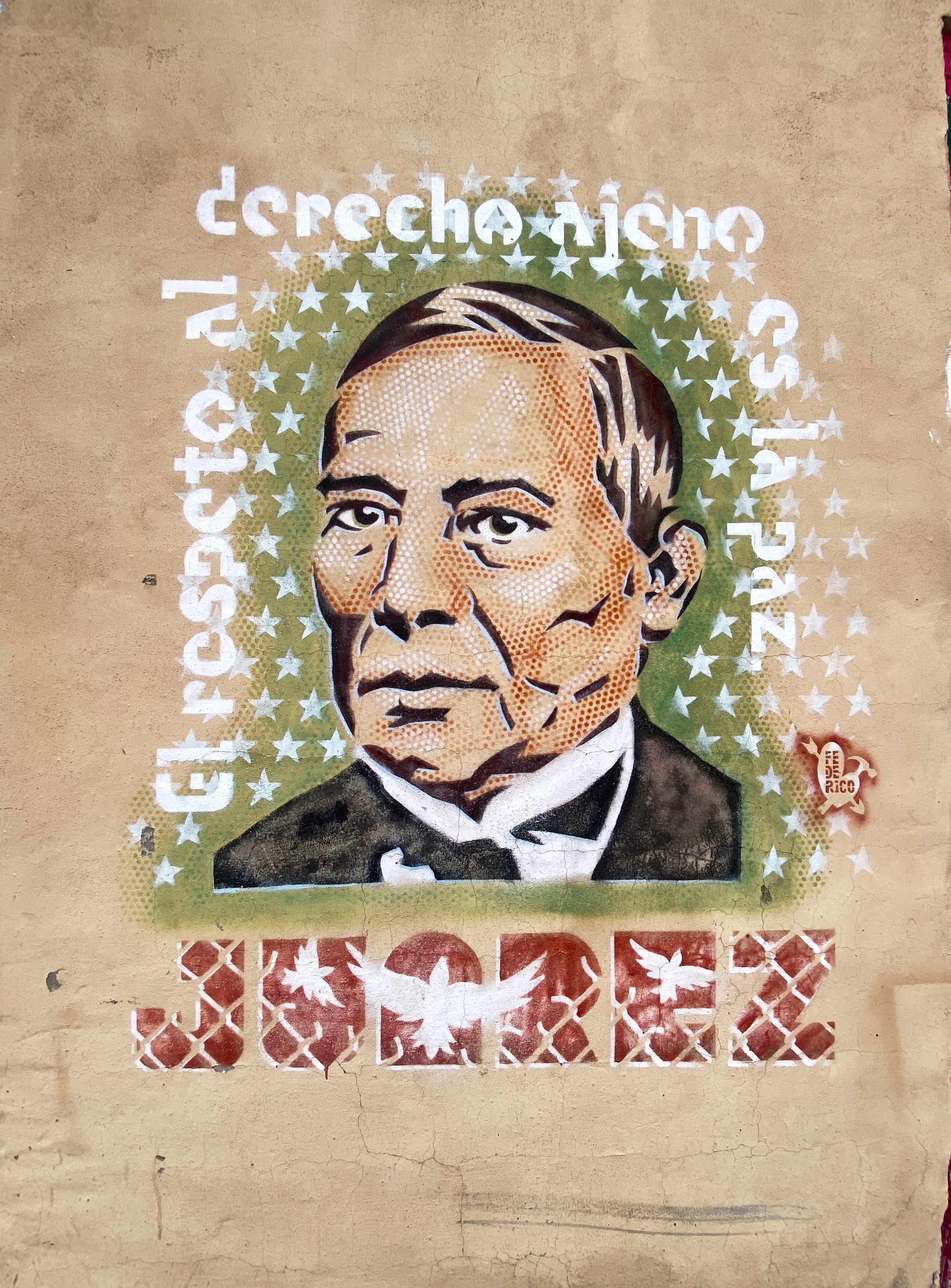
After our delightful pit stop in Moncton, New Brunswick, we began the trek south for our first visit to the province officially named Nova Scotia. Not coincidentally, the land was given to Sir William Alexander by King James VI of SCOTLAND in 1621. For some unknowable reason Sir William decided that it should be formally known by the Latin name Nova Scotia. Of course, like all lands in North America there were indigenous people already here — who called this land Mi’kma’ki.
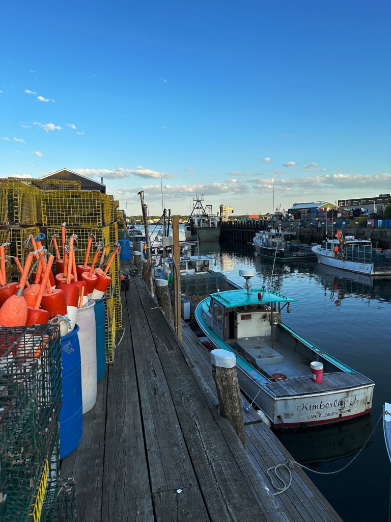
Historical footnotes aside, we traveled south on Canada Route 2 until we crossed the border at Amherst. From there we took some country lanes south to camp and hike at Five Islands on the Minas Basin.
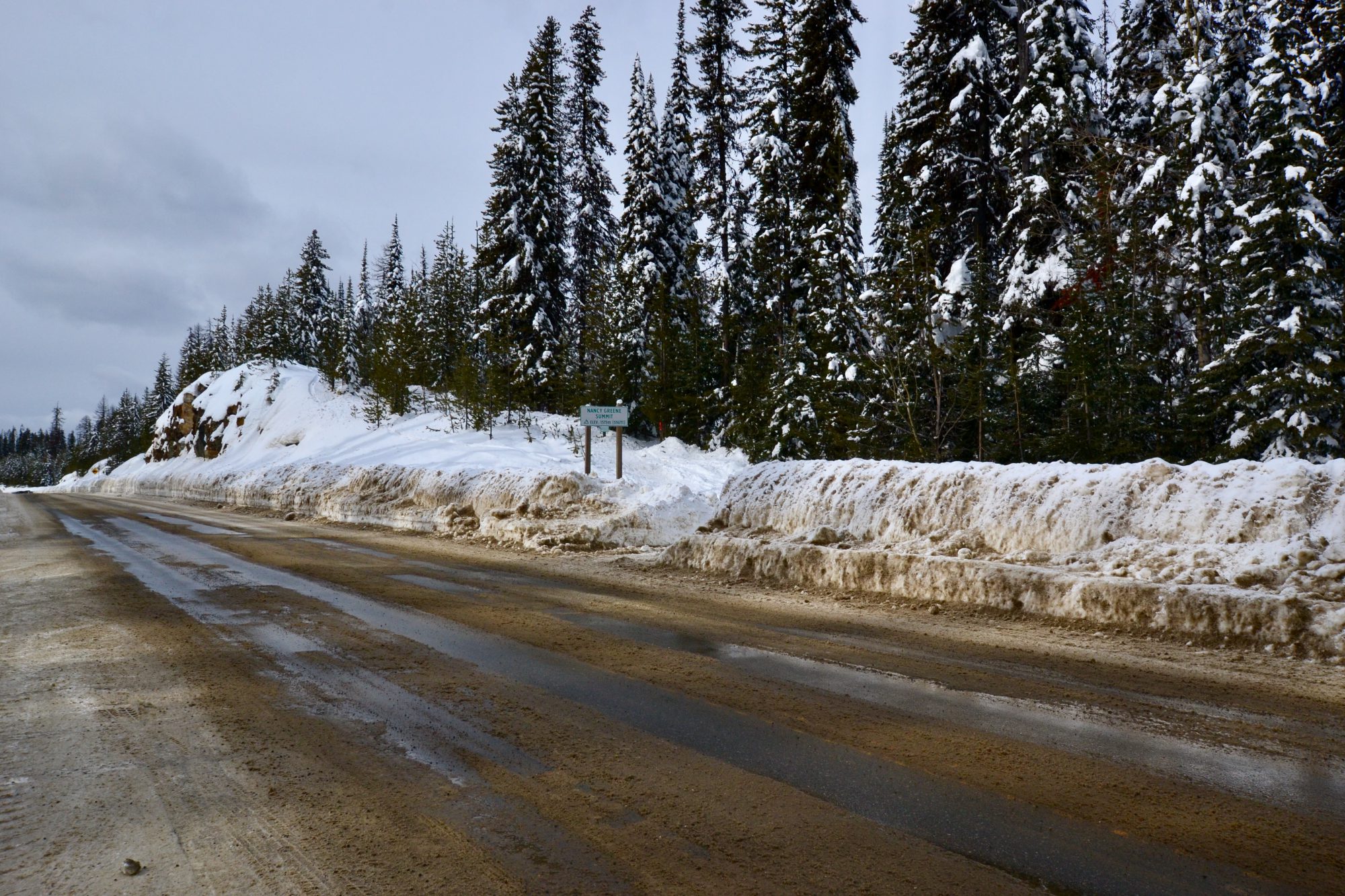
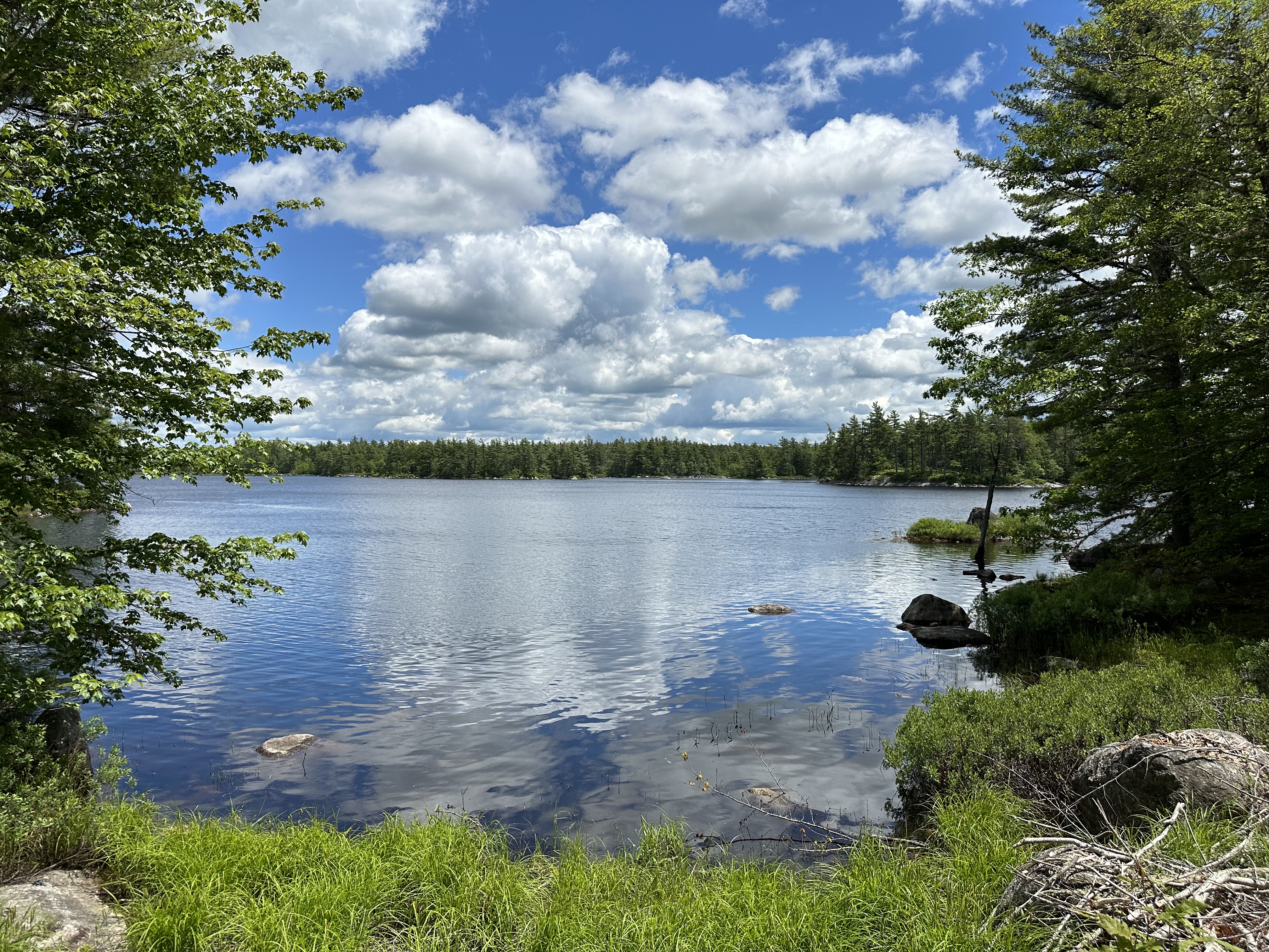
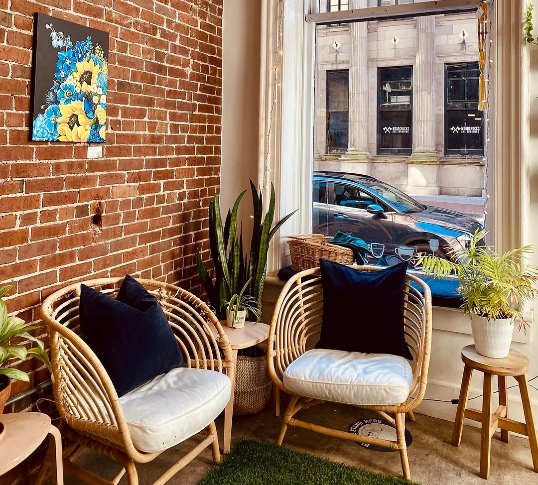
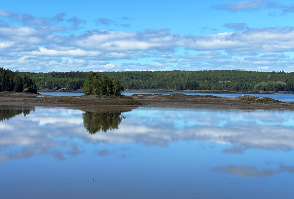
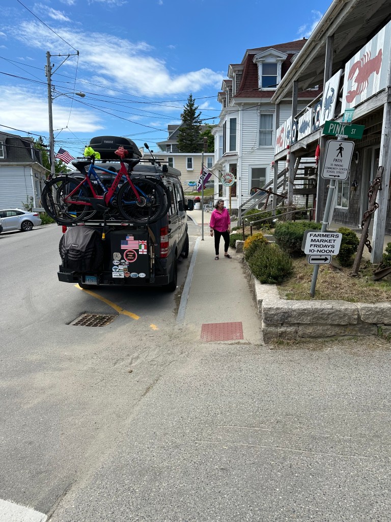
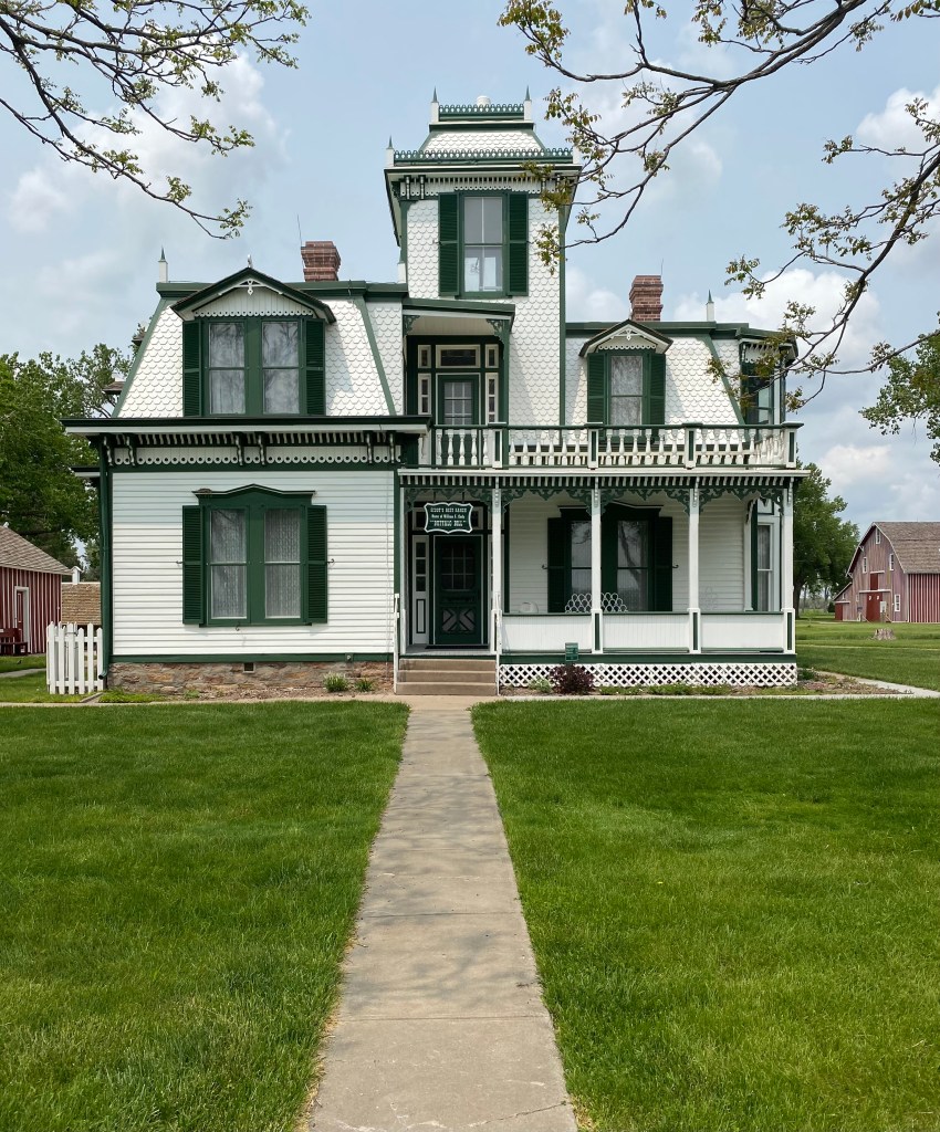
Southampton,Nova Scotia
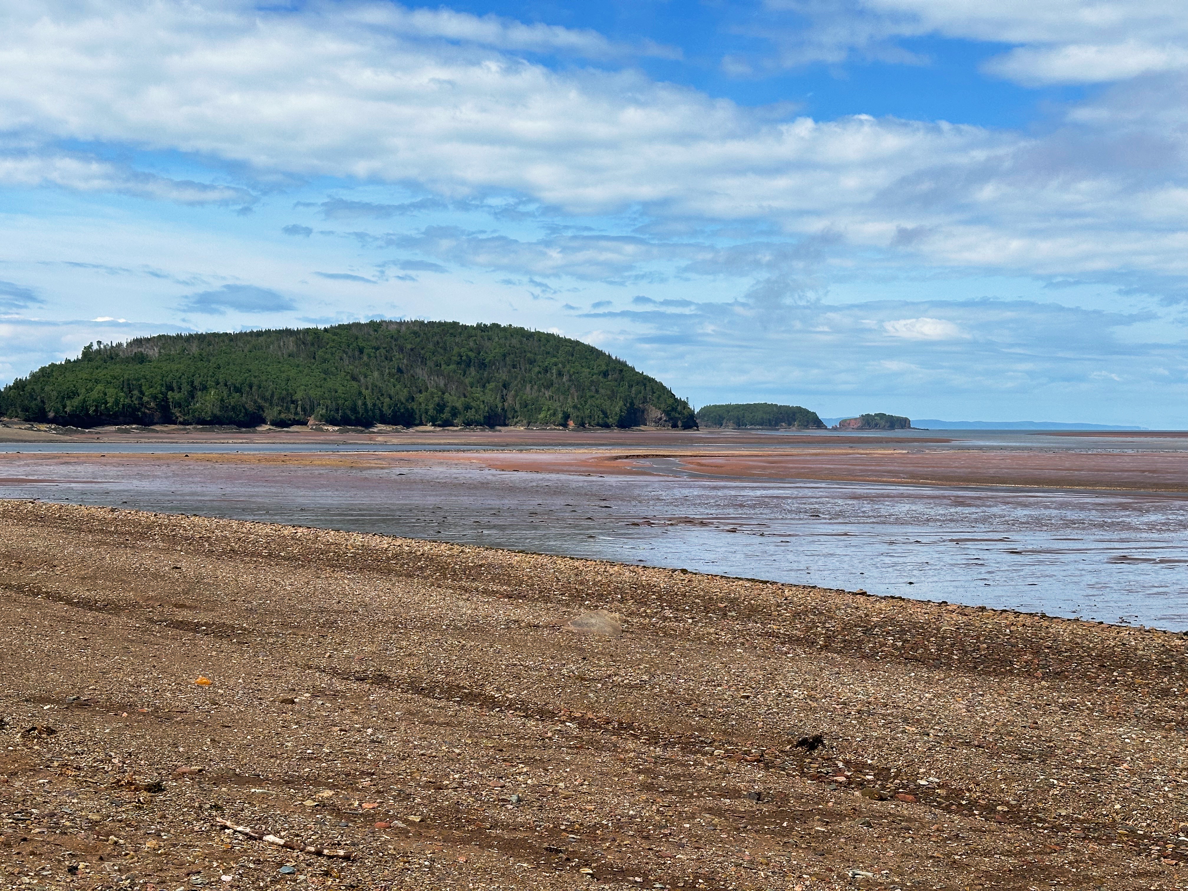
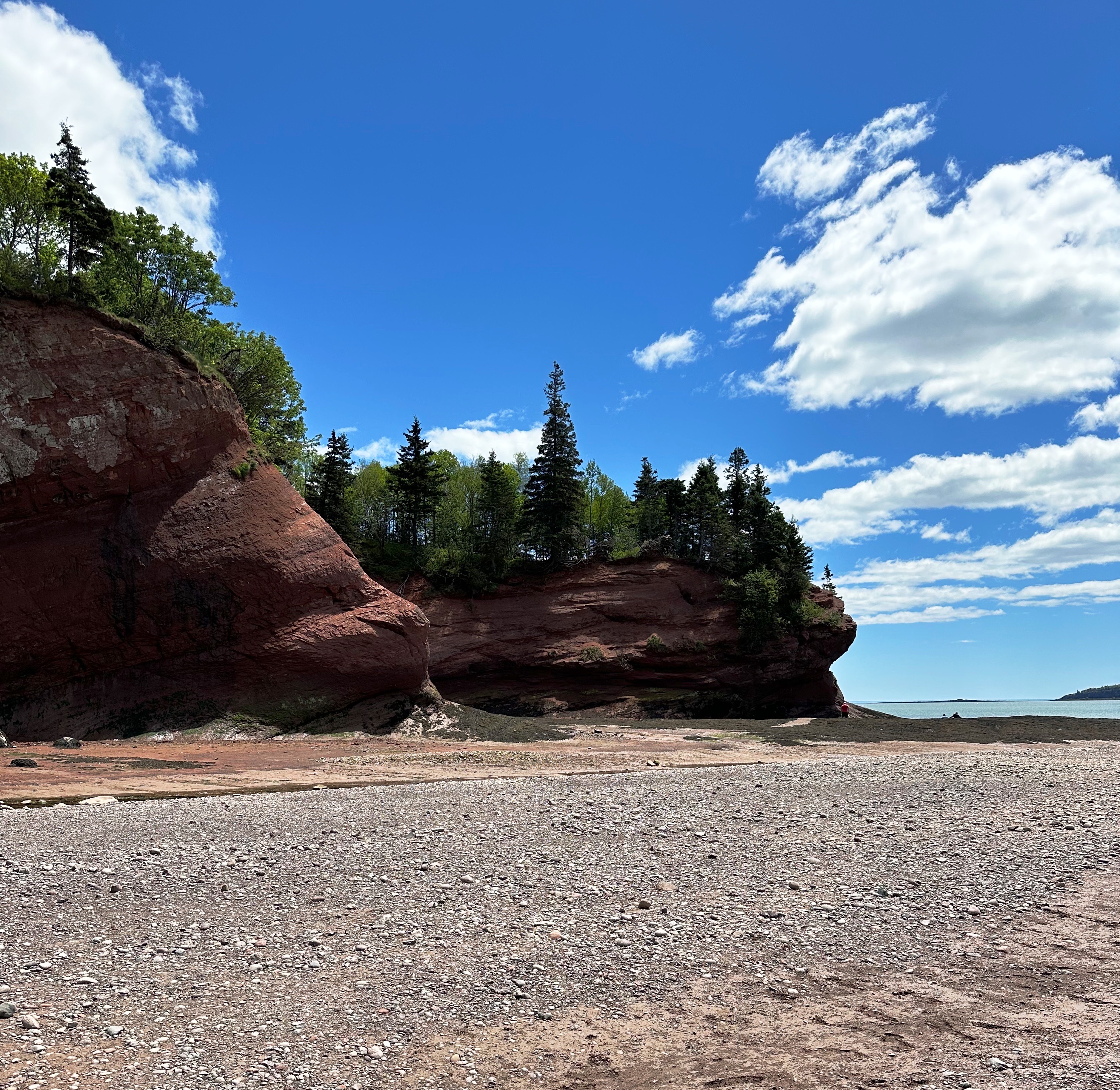
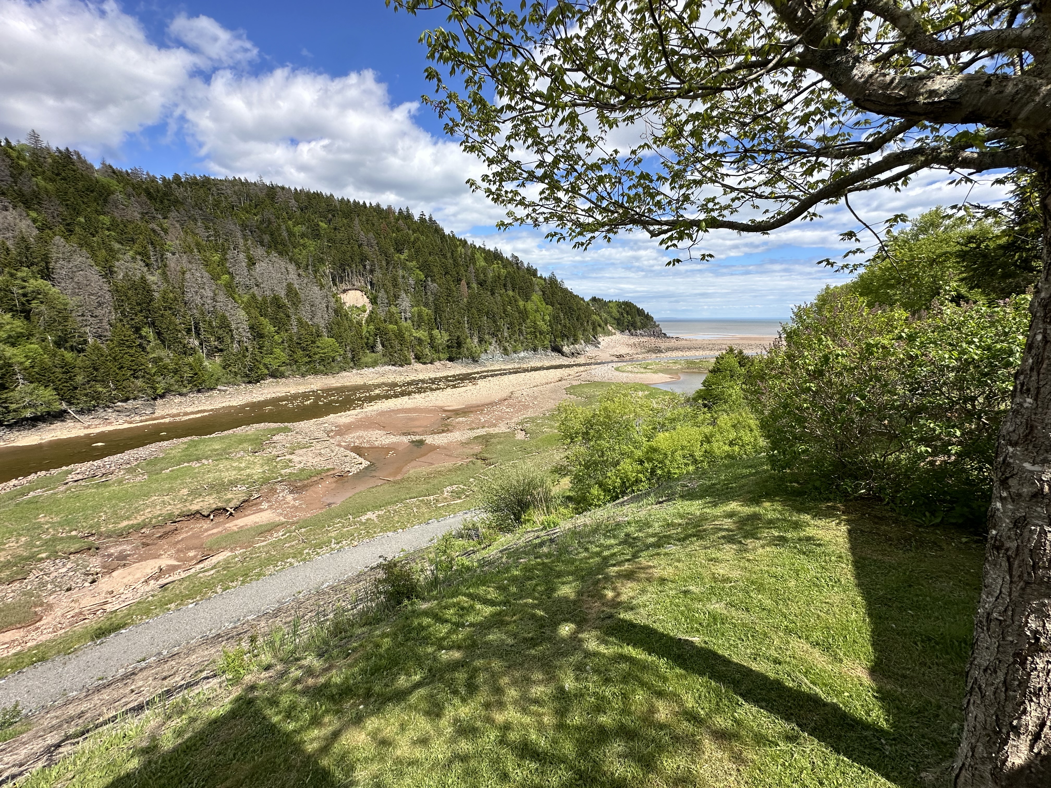
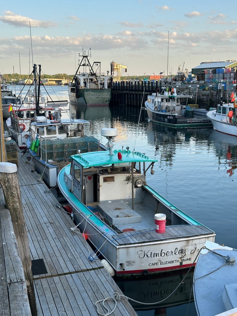
Five Islands is a tiny town (pop. 316) situated on the north shore of Minas Basin. There are in fact five tiny islands just off the shore from the town — Moose, Diamond, Long, Egg and Pinnacle. The Minas Basin has the highest tides in the world!
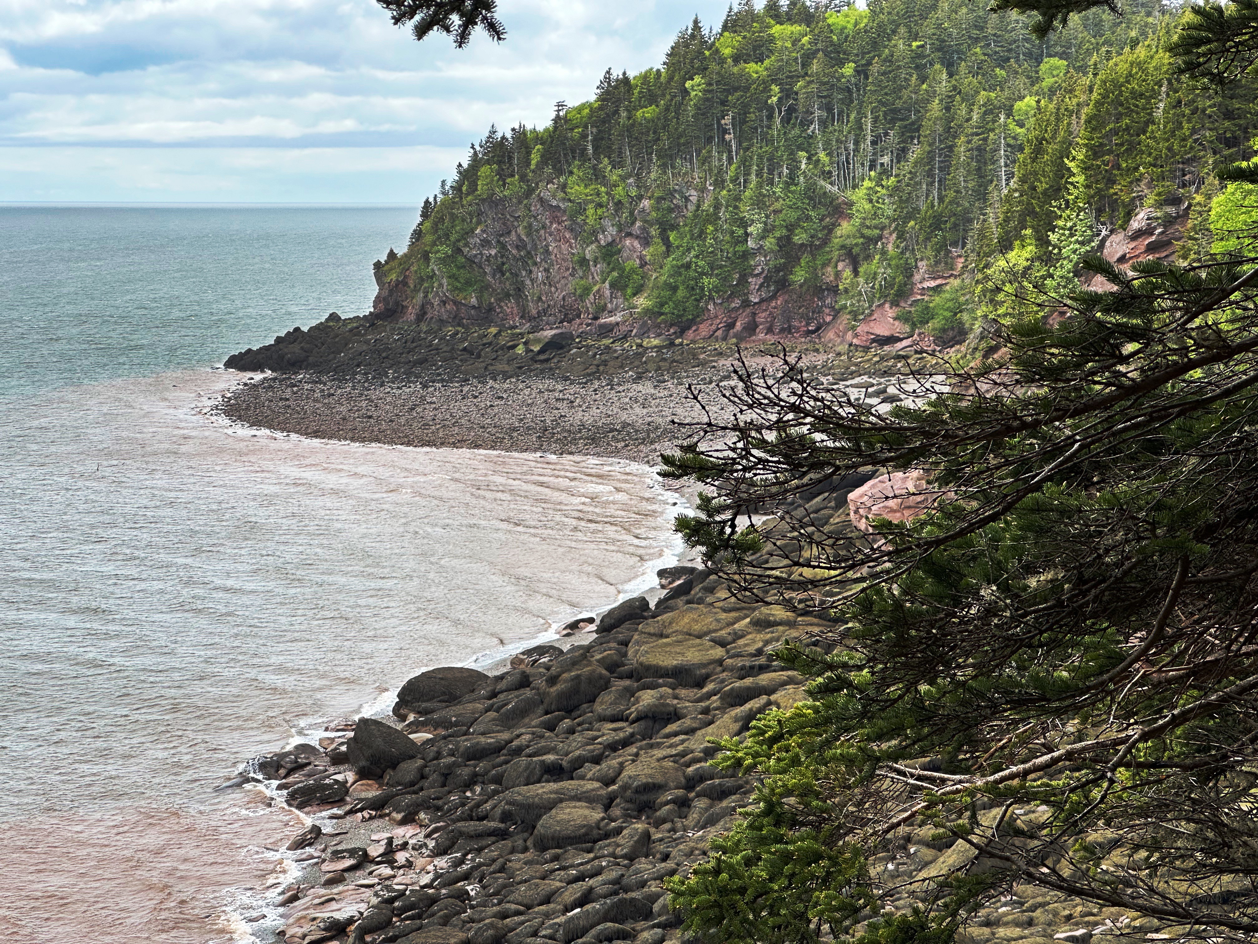
We found a campsite high above the bay providing us with a view of the bay and the tides flowing in and out — draining the basin in the process! We also hiked the Red Head Trail from just above our campsite down along the cliffs ( see bottom photo below) which provided spectacular views and a darn good climb back up to our campsite.
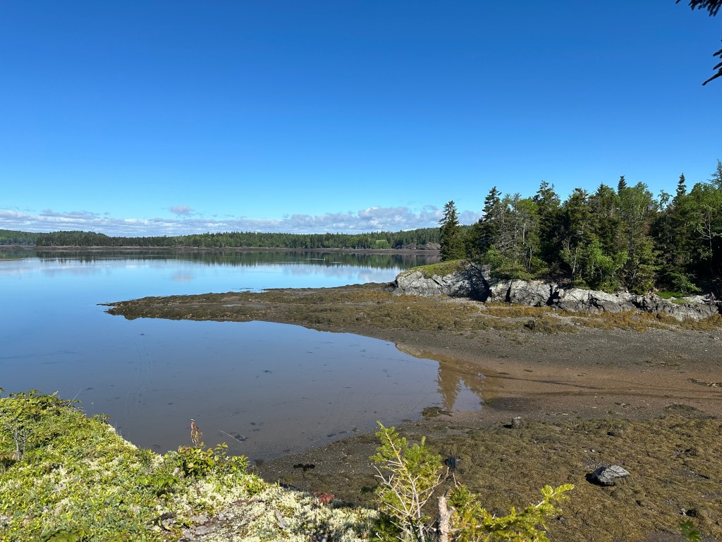
Minas Basin — Red Head Trail
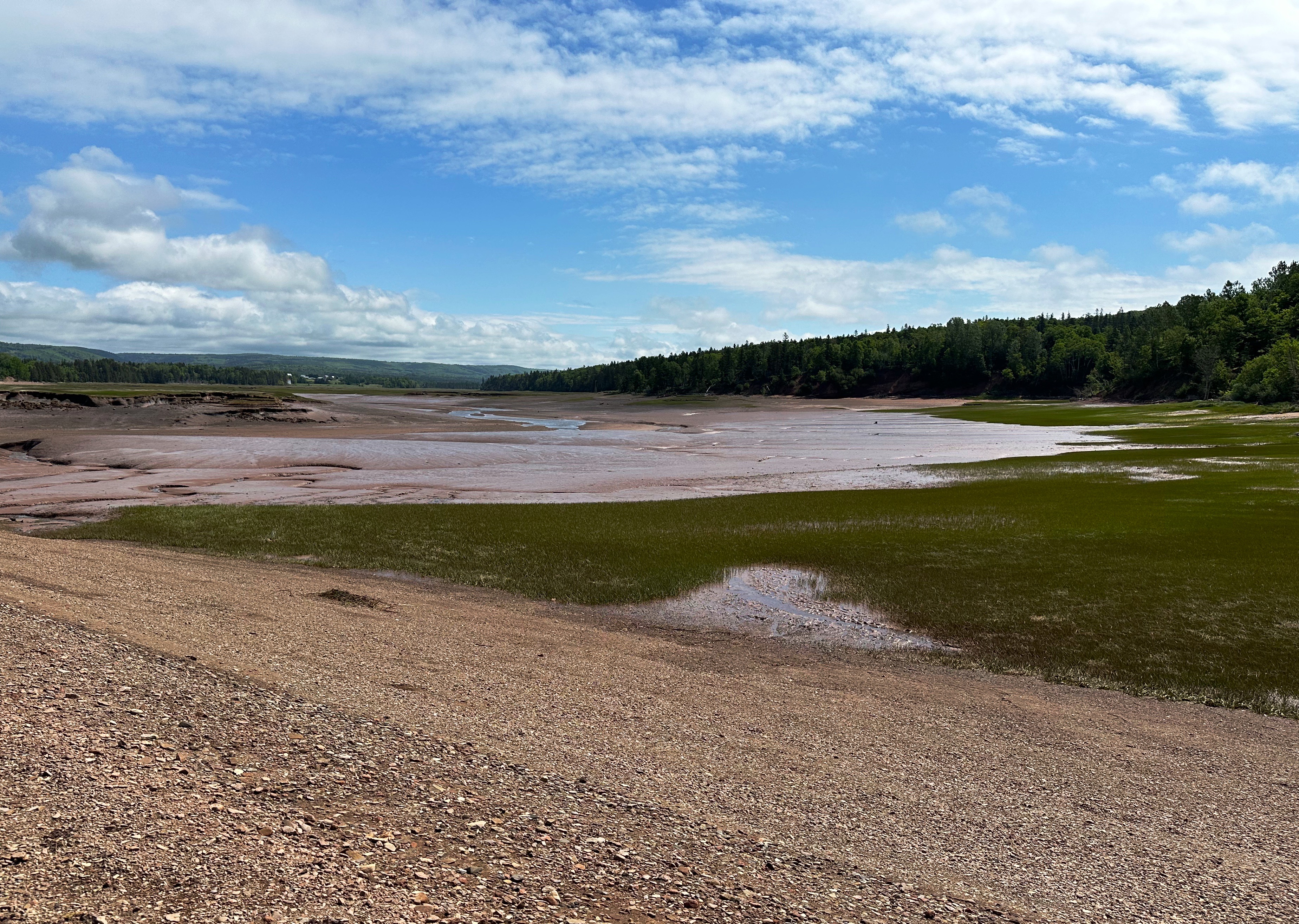
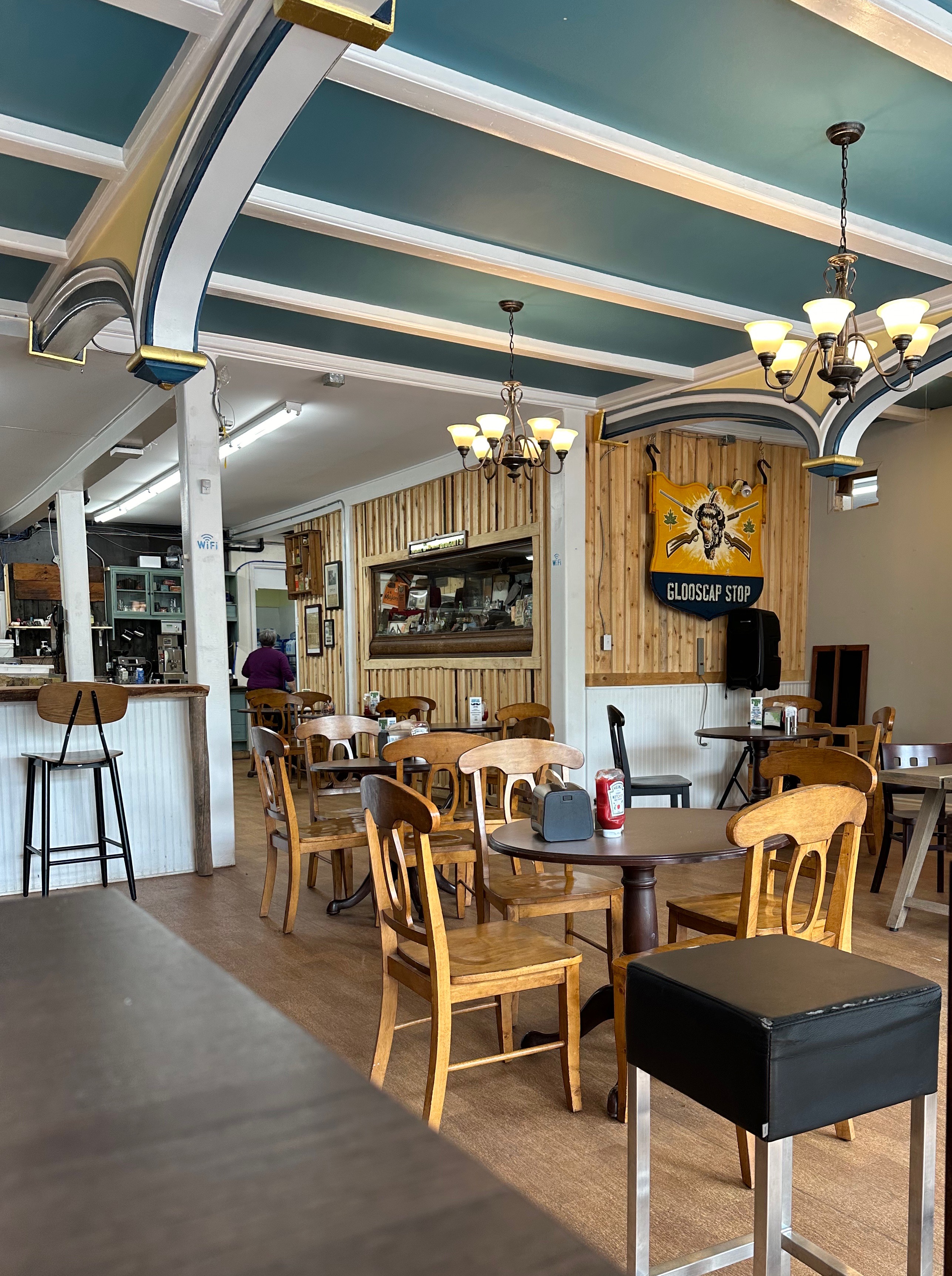
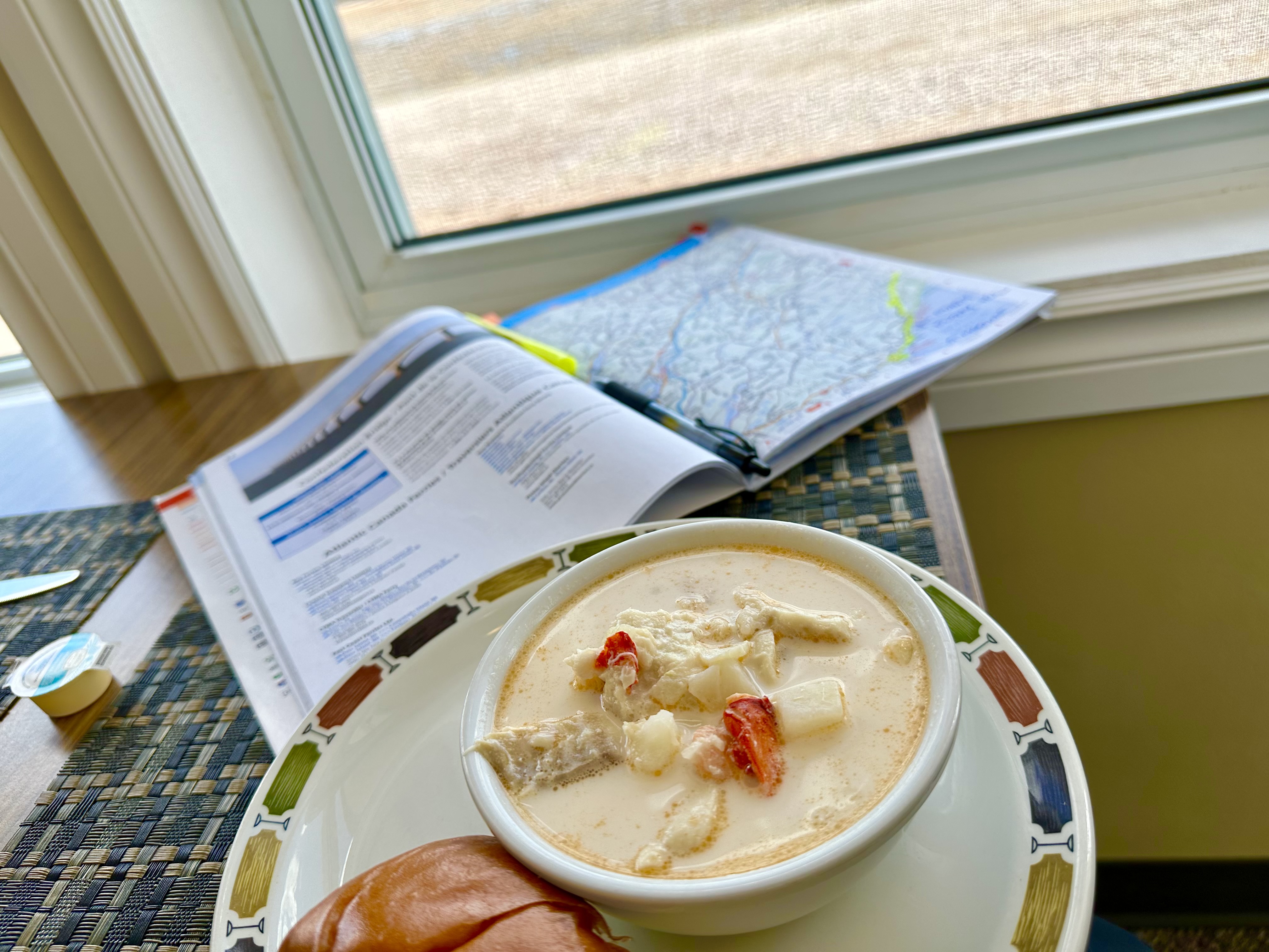
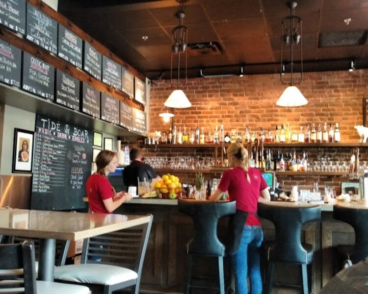
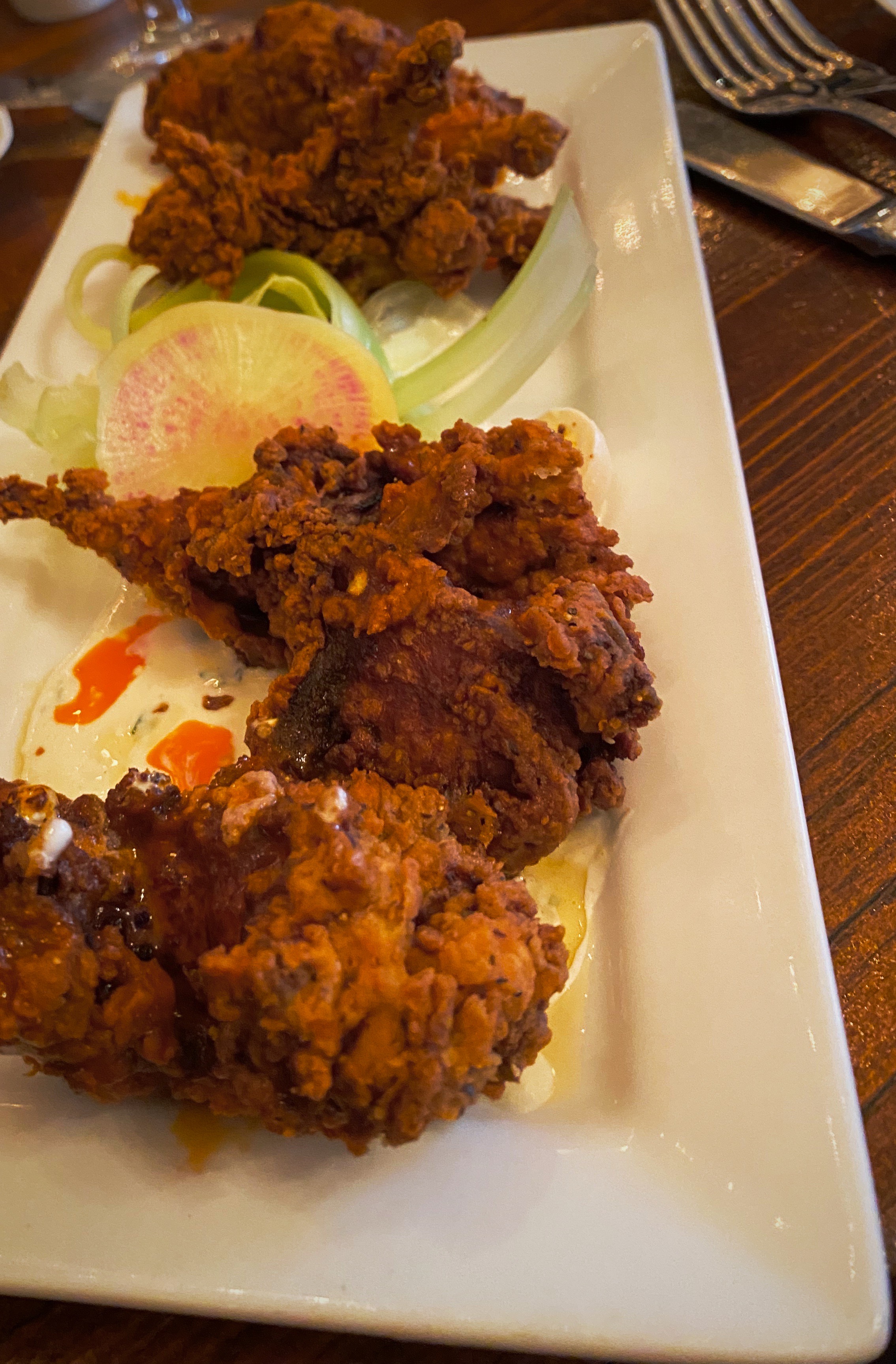
From Five Islands we followed the north shore of Minas Bay on the Glosscap Trail and then looped around the eastern end of the bay and turned west to follow the southern coast on the Glooscap Trail. The trail took us through several small villages. As we neared mid afternoon we began thinking about food – happily we happened on the Frieze and Roy General Store in the community of Maitland (pop. 503). I believe the Chicken Club sandwiches we had that day were the best we’ve had! A bit of background on Frieze and Roy is included below.
The Frieze and Roy General Store was a hub for trade, shipping and shipbuilding in the 1800s. It is still open today, making it the oldest general store still operating in Canada. Frieze and Roy was first opened by Jacob Isaac Frieze in 1839 and later run by David Frieze and his son George. In the 1870s, the Roy family became a partner in the venture and bought out the Frieze family a decade later. The Frieze and Roy families, both from Maitland, were merchants as well as shipowners and shipbuilders. Vessels including the barque Snow Queen, the Esther Roy, the Linwood, and the brig Trust were owned by the established firm. However, as the shipping industry declined in the 1880s, the store began focusing more on general goods, selling everything from farm tools to fine china. The business remained in the hands of the Roy family until the late 20th century. Today, the store stands as a pillar of the community, a contemporary reminder of Maitland’s rich history.
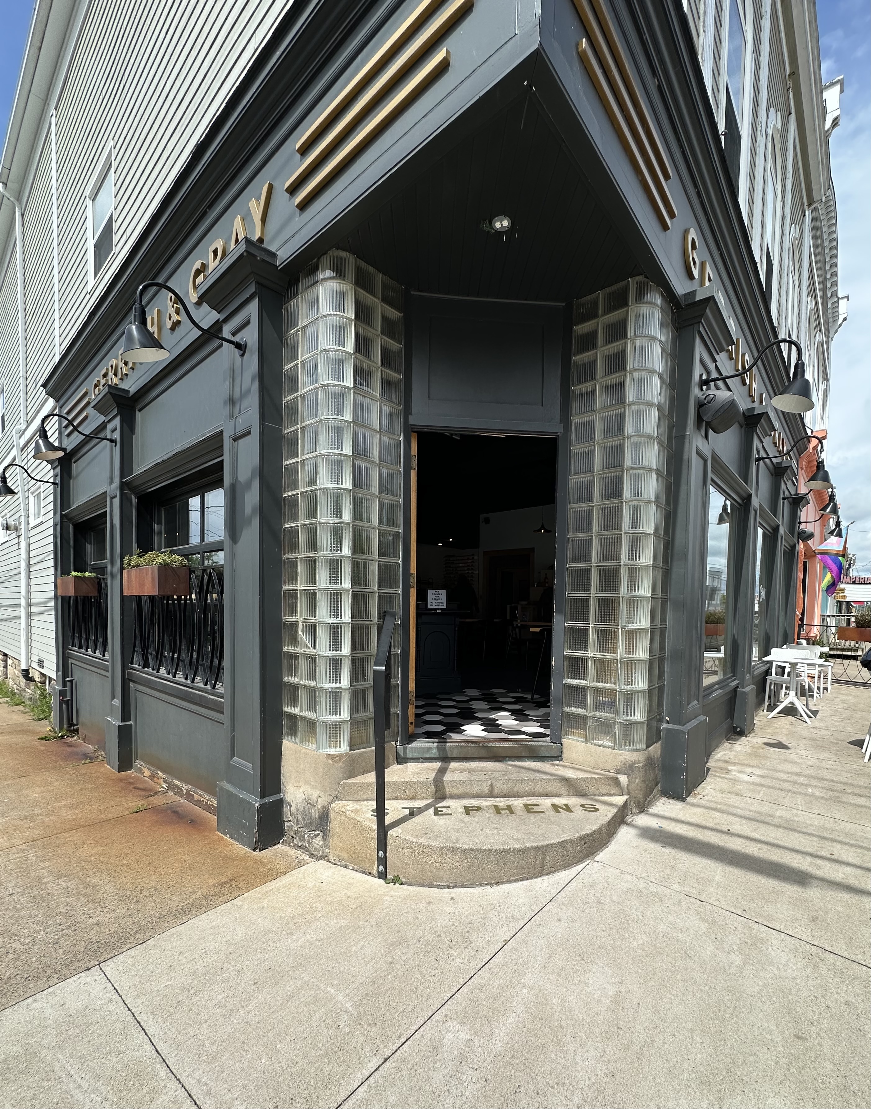
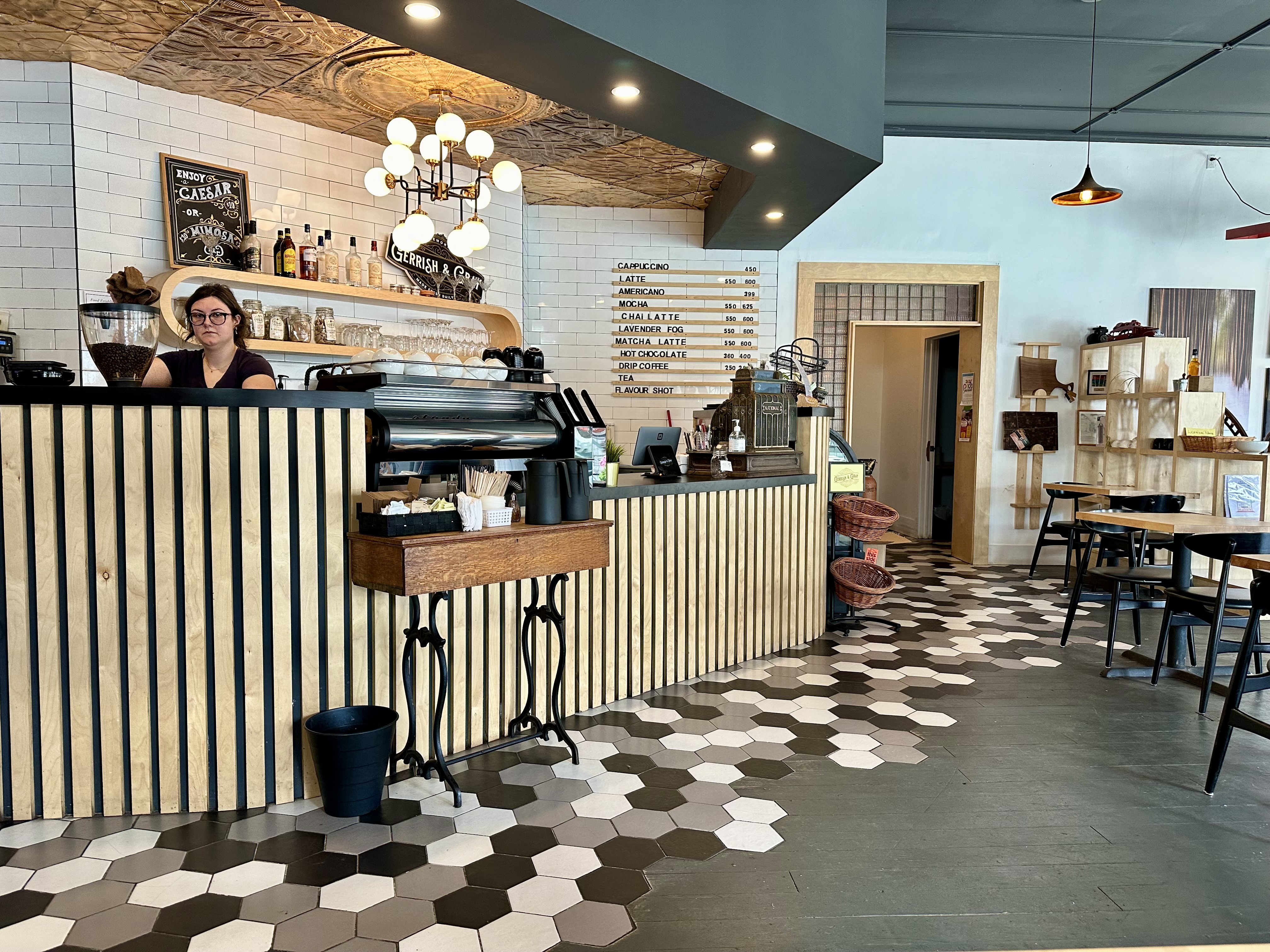
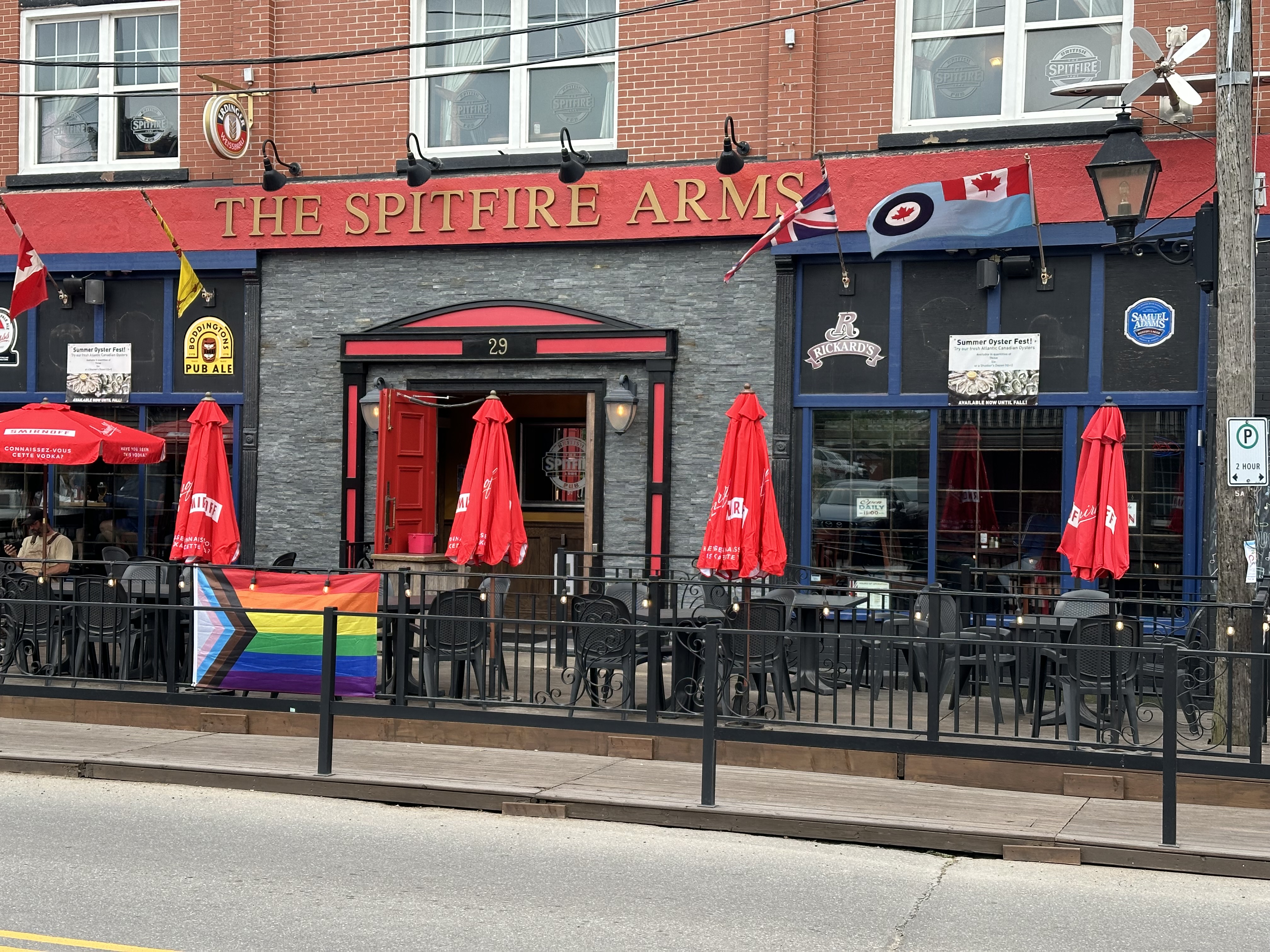
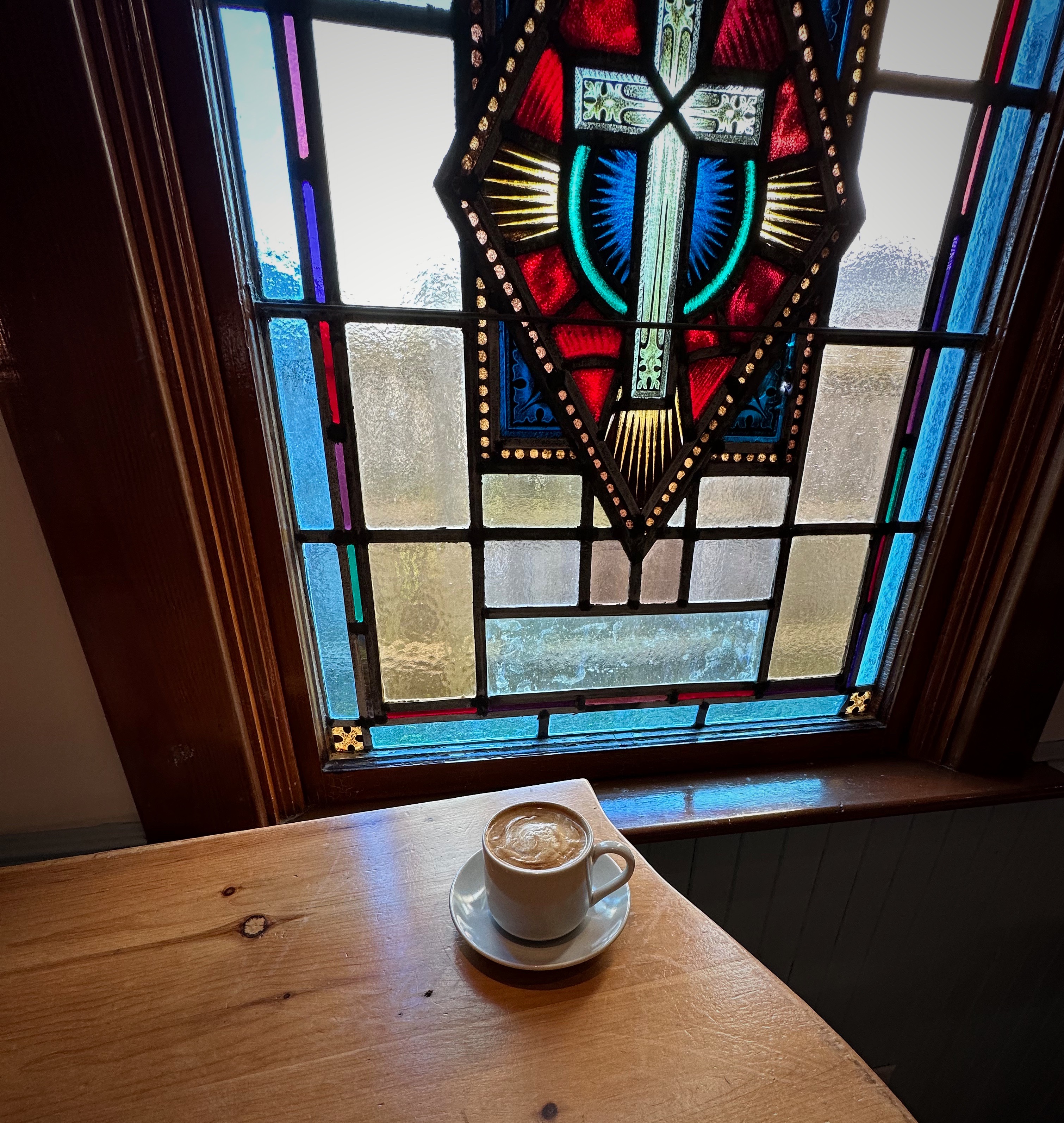
After departing Maitland with our bellies comfortably full we set sights on the town of Windsor where we would stay overnight before attempting to overland from Albany Cross to Keji NP. Windsor sits on a point where the Avon River, the St. Croix River and the Pesaquid Lake converge. Windsor is a bit bigger than most of the villages we had been traveling through (pop. 5500) and offered us the opoortunity for a night in a hotel, pub fare at the British Spitfire Pub and specialty coffee at Gerrish & Grey.
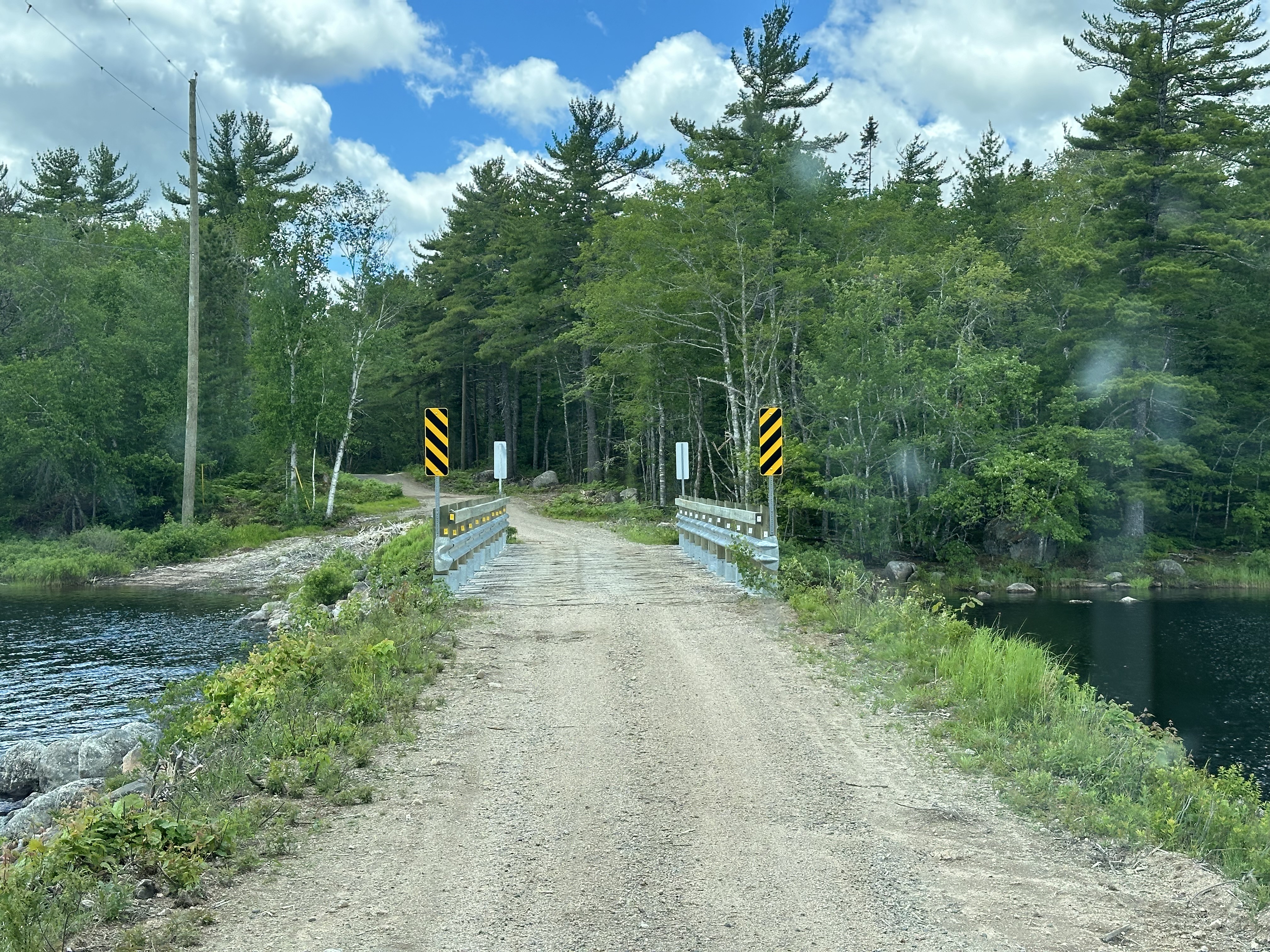
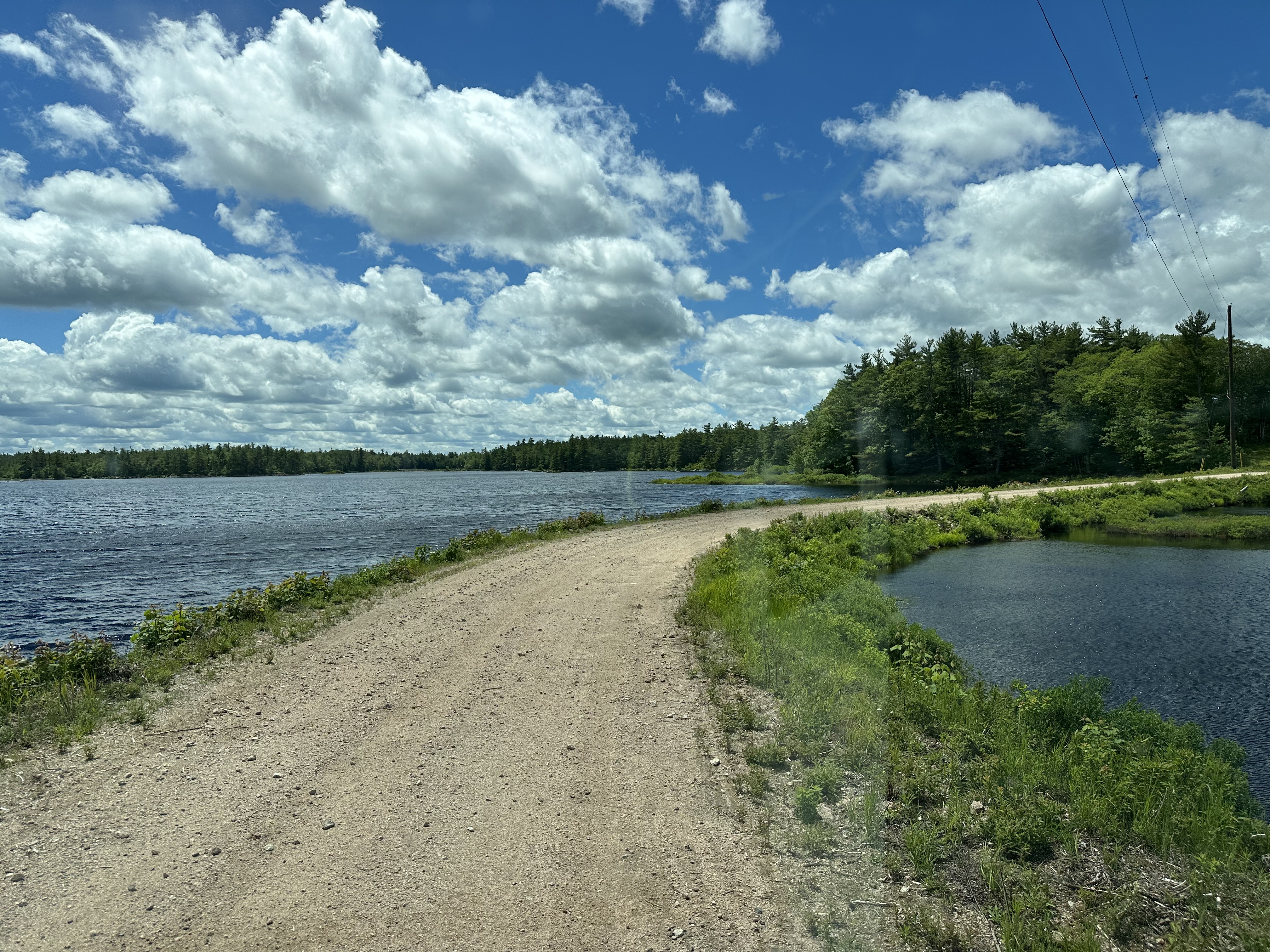
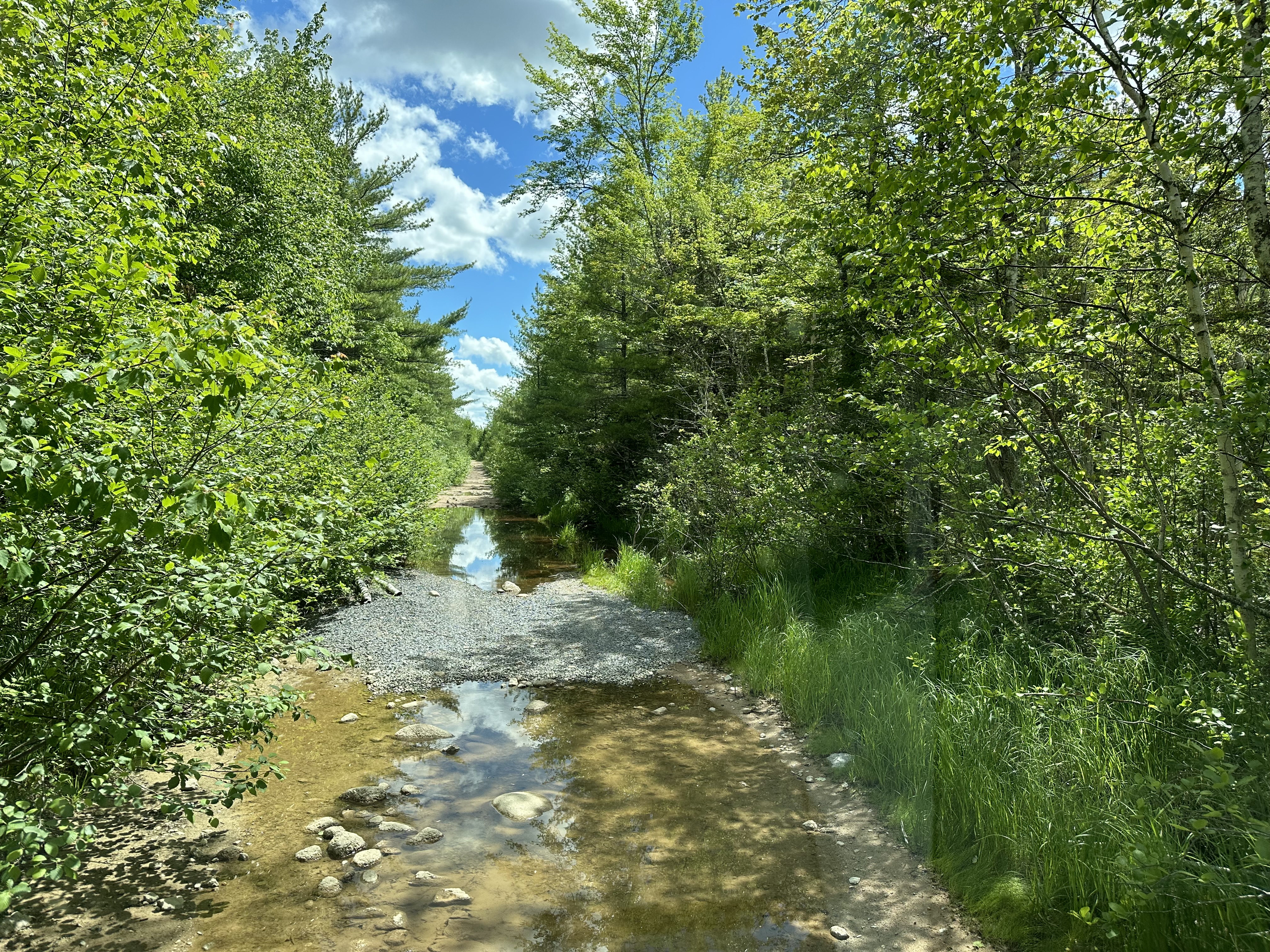
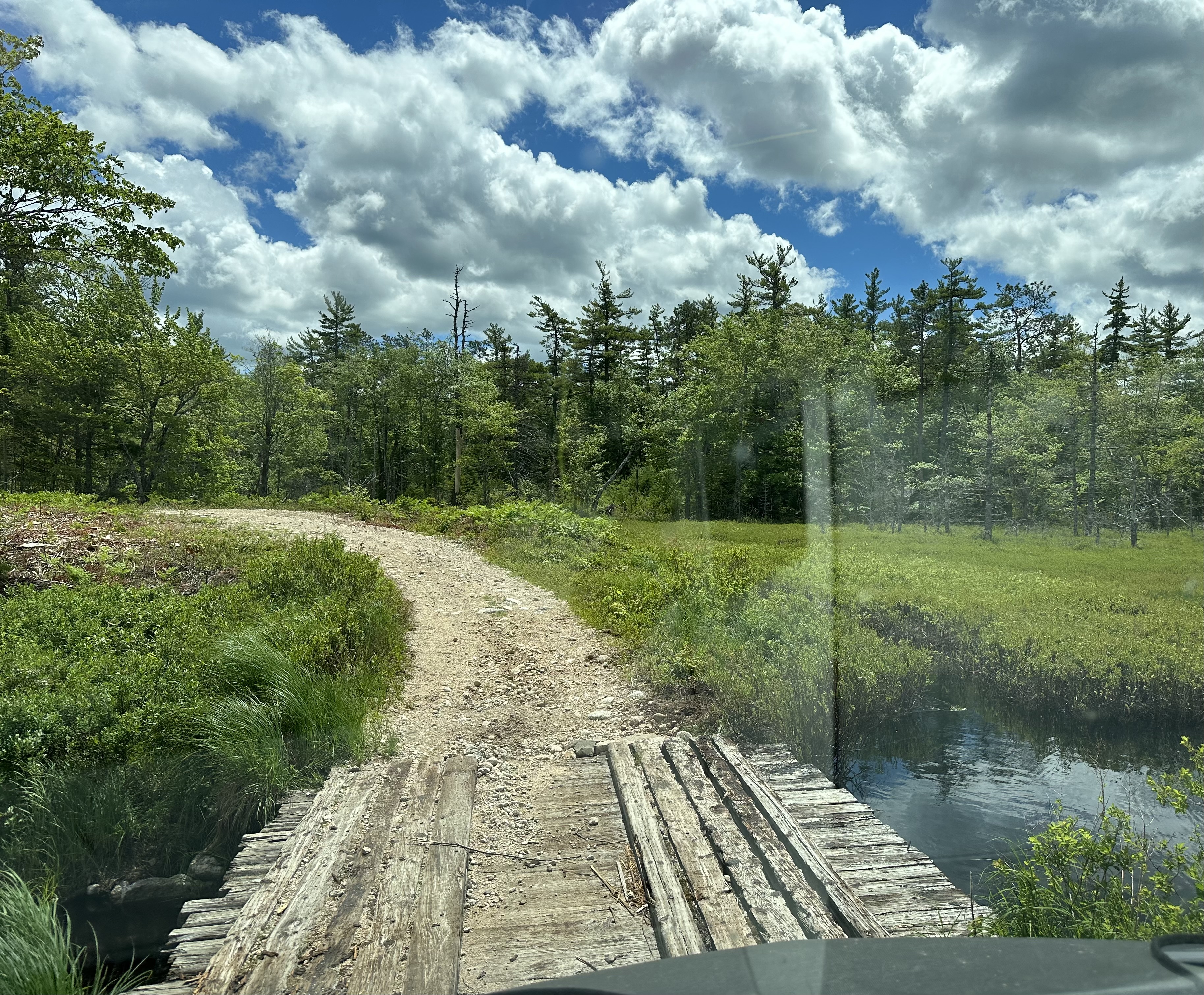
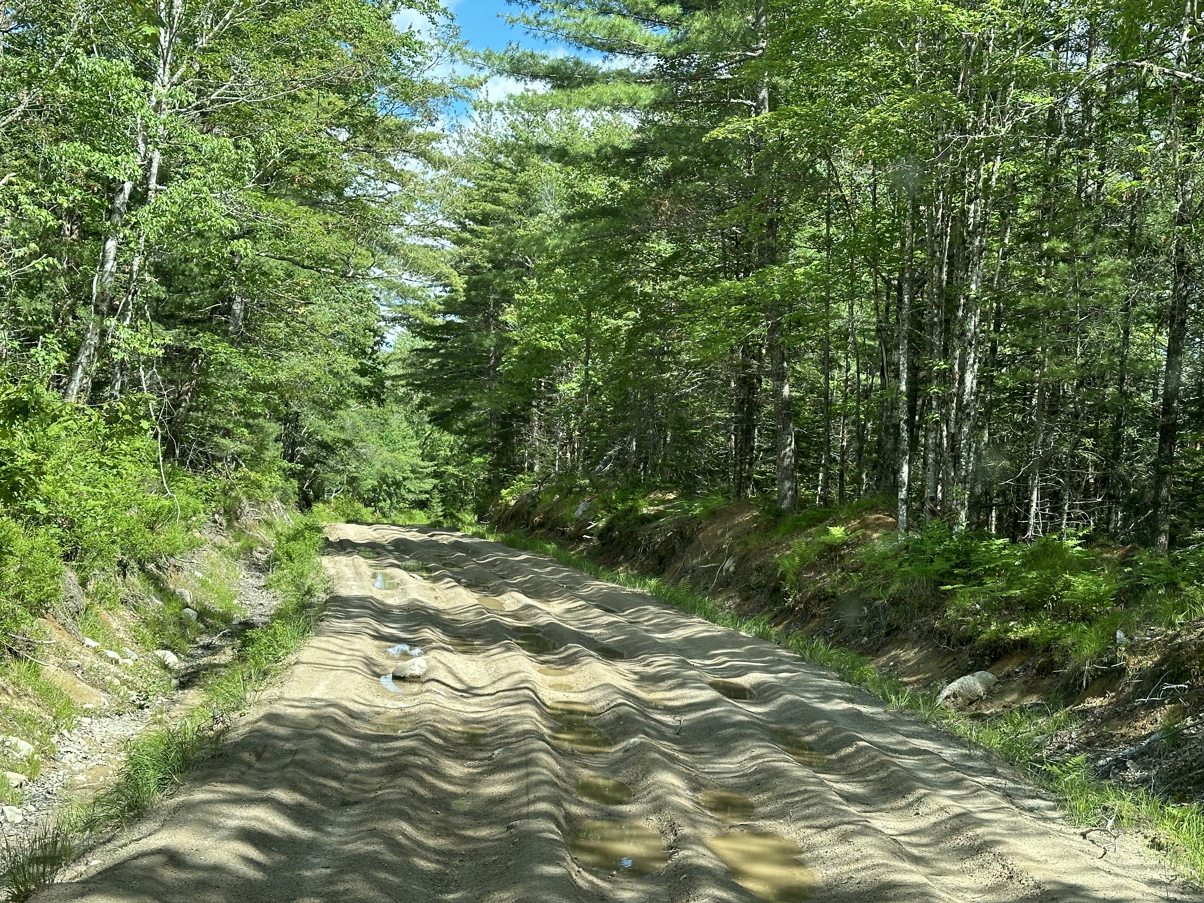
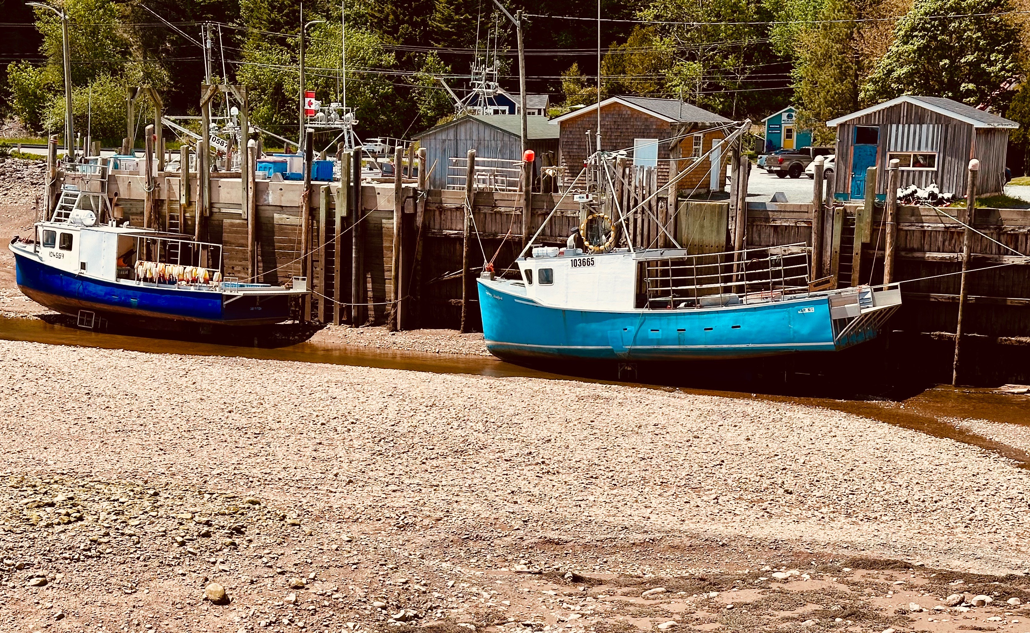
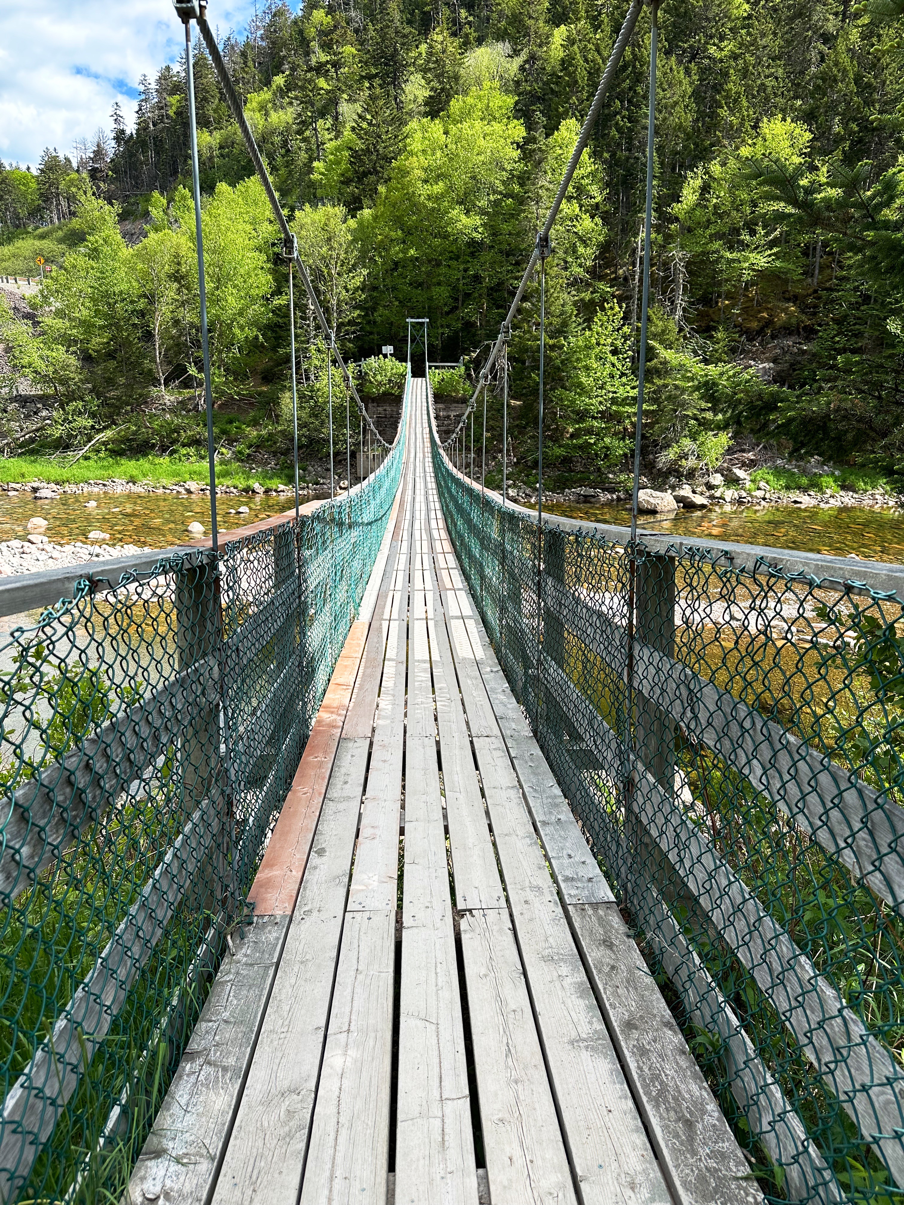
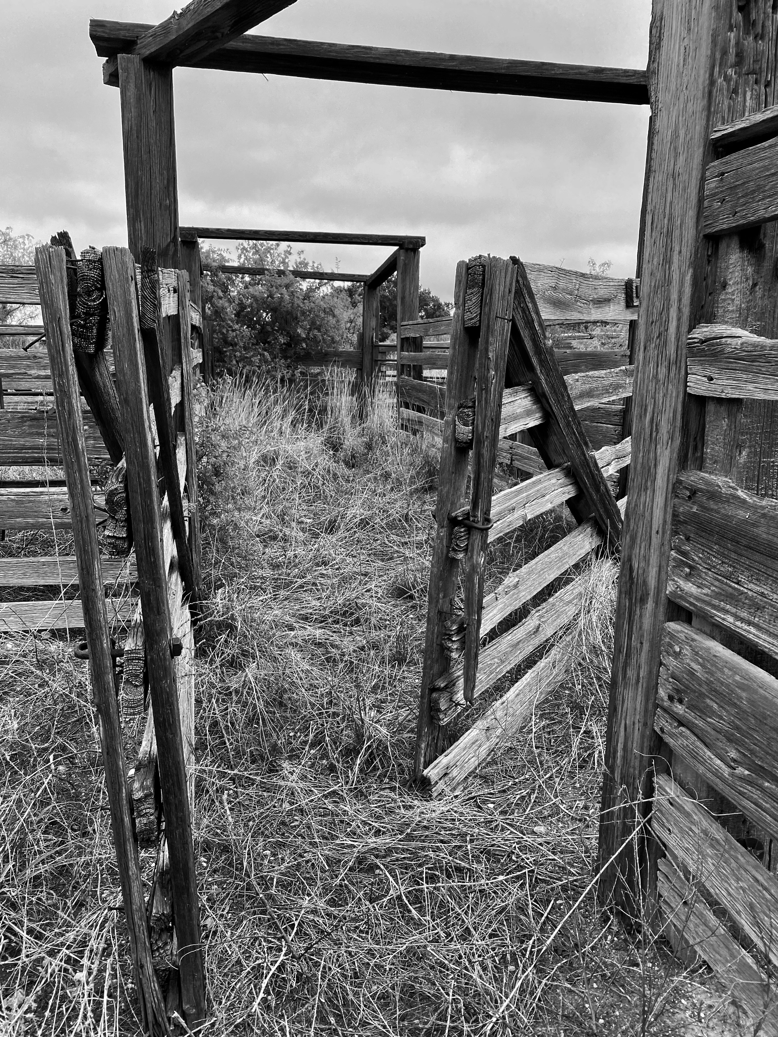
Old Liverpool Road
The overland journey started very well with a relatively smooth wide road through a series of lakes. Once we got a short distance south of the lakes it became apparent that not many folks ventured beyond the lakes. We took an optimistic view and forged on as the trail became rockier and narrower. Three hours later we emerged back onto pavement with several new dents, a loose hoop step and lots of new pinstrips!
Old Liverpool Road
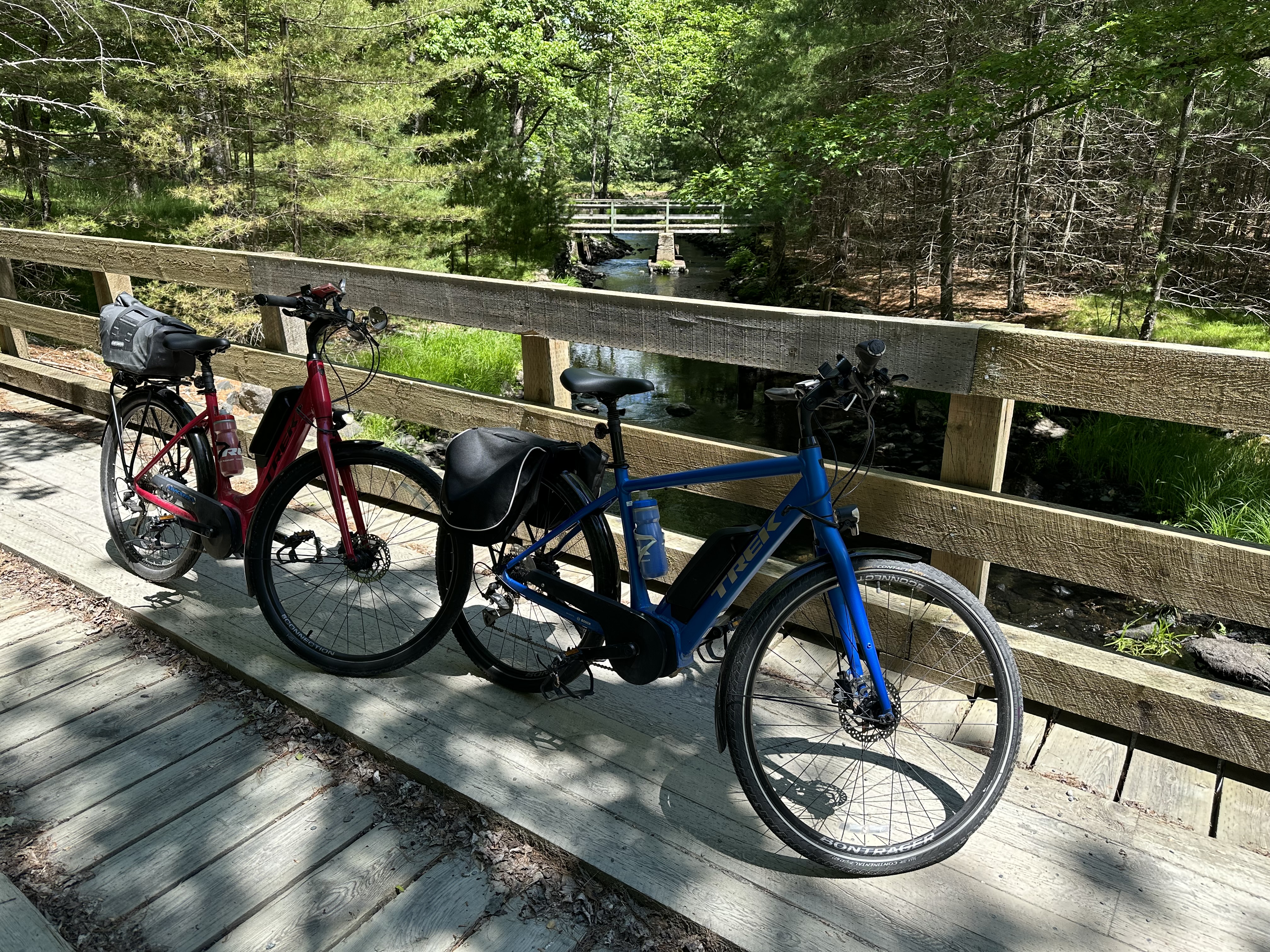
Once we were back on pavement we completed our journey to Keji NP. We continued to have wonderful weather and took advantage of this by hiking along Lake Kejimkujik on our first evening and bicycling around the park on day two. The beautiful Mersey River winds through the park making for particularly scenic riding.
Kejimkujik’s name is derived from the Mi’kmaw, which means little fairies. In the past, Kejimkujik Lake was known as Fairy Lake; today, one of its bays still bears the name Fairy Bay. This notion of fairies is considered to be similar to the “little people”, such as gnomes and elves, present in the folklore of other cultures.”Little people” are believed to assume various forms in Mikmaw culture. One such example is Wiklatmu’, small entities thought to be represented among the petroglyphs.
While this park is away from the coast it still revolves around water with the large lake, the river and many streams flowing through the densely wooded park.From the park we again sought the coast, albeit the south coast and the historic town of Lunenberg.
We made our way to St. John following the coast and sticking as much as possible to roads less traveled (which we have found are most often more scenic and historically interesting).
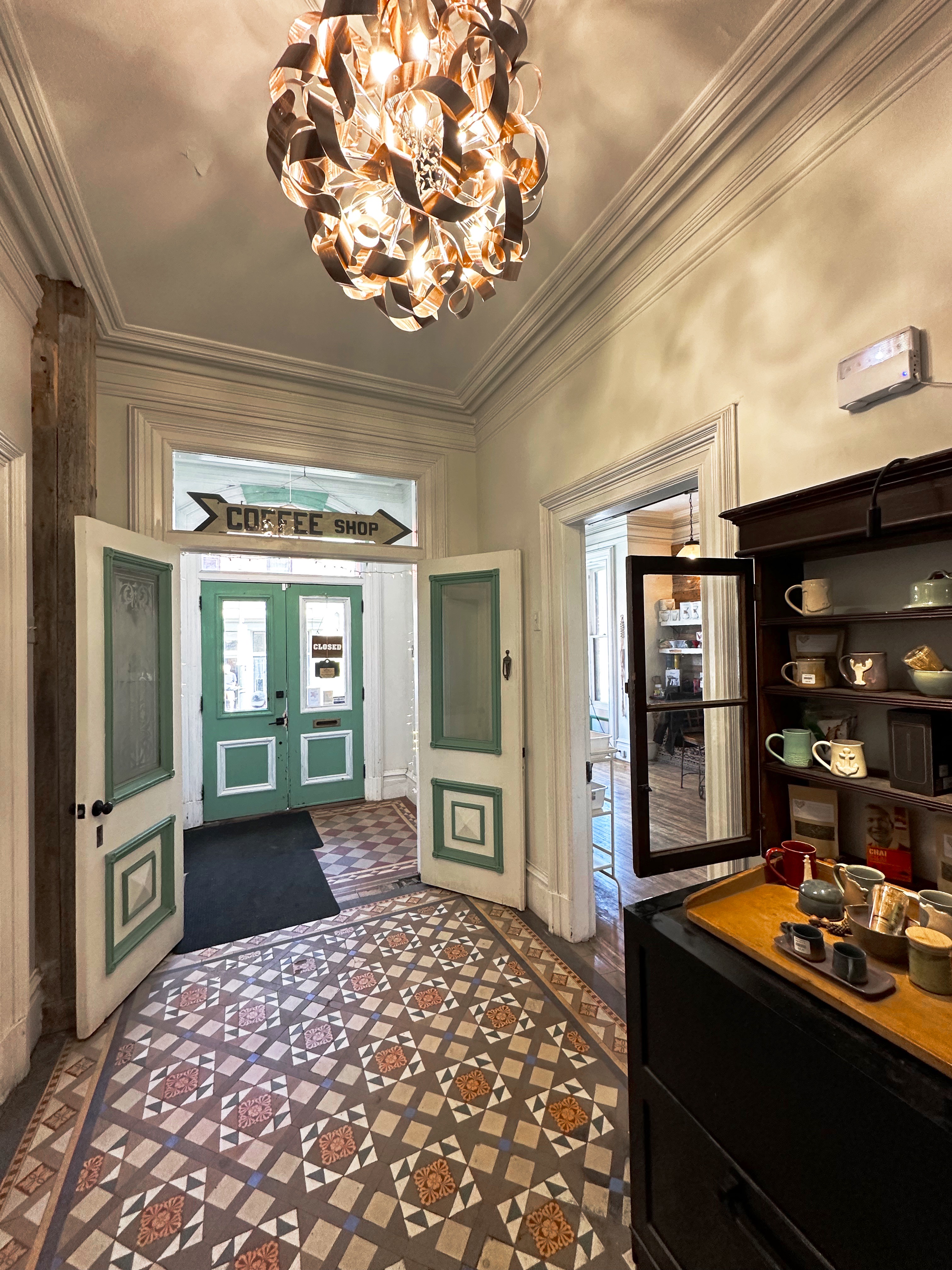
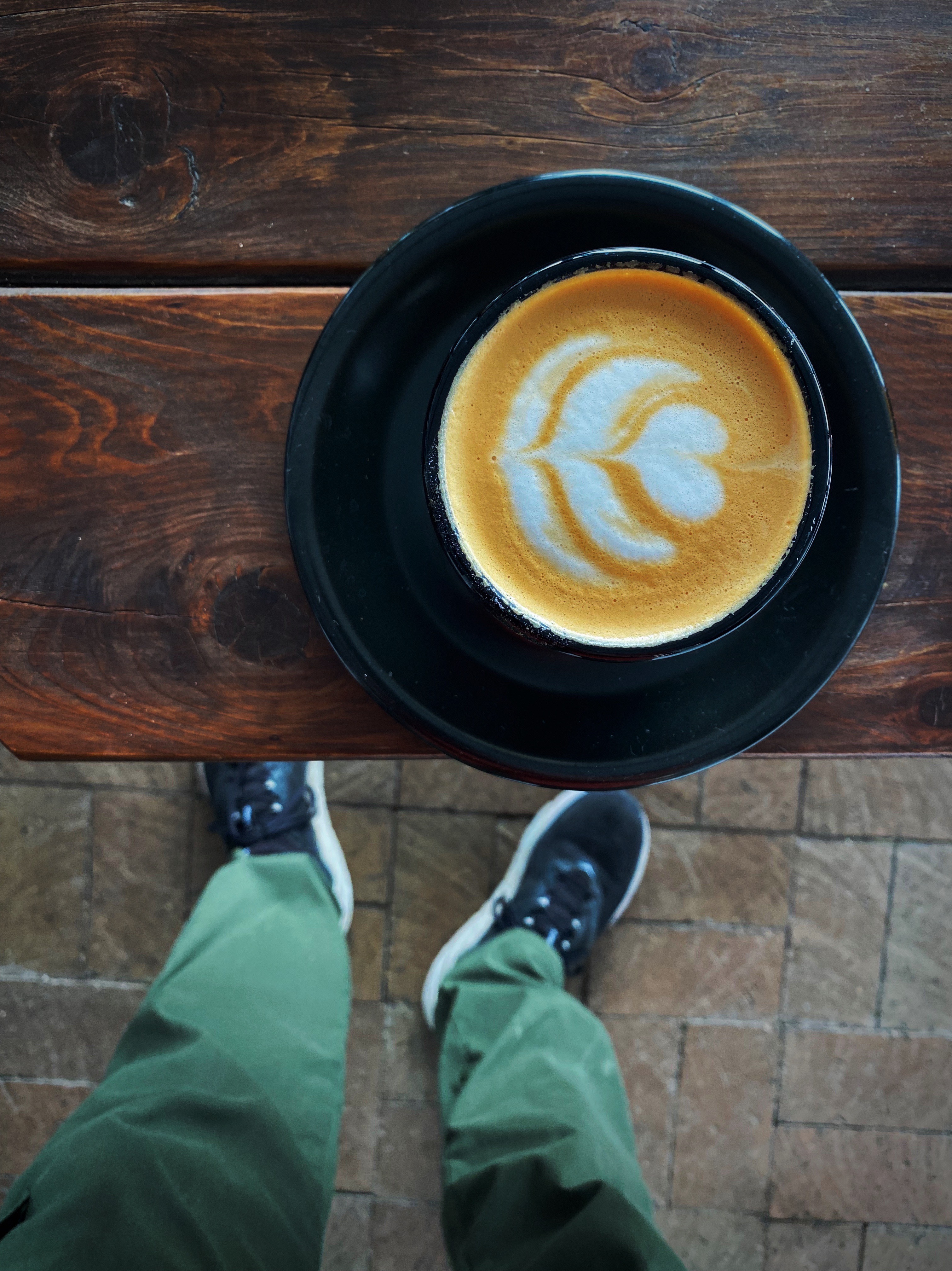
After arriving in St. John we secured the Beast at the hotel and set out for our first coffee session in St. John. Catapault Coffee was only a five minute walk from the hotel. Since it was still morning a capuccino was in order followed by a cortado. Catapault is a mission based coffee shop — “Part of the way we express this faith is by looking for opportunities to reduce the unemployment, hunger, homelessness, and medical costs in our city”. We are always happy to support coffee shops with a tangible mission to support the less fortunate in their community (and of course serve excellent coffee and tea).
Strength Through Toast — Toast Marketing Board
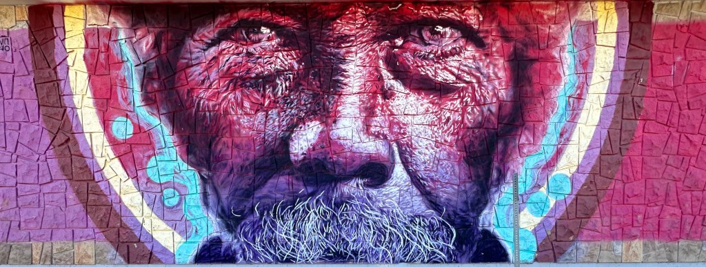
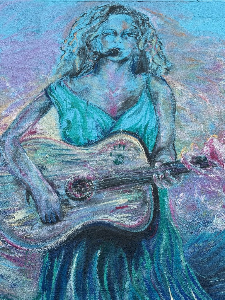
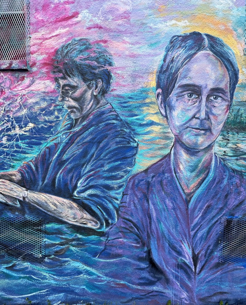
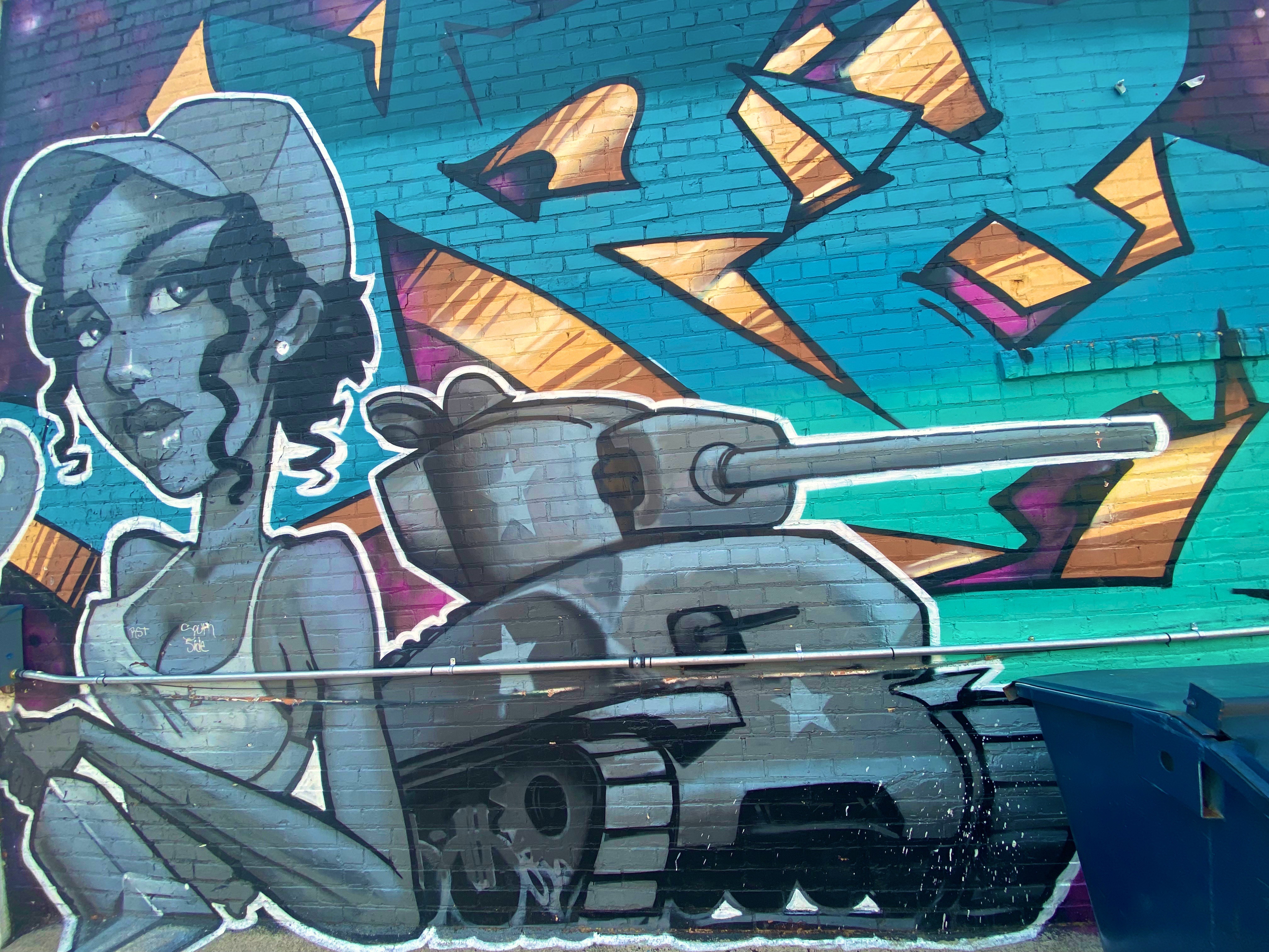
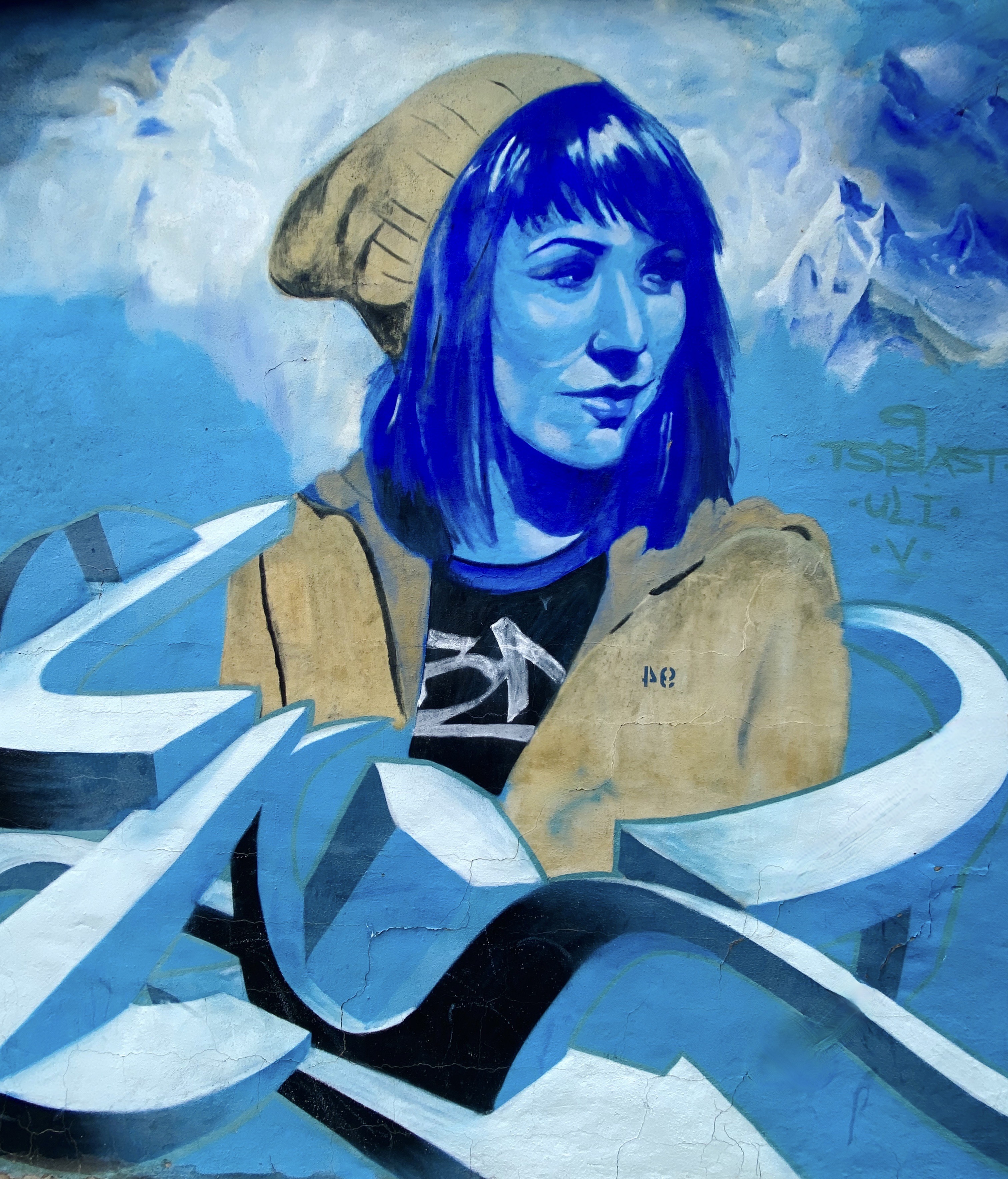
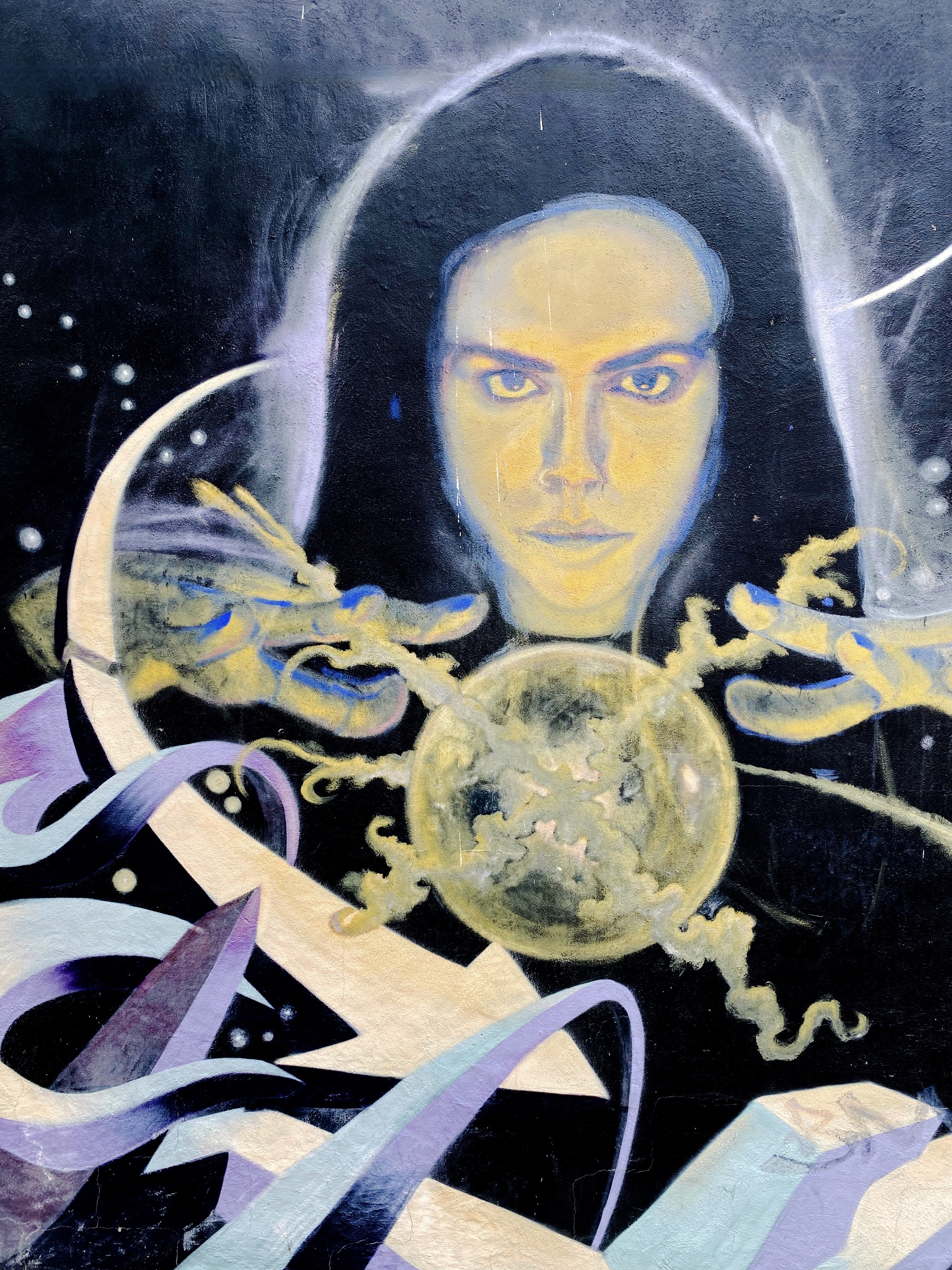
Fortuitously, this building-sized mural was staring at us from across the street as we approached the cafe. This mural was commissioned as part of Festival Inspire. The artist Mique Michele is from Ontario and is a highly regarded grafittist and advocate for issues impacting First Nations people (Michele is of Metis-Franco heritage).
Untitled Artist Mique Michele, 2021
See Stories — Artist Allan Ryan
We spotted the top of the mural above while walking back to the hotel. We walked down the hill and located this 80 foot high extravaganza on the back of an apartment building facing an empty lot. The street mural scene in St. John is relatively small but appears to have some folks committed to increasing the space dedicated to public art. The two murals above were our favorites.
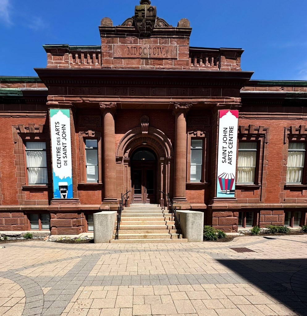
St. John also has a small fine arts exhibition space at the St. Johns Art Centre. The space hosts art exhibits and musical recitals and also offers art classes.
The space that the art centre currently occupies is the former city library. This was a Carnegie library built with funds donated by the Scottish-American business tycoon and philanthropist. Carnegie funded the building of over 2500 free public libraries in North America. The library in St. John is one of three in the eastern provinces. The current city library is housed at Market Square on the water at the harbor.
Art invariably necessitated the need for more coffee while we reflected on the the art we had just viewed……so we set off for our second coffee shop —The Art Warehouse.
We had an opportunity to chat with our barrista, Jamie, during a lull in the action. Jamie is also a musician and songwriter when not plying his craft as a barrista. His band Jamie and the Crooked Teeth is well known in the eastern provinces and they have released several albums. He has also released several songs as part of an accoustic trio that performs as Pretty Western.
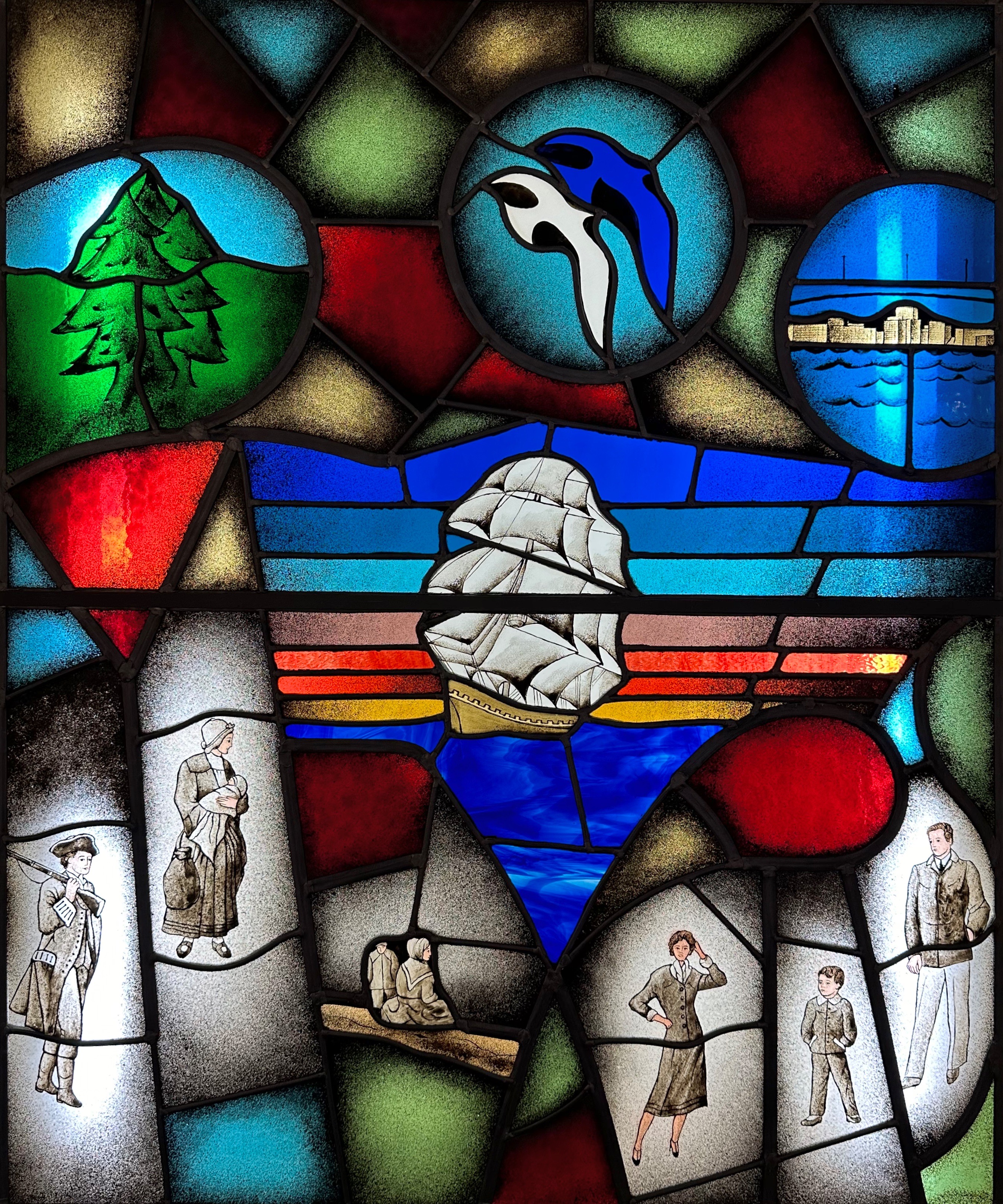
We will close with a bit of history (as always). The title of this post is St. John and the Loyalists. Samuel-de-Champlain named the St. John River in honour of St. Jean the Baptiste while exploring the area in 1604. The anglicized version of the name stuck although the British eventually took control of Nova Scotia. Today there are still many French speakers here as well as in the other eastern provinces.
Okay — finally — the Loyalists! While you may not recall this fact from your U.S. history courses (probably because it was not mentioned) there were a considerable number of British colonialists that wished to remain British! The text below is from the Loyalist House in St. John.
The Loyalists
Our first refugees were American Exiles arriving in 1783-1784, the Loyalist Refugees, a multicultural group with Afro, Aboriginal, Dutch, German, English, Irish, Welsh and Scottish ethnicity from America. One hundred thousand came north – 15,000 of these Refugees arrived in Saint John Harbour by way of the Bay of Fundy. Their entrepreneurial/pioneering spirit helped them to survive. They slept in tents during those first winters, some died. New York and Boston were the last two ports of evacuation for this exodus, they were farmers, labourers, and trades people. These American exiles lost what they owned and came here like many other refugees and immigrants in search of safety and a new life. The aboriginal people the Wolastoqiyik [people of the Beautiful River] were the first people of our community.
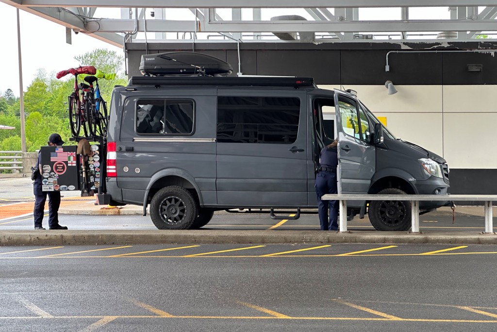
After our night in Bangor we set out for Calais (Cal-liss) and our first visit to Canada since the pandemic. This crossing experience was quite a bit different than our previous crossings. In the past we showed our passports, answered a few questions and we were on our way.
Calais—St.Stephen Border Station
It was a very different experience this time. After showing our passports and answering a few questions we were asked to go inside the station and wait while two Canada Border Officers thoroughly searched the van. While we did not have any contraband on board it was still a bit unsettling having the van and all of our possessions searched. The frosting on the cake was our realization after driving away from the station that our passports had not been returned! One of the officers that had searched the van had our passports in his pocket — oh boy!
After retreiving our passports, we traveled east to camp at Mouth of the Magaguadavic. This is a privately owned tract of land that sits at the mouth of the river and the Passamaquoddy Bay. We were able to pull our van up to the edge of the bluff to have an unimpeded view of the gorgeous bay. Unfortunately, that evening a thick mist had settled over the bay and were not able to enjoy the full view. We sat by the campfire until the mist overwhelmed our fire and we retreated into the Beast.
In the morning we awoke to a much different view than the previous evening’s shroud of mist and fog. We enjoyed our breakfast as we sat outside transfixed by the pristine bay.
Passamaquoddy Bay
We pulled ourselves away from the view eventually and began our trek east along the coast and the Bay of Fundy. The Bay of Fundy has a beautiful and rugged coastline and an impressive 40 foot tide occuring twice daily.
We stopped for lunch in the tiny fishing village of St.Martins. We walked out to caves which are accesible when the massive tide is out and then lunched at a seafood restaurant perched on the beach. To say the seafood is fresh and delicous is an understatement.
After our delicous lunch we continued along the coast to Fundy National Park where we would spend a couple of days hiking and exploring the area.
Big Salmon River, Fundy NP
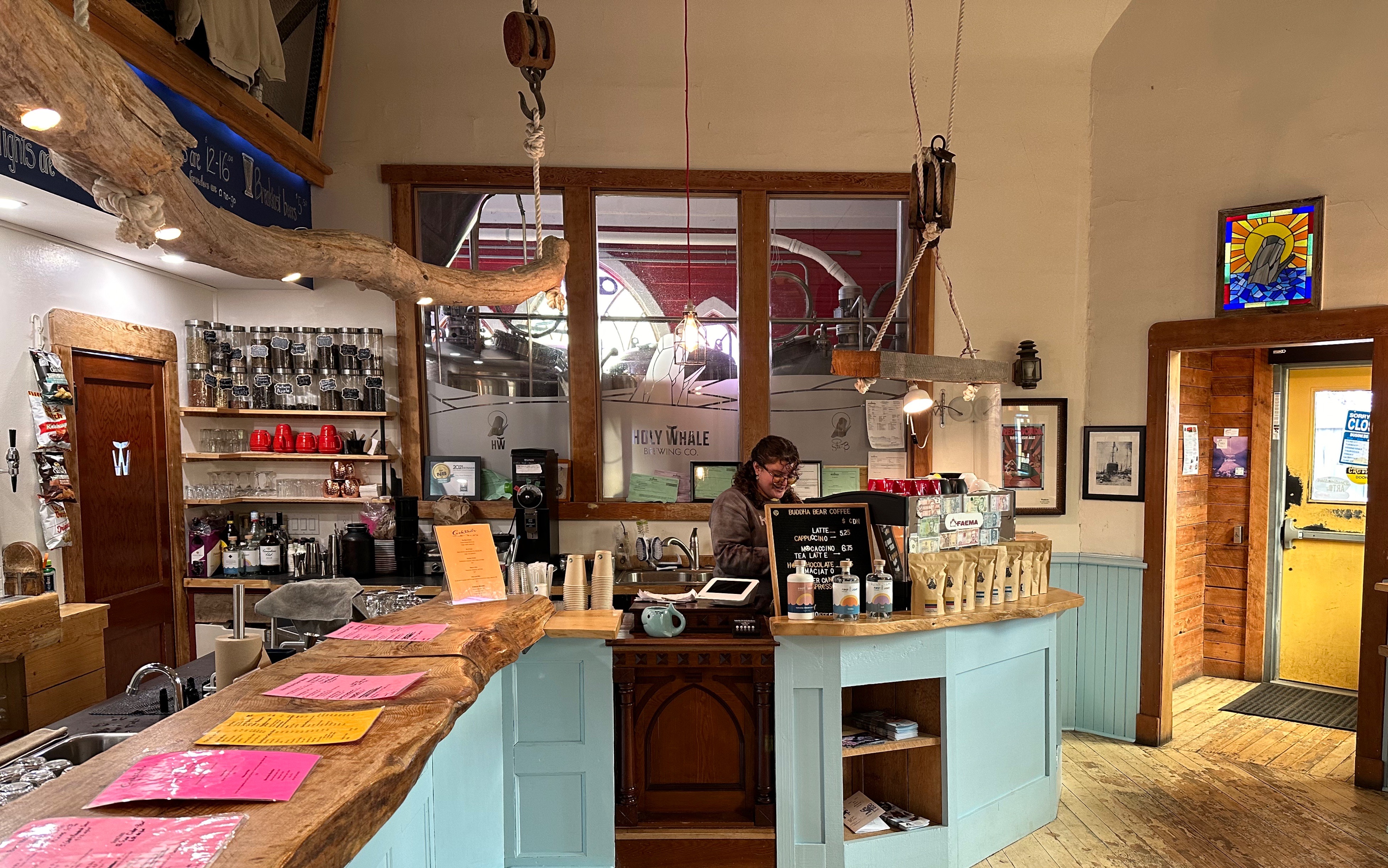
About ten miles southeast of our campsite at Fundy NP sits the village of Alma. The village is another quaint fishing town with great fresh seafood and quite impressively a specialty coffee shop — The Buddah Bear.
Alma at Low Tide
We enjoyed our stay at Fundy NP — beautiful scenery, moderate hiking and specialty coffee nearby (what could be better?). We are off to Prince Edward Island.
After departing the charm of Charlottetown we decided on a brief stay in Moncton, NB on our way through to Nova Scotia. We booked two nights at the hip Canvas Hotel a block off of Main Street in downtown. The hotel is a newer hybrid property with hotel rooms on the first five floors and residences on the five floors above. This is a great location which allows walking access to the river, restaurants, coffee shops and street art in downtown.
The city has a growing and diverse population with a current estimated census of 85,000. The Greater Moncton area boasts a population of approximately 152,000 and is the fastest growing region east of Ontario. The population growth has been bolstered by much needed foreign immigration to fill the shortfall of labor created by an aging population and a robust economy.
The economy here has been traditionally anchored to transportation and related industries and more recently the financial services sector and increased tourism to the area. Moncton also has a Major Junior Hockey League team — the Wildcats — the team plays in the Avenir Centre. The venue was opened in 2018 and seats 10,000 fans. The Centre also hosts major music artists for concerts (we just missed Billy Idol — dang!).
Most importantly from our perspective, the city is rife with remarkble restaurants, home to countless coffee cafes and a multitudinous mural scene (50+ murals and counting). We will let the photo collection below illustrate our 36 hours in Moncton.
Moncton, New Brunswick (Photo Getty Images)
Artist Eelco van den Berg
The Universe in his Eyes—Artist Kevin Ledo
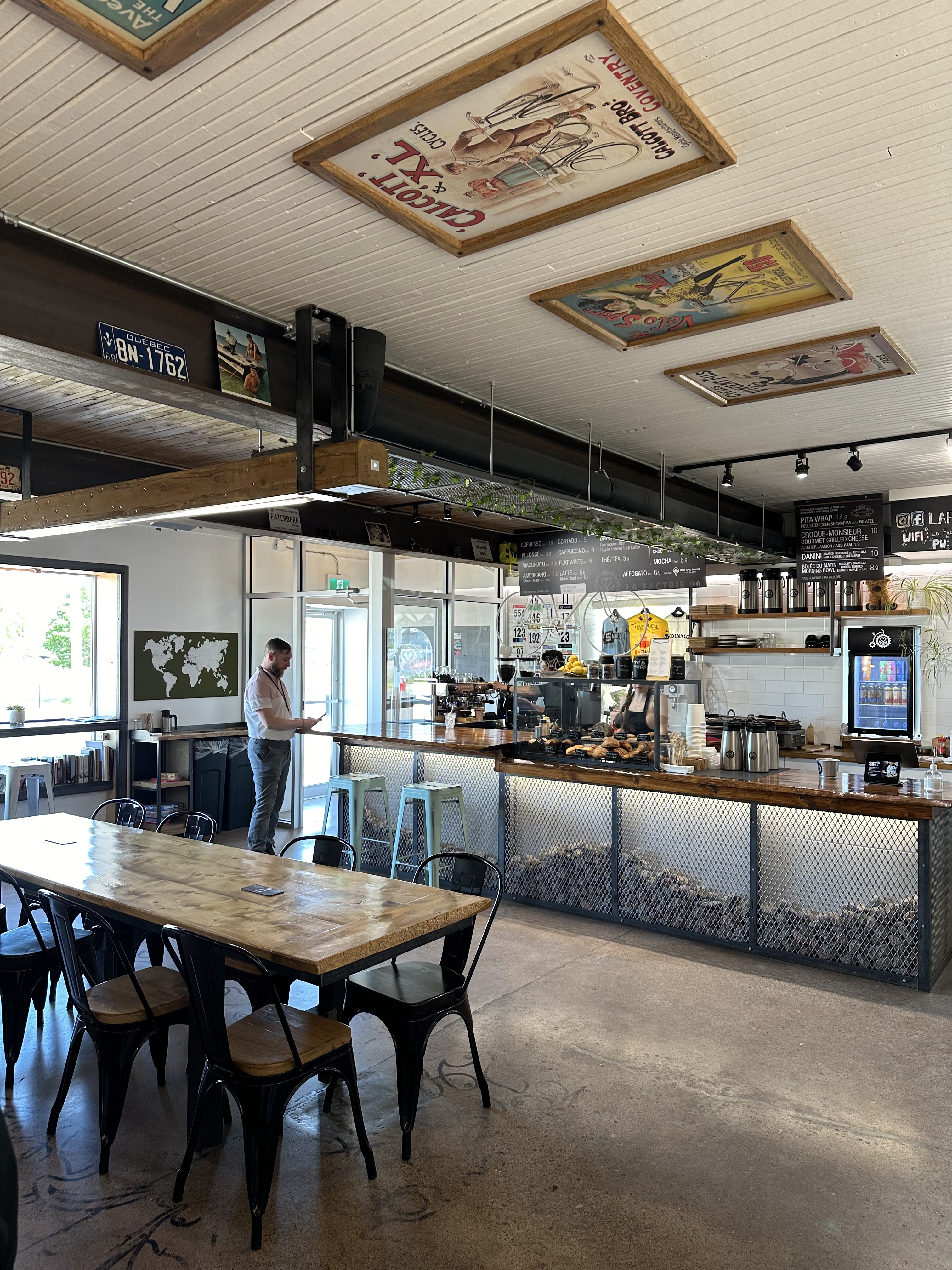
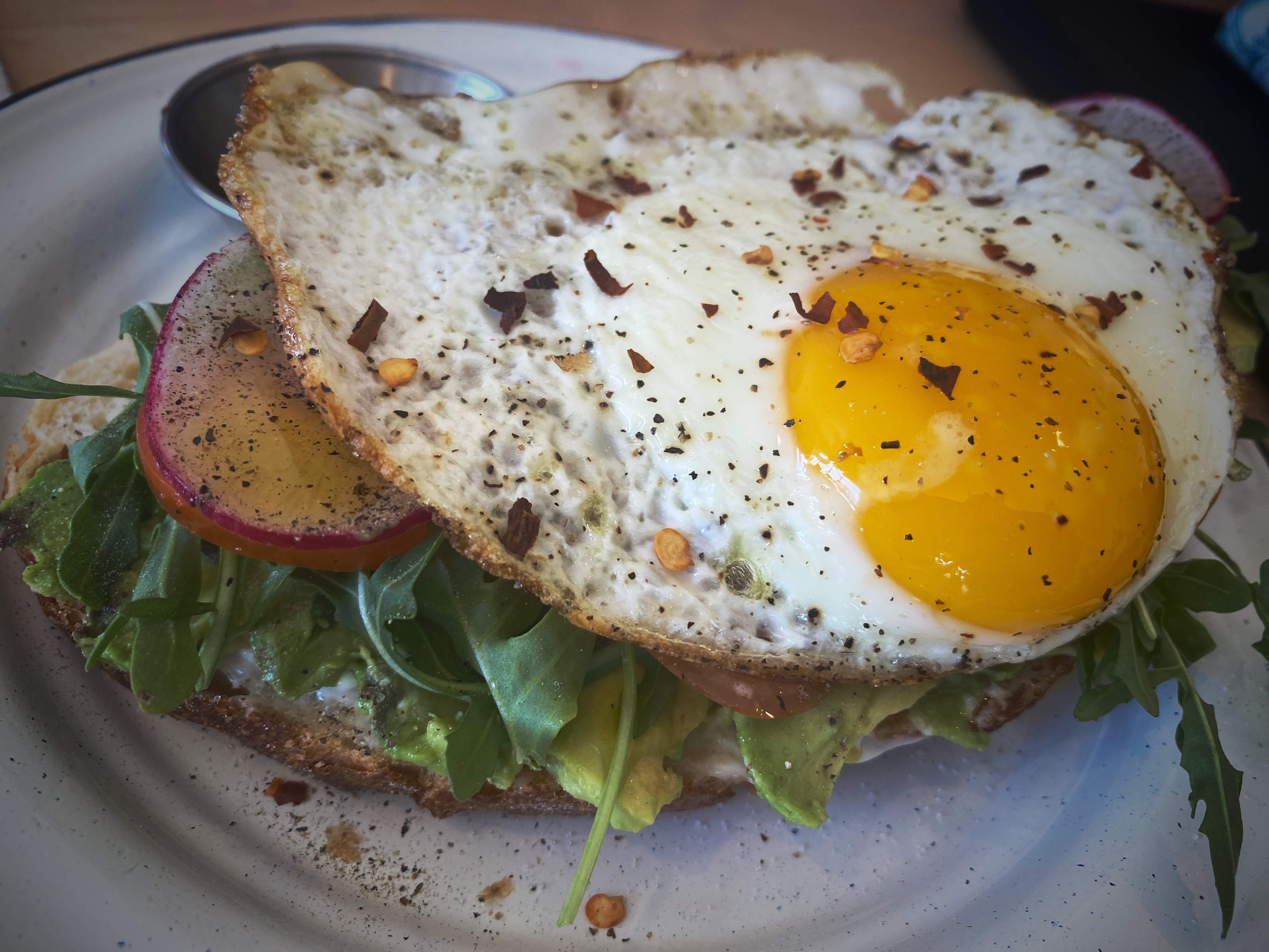
Croffle with maple butter at La Factrie, Moncton
“If we can’t cry or get angry, let’s make a face to lessen our misfortune and look less ridiculous.”— Rotchild Choisy
Artist Rotchild Choisy
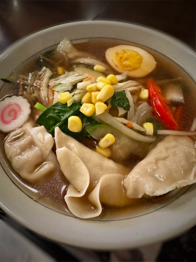
Tokai Ramen, Moncton
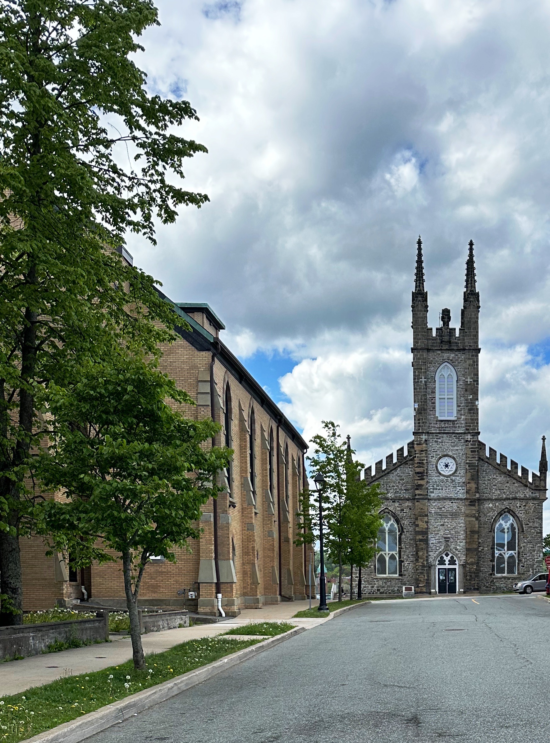
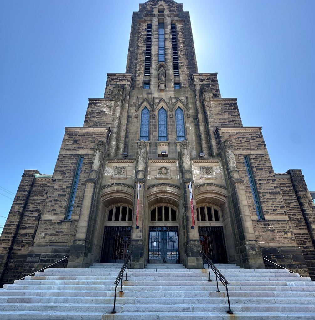
Built in 1939 and 1940, as the Monument of Remembrance, this cathedral is a symbol of the achievements and resilience of Acadians. It recounts their history in decorative elements, such as the tower sculpture of the Assumption of the Virgin Mary, patron saint of Acadie, capitals sculpted by Acadians, and stained glass windows depicting both secular and religious events in the history of Acadie.
Our Lady of the Assumption Cathedral
The exterior combines elements of Art Deco and Gothic Revival styles, while the interior is Romanesque. An affirmation of Acadian identity, the construction of this cathedral followed the creation of the Archdiocese of Moncton in 1936.
This cathedral is historically significant as a reminder of the Great Deportation (Grand Dérangement). When Acadians (French) living in what is now New Brunswick, Noca Scotia, Prince Edward Islands and Maine refused to sign an oath of loyalty to the British Crown they were deported en mass to the American colonies — most notably Louisianna where they became known as Cajuns. Their homes and farms were destroyed and the land was given to British loyalists.
Artist Luc Joseph Damien Cormier
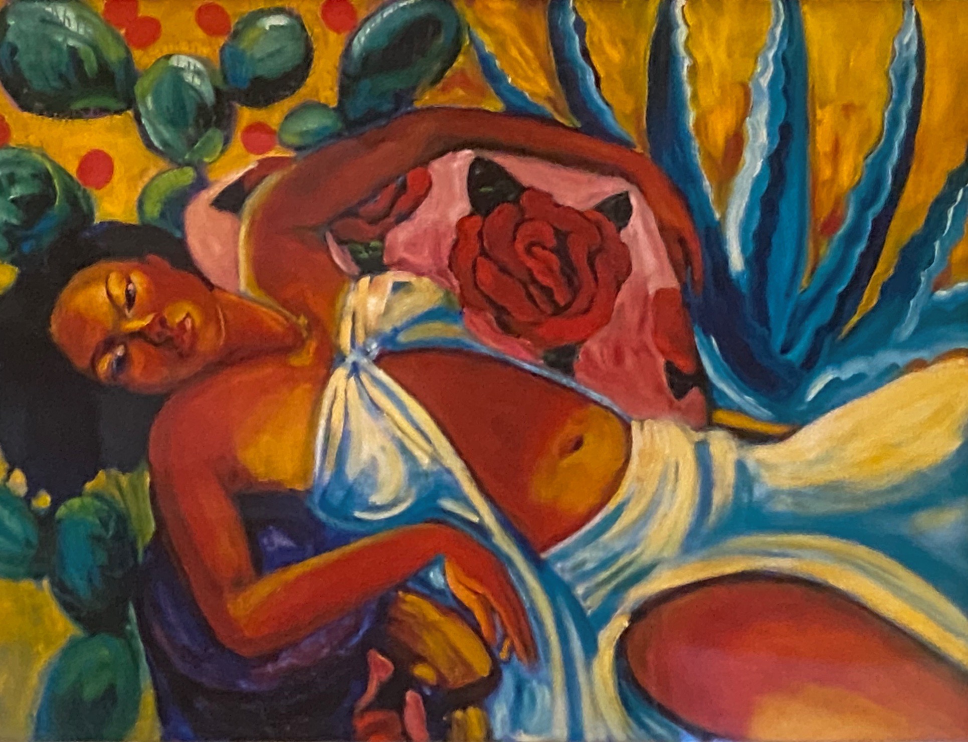
Moncton is also home to a number of fine art gallleries. We visited the Moncton Gallery housed inside the ground floor of City Hall. The small gallery currently has an exhibit of art by Luc Joseph Damien Cormier. We do not know much about the artist but we were really taken with the vibrant colors of the paintings featured in this exhibit.
If you are traveling in the Atlantic Provinces for the natural beauty of the breathtaking coastlines and quaint villages, don’t bypass Moncton. It is perfect for the classic 36 hour visit and can also be used as a base for many nearby attractions and outdoor activities. We will leave you with a couple more photos of our favorite street murals.
Artist Slim Safont
Our next post will cover our journey from the Canadian border to St. John.
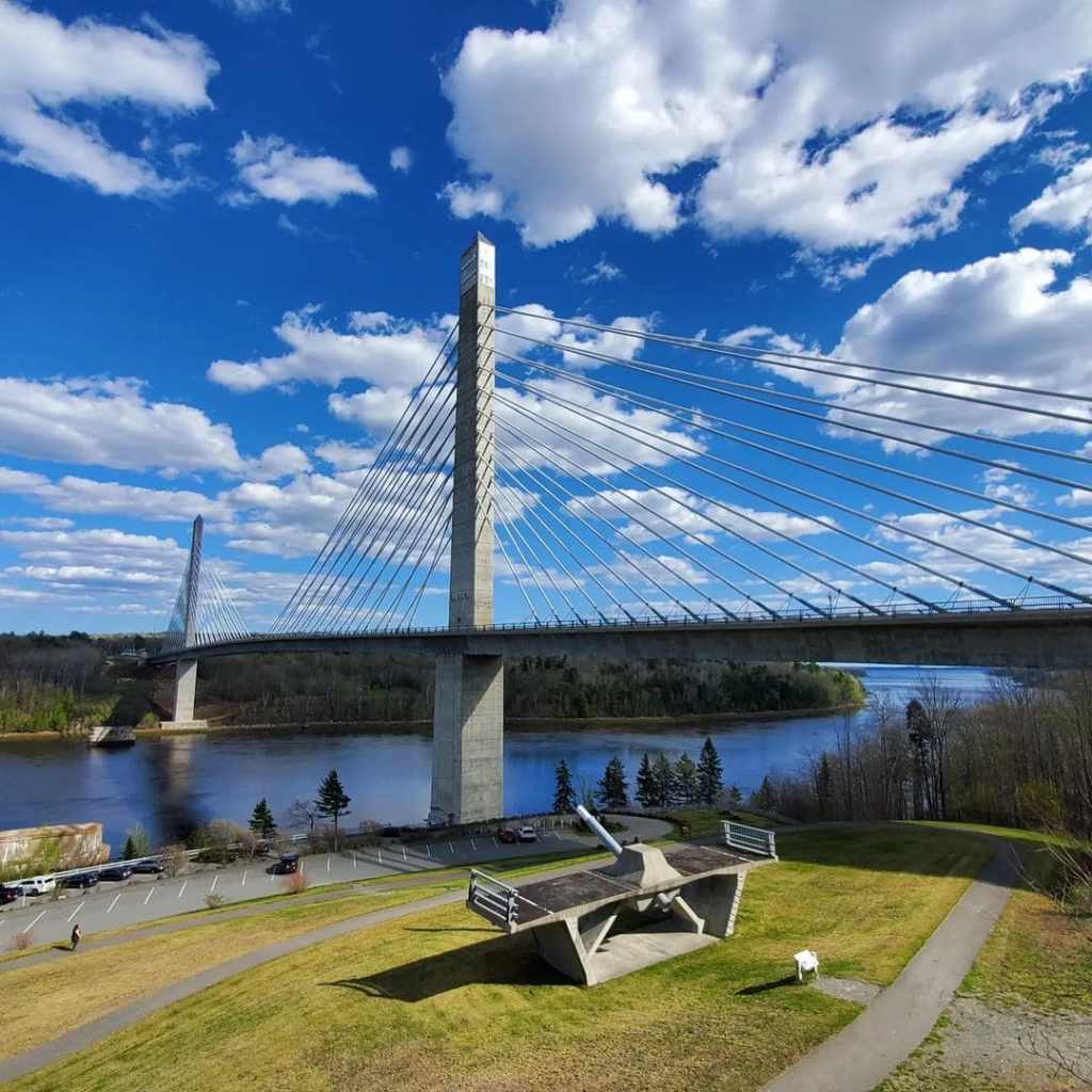
After departing the comfort of our hotel in PWM we followed the coast north for two nights of camping in Penobscot. A highlight of the drive to Penobscot and to Deer Isle is crossing the Penobscot Narrows Bridge and the Deer Isle Bridge.
Penobscot Narrows Bridge (Photo courtesy State of Maine)
The PNB pictured above and directly below is a 2120 foot long suspension bridge which opened in 2007 as a replacement for the Waldo-Hancock Bridge. The WHB was built in 1931 and was in very bad condition. The PNB was built as an emergency replacement using new untested techniques in order to accelerate the build.
Deer Isle – Sedgwick Bridge (Photo courtesy of the State. Of Maine)
The bridge pictured directly above is the Deer Isle – Sedgwick Bridge. The DISB is an almost 1100 foot suspension bridge connecting the mainland to Deer Isle. It is the only bridge connection to Deer Isle. This bridge was opened in 1939. The bridge, when opened, had wind stability problems similar to the Tacoma Narrows Bridge. The Tacoma Narrows Bridge collapsed immediately after opening. The DISB has had additional cables attached to prevent collapse from high winds! Driving over this bridge is an adventure – the bridge is steep and narrow and frankly a bit scary – particularly given the history of other similar bridges.
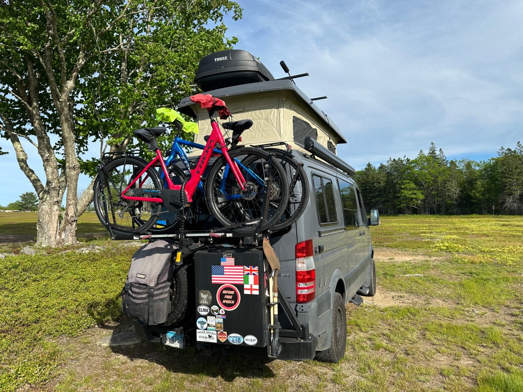
Through HipCamp we found a family that hosts just three campsites spread across 50 acres of blueberry fields. This location provided us with privacy and wonderful scenery as we relaxed by our campfire in the evenings.
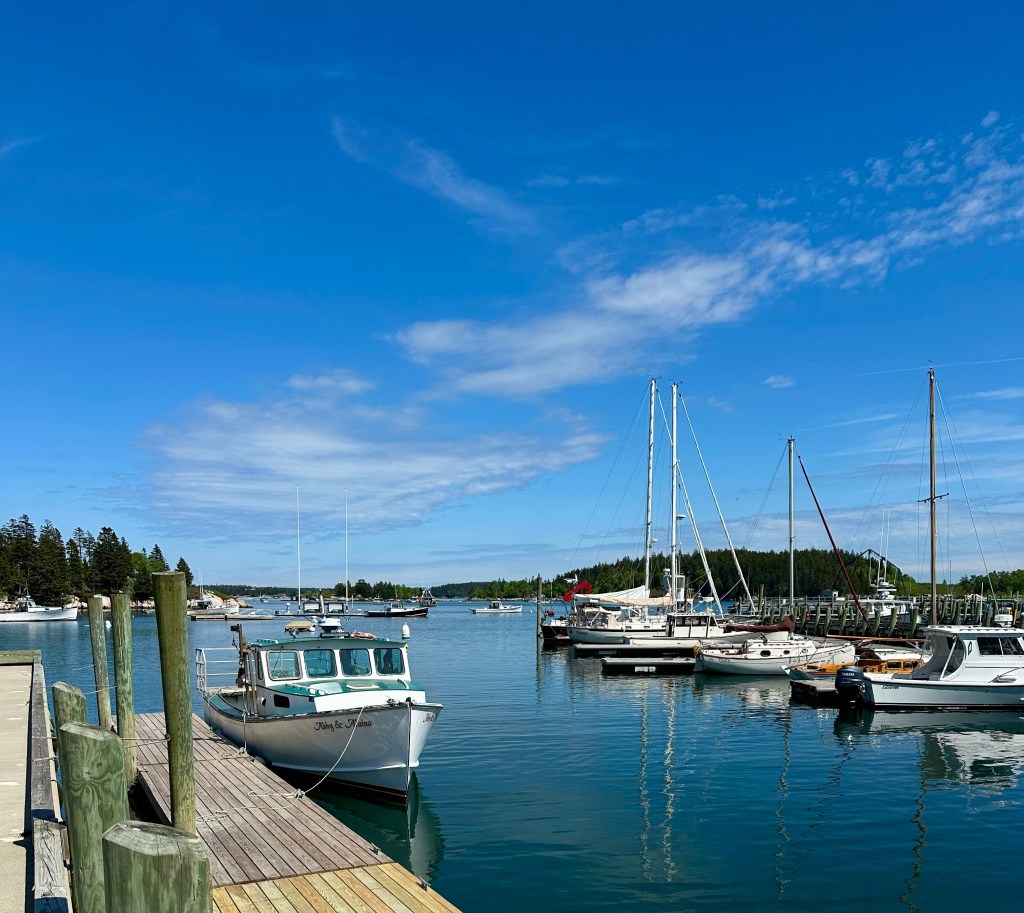
We embarked on a short road trip from our campsite south over the bridge onto Little Deer Isle and from there crossed over to Deer Isle. Deer Isle has two towns-the eponymous Deer Isle and Stonington, which is nestled at the southern end of the Isle on the Gulf of Maine.
Stonington,Maine
Stonington has become somewhat of a tourist destination with Main Street predominately occupied by restaurants and retail establishments. The year round population of the Isle remains small at about 3000 residents. The mainstay of the local economy remains lobstering, although the granite industry has made a small comeback in recent years.
Lobstah!
At one time there were over 130 granite quarries operating along the coast of Maine. Many of the quarries are actually on the numerous small islands dotting the coastline. Today there is a quarry operation on Crotch Island (Yep!), a short distance offshore from the harbor at Stonington. Granite is extracted and moved to shore via barges.
Of course, for thousands of years before the arrival of Europeans settling in what is now Maine this area was home to the Penobscot.
The Penobscot (penawahpkekeyak) lived off of the bounty of the Penobscot River and Basin for thousands of years. After the arrival of settlers from Europe the Penobscot fought with the French against the British. When the British defeated the French the Penobscot signed a peace treaty with the British in order to avoid being deported to Canada.
With the advent of the Revolutionary War the Penobscot allied themselves with the American revolutionaries. Their support of the Americans was based on agreements that the Penobscot homeland would remain intact. None other than George Wasington agreed to this arrangement in a letter dated in 1777! Well, we all know how this story ends.
Today, the Penobscot are a federally recognized nation and a member of the Wabanaki Alliance of tribes. A portion of the Nation’s land was returned after a court case (The Maine Indian Claims Settlement Act – 1980) found in favor of the Penobscot and other tribes.
As a result of the legal settlement the Penobscot have 4000 acres of reservation land spread across 200 islands in the Penobscot River (their ancestral home as riverine people). Additionally, the Nation has 90,000 acres of land in trust which they manage. The trust land consists of nine locations in Maine.
There are currently 2400 people enrolled as members of the Penobscot Nation. The Nation has a fully independent system of government including it’s own judicial system. Two members of the Nation represent the Penobscot as non-voting members of the Maine State Legislature.
We departed Penobscot for a night in Bangor before heading to Calais to enter Canada. Staying the night in Bangor provided us with the opportunity to replenish supplies and more importantly make up for our specialty coffee and tea deficit. An added bonus was the chance to shoot several excellent murals.
Artist: Liam Reading
Chimera Coffee has been operating in Bangor for a couple of years. The owner had relocated from Dallas looking for a less crowded, hectic environment which offered cultural and oudoor activities. This worked out well for us as neither of the two specialty coffee shops in the Deer Isles had yet opened for the season. Thank you Chimera! P.S.Chimera serves Tandem Coffee!
Well that is pretty much a wrap for Maine. We will cover the enhanced security now in effect at the border and our travels along the beautiful coast of Fundy Bay in New Brunswick in our next post.
After a year off the road we have embarked on OTR 10.0! As we are headed north through Maine to the Atlantic maritime provinces of Canada we made Portland (PWM ) our first stop of the adventure.
PWM is a city of just over 68,000 but plays so much bigger! The food, coffee and art scene invariably provides something new and interesting to experience every time we visit.
Arriving in PWM mid-afternoon we made straight for Coffee By Design at their Diamond Street location in the East End. CBD is one of the oldest specialty roasters in the city dating back to 1994.
Coffee By Design
After our infusion of caffiene at CBD we worked our way up the hill for cocktails at Hardshore – a local distiller of gin and bourbon. Their gin is very reasonably priced and quite tasty! Our cocktails set us up perfectly to saunter across the street for dinner.
Izakaya Minato is located in the East End of PWM and is styled after traditional Japanese Izakaya. Izakaya (stay-drink-place) establishments are neighborhood bars that traditionally serve small plates and snacks to accompany alcoholic drinks and of course Sake.
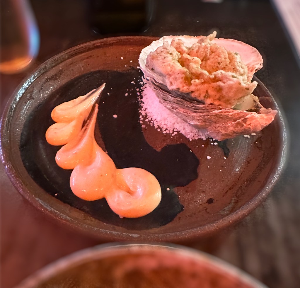
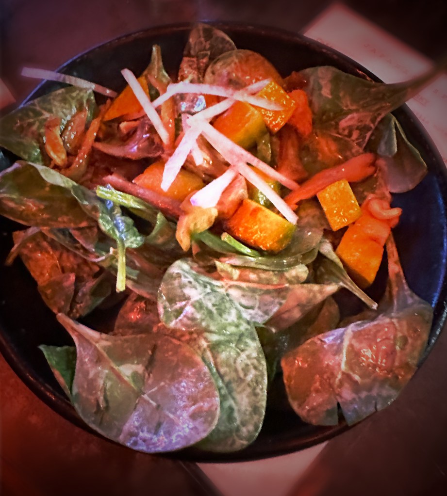
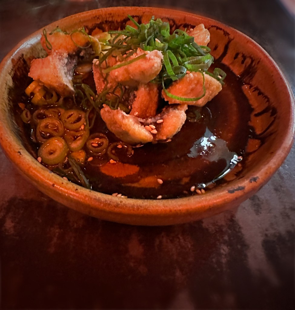
Our meal and drinks were excellent. We tried oyster tempura, fish and chicken dishes with rice and a fabulous spinach salad with the tastiest mushrooms ever. We highly recommend Minato!
Izakaya Minato
The next morning we ventured back to the East End for Fika but visited one of the other excellent coffee roasters and cafe operators in PWM – Tandem Coffee. Visitors tip — while the bakery is located at the East Congress Street location in the refurbished retro gas station location (very cool) it is always difficult to find parking and seating. The Anderson Street cafe located at the roastery is a low key neighborhood joint with super friendly folks and no problem finding parking or seating.
Hadlock Field
The Portland Sea Dogs Double A ball club was at home during our visit so we spent a lovely late afternoon at Hadlock Field. The home town club had their way with the visiting Hartford Yardgoats. Final score 7–4.
Portland has the three top prospects in the Red Sox system. Prospects SS Marcelo Mayer and CF Roman Anthony were in the line up but did not stand out during this contest. P.S. The Yardgoats are our home team in Connecticut and our record with them in person remains intact as we have never witnessed them winning a game!
After the ballgame we journeyed downtown for a stroll along the picturesque waterfront and a nightcap of gelato! Gorgeous Gelato is one of our favorite gelato spots in all of our travels. The husband and wife owners moved to Portland after graduating from the Gelato University in Milan. https://www.portlandoldport.com/listing/gorgeous-gelato/
Dark Chocolate Whiskey and Pistachio/Coconut Gelato
The street art scene in PWM remains as vibrant as ever. The three murals pictured below are new finds for us since our last visit. They are all located in the East End where we obviously spent a lot of our time during this brief stop in PWM.
“Nicole” Artists—Ryan Adams and Rachel Gloria Adams
“Moon” Artists—Ryan Adams and Rachel Gloria Adams
“Alain” Artists—Ryan Adams and Rachel Gloria Adams
Well, that is it for our first post in a year! Our next stop will be in Penobscott for several days of camping and touring the beautiful Deer Isles.
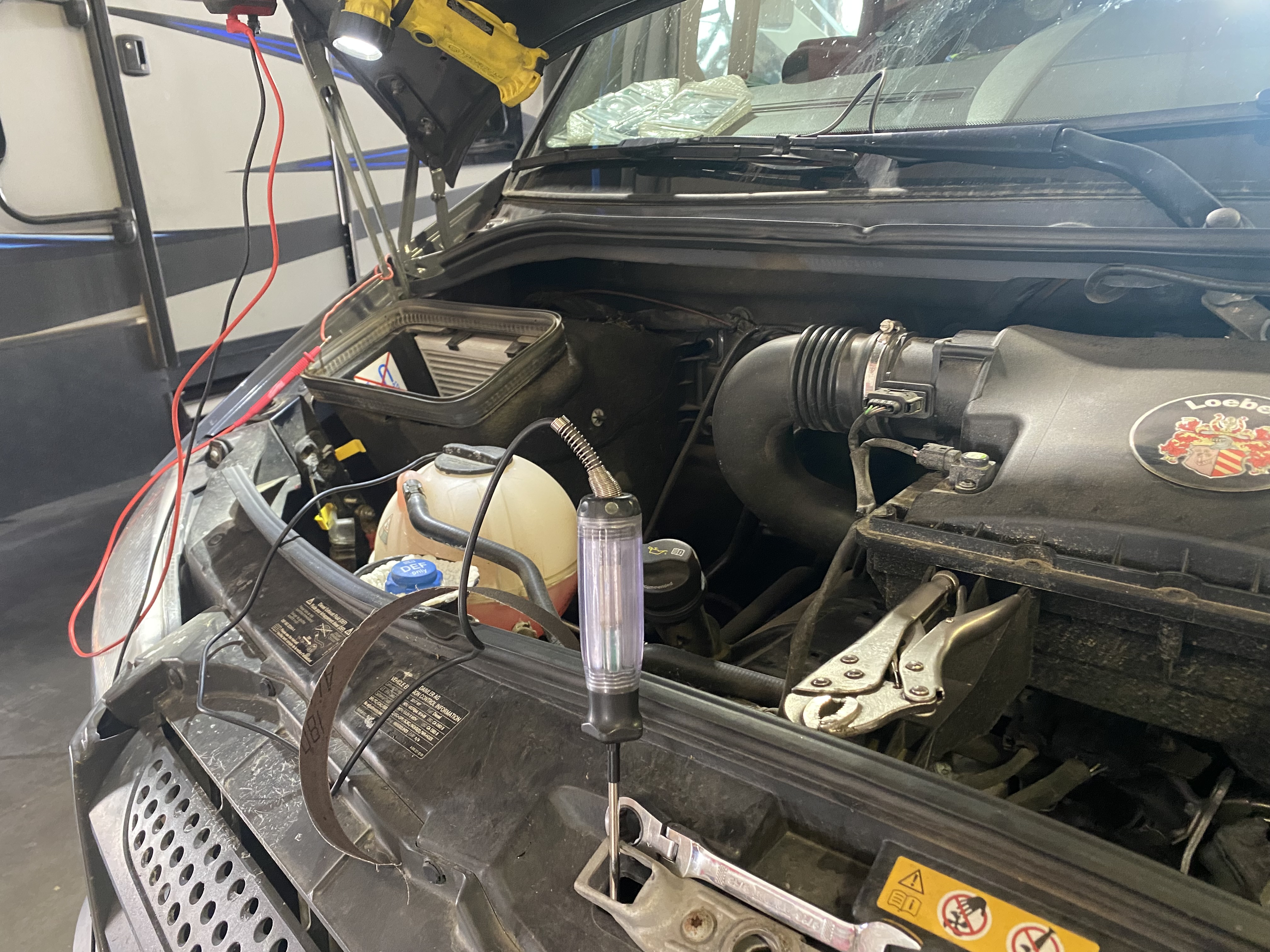
When we arrived at our campsite near Sterling, Colorado in the northeast corner of the state, we discovered that our AGM batteries were not fully charged. A quick check of the various fuses led us to the 300 amp fuse that sits between the second alternator and our four AGM batteries. The fuse and the fuse block were fried! Without the second alternator to charge the batteries our off grid capacity is limited. Therefore, our first order of business as we began our trek across Nebraska was to find a shop to replace the block and fuse.
The closest RV shop to our east was located in North Platte. We were planning on stopping in North Platte to visit a couple of attractions, so we set sail for North Platte on Route 30, also known as the Lincoln Highway. Route 30 is a coast to coast two lane U.S. highway. It is the third longest U.S. highway and was the first coast to coast highway.
The 30 through Nebraska is also quite notable in that it roughly follows the Oregon Trail along the north side of the Platte River. This section of the Oregon Trail along the river made for relatively easy travel and navigation for the emigrant pioneers due to the flat terrain and east-west course of the river. In the early years of the westward migration, the Nebraska plains provided plenty of food with literally thousands of bison roaming the western grasslands. The history of the Oregon Trail and the people who made or attempted to make the journey is quite fascinating and provides great insight into the culture in the U.S. in the years before and directly after the Civil War. Much of the western movement of people was driven by the desire to escape poverty and religious persecution in the East. Some things never change apparently.
We highly recommend two books about the Oregon Trail. The Oregon Trail: A New American Journey by Rinker Buck chronicles his journey across the Oregon trail by covered wagon in 2011. The second book is The Oregon Trail by Francis Parkman Jr. Parkman made the journey in 1846 and this book provides great insight into the dangers of the journey and is also reflective of the prevailing attitudes of the time (particularly racism).
We pulled into Larry’s RV hoping that Larry would be willing to take a look at the Beast. Larry waved us right into one the garage bays and directed a mechanic to take a gander under the hood. Larry is very committed to assisting travelers far from home that drop into the shop in need of help, sometimes to the chagrin of his mechanics. Larry and his wife Joyce have been fixing mobile homes and RVs since 1956!
The problem was indeed the 300 amp fuse, and, unfortunately there were no 300 amp fuses to be had in town. Larry promised to have a fuse for us the next morning. Our mechanic, John, made the vehicle safe and we set off to explore the town, find some grub and ultimately a place to park the Beast and bed down for the night.
In the morning we went downtown in hope of finding good coffee and tea. We have to admit that we were not expecting a legitimate specialty coffee establishment in the Central Nebraska plains. Good news — we were wrong! The Espresso Shop in downtown North Platte was a delight and put us in good stead for the remainder of the day. http://www.theespressoshopbycaravan.com
We were fortunate enough to meet the owner of the shop – Brandon Raby (in photo above with dog). Brandon moved the shop to its current location several years ago and has created a community around “coffee culture, music and food”. We knew were onto something special when we entered the cafe to the jazz of Jean “Django” Reinhardt playing on the sound system. In addition to his culinary talents, Brandon is an accomplished jazz guitarist. The shop hosts musicians several nights each month. The link below will take you to an excellent article about Reinhardt. https://www.npr.org/2010/01/22/122865782/django-reinhardt-100-years-of-hot-jazz
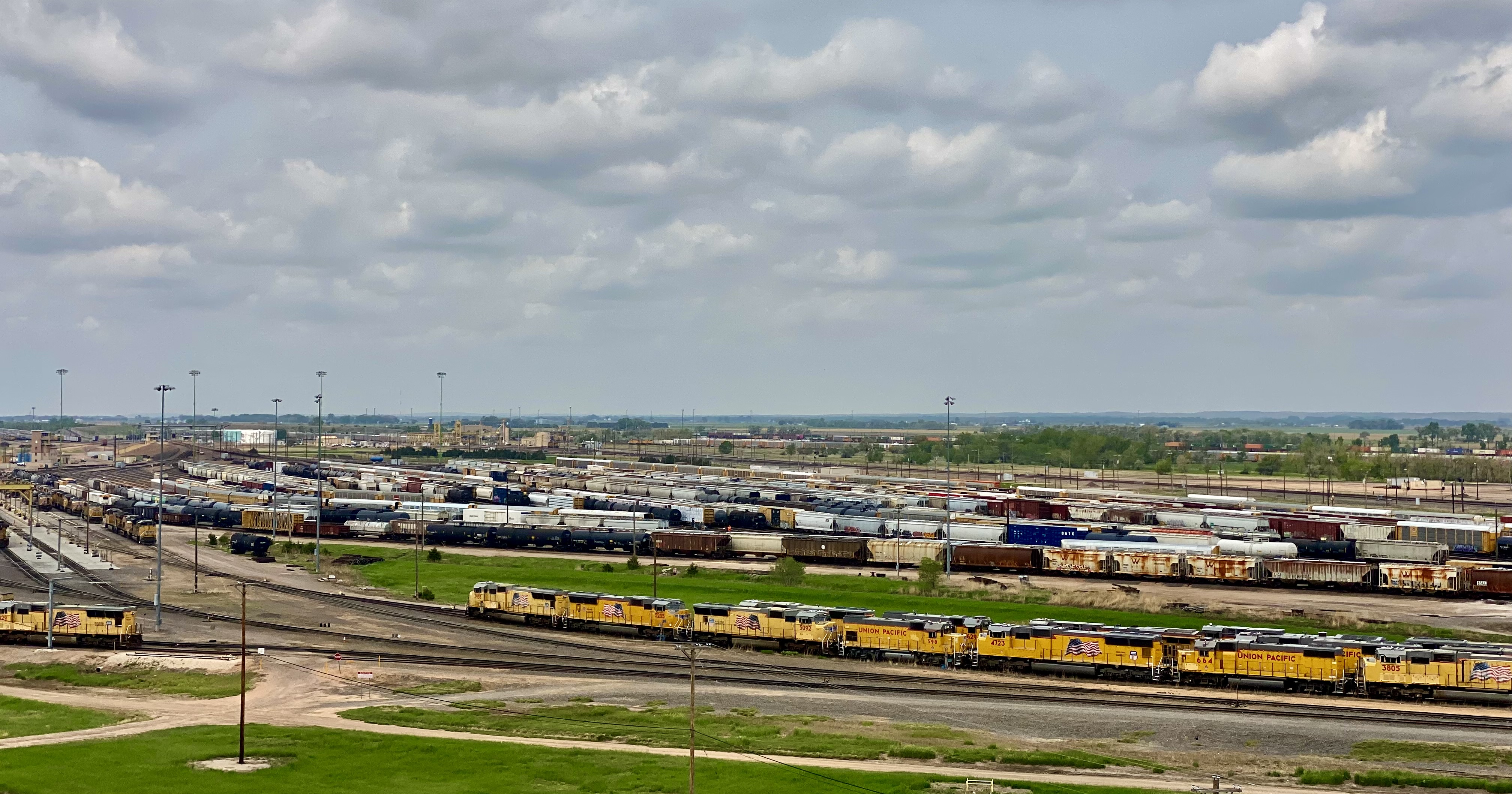
Bailey Yard, Union Pacific Railroad, North Platte, Nebraska
The Union Pacific Railroad operates the world’s largest rail yard in North Platte. This rail yard stretches for eight miles and handles 14,000 freight cars every day while sorting approximately 3,000 of those in the eastbound and westbound hump yards. The locomotive repair shop (photo below, bottom left) repairs 750 locomotives per month. One-Spot tracks are where rail cars are repaired at the yard. The facility repairs about 20 cars per day and replaces 10,000 pairs of rail wheels annually. This yard never closes!
The hump yards are raised earth humps (34ft) utilizing gravity to sort cars to the correct outbound train. The hump yards can sort four cars per minute. We watched freight cars rolling down the humps from our vantage point in the Golden Spike Tower 100 feet above the yard. It is actually a lot cooler than it sounds – you will need to trust us on this one!
The tower is owned and operated by a private nonprofit organization based in North Platte. The Union Pacific viewing platform was falling into disrepair and community leaders wanted to make sure that the many train enthusiasts who come to North Platte to see the Bailey Yard would keep on coming.
As the thrill of watching thousands of freight cars and locomotives being shuttled back and forth eventually began to diminish, we moved on to visit the Scout’s Rest Ranch. The ranch and the “Second Empire” style home were once the property of William “Buffalo Bill” Cody. The local folks nicknamed the house “The Mansion on the Prairie” as it was by far the largest house in the area when constructed in 1886.
Second Empire Home, William F. Cody, Scouts Rest Ranch, North Platte, Nebraska
Cody was born in Iowa in 1846 and moved to Kansas with his family in 1853. At that time Kansas was at the heart of deadly violence between pro and antislavery settlers. This period of violence is referred to as Bleeding Kansas, and is considered to be a precursor to the Civil War. Cody’s father, Isaac was stabbed while making an antislavery speech and died three years later from his injuries.
As a result, Cody began working at the age of nine to help support his family. His first job was working for a freighting company. By the time he was 14 he was riding for the Pony Express. Cody was an superb horseman and after his tours for the Pony Express he worked as cowboy on cattle drives. It was on one of the cattle drives that Cody became famous as an Indian fighter after he killed a Native American that was part of a band that attacked the drive. Cody also met Wild Bill Hickok at this time as Hickok was a cowhand on the same drive.
Cody served as a scout during the Civil War; from 1861 to 1863 he was assisting the Union Army in their attempts to destroy the Kiowa and Comanche tribes. In 1863 Cody joined the Seventh Kansas Cavalry which served in Tennessee and Missouri. After the war he continued to scout for the U.S. Army for several years before signing on with the Union Pacific Railroad to hunt bison to feed railroad crews. He is credited with personally killing over 4000 bison!
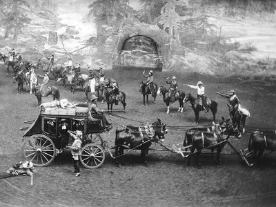
Cody continued to scout for the Army for many years throughou the summer. He capitalized on his fame as an Indian fighter to create a touring Wild West show during the remainder of the year starting in 1883. He especially used his famous scalping of Cheyenne warrior Yellow Hair by re-enacting the event during his shows. The scalping was reported to have been in retribution for the rout of Custer and his troops at Little Big Horn. The show toured the USA and Europe and featured other Western celebrities including Chief Sitting Bull and Annie Oakley. Queen Victoria is reported to have been a big fan as she attended three performances while the show was in London (each performance was approximately four hours in length).
Buffalo Bill’s Wild West Show
Cody continued to perform in his show until 1916 when he was 71 years old. He unfortunately needed to continue to perform as he had lost much of the fortune he had made from the show due to some horrible investments (including a non-performing gold mine). He died the following year in Denver.
After a day of trains and history we were ready for a sit down dinner before heading out to our campsite (no fires due to dry conditions). We had been pleasantly surprised to find an excellent specialty coffee shop in town and were just as pleasantly surprised to find The Cedar RoomRestaurant and Cocktail Lounge in downtown North Platte.
Cedar Room, North Platte, Nebraska
The restaurant was founded in 2020 by friends BJ Stenger and Hector Ortiz. Both Stenger and Ortiz have university degrees in Agribusiness. They met after Ortiz moved from the West Coast to North Platte. Stenger is from the area having grown up on the family cattle ranch located in Box Elder Canyon. They decided to partner and open a fine dining restaurant with an American Fusion menu, which would be the first of it’s kind in North Platte or anywhere within hundreds of miles. The restaurant was Travel Awaits Magazine Best Steakhouse of 2022.
Stenger Ranch, Box Elder Canyon, Nebraska(Photo courtesy of The Cedar Room)
We were able to camp just outside town along the North Platte River at Buffalo Bill State Historic Park. We took a walk along the trail on the historic river utilized by the pioneers over 150 years ago. Then we took refuge in the Beast due to forest fire smoke sweeping across the Nebraska plains that evening.
In the morning we resumed our journey east on the historic US Route 30 (with our new 300 amp fuse) to visit the Nebraska capital of Lincoln and the big city on the river – Omaha.
We had been in Texas and New Mexico several times prior to our most recent trip, but for some reason had steered around El Paso (EP). Perhaps the timing was just not right or we were concerned about conditions there based on the reporting regarding the immigration issues at the border. Regardless, we were ready to explore EP as part of our OTR 9.0 adventure and draw our own conclusions about the city.
El Paso, Texas and Juarez, Mexico viewed from Scenic Drive
We made the decision to stay in the city and booked a hotel in the University district for three nights. We are glad we chose this area as it enabled us to walk to a number of casual but excellent restaurants and coffee shops dotting the university neighborhood. This was especially nice as EP is a sprawling metropolis that requires some driving in order to explore the city.
Of course, the first entry point for any worthwhile city visit is COFFEE! We were traveling from the east after our recent visit to Guadalupe Mountains National Park, therefore we were able to vector directly to an excellent specialty coffee shop and roaster on the east side of the city. We were most fortunate that the founder and owner of Global Coffee, Erika, sat with us for quite awhile. She shared with us her family history and the ties with Mexico that exist in a border town that has been a major immigration point for centuries(El Paso del Norte). Erika is a delightful and talented young woman and we wish her all the success she deserves with her business and family. https://globalcoffeeco.com/
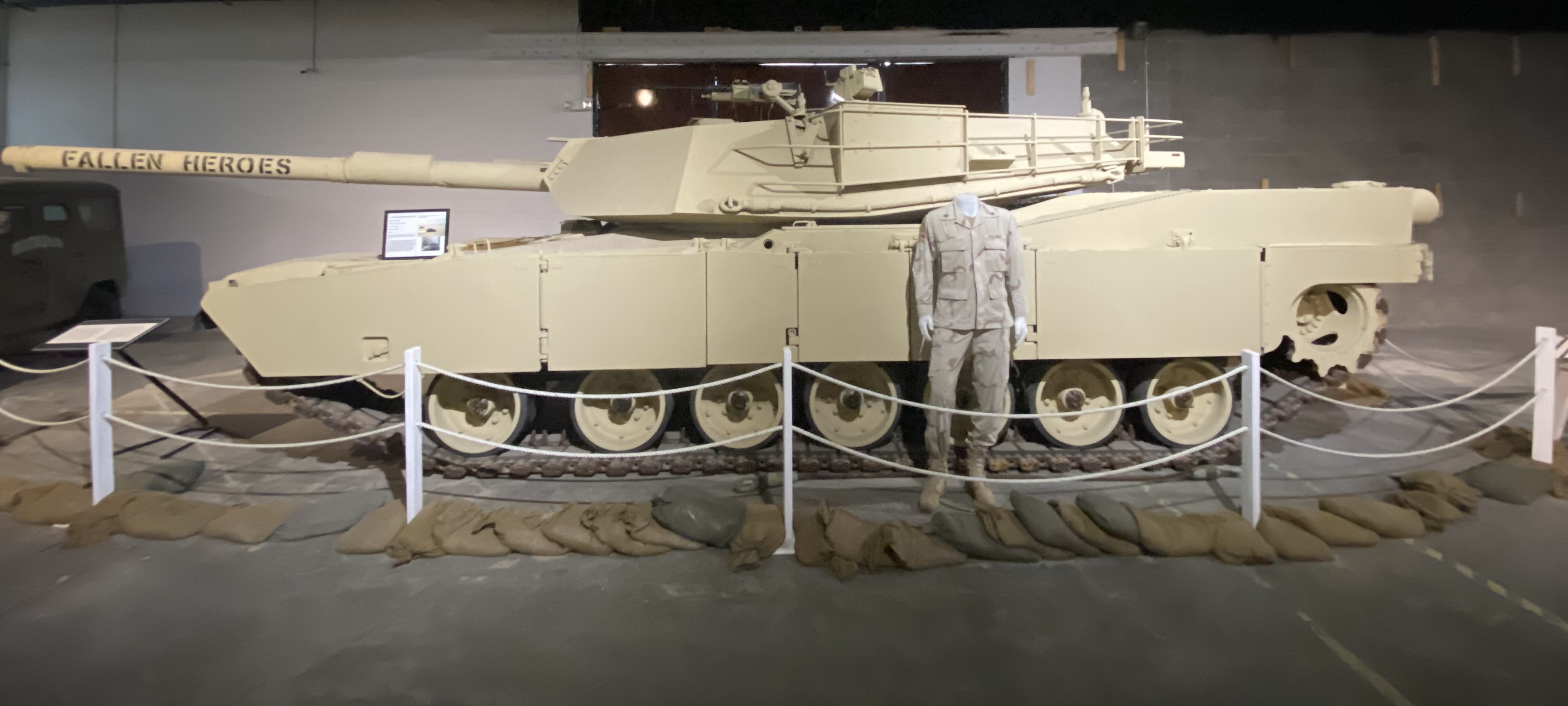
After refueling we went directly to the tank museum, officially known as the 1st Armored Division & Fort Bliss Museum. The United States Army has had a post in EP since 1849, which has served as an infantry post, a cavalry post, an air defense artillery post and currently operates as a maneuver training post. The size of the Fort Bliss training area (965,00 acres) and its mountainous desert terrain have made it a vital training location for the many forces that have been deployed to the Middle East over the last three decades.
The museum chronicles the history of the post and the units stationed there from the the initial mission of patrolling along the Rio Grande before the Civil War through the current mission of the units stationed within the base. From a Western United States history perspective this includes the Indian Wars and the Mexican Punitive Expedition.
The Indian Wars is an umbrella term for the United States Army prosecution and ultimate decimation of the Native American peoples across the Western United States. The Indian Wars were waged throughout the Civil War until 1890 when the last of the Native American bands were imprisoned or sent to reservations. Many of the actions by the federals were in direct violation of treaties negotiated between the federal government and the Native Americans (standard operating procedure).
Another interesting piece of history is the Mexican Punitive Expedition. Between December 1916 and February 1917 American forces under the command of General “Black Jack” Pershing crossed into Mexico in pursuit of Mexican Revolutionary leader Pancho Villa. Villa had attacked a town in New Mexico killing a number of U.S. citizens. The incursion into Mexico was ostensibly in retaliation for the raid. However, the main motivation was to support the Mexican leader, Venustiano Carranza, whom the U.S. was backing. The Mexican Revolution was destabilizing Mexico and jeopardizing U.S. corporate interests. Pancho Villa had to go! The U.S. Army, however, did not capture Pancho Villa and returned to the U.S. after several skirmishes with Mexican Federal soldiers who greatly resented the incursion into Mexico. An early example of the numerous unsuccessful and unwarranted interventions by the U.S. government in the internal affairs of another sovereign nation! P.S. Pancho Villa survived the Mexican Revolution and was granted amnesty only to be assassinated three years later.
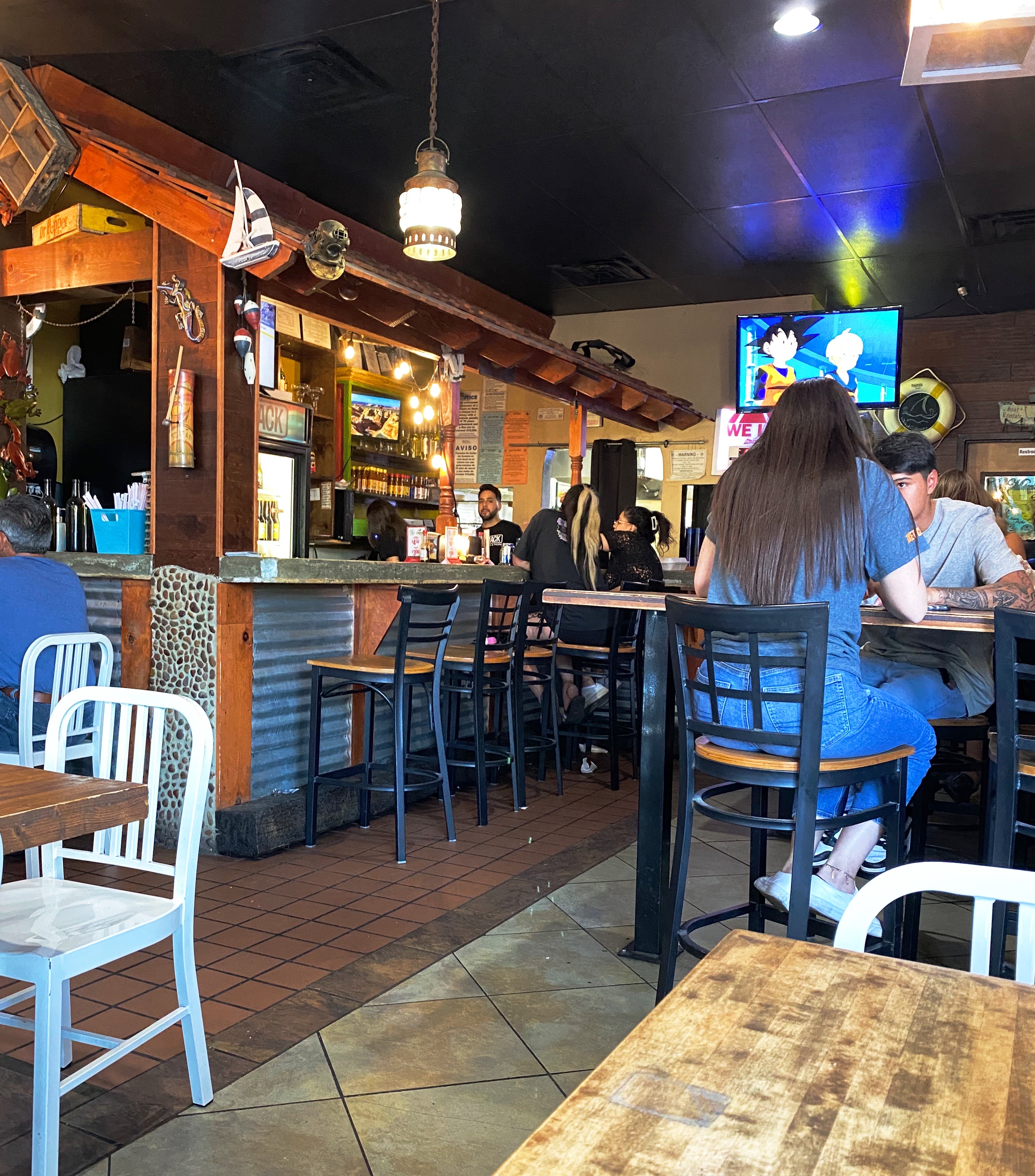
After checking in at our hotel we walked a couple of blocks to have supper at a popular local eatery – The Shack. The restaurant is owned by two brothers – Adrian and Michael Soto – they grew up in the restaurant business working and learning at their mother’s restaurant, Mima’s Cafe. The Shack has a wide array of dishes but we went for the Mexican inspired dishes and had a great dinner at this casual and friendly spot. https://theshackwings.com/
Since our hotel was a considerable distance across town from Global Coffee we opted to try our luck at Casa Cafetzin which was just a five minute drive from our hotel. Erika from Global Coffee had recommended Casa Cafetzin, so we were fairly certain that we would be starting our day on a great coffee and tea note. If we are being honest, we might admit that we would have passed by this cafe due to its location attached to a modest motel. Fortunately, due to the recommendation from Erika, we did not pass up a great coffee and tea experience. Cafetzin was excellent and the baristas were all terrific! Thank you Erika!
After departing Casa Cafetzin we headed downtown for a day of viewing fine art and street art. Our first stop was at the El Paso Museum of Art (EPMA). The EPMA came into existence in 1959 as the result of a large donation of European art by a private foundation. The donated collection became the impetus to build a first class art museum serving the El Paso – Juarez Borderplex. Today the museum houses over 7000 works. The museum has also operated an art school for the last twenty years. Fittingly, the EPMA operates as a bilingual institution, reflecting the heritage and diversity of the Borderplex (75,000 people cross back and forth between El Paso and Juarez on a daily basis).https://epma.art/visit
Artist: Fremont Ellis, El Paso Smelter at Night, 1919
We really enjoyed the portraiture works on display. The painting top left, below, The Telephone Operator (The Weaver of Public Thought), was our favorite. The artist Gerrit Beneker, is probably most well known for the posters he created during World War One in support of the war effort.
The museum’s collection also demonstrates an impressive commitment to diversity and regionalism based on the works on display when we visited. Fritz Scholder (top left, below) is one of our favorites and well known for his insightful depictions of Native American stereotypes. Scholder was a member of the Luiseno tribe.
We were also surprised and pleased to see a portrait, Mrs. Viola Andrews – My Mother (bottom left) by the figurative painter, Benny Andrews. We had the fortune of seeing a number of his works several years ago at the Ogden Museum of Fine Arts in New Orleans (see our post, Fine Art Tourist: Ogden Museum of Southern Art ).
We also enjoyed the works of American art featuring West Texas and the Southwest. The museum has works by El Paso native Tom Lea and many other noted western artists including the self-taught Fremont Ellis.
After departing the EPMA we stopped for some tacos and then went in search of street art downtown. We have included a few of the murals we found there. The art works below are all located on walls on Leon Street, all by different artists.
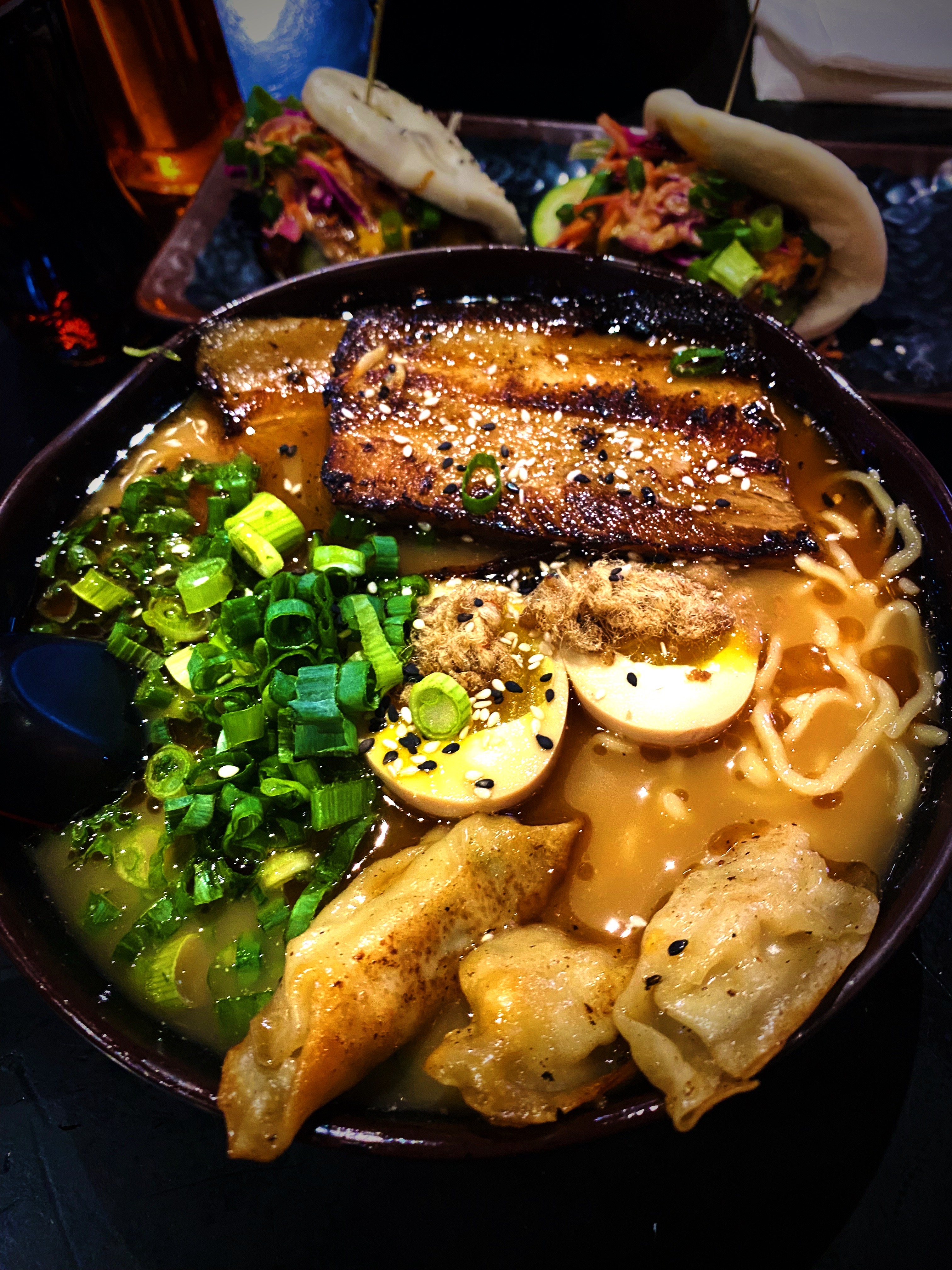
Dinner was another great find for us, a short walk from the hotel, in the University District. Kaedama serves outstanding ramen dishes! We did not think that we would be greedily shoveling awesome Japanese noodle soup dishes into our faces when we arrived in EP. The business started as a food truck owned by two friends – Garbiel Valencia and Andres Romero – and became popular very quickly. The friends decided to open a brick and mortar location and were able to open relatively quickly in part to an enthusiastic response to a crowdfunding campaign. The restaurant even gathered a visit from Food Network Chef and TV host Guy Fieri while he was visiting EP. A great way to finish day two! https://www.facebook.com/Kaedama915/
Artist: @DEKO_UNO, Kerby Avenue, El Paso, Texas
On our final day in EP, we journeyed across town to visit La Mision de San Antonio de la Ysleta de Sur. The Ysleta mission is the first permanent mission established in Texas. The mission was founded in 1680 by Indian and Spanish settlers who fled New Mexico as a result of the Pueblo Revolt of 1680. The revolt was the culmination of more than 100 years of incursions by Spanish soldiers and, of course, missionaries. The indigenous Pueblos killed 400 Spanish soldiers and drove about 2000 Spanish settlers out of the Albuquerque area.
The original mission was built by the Tigua Indians in 1862. The mission has been rebuilt several times due to flooding and fire. The last time was in 1908 after a fire destroyed the roof and bell tower. The Tigua Indians are still active in the mission, celebrating traditional holidays and the Tigua Feast of San Antonio, their patron saint.
As with many other missions along what is now the border, the mission was located in Mexico until the 1848 Treaty of Guadalupe Hidalgo transferred this territory to the United States. While the mission was technically in the United States, it continued to be administered by the Mexican church until 1872.
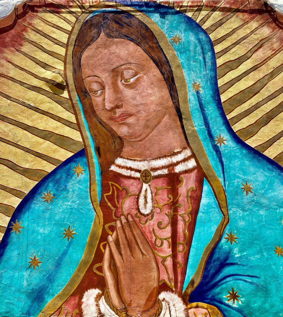
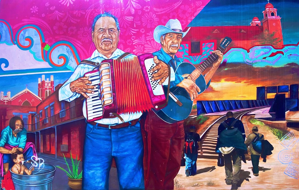
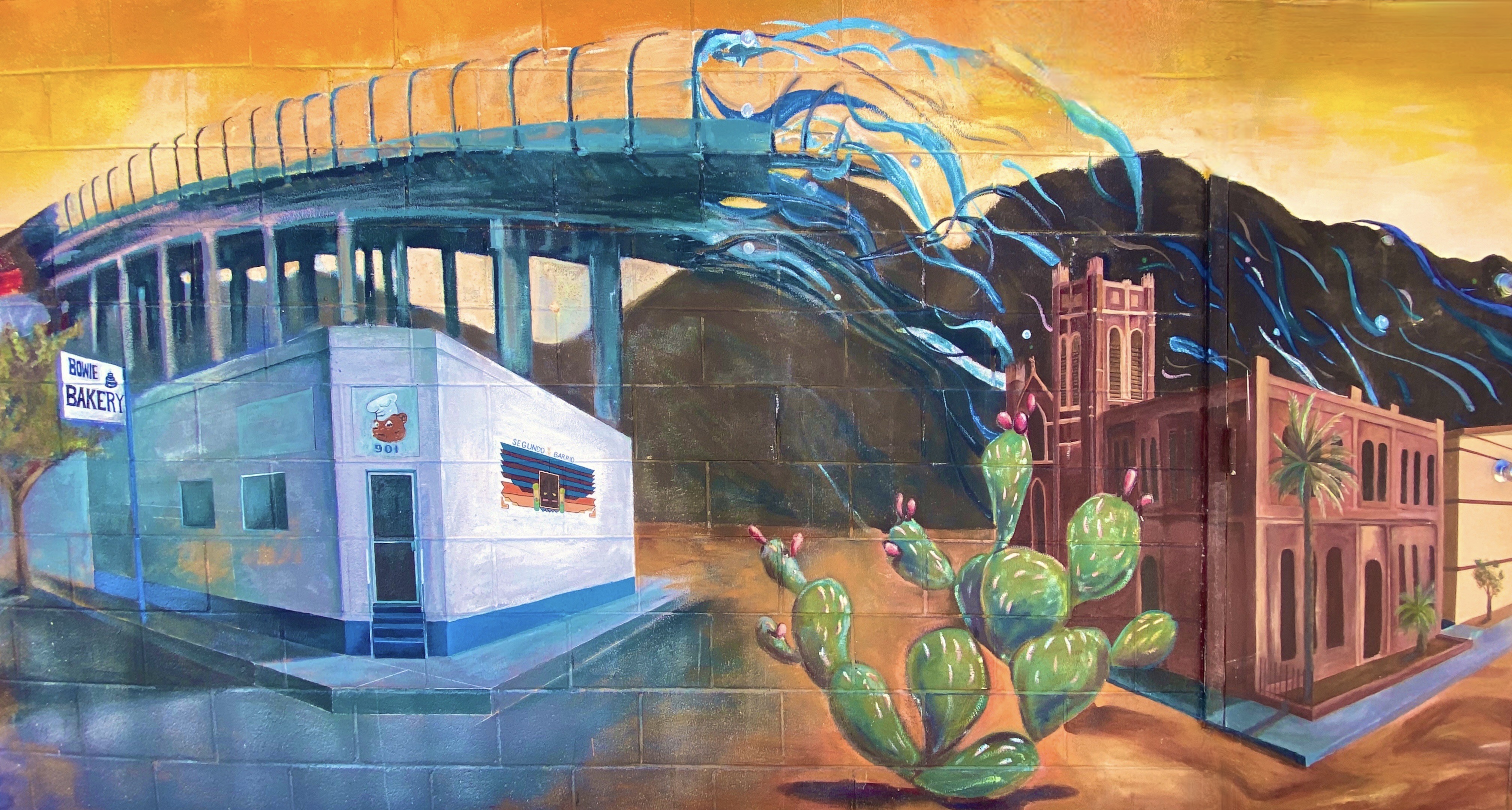
After visiting the mission we found our way to the El Segundo Barrio near downtown to view the many notable murals. As the name suggests the Segundo was the second neighborhood in EP. Since the 1830s this area has been a major entry point for Mexican immigrants coming into the United States. The majority of the immigrants in the barrio were and still are migrant farm workers.
Artists: Jesus Alvarado and Victor Casas, El Segundo Barrio, El Paso, Texas
The Segundo still reflects its Tejano culture and traditions very proudly (we hope the murals we have featured reflect that same sense of tradition, culture and aspiration). At one point, the city planned to demolish much of the barrio as a way to eliminate the significant substandard housing stock instead of addressing the root causes in a humane fashion. Fortunately, civic groups formed and defeated the city’s plan to demolish the historic area.
Unfortunately, the preservation of the barrio has not improved the economic conditions significantly. Many of the Mexican-American residents and immigrants still toil as farm workers. The barrio is poor by any measure, albeit rich in culture, tradition and pride in its heritage.
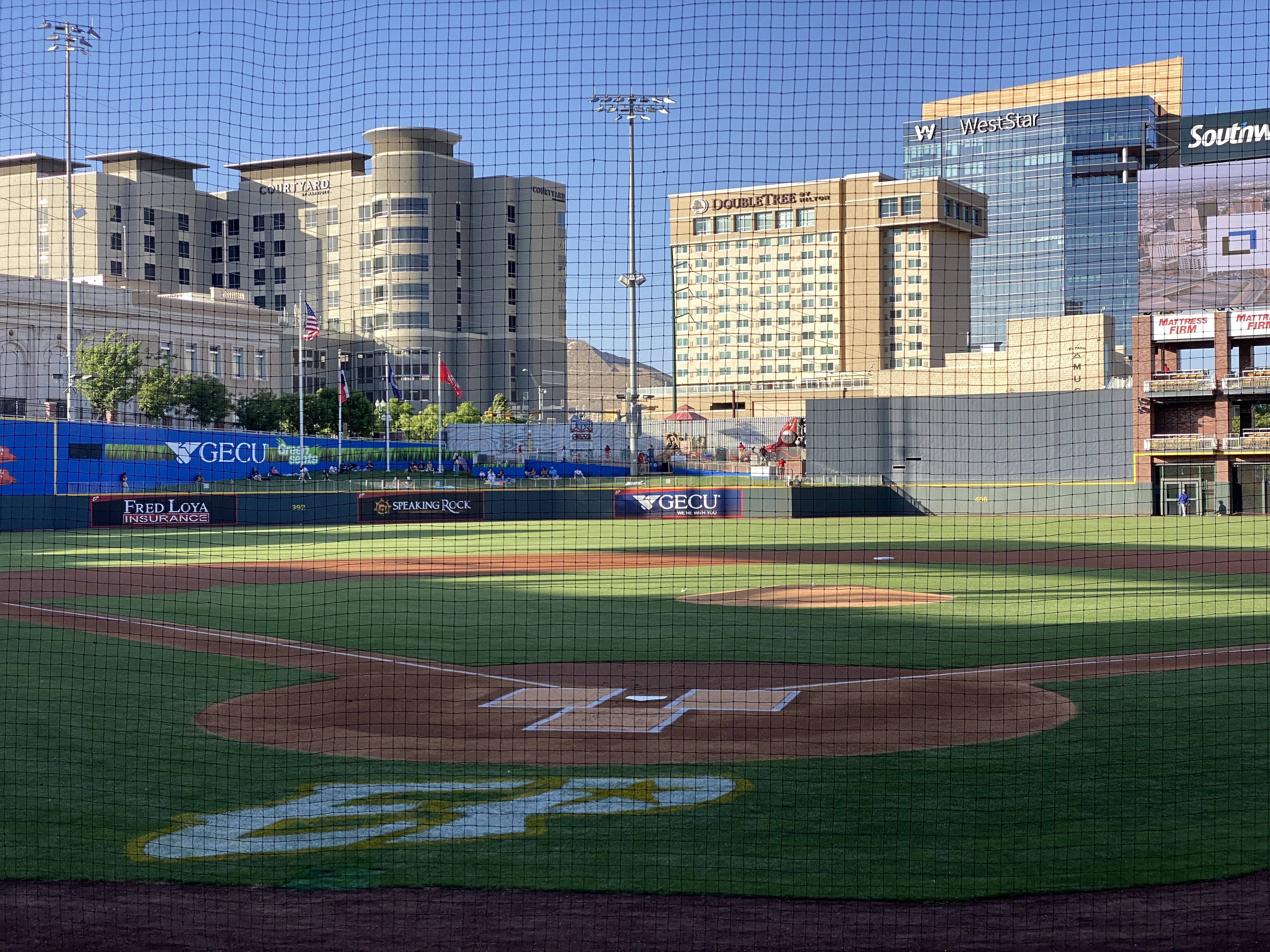
On our final night in EP we took in a ballgame. The El Paso Chihuahuas are the Triple-affiliate of the San Diego Padres and compete in the Pacific Coast League. This team has been located in a number cities (Spokane, Albuquerque, Portland, Tucson) prior to arriving in El Paso in 2014 to play in their brand new stadium. The stadium is very attractive and sits right in downtown.
The Chihuahuas are not having their best season, but to the delight of their very enthusiastic fans, the club rallied late in the game to defeat the division leading OKC Dodgers. Go Chihuahuas!
We departed EP and Texas the following morning to head across the Chihuahuan Desert of New Mexico. We enjoyed our time in Texas and EP and have no reservations about recommending visiting EP. This was our third time traveling across the state and we still have not explored several areas within the state. Everything is bigger in Texas!
We hope you enjoyed this post. Be seeing you! 2023 May OTR 9.0
P.S. You have probably read much about the immigration issues along the Texas/Mexico border. While were in the city we witnesses significant Border Patrol activity along the border fence on the United States side of the Rio Grande. We also observed the large military presence patrolling along the Rio Grande on the river side of the border fence utilizing Humvees and foot patrols.
And yet, we could clearly see immigrants massed on the Mexican side as well as detainees on the U.S. side. Currently around 900 immigrants per day are crossing from Mexico into the EP port of entry and allowed to legally enter the U.S. The city works with a number of non-governmental agencies to provide the immigrants with shelter, food and water. It is quite apparent that the city is doing everything it can do to ensure the immigrants are treated humanely. The majority of immigrants currently entering at EP are from Central and South American countries and Cuba. Venezuela accounts for approximately 70% of the immigrants.
We can only imagine how bad conditions must be in Venezuela and the other countries for individuals and families to risk everything to escape the poverty, crime and repressive governments in their respective countries.
After departing Seminole Canyon, we made our way west to Marathon (Mare-a-thun) to spend a couple of days in comfort, before heading to the Big Bend backcountry. While our attempt to drive the entire way from Seminole Canyon to Marathon via ranch roads was not successful, it did not dampen our appetites. First order of business, Texas style bbq at the Brick Vault Brewery & BBQ. Mighty fine beef brisket (almost as good as Keef’s!). After our hardy and delicious lunch, we strolled down the block to check in at the Gage Hotel.
After checking in, we enjoyed our first hot shower in several days, followed by a lie down. When we awoke we were very thirsty. Fortunately, the White Buffalo Bar is adjacent to the hotel and was ready to serve us cocktails and wine. With our thirst at least partially quenched, we made our way from the bar to the dining room of the 12 Gage Restaurant.
The restaurant markets their fare as “West Texas Cuisine with a gourmet twist”. We totally agree with the description. All of the restaurant’s vegetables and herbs are grown in their own garden. All of the wild game and fowl is sourced locally and the beef comes from the Iron Mountain Ranch about seven miles up the road. All of the food was delicious!
Marathon, like many of the other towns in the Trans-Pecos region of Texas, was founded when the railroad arrived. Railroad workers building east from El Paso reached what is now Marathon in 1882. In this case, it was the Galveston, Harrisburg and San Antonio Railway (later the Southern Pacific). Around the same time, a former sea captain by the name of Albion Shepard had purchased land north of Marathon to develop a ranch (Iron Mountain). Shepard is credited with naming the town Marathon, because it reminded him of the plains of Marathon, Greece, which he had seen during his seafaring days.
Iron Mountain Ranch(Photo Bill Murphree)
The “Long View” Across the Plains to the Glass Mountains
Alfred Gage was a native of the Green Mountain State (Vermont) who ventured to Texas in 1878 at the age of 18 to make his fortune. He did just that – building a 500,000 acre ranching empire. As Marathon became an established shipping center for the ranching industry, he recognized the need for hotel accommodations for business and other travelers. He commissioned the construction of the hotel which opened in 1927. Gage was based in San Antonio but spend considerable time in Marathon, utilizing the hotel as his residence, office and entertainment venue while in town.
St. Mary’s Mission (Founded 1908)
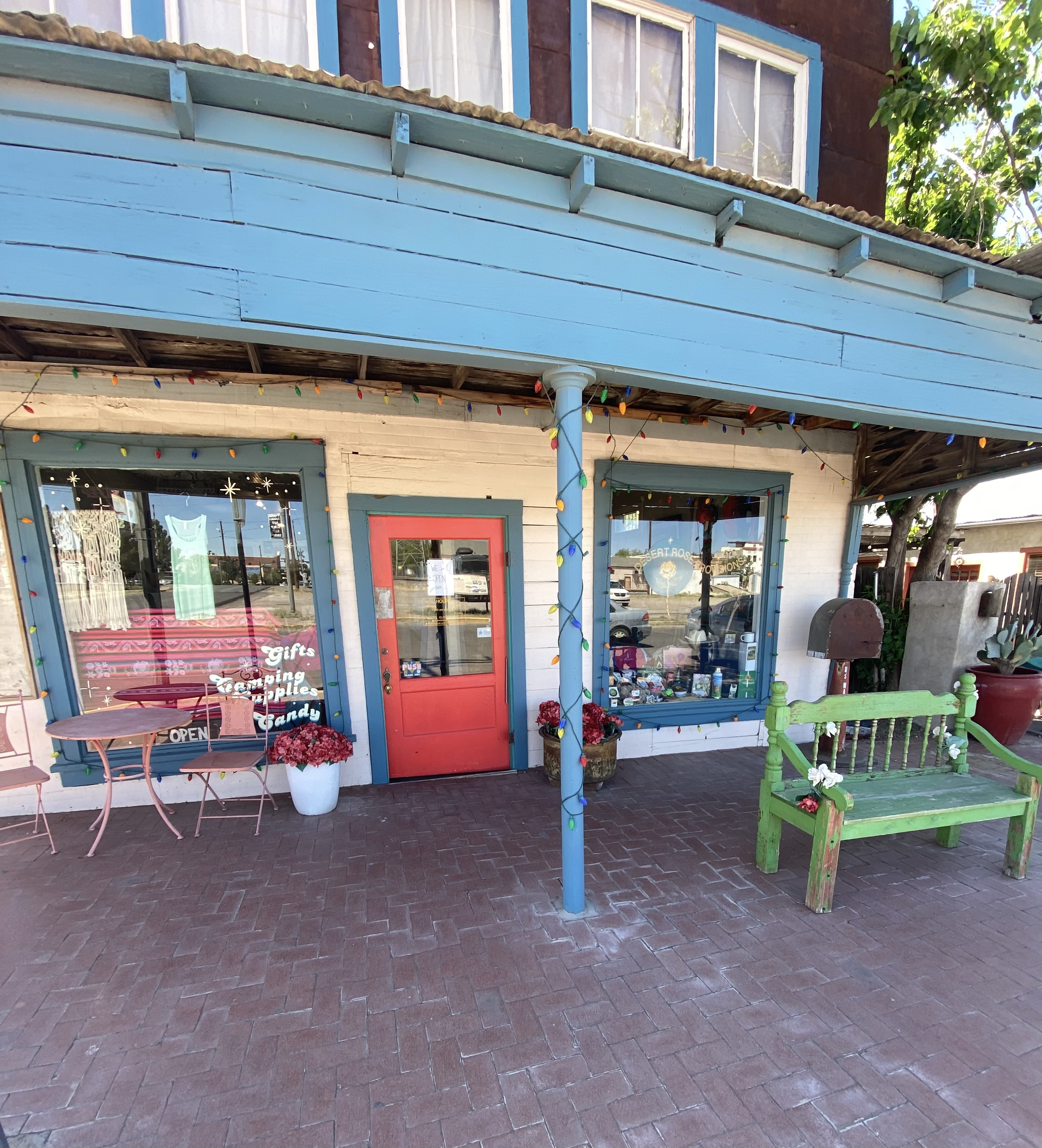
Over the last several years, Marathon has become a destination in its own right. Previously, it was mostly a jumping off place for people on their way to Big Bend NP (BIBE). The current owner of the Gage Hotel (JP Bryan) also owns and operates the White Buffalo Bar, 12 Gage Restaurant, Brick Vault Brewery and the V6 Coffee Bar. Additionally, he has purchased and renovated a number of properties in town for retail space and art galleries. We found that Marathon more than lived up to our expectations for a couple day stay to unwind and enjoy find food and lodging before our adventures in Big Bend NP. We definitely recommend a visit to Marathon on your way into or out of BIBE.
After our stay we drove the 60 or so miles south to BIBE (see our post Three Nights in the Backcountry). After our stay in BIBE we made the drive up the immensely scenic Texas State Highway 118 to spend a couple of days in Alpine. The 118 runs through Study Butte (Stew-dee) and Terlingua before heading north through the Chichuahuan Desert.
Texas State Highway 118
Our first stop in Alpine, unsurprisingly to any of our regular readers, was for coffee and tea. We had spent an afternoon in Alpine in March 2020 before the pandemic lockdown made its way to Far West Texas and knew from that visit that Cedar Coffee and Supply would meet our needs.
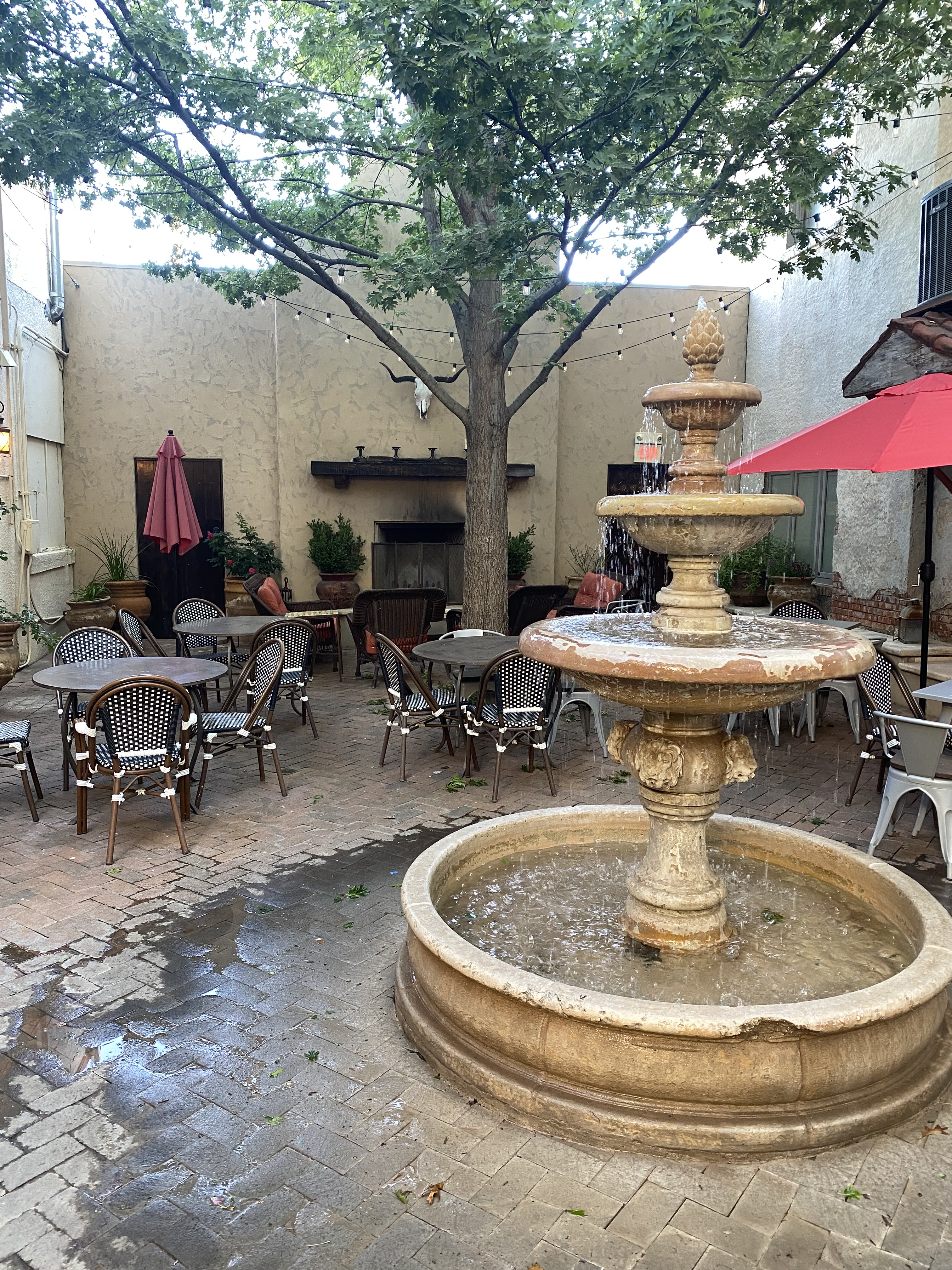
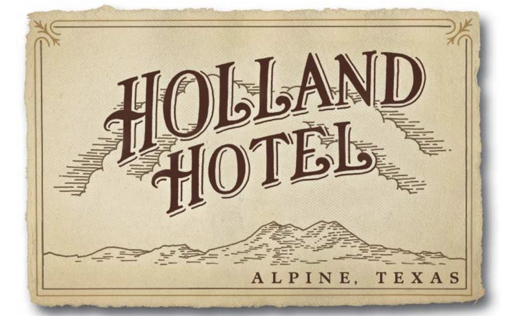
Staying in Alpine provided us with the opportunity to stay at the Holland Hotel, our fourth Henry Trost designed hotel. Henry and his brother Gustavus were early 20th century architects based in El Paso. They were renowned for their Spanish Colonial Revival Style hotel designs – tile floors and roofs, courtyards, exposed beams and wrought iron are used throughout. The lobbies and courtyards are the centerpiece attractions for us – comfortable, wonderful spots to read, drink coffee or wine and perhaps do a bit of people watching.
Alpine’s origins are similar to Marathon’s and many other towns in the Trans-Pecos–cattle and the railroad. Alpine grew from a tent encampment of railroad workers in cattlemen along a spring fed creek in 1882, to a small town. The spring was the key element for the railroad as the locomotives were steam powered at that time. In 1921, the state opened Sul Ross State Normal College in Alpine. The opening of the college brought a significant increase in population and, as an added bonus, the first paved roads in town. At the turn of the century the population was estimated at 300 people. After the college opened the population ballooned to around 3000.
Today, the freight trains continue to chug through town, although they have no need to stop for water as the steam locomotives have long since been replaced. The town is serviced by AMTRAK as Alpine serves as a jumping off point for BIBE for those people that would prefer to travel by rail to this remote national park. The Sunset Limited stops in Alpine six times per week – three times from the west and three times from the east. The eastbound Sunset Limited originates in Los Angeles from the west and New Orleans from the east. The town continues to be anchored by what is now the Sul Ross State University.
On our first evening in Alpine we dined at the The CenturyBar and Grill located in the Holland Hotel. The Century provided us with another fine dining experience featuring delicious regional cuisine. We also had the opportunity to chat with our servers, both students at the university who were actually a couple. They were quite friendly and most knowledgable about the geology and history of the area. We meet the nicest people on the road!
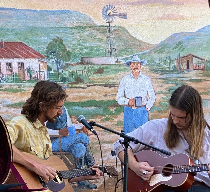
On our second evening in Alpine we decided to take advantage of the live music scene in town. The Petit Bijou bills itself as the “teeniest tiniest wine bar in Texas”, contrary to the usual boast that everything is bigger in Texas. You can see the Airstream bar in one of the photos below – the claim that it is the teeniest tiniest wine bar in Texas just might be valid. We were in for a treat – a jazz show that was canceled earlier in the week due to a wind storm was set to open the evening, followed by a country duo from Austin.
We enjoyed a couple sets of great jazz and country music while getting acquainted with a number of the very friendly folks sitting at our neighboring tables. The food and wine was delicious and we were fortunate to meet and spend some time chatting with Ginger Hillary, the petit Bijou proprietor. As Hans Christian wrote “to travel is to live”.
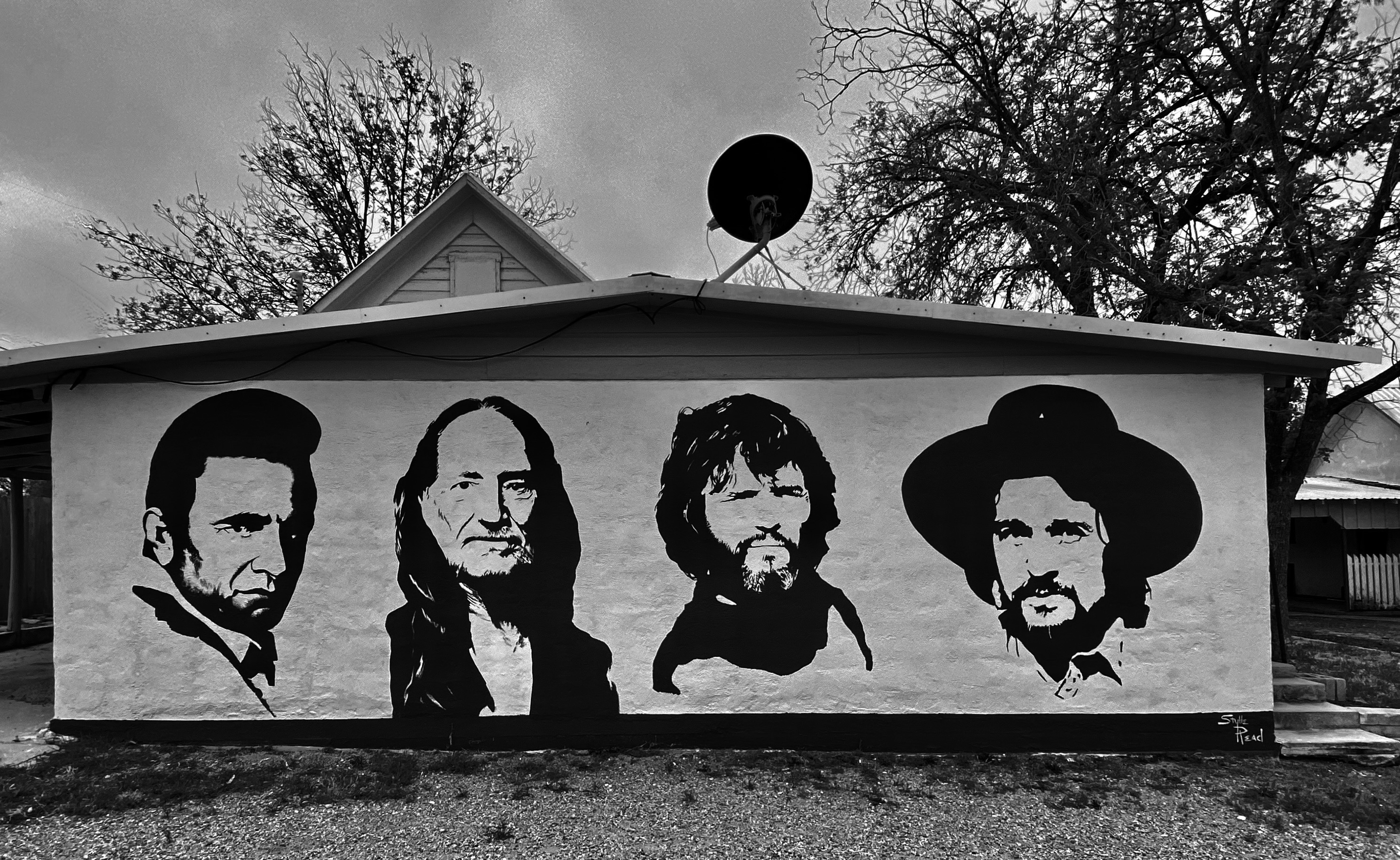
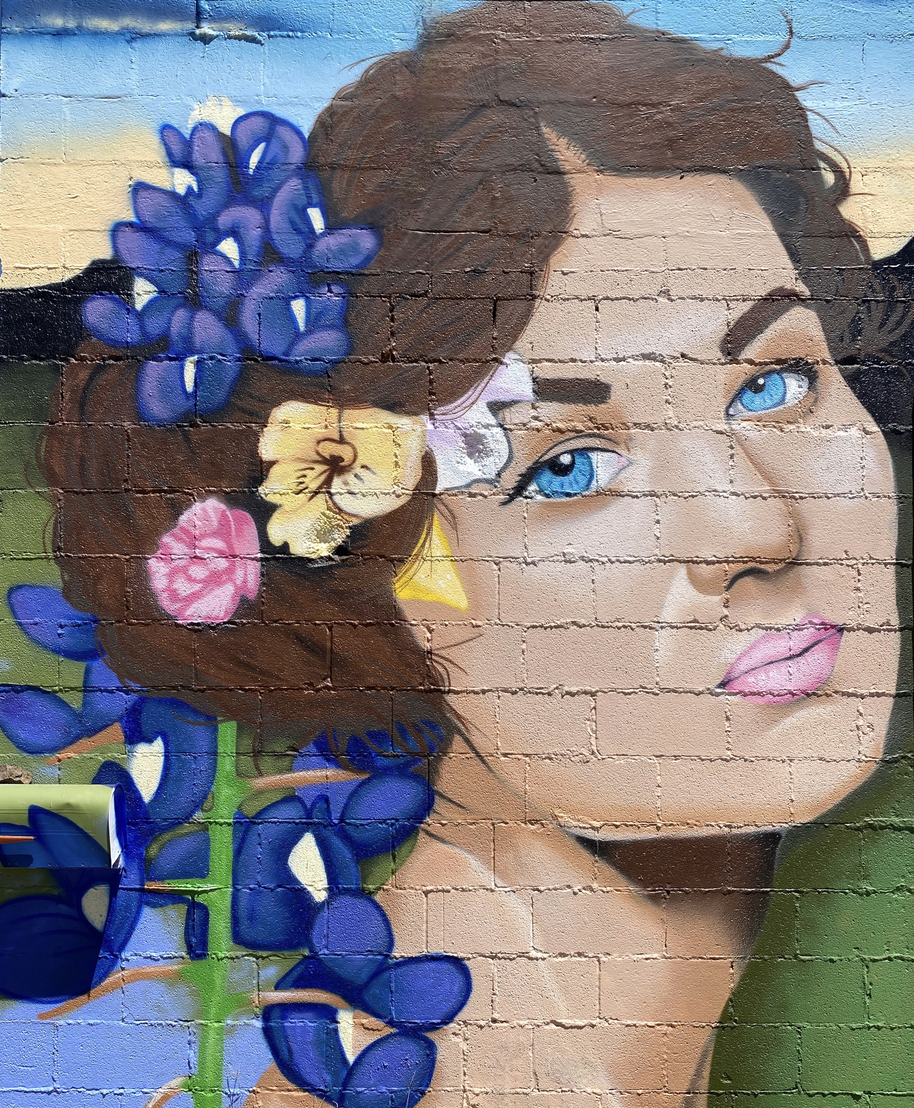
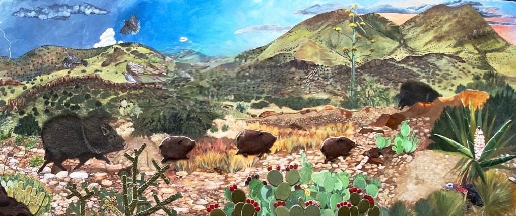
One of the reasons we visited in March 2020 was the town’s reputation as home to excellent street art. We found several murals that we had not seen previously which we have included in the photos below.
We hope you enjoyed this post. As always, we look forward to your comments and suggestions. Our next post will feature El Paso, our last stop in Texas.
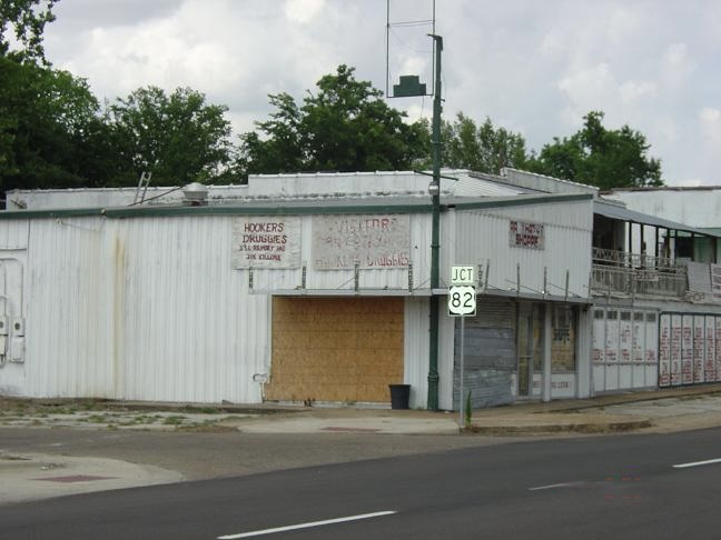
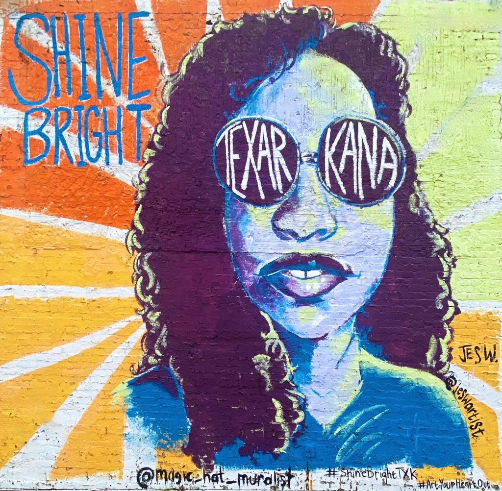
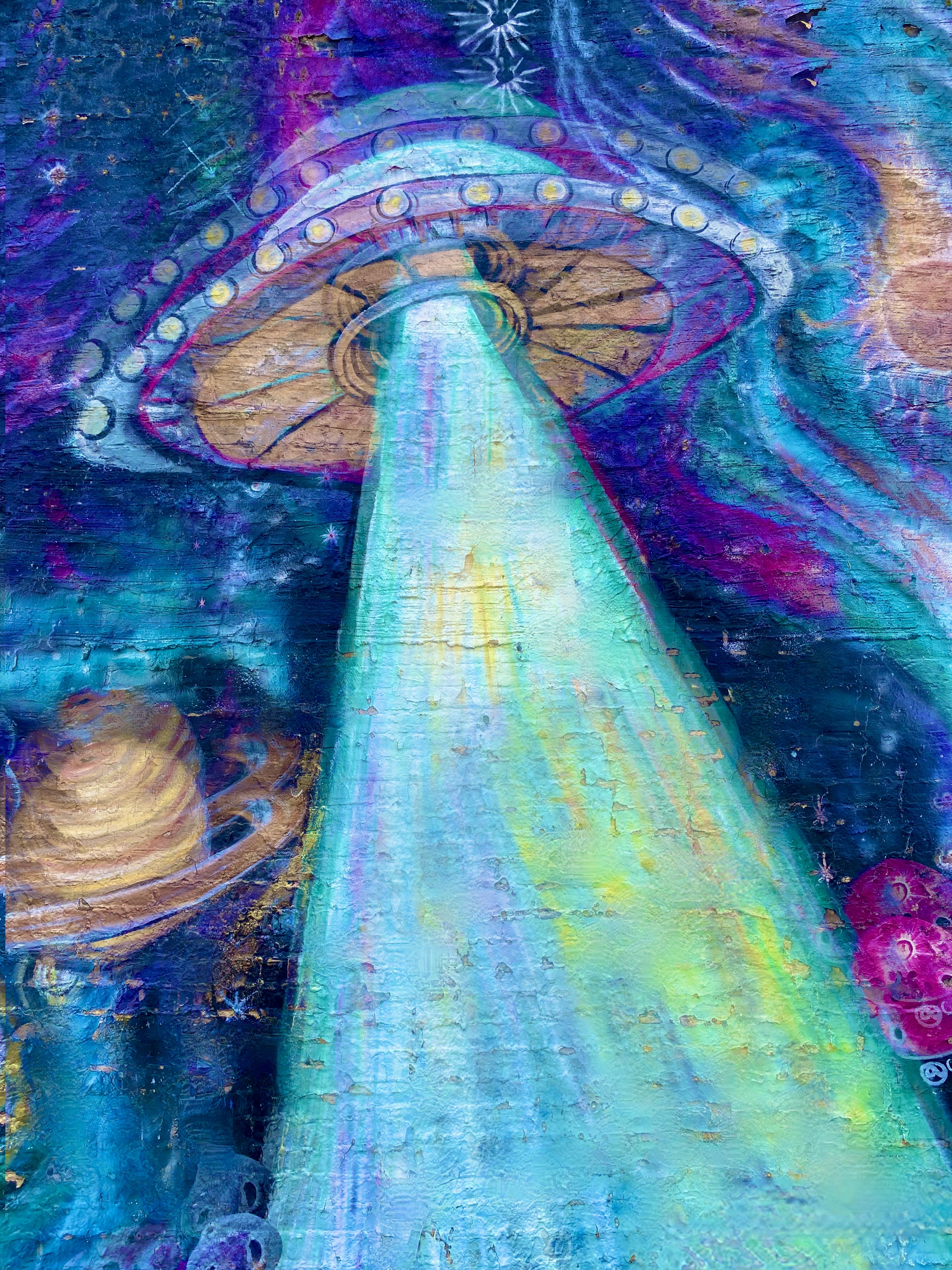
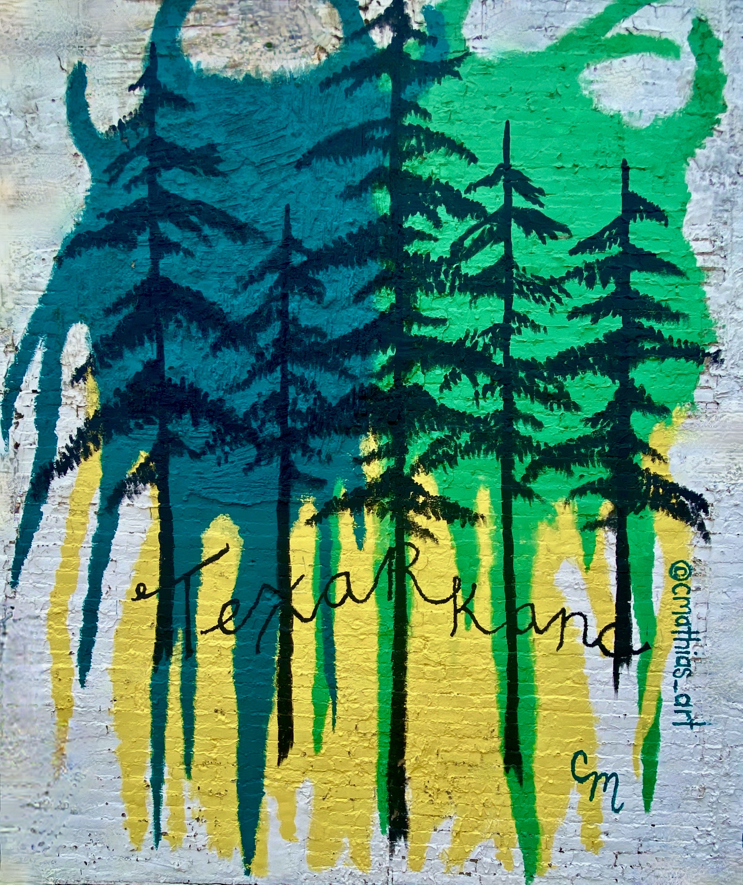
Our first stop in Texas was the town of Texarkana (TXK), a twin city with Texarkana, Arkansas. TXK sits on the western side of the Texas/Arkansas border. Our purpose in stopping off in TXK was to purchase a new tire for Maria’s bike as she had suffered a tire destroying flat on our previous ride in Little Rock.
We had not planned on stopping in TXK and therefore knew little about the town other than its twin city status. When we entered the downtown area to access the bike shop we were caught off guard at how run down the town appeared. The streets were largely deserted and many of the buildings were dilapidated and vacant.
A quick online inquiry revealed that TXK has one of the highest crime rates in the U.S. and a poverty rate of 25%. As another indication of the problems the town is experiencing we found that while the bike shop was open for business, the entrance door is locked at all times and customers are only admitted after stating your business. When we brought Maria’s bike in for repair we could not help but notice that all of the shop’s inventory of bikes were chained together!
This is one of the few towns where we really felt uncomfortable and decided not to poke around other than taking some photos of street art we had passed on the way into town.
In lieu of burgers, we found a bbq joint about thirty miles south of TXK in Atlanta, Texas. The Texas BBQ was very rustic, but we would have to say the bbq was pretty dang tasty!
Atlanta, Texas was named after the city in Georgia as a number of the settlers arriving in 1871 were from the city of Atlanta, Georgia. The arrival of the Texas and Pacific Railroad in the same year was a boon to the area’s main economic activity – timber (the piney woods of East Texas) as it allowed the efficient transport of lumber. The town also benefited from the discovery of oil in 1935, which greatly helped the town survive the Great Depression.
About two hours south of Atlanta sits the town of Nacogdoches. The town is considered to be the oldest town in Texas – having by founded by the Spanish in 1779. What is now the town was a Caddo Indian Settlement from approximately 800 A.D. until the early 1700s when the Spanish arrived and began building missions, displacing the Caddo.
While Nacogdoches is considered the oldest town in Texas, the bigger claim to fame is The Battle of Nacogdoches which started in 1835 and was a precursor to the Texas Revolution. At this point in history, Texas was part of Mexico, although there were many settlers from the United States residing there in addition to the Tejanos. One of the major issues the U.S. settlers had with Mexico was over slavery. Mexico abolished slavery in 1829 and the U.S. settlers were dependent on slavery for their economic prosperity. Eventually, Texas seceded from Mexico (Remember the Alamo!) and was an independent republic for just under ten years. Texas was admitted as a state in 1845.
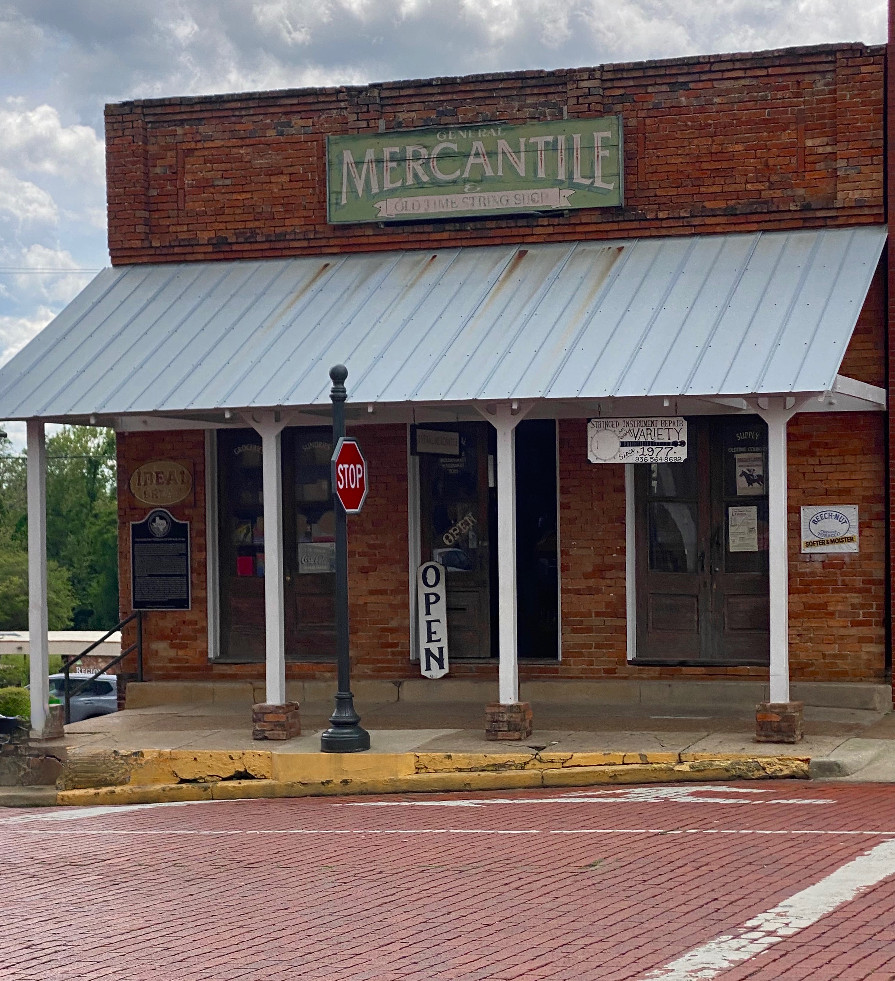
Today, Nacogdoches is an attractive town with a well preserved downtown brimming with mercantile establishments and red brick streets. The economy that once depended heavily on cotton, timber and tobacco now is centered around the Stephen F. Austin State University which brings 12,000 students to the town.
Always looking for bike trails and with several days until our camping reservation at Mustang Island SP, we detoured slightly inland to the town of Spring, which is located just north of metro Houston. The area is densely populated and covered with the usual urban/suburban sprawl that we tend to avoid. However, the trail looked interesting, and it is billed as the longest urban forested greenway in the United States. We are really glad we opted to check it out. It was a lush oasis in the middle of a crowded metro area.
After spending two days cycling on the greenway we departed Spring for Mustang Island SP (MISP) which is located a short distance from Corpus Christi. This was our first stay at the Texas shore. The camping spots were just off the beach behind the dunes and as an added bonus the beaches in this area allow vehicles to drive on the beach!
We stayed three days at MISP. We divided our time between bicycling along the shore road, walking and driving on the beach and, of course, drinking coffee and tea at Island Joe’s Coffee and Gallery (made from containers – see photos below). All in all, a good first experience at the Texas shore – our only complaint being the windy nights which curtailed sitting by the campfire.
Our next destination on the Texas State Park portion of OTR 9.0 was Garner State Park (GSP). GSP is located in the Hill Country west of San Antonio. Therefore, we felt compelled to pop into San Antonio to check out Estate Coffee Company. Estate is a small batch roaster with a minimalist espresso bar and cafe in downtown. Estate was excellent and the stop gave us a nicely timed break on the four hour drive to GSP.
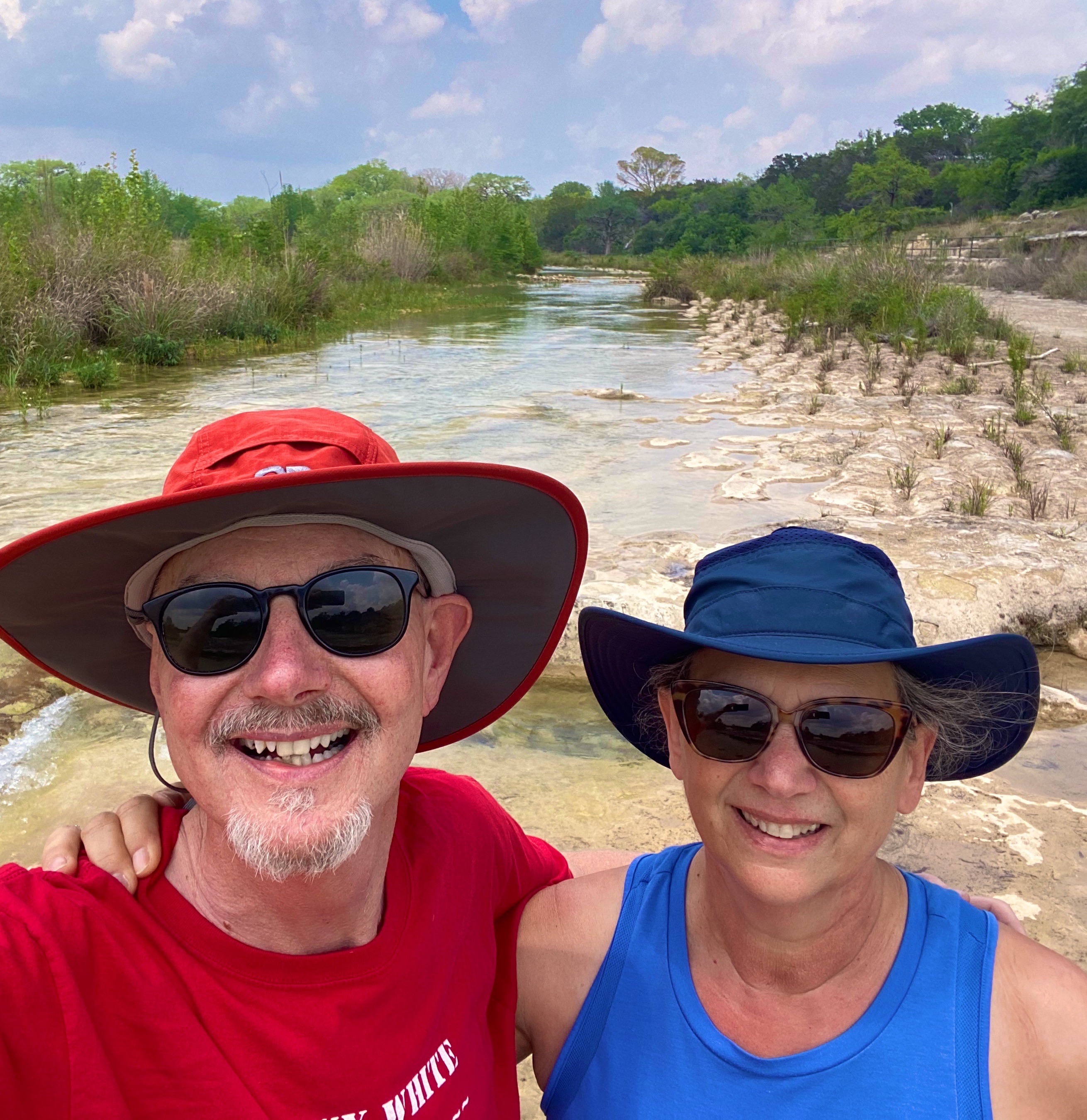
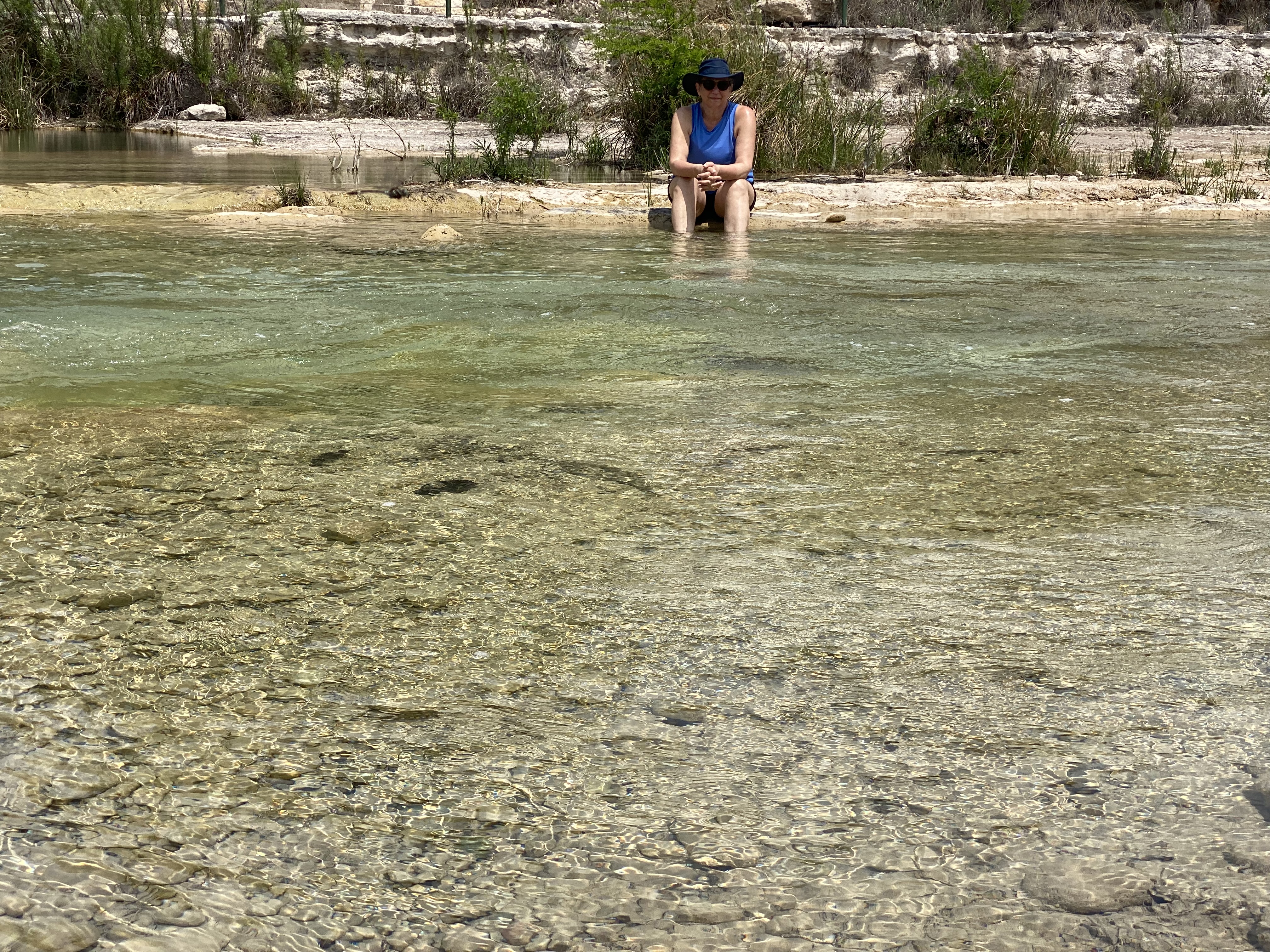
The Frio River (Rio Frio) runs through GSP and provides about three miles of river access within the park. This was most fortunate for us as the weather in Hill Country was a matching set of 85s – temperature and humidity! We had luckily secured a campsite directly above the river and we were able to access the river via a five minute walk. We spent much of our two days at GSP sitting or wading in the river. P.S. While there was a feral hog alert in effect we fortunately did not encounter any of the beasts during our stay!
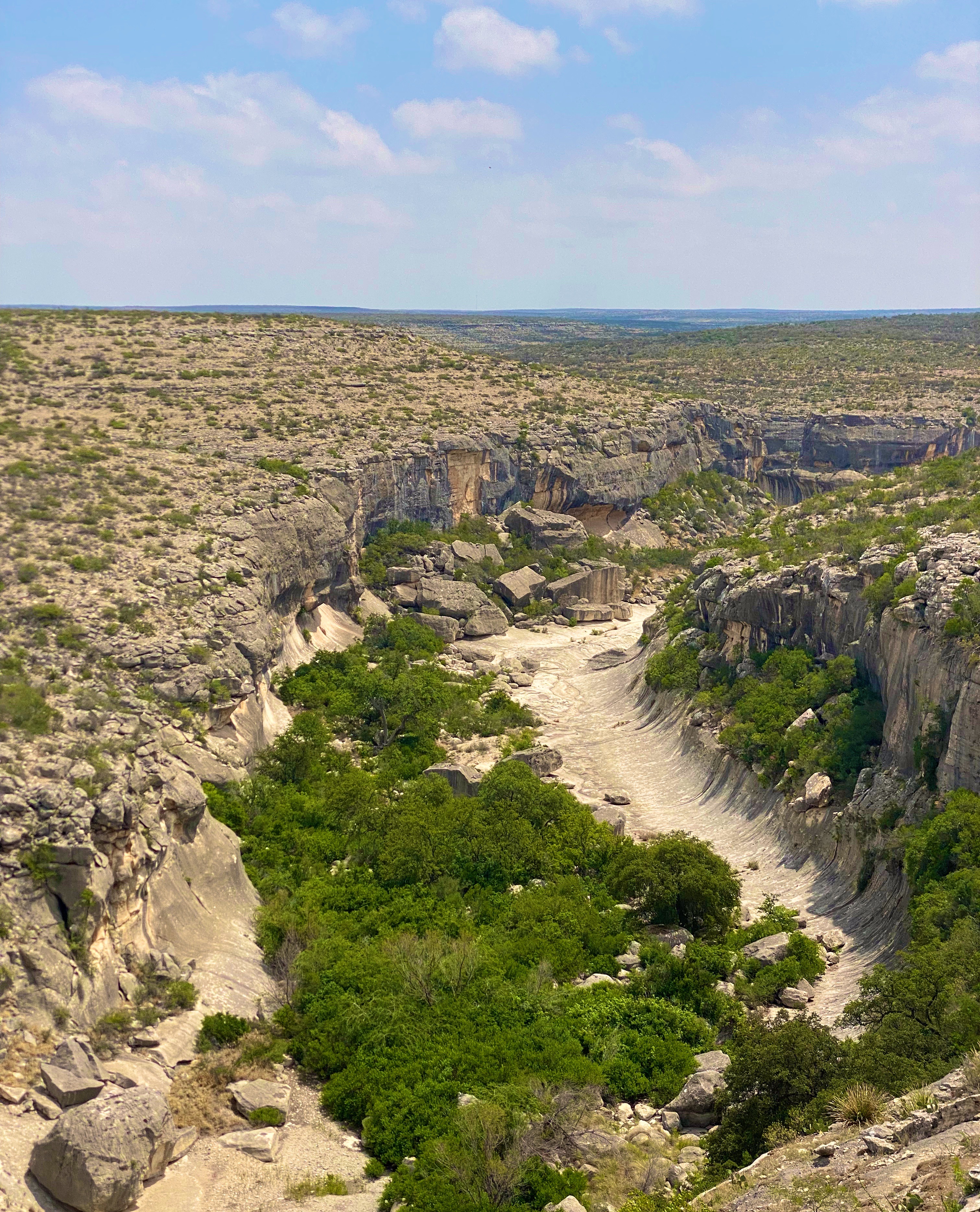
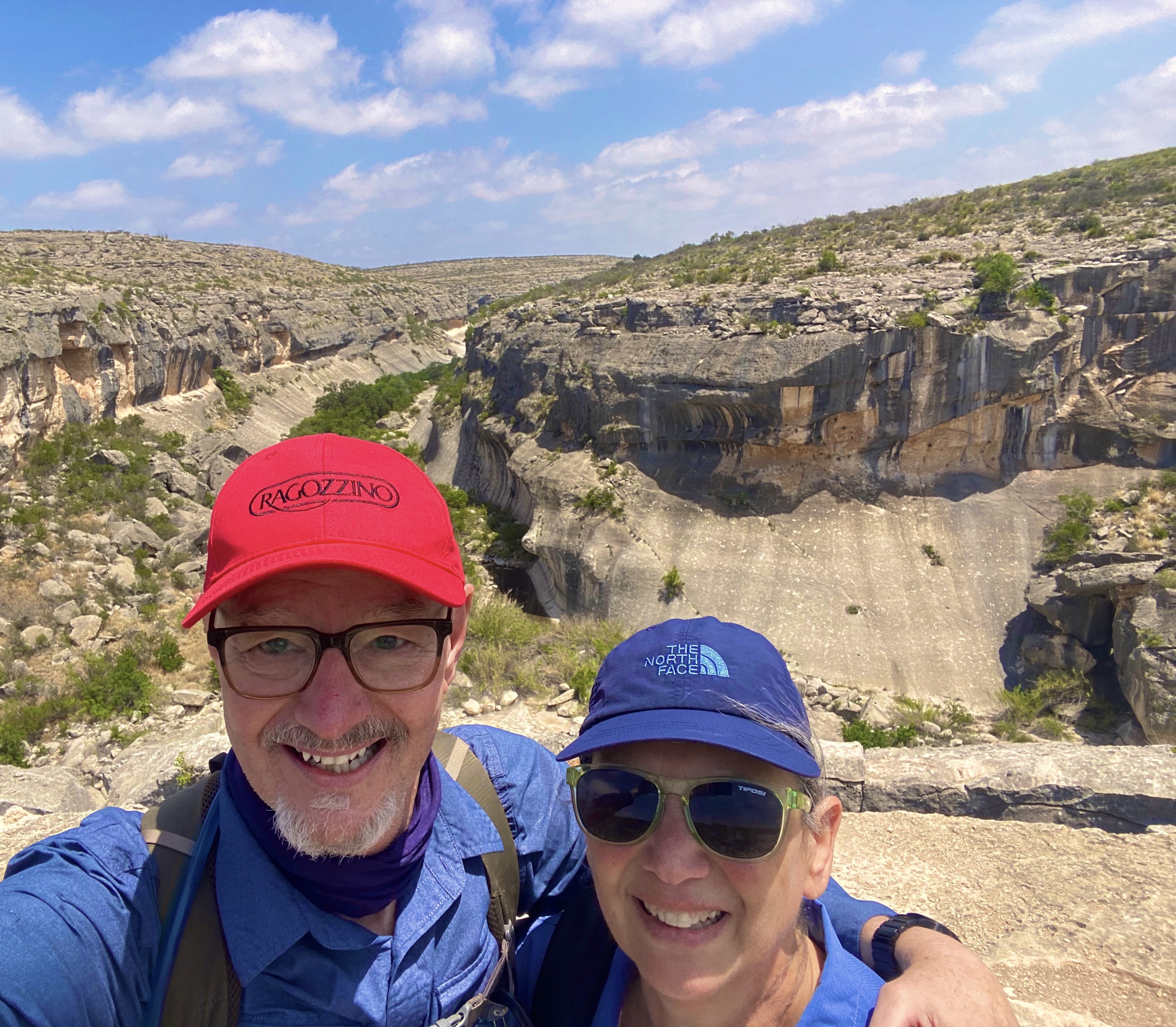
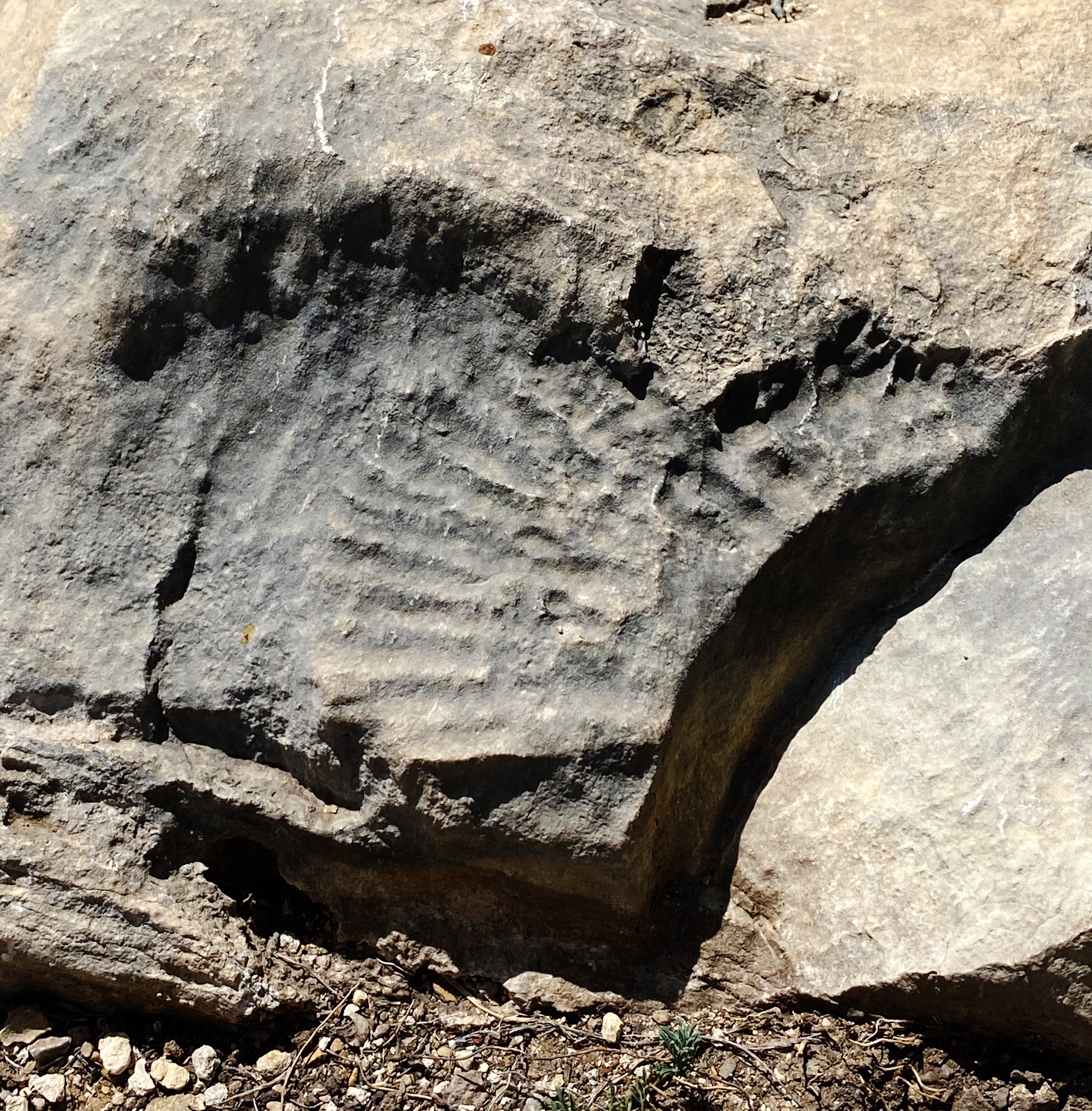
Seminole Canyon SP & Historic Site (SCSP) was the next stop on our journey west across South Texas. SCSP opened to the public as a state park in 1980. The land that now encompasses the park was privately owned until the late 1970s. The state purchased the land to protect and preserve more than 200 pictographs located in the canyon and caves, which date back 7000 years.
Seminole Canyon, Nine Miles West of Comstock, Texas
We hiked the Canyon Rim Trail which provided spectacular views of the Seminole and Presa Canyons. The rim trail leads to the park’s southern boundary at the Rio Grande River with Mexico directly beyond.
We also broke out the bicycles for some dirt riding on the Rio Grande Trail. While one of us had a minor crash (see video below) our early evening ride was lots of fun and provided beautiful views of the Rio Grande and Mexico!
Our final stop before heading to Big Bend NP (see our post Three Nights in the Backcountry) was the town of Marathon (pronounced Marathen). We made a brief stop in Marathon in March 2020 en route back to Connecticut during our pandemic-shortened trip. As with the majority of towns we traveled through on our way home, Marathon was locked down tight. With a population of just 365 it was deserted for all intents and purposes. We made a note to return on a future trip to stay at the charming Gage Hotel and check out the town.
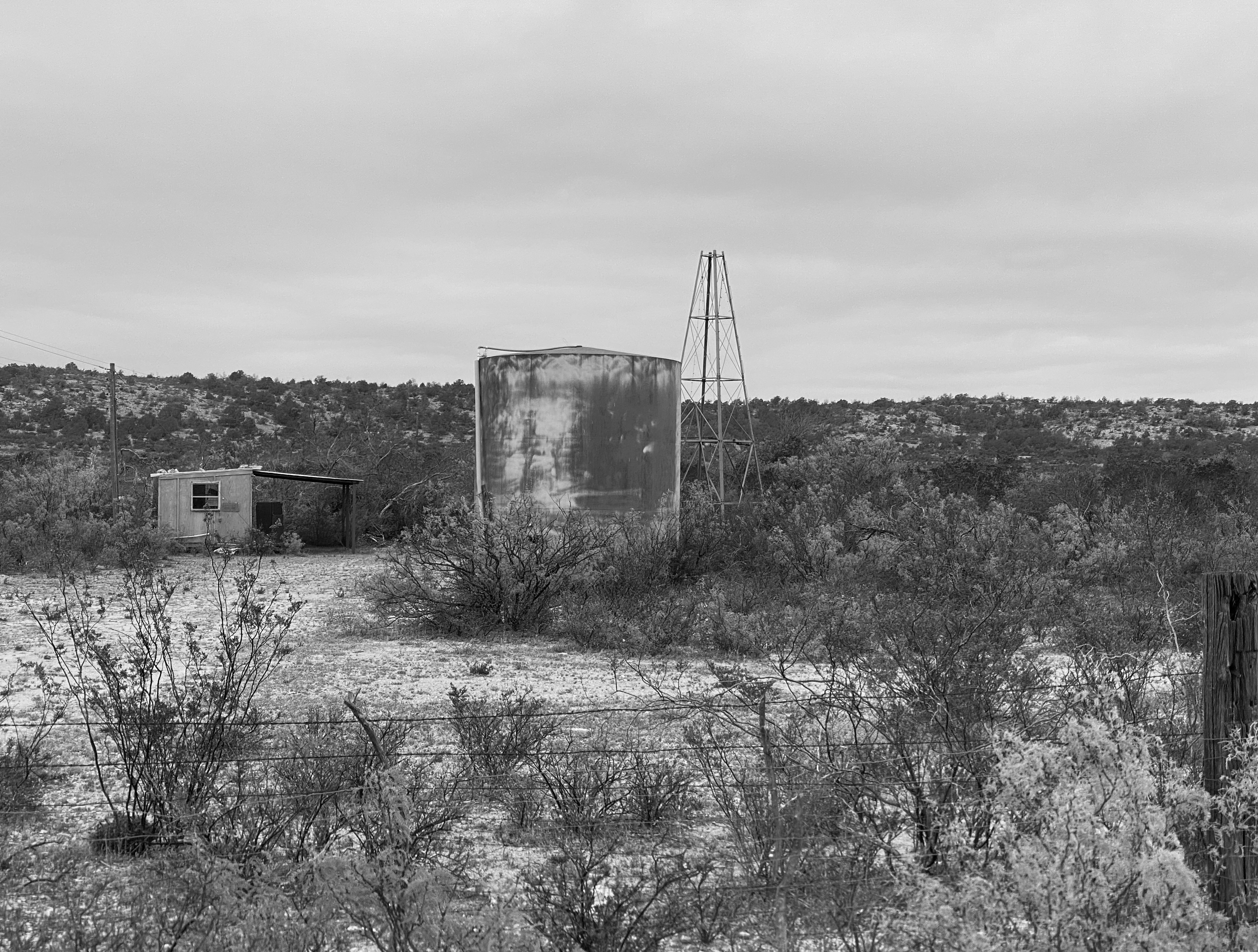
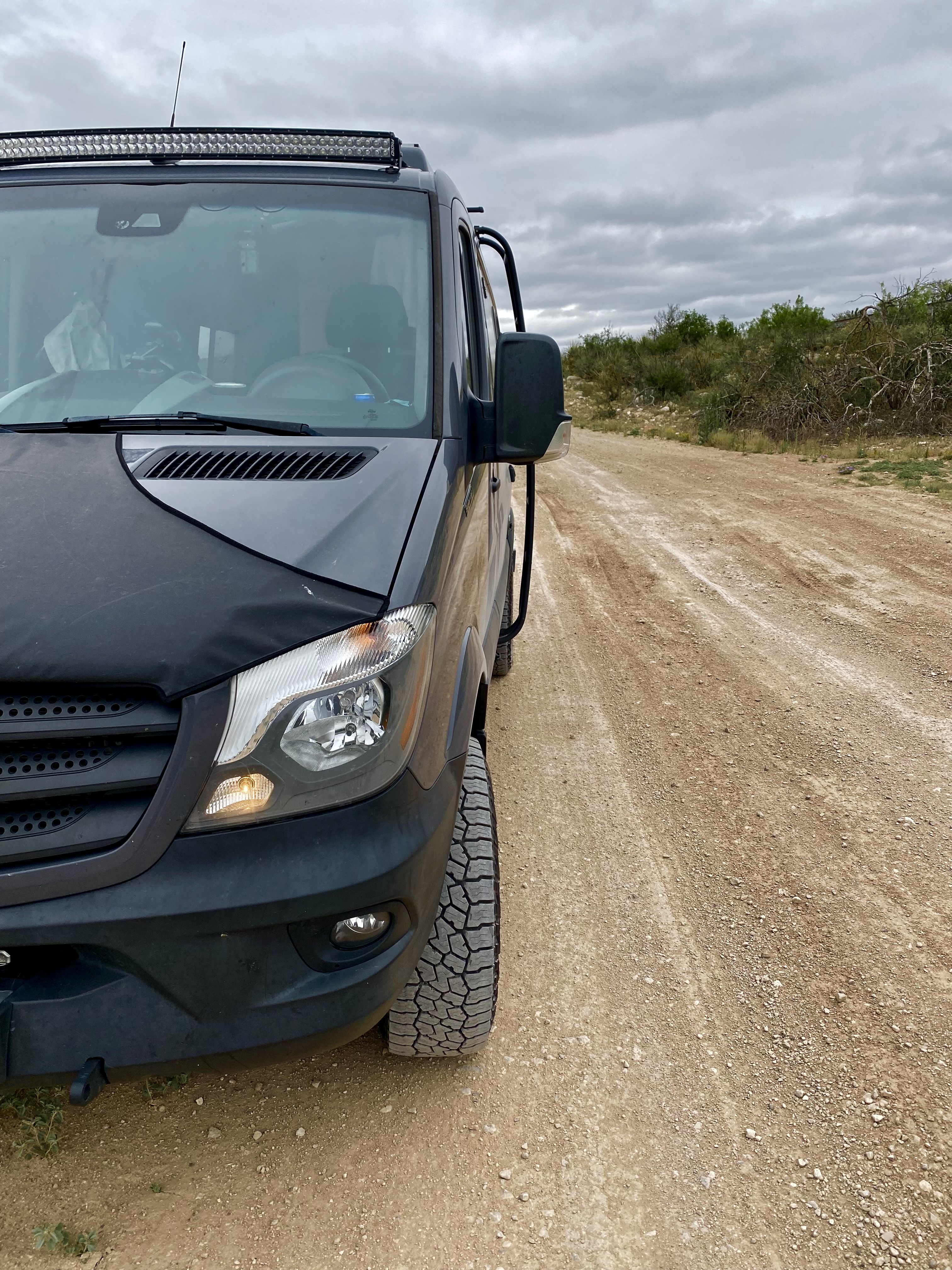
Marathon is a straight shot west from SCSP on State Route 90. We had traveled SR90 on our 2020 trip and recalled that significant sections were not attractive, There was a fair amount of truck traffic hauling oil from the fields along 90 and a lot of Border Patrol activity. We decided to attempt to wend our way through the maze of ranch roads using our DeLorme Atlas. We also figured that we could use the east-west Union Pacific Rail Line as a rough guide. We made good progress but eventually ran into a locked gate and after considering our options decided to backtrack until we could intersect with the 90 and finish the trip on the highway. A fun adventure nonetheless!
Ranch Road Adventure
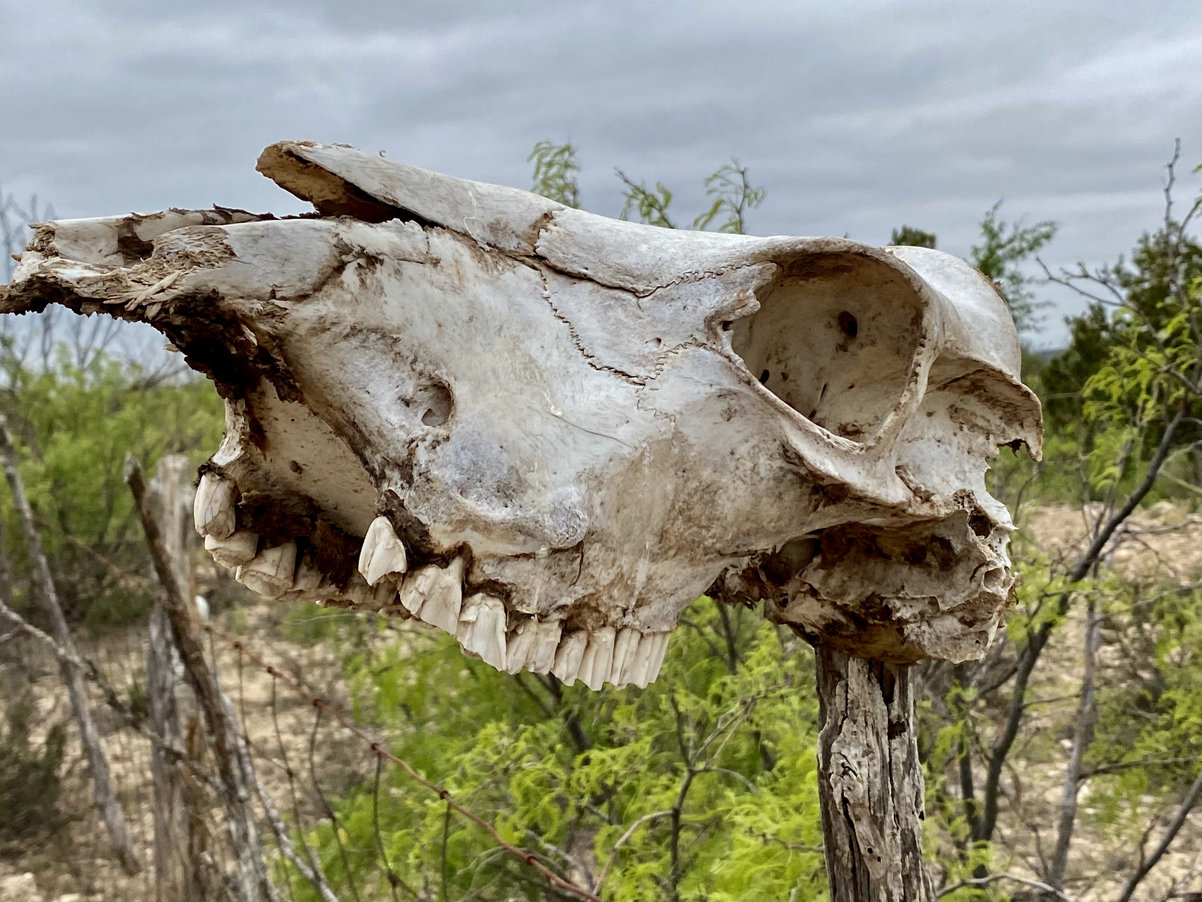
One of the items you will become accustomed to seeing (not necessarily appreciating) driving through (and camping) farm and cattle country is the carcass pit. The carcass pit is just what it sounds like – when farm and ranch animals die (for whatever reason) they are hauled to holes that have been dug at various locations on the property and thrown into the pit to decompose.
You might go right by a pit while rumbling down a dirt road if you didn’t know that ranchers often use a skull as sign post (see photo below). In theory carcass pits need to follow state approved methods to avoid contaminating water as well as discouraging scavengers from dragging contaminated carcasses from the pit. While there are groups trying to end the practice I do not foresee that happening anytime soon – livestock mortality is a fact of life on ranches and farms.
In a future post we will share our experiences and thoughts on two cool towns in Far West Texas – Marathon and Alpine. We hope you found this post interesting and informative.