Cassidy Arch and Frying Pan Trail

Strenuous hiking today with several miles of moderate to steep climbing but well worth the effort with tremendous views. We first climbed to Cassidy Arch and then continued the hike to the highpoint of apx. 6400 ft on the Frying Pan Trail.


IMG_1464

IMG_1447
Fern’s Nipple
IMG_1460
Cassidy Arch

IMG_2915IMG_1451


Cassidy Hiking Map


Notom Rd – Burr Trail Loop

Sunday’s weather provided a beautiful backdrop for our drive and hike within the Waterpocket Fold District within CRNP. Our drive began with a thirty mile trek down the sandy and occassionally muddy Notom Road which provided spectacular views of the Reef and the Henry Mountains. We turned east at the junction with the Burr Trail to drive the incredible switchbacks to the top of the Reef. We then left the Burr Trail to journey up the 4WD track to the Strike Valley Overlook trailhead. After hiking up to see the impressive view of the full length of the valley we hiked back down and then hiked the Upper Muley Twist Canyon stopping  at the Saddle Arch before returning to the jeep and back down the wash to the Burr Trail. The Burr Trail becomes paved after several miles and winds its way through numerous canyons ending at Rte 12 in Boulder. Boulder is an impossibly small town 40 miles from any other town but fortunately is the improbable home to a highly rated Zagat restaurant – Hell’s Backbone Grill. We had a great dinner and bottle of wine before heading north over the 9600 ft elevation of Deer Mountain within Dixie National Forest. A great way to celebrate Stephen’s birthday with a beautiful day and a wonderful dinner.

DSC_0006
Henry Mountains viewed from Notom-Bullfrog Rd
DSC_0027
Oyster Shell Reef
DSC_0057
Burr Switchbacks

Stike Valley-Waterpocket Fold

Strike Valley and Burr Trail

Below

Upper Muley Twist and Saddle Arch

DSC_0132
Elk on Burr Trail

Upper Muley Twist Hiking Map

Price to Torrey

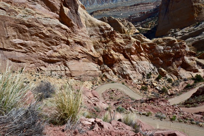
Today we traveled from Price to Torrey where we will be staying while exploring Capitol Reef National Park. Along the way we traveled through the northern section of the San Rafael Swell to visit the Cleveland-Lloyd Dinosaur Quarry which has one of the largest and densest concentrations  of dinosaur fossils ever found.

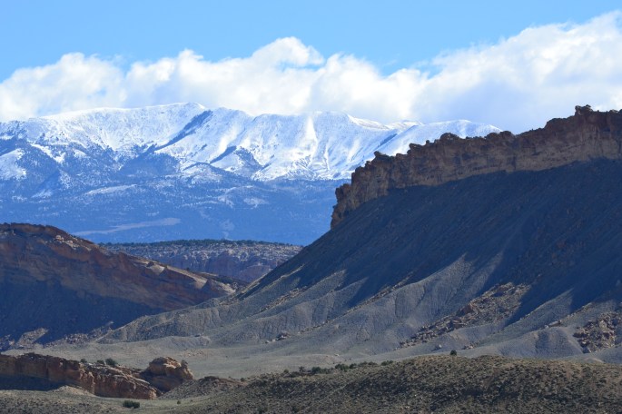
From there we traveled further south with the intent of driving through the Buckhorn Wash to visit the Wedge (aka the Little Grand Canyon) but rain overnight made the sand and dirt roads impassable. Instead we ventured south on Route 72 which took us through Fishlake National Forest and over the summit at Hogan’s Pass where we encountered gale force winds and snow.

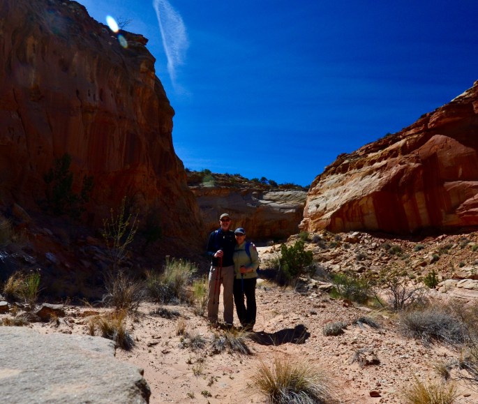
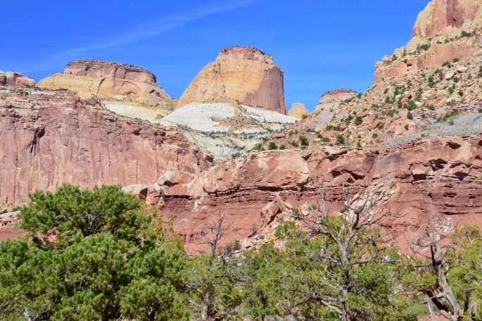
Tomorrow we begin our hiking at Capitol Reef National Park.


Cleveland-Lloyd Dinosaur Quarry

DSC_0038Paradise Valley, Fishlake National Forest

DSC_0051Foy Bench 8975 Elevation

DSC_0057Cathedral Valley

DSC_0065Torrey, Utah

Howe Lake

A shorter hike on the morning of day two to beat rain showers forecasted for the afternoon. The trailhead is accessed via the one lane dirt Inside Fork Road – an adventure in it’s own right!

The trail runs through an area of forest burned in the North Fork during the 2001 Moose fire and really illustrates the power of nature. Howe Lake is actually two small lakes at the terminus of the Howe Lake Trail. Also, Grizzly Bear territory!