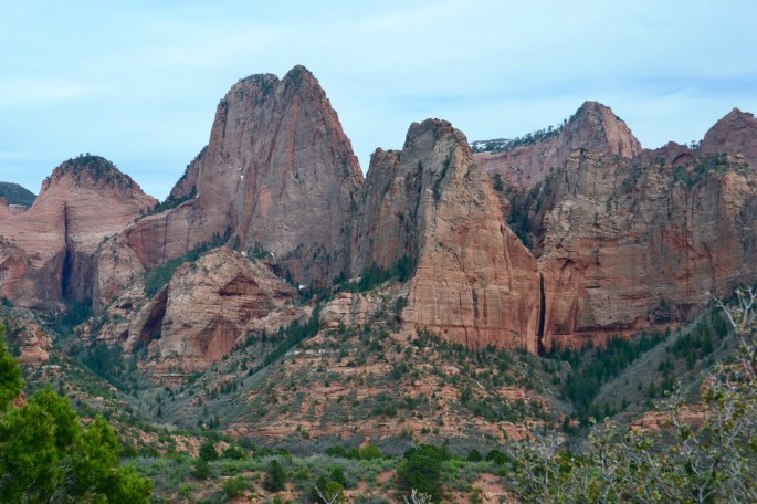
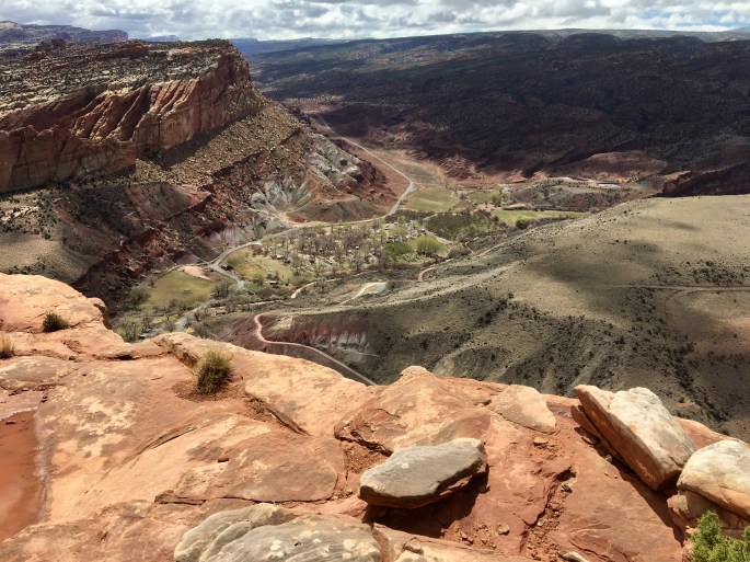
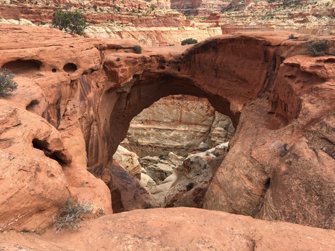
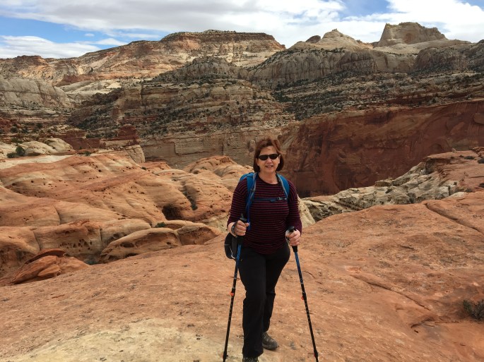
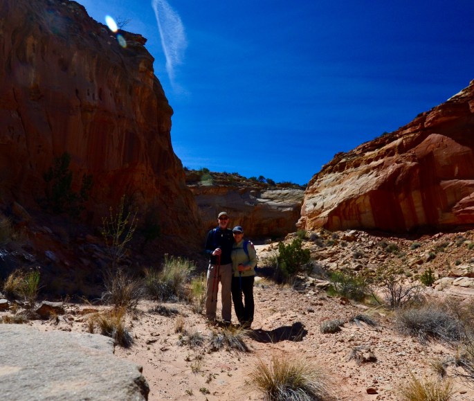
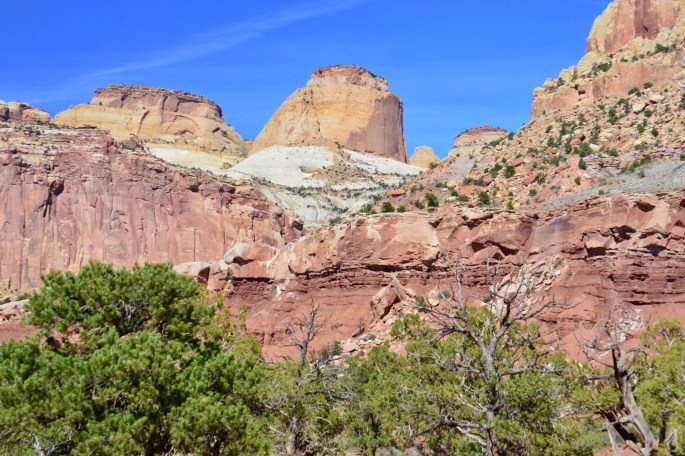
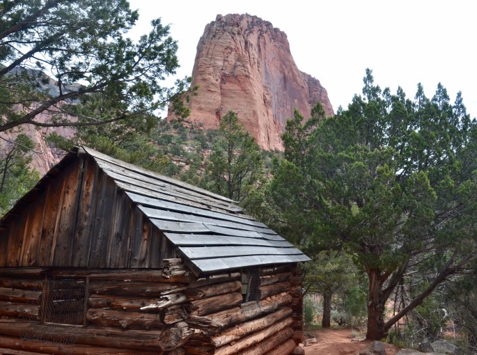
On Tuesday we hiked the Middle Fork of the Taylor Creek in the Kolob Canyons district of Zion NP. We accessed the hike from the trailhead on Kolob Canyons Road. We followed the middle fork crisscrossing the creek multiple times. The canyon narrows and deepens until ending at a double arch alcove. Along the way we stopped to see two long abandoned cabins built by homesteaders around 1930.

Middle Fork – Taylor Creek

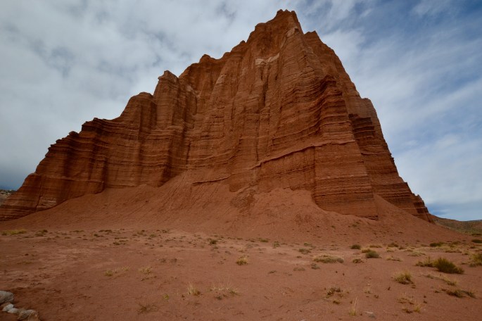
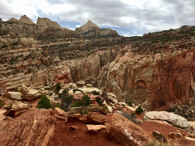
Middle Fork Taylor Creek