Below is a copy of our latest street art volume utilizing photographs taken during our most recent adventure of On the Road with Maria + Stephen (Version 11.0).


Below is a copy of our latest street art volume utilizing photographs taken during our most recent adventure of On the Road with Maria + Stephen (Version 11.0).

Subscribe to get access to the rest of this post and other subscriber-only content.
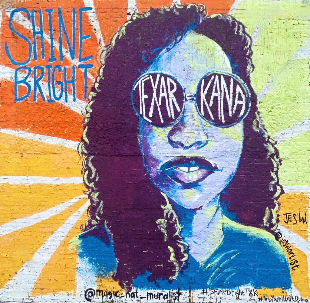
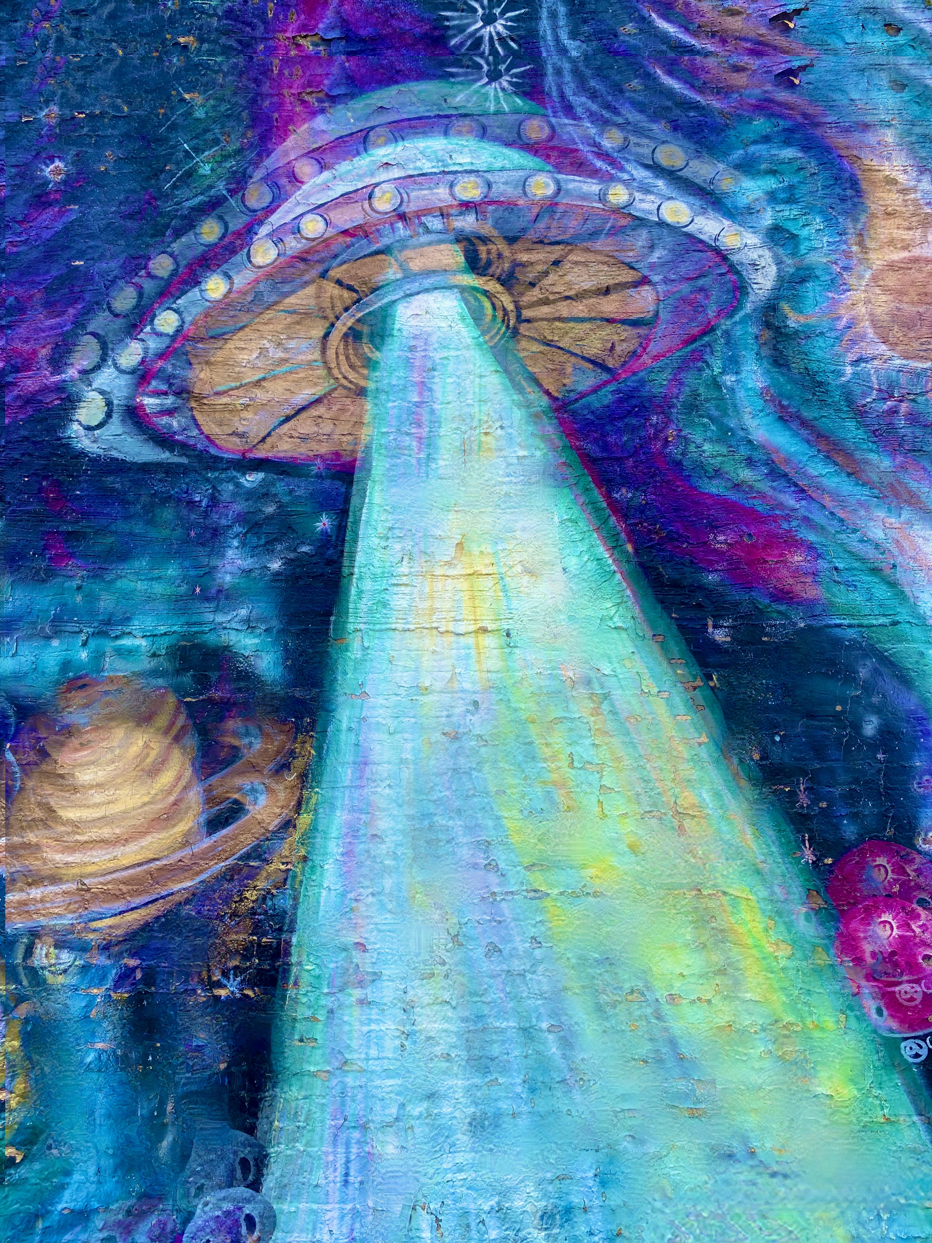
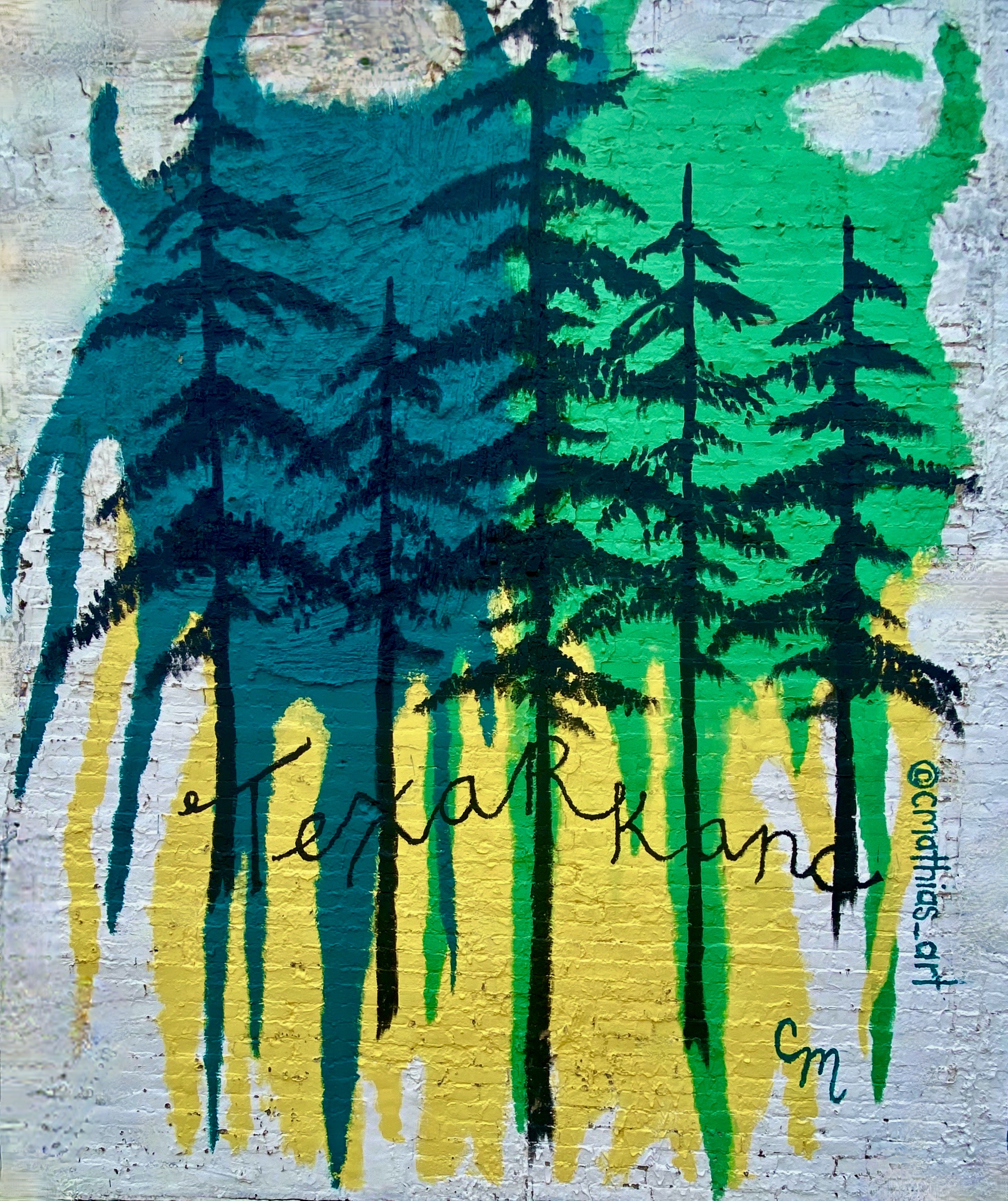
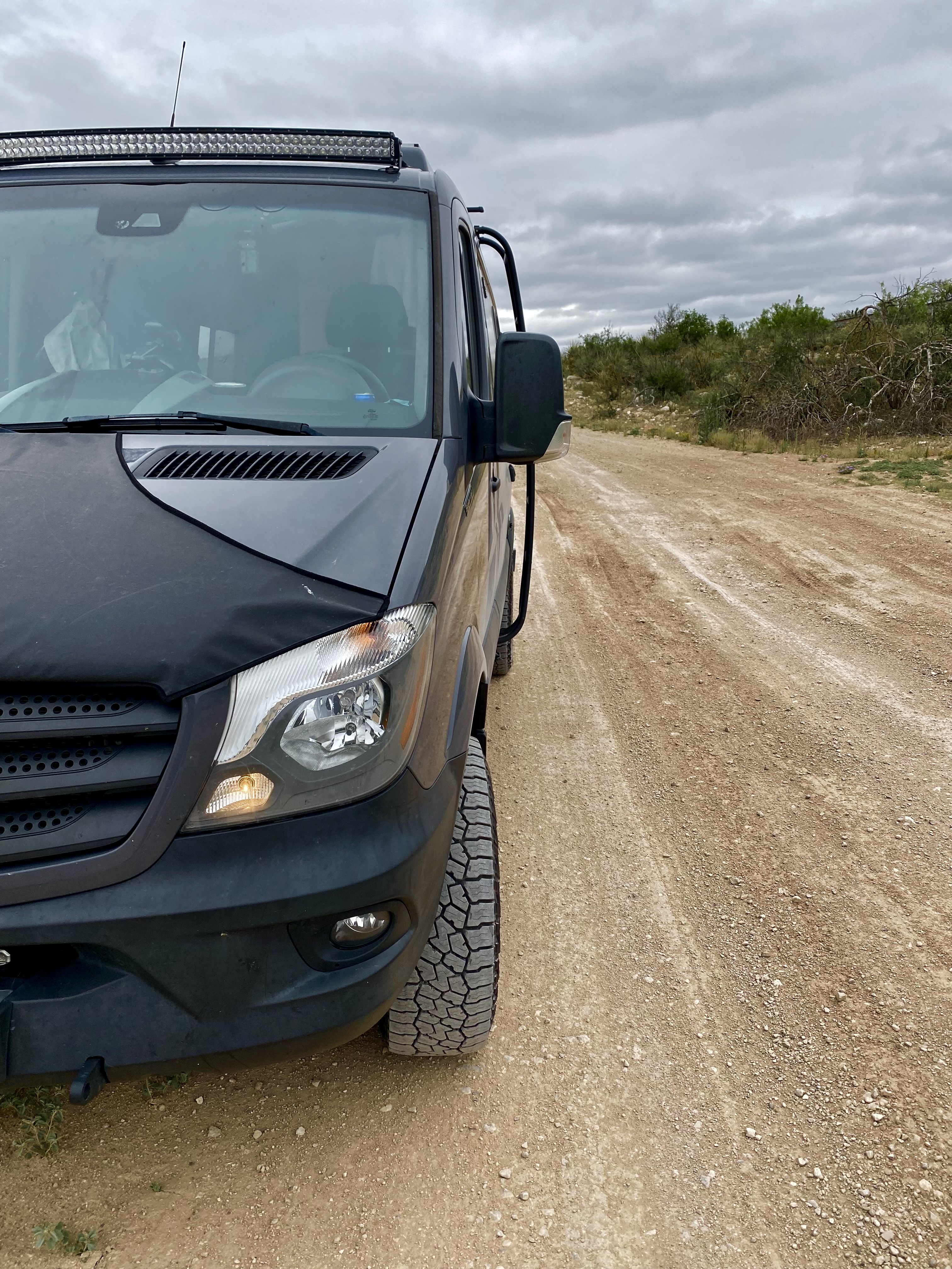
Our first stop in Texas was the town of Texarkana (TXK), a twin city with Texarkana, Arkansas. TXK sits on the western side of the Texas/Arkansas border. Our purpose in stopping off in TXK was to purchase a new tire for Maria’s bike as she had suffered a tire destroying flat on our previous ride in Little Rock.
We had not planned on stopping in TXK and therefore knew little about the town other than its twin city status. When we entered the downtown area to access the bike shop we were caught off guard at how run down the town appeared. The streets were largely deserted and many of the buildings were dilapidated and vacant.
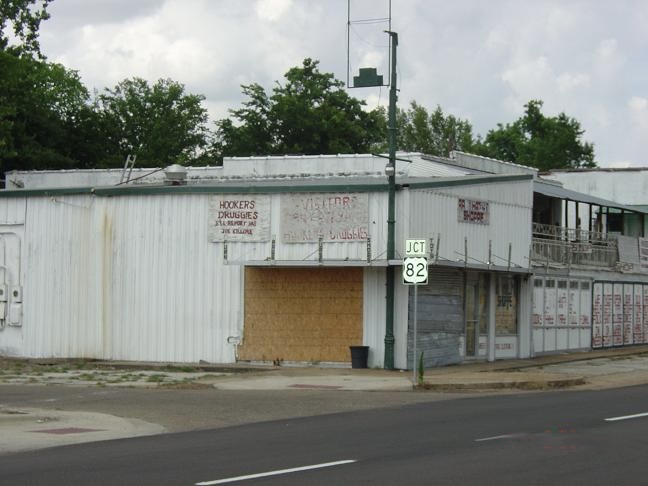

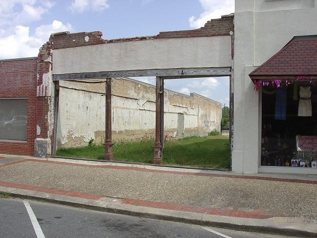
A quick online inquiry revealed that TXK has one of the highest crime rates in the U.S. and a poverty rate of 25%. As another indication of the problems the town is experiencing we found that while the bike shop was open for business, the entrance door is locked at all times and customers are only admitted after stating your business. When we brought Maria’s bike in for repair we could not help but notice that all of the shop’s inventory of bikes were chained together!
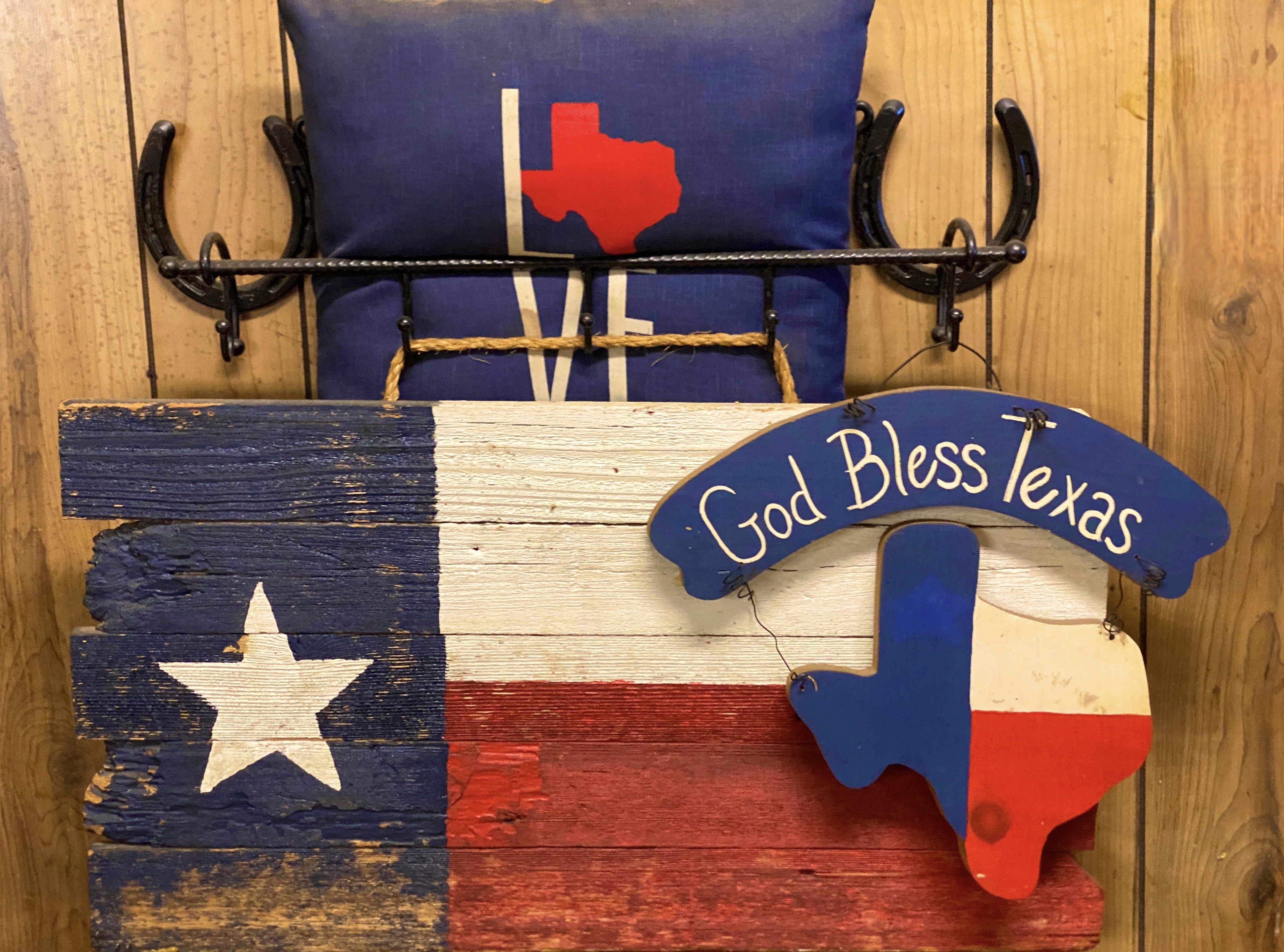
This is one of the few towns where we really felt uncomfortable and decided not to poke around other than taking some photos of street art we had passed on the way into town.

In lieu of burgers, we found a bbq joint about thirty miles south of TXK in Atlanta, Texas. The Texas BBQ was very rustic, but we would have to say the bbq was pretty dang tasty!


Atlanta, Texas was named after the city in Georgia as a number of the settlers arriving in 1871 were from the city of Atlanta, Georgia. The arrival of the Texas and Pacific Railroad in the same year was a boon to the area’s main economic activity – timber (the piney woods of East Texas) as it allowed the efficient transport of lumber. The town also benefited from the discovery of oil in 1935, which greatly helped the town survive the Great Depression.
About two hours south of Atlanta sits the town of Nacogdoches. The town is considered to be the oldest town in Texas – having by founded by the Spanish in 1779. What is now the town was a Caddo Indian Settlement from approximately 800 A.D. until the early 1700s when the Spanish arrived and began building missions, displacing the Caddo.

While Nacogdoches is considered the oldest town in Texas, the bigger claim to fame is The Battle of Nacogdoches which started in 1835 and was a precursor to the Texas Revolution. At this point in history, Texas was part of Mexico, although there were many settlers from the United States residing there in addition to the Tejanos. One of the major issues the U.S. settlers had with Mexico was over slavery. Mexico abolished slavery in 1829 and the U.S. settlers were dependent on slavery for their economic prosperity. Eventually, Texas seceded from Mexico (Remember the Alamo!) and was an independent republic for just under ten years. Texas was admitted as a state in 1845.
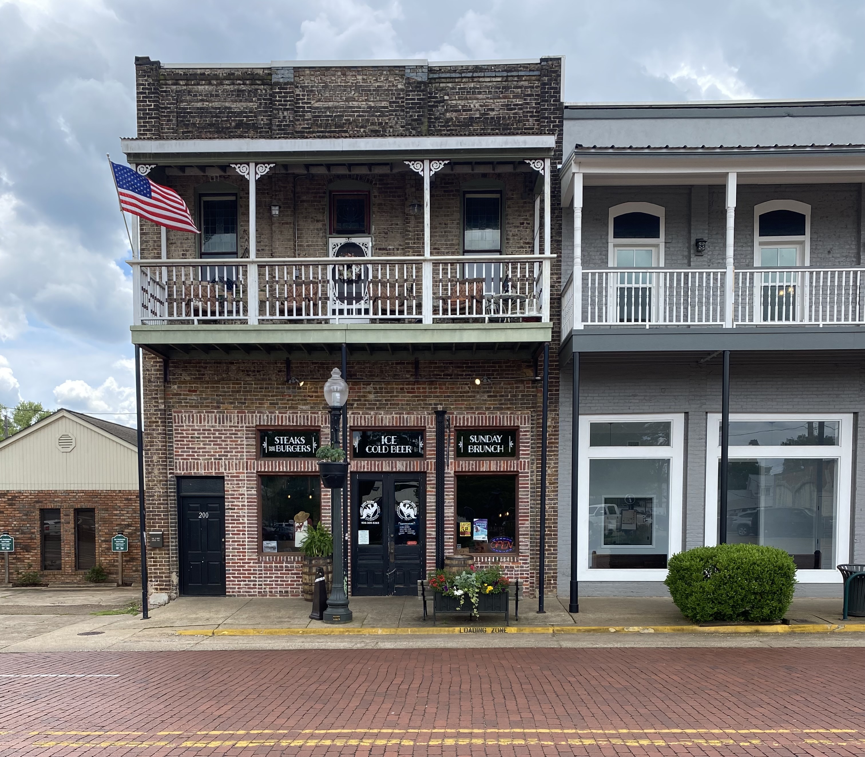
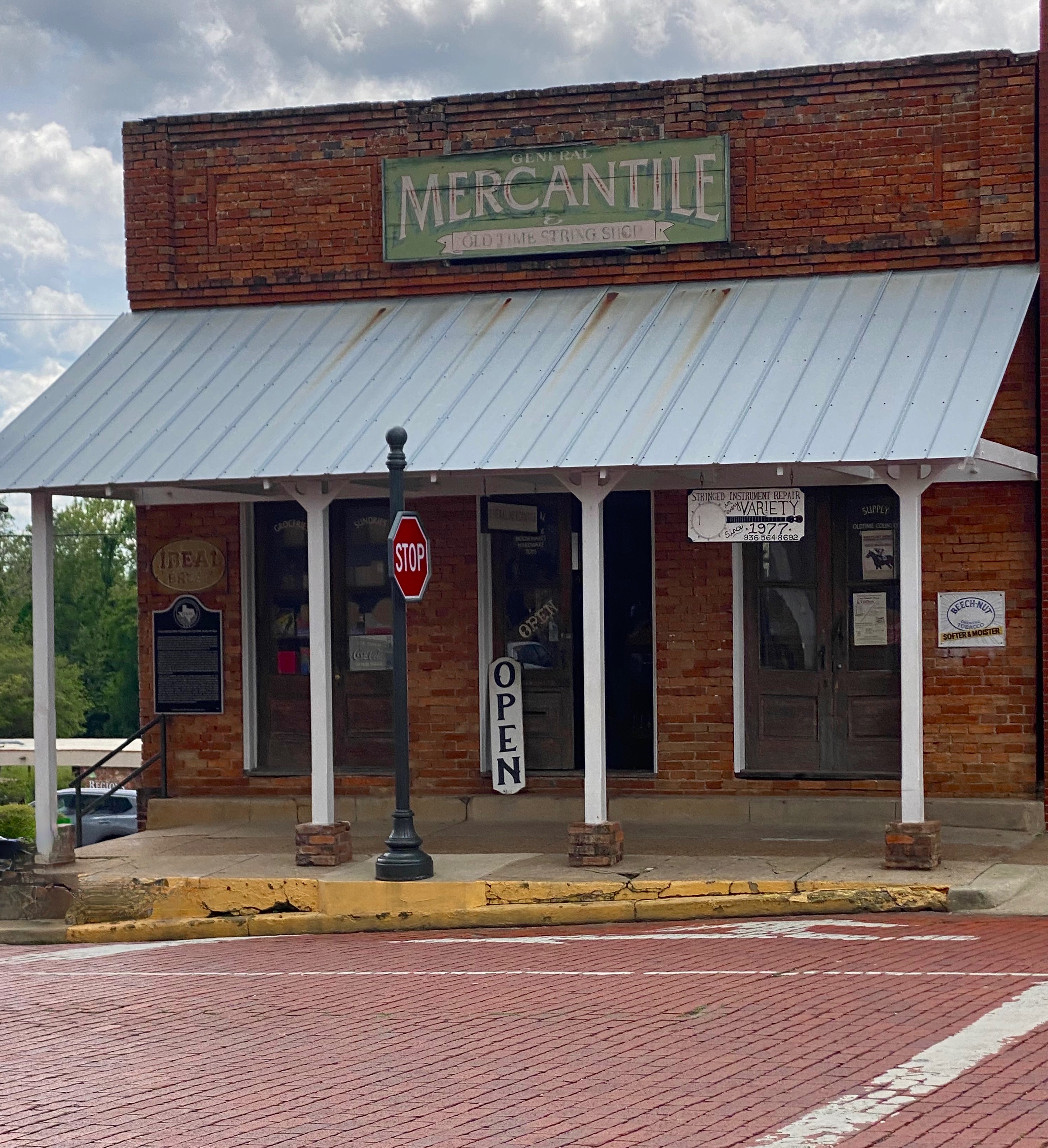
Today, Nacogdoches is an attractive town with a well preserved downtown brimming with mercantile establishments and red brick streets. The economy that once depended heavily on cotton, timber and tobacco now is centered around the Stephen F. Austin State University which brings 12,000 students to the town.
Always looking for bike trails and with several days until our camping reservation at Mustang Island SP, we detoured slightly inland to the town of Spring, which is located just north of metro Houston. The area is densely populated and covered with the usual urban/suburban sprawl that we tend to avoid. However, the trail looked interesting, and it is billed as the longest urban forested greenway in the United States. We are really glad we opted to check it out. It was a lush oasis in the middle of a crowded metro area.
After spending two days cycling on the greenway we departed Spring for Mustang Island SP (MISP) which is located a short distance from Corpus Christi. This was our first stay at the Texas shore. The camping spots were just off the beach behind the dunes and as an added bonus the beaches in this area allow vehicles to drive on the beach!


We stayed three days at MISP. We divided our time between bicycling along the shore road, walking and driving on the beach and, of course, drinking coffee and tea at Island Joe’s Coffee and Gallery (made from containers – see photos below). All in all, a good first experience at the Texas shore – our only complaint being the windy nights which curtailed sitting by the campfire.


Our next destination on the Texas State Park portion of OTR 9.0 was Garner State Park (GSP). GSP is located in the Hill Country west of San Antonio. Therefore, we felt compelled to pop into San Antonio to check out Estate Coffee Company. Estate is a small batch roaster with a minimalist espresso bar and cafe in downtown. Estate was excellent and the stop gave us a nicely timed break on the four hour drive to GSP.
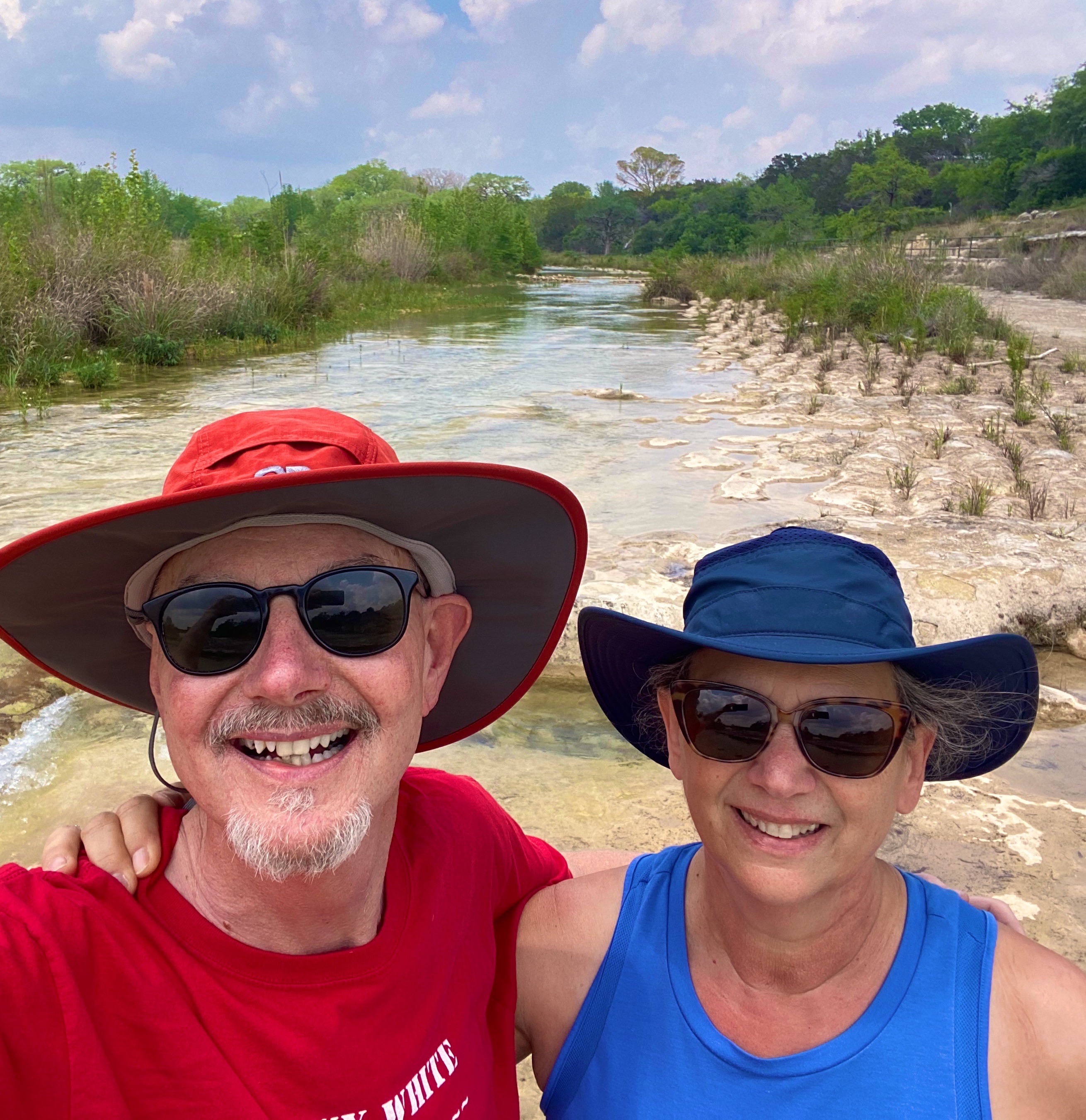
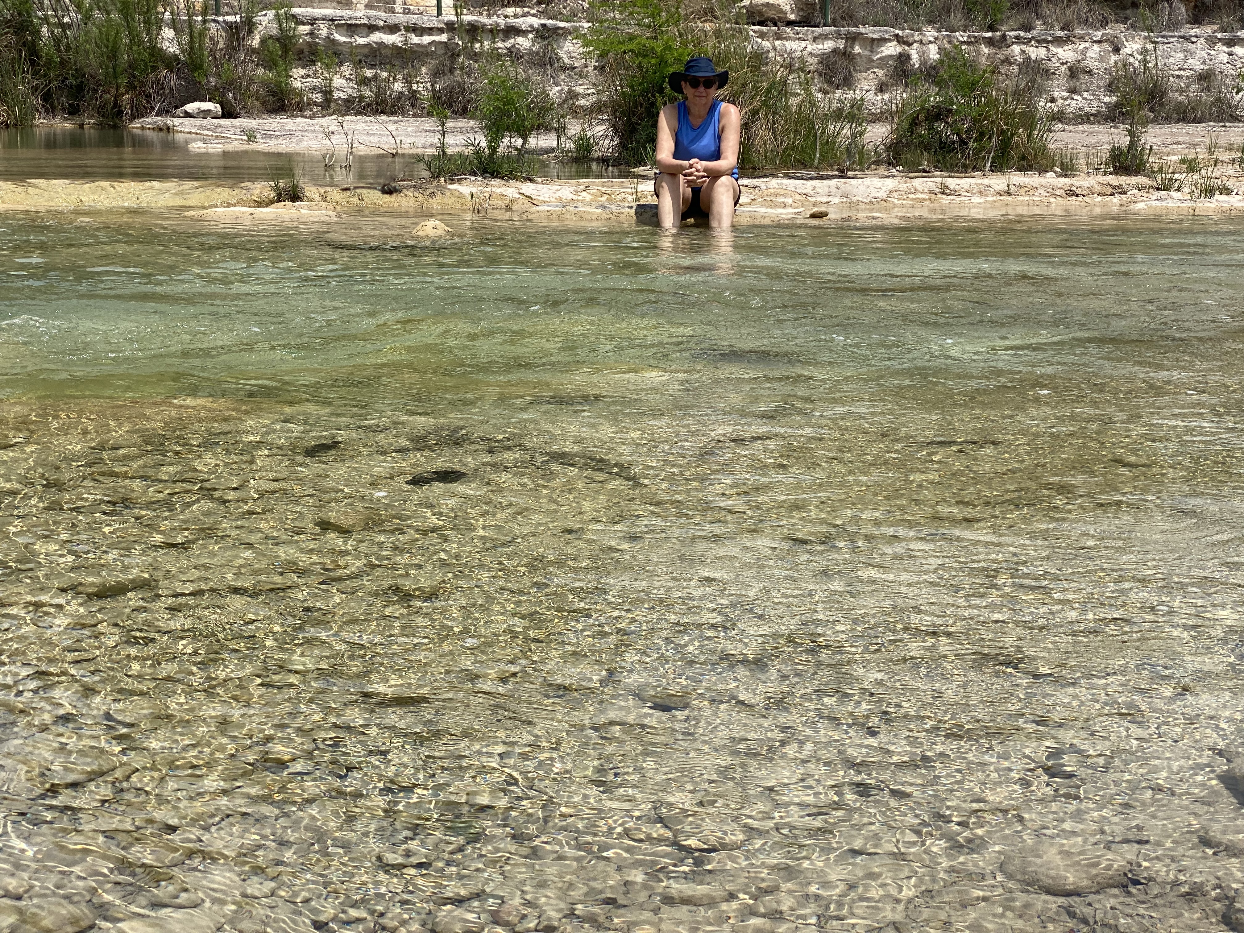
The Frio River (Rio Frio) runs through GSP and provides about three miles of river access within the park. This was most fortunate for us as the weather in Hill Country was a matching set of 85s – temperature and humidity! We had luckily secured a campsite directly above the river and we were able to access the river via a five minute walk. We spent much of our two days at GSP sitting or wading in the river. P.S. While there was a feral hog alert in effect we fortunately did not encounter any of the beasts during our stay!


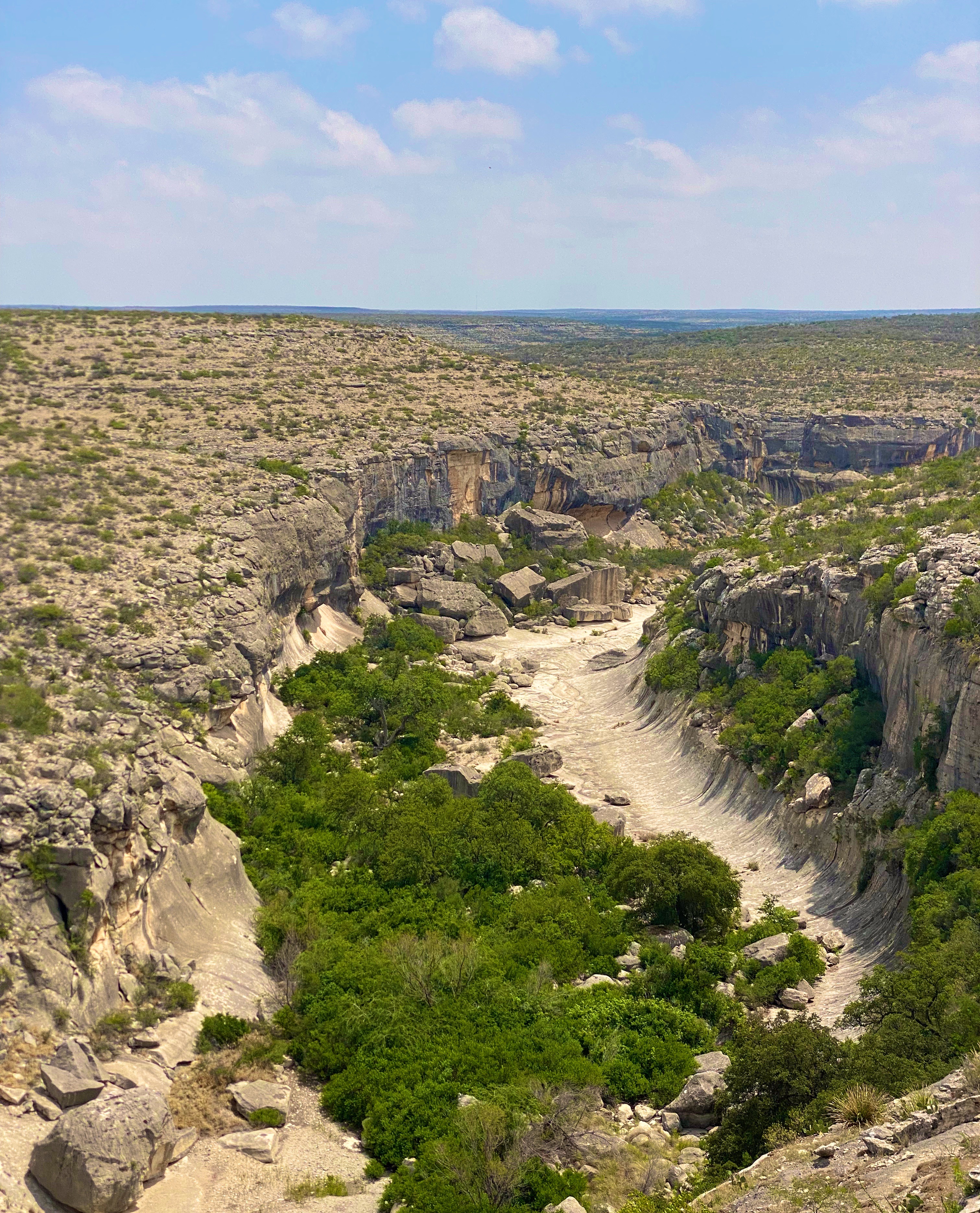
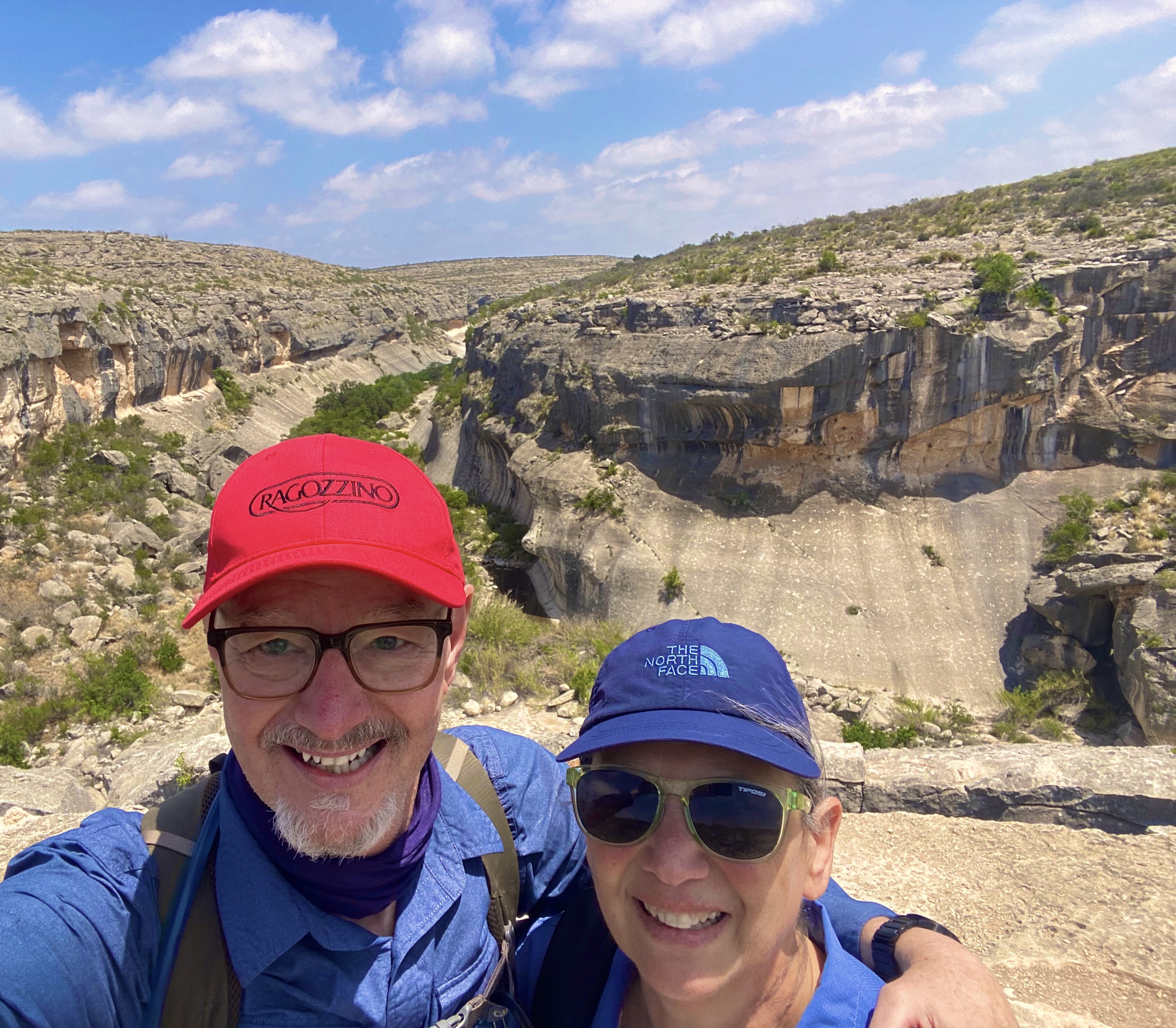
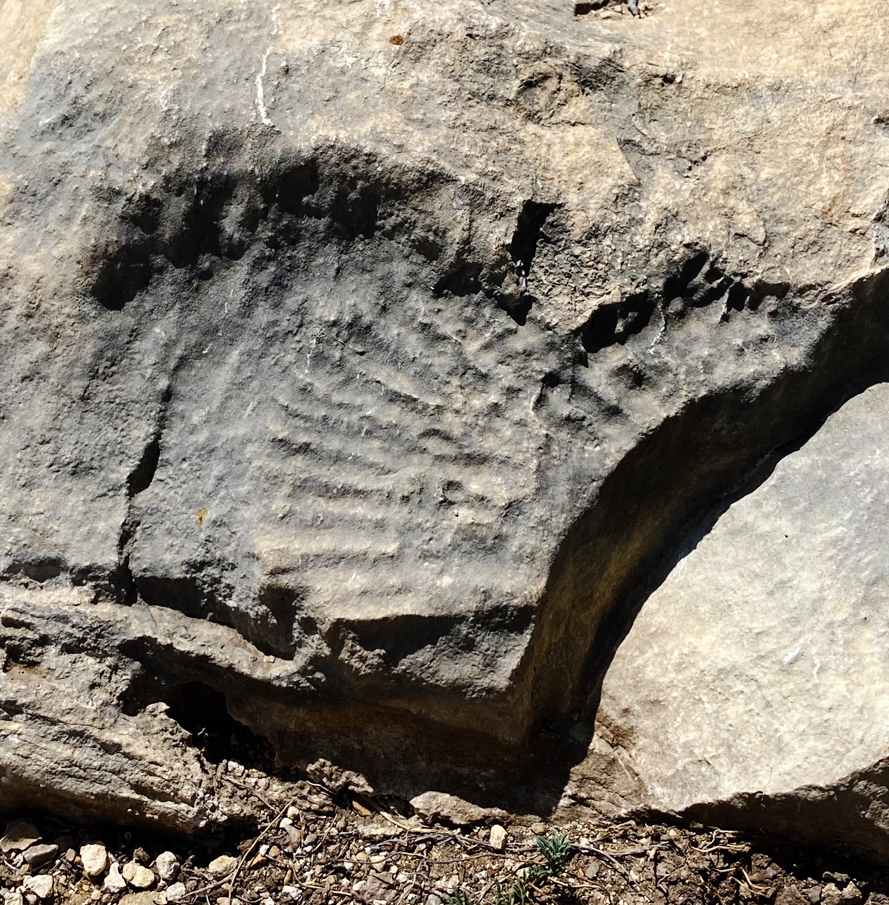
Seminole Canyon SP & Historic Site (SCSP) was the next stop on our journey west across South Texas. SCSP opened to the public as a state park in 1980. The land that now encompasses the park was privately owned until the late 1970s. The state purchased the land to protect and preserve more than 200 pictographs located in the canyon and caves, which date back 7000 years.

We hiked the Canyon Rim Trail which provided spectacular views of the Seminole and Presa Canyons. The rim trail leads to the park’s southern boundary at the Rio Grande River with Mexico directly beyond.


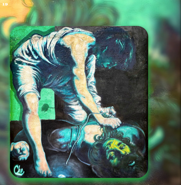
We also broke out the bicycles for some dirt riding on the Rio Grande Trail. While one of us had a minor crash (see video below) our early evening ride was lots of fun and provided beautiful views of the Rio Grande and Mexico!


Our final stop before heading to Big Bend NP (see our post Three Nights in the Backcountry) was the town of Marathon (pronounced Marathen). We made a brief stop in Marathon in March 2020 en route back to Connecticut during our pandemic-shortened trip. As with the majority of towns we traveled through on our way home, Marathon was locked down tight. With a population of just 365 it was deserted for all intents and purposes. We made a note to return on a future trip to stay at the charming Gage Hotel and check out the town.
Marathon is a straight shot west from SCSP on State Route 90. We had traveled SR90 on our 2020 trip and recalled that significant sections were not attractive, There was a fair amount of truck traffic hauling oil from the fields along 90 and a lot of Border Patrol activity. We decided to attempt to wend our way through the maze of ranch roads using our DeLorme Atlas. We also figured that we could use the east-west Union Pacific Rail Line as a rough guide. We made good progress but eventually ran into a locked gate and after considering our options decided to backtrack until we could intersect with the 90 and finish the trip on the highway. A fun adventure nonetheless!

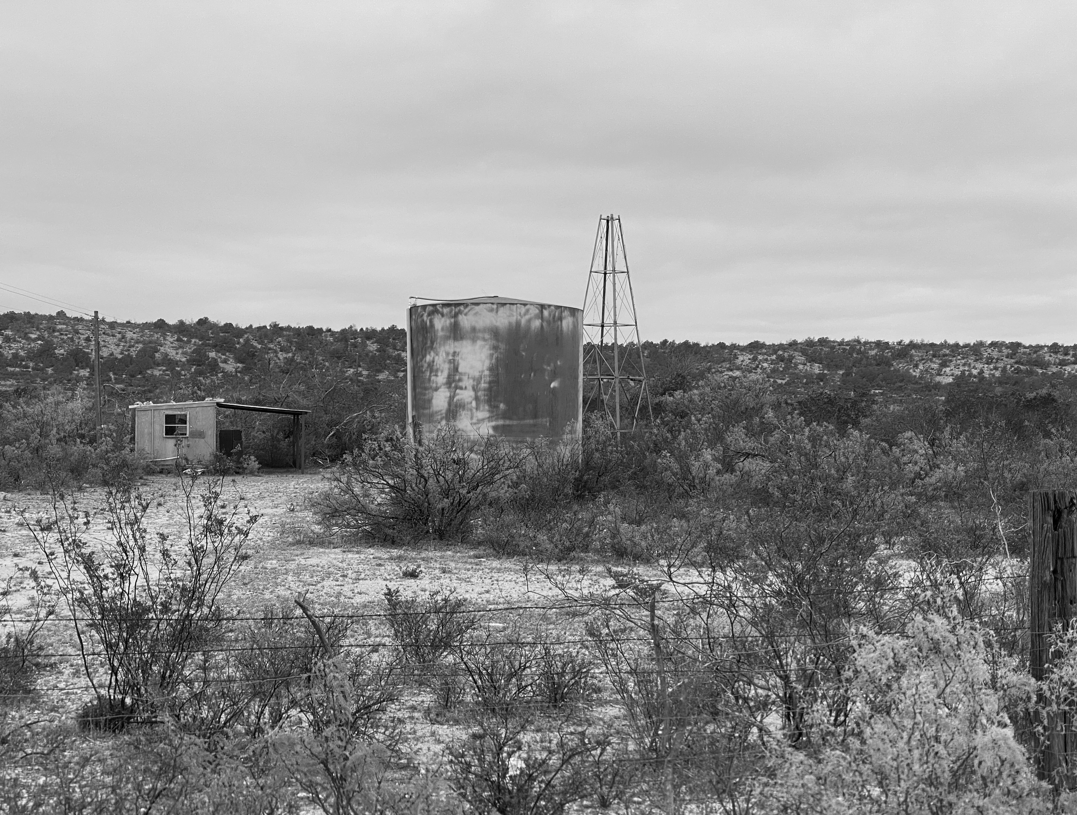


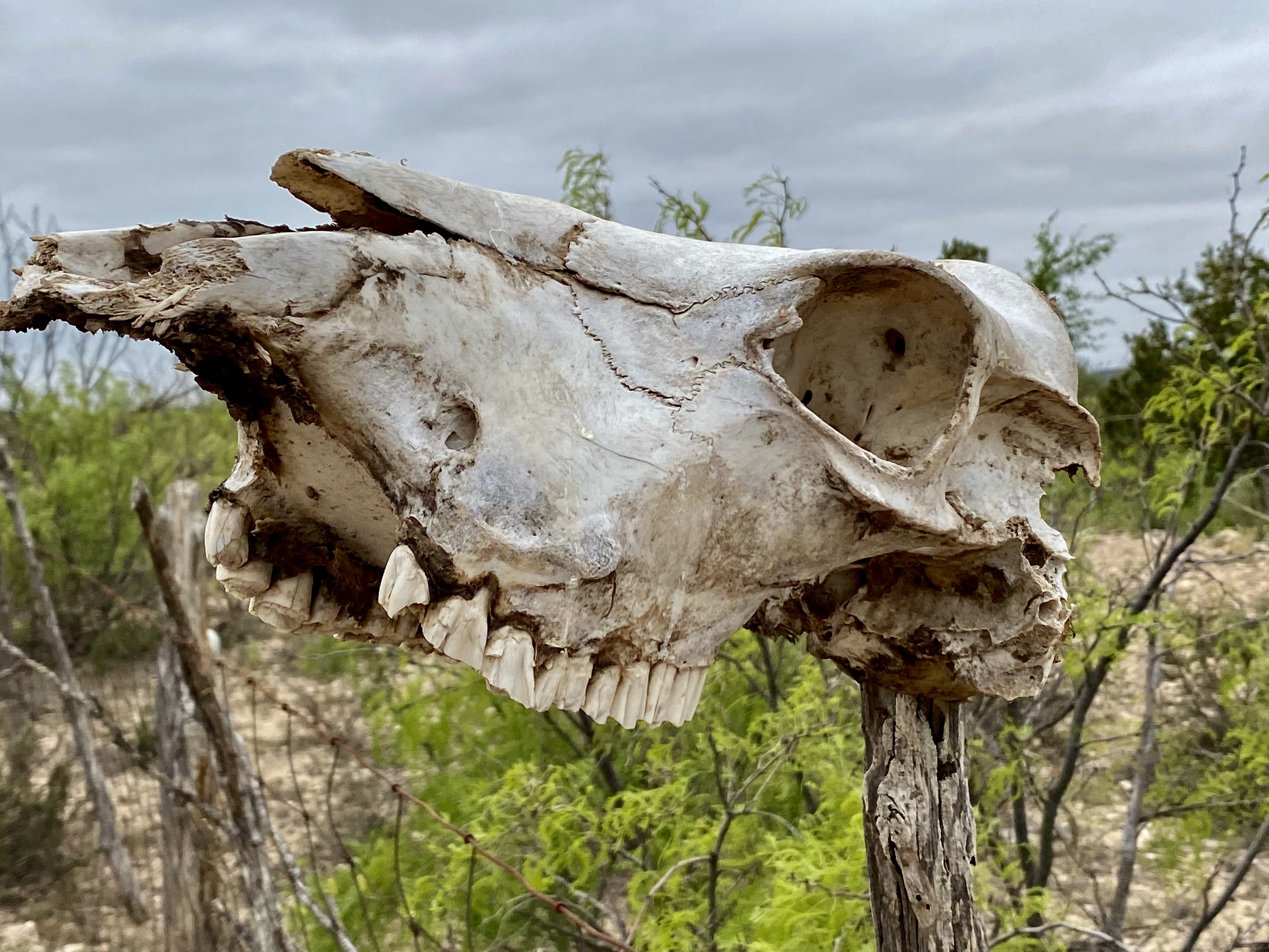
One of the items you will become accustomed to seeing (not necessarily appreciating) driving through (and camping) farm and cattle country is the carcass pit. The carcass pit is just what it sounds like – when farm and ranch animals die (for whatever reason) they are hauled to holes that have been dug at various locations on the property and thrown into the pit to decompose.
You might go right by a pit while rumbling down a dirt road if you didn’t know that ranchers often use a skull as sign post (see photo below). In theory carcass pits need to follow state approved methods to avoid contaminating water as well as discouraging scavengers from dragging contaminated carcasses from the pit. While there are groups trying to end the practice I do not foresee that happening anytime soon – livestock mortality is a fact of life on ranches and farms.

In a future post we will share our experiences and thoughts on two cool towns in Far West Texas – Marathon and Alpine. We hope you found this post interesting and informative.

Be seeing you!
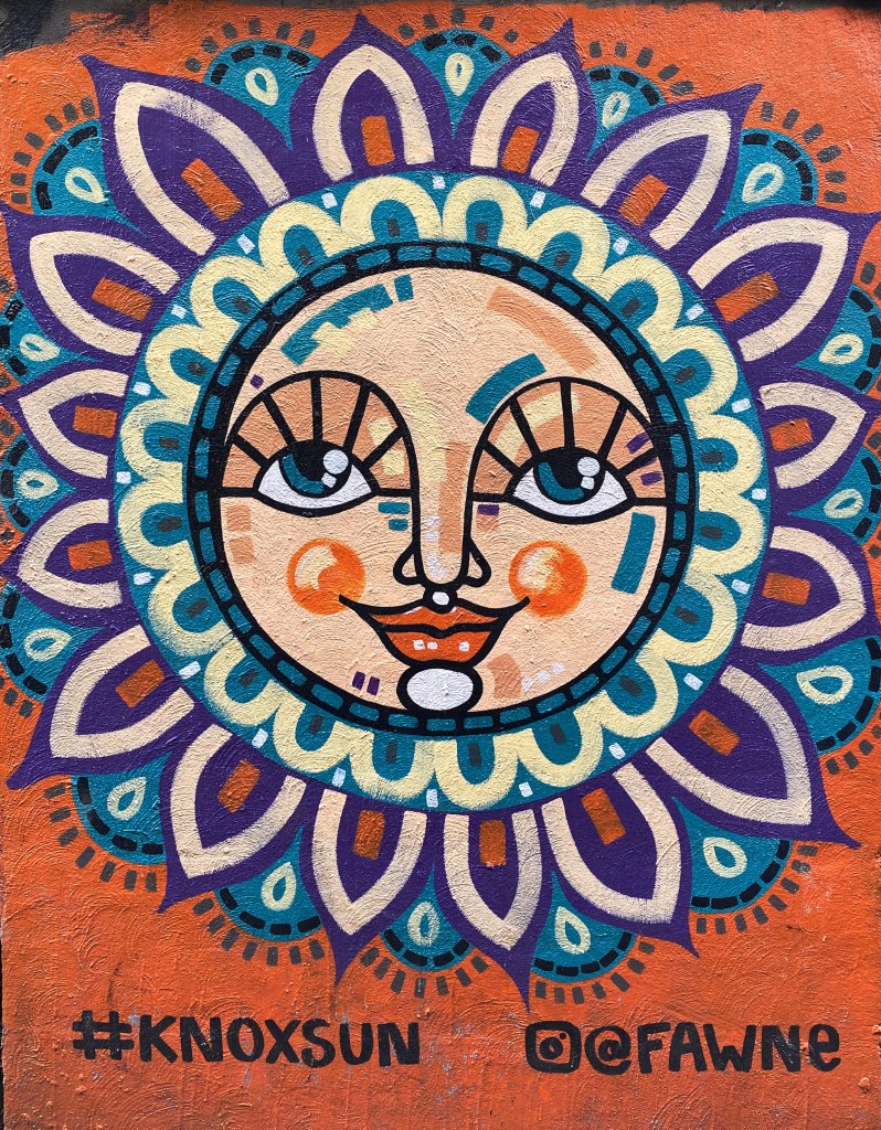
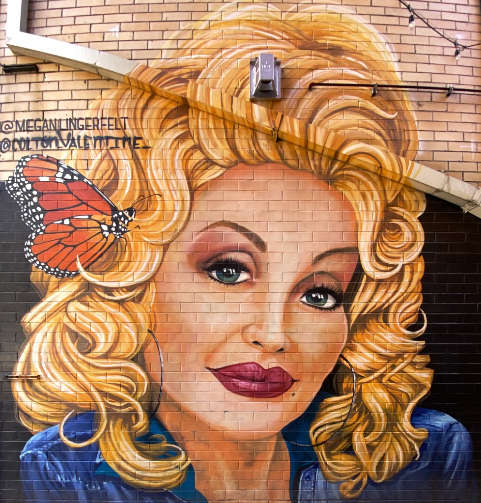
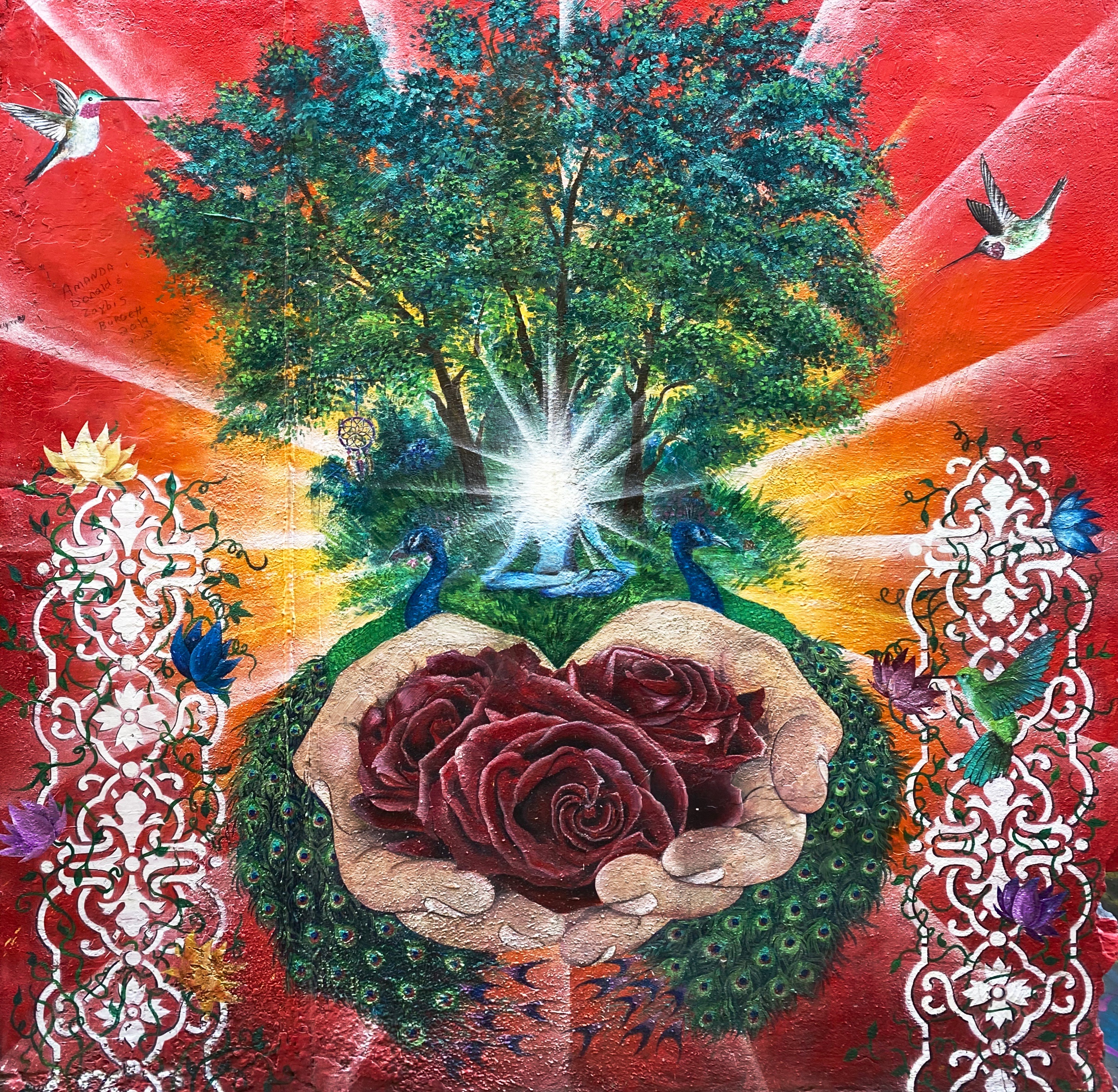
Hello everyone. This is our first post of OTR 8.0. Our plan for this trip is to travel throughout the Southeast. We spent several several days in Knoxville and Chattanooga during our first two weeks of the journey; neither of us had visited either city previously.
Both cities have a strong commitment to street art and we are excited to share our favorite murals from our tours.
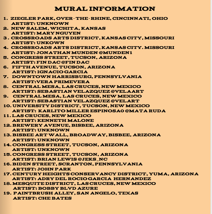
Whenever we have been able to identify the muralist(s), we have included their information in the caption.
Many of the murals from Knox featured in this post are located in Strong Alley, downtown. The alley is known locally as graffitti alley.


We only spent a couple of days in Chattanooga but we were able to capture a number of murals that, fortunately for us, are clustered in the Southside neighborhood and on Mccallie Street as part of the Mccallie Walls Mural Project.


We plan on publishing another edition of Street Art from the Road later in the trip. We hope you enjoyed the photographs of the murals. You can see additional murals @ctsprinterlife.
Be seeing you!
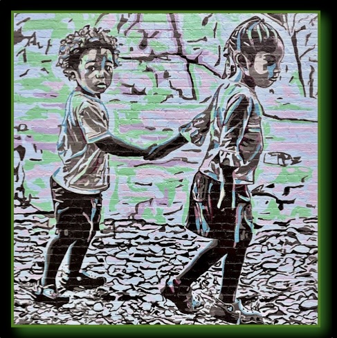
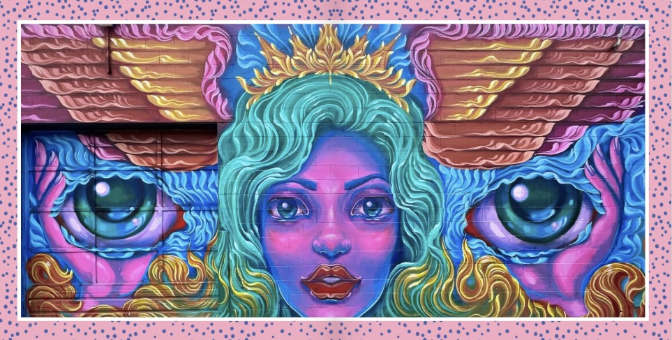
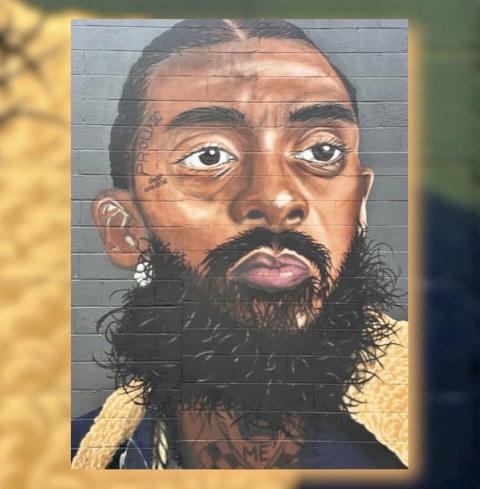
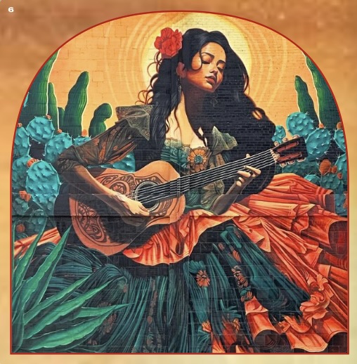
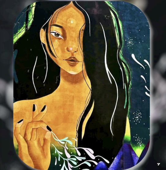
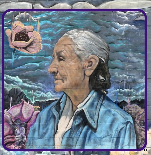
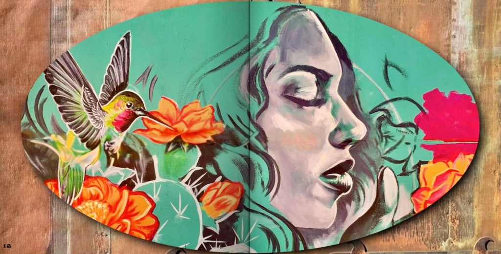
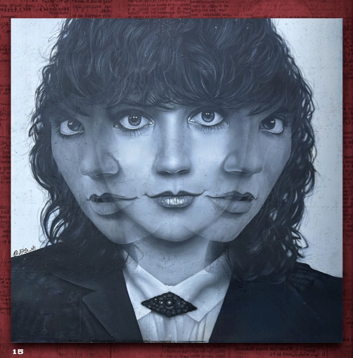
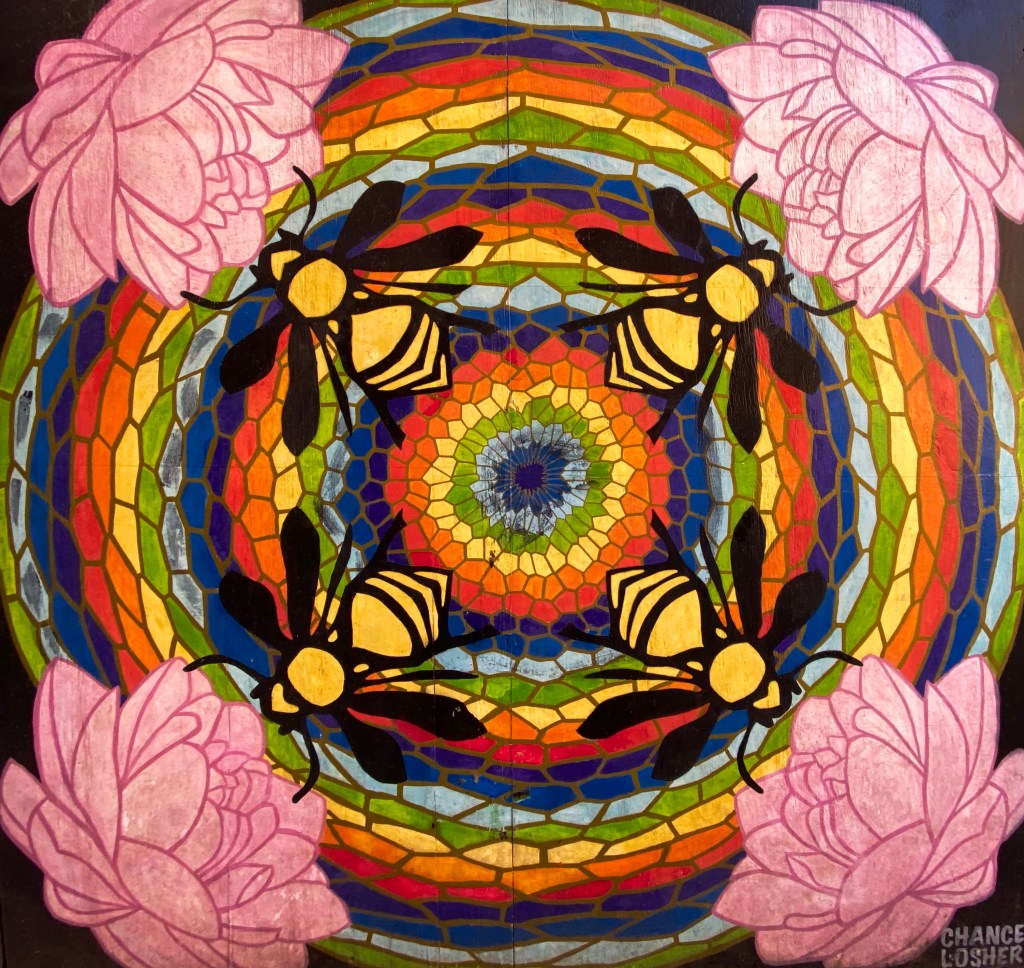
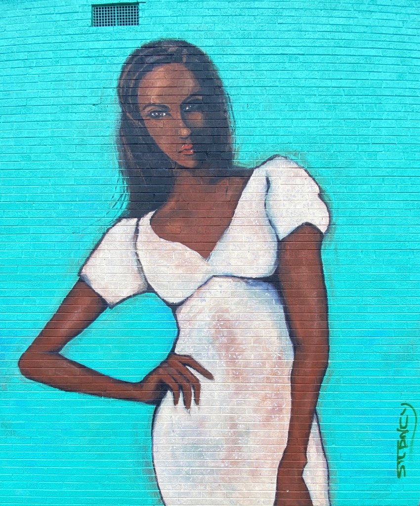
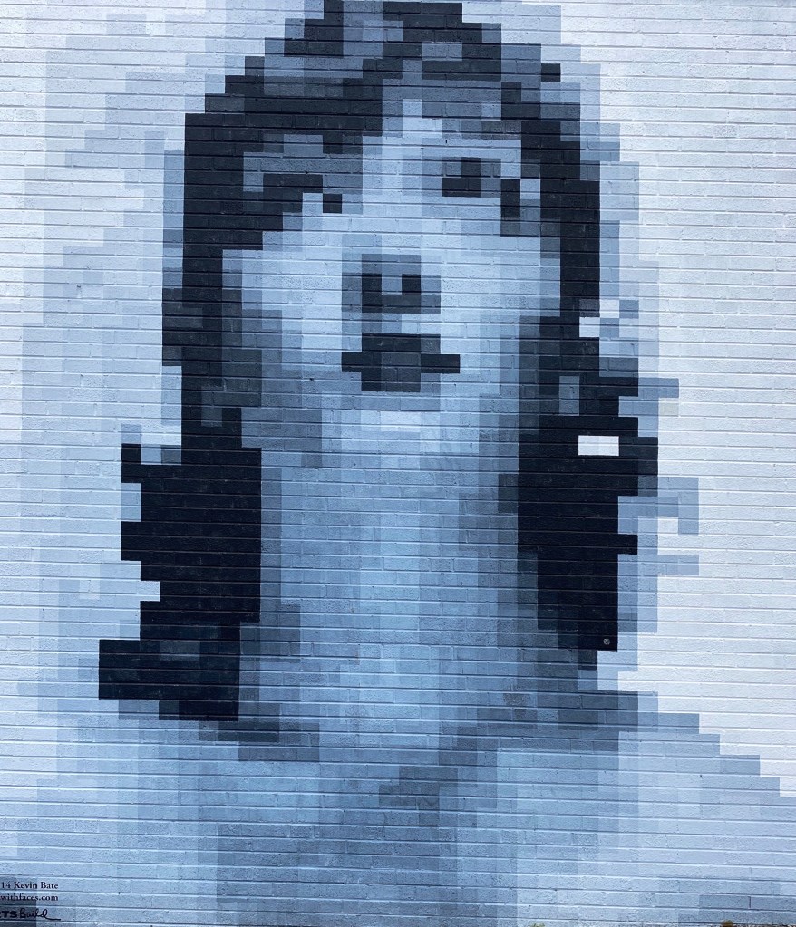
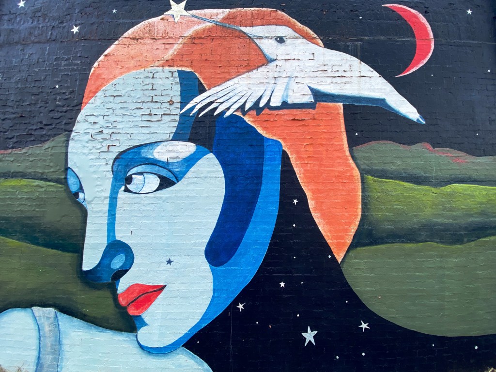
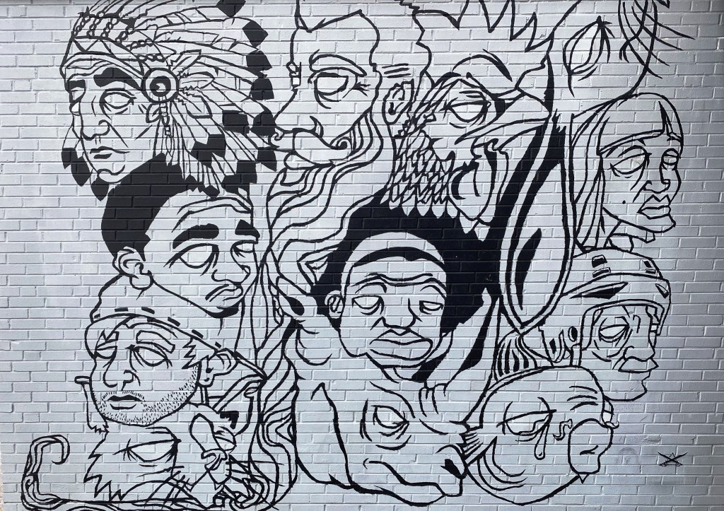
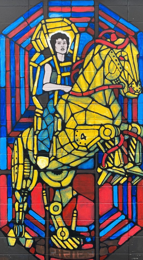
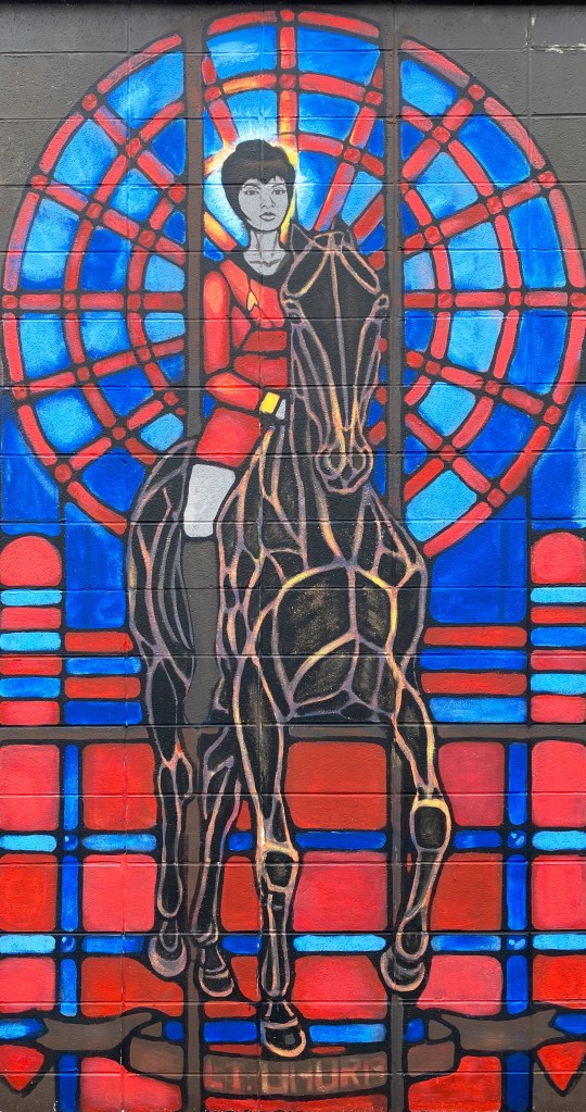
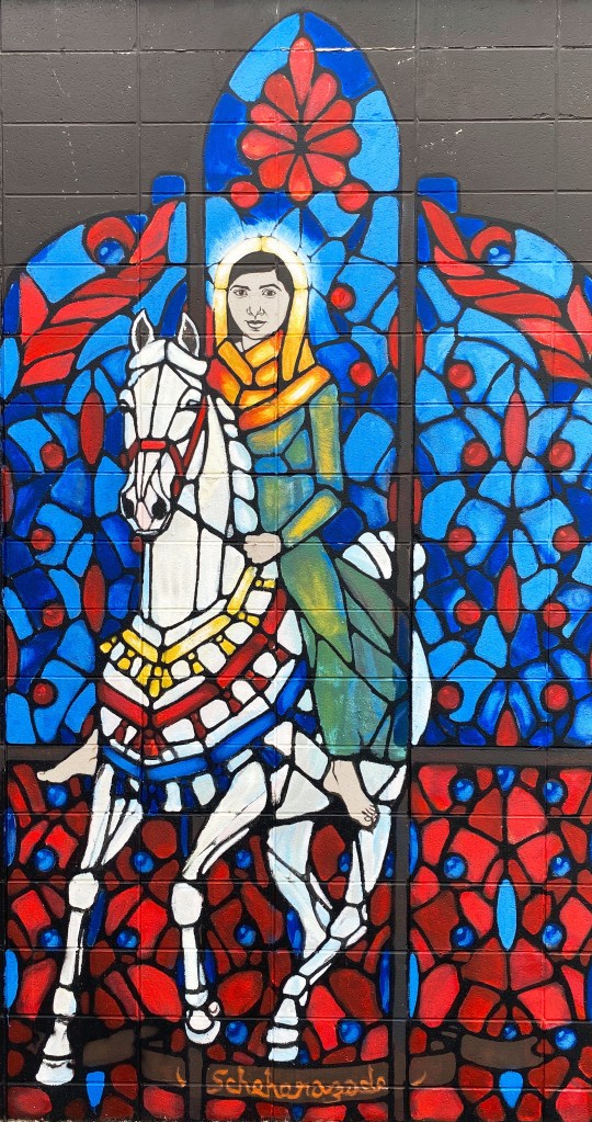
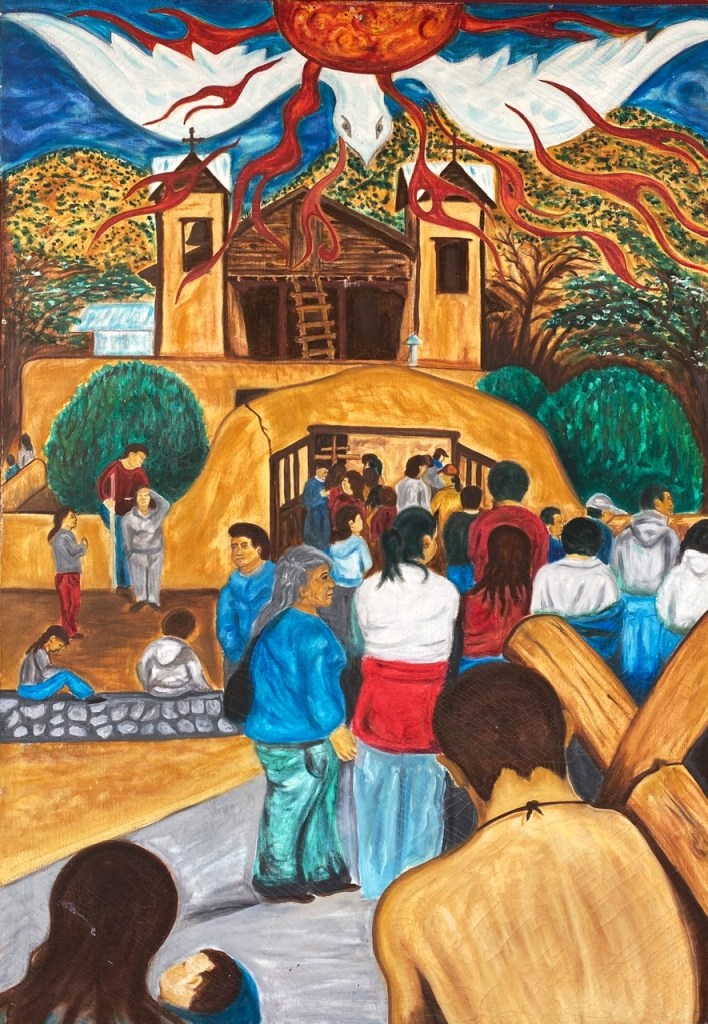
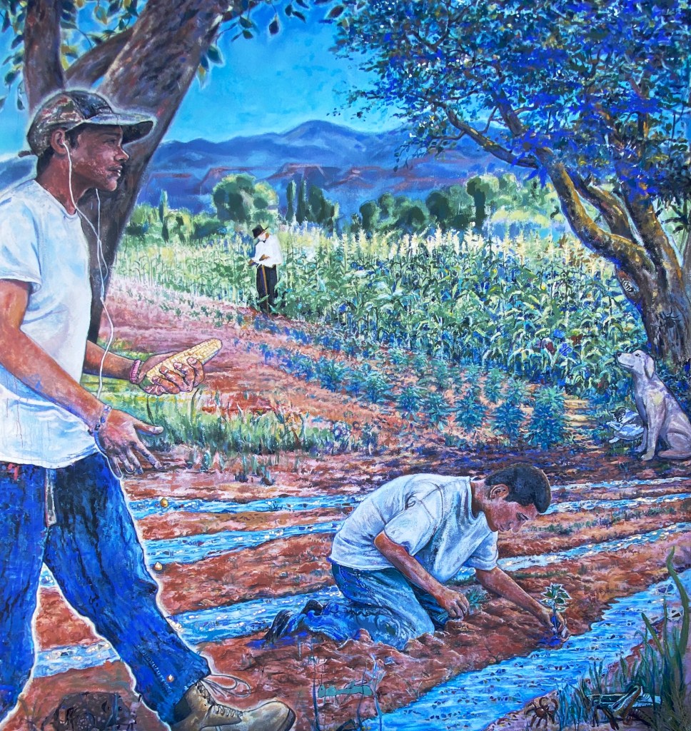
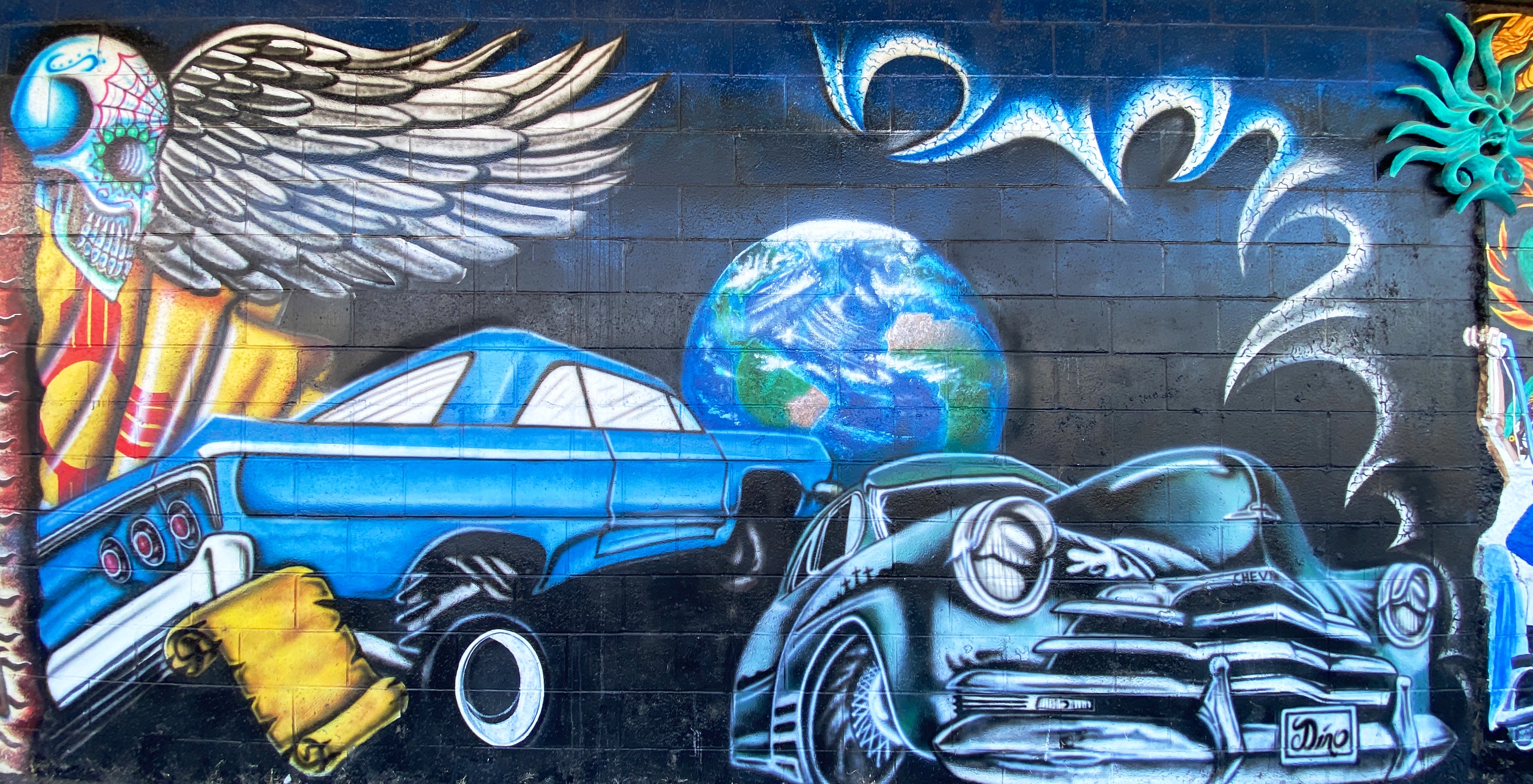
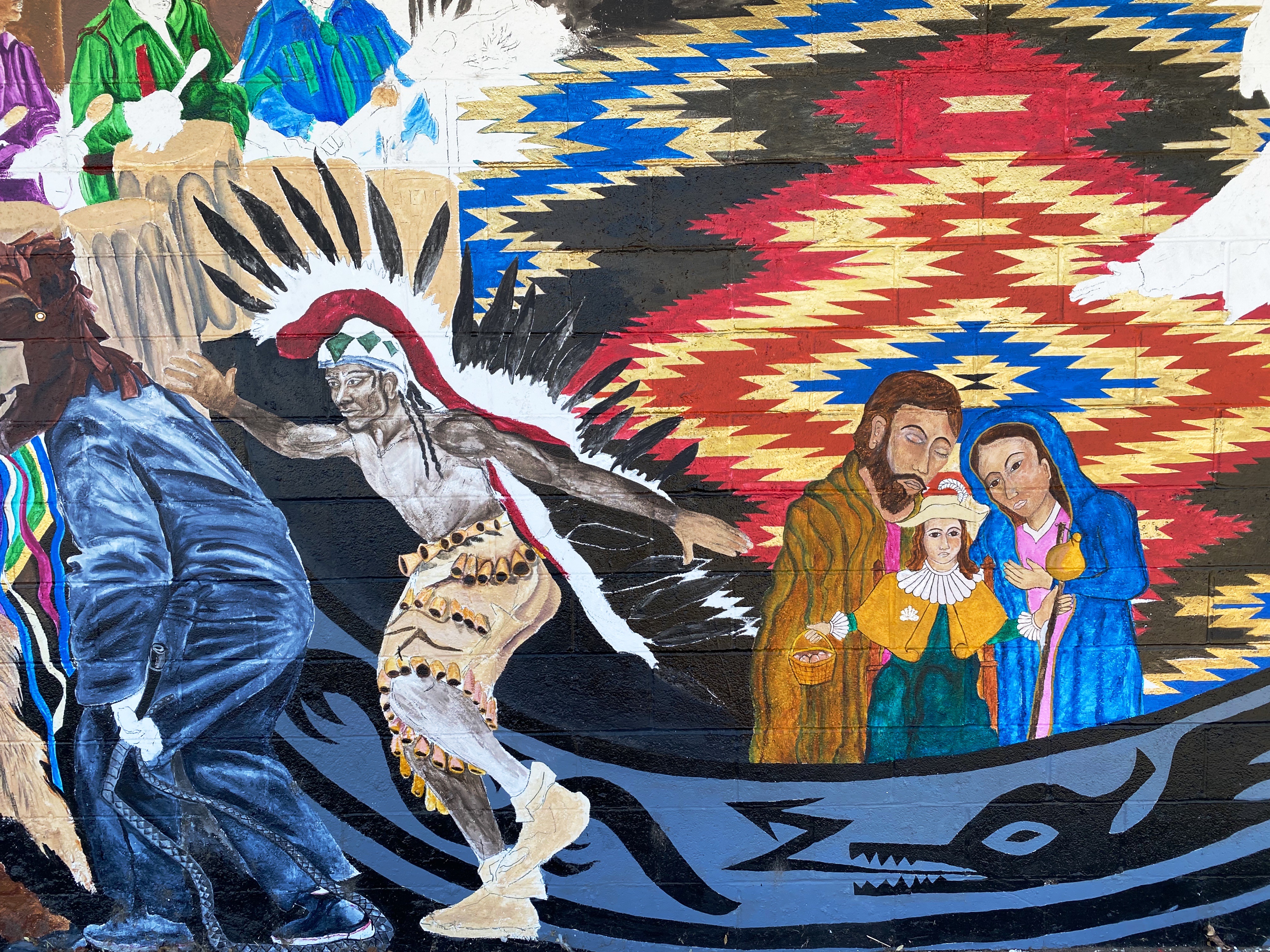
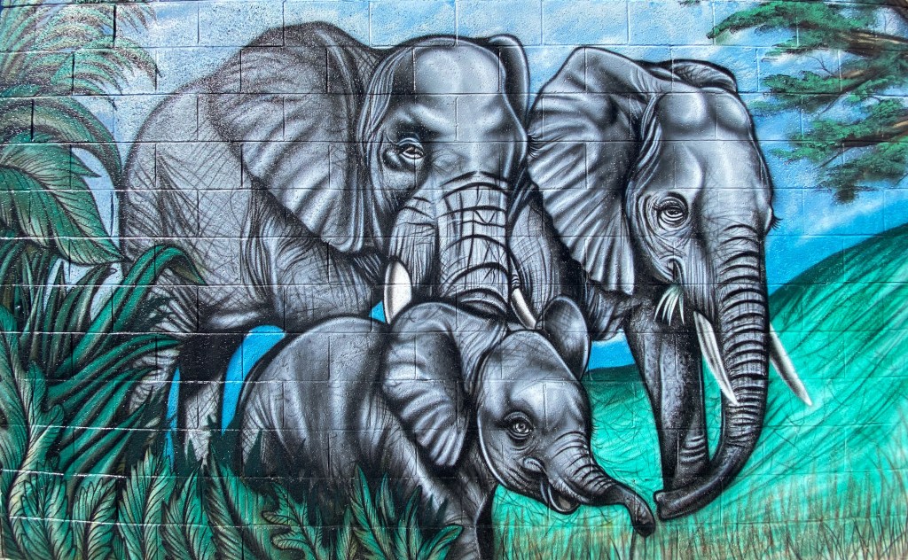
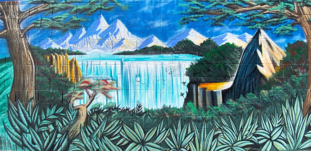
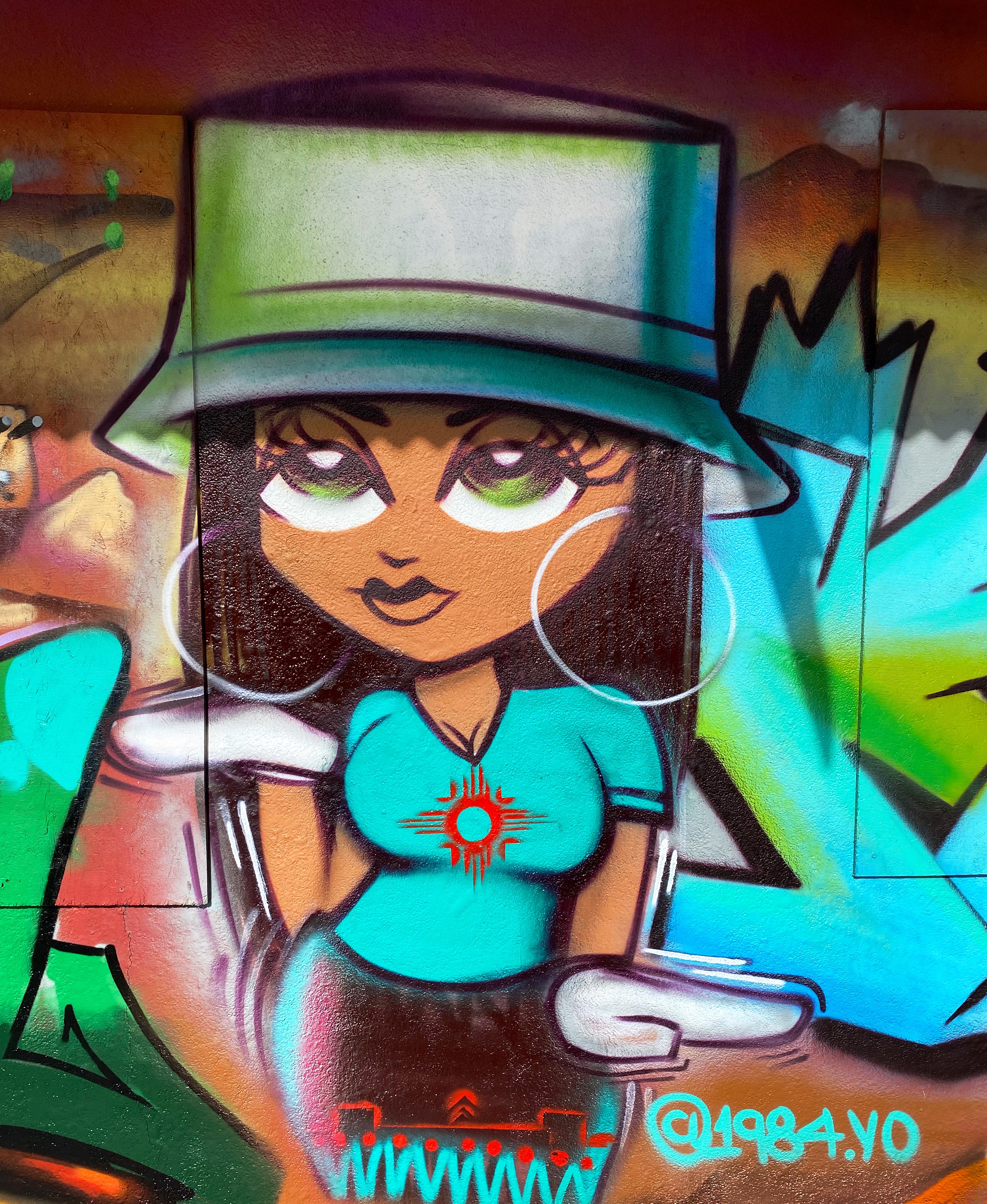
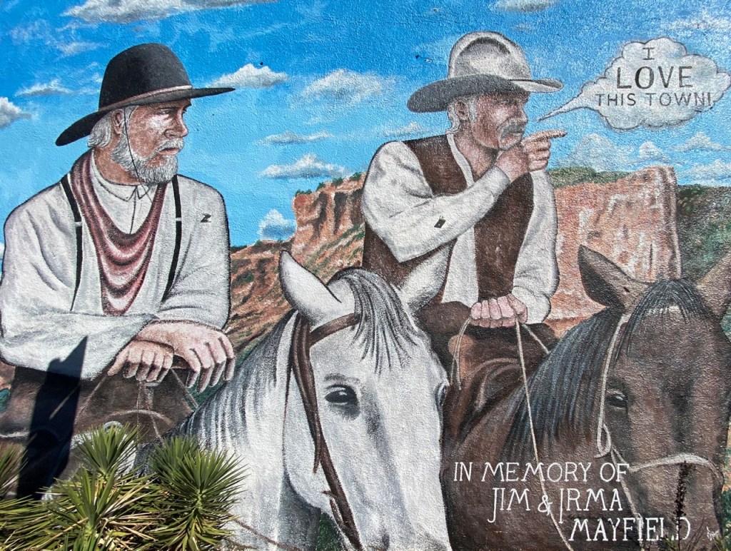
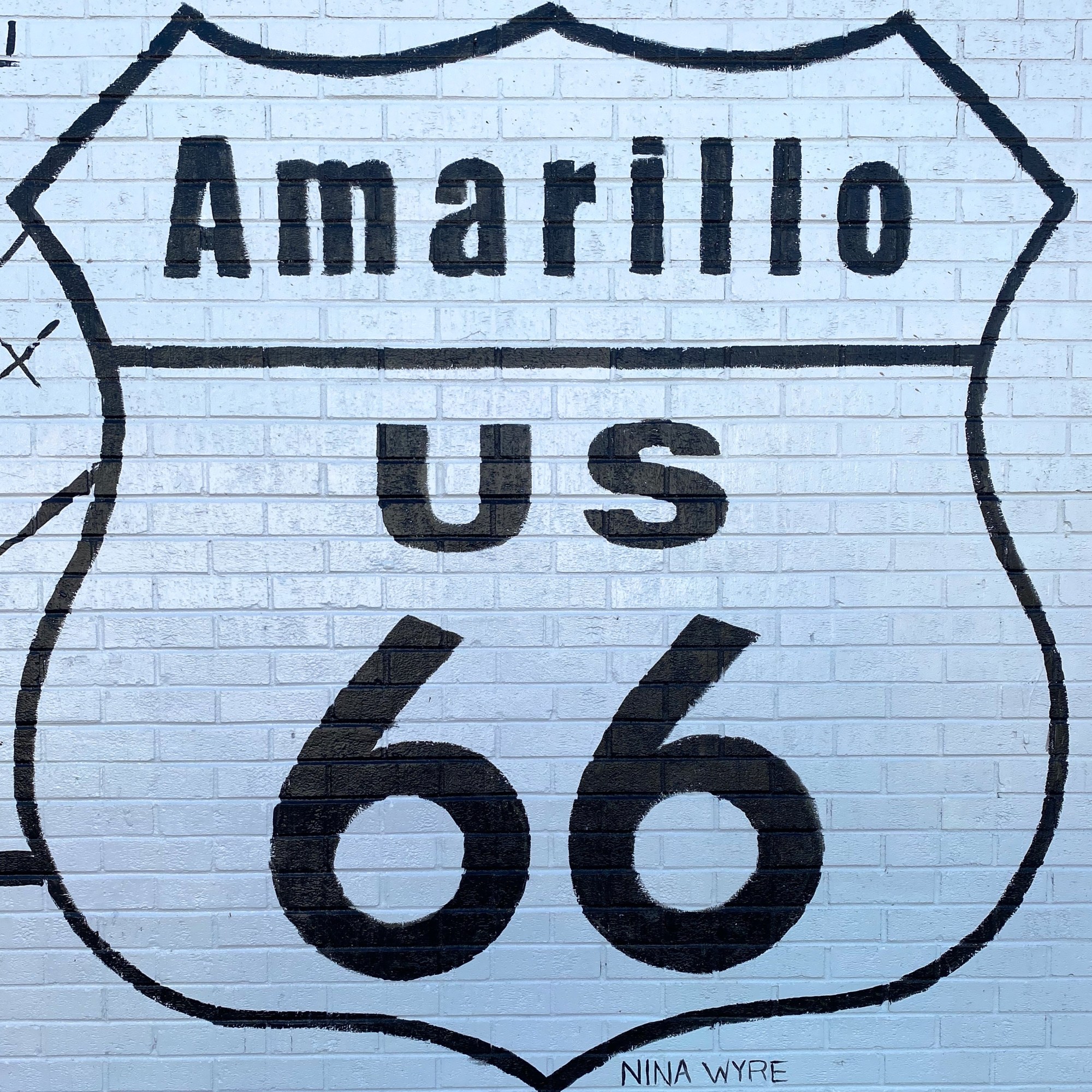
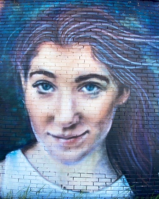
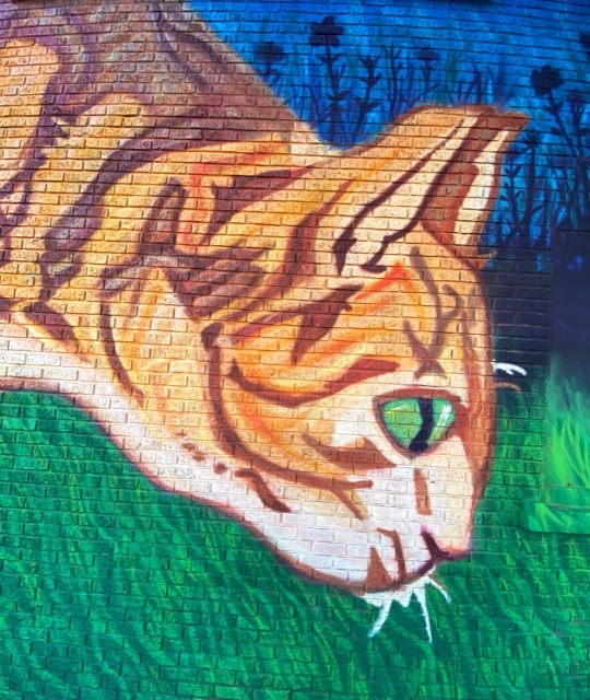
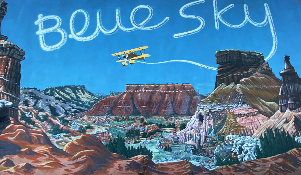
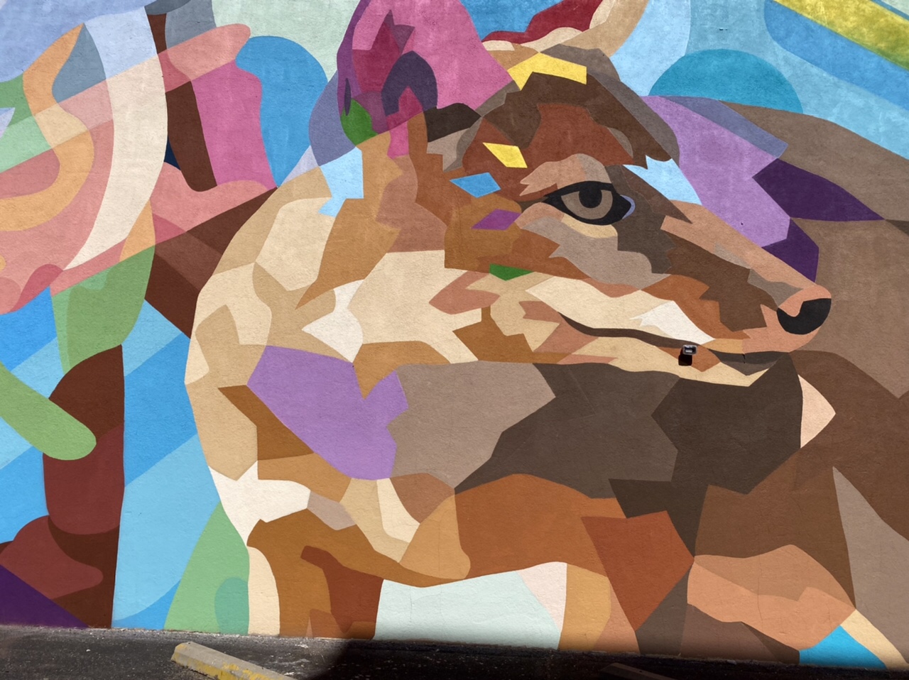
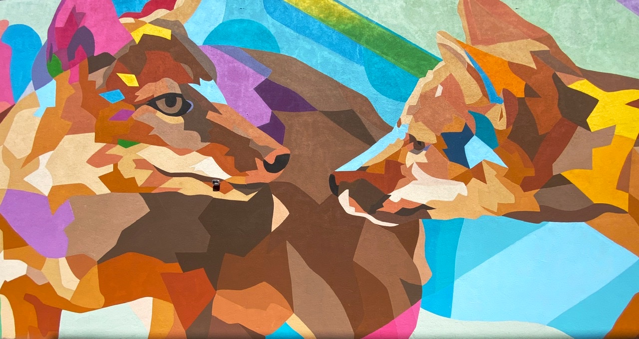
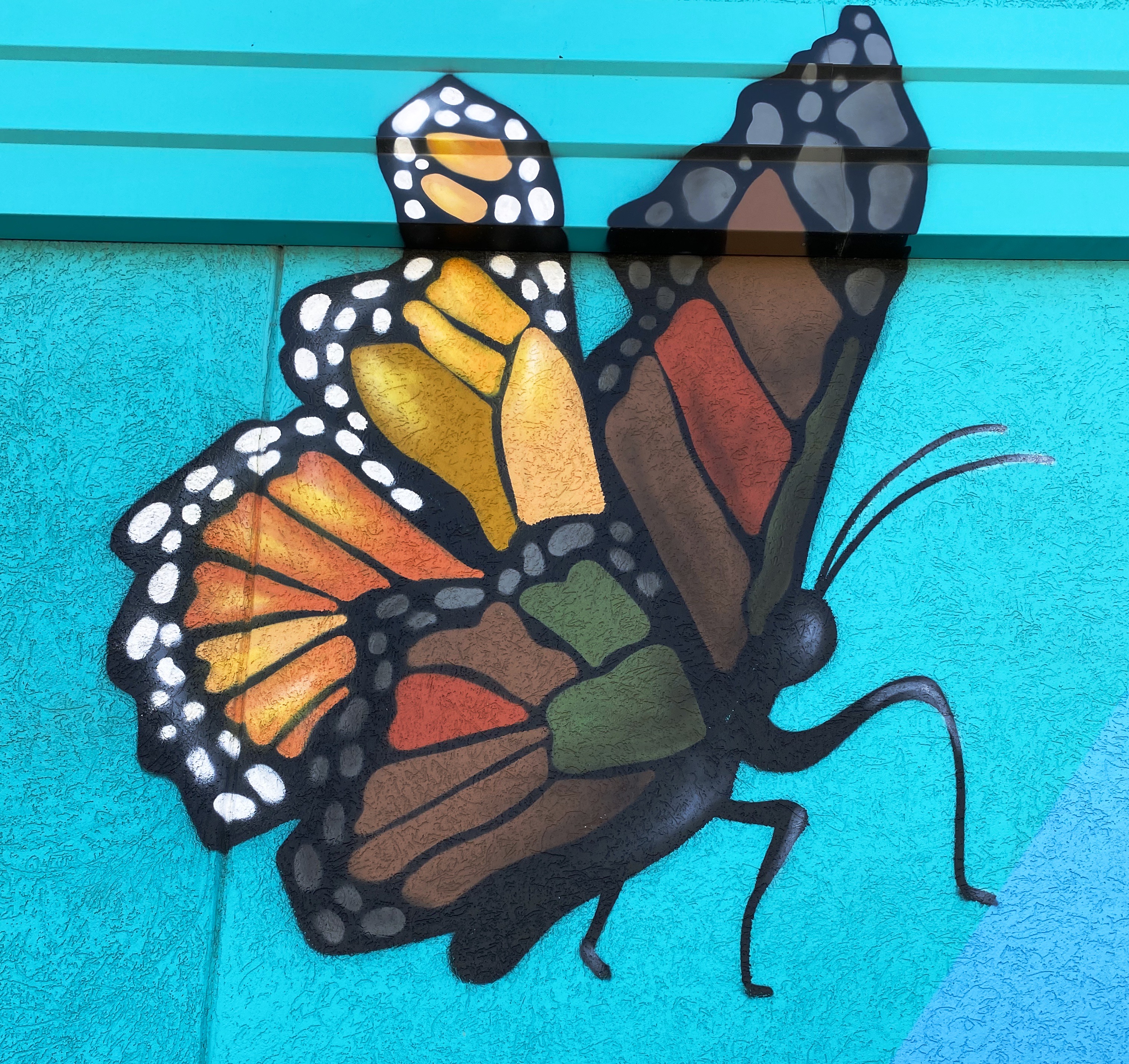
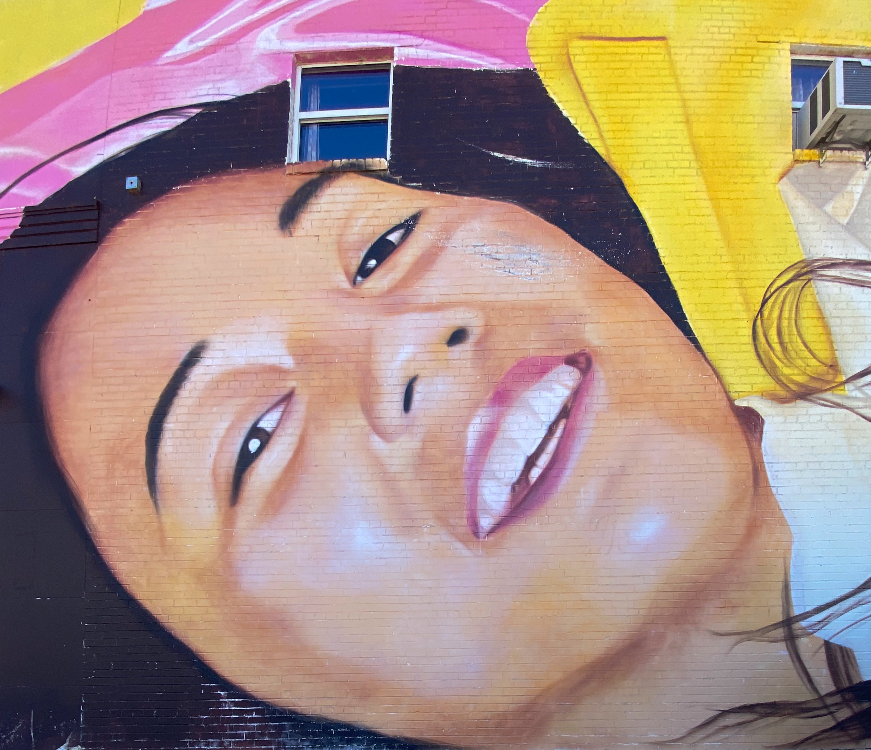
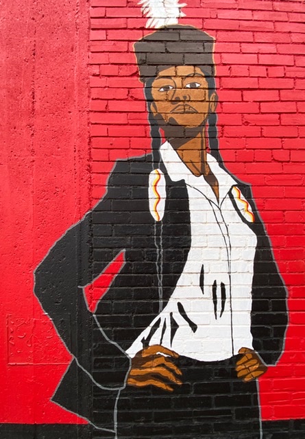
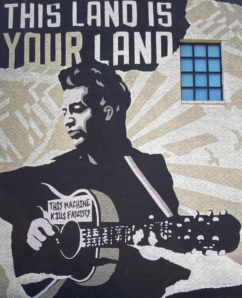
Regular followers of OTR know that, in addition to fine art and excellent coffee and tea, we are avid fans of street art (@streetartfromtheroad). This edition of OTR 7.0 presents a sampling of our favorite street murals from this trip. Some of the murals below we found purely by chance while others we sought out based on our research of public art in a particular area, town or neighborhood.
We should qualify that our focus is on street murals as opposed to graffiti or tagging. Marking public or private property is really a subversive activity and while we have our subversive moments, we do not support the defacing of public or private property. Okay, enough on that topic.
Street art is often very political and cultural in nature and at it’s best is powerful and moving. We also find that it is often highly creative, humorous and very often beautiful.
Please find below our favorites from OTR 7.0, we hope you enjoy the photographs. P.S. We have provided attribution wherever possible.


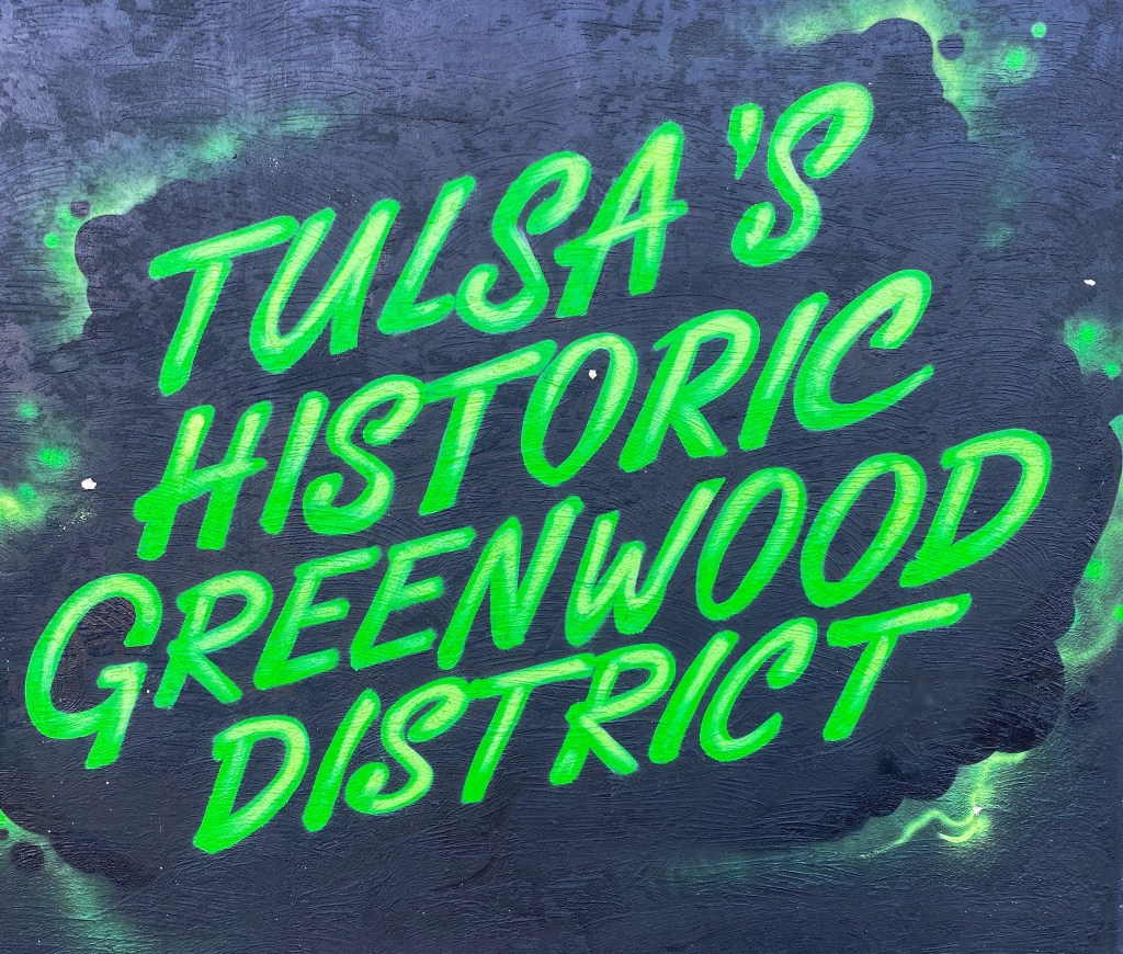
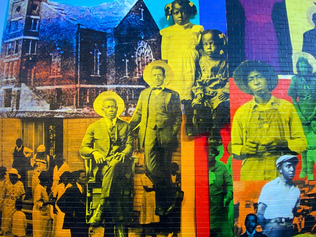
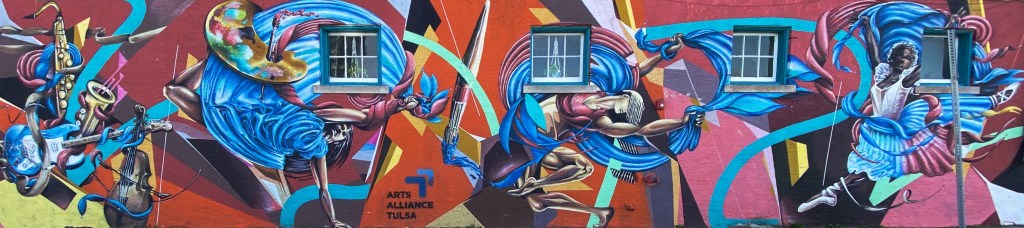
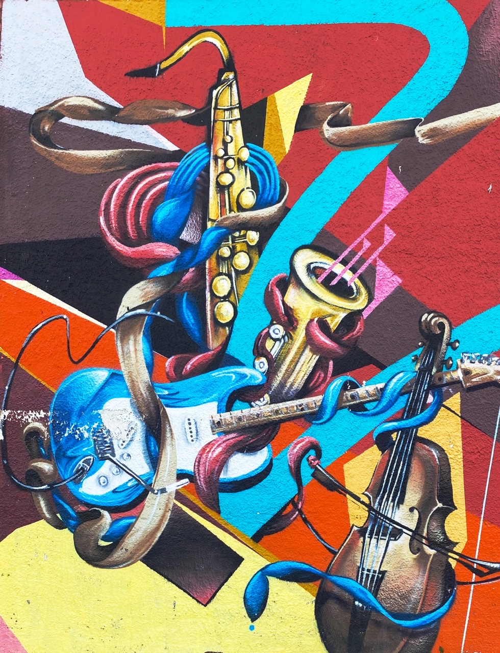
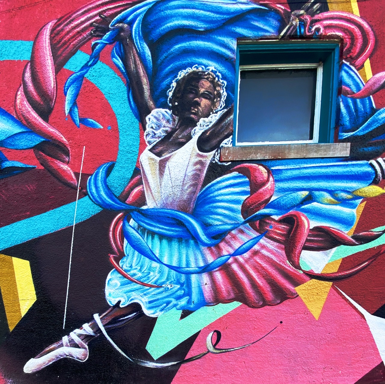
Historical footnote: the Greenwood District of Tulsa was the site of the Tulsa race massacre also known as the Tulsa race riot. In the early 1900’s this area of Tulsa was known as Black Wall Street due to the concentration of wealth in this largely black community.
On May 31, 1921 multiple mobs of armed white residents of Tulsa (deputized by city officials) attacked the residents of the area killing and injuring scores of people and destroying a 40 block area of the district. Thirty-six blacks were killed and over 800 were hospitalized.
Some accounts indicate that the massacre was triggered by the arrest of a black man for assaulting a white woman. Most historians agree that this event was more the result of a growing resentment in the white community of the financial success of ”Black Wall Street”.


Be seeing you.
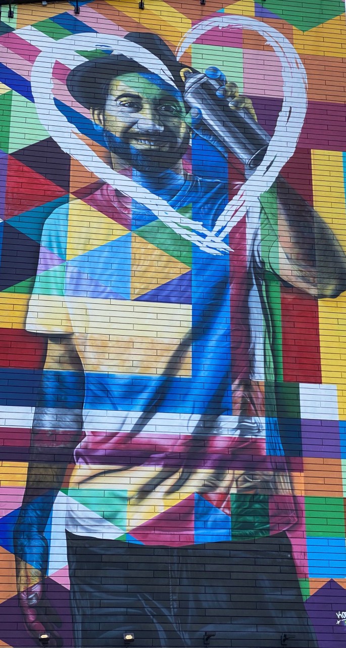


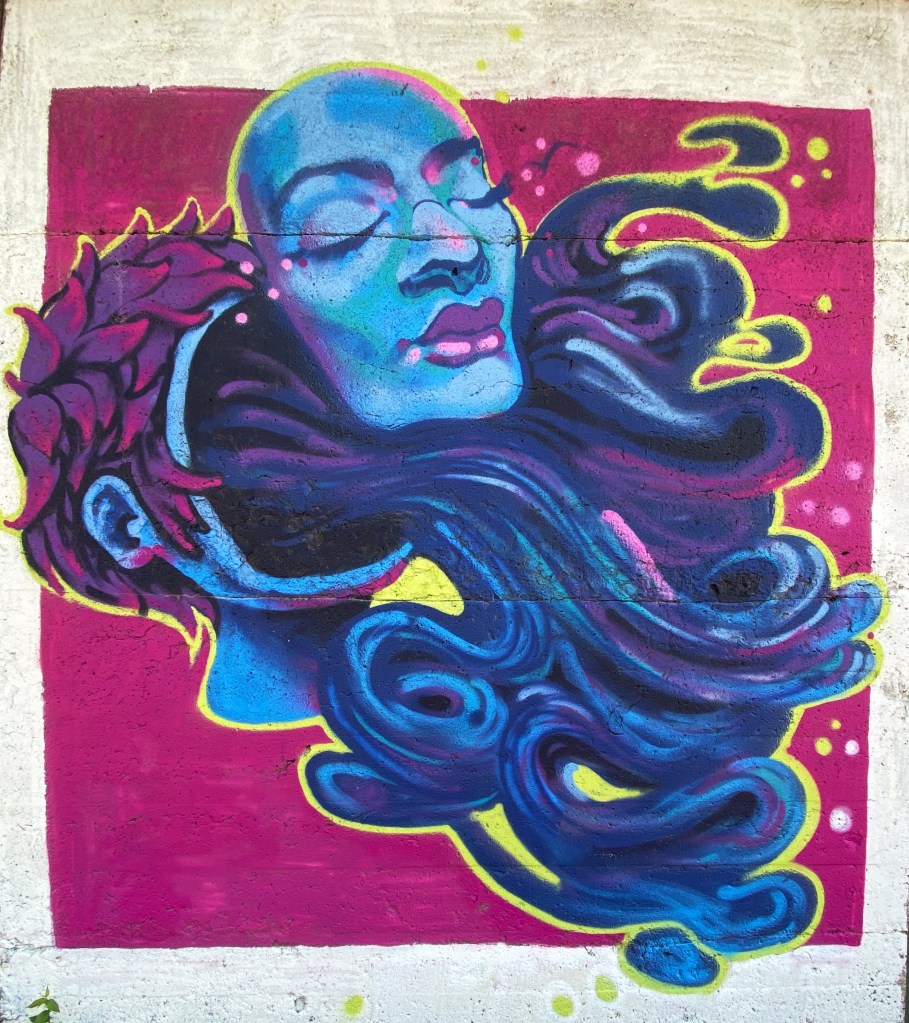
Franklinton Arts District
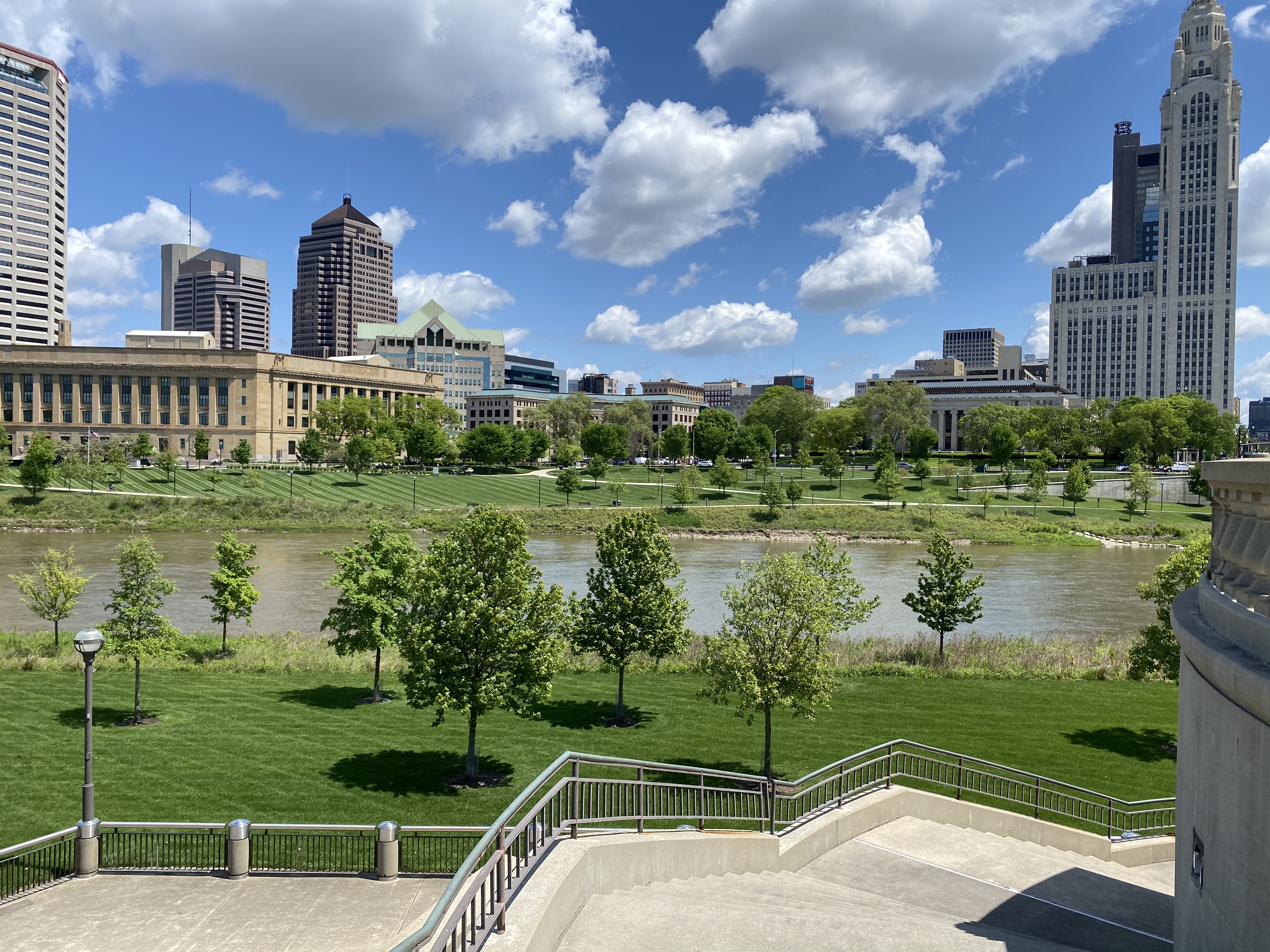
We discovered the Franklinton Arts District (FAD) during our brief visit to Columbus last fall when we visited One Line Coffee. In addition to a terrific coffee experience at the cafe we found ourselves surrounded by amazing mural art everywhere we looked (or so it seemed). As a result we knew that we wanted to pay another visit to Columbus as we journeyed west on OTR 6.0 to take advantage of the excellent coffee and street art opportunities.
The FAD is not just a geographic district but also a non-profit organization http://www.franklintonartsdistrict.com/ created to support and advocate for artists and art organizations in the district.
The photographs above and below are just a small sample of some of the murals we saw during this visit. We have also included several more mural photos at the end of this post.

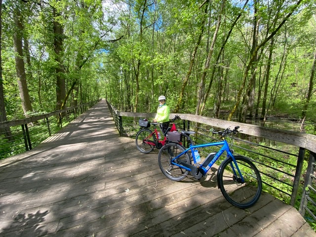
Our first rails to trails ride in Ohio was on the Heart of Ohio Trail (HOOT) and the Kokosing Gap Trail. We rode from the Centerburg Trailhead to the end of the HOOT in Mt Vernon and then continued on the Kokosing Gap Trail several more miles to Gambier where the trail runs through the Kenyon College Campus.


Our departure from Centerburg was delayed slightly by the arrival of two gentlemen who approached us to inquire about the Beast (not an uncommon occurrence). We are always happy to share our travels and provide a tour of the Beast and even more so because we found ourselves talking to two of the top specialty coffee people in the Columbus area.
Kenny (@kennysipes) and Frank (@franksbusy) are the creative and business leaders that have made Roosevelt Coffee Roasters and Roosevelt Coffee House a very special force for good (as well a very successful business) in the specialty coffee industry. https://roosevelt.coffee/ https://the-roosevelt-coffeehouse.square.site/

Kenny had served as a youth pastor for a number of years before deciding to jump into the specialty coffee business while Frank had been in the industry working for one of the top specialty coffee organizations in Columbus.
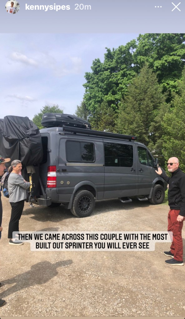


After chatting about the Beast and some of our adventures Kenny and Frank graciously invited us to visit the roastery and the cafe the next morning. We said YES!!

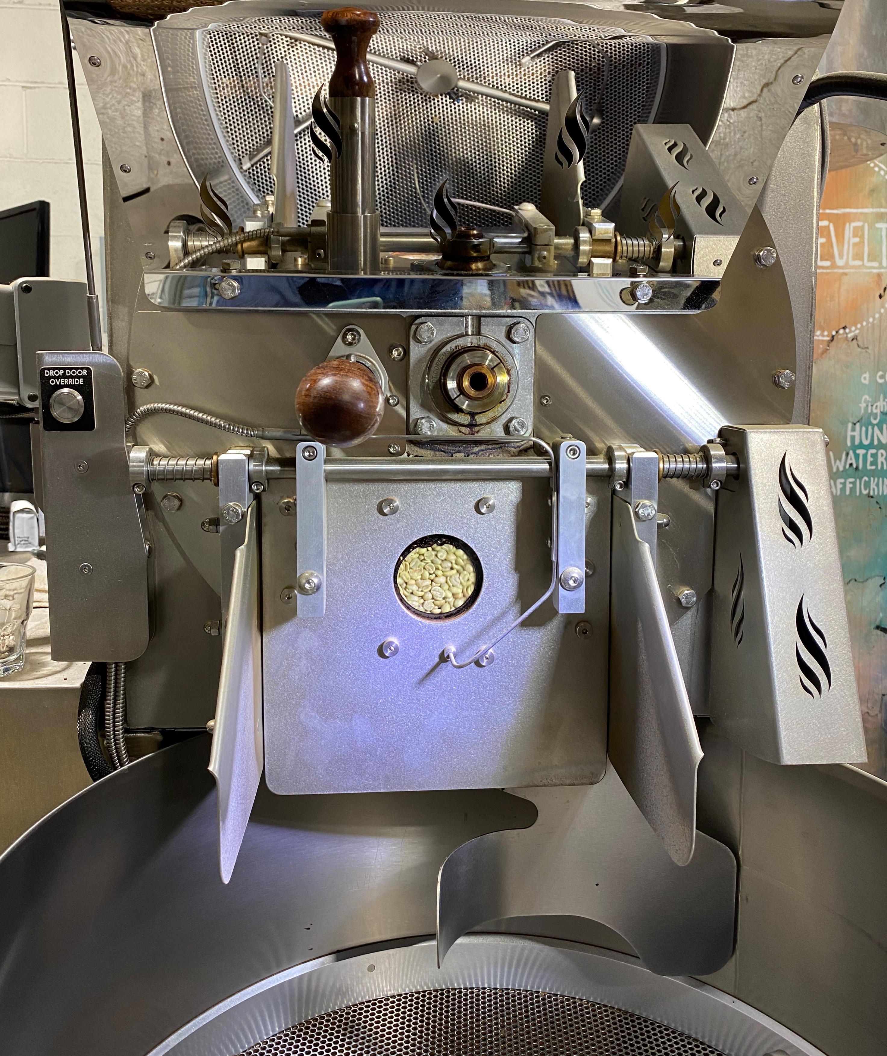

Frank explains the operation of the Loring Roaster as he expertly roasts a batch of coffee.


We had a fantastic experience visiting the with Kenny and Frank and found out that they are more than just two really nice guys. Kenny started this business in order to help people in need and Frank signed on for the mission. The Roosevelt businesses are owned by the Roosevelt Foundation https://www.rooseveltcoffee.org/ and donate a portion of the money generated by the two businesses to organizations fighting against hunger, unclean water and human trafficking.

We are humbled to have had the opportunity to meet Kenny and Frank and learn first hand about the business and their mission. Thank you Kenny and Frank.
Alum Creek Trail
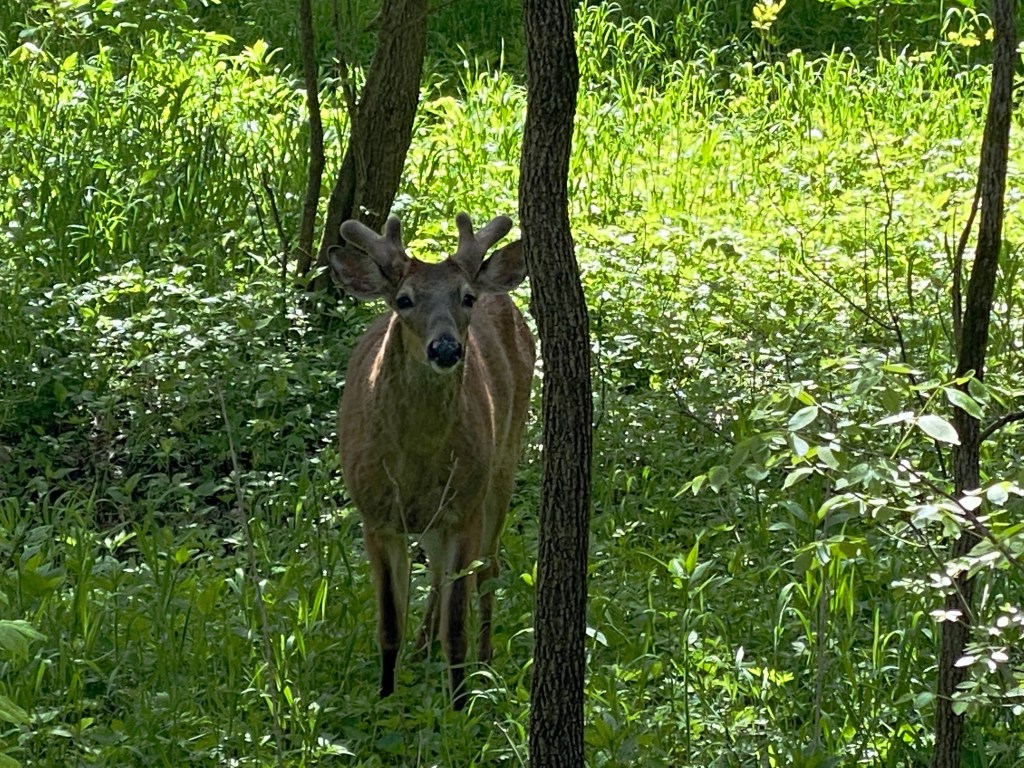
We took advantage of the fine weather on our last day in Columbus to bike the Alum Creek Trail. Although this trail runs through the city of Columbus it provides many miles of greenway as it meanders back and forth across the Alum Creek. This trail is a wonderful asset within a major metropolitan area as you feel transported to a much more rural environment. We encountered many deer along the route – some who seem perturbed by our desire to proceed on the trail!
Historically, Alum Creek was a key route in central Ohio for escaped slaves and free blacks to move north to free states and Canada. The sycamore trees which line the banks of the creek and the creek itself provided cover for the railroad’s “passengers” seeking freedom.
A key group in the operation of the Underground Railroad in central Ohio were the Quakers that created the safe haven known as Quakertown. The number of escaped slaves that came through on this route is not documented for obvious reasons but it is a credit to the abolitionists that risked their own safety to assist with this humanitarian initiative to right the horrible wrong of slavery.


Franklinton Arts District


Next stop Wisconsin to bicycle the Badger State Bike Trail and possibly eat cheese! Be seeing you!
