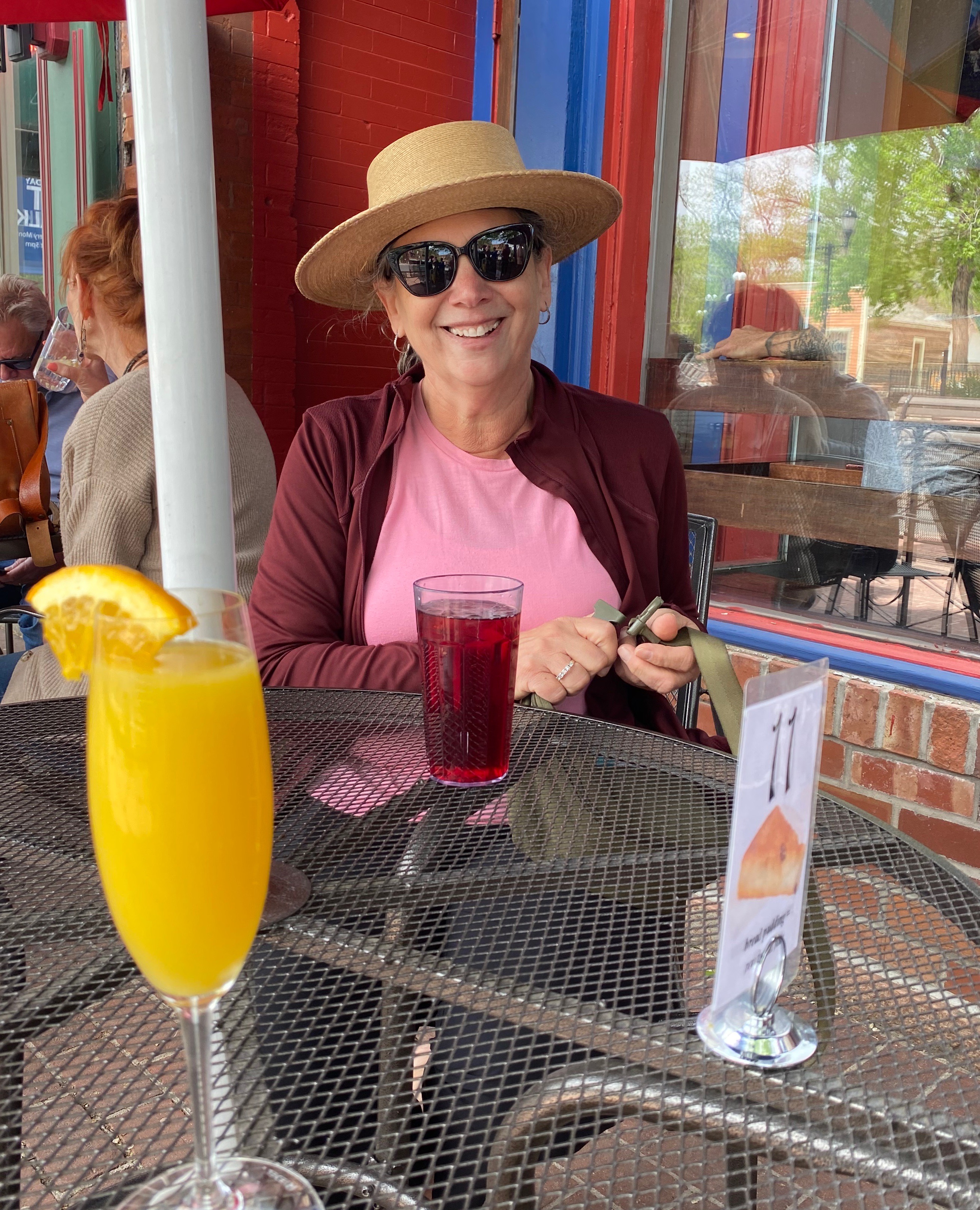
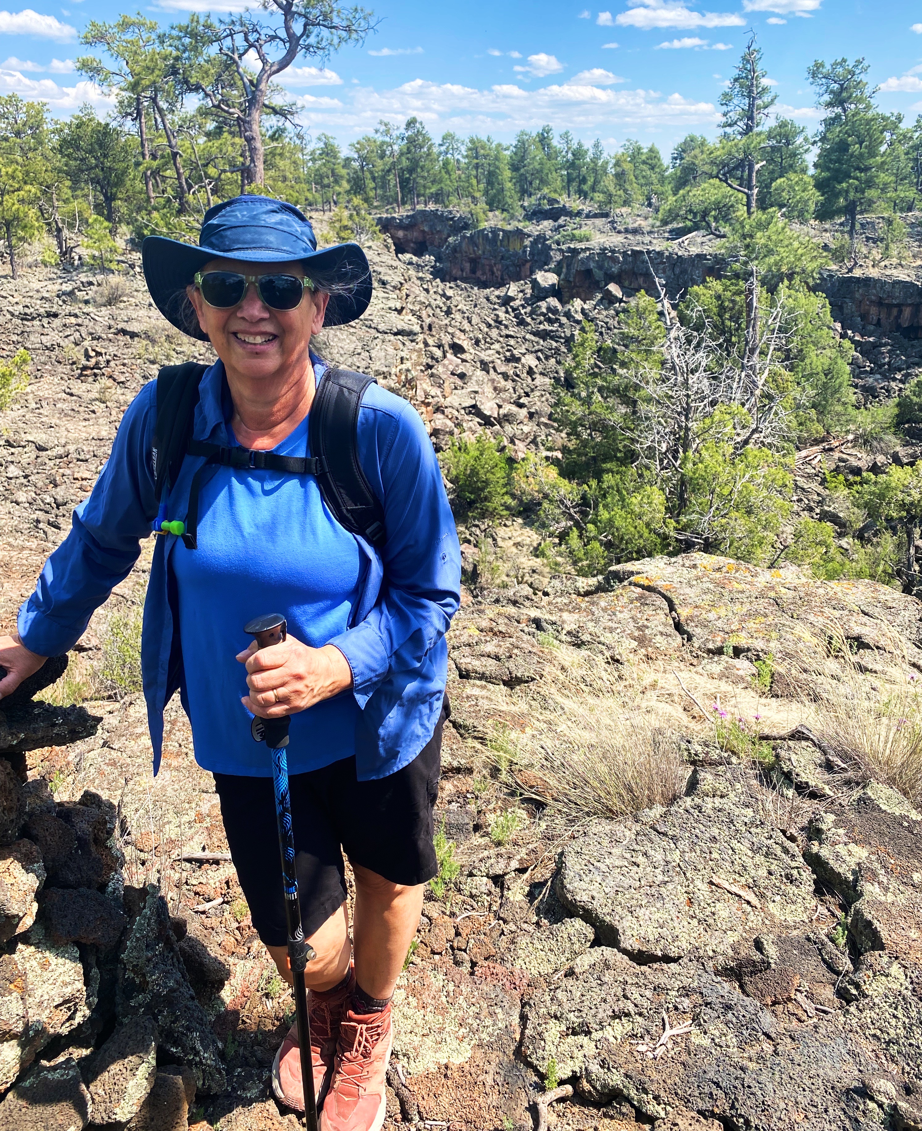
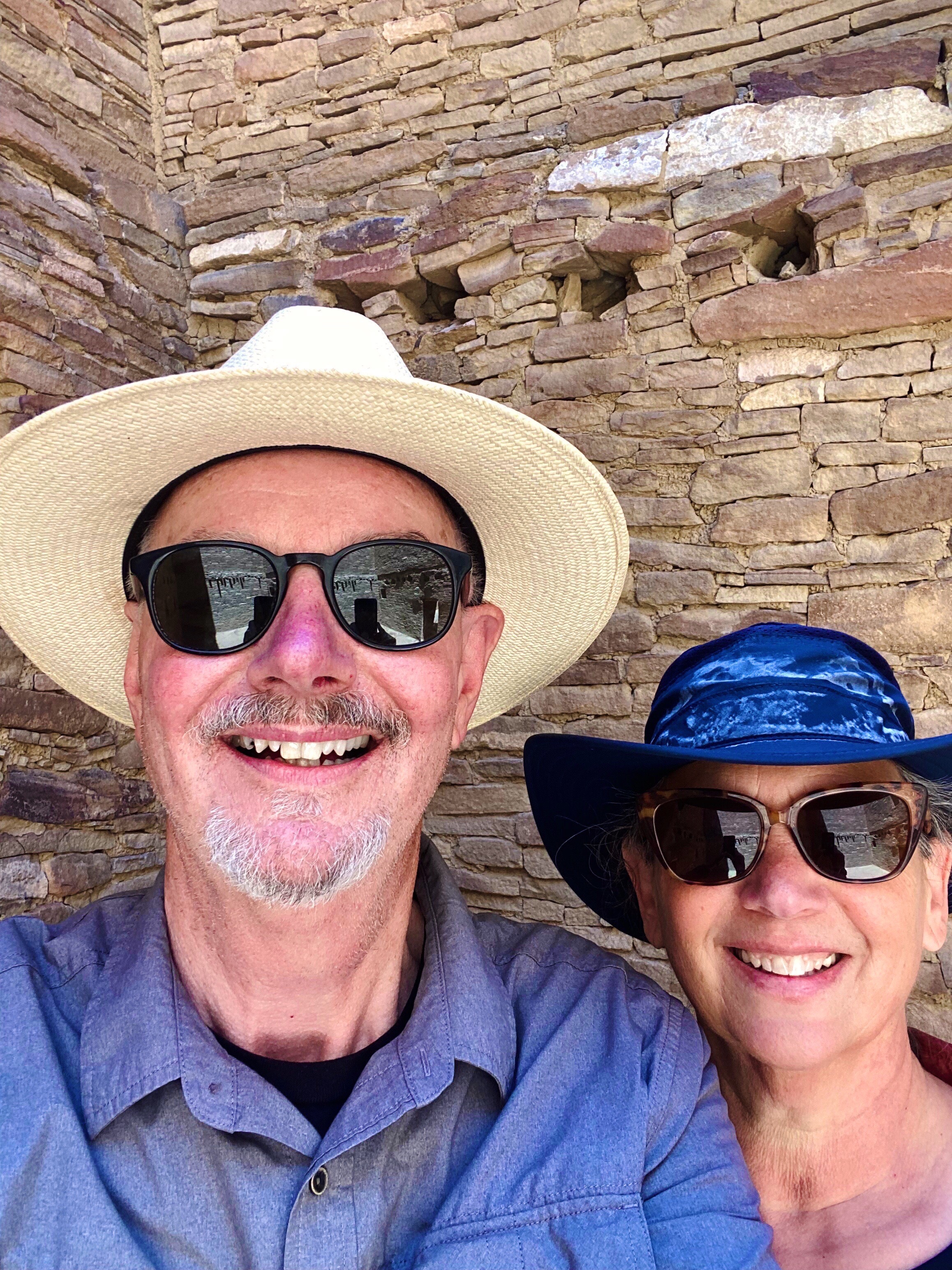
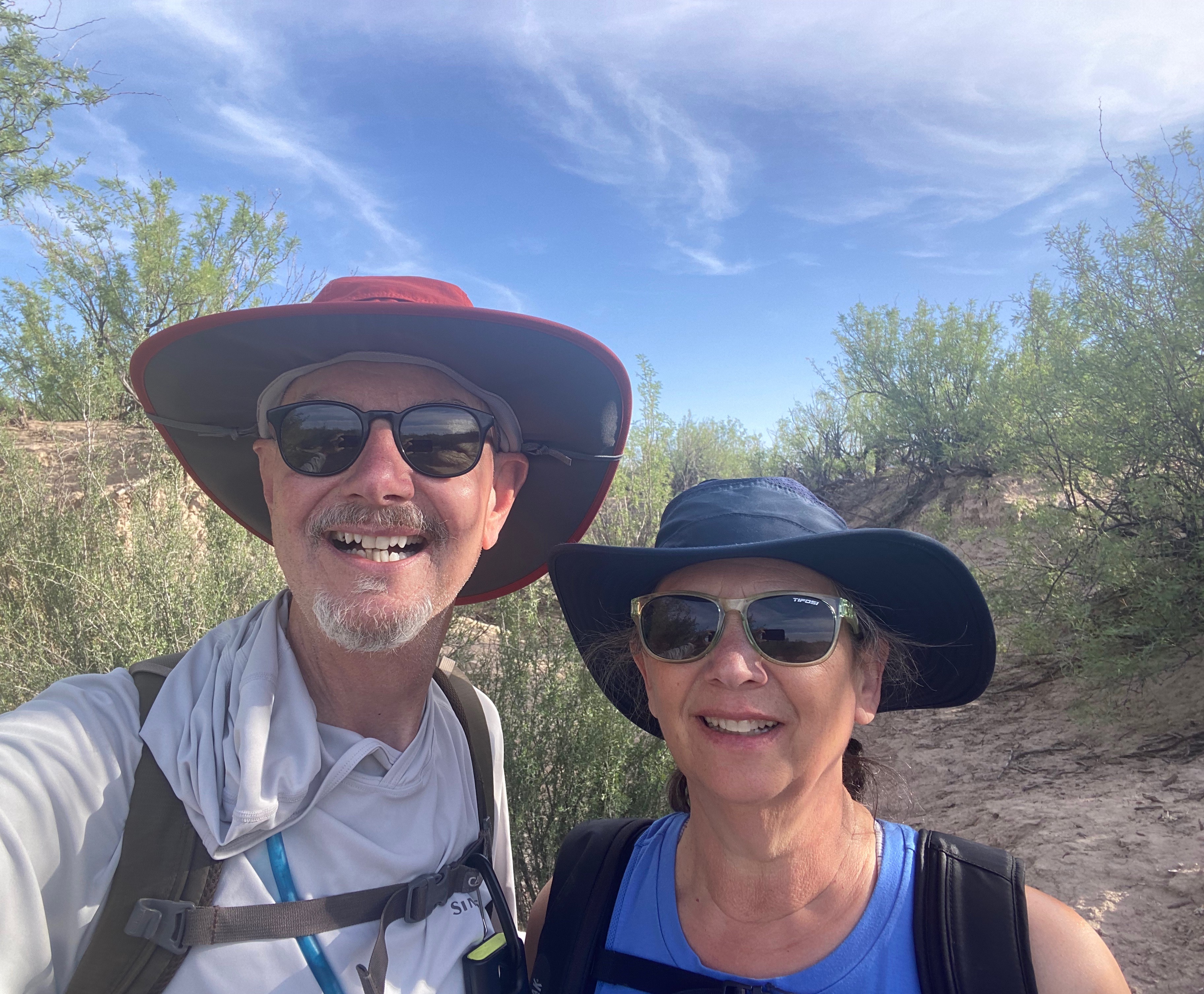
We are a retired couple traveling the United States six months of the year. We enjoy biking, hiking, visiting historical sites, street art, fika at local coffee shops and most of all meeting people.
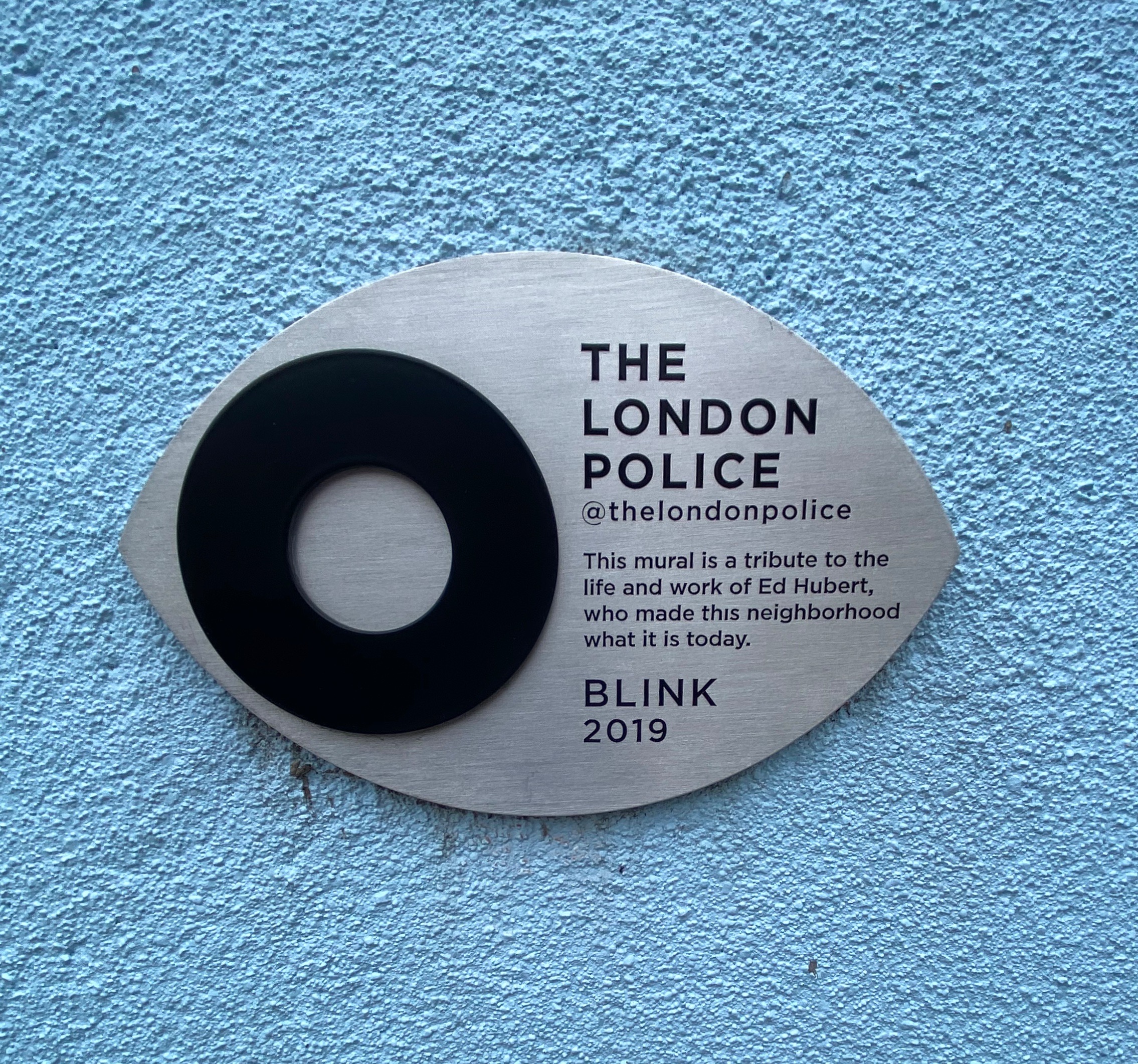
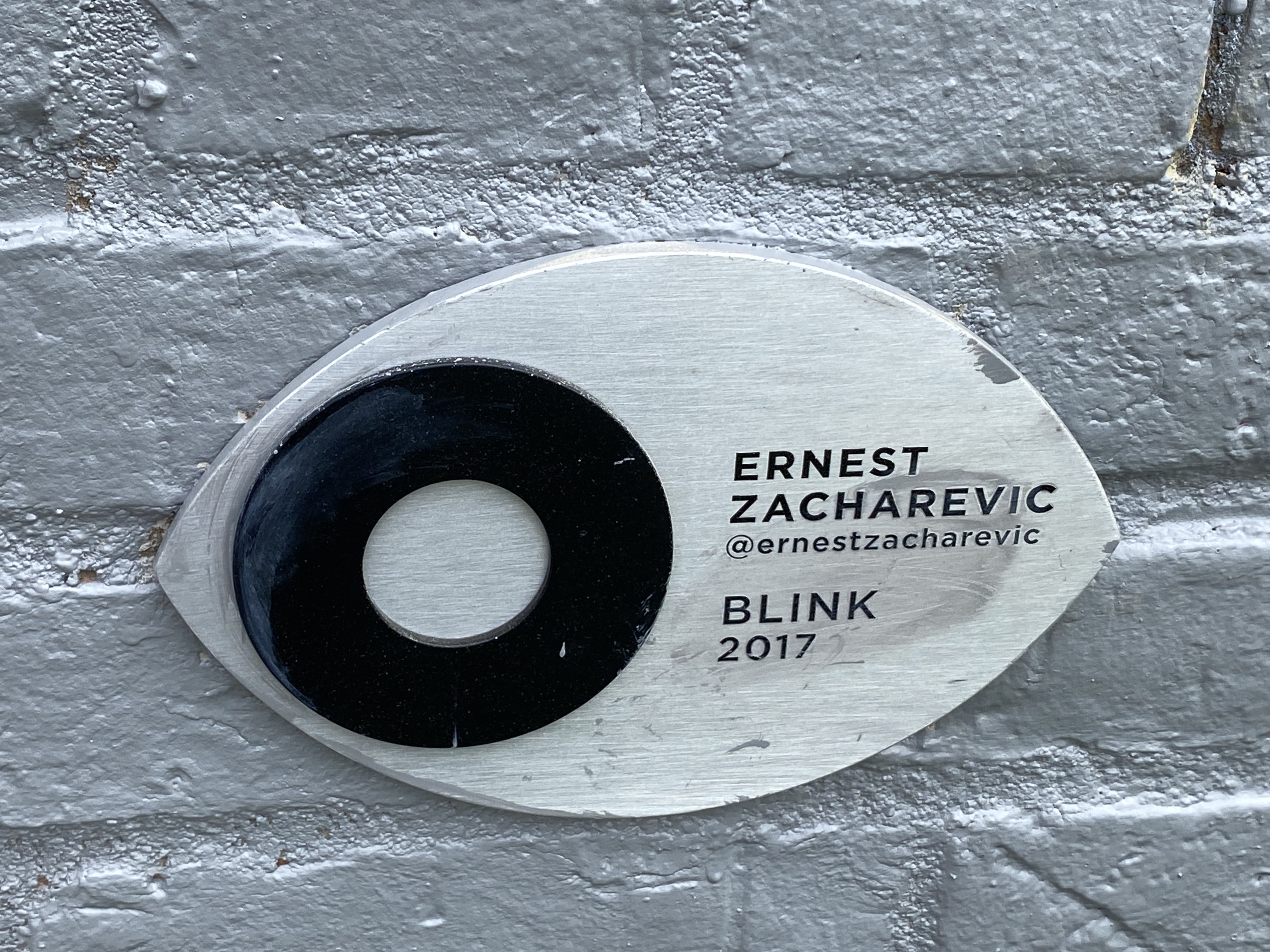
The famous Brick Lane Market was high on our list of must do experiences while in London. The market operates at full tilt on Sundays – accordingly, we made our way there on a chilly, gray Sunday. Of course, of special interest was the opportunity to see and photograph some of the plethora of street art located on and around Brick Lane.
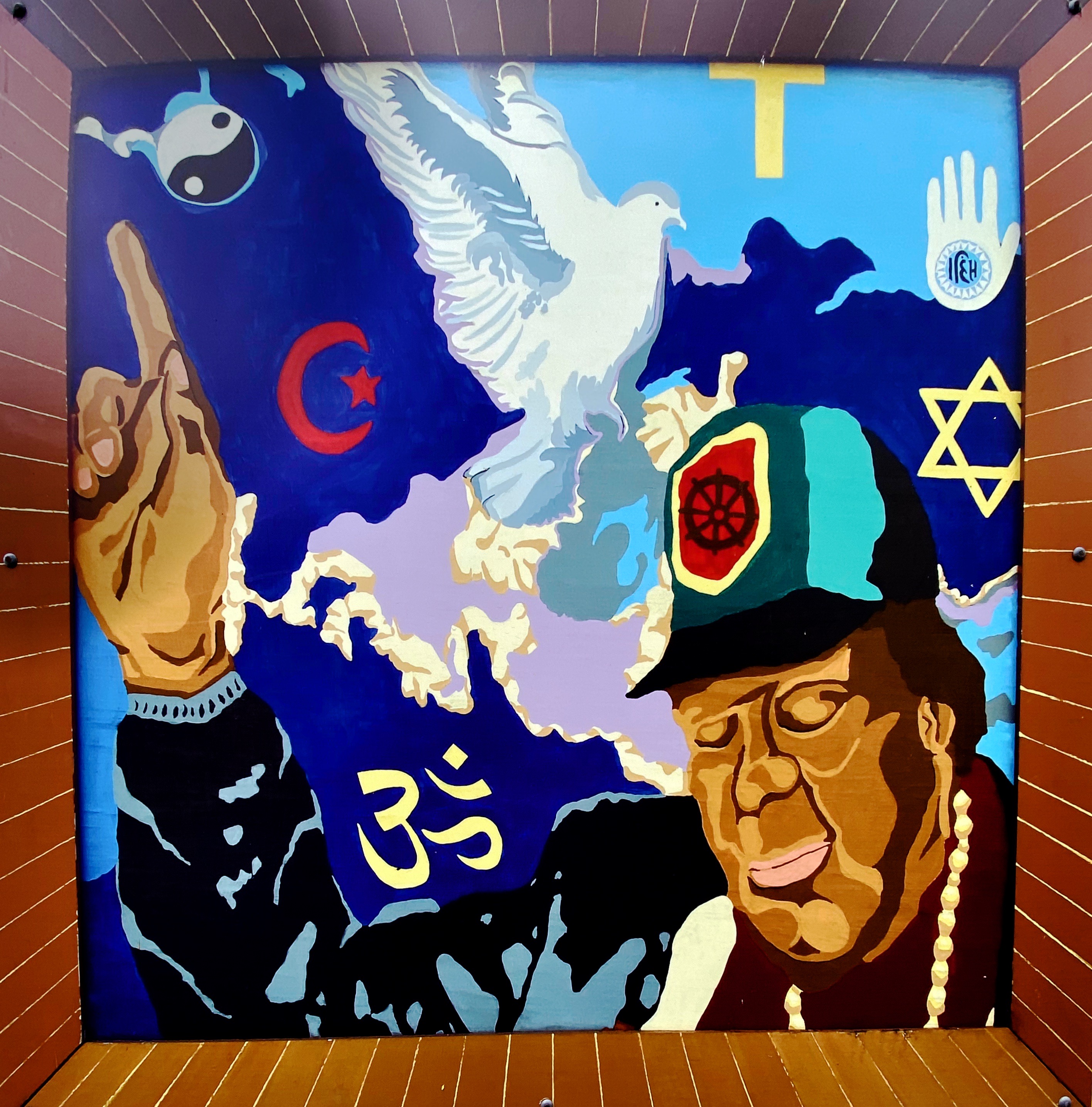
Brick Lane is situated in the heart of the East End in the Borough of Tower Hamlets. The area has been a home to immigrants from many countries over the last 300 years. Most recently, the area has become home to a Bangladeshi community. If you look in the photos above you can see that the street signs are in English and Bengali!
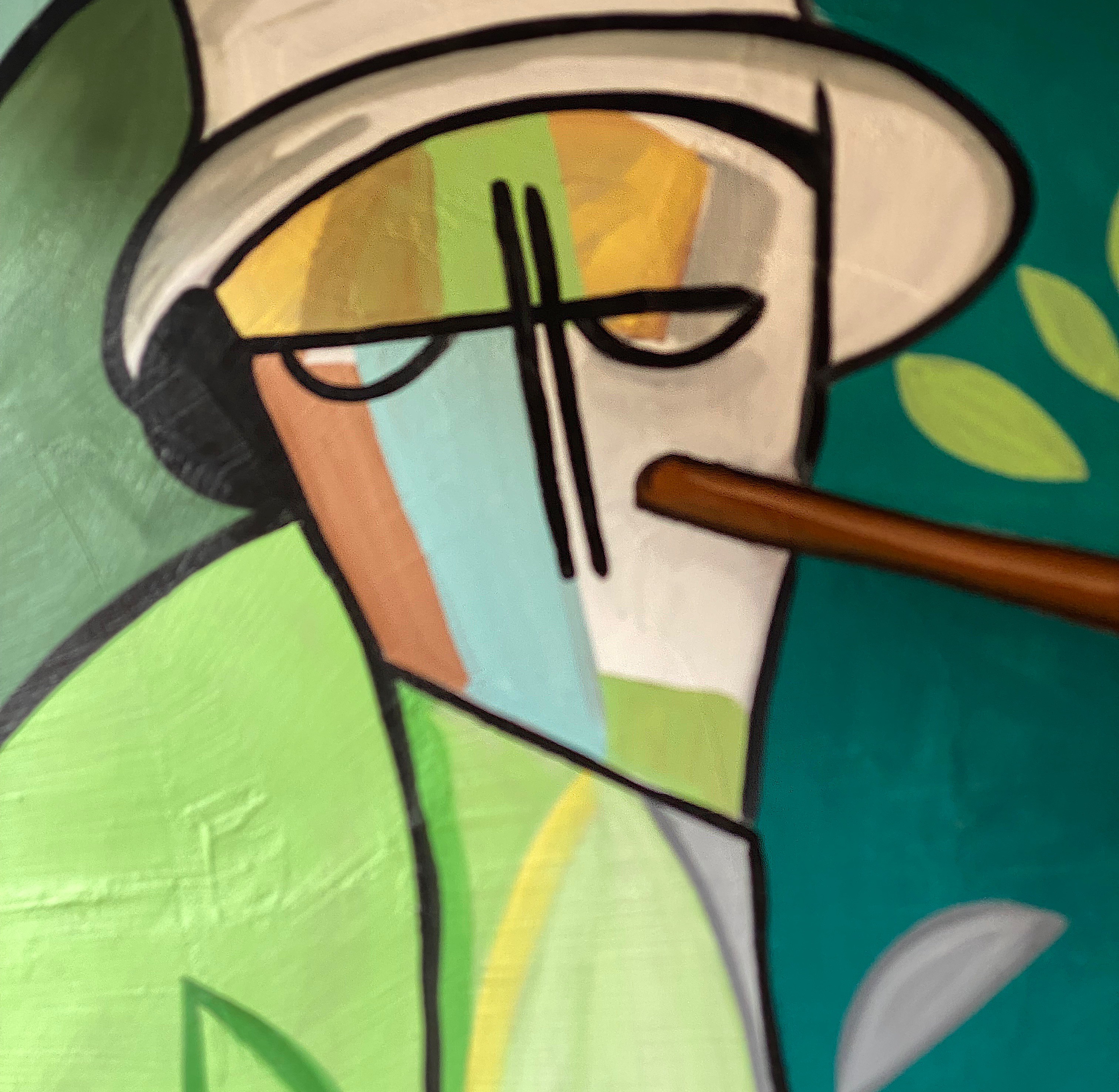
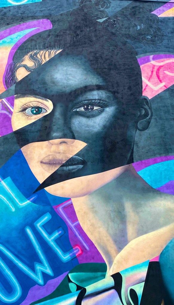
7th Pencil @7thpencil, London-Weavers
Apparan @apparan, London-Allens Gardens
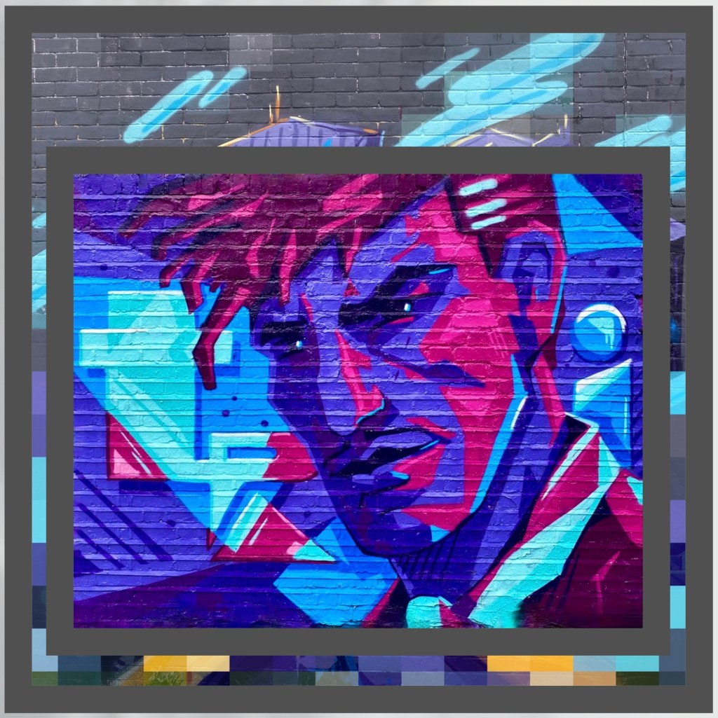
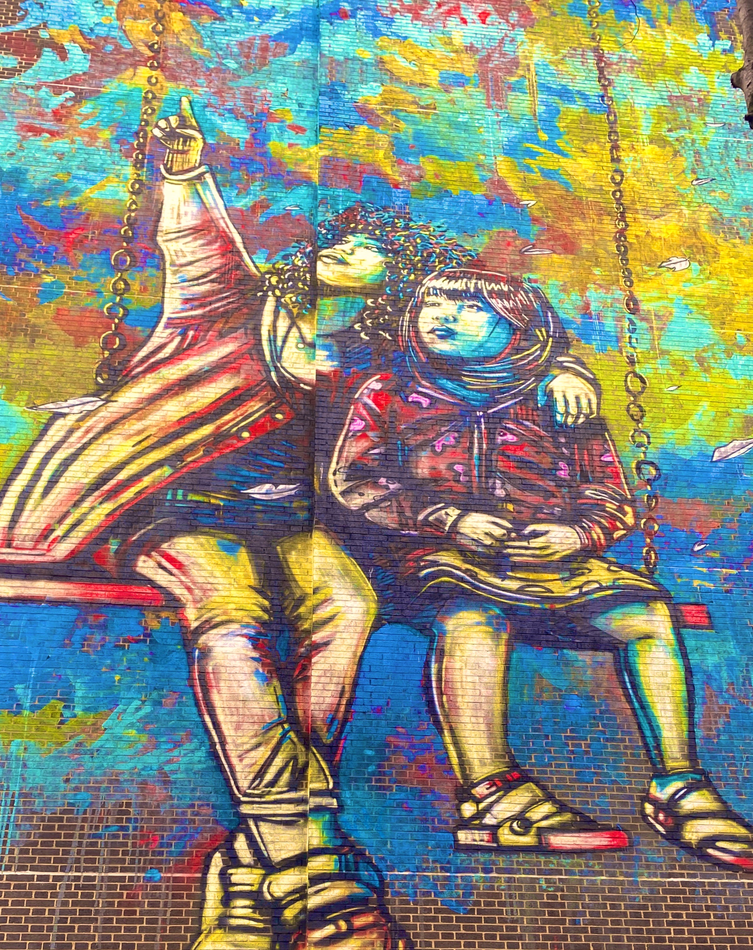
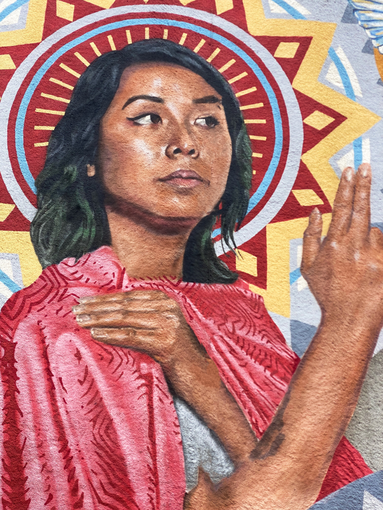
Benzi Brofman @benzi_brofman, London-Weavers
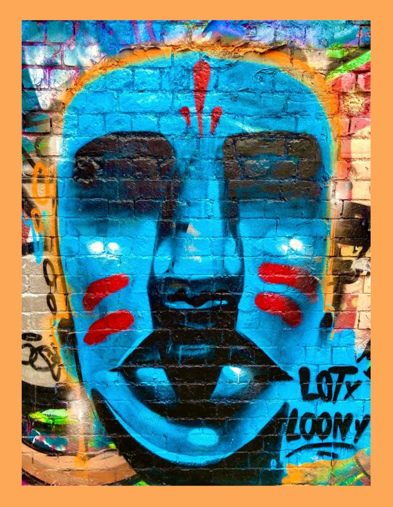
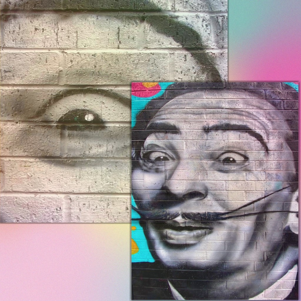
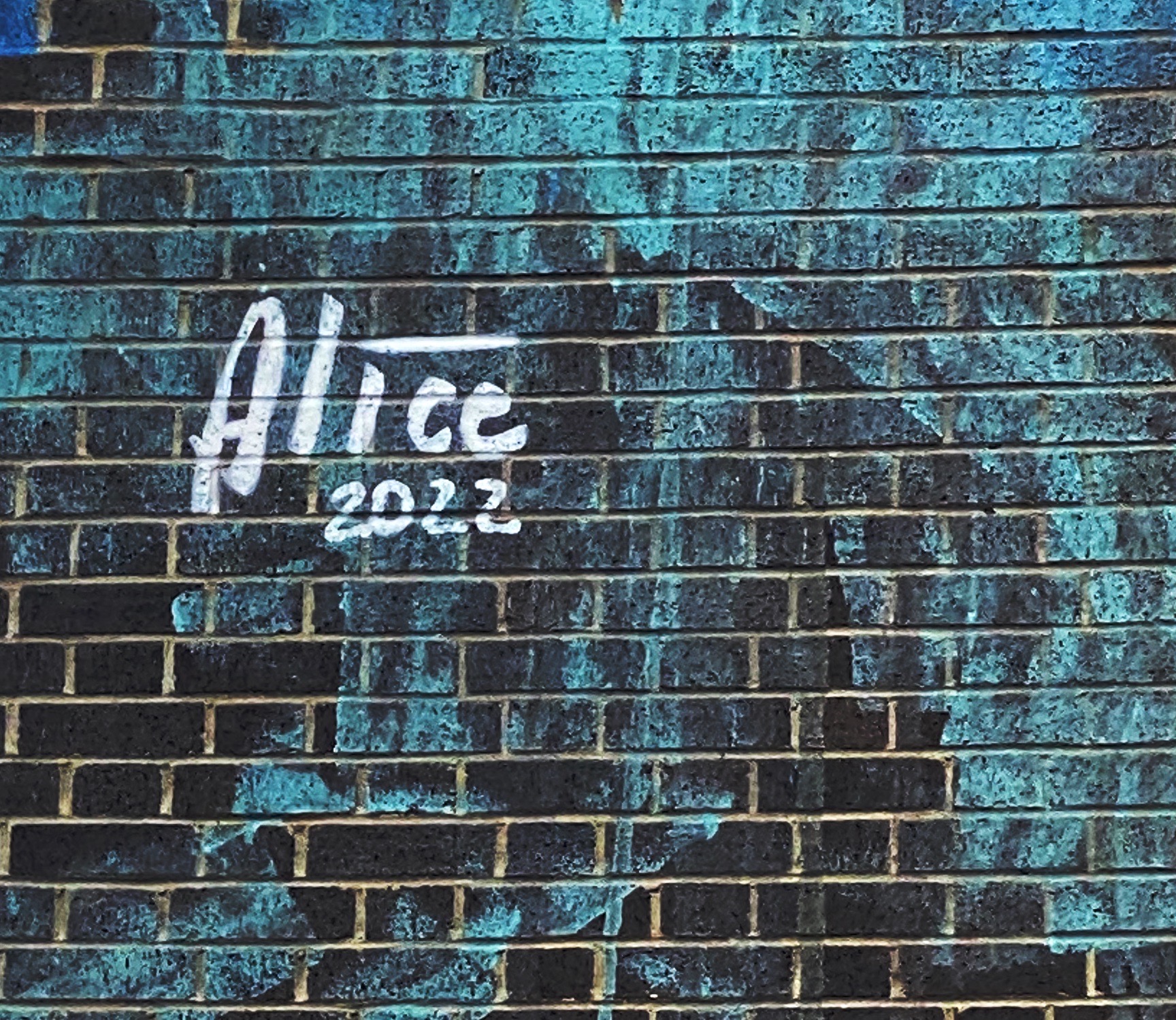
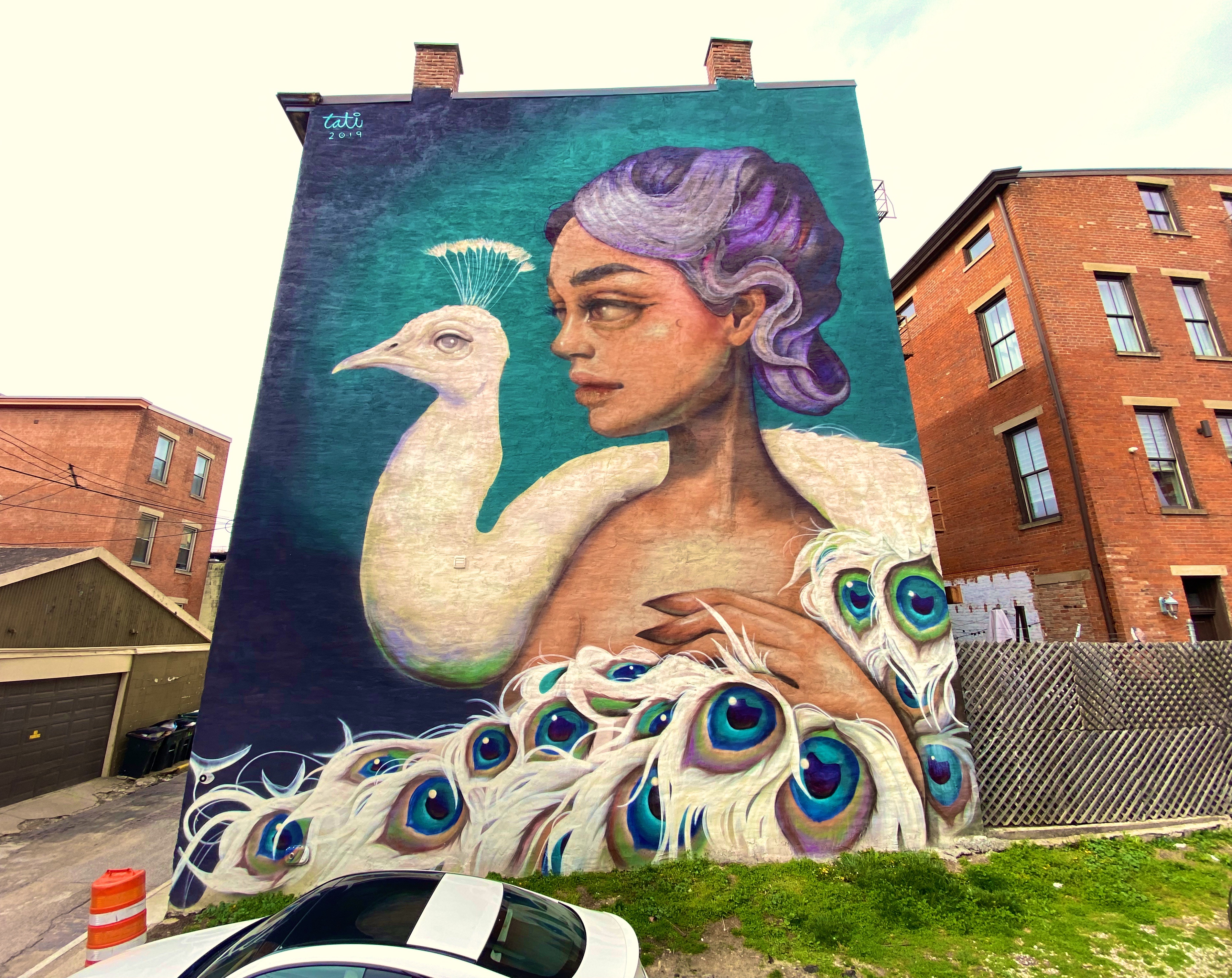
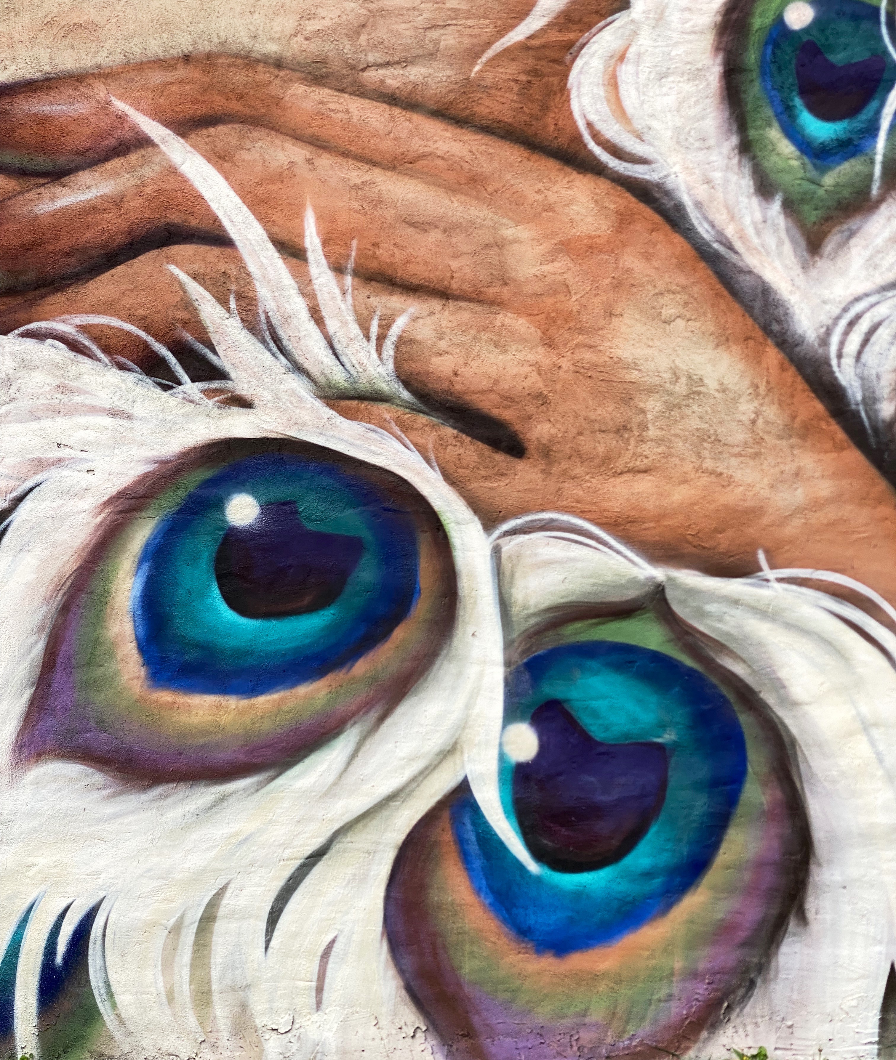
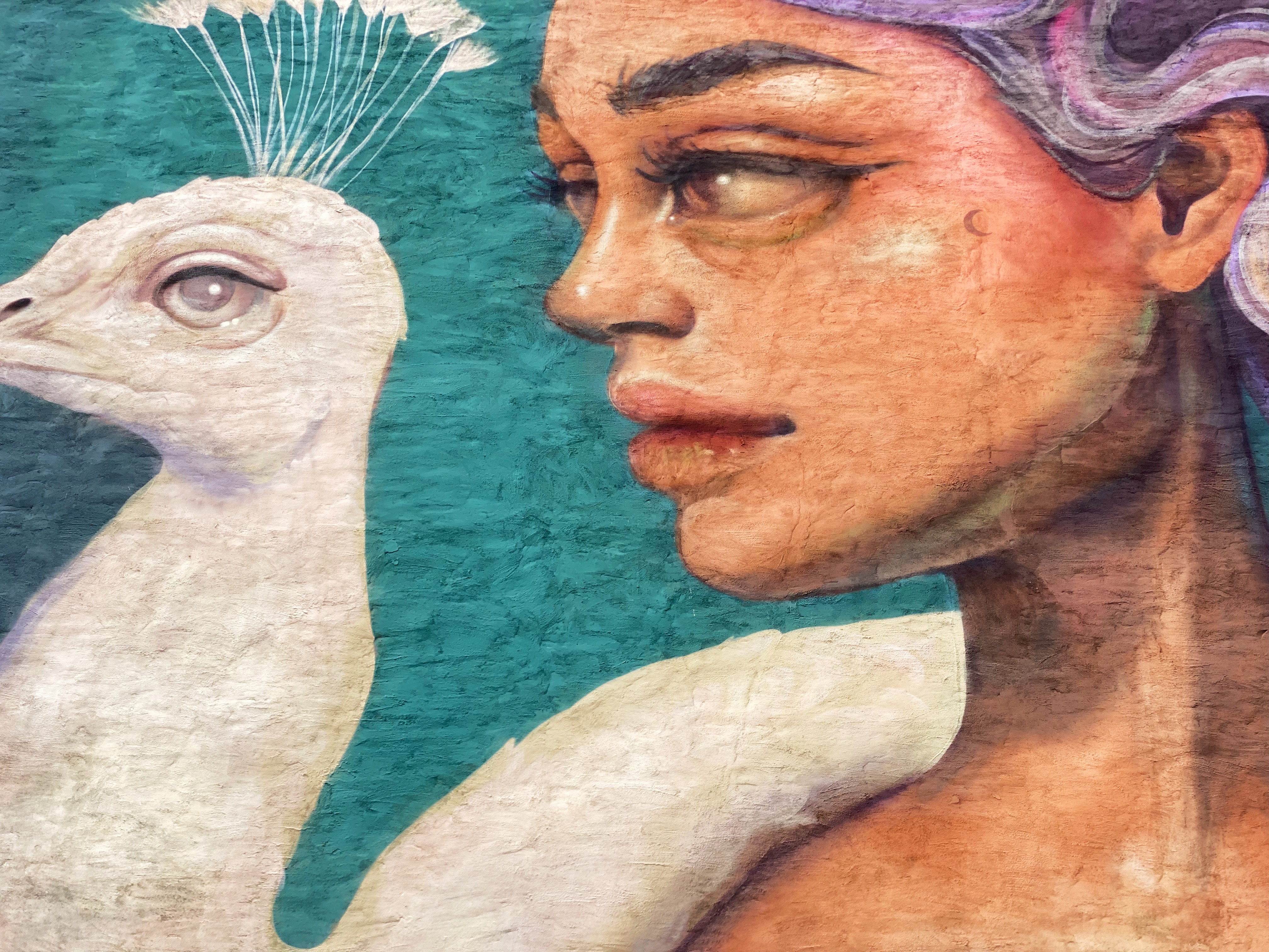
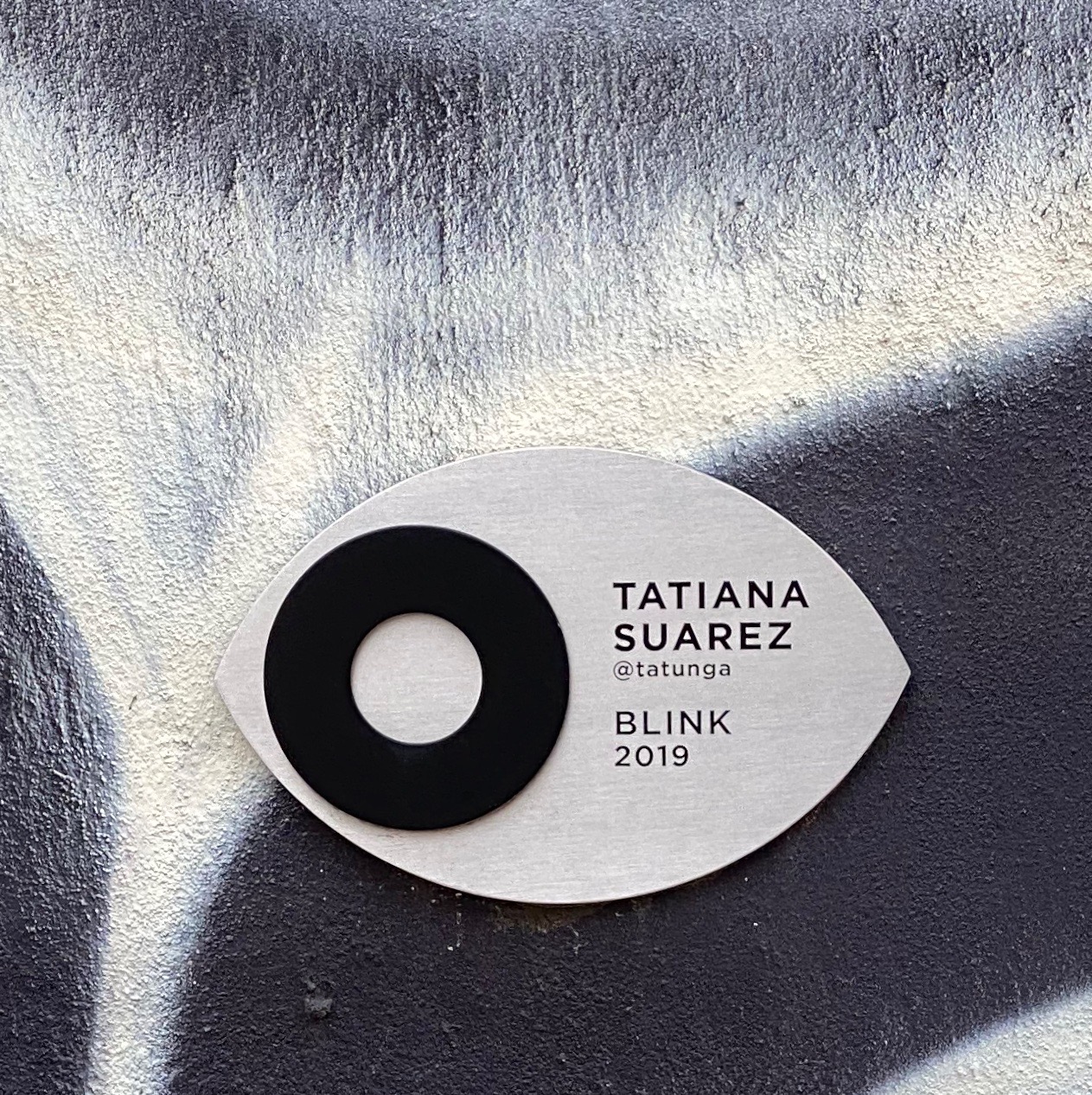
Jill Vigilion, London-Brick Lane
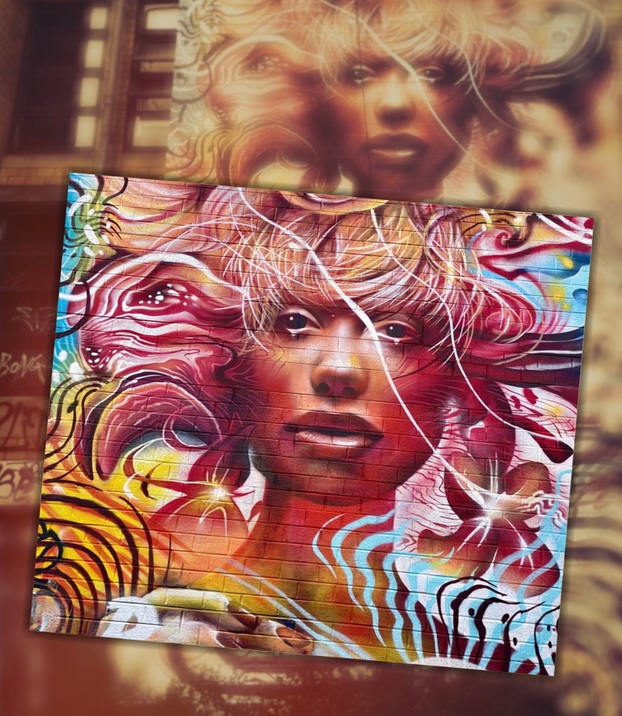
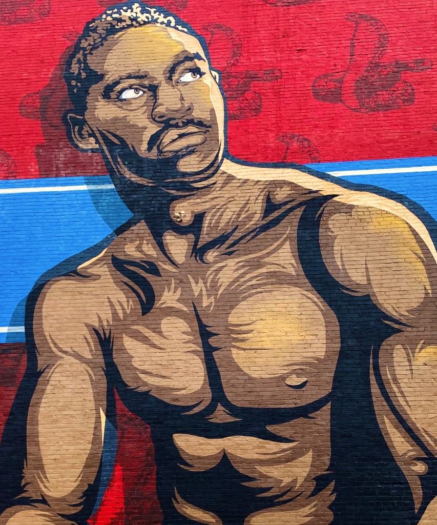
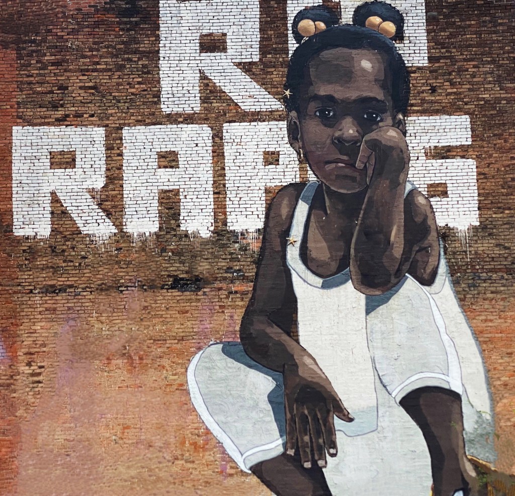
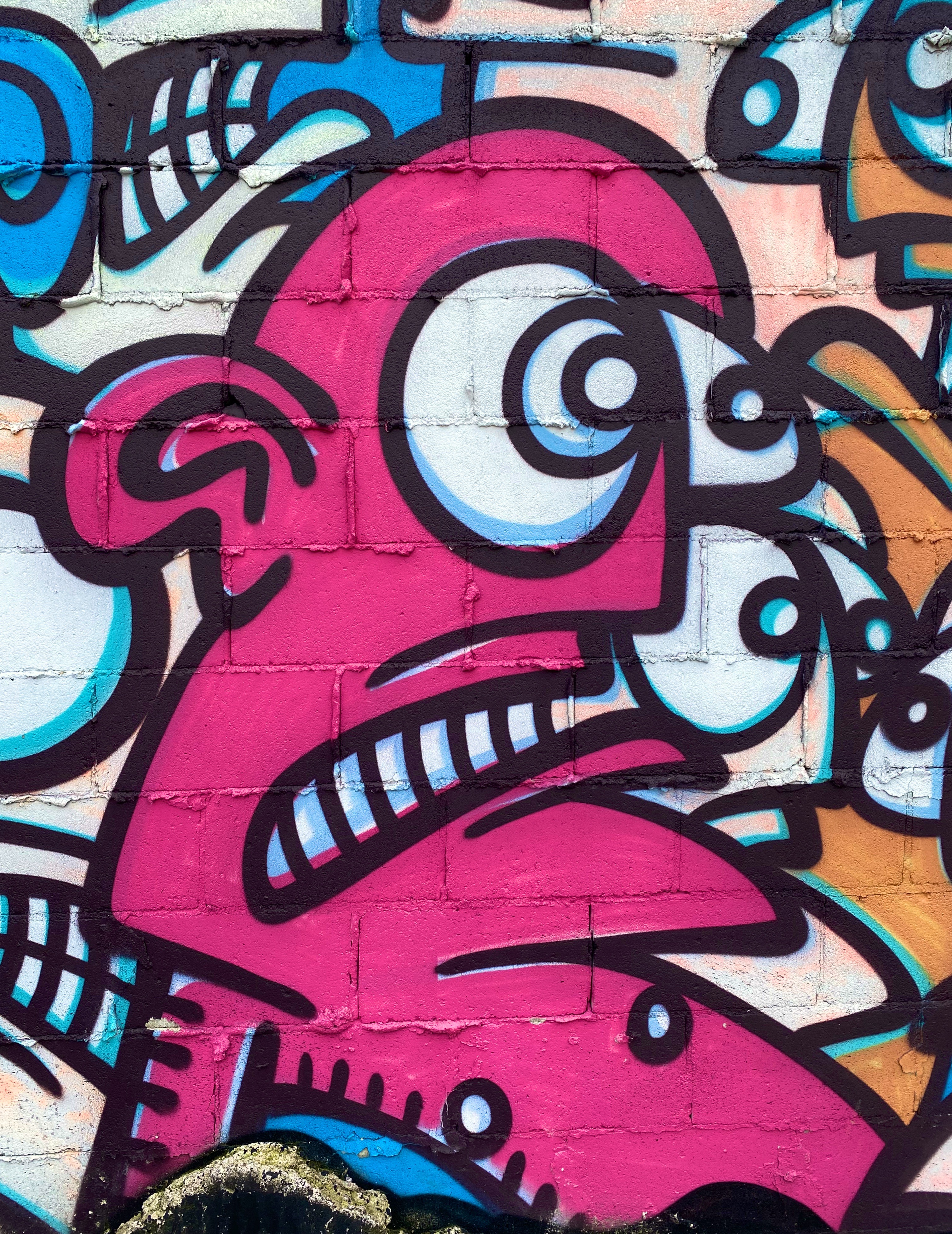
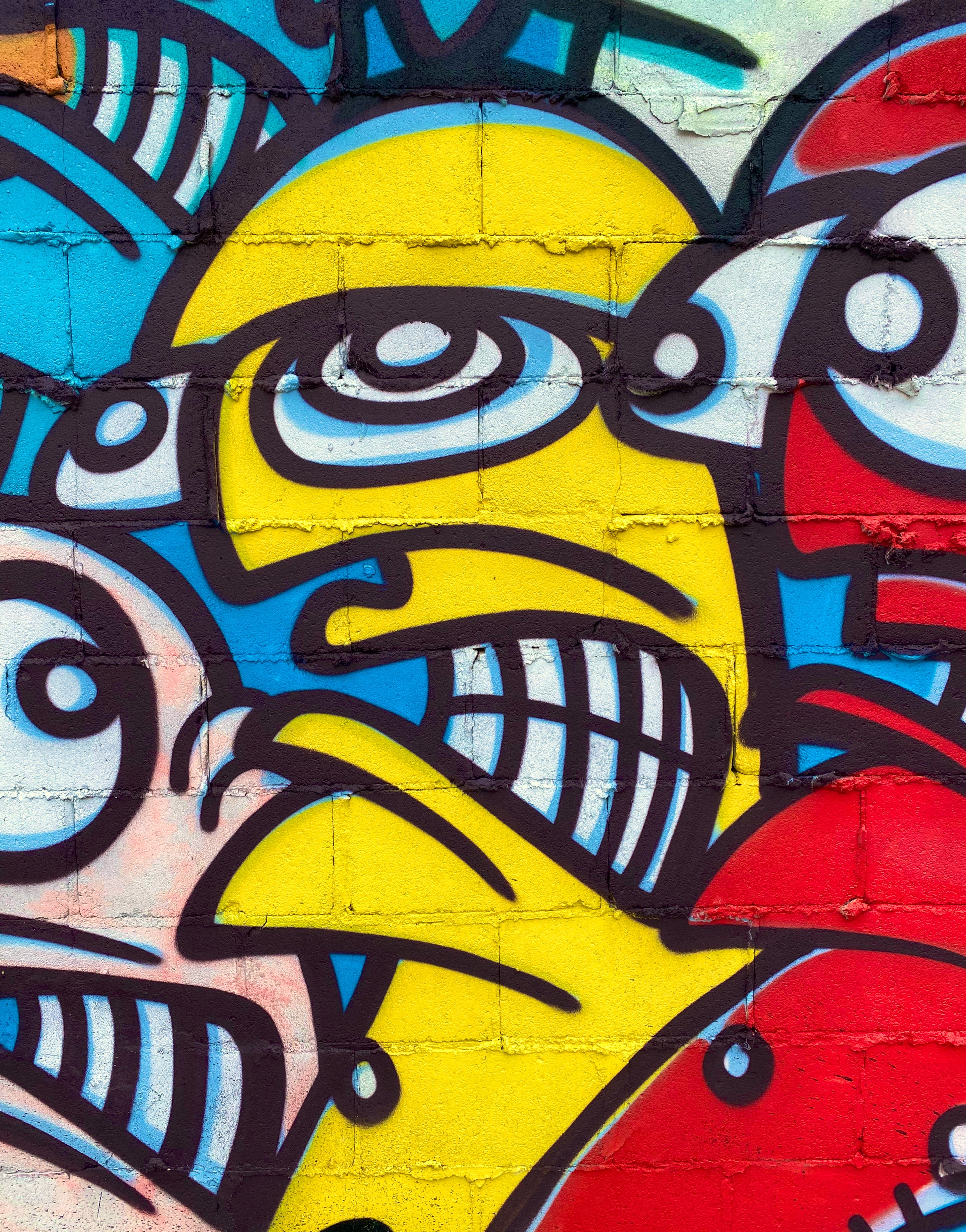
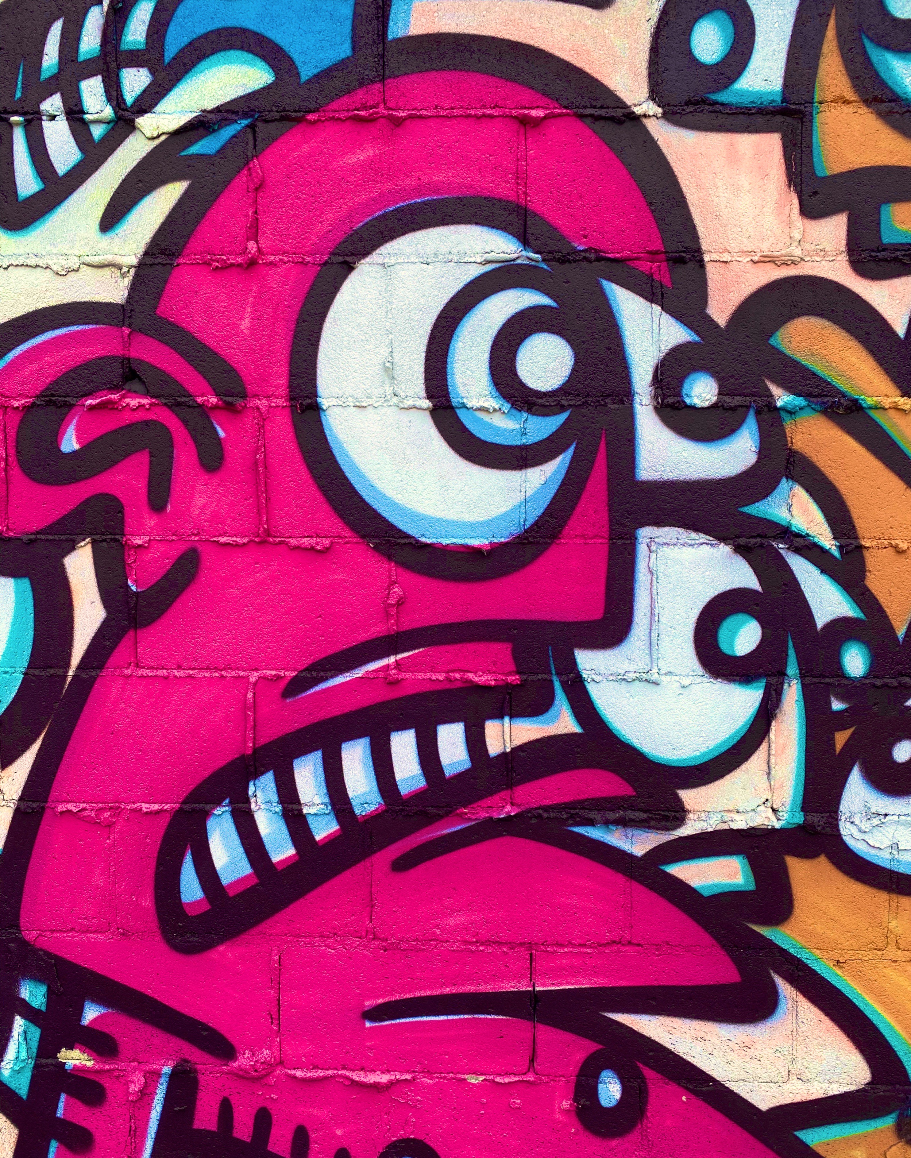
As you can see from the photographs, we found plenty of great street art – it is literally everywhere! We also sampled food from several stalls, did a bit of shopping and made our way over to the Columbia Road Flower Market.
Benzi Brofman @benzi_brofman, London-Brick Lane
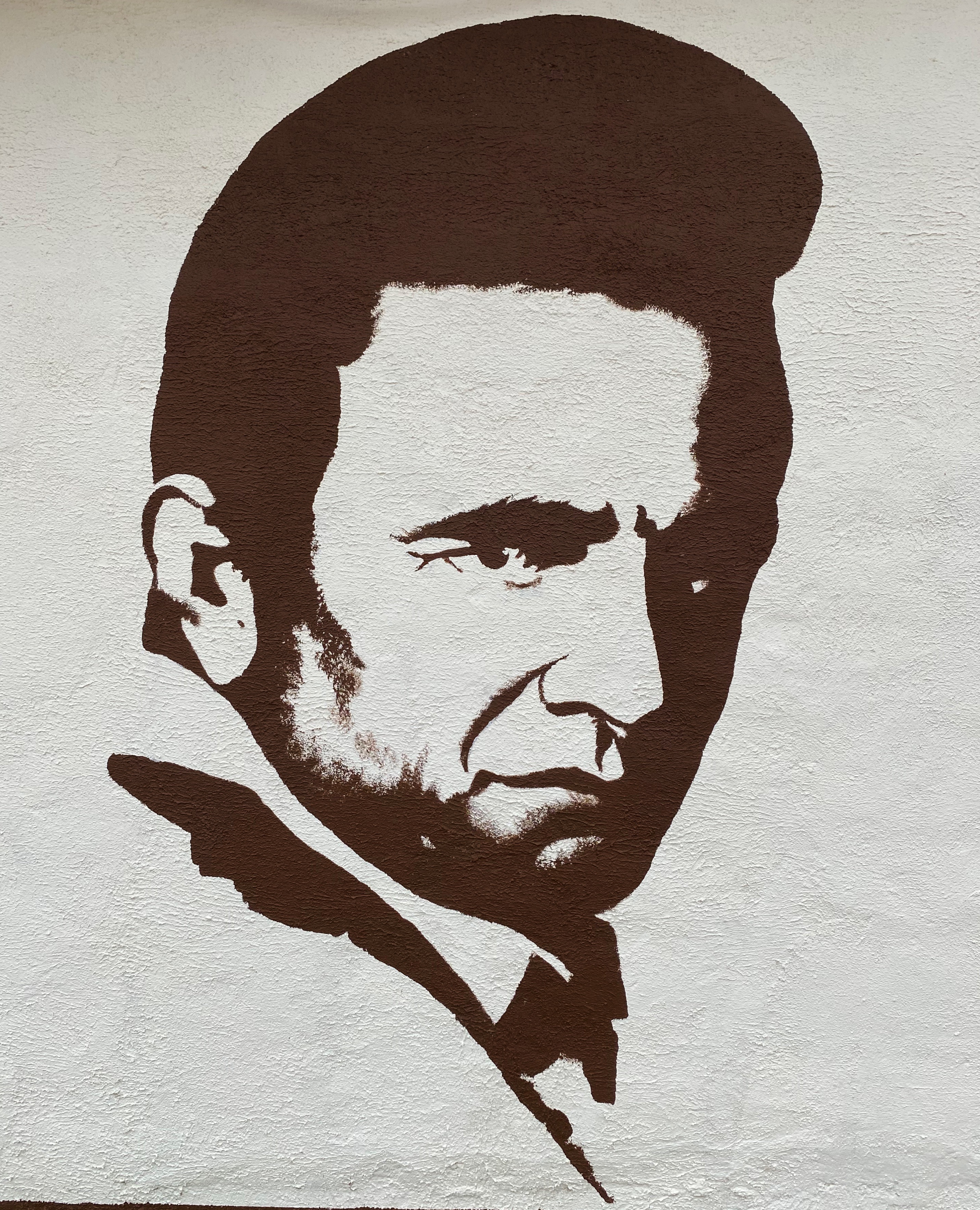
Artist Unknown, London-Tower Hamlets
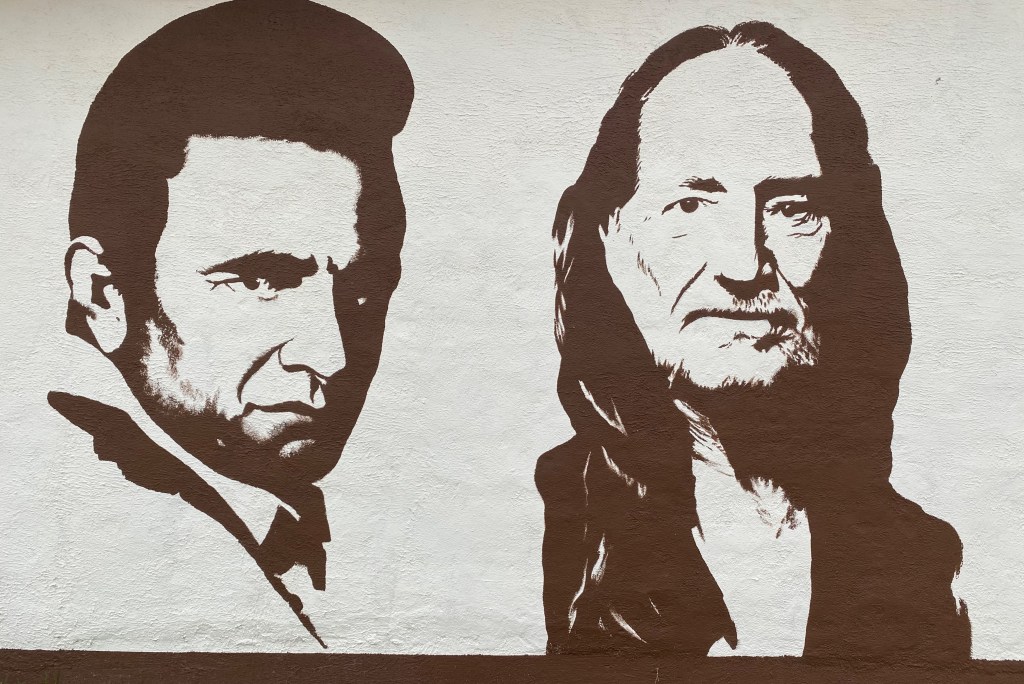
Artist Unknown, London-Weavers
Apparan @apparan, London-Tower Hamlets
The whole area was absolutely jammed with people – a diverse mix of tourists, hipsters, locals, musicians and vendors. In addition to the food vendors, there was a wide range of restaurants offering ethnic cuisines.
The borough is still quite obviously an area of economic diversity. There are sections that are experiencing gentrification interspersed with blocks that appear to be suffering from little or no maintenance.
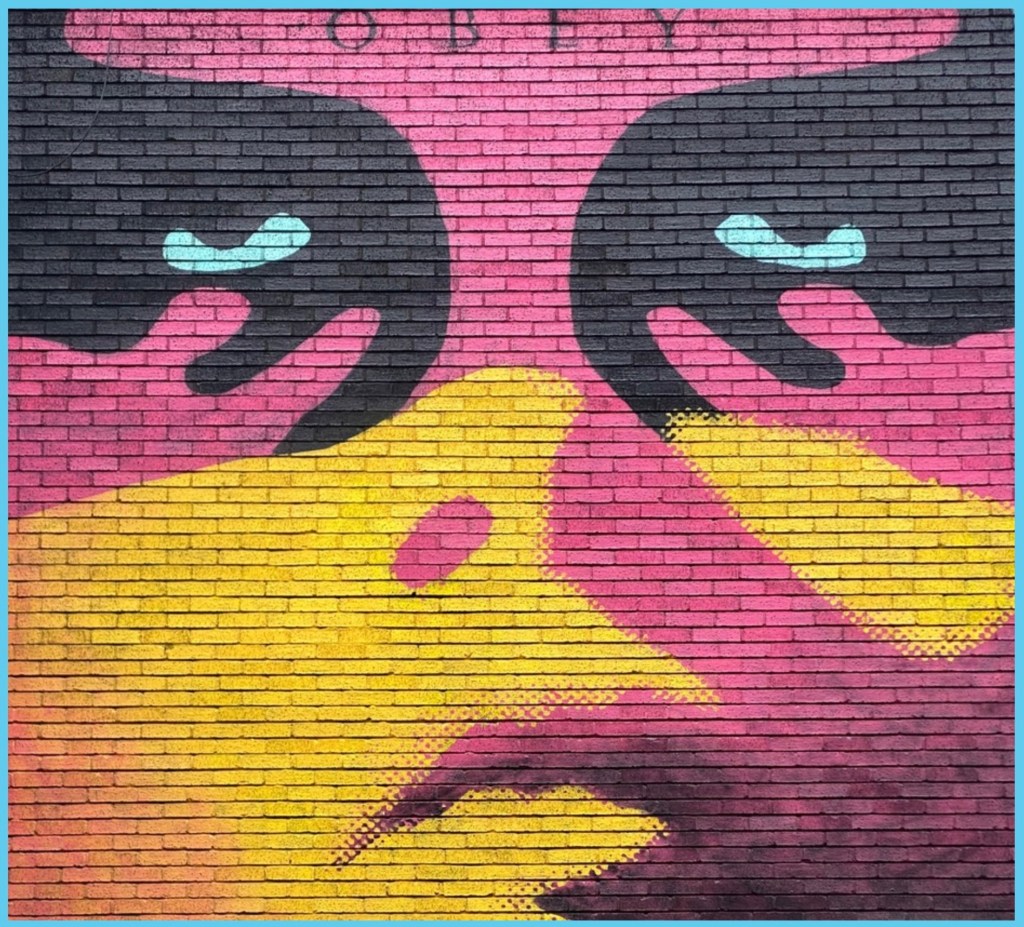
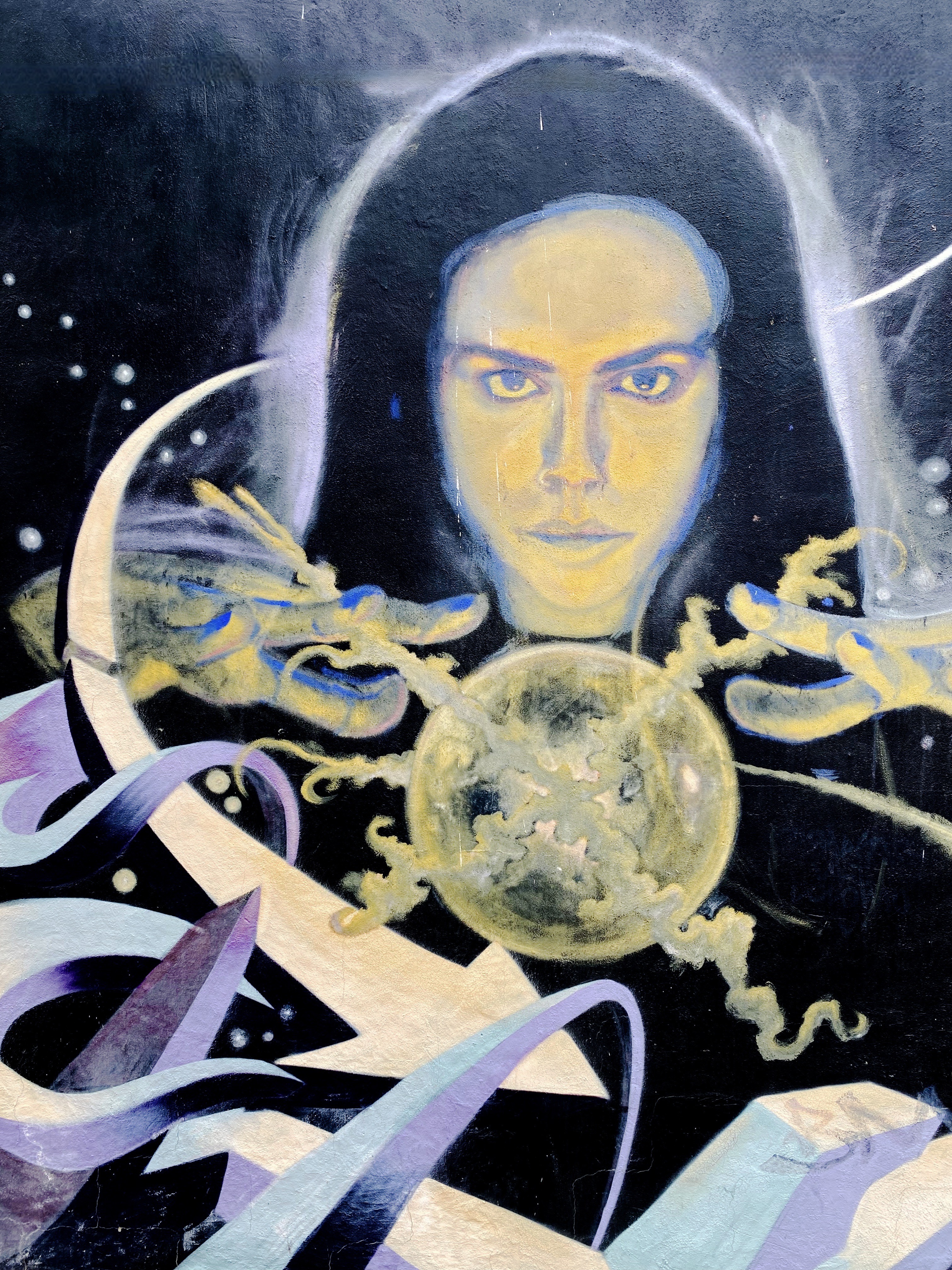
Sheppard Fairy @obeygiant, London-Tower Hamlets
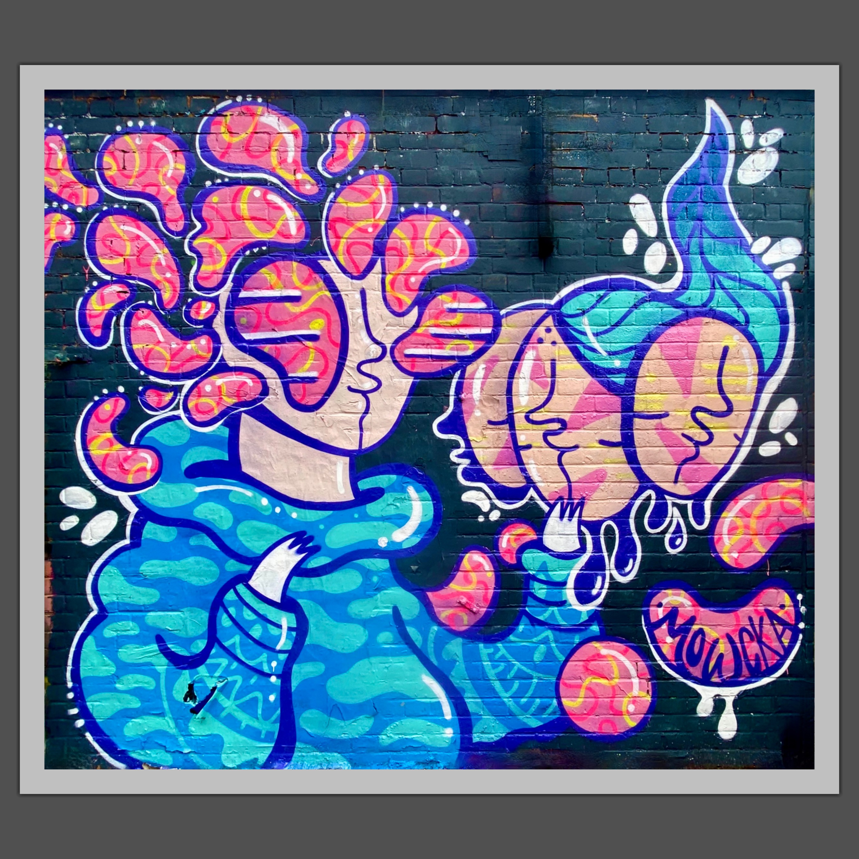
Artist Unknown, London-Weavers
We had a great day exploring the East End and definitely recommend exploring the borough when you visit London. We hope you enjoyed this post ; in an upcoming post we will share some of the culinary highlights from our Londontrip.
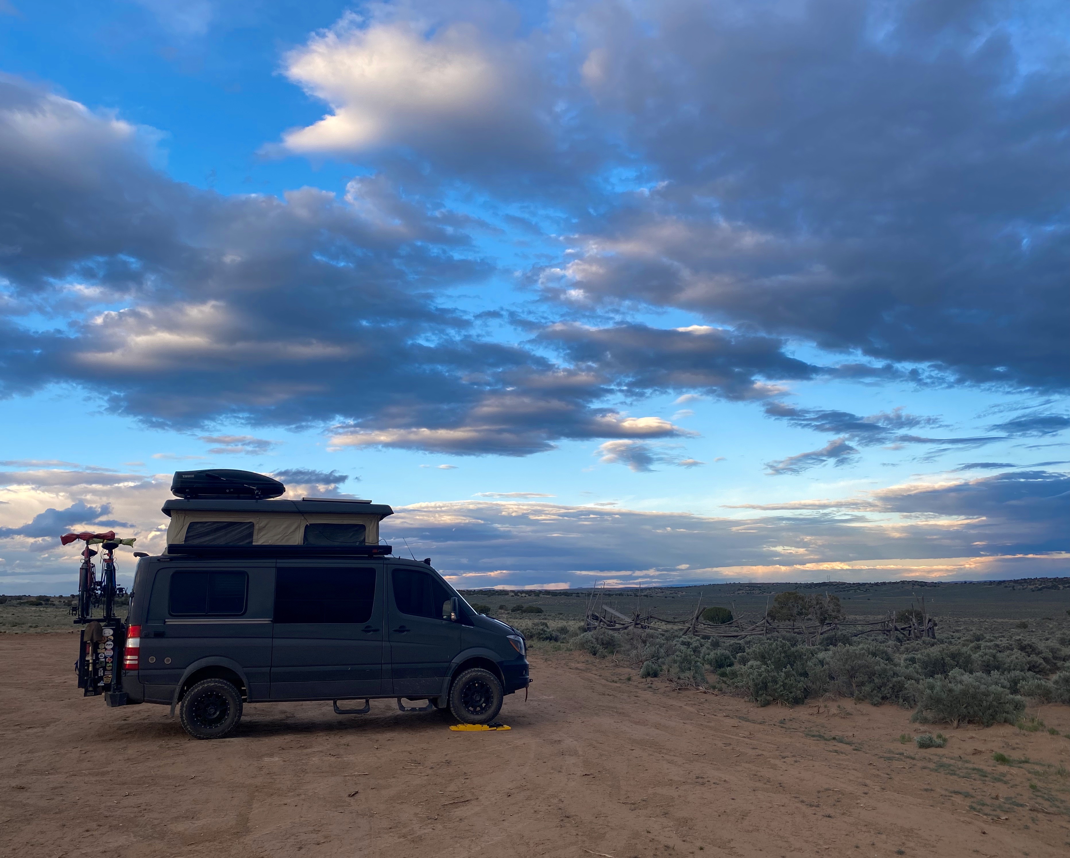
We originally planned to visit the Black Canyon of the Gunnison (BCG), Rocky Mountain Nation Park (RMNP) and Great Sand Dunes National Park(GSDNP) while in Colorado. But as we monitored the conditions in Colorado during the trip (and spoke with some fellow travelers who had recently been in Colorado) it became apparent that we would not be able to access significant portions of our original itinerary due to this winter’s abundant snowfall in the Rockies.
So, after several excellent weeks touring western New Mexico, we departed Farmington, New Mexico to traverse Colorado in a northeasterly direction to visit GSDNP in southwestern Colorado, while forgoing the BCG and RMNP.
Durango – Four Corners – Route 550, Colorado
Of course, custom requires that our first meal after crossing a state line consist of burgers, fries and, if possible, a milkshake.Happily (and perhaps unhealthily) our tradition remains intact!
South Fork – Eastern Rockies – Route 160, Colorado
After refueling with burgers and diesel we continued our drive to the town of Del Norte. Prior to Euro-American settlement, this area was occupied by the Utes who migrated to the area from the south during the warmer months of the year. When this territory came under Mexican rule during the early 19th century, Hispanic settlers migrated north to take advantage of land grants offered by the Mexican government. Subsequently, this area was ceded to the United States by Mexico.
In 1859-1860 gold was discovered in the San Juan Mountains in what had been Ute territory for 500 years. Never mind, the Kit Carson Treaty (Ute Treaty of 1868) was negotiated in order to remove the Utes from the gold rich Central Rockies in exchange for land on the Western Slope of the Rockies. This treaty, as with most other treaties between the federal government and Native Americans, was eventually violated by the federal government and after the Utes rebelled they were driven out of Colorado entirely (Meeker Massacre).
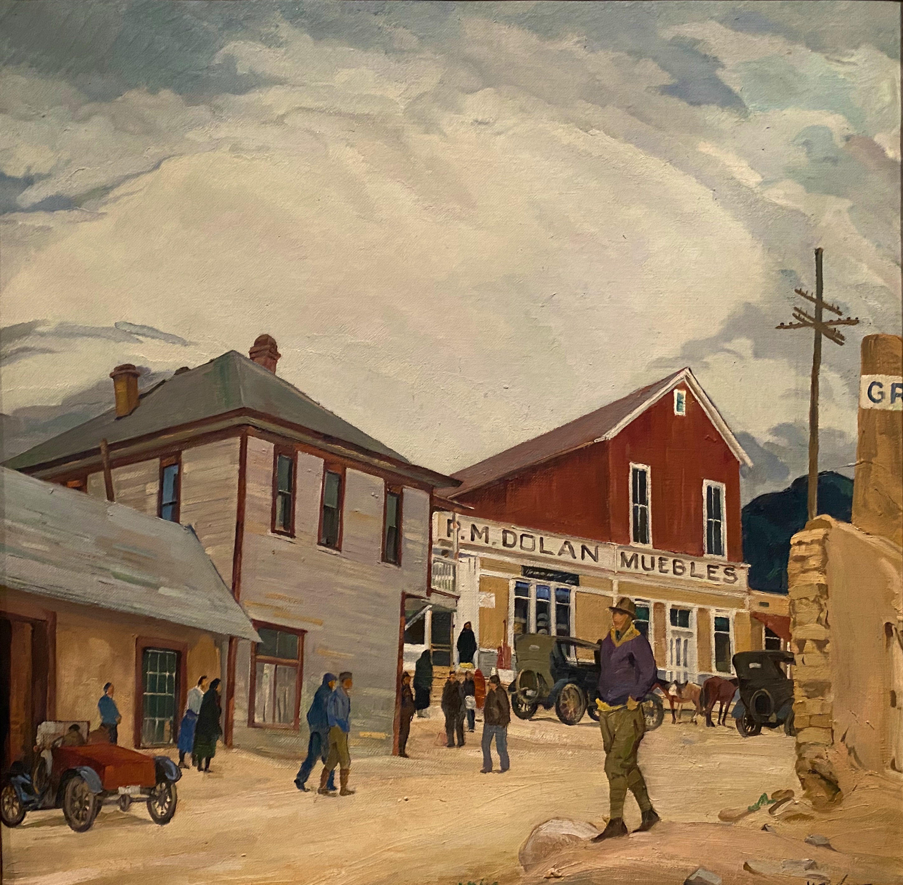
Del Norte, Photos, Courtesy Denver Public Library
Today the small town of Del Norte (pop. 1600) is mainly an outdoor recreational hub with rafting on the adjacent Rio Grande and a plethora of rock climbing, mountain biking, hiking and camping options.
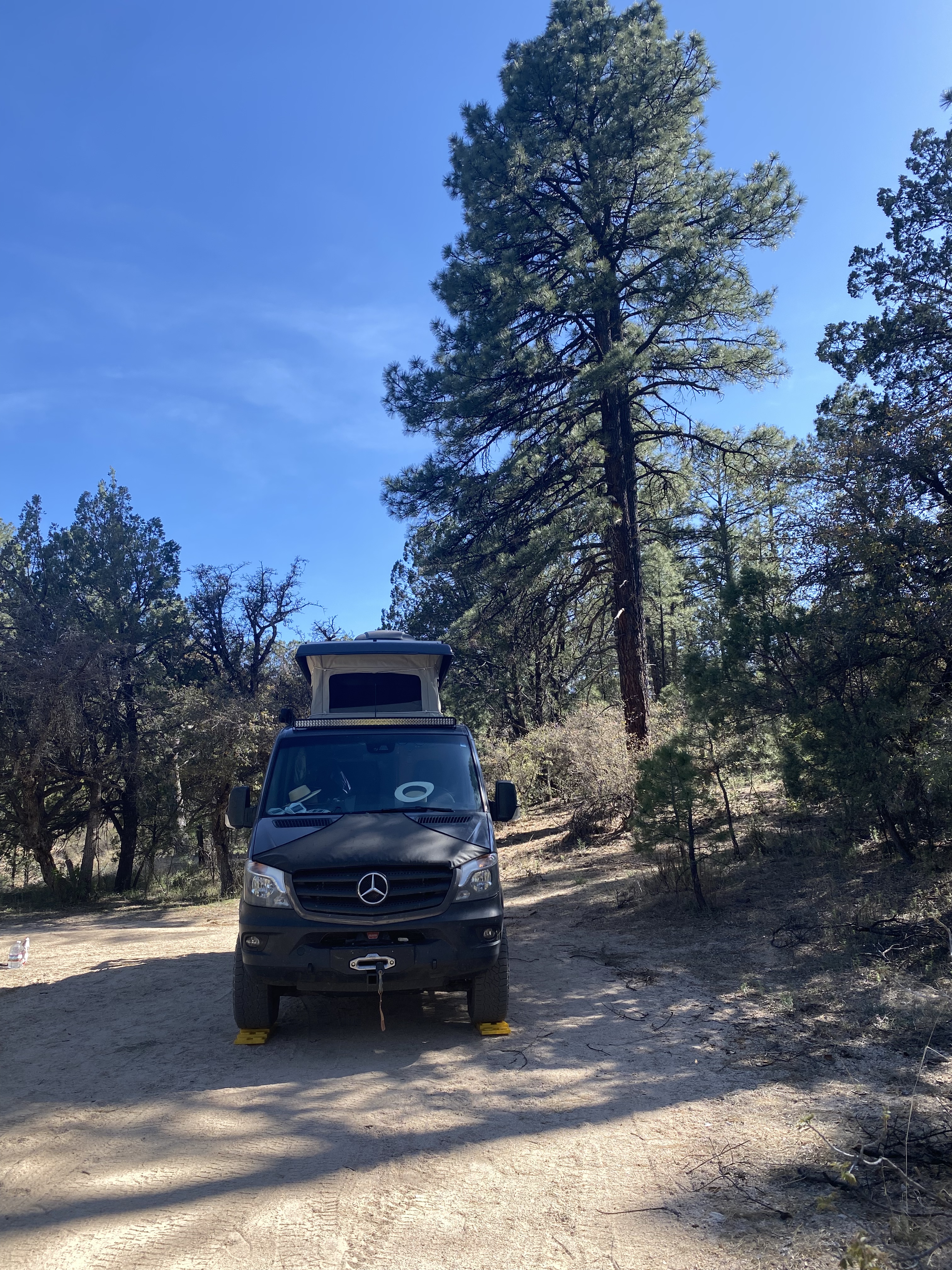
After a quick tour of the small downtown we headed west a short distance to find a camping spot in the Rio Grande National Forest. We found a great spot in a meadow which afforded us a panoramic view of Del Norte Peak.
Rio Grande National Forest
Del Norte Peak, Elevation 12,400′
The following morning we set our course due west for the one hour drive to visit GSDNP. The park was declared a national monument in 1932 in order to keep the dunes from being damaged by gold mining or concrete manufacturing. The monument was elevated to full national park status in 2004.
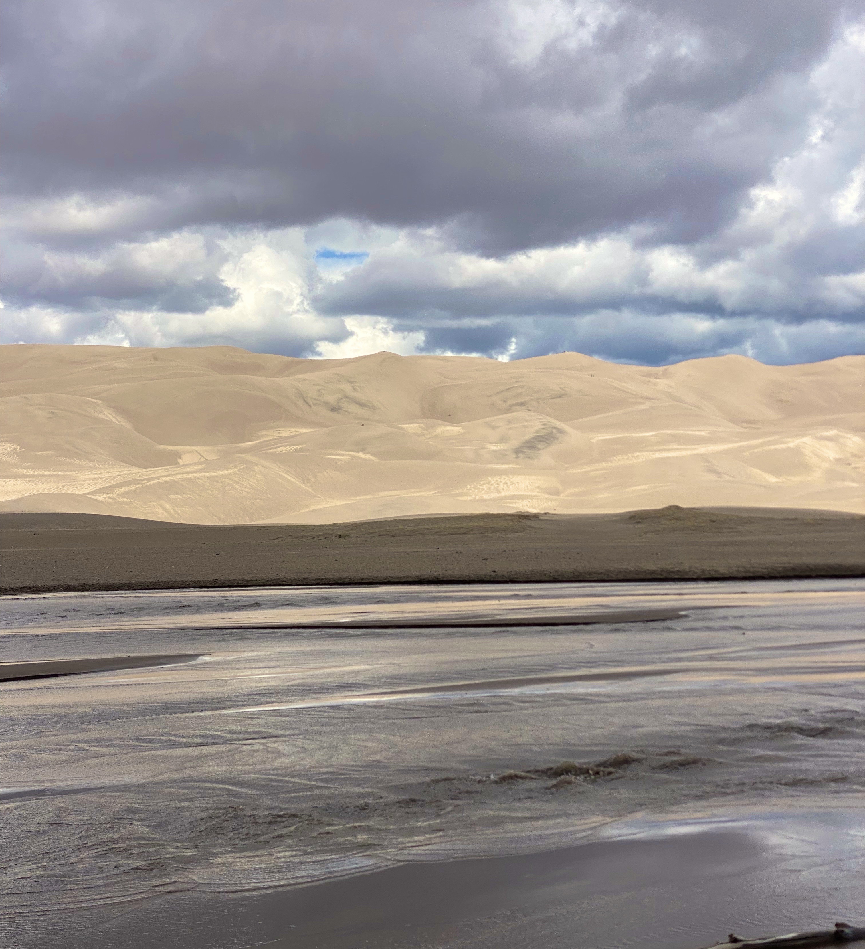
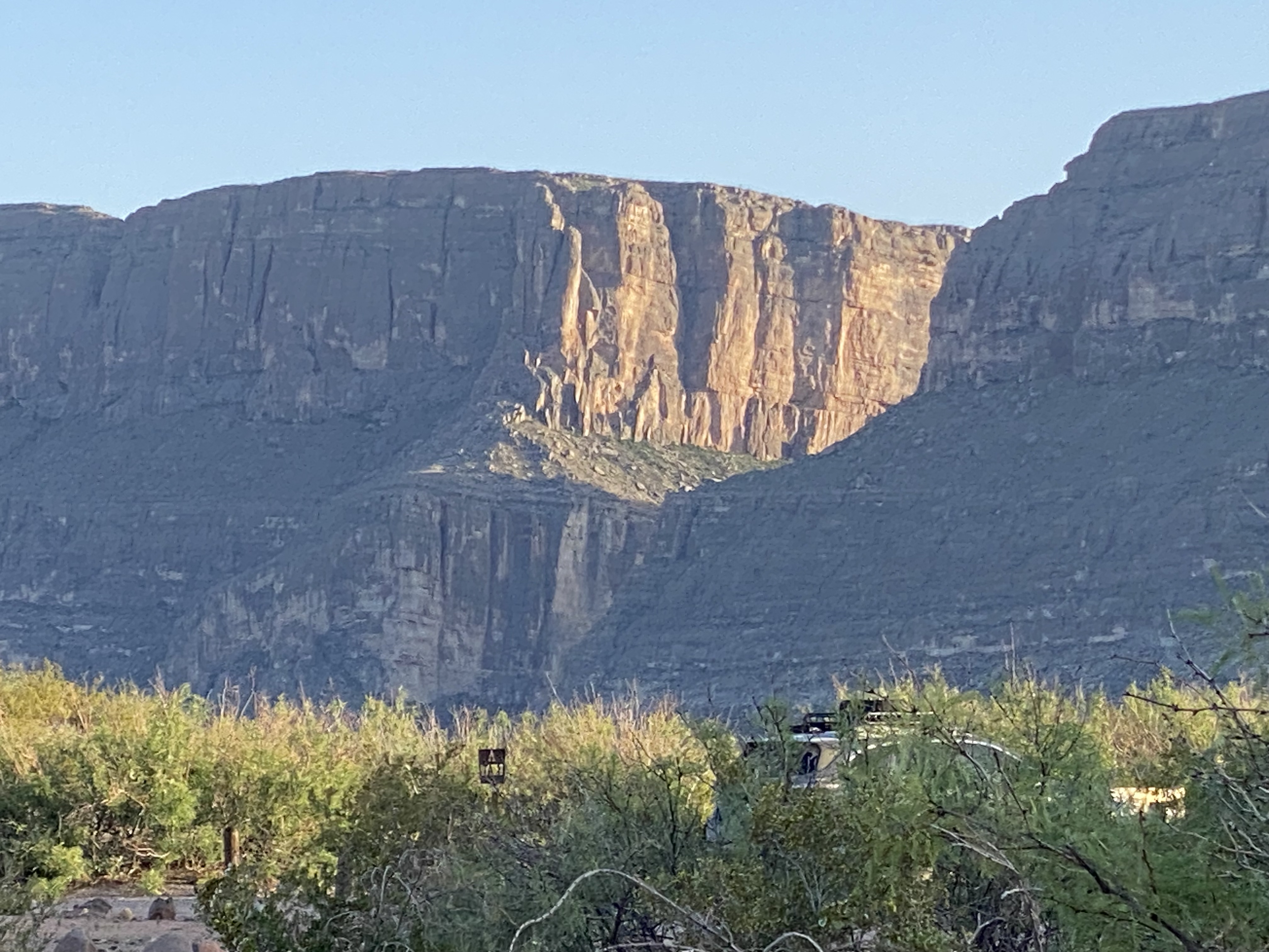
Great Sand Dunes National Park – Sangre De Cristo Mountains
GSDNP presents a fascinating landscape with grasslands separated from a thirty square mile sand desert by Medano Creek. The dunes are tucked in against the base of the Sangre de Cristo Mountains–quite spectacular! The sand dunes at GSDNP are the tallest in North America. Some are as high as 700 feet (Star Dunes is the tallest at 750 feet).
The dunes here are constantly changing as winds from the mountains drives sand down onto the dunes. Weather and erosion form the sand into distinctly identified and ever changing shaped dunes – parabolic, transverse and barchan – as examples.
Unfortunately, our opportunity to explore the dunes was limited due to an approaching lightning storm. One of the park rangers was kind enough to point out the obvious – not smart to be standing on top of a 600 foot dune in the middle of a lightening storm!
Medano Creek
In addition to the fantastic scenery, we were looking forward to driving the Medano Pass Primitive Road. The road is a sandy and rugged 22 mile 4WD road which runs from the base of the dunes up and over the Medano Pass (10,040 feet). The road was not fully open due to the conditions at higher elevation. The road crosses the the creek nine times and the water flow was still too deep due to this years snowfall.We have included a short video clip (below) from our drive on the road to provide a feel for the road and scenery.
Medano Pass Primitive Road
The NPS video below by is about the Navajo (Dine’) People, their four sacred mountains and their relationship to the land that now constitutes GSDNP.
We enjoyed our brief visit at GSDNP and we look forward to returning on a future trip to explore the dunes in depth, boondock up on the mountain and traverse the entire Medano Pass Primitive Pass Road.
Walsenberg, Colorado
On departing GSDNP, we decided to push straight on through to Colorado Springs. Our previous trips to Colorado Springs were business related and we stayed at the world famous Broadmoor. We would not be staying at the Broadmoor on this self funded visit!
The Broadmoor
Colorado Springs sits at just over 6000′ above sea level at the eastern base of the Rocky Mountains. Snow covered Pikes Peak (14,100′) looms over the city to the west creating a stunning backdrop. We did not travel up to the peak on this trip as we had taken the nine mile cog railroad trip on a previous visit (we definitely recommend riding the railroad to the top if the weather is clear -which it usually is in this part of Colorado). The train ride is fun and the views are phenomenal.
Pikes Peak
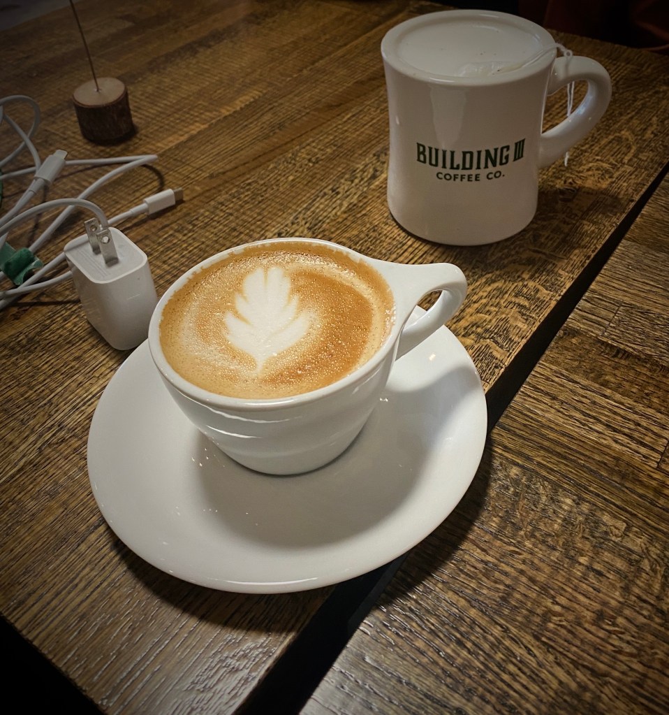
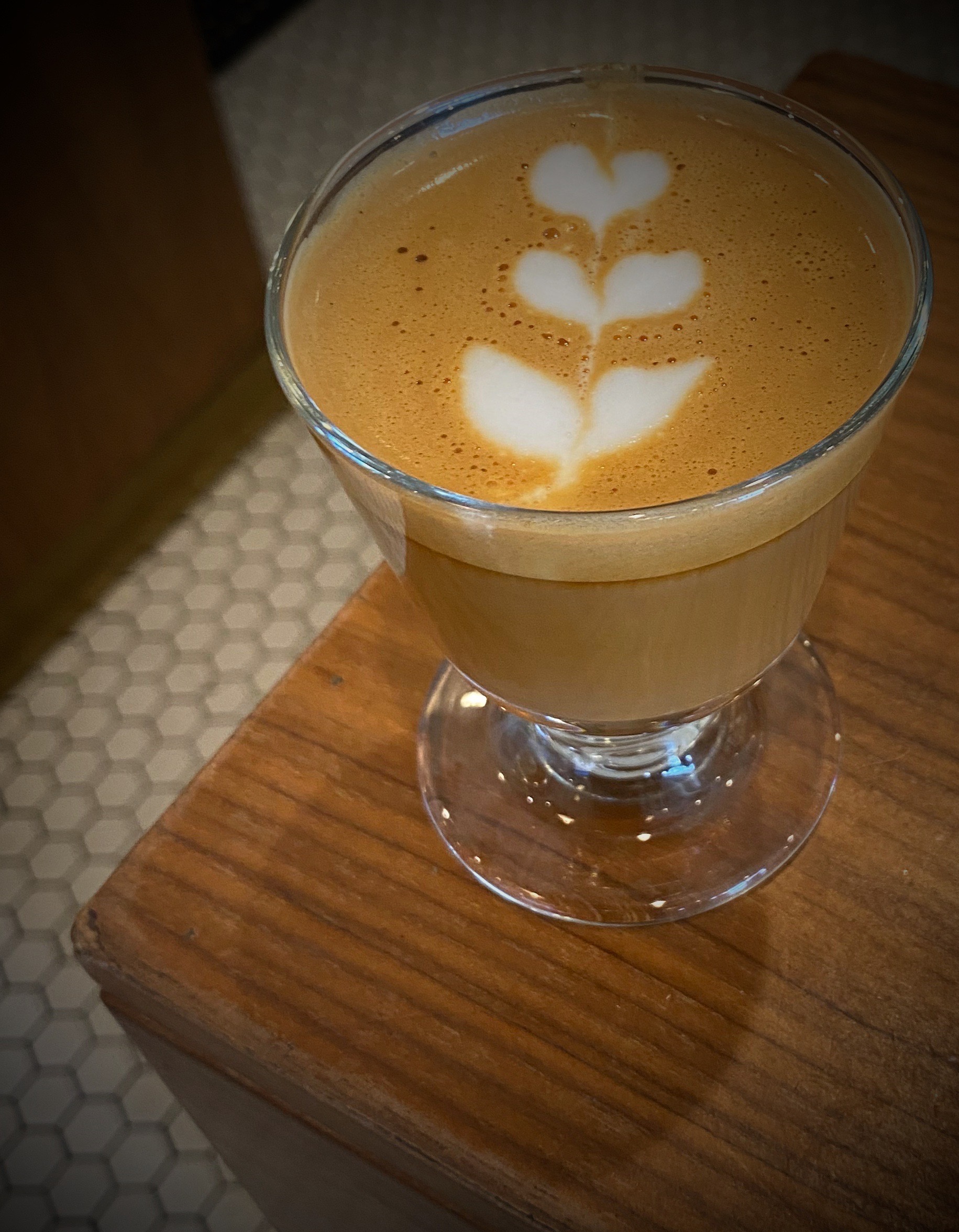
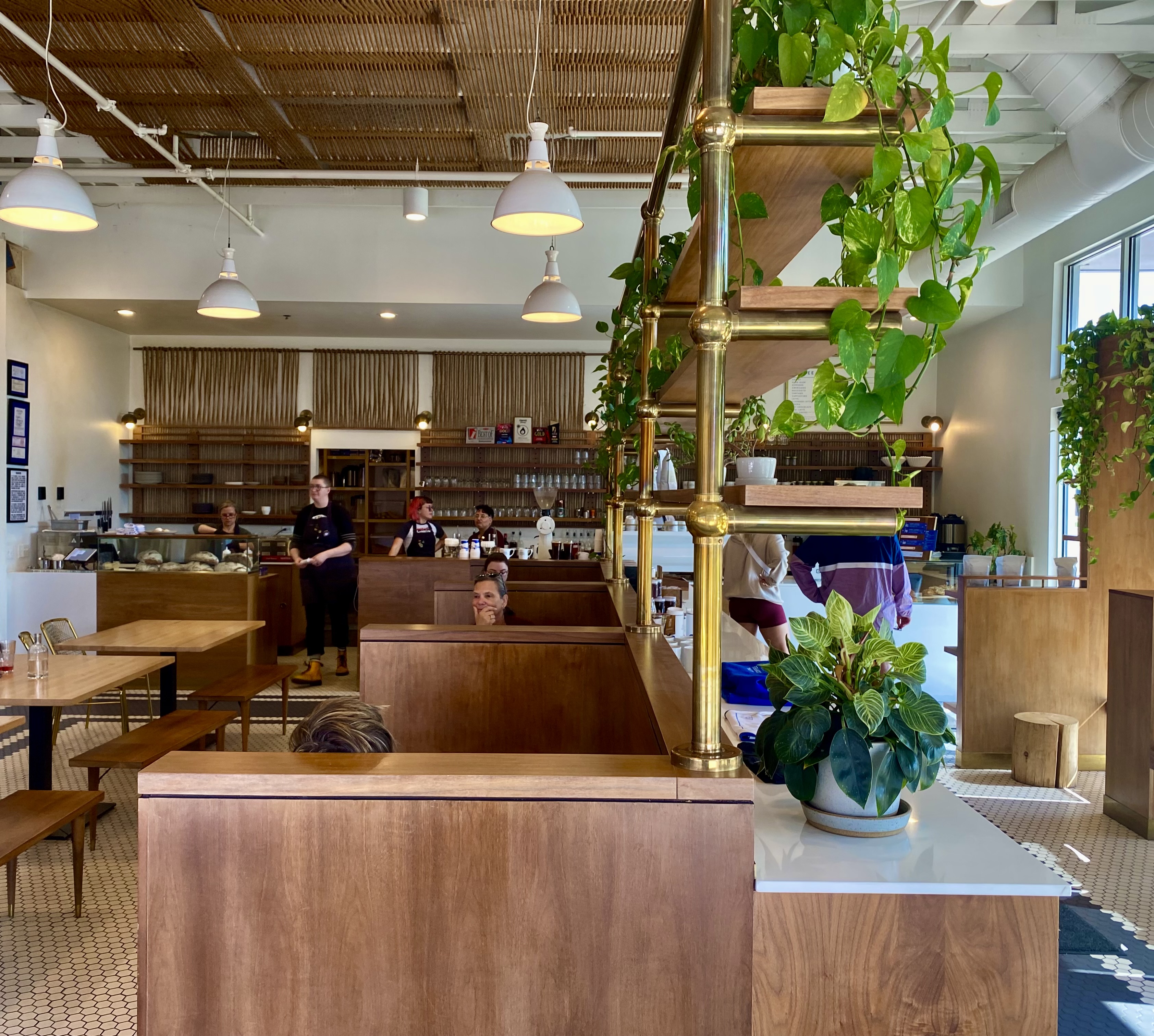
From our pre-trip research we knew that Colorado Springs held promise for specialty coffee and a vibrant street street art scene. Our first stop was Building III Coffee Bar and Roastery – B3 is located, along with a number of other occupants, in a former public school building now known as Lincoln Center – great to see the building repurposed. Excellent coffee, great breakfast sandwiches and uber friendly staff! Extremely popular – it can be hard to get a seat even with the large amount of seating capacity – but it is worth the wait. https://www.building3coffee.com/
Building Three Coffee
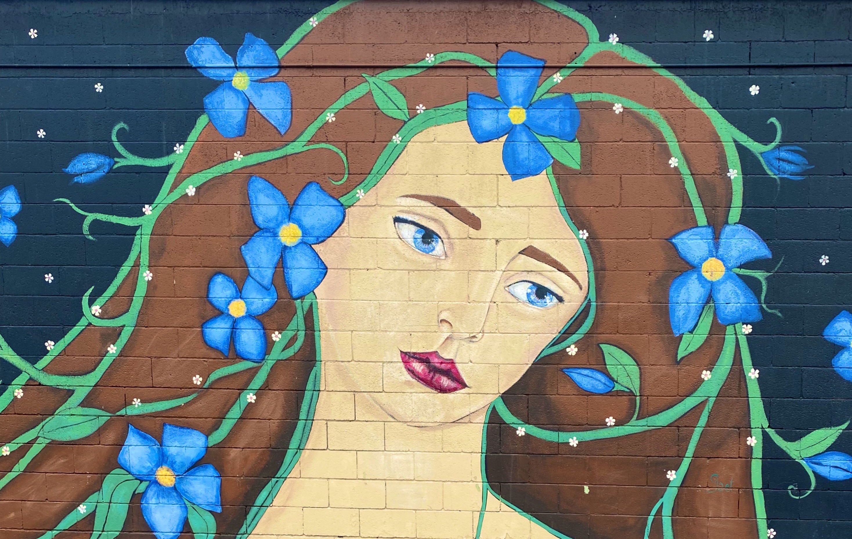
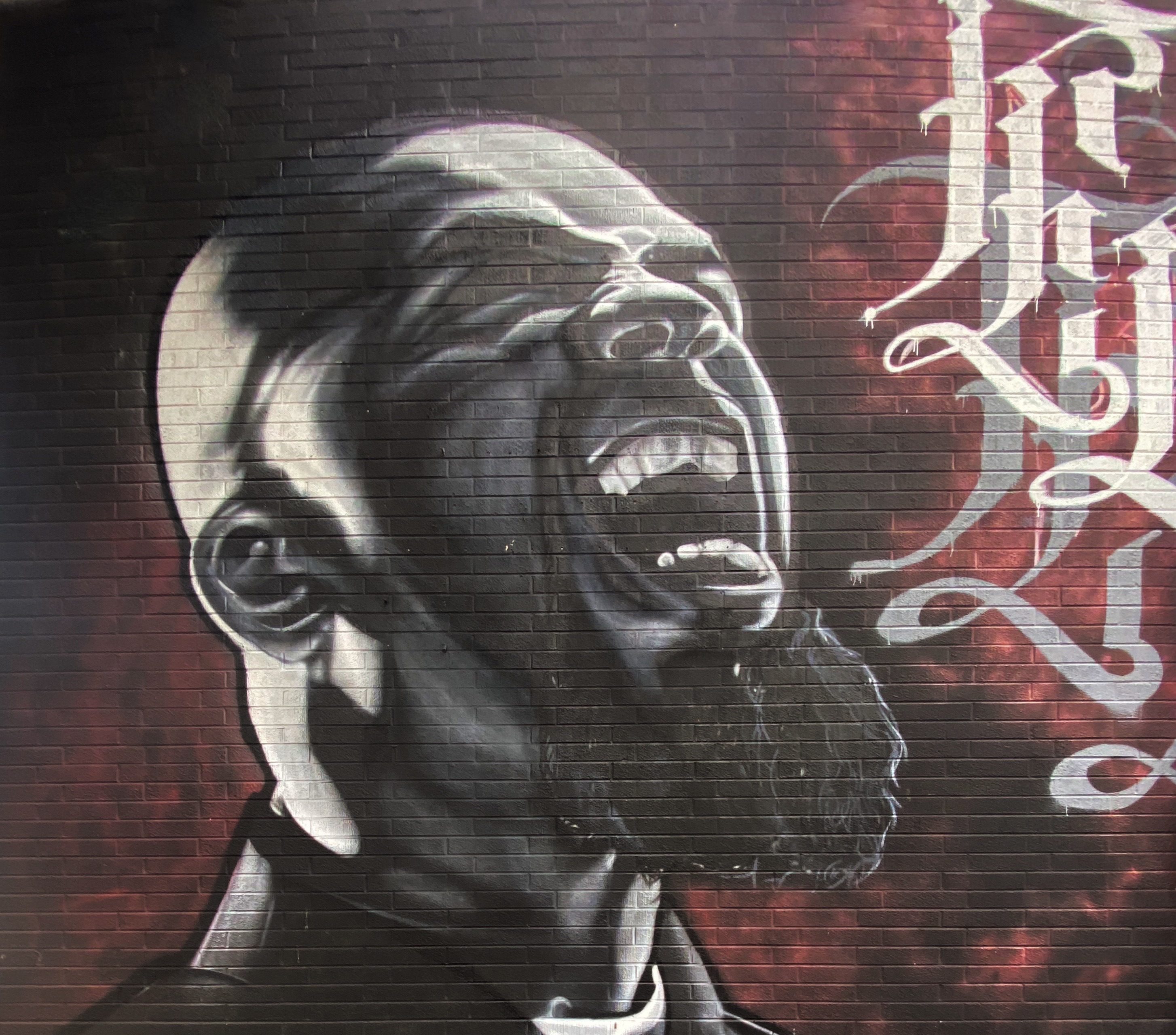
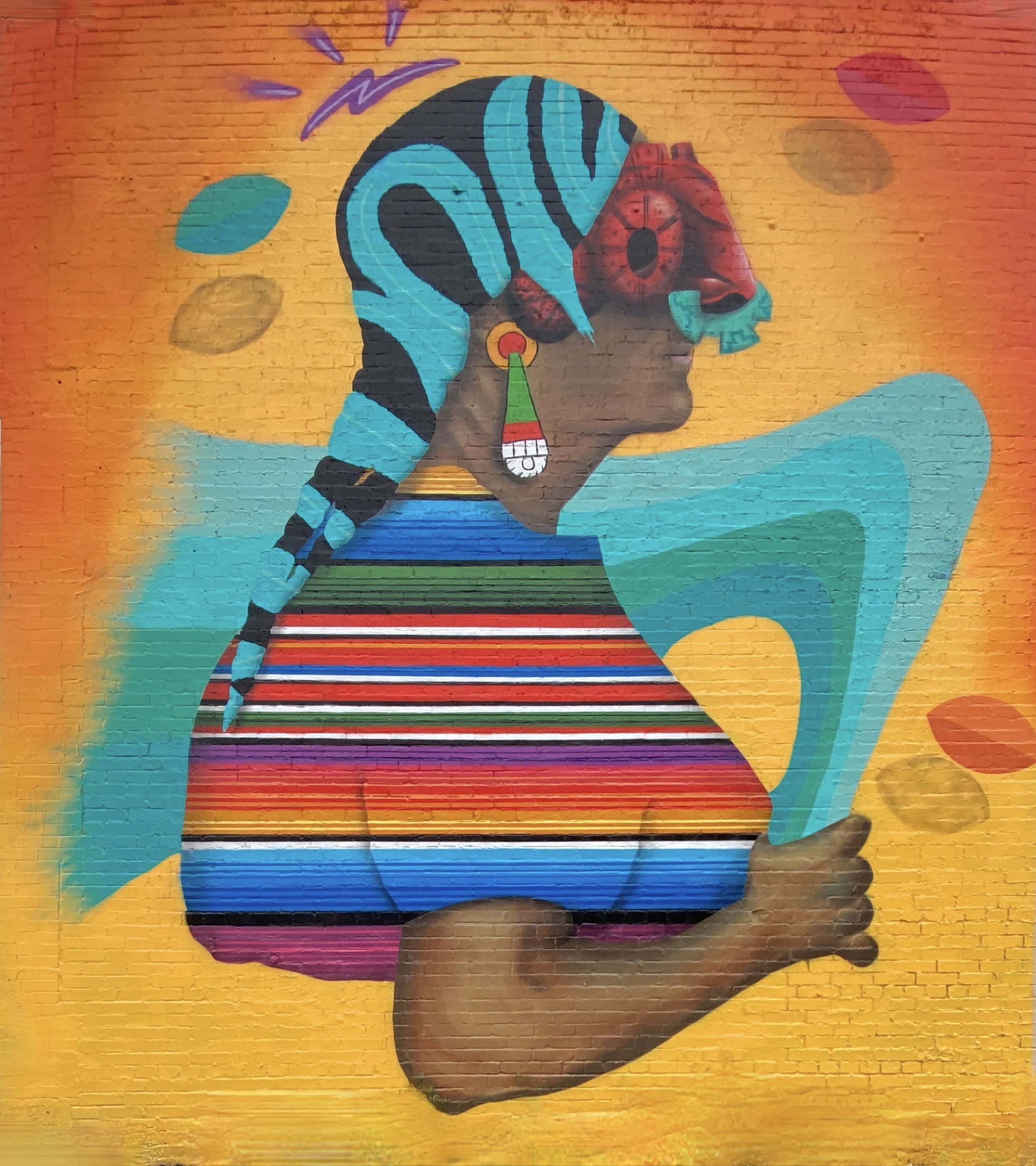
Well fortified with caffeine, we ventured out into the uncharacteristically gray, chilly day in search of street art. We decided to start our pic hunting session in the Knob Hill neighborhood, located a short distance northeast of downtown. We were pretty certain the neighborhood would be street art rich based on reading about the Knob Hill Urban Arts District. The District is a “nonprofit organization dedicated to putting art up on every damn wall we can get our hands on.” Love it!
The photos below are a small sample of the street murals we found in the Knob Hill neighborhood. This group is not kidding about putting art on every wall. We found art in every alley and available nook and cranny. So good! To see more of the street art we photographed during OTR 9.0 in Colorado Springs and other cities see our WordPress blog @streetartfromtheroad: part two.
There are also a number of large scale murals in downtown. The photos below are a few of our favorites we captured while strolling through downtown.
With the cloudy, drizzly weather persisting into our second day in Colorado Springs (coincidently nicknamed “Little London” although not for the weather – there was a large British population in the 1870s) we decided to visit the Fine Arts Center (FAC) at Colorado College. The FAC is located in the Old North End neighborhood – an area of stately late 19th and early 20th century homes and tree lined boulevards.
The Fine Arts Center is home to the art museum as well as a theater school and performing arts venue. The museum was opened in 1936 as an outgrowth of the Broadmoor Art Academy. The Colorado Springs area had become a hub for art on a scale commensurate with the more well known artist colonies in Taos and Santa Fe.
Charles R. Bunnell (1897-1968) March Snow, 1940, Oil on canvas
Victor Higgins (1884-1949) Santa Fe Hills, Date Unknown, Oil on canvas
As with many museums of this size, the collection is regionally (although not exclusively) focused. We have included photos of several paintings which reflect the southwestern focus (and which we really liked). The museum is definitely worth a couple of hour visit when you visit “Little London”.
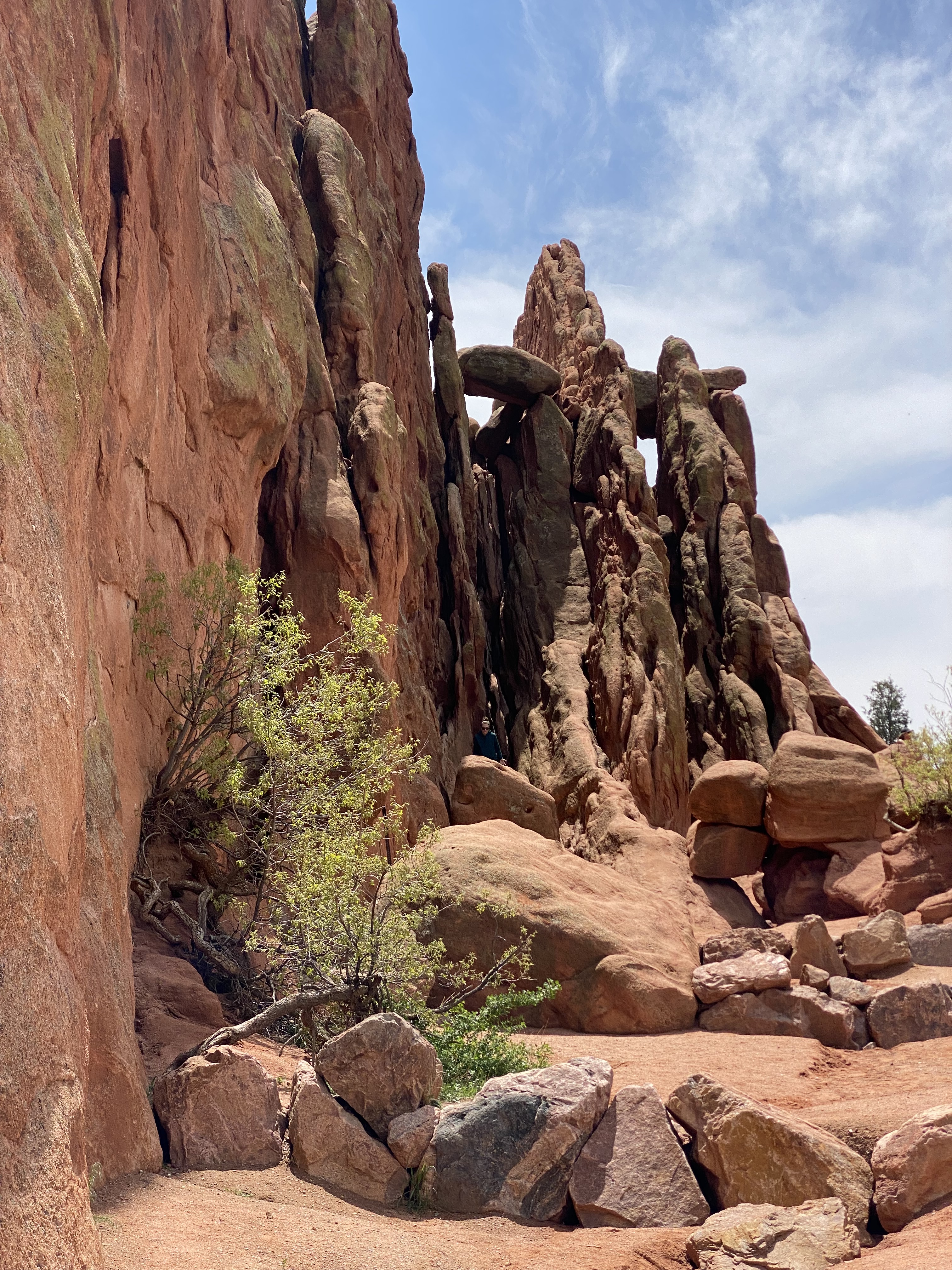
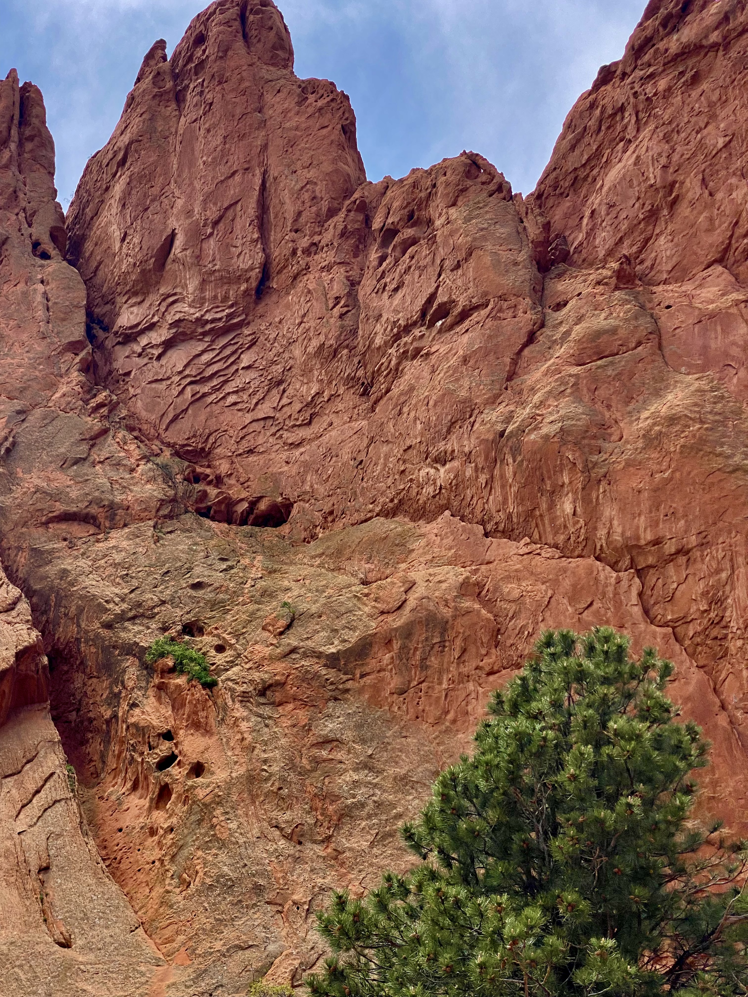
On our final day in Colorado Springs we ventured out to Red Rock Canyon. We had held off visiting earlier in our stay due to some cloudy weather. Unfortunately, it appeared that everyone else in Colorado Springs had done the same (it was also the weekend) and this popular open space was quite crowded.
Still, we managed to find some quiet spaces and uncluttered views as we walked between and around the rock formations. Additionally, there are a number of moderate and longer trails for the more adventurous which usually provide solitude regardless of when you visit.Do visit when the sky is clear in order to see Pikes Peak rising above the red rock formations.
Interestingly, Red Rock Canyon is a city park consisting of 1474 acres of land. The park was pieced together with the multiple purchases of parcels over a period of years during the 1920s and 1930s by private citizens. It was acquired by the city in 2003. What makes the park’s history all the more remarkable is that many of the parcels were formerly quarries, gravel pits and industrial sites which have been reclaimed. There is little evidence of the past use of the space – without reading about the history you would most likely not think that to be the case.
After our walkabout at Red Rock, we popped over to the nearby Old Colorado City neighborhood. The neighborhood was at one time a separate town that prospered as a coal mining town and in the late 19th century as a gold refining location after the discovery of gold nearby. Typical of so many western mining hubs, the boom ultimately became the bust. The final straw was the prohibition of liquor sales in 1914. In 1917, the town was annexed by Colorado Springs.
The brothels and saloons that once lined Colorado Avenue have long since been replaced by art galleries, restaurants, wine bars, coffee shops and clothing stores. After a bit of browsing in several of the art galleries and book shops we took lunch at La Baguette Cafe and Bakery. Yum – the best bread!http://labaguette-co.com/
We were uncertain what lay ahead in regard to specialty coffee as we were about to venture into more rural territory; so we stopped in downtown for coffee, tea and breakfast at Loyal Coffee. First rate in all regards!https://loyalcoffee.co/
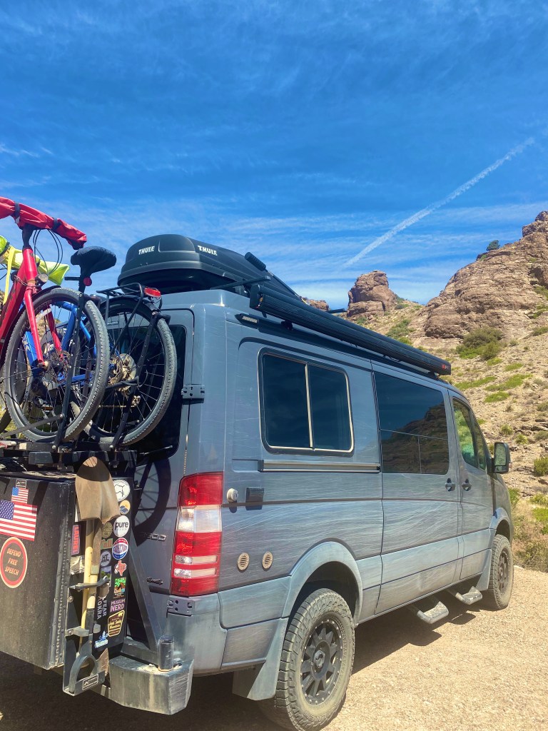
The photo below is of our unanimous choice for best vehicle OTR 9.0!
From Colorado Springs we traveled north – camping near Sterling, Colorado for our last night in the state. In future posts we will chronicle our trek across the midwestern plains en route to Connecticut.
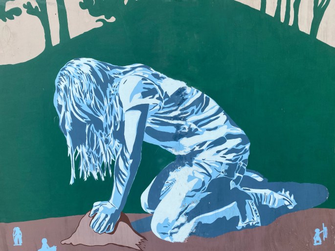
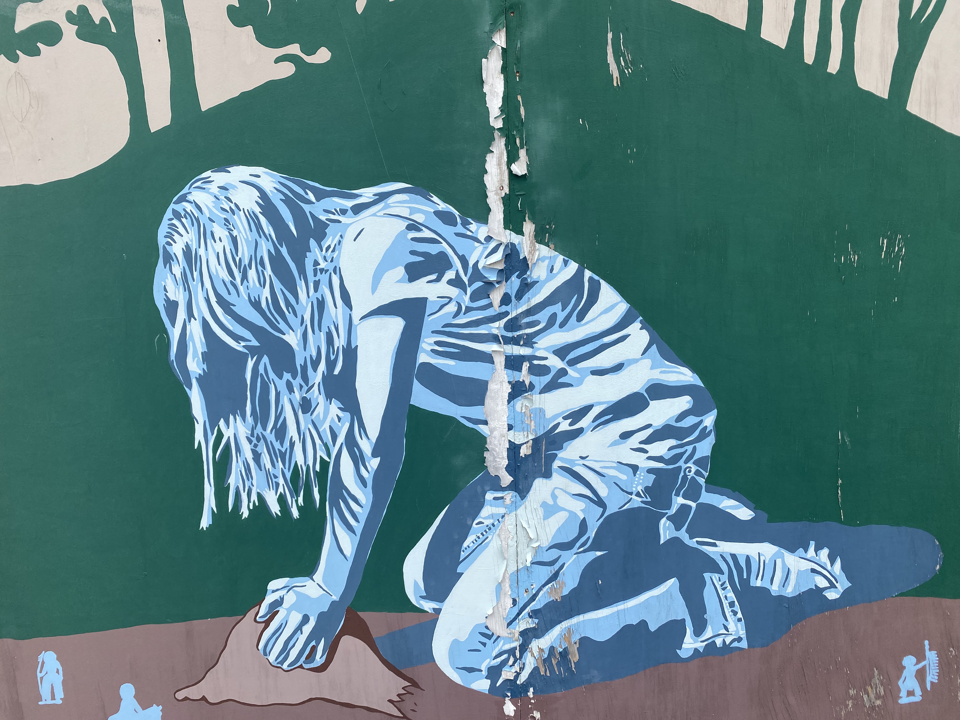
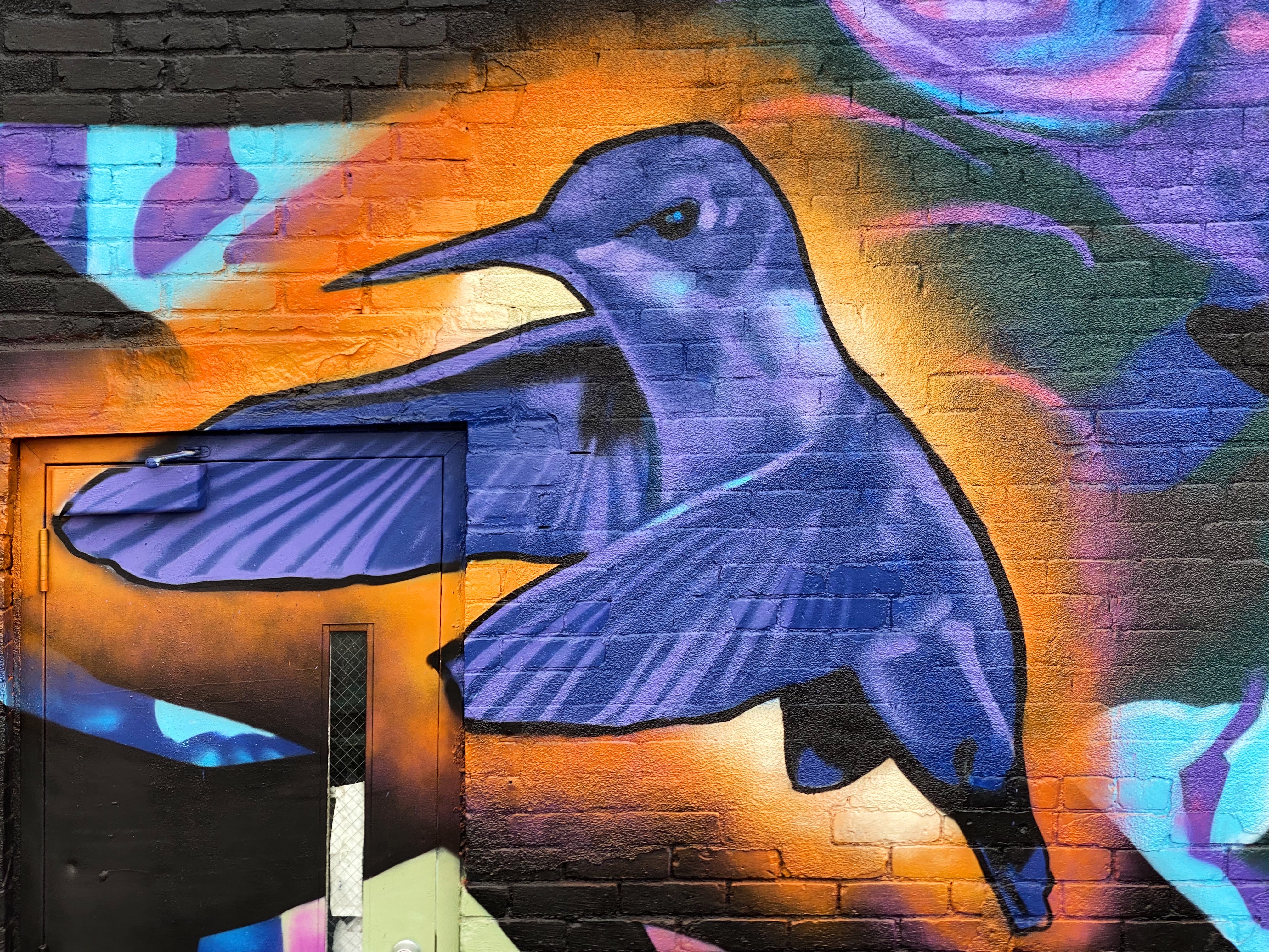
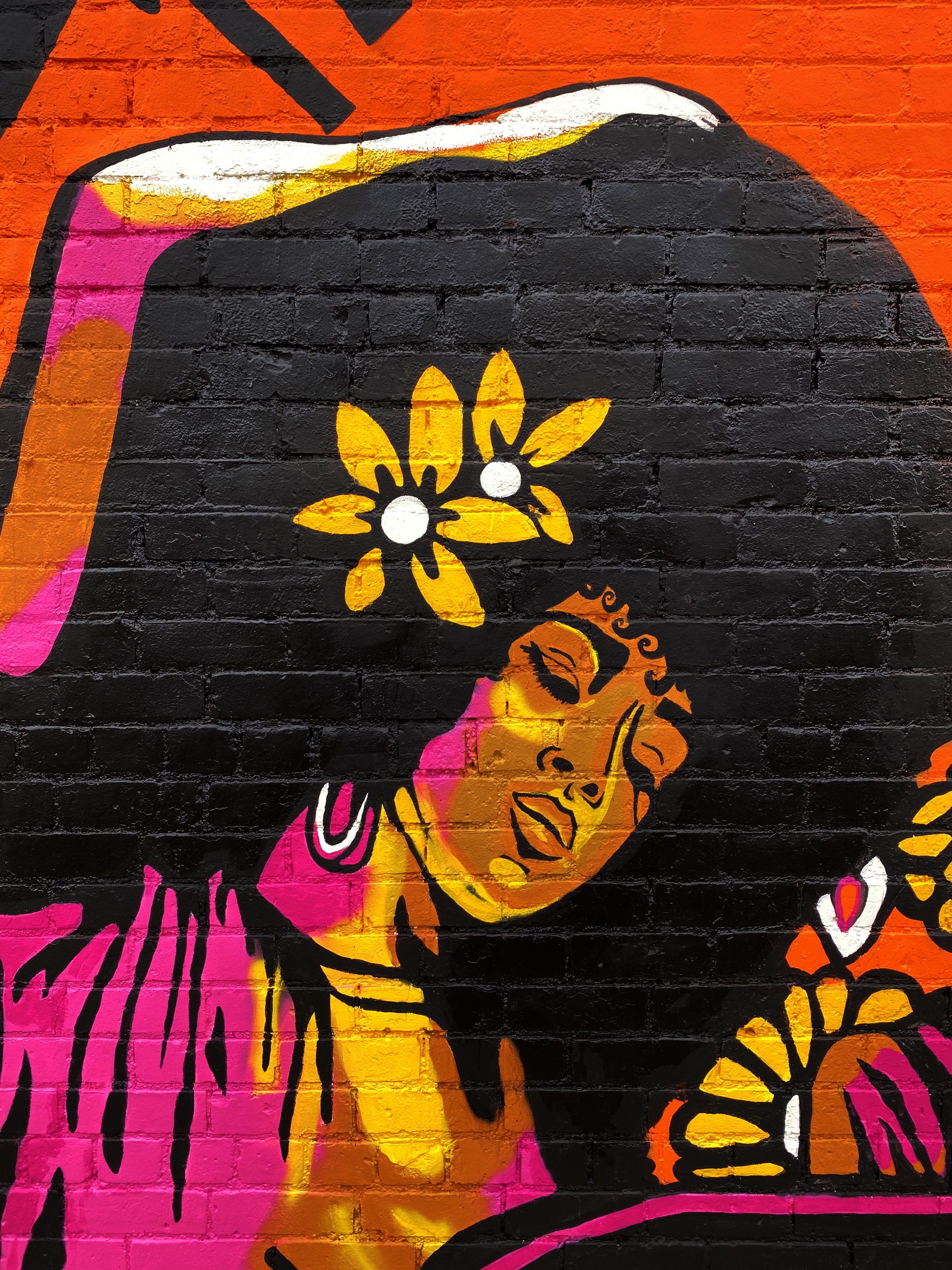
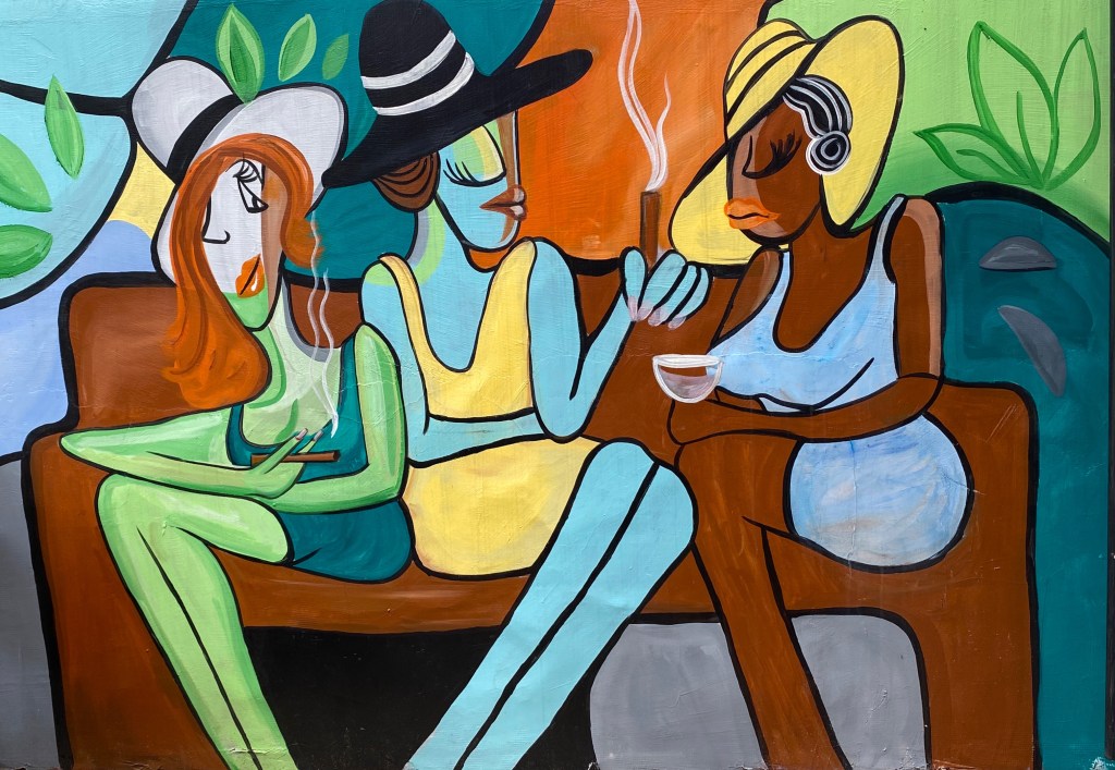
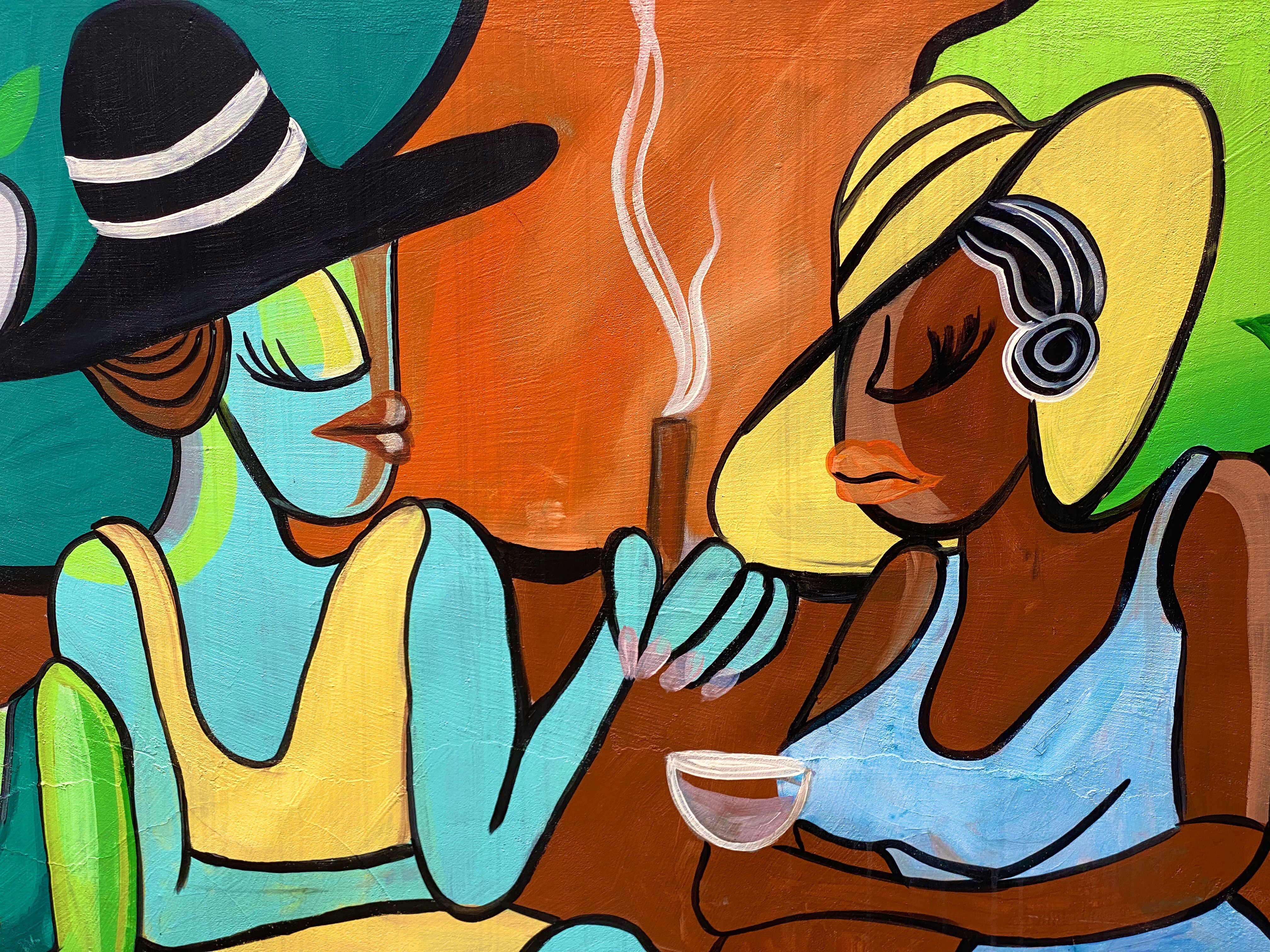
Hello street art fans. This is our second of three planned photo posts featuring street art and murals from our most recent road trip. This post will take us through to our stay in El Paso. We continue to be awed by the amazing artists sharing their talent and creativity with everyone in their communities to enjoy. These works often make a remarkable difference in what might be an otherwise drab or desolate urban landscape. We hope you enjoy the art (we have included attribution for the artists wherever possible).
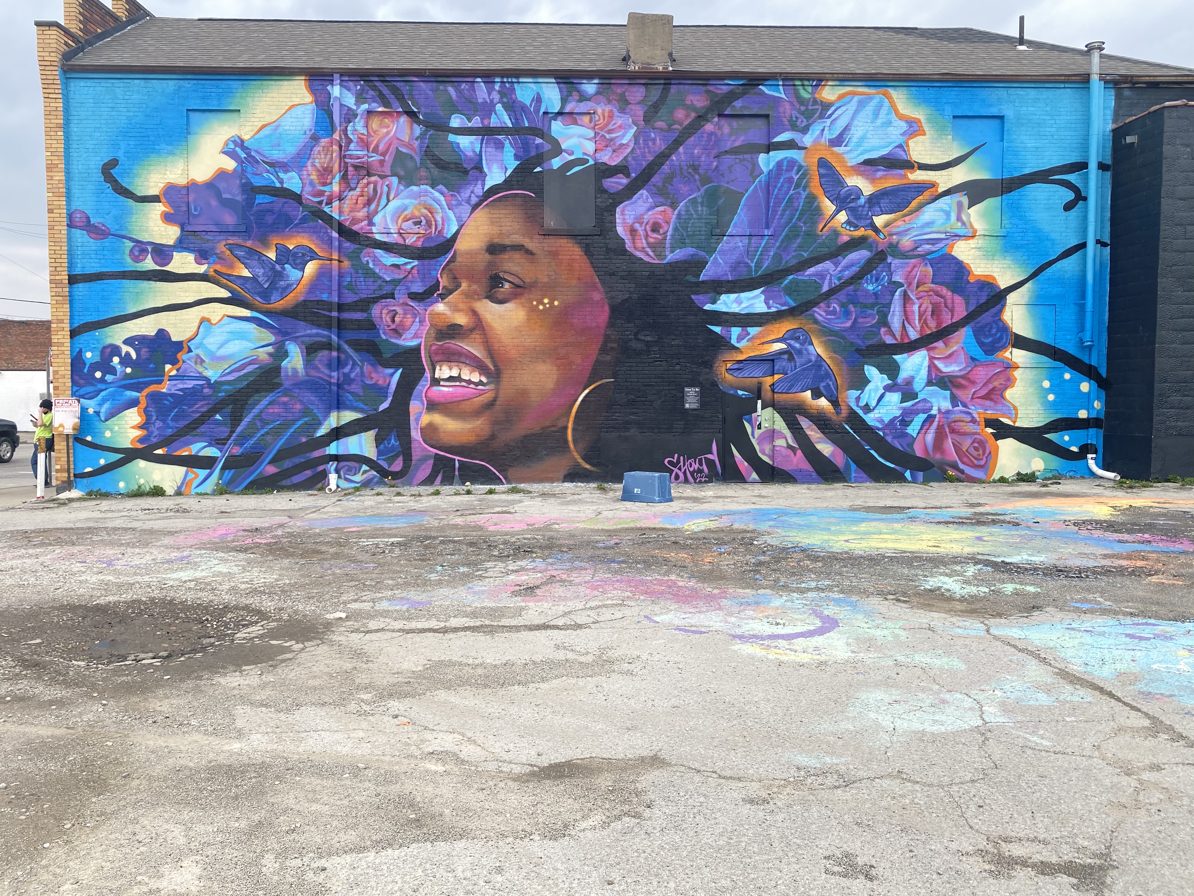
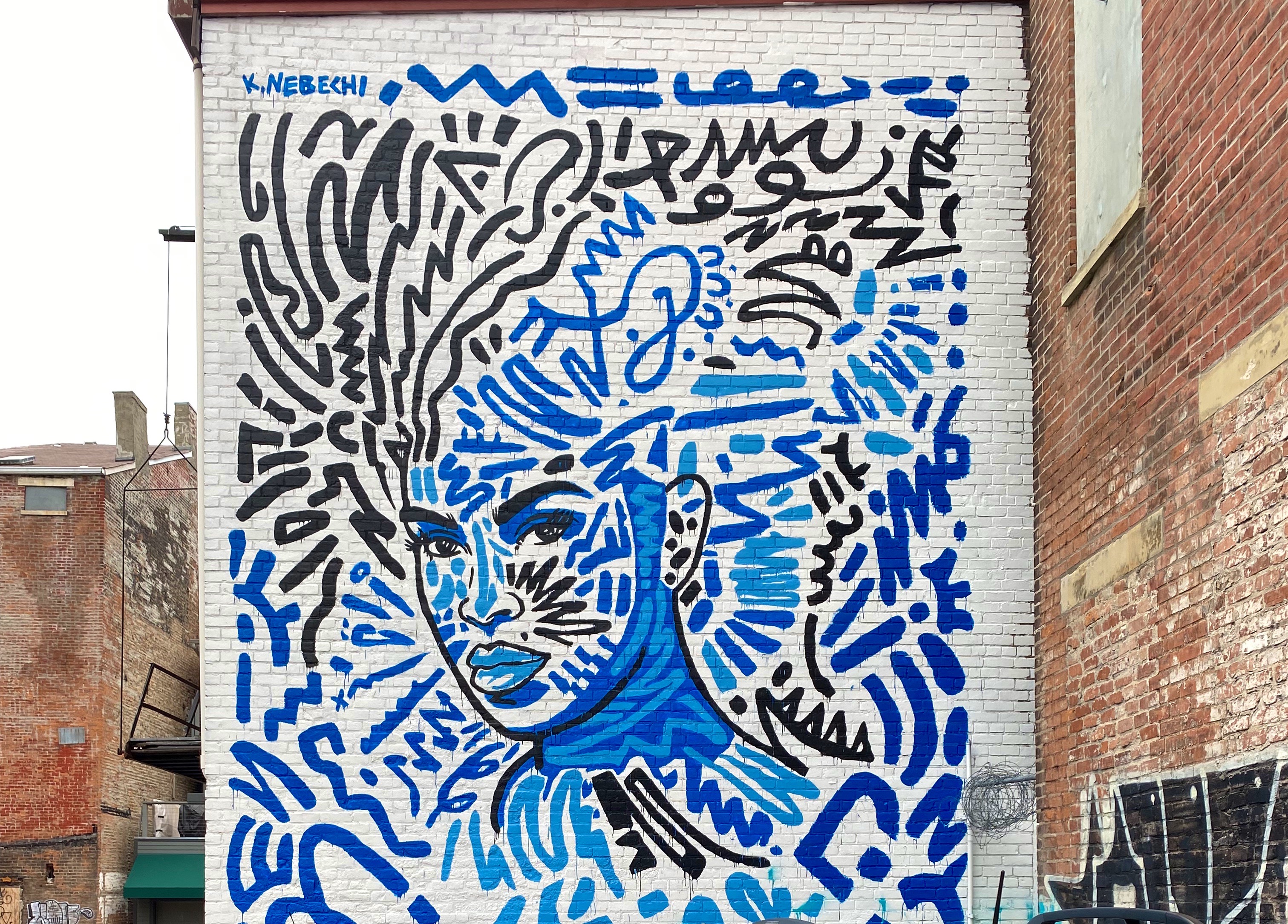
Artist Unknown – Columbus, Ohio
Sarah Hout @sarahthehout – Columbus, Ohio
“Dream Together” Jeremy Jarvis @jarvjer – Columbus, Ohio
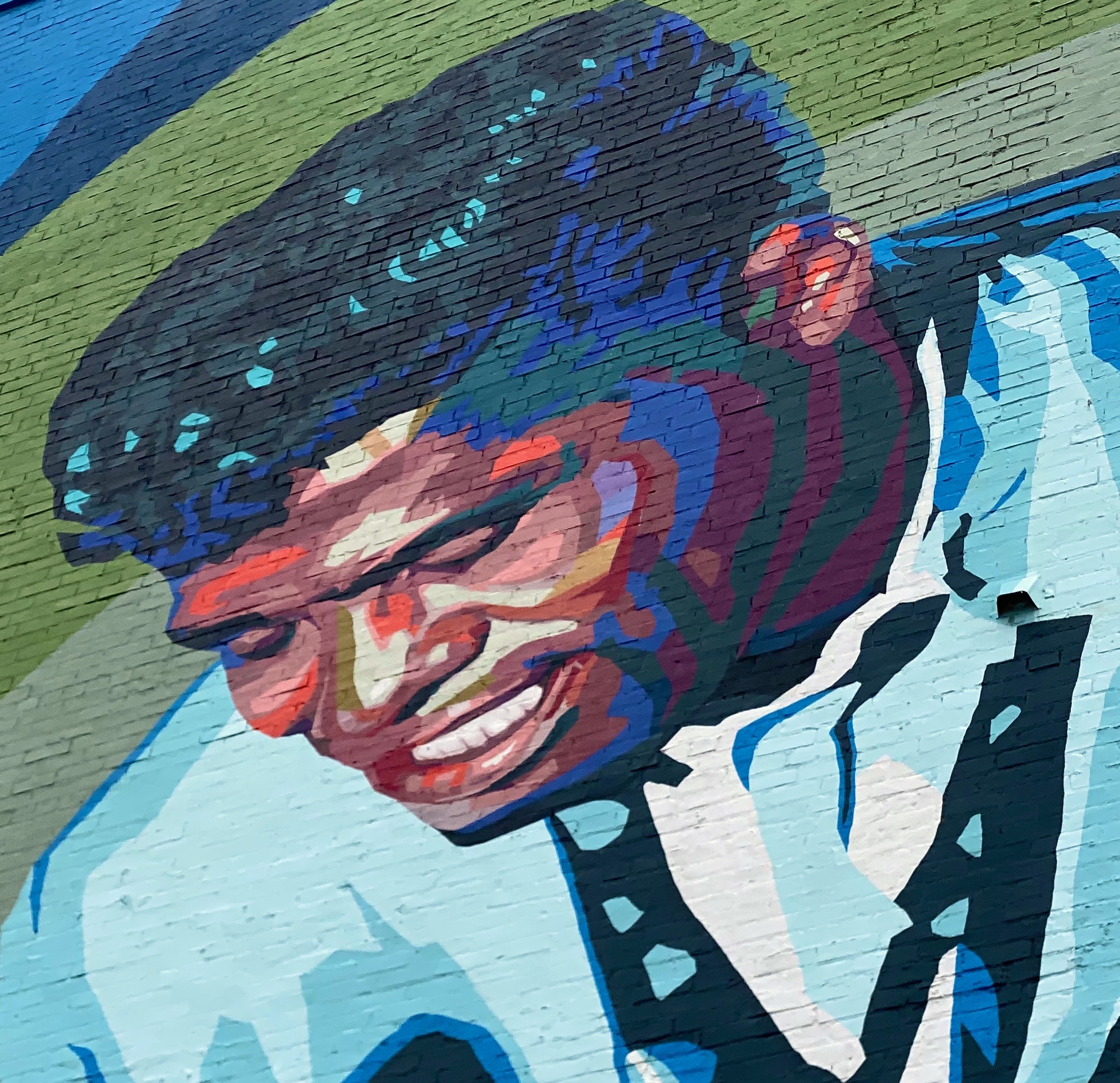
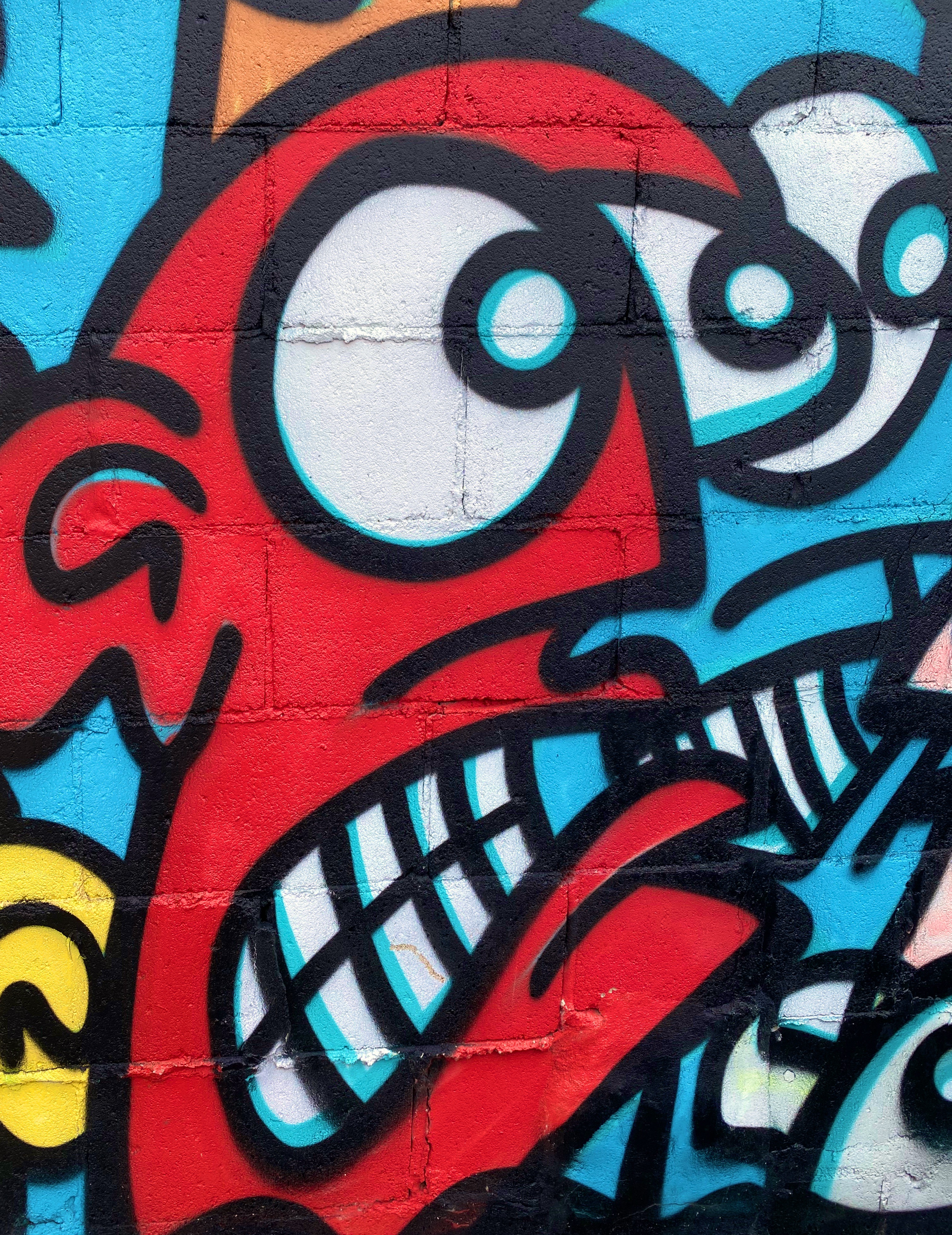
Artist Unknown – Cincinatti, Ohio
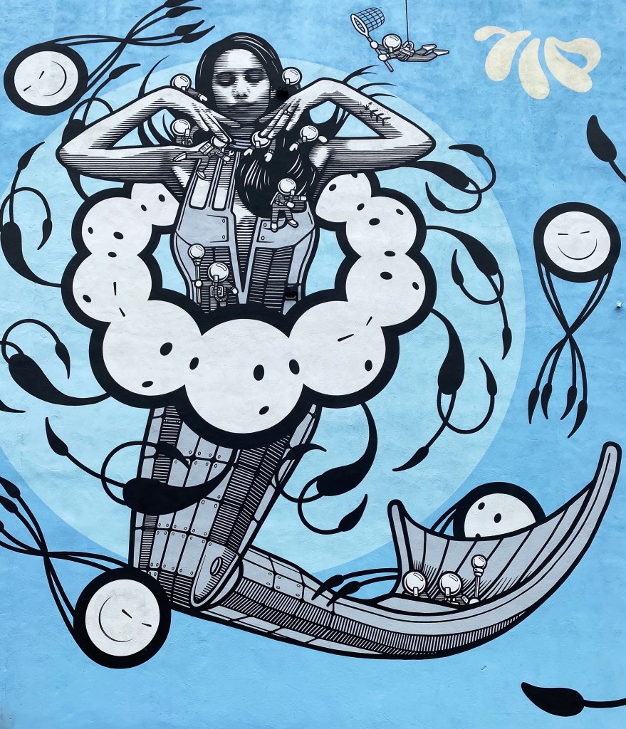
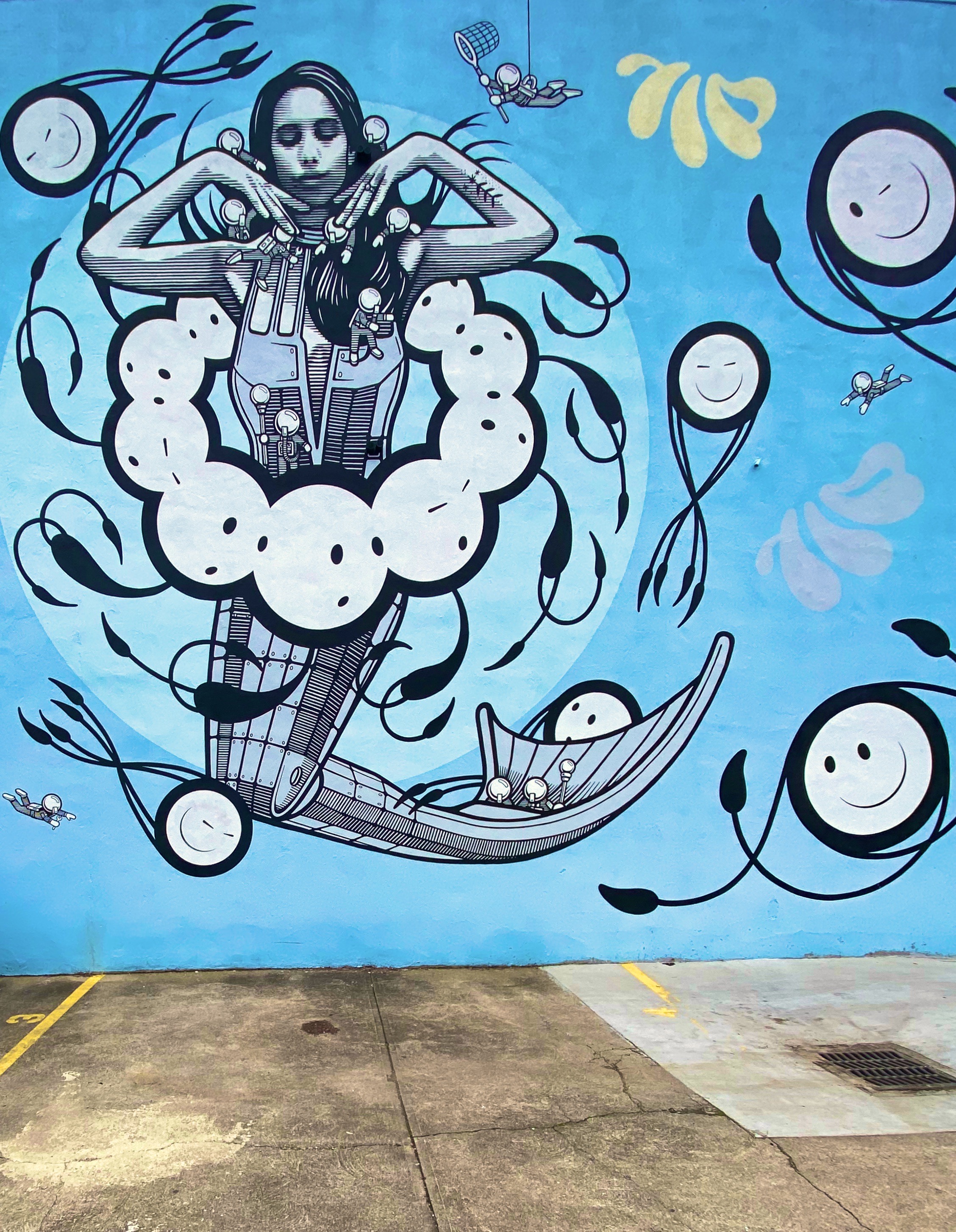
Michael Roy @birdcap – Memphis, Tennessee
Emily Molly Wood – Argenta Mural Project – North Little Rock, Arkansas
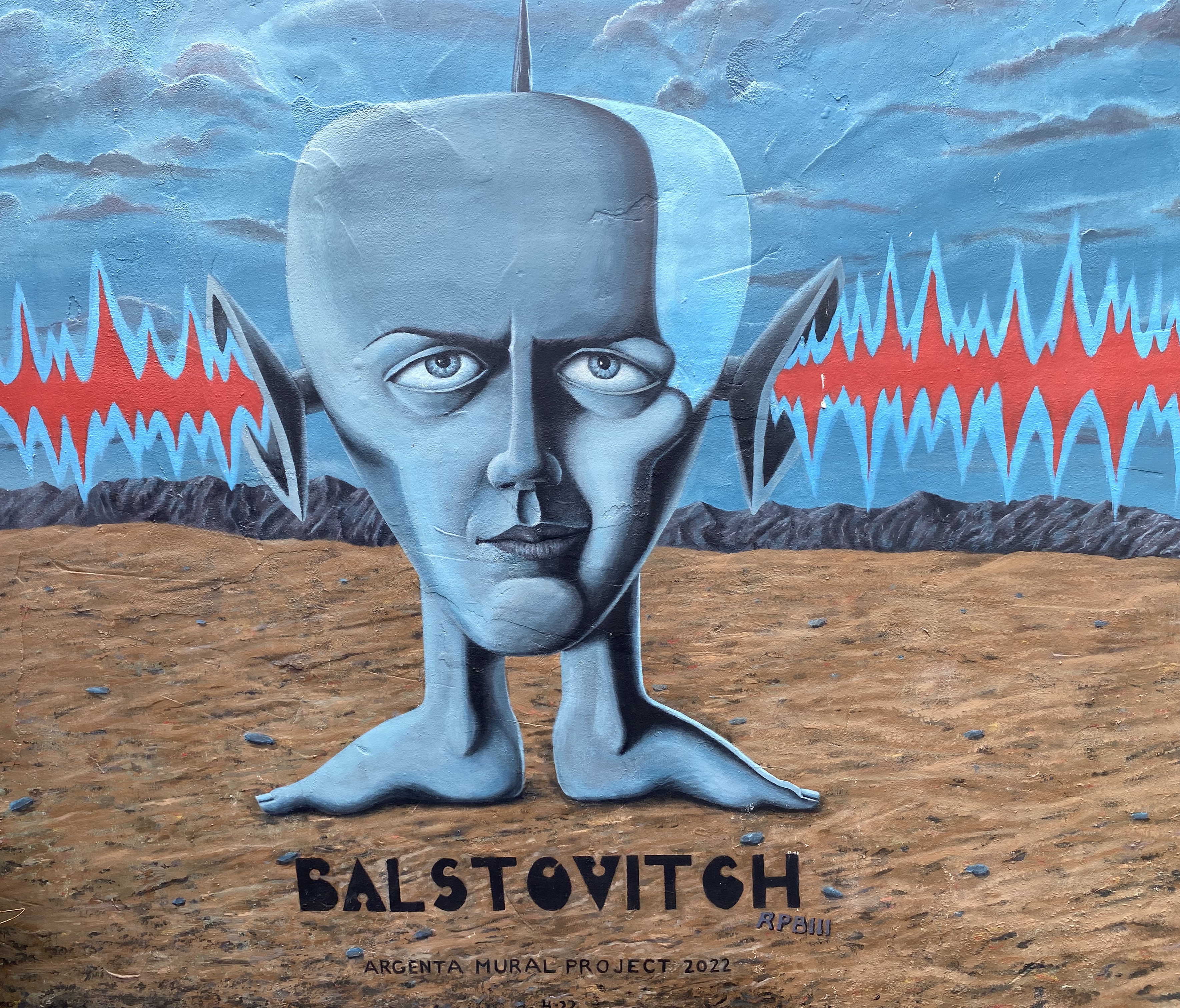
Roland P. Burnham III @balstovision – Argenta Mural Project – North Little Rock, Arkansas
Artist Unknown – Argenta Arts District, North Little Rock, Arkansas
Jes Weiner @magicatmuralist – Texarkana, Texas
@chelsie310 – Texarkana, Texas
“The Highwaymen” – Stylle Read – Marathon, Texas
Monty Welt @montywelt – Alpine, Texas
@deko_uno – El Paso, Texas
Artists Unknown – Leon Street, El Paso, Texas
Artist Unknown – Alameda Avenue, El Paso, Texas
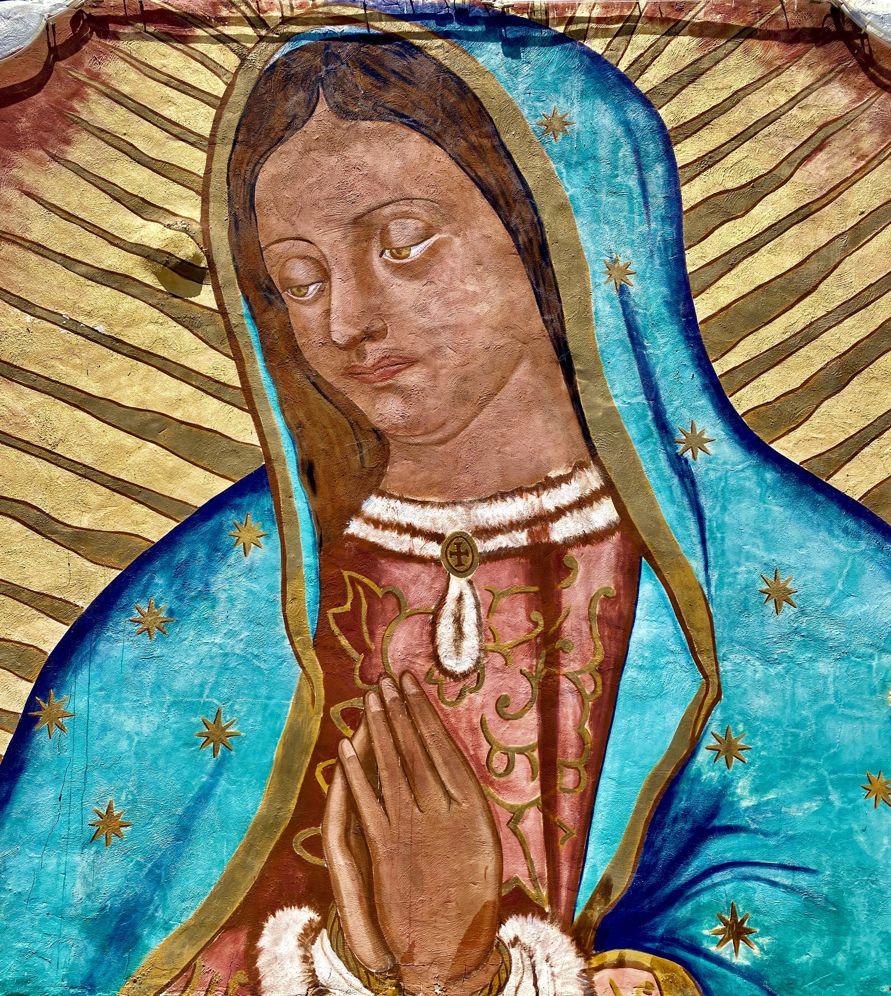
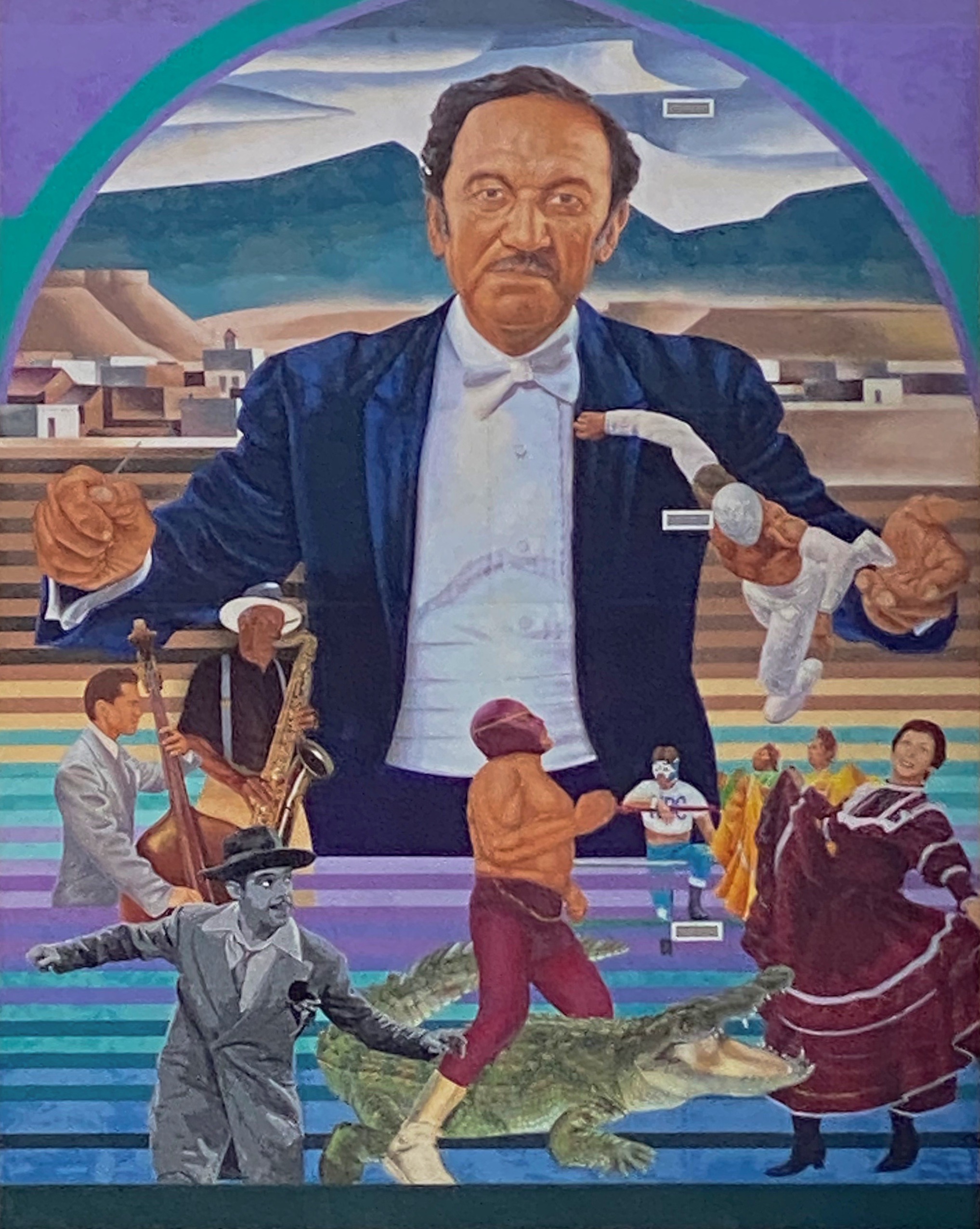
Latino Icons: Don Tosti, Art Lewis, Abraham Chavez, Los Largatos, Rocky Star, Cinta De Oro, Tin-Tin, Rosa Guerrero and Sin Cara – Jesus “Cimi” Alvarado, Martin “Blaster Zubia and Victor “Mask” Casas – Downtown – El Paso, Texas
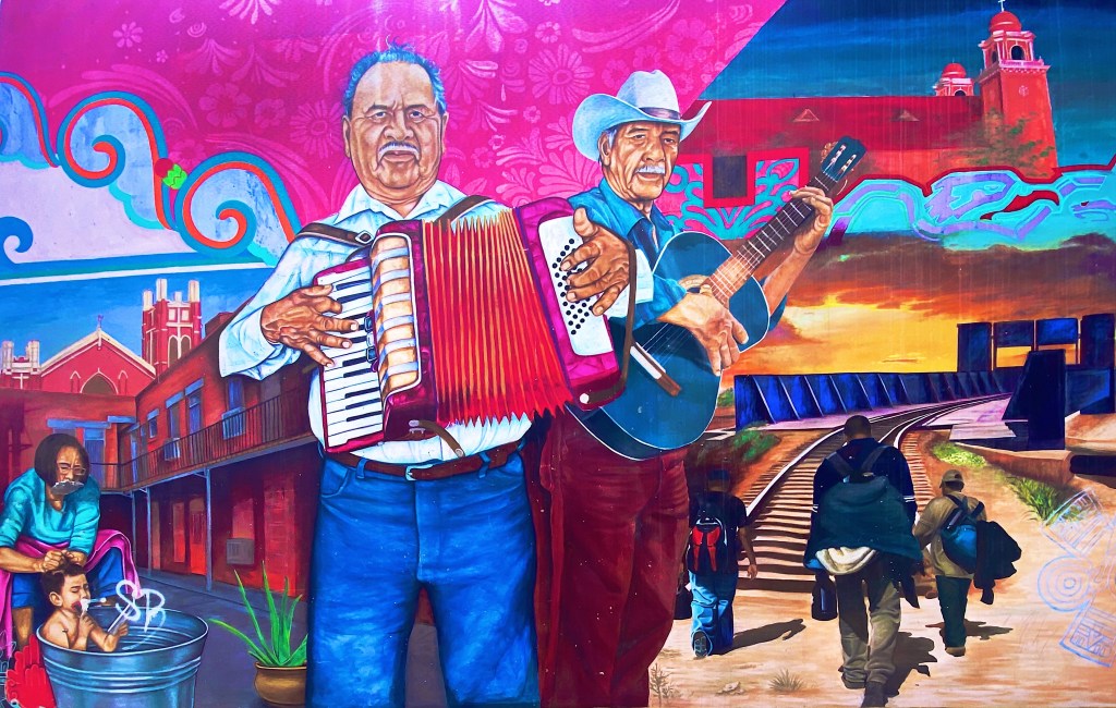
All of the remaining photographs in this post were taken in the Segundo Barrio. As the name suggests the Segundo was the second neighborhood in El Paso. Since the 1830s this area has been a major entry point for Mexican immigrants coming into the United States. The majority of the immigrants in the barrio were and still are migrant farm workers.
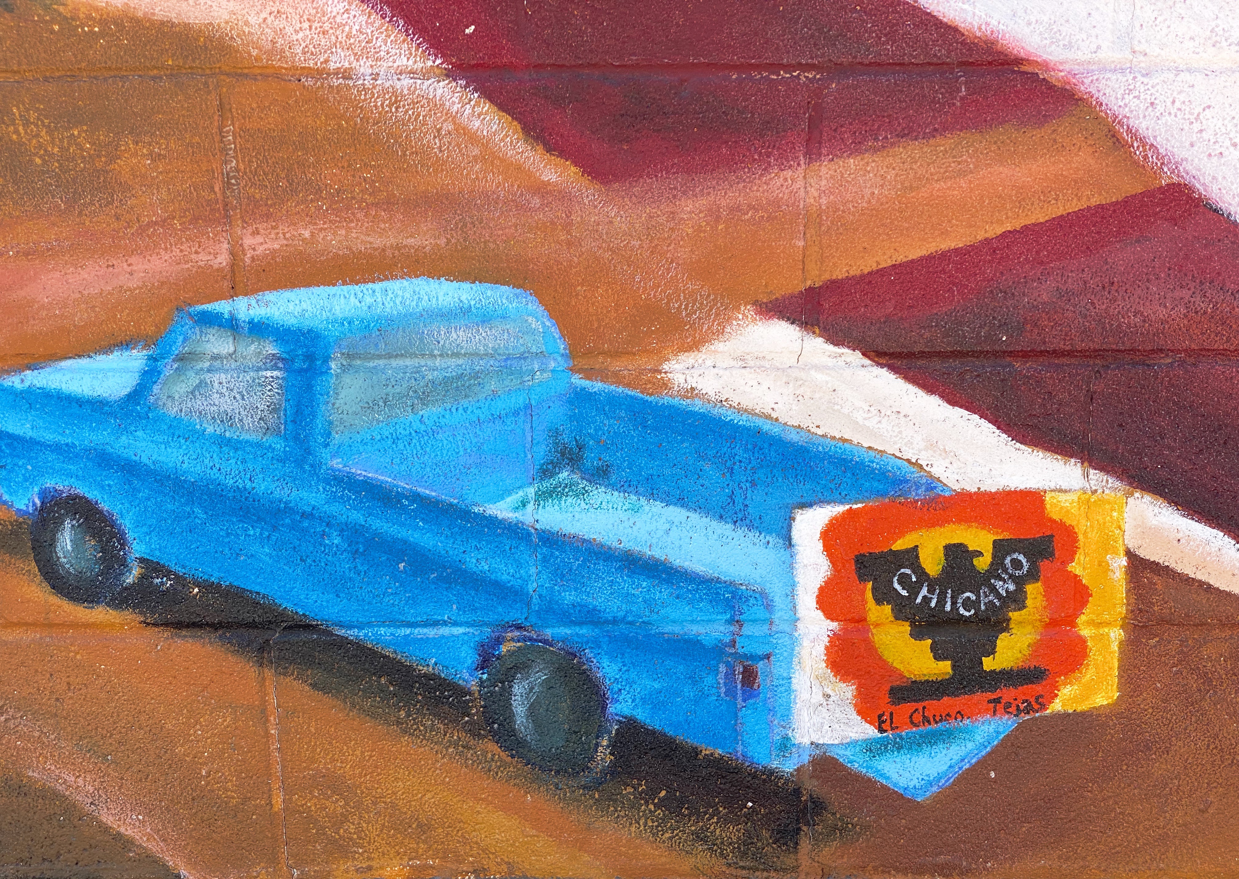
Artist Unknown – Segundo Barrio – El Paso, Texas
The Segundo still reflects its Tejano culture and traditions very proudly (we hope the murals we have featured below will reflect that same sense of tradition, culture and aspiration). At one point, the city planned to demolish much of the barrio as a way to eliminate the significant substandard housing stock instead of addressing the root causes in a humane fashion. Fortunately, civic groups formed and defeated the city’s plan to demolish the historic area.
El Corrido del Secondo Barrio – Jesus “CIMI” Alvarado and Victor “Mask” Casas – Segundo Barrio – El Paso, Texas
Jesus “CIMI” Alvarado – Segundo Barrio – El Paso, Texas
Unfortunately, the preservation of the barrio has not improved the economic conditions significantly. Many of the Mexican-American residents and immigrants still toil as farm workers. The barrio is poor by any measure, albeit rich in culture, tradition and pride in its heritage.
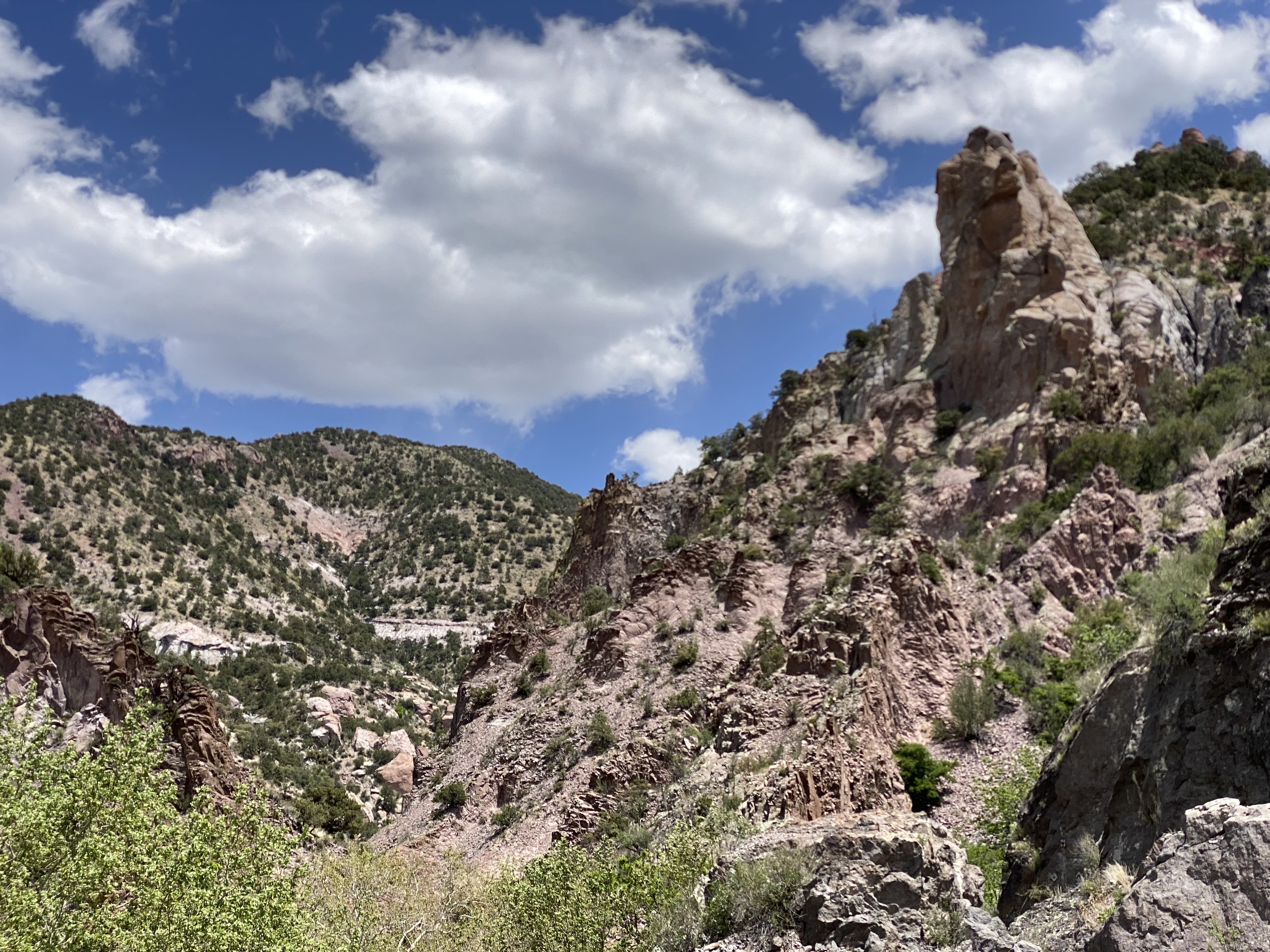
Our first stop after departing Silver City was Catwalk Recreation Area (CWA) where we were looking forward to hiking through the Whitewater Canyon. The beautiful slot canyon formed by the Whitewater Creek once served as a hideout for Butch Cassidy and the Sundance Kid as they attempted to evade the Pinkerton’s. Geronimo and his warriors also used the canyon to elude the U.S. Cavalry.
During the 1890s, the power of the upper creek flowing through the canyon was harnessed to bring water to the gold and silver mill which was situated in the lower canyon. Workers constructed a pipeline through the canyon which was bolted to the canyon walls about 20 feet above the creek. A series of catwalks were built on top of the pipeline in order to access it for maintenance and repairs. The boom came and went, and the mines and mill were closed in 1913; the materials were sold for scrap. The 200 or so residents left for other parts to find work.
The canyon essentially returned to its original state with no residents or mining operations. In 1935 the U.S. Forest Service (USFS) utilized the Civilian Conservation Corps (CCC) to create a hiking trail through the canyon. The CCC used the existing bolts in the canyon walls to build a new wooden catwalk as part of the hiking trail through the canyon. The trail was opened in 1937 and survived until 1961. It was replaced by a metal catwalk which subsequently was destroyed by storms in 2013.
Fortunately for us and other visitors, the USFS was able to have a new catwalk built and installed in less than a year. Today the catwalk extends approximately one half of a mile into the canyon, then hikers can continue on the canyon surface for another mile — as long as they are willing to make several water crossings. There are plans to extend the trail deeper into the canyon in the future.
After our hike at Catwalk, we traveled north and ventured across the winding single lane Bursum Road (NM59) to visit the town of Mogollon (mo-go-yone). The town sits deep in the Mogollon Range within the Gila Wilderness at 6500 feet above sea level.
Bursum RoadDriving Towards Mogollon
View from Bursum Road to the West
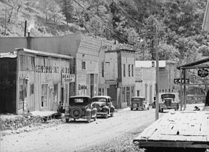
The town is sometimes referred to as a ghost town but it actually has a handful of residents (apx. 15) and several businesses. We saw several parked cars but no people during our walkabout. The town’s history began when gold was discovered in the late 1800s. Gold was mined here continuously until the 1950s. As a result, many of the structures are still standing today which leads to sense of stepping back in timeas you travel through the small town.
Mogollon, 1940, Photo credit Russell Lee
Gold mining brought as many as 6000 people to the town at the height of production at the Little Fannie Mine and several other nearby mines. The town flooded often (sitting on the Silver Creek) and major portions burned multiple times. The town’s reputation (like many mining towns) was that of a rough and tumble place with several saloons and brothels (and no law).
Little Fannie Mine
After our day at CWA and Mogollon we found camping in the Gila National Forest among the pines and the serenading cattle that were roaming around us in constant search of food. The next morning we pushed northeast out of the forest onto the Plains of San Augustin. The Plains stretch 55 miles from the northeast to the southwest and range in width from five to fifteen miles.
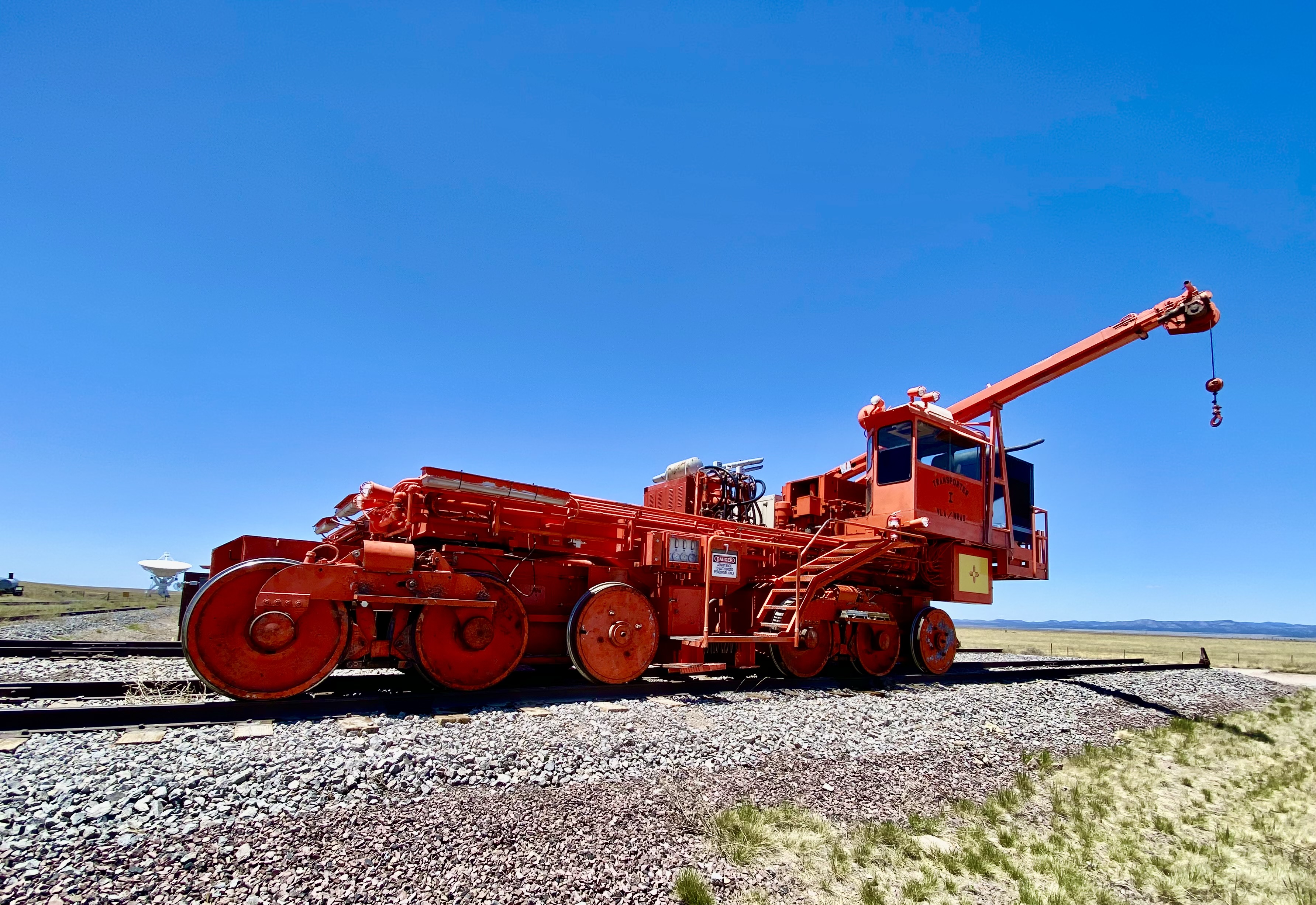
Our primary purpose in transiting the Plains was to visit the Karl G. Jansky Very Large Array (VLA). The VLA consists of 27 radio telescopes positioned across the Plains via railroad tracks. Each of the radio dishes stands 90 feet tall, 82 feet across and weighs 250 tons. In their widest configuration the radio dishes stretch for over 20 miles across the Plains. The Plains are an ideal setting for the VLA as it is far away from any population centers and shielded from light by the surrounding mountain ranges.
The Very Large Array
We won’t pretend for a second to understand how this works but it is nonetheless fascinating to see the array in action and to learn about the many important discoveries made utilizing radio astronomy. The array has captured activity in our galaxy as far away as 150 quadrillion miles!
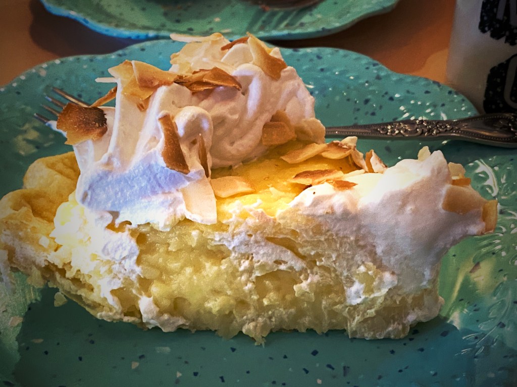
We met a motorcyclist who had pulled over for a break while we were off the road near the VLA adding air to two of our tires with slow leaks. He asked us if we were going to stop in Pie Town – we said yes – he said good, it is a tradition whenever you cross Route 60 to stop and have pie!
Well, we did, and it was dang delish! Maria had the Cherry Almond Pie and I had a piece of the freshly made Coconut Cream Pie. Pie Town establishments did a good business dishing out pies for cross country travelers and local ranchers until the ubiquitous interstate was built and diverted much of the traffic away from town.
Fortunately, about 25 years ago the Pie-O-Neer Cafe opened and it has been doing a booming business ever since. In addition to many travelers that now routinely avoid the interstate, the Continental Divide Trail runs through Pie Town. Many hikers stay at a nearby hostel and consume thousands of calories (based on what we saw) replenishing for the next leg of the journey. The town itself has not grown with a population hovering around 25, but they apparently throw a heck of a pie festival every September.
After filling our bellies with delicious pie, we set north across some dusty ranch country on the York Ranch Road in search of camping near El Malpais National Monument (EMNM). As you can see in the photo below left, the desert can be cruel for those unprepared for the terrain.
We found a beautiful spot to camp just east of EMNM on a bluff which provided great views and a spectacular sunset.
In the morning we made our way north to Grants, New Mexico to have our leaking front tire replaced. From there, we set out for the Big Tubes area to explore. There is only one way in or out – the Big Tubes Road ( NPS 300) – a classic impassable-when-wet mud job. Fortunately, while there had been some rain leaving behind some large ruts, the road was fairly dry and passable. Regardless, we would not recommend this road without 4WD and high clearance.
NPS 300
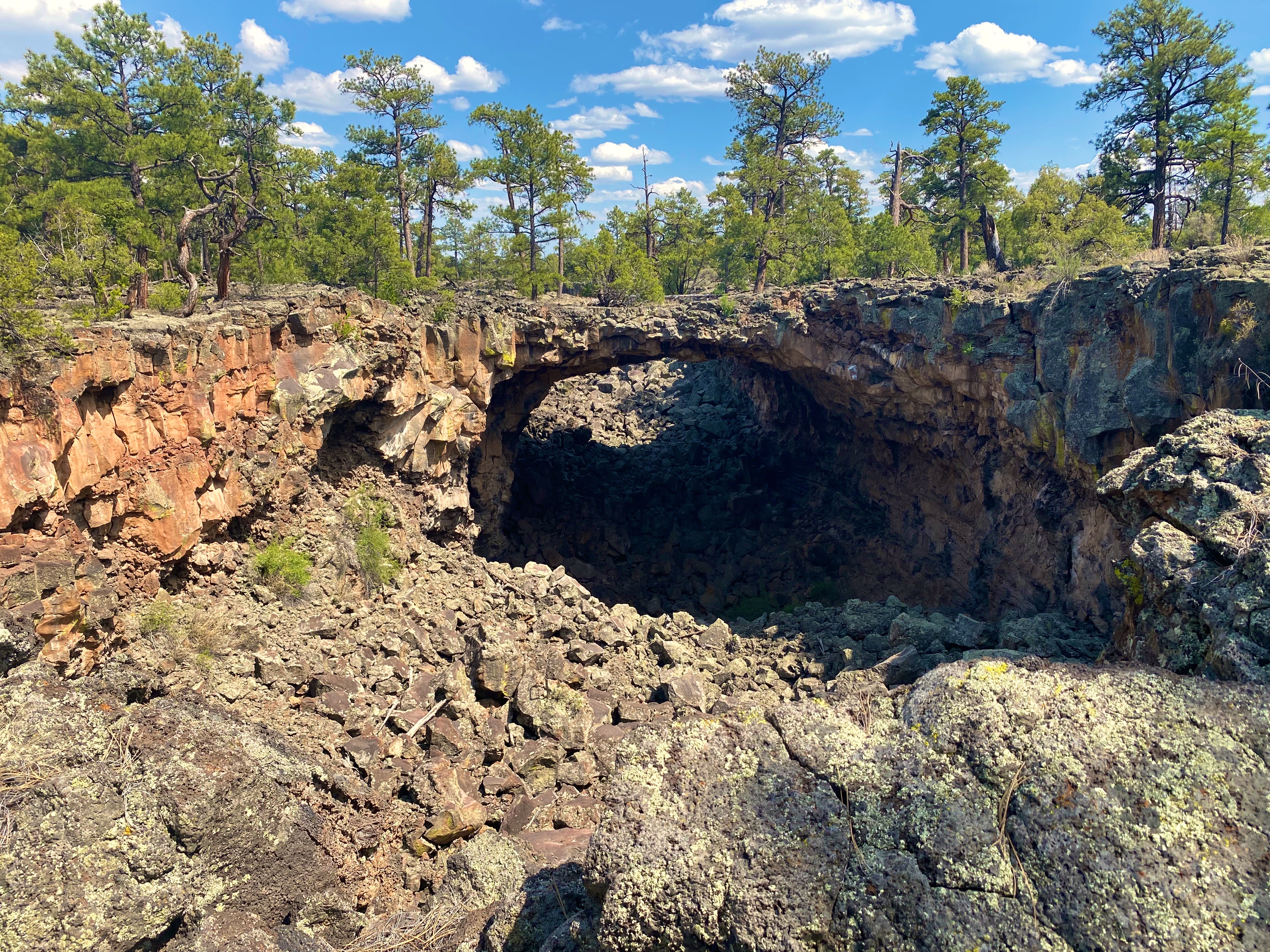
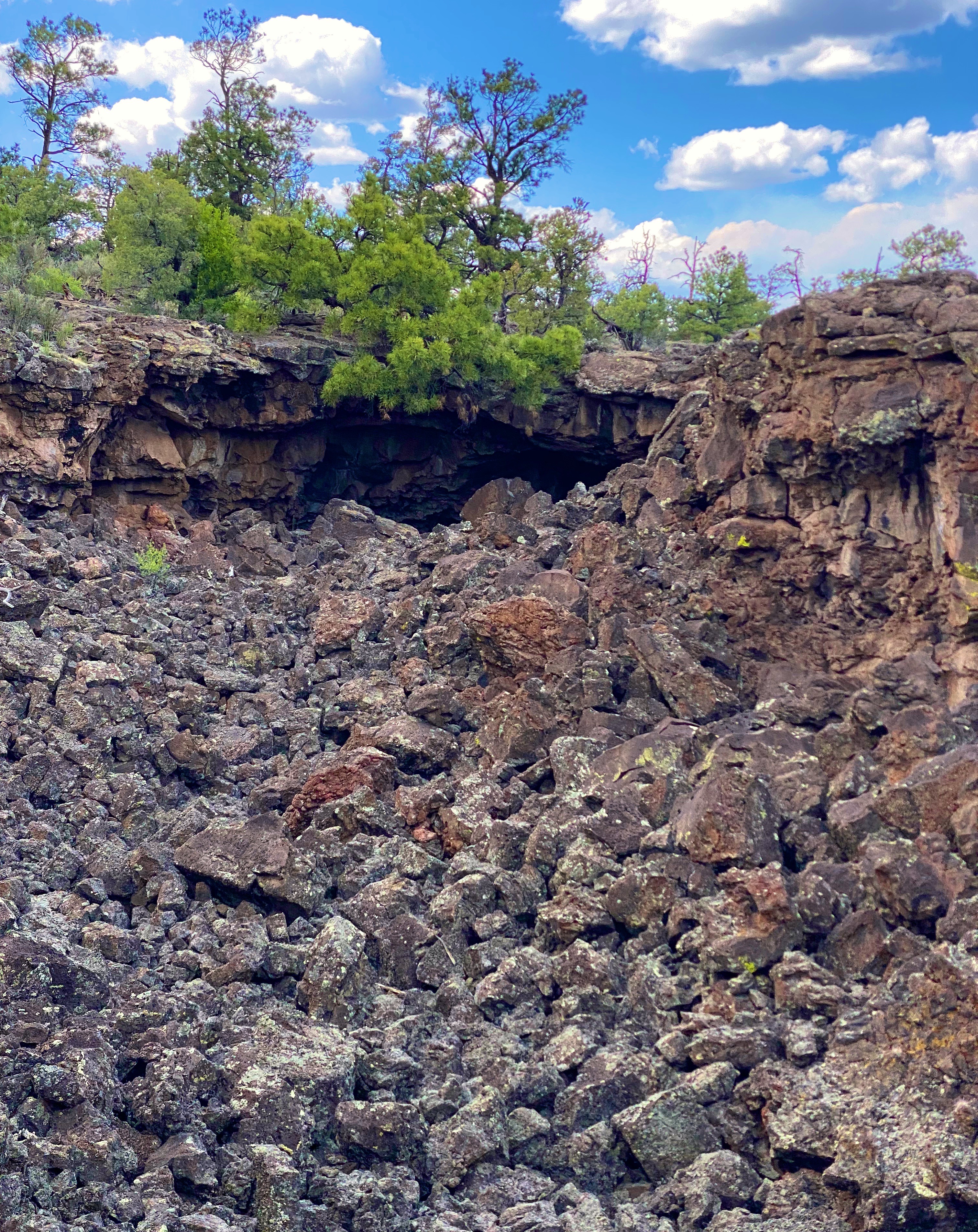
The Big Tubes Area is a massive volcanic landscape that provides the opportunity to explore lava tube bridges, lava tubes, tube caves and lava flows. There are no marked trails, although there are cairns laid out across the field – use the cairns – there are no other usable reference points in this other-worldly place. Even utilizing the cairns we made several wrong turns in hiking out and back across the field.
You are free to scramble down into the tubes and caves and under the bridges. We recommend wearing gloves and a climbing helmet. The boulders in the trenches and tubes are big and sharp!
From EMNM we traveled through several portions of the Ramah Navajo and Zuni Indian Reservations on our way north on the 602 to Gallup. We had reserved a couple of nights at the El Rancho Hotel and were looking forward to staying at this 1940s hotel that once hosted dozens of Hollywood stars ensconced here while filming Westerns in the area. Additionally, the hotel sits smack on Historic Route 66 to add even more kitsch. From the photos below you might suspect we were not disappointed with our decision.
Gallup has a storied history that predates the movie making haydays of the 1940s and 1950s. The first white settlers arrived in the area that became Gallup in the early 1860s. This was Navajo land and thus the Navajo attacked the white settlements. The cavalry was dispatched to physically remove the Navajo people from the area. The U.S. Army destroyed the Navajo homes, crops and livestock. The Navajo were then force marched 400 miles to a reservation where they were held for four years. In Navajo history this event is known as The Long Walk.
The town was formally founded in 1881 as a railhead for the Atlantic & Pacific Railroad. The freight lines that ran through the middle of Gallup hauled the high grade coal that was mined in the area. While the coal mining in the area has largely played out, more than 100 freight trains still rumble through town every day.
American Coal Company – Atlantic & Pacific Railcars
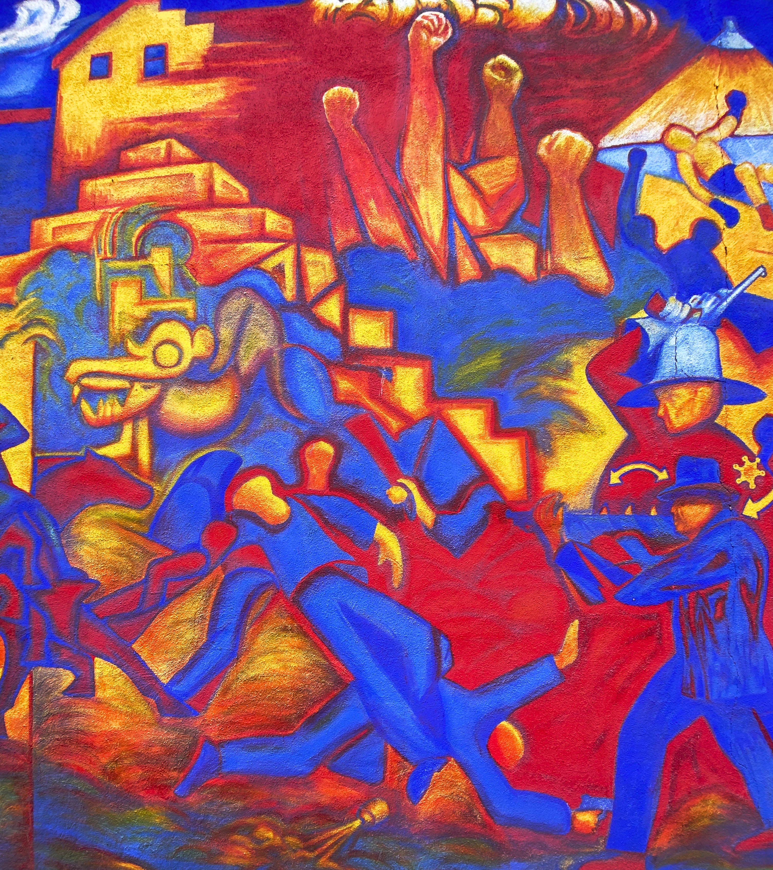
Coal miners in Gallup went on strike in 1933. The situation in Gallup was politically charged due to the multi-faceted race issues that existed in the American West. Many of the miners were Mexican and, influenced by their experiences during the Mexican Revolution, were members of the communist National Miners Union. The white miners aligned with United Mine Workers of America. Additionally, by the 1930s, many Navajo Nation members from the abutting reservation had begun working in the mines in Gallup. The Navajo coal miners did not belong to any union and routinely crossed the picket line – they did not consider themselves as members of the world outside the reservation. This act further intensified the significant racism already directed at Native Americans in the West.
The strike turned violent in 1934 and the sheriff was shot and killed by a Mexican miner. Subsequently, the Mexican miners were deported en masse. The UMWA became the sole union, although it took another nine years for a contract to be signed by the coal companies.
Mural Depicting the Coal Mine Riot of 1934
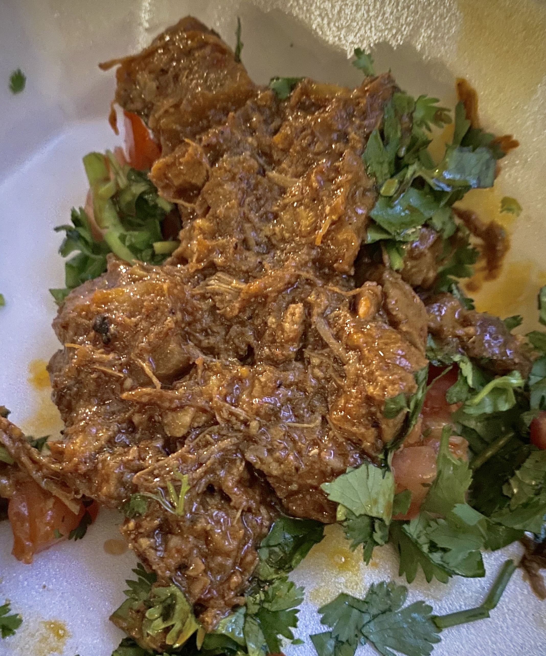
We took advantage of the opportunity to try the local cuisine. Lots of delicious dishes to choose from. The only item we do not recommend is the beef tongue – it’s a texture thing!
We enjoyed our stay in Gallup. Fascinating western history, excellent local cuisine, fine coffee and great street art. However, please keep in mind this is not a trendy tourist town. As a result of the long history of cultural and socio-economic issues there is a legacy of high unemployment, high crime and poor education which is evident within the community.
A quick stop in Farmington, New Mexico for fuel, coffee and groceries and then we headed over the state line for the snow capped peaks of Colorado.
As the name infers, precious metals are at the heart of the existence and development of this area of New Mexico. Long before the Spanish arrived the Native Americans were making use of the abundant copper found in the area. The Spanish brought more scale to the mining operations with their “technology” utilizing horses to power the machinery (below) to extract the gold found in the Pinos Altos Mountains .
Today the Central Mining District is still a major precious mineral producer. The St. Rita Copper Mine pictured below is one of the world’s largest open pit mines. It is 1.5 miles wide and over 1500 feet deep.
St. Rita Copper Mine from the Route 152 Overlook
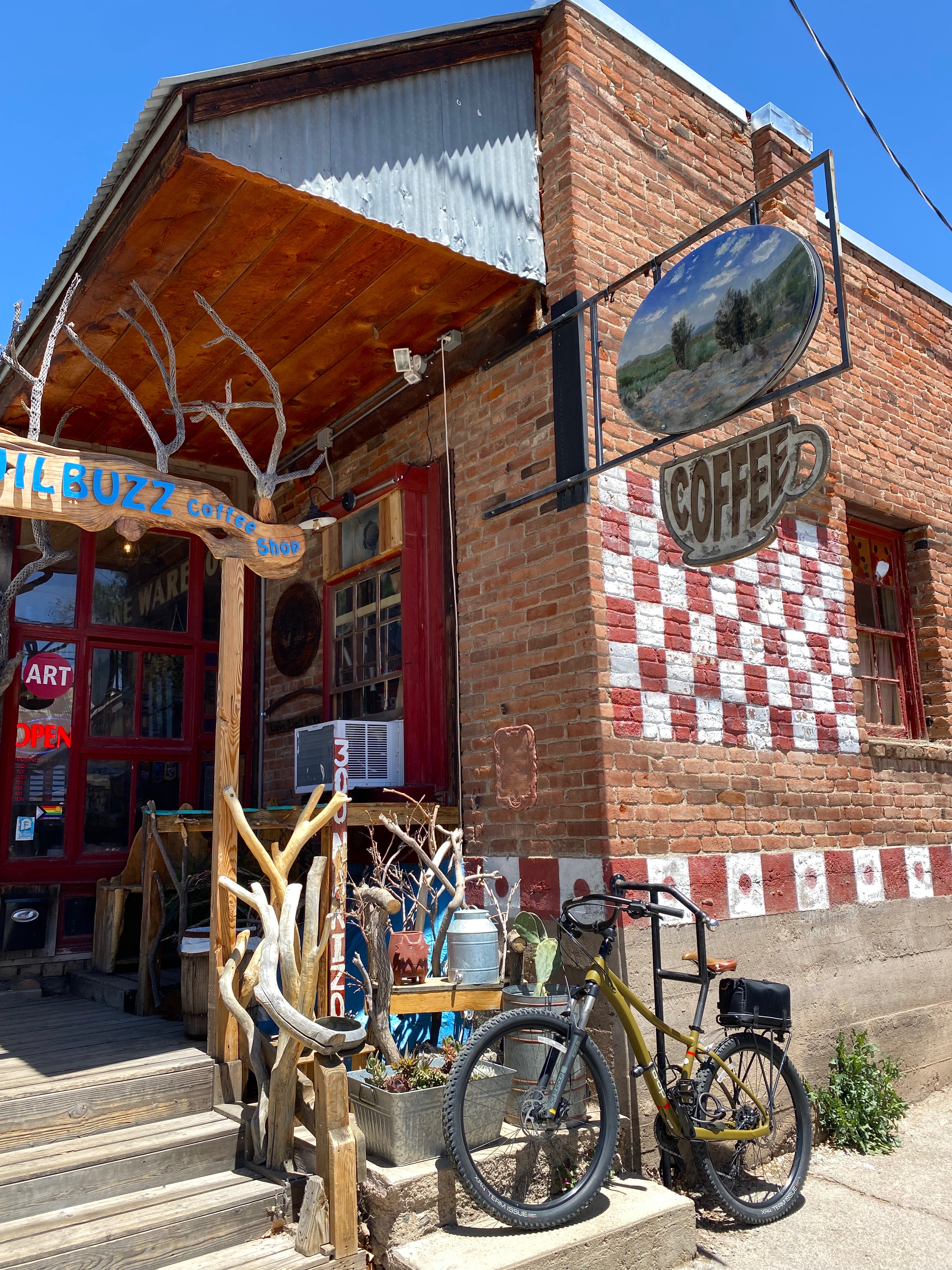
While one of us might find the major extractive industries fascinating, it was not our primary reason for visiting Silver City (SC). The elevation (5900) and surrounding Gila NF meant more comfortable temperatures than we had been experiencing in Texas and Southern New Mexico. Additionally, SC has a reputation as an artistic community where we might find music, coffee, art, history and friendly folks. Happily, SC provided all of these things in abundance.
SC has become a draw for the artistic community. We met many folks who found their way to SC to be part of a very open and welcoming community. We started each day at the Buzz to fuel up and invariably met several new folks (many of whom are artists and musicians).SC is definitely a fun town for a two to three day visit and also a good base for exploring the surrounding area.
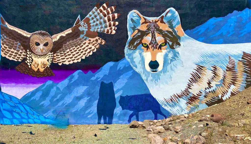
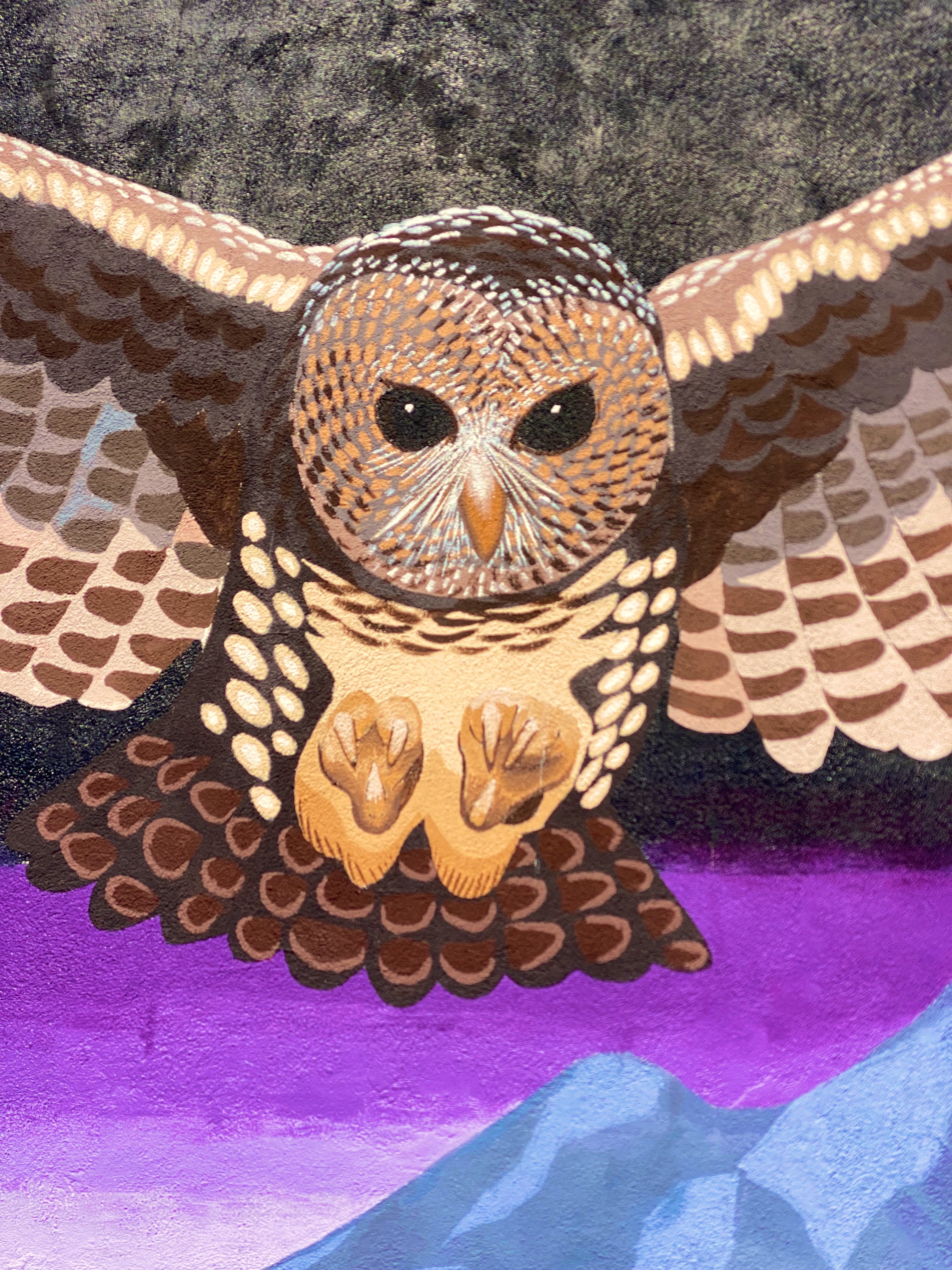
Endangered Species Mural, WNMSU
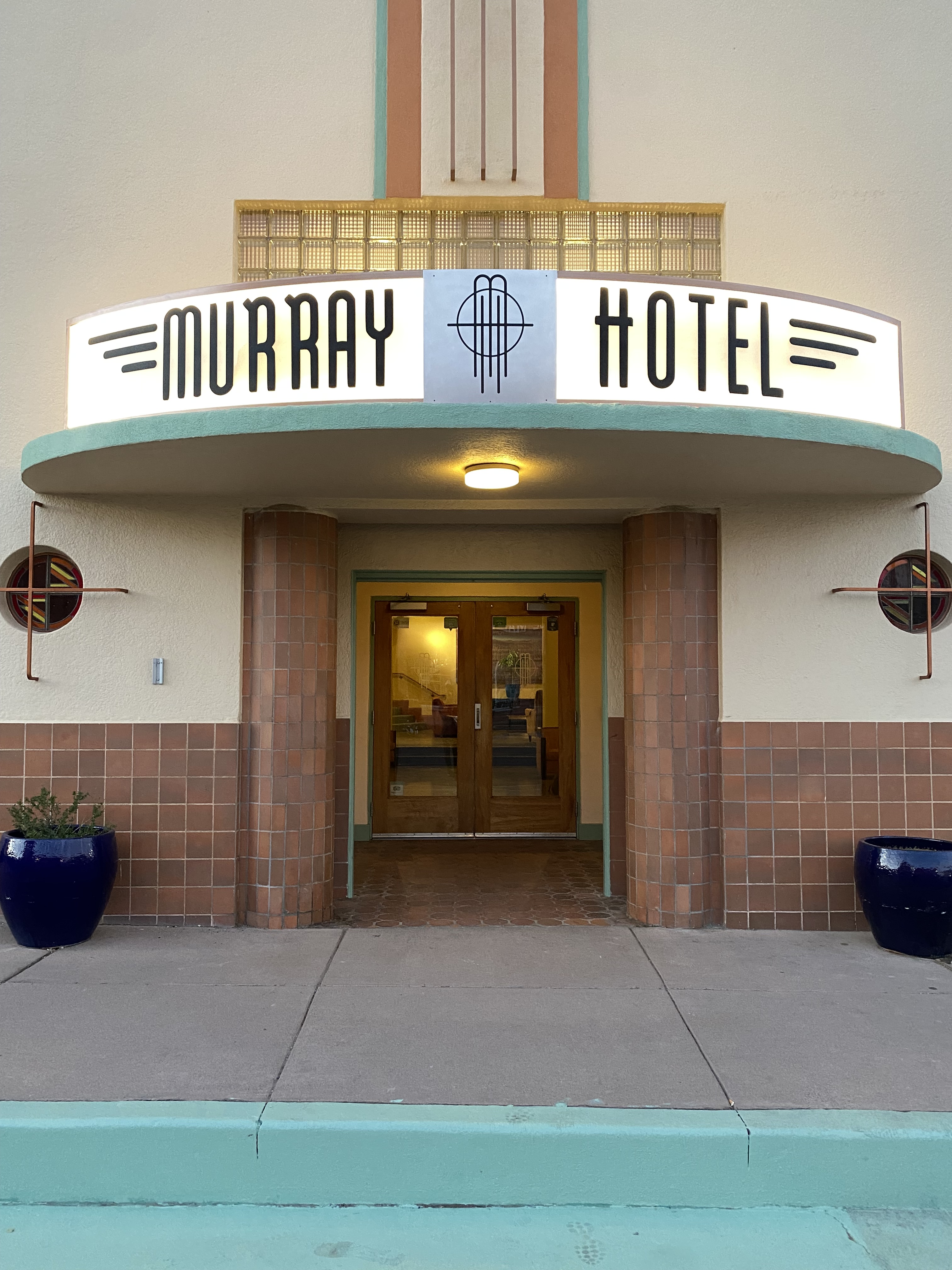
When not sleeping in the Beast, we try to find a local hotel with history and style. In SC we stayed a couple of nights at the Murray, a classic Art Deco hotel. The hotel opened in 1938 and was considered the height of luxury (in the southwest) at the time. It closed for several decades but was renovated and reopened in 2012. The hotel is perfectly situated in the middle of downtown, enabling us to walk everywhere and leave the Beast parked for the duration.
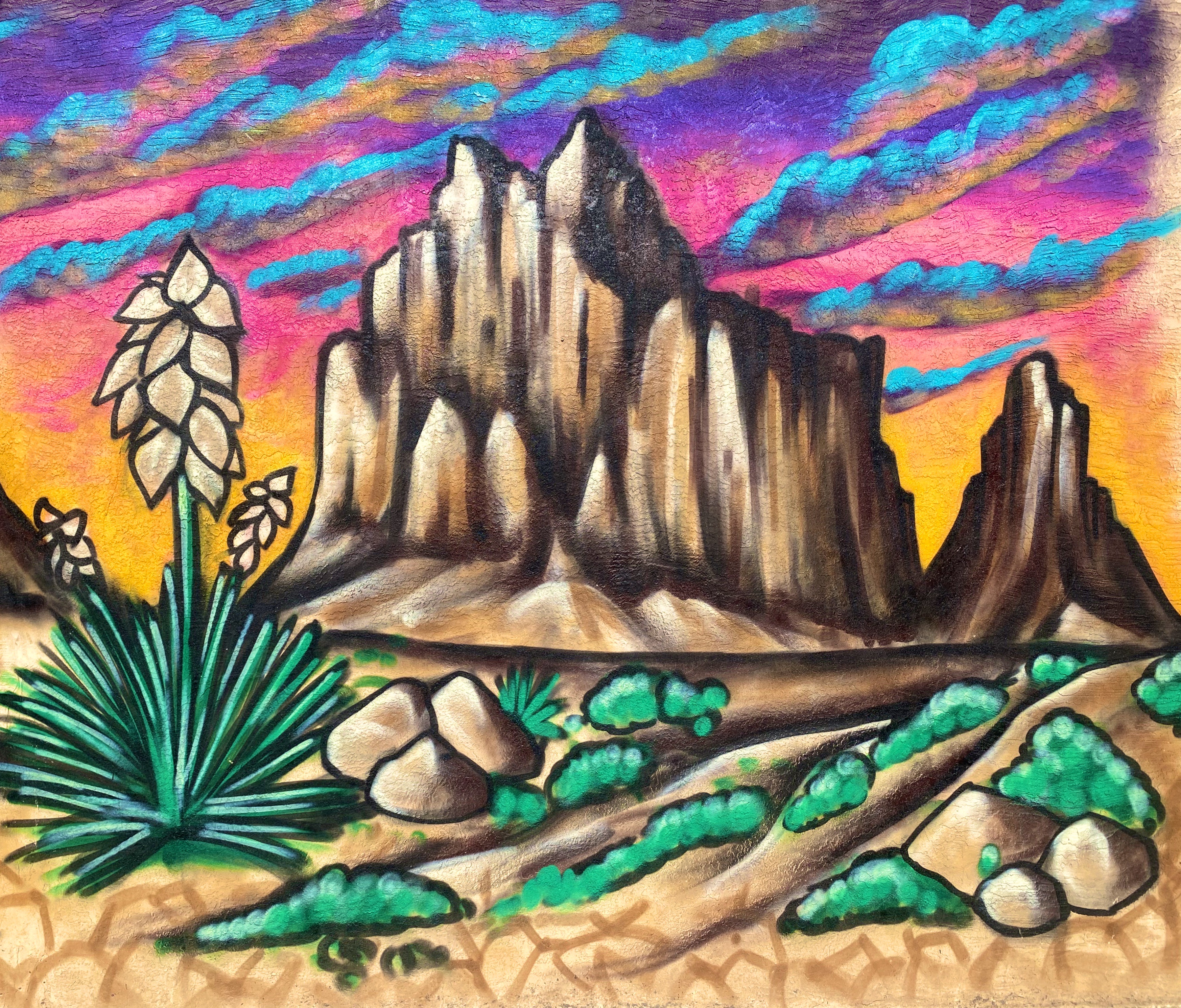
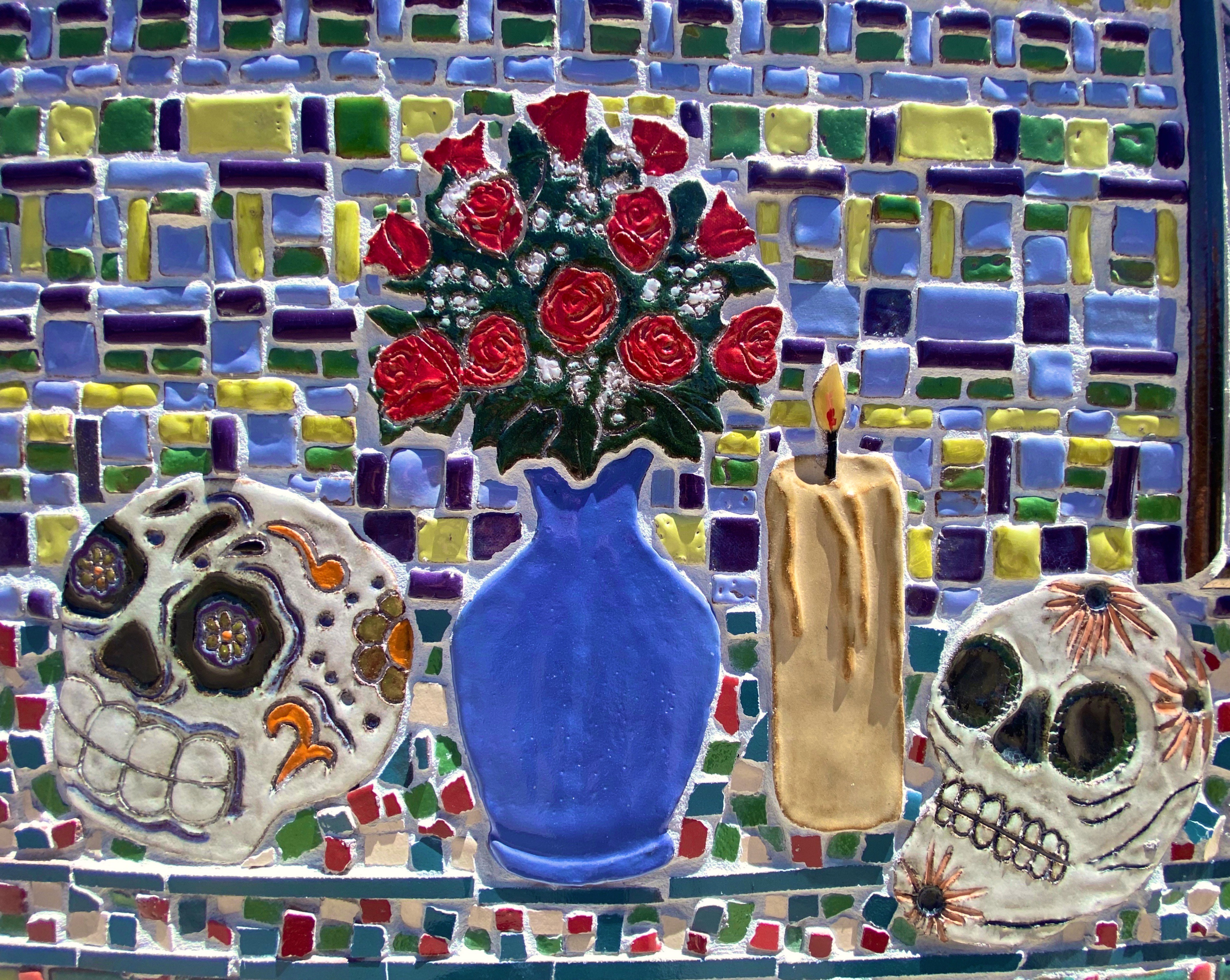
The photographs above are of tiles from the “Dia de los Muertos” mural located on the side of the Silver City Museum. The tile medium is quite popular in the southwest and, along with the subject matter, it reflects the heritage of this area. There is art everywhere in this town – not surprising that SC was named one of the top 100 art towns in the United States.
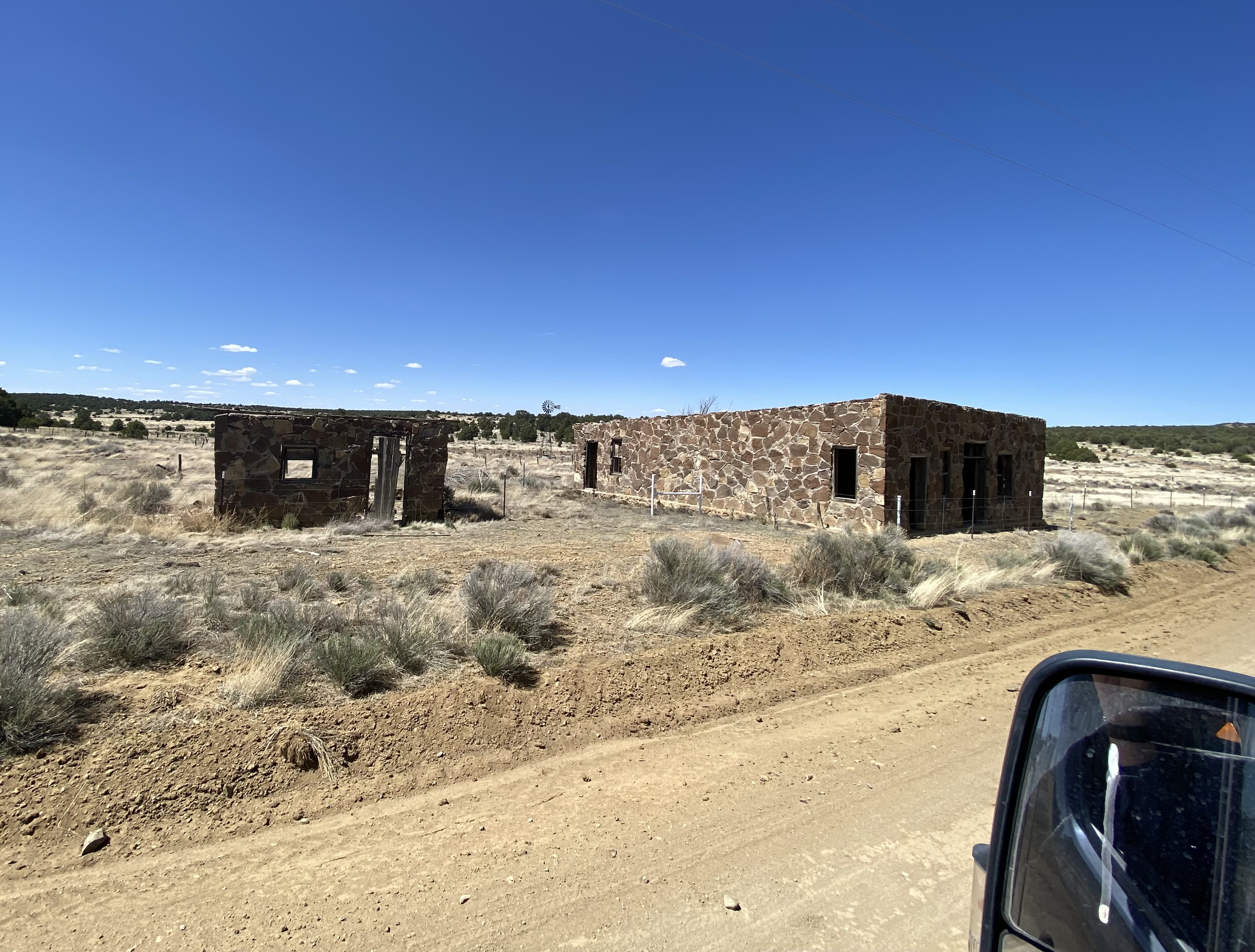
Just north of SC sits the small town of Pinos Altos (PA as it is called locally). The town was formally organized in 1860 after the discovery of gold by three men stopping for a drink of water in a local creek. The population quickly grew as word of the gold discovery spread.
However, the local Apache people were not pleased to see hundreds of miners descend on what was their homeland. A band of 400 Apache warriors, joined by the great chief Cochise, attacked the settlers in what became known as the Apache War of 1861. Hostilities went on for several years until the cavalry built a fort at Bayard and a treaty was negotiated (we know who got the better end of that deal).
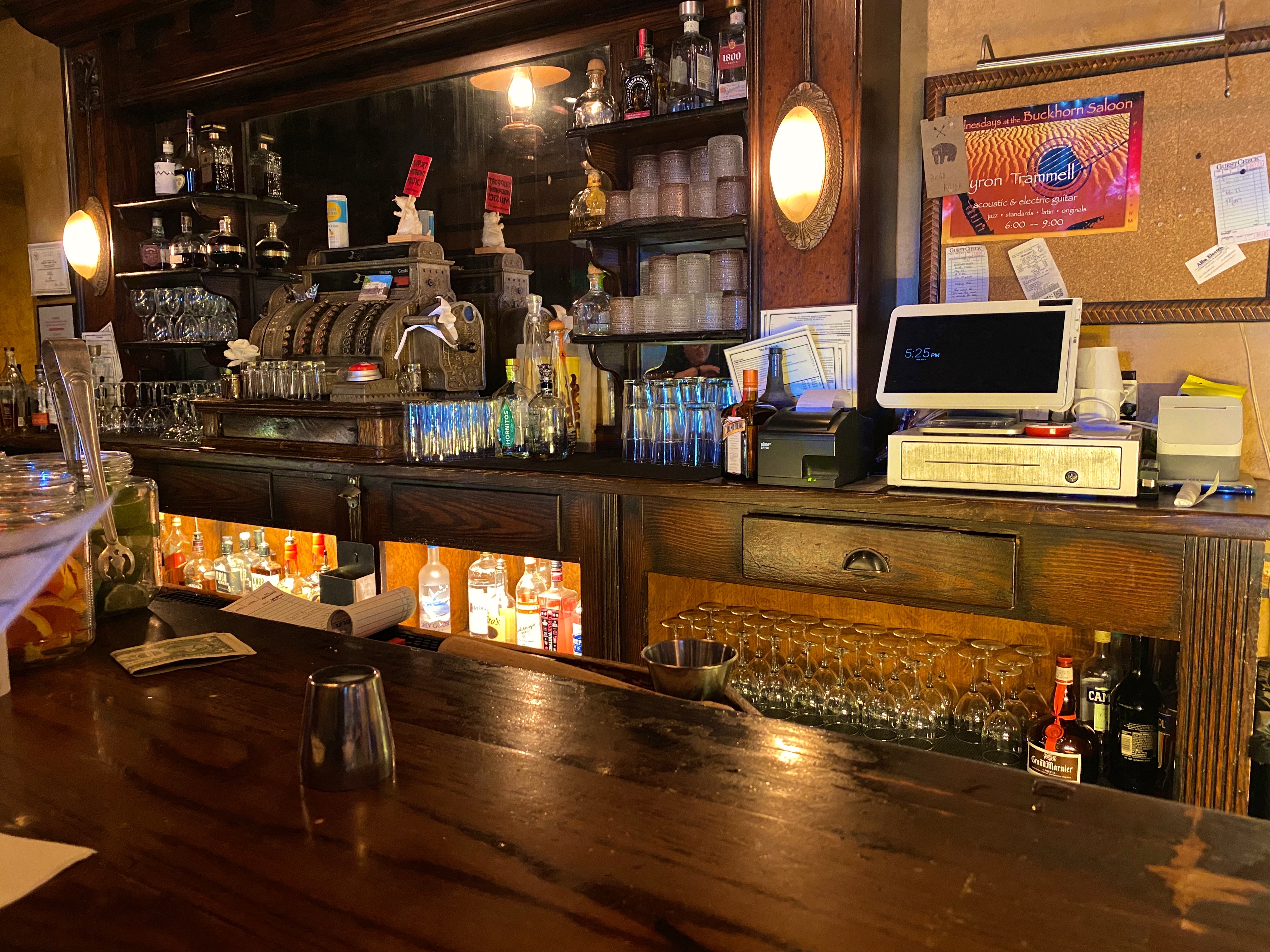
Today the town has 300 or so residents after having been abandoned for may years. Fortunately, many of the original buildings remain, and that in conjunction with the Buckhorn Saloon, engenders a fun, old west atmosphere. Besides, who can resist a town where Main Street is still a dirt road!
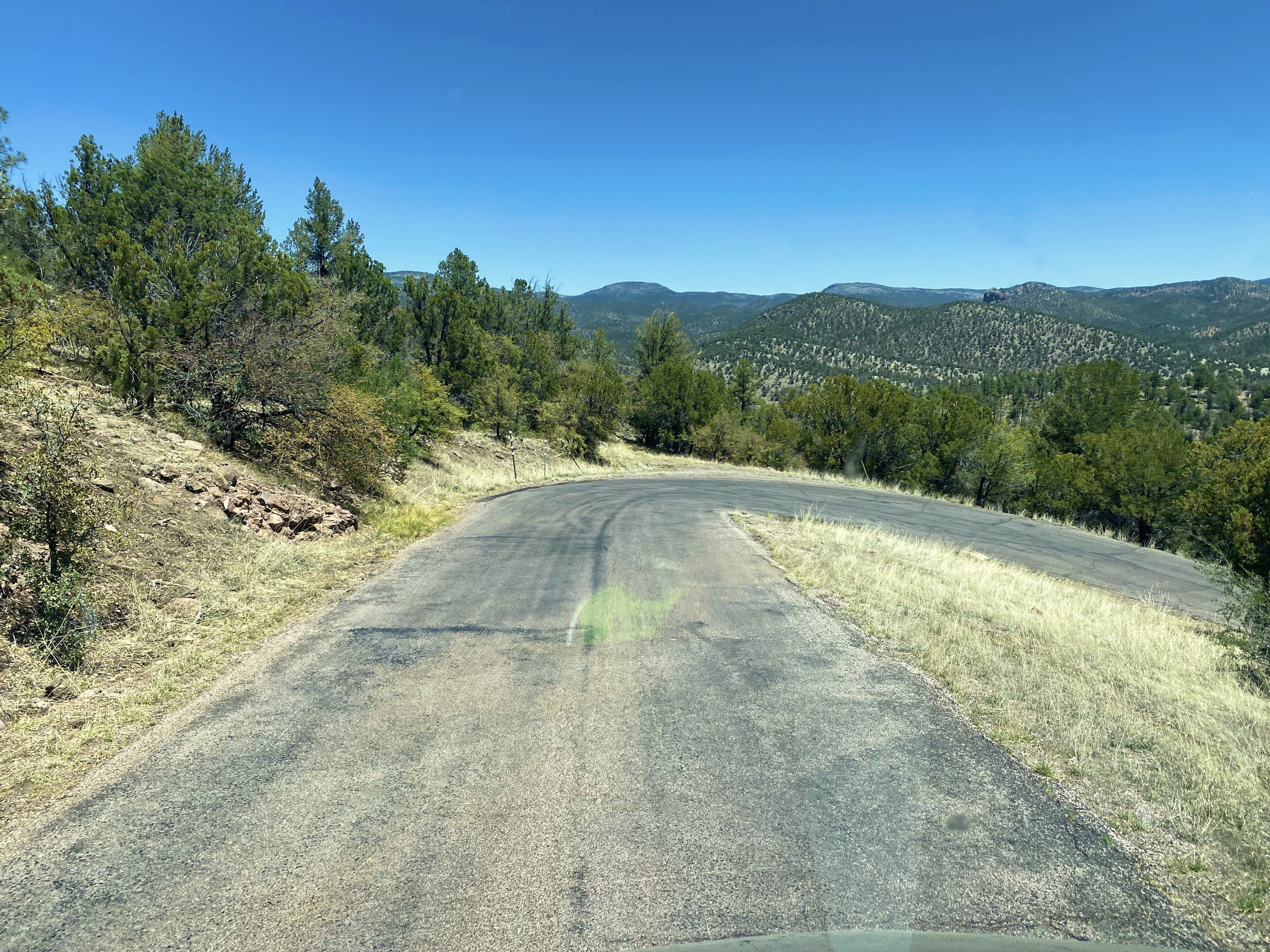
We used SC as our base from which to visit the Gila Cliff Dwelling NM. The drive is only 45 miles as the crow flies but the Pinos Altos Mountain Road (Route 15) is a winding, narrow climb up and over the the Pinos Altos Mountain Range. The 45 mile journey took us about 90 minutes. We had a sunny, clear day so we had great views of the landscape to the north and west once we reached the upper portion of the route.
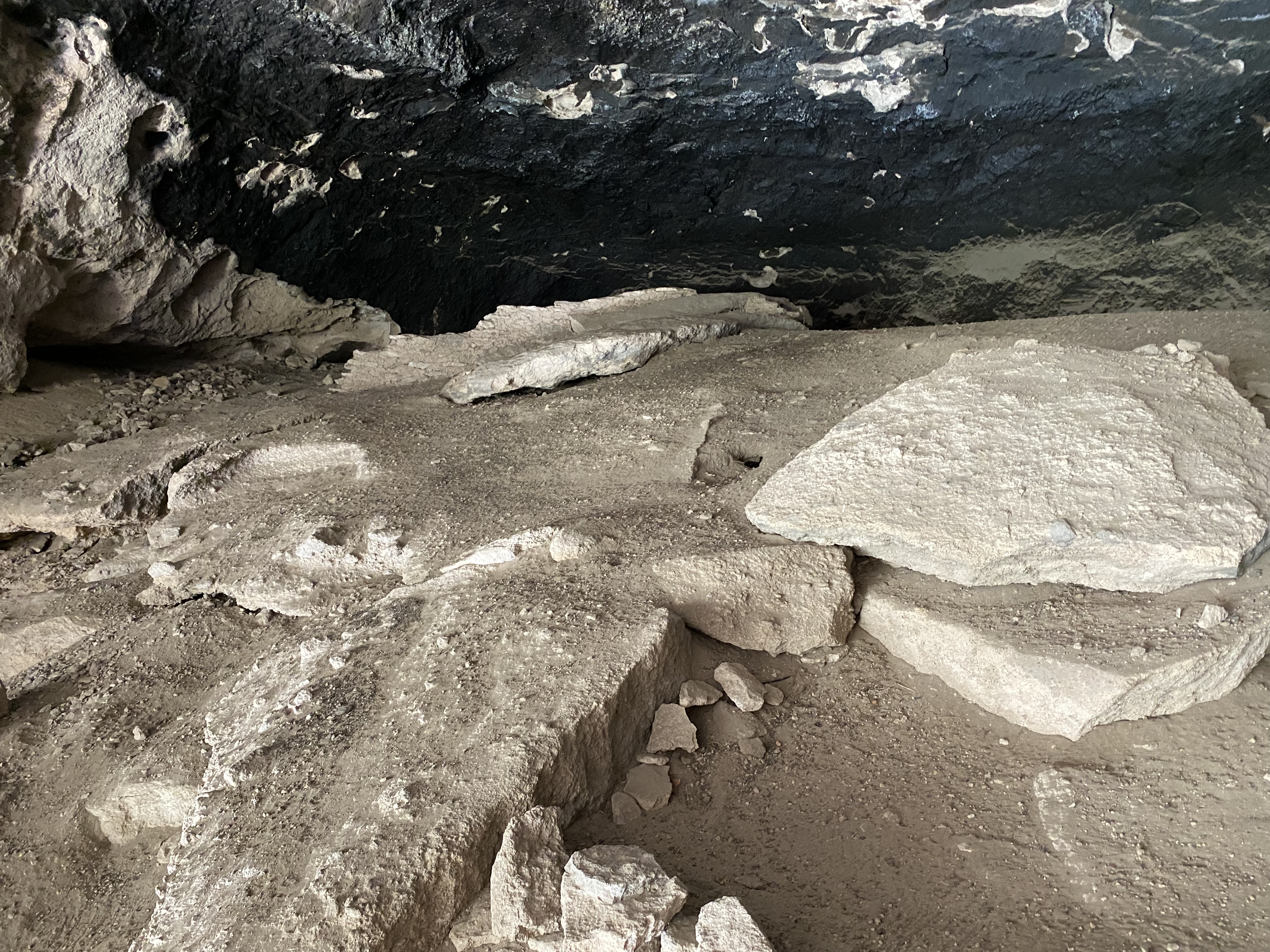
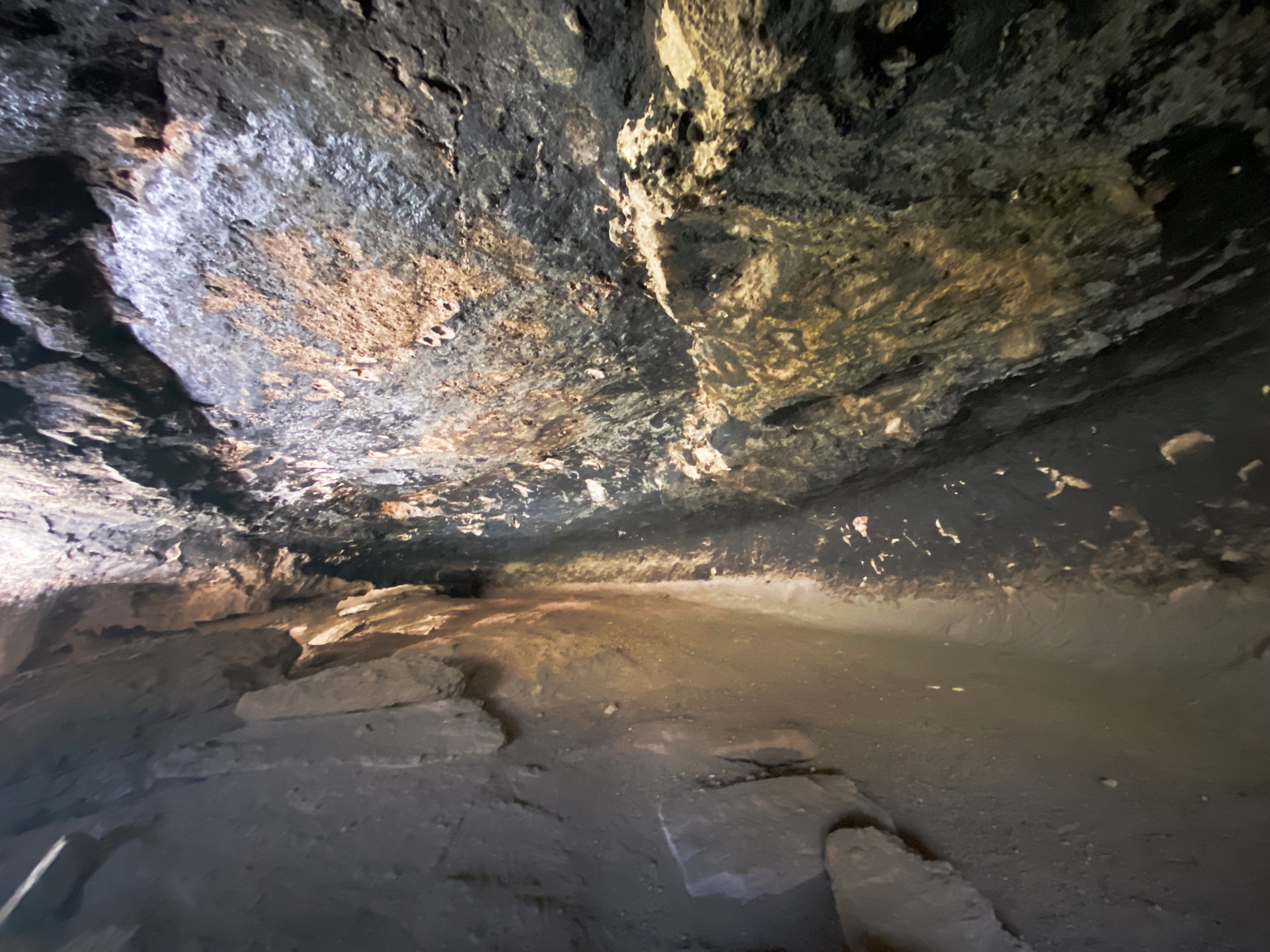
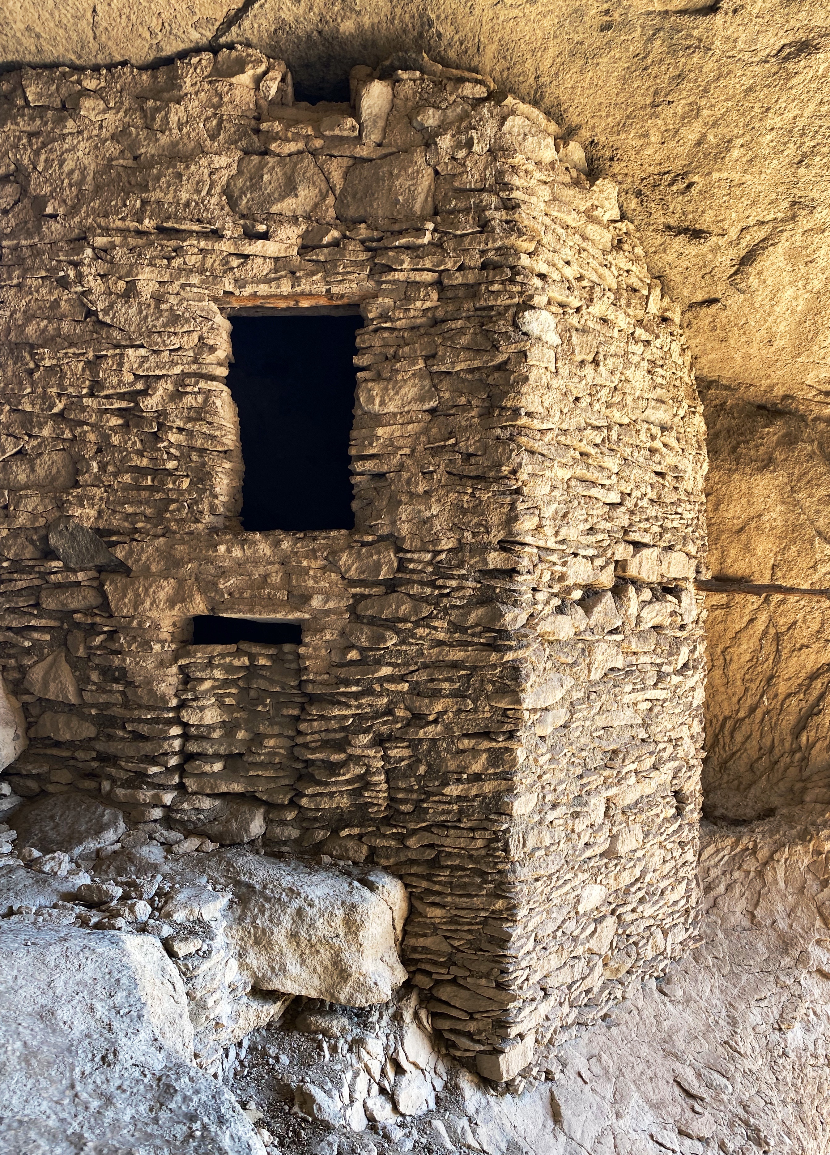
Once we arrived at Gila Cliff we spoke with the ranger to get oriented and then set off on the hike up the canyon and the switchback that leads to the caves. There are five caves here of which three are accessible. The cliff dwellings here are quite impressive, although on a much smaller scale than those we have previously seen at Mesa Verde and Bandolier.
The caves here were used as shelter by nomads for many centuries. In the 1280s the Mogollon People took up residence here and built the 44 rooms that exist today. The 1280s timing is based on tree rings on the wood framing which is original and shows a range between 1260 and 1280. It is thought by archeologists that 10 to 12 families resided in these dwellings. It appears that by the early 1300s the Mogollon had moved on to parts unknown. Why they left is unclear.
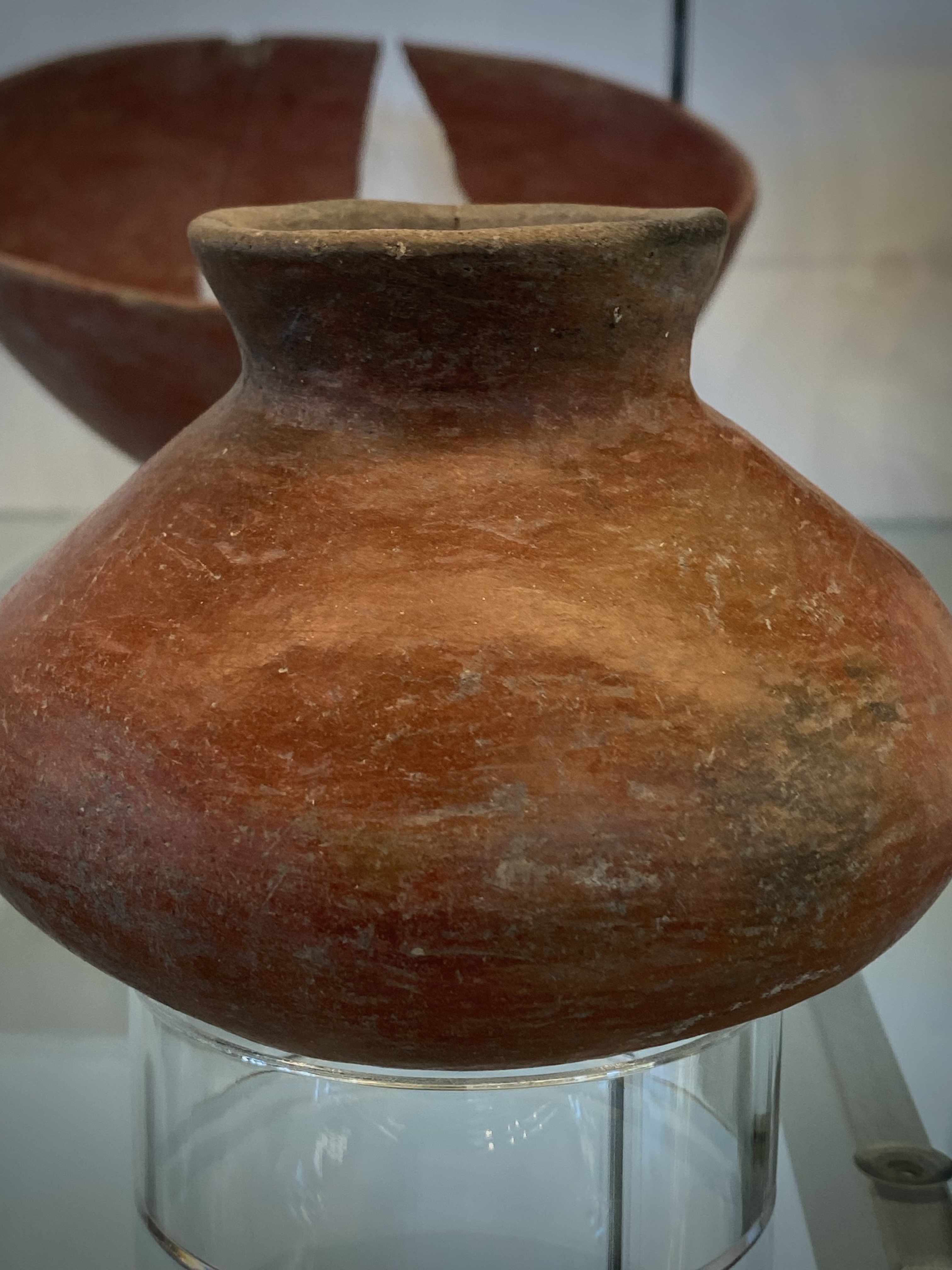
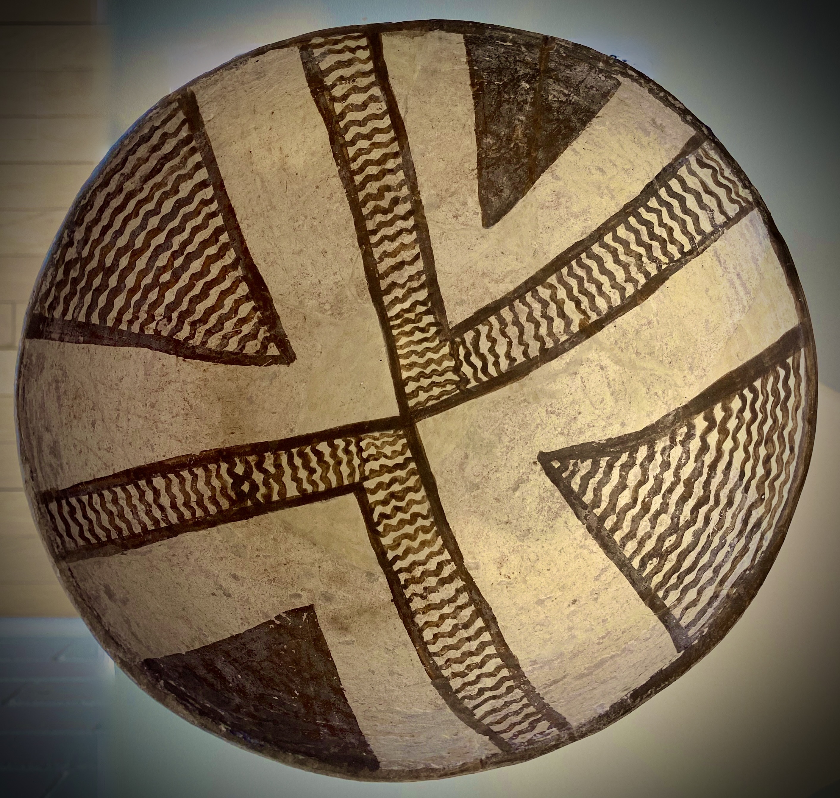
The Mogollon Peoples, in addition to being skilled builders and farmers, were outstanding potters. As a follow up to our visit to the cliff dwellings, we visited the Western New Mexico University Museum located conveniently (for us) on the campus in Silver City. The museum houses the world’s largest collection of pottery made by the Mogollon Peoples. Much of the pottery was discovered by ranchers who settled in the Mimbres Valley. Fortunately, a significant portion of the pottery was well preserved and the ranchers donated it to the museum. We have included several photographs below so that you might get a sense of the beautiful craftsmanship.
We had a great stay in SC. Our next travels will take us north through western New Mexico where will hike on a catwalk, visit a ghost town in the mountains, look into deep space and eat pie!
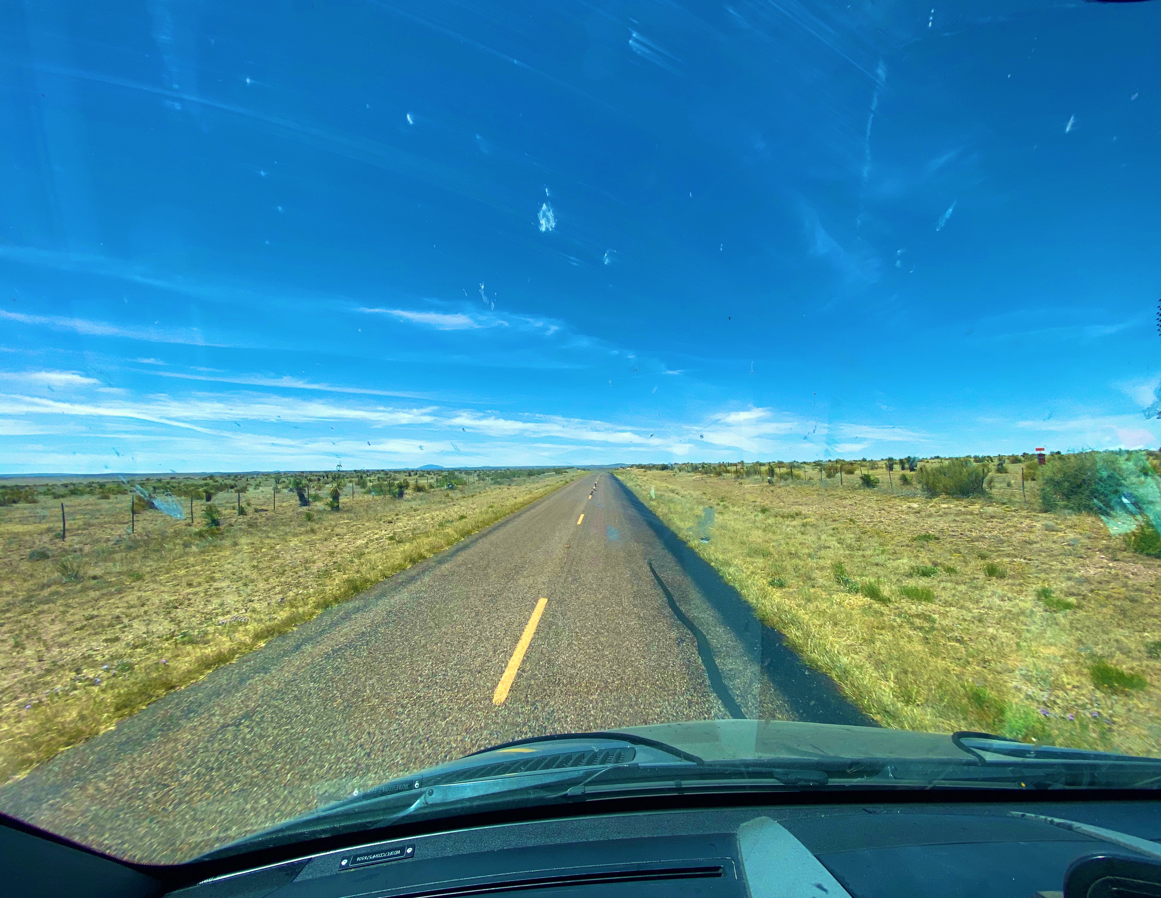
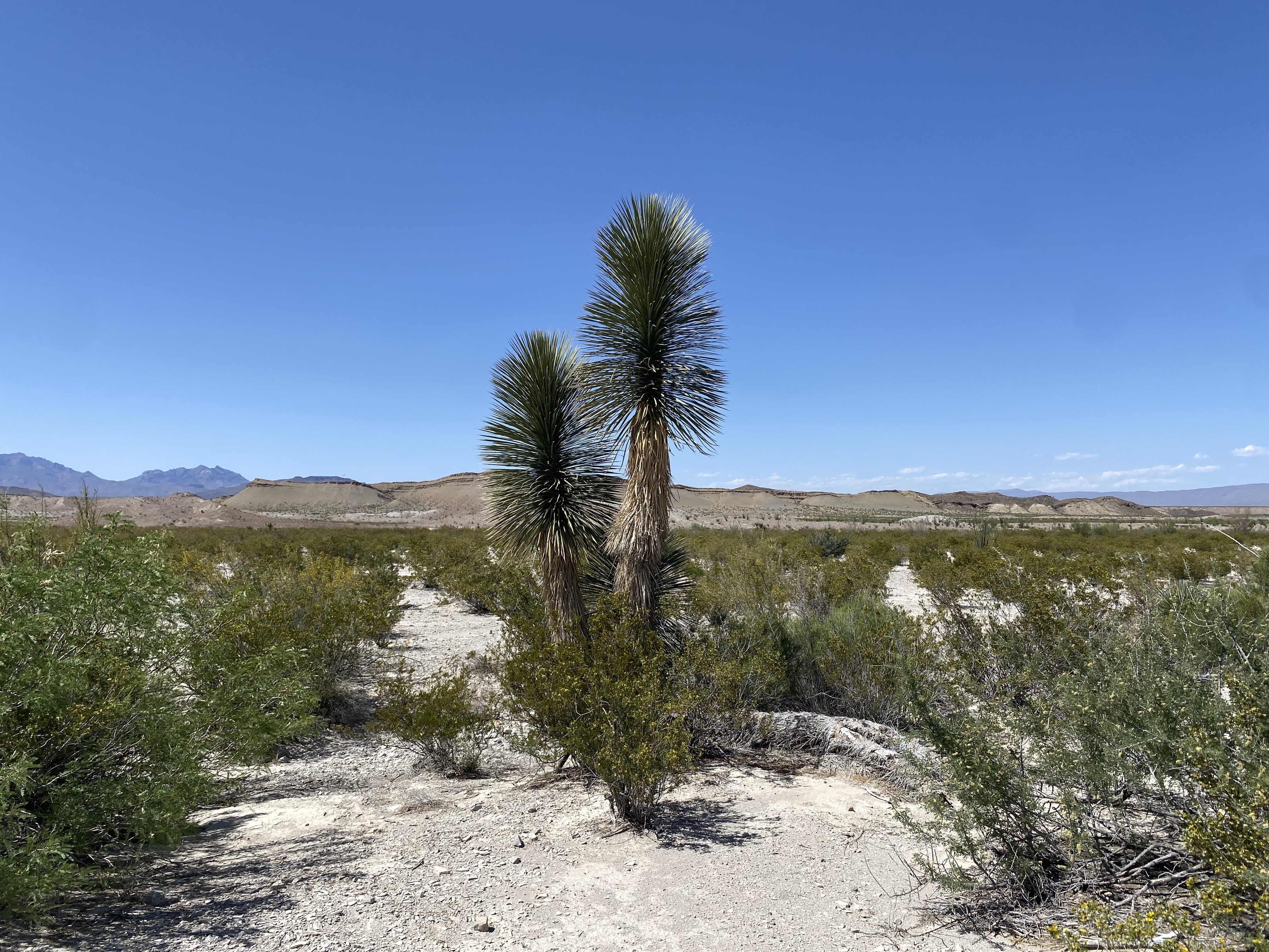
After our three day stop in El Paso we continued our journey west driving through the Chihuahuan Desert in New Mexico. Our plan was to cross a good portion of the state via the desert—intersecting with Route 11 before turning north and exploring the western portion of the state.
Chihuahuan Desert, New Mexico
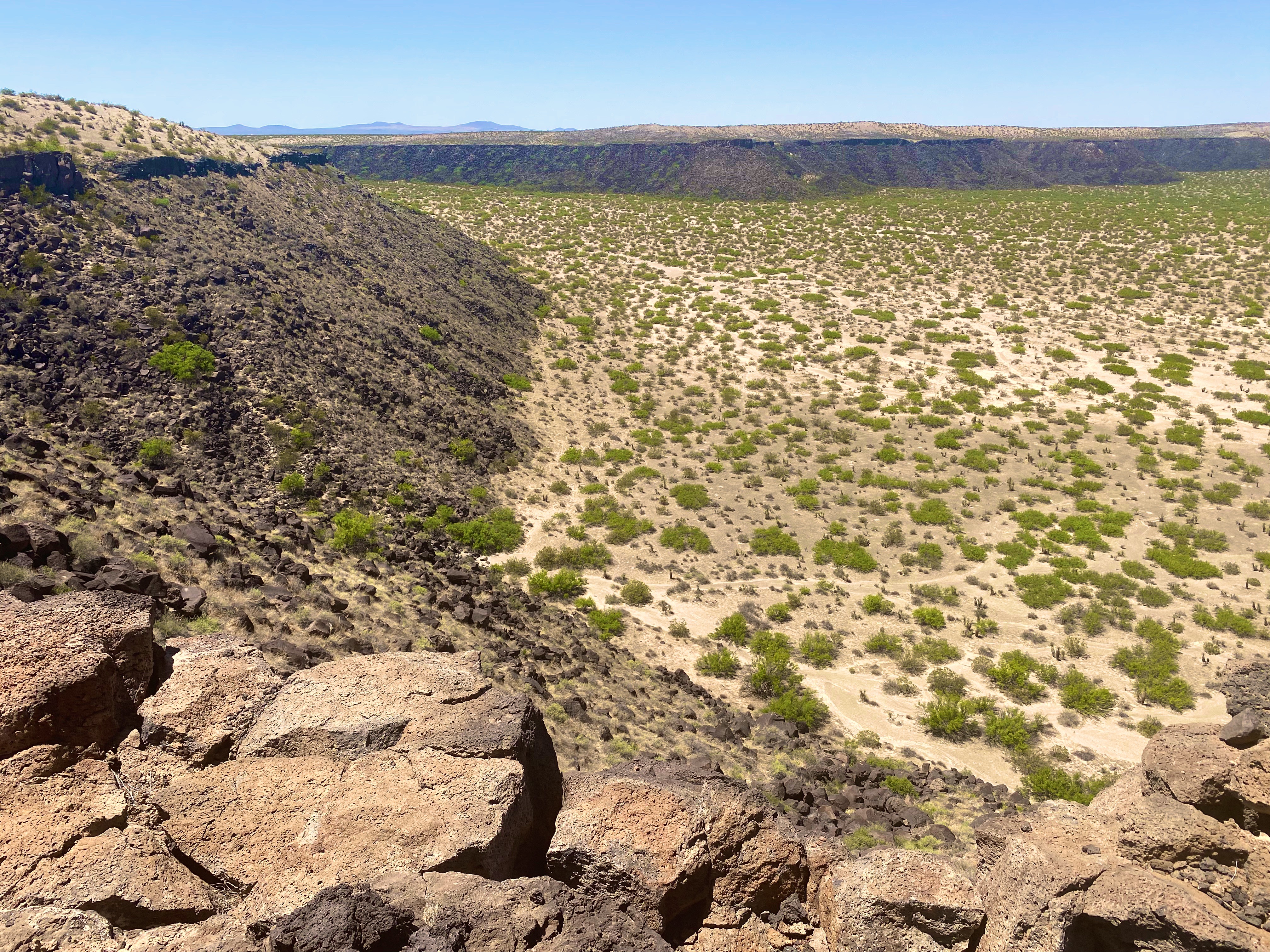
As part of the crossing we wanted to find the KIlbourne Hole. The Hole is a volcanic crater estimated to be between 24,000 and 100,000 years old and in the middle of the Petrillo Volcanic Fields. The crater is 1.7 miles long, a mile wide and from 300 to 400 feet deep. The crater was caused by a massive volcanic explosion which occurred when the underlying magma heats groundwater to the point where the resulting pressure literally blows the ground upward hundreds of feet into the air.
While it may sound funny, finding the hole required Maria’s expert navigation skills. Yes—the hole is over a mile long and wide—but driving on the flat desert floor provides no landmarks or rises from which to visually identify the crater.
Kilbourne Hole
The crater is impressive for both its physical size and the sense of complete isolation that you feel while gazing out from the rim. The force of nature required to create this crater boggles the mind.
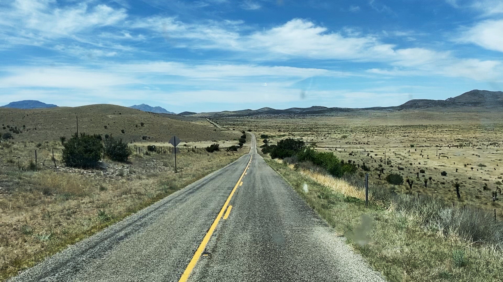
From there we continued west along the boundary of the designated wilderness area. As mentioned earlier, we were hoping to cross the desert until we intersected with Route 11 which is the north/south route from Chihuahua. The road became particularly rough and we opted to find a route south to connect with the pavement of Route 9 — so we fell about 20 miles short but had no regrets about our decision.
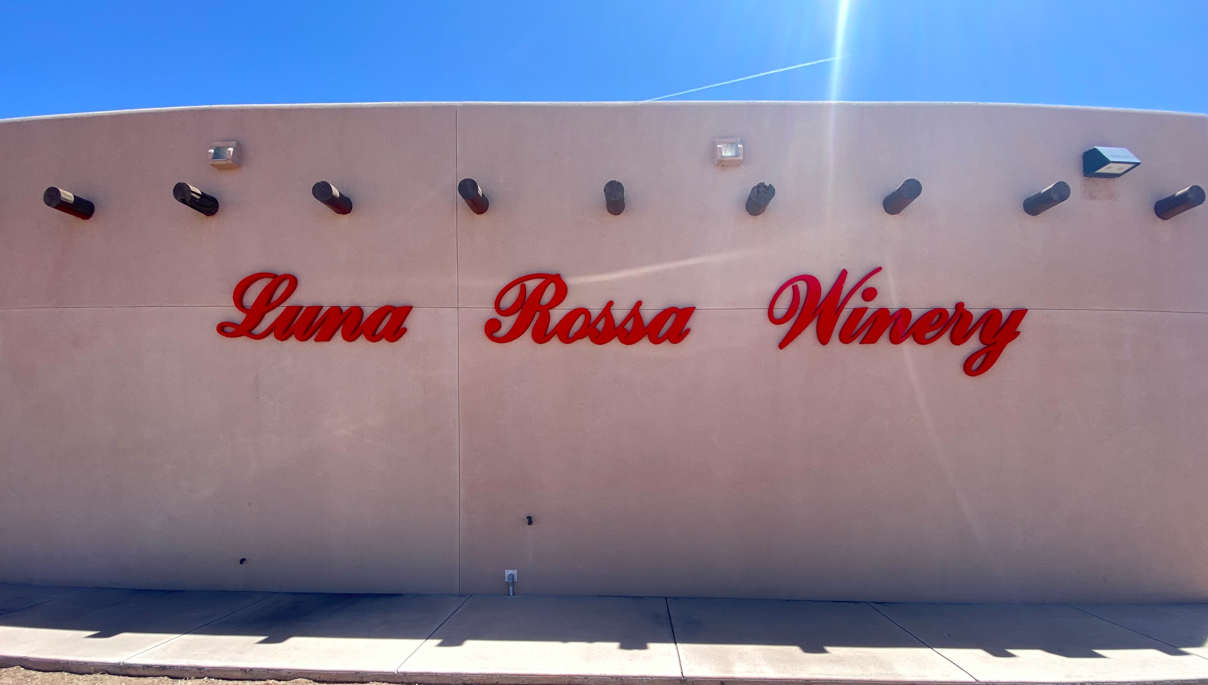
After reaching Route 11 we turned north for our night’s destination. Having worked up a thirst in the desert we decided that a bit of hydration was required. Fortunately for us, the Luna Rossa Winery is located in Deming along the way.
Paolo D’Andrea emigrated to the United States in 1986 from Italy and founded Luna Rossa Winery in 2001. The winery specializes in Italian varietals, and currently produce about 8000 cases of wine per year. In addition to the winery, they own and operate a pizzeria in Las Cruces, New Mexico.
We enjoyed a tasting of a number of their wines (purchasing several) and meeting some fellow travelers from Louisiana before departing for Rockhound State Park.
Florida Mountains, Camping with a View!
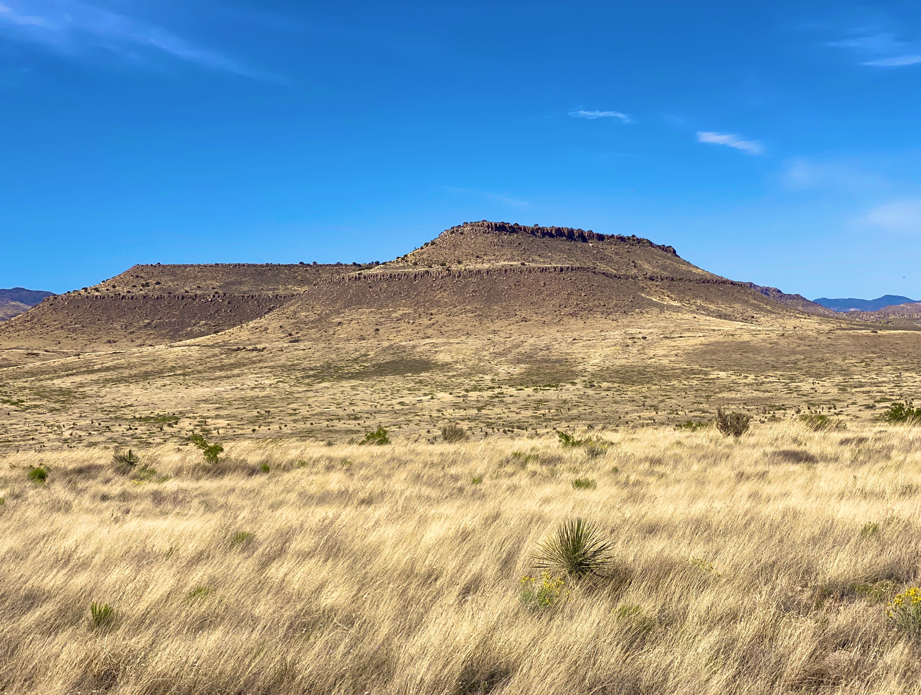
Rockhound State Park sits at the northern end of the Florida Mountains and in the foothills of the southern end of the Little Florida Mountains providing impressive views across the canyon in between. The Florida range is only twelve miles long but nonetheless quite impressive with peaks that sit at 5000 to 7000 feet above sea level. The surrounding flatlands serve to accentuate their prominence. Our campsite provided us with a spectacular view of the northern most peaks in the range.
The next morning we drove across the valley floor to access the Spring Canyon Trailhead. The Spring Canyon Trail winds its way up through the canyon until you reach the spring. But alas, the spring was already dry for the season. Nonetheless, it was a good hike providing solitude and great views to the north on the return back to the trailhead. The site of the spring where we stopped climbing is at approximately 5700 feet above sea level. Breathing hard!
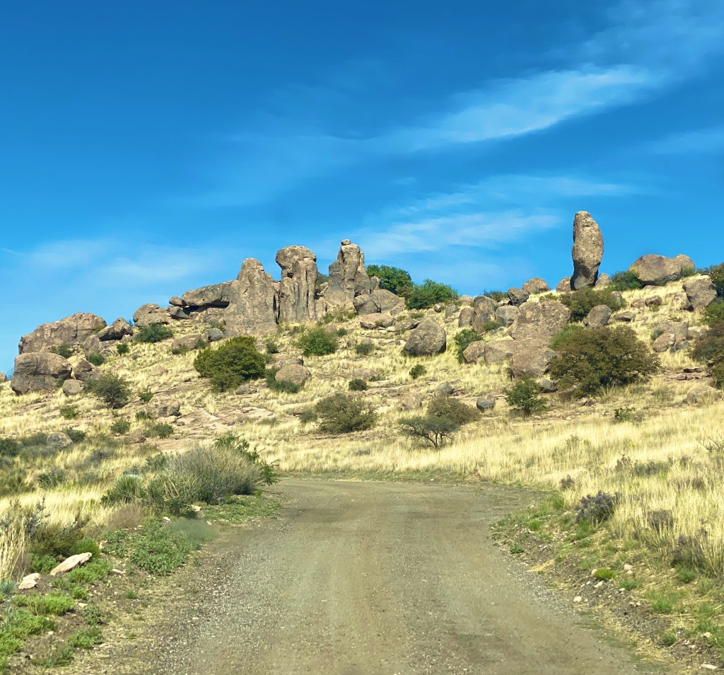
Our next stop was in Maywood at the City of Rocks State Park. The City is just one square mile in size and sits at 5200 feet above sea level in the northern reaches of the Chihuahuan Dessert. This area surrounding the rock formations is more reminiscent of grasslands than what we usually think of as desert. The rock formations are the result of volcanic activity 35 million years ago and the subsequent erosion of the rocks creating the pinnacles that exist today.
This state park offers primitive camping among the rock formations. We enjoyed a beautiful sunset and night sky before turning in for the night.
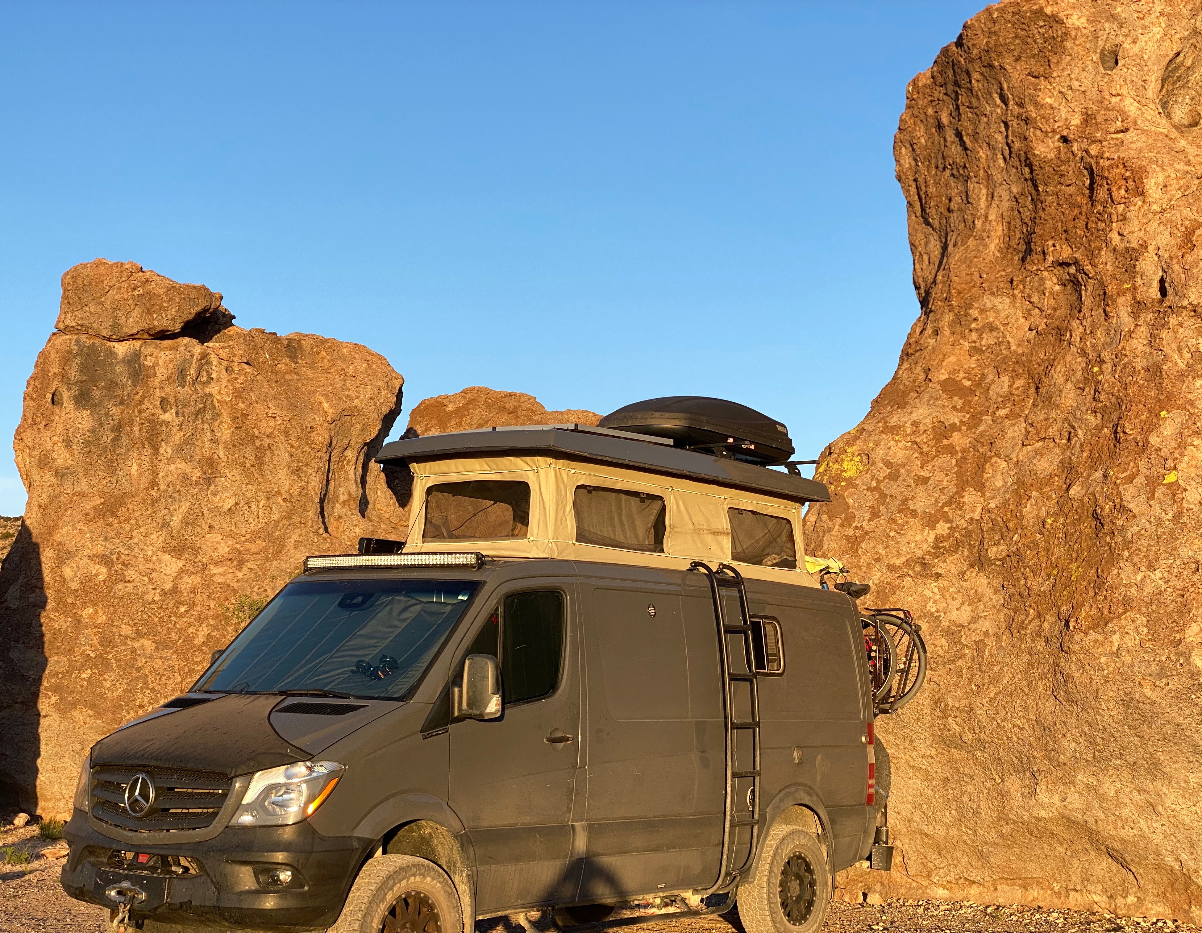
The Beast Sporting Desert Pinstripes
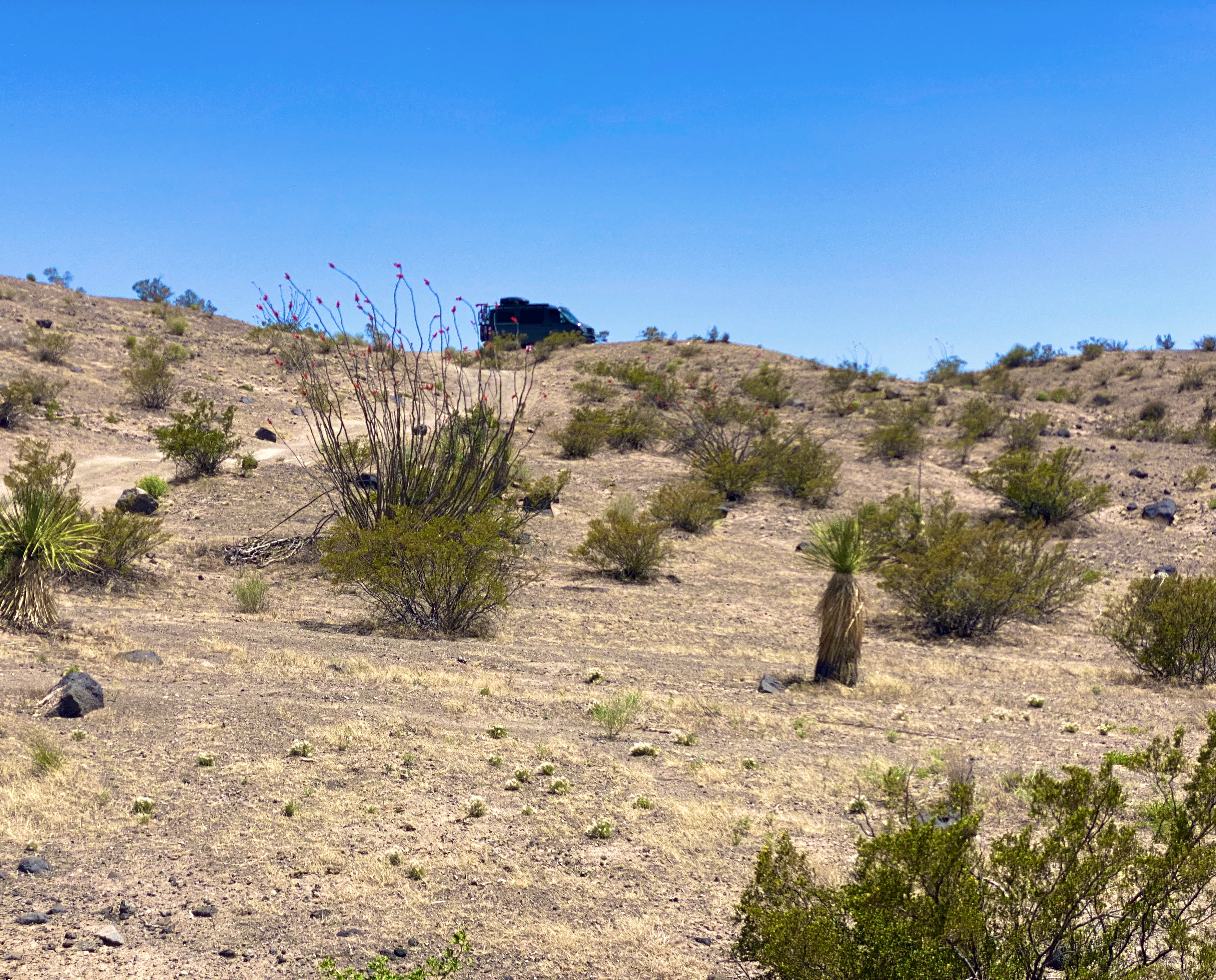
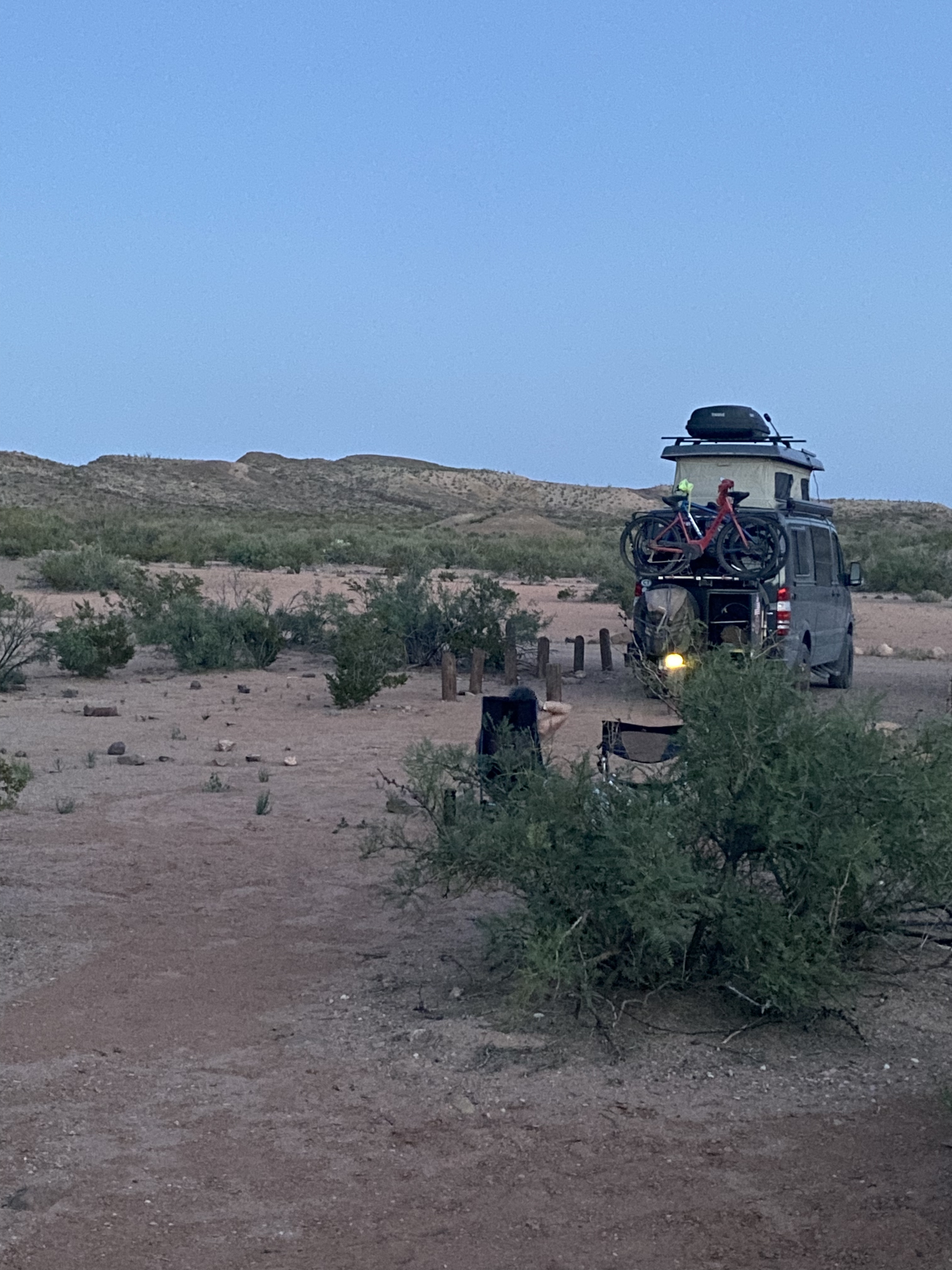
The following morning we traveled to Silver City – as the name infers, this area is a mining district. We spent the afternoon at the Tranquil Buzz Coffee Shop drinking coffee, meeting local folks and listening to live music. Eventually, we made our way outside of town to boondock in the Burro Mountain area of the Gila National Forest.
Dispersed Camping—Gila National Forest
In our next post we will chronicle our stay in Silver City and our journey northward in scenic Western New Mexico.
While visiting the towns of Marathon and Alpine we met several people that recommended we eat at Bordo if we were going to be in the vicinity of Marfa. We were fortunate that the eatery was open on Sunday from 11:00AM to 3:00PM as were going to be passing through Marfa that day on our way to drive the Pinto Canyon.
Bordo opened in March. It is an Italian market and retaurant serving house made pasta and sandwiches. They bake all of their bread in a brick oven which sits outside on the patio. We had a delicious meal which prepared us well for the adventure ahead. If you plan on visiting Marfa we highly recommend Bordo be on your food itinerary!
Pinto Canyon
We drove south from Marfa for about thirty miles on a ranch road where the pavement ended. We found ourselves sitting at the top of the spectacular Pinto Canyon.
Pinto Canyon
We have wanted to drive the Pinto Canyon since we read an article entitled The Road to Nowhere which chronicles the experience of the author tackling the canyon road. Finding this article was quite fortuitous — otherwise we would never known about the canyon.
The canyon has an interesting history. The first people arrived here around 13,000 years ago. These hunter-gathers were eventually displaced by the Apache that were dominant in the Big Bend.
Pinto Canyon Road
Texas authorized settlers to buy as much as 5000 acres of land in the ealy 1900s which brought a number of families into the canyon. The combination of drought, the Spanish Influenza (1918), the Mexican American War, the 1929 market crash and the ensuing depression sealed the fate of the settlers and the canyon. A handful of the settlers persevered but the canyon was all but abandoned.
Impressive Longhornat Pinto Canyon Ranch
Today the vast majority of the the 15 square mile canyon is owned by one person — a retired CEO — and the canyon is a working cattle ranch (see photo above). We find the fact that one person can own all of this beauty in the middle of the Chinatti Mountains hard to fathom, but we are glad that you can at least traverse the canyon on the road (which is owned by the county).
The Un-cooperative Horse
After making our way down through the canyon we turned west and followed FM 170 to the end of the pavement in Candelaria. The FM winds through the Chihuahuan Desert along the U.S. side of the Rio Grande. The 50 mile road from Presidio to Candelaria was not paved until 1985.
At one point Candelaria was an agricultural town — growing crops in the wet areas along the Rio Grande. However, after the Mexican American War the army abandoned their encampment in Candelaria and the farmers had no buyers for their crops and no way to get their product to Presidio 50 miles east on a rough dirt road that often flooded.
Saint Theresa Church, Candelaria
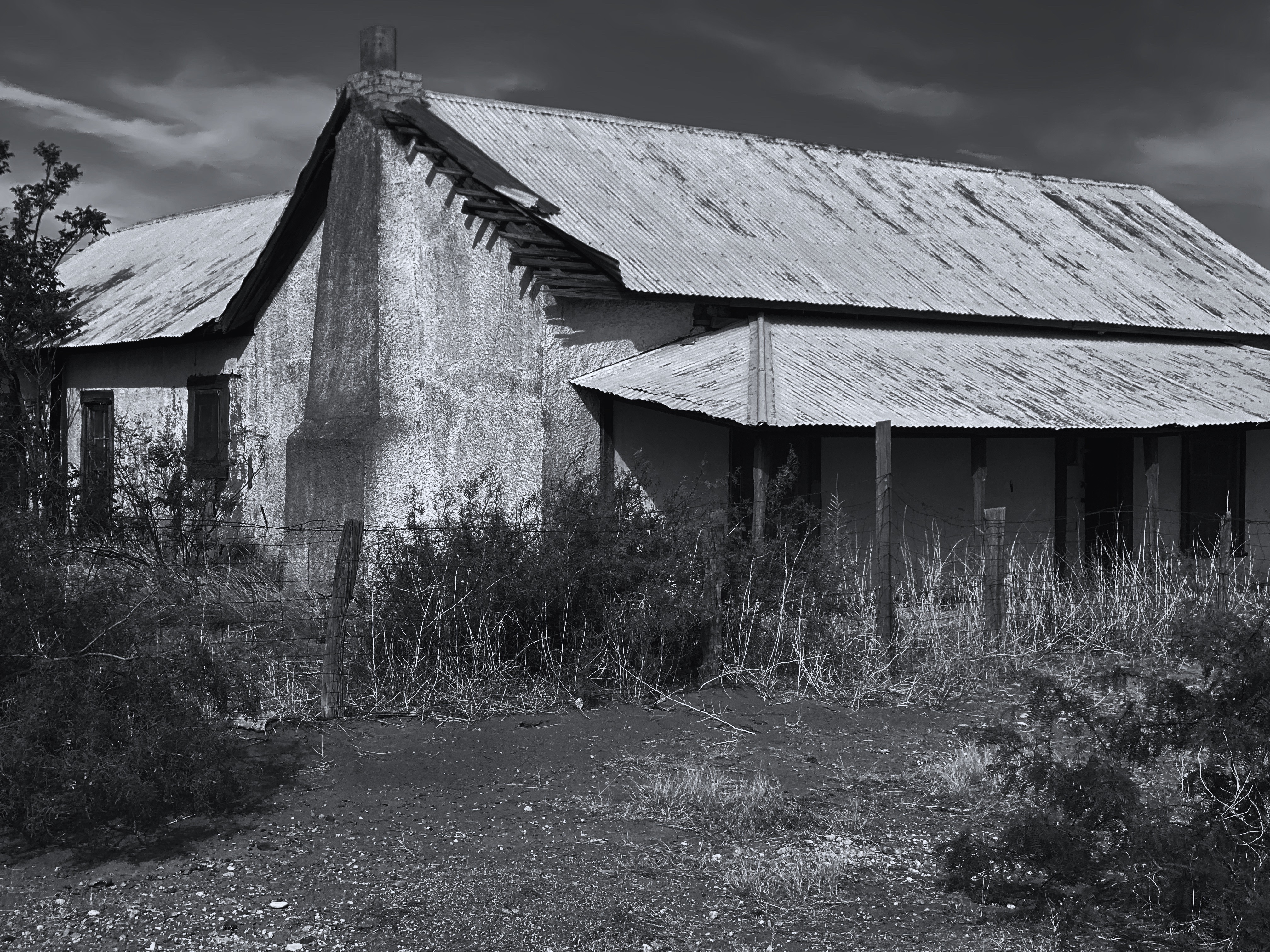
Subsequently, the population declined from a high of about 300 to the current population estimated at 75 people. The only non-residential structure that we could see in Candelaria is the Catholic church pictured above. This small settlement is literally at the end of the road and looks and feels very much an off the grid enclave.
At Candelaria we had a decision to make — attempt to cross 40 miles of desert to connect with Route 90 or circle back around on the pavement. Based on the time of the day and the amount of rough road we had already covered we opted for the longer mileage but comfort of the pavement.
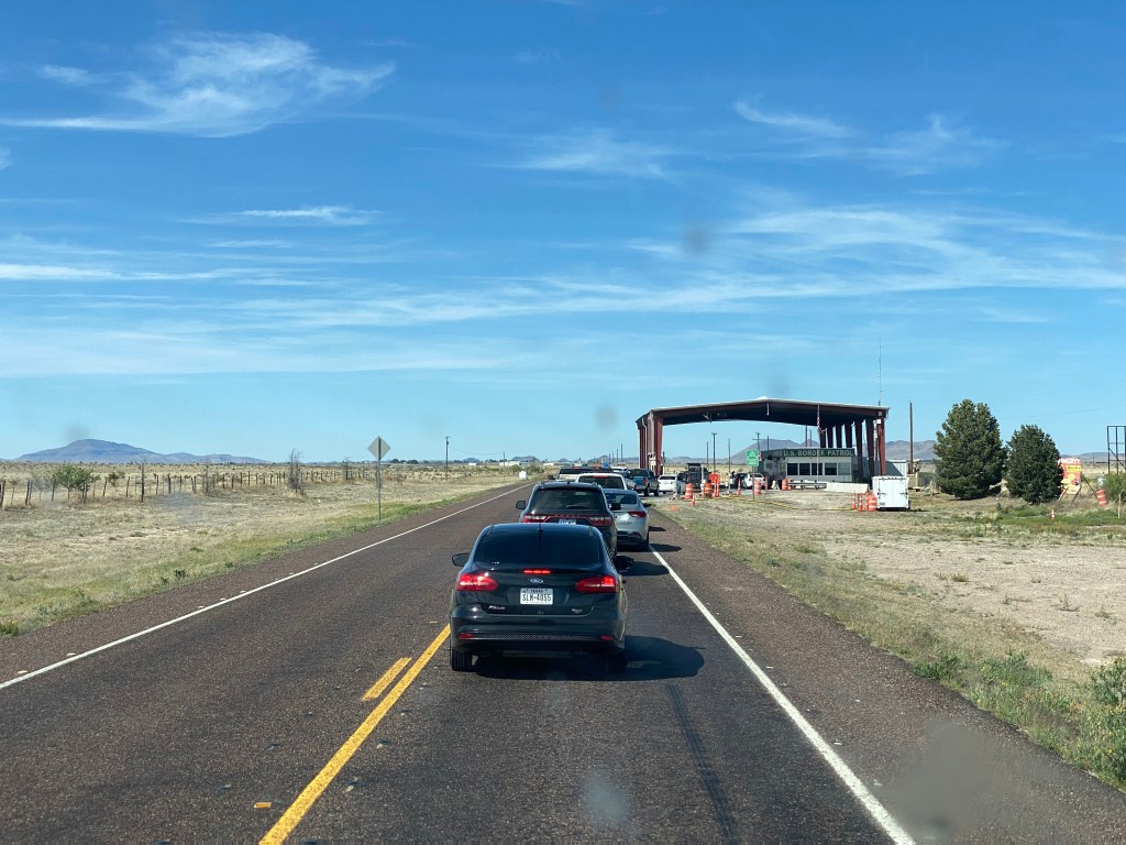
Border Patrol
As we turned north to head for our hotel we unsurprisingly encountered a Border Patrol checkpoint. We have been through dozens of checkpoints in our travels in Texas, New Mexico, Arizona and California.
Some of the checkpoints are permanent while others are mobile. The Border Patrol only stops and inspects vehicles heading north as their only purpose is to stop illegal imigrants entering from Mexico.
We think the checkpoints are a bad use of taxpayer money—regardless of your view on immigration—the investment in technology and people to staff these checkpoints is significant. The payback is small as the vast majority of people attempting to enter the country illegally are not hitching rides in the automobiles of U.S. citizens.
Valentine
Our journey north took us through the town of Valentine. The town’s origins, like may others in this part of Texas, rests with the railroad. Crews from the Southern Pacific Railroad laying track from the West stopped here on 14 Feb 1882 to rest. Subsequently, the town became a layover point for train crews and a cattle shipping point.
With the building of Ranch-to-Market roads livestock began to be shipped by truck and the town’s fortunes along with the population declined. Many abandoned buildings still stand in testament to the past. As you can see the church (below) has been well maintained despite the hard times. The current population is estimated at 134. Why people stay is a mystery but we were not disposed to ask any of the remaining residents.
Valentine Community Church
Valentine does have one big event that draws folks from many points on the compass. Every year on Valentine’s Day there is a festival in town to celebrate the town’s namesake holiday. And, of course, the Post Office does a booming business postmarking Valentine’s Day cards!
Prada “Installation”
By pure chance we happened on the Prada “Installation” which sits on the side of US Route 90 about 1.4 miles north of Valentine. As you may know, Marfa has become an unlikely art hub in the far west reaches of Texas. We have visited Marfa and it is a fun town to visit. There are a number of excellent restaurants and the Paisano is a great hotel. However, the minimalist art of Donald Judd and others does not resonate with us, although it clearly does with others far more knowledgable than us.
The Prada installation pictured above was placed on the side of Route 90 in 2005. On the first night after completion the installation was vandalized. The shoes and purses were stolen and the building was spray painted with the word “Dumb”. Apparently, not everyone agreed with the artists’ description of the work as “pop architectural land art”. While we do not support the vandalism we do not see any meaningful conceptual or artistic value to building a replica of a Prada store on the side of a rural highway.
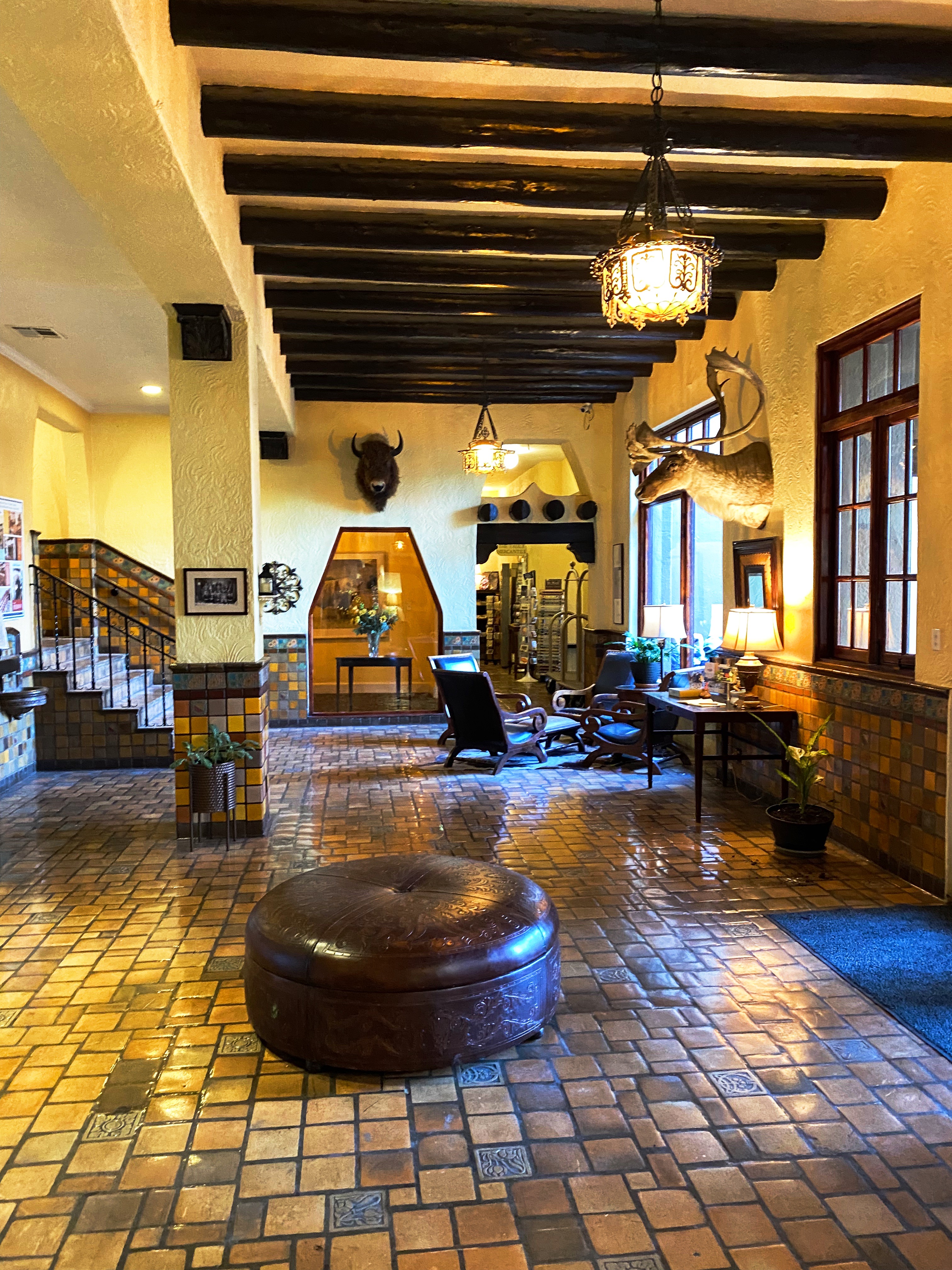
After our brief contemplation of the merits of the Prada installation, we completed our day’s journey in Van Horn with a stay at the El Capitain. The hotel is a classic Spanish style western hotel. We really enjoy the feel and look of this style hotel (a future post will showcase several of our hotel stays in Texas).
Our next destination is Guadalupe Mountains National Park. Pictured below is El Capitain—the first mountain you see in the range as you drive to the park from the south.
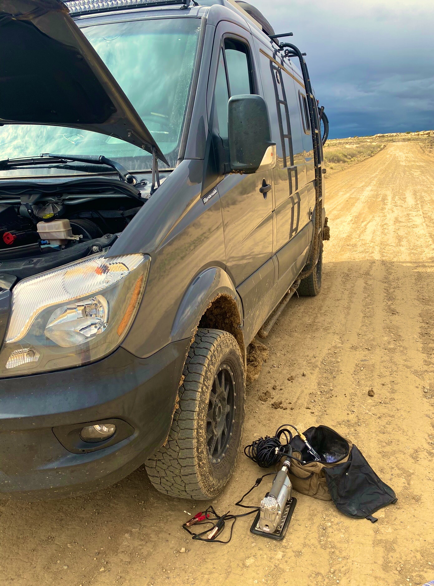
Chaco Canyon is a place we have wanted to visit for some time. During our 2020 roadtrip we were unable to get there as a winter storm rendered the roads in impassable. There are two unpaved roads into the park – both are rough, heavily washboarded affairs. From the north, County 7950 is 13 miles from pavement end to CC while Route 57 is 21 miles coming in from the south.
In order to optimize our time at the park we decided to take advantage of the camping opportunity at the Horse Thief Camp. The ranch property is on County 7950 and is the closest option outside the park.
HORSE THIEF RANCH
The ranch is owned by Wayne and Yolanda Beyale, and has been owned by Wayne’s family for many generations. The ranch sits amongst a patchwork of properties owned by the Navajo Nation and various federal agencies. The area that Wayne has set aside for camping provides panoramic views and and very dark skies (we also saw several wild horses).
Wayne is Navajo and graciously shared the history of his family and the ranch. He and his seven siblings spent summers living in a single hogan in the spot where we camped. The outdoor oven they used to bake and cook still stands intact. Two of the photos above show the circle corral where Wayne tamed wild horses that they captured (hence Horse Thief Camp).
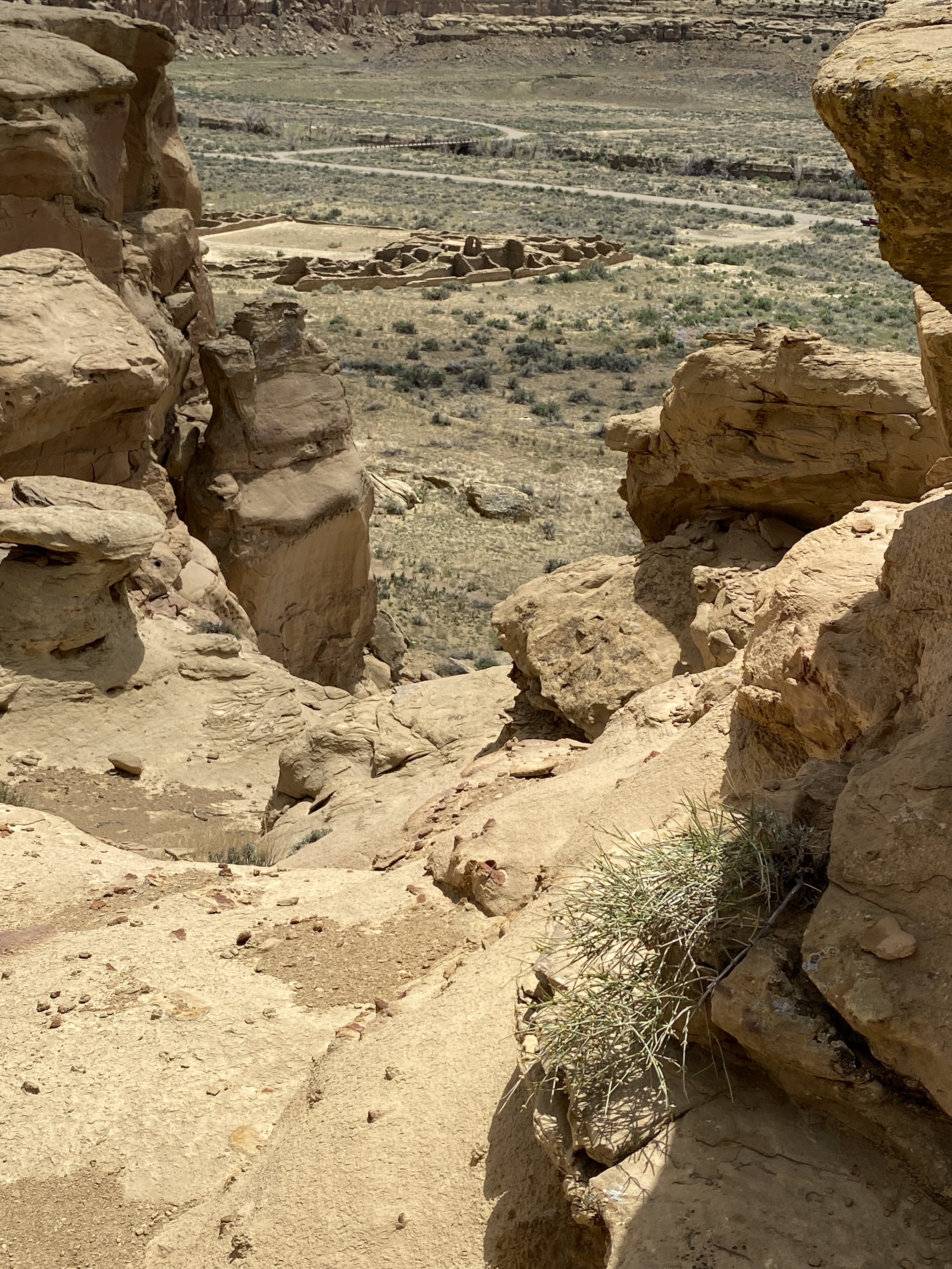
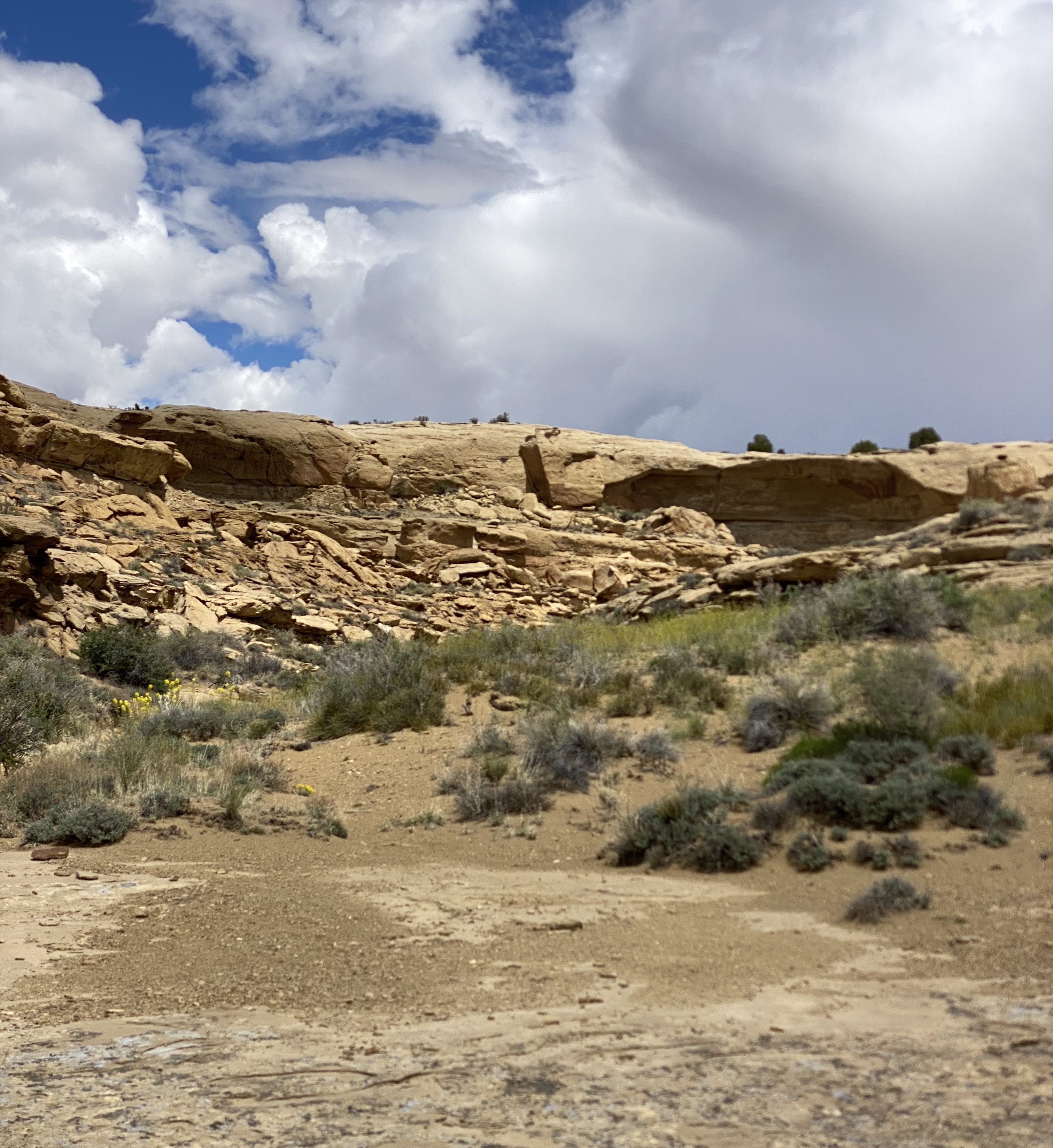
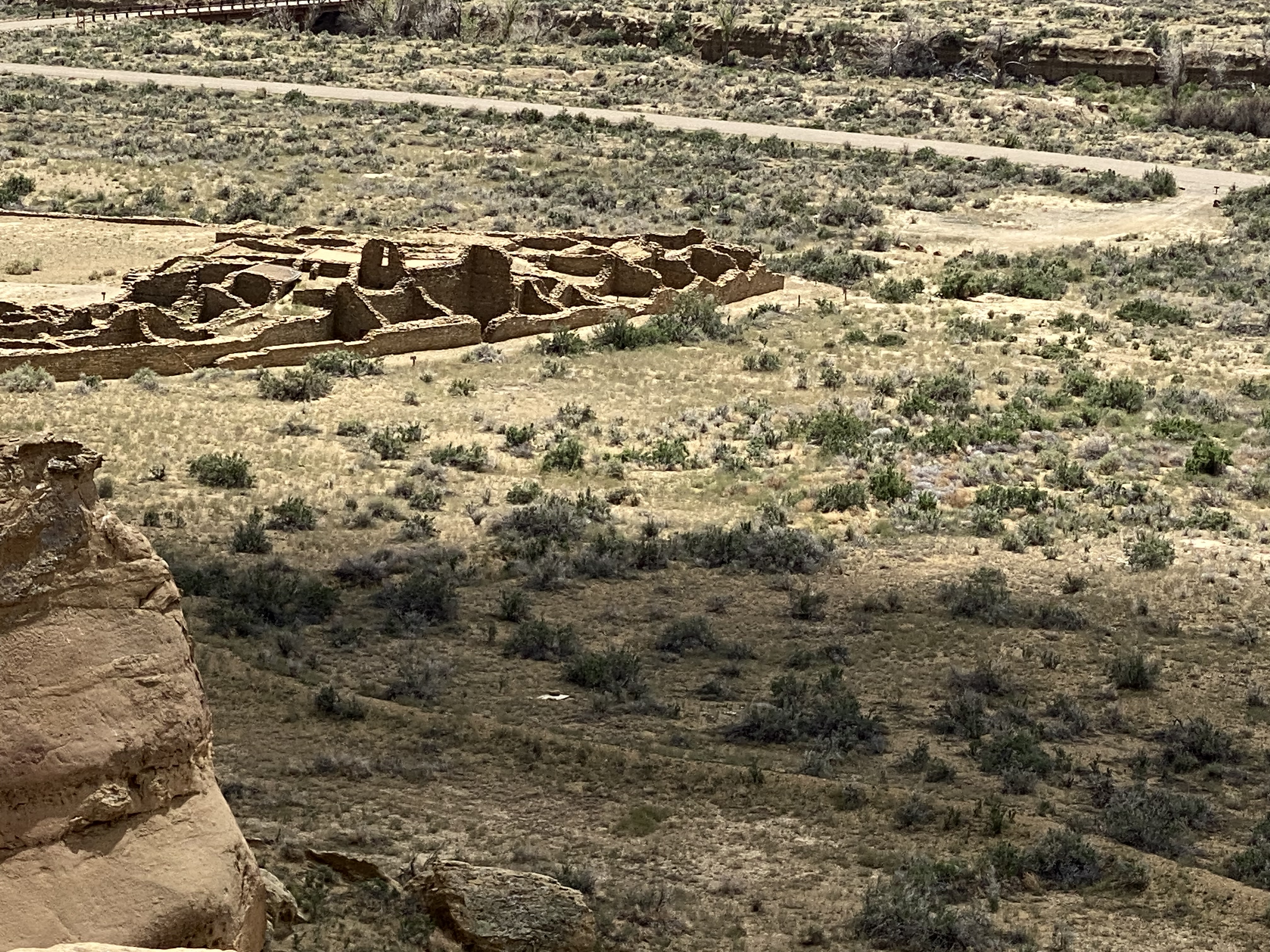
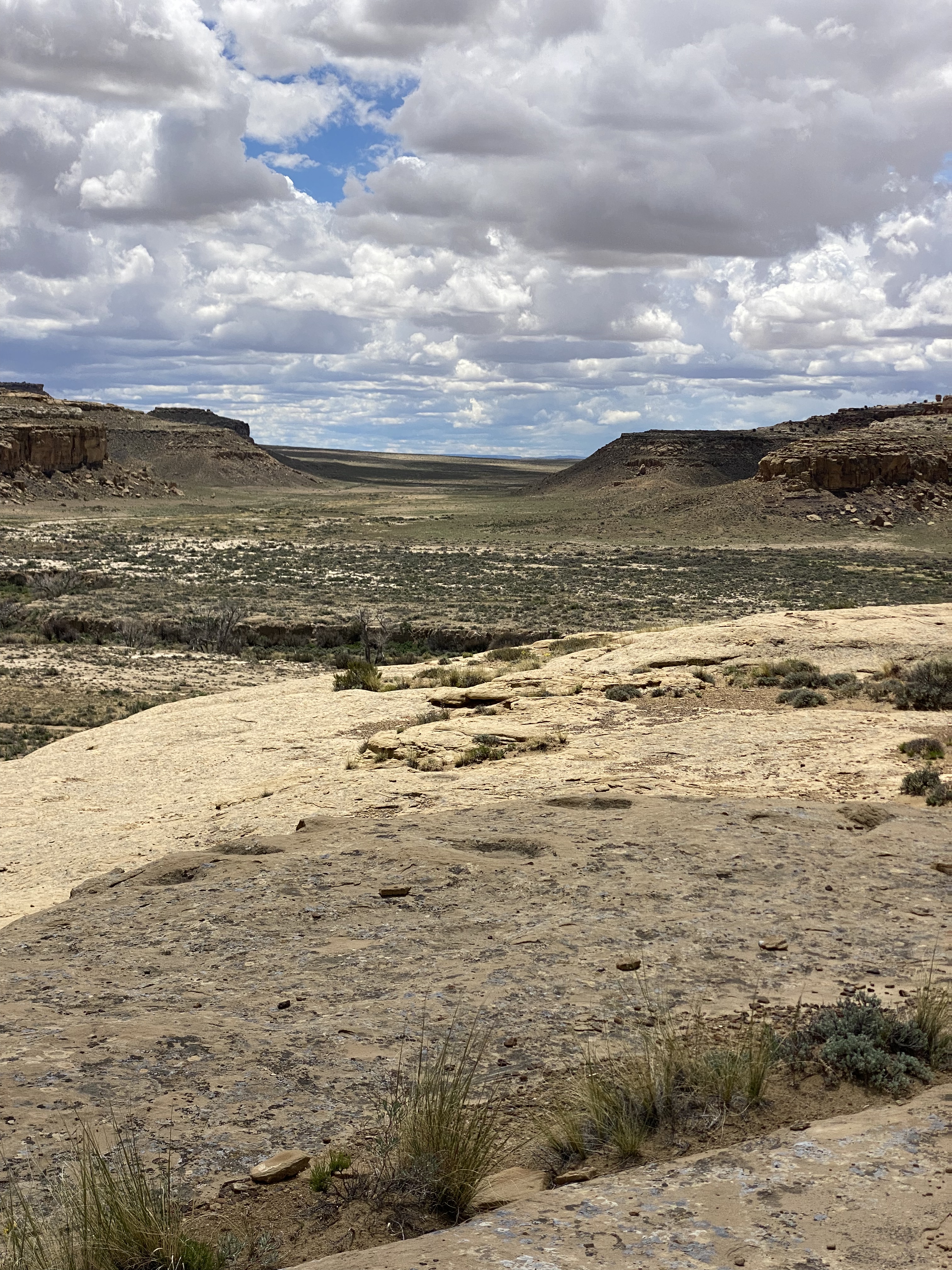
Chaco Canyon
Chaco Canyon was a major center of Ancestral Puebloan Peoples between 900AD and 1150AD. The scale of the great houses and ceromonial sites here is larger than anything else to be found in the Southwestern United States. Within the canyon there are 15 major complexes. The largest of the structures — Bonito Pueblo — contains over 500 rooms!
Chaco Canyon is located in Northwestern New Mexico near the Four Corners. It is very remote — the first record of European people visiting the canyon is not until 1823 when New Mexican governor José Antonio Vizcarra led an expedition through the canyon. At that time this area was still under Mexican rule.
The Chaco Canyon National Monument was formally established on 11 March 1907 by President Theodore Roosevelt. This act preserved the canyon and the structures from any future development or extractive industries. The park was officially designated a national park in 1980 and an additional 12,500 acres was added to bring the park to the current total of 34,000 acres. There are over 4000 archeological sites within the 34,000 acres.
The structures at Chaco provide evidence of a very advanced civilization. The architecture, engineering and construction techniques are quite sophisticated. A number of the Great Houses were five stories tall. The structures were anchored by deep foundations which demonstrate the planning which took place prior to construction. The majority of the Great Houses were built on the north side of the canyon to optimize heat and light from the sun.
There is also evidence that the Chacoans built dams on side canyons to funnel water to the Great Houses and to the fields in order to irrigate crops. Additionally, the remnants of a road system leading away from the canyon in all four directions is still discernable.
Of course, the final question is why this great center was abandoned. And as is usually the case — no one really knows. There are a number of theories ranging from an extended drought, deforestation rendering the canyon unsustainable and political power struggles causing people to flee.
Hiking at chaco
One of the great features at Chaco is the ability to tour the inside of the pueblos and explore the connected rooms, but the canyon rim above also provides a terrific overhead view. So we made the climb up on the Pueblo Alto Trail to see views of the pueblos and the canyon from above.
Pictured are three items we observed along the canyon rim. Starting from the left: a pecked basin — circle carved into the stone by the Chacoans as repositories for offerings; clam shells and shrimp burrows respectively. The clam shells and shrimp burrows testify to the canyon having been an inland sea during the Cretaceous Period (75–80 million years ago).
DEPARTING CHACO CANYON: ROUTE 57
After a full day of touring the pueblos and hiking along the rim of the canyon we set out for the Bisti/Da Nae Zin Wilderness. In orded to reach the Bisti we needed to travel south out of the park on the notorius Route 57. The 57 is a 21 mile stretch of rutted and washboarded dirt that runs through desolate ranch land.
Route 57 is considered impassable when wet. When we left the park there were storms to our east — unfortunately, as we headed south a storm crossed our path and we found ourselves on the muddy and slippery version of the 57 (see video below).
Route 57
Fortunately, we were able to make it through — only sliding our back end into a ditch once — but we decided not to venture into the Bisti Wliderness as the road conditions there are as treacherous as the 57. In the photos below, we are airing up for our return to paved roads.
We highly recommend a visit to Chaco if you have the appropriate vehicle to handle the conditions and the patience to travel at very slow speeds for an extended period of time.Also, if you are interested in gaining further knowledge about this remarkable civilization we recommend Chaco Culture: A Complete Guide by Gian Mercurio and Maxymilian L. Peschel.
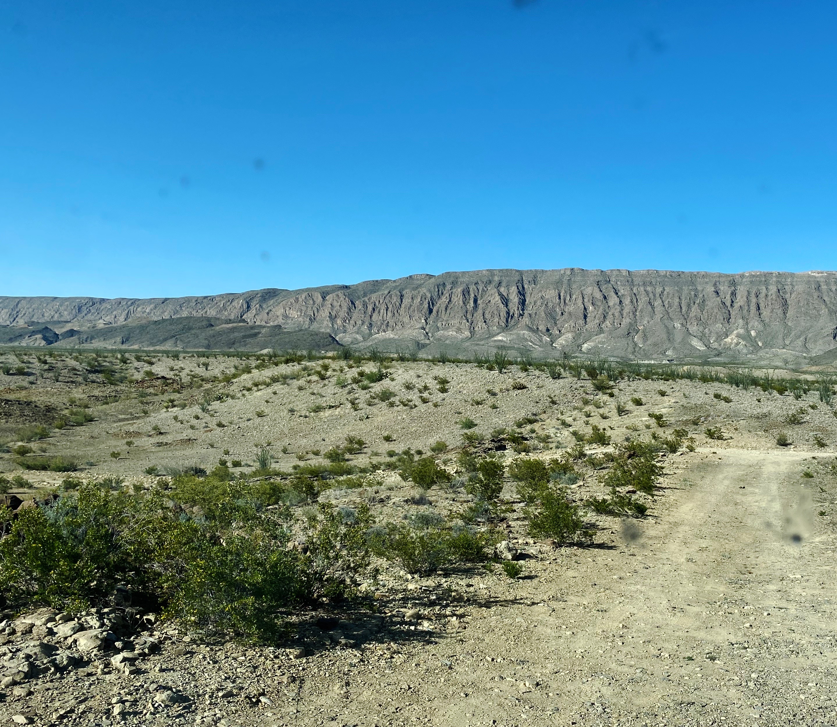
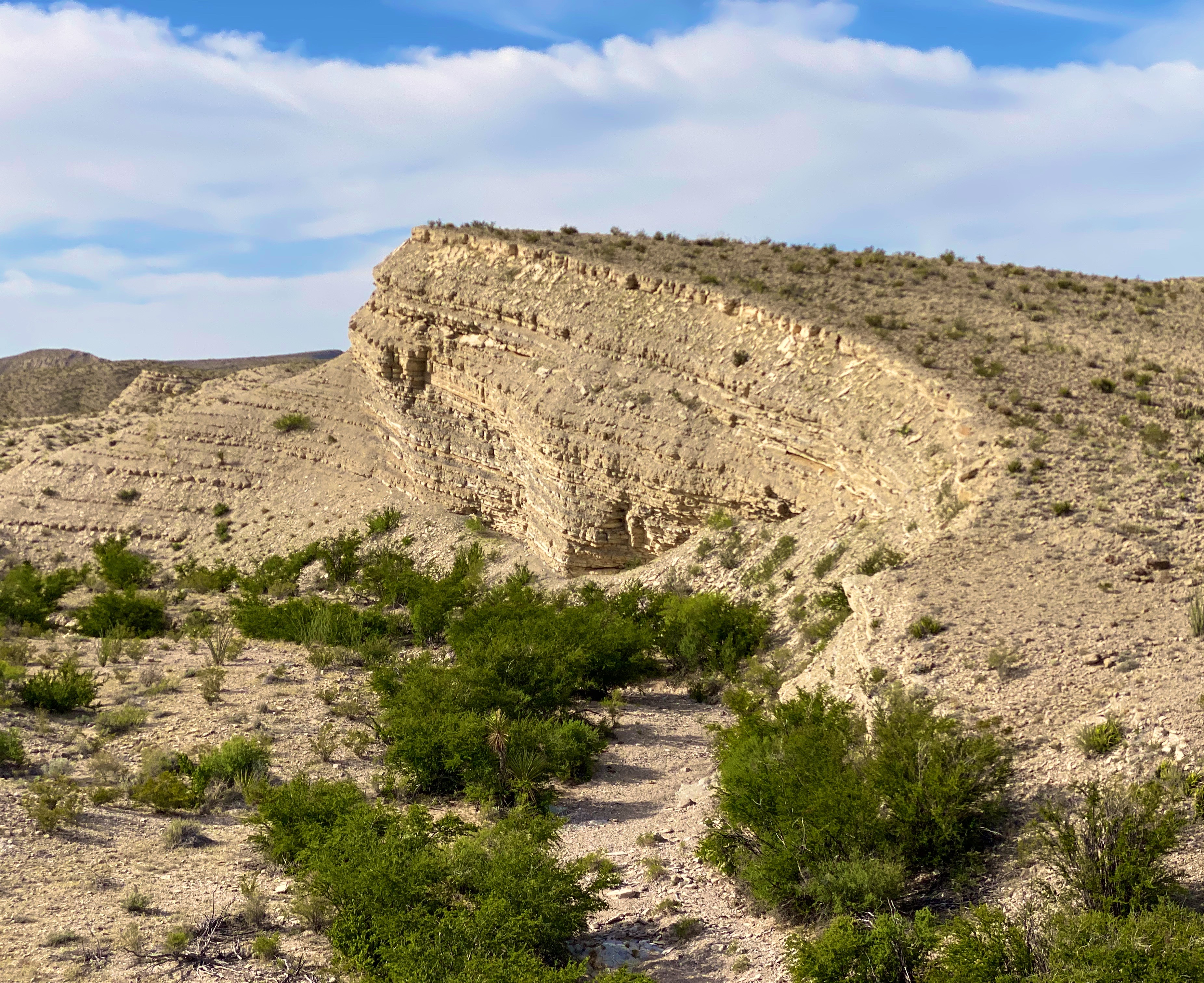
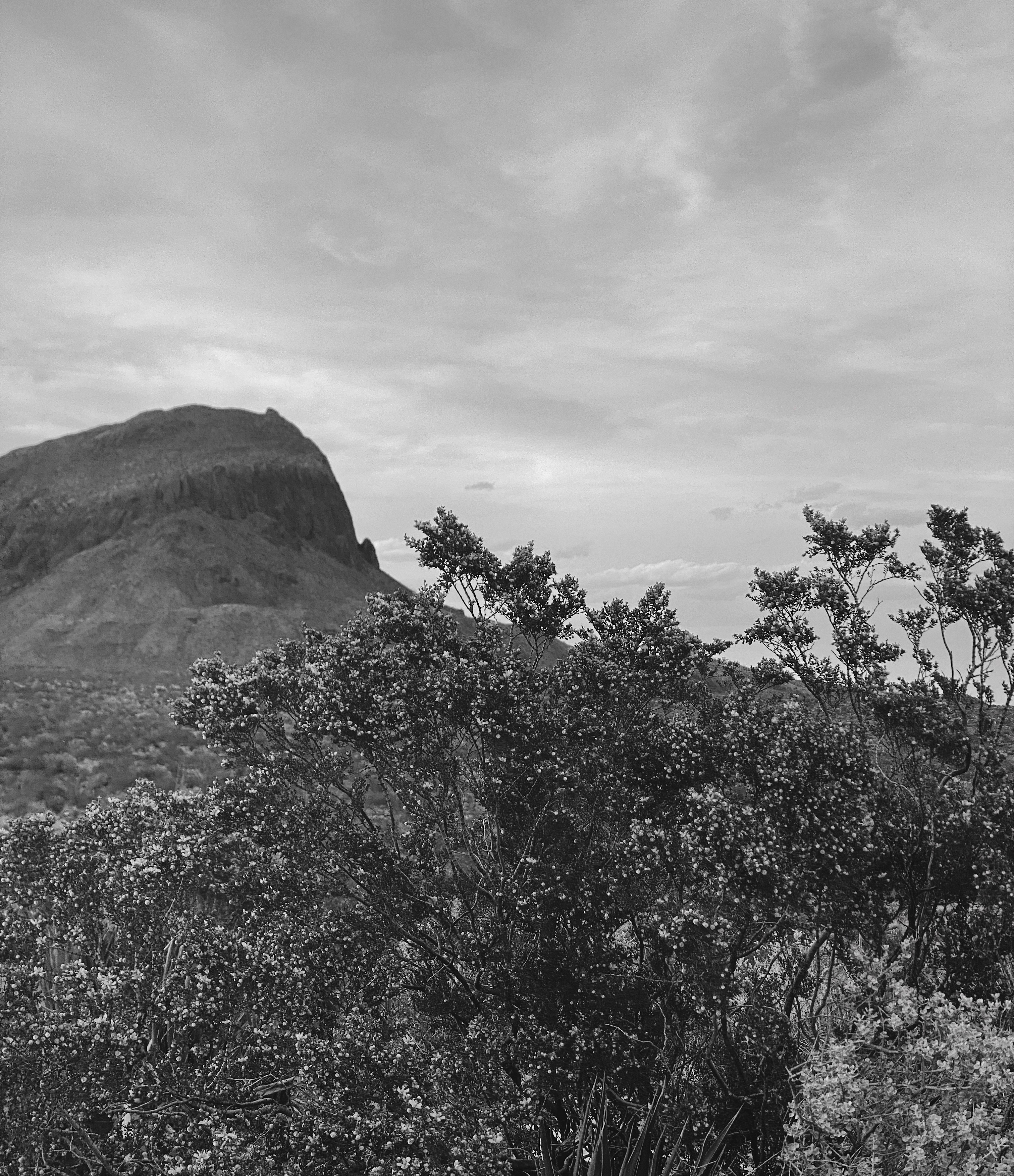
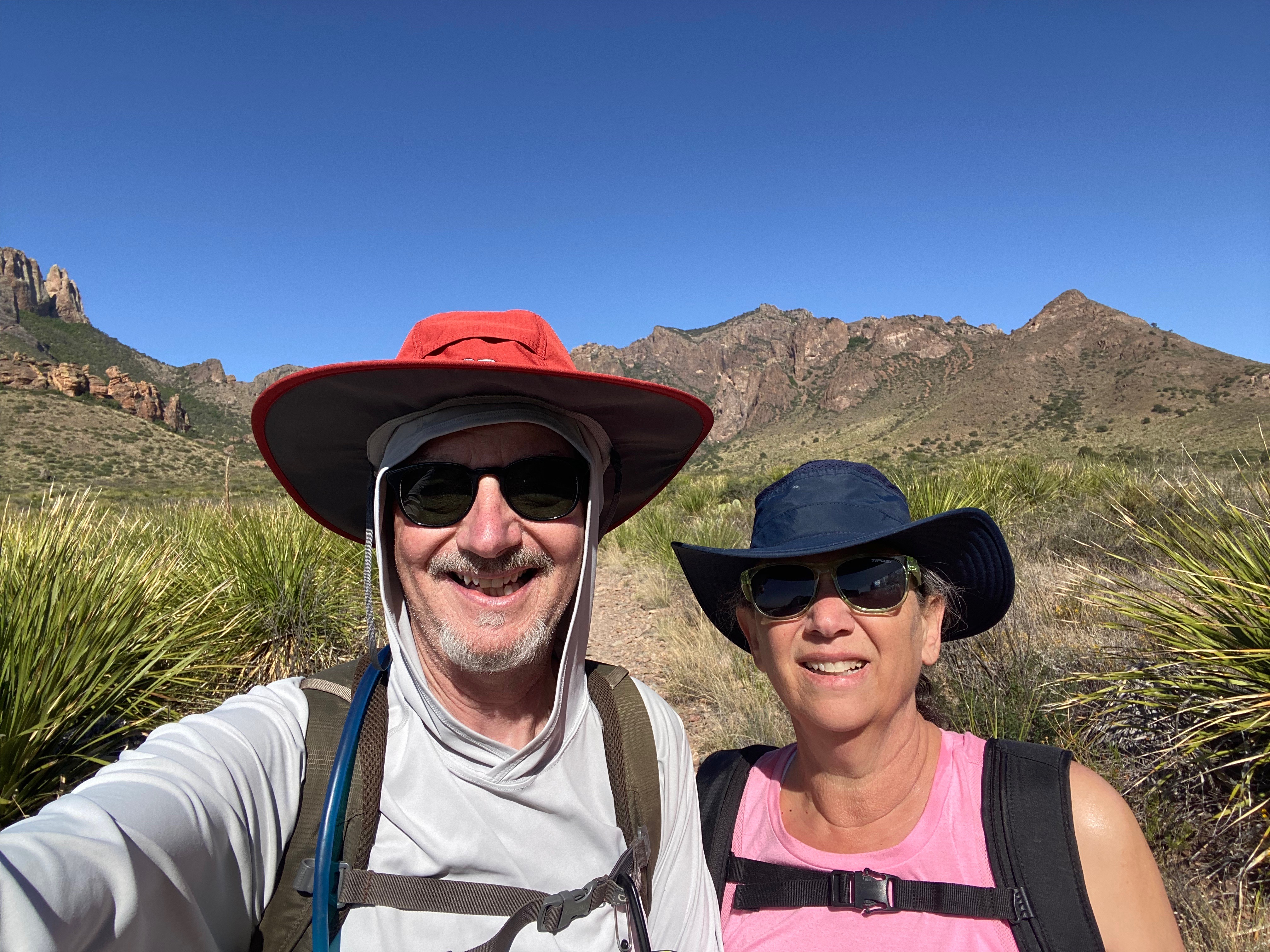
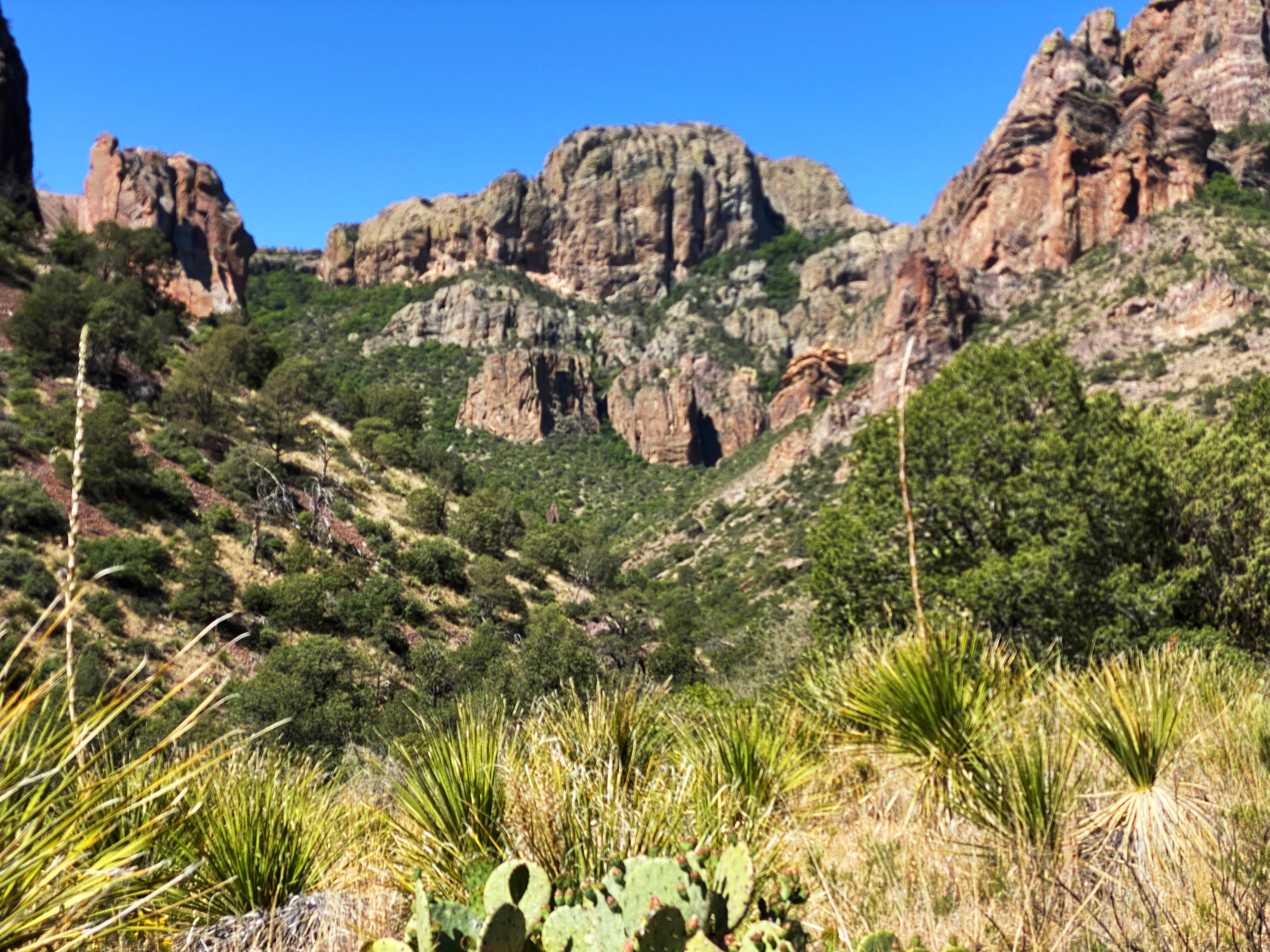
In March of 2020 OTR made our first visit toBBNP. Unfortunately, our timing was bad — the Covid Pandemic had finally made its way to Texas and the park closed the gates. We needed to leave the park after just two days.
BBNP was created in 1944 by Congressional Act and signed by then President Franklin D. Roosevelt. The deed for the park covered 700,000 acres of Chihuahuan Desert along the Rio Grande. Today, the park encompasses a little over 800,000 acres.
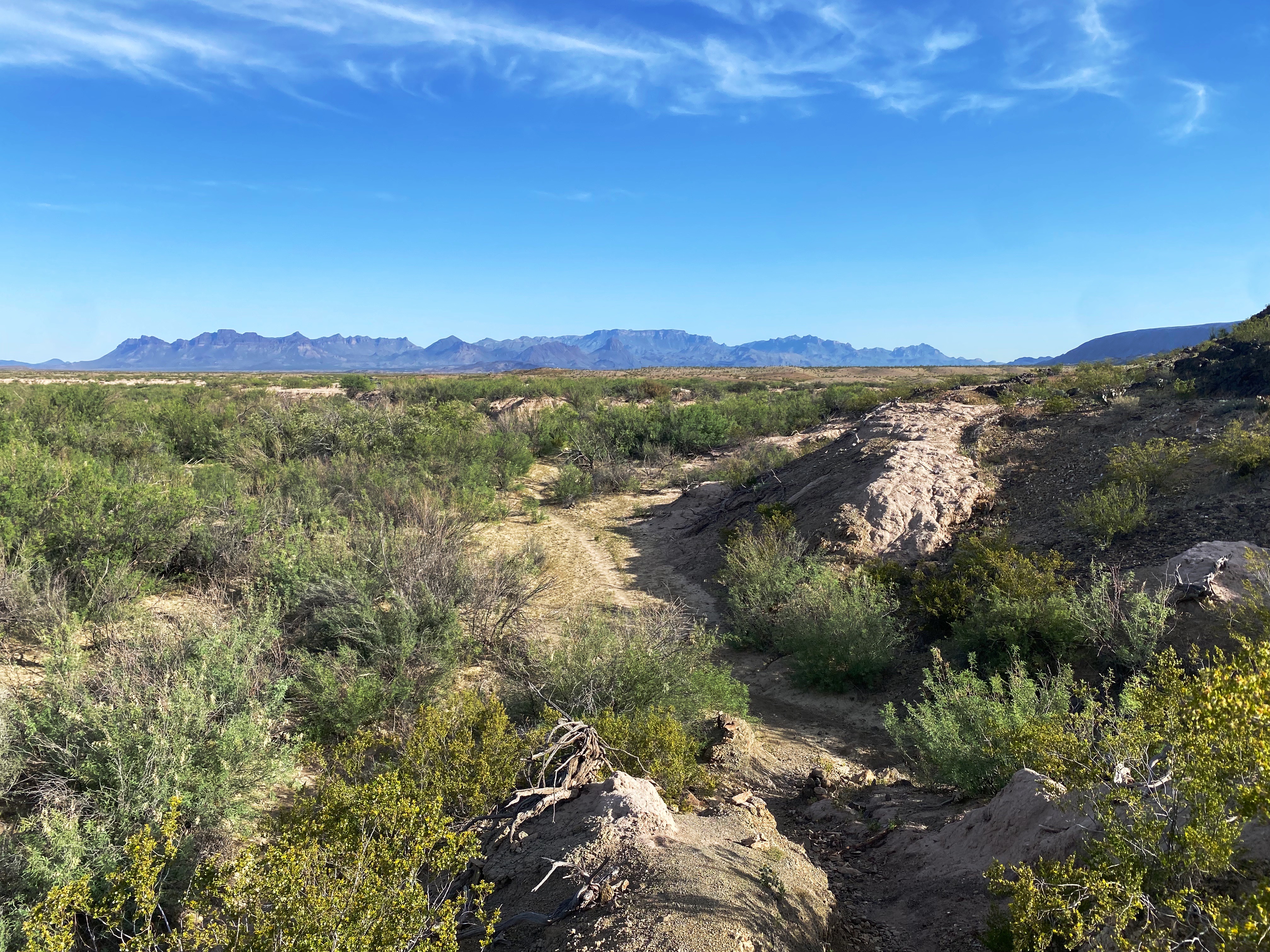
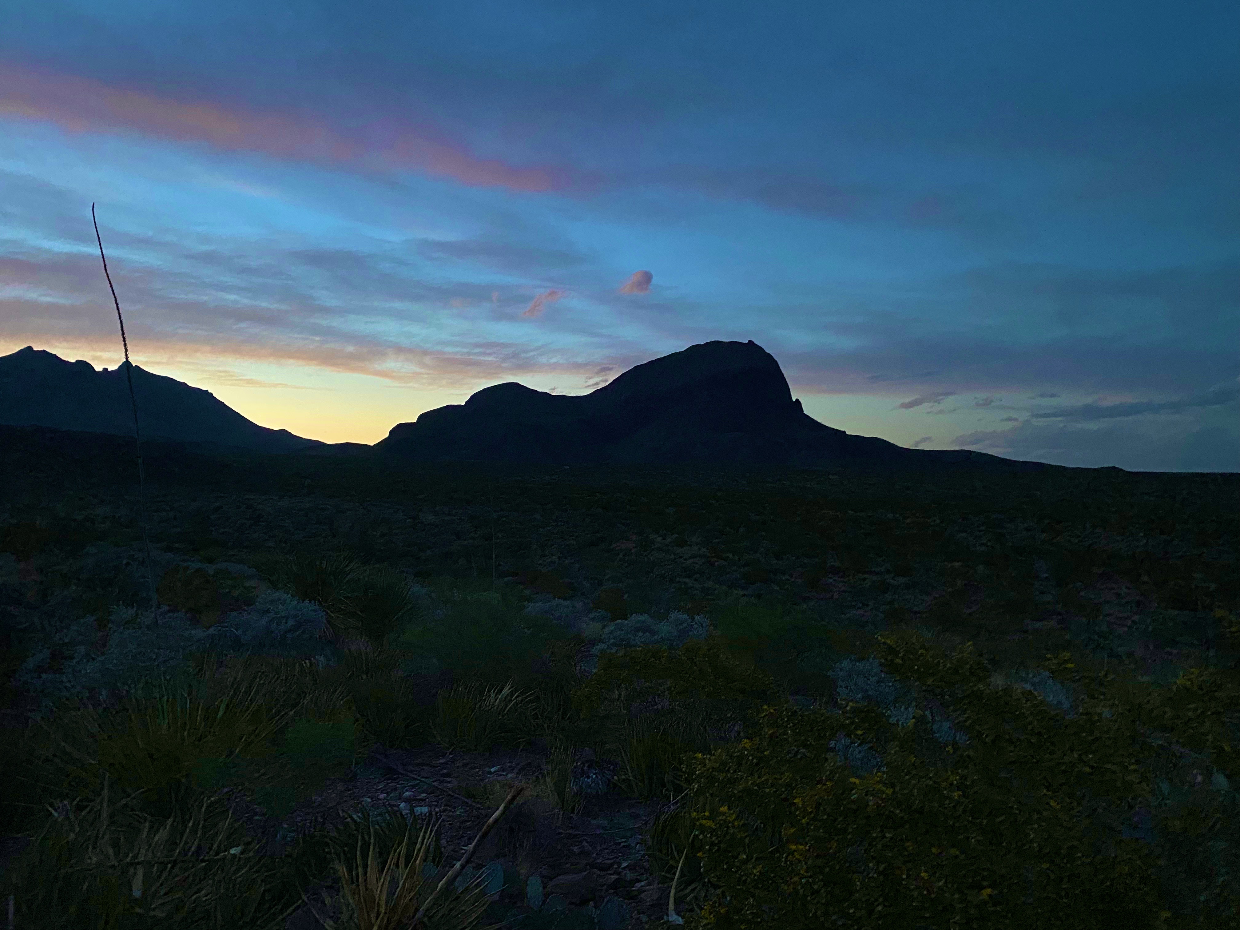
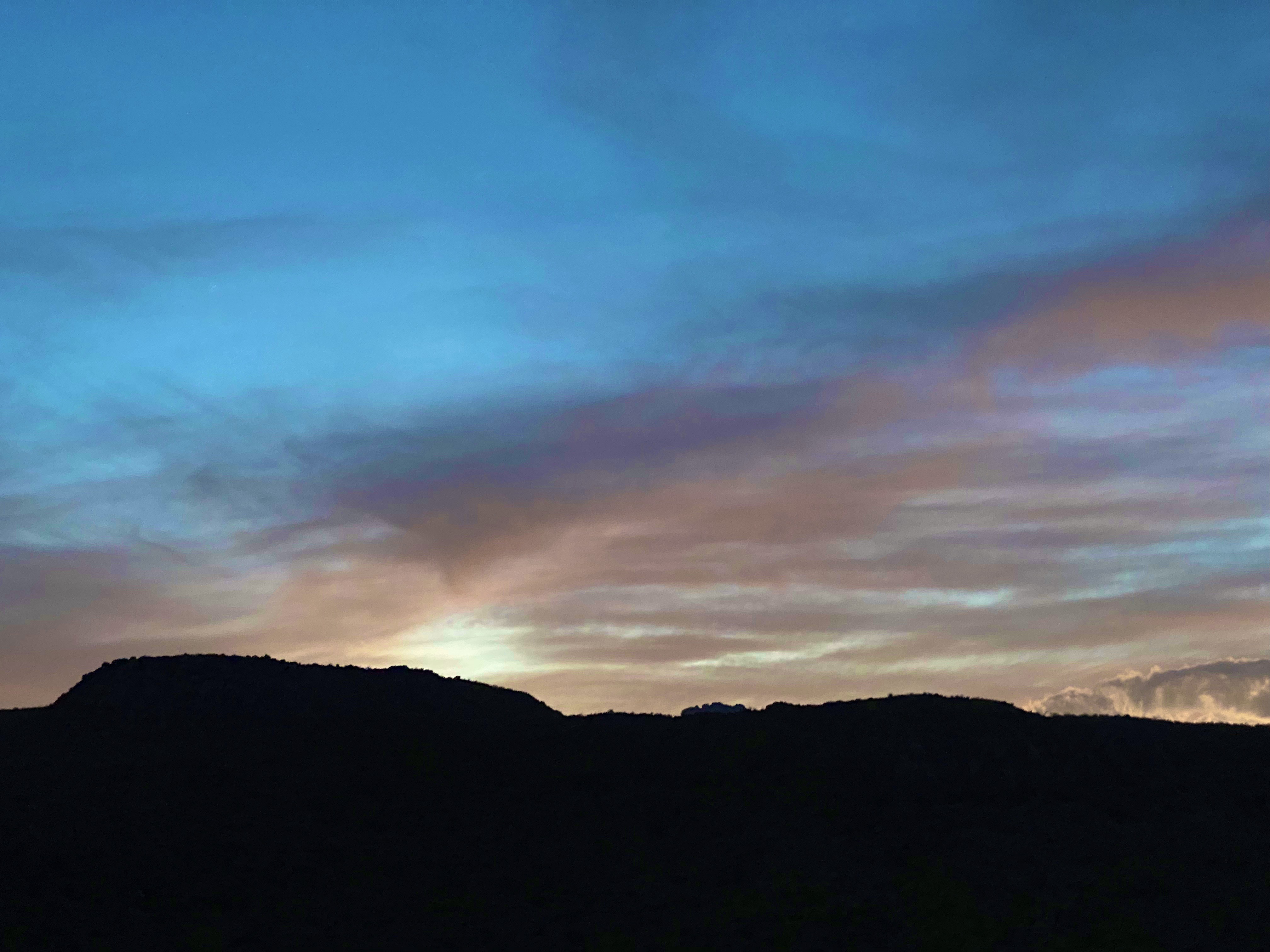
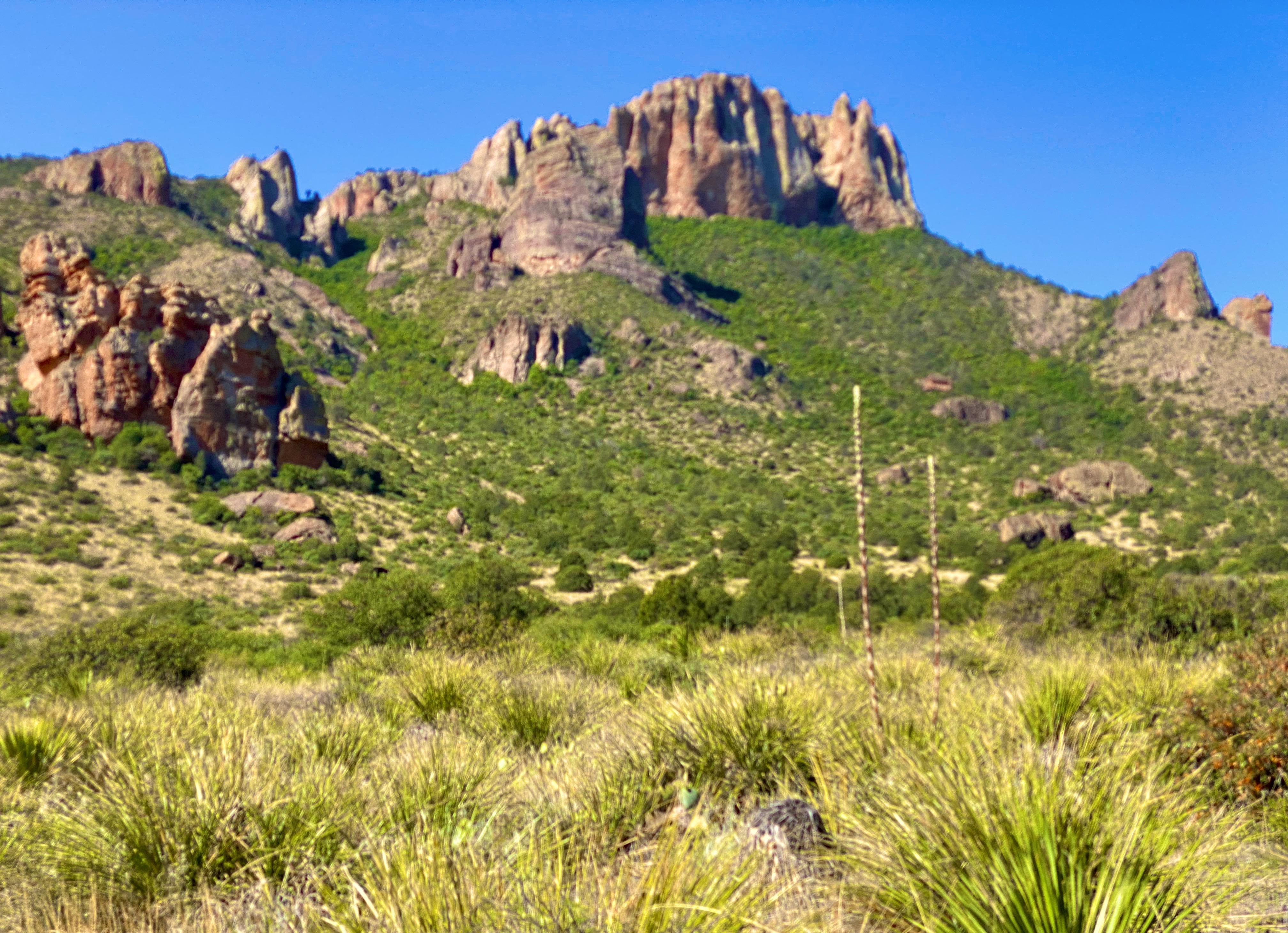
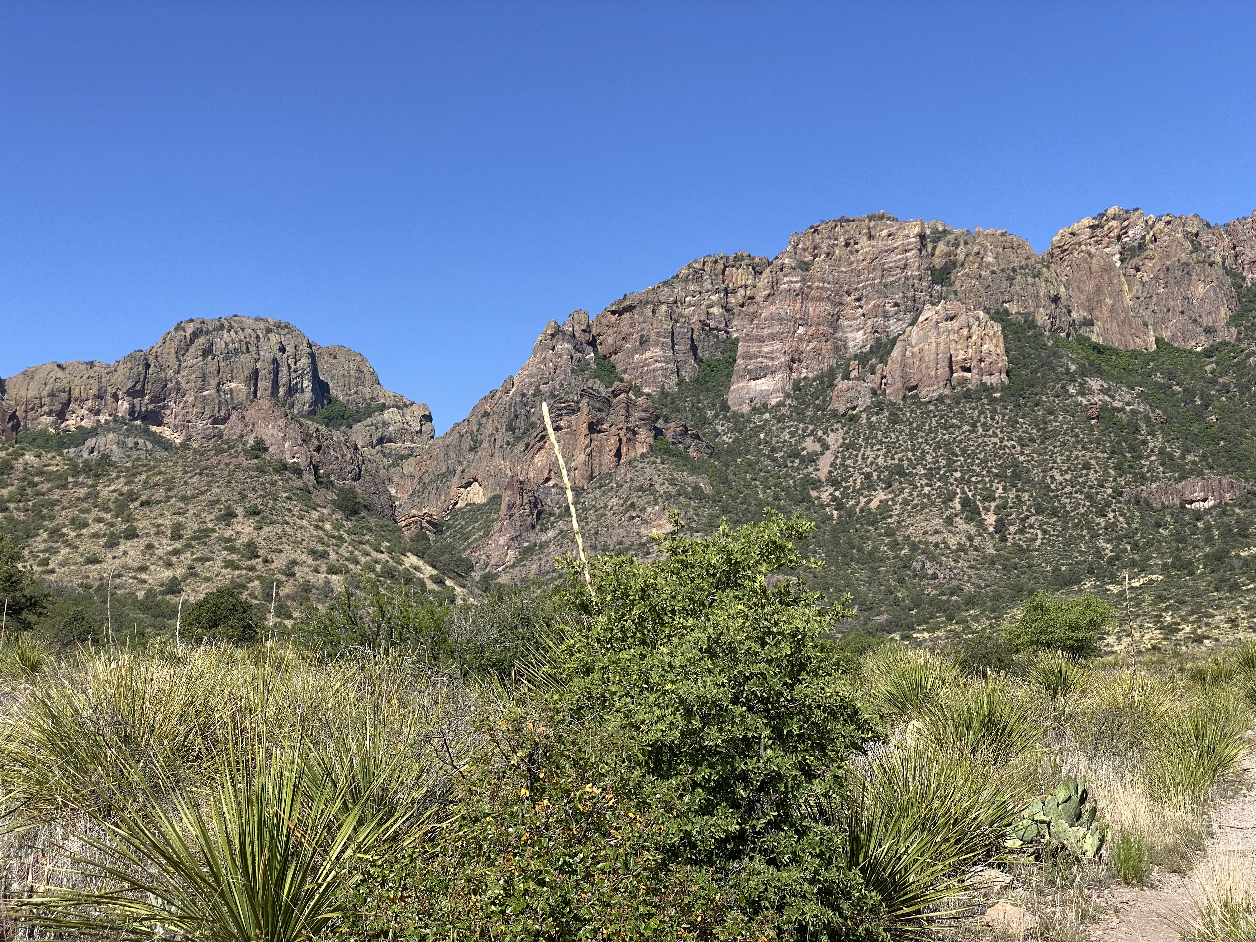
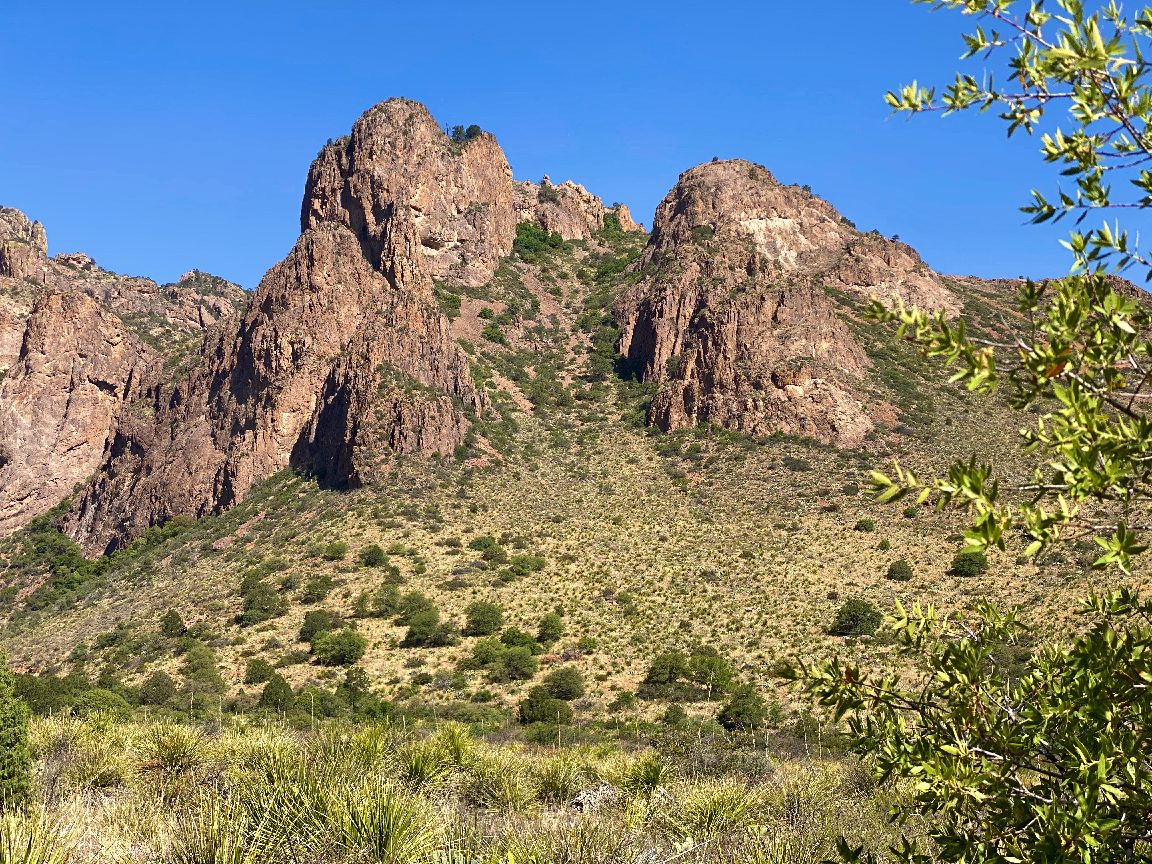
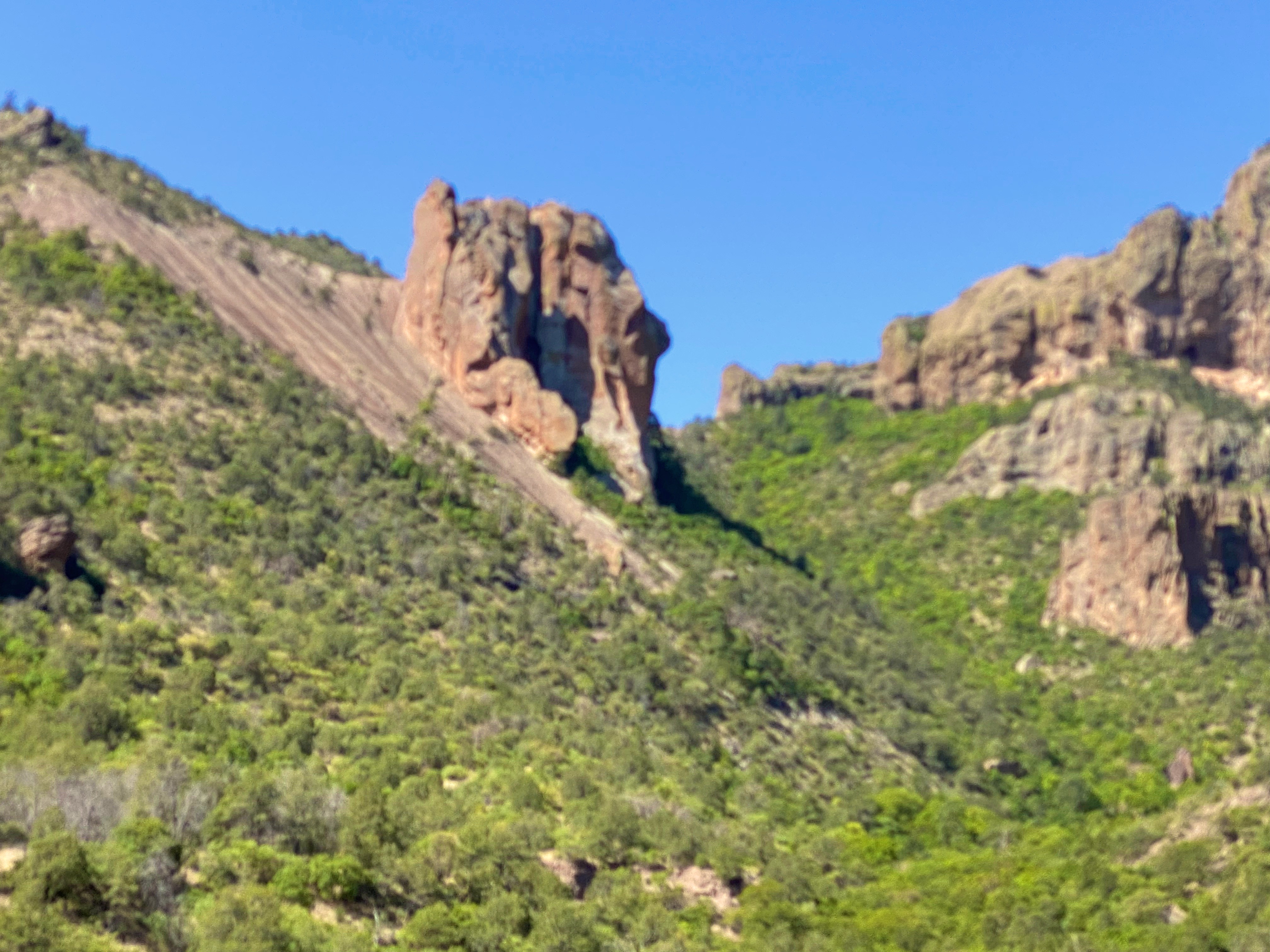
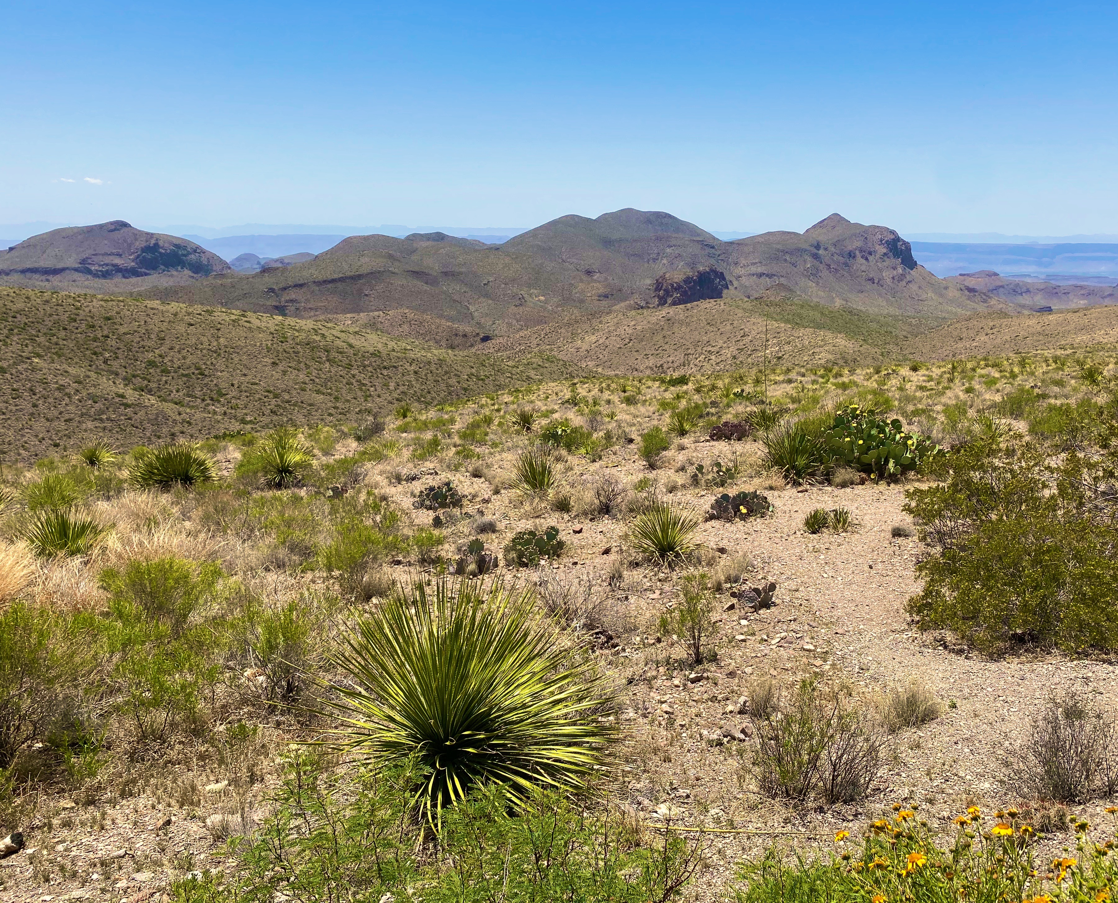
The park is one of the least visited National Parks, although it had its highest visitation in 2021. We can only surmise why this would be when this park offers so much stunning beauty – the Chiso Massive, desert, canyons and dark sky. There are probably several reasons – its remote location in Far West Texas abutting the Mexican border, the heat for much of the year and a lot of terrain accessible only by very rough roads.
Dagger Flats, BBNP
Day one
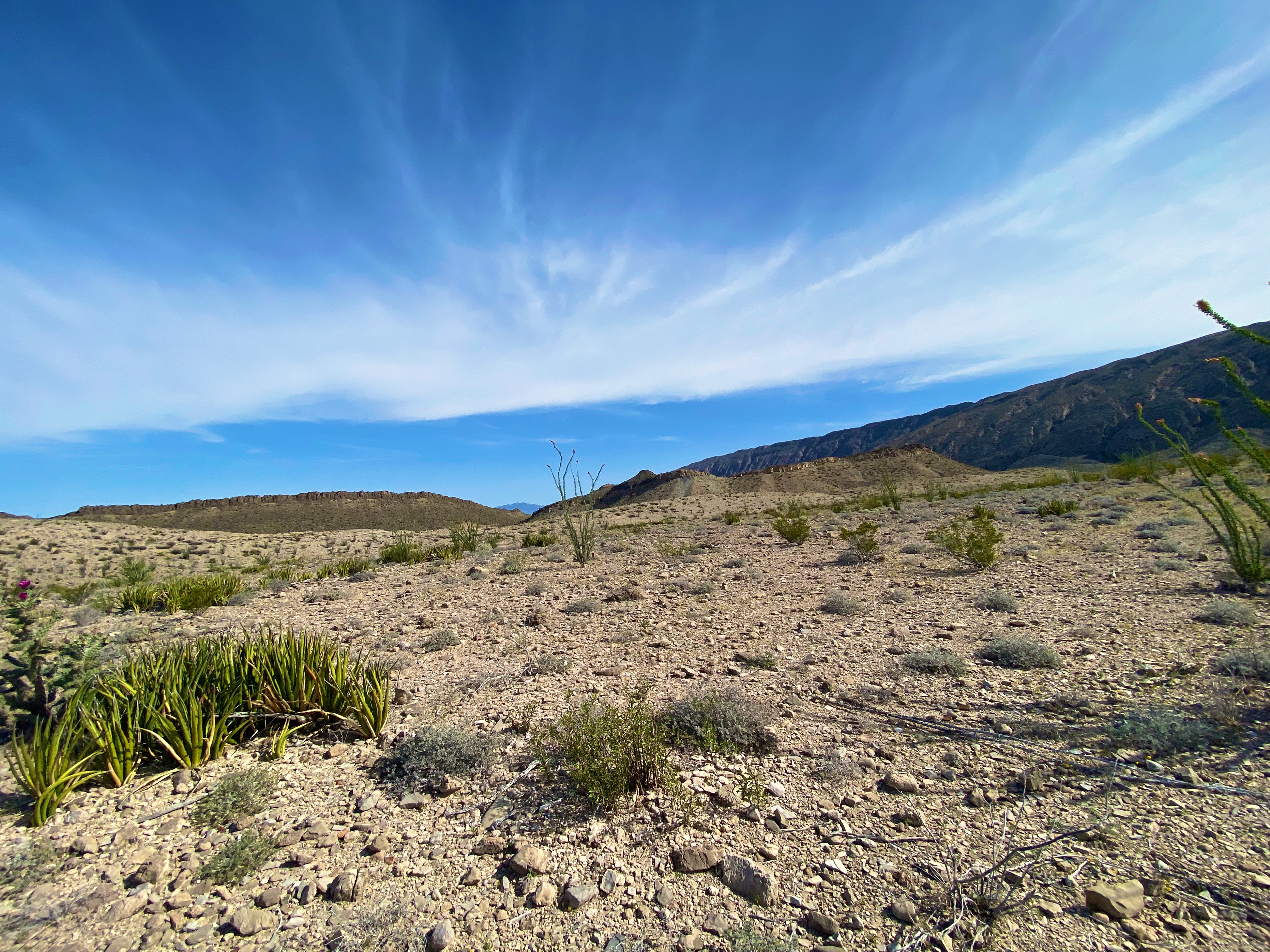
Because we were entering the park from the north we decided to immediately drive the backcountry loop out to see the Dagger Yuca Forest. Fortunately, our timing was perfect— the Yucca were blooming.
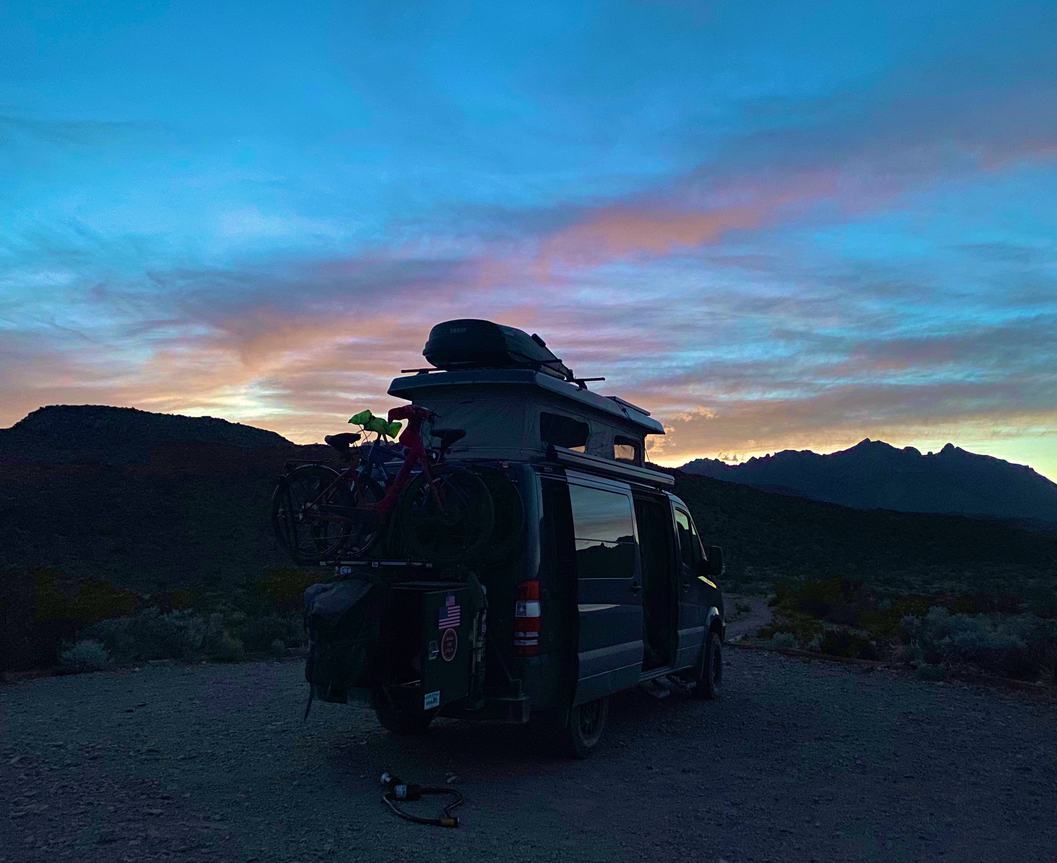
From Dagger Flats we needed to secure our permits for camping in the backcountry. Backcountry camping in BBNP requires traversing rough 4WD drive roads and means that you will be on your own and in some cases in a very remote area of the park.
For our first night of camping we selected an area deep in the southeastern area of the park which is the desert floor (1700 feet above sea level). We followed the River Road East to its terminus a few miles north of the Rio Grande; the 25 mile journey took about 2.5 hours (slow going but exciting).
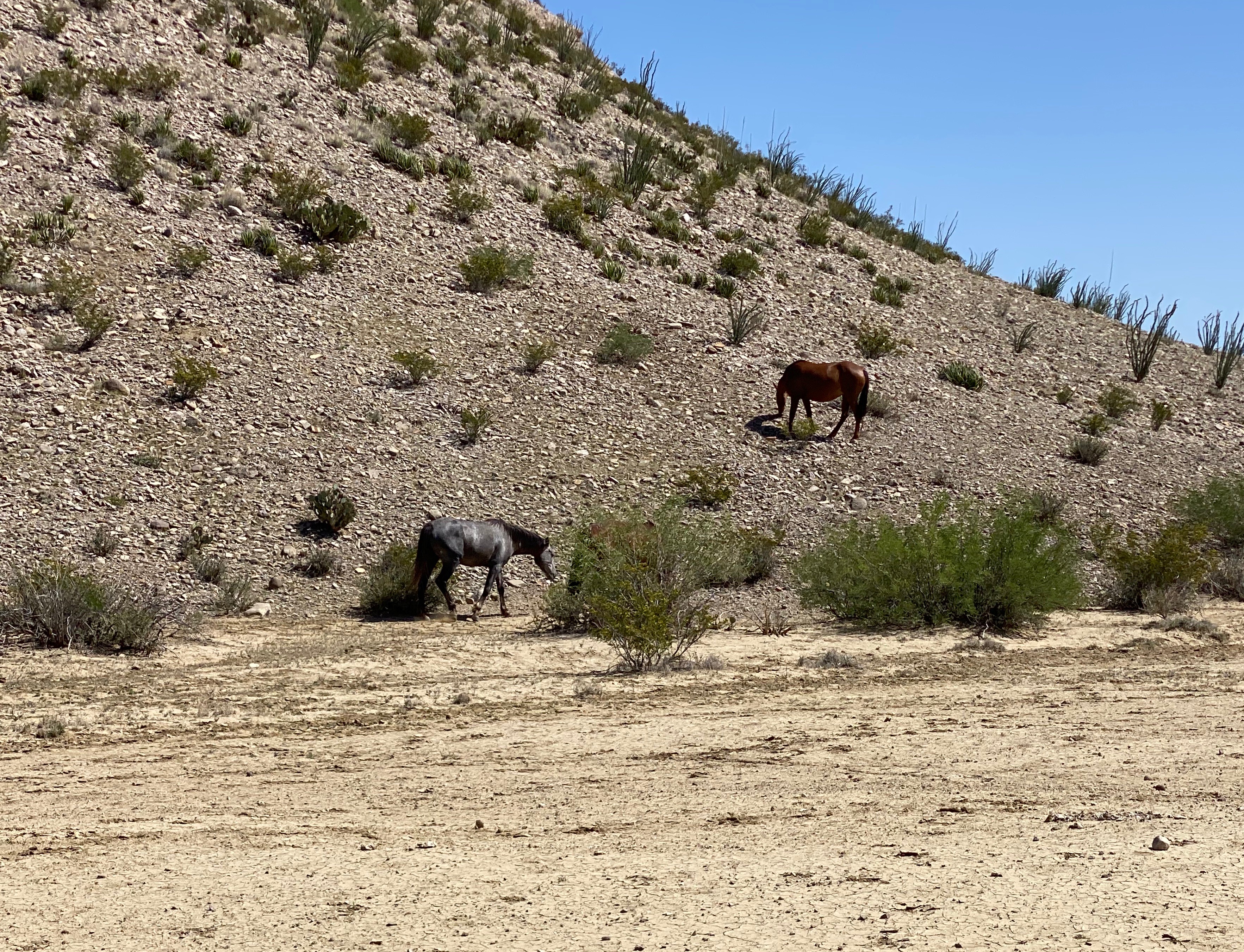
Our journey took us past an abandoned (but still toxic) mercury mine and provided phenomenal views of the Chisos Mouontains. Additionally, we encountered a herd of horses that we thought were feral but later learned are horses from Mexico that wandered across the border.
Day two
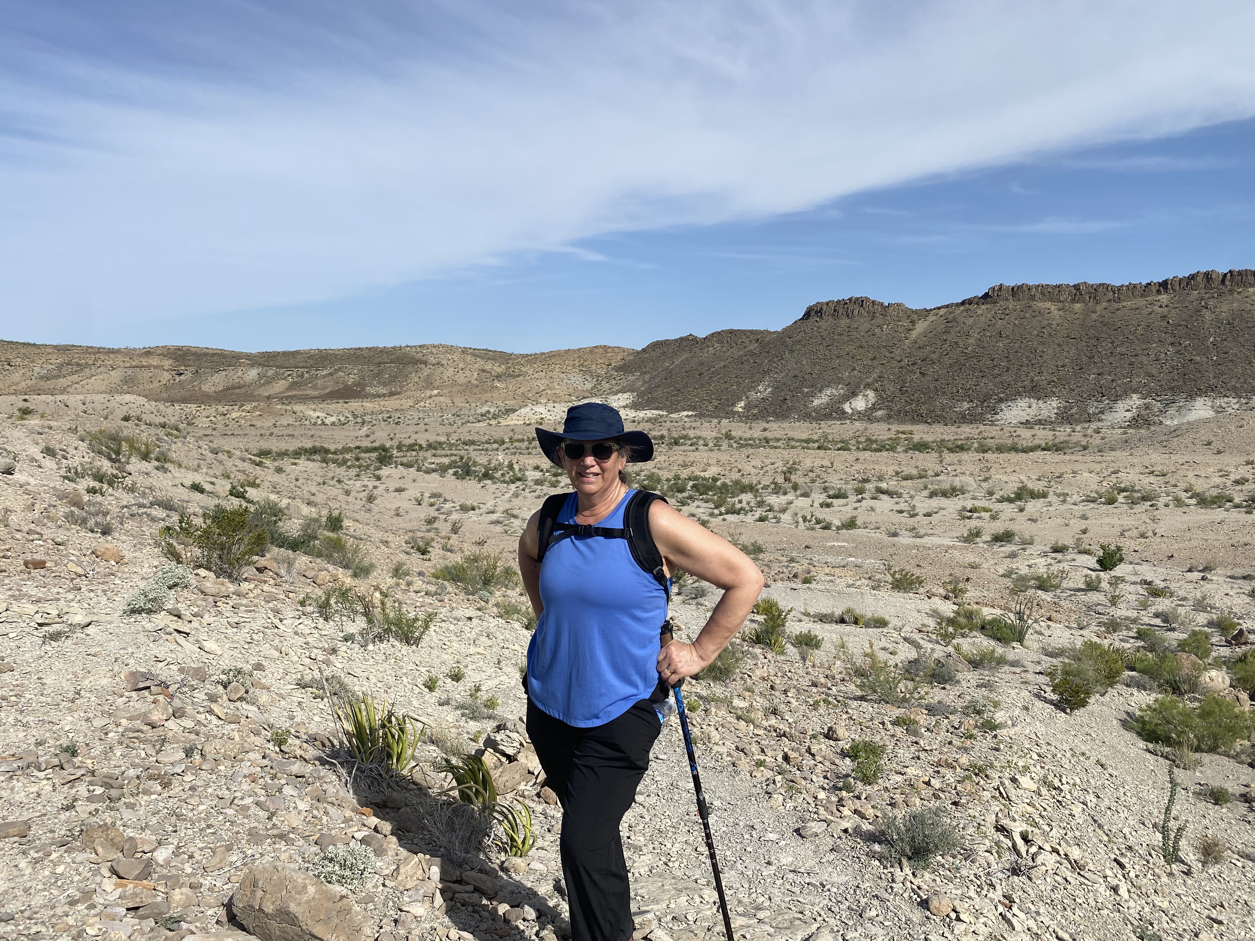
Our camping perch was a short distance from the Mariscal Mountains so we were able to get an early start hiking in the Mariscal Canyon and avoid the afternoon heat where the temperatures reach 95F this time of year.
We also learned that in addition to horses plenty of cattle from Mexico have found there way across the Rio Grande. When we later asked a ranger about the cattle he indicated that there are over 1000 head of cattle from Mexico in the park.
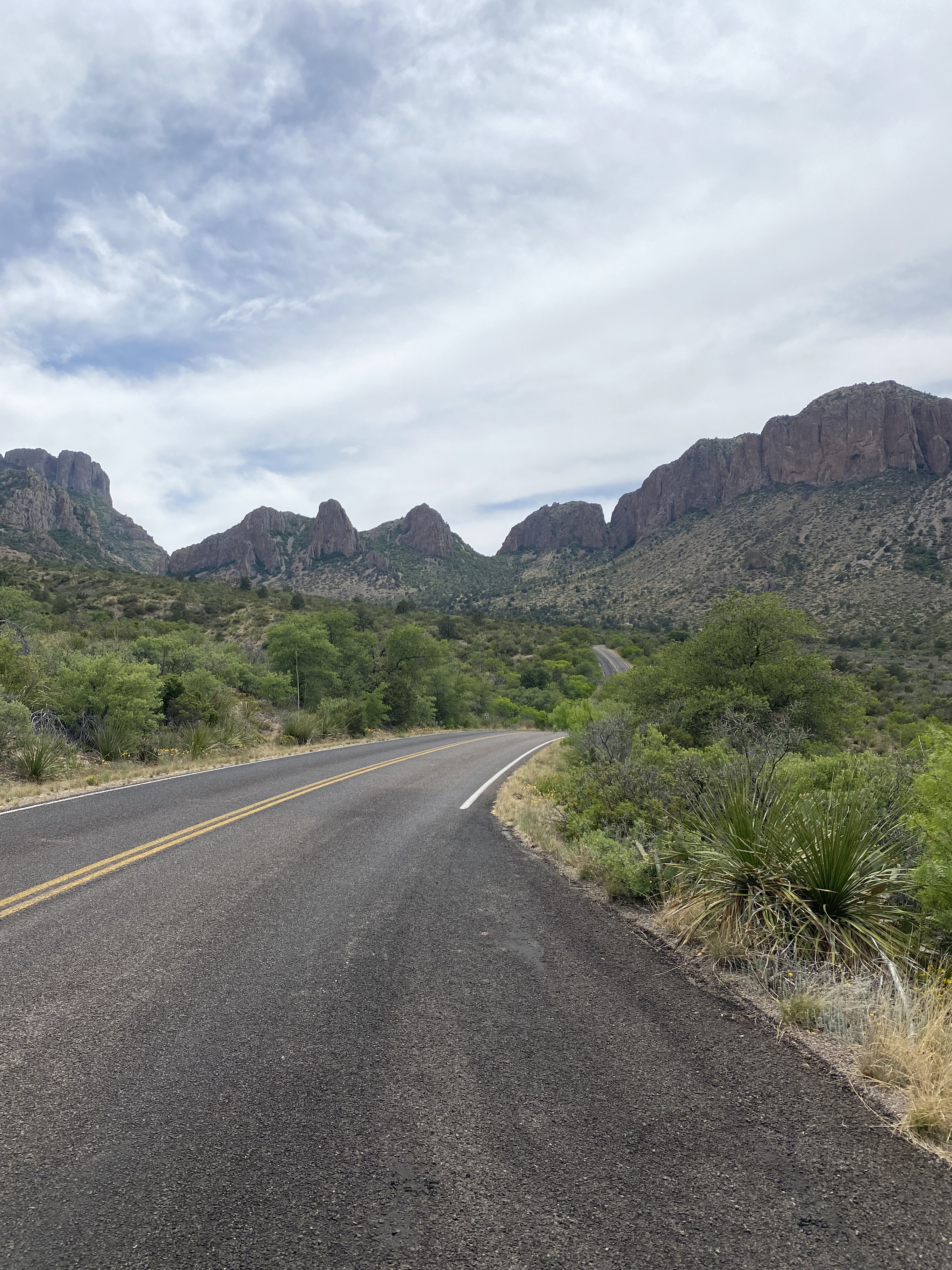
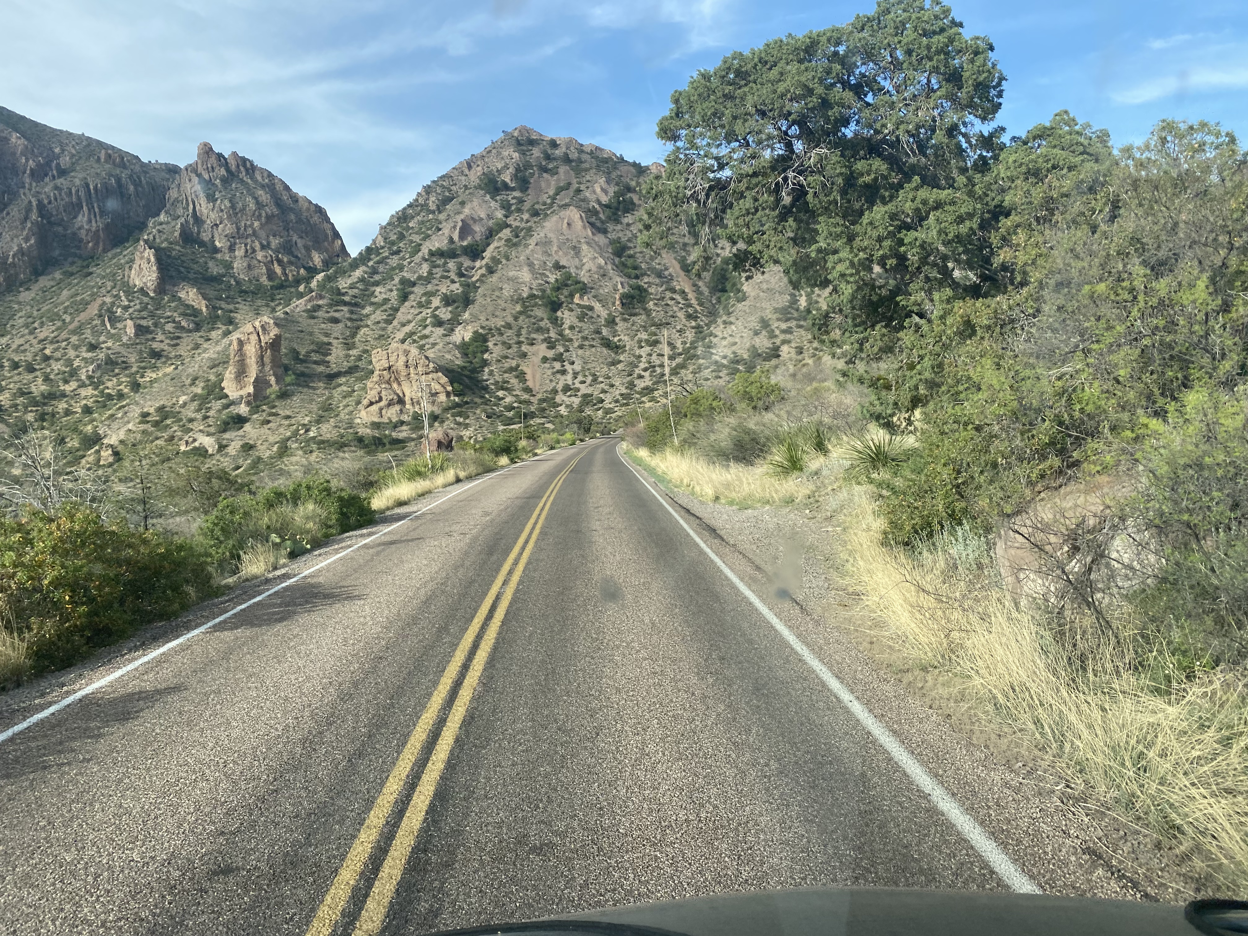
After our hike we retraced our route back east on the River Road until were back on asphalt and then motored north to drive up through the Chisos and into the Chisos Basin.
Casa Grande, BBNP
After taking in the views of the Chisos from the basin we headed back south to our camping spot for night two. We had another great camping spot in the shadow of the Chillicotal Mountain. From our camping area we had a 360 degree view – the views to the south were of mountains across the Rio Grande in Mexico.
Chilicotal Mountain, BBNP
Day three
Our campsite at Chilicotal was only about four miles from the Pine Canyon trailhead so we again got an early start to be off the trail before the worst of the heat.
Pine Canyon Road, BBNP
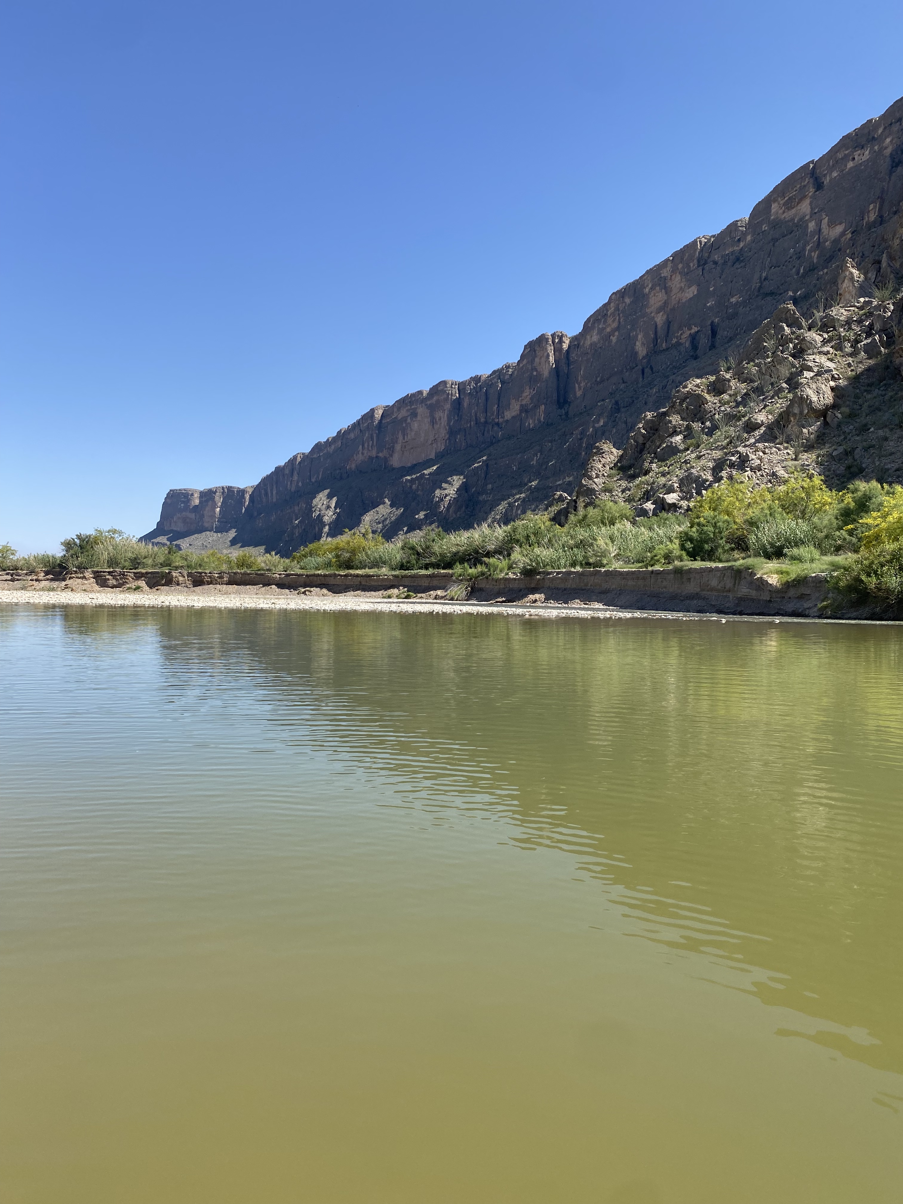
After finishing our hike up into the spectacular Spring Canyon we circled up across the northern section of the park to connect with the Ross Maxwell Scenic Drive. The scenic drive connected us to southwestern area of the parkalong the Rio Grande.
The four photos directly above are the of the Rio Grande. The far shore is Mexico. The canyon in the final photo bottom right is Saint Elena. The left canyon wall is Mexico while the right canyon wall is the United States.
After cooling off in the Rio Grande we connected with the MaverickRoad to head north for our final night of camping at a site nearTerlingua Abaya. Terlingua Abayo is an abandoned town on the banks of Terlingua Creek. The town was at one time a thriving agricultural community supplying produce for local ranchers and miners employed by the Quicksilver mines in the area.The town existed from 1900 until around 1930 when the mines ceased operations.
Terlingua Abaya Road, BBNP
day four
On day four we traveled north on the Maverick Road to exit the park and make our way north for a two day stay in Alpine. Before heading to Alpine we spent part of the day in Terlingua Ghost Town — home to Espresso Y Poco Mas — our coffee hangout from our previous visit to BBNP.
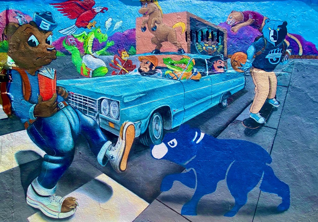
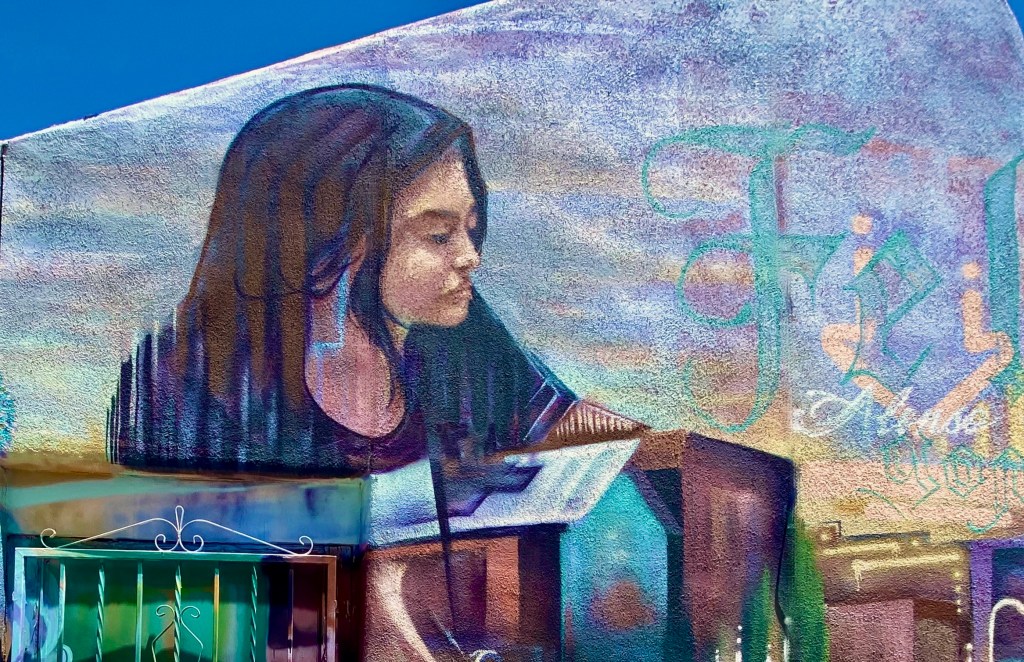
This post is all about the fantastic street art found throughout the Over-the-Rhine neighborhood of Cincinatti. We have included a brief history of the neighborhood for context. Please find below a sample of some of the great street art on display throughout OTR. We hope you enjoy the art as much as we did.
The Over-the-Rhine (über den Rhein)neighborhood in Cincinatti traces its roots to a large German population that settled in the area. The area was home to mana significant number of breweries (at its peak there were 36) which employed many of the German migrants. The workers had to walk over the Miami and Erie Canal each day on their way to and from work and they began referring to the canal as the Rhine in reference to the Rhine River in their native country.
After World War 2 the neighborhood began a long decline as the original German residents again migrated – to the surrounding suburbs. Many of the industries that once provided jobs in this working class neighborhood also left or closed. Of course, to add insult to injury, the Miami and Erie Canal was capped!
By the late 1900s the area had deteriorated to one of the poorest areas in the city and was rife with crime. Fortunately, around the turn of the century the city and several organizations came together to create a comprehensive plan to revitalize the neighborhood. Based on our visit and the number of people visiting the area there has been much progress, although it is clear that this is still an area in transition.
Public art has also been a significant piece of the revival of OTR. ArtWorks and other community organizations have invested in the area and sponsor aspiring and accomplished artists. We have included the artist and sponsor information wherever available. Our apologies to any uncredited artists.
See our Sights & Sounds reels on Facebook or Instagram to experience a snapshot of our visits to Cincinatti and Arkansas. Be seeing you
P.S. Cincinatti is a first rate specialty coffee town!