In March of 2020 OTR made our first visit to BBNP. Unfortunately, our timing was bad — the Covid Pandemic had finally made its way to Texas and the park closed the gates. We needed to leave the park after just two days.
BBNP was created in 1944 by Congressional Act and signed by then President Franklin D. Roosevelt. The deed for the park covered 700,000 acres of Chihuahuan Desert along the Rio Grande. Today, the park encompasses a little over 800,000 acres.
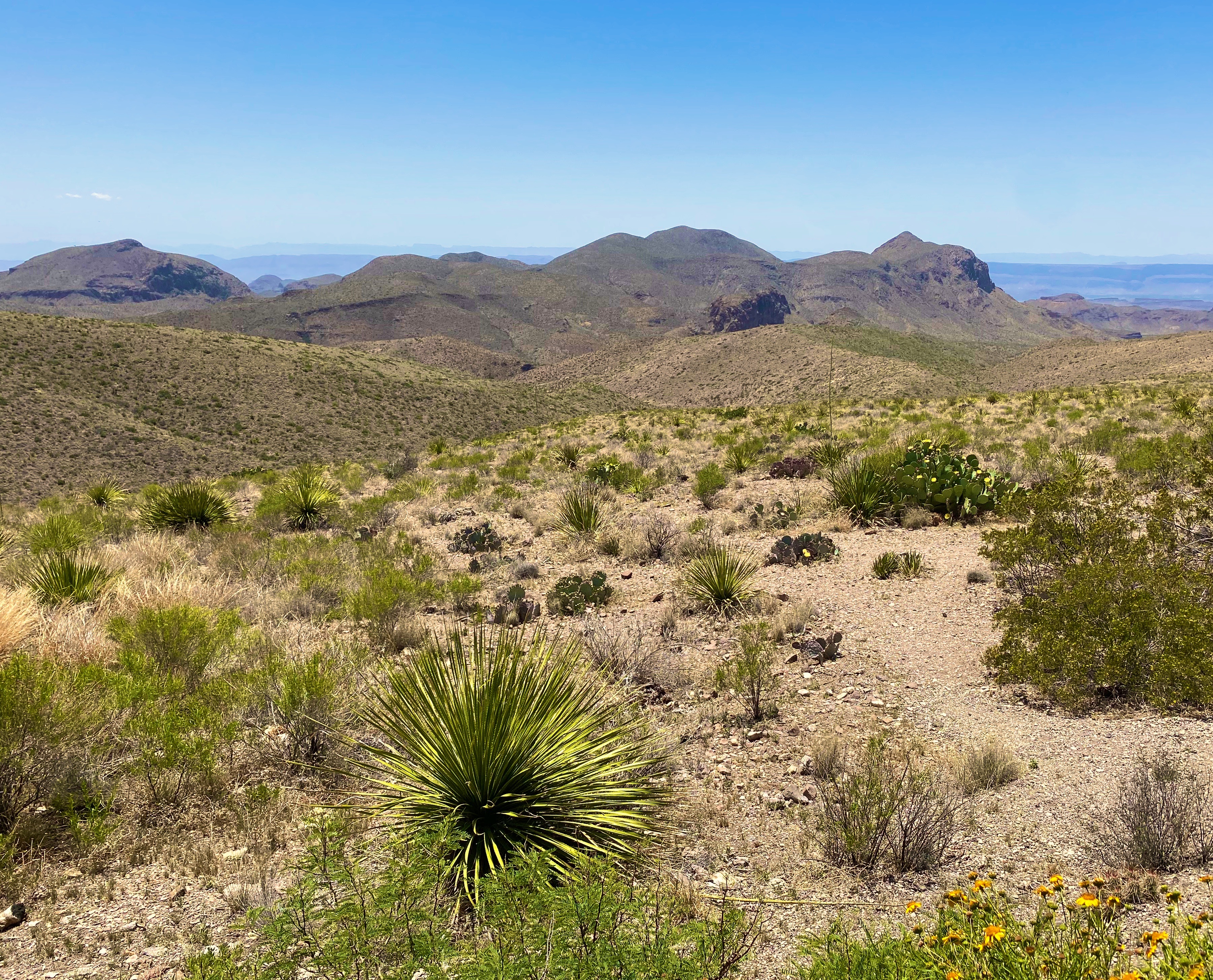
The park is one of the least visited National Parks, although it had its highest visitation in 2021. We can only surmise why this would be when this park offers so much stunning beauty – the Chiso Massive, desert, canyons and dark sky. There are probably several reasons – its remote location in Far West Texas abutting the Mexican border, the heat for much of the year and a lot of terrain accessible only by very rough roads.

Day one
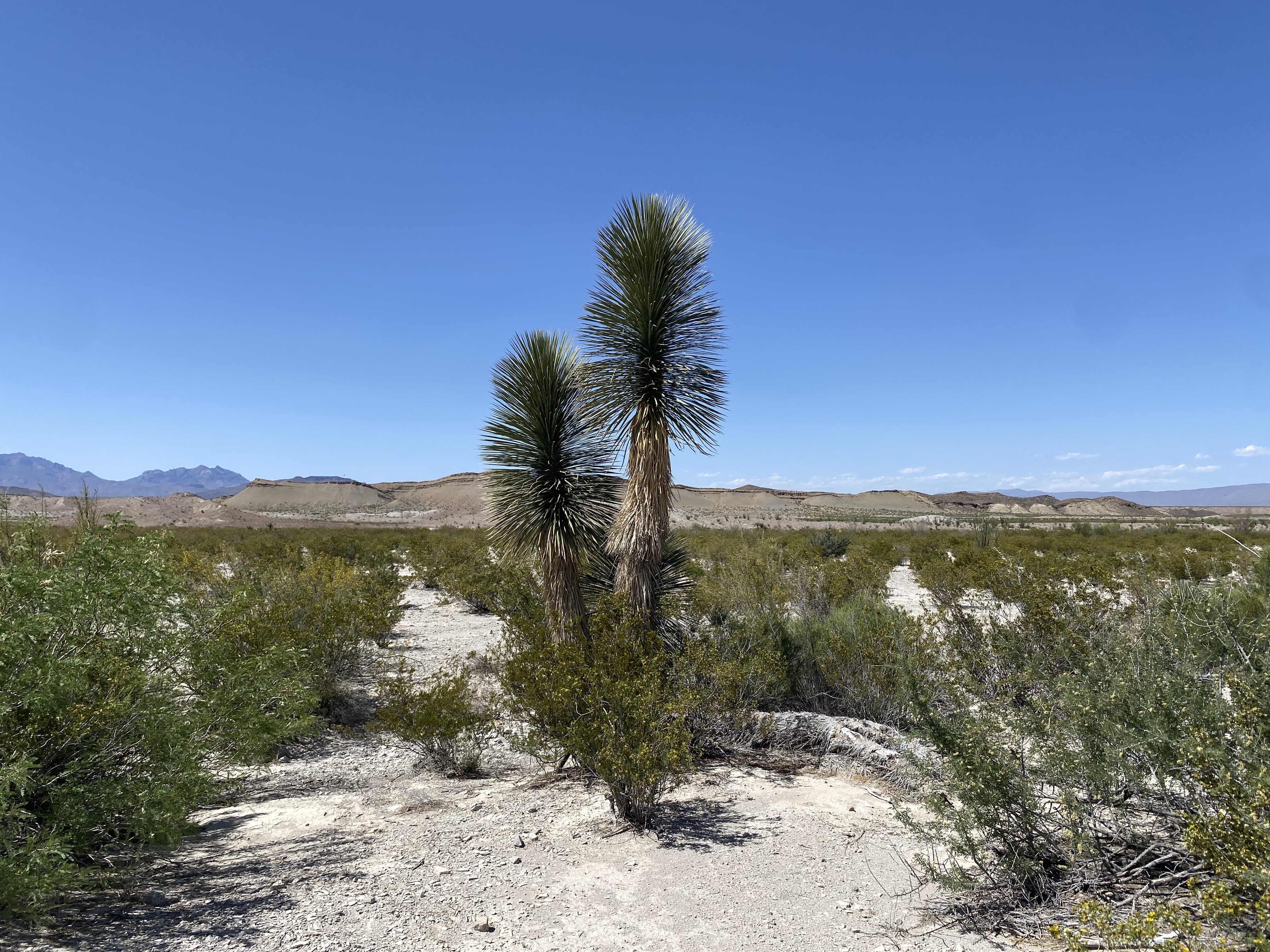
Because we were entering the park from the north we decided to immediately drive the backcountry loop out to see the Dagger Yuca Forest. Fortunately, our timing was perfect— the Yucca were blooming.
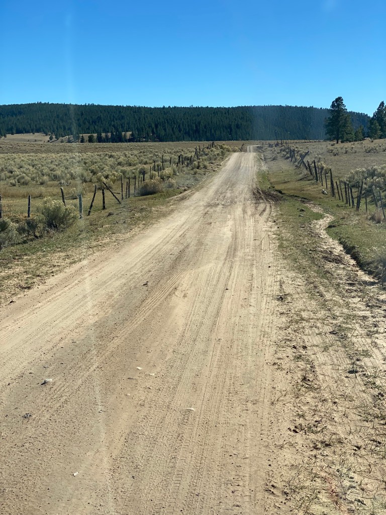
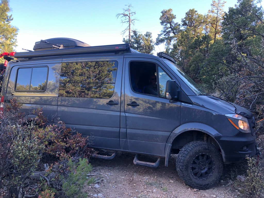
From Dagger Flats we needed to secure our permits for camping in the backcountry. Backcountry camping in BBNP requires traversing rough 4WD drive roads and means that you will be on your own and in some cases in a very remote area of the park.


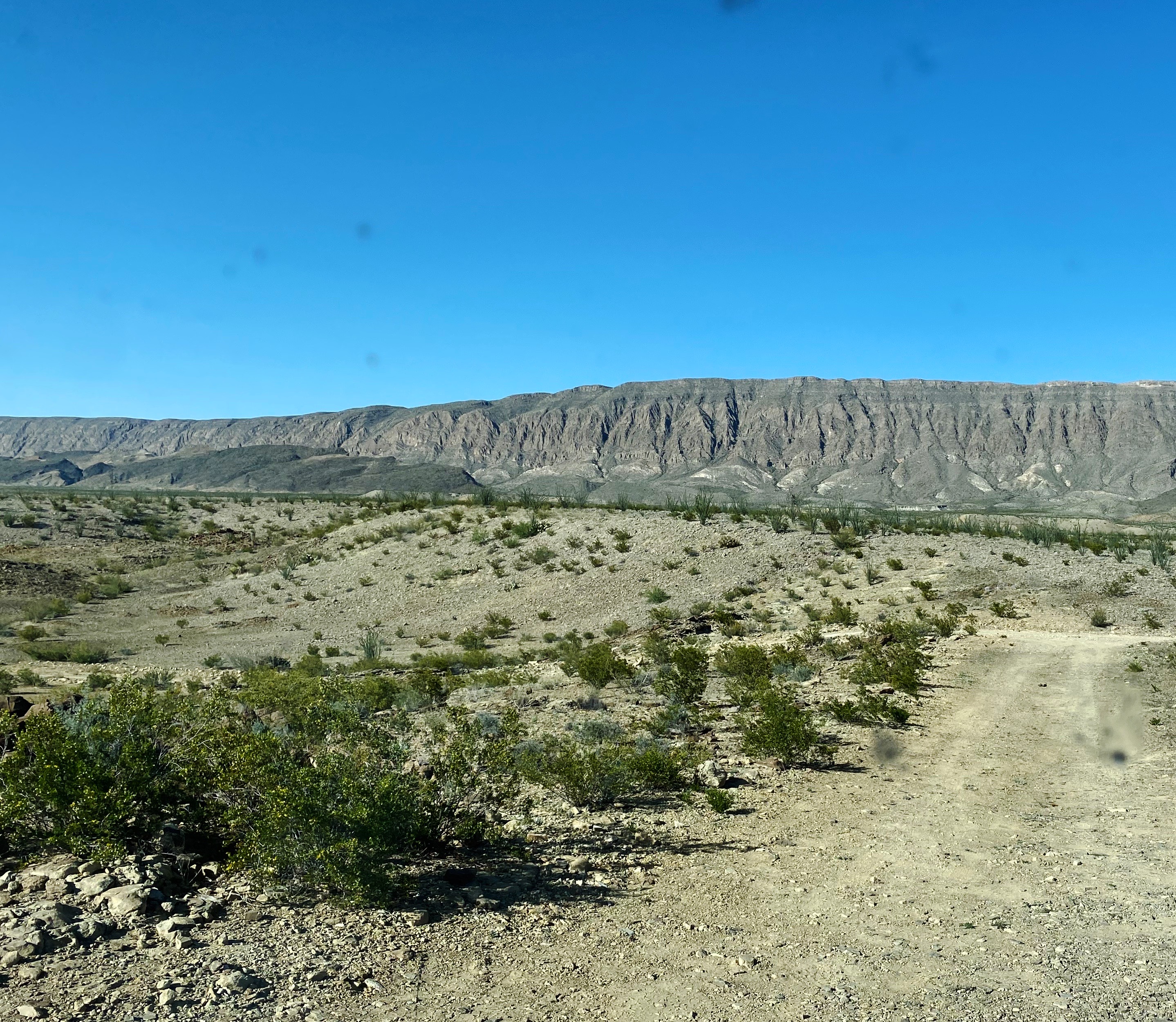
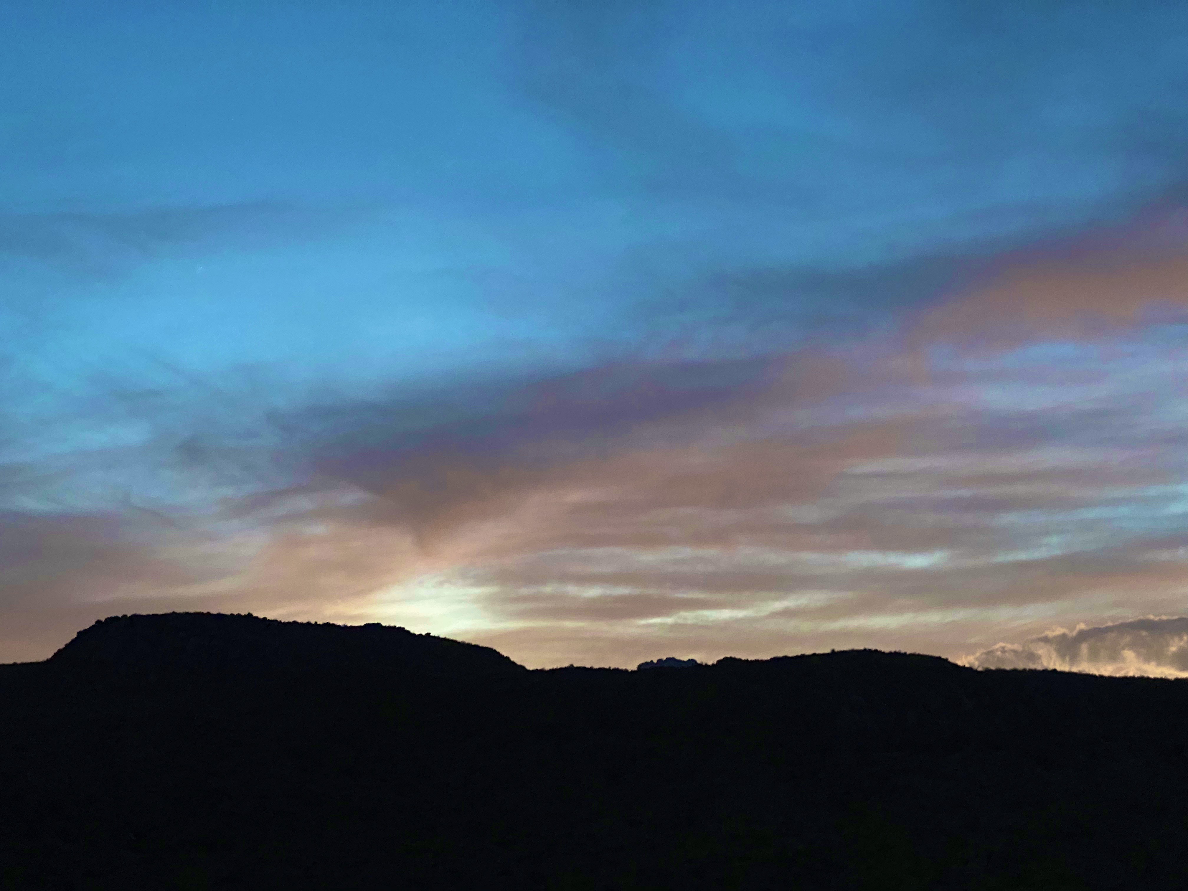
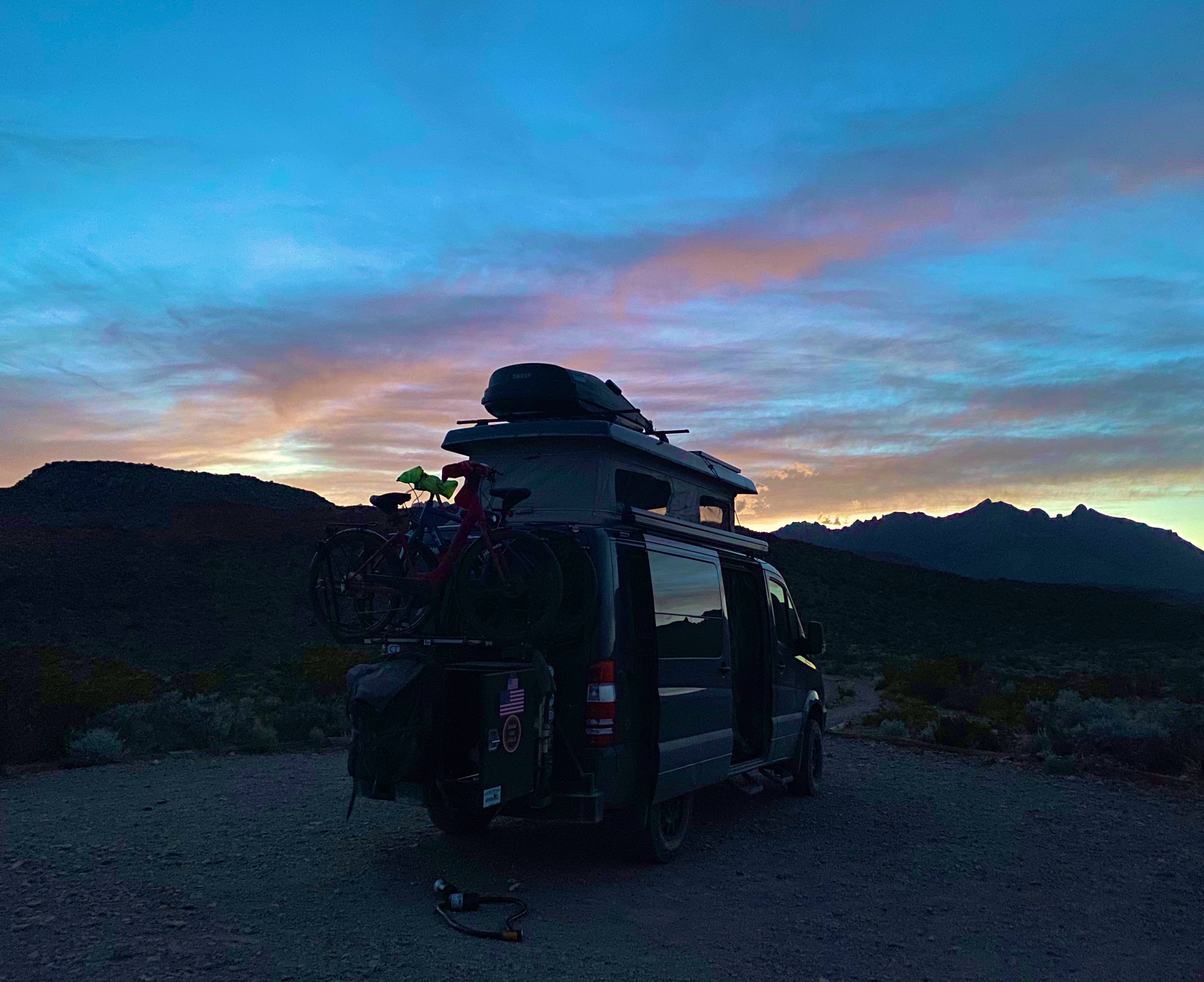
For our first night of camping we selected an area deep in the southeastern area of the park which is the desert floor (1700 feet above sea level). We followed the River Road East to its terminus a few miles north of the Rio Grande; the 25 mile journey took about 2.5 hours (slow going but exciting).
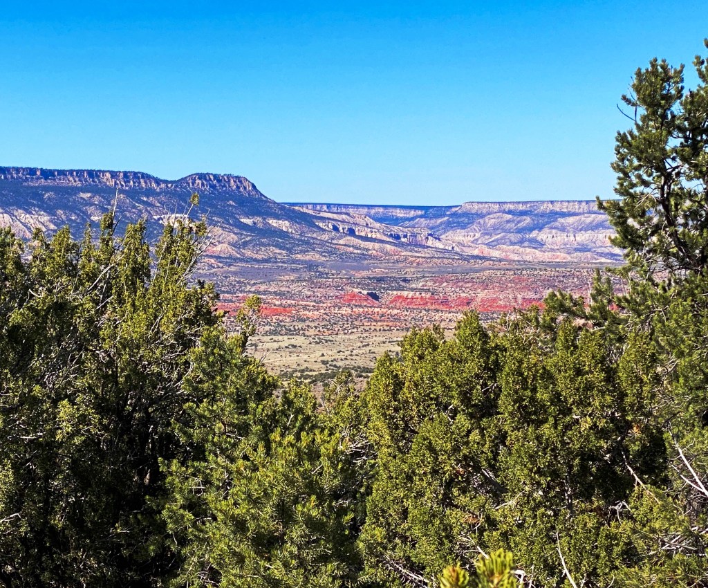
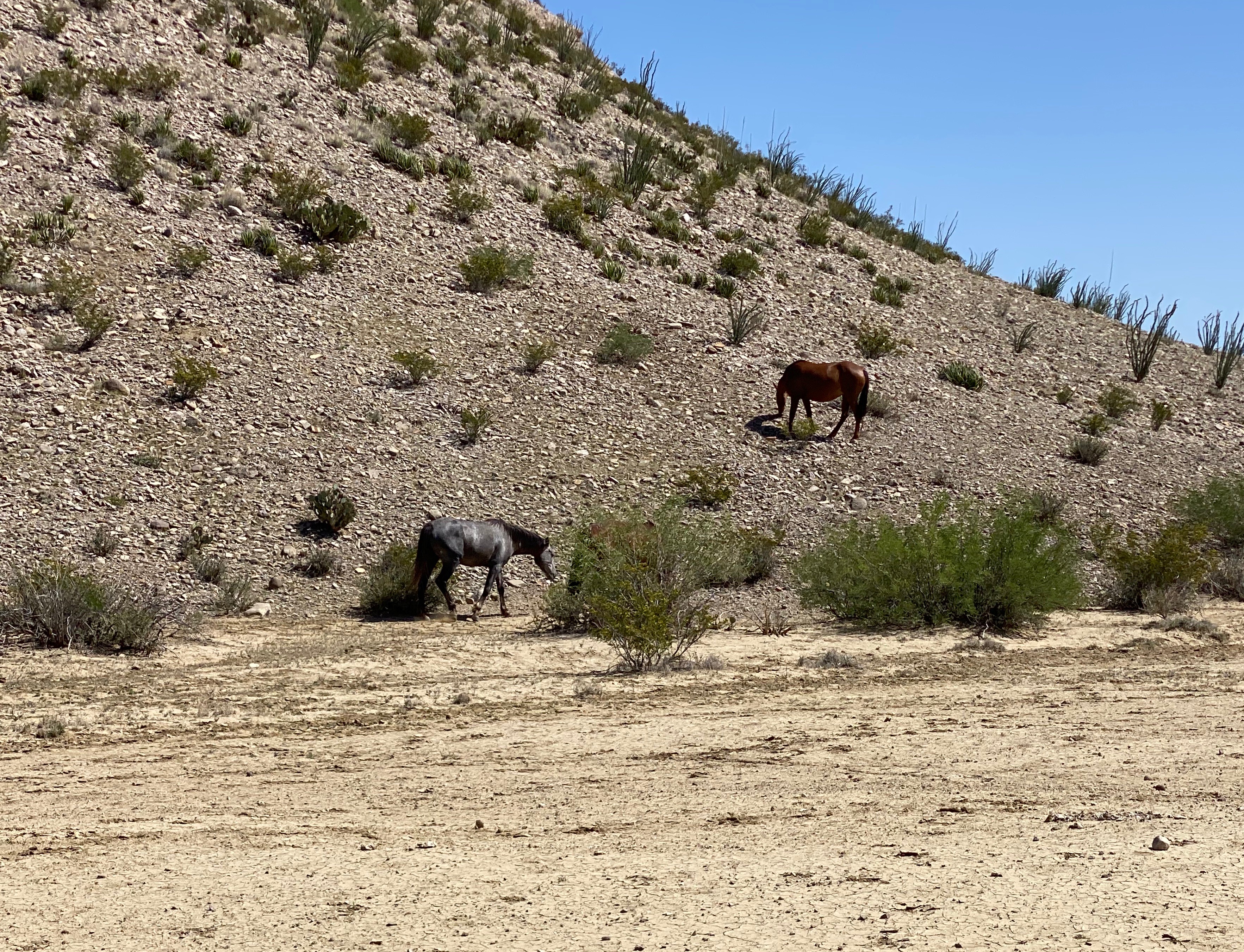
Our journey took us past an abandoned (but still toxic) mercury mine and provided phenomenal views of the Chisos Mouontains. Additionally, we encountered a herd of horses that we thought were feral but later learned are horses from Mexico that wandered across the border.


Day two
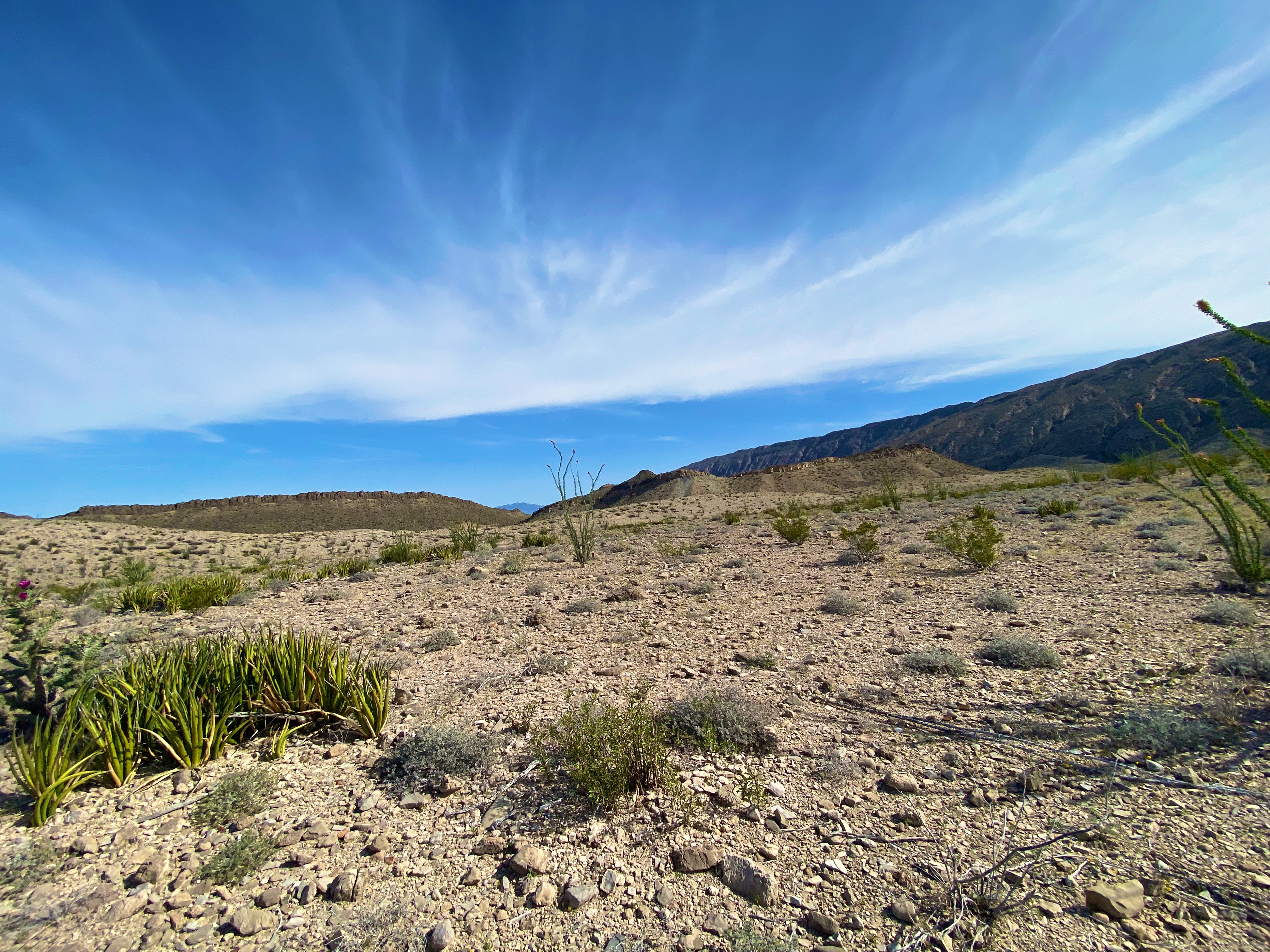
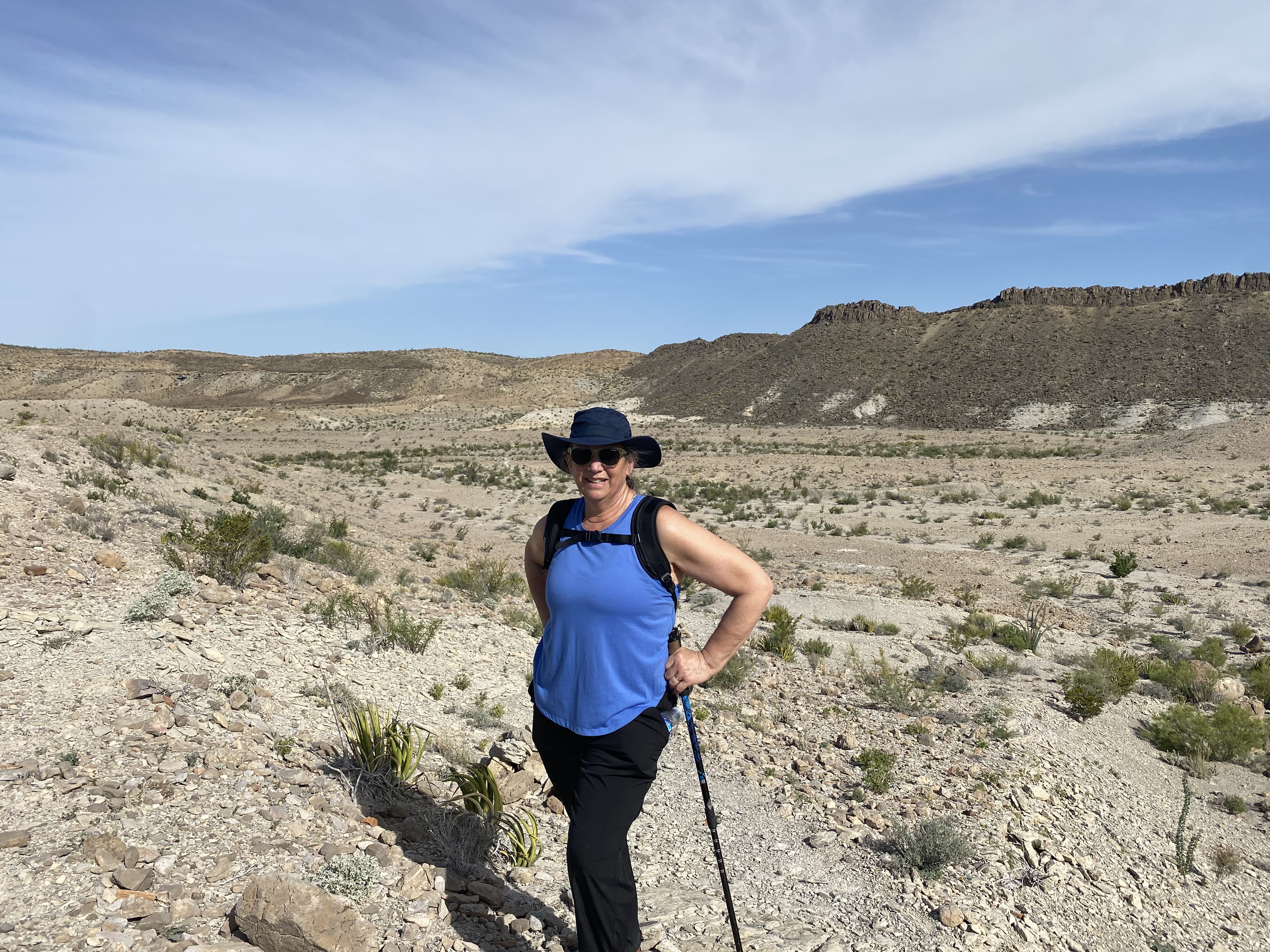
Our camping perch was a short distance from the Mariscal Mountains so we were able to get an early start hiking in the Mariscal Canyon and avoid the afternoon heat where the temperatures reach 95F this time of year.
We also learned that in addition to horses plenty of cattle from Mexico have found there way across the Rio Grande. When we later asked a ranger about the cattle he indicated that there are over 1000 head of cattle from Mexico in the park.

After our hike we retraced our route back east on the River Road until were back on asphalt and then motored north to drive up through the Chisos and into the Chisos Basin.

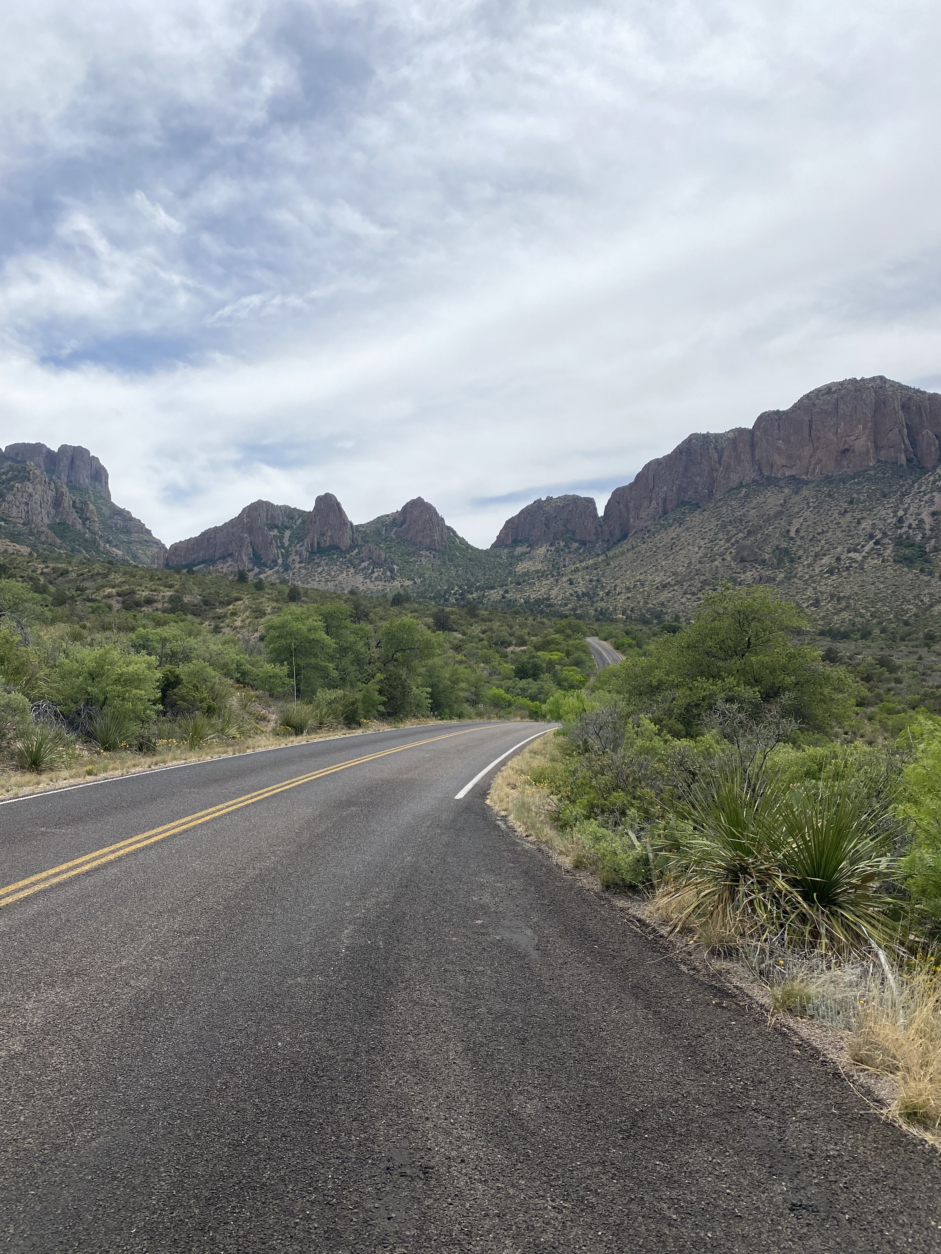


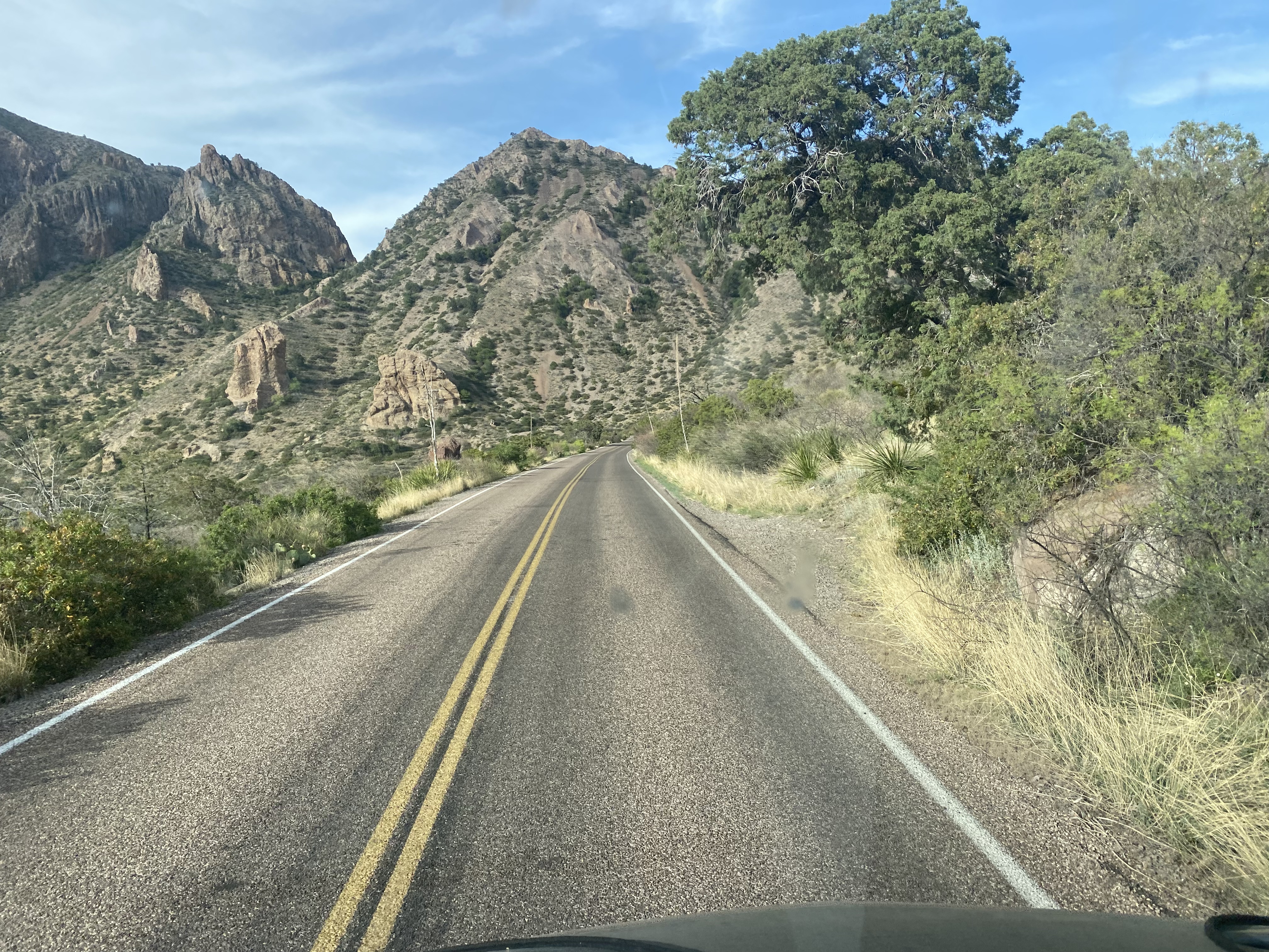

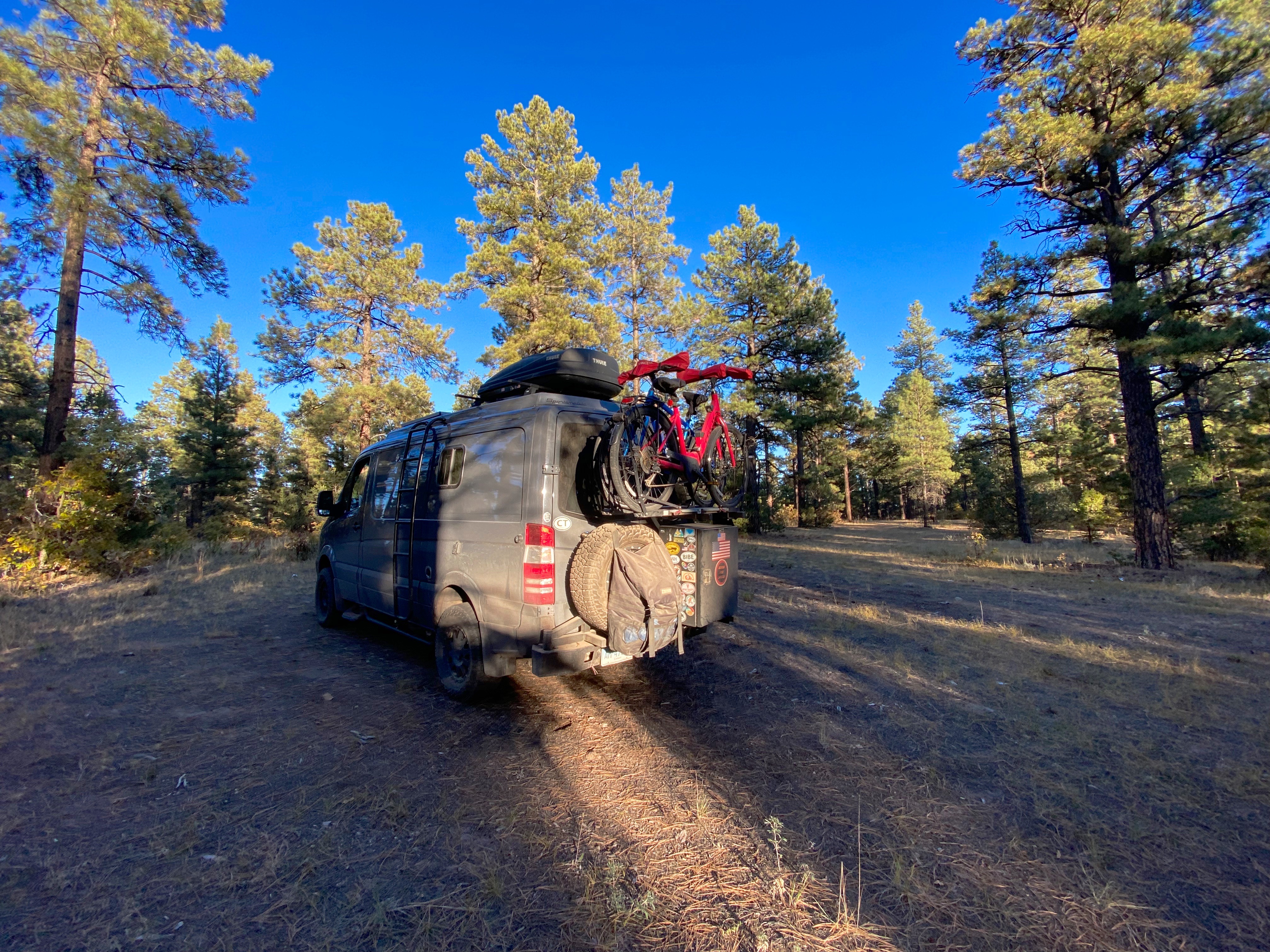
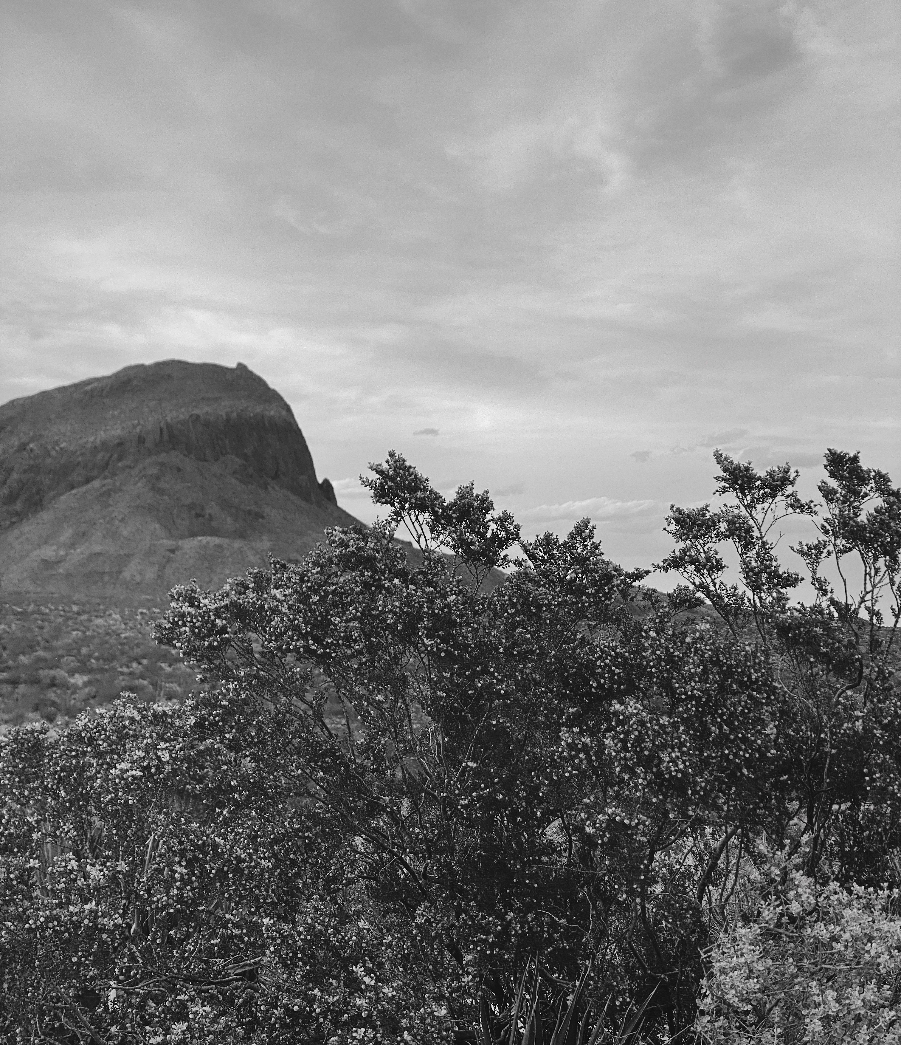
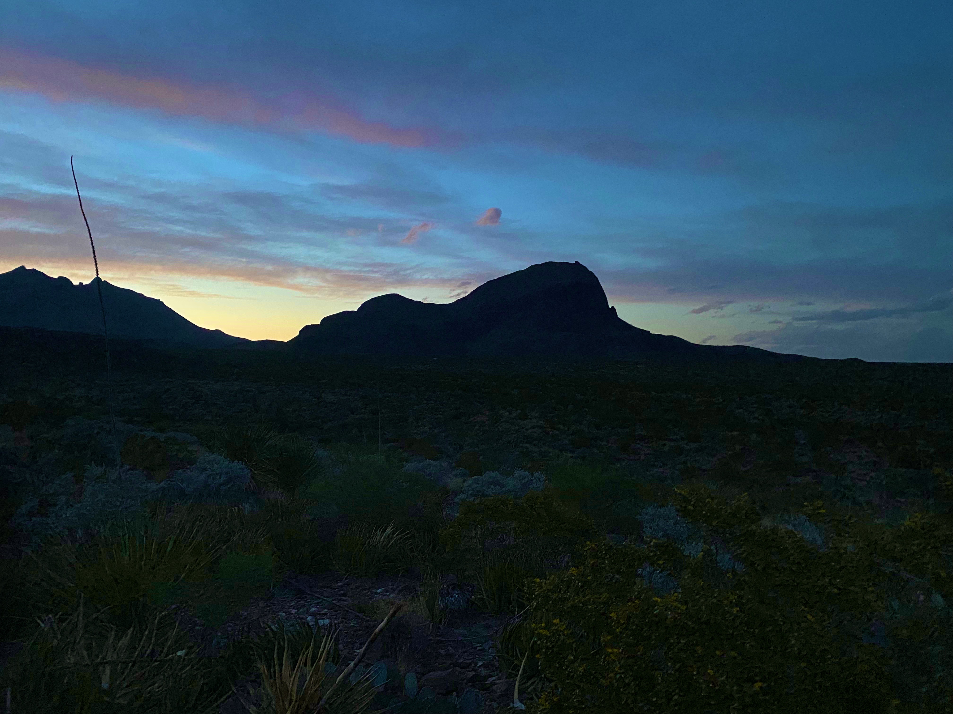
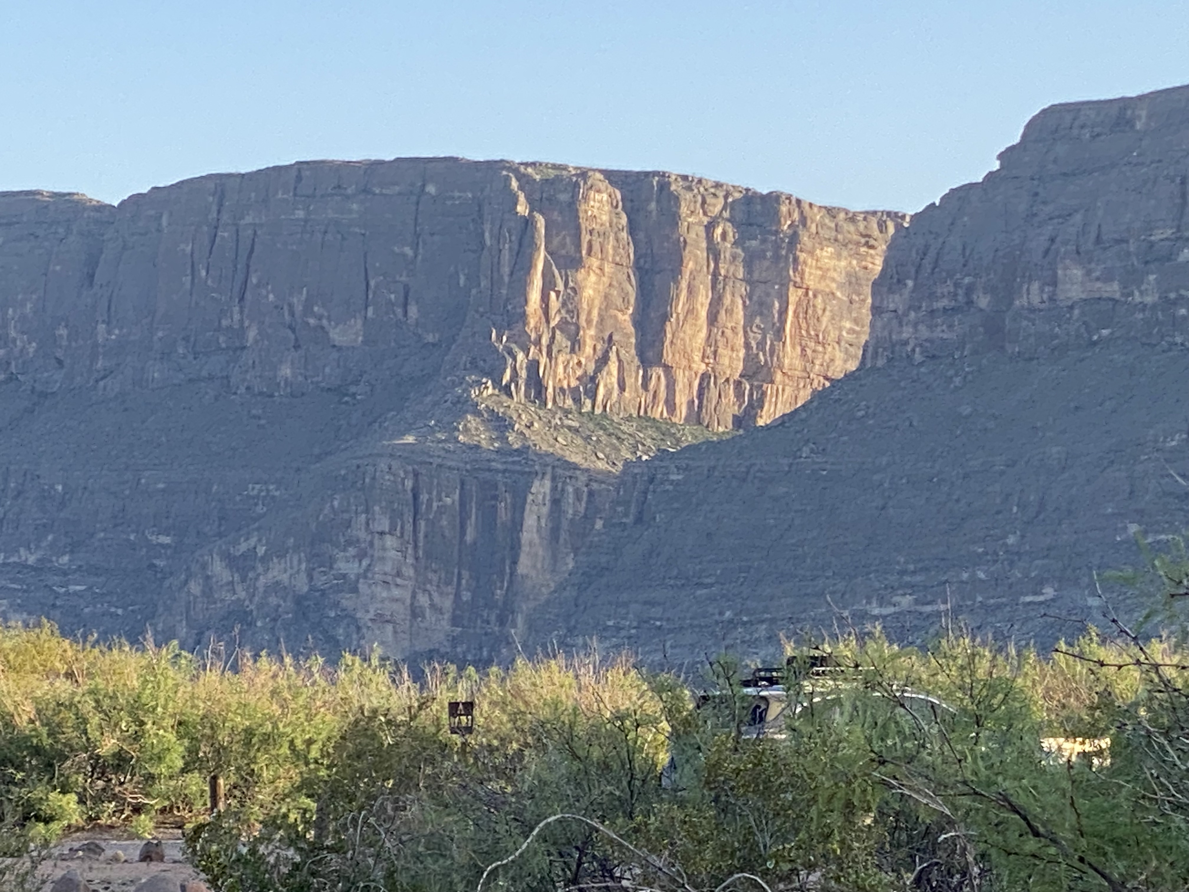
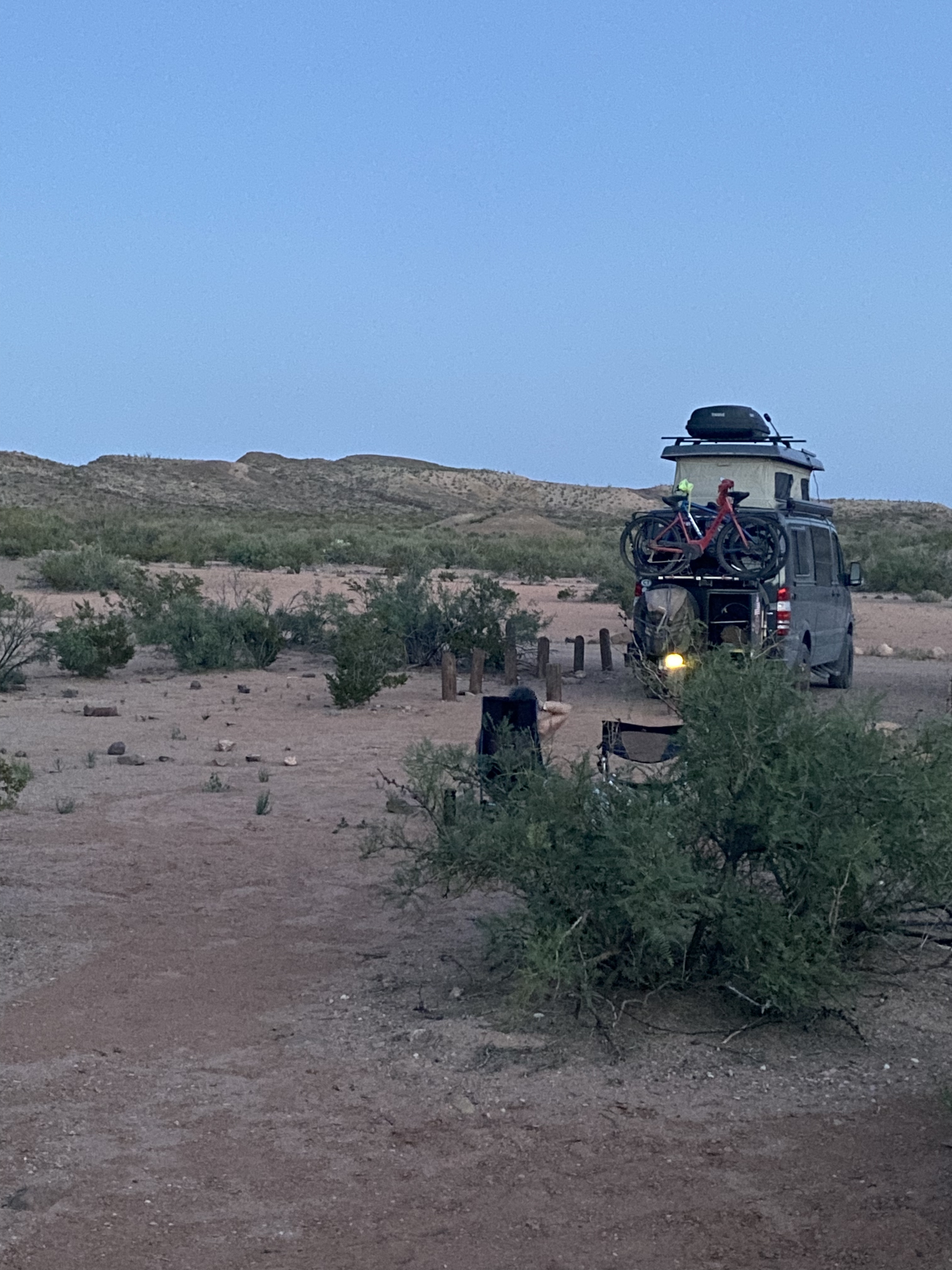
After taking in the views of the Chisos from the basin we headed back south to our camping spot for night two. We had another great camping spot in the shadow of the Chillicotal Mountain. From our camping area we had a 360 degree view – the views to the south were of mountains across the Rio Grande in Mexico.


Day three
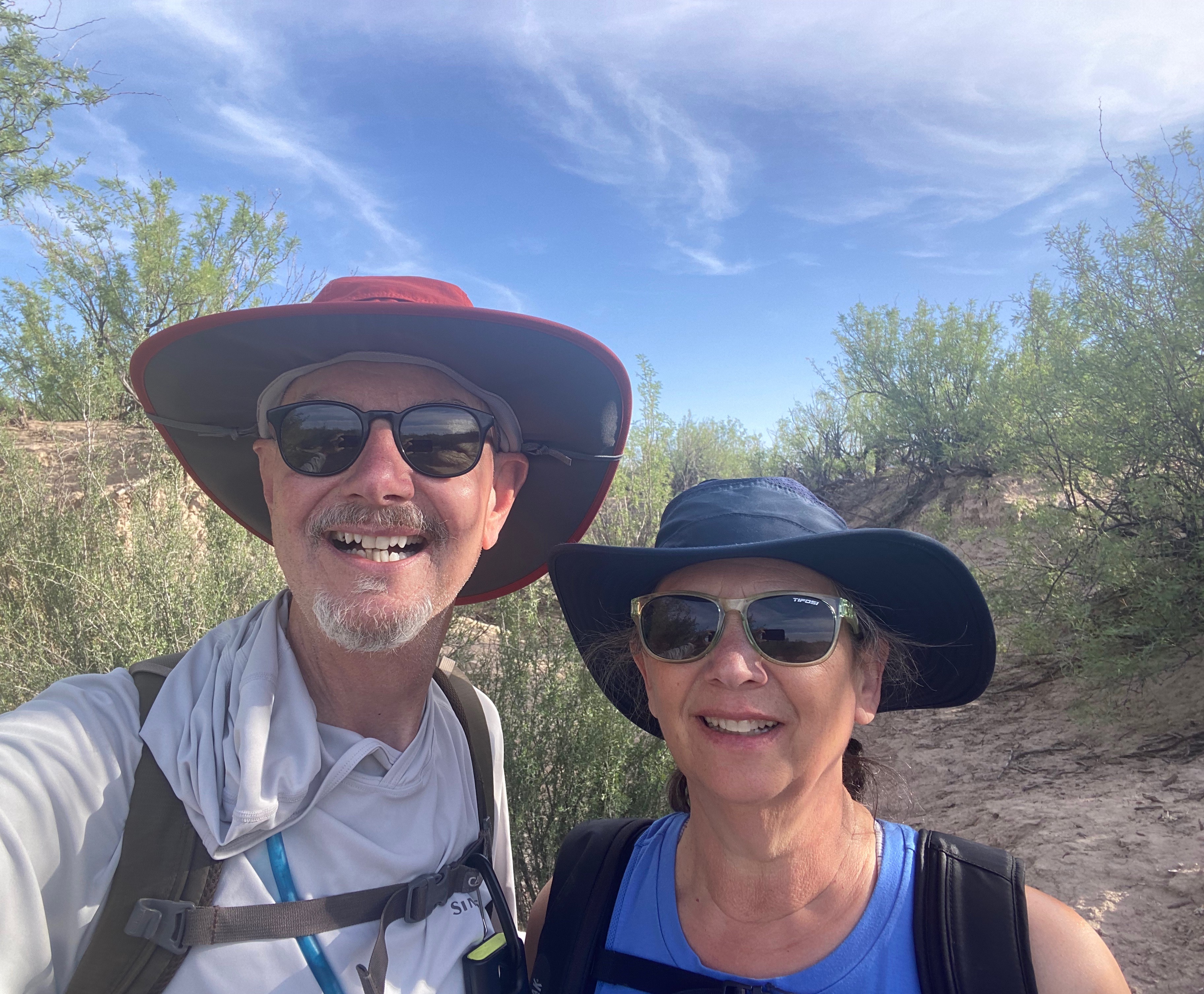
Our campsite at Chilicotal was only about four miles from the Pine Canyon trailhead so we again got an early start to be off the trail before the worst of the heat.

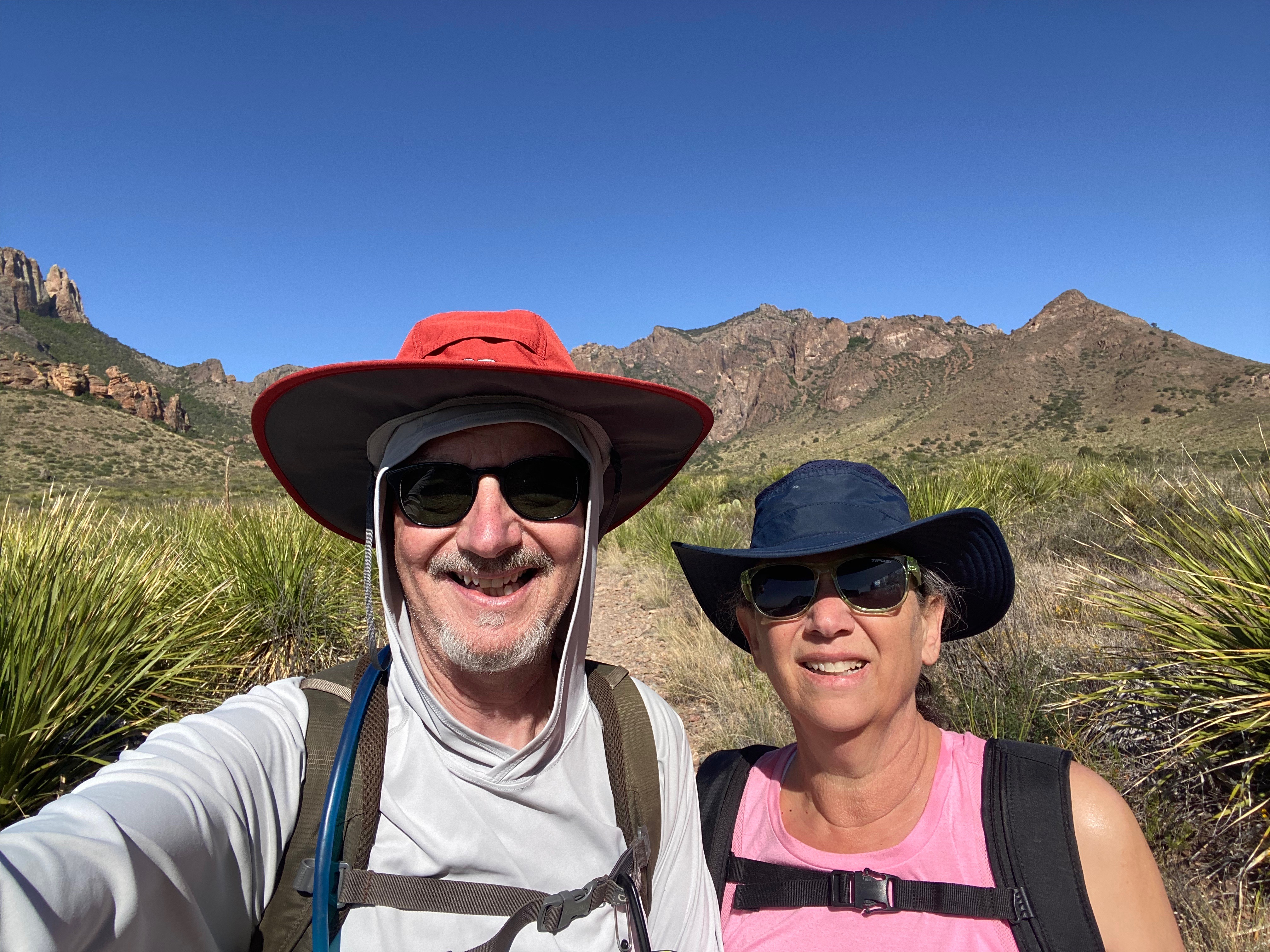


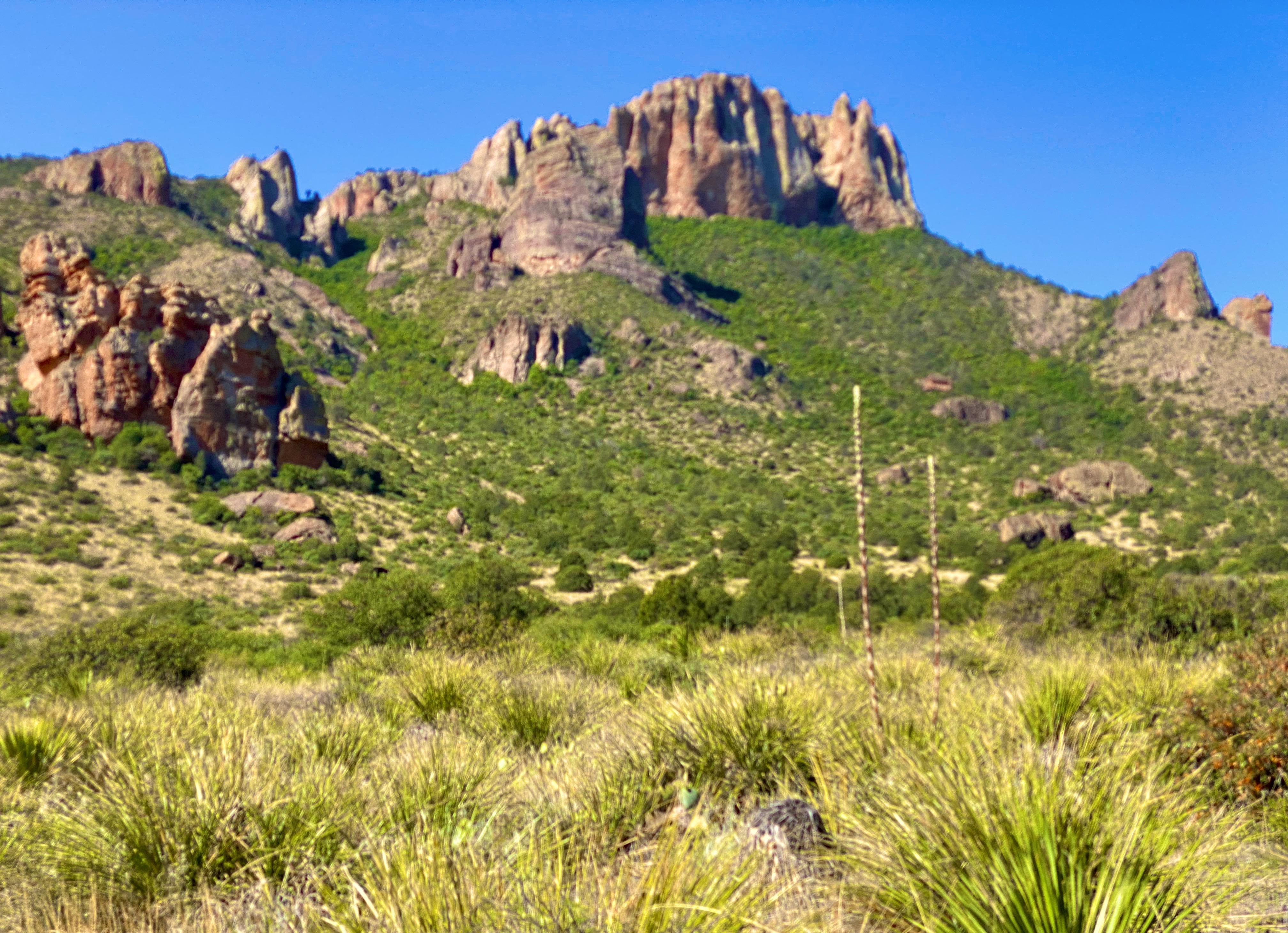


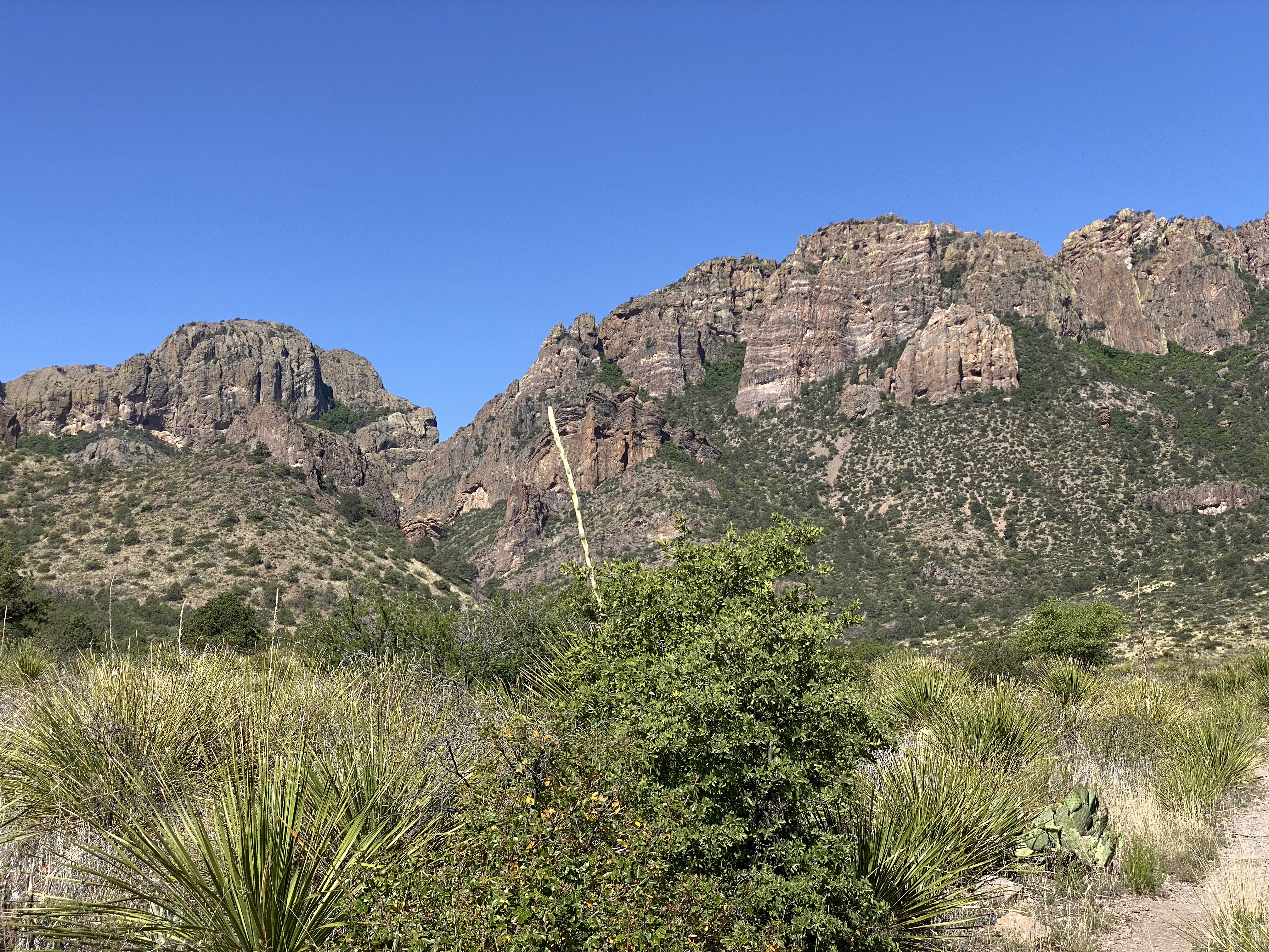


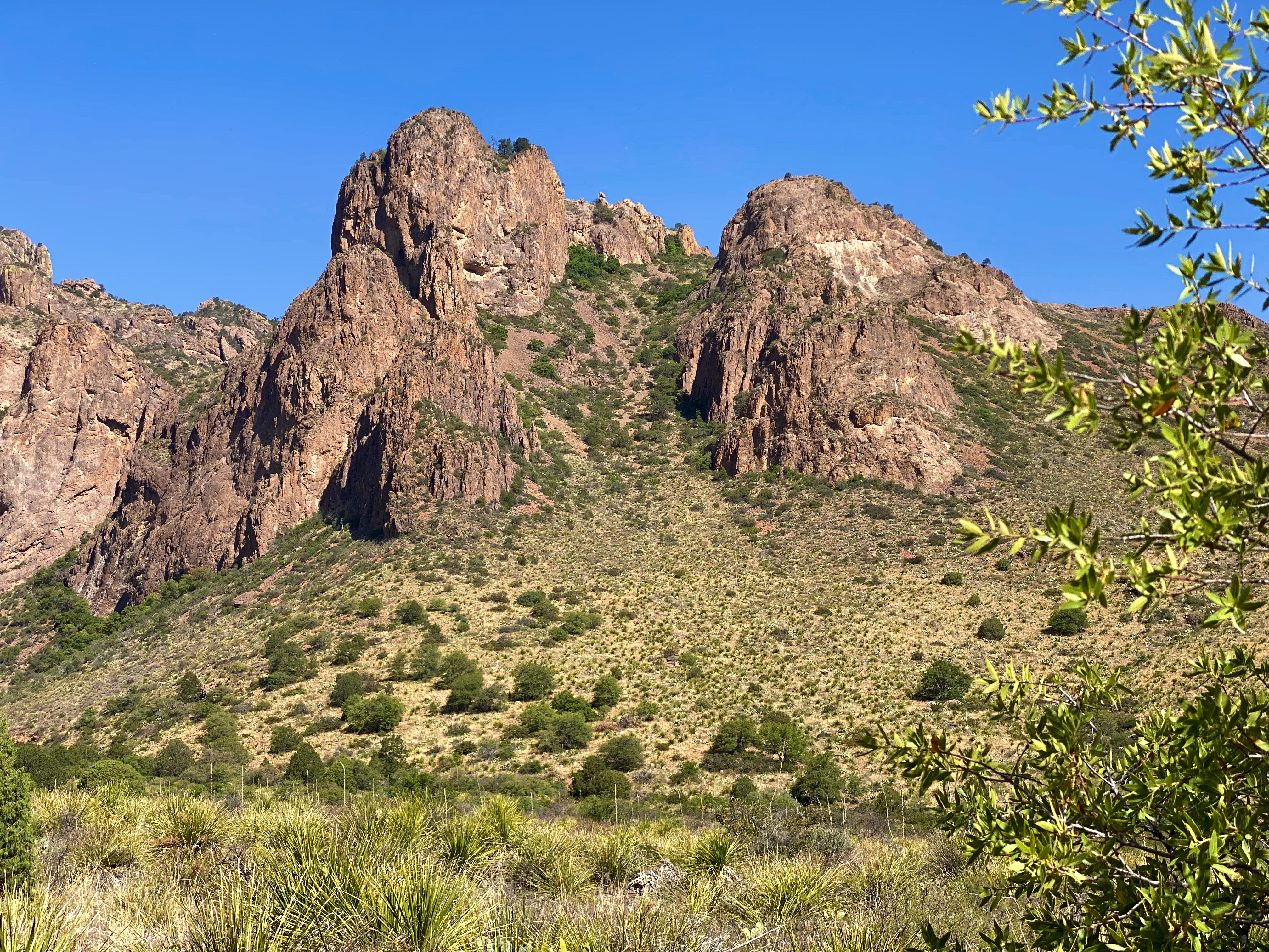


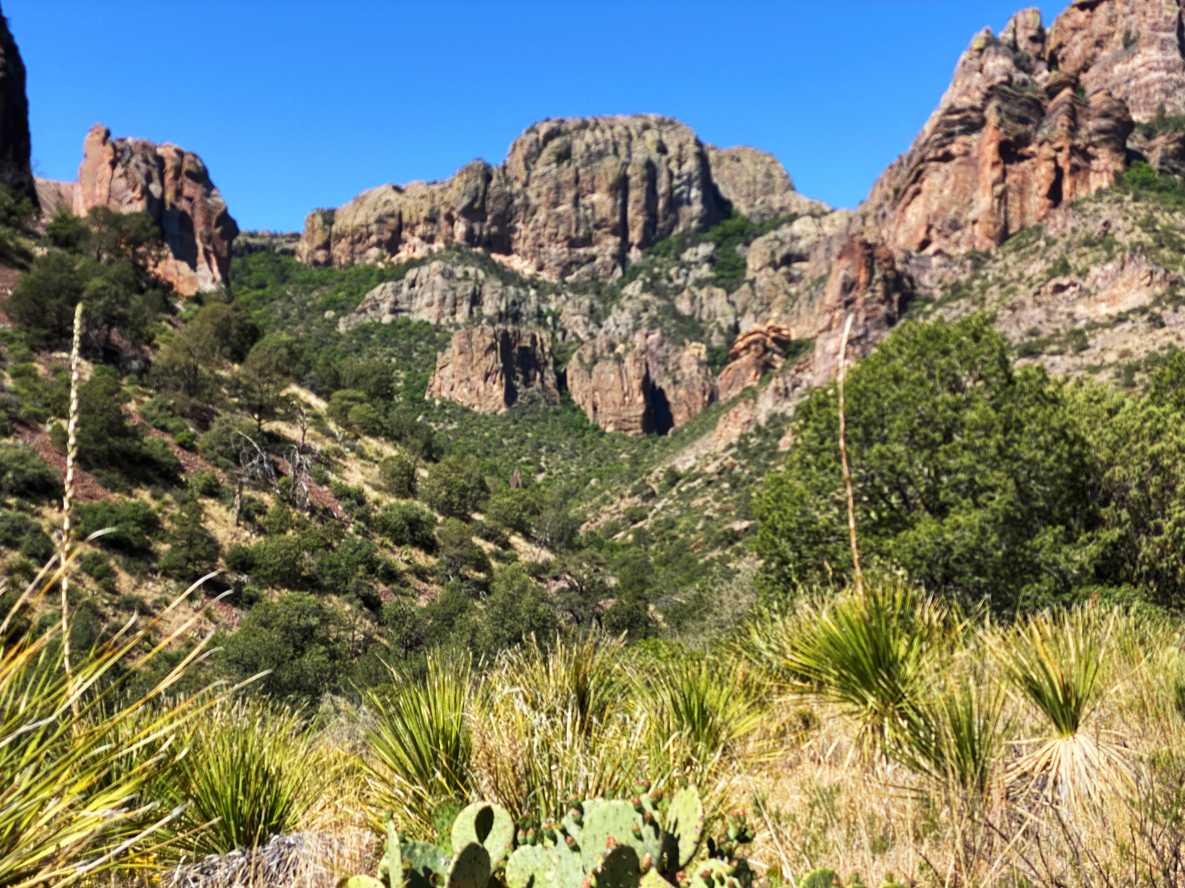


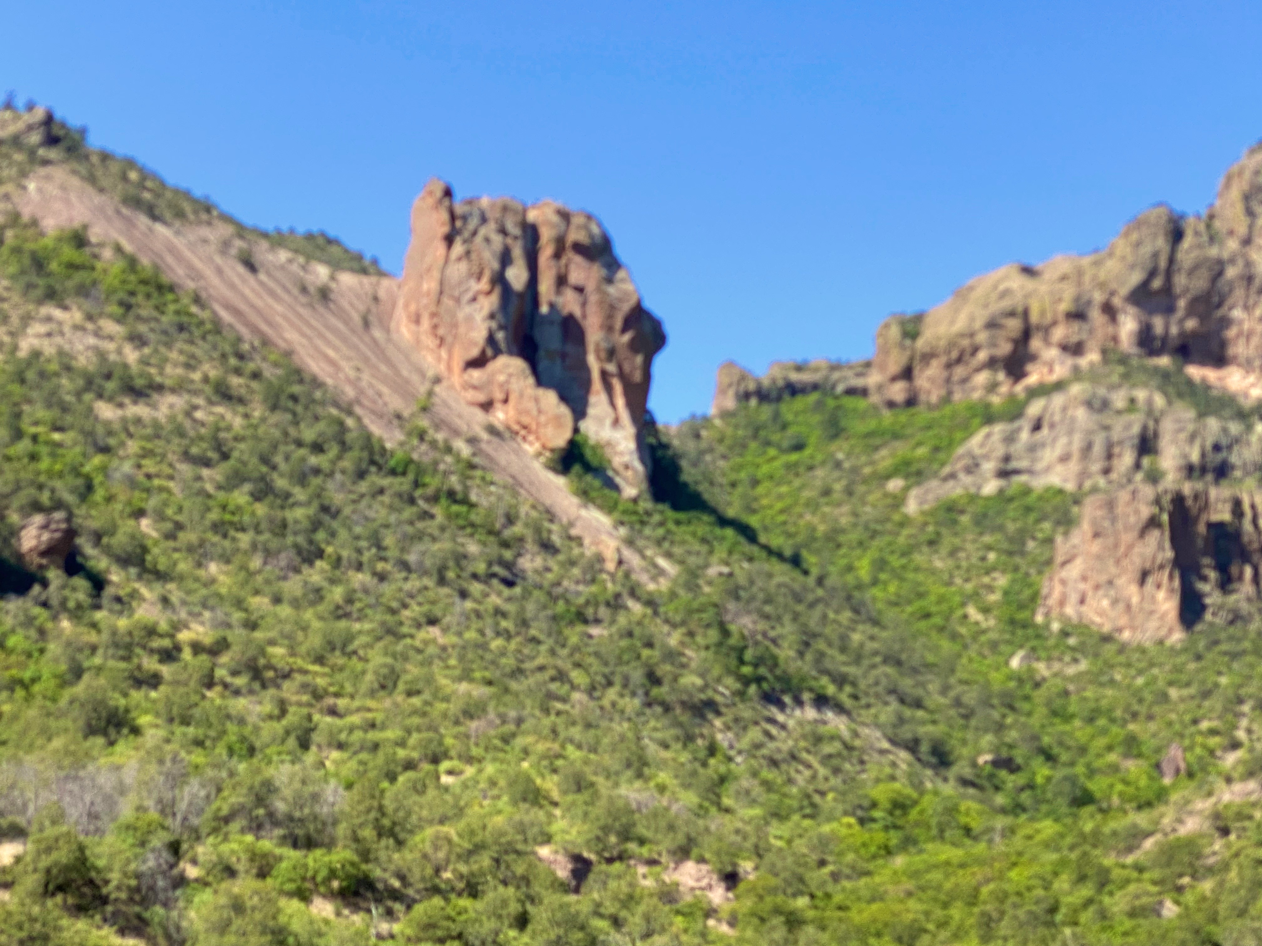
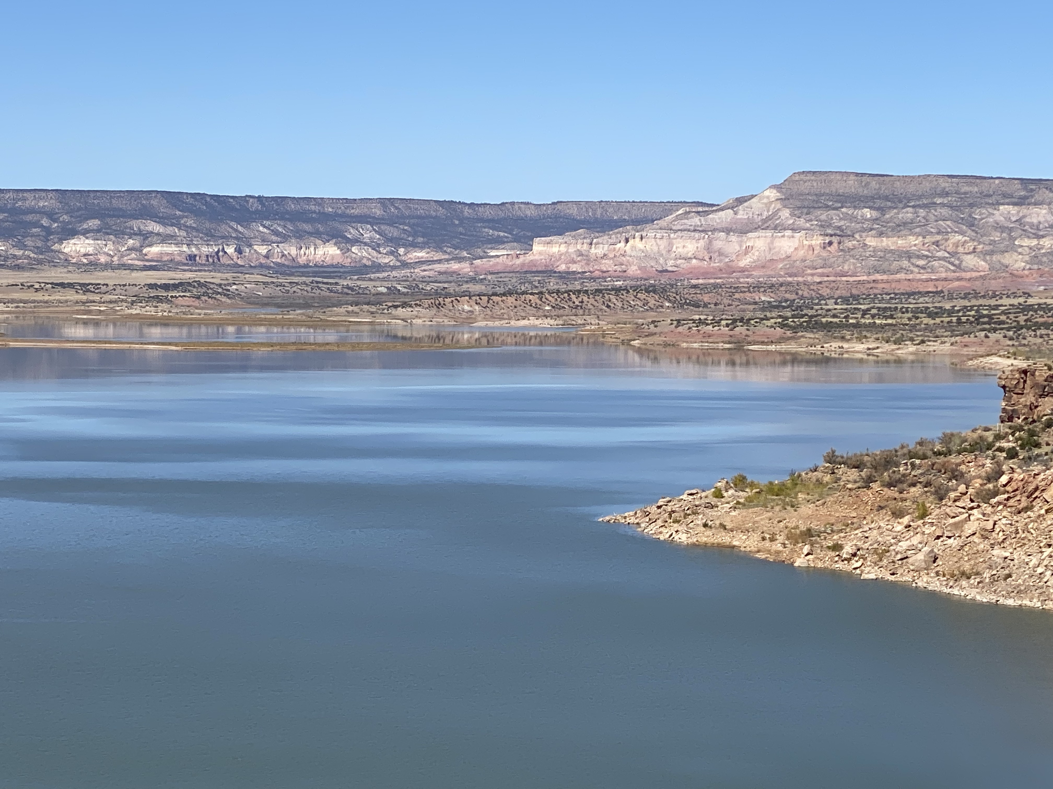
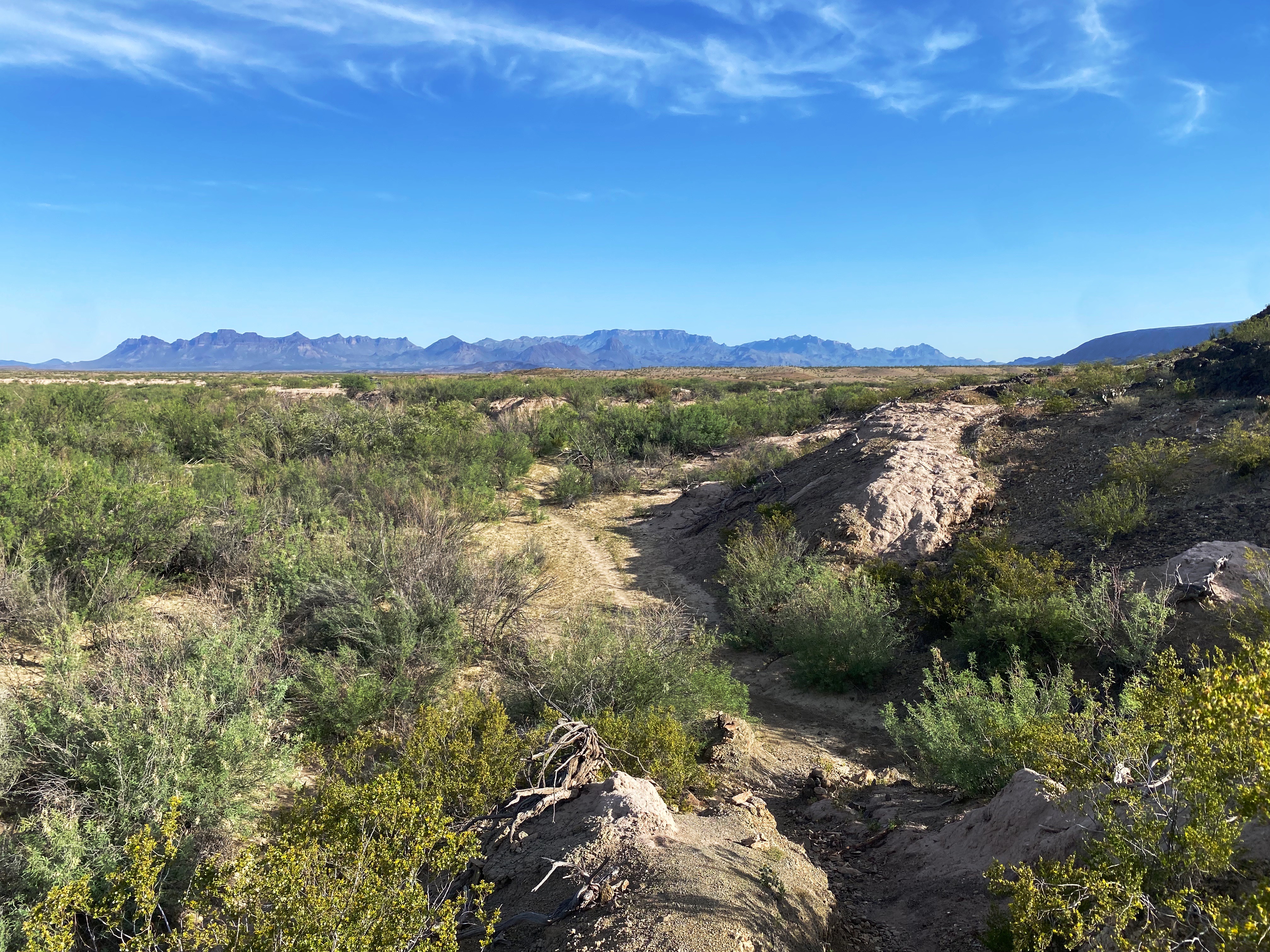
After finishing our hike up into the spectacular Spring Canyon we circled up across the northern section of the park to connect with the Ross Maxwell Scenic Drive. The scenic drive connected us to southwestern area of the park along the Rio Grande.


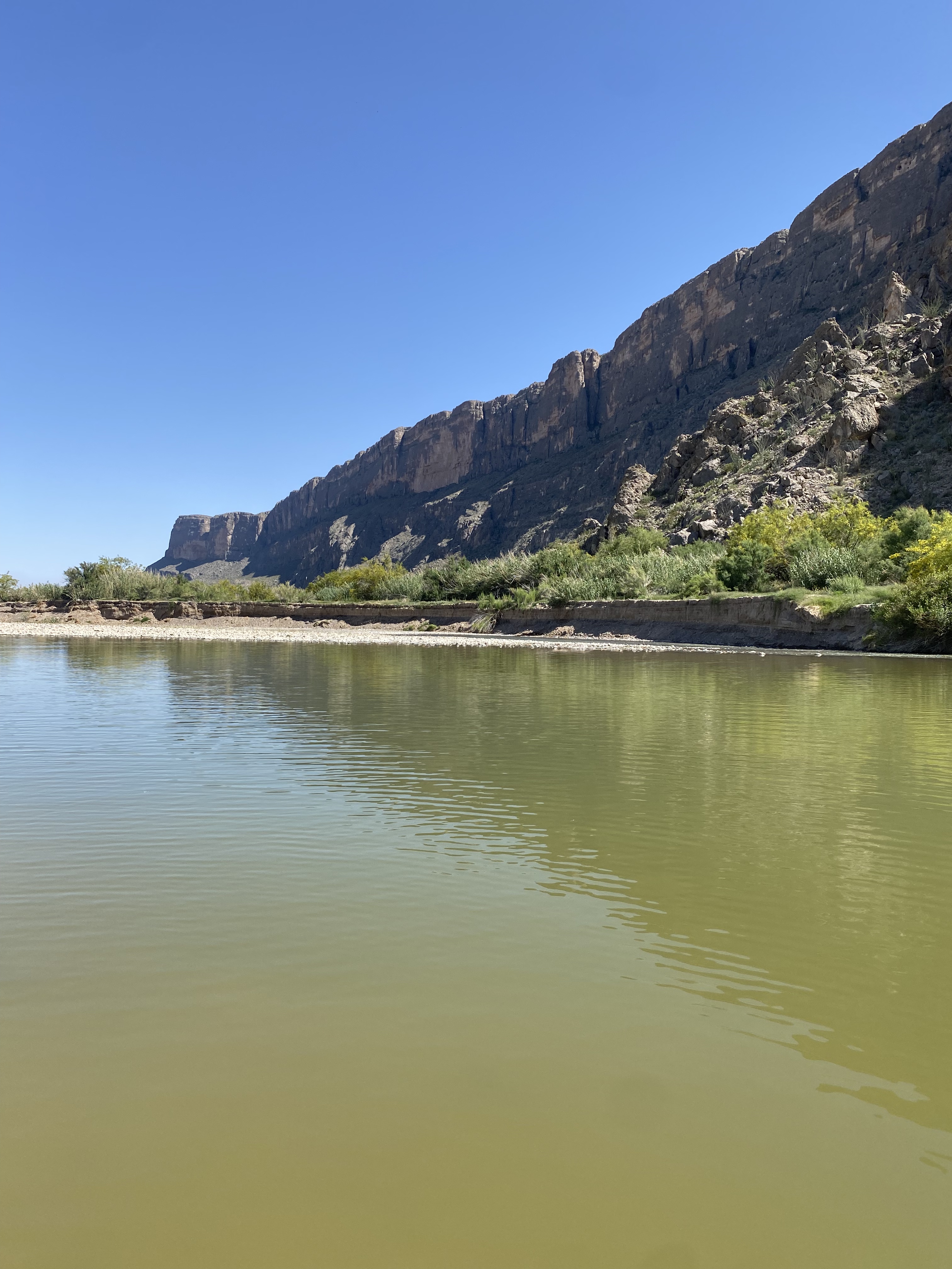


The four photos directly above are the of the Rio Grande. The far shore is Mexico. The canyon in the final photo bottom right is Saint Elena. The left canyon wall is Mexico while the right canyon wall is the United States.
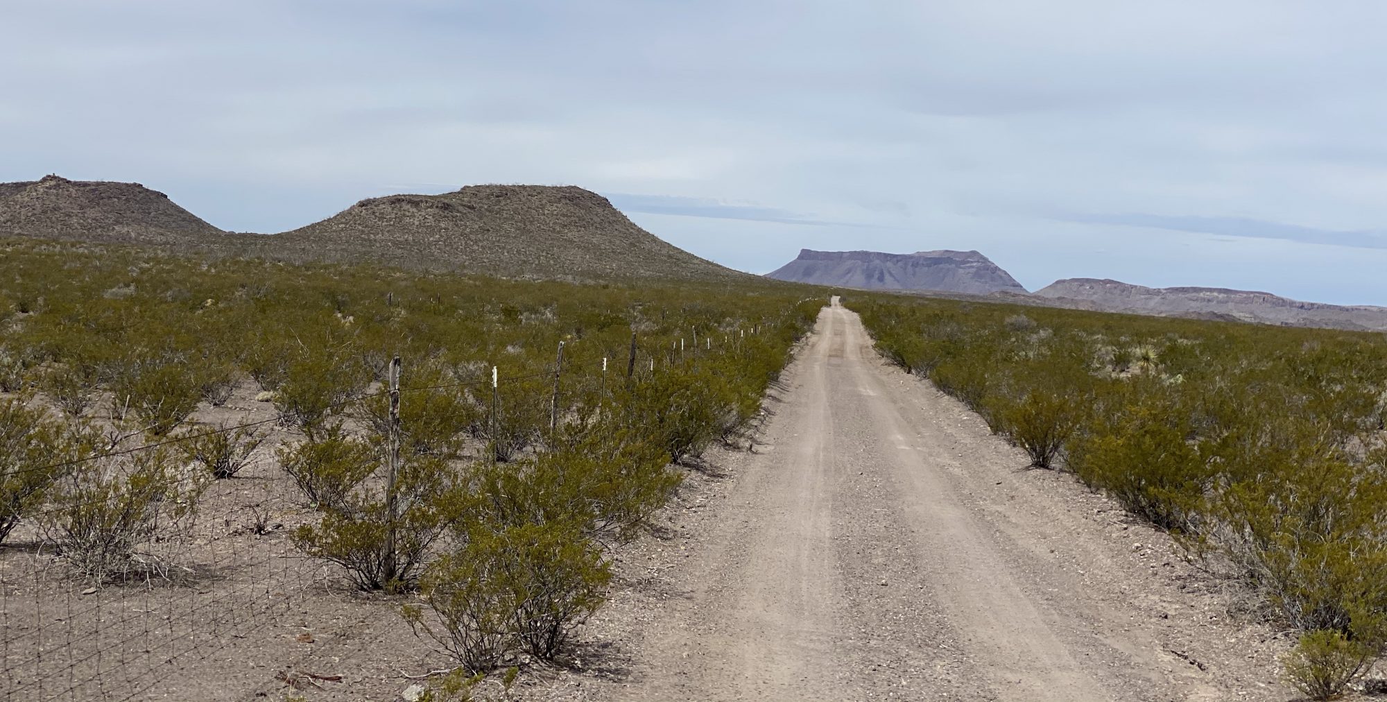
After cooling off in the Rio Grande we connected with the Maverick Road to head north for our final night of camping at a site nearTerlingua Abaya. Terlingua Abayo is an abandoned town on the banks of Terlingua Creek. The town was at one time a thriving agricultural community supplying produce for local ranchers and miners employed by the Quicksilver mines in the area. The town existed from 1900 until around 1930 when the mines ceased operations.


day four
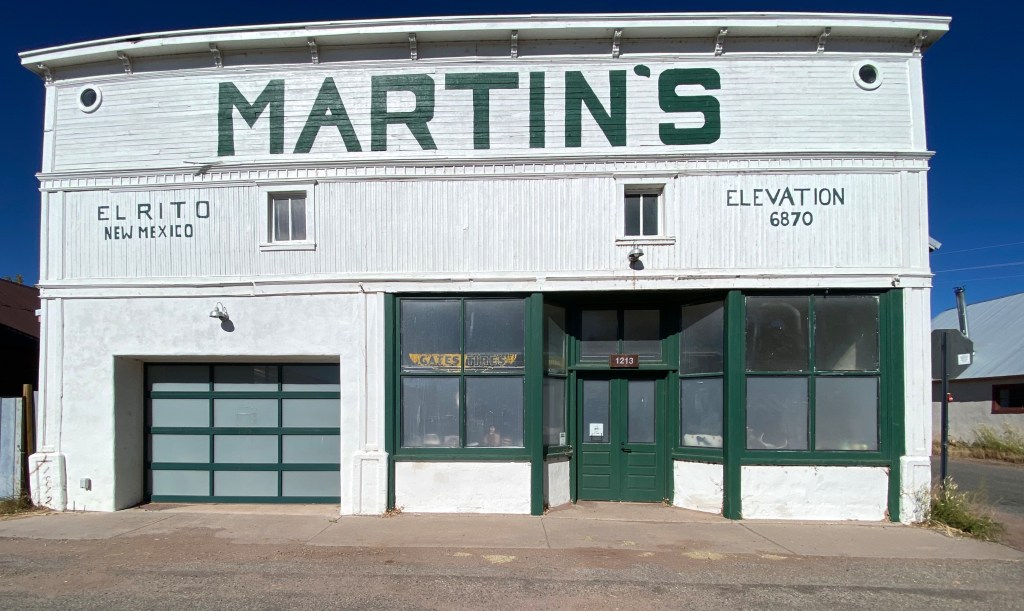
On day four we traveled north on the Maverick Road to exit the park and make our way north for a two day stay in Alpine. Before heading to Alpine we spent part of the day in Terlingua Ghost Town — home to Espresso Y Poco Mas — our coffee hangout from our previous visit to BBNP.


We hope y’all enjoyed this post. Be seeing you!
BBNP: 26–29 April 2023