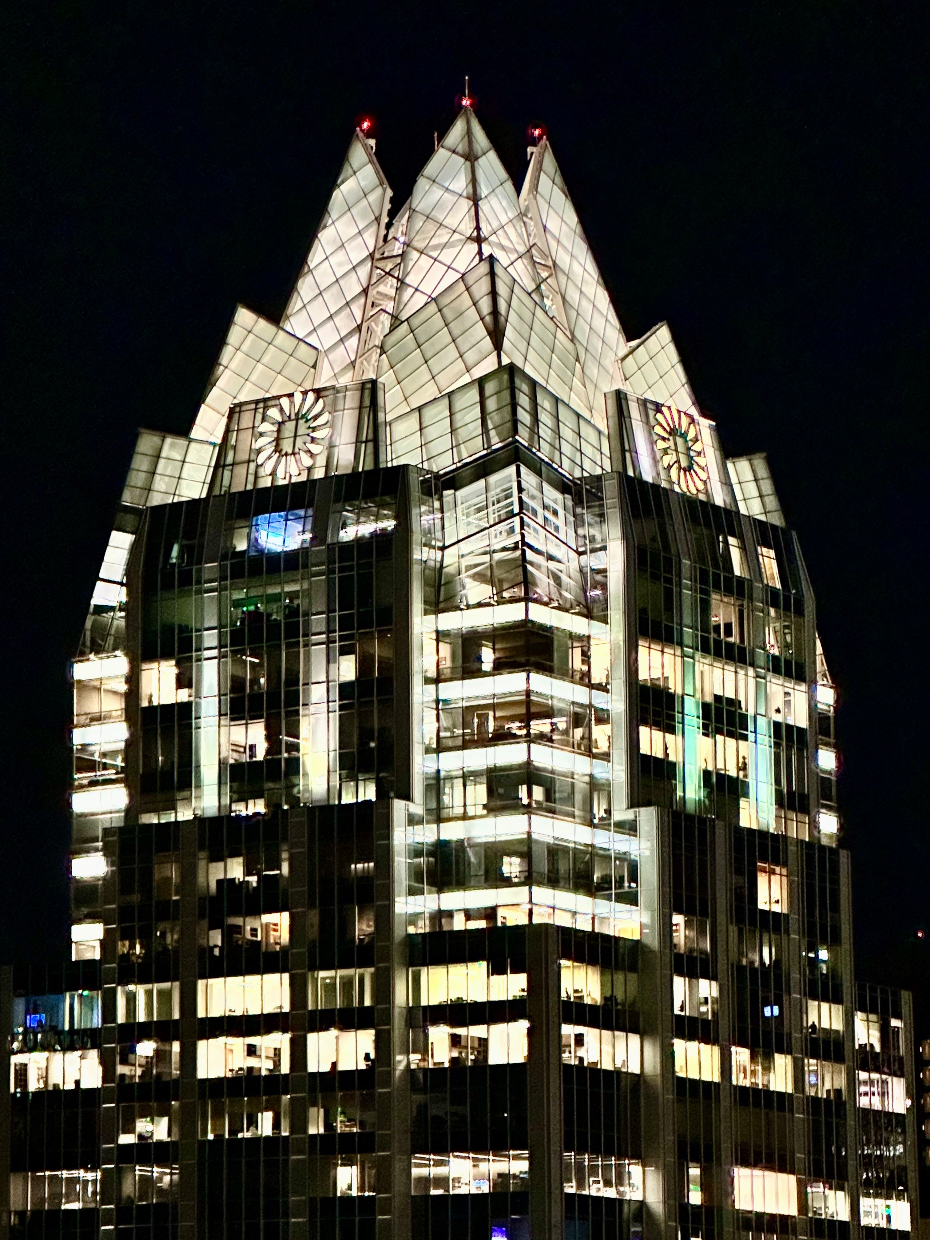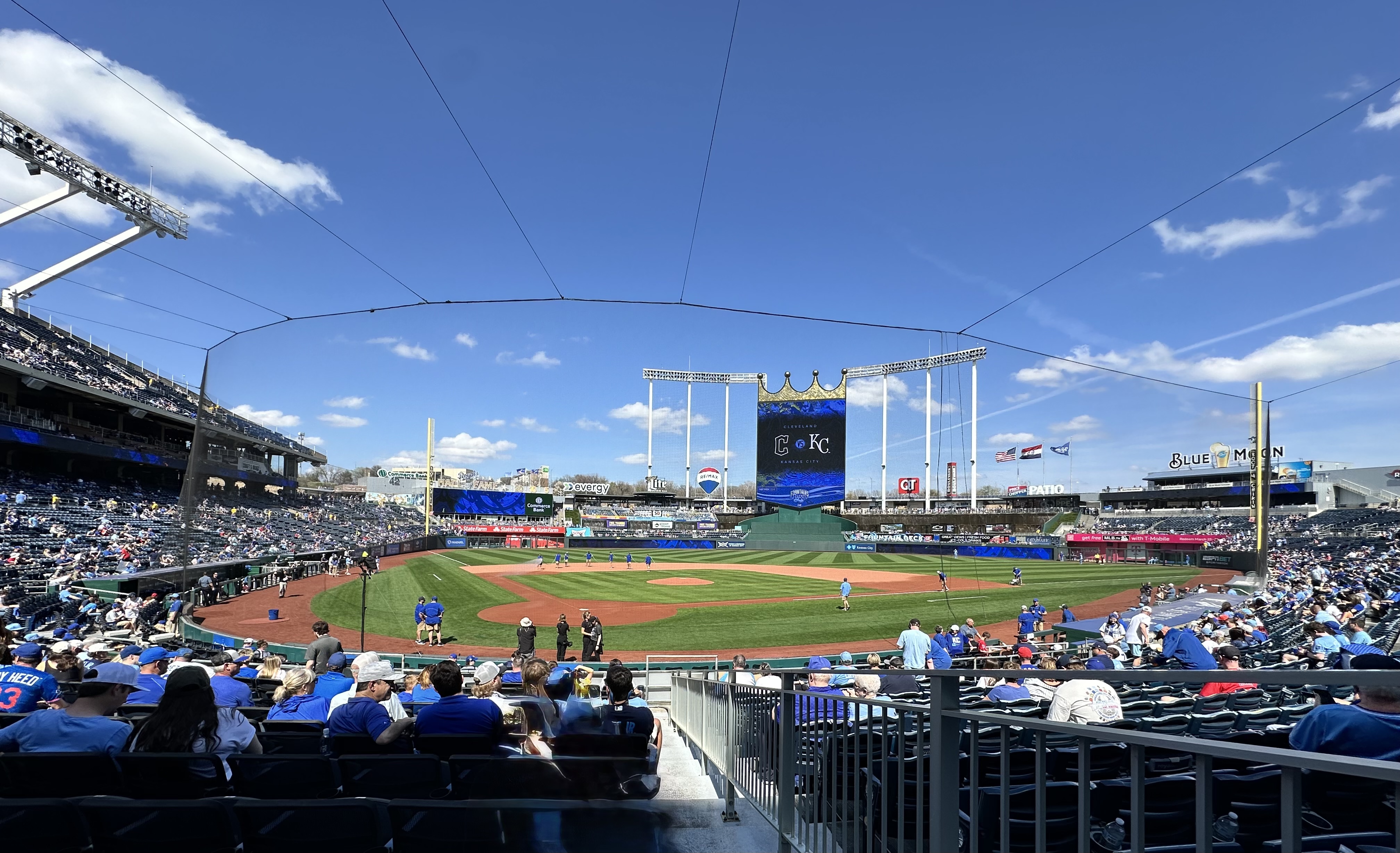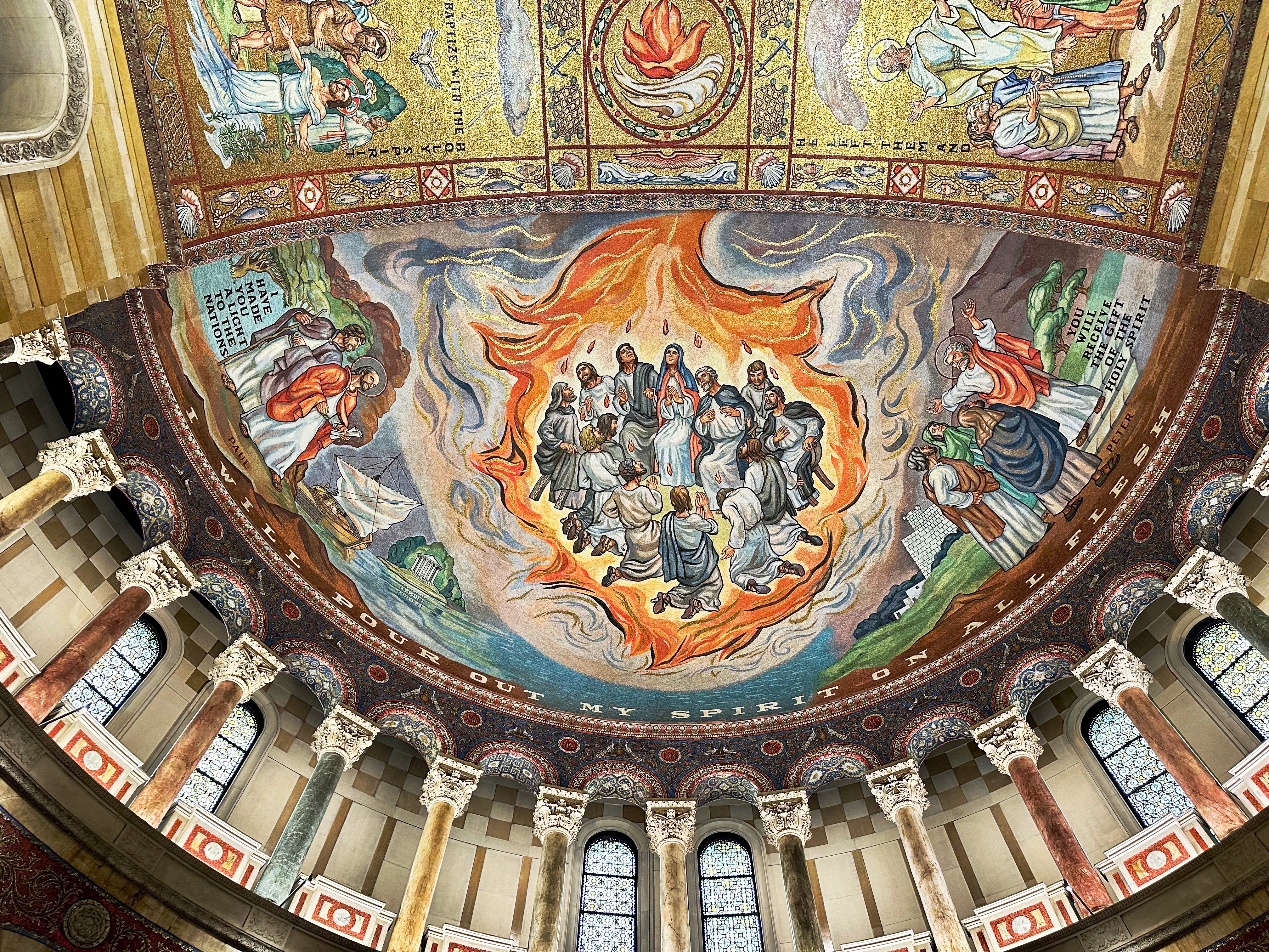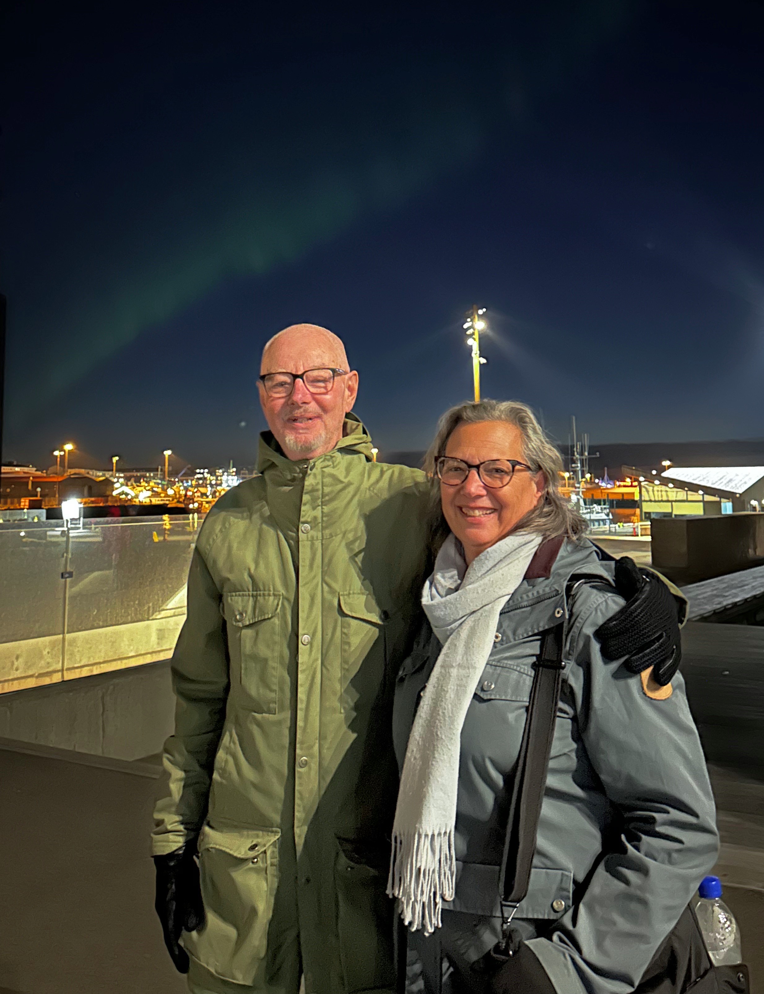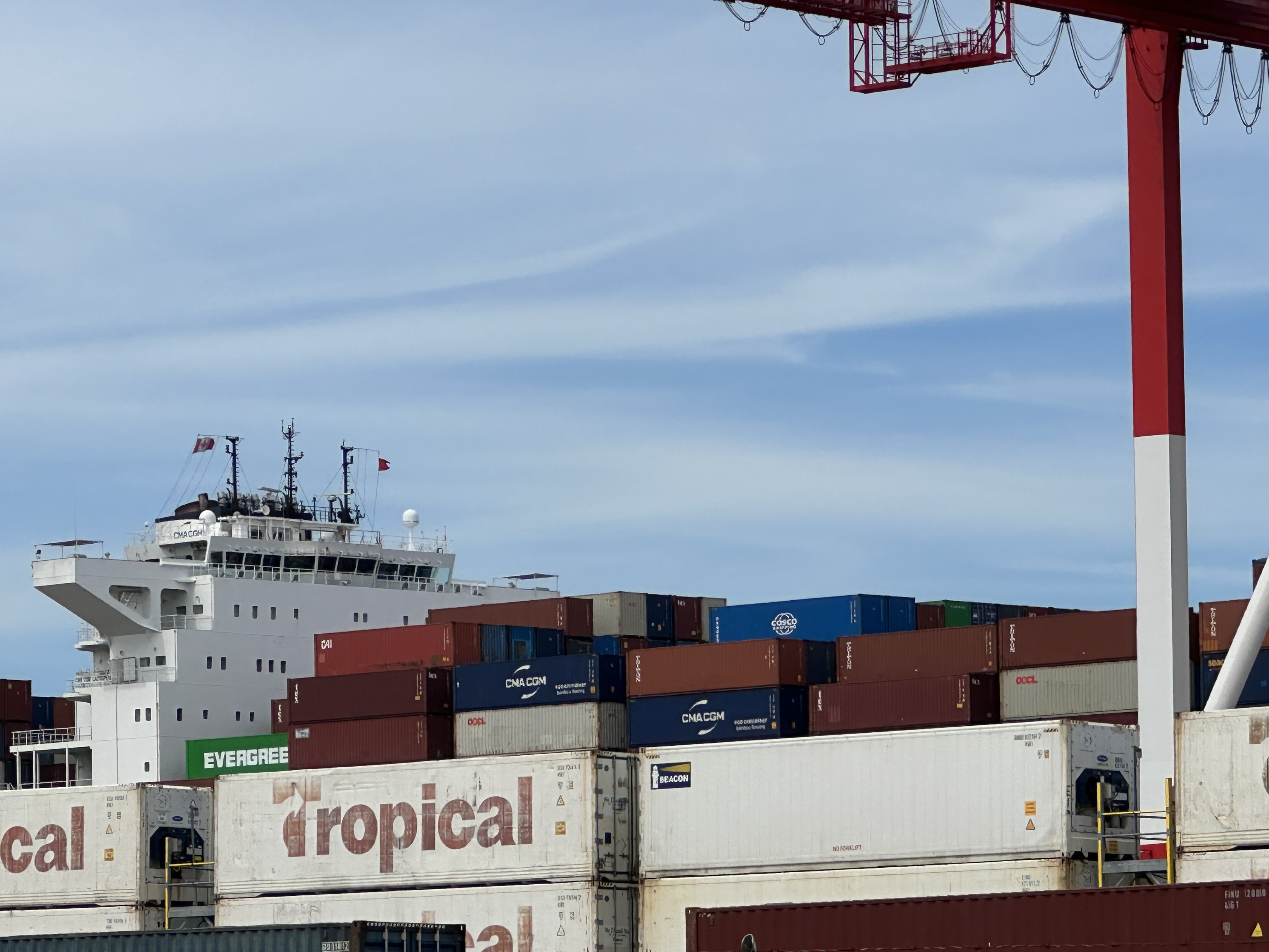
As we grow less inclined to spend the latter years of our aged existence in the damp, cold and snow of New England we were looking for a warm location for our January trip. When we realized it has been over 25 years since our last visit to Miami, we chose it for the January segment of our tour.
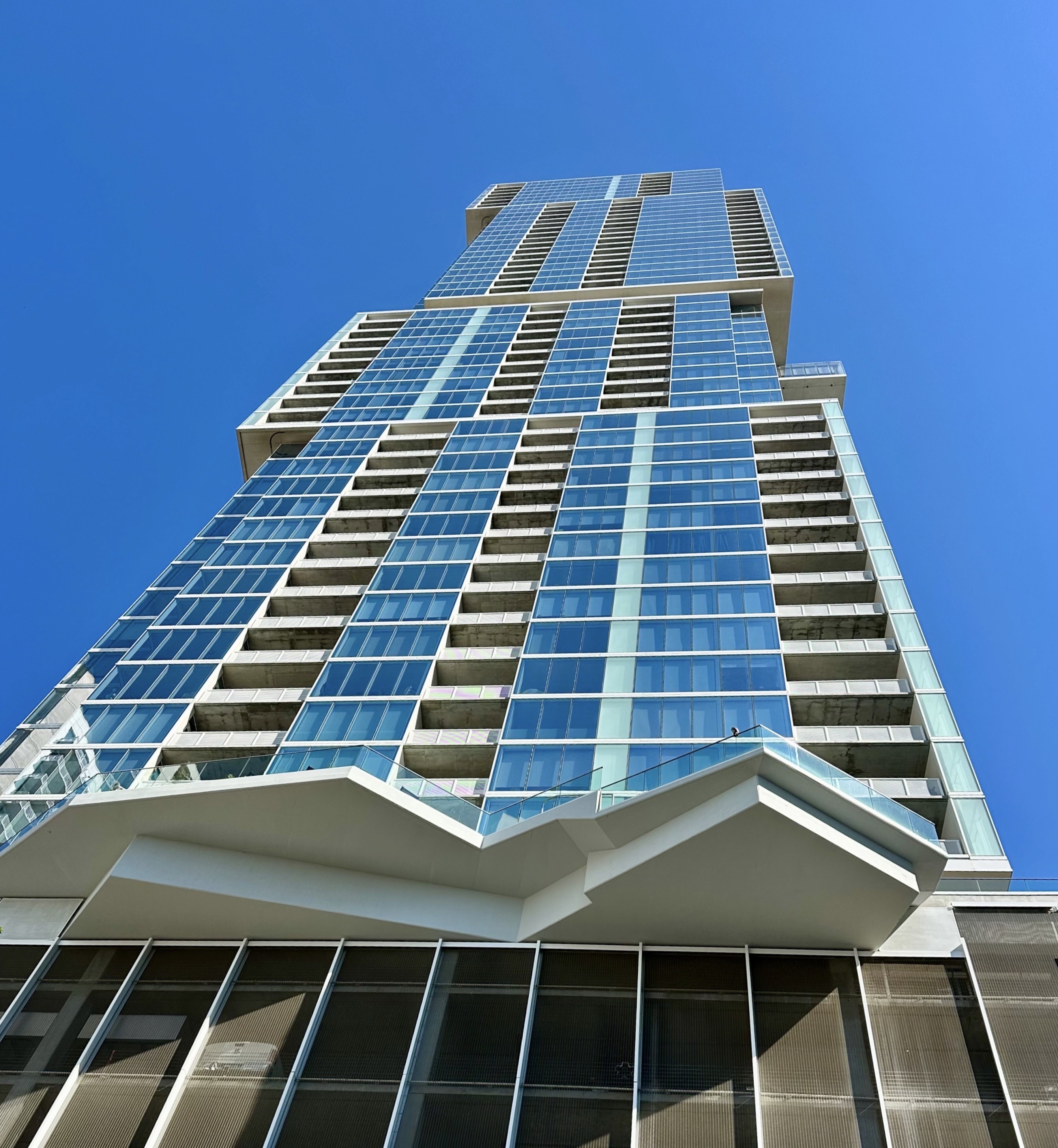
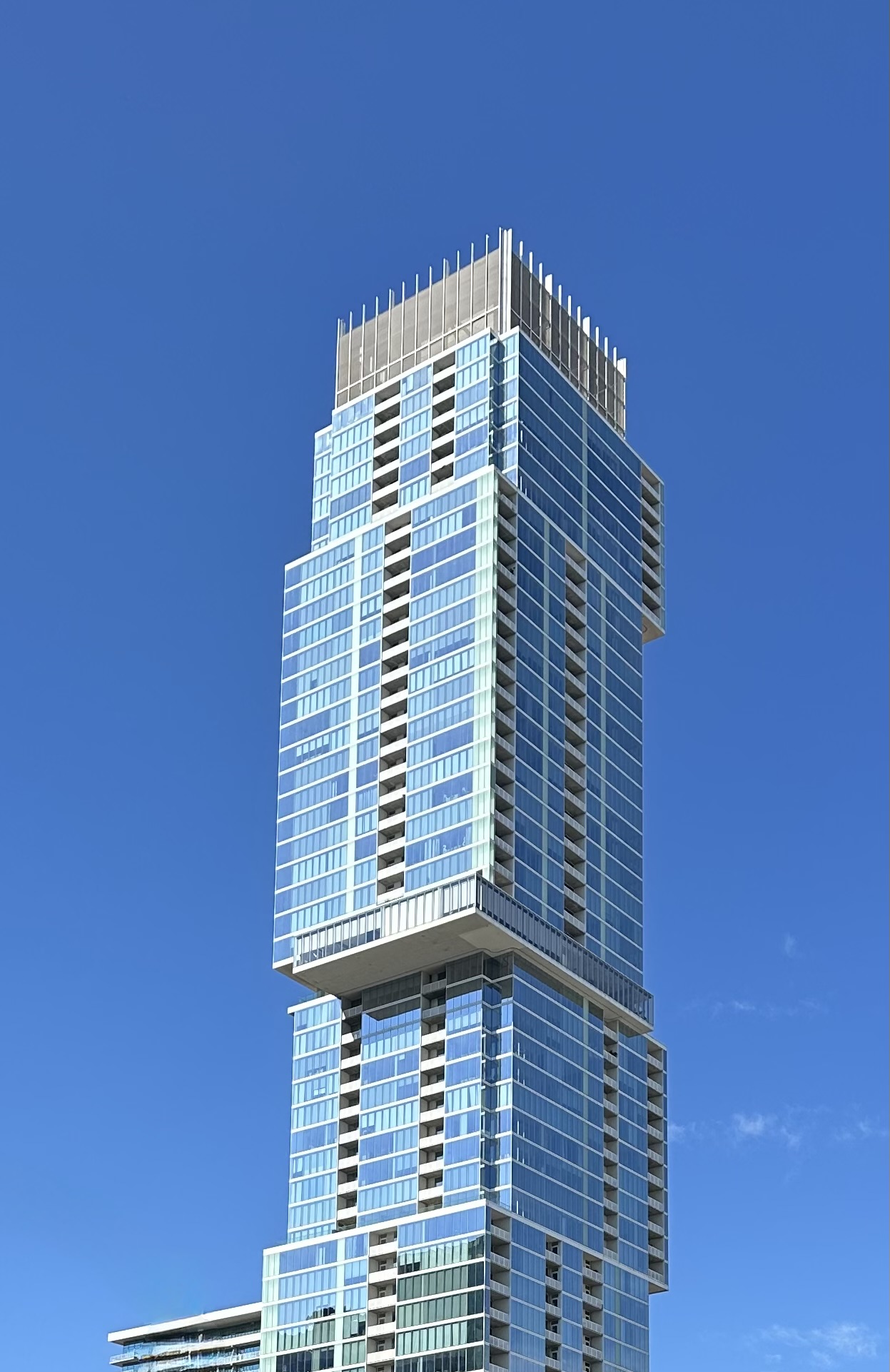
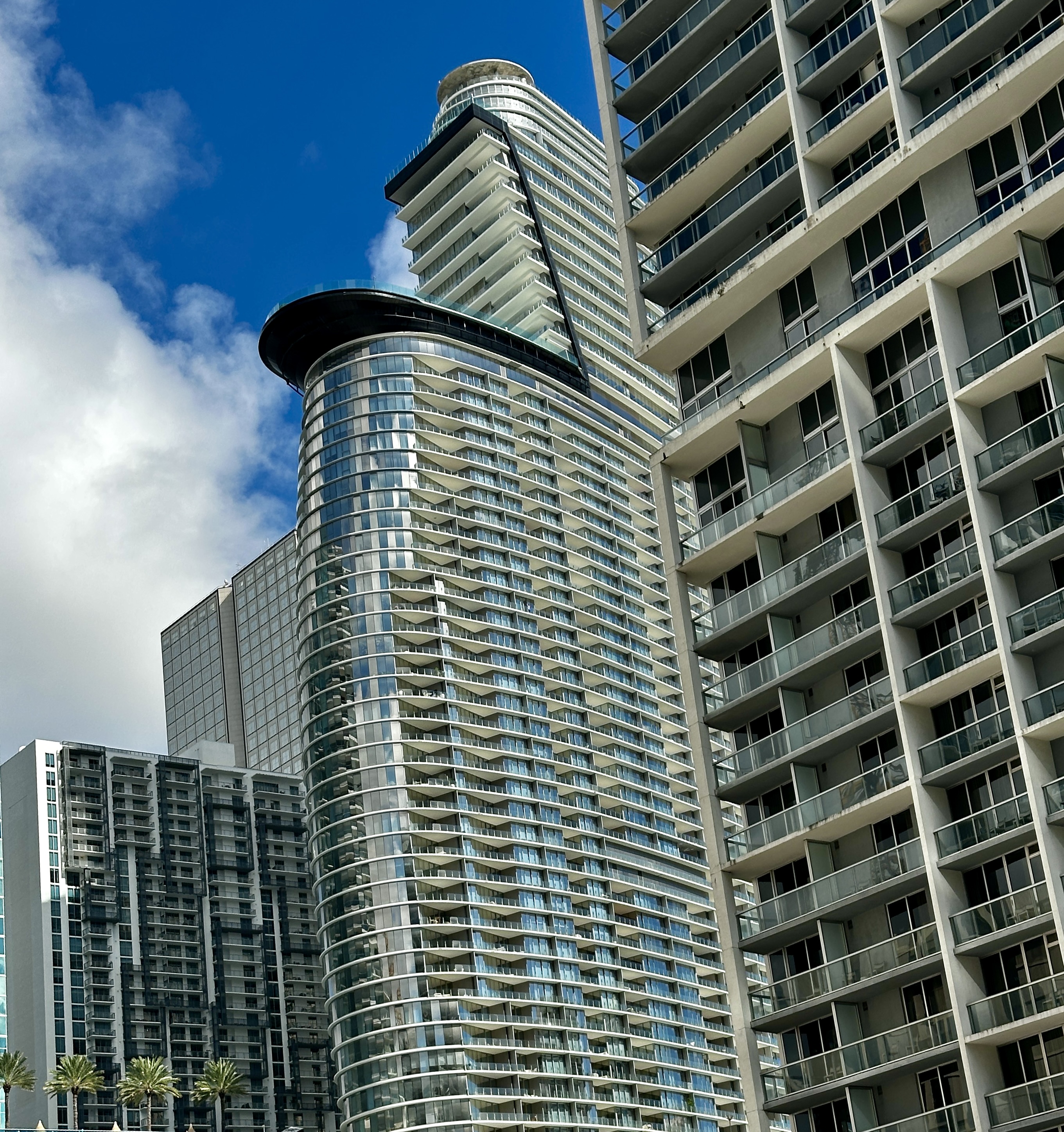
The city has grown significantly over the last 20 years. The population in 2006 was approximately 380,000. Today the population is about 500,000. Additionally, much of the population growth has taken place in a revitalizing downtown. Estimates are that the downtown population has grown by 60% in the same time frame.
About 70% of Miami residents identify as Hispanic. The Cuban population constitutes a significant portion of the population as a result of their migration to Florida as they fled the Castro regime,
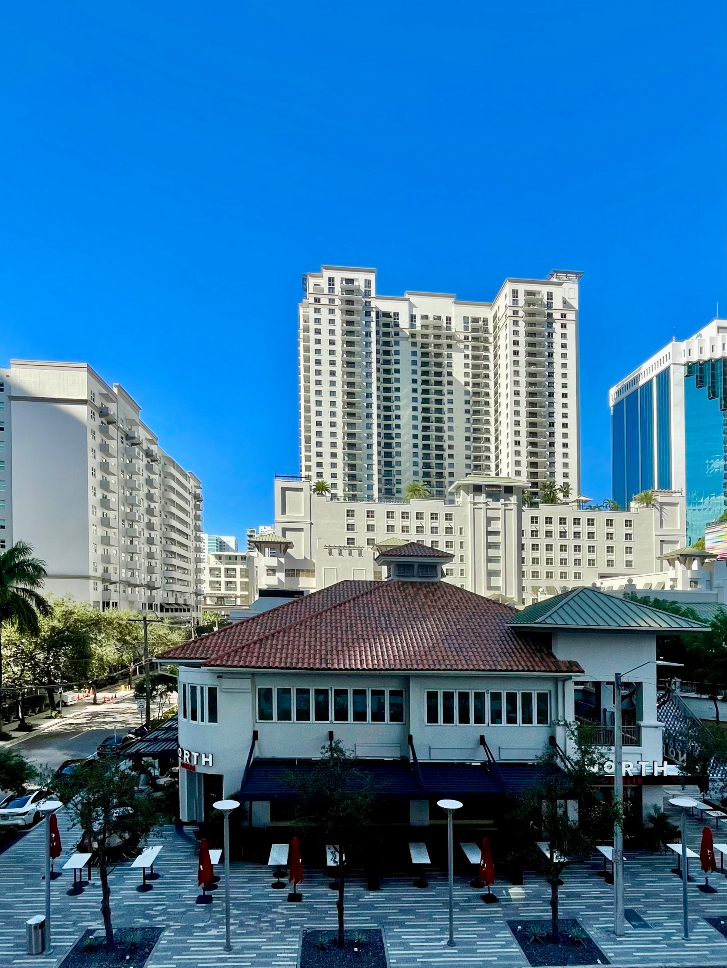
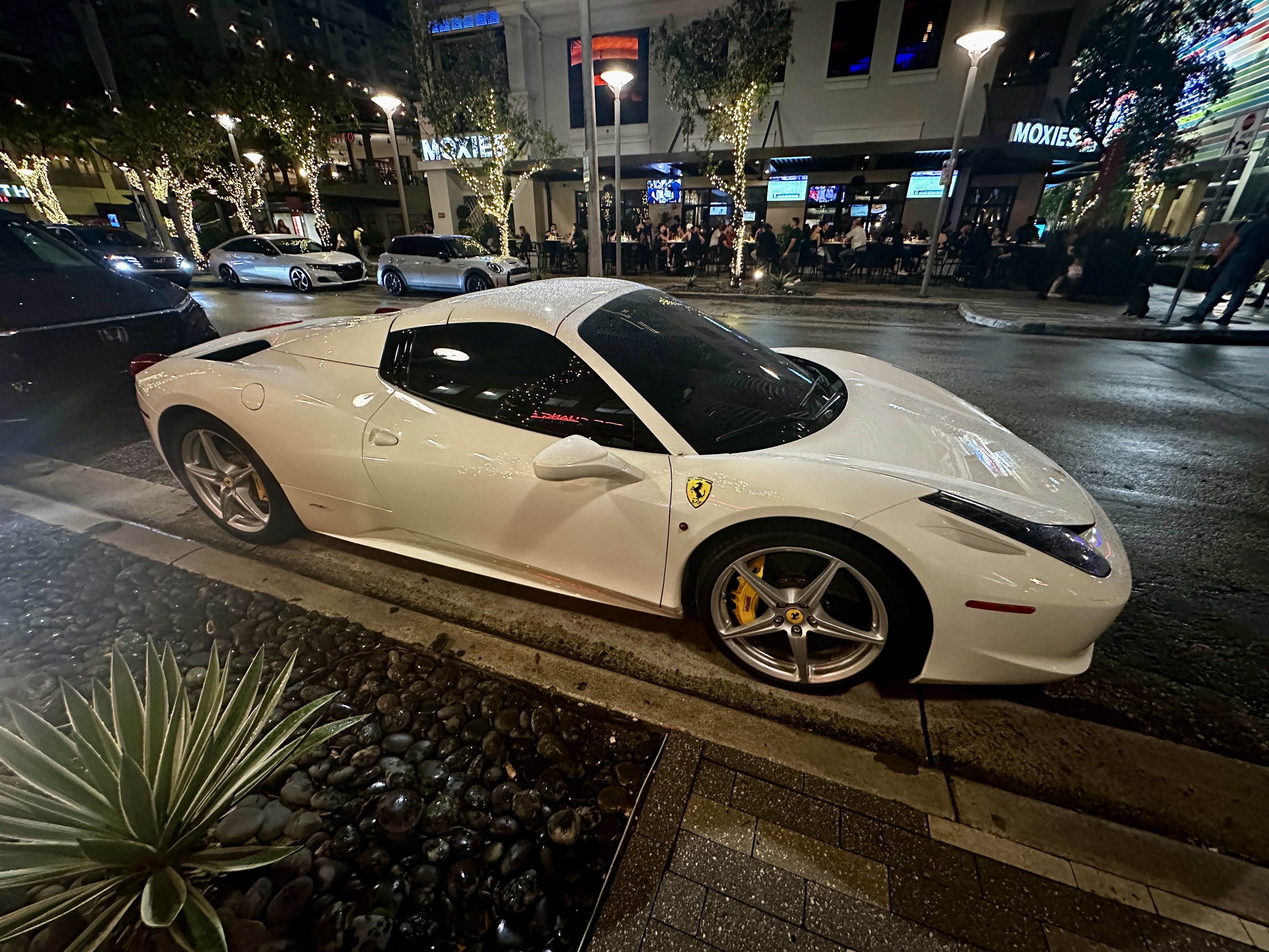
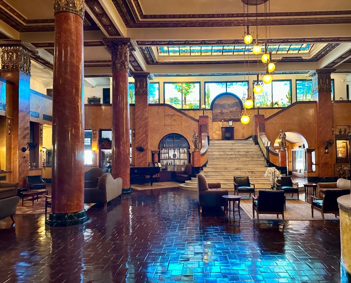
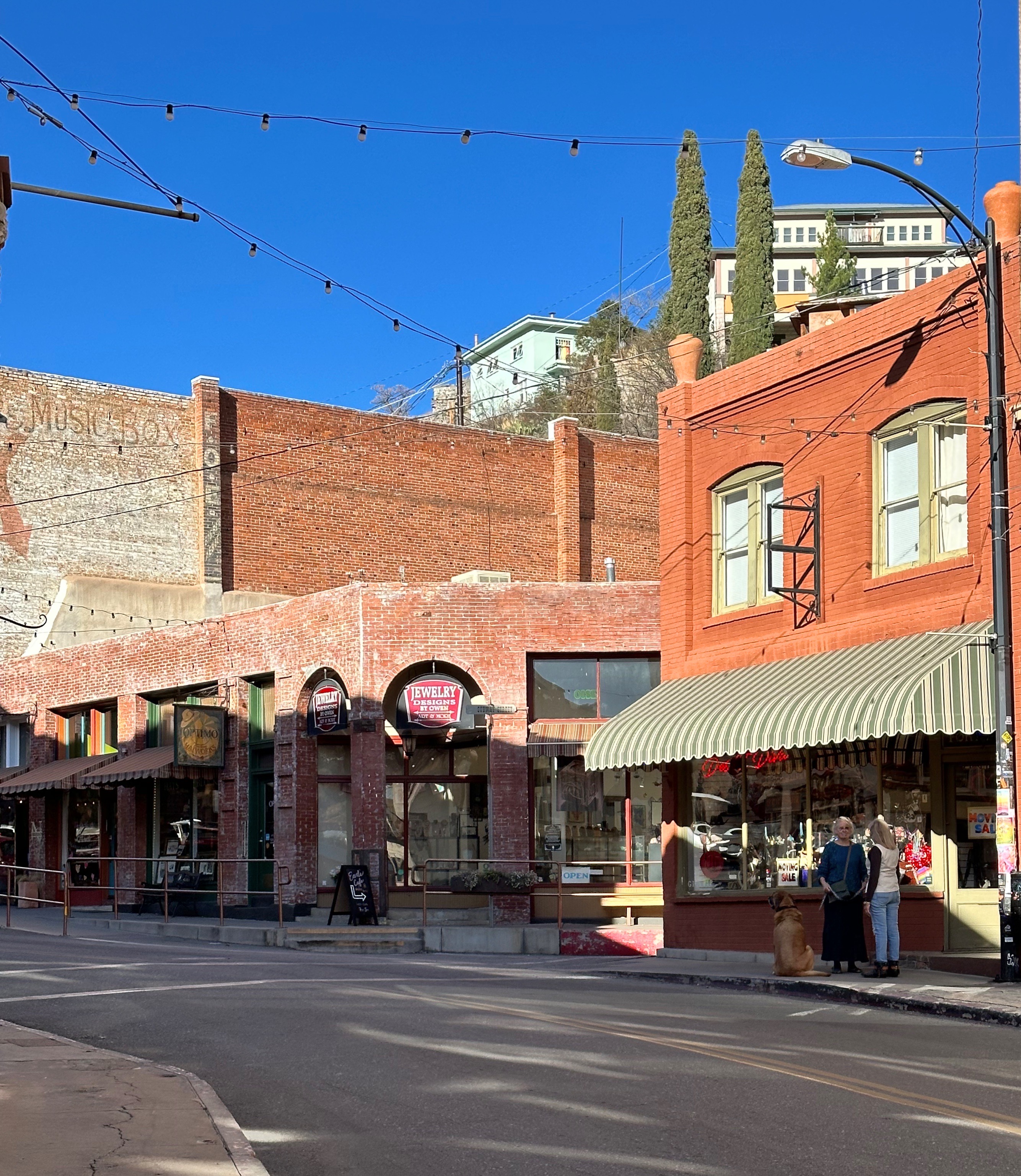
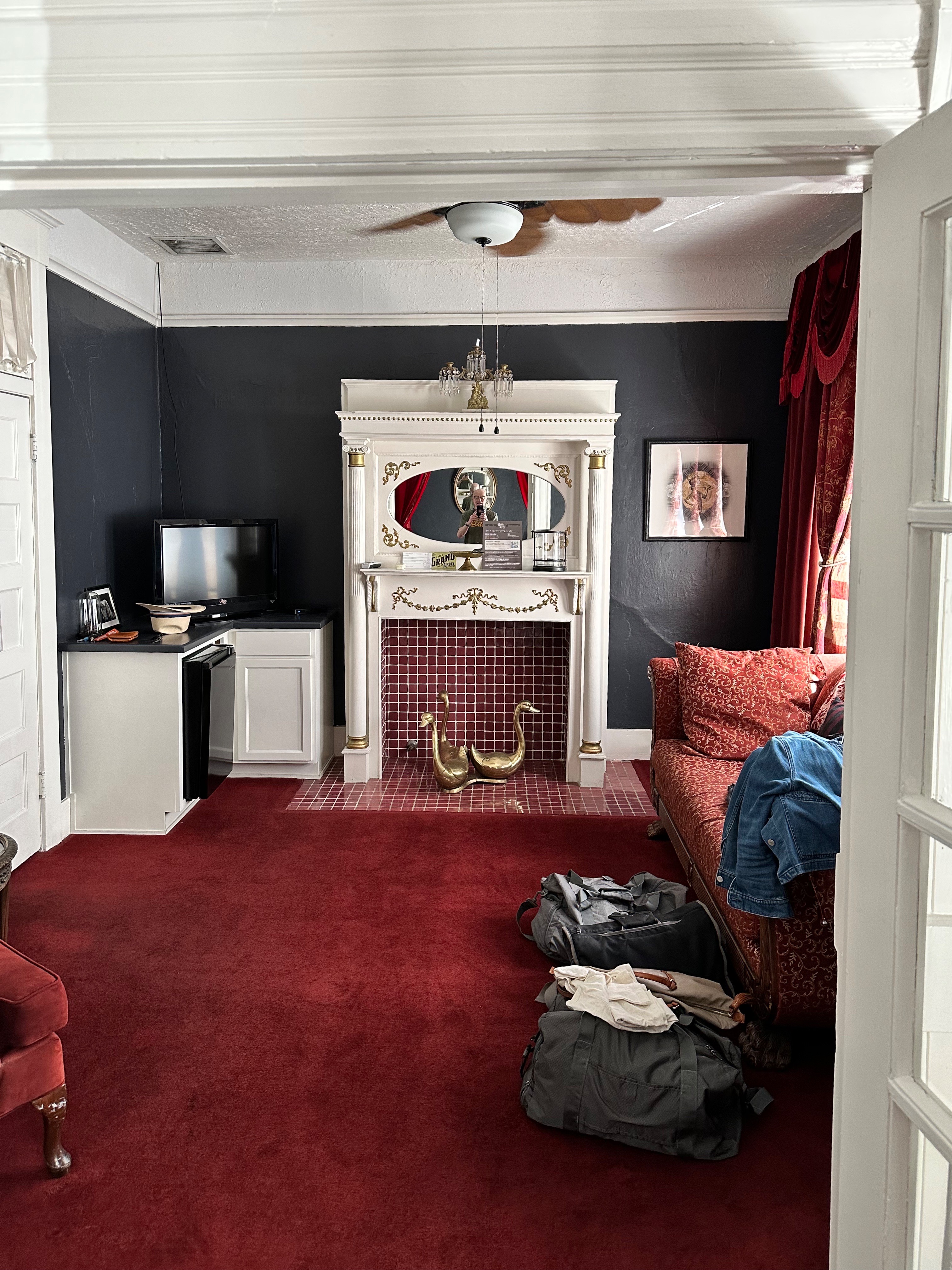
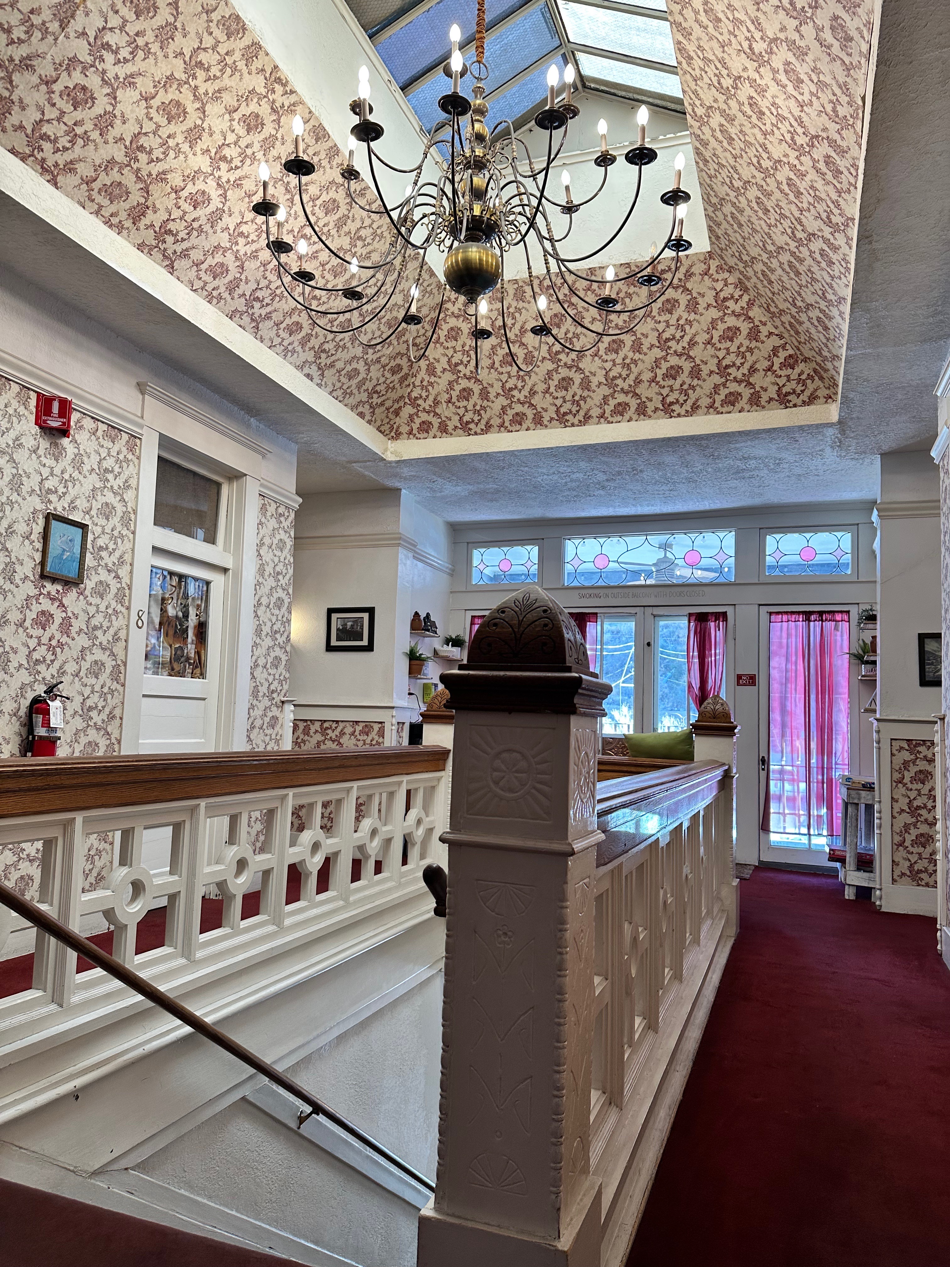
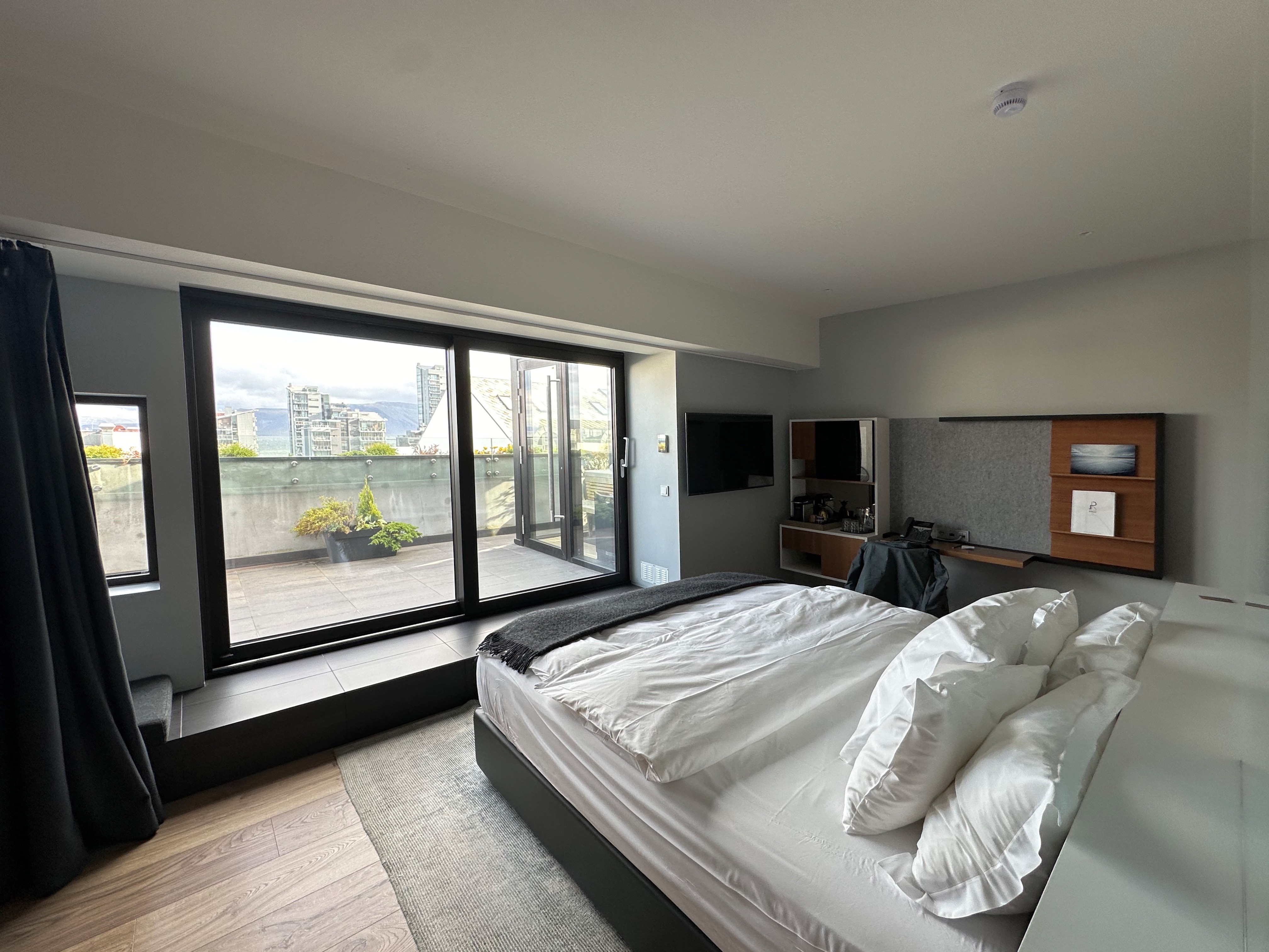
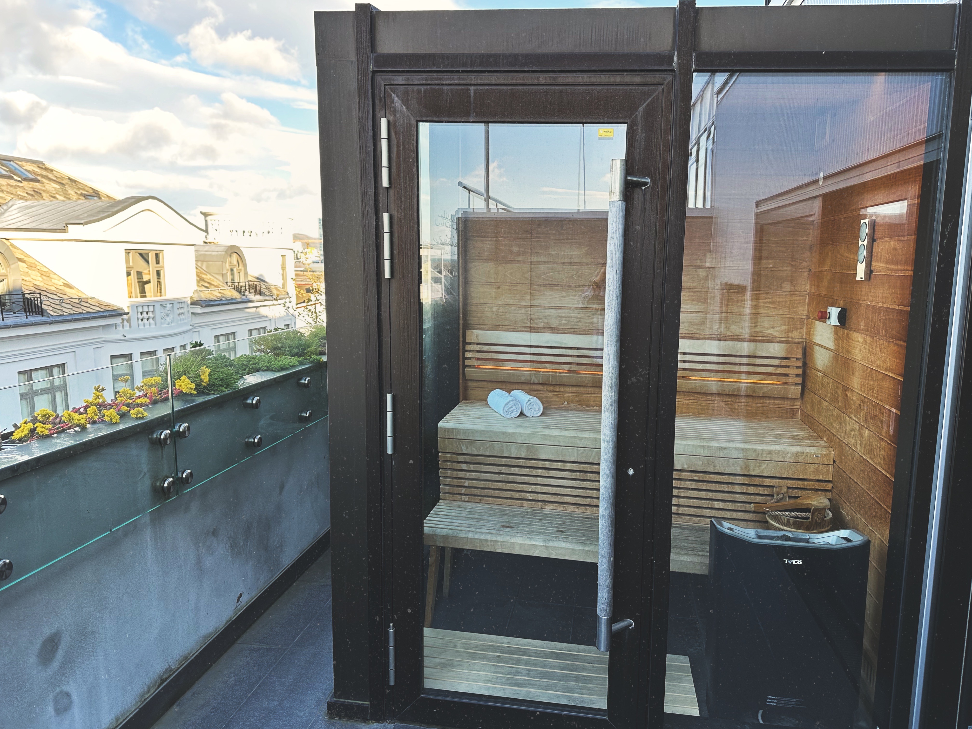
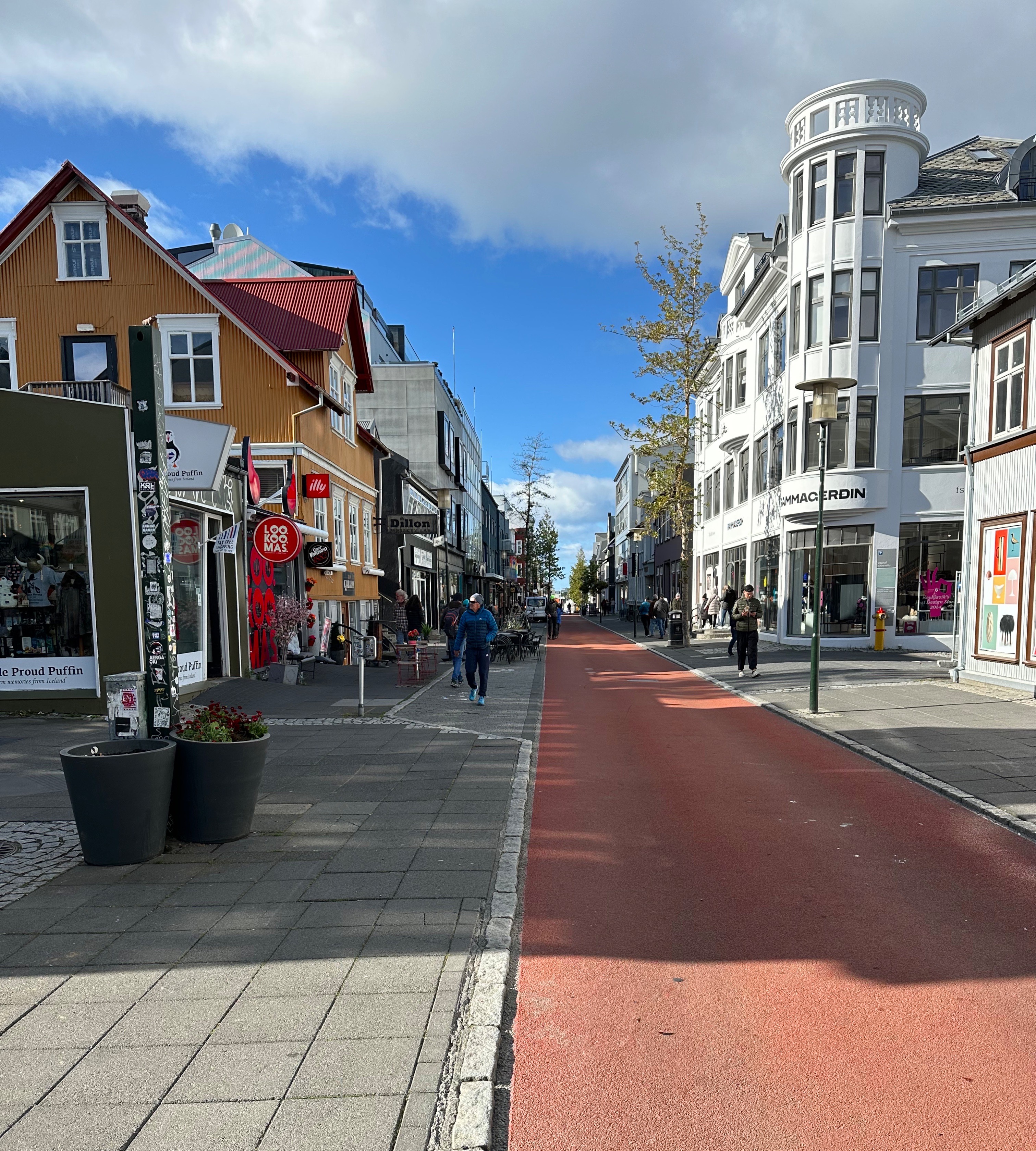
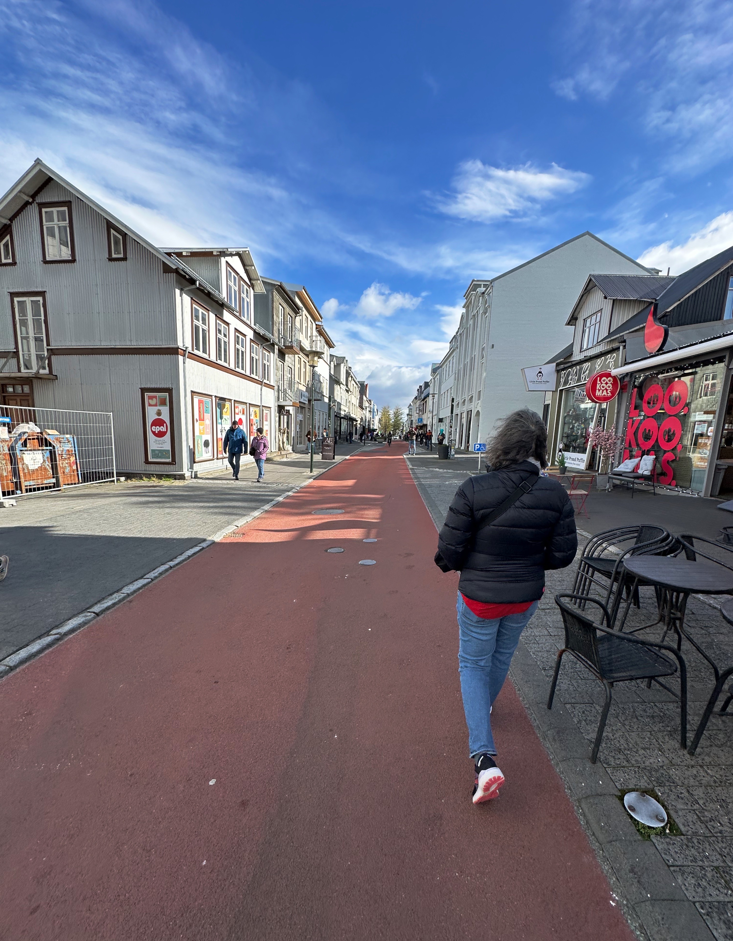
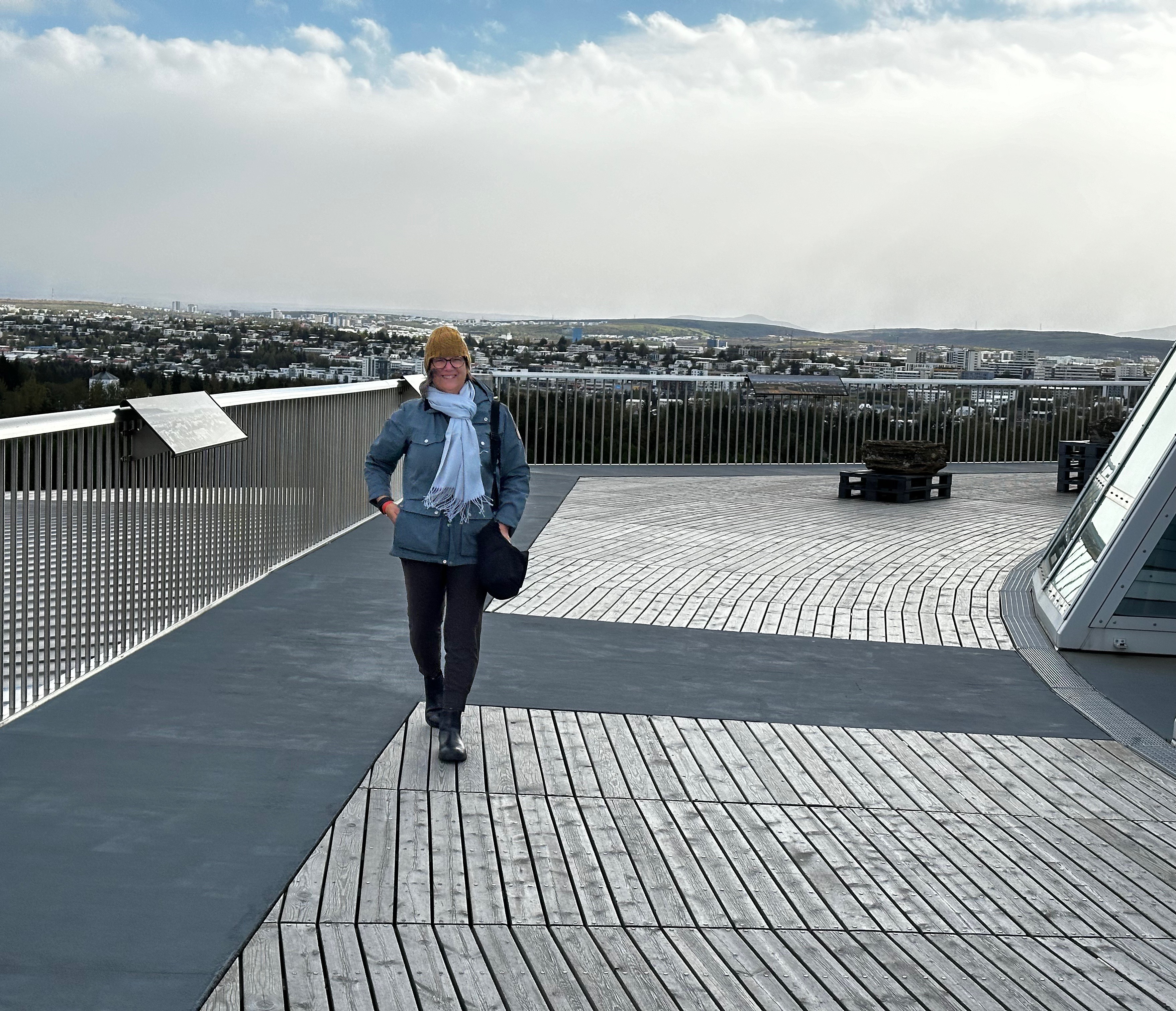
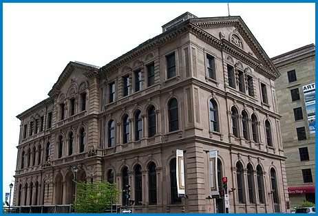
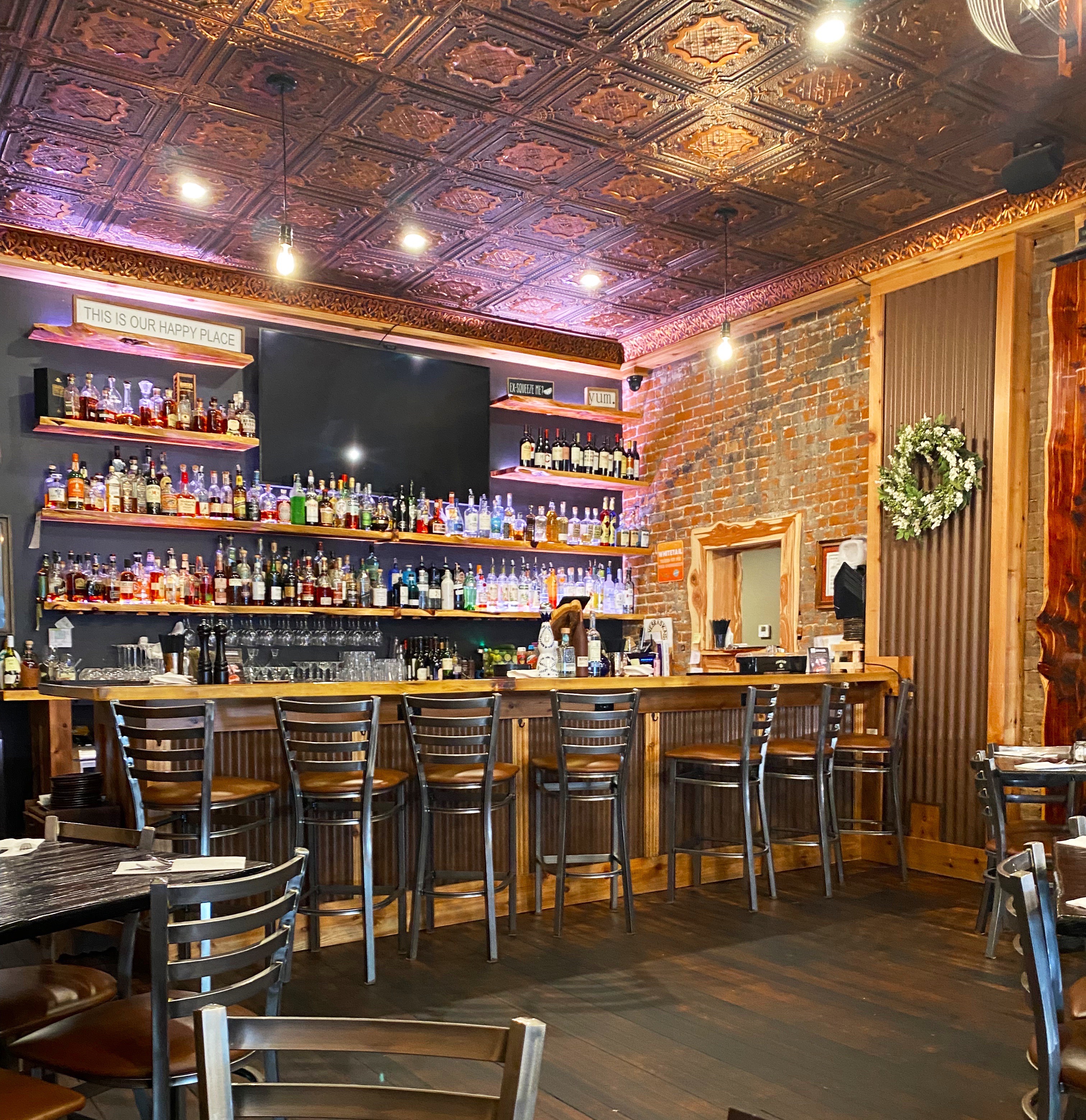
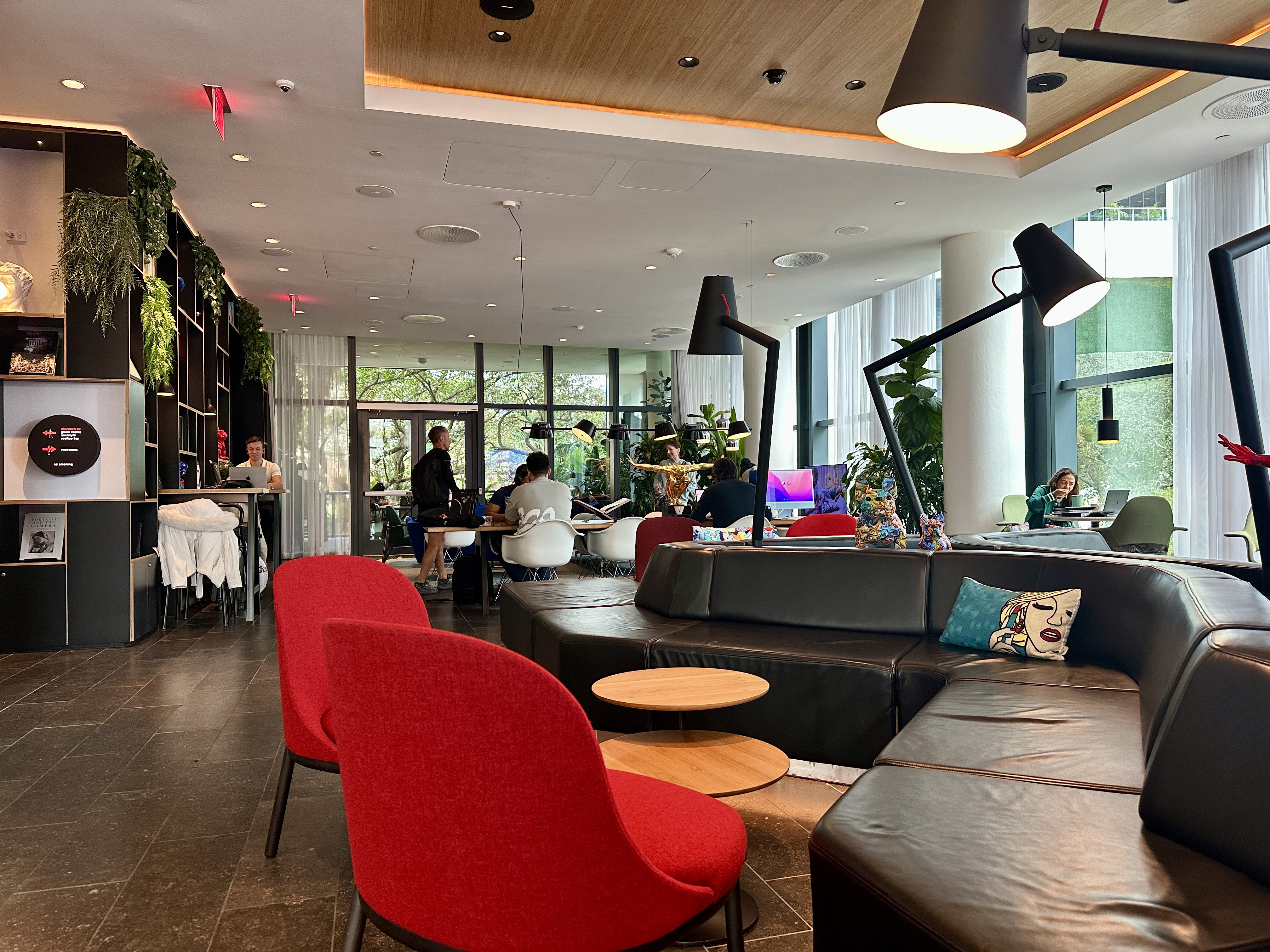
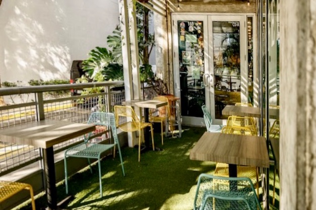
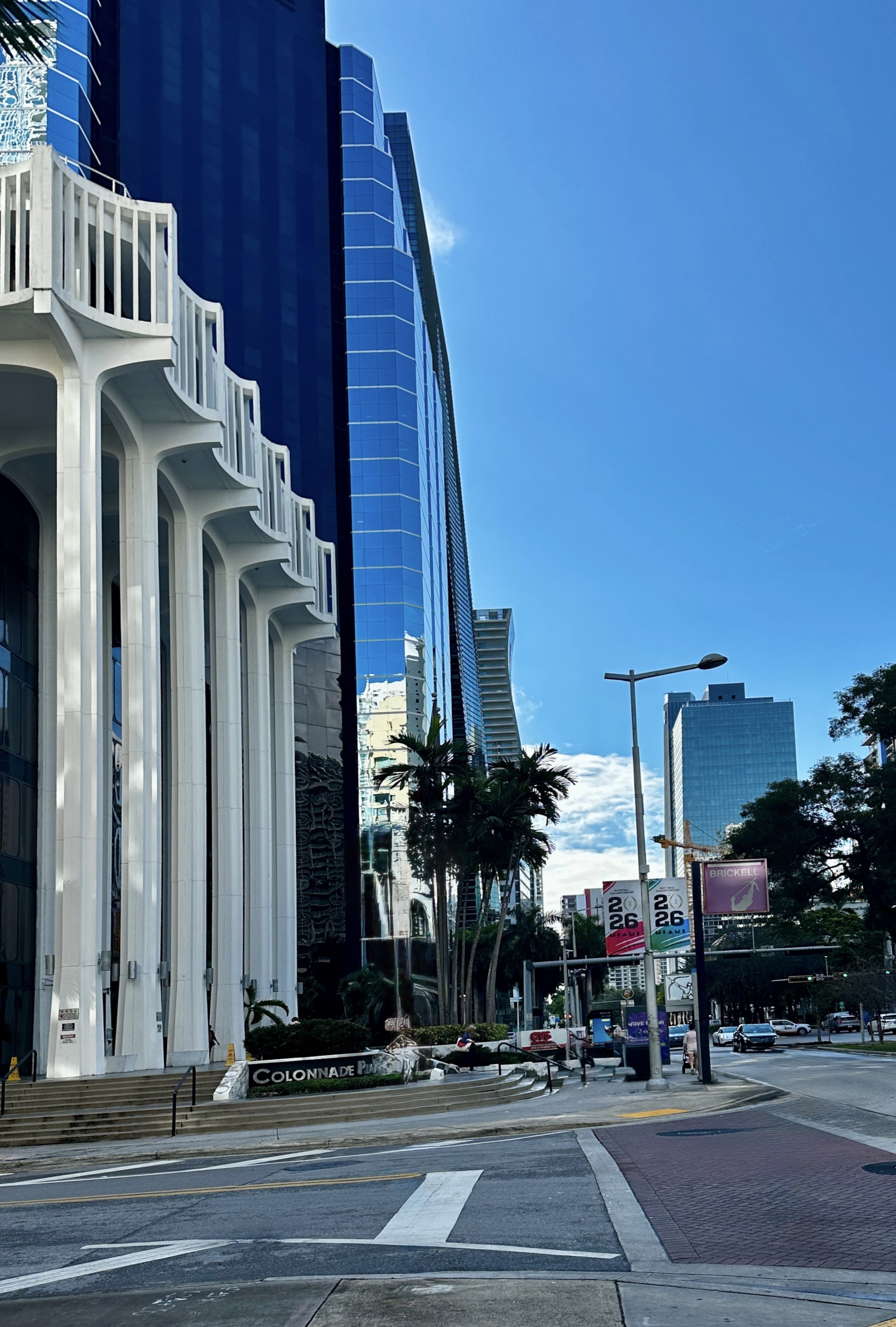
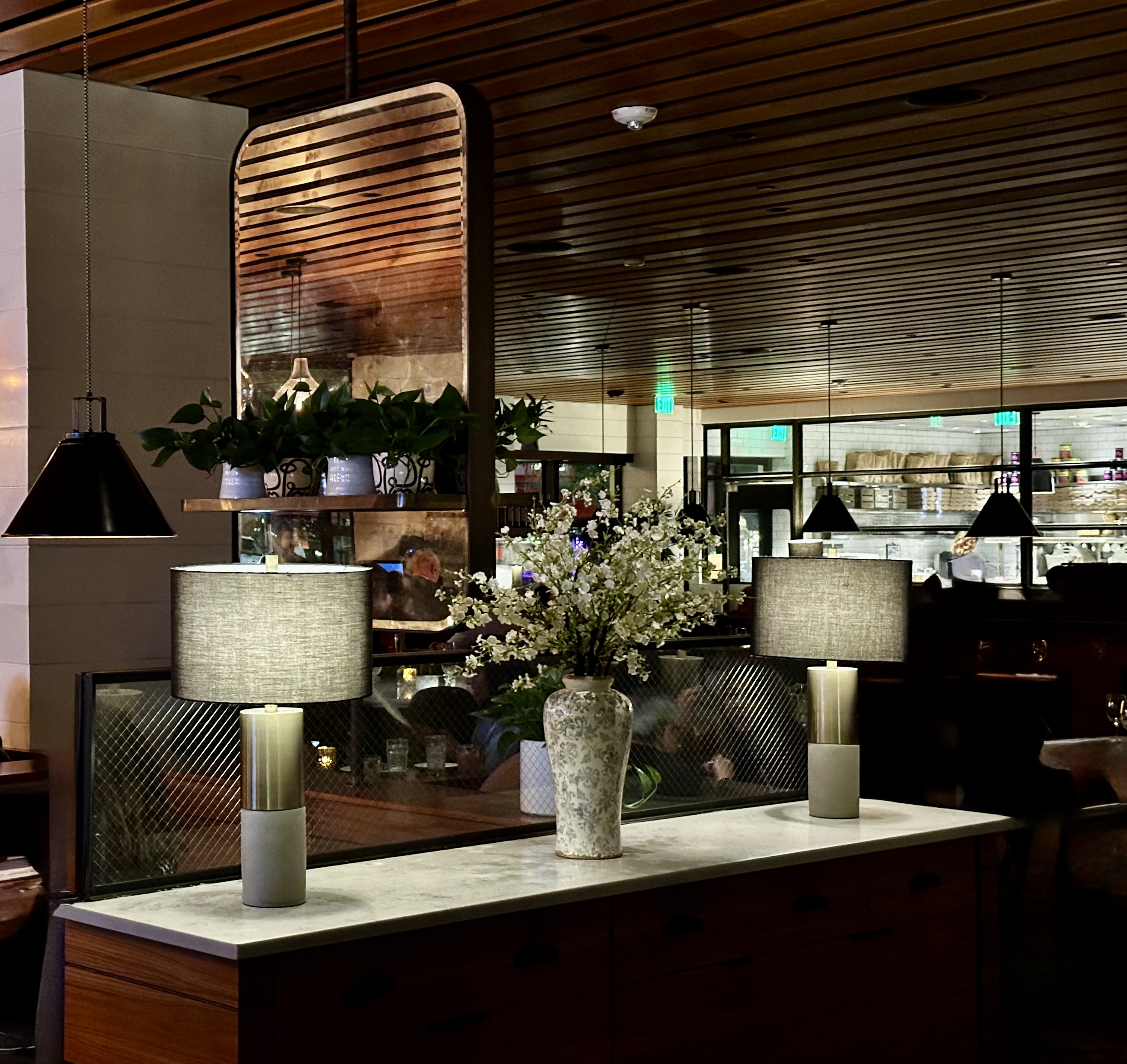
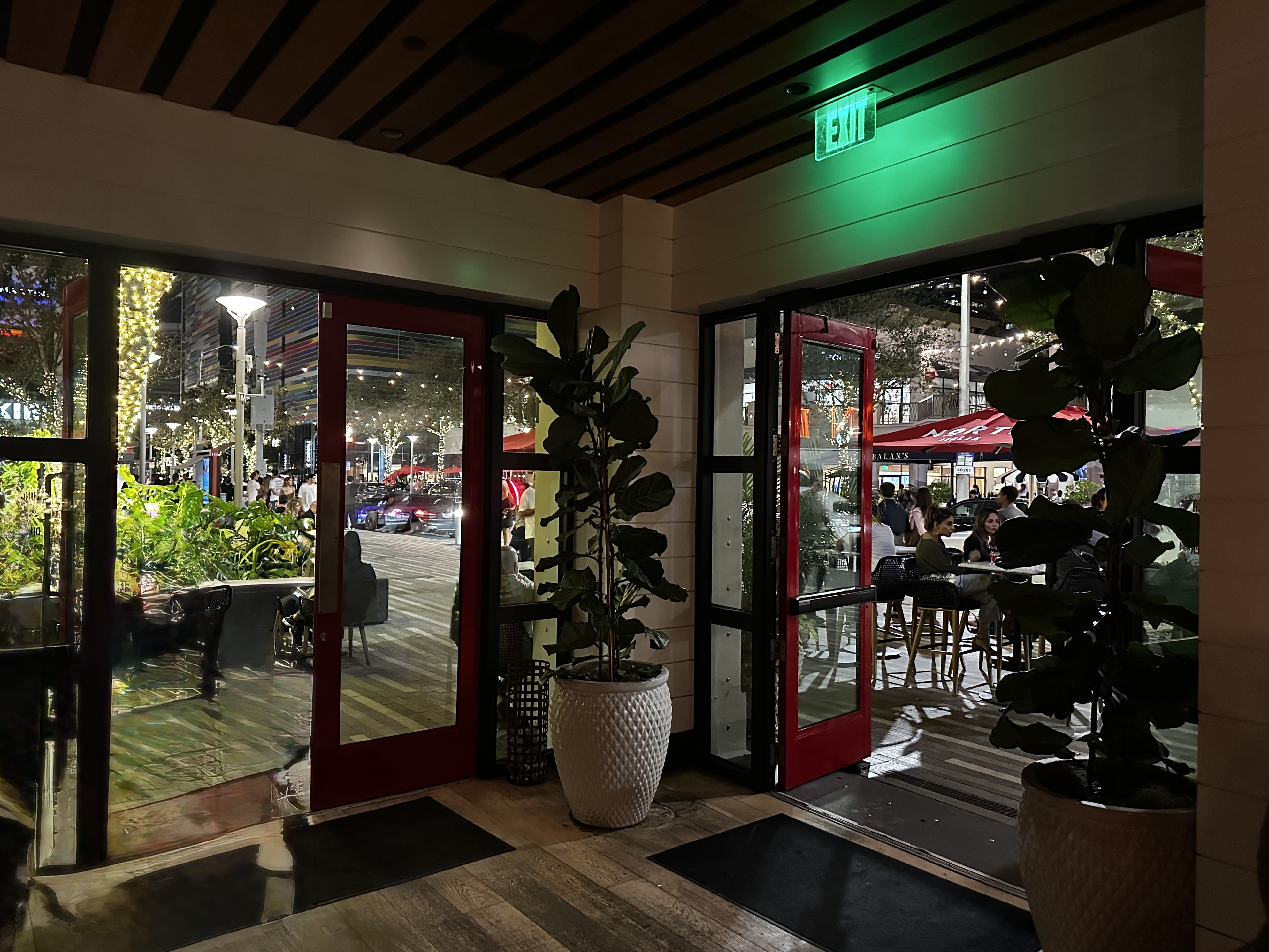
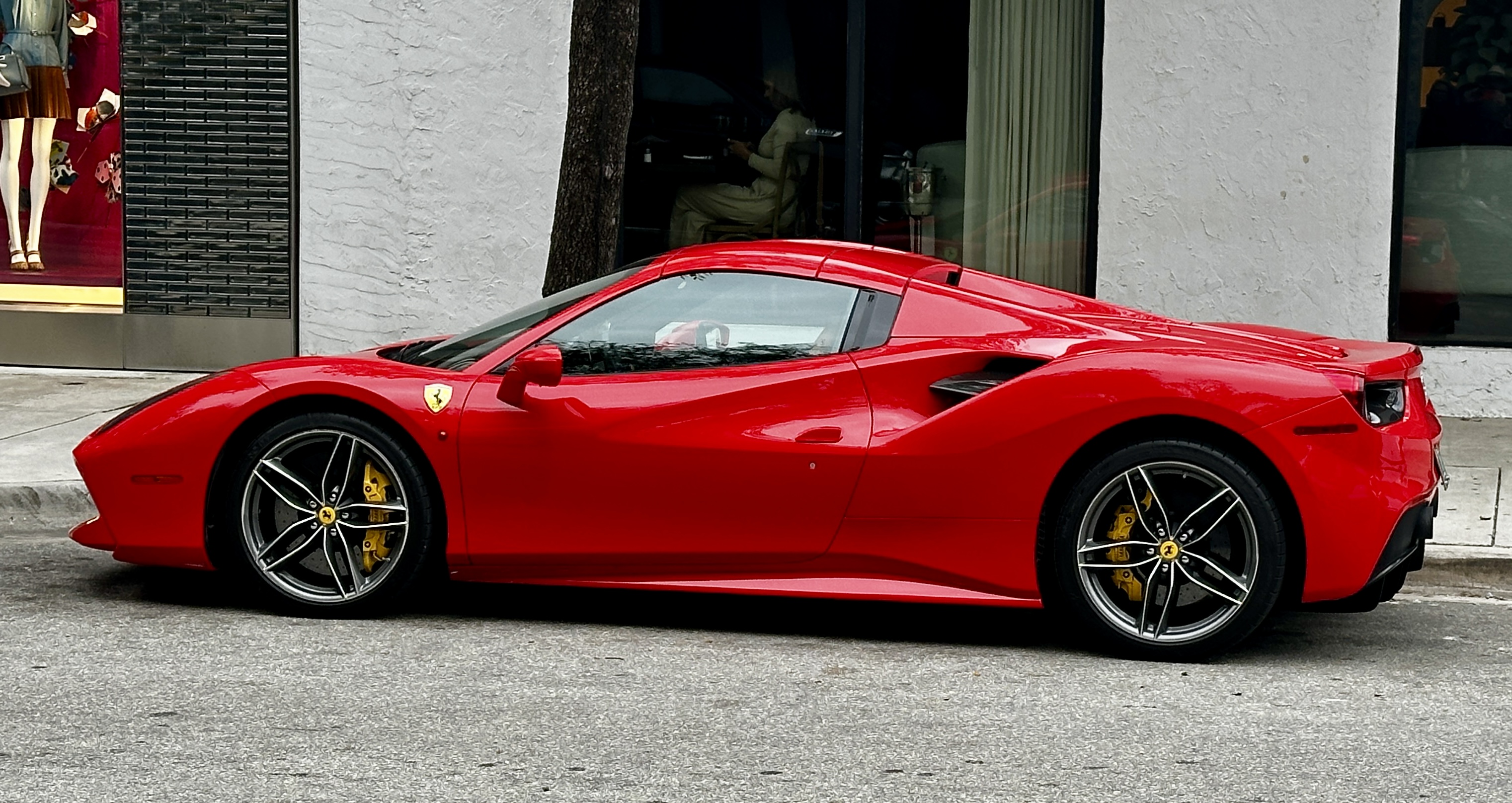
We chose the citizenM hotel (see previous two posts) due to its location in Mary Brickell Village. Brickell (pronounced Brickle like pickle) is overflowing with restaurants, shopping and nightlife. Brickell is a glitzy area with lots of flash cars, beautiful people and money (nickname “Wall Street of the South”).The attraction for us was our ability to choose from a number of excellent restaurants within walking distance from the hotel. Perhaps as importantly the hotel is a two minute walk to the Metromover station and the Metro Rail station facilitating our longer jaunts across the city.
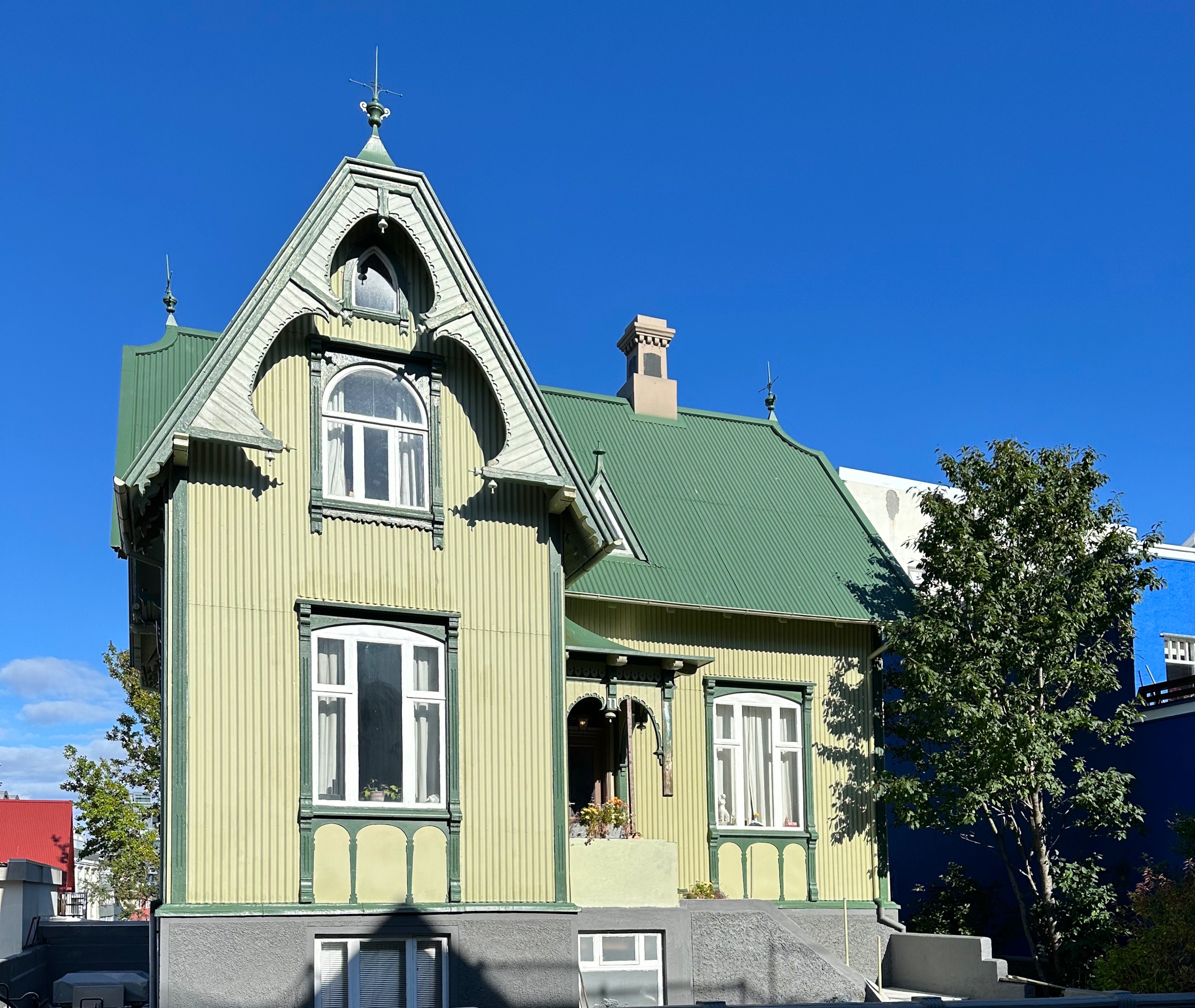
I am sure you are wondering who the heck is/was Mary Brickell. Mary was born in Yorkshire, England in 1836 (not alive then?). She emigrated to Australia, where she met her husband William. After issuing five girls and three boys, they emigrated in 1871 to the area that is now Miami.
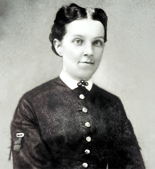
Mary is considered to be one of the founders of the city of Miami. She and her husband purchased significant land on the southern side of the Miami River extending down to the ocean front.This made Mary and William quite wealthy and influential. Mary’s exalted reputation derives from not the family property holdings but from her generosity in helping people in need including African-Americans and Seminoles (think early twentieth century deep south).
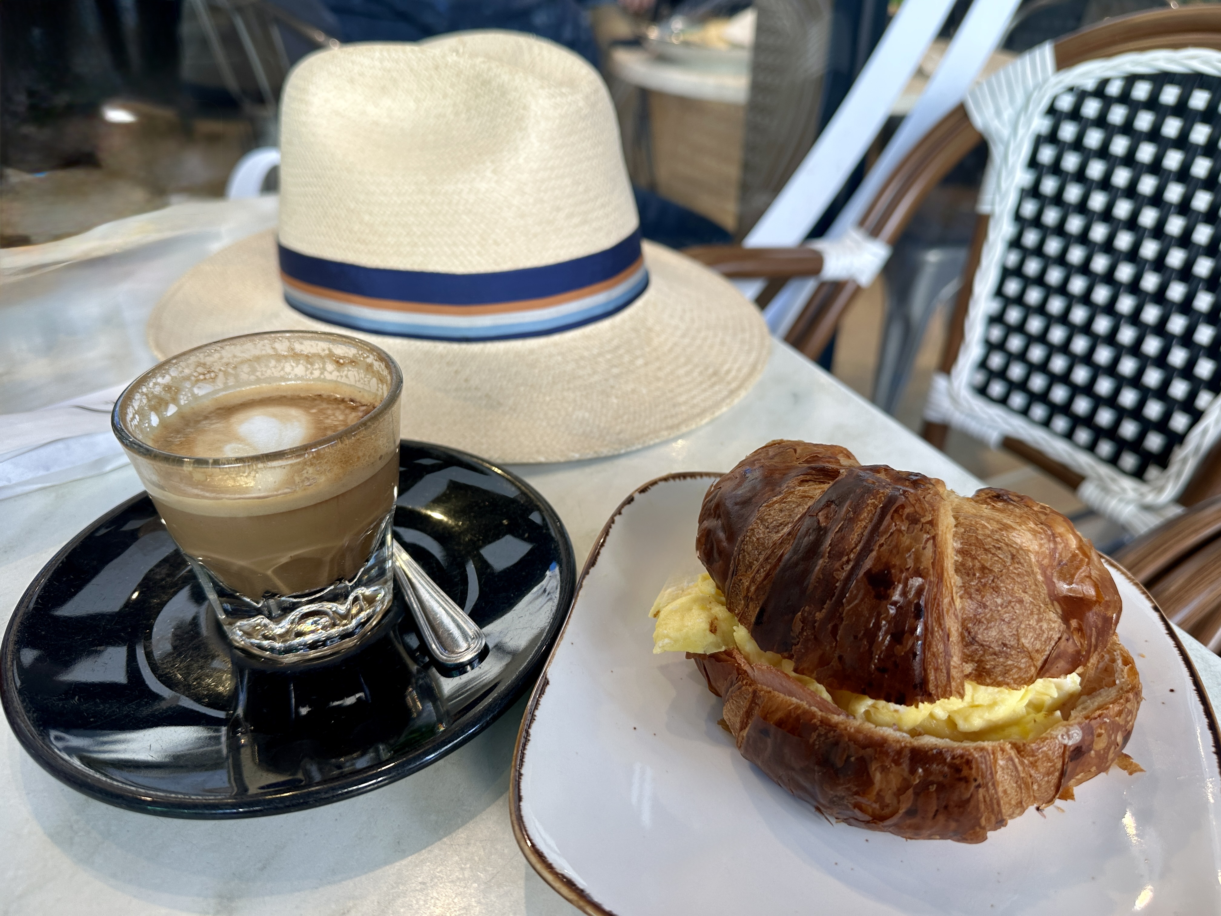

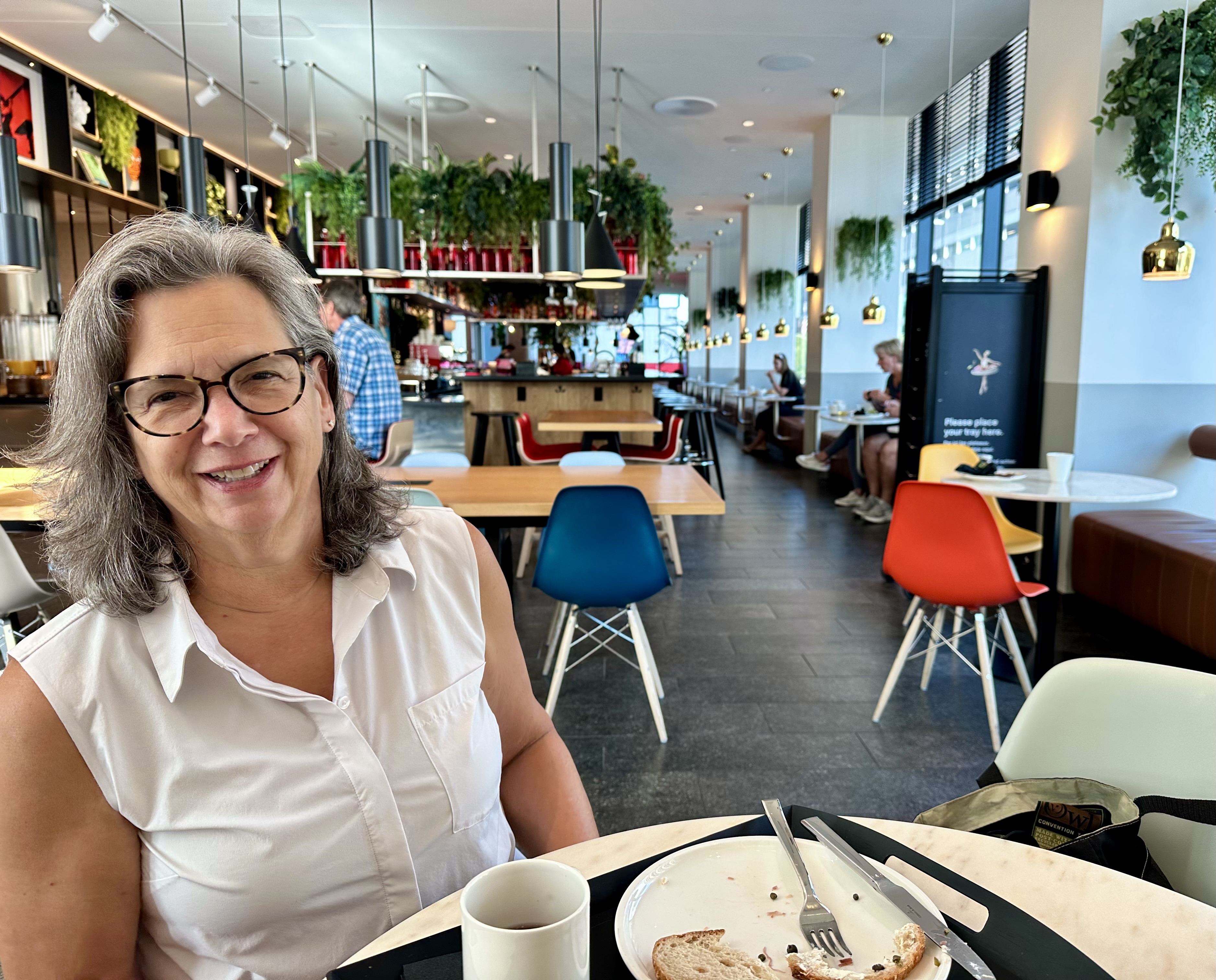
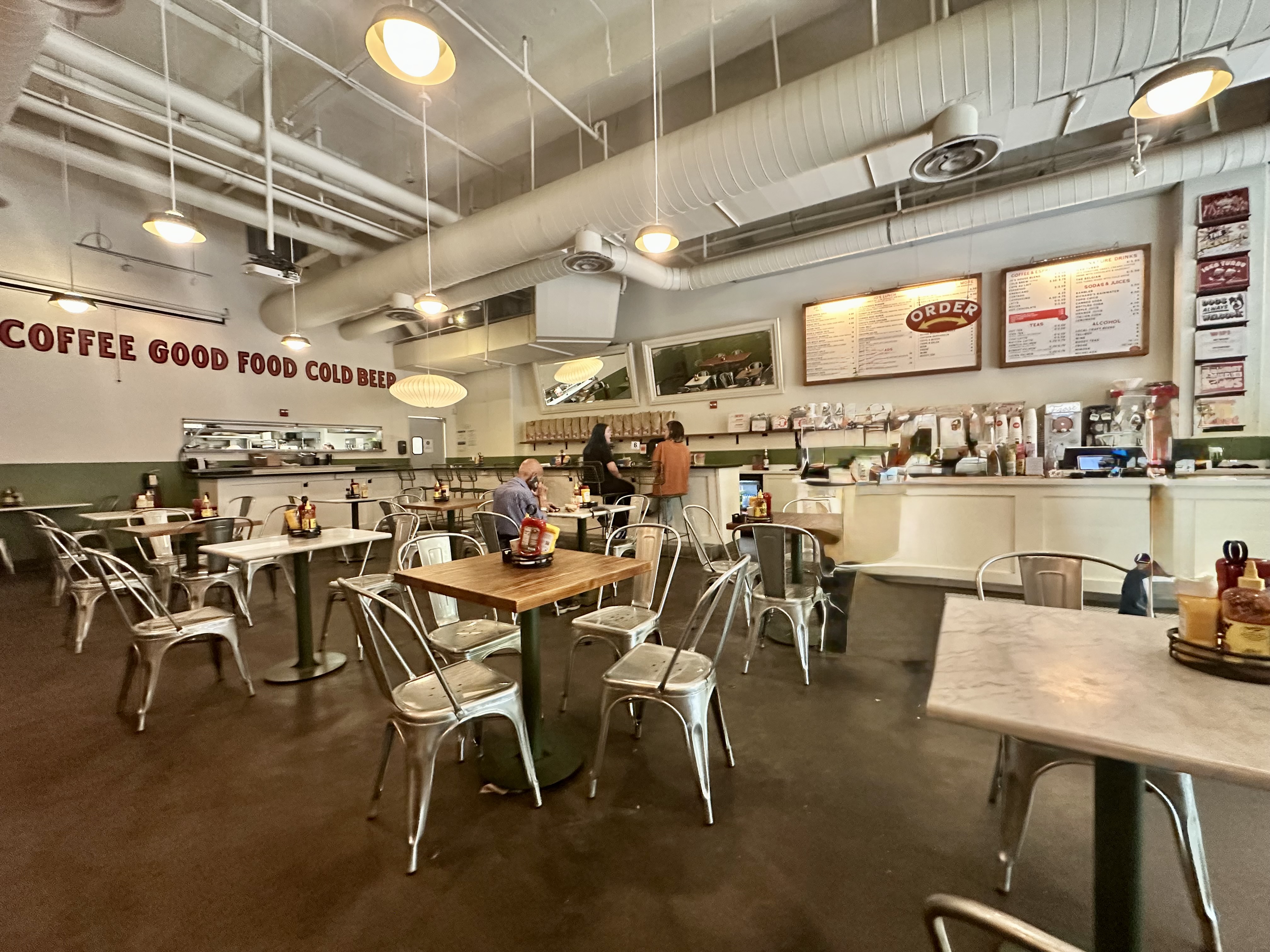
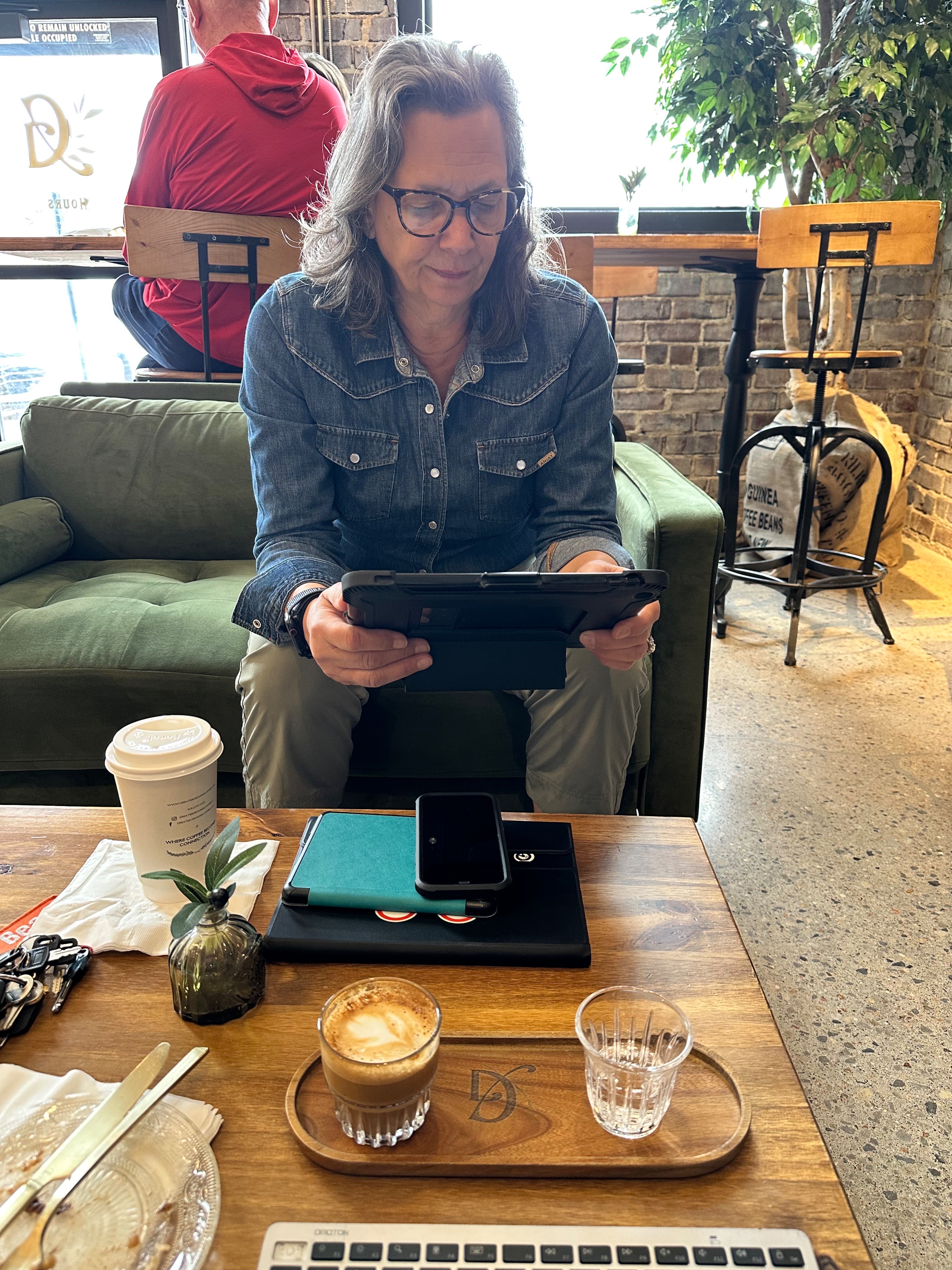
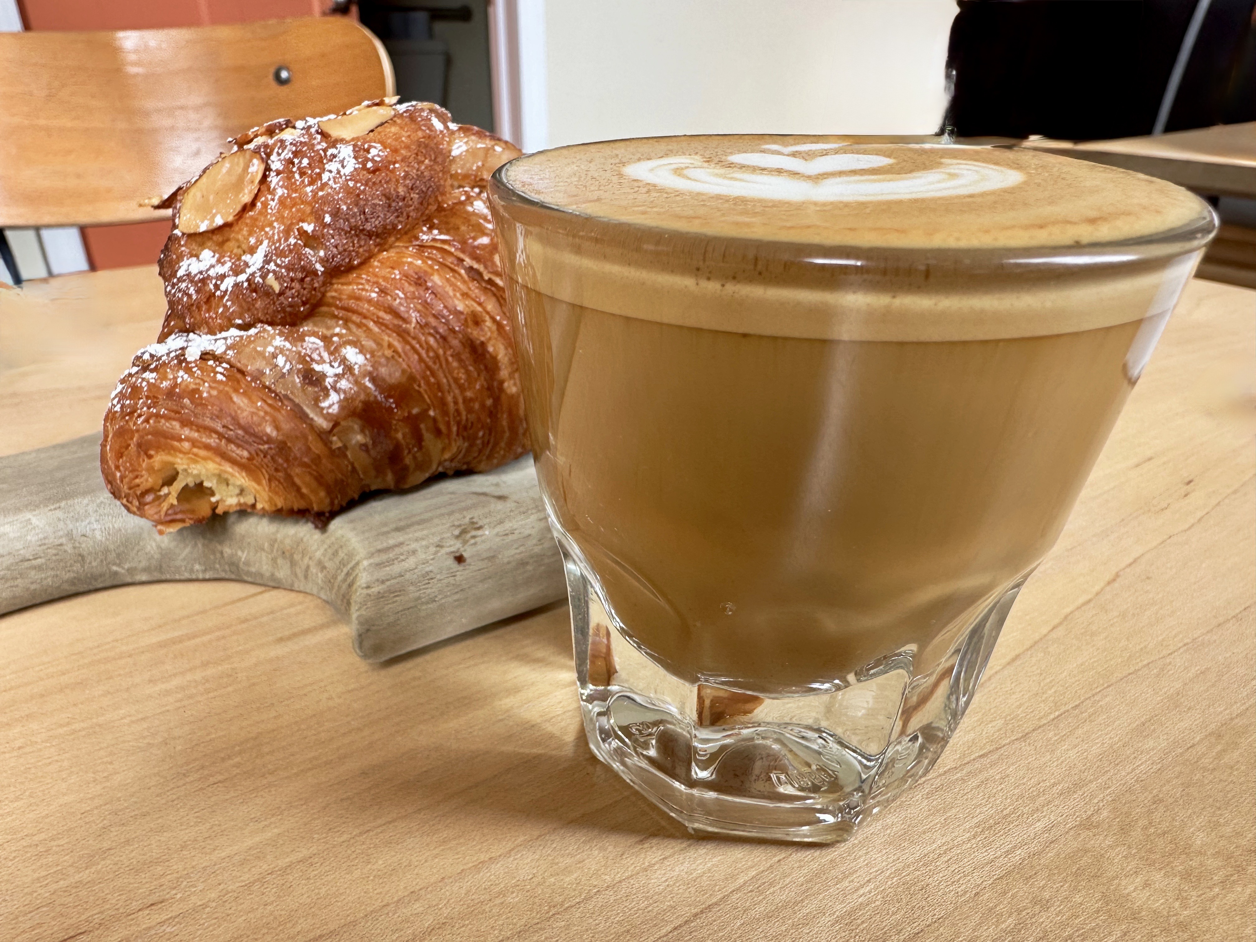
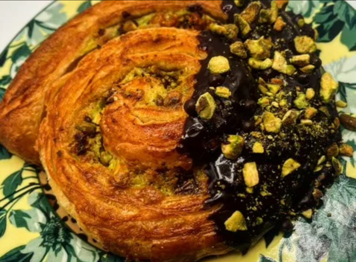
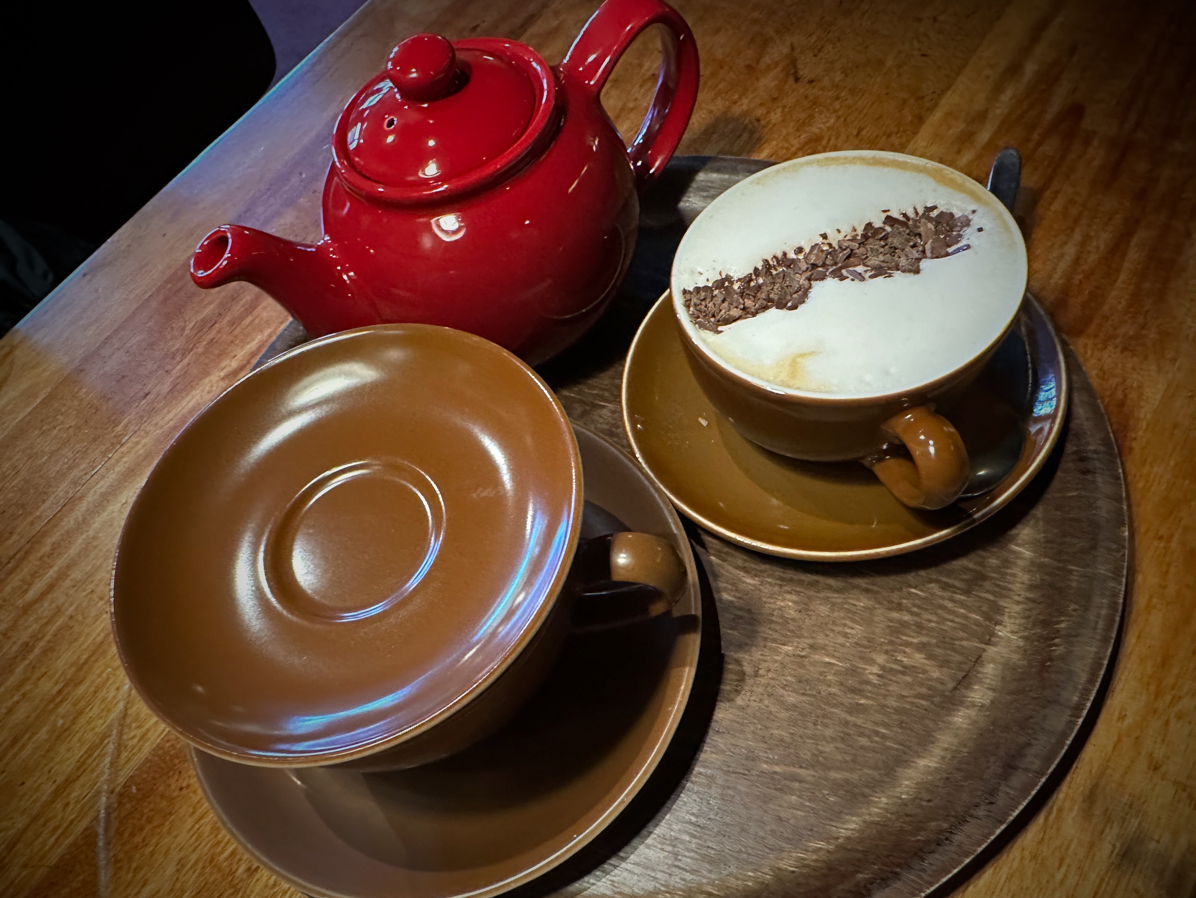
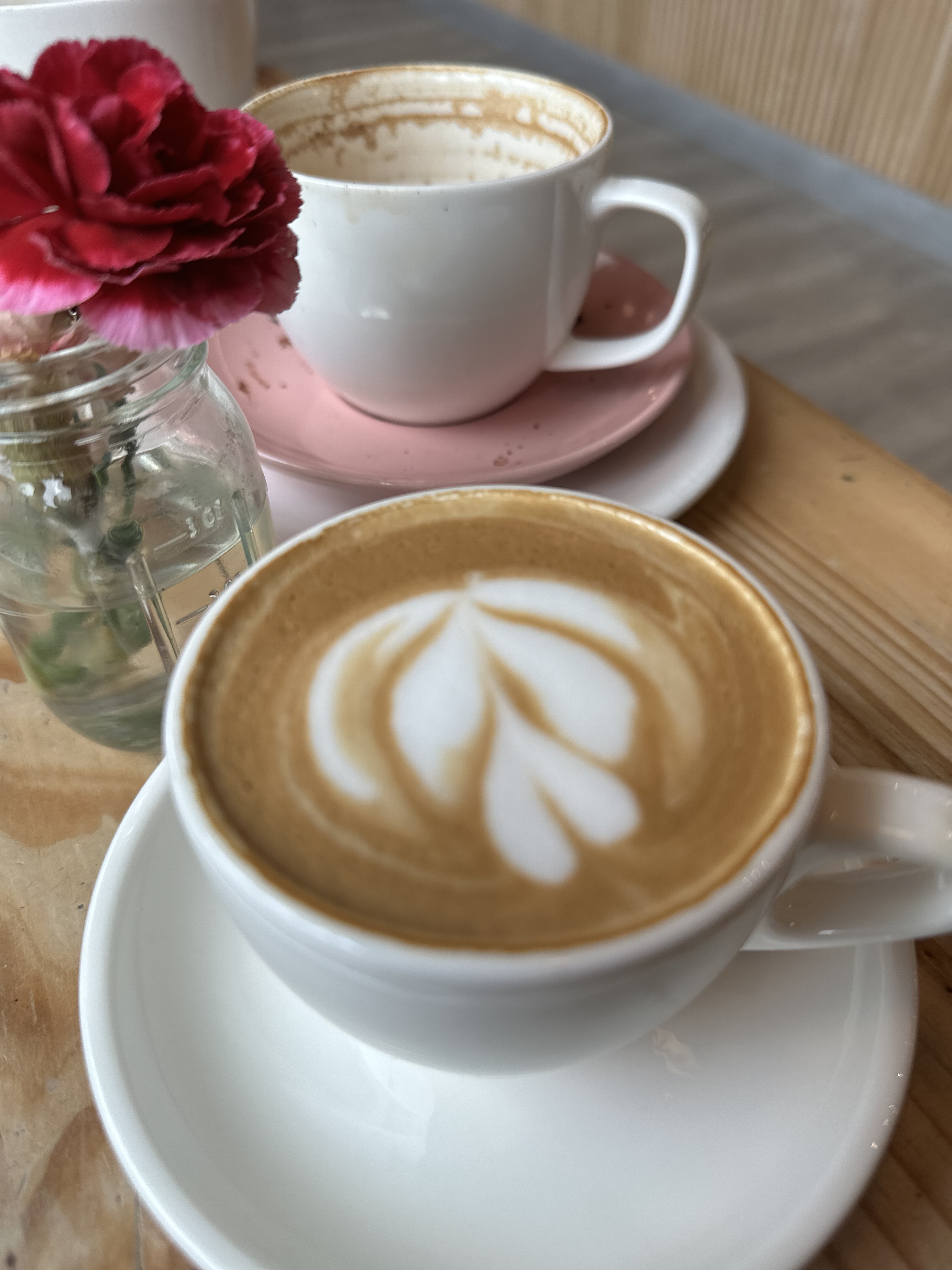
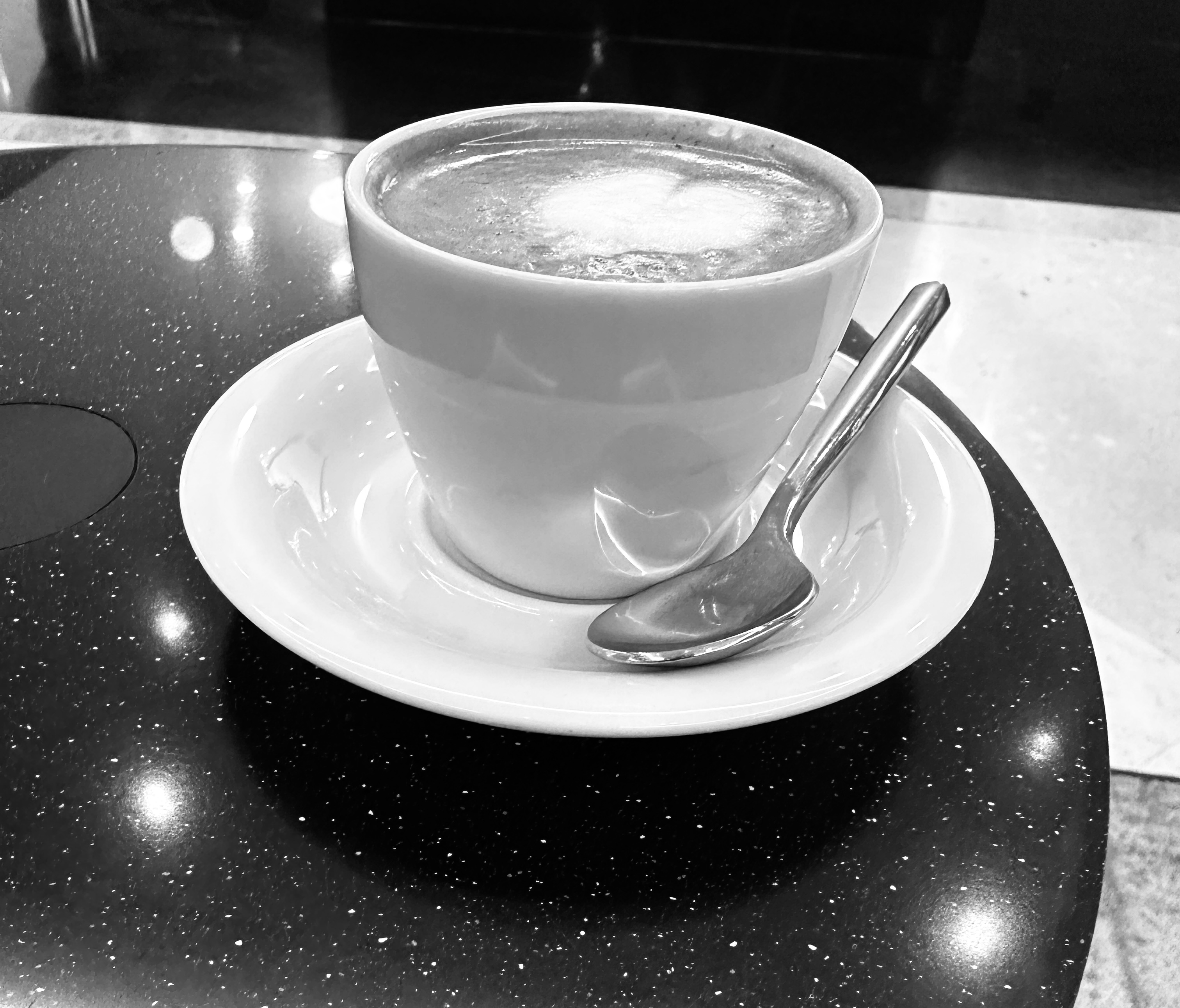
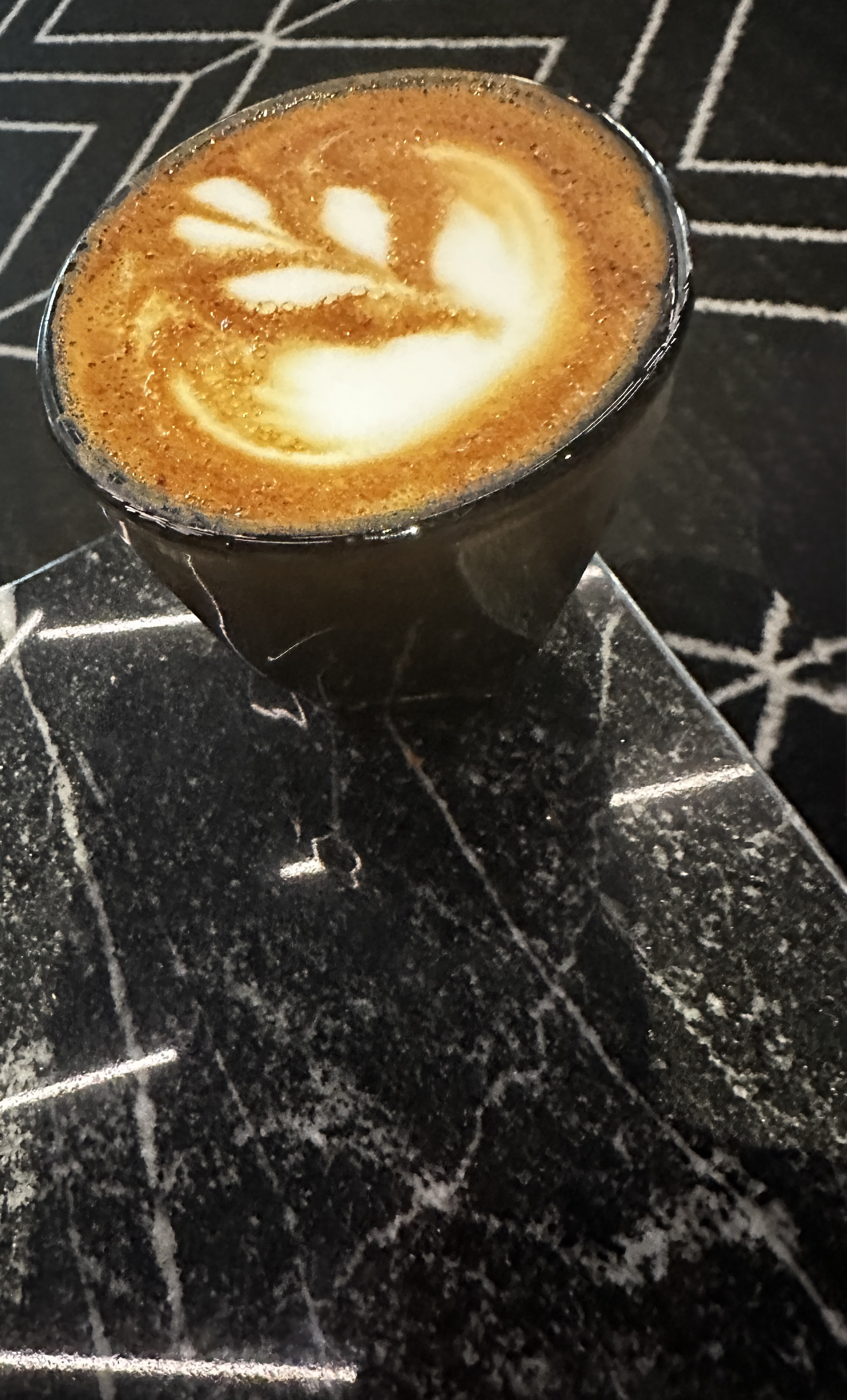
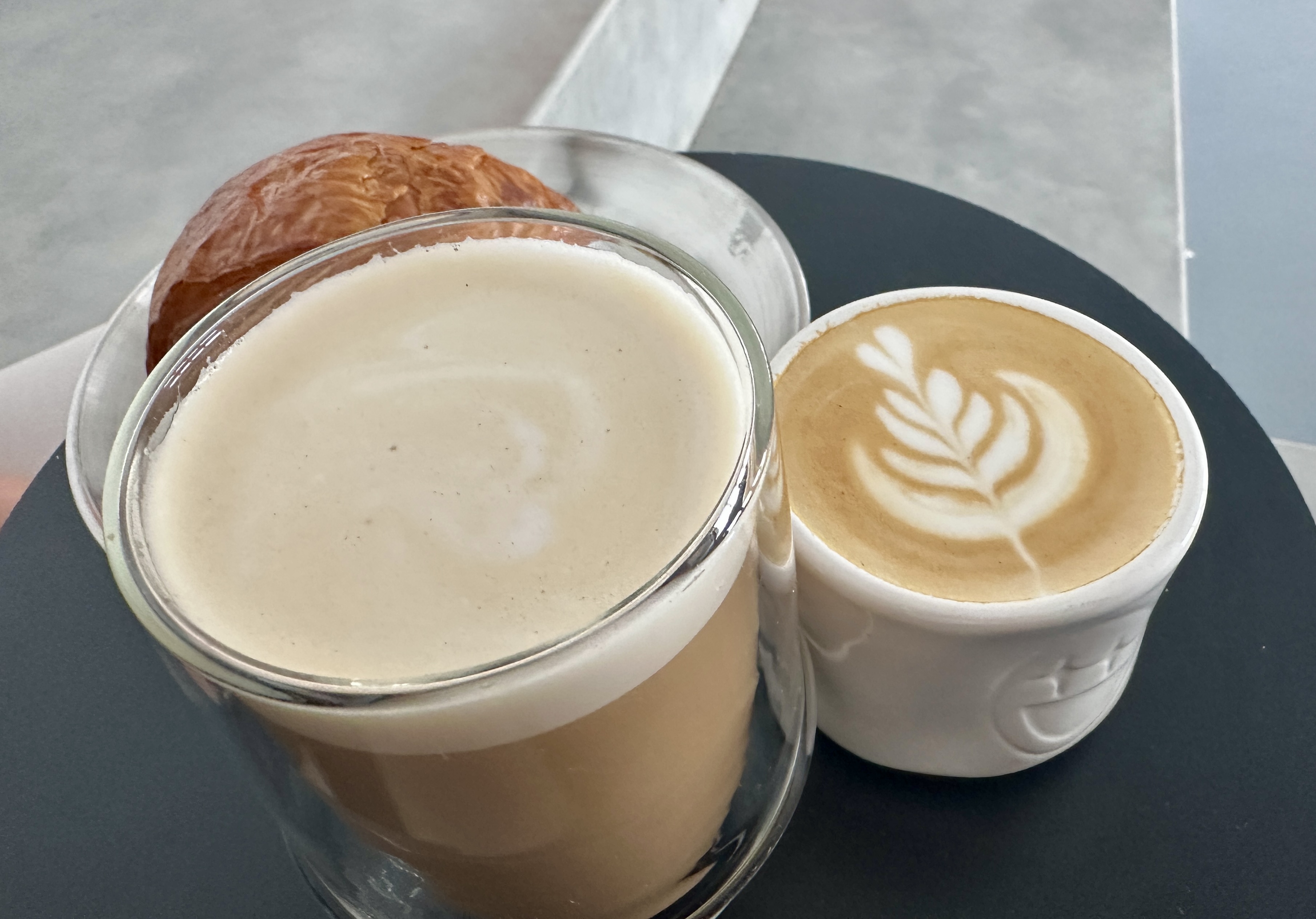
DAY ONE – With an arrival into Miami we dropped our bags at the hotel and walked around the corner for fika at Crema Gourmet. After a couple of cortados and tasty breakfast sandwiches we jumped on the Metromover.
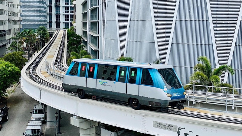

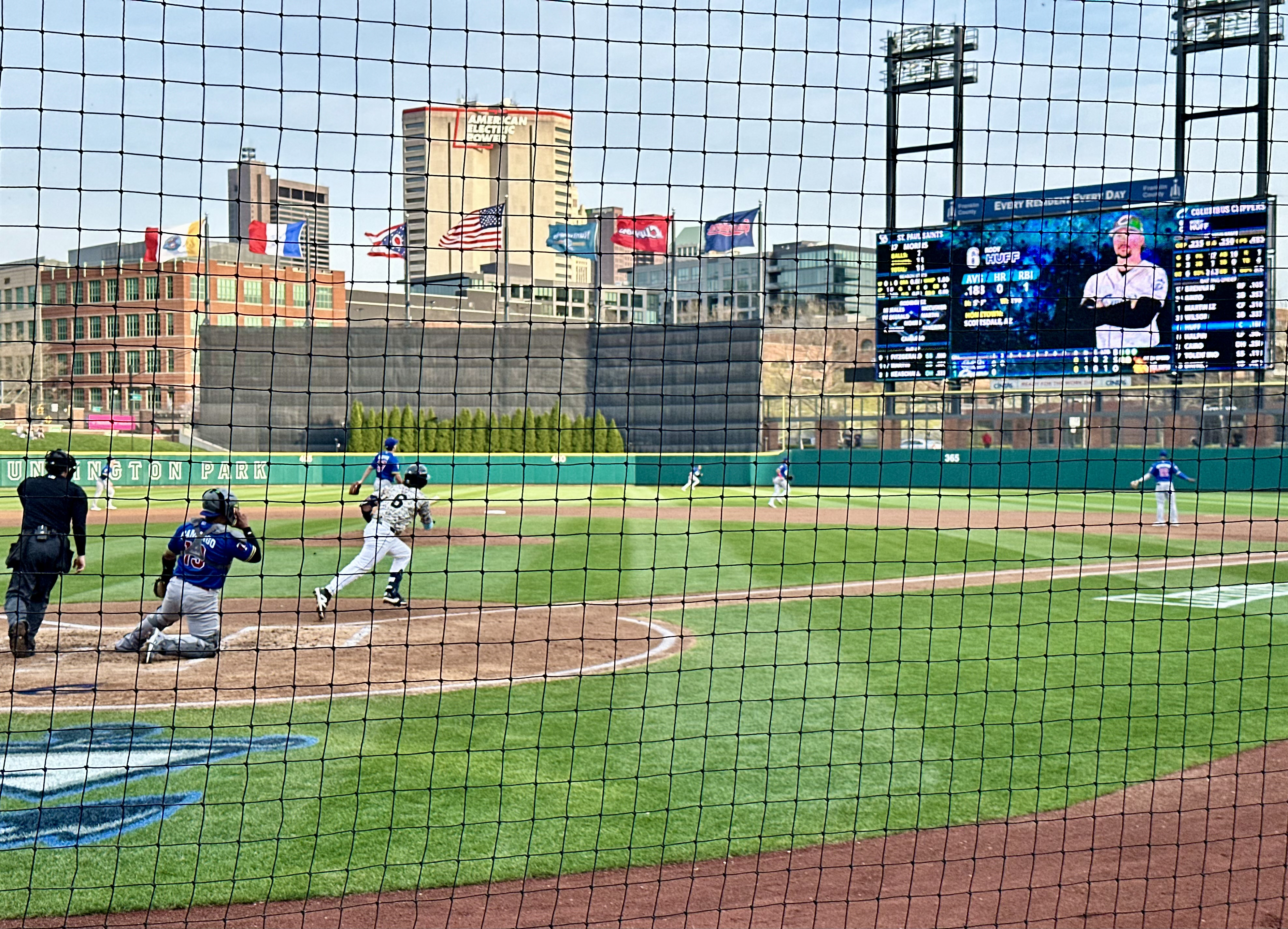
The Metromover is an automated and elevated people mover with cars coming every few minutes during the day. There are several different loops allowing riders to access many points in the financial district and downtown in a matter of minutes. We rode the loops and got a good orientation for the area before returning to our hotel. Oh, by the way, the Metromover is free!
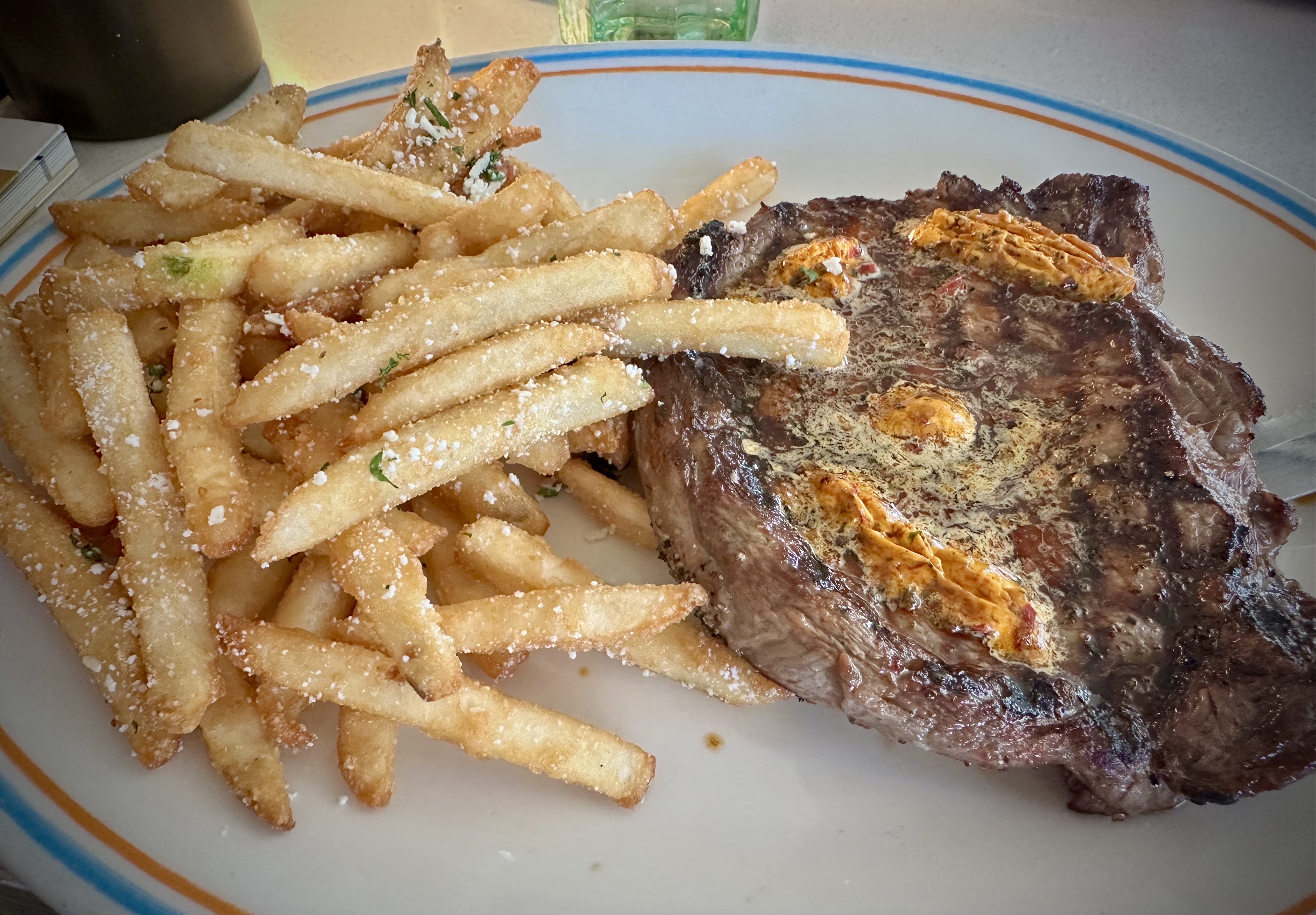
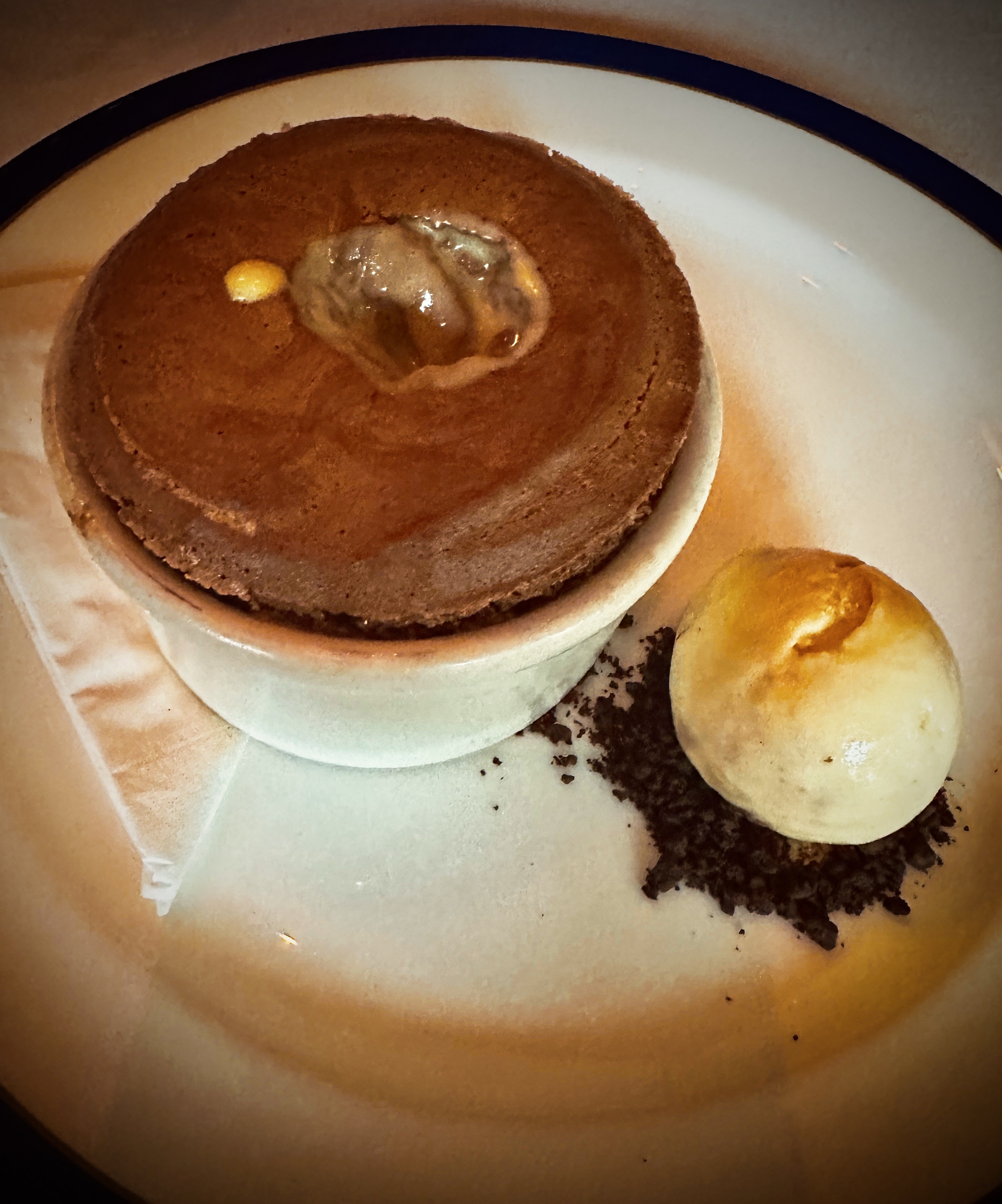
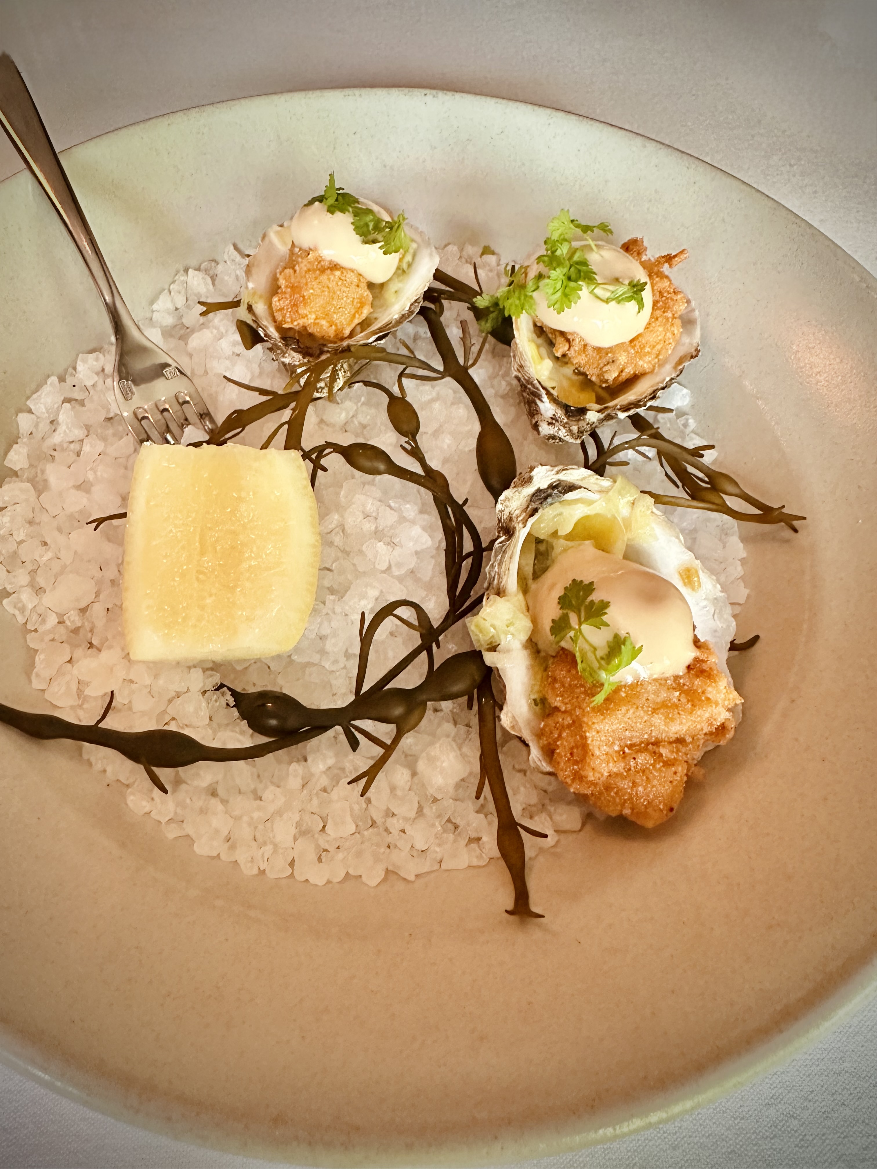
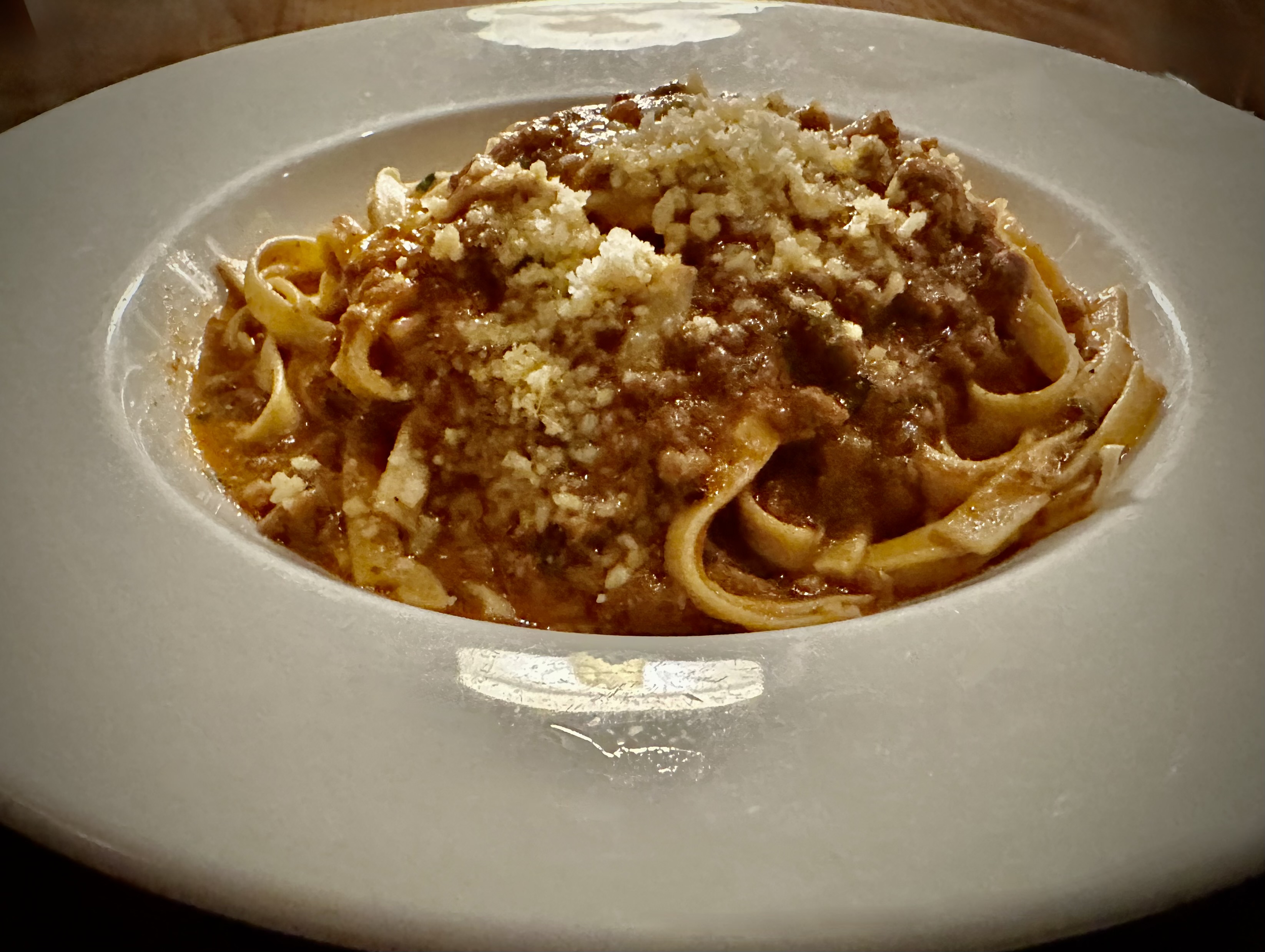
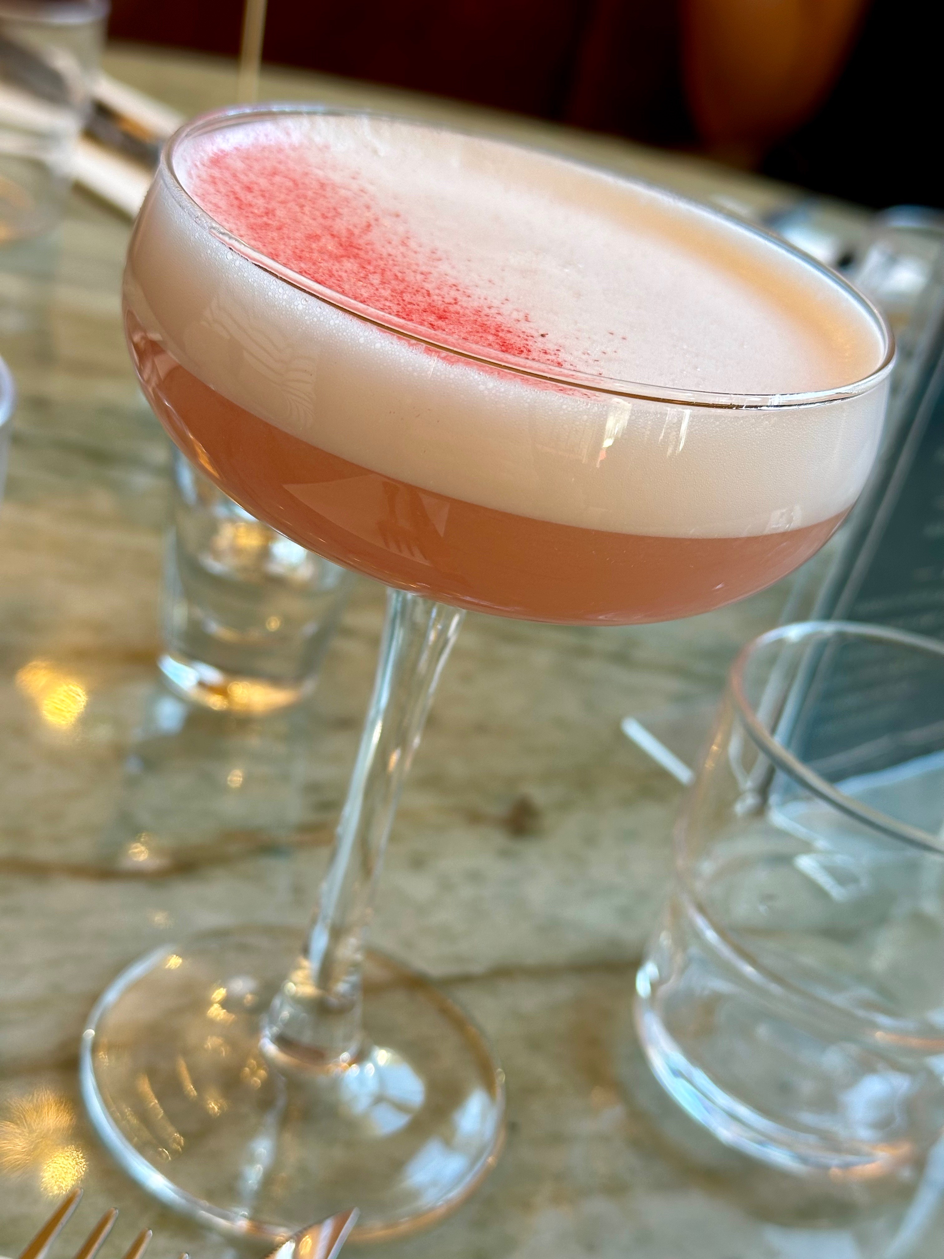
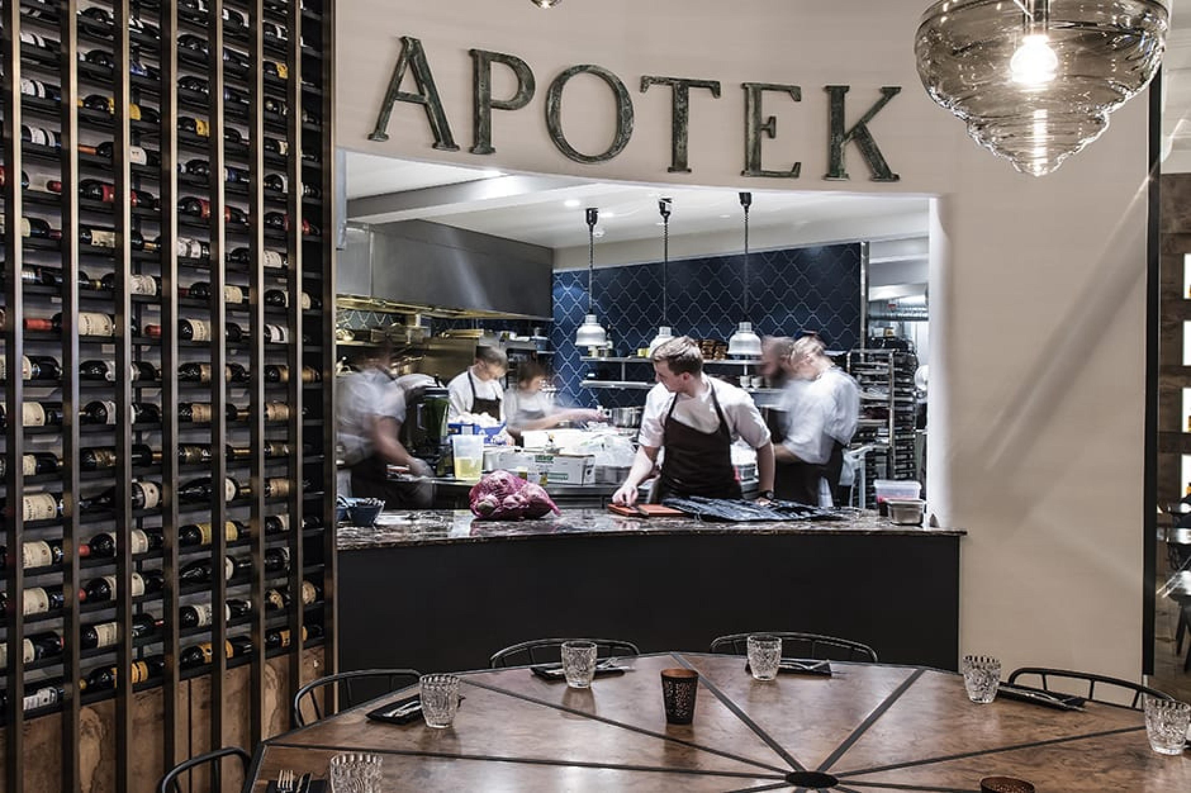
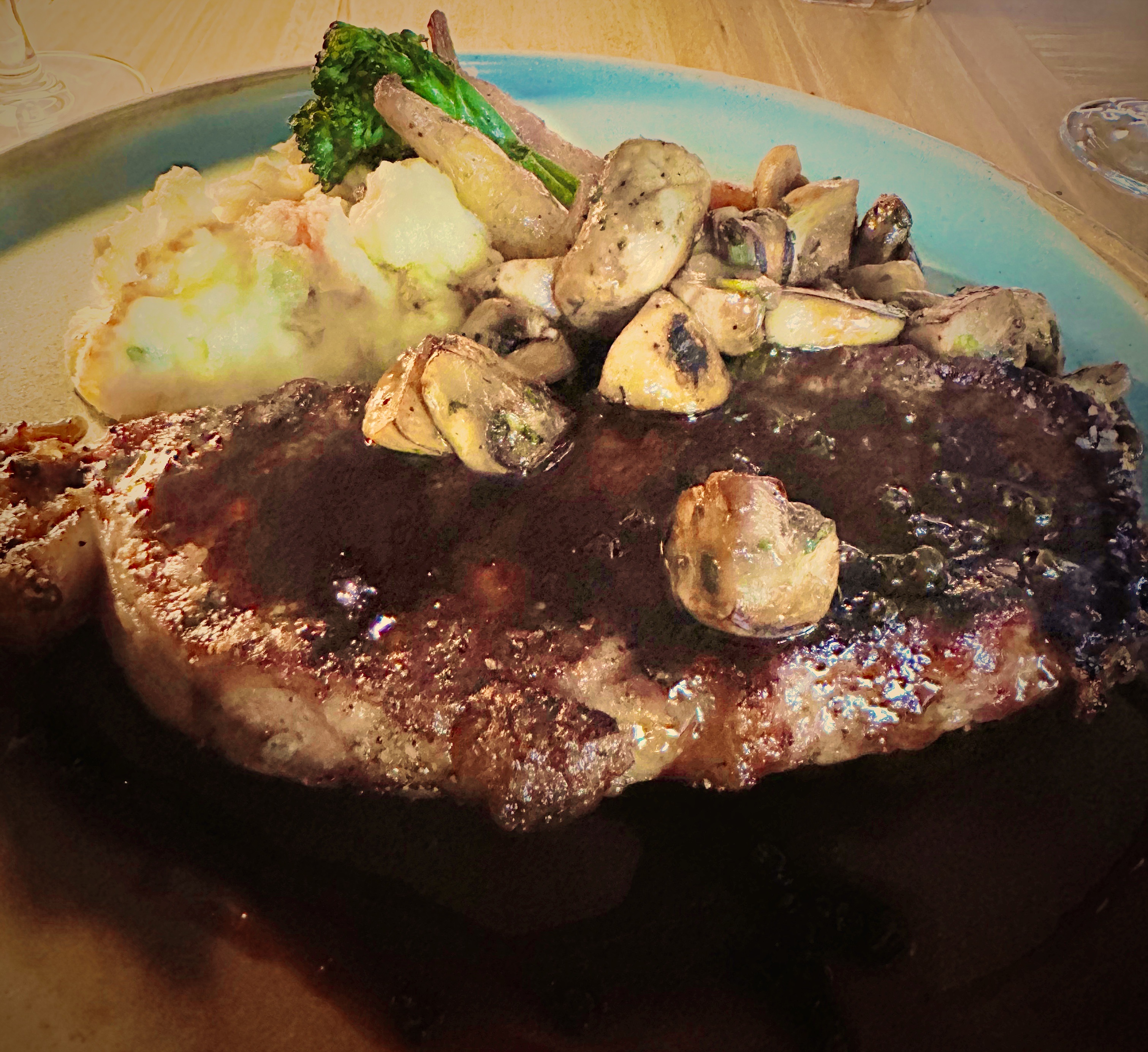
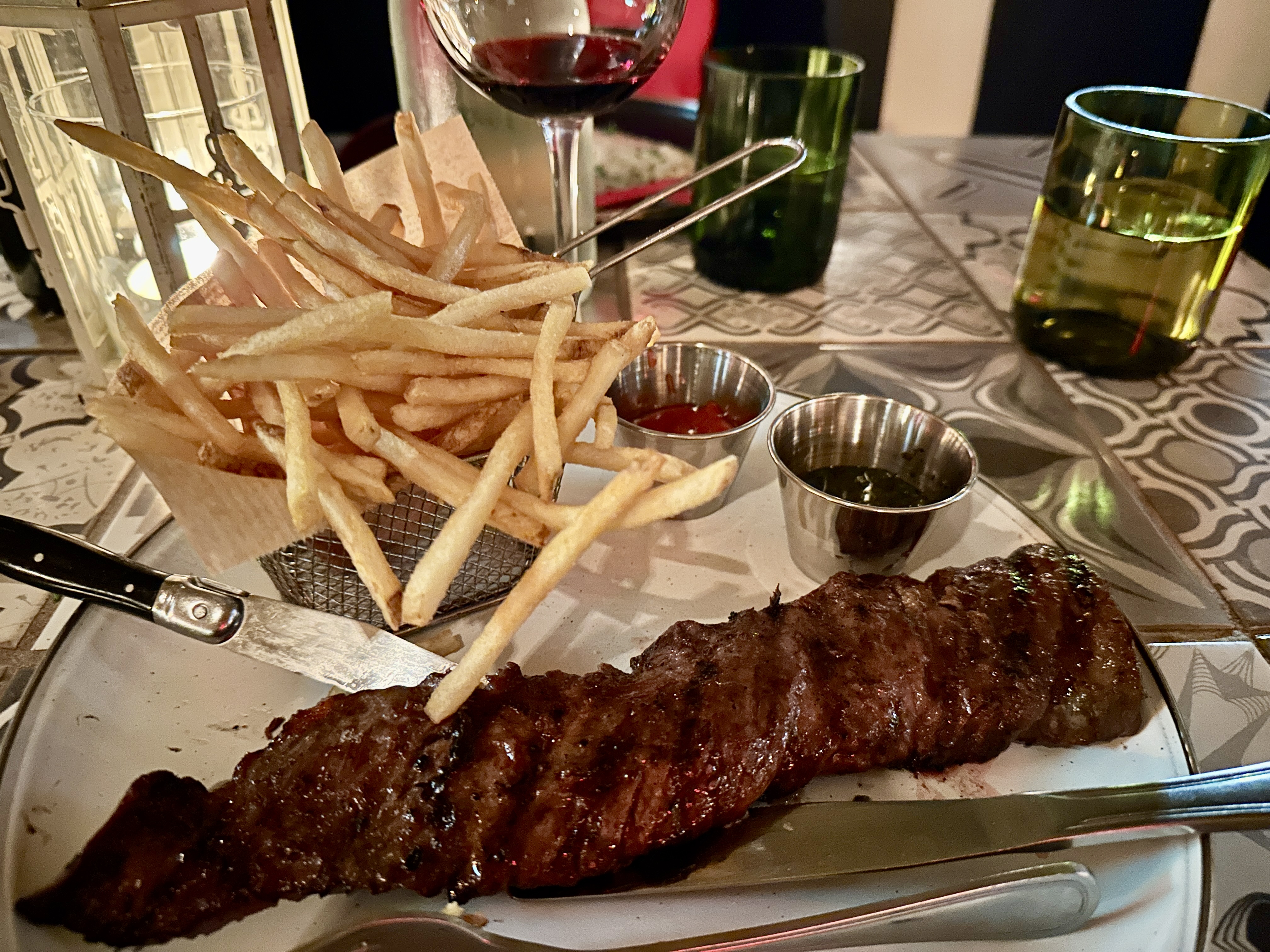
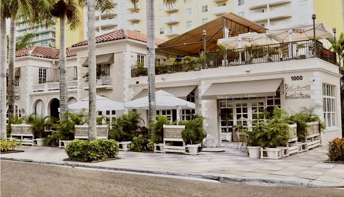
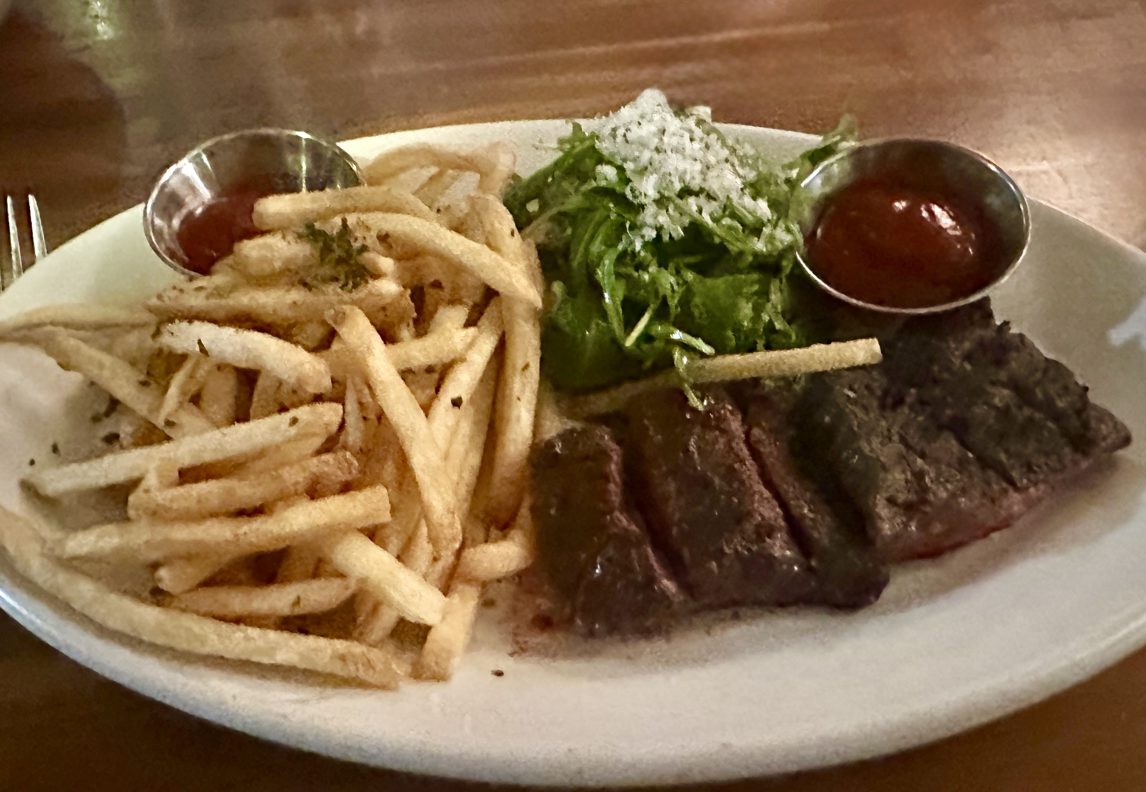
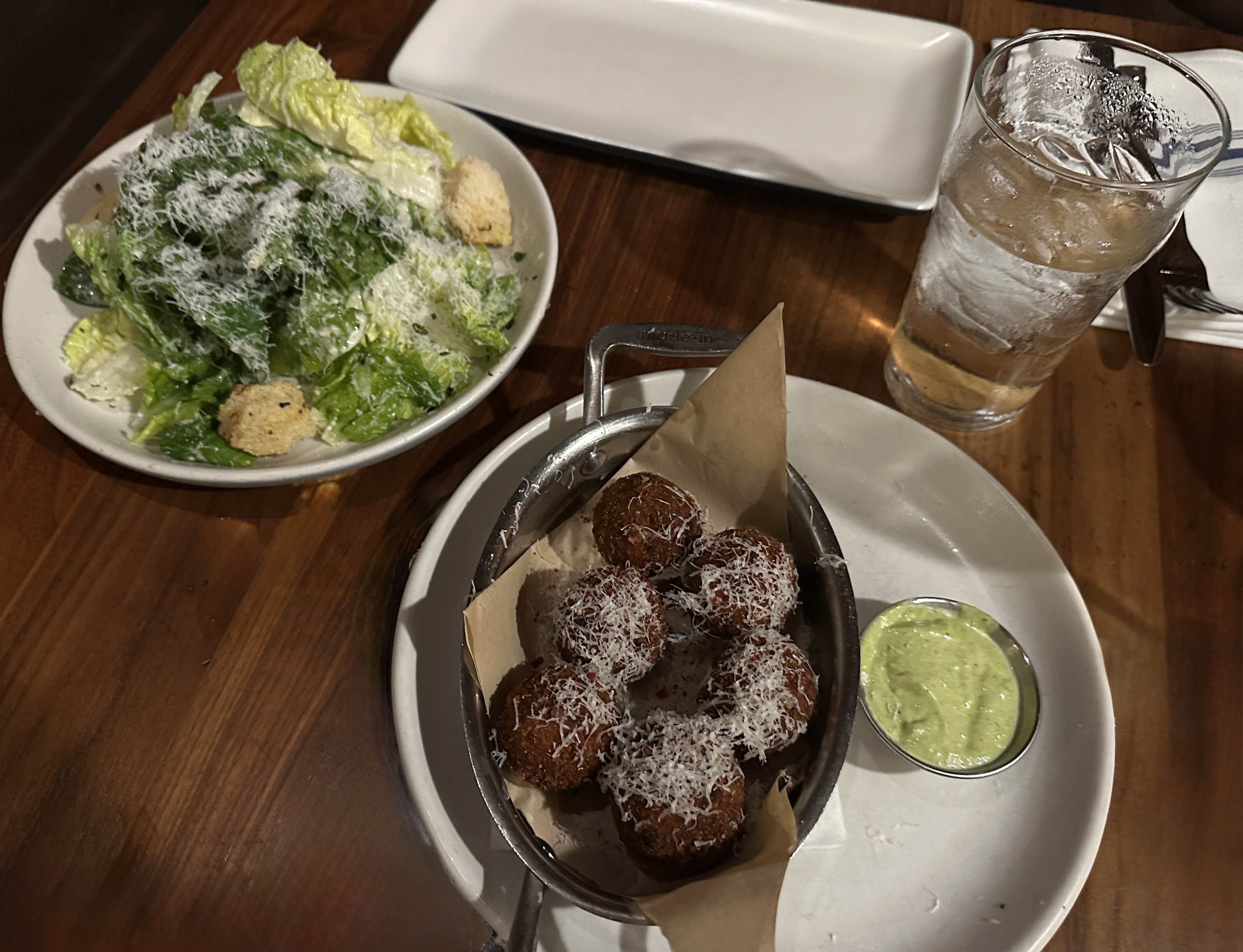
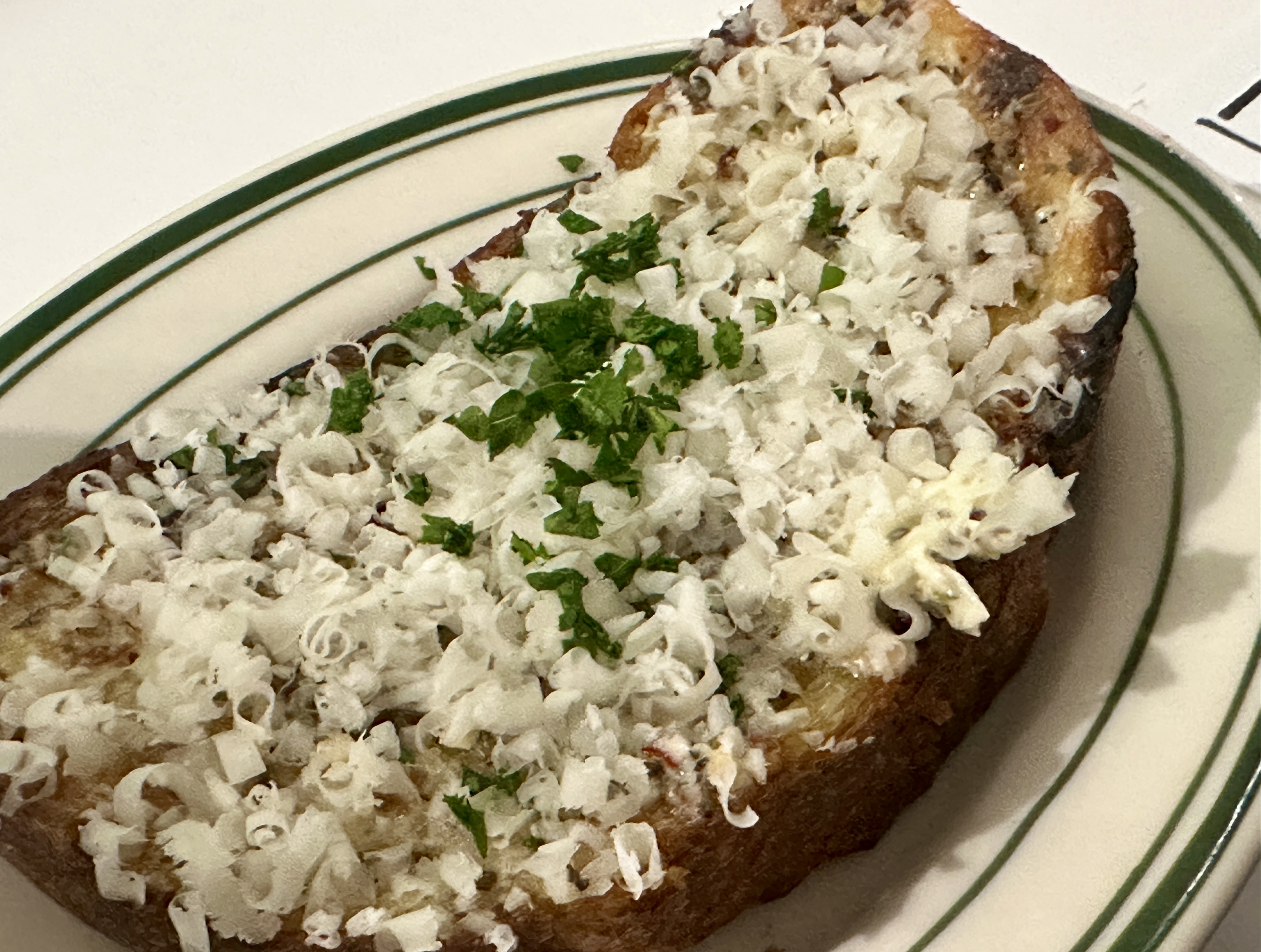
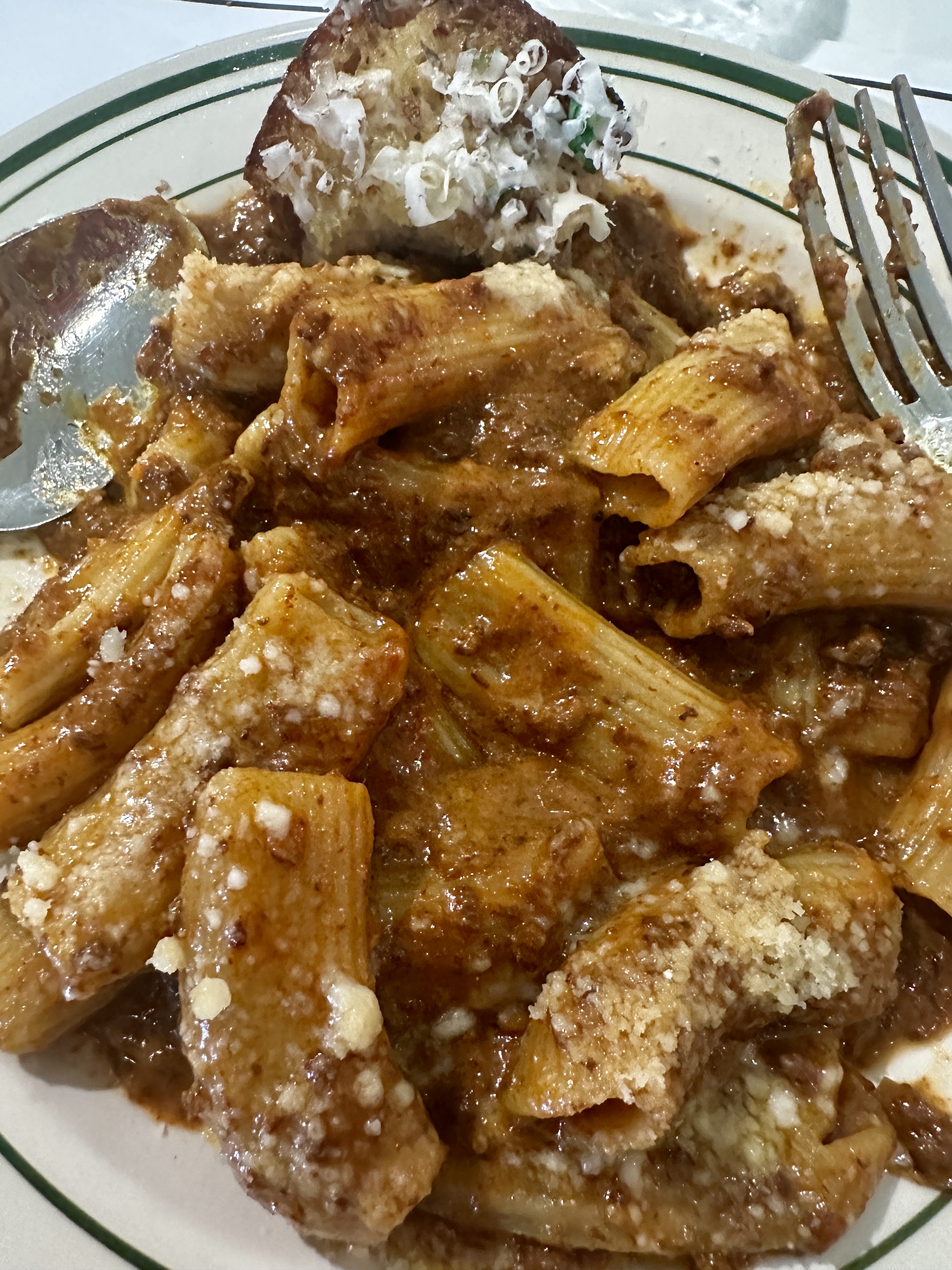
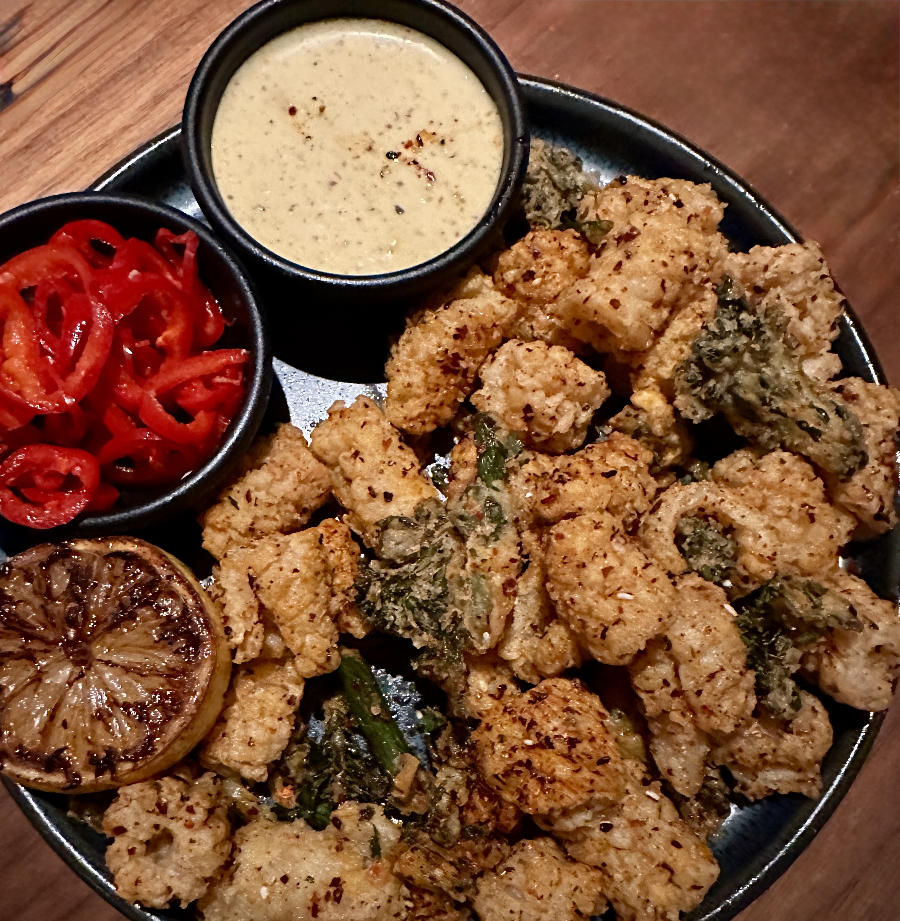
After a well earned lie-down we walked across the street for dinner. We had the pleasure of dining al fresco on the roof deck – a real treat for New Englanders during the month of January. Dolores But you Can Call Me Lolita has been in operation since 1923 in a building that was originally a city firehouse. Our meal and service was excellent. The menu is a fusion of Spanish, Italian and American, although the meat maven went straight for the Argentinian Churrasco.

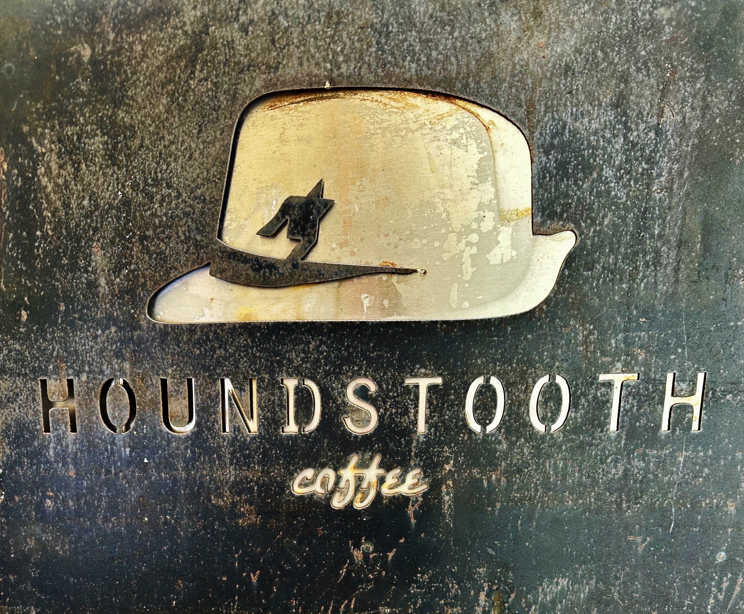
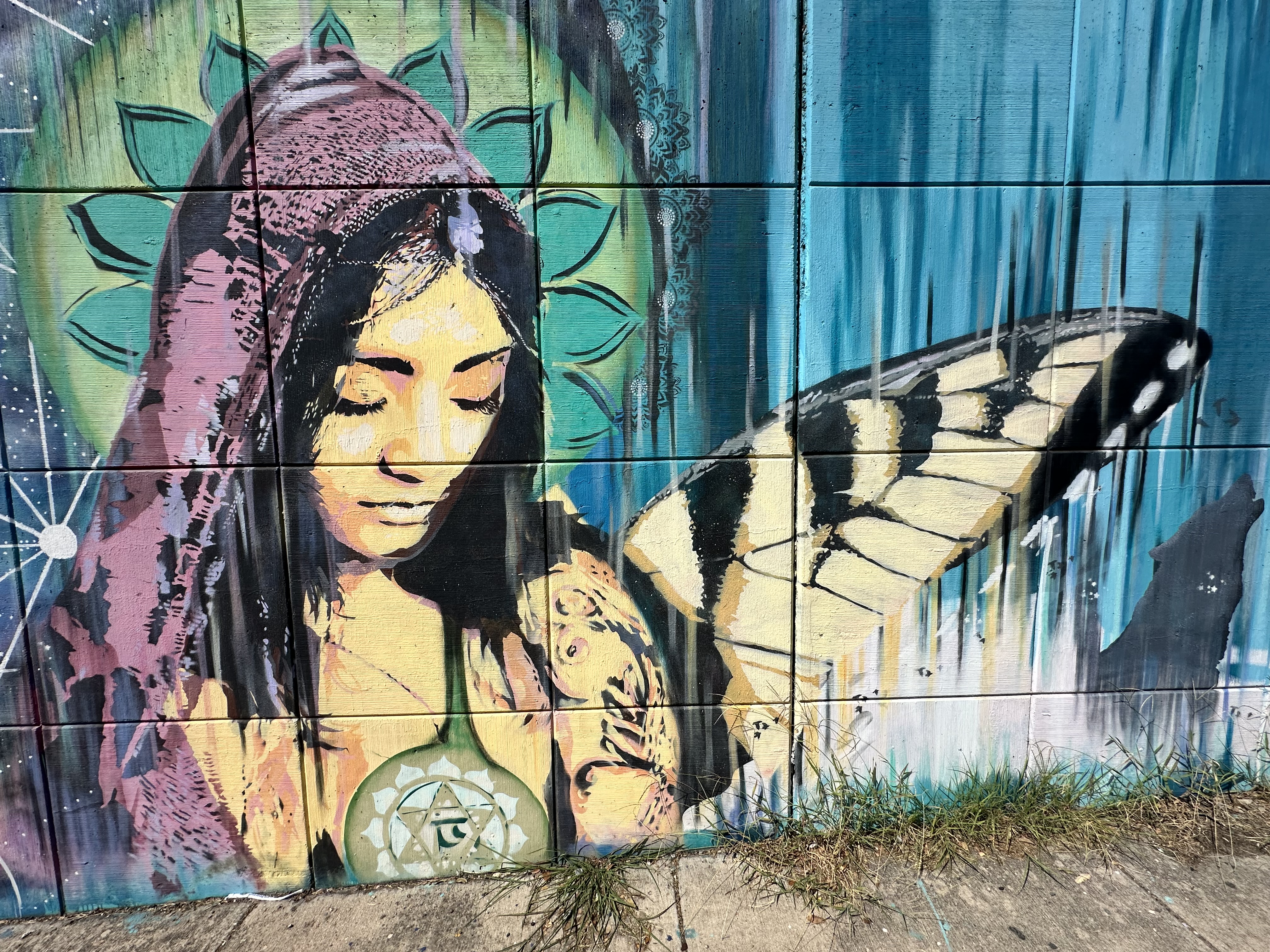
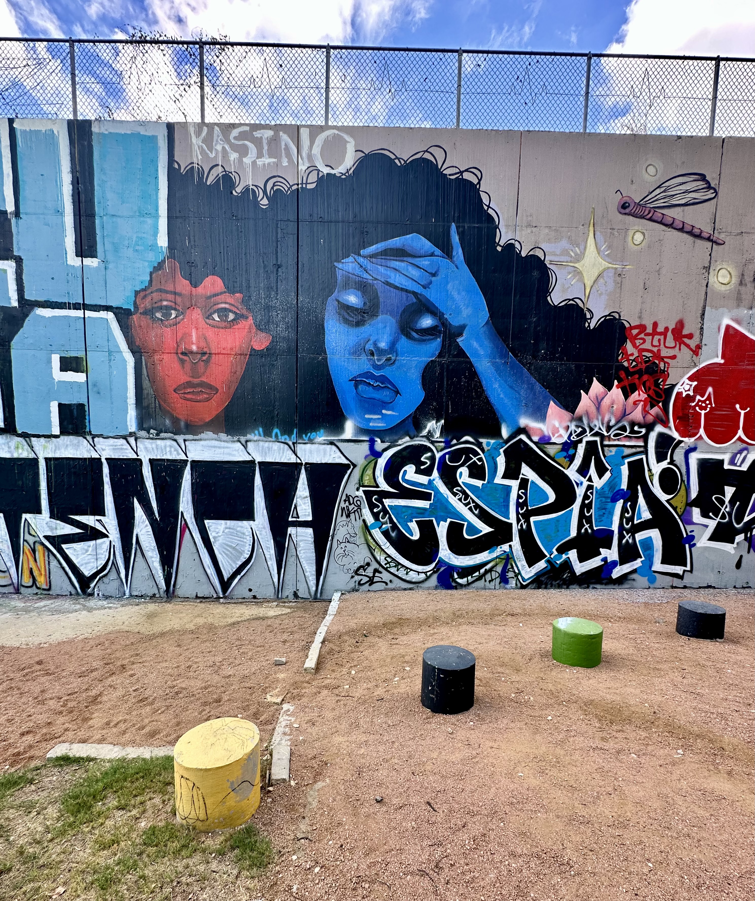
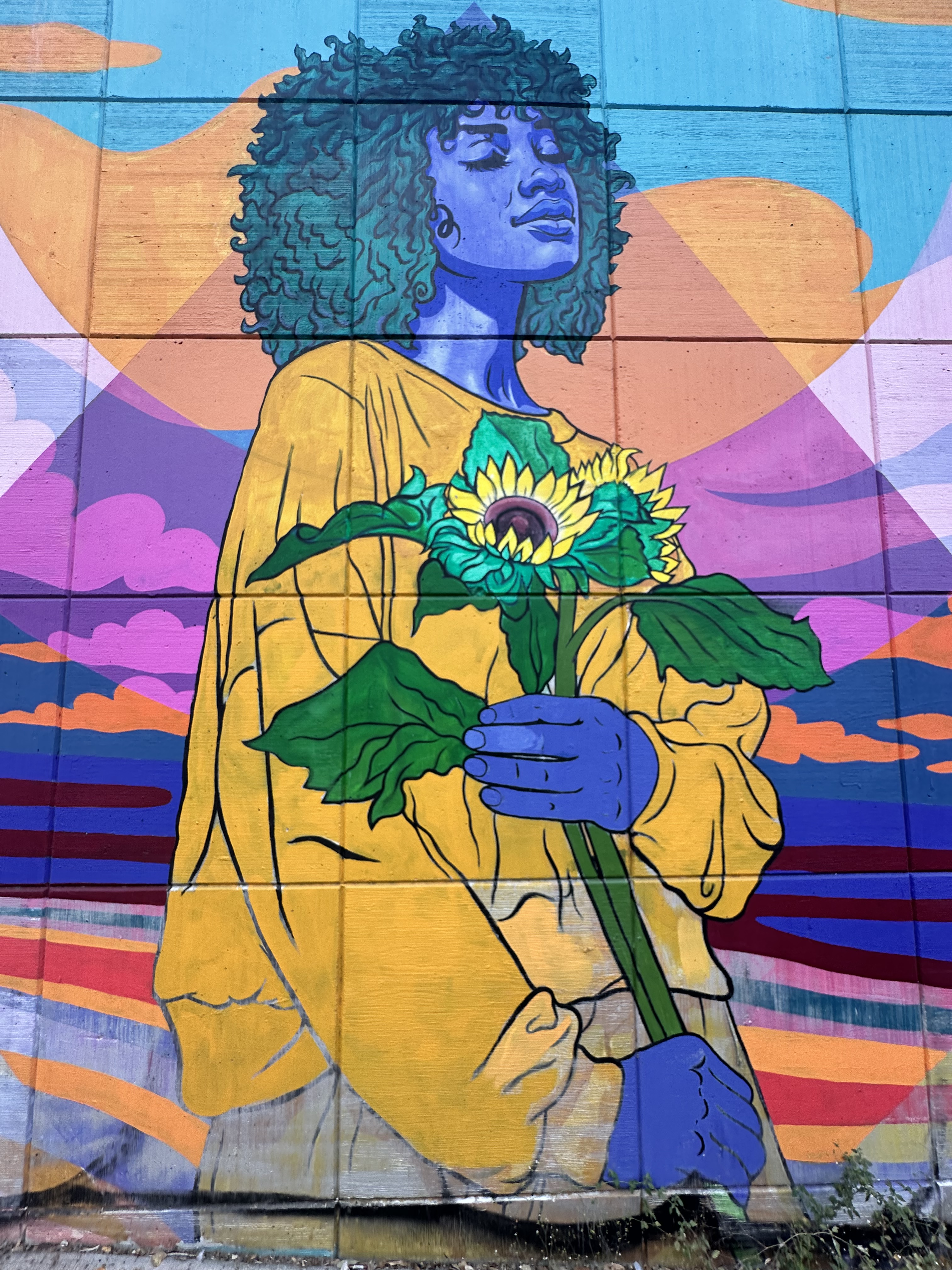
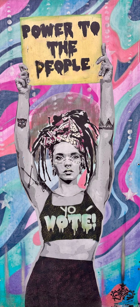
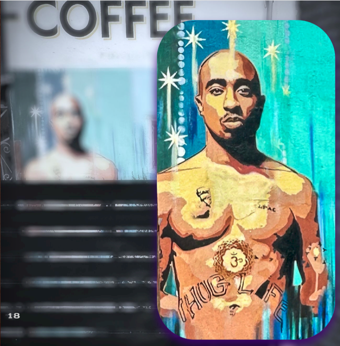
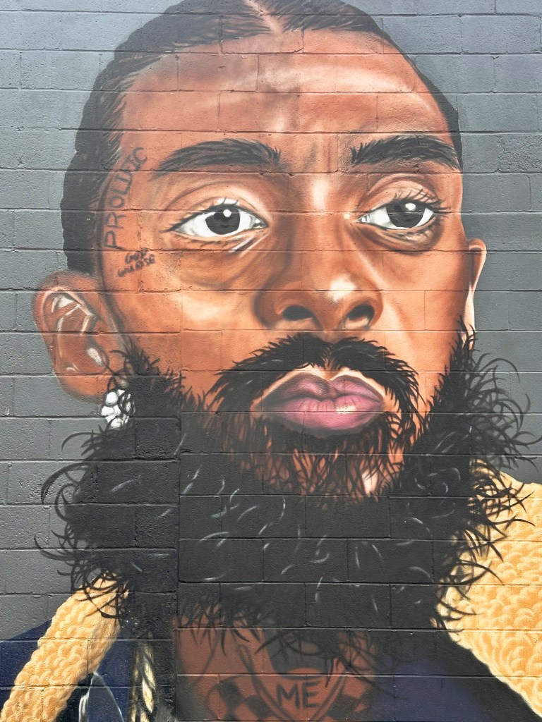
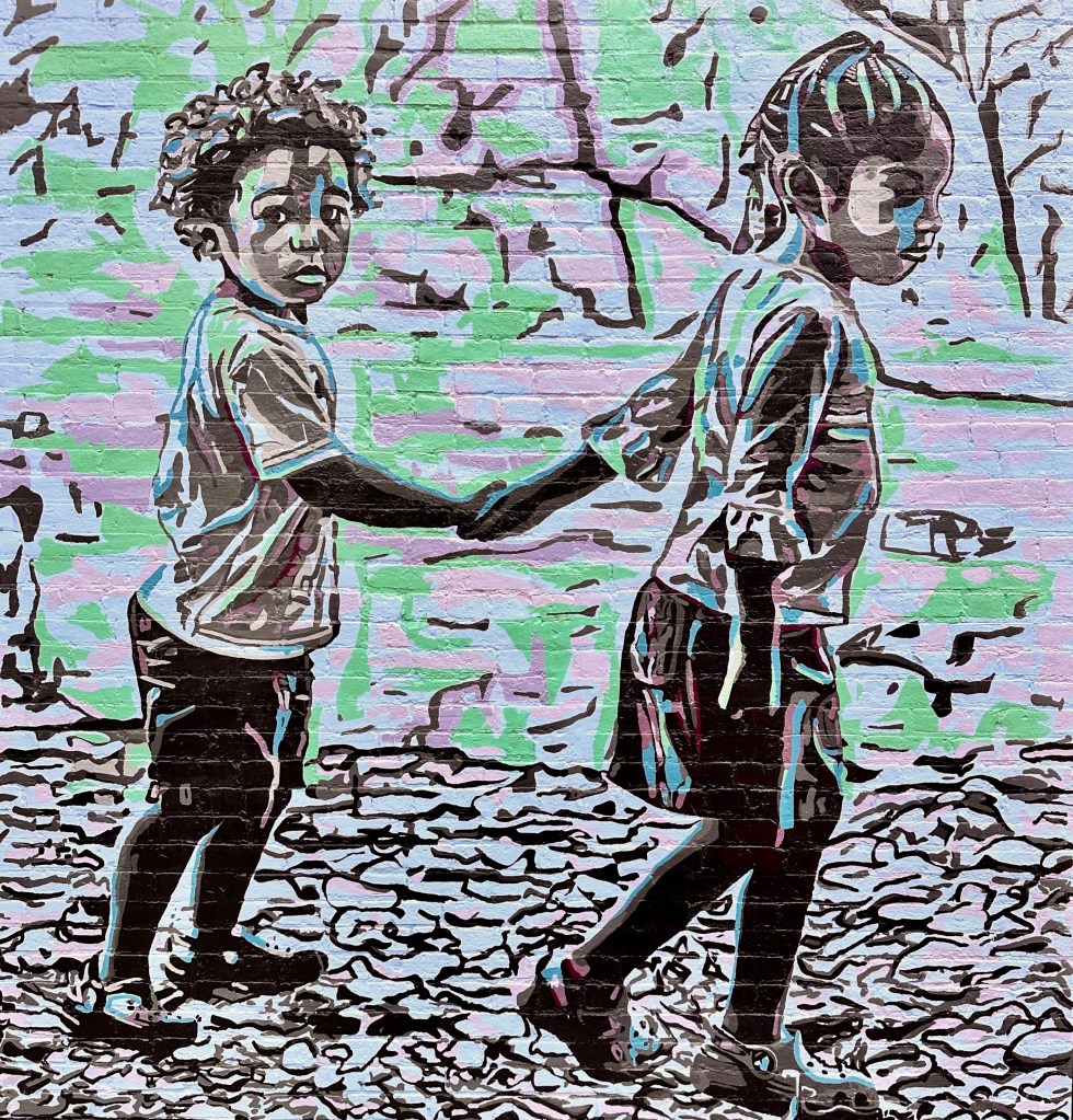
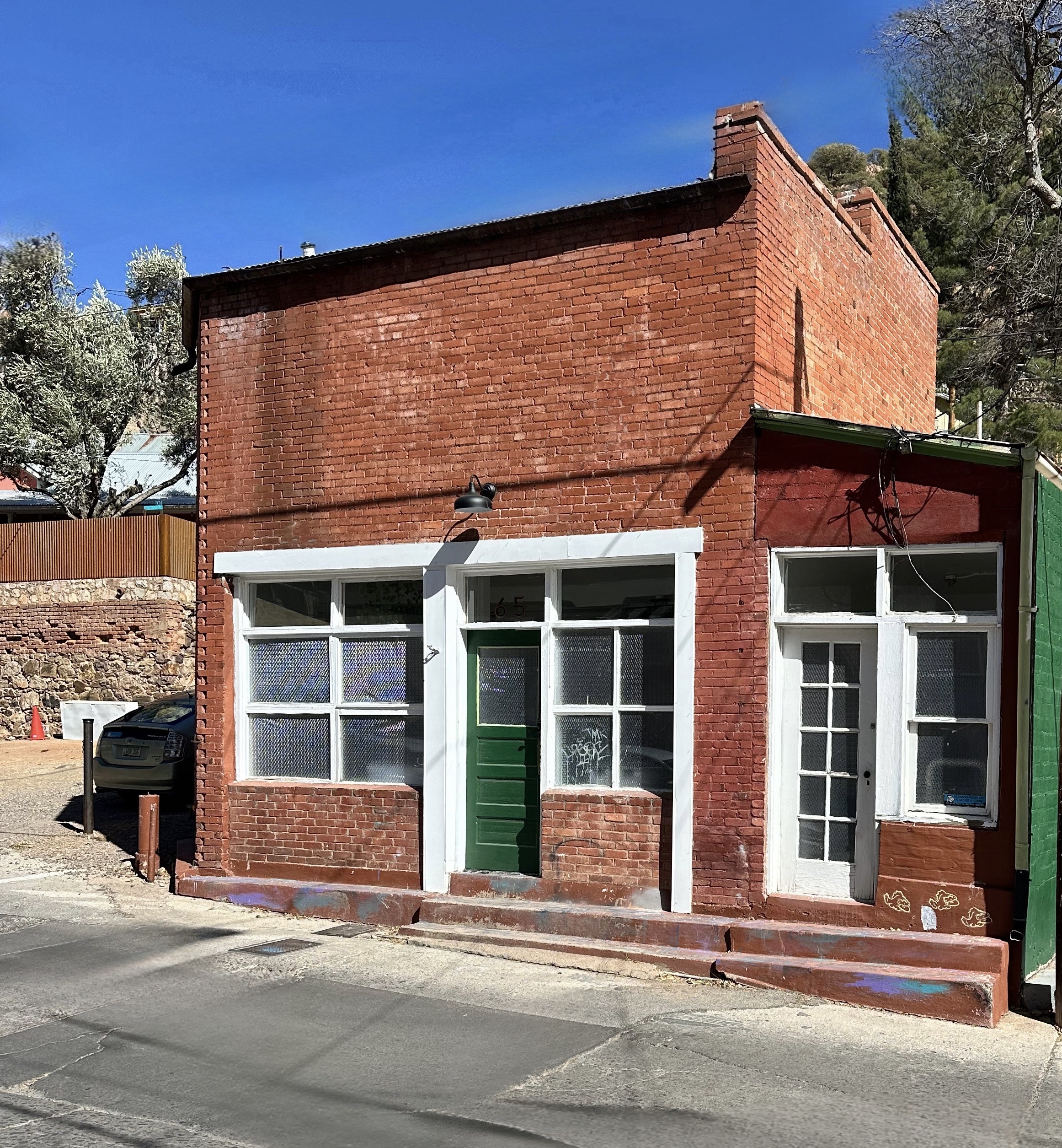
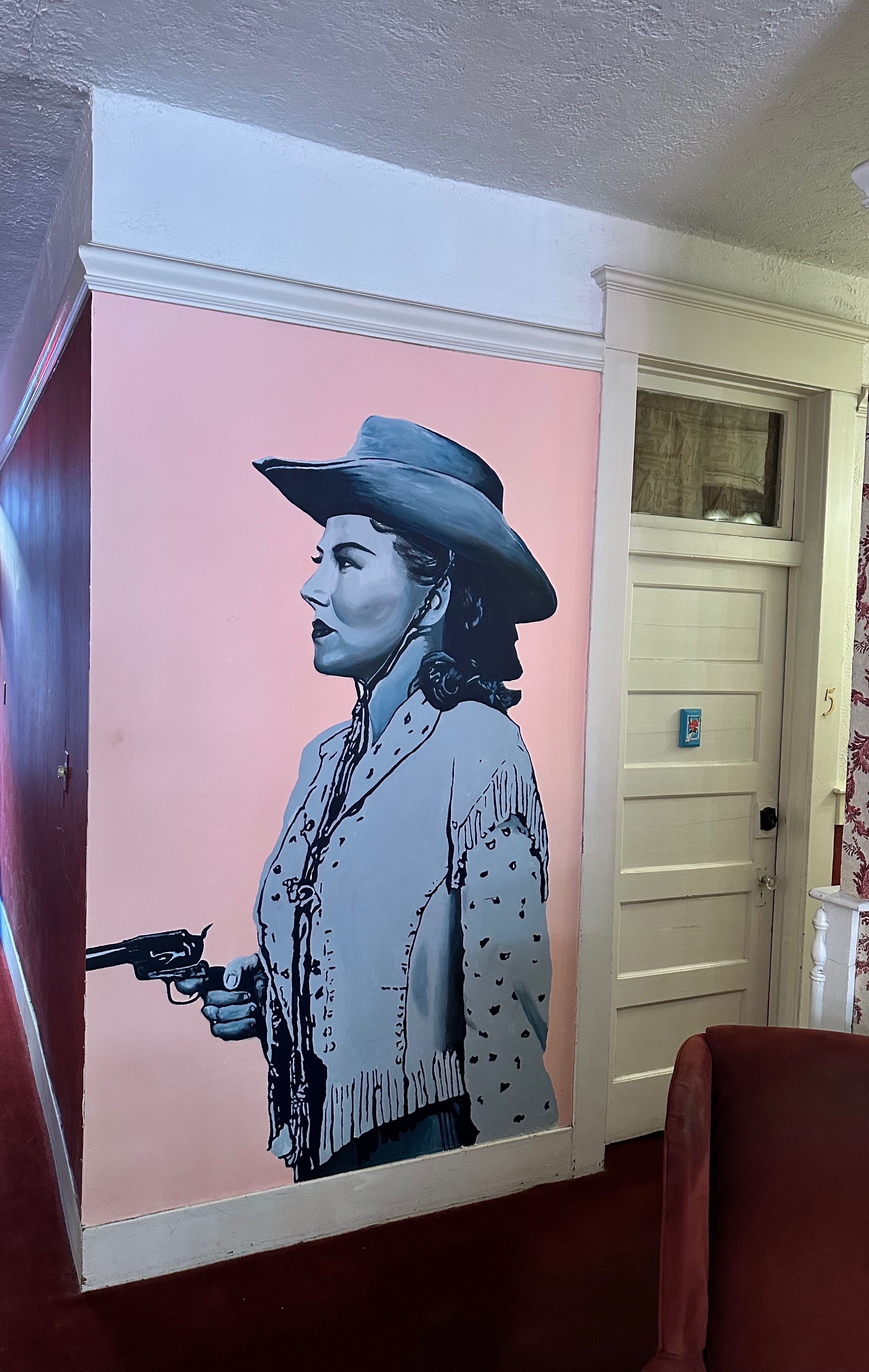
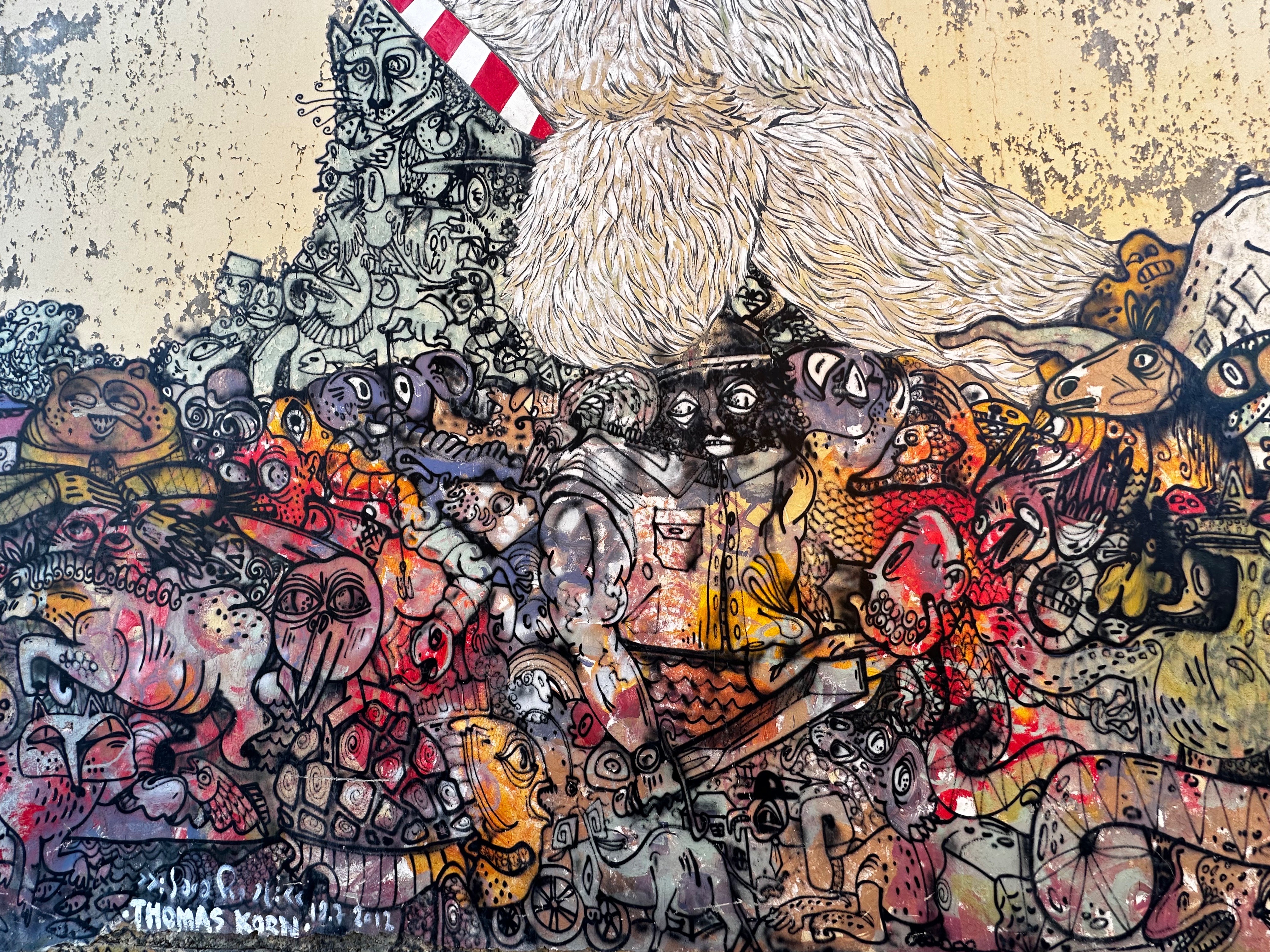
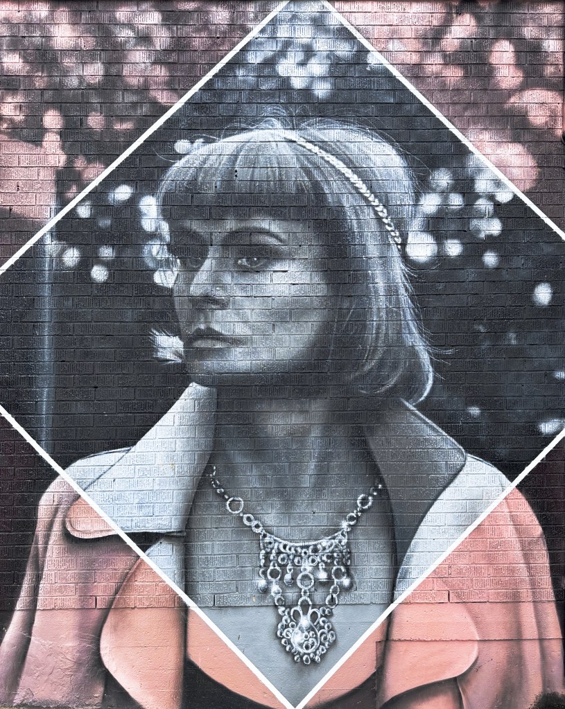
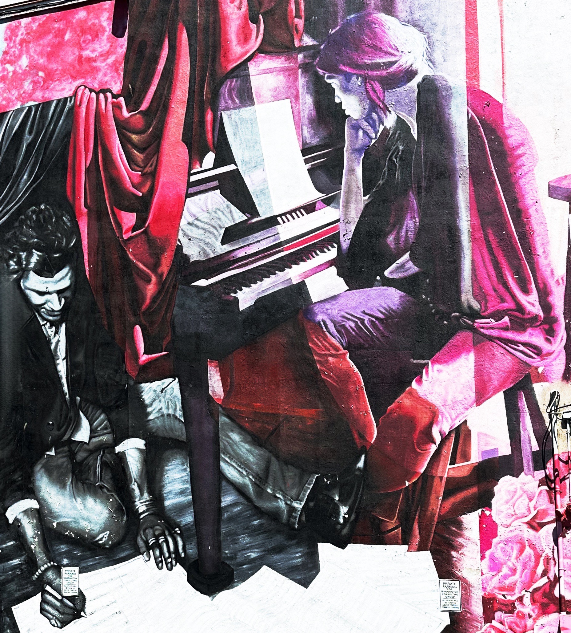
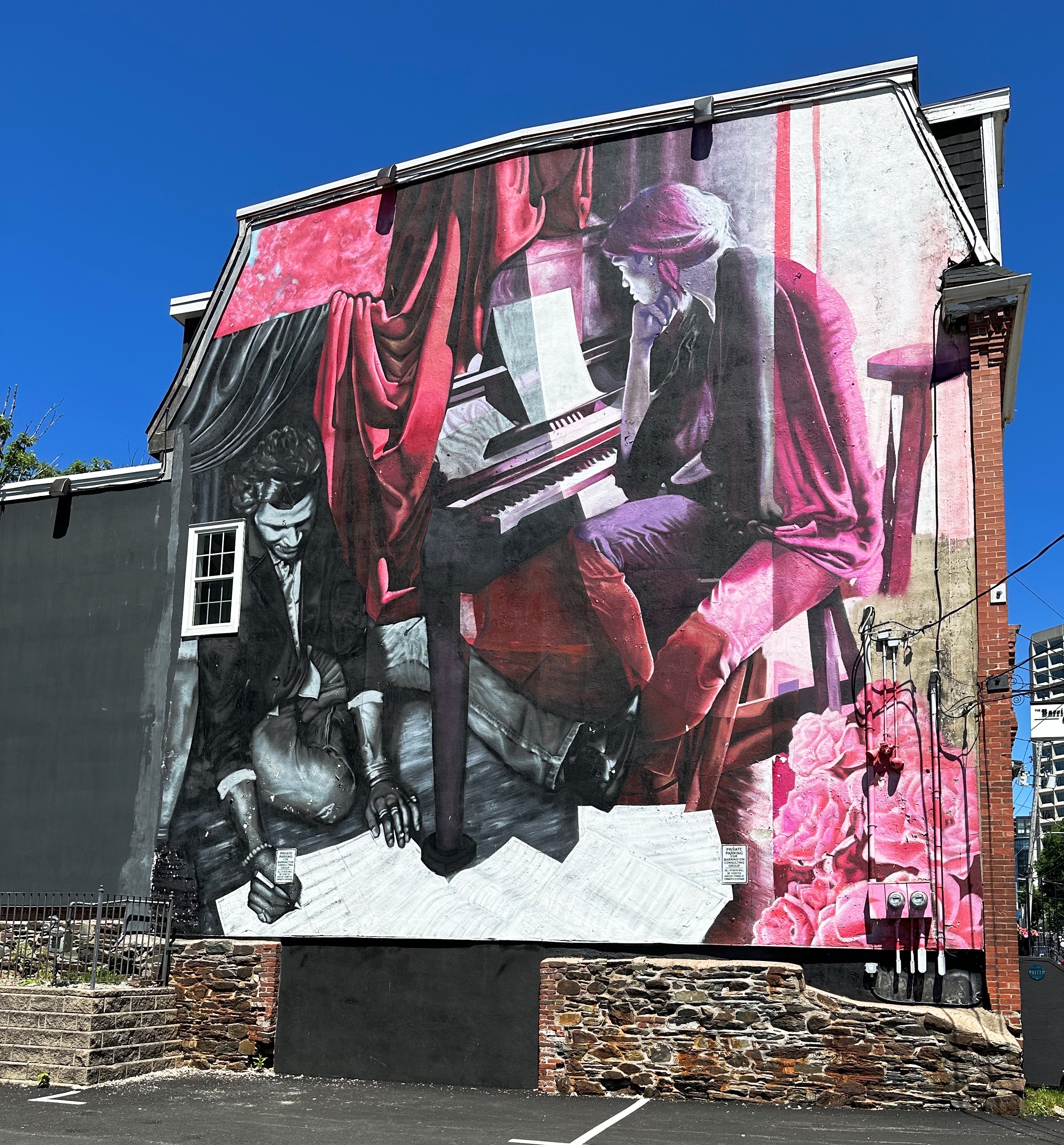
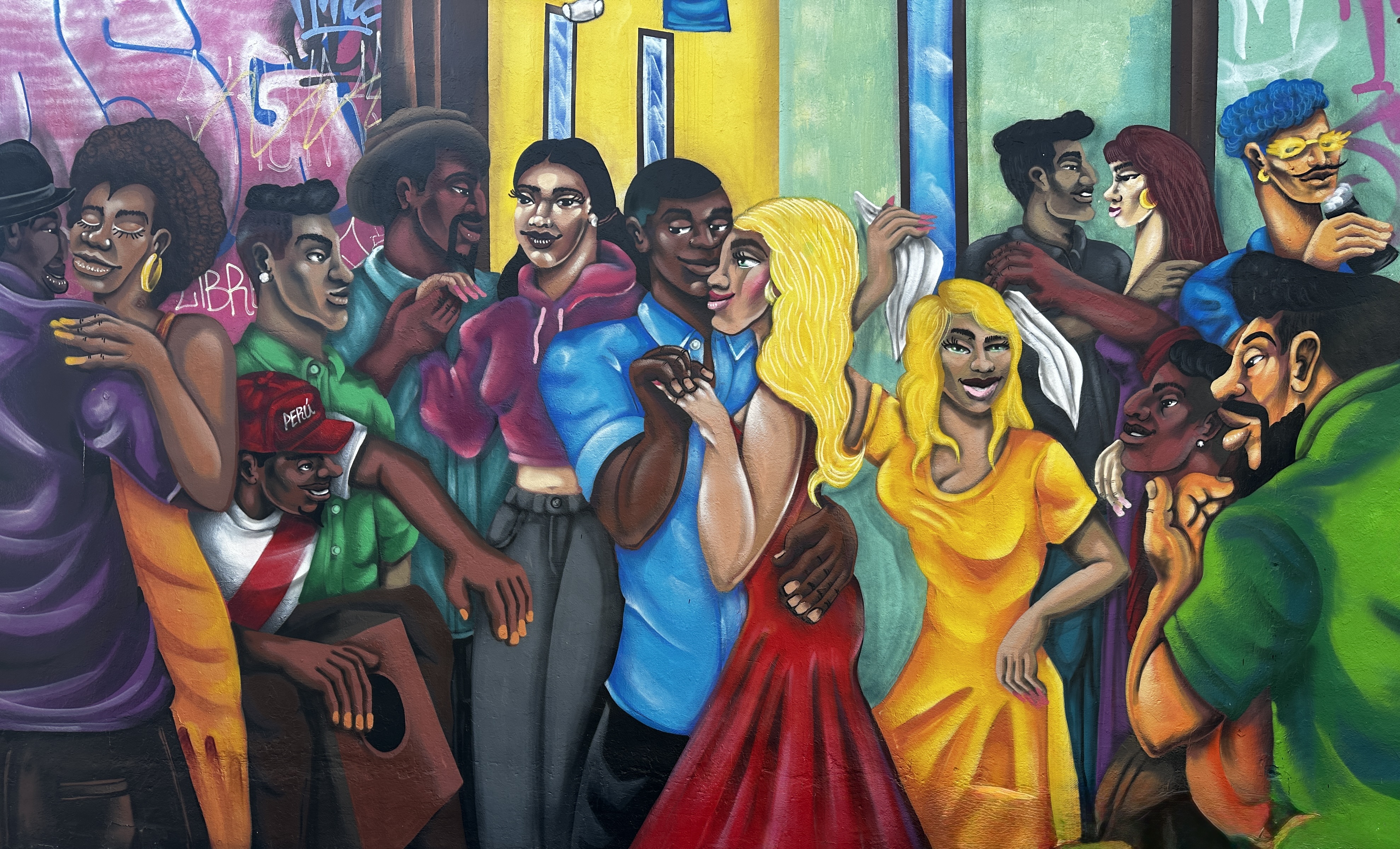
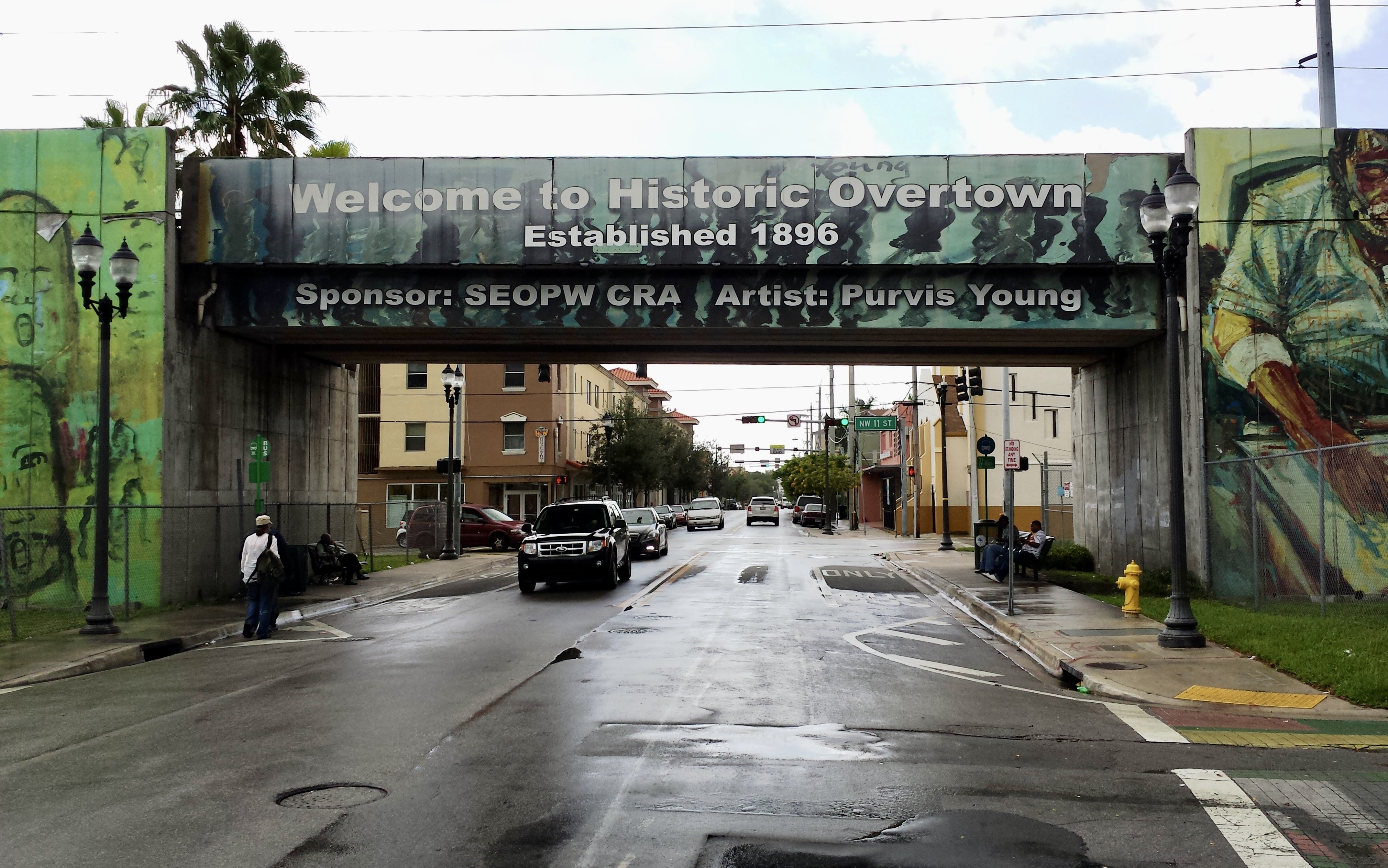
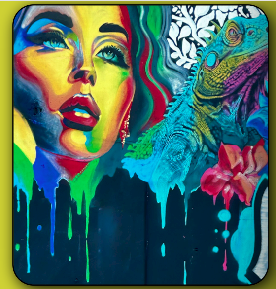
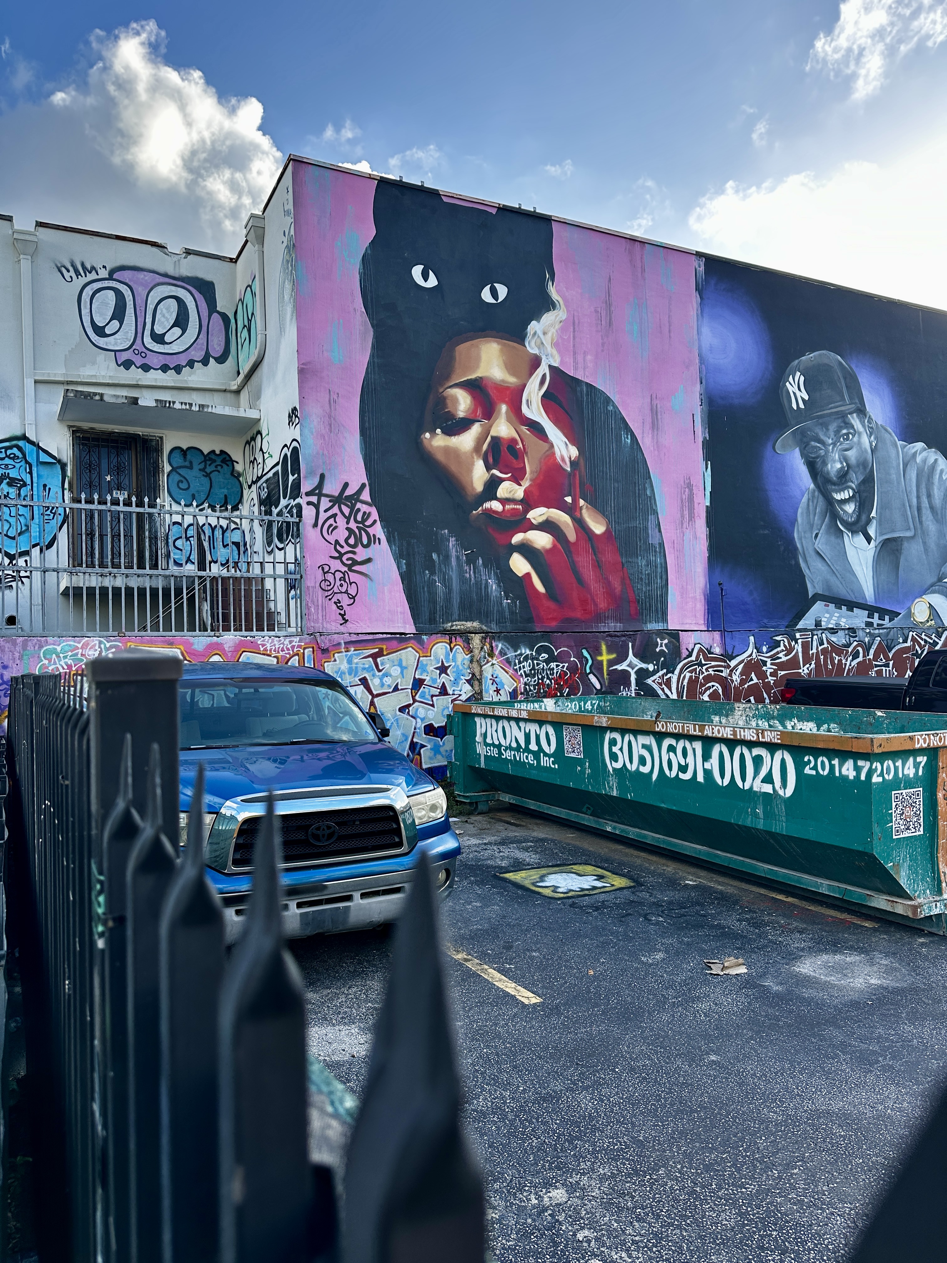
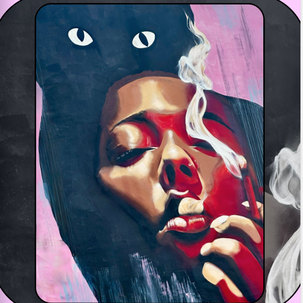
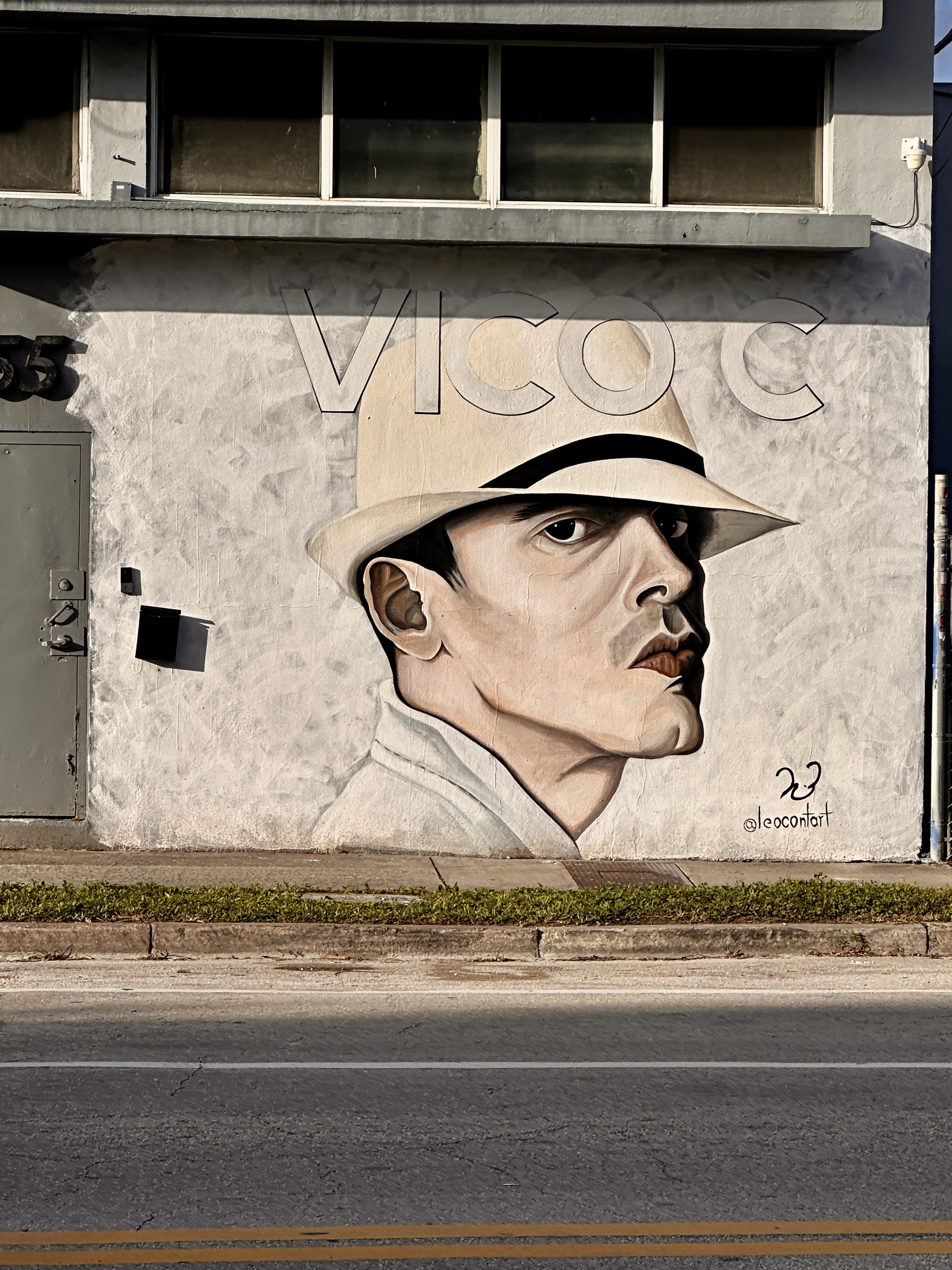
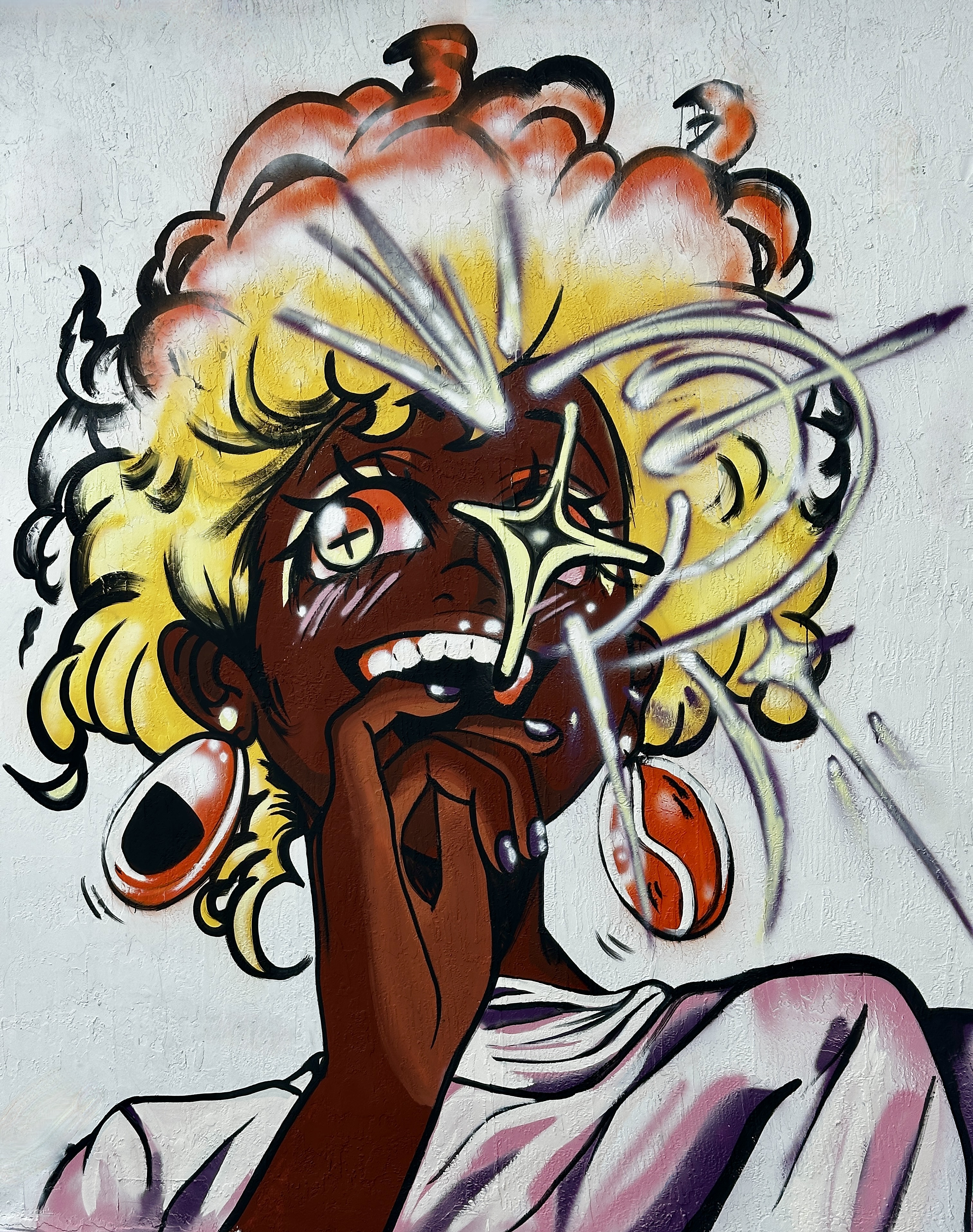
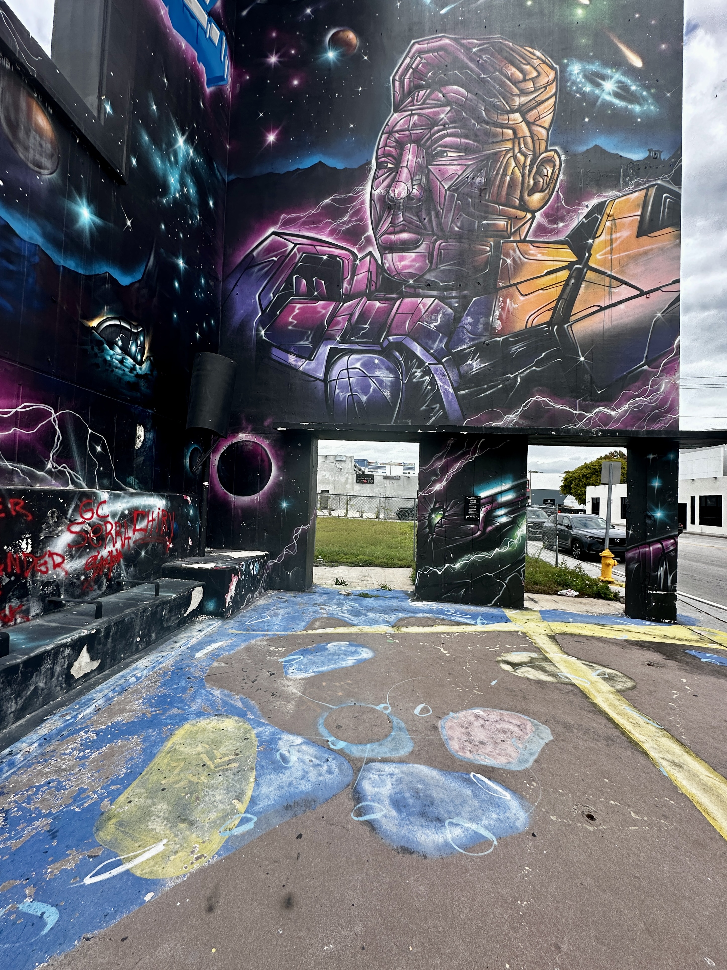
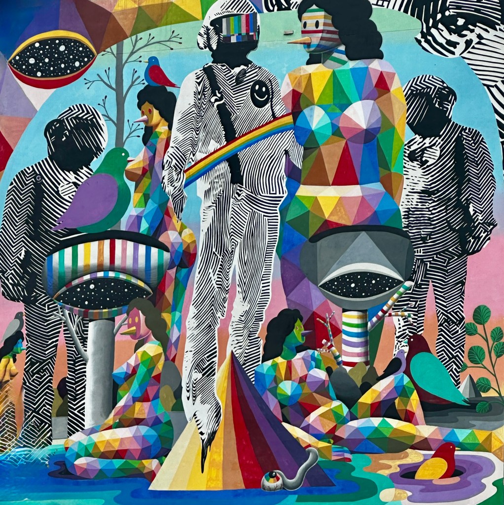
DAY TWO – We woke up to a cloudy day which ordinarily would be disappointing while visiting Miami from Connecticut in January. However, since one of our key objectives on this trip was to photograph street art in the Wynwood and Overton neighborhoods – cloudy was just fine.
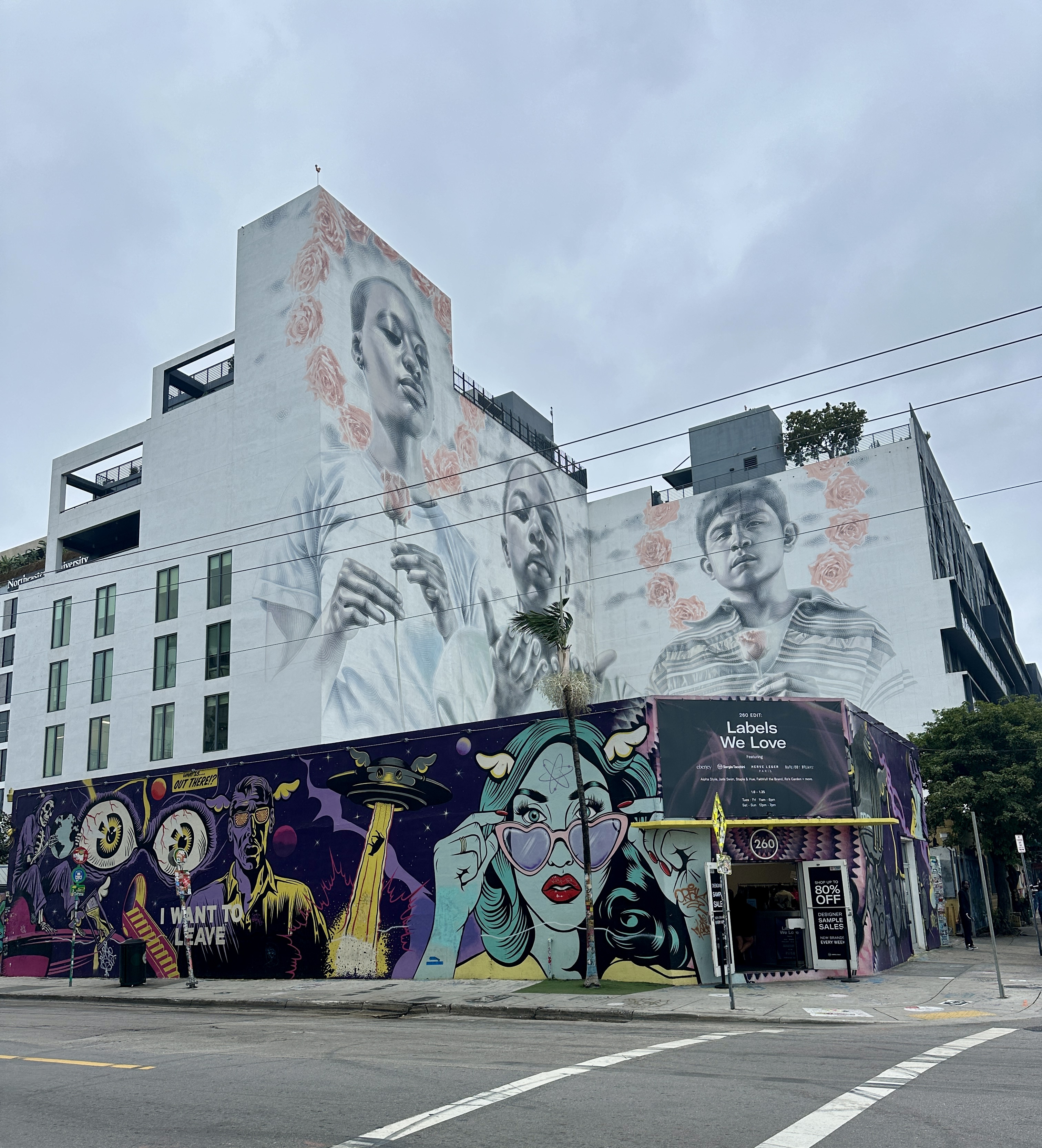
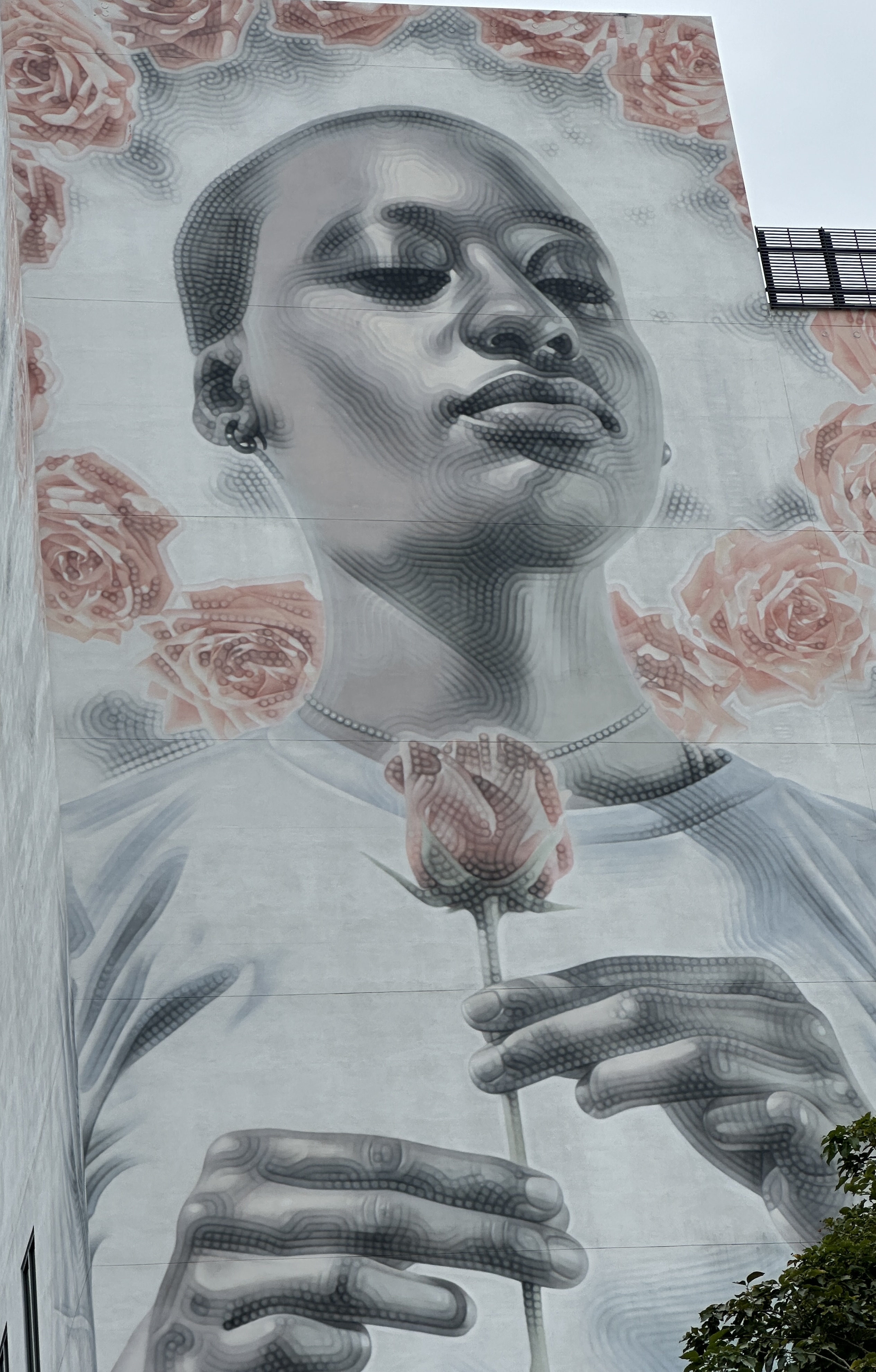
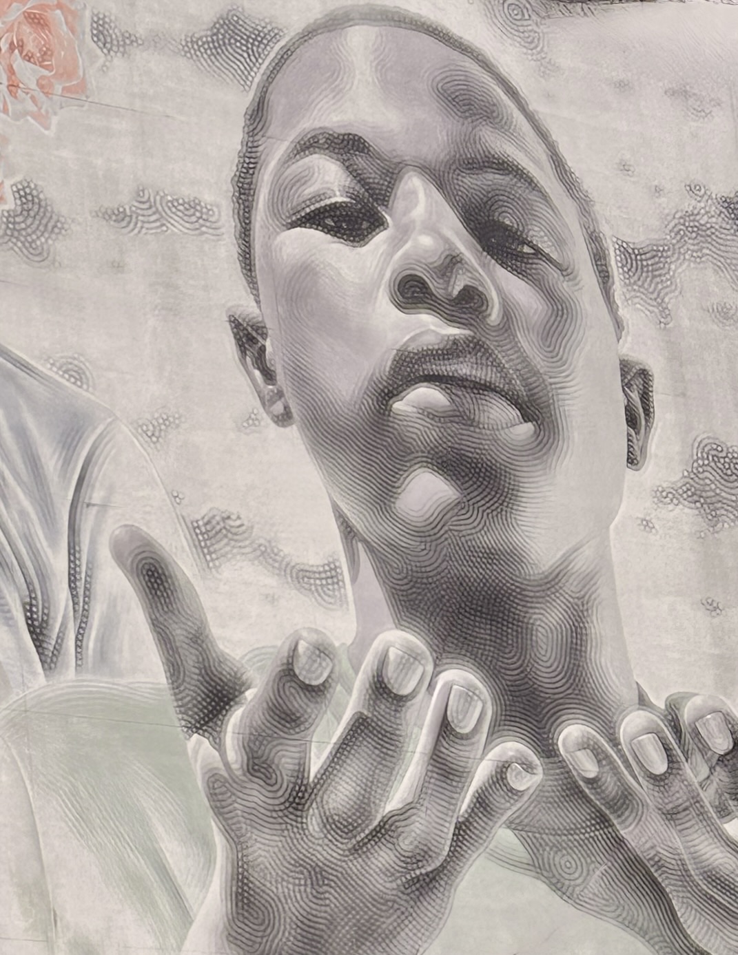
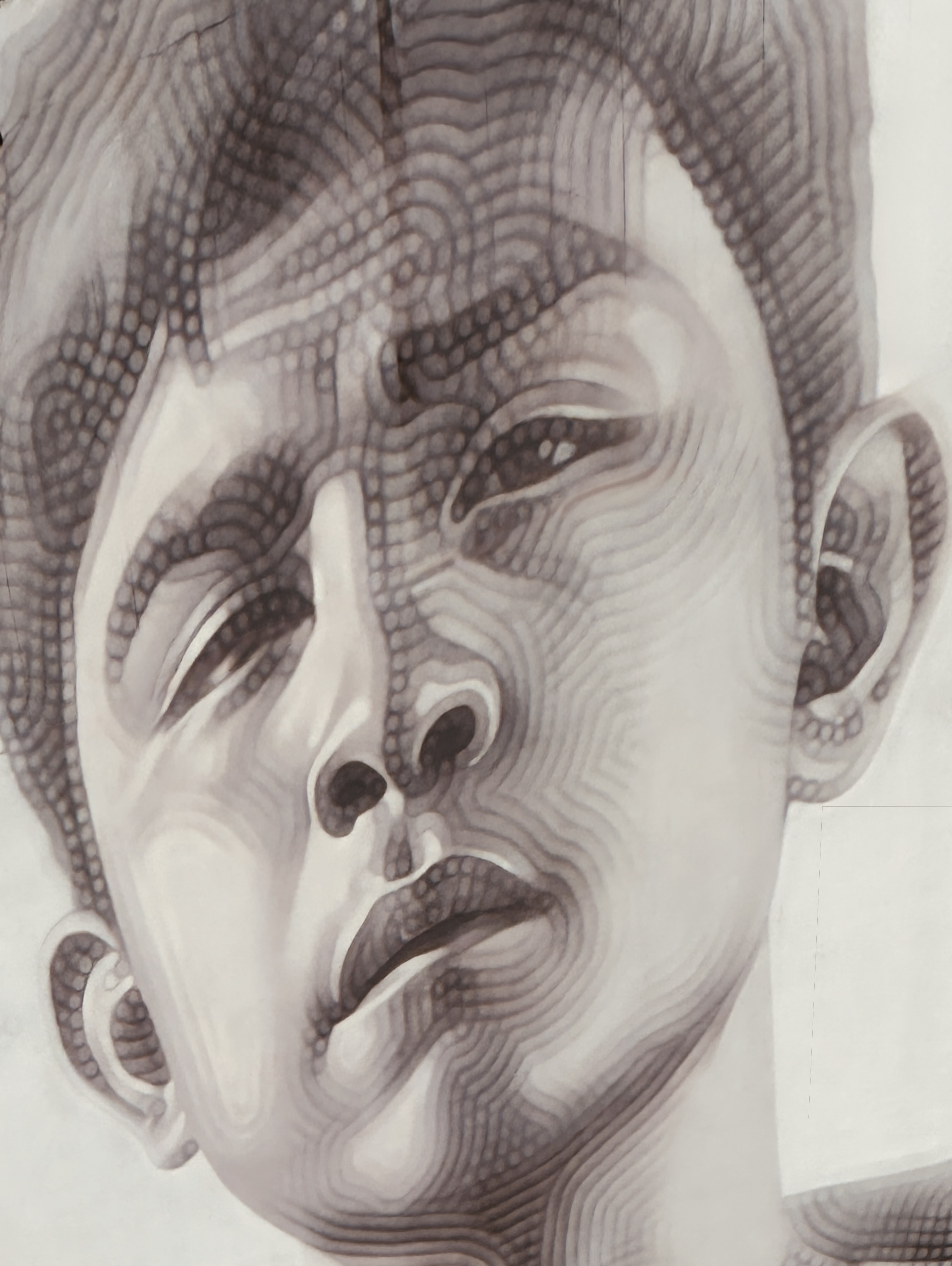
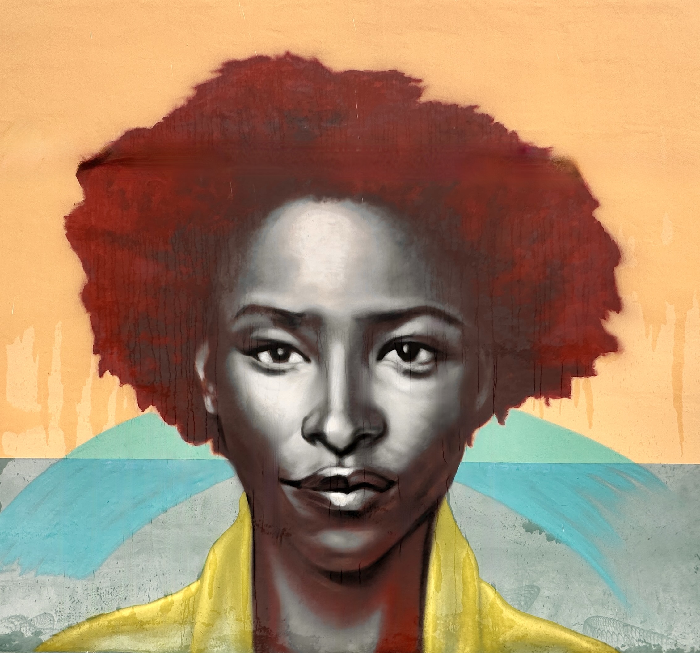
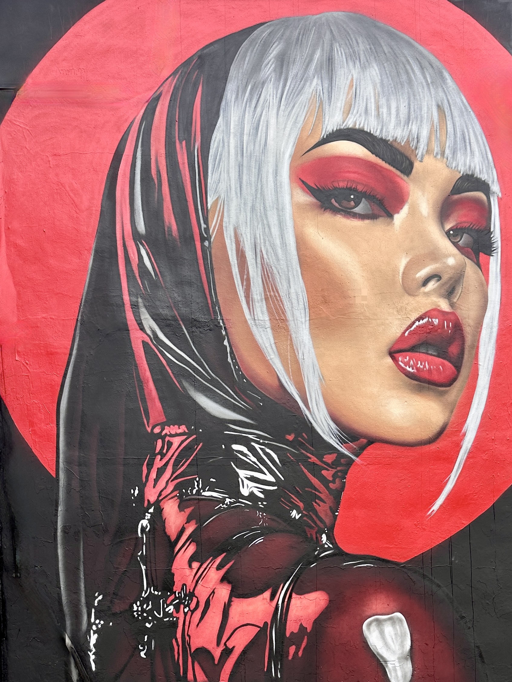
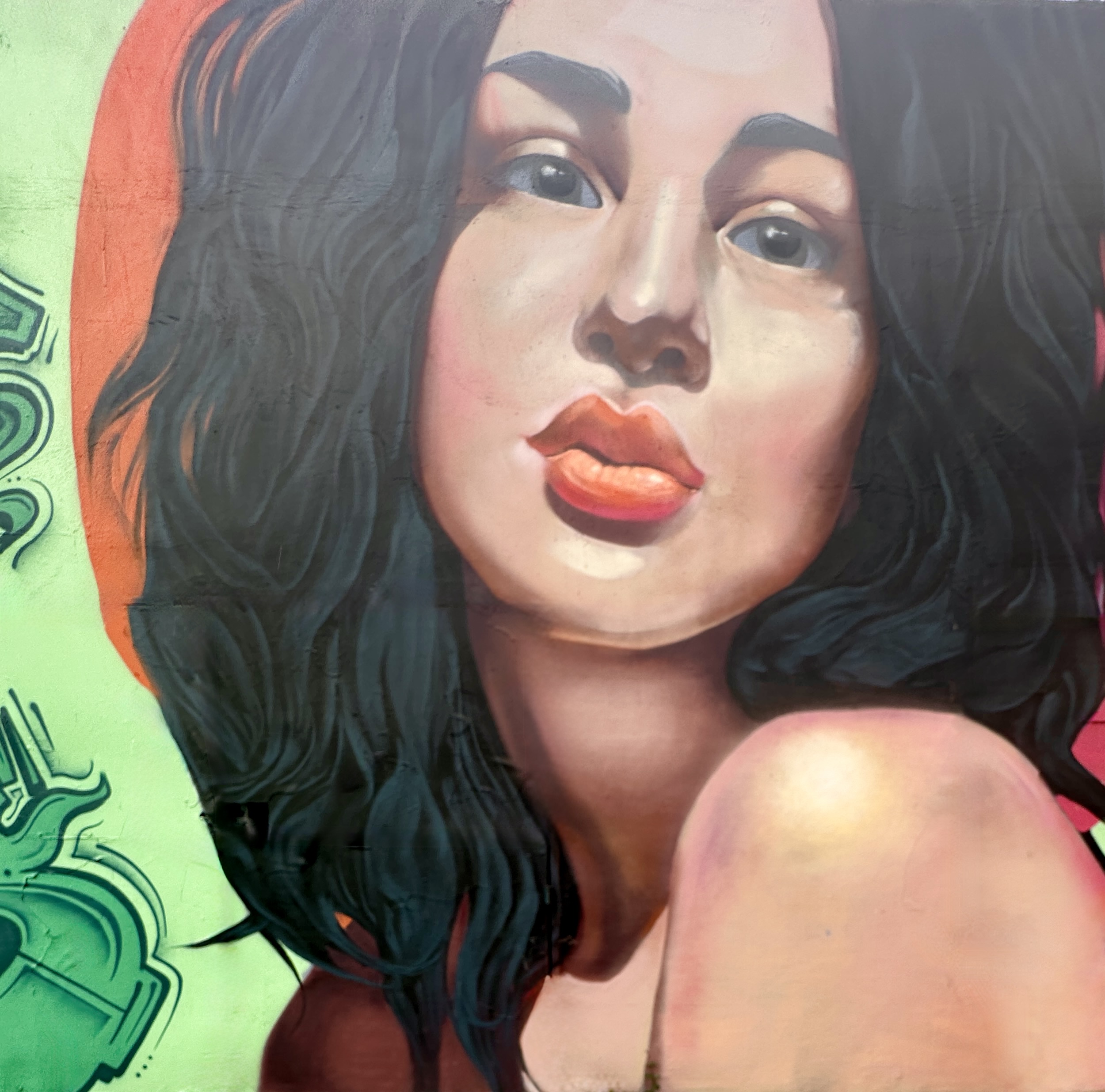
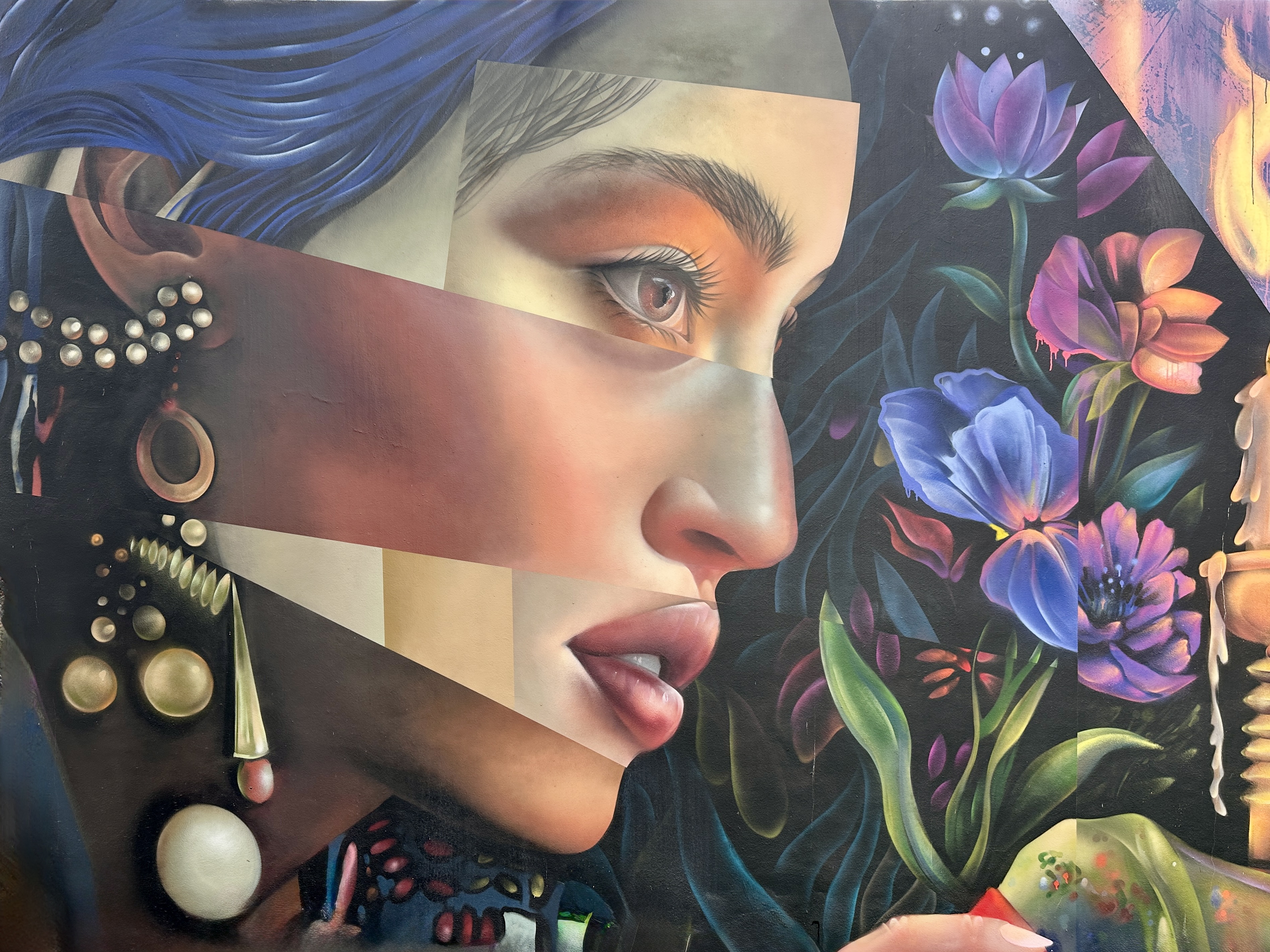
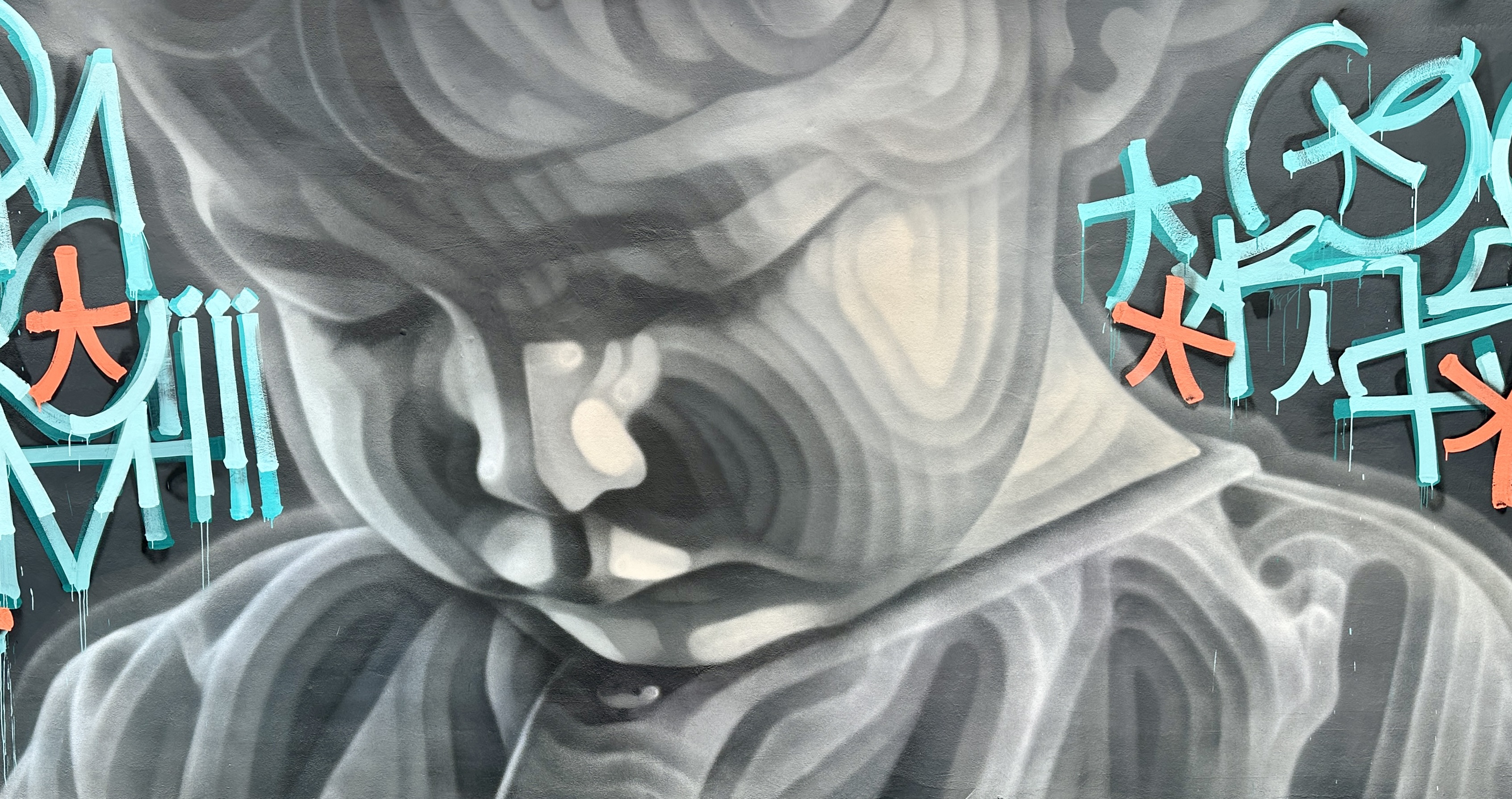
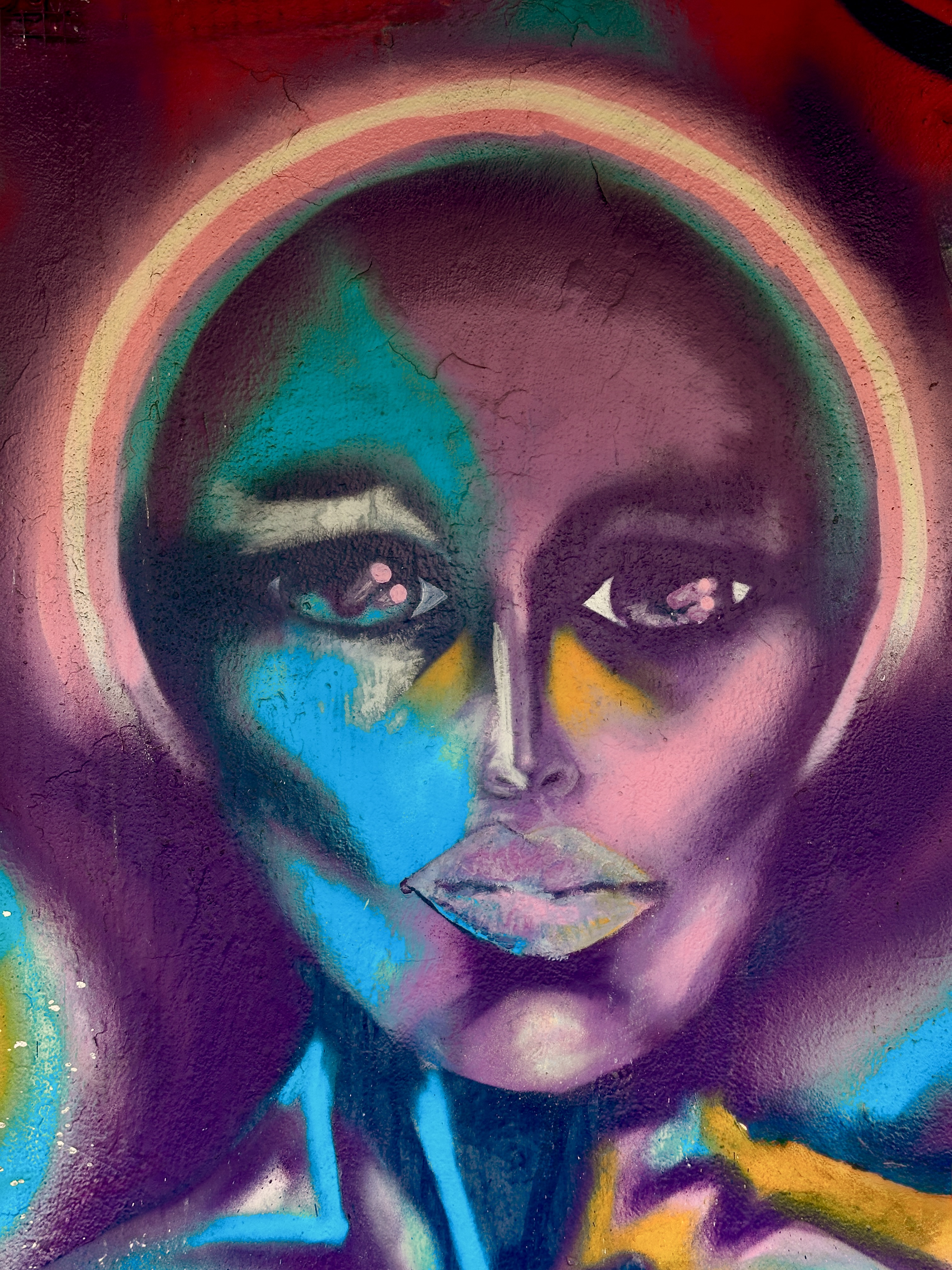
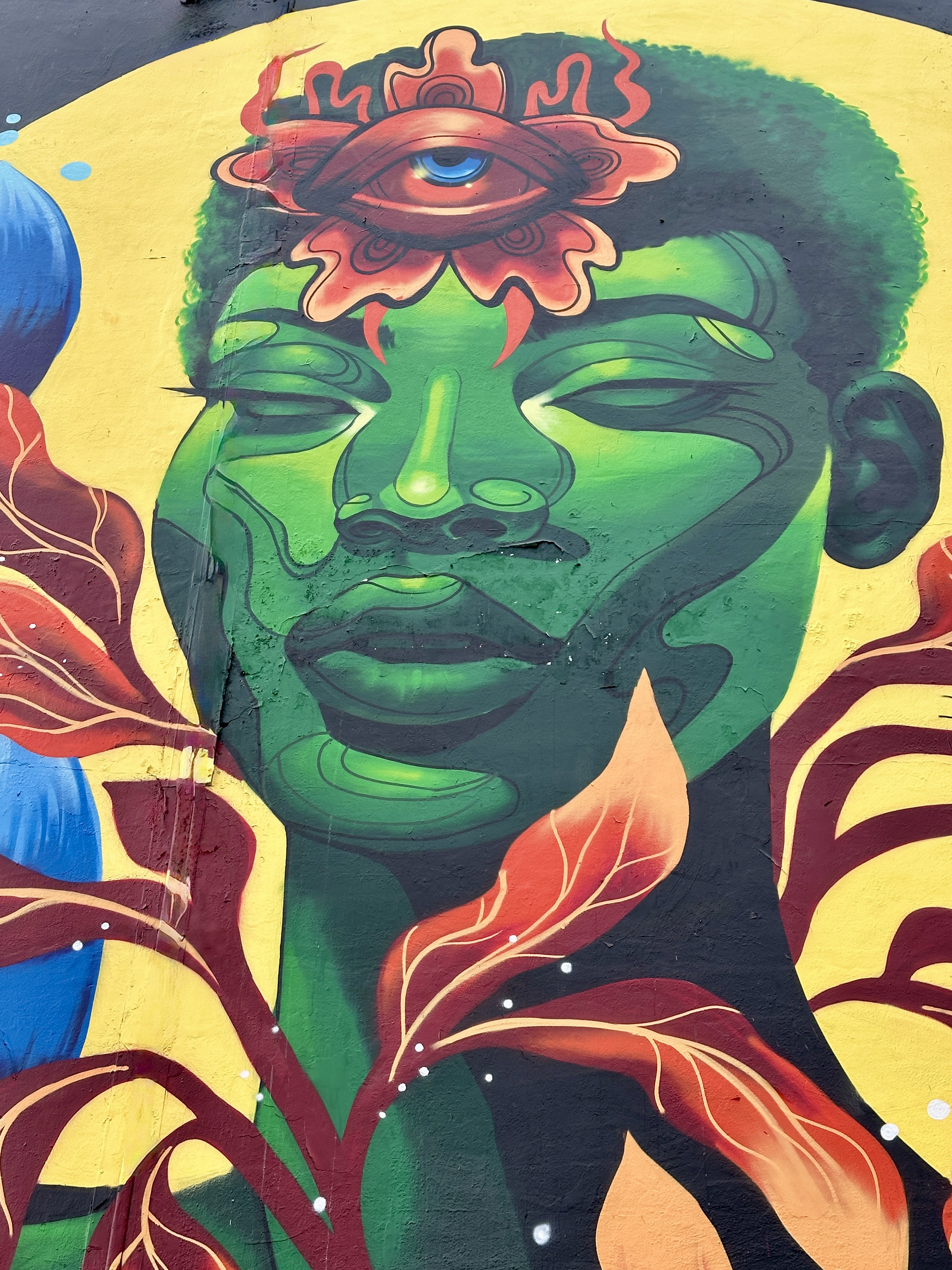
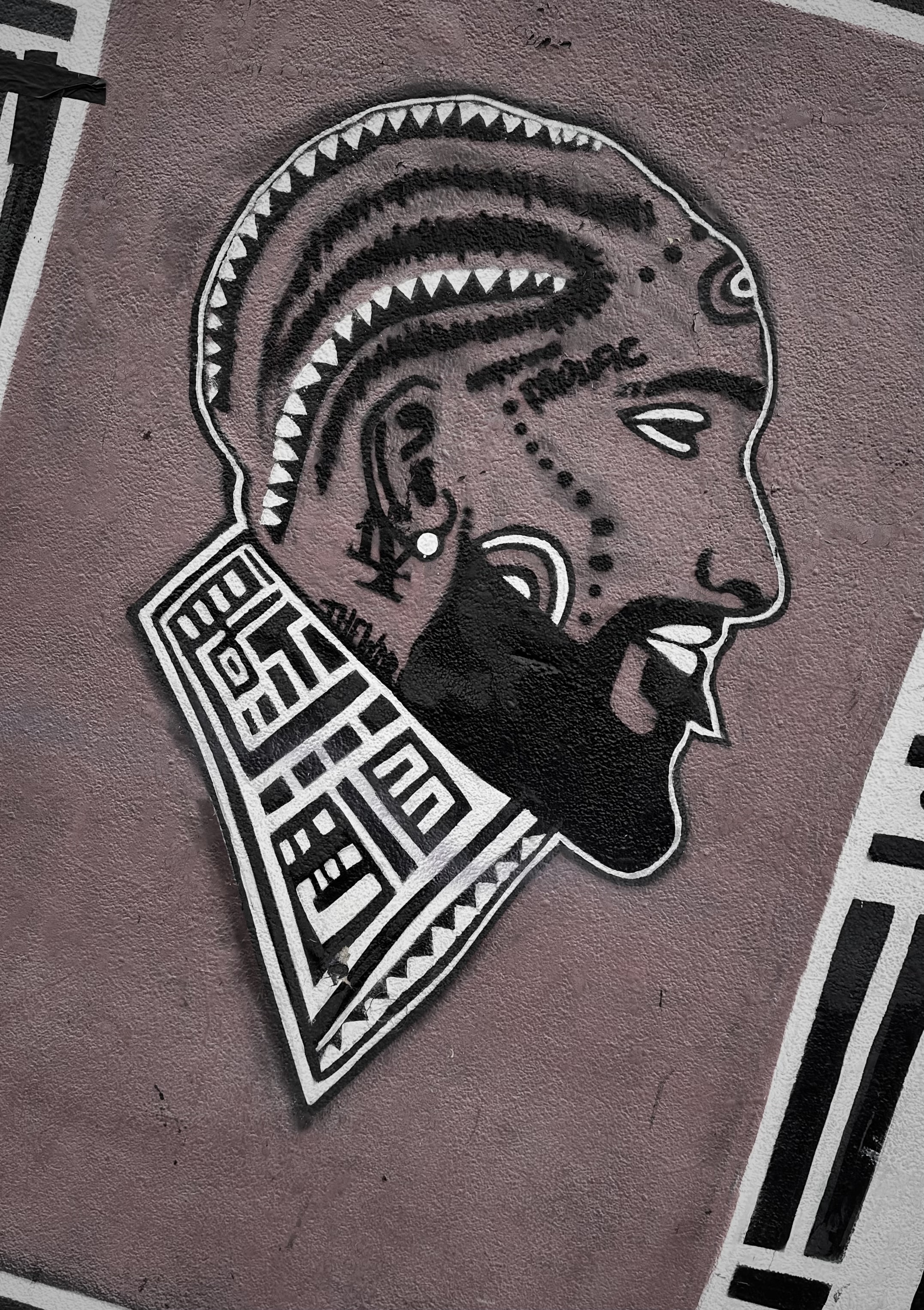
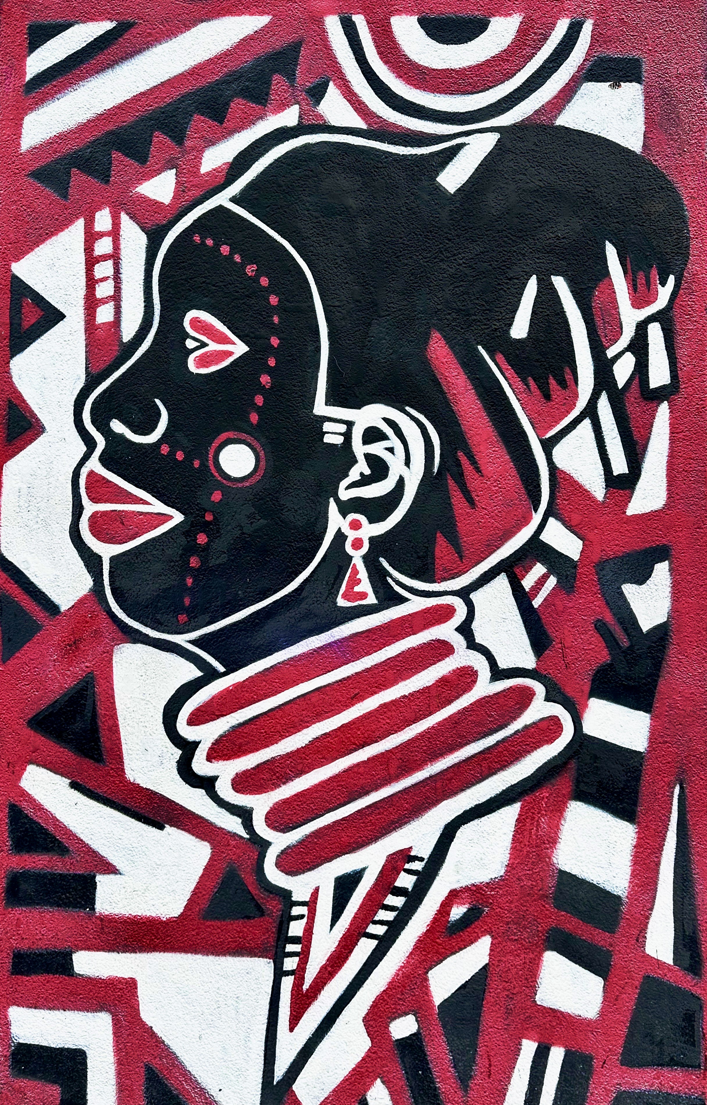
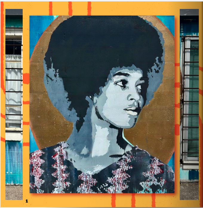
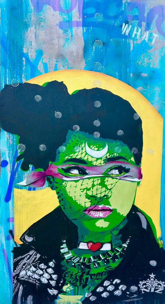
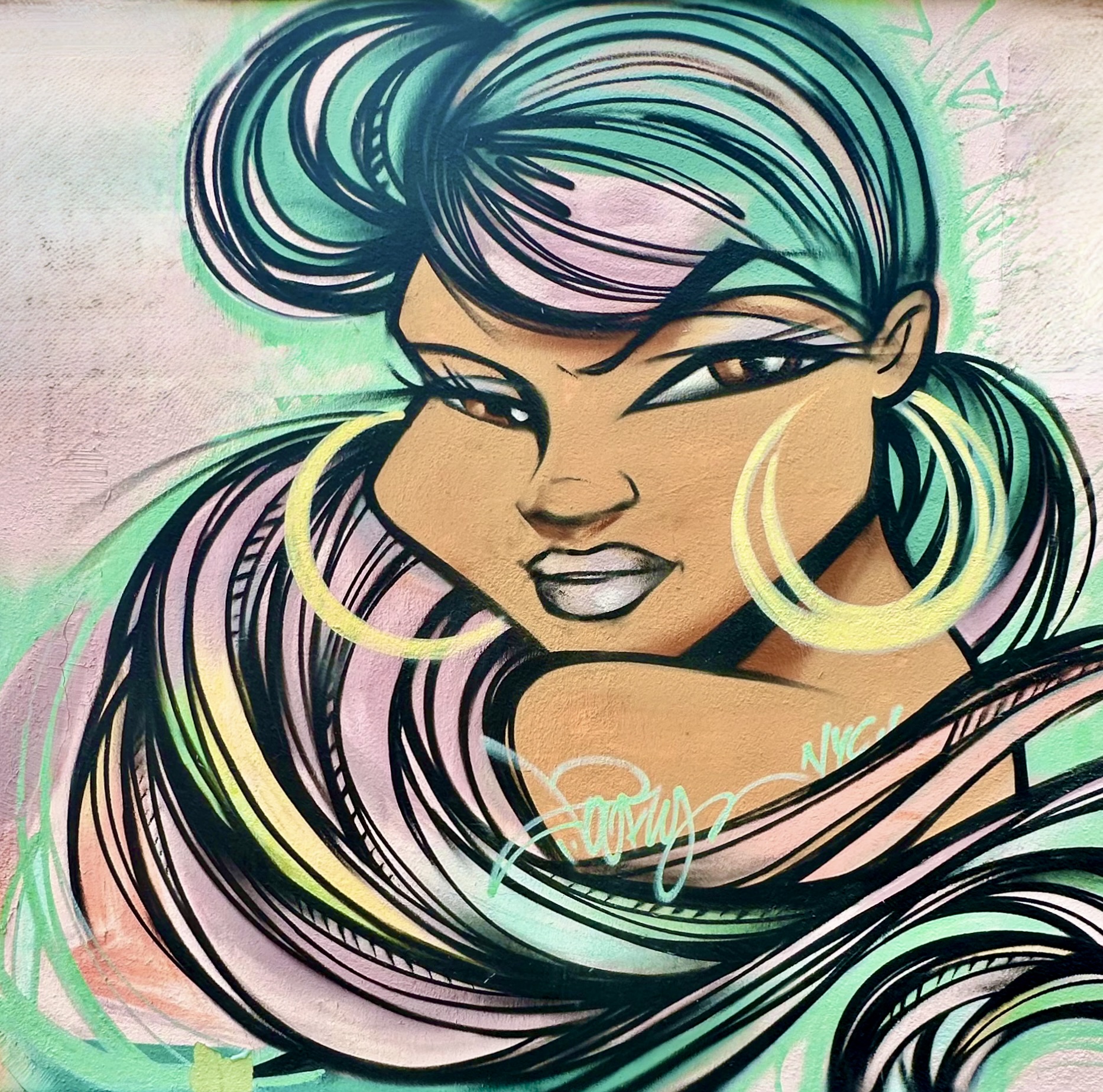
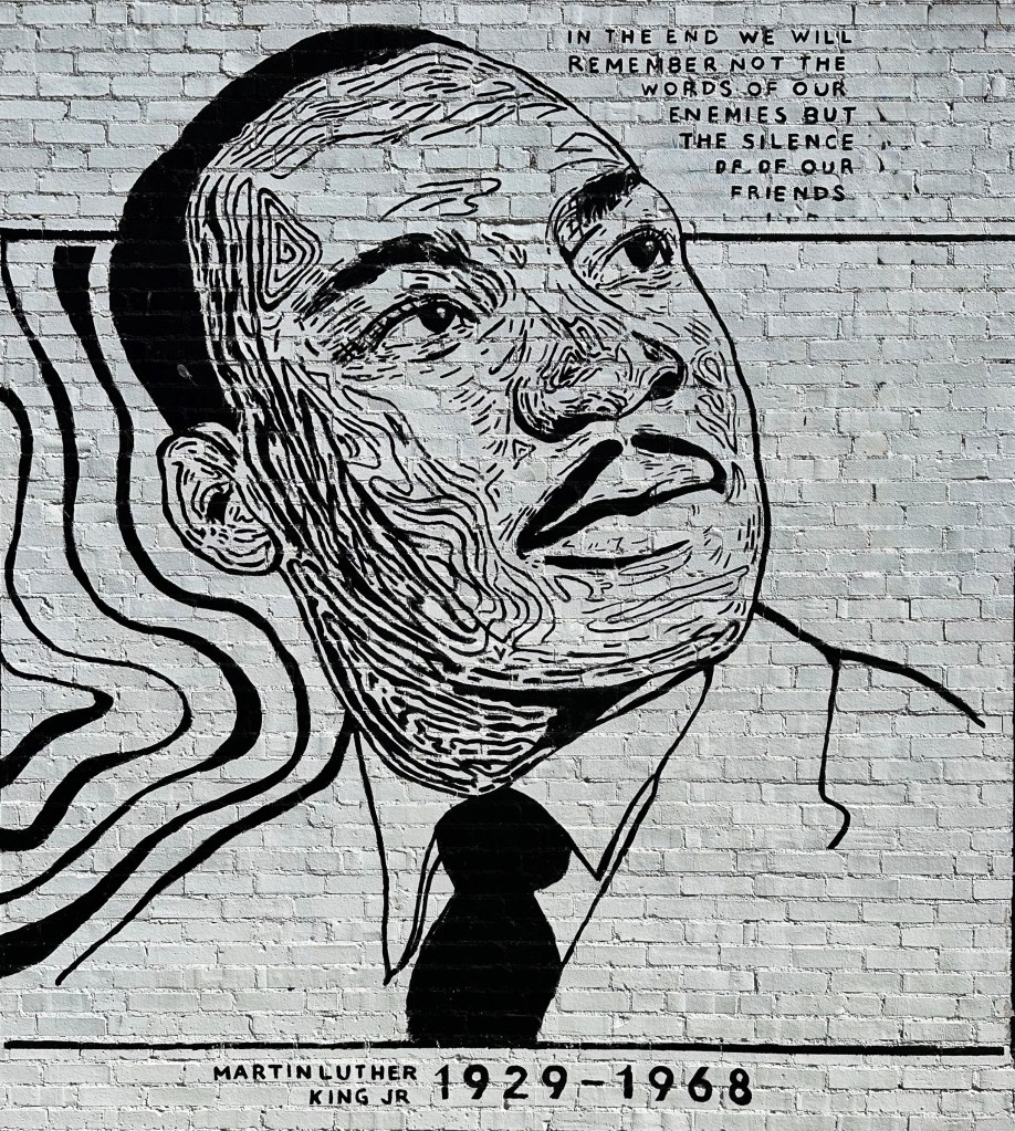
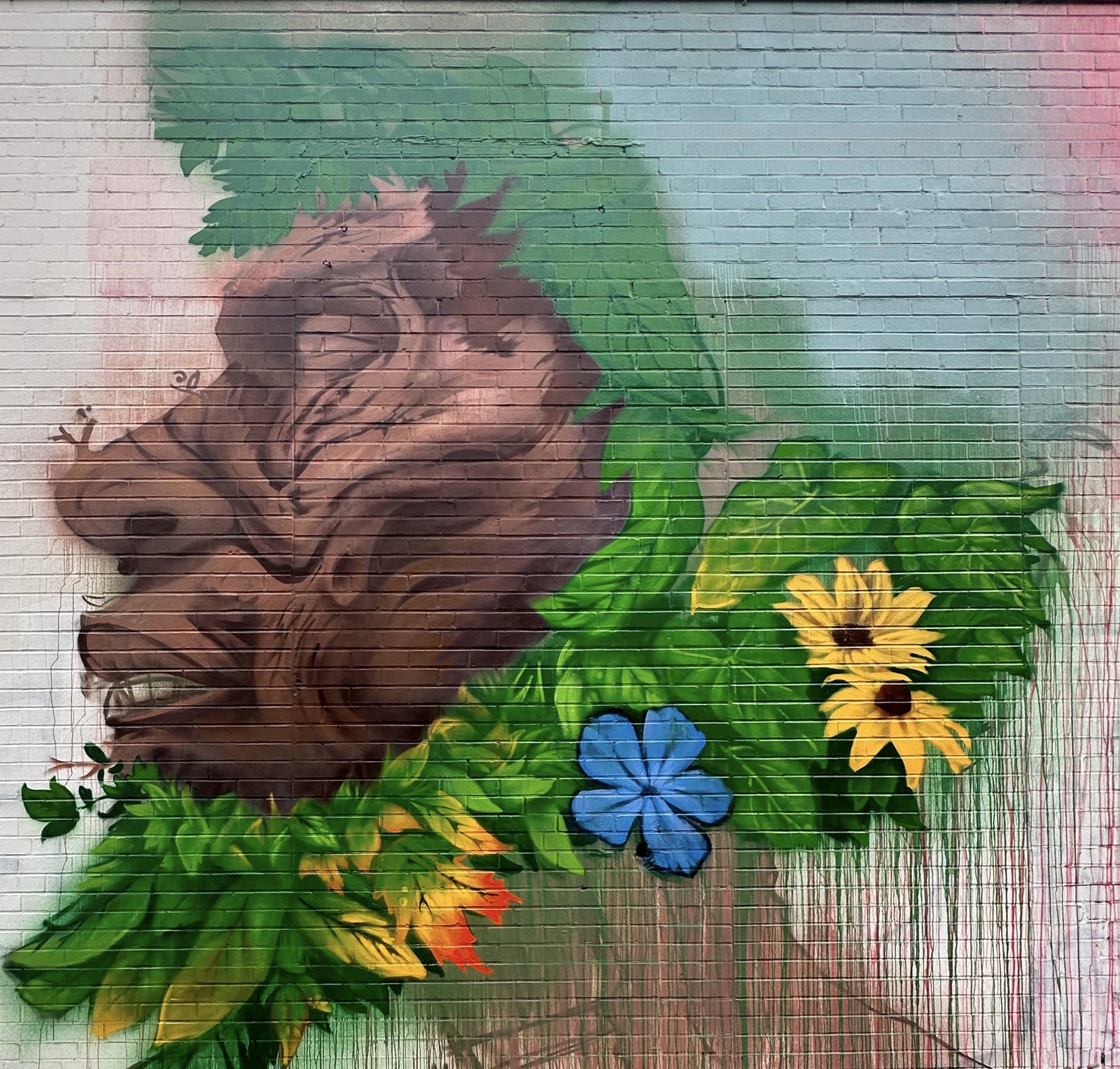
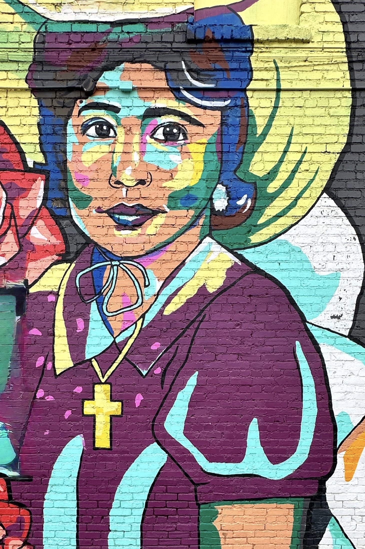
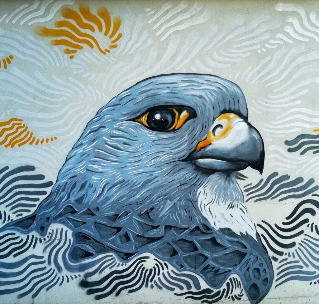
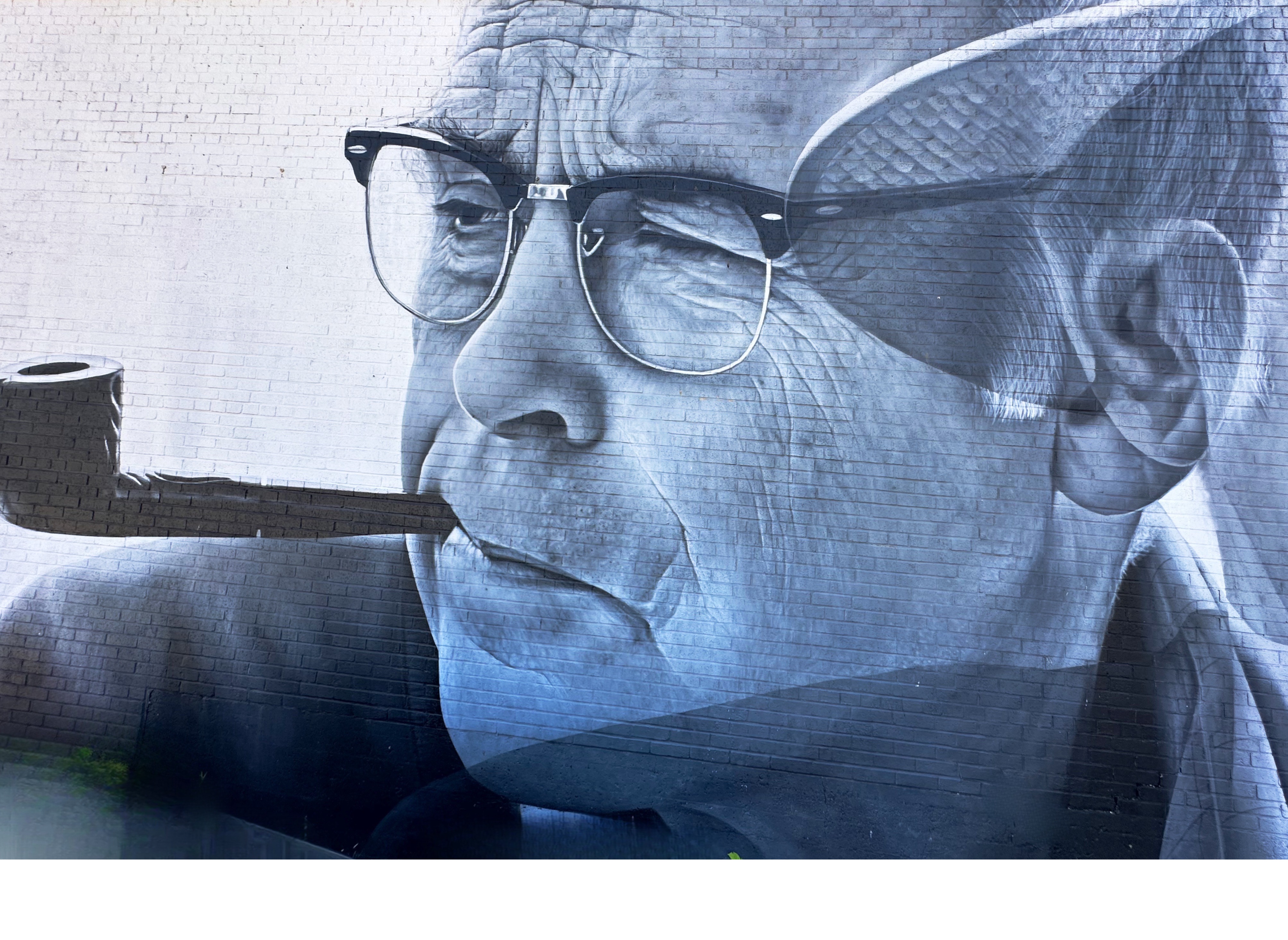
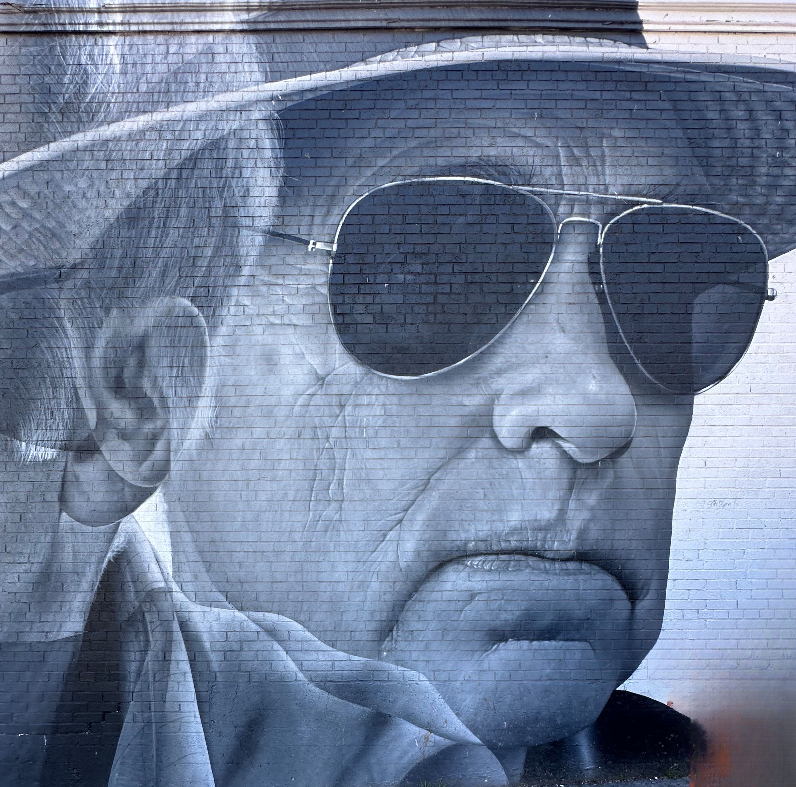
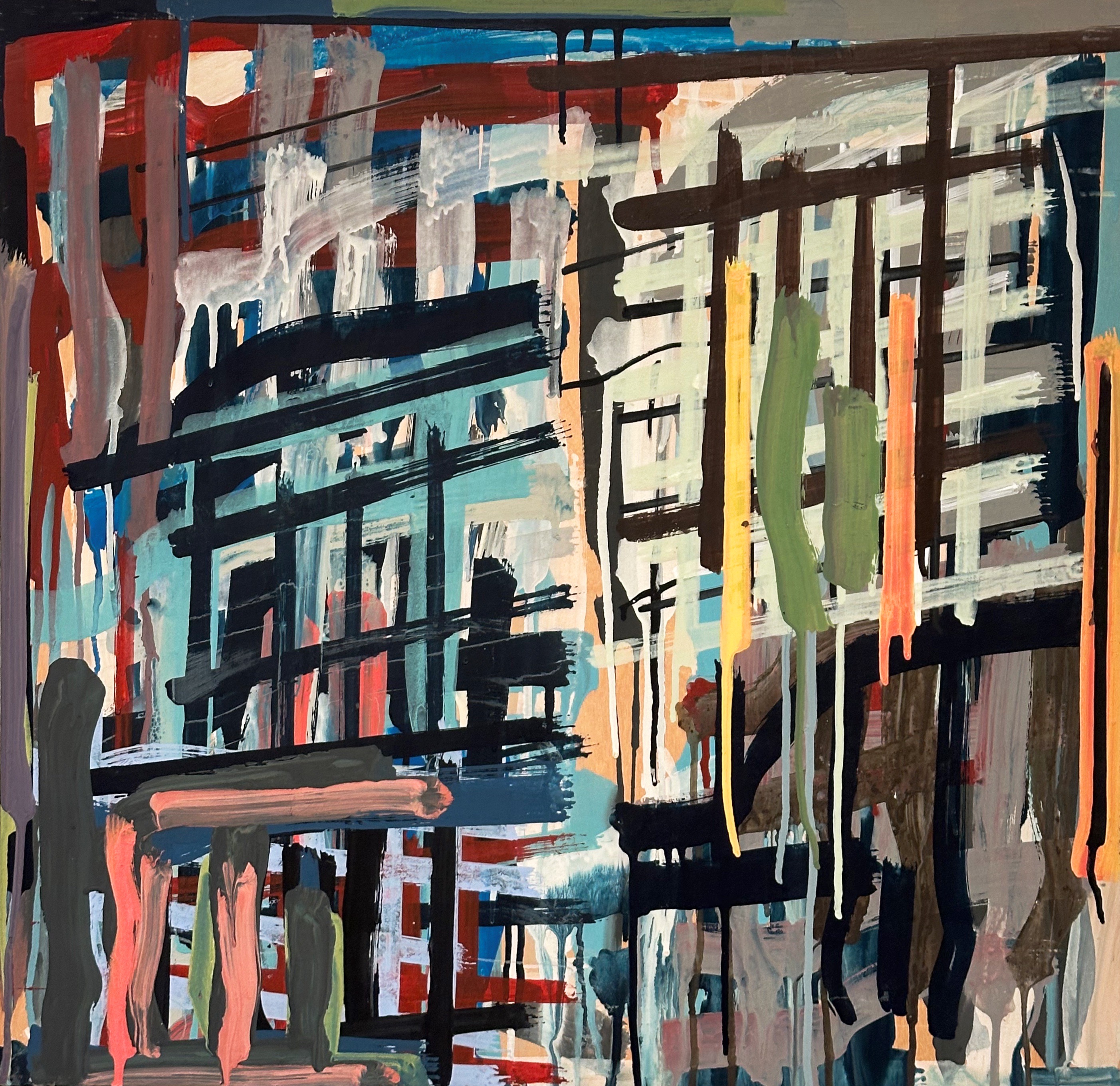
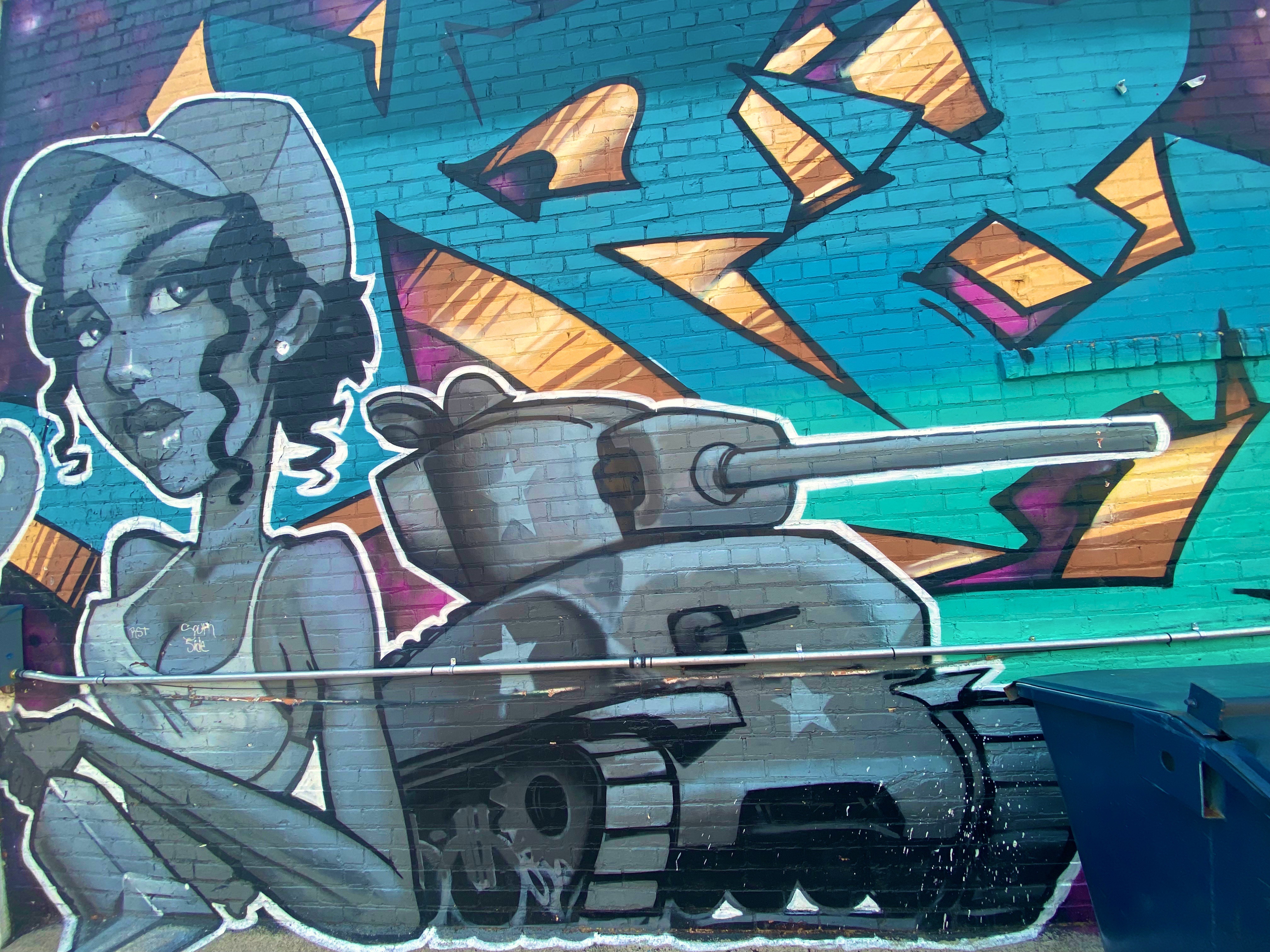
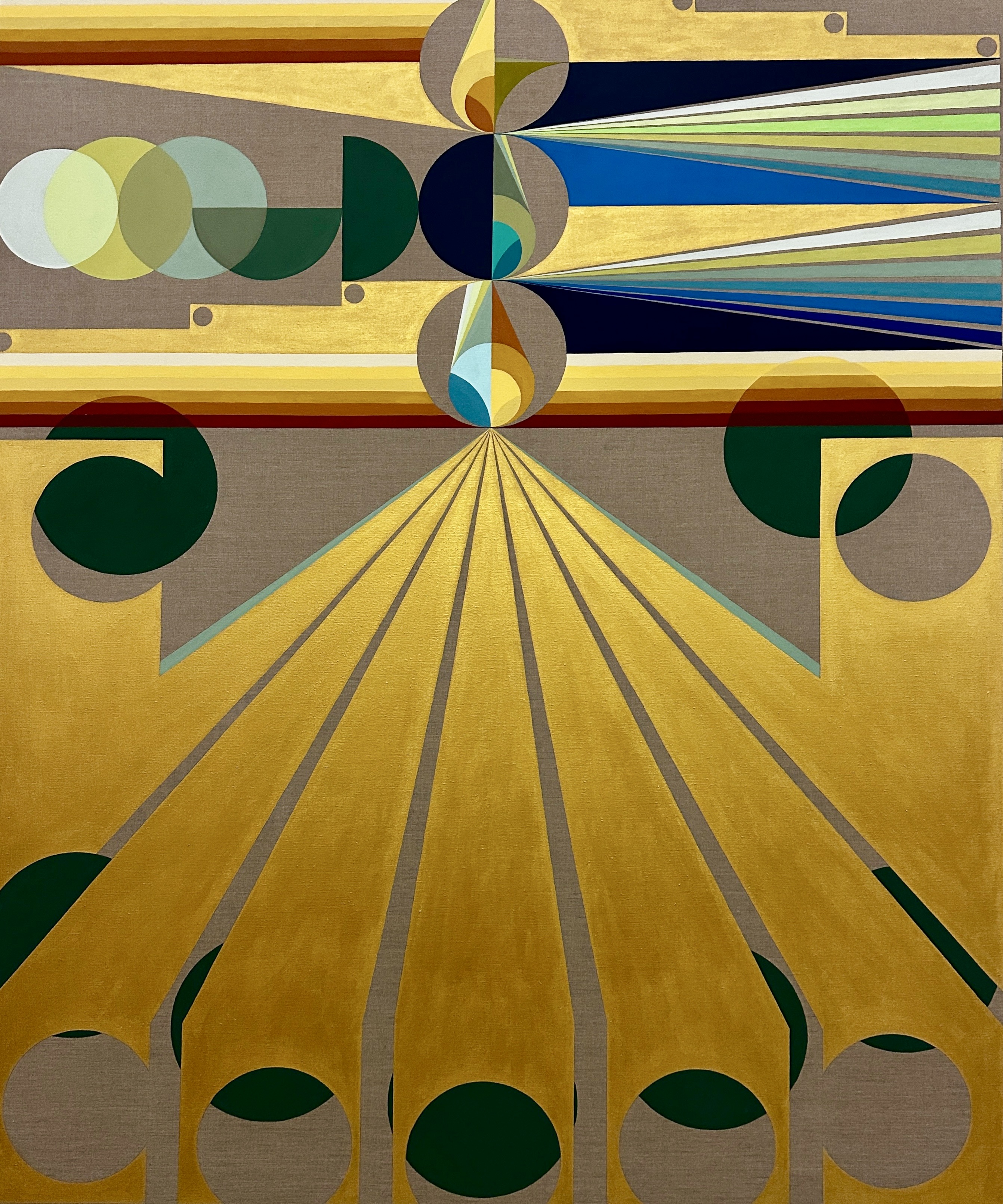
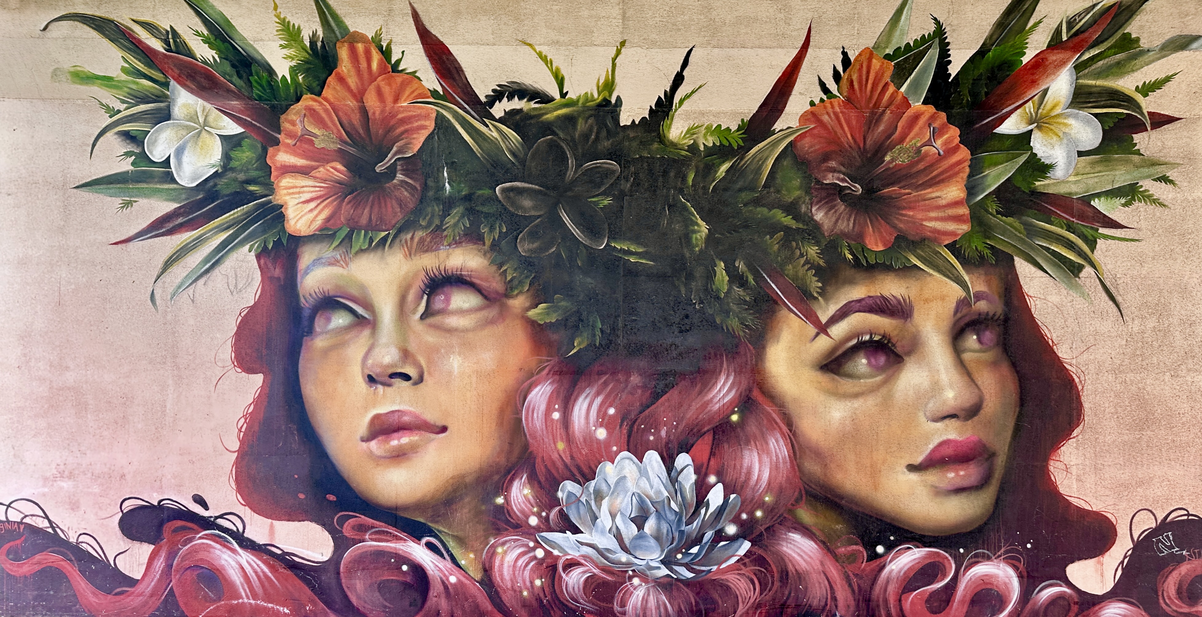
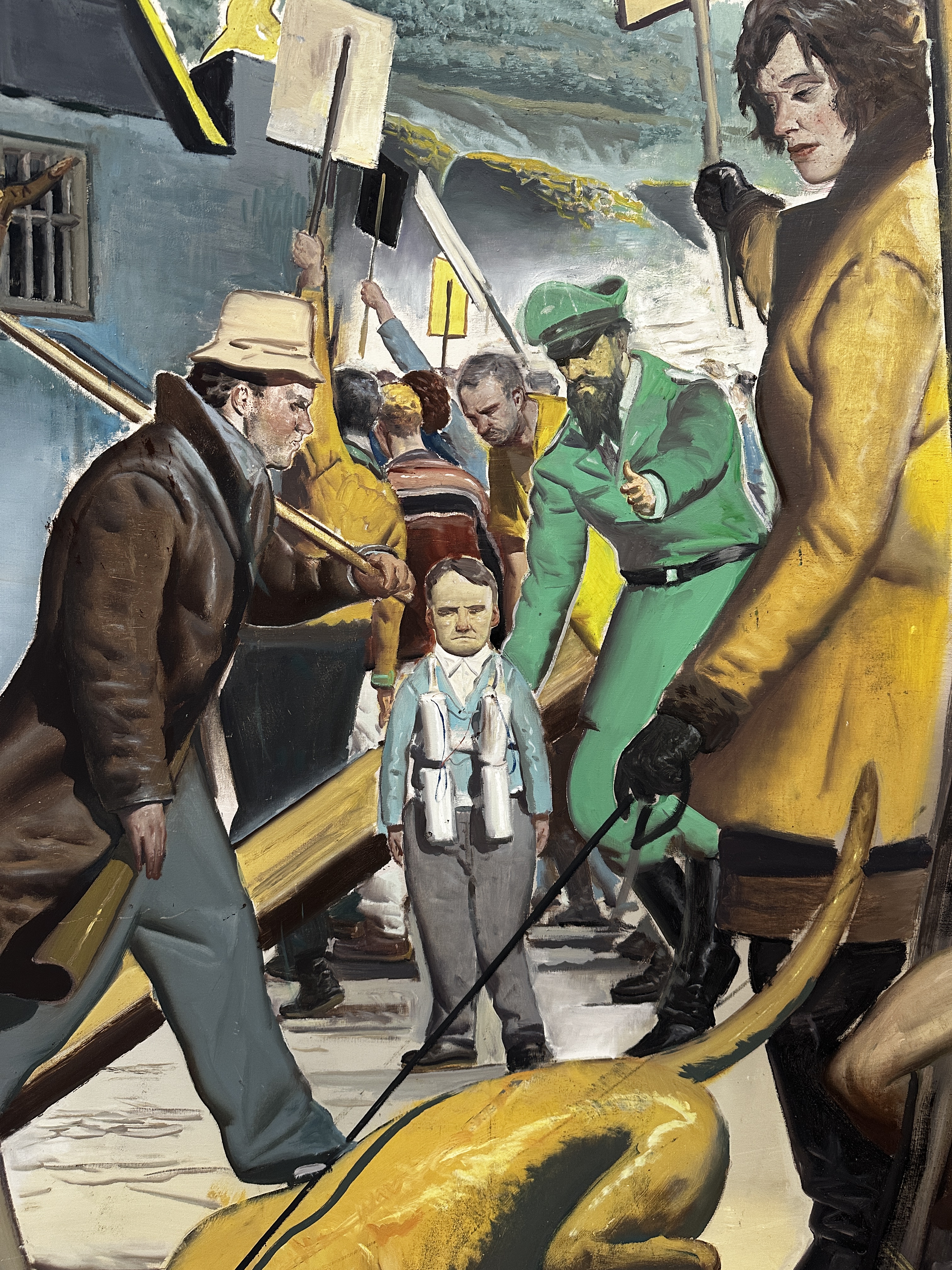
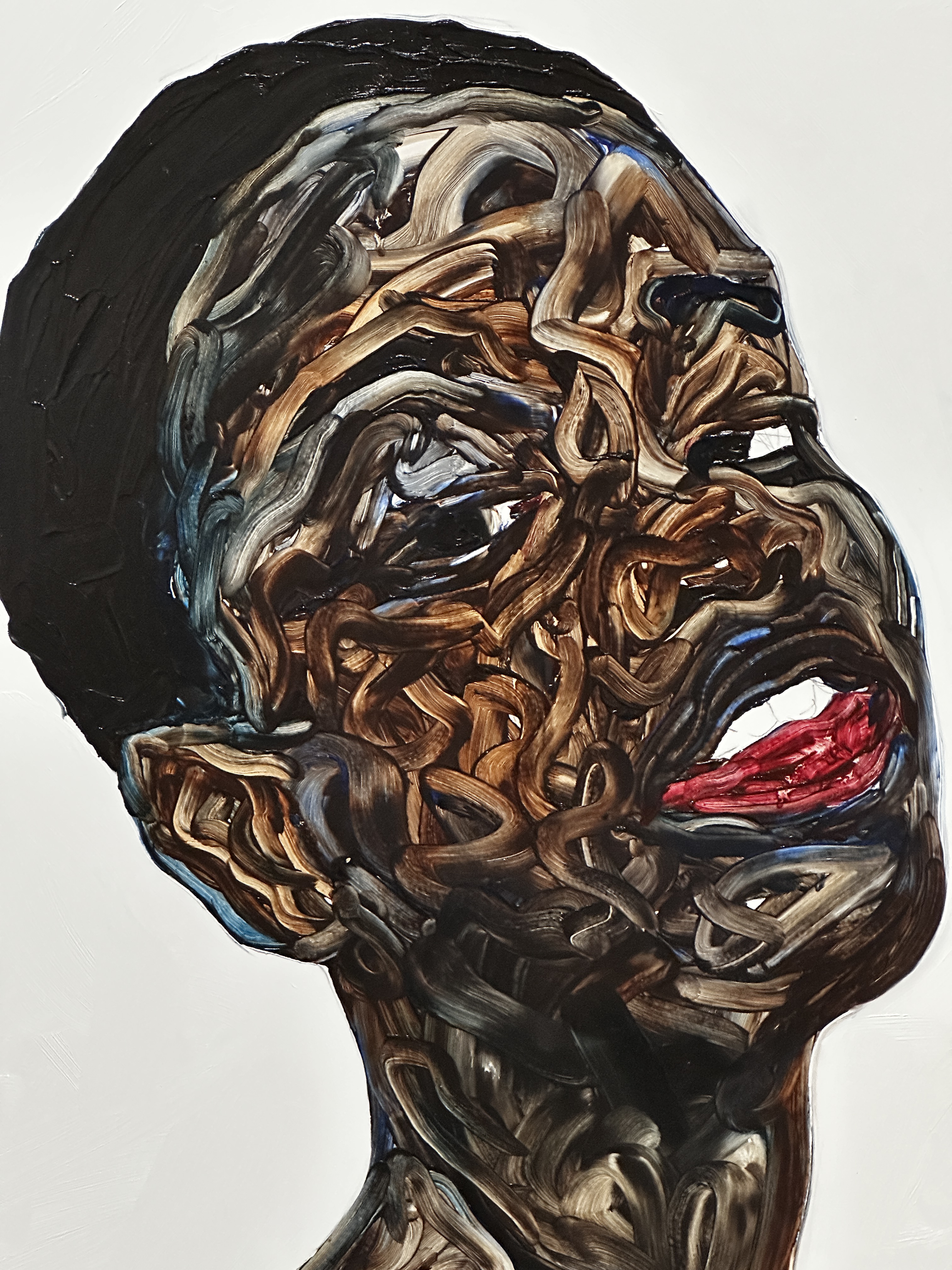
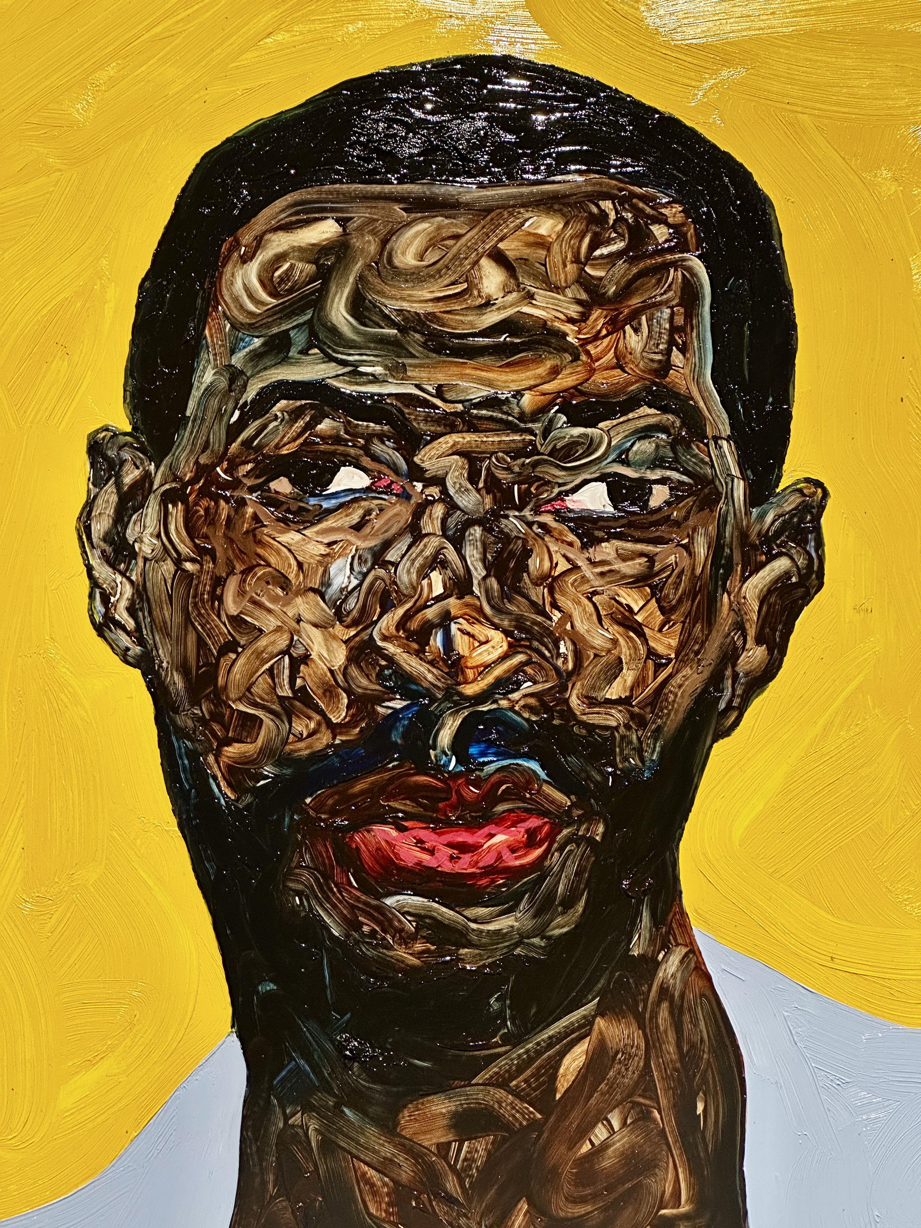
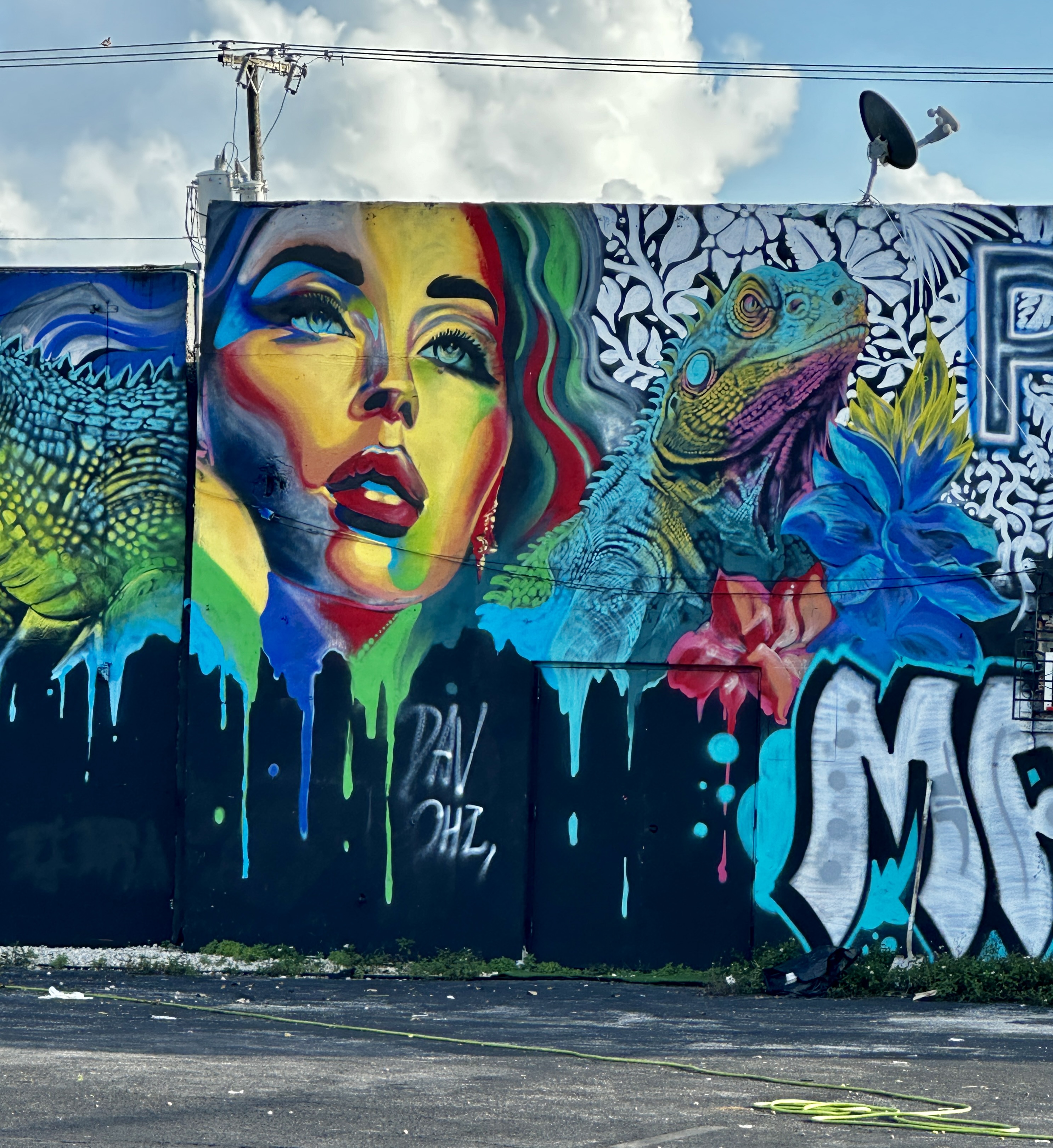
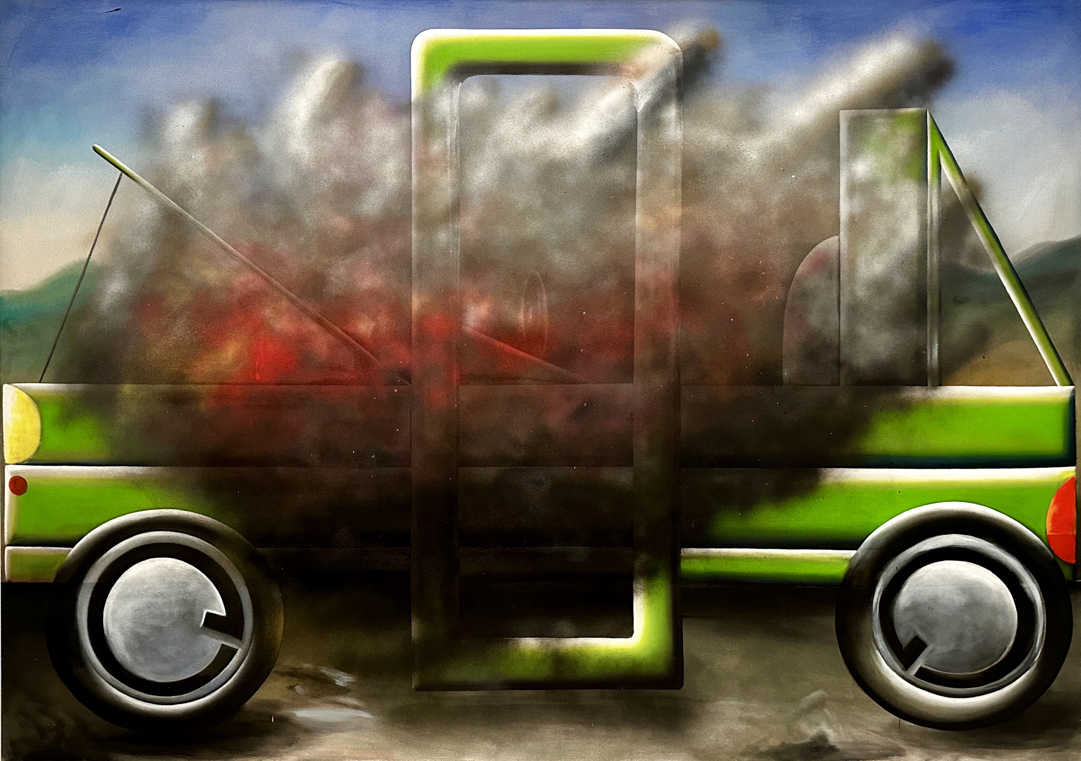
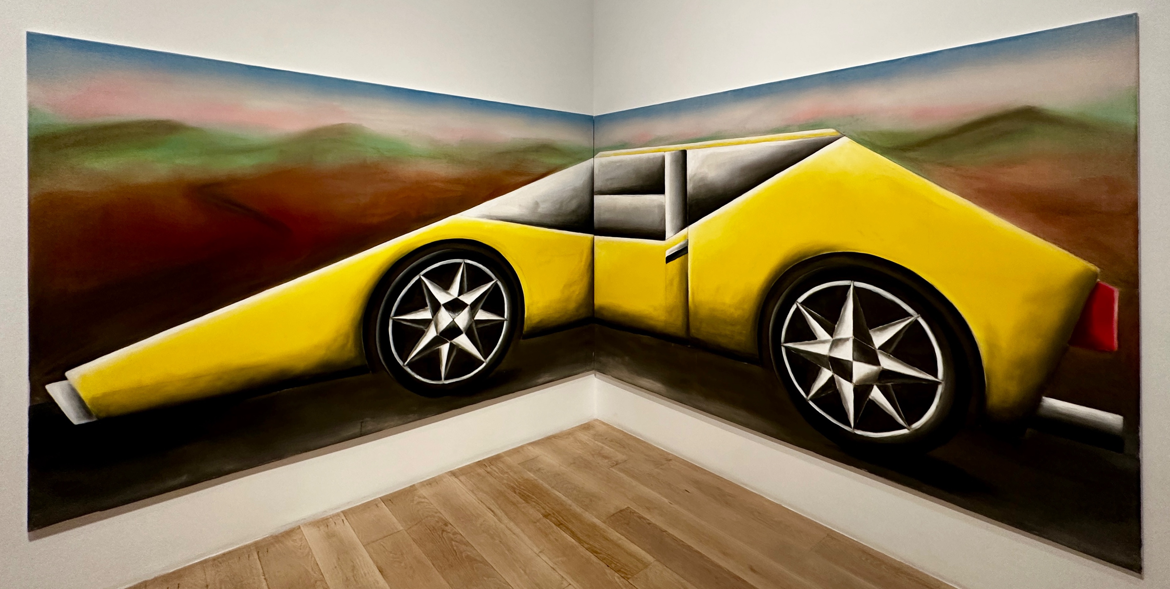
As you can see from the photographs above and below the mural scene is quite robust. There are over 200 murals in the 50 block Wynwood neighborhood. This area was one of the largest garment districts in the country during the 1920s but was in decline by the 1950s as companies began offshoring clothing manufacturing.
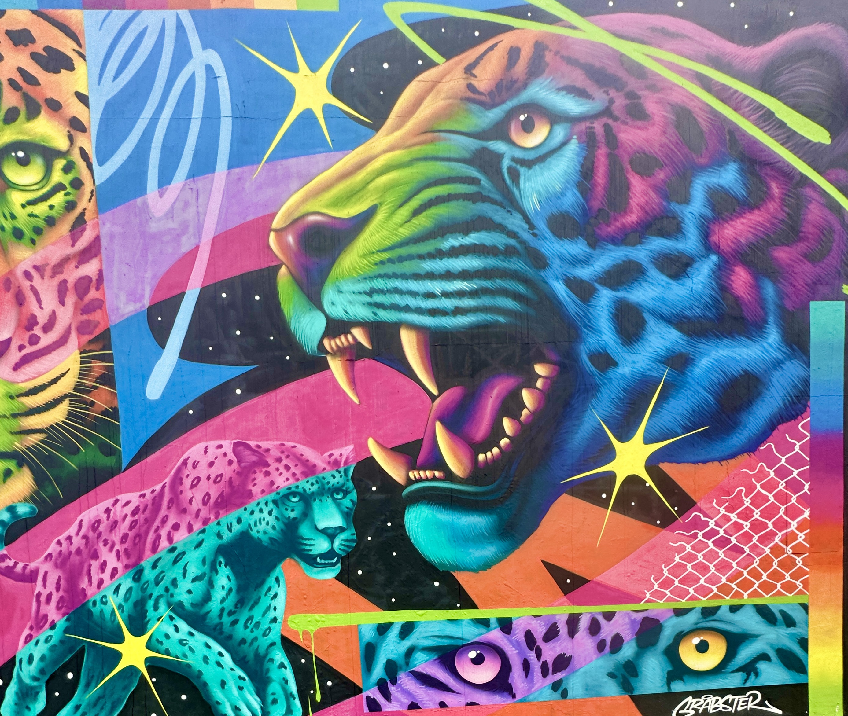
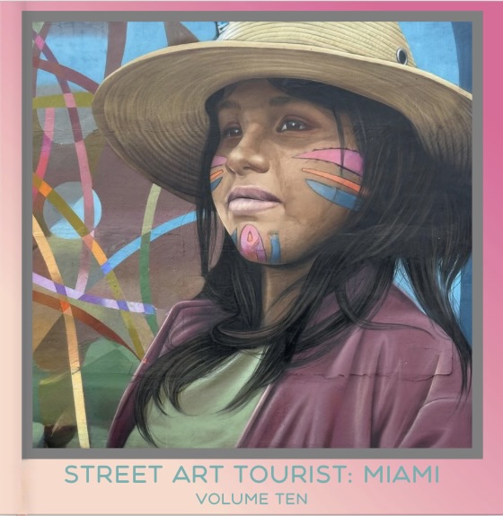
The three photos below are featured in our latest Street Art Tourist book – Volume Ten: Miami.
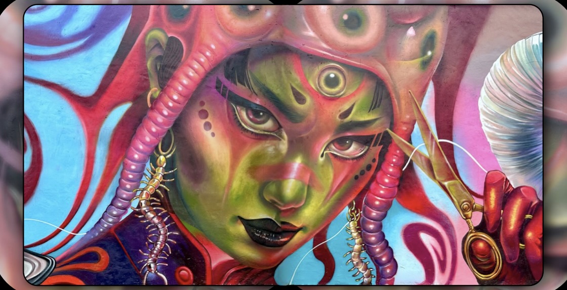
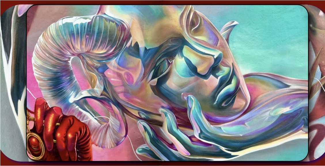
The area continued to decline as more businesses closed or left. Additionally, the construction of Interstate I95 further isolated the neighborhood. Over time, artists recognized that the scores of empty buildings were canvases awaiting paint. Today the neighborhood is actually a tourist destination with many visitors coming to see the largest concentration of street art in the United States.
One item to note: you will see a lot of publicity about the Wynwood Walls. The Walls is an enclosed area of murals with paid admission. The murals are excellent and the artists are some of the top mural artists working today. However, this is a commercial operation with an art gallery, gift shop and cafe. You can see hundreds of great murals just by walking west to NW 5th Avenue.
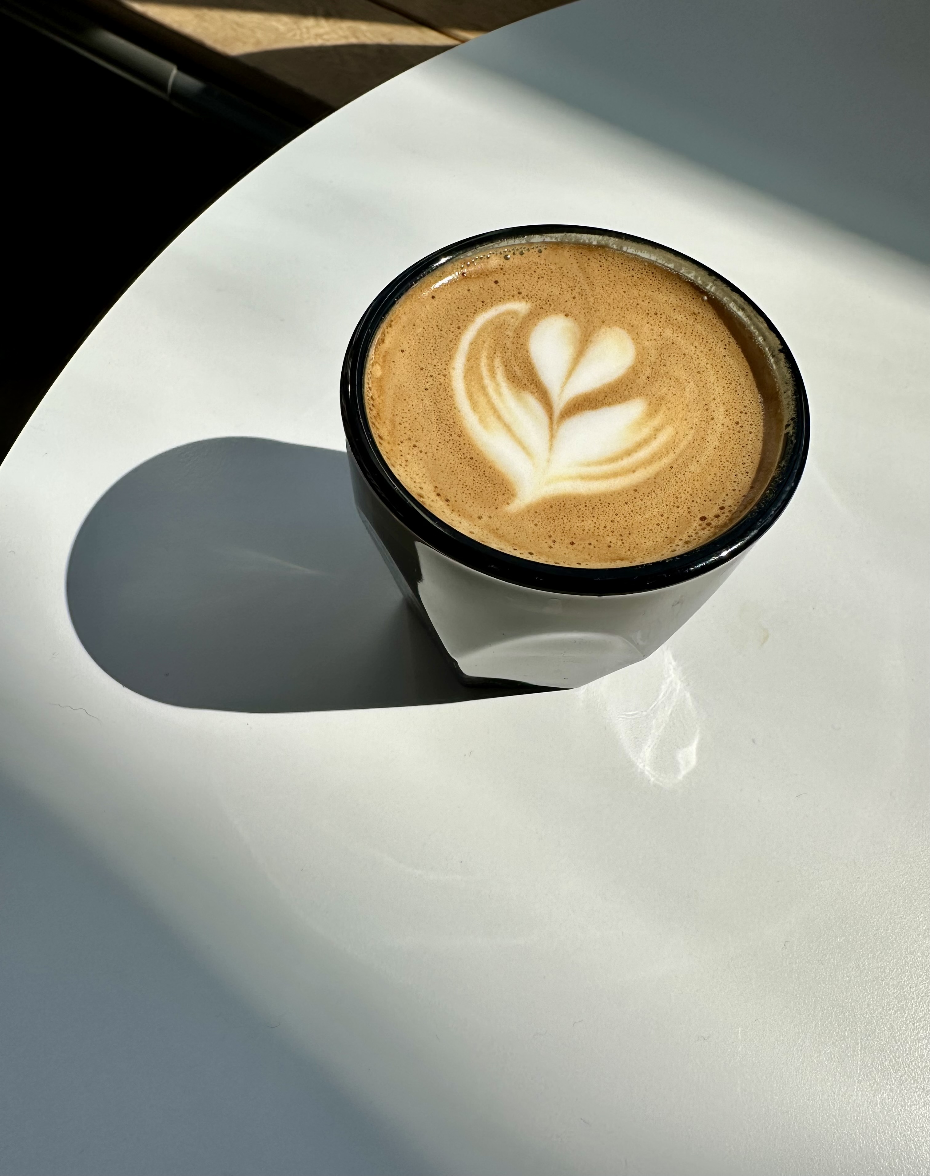
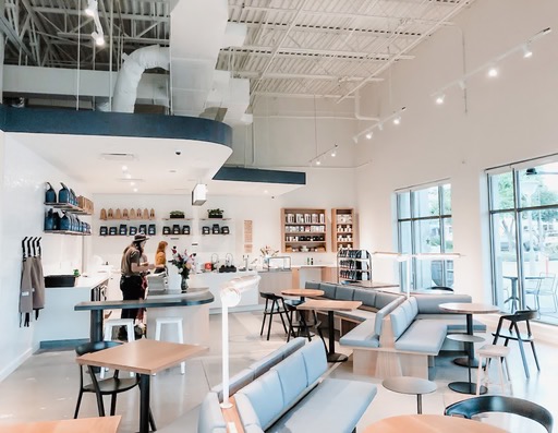
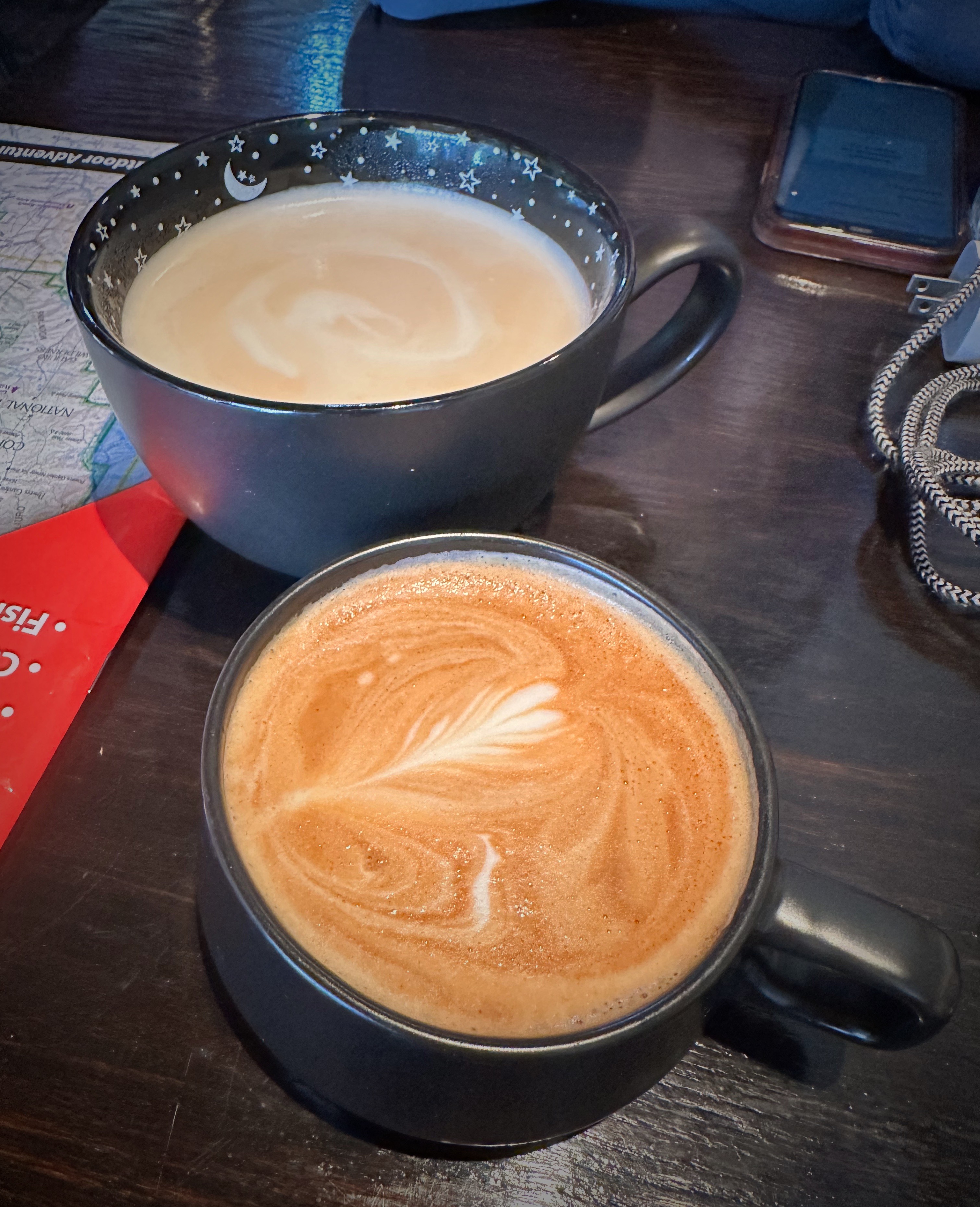
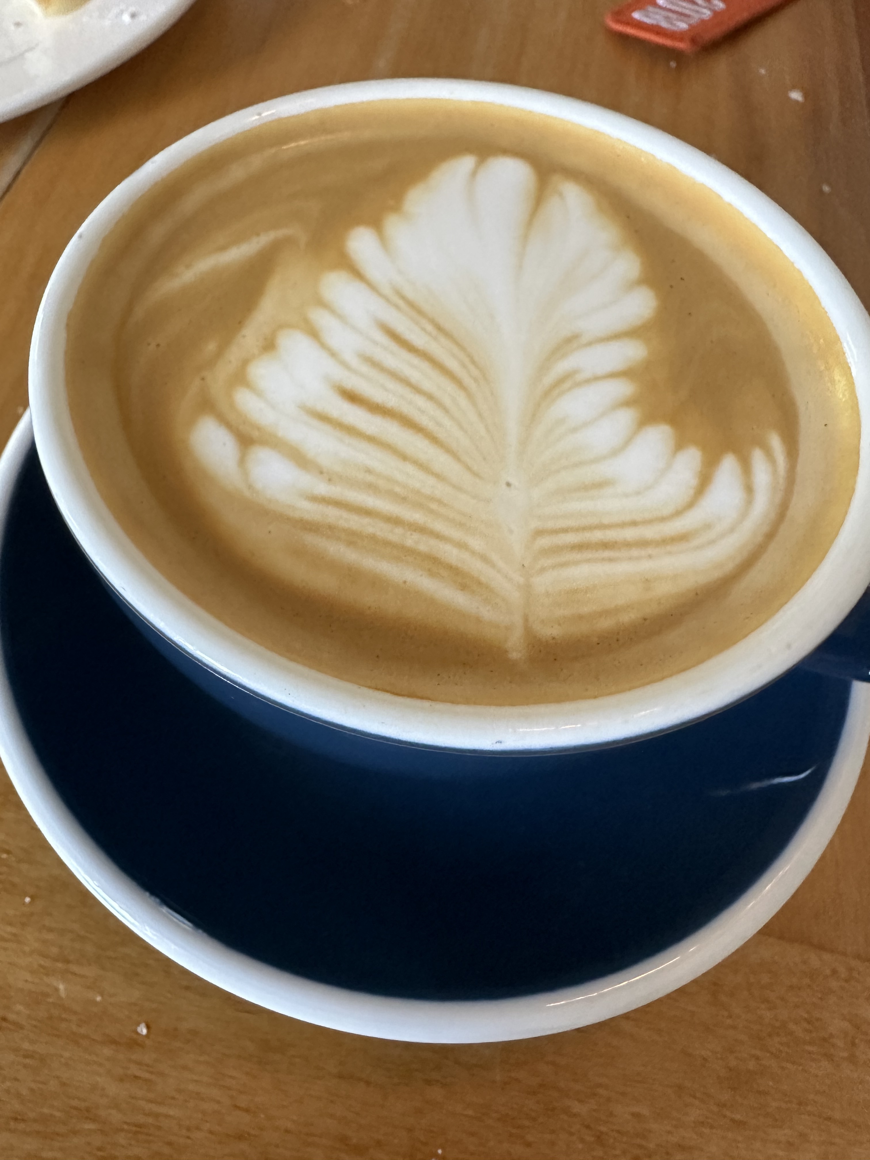
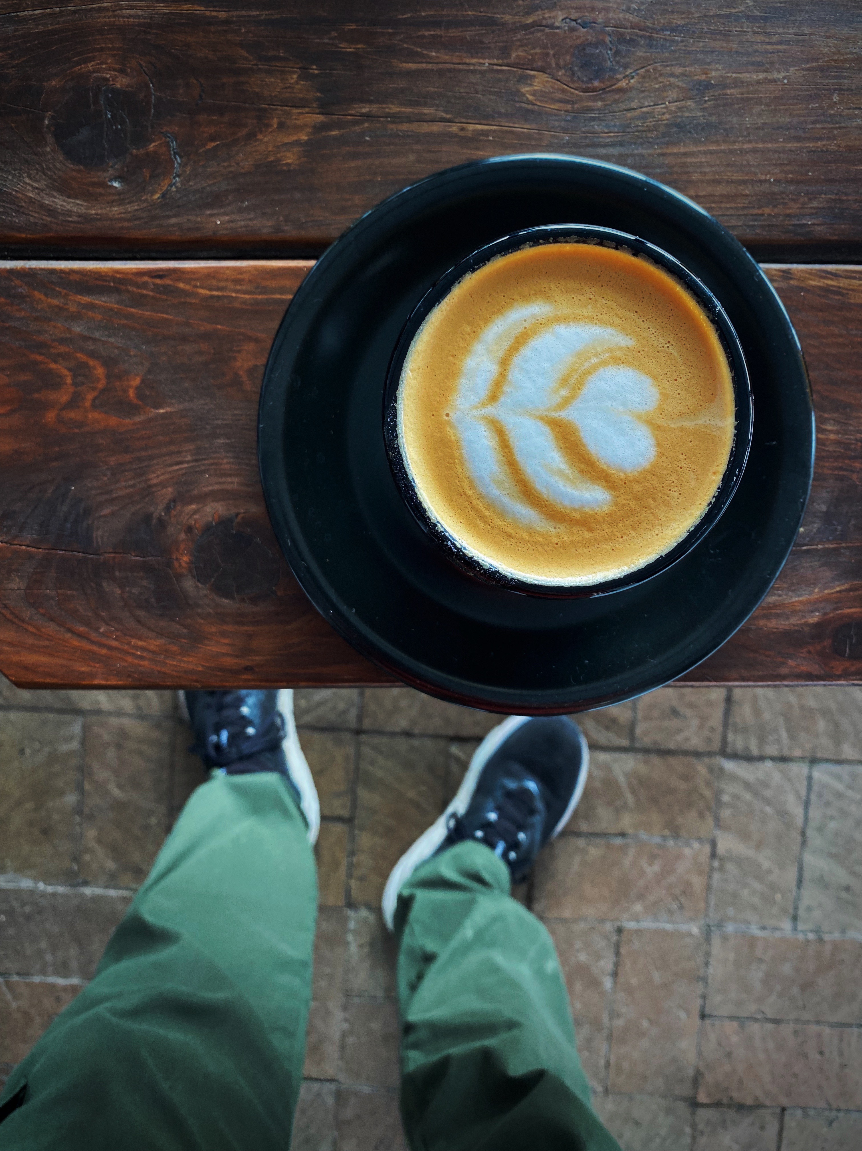
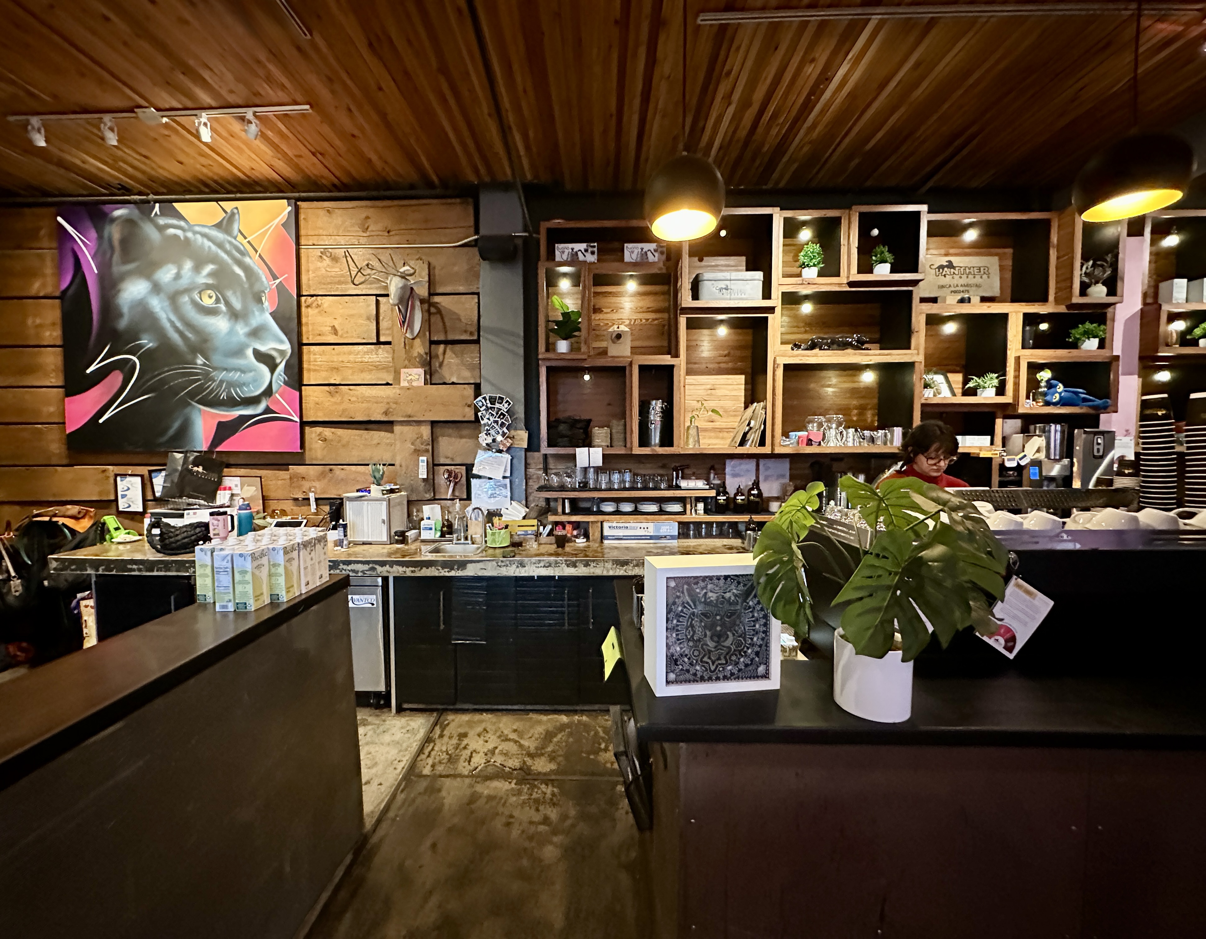
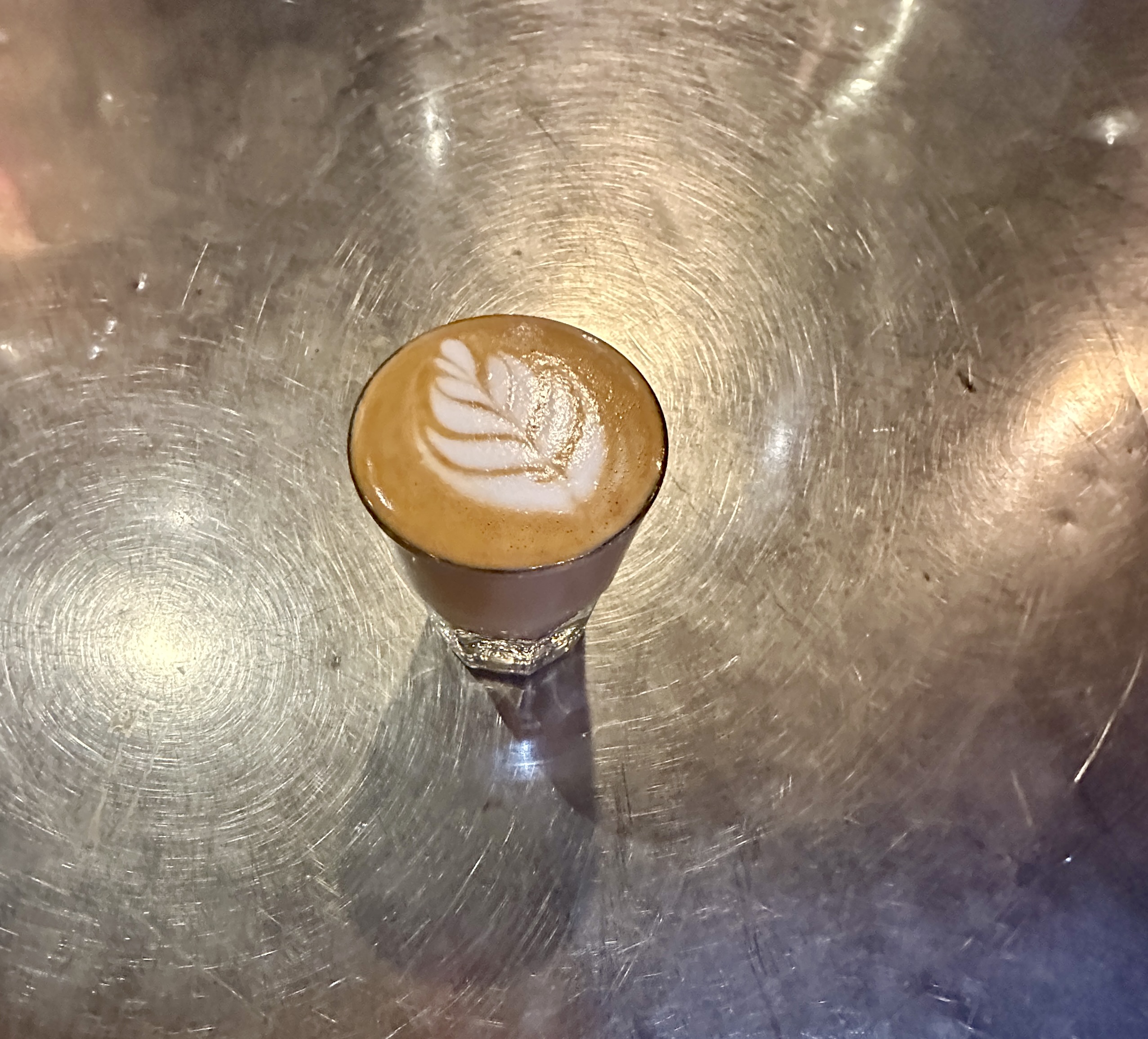
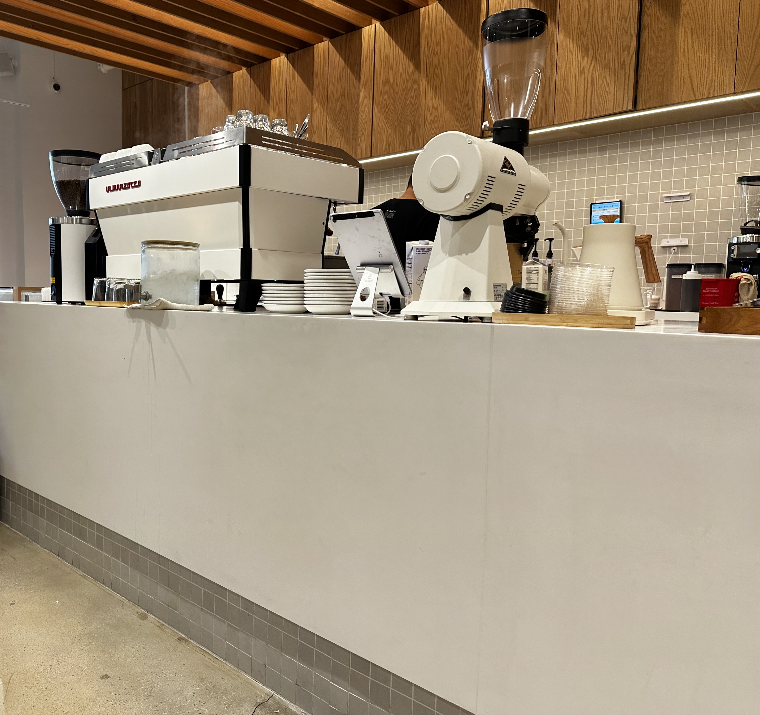
After an exciting time exploring the neighborhood rain moved in so we vectored to Panther Coffee. Panther was one of the early entries into the specialty coffee space in Miami. They have a roastery and a couple of cafes in Miami. Fortunately, for us, one of their cafes is in the Wynwood neighborhood. Boss cortado!

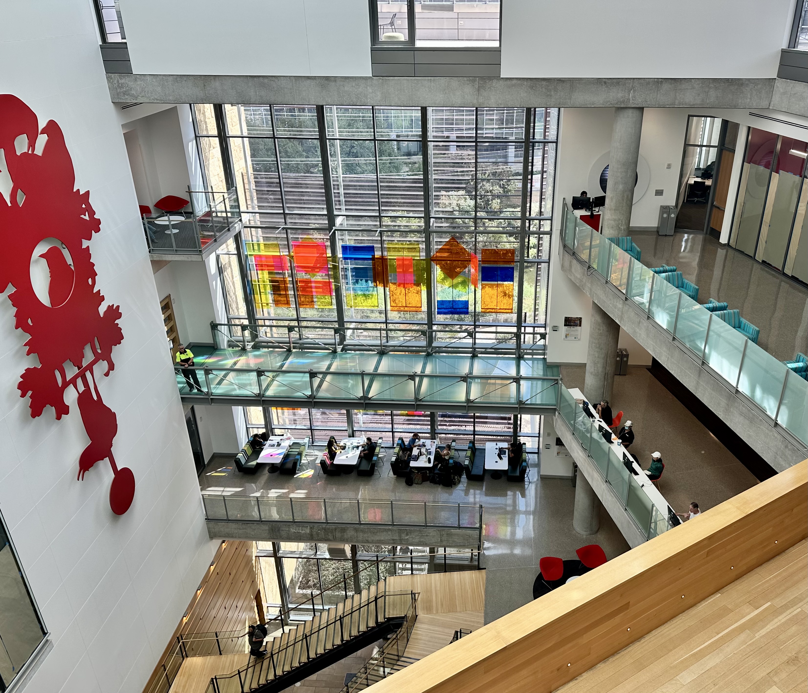
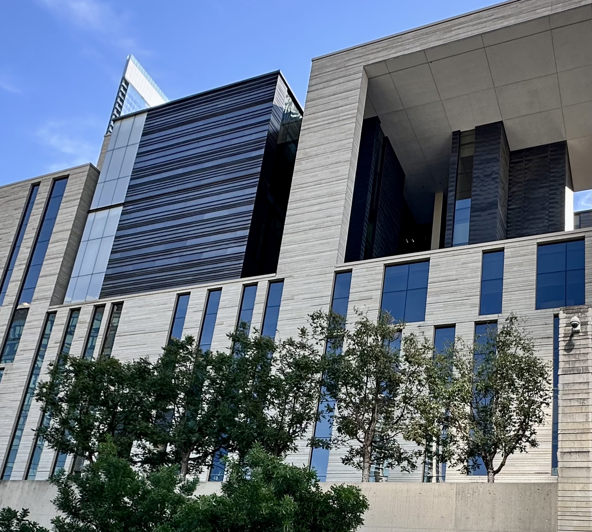
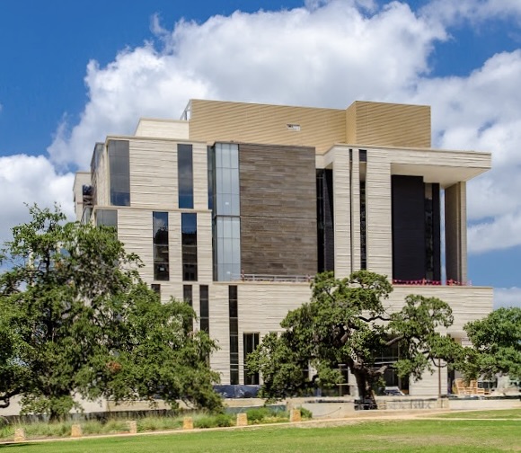
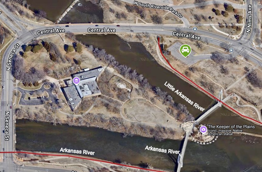
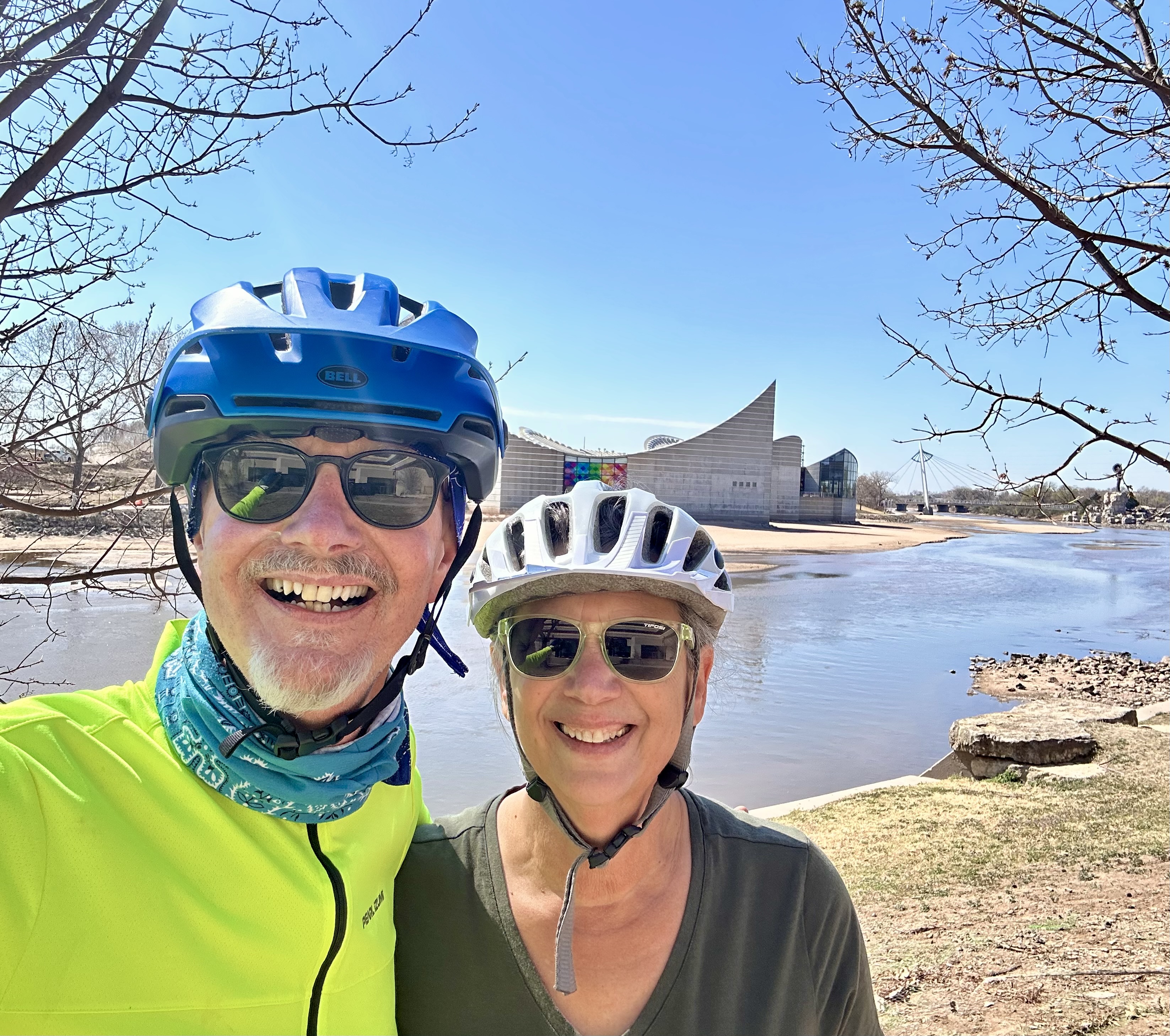
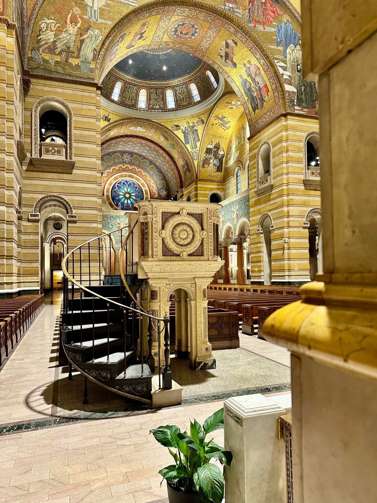
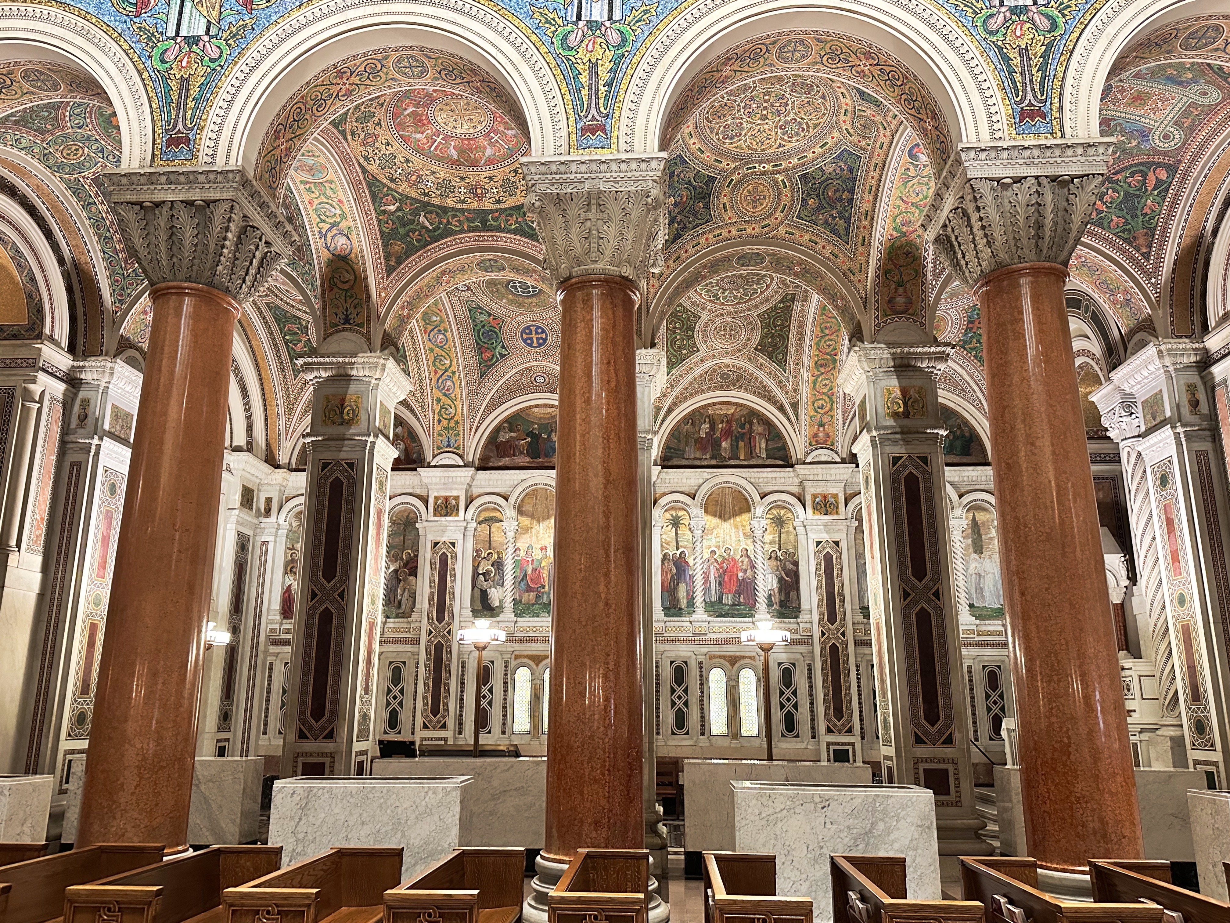
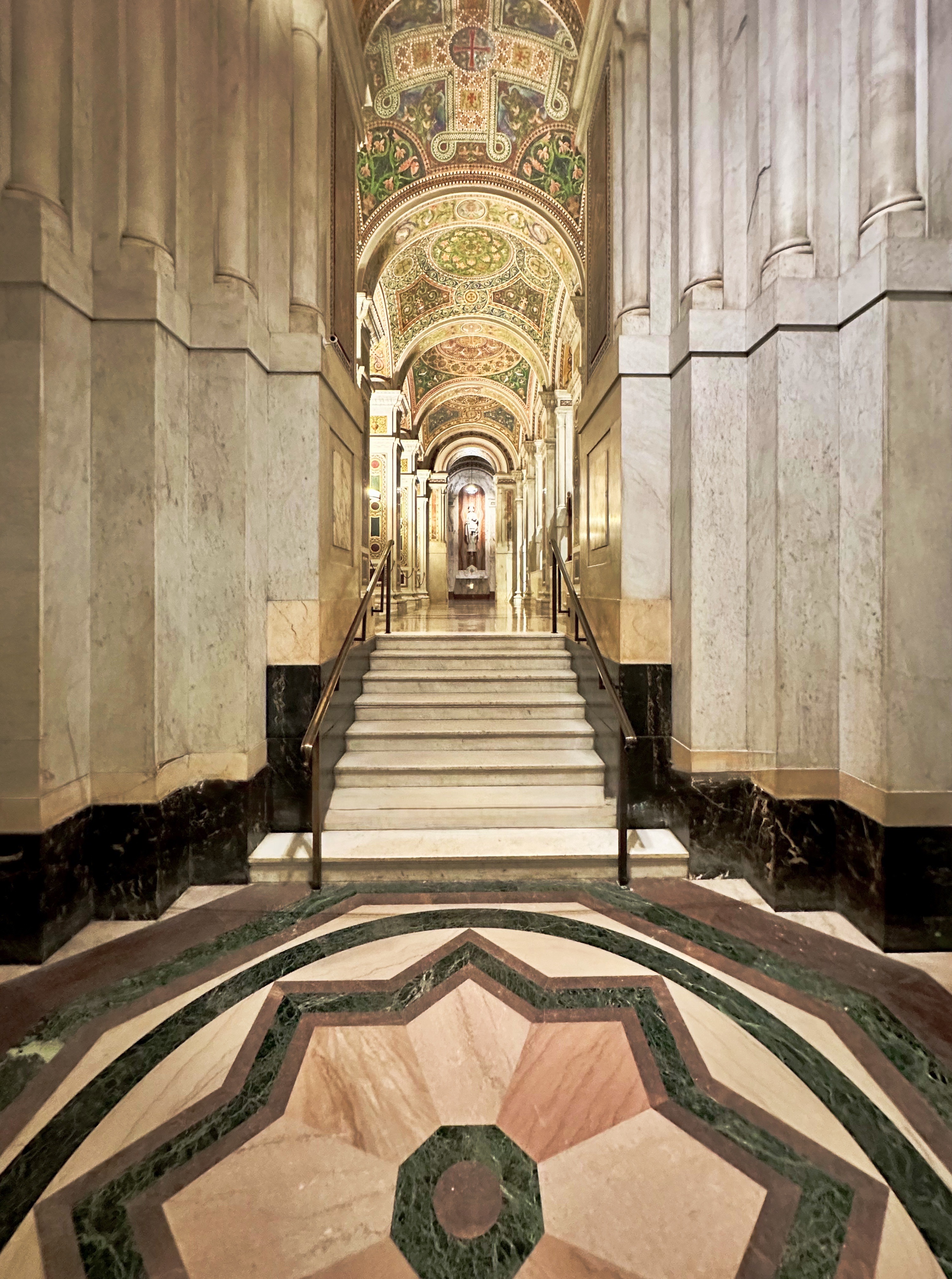
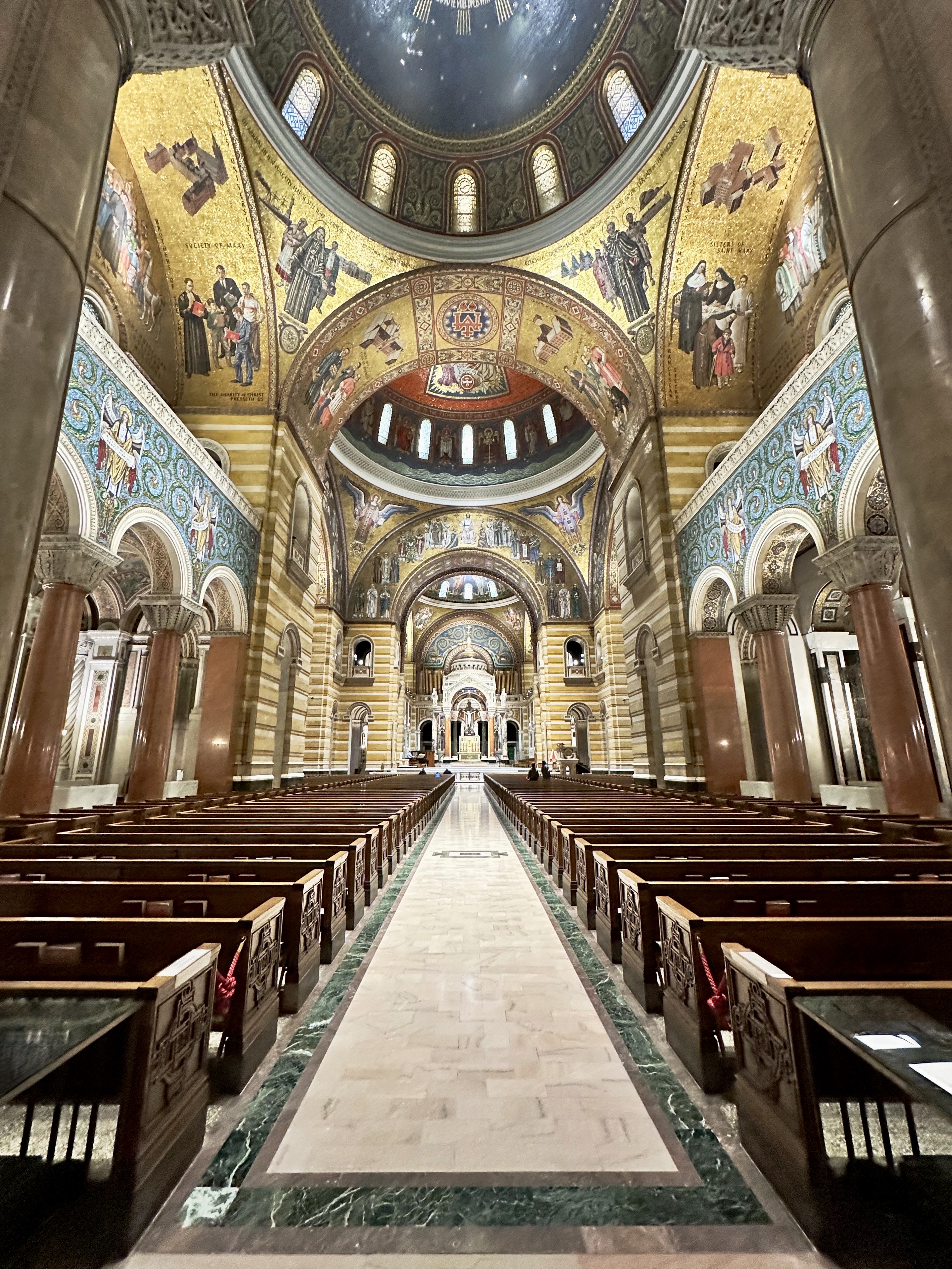
DAY THREE – We had breakfast at citizenM and rode the Metromover to the Perez Art Museum. The museum is conveniently located at the Museum Park stop which was particularly opportune as the heavens had opened up as we were riding the Metromover to the museum.
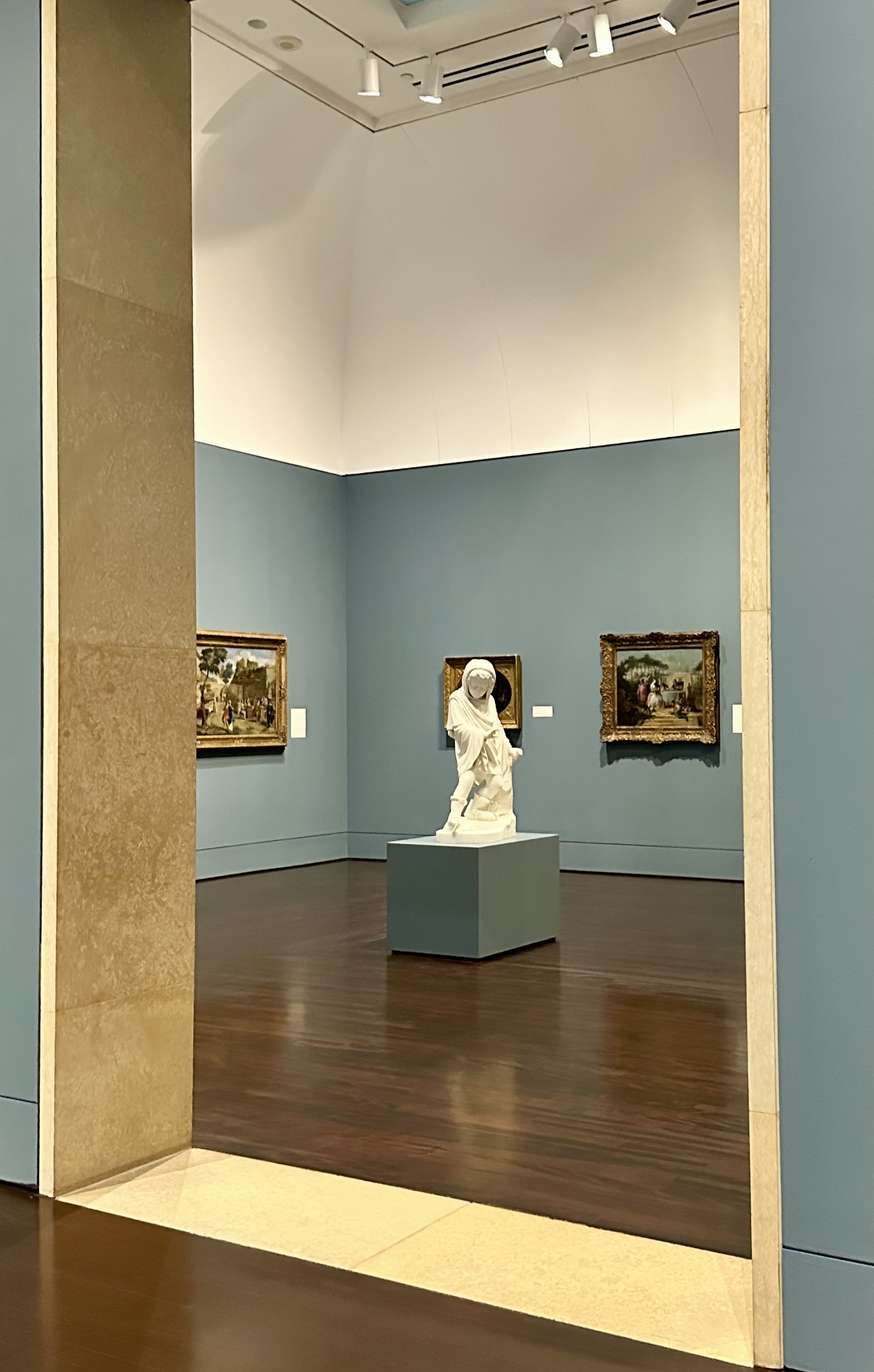
The museum is named after Jorge M. Perez, a major contributor ($40M) towards the construction of the current museum building and also a significant donor of art works. Contemporary art is the mode with a focus on Latin American, Caribbean and African art and artists.
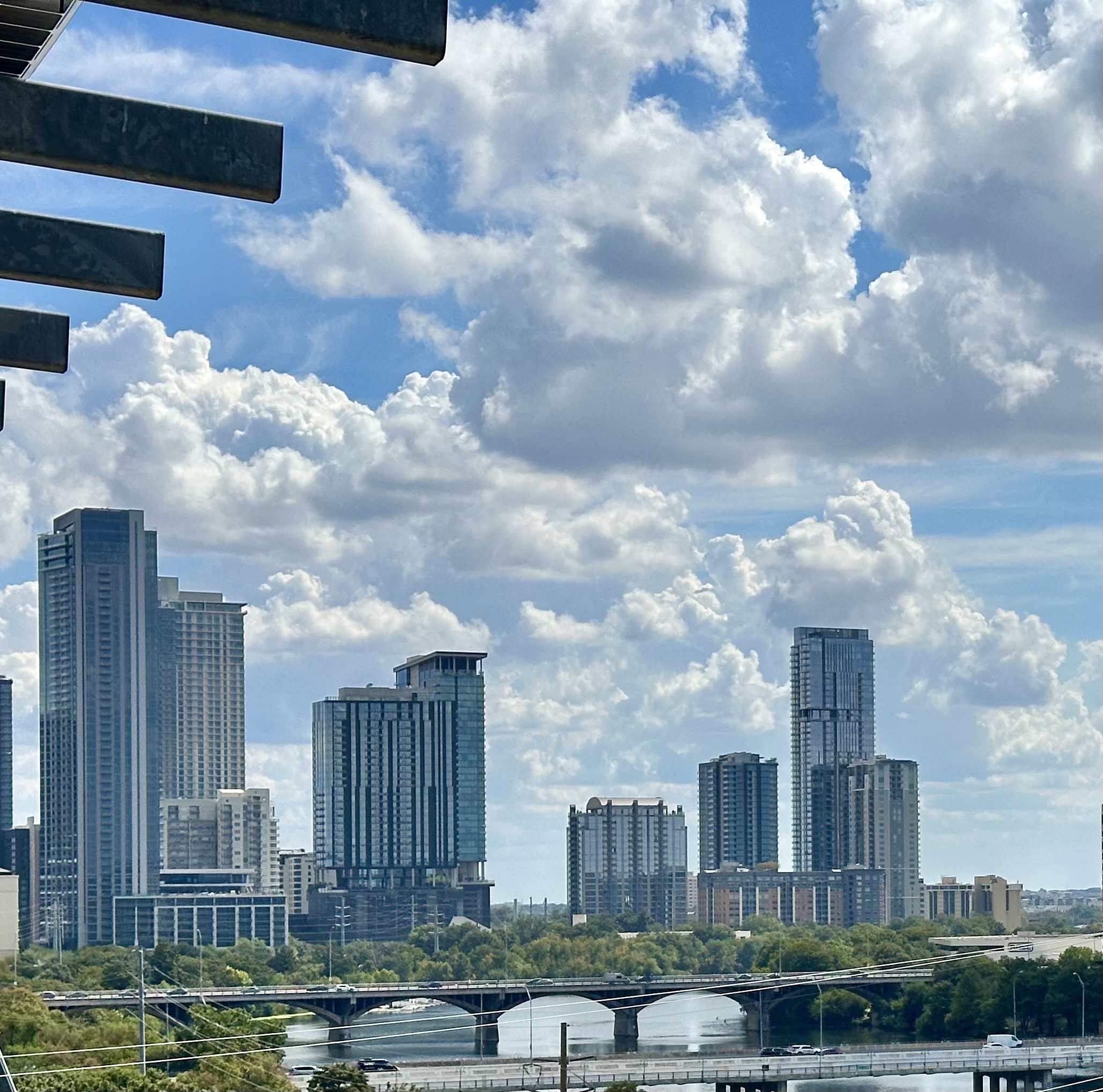
If you enjoy contemporary art, the museum makes for a good visit. The museum is perched on the waterfront and you can stroll through the adjacent Museum Park back as far as the Miami River.
After our museum visit, we walked to I Think She Is where we took a beverage break before heading back to the citizenM for lie down.
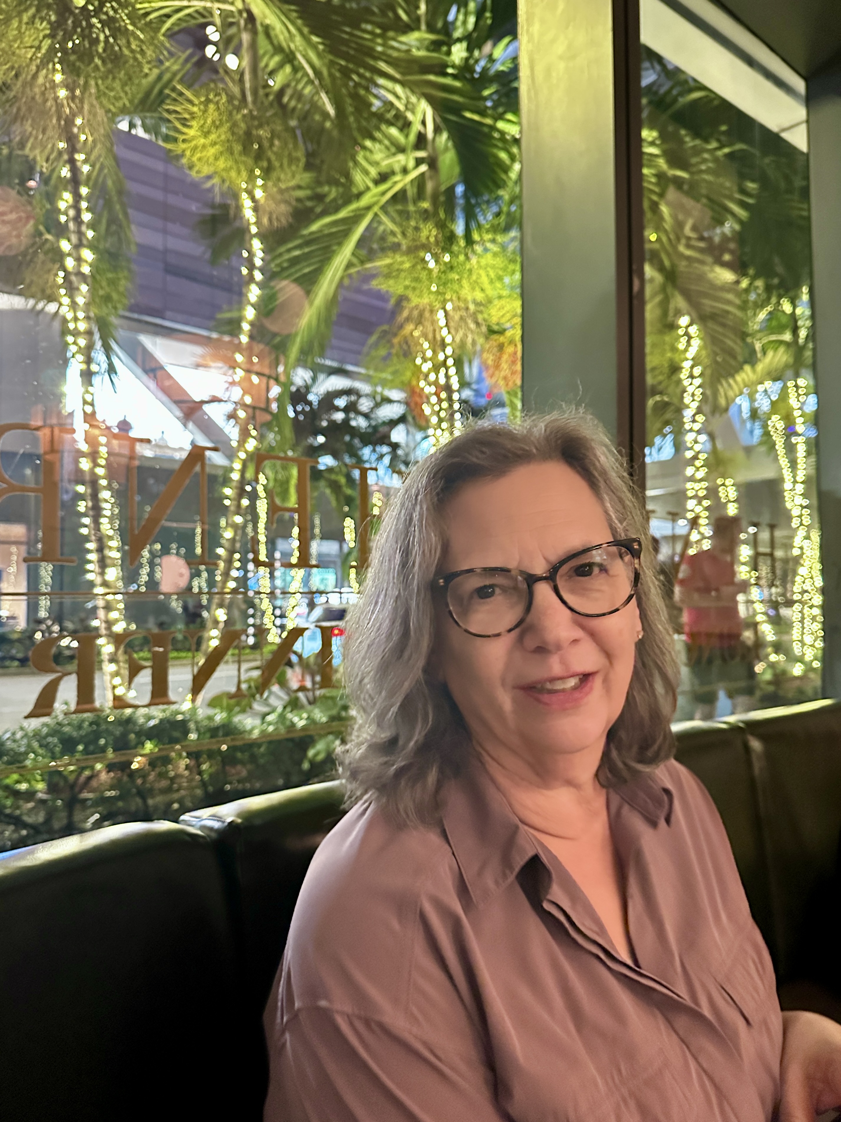
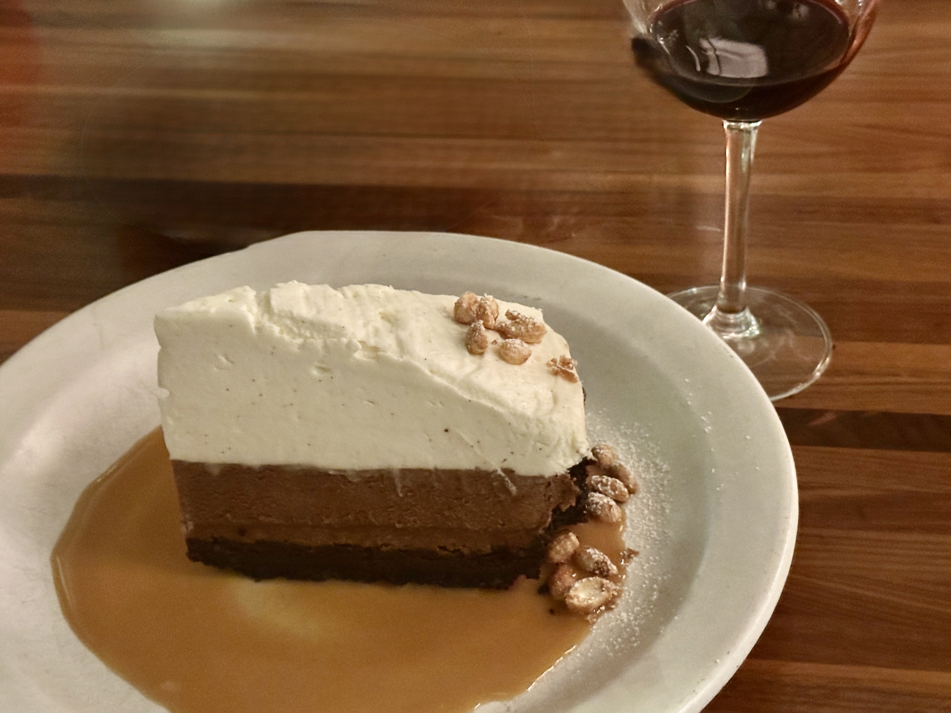
After our much needed lie-down we walked two blocks to The Henry for a late-ish dinner. The Henry serves breakfast (with coffee service), lunch and dinner. The connotation associated with being open all day is often a diner menu but we can assure you that the dinner portion of program is fine dining. The Henry is a small chain operating a dozen restaurants, mostly in the Western United States. Yes, more churrasco!
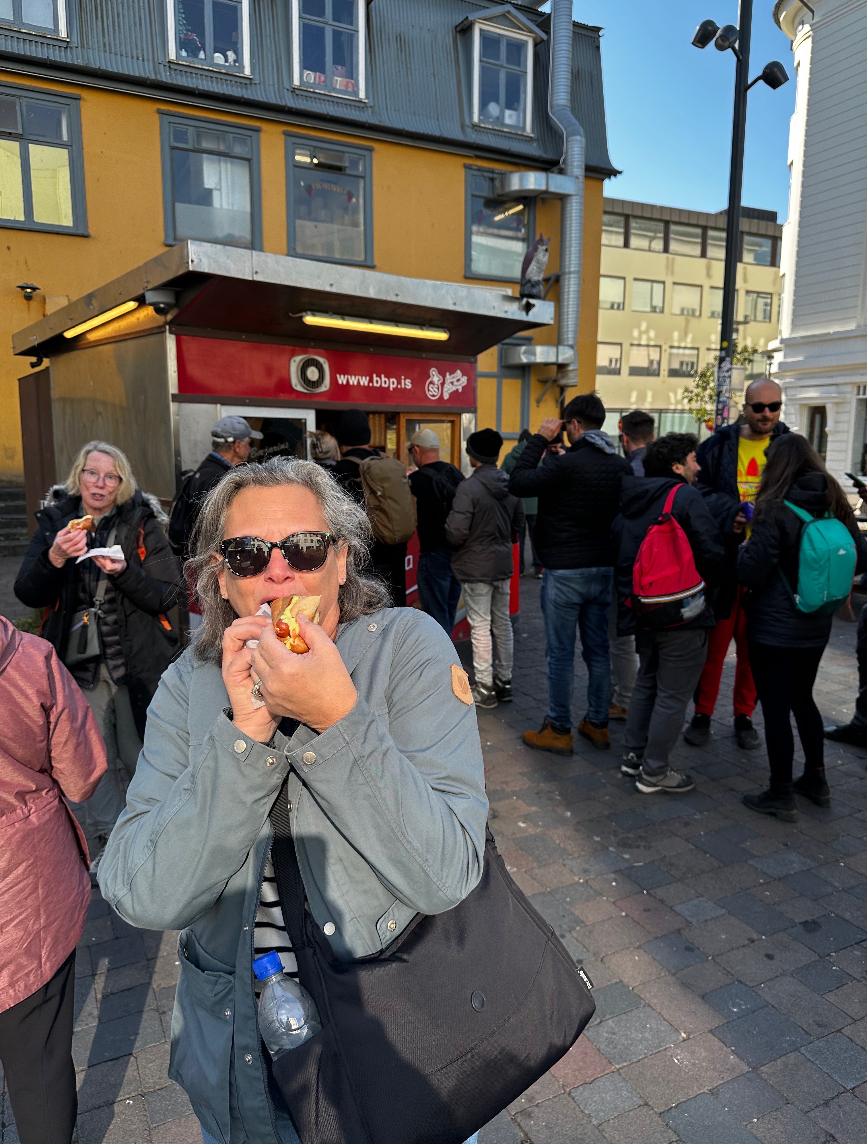
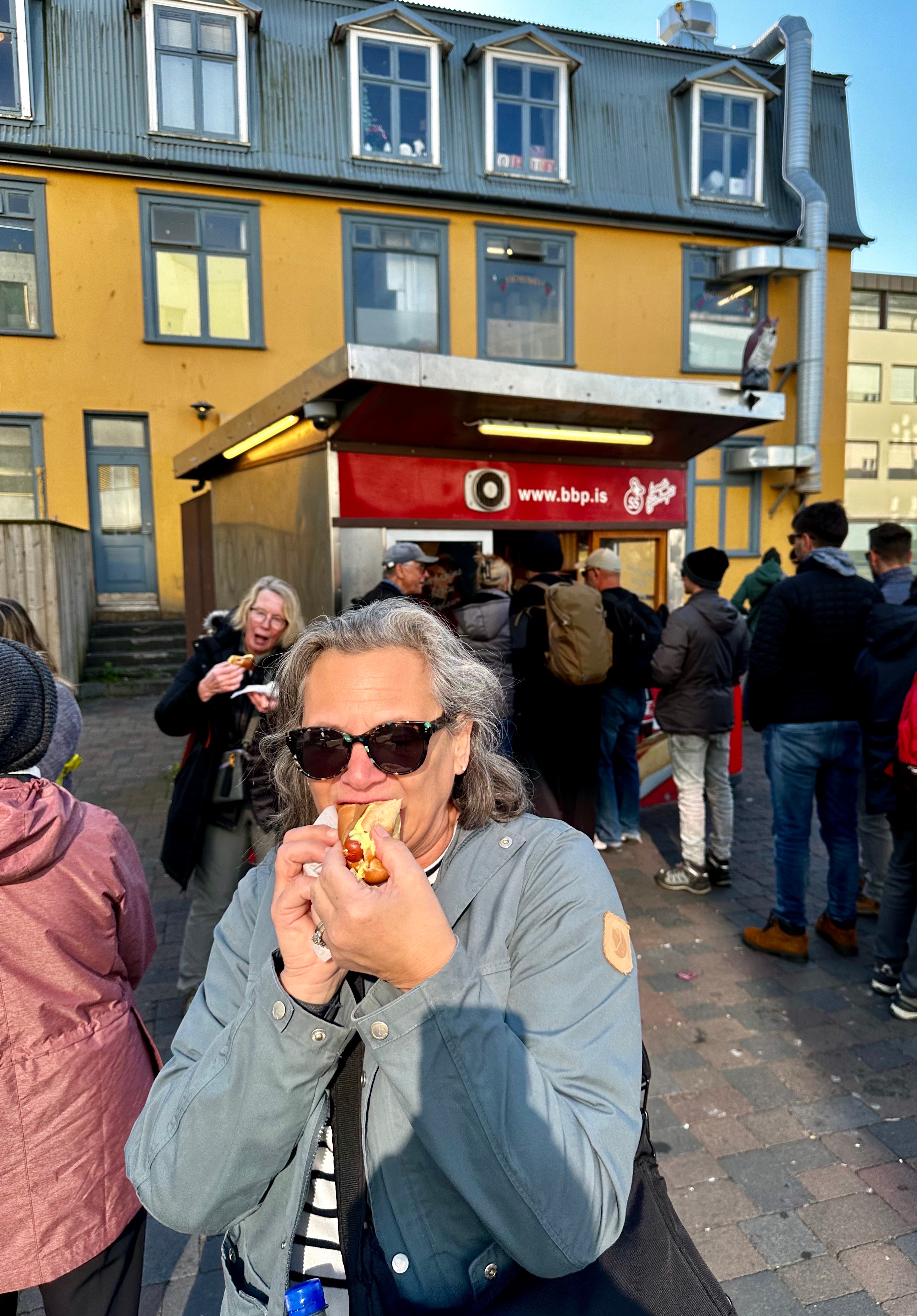
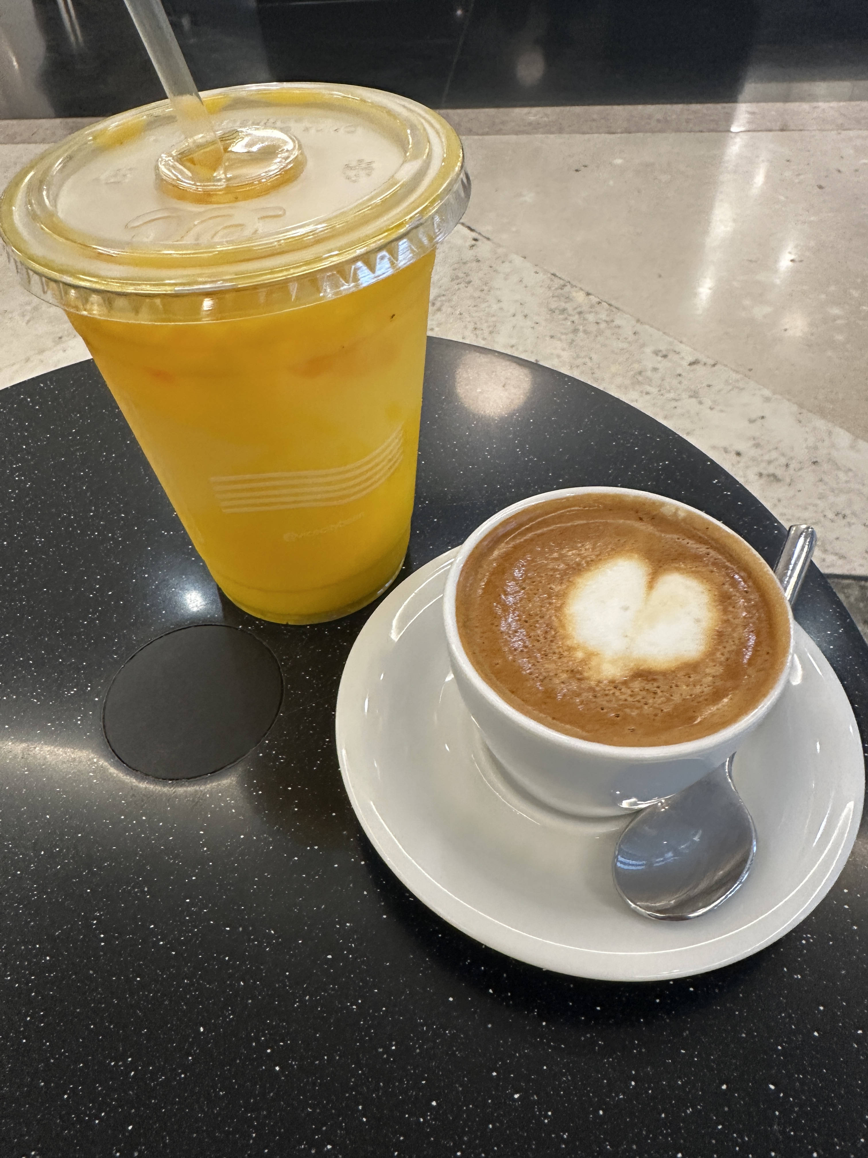
DAY FOUR – We felt compelled to visit the Vice City Bean (did anyone not watch the Miami Vice television series) location in Brickell. We are not sure what we were expecting but it was not the ultra modern shop in the lobby of an office tower. Having said that, the barista was great and the drinks were excellent.
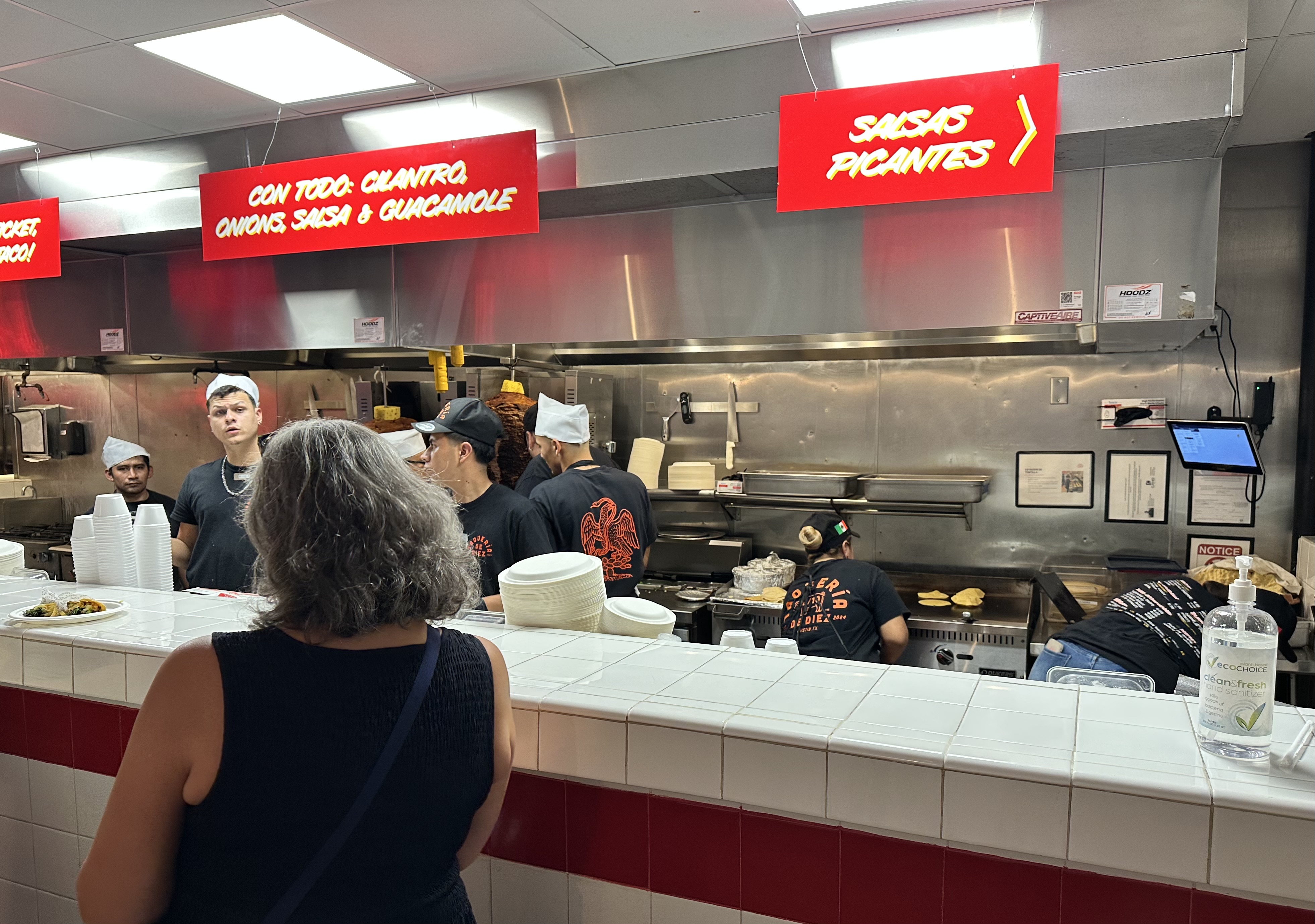
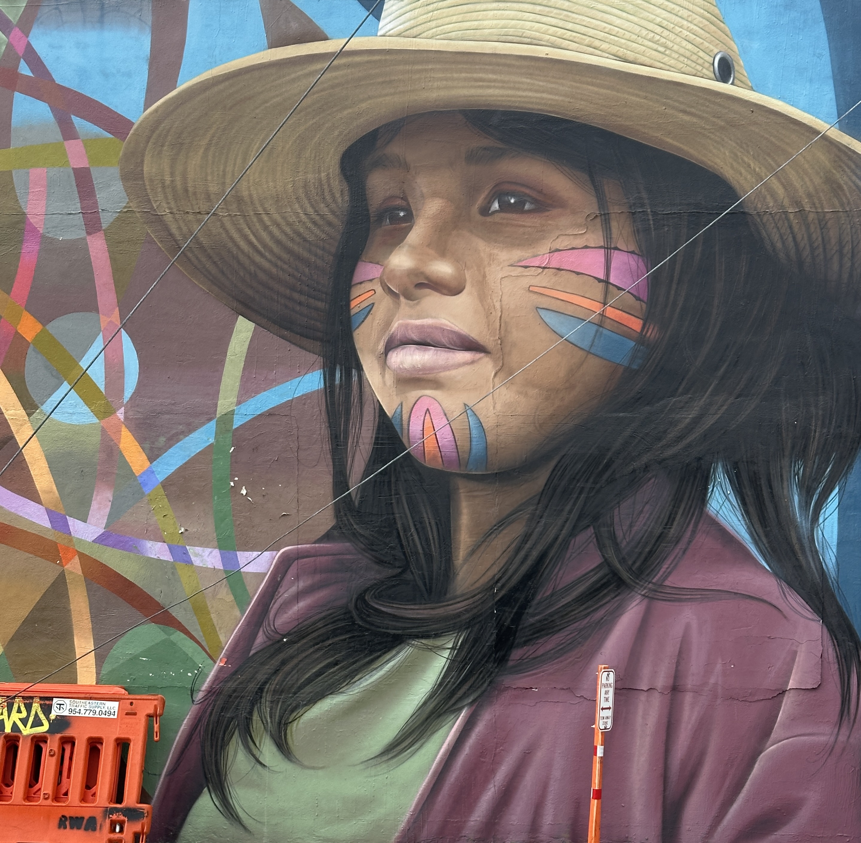
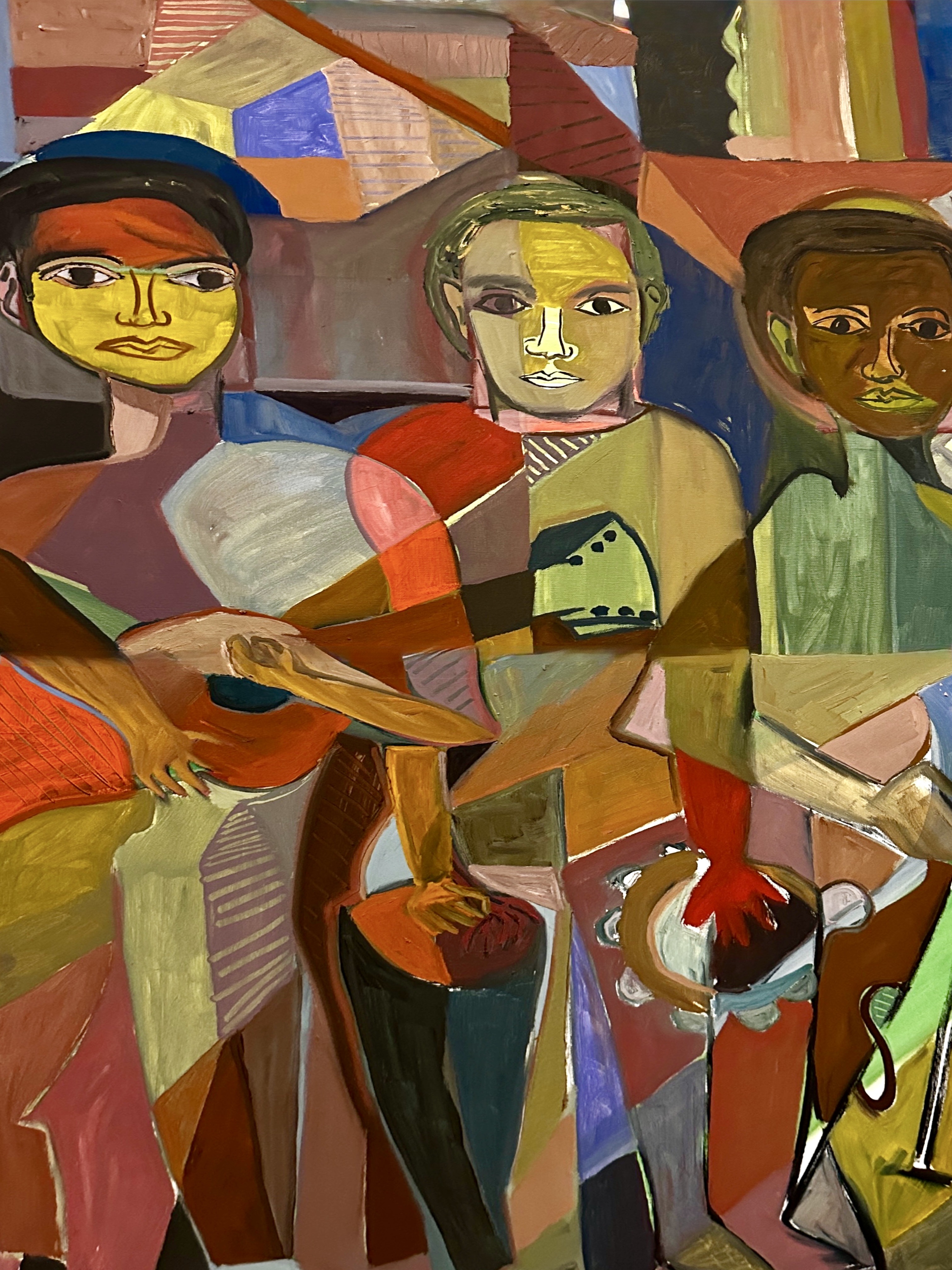
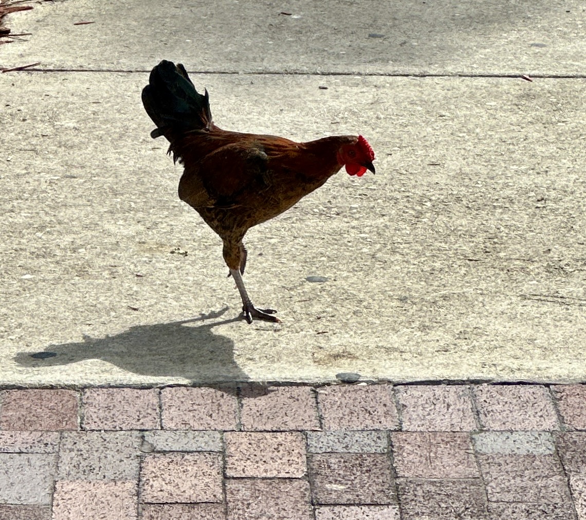
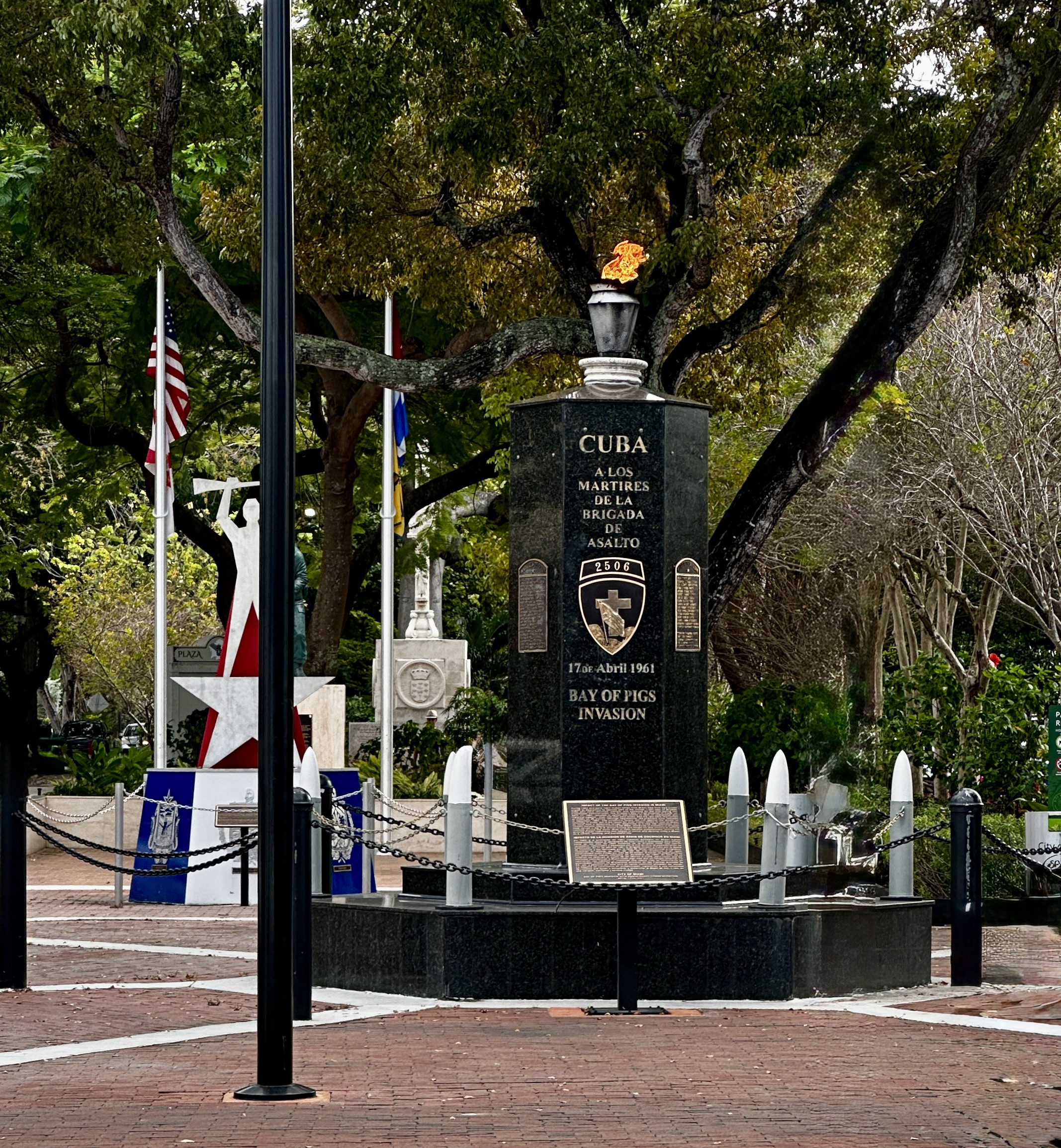
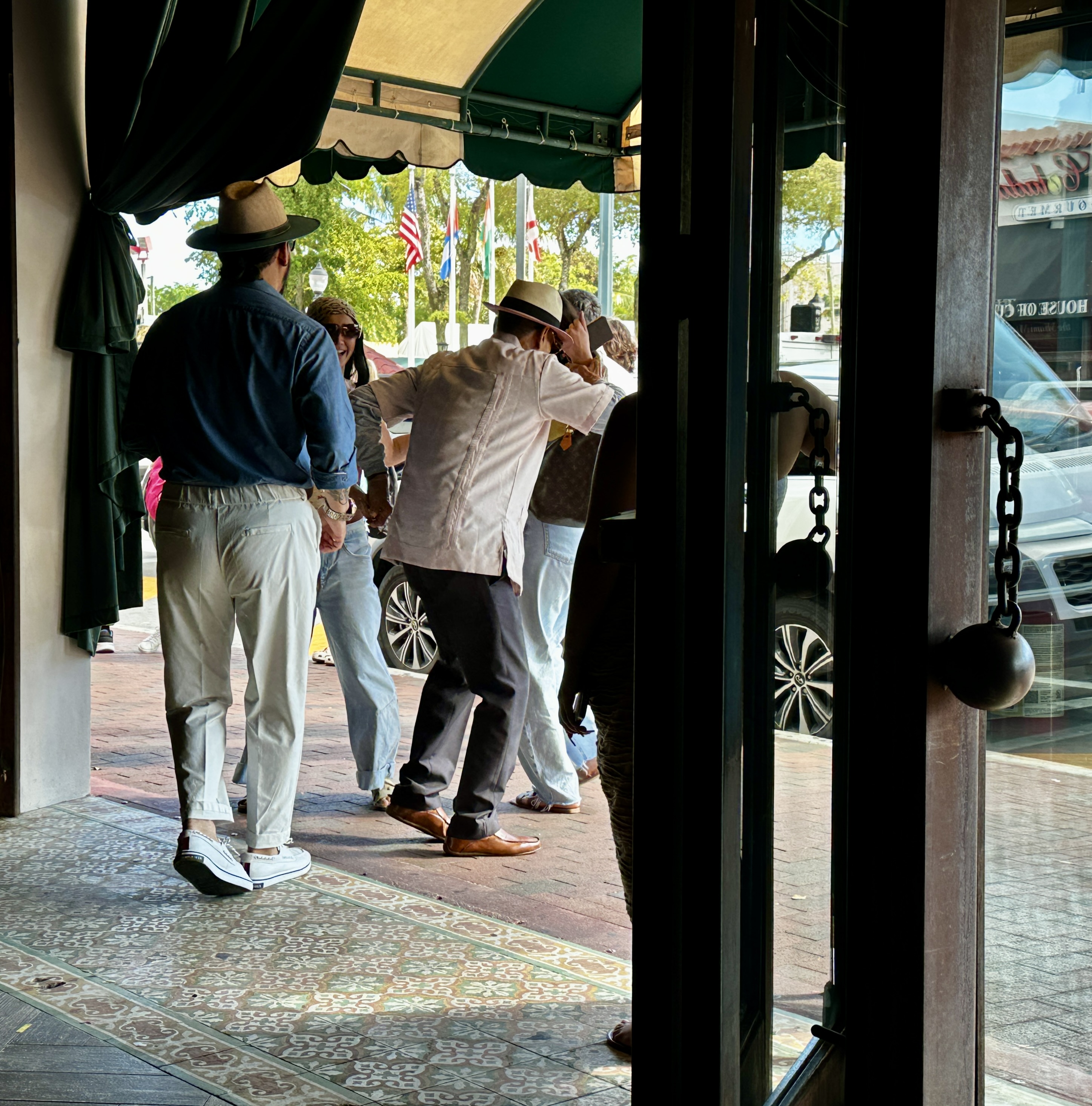
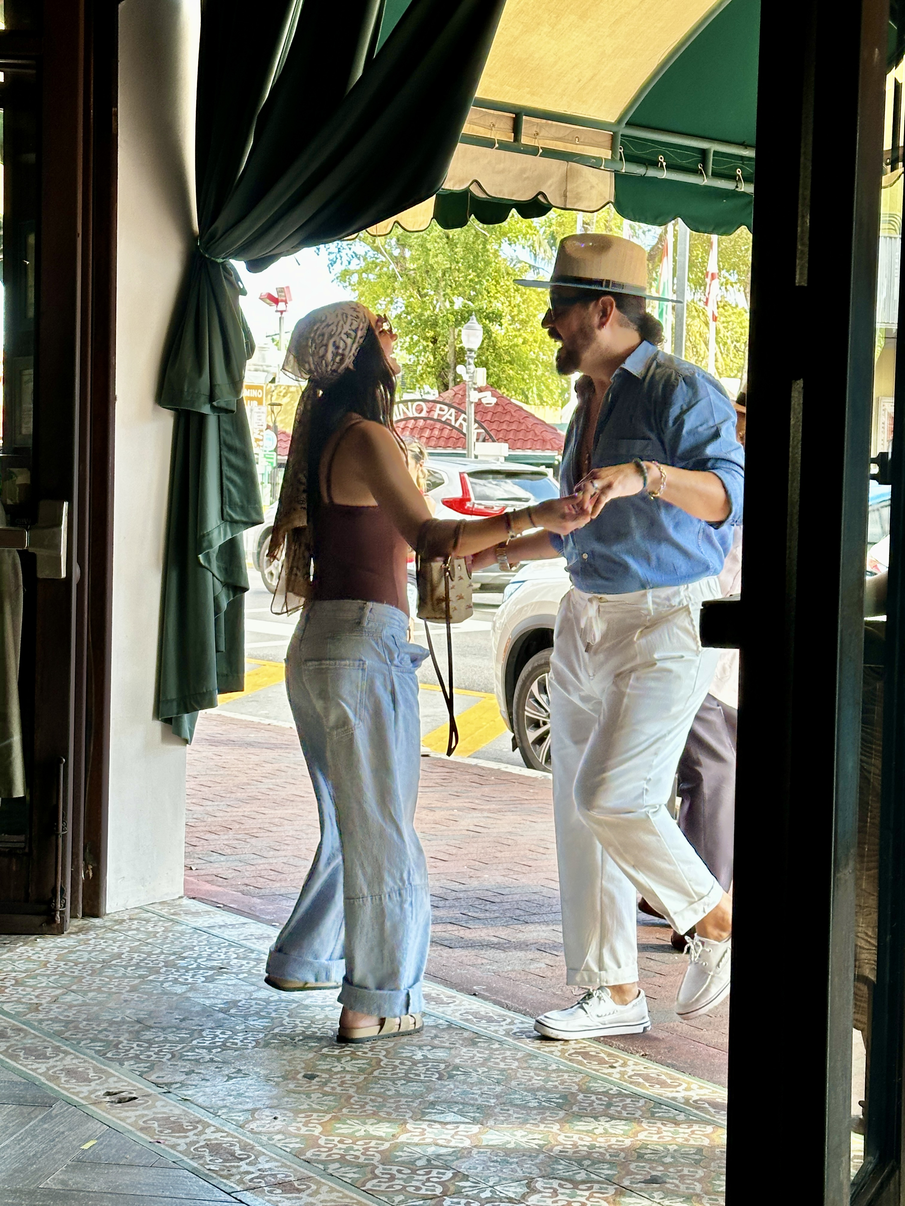
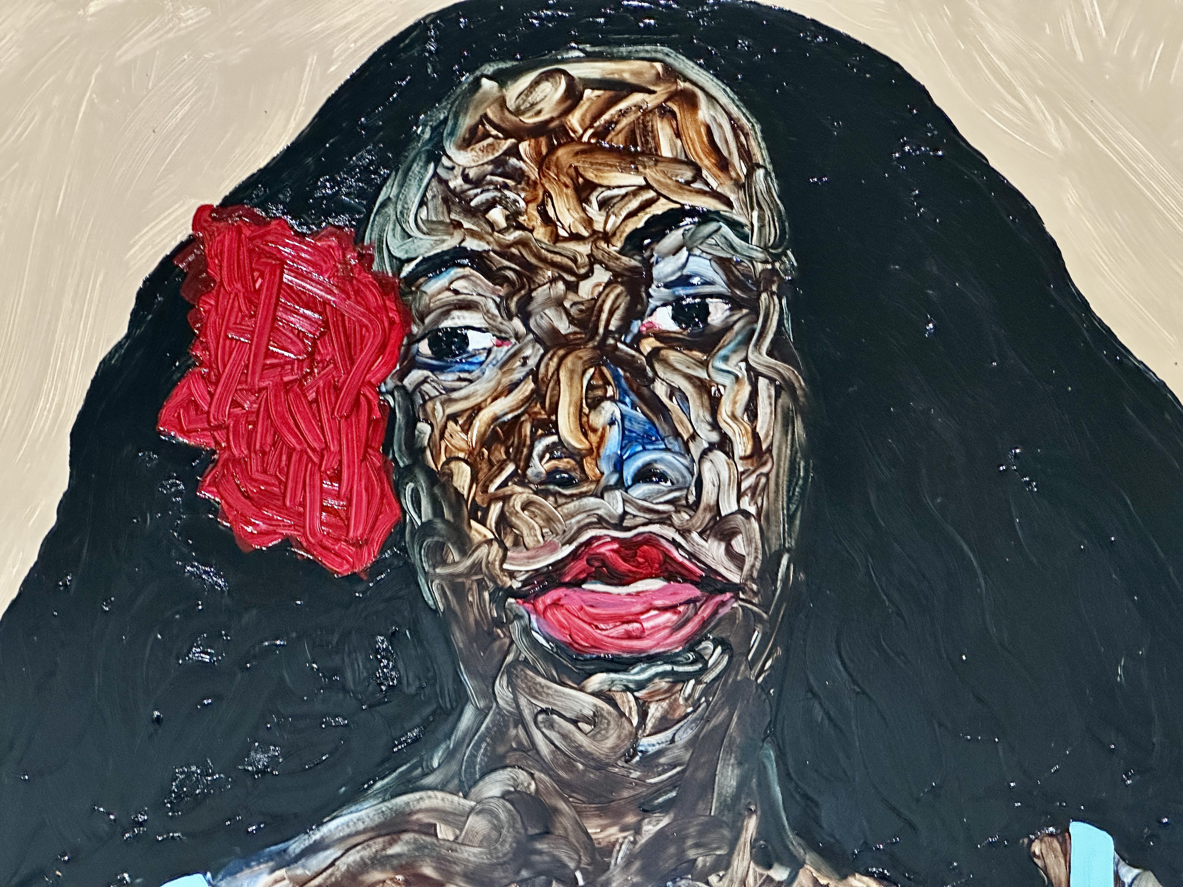
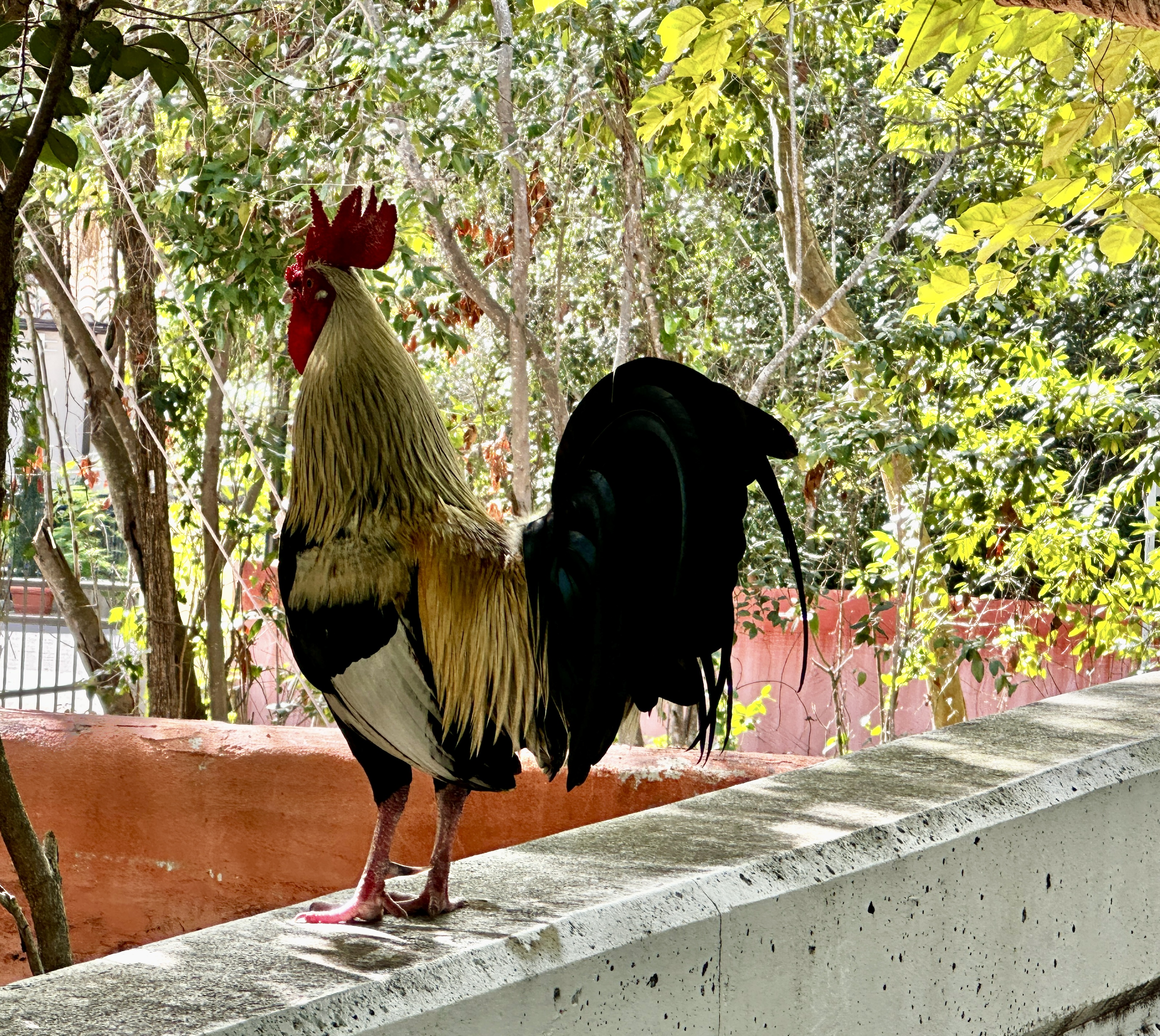
From Vice we made our way west to spend an afternoon immersed in Cuban culture or at least the version on display in Little Havana. The strip along Calle Ocho has plenty of tourists visiting but is also clearly the home to an authentic Cuban diaspora (and their roosters roaming around the neighborhood).
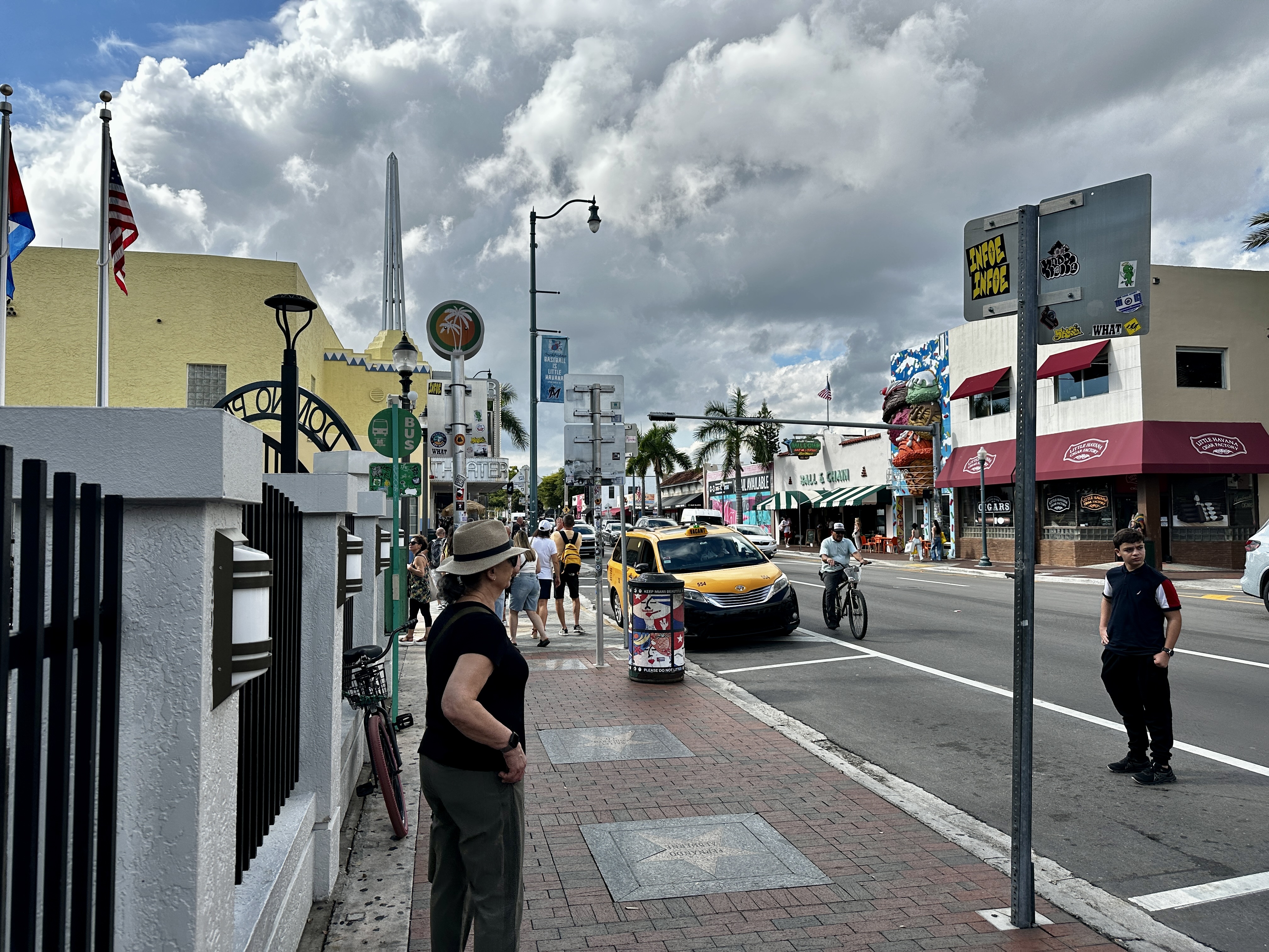
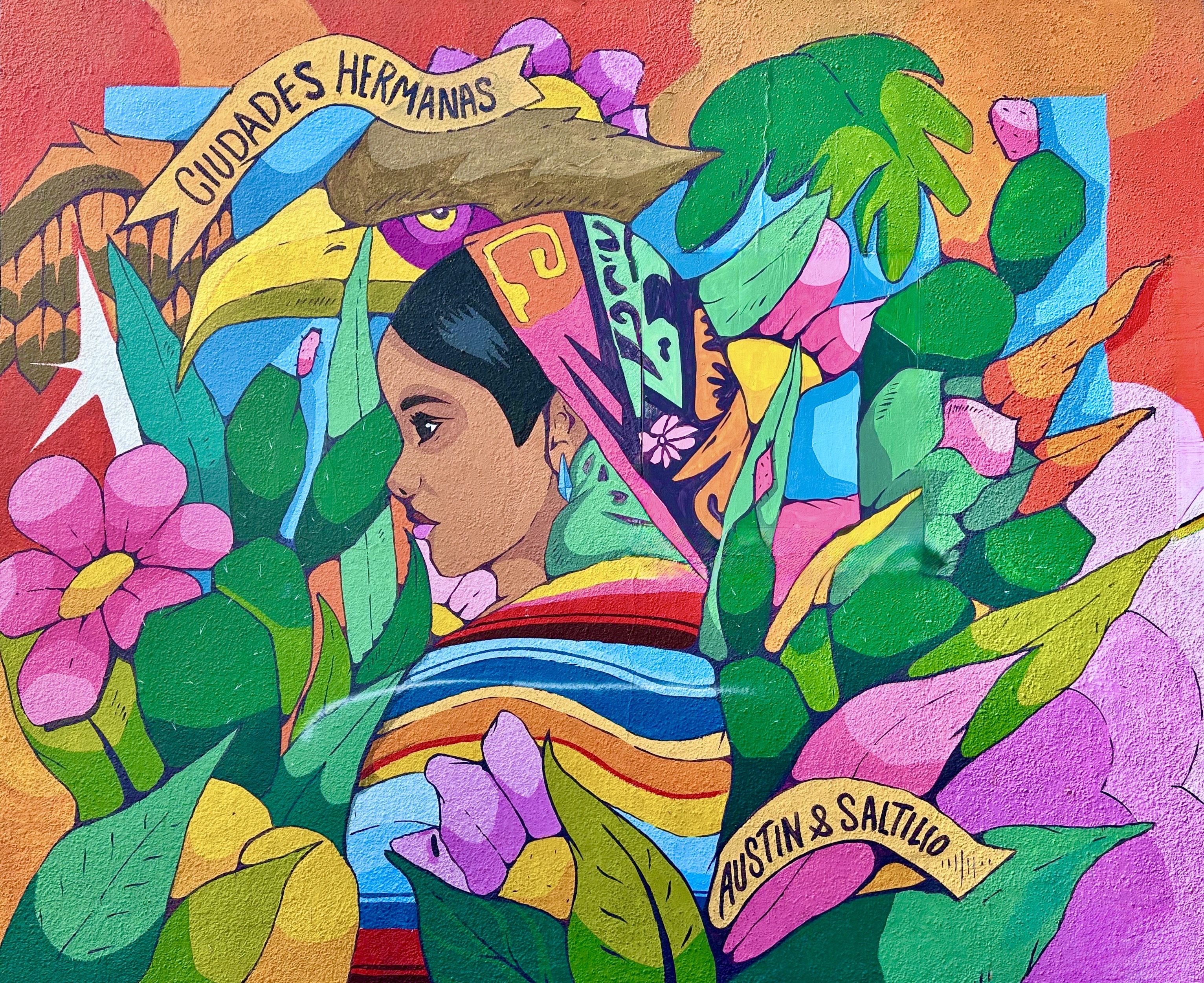
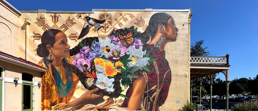
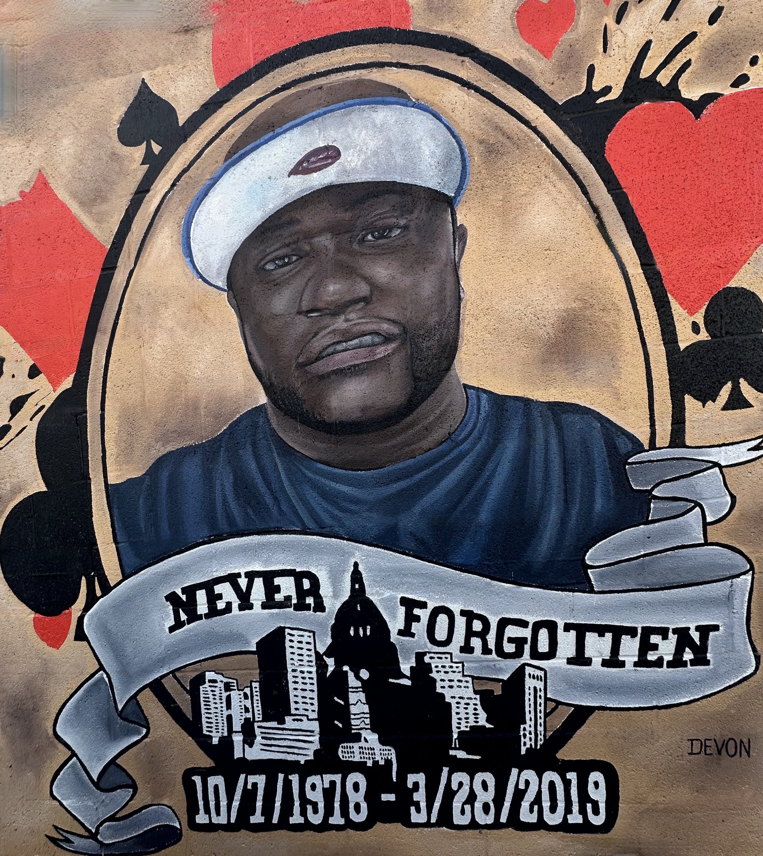
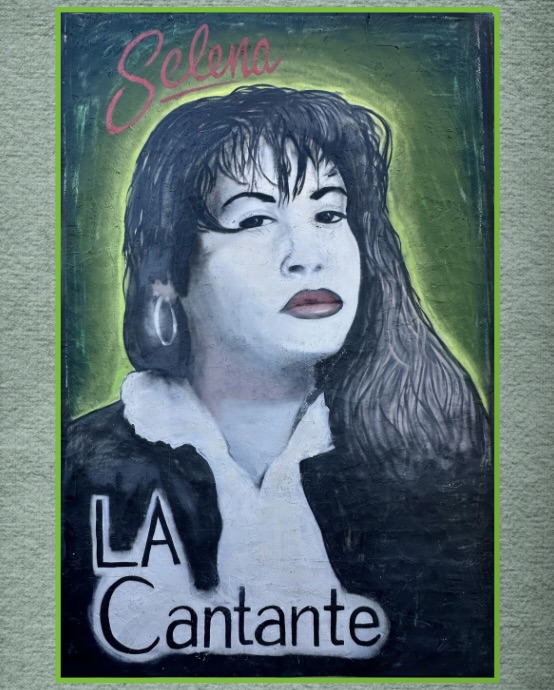
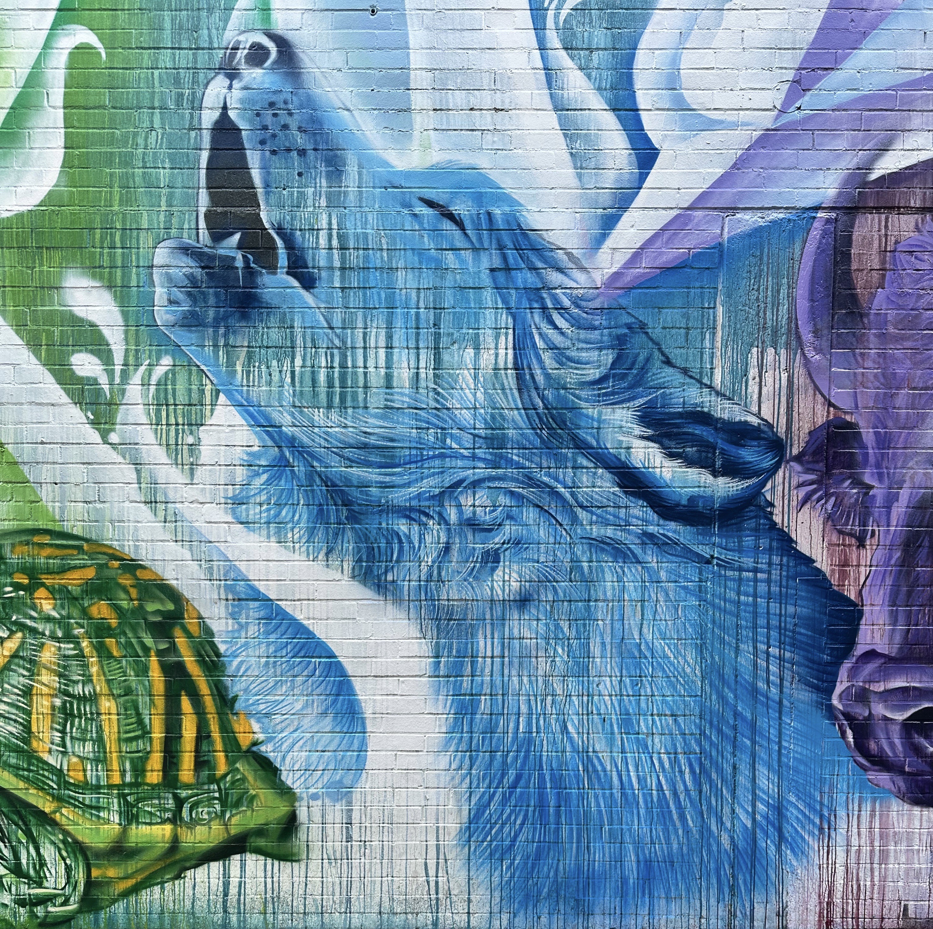
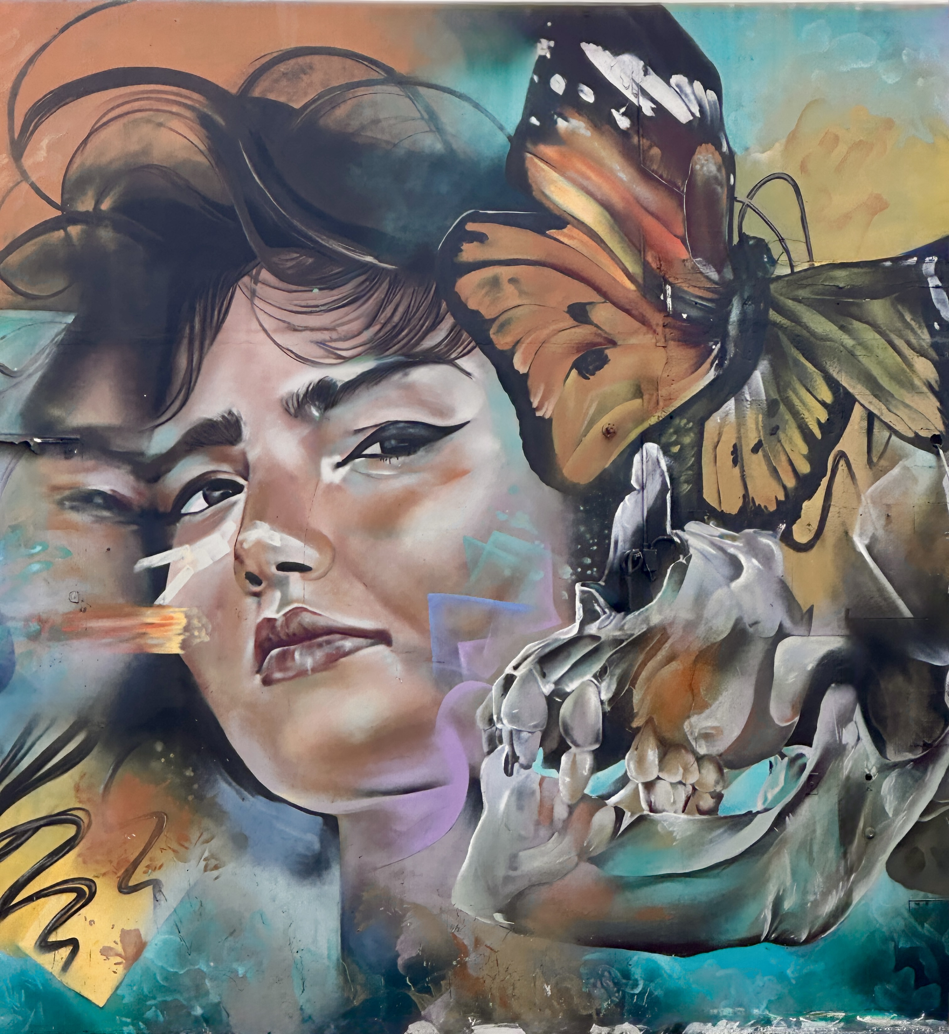
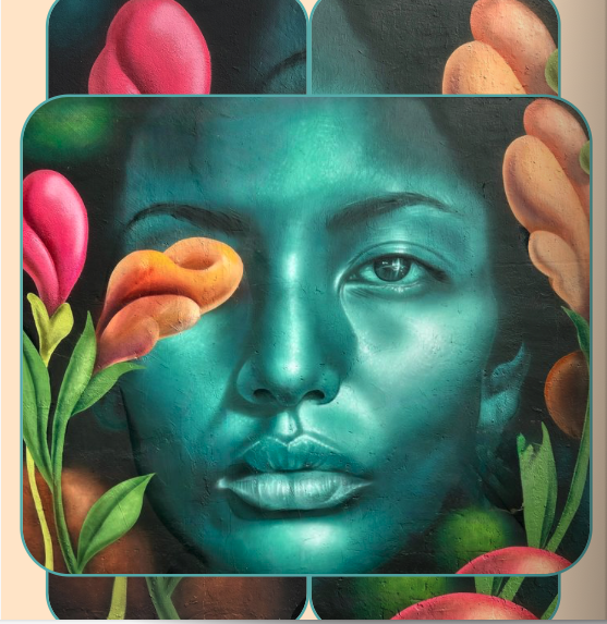
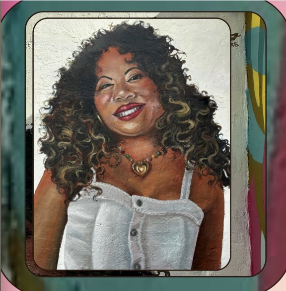
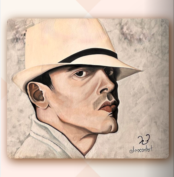
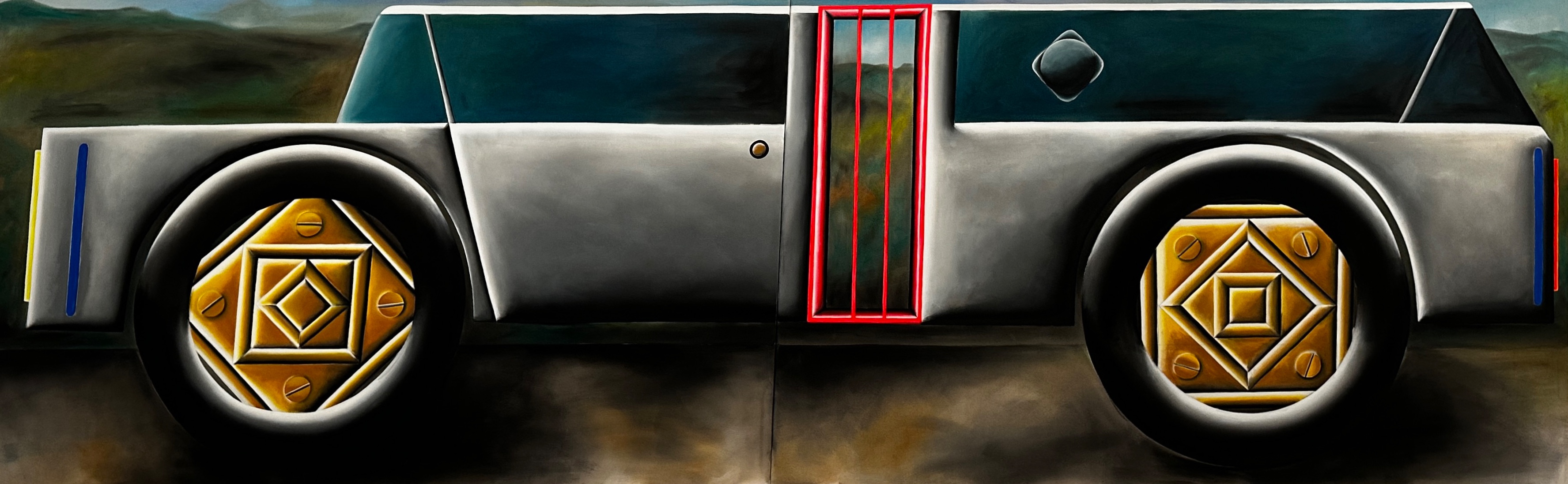
We poked around the neighborhood which is filled with art and historic monuments commemorating the Cubans that fought as part of the Bay of Pigs Invasion.Two murals from Little Havana are featured in our latest Street Art Tourist volume (see photos below).
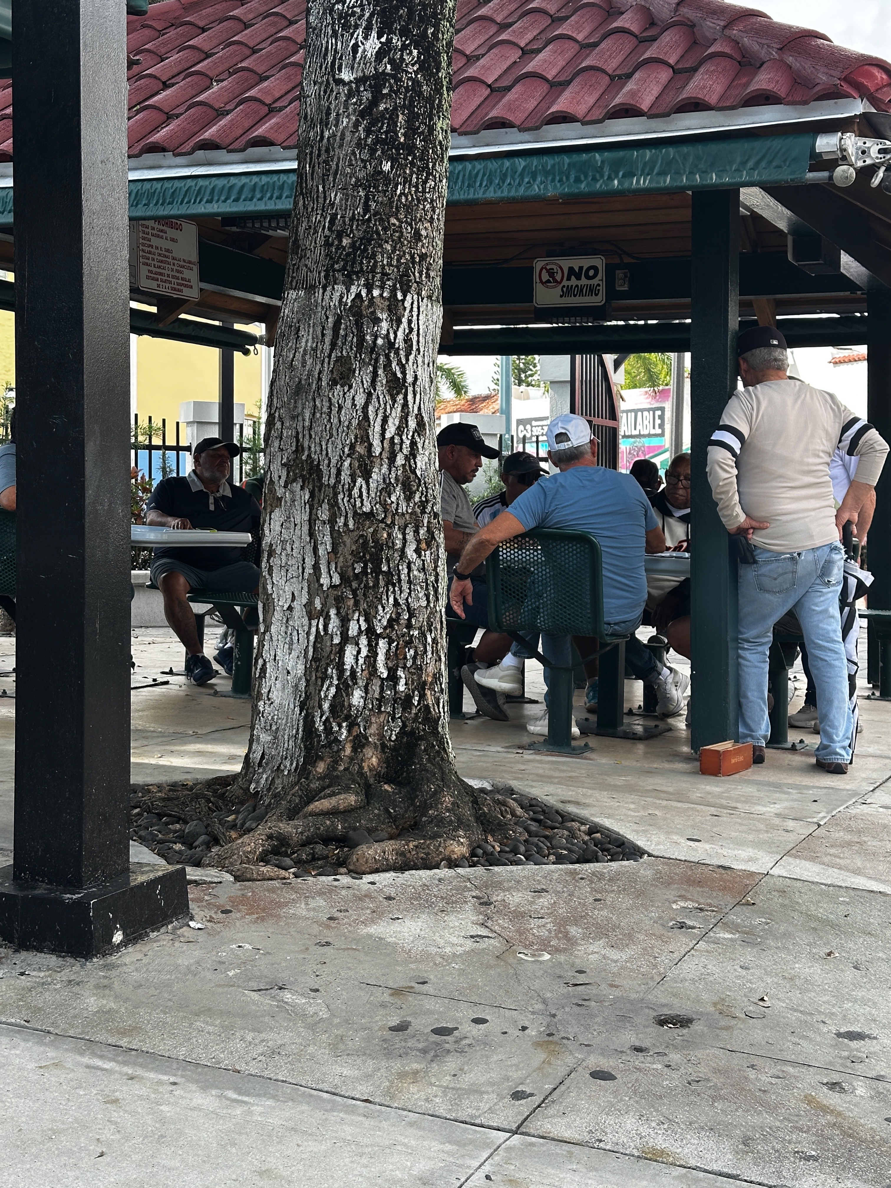
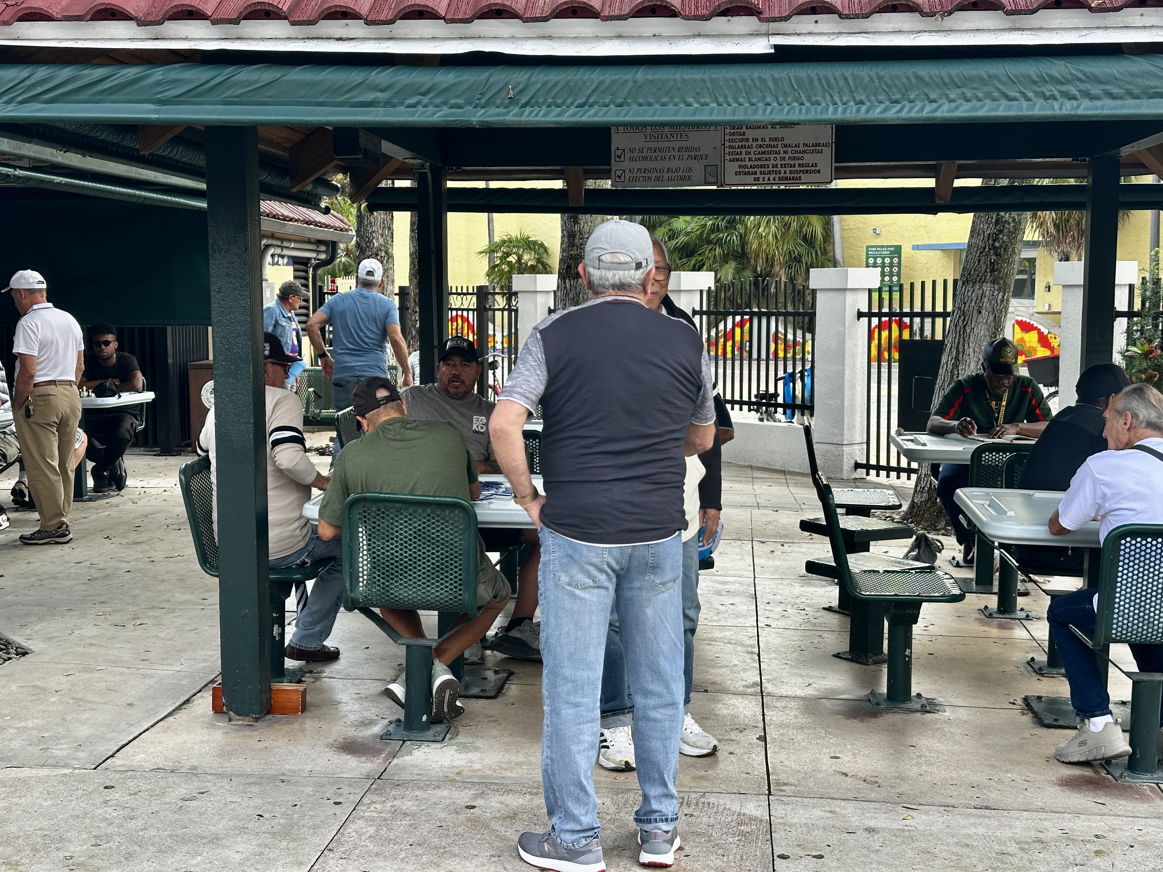
Maximo Gomez Park is also known as Domino Park. Playing dominos or chess here requires membership; to be a member an individual must be at least 55 years of age and a city resident. Seating is assigned for players only but visitors are welcome to come and watch the play. We watched for a bit – these are serious players!
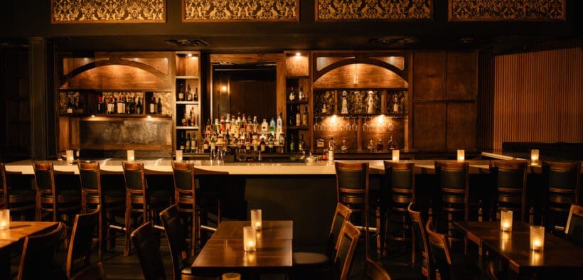
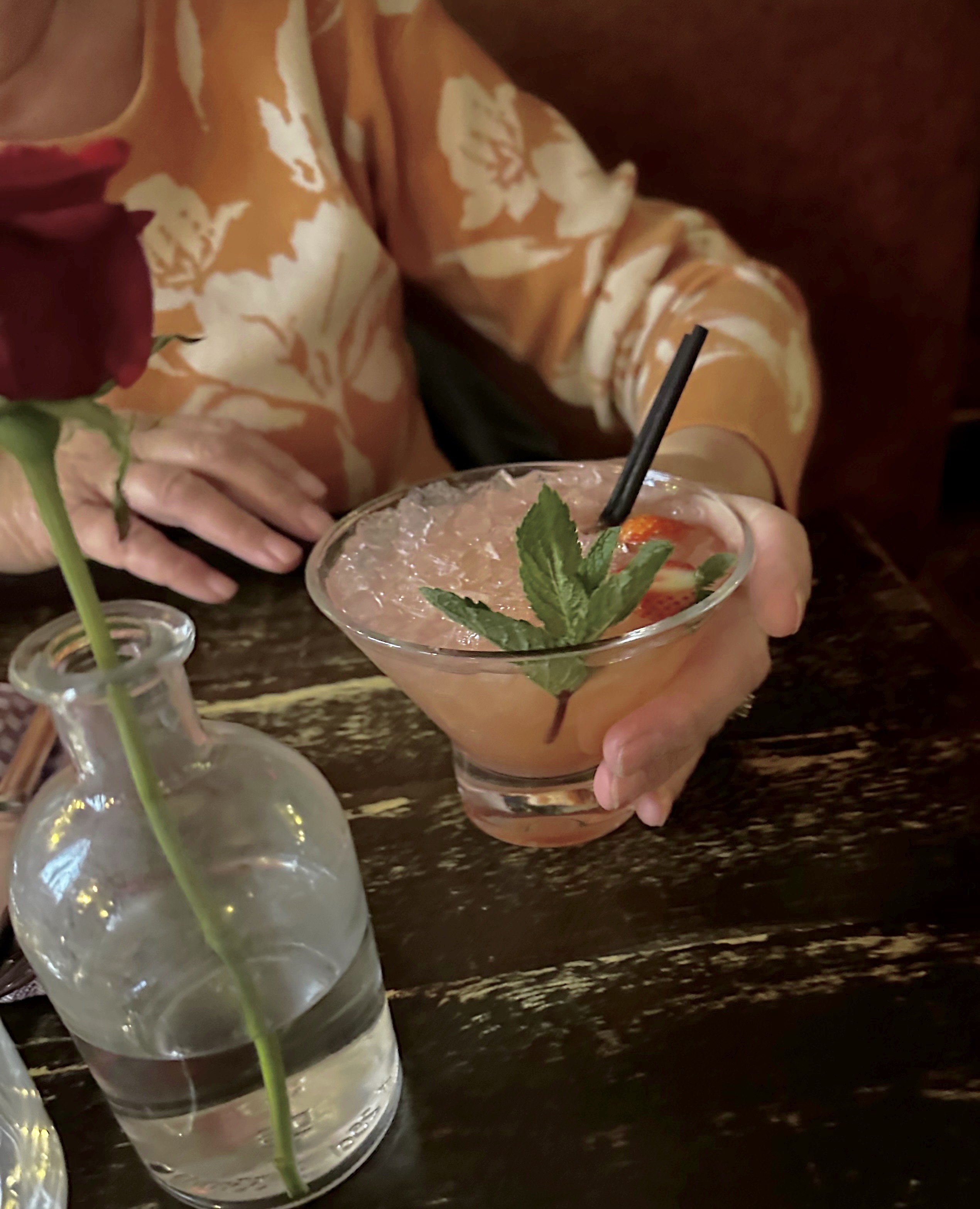
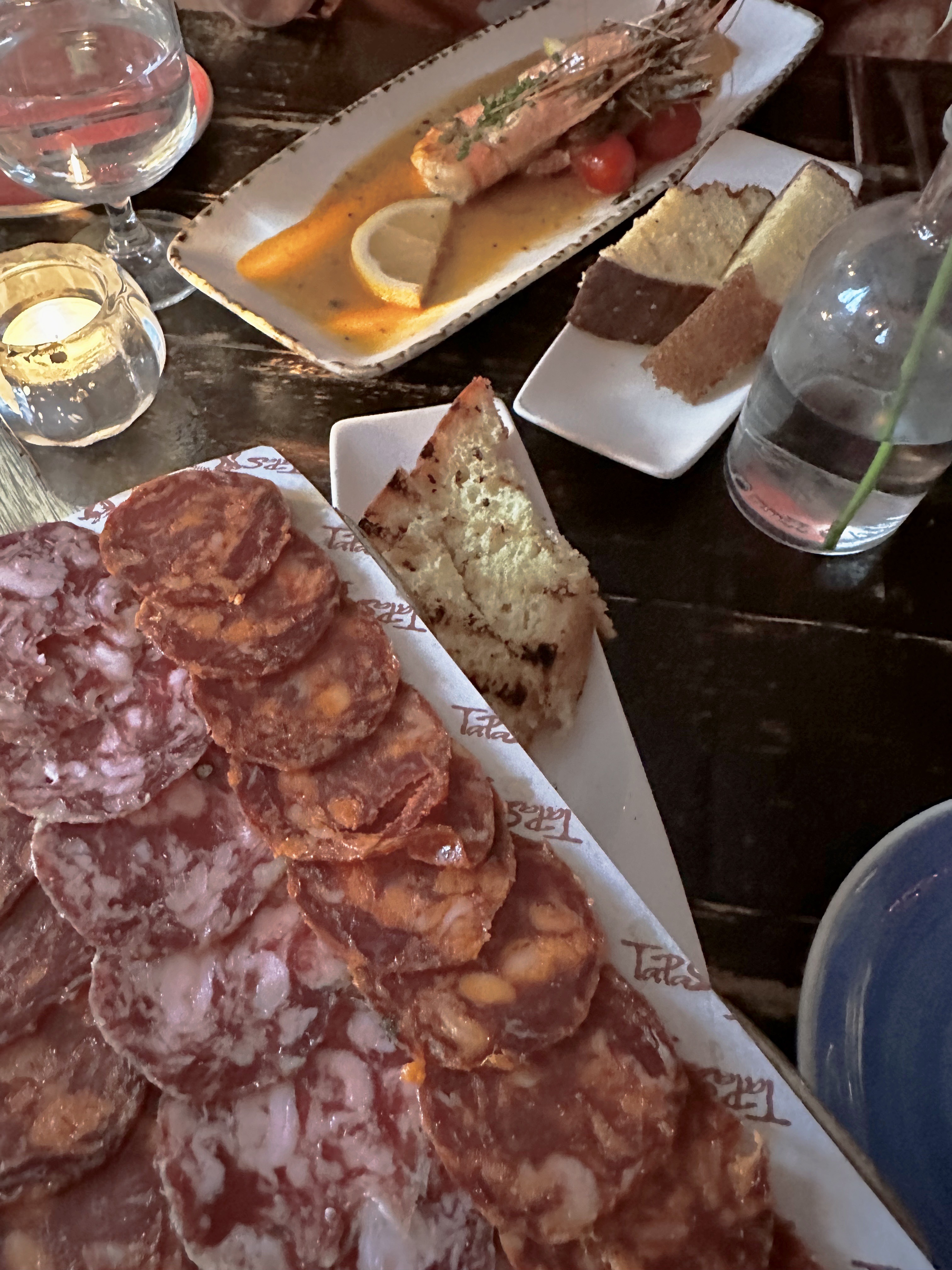
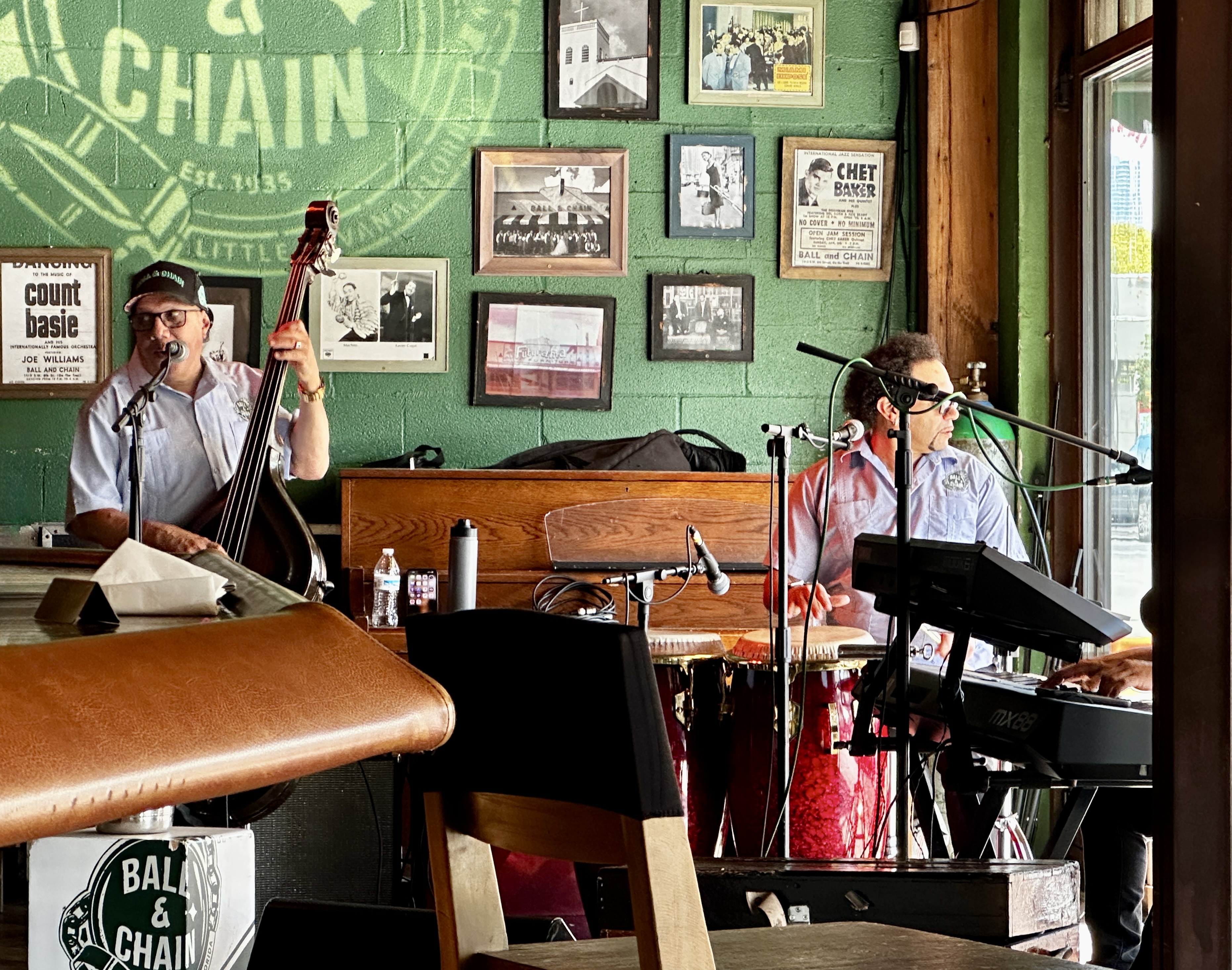
After touring the Calle Ocho strip we were thirsty, hungry and in the mood for Salsa music which led us to the Ball & Chain. All three of the aforementioned items are available every day from 1100AM until the wee hours.
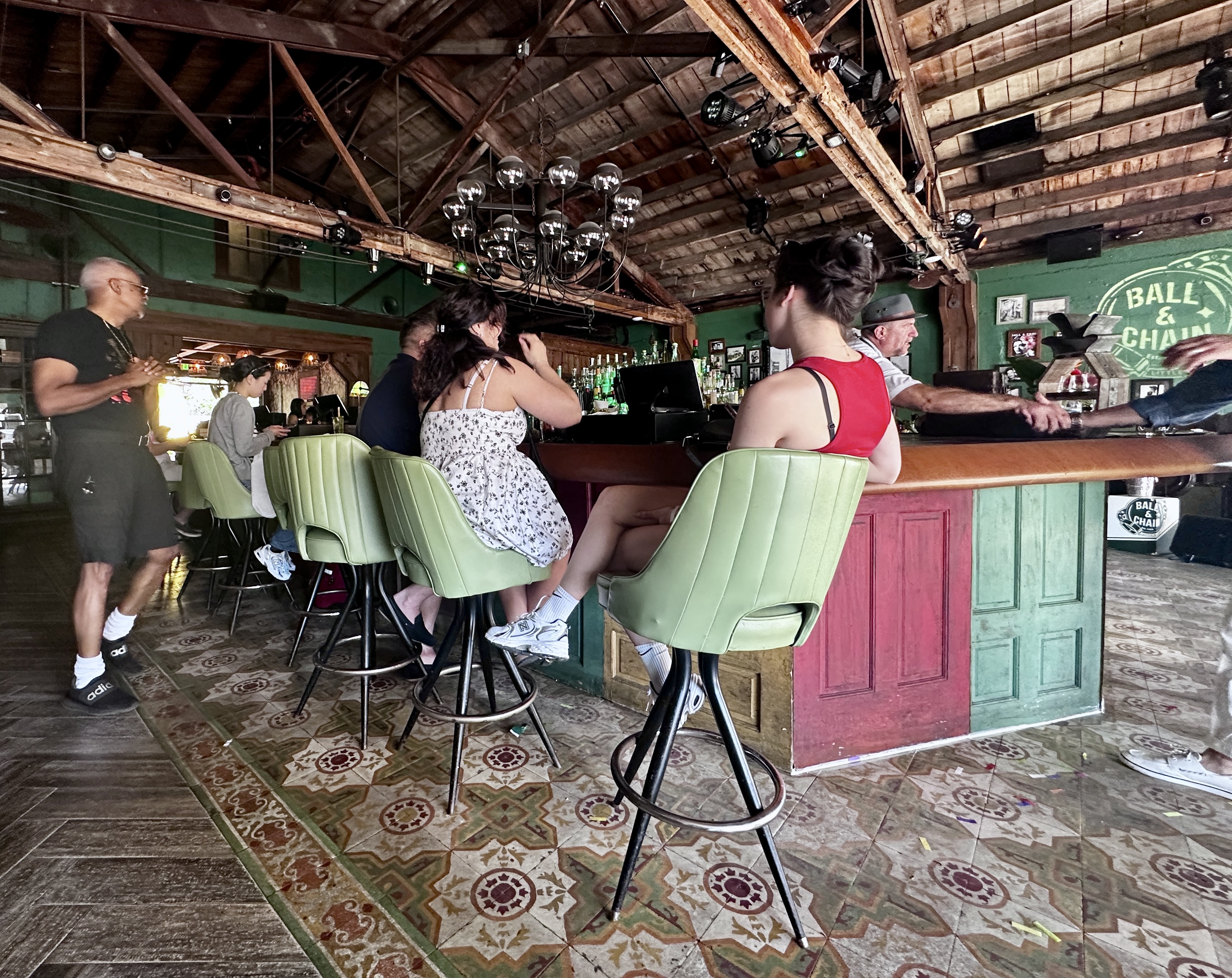
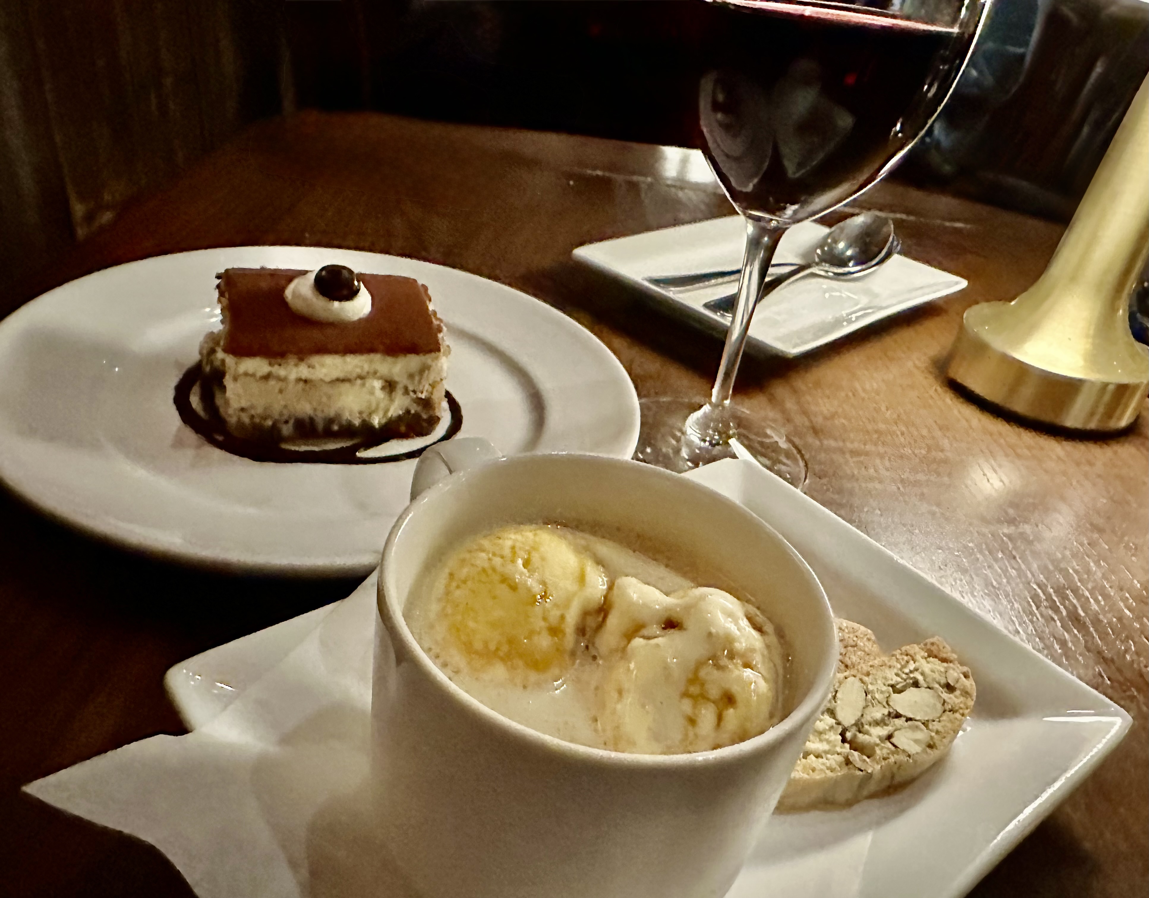
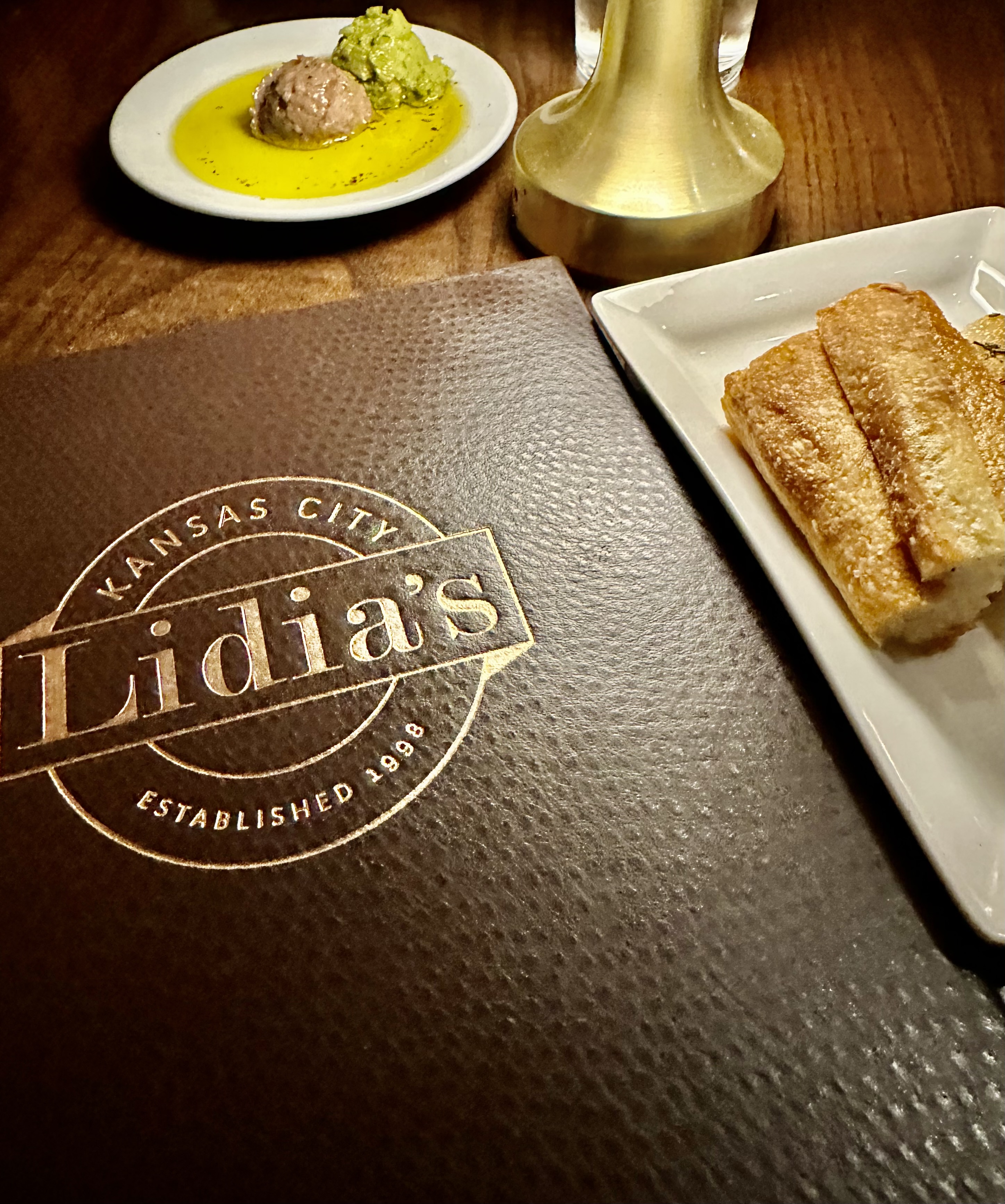
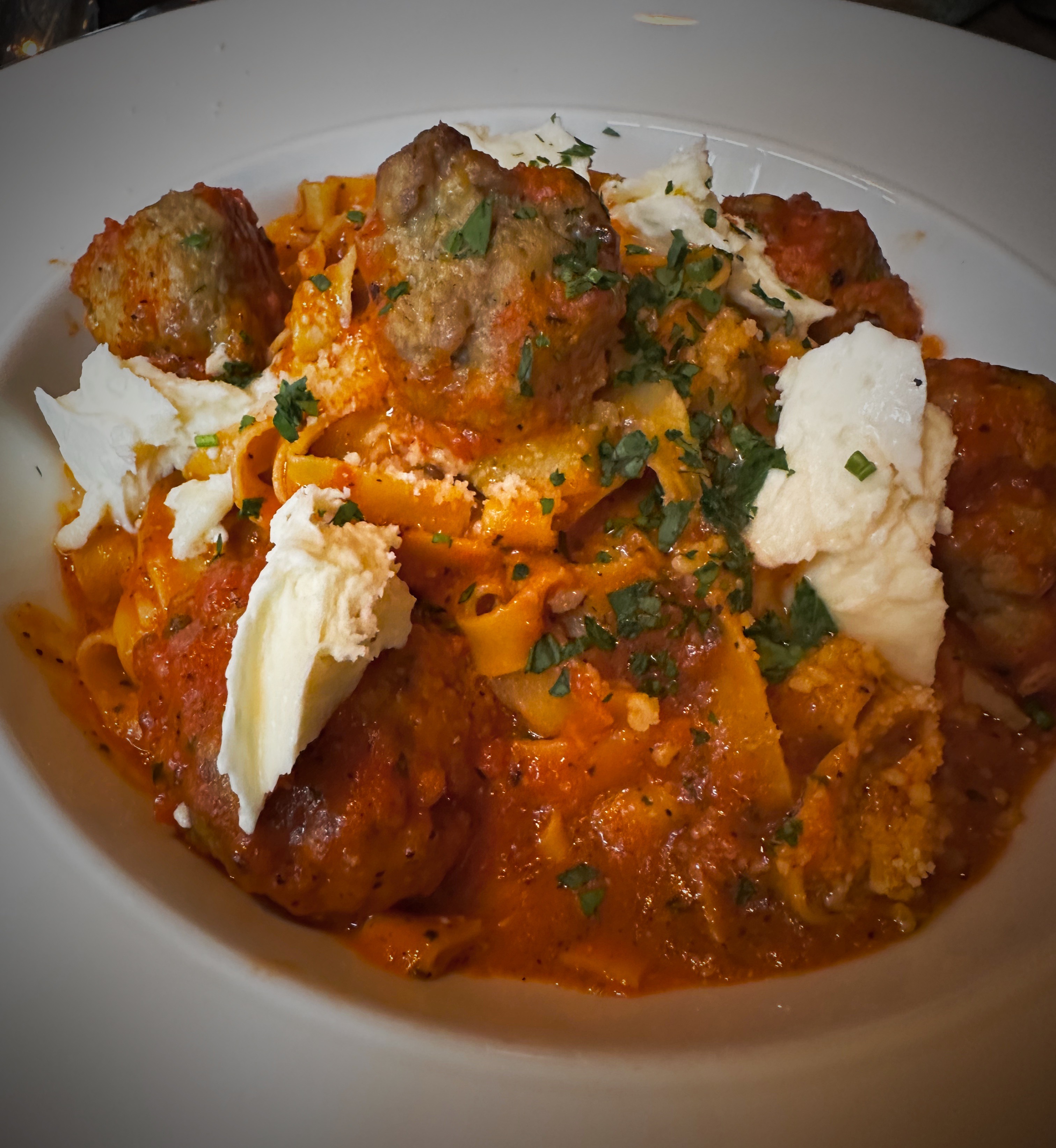
After enjoying our Cubano, the music and dancing we made our way back to the citizenM and reset for our evening segment. We dined at North Italia located across the street from the hotel. North Italia is “casual upscale” and makes their own pasta in-house. Very good.
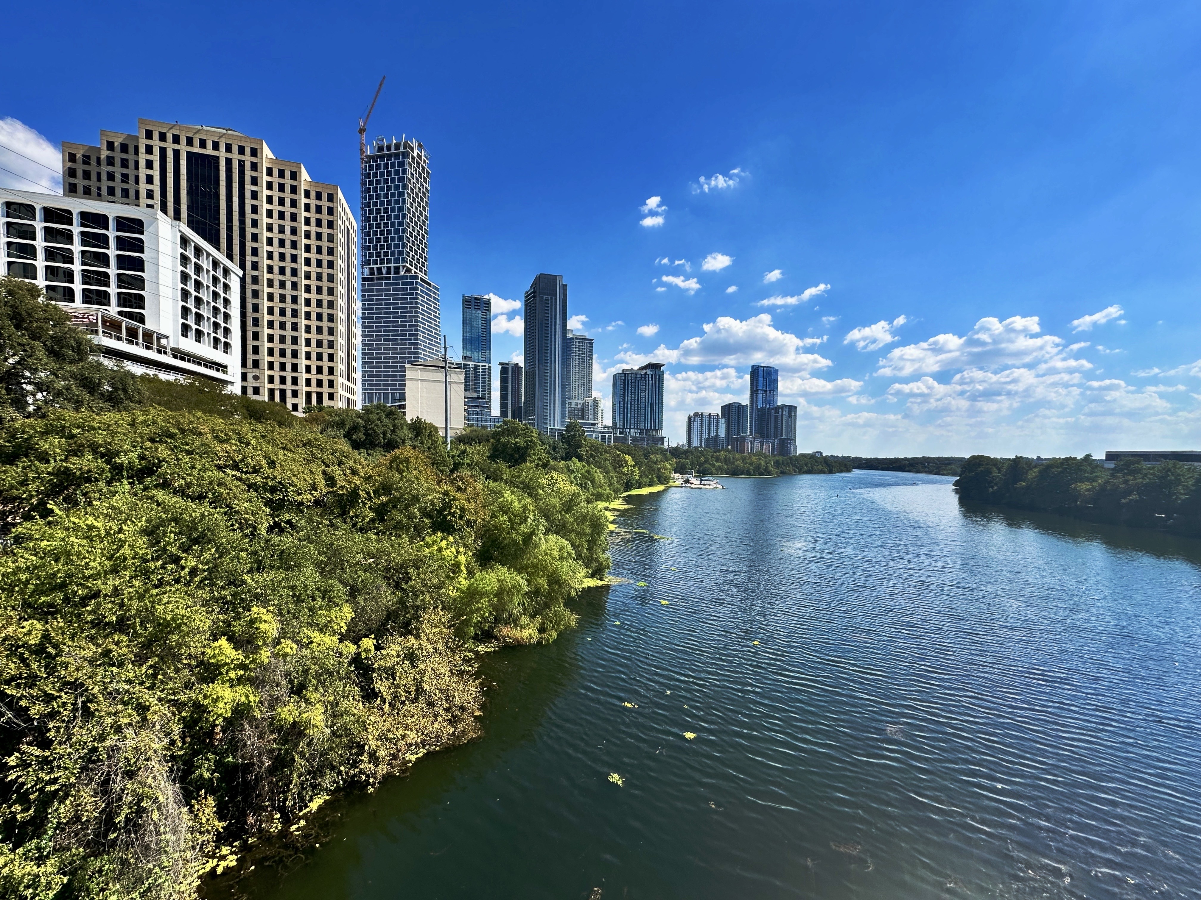
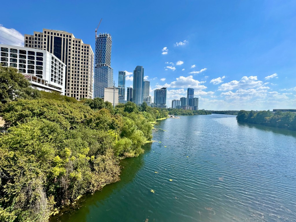
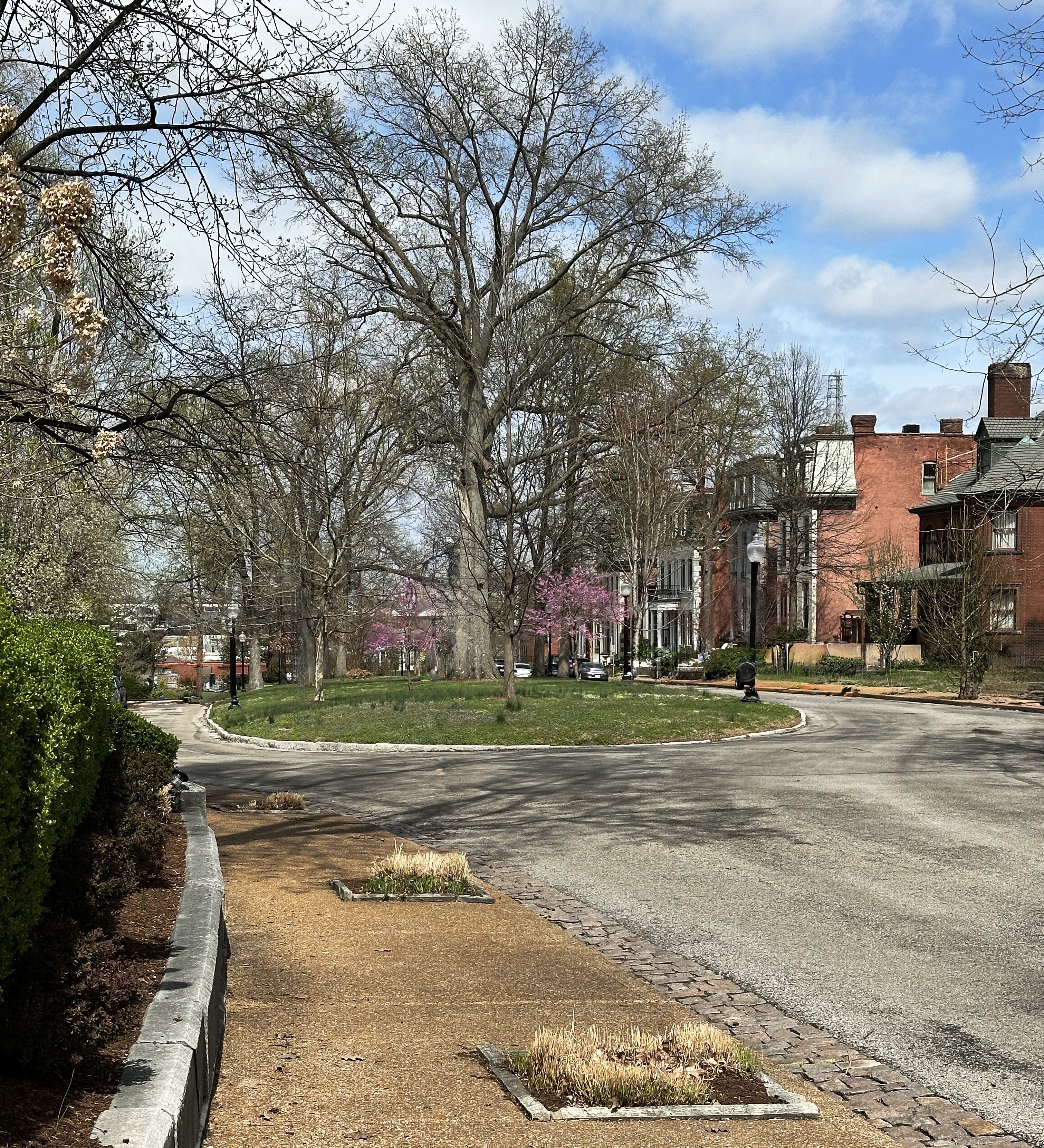
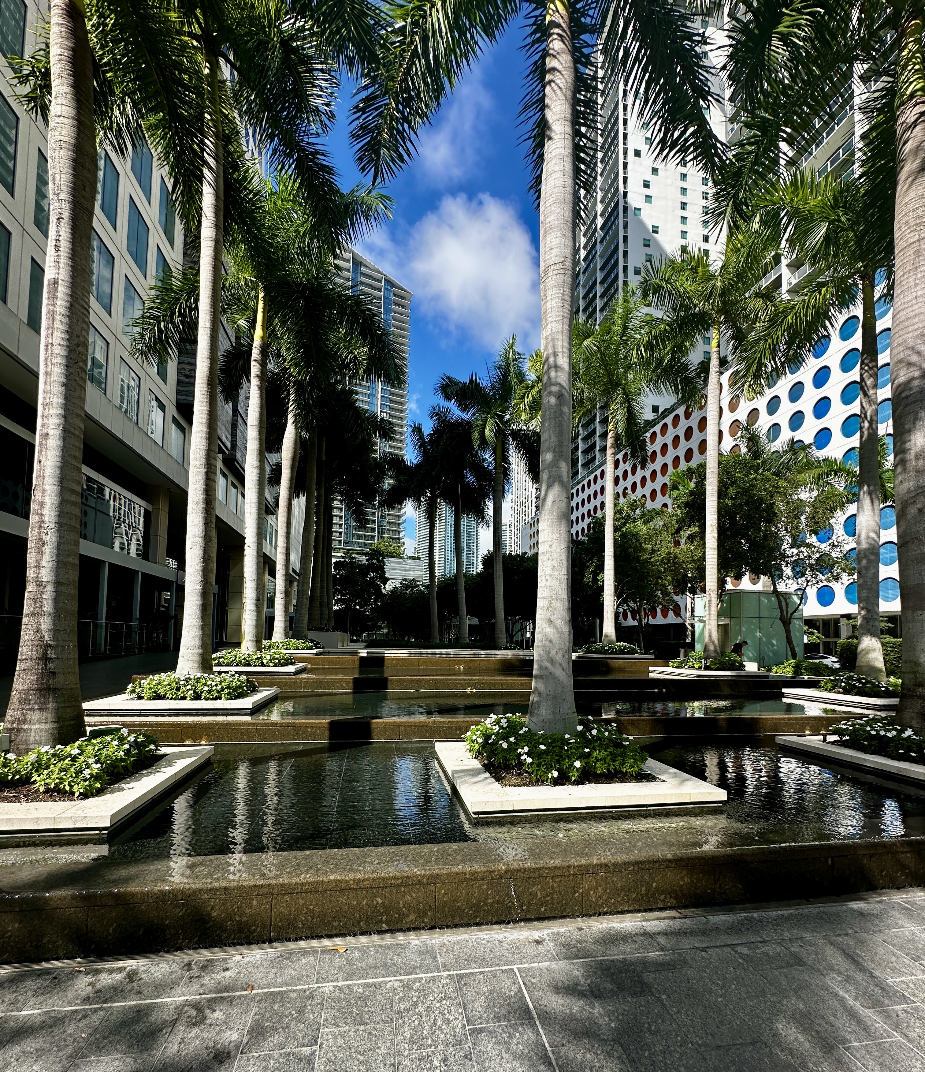
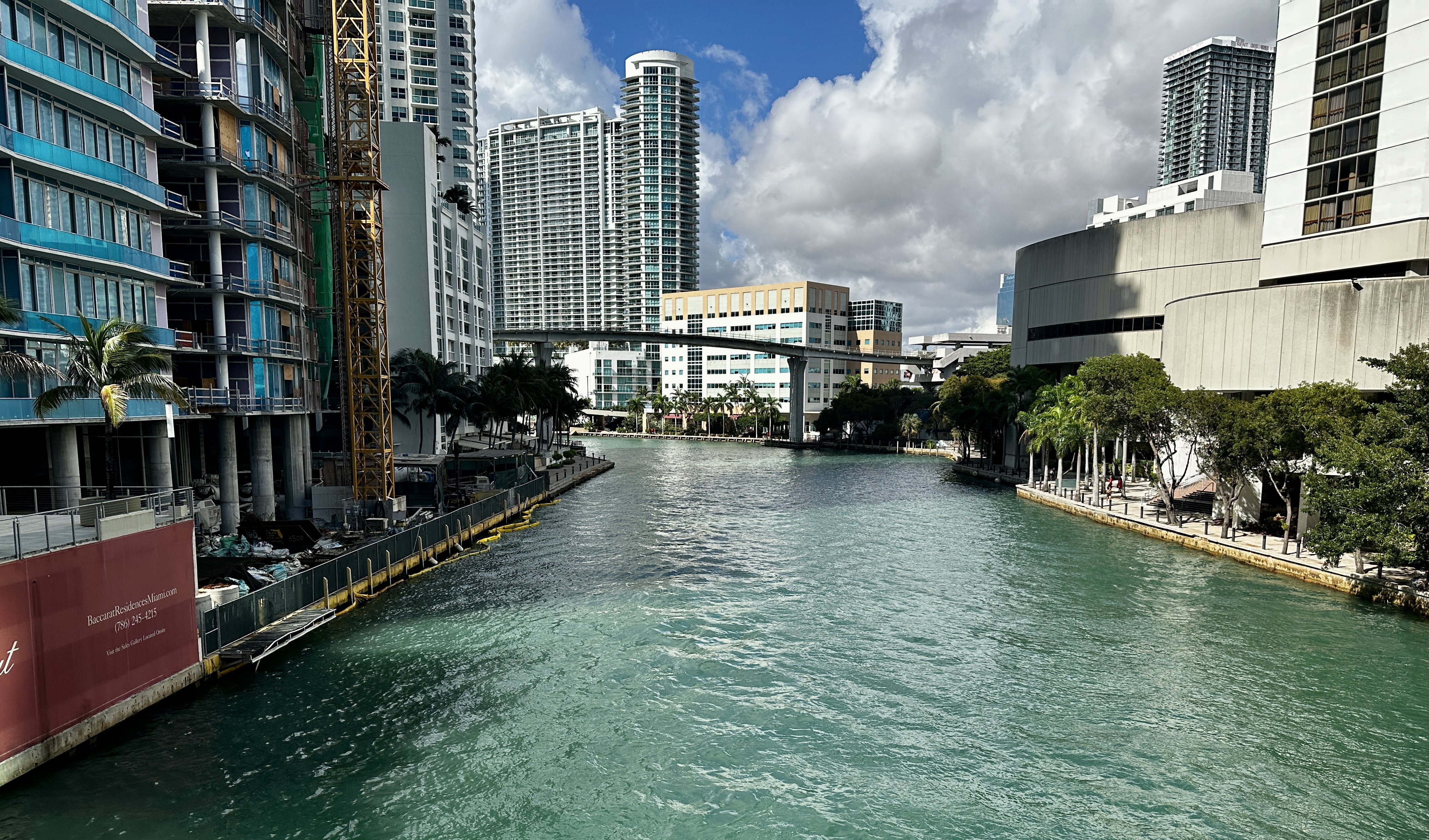
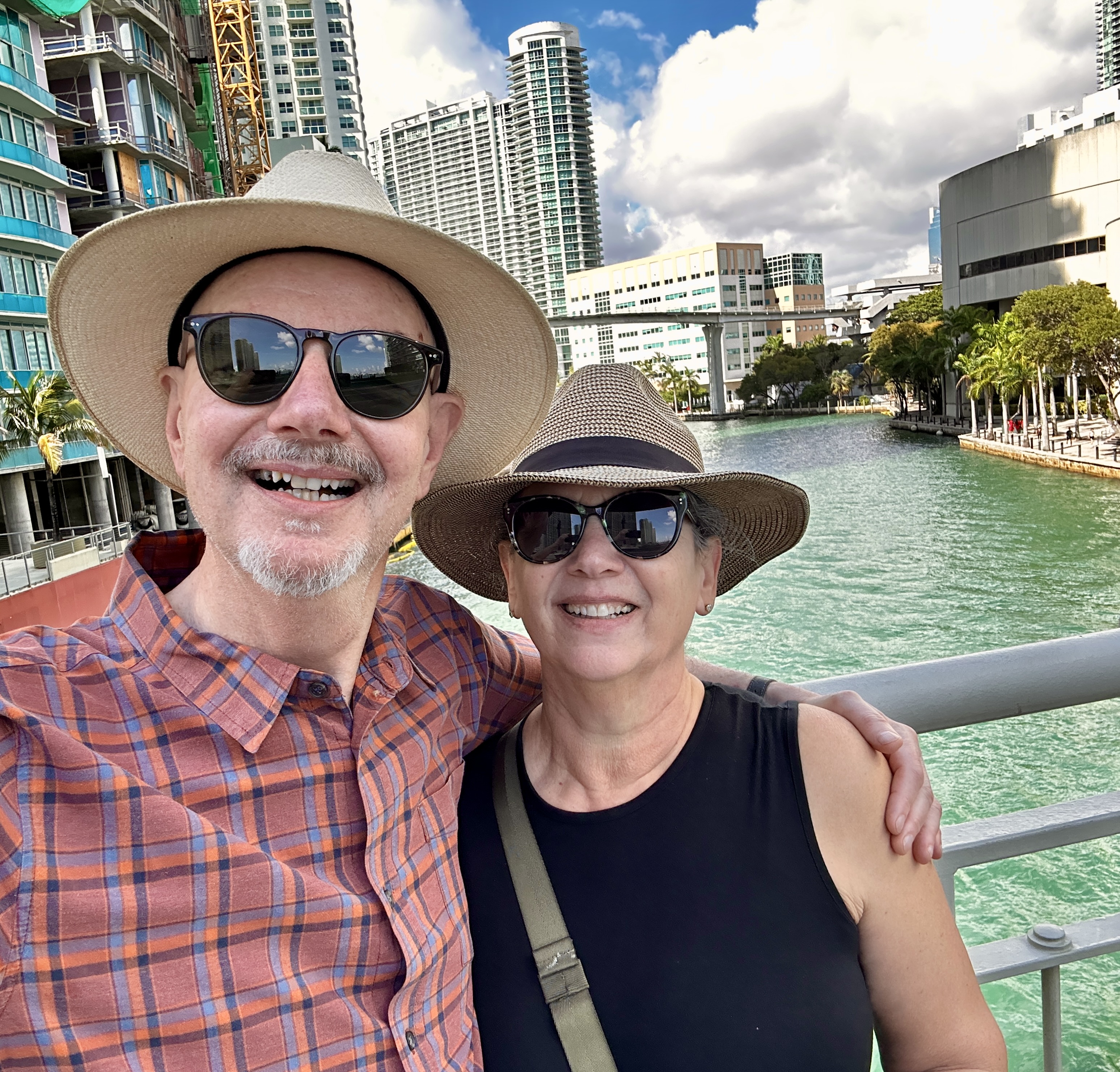
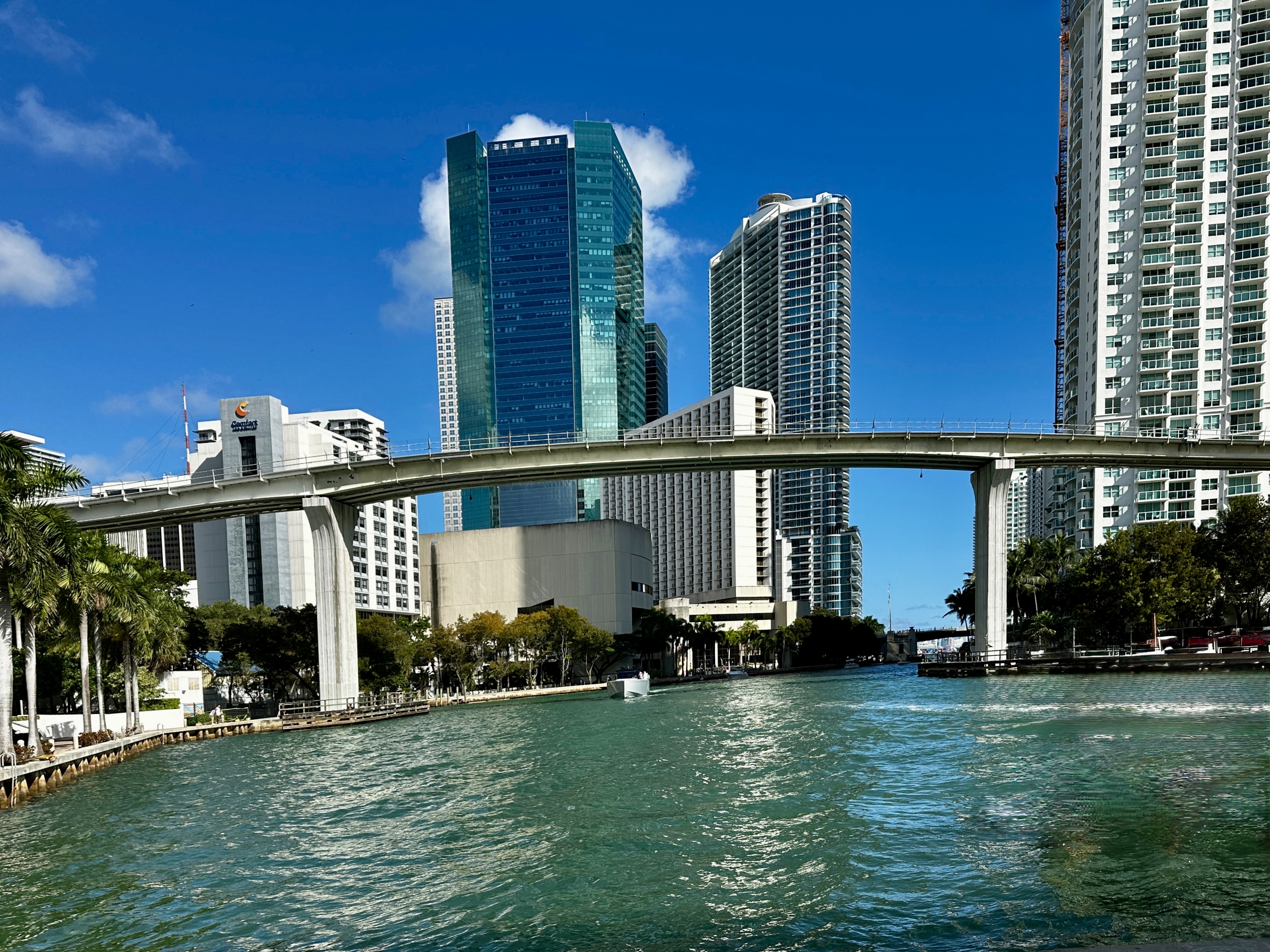
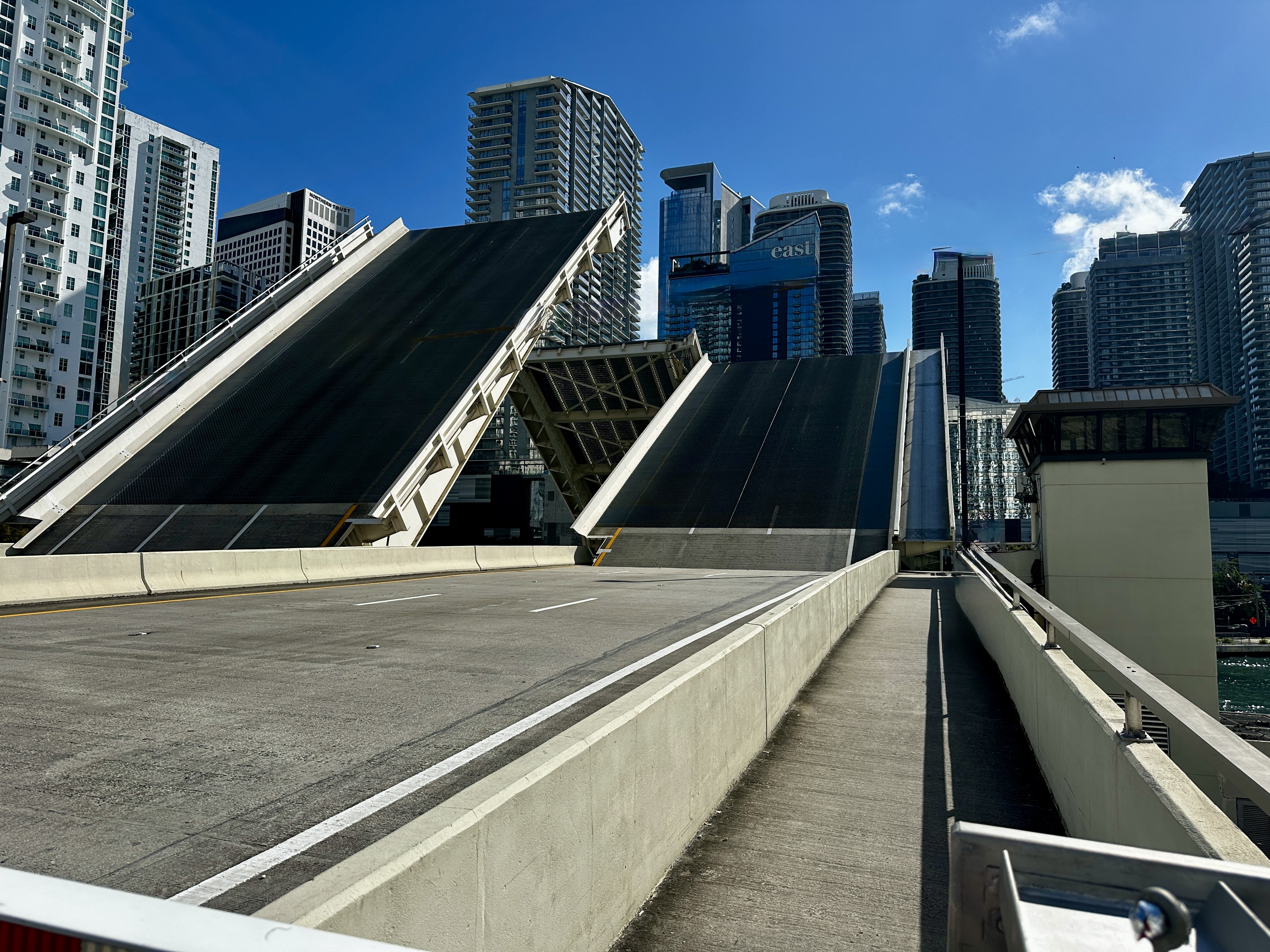
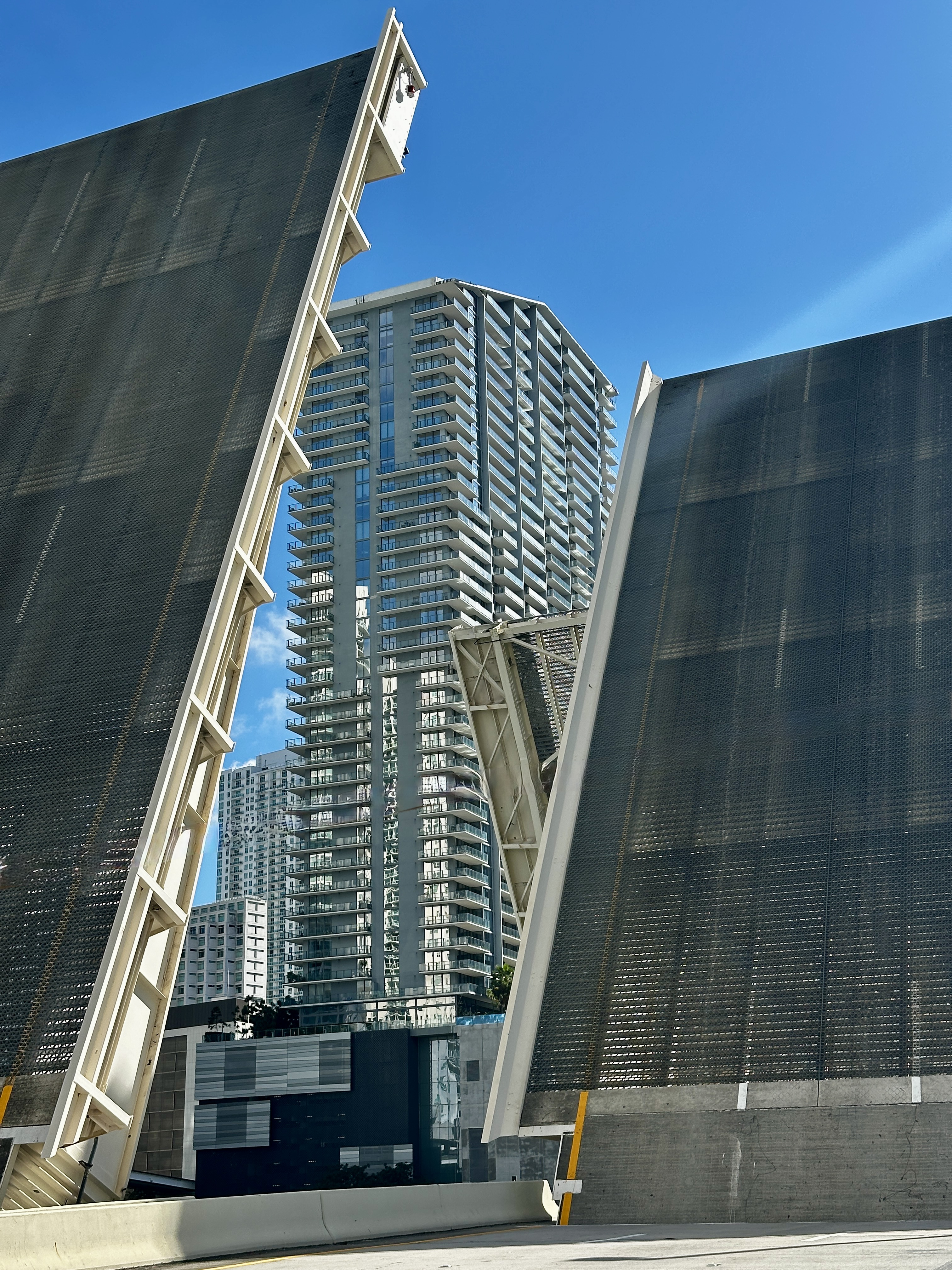
DAY FIVE – With another beautiful day ahead we decided to do a walkabout of the downtown area, then along the Miami Riverwalk and the waterfront.
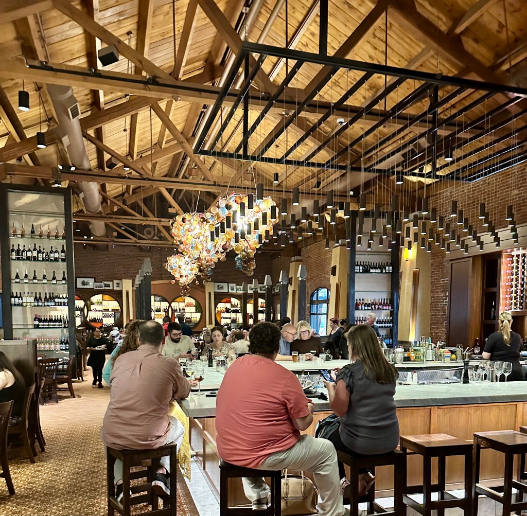
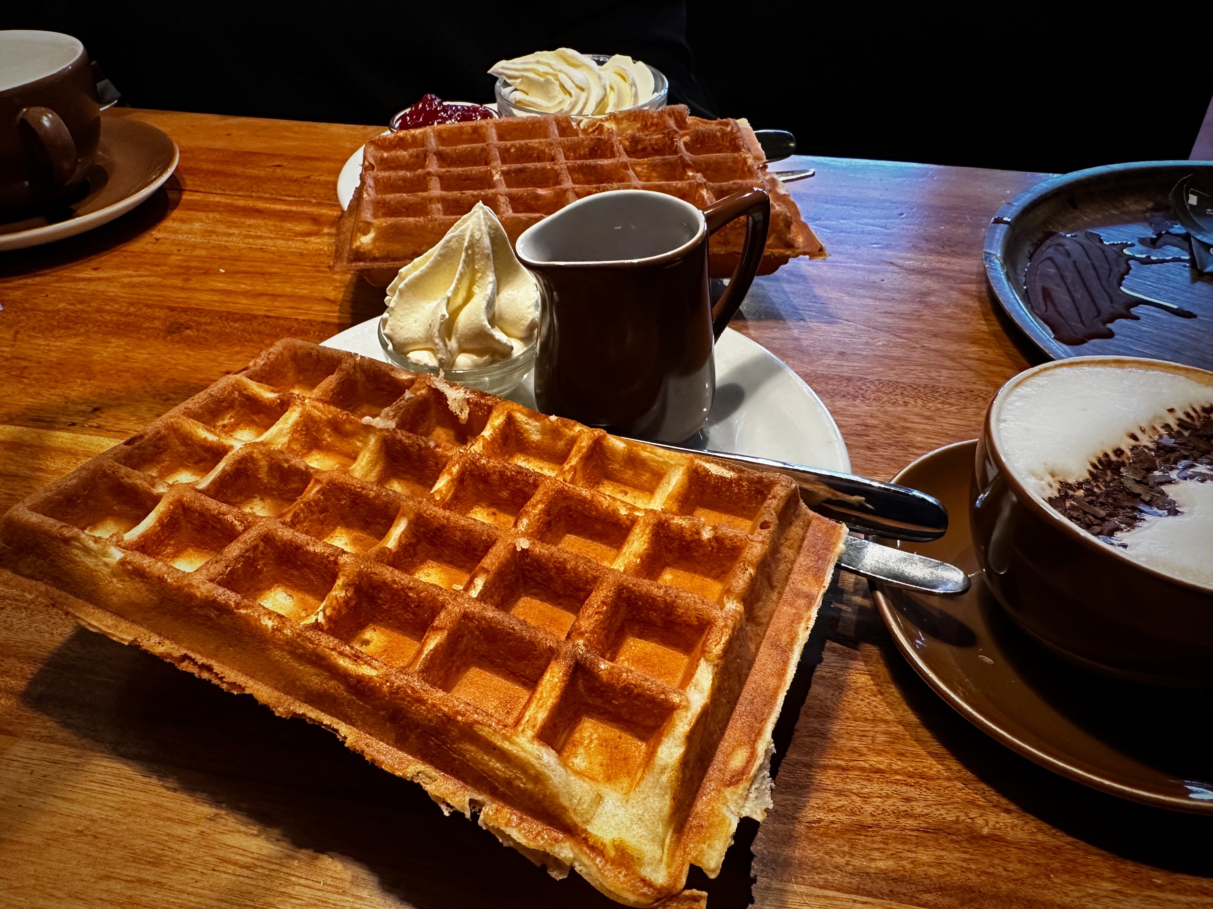
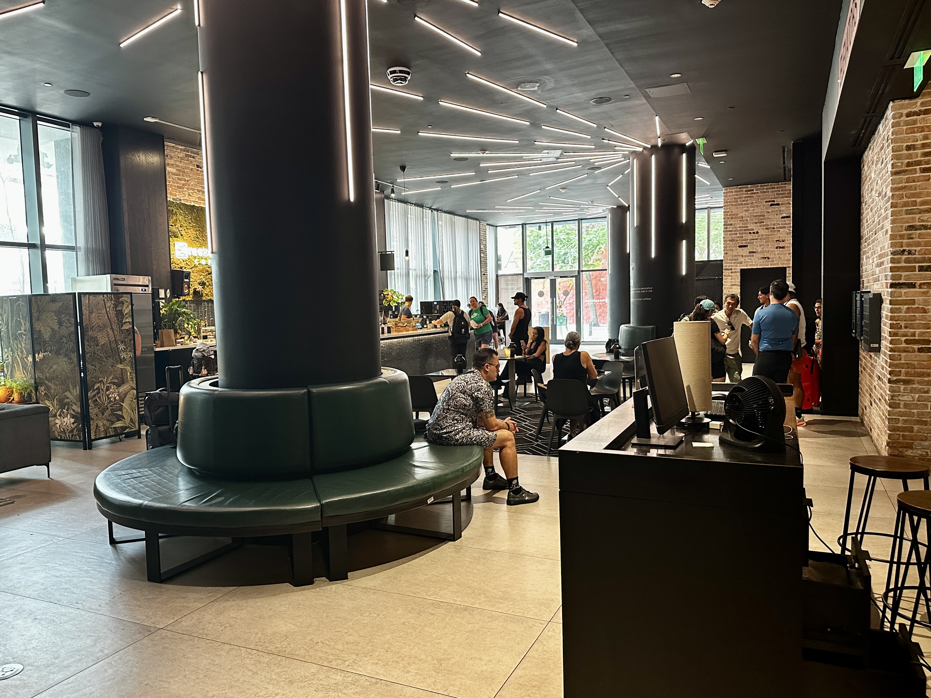
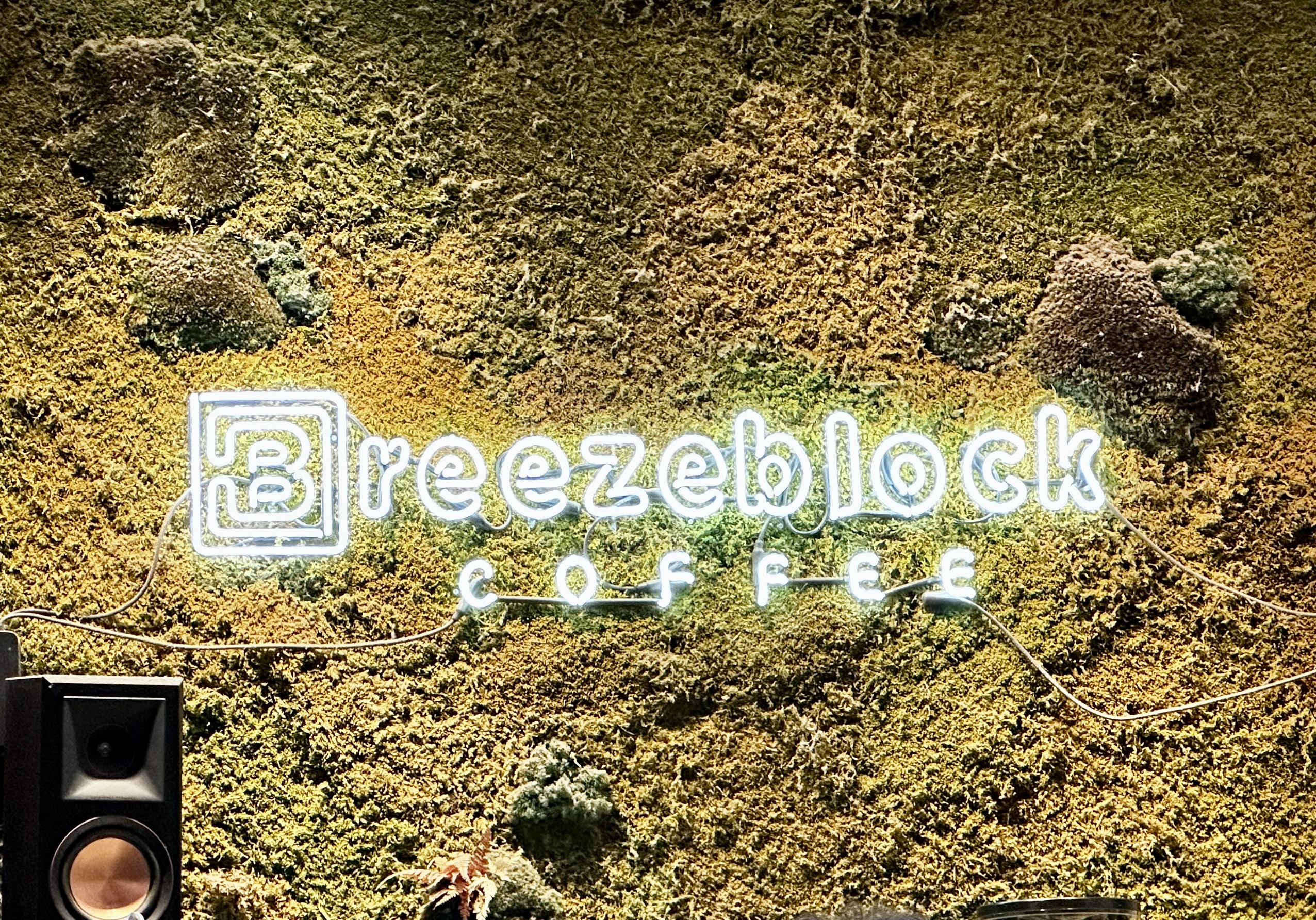
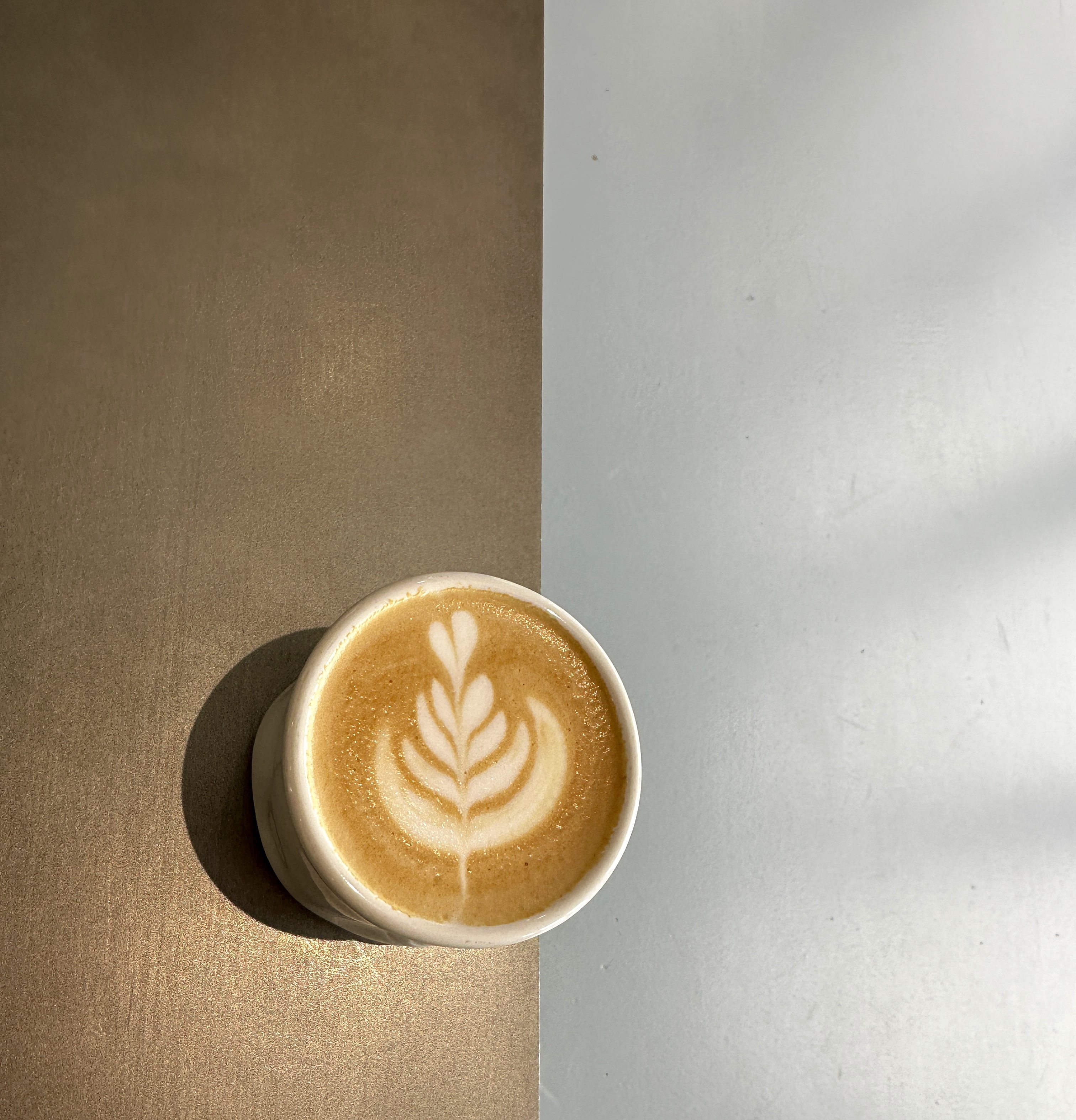
The first stop on any respectable walkabout is fika at a specialty coffee shop. As we wanted to try a number of independent shops we wound our way through the canyons of downtown to Breezeblock Coffee. Breezeblock is not a roaster, however their coffee offering is from the well regarded Counter Culture. The cafe is in the lobby of the Alea which is an Airbnb-friendly apartment building (which allows owners to rent their apartment for as many as 200 nights a year). Very nice having Breezeblock in the lobby if you are renting an apartment – plus they will deliver coffee to your door! Excellent cortado and a darn good chocolate chip cookie.
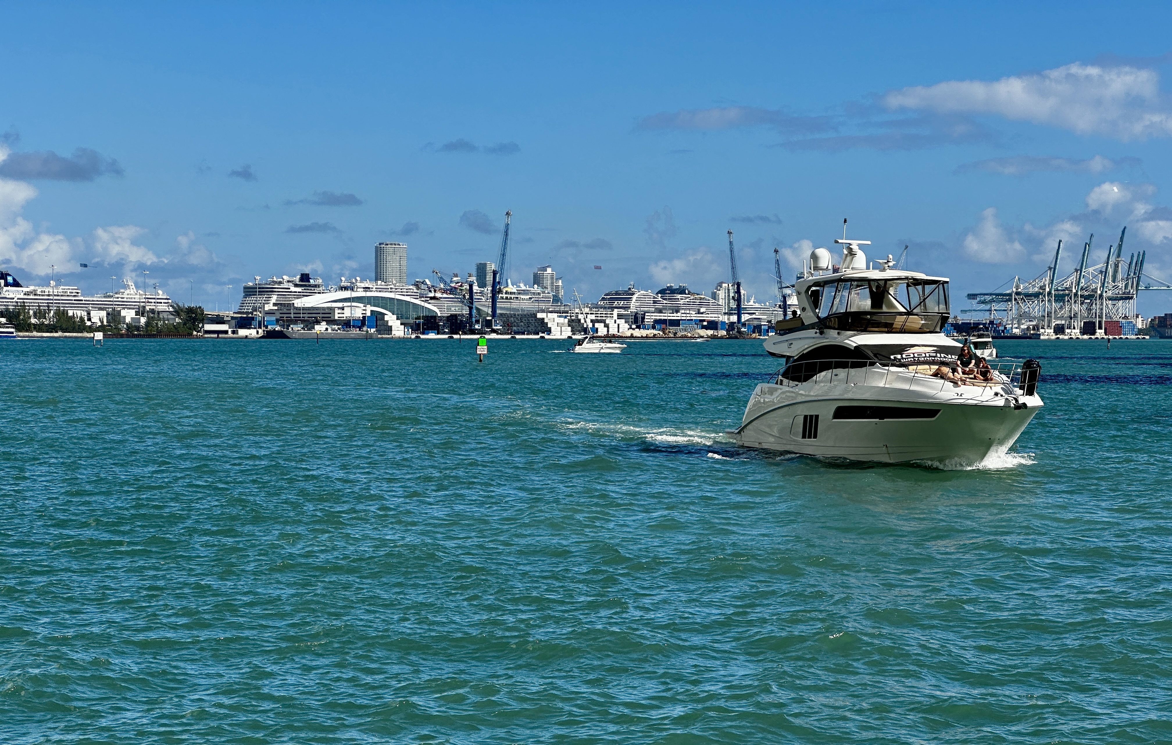
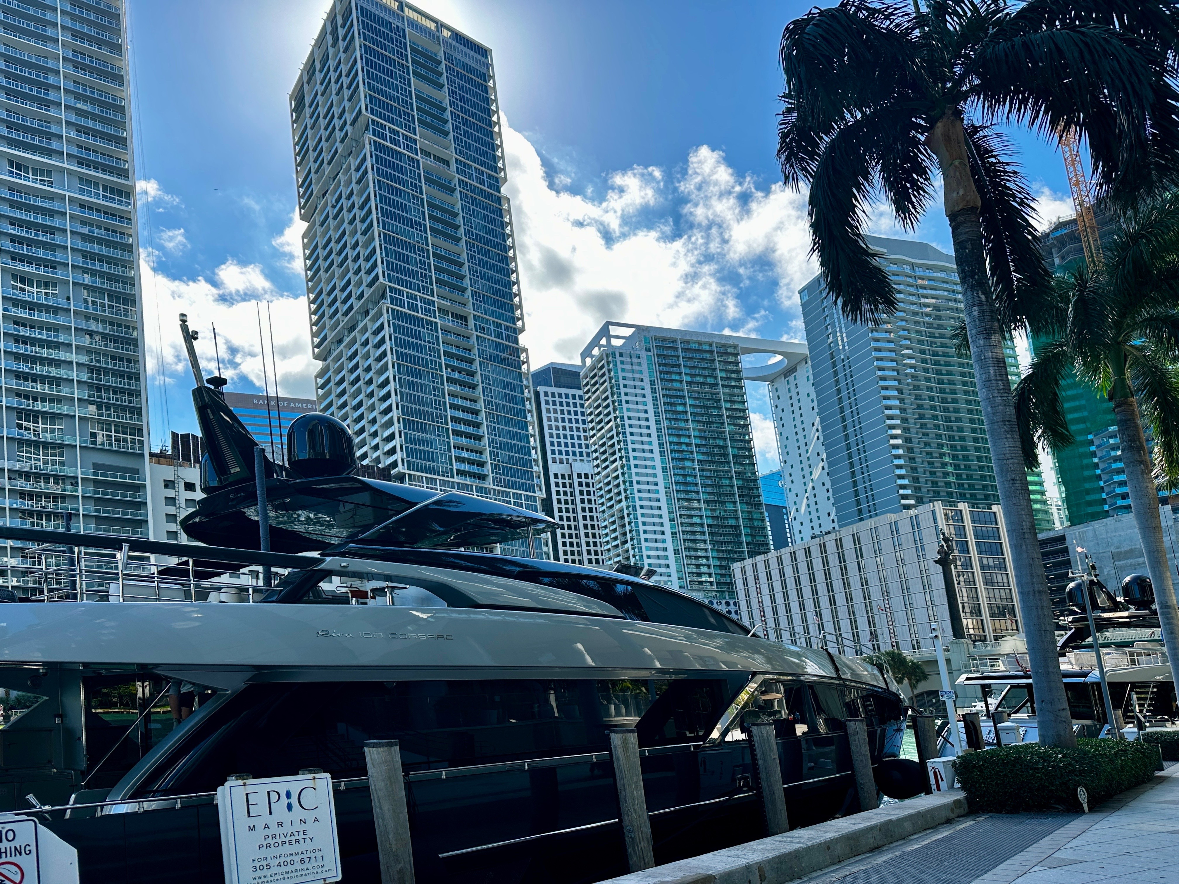
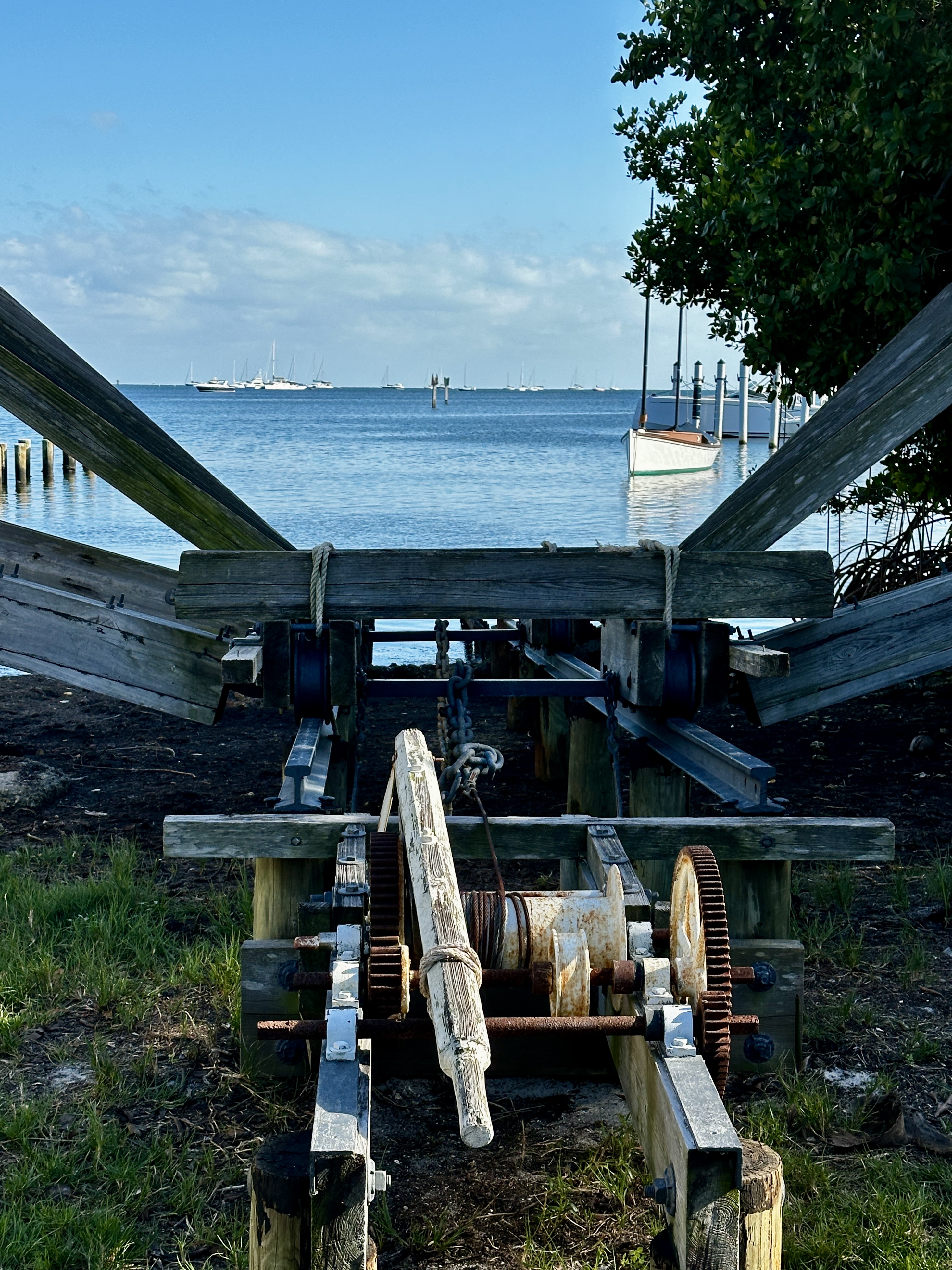
We had a delightful walkabout, taking in the water views and gawking at the yachts moored along the river. We also happened upon several fine murals on walls on the under sides of the bridges that span the river.
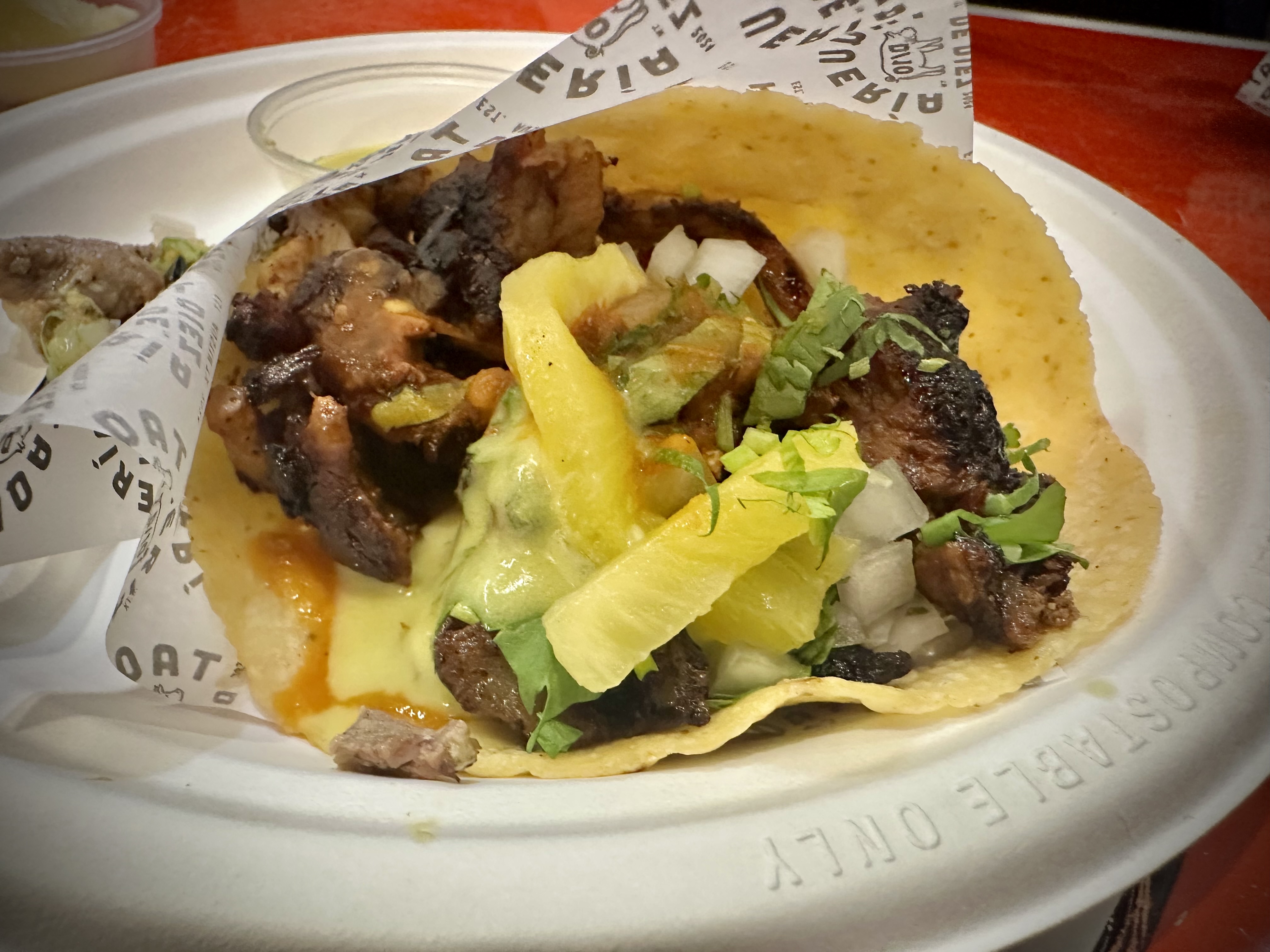
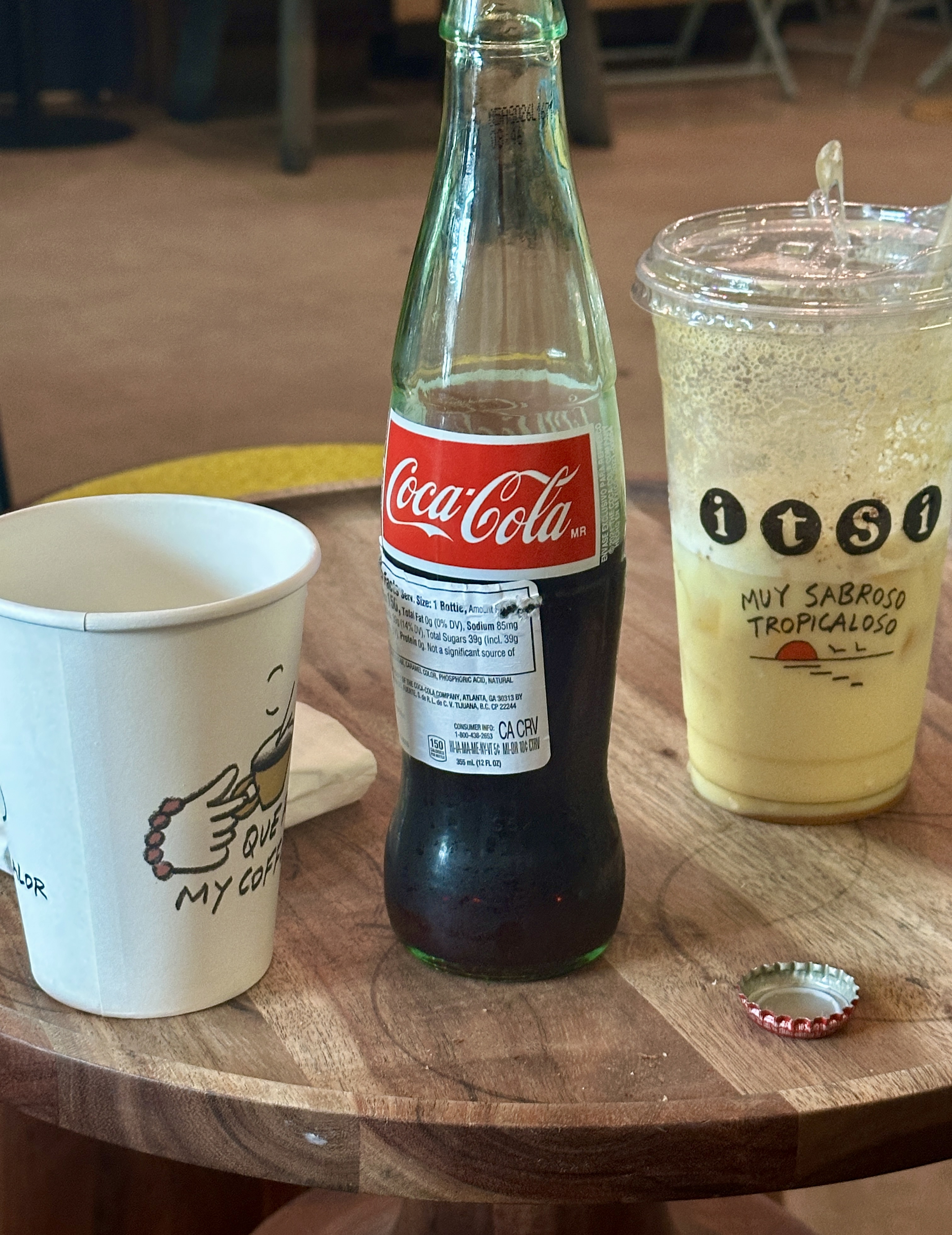
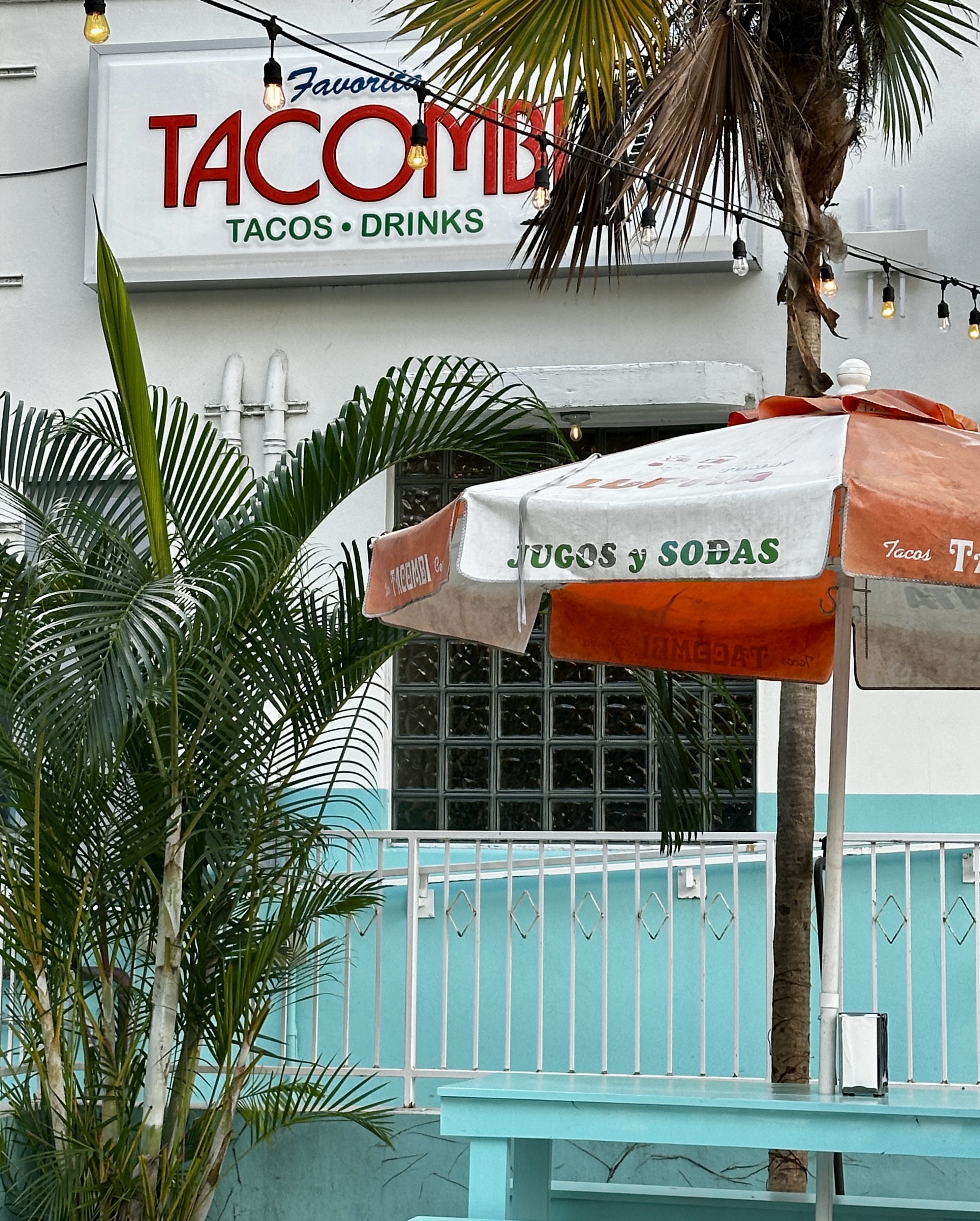
As we wended our way back towards the hotel we were walking past Tacombi which instantly triggered hunger pangs and a strong desire to relieve the pangs with tacos. Perfecto!

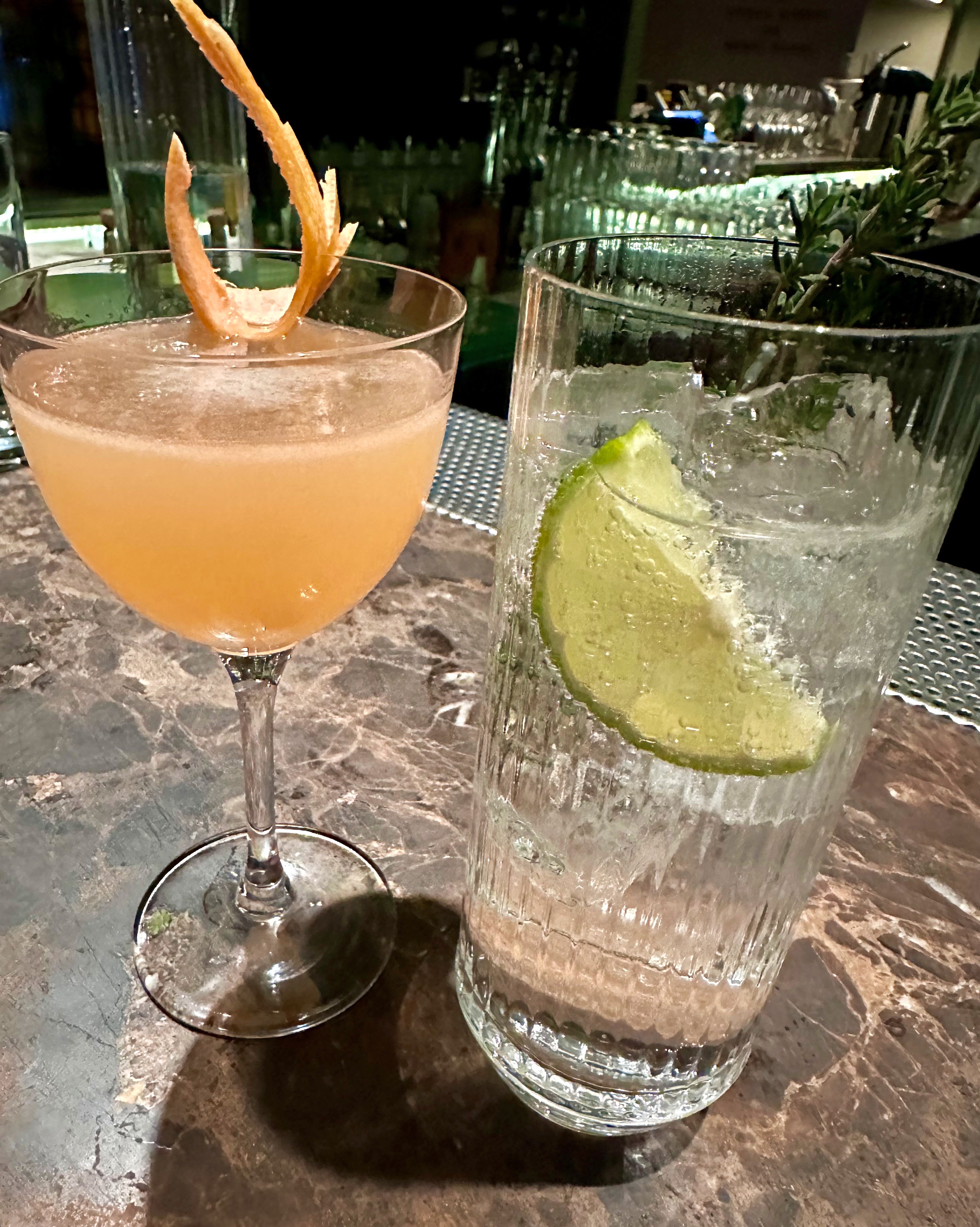
After our fill of tacos and Mexican Coke we finished the walk back to citizenM which led to another well deserved lie-down. We finished the day with a light meal and cocktails at the hotel.
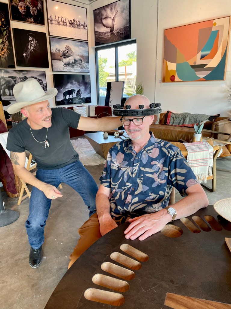
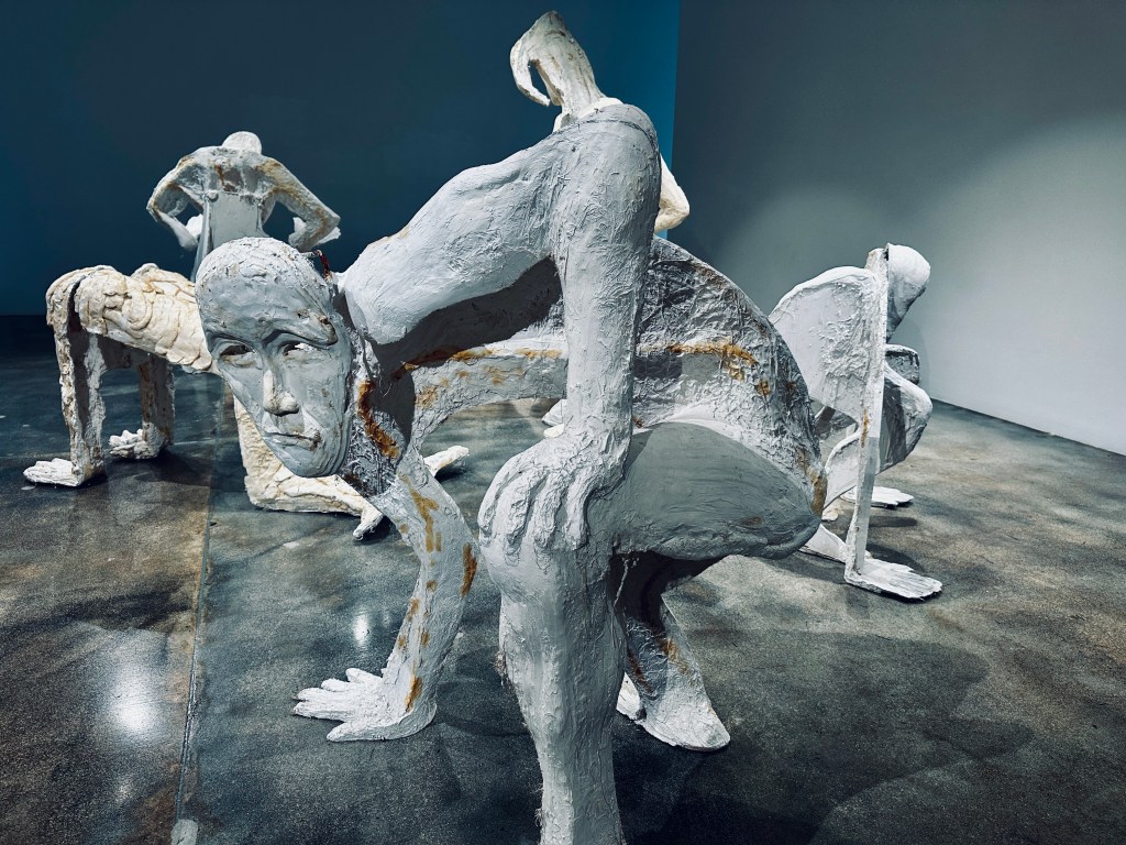
DAY SIX – Back on the museum circuit with a visit to the Rubell Museum. The museum was founded by Mera and Don Rubell who began collecting art in 1965 and amassed a substantial collection. They opened the collection to the public in 1993 and moved to the current location in the Allapattah neighborhood in 2019. The collection is quite diverse and leans heavily toward contemporary art. This is a museum for the adventurous art fan in our view – having said that we found a number of the exhibits interesting.
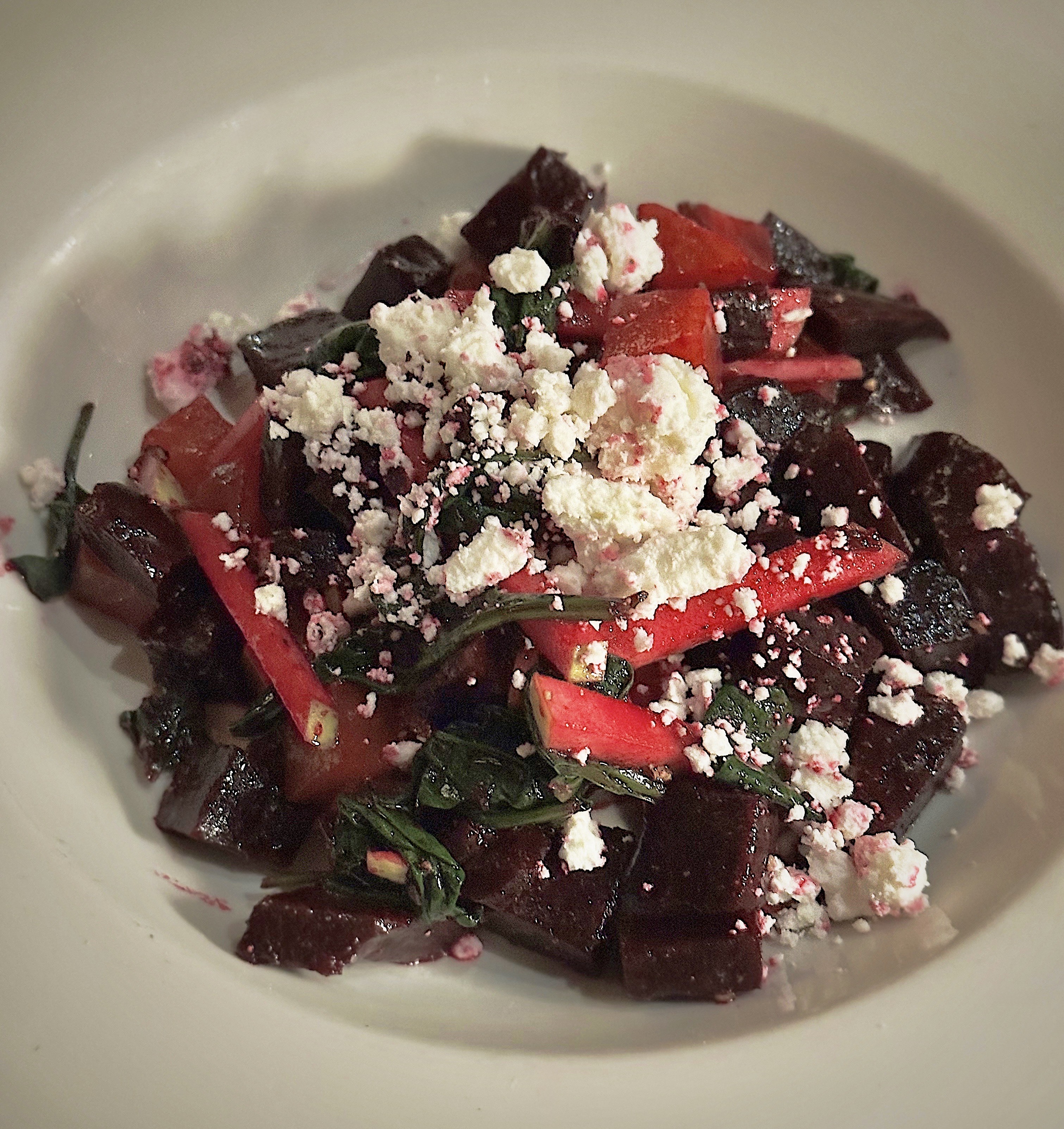
We had lunch at Jon & Vinny’s (Jon and Vinny are the actual owners) which is located conveniently in the museum. We had excellent Italian fare.The wine list was appropriately skewed to wines from Italy with a nice selection.
Jon and Vinny have six locations in the United States and three in the Middle East. The Middle East restaurants are in partnership with a Saudi hospitality group and came about after a pop-up in Riyadh during 2021 proved to be highly successful.
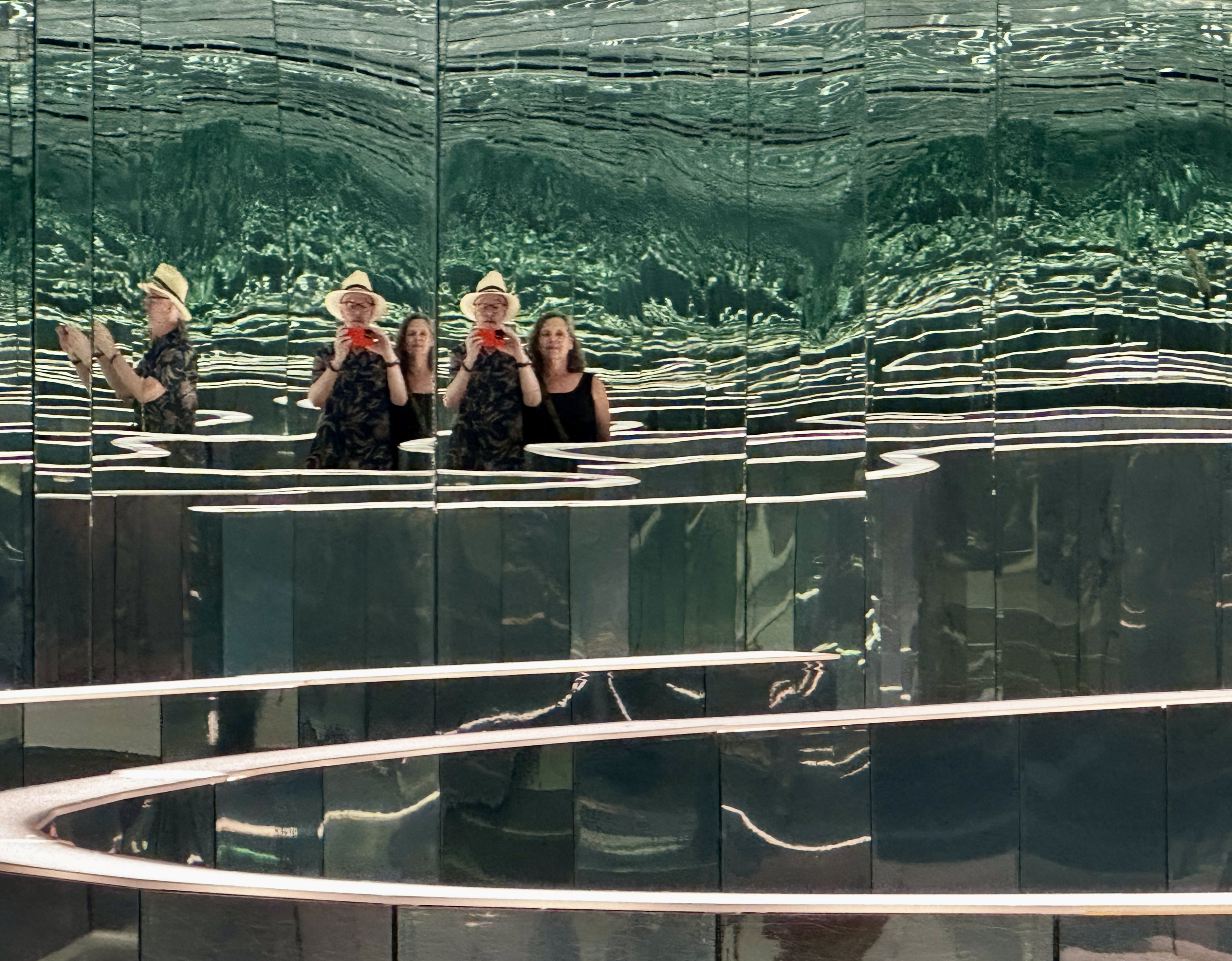
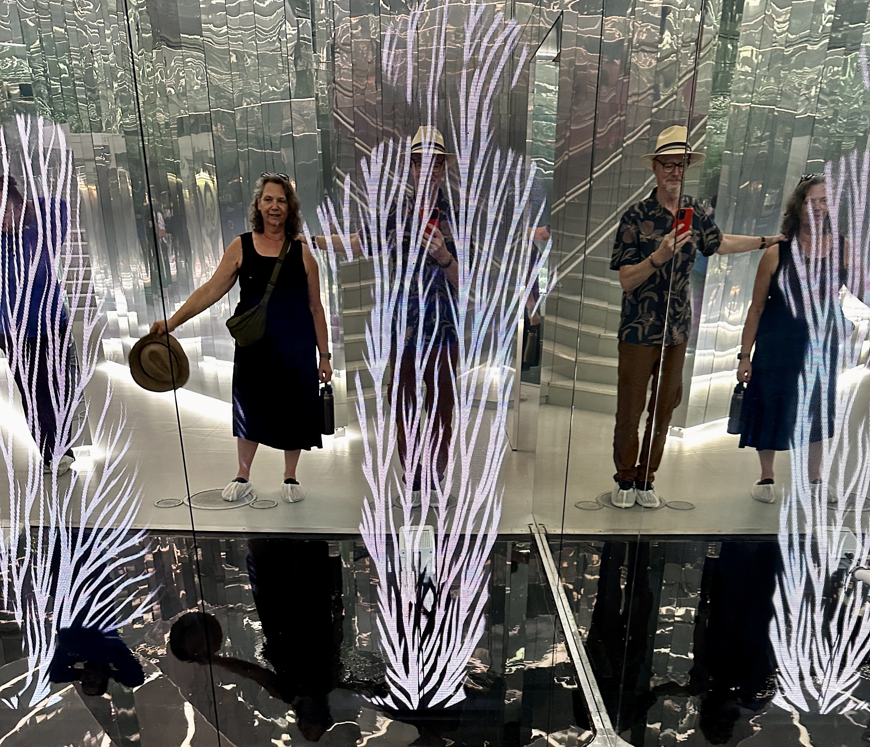
After our delicious lunch we crossed the street to visit the Superblue | Immersive Art Experience. Superblue exhibits use technology to create some interesting effects but having said that, the Immersive Art Experience seems to be more about Instagram selfie opportunities more than immersion for most of the patrons we saw during our visit. We would not recommend this “experience” unless you want to pop over after visiting the Rubell Museum or you out of rainy day things to do.


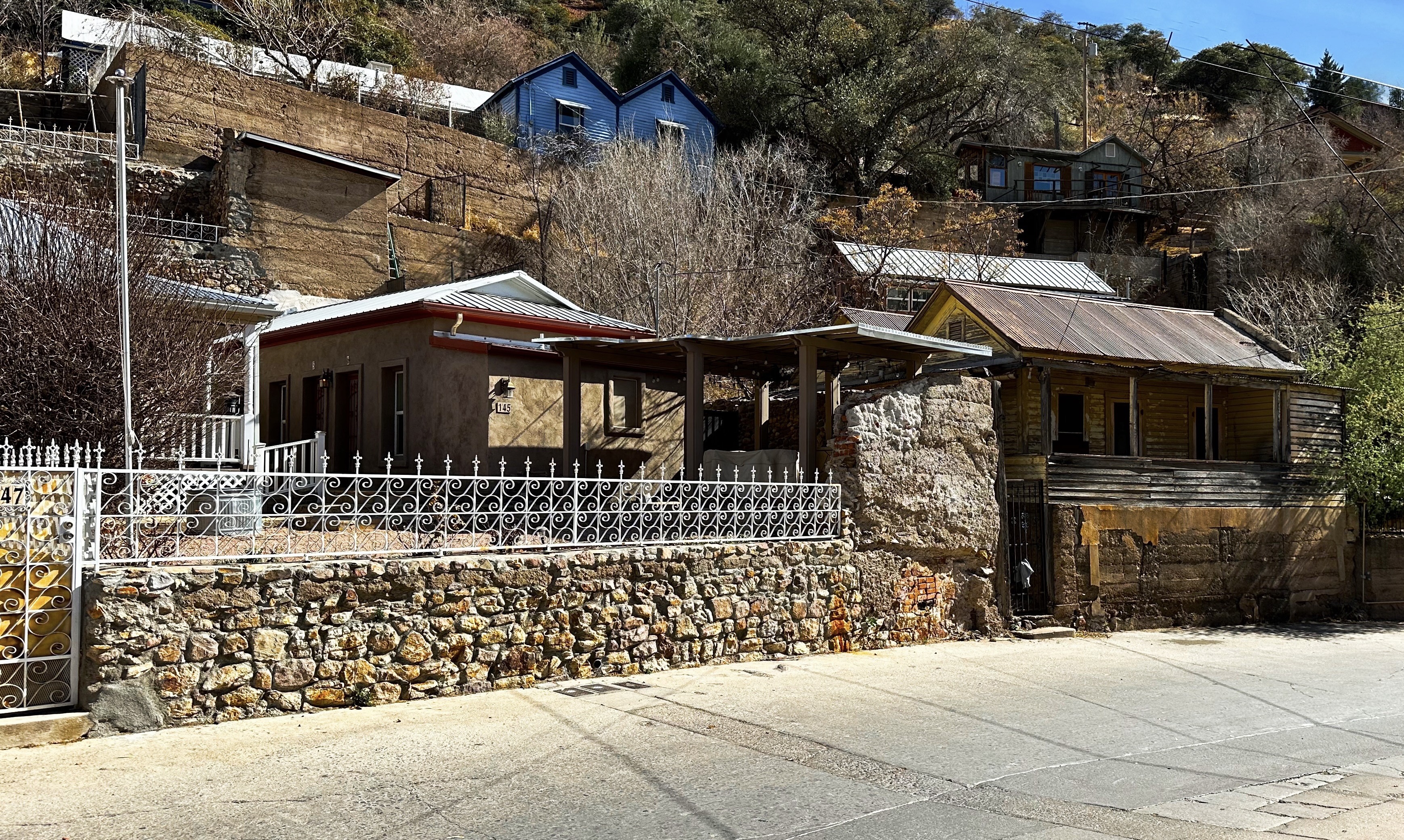
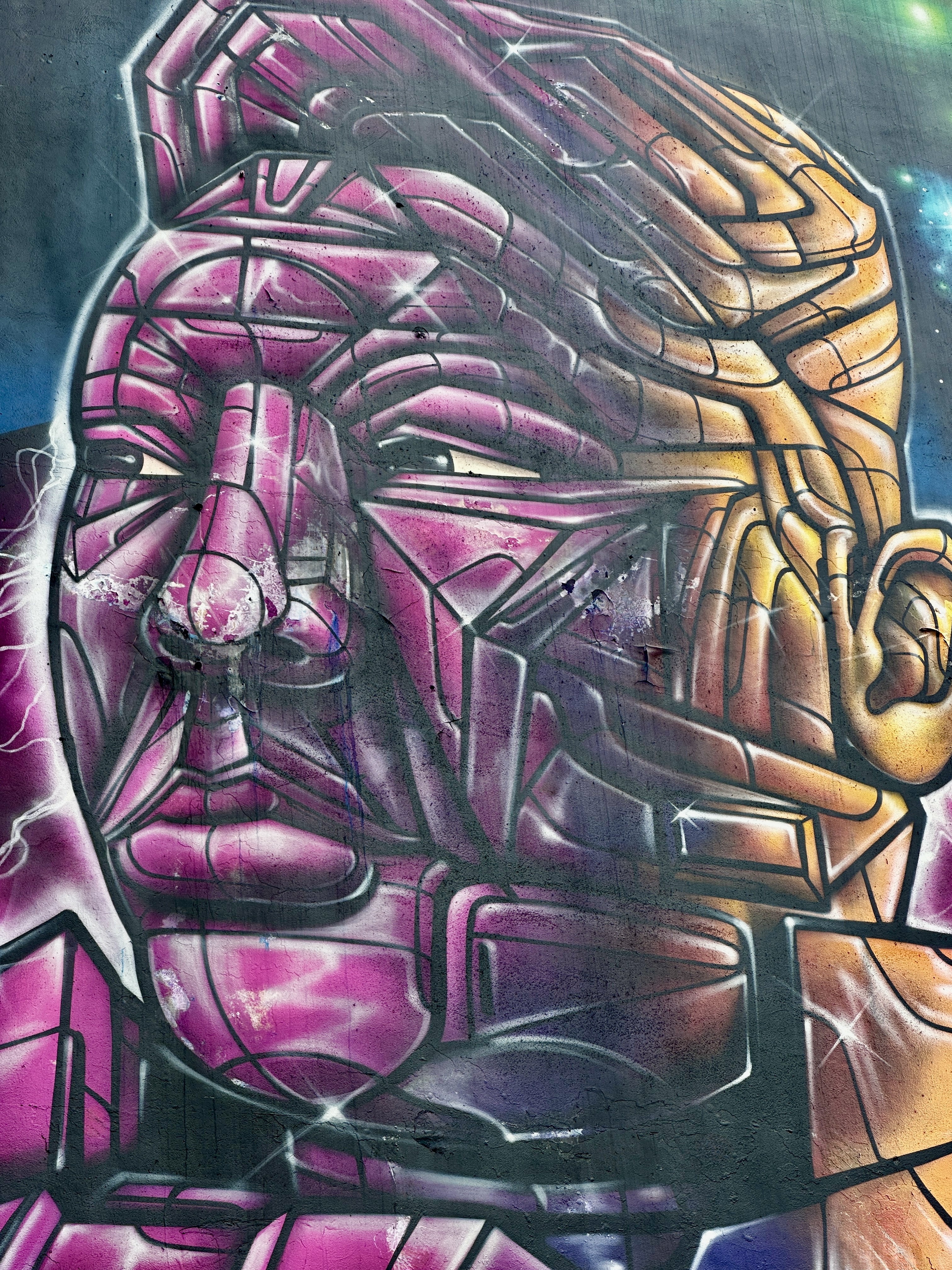
After we un-immersed ourselves from Super Blue we decided to walk to The Coffee in Wynwood. Our trek took us through the Allapatah (Seminole Indian word for alligator) neighborhood. The neighborhood is also known as Little Santo Domingo due to its many Dominican and Hispanic residents. This area appears to be at the beginning stages of gentrification spreading outward from Wynwood.


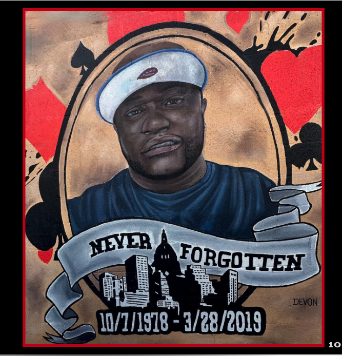
We also walked through a portion of the historically black Overton neighborhood. The neighborhood was called “Colored Town” until the early 1960s. The article in the link details how the construction of Interstate 95 dislocated a large percentage of the residents (80%-40,000/50,000) and further segregated the population of Miami. The highway route devastated the neighborhood economically. Today the population remains at about 10,000 people of which 75% are black.
The photo above is courtesy of Pietro.
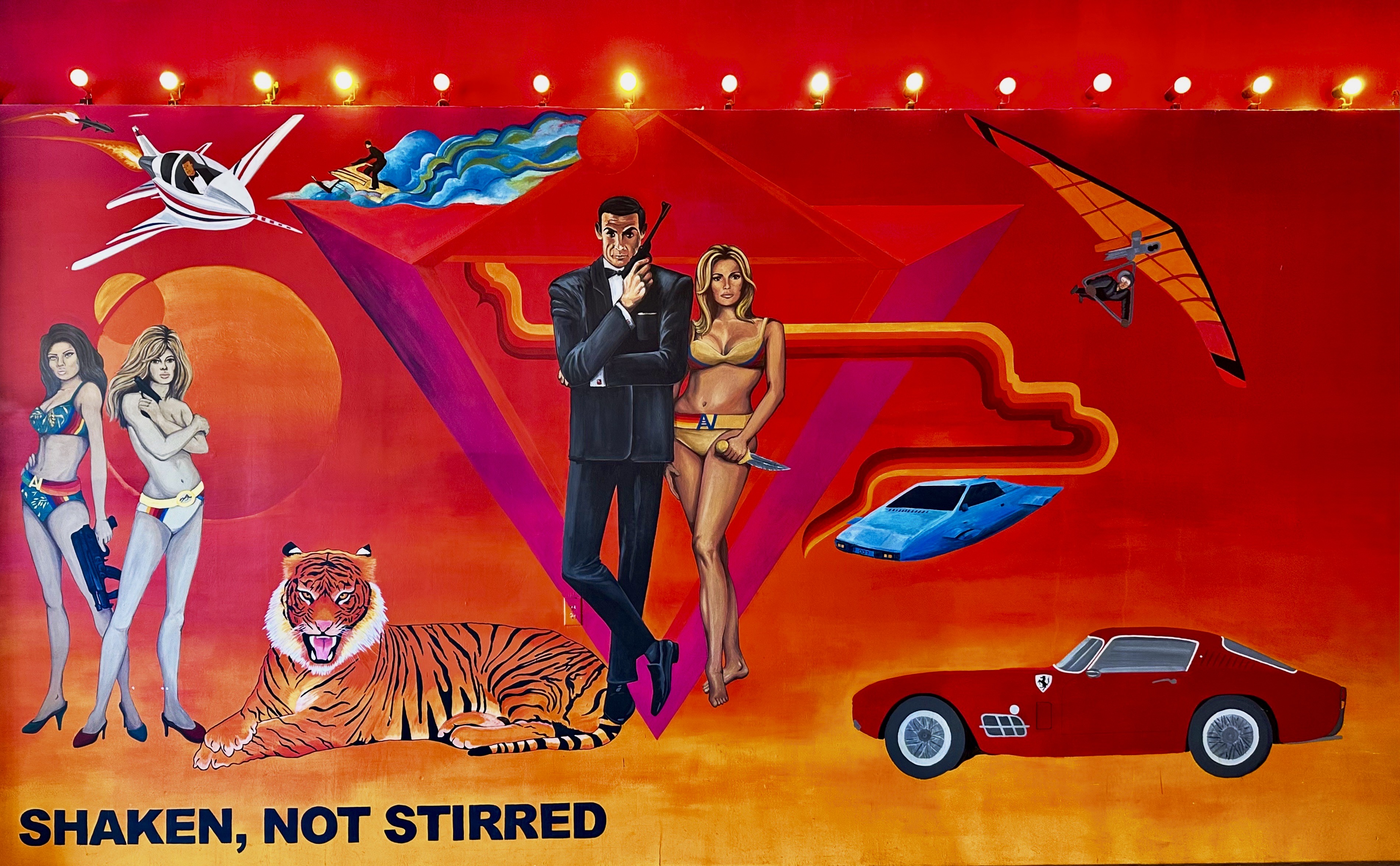
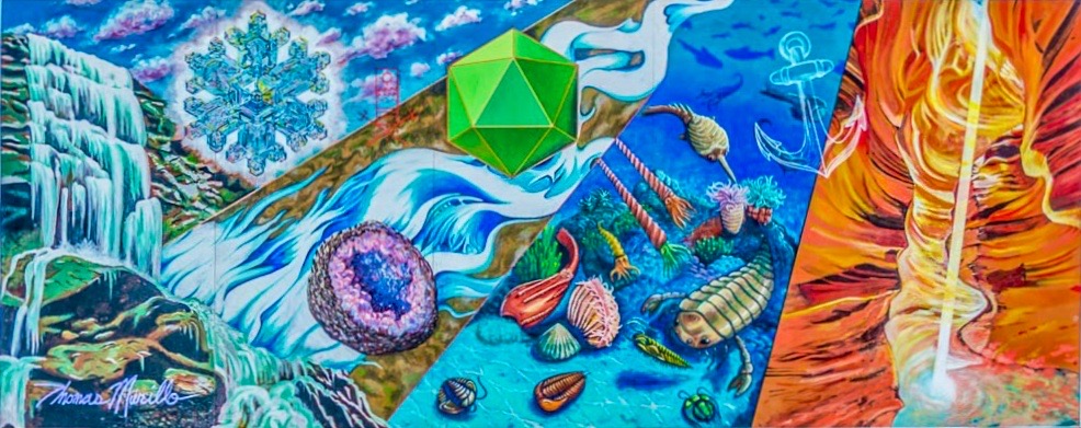
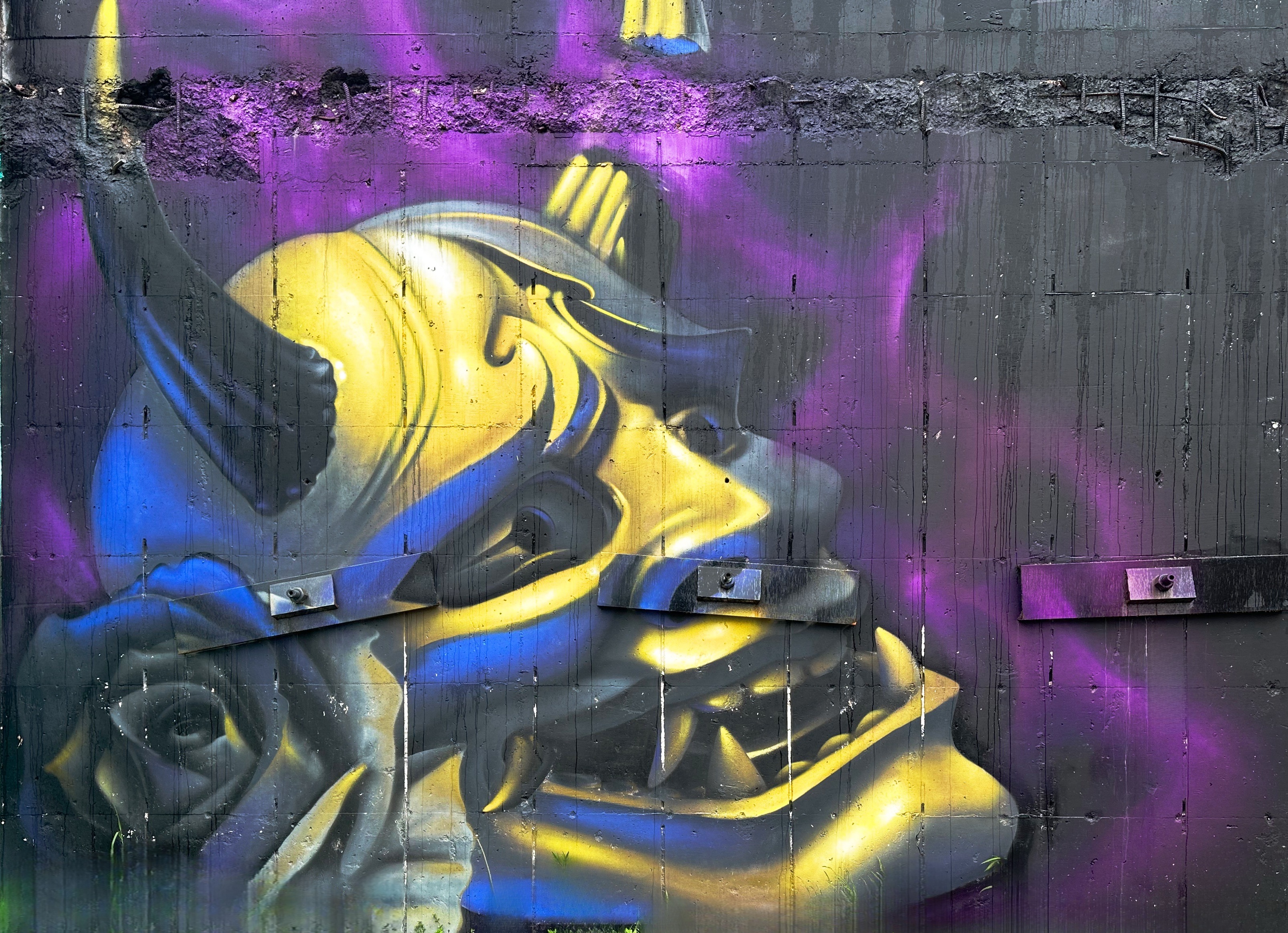
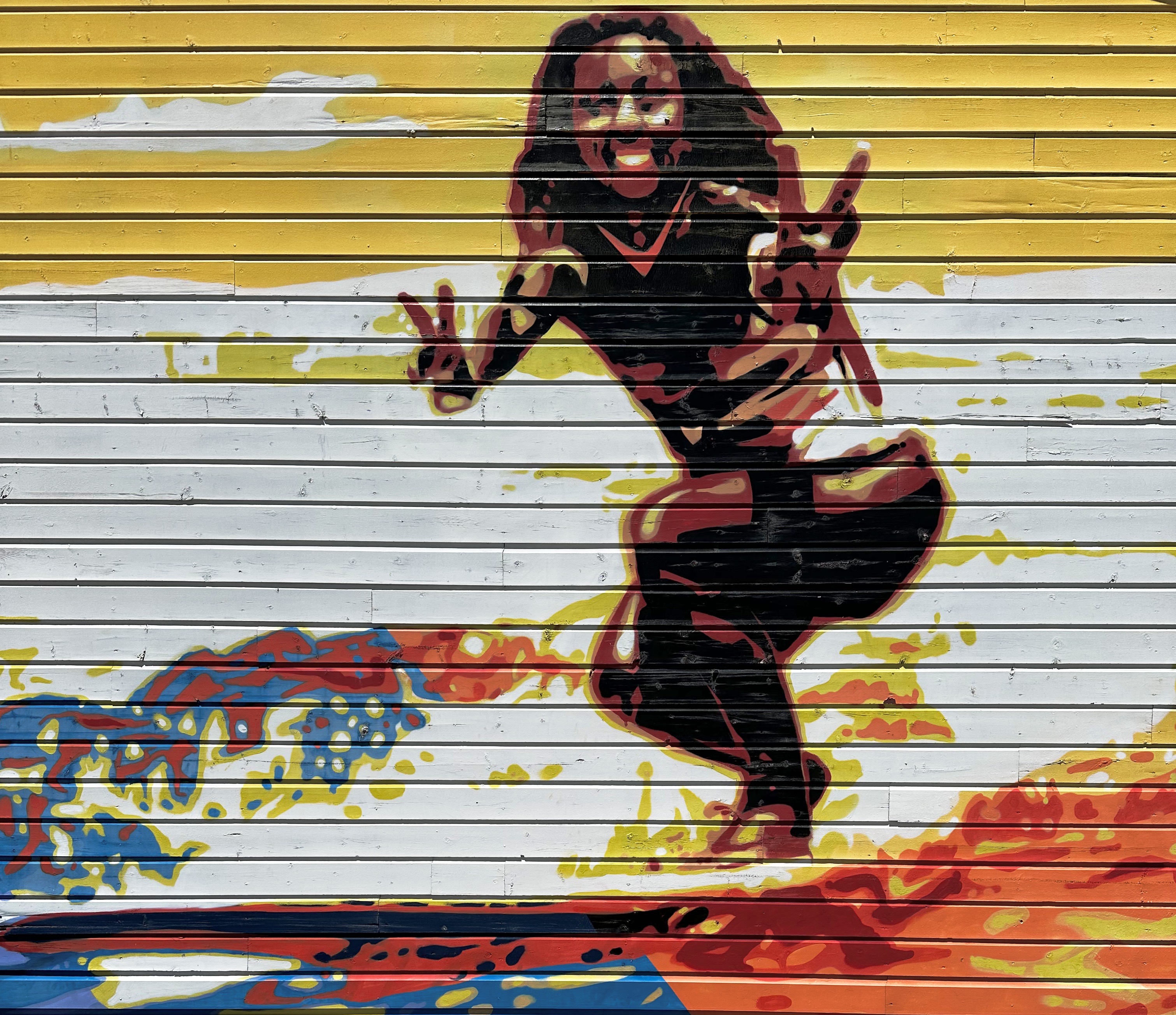
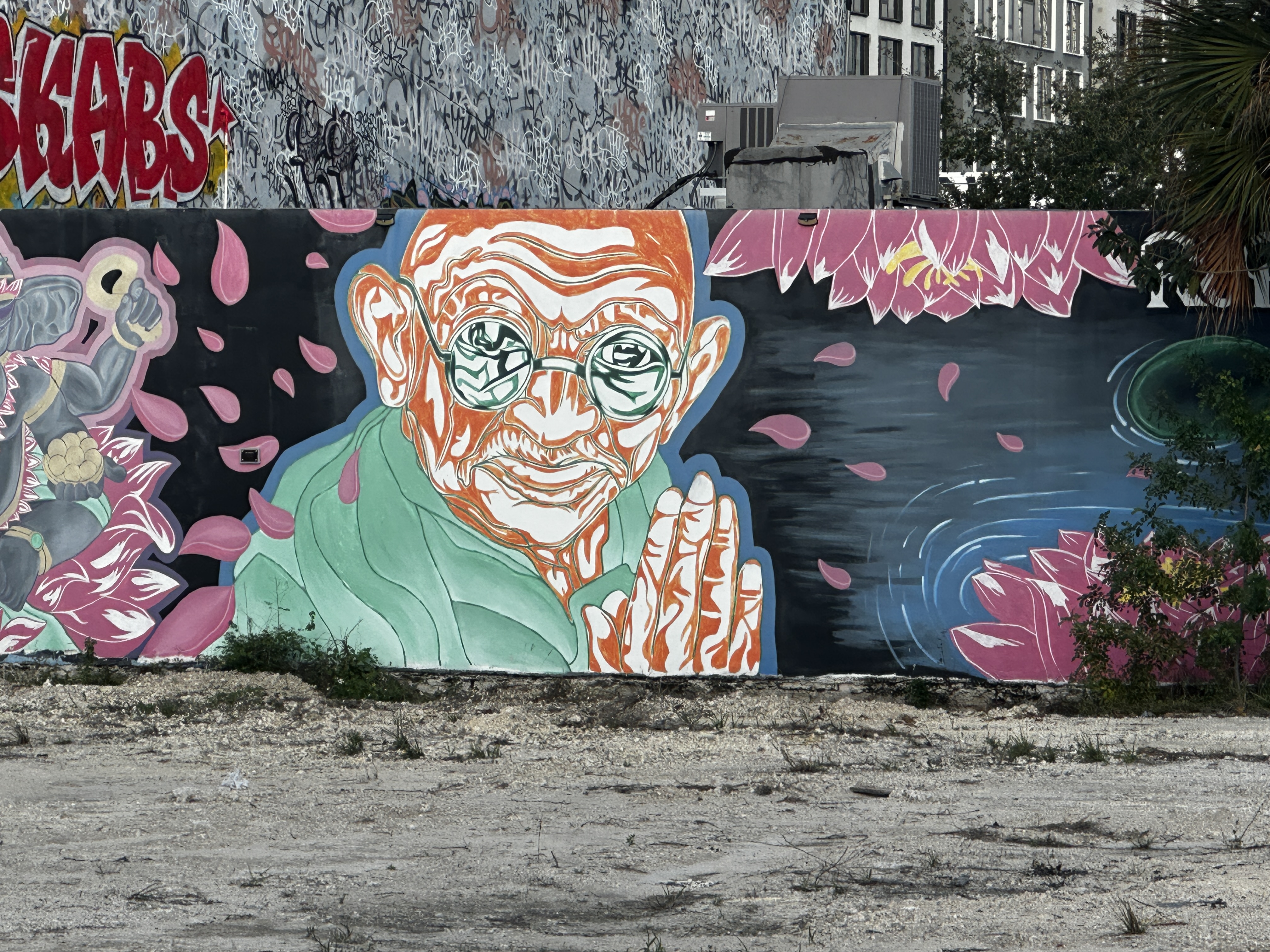
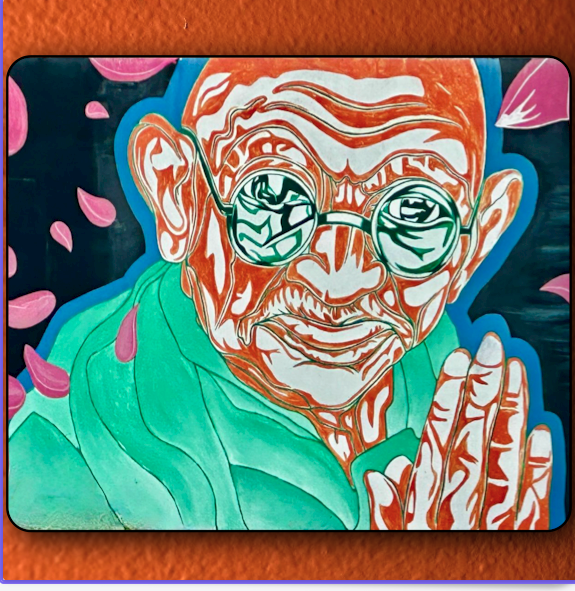
We also came across more great murals during our walk through the two neighborhoods. The photos on the left are shots from the location and those on the right are our edited versions for Street Art Tourist.
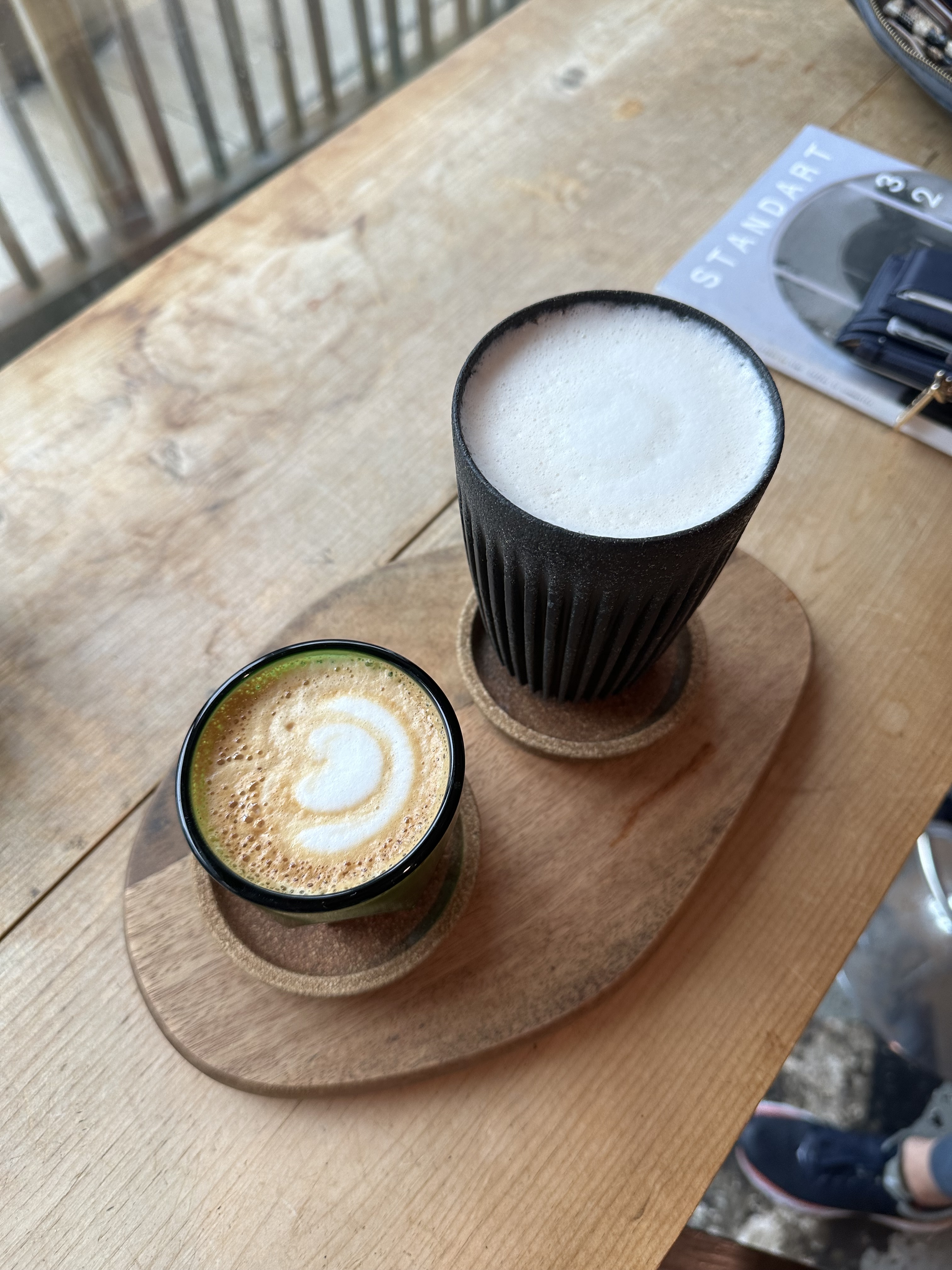
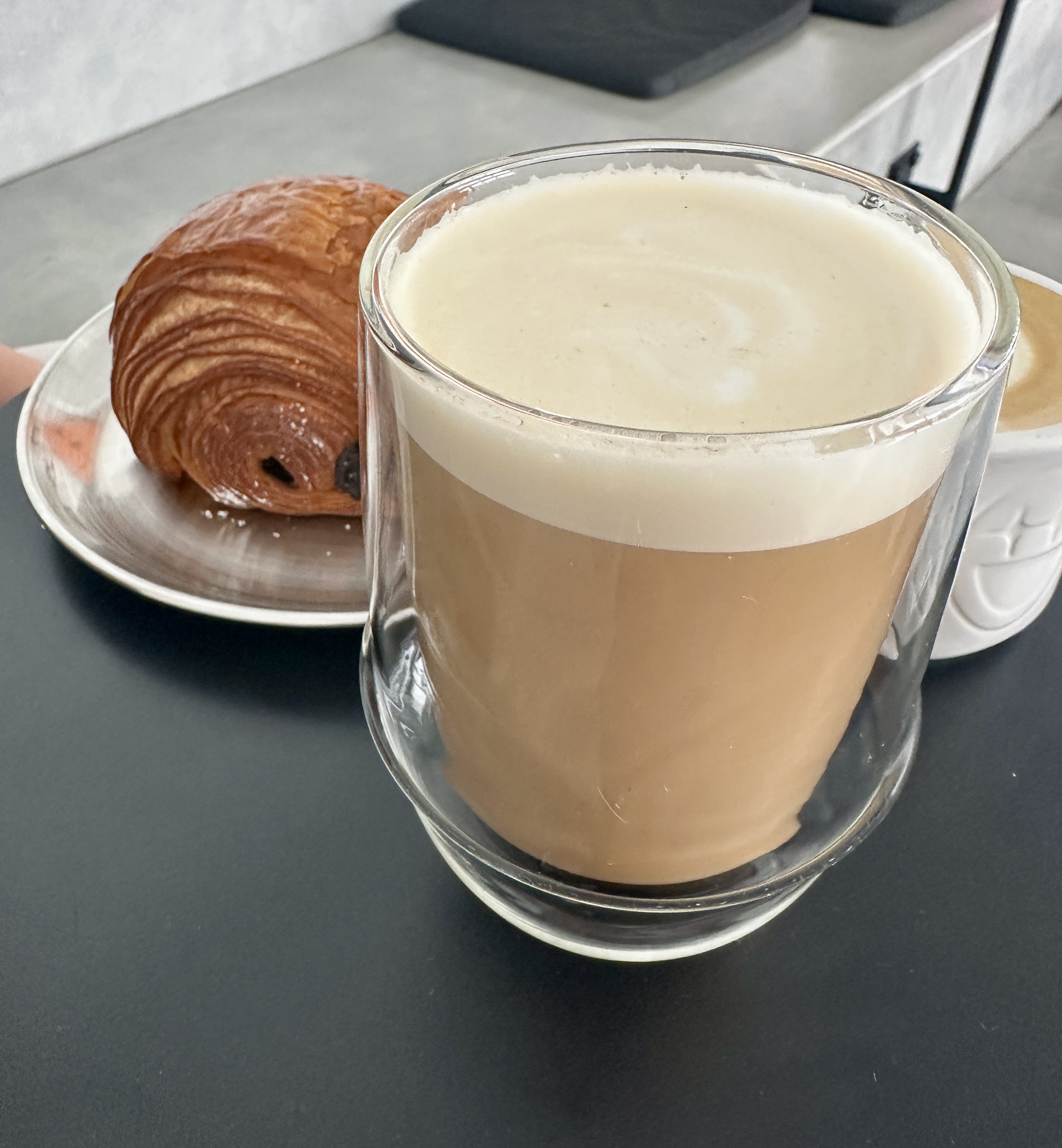
We have been reading about The Coffee and excited to be making our first visit. The company is trying to combine great coffee (from Brazil) and the minimalist aesthetic of Japan to create a unique coffee experience. The company has 47 stores in 27 countries. The Miami location is the only cafe in the U.S. at the moment.
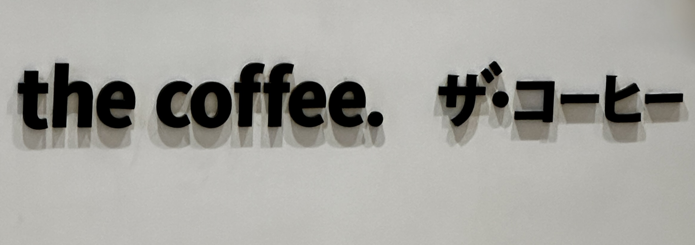
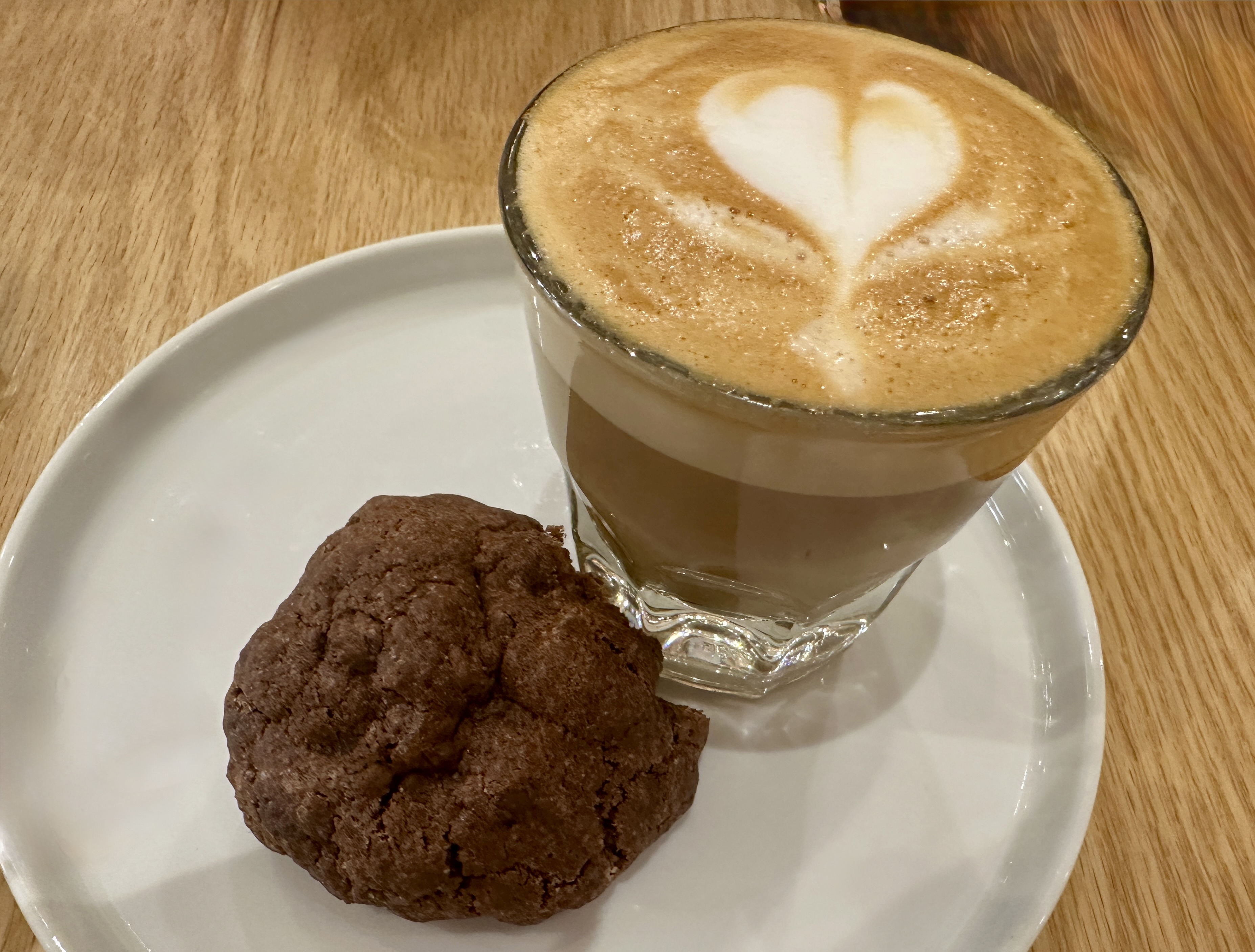
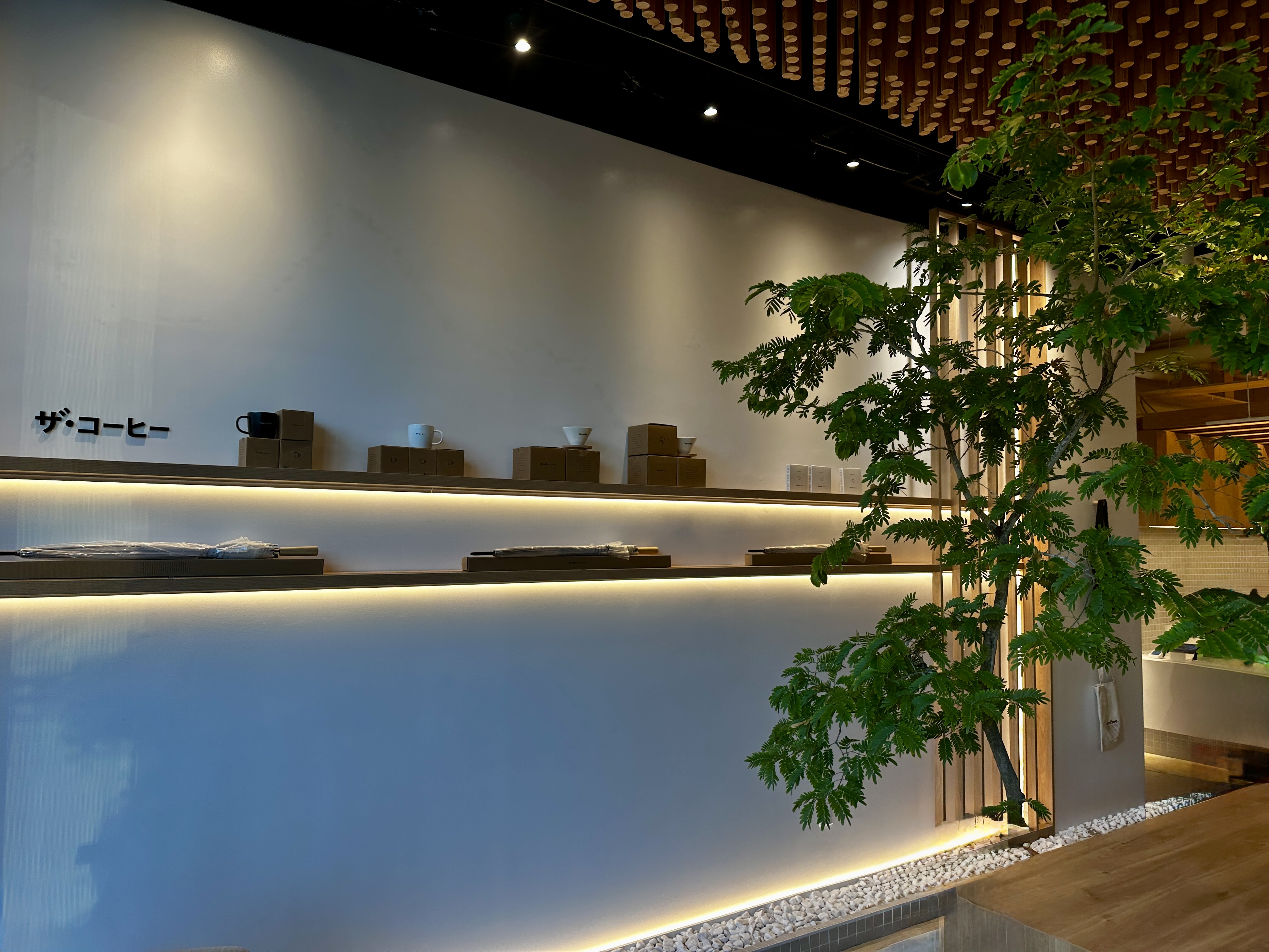
We are not sure how this concept will work out in the long run as it is a franchise approach opening locations around the globe. We can say that during our two visits (yes we went back) the drinks were delicious and delivered to our table (no barista yelling your name – how nice). While the cortado was not on the menu the barista nodded and made me a perfect cortado when we ordered. Sonkei!
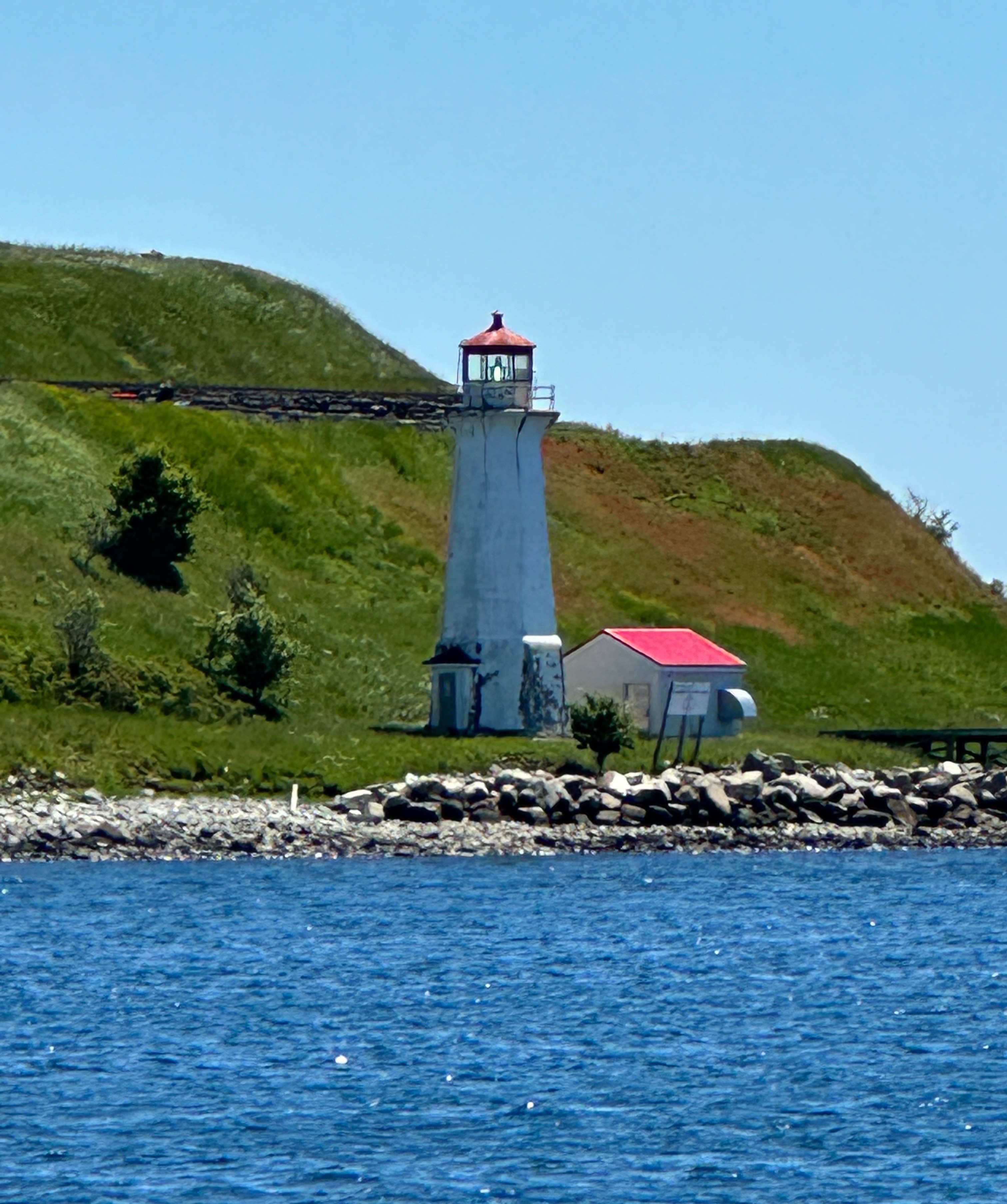
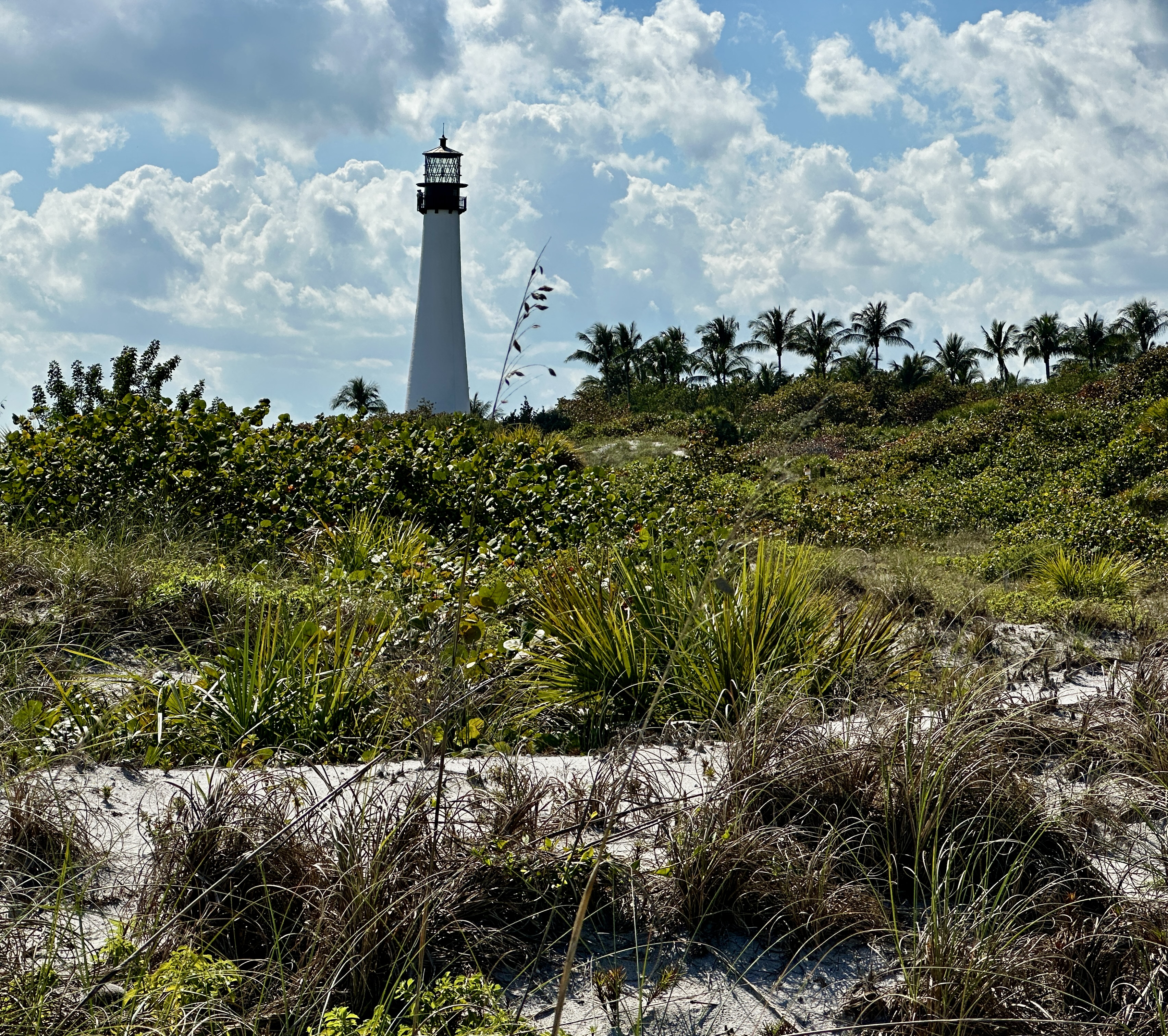
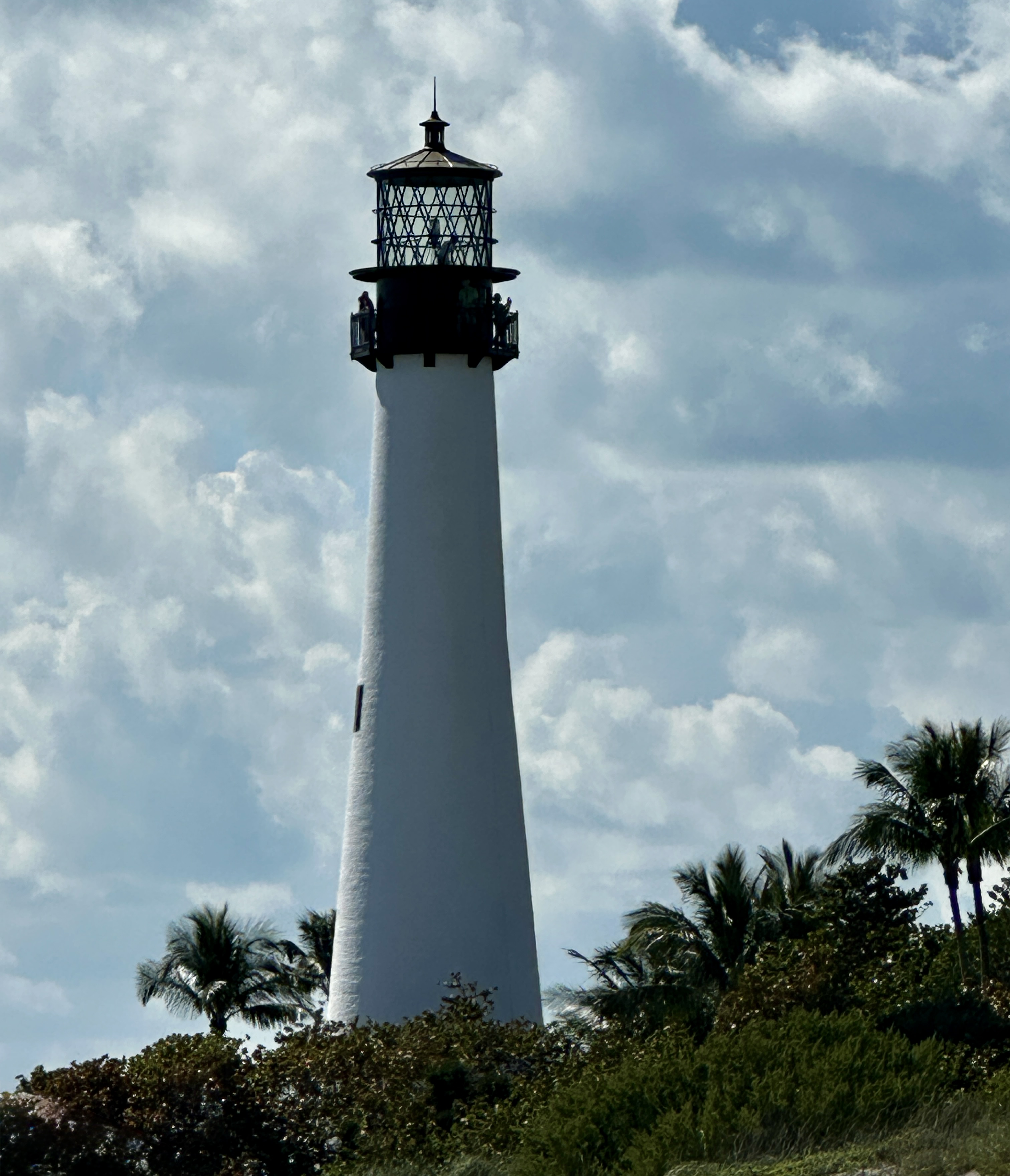
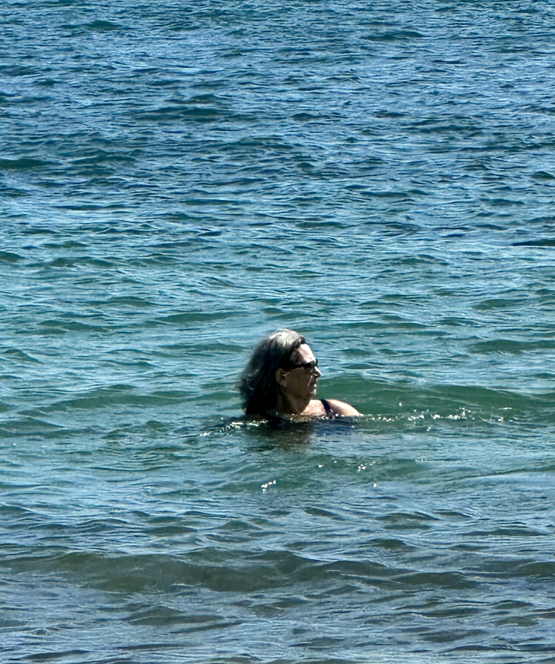
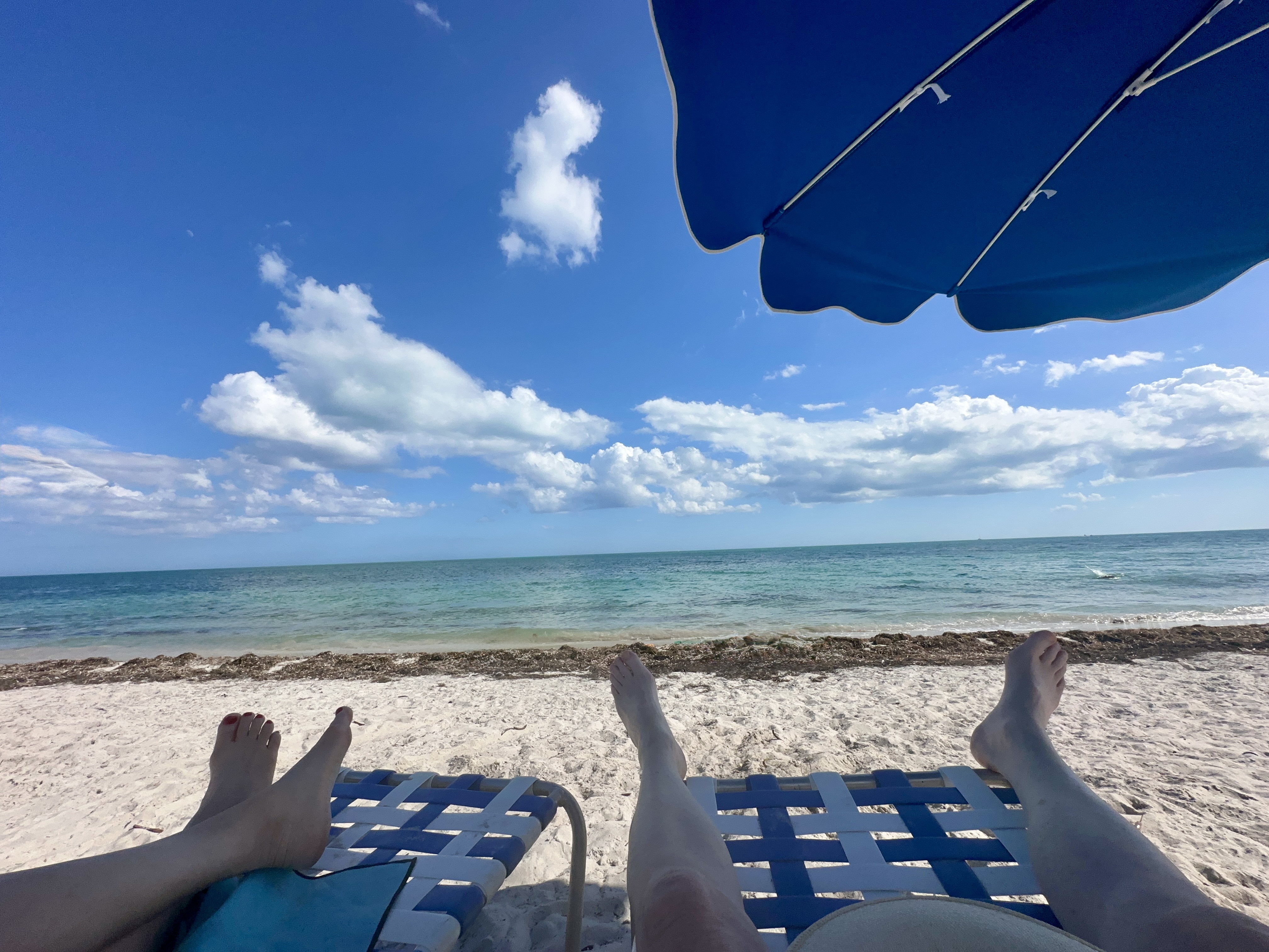
DAY SEVEN – Beach Day – we decided to skip the hub-hub of Miami Beach and Ubered over to Key Biscayne for a relaxing day at Lighthouse Beach. Lighthouse Beach is located within Bill Baggs Cape Florida SP. While the park is located just minutes from downtown Miami we had no cell service – which is great until you try and summon an Uber!
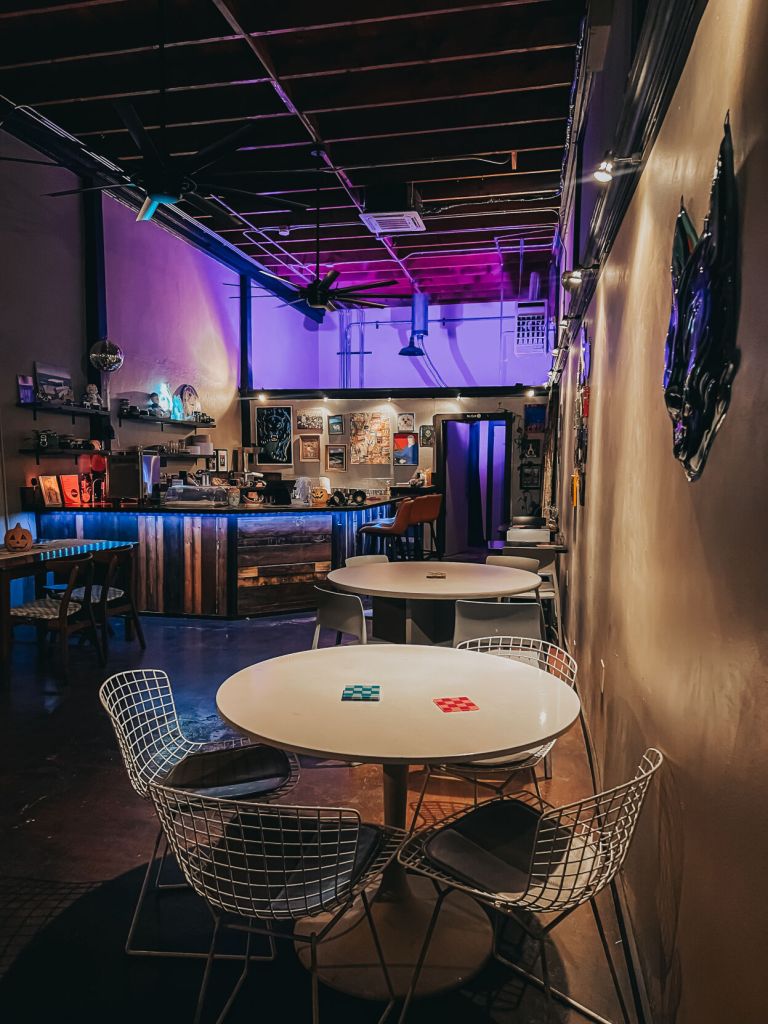
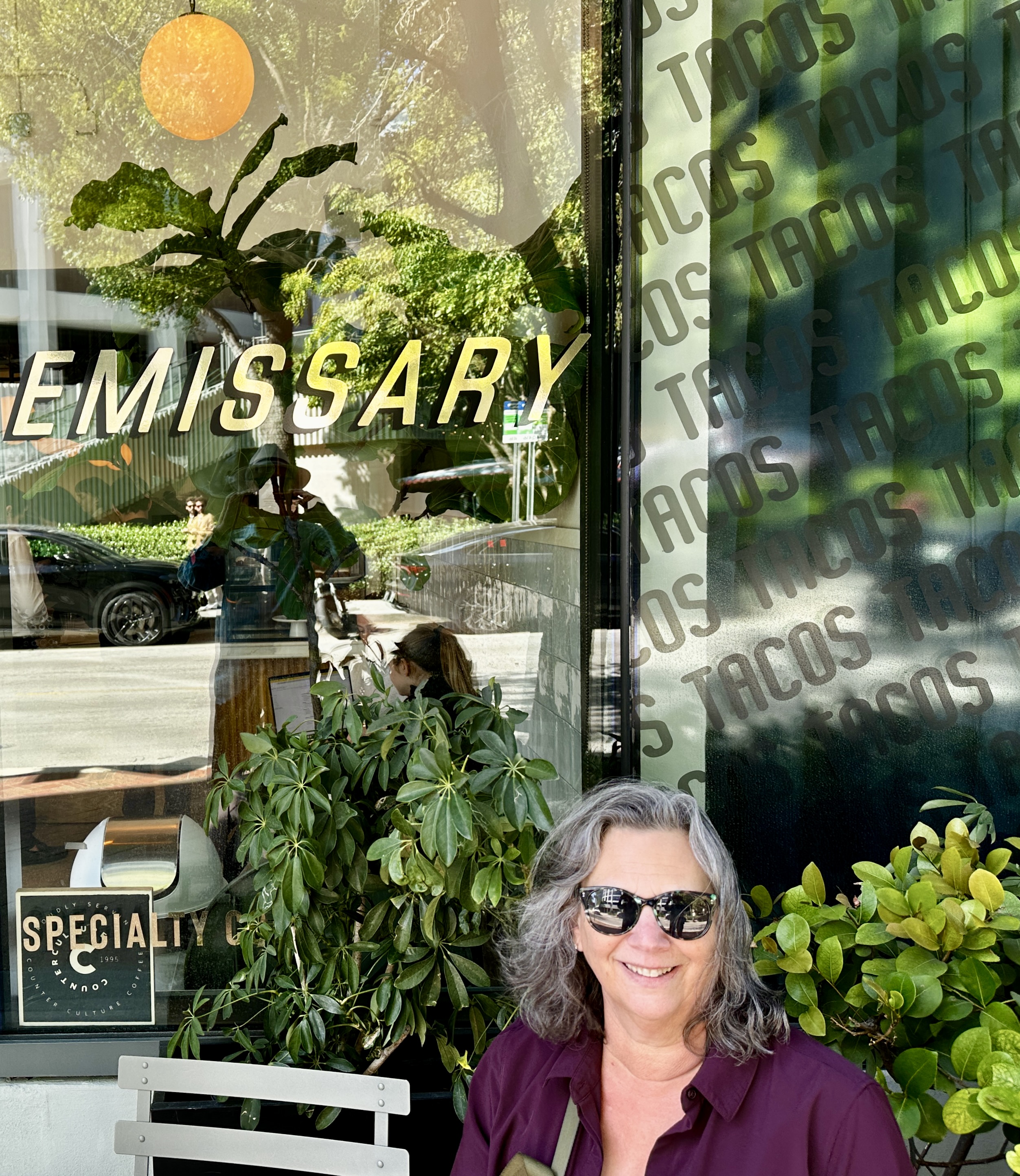
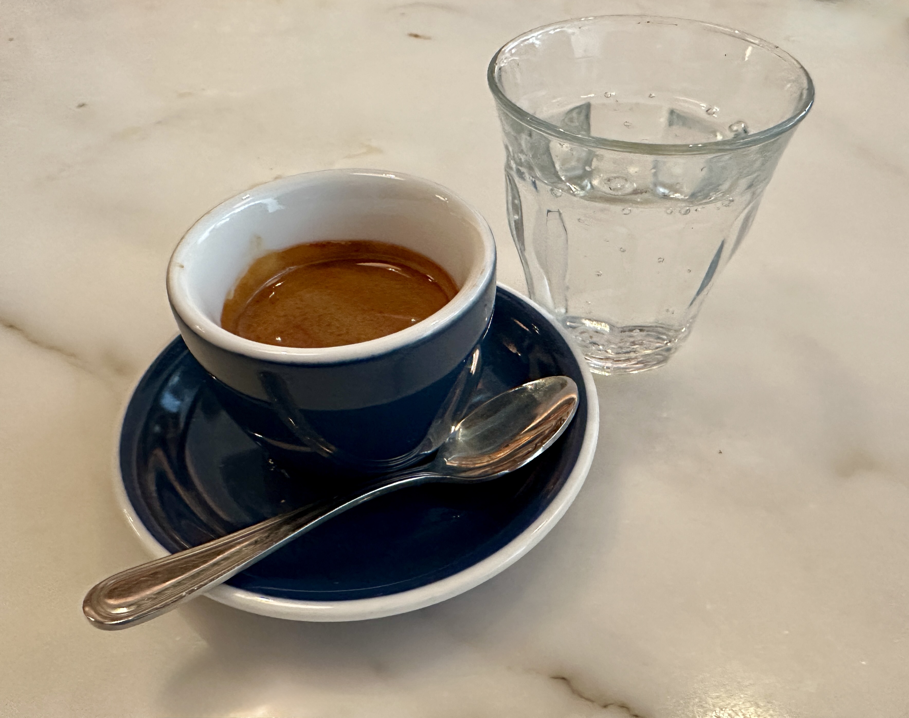
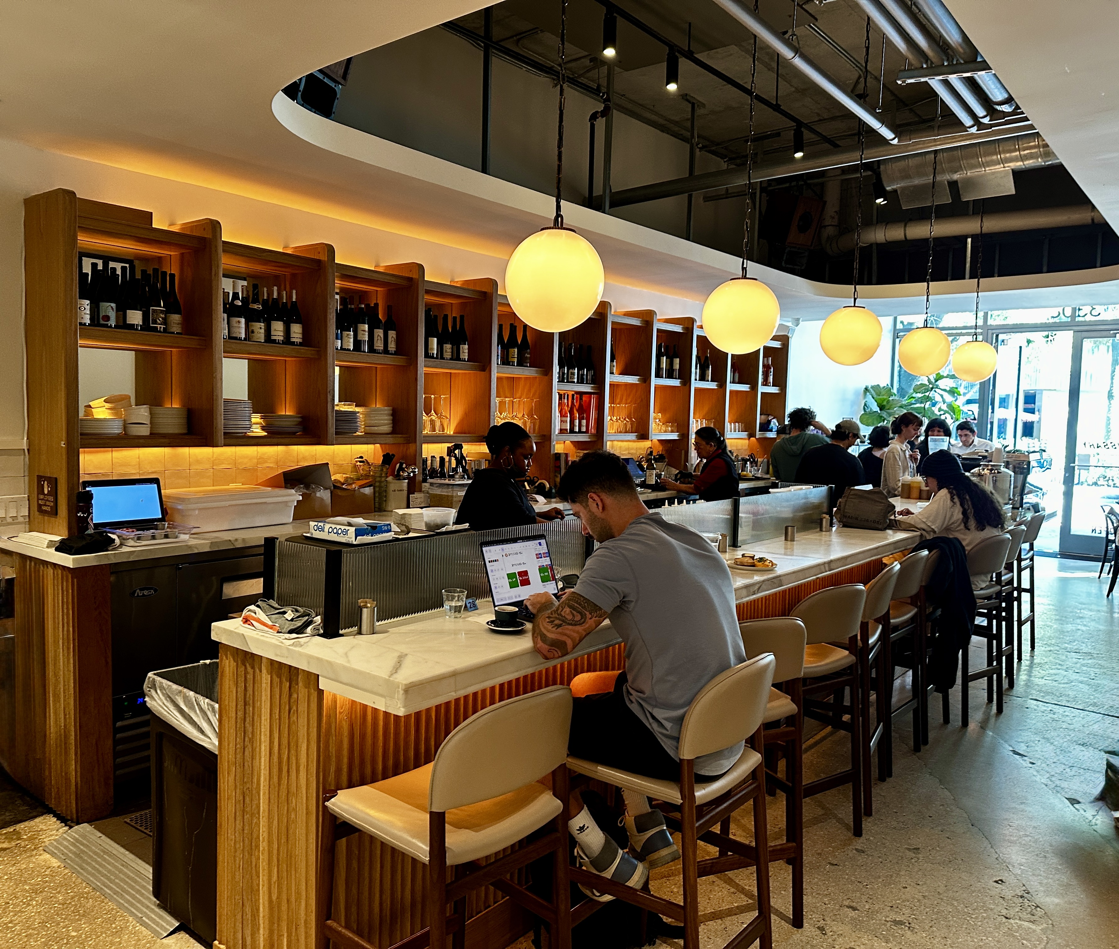
DAY EIGHT – We took advantage of our proximity to the Metro Rail and rode the train to the Coconut Grove (aka the Grove) neighborhood. The train station was about a mile from the neighborhood center which put us in dire need of coffee and tea. Fortunately, Emissary Coffee sits just around the corner from the neighborhood center. It is a very nice shop that is also a wine bar – we are big fans of cafes where you can transition from caffeine to alcohol without leaving your seat.
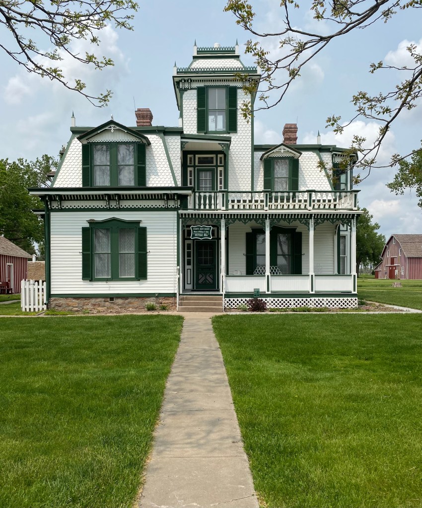
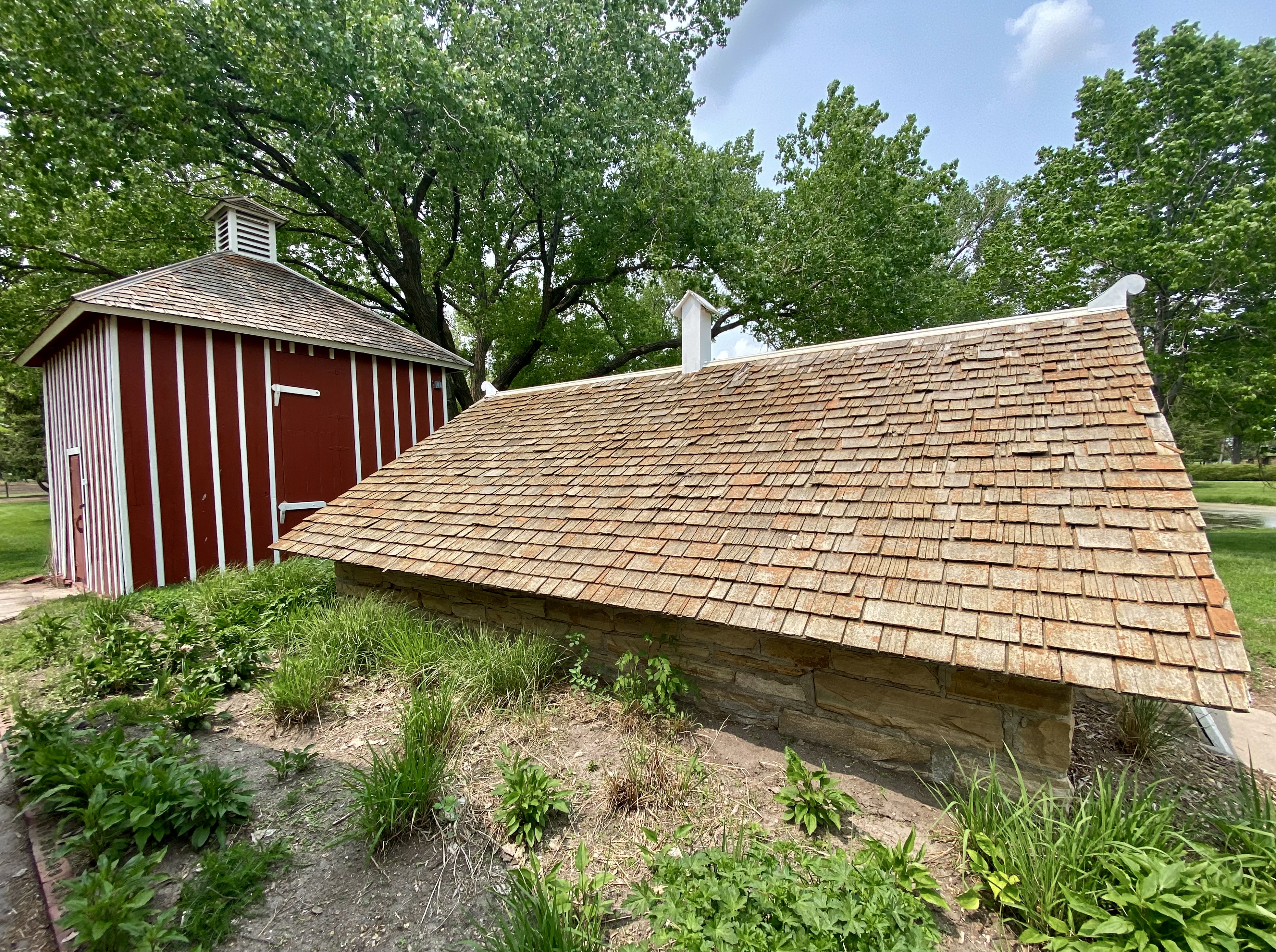
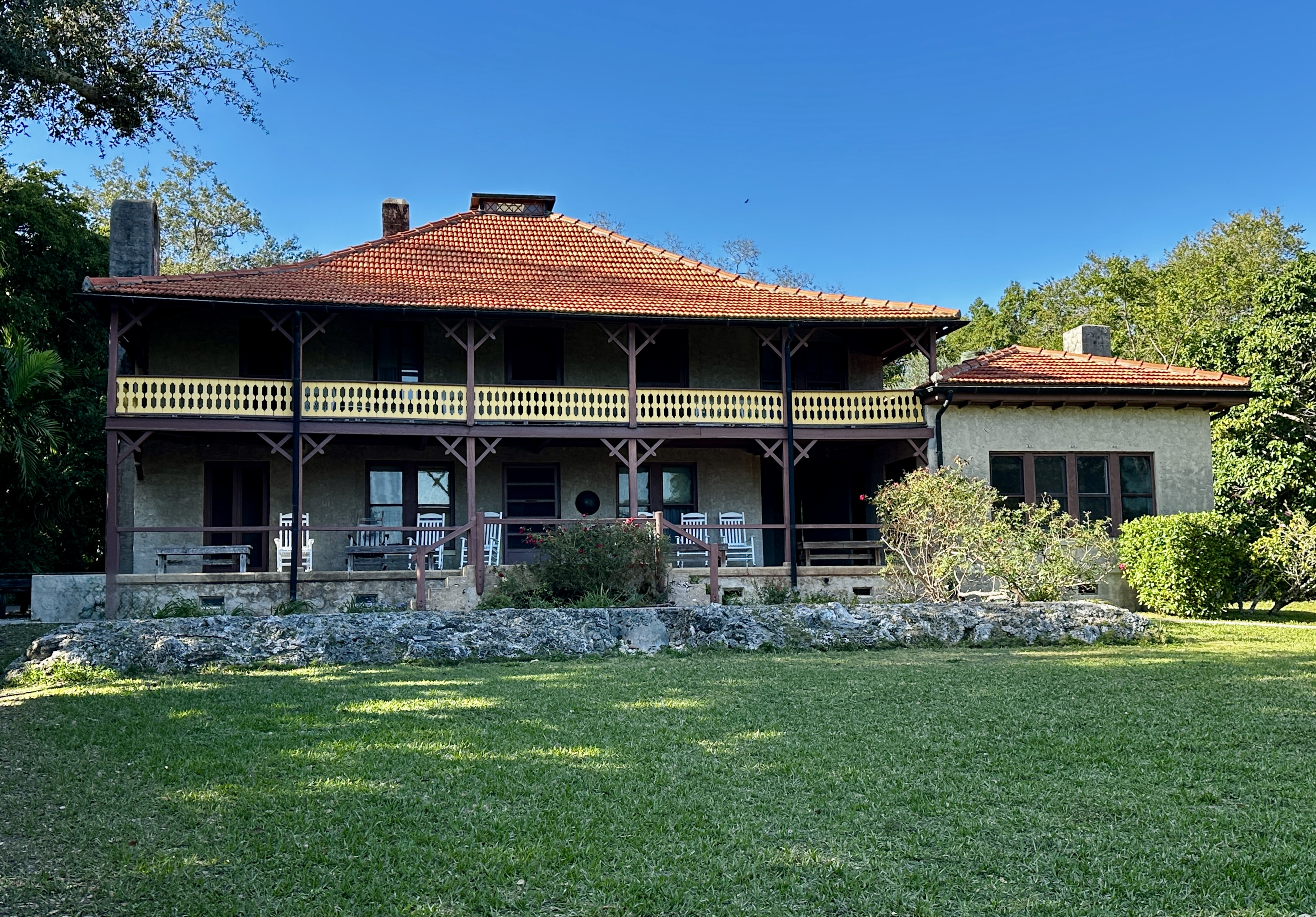
After fika we poked around The Grove and then walked down to visit The Barnacle Historic State Park. The Barnacle is the oldest house in Dade County still standing in its original location. The Barnacle was occupied by a widower who fled the waters of Staten Island in 1890 for the warmer waters of Florida. The link above provides some interesting background.

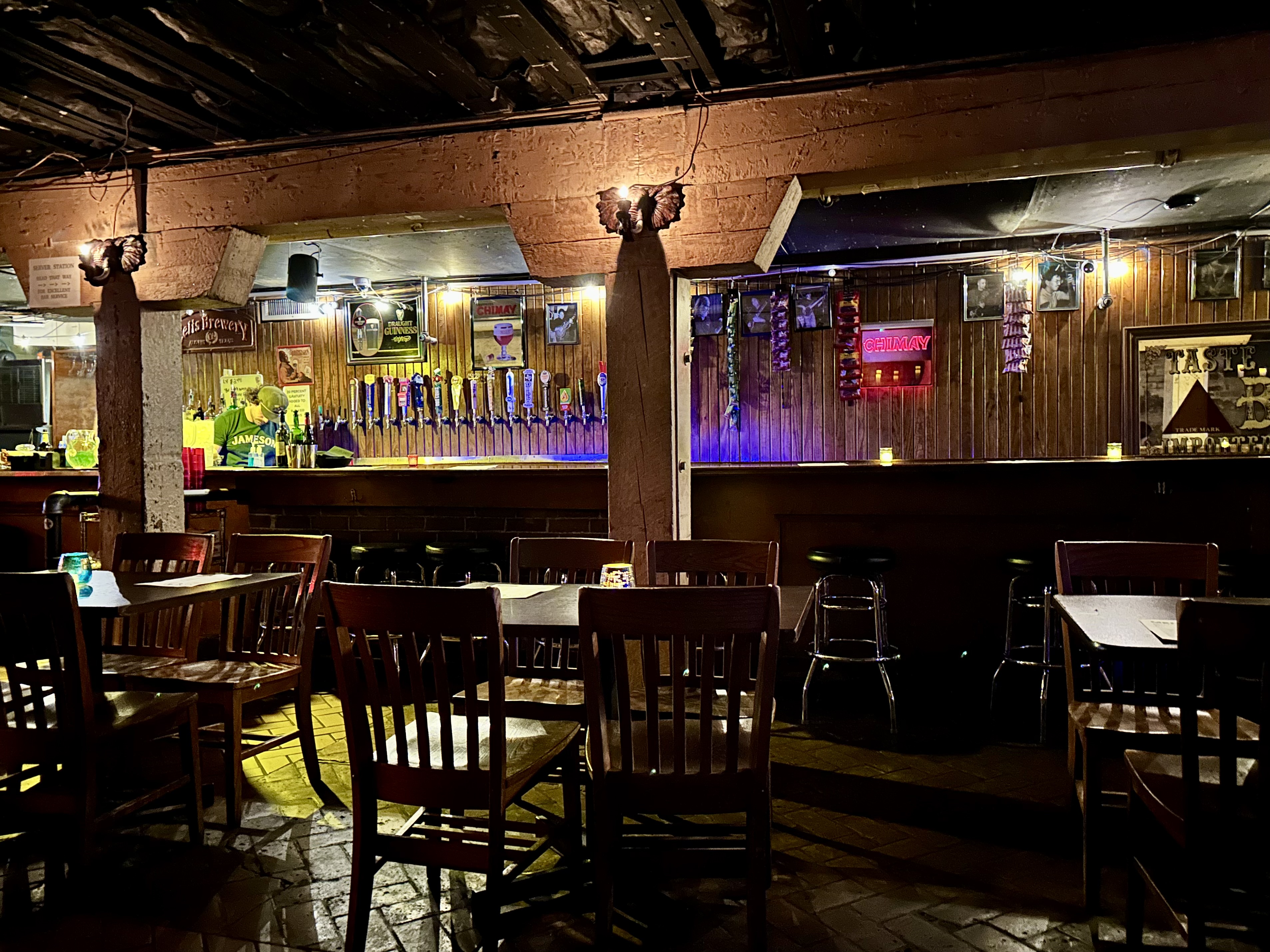
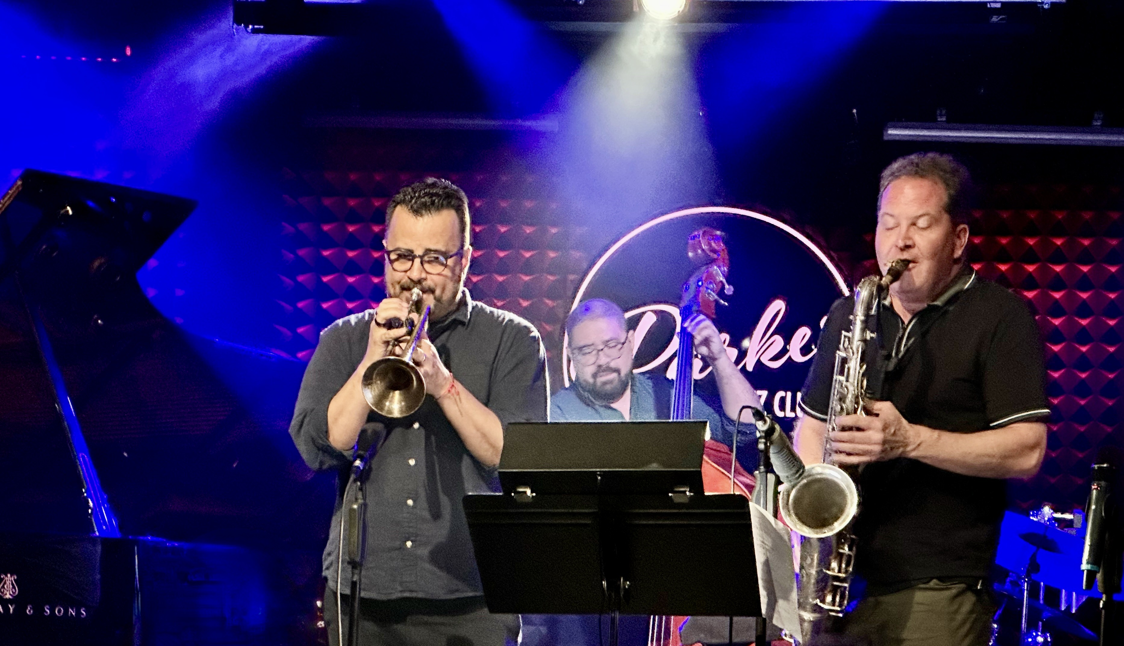
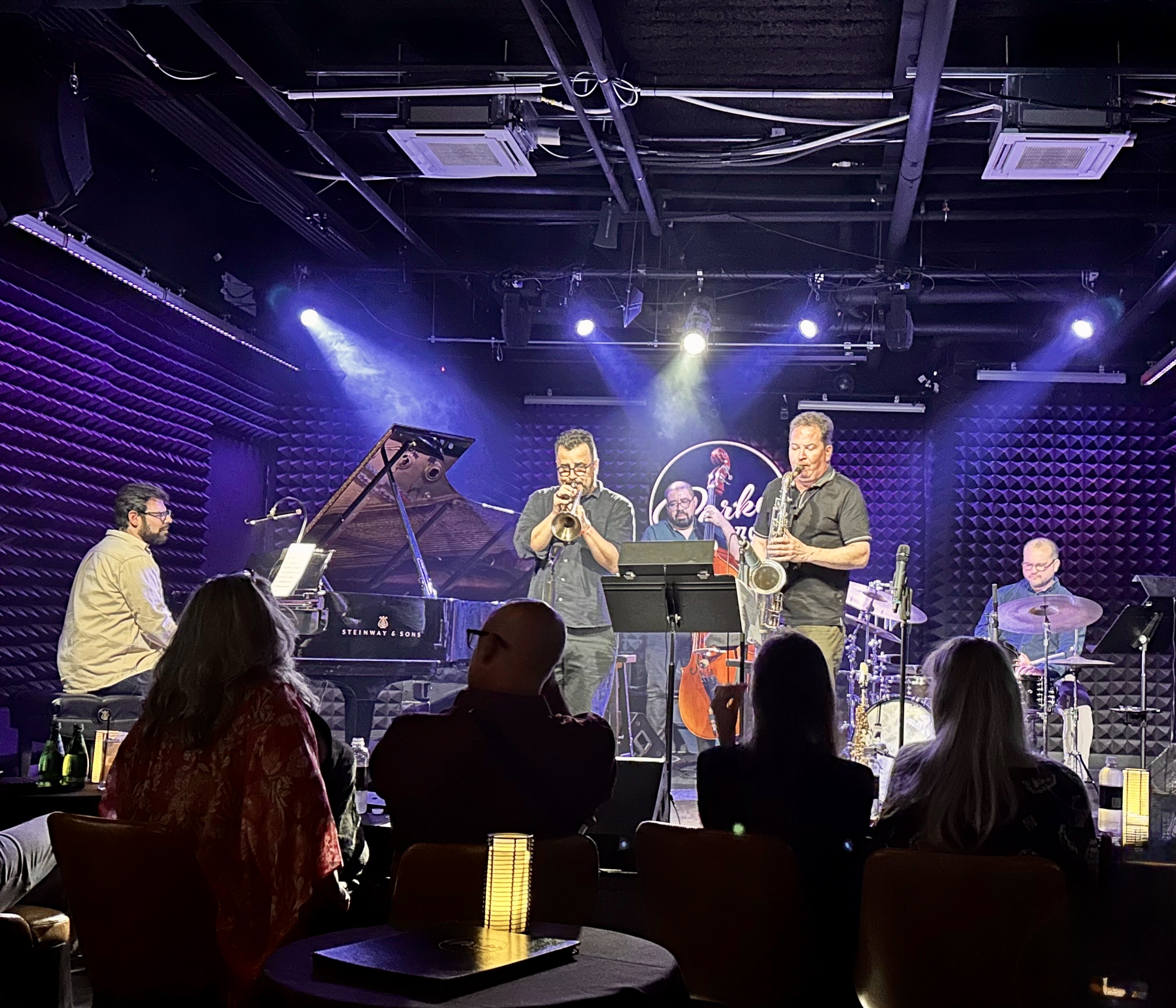
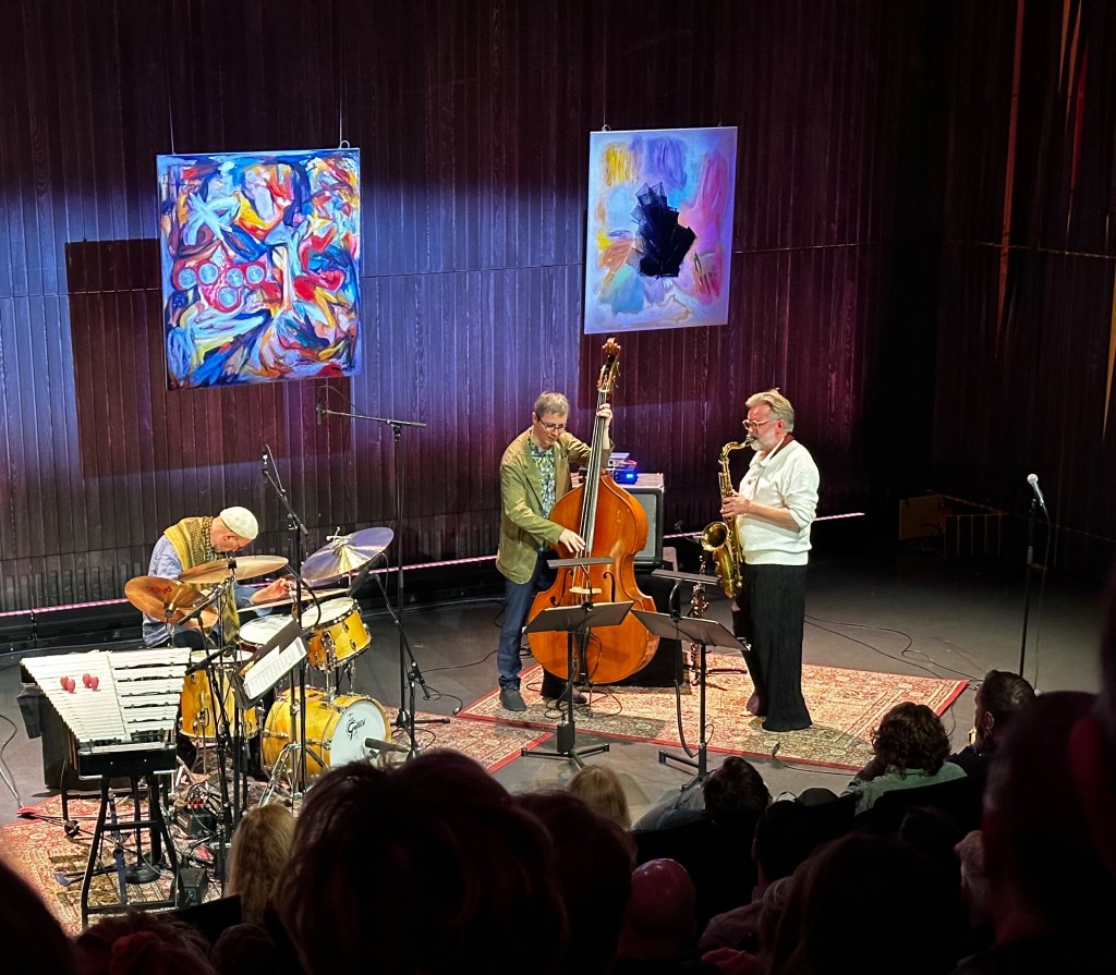
After completing our exploration of The Grove we caught the train back to Brickell and regrouped at the hotel, before heading to Midtown for dinner and jazz. We had a delightful evening at Lagniappe House. The Lagniappe is located in a ramshackle house on a side street in Midtown. You can have a full dinner behind the house on a large patio while inside there is a wine bar and live music.They are open seven days a week with live music every evening from 9:00PM until midnight. We had a great meal, tried some different wines and then moved inside to the intimate music space.
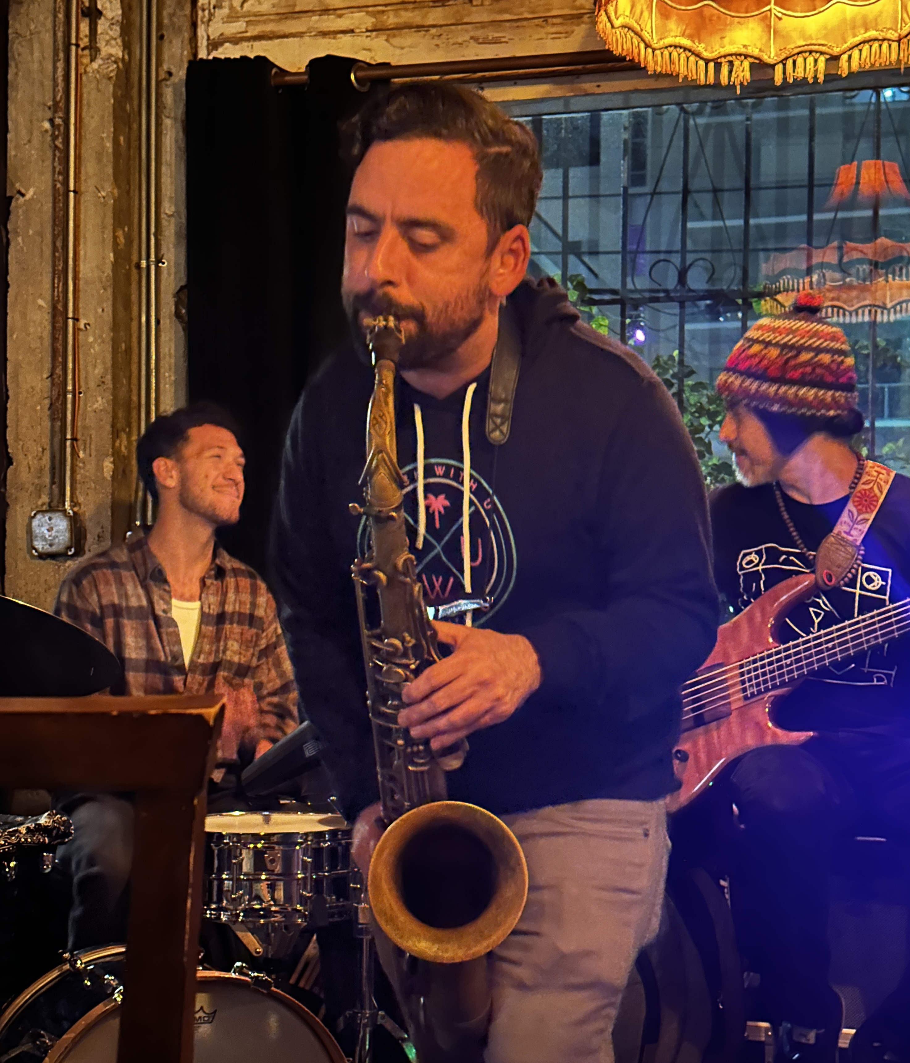
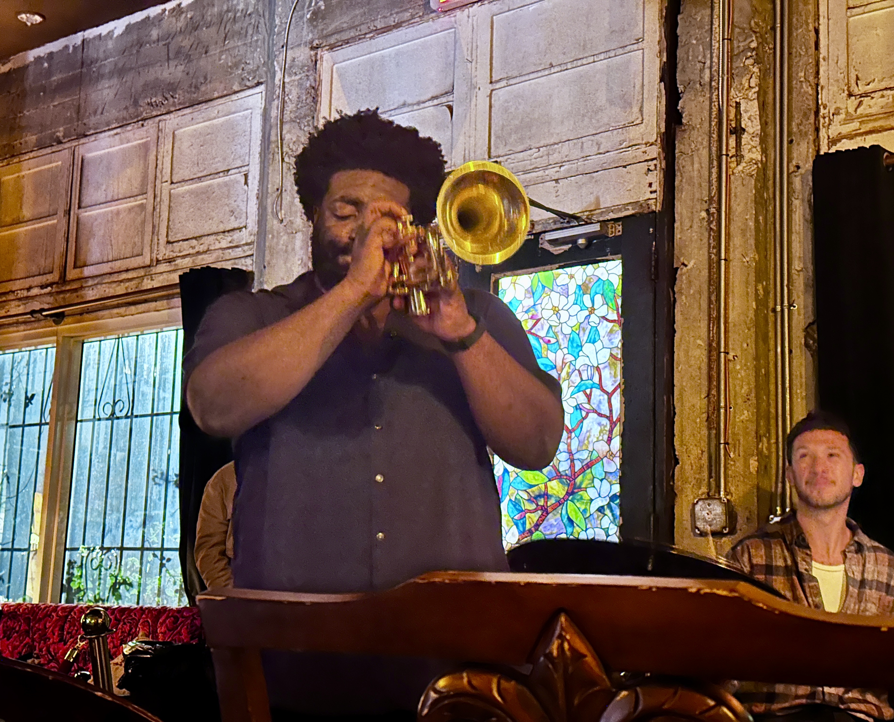
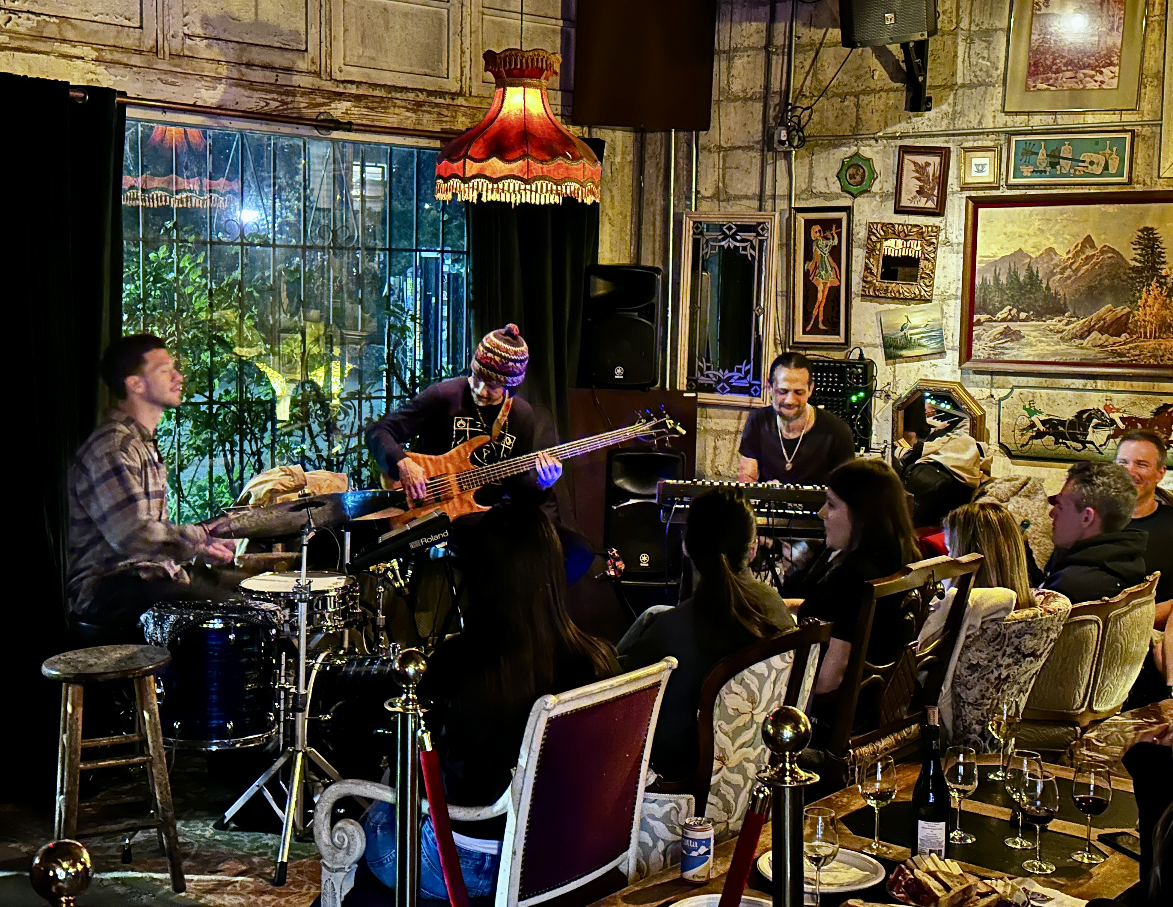
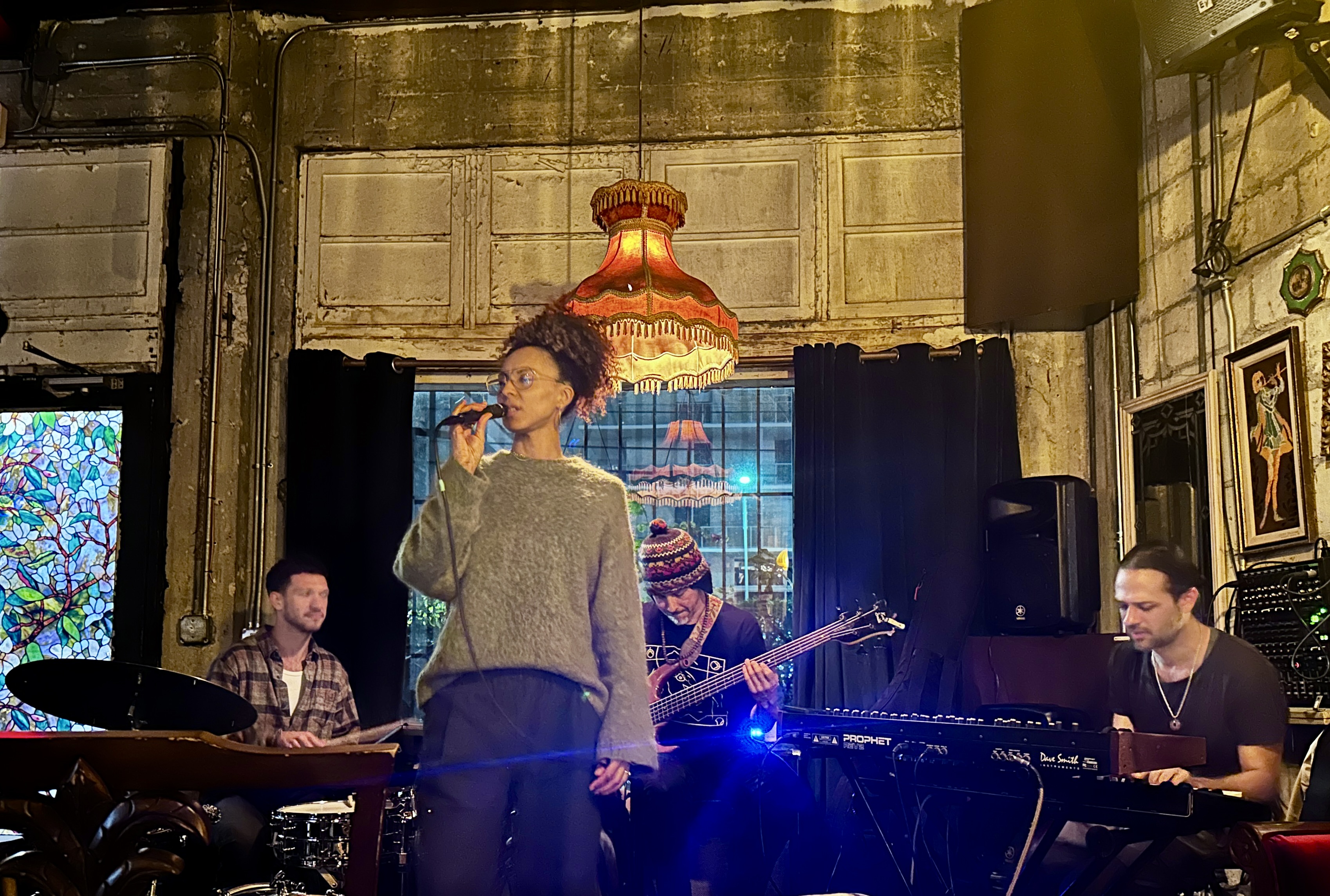
On the evening we visited Rodrigo “Digo” Zambrano was playing with his trio. During the course of the evening we were also treated to a trumpeter and saxophonist sitting in with the trio. Capping off the evening was an outstanding vocalist who fronted the band on several songs. Perfecto!!
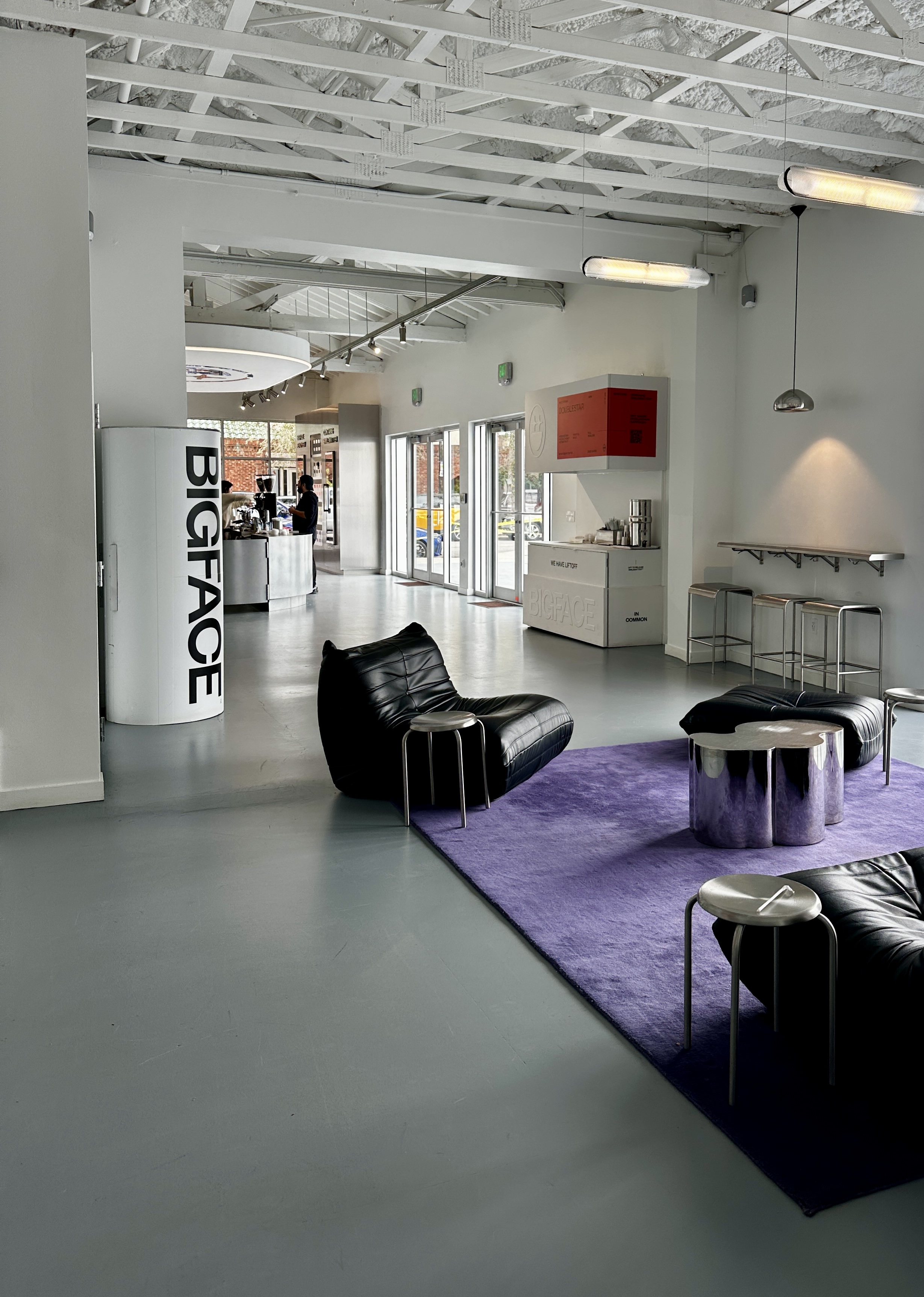
DAY NINE – The next morning we returned to the Midtown area to check out the Miami Design District. This 18 block area was once a family pineapple farm. By the early 2000s the neighborhood was run down with many vacant buildings. A local property developer purchased many of the buildings and persuaded a number of luxury brands and home designers to locate to the district. The district is now home to 80 high end retail stores and art galleries as well as 70 home design showrooms. This area is not a mixed use development as so many are today – there are only about 1000 residents in the district.
The ultra expensive stores and flash supercars make for quite the show. Of course, we couldn’t walk five feet without stepping into a photo session with an assistant of some sort taking photos of a glam social media influencer. Yikes!

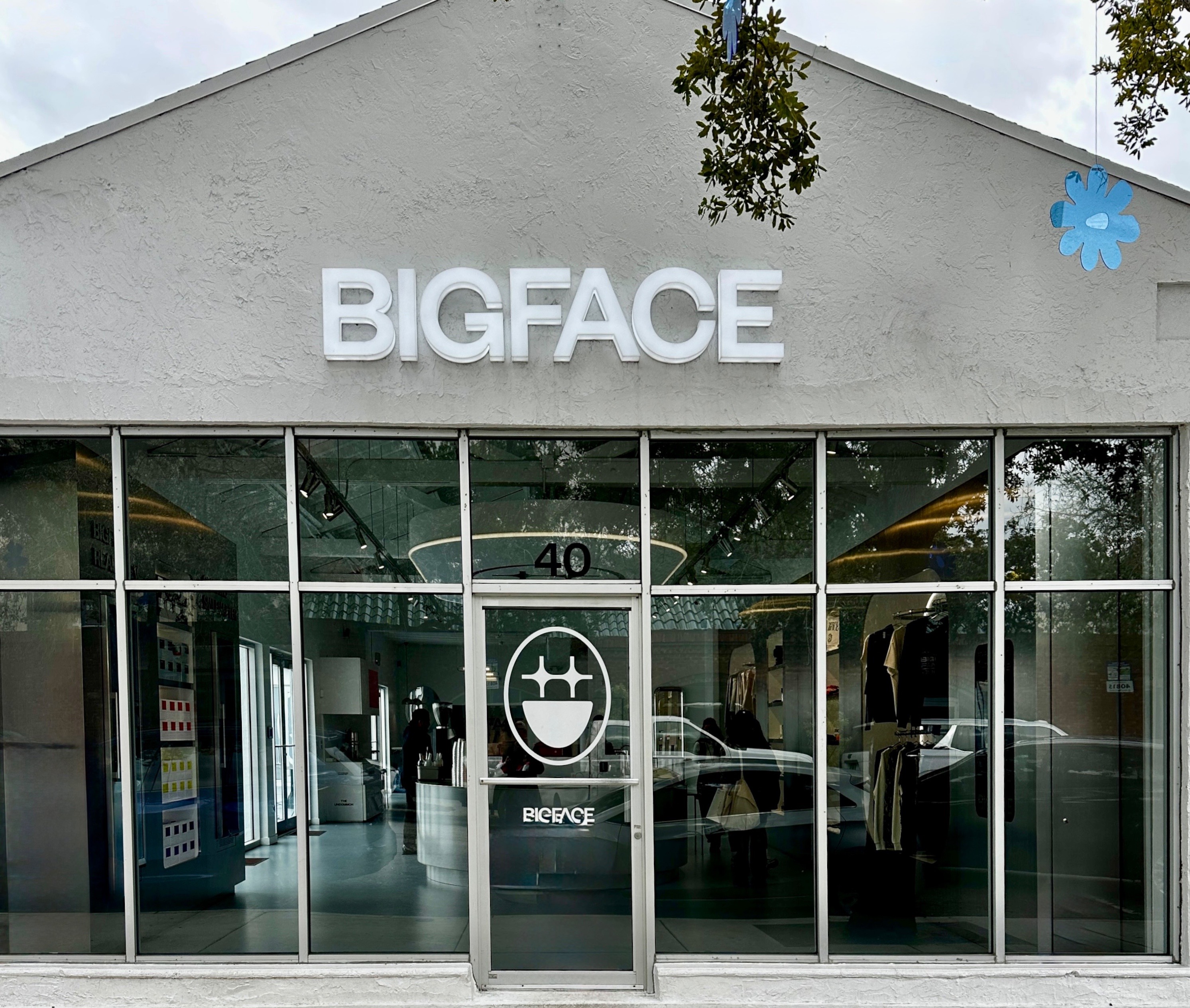
We sought refuge at BIGFACE, a specialty coffee shop founded by NBA player Jimmy Butler. What we did not realize until we were in the shop was that we were having another experience – a “premium coffee lifestyle brand” experience. Who knew? But, hey, the coffee was quite good. We had not however, escaped the influencers as several women, who clearly had consumed too much plastic surgery, were posing for photographs on the stepped seats at the back of the shop.
We found more street art in and around the fringes of the district. Solid.
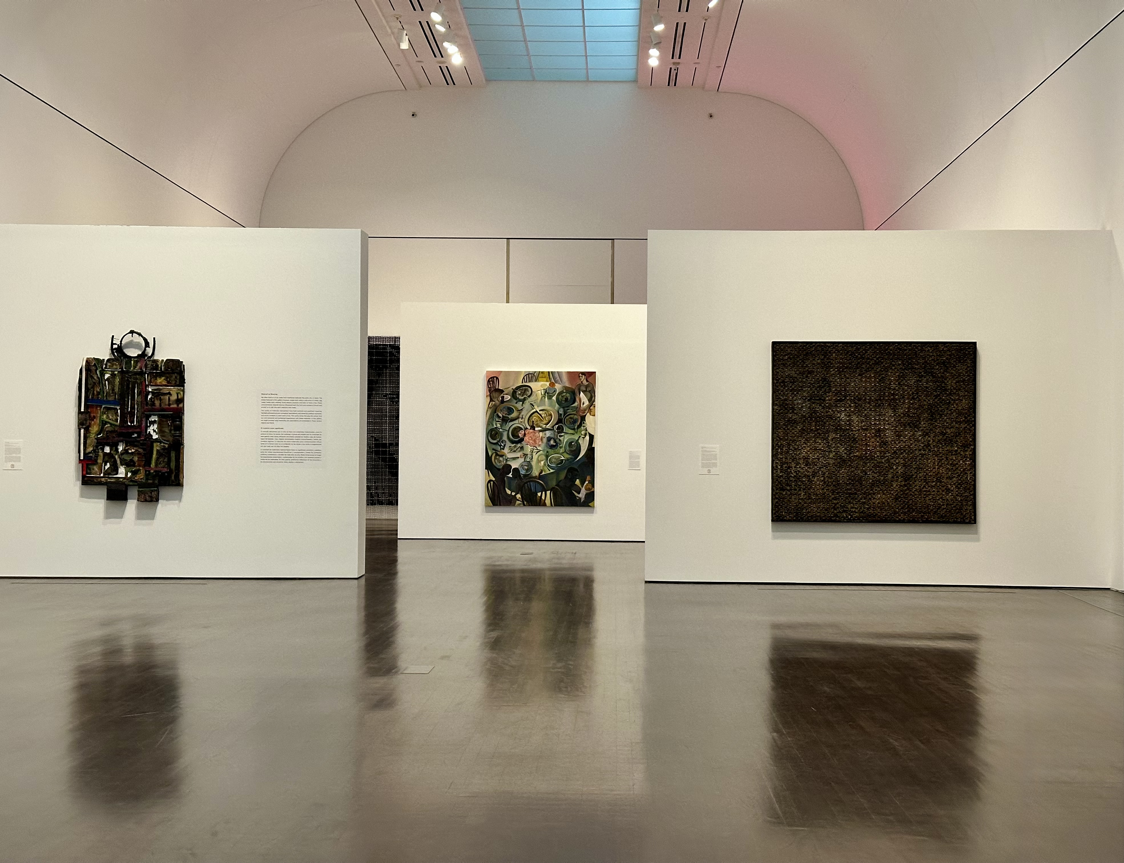
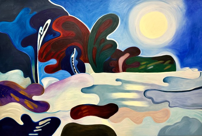
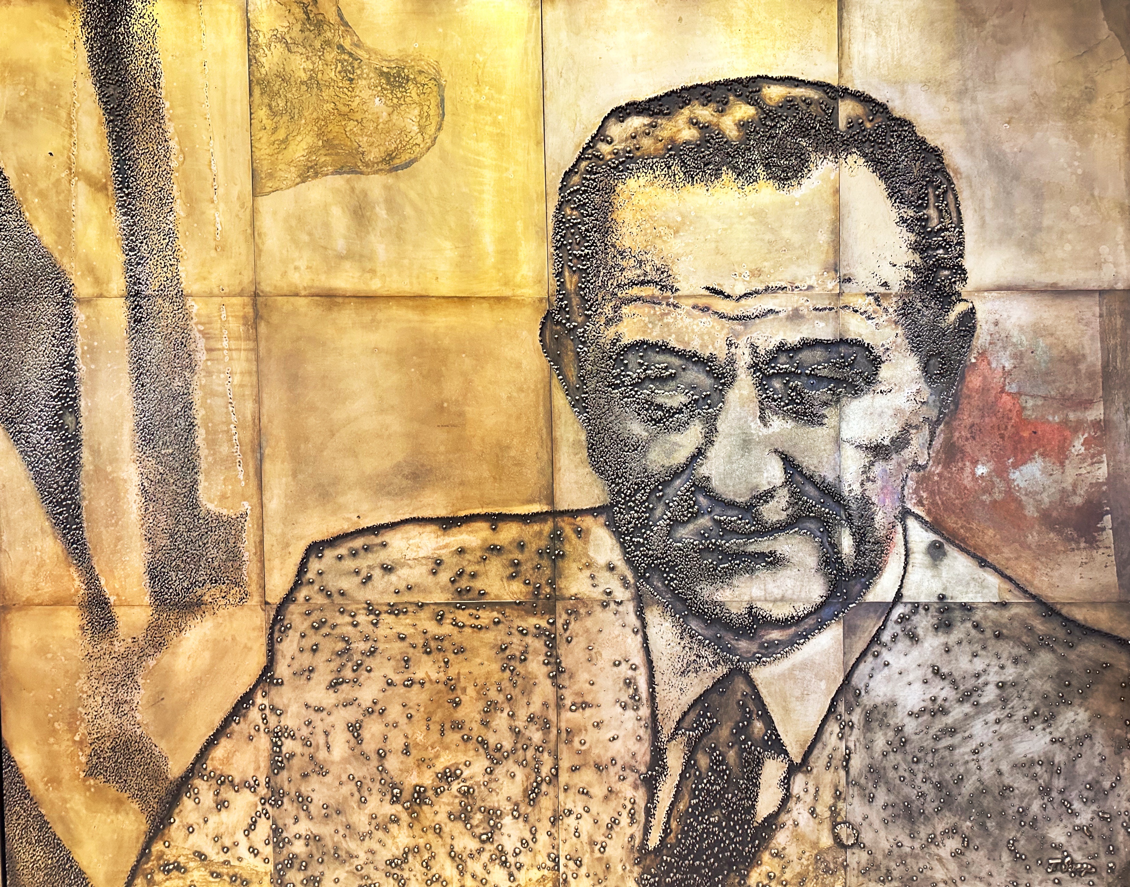
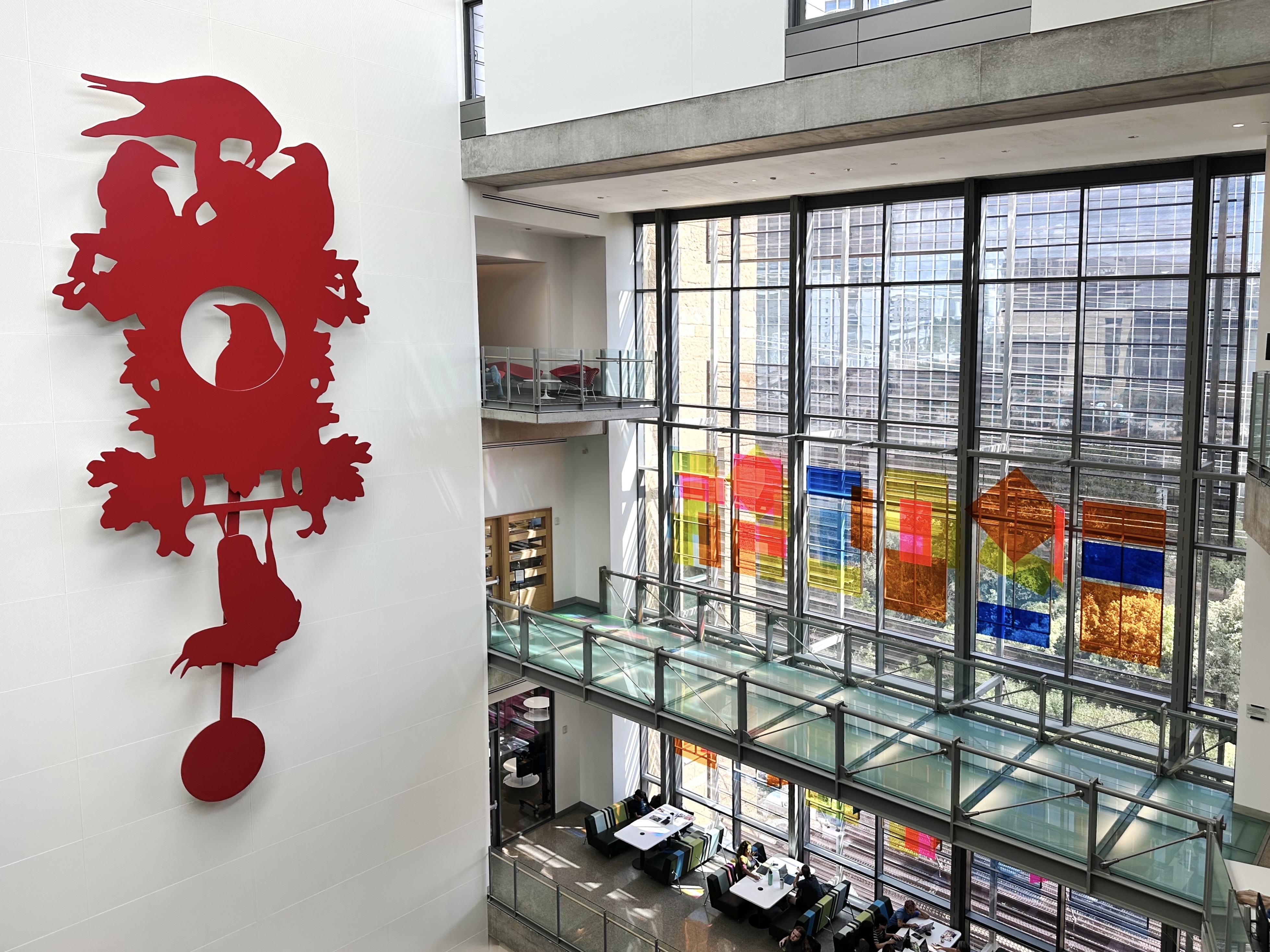
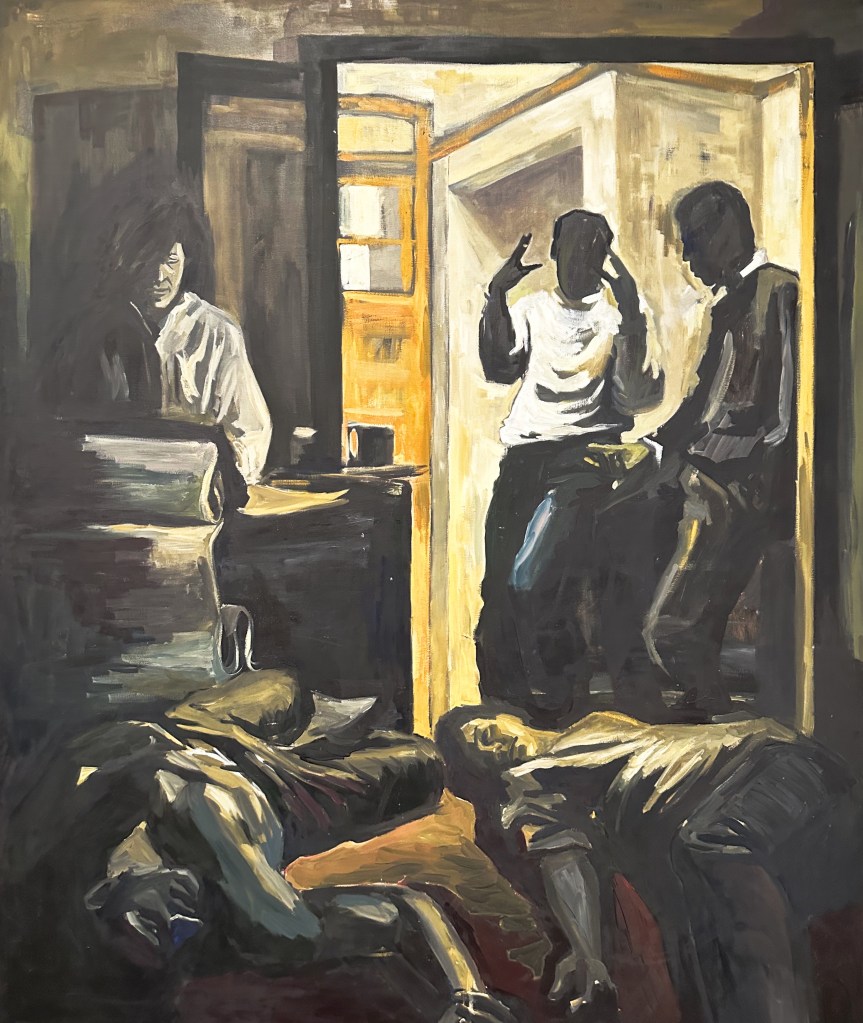
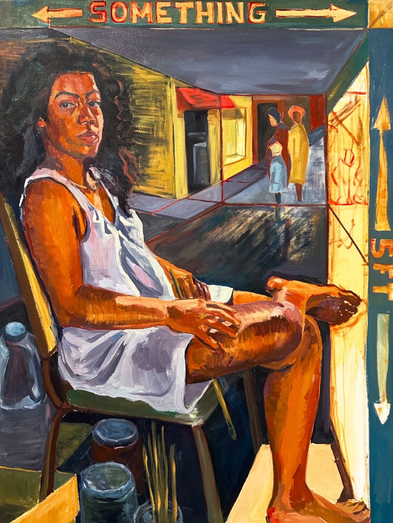
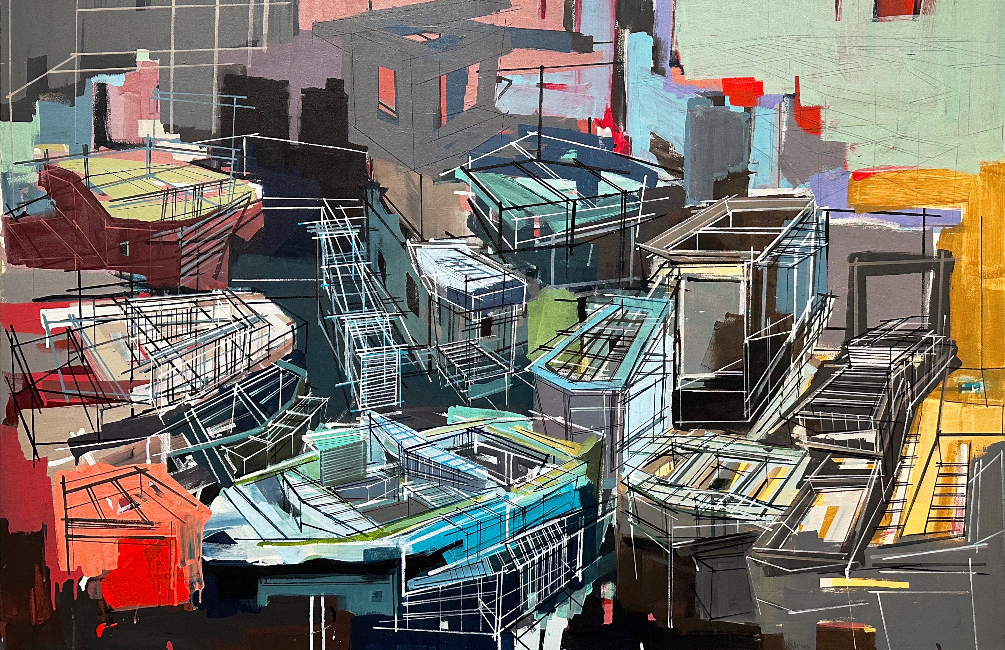
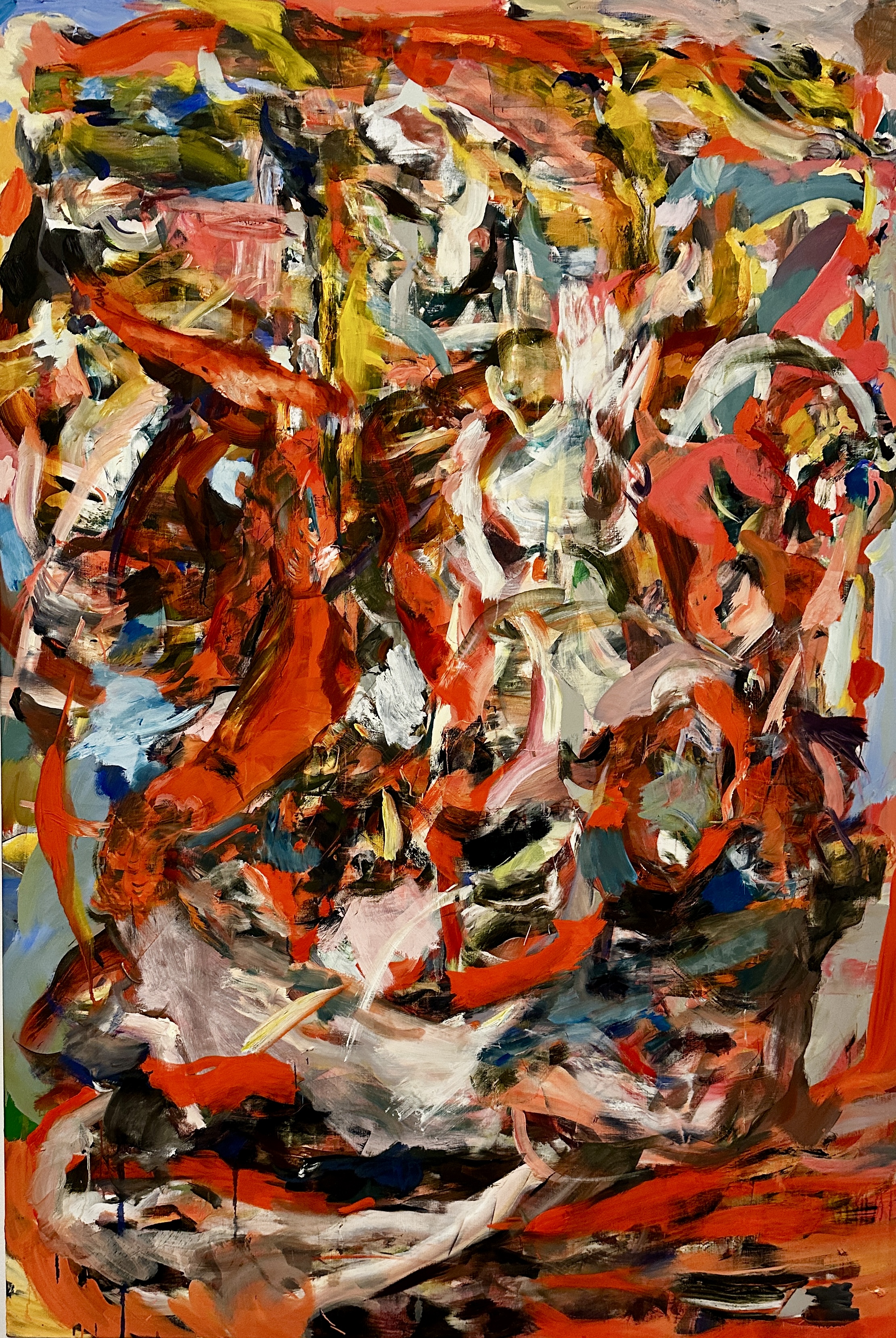
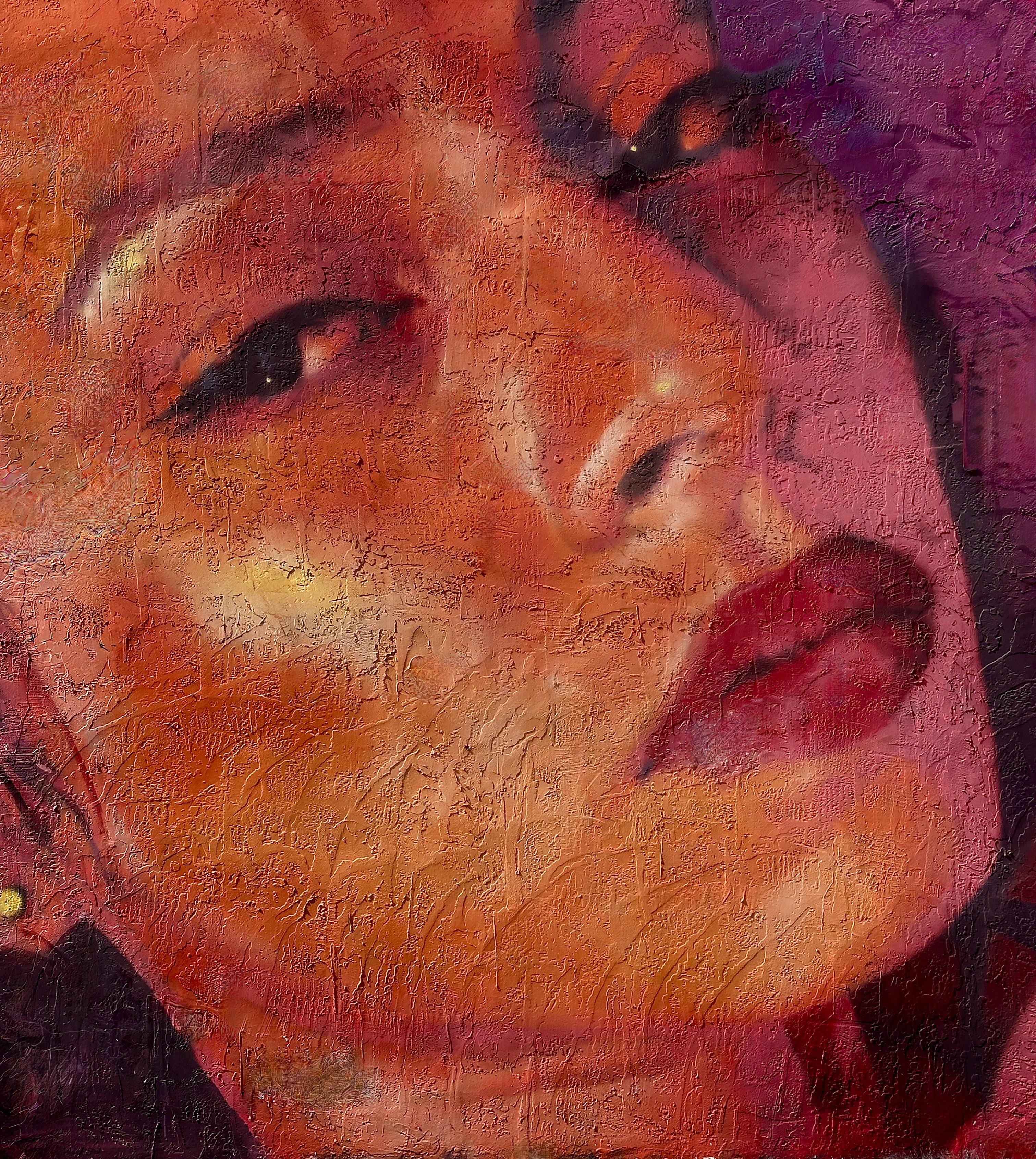
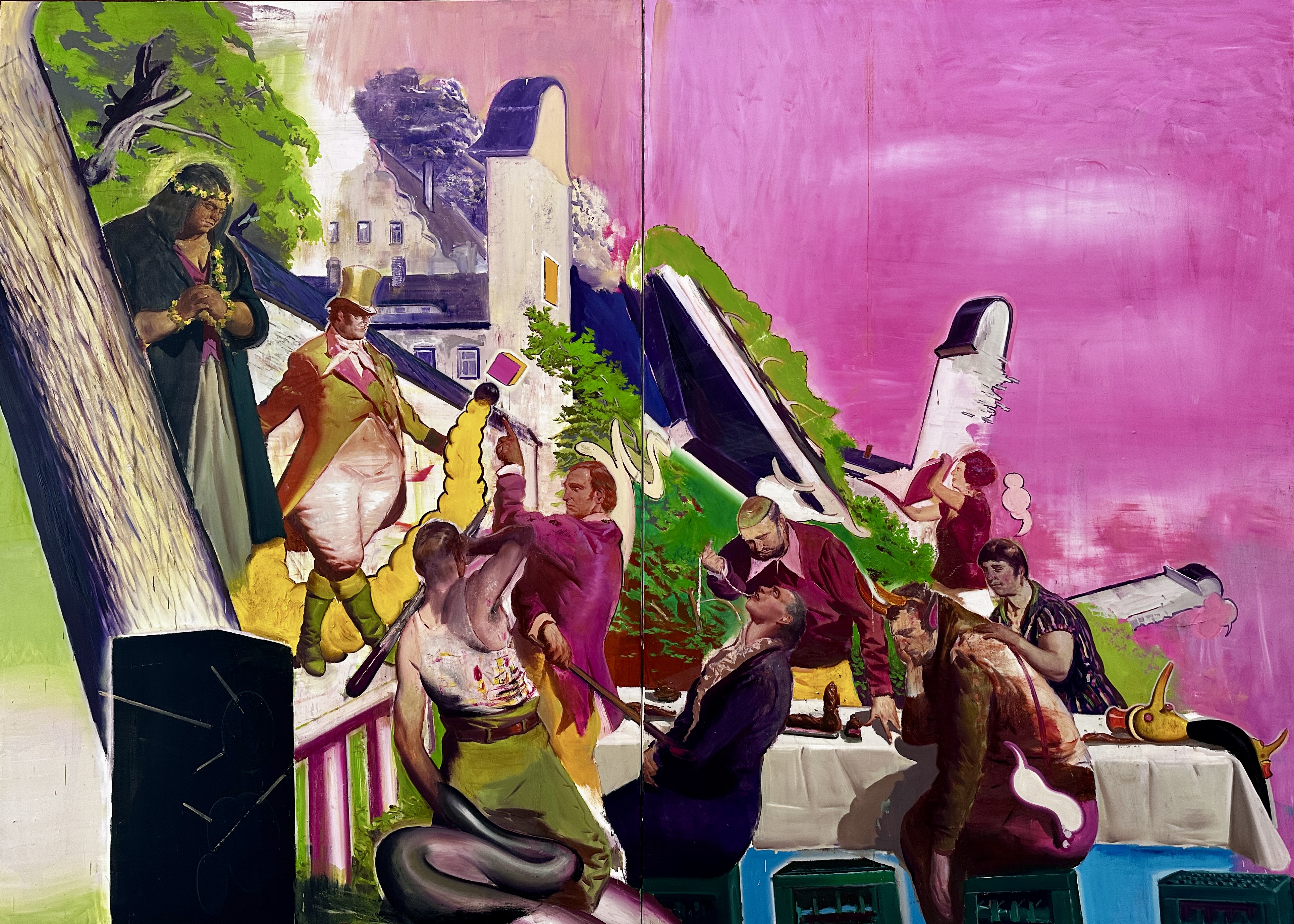
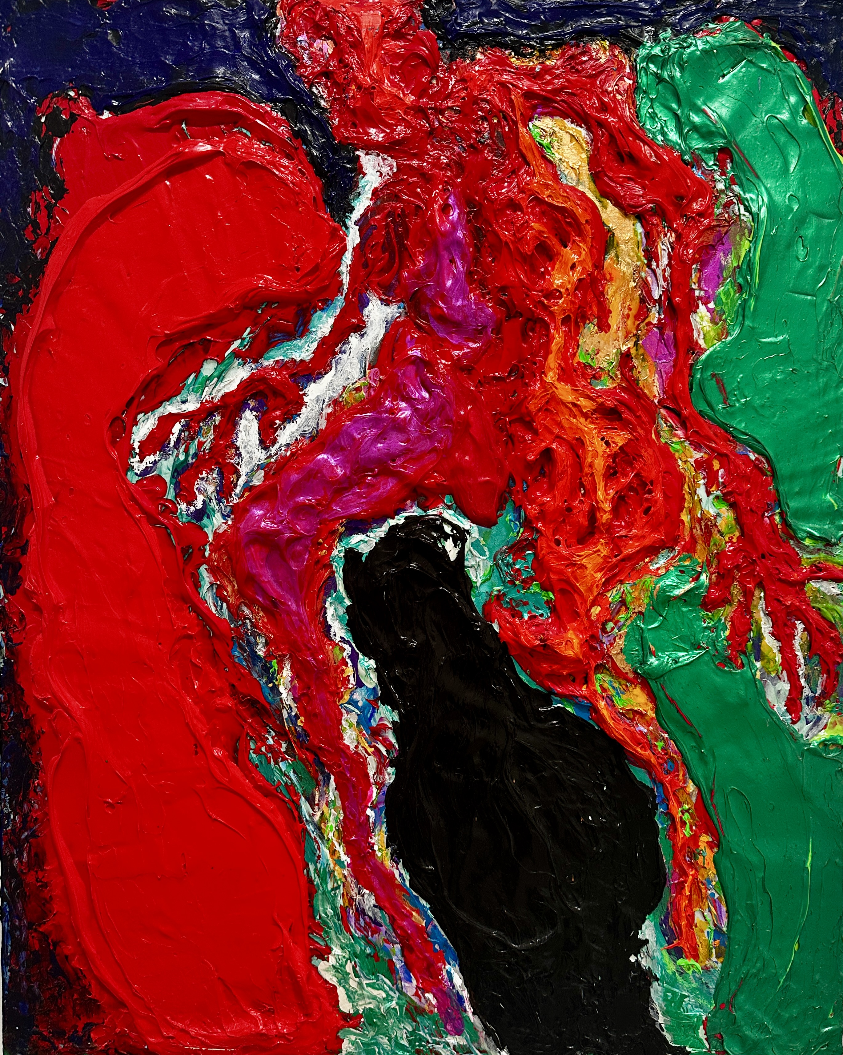
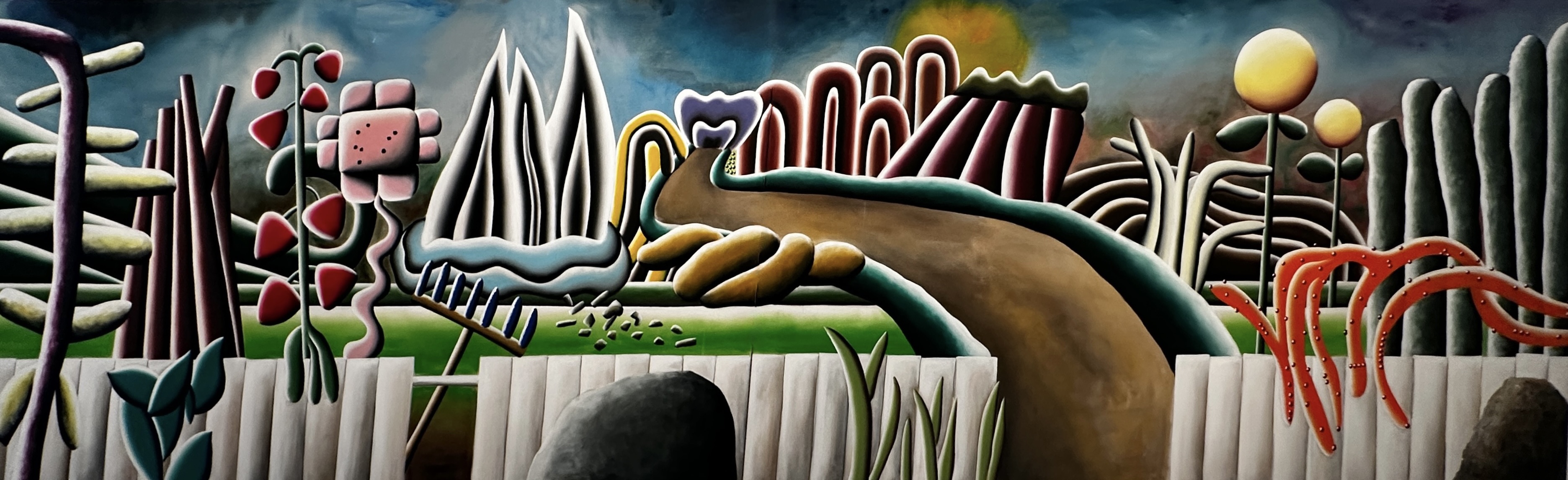
Our main objective for visiting the Design District was to see the artwork at the Institute of Contemporary Art. The museum is “dedicated to promoting continuous experimentation in contemporary art”. We can vouch for that based on our visit. We enjoyed the museum (entry is free, by the way) finding some of the artists work very appealing.

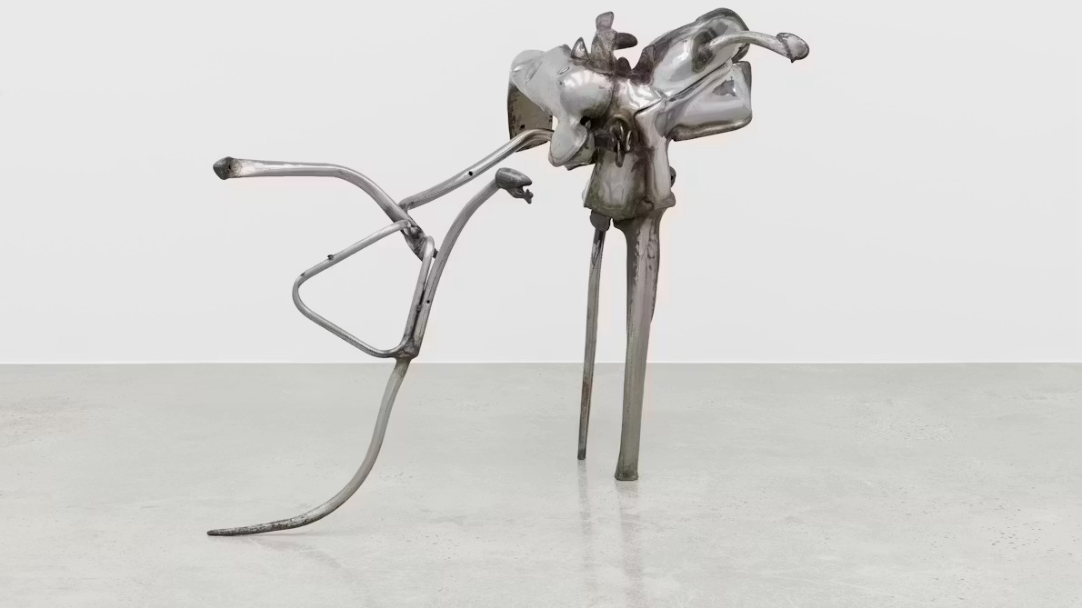
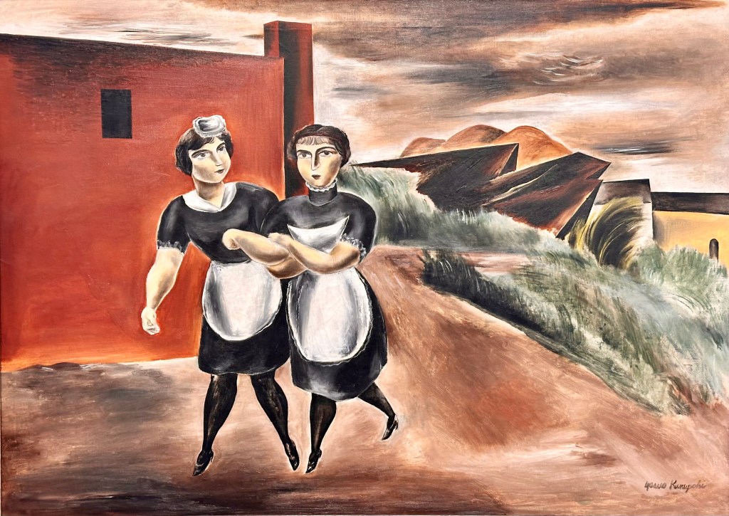
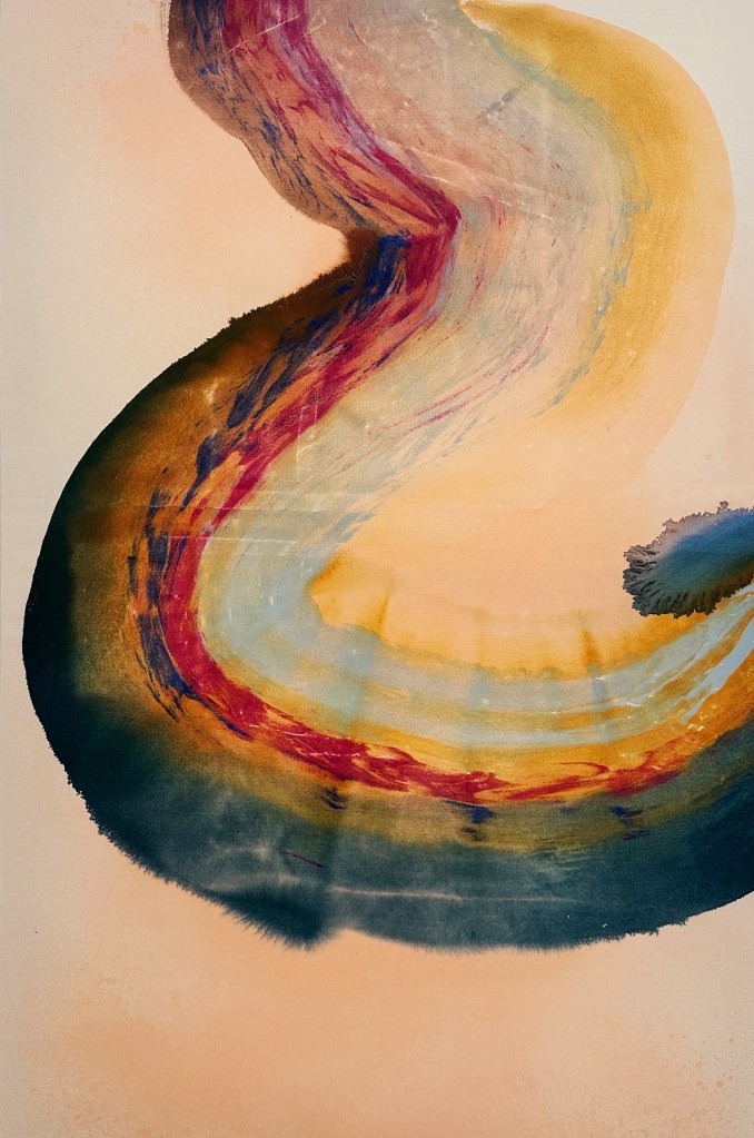
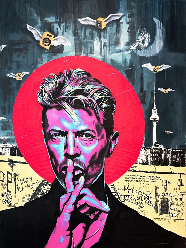
The works below are from an exhibition by Andreas Schulze. We liked his paintings – we do not know why – so we have included a sample from the exhibit.
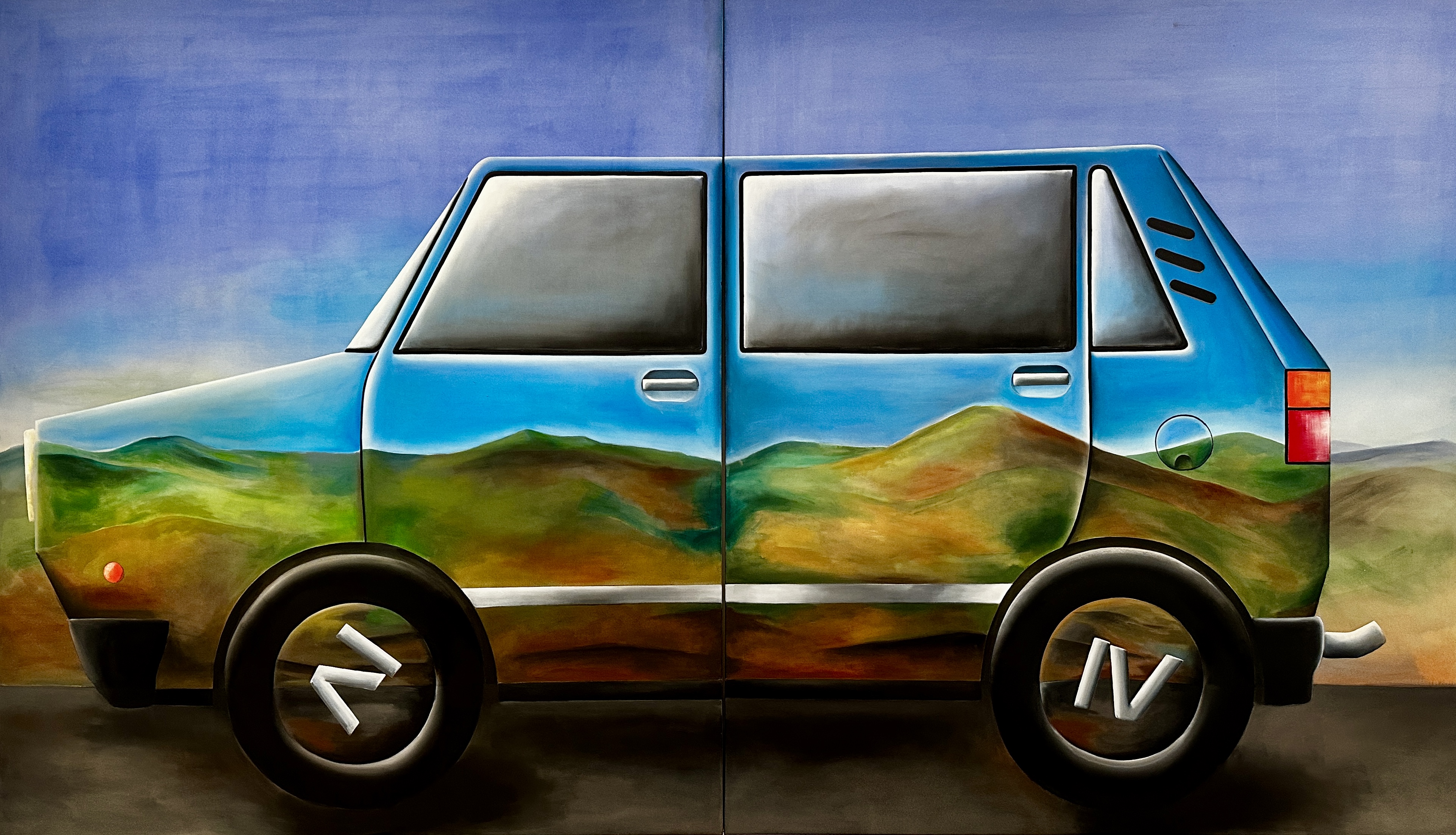
Schulze was born in Germany in 1955. He is based in Cologne and still actively painting. Schulze is considered one of the great Individualist (Neo-Expressionism) painters from Germany.
After a reset at the citizenM we ventured back to back to the Grove for dinner at Chop Steakhouse & Bar. The previous morning while having fika at Emissary Coffee we met two nice young women – Kelsey and Macy. They recommended Chop Steakhouse which, as it happens, is where they both work. We are glad we took them up on their recommendation because we had a very fine meal and Macy was our server to boot!

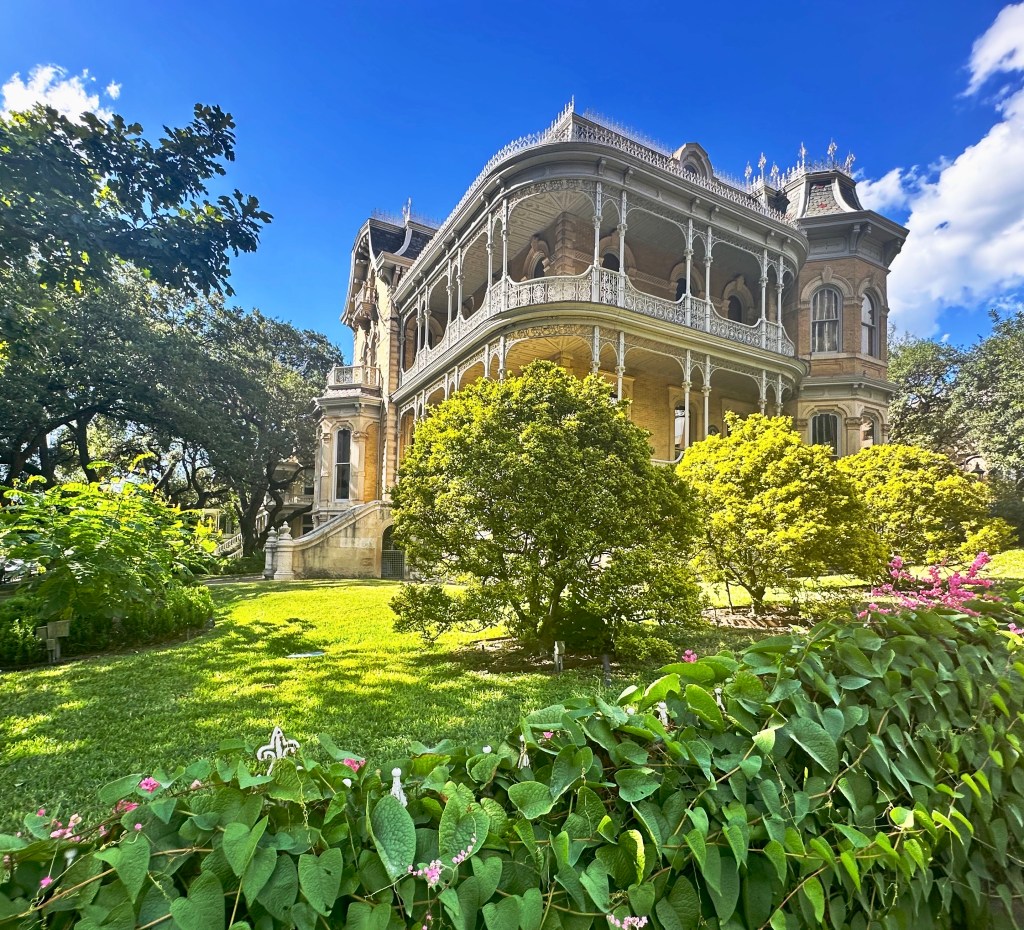
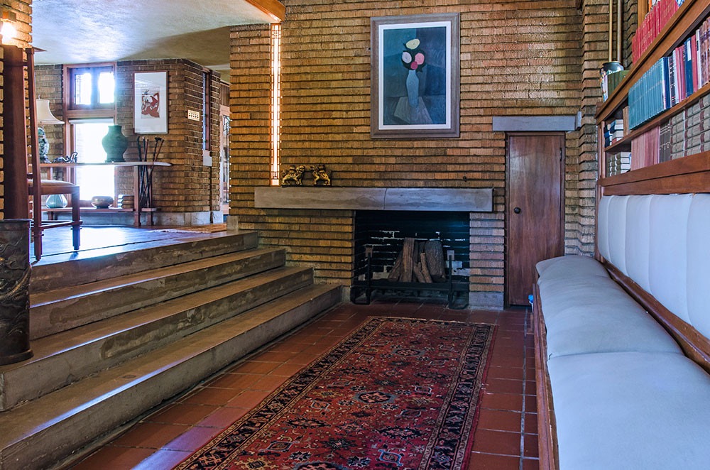
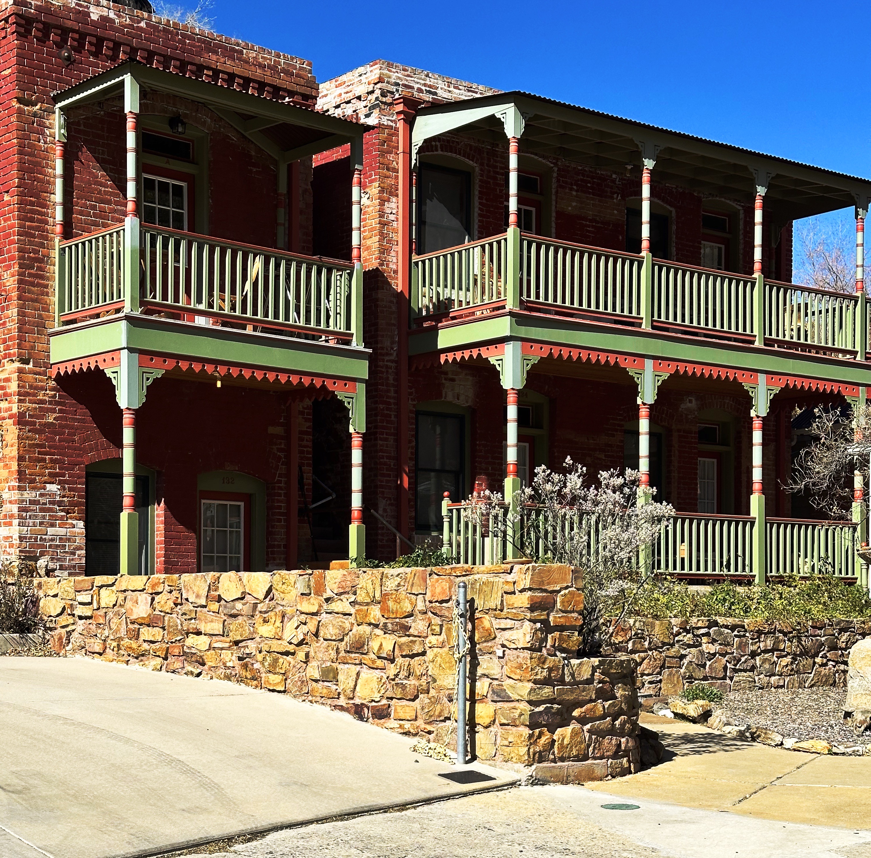
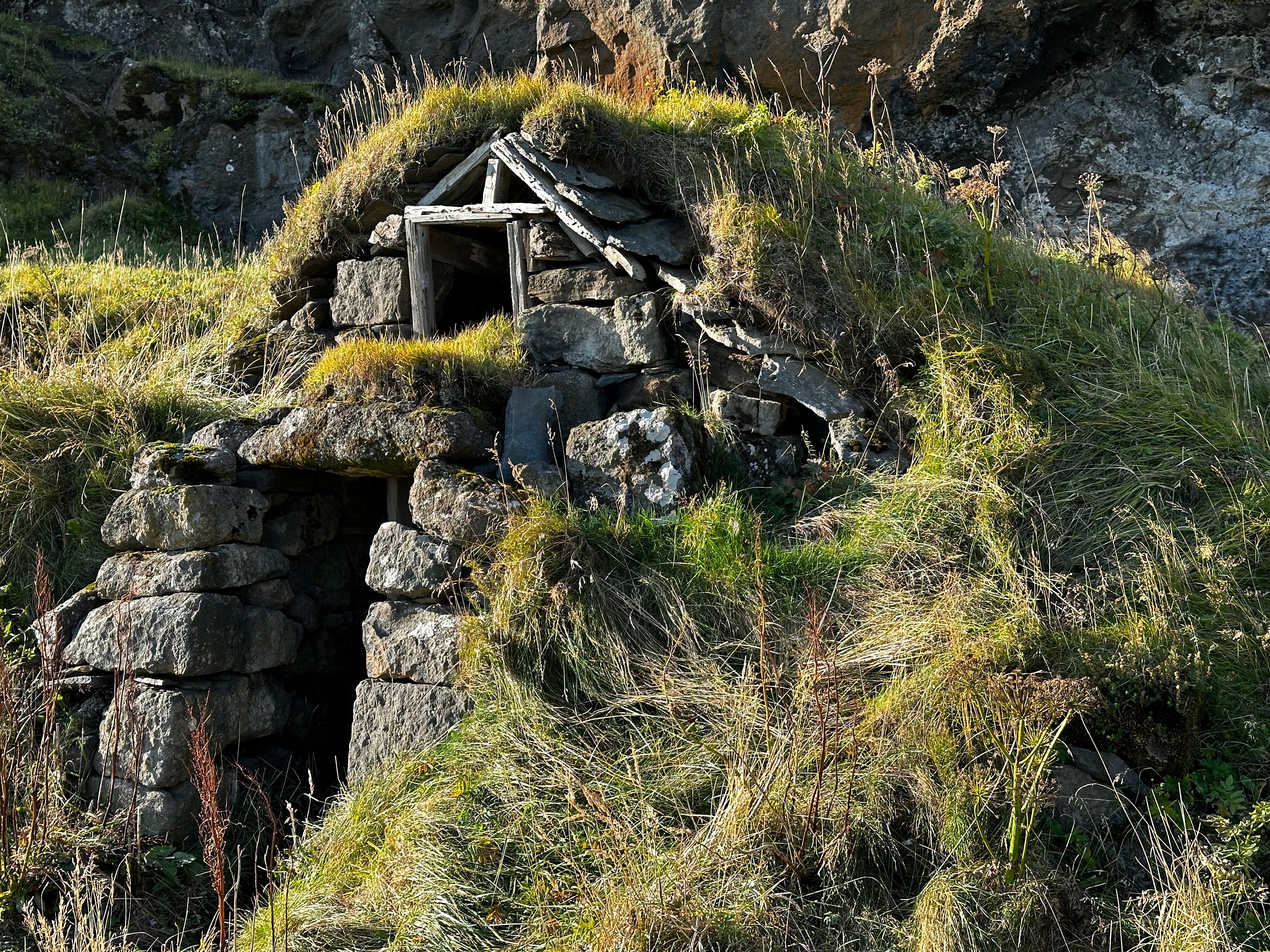
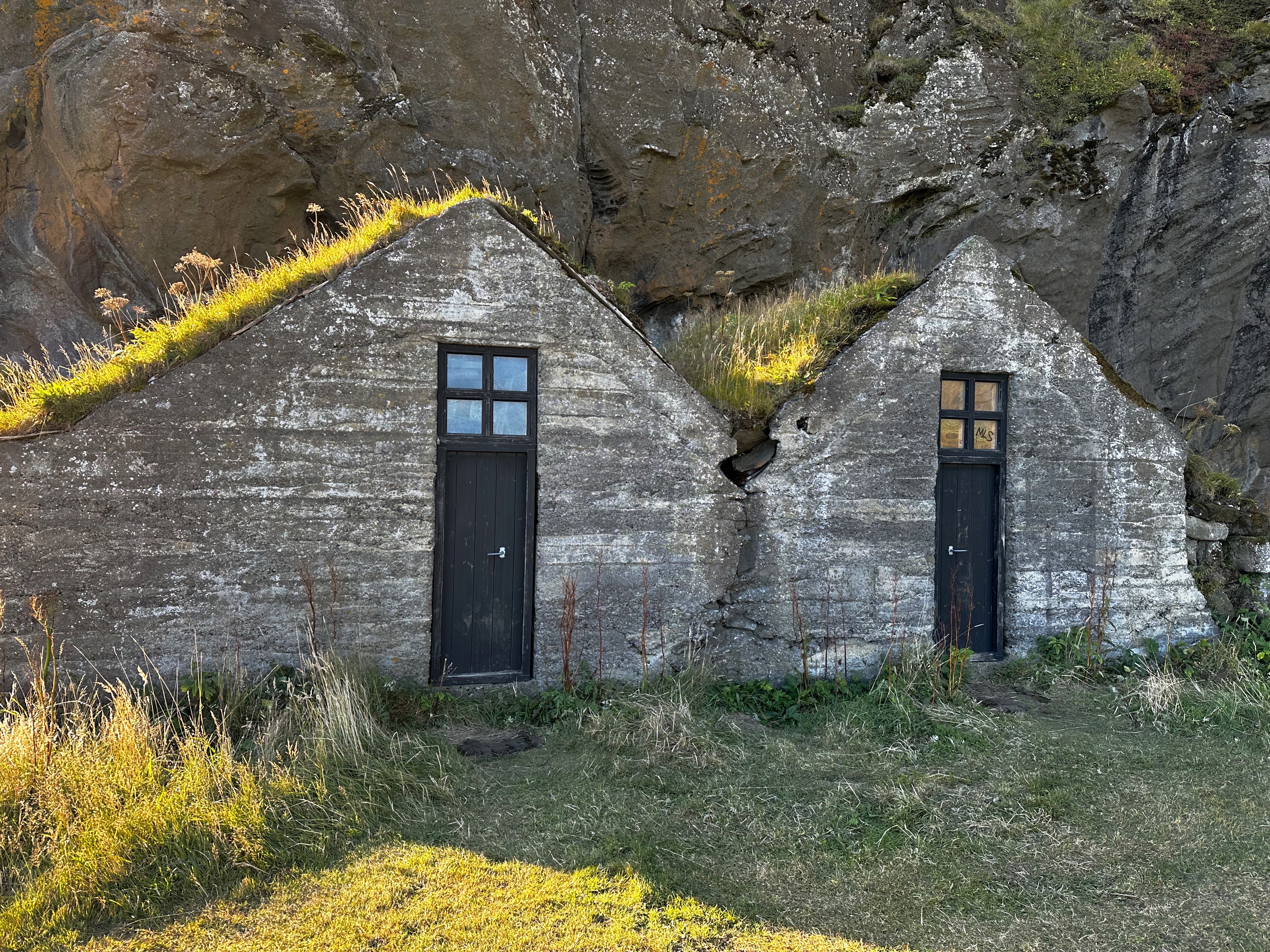
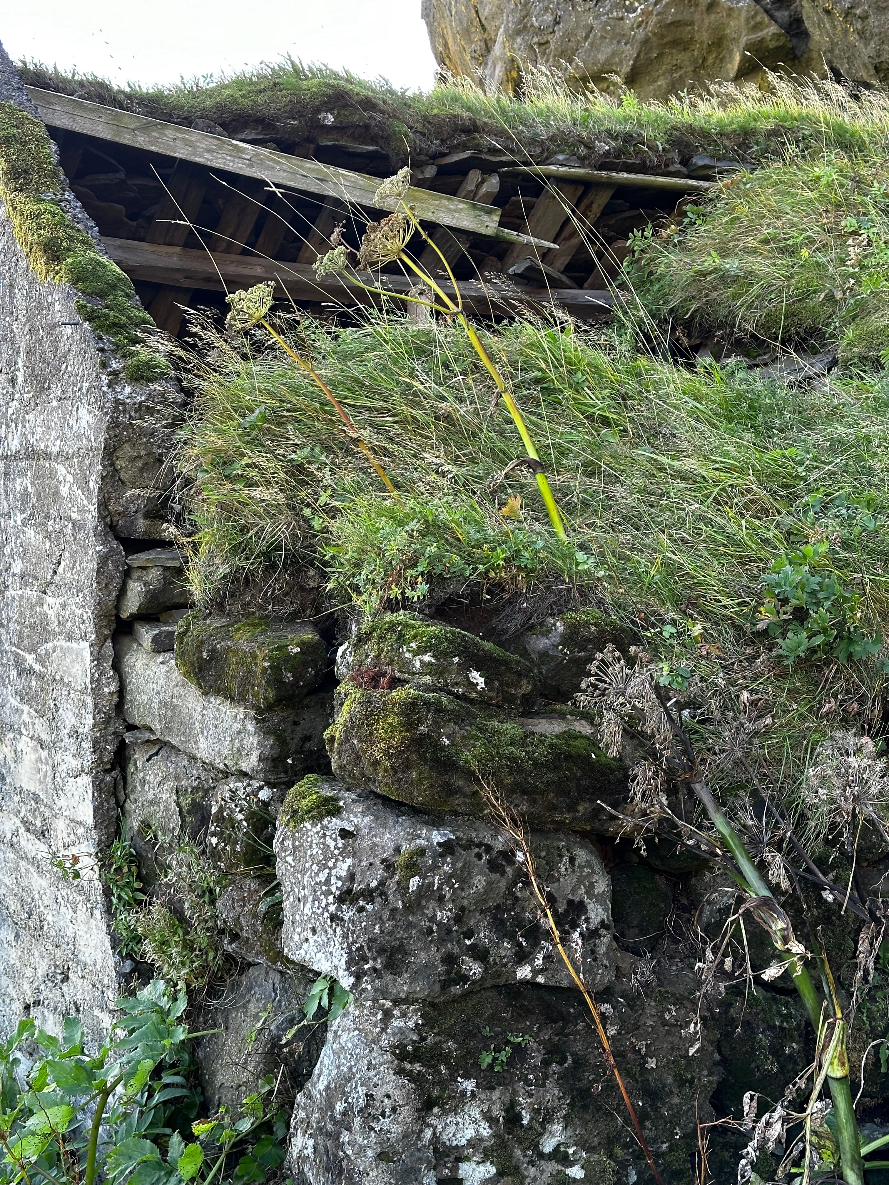
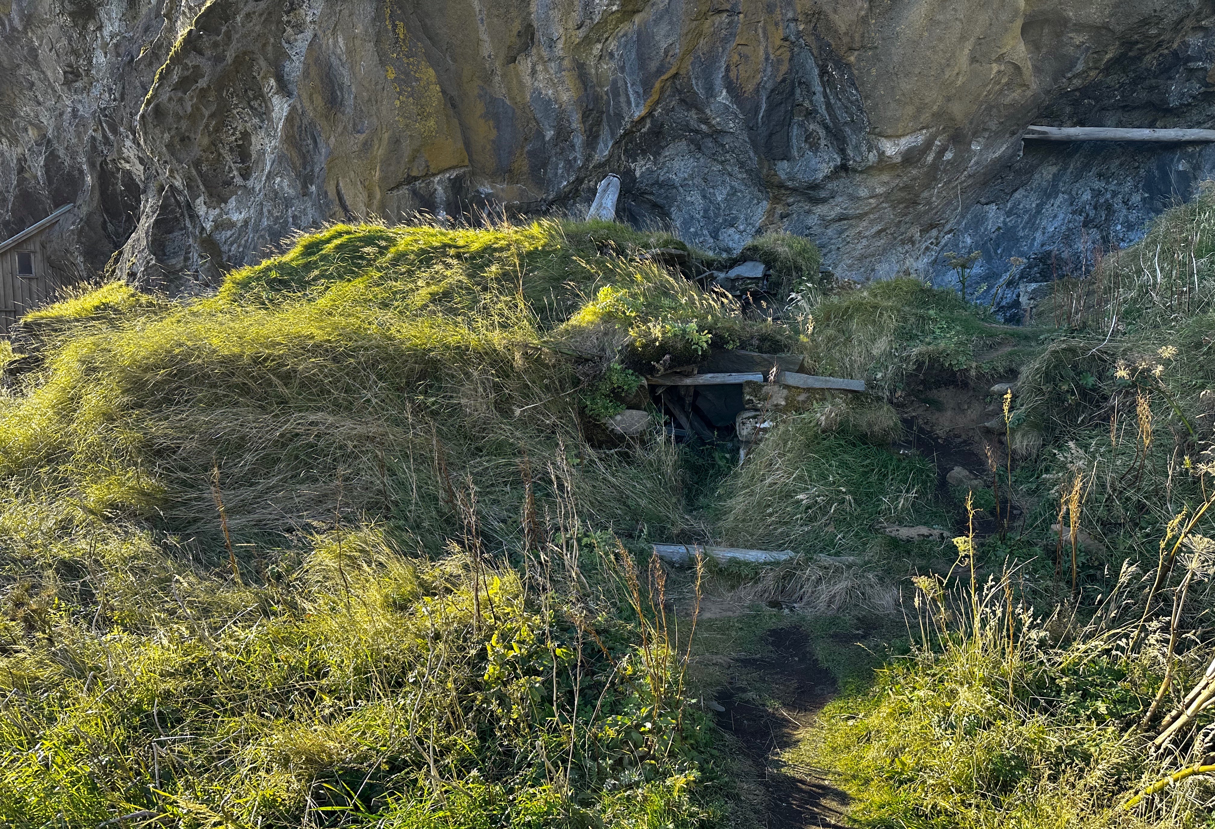
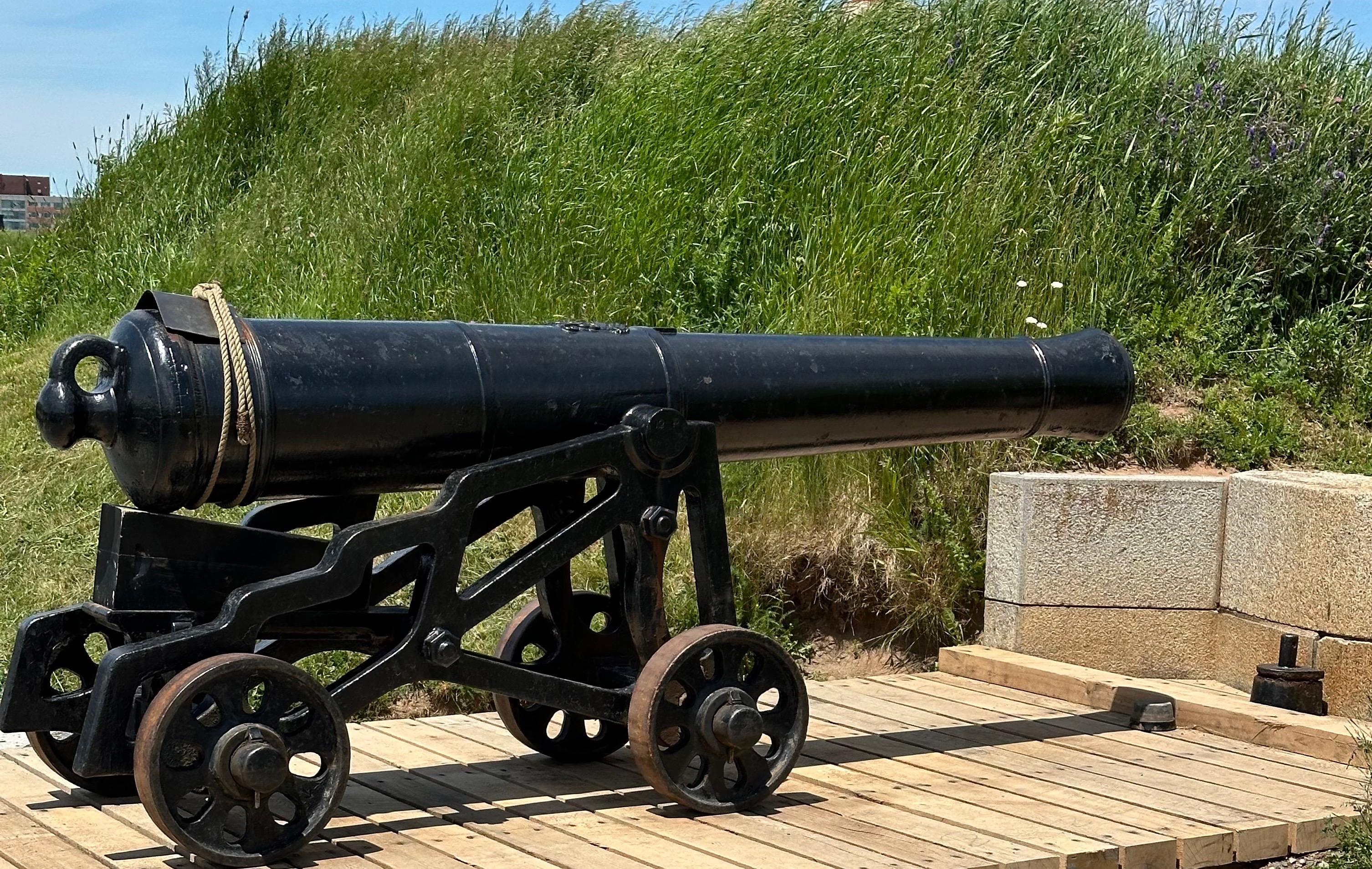
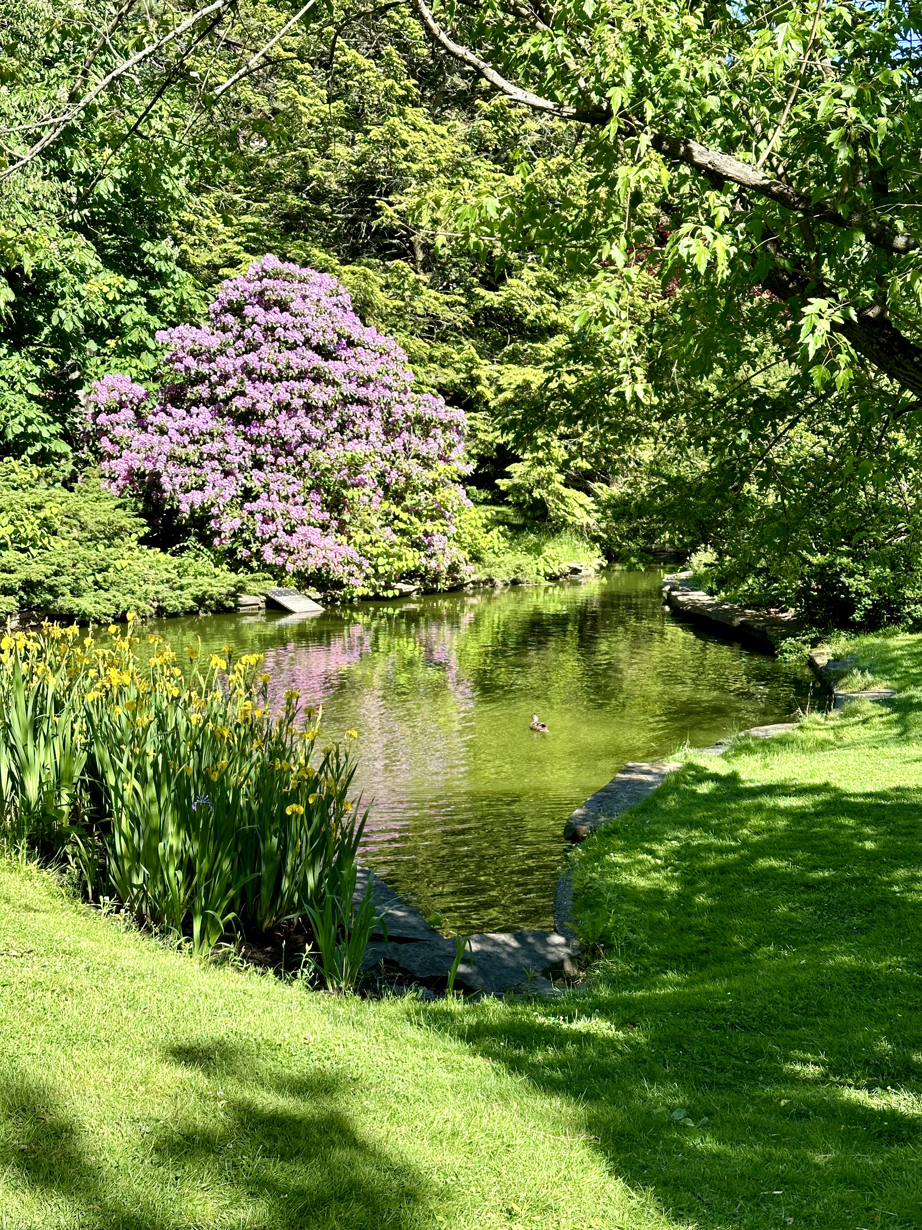
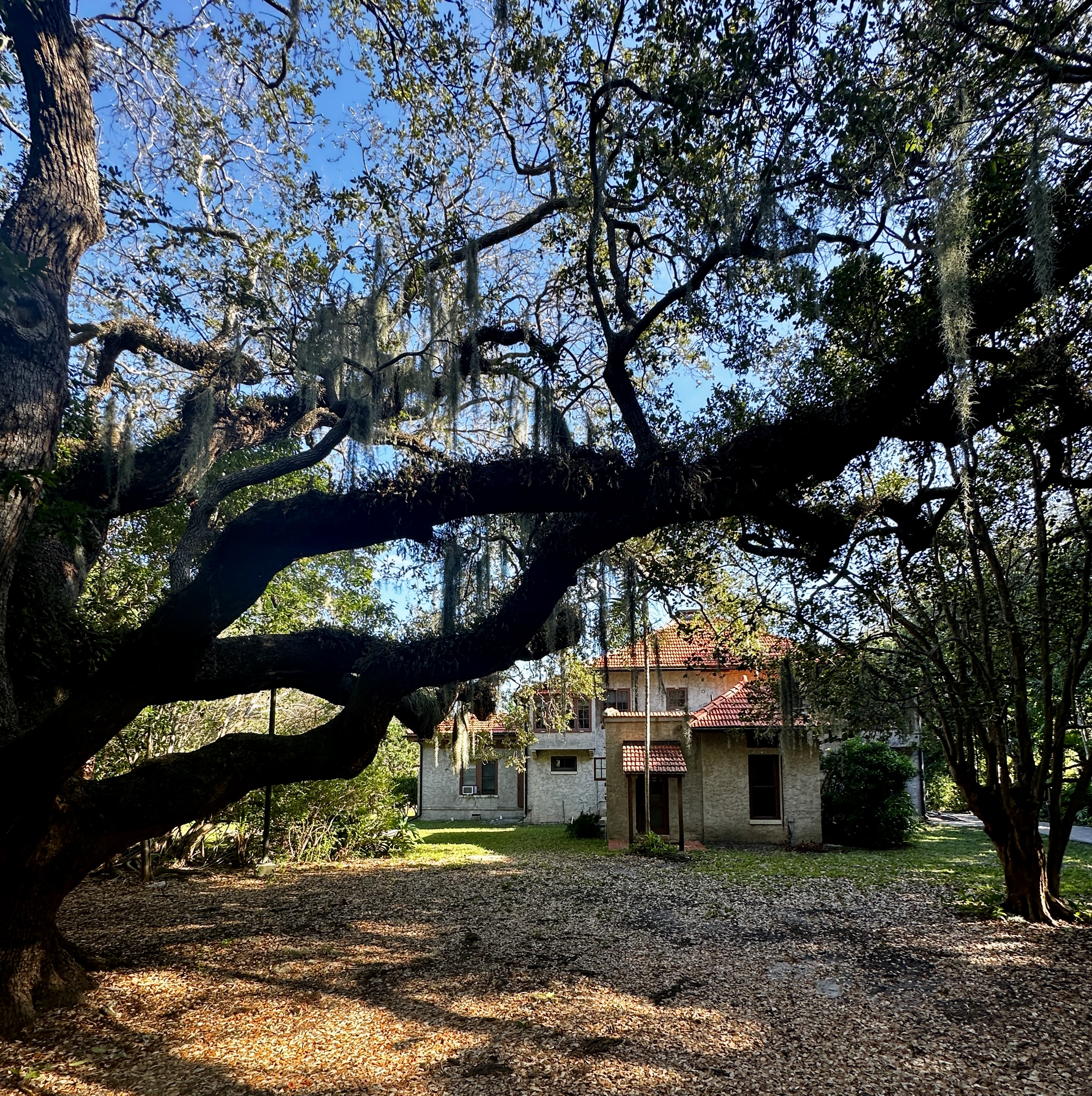
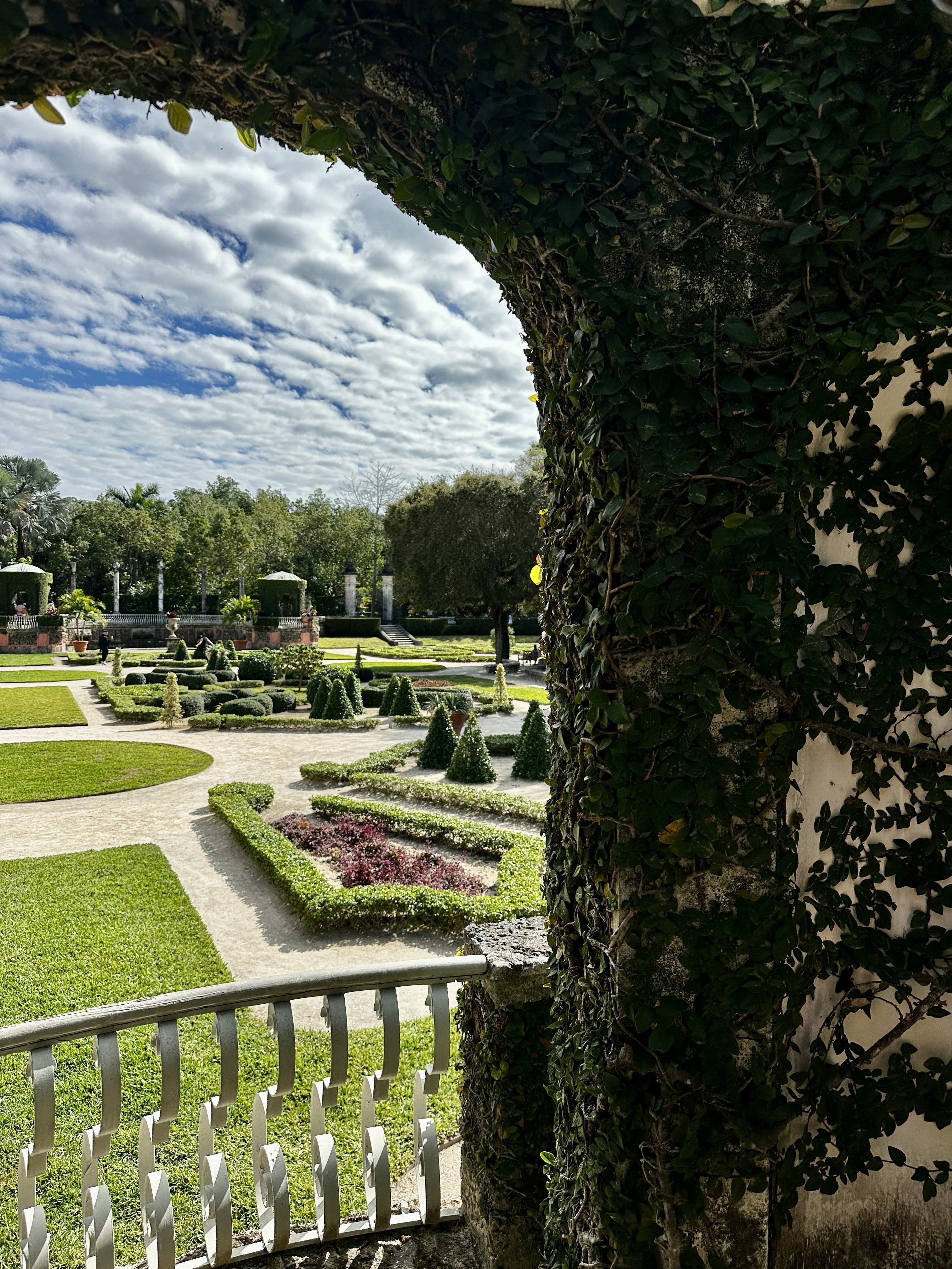
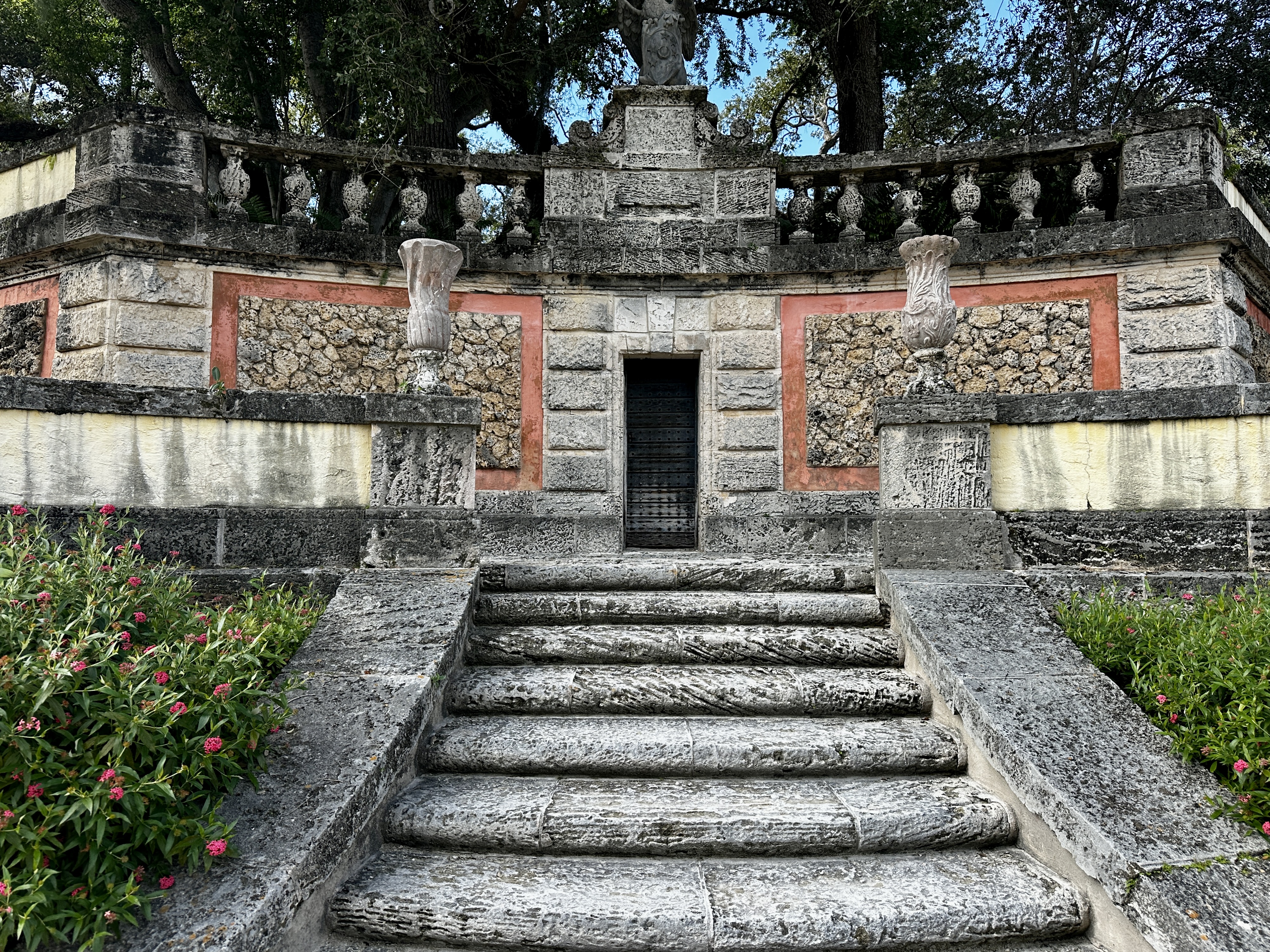
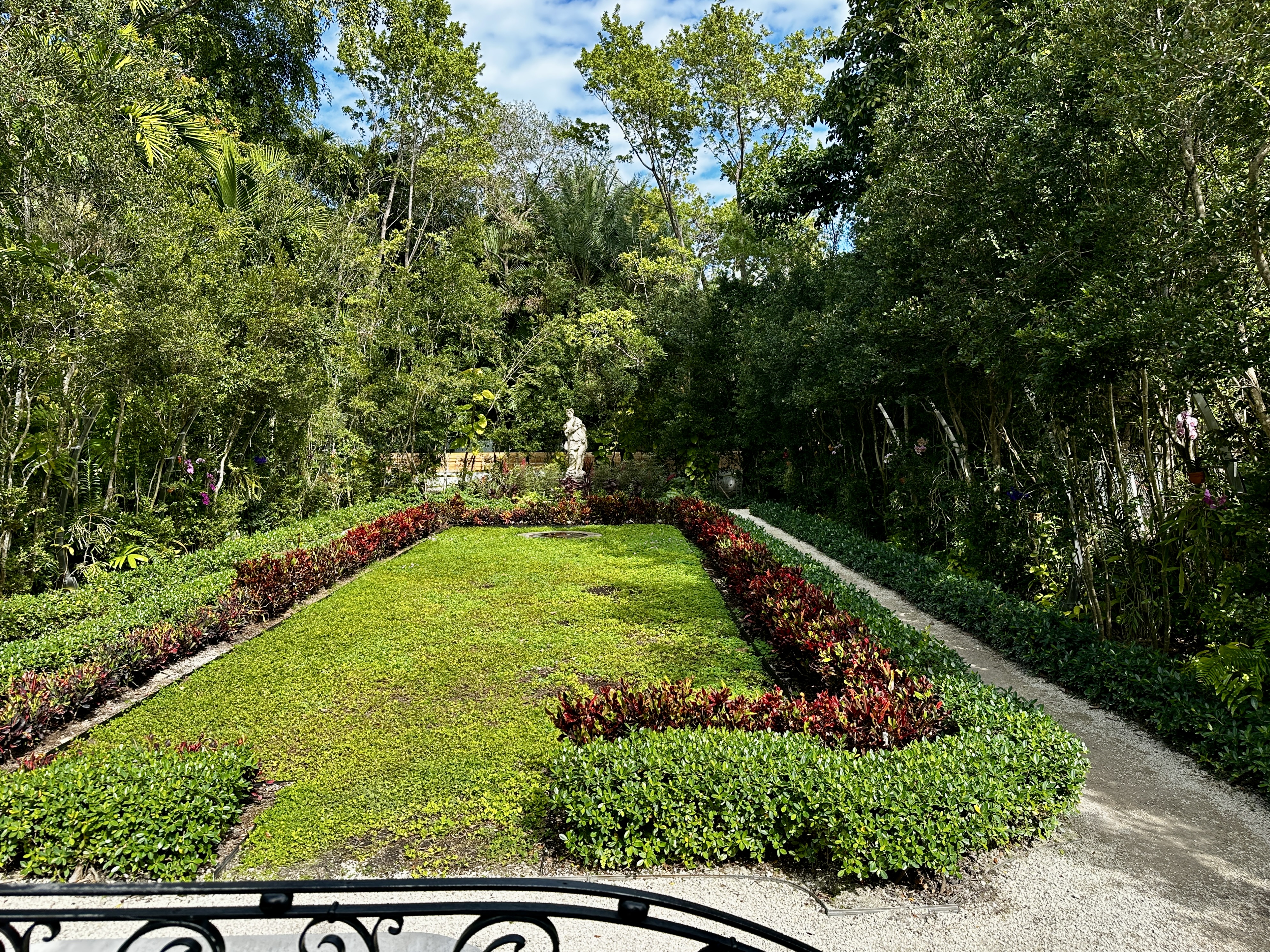
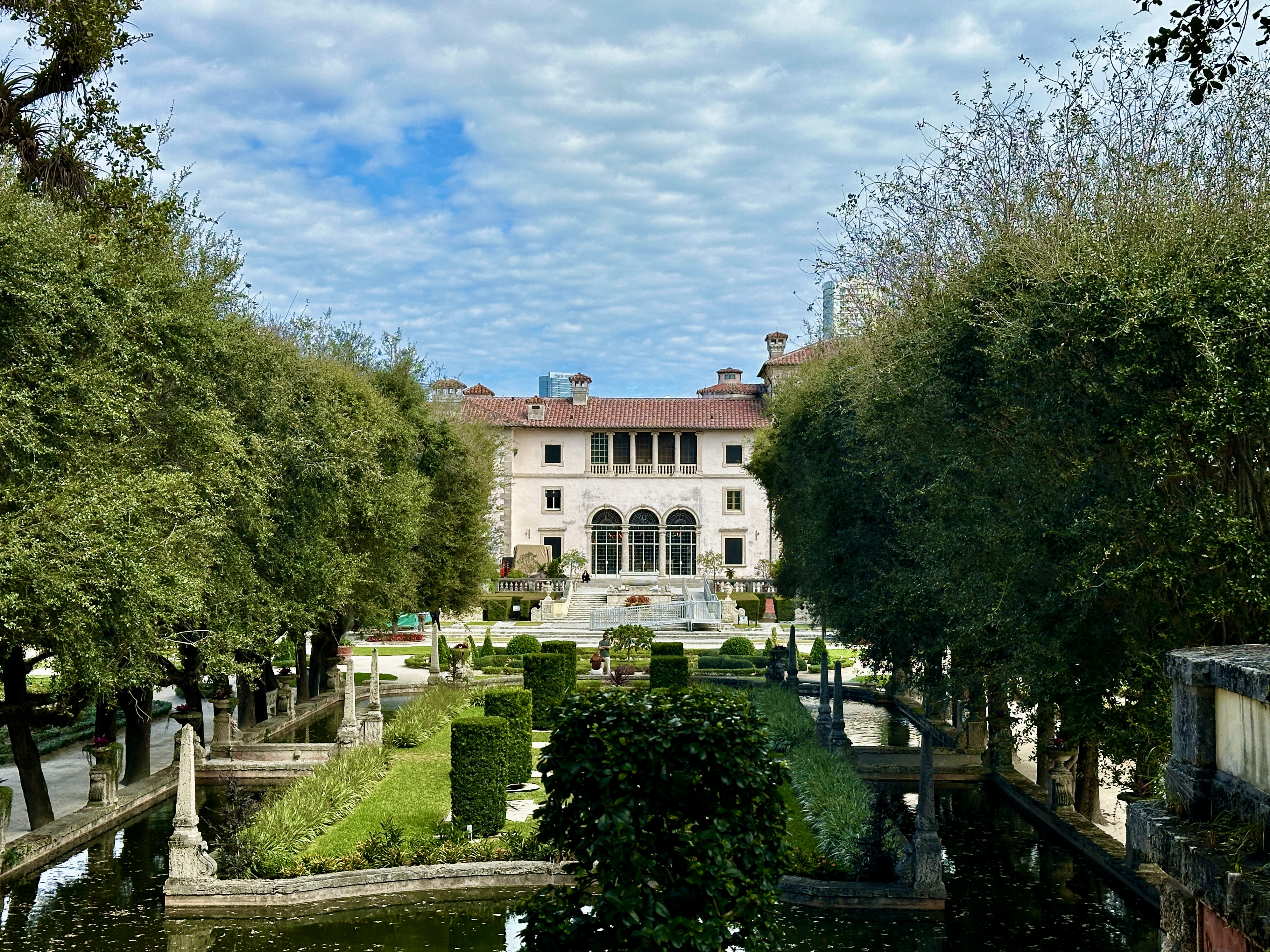
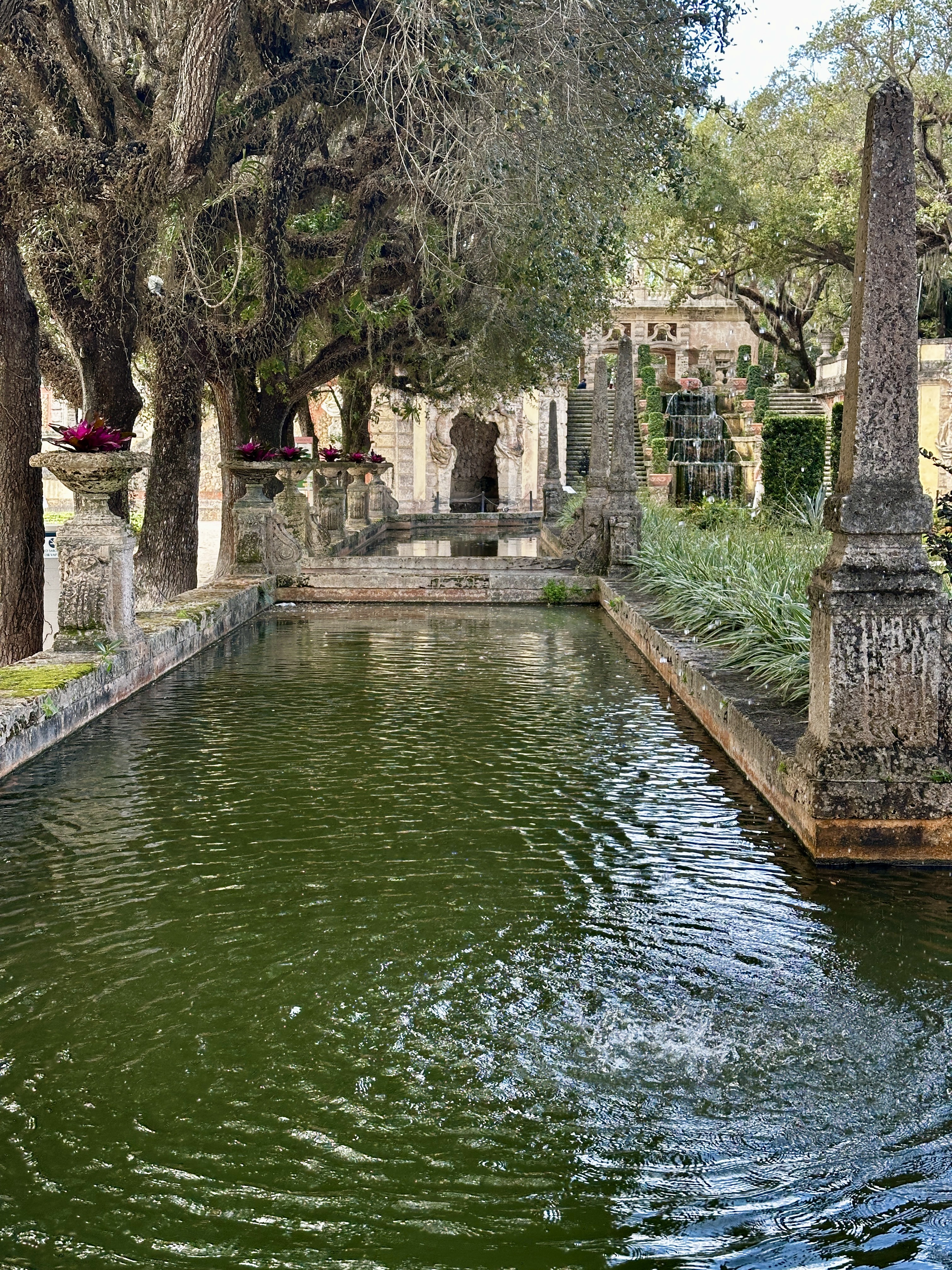
DAY TEN – We had an evening flight so we were able to spend the day exploring. We decided to visit the Vizcaya Museum and Gardens. The property was originally the winter home of James Deering who managed the family business – Deering Harvester Company – which later became International Harvester. The 34 room mansion sits on the waterfront and is surrounded by extensive Italian Renaissance style gardens.
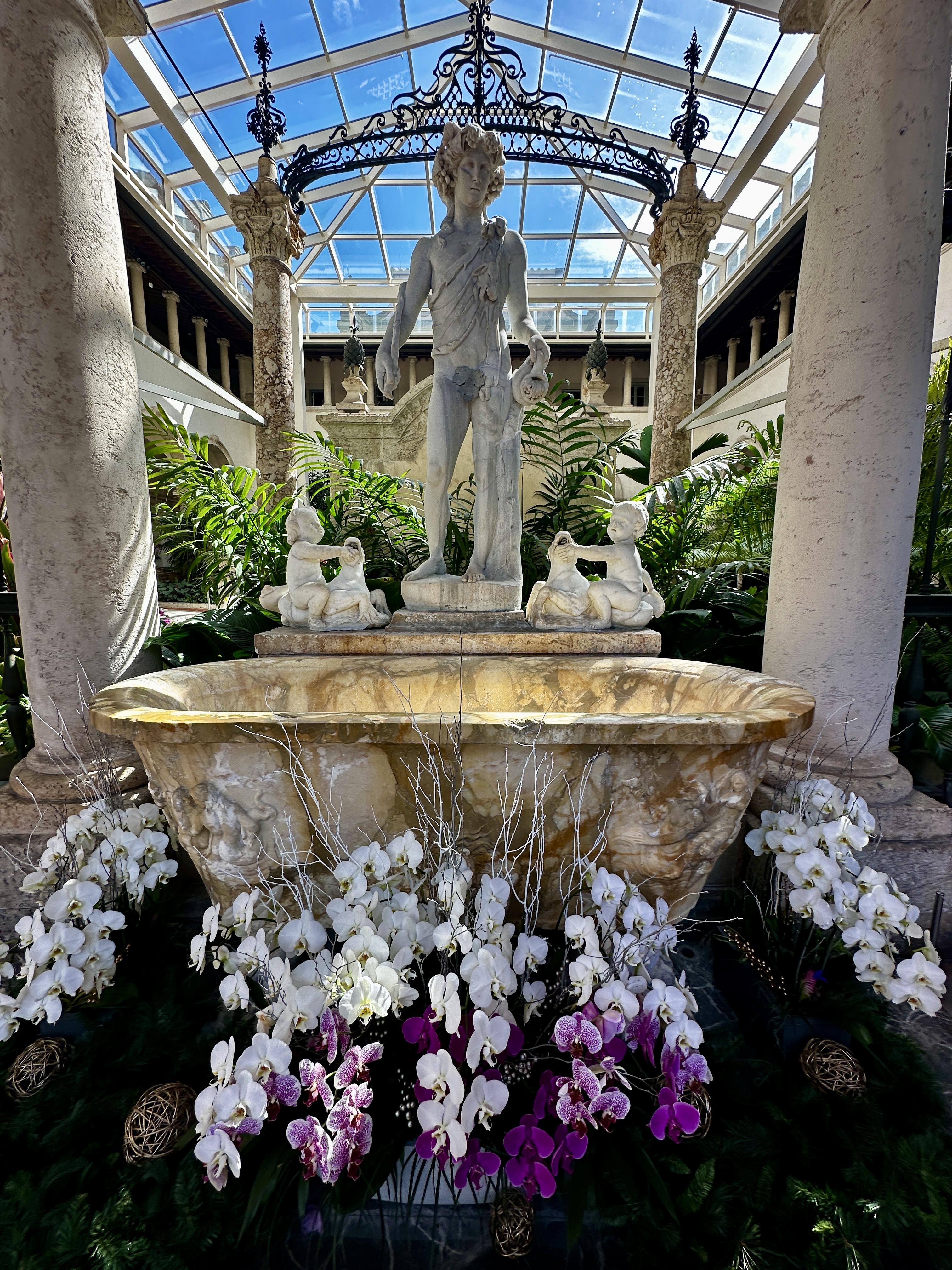

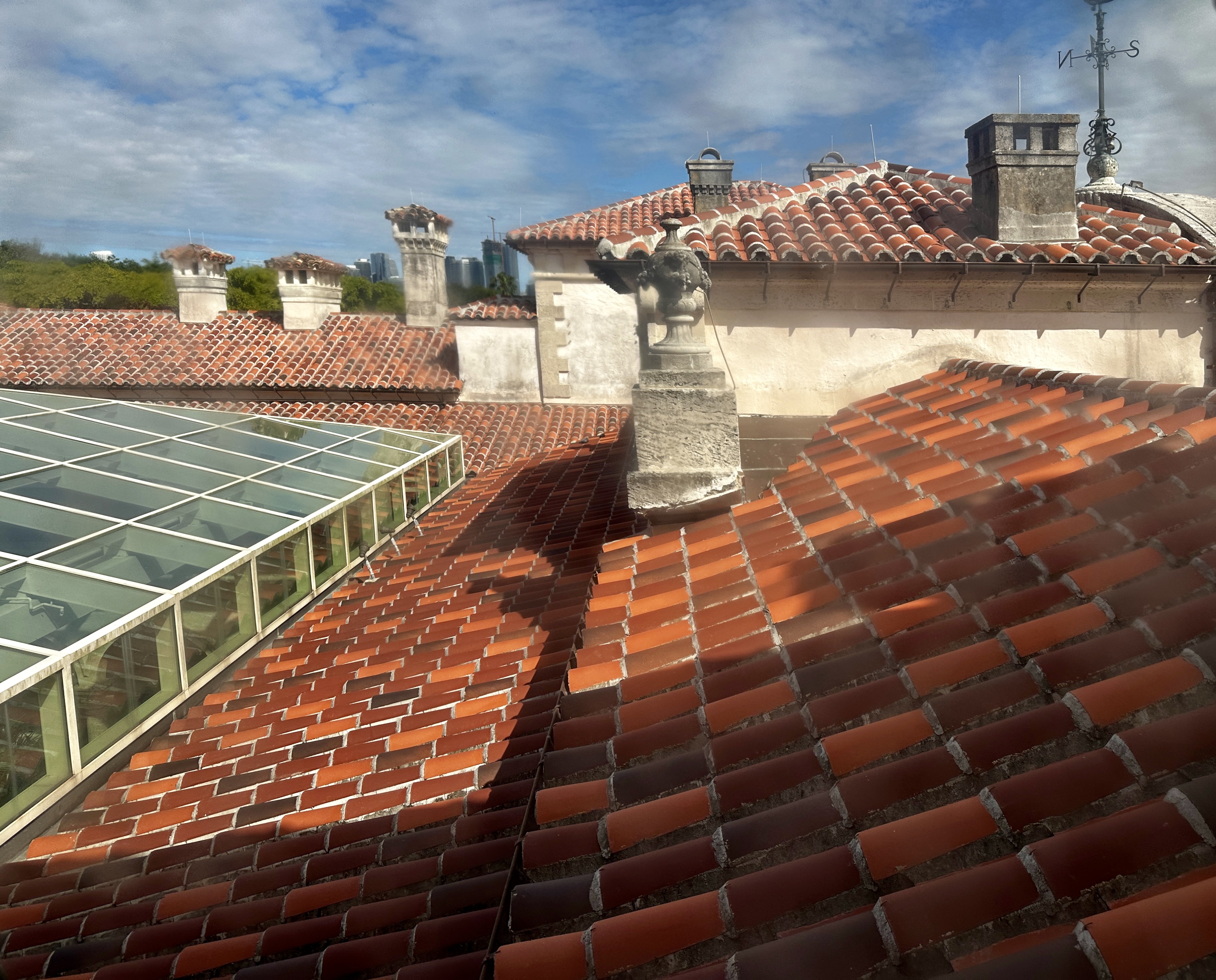
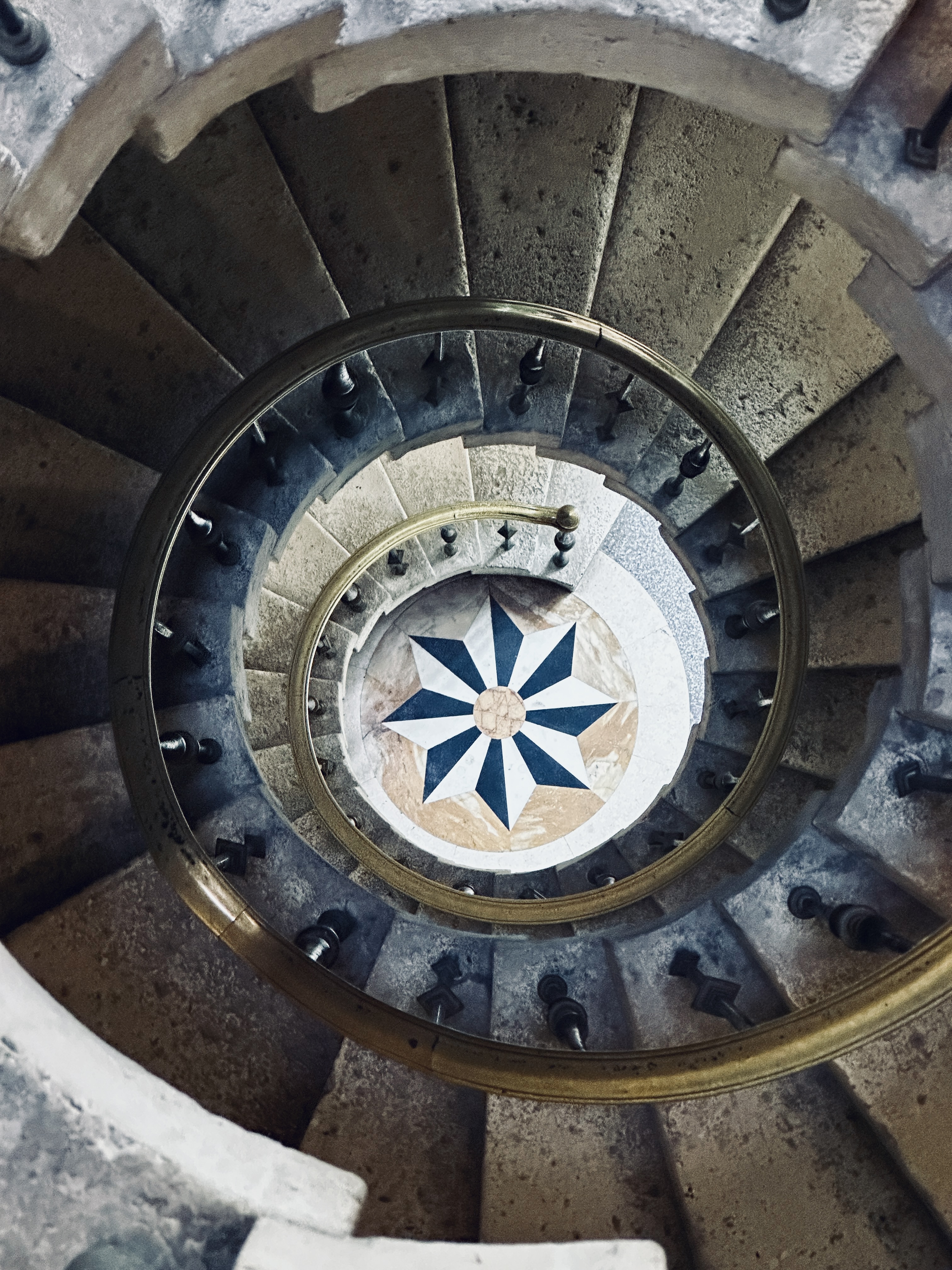
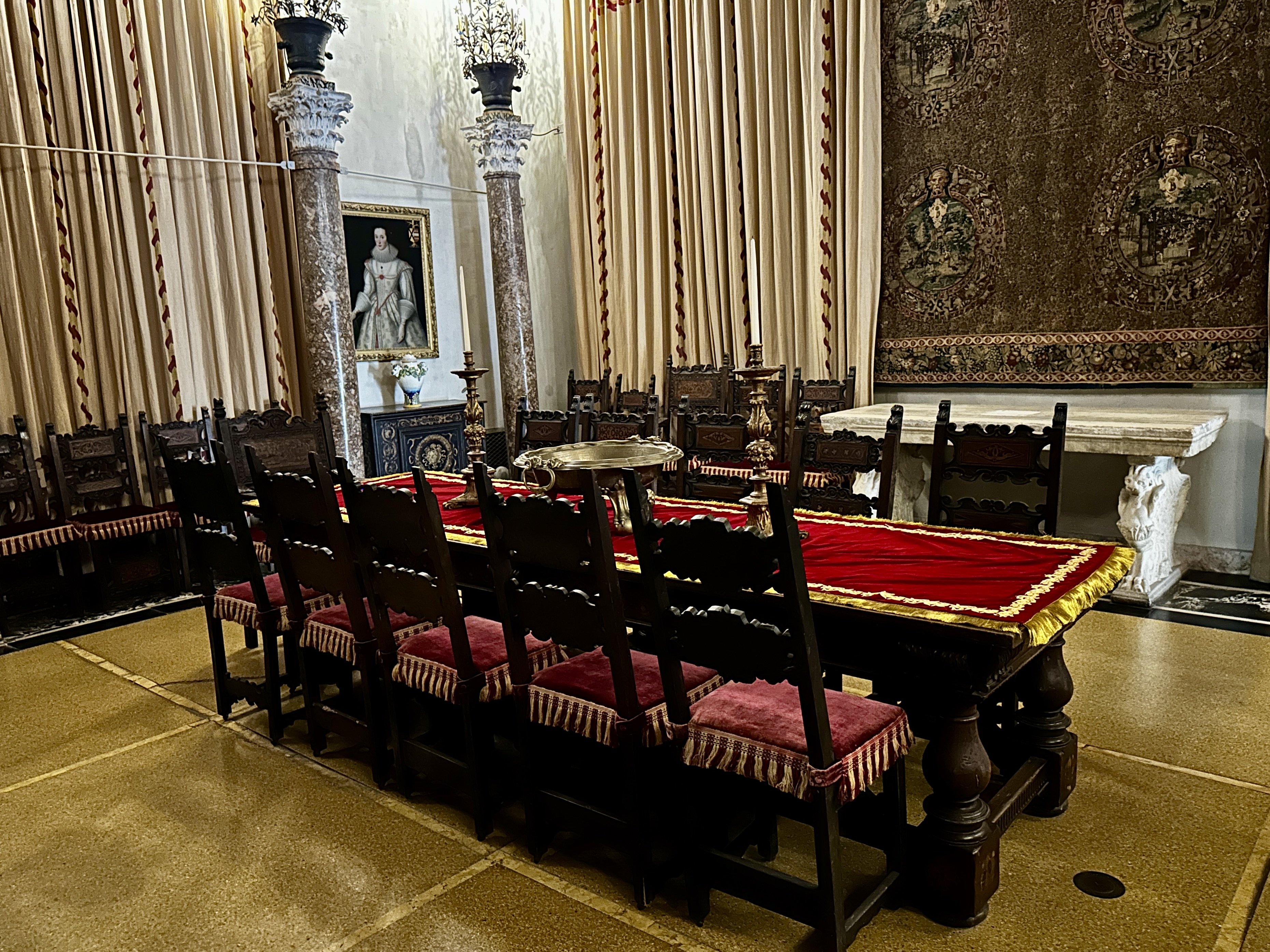
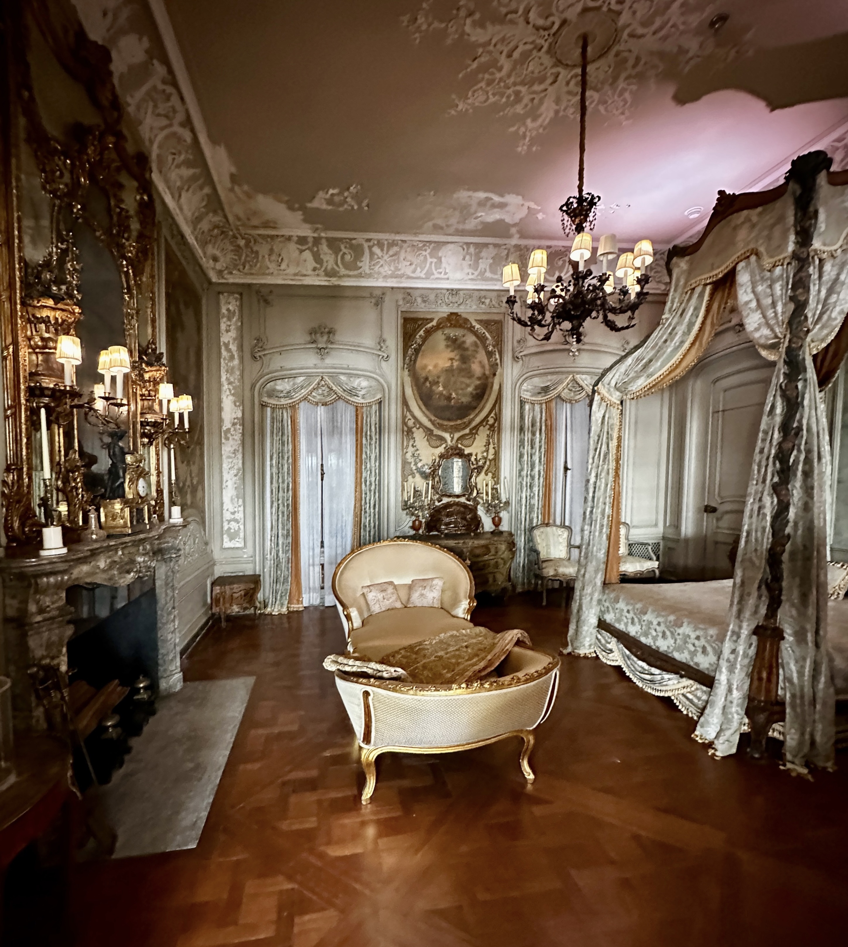
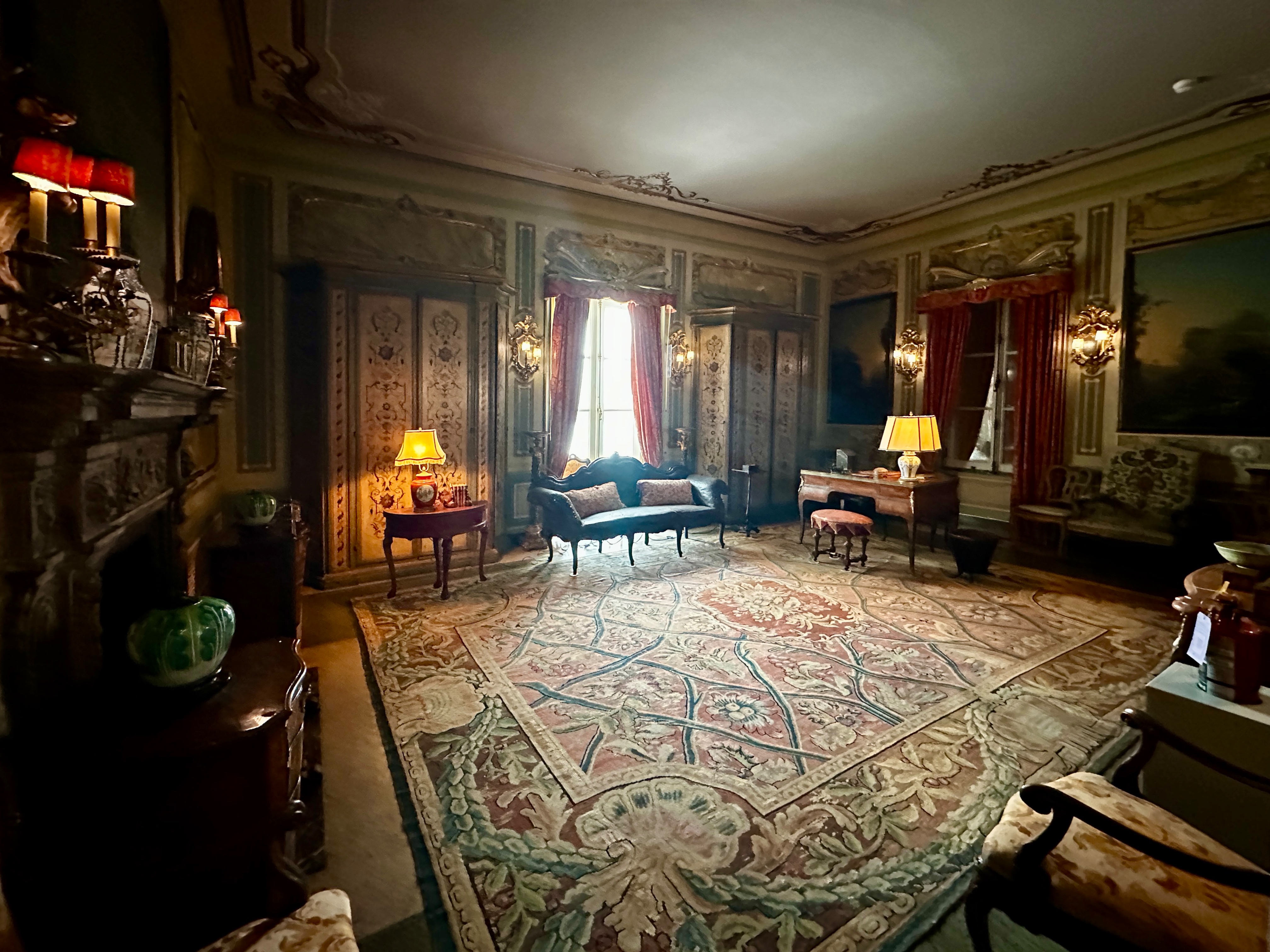
Construction of the estate took place between 1914 and 1922. Deering had retired from the business in 1909 and purchased the property in 1910. He then spent time traveling through Europe searching for materials and furnishings for the estate. The mansion and the furnishings are something to behold and for us bring to mind the enormous wealth that could be accumulated at that time in this country. In fact, there is an entire village complex across the road for the service and estate maintenance staff.
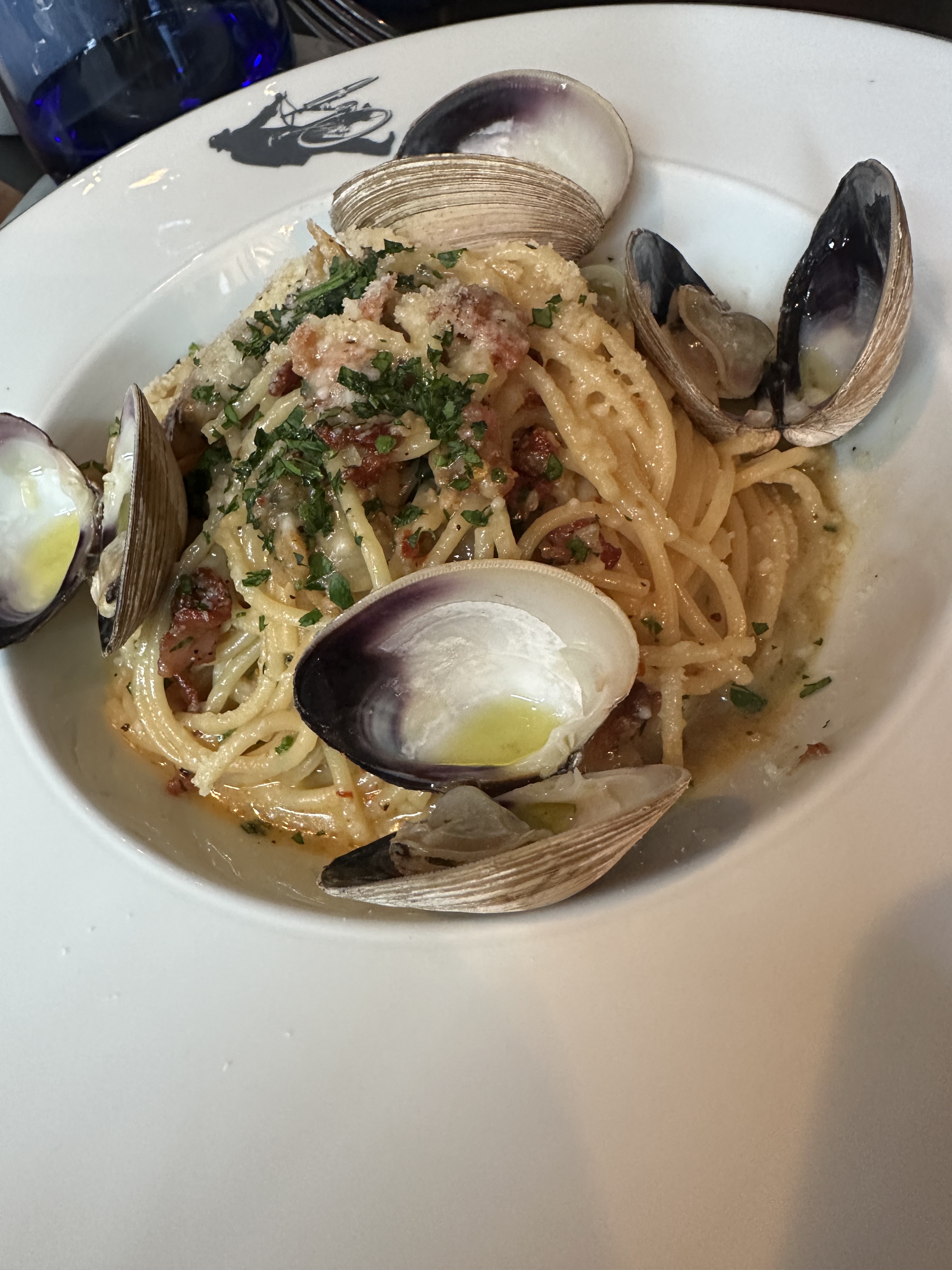
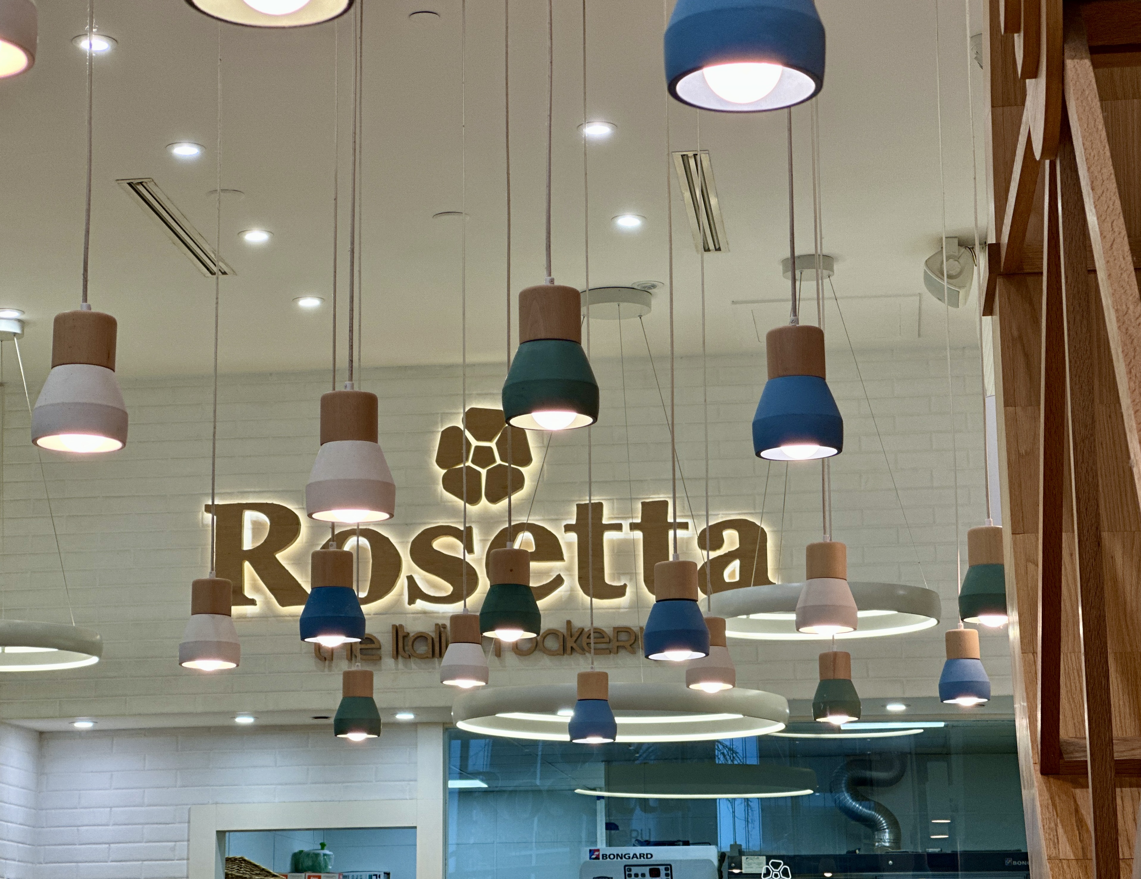
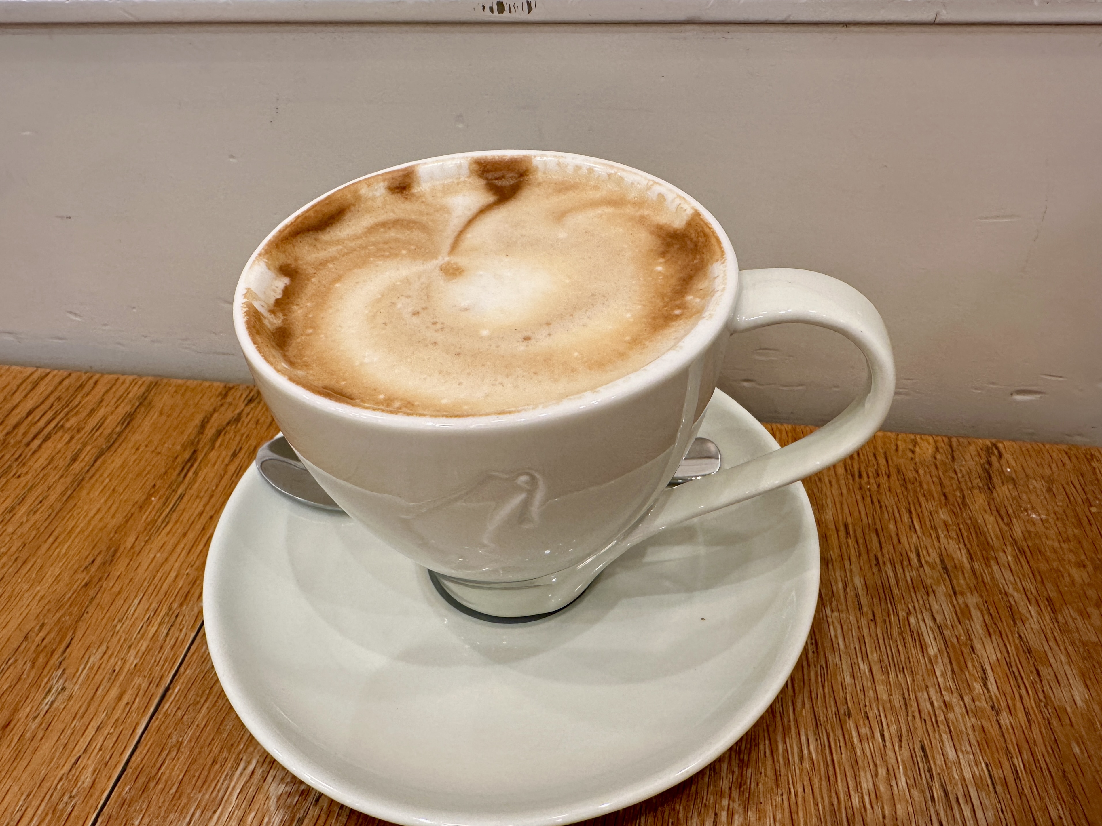
We rode the Metro Rail back to Brickell after finishing our tour of the mansion and the gardens. We had lunch at Rosetta Italian Bakery, collected our luggage and traveled to the airport for our flight.
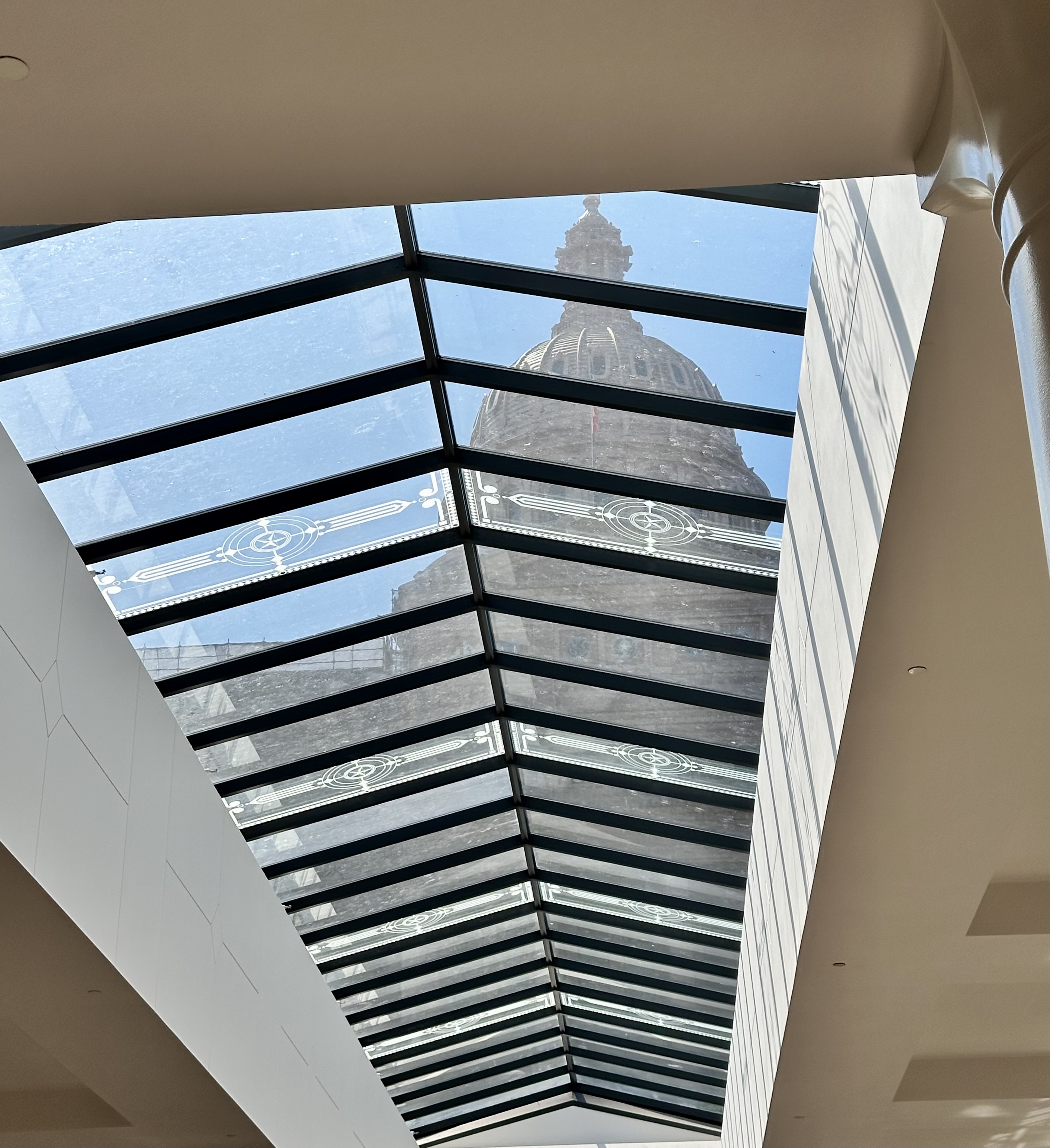
Next up in our 2025-2026 City Series Tour is San Antonio, Texas.
Be seeing you!