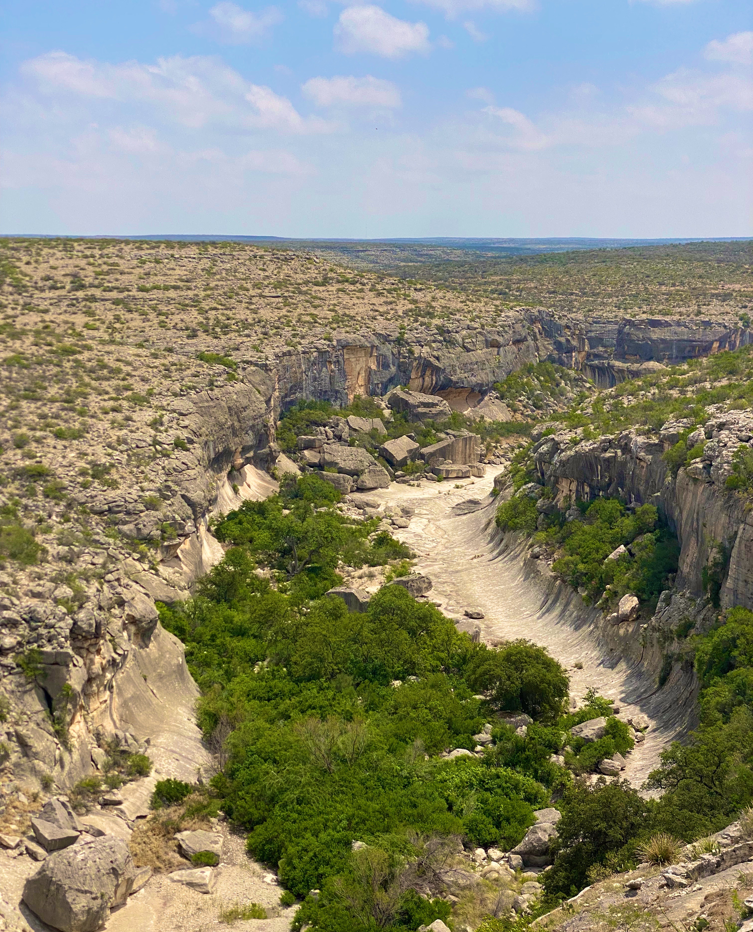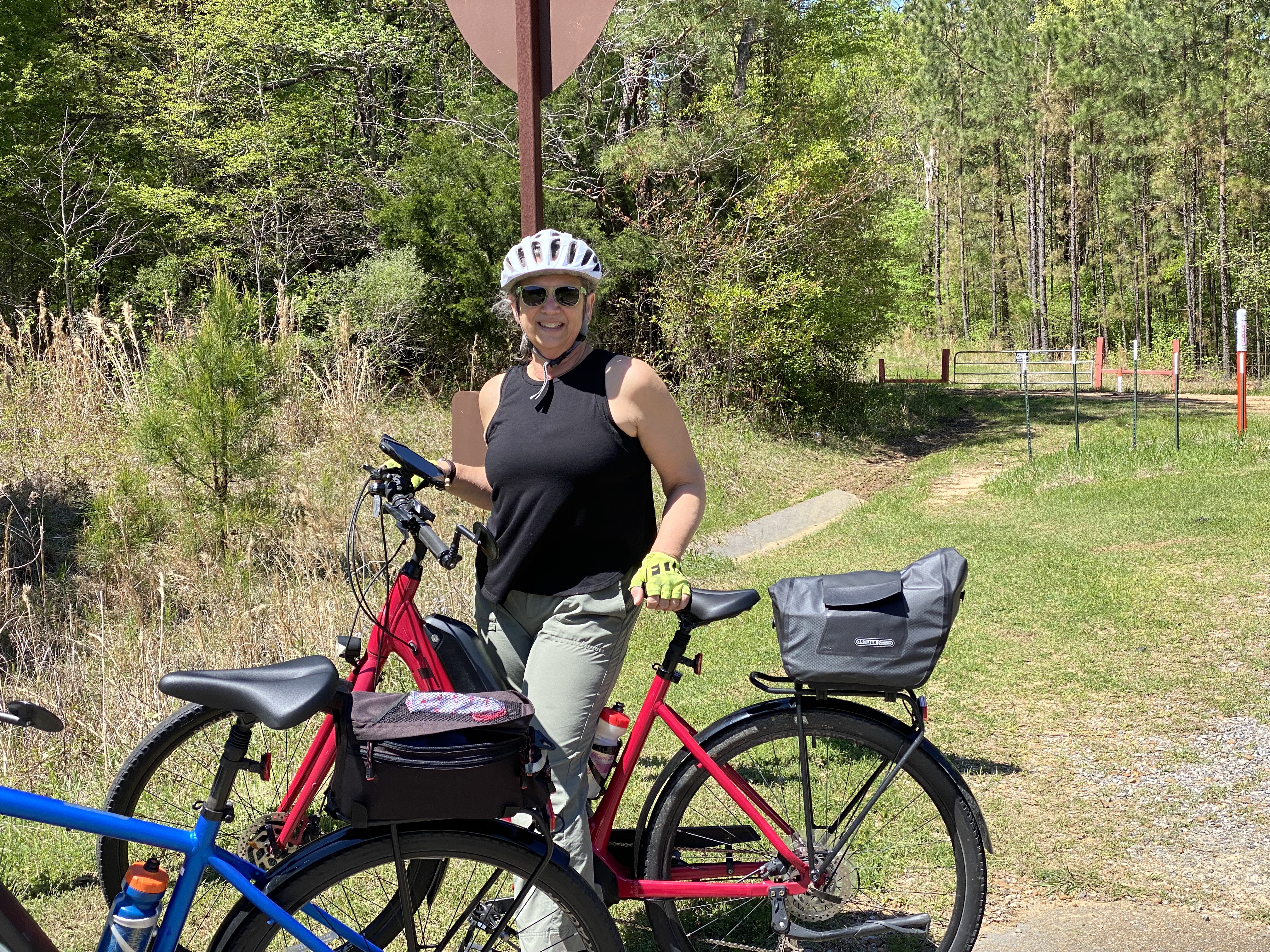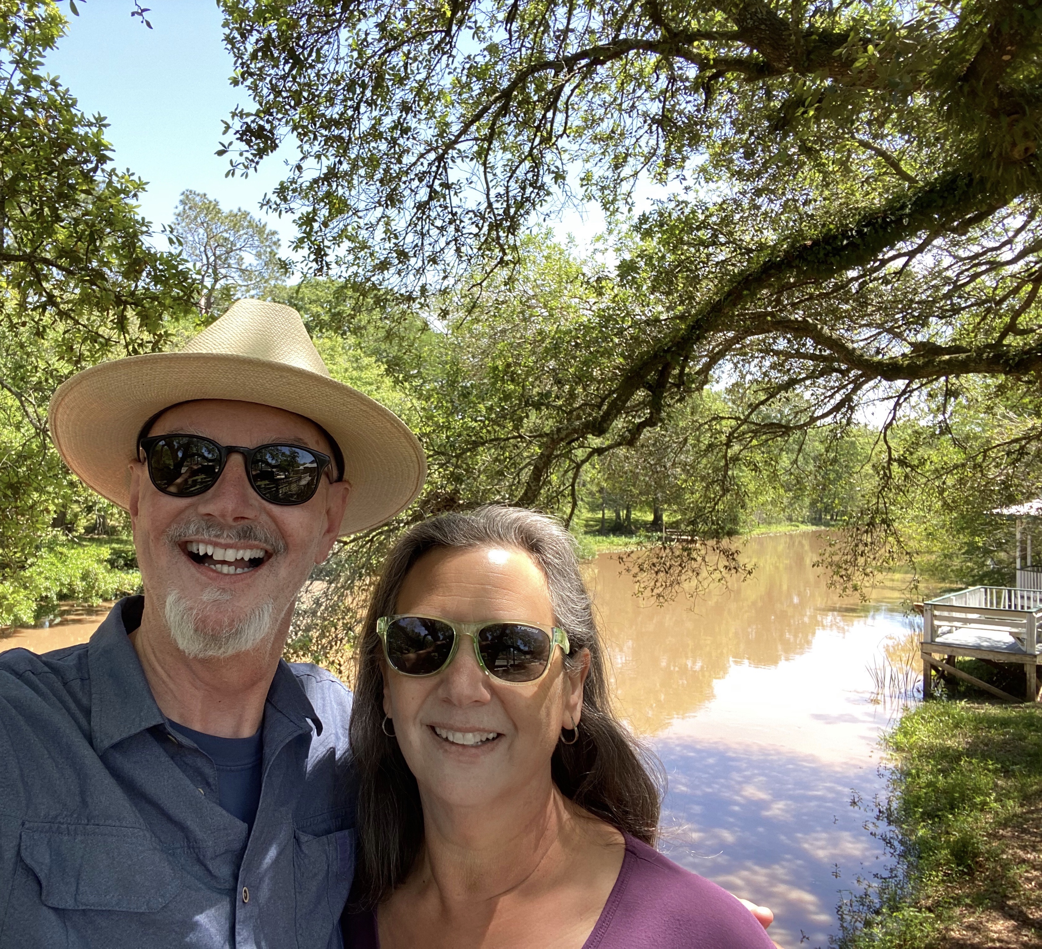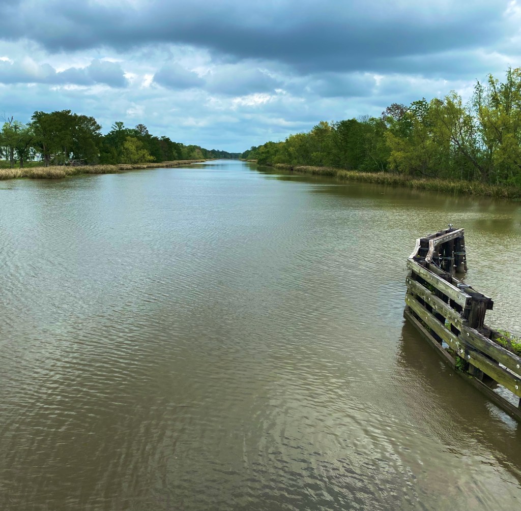
We had been in Texas and New Mexico several times prior to our most recent trip, but for some reason had steered around El Paso (EP). Perhaps the timing was just not right or we were concerned about conditions there based on the reporting regarding the immigration issues at the border. Regardless, we were ready to explore EP as part of our OTR 9.0 adventure and draw our own conclusions about the city.


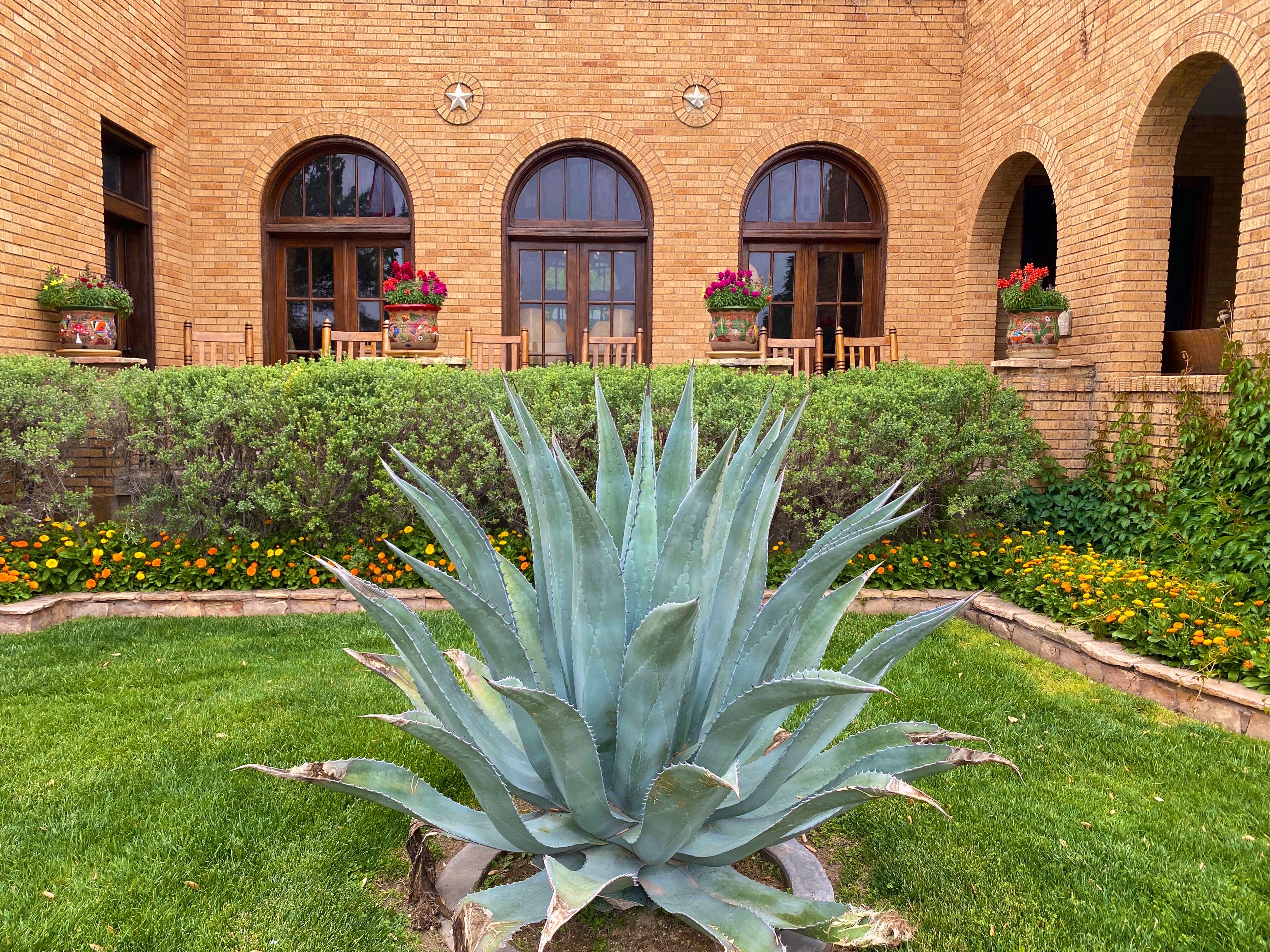
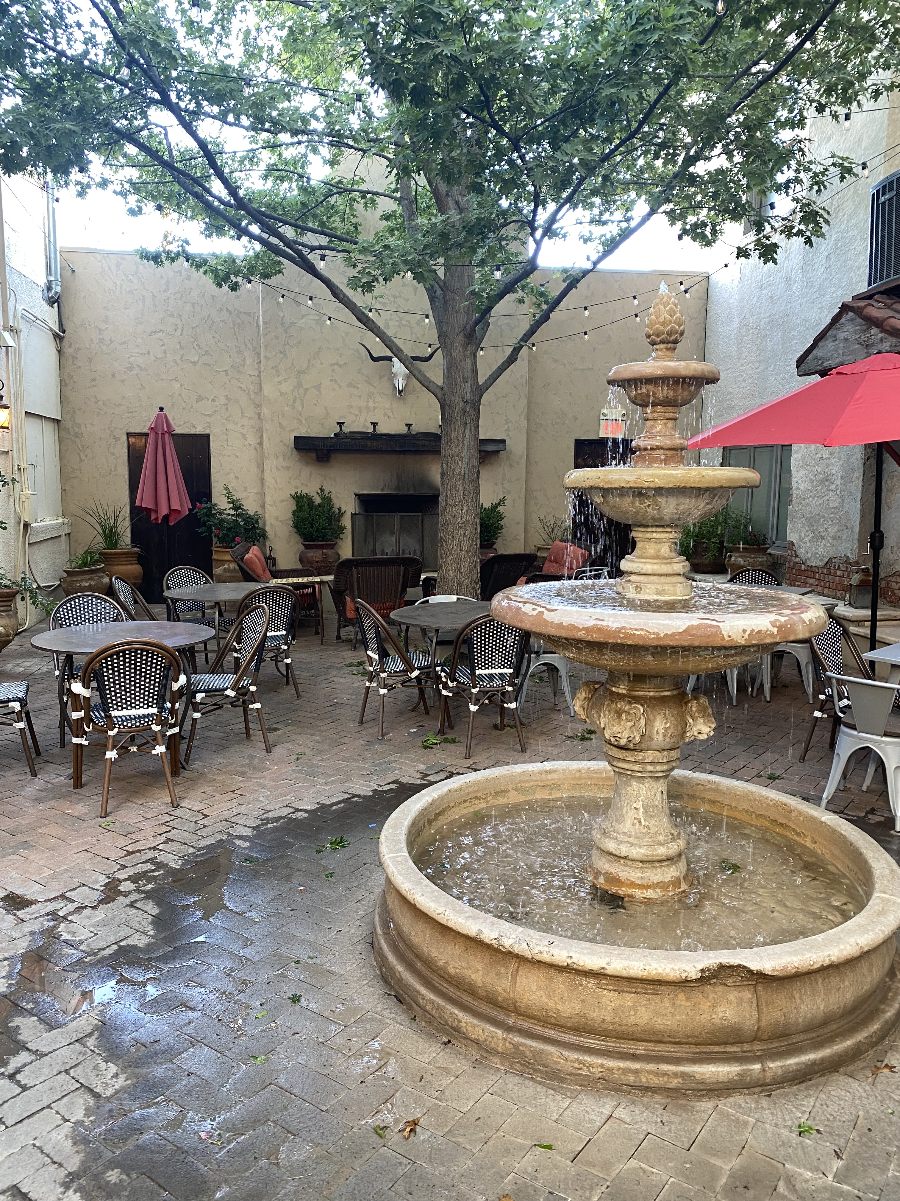
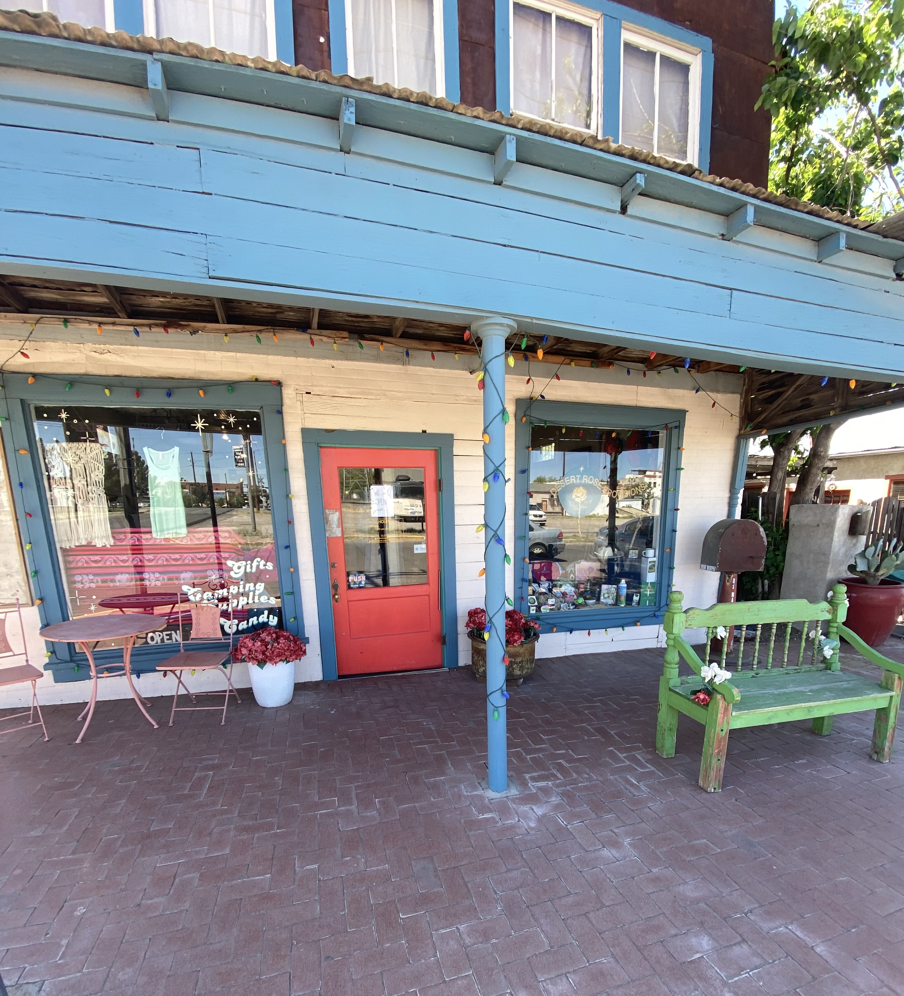
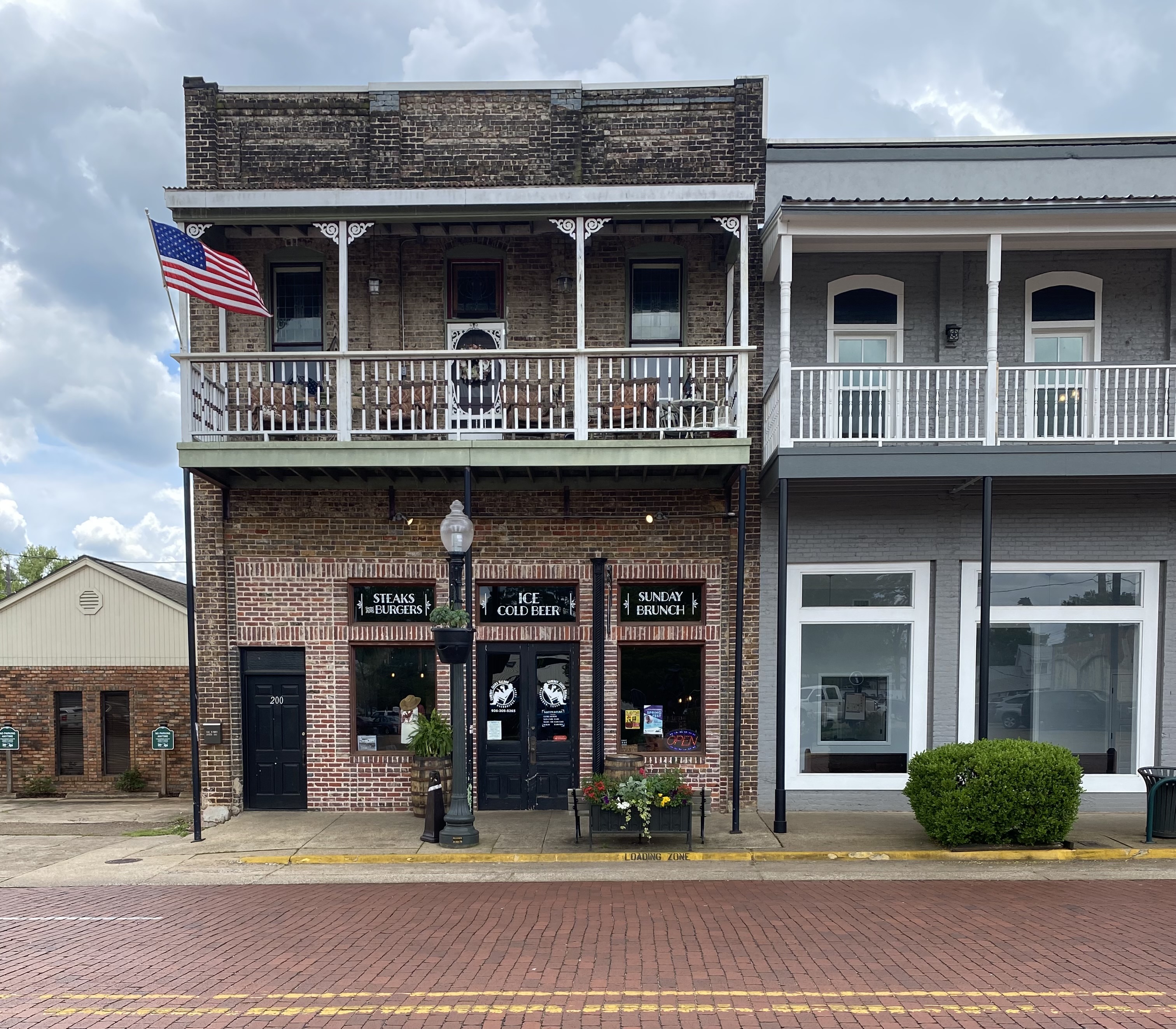
We made the decision to stay in the city and booked a hotel in the University district for three nights. We are glad we chose this area as it enabled us to walk to a number of casual but excellent restaurants and coffee shops dotting the university neighborhood. This was especially nice as EP is a sprawling metropolis that requires some driving in order to explore the city.
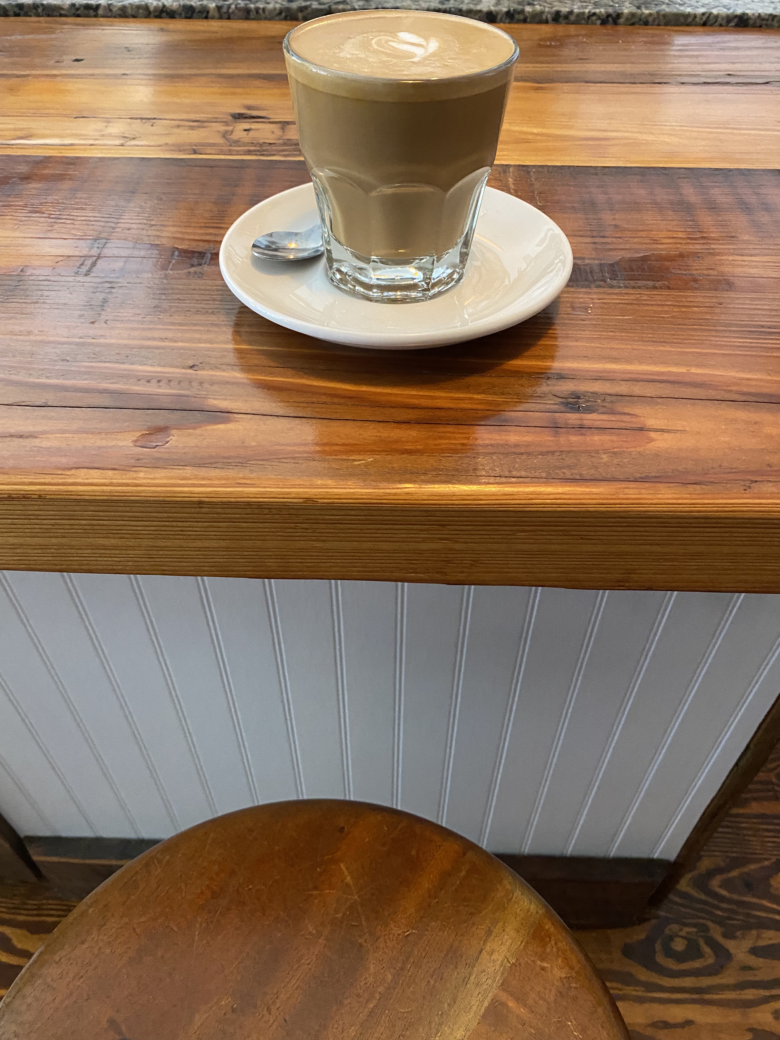
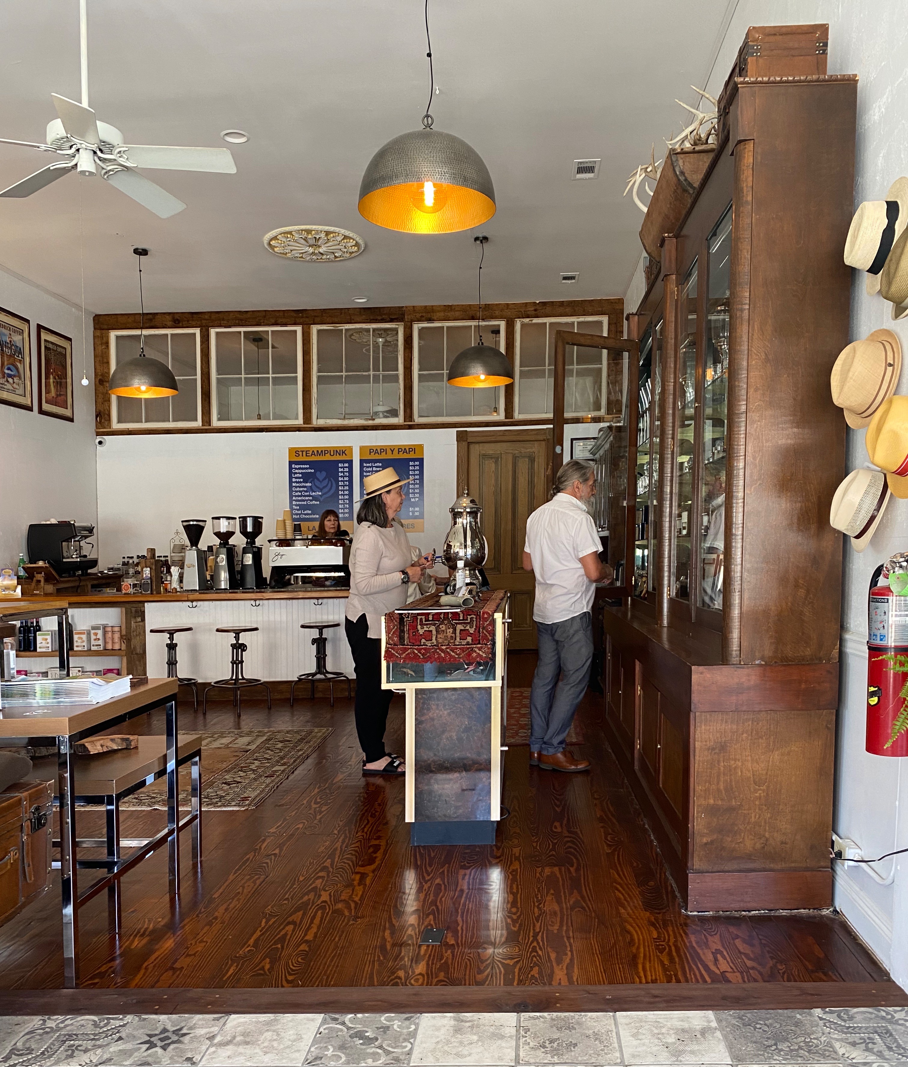
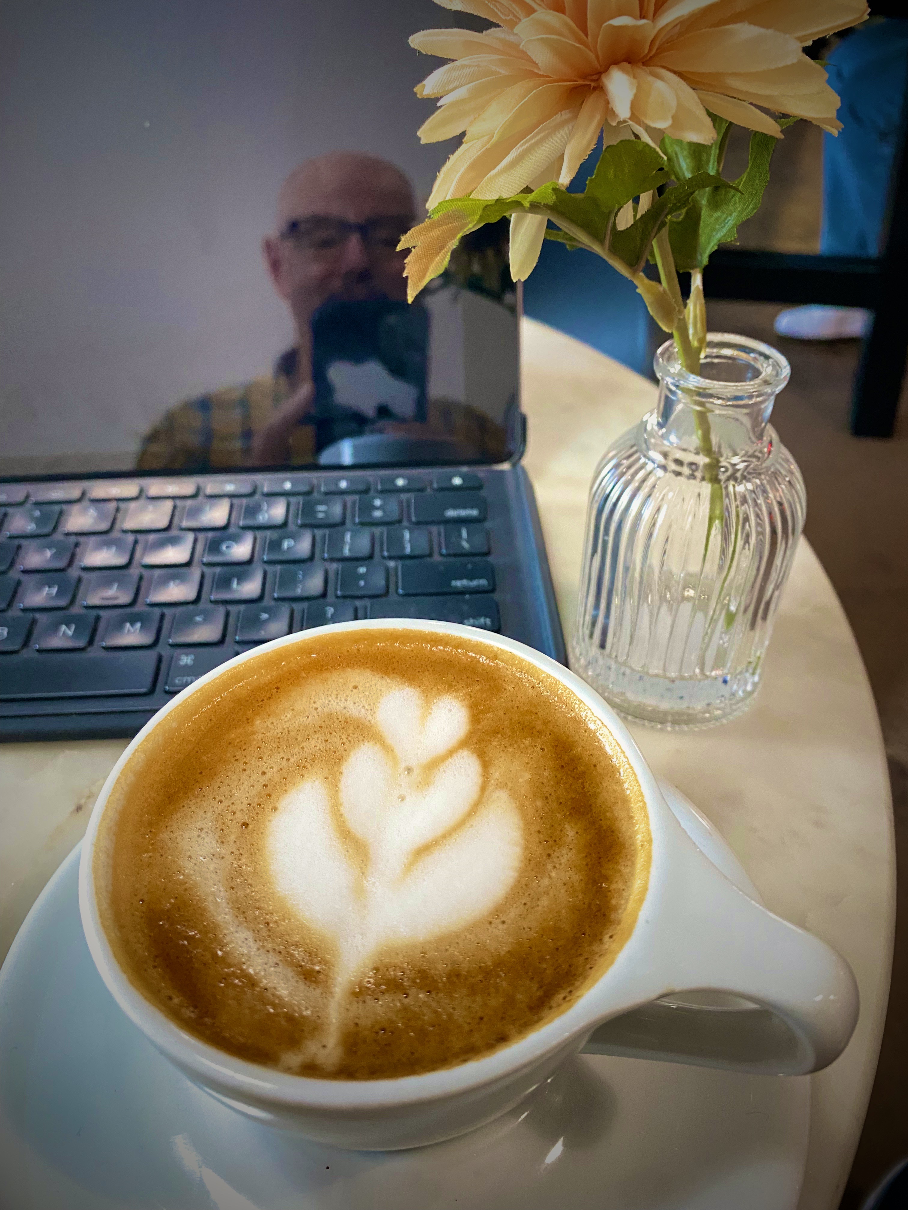
Of course, the first entry point for any worthwhile city visit is COFFEE! We were traveling from the east after our recent visit to Guadalupe Mountains National Park, therefore we were able to vector directly to an excellent specialty coffee shop and roaster on the east side of the city. We were most fortunate that the founder and owner of Global Coffee, Erika, sat with us for quite awhile. She shared with us her family history and the ties with Mexico that exist in a border town that has been a major immigration point for centuries(El Paso del Norte). Erika is a delightful and talented young woman and we wish her all the success she deserves with her business and family. https://globalcoffeeco.com/


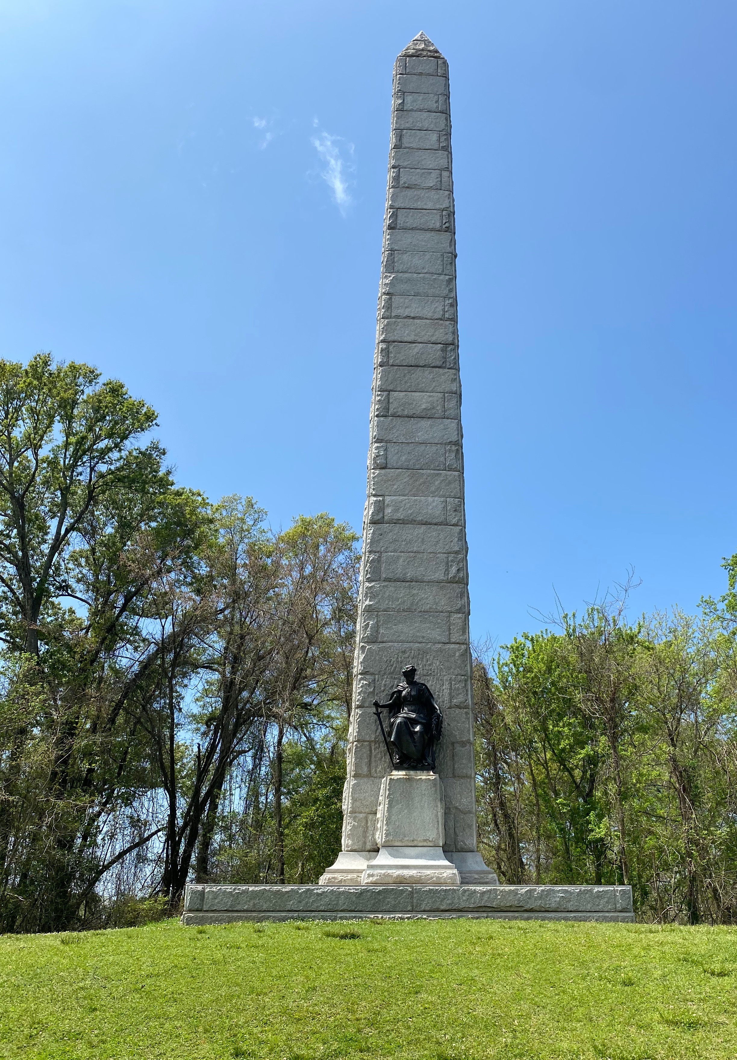
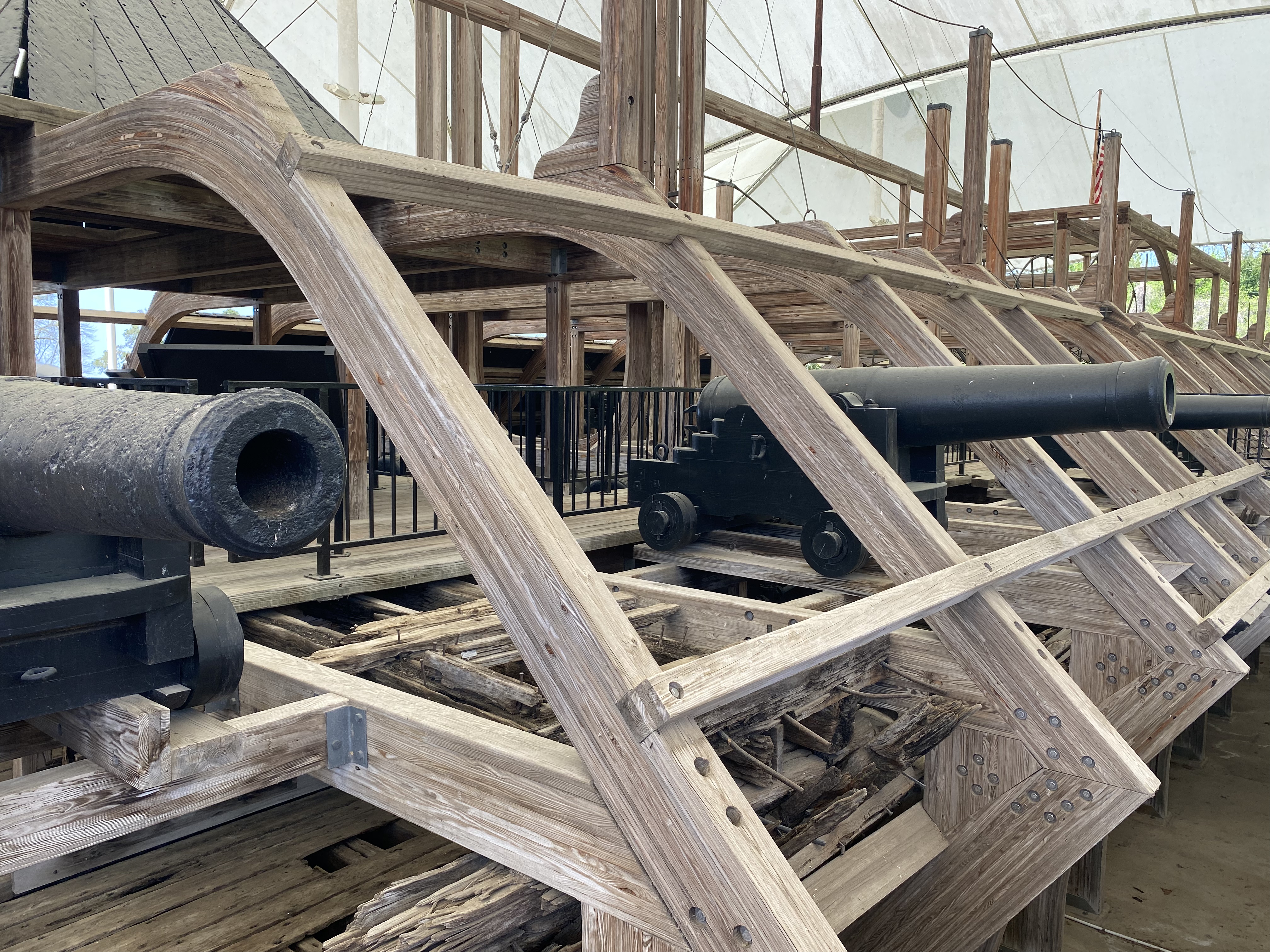
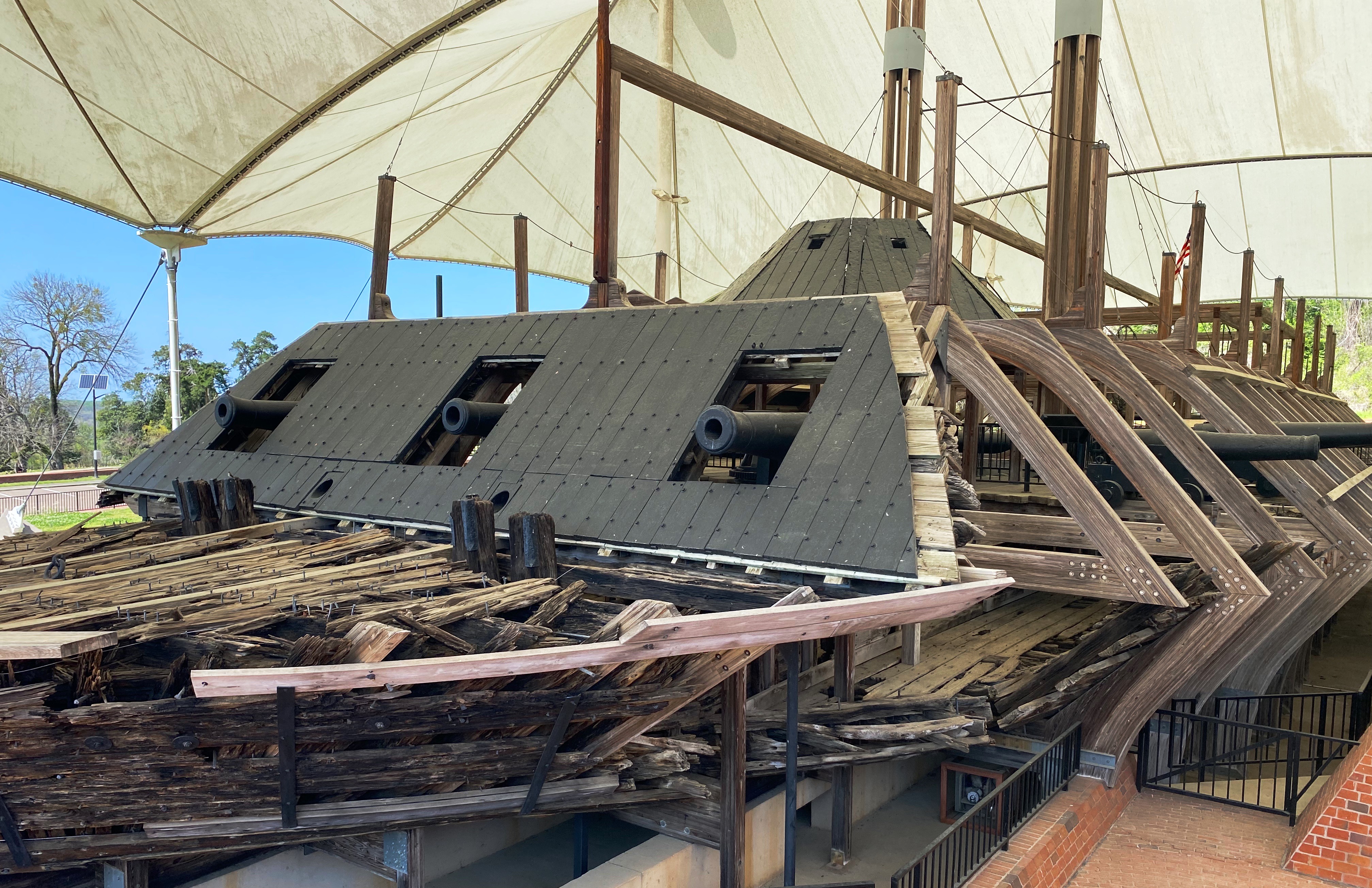
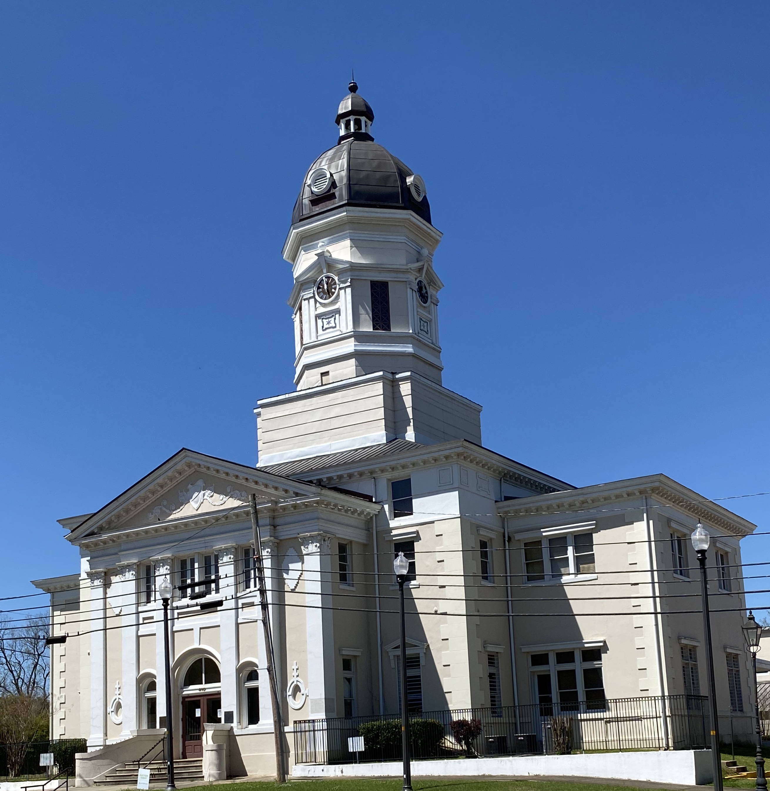
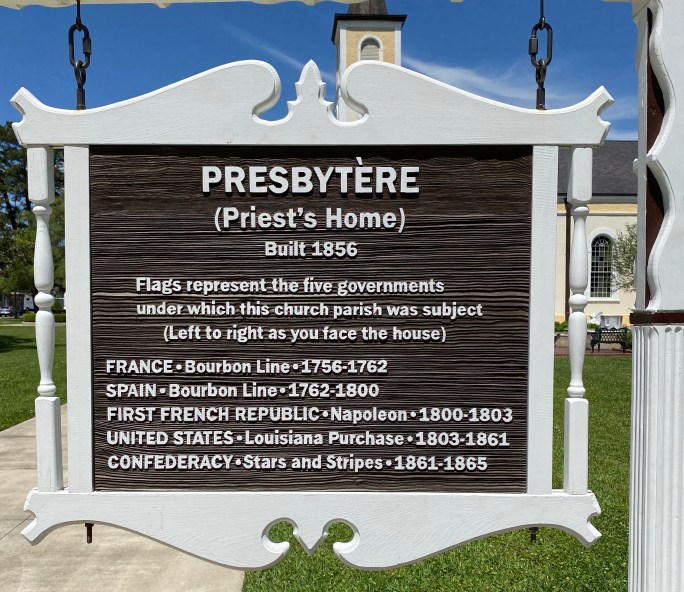
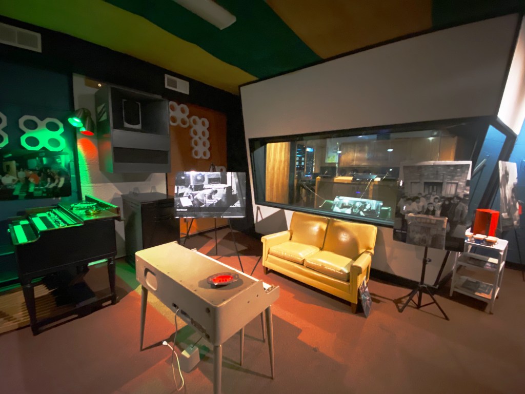
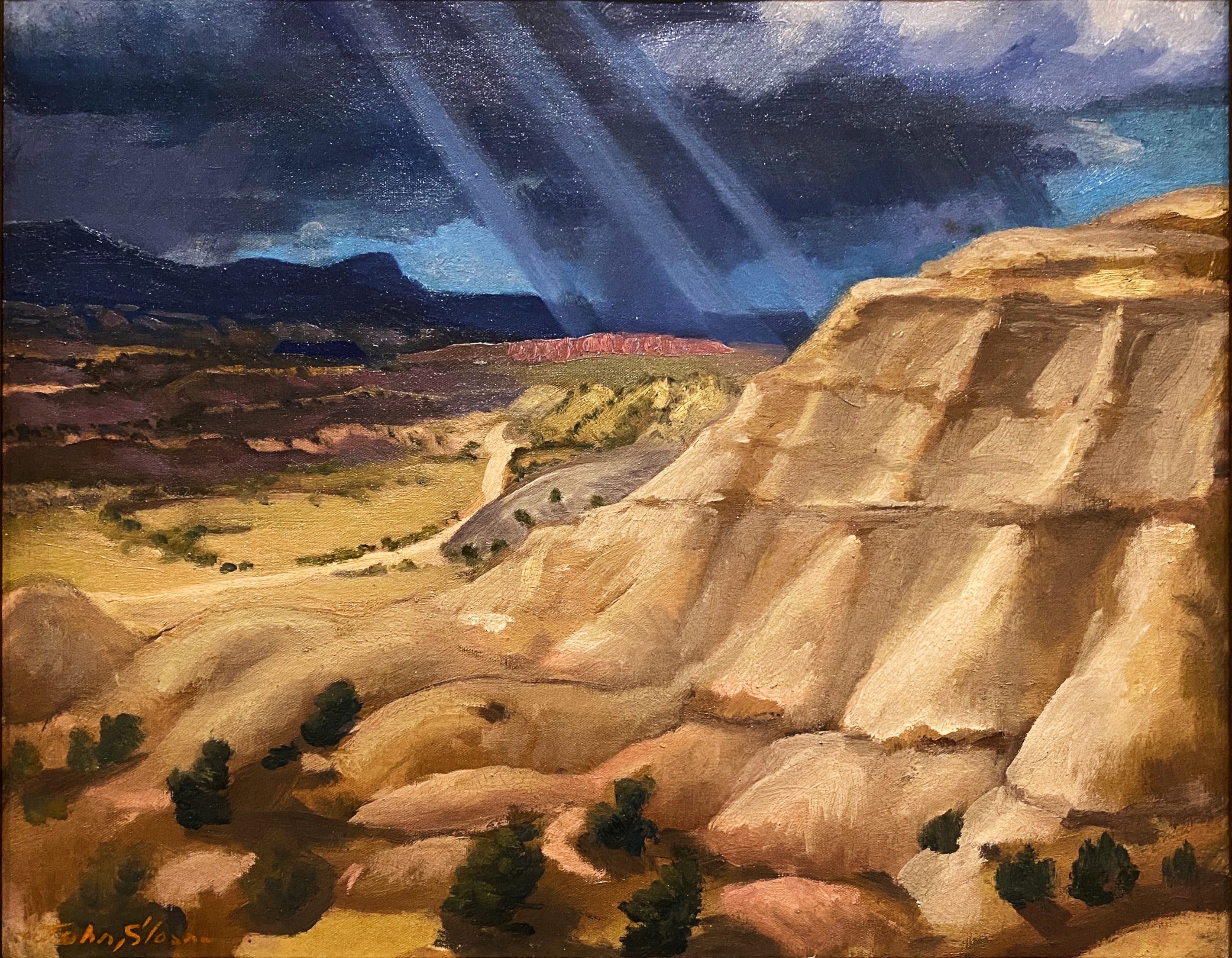
After refueling we went directly to the tank museum, officially known as the 1st Armored Division & Fort Bliss Museum. The United States Army has had a post in EP since 1849, which has served as an infantry post, a cavalry post, an air defense artillery post and currently operates as a maneuver training post. The size of the Fort Bliss training area (965,00 acres) and its mountainous desert terrain have made it a vital training location for the many forces that have been deployed to the Middle East over the last three decades.

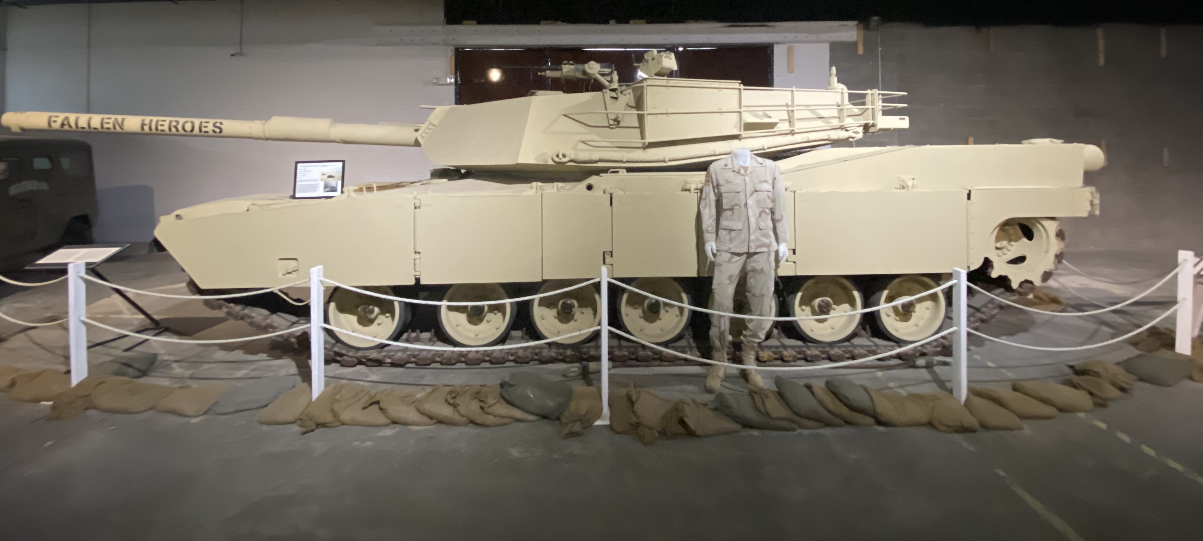


The museum chronicles the history of the post and the units stationed there from the the initial mission of patrolling along the Rio Grande before the Civil War through the current mission of the units stationed within the base. From a Western United States history perspective this includes the Indian Wars and the Mexican Punitive Expedition.
The Indian Wars is an umbrella term for the United States Army prosecution and ultimate decimation of the Native American peoples across the Western United States. The Indian Wars were waged throughout the Civil War until 1890 when the last of the Native American bands were imprisoned or sent to reservations. Many of the actions by the federals were in direct violation of treaties negotiated between the federal government and the Native Americans (standard operating procedure).
Another interesting piece of history is the Mexican Punitive Expedition. Between December 1916 and February 1917 American forces under the command of General “Black Jack” Pershing crossed into Mexico in pursuit of Mexican Revolutionary leader Pancho Villa. Villa had attacked a town in New Mexico killing a number of U.S. citizens. The incursion into Mexico was ostensibly in retaliation for the raid. However, the main motivation was to support the Mexican leader, Venustiano Carranza, whom the U.S. was backing. The Mexican Revolution was destabilizing Mexico and jeopardizing U.S. corporate interests. Pancho Villa had to go! The U.S. Army, however, did not capture Pancho Villa and returned to the U.S. after several skirmishes with Mexican Federal soldiers who greatly resented the incursion into Mexico. An early example of the numerous unsuccessful and unwarranted interventions by the U.S. government in the internal affairs of another sovereign nation! P.S. Pancho Villa survived the Mexican Revolution and was granted amnesty only to be assassinated three years later.
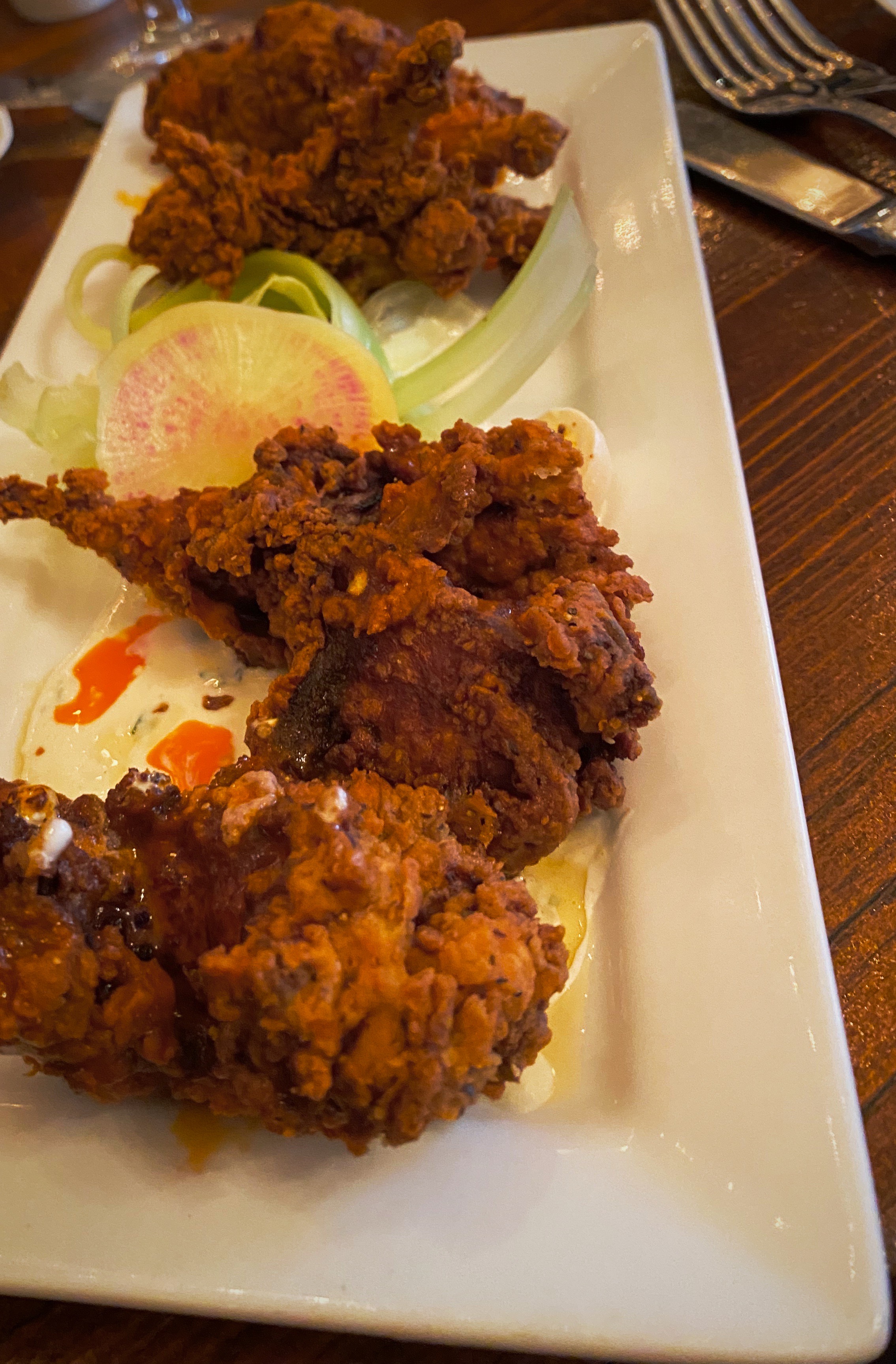
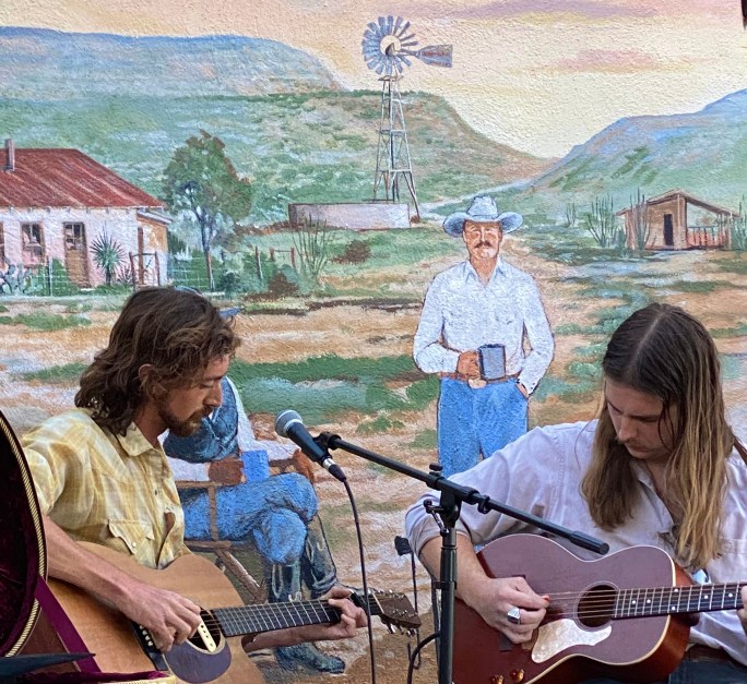
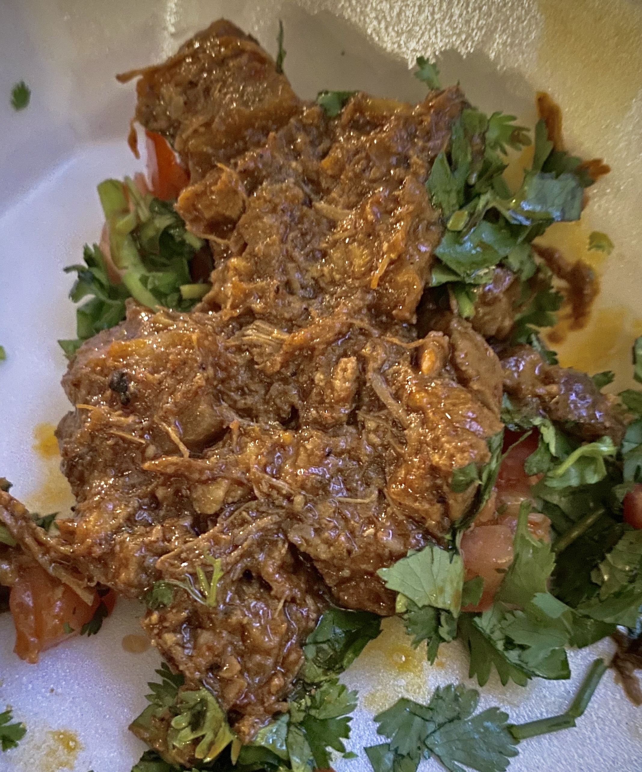
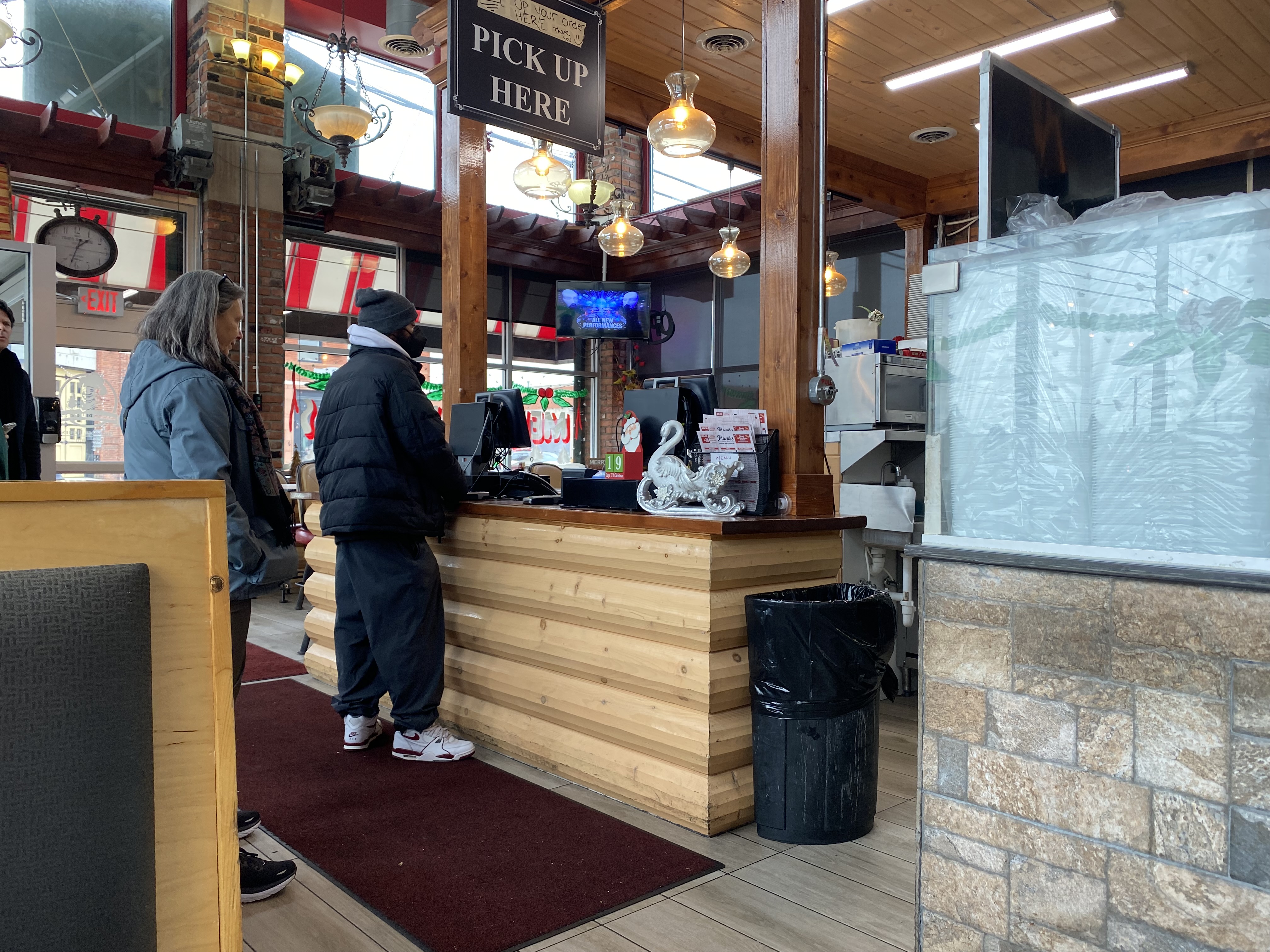
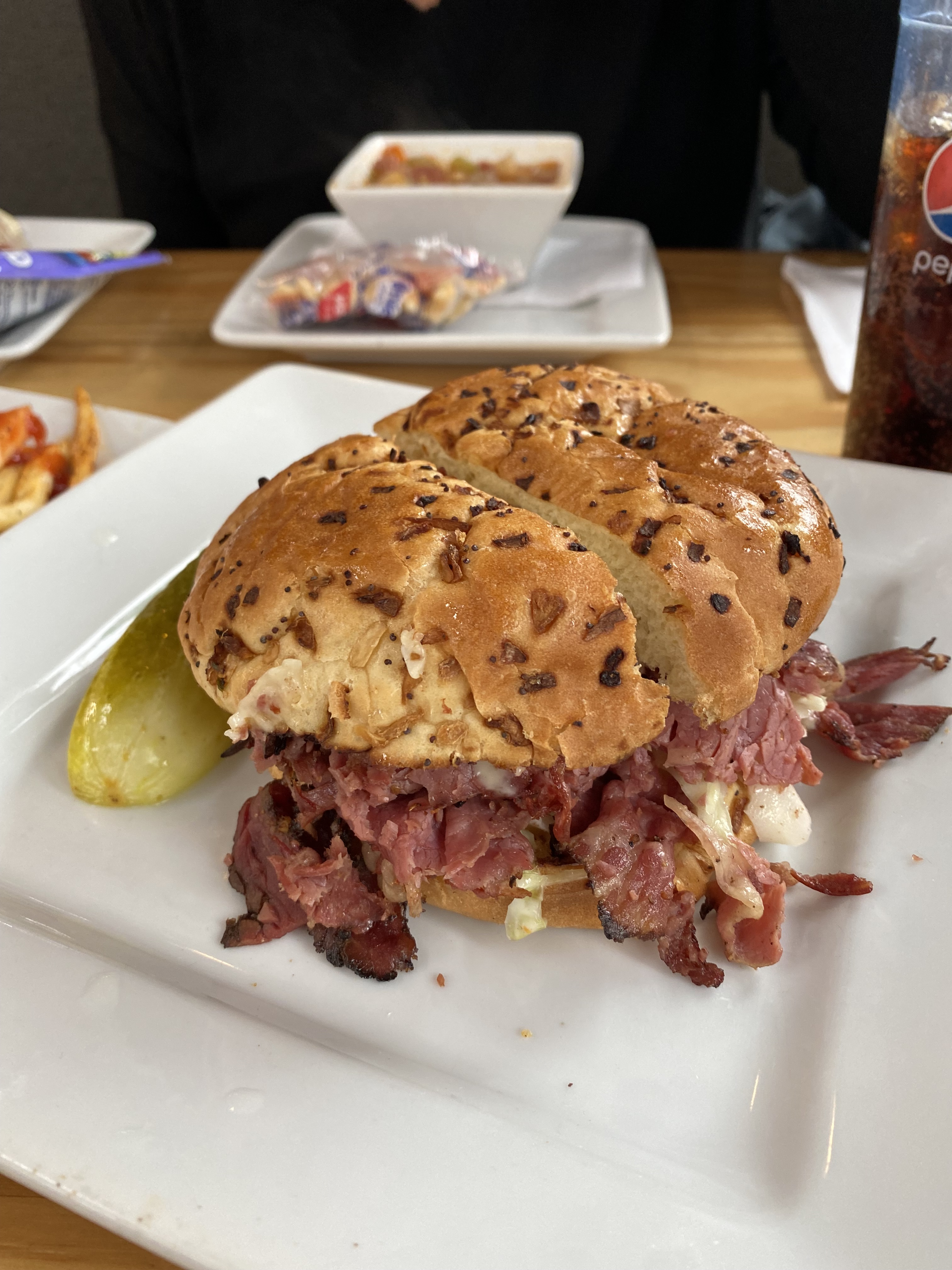
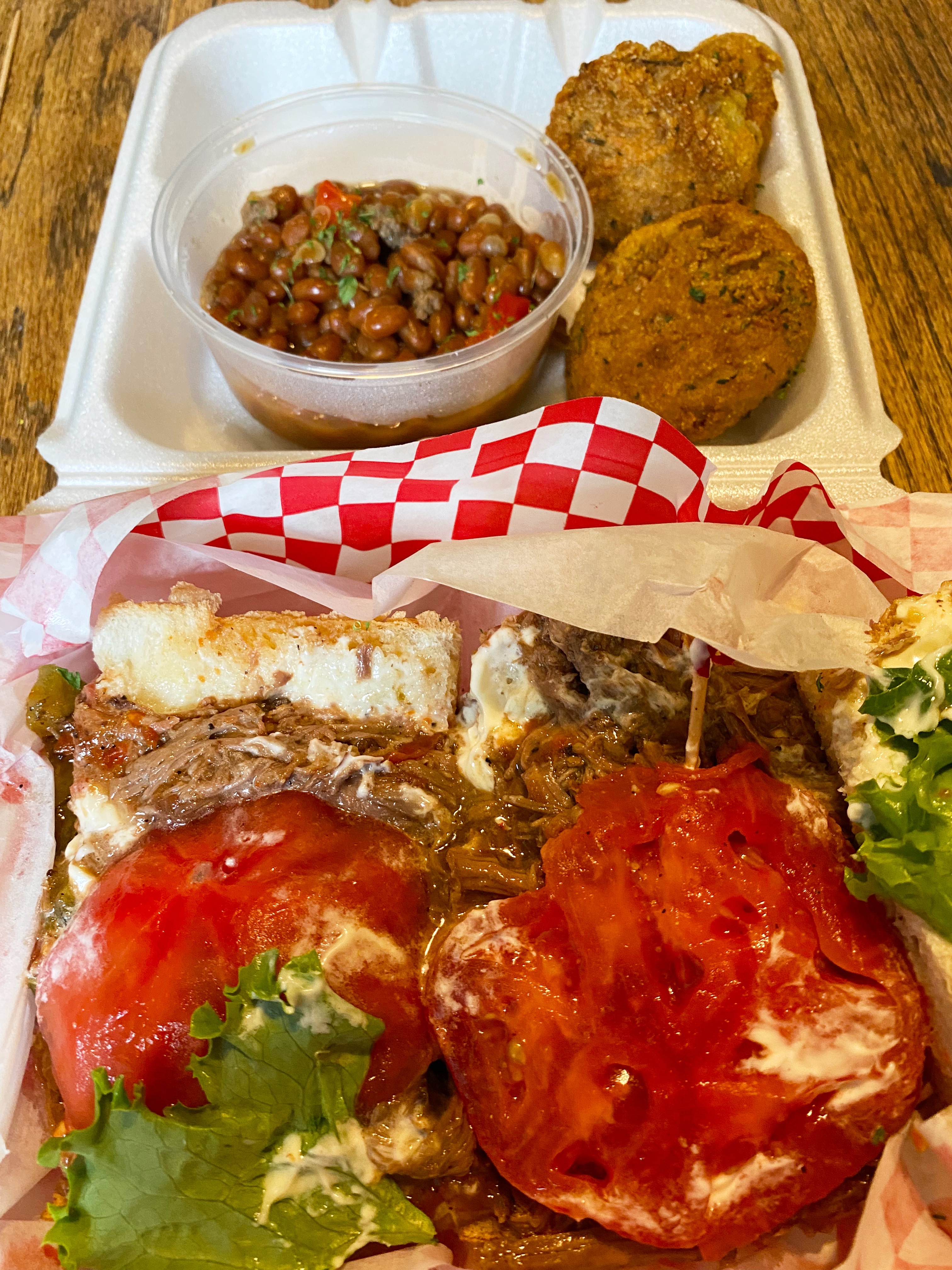
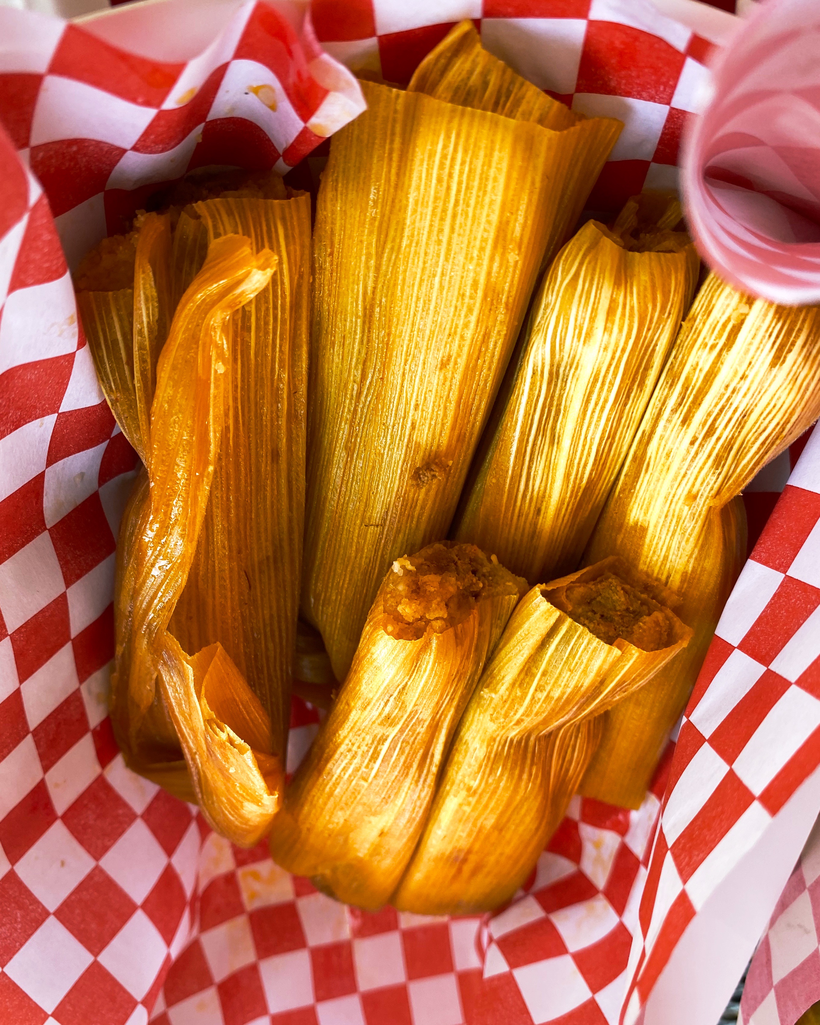
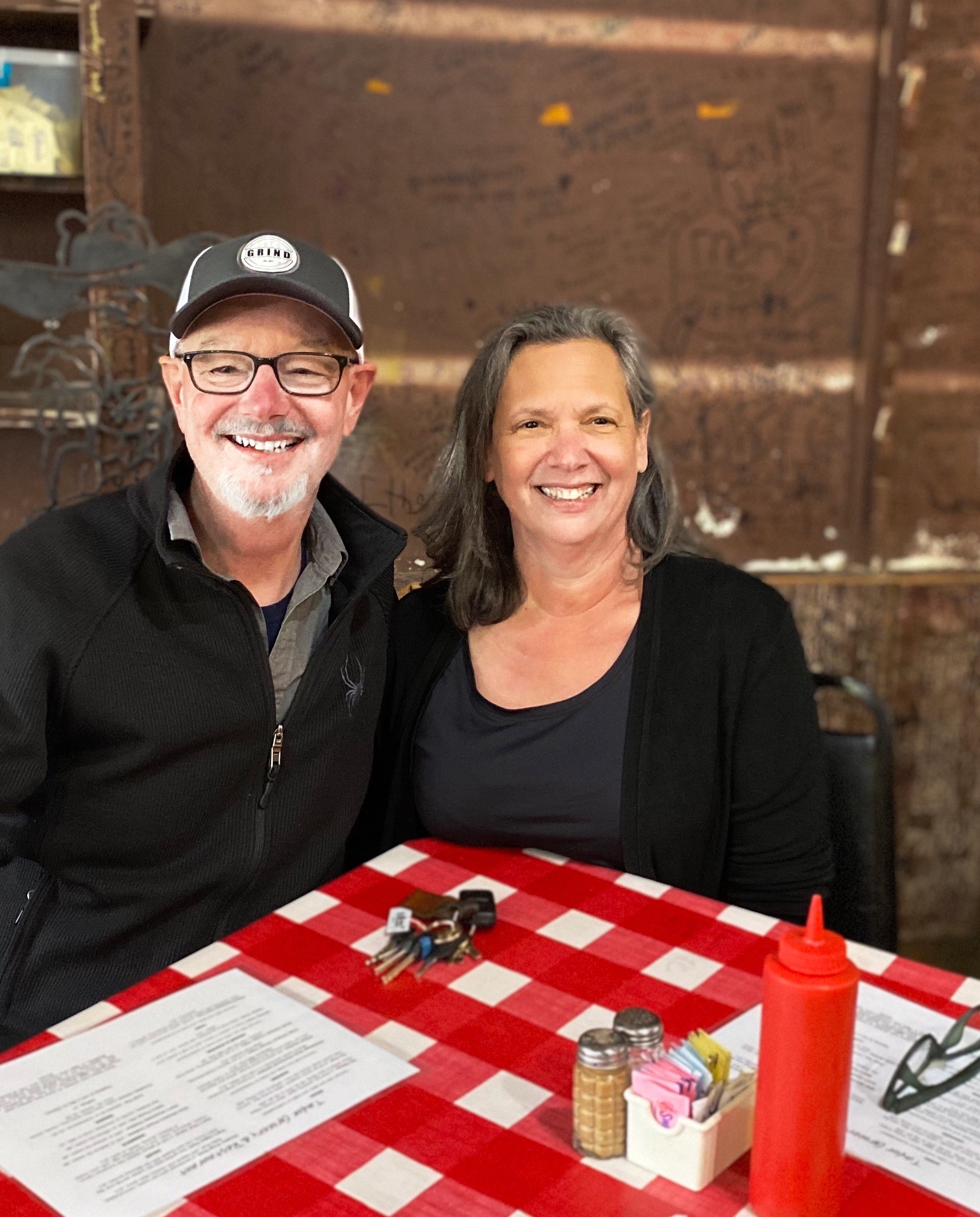
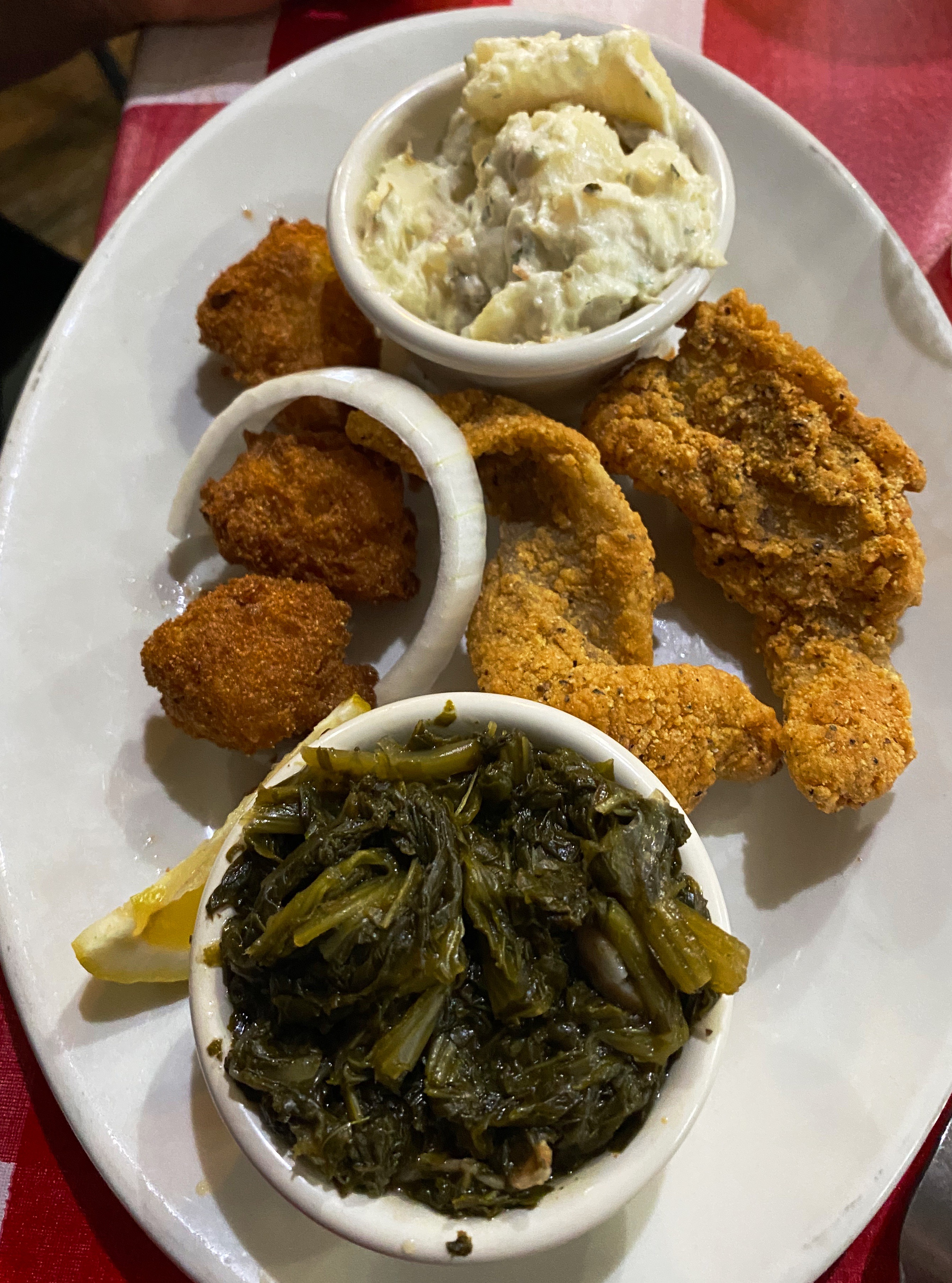
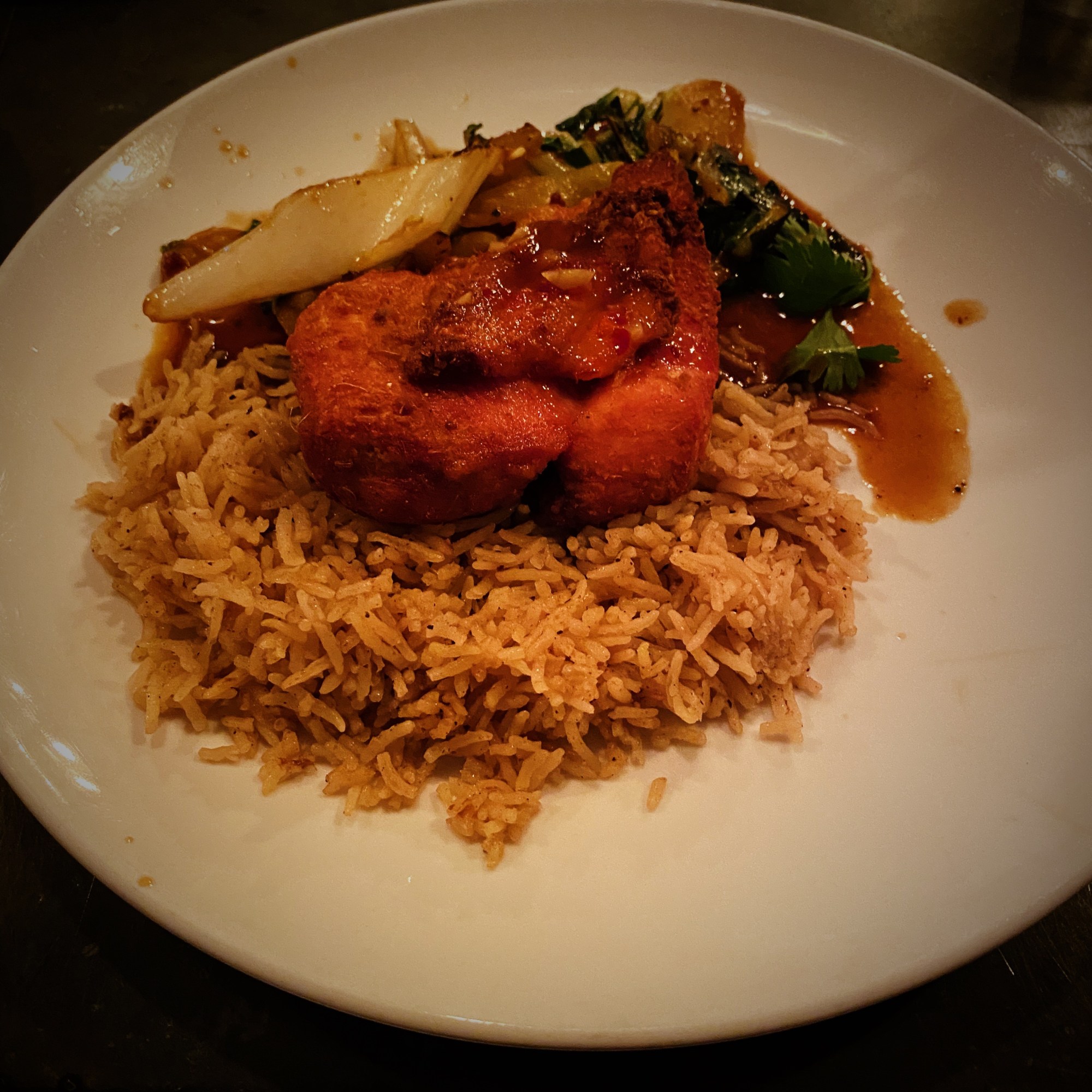
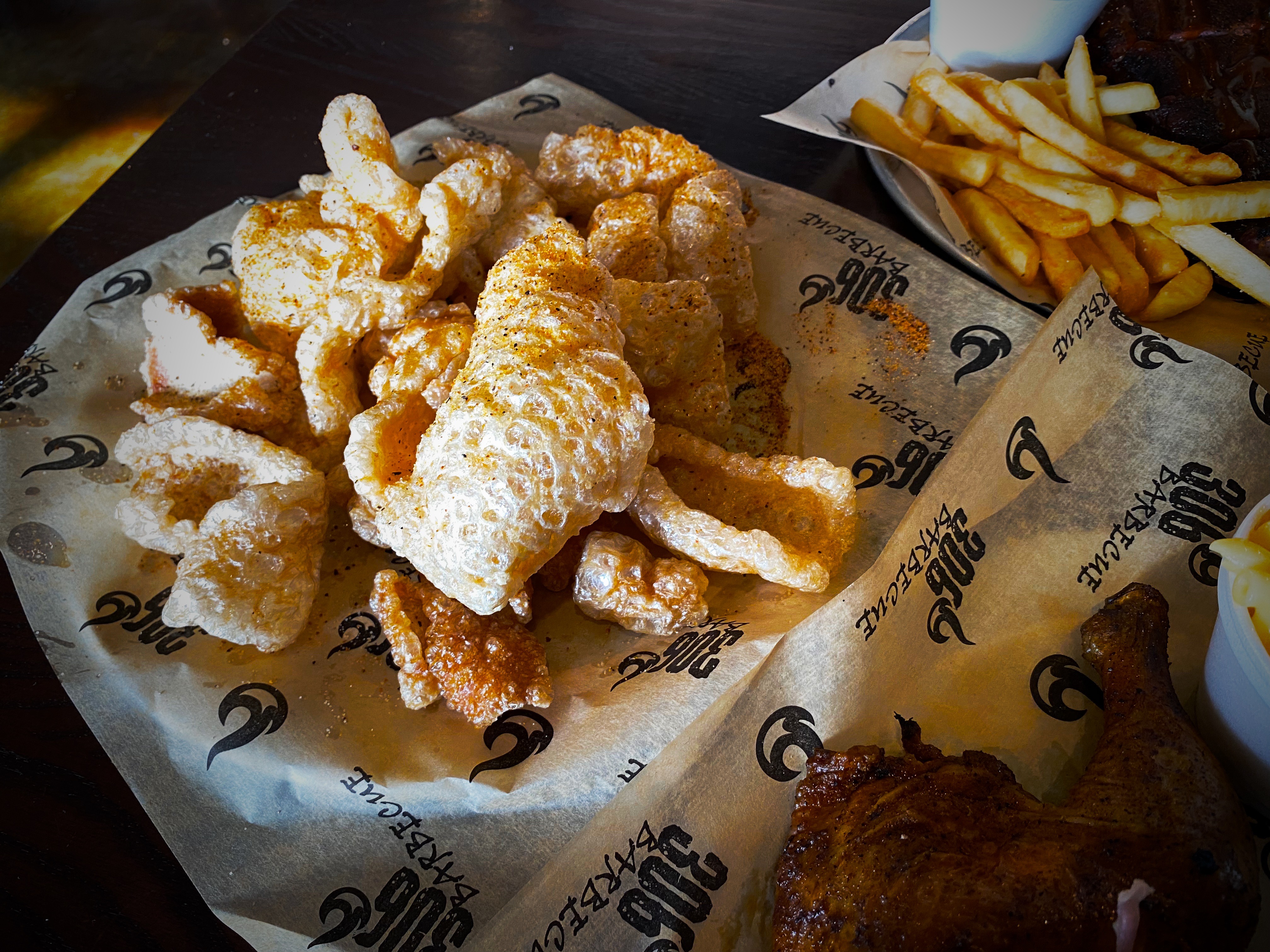
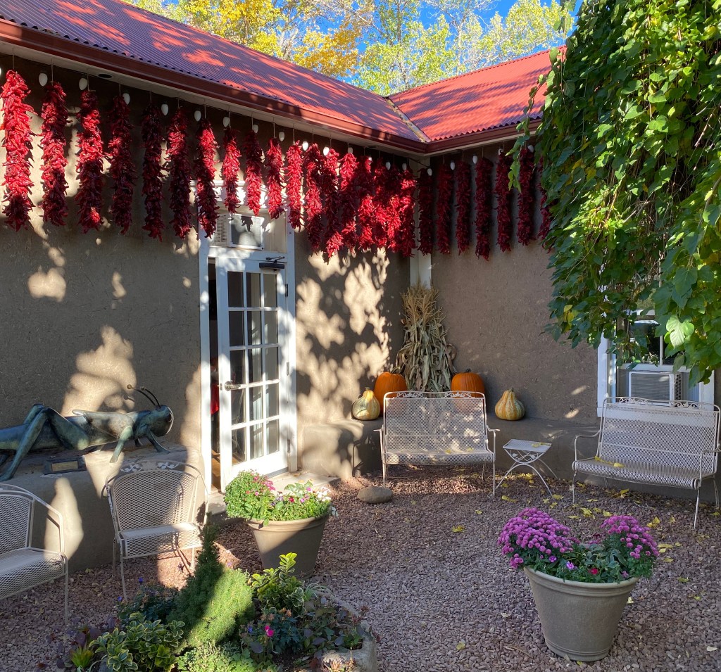
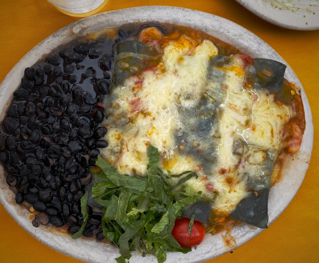
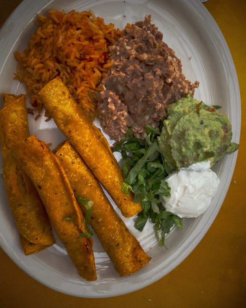
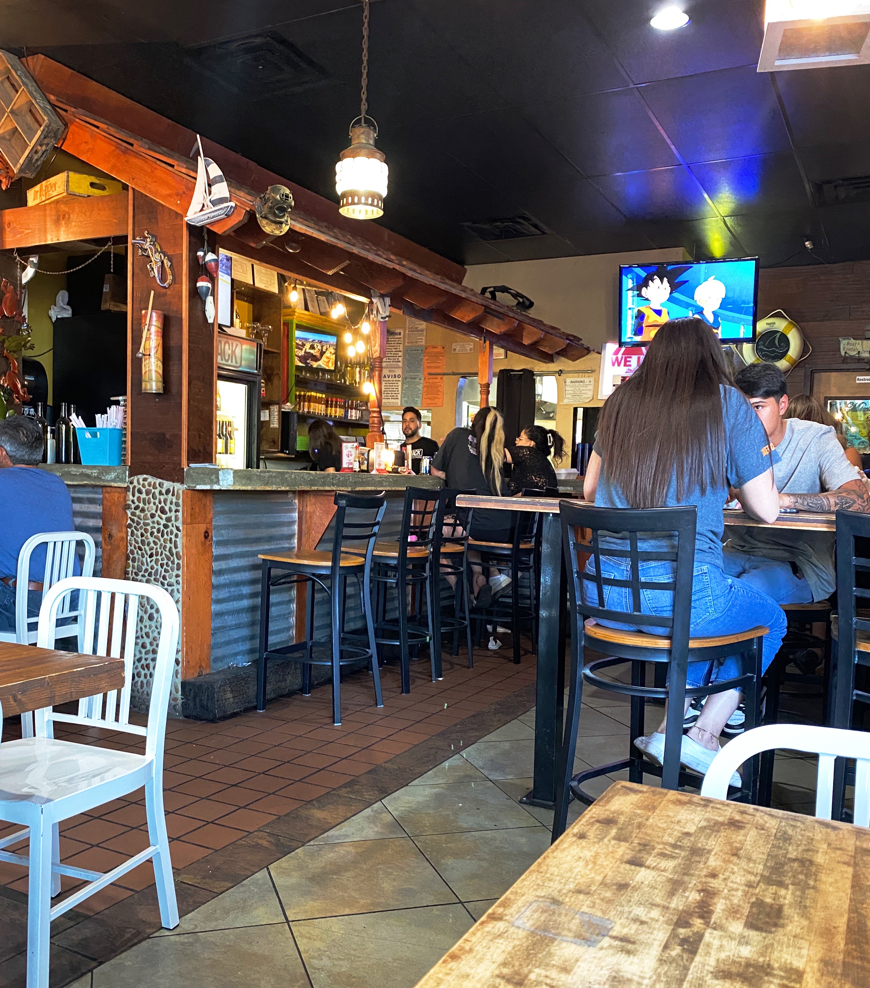
After checking in at our hotel we walked a couple of blocks to have supper at a popular local eatery – The Shack. The restaurant is owned by two brothers – Adrian and Michael Soto – they grew up in the restaurant business working and learning at their mother’s restaurant, Mima’s Cafe. The Shack has a wide array of dishes but we went for the Mexican inspired dishes and had a great dinner at this casual and friendly spot. https://theshackwings.com/


Since our hotel was a considerable distance across town from Global Coffee we opted to try our luck at Casa Cafetzin which was just a five minute drive from our hotel. Erika from Global Coffee had recommended Casa Cafetzin, so we were fairly certain that we would be starting our day on a great coffee and tea note. If we are being honest, we might admit that we would have passed by this cafe due to its location attached to a modest motel. Fortunately, due to the recommendation from Erika, we did not pass up a great coffee and tea experience. Cafetzin was excellent and the baristas were all terrific! Thank you Erika!
https://casa-cafetzin.mailchimpsites.com


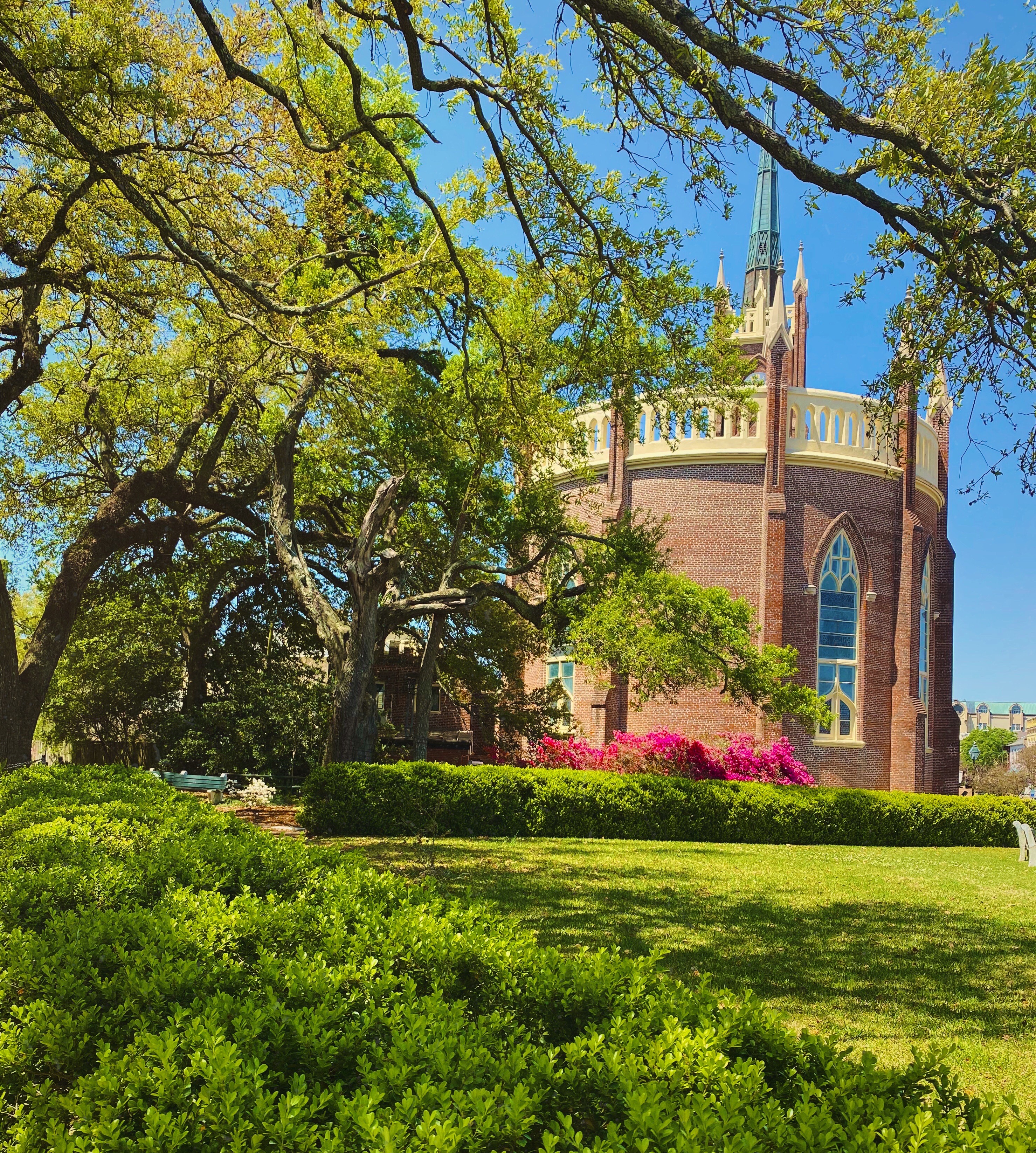
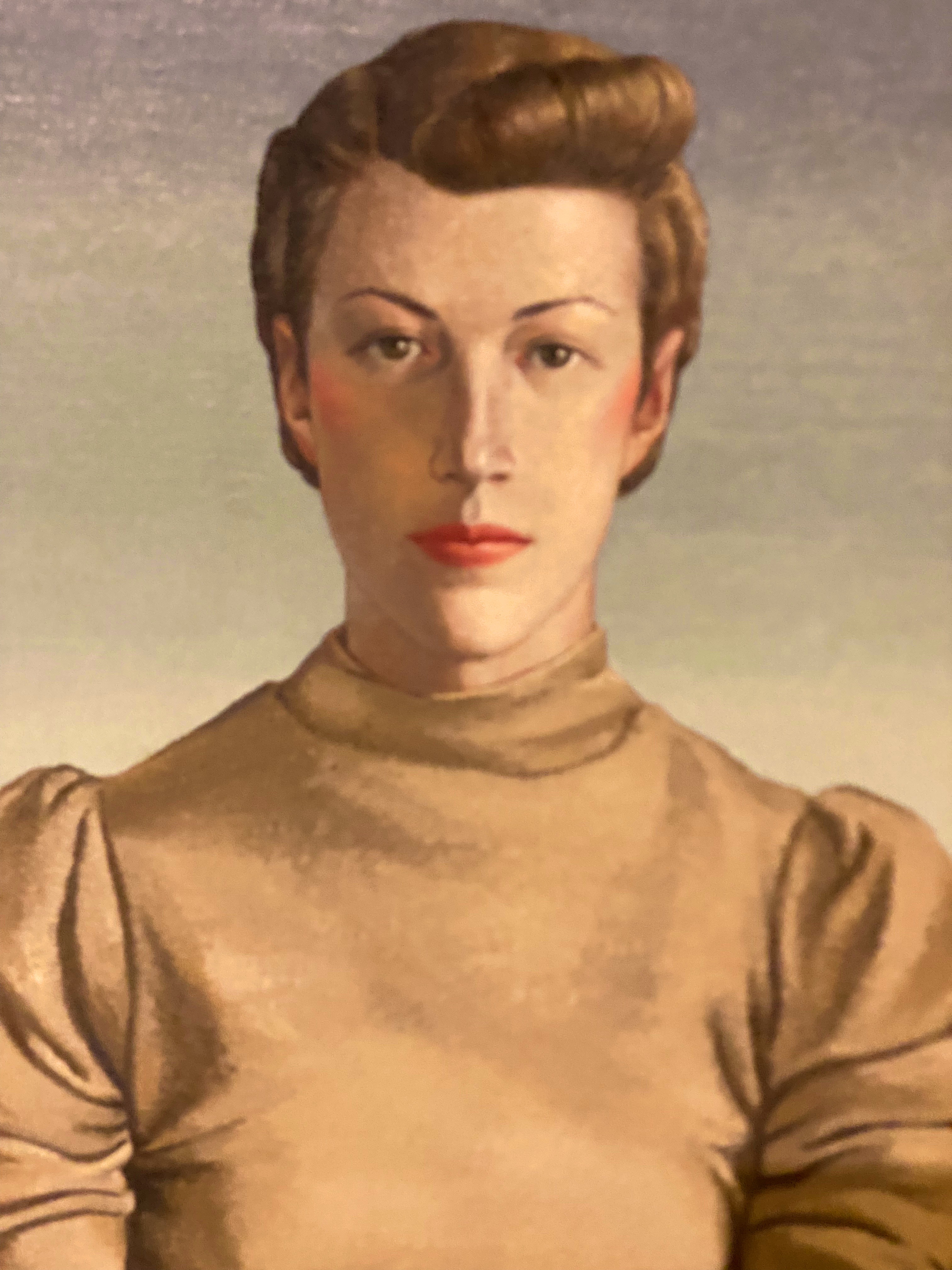
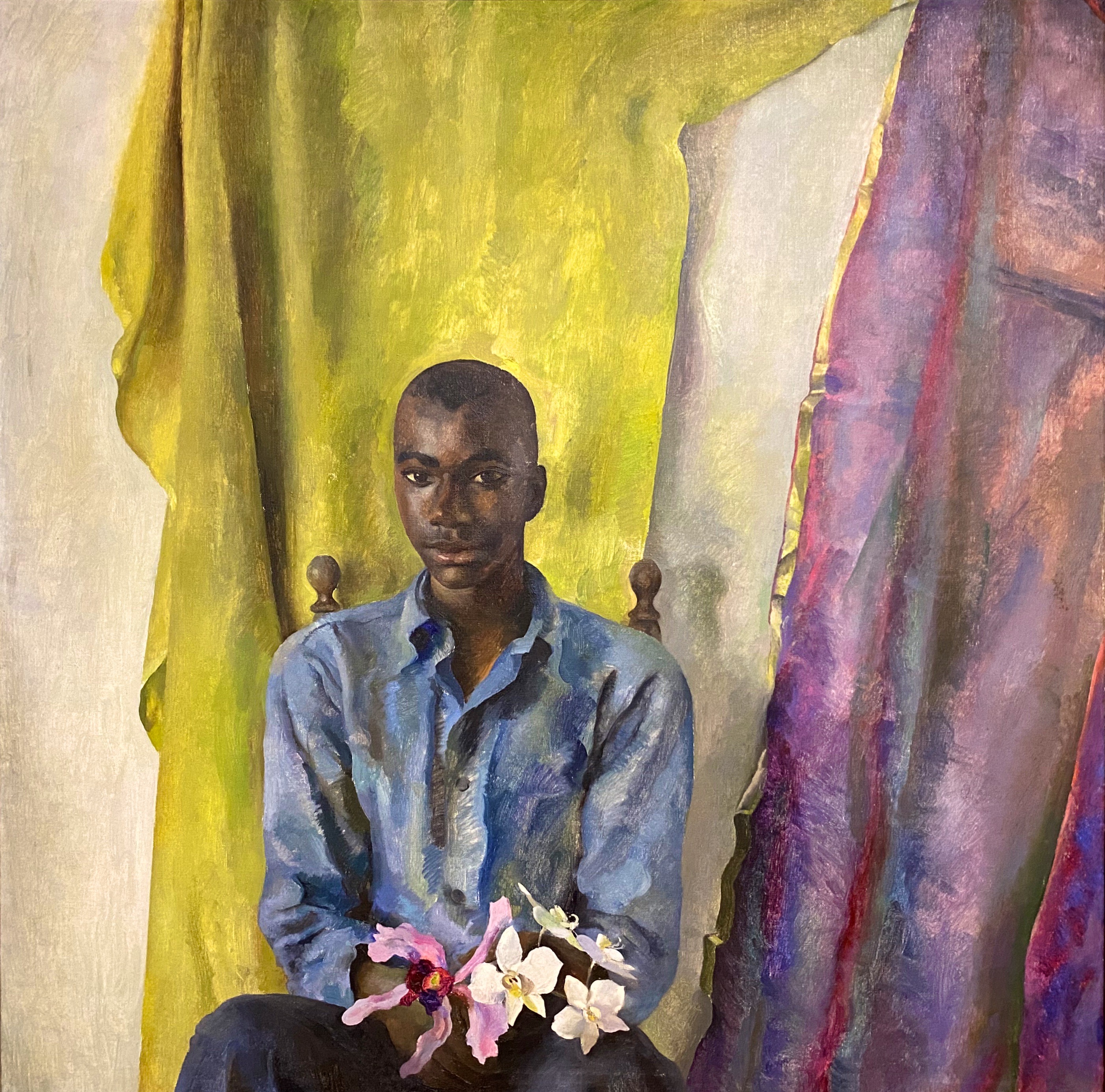
After departing Casa Cafetzin we headed downtown for a day of viewing fine art and street art. Our first stop was at the El Paso Museum of Art (EPMA). The EPMA came into existence in 1959 as the result of a large donation of European art by a private foundation. The donated collection became the impetus to build a first class art museum serving the El Paso – Juarez Borderplex. Today the museum houses over 7000 works. The museum has also operated an art school for the last twenty years. Fittingly, the EPMA operates as a bilingual institution, reflecting the heritage and diversity of the Borderplex (75,000 people cross back and forth between El Paso and Juarez on a daily basis). https://epma.art/visit


We really enjoyed the portraiture works on display. The painting top left, below, The Telephone Operator (The Weaver of Public Thought), was our favorite. The artist Gerrit Beneker, is probably most well known for the posters he created during World War One in support of the war effort.

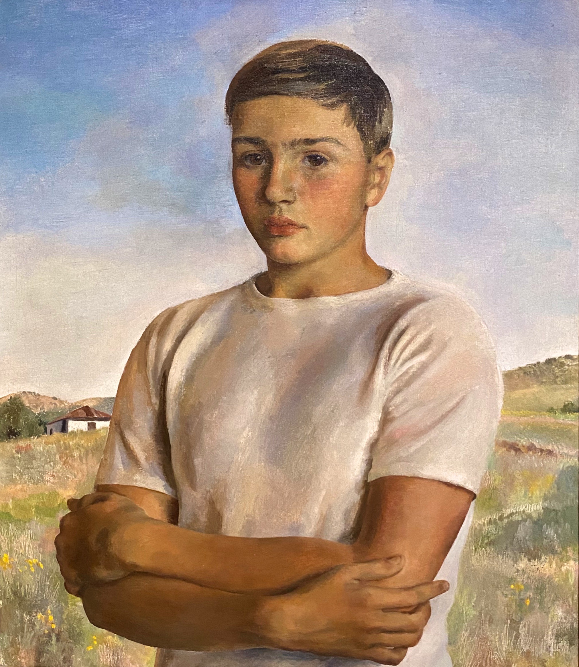


The museum’s collection also demonstrates an impressive commitment to diversity and regionalism based on the works on display when we visited. Fritz Scholder (top left, below) is one of our favorites and well known for his insightful depictions of Native American stereotypes. Scholder was a member of the Luiseno tribe.
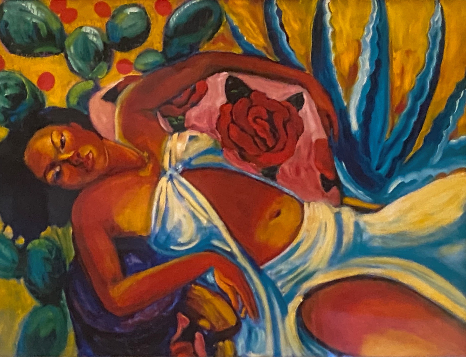
We were also surprised and pleased to see a portrait, Mrs. Viola Andrews – My Mother (bottom left) by the figurative painter, Benny Andrews. We had the fortune of seeing a number of his works several years ago at the Ogden Museum of Fine Arts in New Orleans (see our post, Fine Art Tourist: Ogden Museum of Southern Art ).


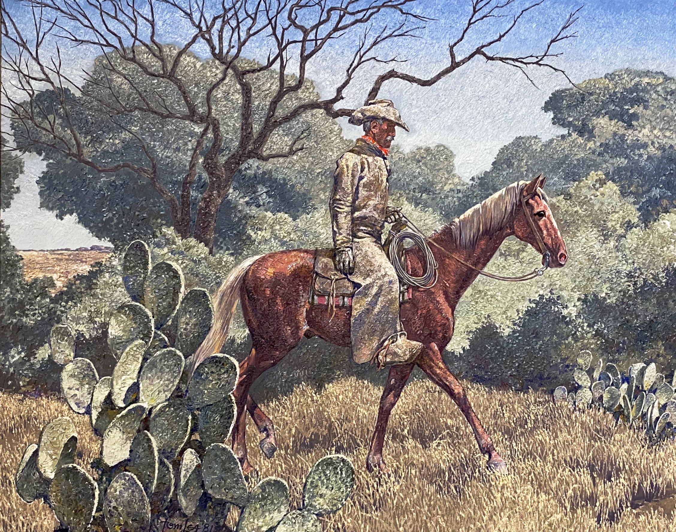
We also enjoyed the works of American art featuring West Texas and the Southwest. The museum has works by El Paso native Tom Lea and many other noted western artists including the self-taught Fremont Ellis.


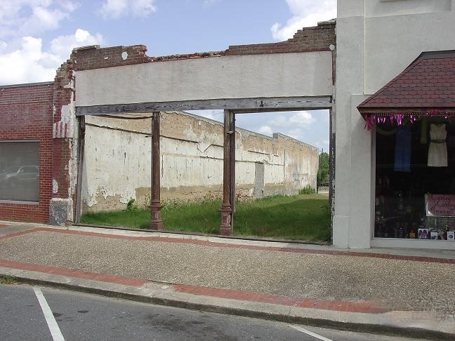
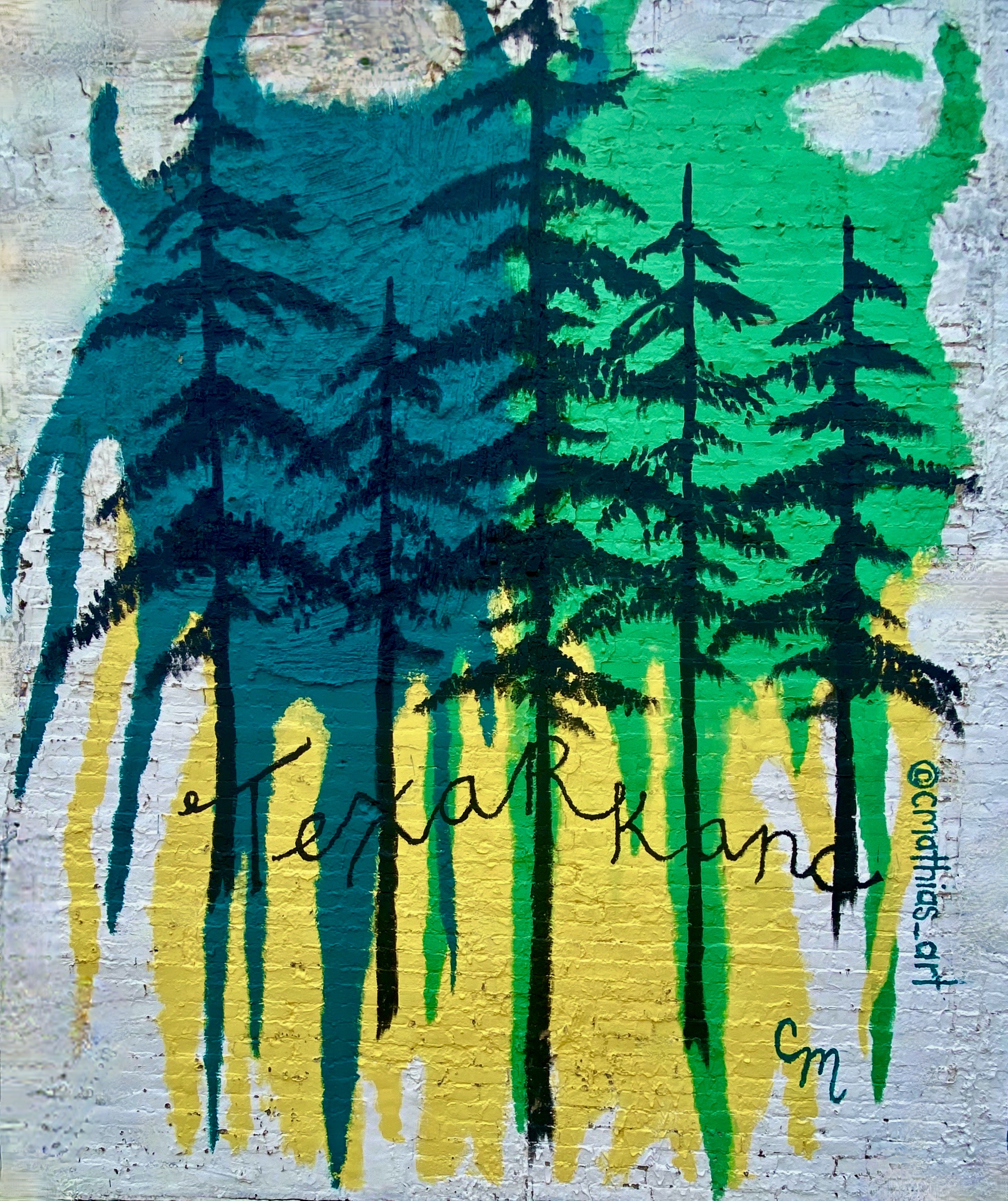
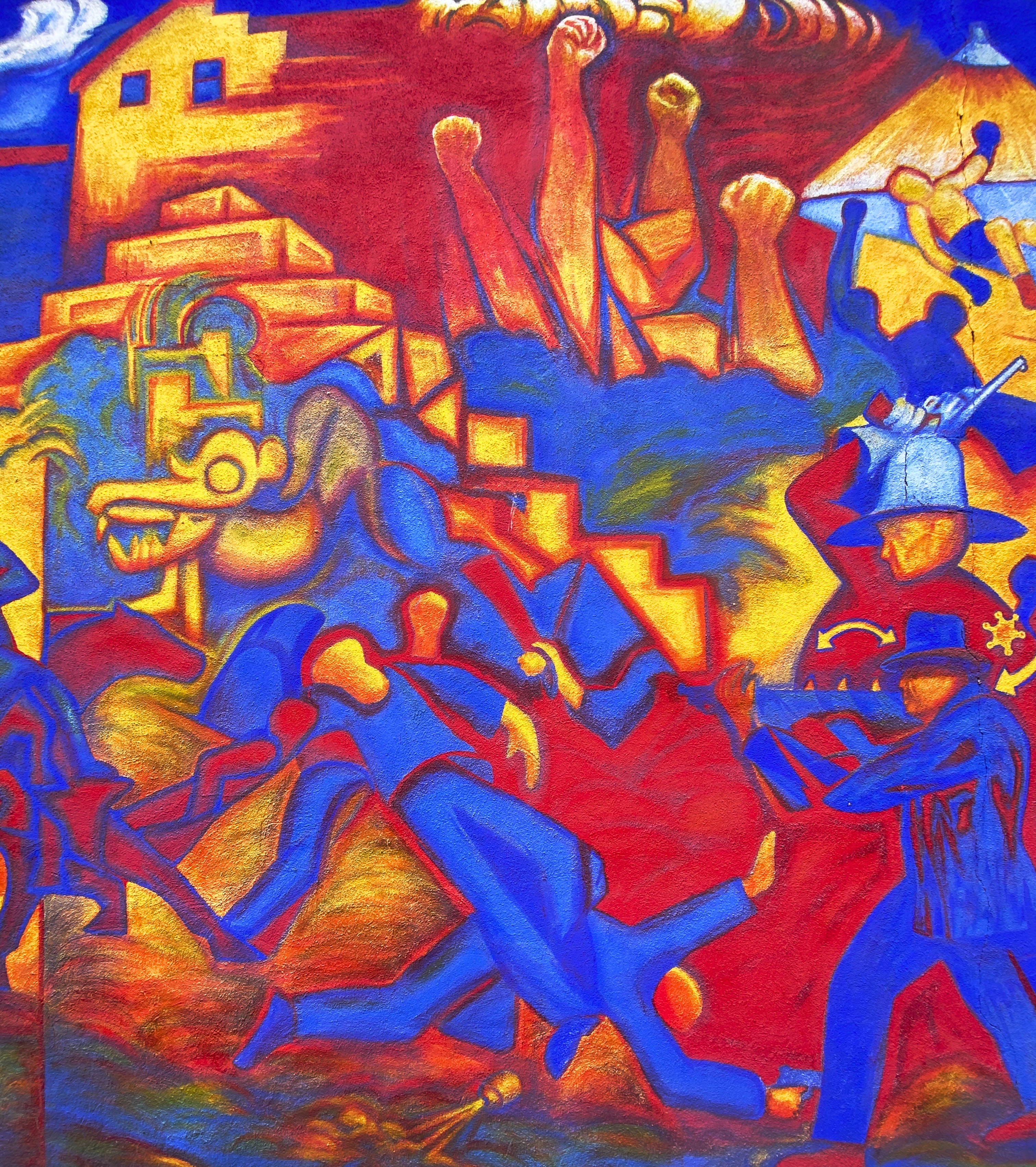
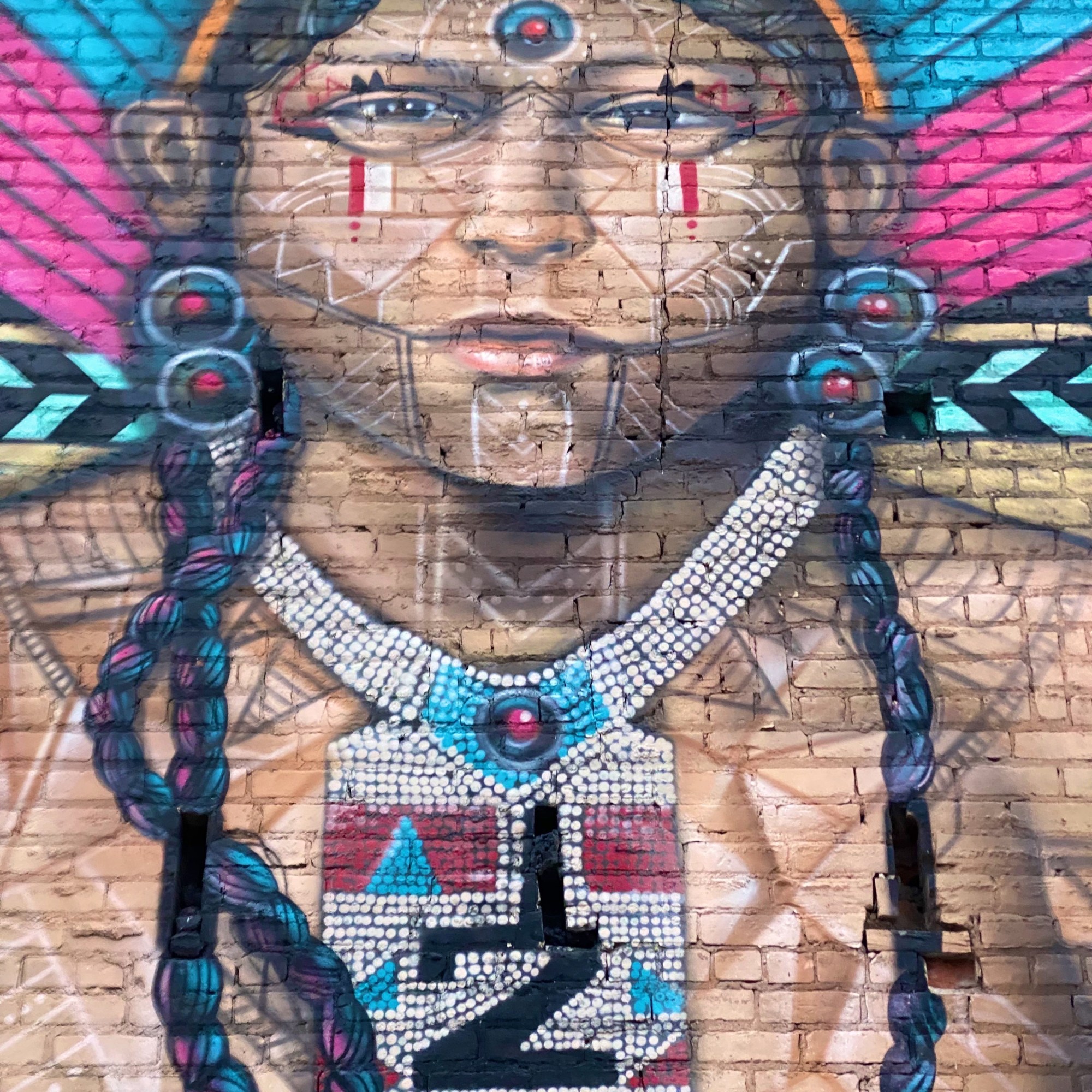
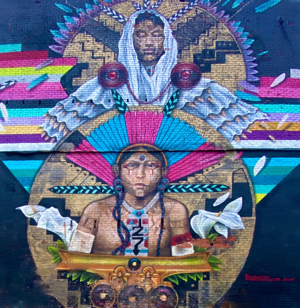
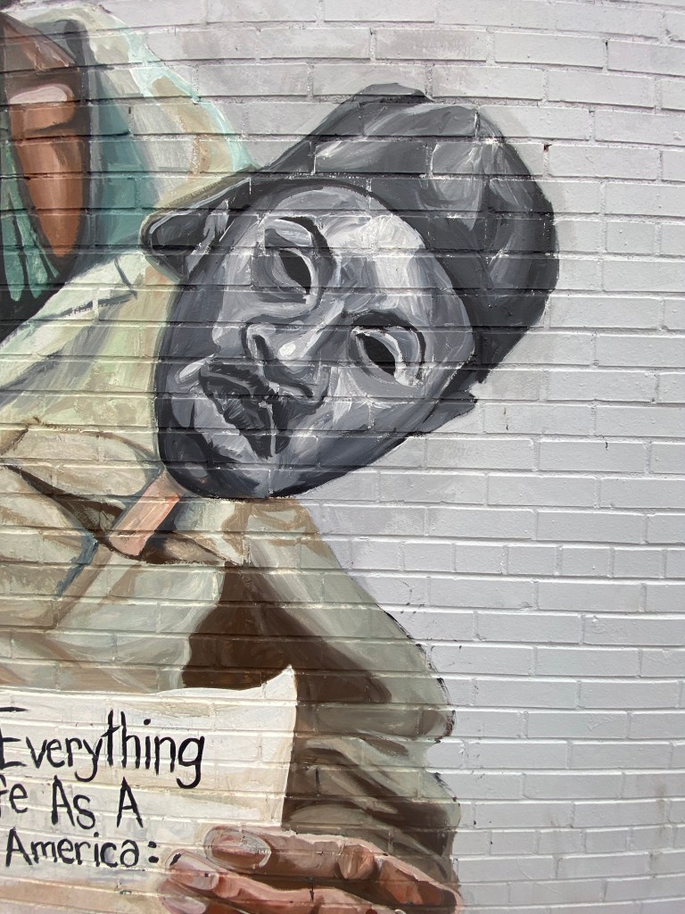
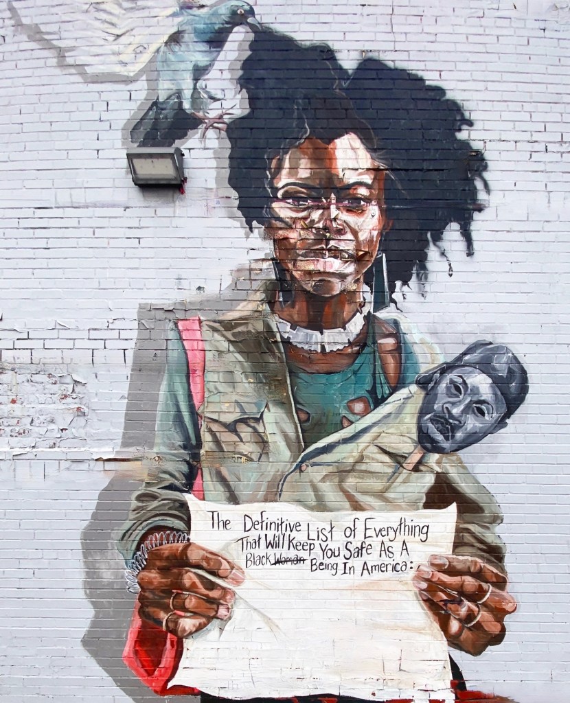
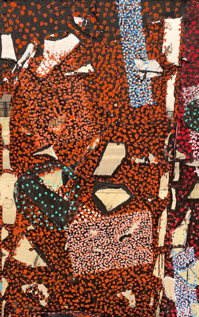
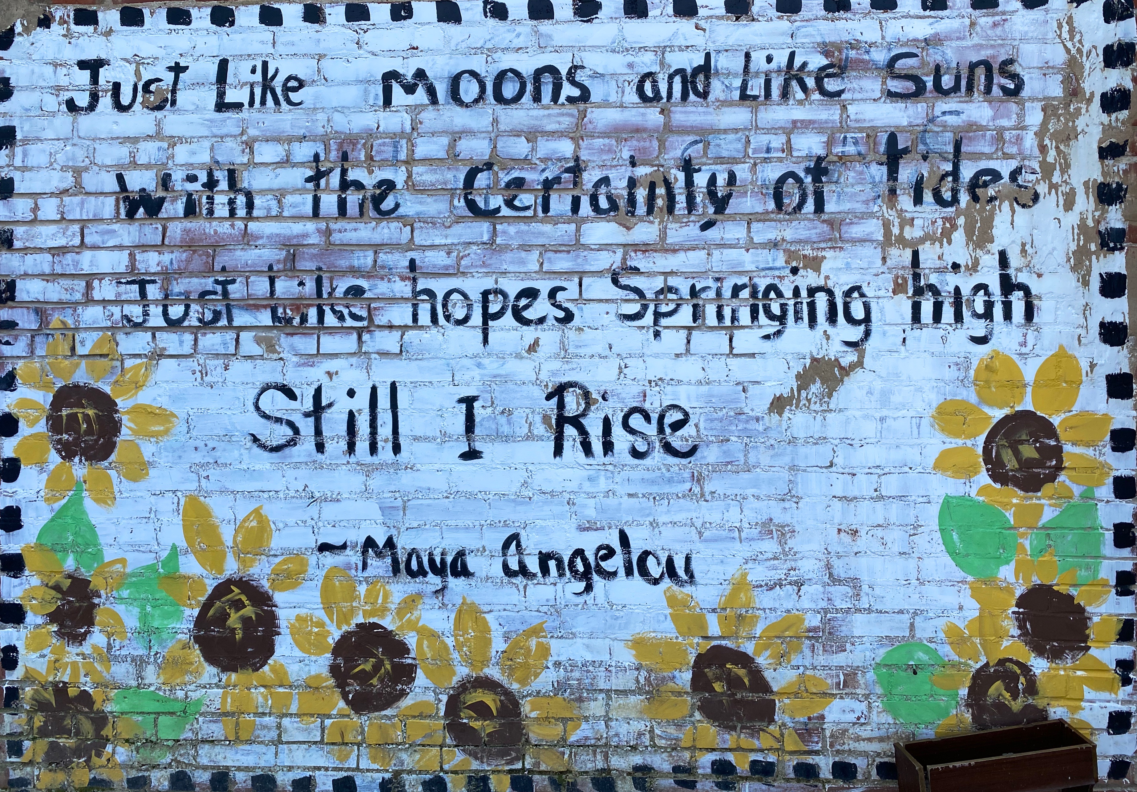
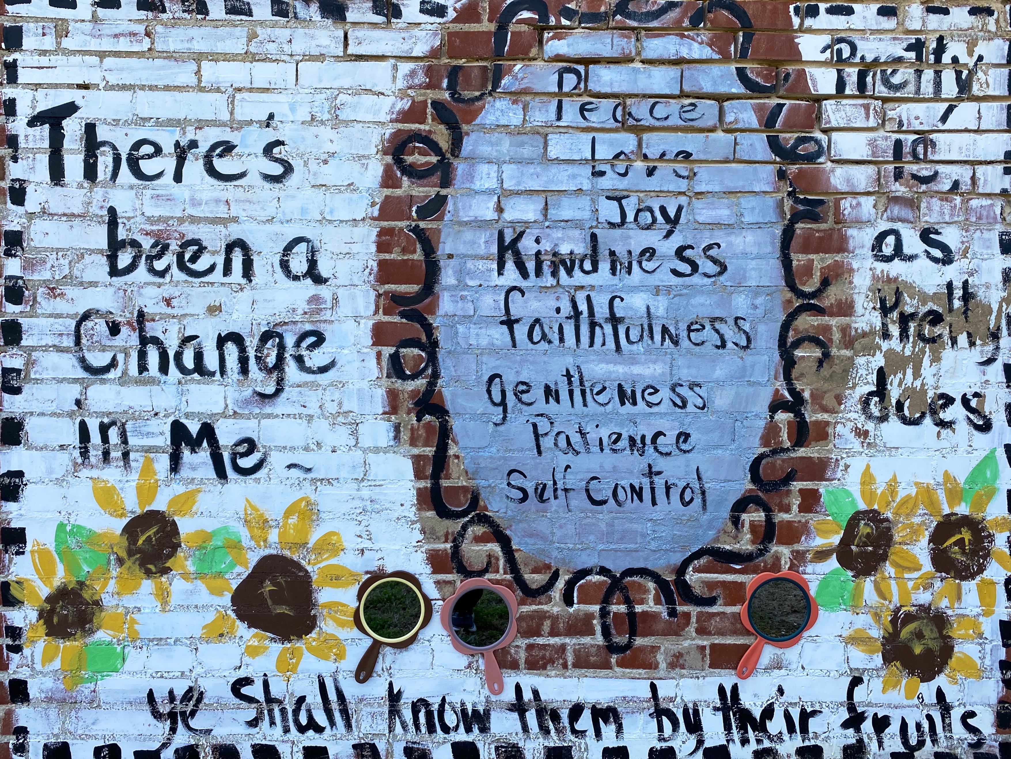
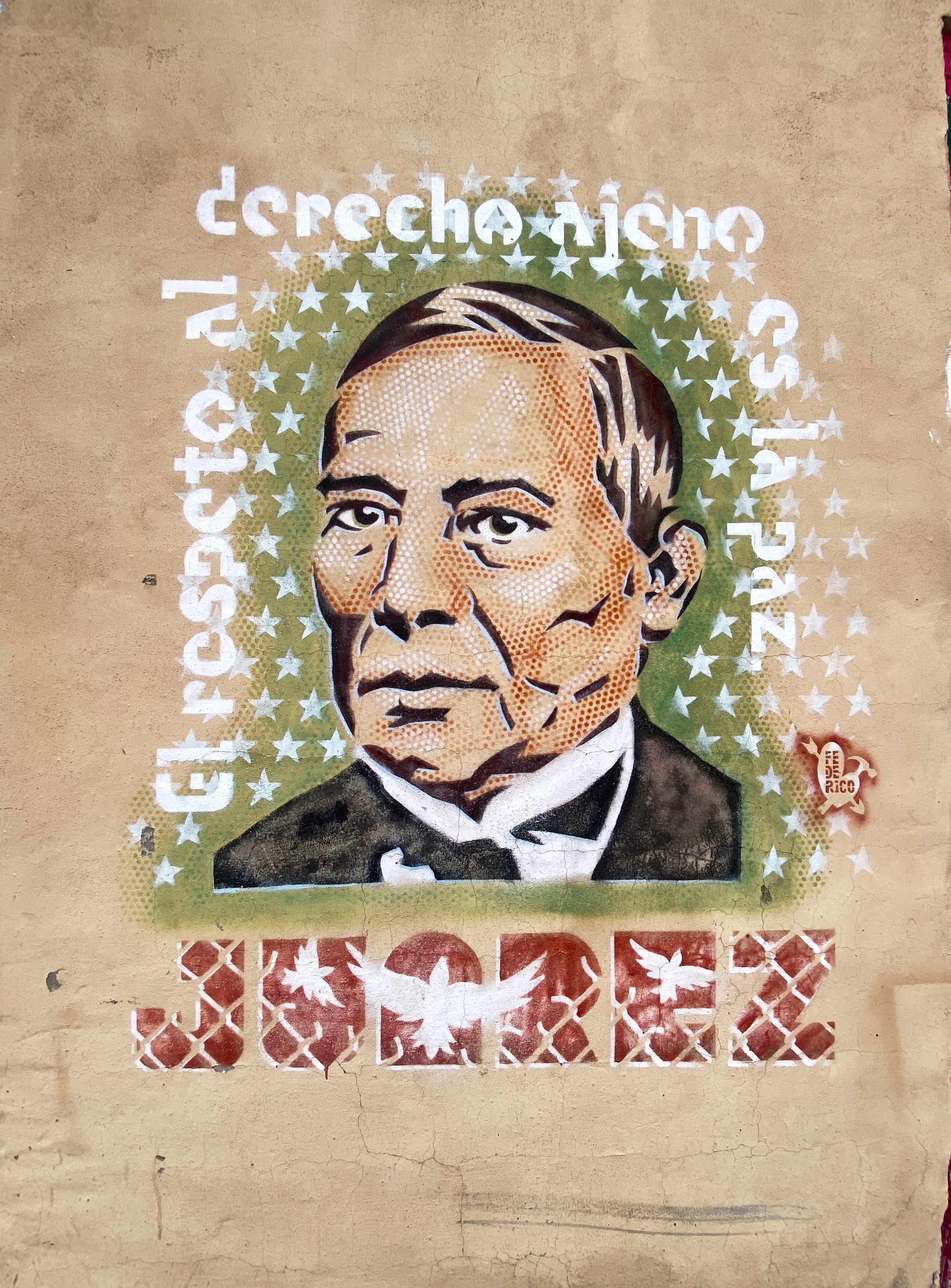
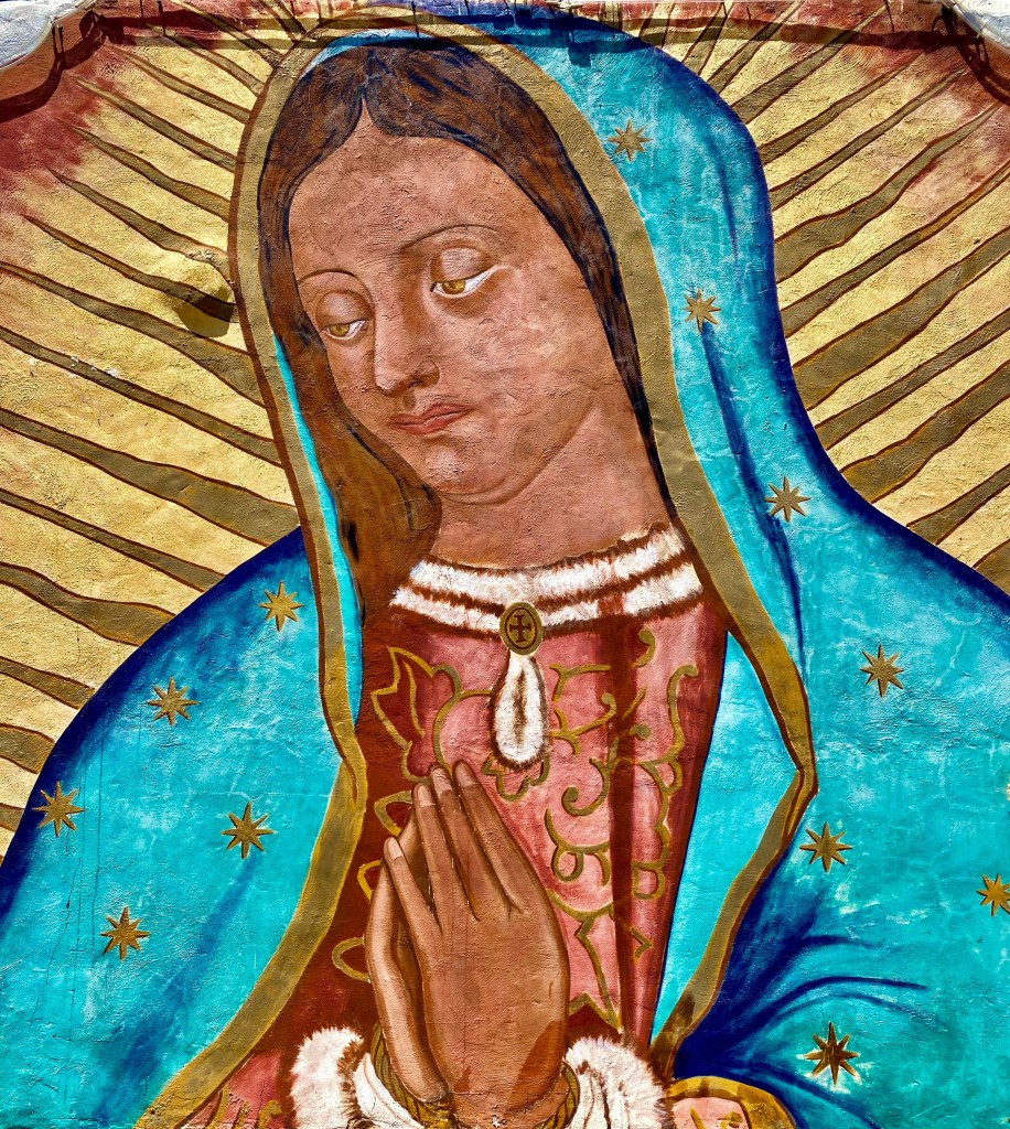
After departing the EPMA we stopped for some tacos and then went in search of street art downtown. We have included a few of the murals we found there. The art works below are all located on walls on Leon Street, all by different artists.


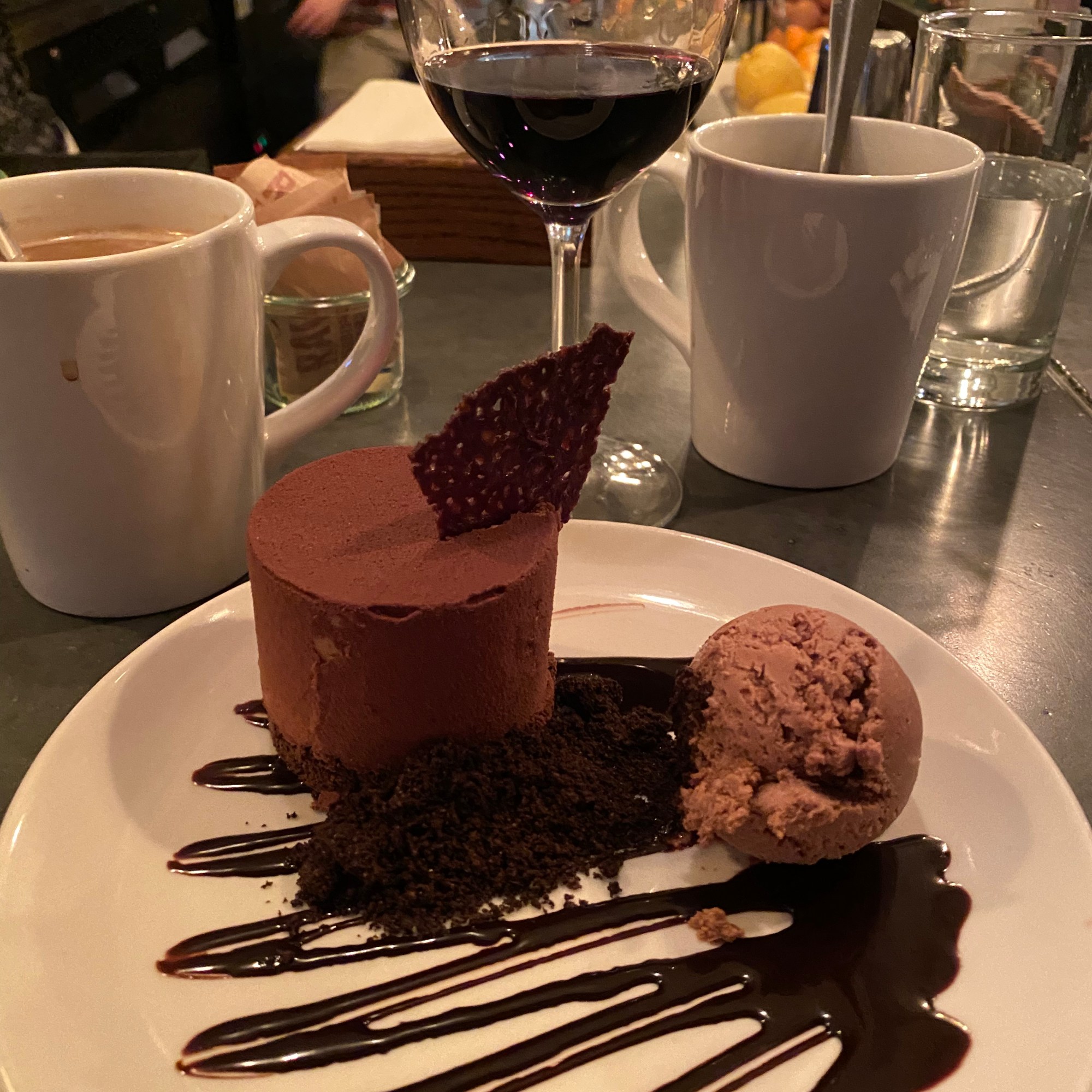
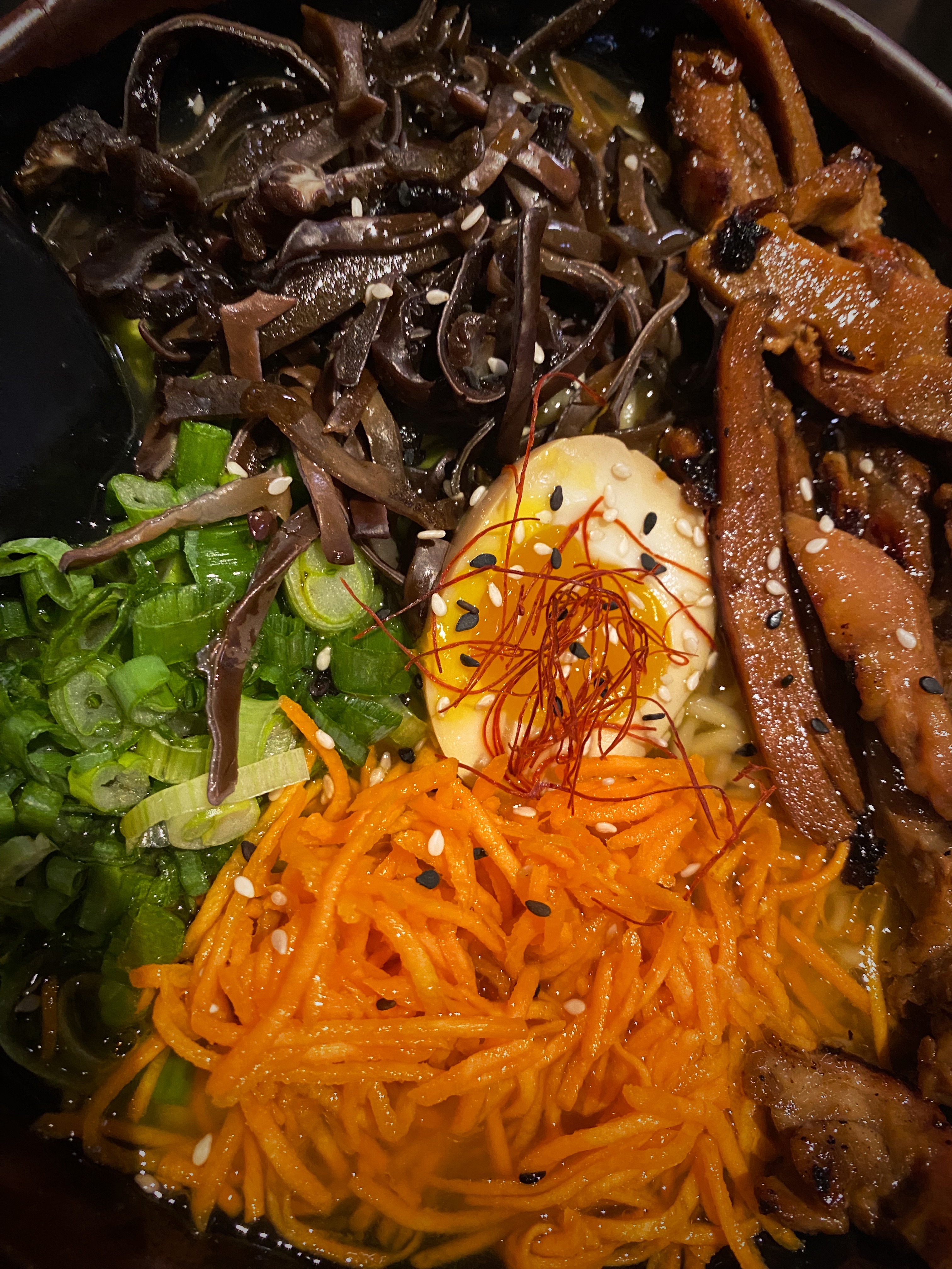
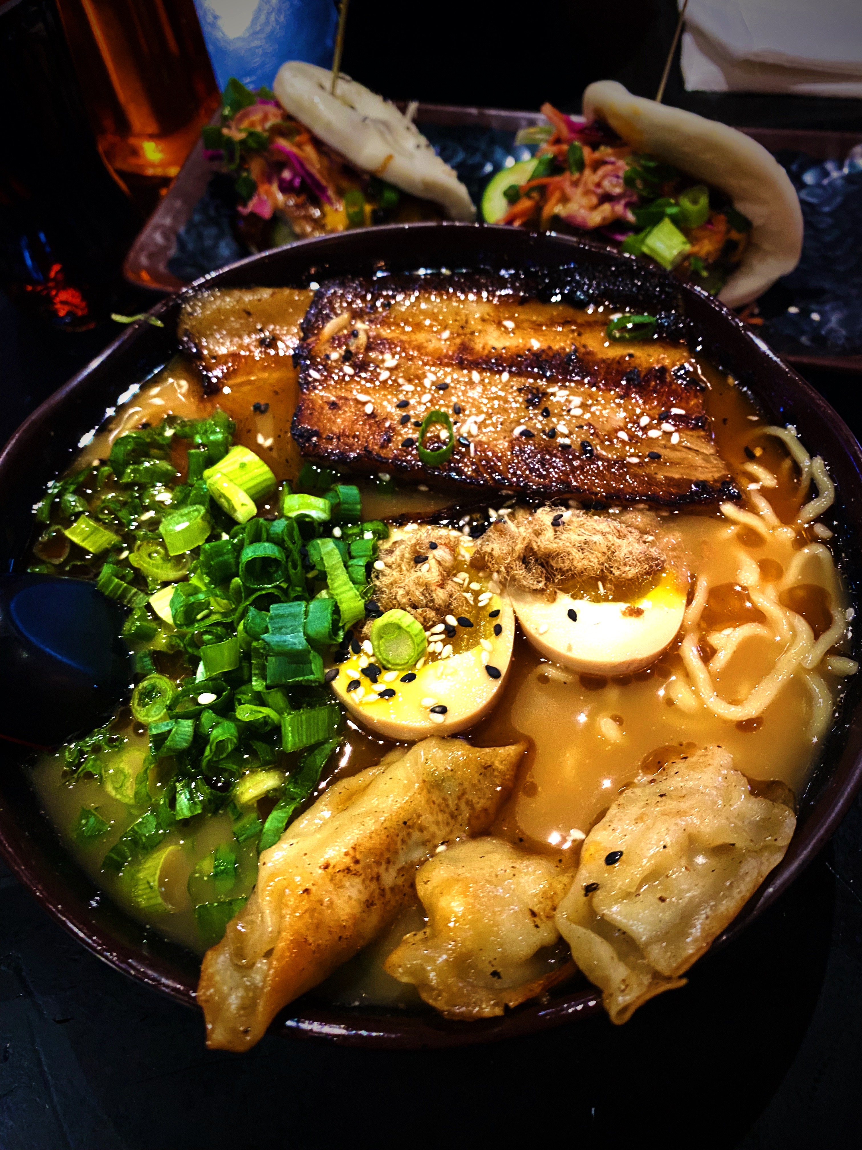
Dinner was another great find for us, a short walk from the hotel, in the University District. Kaedama serves outstanding ramen dishes! We did not think that we would be greedily shoveling awesome Japanese noodle soup dishes into our faces when we arrived in EP. The business started as a food truck owned by two friends – Garbiel Valencia and Andres Romero – and became popular very quickly. The friends decided to open a brick and mortar location and were able to open relatively quickly in part to an enthusiastic response to a crowdfunding campaign. The restaurant even gathered a visit from Food Network Chef and TV host Guy Fieri while he was visiting EP. A great way to finish day two! https://www.facebook.com/Kaedama915/


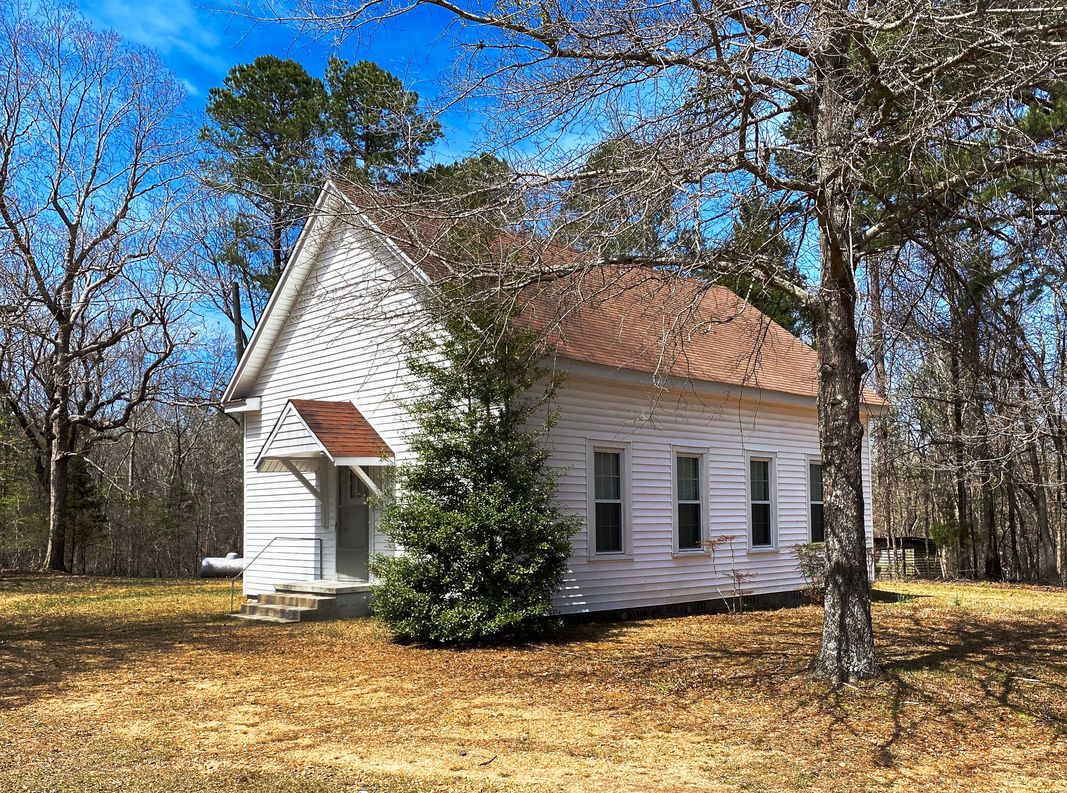
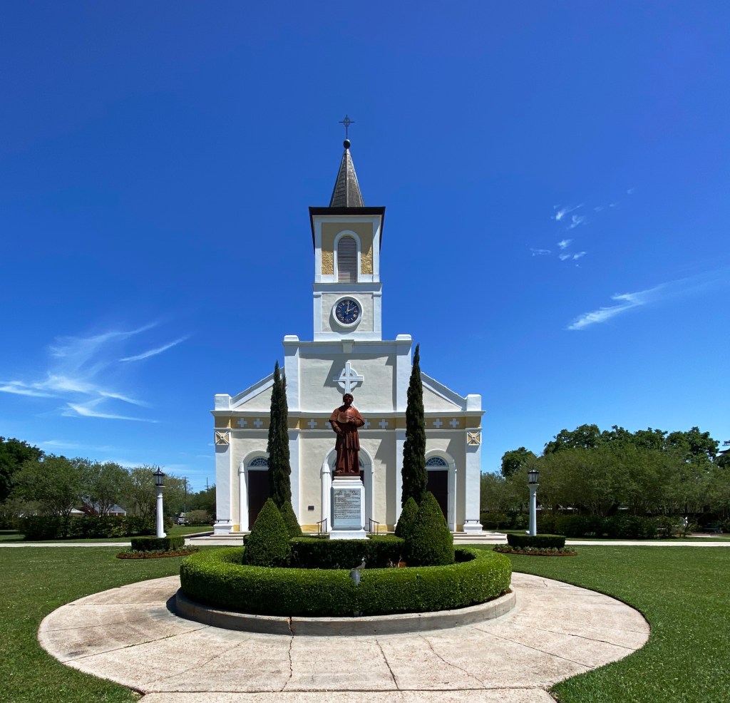
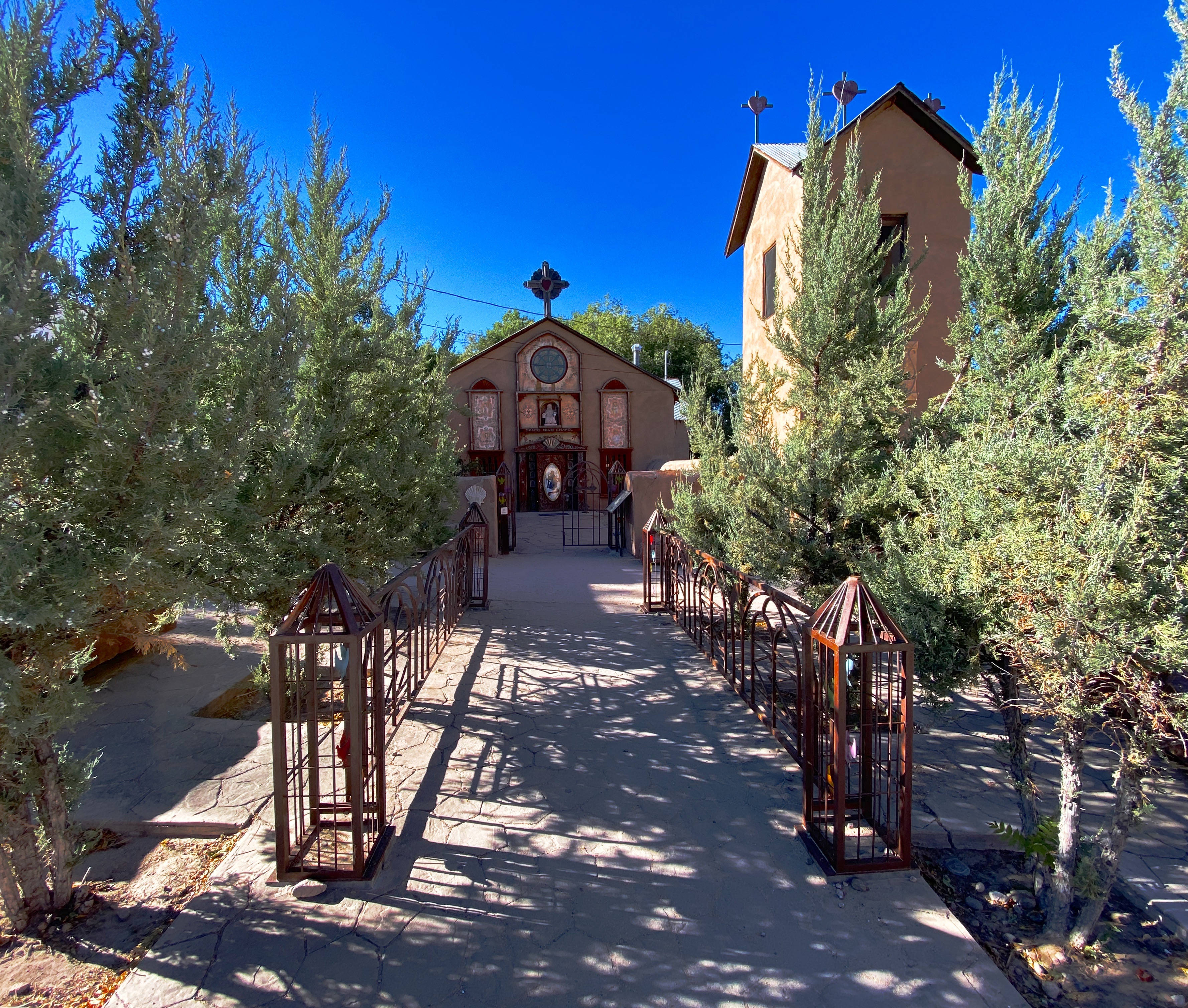
On our final day in EP, we journeyed across town to visit La Mision de San Antonio de la Ysleta de Sur. The Ysleta mission is the first permanent mission established in Texas. The mission was founded in 1680 by Indian and Spanish settlers who fled New Mexico as a result of the Pueblo Revolt of 1680. The revolt was the culmination of more than 100 years of incursions by Spanish soldiers and, of course, missionaries. The indigenous Pueblos killed 400 Spanish soldiers and drove about 2000 Spanish settlers out of the Albuquerque area.


The original mission was built by the Tigua Indians in 1862. The mission has been rebuilt several times due to flooding and fire. The last time was in 1908 after a fire destroyed the roof and bell tower. The Tigua Indians are still active in the mission, celebrating traditional holidays and the Tigua Feast of San Antonio, their patron saint.
As with many other missions along what is now the border, the mission was located in Mexico until the 1848 Treaty of Guadalupe Hidalgo transferred this territory to the United States. While the mission was technically in the United States, it continued to be administered by the Mexican church until 1872.
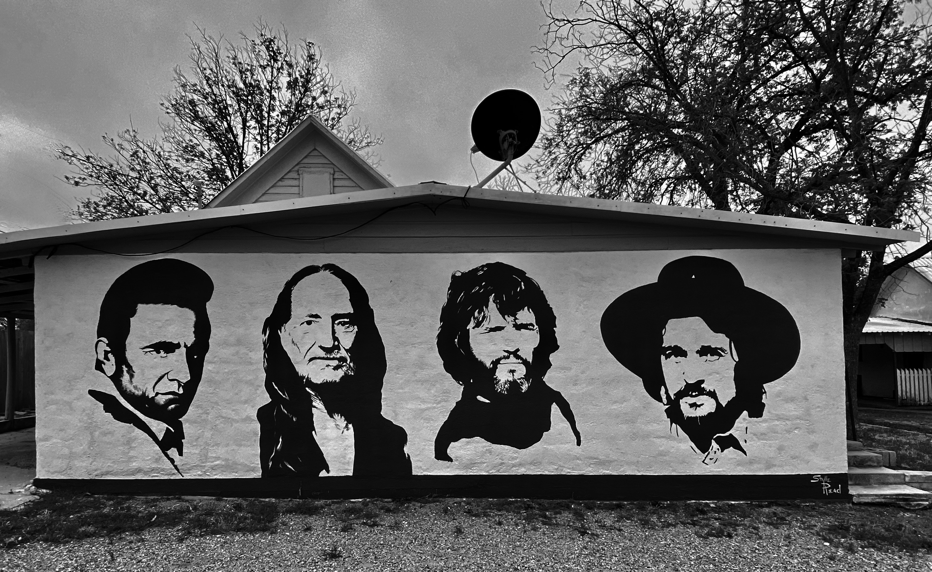
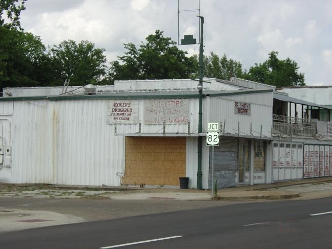
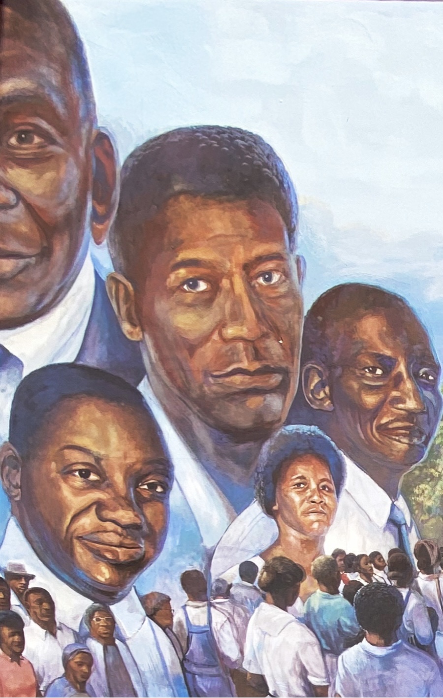
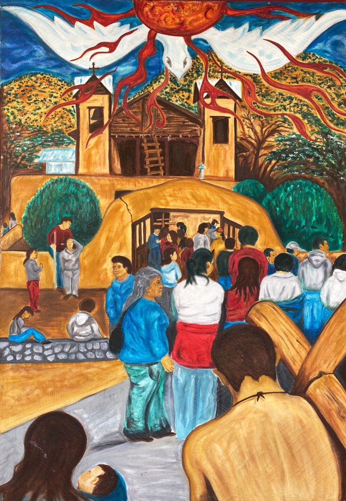
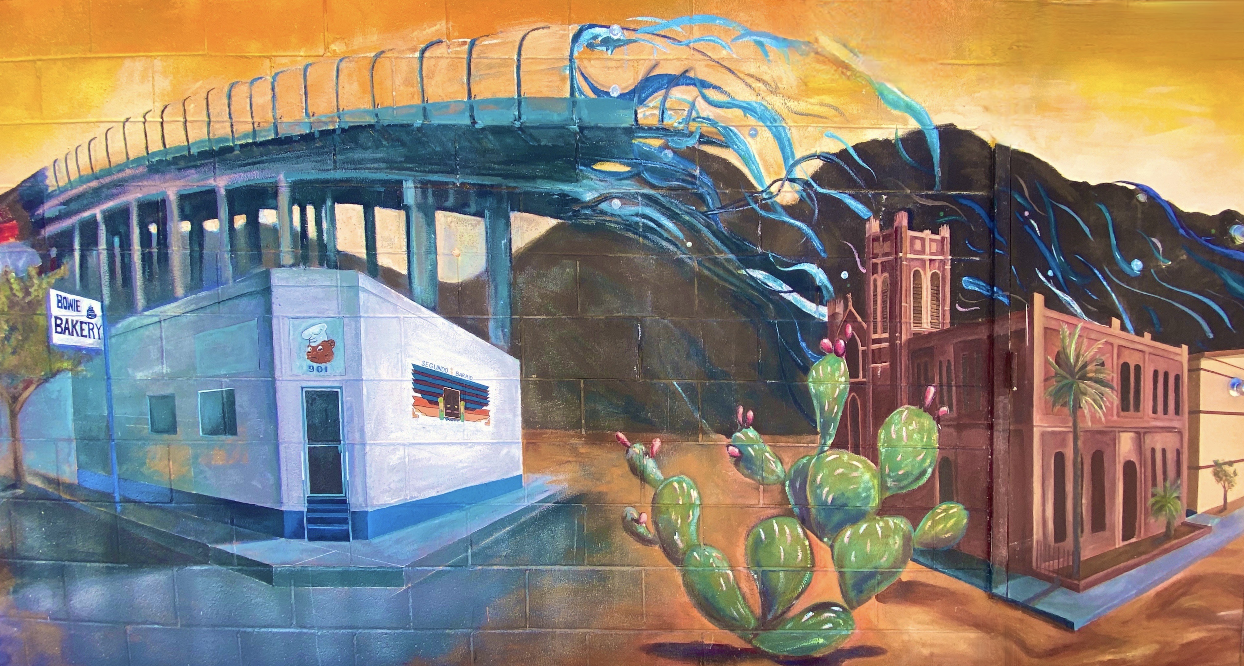
After visiting the mission we found our way to the El Segundo Barrio near downtown to view the many notable murals. As the name suggests the Segundo was the second neighborhood in EP. Since the 1830s this area has been a major entry point for Mexican immigrants coming into the United States. The majority of the immigrants in the barrio were and still are migrant farm workers.
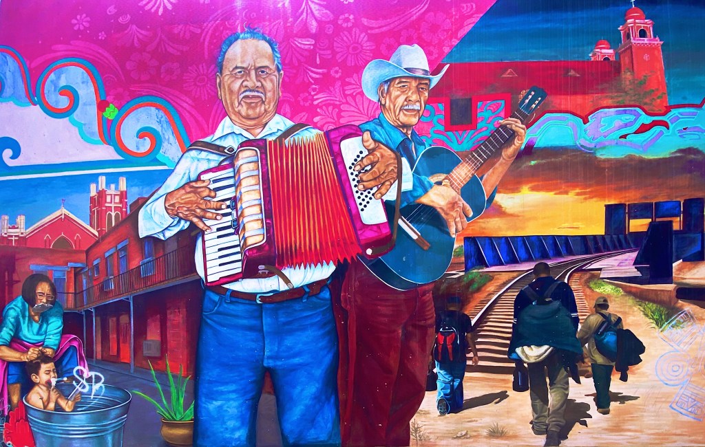
The Segundo still reflects its Tejano culture and traditions very proudly (we hope the murals we have featured reflect that same sense of tradition, culture and aspiration). At one point, the city planned to demolish much of the barrio as a way to eliminate the significant substandard housing stock instead of addressing the root causes in a humane fashion. Fortunately, civic groups formed and defeated the city’s plan to demolish the historic area.


Unfortunately, the preservation of the barrio has not improved the economic conditions significantly. Many of the Mexican-American residents and immigrants still toil as farm workers. The barrio is poor by any measure, albeit rich in culture, tradition and pride in its heritage.
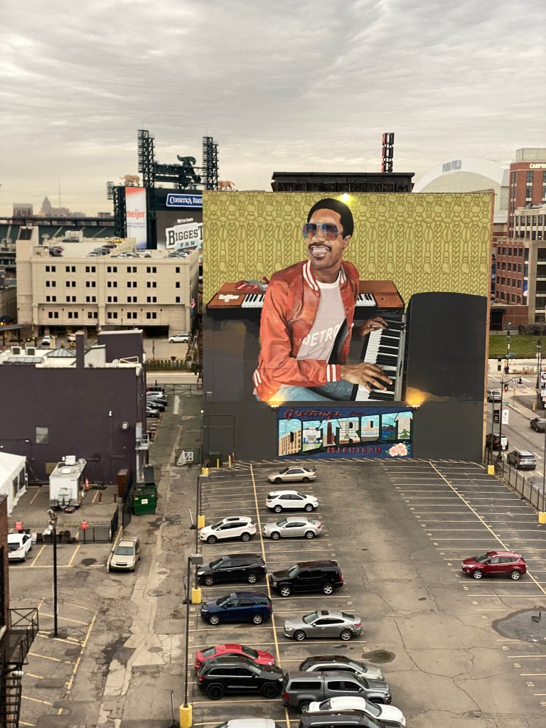
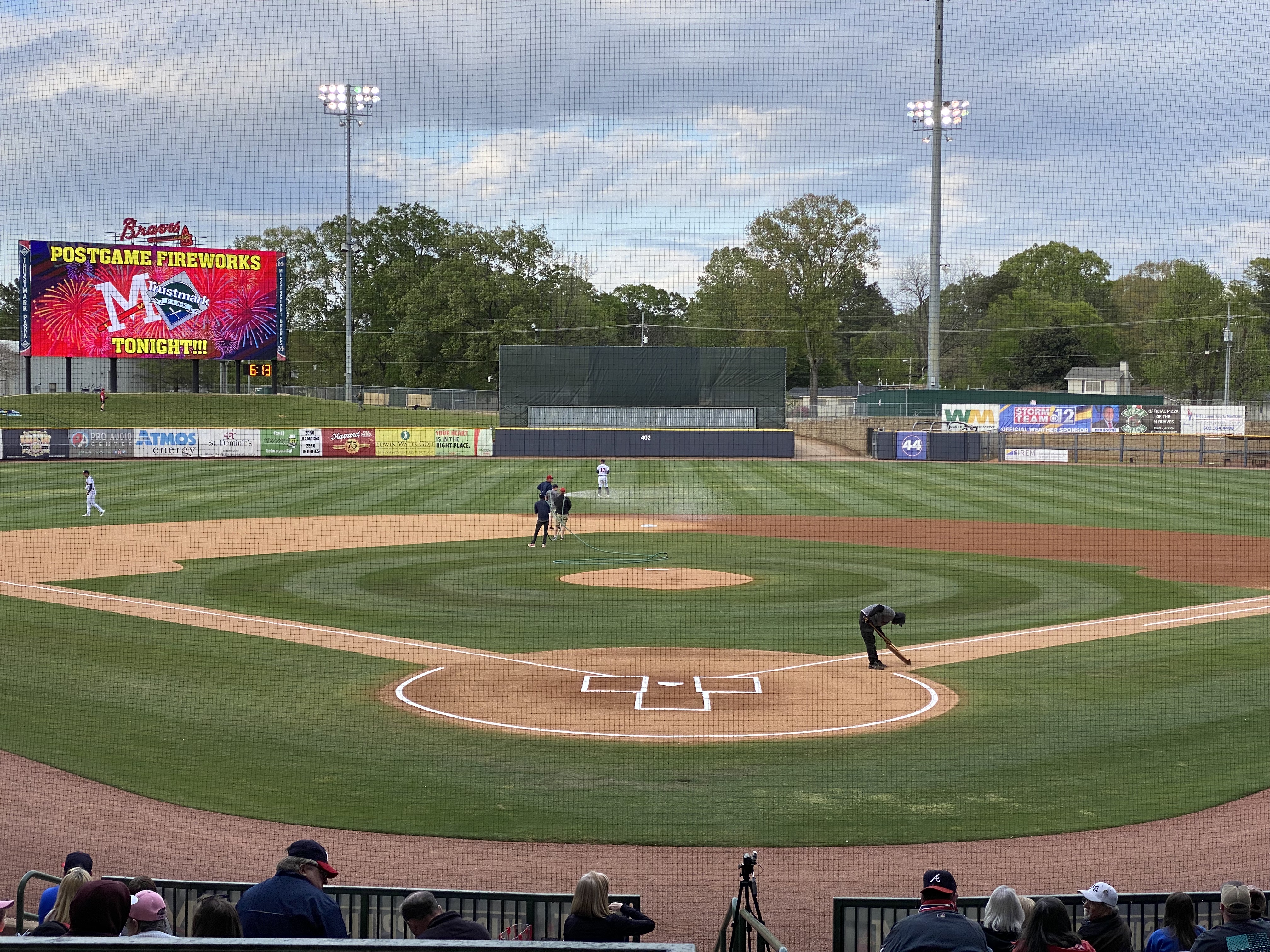
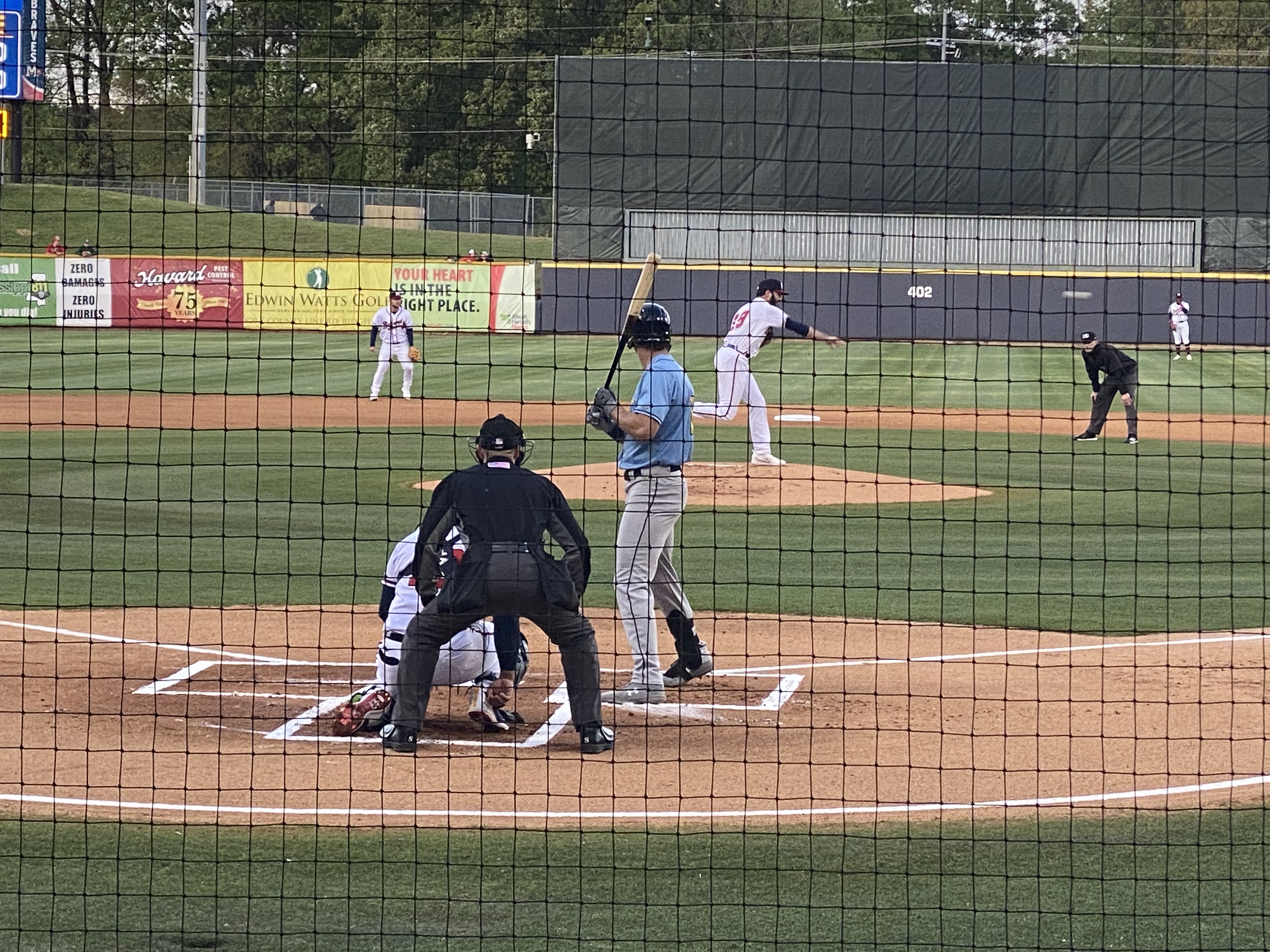
On our final night in EP we took in a ballgame. The El Paso Chihuahuas are the Triple-affiliate of the San Diego Padres and compete in the Pacific Coast League. This team has been located in a number cities (Spokane, Albuquerque, Portland, Tucson) prior to arriving in El Paso in 2014 to play in their brand new stadium. The stadium is very attractive and sits right in downtown.


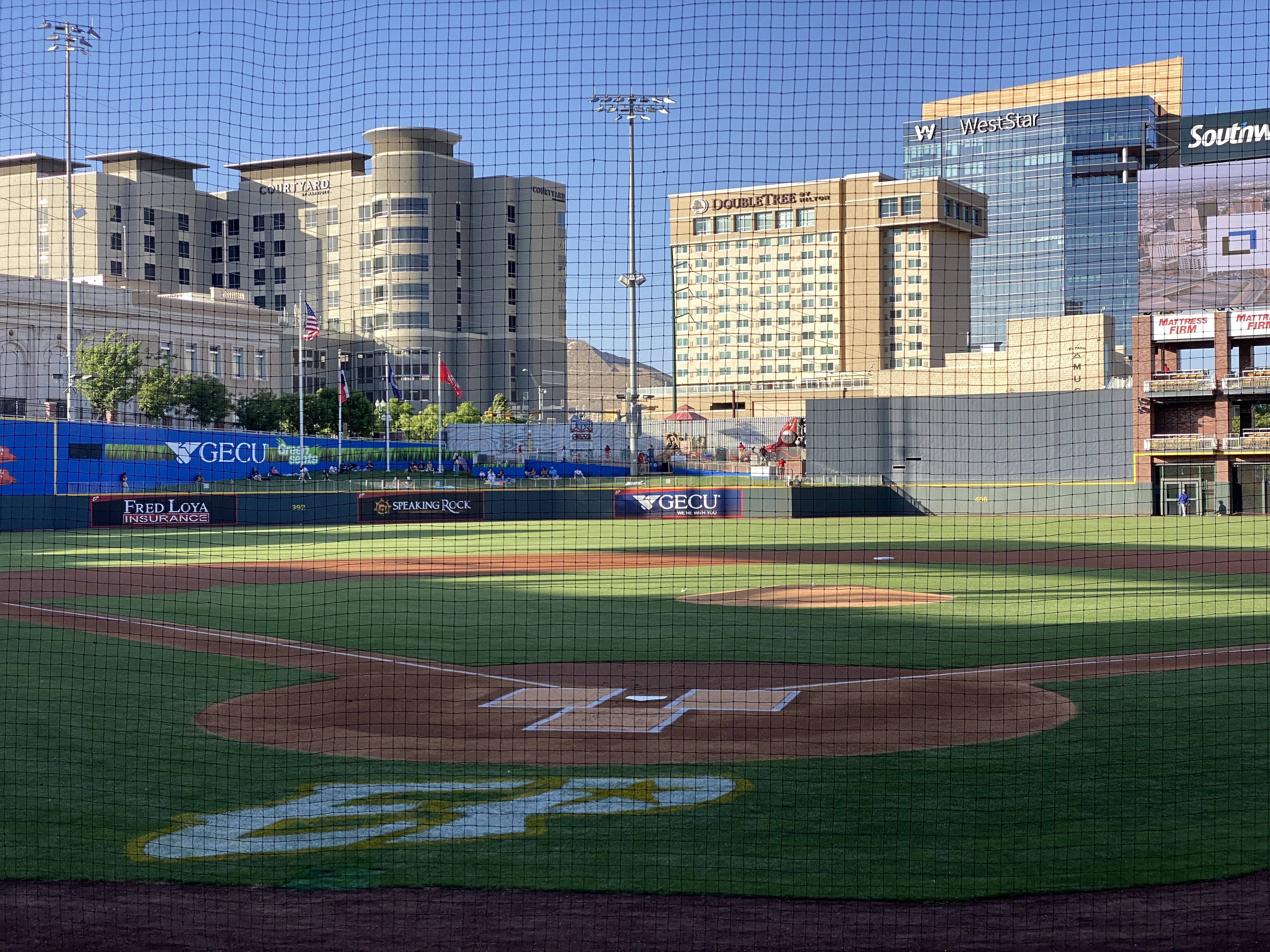
The Chihuahuas are not having their best season, but to the delight of their very enthusiastic fans, the club rallied late in the game to defeat the division leading OKC Dodgers. Go Chihuahuas!
We departed EP and Texas the following morning to head across the Chihuahuan Desert of New Mexico. We enjoyed our time in Texas and EP and have no reservations about recommending visiting EP. This was our third time traveling across the state and we still have not explored several areas within the state. Everything is bigger in Texas!
We hope you enjoyed this post. Be seeing you! 2023 May OTR 9.0
P.S. You have probably read much about the immigration issues along the Texas/Mexico border. While were in the city we witnesses significant Border Patrol activity along the border fence on the United States side of the Rio Grande. We also observed the large military presence patrolling along the Rio Grande on the river side of the border fence utilizing Humvees and foot patrols.

And yet, we could clearly see immigrants massed on the Mexican side as well as detainees on the U.S. side. Currently around 900 immigrants per day are crossing from Mexico into the EP port of entry and allowed to legally enter the U.S. The city works with a number of non-governmental agencies to provide the immigrants with shelter, food and water. It is quite apparent that the city is doing everything it can do to ensure the immigrants are treated humanely. The majority of immigrants currently entering at EP are from Central and South American countries and Cuba. Venezuela accounts for approximately 70% of the immigrants.
We can only imagine how bad conditions must be in Venezuela and the other countries for individuals and families to risk everything to escape the poverty, crime and repressive governments in their respective countries.