Western New Mexico….a Slice of the American West

Our first stop after departing Silver City was Catwalk Recreation Area (CWA) where we were looking forward to hiking through the Whitewater Canyon. The beautiful slot canyon formed by the Whitewater Creek once served as a hideout for Butch Cassidy and the Sundance Kid as they attempted to evade the Pinkerton’s. Geronimo and his warriors also used the canyon to elude the U.S. Cavalry.

During the 1890s, the power of the upper creek flowing through the canyon was harnessed to bring water to the gold and silver mill which was situated in the lower canyon. Workers constructed a pipeline through the canyon which was bolted to the canyon walls about 20 feet above the creek. A series of catwalks were built on top of the pipeline in order to access it for maintenance and repairs. The boom came and went, and the mines and mill were closed in 1913; the materials were sold for scrap. The 200 or so residents left for other parts to find work.

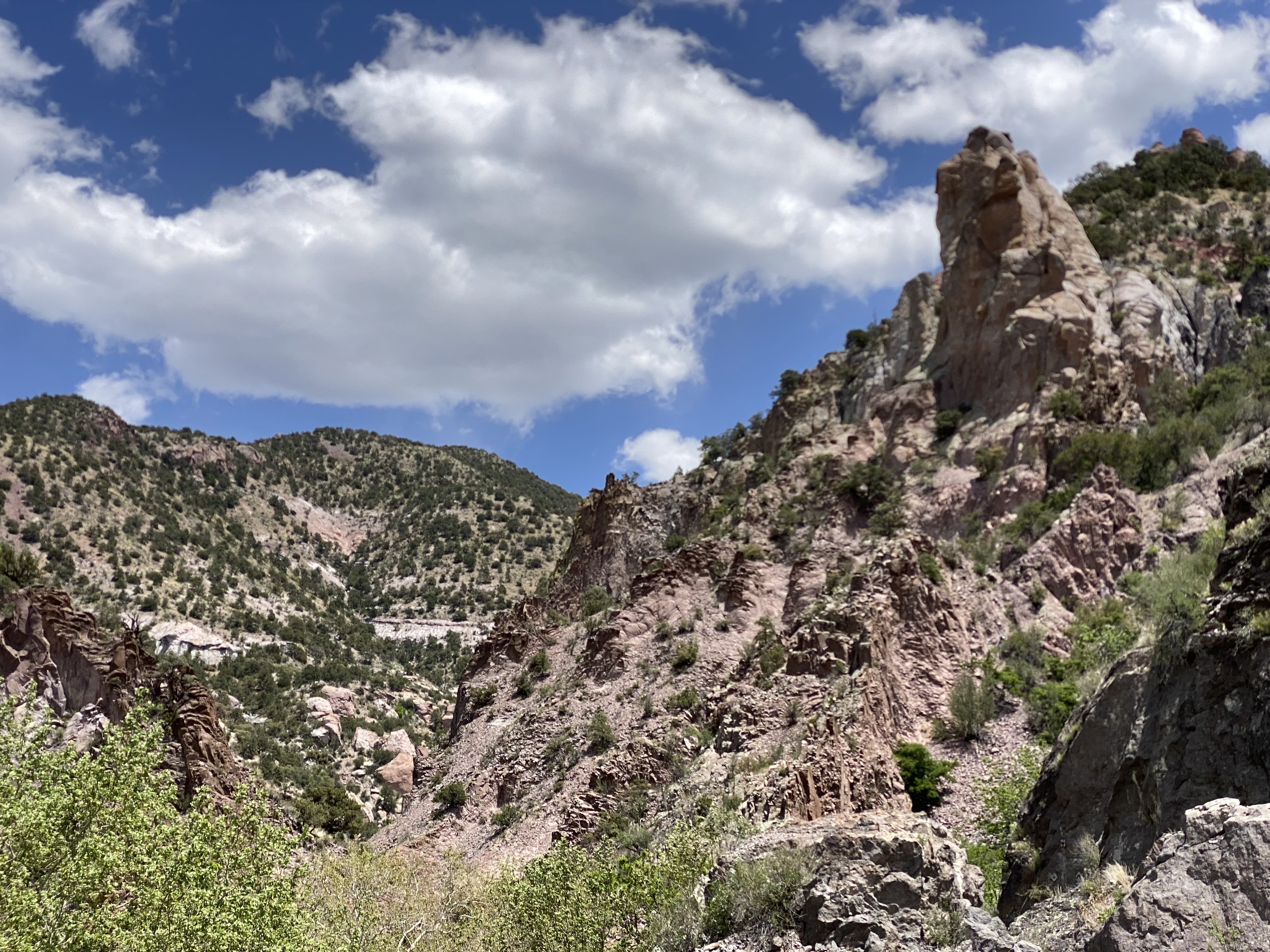
The canyon essentially returned to its original state with no residents or mining operations. In 1935 the U.S. Forest Service (USFS) utilized the Civilian Conservation Corps (CCC) to create a hiking trail through the canyon. The CCC used the existing bolts in the canyon walls to build a new wooden catwalk as part of the hiking trail through the canyon. The trail was opened in 1937 and survived until 1961. It was replaced by a metal catwalk which subsequently was destroyed by storms in 2013.

Fortunately for us and other visitors, the USFS was able to have a new catwalk built and installed in less than a year. Today the catwalk extends approximately one half of a mile into the canyon, then hikers can continue on the canyon surface for another mile — as long as they are willing to make several water crossings. There are plans to extend the trail deeper into the canyon in the future.

After our hike at Catwalk, we traveled north and ventured across the winding single lane Bursum Road (NM59) to visit the town of Mogollon (mo-go-yone). The town sits deep in the Mogollon Range within the Gila Wilderness at 6500 feet above sea level.

Bursum Road Driving Towards Mogollon
View from Bursum Road to the West

The town is sometimes referred to as a ghost town but it actually has a handful of residents (apx. 15) and several businesses. We saw several parked cars but no people during our walkabout. The town’s history began when gold was discovered in the late 1800s. Gold was mined here continuously until the 1950s. As a result, many of the structures are still standing today which leads to sense of stepping back in time as you travel through the small town.

Mogollon, 1940, Photo credit Russell Lee

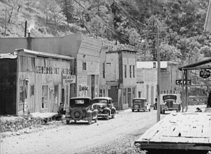
Gold mining brought as many as 6000 people to the town at the height of production at the Little Fannie Mine and several other nearby mines. The town flooded often (sitting on the Silver Creek) and major portions burned multiple times. The town’s reputation (like many mining towns) was that of a rough and tumble place with several saloons and brothels (and no law).

Little Fannie Mine

After our day at CWA and Mogollon we found camping in the Gila National Forest among the pines and the serenading cattle that were roaming around us in constant search of food. The next morning we pushed northeast out of the forest onto the Plains of San Augustin. The Plains stretch 55 miles from the northeast to the southwest and range in width from five to fifteen miles.

Our primary purpose in transiting the Plains was to visit the Karl G. Jansky Very Large Array (VLA). The VLA consists of 27 radio telescopes positioned across the Plains via railroad tracks. Each of the radio dishes stands 90 feet tall, 82 feet across and weighs 250 tons. In their widest configuration the radio dishes stretch for over 20 miles across the Plains. The Plains are an ideal setting for the VLA as it is far away from any population centers and shielded from light by the surrounding mountain ranges.

The Very Large Array

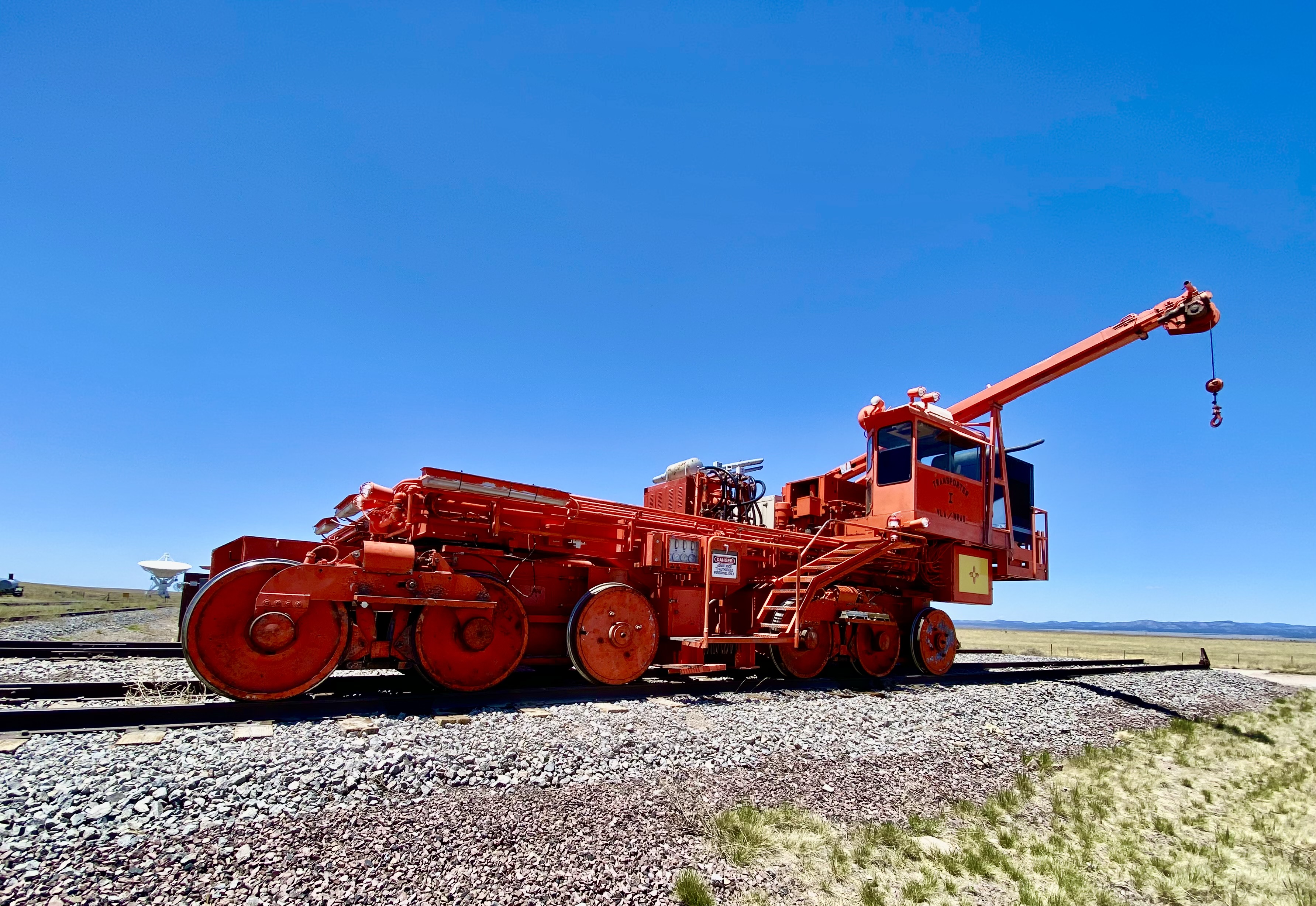
We won’t pretend for a second to understand how this works but it is nonetheless fascinating to see the array in action and to learn about the many important discoveries made utilizing radio astronomy. The array has captured activity in our galaxy as far away as 150 quadrillion miles!

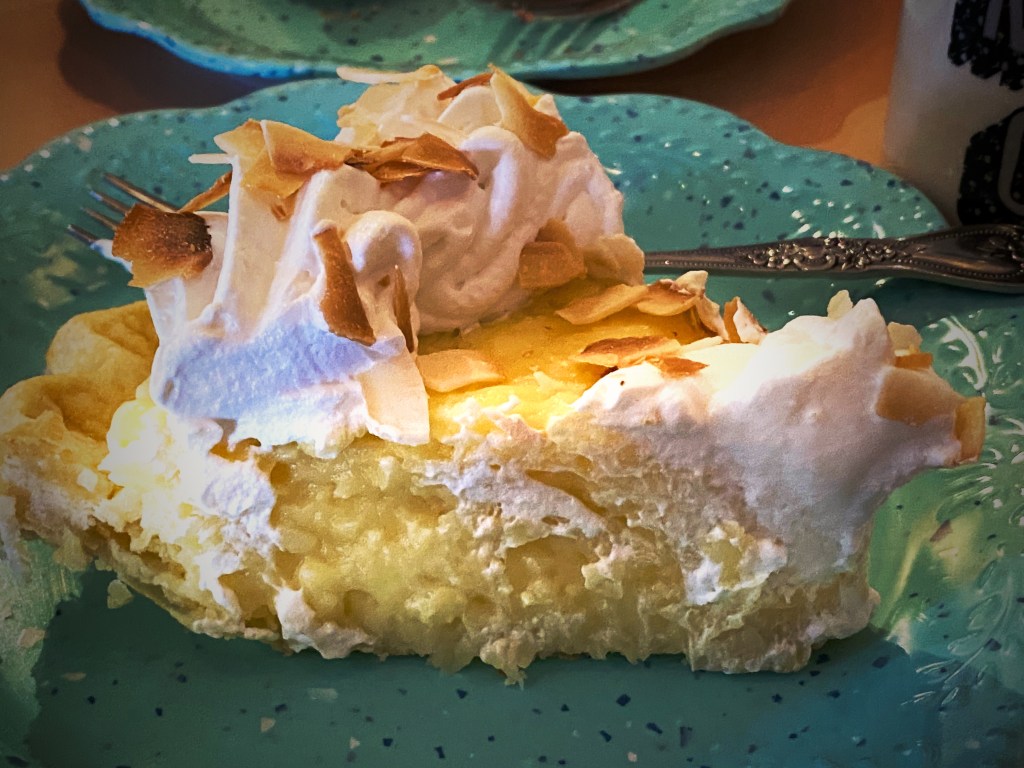
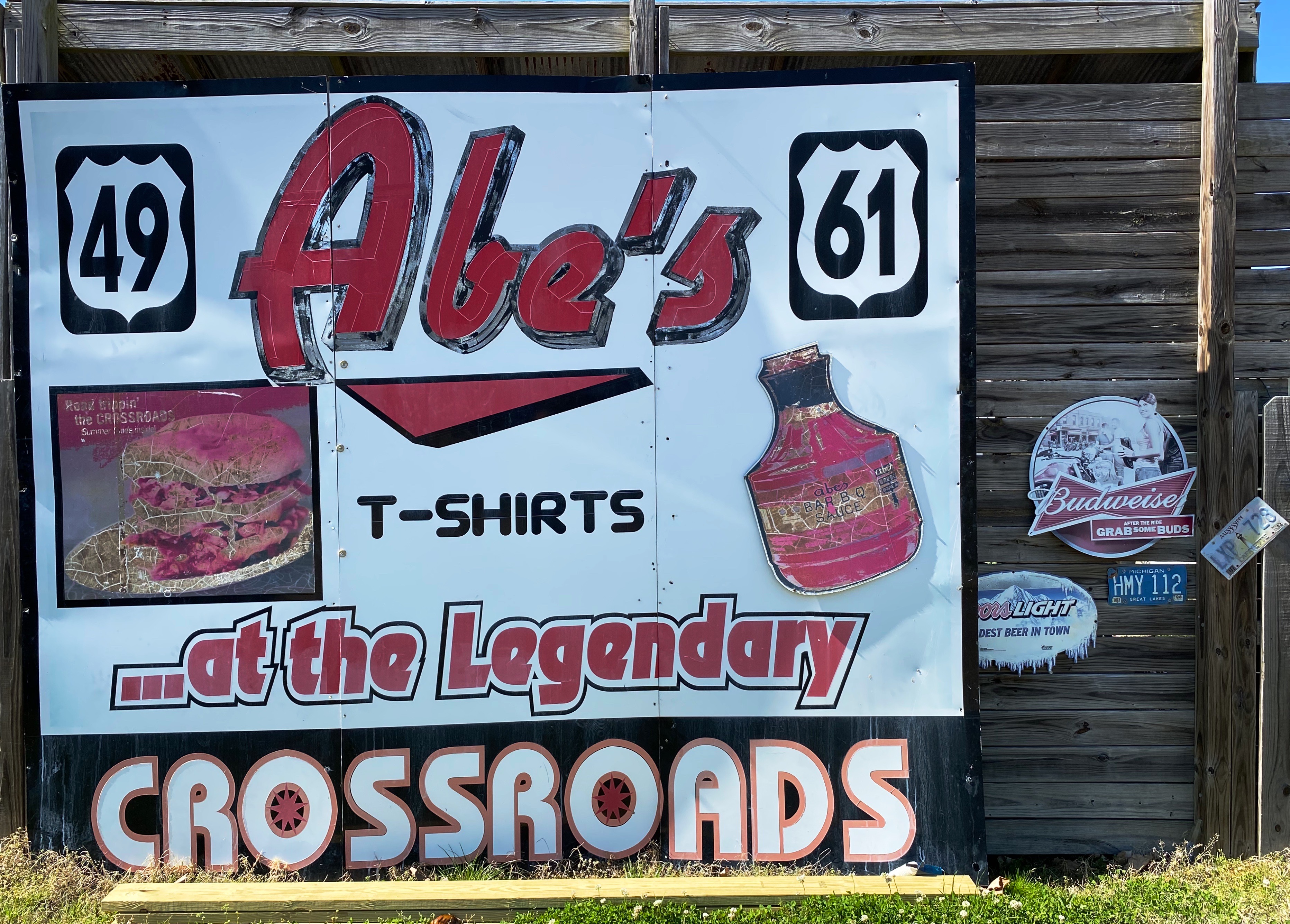
We met a motorcyclist who had pulled over for a break while we were off the road near the VLA adding air to two of our tires with slow leaks. He asked us if we were going to stop in Pie Town – we said yes – he said good, it is a tradition whenever you cross Route 60 to stop and have pie!

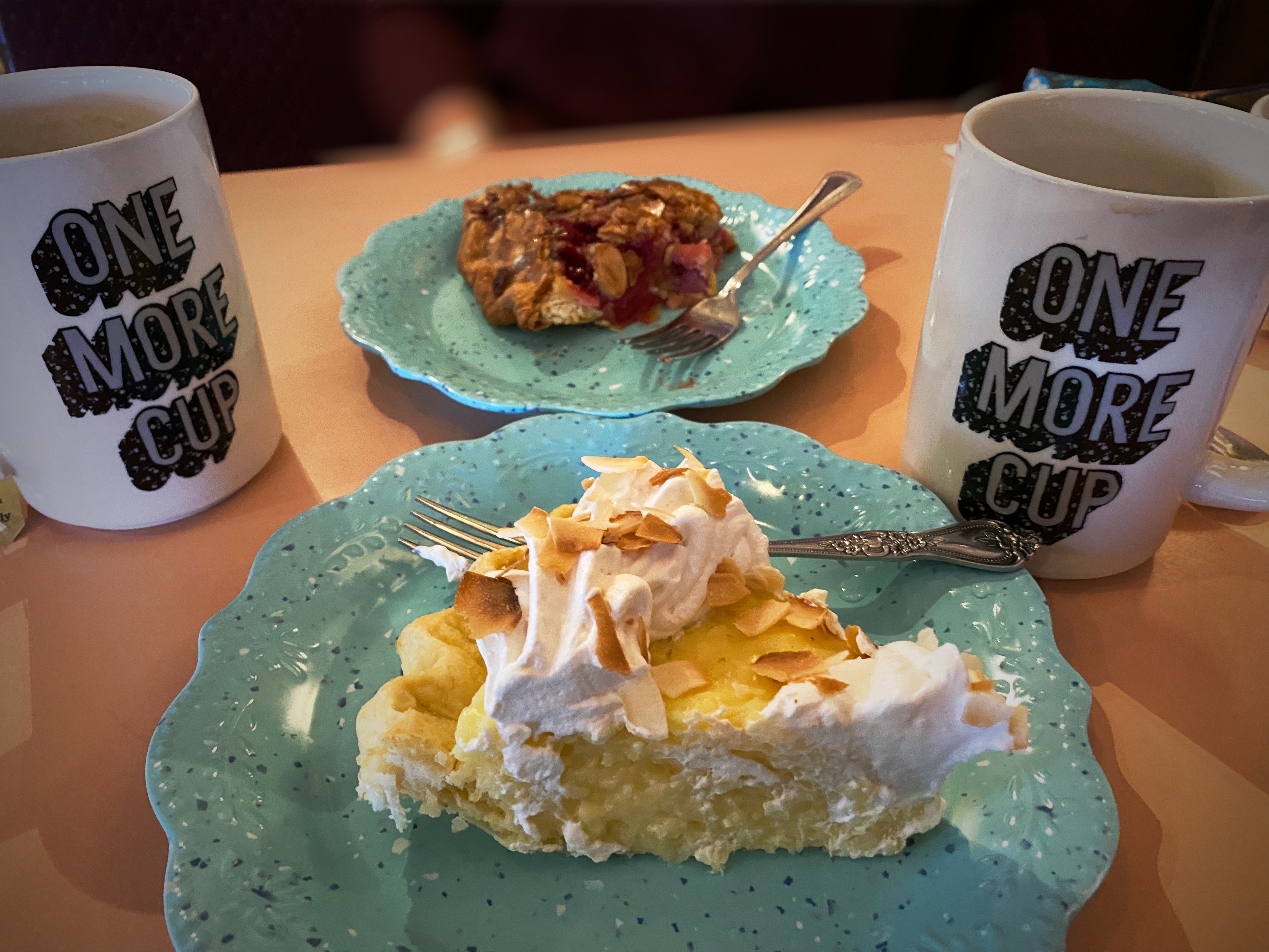
Well, we did, and it was dang delish! Maria had the Cherry Almond Pie and I had a piece of the freshly made Coconut Cream Pie. Pie Town establishments did a good business dishing out pies for cross country travelers and local ranchers until the ubiquitous interstate was built and diverted much of the traffic away from town.

Fortunately, about 25 years ago the Pie-O-Neer Cafe opened and it has been doing a booming business ever since. In addition to many travelers that now routinely avoid the interstate, the Continental Divide Trail runs through Pie Town. Many hikers stay at a nearby hostel and consume thousands of calories (based on what we saw) replenishing for the next leg of the journey. The town itself has not grown with a population hovering around 25, but they apparently throw a heck of a pie festival every September.

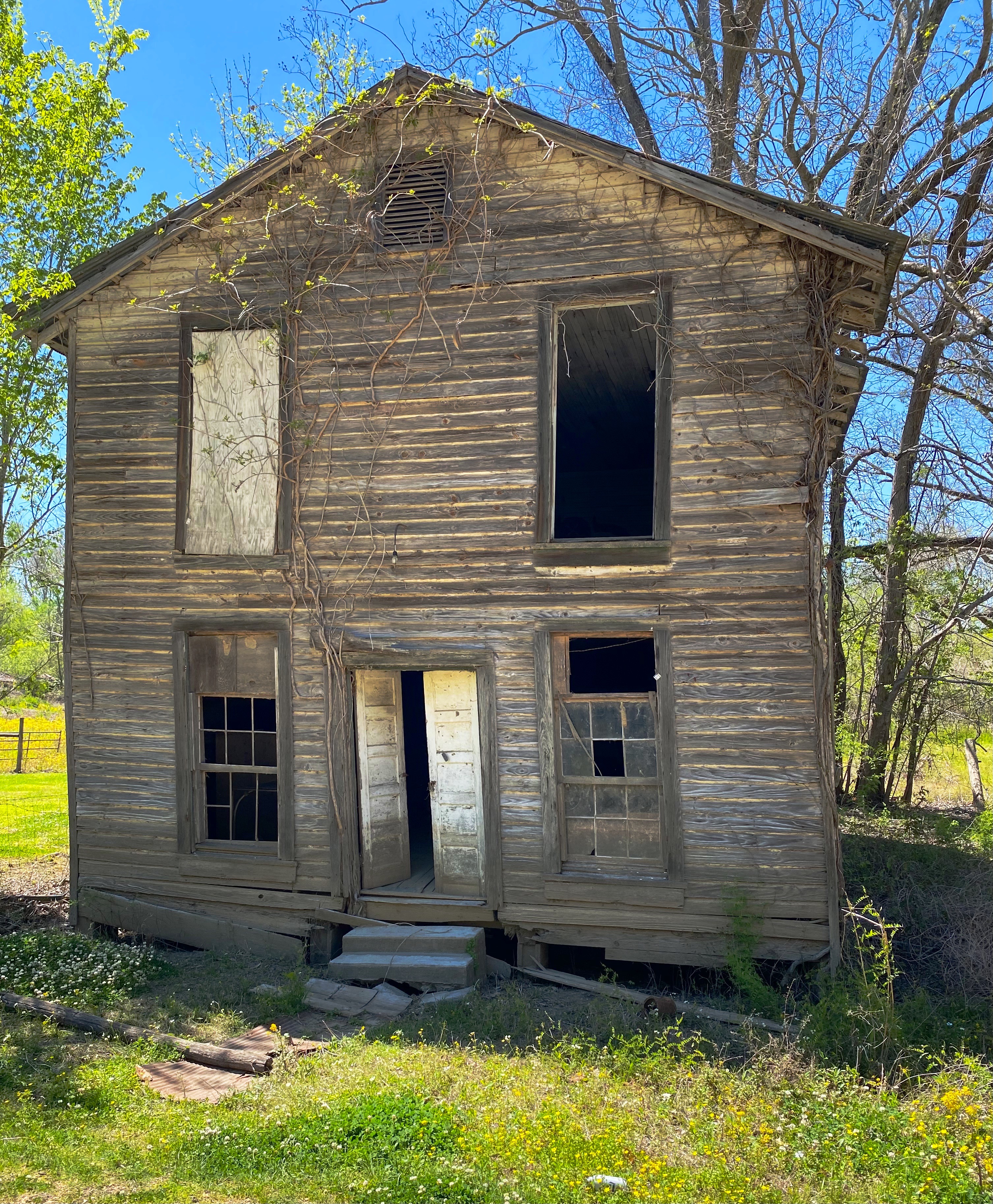
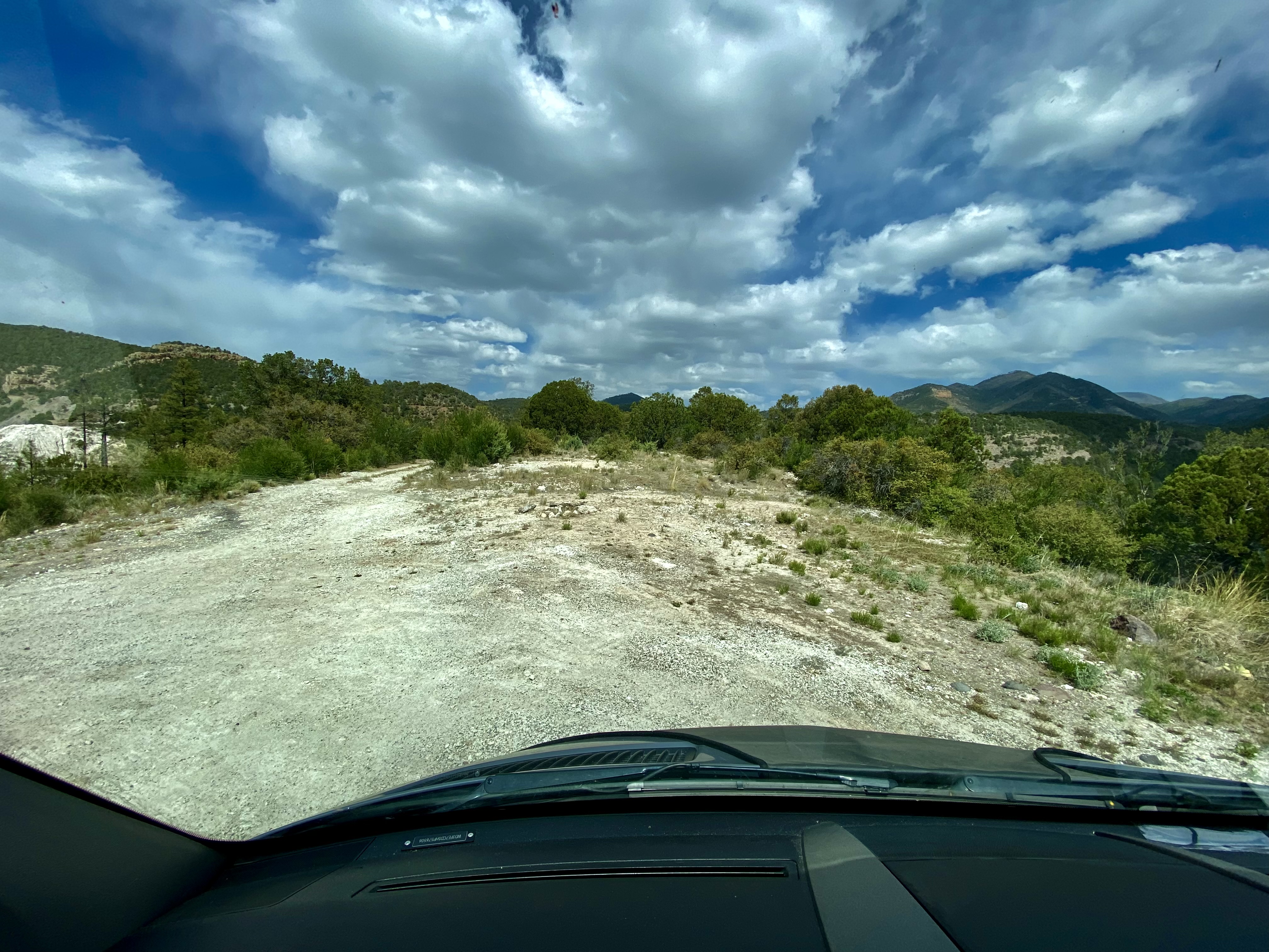
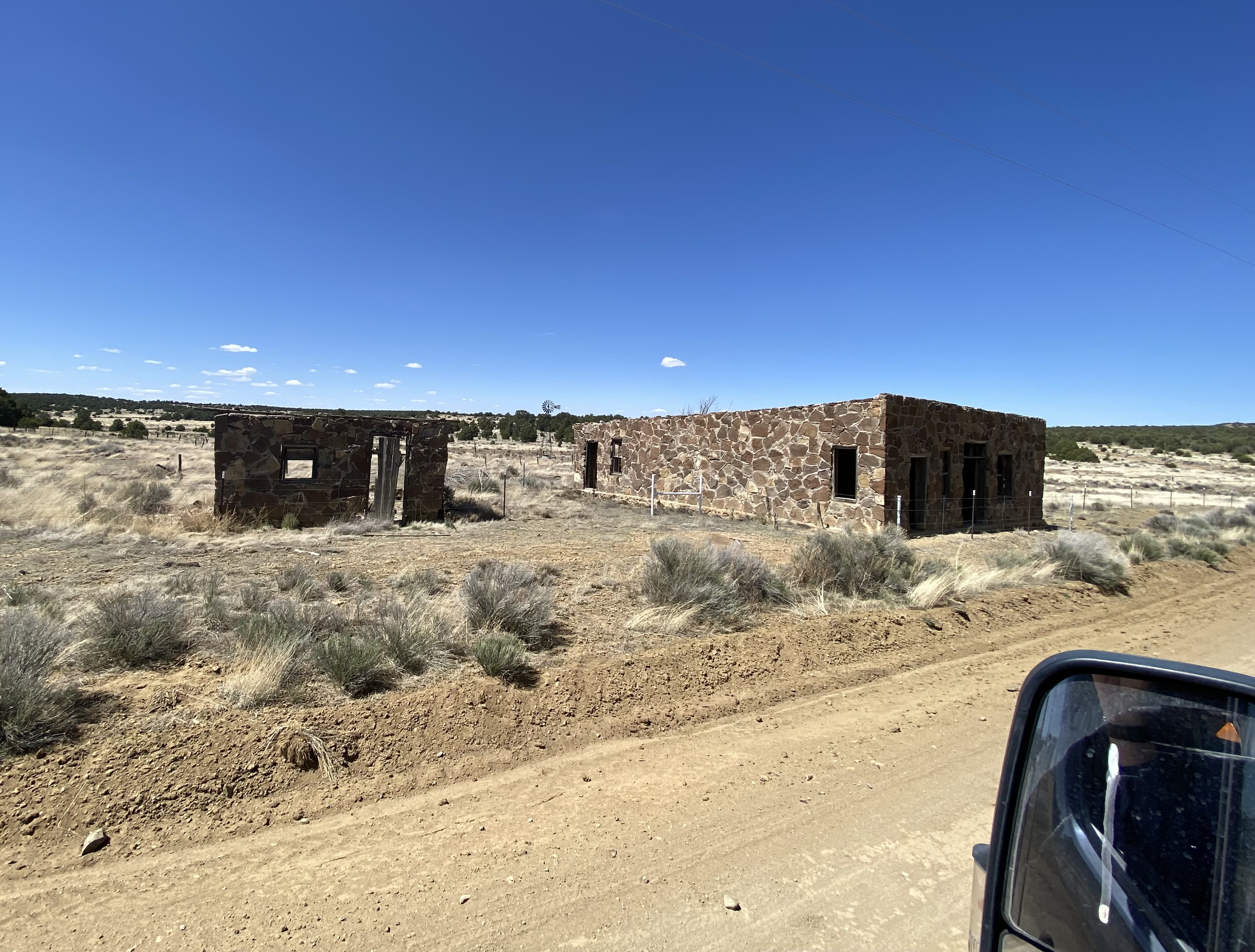
After filling our bellies with delicious pie, we set north across some dusty ranch country on the York Ranch Road in search of camping near El Malpais National Monument (EMNM). As you can see in the photo below left, the desert can be cruel for those unprepared for the terrain.

We found a beautiful spot to camp just east of EMNM on a bluff which provided great views and a spectacular sunset.

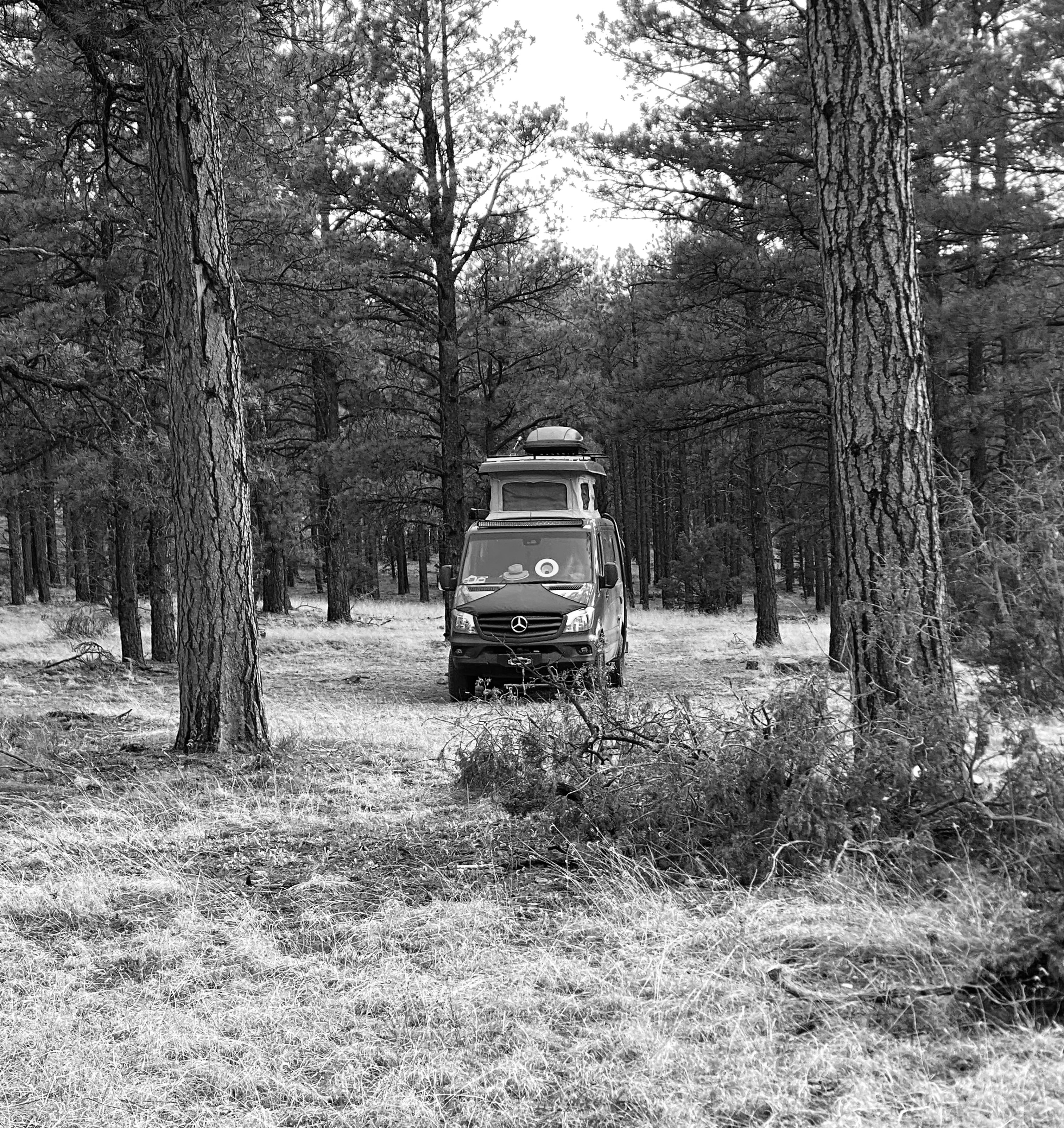
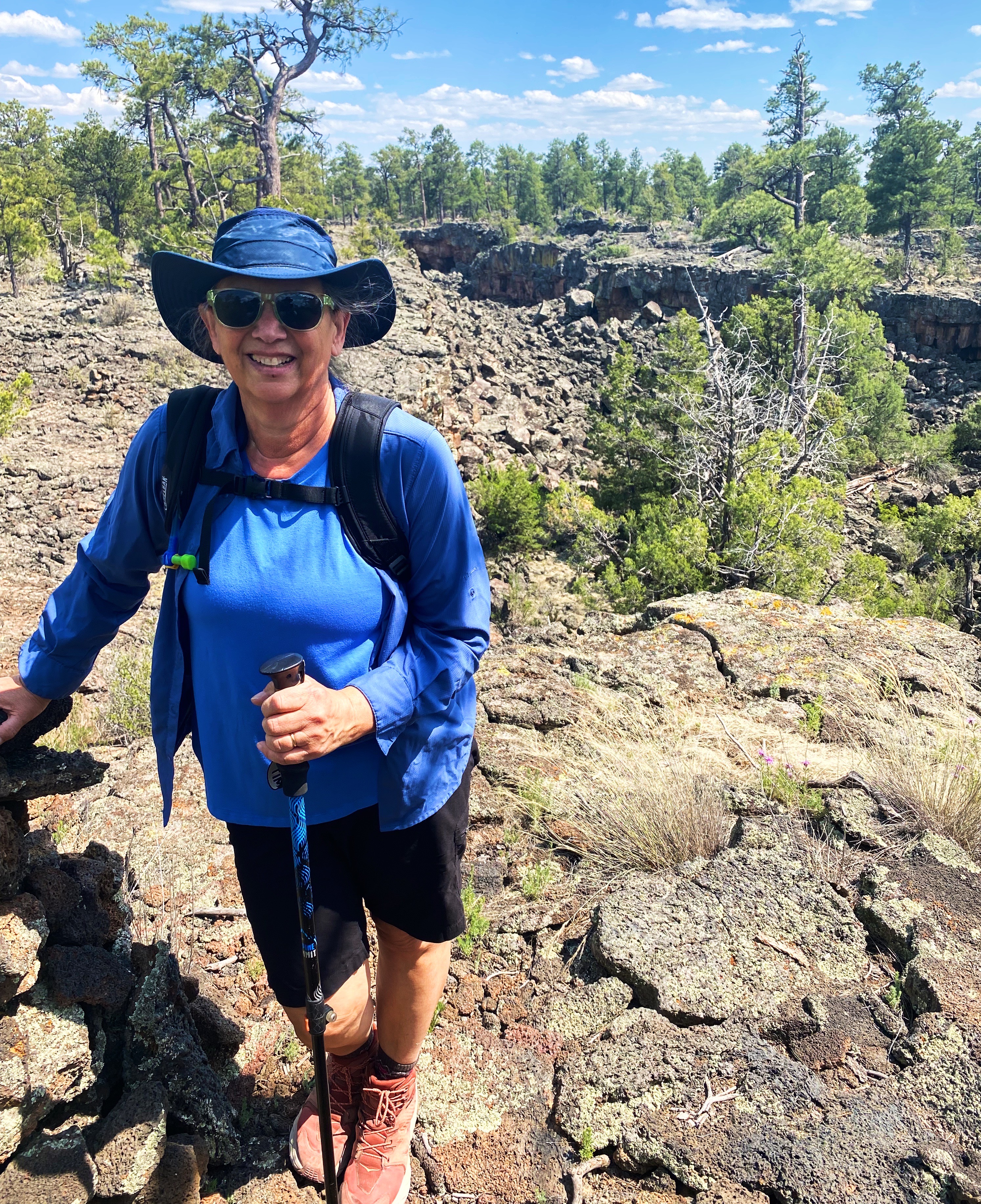
In the morning we made our way north to Grants, New Mexico to have our leaking front tire replaced. From there, we set out for the Big Tubes area to explore. There is only one way in or out – the Big Tubes Road ( NPS 300) – a classic impassable-when-wet mud job. Fortunately, while there had been some rain leaving behind some large ruts, the road was fairly dry and passable. Regardless, we would not recommend this road without 4WD and high clearance.

NPS 300

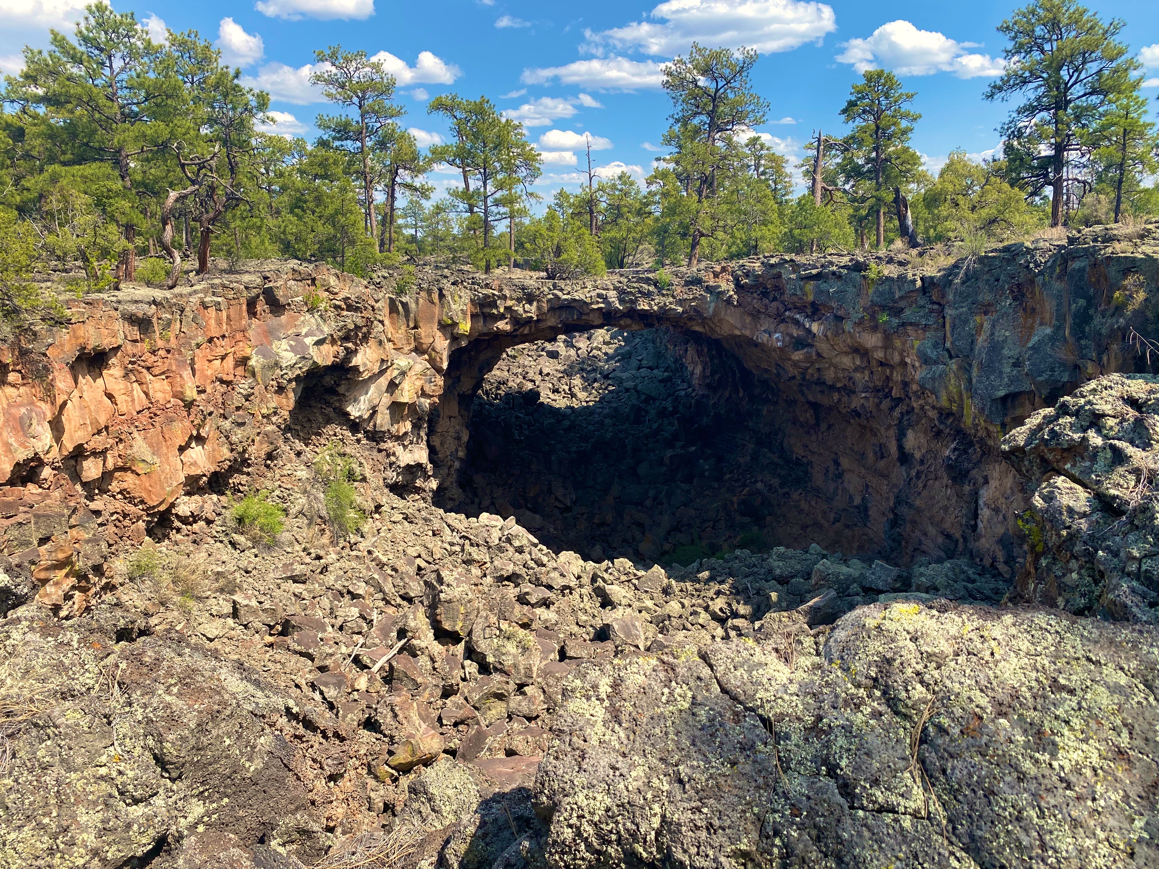
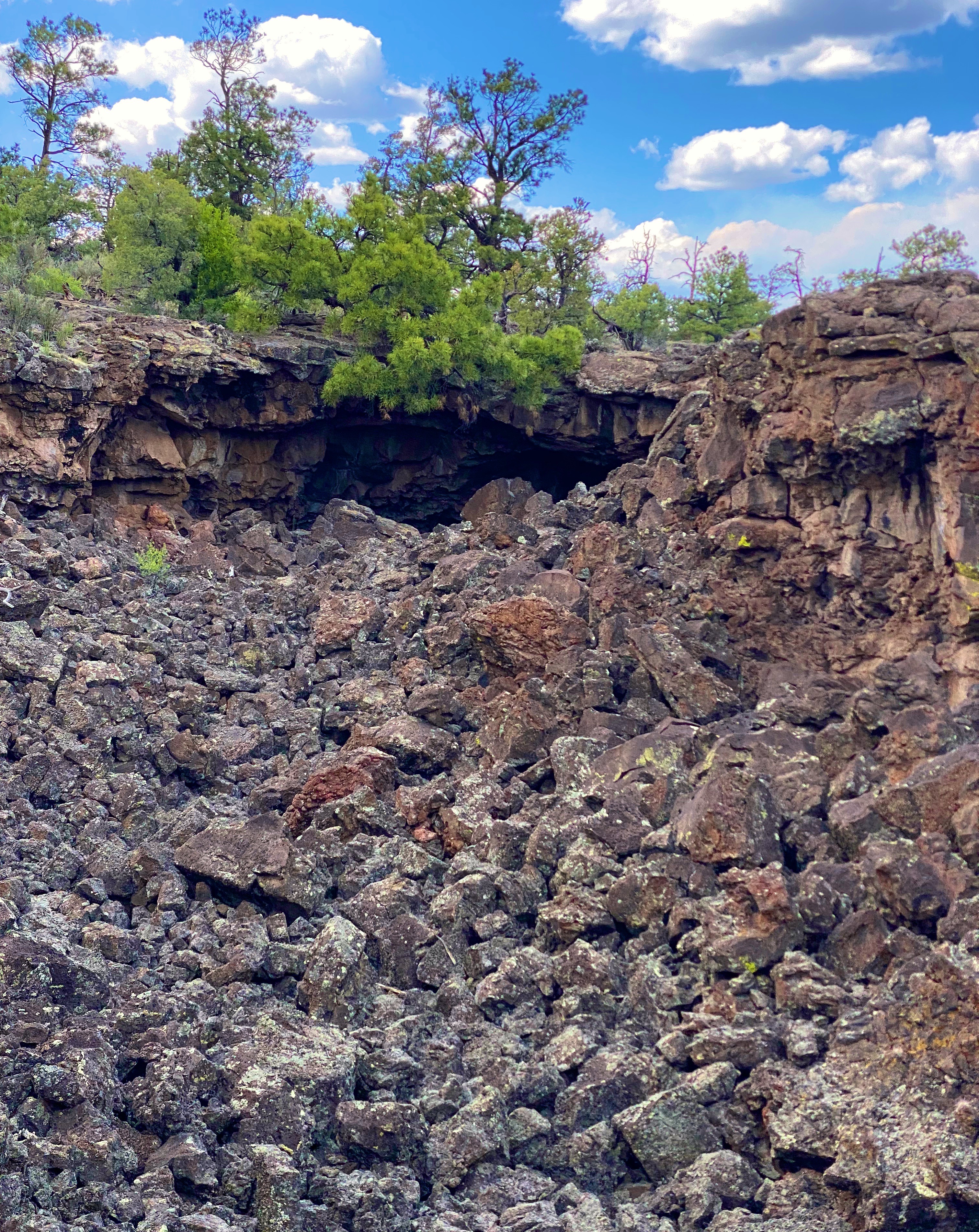
The Big Tubes Area is a massive volcanic landscape that provides the opportunity to explore lava tube bridges, lava tubes, tube caves and lava flows. There are no marked trails, although there are cairns laid out across the field – use the cairns – there are no other usable reference points in this other-worldly place. Even utilizing the cairns we made several wrong turns in hiking out and back across the field.

You are free to scramble down into the tubes and caves and under the bridges. We recommend wearing gloves and a climbing helmet. The boulders in the trenches and tubes are big and sharp!

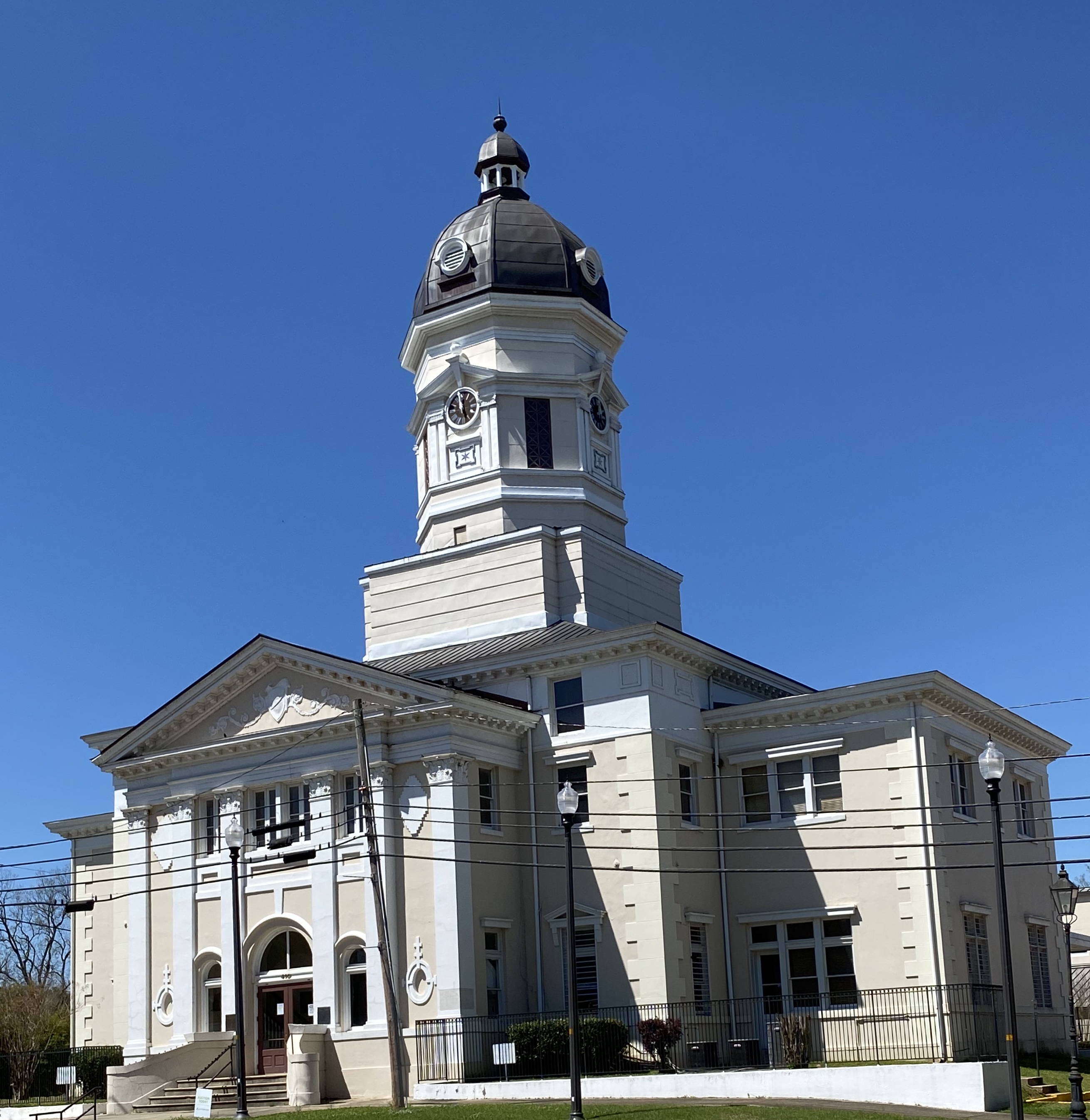
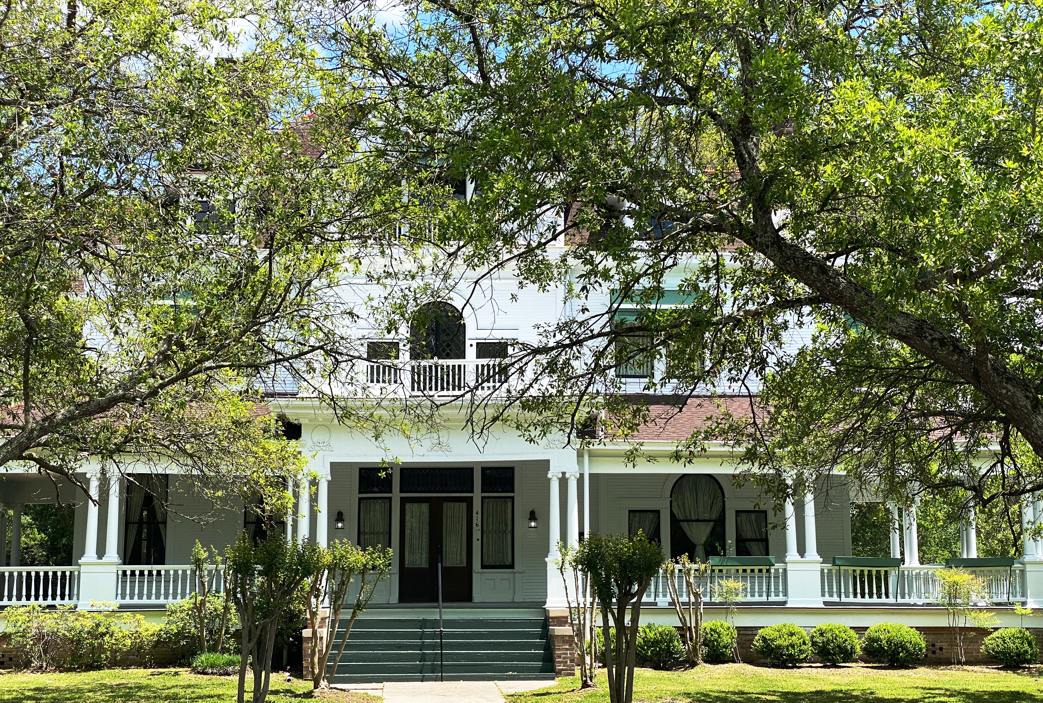
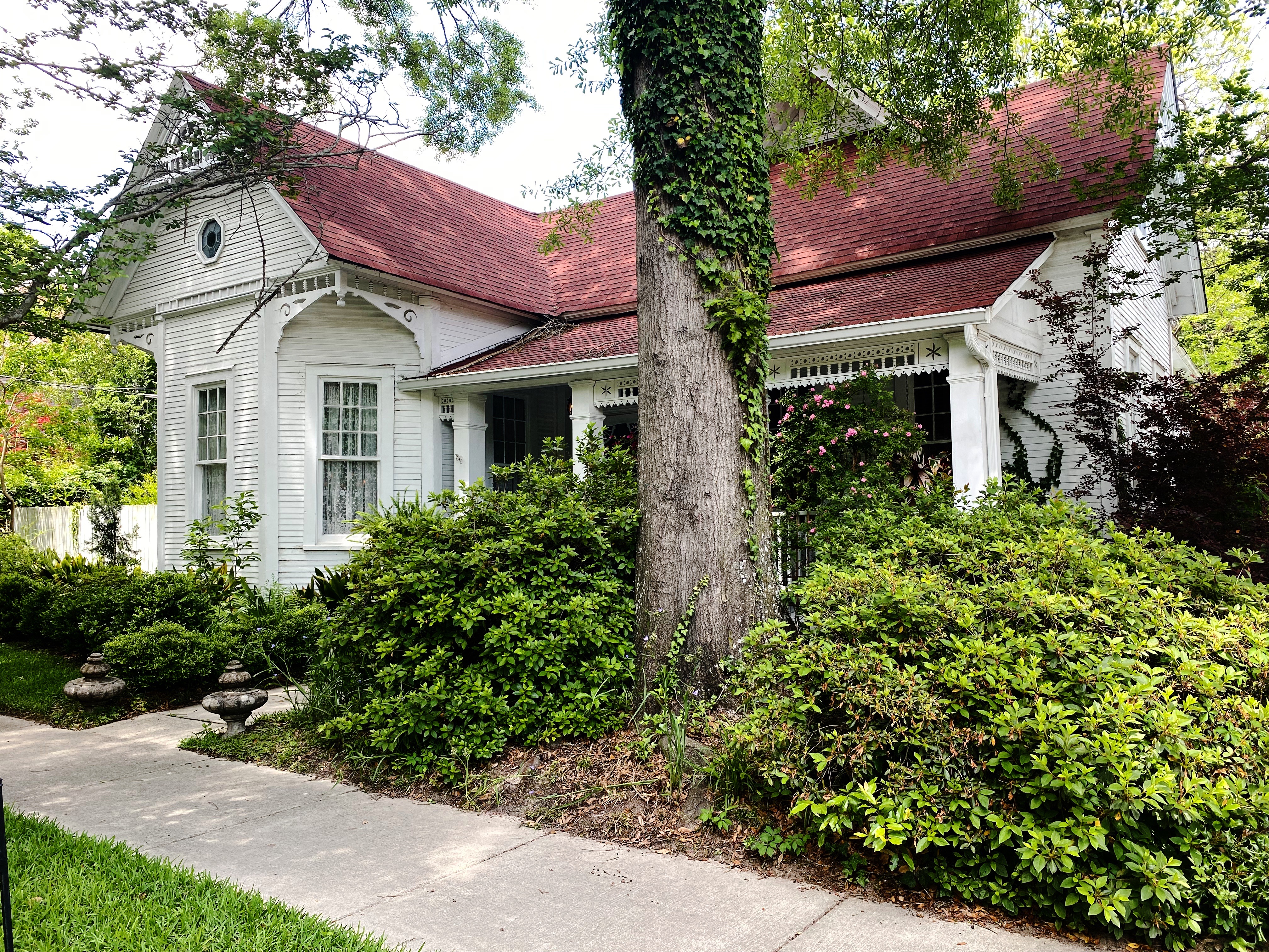
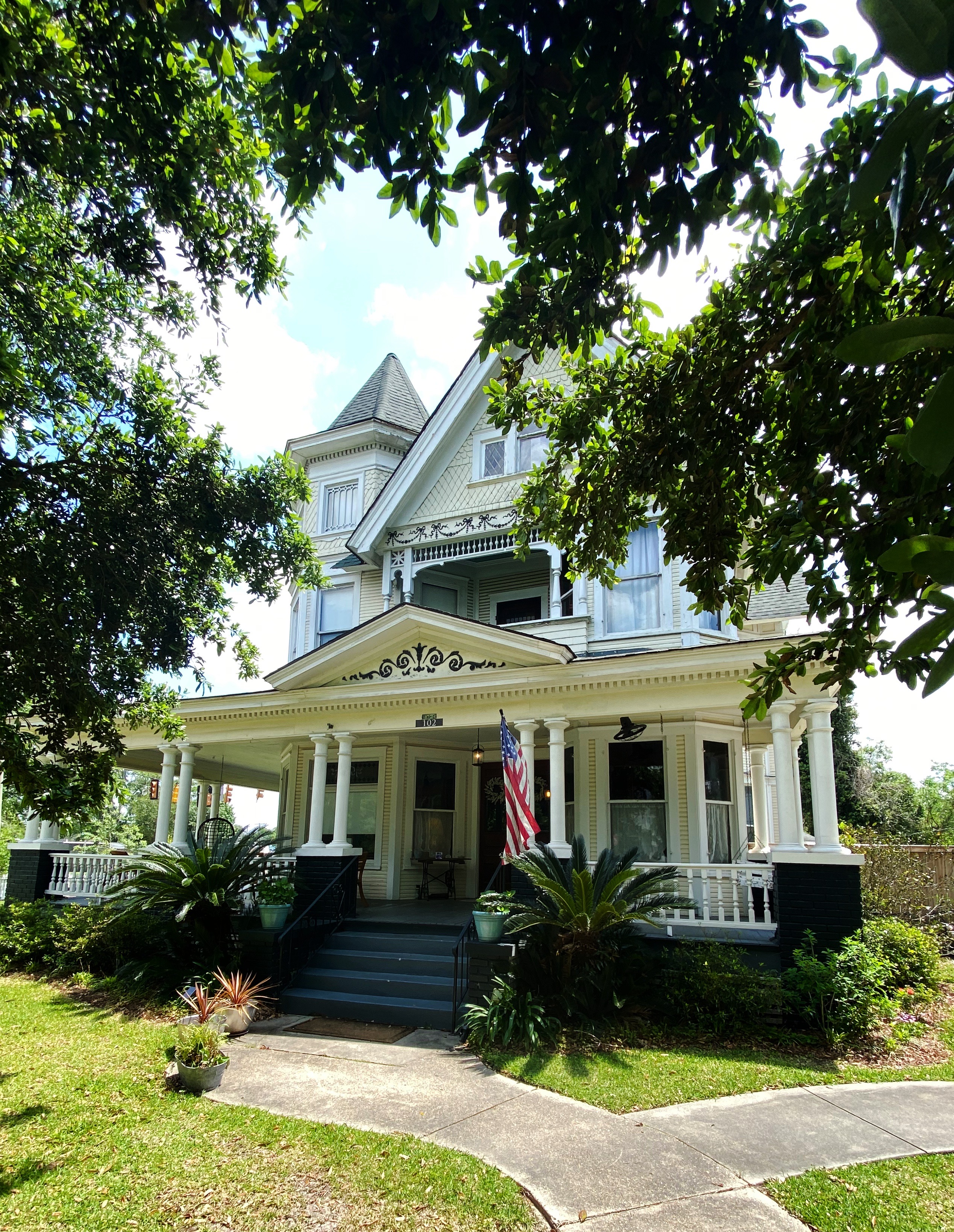
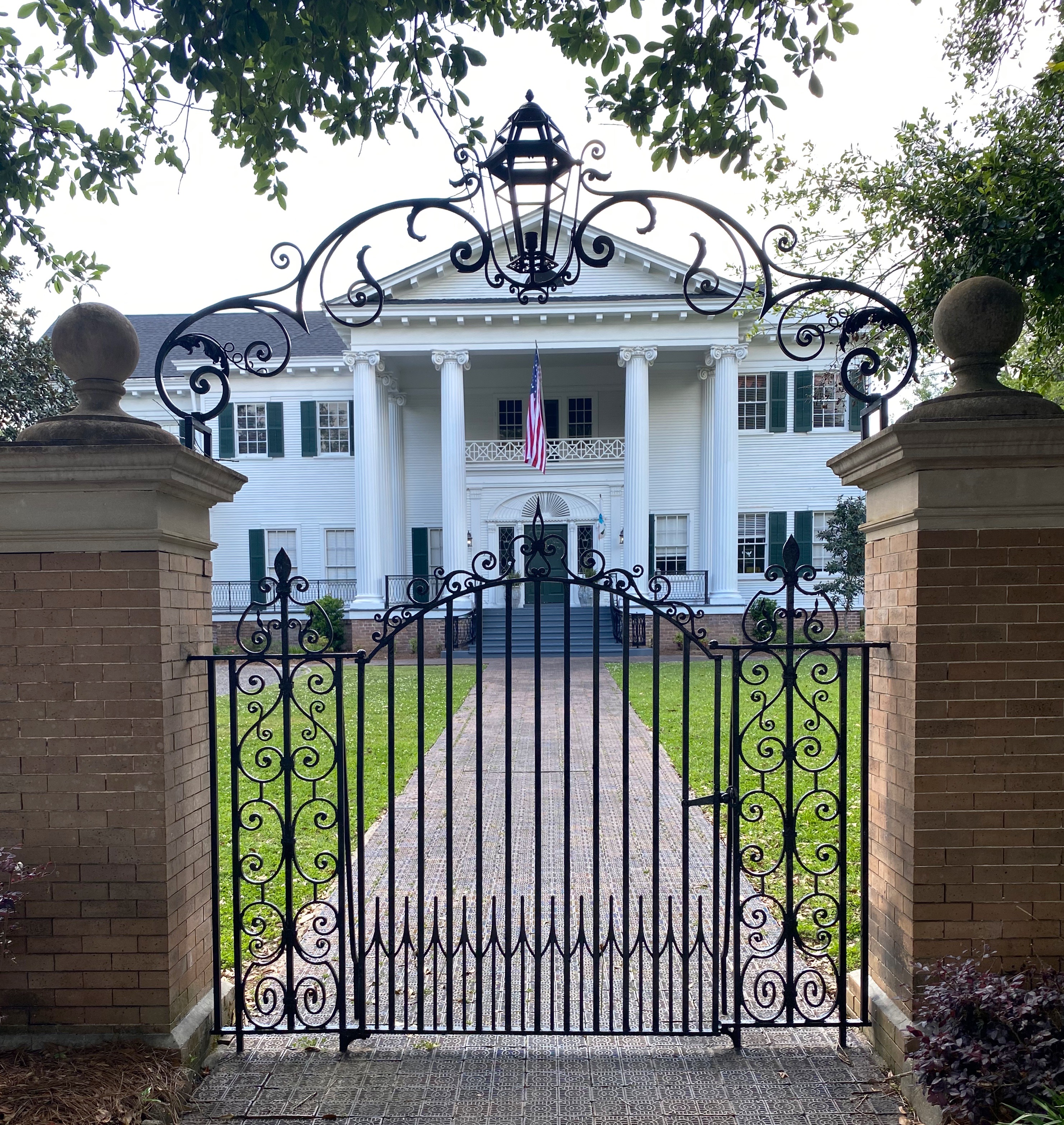
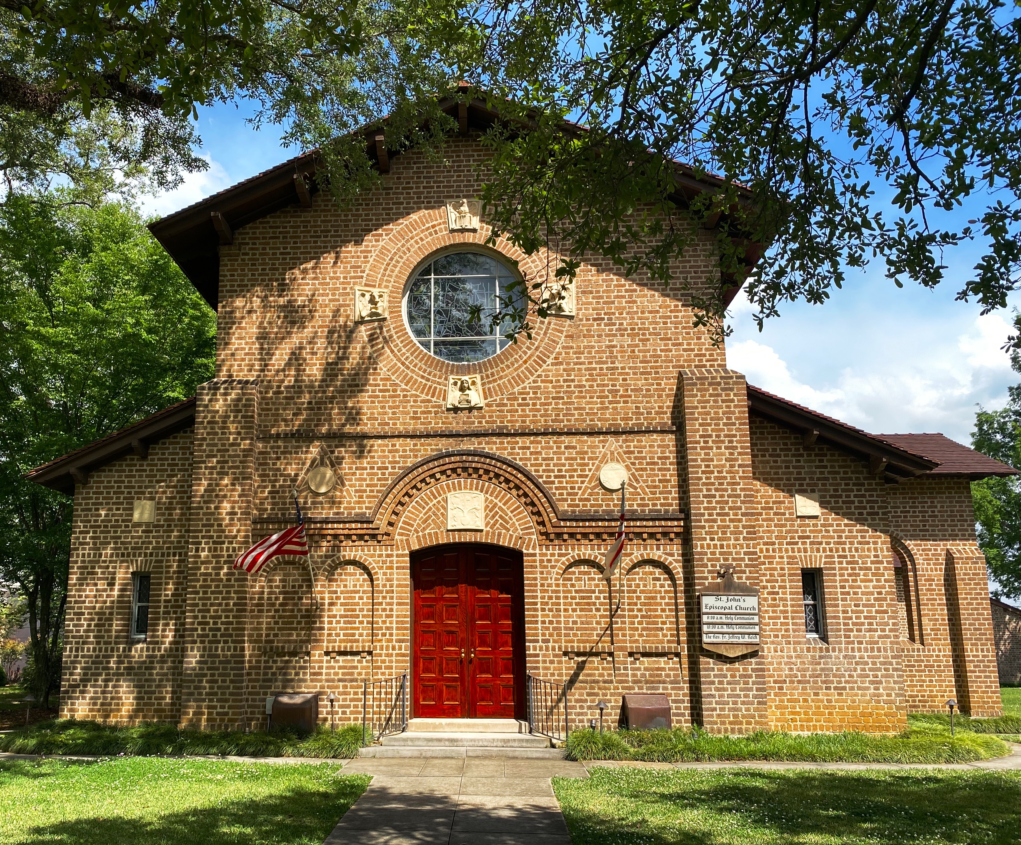
From EMNM we traveled through several portions of the Ramah Navajo and Zuni Indian Reservations on our way north on the 602 to Gallup. We had reserved a couple of nights at the El Rancho Hotel and were looking forward to staying at this 1940s hotel that once hosted dozens of Hollywood stars ensconced here while filming Westerns in the area. Additionally, the hotel sits smack on Historic Route 66 to add even more kitsch. From the photos below you might suspect we were not disappointed with our decision.

Gallup has a storied history that predates the movie making haydays of the 1940s and 1950s. The first white settlers arrived in the area that became Gallup in the early 1860s. This was Navajo land and thus the Navajo attacked the white settlements. The cavalry was dispatched to physically remove the Navajo people from the area. The U.S. Army destroyed the Navajo homes, crops and livestock. The Navajo were then force marched 400 miles to a reservation where they were held for four years. In Navajo history this event is known as The Long Walk.

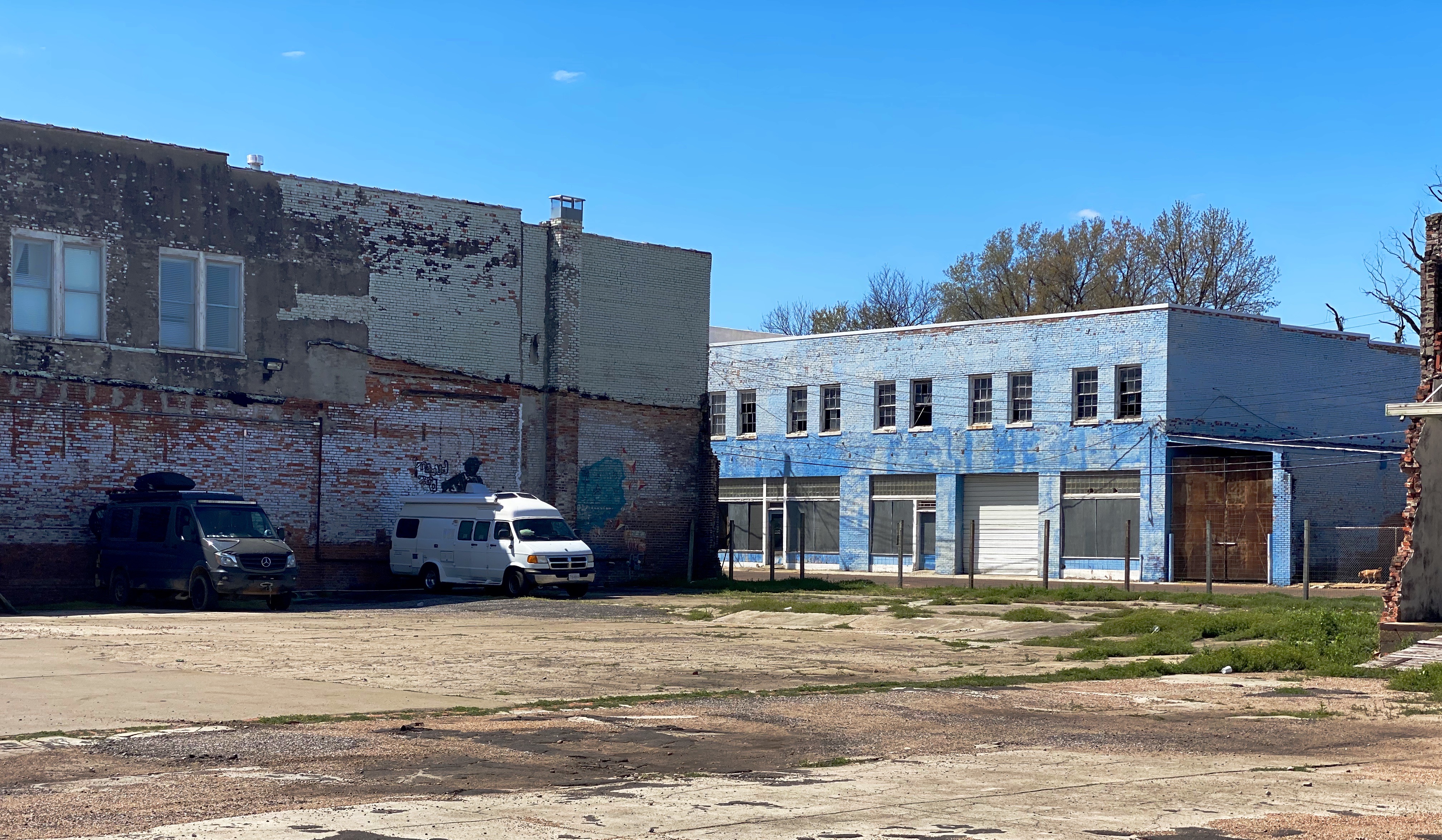
The town was formally founded in 1881 as a railhead for the Atlantic & Pacific Railroad. The freight lines that ran through the middle of Gallup hauled the high grade coal that was mined in the area. While the coal mining in the area has largely played out, more than 100 freight trains still rumble through town every day.

American Coal Company – Atlantic & Pacific Railcars

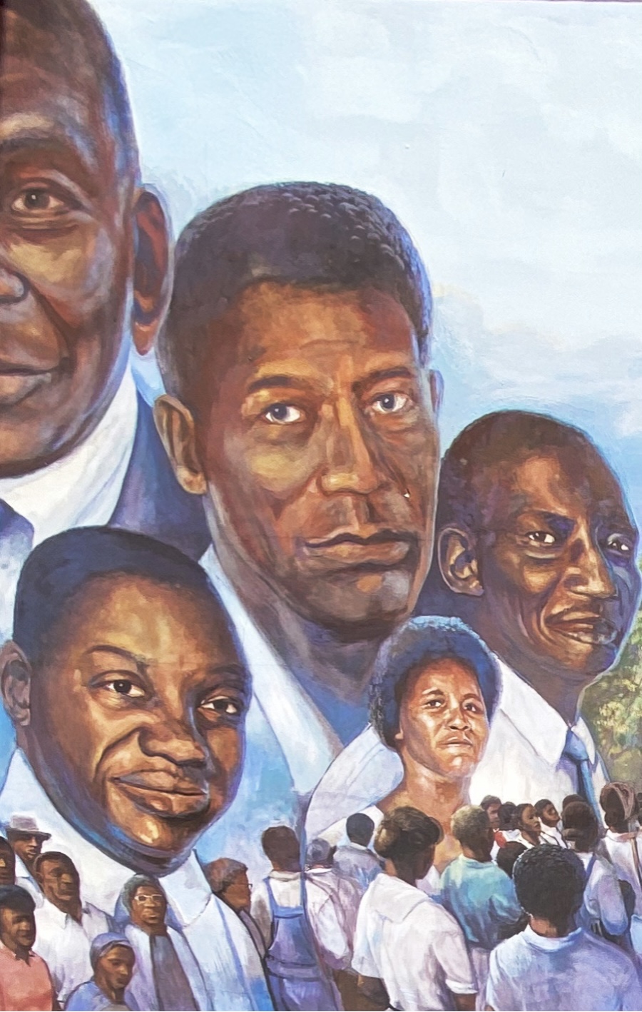
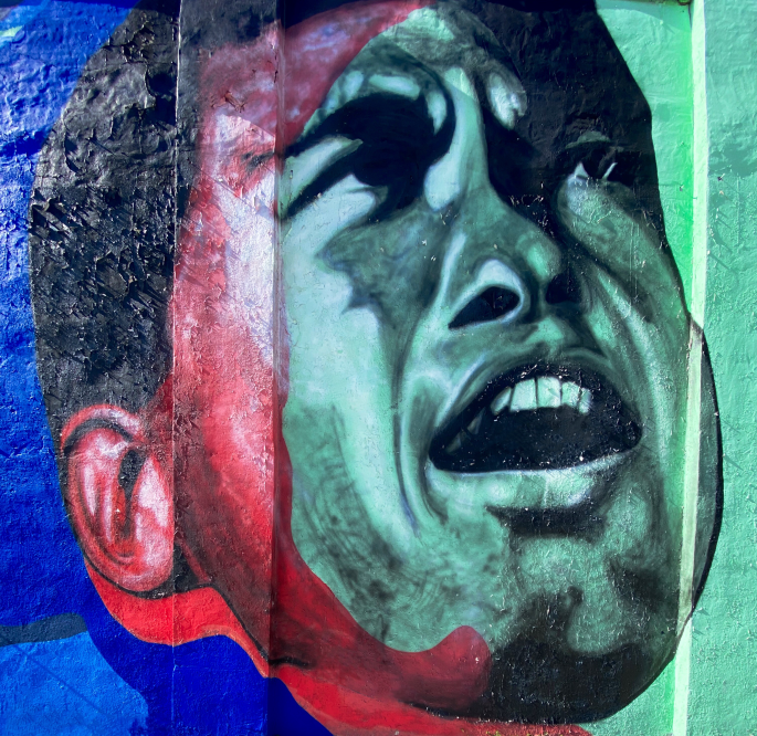
Coal miners in Gallup went on strike in 1933. The situation in Gallup was politically charged due to the multi-faceted race issues that existed in the American West. Many of the miners were Mexican and, influenced by their experiences during the Mexican Revolution, were members of the communist National Miners Union. The white miners aligned with United Mine Workers of America. Additionally, by the 1930s, many Navajo Nation members from the abutting reservation had begun working in the mines in Gallup. The Navajo coal miners did not belong to any union and routinely crossed the picket line – they did not consider themselves as members of the world outside the reservation. This act further intensified the significant racism already directed at Native Americans in the West.

The strike turned violent in 1934 and the sheriff was shot and killed by a Mexican miner. Subsequently, the Mexican miners were deported en masse. The UMWA became the sole union, although it took another nine years for a contract to be signed by the coal companies.

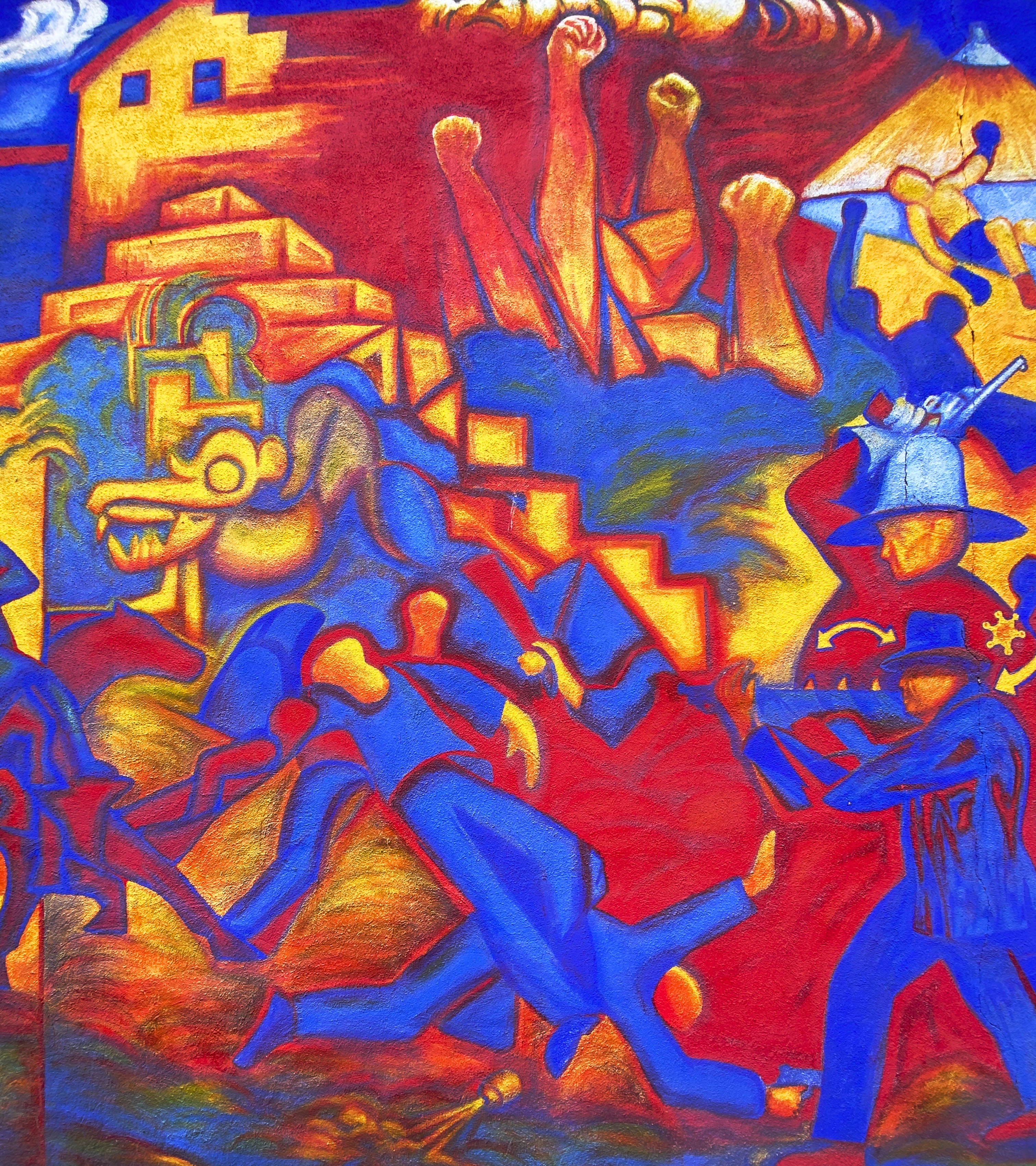
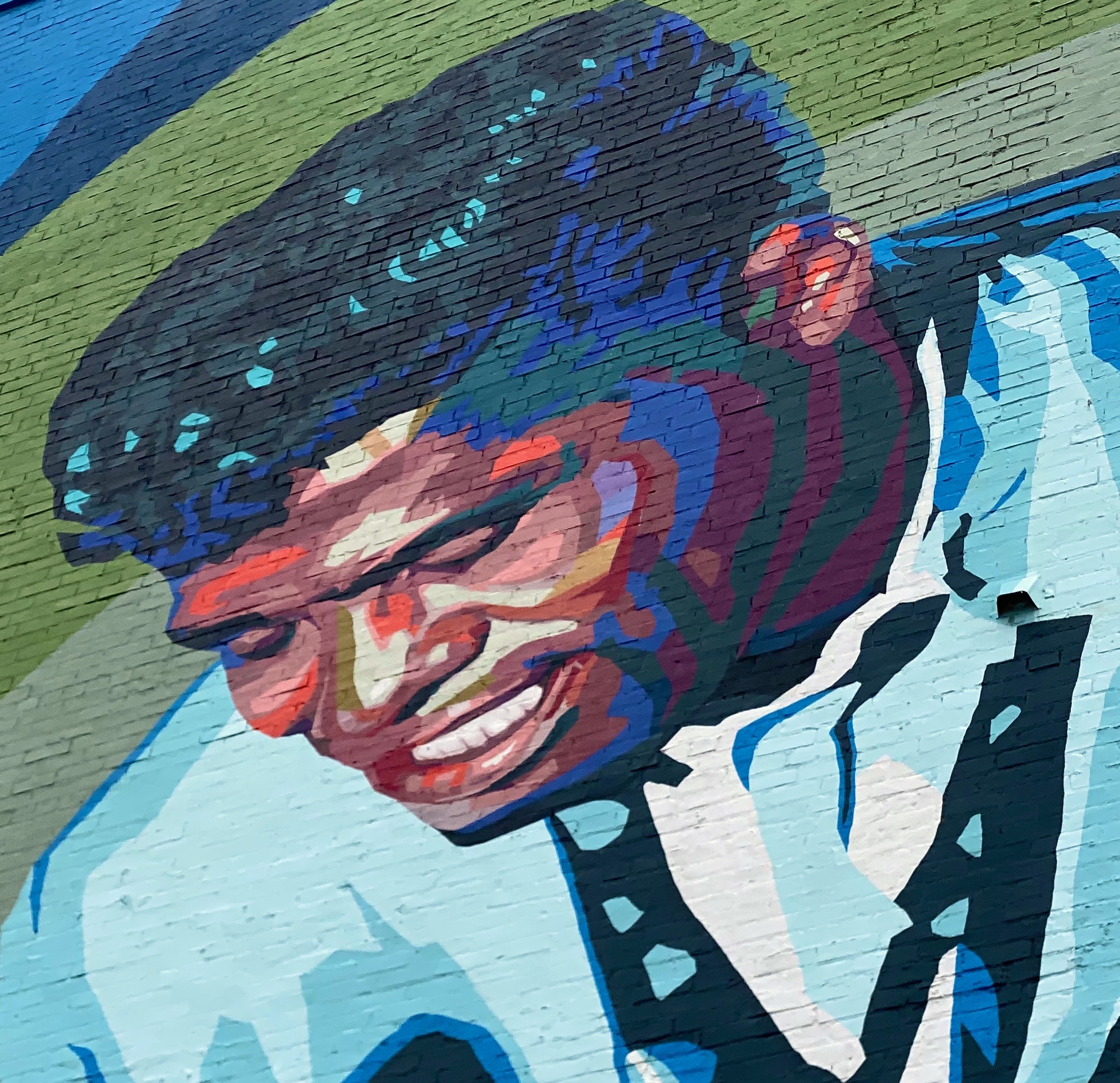
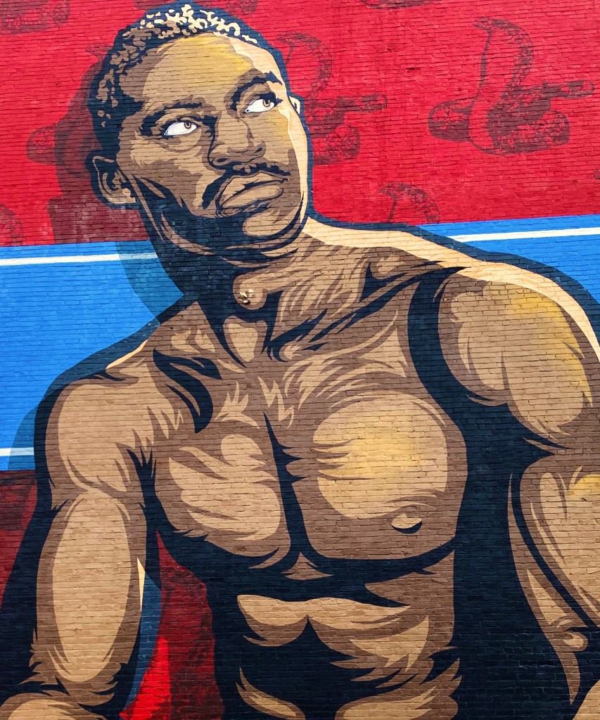
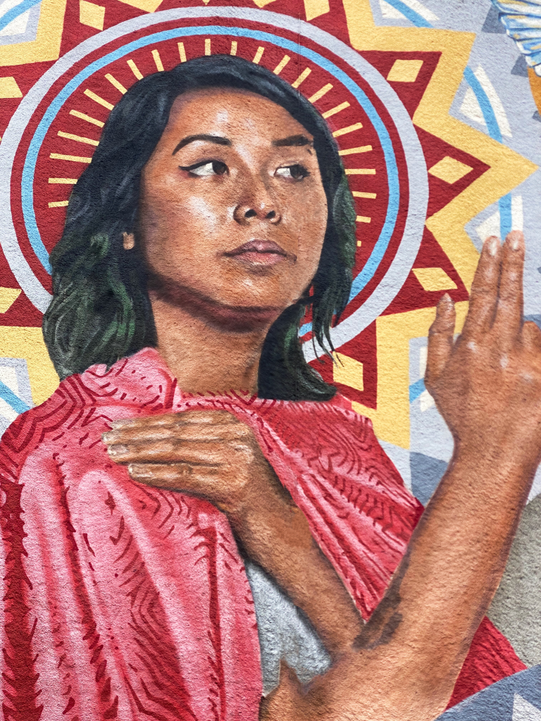
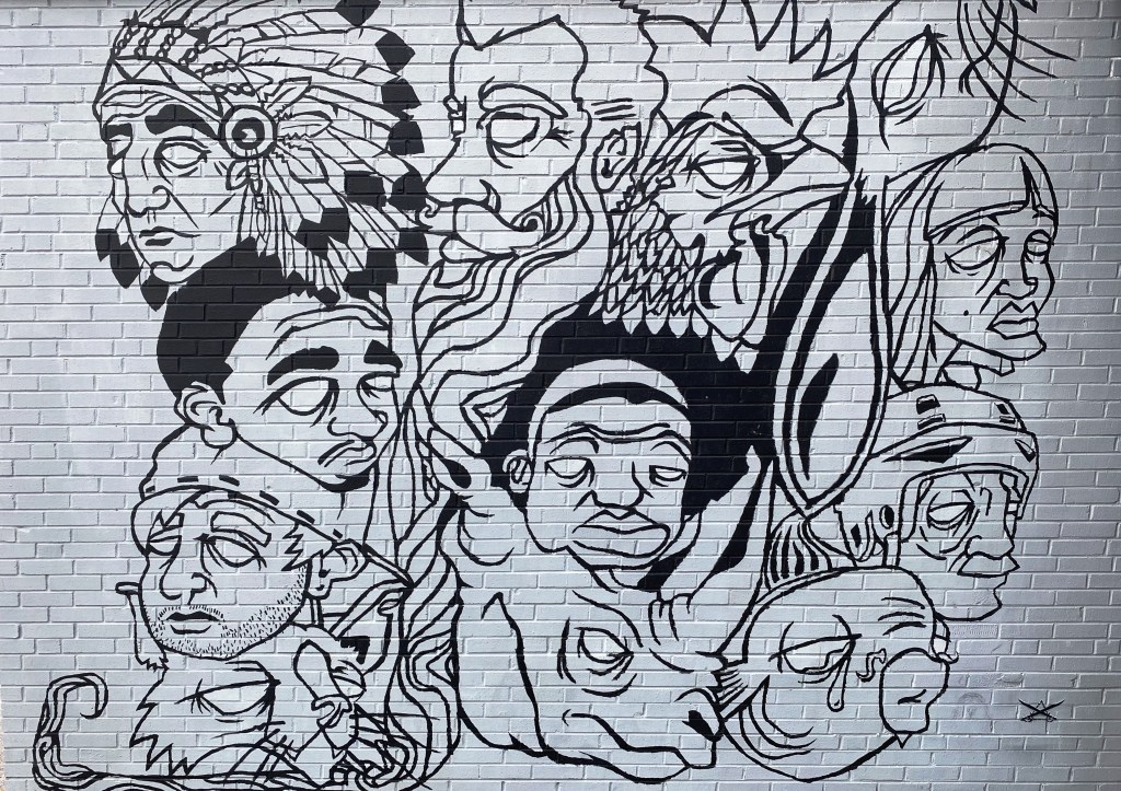
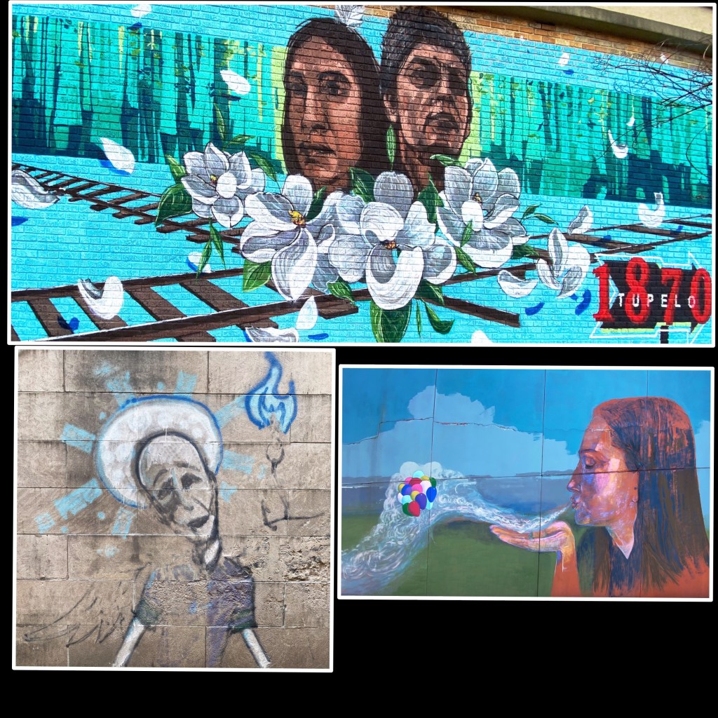
Mural Depicting the Coal Mine Riot of 1934

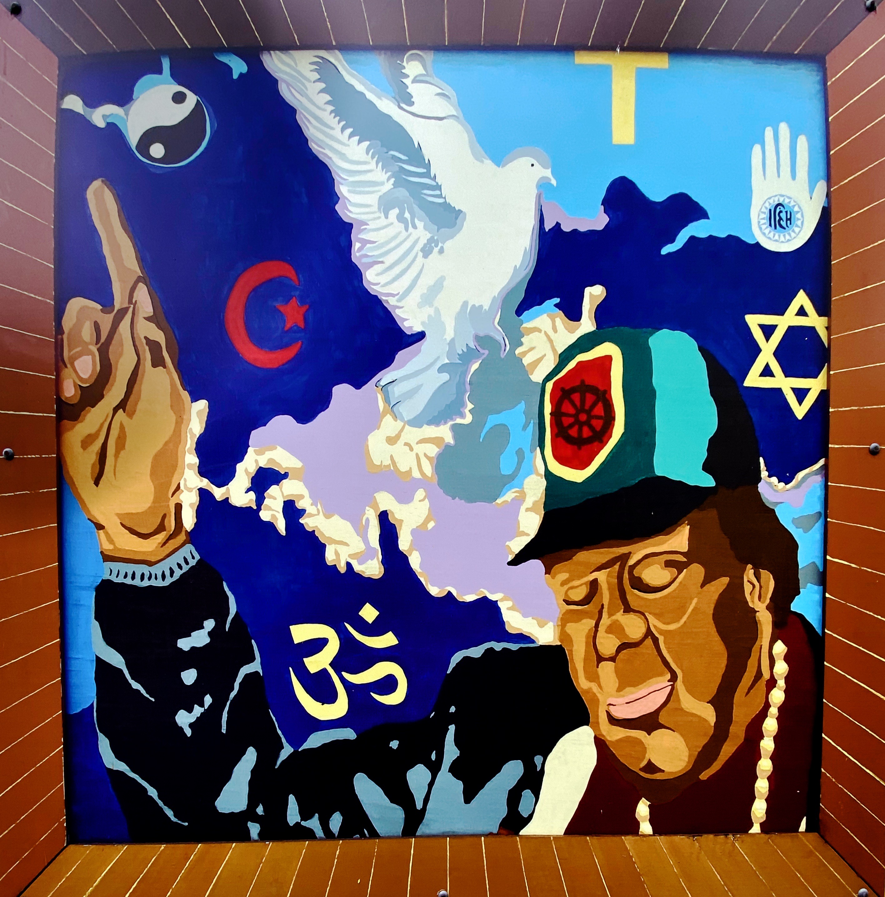
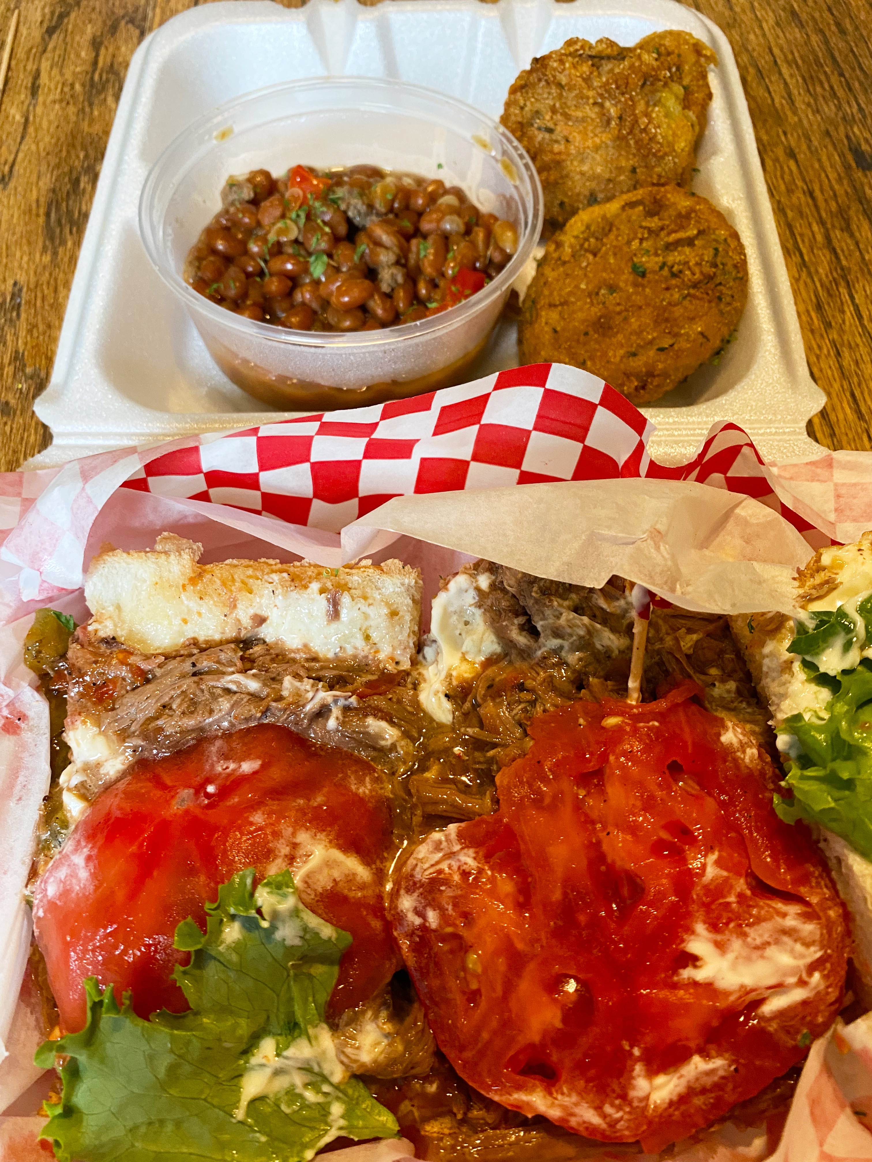
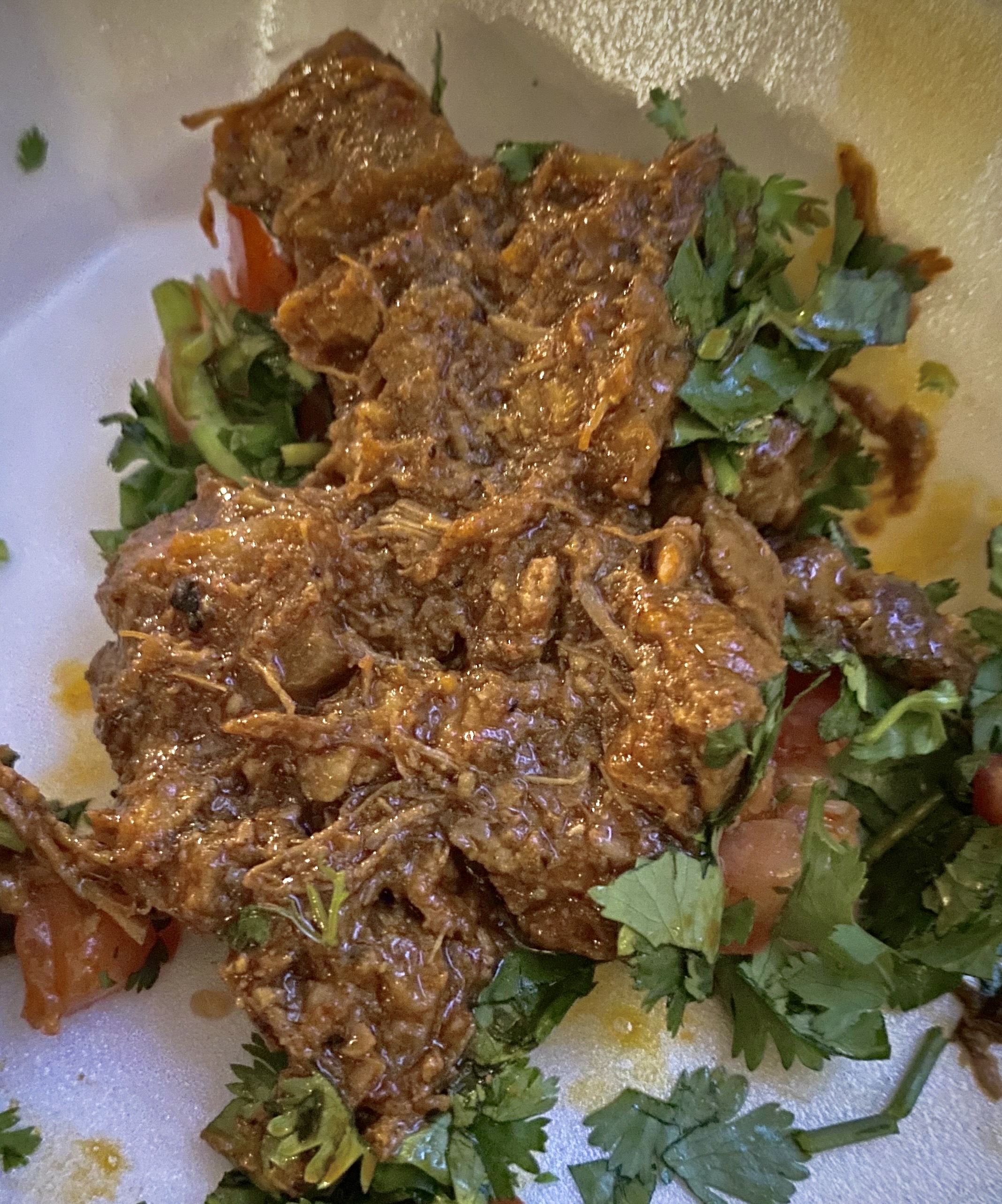
We took advantage of the opportunity to try the local cuisine. Lots of delicious dishes to choose from. The only item we do not recommend is the beef tongue – it’s a texture thing!

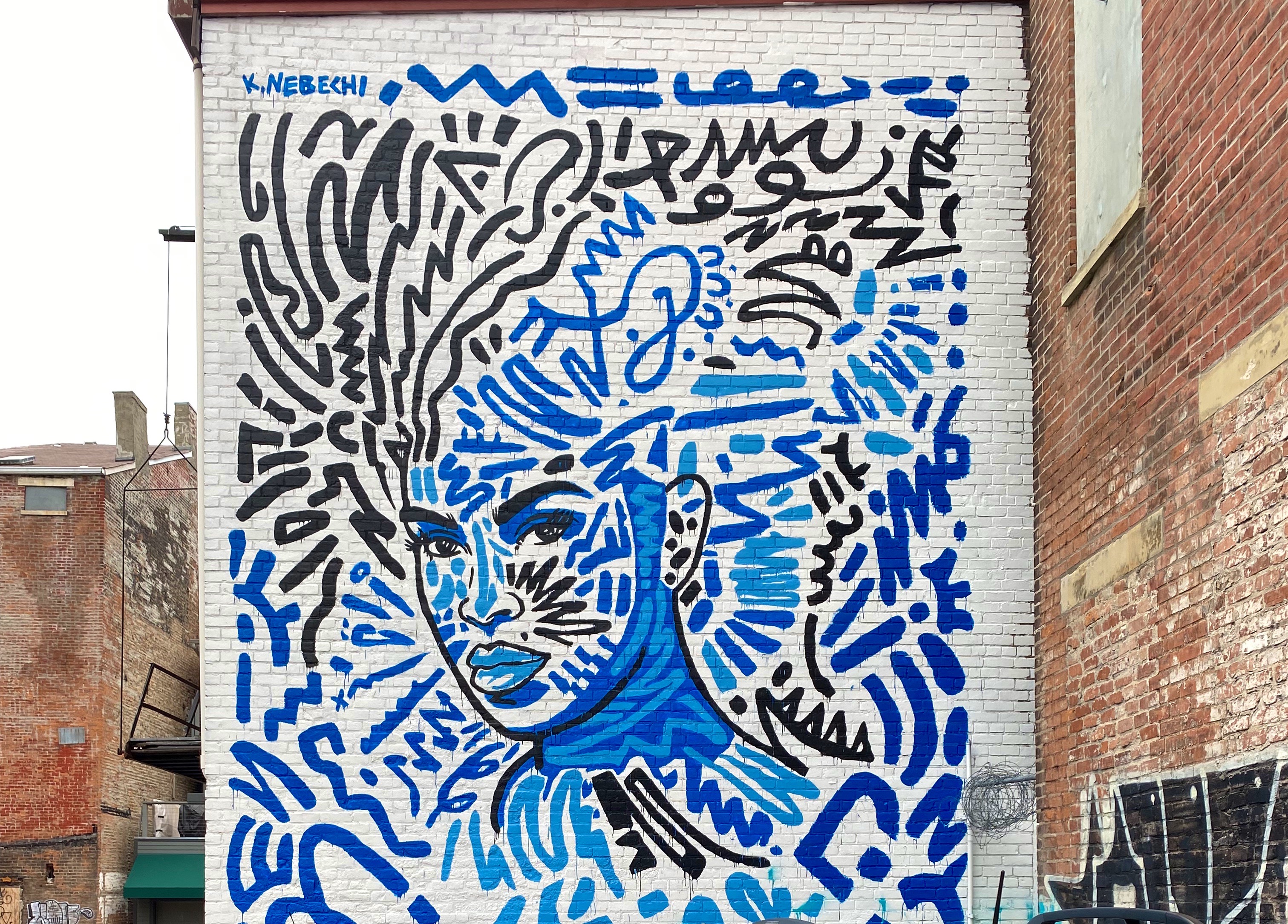
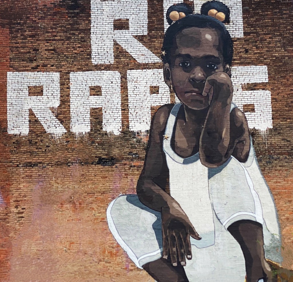
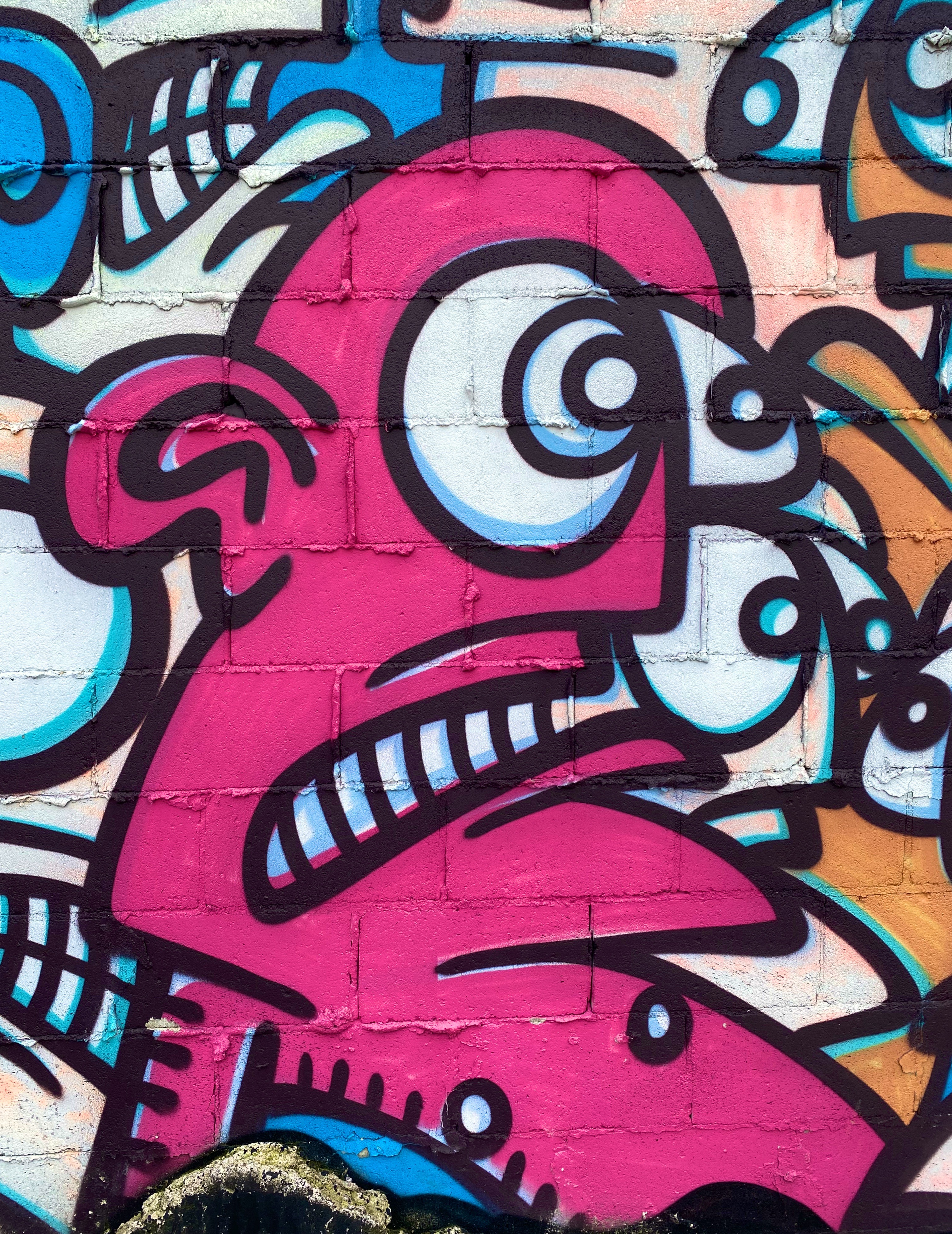
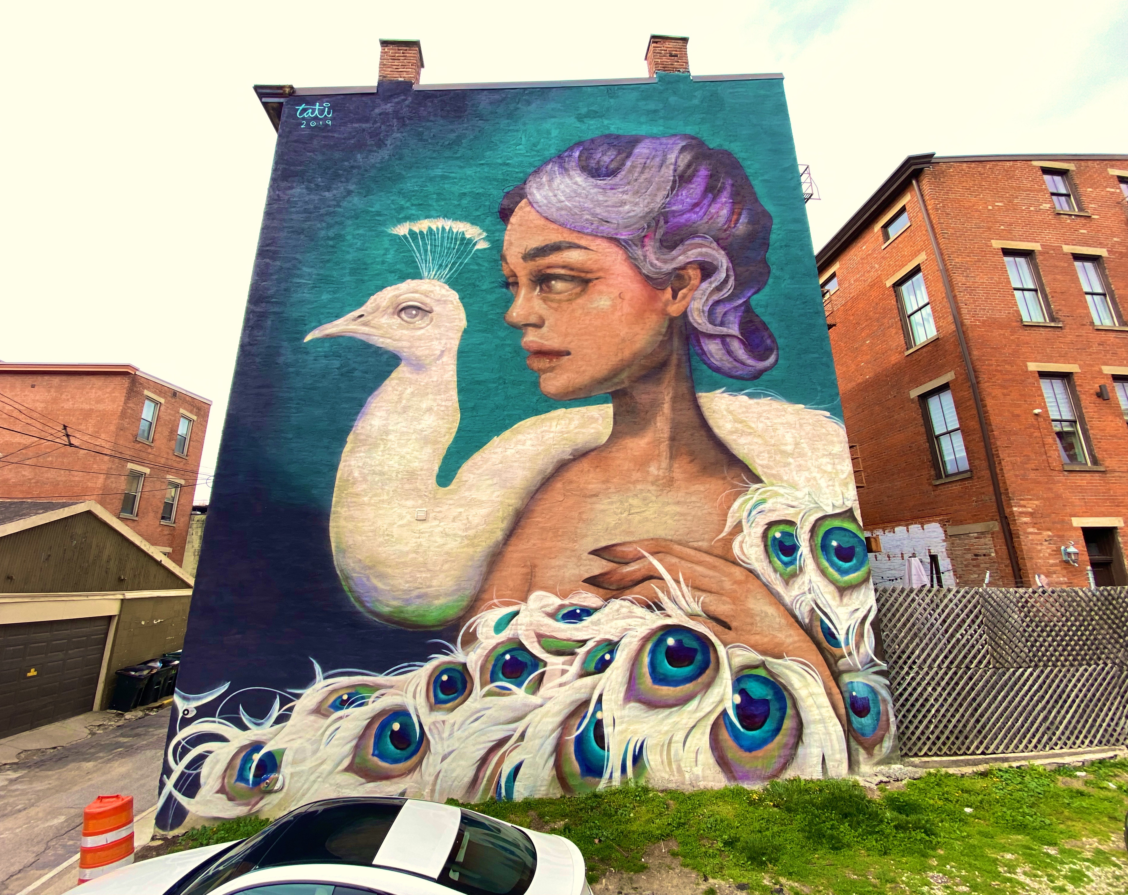
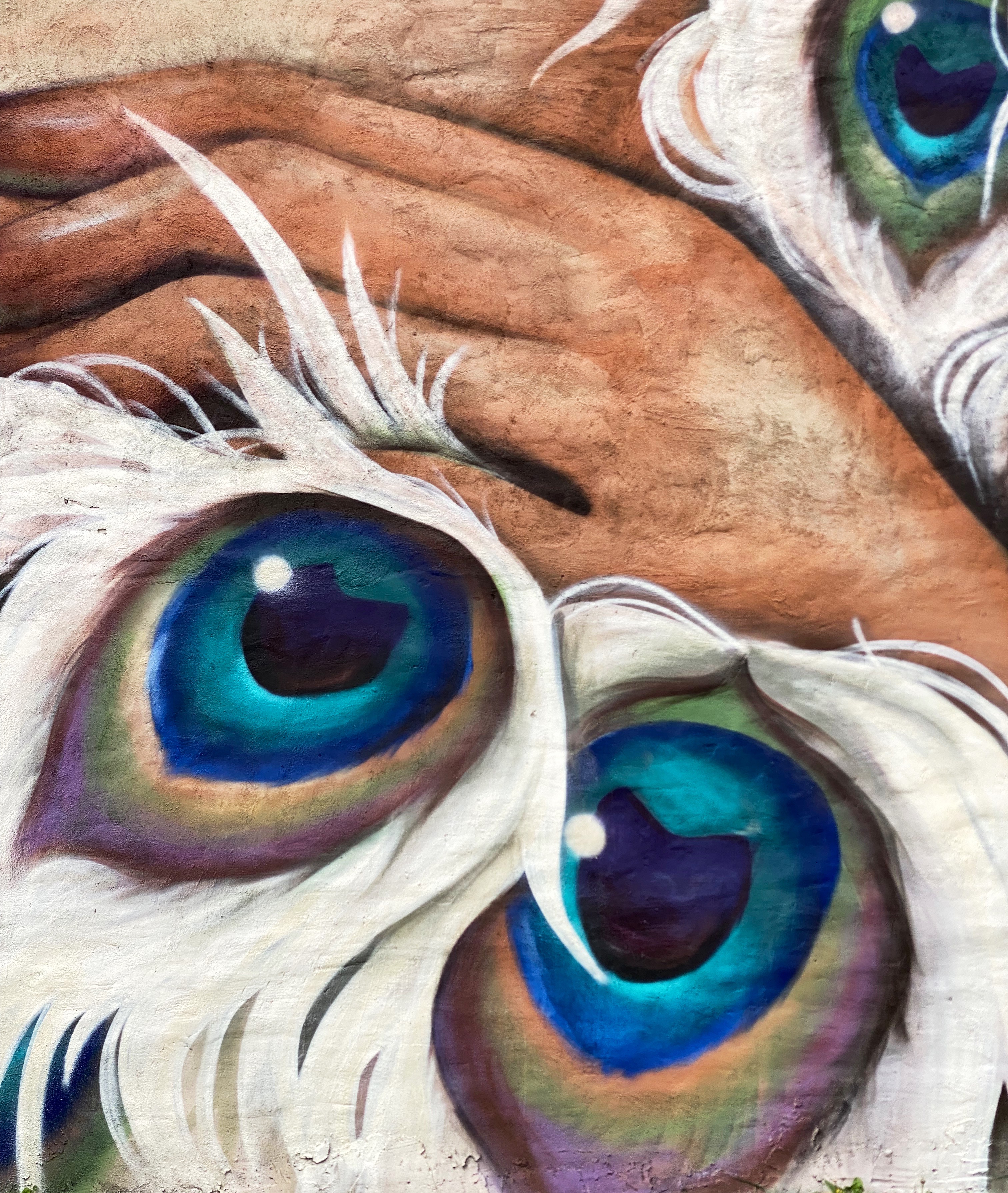
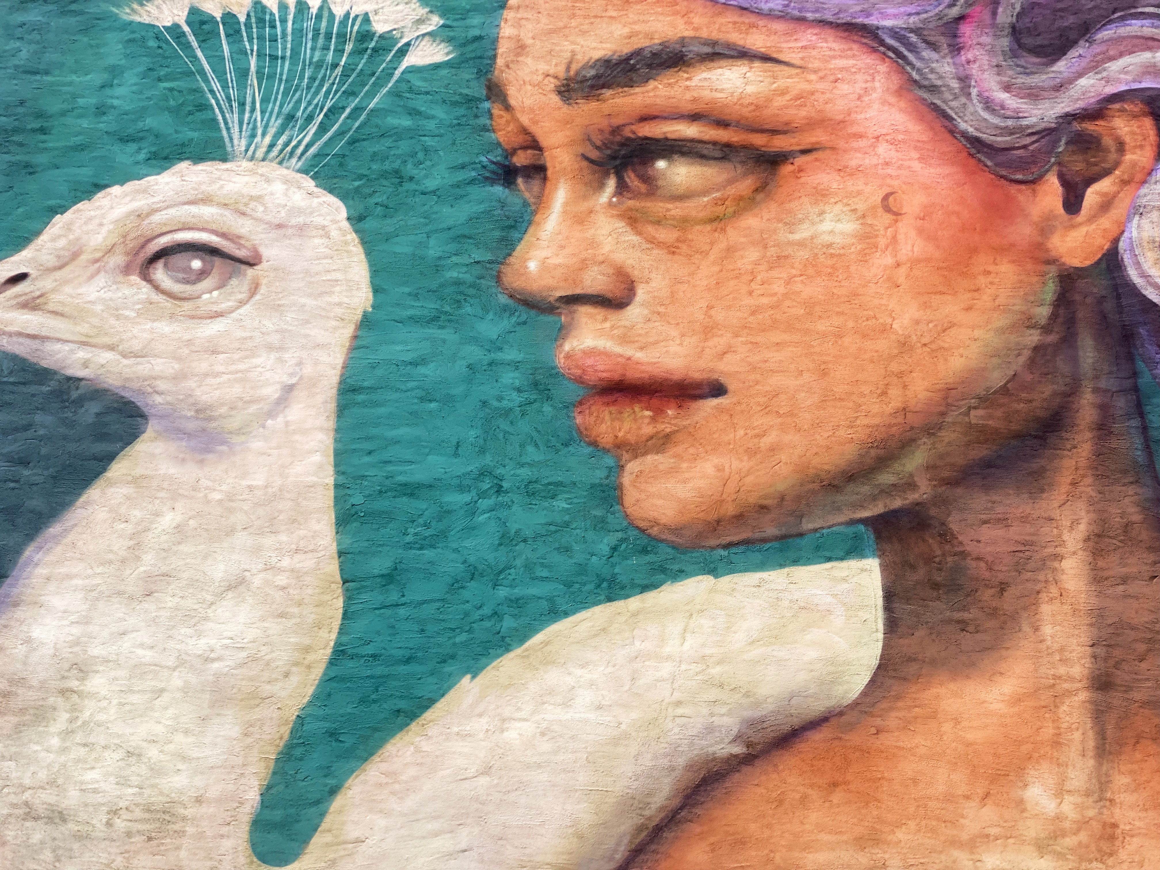
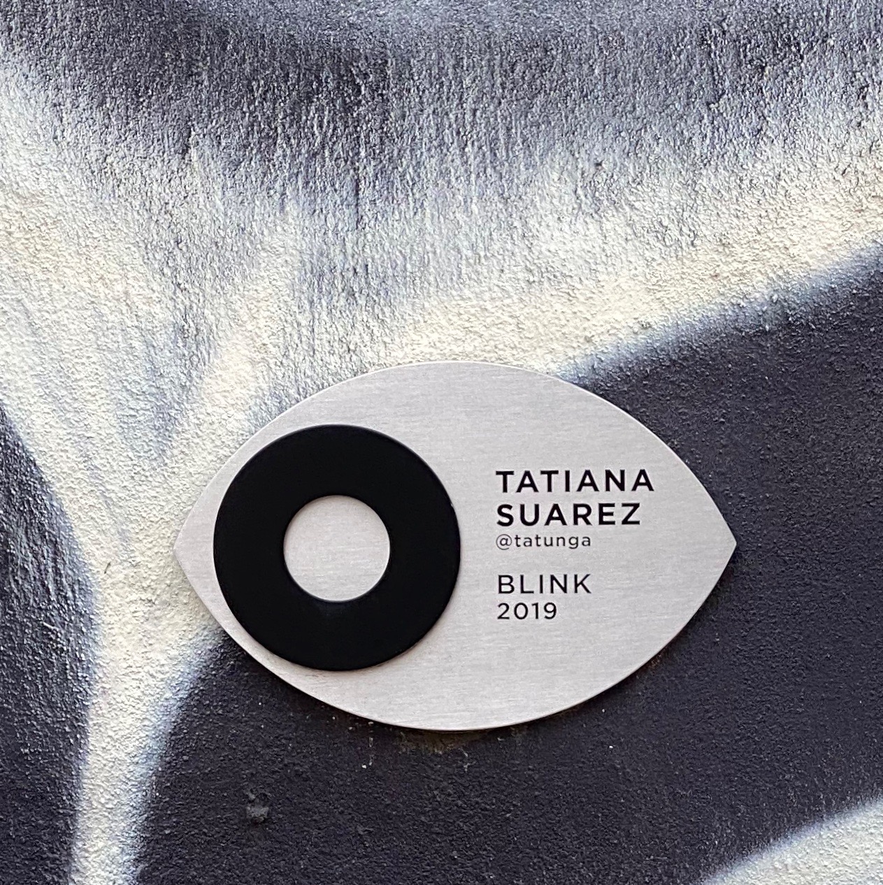
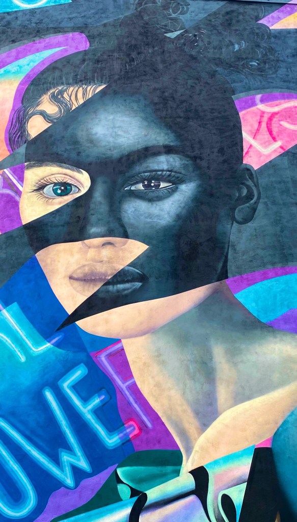
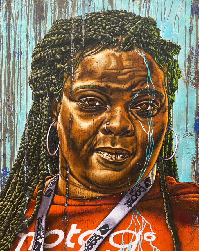
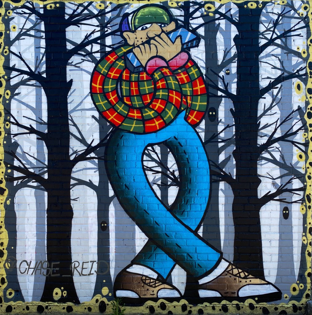
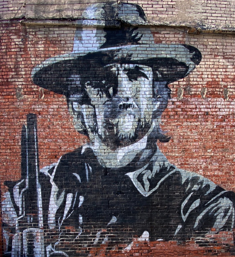
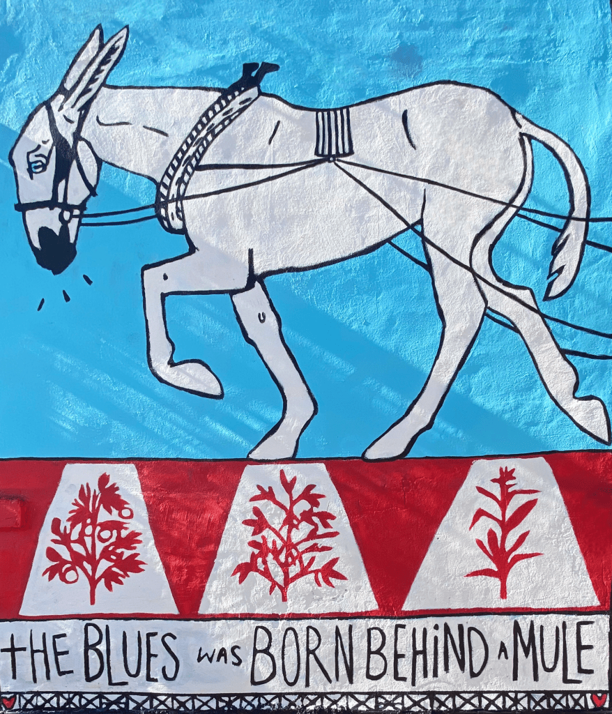
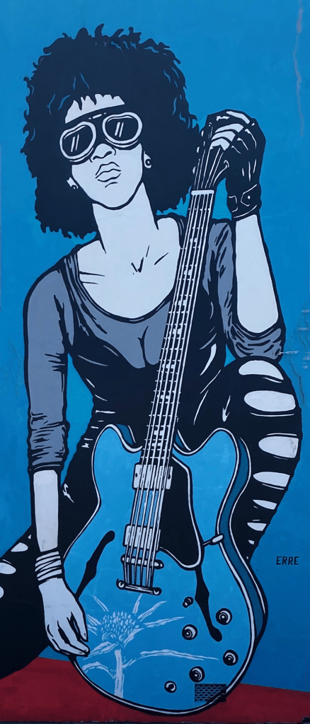
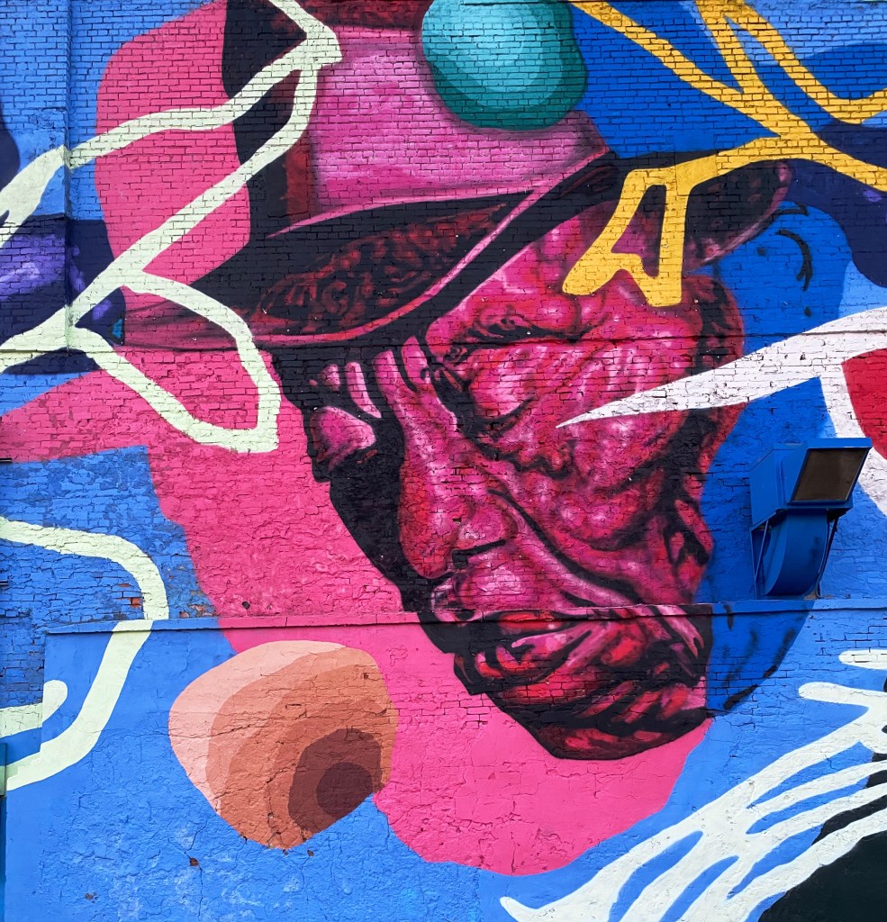
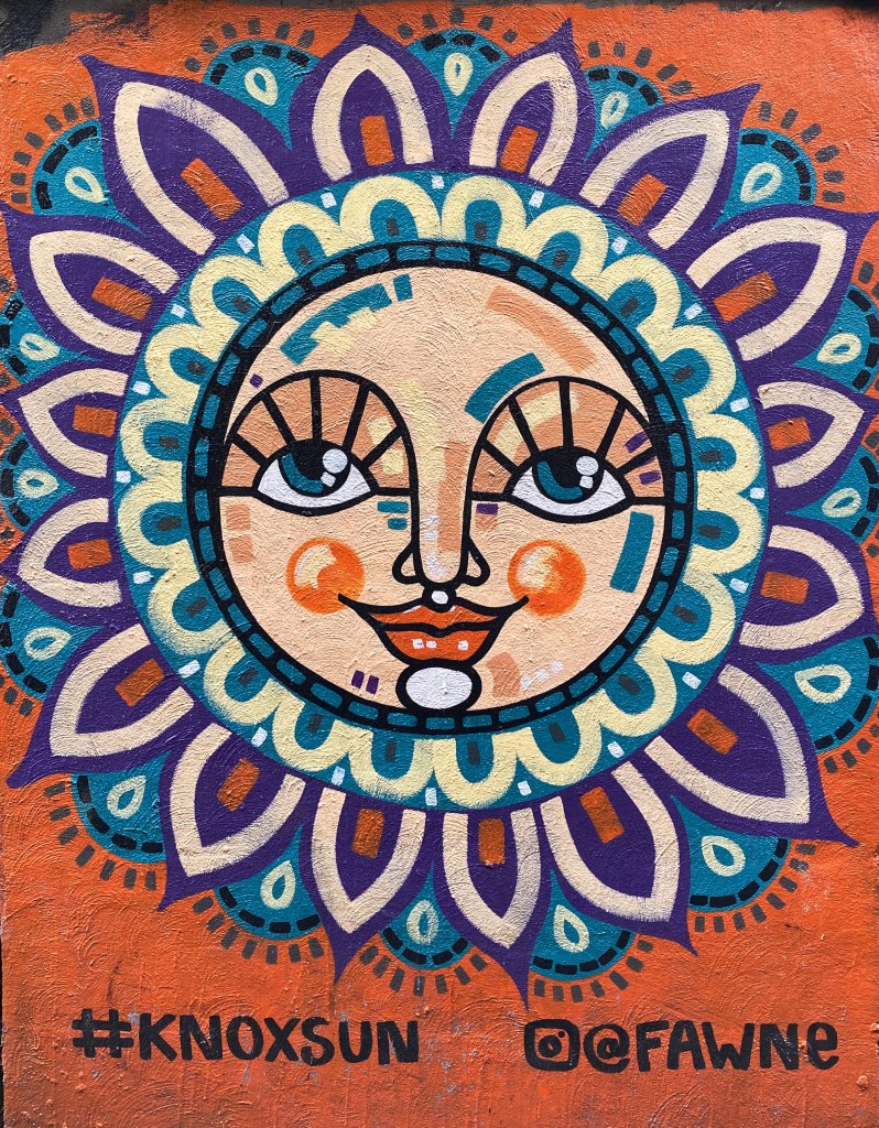
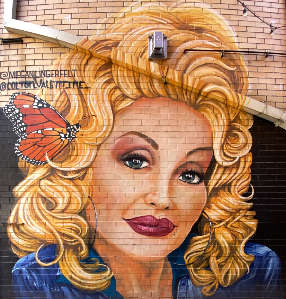
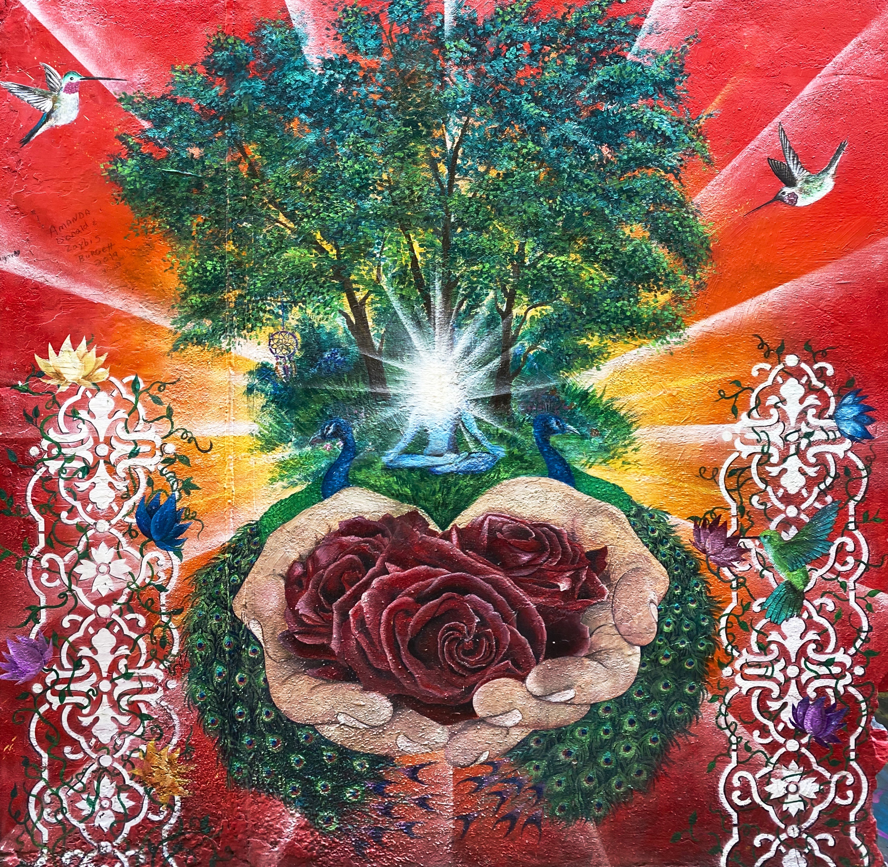
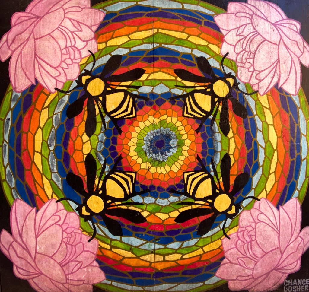
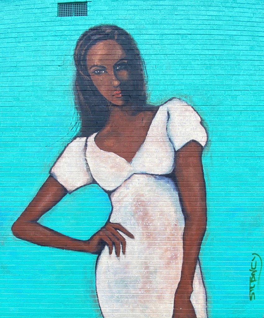
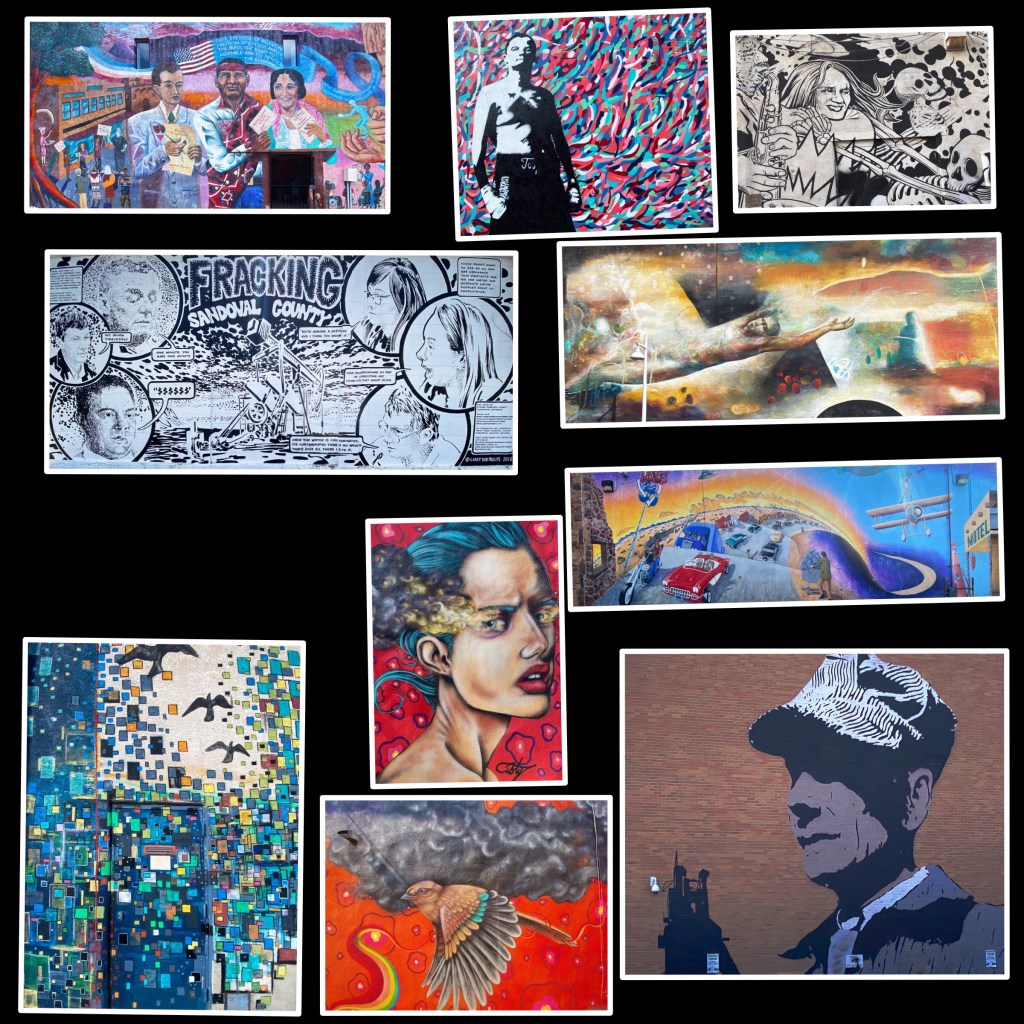
We enjoyed our stay in Gallup. Fascinating western history, excellent local cuisine, fine coffee and great street art. However, please keep in mind this is not a trendy tourist town. As a result of the long history of cultural and socio-economic issues there is a legacy of high unemployment, high crime and poor education which is evident within the community.

A quick stop in Farmington, New Mexico for fuel, coffee and groceries and then we headed over the state line for the snow capped peaks of Colorado.

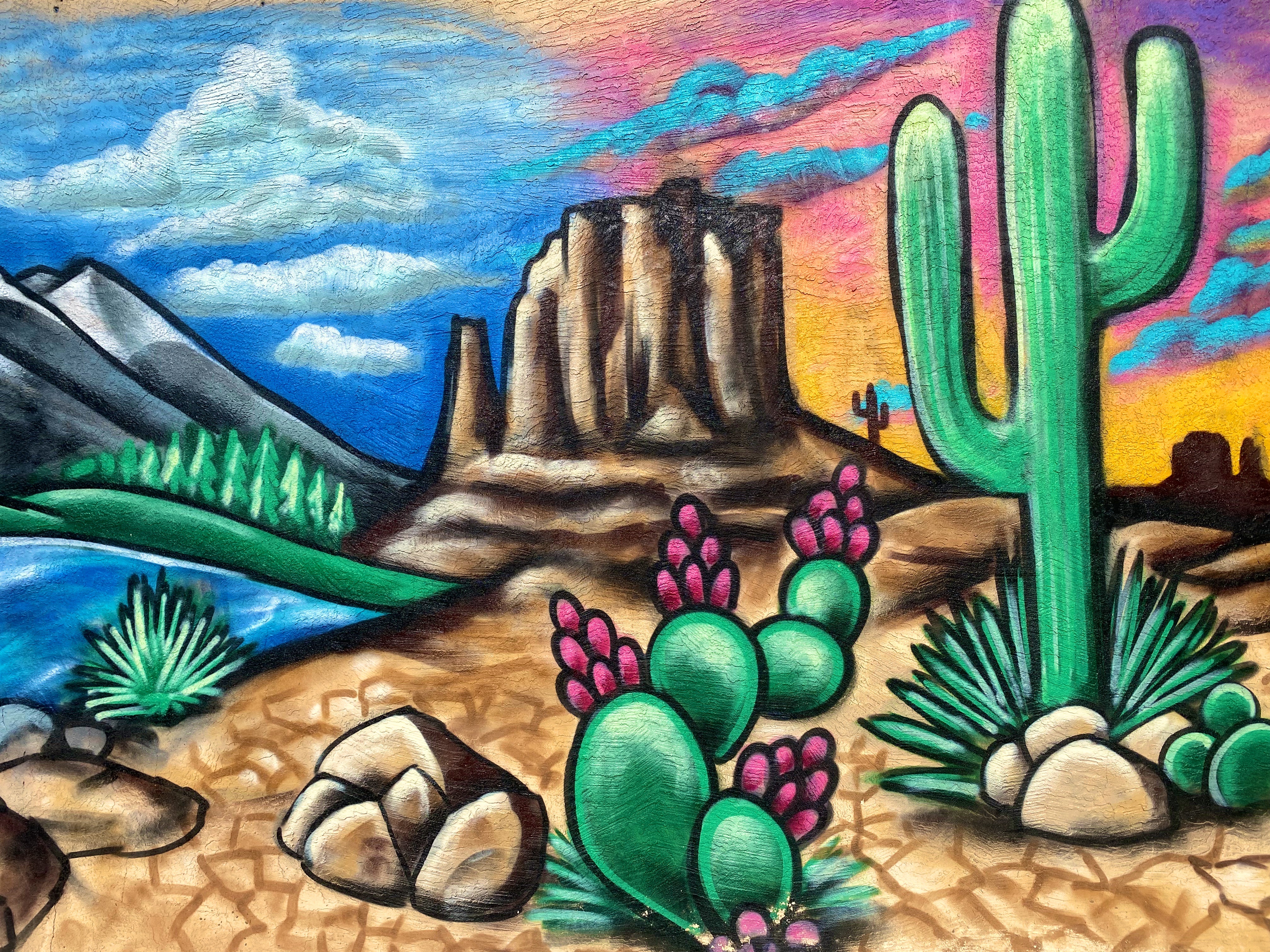
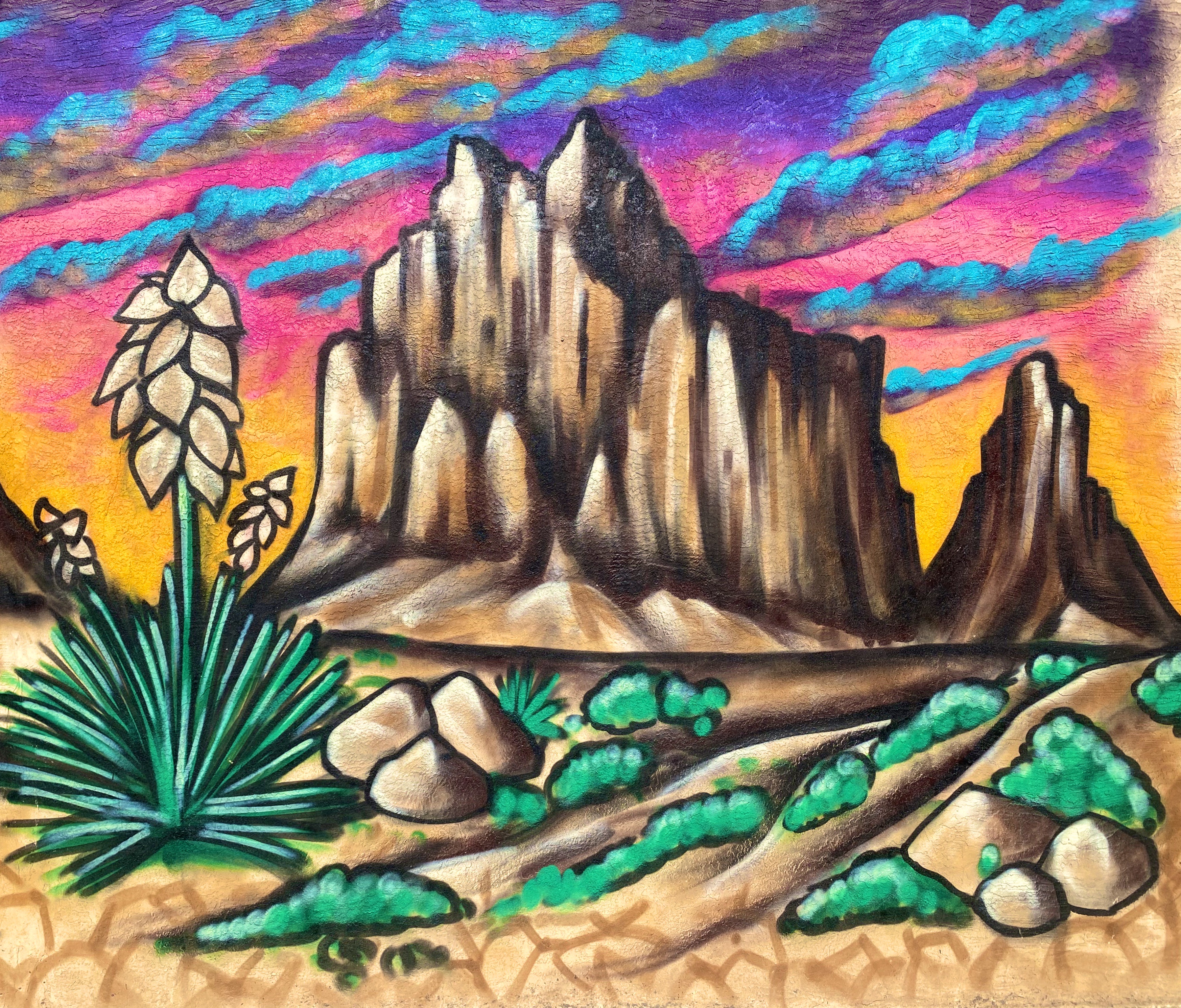
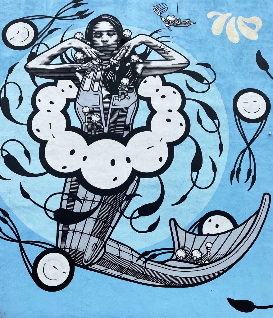
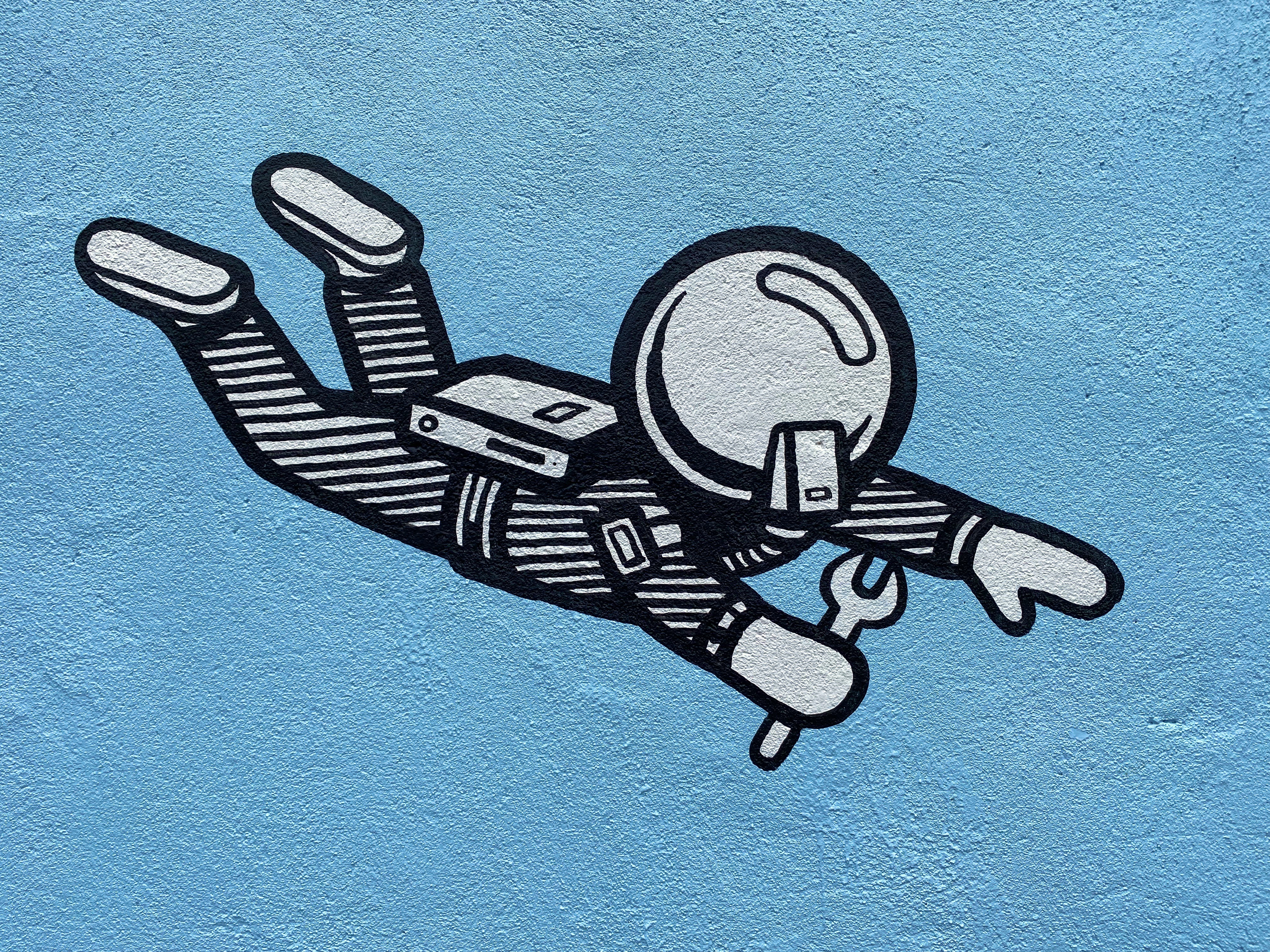
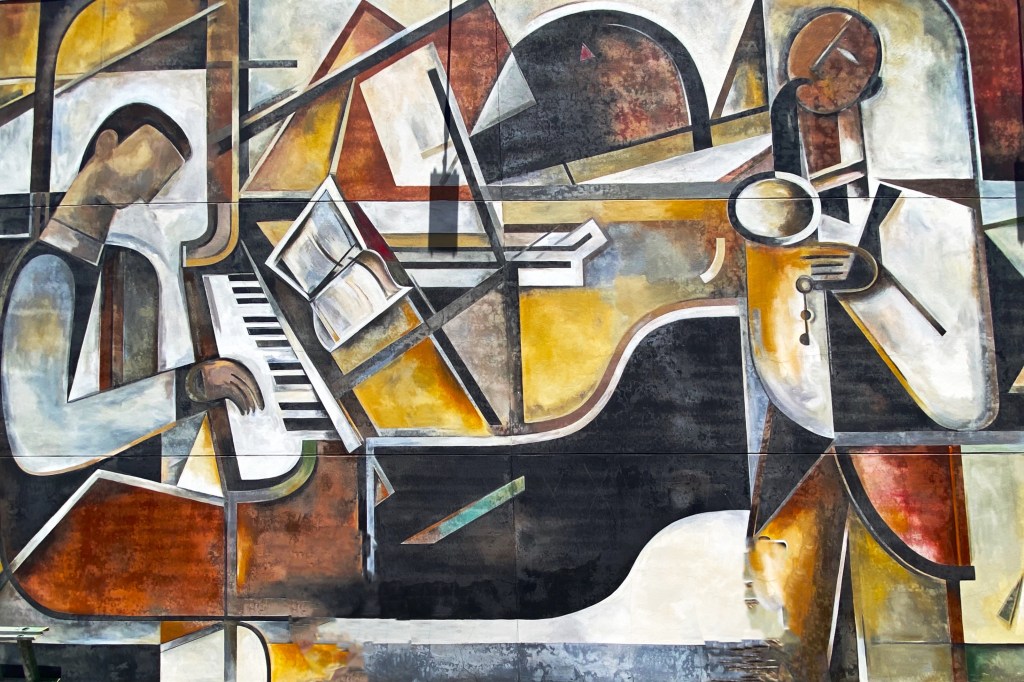
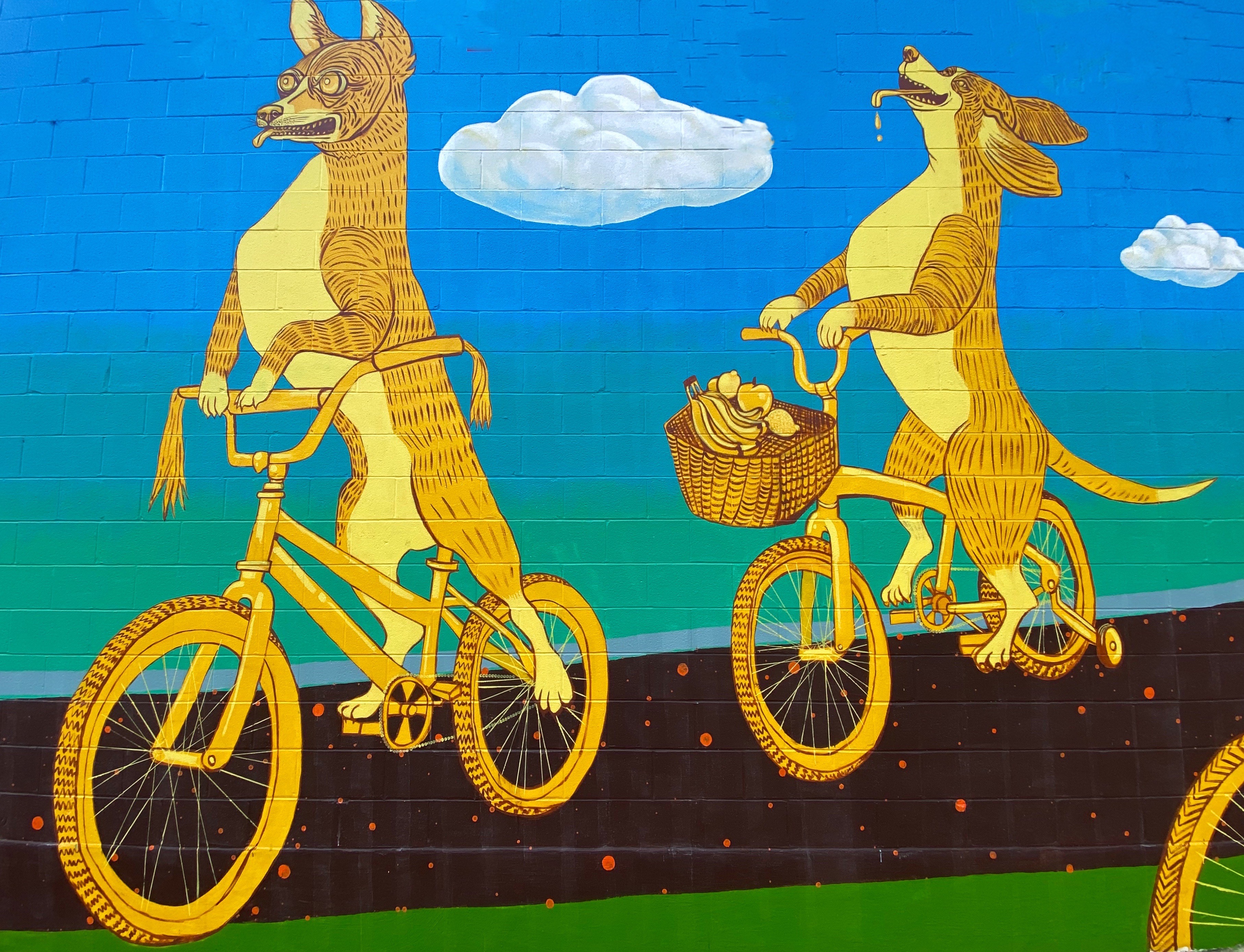
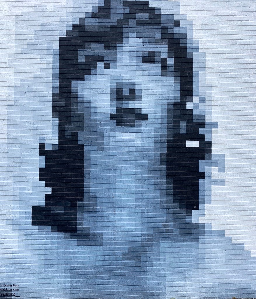
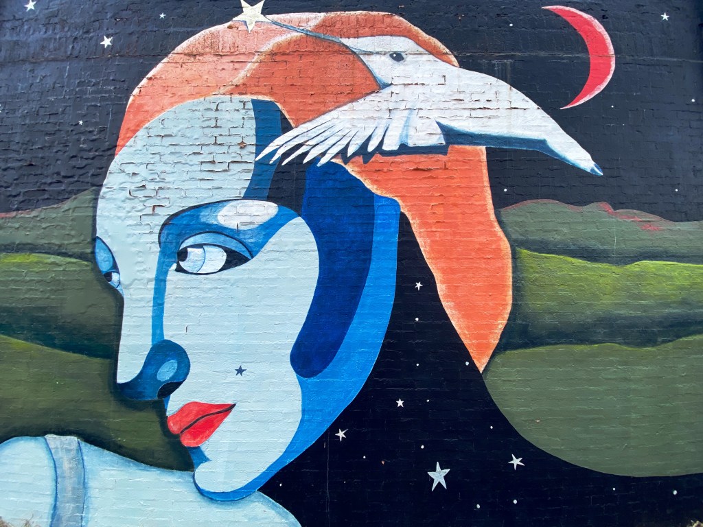
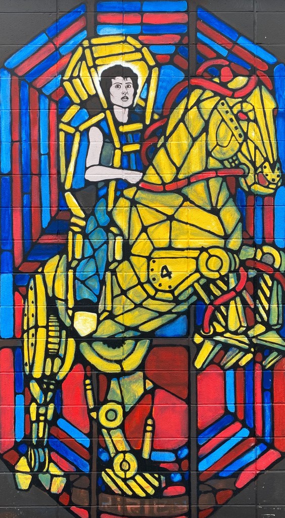
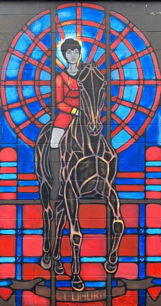
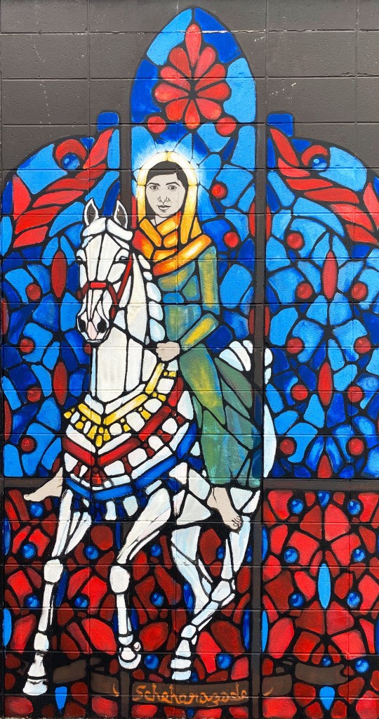
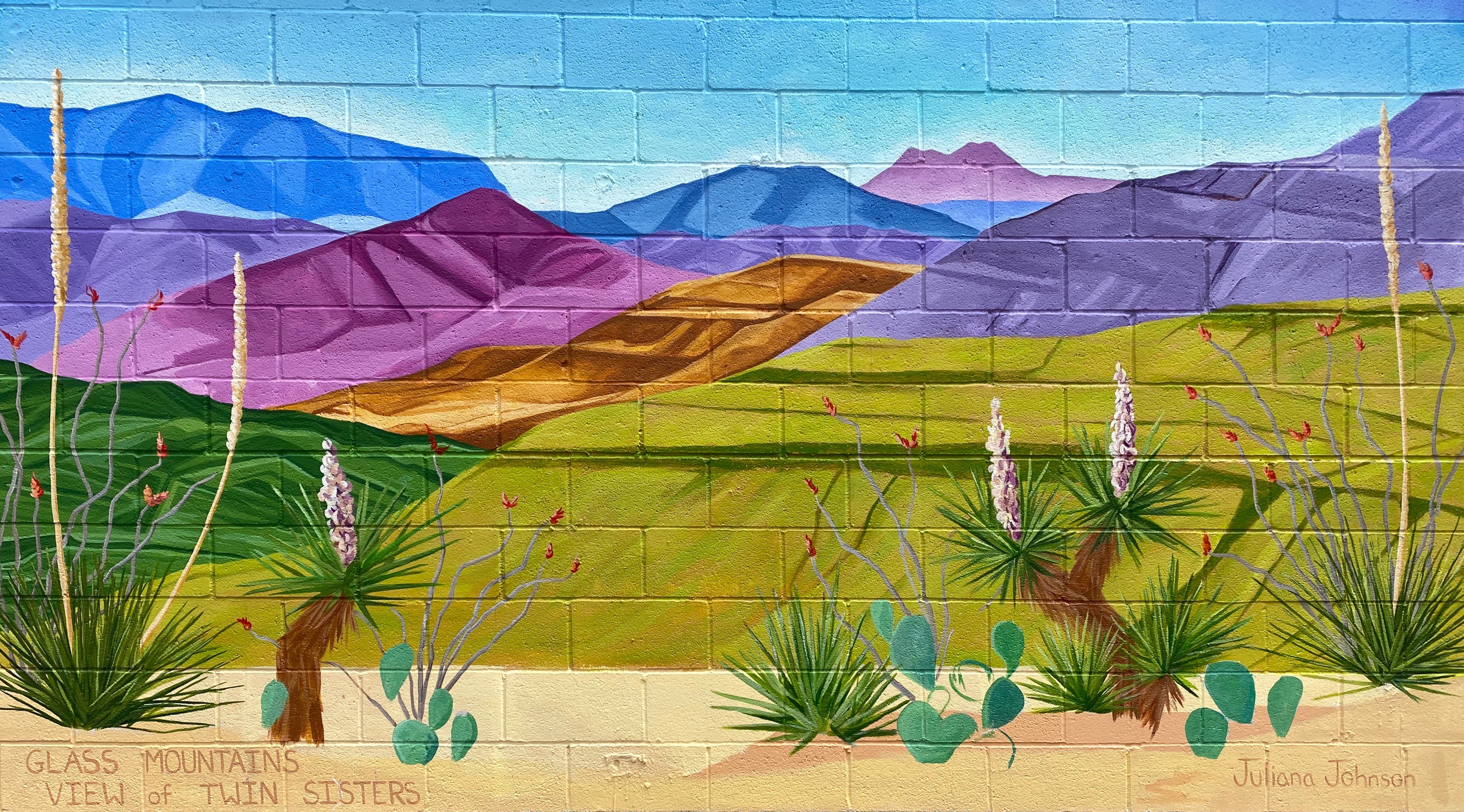
Mural, Farmington, New Mexico

Be seeing you!

@streetartfromtheroad:Uber den Rhein or Over—the —Rhine

This post is all about the fantastic street art found throughout the Over-the-Rhine neighborhood of Cincinatti. We have included a brief history of the neighborhood for context. Please find below a sample of some of the great street art on display throughout OTR. We hope you enjoy the art as much as we did.

The Over-the-Rhine (über den Rhein)neighborhood in Cincinatti traces its roots to a large German population that settled in the area. The area was home to mana significant number of breweries (at its peak there were 36) which employed many of the German migrants. The workers had to walk over the Miami and Erie Canal each day on their way to and from work and they began referring to the canal as the Rhine in reference to the Rhine River in their native country.

After World War 2 the neighborhood began a long decline as the original German residents again migrated – to the surrounding suburbs. Many of the industries that once provided jobs in this working class neighborhood also left or closed. Of course, to add insult to injury, the Miami and Erie Canal was capped!

By the late 1900s the area had deteriorated to one of the poorest areas in the city and was rife with crime. Fortunately, around the turn of the century the city and several organizations came together to create a comprehensive plan to revitalize the neighborhood. Based on our visit and the number of people visiting the area there has been much progress, although it is clear that this is still an area in transition.

Public art has also been a significant piece of the revival of OTR. ArtWorks and other community organizations have invested in the area and sponsor aspiring and accomplished artists. We have included the artist and sponsor information wherever available. Our apologies to any uncredited artists.

See our Sights & Sounds reels on Facebook or Instagram to experience a snapshot of our visits to Cincinatti and Arkansas. Be seeing you

P.S. Cincinatti is a first rate specialty coffee town!

ctsprinterlife: OTR 8.0: Mississippi Part 3

Muddy Waters

Clarksdale

After completing the final portion of the Trans America Trail we traveled to Clarksdale to begin our exploration of the Mississippi Delta. Clarksdale is generally considered to be the home of the Delta Blues with an impressive roster of musicians calling Clarksdale their home in their early years (see previous post: Street Art from the Road: OTR 8.0: Part Two: Clarksdale Music and Art at http://www.ontheroadwithmariastephen.net.

Clarksdale boasts live Blues music every day of the year at one or more of the local blues clubs, bars or juke joints. The town itself is a bit hardscrabble but please don’t let that keep you away. Even if you are not a fan of the blues we think you will enjoy the live performances that take place at the various venues in town, all of which are very intimate and, you will hear the real Blues. Typically, you will pay $10 – $15 for a show that will run from two to four hours!

Ground Zero Blues Club

We opted to stay in an apartment above the Ground Zero Blues Club which is convenient-unless you plan on sleeping before midnight. We were in town to hear the Blues, so we figured it was all part of the experience. https://www.groundzerobluesclub.com/

Clarksdale is also home to the Delta Blues Museum. We spent a morning at the museum and learned a lot about the history of the Blues, the musicians and the Blues recording industry. There is a treasure trove of artifacts at the museum including musical instruments and performers’ stage costumes. We highly recommend a visit to the museum when you visit Clarksdale. We don’t have photographs to share with you as they are not allowed in the musuem.

There are several excellent restaurants in town in addition to the customary BBQ. We highly recommend Hooker Grocery & Eatery which is a two minute walk from the museum. https://www.hookergrocer.com P.S. If you like pancakes make sure to try Our Grandma’s House of Pancakes.

Last, but certainly not least, we recommend a visit to Hambone Art & Music. We popped into this gallery for a quick look around and then spent several hours with the owner Stan Street. He is a transplant to Mississippi and was a touring musician before settling here and focusing on his painting.

Stan bought a vacant building and converted it into his gallery in the front, his studio in the rear and his apartment above. He also operates a small bar in the studio and has a stage for musical performances. We really like his artwork and we were amazed to find out that he is largely a self-taught artist.

Greenville – do not, we repeat, do not get your car washed!

We visited Greenville after reading that there is a state park there with a hiking trail along the Mississippi and a 60 foot tall observation tower that provides fantastic views along the Mississippi River. WRONG! The park was turned over to Greenville and the town has not maintained the park other than the small boardwalk when you first enter the park. This was our first disappointment with Greenville.

As we were leaving town we spotted a self service car wash and pulled in to hose the van off – you may have noticed in our photographs the Beast is in perpetual need of a wash. Immediately, a man told me he was an employee and would wash the vehicle – a minute later another man showed up and informed me he was going to help wash the car and then a third man showed up to help wash the car.

At his point we knew we had a problem – none of these guys worked at the car wash and that this was a shake down. We were able to persuade the third man that he was not going to get paid (although he hung around circling us). At that point, we told the two guys (taking turn hosing off the van) that we were good. The first of the gentlemen demanded $60.00 for the wash. We settled on a more reasonable amount and left town quickly.

Cleveland, or “fear the okra”

We stopped in Cleveland for coffee at Zoe Coffee. We met some nice folks at the coffee shop and learned that the coffee shop is affliated with Zoe Ministries, which focuses on providing clean water, orphan care, widow care, and education to communities in Kenya. https://zoeempowers.org/

Cleveland is also home to Delta State University. The mascot for the athletic teams is the Okra and the school chant is ”Fear the Okra!”. This is the best mascot and chant we have ever encountered! Look for DSU merchandise by the pool this summer. P.S. The men’s baseball team went 32-15 this year and is currently in Florida for the NCAA Division II regional tournament.

Vicksburg, or, it’s all about the war , no wait, it’s really all about the river

Vicksburg, MS is undoubtedly best known as the site of a major Civil War Battle which was a turning point in the war in favor of the Union. We were keen on visiting the Vicksburg National Military Park (VNMP) to gain a better understanding of this historic battle and see the battlefield.

The Mississippi River was a critical supply route for the Confederacy. Vicksburg sits on a bluff high above the eastern side of the river and was heavily fortified with artillery to stop Union forces from cutting off this essential supply route. The Union forces knew that taking control of the river would seal the defeat of the South.

After several failed Union attempts to take Vicksburg, General U.S. Grant laid seige to Vicksburg. Grant surrounded the city with over 77,000 troops. The 29.000 Confederate troops dug in to defend the city. Confederate attempts to break through the encircled city and resupply the soldiers and citizens failed. After 47 days, with all food and water supplies exhausted, the troops and citizens surrendered; the mighty Mississippi was under Union control. For additional information: https://www.nps.gov/vick/index.htm

In addition to the battlefield, there is a museum in the park which includes the remains of the Union ironclad gunboat USS Cairo. The Cairo was sunk by Confederate torpedos seven miles north of Vicksburg. It slipped back into the river after being beached and abandoned. Over 100 years later the ironclad was raised, restored and given to the National Park Service. For additional information: https://www.nps.gov/vick/u-s-s-cairo-gunboat.htm

Historic downtown Vicksburg is perched above the river south of the main artillery emplacements and battlefield. A number of excellent restaurants, rooftop bars and art galleries can be found there. The Jesse Bent Lower Mississippi River Museum, managed by the US Army Corps of Engineers, is on the waterfront and worth a visit.

The Mississippi River is still a vital supply route for the US economy. The Corps, one of the largest employers in the area, is responsible for commercial navigation, flood risk management and environmental stewardship.

A visit to the museum also includes the opportunity to tour the retired M/V Mississippi IV. The Mississippi IV was a tow boat used by the Army Corp from 1961 until 1993 when it was retired.

M/V Mississippi IV (Photo courtesy of Army Corp)

Our endless search for good coffee and tea took us to Highway 61 Coffee House in downtown Vicksburg. Highway 61 is a local coffee house with a cast of characters. We immediately ingratiated ourselves with the owner Daniel Boone – yes! – and his cohorts by making a donation to their poporn machine fund.

When Daniel Boone and his friends are not serving or drinking coffee they are the leaders of a local art movie house and amateur theater company. The popcorn machine that they have been utilizing for the last 14 years (on loan) for movie nights is going to be taken back by the owner.

Our donation to the fund earned us a private guided tour of the Strand Theater with Jack Burns – a board member and coffee shop regular. The Strand was a movie theater until it closed in 1963. The building remained vacant for a number of years until the theater group struck a deal with the owner to lease the facility for both live theater performances and screening movies. The interior was renovated by volunteers from the community who were very interested in having an opportunity to see art house movies and community theater. An excellent history of the building can be found at Urban Decay: https://worldofdecay.blogspot.com/2011/04/strand-theatre-vicksburg-mississippi.html Strand Theater: http://www.strandvicksburg.com/

While we might attempt to live on coffee, tea, and wine, we are reasonably certain that as pleasant as that scenario sounds it would not work in the long run. So, we went in search of victuals during our Vicksburg visit and found a gem just outside of downtown. The Tomato Place started as a roadside produce stand and evolved into a restaurant and mercantile in addition to a produce stand- all still sitting roadside in a collection of colorful shacks. The Tomato Place is a must when you visit Vicksburg. For more information: https://www.onlyinyourstate.com/mississippi/you-havent-lived-until-youve-tried-the-blt-from-the-tomato-place-in-ms/

Jackson, or hello, art minton

While in Vicksburg we decided to pop over to Jackson to see some minor league baseball. Jackson is home to the Mississippi Braves – the Double A affliliate of the Atlanta Braves. It also gave us the excuse to listen to the Johnny Cash – June Carter Cash version of the song Jackson for the entire ride from Vicksburg to Jackson. “We got married in a fever. Hotter than a peppered sprout. We’ve been talking bout Jackson ever since the fire went out. Oh, we’re going to Jackson.” Dang, that’s good music!!

The Natchez Trace runs just north of Jackson. We have driven the majority of the Trace during the course of several trips through Mississippi but had never done any biking as part of our travels along the Trace. Jackson provided a great opportunity to do so as the Chischa Fokka Greenway runs parallel to the Trace for a number of miles. It’s a great trail that cuts through Pine stands and farmland as you head north from Jackson.

Chischa Fokka Greenway

We enjoyed our brief stay in Jackson with the added bonus of meeting @art.minton. Art is a fellow van adventurer who lives in Jackson and we follow each other on Instagram. He spotted our van while we were leaving Pig and Pint after having just finished dinner—Serendipity—Very cool!

The road to Rodney

We decided to visit Rodney after reading an interesting article in Mississippi Folk Life about efforts by a local organization to preserve the remains of Rodney. The town was once a thriving Mississippi River port city. Migration from Rodney started in earnest after 1870 – Rodney had been bombarded during the Civil War by Union gun boats, enslaved individuals were emancipated and left the cotton plantations and finally, the course of the river shifted two miles west and Rodney was no longer a port city. For an excellent history of Rodney: http://www.mississippifolklife.org/articles/haunted-by-a-ghost-town-the-lure-of-rodney-mississippi

Getting to Rodney takes a bit of work. The only road to Rodney is a bumpy and muddy dirt road affair but you know we never say no to the chance for a bit of mud on the fenders.

On our way to Rodney we drove through Port Gibson. Like many other southern cities during the mid-twentieth century, Port Gibson’s elected leaders and businesses were still fighting against integration and equal rights for Black citizens. That eventually led to the Boycott of 1966. The photo below from a mural in town depicts the demands. ‘Nuff said! https://mississippiencyclopedia.org/entries/port-gibson-claiborne-county-civil-rights-movement/

We also happened on the Windsor Ruins after departing Rodney. The Ruins was an antebellum Greek Revival Mansion built (by enslaved African-Americans) for a wealthy cotton planter and his wife. Today, 23 of the Corinthian coloumns are still standing. The mansion survived the Civil War (the owner did not) but burned in 1890. It was the largest Greek Revival home in Mississippi. Today it is an historic site and there are plans to complete some restoration of the columns and the grounds. For more information: https://www.mdah.ms.gov/explore-mississippi/windsor-ruins

Natchez —— Steampunk anyone?

Natchez was our final stop before crossing the Mississippi into Louisiana. First stop, as always, was for espresso and tea and our research pointed to Steampunk. There we met Dub Rogers, the owner of this unique establishment. Dub Rogers was born in Mississippi but spent 30 years living and working in NYC in a variety of businesses.

Steampunk represents an amalgamation of Dub’s many interests. The shop and haberdashery sells fine cigars, coffee, tea, chocolate, conservas, mixology gear and hats (see Maria’s newest addition above) of which Dub has endless knowledge. Dub is a great host – and we almost forgot to mention that he personally renovated the handsome space that houses his boutique department store, apartment and patio.

Natchez dates back to 1716 when French traders built a Fort on the bluff overlooking the Mississippi. The French settlement came to an abrupt end when the Natchez Indians attacked the fort, killing several hundred people and enslaving a number of women and children The surviving French left the territory toute suite.

Future President Andrew Jackson built a trading post near Natchez in 1789. The trading post traded in African-American slaves. This set the course for Natchez to become a hub for slave trading – one of the most active in the South.

With the wealth accumulated from the slave and cotton trade Natchez became one of the wealthiest cities in America prior to the Civil War. Today many of the lavish antebellum homes are still standing and open for touring. Because Natchez was prized by both sides due to its location, the Union forces did not destroy it when they occupied the city.

You now know where to go for all your caffeine needs in Natchez. Here are a couple of suggestions for dining: Magnolia Grill, located in the Under-the-Hill section of town down on the river (formerly the vice district of town); and Fat Mama’s Tamales is the spot for excellent tamales.

Our final foray in Natchez was visiting one of the decidely less glamorous antebellum homes in Natchez. The house is named Longwood but also derisively as Nutt’s Folly. Haller Nutt was a wealthy plantation owner who had an octagonal house designed for him and his family. The house, if completed, would have had 32 rooms.

The outbreak of the Civil War ended the construction of the home as Nutt’s financial position tumbled. Even if he had the funds to continue, work would have stopped because the majority of the craftsman completing the finish work were from Philadephia – they returned to the North as soon as the war began.

The family moved into the basement (originally designed for the house slaves). Nutt died in 1864 and his wife and children hung on to the house for many years with the help of friends and several wealthy relatives. The Nutt family sold the home to the Pilgrimage Garden Club of Natchez in 1968.

The photograph below shows the fingerprints of one of the enslaved individuals who worked on the construction of the home. The Nutt family owned 800 slaves prior to the demise of the family fortune.

Fingerprints of enslaved individual

We hope you enjoyed our final installment regarding our Mississippi exploration, thanks for reading.

Be seeing you!

ctsprinterlife: OTR 8.0 Mississippi Part 2

Hattiesburg — a very brief history

After spending time in Louisianna we traveled north back into Mississippi to visit Hattiesburg. We were up in the air about visiting Hattiesburg but after a conversation with a former resident of Hattiesburg (that we met in Cleveland, Mississippi) we decided to invest a day and check out the town. Additionally, visiting Hattiesburg would provide an opportunity to ride the Longleaf Bike Trail.

Hattiesburg was founded in 1882 by William Hardy and named after his wife Hattie. The land that is now Hattiesburg became available after the Chicksaw and Choctaw peoples were forcibly removed under the Indian Removal Act which allowed the government to relocate the nations to land west of the Mississippi River.

The city thrived in its early days as part of the burgeoning lumber industry (Hattiesburg sits in the Pine Belt) and is known as the Hub City because of the confluence of rail lines running through the city. While the timber industry is not a major economic force today, the city is still a major rail hub with freight lines bisecting the city.

While Hattiesburg was not founded until well after the Civil War, the town nonetheless did its part to uphold the legacy of slavery and segregation. The Black residents of Hattiesburg were still largely unregistered to vote in 1962 due to the efforts of the municipal government to make it impossible for Blacks to qualify to vote. For more information about the Civil Rights Movement in Hattiesburg click on the link: https://mississippiencyclopedia.org/entries/hattiesburg-civil-rights-movement/

Hattiesburg — home of rock ‘n roll?

One facet of Hattiesburg that we were totally unaware of prior to our visit is the claim that Hattiesburg is the true home of Rock ’N Roll. Musicologists have traced the roots of the genre to the Graves brothers – Blind Roosevelt and Uaroy. The brothers started as Gospel singers but in 1936 joined with pianist Cooney Vaughn to form the Mississippi Jook Band. Two of their songs in particular are now viewed as very early Rock ’N Roll songs. These songs, Barbecue Bust and Dangerous Woman, were performed and recorded long before the genre was clearly defined and popular. http://www.youtube.com/watch?v=1pegm79r1zE

Today, many musicologists consider the roots of Rock ’N Roll began in the African American Churches in the South where the music was “rocking and reeling” and instruments other than the organ were used to accompany the singers (out of necessity as the congregations could not afford an organ). An excellent article on this subject: https://countryroadsmagazine.com/art-and-culture/visual-performing-arts/hattiesburg-birthplace-of-rock-n-roll/

Longleaf trail

The Longleaf Trail is a 45.5 mile paved rails-to-trails bikeway. The southern trailhead is in Hattiesburg and the trail runs in a northwest direction terminating in Prentis. We rode out and back on the southern half of the trail from Hattiesburg and the northern half of the trail from Sumral Station (west of Laurel).

Longleaf is a Hall of Fame trail and for good reason. The trail is paved, in excellent condition and passes through beautiful Southern scenery. Surprisingly, we encountered very few other riders on either of our rides. We highly recommend this trail. The round trip is 91 miles – beyond our current range – so we split the trail and enjoyed two rides.

The town

Laurel is not our ”home Town” but it could be!

Laurel was added to our intinary once we decided to visit Hattiesburg. If you are a fan of the HGTV show Home Town you may recognize Laurel as the small town where husband and wife Ben and Erin Napier help folks renovate local homes. As a result of the popularity of the show, the town has attracted many visitors and new residents.

We visited their retail store and woodworking shop while in town, but there were unfortunately no celebrity sightings. We can tell you their two stores are doing a brisk trade! Good for them – the couple has done a lot to help bring back this former lumber industry town.

We arrived in Laurel on the day of the annual crawfish festival. The festival runs from 11AM to 3PM – all you can eat for $15- Classic Low Country Boil – crawfish, sausage, potatoes, sweet potatoes and corn. Live music to boot. Now that is Southern Hospitality!

Laurel has more than the CrawFest and the TV show to offer. There are several excellent restaurants (The Loft….our favorite) and several neigborhoods with streets lined with live oaks and stately homes. Lastly, the former town library was converted and expanded into an art museum with a very nice collection of paintings and sculptures. We have included several photogrpahs of our favorite paintings at the end of this post.

William Hollingworth (1910-1944) The Mystery of a Southern Night, 1941, Oil on canvas
Charly Palmer (1960) Leadbelly c. 2012, Acrylic on canvas
Alfred Conteh (1975) Preme 2020, Acrylic and Atomized brass dust on canvas
John Winslow (1938) Painting in Marcella’s Studio 1982, Oil on canvas
Janet Fish (1938) Pink Scarf and Daffodils 2008, Oil on canvas

This post is our penultimate post on Mississippi as part of OTR 8.0. If you missed our previous posts you can find them at ctsprinterlife: OTR 8.0: Mississippi Part One and Ocean Springs, Mississippi at ontheroadwithmariastephen.net Our final post will cover our exploration of the Mississippi Delta.

Be seeing you!

Street Art Tourist: OTR 8.0: Part Two: Clarksdale Music and Art

Muddy Waters, Clarksdale, MS (1913-1983) Midnight at the Crossroads by Devin Gerard Liston @devin.liston

Clarksdale, Mississippi, undoubtedly the epicenter of the Mississippi Delta Blues, is also a treasure trove of Street Art reflecting the musical heritage of the Delta. While we were visiting primarily to hear live blues music and experience the local juke joints, we could not pass up the opportunity to photograph the many portrait murals of blues legends.

The musicians that were born in this area are among the greatest blues practioners and pioneers of all time. Many of them emigrated north to Detroit and Chicago for factory work but ultimately found fame there and were able to turn their passion for music into their full time pursuit.

Just a few examples of the musicians who were born in this area or contributed to the development of the Blues here include: Sam Cooke, John Lee Hooker, Muddy Waters, Ike Turner, Robert Johnson, Kingfish Ingram and Sarah Moore. Click on the link to see a roster (and biographies) of the many famous blues musicians that were so much a part of the blues scene here. https://www.cityofclarksdale.org/music-culture-history/

John Lee Hooker, Tutwiler, MS (1917-2001)
Leo “Bud” Welch, Sabougla, MS (1932-2017) by El Care Barbie @elcarebarbie
Sam Cooke, Clarksdale, MS (1931-1964)
Delta Roots by Hayden G. Hall @haydenghallart
Portrait of Dr. Vera Mae Pigee by Charles Coleman @ccolem20
Clint Eastwood as the Outlaw Josey Wales by Christopher Keywood
Plow Mule Blues by Church Goin Mule Marshall Blevins @churchgoinmule
Don’t Stop Me From Flying by Likmi Soberana @lik_mi
Rebeka Skela @sanguineskills
Woman of Rock by @erre.erre
Homage to Howlin’ Wolf Wilson by Gerson Fonseca @monstrucion.3
Midnight at the Crossroads by Devin Gerard Liston @devin.liston

We hope you enjoyed these photographs of street murals from Clarksdale. We could have spent another day photographing more murals, but the road was calling and we always heed the call of the road.

Be seeing you!

Street Art Tourist: OTR 8.0: Part One

Hello everyone. This is our first post of OTR 8.0. Our plan for this trip is to travel throughout the Southeast. We spent several several days in Knoxville and Chattanooga during our first two weeks of the journey; neither of us had visited either city previously.

Both cities have a strong commitment to street art and we are excited to share our favorite murals from our tours.

Whenever we have been able to identify the muralist(s), we have included their information in the caption.

Knoxville, Tennessee

Many of the murals from Knox featured in this post are located in Strong Alley, downtown. The alley is known locally as graffitti alley.

Fawne DeRosia @fawne
Curtis Glover @curtisglovercreative
Megan Lingerfelt @meganlingerfelt Colton Valentine @coltonvalentine
Tina Brunetti @art_bytinabrunetti
Chance Losher @professor.rainbow
Cody Swaggerty @cswaggerty
Lacey Sutton @suttonceramics

Chattanooga, Tennessee

We only spent a couple of days in Chattanooga but we were able to capture a number of murals that, fortunately for us, are clustered in the Southside neighborhood and on Mccallie Street as part of the Mccallie Walls Mural Project.

Ali Kay @ali_kay_studio
Anna Carll @annacarllart
Kevin Bate @goodwithfaces
Nyx, Goddess of Night — Miki Boni
The Four Horsewomen (above and below) —- Kevin Bate, Hollie Berry, Miki Boni, Anna Carll and Ali Kay

We plan on publishing another edition of Street Art from the Road later in the trip. We hope you enjoyed the photographs of the murals. You can see additional murals @ctsprinterlife.

Be seeing you!

Street Murals: OTR 4.0

A collage of our favorite street murals from On The Road With MARIA + STEPHEN

See more street murals @ #streetartfromtheroad

Be seeing you!

Utah
Farmington and Santa Fe, New Mexico
ABQ, New Mexico
ABQ and Truth or Consequences, New Mexico
Pecos, Marfa and Alpine, Texas
Terlingua and Houston Heights, Texas
The King
Huntsville, Alabama
Del Rio and Alpine, Texas
Roanoke, Virginia

Alpine, Far West Texas

We made the short hop east while staying in Marfa to spend a pleasant afternoon in Alpine, Texas. A brief history of Alpine can be read below on a photo of the town placque. Alpine’s origins lie with the railroad but today it is anchored by a state university.

The good news for us is that Alpine has a vibrant street mural scene, a terrific book store and a solid coffee shop to complement the classic early 1900s western architecture. There are 45 street murals in downtown. As those of you who follow us know that is a winning combination for us.

You can see more street art and coffee experiences on our Instagram accounts: #streetartfromtheroad/#fikawithfiona

Be seeing you!

Cruising Big Bend, Tom Curry

Flying Shaman, Kerry Awn

From Paradise to Calamity Creek, Pauline Hernandez

Front Street Bookstore, Alpine, Texas

Cedar Coffee, Alpine, Texas

Holland Hotel, Alpine, Texas

Mini Cooper 1000

ART FOR THE STREETS

We had the pleasure of taking a private tour with Danielle Mastrion of City Rovers while making a brief visit to the City. Danielle is a well known muralist and painter. Several of her works are featured below. The featured street art can be found in Little Italy, Chinatown, SoHo and the Lower East Side. Many of these murals were commissioned by the Little Italy Street Art(LISA) project. Information about the history and current status of the project is available at lisaproject.org.