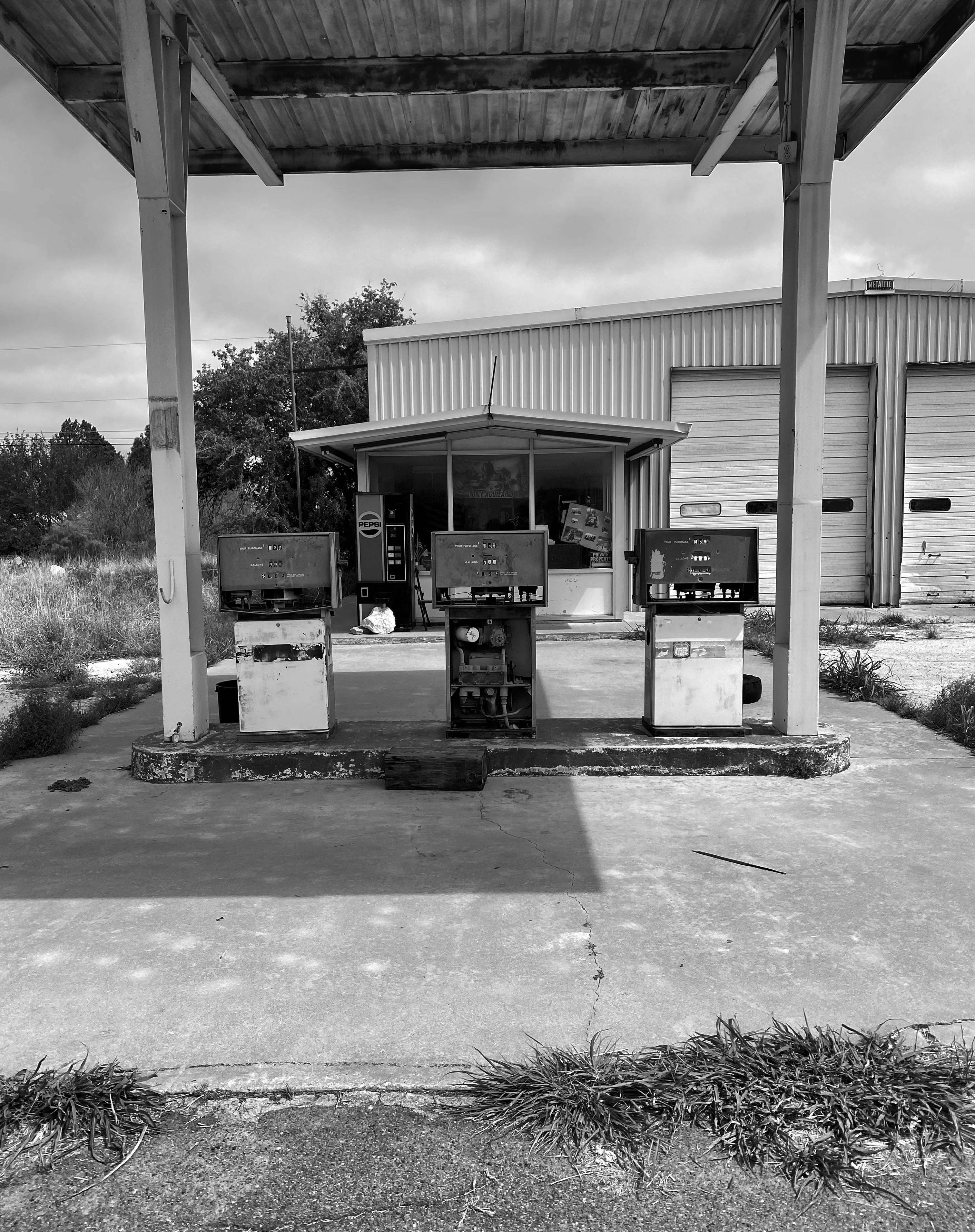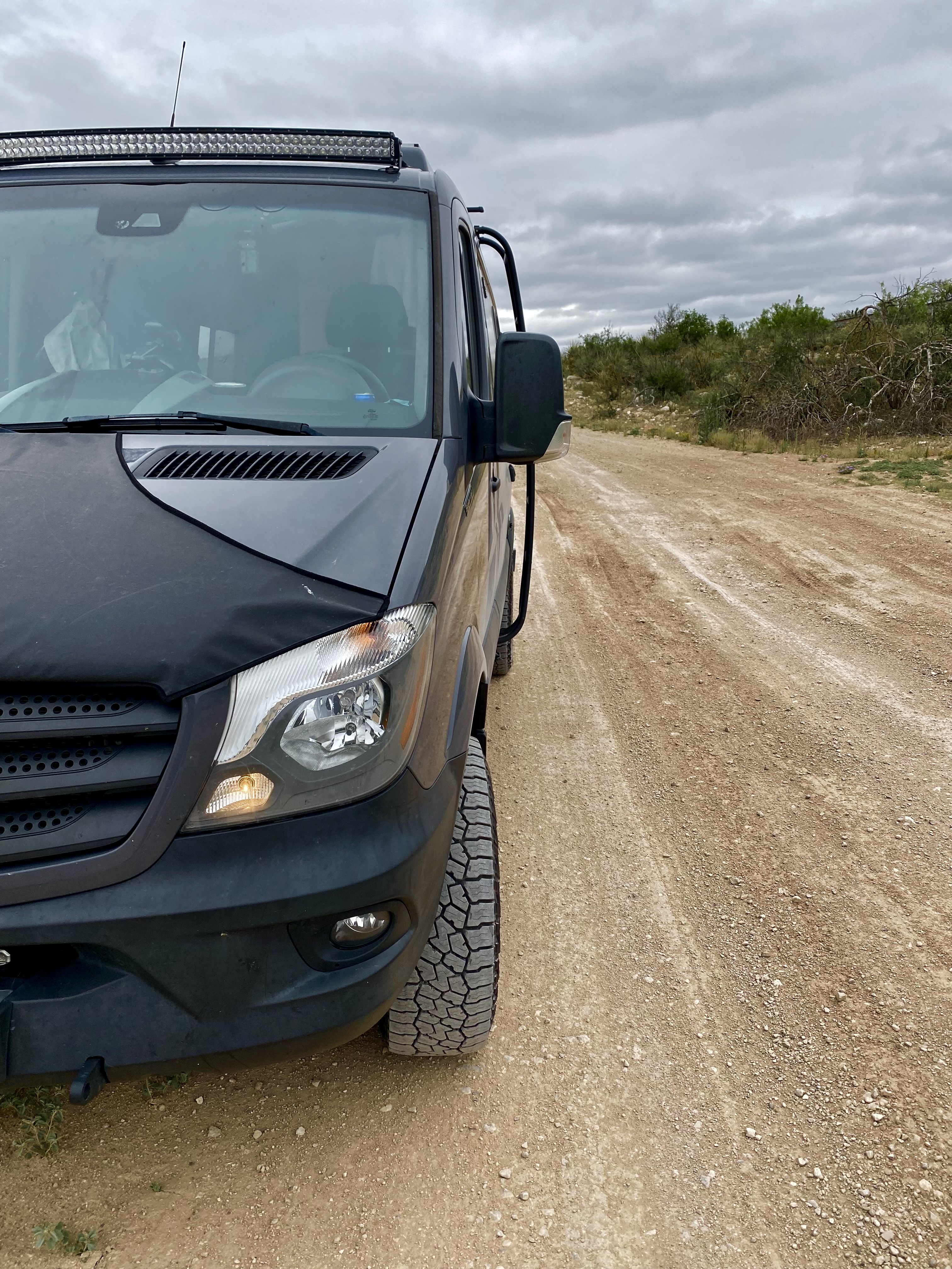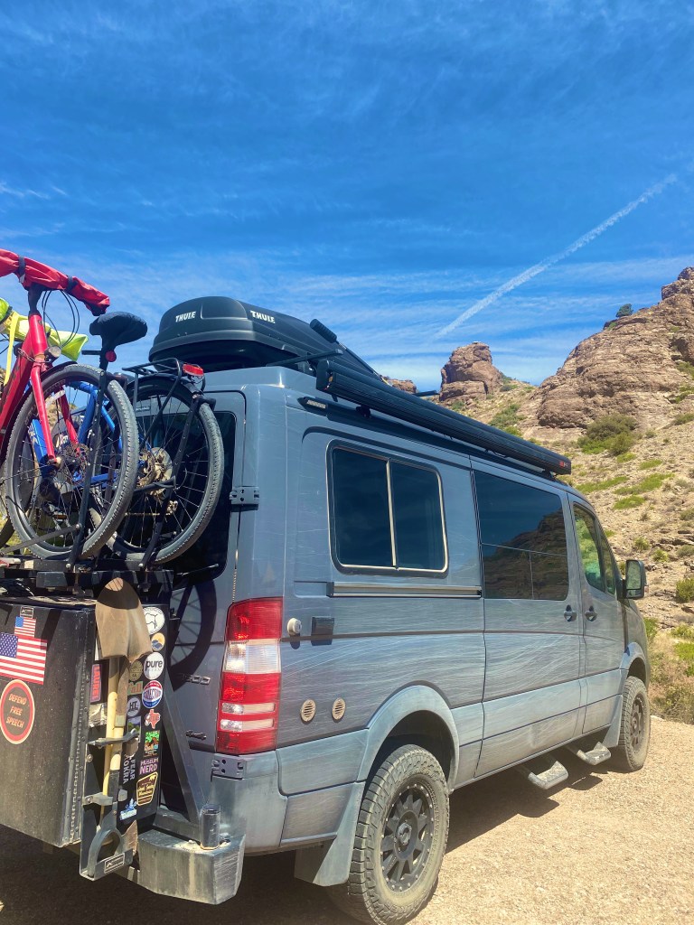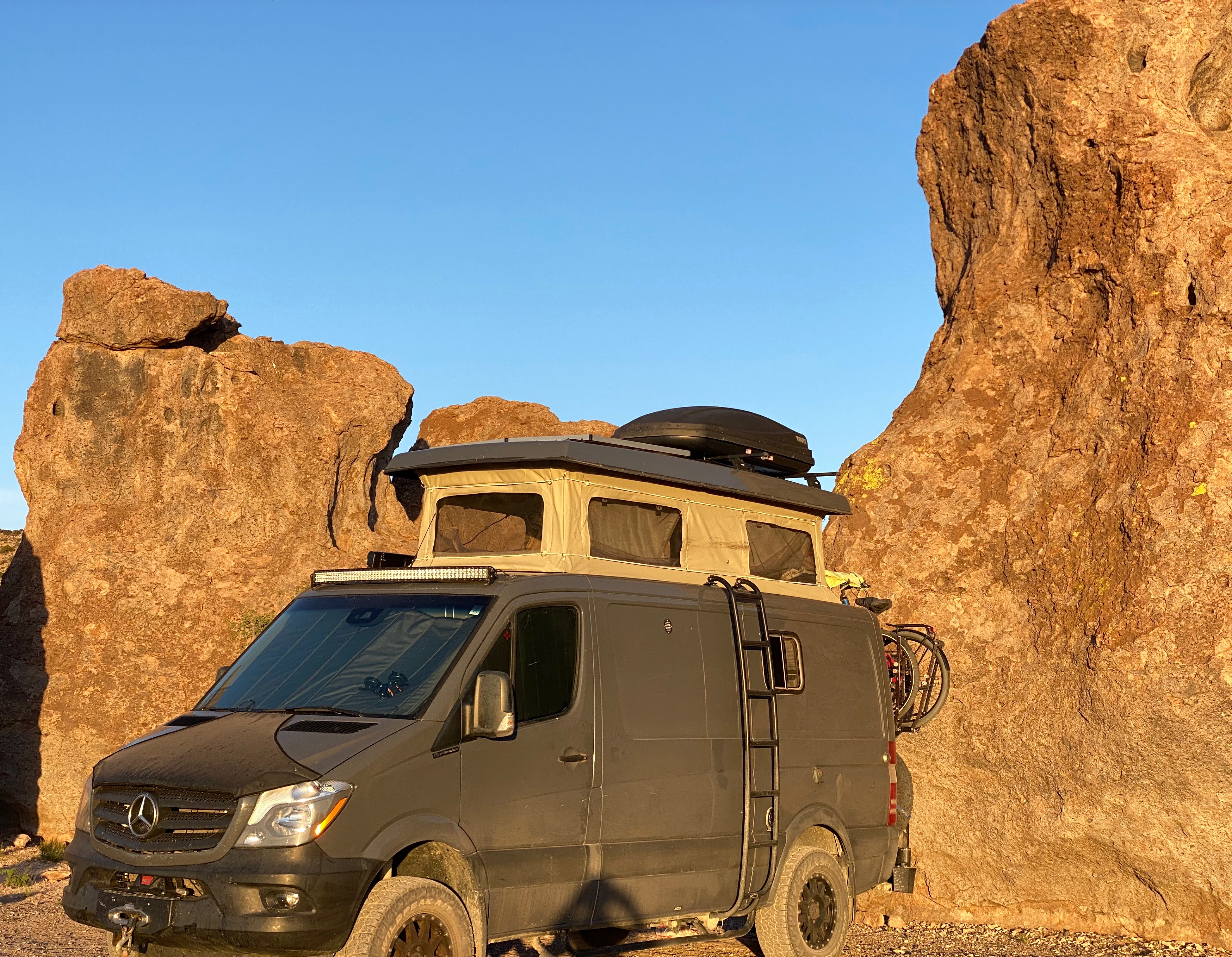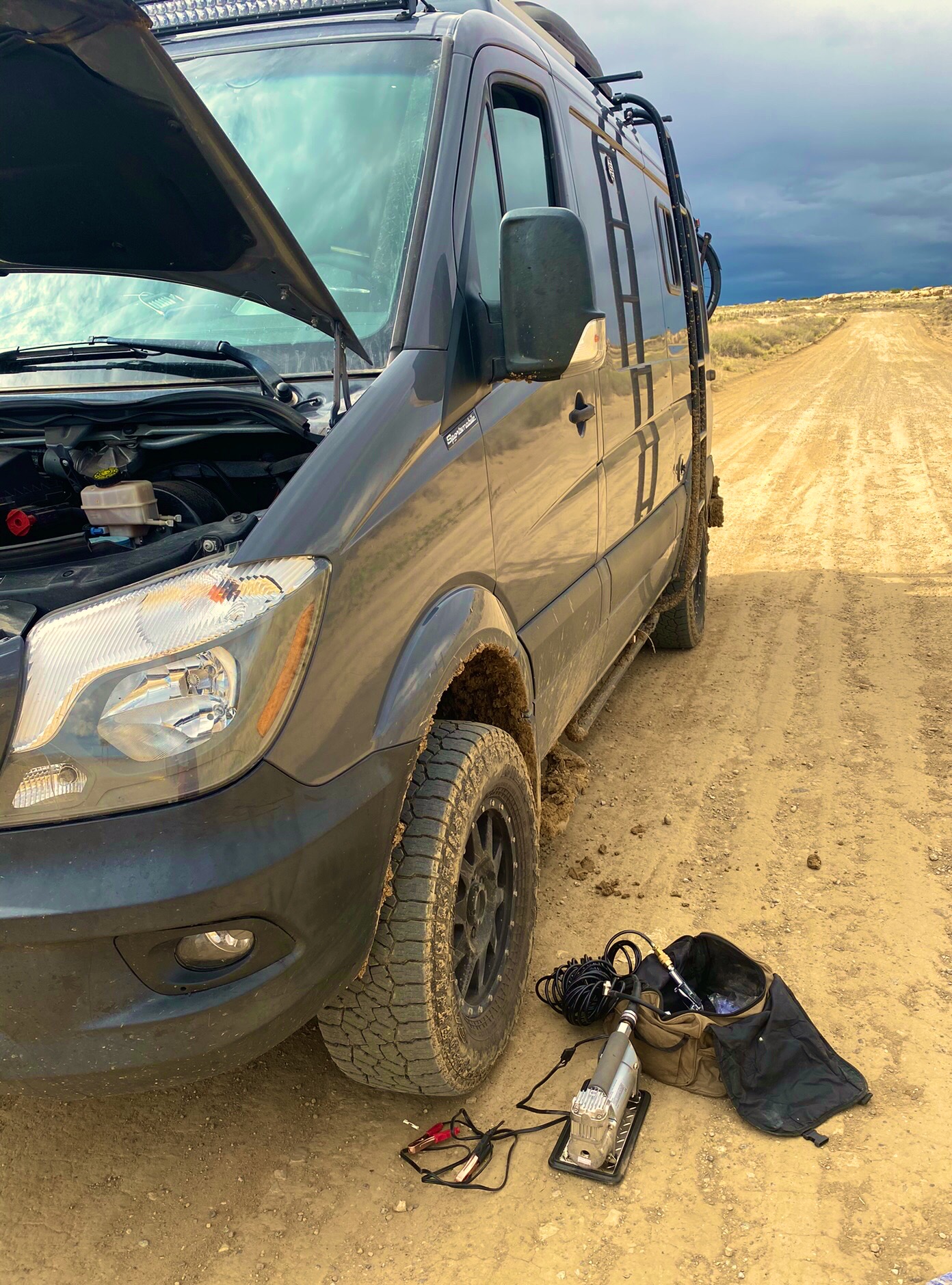
When we arrived at our campsite near Sterling, Colorado in the northeast corner of the state, we discovered that our AGM batteries were not fully charged. A quick check of the various fuses led us to the 300 amp fuse that sits between the second alternator and our four AGM batteries. The fuse and the fuse block were fried! Without the second alternator to charge the batteries our off grid capacity is limited. Therefore, our first order of business as we began our trek across Nebraska was to find a shop to replace the block and fuse.
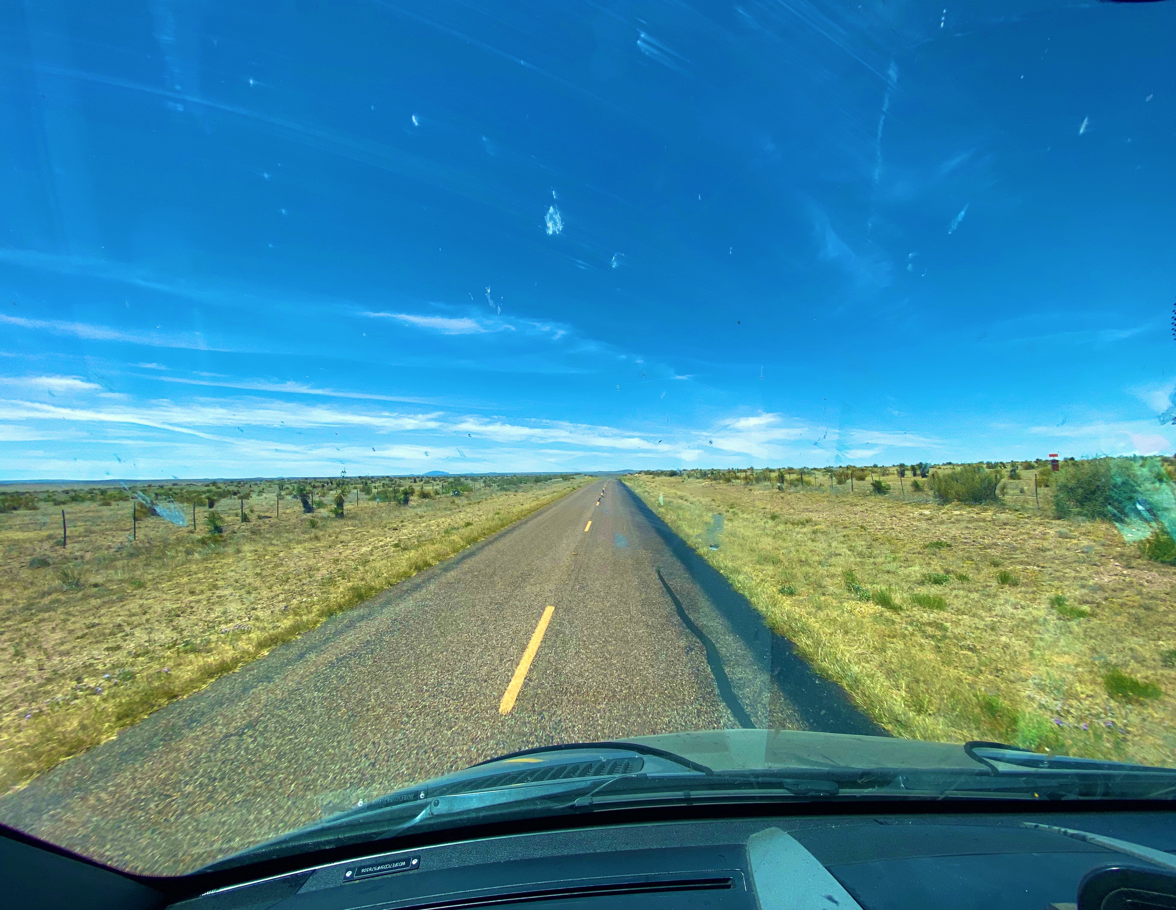
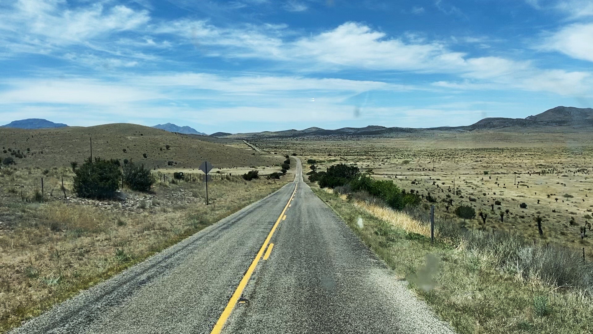
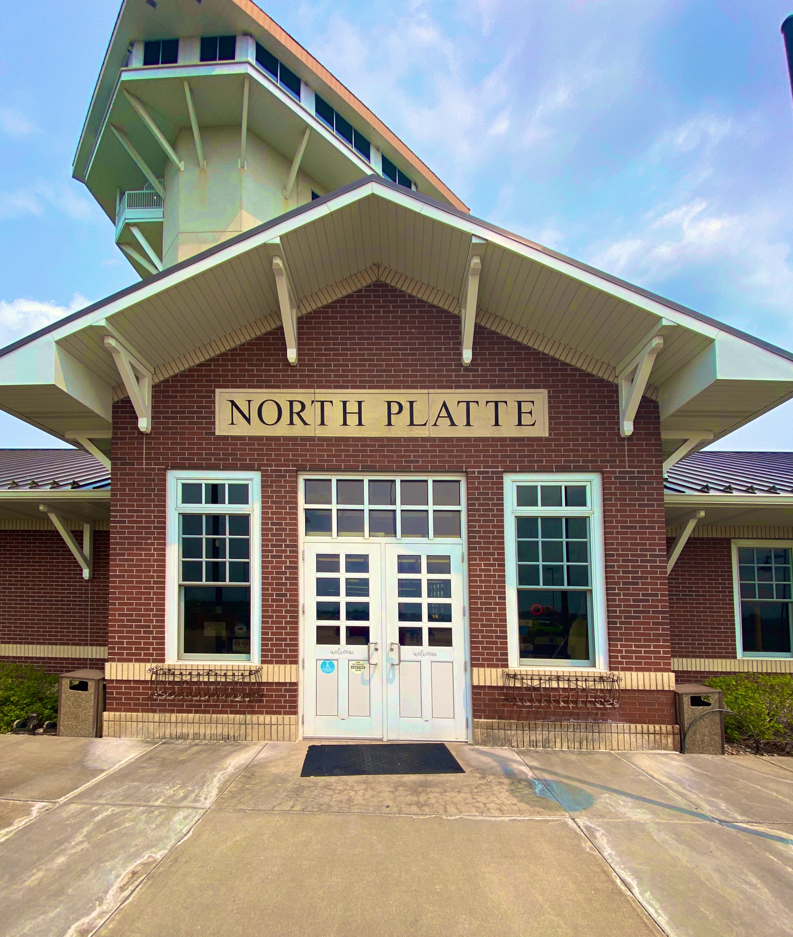
The closest RV shop to our east was located in North Platte. We were planning on stopping in North Platte to visit a couple of attractions, so we set sail for North Platte on Route 30, also known as the Lincoln Highway. Route 30 is a coast to coast two lane U.S. highway. It is the third longest U.S. highway and was the first coast to coast highway.
The 30 through Nebraska is also quite notable in that it roughly follows the Oregon Trail along the north side of the Platte River. This section of the Oregon Trail along the river made for relatively easy travel and navigation for the emigrant pioneers due to the flat terrain and east-west course of the river. In the early years of the westward migration, the Nebraska plains provided plenty of food with literally thousands of bison roaming the western grasslands. The history of the Oregon Trail and the people who made or attempted to make the journey is quite fascinating and provides great insight into the culture in the U.S. in the years before and directly after the Civil War. Much of the western movement of people was driven by the desire to escape poverty and religious persecution in the East. Some things never change apparently.


We highly recommend two books about the Oregon Trail. The Oregon Trail: A New American Journey by Rinker Buck chronicles his journey across the Oregon trail by covered wagon in 2011. The second book is The Oregon Trail by Francis Parkman Jr. Parkman made the journey in 1846 and this book provides great insight into the dangers of the journey and is also reflective of the prevailing attitudes of the time (particularly racism).
We pulled into Larry’s RV hoping that Larry would be willing to take a look at the Beast. Larry waved us right into one the garage bays and directed a mechanic to take a gander under the hood. Larry is very committed to assisting travelers far from home that drop into the shop in need of help, sometimes to the chagrin of his mechanics. Larry and his wife Joyce have been fixing mobile homes and RVs since 1956!
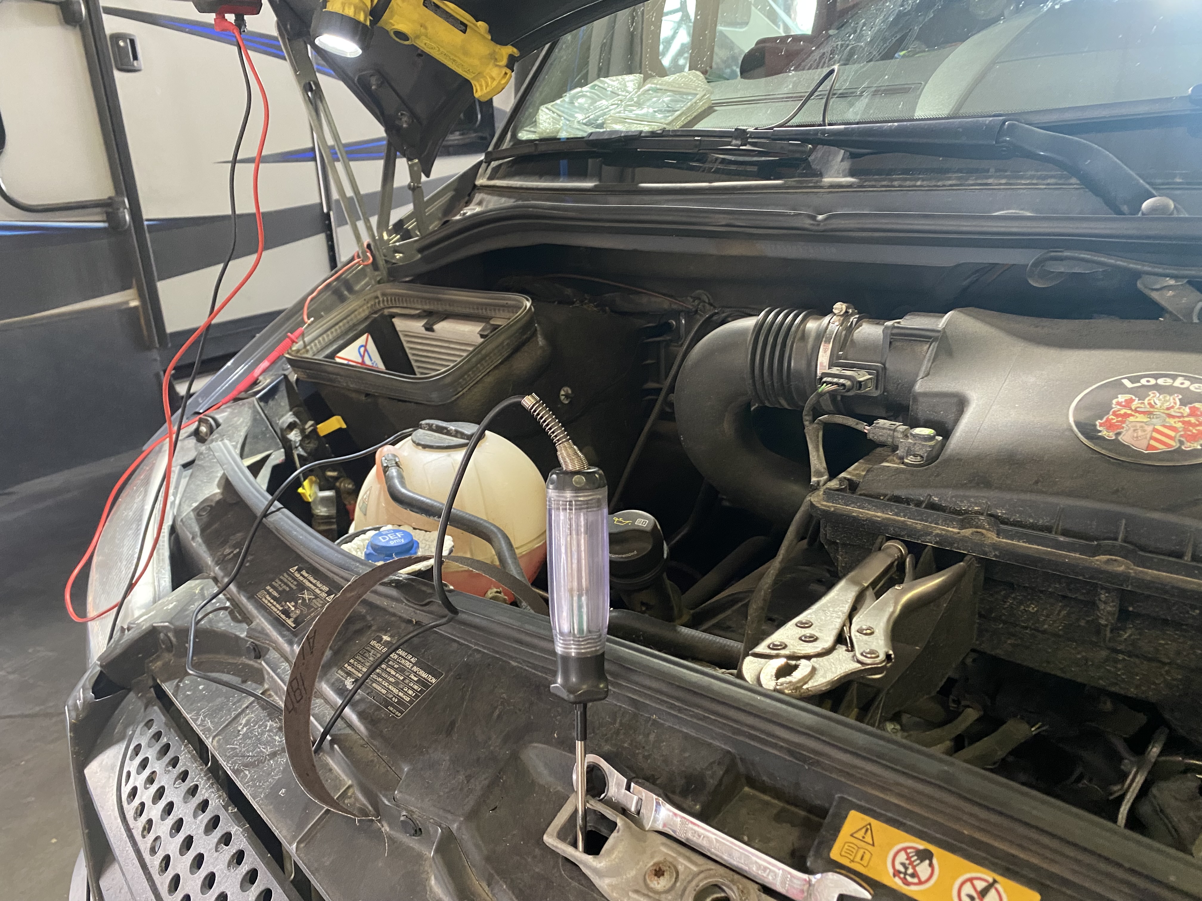
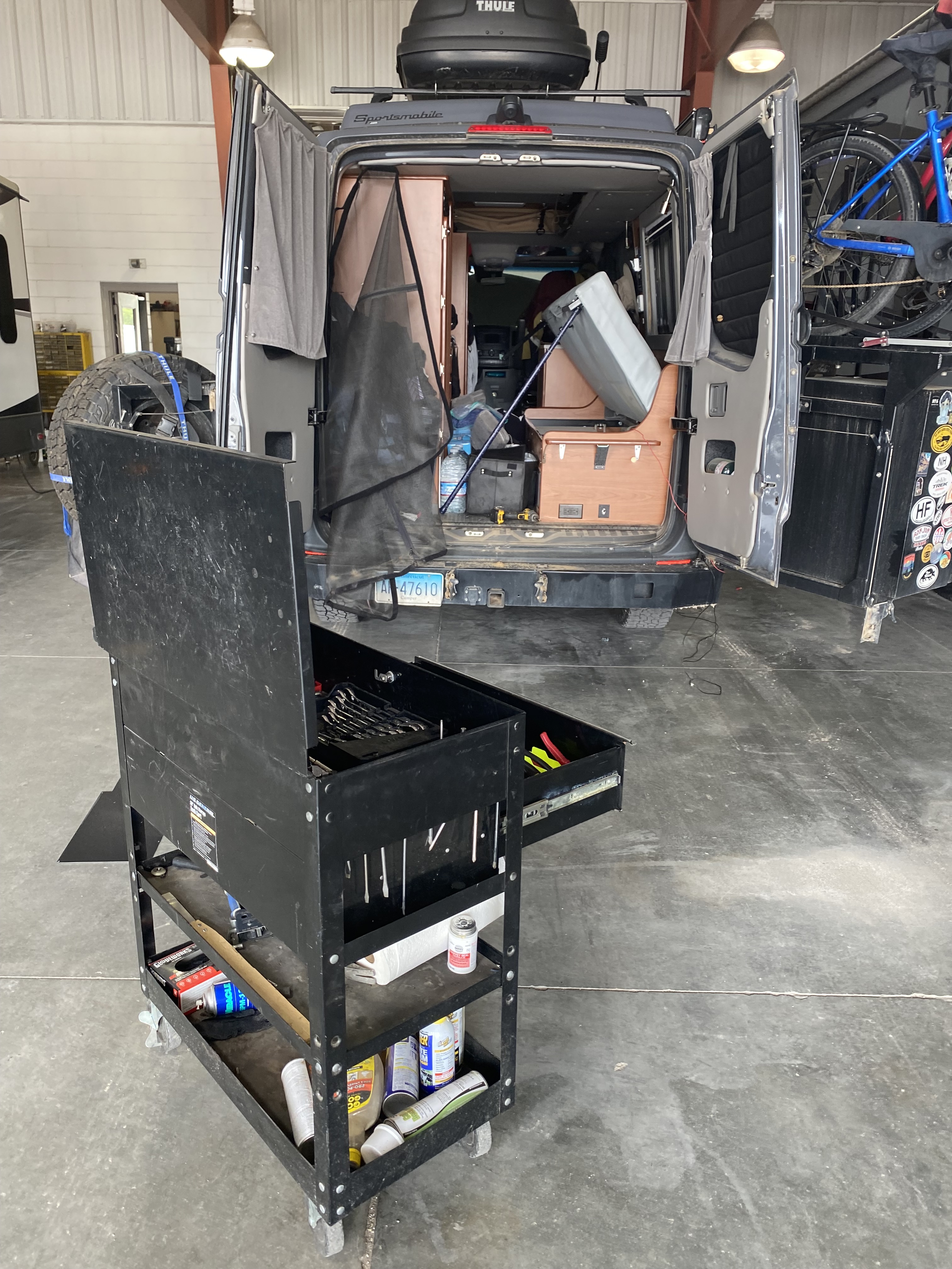


The problem was indeed the 300 amp fuse, and, unfortunately there were no 300 amp fuses to be had in town. Larry promised to have a fuse for us the next morning. Our mechanic, John, made the vehicle safe and we set off to explore the town, find some grub and ultimately a place to park the Beast and bed down for the night.


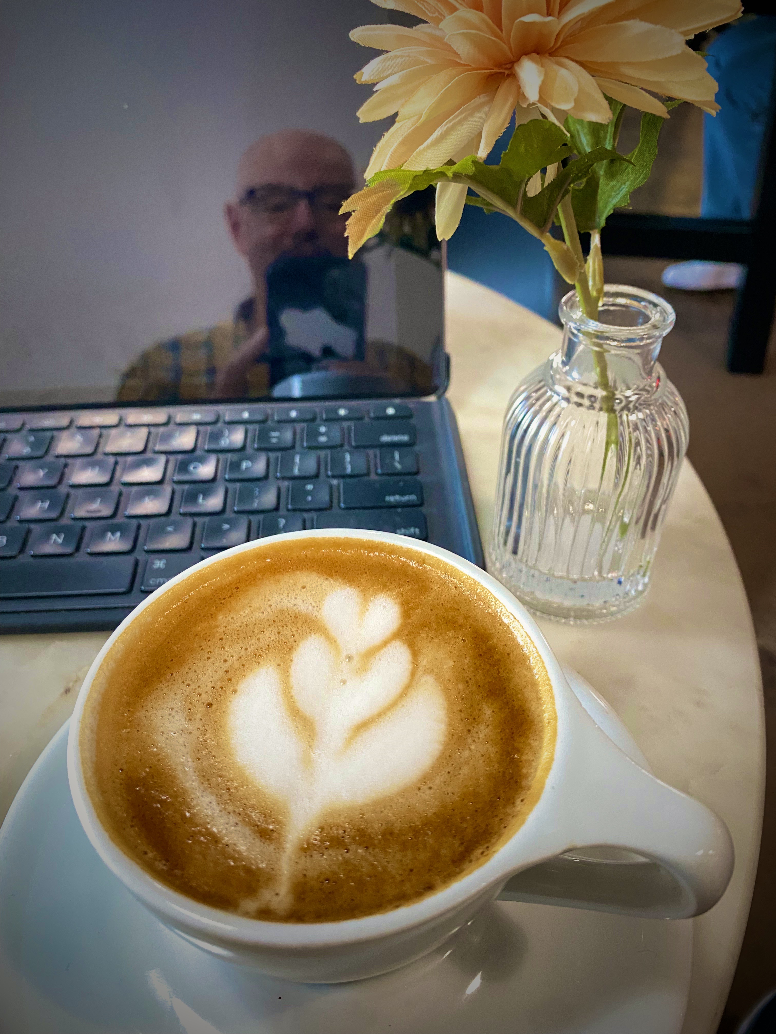
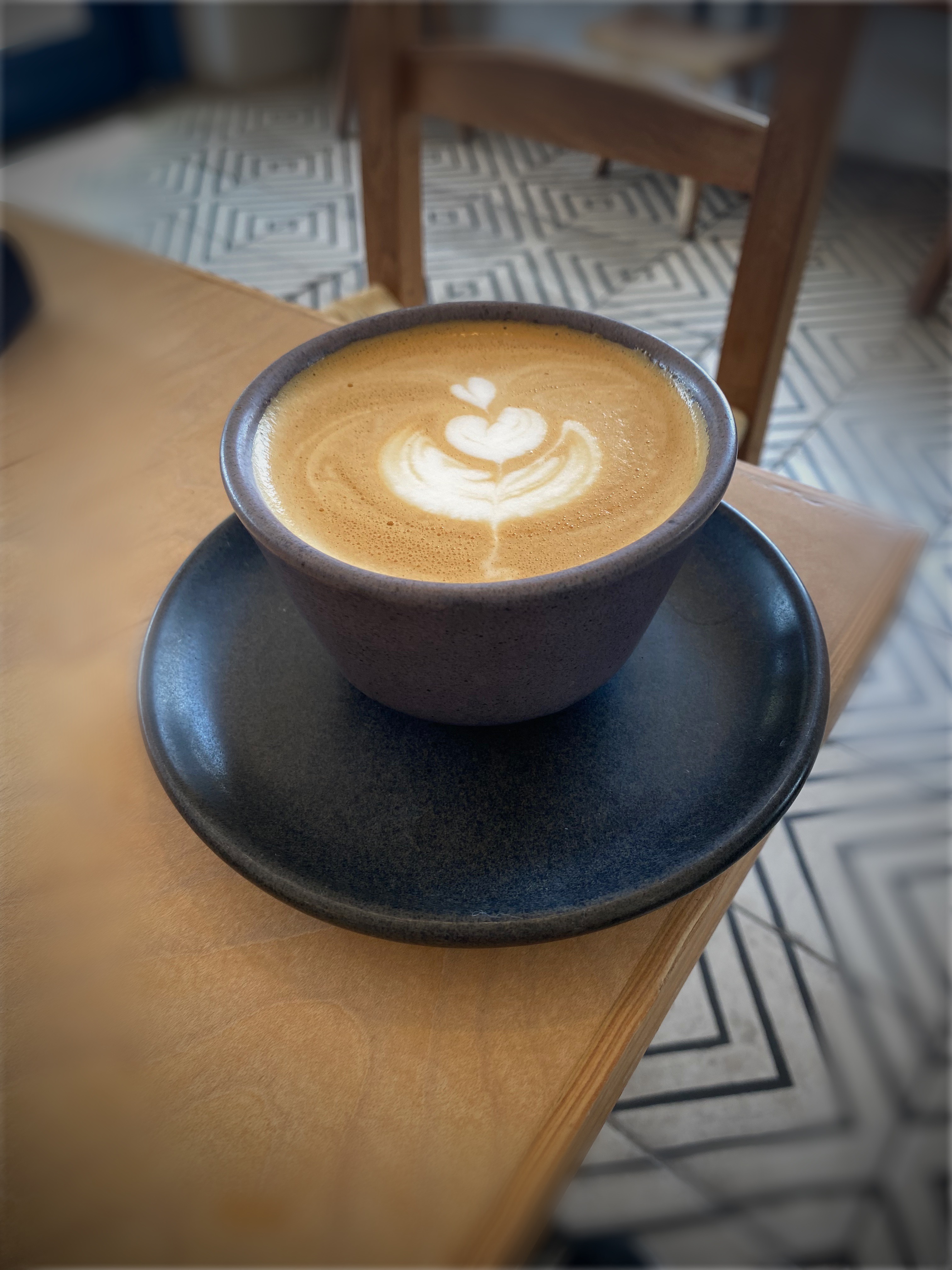
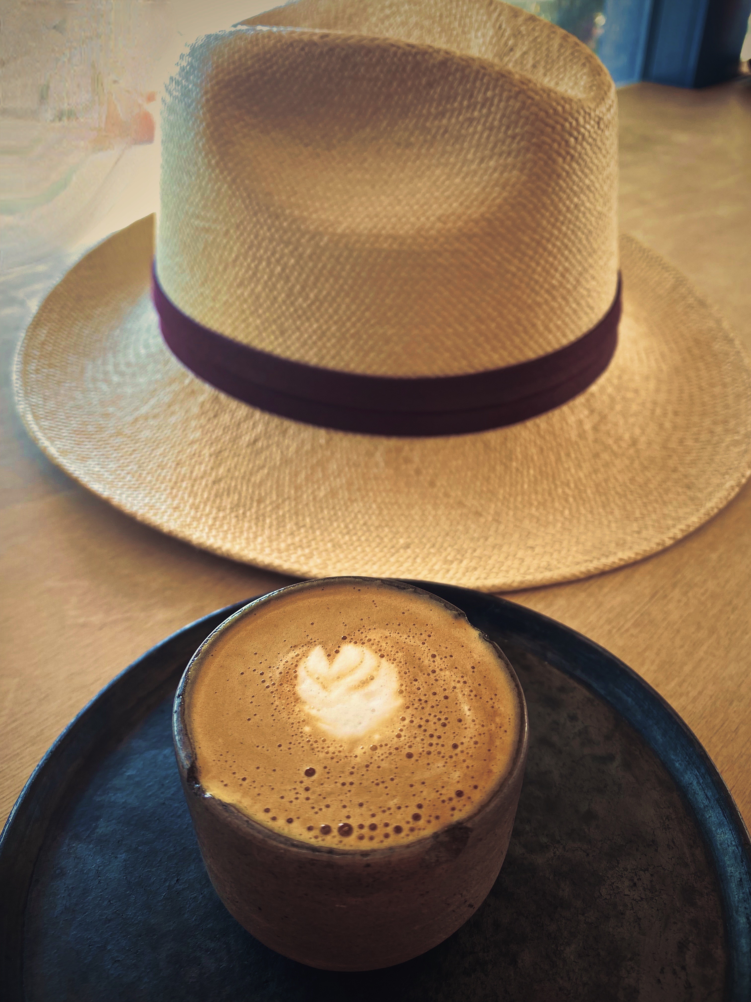
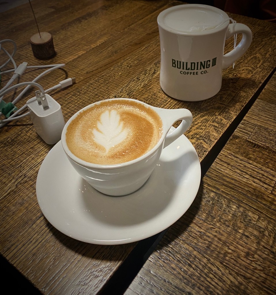
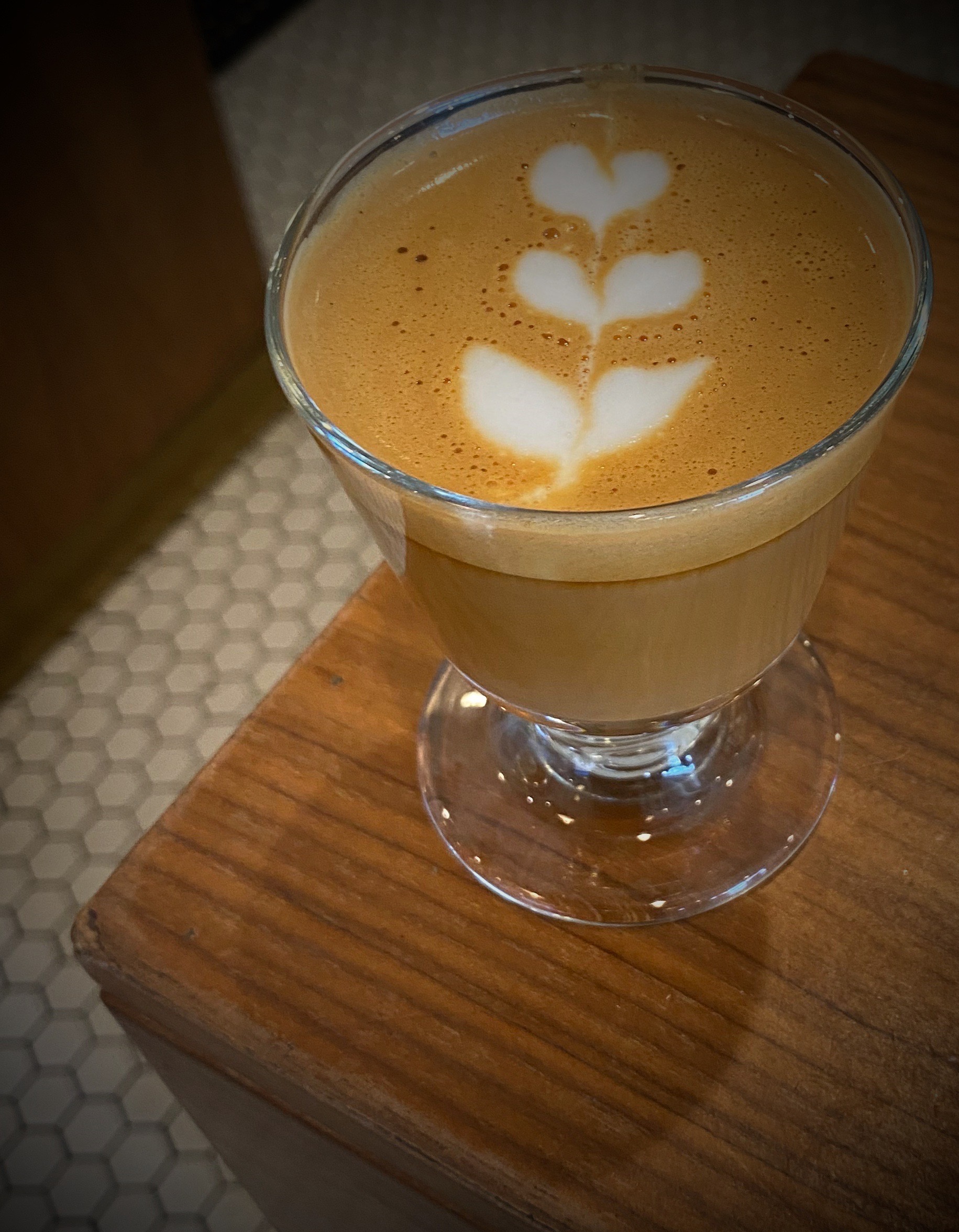
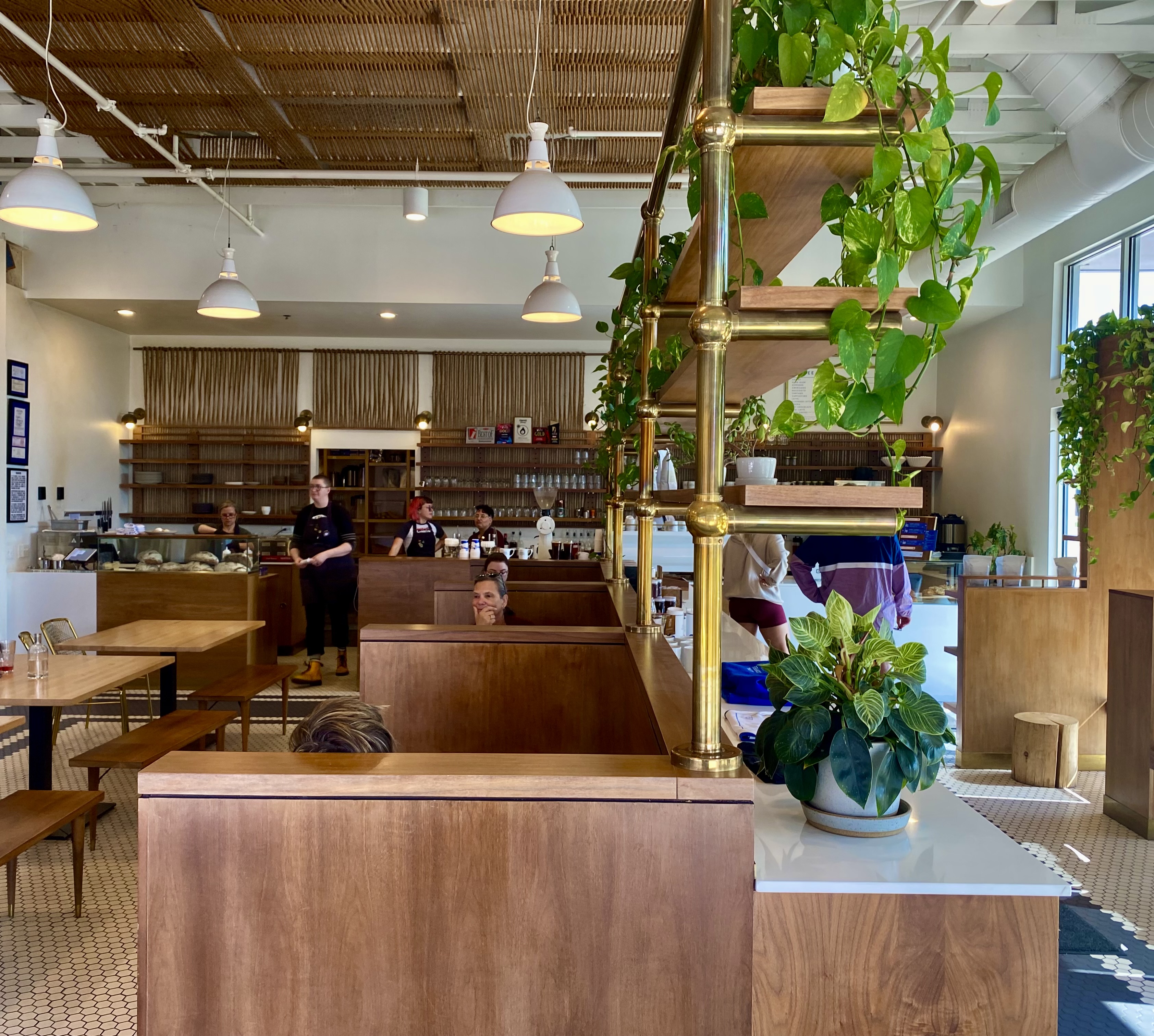
In the morning we went downtown in hope of finding good coffee and tea. We have to admit that we were not expecting a legitimate specialty coffee establishment in the Central Nebraska plains. Good news — we were wrong! The Espresso Shop in downtown North Platte was a delight and put us in good stead for the remainder of the day. http://www.theespressoshopbycaravan.com
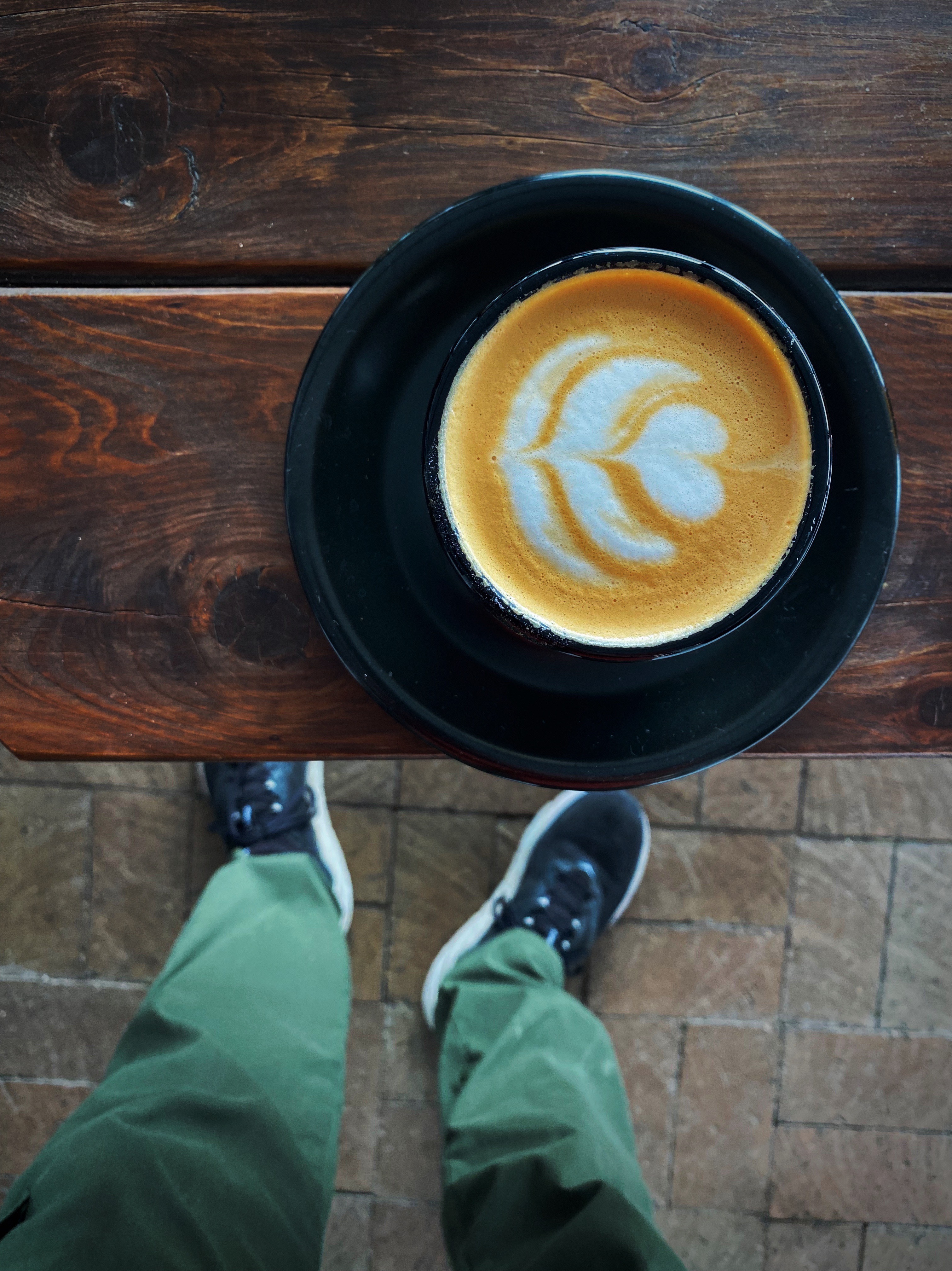


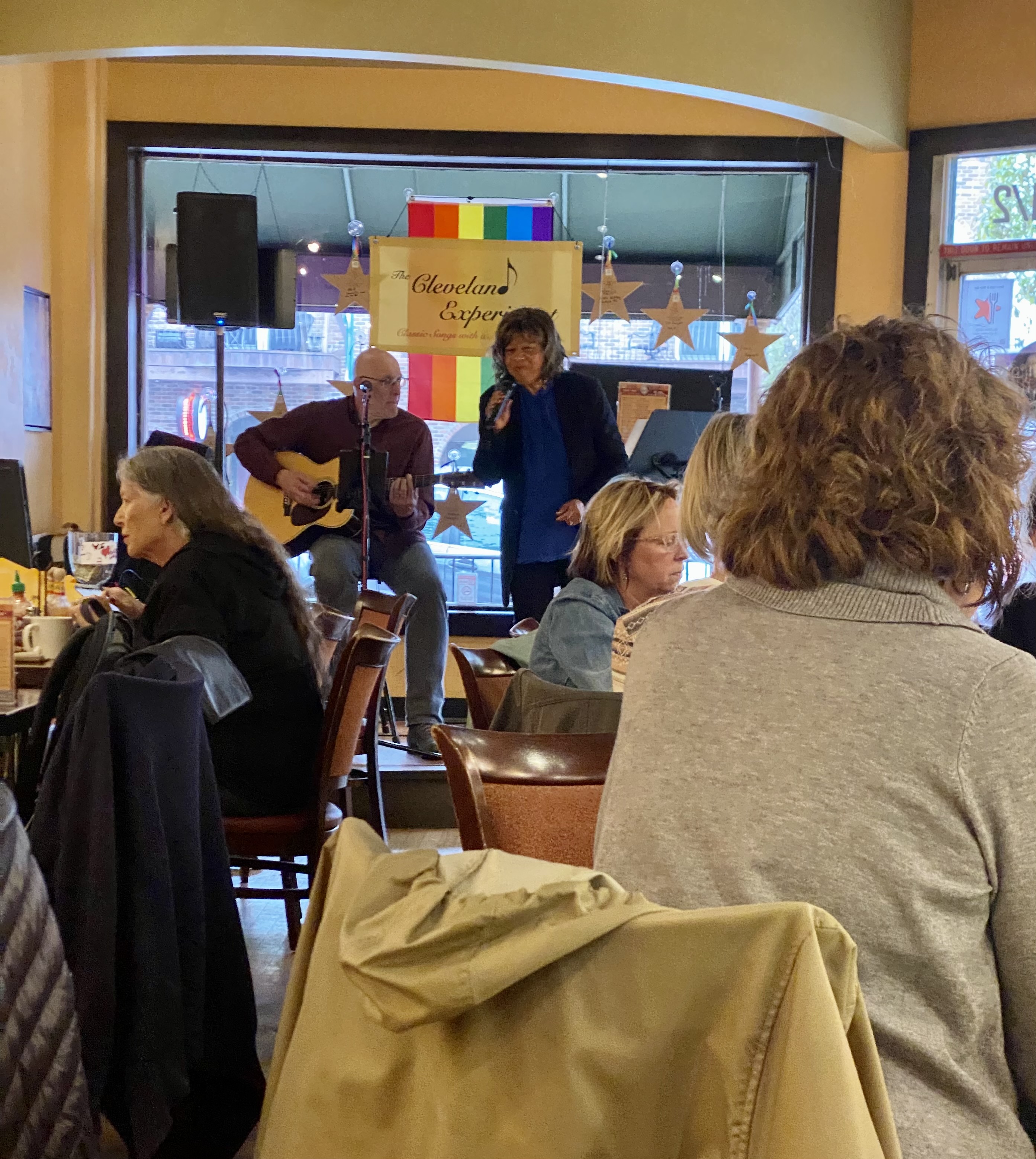
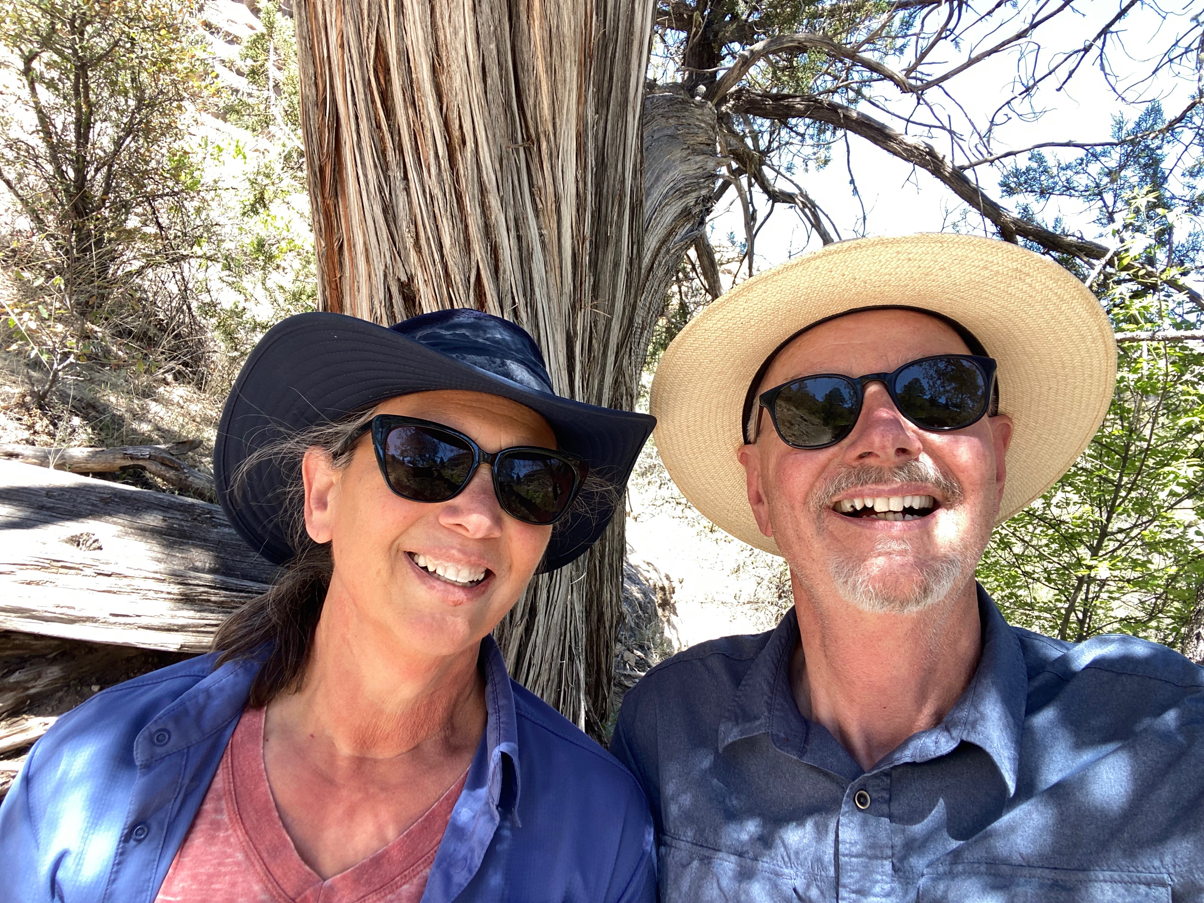
We were fortunate enough to meet the owner of the shop – Brandon Raby (in photo above with dog). Brandon moved the shop to its current location several years ago and has created a community around “coffee culture, music and food”. We knew were onto something special when we entered the cafe to the jazz of Jean “Django” Reinhardt playing on the sound system. In addition to his culinary talents, Brandon is an accomplished jazz guitarist. The shop hosts musicians several nights each month. The link below will take you to an excellent article about Reinhardt. https://www.npr.org/2010/01/22/122865782/django-reinhardt-100-years-of-hot-jazz

The Union Pacific Railroad operates the world’s largest rail yard in North Platte. This rail yard stretches for eight miles and handles 14,000 freight cars every day while sorting approximately 3,000 of those in the eastbound and westbound hump yards. The locomotive repair shop (photo below, bottom left) repairs 750 locomotives per month. One-Spot tracks are where rail cars are repaired at the yard. The facility repairs about 20 cars per day and replaces 10,000 pairs of rail wheels annually. This yard never closes!

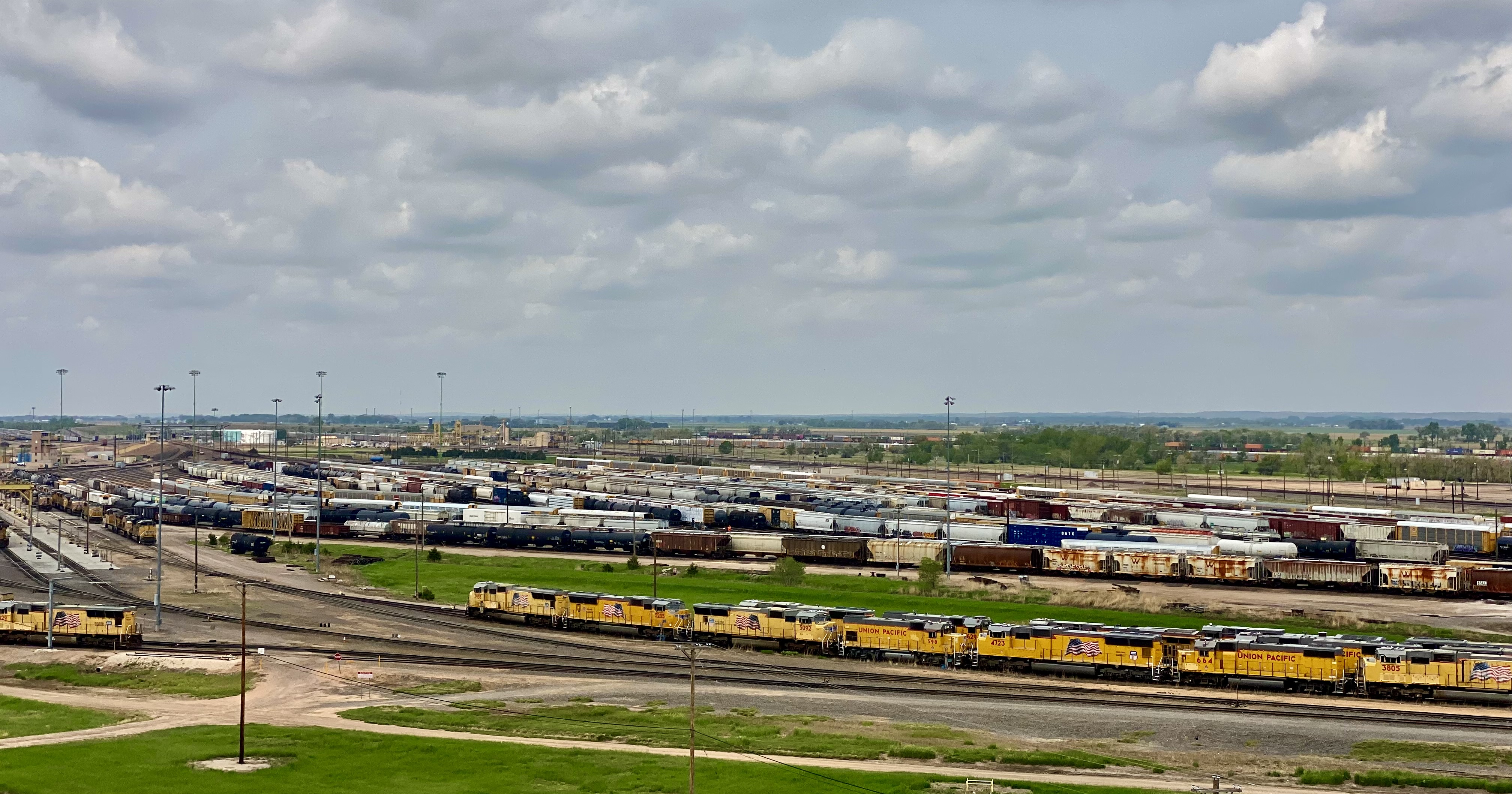


The hump yards are raised earth humps (34ft) utilizing gravity to sort cars to the correct outbound train. The hump yards can sort four cars per minute. We watched freight cars rolling down the humps from our vantage point in the Golden Spike Tower 100 feet above the yard. It is actually a lot cooler than it sounds – you will need to trust us on this one!
The tower is owned and operated by a private nonprofit organization based in North Platte. The Union Pacific viewing platform was falling into disrepair and community leaders wanted to make sure that the many train enthusiasts who come to North Platte to see the Bailey Yard would keep on coming.
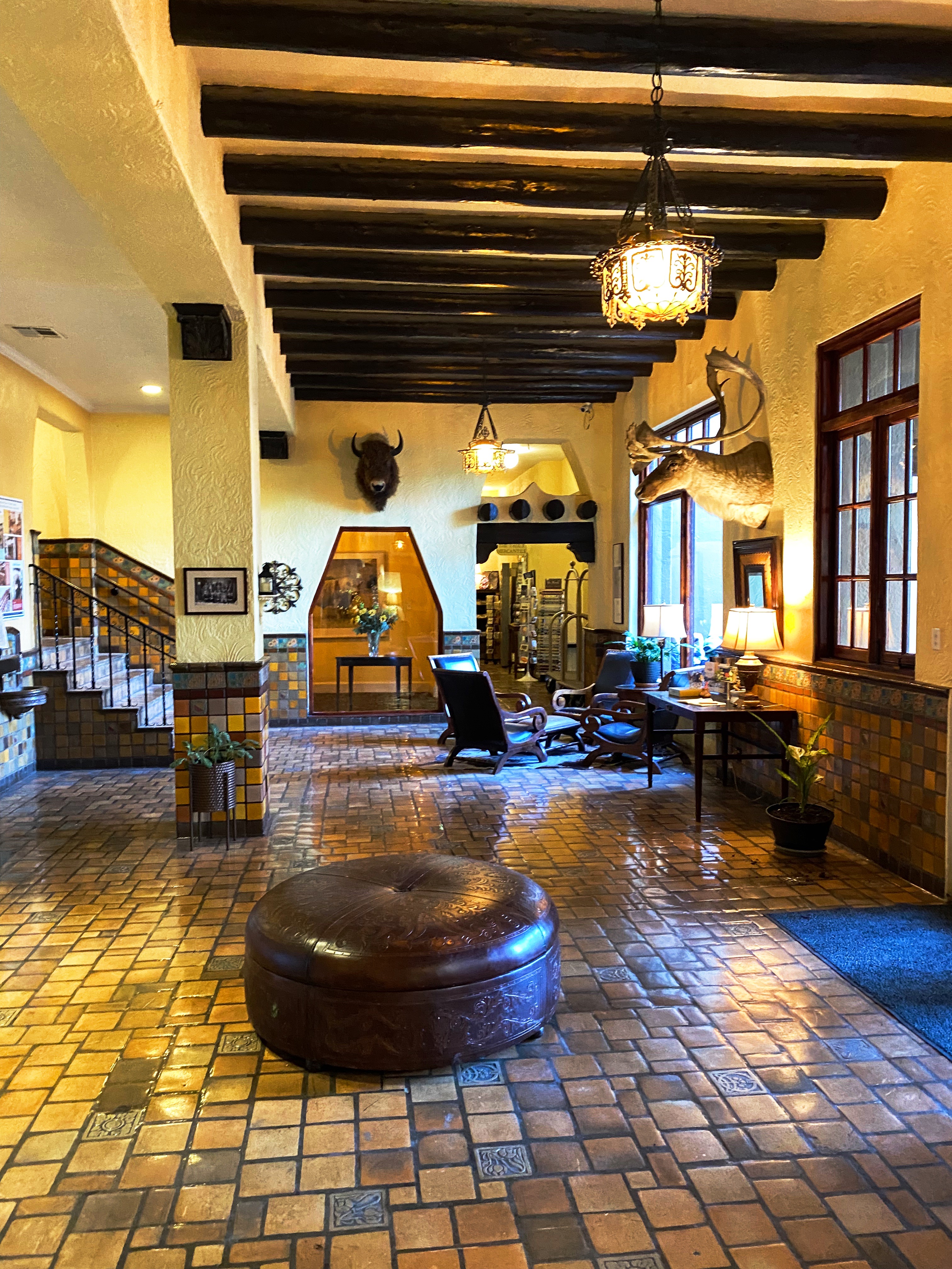
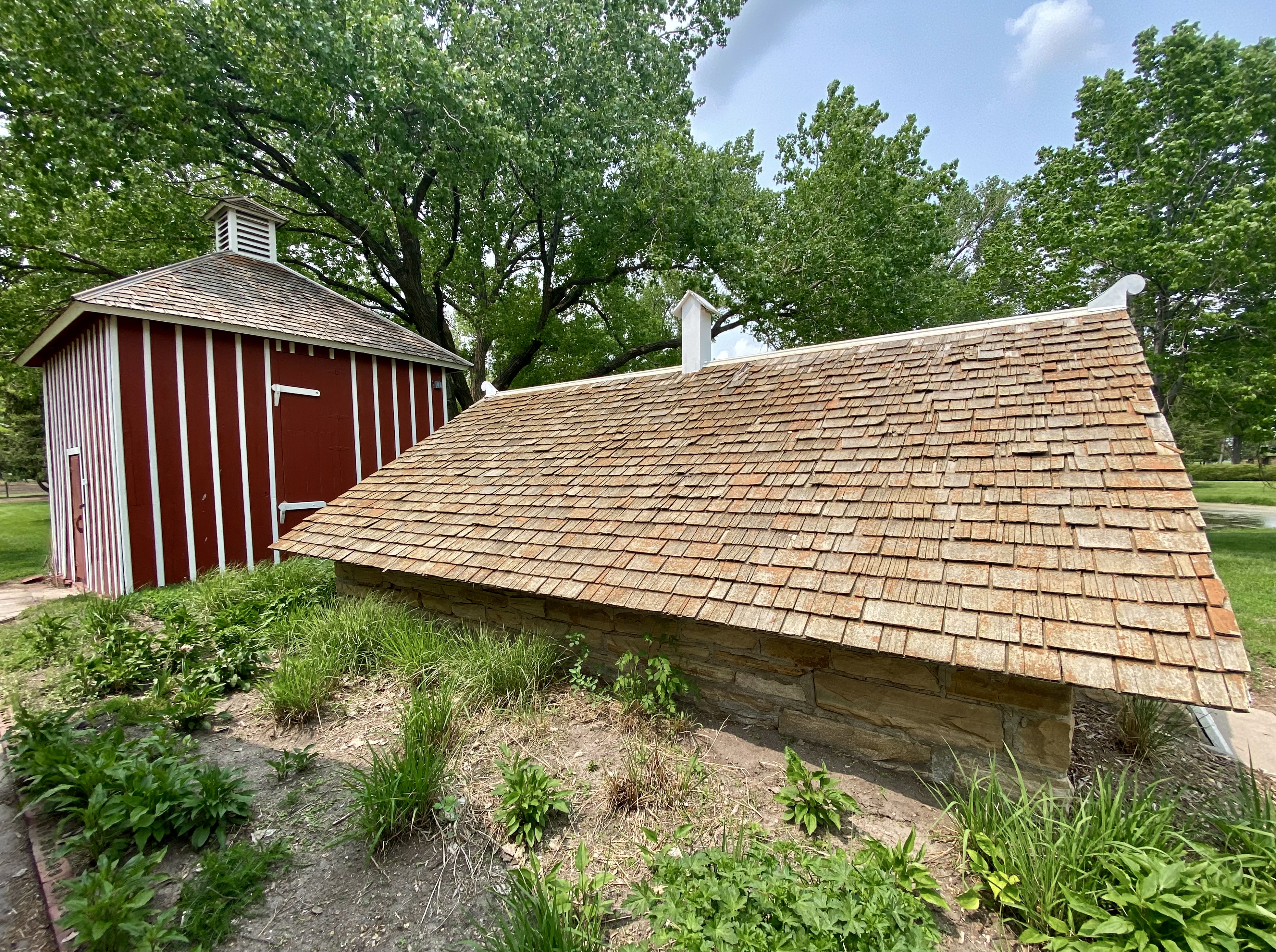
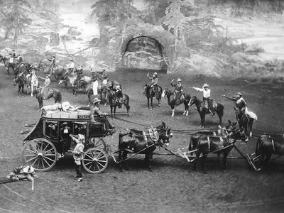
As the thrill of watching thousands of freight cars and locomotives being shuttled back and forth eventually began to diminish, we moved on to visit the Scout’s Rest Ranch. The ranch and the “Second Empire” style home were once the property of William “Buffalo Bill” Cody. The local folks nicknamed the house “The Mansion on the Prairie” as it was by far the largest house in the area when constructed in 1886.
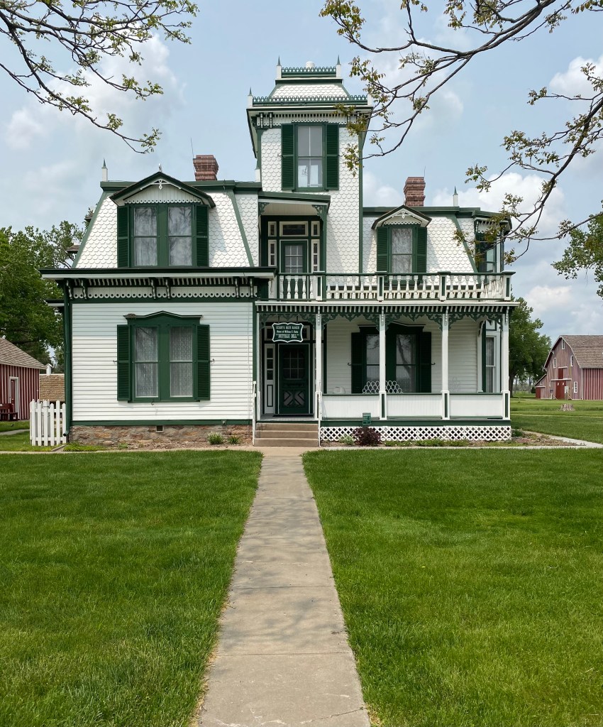
Cody was born in Iowa in 1846 and moved to Kansas with his family in 1853. At that time Kansas was at the heart of deadly violence between pro and antislavery settlers. This period of violence is referred to as Bleeding Kansas, and is considered to be a precursor to the Civil War. Cody’s father, Isaac was stabbed while making an antislavery speech and died three years later from his injuries.


As a result, Cody began working at the age of nine to help support his family. His first job was working for a freighting company. By the time he was 14 he was riding for the Pony Express. Cody was an superb horseman and after his tours for the Pony Express he worked as cowboy on cattle drives. It was on one of the cattle drives that Cody became famous as an Indian fighter after he killed a Native American that was part of a band that attacked the drive. Cody also met Wild Bill Hickok at this time as Hickok was a cowhand on the same drive.


Cody served as a scout during the Civil War; from 1861 to 1863 he was assisting the Union Army in their attempts to destroy the Kiowa and Comanche tribes. In 1863 Cody joined the Seventh Kansas Cavalry which served in Tennessee and Missouri. After the war he continued to scout for the U.S. Army for several years before signing on with the Union Pacific Railroad to hunt bison to feed railroad crews. He is credited with personally killing over 4000 bison!
Cody continued to scout for the Army for many years throughou the summer. He capitalized on his fame as an Indian fighter to create a touring Wild West show during the remainder of the year starting in 1883. He especially used his famous scalping of Cheyenne warrior Yellow Hair by re-enacting the event during his shows. The scalping was reported to have been in retribution for the rout of Custer and his troops at Little Big Horn. The show toured the USA and Europe and featured other Western celebrities including Chief Sitting Bull and Annie Oakley. Queen Victoria is reported to have been a big fan as she attended three performances while the show was in London (each performance was approximately four hours in length).

Cody continued to perform in his show until 1916 when he was 71 years old. He unfortunately needed to continue to perform as he had lost much of the fortune he had made from the show due to some horrible investments (including a non-performing gold mine). He died the following year in Denver.
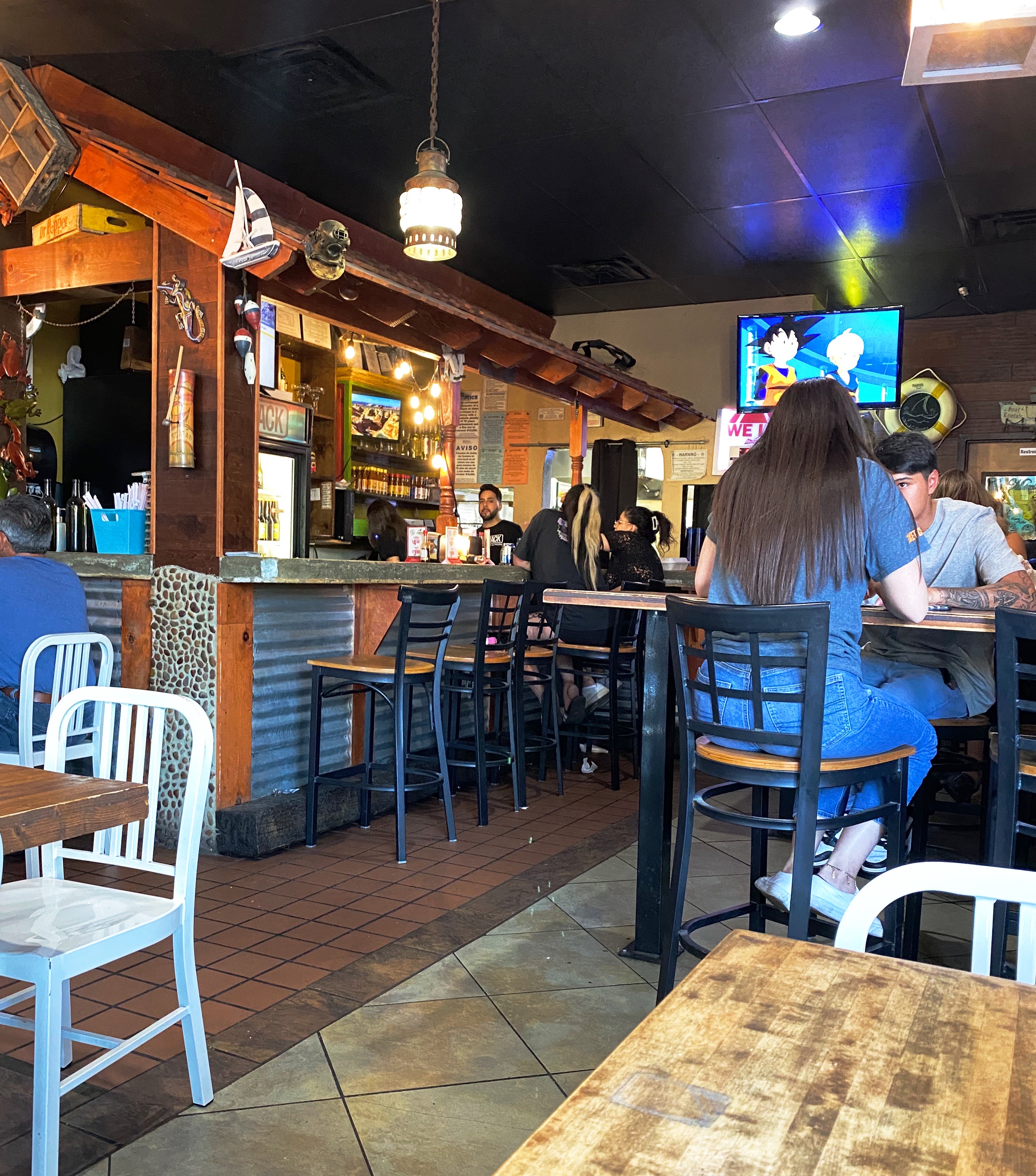
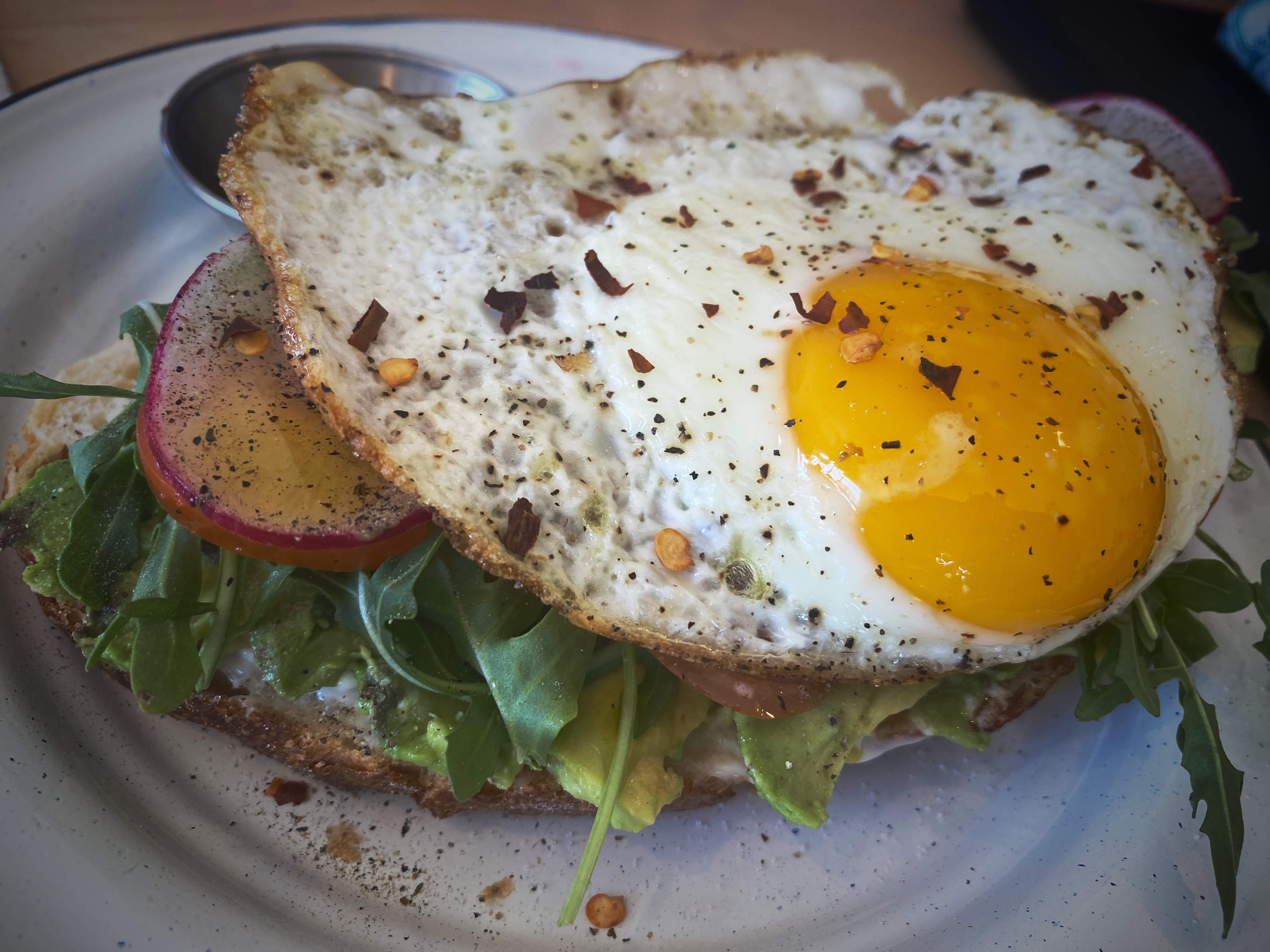
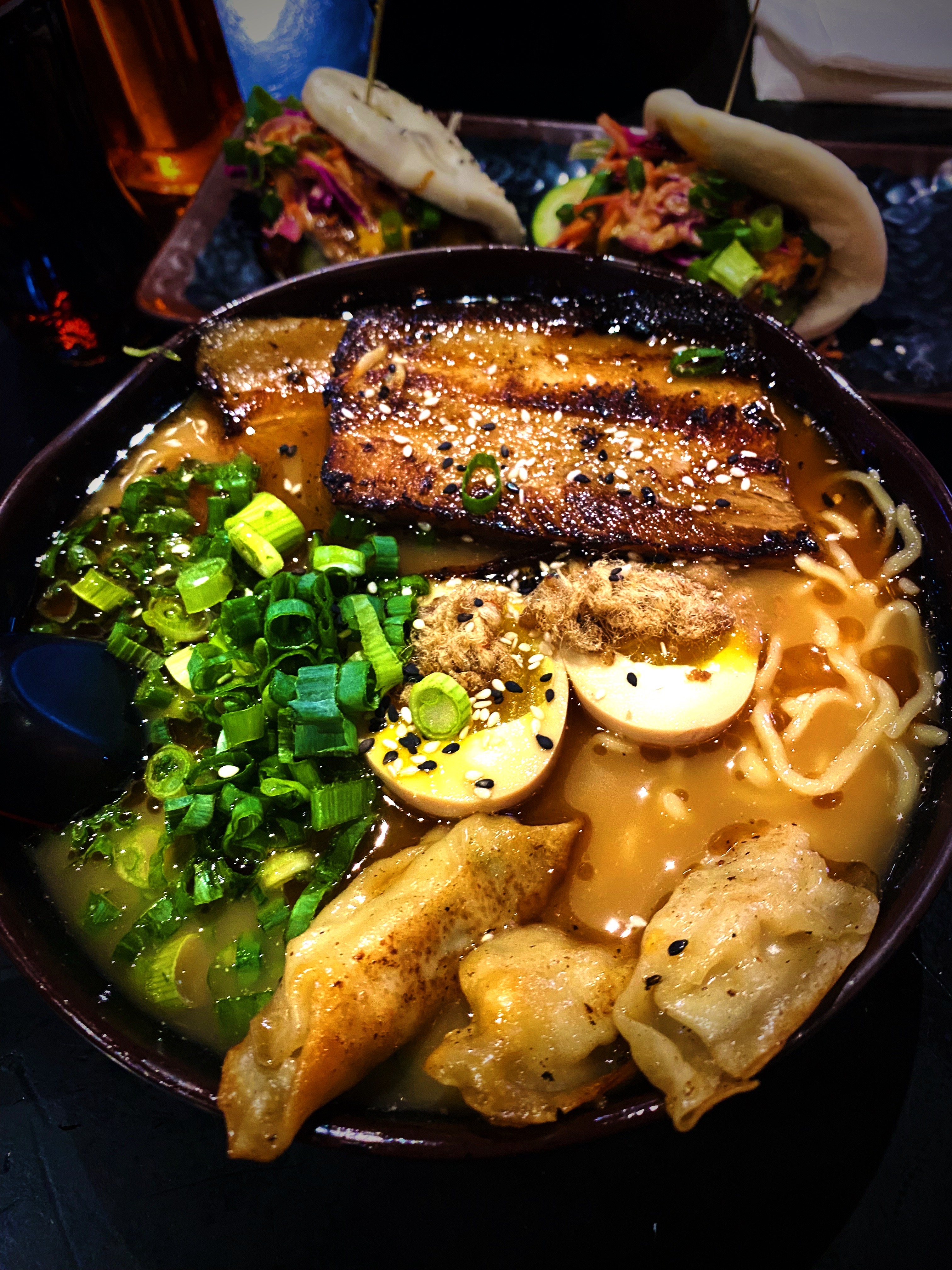
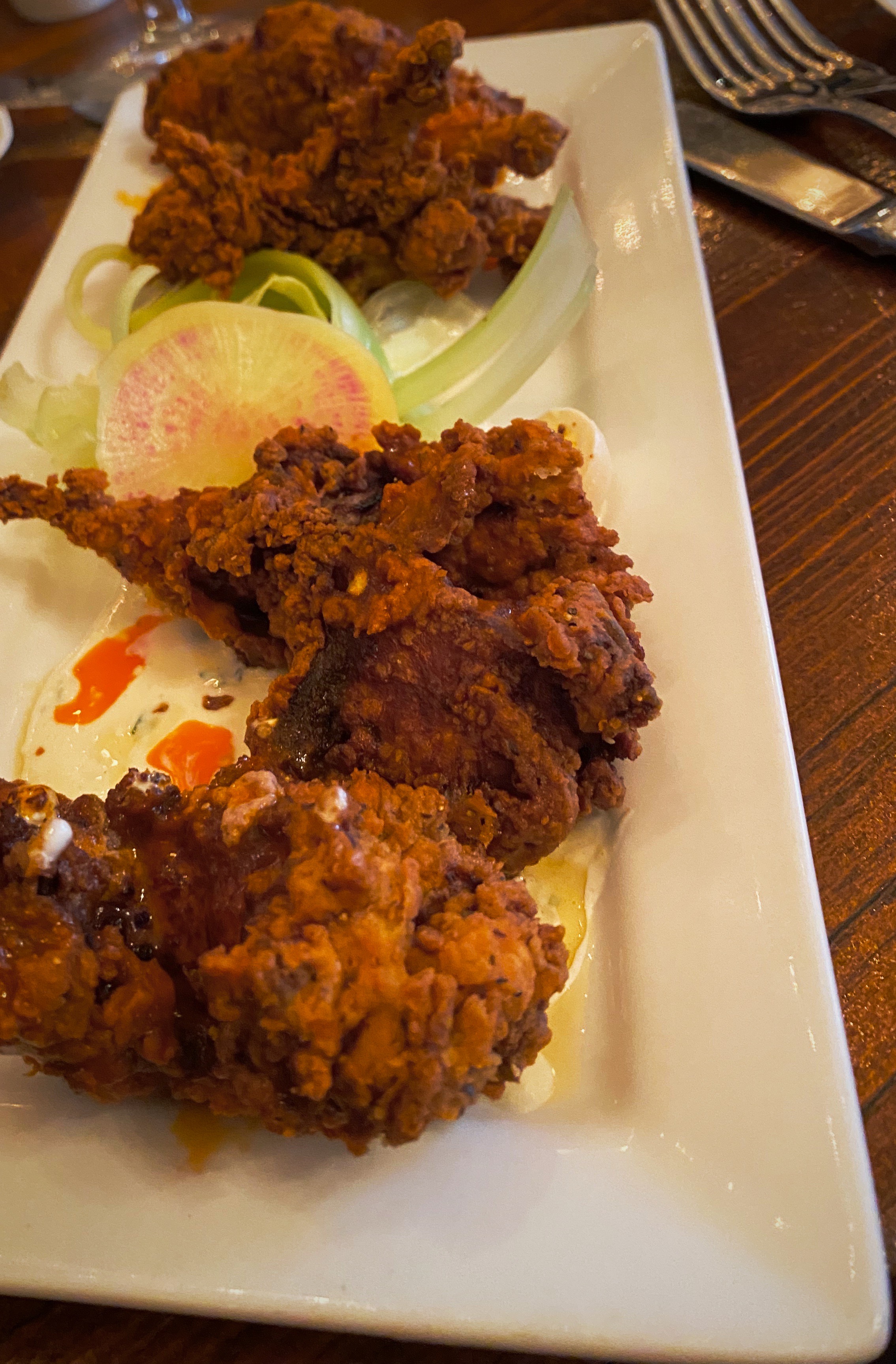
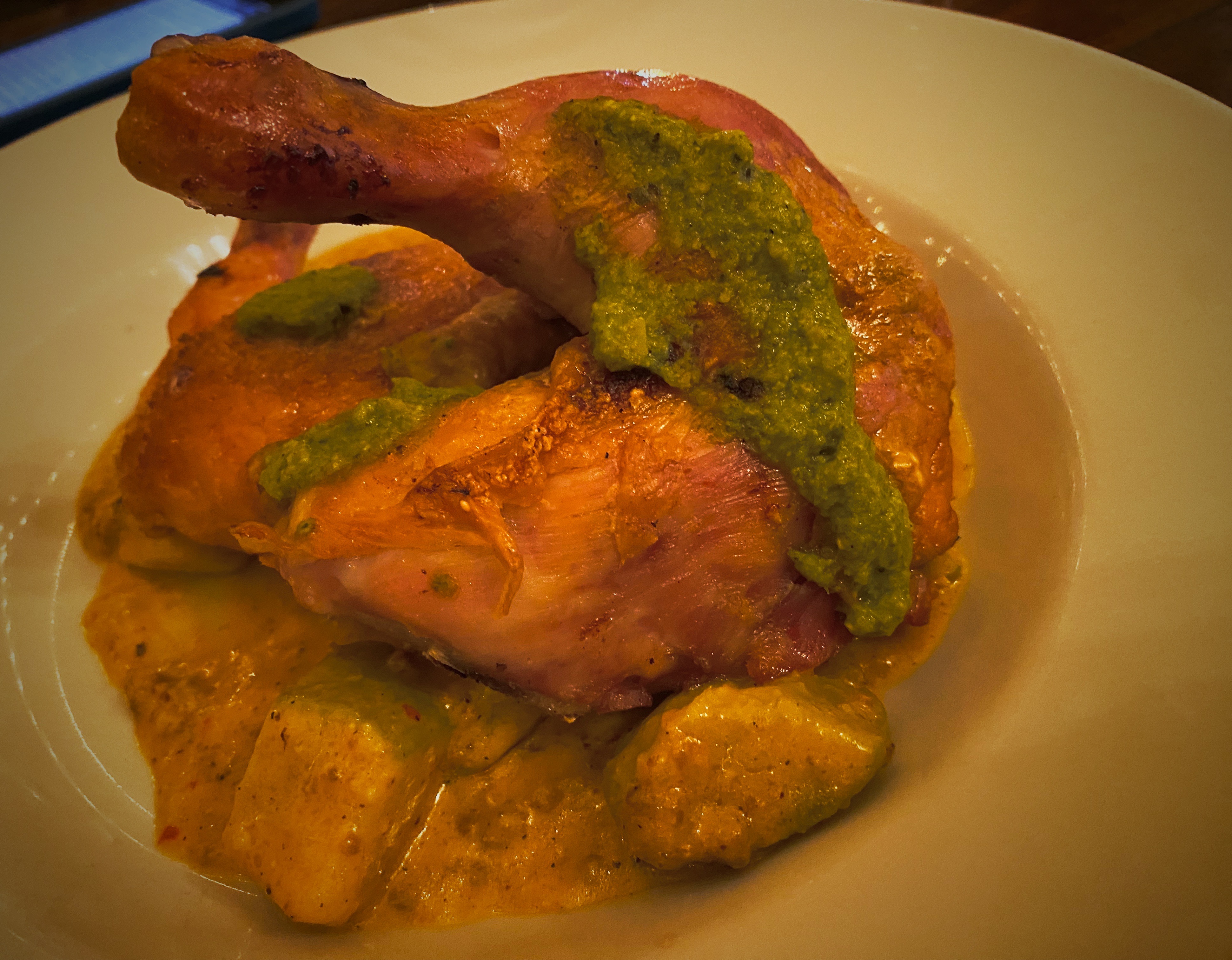
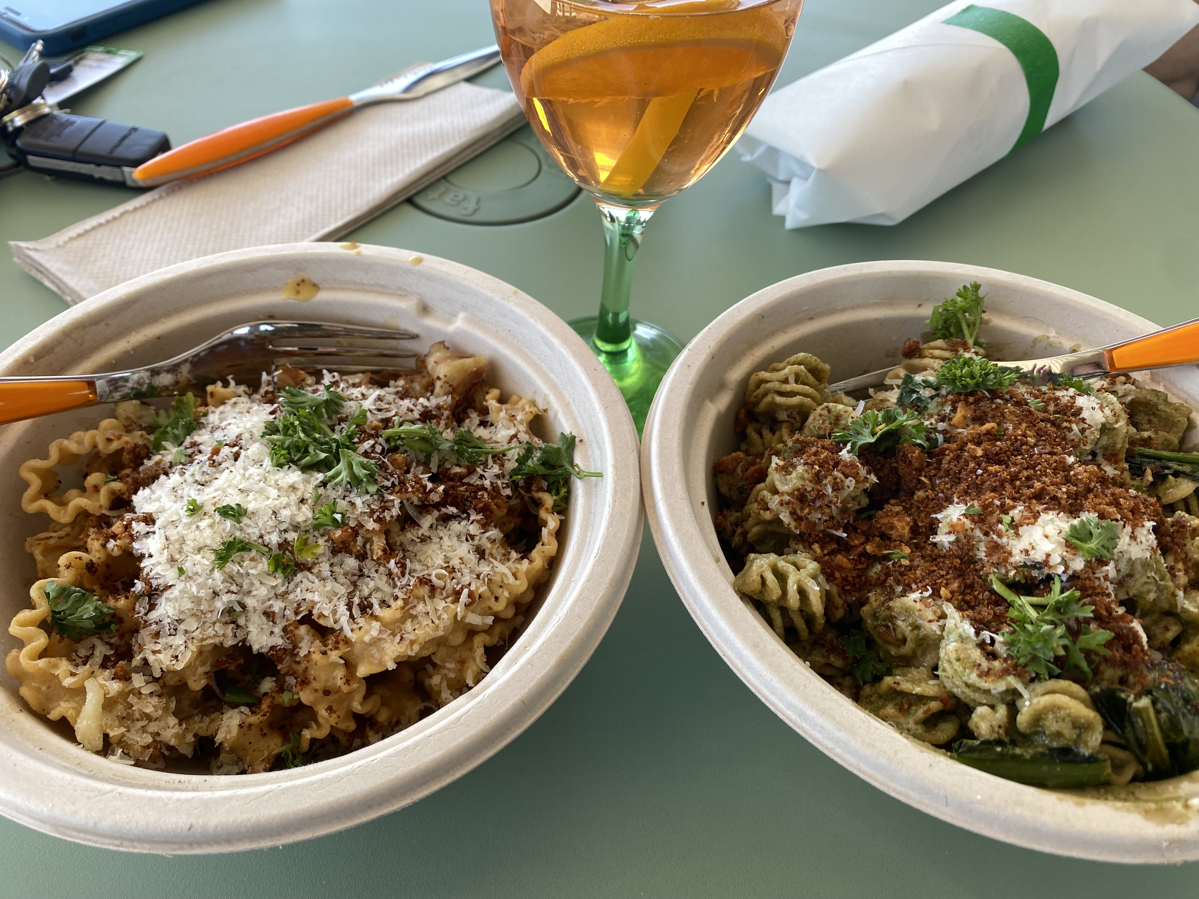
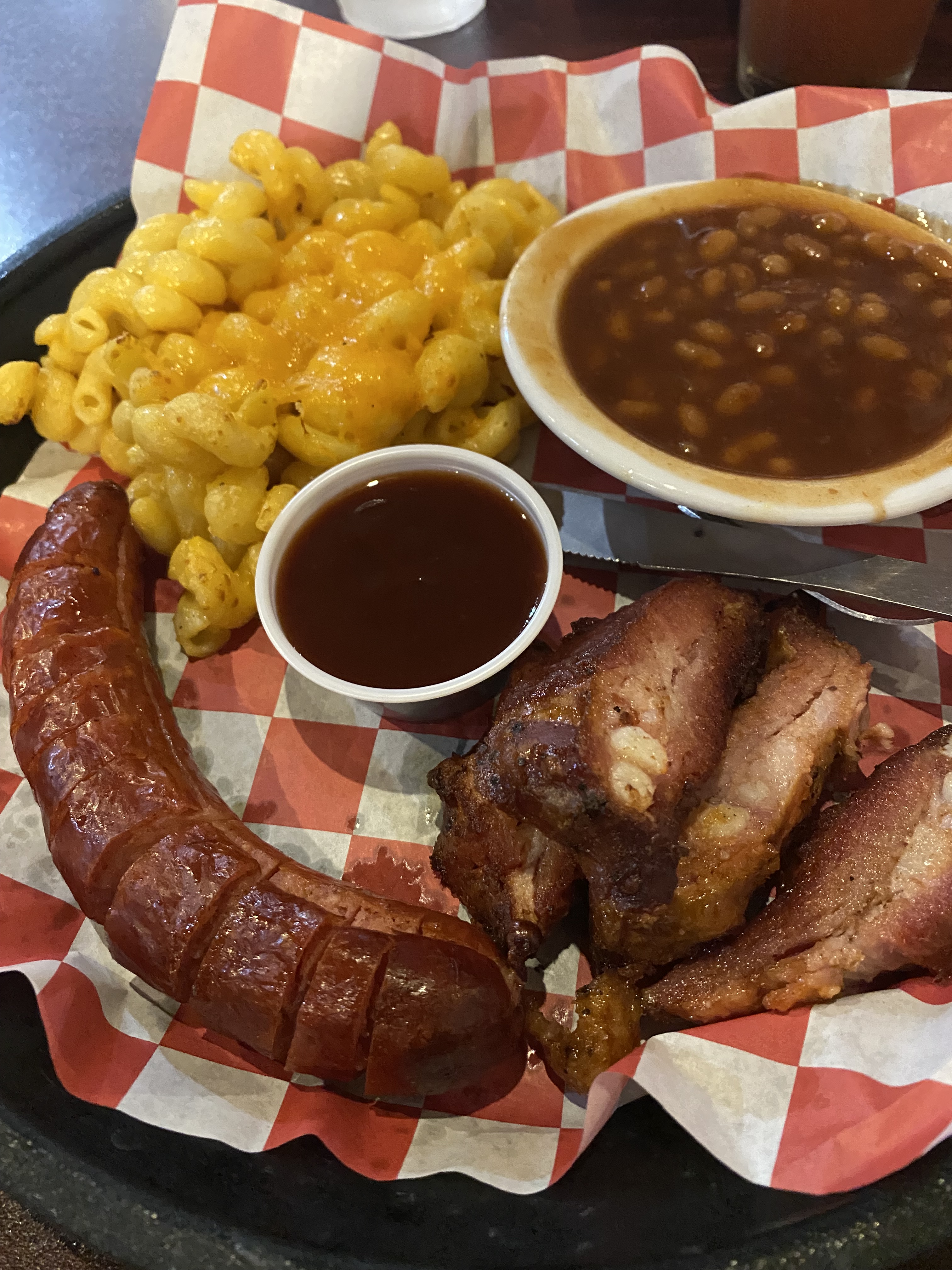
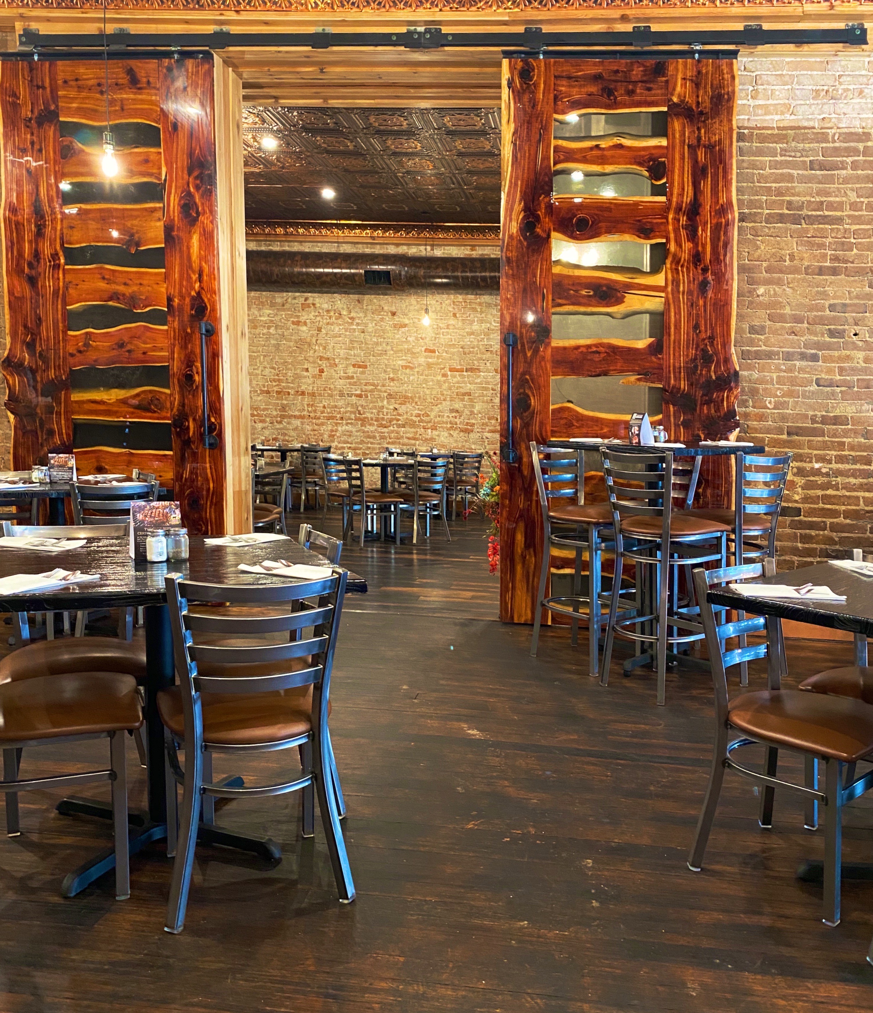
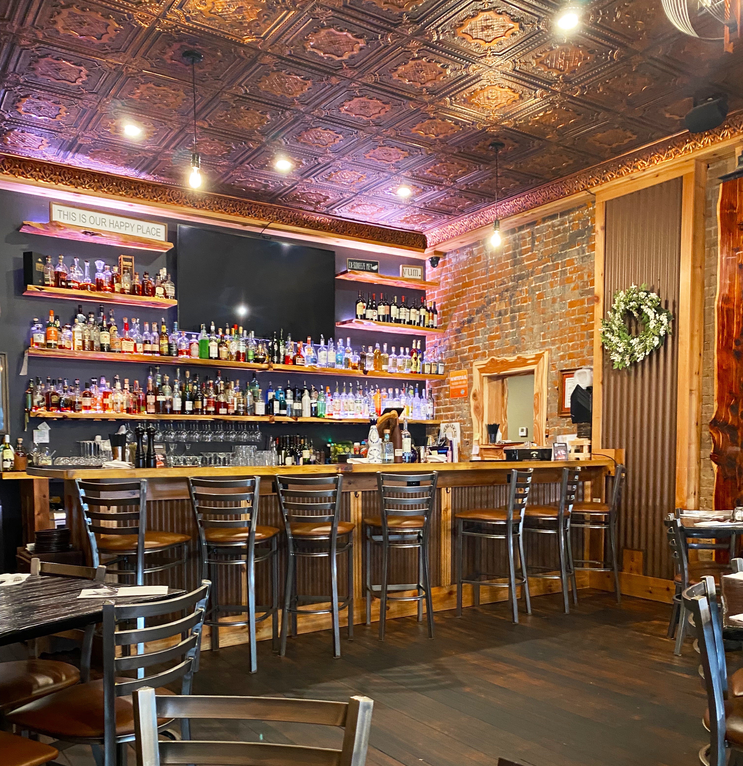
After a day of trains and history we were ready for a sit down dinner before heading out to our campsite (no fires due to dry conditions). We had been pleasantly surprised to find an excellent specialty coffee shop in town and were just as pleasantly surprised to find The Cedar Room Restaurant and Cocktail Lounge in downtown North Platte.

The restaurant was founded in 2020 by friends BJ Stenger and Hector Ortiz. Both Stenger and Ortiz have university degrees in Agribusiness. They met after Ortiz moved from the West Coast to North Platte. Stenger is from the area having grown up on the family cattle ranch located in Box Elder Canyon. They decided to partner and open a fine dining restaurant with an American Fusion menu, which would be the first of it’s kind in North Platte or anywhere within hundreds of miles. The restaurant was Travel Awaits Magazine Best Steakhouse of 2022.

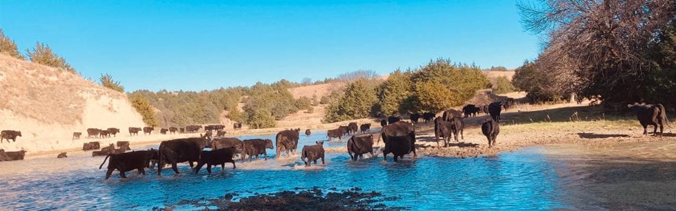
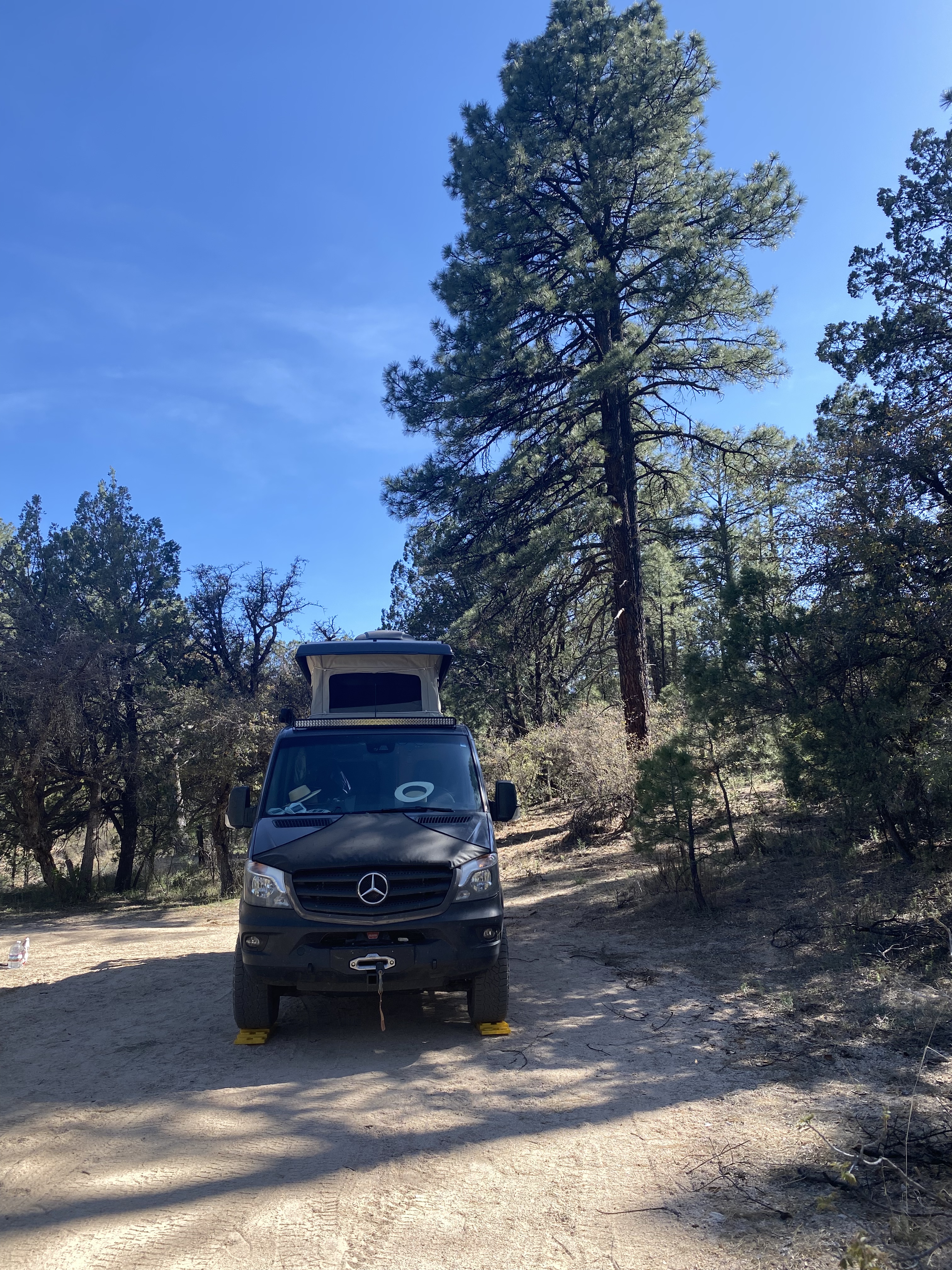
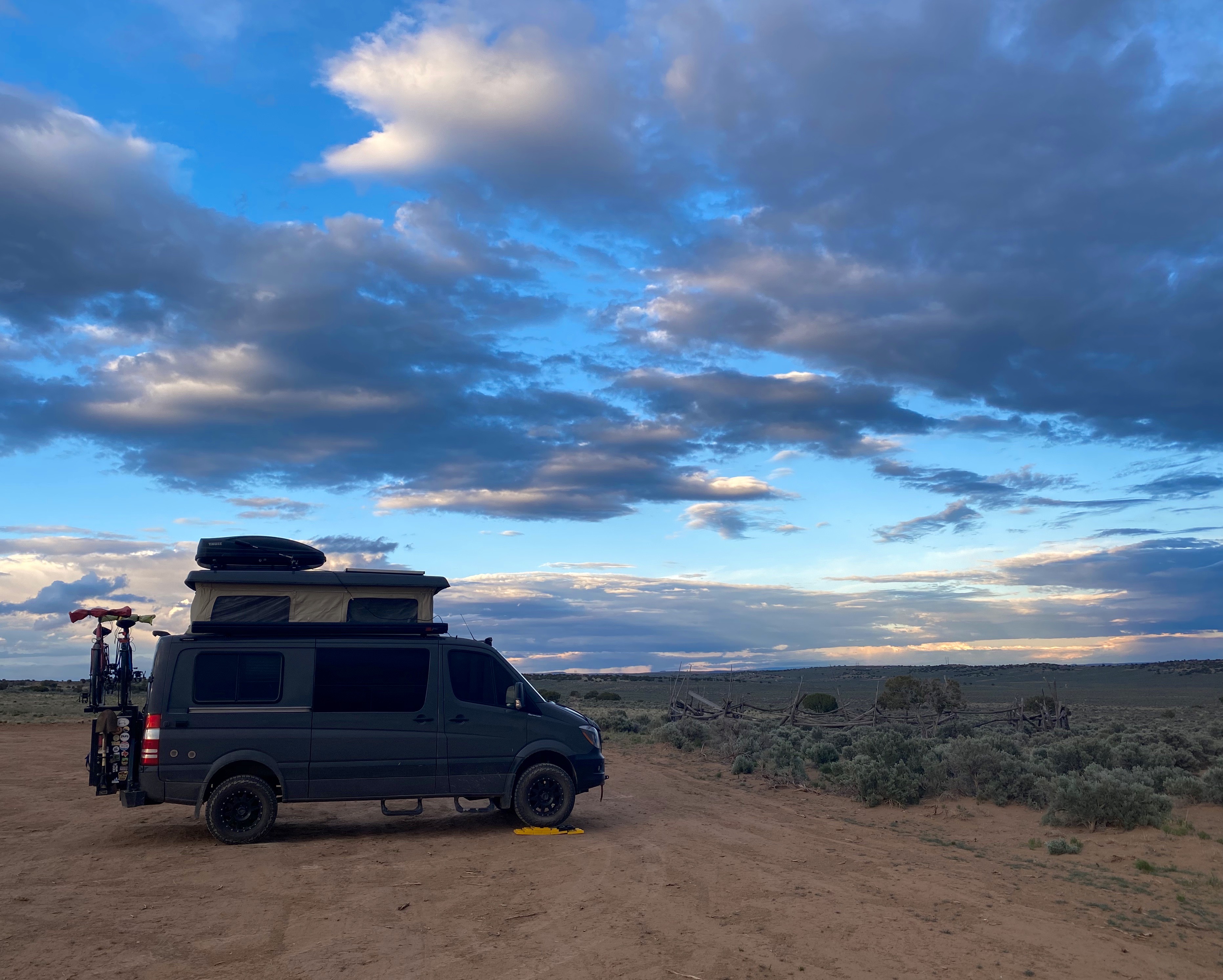
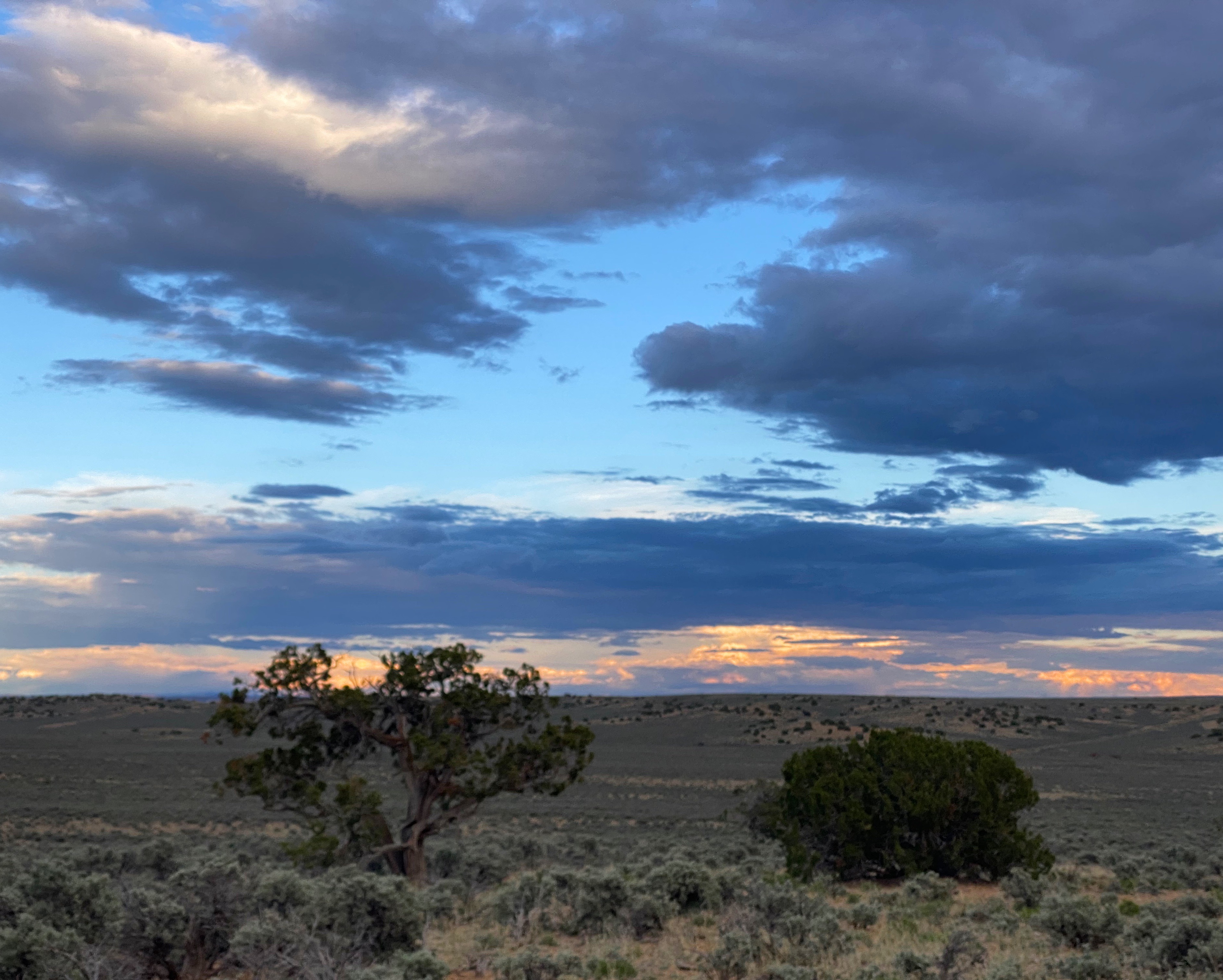
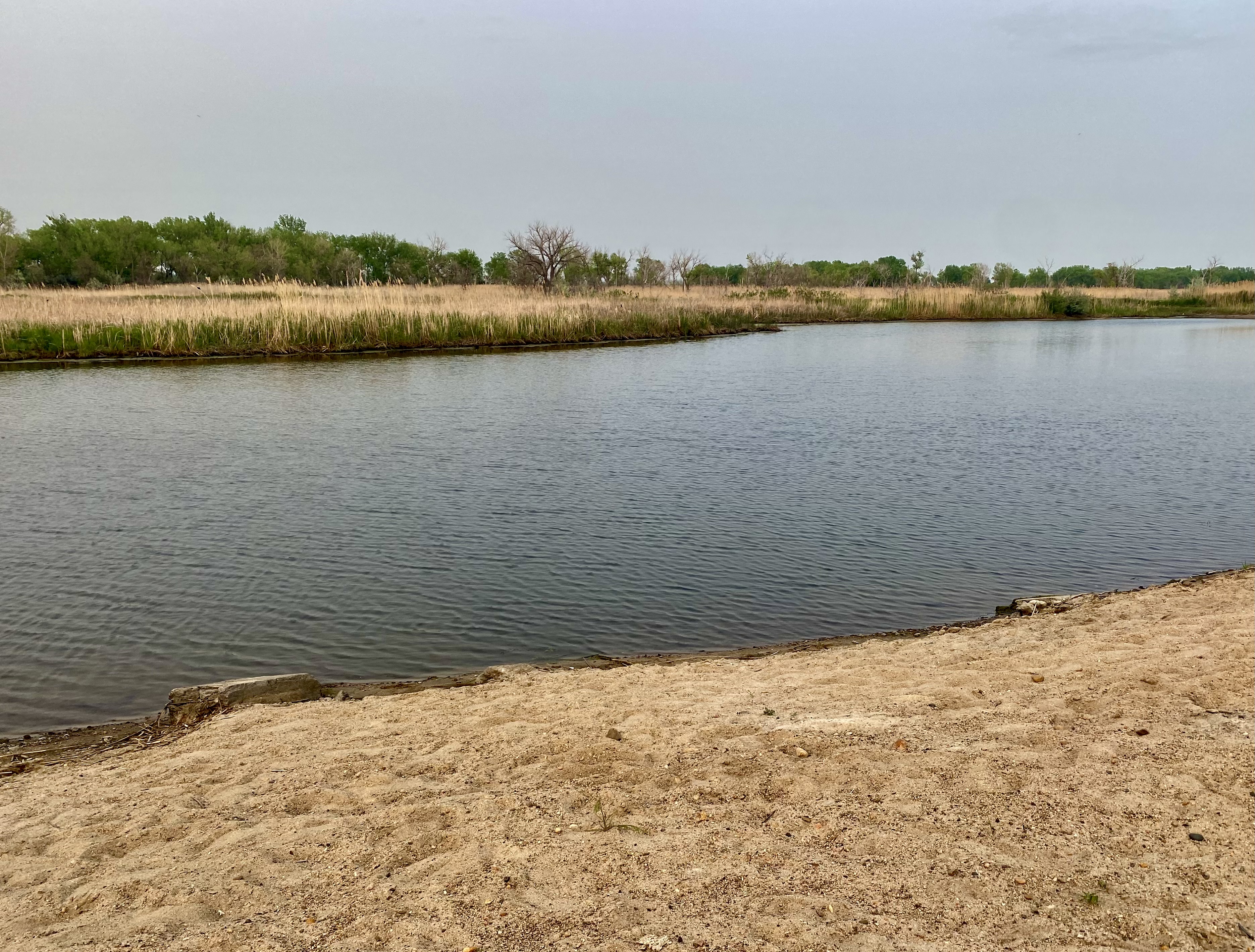
We were able to camp just outside town along the North Platte River at Buffalo Bill State Historic Park. We took a walk along the trail on the historic river utilized by the pioneers over 150 years ago. Then we took refuge in the Beast due to forest fire smoke sweeping across the Nebraska plains that evening.


In the morning we resumed our journey east on the historic US Route 30 (with our new 300 amp fuse) to visit the Nebraska capital of Lincoln and the big city on the river – Omaha.
Be seeing you! OTR 9.0 May 2023