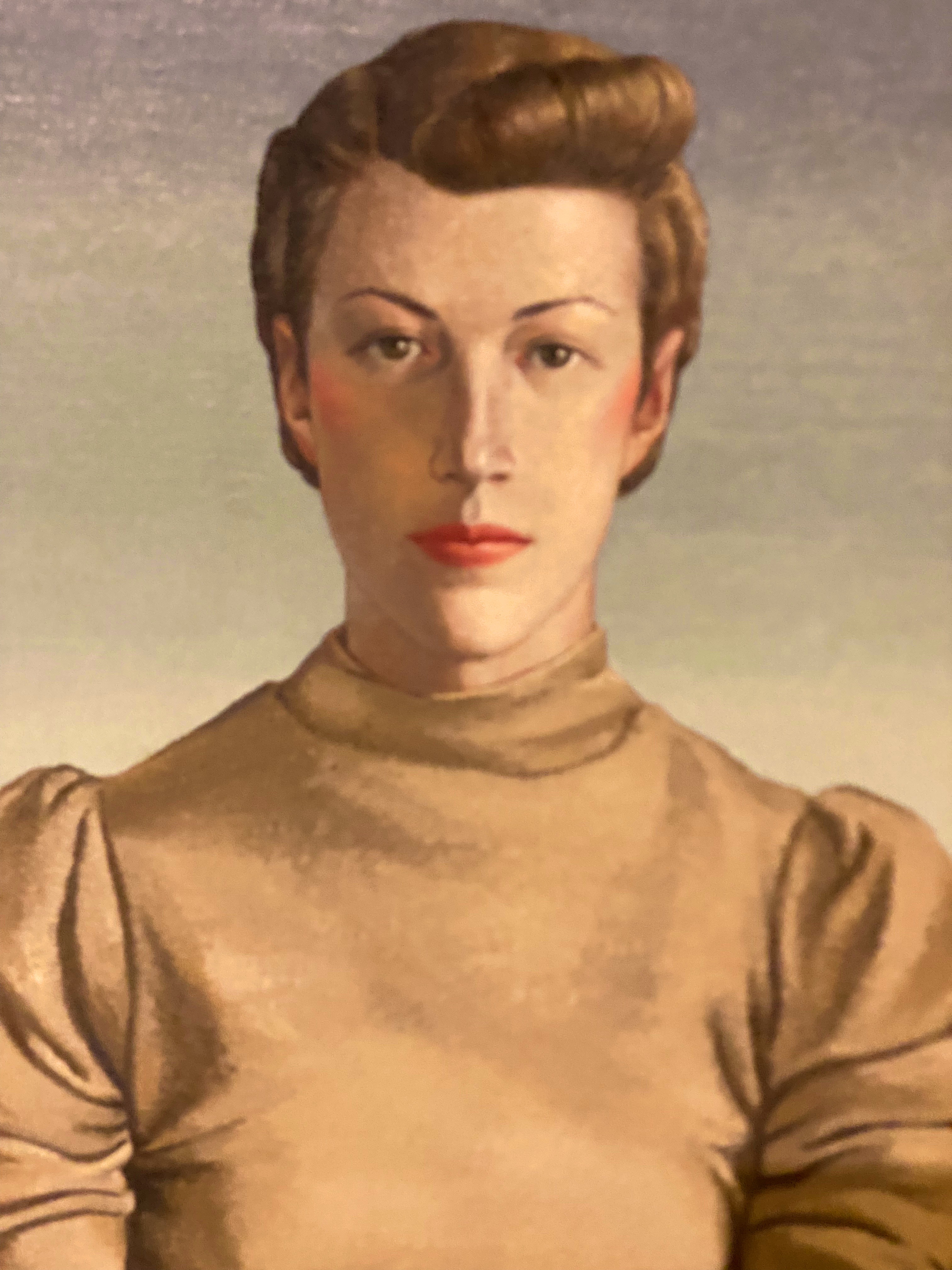
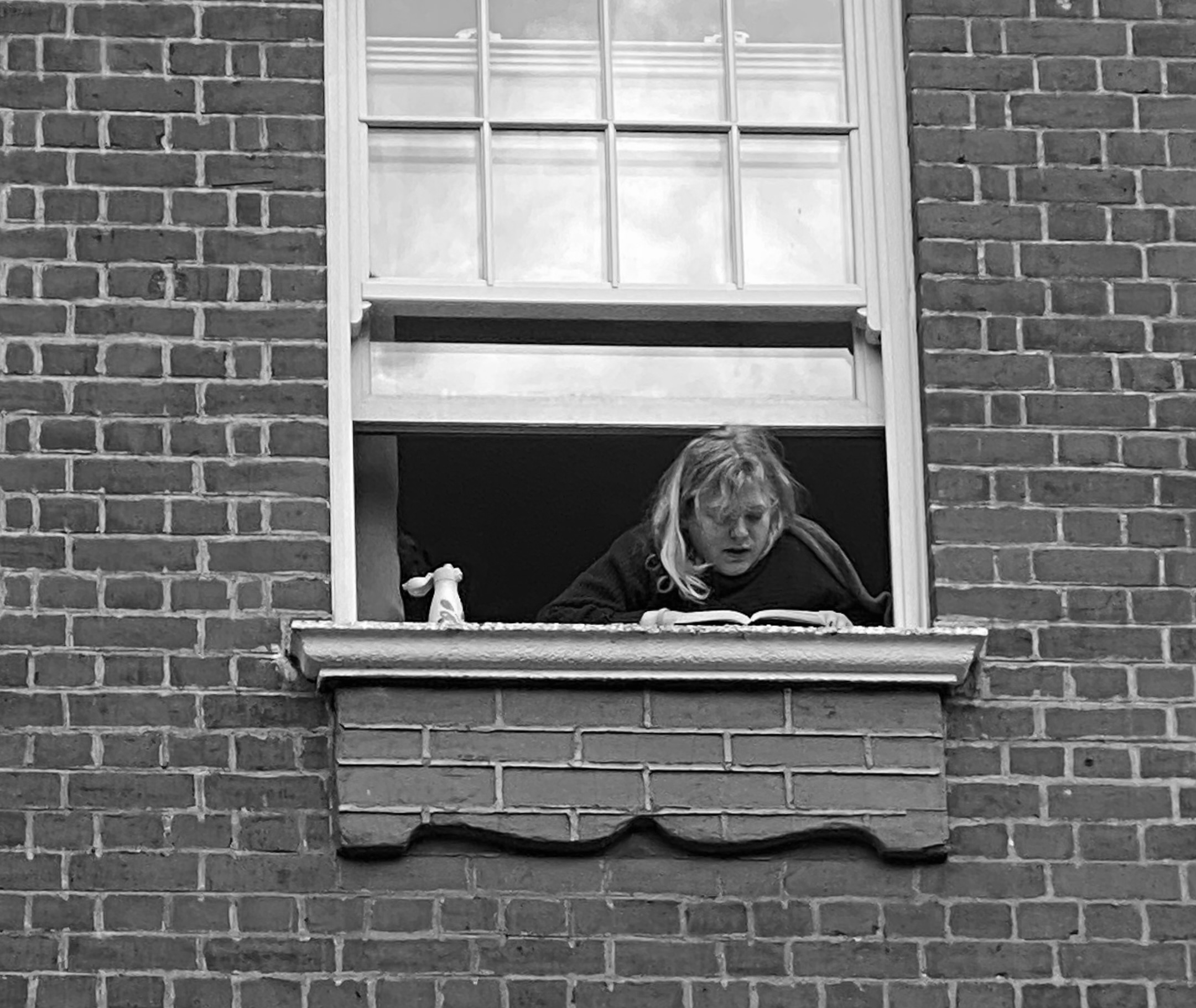
Yes indeed, Halifax was named in honor of George Dunk (1716–1777), Second Earl of Halifax and Chief Lord of Trade and Plantations. We will include more history later in this post to keep our readers on the edge of their seats! We think the photo below provides a good indication of the dramatic nature of this post and will allow you to stop watching The Crown on Netflix once and for all.
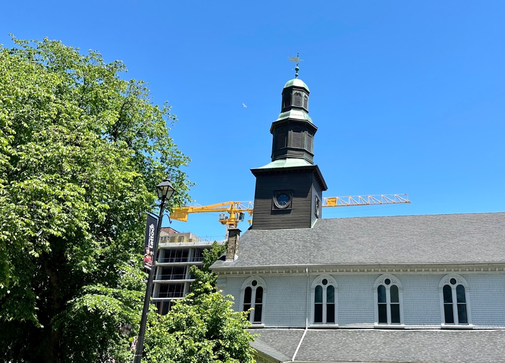
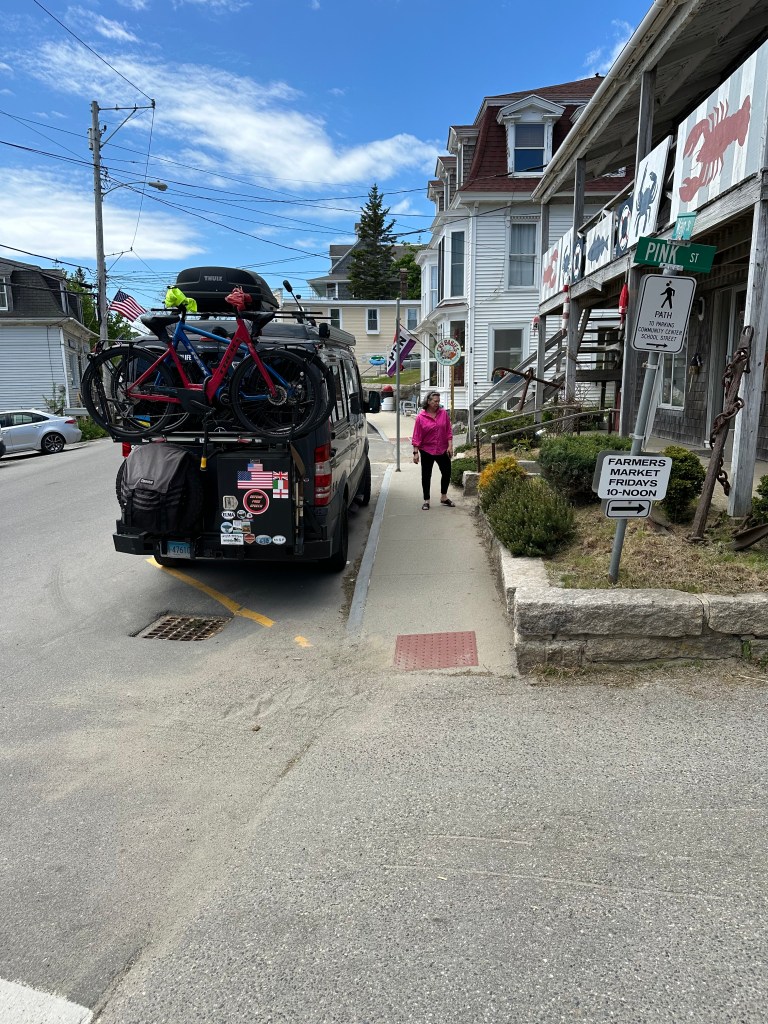
We arrived in Halifax in the afternoon fresh from our stop in the photogenic, post card perfection of Peggy’s Cove (no—we don’t know who Peggy was and no one else does either). Halifax is the largest city in the Canadian Maritime Provinces (population apx. 440,000). It’s modern, bustling and growing by leaps and bounds. Construction cranes are visible everywhere you look—there have been between 25 and 35 cranes across the area for the last several years! More on the growth topic later.
Halifax, from the Citadel
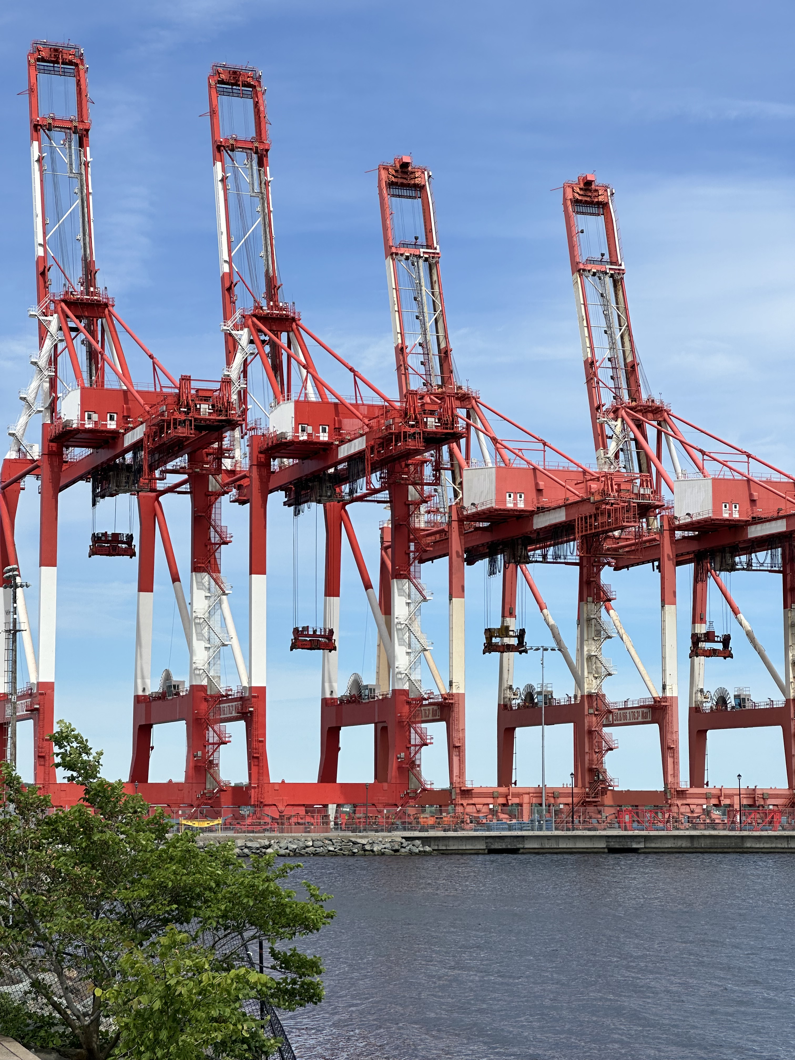
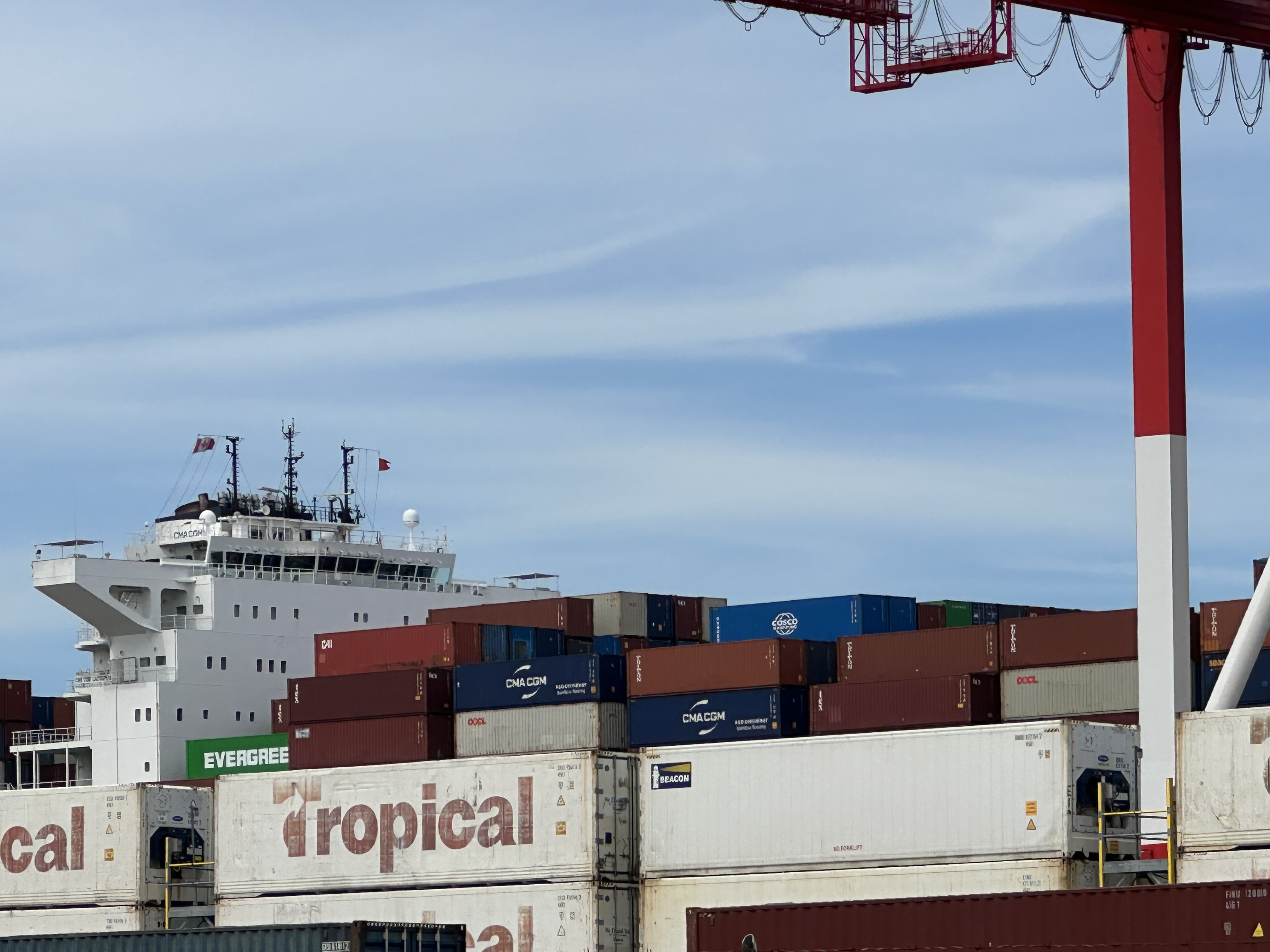
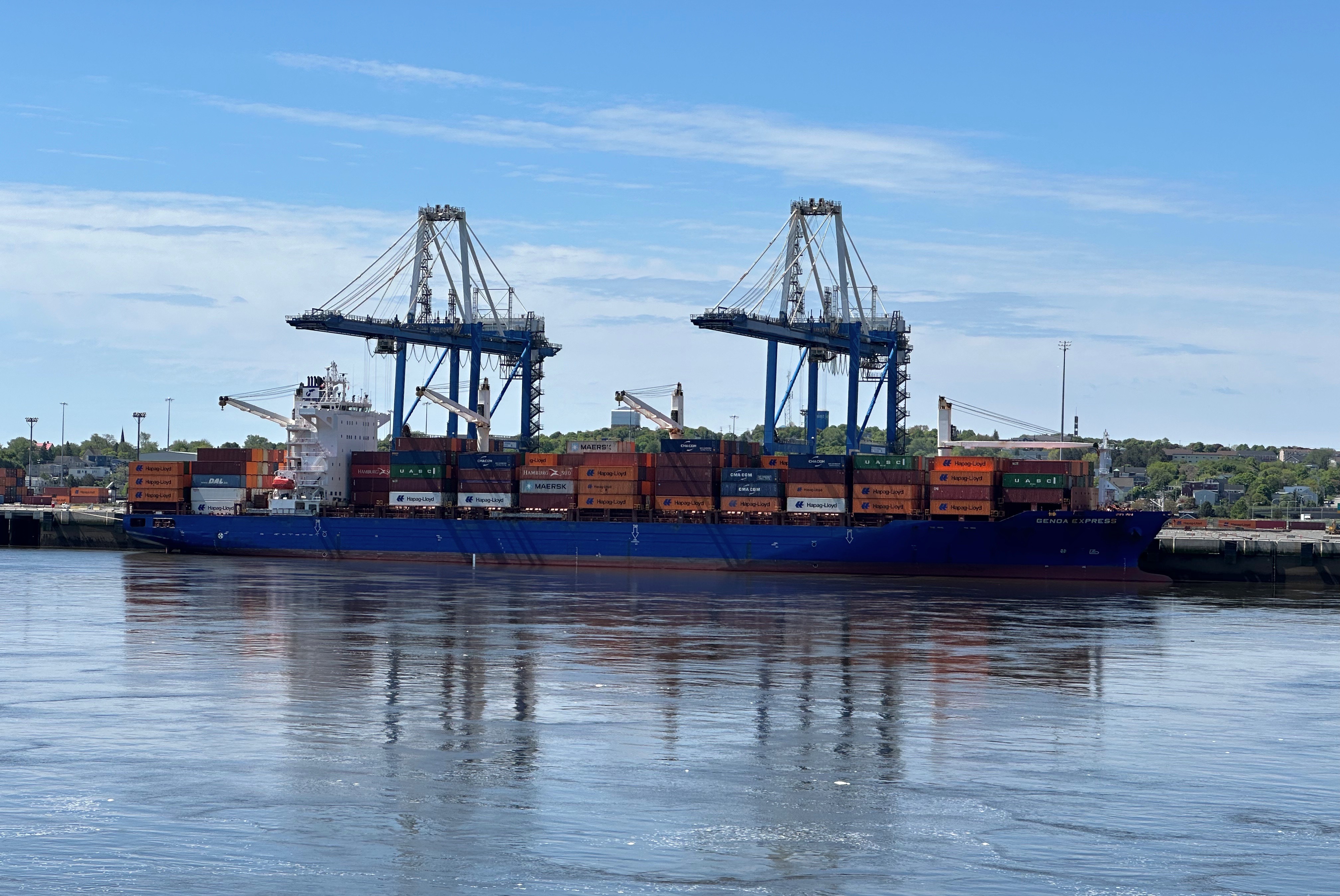
Halifax harbor is the second largest natural harbor in the world. Additionally, it is deep and ice free which has helped the port become the fourth largest by volume in Canada. Because one of us is like a child when it comes to big ships, trains, machinery and planes, we ventured to the south end of the compact waterfront to see the intermodal container operation.
Okay lets get to the truely important stuff….street art, fine art, coffee and food…..
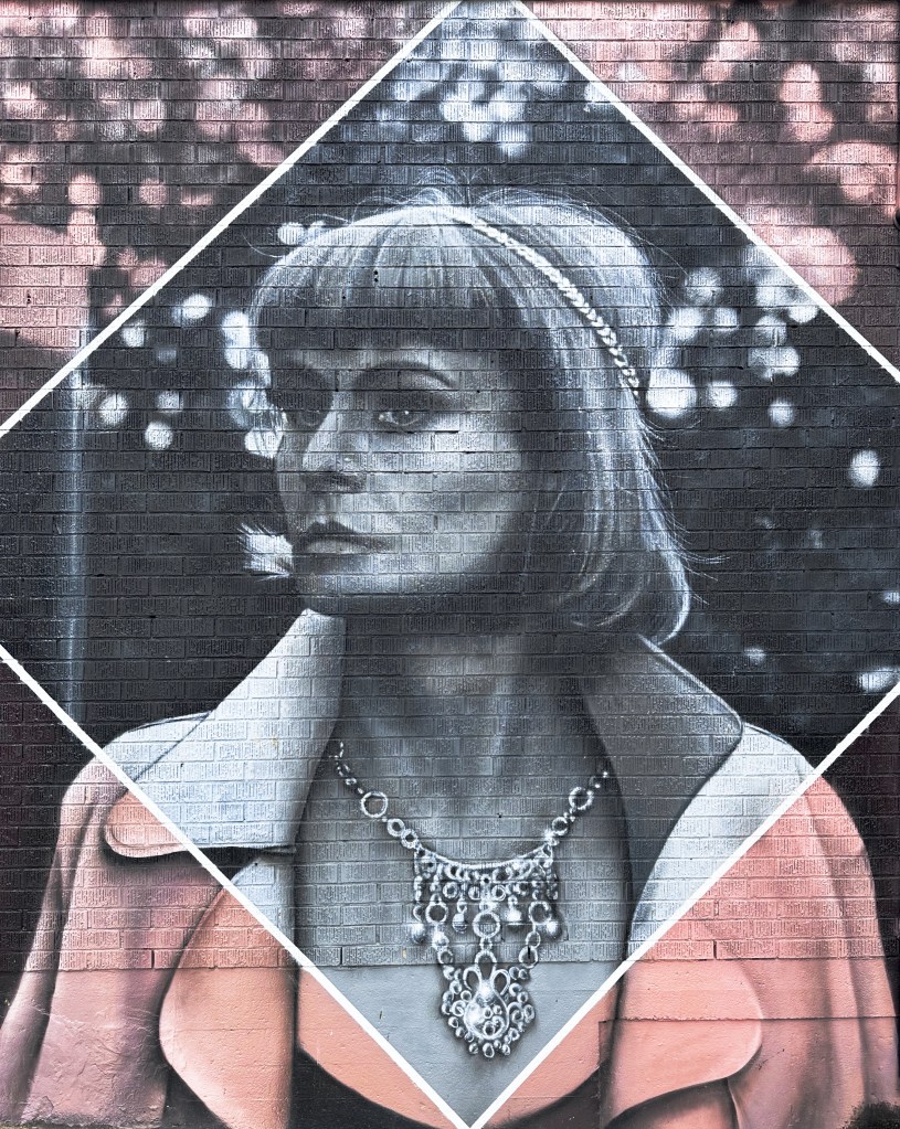
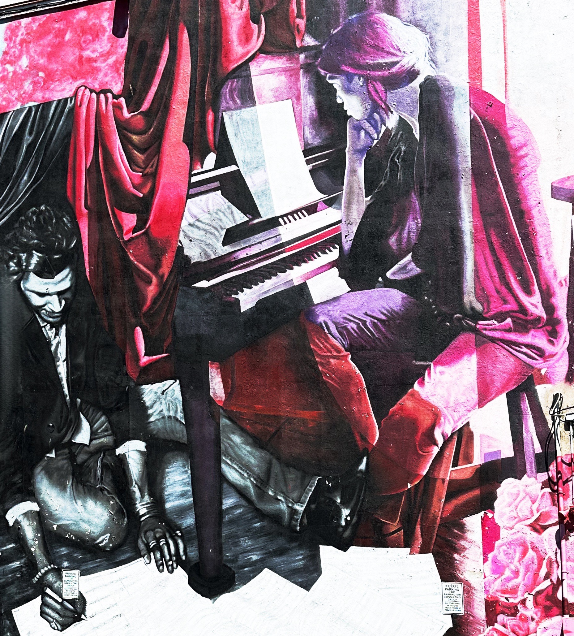
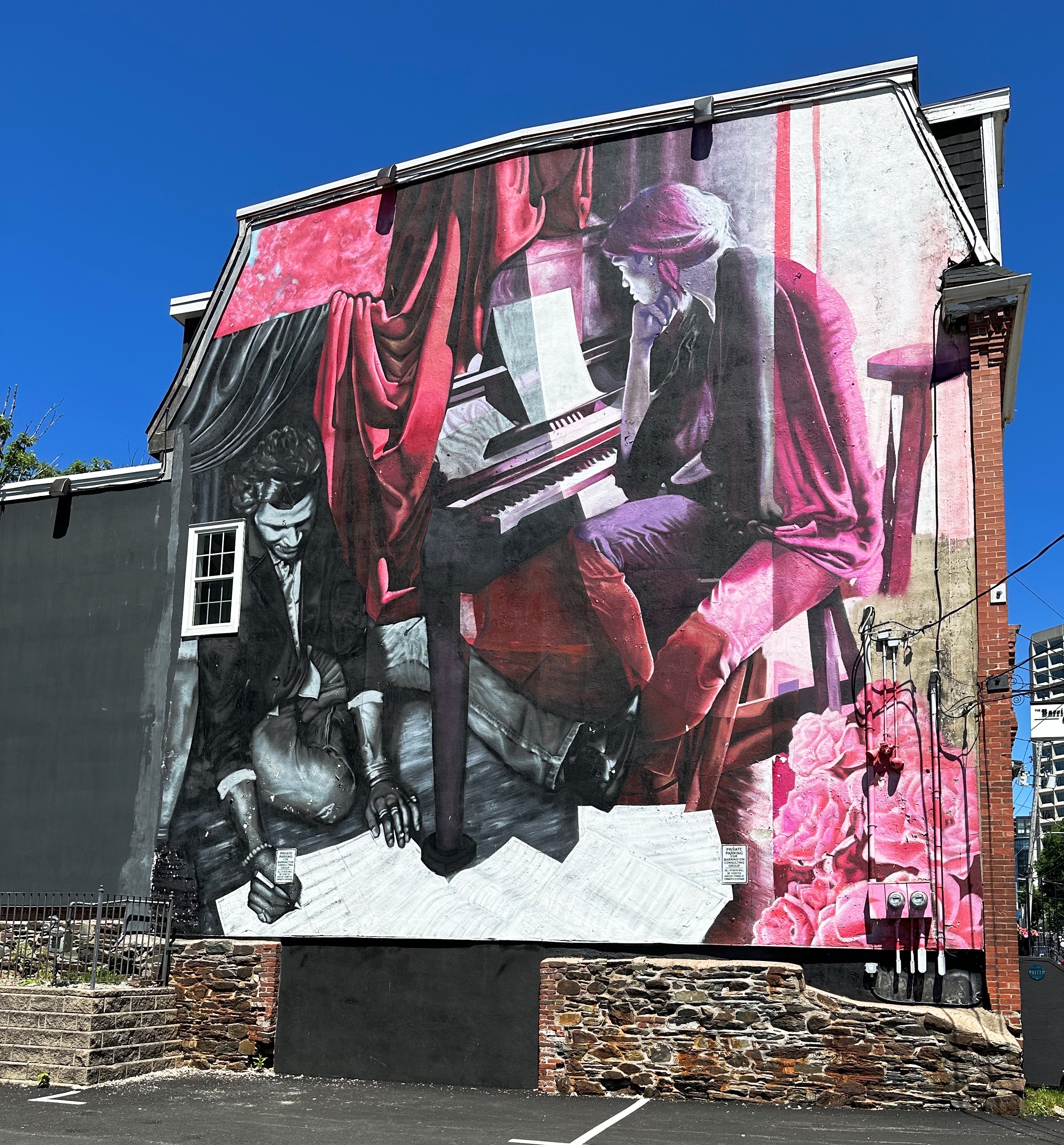
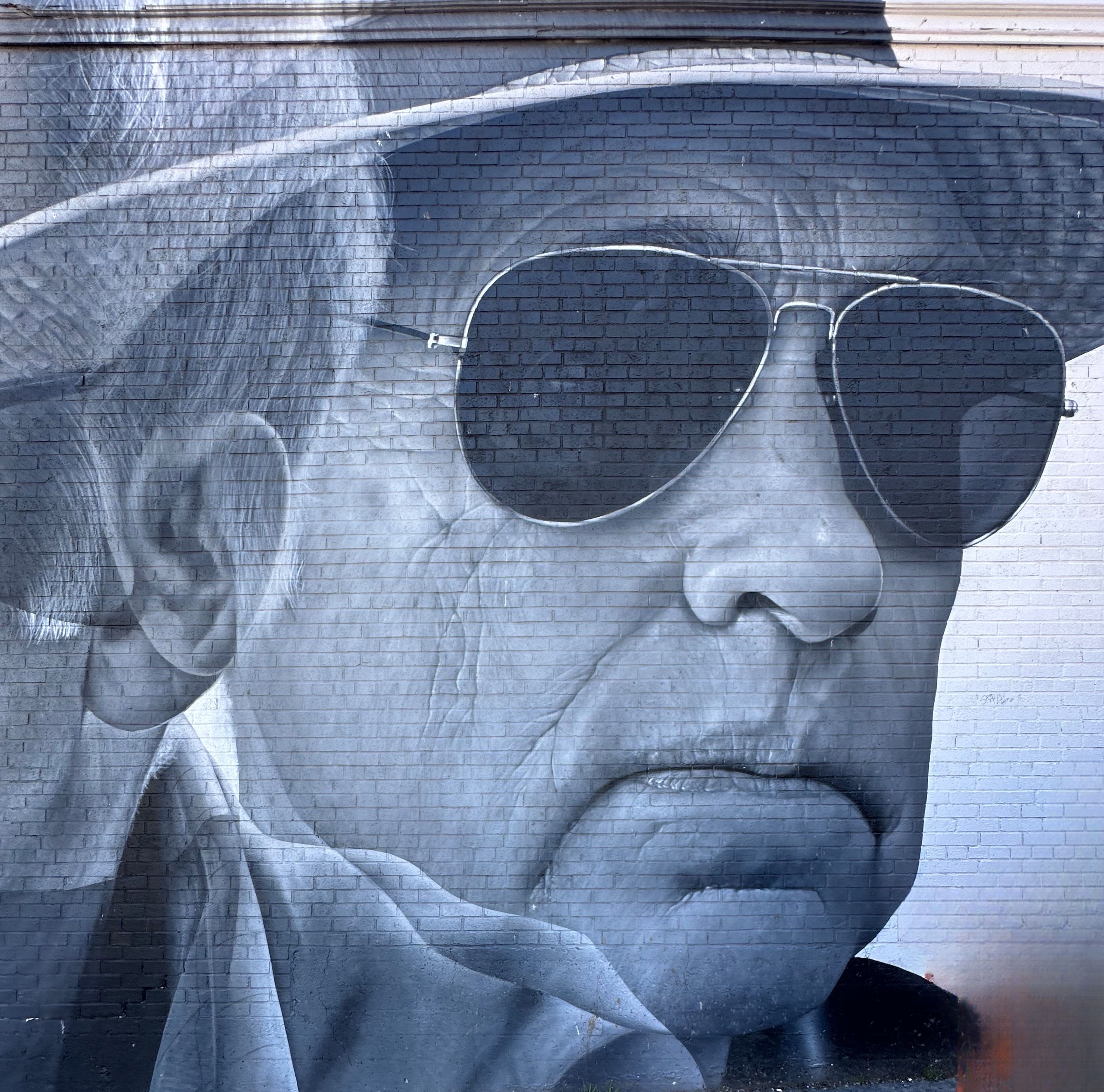
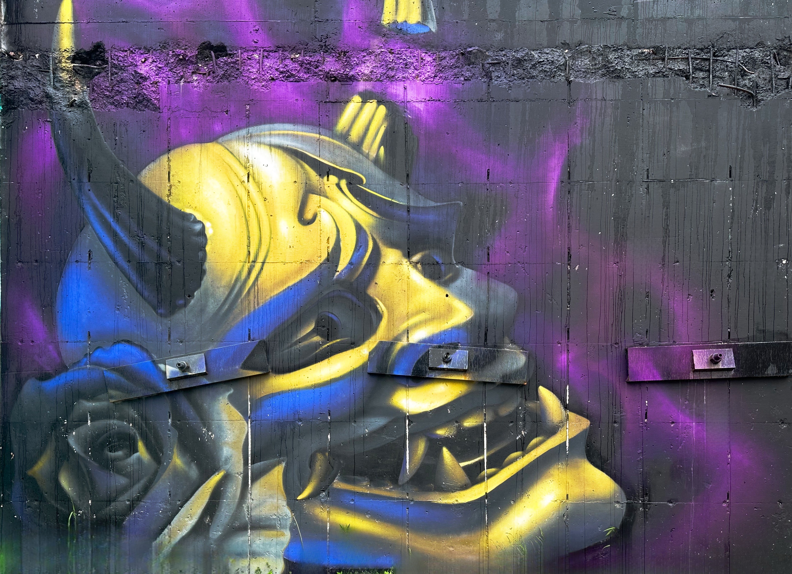
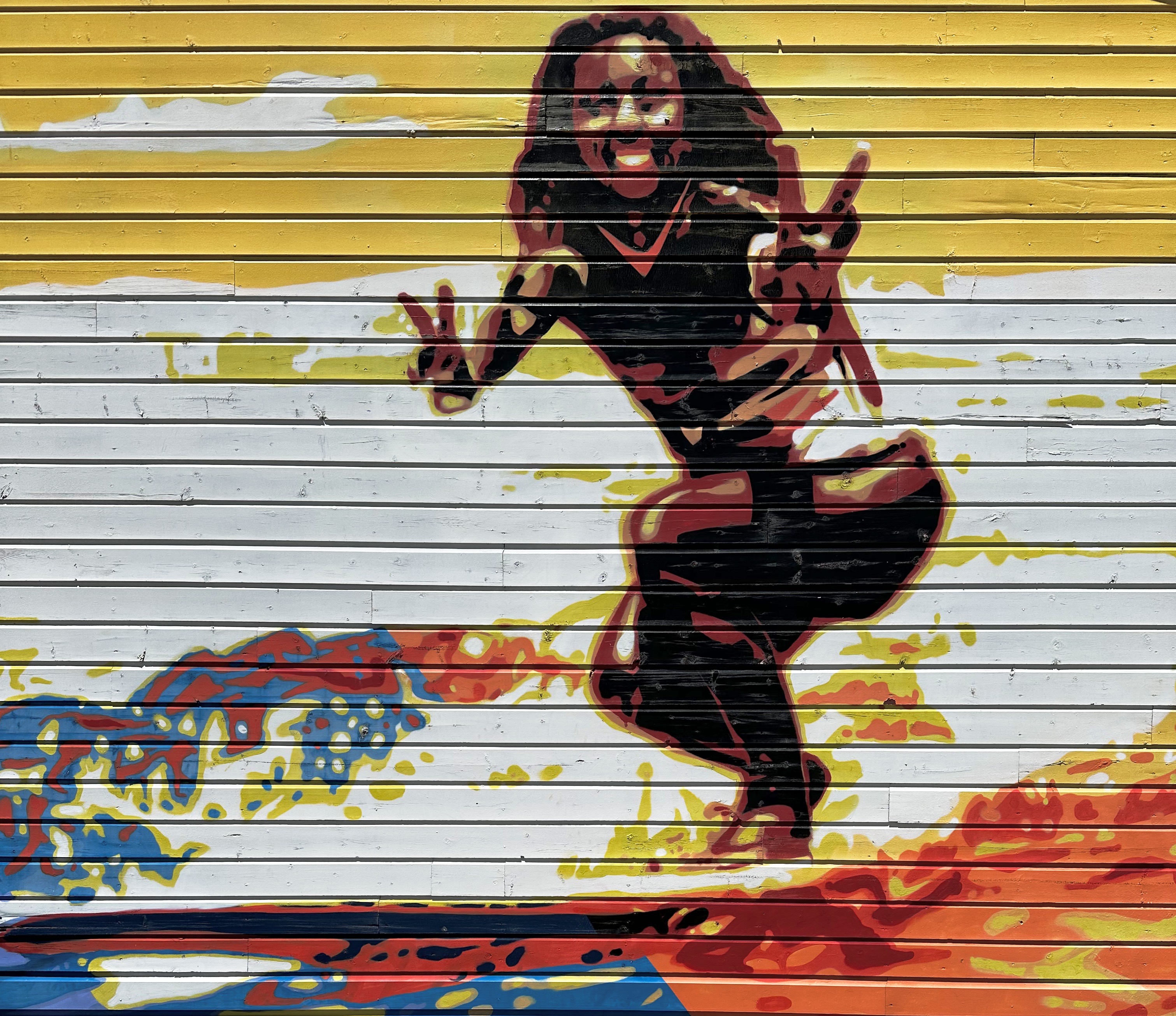
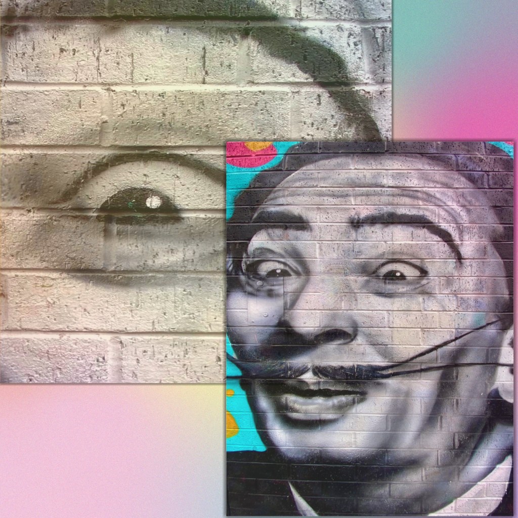
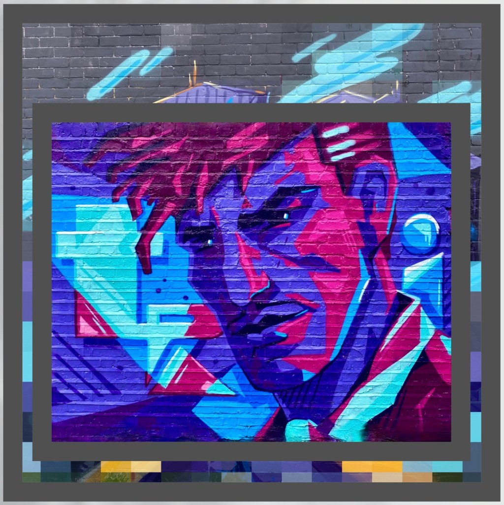
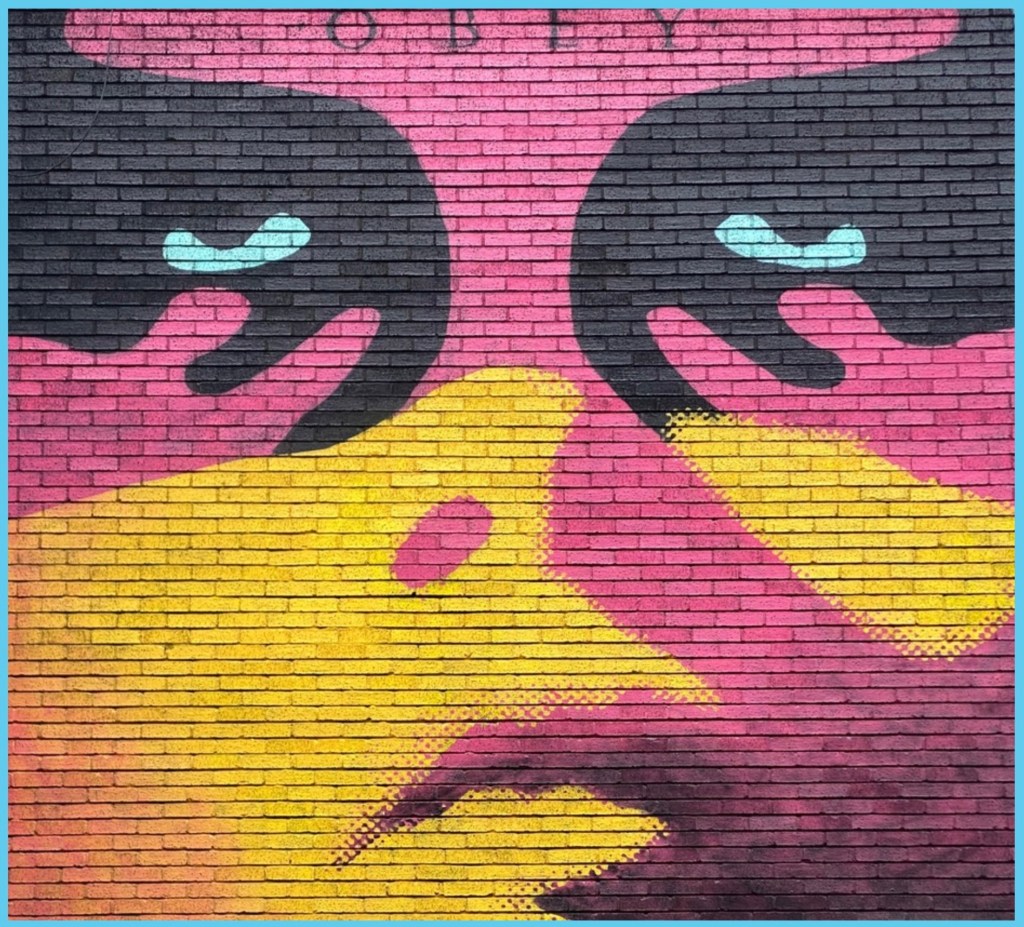
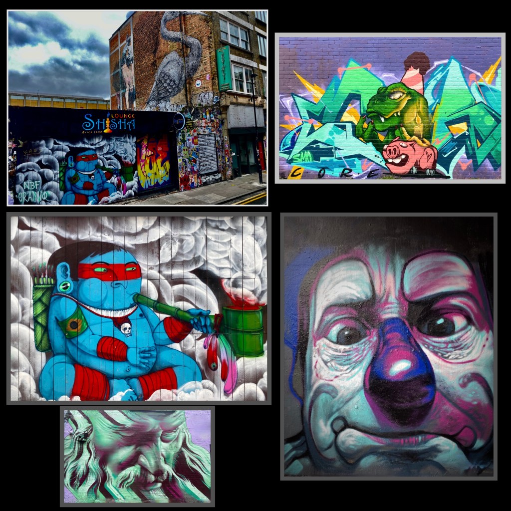
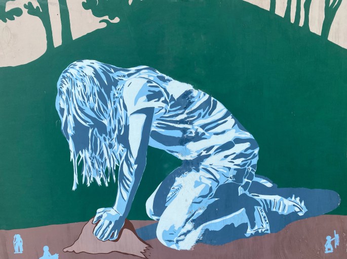
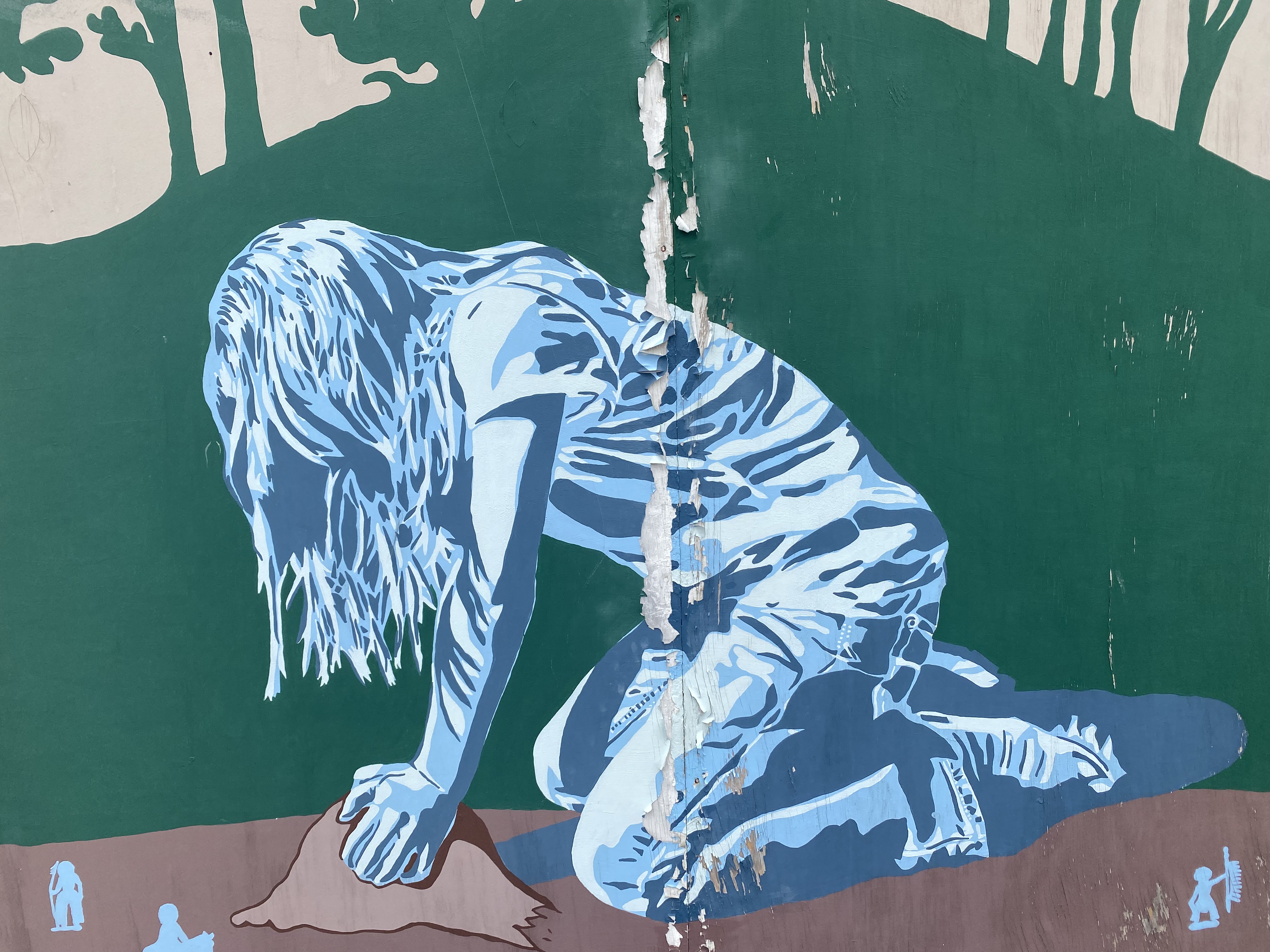
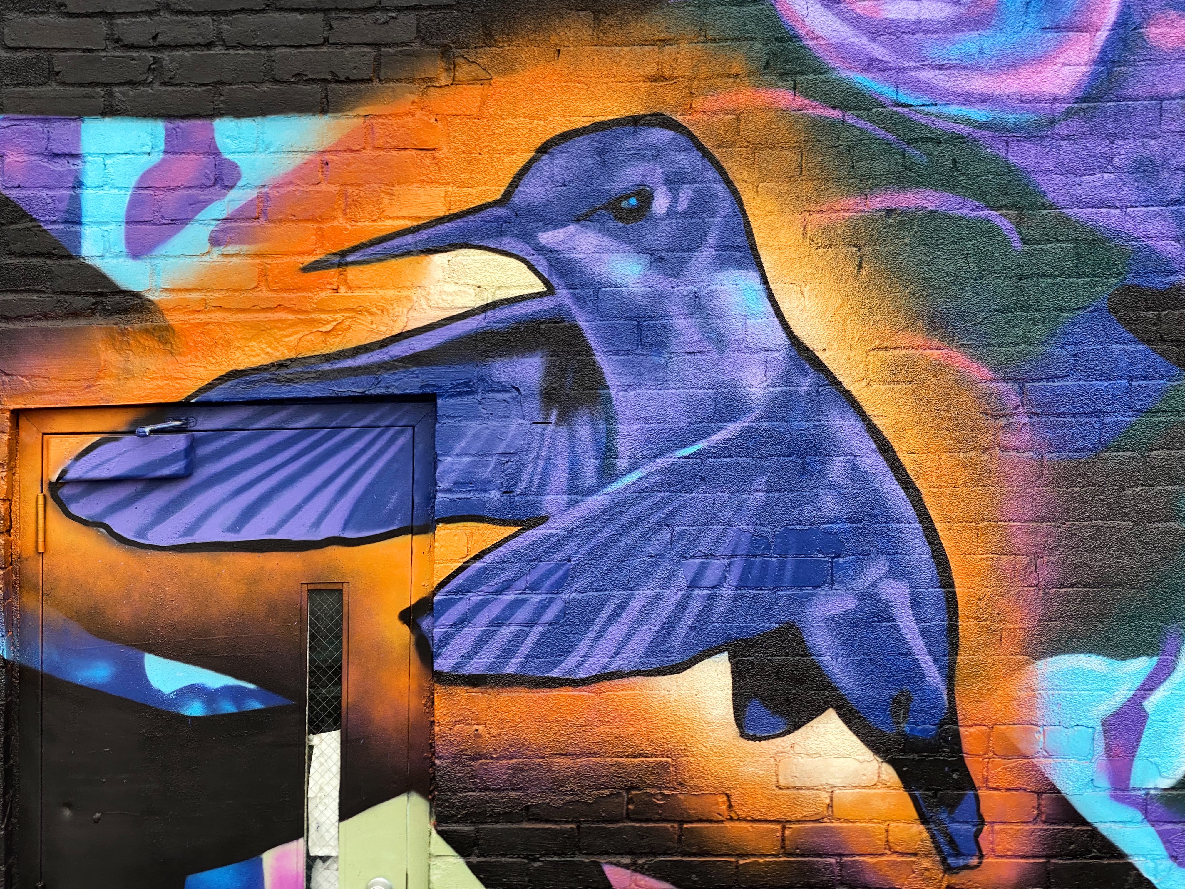
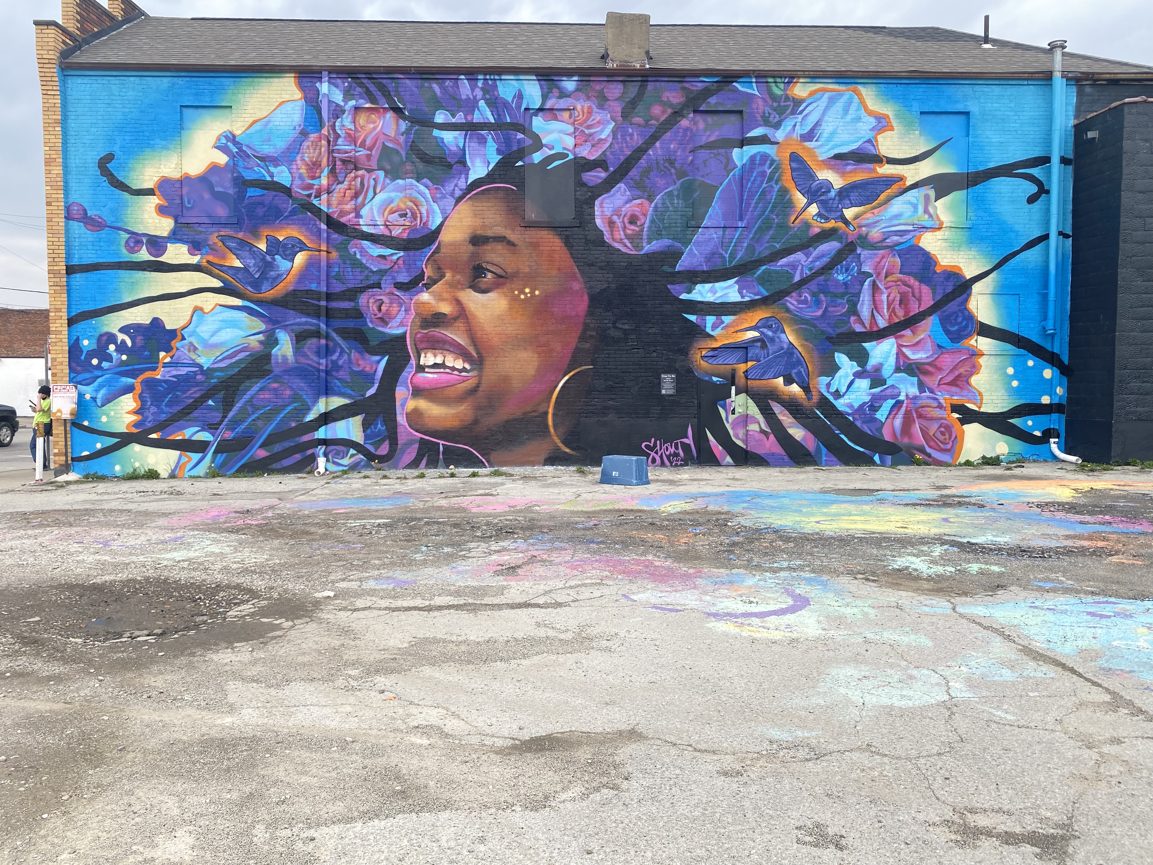
Halifax has been home to an annual week-long street mural since June of 2022. We were able to check out some of the murals from the 2022 and 2023 festivals. The 2024 festival will not take place until mid July.
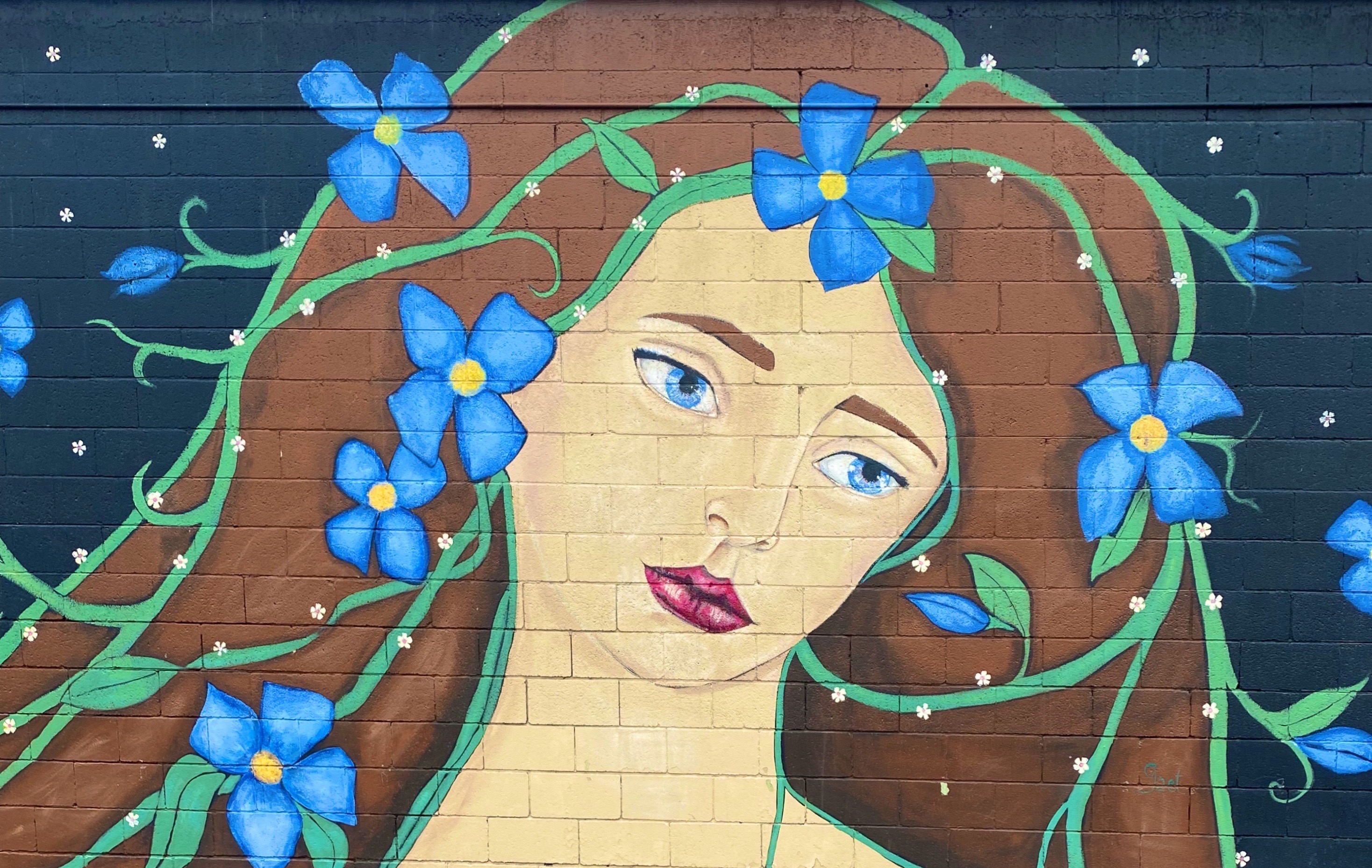
Artist—@BLAZENTATTOO
The festival brings together a mix of local and international artists. Many of the murals are on Quinpool Road, a diverse and lively area of shops and ethnic restaurants.Some of the murals we photographed on our walkabout are pictured below. Some of the murals were difficult or impossible to photograph as they were painted in very narrow alleyways. Still great to see all the work!
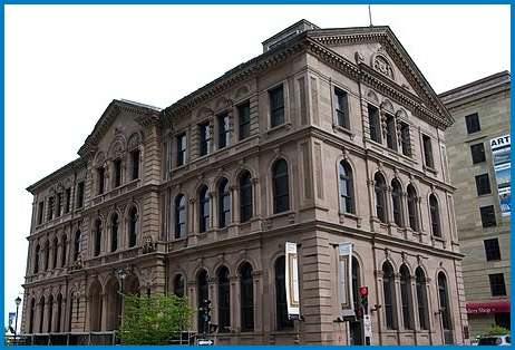
In addition to street art, Halifax is home to the Art Gallery of Nova Scotia which is a provincial fine art museum. On our second day in Halifax the rains came so we donned our waterproofs and walked down the hill to the museum.
When we visited there were two major exhibitions taking place. We both were enamored of the exhibit of the Trinidadian-Canadian artist Denyse Thomasos (1964-2012). Thomasos began her career as a figurative painter and evolved over time to produce inceasingly abstract work. Thomasos was born in Trinidad and grew up in Canada and studied in Toronto before earning a MFA in Painting and Sculpture at Yale University. Sadly, Thomasos died unexpectedly during a routine medical procedure at the age of 47, ending her brilliant career prematurely.
Self Portrait—Denyse Thomasos
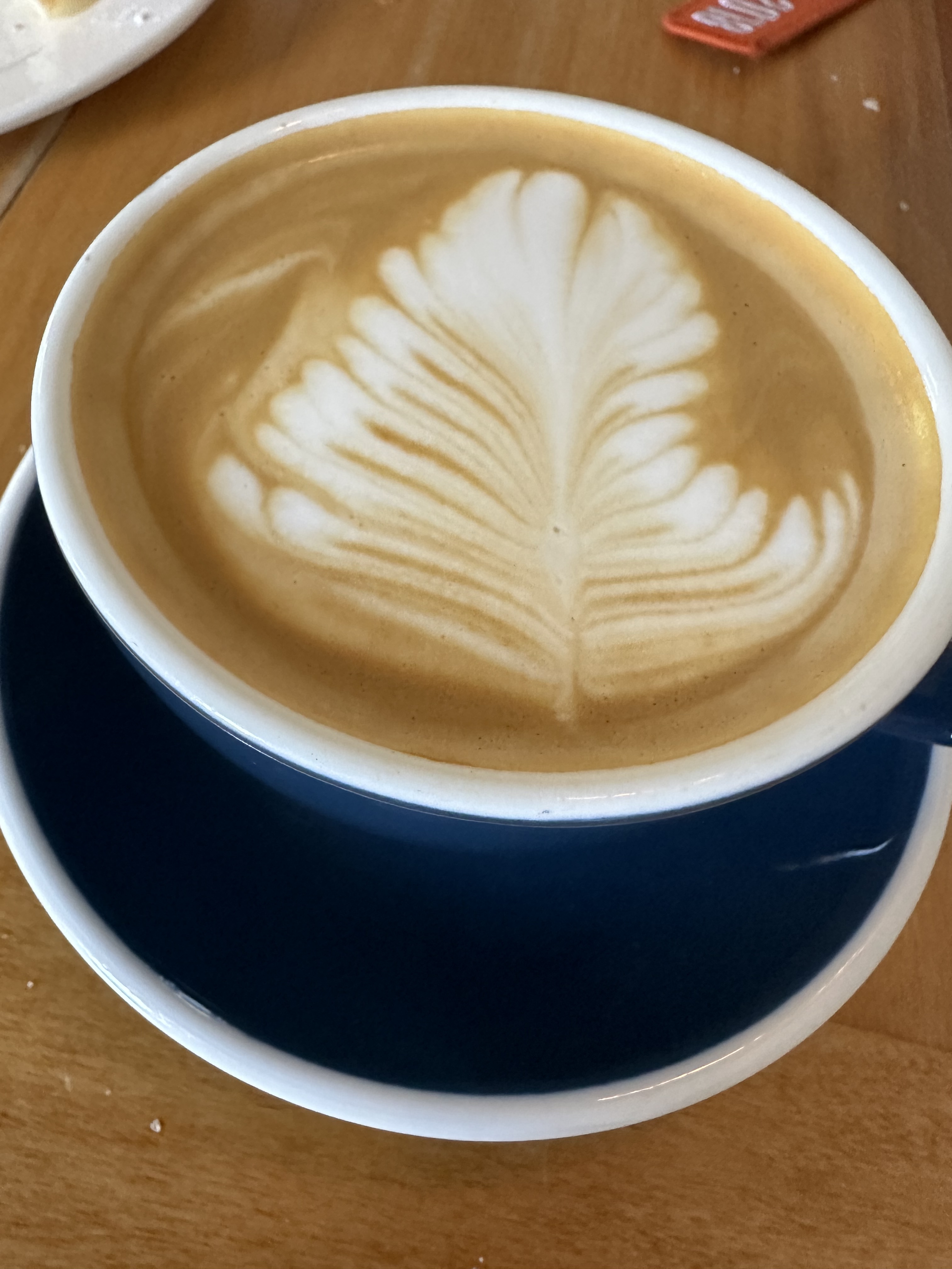
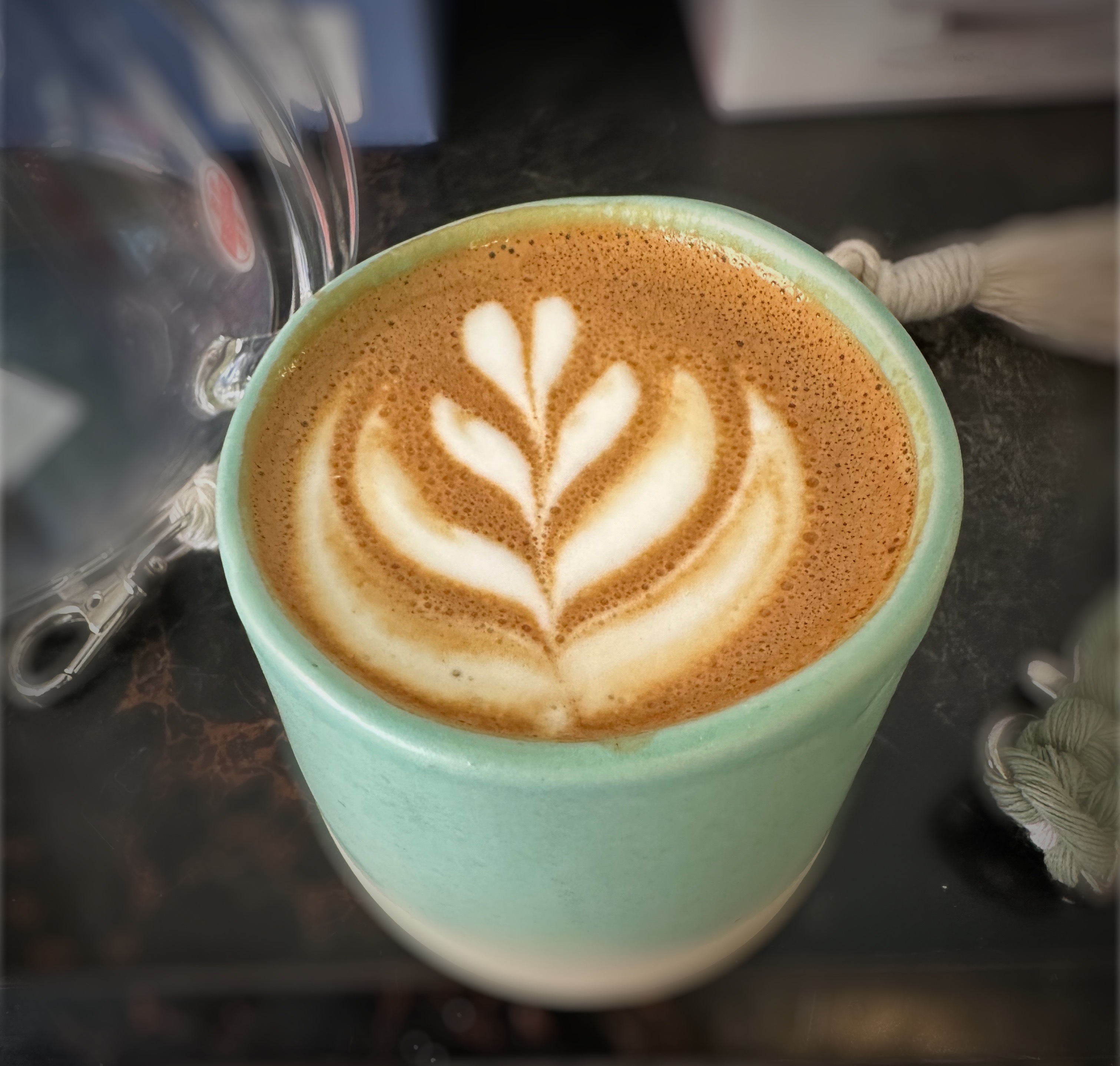
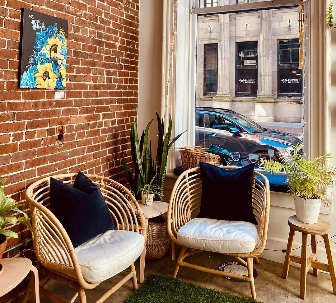
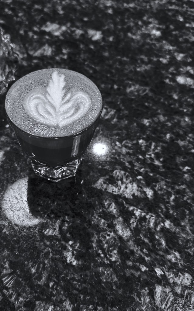
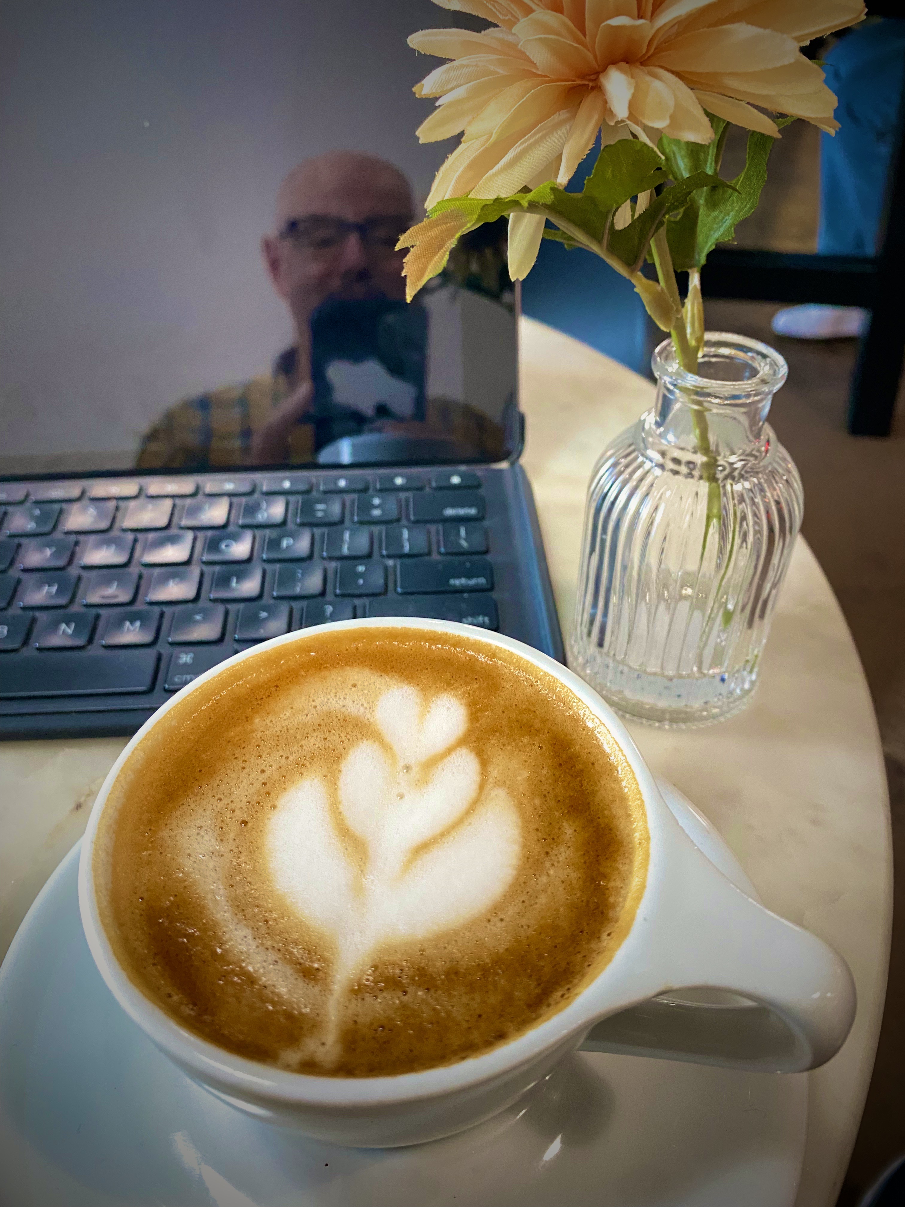
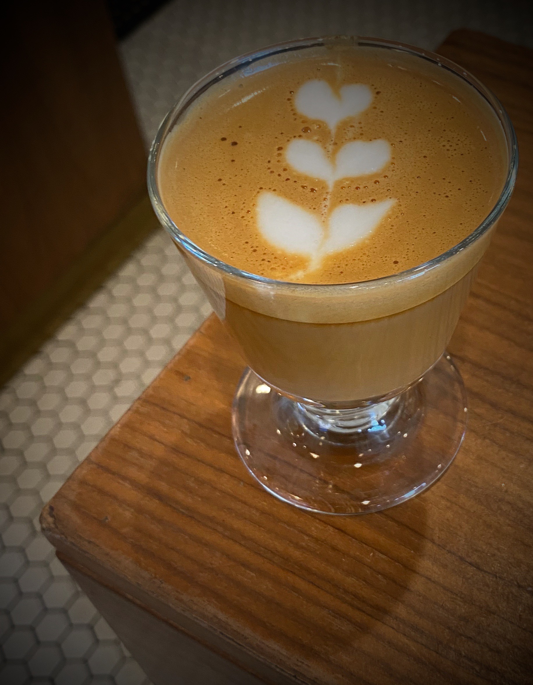
Haligonians are blessed with a plethora of excellent specialty coffee shops spread across the town. We visited five different shops during our four-day stay. We can report that each shop was quite good but each also demonstrated a unique personality.
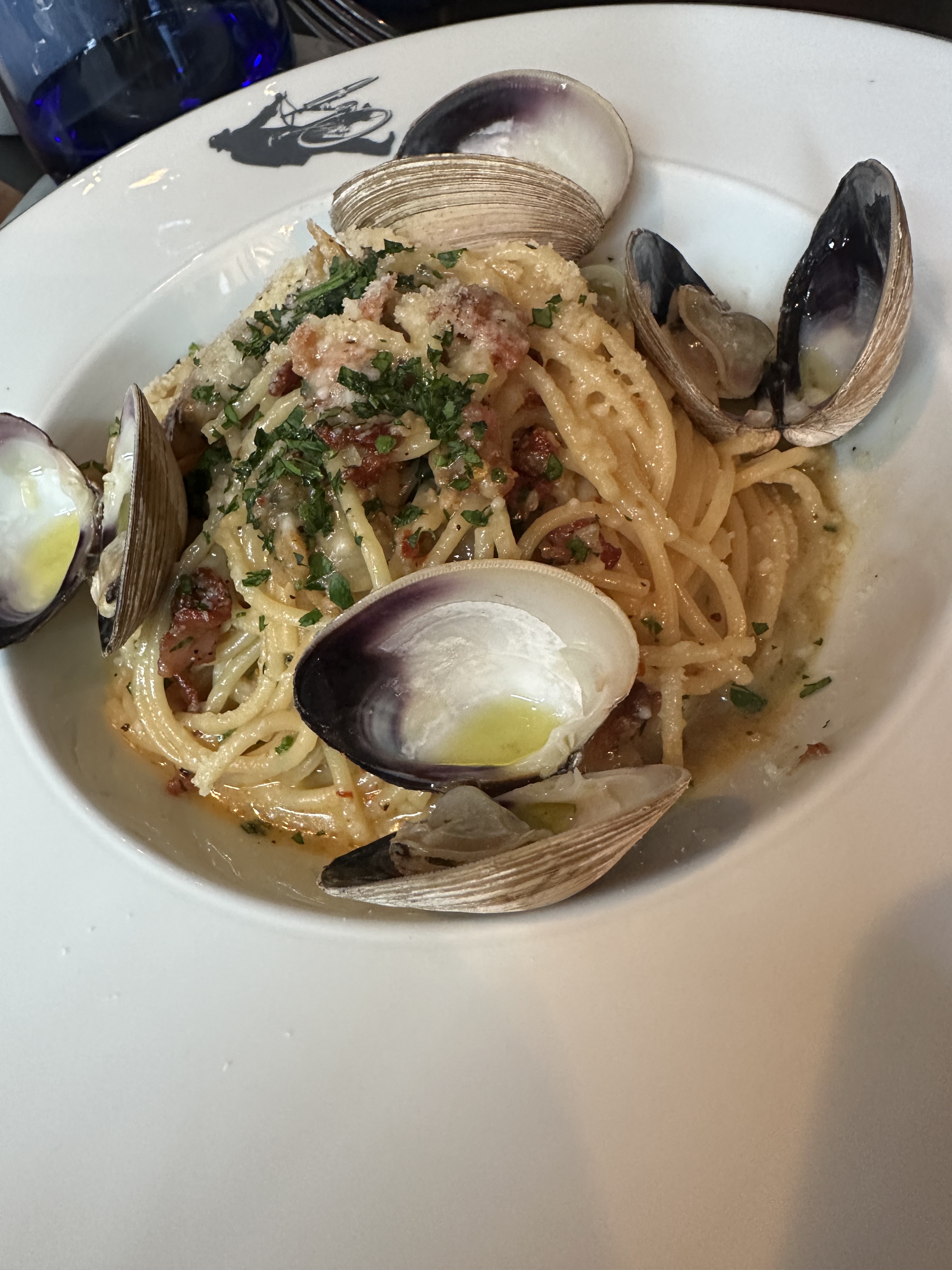
We had been dining extensively on seafood during our trip—why not when you are touring the Maritime provinces of Eastern Canada where the seafood is ridiculously fresh and delicious? We tend to avoid Italian cuisine (including pizza) when we travel outside the northeastern U.S. However, after several weeks without pasta, a fix was definitely in order. Fortunately, a solution was within our reach at The Bicycle Thief on the waterfront in Halifax.
The Bicycle Thief describes their offerings as North American food with an Italian Soul. Assolutamente! We were able to acquire a late afternoon reservation on a rainy Saturday (after our visit to the art museum). The restaurant was absolutely packed but the service was impeccable and our cocktails, appetizers and entrees were delizioso! Please dine there if you go to Halifax.
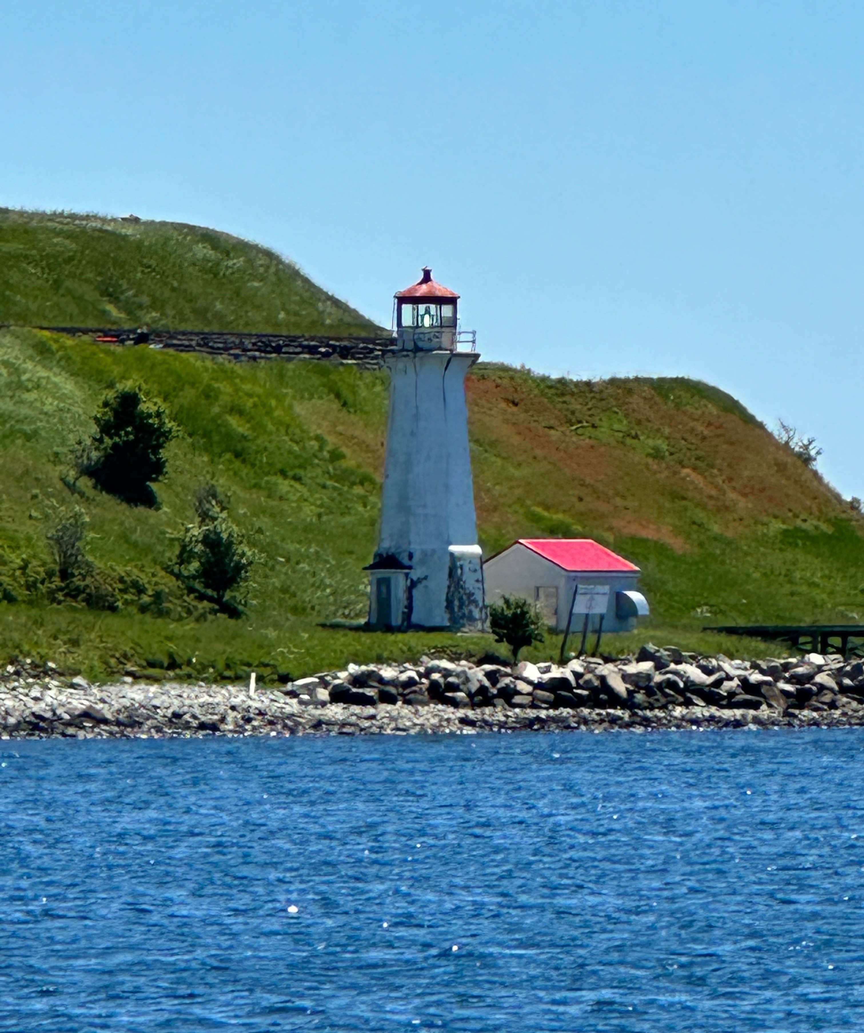
There are of course many other things to do in Halifax beside art, coffee and food. The harbor is spectacular and a walk along the boardwalk will provide you with views of several of the small islands situated in the harbor as well as cargo ships, navy vessels and cruiseliners entering and departing Halifax.
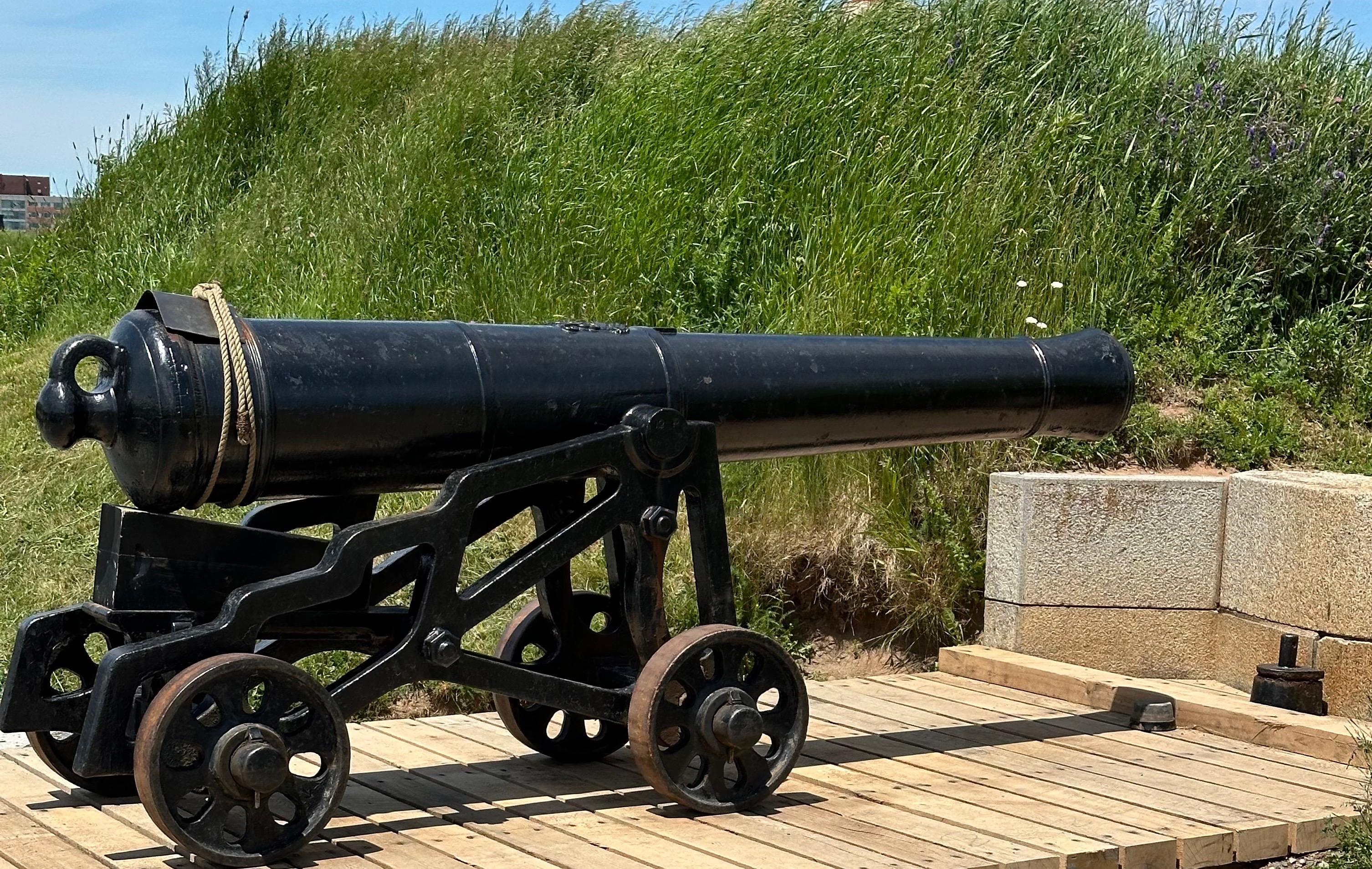
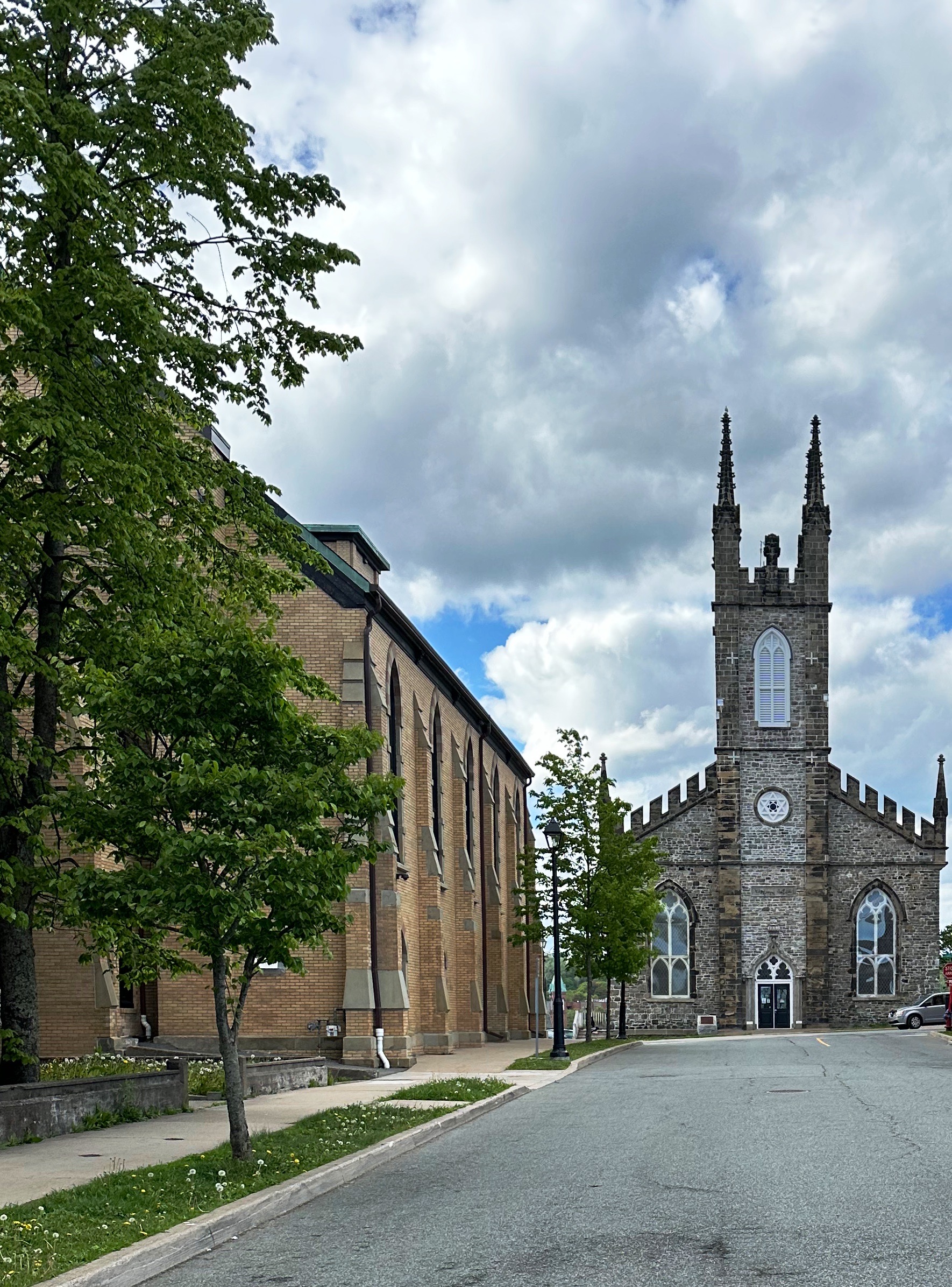
The Citadel, which overlooks the city, is a good attraction for history buffs. This fortress is the fourth version to be built on the hill overlooking the harbor. The last and current fortress was constructed by the British in anticipation of a possible attack (1820s) at Halifax by the United States. That of course never happened and none of the four fortresses was ever part of a military conflict. Today the fort is a national historic monument operated by Parks Canada. For more information: https://parks.canada.ca/lhn-nhs/ns/halifax/culture/histoire-history/citadelles-4-citadels
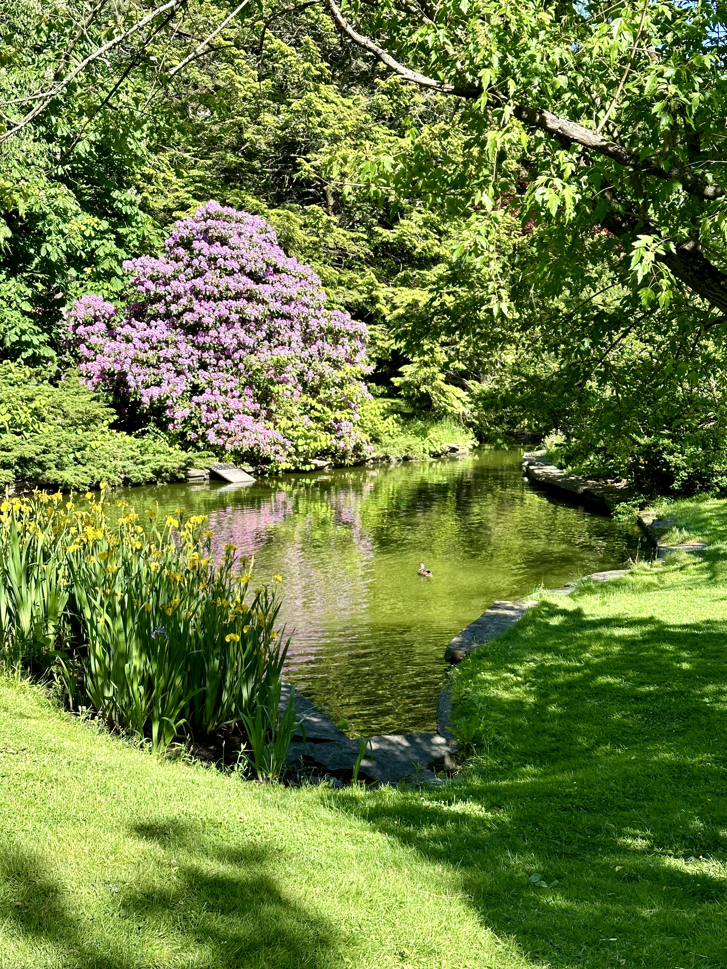
Another worthwhile stop on a sunny day is the Halifax Public Gardens. The timing of our visit was a tad early for everything to be in full bloom. Regardless, the garden is an oasis of quiet and serenity in the middle of a bustling city. P.S. added bonus—Apartment3 Espresso Bar is directly across the street from the gardens on the Park Street side.
We mentioned the growth ocurring in the city earlier in the post. The economy in Halifax continues to be robust with significant population growth fueled by emigration to the province. This growth has fueled the need for housing which is clearly under construction. How much of the housing is affordable we cannot say. The one facet of all the growth we did observe is that the city has been increasingly building skyward. Previous height restrictions have been relaxed and zoning seems to be relaxed as well with high rises going up in the midst of blocks once dominated by two story “jelly bean” houses (brightly painted wood frame residences). The view of the harbor from above is now largely obstructed (unless you live in a highrise). Oh well, just an observation by visitors—perhaps without the necessary context. Regardless, an interesting, lively and fun city to visit.
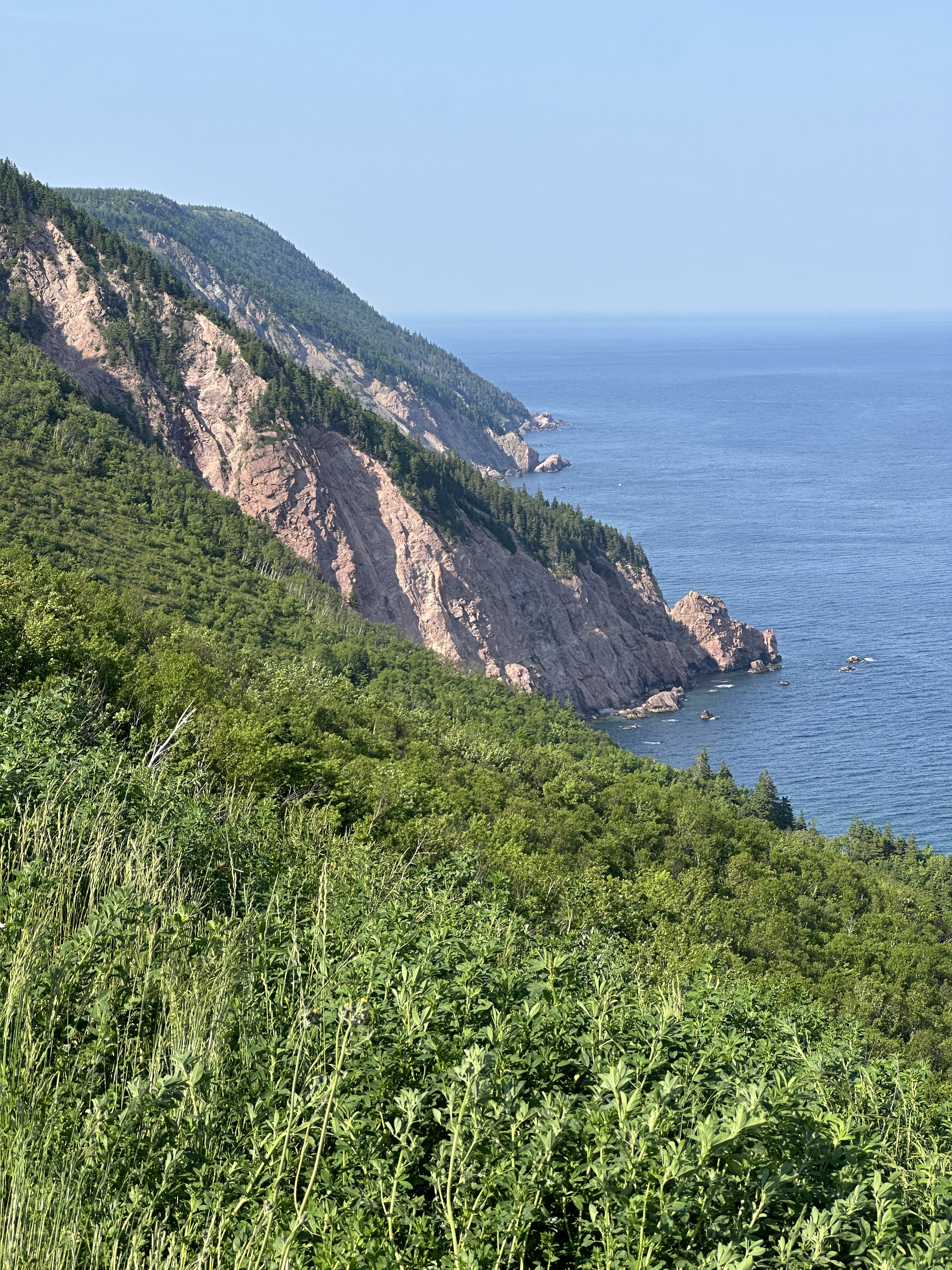
We are off to Cape Breton to explore the beauty and rich culture of the highlands where the “mountains meet the sea”.
We made our way to St. John following the coast and sticking as much as possible to roads less traveled (which we have found are most often more scenic and historically interesting).
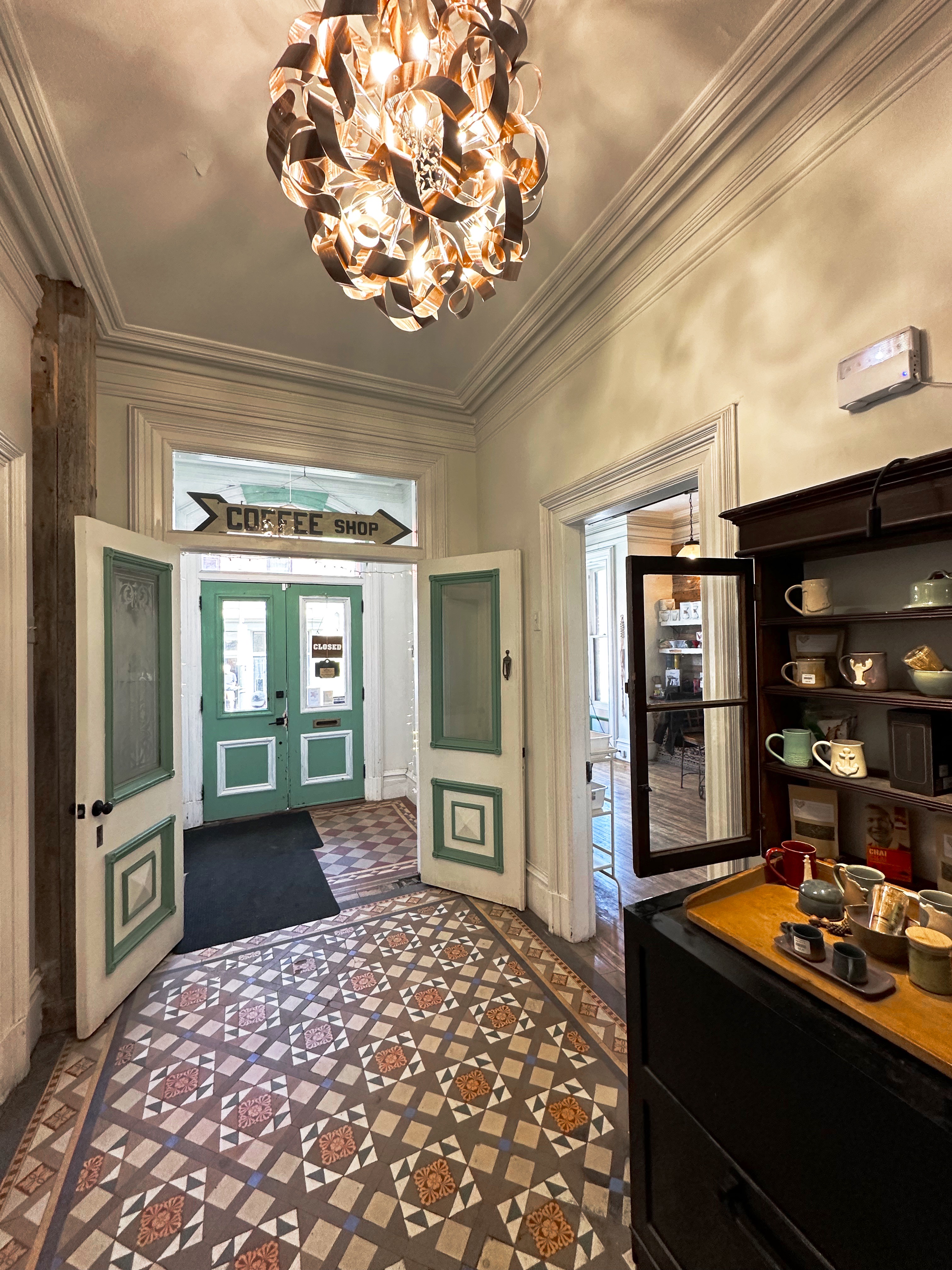
After arriving in St. John we secured the Beast at the hotel and set out for our first coffee session in St. John. Catapault Coffee was only a five minute walk from the hotel. Since it was still morning a capuccino was in order followed by a cortado. Catapault is a mission based coffee shop — “Part of the way we express this faith is by looking for opportunities to reduce the unemployment, hunger, homelessness, and medical costs in our city”. We are always happy to support coffee shops with a tangible mission to support the less fortunate in their community (and of course serve excellent coffee and tea).
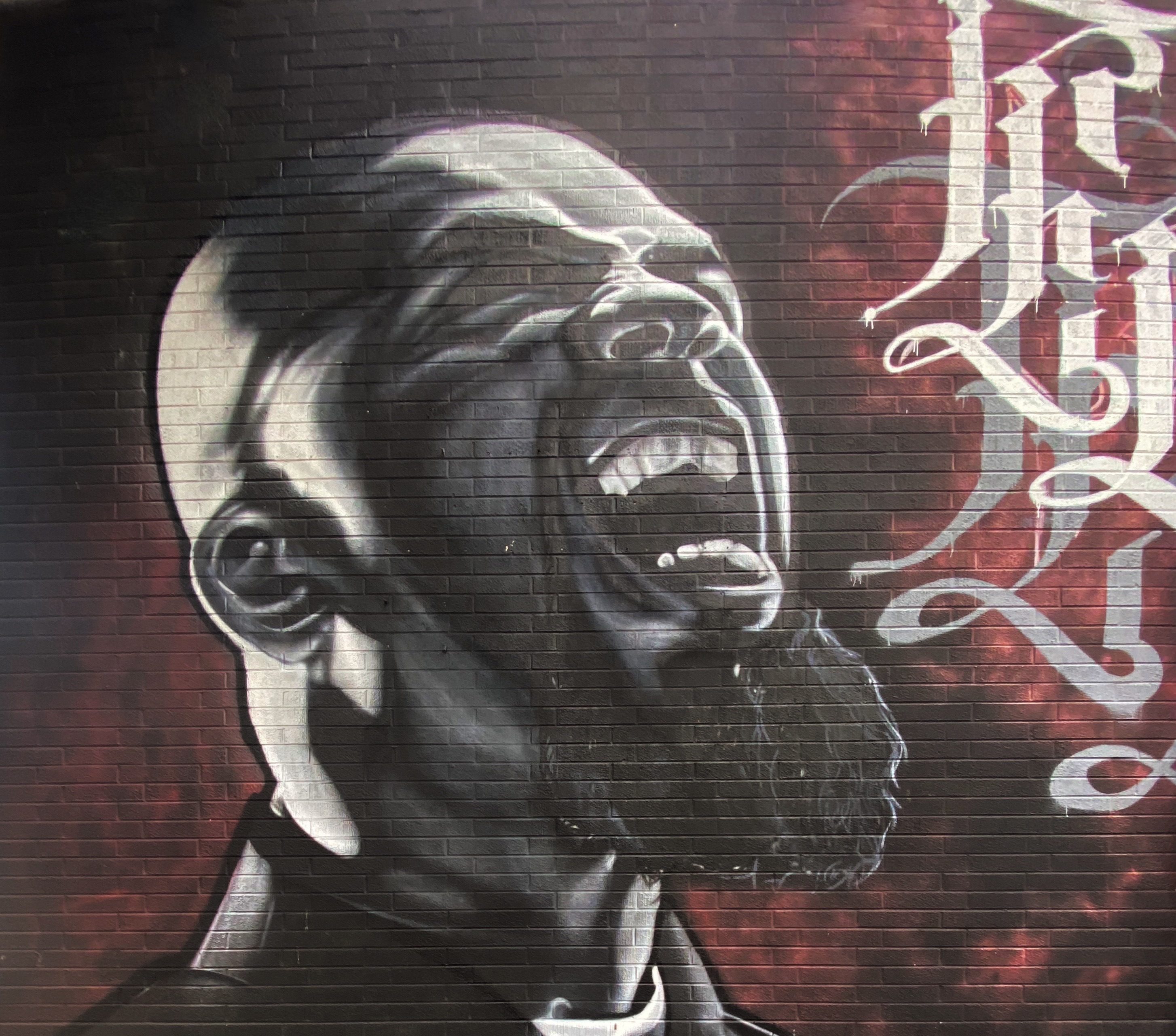
Strength Through Toast — Toast Marketing Board
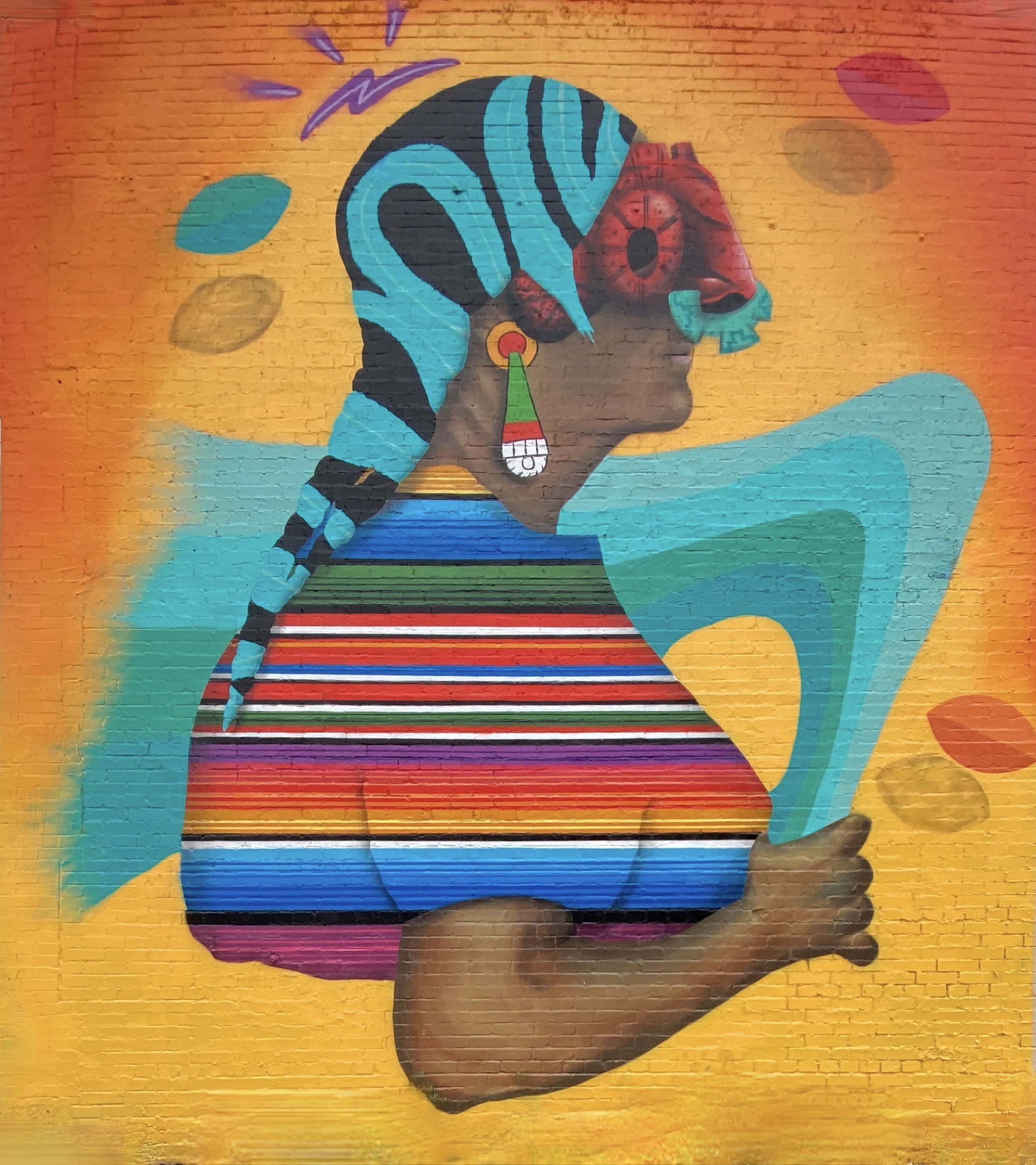
Fortuitously, this building-sized mural was staring at us from across the street as we approached the cafe. This mural was commissioned as part of Festival Inspire. The artist Mique Michele is from Ontario and is a highly regarded grafittist and advocate for issues impacting First Nations people (Michele is of Metis-Franco heritage).
Untitled Artist Mique Michele, 2021
See Stories — Artist Allan Ryan
We spotted the top of the mural above while walking back to the hotel. We walked down the hill and located this 80 foot high extravaganza on the back of an apartment building facing an empty lot. The street mural scene in St. John is relatively small but appears to have some folks committed to increasing the space dedicated to public art. The two murals above were our favorites.
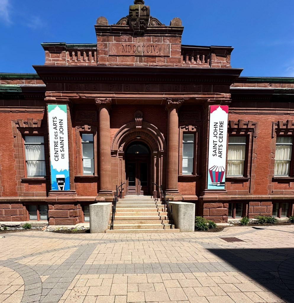
St. John also has a small fine arts exhibition space at the St. Johns Art Centre. The space hosts art exhibits and musical recitals and also offers art classes.
The space that the art centre currently occupies is the former city library. This was a Carnegie library built with funds donated by the Scottish-American business tycoon and philanthropist. Carnegie funded the building of over 2500 free public libraries in North America. The library in St. John is one of three in the eastern provinces. The current city library is housed at Market Square on the water at the harbor.
Art invariably necessitated the need for more coffee while we reflected on the the art we had just viewed……so we set off for our second coffee shop —The Art Warehouse.
We had an opportunity to chat with our barrista, Jamie, during a lull in the action. Jamie is also a musician and songwriter when not plying his craft as a barrista. His band Jamie and the Crooked Teeth is well known in the eastern provinces and they have released several albums. He has also released several songs as part of an accoustic trio that performs as Pretty Western.
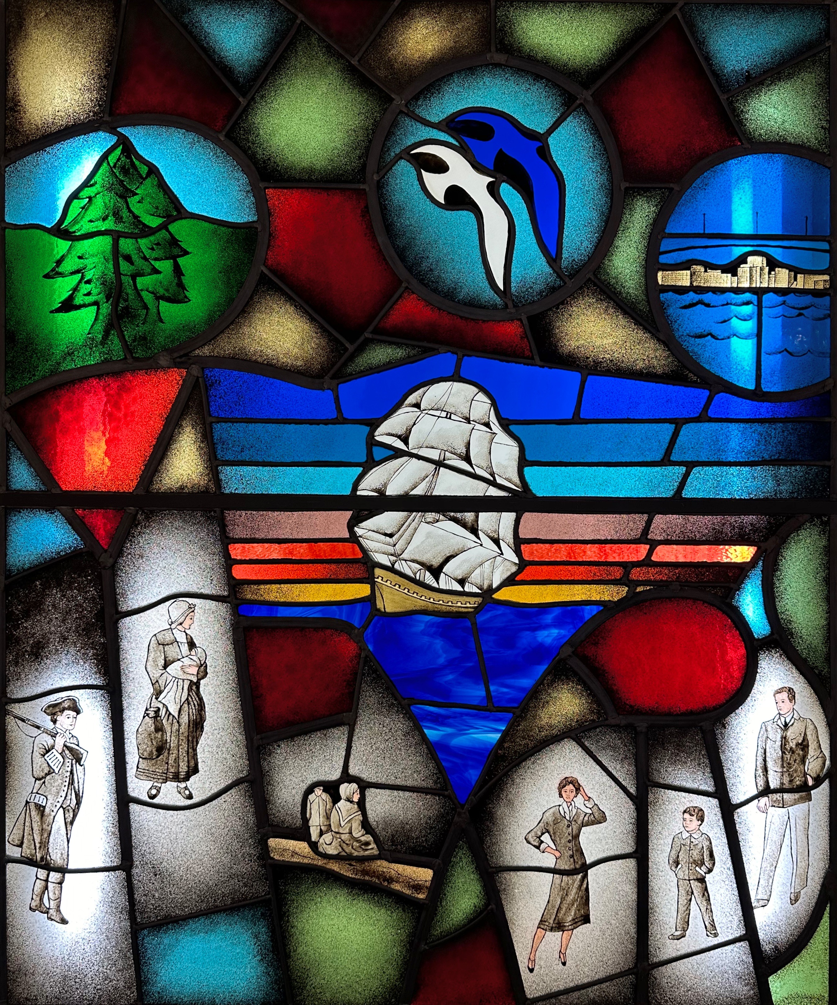
We will close with a bit of history (as always). The title of this post is St. John and the Loyalists. Samuel-de-Champlain named the St. John River in honour of St. Jean the Baptiste while exploring the area in 1604. The anglicized version of the name stuck although the British eventually took control of Nova Scotia. Today there are still many French speakers here as well as in the other eastern provinces.
Okay — finally — the Loyalists! While you may not recall this fact from your U.S. history courses (probably because it was not mentioned) there were a considerable number of British colonialists that wished to remain British! The text below is from the Loyalist House in St. John.
The Loyalists
Our first refugees were American Exiles arriving in 1783-1784, the Loyalist Refugees, a multicultural group with Afro, Aboriginal, Dutch, German, English, Irish, Welsh and Scottish ethnicity from America. One hundred thousand came north – 15,000 of these Refugees arrived in Saint John Harbour by way of the Bay of Fundy. Their entrepreneurial/pioneering spirit helped them to survive. They slept in tents during those first winters, some died. New York and Boston were the last two ports of evacuation for this exodus, they were farmers, labourers, and trades people. These American exiles lost what they owned and came here like many other refugees and immigrants in search of safety and a new life. The aboriginal people the Wolastoqiyik [people of the Beautiful River] were the first people of our community.
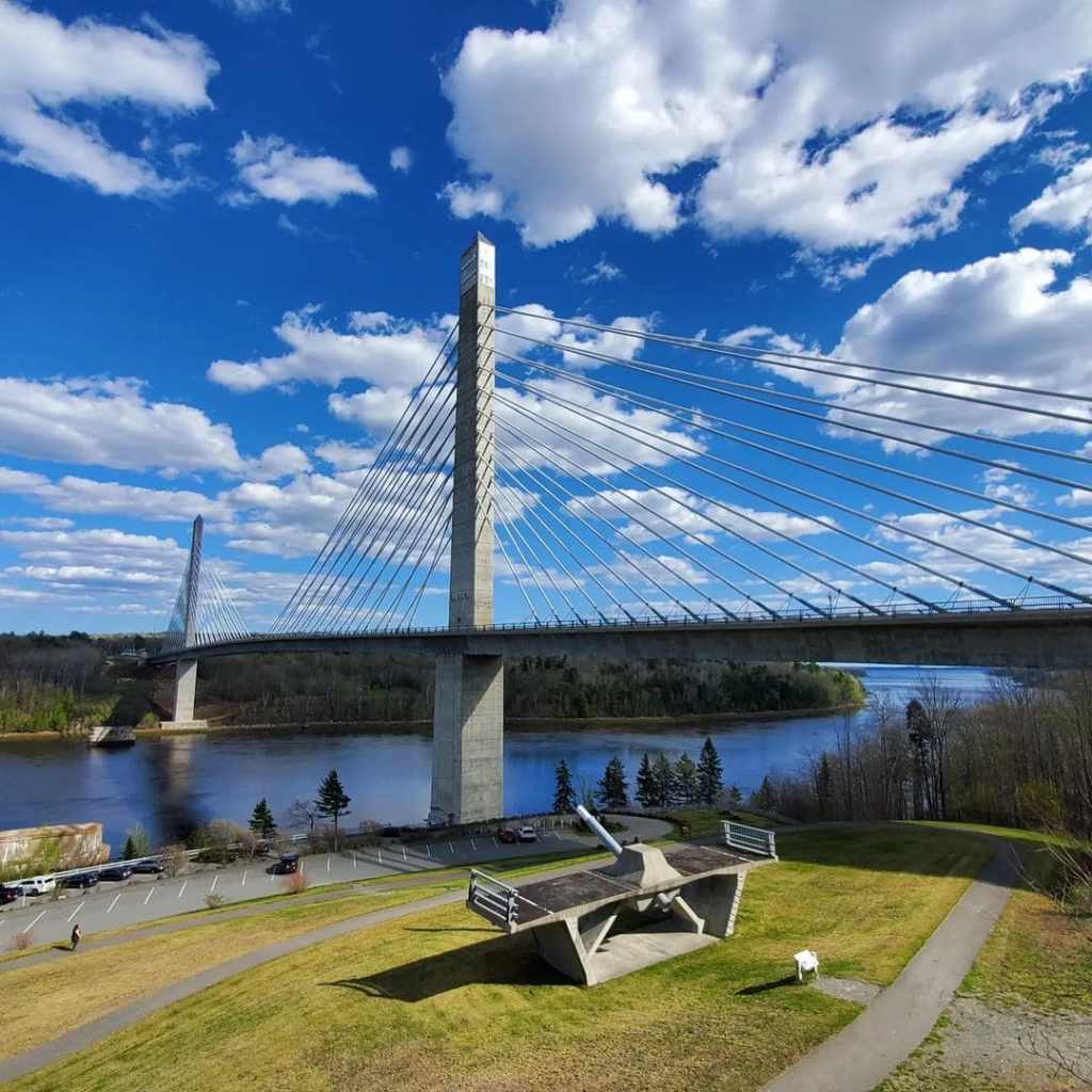
After departing the comfort of our hotel in PWM we followed the coast north for two nights of camping in Penobscot. A highlight of the drive to Penobscot and to Deer Isle is crossing the Penobscot Narrows Bridge and the Deer Isle Bridge.
Penobscot Narrows Bridge (Photo courtesy State of Maine)
The PNB pictured above and directly below is a 2120 foot long suspension bridge which opened in 2007 as a replacement for the Waldo-Hancock Bridge. The WHB was built in 1931 and was in very bad condition. The PNB was built as an emergency replacement using new untested techniques in order to accelerate the build.
Deer Isle – Sedgwick Bridge (Photo courtesy of the State. Of Maine)
The bridge pictured directly above is the Deer Isle – Sedgwick Bridge. The DISB is an almost 1100 foot suspension bridge connecting the mainland to Deer Isle. It is the only bridge connection to Deer Isle. This bridge was opened in 1939. The bridge, when opened, had wind stability problems similar to the Tacoma Narrows Bridge. The Tacoma Narrows Bridge collapsed immediately after opening. The DISB has had additional cables attached to prevent collapse from high winds! Driving over this bridge is an adventure – the bridge is steep and narrow and frankly a bit scary – particularly given the history of other similar bridges.
Through HipCamp we found a family that hosts just three campsites spread across 50 acres of blueberry fields. This location provided us with privacy and wonderful scenery as we relaxed by our campfire in the evenings.
We embarked on a short road trip from our campsite south over the bridge onto Little Deer Isle and from there crossed over to Deer Isle. Deer Isle has two towns-the eponymous Deer Isle and Stonington, which is nestled at the southern end of the Isle on the Gulf of Maine.
Stonington,Maine
Stonington has become somewhat of a tourist destination with Main Street predominately occupied by restaurants and retail establishments. The year round population of the Isle remains small at about 3000 residents. The mainstay of the local economy remains lobstering, although the granite industry has made a small comeback in recent years.
Lobstah!
At one time there were over 130 granite quarries operating along the coast of Maine. Many of the quarries are actually on the numerous small islands dotting the coastline. Today there is a quarry operation on Crotch Island (Yep!), a short distance offshore from the harbor at Stonington. Granite is extracted and moved to shore via barges.
Of course, for thousands of years before the arrival of Europeans settling in what is now Maine this area was home to the Penobscot.
The Penobscot (penawahpkekeyak) lived off of the bounty of the Penobscot River and Basin for thousands of years. After the arrival of settlers from Europe the Penobscot fought with the French against the British. When the British defeated the French the Penobscot signed a peace treaty with the British in order to avoid being deported to Canada.
With the advent of the Revolutionary War the Penobscot allied themselves with the American revolutionaries. Their support of the Americans was based on agreements that the Penobscot homeland would remain intact. None other than George Wasington agreed to this arrangement in a letter dated in 1777! Well, we all know how this story ends.
Today, the Penobscot are a federally recognized nation and a member of the Wabanaki Alliance of tribes. A portion of the Nation’s land was returned after a court case (The Maine Indian Claims Settlement Act – 1980) found in favor of the Penobscot and other tribes.
As a result of the legal settlement the Penobscot have 4000 acres of reservation land spread across 200 islands in the Penobscot River (their ancestral home as riverine people). Additionally, the Nation has 90,000 acres of land in trust which they manage. The trust land consists of nine locations in Maine.
There are currently 2400 people enrolled as members of the Penobscot Nation. The Nation has a fully independent system of government including it’s own judicial system. Two members of the Nation represent the Penobscot as non-voting members of the Maine State Legislature.
We departed Penobscot for a night in Bangor before heading to Calais to enter Canada. Staying the night in Bangor provided us with the opportunity to replenish supplies and more importantly make up for our specialty coffee and tea deficit. An added bonus was the chance to shoot several excellent murals.
Artist: Liam Reading
Chimera Coffee has been operating in Bangor for a couple of years. The owner had relocated from Dallas looking for a less crowded, hectic environment which offered cultural and oudoor activities. This worked out well for us as neither of the two specialty coffee shops in the Deer Isles had yet opened for the season. Thank you Chimera! P.S.Chimera serves Tandem Coffee!
Well that is pretty much a wrap for Maine. We will cover the enhanced security now in effect at the border and our travels along the beautiful coast of Fundy Bay in New Brunswick in our next post.
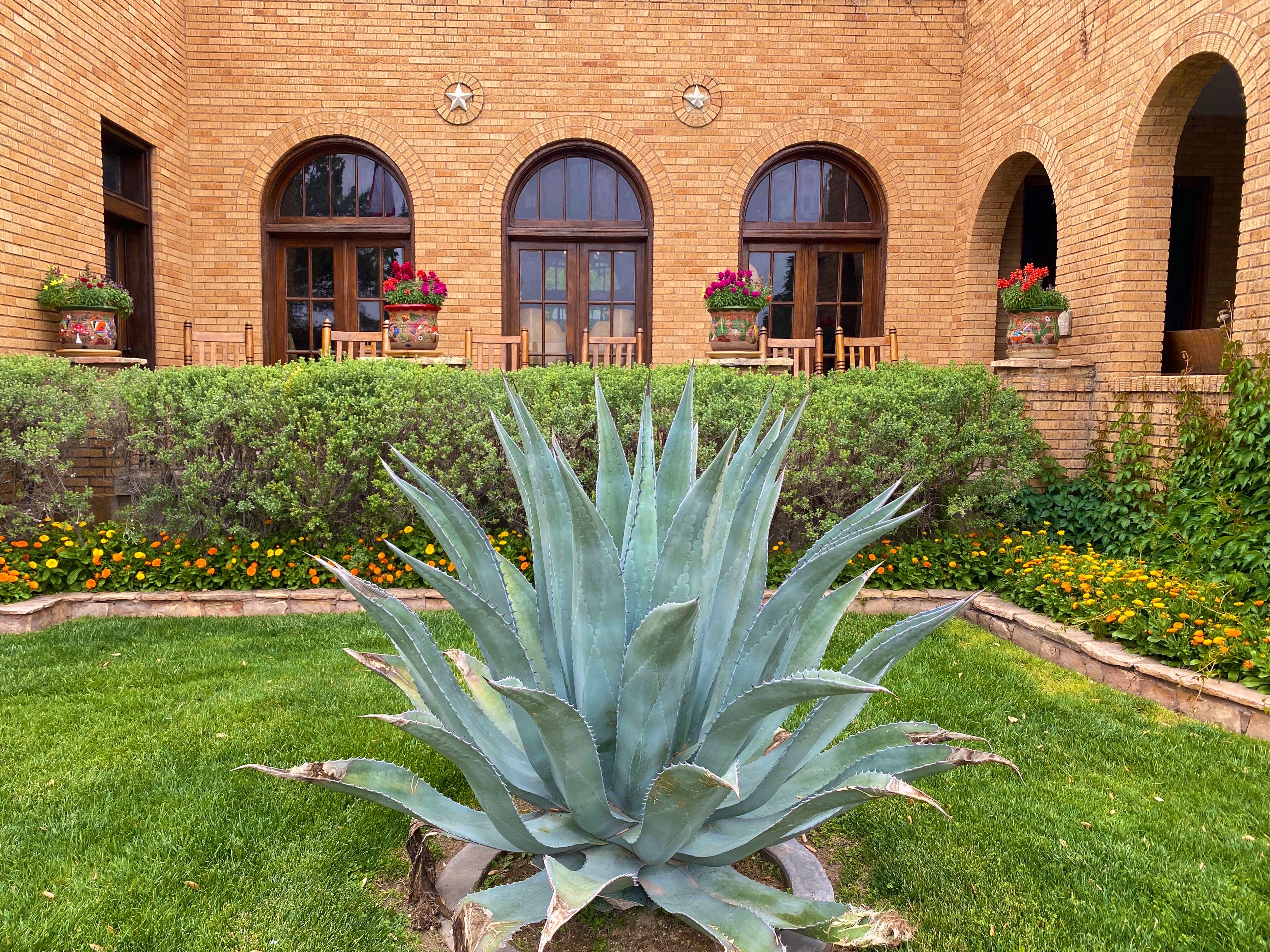
We had been in Texas and New Mexico several times prior to our most recent trip, but for some reason had steered around El Paso (EP). Perhaps the timing was just not right or we were concerned about conditions there based on the reporting regarding the immigration issues at the border. Regardless, we were ready to explore EP as part of our OTR 9.0 adventure and draw our own conclusions about the city.
El Paso, Texas and Juarez, Mexico viewed from Scenic Drive
We made the decision to stay in the city and booked a hotel in the University district for three nights. We are glad we chose this area as it enabled us to walk to a number of casual but excellent restaurants and coffee shops dotting the university neighborhood. This was especially nice as EP is a sprawling metropolis that requires some driving in order to explore the city.
Of course, the first entry point for any worthwhile city visit is COFFEE! We were traveling from the east after our recent visit to Guadalupe Mountains National Park, therefore we were able to vector directly to an excellent specialty coffee shop and roaster on the east side of the city. We were most fortunate that the founder and owner of Global Coffee, Erika, sat with us for quite awhile. She shared with us her family history and the ties with Mexico that exist in a border town that has been a major immigration point for centuries(El Paso del Norte). Erika is a delightful and talented young woman and we wish her all the success she deserves with her business and family. https://globalcoffeeco.com/
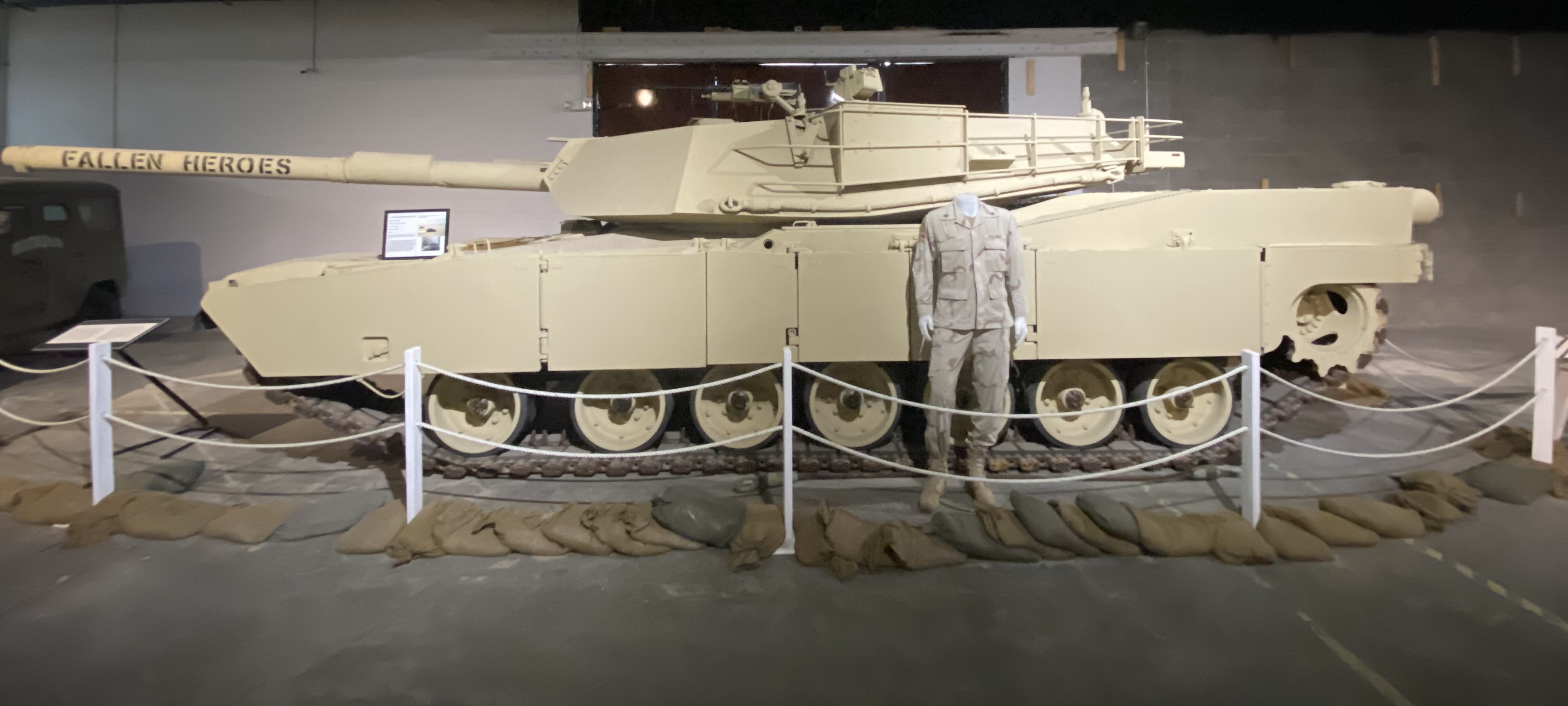
After refueling we went directly to the tank museum, officially known as the 1st Armored Division & Fort Bliss Museum. The United States Army has had a post in EP since 1849, which has served as an infantry post, a cavalry post, an air defense artillery post and currently operates as a maneuver training post. The size of the Fort Bliss training area (965,00 acres) and its mountainous desert terrain have made it a vital training location for the many forces that have been deployed to the Middle East over the last three decades.
The museum chronicles the history of the post and the units stationed there from the the initial mission of patrolling along the Rio Grande before the Civil War through the current mission of the units stationed within the base. From a Western United States history perspective this includes the Indian Wars and the Mexican Punitive Expedition.
The Indian Wars is an umbrella term for the United States Army prosecution and ultimate decimation of the Native American peoples across the Western United States. The Indian Wars were waged throughout the Civil War until 1890 when the last of the Native American bands were imprisoned or sent to reservations. Many of the actions by the federals were in direct violation of treaties negotiated between the federal government and the Native Americans (standard operating procedure).
Another interesting piece of history is the Mexican Punitive Expedition. Between December 1916 and February 1917 American forces under the command of General “Black Jack” Pershing crossed into Mexico in pursuit of Mexican Revolutionary leader Pancho Villa. Villa had attacked a town in New Mexico killing a number of U.S. citizens. The incursion into Mexico was ostensibly in retaliation for the raid. However, the main motivation was to support the Mexican leader, Venustiano Carranza, whom the U.S. was backing. The Mexican Revolution was destabilizing Mexico and jeopardizing U.S. corporate interests. Pancho Villa had to go! The U.S. Army, however, did not capture Pancho Villa and returned to the U.S. after several skirmishes with Mexican Federal soldiers who greatly resented the incursion into Mexico. An early example of the numerous unsuccessful and unwarranted interventions by the U.S. government in the internal affairs of another sovereign nation! P.S. Pancho Villa survived the Mexican Revolution and was granted amnesty only to be assassinated three years later.
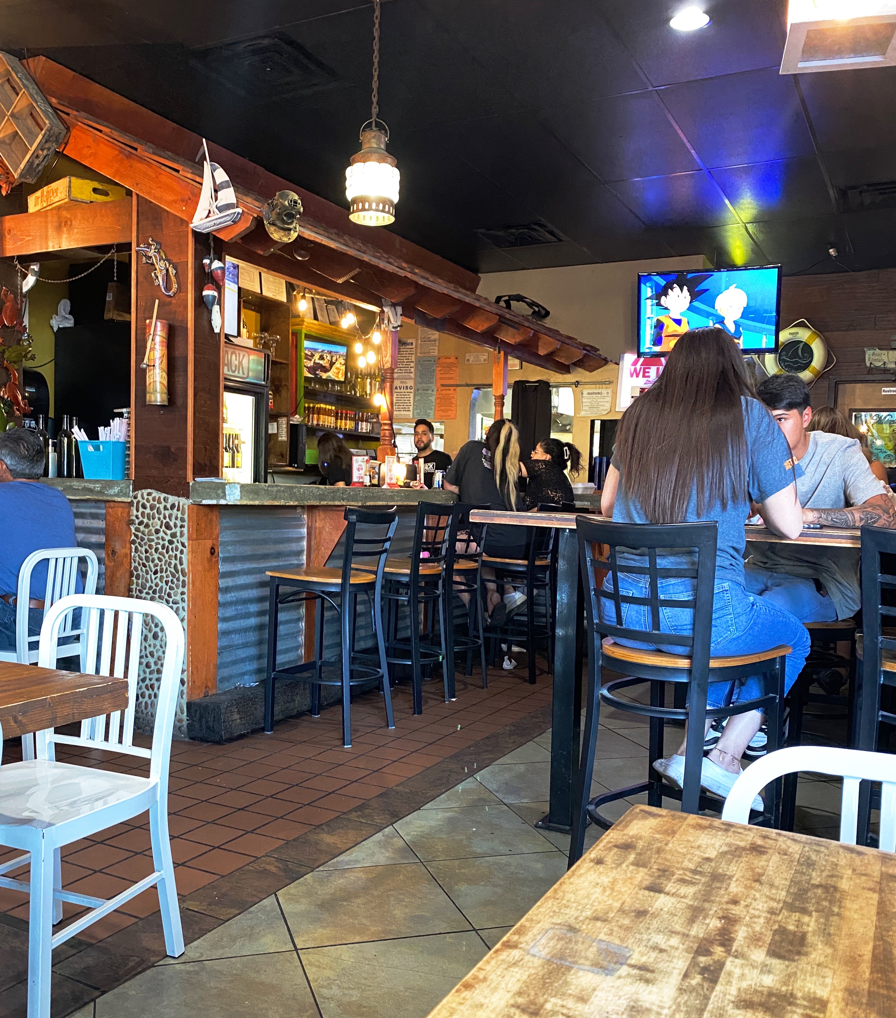
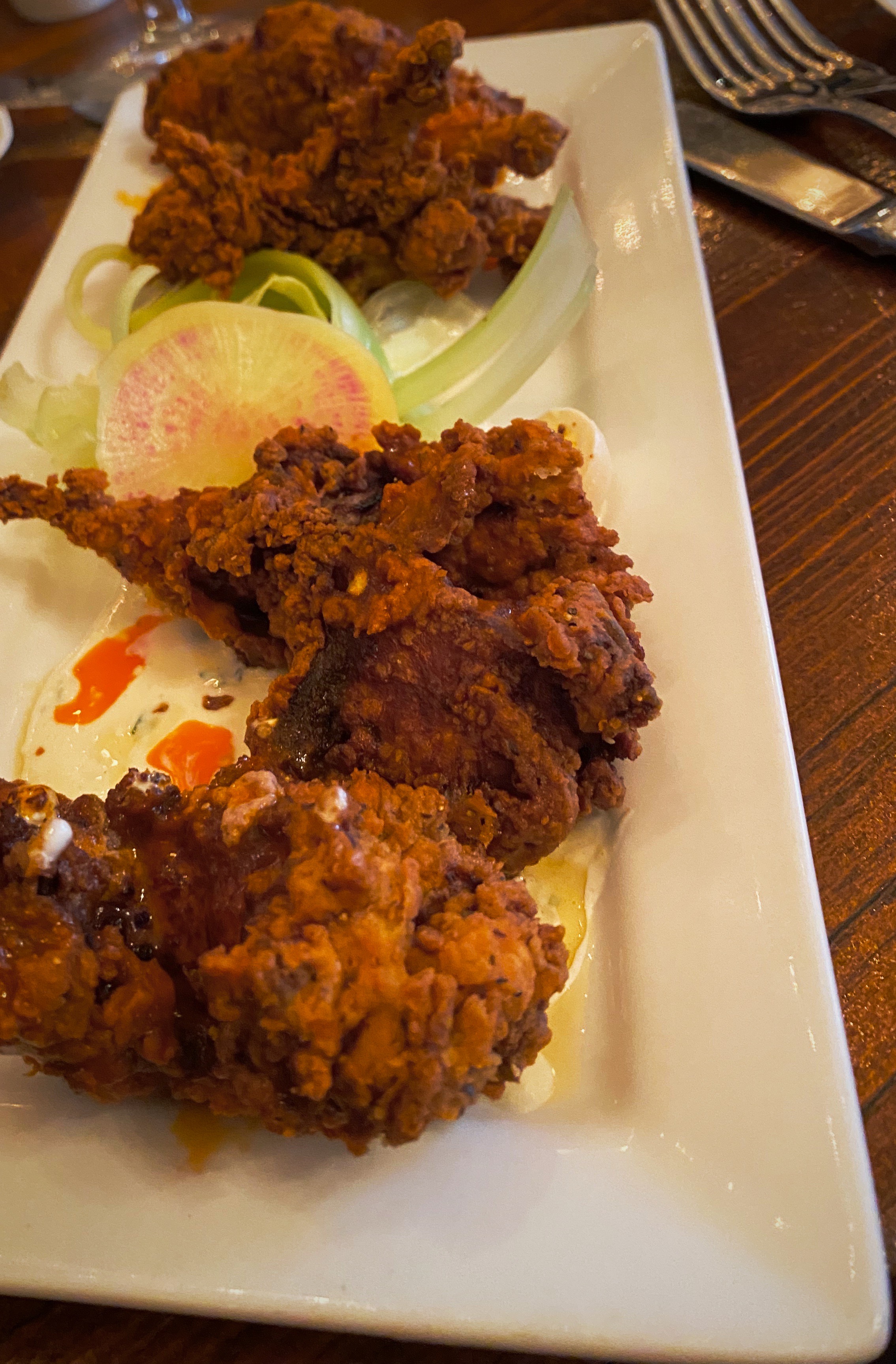
After checking in at our hotel we walked a couple of blocks to have supper at a popular local eatery – The Shack. The restaurant is owned by two brothers – Adrian and Michael Soto – they grew up in the restaurant business working and learning at their mother’s restaurant, Mima’s Cafe. The Shack has a wide array of dishes but we went for the Mexican inspired dishes and had a great dinner at this casual and friendly spot. https://theshackwings.com/
Since our hotel was a considerable distance across town from Global Coffee we opted to try our luck at Casa Cafetzin which was just a five minute drive from our hotel. Erika from Global Coffee had recommended Casa Cafetzin, so we were fairly certain that we would be starting our day on a great coffee and tea note. If we are being honest, we might admit that we would have passed by this cafe due to its location attached to a modest motel. Fortunately, due to the recommendation from Erika, we did not pass up a great coffee and tea experience. Cafetzin was excellent and the baristas were all terrific! Thank you Erika!
After departing Casa Cafetzin we headed downtown for a day of viewing fine art and street art. Our first stop was at the El Paso Museum of Art (EPMA). The EPMA came into existence in 1959 as the result of a large donation of European art by a private foundation. The donated collection became the impetus to build a first class art museum serving the El Paso – Juarez Borderplex. Today the museum houses over 7000 works. The museum has also operated an art school for the last twenty years. Fittingly, the EPMA operates as a bilingual institution, reflecting the heritage and diversity of the Borderplex (75,000 people cross back and forth between El Paso and Juarez on a daily basis).https://epma.art/visit
Artist: Fremont Ellis, El Paso Smelter at Night, 1919
We really enjoyed the portraiture works on display. The painting top left, below, The Telephone Operator (The Weaver of Public Thought), was our favorite. The artist Gerrit Beneker, is probably most well known for the posters he created during World War One in support of the war effort.
The museum’s collection also demonstrates an impressive commitment to diversity and regionalism based on the works on display when we visited. Fritz Scholder (top left, below) is one of our favorites and well known for his insightful depictions of Native American stereotypes. Scholder was a member of the Luiseno tribe.
We were also surprised and pleased to see a portrait, Mrs. Viola Andrews – My Mother (bottom left) by the figurative painter, Benny Andrews. We had the fortune of seeing a number of his works several years ago at the Ogden Museum of Fine Arts in New Orleans (see our post, Fine Art Tourist: Ogden Museum of Southern Art ).
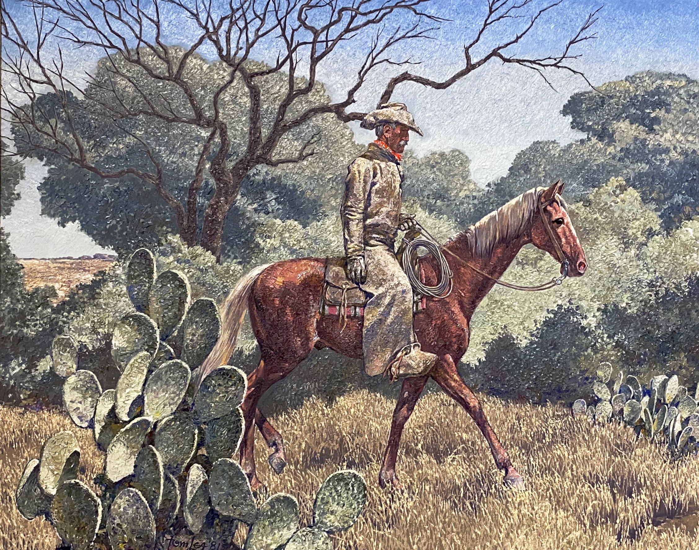
We also enjoyed the works of American art featuring West Texas and the Southwest. The museum has works by El Paso native Tom Lea and many other noted western artists including the self-taught Fremont Ellis.
After departing the EPMA we stopped for some tacos and then went in search of street art downtown. We have included a few of the murals we found there. The art works below are all located on walls on Leon Street, all by different artists.
Dinner was another great find for us, a short walk from the hotel, in the University District. Kaedama serves outstanding ramen dishes! We did not think that we would be greedily shoveling awesome Japanese noodle soup dishes into our faces when we arrived in EP. The business started as a food truck owned by two friends – Garbiel Valencia and Andres Romero – and became popular very quickly. The friends decided to open a brick and mortar location and were able to open relatively quickly in part to an enthusiastic response to a crowdfunding campaign. The restaurant even gathered a visit from Food Network Chef and TV host Guy Fieri while he was visiting EP. A great way to finish day two! https://www.facebook.com/Kaedama915/
Artist: @DEKO_UNO, Kerby Avenue, El Paso, Texas
On our final day in EP, we journeyed across town to visit La Mision de San Antonio de la Ysleta de Sur. The Ysleta mission is the first permanent mission established in Texas. The mission was founded in 1680 by Indian and Spanish settlers who fled New Mexico as a result of the Pueblo Revolt of 1680. The revolt was the culmination of more than 100 years of incursions by Spanish soldiers and, of course, missionaries. The indigenous Pueblos killed 400 Spanish soldiers and drove about 2000 Spanish settlers out of the Albuquerque area.
The original mission was built by the Tigua Indians in 1862. The mission has been rebuilt several times due to flooding and fire. The last time was in 1908 after a fire destroyed the roof and bell tower. The Tigua Indians are still active in the mission, celebrating traditional holidays and the Tigua Feast of San Antonio, their patron saint.
As with many other missions along what is now the border, the mission was located in Mexico until the 1848 Treaty of Guadalupe Hidalgo transferred this territory to the United States. While the mission was technically in the United States, it continued to be administered by the Mexican church until 1872.
After visiting the mission we found our way to the El Segundo Barrio near downtown to view the many notable murals. As the name suggests the Segundo was the second neighborhood in EP. Since the 1830s this area has been a major entry point for Mexican immigrants coming into the United States. The majority of the immigrants in the barrio were and still are migrant farm workers.
Artists: Jesus Alvarado and Victor Casas, El Segundo Barrio, El Paso, Texas
The Segundo still reflects its Tejano culture and traditions very proudly (we hope the murals we have featured reflect that same sense of tradition, culture and aspiration). At one point, the city planned to demolish much of the barrio as a way to eliminate the significant substandard housing stock instead of addressing the root causes in a humane fashion. Fortunately, civic groups formed and defeated the city’s plan to demolish the historic area.
Unfortunately, the preservation of the barrio has not improved the economic conditions significantly. Many of the Mexican-American residents and immigrants still toil as farm workers. The barrio is poor by any measure, albeit rich in culture, tradition and pride in its heritage.
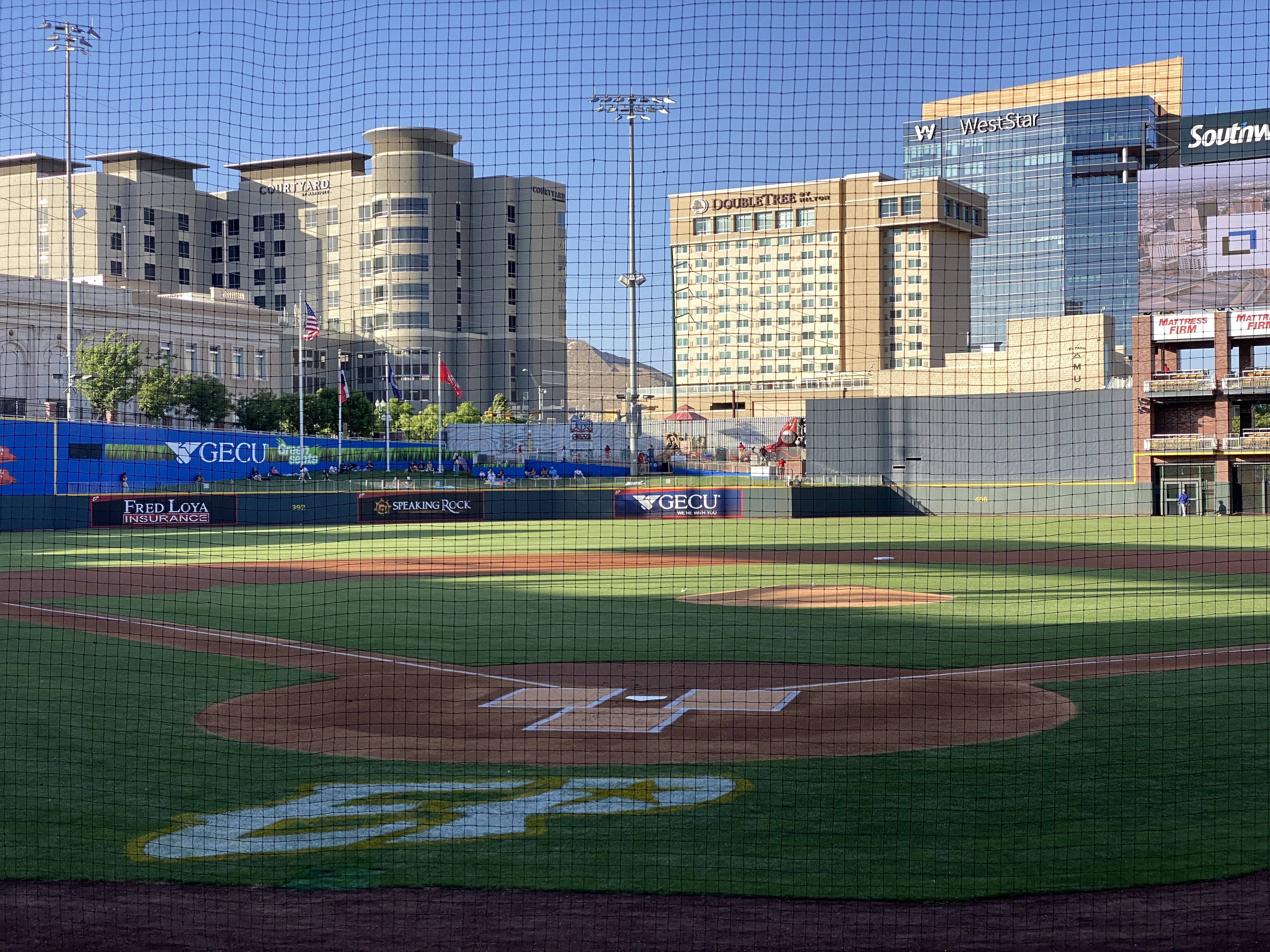
On our final night in EP we took in a ballgame. The El Paso Chihuahuas are the Triple-affiliate of the San Diego Padres and compete in the Pacific Coast League. This team has been located in a number cities (Spokane, Albuquerque, Portland, Tucson) prior to arriving in El Paso in 2014 to play in their brand new stadium. The stadium is very attractive and sits right in downtown.
The Chihuahuas are not having their best season, but to the delight of their very enthusiastic fans, the club rallied late in the game to defeat the division leading OKC Dodgers. Go Chihuahuas!
We departed EP and Texas the following morning to head across the Chihuahuan Desert of New Mexico. We enjoyed our time in Texas and EP and have no reservations about recommending visiting EP. This was our third time traveling across the state and we still have not explored several areas within the state. Everything is bigger in Texas!
We hope you enjoyed this post. Be seeing you! 2023 May OTR 9.0
P.S. You have probably read much about the immigration issues along the Texas/Mexico border. While were in the city we witnesses significant Border Patrol activity along the border fence on the United States side of the Rio Grande. We also observed the large military presence patrolling along the Rio Grande on the river side of the border fence utilizing Humvees and foot patrols.
And yet, we could clearly see immigrants massed on the Mexican side as well as detainees on the U.S. side. Currently around 900 immigrants per day are crossing from Mexico into the EP port of entry and allowed to legally enter the U.S. The city works with a number of non-governmental agencies to provide the immigrants with shelter, food and water. It is quite apparent that the city is doing everything it can do to ensure the immigrants are treated humanely. The majority of immigrants currently entering at EP are from Central and South American countries and Cuba. Venezuela accounts for approximately 70% of the immigrants.
We can only imagine how bad conditions must be in Venezuela and the other countries for individuals and families to risk everything to escape the poverty, crime and repressive governments in their respective countries.
After departing Seminole Canyon, we made our way west to Marathon (Mare-a-thun) to spend a couple of days in comfort, before heading to the Big Bend backcountry. While our attempt to drive the entire way from Seminole Canyon to Marathon via ranch roads was not successful, it did not dampen our appetites. First order of business, Texas style bbq at the Brick Vault Brewery & BBQ. Mighty fine beef brisket (almost as good as Keef’s!). After our hardy and delicious lunch, we strolled down the block to check in at the Gage Hotel.
After checking in, we enjoyed our first hot shower in several days, followed by a lie down. When we awoke we were very thirsty. Fortunately, the White Buffalo Bar is adjacent to the hotel and was ready to serve us cocktails and wine. With our thirst at least partially quenched, we made our way from the bar to the dining room of the 12 Gage Restaurant.
The restaurant markets their fare as “West Texas Cuisine with a gourmet twist”. We totally agree with the description. All of the restaurant’s vegetables and herbs are grown in their own garden. All of the wild game and fowl is sourced locally and the beef comes from the Iron Mountain Ranch about seven miles up the road. All of the food was delicious!
Marathon, like many of the other towns in the Trans-Pecos region of Texas, was founded when the railroad arrived. Railroad workers building east from El Paso reached what is now Marathon in 1882. In this case, it was the Galveston, Harrisburg and San Antonio Railway (later the Southern Pacific). Around the same time, a former sea captain by the name of Albion Shepard had purchased land north of Marathon to develop a ranch (Iron Mountain). Shepard is credited with naming the town Marathon, because it reminded him of the plains of Marathon, Greece, which he had seen during his seafaring days.
Iron Mountain Ranch(Photo Bill Murphree)
The “Long View” Across the Plains to the Glass Mountains
Alfred Gage was a native of the Green Mountain State (Vermont) who ventured to Texas in 1878 at the age of 18 to make his fortune. He did just that – building a 500,000 acre ranching empire. As Marathon became an established shipping center for the ranching industry, he recognized the need for hotel accommodations for business and other travelers. He commissioned the construction of the hotel which opened in 1927. Gage was based in San Antonio but spend considerable time in Marathon, utilizing the hotel as his residence, office and entertainment venue while in town.
St. Mary’s Mission (Founded 1908)
Over the last several years, Marathon has become a destination in its own right. Previously, it was mostly a jumping off place for people on their way to Big Bend NP (BIBE). The current owner of the Gage Hotel (JP Bryan) also owns and operates the White Buffalo Bar, 12 Gage Restaurant, Brick Vault Brewery and the V6 Coffee Bar. Additionally, he has purchased and renovated a number of properties in town for retail space and art galleries. We found that Marathon more than lived up to our expectations for a couple day stay to unwind and enjoy find food and lodging before our adventures in Big Bend NP. We definitely recommend a visit to Marathon on your way into or out of BIBE.
After our stay we drove the 60 or so miles south to BIBE (see our post Three Nights in the Backcountry). After our stay in BIBE we made the drive up the immensely scenic Texas State Highway 118 to spend a couple of days in Alpine. The 118 runs through Study Butte (Stew-dee) and Terlingua before heading north through the Chichuahuan Desert.
Texas State Highway 118
Our first stop in Alpine, unsurprisingly to any of our regular readers, was for coffee and tea. We had spent an afternoon in Alpine in March 2020 before the pandemic lockdown made its way to Far West Texas and knew from that visit that Cedar Coffee and Supply would meet our needs.
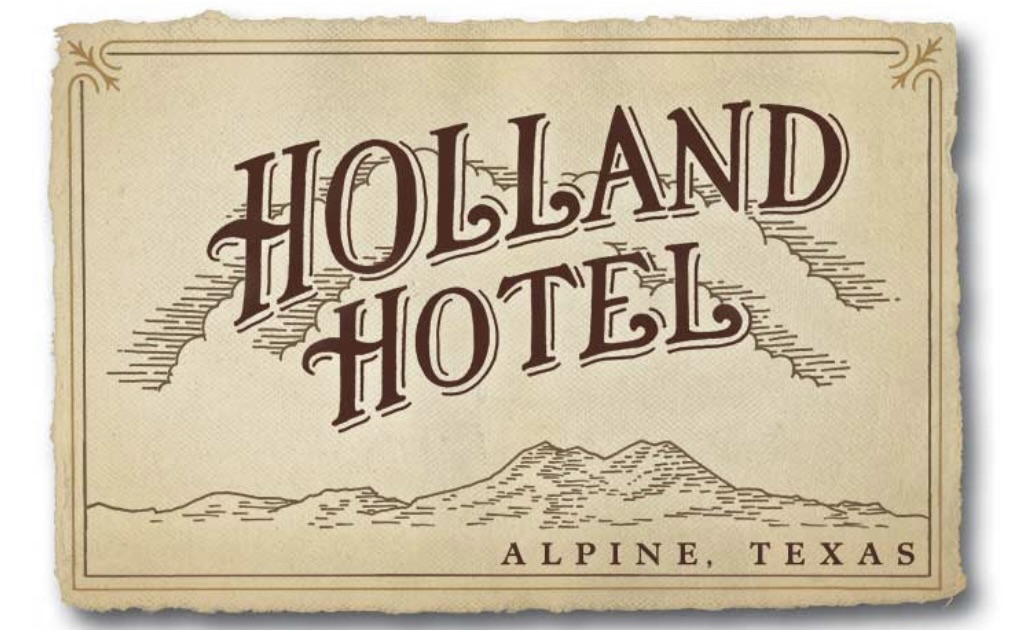
Staying in Alpine provided us with the opportunity to stay at the Holland Hotel, our fourth Henry Trost designed hotel. Henry and his brother Gustavus were early 20th century architects based in El Paso. They were renowned for their Spanish Colonial Revival Style hotel designs – tile floors and roofs, courtyards, exposed beams and wrought iron are used throughout. The lobbies and courtyards are the centerpiece attractions for us – comfortable, wonderful spots to read, drink coffee or wine and perhaps do a bit of people watching.
Alpine’s origins are similar to Marathon’s and many other towns in the Trans-Pecos–cattle and the railroad. Alpine grew from a tent encampment of railroad workers in cattlemen along a spring fed creek in 1882, to a small town. The spring was the key element for the railroad as the locomotives were steam powered at that time. In 1921, the state opened Sul Ross State Normal College in Alpine. The opening of the college brought a significant increase in population and, as an added bonus, the first paved roads in town. At the turn of the century the population was estimated at 300 people. After the college opened the population ballooned to around 3000.
Today, the freight trains continue to chug through town, although they have no need to stop for water as the steam locomotives have long since been replaced. The town is serviced by AMTRAK as Alpine serves as a jumping off point for BIBE for those people that would prefer to travel by rail to this remote national park. The Sunset Limited stops in Alpine six times per week – three times from the west and three times from the east. The eastbound Sunset Limited originates in Los Angeles from the west and New Orleans from the east. The town continues to be anchored by what is now the Sul Ross State University.
On our first evening in Alpine we dined at the The CenturyBar and Grill located in the Holland Hotel. The Century provided us with another fine dining experience featuring delicious regional cuisine. We also had the opportunity to chat with our servers, both students at the university who were actually a couple. They were quite friendly and most knowledgable about the geology and history of the area. We meet the nicest people on the road!
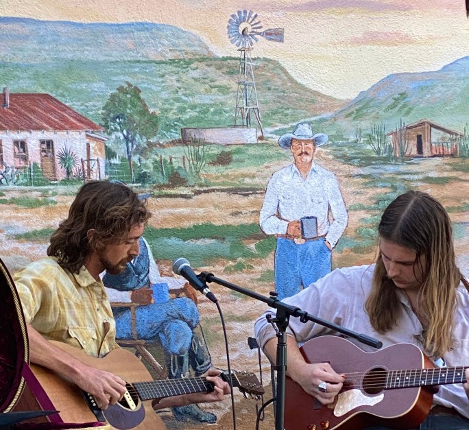
On our second evening in Alpine we decided to take advantage of the live music scene in town. The Petit Bijou bills itself as the “teeniest tiniest wine bar in Texas”, contrary to the usual boast that everything is bigger in Texas. You can see the Airstream bar in one of the photos below – the claim that it is the teeniest tiniest wine bar in Texas just might be valid. We were in for a treat – a jazz show that was canceled earlier in the week due to a wind storm was set to open the evening, followed by a country duo from Austin.
We enjoyed a couple sets of great jazz and country music while getting acquainted with a number of the very friendly folks sitting at our neighboring tables. The food and wine was delicious and we were fortunate to meet and spend some time chatting with Ginger Hillary, the petit Bijou proprietor. As Hans Christian wrote “to travel is to live”.
One of the reasons we visited in March 2020 was the town’s reputation as home to excellent street art. We found several murals that we had not seen previously which we have included in the photos below.
We hope you enjoyed this post. As always, we look forward to your comments and suggestions. Our next post will feature El Paso, our last stop in Texas.
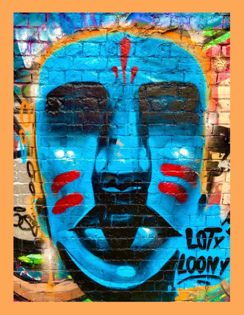
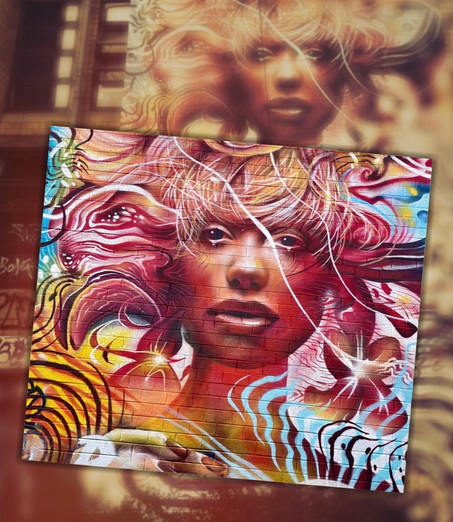
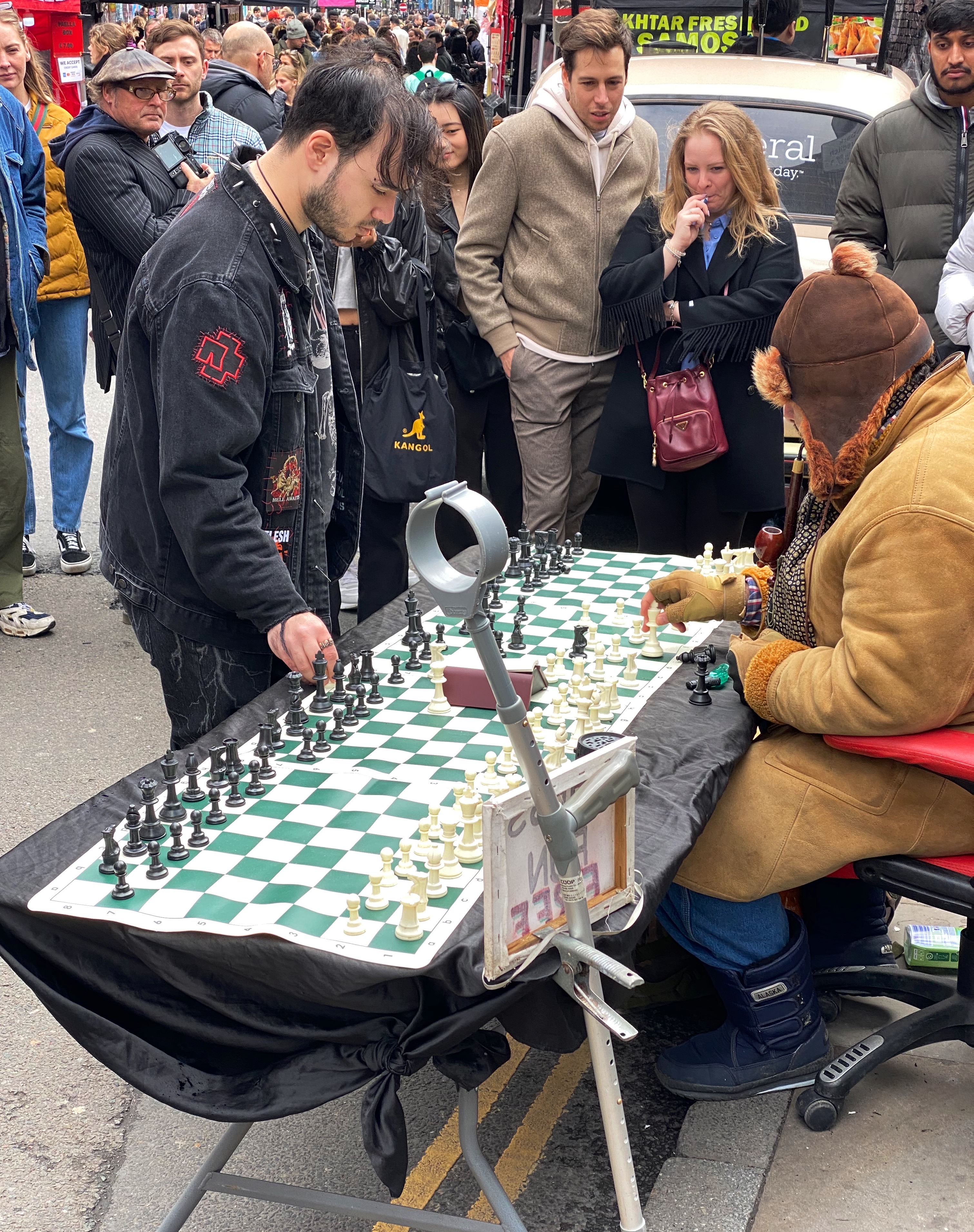
The famous Brick Lane Market was high on our list of must do experiences while in London. The market operates at full tilt on Sundays – accordingly, we made our way there on a chilly, gray Sunday. Of course, of special interest was the opportunity to see and photograph some of the plethora of street art located on and around Brick Lane.
Brick Lane is situated in the heart of the East End in the Borough of Tower Hamlets. The area has been a home to immigrants from many countries over the last 300 years. Most recently, the area has become home to a Bangladeshi community. If you look in the photos above you can see that the street signs are in English and Bengali!
7th Pencil @7thpencil, London-Weavers
Apparan @apparan, London-Allens Gardens
Benzi Brofman @benzi_brofman, London-Weavers
Jill Vigilion, London-Brick Lane
As you can see from the photographs, we found plenty of great street art – it is literally everywhere! We also sampled food from several stalls, did a bit of shopping and made our way over to the Columbia Road Flower Market.
Benzi Brofman @benzi_brofman, London-Brick Lane
Artist Unknown, London-Tower Hamlets
Artist Unknown, London-Weavers
Apparan @apparan, London-Tower Hamlets
The whole area was absolutely jammed with people – a diverse mix of tourists, hipsters, locals, musicians and vendors. In addition to the food vendors, there was a wide range of restaurants offering ethnic cuisines.
The borough is still quite obviously an area of economic diversity. There are sections that are experiencing gentrification interspersed with blocks that appear to be suffering from little or no maintenance.
Sheppard Fairy @obeygiant, London-Tower Hamlets
Artist Unknown, London-Weavers
We had a great day exploring the East End and definitely recommend exploring the borough when you visit London. We hope you enjoyed this post ; in an upcoming post we will share some of the culinary highlights from our Londontrip.
We originally planned to visit the Black Canyon of the Gunnison (BCG), Rocky Mountain Nation Park (RMNP) and Great Sand Dunes National Park(GSDNP) while in Colorado. But as we monitored the conditions in Colorado during the trip (and spoke with some fellow travelers who had recently been in Colorado) it became apparent that we would not be able to access significant portions of our original itinerary due to this winter’s abundant snowfall in the Rockies.
So, after several excellent weeks touring western New Mexico, we departed Farmington, New Mexico to traverse Colorado in a northeasterly direction to visit GSDNP in southwestern Colorado, while forgoing the BCG and RMNP.
Durango – Four Corners – Route 550, Colorado
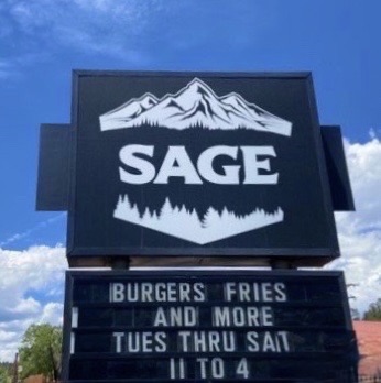
Of course, custom requires that our first meal after crossing a state line consist of burgers, fries and, if possible, a milkshake.Happily (and perhaps unhealthily) our tradition remains intact!
South Fork – Eastern Rockies – Route 160, Colorado
After refueling with burgers and diesel we continued our drive to the town of Del Norte. Prior to Euro-American settlement, this area was occupied by the Utes who migrated to the area from the south during the warmer months of the year. When this territory came under Mexican rule during the early 19th century, Hispanic settlers migrated north to take advantage of land grants offered by the Mexican government. Subsequently, this area was ceded to the United States by Mexico.
In 1859-1860 gold was discovered in the San Juan Mountains in what had been Ute territory for 500 years. Never mind, the Kit Carson Treaty (Ute Treaty of 1868) was negotiated in order to remove the Utes from the gold rich Central Rockies in exchange for land on the Western Slope of the Rockies. This treaty, as with most other treaties between the federal government and Native Americans, was eventually violated by the federal government and after the Utes rebelled they were driven out of Colorado entirely (Meeker Massacre).
Del Norte, Photos, Courtesy Denver Public Library
Today the small town of Del Norte (pop. 1600) is mainly an outdoor recreational hub with rafting on the adjacent Rio Grande and a plethora of rock climbing, mountain biking, hiking and camping options.
After a quick tour of the small downtown we headed west a short distance to find a camping spot in the Rio Grande National Forest. We found a great spot in a meadow which afforded us a panoramic view of Del Norte Peak.
Rio Grande National Forest
Del Norte Peak, Elevation 12,400′
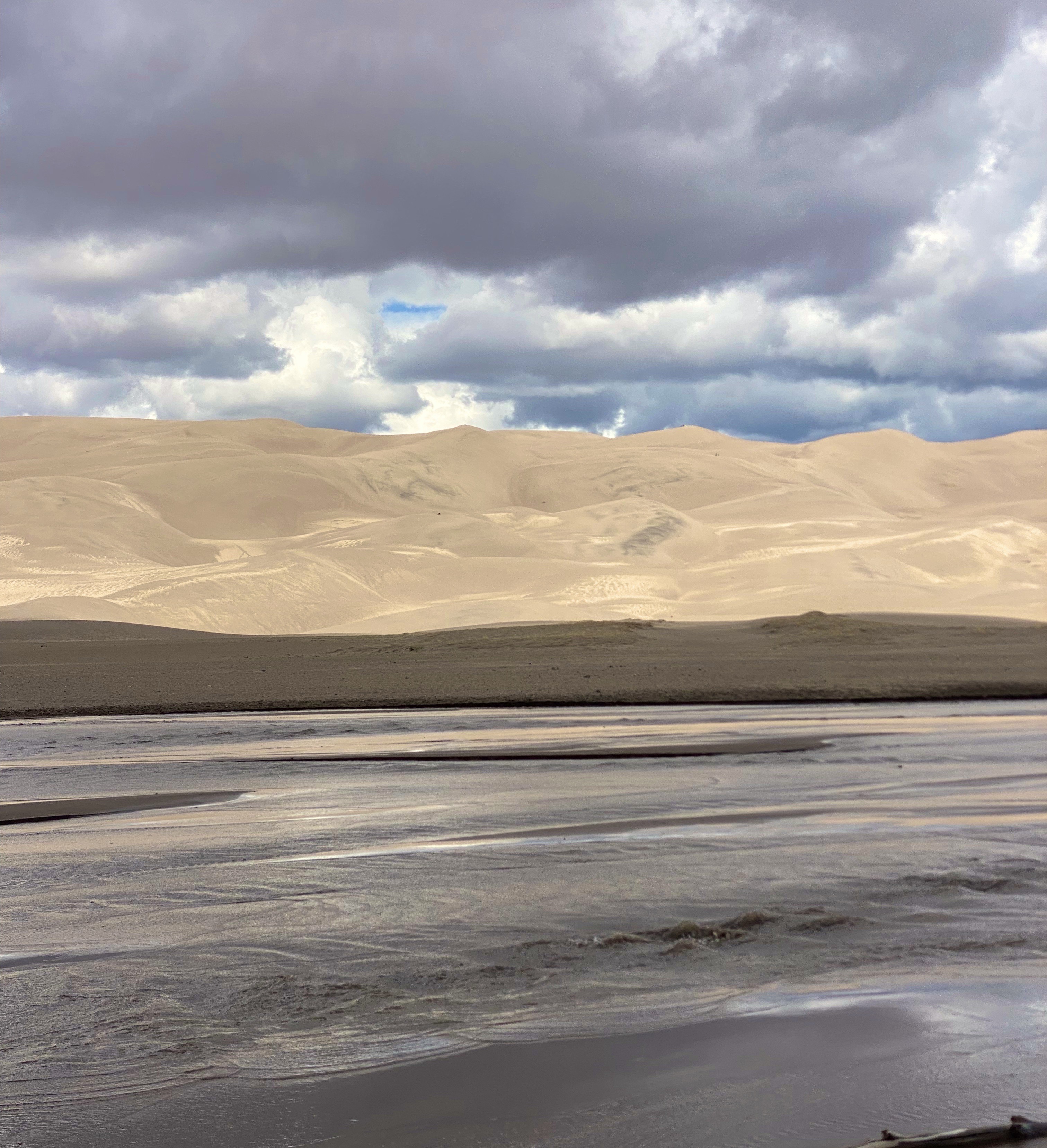
The following morning we set our course due west for the one hour drive to visit GSDNP. The park was declared a national monument in 1932 in order to keep the dunes from being damaged by gold mining or concrete manufacturing. The monument was elevated to full national park status in 2004.
Great Sand Dunes National Park – Sangre De Cristo Mountains
GSDNP presents a fascinating landscape with grasslands separated from a thirty square mile sand desert by Medano Creek. The dunes are tucked in against the base of the Sangre de Cristo Mountains–quite spectacular! The sand dunes at GSDNP are the tallest in North America. Some are as high as 700 feet (Star Dunes is the tallest at 750 feet).
The dunes here are constantly changing as winds from the mountains drives sand down onto the dunes. Weather and erosion form the sand into distinctly identified and ever changing shaped dunes – parabolic, transverse and barchan – as examples.
Unfortunately, our opportunity to explore the dunes was limited due to an approaching lightning storm. One of the park rangers was kind enough to point out the obvious – not smart to be standing on top of a 600 foot dune in the middle of a lightening storm!
Medano Creek
In addition to the fantastic scenery, we were looking forward to driving the Medano Pass Primitive Road. The road is a sandy and rugged 22 mile 4WD road which runs from the base of the dunes up and over the Medano Pass (10,040 feet). The road was not fully open due to the conditions at higher elevation. The road crosses the the creek nine times and the water flow was still too deep due to this years snowfall.We have included a short video clip (below) from our drive on the road to provide a feel for the road and scenery.
Medano Pass Primitive Road
The NPS video below by is about the Navajo (Dine’) People, their four sacred mountains and their relationship to the land that now constitutes GSDNP.
We enjoyed our brief visit at GSDNP and we look forward to returning on a future trip to explore the dunes in depth, boondock up on the mountain and traverse the entire Medano Pass Primitive Pass Road.
Walsenberg, Colorado
On departing GSDNP, we decided to push straight on through to Colorado Springs. Our previous trips to Colorado Springs were business related and we stayed at the world famous Broadmoor. We would not be staying at the Broadmoor on this self funded visit!
The Broadmoor
Colorado Springs sits at just over 6000′ above sea level at the eastern base of the Rocky Mountains. Snow covered Pikes Peak (14,100′) looms over the city to the west creating a stunning backdrop. We did not travel up to the peak on this trip as we had taken the nine mile cog railroad trip on a previous visit (we definitely recommend riding the railroad to the top if the weather is clear -which it usually is in this part of Colorado). The train ride is fun and the views are phenomenal.
Pikes Peak
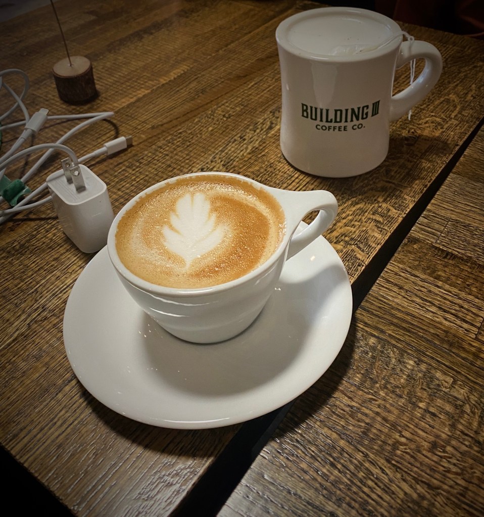
From our pre-trip research we knew that Colorado Springs held promise for specialty coffee and a vibrant street street art scene. Our first stop was Building III Coffee Bar and Roastery – B3 is located, along with a number of other occupants, in a former public school building now known as Lincoln Center – great to see the building repurposed. Excellent coffee, great breakfast sandwiches and uber friendly staff! Extremely popular – it can be hard to get a seat even with the large amount of seating capacity – but it is worth the wait. https://www.building3coffee.com/
Building Three Coffee
Well fortified with caffeine, we ventured out into the uncharacteristically gray, chilly day in search of street art. We decided to start our pic hunting session in the Knob Hill neighborhood, located a short distance northeast of downtown. We were pretty certain the neighborhood would be street art rich based on reading about the Knob Hill Urban Arts District. The District is a “nonprofit organization dedicated to putting art up on every damn wall we can get our hands on.” Love it!
The photos below are a small sample of the street murals we found in the Knob Hill neighborhood. This group is not kidding about putting art on every wall. We found art in every alley and available nook and cranny. So good! To see more of the street art we photographed during OTR 9.0 in Colorado Springs and other cities see our WordPress blog @streetartfromtheroad: part two.
There are also a number of large scale murals in downtown. The photos below are a few of our favorites we captured while strolling through downtown.
With the cloudy, drizzly weather persisting into our second day in Colorado Springs (coincidently nicknamed “Little London” although not for the weather – there was a large British population in the 1870s) we decided to visit the Fine Arts Center (FAC) at Colorado College. The FAC is located in the Old North End neighborhood – an area of stately late 19th and early 20th century homes and tree lined boulevards.
The Fine Arts Center is home to the art museum as well as a theater school and performing arts venue. The museum was opened in 1936 as an outgrowth of the Broadmoor Art Academy. The Colorado Springs area had become a hub for art on a scale commensurate with the more well known artist colonies in Taos and Santa Fe.
Charles R. Bunnell (1897-1968) March Snow, 1940, Oil on canvas
Victor Higgins (1884-1949) Santa Fe Hills, Date Unknown, Oil on canvas
As with many museums of this size, the collection is regionally (although not exclusively) focused. We have included photos of several paintings which reflect the southwestern focus (and which we really liked). The museum is definitely worth a couple of hour visit when you visit “Little London”.
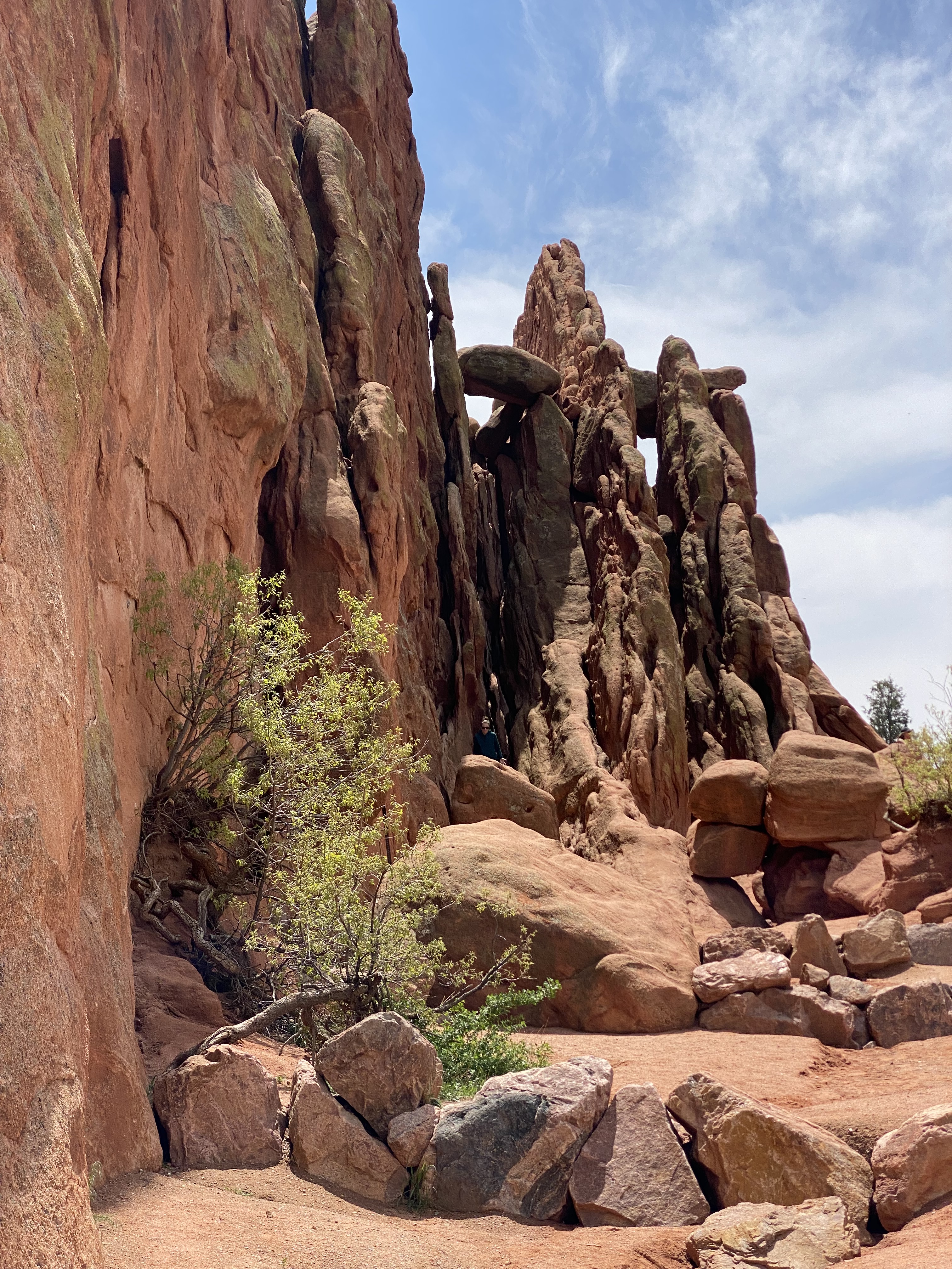
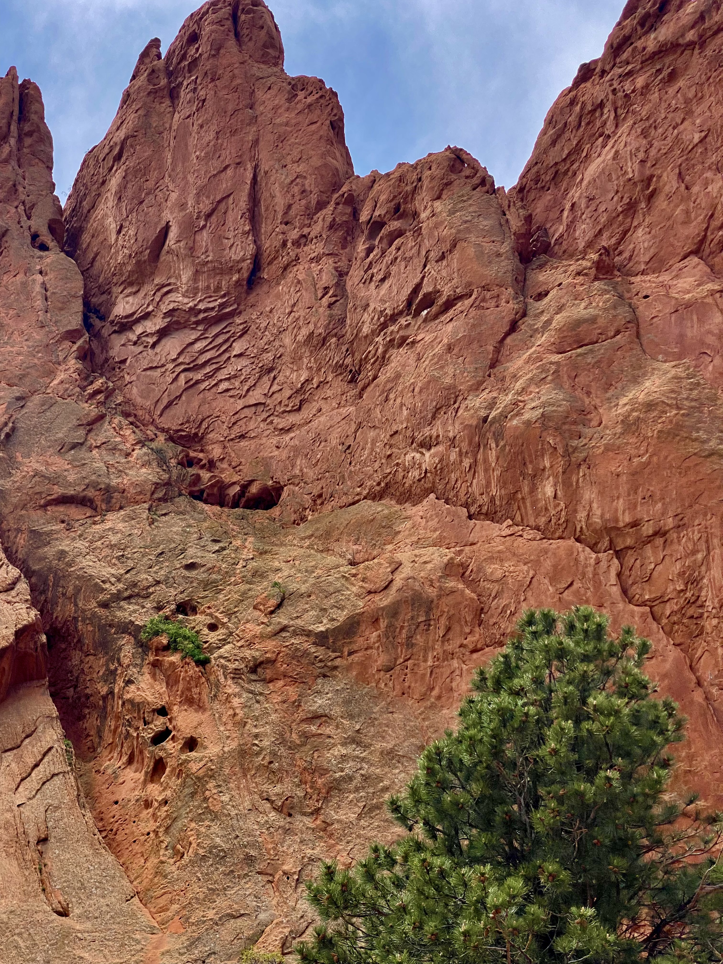
On our final day in Colorado Springs we ventured out to Red Rock Canyon. We had held off visiting earlier in our stay due to some cloudy weather. Unfortunately, it appeared that everyone else in Colorado Springs had done the same (it was also the weekend) and this popular open space was quite crowded.
Still, we managed to find some quiet spaces and uncluttered views as we walked between and around the rock formations. Additionally, there are a number of moderate and longer trails for the more adventurous which usually provide solitude regardless of when you visit.Do visit when the sky is clear in order to see Pikes Peak rising above the red rock formations.
Interestingly, Red Rock Canyon is a city park consisting of 1474 acres of land. The park was pieced together with the multiple purchases of parcels over a period of years during the 1920s and 1930s by private citizens. It was acquired by the city in 2003. What makes the park’s history all the more remarkable is that many of the parcels were formerly quarries, gravel pits and industrial sites which have been reclaimed. There is little evidence of the past use of the space – without reading about the history you would most likely not think that to be the case.
After our walkabout at Red Rock, we popped over to the nearby Old Colorado City neighborhood. The neighborhood was at one time a separate town that prospered as a coal mining town and in the late 19th century as a gold refining location after the discovery of gold nearby. Typical of so many western mining hubs, the boom ultimately became the bust. The final straw was the prohibition of liquor sales in 1914. In 1917, the town was annexed by Colorado Springs.
The brothels and saloons that once lined Colorado Avenue have long since been replaced by art galleries, restaurants, wine bars, coffee shops and clothing stores. After a bit of browsing in several of the art galleries and book shops we took lunch at La Baguette Cafe and Bakery. Yum – the best bread!http://labaguette-co.com/
We were uncertain what lay ahead in regard to specialty coffee as we were about to venture into more rural territory; so we stopped in downtown for coffee, tea and breakfast at Loyal Coffee. First rate in all regards!https://loyalcoffee.co/
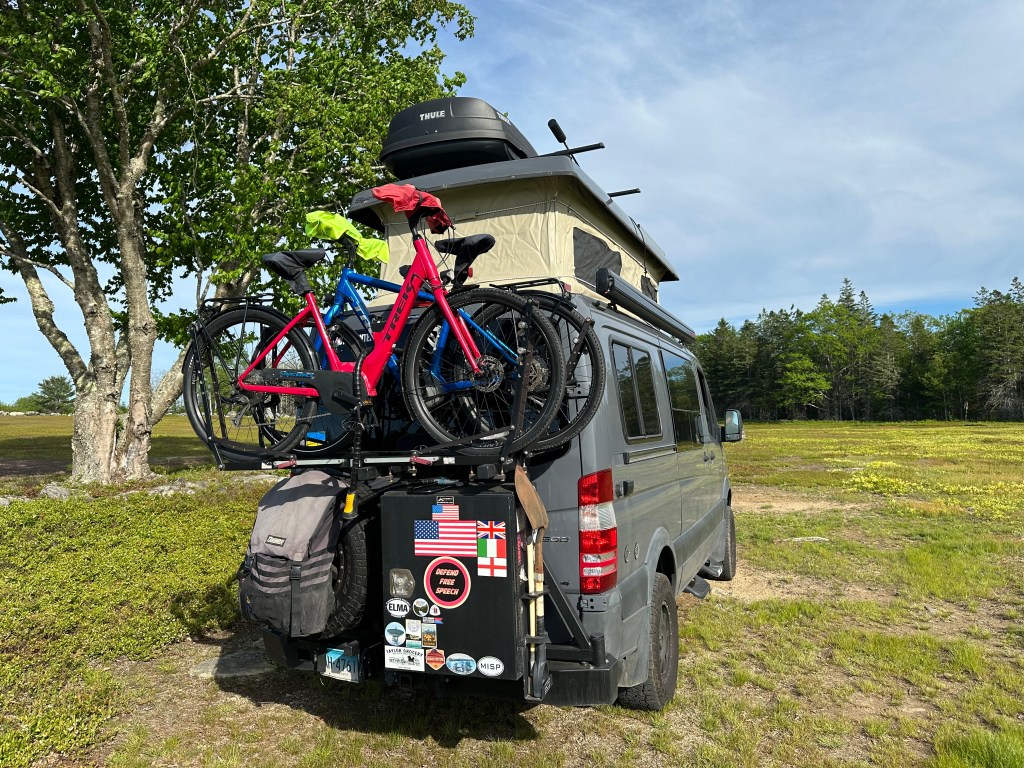
The photo below is of our unanimous choice for best vehicle OTR 9.0!
From Colorado Springs we traveled north – camping near Sterling, Colorado for our last night in the state. In future posts we will chronicle our trek across the midwestern plains en route to Connecticut.
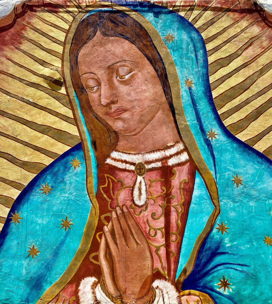
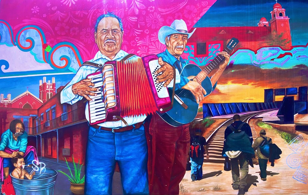
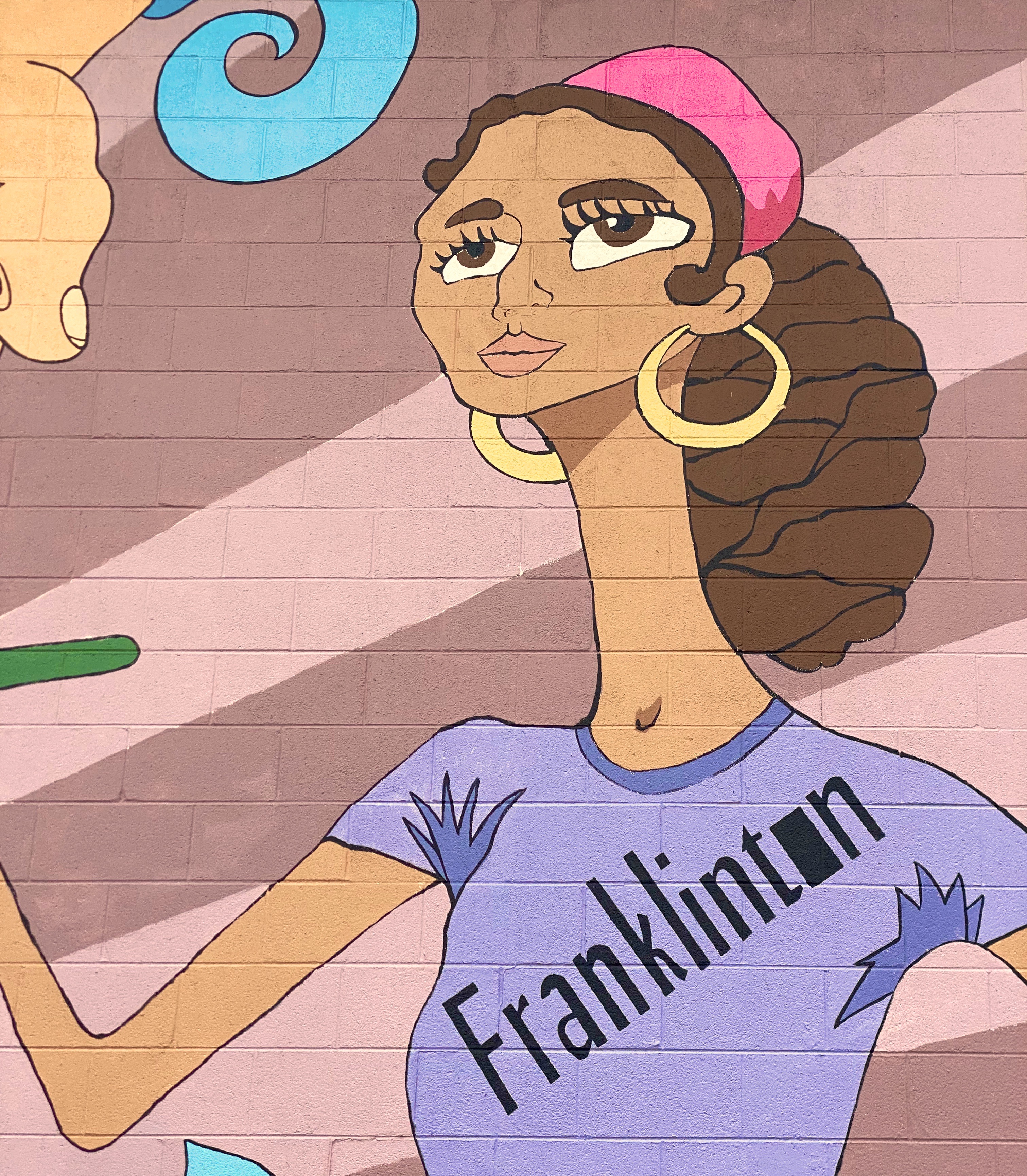
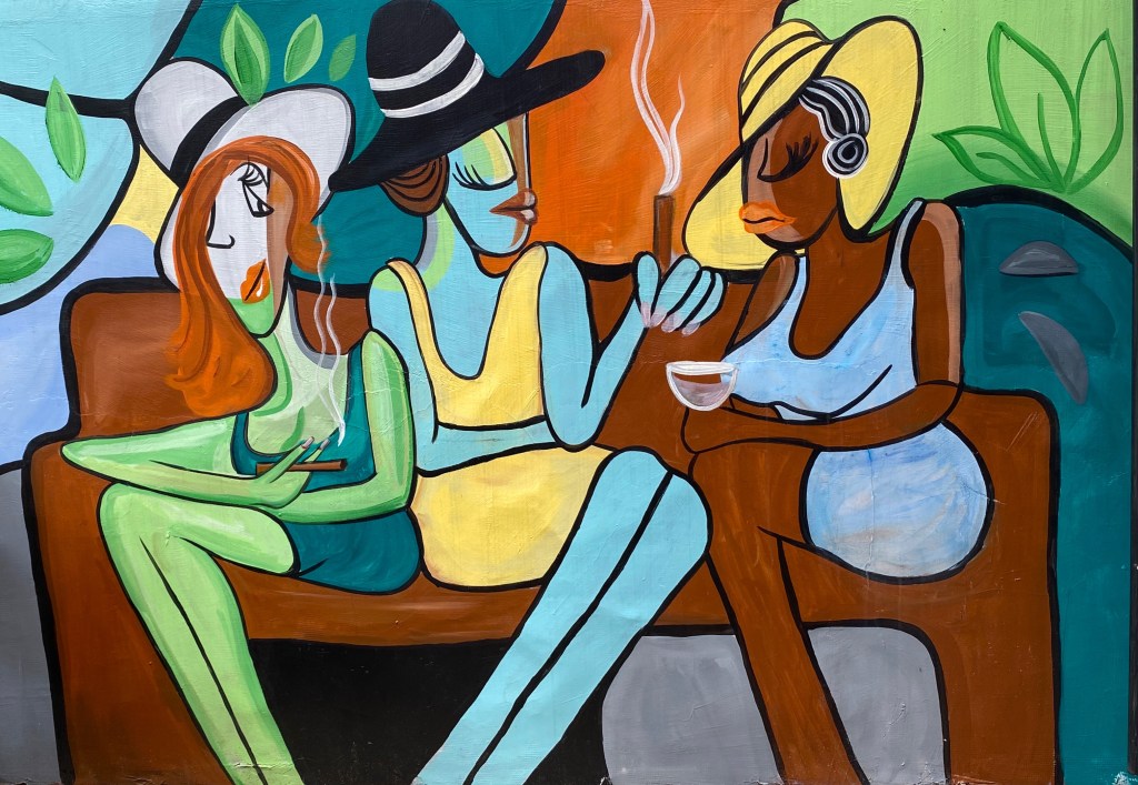
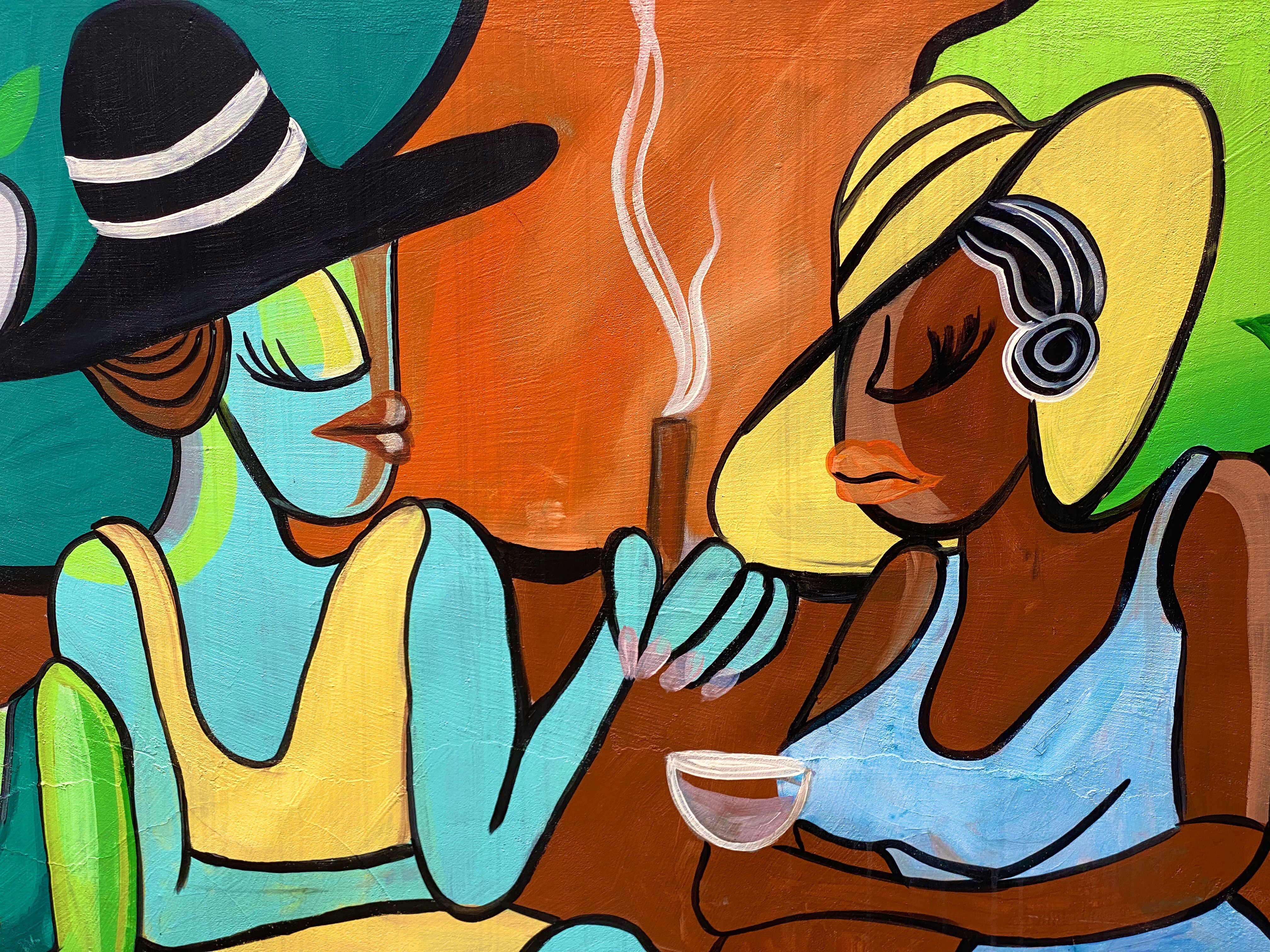
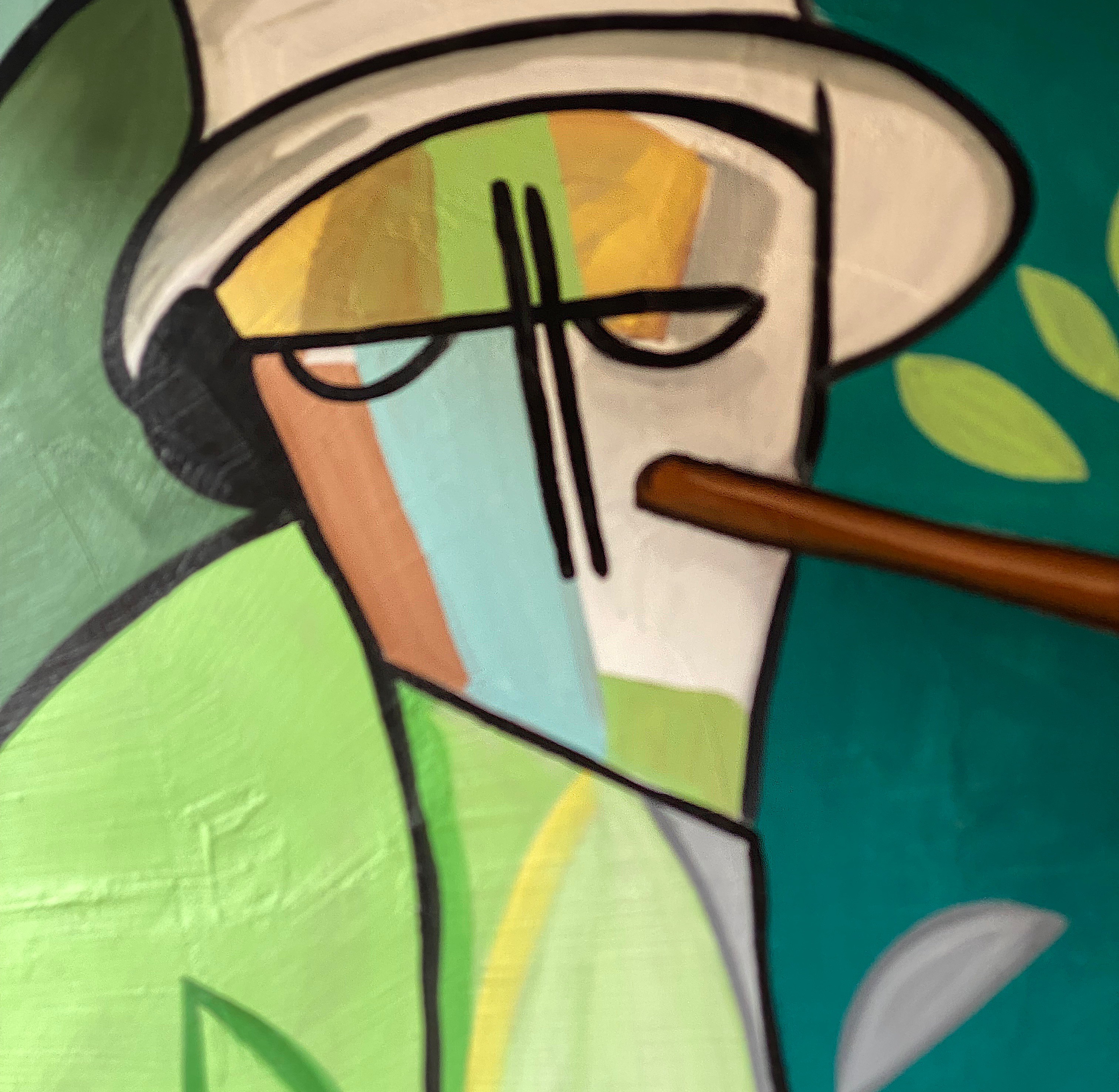
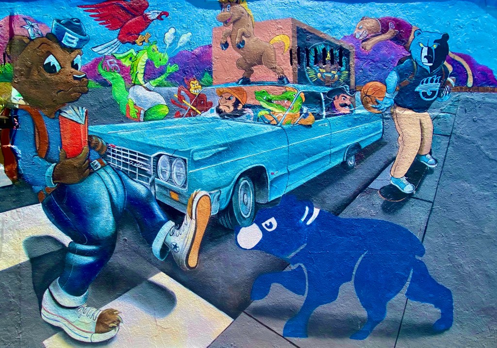
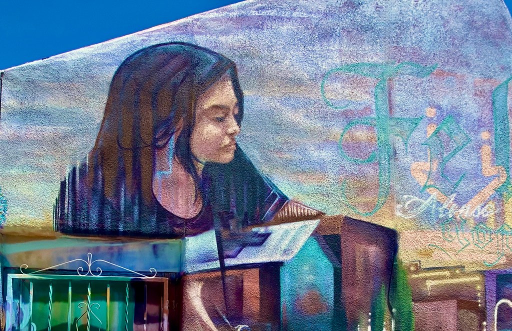
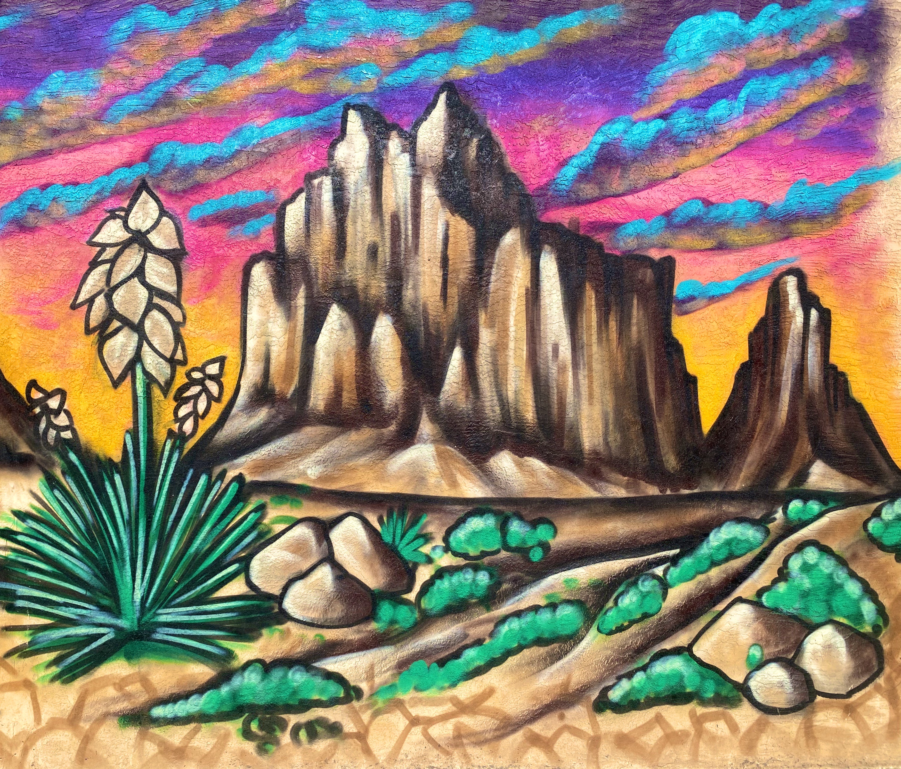
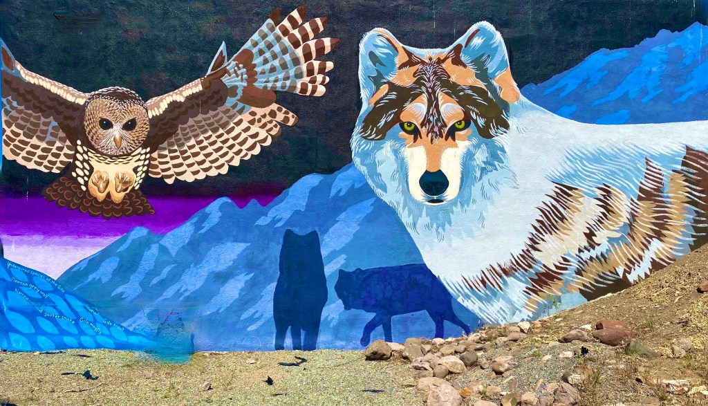
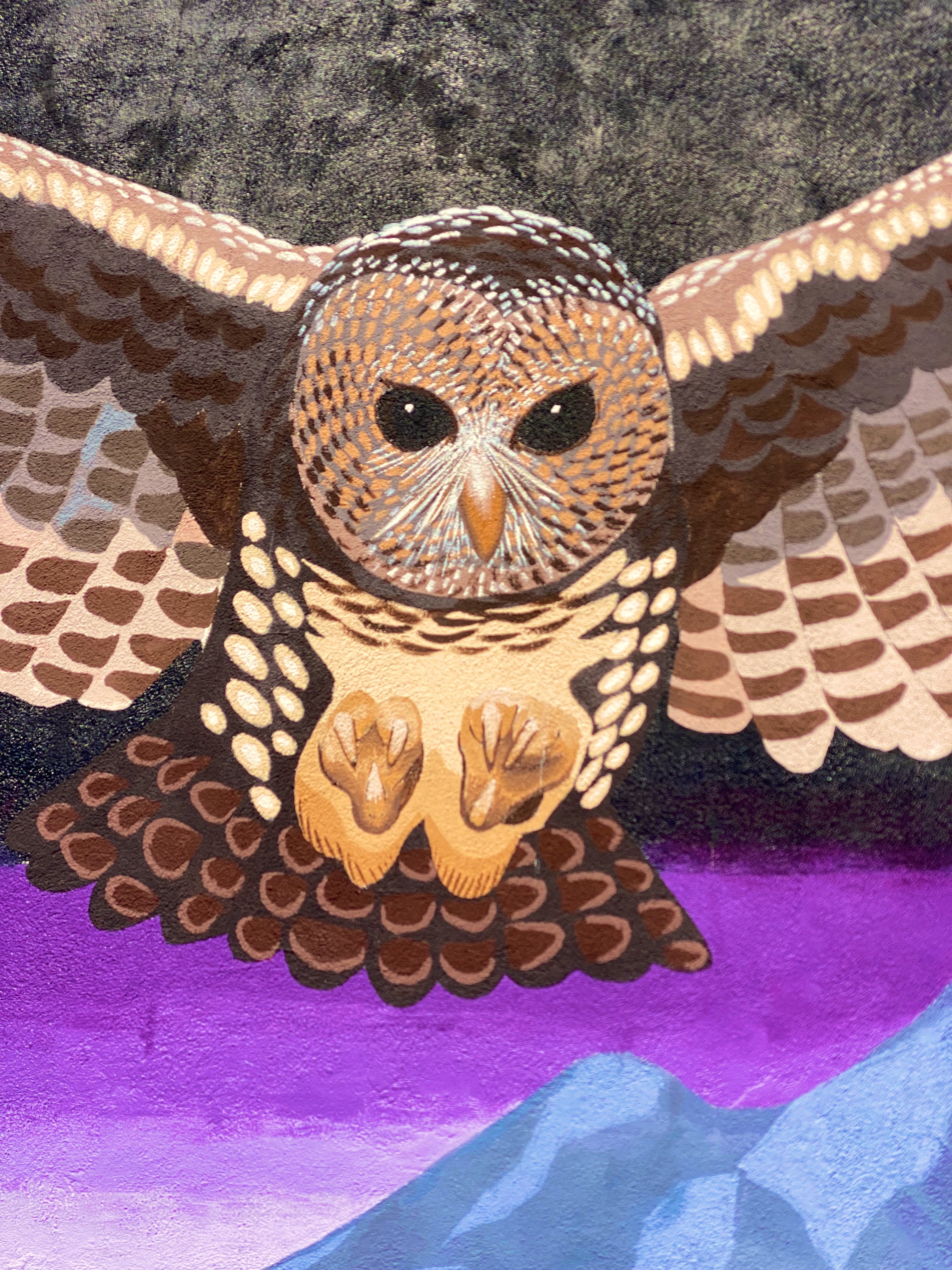
Hello street art fans. This is our second of three planned photo posts featuring street art and murals from our most recent road trip. This post will take us through to our stay in El Paso. We continue to be awed by the amazing artists sharing their talent and creativity with everyone in their communities to enjoy. These works often make a remarkable difference in what might be an otherwise drab or desolate urban landscape. We hope you enjoy the art (we have included attribution for the artists wherever possible).
Artist Unknown – Columbus, Ohio
Sarah Hout @sarahthehout – Columbus, Ohio
“Dream Together” Jeremy Jarvis @jarvjer – Columbus, Ohio
Artist Unknown – Cincinatti, Ohio
Michael Roy @birdcap – Memphis, Tennessee
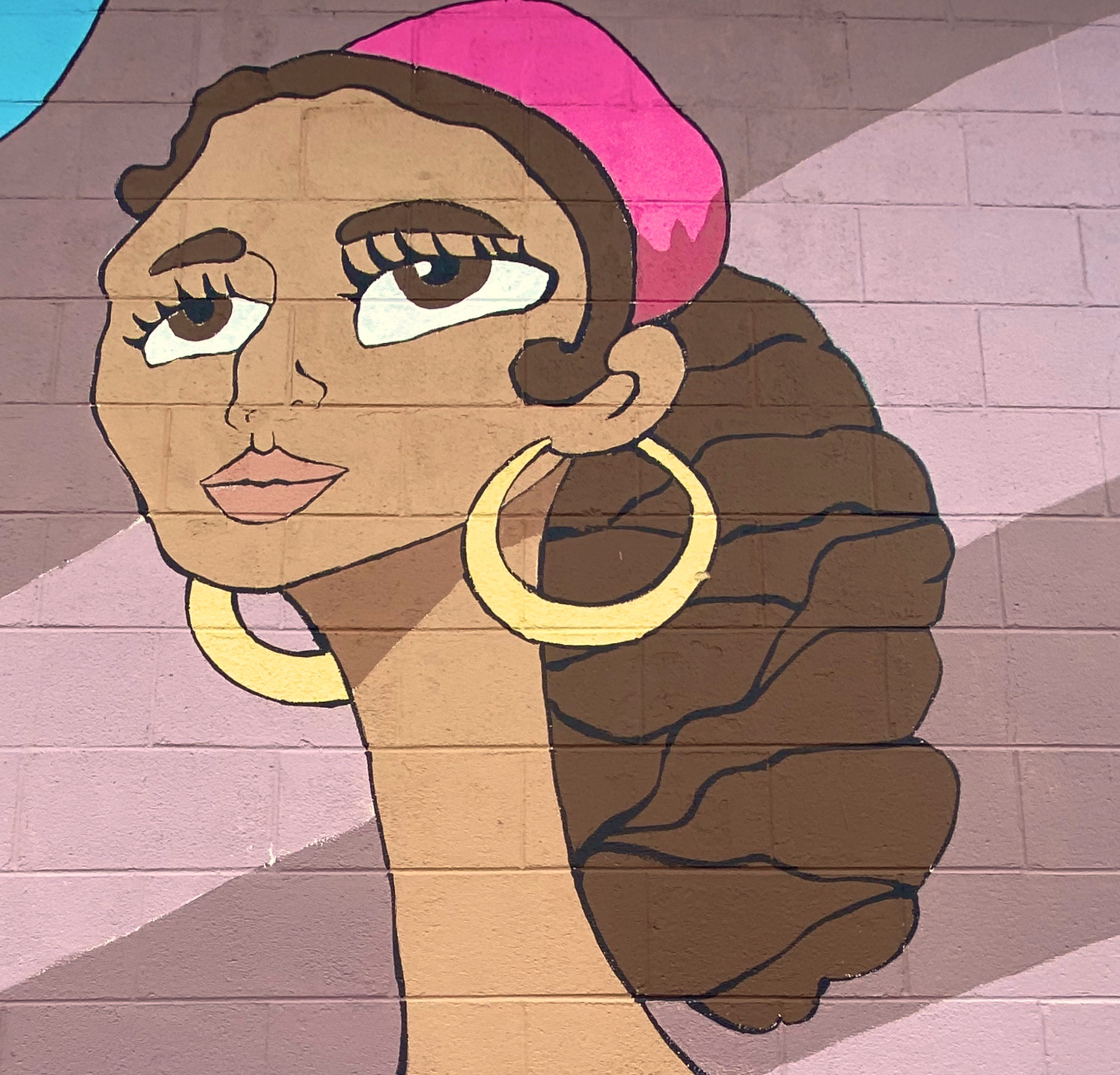
Emily Molly Wood – Argenta Mural Project – North Little Rock, Arkansas
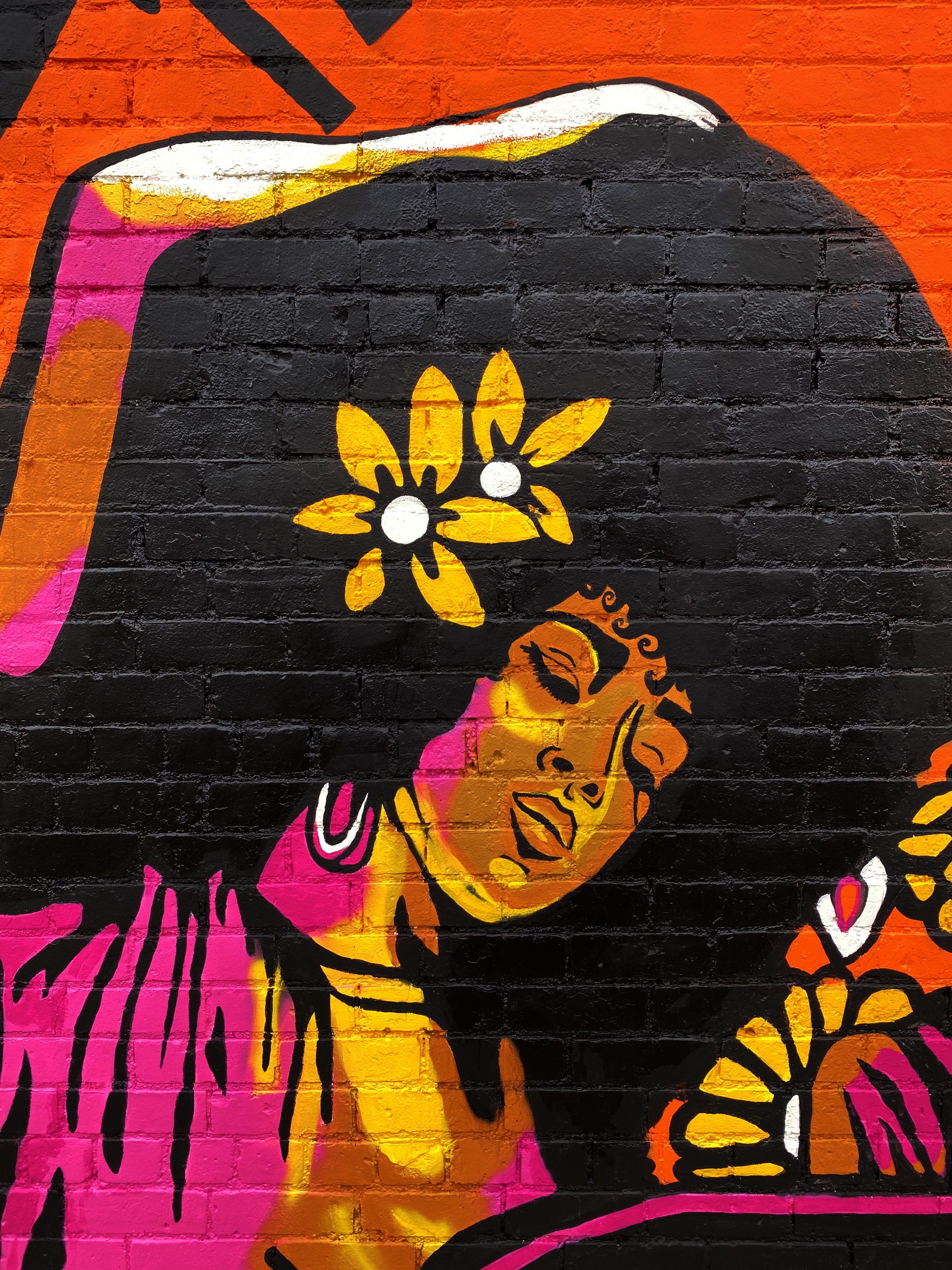
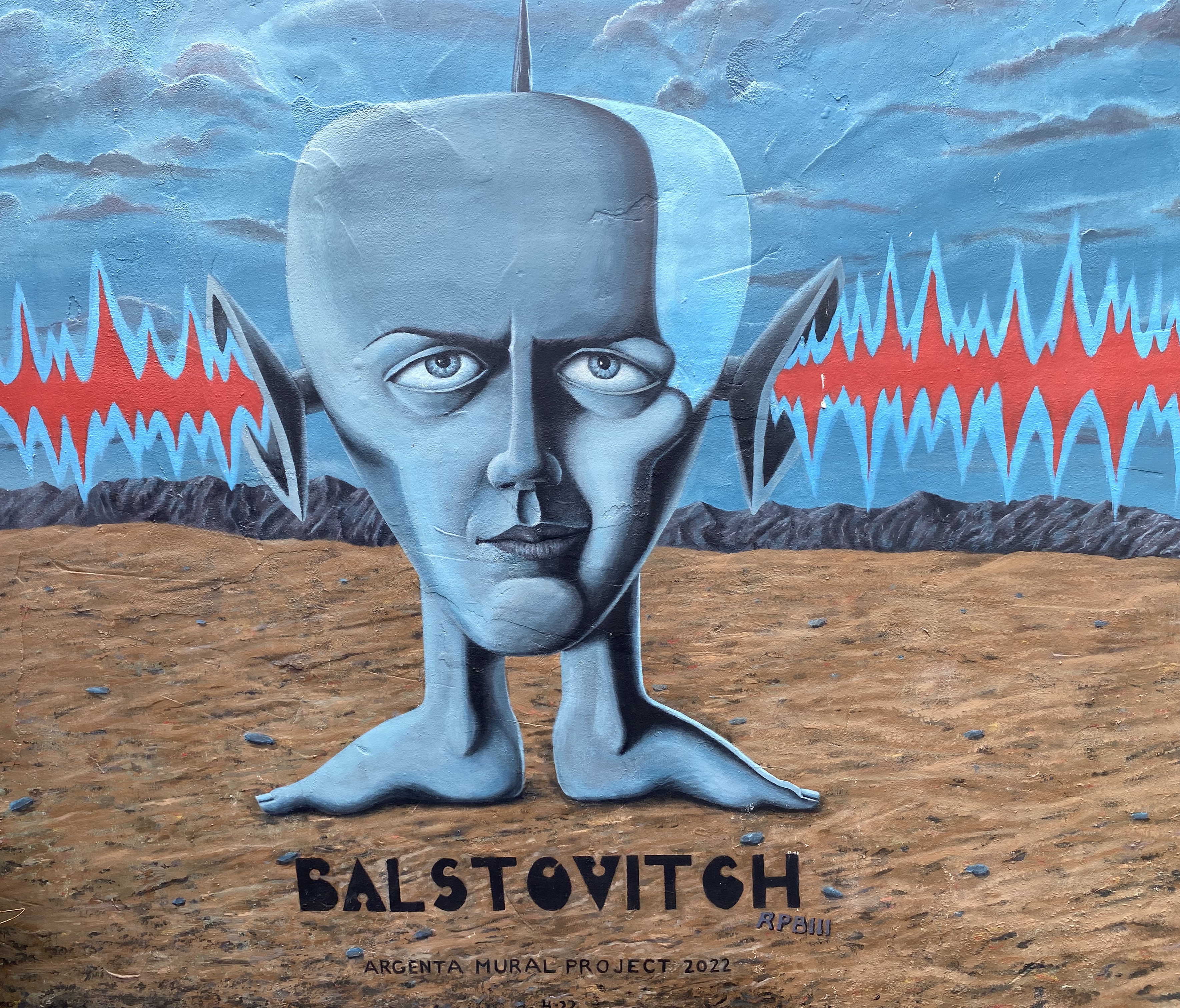
Roland P. Burnham III @balstovision – Argenta Mural Project – North Little Rock, Arkansas
Artist Unknown – Argenta Arts District, North Little Rock, Arkansas
Jes Weiner @magicatmuralist – Texarkana, Texas
@chelsie310 – Texarkana, Texas
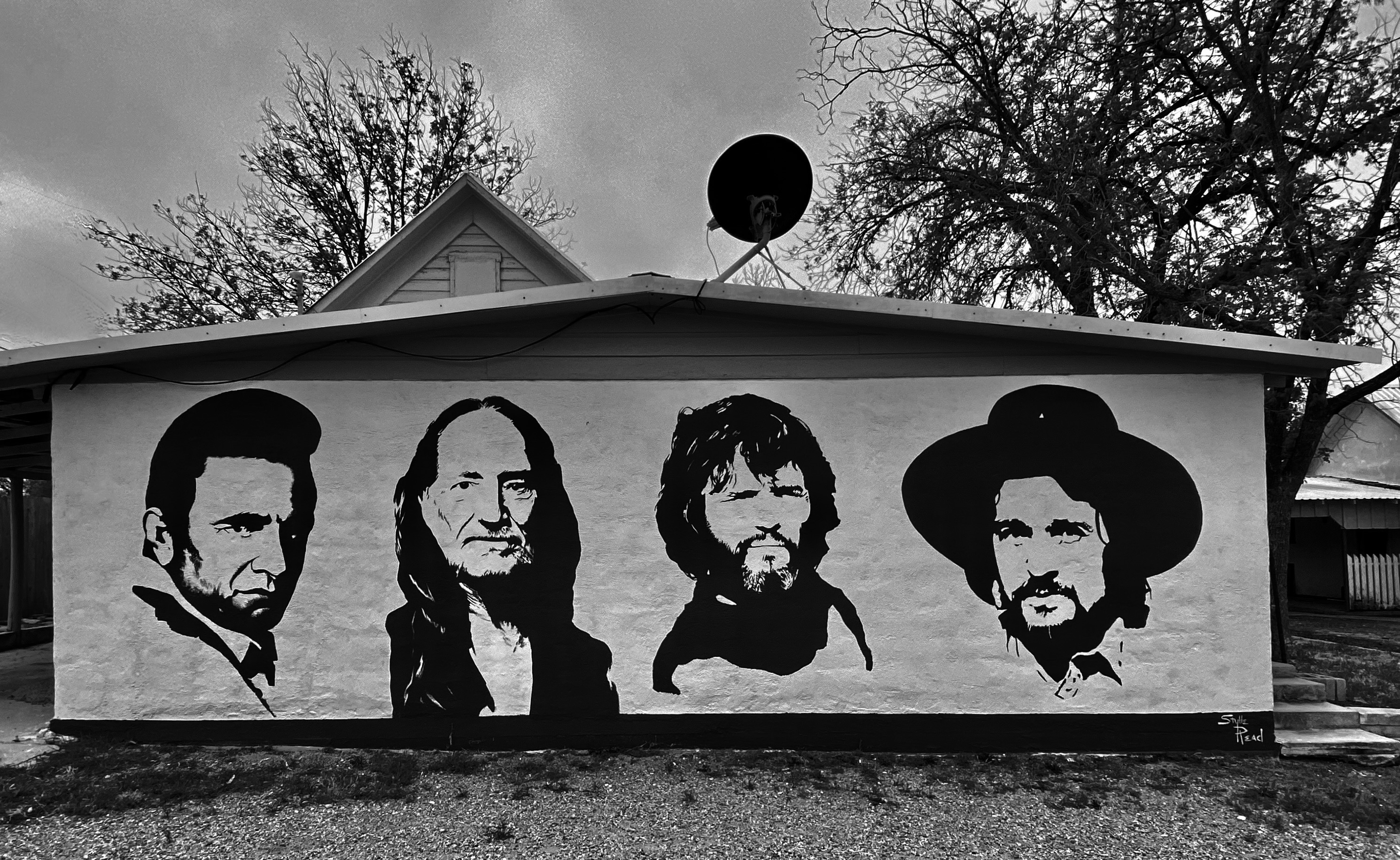
“The Highwaymen” – Stylle Read – Marathon, Texas
Monty Welt @montywelt – Alpine, Texas
@deko_uno – El Paso, Texas
Artists Unknown – Leon Street, El Paso, Texas
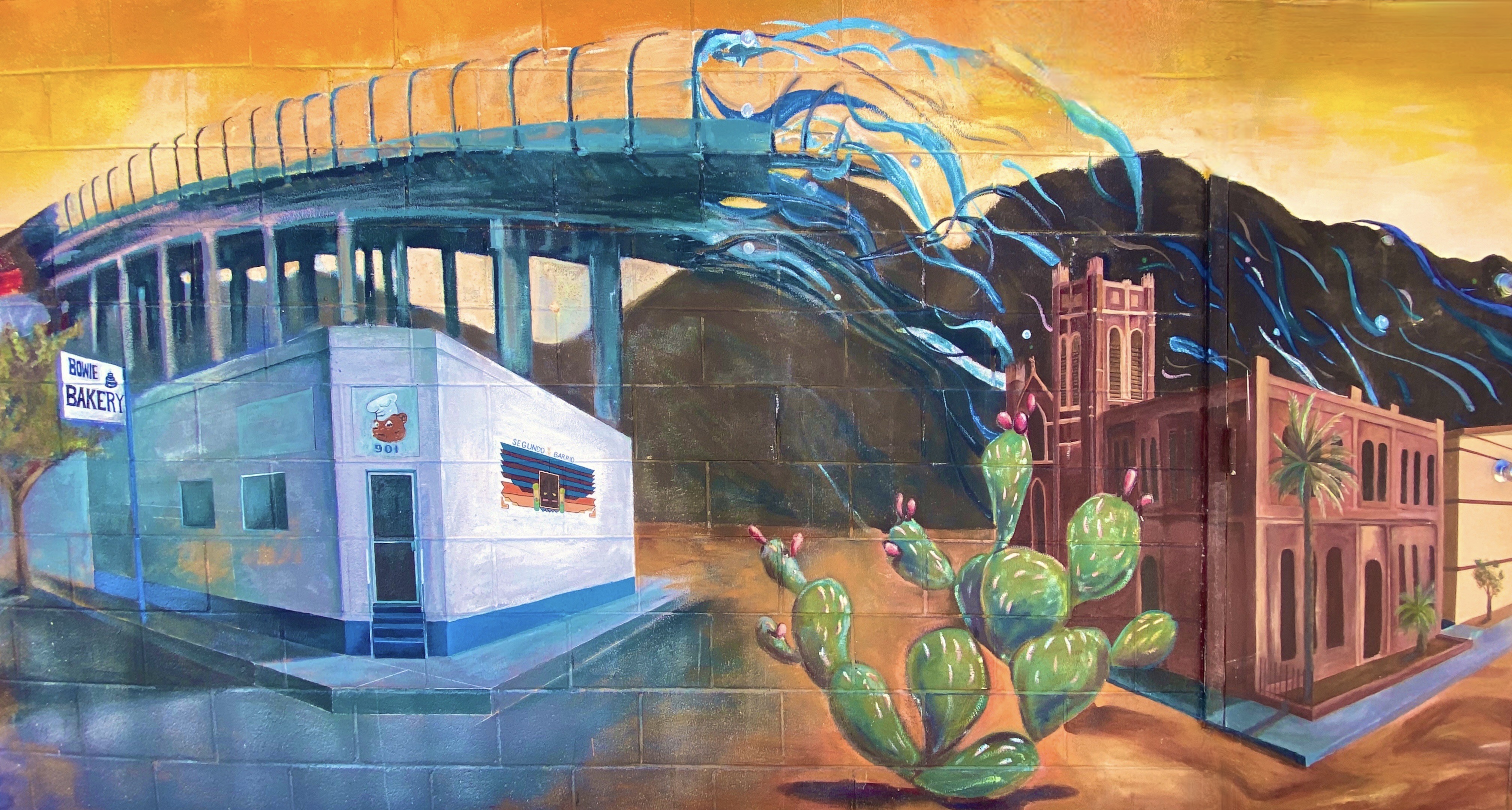
Artist Unknown – Alameda Avenue, El Paso, Texas
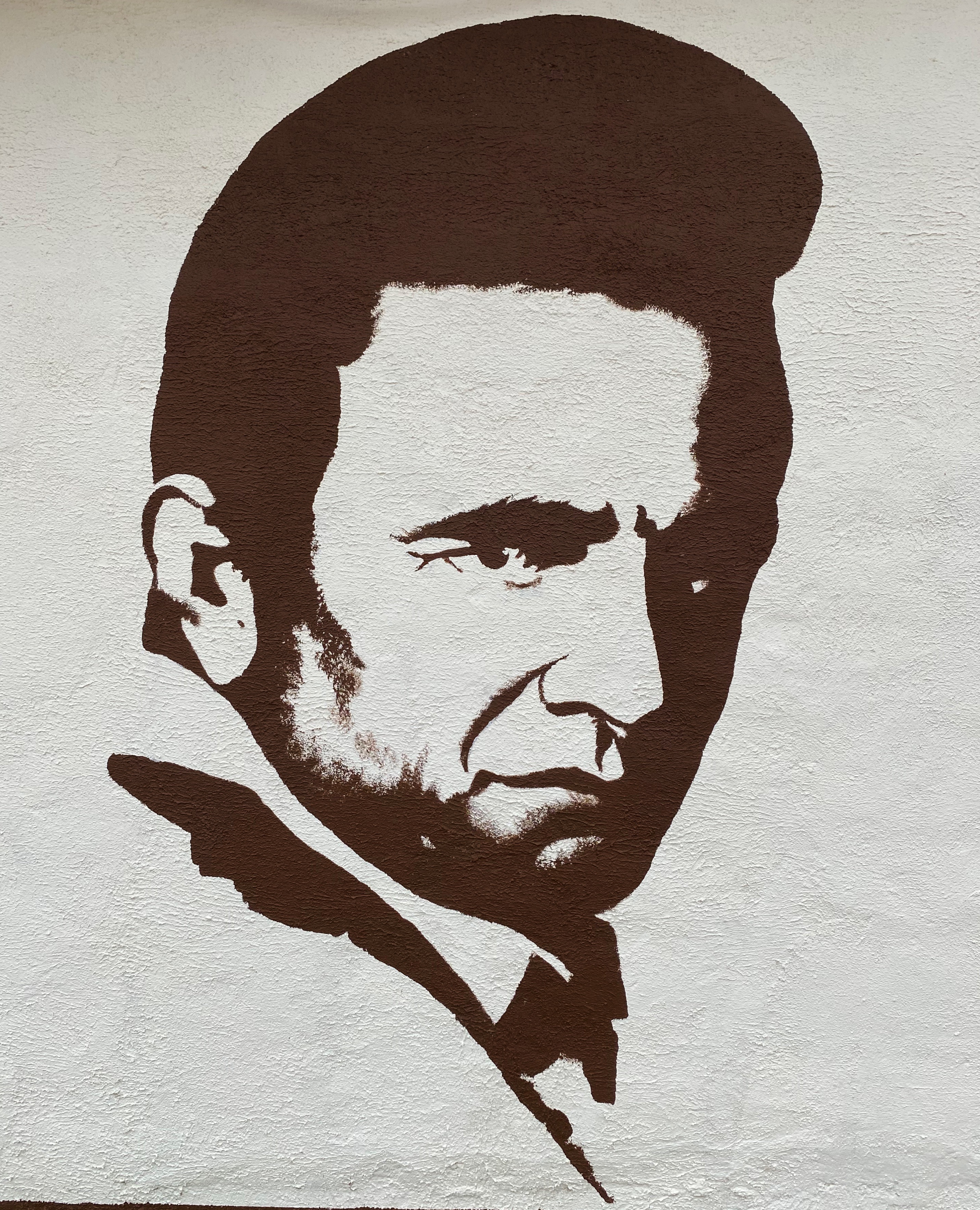
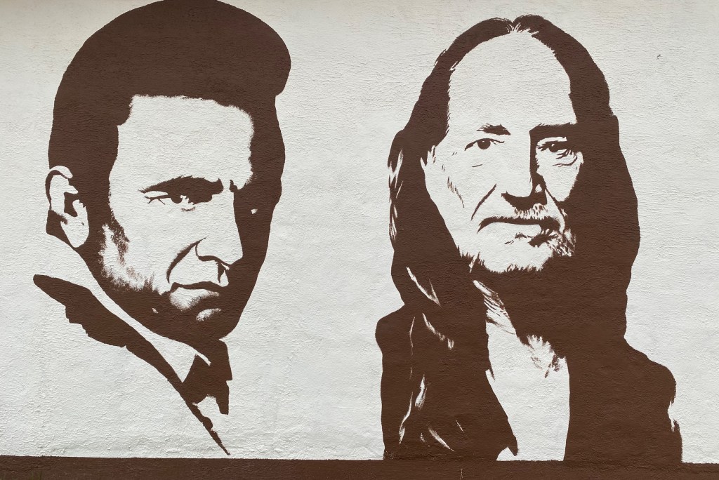
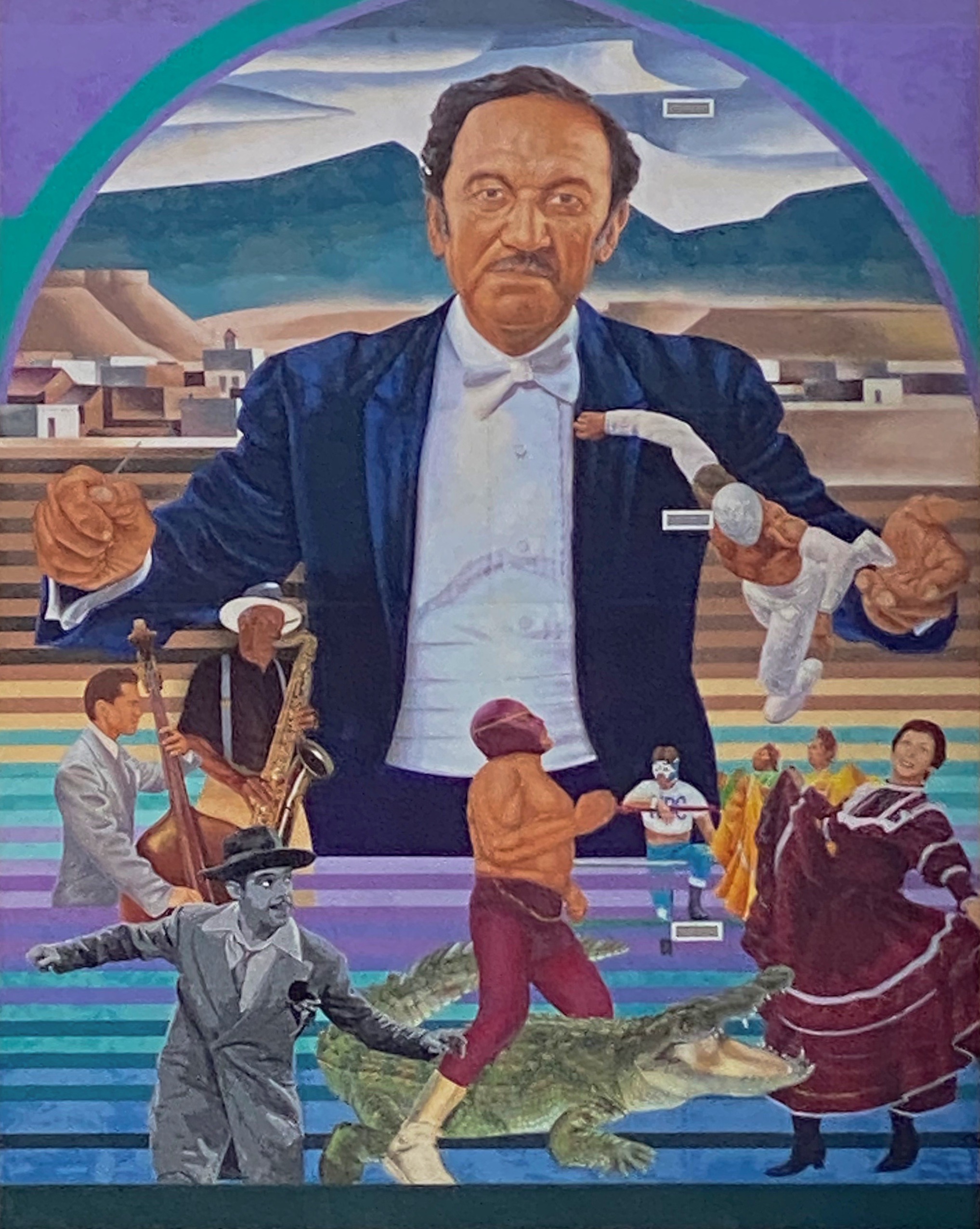
Latino Icons: Don Tosti, Art Lewis, Abraham Chavez, Los Largatos, Rocky Star, Cinta De Oro, Tin-Tin, Rosa Guerrero and Sin Cara – Jesus “Cimi” Alvarado, Martin “Blaster Zubia and Victor “Mask” Casas – Downtown – El Paso, Texas
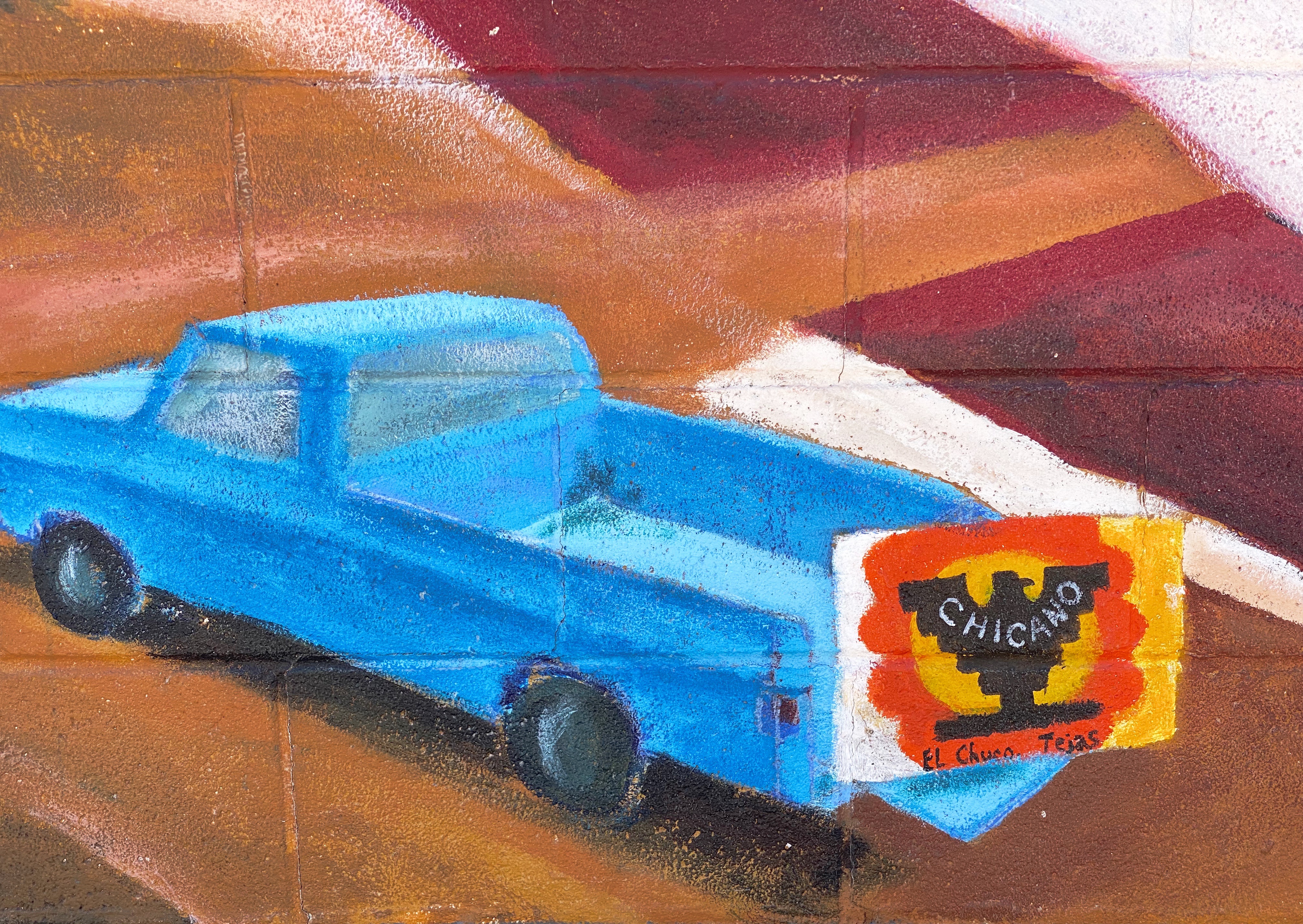
All of the remaining photographs in this post were taken in the Segundo Barrio. As the name suggests the Segundo was the second neighborhood in El Paso. Since the 1830s this area has been a major entry point for Mexican immigrants coming into the United States. The majority of the immigrants in the barrio were and still are migrant farm workers.
Artist Unknown – Segundo Barrio – El Paso, Texas
The Segundo still reflects its Tejano culture and traditions very proudly (we hope the murals we have featured below will reflect that same sense of tradition, culture and aspiration). At one point, the city planned to demolish much of the barrio as a way to eliminate the significant substandard housing stock instead of addressing the root causes in a humane fashion. Fortunately, civic groups formed and defeated the city’s plan to demolish the historic area.
El Corrido del Secondo Barrio – Jesus “CIMI” Alvarado and Victor “Mask” Casas – Segundo Barrio – El Paso, Texas
Jesus “CIMI” Alvarado – Segundo Barrio – El Paso, Texas
Unfortunately, the preservation of the barrio has not improved the economic conditions significantly. Many of the Mexican-American residents and immigrants still toil as farm workers. The barrio is poor by any measure, albeit rich in culture, tradition and pride in its heritage.
Our first stop after departing Silver City was Catwalk Recreation Area (CWA) where we were looking forward to hiking through the Whitewater Canyon. The beautiful slot canyon formed by the Whitewater Creek once served as a hideout for Butch Cassidy and the Sundance Kid as they attempted to evade the Pinkerton’s. Geronimo and his warriors also used the canyon to elude the U.S. Cavalry.
During the 1890s, the power of the upper creek flowing through the canyon was harnessed to bring water to the gold and silver mill which was situated in the lower canyon. Workers constructed a pipeline through the canyon which was bolted to the canyon walls about 20 feet above the creek. A series of catwalks were built on top of the pipeline in order to access it for maintenance and repairs. The boom came and went, and the mines and mill were closed in 1913; the materials were sold for scrap. The 200 or so residents left for other parts to find work.
The canyon essentially returned to its original state with no residents or mining operations. In 1935 the U.S. Forest Service (USFS) utilized the Civilian Conservation Corps (CCC) to create a hiking trail through the canyon. The CCC used the existing bolts in the canyon walls to build a new wooden catwalk as part of the hiking trail through the canyon. The trail was opened in 1937 and survived until 1961. It was replaced by a metal catwalk which subsequently was destroyed by storms in 2013.
Fortunately for us and other visitors, the USFS was able to have a new catwalk built and installed in less than a year. Today the catwalk extends approximately one half of a mile into the canyon, then hikers can continue on the canyon surface for another mile — as long as they are willing to make several water crossings. There are plans to extend the trail deeper into the canyon in the future.
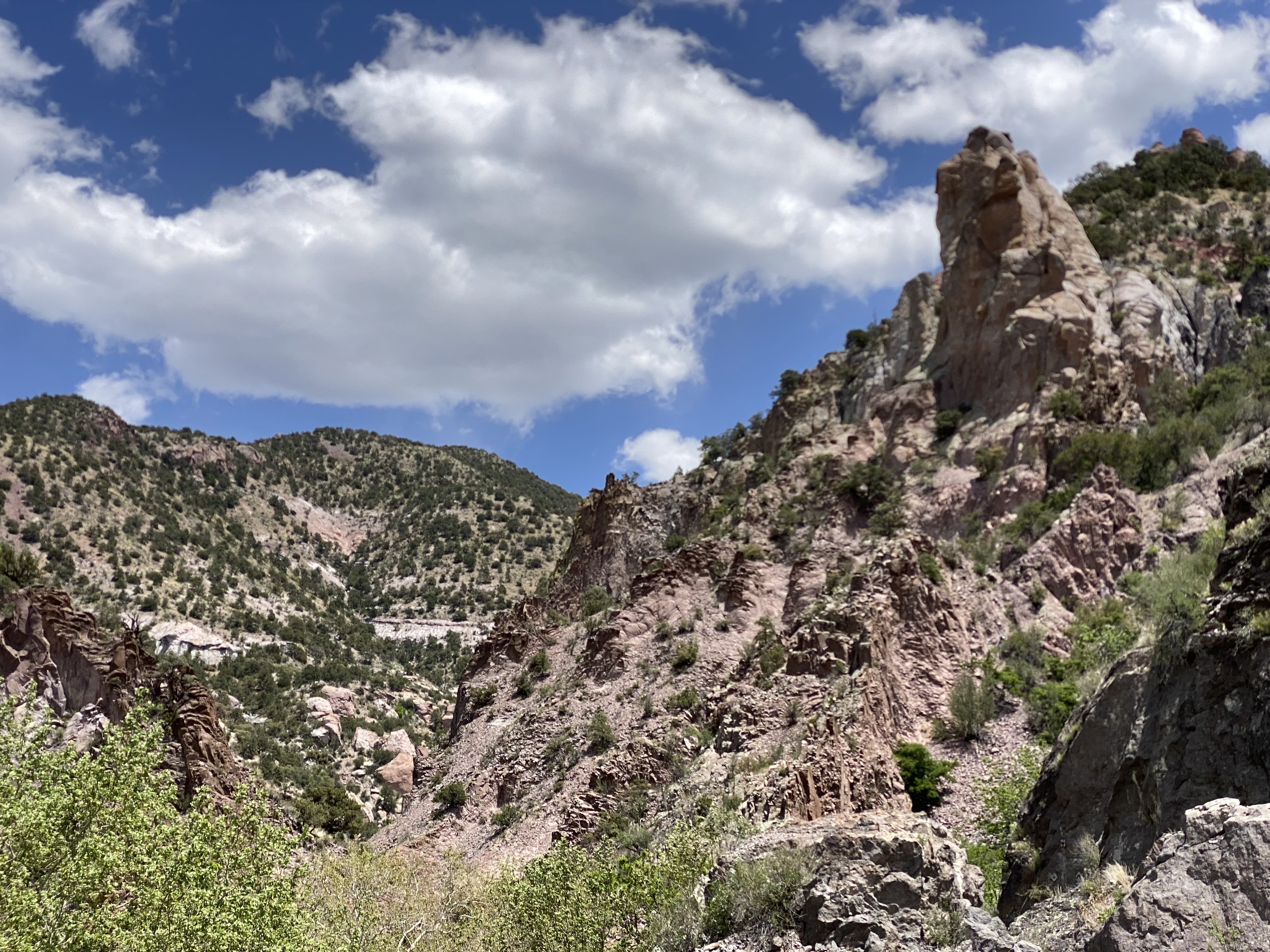
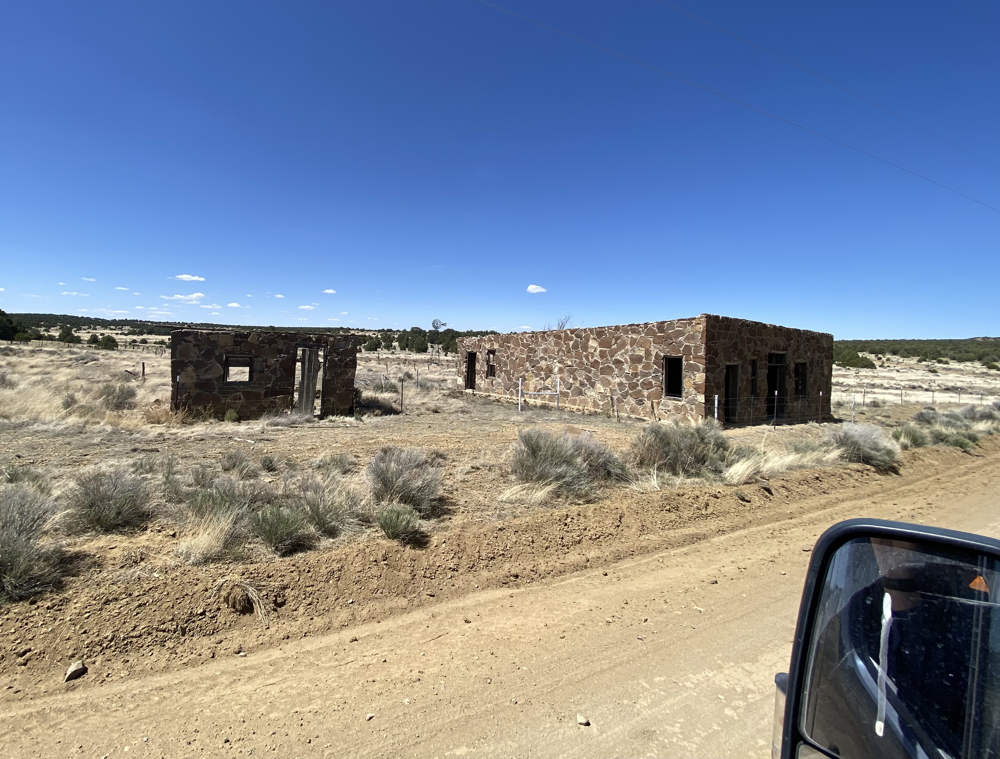
After our hike at Catwalk, we traveled north and ventured across the winding single lane Bursum Road (NM59) to visit the town of Mogollon (mo-go-yone). The town sits deep in the Mogollon Range within the Gila Wilderness at 6500 feet above sea level.
Bursum RoadDriving Towards Mogollon
View from Bursum Road to the West
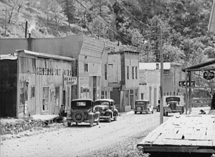
The town is sometimes referred to as a ghost town but it actually has a handful of residents (apx. 15) and several businesses. We saw several parked cars but no people during our walkabout. The town’s history began when gold was discovered in the late 1800s. Gold was mined here continuously until the 1950s. As a result, many of the structures are still standing today which leads to sense of stepping back in timeas you travel through the small town.
Mogollon, 1940, Photo credit Russell Lee
Gold mining brought as many as 6000 people to the town at the height of production at the Little Fannie Mine and several other nearby mines. The town flooded often (sitting on the Silver Creek) and major portions burned multiple times. The town’s reputation (like many mining towns) was that of a rough and tumble place with several saloons and brothels (and no law).
Little Fannie Mine
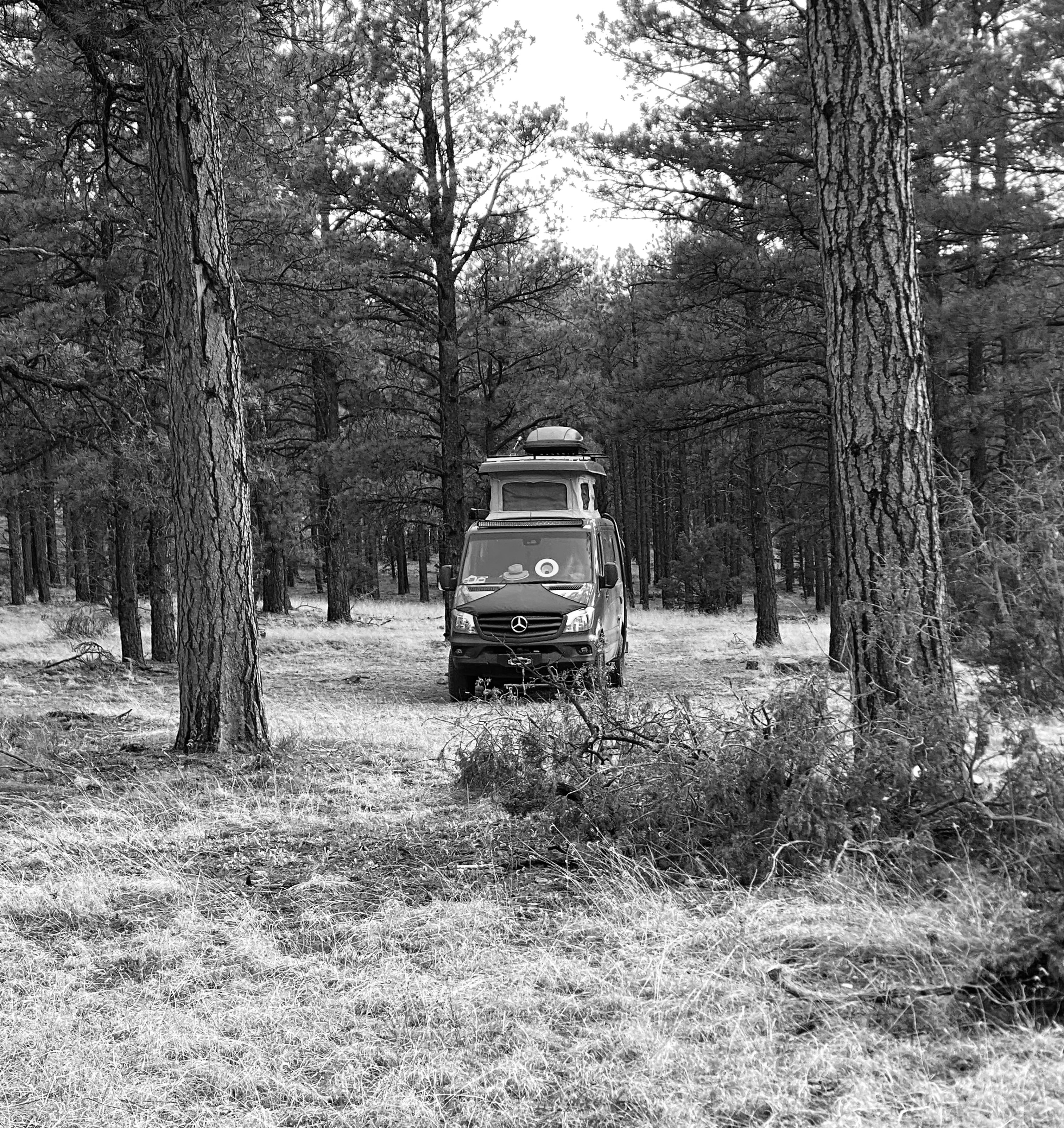
After our day at CWA and Mogollon we found camping in the Gila National Forest among the pines and the serenading cattle that were roaming around us in constant search of food. The next morning we pushed northeast out of the forest onto the Plains of San Augustin. The Plains stretch 55 miles from the northeast to the southwest and range in width from five to fifteen miles.
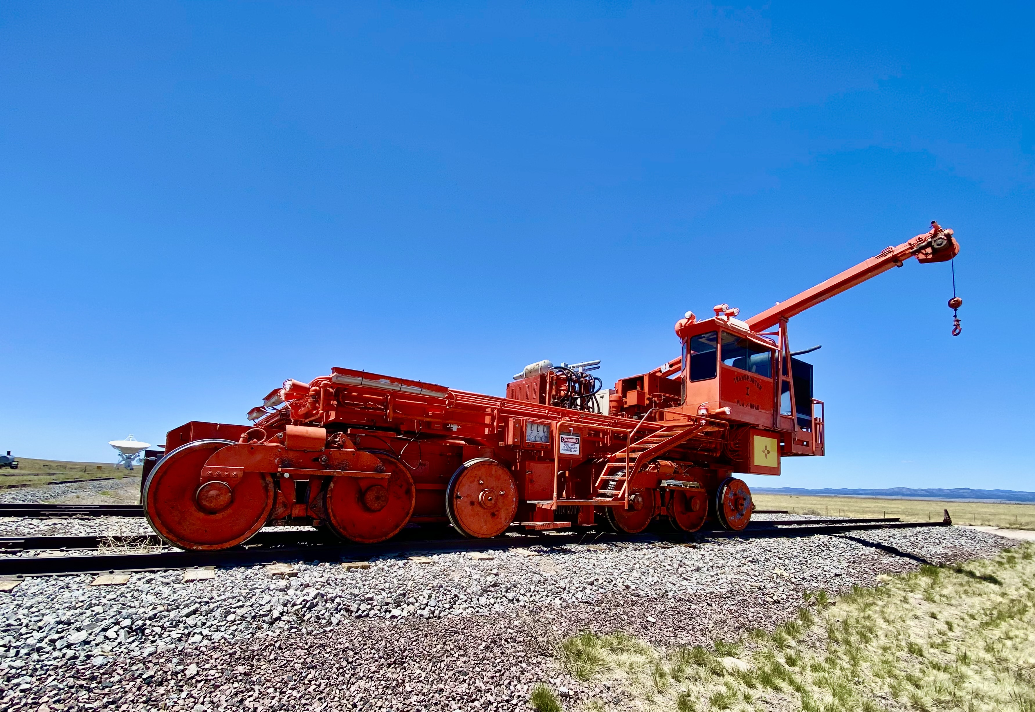
Our primary purpose in transiting the Plains was to visit the Karl G. Jansky Very Large Array (VLA). The VLA consists of 27 radio telescopes positioned across the Plains via railroad tracks. Each of the radio dishes stands 90 feet tall, 82 feet across and weighs 250 tons. In their widest configuration the radio dishes stretch for over 20 miles across the Plains. The Plains are an ideal setting for the VLA as it is far away from any population centers and shielded from light by the surrounding mountain ranges.
The Very Large Array
We won’t pretend for a second to understand how this works but it is nonetheless fascinating to see the array in action and to learn about the many important discoveries made utilizing radio astronomy. The array has captured activity in our galaxy as far away as 150 quadrillion miles!
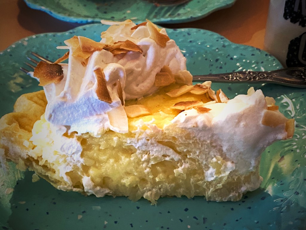
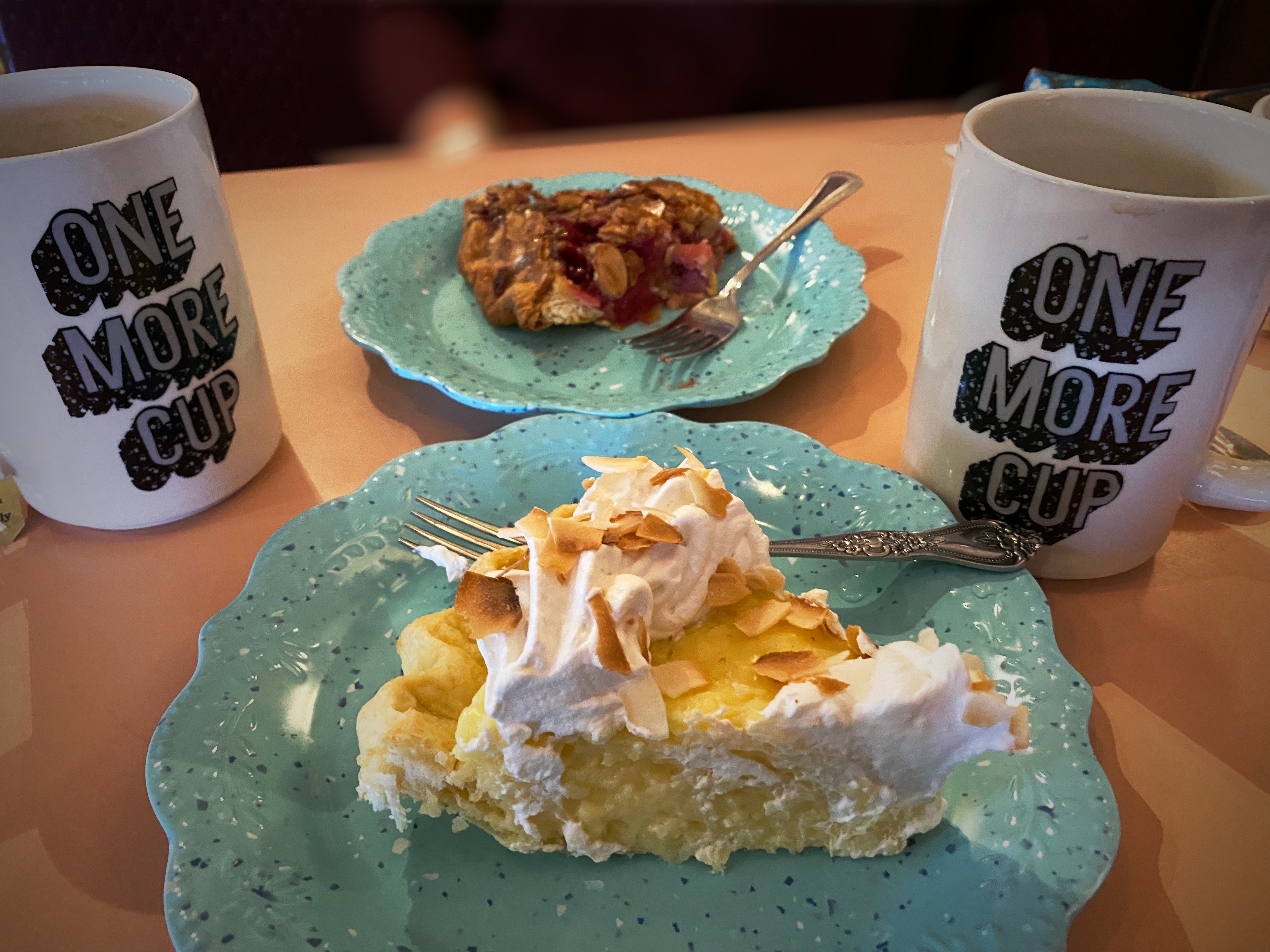
We met a motorcyclist who had pulled over for a break while we were off the road near the VLA adding air to two of our tires with slow leaks. He asked us if we were going to stop in Pie Town – we said yes – he said good, it is a tradition whenever you cross Route 60 to stop and have pie!
Well, we did, and it was dang delish! Maria had the Cherry Almond Pie and I had a piece of the freshly made Coconut Cream Pie. Pie Town establishments did a good business dishing out pies for cross country travelers and local ranchers until the ubiquitous interstate was built and diverted much of the traffic away from town.
Fortunately, about 25 years ago the Pie-O-Neer Cafe opened and it has been doing a booming business ever since. In addition to many travelers that now routinely avoid the interstate, the Continental Divide Trail runs through Pie Town. Many hikers stay at a nearby hostel and consume thousands of calories (based on what we saw) replenishing for the next leg of the journey. The town itself has not grown with a population hovering around 25, but they apparently throw a heck of a pie festival every September.
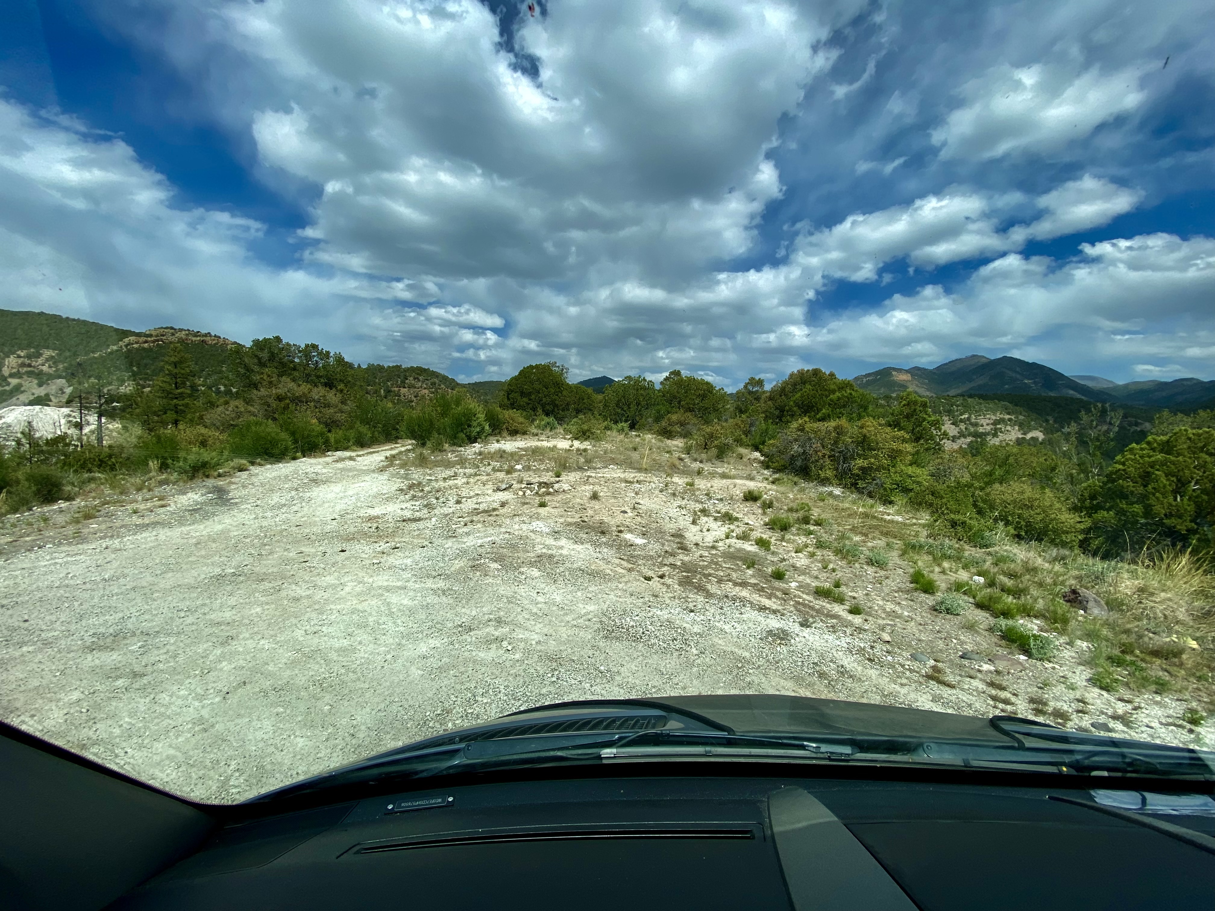
After filling our bellies with delicious pie, we set north across some dusty ranch country on the York Ranch Road in search of camping near El Malpais National Monument (EMNM). As you can see in the photo below left, the desert can be cruel for those unprepared for the terrain.
We found a beautiful spot to camp just east of EMNM on a bluff which provided great views and a spectacular sunset.
In the morning we made our way north to Grants, New Mexico to have our leaking front tire replaced. From there, we set out for the Big Tubes area to explore. There is only one way in or out – the Big Tubes Road ( NPS 300) – a classic impassable-when-wet mud job. Fortunately, while there had been some rain leaving behind some large ruts, the road was fairly dry and passable. Regardless, we would not recommend this road without 4WD and high clearance.
NPS 300
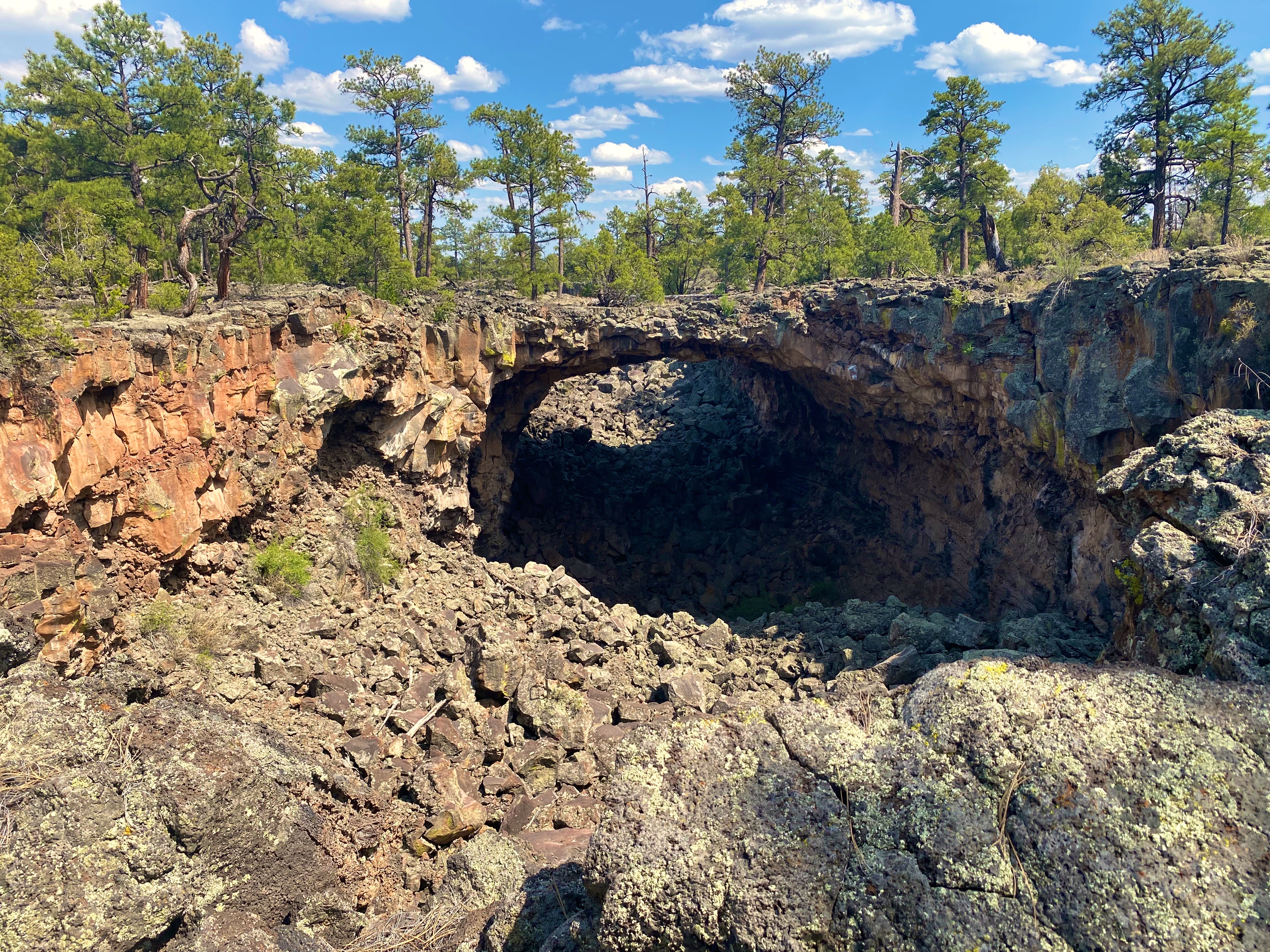
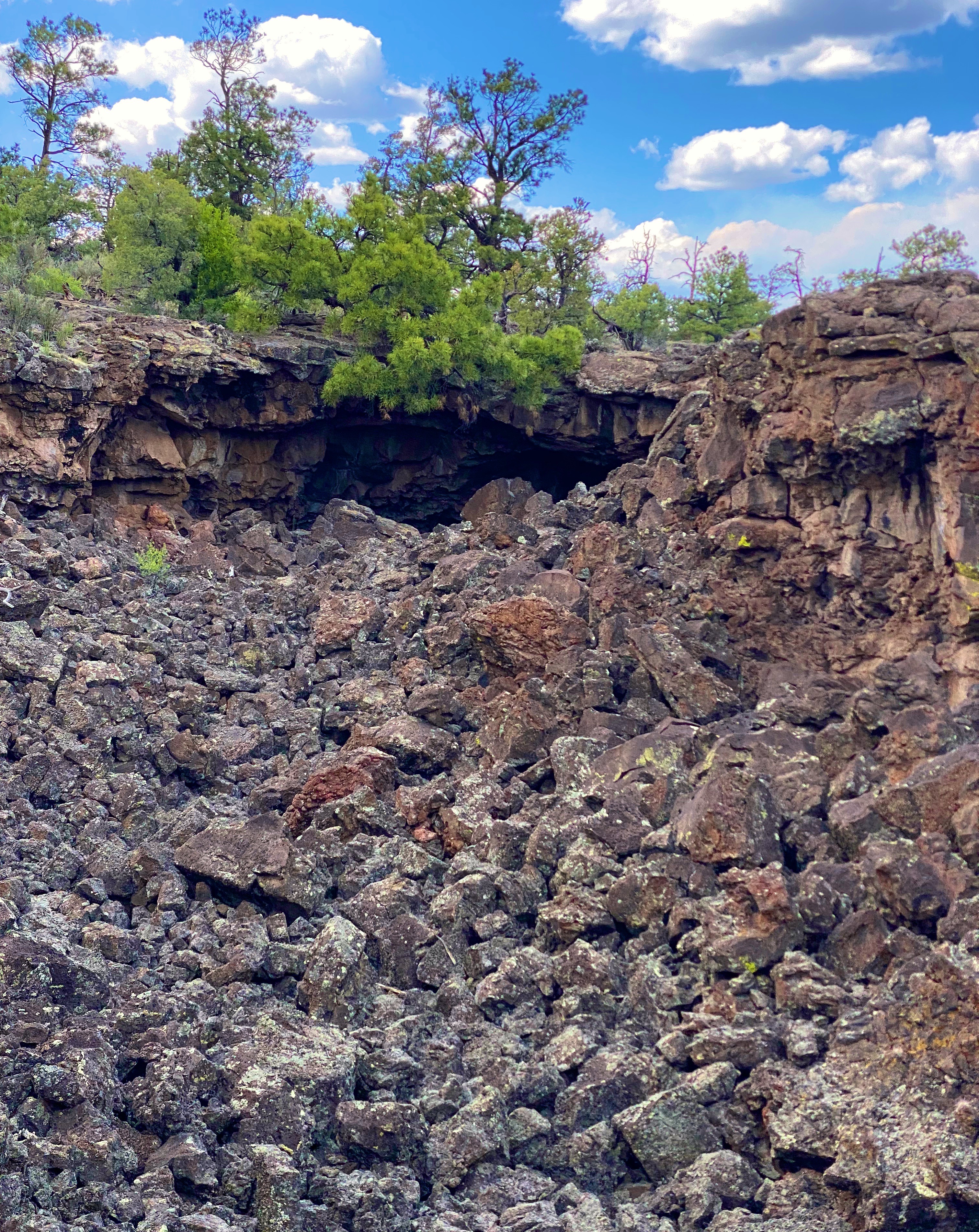
The Big Tubes Area is a massive volcanic landscape that provides the opportunity to explore lava tube bridges, lava tubes, tube caves and lava flows. There are no marked trails, although there are cairns laid out across the field – use the cairns – there are no other usable reference points in this other-worldly place. Even utilizing the cairns we made several wrong turns in hiking out and back across the field.
You are free to scramble down into the tubes and caves and under the bridges. We recommend wearing gloves and a climbing helmet. The boulders in the trenches and tubes are big and sharp!
From EMNM we traveled through several portions of the Ramah Navajo and Zuni Indian Reservations on our way north on the 602 to Gallup. We had reserved a couple of nights at the El Rancho Hotel and were looking forward to staying at this 1940s hotel that once hosted dozens of Hollywood stars ensconced here while filming Westerns in the area. Additionally, the hotel sits smack on Historic Route 66 to add even more kitsch. From the photos below you might suspect we were not disappointed with our decision.
Gallup has a storied history that predates the movie making haydays of the 1940s and 1950s. The first white settlers arrived in the area that became Gallup in the early 1860s. This was Navajo land and thus the Navajo attacked the white settlements. The cavalry was dispatched to physically remove the Navajo people from the area. The U.S. Army destroyed the Navajo homes, crops and livestock. The Navajo were then force marched 400 miles to a reservation where they were held for four years. In Navajo history this event is known as The Long Walk.
The town was formally founded in 1881 as a railhead for the Atlantic & Pacific Railroad. The freight lines that ran through the middle of Gallup hauled the high grade coal that was mined in the area. While the coal mining in the area has largely played out, more than 100 freight trains still rumble through town every day.
American Coal Company – Atlantic & Pacific Railcars
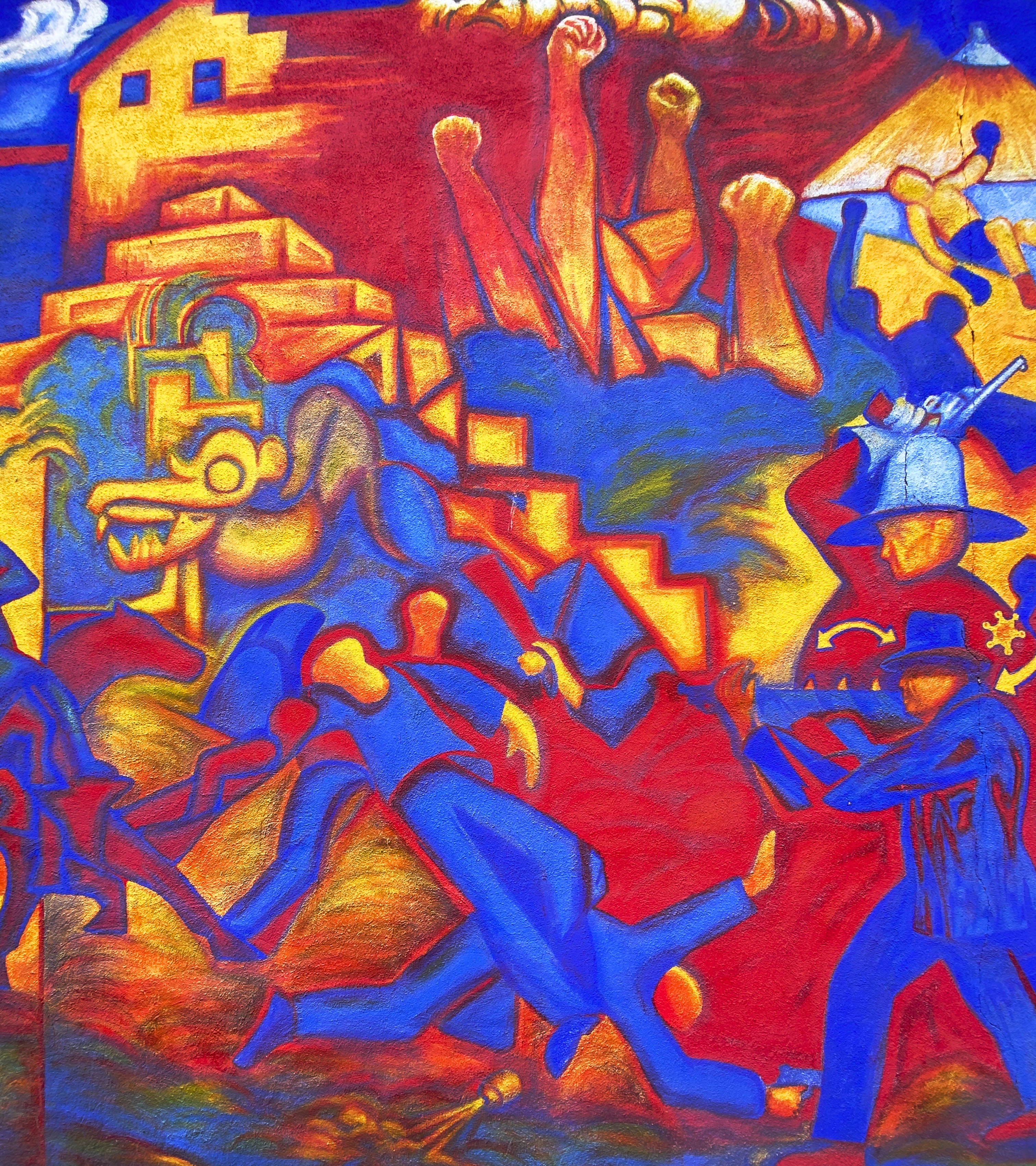
Coal miners in Gallup went on strike in 1933. The situation in Gallup was politically charged due to the multi-faceted race issues that existed in the American West. Many of the miners were Mexican and, influenced by their experiences during the Mexican Revolution, were members of the communist National Miners Union. The white miners aligned with United Mine Workers of America. Additionally, by the 1930s, many Navajo Nation members from the abutting reservation had begun working in the mines in Gallup. The Navajo coal miners did not belong to any union and routinely crossed the picket line – they did not consider themselves as members of the world outside the reservation. This act further intensified the significant racism already directed at Native Americans in the West.
The strike turned violent in 1934 and the sheriff was shot and killed by a Mexican miner. Subsequently, the Mexican miners were deported en masse. The UMWA became the sole union, although it took another nine years for a contract to be signed by the coal companies.
Mural Depicting the Coal Mine Riot of 1934
We took advantage of the opportunity to try the local cuisine. Lots of delicious dishes to choose from. The only item we do not recommend is the beef tongue – it’s a texture thing!
We enjoyed our stay in Gallup. Fascinating western history, excellent local cuisine, fine coffee and great street art. However, please keep in mind this is not a trendy tourist town. As a result of the long history of cultural and socio-economic issues there is a legacy of high unemployment, high crime and poor education which is evident within the community.
A quick stop in Farmington, New Mexico for fuel, coffee and groceries and then we headed over the state line for the snow capped peaks of Colorado.
As the name infers, precious metals are at the heart of the existence and development of this area of New Mexico. Long before the Spanish arrived the Native Americans were making use of the abundant copper found in the area. The Spanish brought more scale to the mining operations with their “technology” utilizing horses to power the machinery (below) to extract the gold found in the Pinos Altos Mountains .
Today the Central Mining District is still a major precious mineral producer. The St. Rita Copper Mine pictured below is one of the world’s largest open pit mines. It is 1.5 miles wide and over 1500 feet deep.
St. Rita Copper Mine from the Route 152 Overlook
While one of us might find the major extractive industries fascinating, it was not our primary reason for visiting Silver City (SC). The elevation (5900) and surrounding Gila NF meant more comfortable temperatures than we had been experiencing in Texas and Southern New Mexico. Additionally, SC has a reputation as an artistic community where we might find music, coffee, art, history and friendly folks. Happily, SC provided all of these things in abundance.
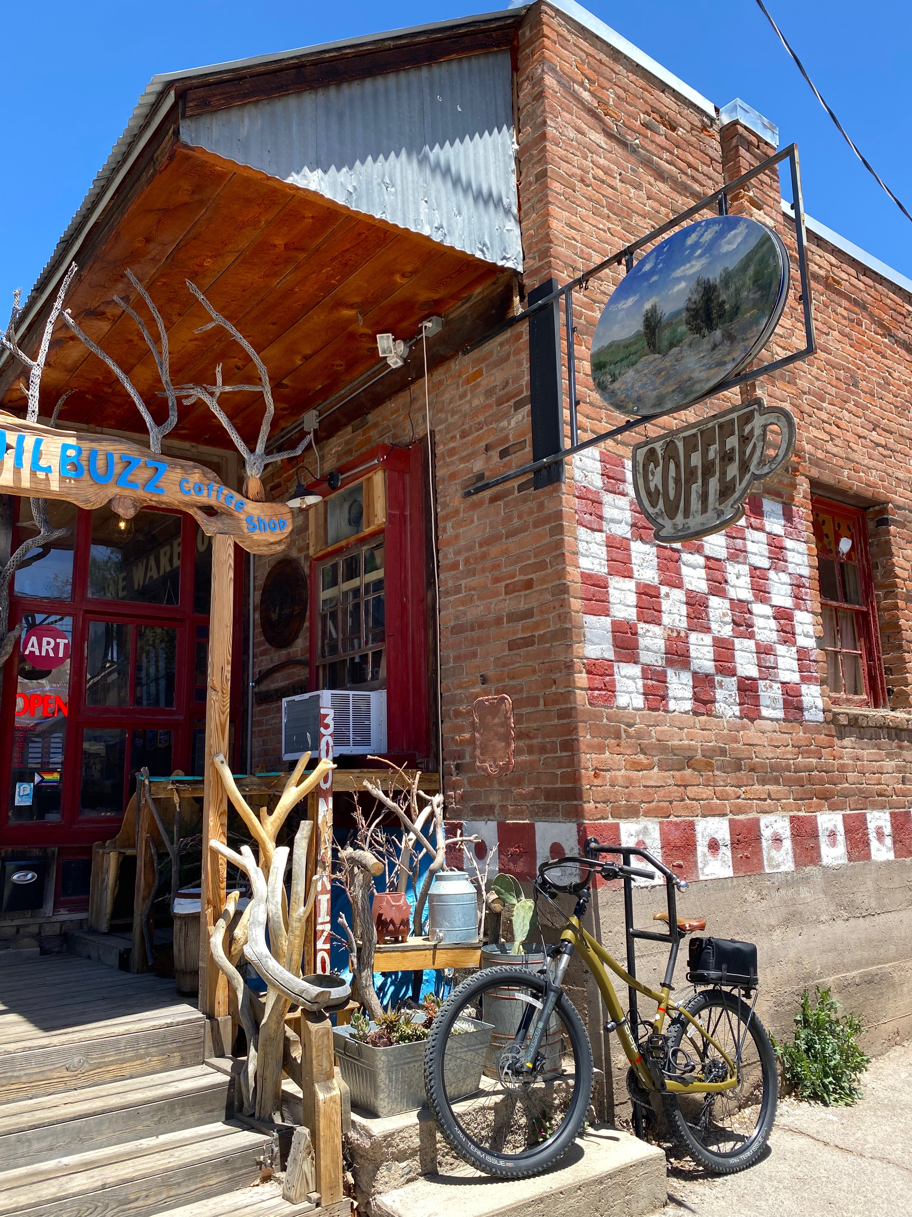
SC has become a draw for the artistic community. We met many folks who found their way to SC to be part of a very open and welcoming community. We started each day at the Buzz to fuel up and invariably met several new folks (many of whom are artists and musicians).SC is definitely a fun town for a two to three day visit and also a good base for exploring the surrounding area.
Endangered Species Mural, WNMSU
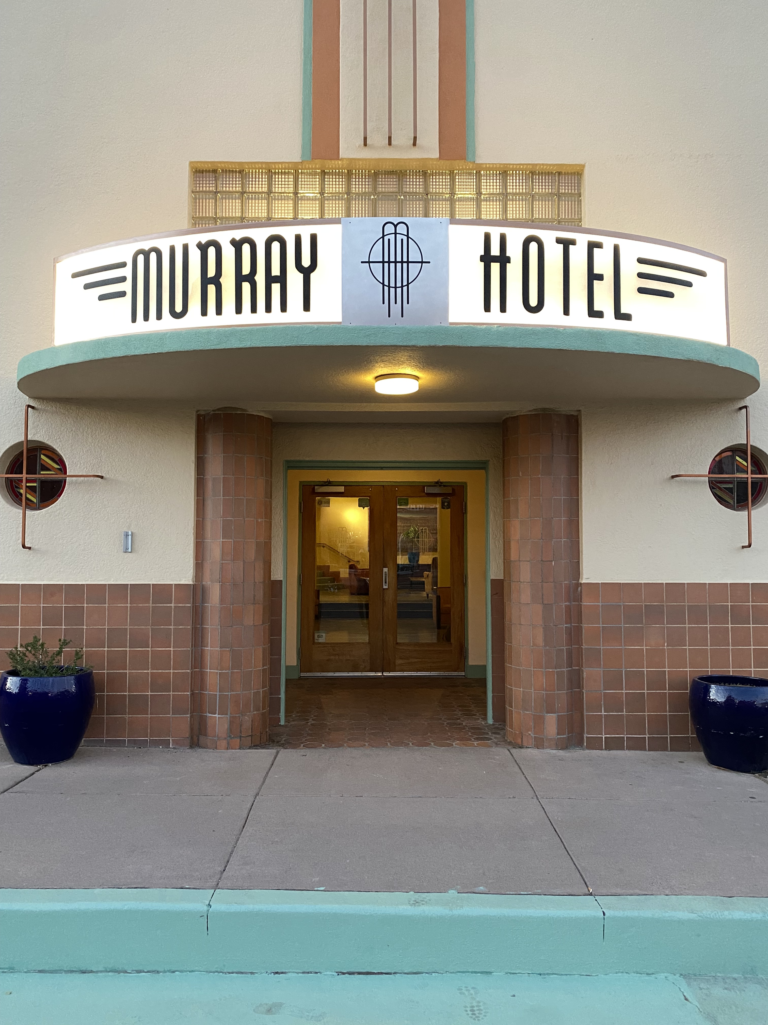
When not sleeping in the Beast, we try to find a local hotel with history and style. In SC we stayed a couple of nights at the Murray, a classic Art Deco hotel. The hotel opened in 1938 and was considered the height of luxury (in the southwest) at the time. It closed for several decades but was renovated and reopened in 2012. The hotel is perfectly situated in the middle of downtown, enabling us to walk everywhere and leave the Beast parked for the duration.
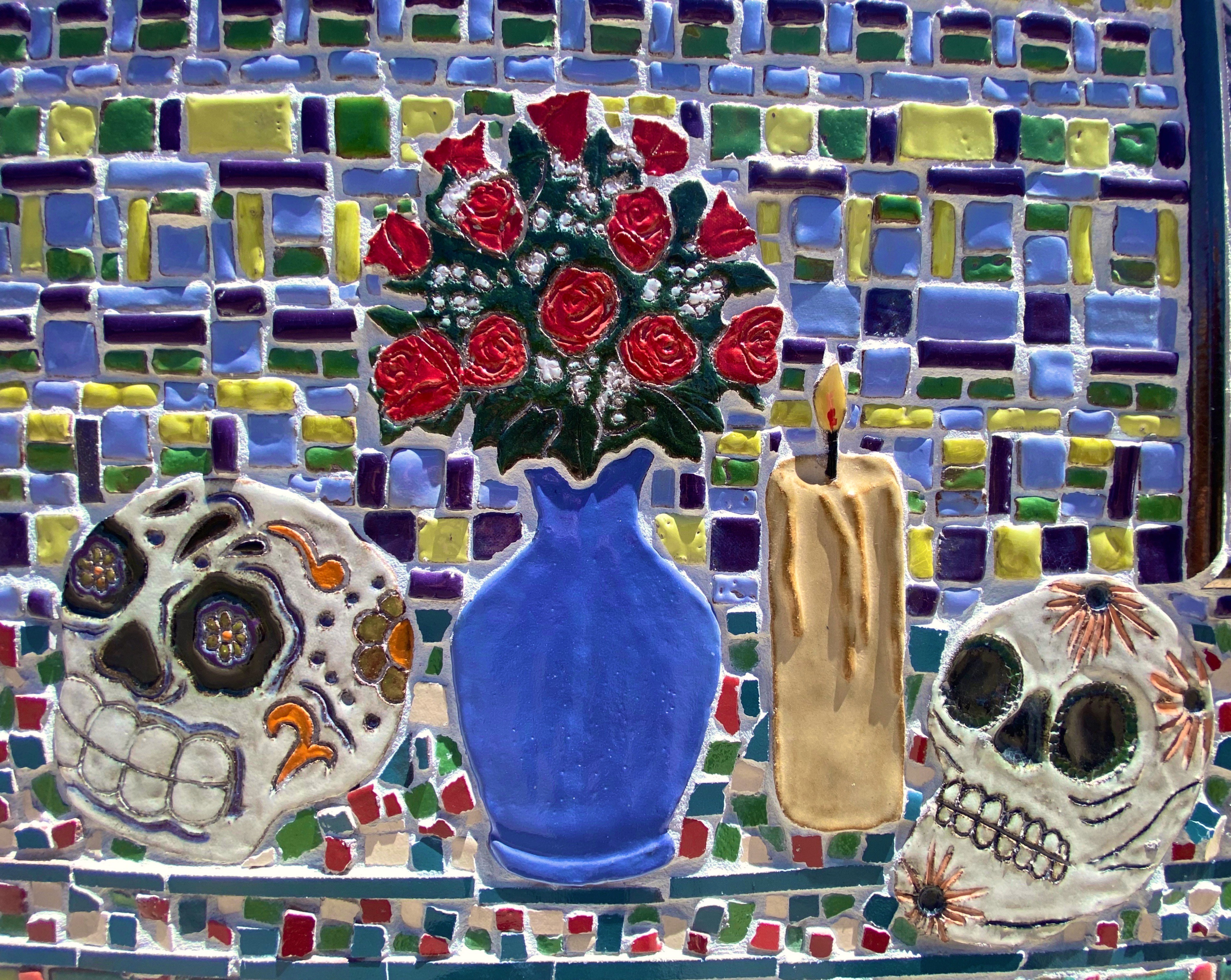
The photographs above are of tiles from the “Dia de los Muertos” mural located on the side of the Silver City Museum. The tile medium is quite popular in the southwest and, along with the subject matter, it reflects the heritage of this area. There is art everywhere in this town – not surprising that SC was named one of the top 100 art towns in the United States.
Just north of SC sits the small town of Pinos Altos (PA as it is called locally). The town was formally organized in 1860 after the discovery of gold by three men stopping for a drink of water in a local creek. The population quickly grew as word of the gold discovery spread.
However, the local Apache people were not pleased to see hundreds of miners descend on what was their homeland. A band of 400 Apache warriors, joined by the great chief Cochise, attacked the settlers in what became known as the Apache War of 1861. Hostilities went on for several years until the cavalry built a fort at Bayard and a treaty was negotiated (we know who got the better end of that deal).
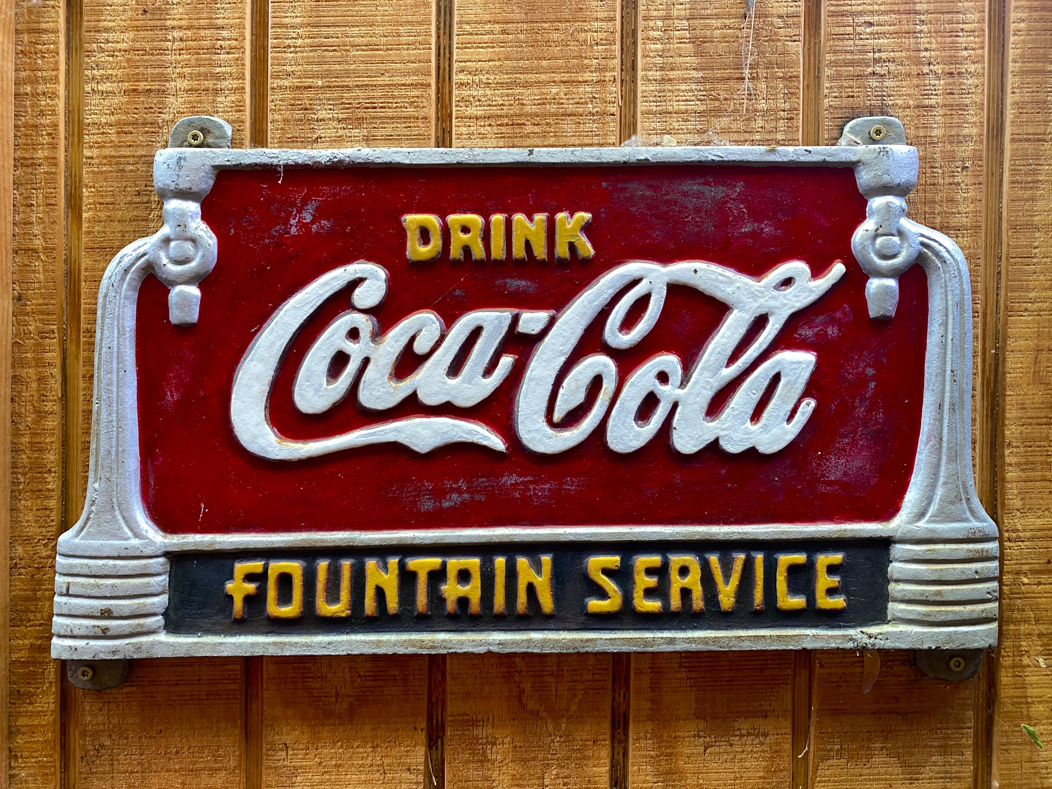
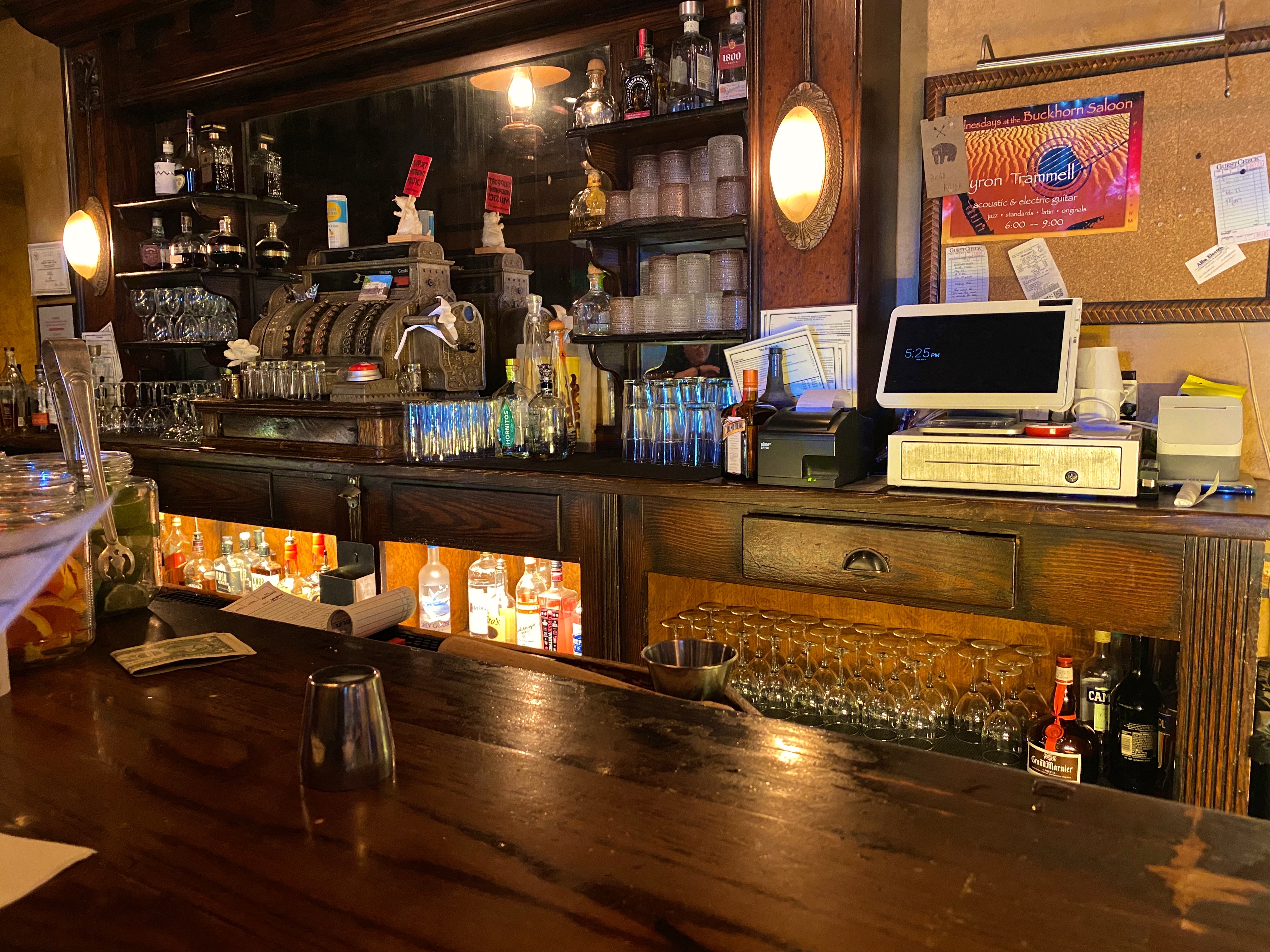
Today the town has 300 or so residents after having been abandoned for may years. Fortunately, many of the original buildings remain, and that in conjunction with the Buckhorn Saloon, engenders a fun, old west atmosphere. Besides, who can resist a town where Main Street is still a dirt road!
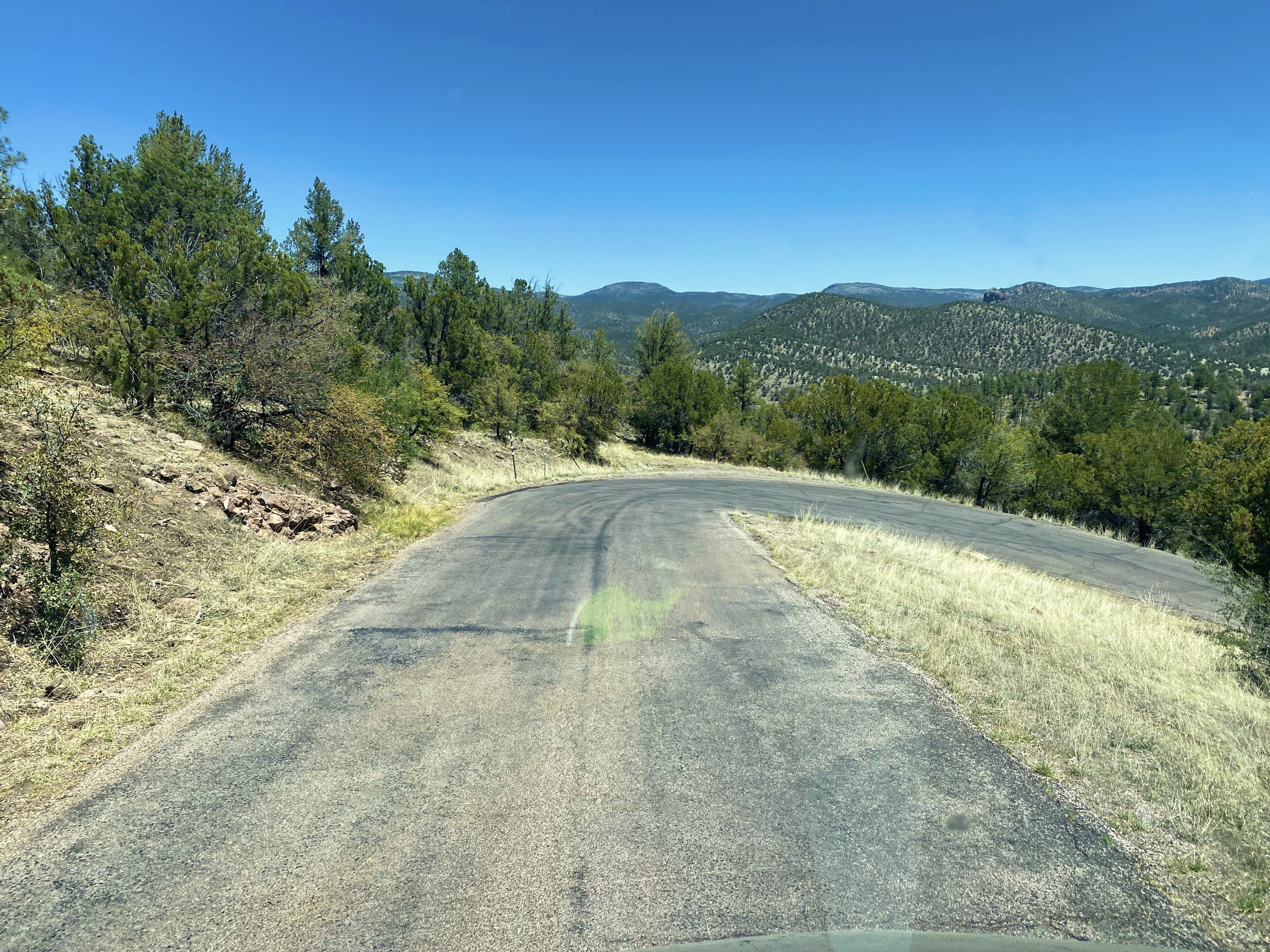
We used SC as our base from which to visit the Gila Cliff Dwelling NM. The drive is only 45 miles as the crow flies but the Pinos Altos Mountain Road (Route 15) is a winding, narrow climb up and over the the Pinos Altos Mountain Range. The 45 mile journey took us about 90 minutes. We had a sunny, clear day so we had great views of the landscape to the north and west once we reached the upper portion of the route.
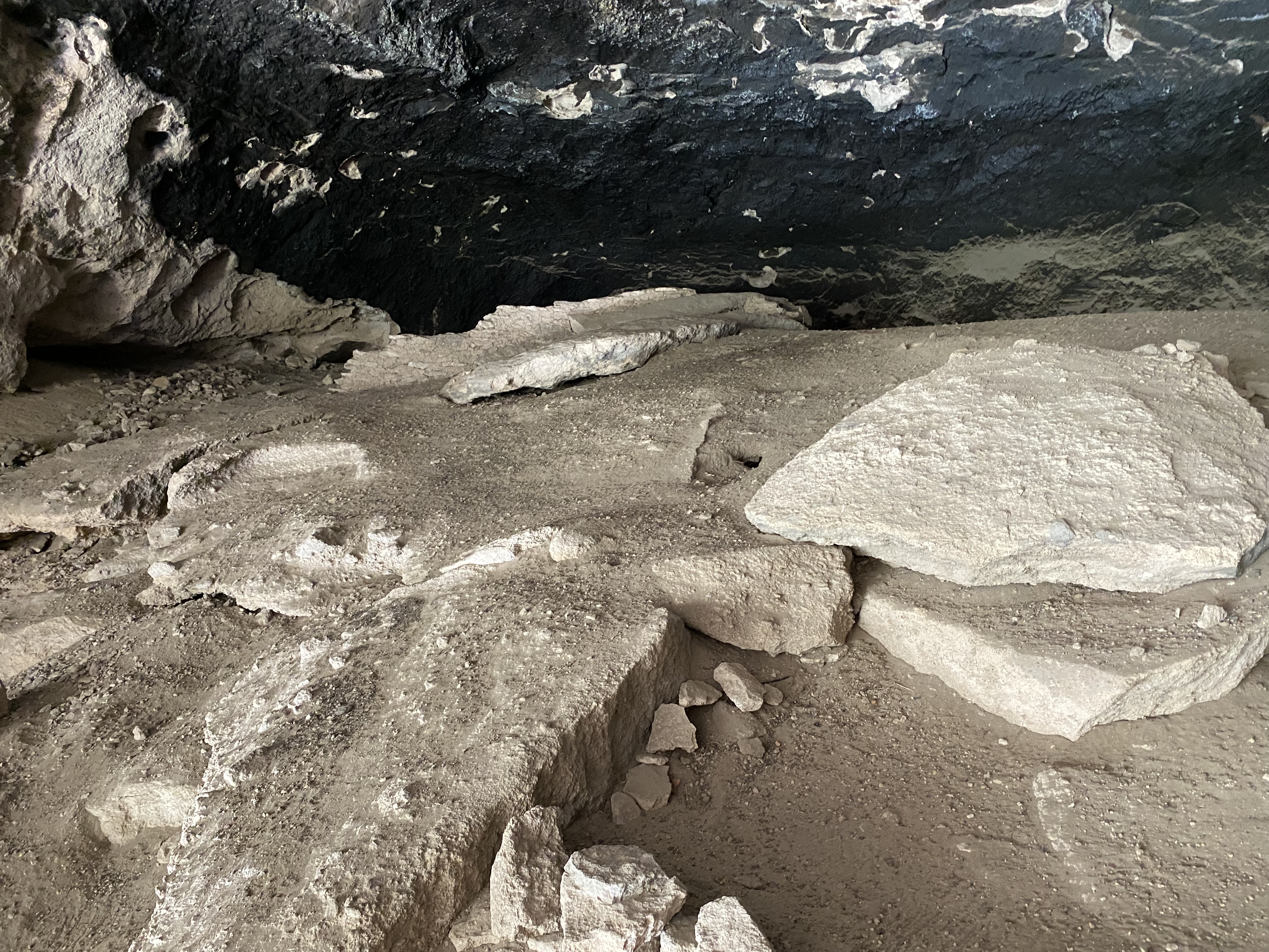
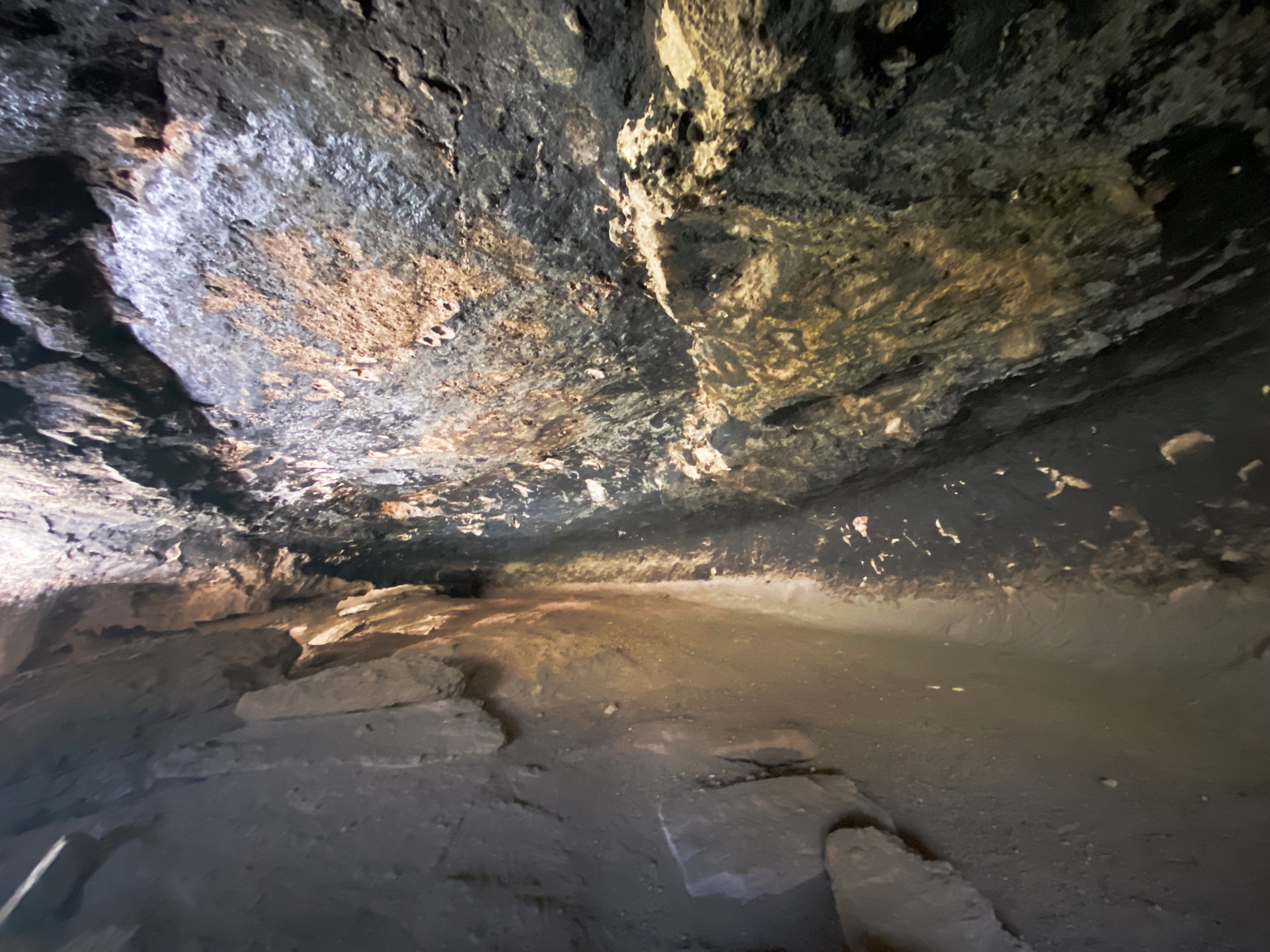
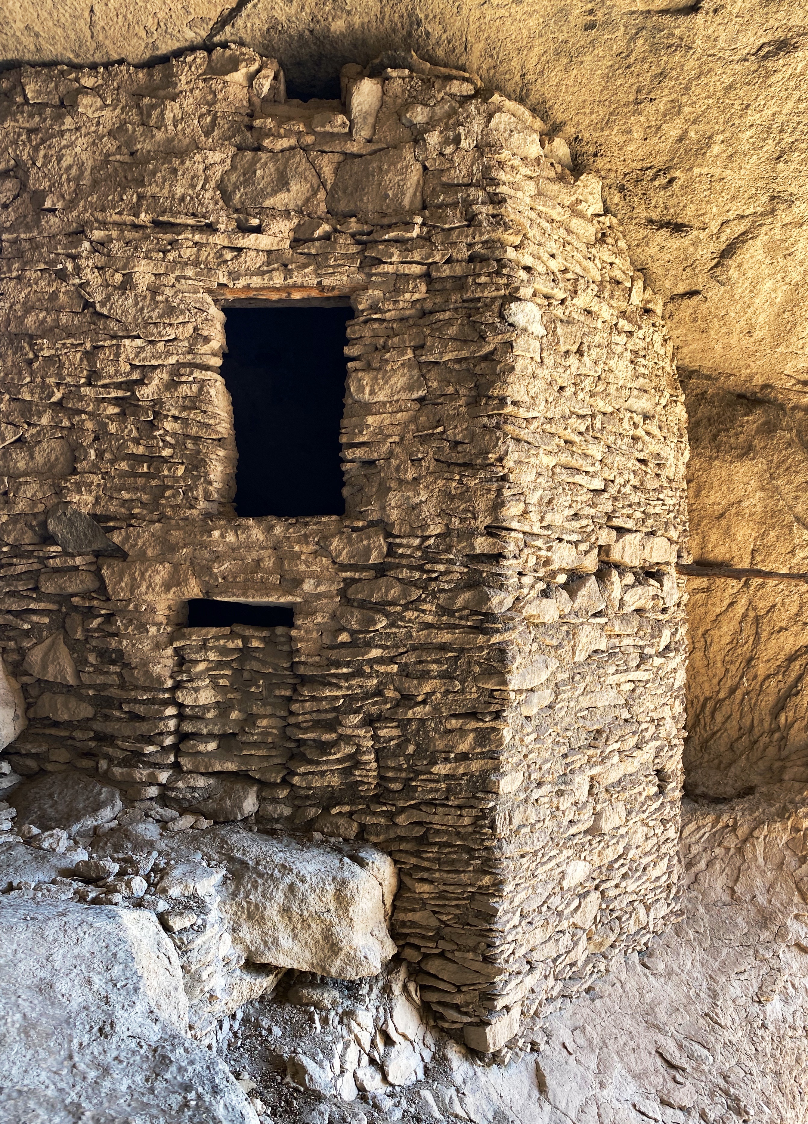
Once we arrived at Gila Cliff we spoke with the ranger to get oriented and then set off on the hike up the canyon and the switchback that leads to the caves. There are five caves here of which three are accessible. The cliff dwellings here are quite impressive, although on a much smaller scale than those we have previously seen at Mesa Verde and Bandolier.
The caves here were used as shelter by nomads for many centuries. In the 1280s the Mogollon People took up residence here and built the 44 rooms that exist today. The 1280s timing is based on tree rings on the wood framing which is original and shows a range between 1260 and 1280. It is thought by archeologists that 10 to 12 families resided in these dwellings. It appears that by the early 1300s the Mogollon had moved on to parts unknown. Why they left is unclear.
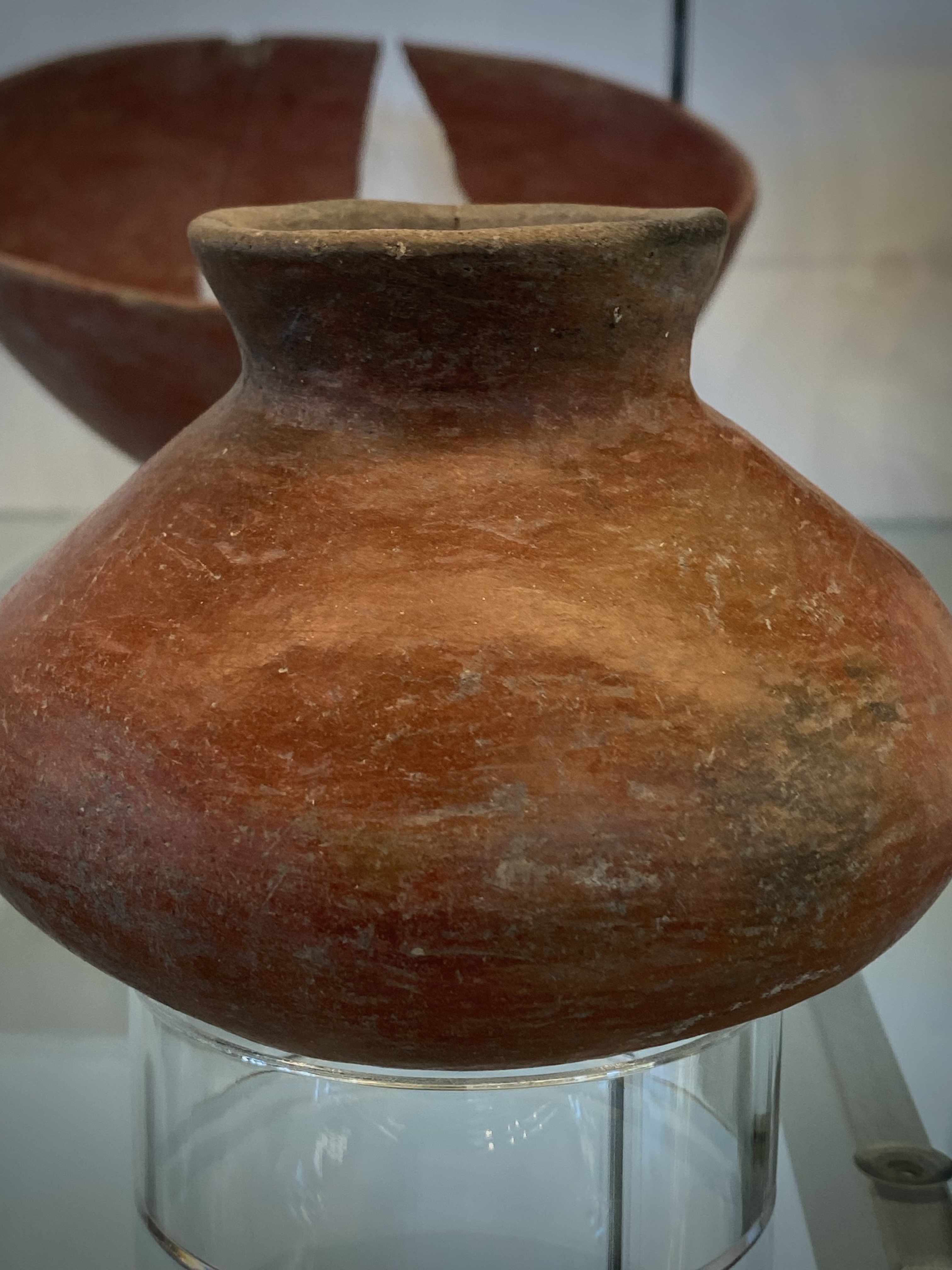
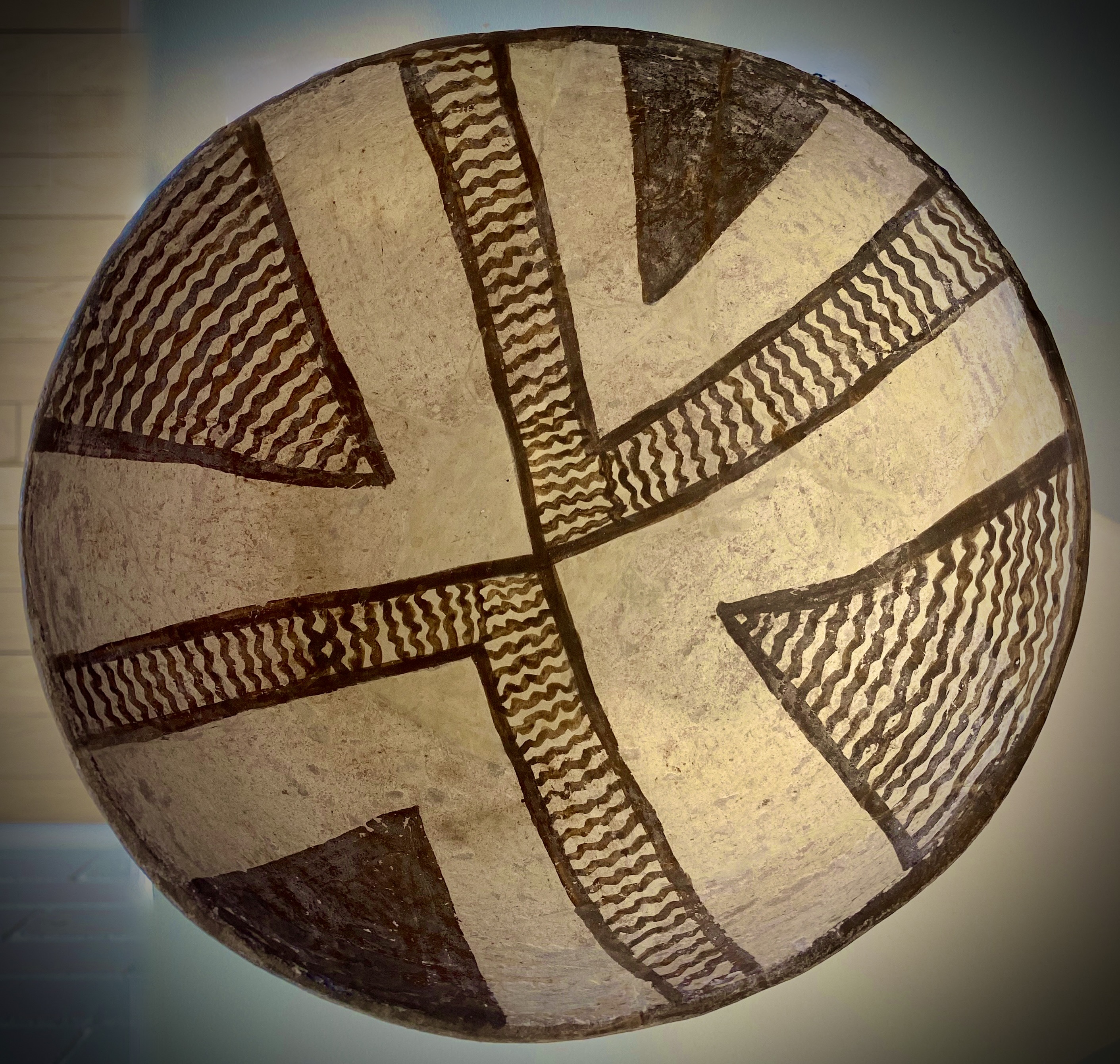
The Mogollon Peoples, in addition to being skilled builders and farmers, were outstanding potters. As a follow up to our visit to the cliff dwellings, we visited the Western New Mexico University Museum located conveniently (for us) on the campus in Silver City. The museum houses the world’s largest collection of pottery made by the Mogollon Peoples. Much of the pottery was discovered by ranchers who settled in the Mimbres Valley. Fortunately, a significant portion of the pottery was well preserved and the ranchers donated it to the museum. We have included several photographs below so that you might get a sense of the beautiful craftsmanship.
We had a great stay in SC. Our next travels will take us north through western New Mexico where will hike on a catwalk, visit a ghost town in the mountains, look into deep space and eat pie!