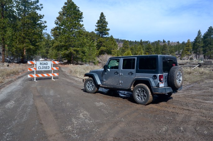
Today we attempted to drive the Hells Backbone Rd. We knew that it was unlikely we could make it through but wanted to see if we could make it to the Hells Backbone Bridge which spans Sand Creek. The Bridge is 109 feet long and 14 feet wide. The drop is 1500 feet on both sides! Unfortunately due to a late winter storm the road is closed just short of the bridge. We spoke with another traveler who proceeded past the road closure sign but turned back when he saw a vehicle ahead of him stuck in the snow.


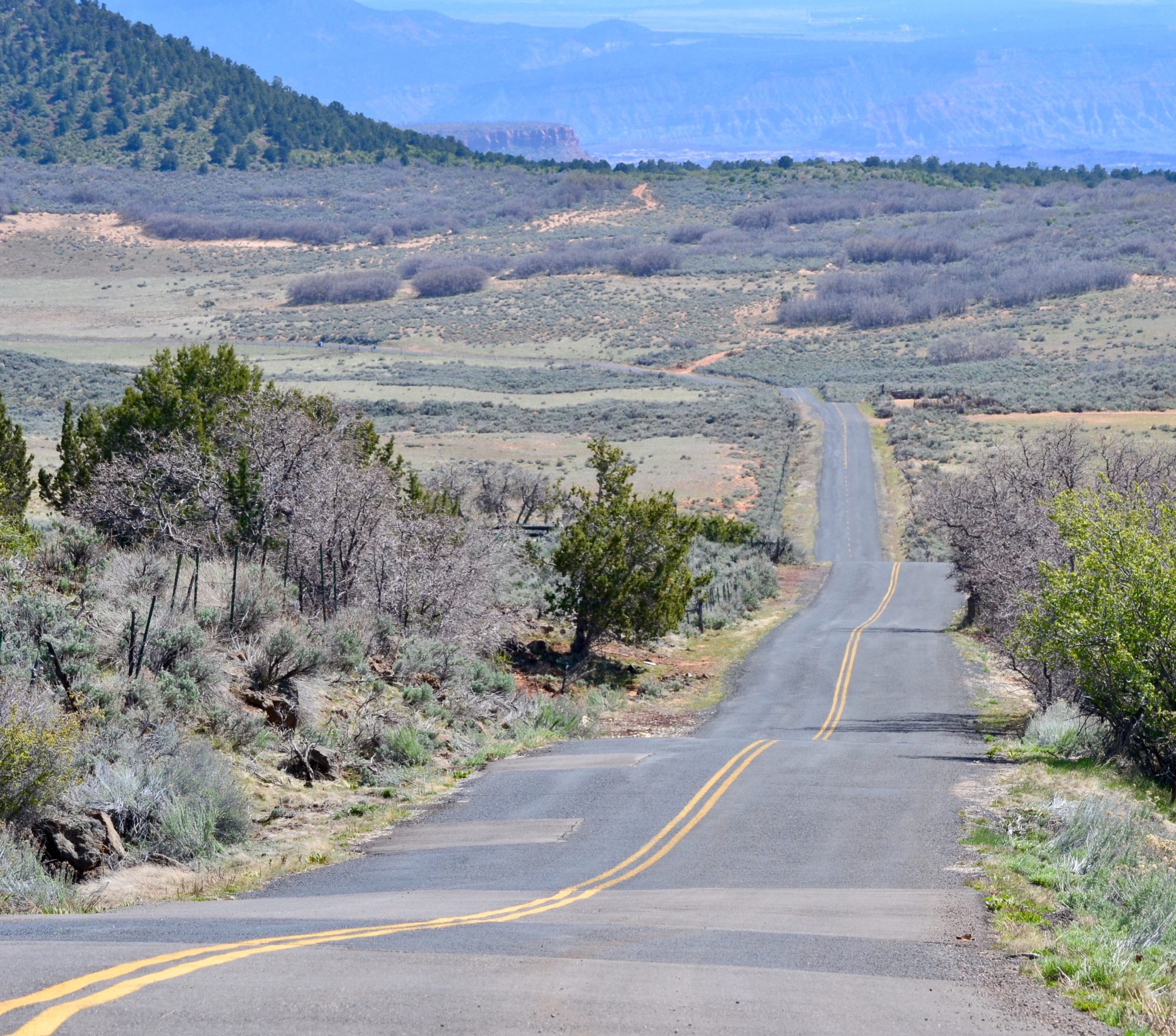
 Paradise Valley, Fishlake National Forest
 Foy Bench 8975 Elevation
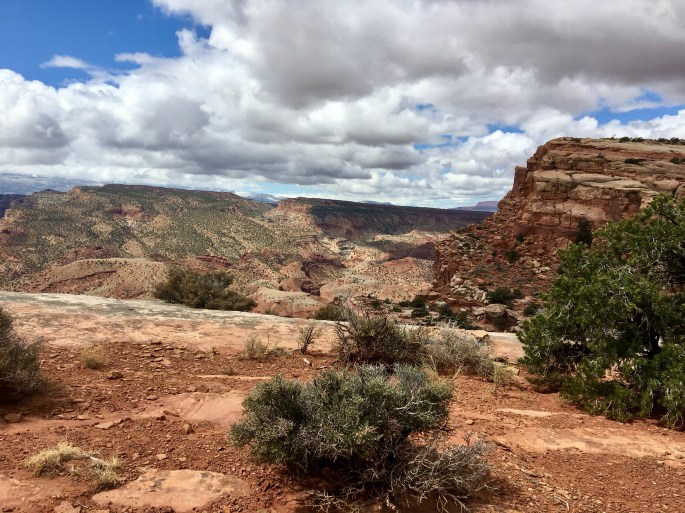
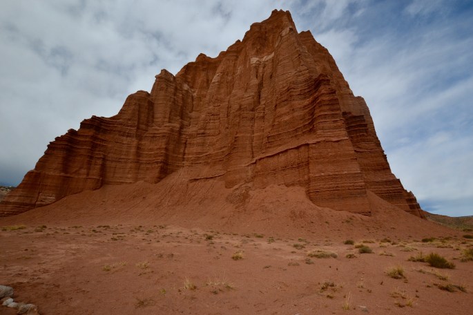
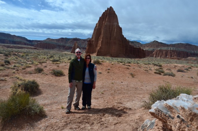
 Cathedral Valley
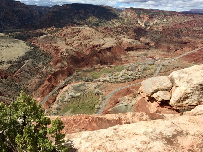
 Torrey, Utah


