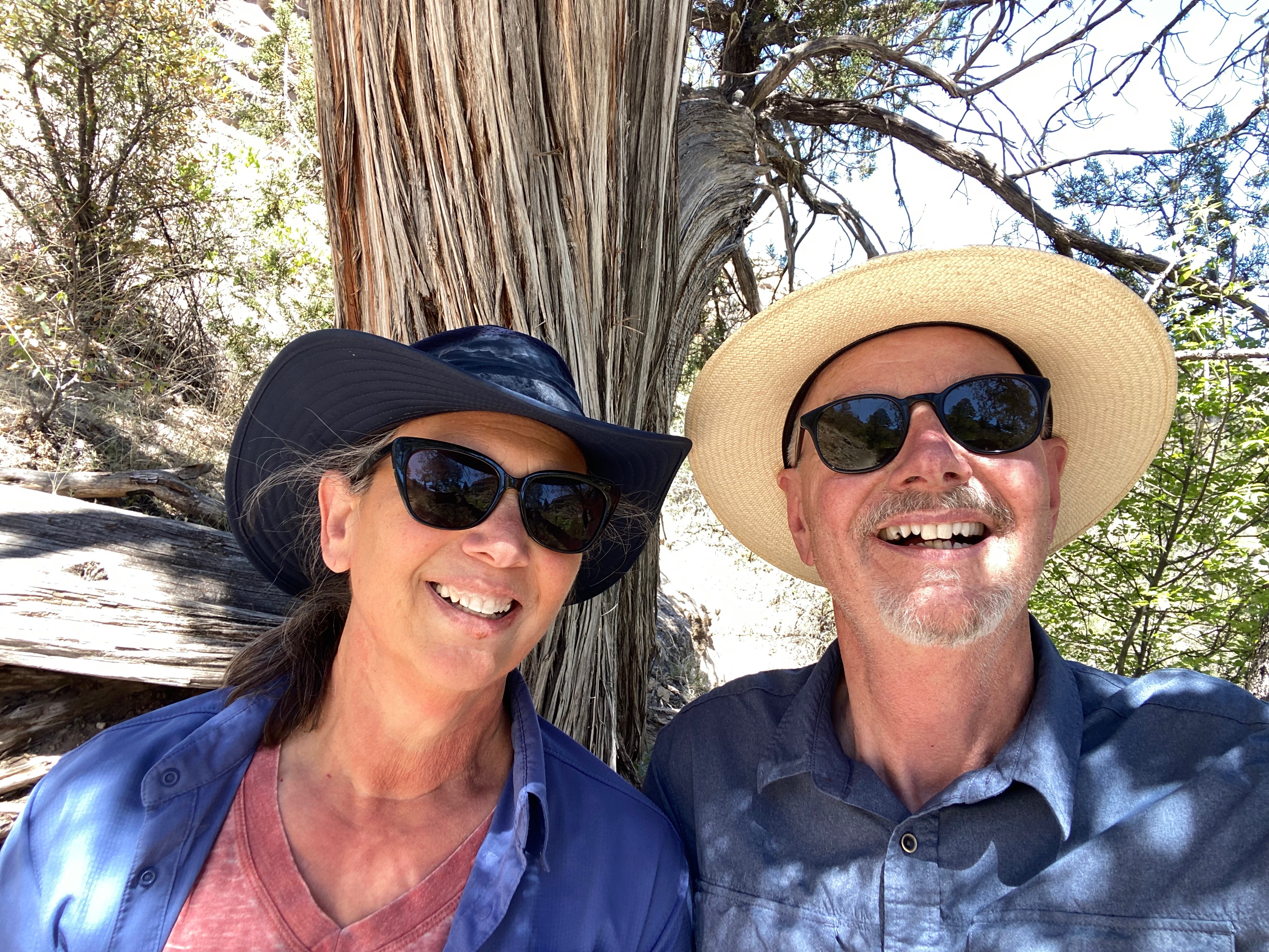
We originally planned to visit the Black Canyon of the Gunnison (BCG), Rocky Mountain Nation Park (RMNP) and Great Sand Dunes National Park(GSDNP) while in Colorado. But as we monitored the conditions in Colorado during the trip (and spoke with some fellow travelers who had recently been in Colorado) it became apparent that we would not be able to access significant portions of our original itinerary due to this winter’s abundant snowfall in the Rockies.
So, after several excellent weeks touring western New Mexico, we departed Farmington, New Mexico to traverse Colorado in a northeasterly direction to visit GSDNP in southwestern Colorado, while forgoing the BCG and RMNP.


Of course, custom requires that our first meal after crossing a state line consist of burgers, fries and, if possible, a milkshake. Happily (and perhaps unhealthily) our tradition remains intact!

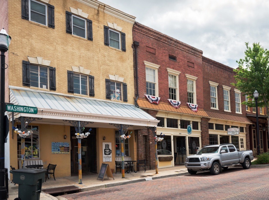
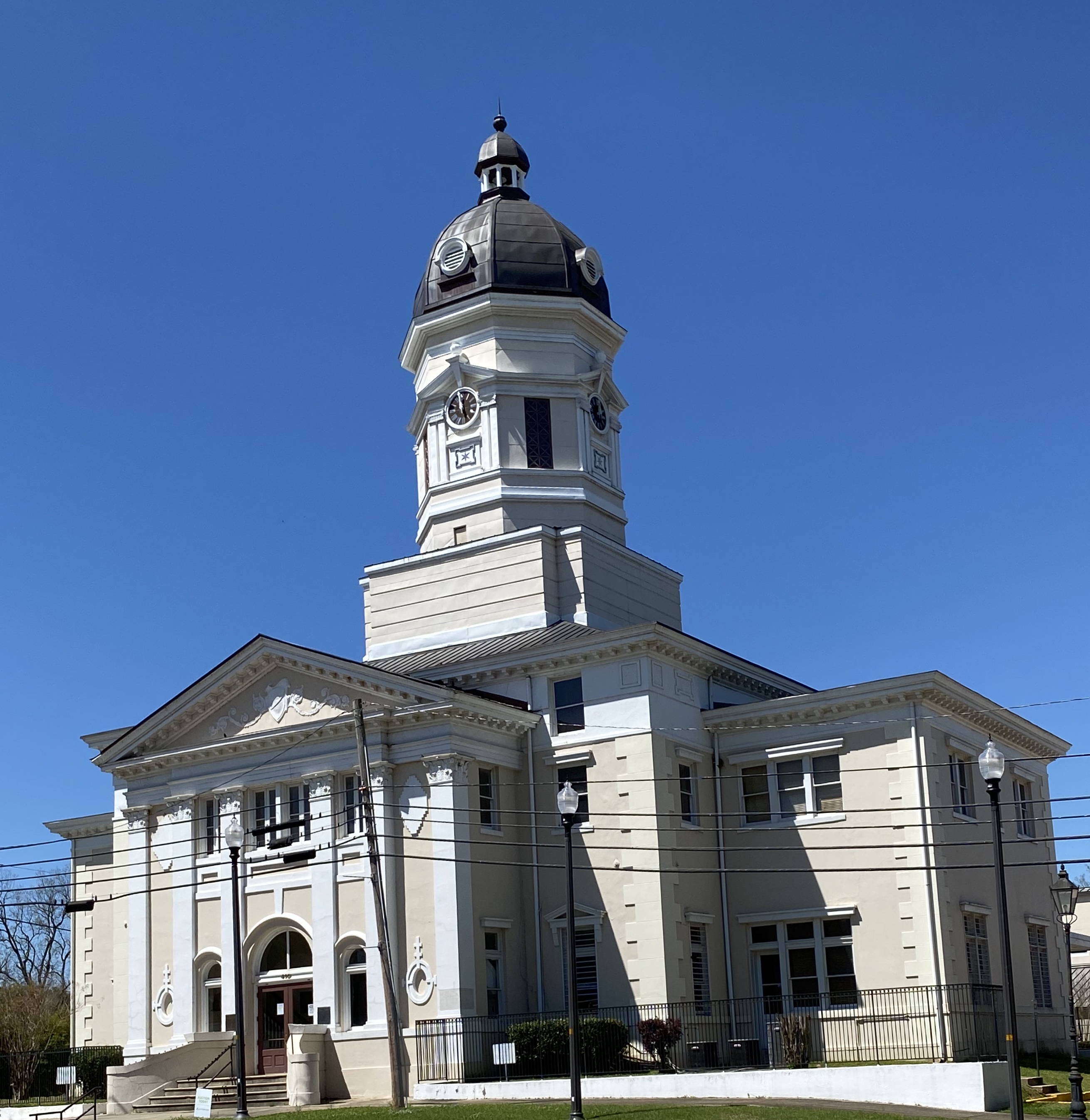
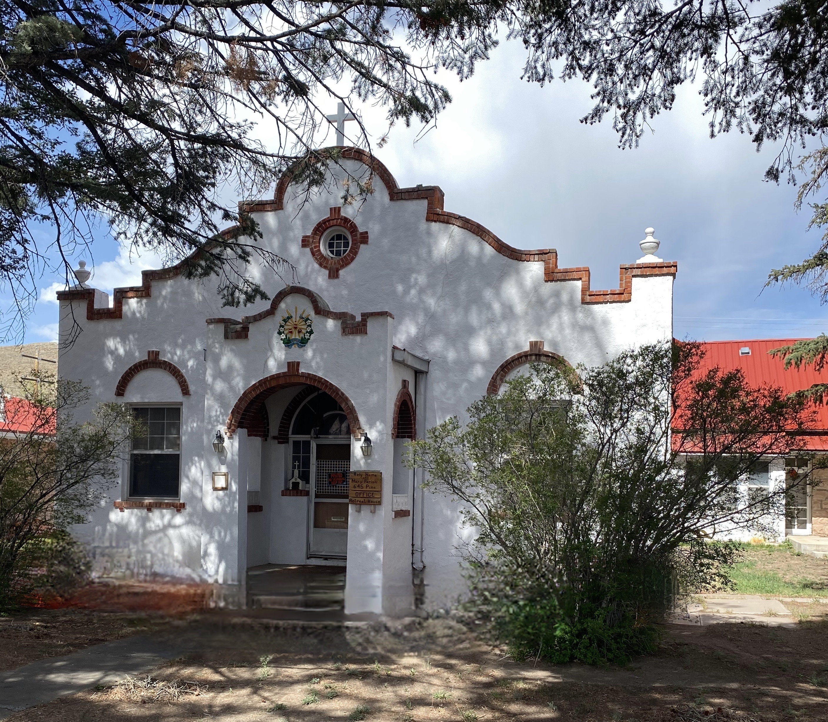
After refueling with burgers and diesel we continued our drive to the town of Del Norte. Prior to Euro-American settlement, this area was occupied by the Utes who migrated to the area from the south during the warmer months of the year. When this territory came under Mexican rule during the early 19th century, Hispanic settlers migrated north to take advantage of land grants offered by the Mexican government. Subsequently, this area was ceded to the United States by Mexico.


In 1859-1860 gold was discovered in the San Juan Mountains in what had been Ute territory for 500 years. Never mind, the Kit Carson Treaty (Ute Treaty of 1868) was negotiated in order to remove the Utes from the gold rich Central Rockies in exchange for land on the Western Slope of the Rockies. This treaty, as with most other treaties between the federal government and Native Americans, was eventually violated by the federal government and after the Utes rebelled they were driven out of Colorado entirely (Meeker Massacre).


Del Norte, Photos, Courtesy Denver Public Library
Today the small town of Del Norte (pop. 1600) is mainly an outdoor recreational hub with rafting on the adjacent Rio Grande and a plethora of rock climbing, mountain biking, hiking and camping options.
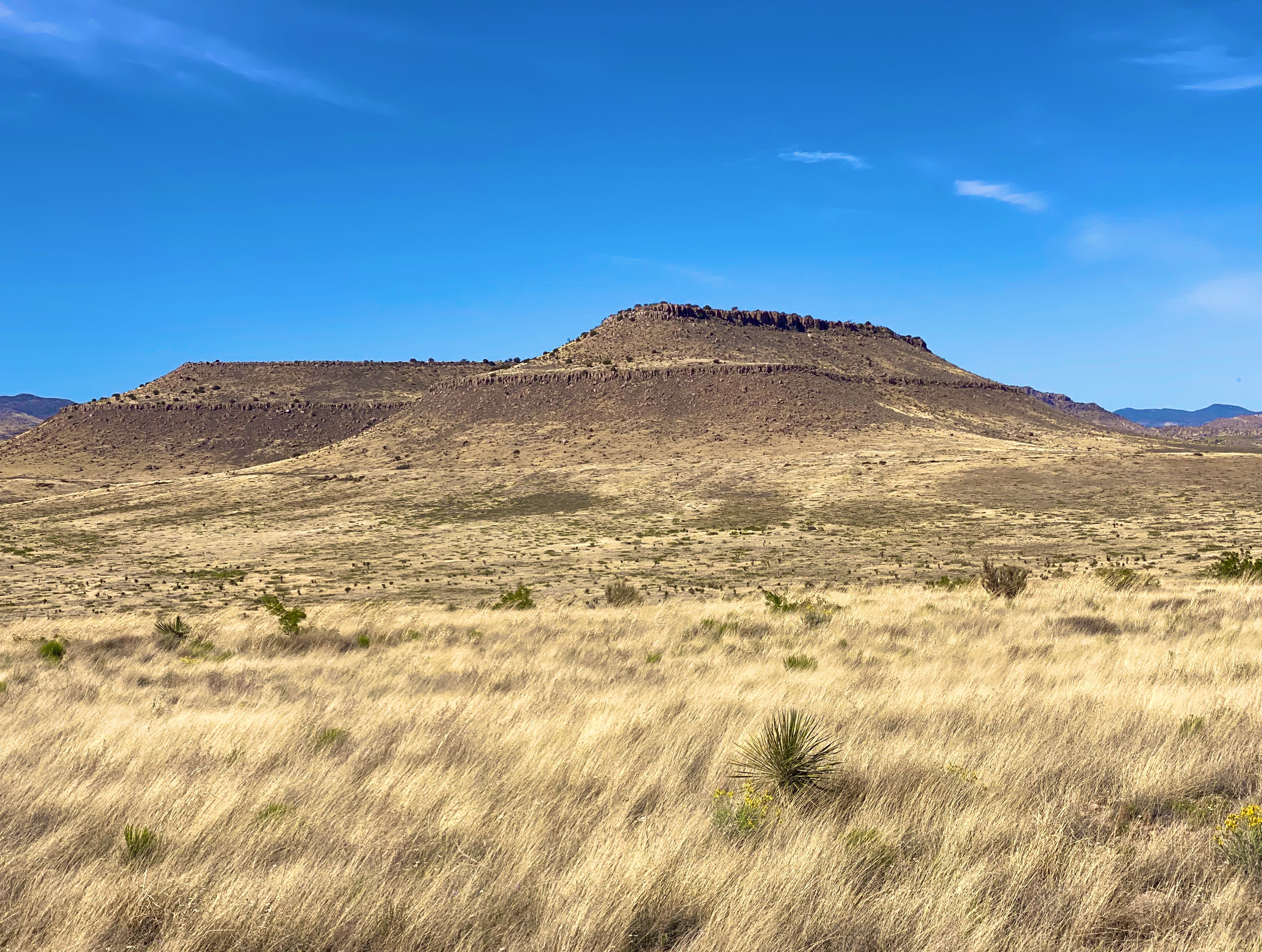
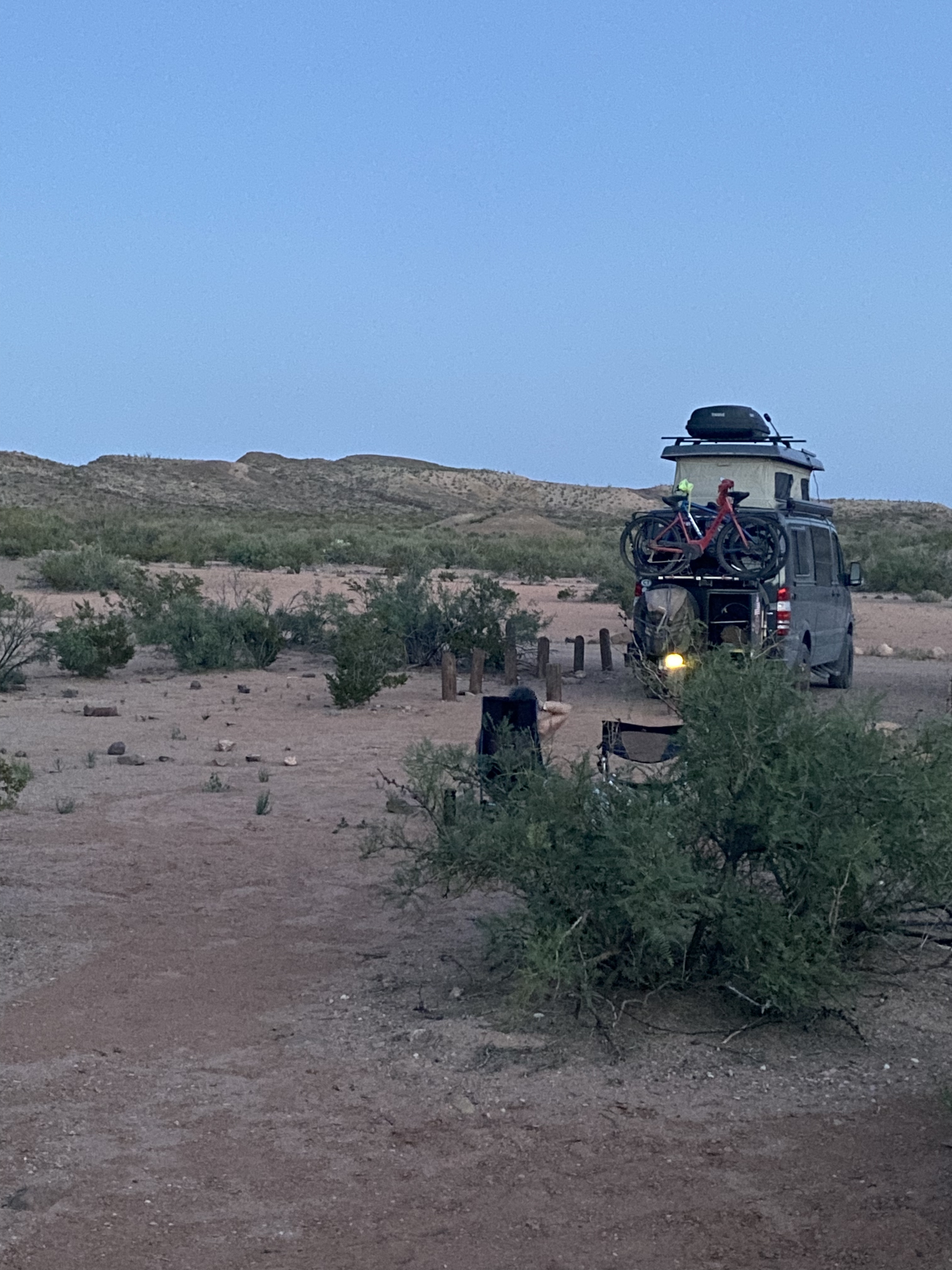
After a quick tour of the small downtown we headed west a short distance to find a camping spot in the Rio Grande National Forest. We found a great spot in a meadow which afforded us a panoramic view of Del Norte Peak.

The following morning we set our course due west for the one hour drive to visit GSDNP. The park was declared a national monument in 1932 in order to keep the dunes from being damaged by gold mining or concrete manufacturing. The monument was elevated to full national park status in 2004.

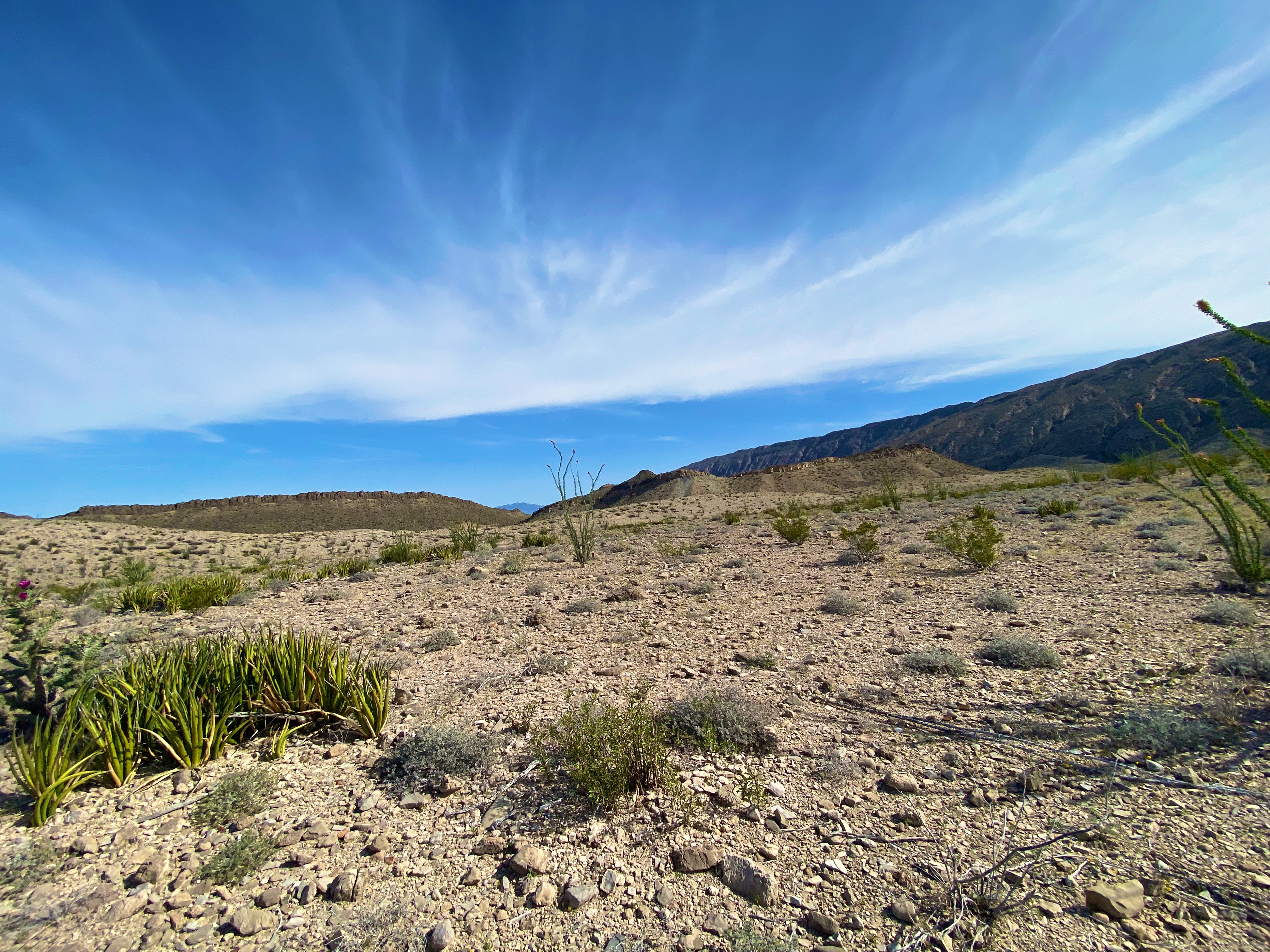
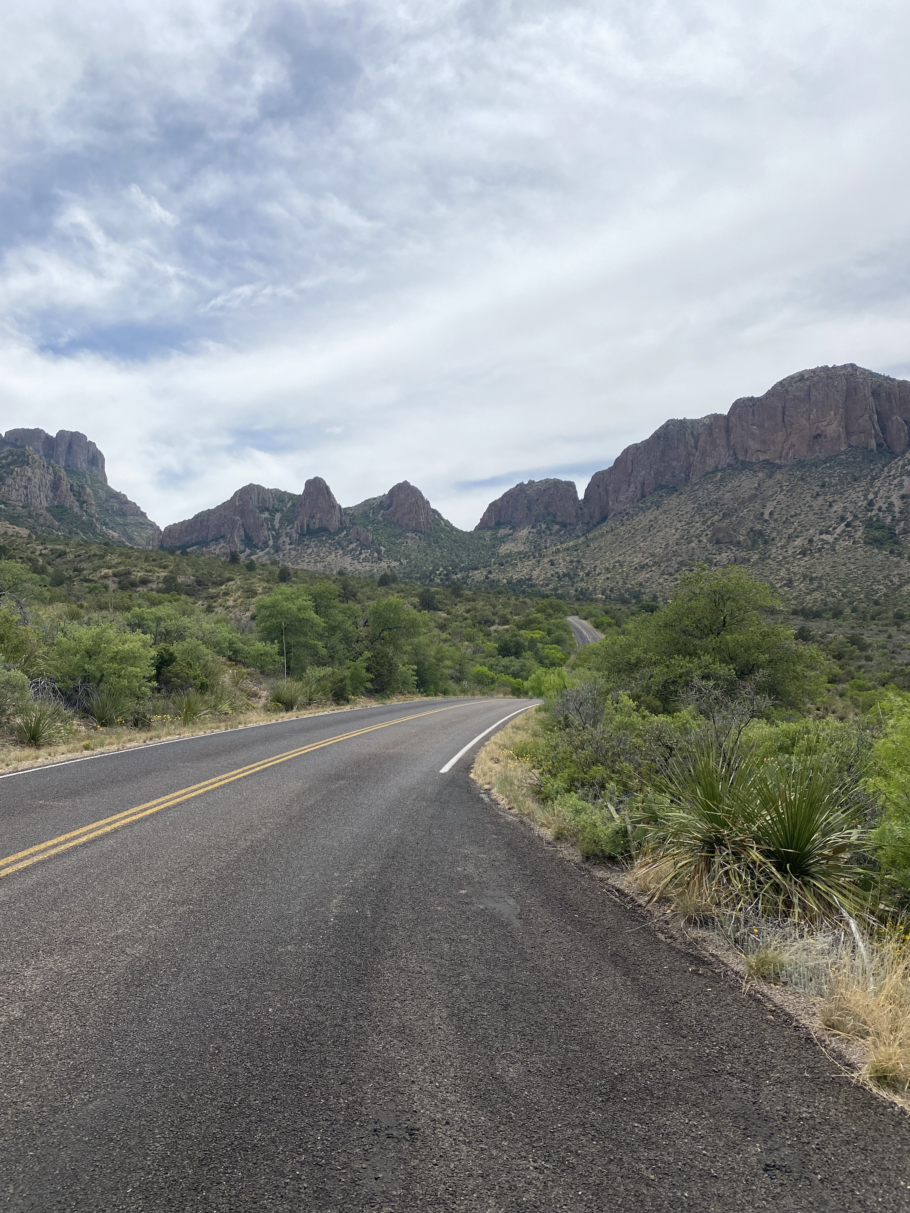
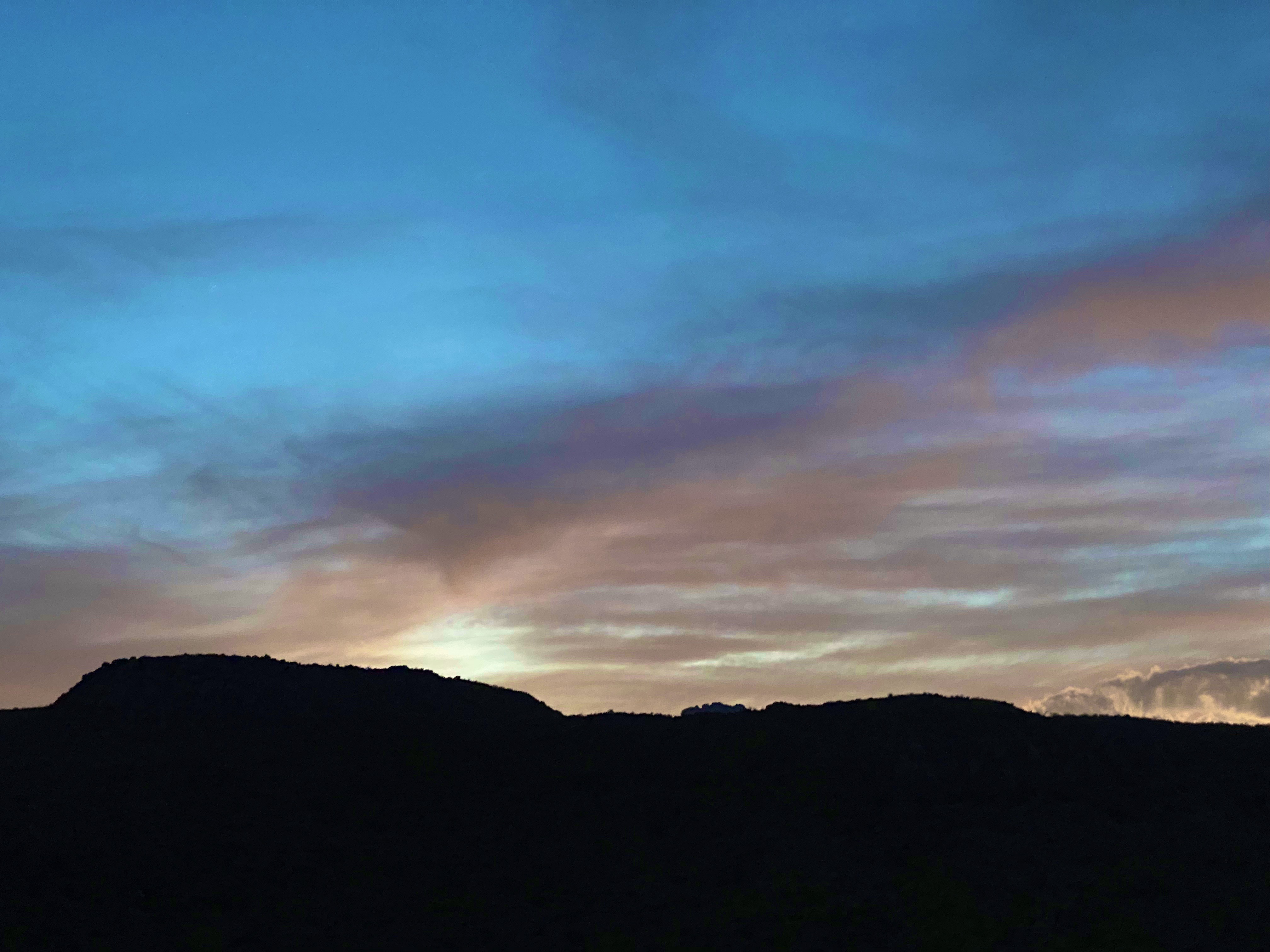
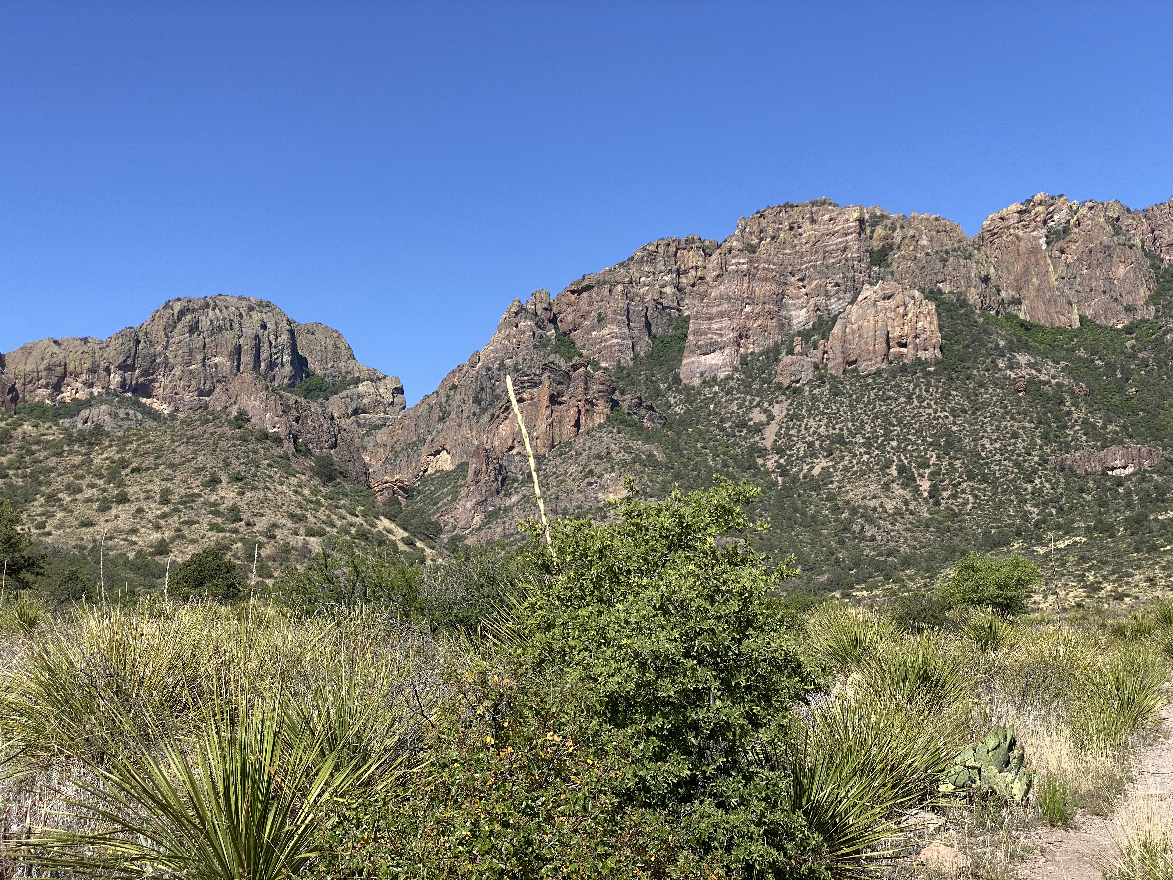
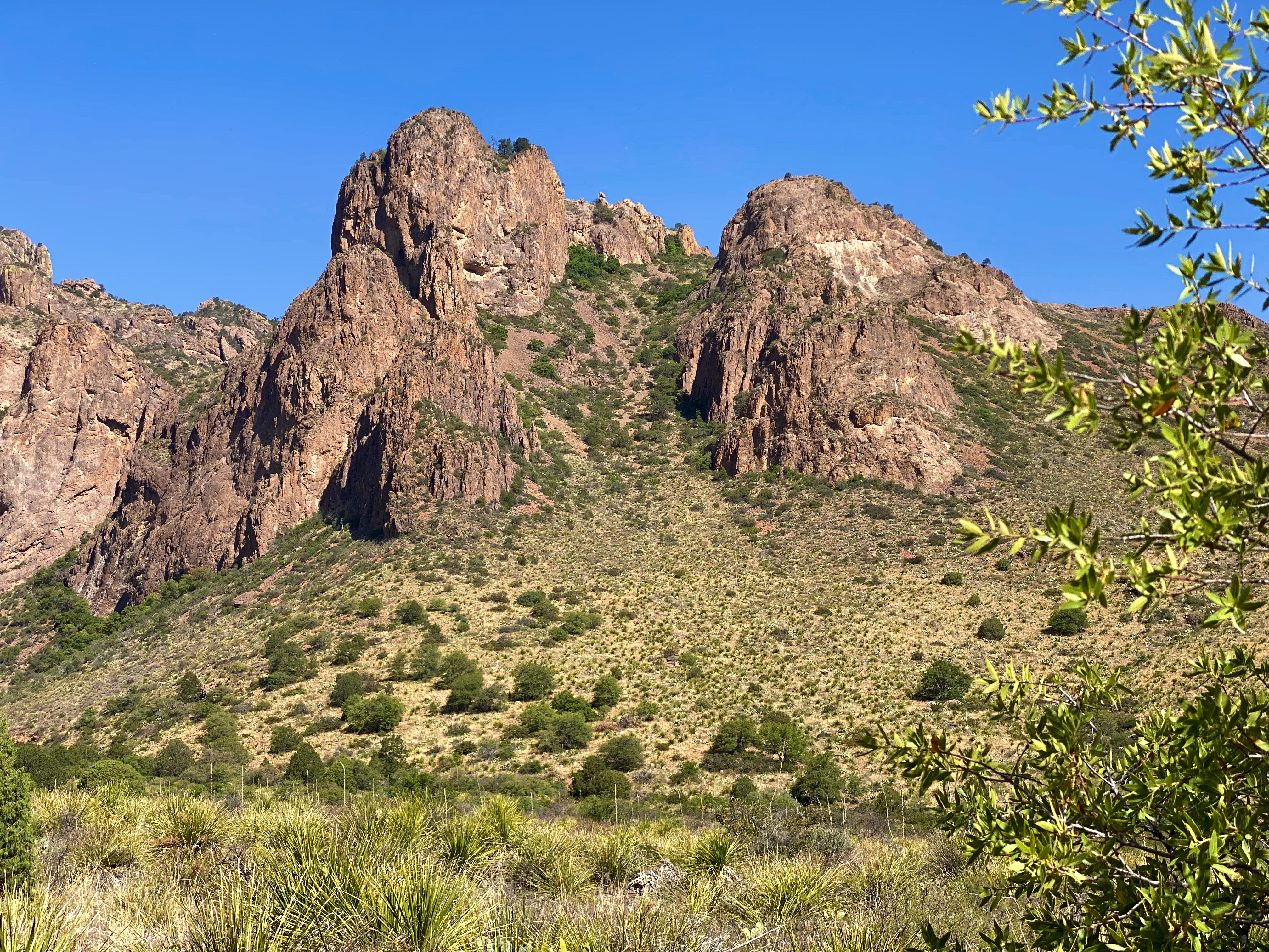
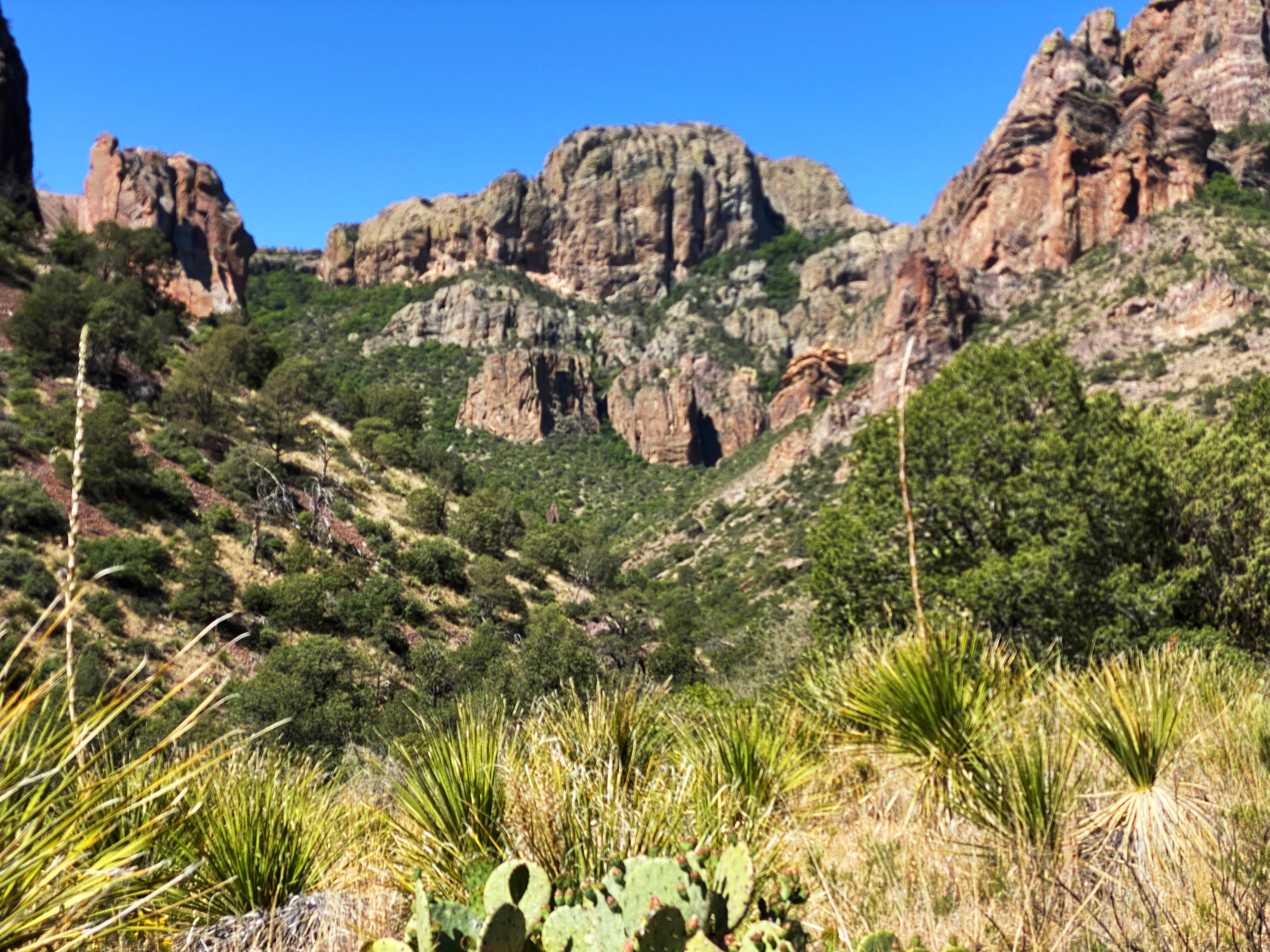
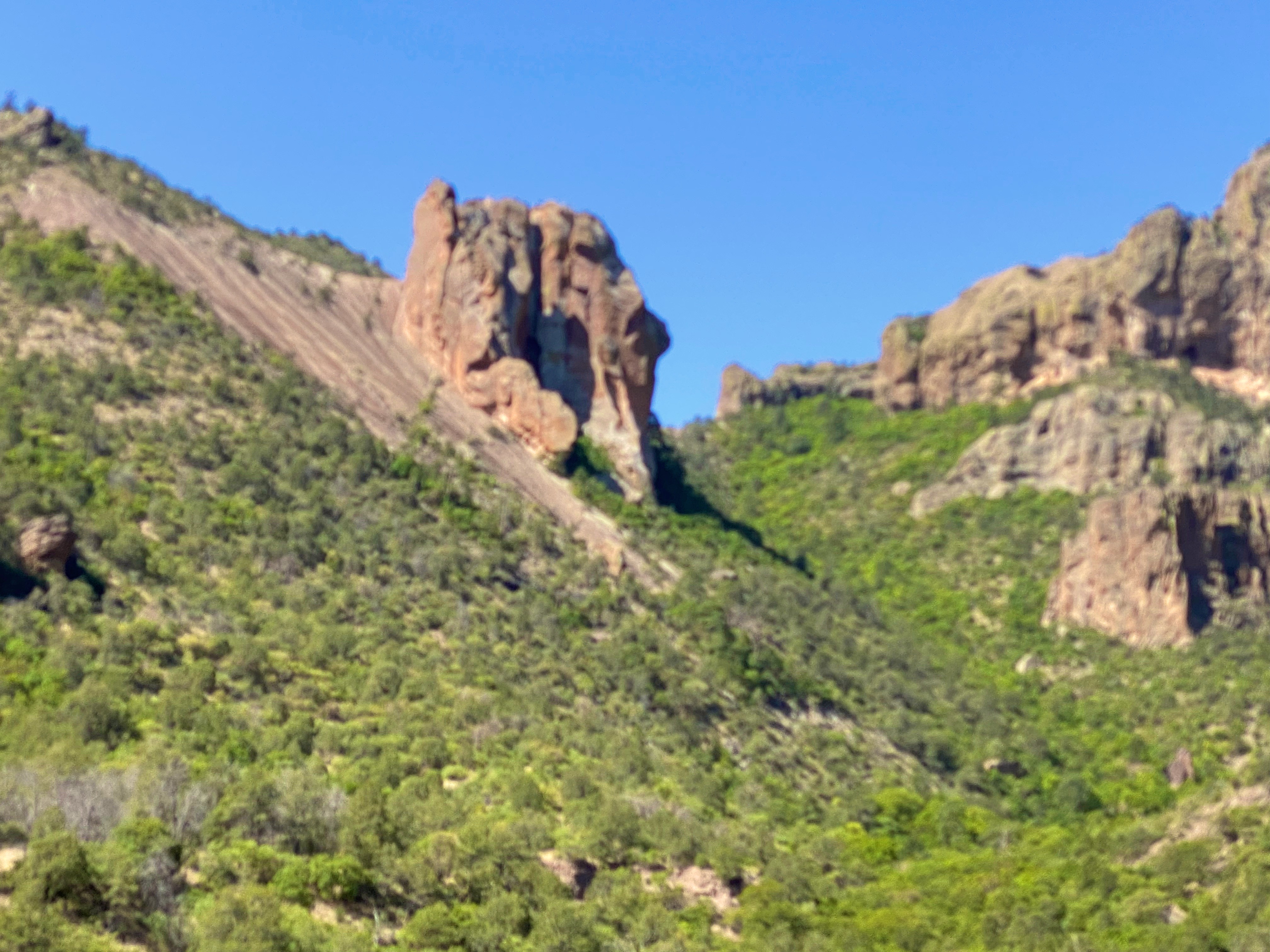
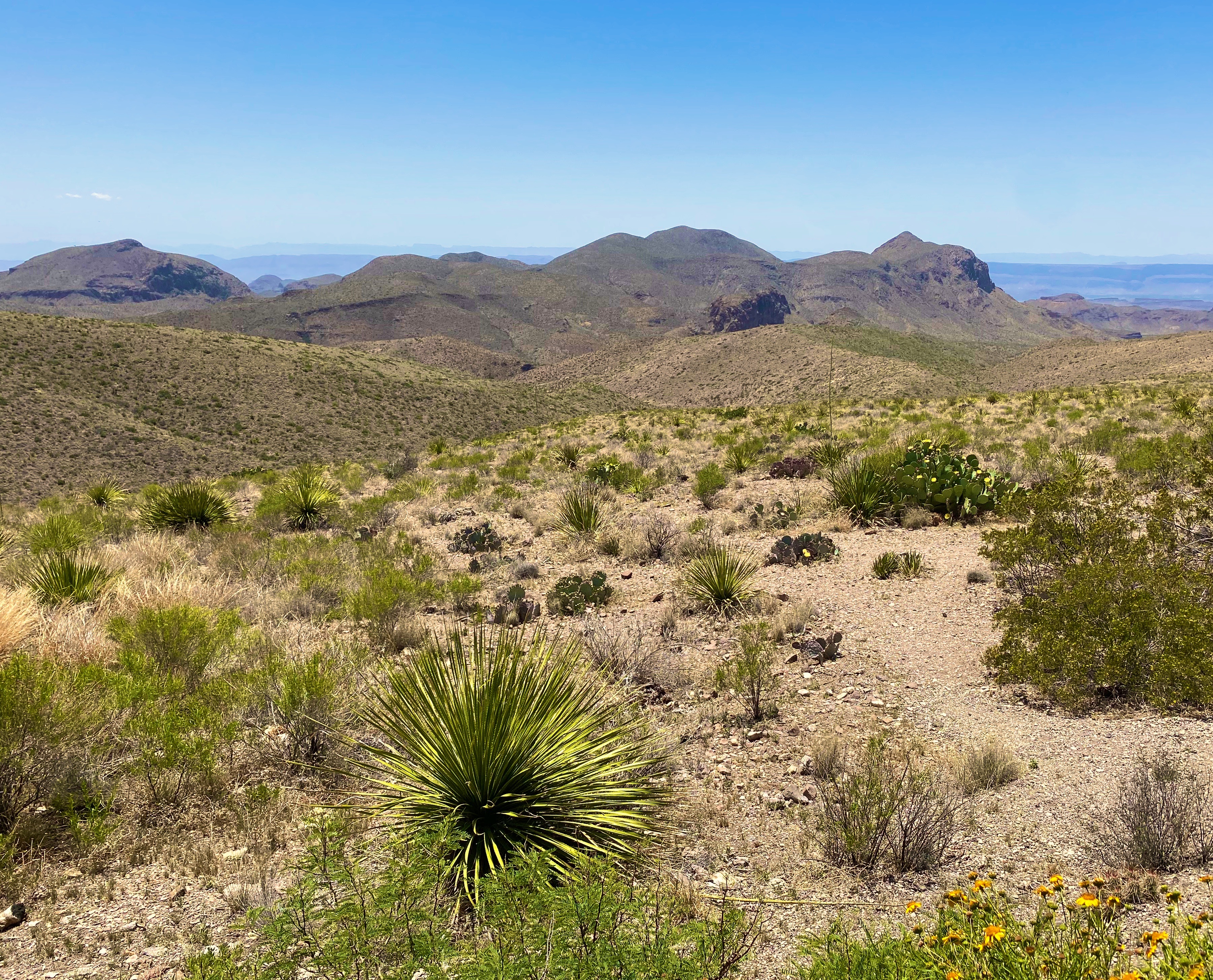
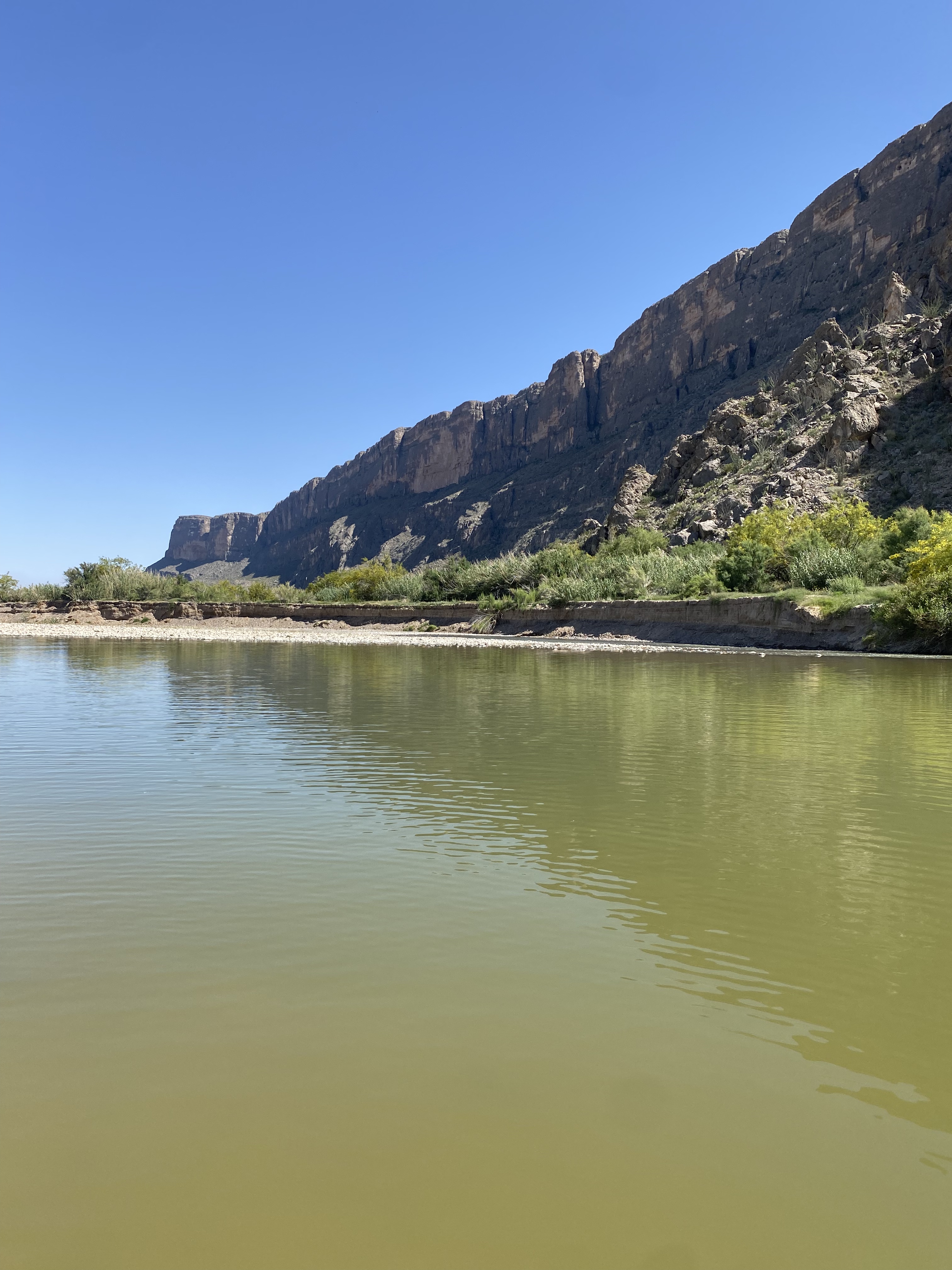
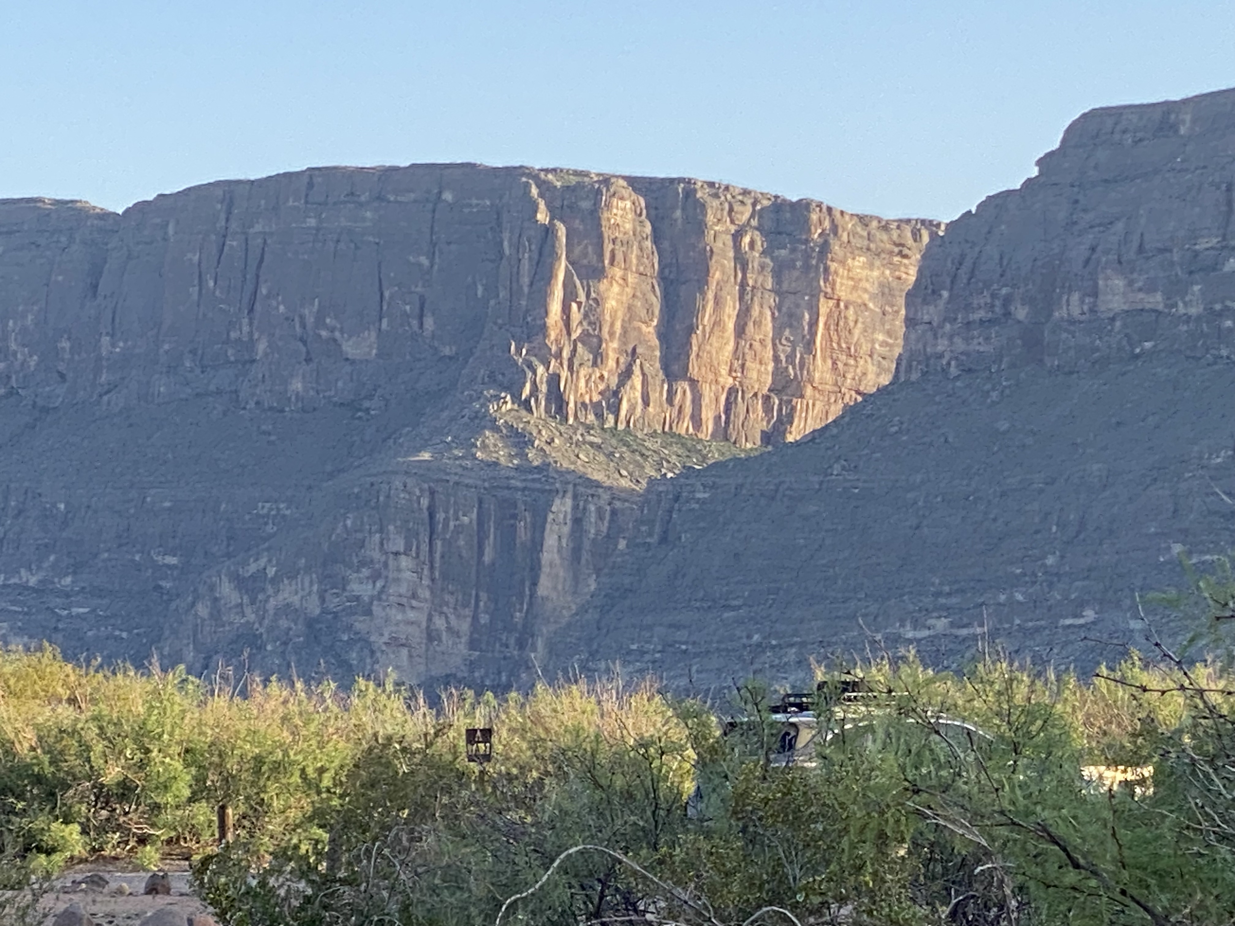
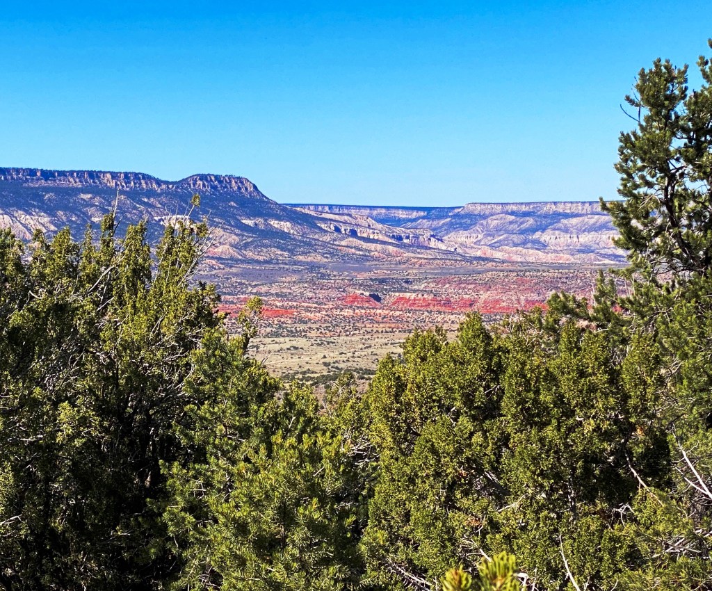
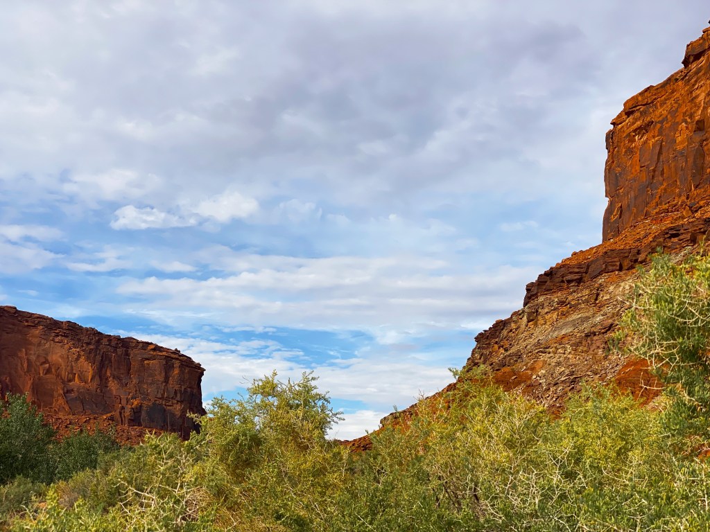
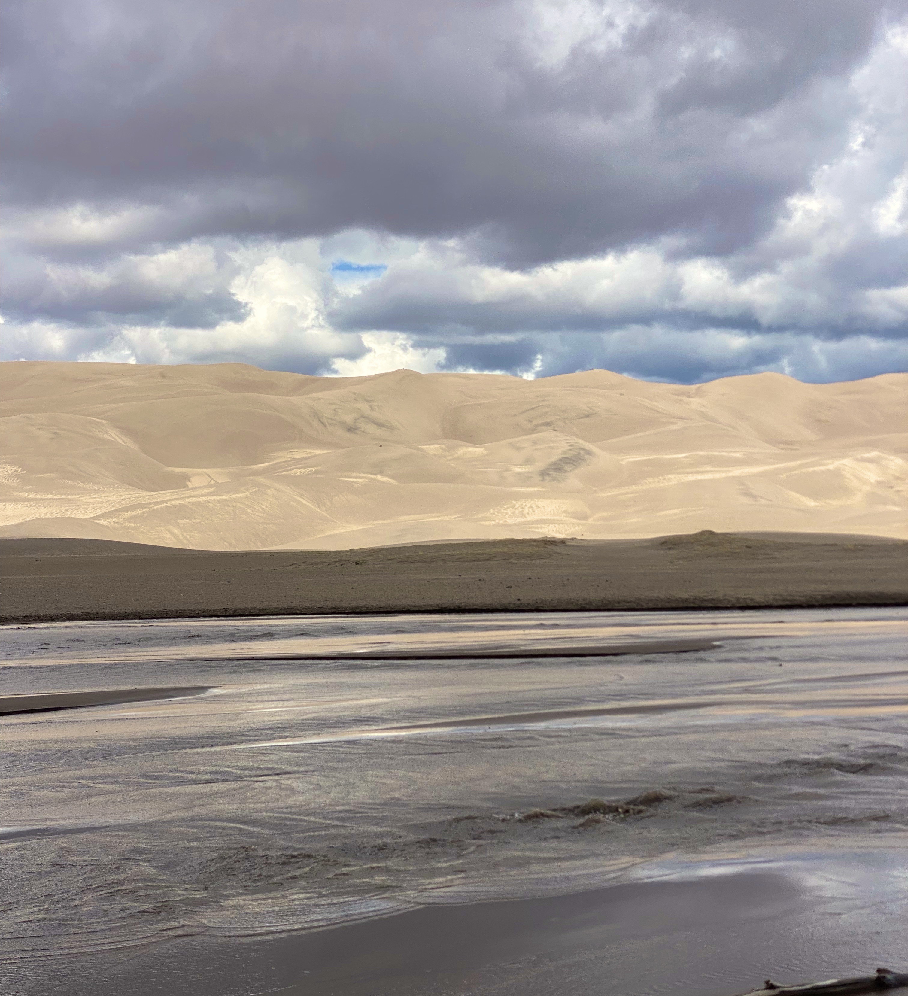
GSDNP presents a fascinating landscape with grasslands separated from a thirty square mile sand desert by Medano Creek. The dunes are tucked in against the base of the Sangre de Cristo Mountains–quite spectacular! The sand dunes at GSDNP are the tallest in North America. Some are as high as 700 feet (Star Dunes is the tallest at 750 feet).

The dunes here are constantly changing as winds from the mountains drives sand down onto the dunes. Weather and erosion form the sand into distinctly identified and ever changing shaped dunes – parabolic, transverse and barchan – as examples.


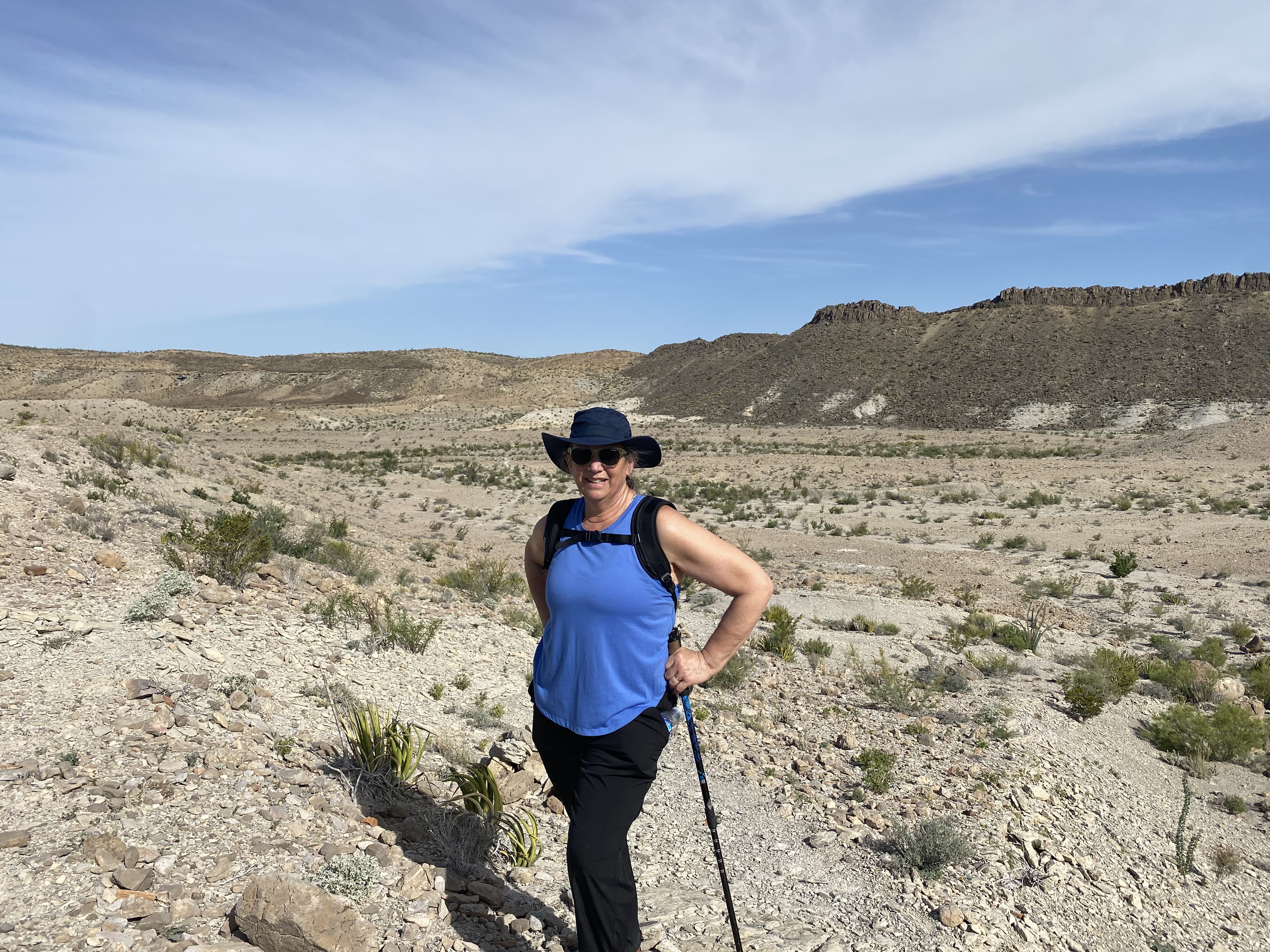
Unfortunately, our opportunity to explore the dunes was limited due to an approaching lightning storm. One of the park rangers was kind enough to point out the obvious – not smart to be standing on top of a 600 foot dune in the middle of a lightening storm!

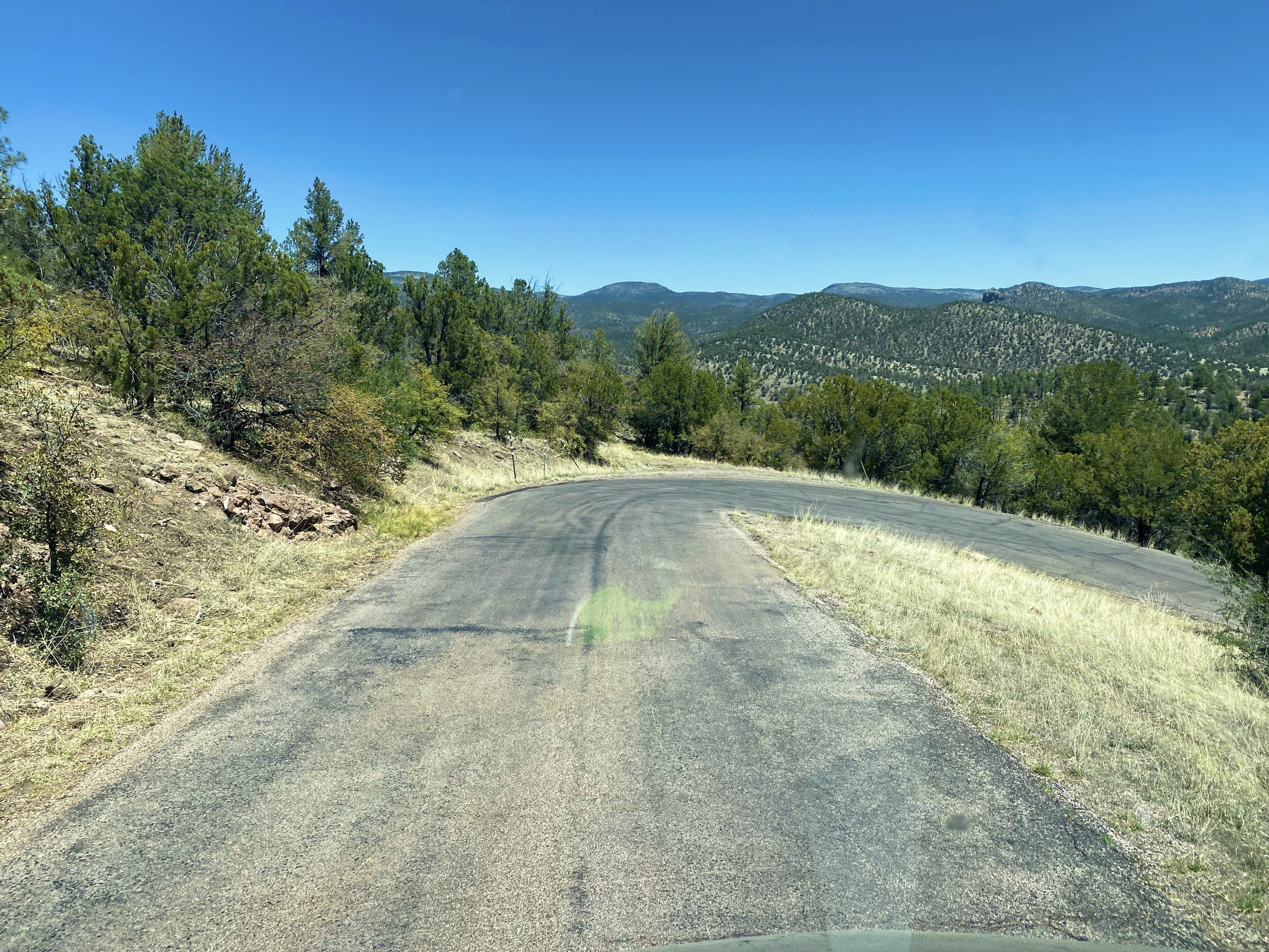
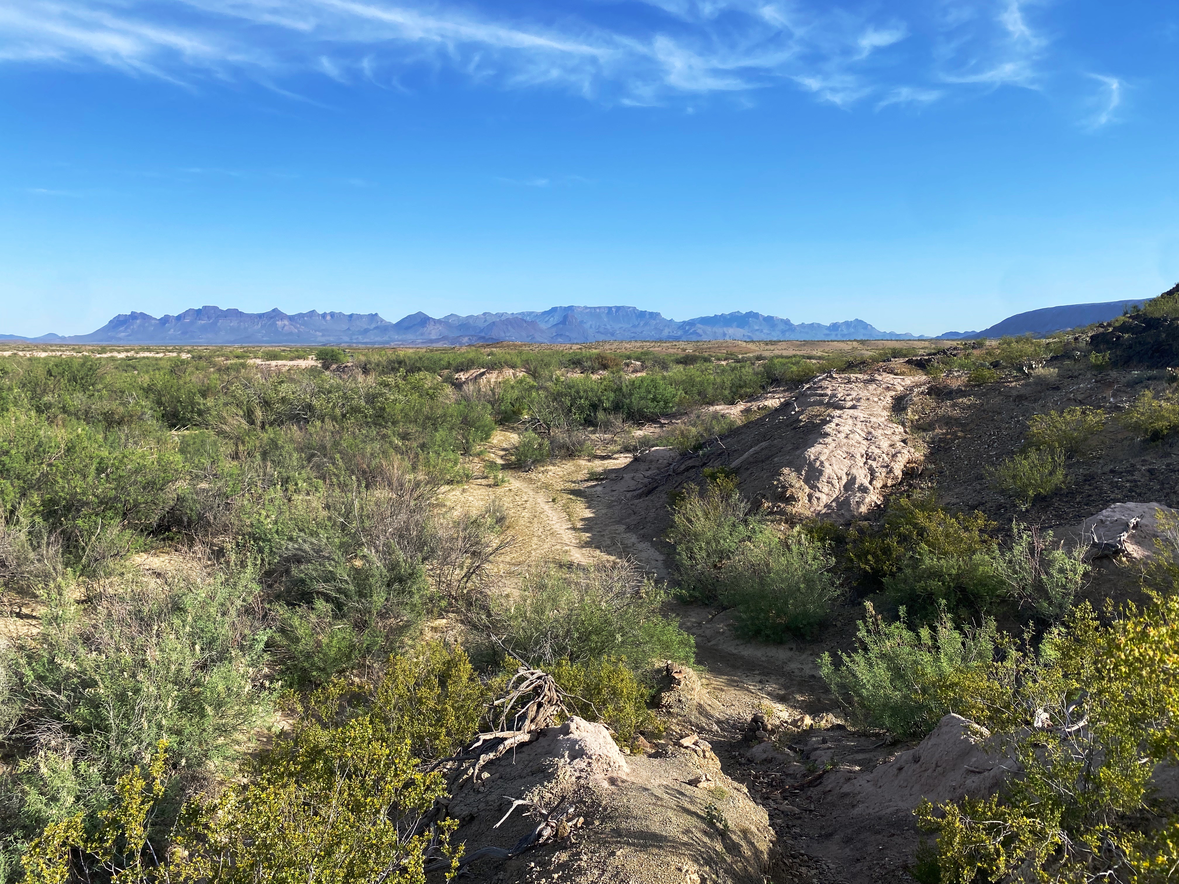
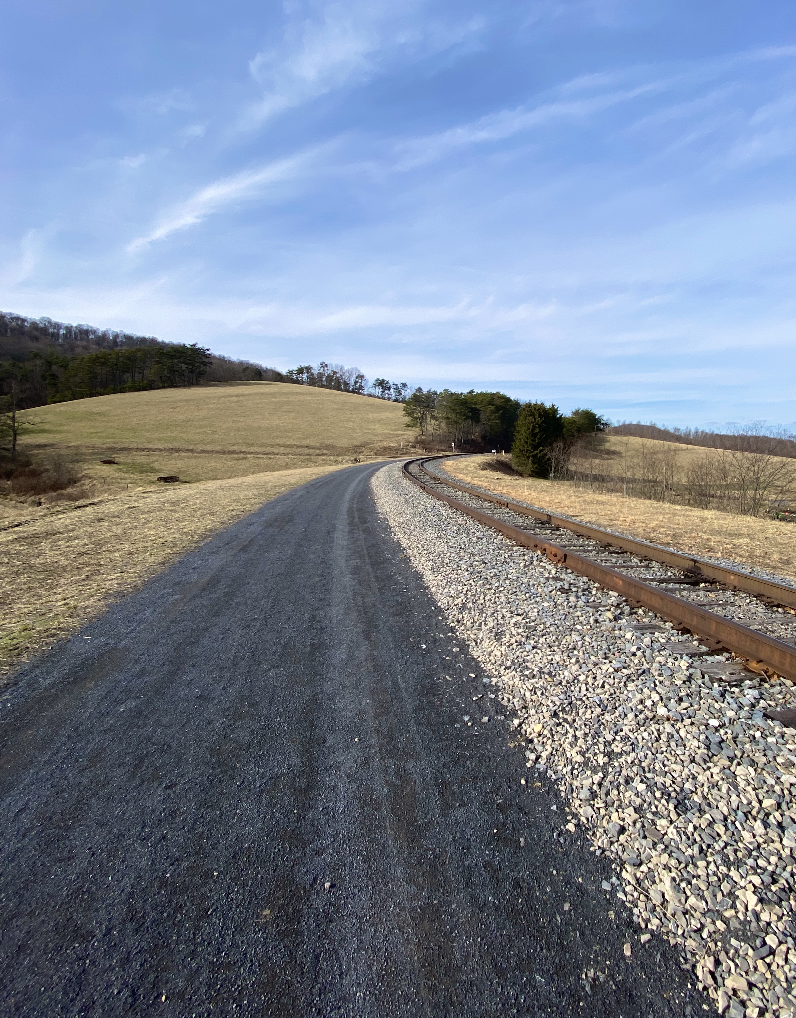
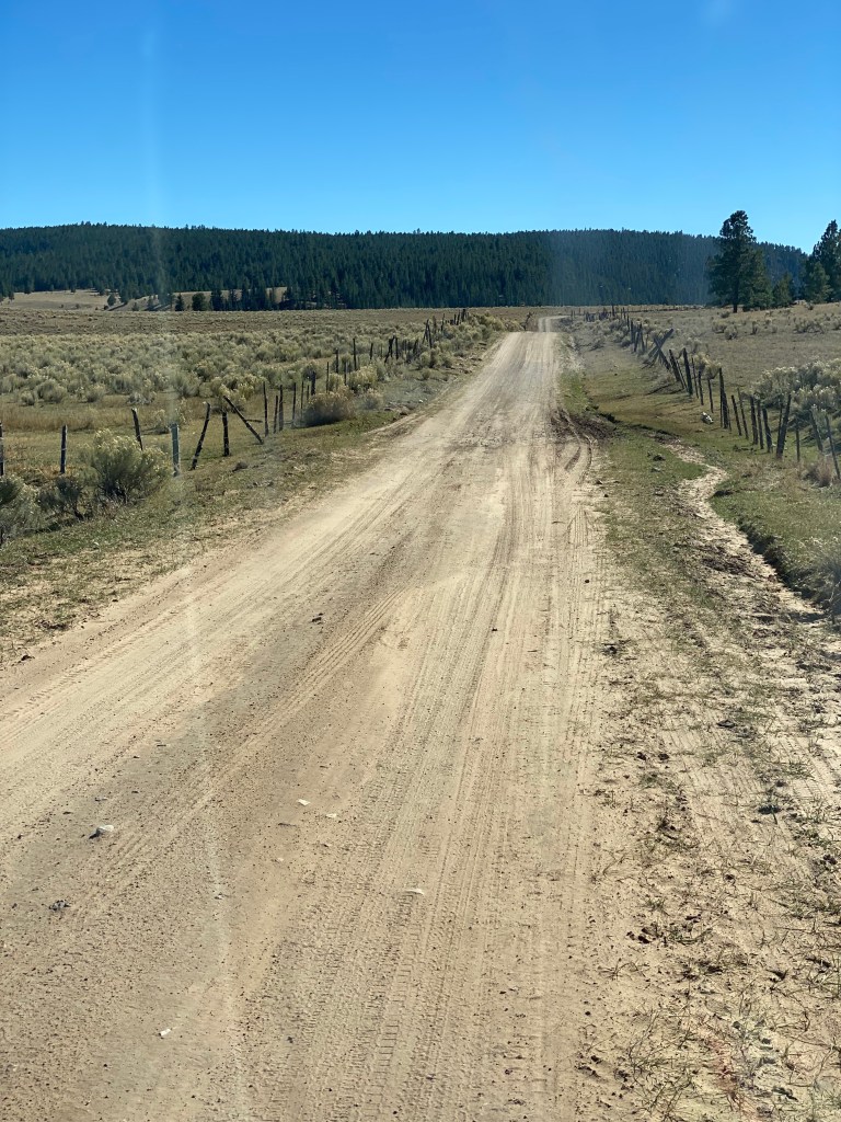
In addition to the fantastic scenery, we were looking forward to driving the Medano Pass Primitive Road. The road is a sandy and rugged 22 mile 4WD road which runs from the base of the dunes up and over the Medano Pass (10,040 feet). The road was not fully open due to the conditions at higher elevation. The road crosses the the creek nine times and the water flow was still too deep due to this years snowfall. We have included a short video clip (below) from our drive on the road to provide a feel for the road and scenery.
The NPS video below by is about the Navajo (Dine’) People, their four sacred mountains and their relationship to the land that now constitutes GSDNP.

We enjoyed our brief visit at GSDNP and we look forward to returning on a future trip to explore the dunes in depth, boondock up on the mountain and traverse the entire Medano Pass Primitive Pass Road.

On departing GSDNP, we decided to push straight on through to Colorado Springs. Our previous trips to Colorado Springs were business related and we stayed at the world famous Broadmoor. We would not be staying at the Broadmoor on this self funded visit!

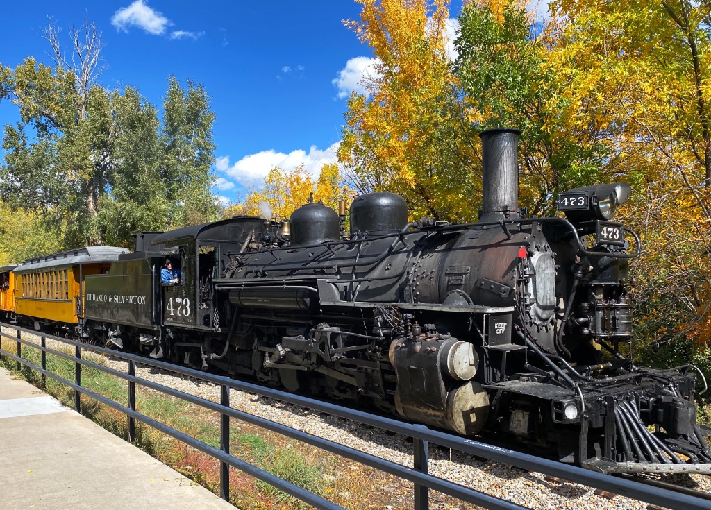
Colorado Springs sits at just over 6000′ above sea level at the eastern base of the Rocky Mountains. Snow covered Pikes Peak (14,100′) looms over the city to the west creating a stunning backdrop. We did not travel up to the peak on this trip as we had taken the nine mile cog railroad trip on a previous visit (we definitely recommend riding the railroad to the top if the weather is clear -which it usually is in this part of Colorado). The train ride is fun and the views are phenomenal.

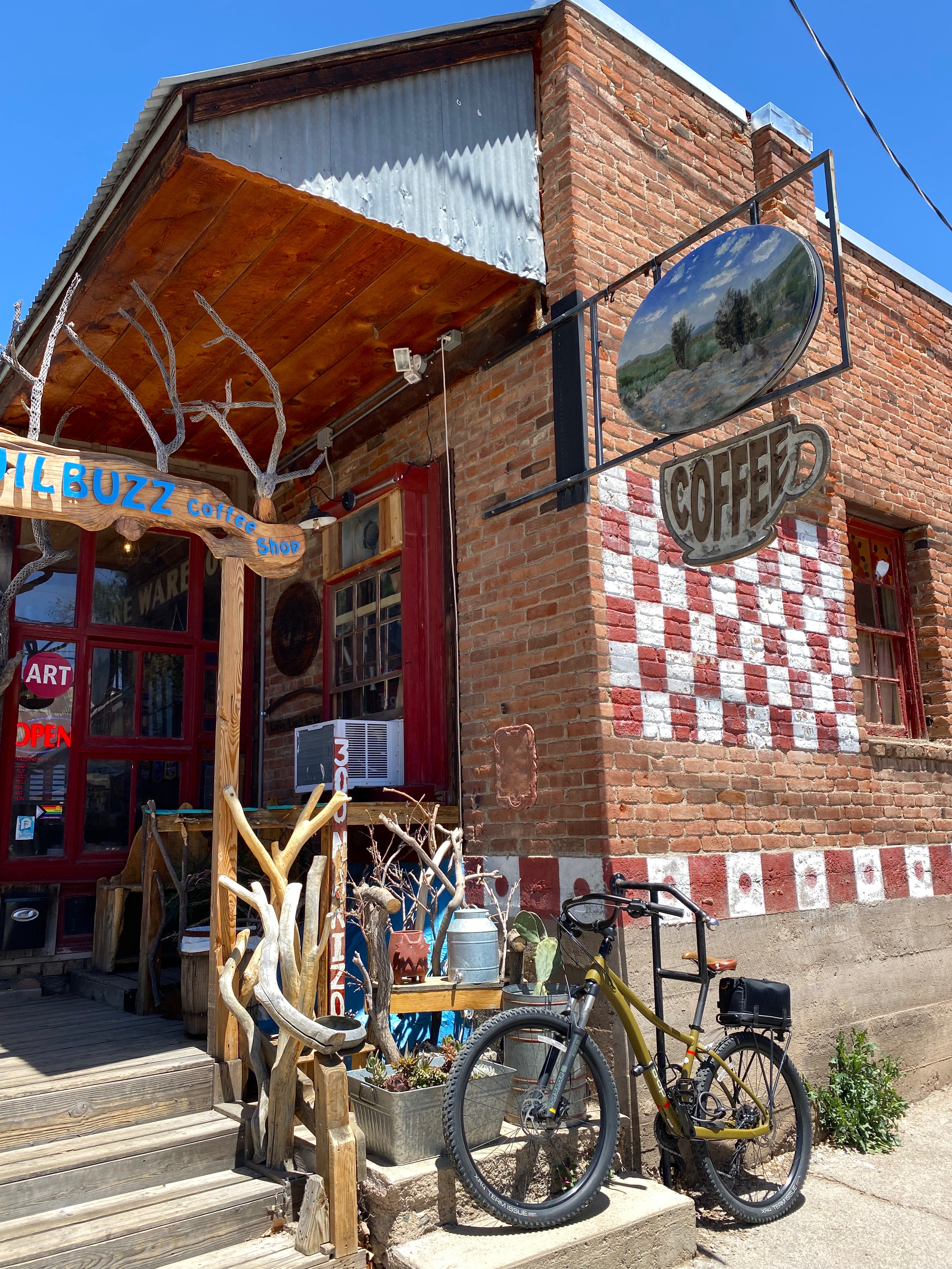
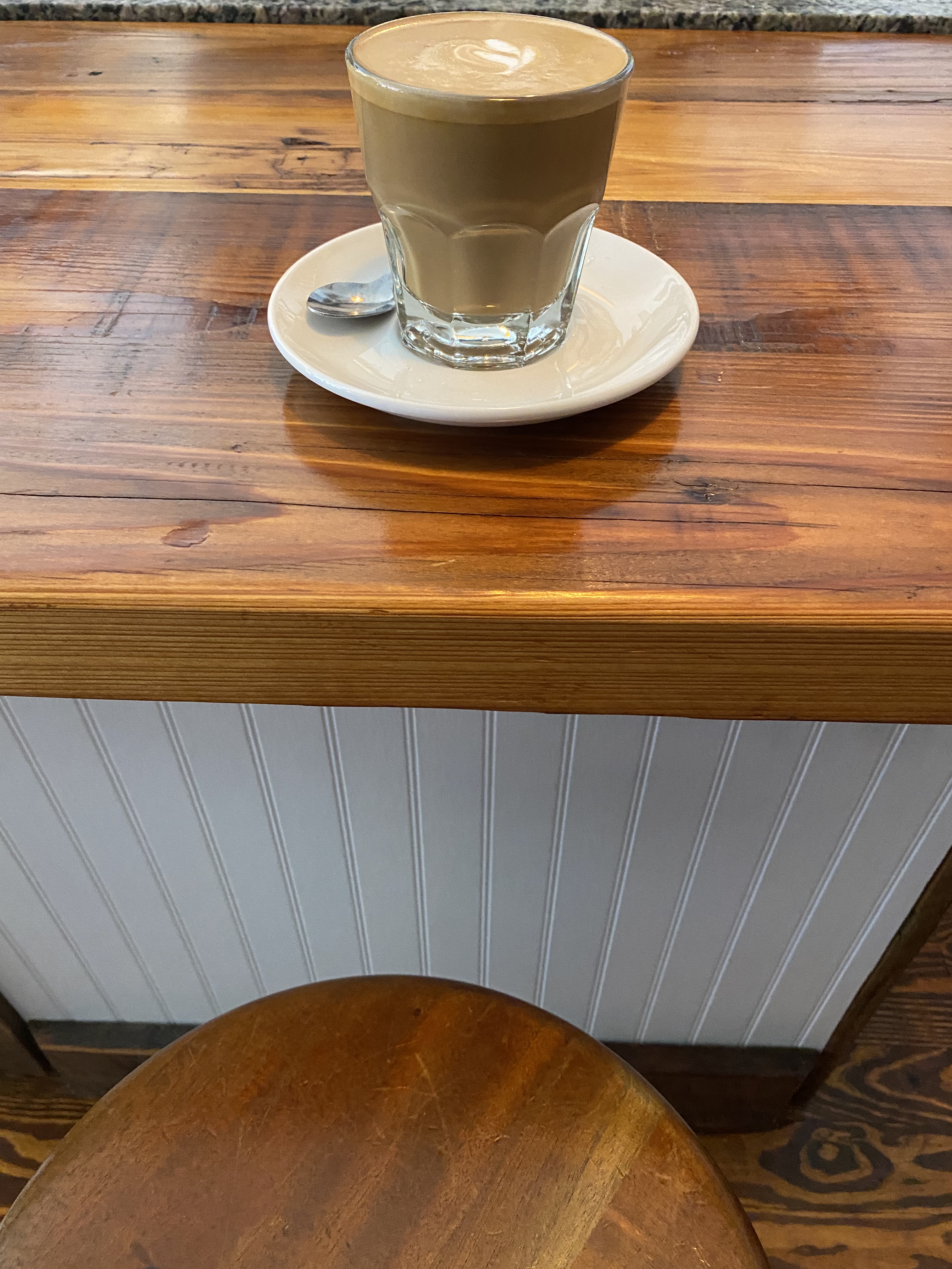
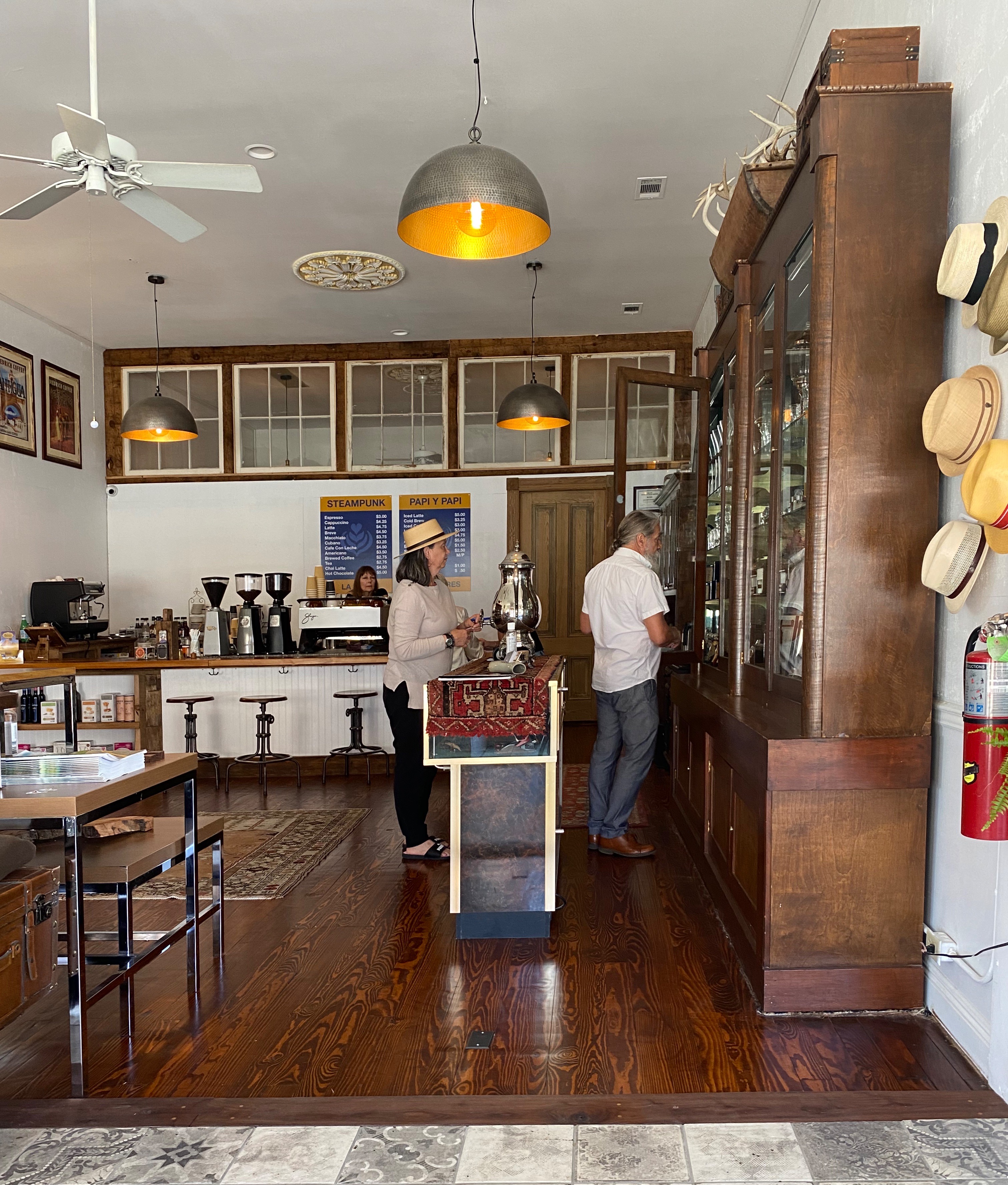
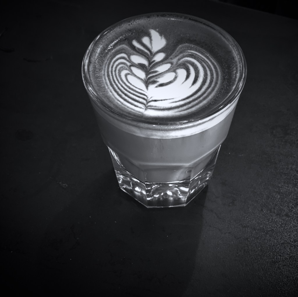
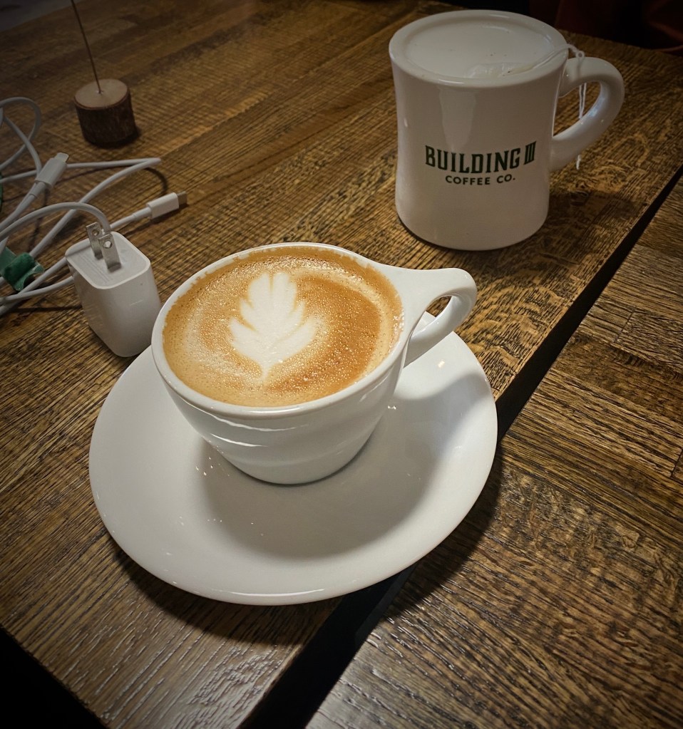
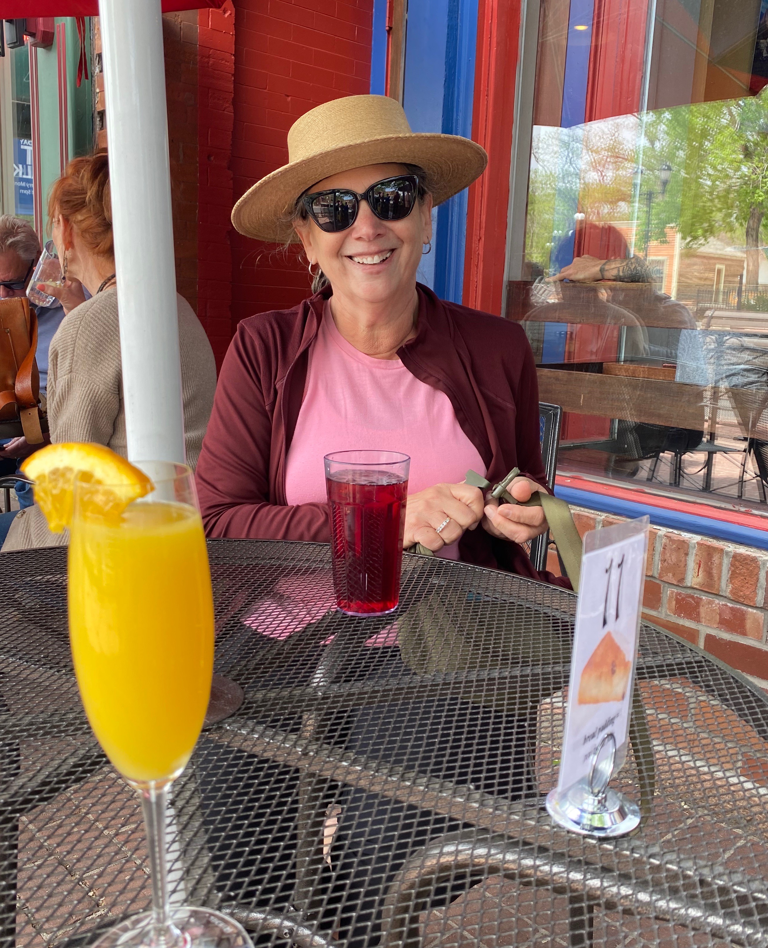
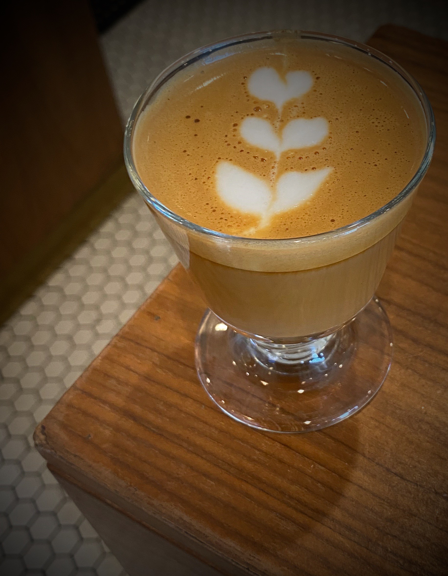
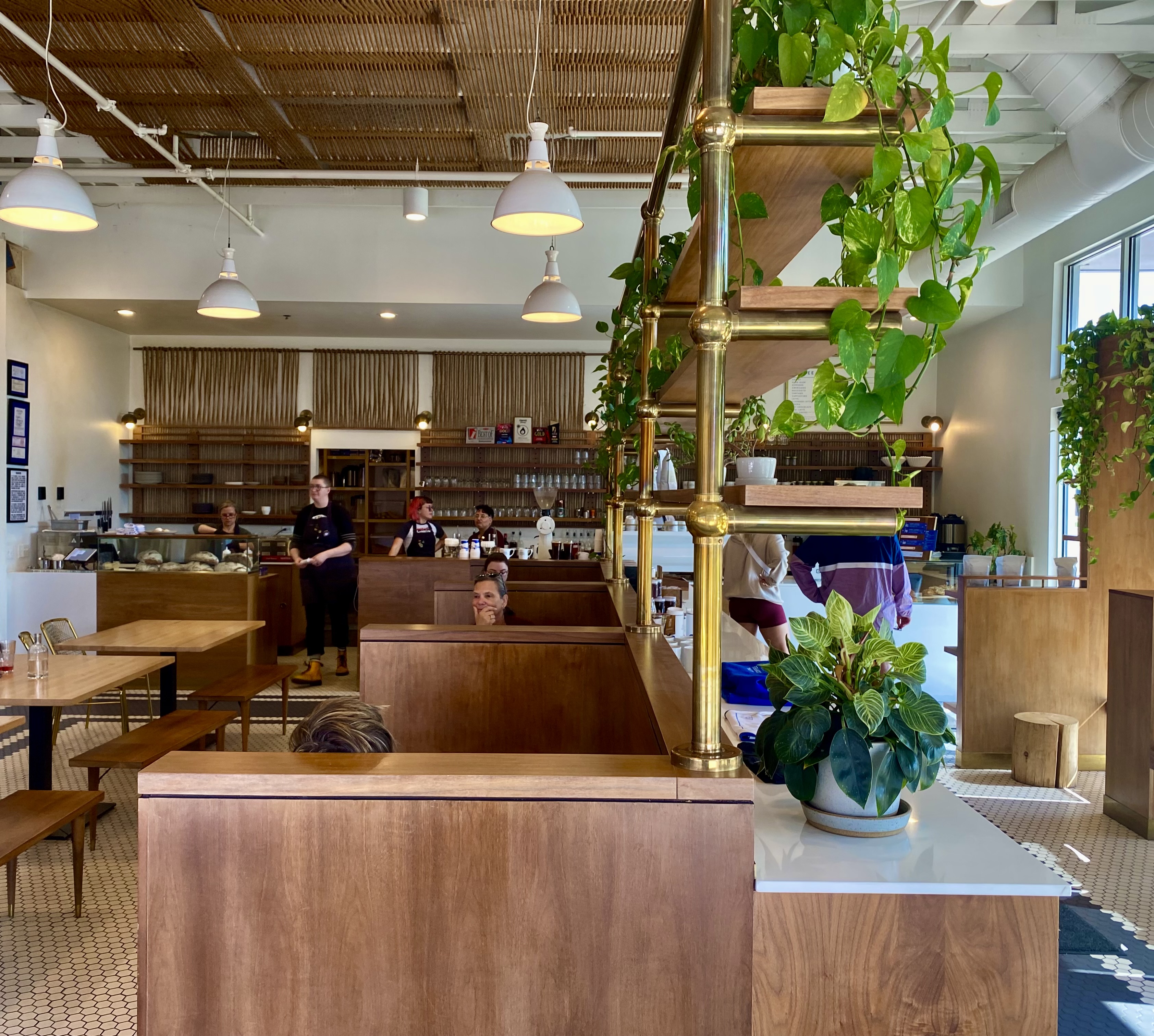
From our pre-trip research we knew that Colorado Springs held promise for specialty coffee and a vibrant street street art scene. Our first stop was Building III Coffee Bar and Roastery – B3 is located, along with a number of other occupants, in a former public school building now known as Lincoln Center – great to see the building repurposed. Excellent coffee, great breakfast sandwiches and uber friendly staff! Extremely popular – it can be hard to get a seat even with the large amount of seating capacity – but it is worth the wait. https://www.building3coffee.com/


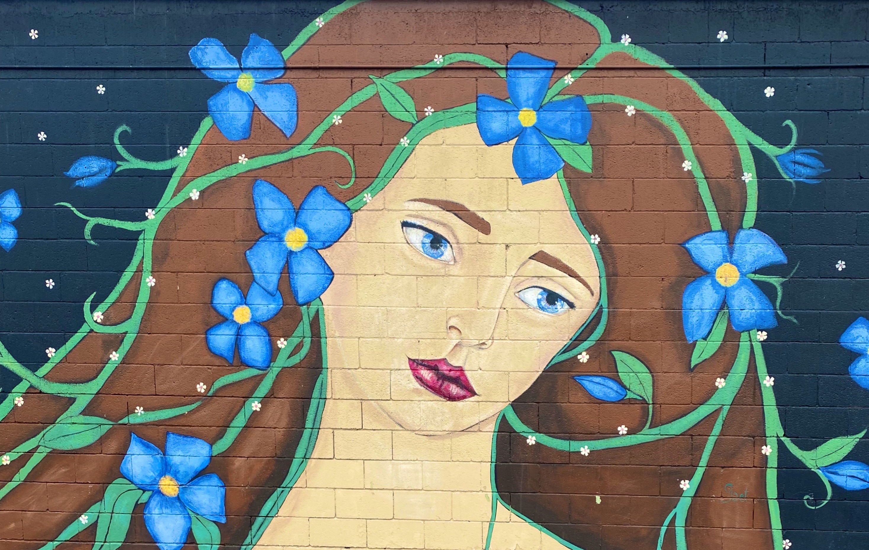
Well fortified with caffeine, we ventured out into the uncharacteristically gray, chilly day in search of street art. We decided to start our pic hunting session in the Knob Hill neighborhood, located a short distance northeast of downtown. We were pretty certain the neighborhood would be street art rich based on reading about the Knob Hill Urban Arts District. The District is a “nonprofit organization dedicated to putting art up on every damn wall we can get our hands on.” Love it!
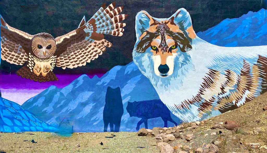
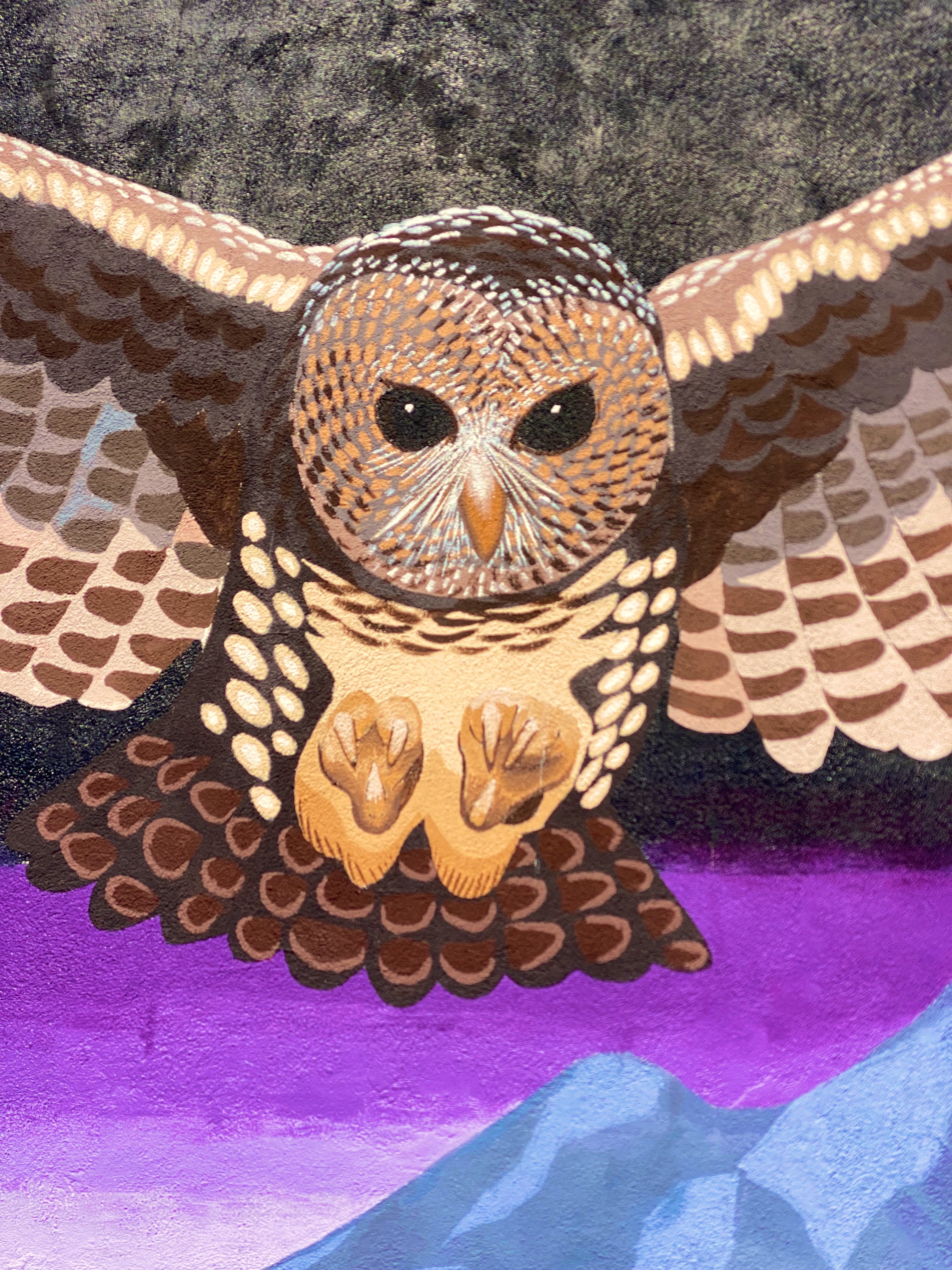
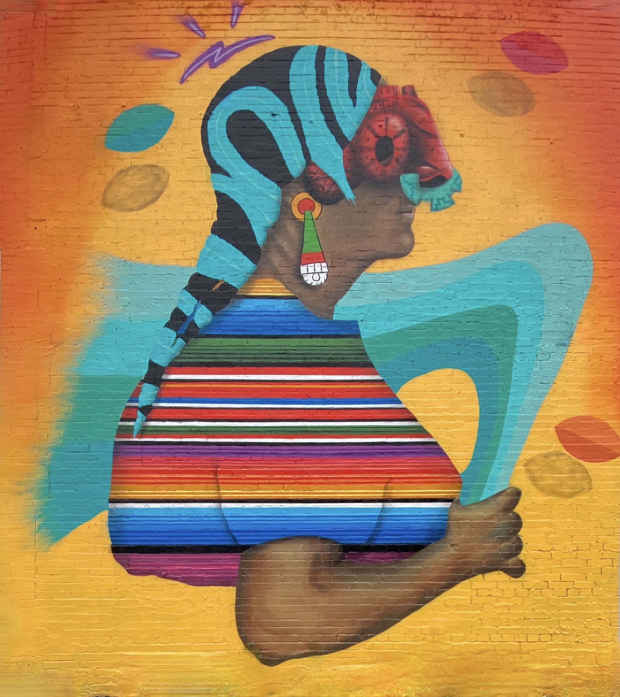
The photos below are a small sample of the street murals we found in the Knob Hill neighborhood. This group is not kidding about putting art on every wall. We found art in every alley and available nook and cranny. So good! To see more of the street art we photographed during OTR 9.0 in Colorado Springs and other cities see our WordPress blog @streetartfromtheroad: part two.


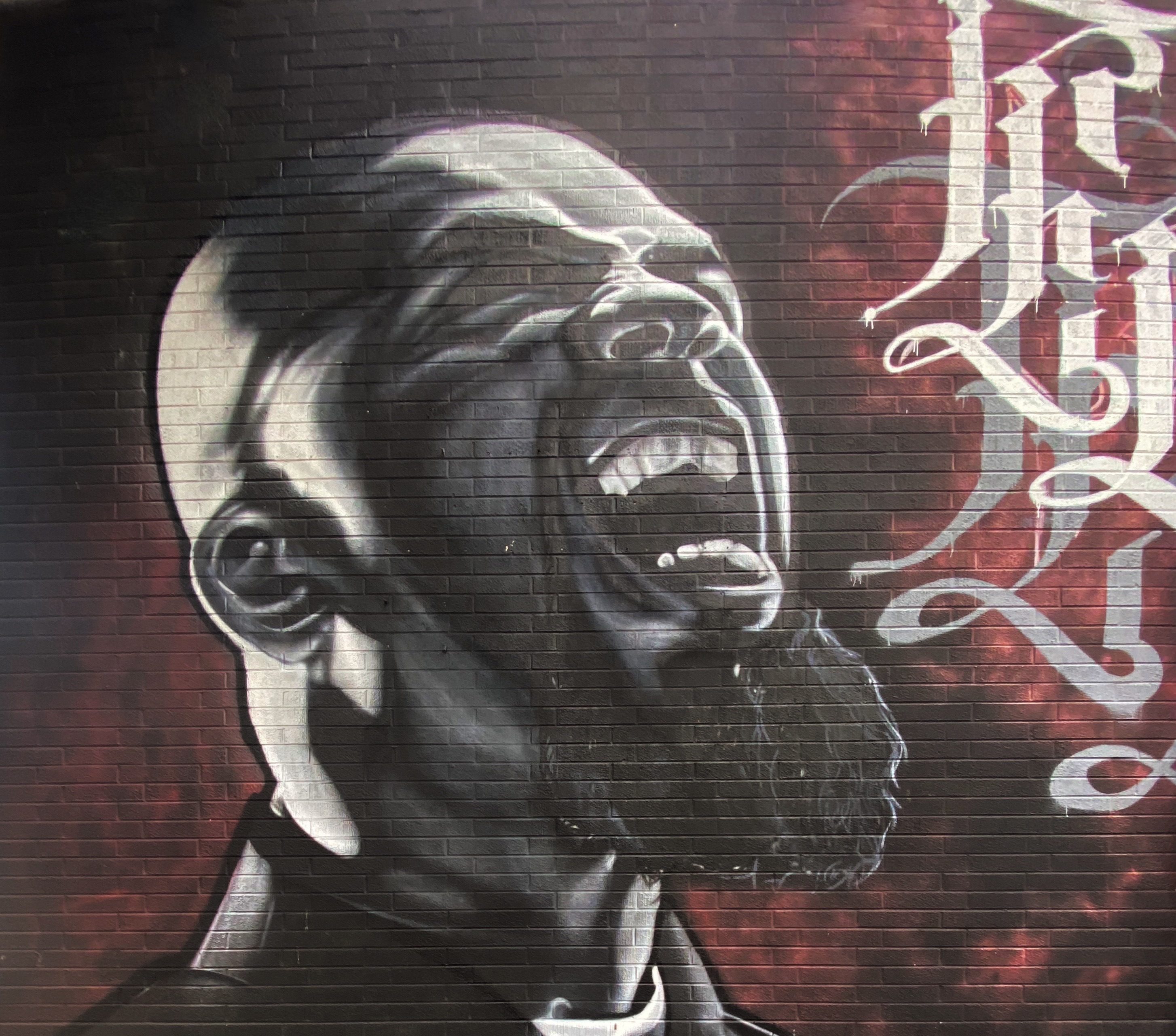
There are also a number of large scale murals in downtown. The photos below are a few of our favorites we captured while strolling through downtown.


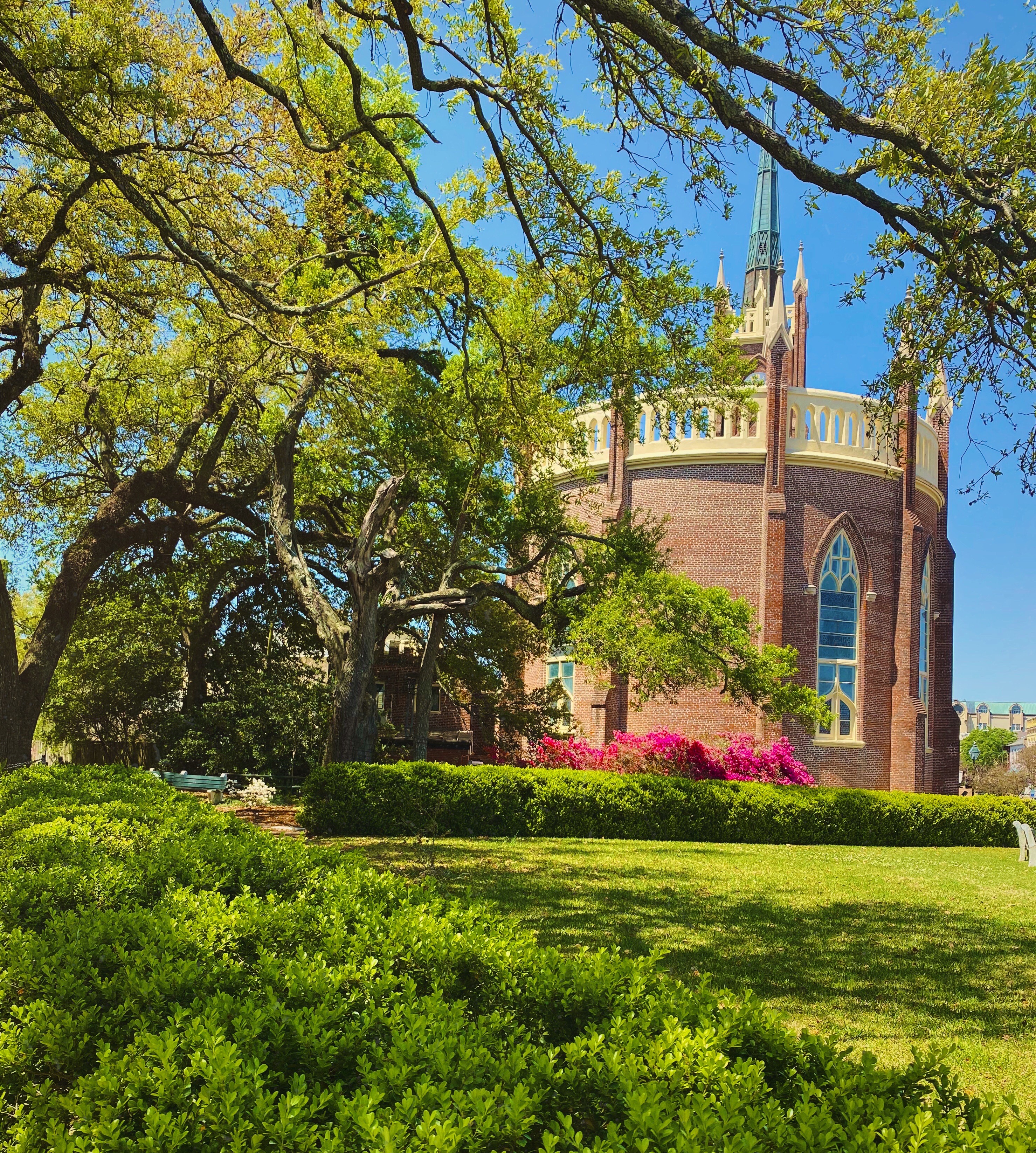
With the cloudy, drizzly weather persisting into our second day in Colorado Springs (coincidently nicknamed “Little London” although not for the weather – there was a large British population in the 1870s) we decided to visit the Fine Arts Center (FAC) at Colorado College. The FAC is located in the Old North End neighborhood – an area of stately late 19th and early 20th century homes and tree lined boulevards.

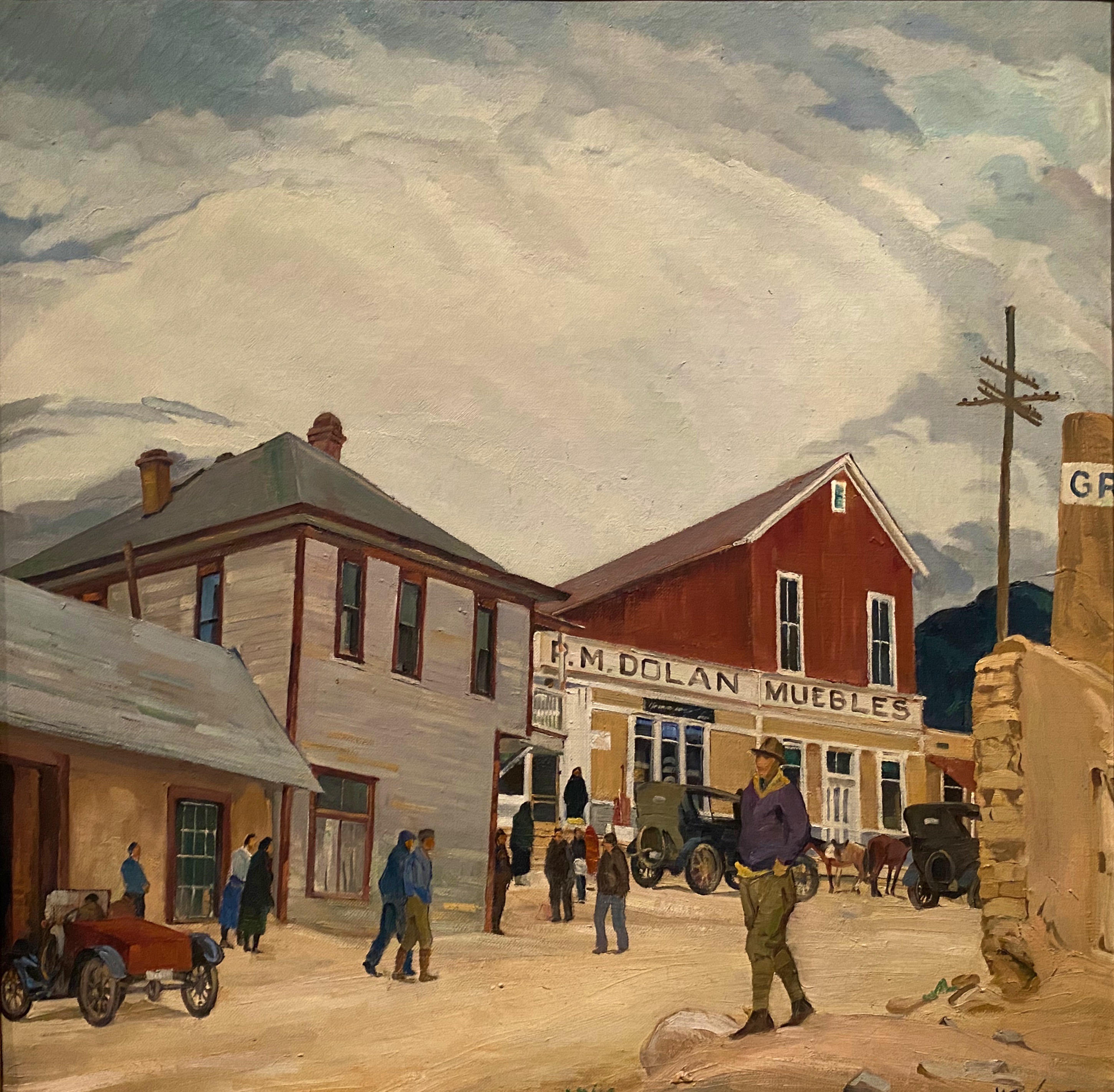
The Fine Arts Center is home to the art museum as well as a theater school and performing arts venue. The museum was opened in 1936 as an outgrowth of the Broadmoor Art Academy. The Colorado Springs area had become a hub for art on a scale commensurate with the more well known artist colonies in Taos and Santa Fe.


As with many museums of this size, the collection is regionally (although not exclusively) focused. We have included photos of several paintings which reflect the southwestern focus (and which we really liked). The museum is definitely worth a couple of hour visit when you visit “Little London”.


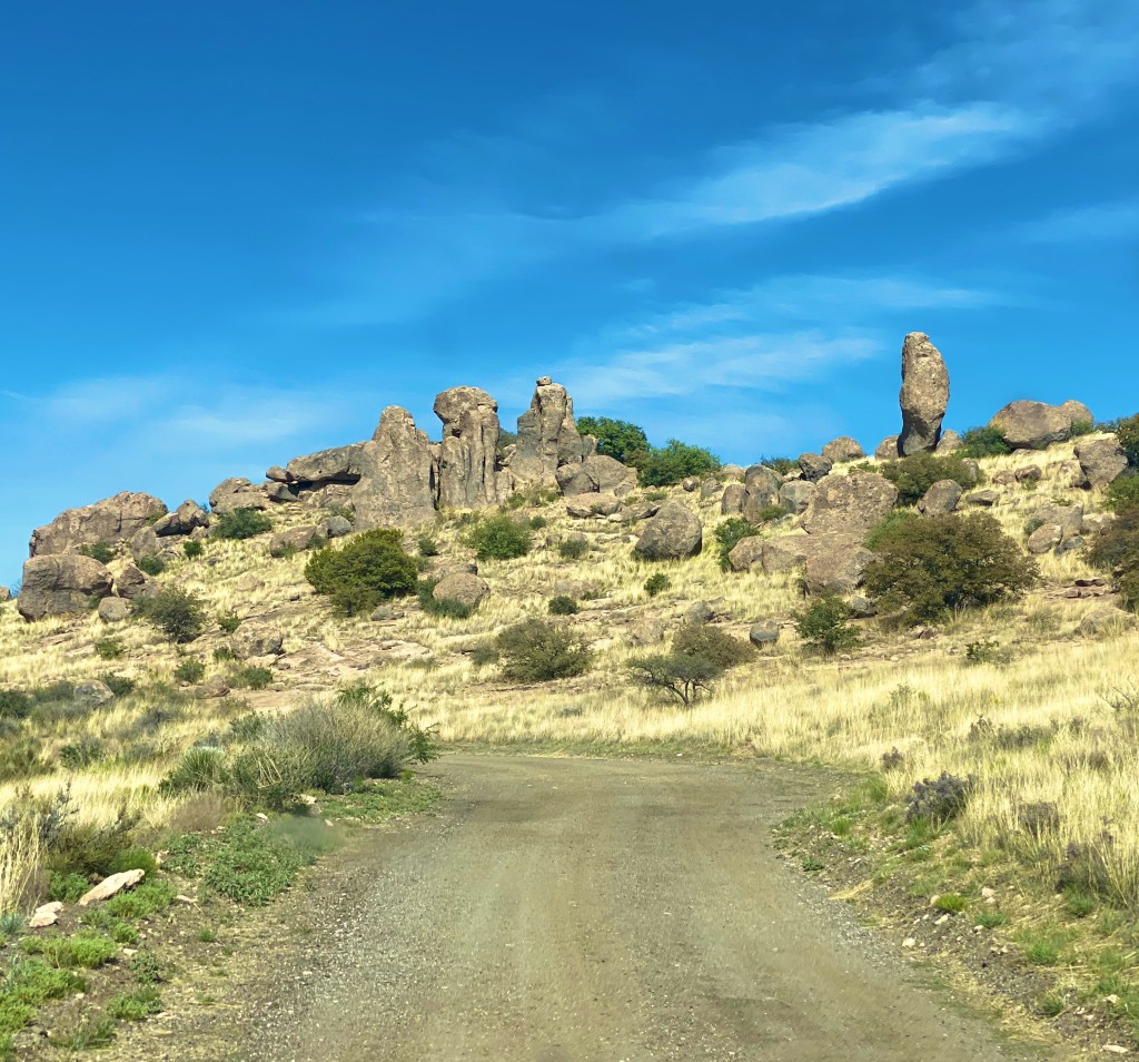
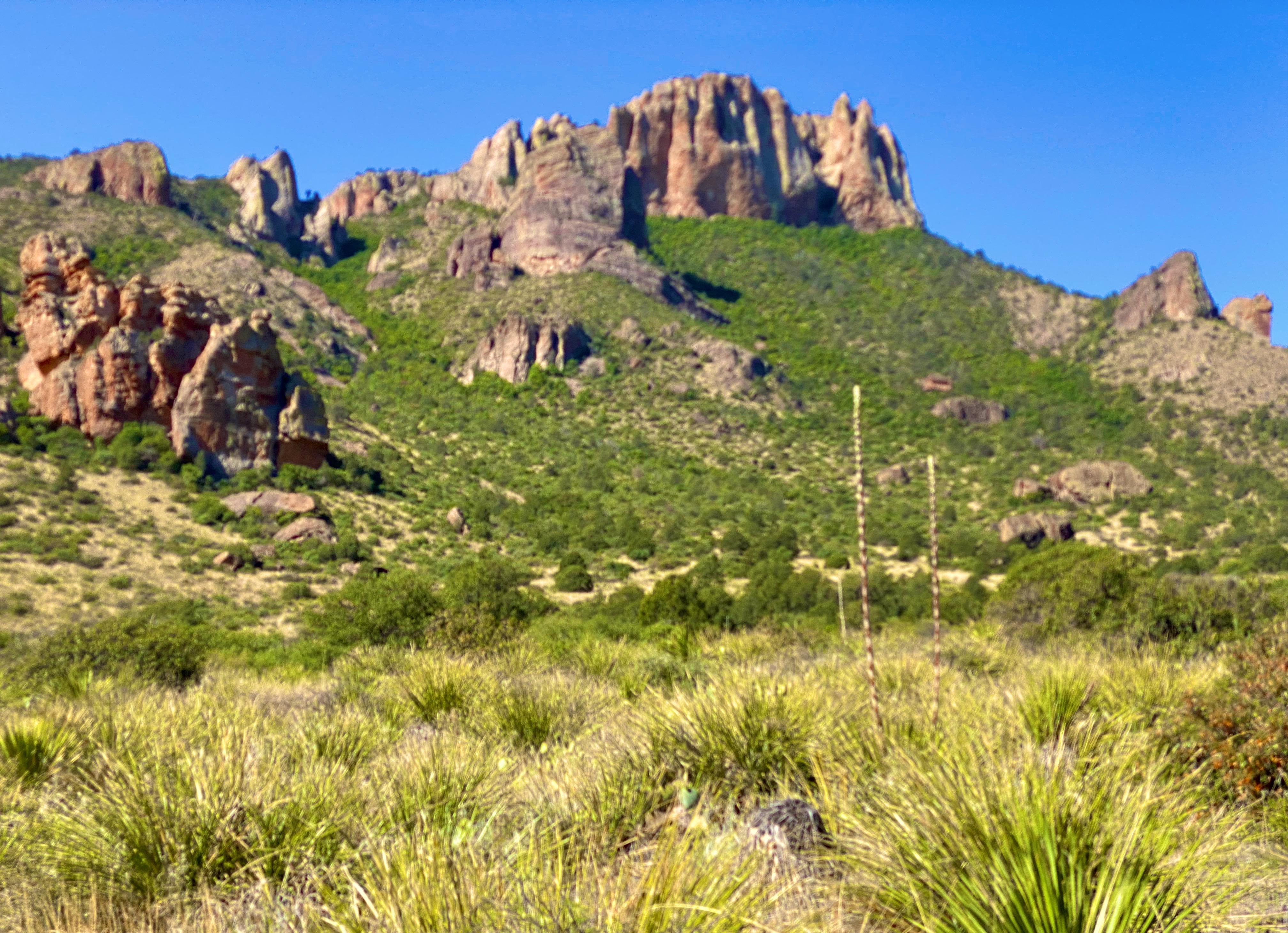
On our final day in Colorado Springs we ventured out to Red Rock Canyon. We had held off visiting earlier in our stay due to some cloudy weather. Unfortunately, it appeared that everyone else in Colorado Springs had done the same (it was also the weekend) and this popular open space was quite crowded.


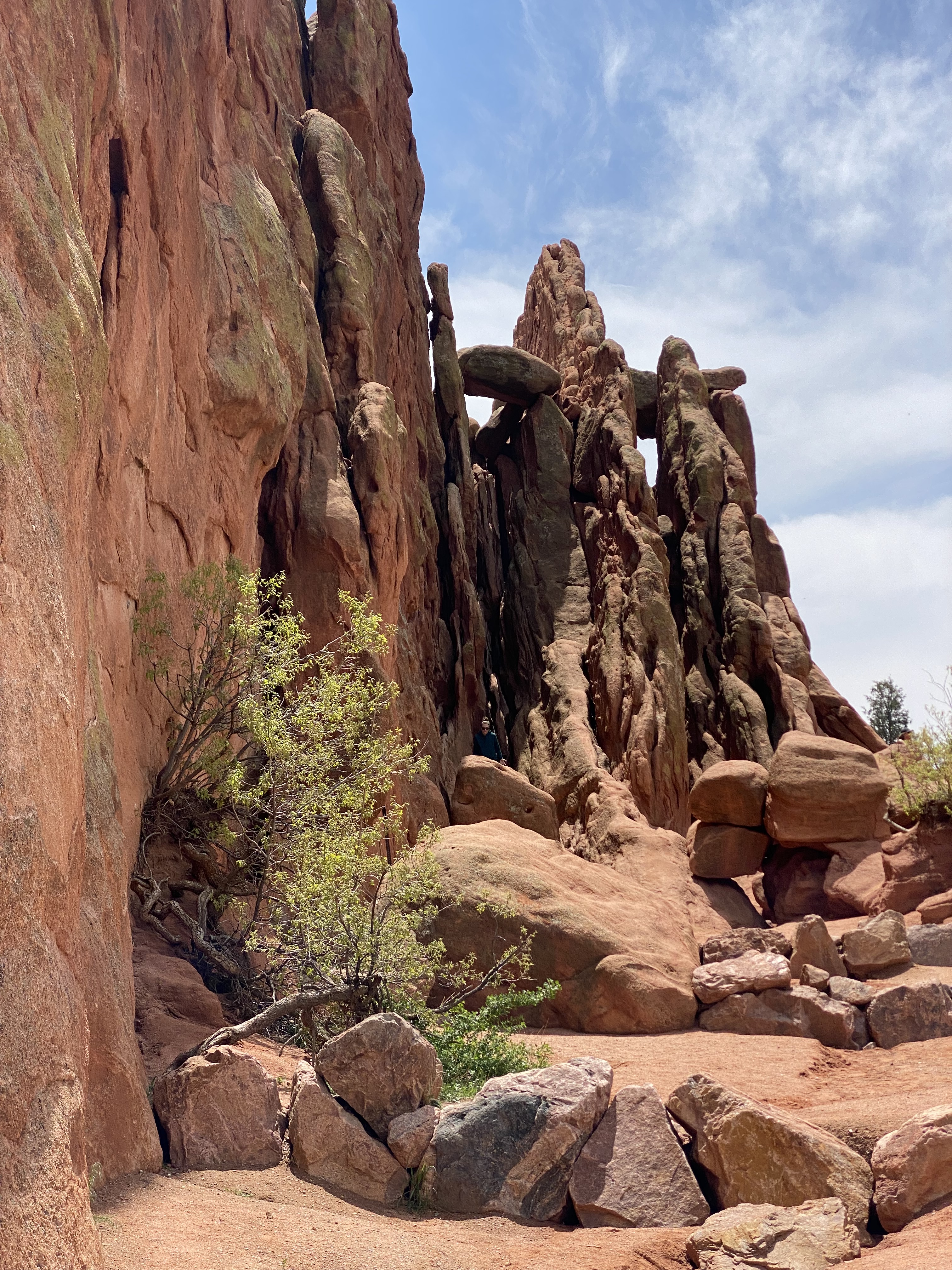

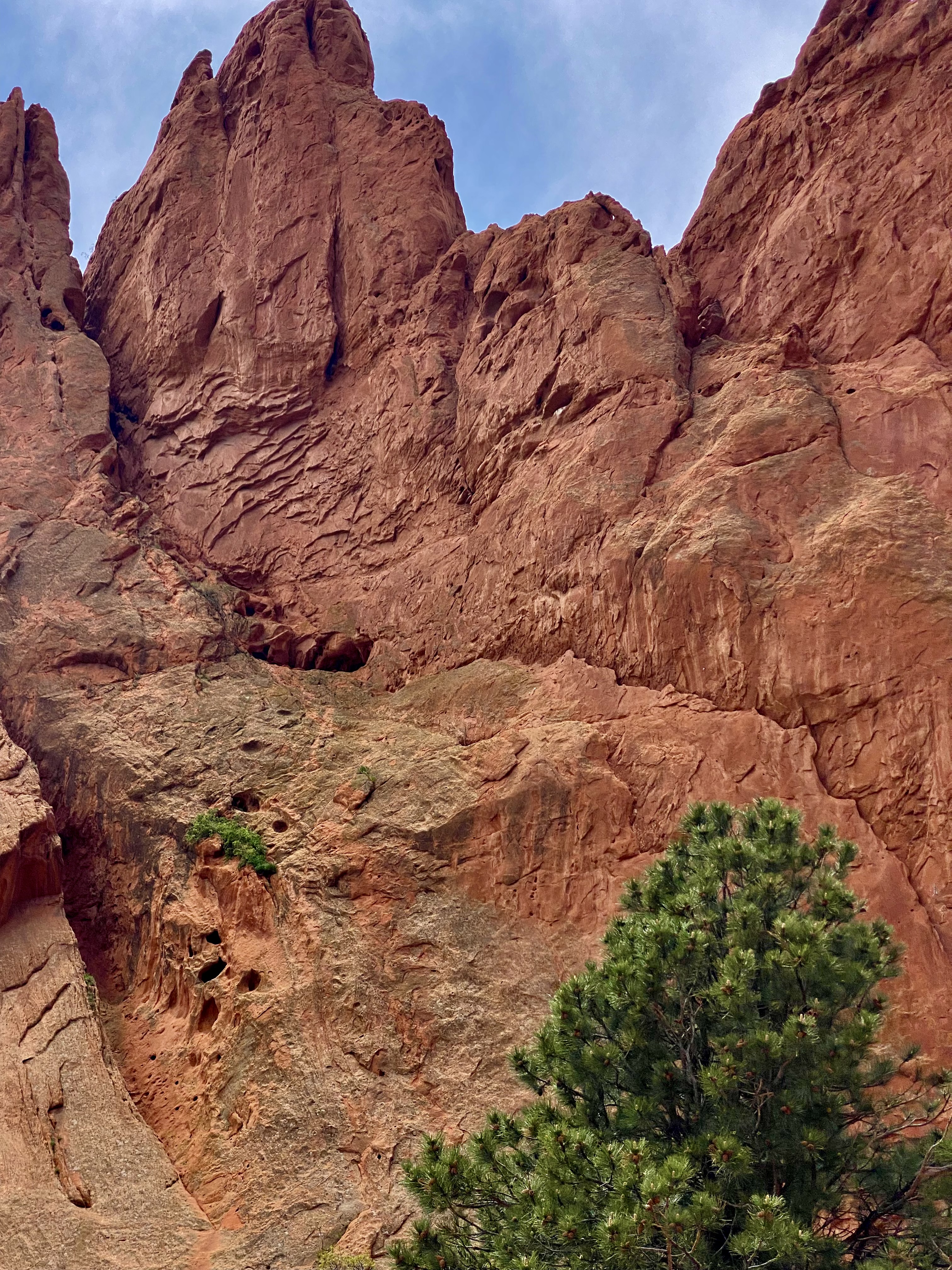


Still, we managed to find some quiet spaces and uncluttered views as we walked between and around the rock formations. Additionally, there are a number of moderate and longer trails for the more adventurous which usually provide solitude regardless of when you visit. Do visit when the sky is clear in order to see Pikes Peak rising above the red rock formations.
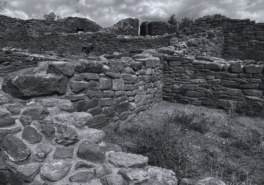
Interestingly, Red Rock Canyon is a city park consisting of 1474 acres of land. The park was pieced together with the multiple purchases of parcels over a period of years during the 1920s and 1930s by private citizens. It was acquired by the city in 2003. What makes the park’s history all the more remarkable is that many of the parcels were formerly quarries, gravel pits and industrial sites which have been reclaimed. There is little evidence of the past use of the space – without reading about the history you would most likely not think that to be the case.
After our walkabout at Red Rock, we popped over to the nearby Old Colorado City neighborhood. The neighborhood was at one time a separate town that prospered as a coal mining town and in the late 19th century as a gold refining location after the discovery of gold nearby. Typical of so many western mining hubs, the boom ultimately became the bust. The final straw was the prohibition of liquor sales in 1914. In 1917, the town was annexed by Colorado Springs.

The brothels and saloons that once lined Colorado Avenue have long since been replaced by art galleries, restaurants, wine bars, coffee shops and clothing stores. After a bit of browsing in several of the art galleries and book shops we took lunch at La Baguette Cafe and Bakery. Yum – the best bread! http://labaguette-co.com/
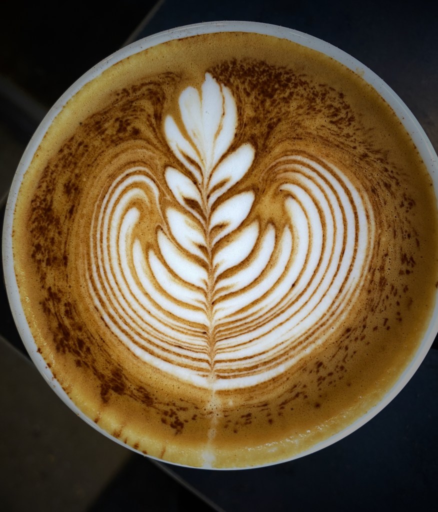
We were uncertain what lay ahead in regard to specialty coffee as we were about to venture into more rural territory; so we stopped in downtown for coffee, tea and breakfast at Loyal Coffee. First rate in all regards! https://loyalcoffee.co/

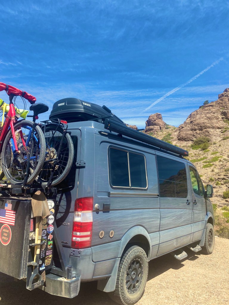
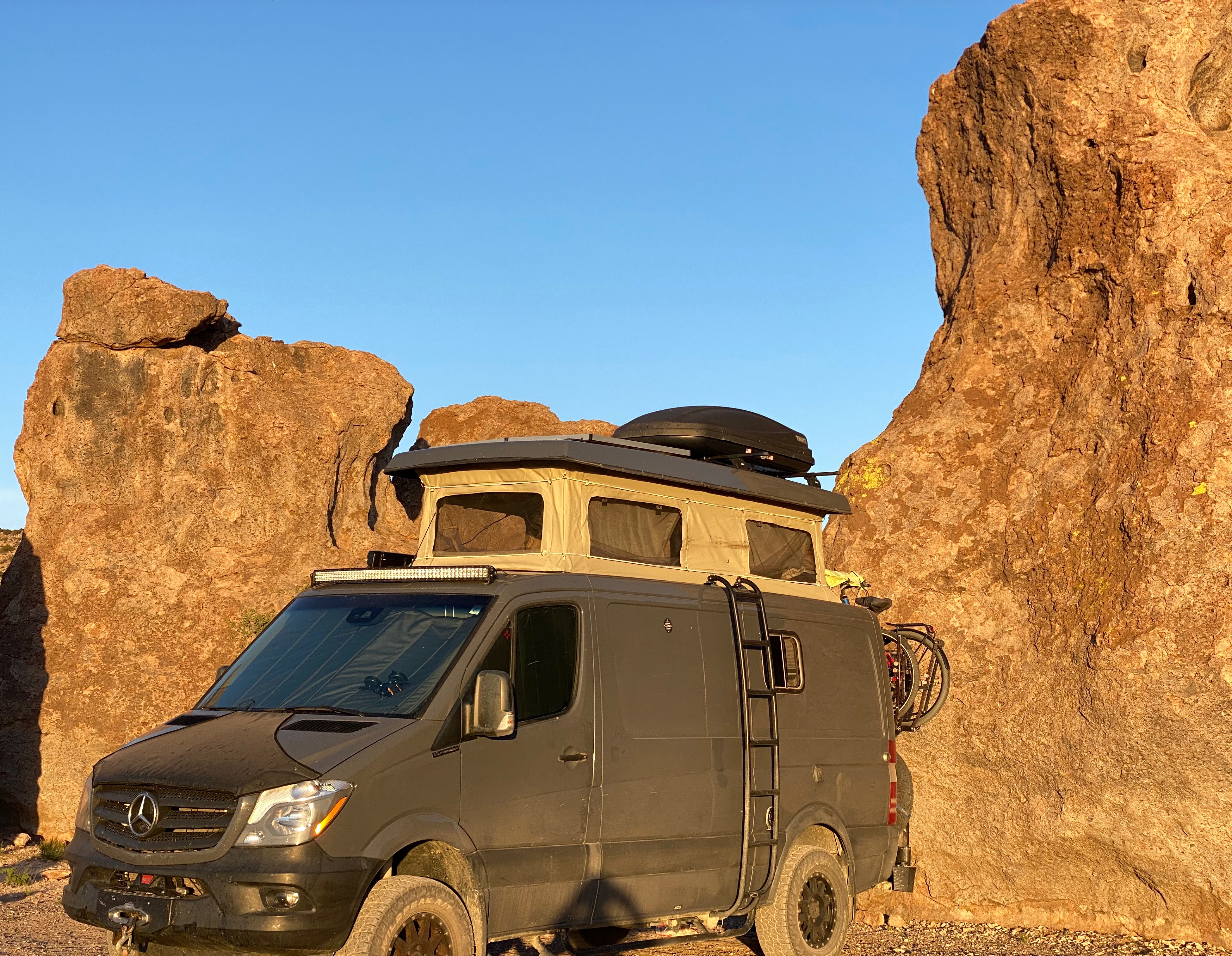
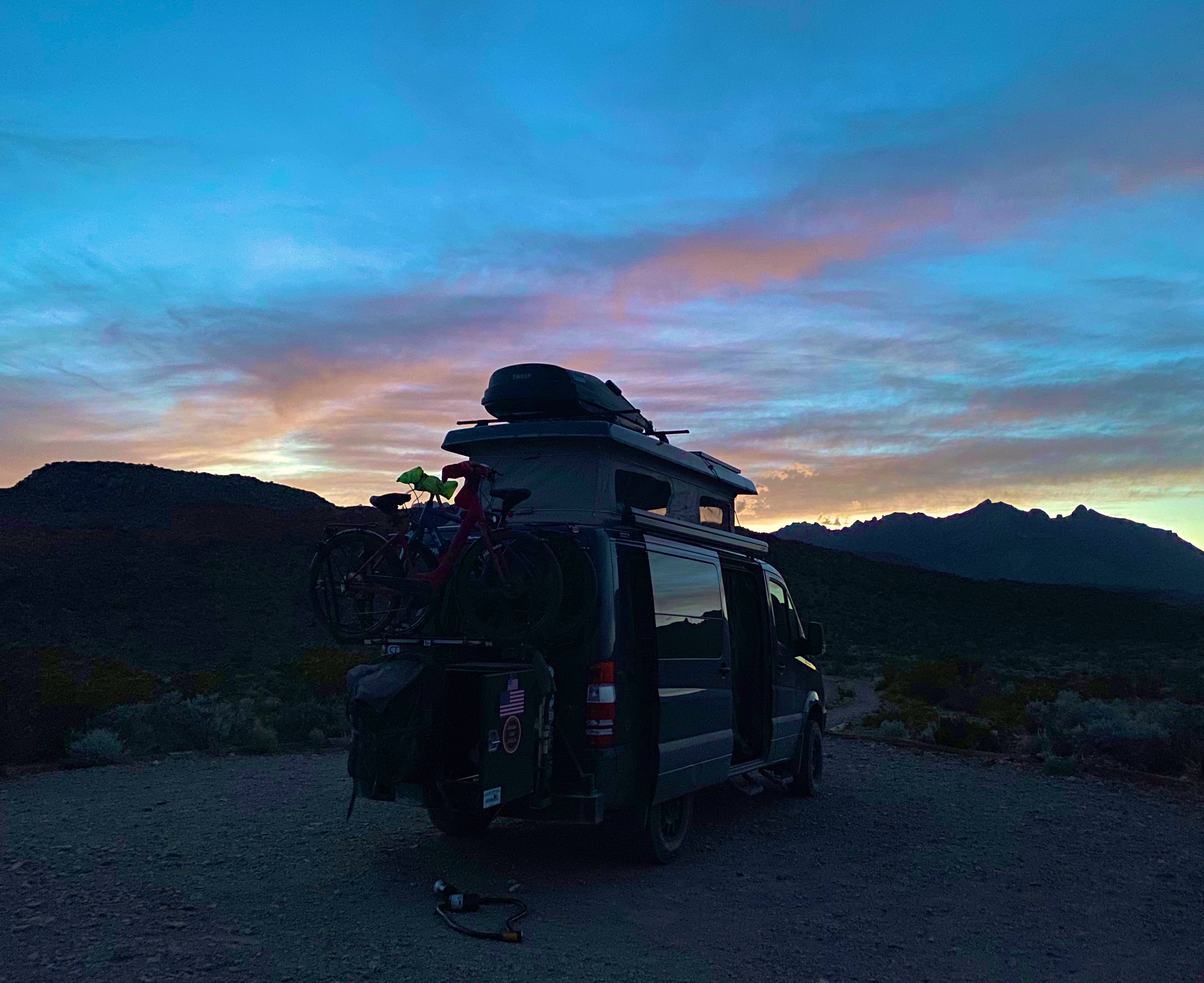
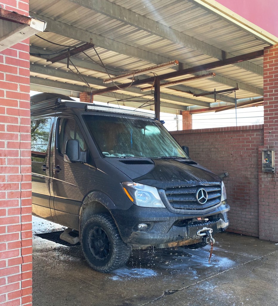
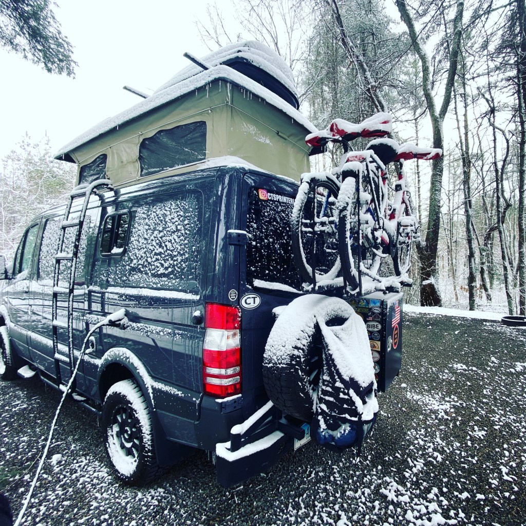
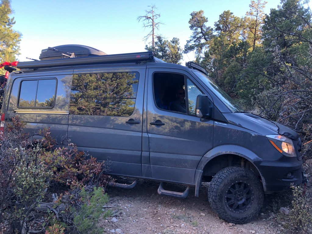
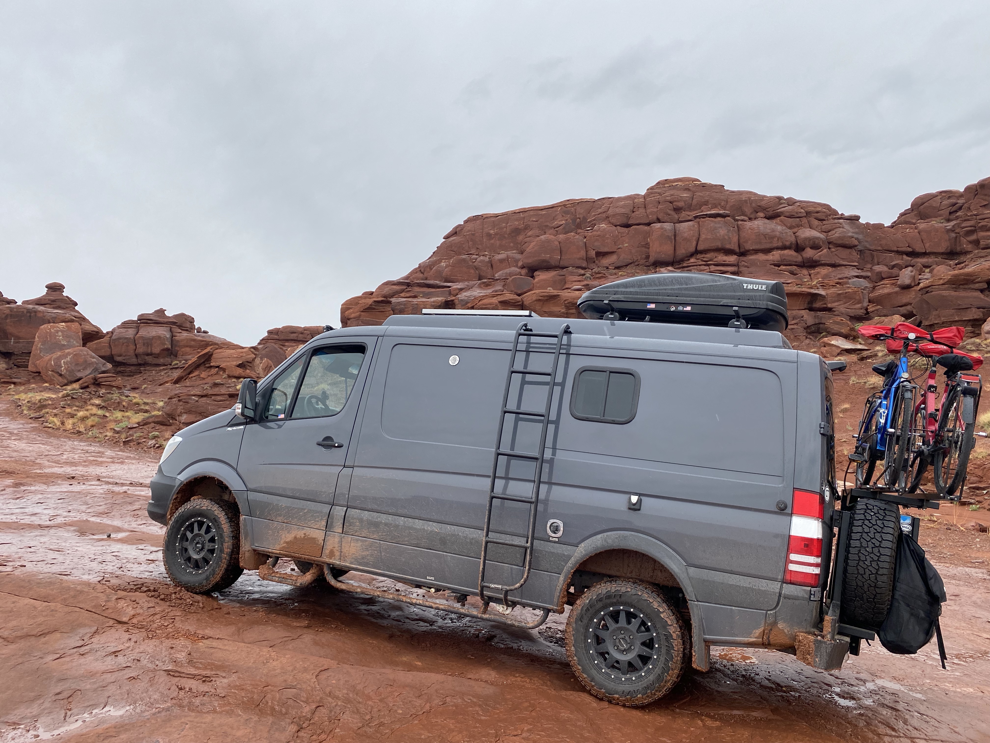
The photo below is of our unanimous choice for best vehicle OTR 9.0!


From Colorado Springs we traveled north – camping near Sterling, Colorado for our last night in the state. In future posts we will chronicle our trek across the midwestern plains en route to Connecticut.
Be seeing you!