
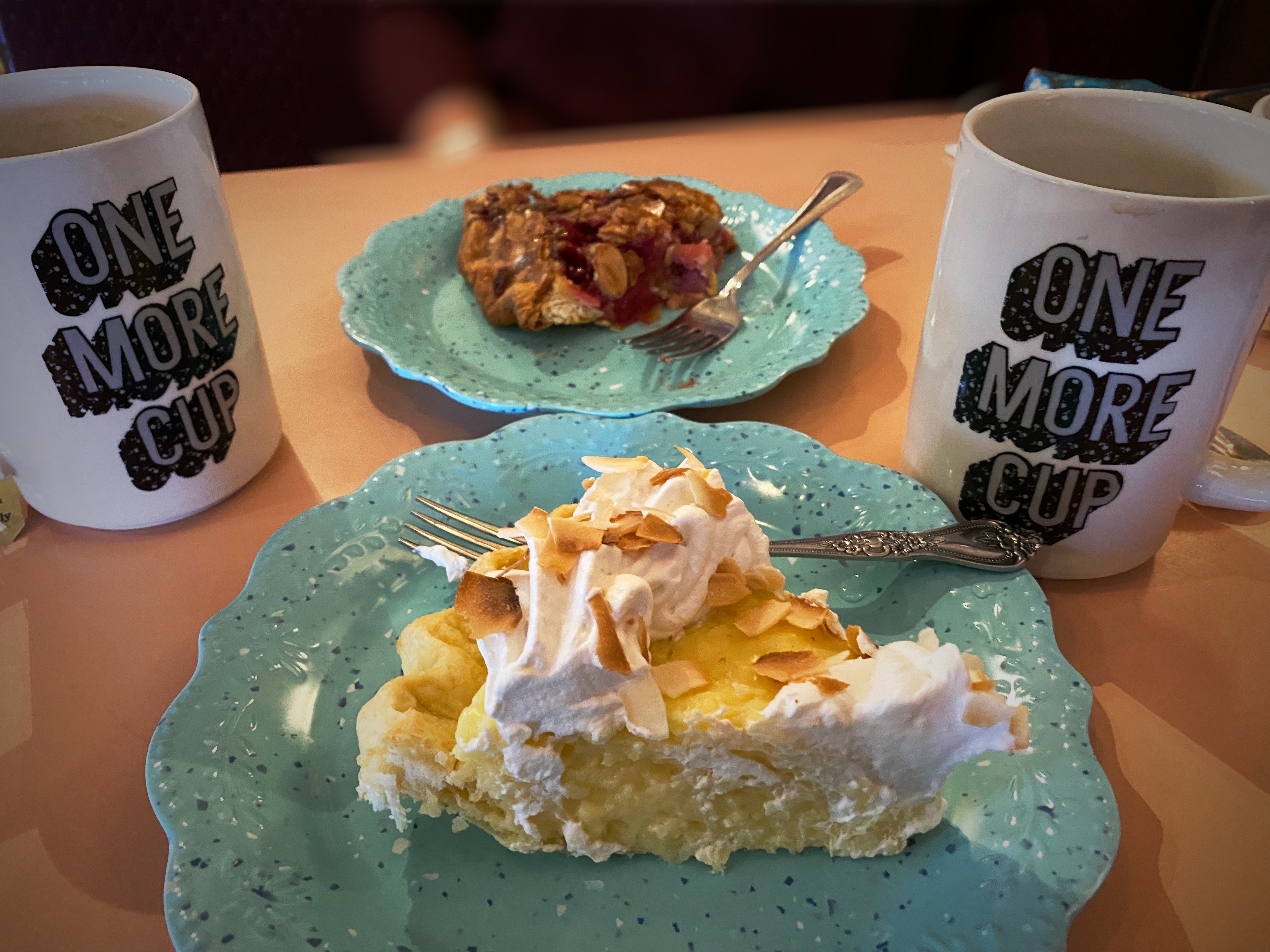
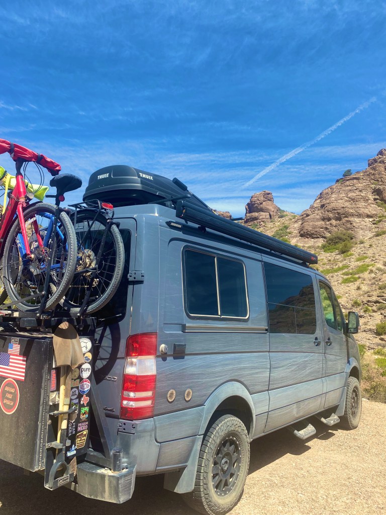
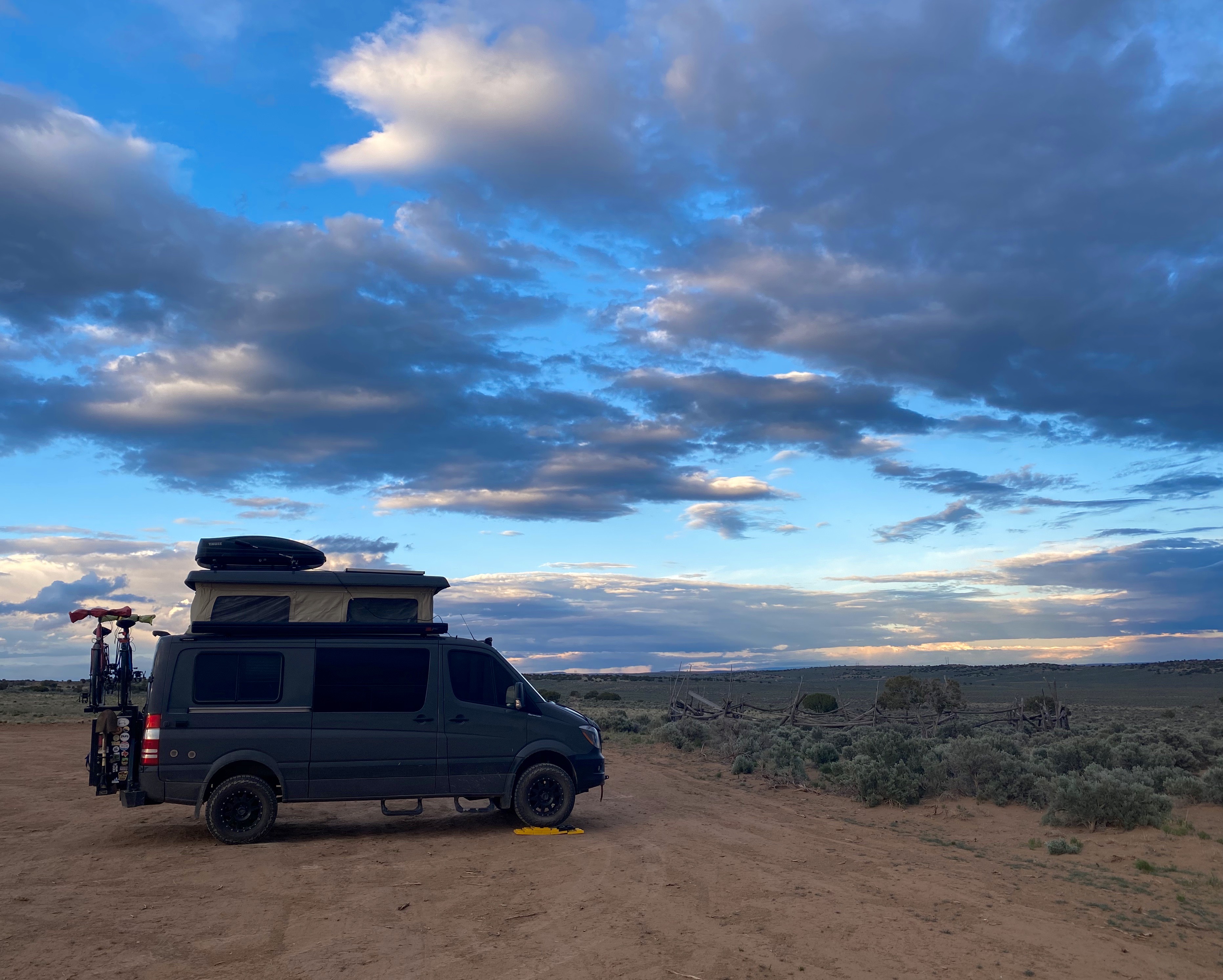
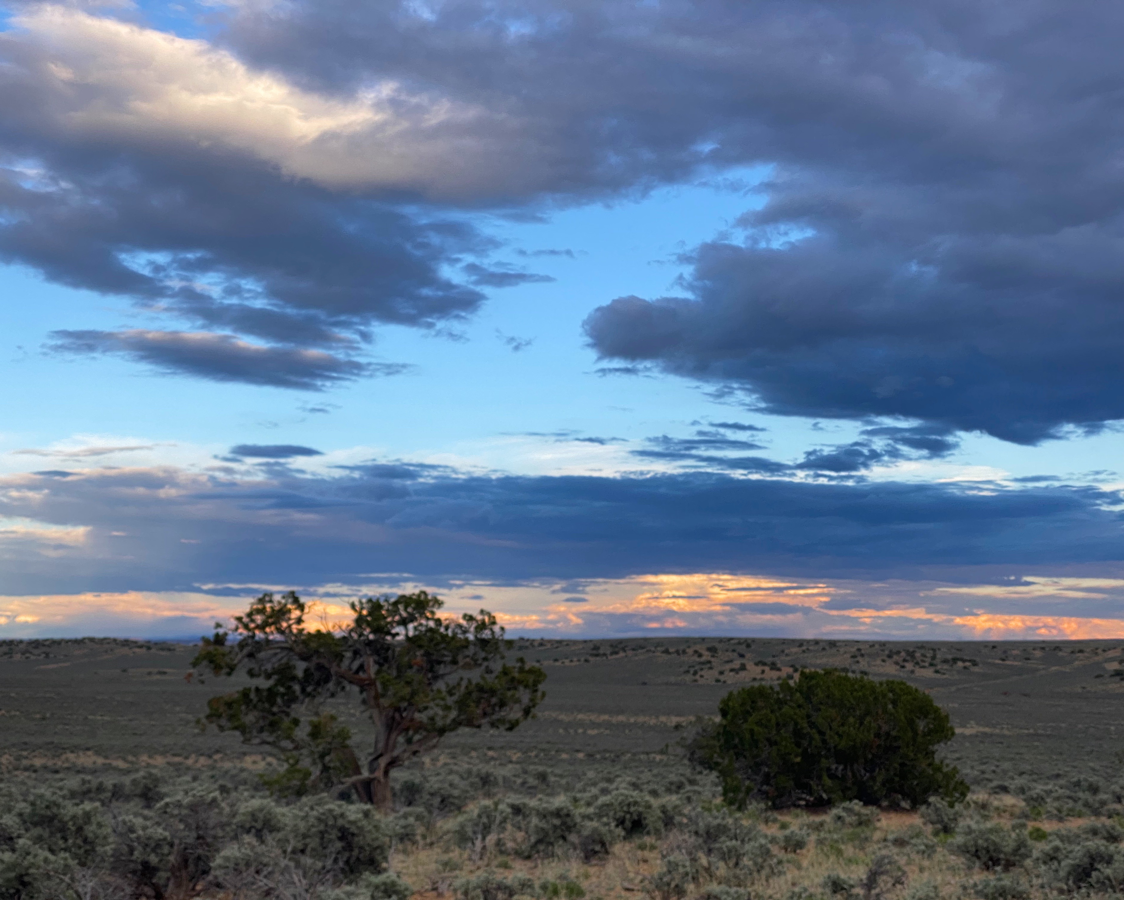
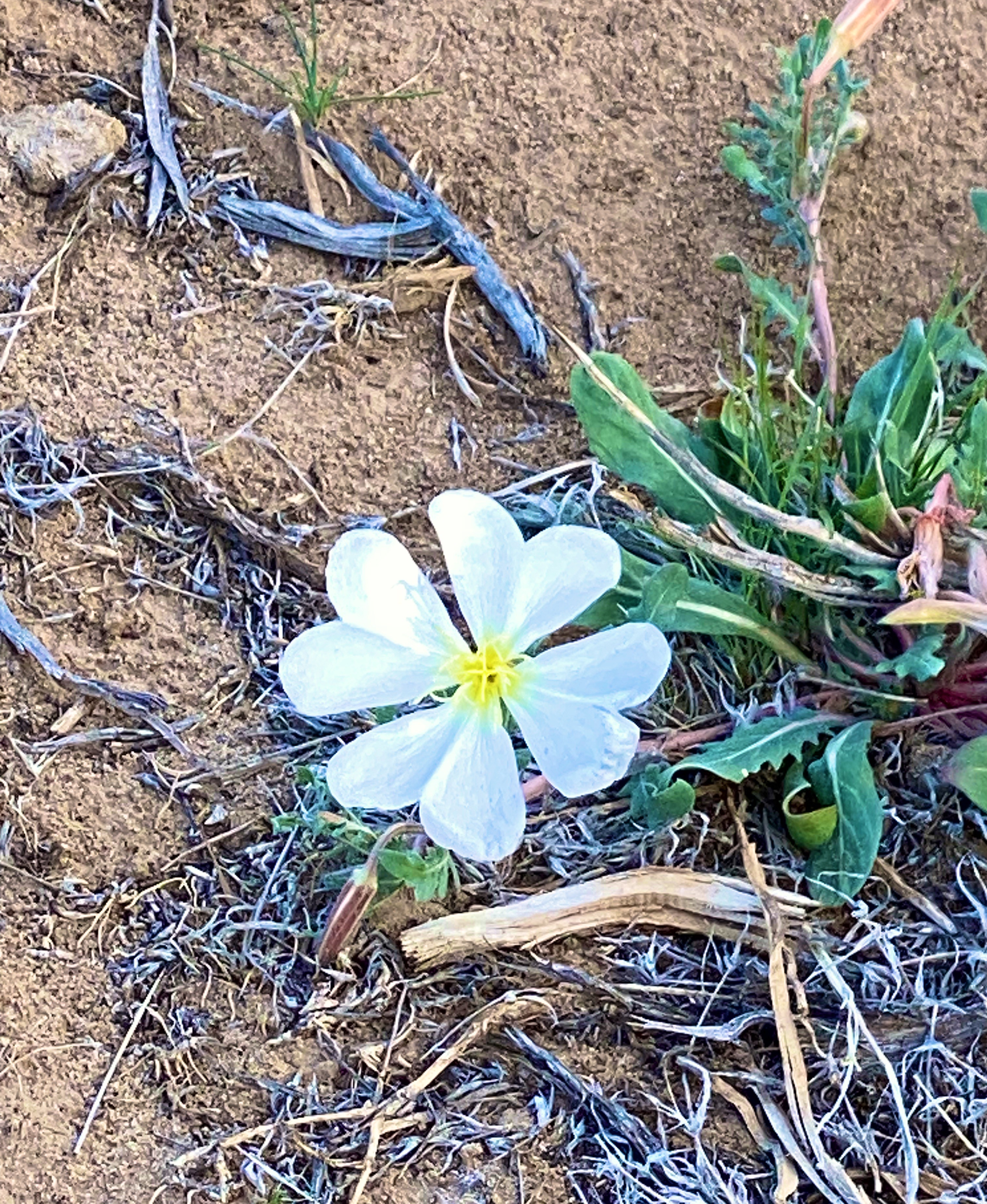
Subscribe to continue reading
Subscribe to get access to the rest of this post and other subscriber-only content.
Subscribe to get access to the rest of this post and other subscriber-only content.
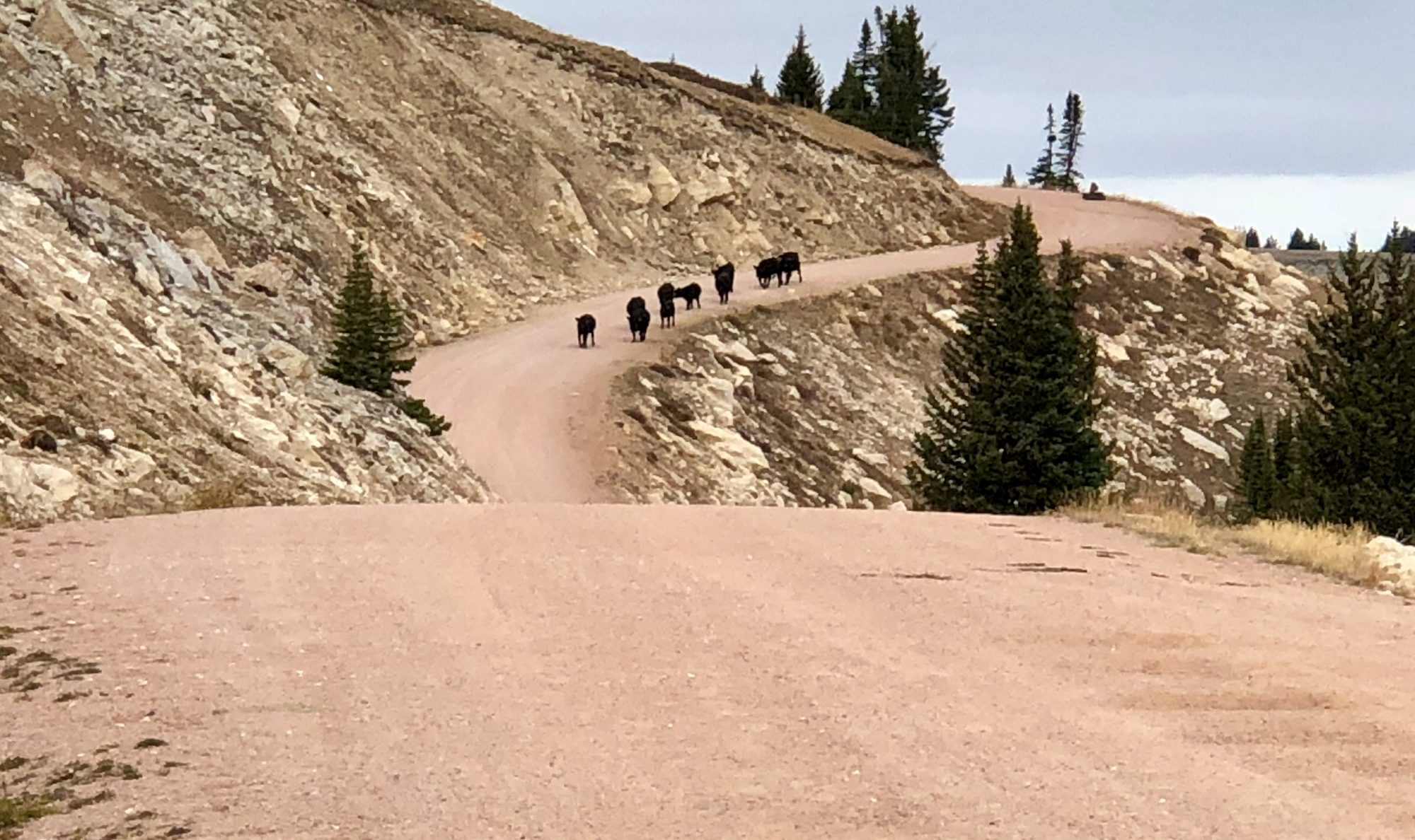
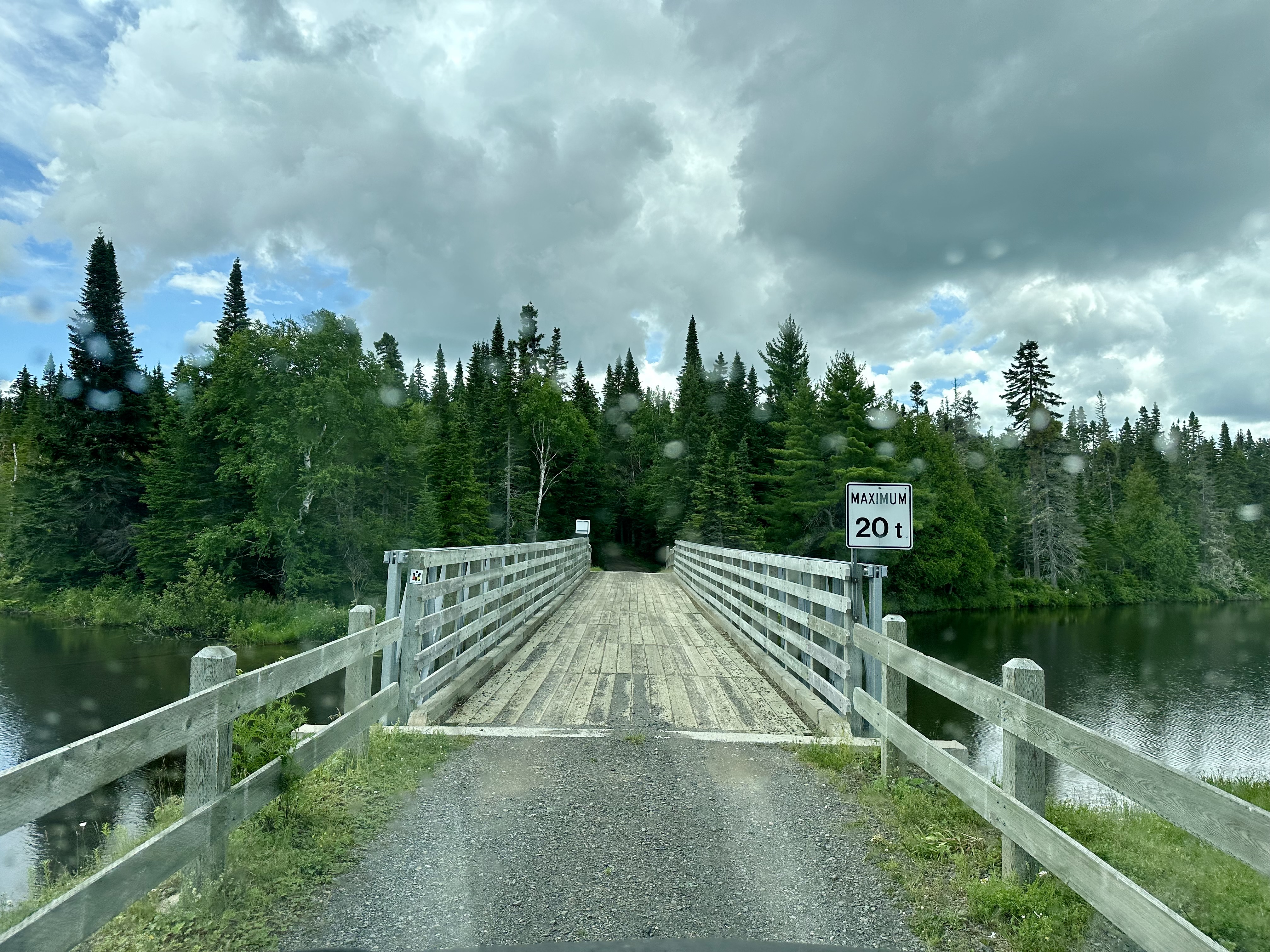
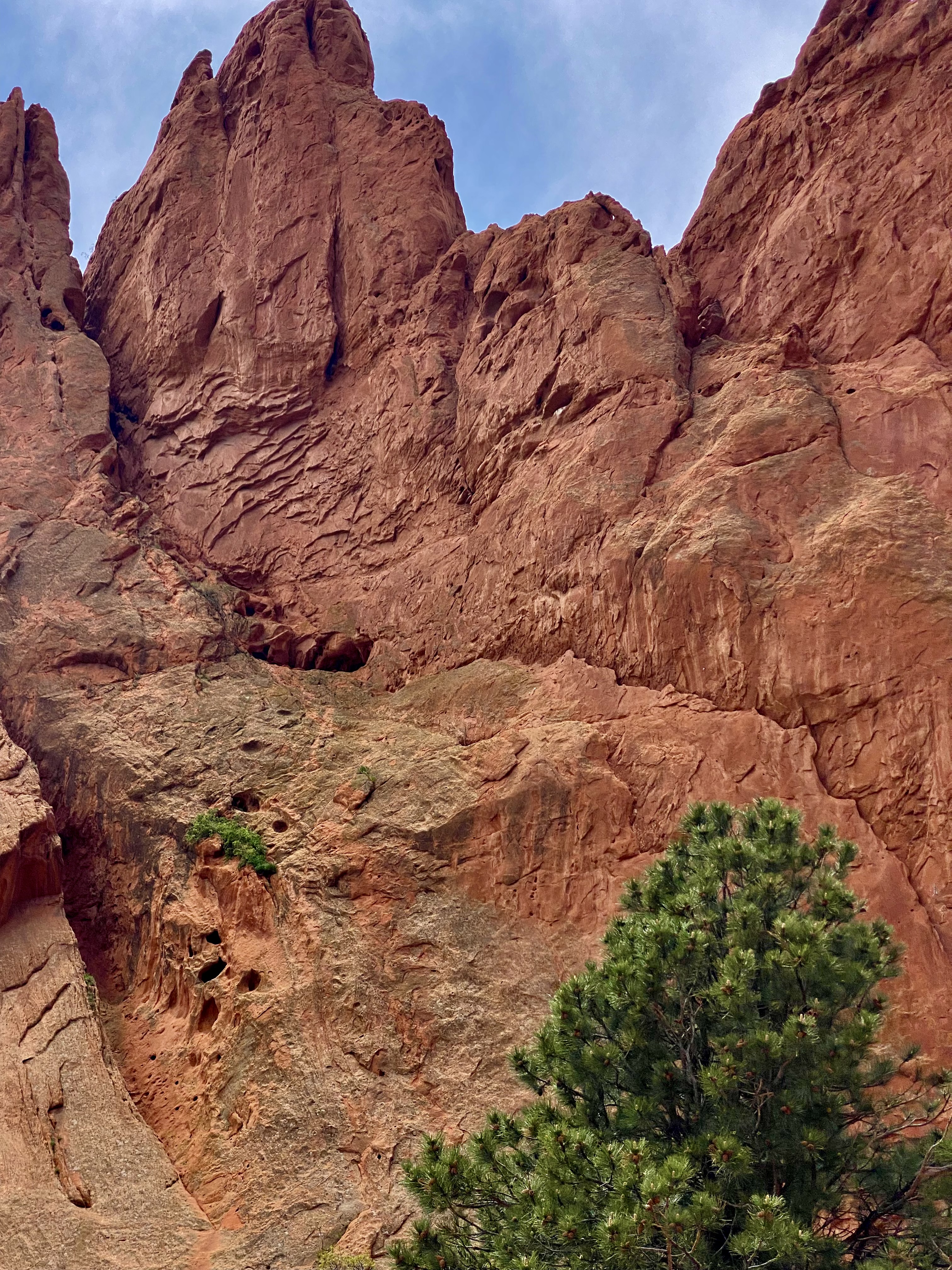
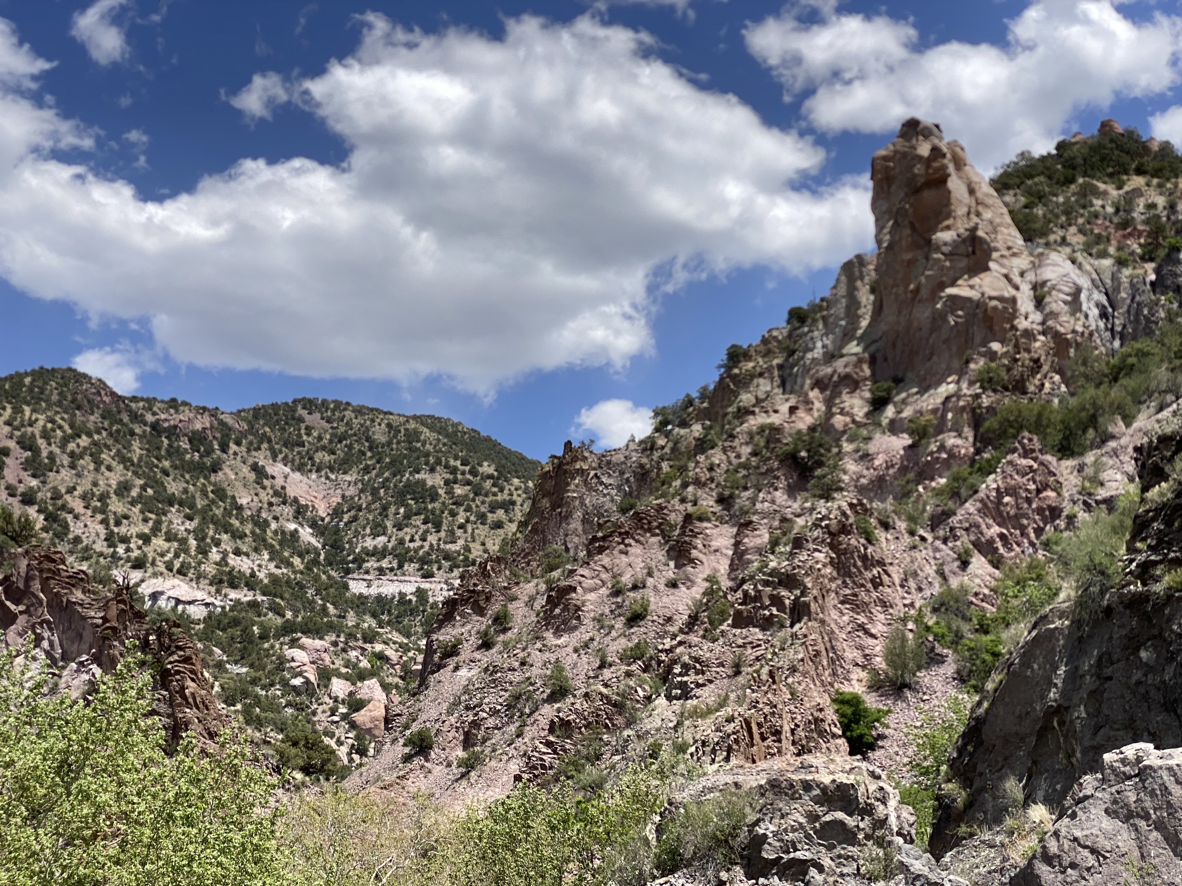
After departing Broad Cove we followed the Cabot Trail (CT) west along the northern perimeter of the Cape Breton Highlands National Park (CBHNP). This route took us up into the heart of the highlands and then back down along the western slope where the highlands meet the North Atlantic. As always, lots of spectacular scenery and driving.
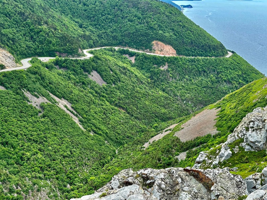
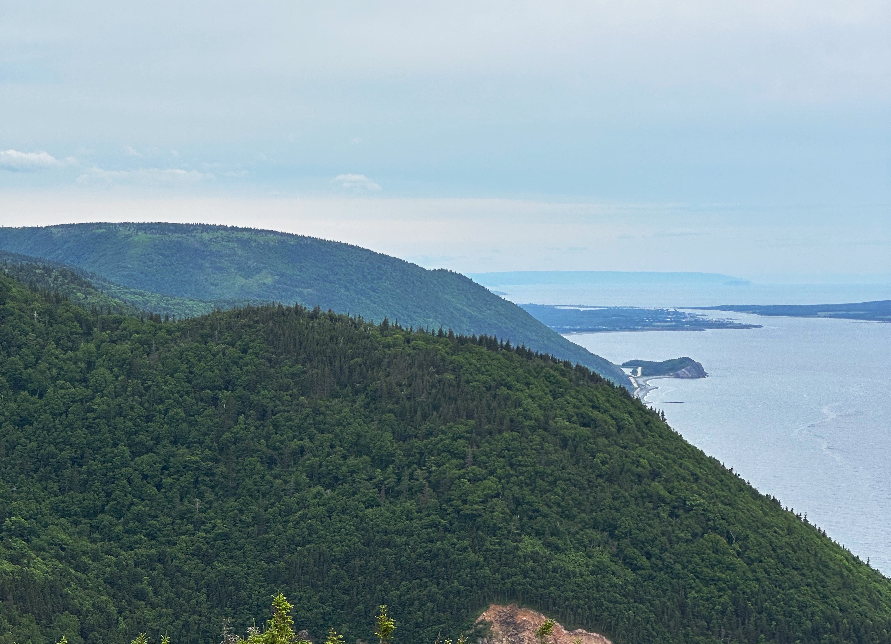
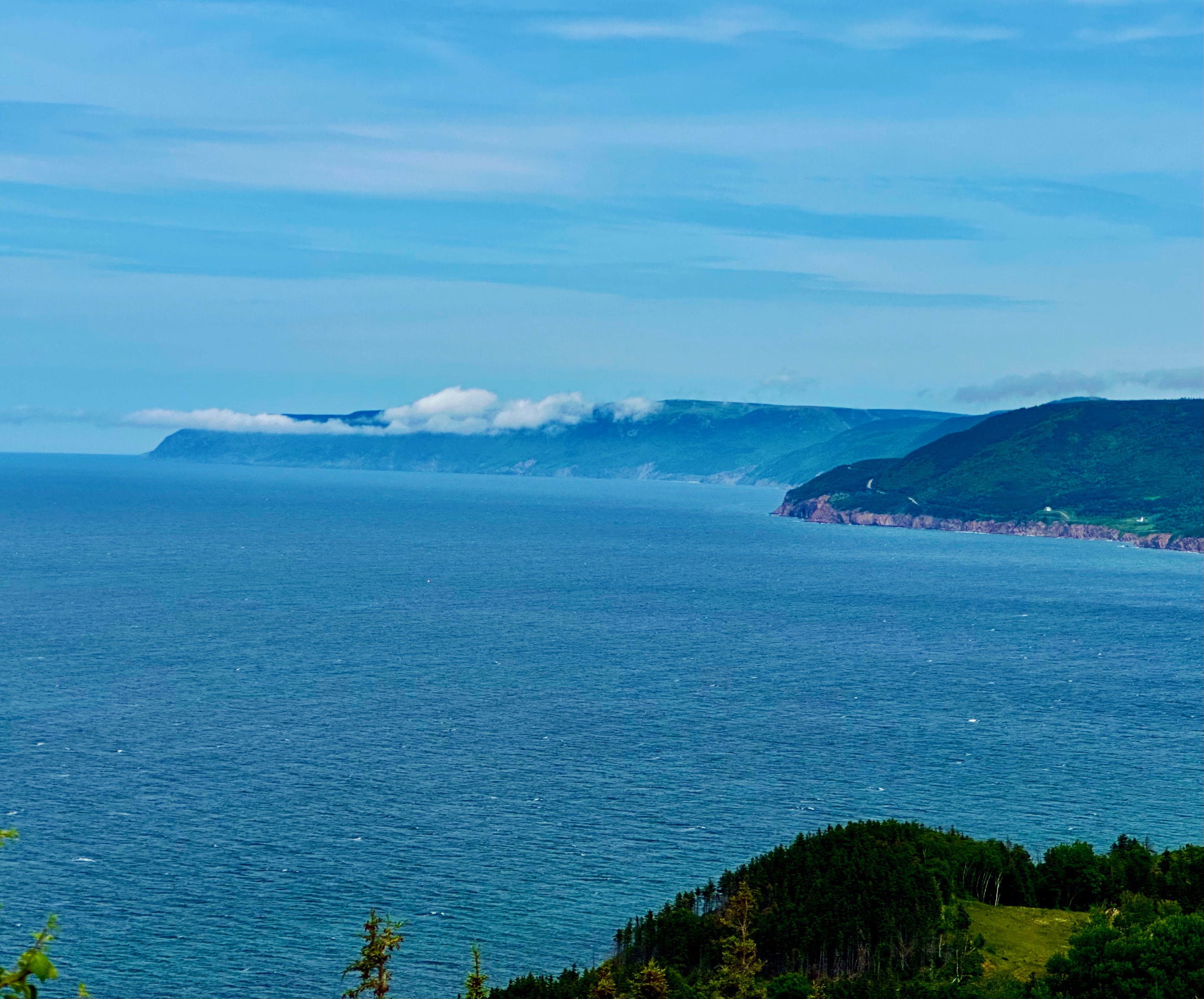
Along the way we stopped to hike the Skyline Trail, considered one of the best hikes in CBHNP. The trail leads out to cliffs providing dramatic views of the mountainous coastline and the ocean below. Although the weather began closing in during our hike, we were still able to see for several miles up and down the coast.

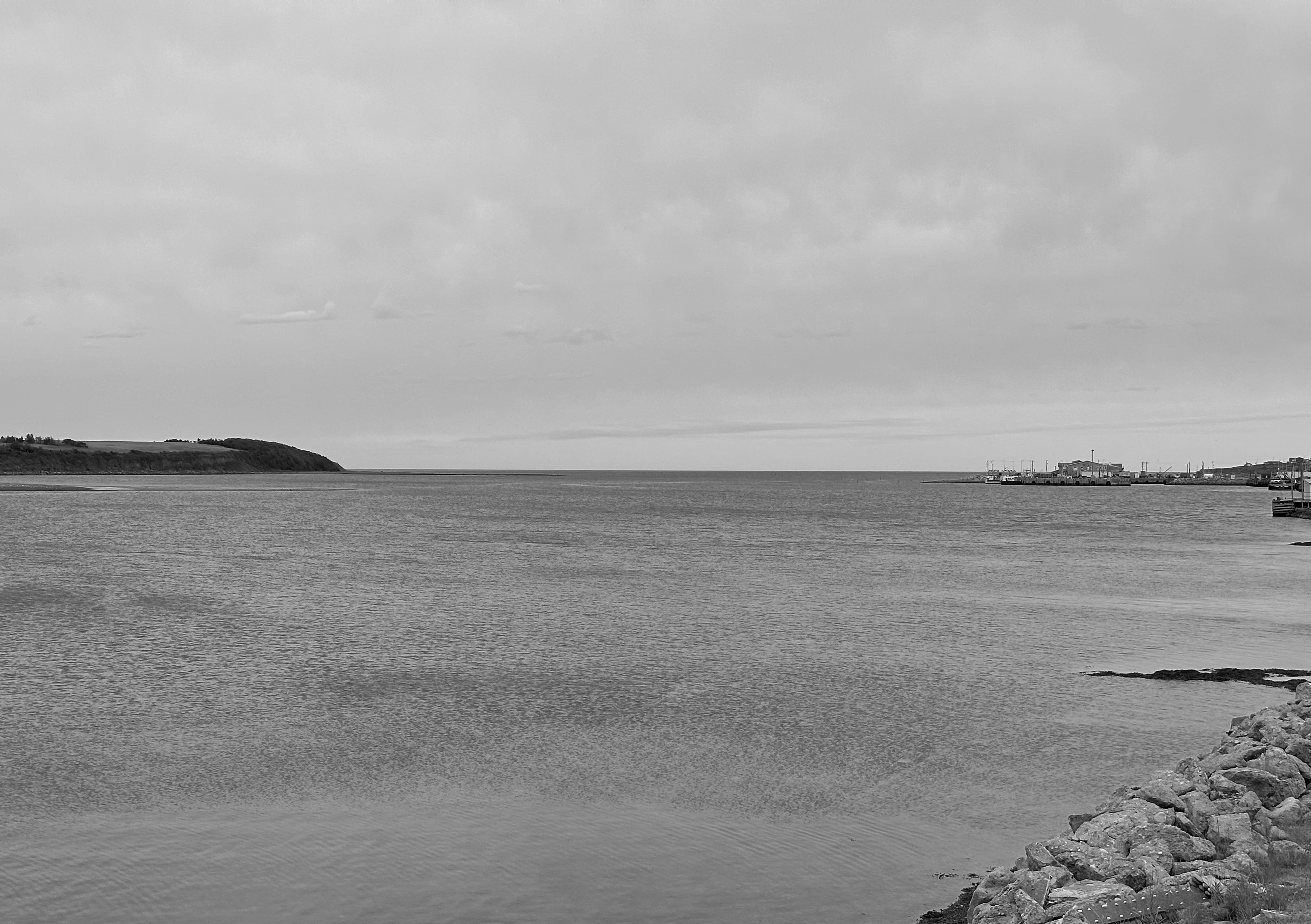
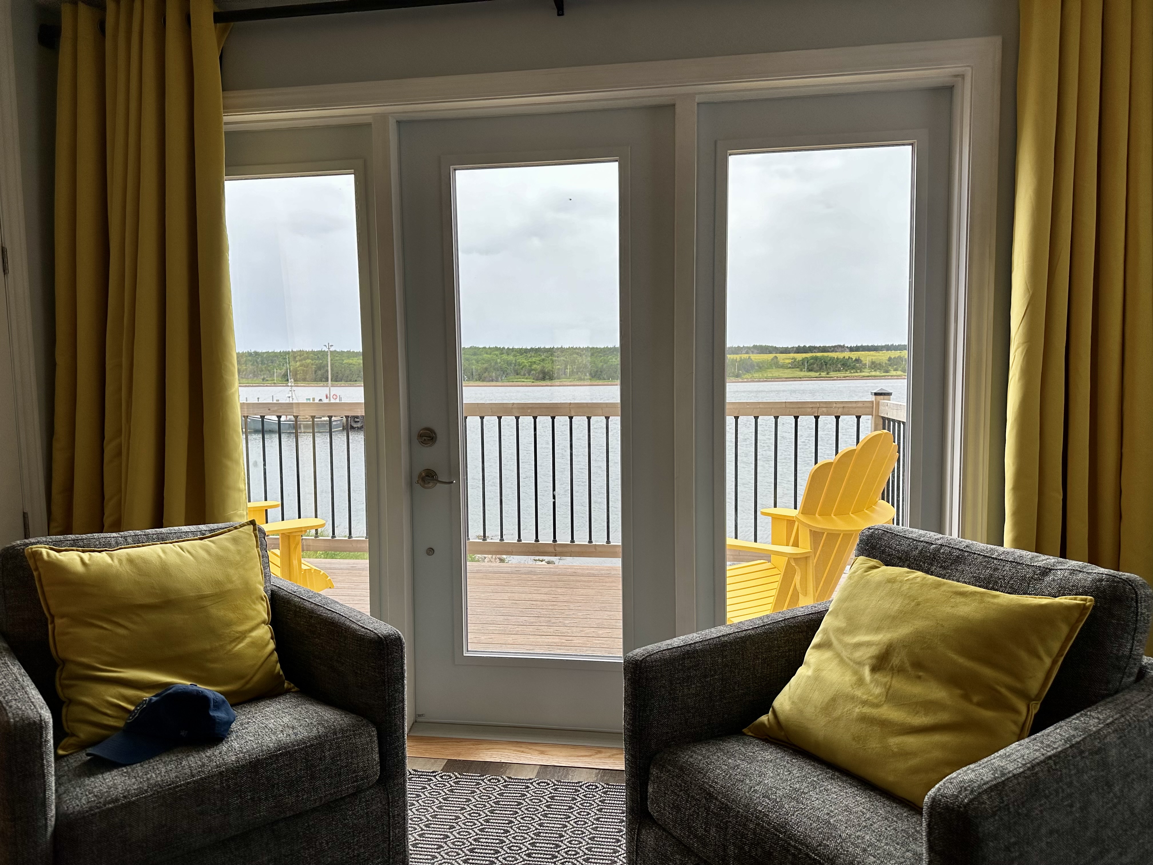
From the Skyline Trail we journeyed south on the CT to the Acadian community of Cheticamp. We had booked an AirBnb for two nights with a deck overlooking the harbour. Unfortunately, the rain moved in that evening squashing our plans for cocktails and nibbles on the deck (rough, eh?). We made the best of it— washed our laundry and got a good night’s sleep.


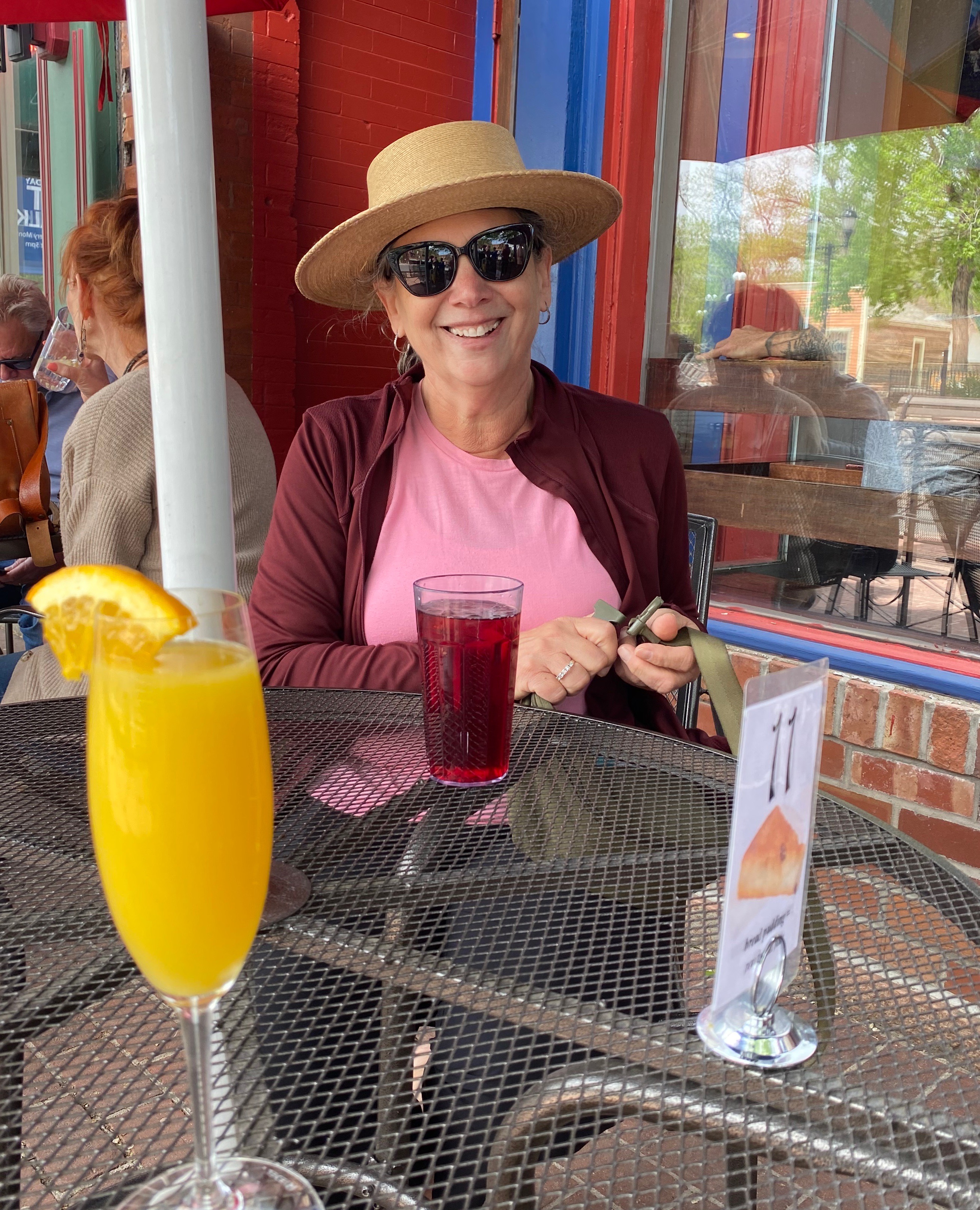
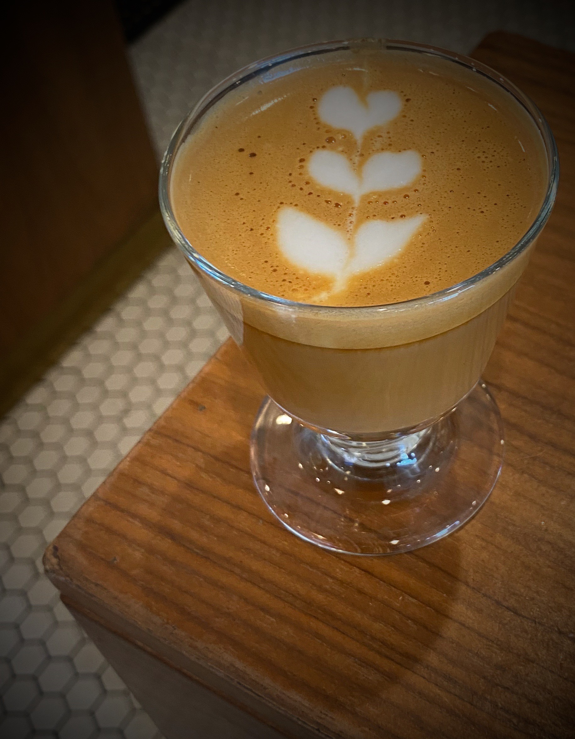
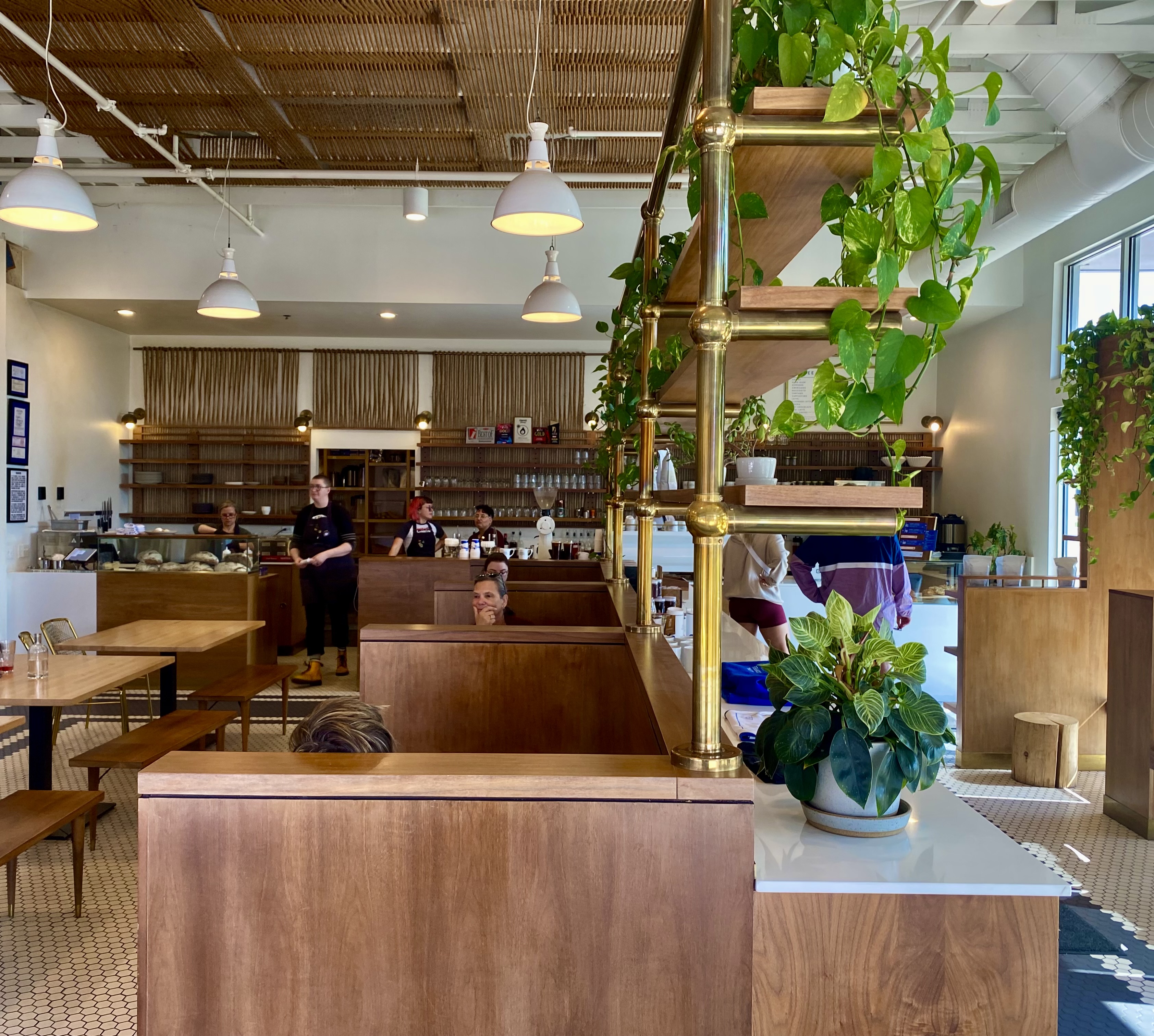
The next morning was still drizzly, so feeling chipper after a hot shower and wearing freshly laundered duds, we set off for coffee at Marguerite Boutique et Provisions. In the ‘it’s a small world’ category, we met a retired long-haul truck driver (J.P. — Jean Paul) who had lived in Meriden (our home base) for several years-and-a young man from Hamden, Connecticut (on a two year solo journey). We also met some folks from California and New Hampshire — all in all, an enjoyable fika segment!
https://www.boutiquemarguerite.com


After fika we poked around town a bit before returning to our our cottage for an afternoon lie down — perfetto on a rainy gray day. We capped off the day with a delicious dinner at L’abrie Restaurant, Cafe et Bar. This restaurant was recommended to us by our barista at the Periwinkle Cafe in Ingonish —thank you very much!
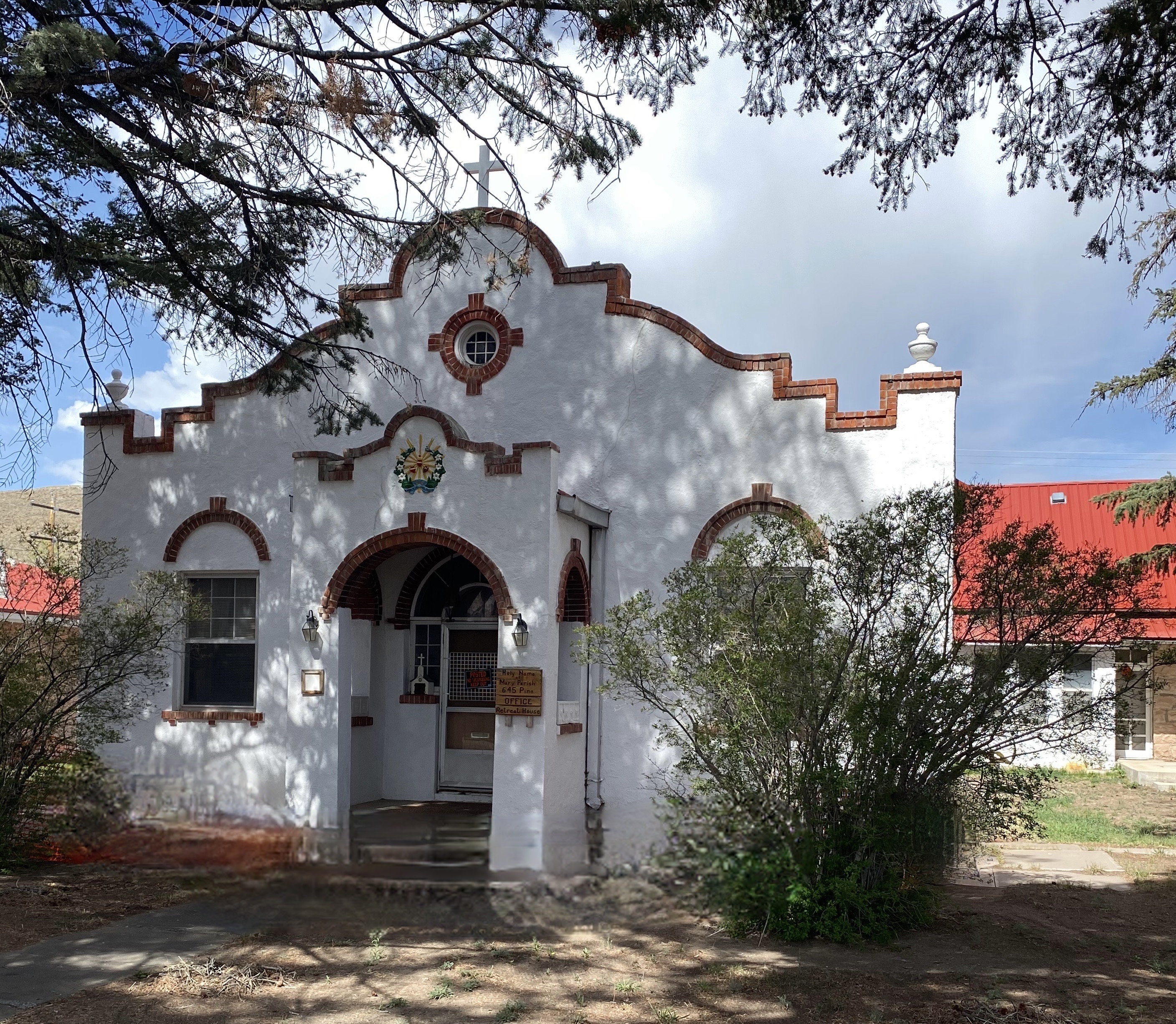
L’abrie is owned by the same partners that own Marguerite. You can read more about the partners, their mission and the restaurant by clicking on the link below.

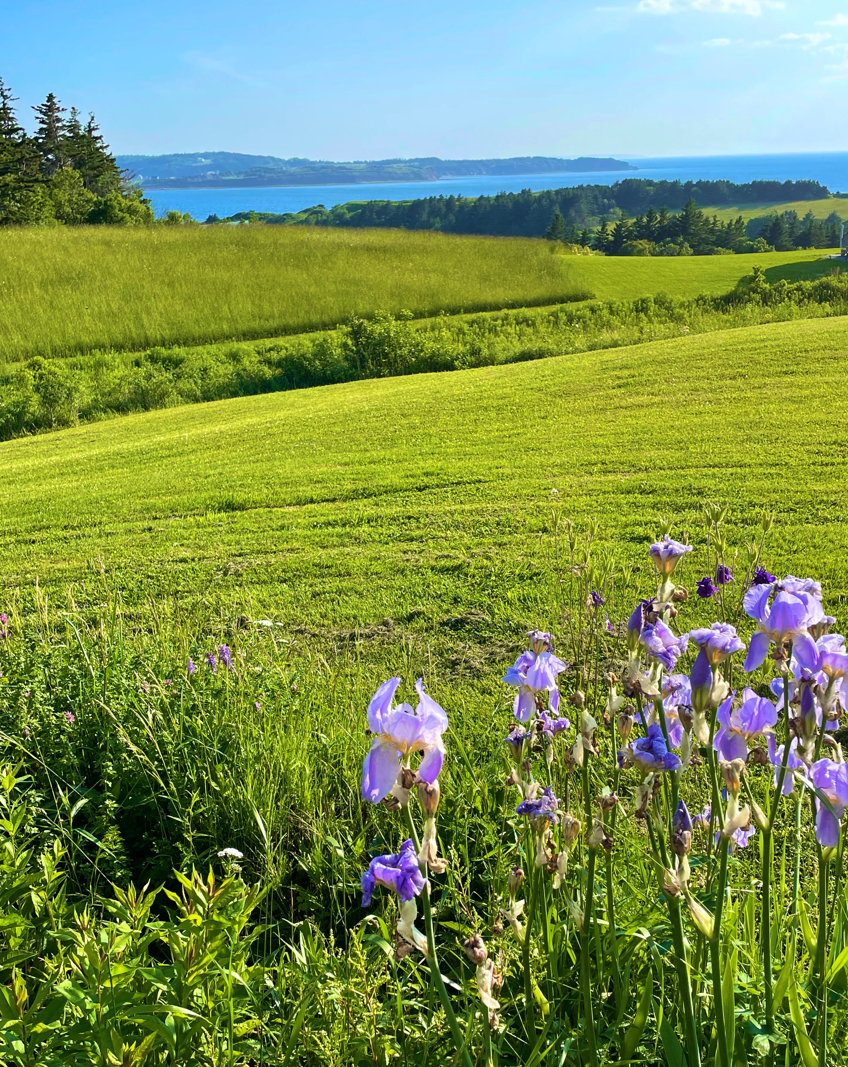
Chéticamp is an Acadian region on the shores of the Gulf of St. Lawrence, on the western slope of Cape Breton Highlands in Nova Scotia. It is located between Cape Breton Highlands National Park to the north and Grand-Étang and Montagne des Écureuils to the south. These magnificent sites stretch for many kilometres along the Cabot Trail. It’s settlement began in the decade following the signing of the Treaty of Paris in 1763, ending the Seven Years’ War between France and Great Britain. Chéticamp takes its name from a Mi’kmaq expression meaning “rarely full”, presumably in reference to Petit Étang (small pond) in La Prairie (the prairie) near Buttereau at the foot of Grande Falaise (big cliff) in the estuary of the Chéticamp River. All these names are the legacy of a rich heritage in the heart of a landscape where wild habitats and the sea merge with extraordinary beauty.
Learn more about the fascinating history of Acadian communities around the world at: acadie-on-the-roads-of-the-acadian-people-map-articles-and-references-about-the-acadian-communities
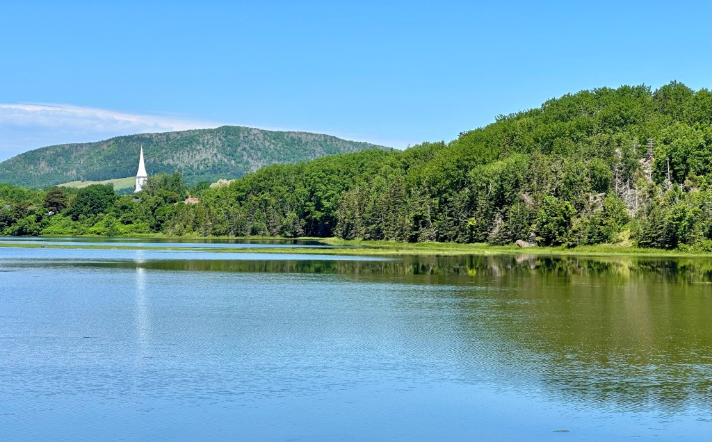
We departed Cheticamp traveling along the coast on the CT through the scenic villages of Grand Etang and Margaree Harbour. At Margaree Harbour we said our final farewell to the CT and our widdershins loop of CB. From there we followed Route 219 to Southwest Margaree, then we veered inland to explore some of the interior of Cape Breton in the distinctly Scottish heritage area around Lake Ainslie.


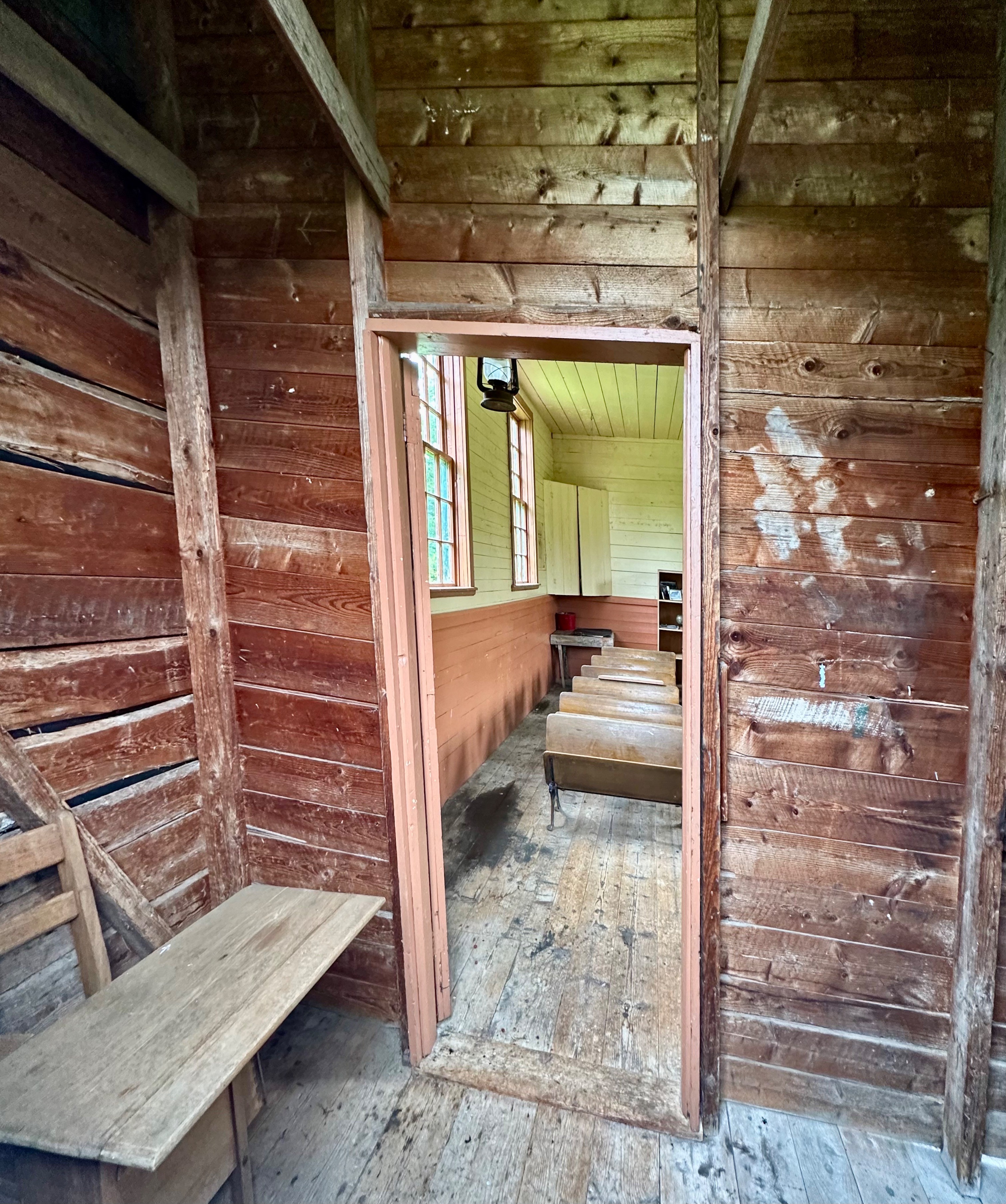

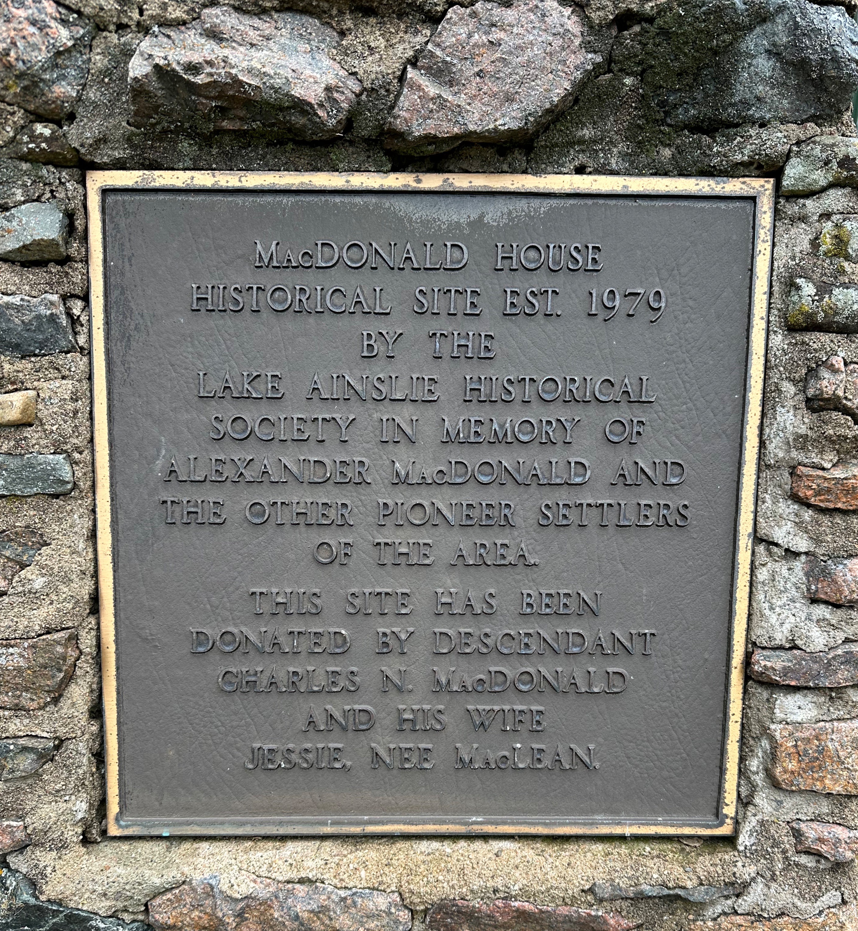
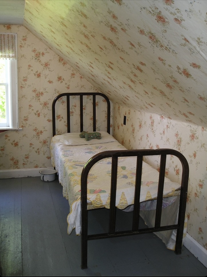

The photos above are from the MacDonald Farm in East Lake Ainslie – now operated as a museum by the local historical society. Alexander MacDonald emigrated from the Isle of Mull, Scotland in 1823 – receiving a land grant of 518 acres. His son Charles started the first mercantile in the area in 1848 and built the present house during the 1850s. He also established the first post office in 1876 – Charles also being the first postmaster. The post office operated until 1956!
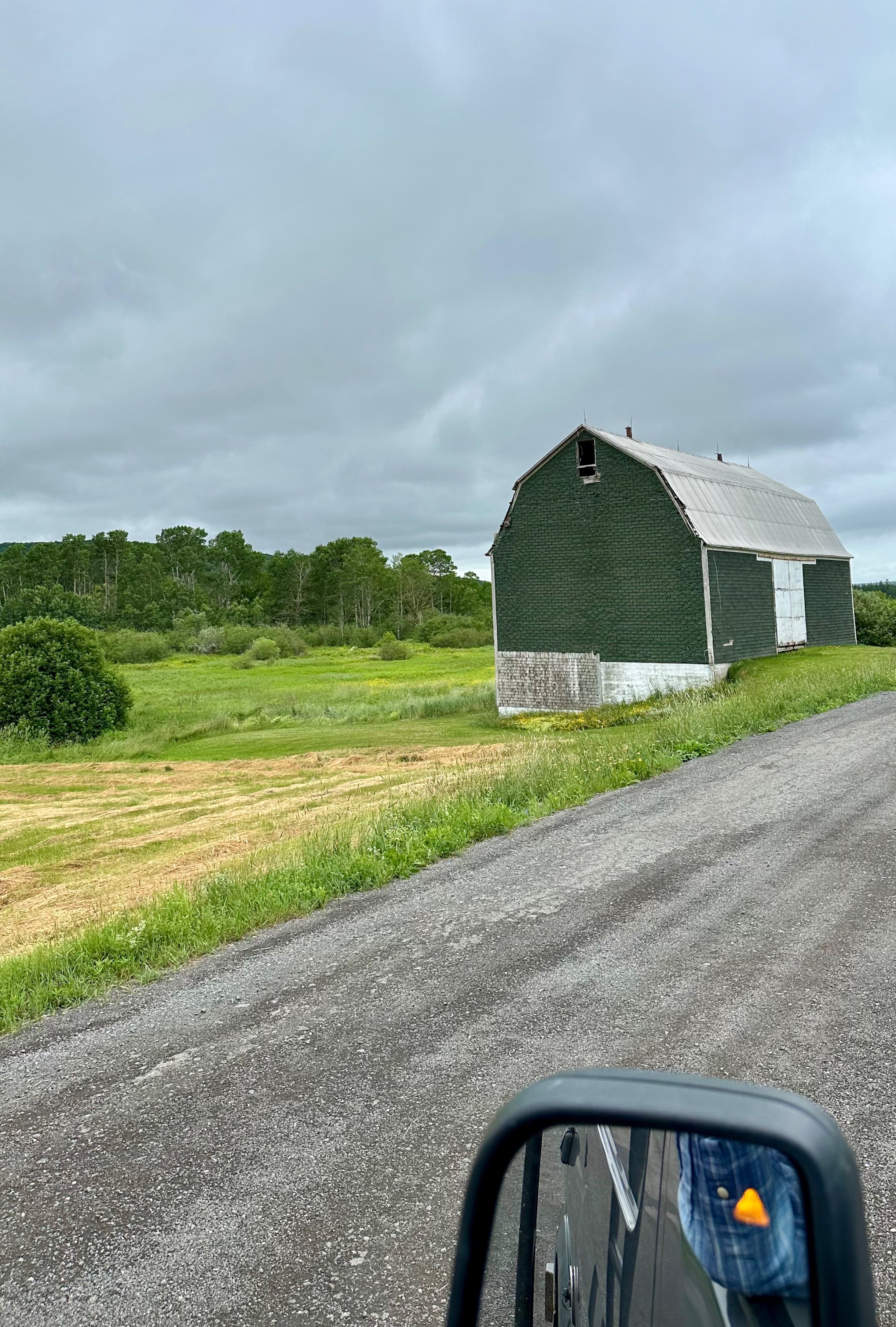
After exploring the farm we pressed on further into the interior on what appeared to be logging roads which eventually gave way to farmland.
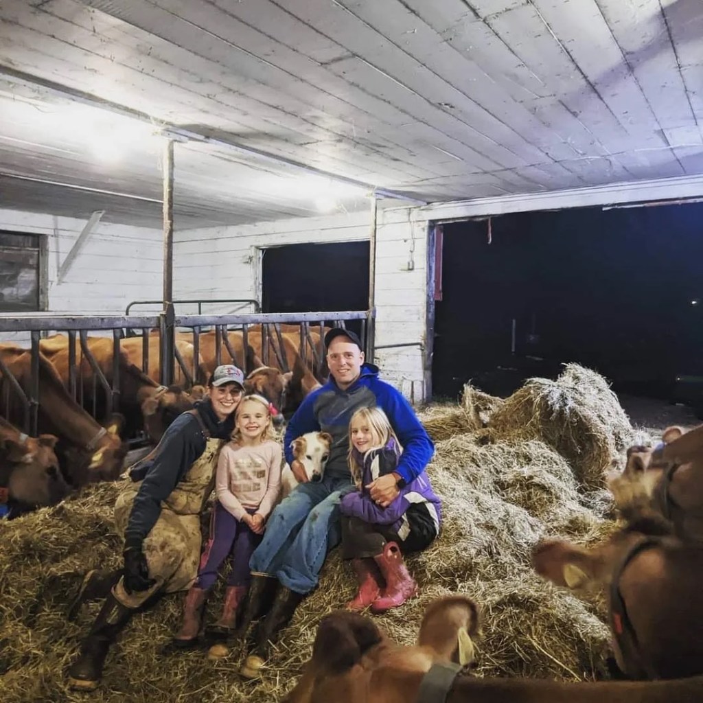
Much to our surprise and pleasure, after cresting a rise in the road, we found ourselves staring at a bright red building housing the Skye Glen Creamery! We crossed our fingers in hopes that the creamery was open. Fortunately, we had chanced upon the creamery a few minutes before closing and we met one of the owners, Meghan. She and her husband bought the dairy farm (jersey cows) in 2020 and opened the creamery soon after – lucky us! We bought cheese and delicious chocolate gelato. What a tasty way to finish a ramble.


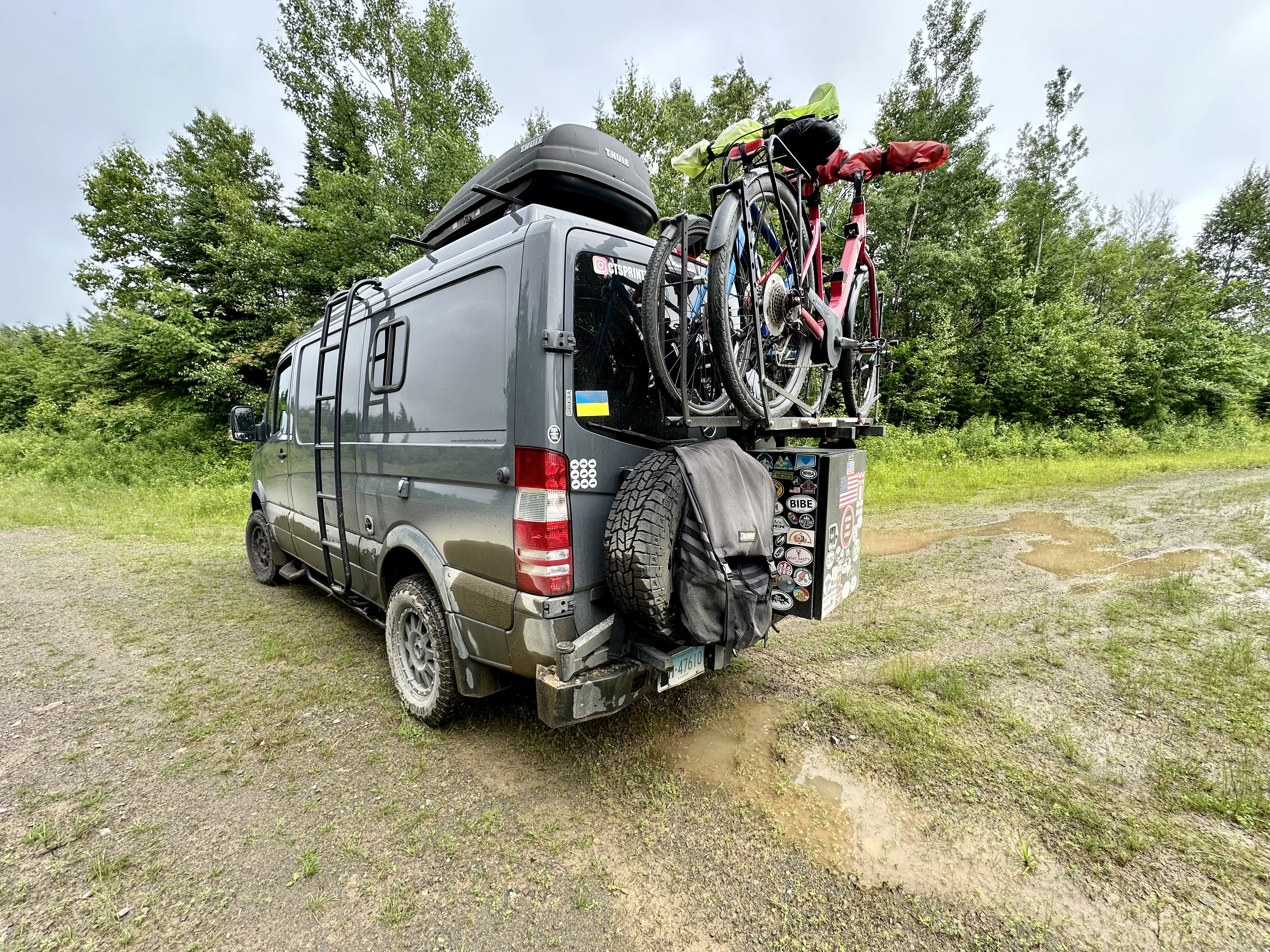
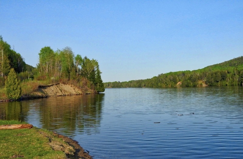
From the creamery we found our way to pavement and to the settlement of Mabou (Mi’kmaq for place where two rivers meet). Mabou was a definite on our itinerary due to its proximity to the Celtic Shores Coastal Bicycle Trail and the Red Shoe Pub. We checked in at the Mabou River Inn and then made the short trip across the river into town to dine and enjoy live music at the Pub.

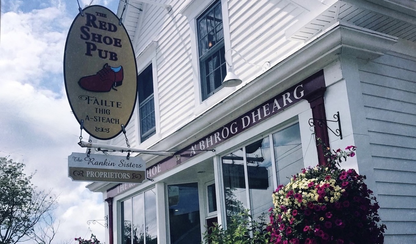
The pub is owned by the Rankin Sisters, members of the multi-award winning Rankin Family musical group. The first generation of Rankins began performing during the 1970s. The Rankin family hails from Mabou and it is a big deal when the sisters drop in to perform at the pub. The pub boasts live music everyday and we were fortunate to hear the Campbell Sisters perform on the evening we dined at the pub.
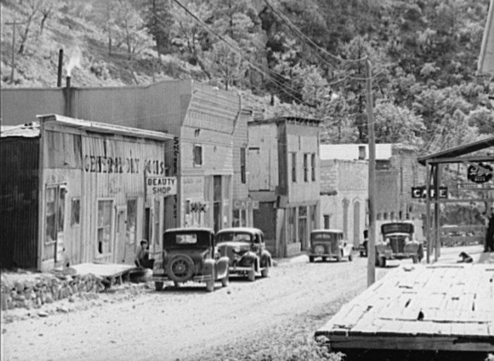
American Loyalists were the first to settle in Mabou during the 1700s (as usual, if you exclude First Nations). The Loyalists were followed by British and Irish settlers but it was the Highland Scots that came to the forefront during the first half of the 1800s (emigrating as a result of the Highland Clearances). While fishing has always been part of the economy along with agriculture, a notable economic driver in Mabou and Inverness County was mining coal and gypsum. Coal mining persisted into the 1960s but was never successful on a large scale because the coal was under the ocean floor and was prone to flooding (not taking that mine tour!)The bike trail that we were looking forward to riding came about because of the abandonment of the rail line (I&R Railroad) as mining wound down.
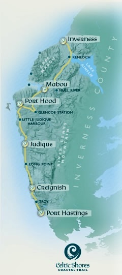
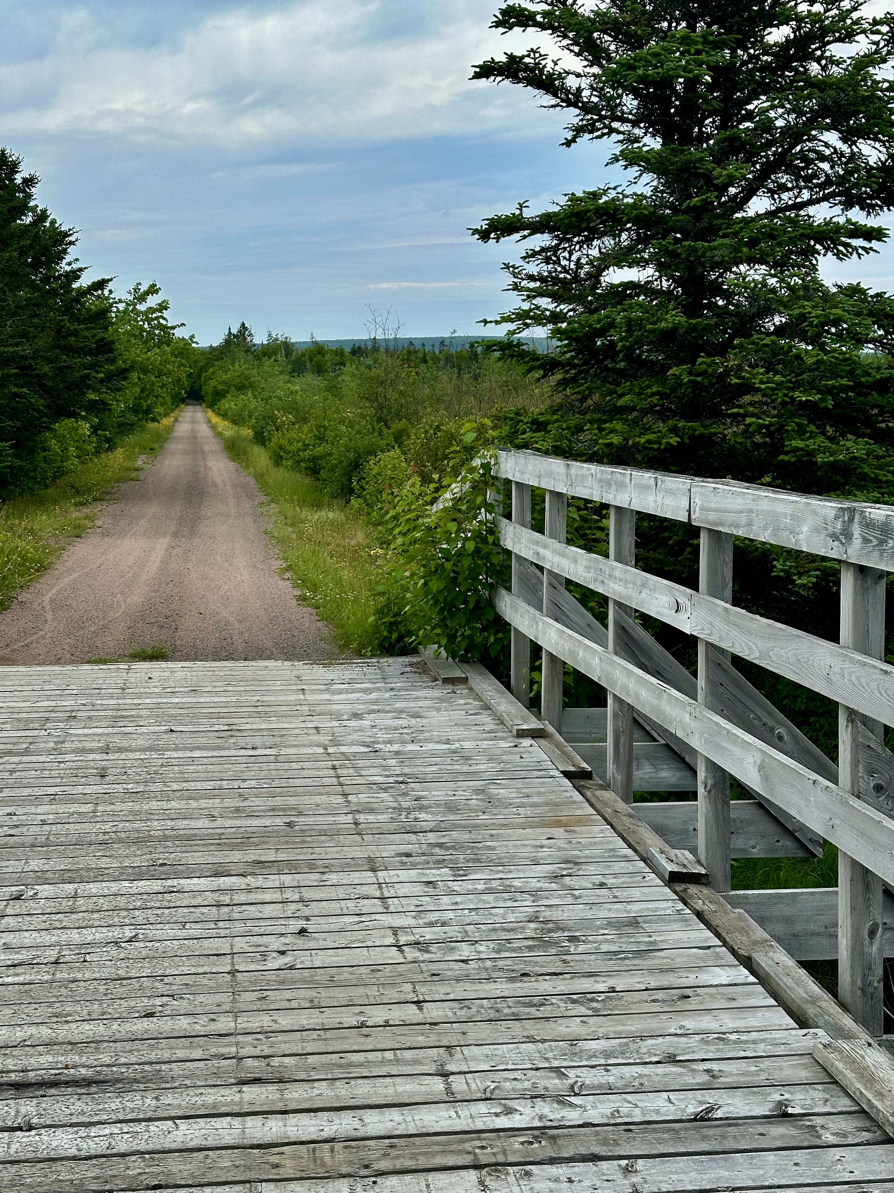
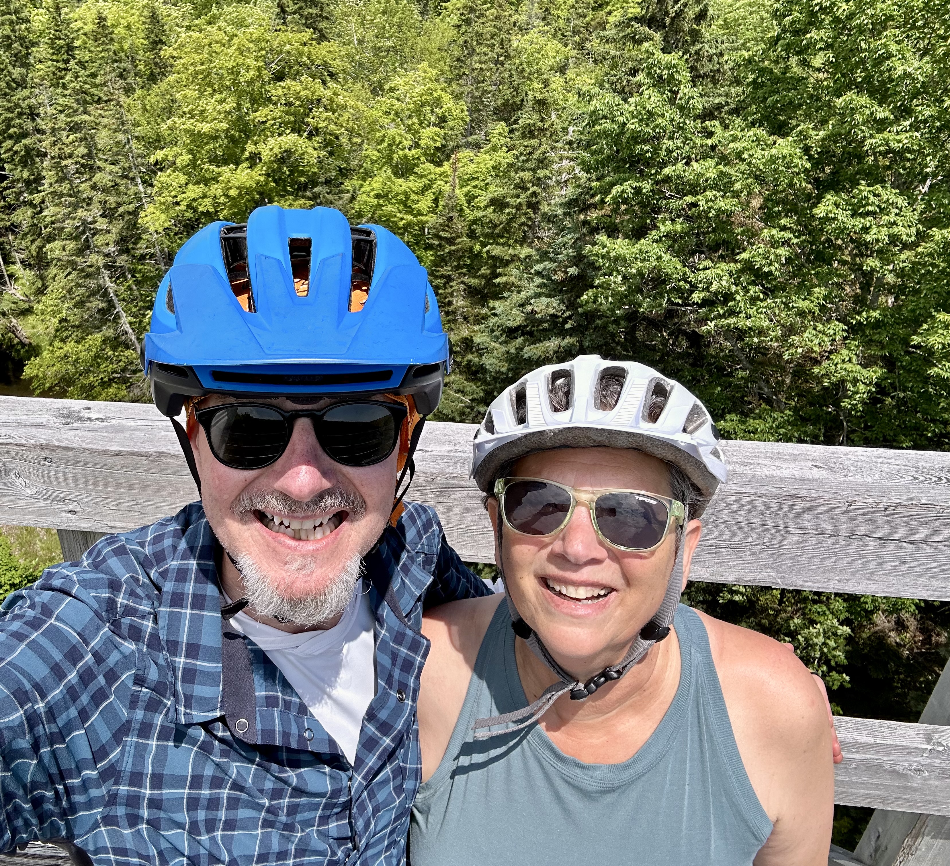
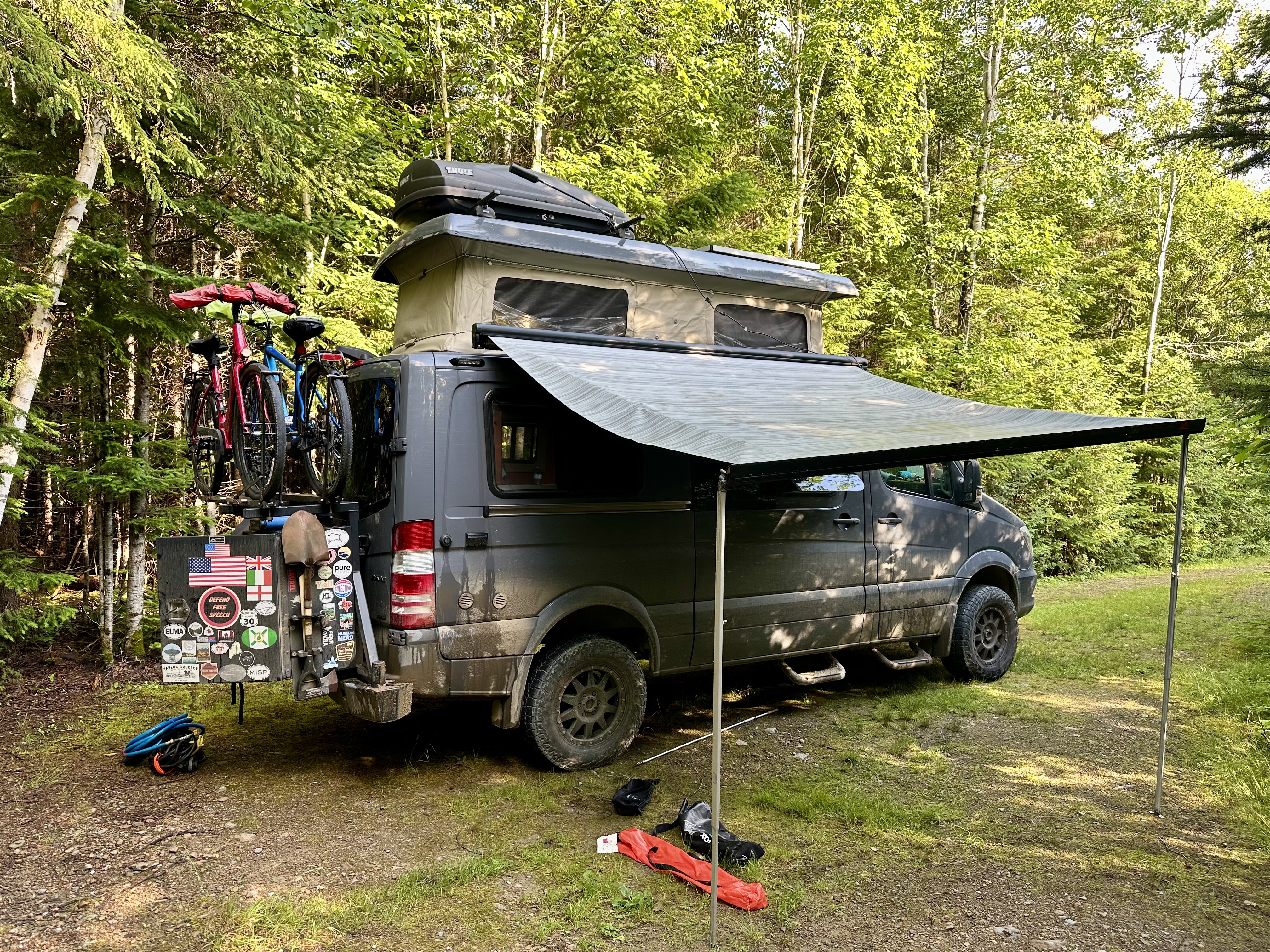
We set out the following morning to bike the Celtic Shores Coastal Trail (CSCT) from the Mabou Rivers trailhead north to Inverness (and back). The trail is 57 miles one way – our ride from Mabou Rivers to Inverness and back was approximately 34 miles. Inverness is the northern terminus of the trail and sits right on the ocean.
The trail is not paved but for the most part is smooth hard-pack and level. We chose this portion because segments to the south are quite windy making the riding difficult from both a wind and trail erosion perspective. The trail has very few road crossings (always a plus) and we only encountered one other cyclist over the entire 34 miles. We had been looking forward to riding this trail and we were not disappointed.


Upon arriving at the end of the trail we sought out lunch to refuel before riding back to Mabou. We felt it only right to dine at the Coal Miners Cafe & Lounge as the establishment is Biker Friendly. Good grub, definitely friendly and best of all – a Red Sox pub!


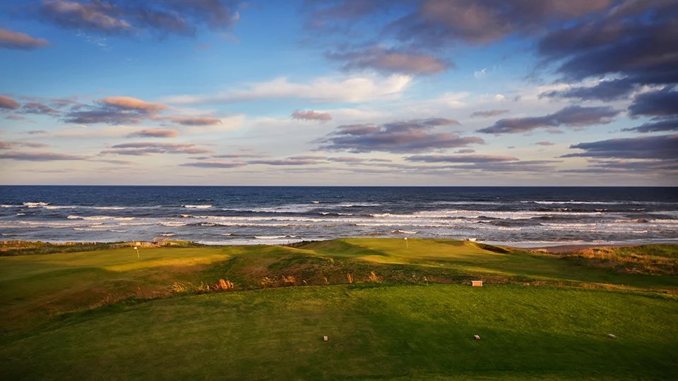
On our way back south we stopped to take in the view at Cabot Links Golf Course, which is adjacent to the trail terminus. We are not golfers but the course is laid out along the ocean and the combination of the course and the ocean view is quite magnificent (that’s for you Dorothy). The course actually sits on top of one of the reclaimed coal mines. Cabot Links is ranked as the 35th best course in the world while its sister course Cabot Cliffs is ranked as the 11th best. One of the people we met while at Marguerite for coffee had played at Cabot Cliffs – Twilight Round – nine holes at $350.00. The photos below are courtesy of Not Your Grandfather’s Mining Industry and Cape Breton University.


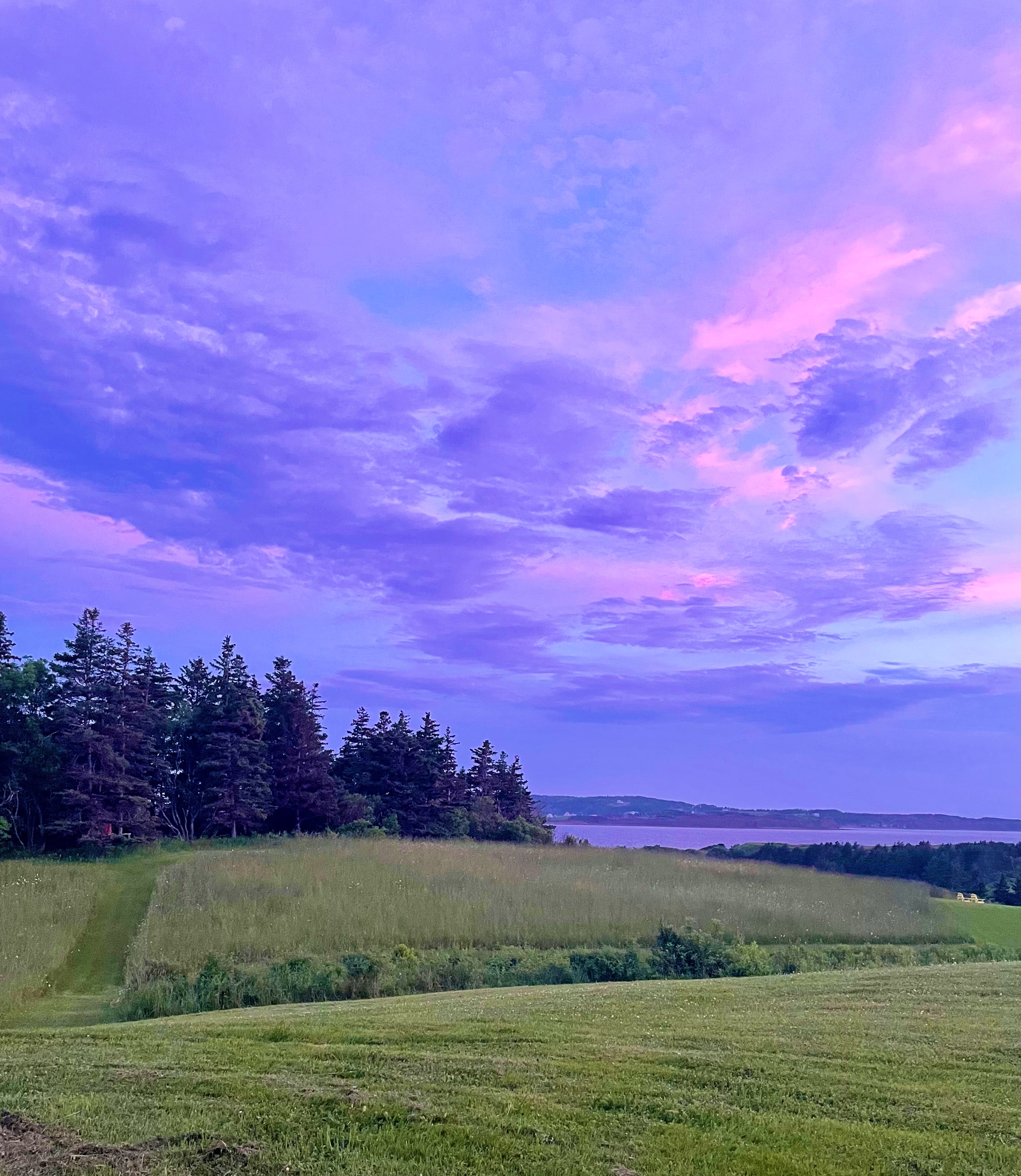
After completing our ride back to the trailhead at Mabou Rivers we made the short drive to Marble Hill and spent a relaxing evening watching the sky as the sun set over the Northumberland Straight.


We will pick up the final leg of our journey on Cape Breton as we drive two hours for a much needed consultation with Doctor Luke in Sydney. More on that in our next post.
Be seeing you!
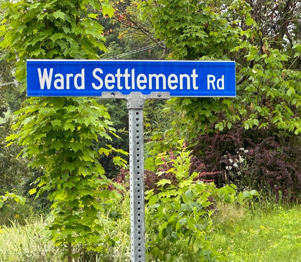
We departed Fredricton with a loose itinerary to find our way north to the remote Mt Carleton Provincial Park using only unpaved roads. We departed the pavement in Ward Settlement a few miles north of Freddy. A search of the records indicate that Robert Ward arrived around 1841 which was too late to have been a loyalist from the American Colonies. We did not identify any members of the Ward clan remaining in the settlement which is now part of the town of Stanley Parrish so there was to be no grand family reunion during this sojourn.
Most of the terrain we traveled through on this ramble is privately owned by major forestry concerns; many of the local folks scattered amongst the woodlands make their living in the forestry industry.

We came out of the wood lands onto Route 107 to stop at the convenience store rumored to exist at the junction of Route 107 and Route 105 in the hamlet of Juniper (named for the Juniper bogs in the area). It does exist and it was open but the six local folks hanging about the store (pop. 200) were none to welcoming so we bought a couple of cold drinks and went back into the woods.
From Juniper we covered a 32 mile stretch of dirt roads until we reached Plaster Rock. Plaster Rock (pop.1000) is a metropolis based on the size of most of the villages and hamlets we encountered in this part of New Brunswick. Like most of the other villages in the area the economy is centered on forestry and logging. The village sits along side the beautiful Tobique River.
We stopped in Plaster Rock to buy groceries for the next several evenings and to satisfy the Beast’s insatiable desire for diesel fuel (Juniper has no diesel fuel). A nice find occurred while we were driving through town to the grocery. A restaurant – lil’ Pepinos – purveyor of house made pasta, pizza and other Italian dishes in the woods of New Brunswick. You betcha – we pulled right in and ordered a pie. The restaurant did not feel Italian in the least but the pie was pretty dang good. No washing dishes after dinner at the campsite for us tonight!

From lil’ Peppinos we drove 30 miles north (mostly on pavement to a location along the Tobique River in the settlement of Riley Brook (pop. 100). This site is popular with kayakers and has campsites and firewood. All in all it was a good day on the road.
The next morning we set out north on Route 385 to camp and hike at Mt. Carleton Provincial Park (MCPP). The road is narrow, winding and hilly and we began to see mountain peaks in the distance. The peaks we were seeing were actually the northern portion of the ancient Appalachian Mountain Range which extends in to Canada.

MCPP is very remote with dirt roads, primitive camping, no cell or wifi and a very dark night sky (just the way we like it). MCPP is a designated Dark Sky Park. Additionally, because of its remote location there are very few people visiting or camping in the park – uncrowded hiking trails make for an entirely different experience.


There are eleven designated hiking trails within the 42,000 acres of pristine forest and lakes inside the park boundaries. Four of the trails reach summit peaks. Mt. Carleton, at 2690 feet, is the highest peak in the Maritime Provinces. We did not tackle any of the summit trails on this visit due to the combination of warm temperatures and trail ratings – next time!
That is it on our wood lands ramble in Northern New Brunswick. From a post standpoint we are going to circle back and report next on our time on Prince Edward Island.
Be seeing you!
Our first stop in Texas was the town of Texarkana (TXK), a twin city with Texarkana, Arkansas. TXK sits on the western side of the Texas/Arkansas border. Our purpose in stopping off in TXK was to purchase a new tire for Maria’s bike as she had suffered a tire destroying flat on our previous ride in Little Rock.
We had not planned on stopping in TXK and therefore knew little about the town other than its twin city status. When we entered the downtown area to access the bike shop we were caught off guard at how run down the town appeared. The streets were largely deserted and many of the buildings were dilapidated and vacant.
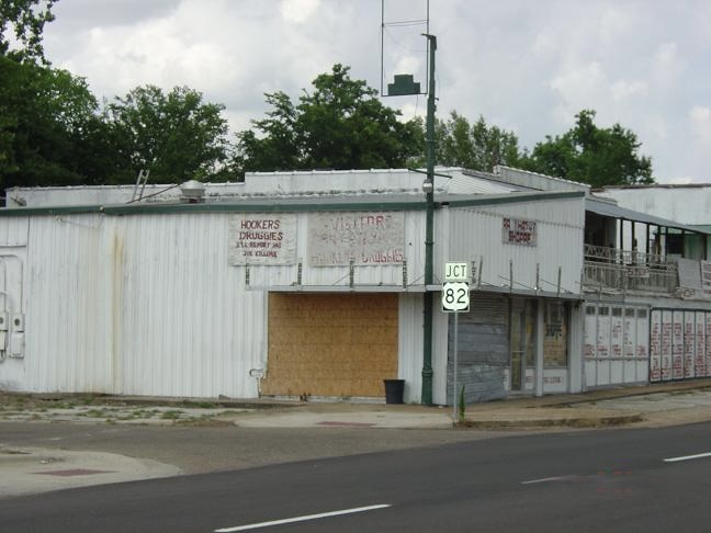

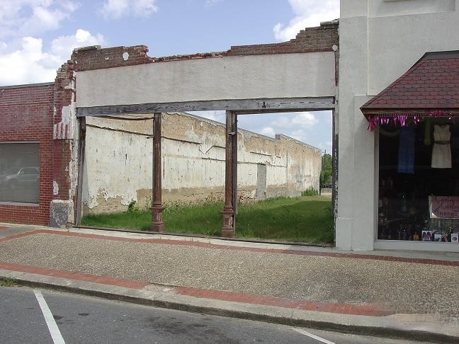
A quick online inquiry revealed that TXK has one of the highest crime rates in the U.S. and a poverty rate of 25%. As another indication of the problems the town is experiencing we found that while the bike shop was open for business, the entrance door is locked at all times and customers are only admitted after stating your business. When we brought Maria’s bike in for repair we could not help but notice that all of the shop’s inventory of bikes were chained together!
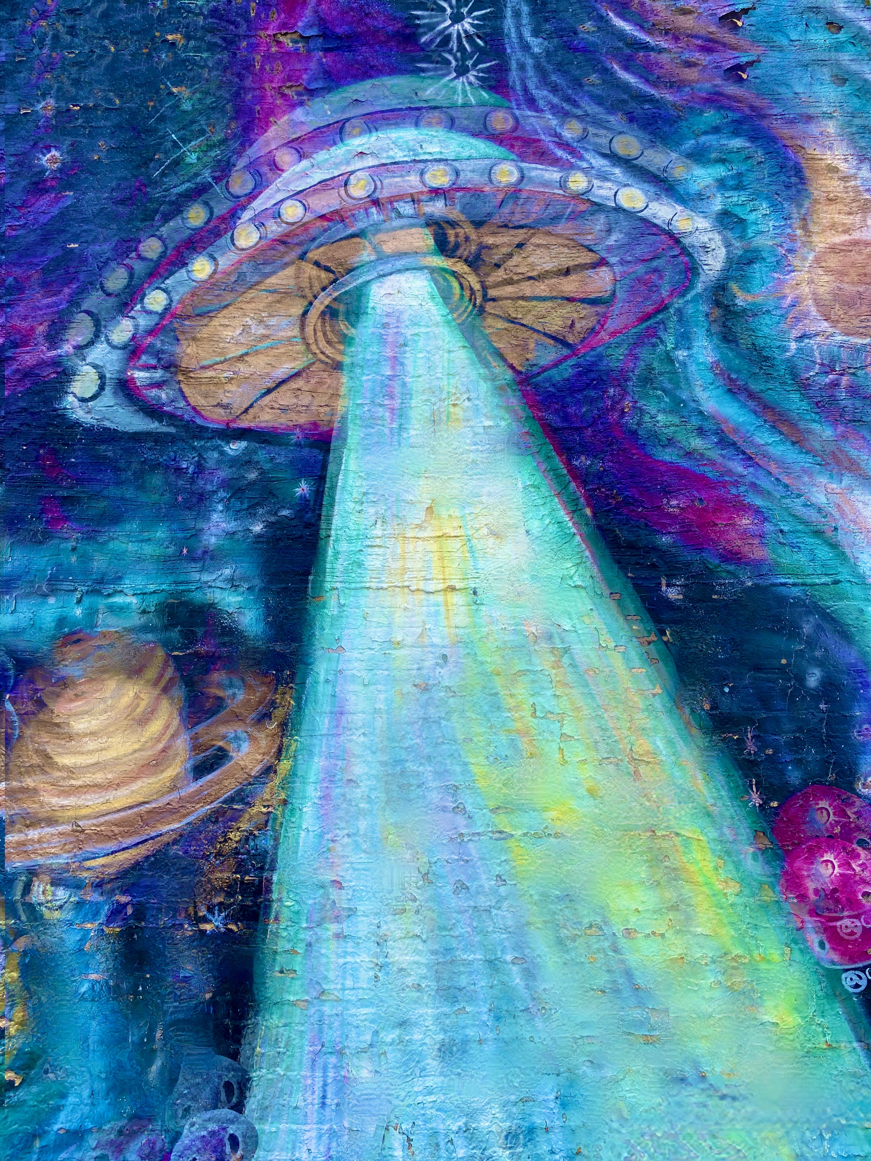
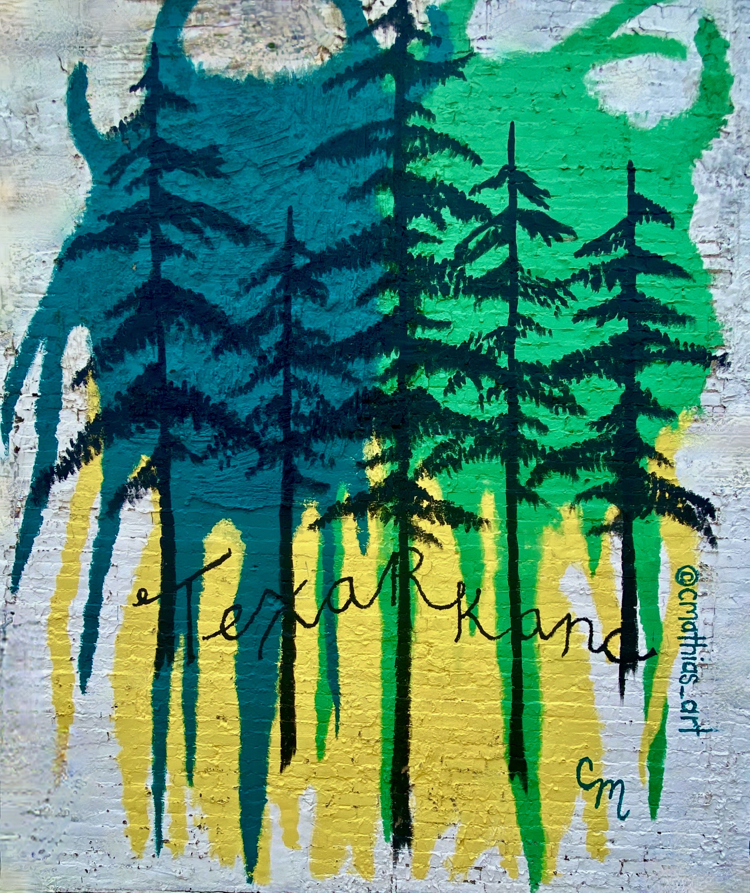
This is one of the few towns where we really felt uncomfortable and decided not to poke around other than taking some photos of street art we had passed on the way into town.


In lieu of burgers, we found a bbq joint about thirty miles south of TXK in Atlanta, Texas. The Texas BBQ was very rustic, but we would have to say the bbq was pretty dang tasty!


Atlanta, Texas was named after the city in Georgia as a number of the settlers arriving in 1871 were from the city of Atlanta, Georgia. The arrival of the Texas and Pacific Railroad in the same year was a boon to the area’s main economic activity – timber (the piney woods of East Texas) as it allowed the efficient transport of lumber. The town also benefited from the discovery of oil in 1935, which greatly helped the town survive the Great Depression.
About two hours south of Atlanta sits the town of Nacogdoches. The town is considered to be the oldest town in Texas – having by founded by the Spanish in 1779. What is now the town was a Caddo Indian Settlement from approximately 800 A.D. until the early 1700s when the Spanish arrived and began building missions, displacing the Caddo.

While Nacogdoches is considered the oldest town in Texas, the bigger claim to fame is The Battle of Nacogdoches which started in 1835 and was a precursor to the Texas Revolution. At this point in history, Texas was part of Mexico, although there were many settlers from the United States residing there in addition to the Tejanos. One of the major issues the U.S. settlers had with Mexico was over slavery. Mexico abolished slavery in 1829 and the U.S. settlers were dependent on slavery for their economic prosperity. Eventually, Texas seceded from Mexico (Remember the Alamo!) and was an independent republic for just under ten years. Texas was admitted as a state in 1845.
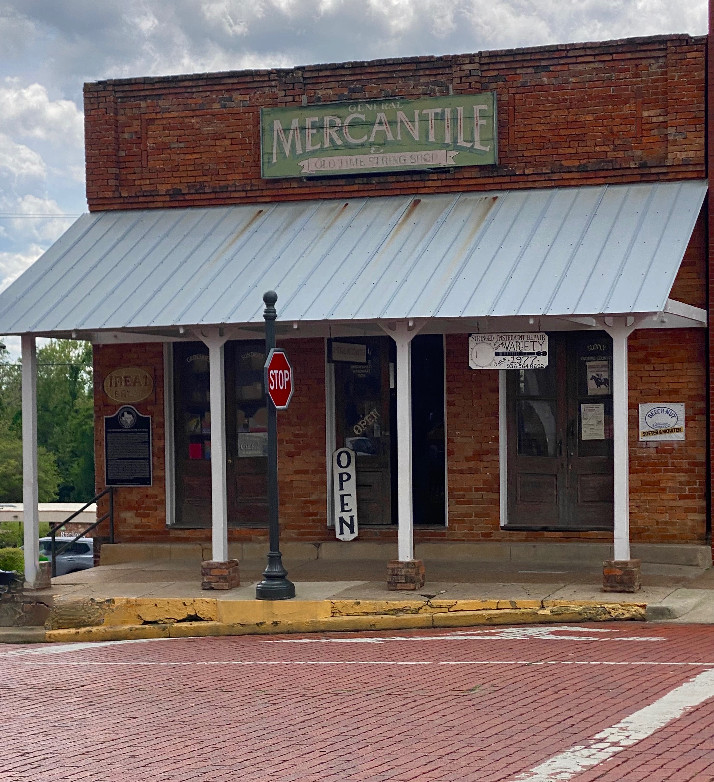
Today, Nacogdoches is an attractive town with a well preserved downtown brimming with mercantile establishments and red brick streets. The economy that once depended heavily on cotton, timber and tobacco now is centered around the Stephen F. Austin State University which brings 12,000 students to the town.
Always looking for bike trails and with several days until our camping reservation at Mustang Island SP, we detoured slightly inland to the town of Spring, which is located just north of metro Houston. The area is densely populated and covered with the usual urban/suburban sprawl that we tend to avoid. However, the trail looked interesting, and it is billed as the longest urban forested greenway in the United States. We are really glad we opted to check it out. It was a lush oasis in the middle of a crowded metro area.
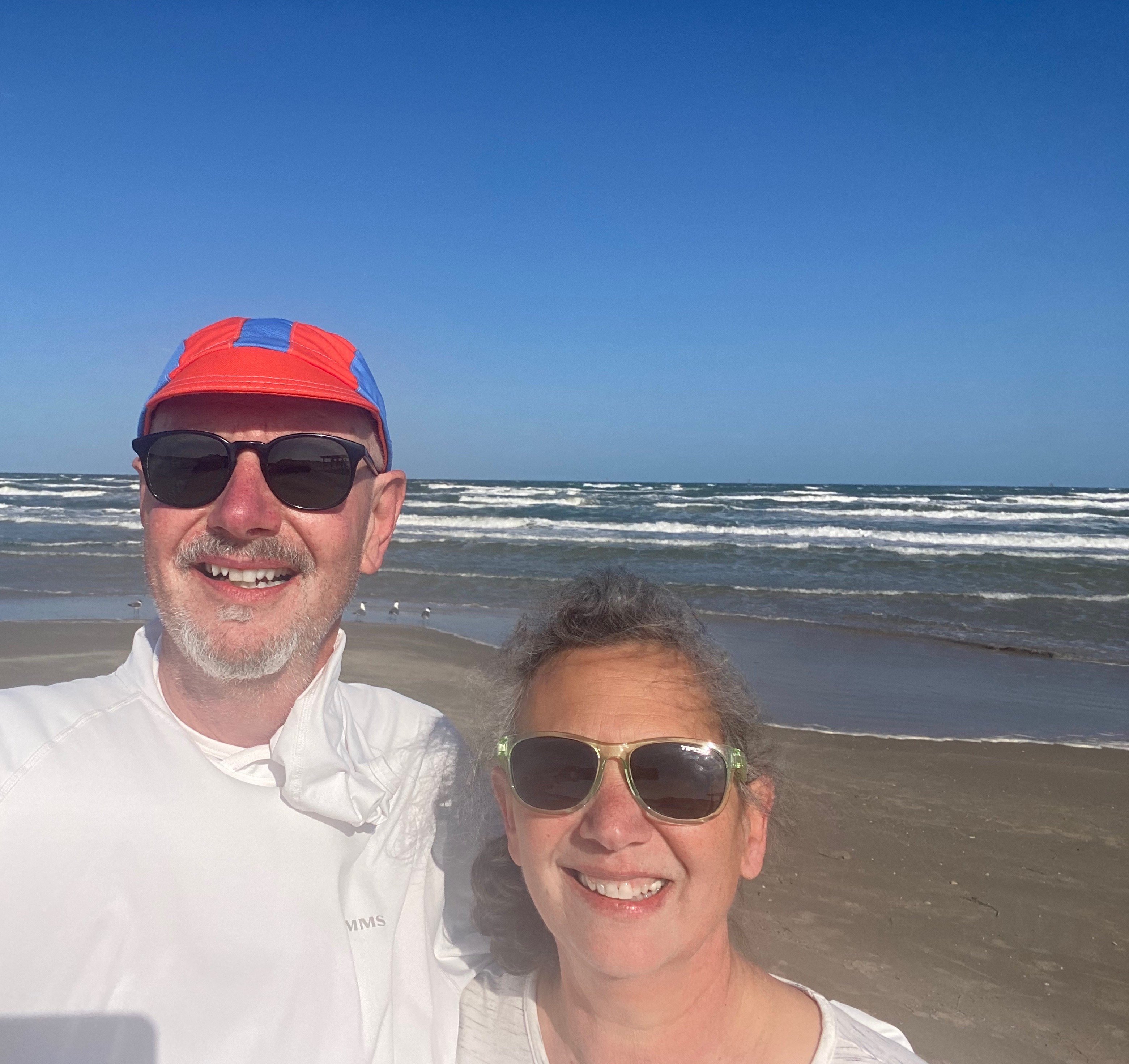
After spending two days cycling on the greenway we departed Spring for Mustang Island SP (MISP) which is located a short distance from Corpus Christi. This was our first stay at the Texas shore. The camping spots were just off the beach behind the dunes and as an added bonus the beaches in this area allow vehicles to drive on the beach!


We stayed three days at MISP. We divided our time between bicycling along the shore road, walking and driving on the beach and, of course, drinking coffee and tea at Island Joe’s Coffee and Gallery (made from containers – see photos below). All in all, a good first experience at the Texas shore – our only complaint being the windy nights which curtailed sitting by the campfire.


Our next destination on the Texas State Park portion of OTR 9.0 was Garner State Park (GSP). GSP is located in the Hill Country west of San Antonio. Therefore, we felt compelled to pop into San Antonio to check out Estate Coffee Company. Estate is a small batch roaster with a minimalist espresso bar and cafe in downtown. Estate was excellent and the stop gave us a nicely timed break on the four hour drive to GSP.
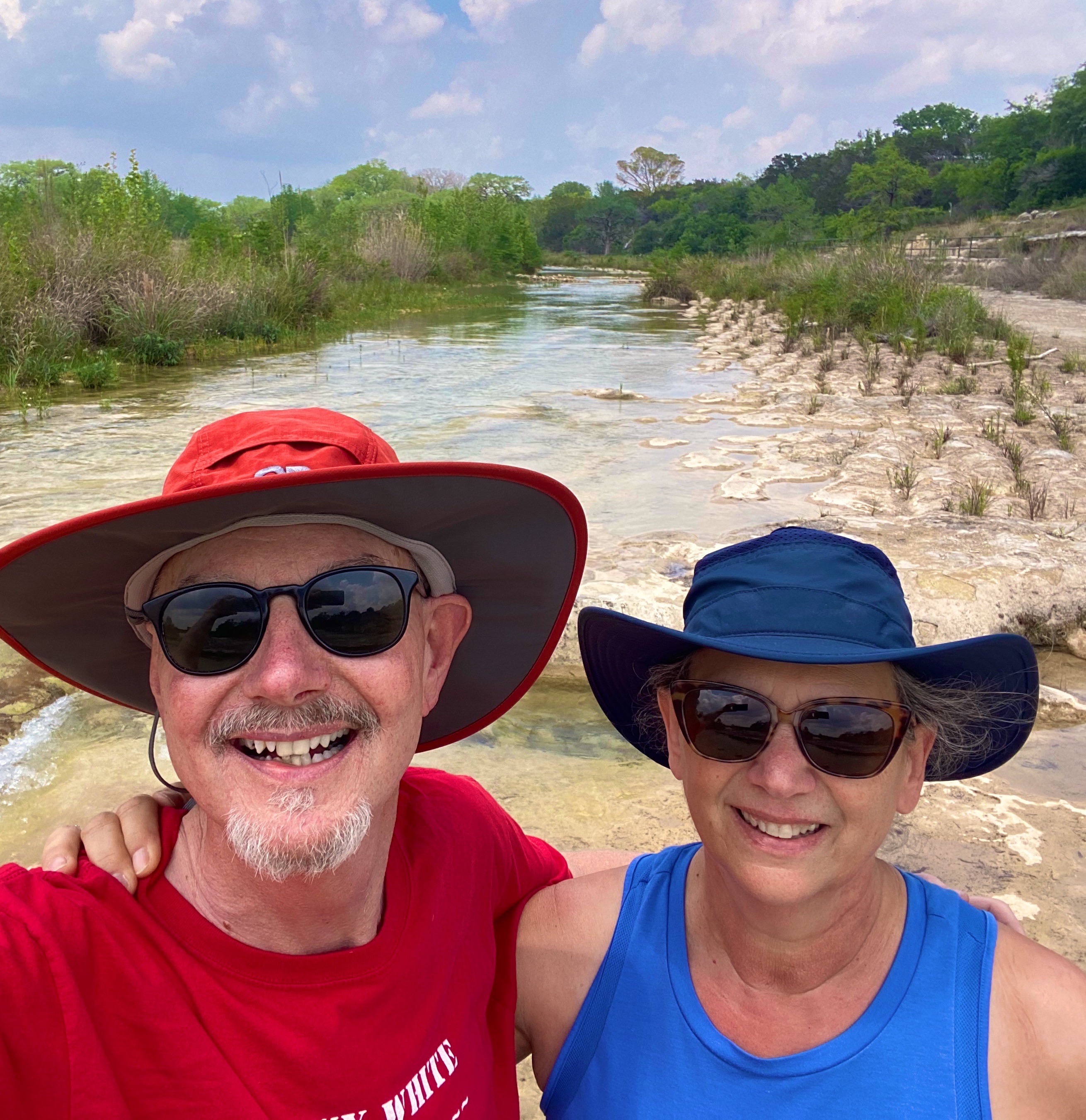
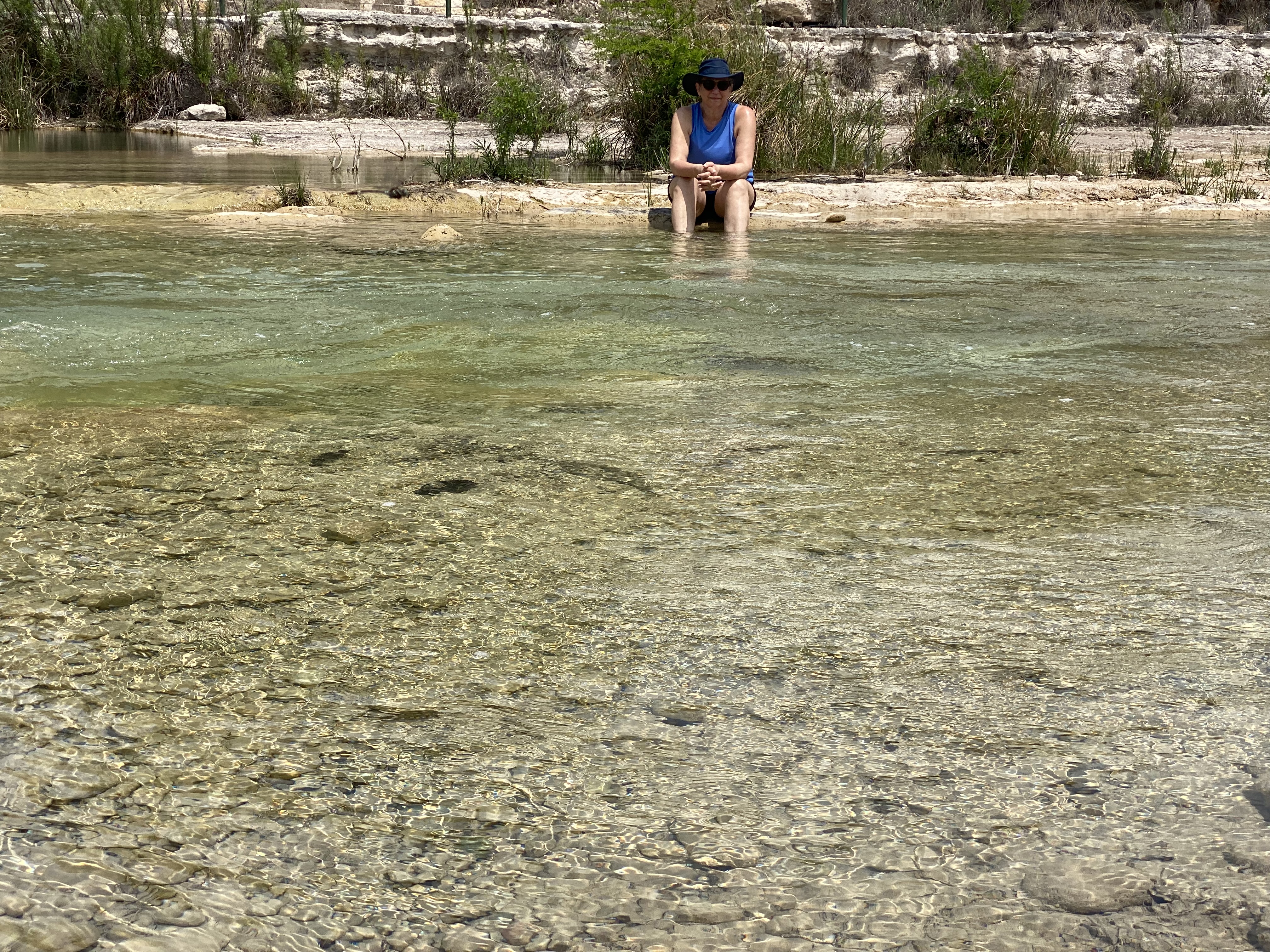
The Frio River (Rio Frio) runs through GSP and provides about three miles of river access within the park. This was most fortunate for us as the weather in Hill Country was a matching set of 85s – temperature and humidity! We had luckily secured a campsite directly above the river and we were able to access the river via a five minute walk. We spent much of our two days at GSP sitting or wading in the river. P.S. While there was a feral hog alert in effect we fortunately did not encounter any of the beasts during our stay!


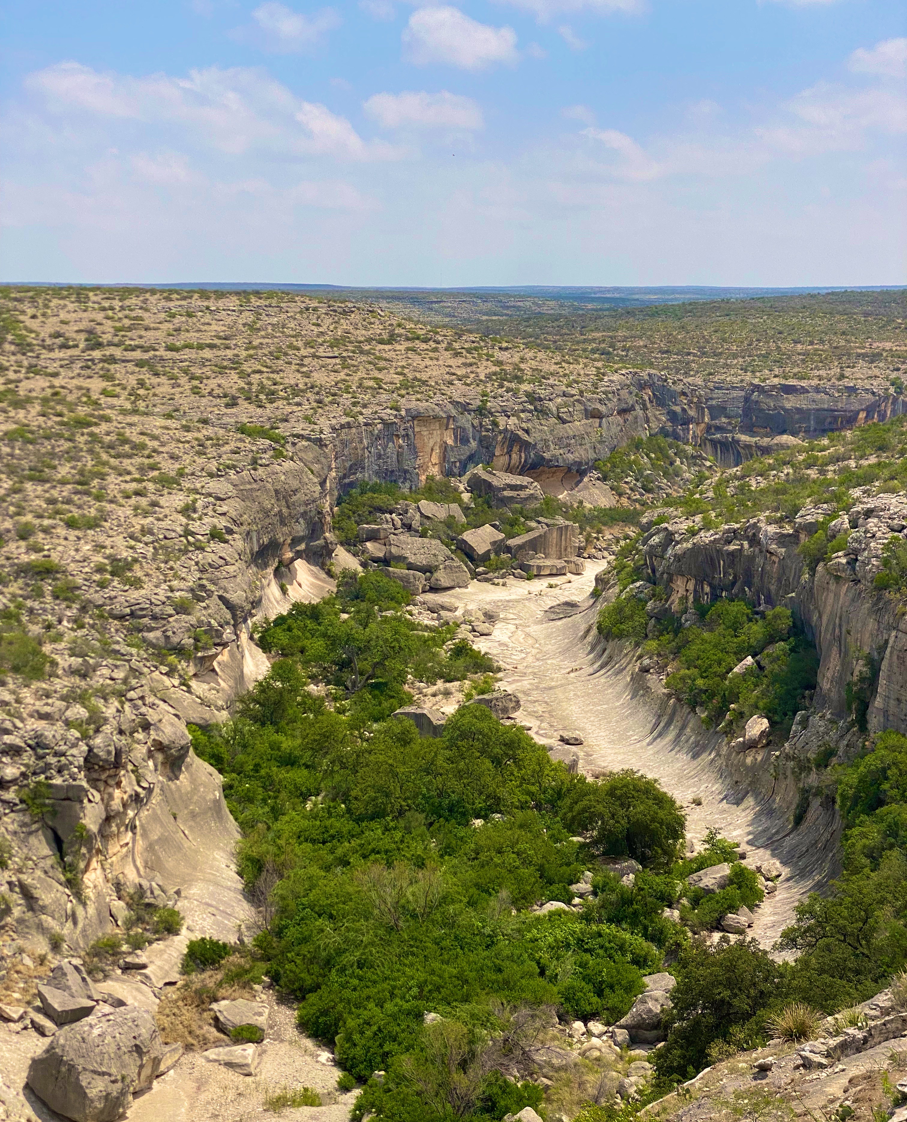
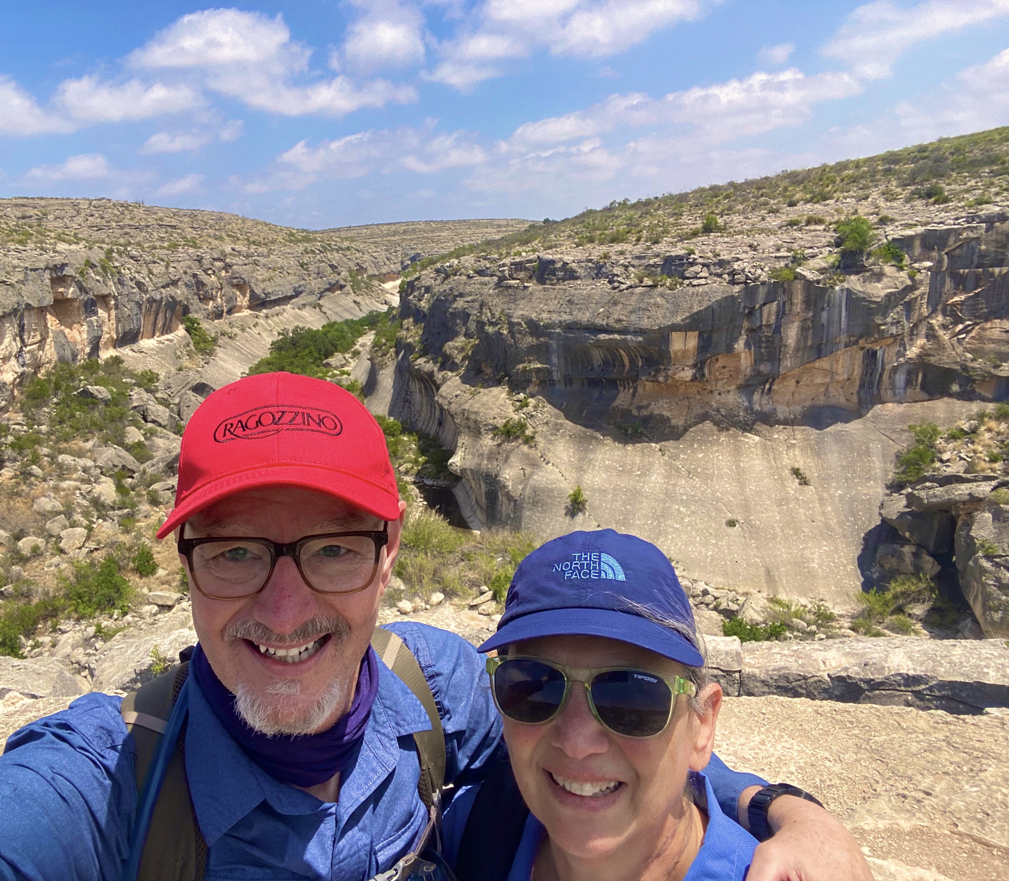
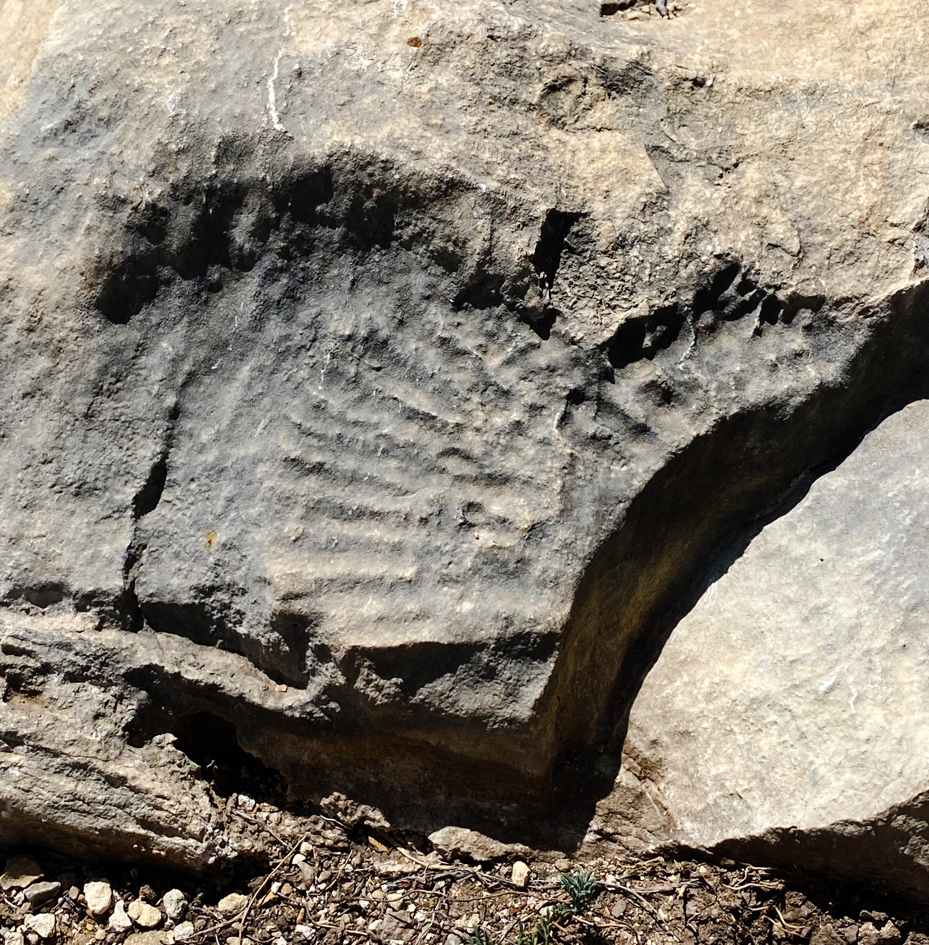
Seminole Canyon SP & Historic Site (SCSP) was the next stop on our journey west across South Texas. SCSP opened to the public as a state park in 1980. The land that now encompasses the park was privately owned until the late 1970s. The state purchased the land to protect and preserve more than 200 pictographs located in the canyon and caves, which date back 7000 years.

We hiked the Canyon Rim Trail which provided spectacular views of the Seminole and Presa Canyons. The rim trail leads to the park’s southern boundary at the Rio Grande River with Mexico directly beyond.


We also broke out the bicycles for some dirt riding on the Rio Grande Trail. While one of us had a minor crash (see video below) our early evening ride was lots of fun and provided beautiful views of the Rio Grande and Mexico!


Our final stop before heading to Big Bend NP (see our post Three Nights in the Backcountry) was the town of Marathon (pronounced Marathen). We made a brief stop in Marathon in March 2020 en route back to Connecticut during our pandemic-shortened trip. As with the majority of towns we traveled through on our way home, Marathon was locked down tight. With a population of just 365 it was deserted for all intents and purposes. We made a note to return on a future trip to stay at the charming Gage Hotel and check out the town.
Marathon is a straight shot west from SCSP on State Route 90. We had traveled SR90 on our 2020 trip and recalled that significant sections were not attractive, There was a fair amount of truck traffic hauling oil from the fields along 90 and a lot of Border Patrol activity. We decided to attempt to wend our way through the maze of ranch roads using our DeLorme Atlas. We also figured that we could use the east-west Union Pacific Rail Line as a rough guide. We made good progress but eventually ran into a locked gate and after considering our options decided to backtrack until we could intersect with the 90 and finish the trip on the highway. A fun adventure nonetheless!

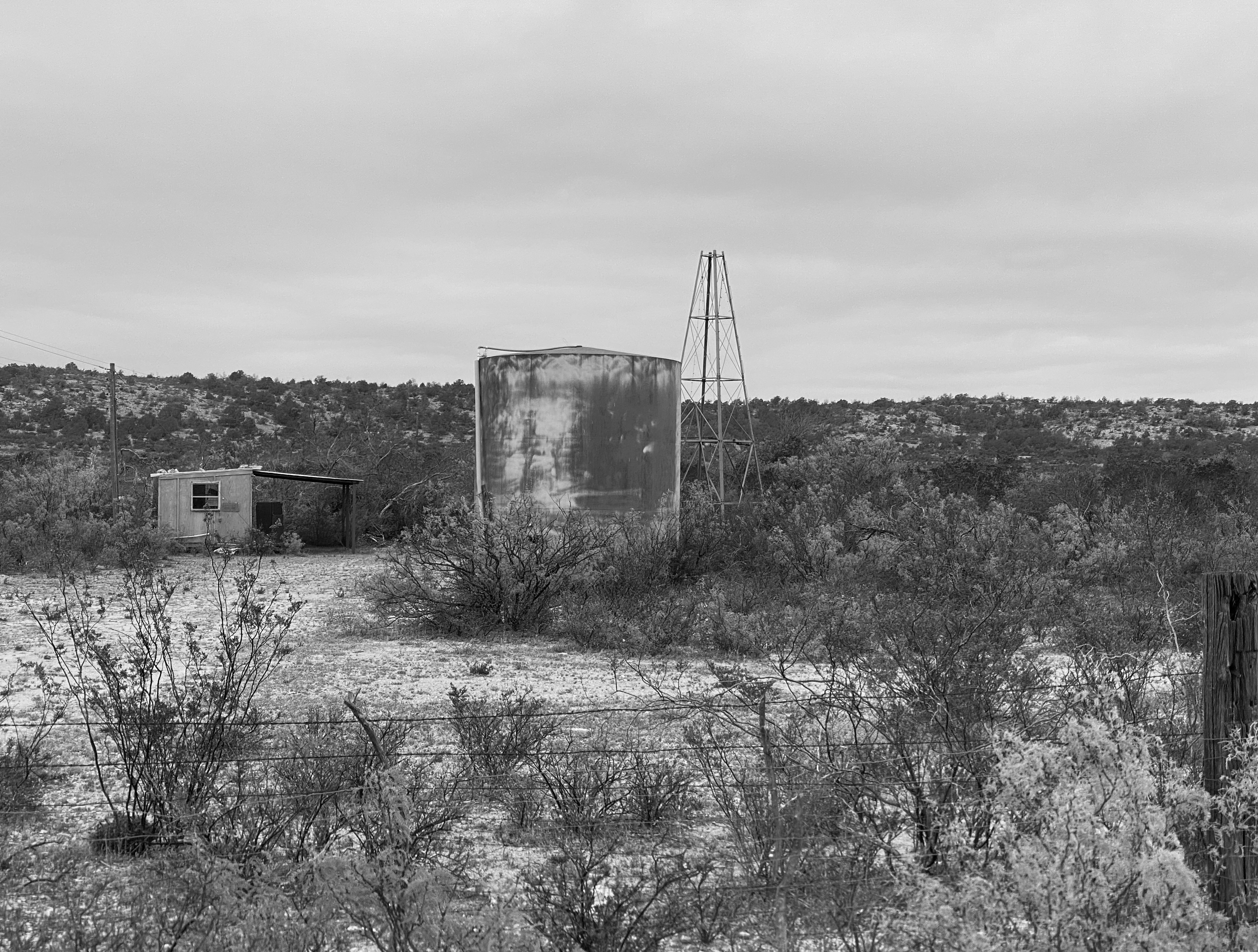


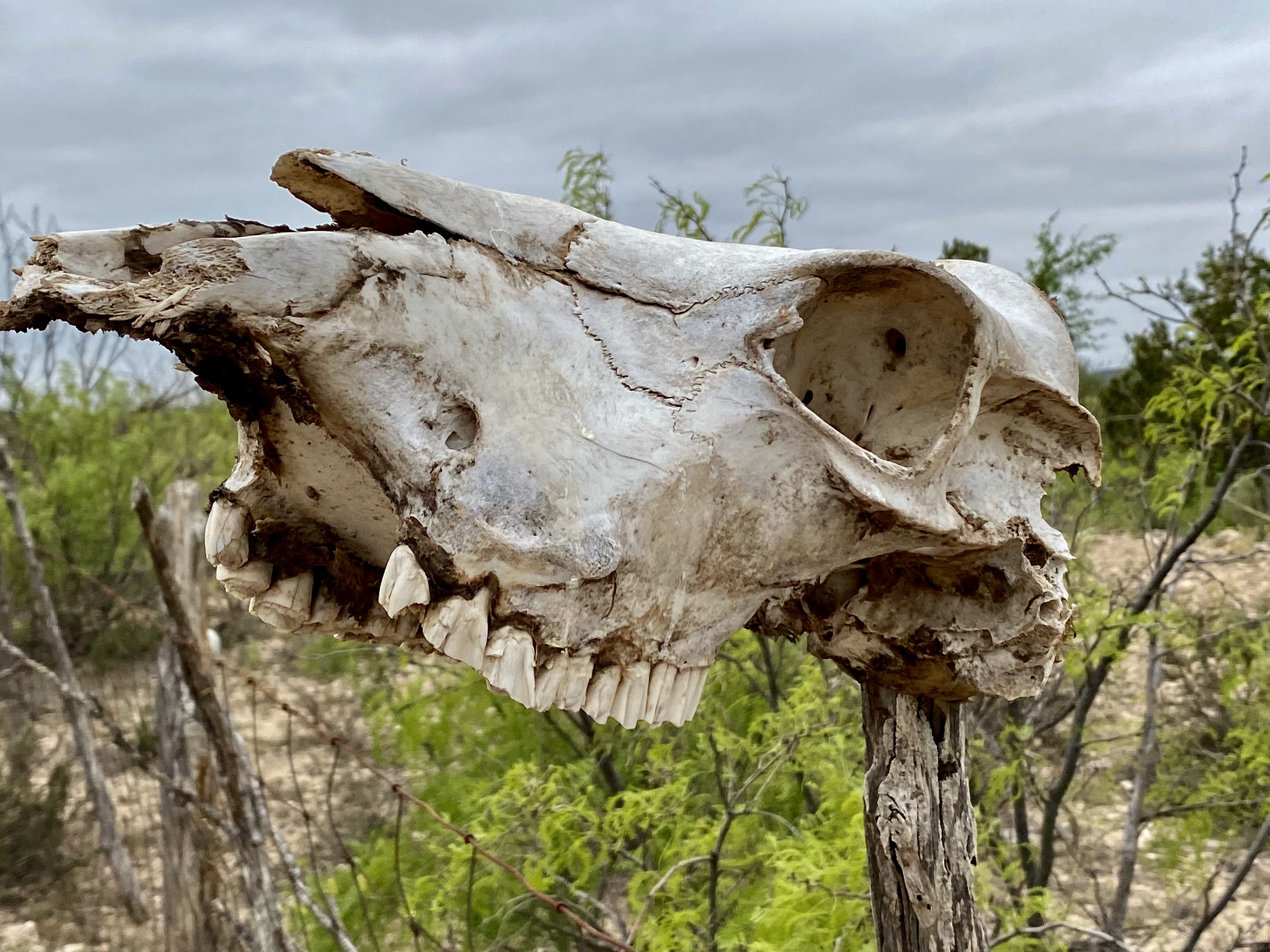
One of the items you will become accustomed to seeing (not necessarily appreciating) driving through (and camping) farm and cattle country is the carcass pit. The carcass pit is just what it sounds like – when farm and ranch animals die (for whatever reason) they are hauled to holes that have been dug at various locations on the property and thrown into the pit to decompose.
You might go right by a pit while rumbling down a dirt road if you didn’t know that ranchers often use a skull as sign post (see photo below). In theory carcass pits need to follow state approved methods to avoid contaminating water as well as discouraging scavengers from dragging contaminated carcasses from the pit. While there are groups trying to end the practice I do not foresee that happening anytime soon – livestock mortality is a fact of life on ranches and farms.

In a future post we will share our experiences and thoughts on two cool towns in Far West Texas – Marathon and Alpine. We hope you found this post interesting and informative.

Be seeing you!
We originally planned to visit the Black Canyon of the Gunnison (BCG), Rocky Mountain Nation Park (RMNP) and Great Sand Dunes National Park(GSDNP) while in Colorado. But as we monitored the conditions in Colorado during the trip (and spoke with some fellow travelers who had recently been in Colorado) it became apparent that we would not be able to access significant portions of our original itinerary due to this winter’s abundant snowfall in the Rockies.
So, after several excellent weeks touring western New Mexico, we departed Farmington, New Mexico to traverse Colorado in a northeasterly direction to visit GSDNP in southwestern Colorado, while forgoing the BCG and RMNP.


Of course, custom requires that our first meal after crossing a state line consist of burgers, fries and, if possible, a milkshake. Happily (and perhaps unhealthily) our tradition remains intact!

After refueling with burgers and diesel we continued our drive to the town of Del Norte. Prior to Euro-American settlement, this area was occupied by the Utes who migrated to the area from the south during the warmer months of the year. When this territory came under Mexican rule during the early 19th century, Hispanic settlers migrated north to take advantage of land grants offered by the Mexican government. Subsequently, this area was ceded to the United States by Mexico.


In 1859-1860 gold was discovered in the San Juan Mountains in what had been Ute territory for 500 years. Never mind, the Kit Carson Treaty (Ute Treaty of 1868) was negotiated in order to remove the Utes from the gold rich Central Rockies in exchange for land on the Western Slope of the Rockies. This treaty, as with most other treaties between the federal government and Native Americans, was eventually violated by the federal government and after the Utes rebelled they were driven out of Colorado entirely (Meeker Massacre).


Del Norte, Photos, Courtesy Denver Public Library
Today the small town of Del Norte (pop. 1600) is mainly an outdoor recreational hub with rafting on the adjacent Rio Grande and a plethora of rock climbing, mountain biking, hiking and camping options.
After a quick tour of the small downtown we headed west a short distance to find a camping spot in the Rio Grande National Forest. We found a great spot in a meadow which afforded us a panoramic view of Del Norte Peak.

The following morning we set our course due west for the one hour drive to visit GSDNP. The park was declared a national monument in 1932 in order to keep the dunes from being damaged by gold mining or concrete manufacturing. The monument was elevated to full national park status in 2004.

GSDNP presents a fascinating landscape with grasslands separated from a thirty square mile sand desert by Medano Creek. The dunes are tucked in against the base of the Sangre de Cristo Mountains–quite spectacular! The sand dunes at GSDNP are the tallest in North America. Some are as high as 700 feet (Star Dunes is the tallest at 750 feet).

The dunes here are constantly changing as winds from the mountains drives sand down onto the dunes. Weather and erosion form the sand into distinctly identified and ever changing shaped dunes – parabolic, transverse and barchan – as examples.
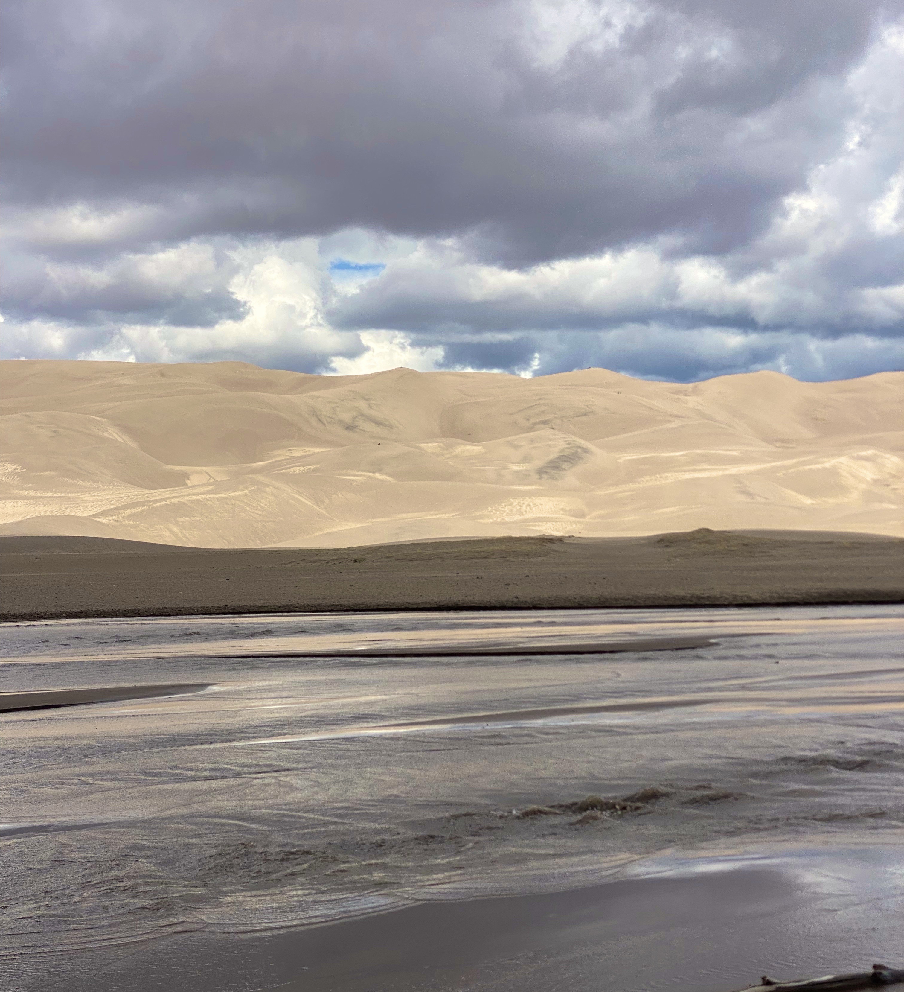


Unfortunately, our opportunity to explore the dunes was limited due to an approaching lightning storm. One of the park rangers was kind enough to point out the obvious – not smart to be standing on top of a 600 foot dune in the middle of a lightening storm!

In addition to the fantastic scenery, we were looking forward to driving the Medano Pass Primitive Road. The road is a sandy and rugged 22 mile 4WD road which runs from the base of the dunes up and over the Medano Pass (10,040 feet). The road was not fully open due to the conditions at higher elevation. The road crosses the the creek nine times and the water flow was still too deep due to this years snowfall. We have included a short video clip (below) from our drive on the road to provide a feel for the road and scenery.
The NPS video below by is about the Navajo (Dine’) People, their four sacred mountains and their relationship to the land that now constitutes GSDNP.

We enjoyed our brief visit at GSDNP and we look forward to returning on a future trip to explore the dunes in depth, boondock up on the mountain and traverse the entire Medano Pass Primitive Pass Road.

On departing GSDNP, we decided to push straight on through to Colorado Springs. Our previous trips to Colorado Springs were business related and we stayed at the world famous Broadmoor. We would not be staying at the Broadmoor on this self funded visit!

Colorado Springs sits at just over 6000′ above sea level at the eastern base of the Rocky Mountains. Snow covered Pikes Peak (14,100′) looms over the city to the west creating a stunning backdrop. We did not travel up to the peak on this trip as we had taken the nine mile cog railroad trip on a previous visit (we definitely recommend riding the railroad to the top if the weather is clear -which it usually is in this part of Colorado). The train ride is fun and the views are phenomenal.

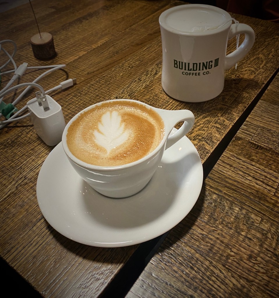
From our pre-trip research we knew that Colorado Springs held promise for specialty coffee and a vibrant street street art scene. Our first stop was Building III Coffee Bar and Roastery – B3 is located, along with a number of other occupants, in a former public school building now known as Lincoln Center – great to see the building repurposed. Excellent coffee, great breakfast sandwiches and uber friendly staff! Extremely popular – it can be hard to get a seat even with the large amount of seating capacity – but it is worth the wait. https://www.building3coffee.com/


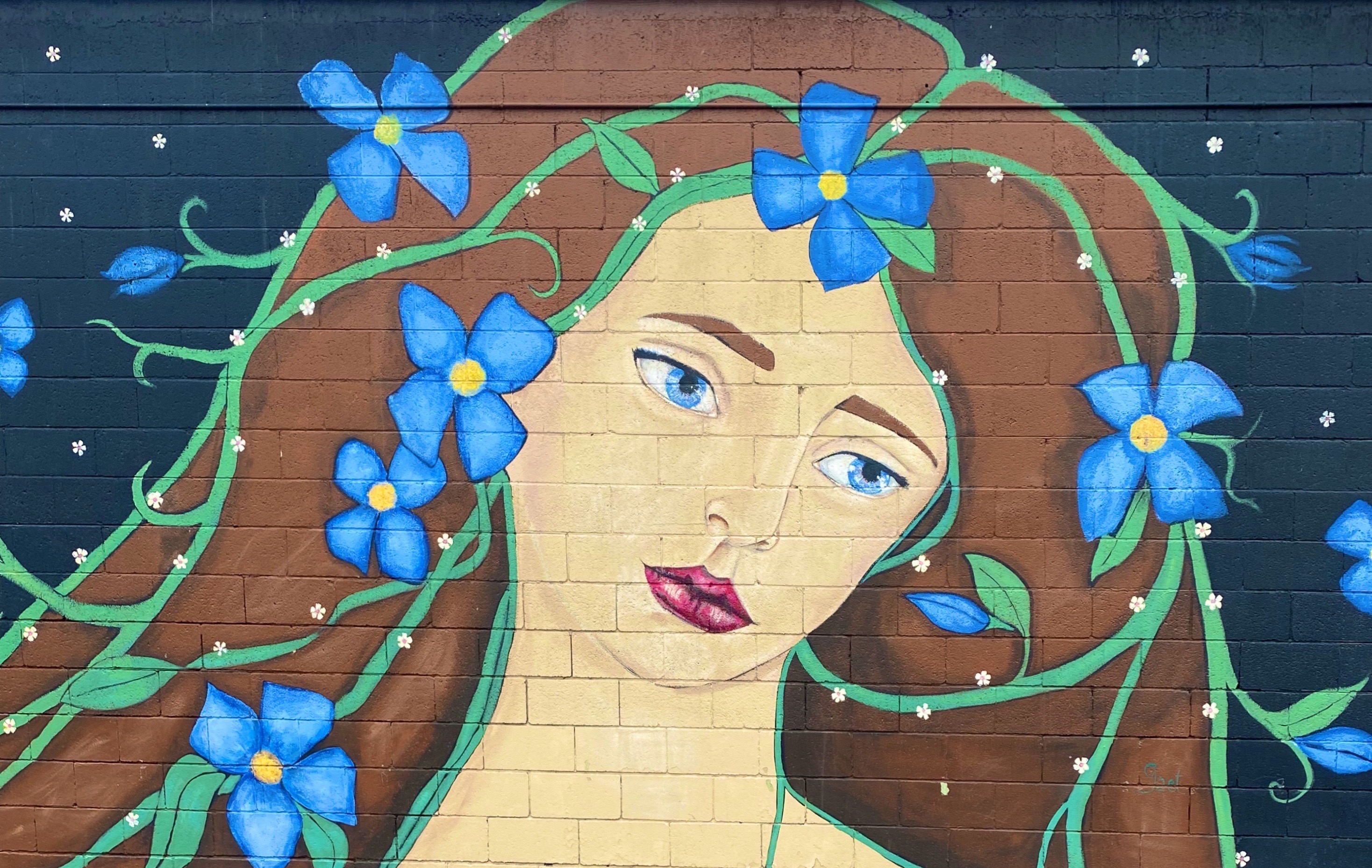
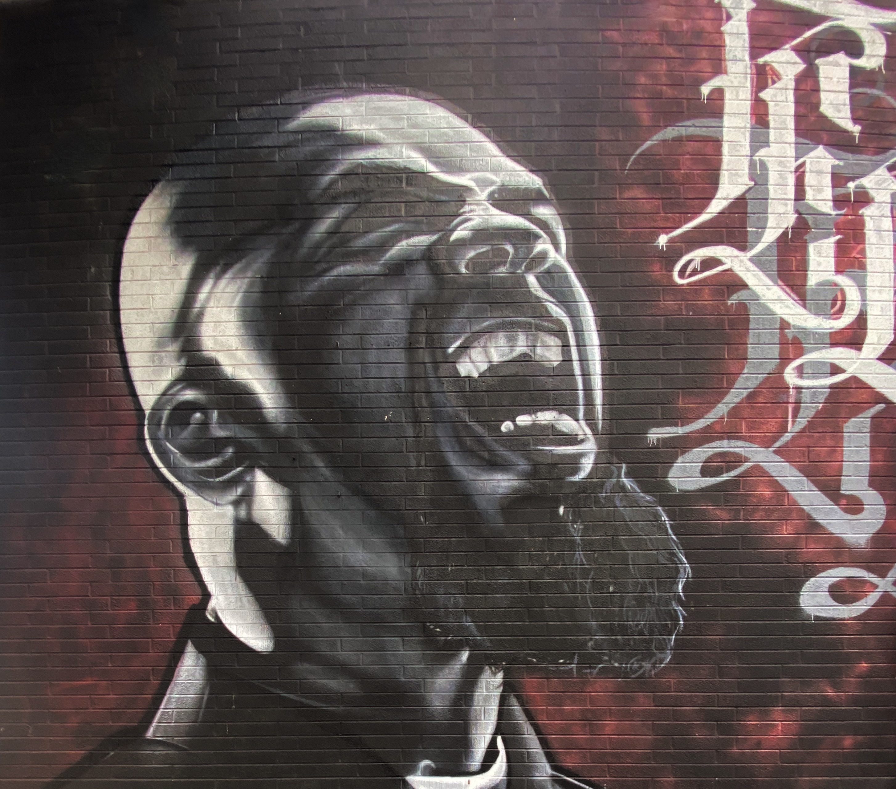
Well fortified with caffeine, we ventured out into the uncharacteristically gray, chilly day in search of street art. We decided to start our pic hunting session in the Knob Hill neighborhood, located a short distance northeast of downtown. We were pretty certain the neighborhood would be street art rich based on reading about the Knob Hill Urban Arts District. The District is a “nonprofit organization dedicated to putting art up on every damn wall we can get our hands on.” Love it!
The photos below are a small sample of the street murals we found in the Knob Hill neighborhood. This group is not kidding about putting art on every wall. We found art in every alley and available nook and cranny. So good! To see more of the street art we photographed during OTR 9.0 in Colorado Springs and other cities see our WordPress blog @streetartfromtheroad: part two.


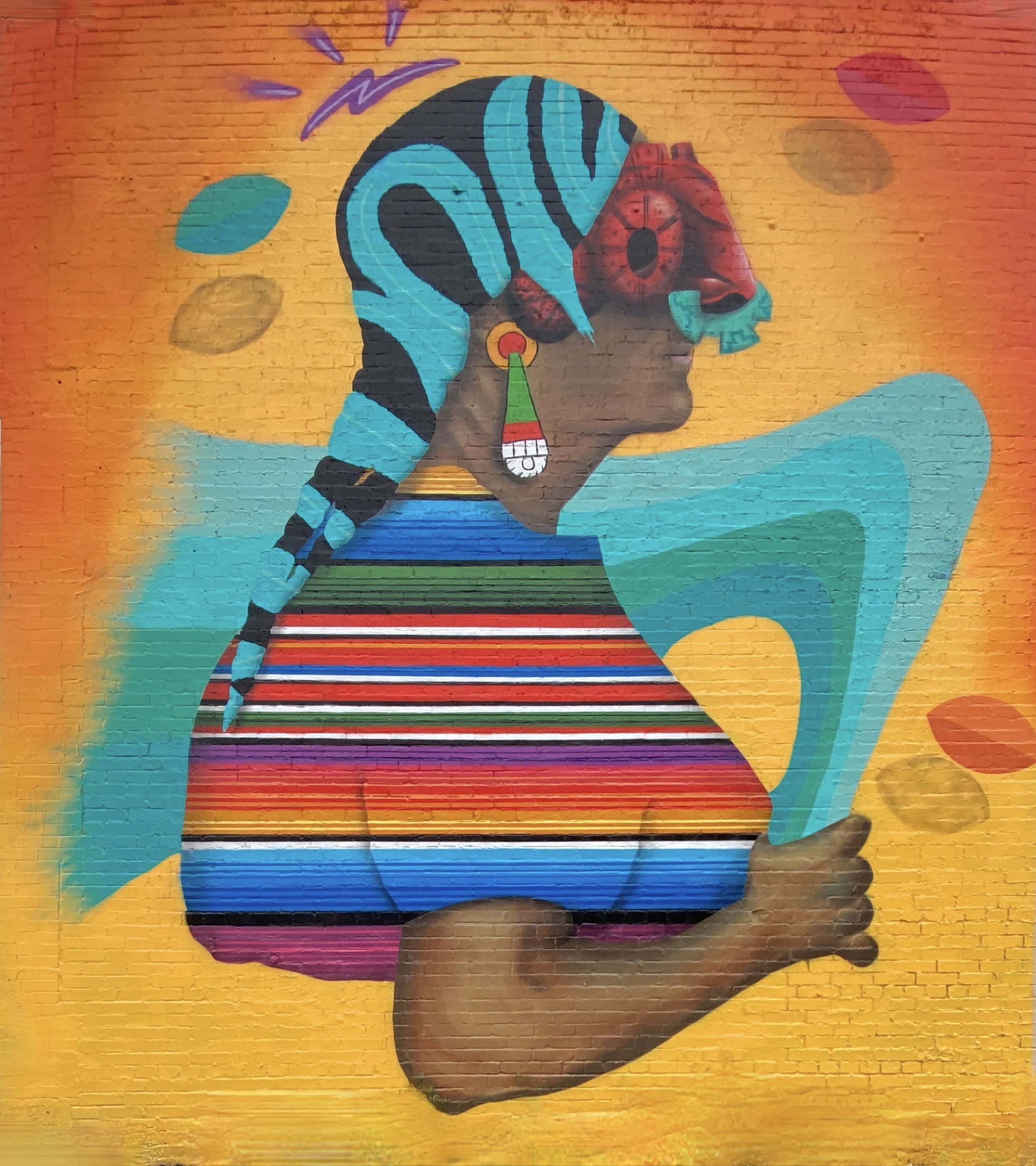
There are also a number of large scale murals in downtown. The photos below are a few of our favorites we captured while strolling through downtown.


With the cloudy, drizzly weather persisting into our second day in Colorado Springs (coincidently nicknamed “Little London” although not for the weather – there was a large British population in the 1870s) we decided to visit the Fine Arts Center (FAC) at Colorado College. The FAC is located in the Old North End neighborhood – an area of stately late 19th and early 20th century homes and tree lined boulevards.

The Fine Arts Center is home to the art museum as well as a theater school and performing arts venue. The museum was opened in 1936 as an outgrowth of the Broadmoor Art Academy. The Colorado Springs area had become a hub for art on a scale commensurate with the more well known artist colonies in Taos and Santa Fe.


As with many museums of this size, the collection is regionally (although not exclusively) focused. We have included photos of several paintings which reflect the southwestern focus (and which we really liked). The museum is definitely worth a couple of hour visit when you visit “Little London”.


On our final day in Colorado Springs we ventured out to Red Rock Canyon. We had held off visiting earlier in our stay due to some cloudy weather. Unfortunately, it appeared that everyone else in Colorado Springs had done the same (it was also the weekend) and this popular open space was quite crowded.


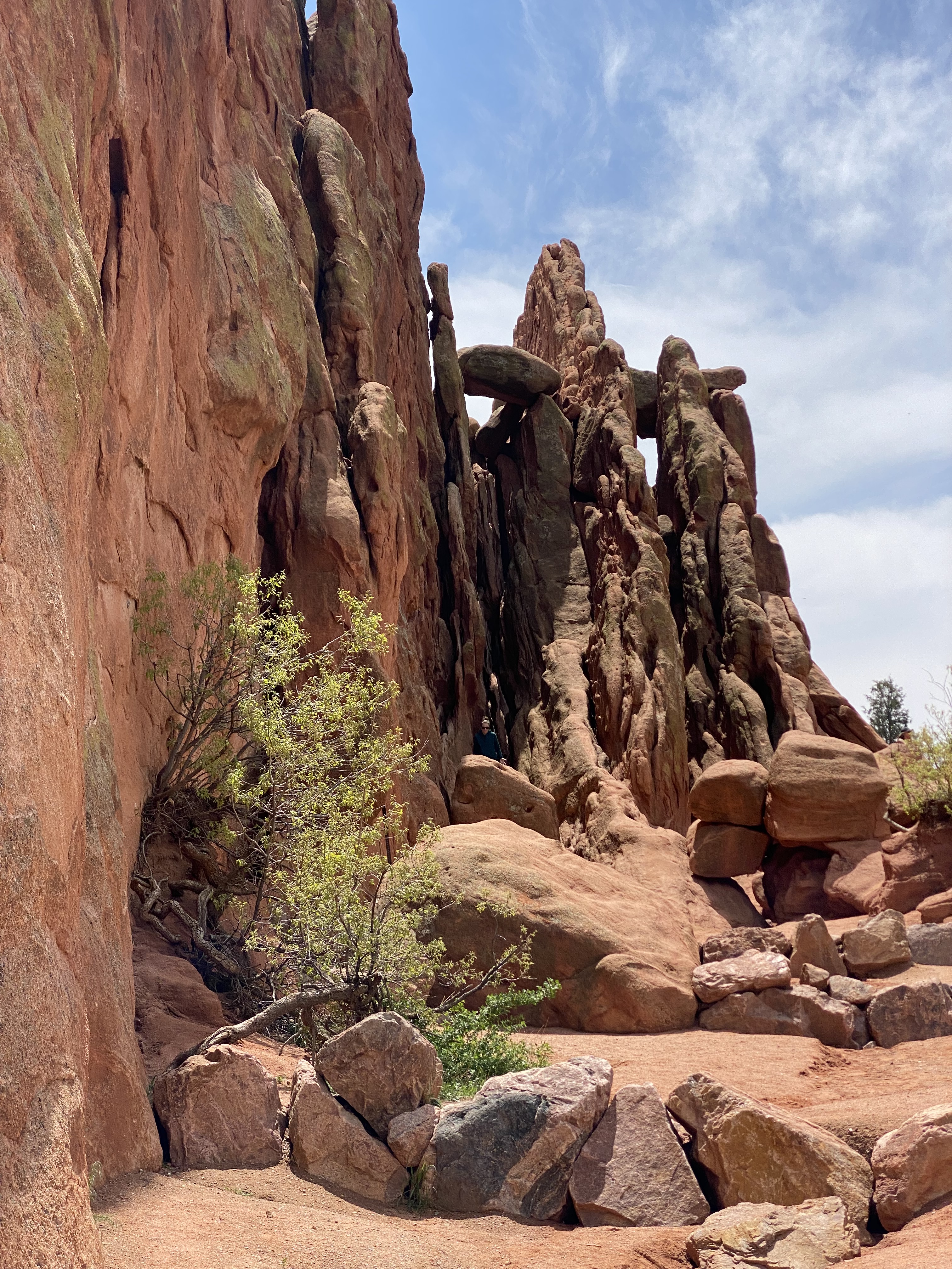


Still, we managed to find some quiet spaces and uncluttered views as we walked between and around the rock formations. Additionally, there are a number of moderate and longer trails for the more adventurous which usually provide solitude regardless of when you visit. Do visit when the sky is clear in order to see Pikes Peak rising above the red rock formations.
Interestingly, Red Rock Canyon is a city park consisting of 1474 acres of land. The park was pieced together with the multiple purchases of parcels over a period of years during the 1920s and 1930s by private citizens. It was acquired by the city in 2003. What makes the park’s history all the more remarkable is that many of the parcels were formerly quarries, gravel pits and industrial sites which have been reclaimed. There is little evidence of the past use of the space – without reading about the history you would most likely not think that to be the case.
After our walkabout at Red Rock, we popped over to the nearby Old Colorado City neighborhood. The neighborhood was at one time a separate town that prospered as a coal mining town and in the late 19th century as a gold refining location after the discovery of gold nearby. Typical of so many western mining hubs, the boom ultimately became the bust. The final straw was the prohibition of liquor sales in 1914. In 1917, the town was annexed by Colorado Springs.

The brothels and saloons that once lined Colorado Avenue have long since been replaced by art galleries, restaurants, wine bars, coffee shops and clothing stores. After a bit of browsing in several of the art galleries and book shops we took lunch at La Baguette Cafe and Bakery. Yum – the best bread! http://labaguette-co.com/
We were uncertain what lay ahead in regard to specialty coffee as we were about to venture into more rural territory; so we stopped in downtown for coffee, tea and breakfast at Loyal Coffee. First rate in all regards! https://loyalcoffee.co/

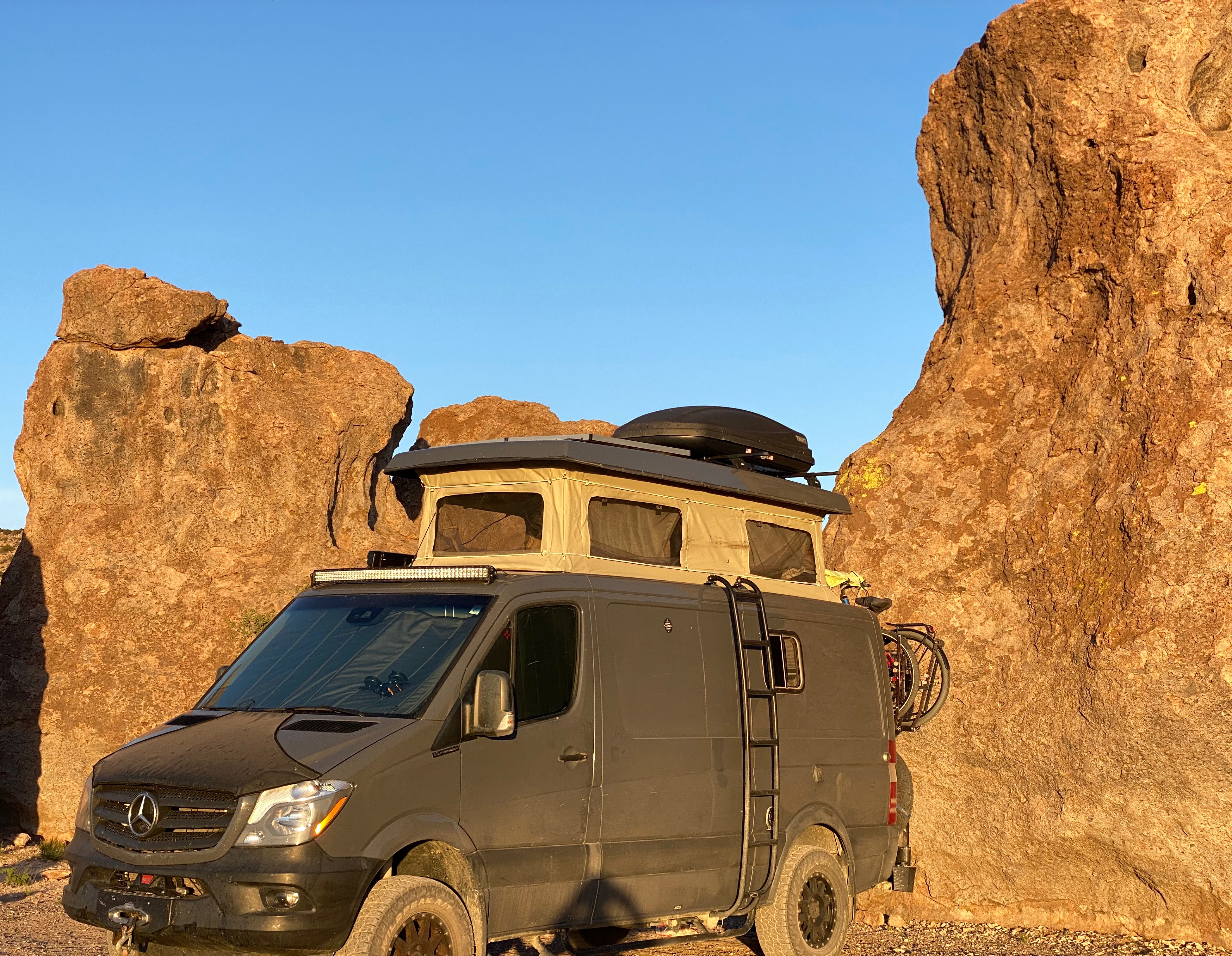
The photo below is of our unanimous choice for best vehicle OTR 9.0!


From Colorado Springs we traveled north – camping near Sterling, Colorado for our last night in the state. In future posts we will chronicle our trek across the midwestern plains en route to Connecticut.
Be seeing you!

Our first stop after departing Silver City was Catwalk Recreation Area (CWA) where we were looking forward to hiking through the Whitewater Canyon. The beautiful slot canyon formed by the Whitewater Creek once served as a hideout for Butch Cassidy and the Sundance Kid as they attempted to evade the Pinkerton’s. Geronimo and his warriors also used the canyon to elude the U.S. Cavalry.

During the 1890s, the power of the upper creek flowing through the canyon was harnessed to bring water to the gold and silver mill which was situated in the lower canyon. Workers constructed a pipeline through the canyon which was bolted to the canyon walls about 20 feet above the creek. A series of catwalks were built on top of the pipeline in order to access it for maintenance and repairs. The boom came and went, and the mines and mill were closed in 1913; the materials were sold for scrap. The 200 or so residents left for other parts to find work.


The canyon essentially returned to its original state with no residents or mining operations. In 1935 the U.S. Forest Service (USFS) utilized the Civilian Conservation Corps (CCC) to create a hiking trail through the canyon. The CCC used the existing bolts in the canyon walls to build a new wooden catwalk as part of the hiking trail through the canyon. The trail was opened in 1937 and survived until 1961. It was replaced by a metal catwalk which subsequently was destroyed by storms in 2013.


Fortunately for us and other visitors, the USFS was able to have a new catwalk built and installed in less than a year. Today the catwalk extends approximately one half of a mile into the canyon, then hikers can continue on the canyon surface for another mile — as long as they are willing to make several water crossings. There are plans to extend the trail deeper into the canyon in the future.
After our hike at Catwalk, we traveled north and ventured across the winding single lane Bursum Road (NM59) to visit the town of Mogollon (mo-go-yone). The town sits deep in the Mogollon Range within the Gila Wilderness at 6500 feet above sea level.

The town is sometimes referred to as a ghost town but it actually has a handful of residents (apx. 15) and several businesses. We saw several parked cars but no people during our walkabout. The town’s history began when gold was discovered in the late 1800s. Gold was mined here continuously until the 1950s. As a result, many of the structures are still standing today which leads to sense of stepping back in time as you travel through the small town.
Gold mining brought as many as 6000 people to the town at the height of production at the Little Fannie Mine and several other nearby mines. The town flooded often (sitting on the Silver Creek) and major portions burned multiple times. The town’s reputation (like many mining towns) was that of a rough and tumble place with several saloons and brothels (and no law).


After our day at CWA and Mogollon we found camping in the Gila National Forest among the pines and the serenading cattle that were roaming around us in constant search of food. The next morning we pushed northeast out of the forest onto the Plains of San Augustin. The Plains stretch 55 miles from the northeast to the southwest and range in width from five to fifteen miles.

Our primary purpose in transiting the Plains was to visit the Karl G. Jansky Very Large Array (VLA). The VLA consists of 27 radio telescopes positioned across the Plains via railroad tracks. Each of the radio dishes stands 90 feet tall, 82 feet across and weighs 250 tons. In their widest configuration the radio dishes stretch for over 20 miles across the Plains. The Plains are an ideal setting for the VLA as it is far away from any population centers and shielded from light by the surrounding mountain ranges.


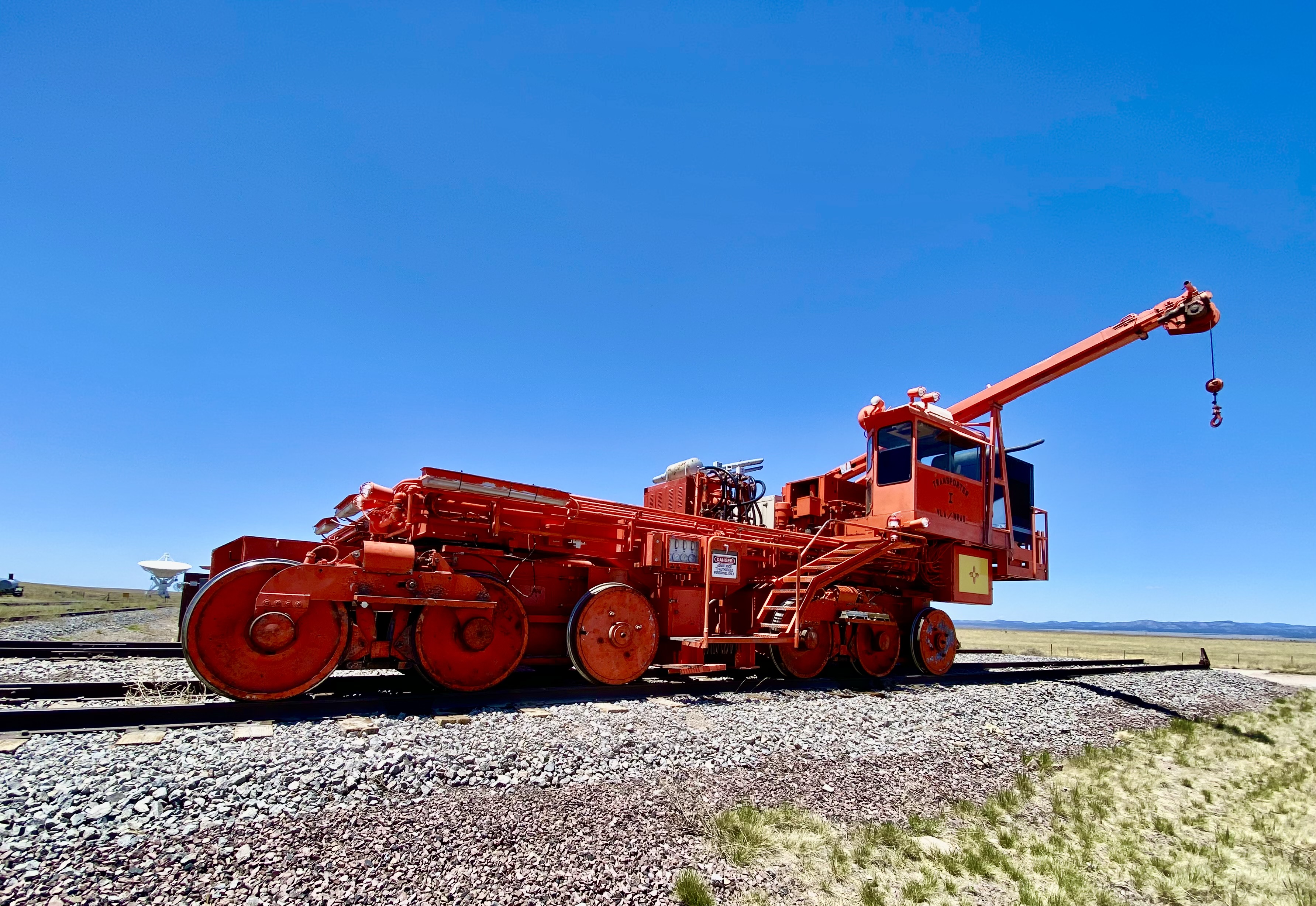


We won’t pretend for a second to understand how this works but it is nonetheless fascinating to see the array in action and to learn about the many important discoveries made utilizing radio astronomy. The array has captured activity in our galaxy as far away as 150 quadrillion miles!
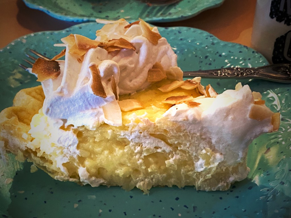
We met a motorcyclist who had pulled over for a break while we were off the road near the VLA adding air to two of our tires with slow leaks. He asked us if we were going to stop in Pie Town – we said yes – he said good, it is a tradition whenever you cross Route 60 to stop and have pie!


Well, we did, and it was dang delish! Maria had the Cherry Almond Pie and I had a piece of the freshly made Coconut Cream Pie. Pie Town establishments did a good business dishing out pies for cross country travelers and local ranchers until the ubiquitous interstate was built and diverted much of the traffic away from town.
Fortunately, about 25 years ago the Pie-O-Neer Cafe opened and it has been doing a booming business ever since. In addition to many travelers that now routinely avoid the interstate, the Continental Divide Trail runs through Pie Town. Many hikers stay at a nearby hostel and consume thousands of calories (based on what we saw) replenishing for the next leg of the journey. The town itself has not grown with a population hovering around 25, but they apparently throw a heck of a pie festival every September.
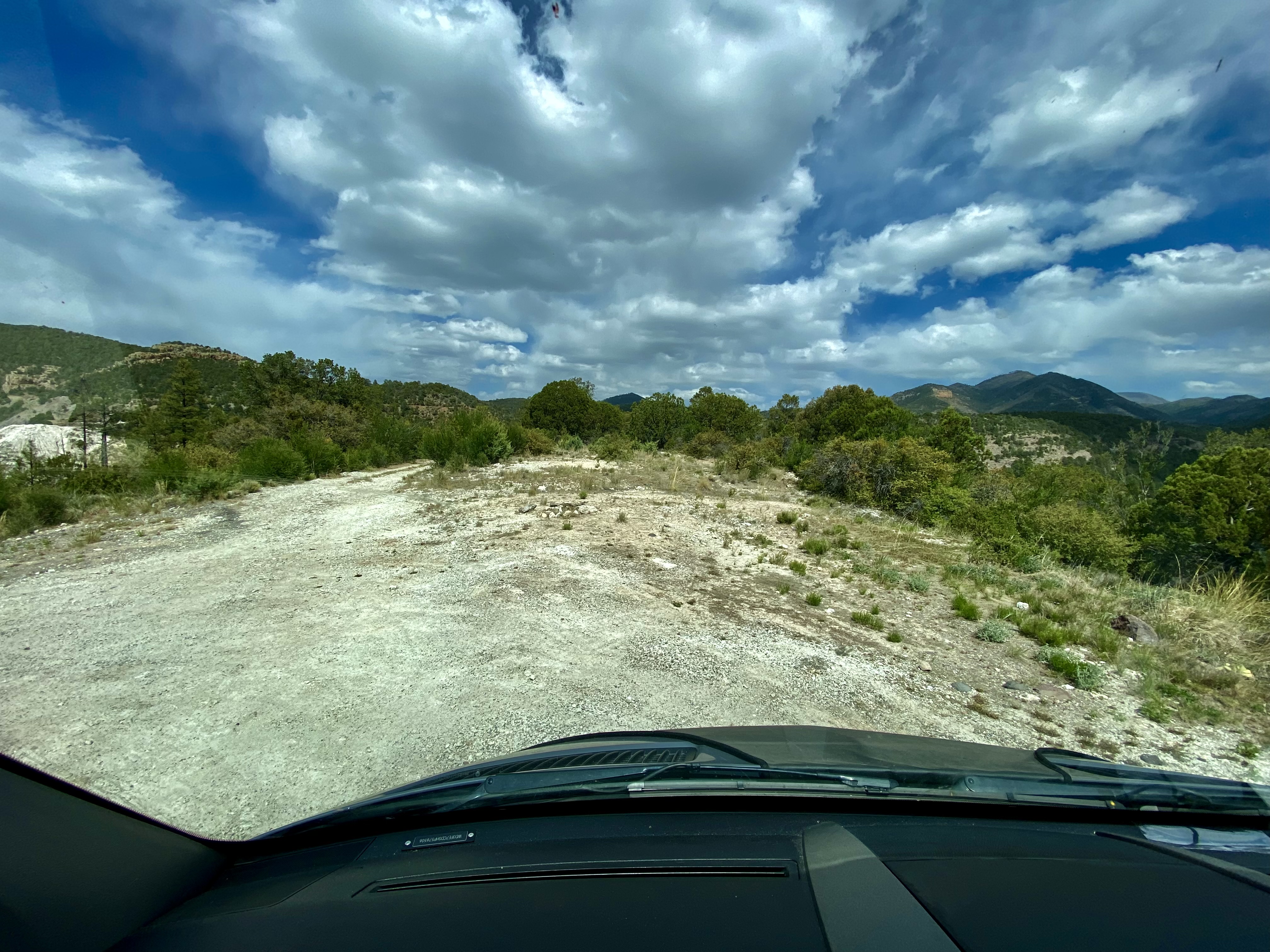
After filling our bellies with delicious pie, we set north across some dusty ranch country on the York Ranch Road in search of camping near El Malpais National Monument (EMNM). As you can see in the photo below left, the desert can be cruel for those unprepared for the terrain.


We found a beautiful spot to camp just east of EMNM on a bluff which provided great views and a spectacular sunset.


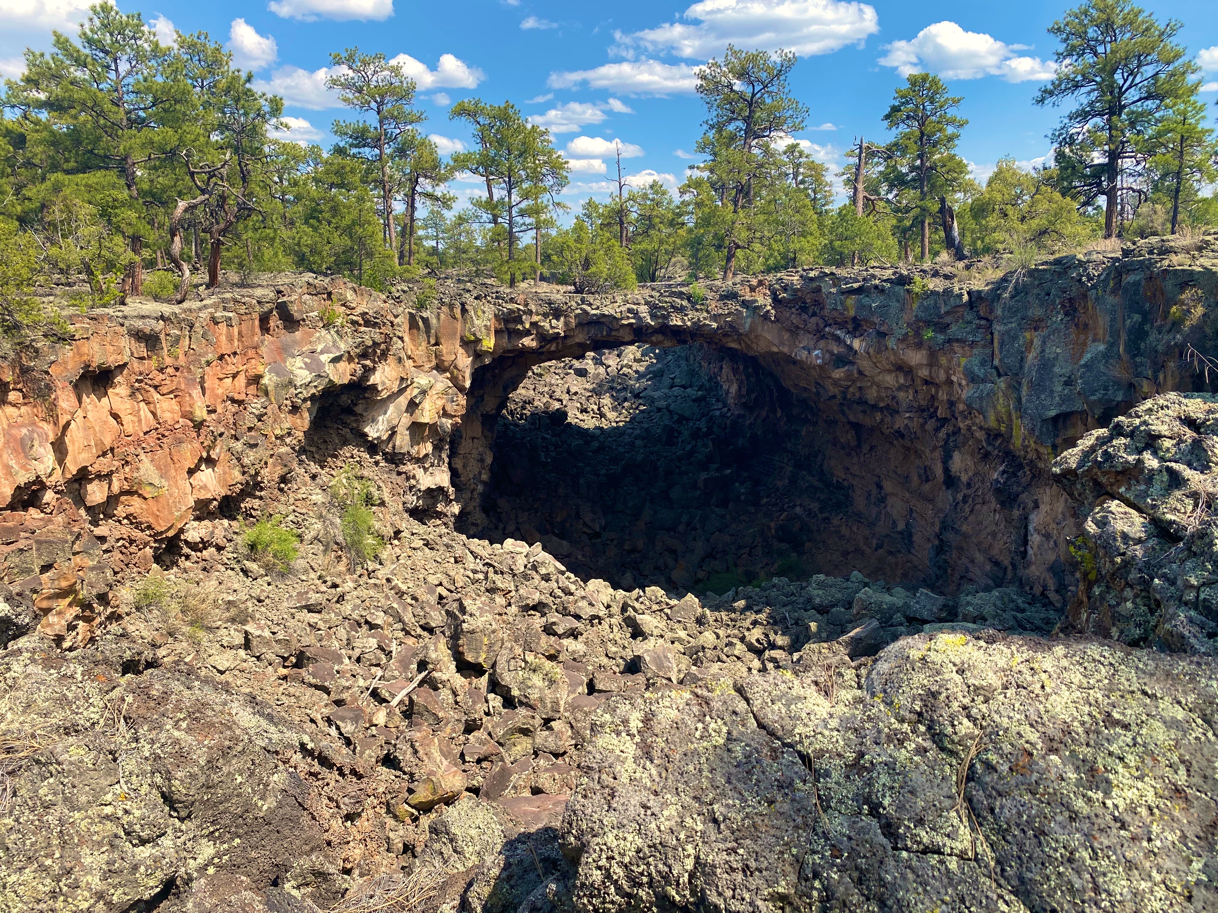
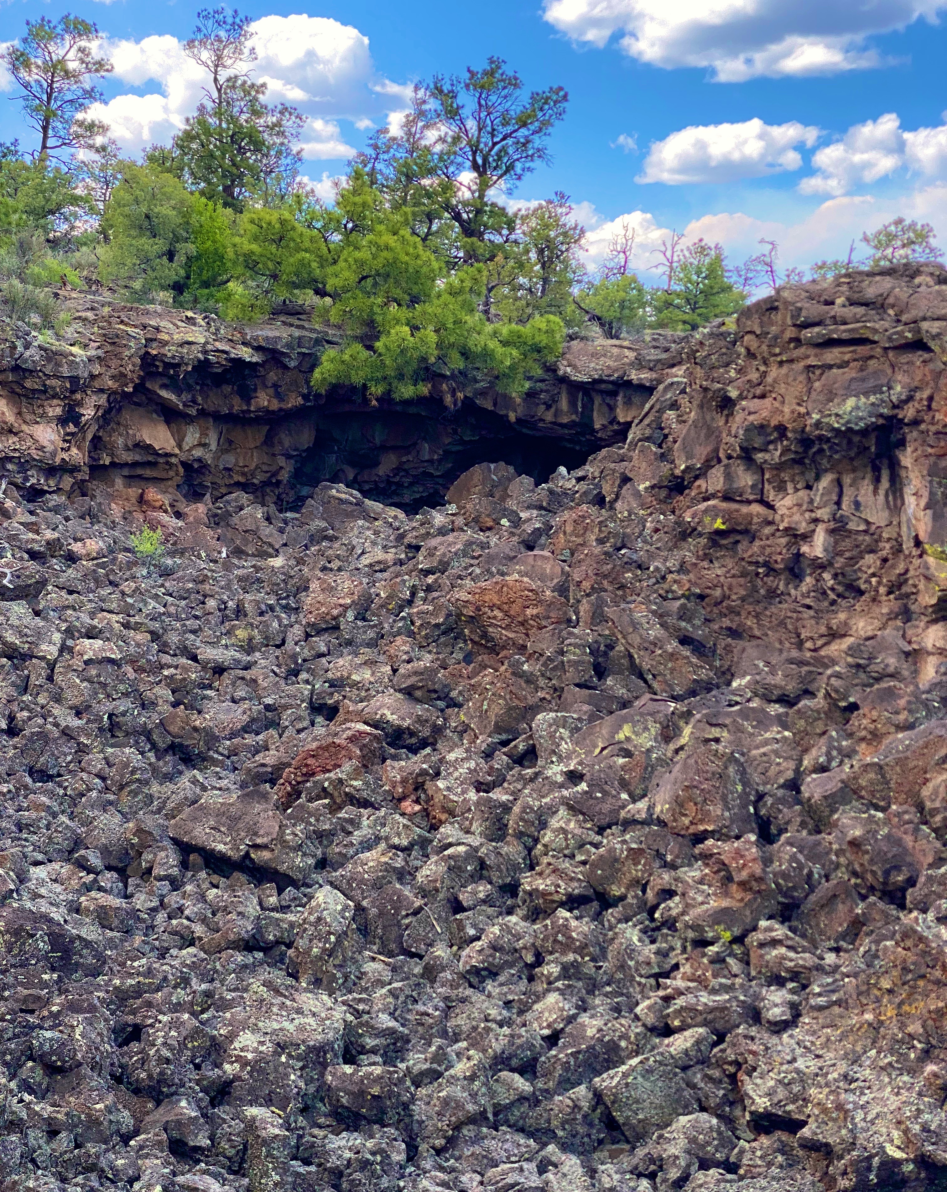
In the morning we made our way north to Grants, New Mexico to have our leaking front tire replaced. From there, we set out for the Big Tubes area to explore. There is only one way in or out – the Big Tubes Road ( NPS 300) – a classic impassable-when-wet mud job. Fortunately, while there had been some rain leaving behind some large ruts, the road was fairly dry and passable. Regardless, we would not recommend this road without 4WD and high clearance.

The Big Tubes Area is a massive volcanic landscape that provides the opportunity to explore lava tube bridges, lava tubes, tube caves and lava flows. There are no marked trails, although there are cairns laid out across the field – use the cairns – there are no other usable reference points in this other-worldly place. Even utilizing the cairns we made several wrong turns in hiking out and back across the field.

You are free to scramble down into the tubes and caves and under the bridges. We recommend wearing gloves and a climbing helmet. The boulders in the trenches and tubes are big and sharp!


From EMNM we traveled through several portions of the Ramah Navajo and Zuni Indian Reservations on our way north on the 602 to Gallup. We had reserved a couple of nights at the El Rancho Hotel and were looking forward to staying at this 1940s hotel that once hosted dozens of Hollywood stars ensconced here while filming Westerns in the area. Additionally, the hotel sits smack on Historic Route 66 to add even more kitsch. From the photos below you might suspect we were not disappointed with our decision.


Gallup has a storied history that predates the movie making haydays of the 1940s and 1950s. The first white settlers arrived in the area that became Gallup in the early 1860s. This was Navajo land and thus the Navajo attacked the white settlements. The cavalry was dispatched to physically remove the Navajo people from the area. The U.S. Army destroyed the Navajo homes, crops and livestock. The Navajo were then force marched 400 miles to a reservation where they were held for four years. In Navajo history this event is known as The Long Walk.

The town was formally founded in 1881 as a railhead for the Atlantic & Pacific Railroad. The freight lines that ran through the middle of Gallup hauled the high grade coal that was mined in the area. While the coal mining in the area has largely played out, more than 100 freight trains still rumble through town every day.


American Coal Company – Atlantic & Pacific Railcars
Coal miners in Gallup went on strike in 1933. The situation in Gallup was politically charged due to the multi-faceted race issues that existed in the American West. Many of the miners were Mexican and, influenced by their experiences during the Mexican Revolution, were members of the communist National Miners Union. The white miners aligned with United Mine Workers of America. Additionally, by the 1930s, many Navajo Nation members from the abutting reservation had begun working in the mines in Gallup. The Navajo coal miners did not belong to any union and routinely crossed the picket line – they did not consider themselves as members of the world outside the reservation. This act further intensified the significant racism already directed at Native Americans in the West.
The strike turned violent in 1934 and the sheriff was shot and killed by a Mexican miner. Subsequently, the Mexican miners were deported en masse. The UMWA became the sole union, although it took another nine years for a contract to be signed by the coal companies.


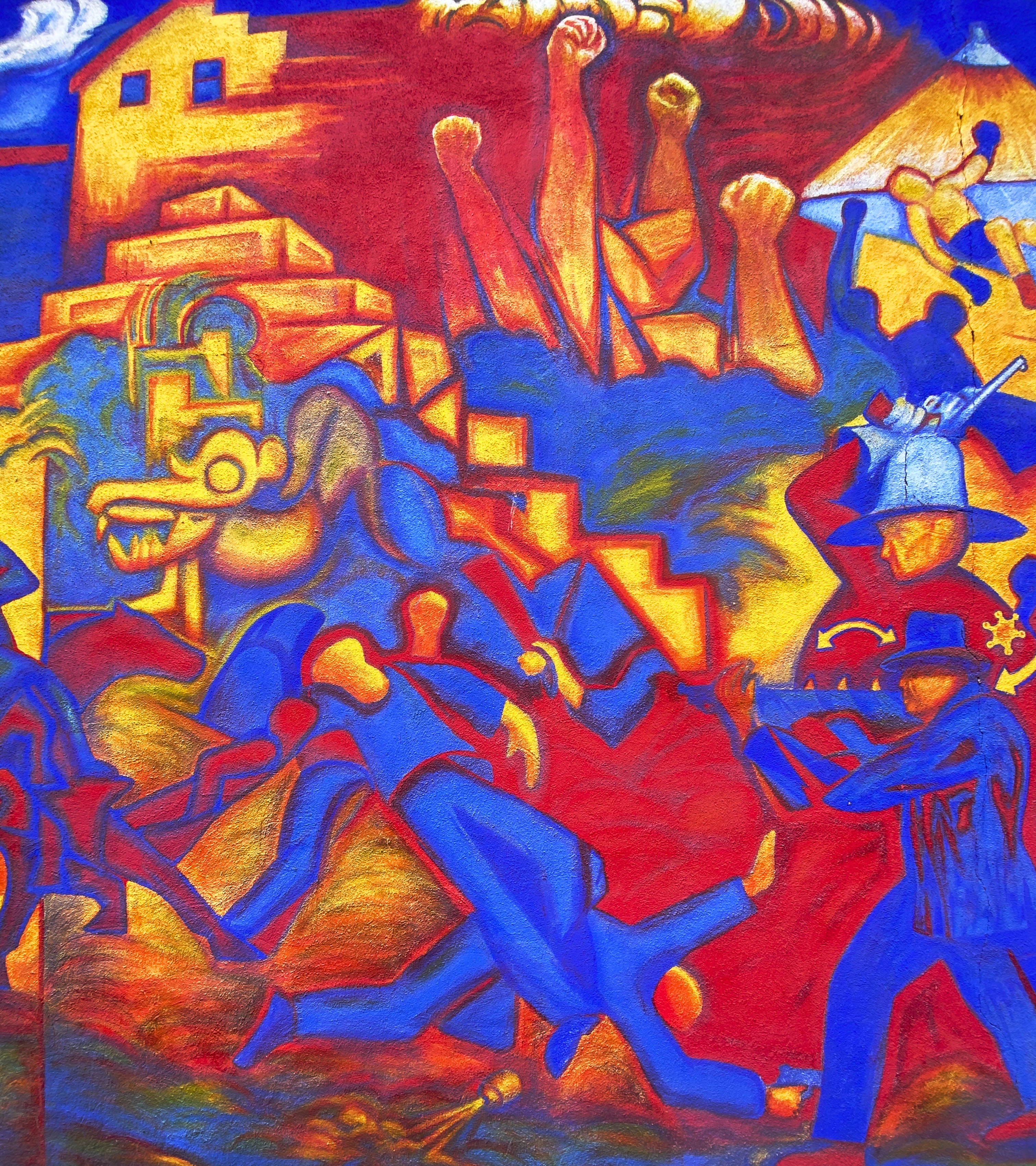


Mural Depicting the Coal Mine Riot of 1934


We took advantage of the opportunity to try the local cuisine. Lots of delicious dishes to choose from. The only item we do not recommend is the beef tongue – it’s a texture thing!


We enjoyed our stay in Gallup. Fascinating western history, excellent local cuisine, fine coffee and great street art. However, please keep in mind this is not a trendy tourist town. As a result of the long history of cultural and socio-economic issues there is a legacy of high unemployment, high crime and poor education which is evident within the community.
A quick stop in Farmington, New Mexico for fuel, coffee and groceries and then we headed over the state line for the snow capped peaks of Colorado.


Mural, Farmington, New Mexico
Be seeing you!

After our three day stop in El Paso we continued our journey west driving through the Chihuahuan Desert in New Mexico. Our plan was to cross a good portion of the state via the desert—intersecting with Route 11 before turning north and exploring the western portion of the state.
As part of the crossing we wanted to find the KIlbourne Hole. The Hole is a volcanic crater estimated to be between 24,000 and 100,000 years old and in the middle of the Petrillo Volcanic Fields. The crater is 1.7 miles long, a mile wide and from 300 to 400 feet deep. The crater was caused by a massive volcanic explosion which occurred when the underlying magma heats groundwater to the point where the resulting pressure literally blows the ground upward hundreds of feet into the air.
While it may sound funny, finding the hole required Maria’s expert navigation skills. Yes—the hole is over a mile long and wide—but driving on the flat desert floor provides no landmarks or rises from which to visually identify the crater.


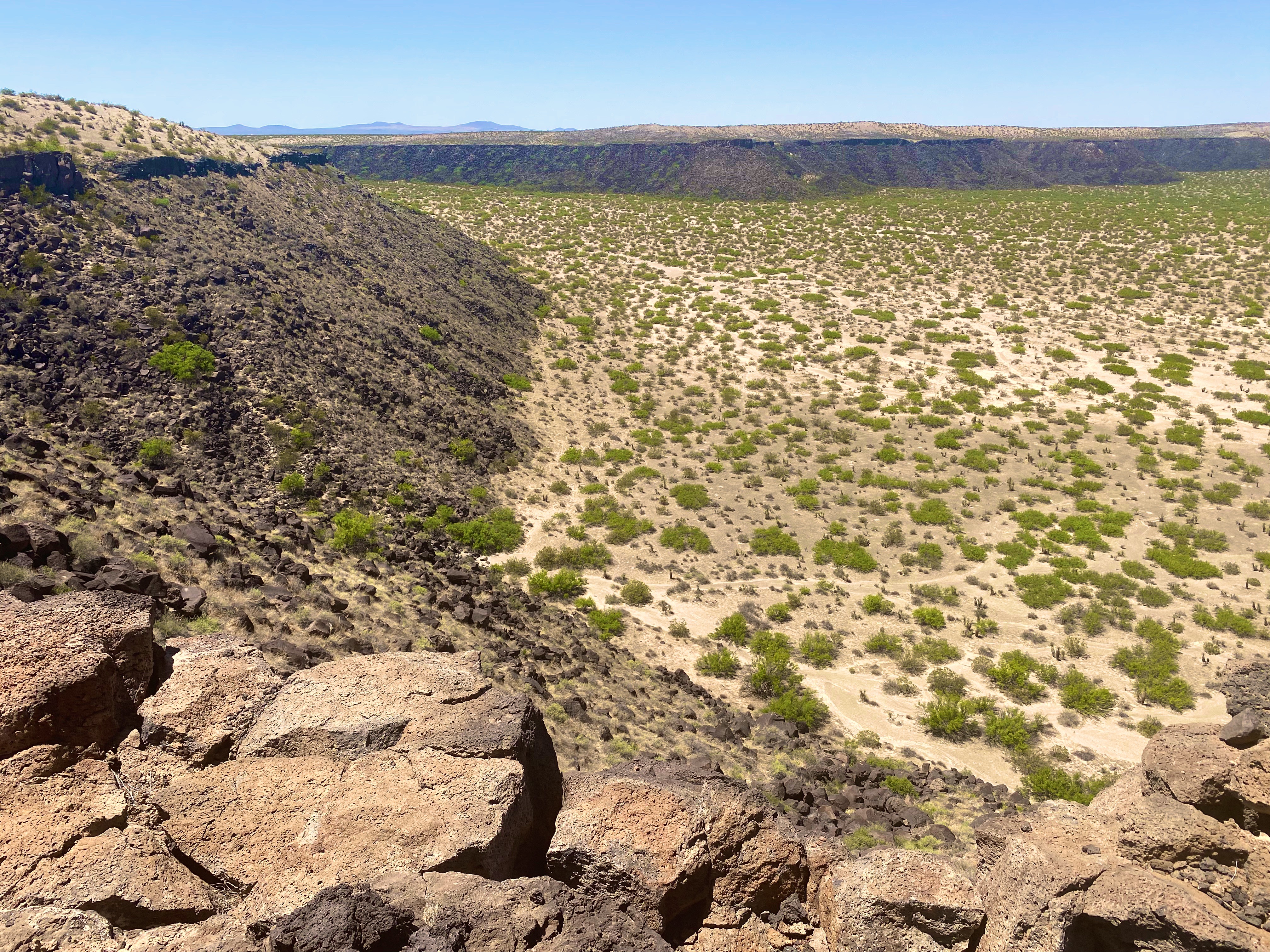

The crater is impressive for both its physical size and the sense of complete isolation that you feel while gazing out from the rim. The force of nature required to create this crater boggles the mind.
From there we continued west along the boundary of the designated wilderness area. As mentioned earlier, we were hoping to cross the desert until we intersected with Route 11 which is the north/south route from Chihuahua. The road became particularly rough and we opted to find a route south to connect with the pavement of Route 9 — so we fell about 20 miles short but had no regrets about our decision.


After reaching Route 11 we turned north for our night’s destination. Having worked up a thirst in the desert we decided that a bit of hydration was required. Fortunately for us, the Luna Rossa Winery is located in Deming along the way.
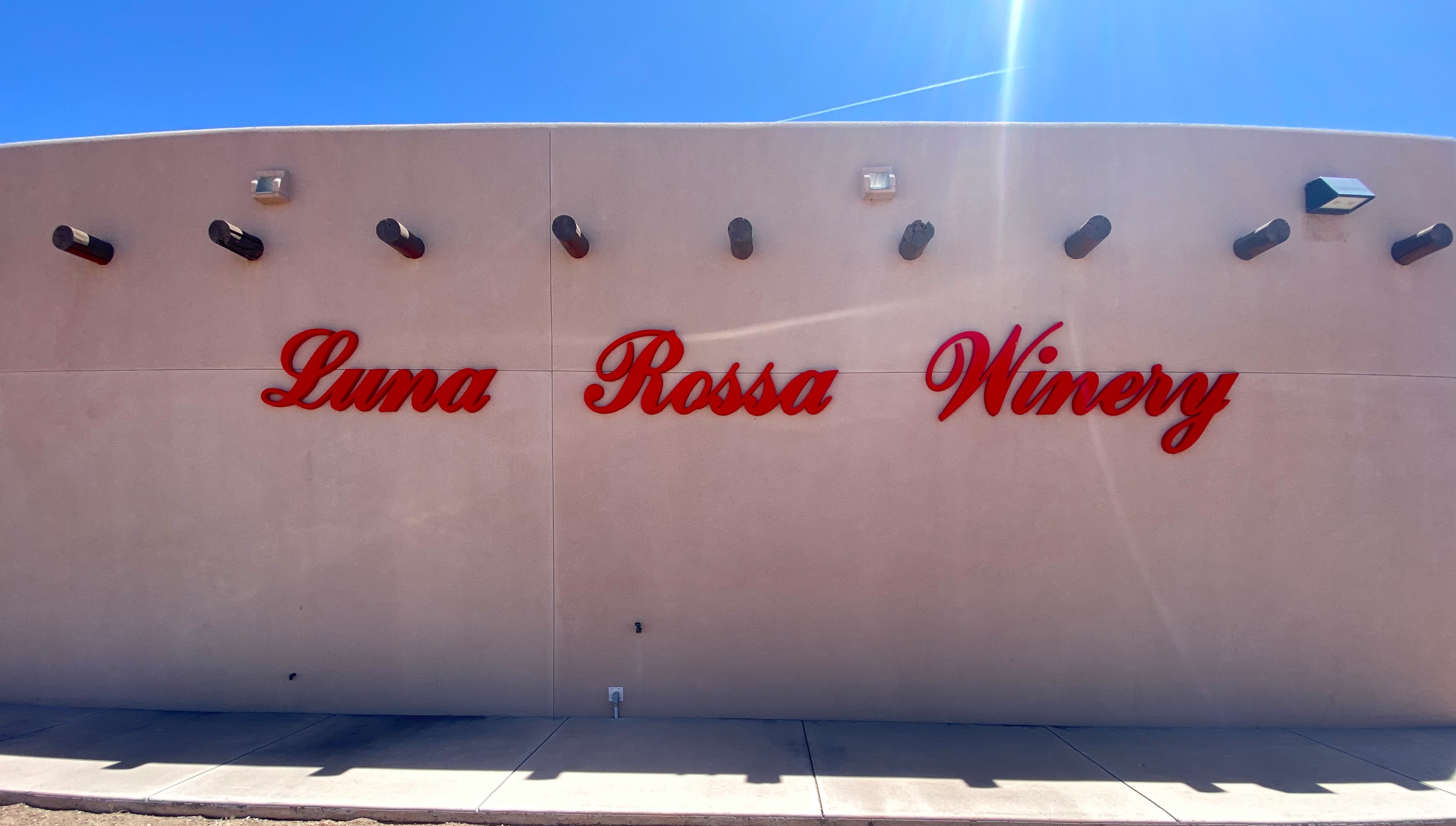

Paolo D’Andrea emigrated to the United States in 1986 from Italy and founded Luna Rossa Winery in 2001. The winery specializes in Italian varietals, and currently produce about 8000 cases of wine per year. In addition to the winery, they own and operate a pizzeria in Las Cruces, New Mexico.
We enjoyed a tasting of a number of their wines (purchasing several) and meeting some fellow travelers from Louisiana before departing for Rockhound State Park.

Rockhound State Park sits at the northern end of the Florida Mountains and in the foothills of the southern end of the Little Florida Mountains providing impressive views across the canyon in between. The Florida range is only twelve miles long but nonetheless quite impressive with peaks that sit at 5000 to 7000 feet above sea level. The surrounding flatlands serve to accentuate their prominence. Our campsite provided us with a spectacular view of the northern most peaks in the range.


The next morning we drove across the valley floor to access the Spring Canyon Trailhead. The Spring Canyon Trail winds its way up through the canyon until you reach the spring. But alas, the spring was already dry for the season. Nonetheless, it was a good hike providing solitude and great views to the north on the return back to the trailhead. The site of the spring where we stopped climbing is at approximately 5700 feet above sea level. Breathing hard!


Our next stop was in Maywood at the City of Rocks State Park. The City is just one square mile in size and sits at 5200 feet above sea level in the northern reaches of the Chihuahuan Dessert. This area surrounding the rock formations is more reminiscent of grasslands than what we usually think of as desert. The rock formations are the result of volcanic activity 35 million years ago and the subsequent erosion of the rocks creating the pinnacles that exist today.


This state park offers primitive camping among the rock formations. We enjoyed a beautiful sunset and night sky before turning in for the night.
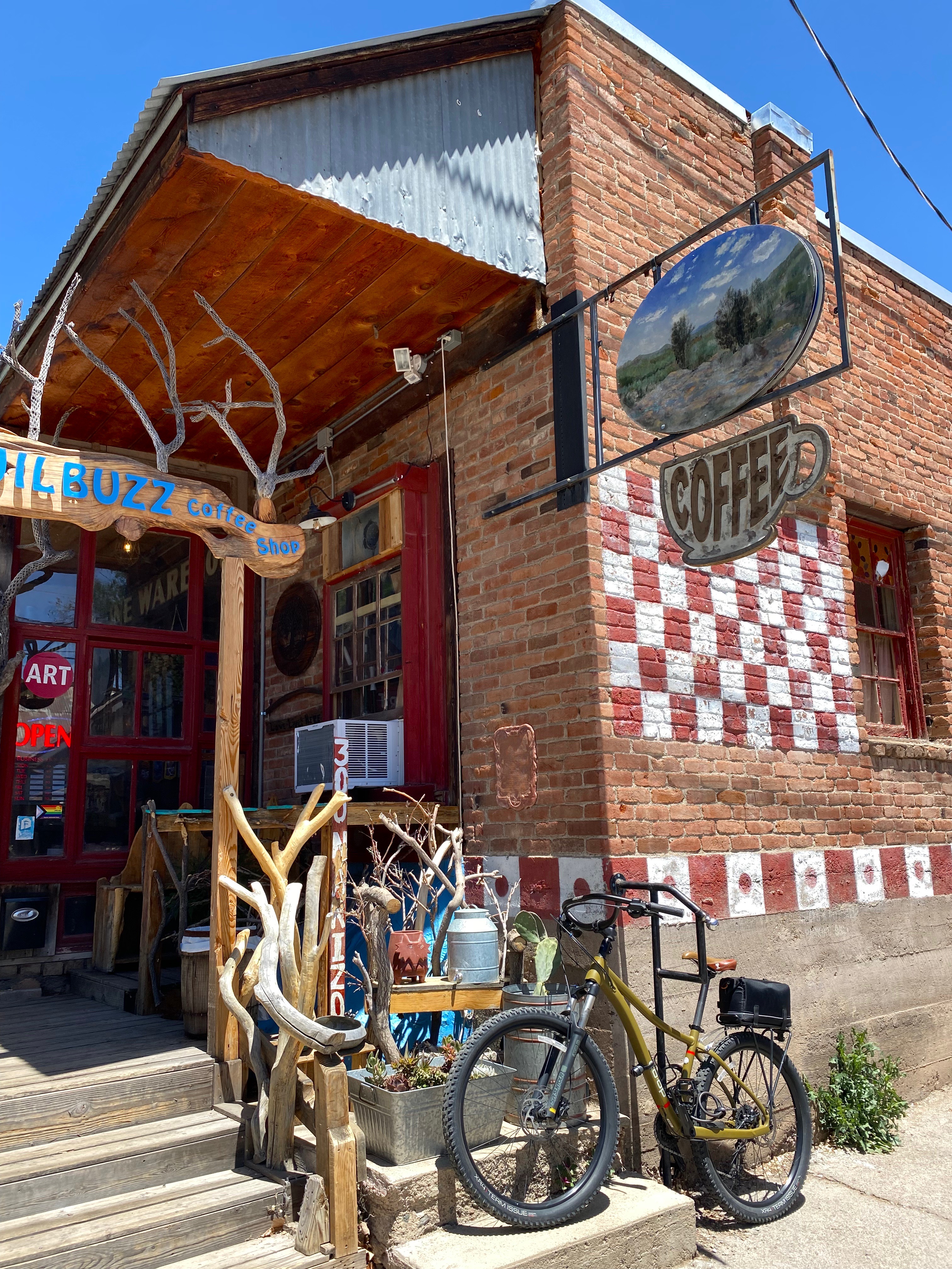
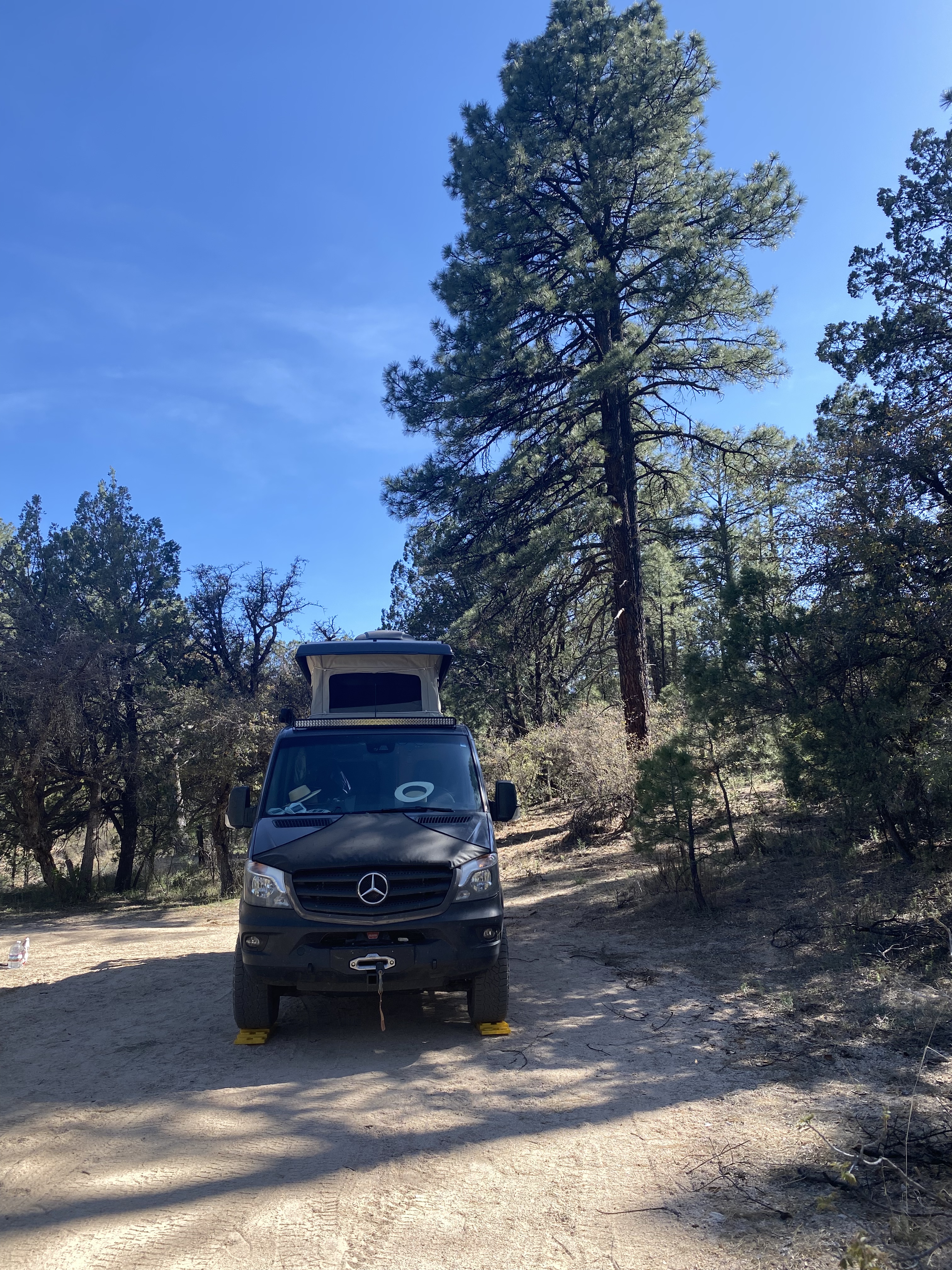
The following morning we traveled to Silver City – as the name infers, this area is a mining district. We spent the afternoon at the Tranquil Buzz Coffee Shop drinking coffee, meeting local folks and listening to live music. Eventually, we made our way outside of town to boondock in the Burro Mountain area of the Gila National Forest.


In our next post we will chronicle our stay in Silver City and our journey northward in scenic Western New Mexico.
Be seeing you!

Chaco Canyon is a place we have wanted to visit for some time. During our 2020 roadtrip we were unable to get there as a winter storm rendered the roads in impassable. There are two unpaved roads into the park – both are rough, heavily washboarded affairs. From the north, County 7950 is 13 miles from pavement end to CC while Route 57 is 21 miles coming in from the south.
In order to optimize our time at the park we decided to take advantage of the camping opportunity at the Horse Thief Camp. The ranch property is on County 7950 and is the closest option outside the park.


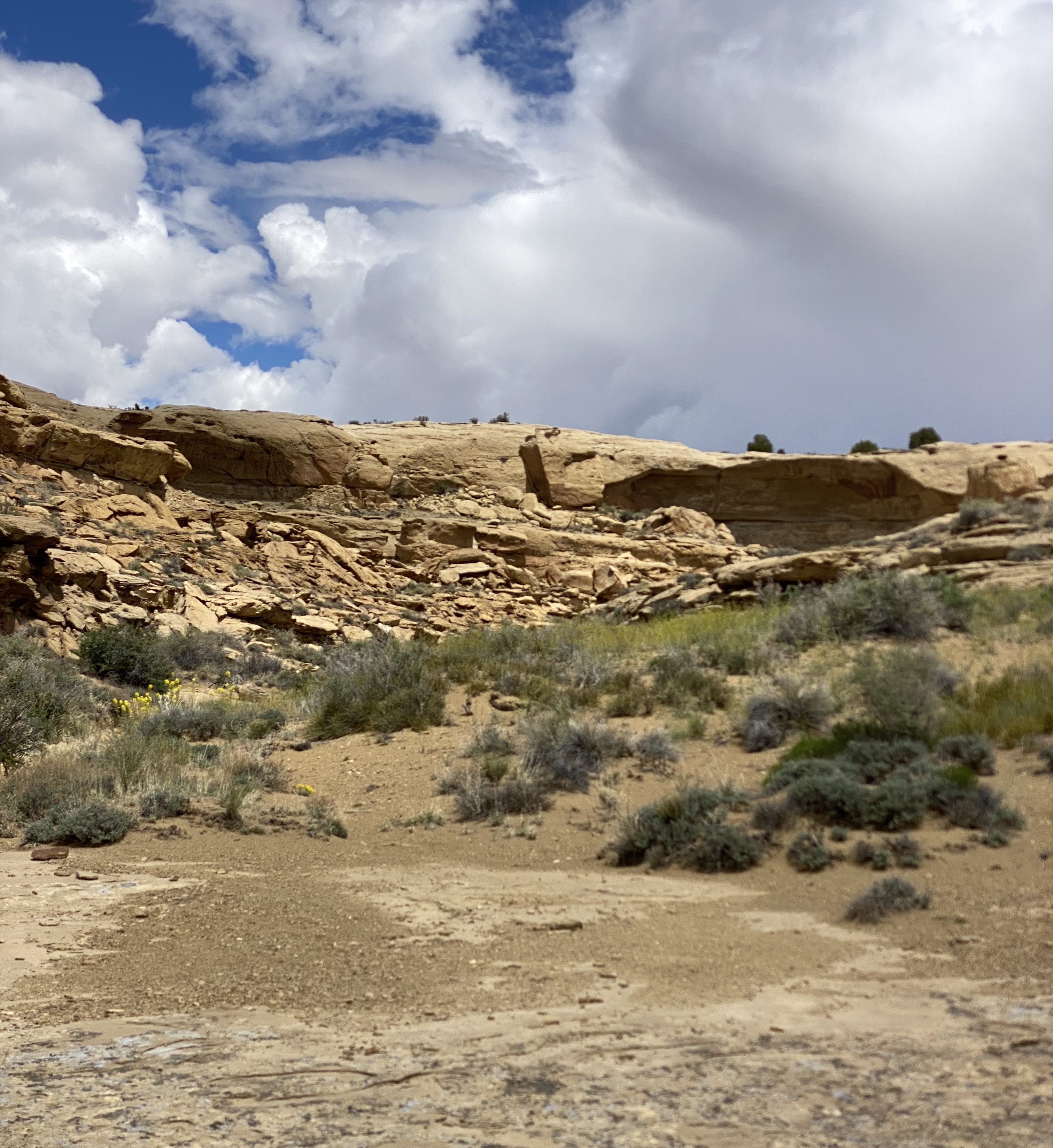
The ranch is owned by Wayne and Yolanda Beyale, and has been owned by Wayne’s family for many generations. The ranch sits amongst a patchwork of properties owned by the Navajo Nation and various federal agencies. The area that Wayne has set aside for camping provides panoramic views and and very dark skies (we also saw several wild horses).
Wayne is Navajo and graciously shared the history of his family and the ranch. He and his seven siblings spent summers living in a single hogan in the spot where we camped. The outdoor oven they used to bake and cook still stands intact. Two of the photos above show the circle corral where Wayne tamed wild horses that they captured (hence Horse Thief Camp).

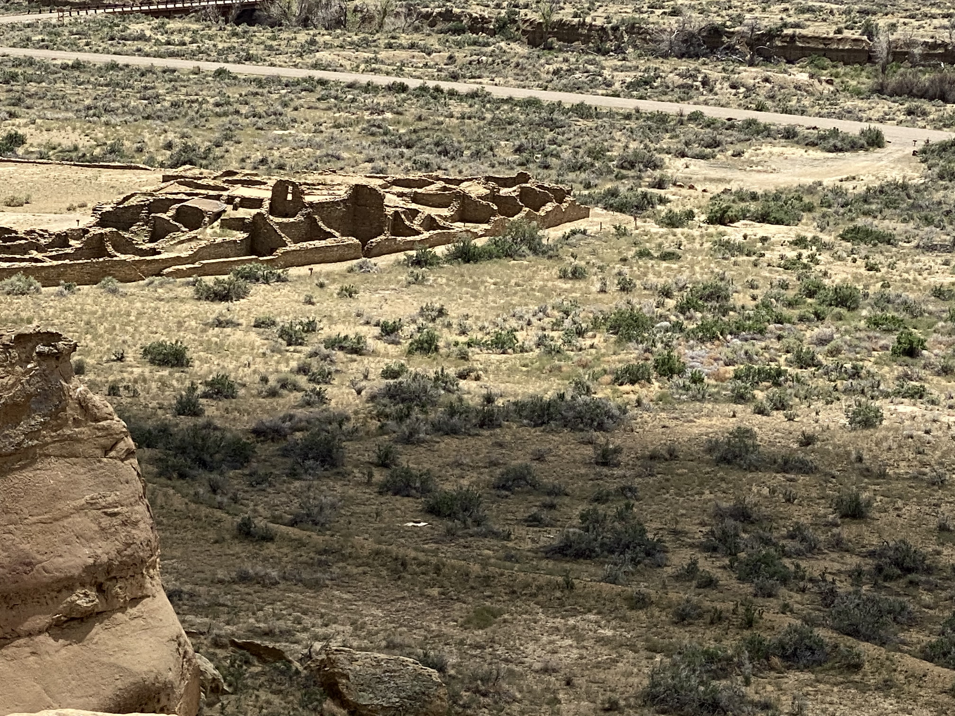
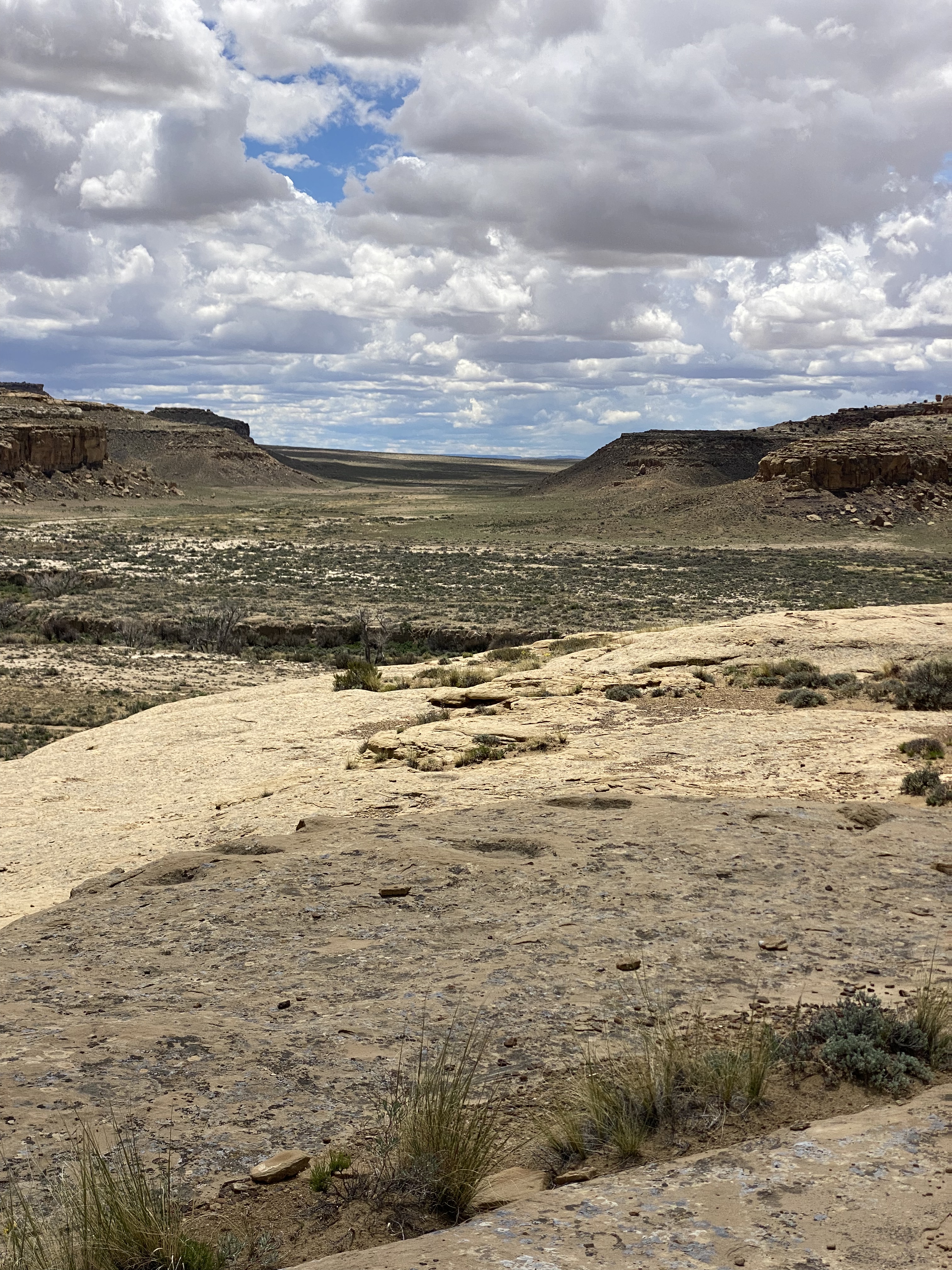
Chaco Canyon was a major center of Ancestral Puebloan Peoples between 900AD and 1150AD. The scale of the great houses and ceromonial sites here is larger than anything else to be found in the Southwestern United States. Within the canyon there are 15 major complexes. The largest of the structures — Bonito Pueblo — contains over 500 rooms!

Chaco Canyon is located in Northwestern New Mexico near the Four Corners. It is very remote — the first record of European people visiting the canyon is not until 1823 when New Mexican governor José Antonio Vizcarra led an expedition through the canyon. At that time this area was still under Mexican rule.
The Chaco Canyon National Monument was formally established on 11 March 1907 by President Theodore Roosevelt. This act preserved the canyon and the structures from any future development or extractive industries. The park was officially designated a national park in 1980 and an additional 12,500 acres was added to bring the park to the current total of 34,000 acres. There are over 4000 archeological sites within the 34,000 acres.


The structures at Chaco provide evidence of a very advanced civilization. The architecture, engineering and construction techniques are quite sophisticated. A number of the Great Houses were five stories tall. The structures were anchored by deep foundations which demonstrate the planning which took place prior to construction. The majority of the Great Houses were built on the north side of the canyon to optimize heat and light from the sun.


There is also evidence that the Chacoans built dams on side canyons to funnel water to the Great Houses and to the fields in order to irrigate crops. Additionally, the remnants of a road system leading away from the canyon in all four directions is still discernable.
Of course, the final question is why this great center was abandoned. And as is usually the case — no one really knows. There are a number of theories ranging from an extended drought, deforestation rendering the canyon unsustainable and political power struggles causing people to flee.
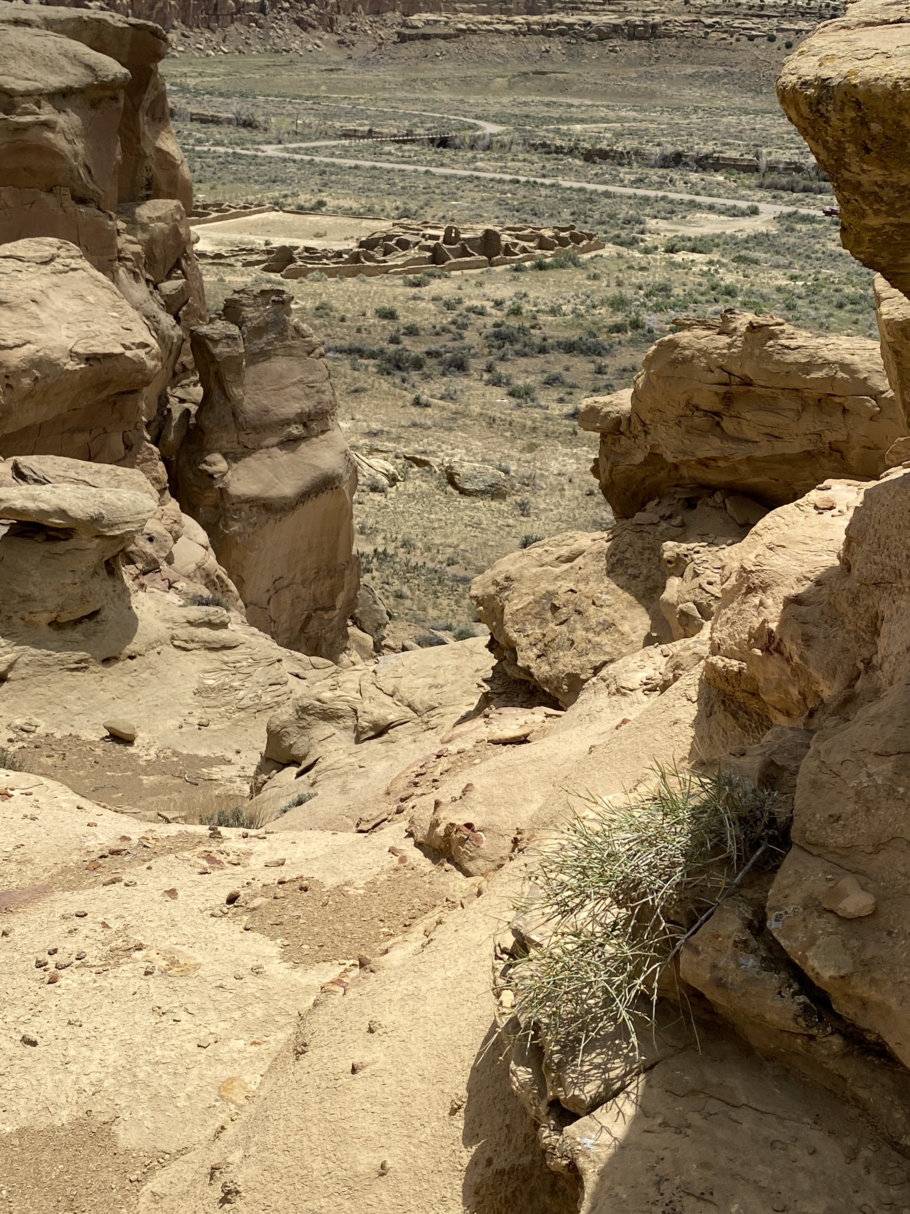
One of the great features at Chaco is the ability to tour the inside of the pueblos and explore the connected rooms, but the canyon rim above also provides a terrific overhead view. So we made the climb up on the Pueblo Alto Trail to see views of the pueblos and the canyon from above.


Pictured are three items we observed along the canyon rim. Starting from the left: a pecked basin — circle carved into the stone by the Chacoans as repositories for offerings; clam shells and shrimp burrows respectively. The clam shells and shrimp burrows testify to the canyon having been an inland sea during the Cretaceous Period (75–80 million years ago).
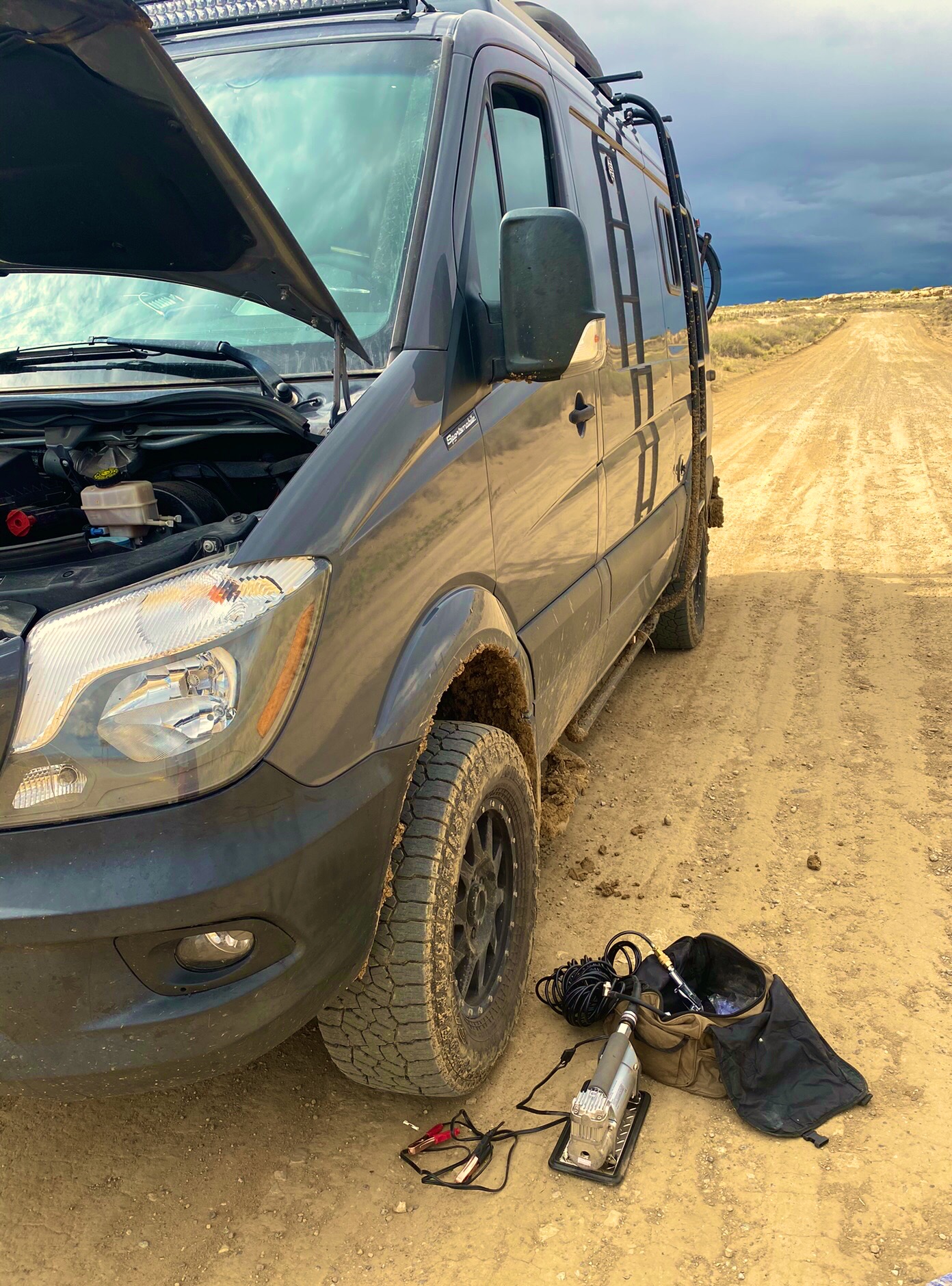
After a full day of touring the pueblos and hiking along the rim of the canyon we set out for the Bisti/Da Nae Zin Wilderness. In orded to reach the Bisti we needed to travel south out of the park on the notorius Route 57. The 57 is a 21 mile stretch of rutted and washboarded dirt that runs through desolate ranch land.


Route 57 is considered impassable when wet. When we left the park there were storms to our east — unfortunately, as we headed south a storm crossed our path and we found ourselves on the muddy and slippery version of the 57 (see video below).
Fortunately, we were able to make it through — only sliding our back end into a ditch once — but we decided not to venture into the Bisti Wliderness as the road conditions there are as treacherous as the 57. In the photos below, we are airing up for our return to paved roads.

We highly recommend a visit to Chaco if you have the appropriate vehicle to handle the conditions and the patience to travel at very slow speeds for an extended period of time. Also, if you are interested in gaining further knowledge about this remarkable civilization we recommend Chaco Culture: A Complete Guide by Gian Mercurio and Maxymilian L. Peschel.
Be seeing you!


With a cool but dry forecast in front of us we decided to delay our arrival in Virginia and head to Cumberland for a couple of days to take advantage of the forecast and do some cycling. Cumberland is the terminus for two exceptional bike trails. The Great Allegheny Passage (GAP) connects Pittsburgh to Cumberland providing 150 miles of cycling. The trail roughly follows the course of three rivers from west to east: the Monongahela River, the Youghiogheny River and the Casselman River.

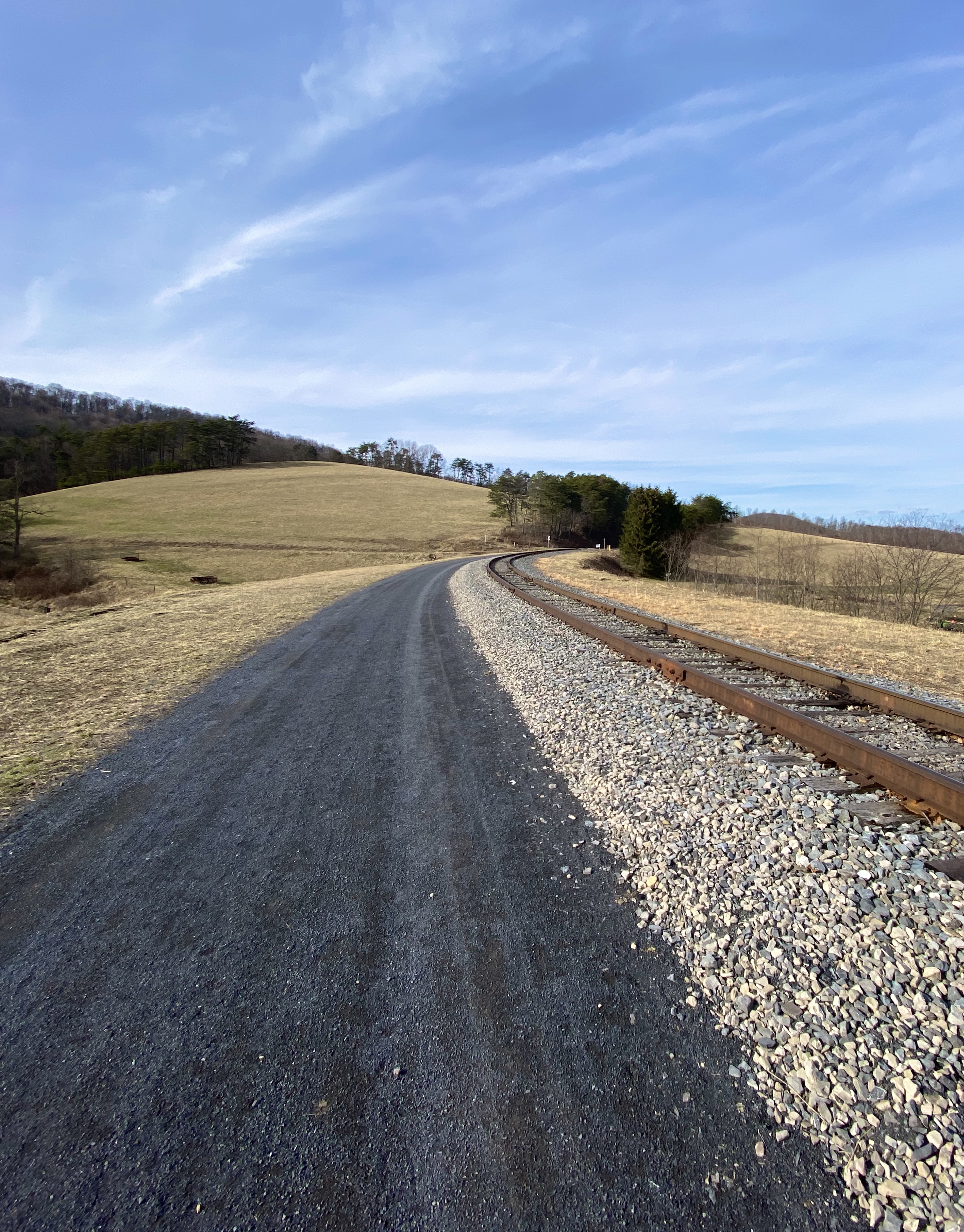

The C&O trail begins in Washington DC and follows the C&O Canal for 185 miles to its terminus in Cumberland. Based on a recommendation from some local bicyclists we rode west on the GAP. While the GAP has a better surface than the C&O, riding west is all uphill out of Cumberland. Of course the ride back takes about half as much time.
The scenery along the trail is spectacular as the trail ascends into the Laurel Highlands of Virginia. We definitely plan on going back in the future to ride additional sections of the trail.

Skyline Drive sits within Shenandoah National Park (SNP). The road winds its way (north/south) along the crest of the Blue Ridge Mountains for 105 miles. Skyline is the only through road in the entire park. Additionally, you can only enter or exit Skyline Drive in four places. We accessed the road at the Northern entrance in Front Royal.
While the highest elevation on the road is 3680 FASL the views are none the less spectacular. You are witness to broad green valleys reaching across to more ridgeline, and are able to view the Shenandoah River meandering through the valley to the west.
We had hoped to camp overnight at Great Meadows, which sits approximately 51 miles south of the northern entrance at Front Royal. We would then complete the remainder of the drive the following day. We also planned on hiking from the Great Meadows that afternoon. Alas, the campground was gated and we were unable to camp on the ridge.
We also had planned to hike to Lewis Fall from the campground. We still wanted to hike so we pushed on to a trailhead about five miles further south based on a recommendation from a park rangers.
The Rose River Trail is a loop trail that descends from a trailhead at Fishers Gap. The Rose River is just 8.8 miles in length but flows down from one of the highest points on the Blue Ridge until it converges with the Robinson River.
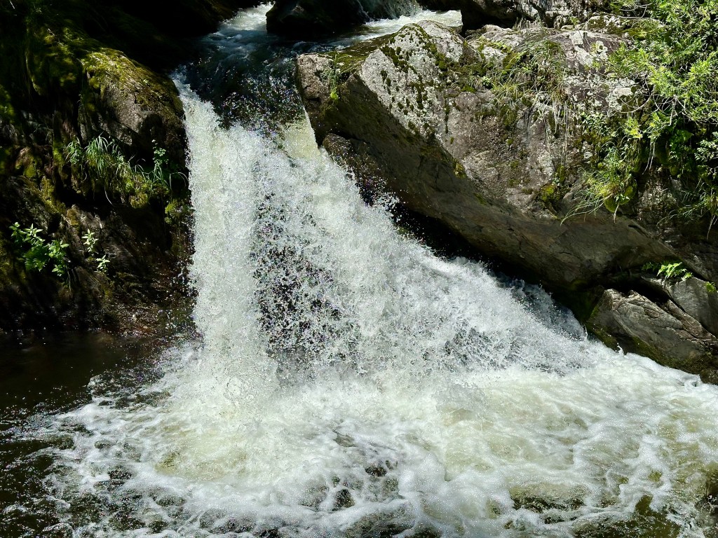
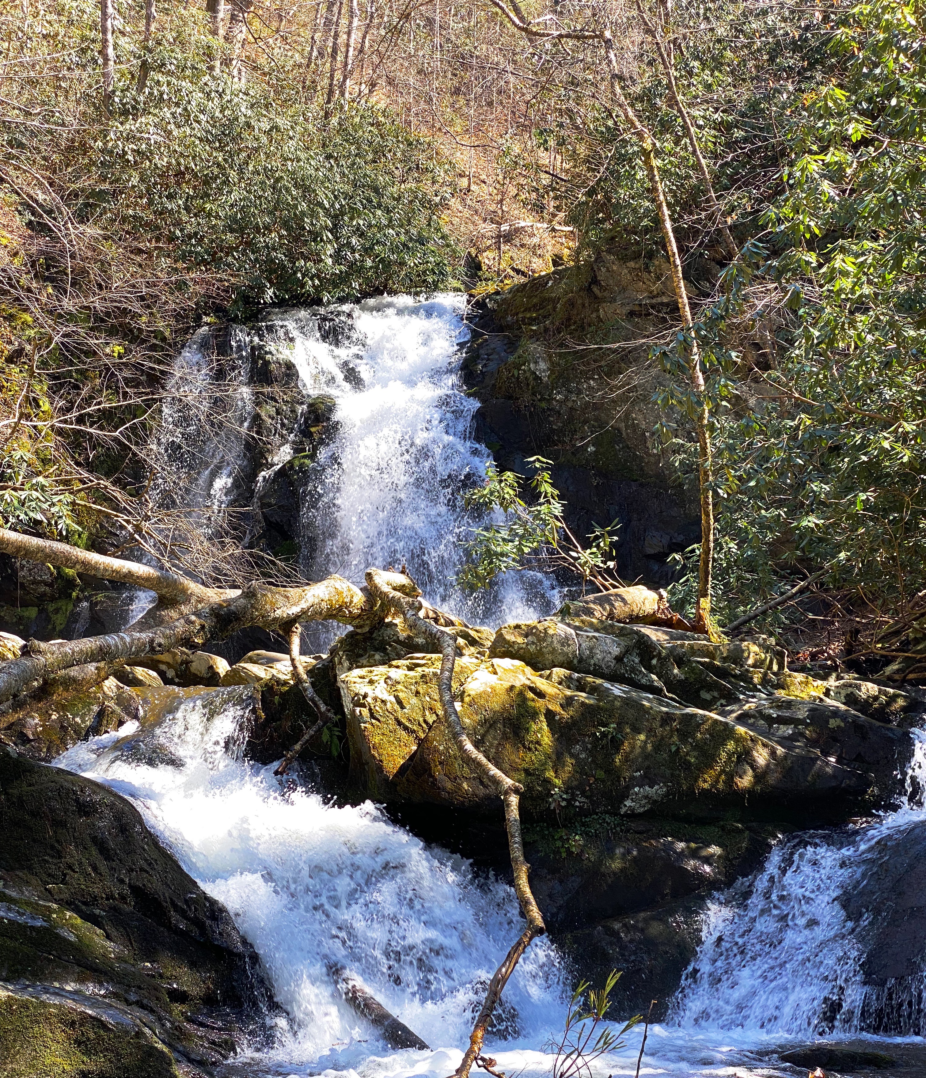
After descending to the valley floor,the climb back up to the trailhead was steep and a bit arduous as you regain the 1000 feet of elevation lost on the way down. The sights and sounds of the multiple waterfalls and cascades that are your constant companions on this hike more than compensate for the effort.
After finishing the hike we made our way south completing the drive and heading west to stay in Staunton (pronounced Stanton). We had stopped in Staunton in March, 2020 on our way back to Connecticut after the pandemic cut short that trip – looking for coffee and food. We found an excellent coffee shop and roaster (Crucible Coffee) and an excellent restaurant (Table 44) that were both still operating. We have fond memories of our stop in Staunton as we had limited option in March 2020 – the excellent news is that our memories had not failed us and we again had a great dinner and excellent coffee and tea before heading west to Highland County.


The trip west to Highland is a spectacular ride on Route 250. The road is a twisting up and down affair as you climb up and over the crest of Shenandoah Mountain.
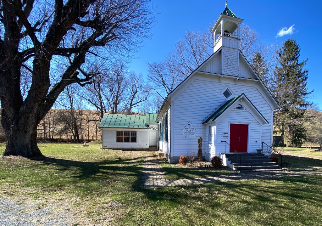
Highland County is the least populated county in Virginia. While the county is 416 square miles the population is a mere 2200 people. The economy is dominated by agriculture – mostly in the form of beef cattle as the mountainous terrain and narrow valleys are not conducive to growing crops at scale.

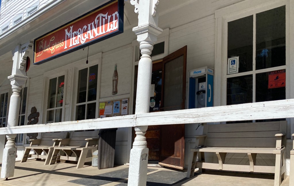
The Western border of the county is formed by the ridges of the Allegheny Mountains (see photo above of Allegheny Mountains as viewed of Shenandoah Mountain). The Allegenies at the western edge of the county also form the border with West Virginia. There are just three communites in the county; McDowell, Montery and Blue Grass. You may find other places designated on maps but they are just remnants of towns.

We are drawn, as you know, to more remote locations to enjoy nature and solitude but must confess that part of our motive for this segment of OTR 8.0 was the Annual Highland County Maple Festival. The Maple Festival has been taking place for two weekends in March for the last 52 years.

What can we say – donuts, pancakes, pretzels, etc. – all made fresh by local residents with pure maple syrup from Highland County. The money supports local churches, civic organizations and businesses. More importantly it is all gosh darn delicious and the people are happy you made the trip up to ”Little Switzerland” from down in the Eastern lowlands!

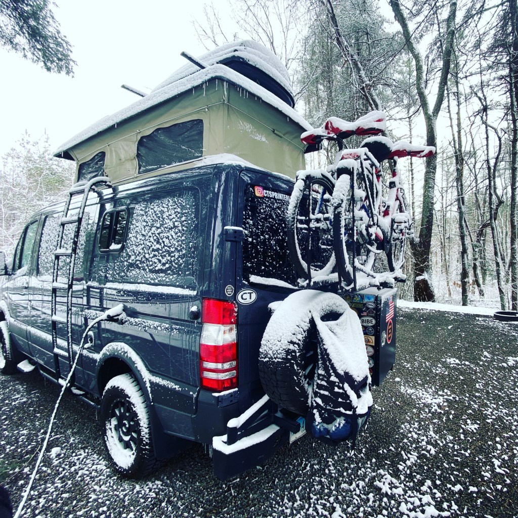
We enjoyed touring the valleys of Highland County and chatting with some of the local folks we met in the towns (even if one of them called us Yankees!) but we knew it was time to move on when we awoke to snow and howling winds.
Be seeing you!
P.S. As you may have noticed if you follow our blog on a regular basis our posts are not published on a strictly chronological basis.

GSMNP is a fantastic destination for hiking. There are 150 official trails within the park that provide over 800 miles of hiking opportunities. The Appalachian Trail also traverses the park.
We spent four days at the park. The mornings tended to be cloudy and foggy in the hollows and valleys so we auto toured in the mornings (after finding coffee) and hiked in the afternoon.
Hikes at GSMNP range from short and easy to full on backcountry. There are many connector trails allowing hikers to elongate or shorten hikes, or to create loop hikes.


Because of the park’s topography, there are a multitude of creeks, streams, and rivers which make for many water crossings and provide the sound of rushing water as an accompaniment to the beautiful scenery. Additionally, waterfalls abound (especially in spring) providing hikers with plenty of ooh and ahh moments.


GSMNP provides plentiful opportunities to take in vistas and view wildlife while touring the park by auto. There are a number of designated tour loops and routes throughout the park. There are almost 400 miles of paved and gravel roads suitable for ordinary passenger vehicles. There are also a number of primitive roads for those equipped with 4wd vehicles with high clearance.


GSMNP opened in 1940 about six years after being chartered by Congress. Much of the land within the park was previously privately owned. Many of the advocates for the park were attempting to stop the massive clear cutting by timber companies that was destroying the forest, and believed a national park was the best way to acquire and protect such a large tract of land (523,000 acres).


Of course, in addition to the land owned by the timber companies, there were a number of small communities located within the proposed boundaries. Most of the residents were farmers.
Over a period of years the residents were forced off of their properties and the communities ceased to exist. Amazingly, many of the homes and other structures were not destroyed when the famlies relocated outside of the park.


When we toured Mammoth Cave NP during OTR 7.0 we found the more typical situation – all the building and structures had been razed (except several churches and cemetaries) in order to erase the evidence of the communities and restore the land to its state prior to the creation of the park. We thought that practice was disrespectful and, fortunately, that was not the case at GSMNP.
We will skip the discussion of the displacement of the Cherokee Indians as we all know that story. Today, the Eastern Cherokees reside in a reservation just south of the park’s border in Cherokee, North Carolina.
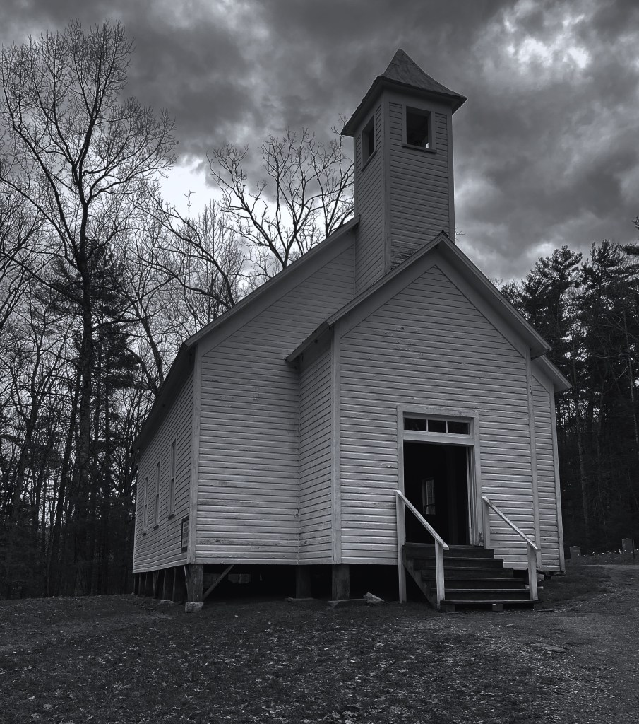
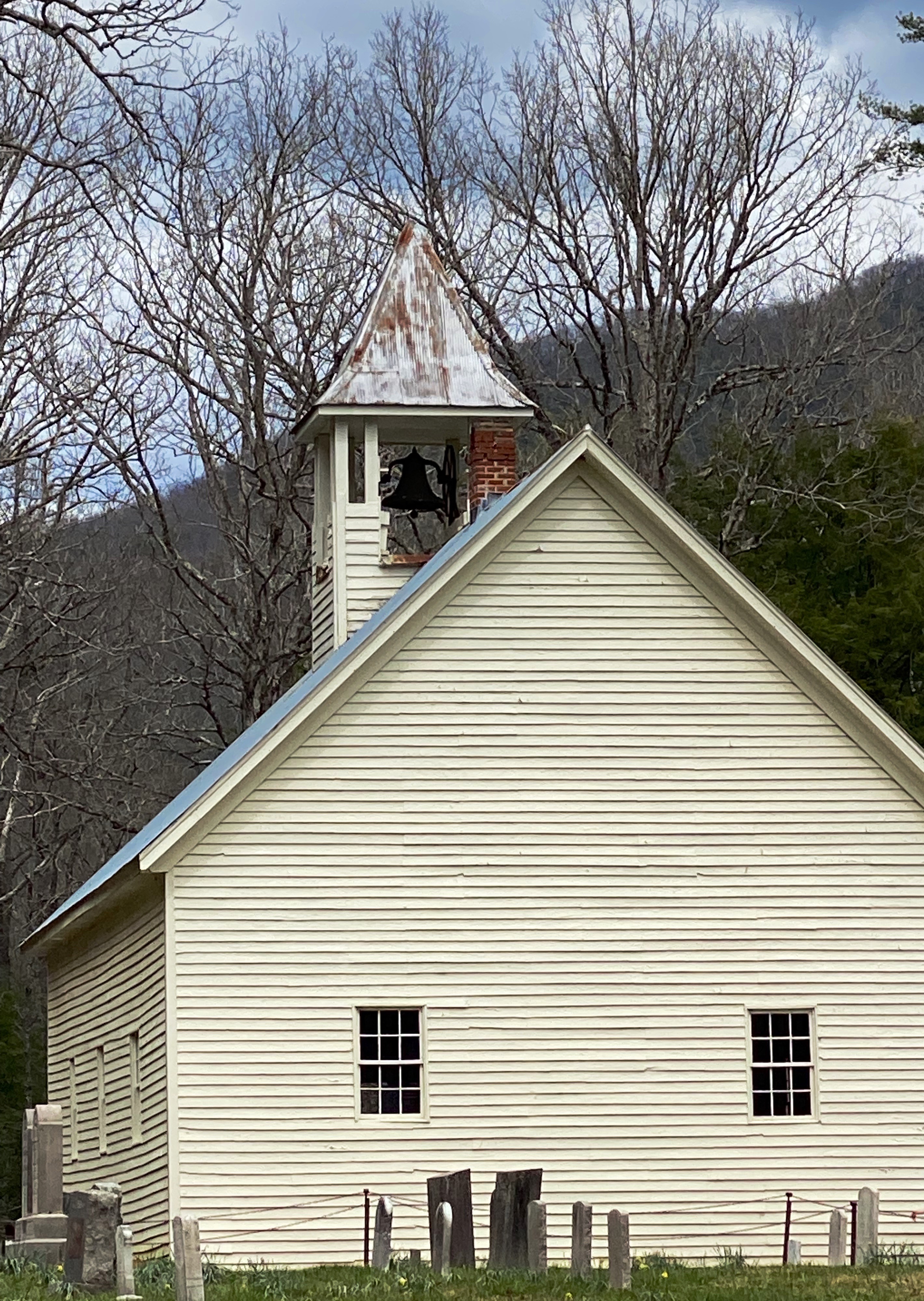
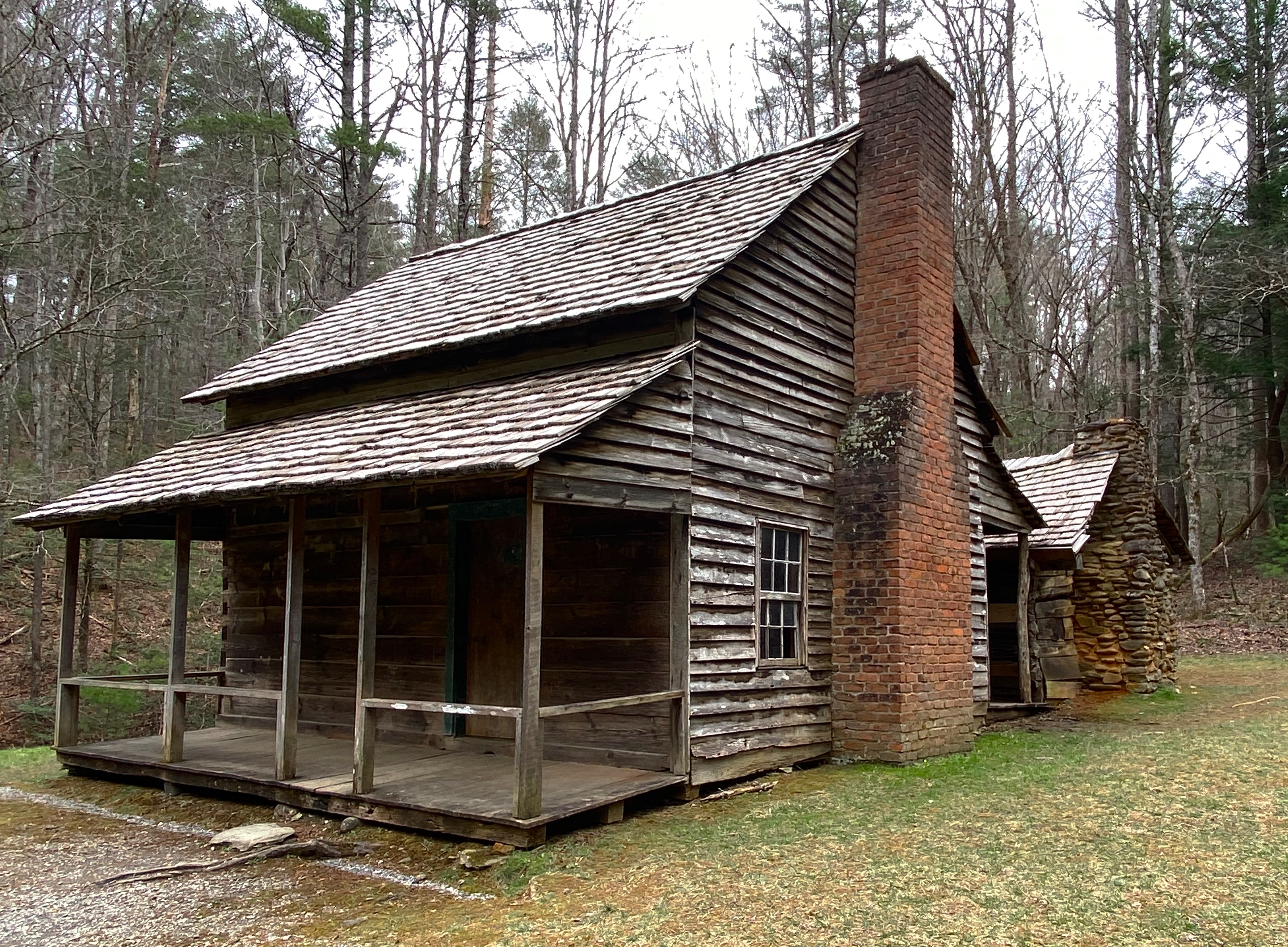
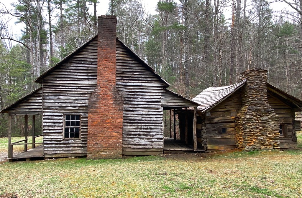
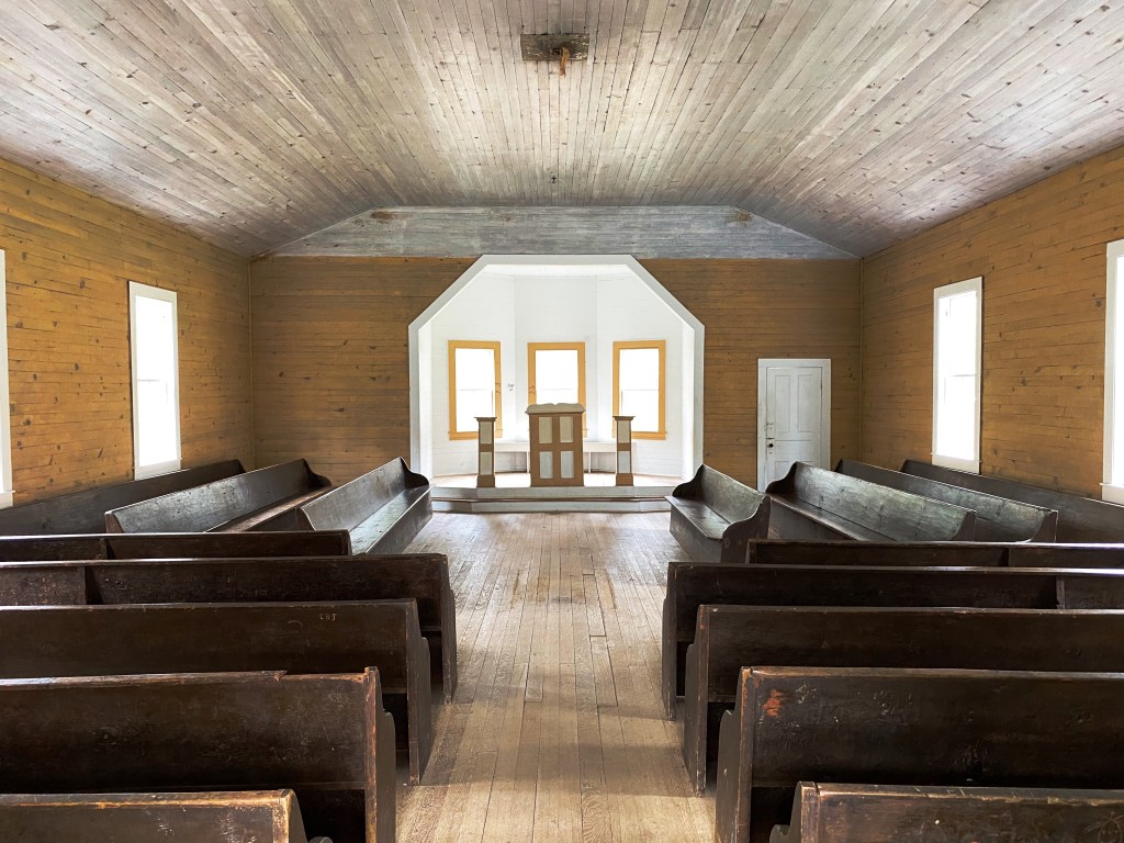
There are over 80 structures still standing and maintained by the park service. The structures include, cabins, schoolhouses, barns, churches and a grist mill.

Pictured above and below is a replica of the original cantilever barn that was part of the homestead of William ”Fighting Billy” Tipton. The homestead still boasts the original two story cabin, blacksmith shop and corn cribs.

The origins of the cantilever barn are unknown but they are prevalent in this part of Tennessee. Historians generally agree that this type of barn was favored because it provided cover for the livestock from Tennessee’s abundant rainfall.

We enjoyed our first visit to GSMNP and definitely recommend the park if you are hikers. Our caveats would be to avoid peak season – from talking with local folks, we understand that the roads into and within the park are jammed in high season. GSMNP recorded over 14 million visitors last year.
Also, we did drive through Gaitlinberg to find coffee – as a result we highly recommend entering the park through Townsend as we did. Gaitlinberg is crowded and uber touristy; it is the antithesis of the park. In our opinion there is no reason to visit Gaitlinberg unless you just cannot get enough of Ripley’s Believe It Or Not Museums!
Be seeing you.
