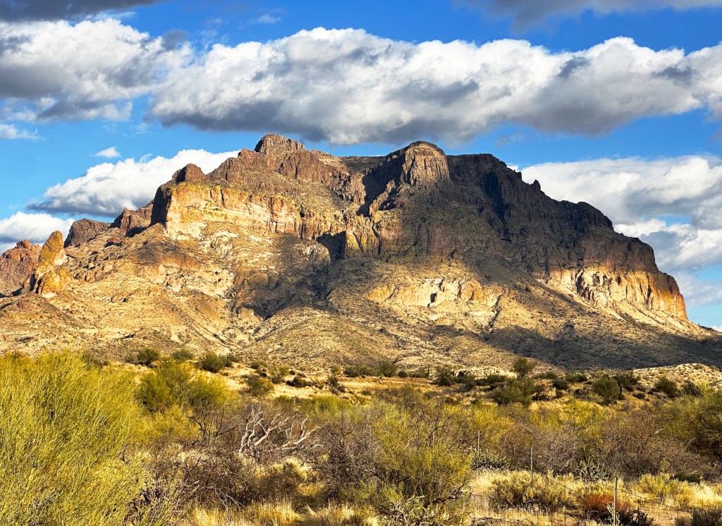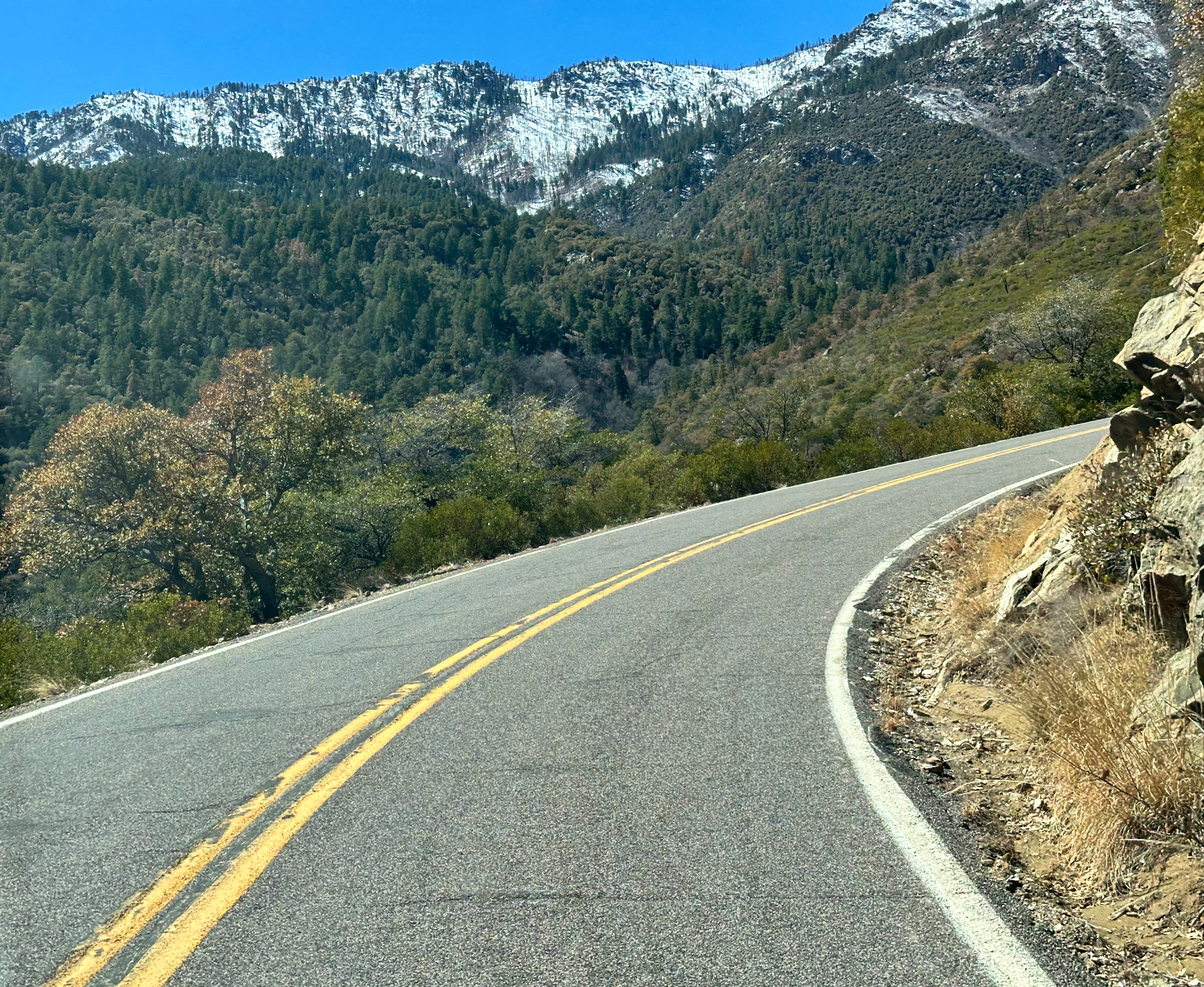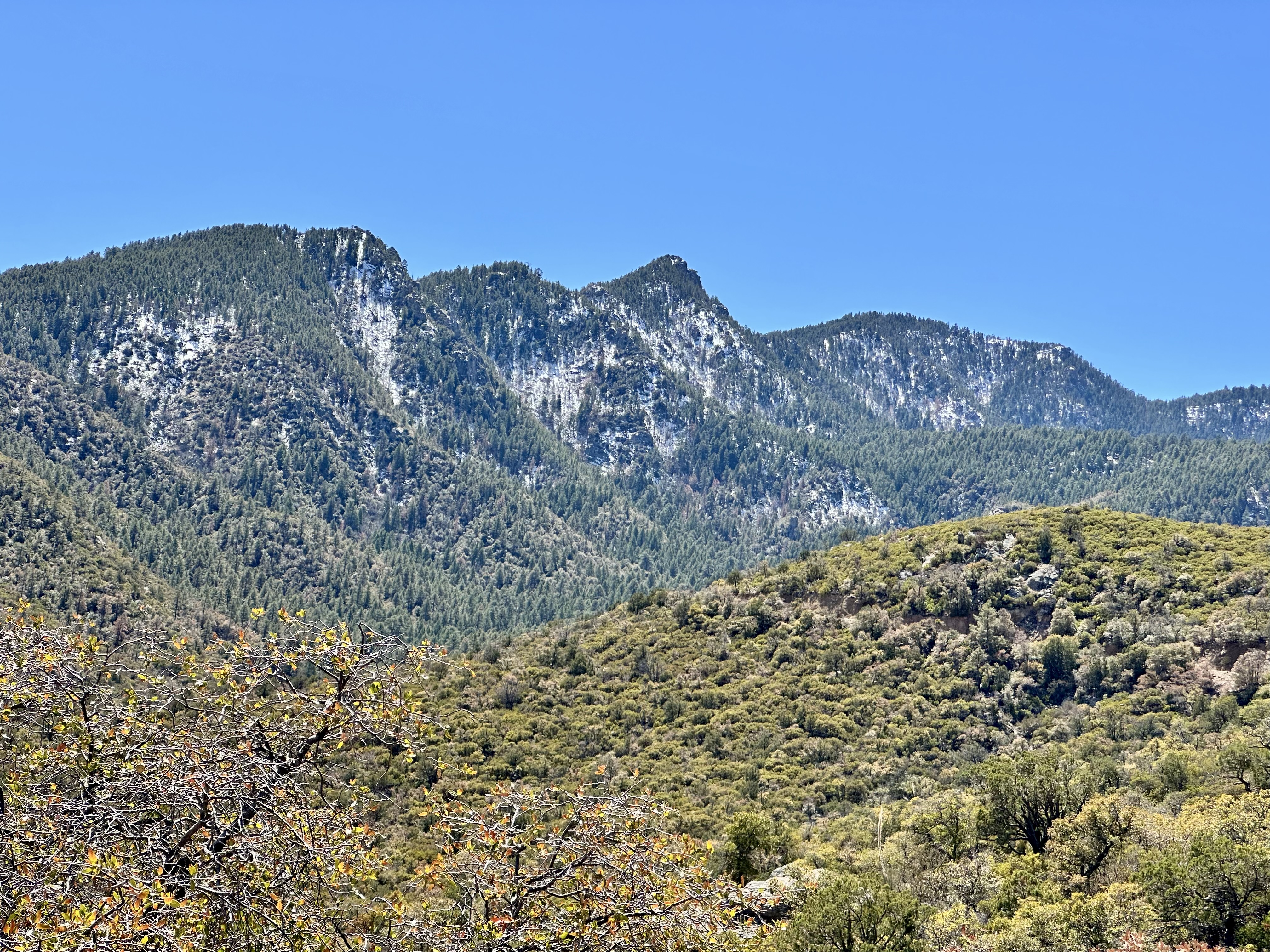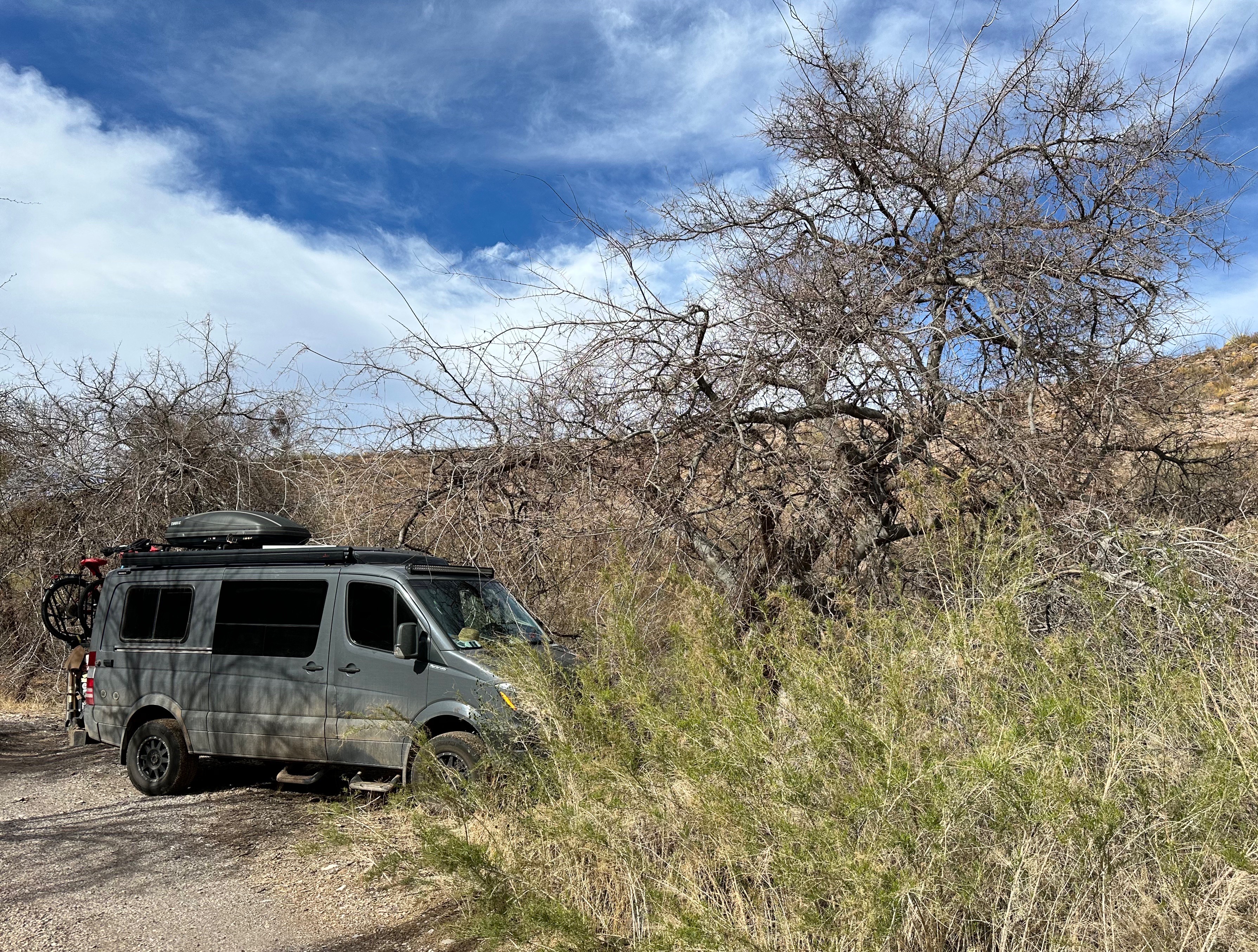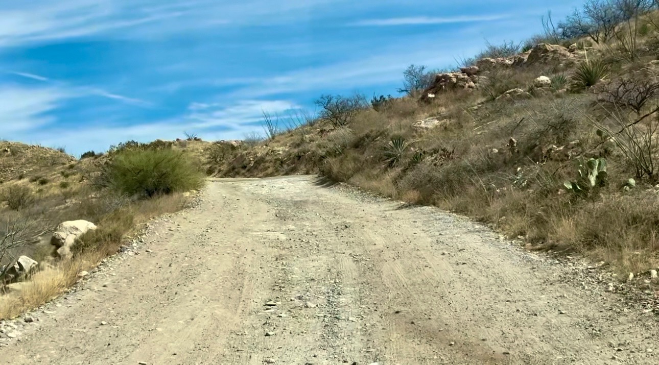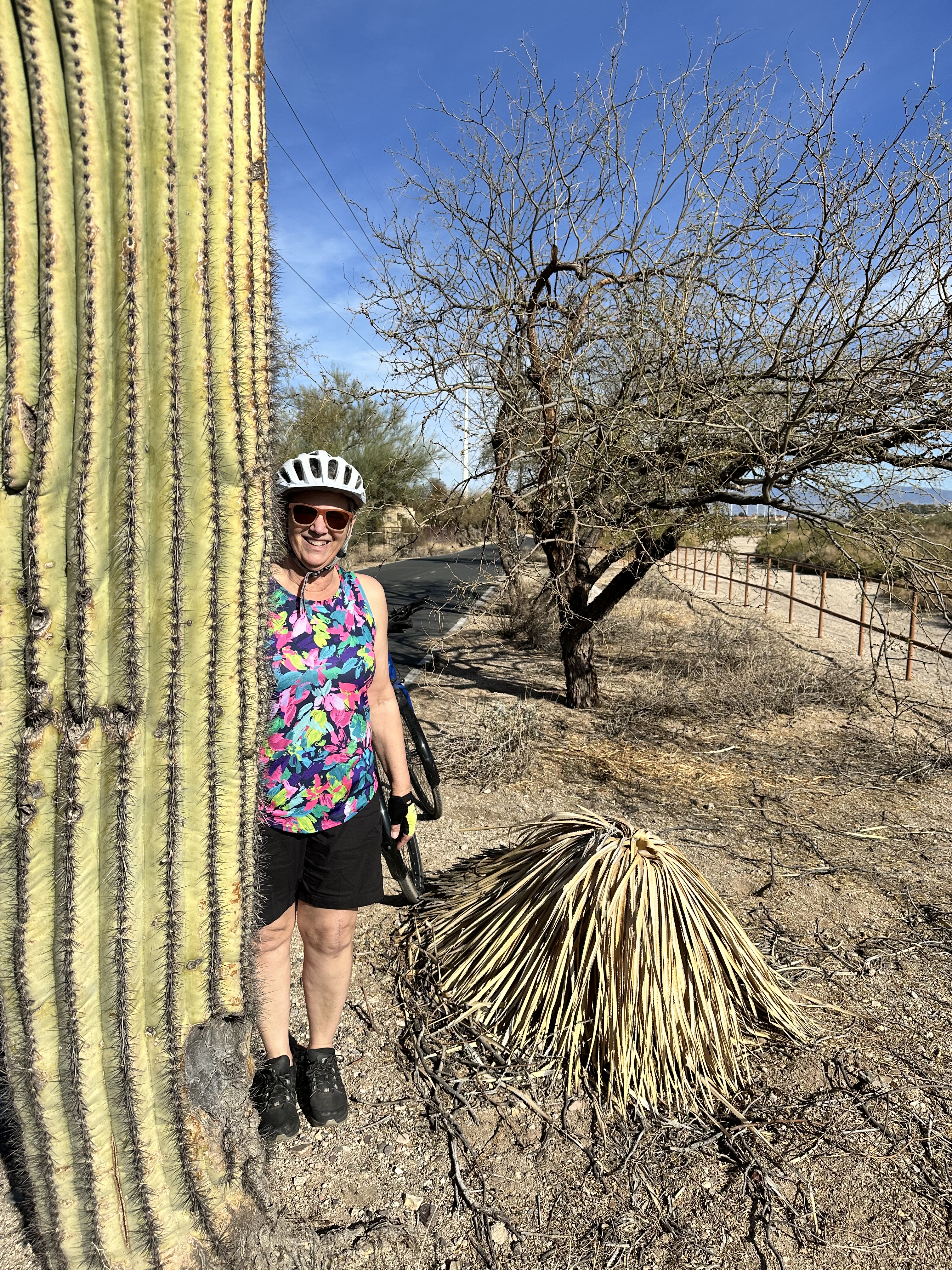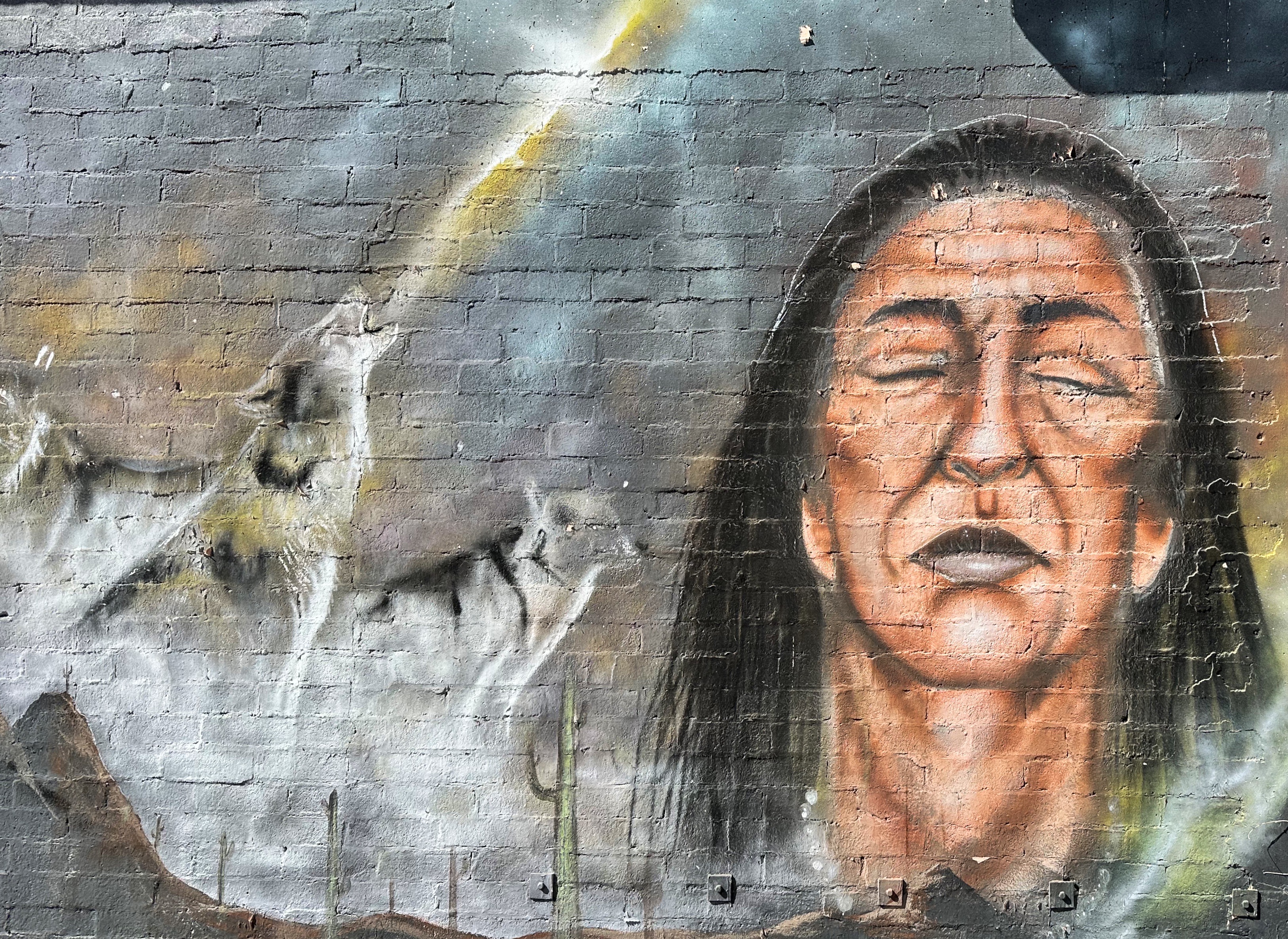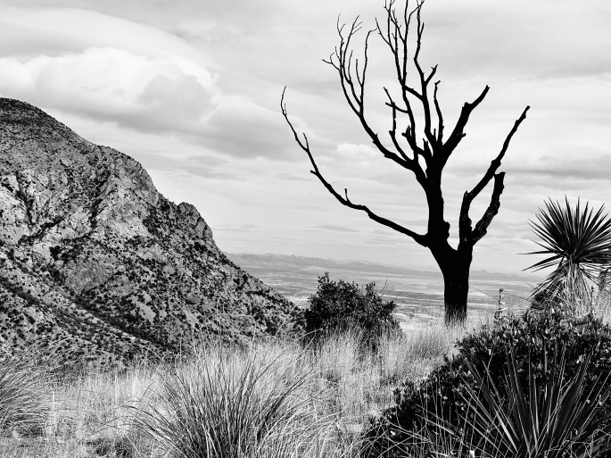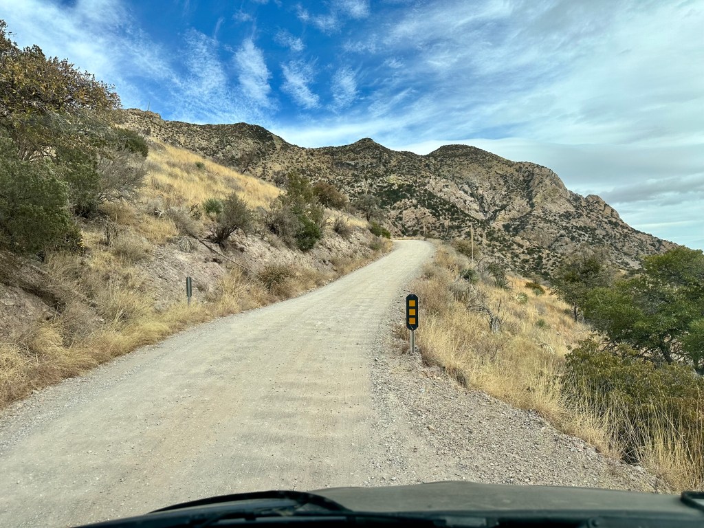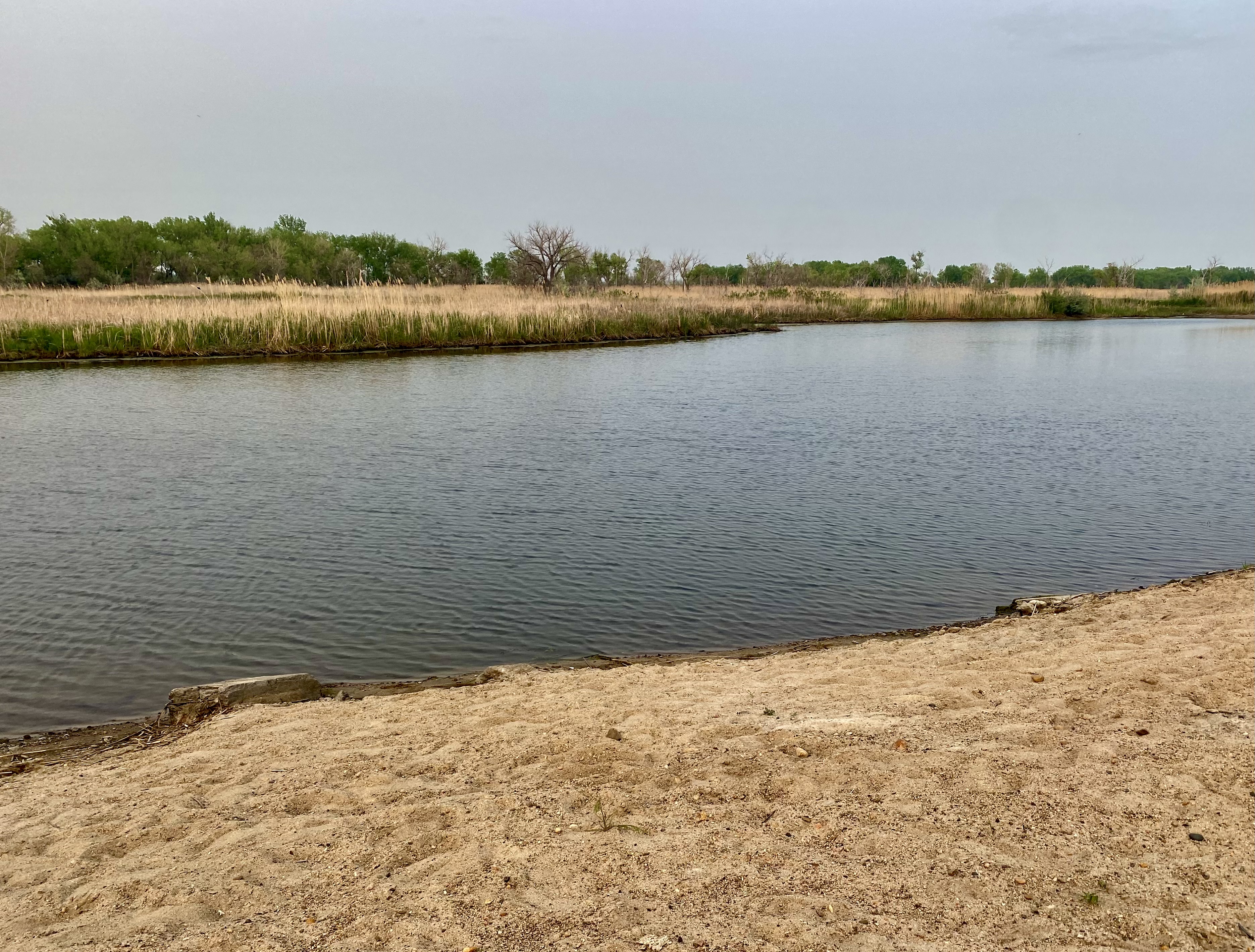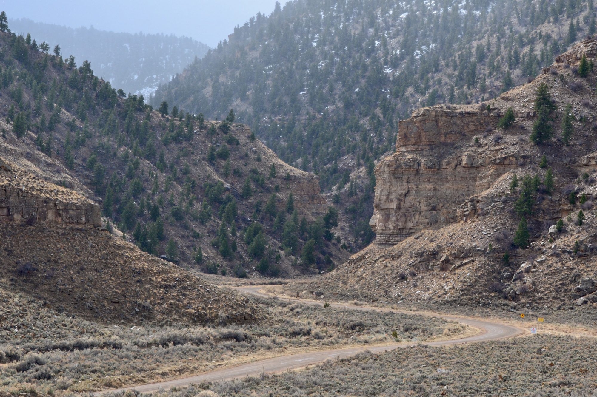
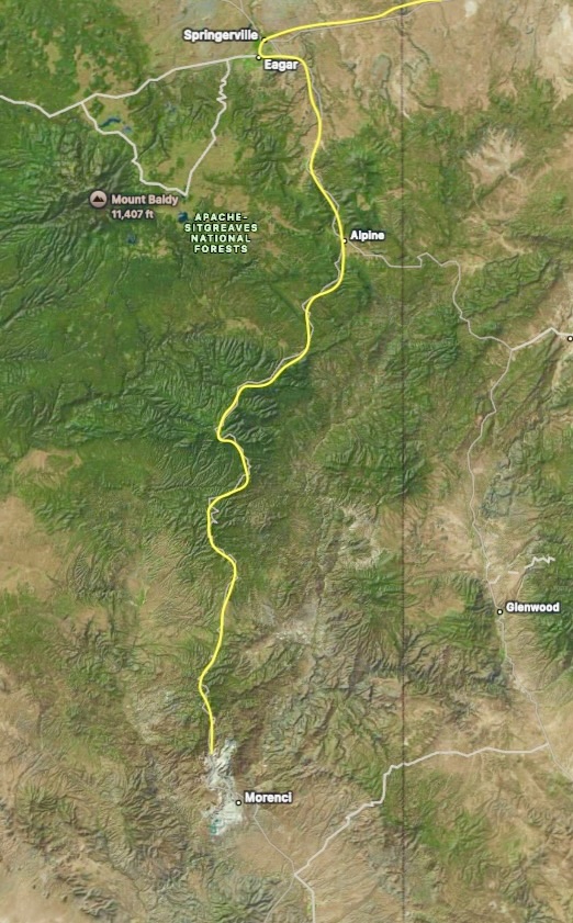
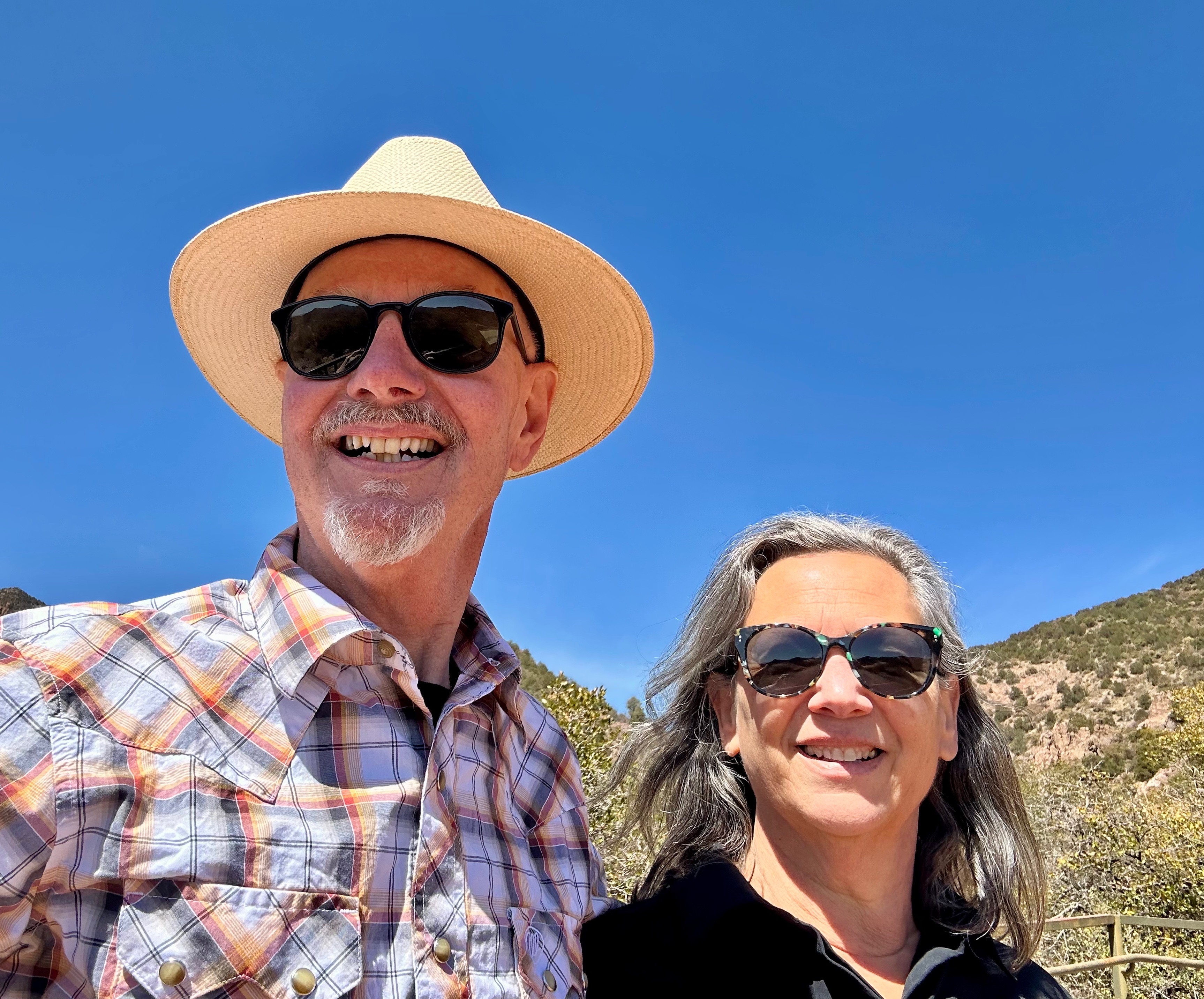
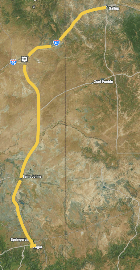
The photo above shows our route through the White Mountains of the Apache-Sitgreaves National Forest (ASNF) following Route 191 designated as the Coronado Trail Scenic Byway. The byway approximately follows the route of Spanish explorer Francisco Vasquez de Coronado as he and his band searched for the Seven Cities of Cibola. Coronado, of course, never found the mythical cities but he and his entourage did manage to plunder a number of `pueblos and kill a fair few indigenous people along the way.

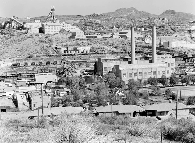
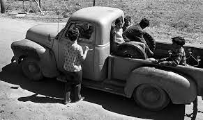
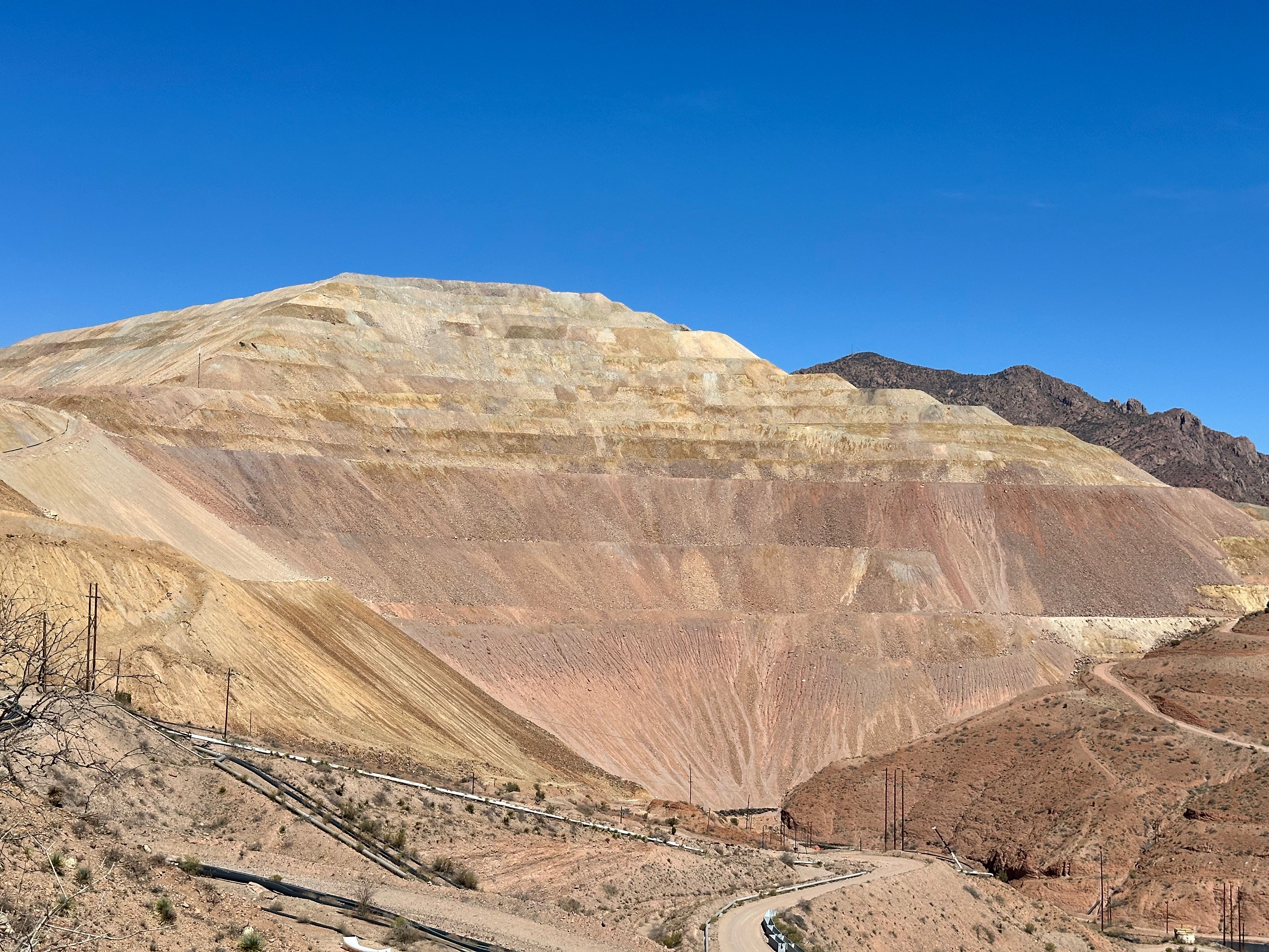
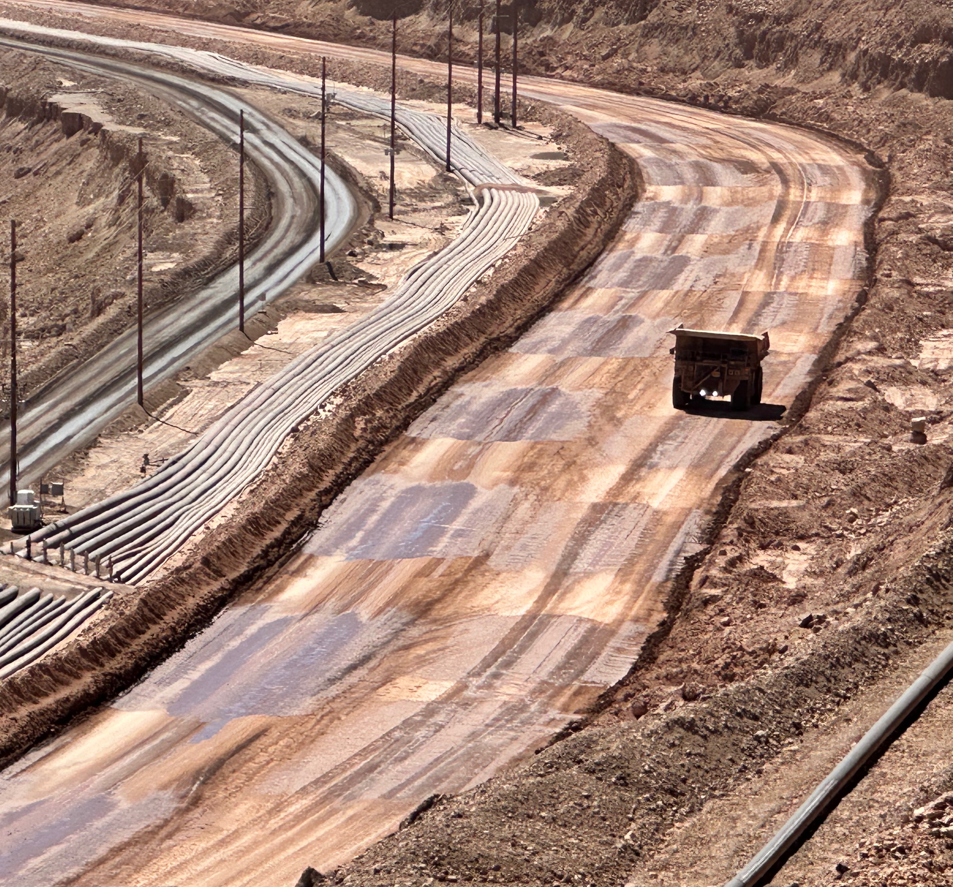
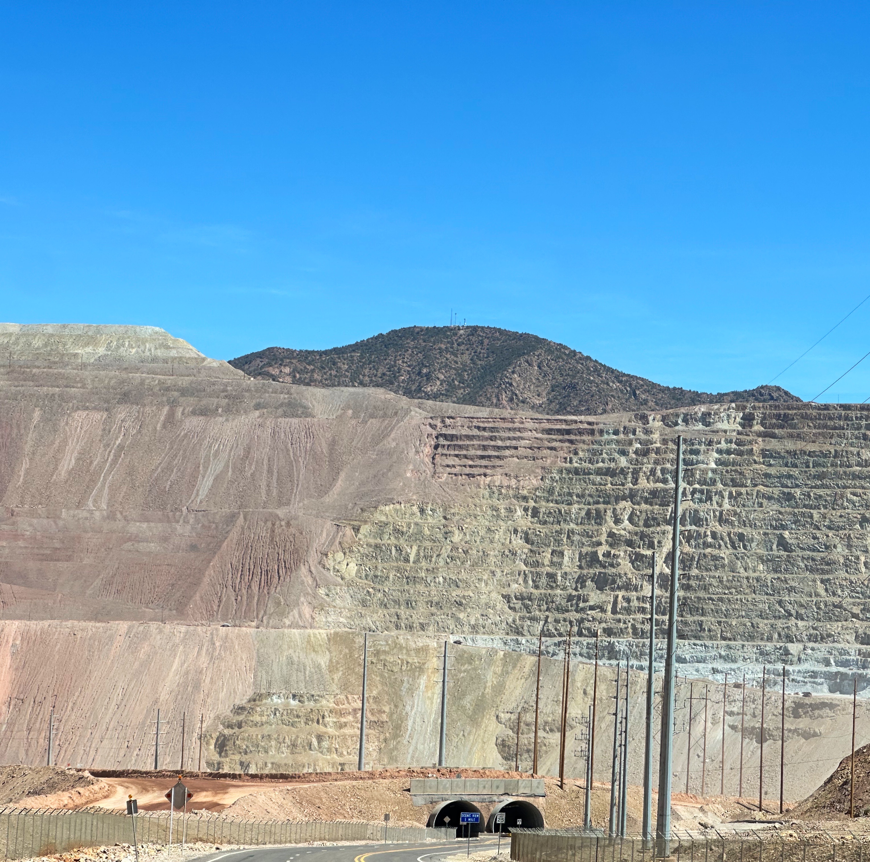
The photo above is not what most of us would imagine the view from a scenic road looks like (and it isn’t ) but the only way to the CTSR from the south is through the Morenci Copper Mine. This mine is the largest open pit copper mine in North America. As the mine continues to consume more territory, the plan has been to move the state highway so that it would go around the mine. The current section of the road was designated as 191T (for temporary) but a new road around the mine has not been completed. So, travelers have the opportunity to drive right through the massive mining operation and the mining towns of Clifton and Morenci.
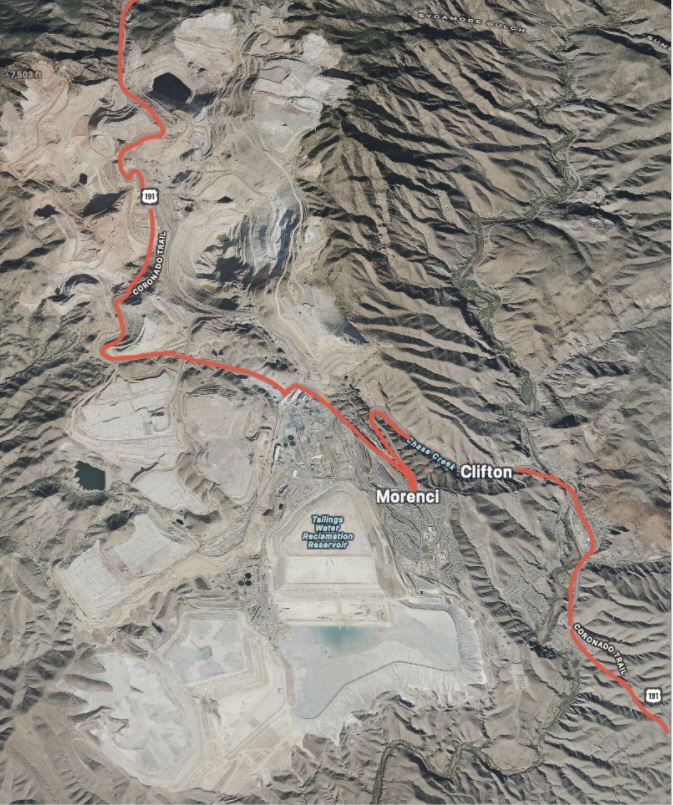
While this mine is one of the largest man-made scars on earth, we were quite facinated by the specatcle of this gargantuan mine and the scale and complexity of the operation (more in a bit).

(Photo courtesy of Mining Technology)
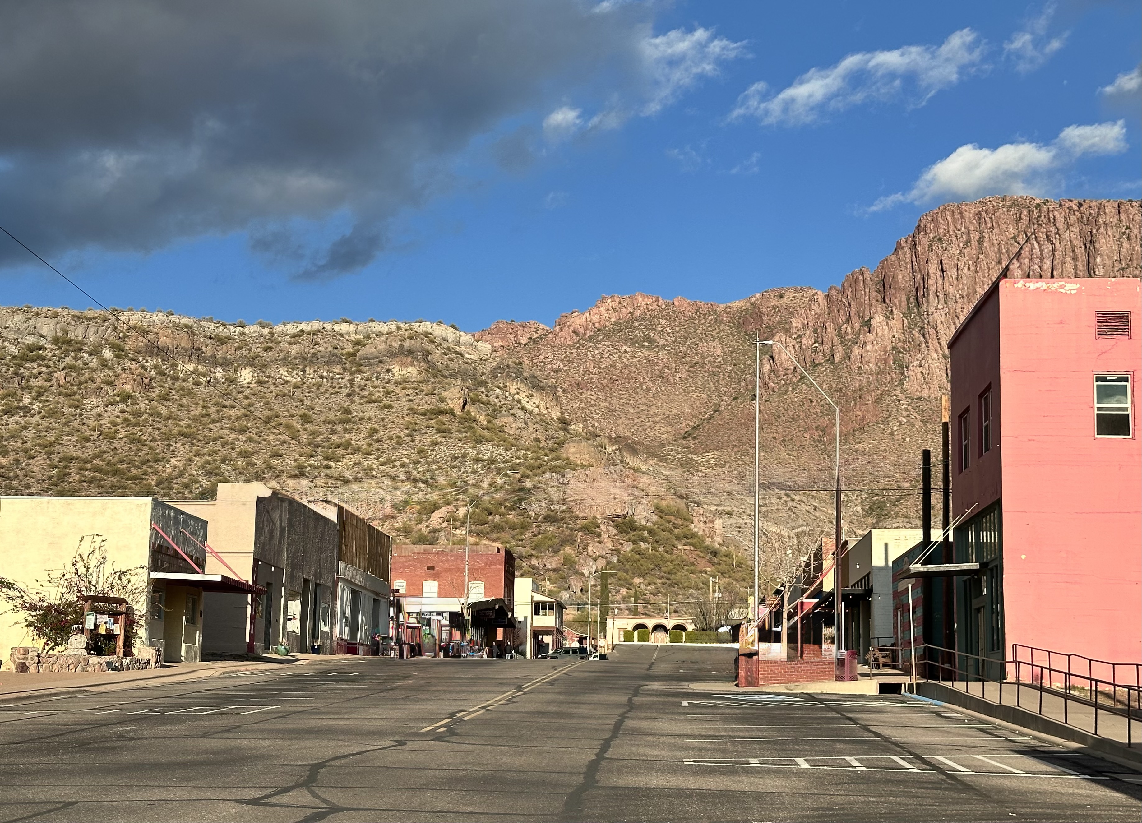
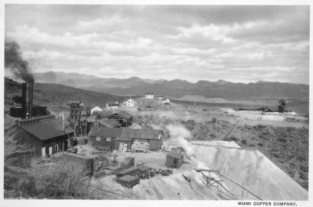
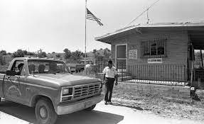
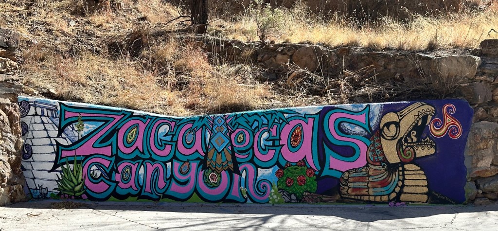
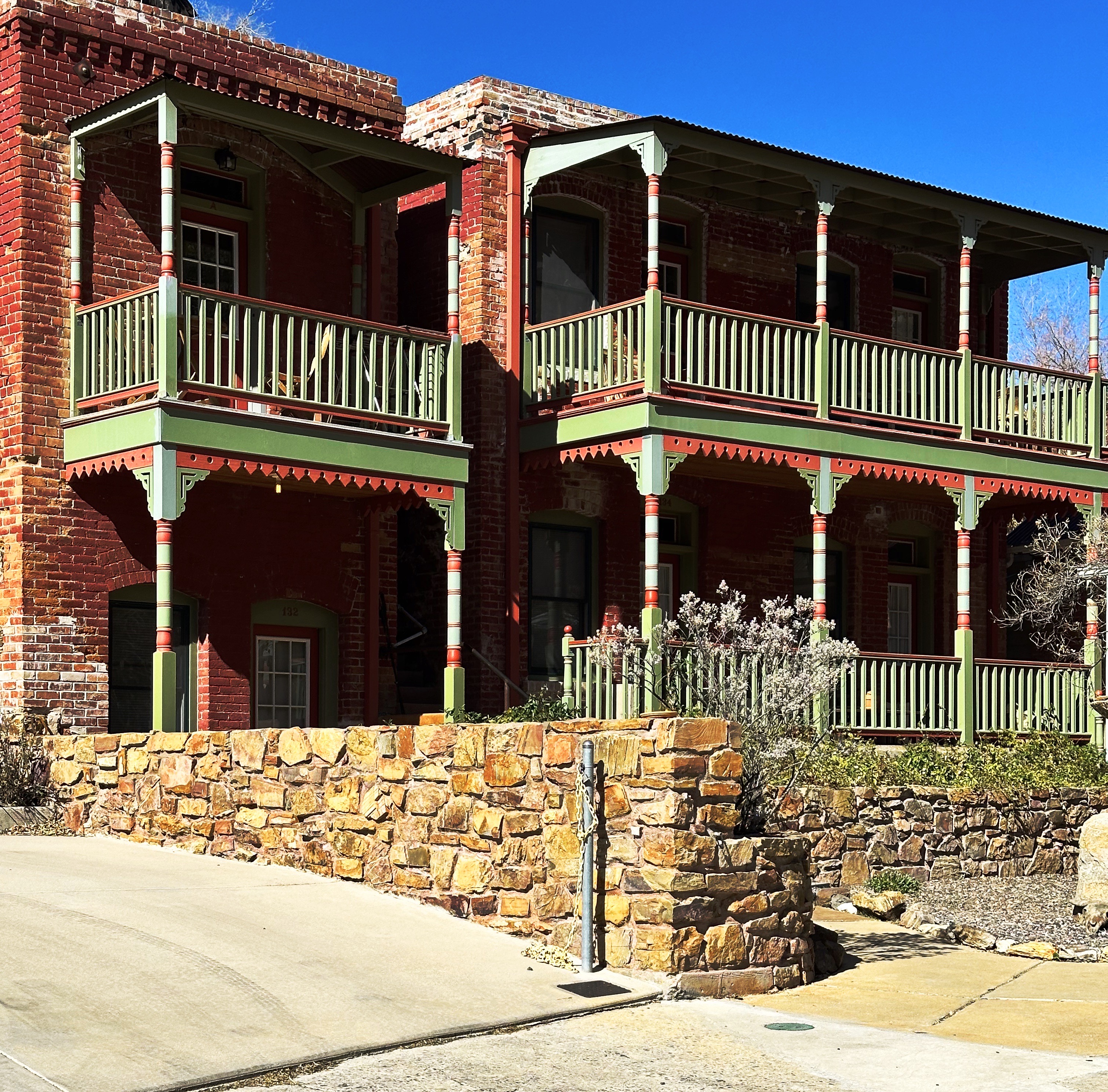
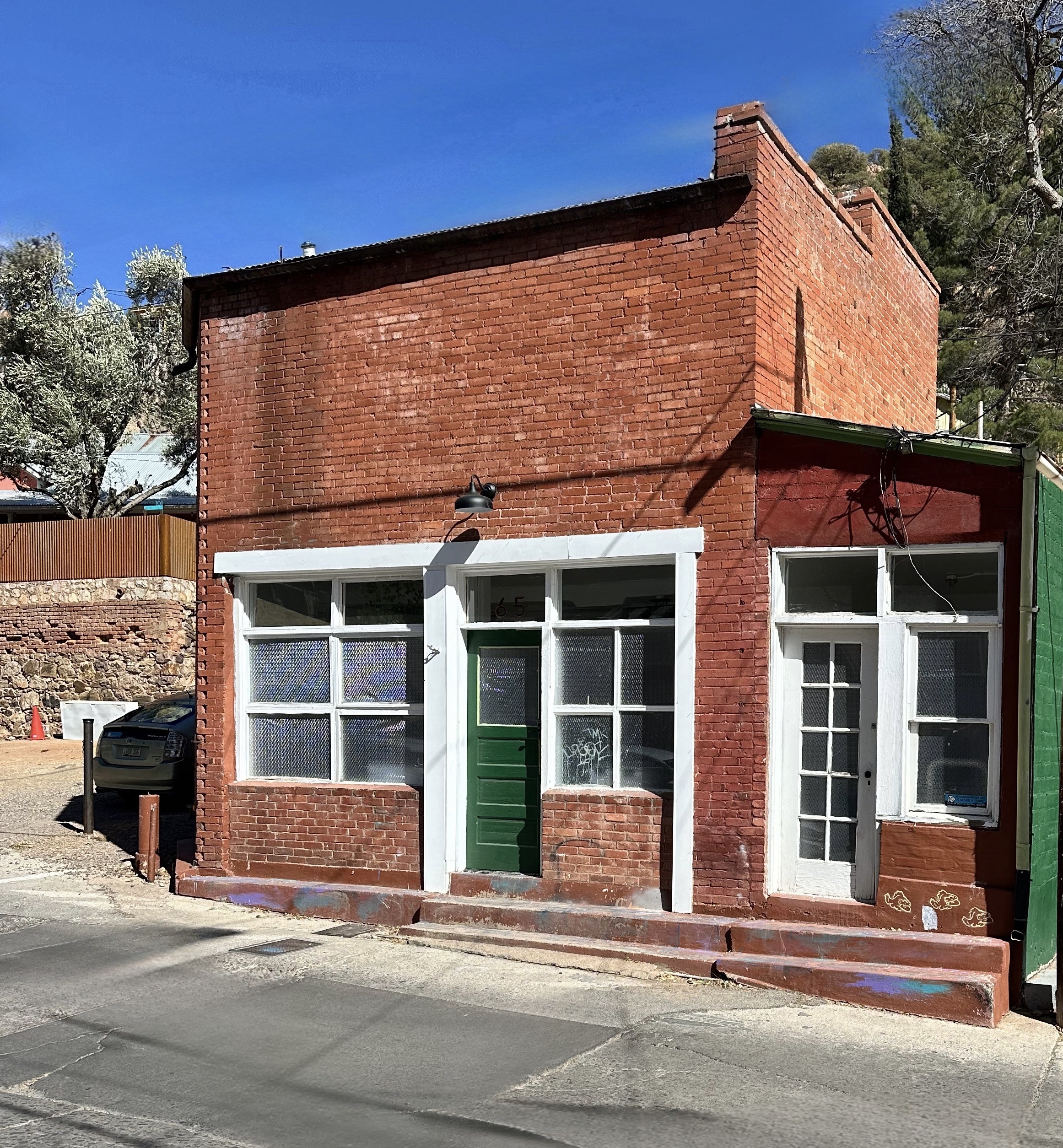
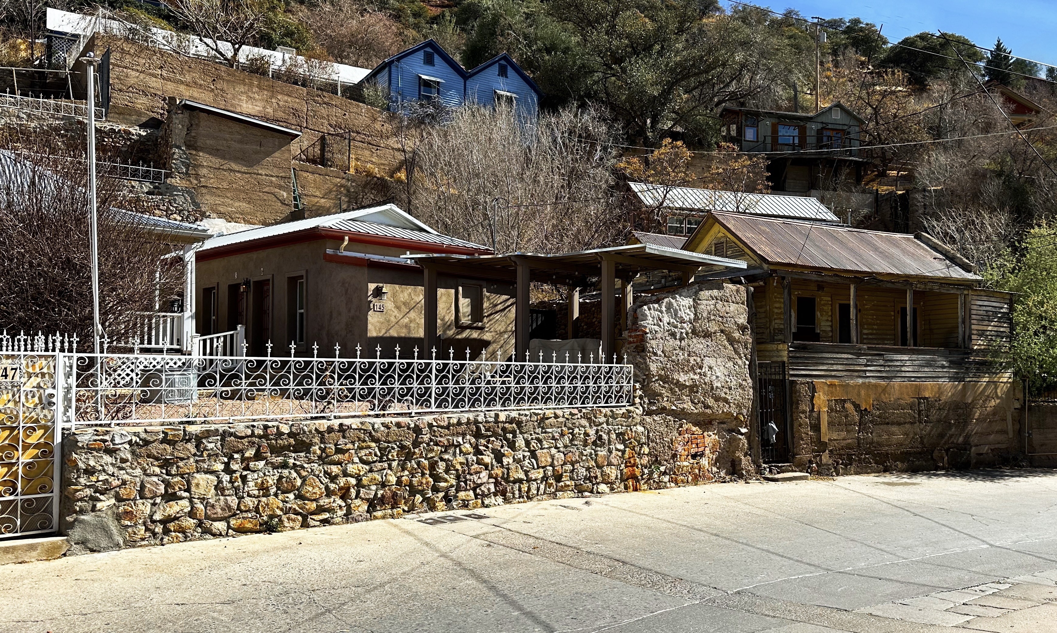
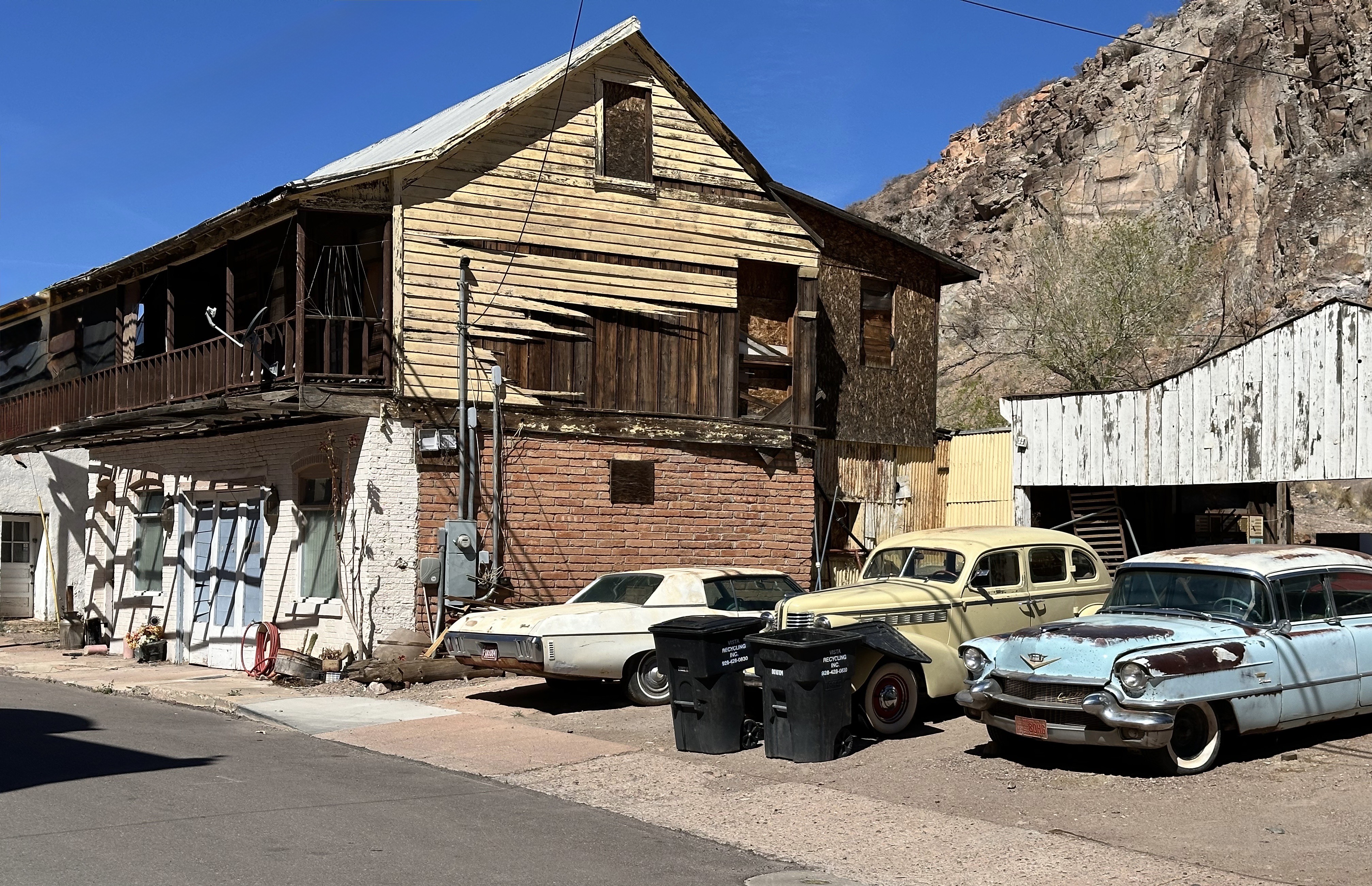
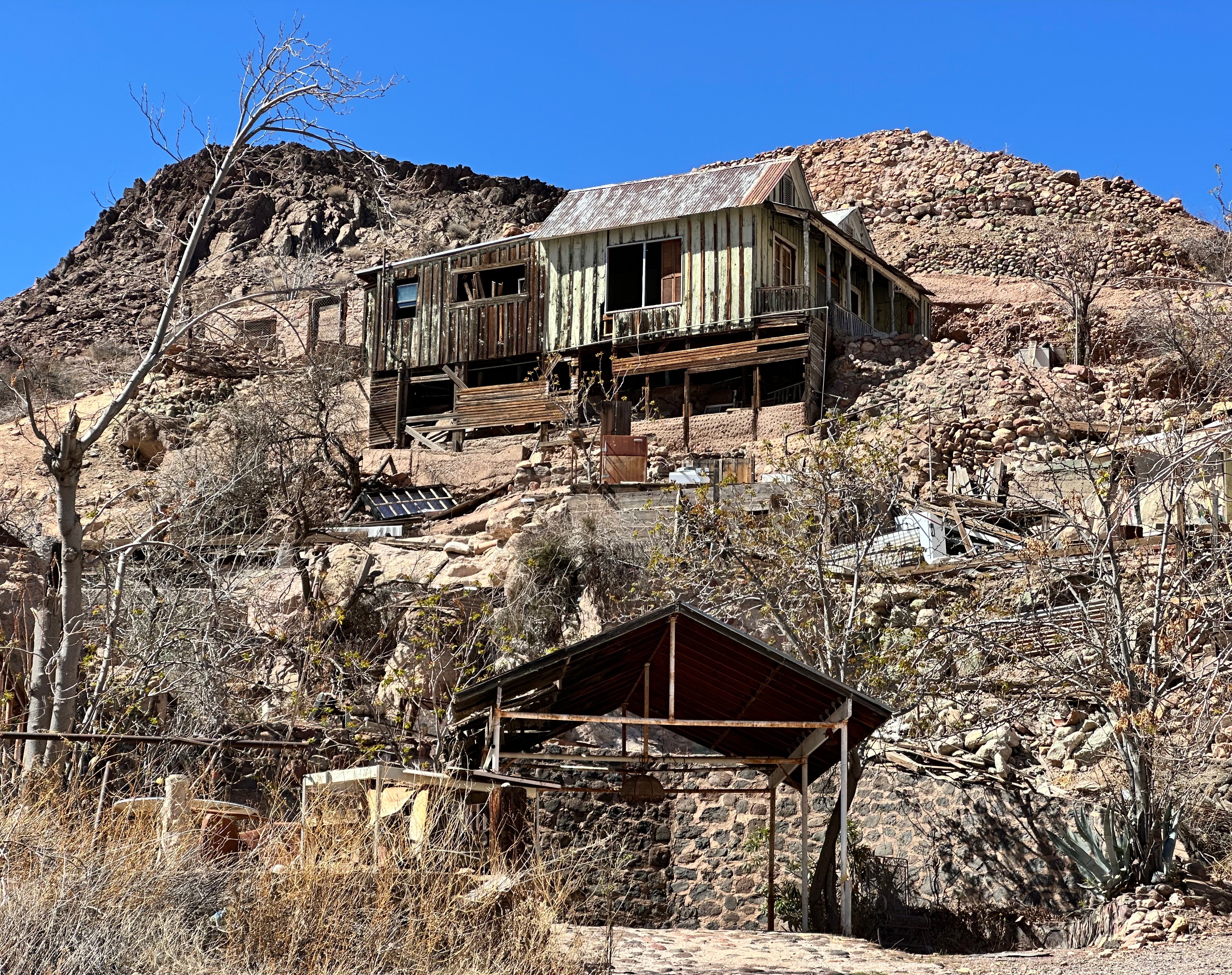
Clifton, Arizona (founded 1873, pop. 3780, elevation 3875′)
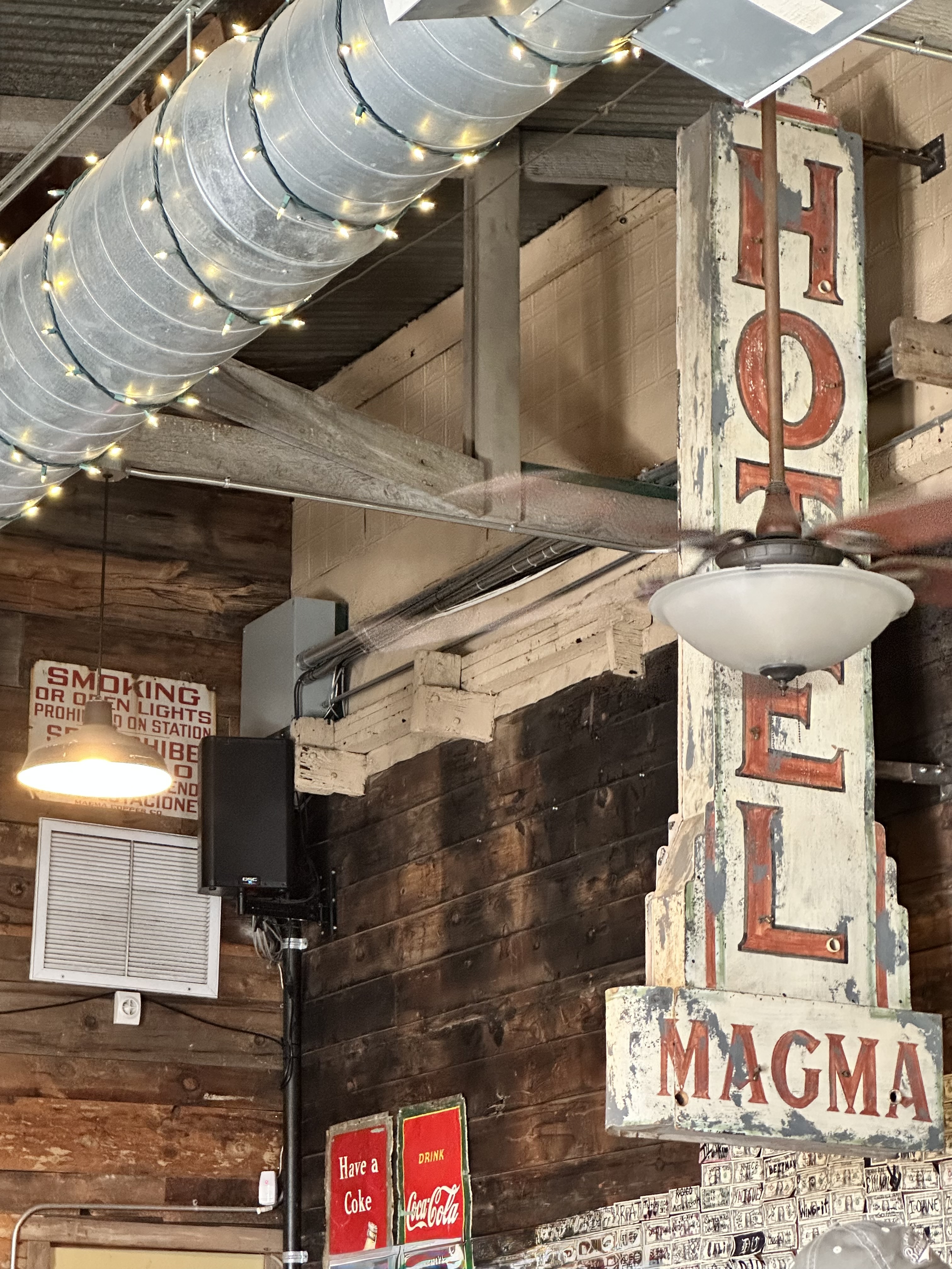
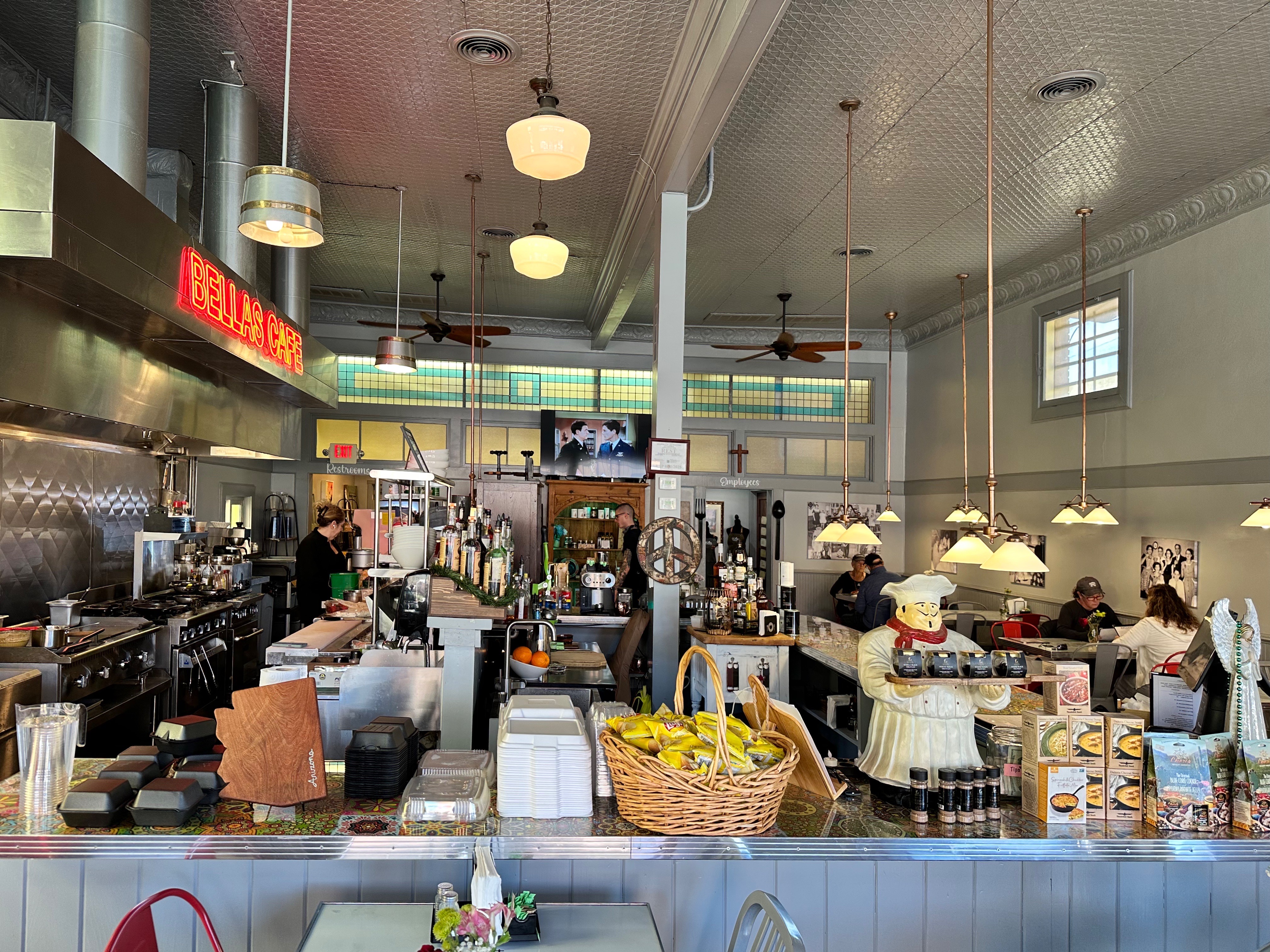
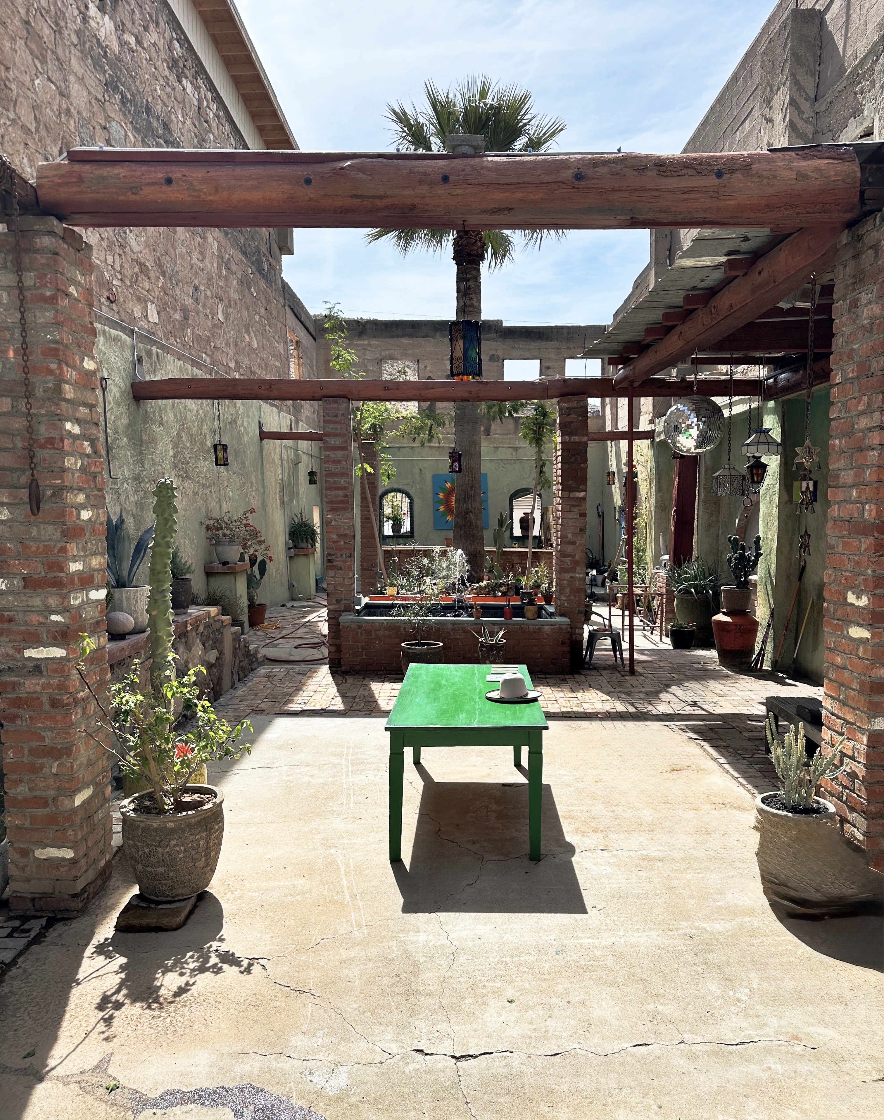
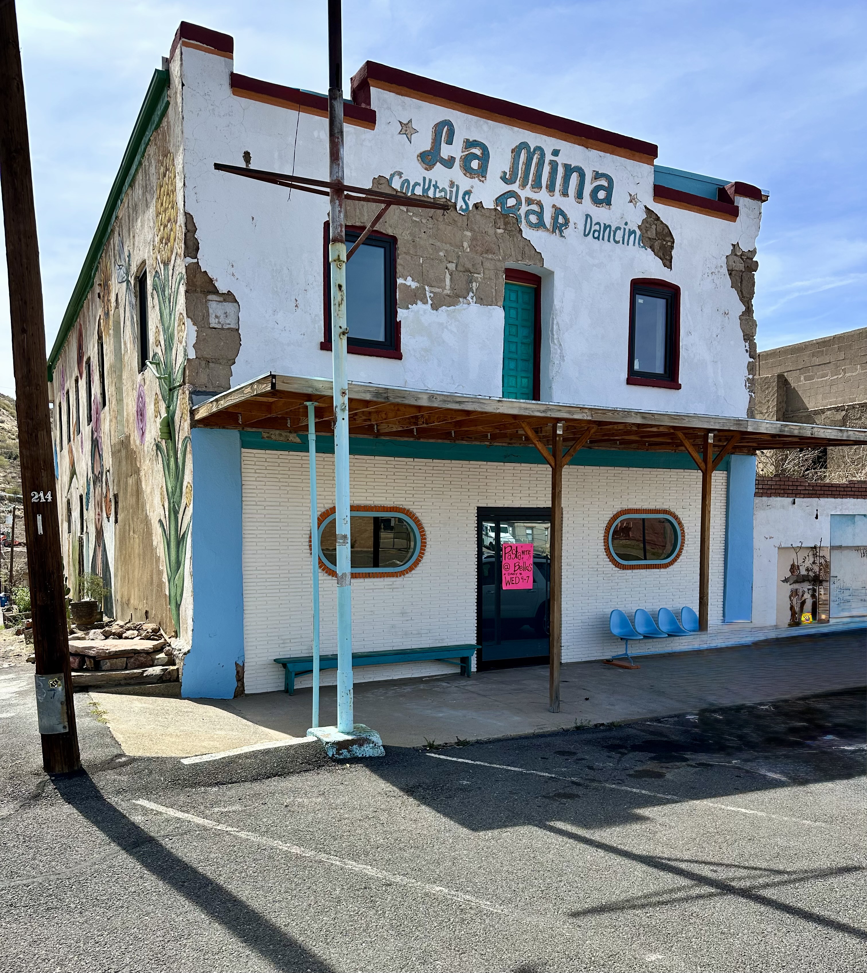
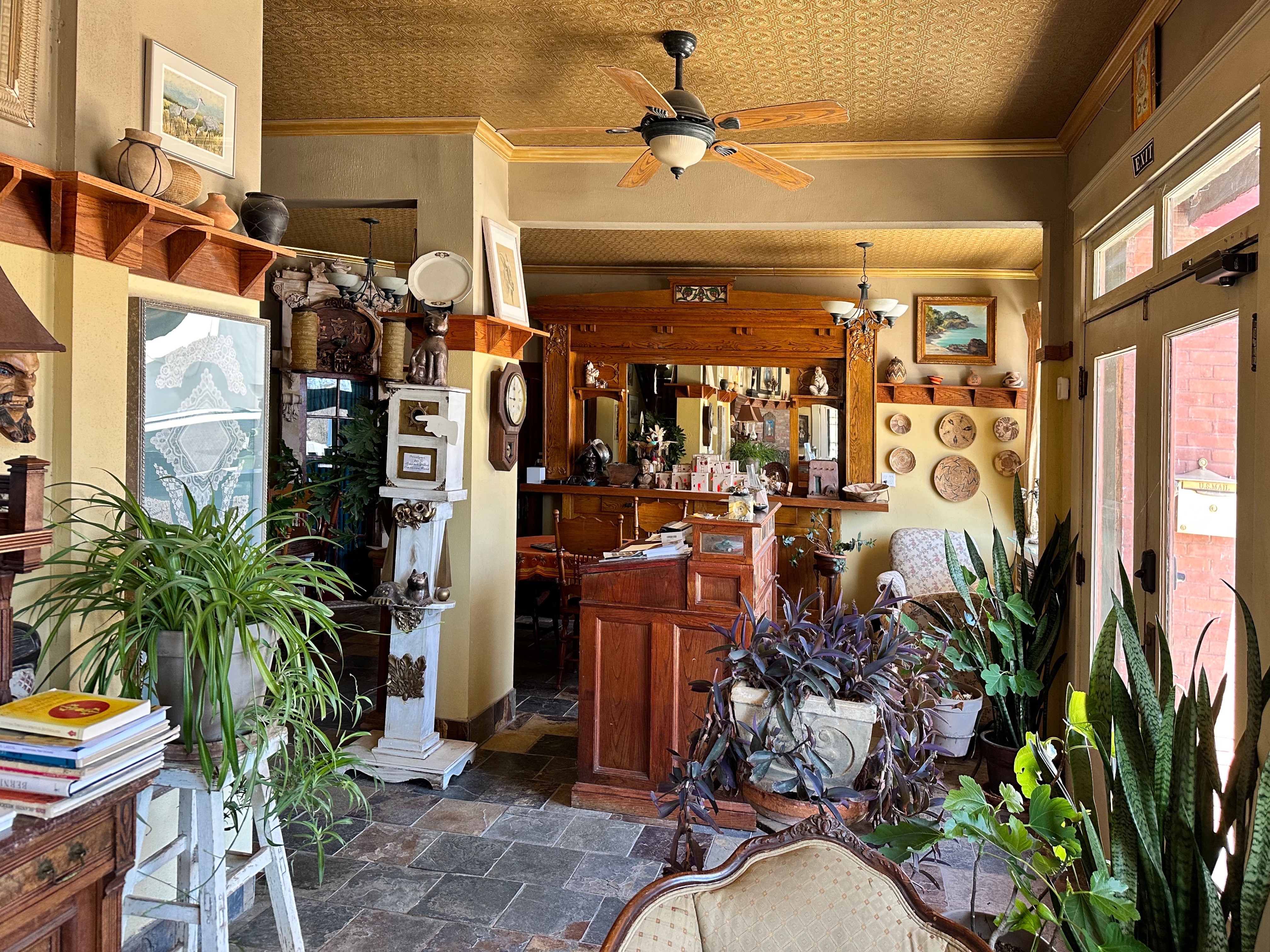
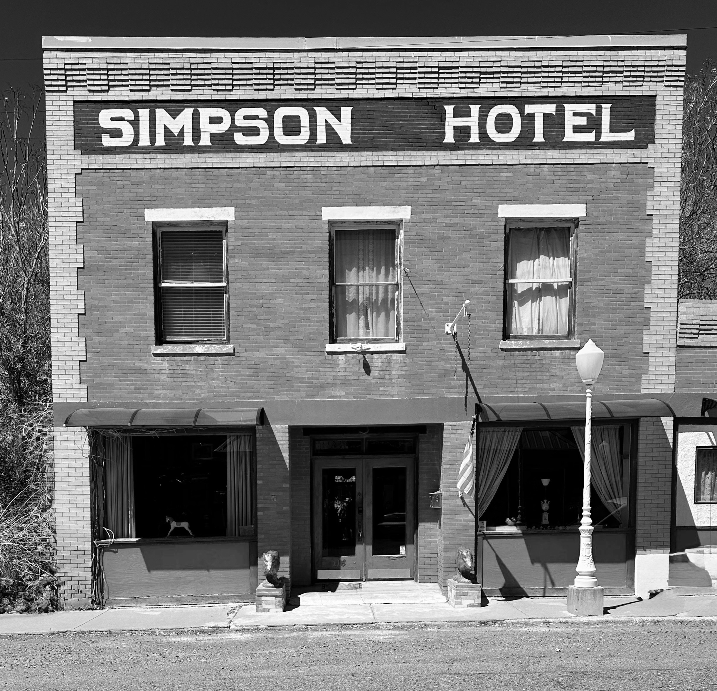
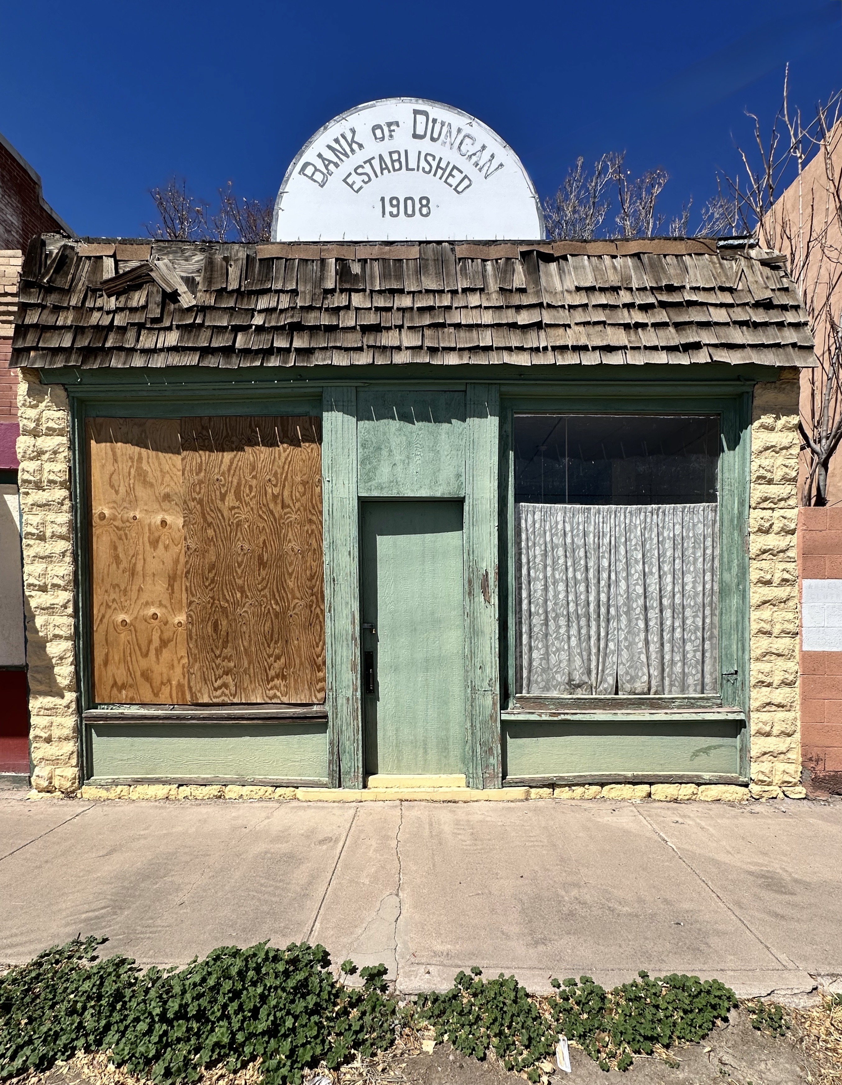
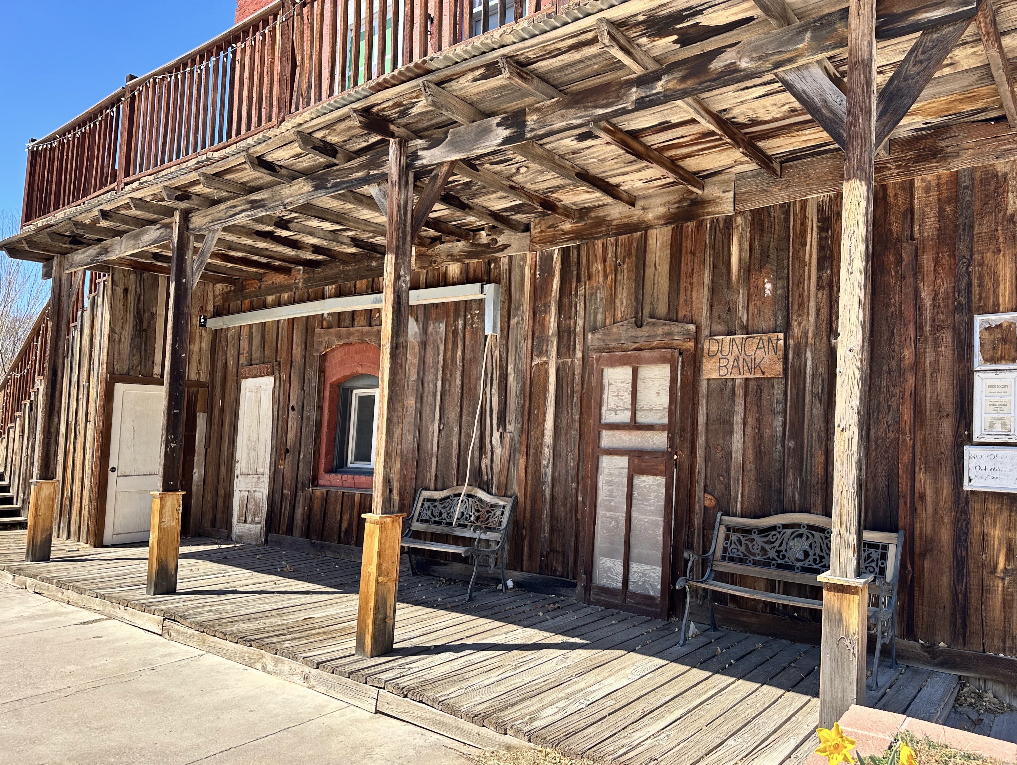
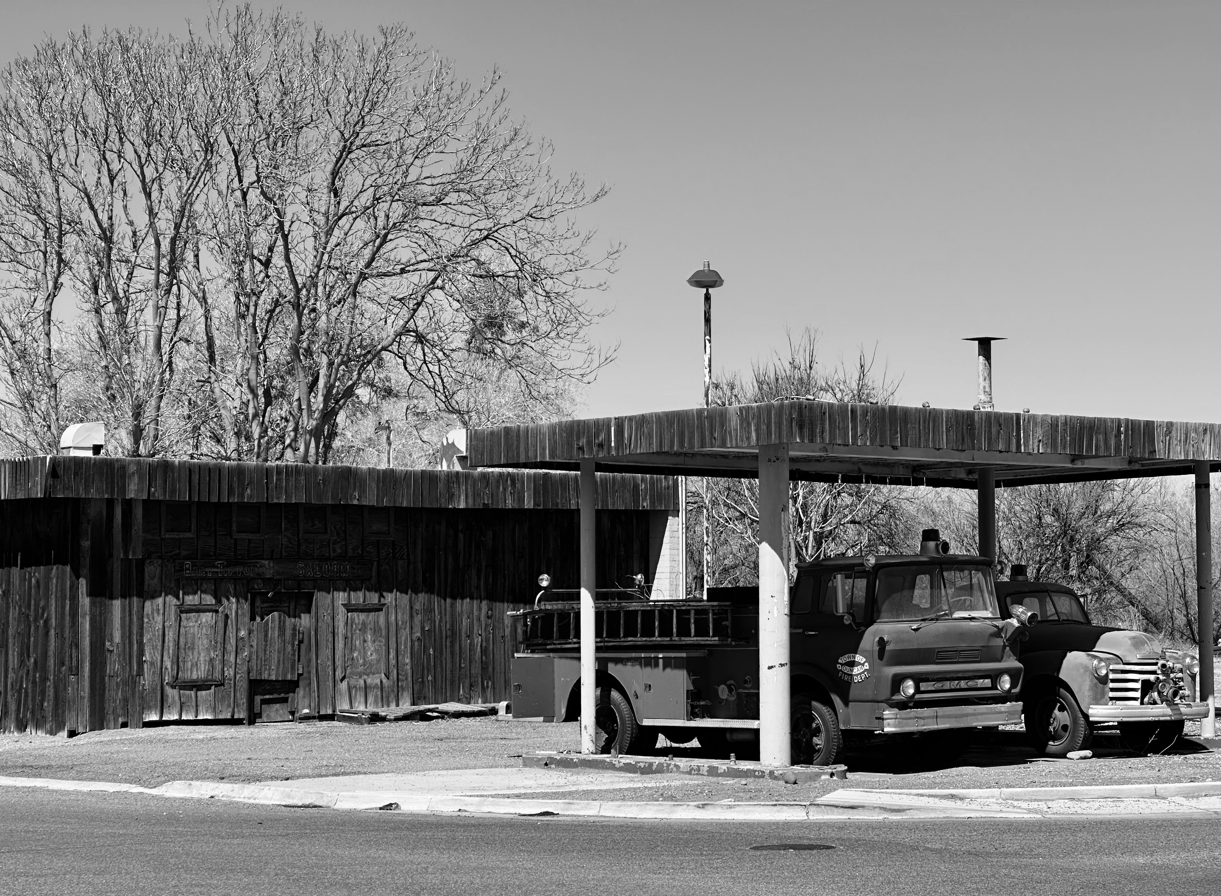
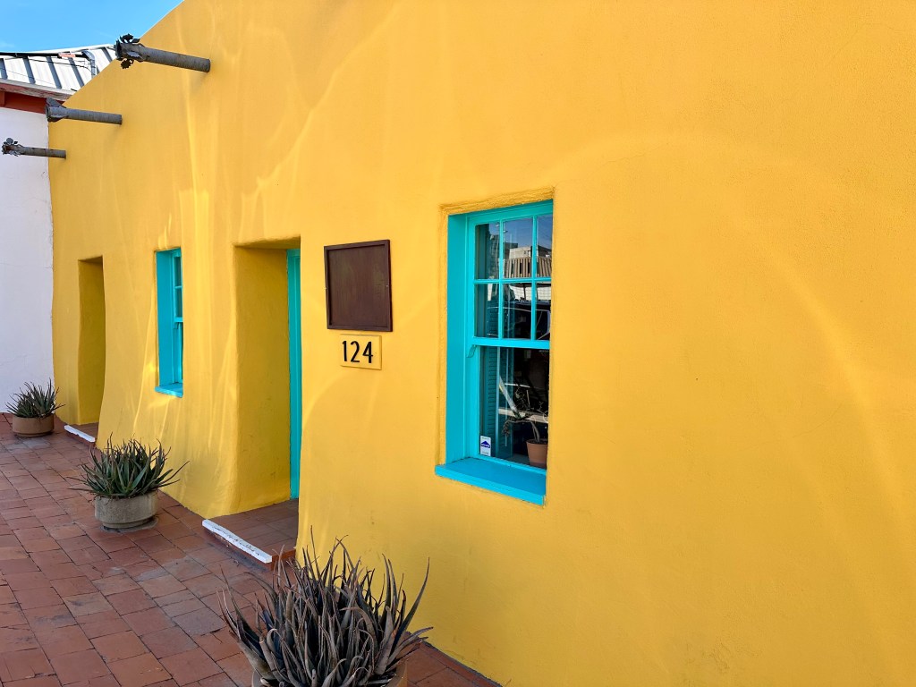
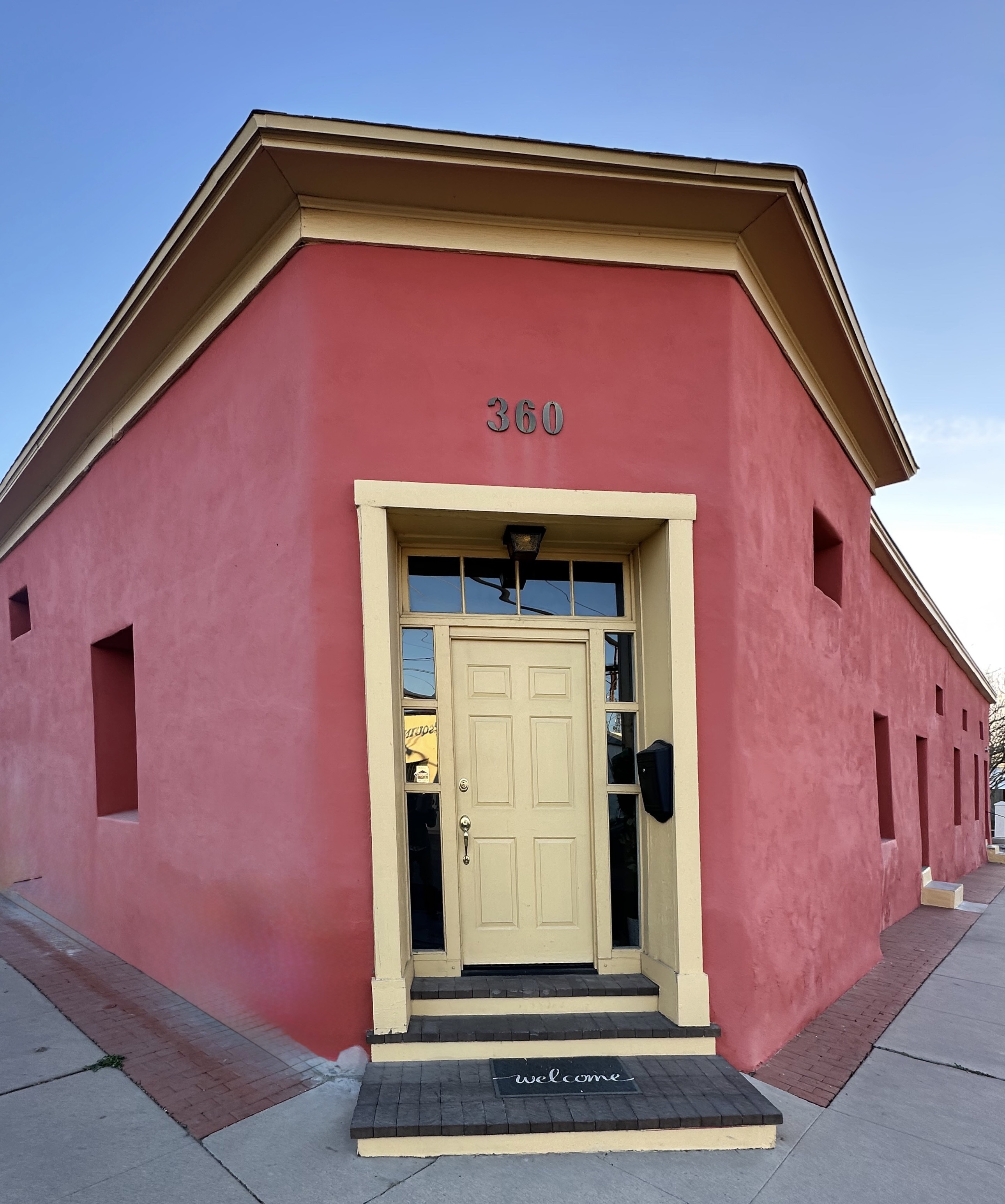
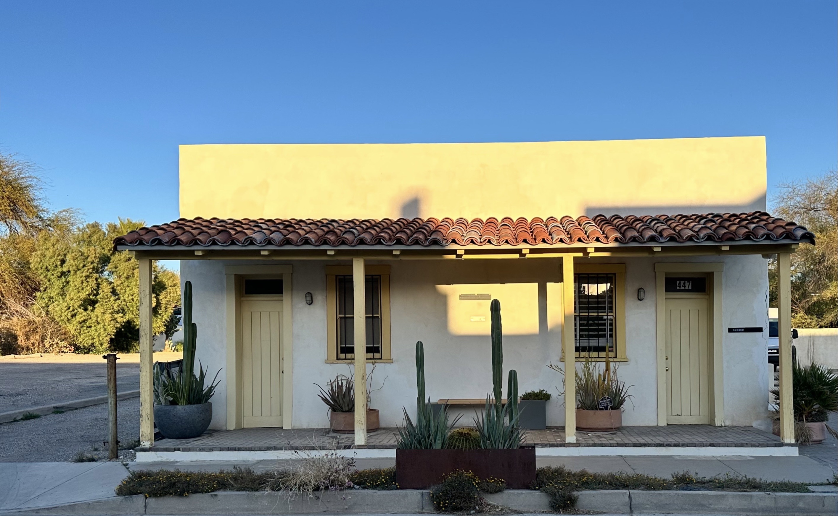
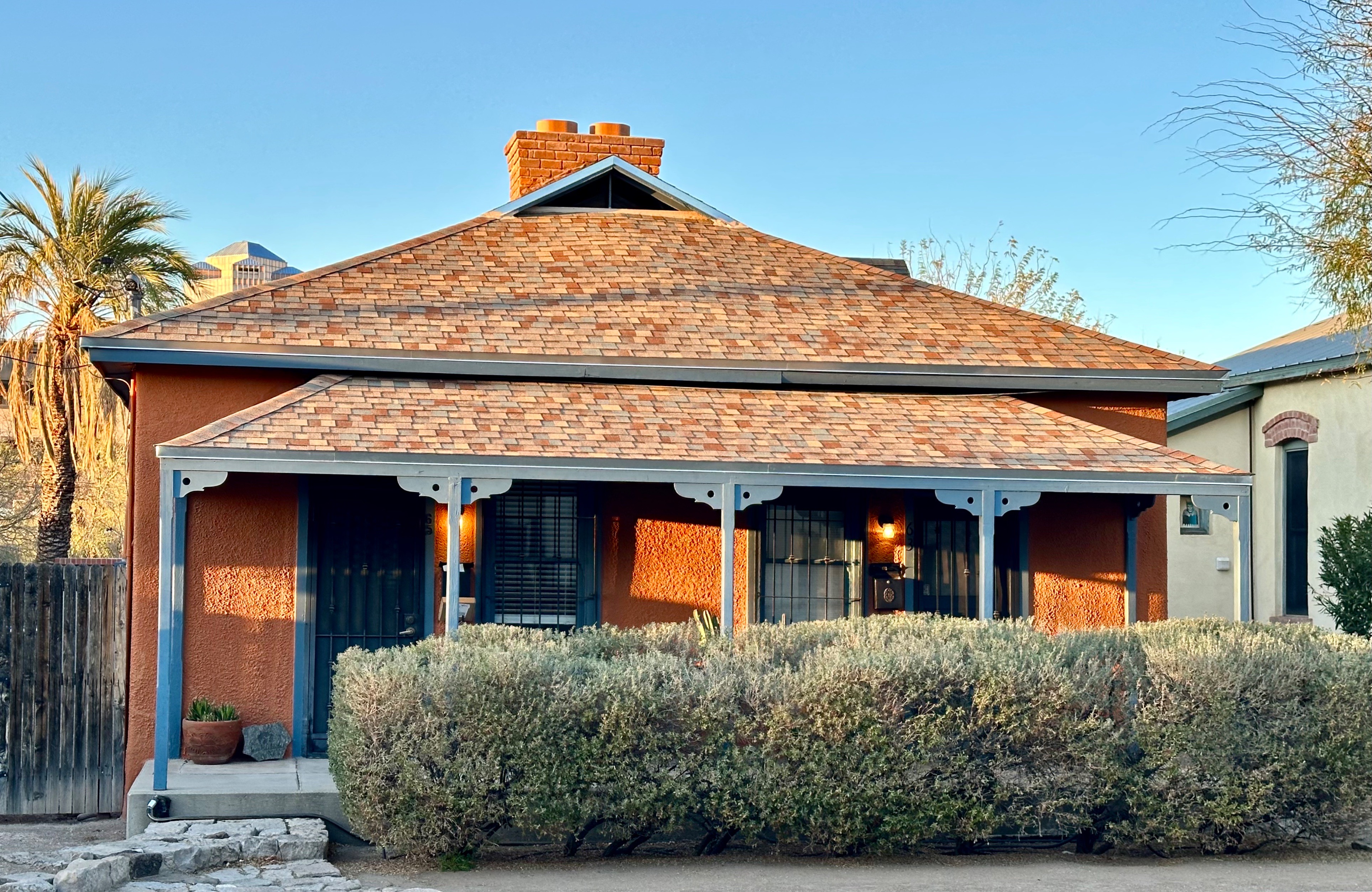
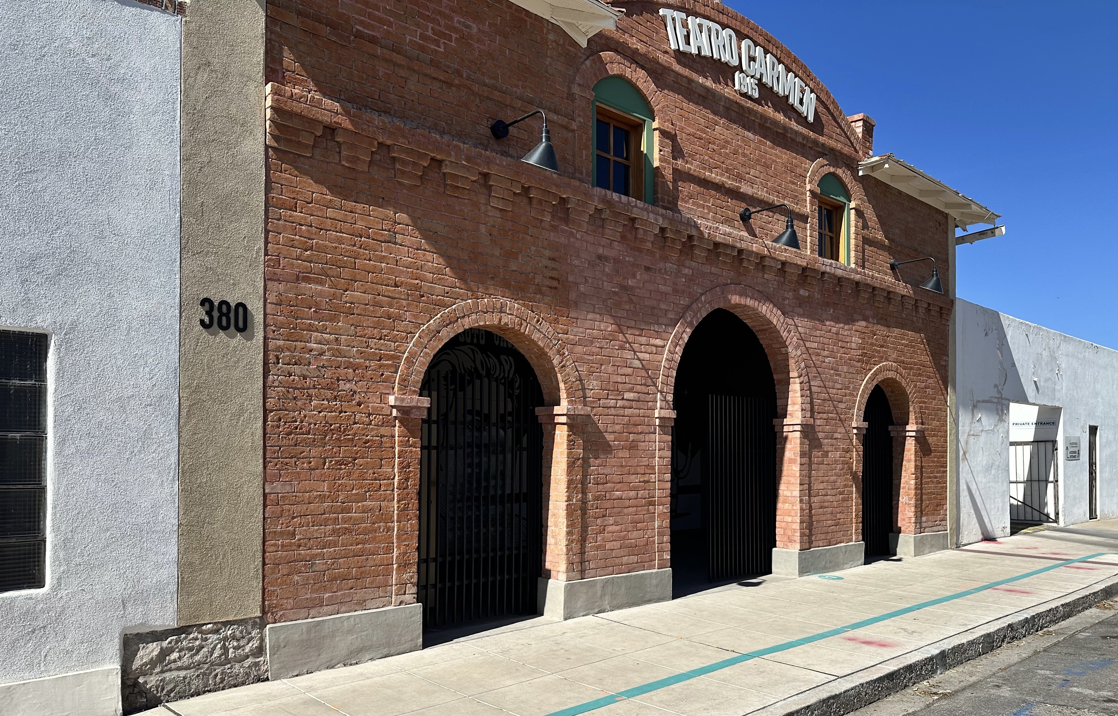
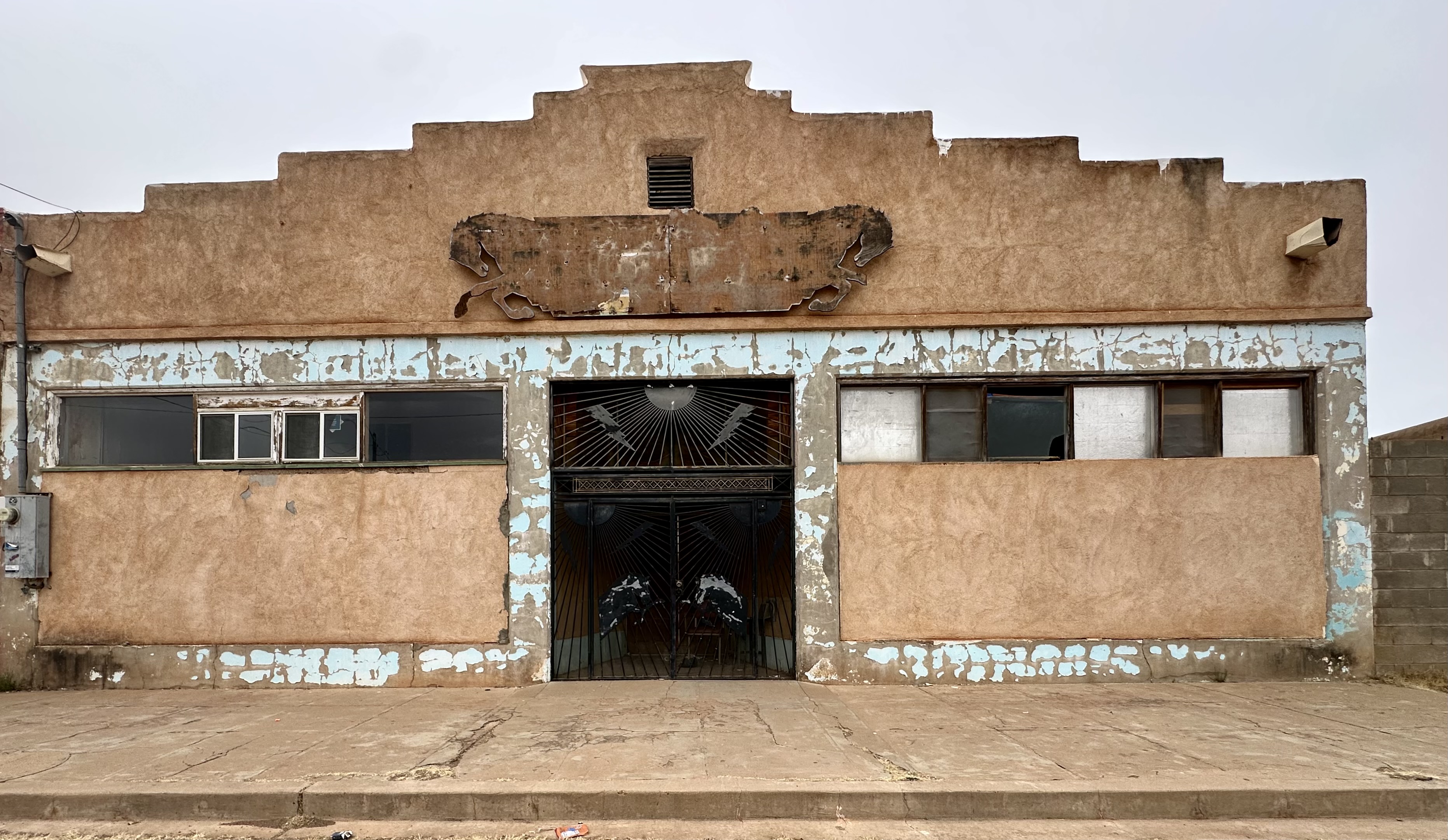
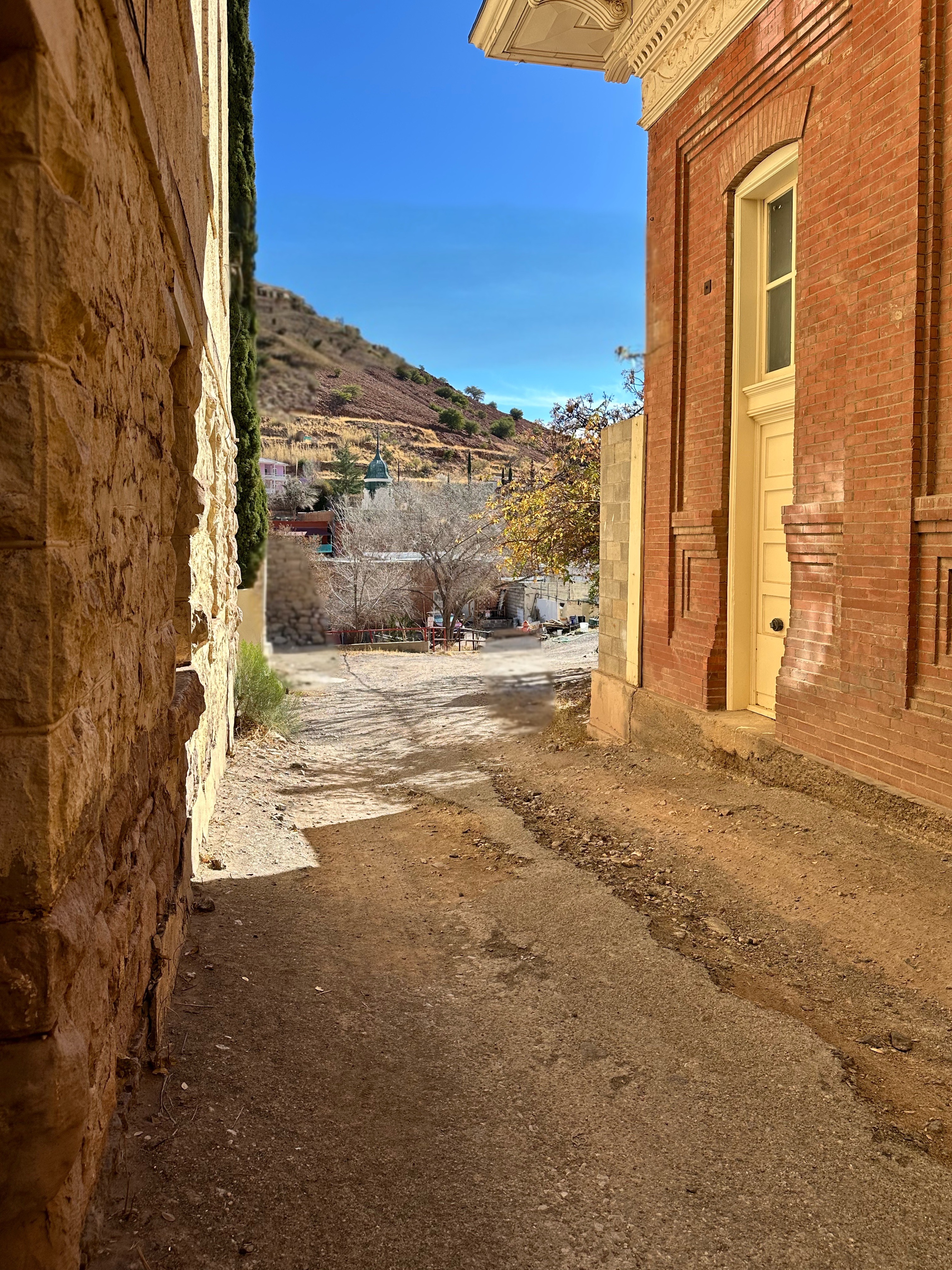
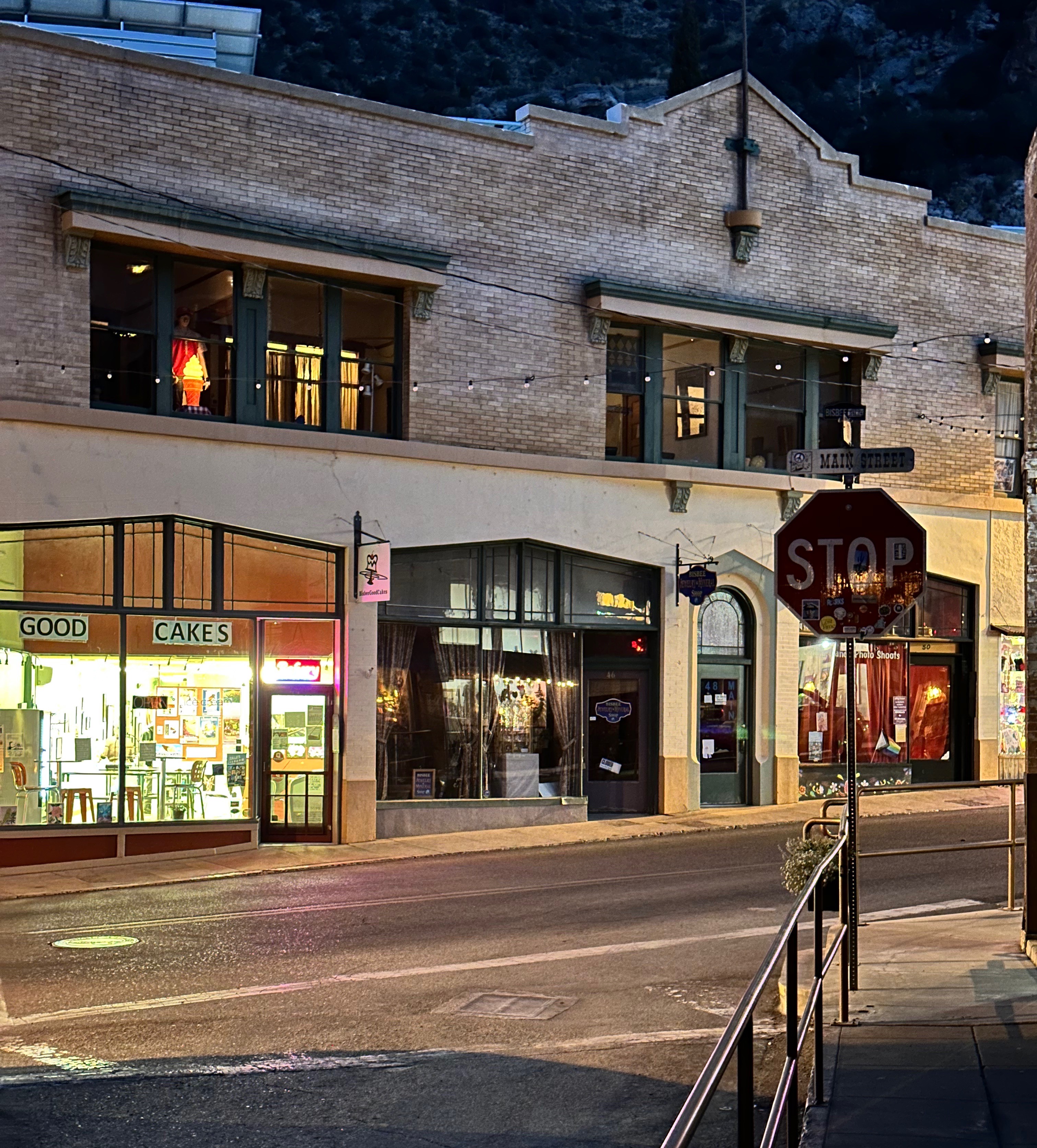
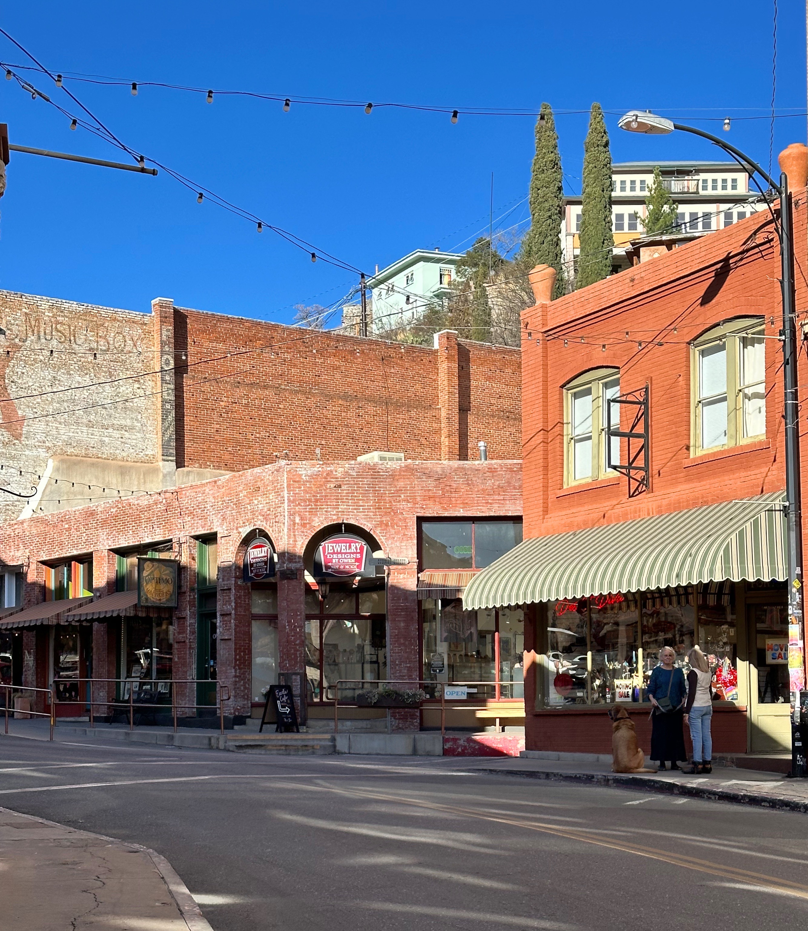
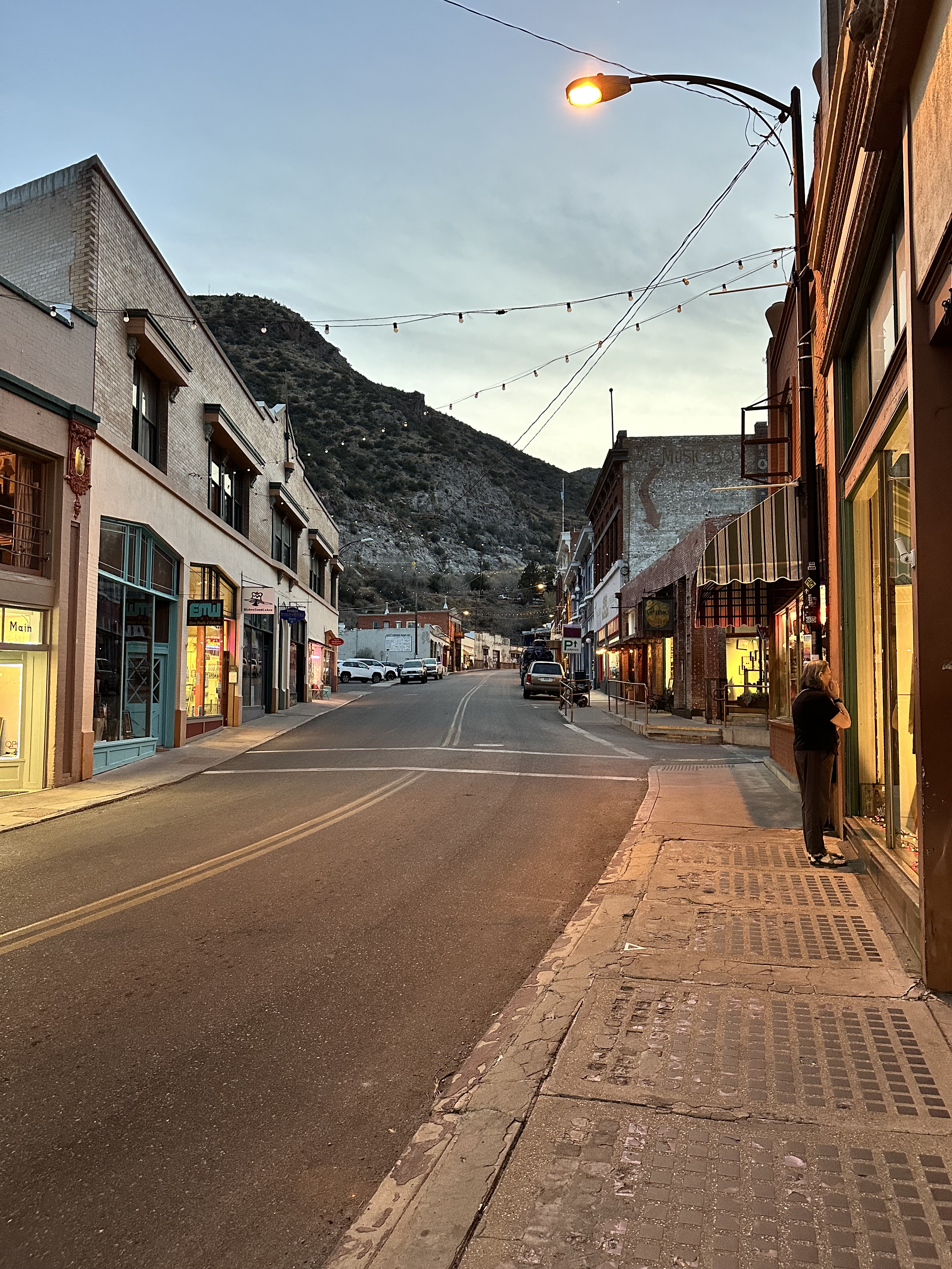
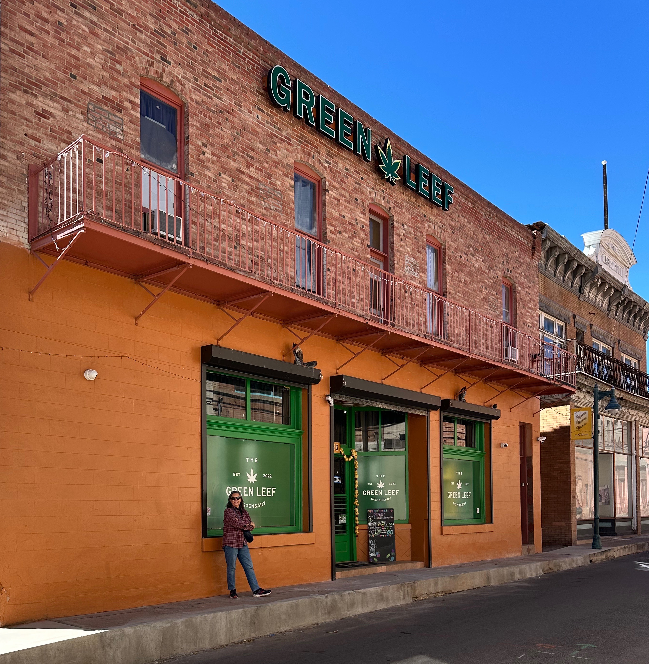
The town of Clifton sits at the southern end of the mine. The historic Chase Creek Street is 50-60% unoccupied but the buildings are in reasonably good shape. Chase Creek Street once was a bustling downtown street with hotels, saloons, restaurants and mercantiles. It could be quite attractive again for visitors if there were more tenants with shops and restaurants. (For a brief history of the town of Clifton click on the link above).


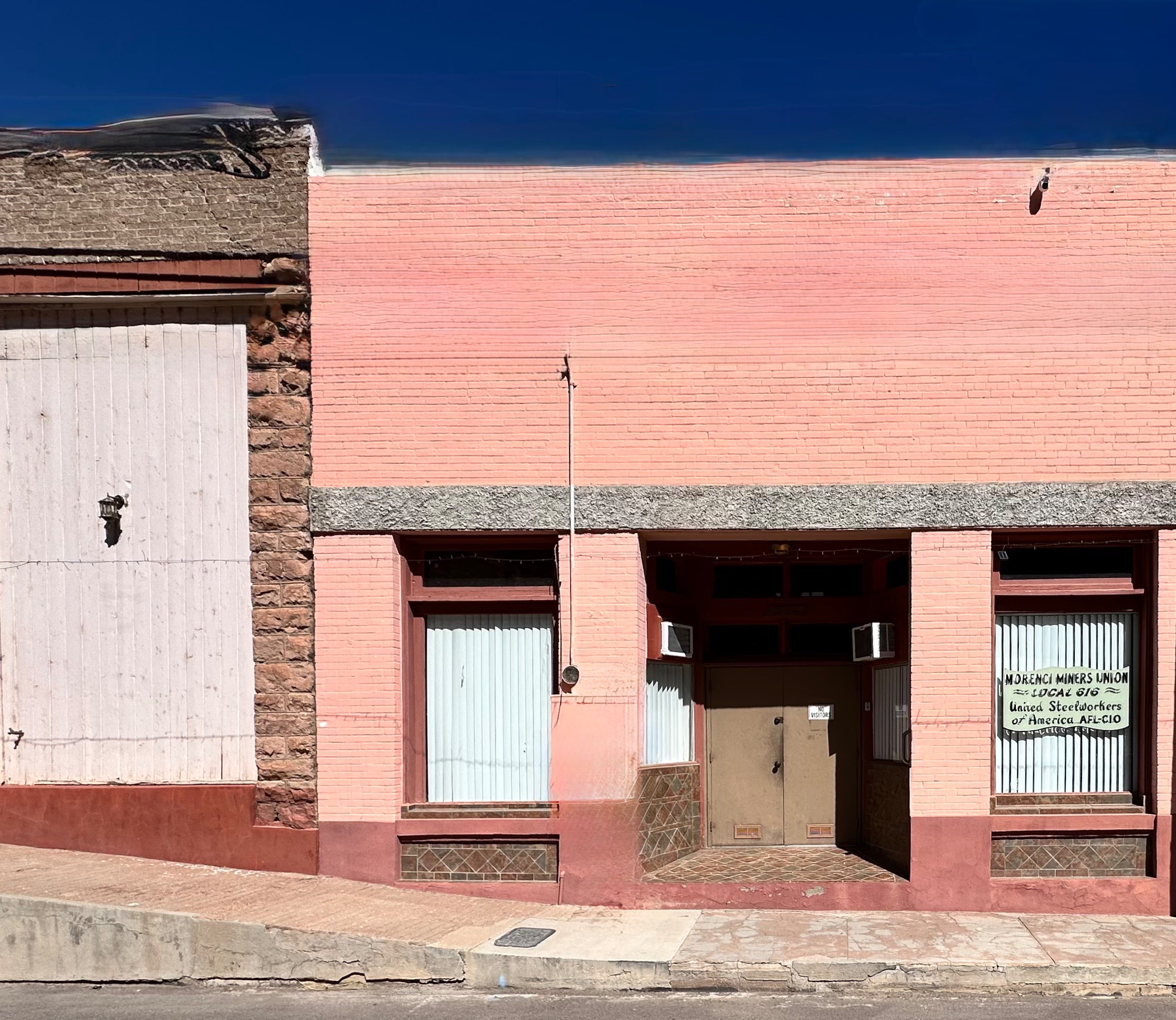
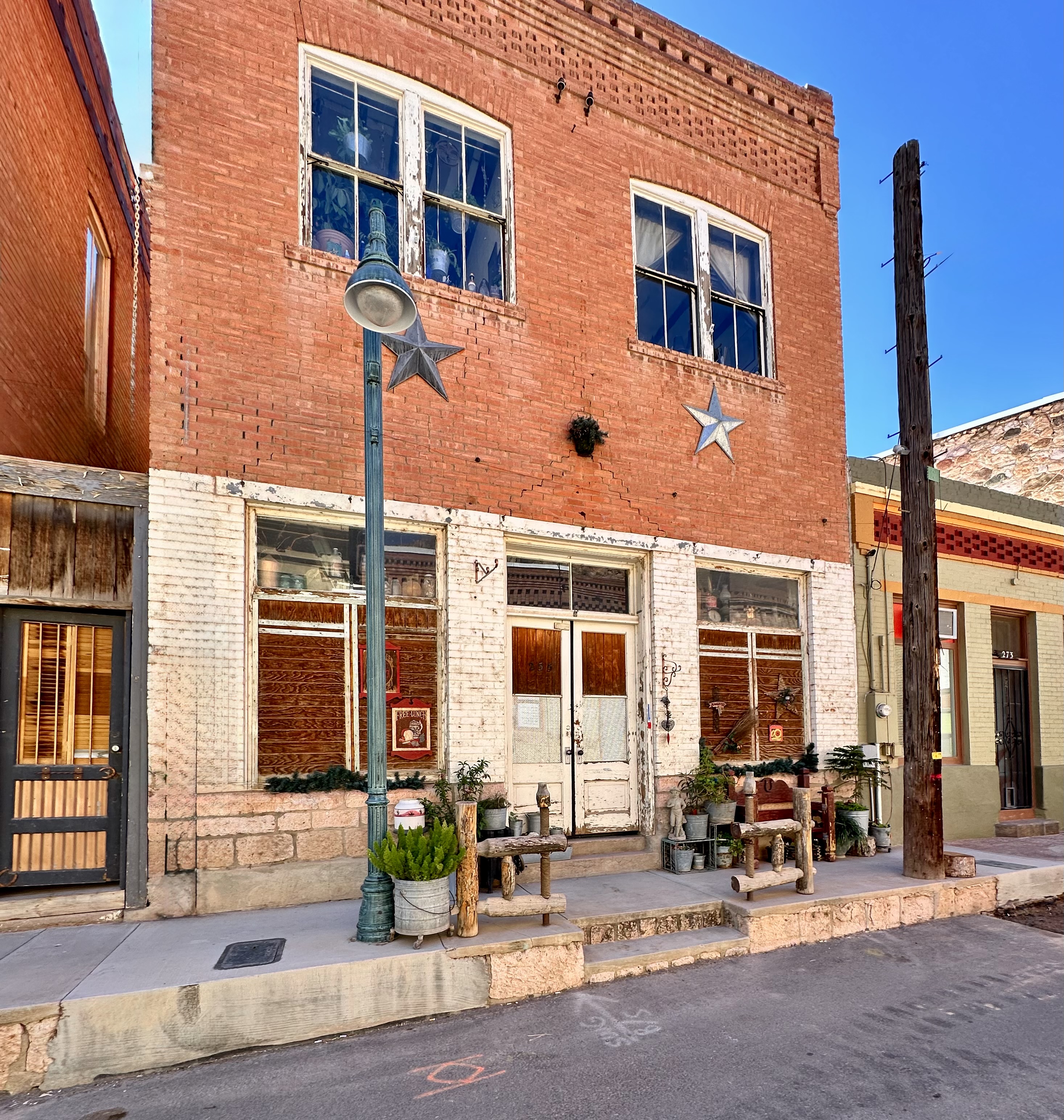

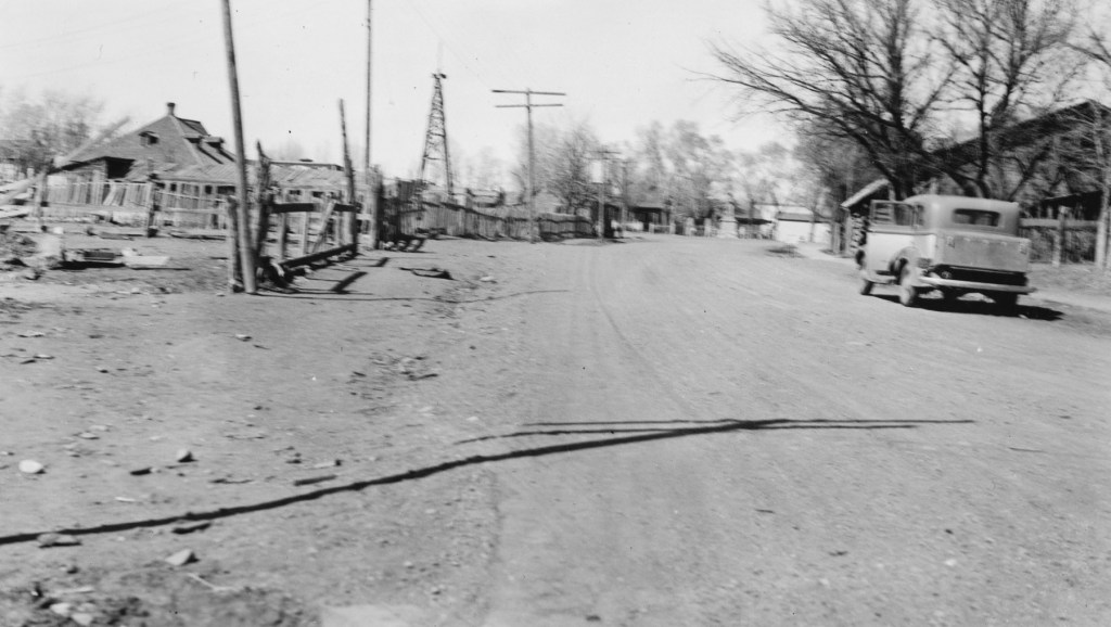
The town has a rich 150 year history centered around copper mining. In 1983 two events ocurred which changed the town forever. The first was the cataclysmic flood which hit the town on 1 October of that year. The flood wiped away half the town but remarkably no one was killed. The town had never been flooded since its original settlement. (The link above will take you to an article which includes photos taken during the flood).


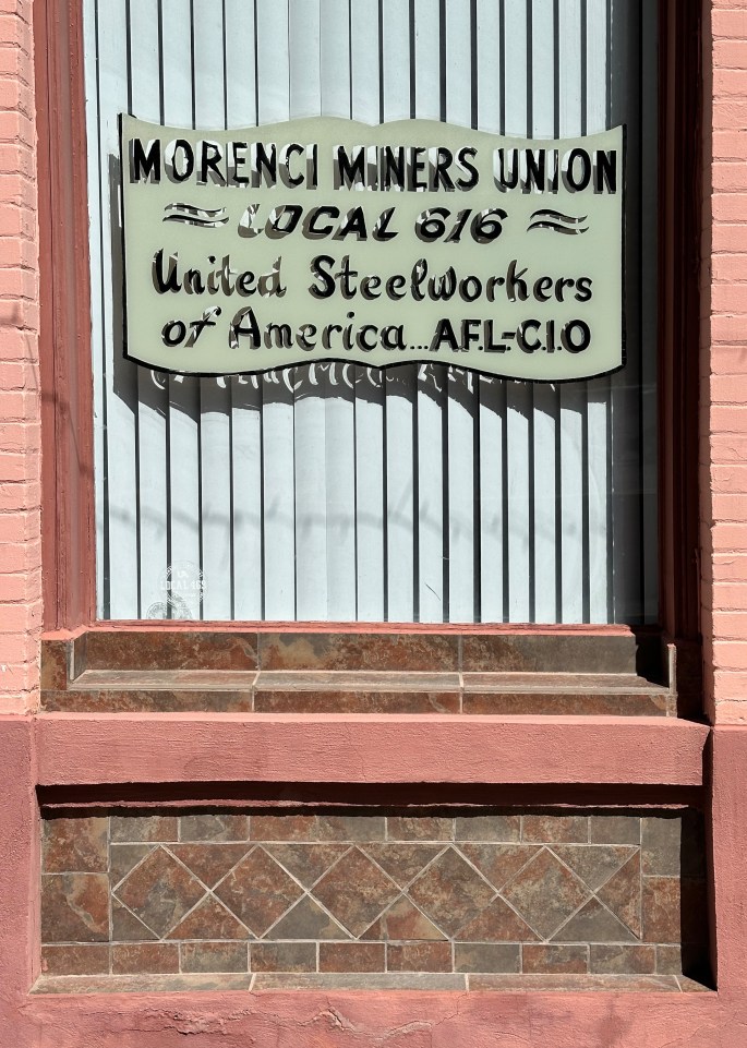
The second event, which also ocurred during 1983, was the labor strike at the Morenci Mine. At the time the mine was owned by the infamous (in our opinion) Phelps-Dodge Mining Company. Phelps-Dodge was the only copper mining company that would not agree to a cost of living wage adjustment for the miners. The union went on strike until a 1986 settlement, but by then the union workers had been replaced by non-union workers and the union was broken for good.


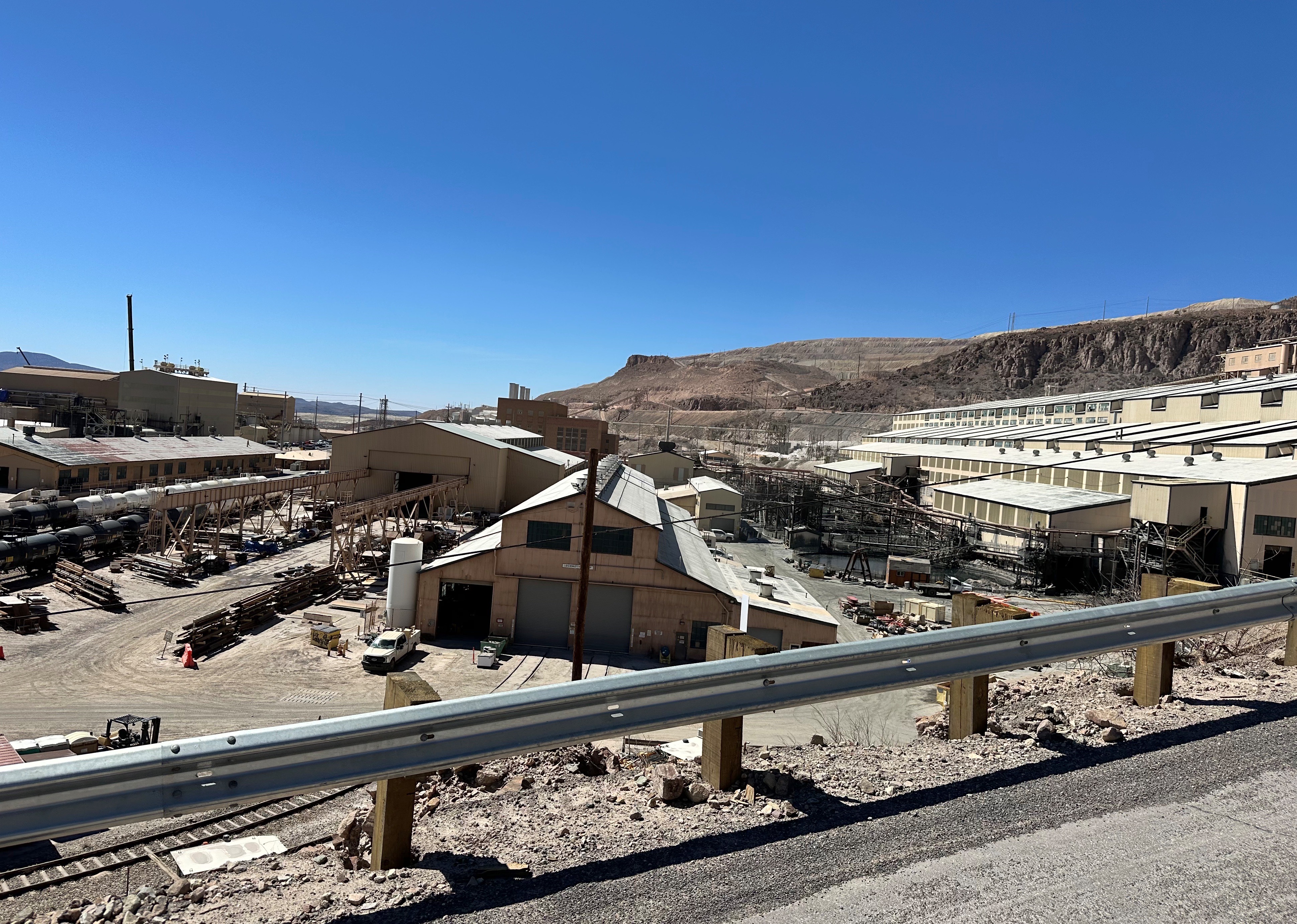
After our walking tour of the Chase Creek Street area we mounted up and headed north on the 191 to see the largest copper mine in North America. As we referenced earlier in this post, the state highway runs through portions of the open pit copper mine.

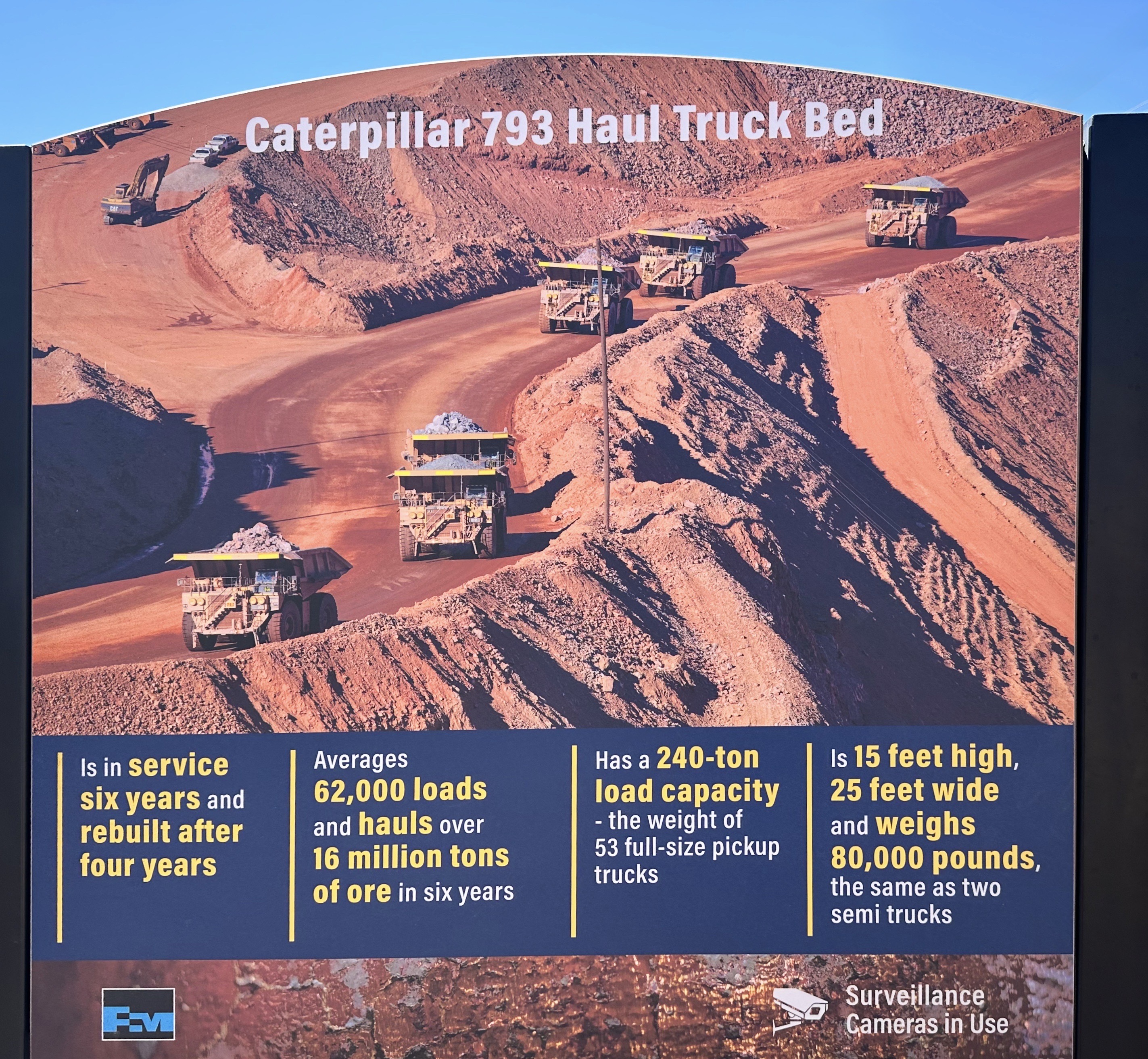
Morenci Copper Mine is owned and operated by Freeport McMoRan. This company is one of the successor companies to Phelps-Dodge and was formed in 1987. This mine operates 24 hours per day, 365 days of the year and employes 3600 people. The mine produces 225 million pounds of copper annually and is expected to operate until 2041.


We stopped at several points along the road to view the mine and the operations.The mining company has built several viewing areas that allow for safe viewing of the mine. Morenci has also placed a number of helpful informational signs at the viewing areas.


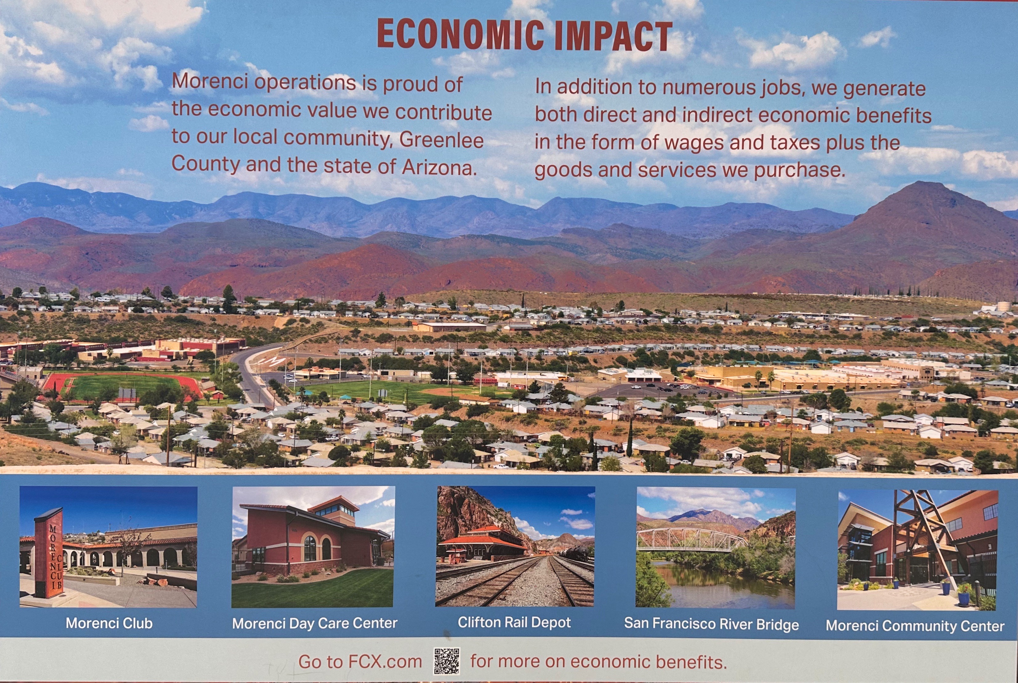
While we are confident that environmentalists will continue to work to eliminate mining due to the impacts on the environment, there is little doubt in our minds that the mining of raw materials will continue unabated. Our modern society and our way of living is dependent on copper and a host of other materials that come from within our planet. Our view is that the best option for now is to ensure that mining companies and other extractive firms are held to strict standards in relation to the environment and the safety of employees.
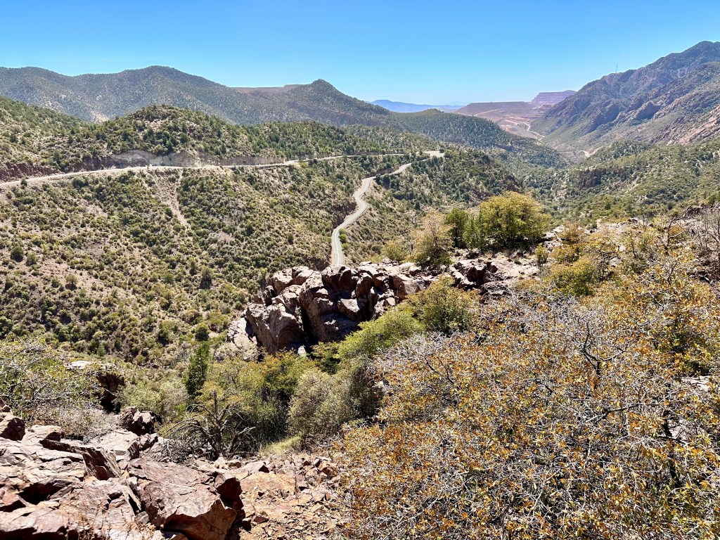
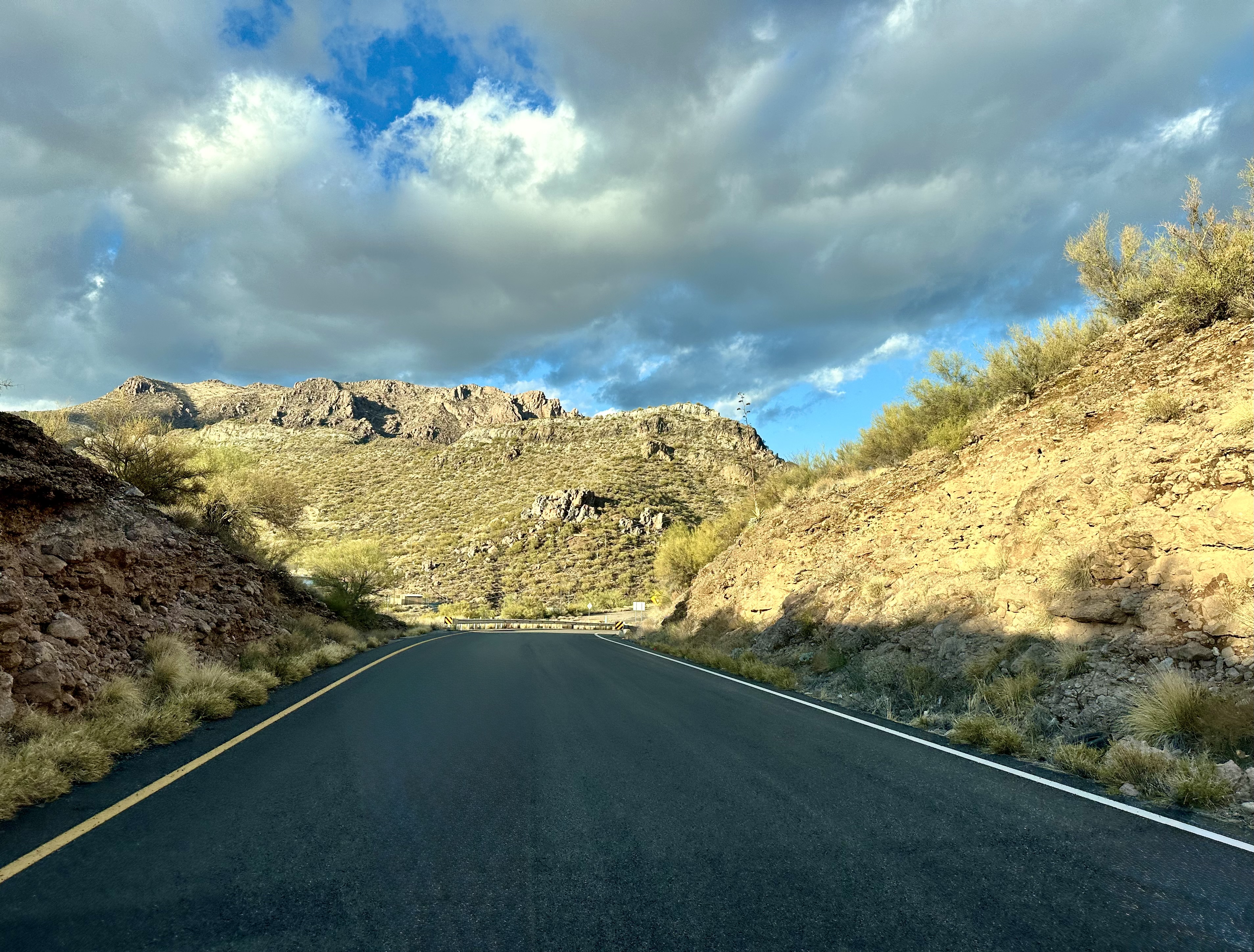
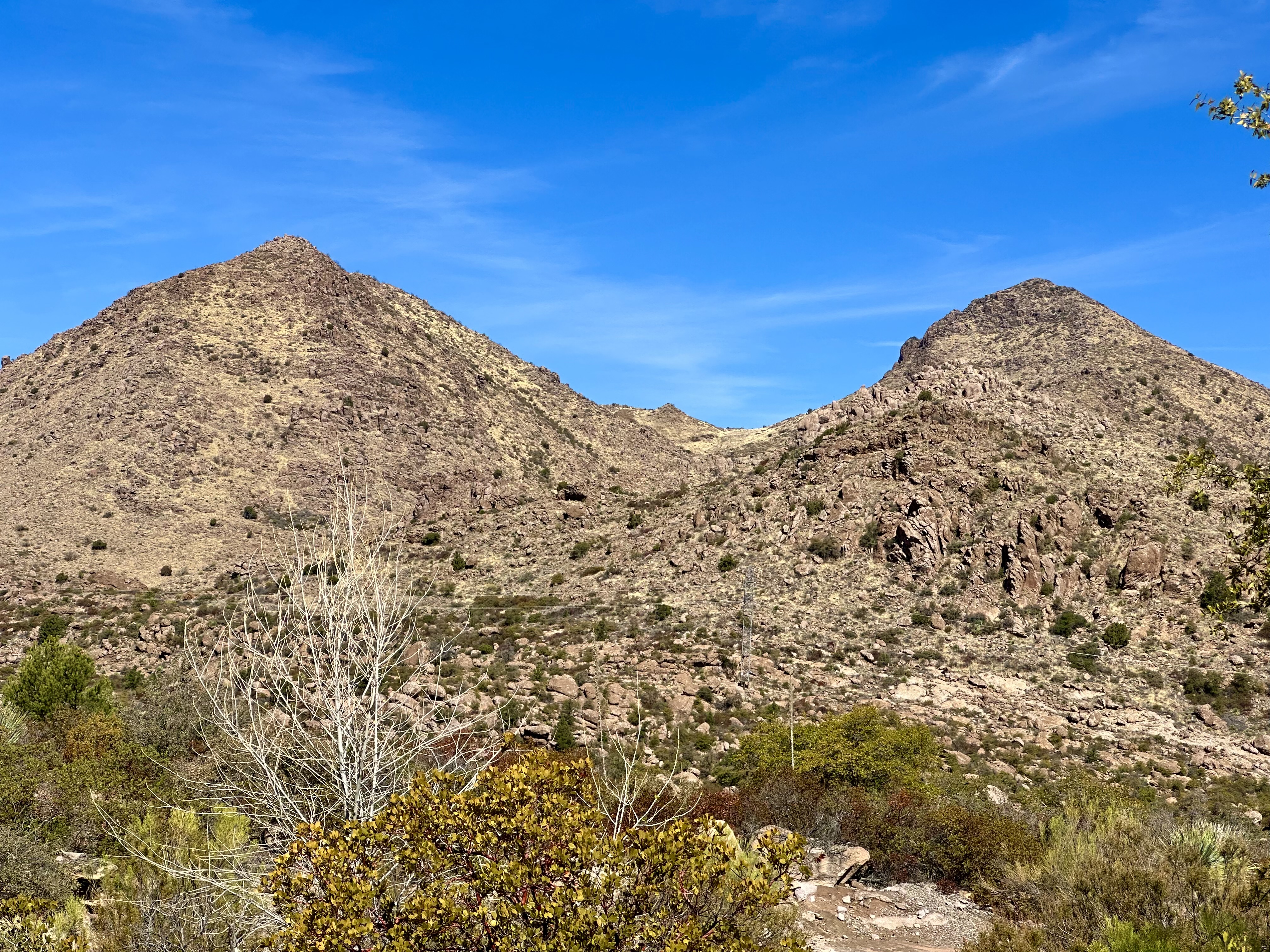
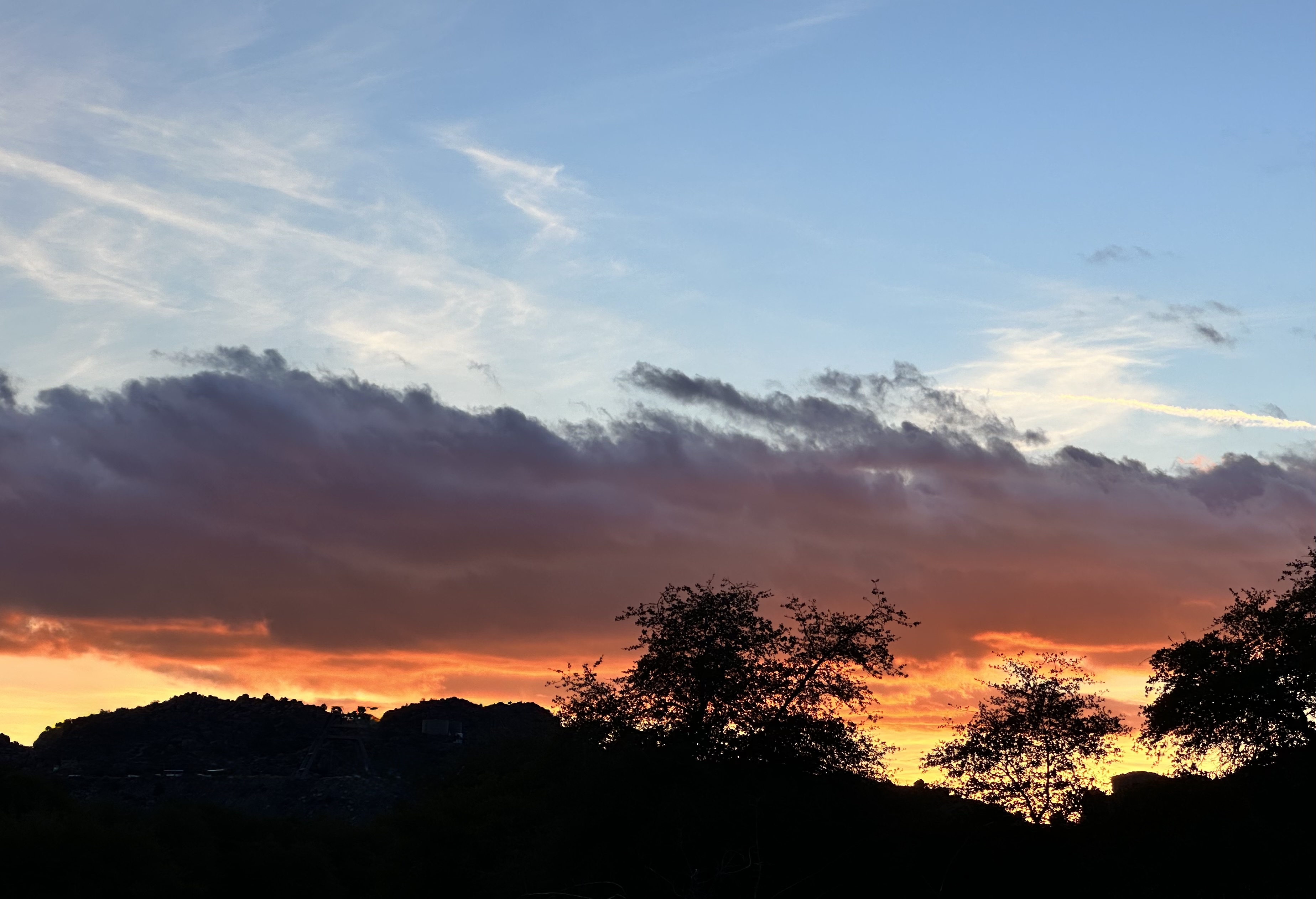
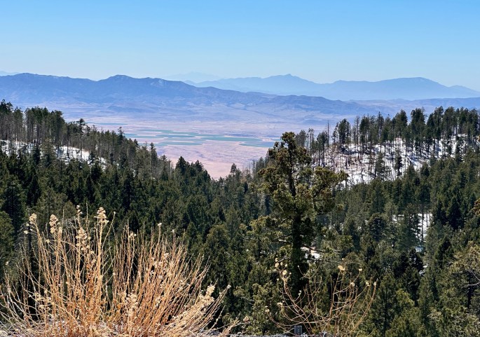
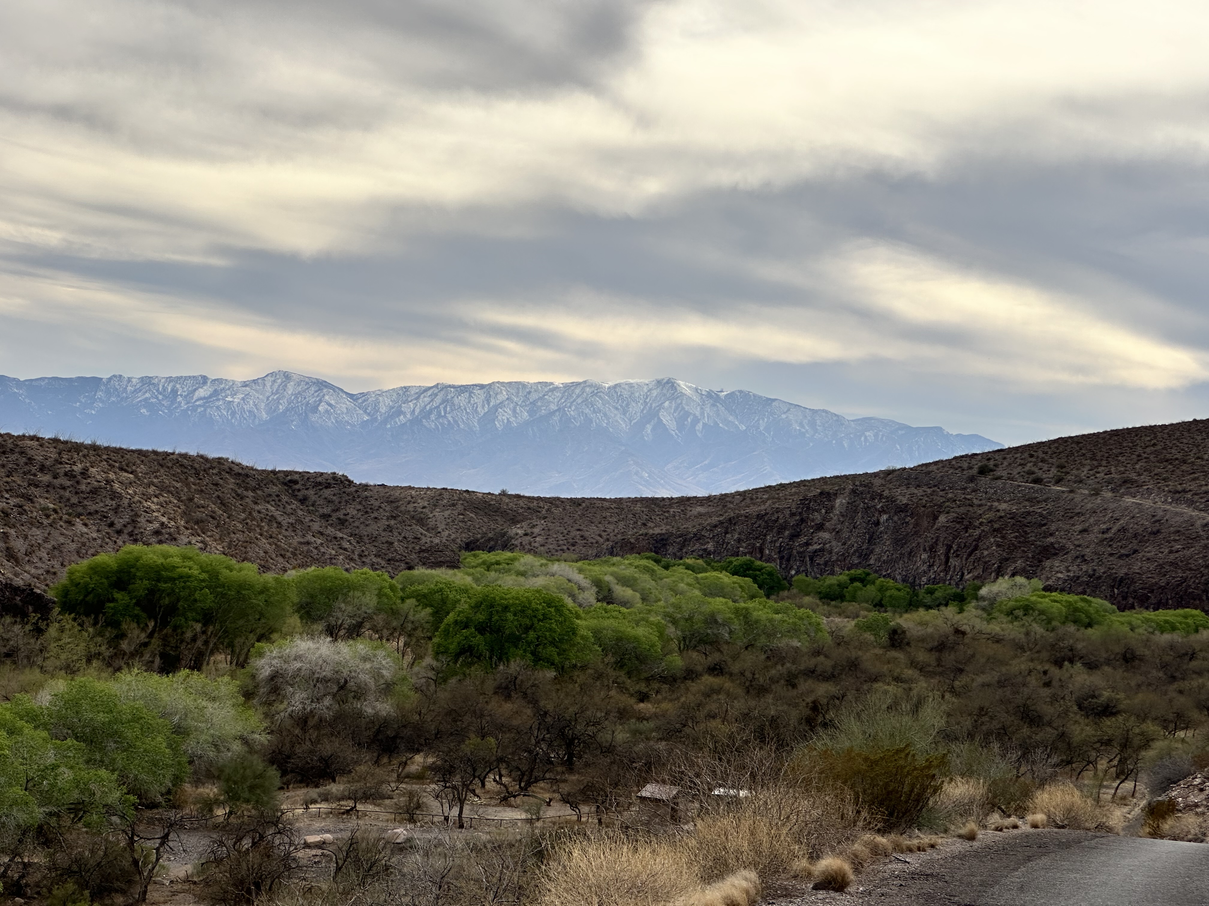
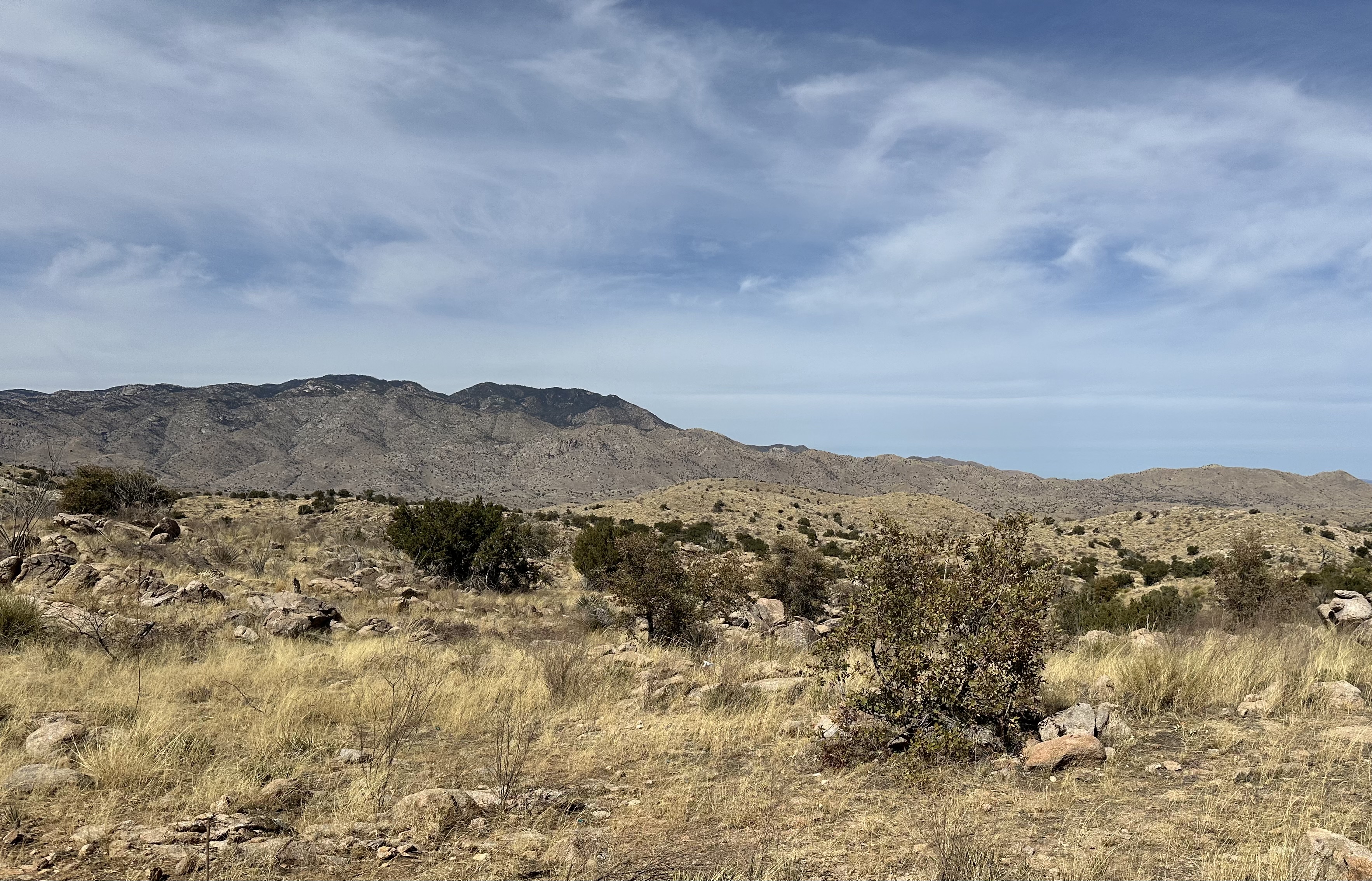
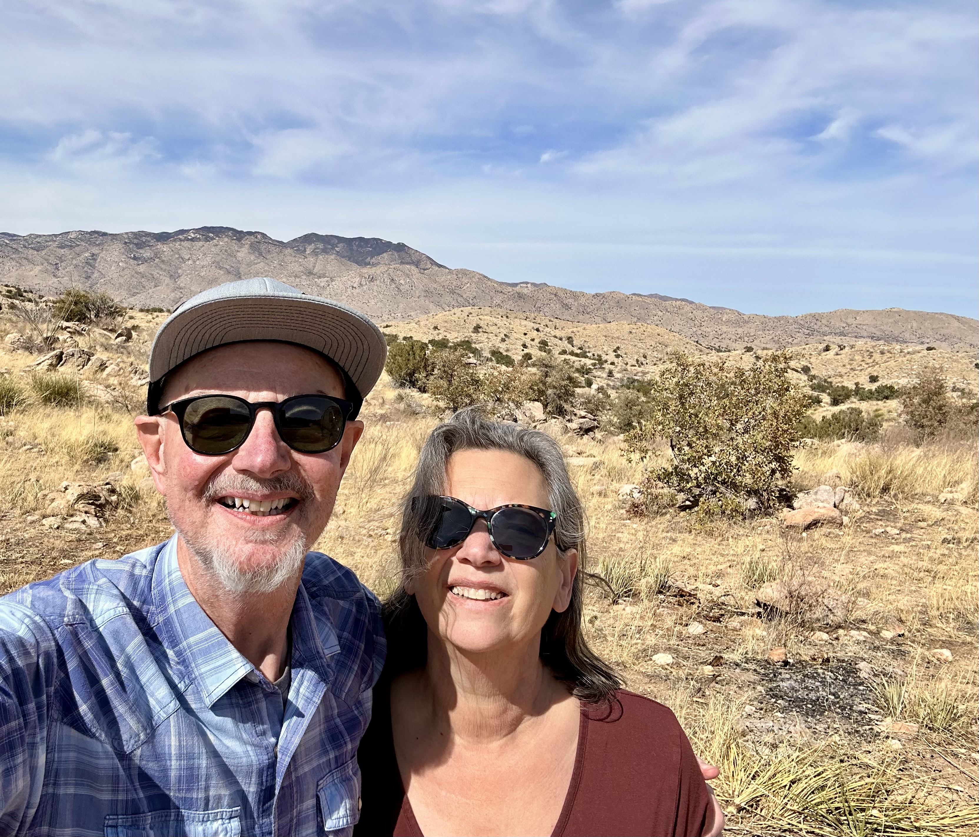
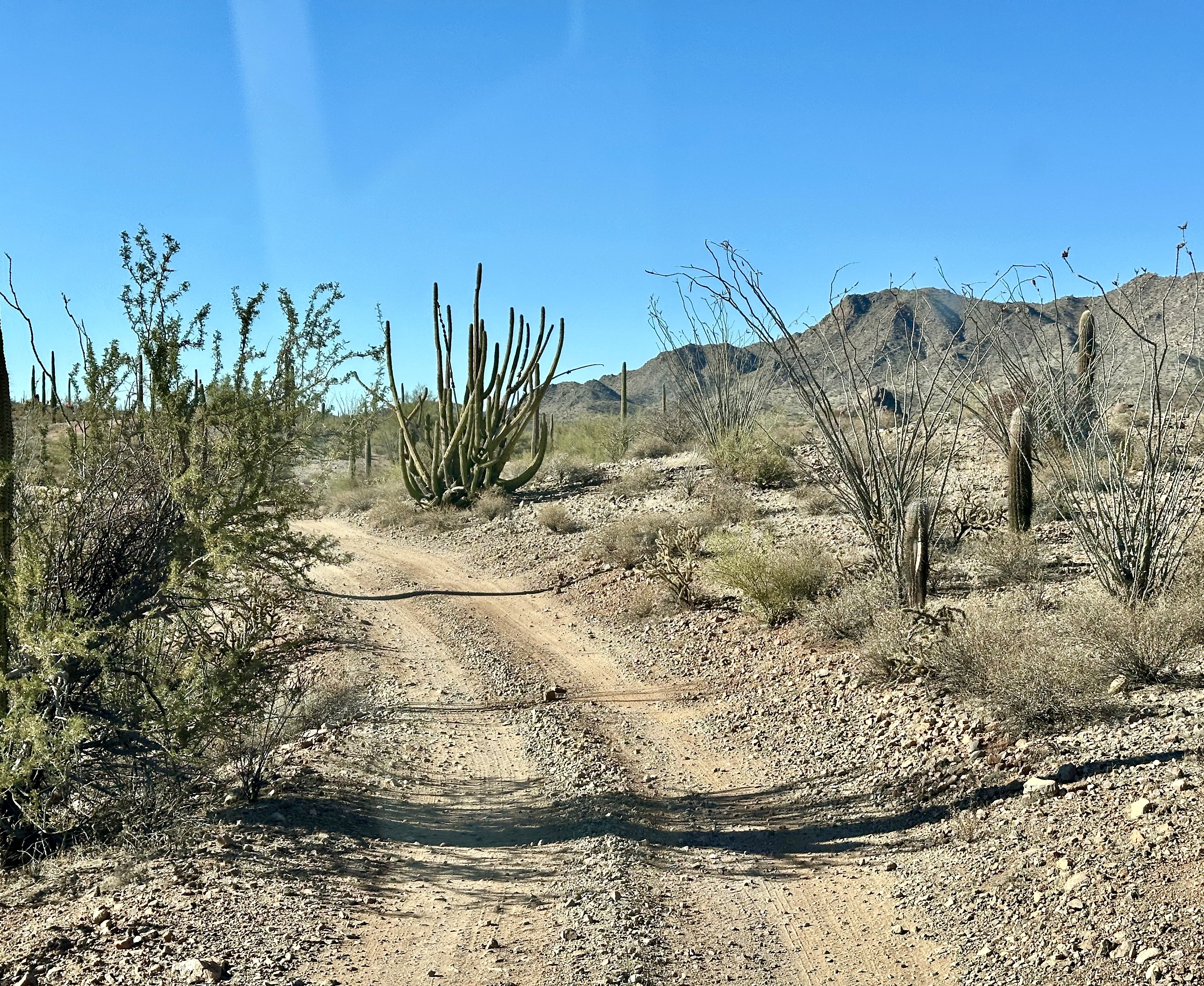
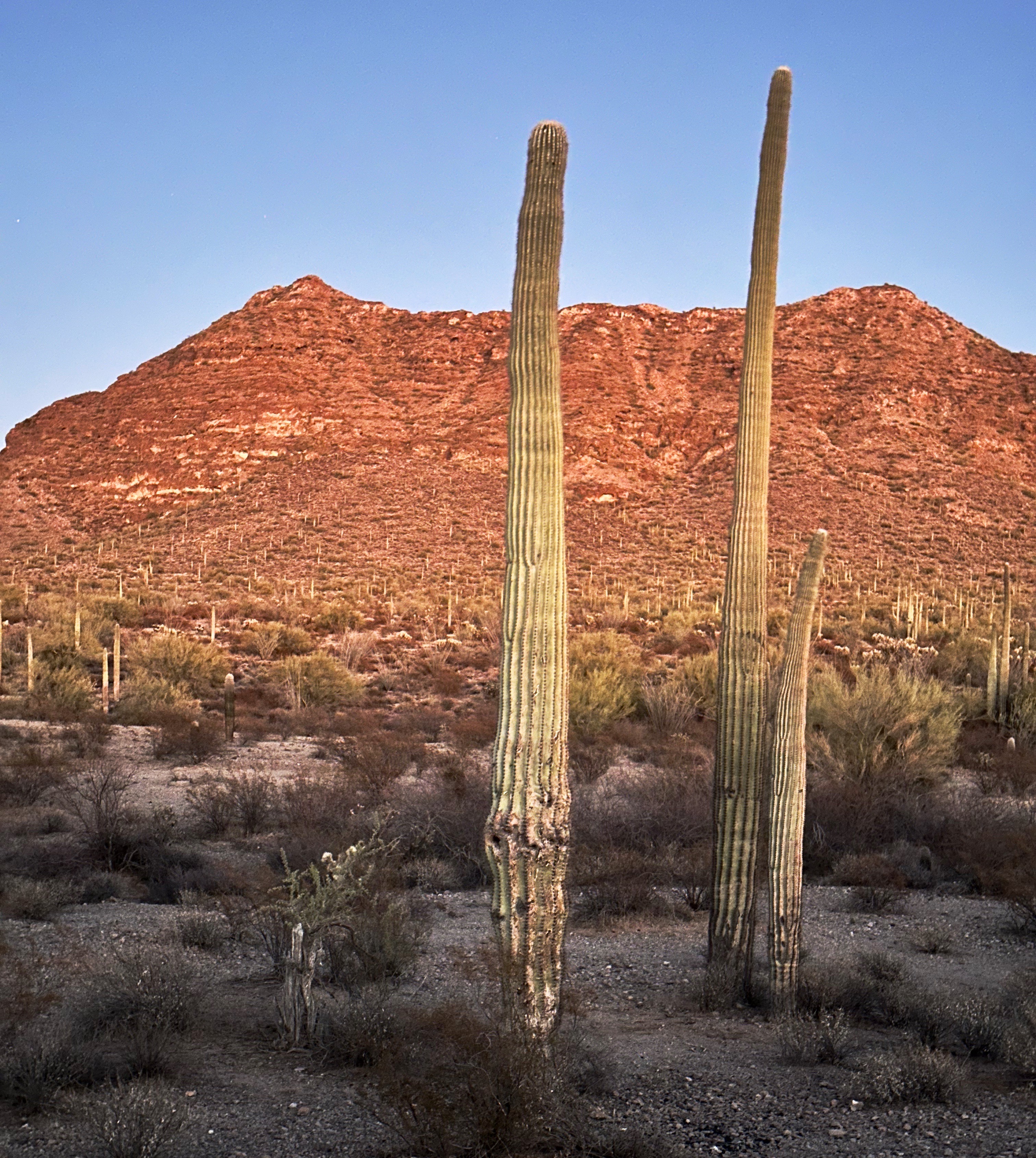
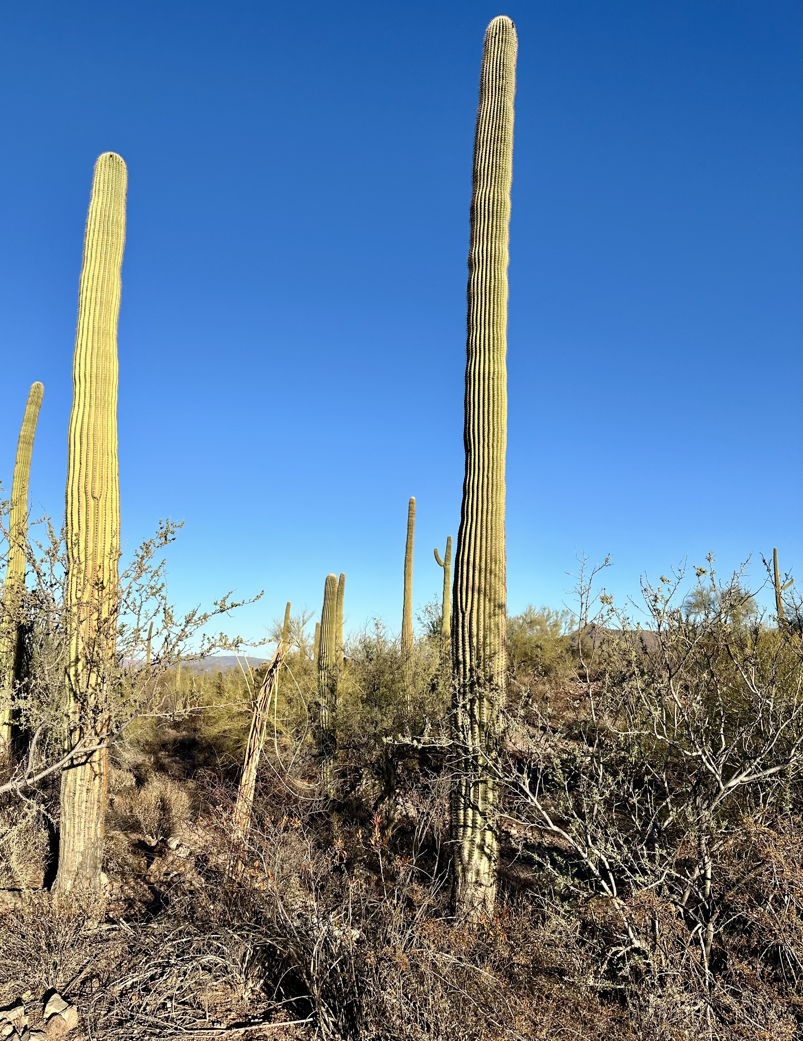
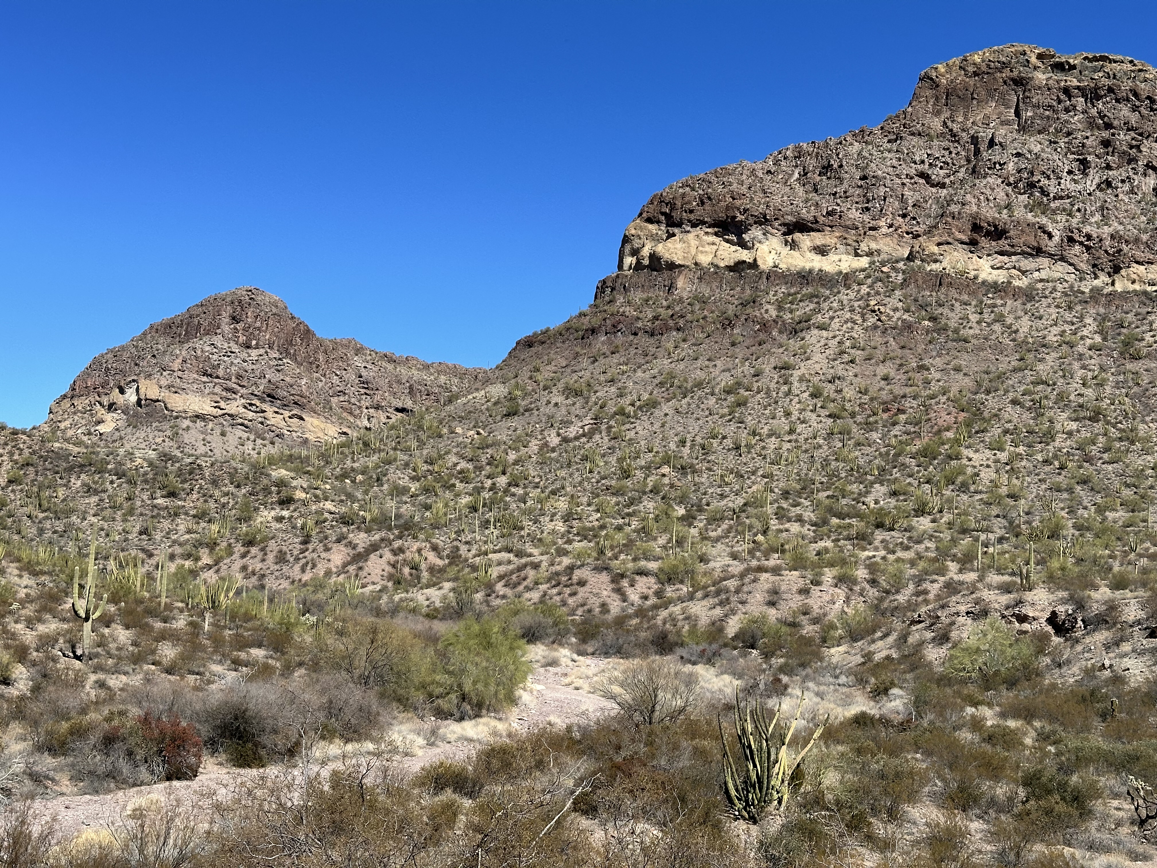
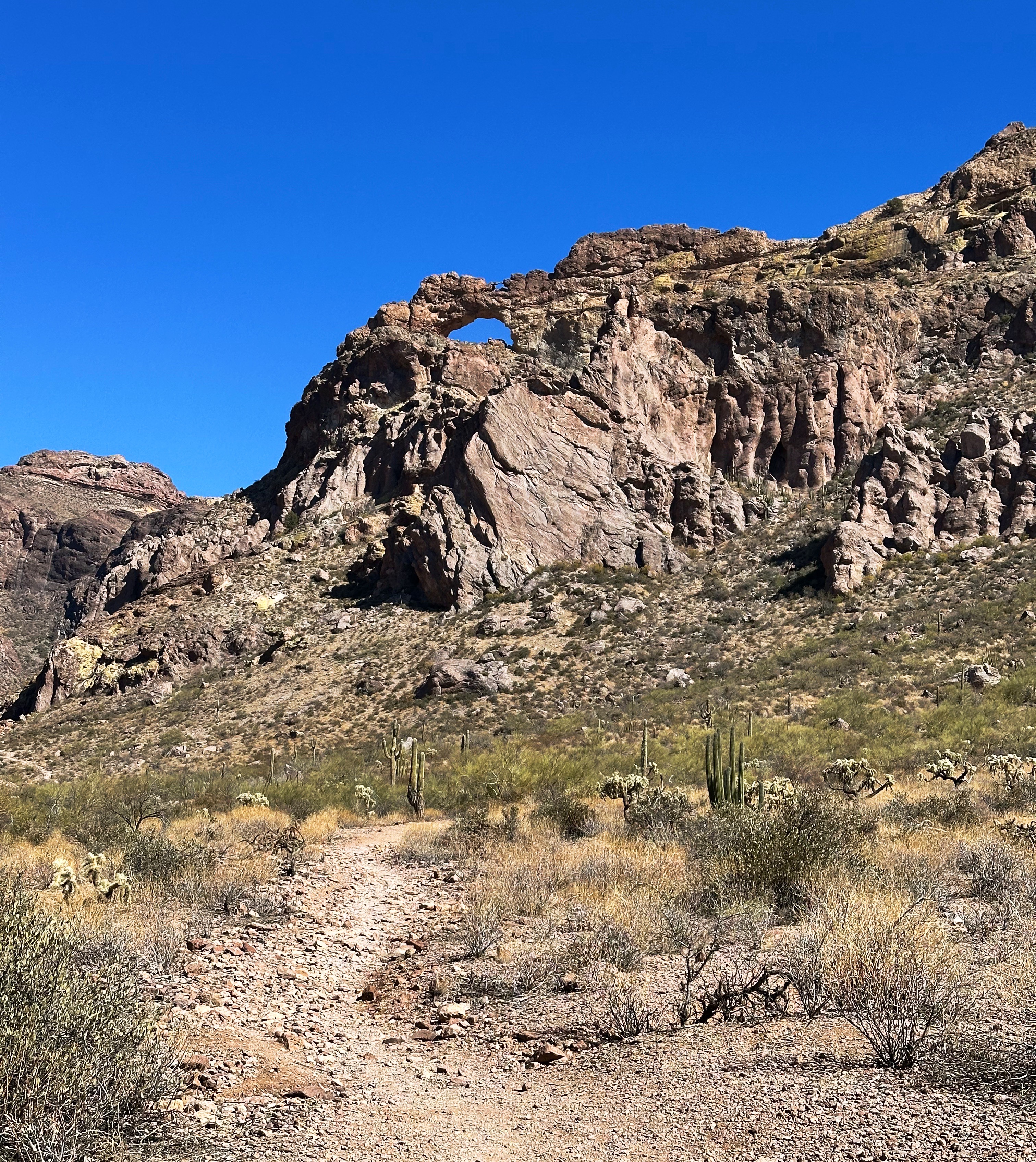
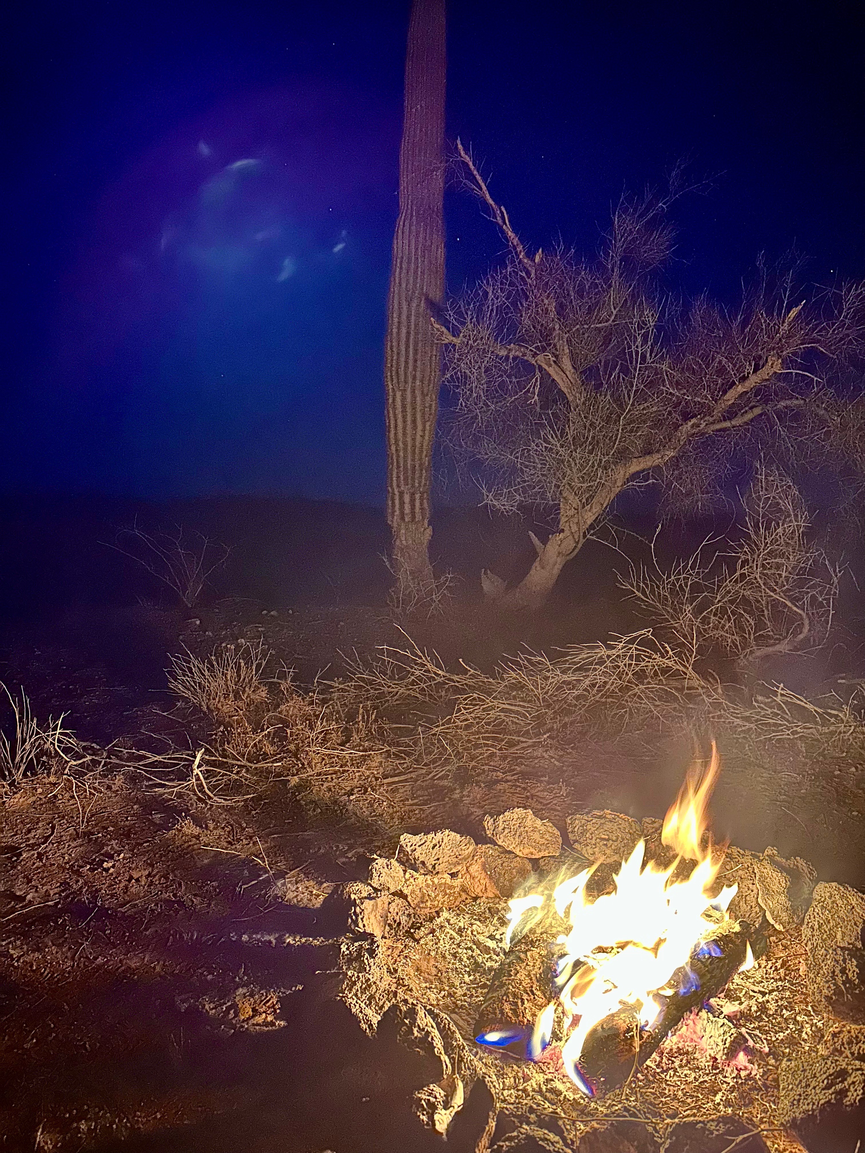
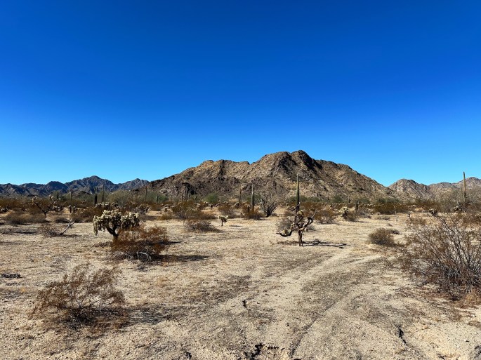
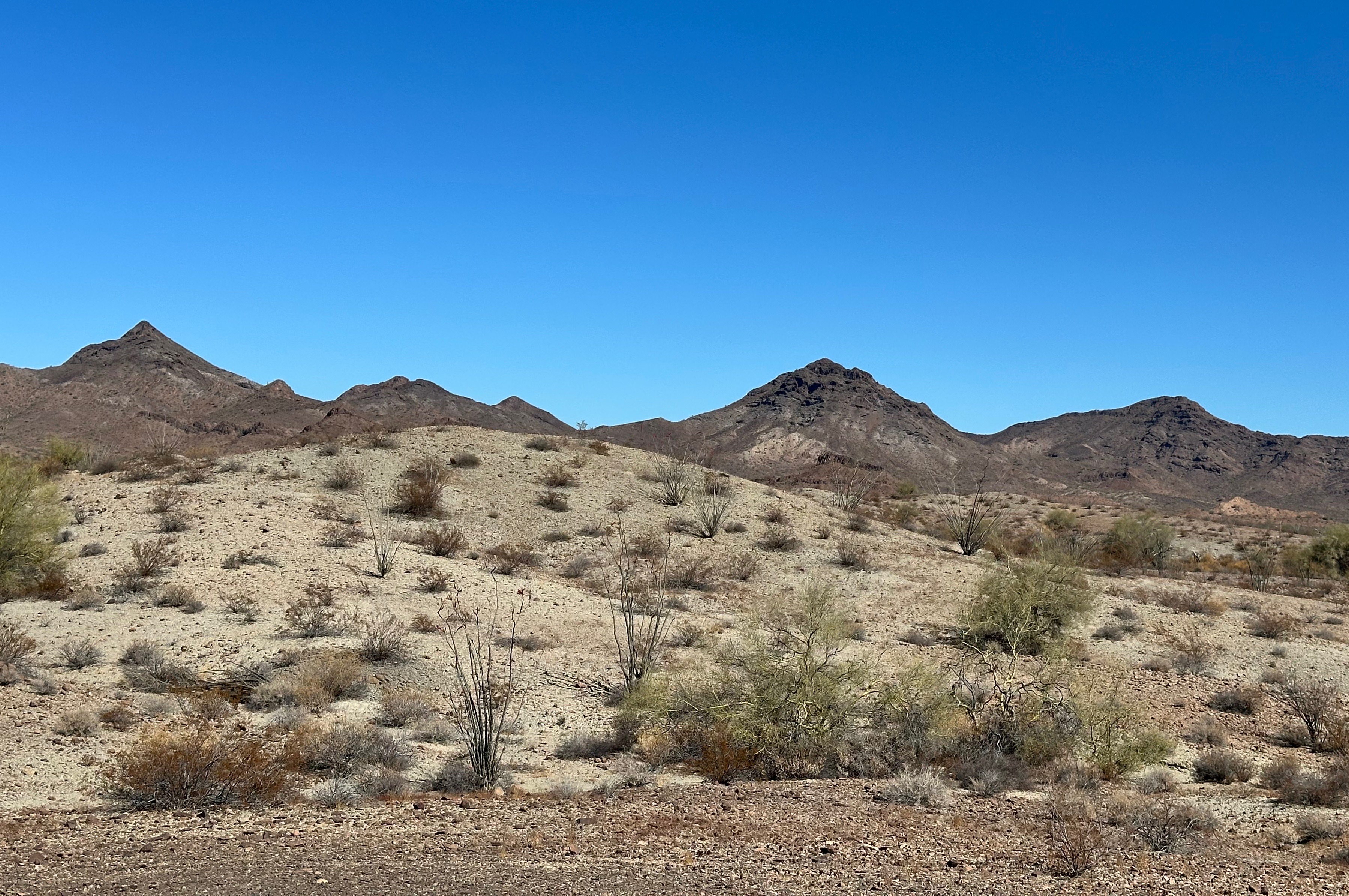
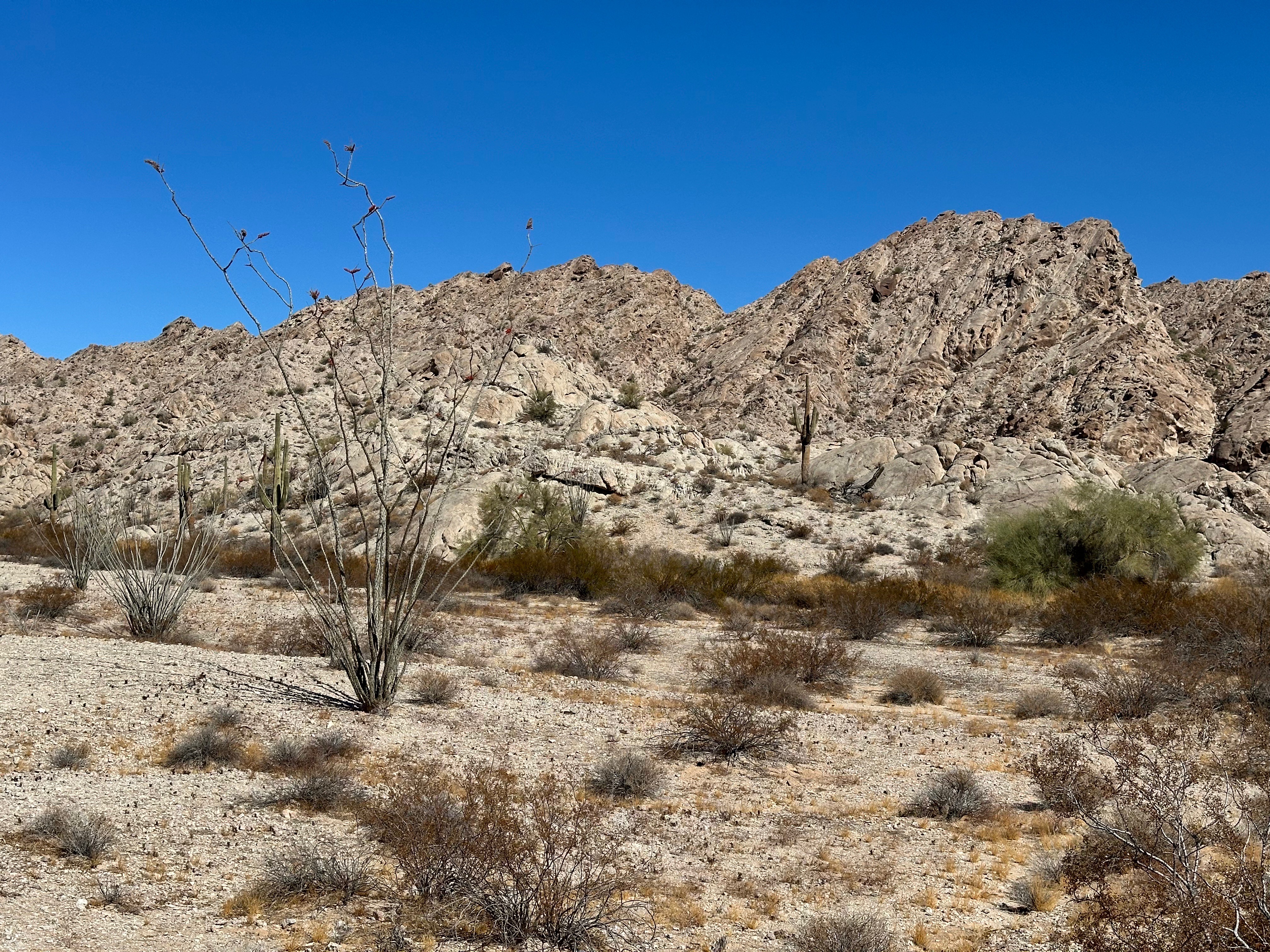
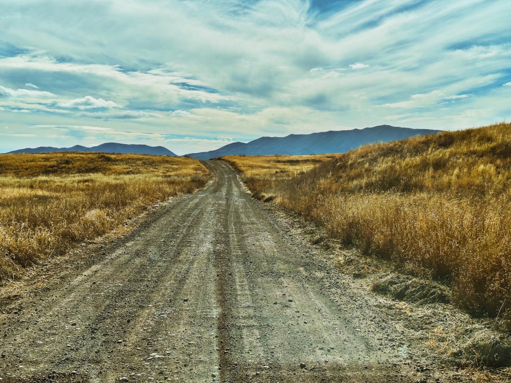
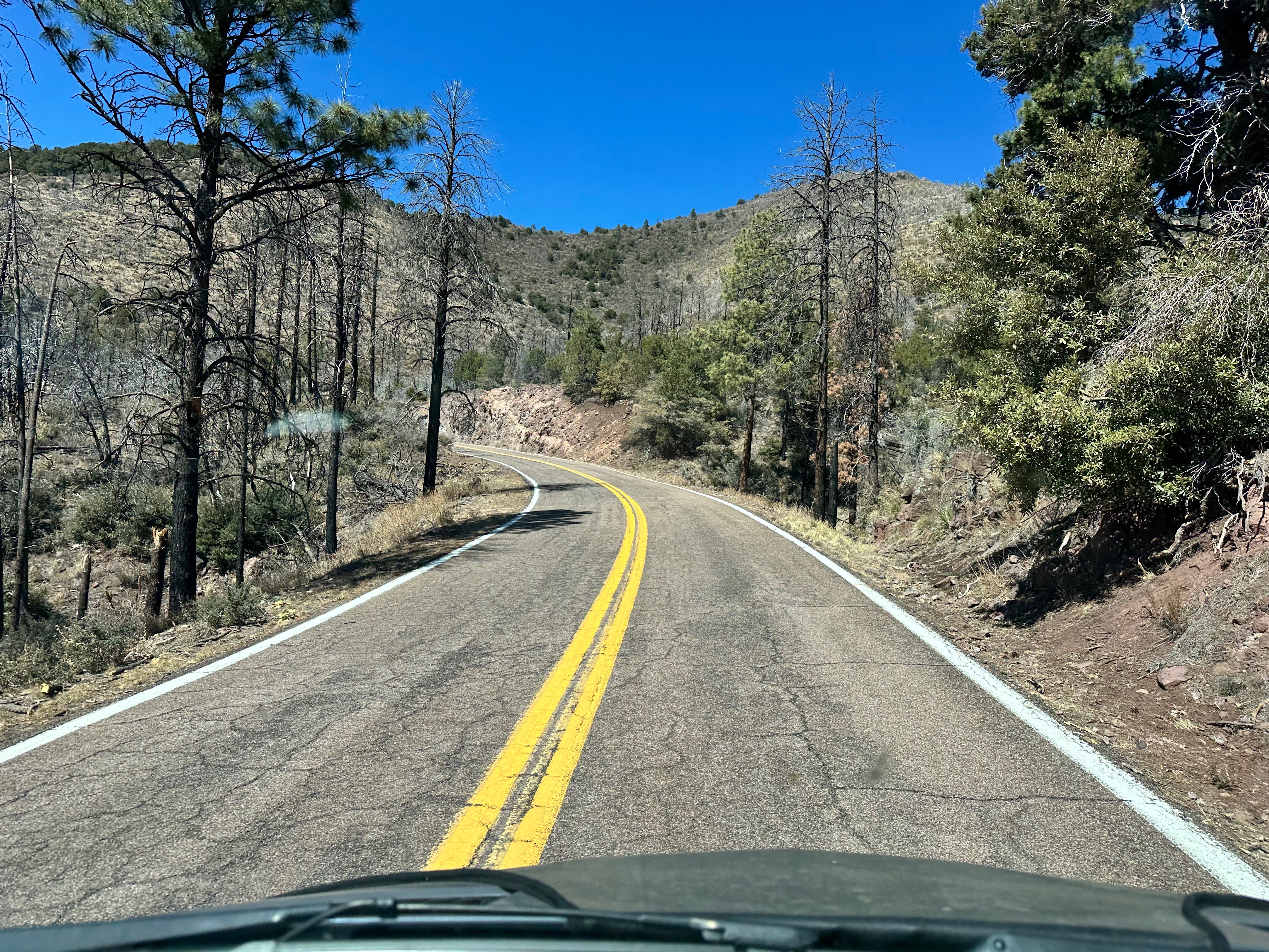
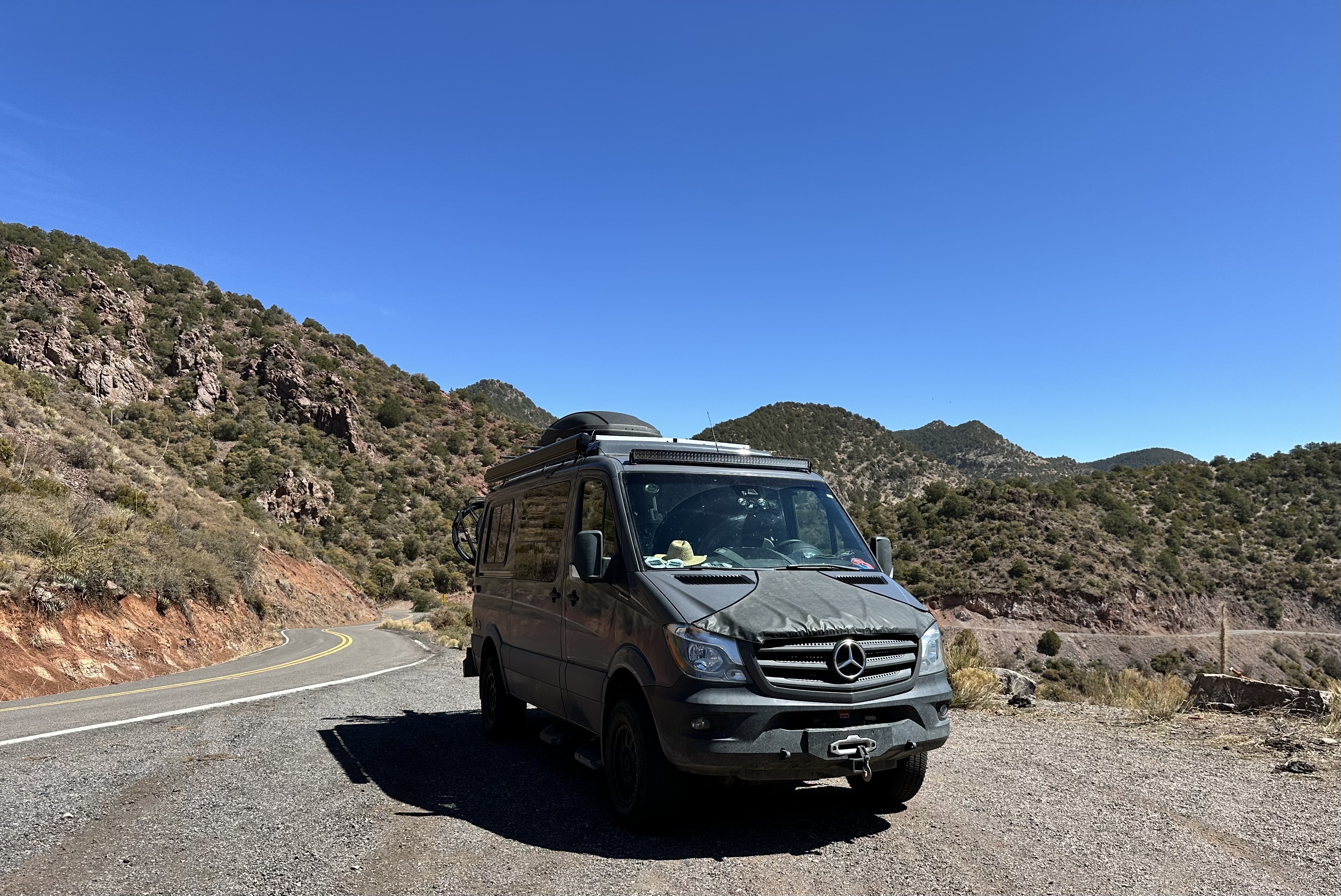
With the open pit behind us to our south we began the climb up into the White Mountains following the narrow twisting byway. We had the perfect day for the drive as the clear blue sky allowed us to take in one stunning vista after another. While the road is narrow and twisty (460 curves in 120 miles) the real challenge to driving this road safely is keeping your eyes on the road.

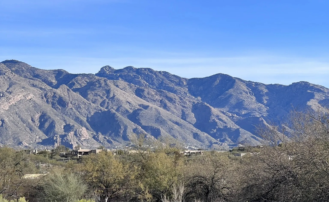
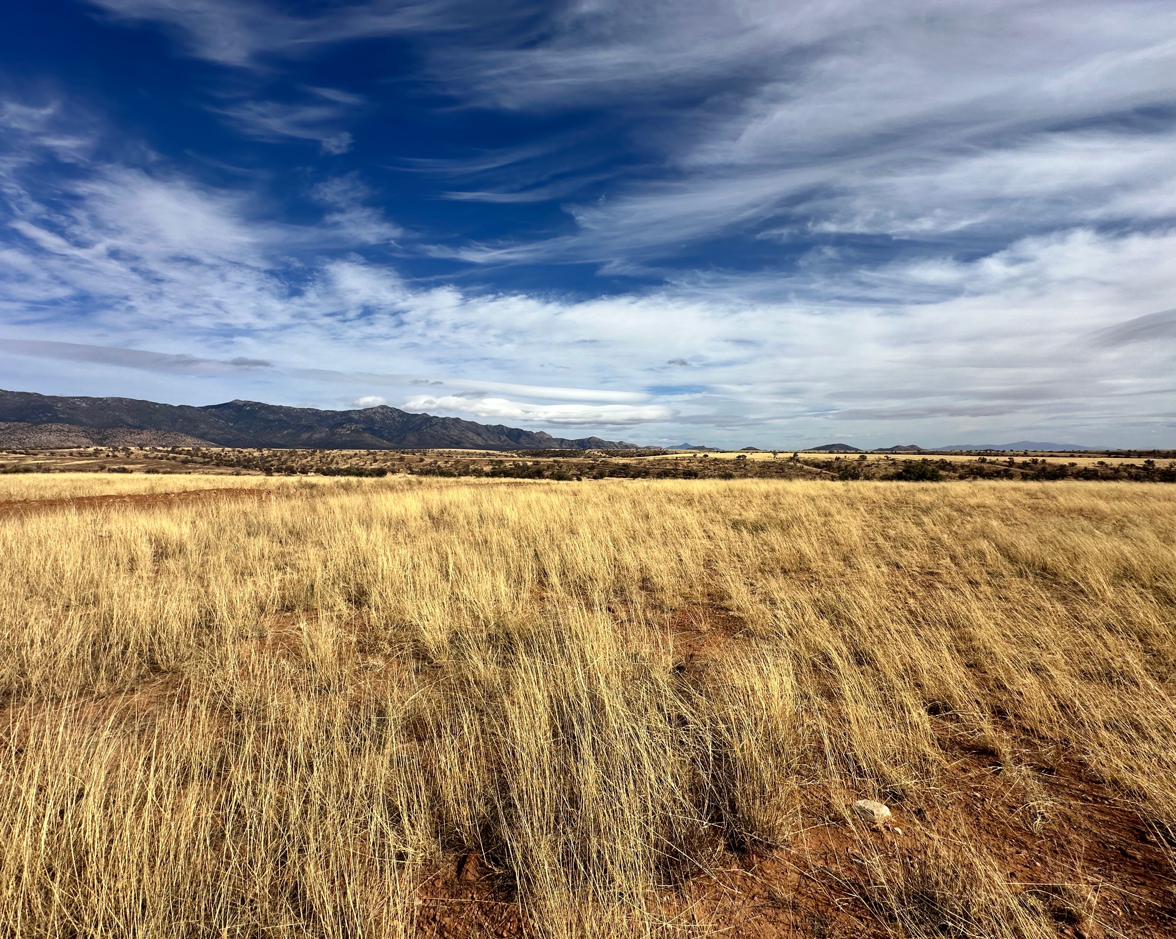
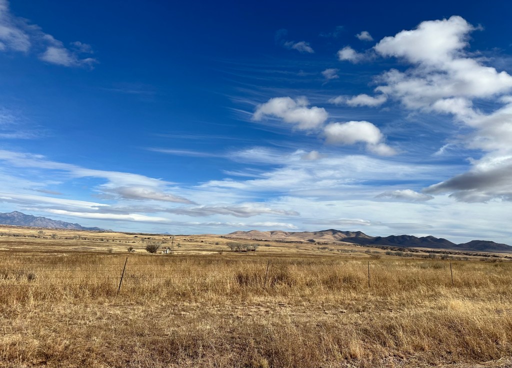
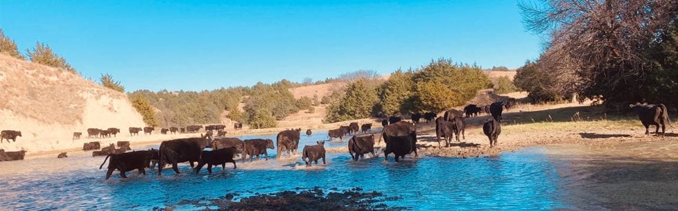
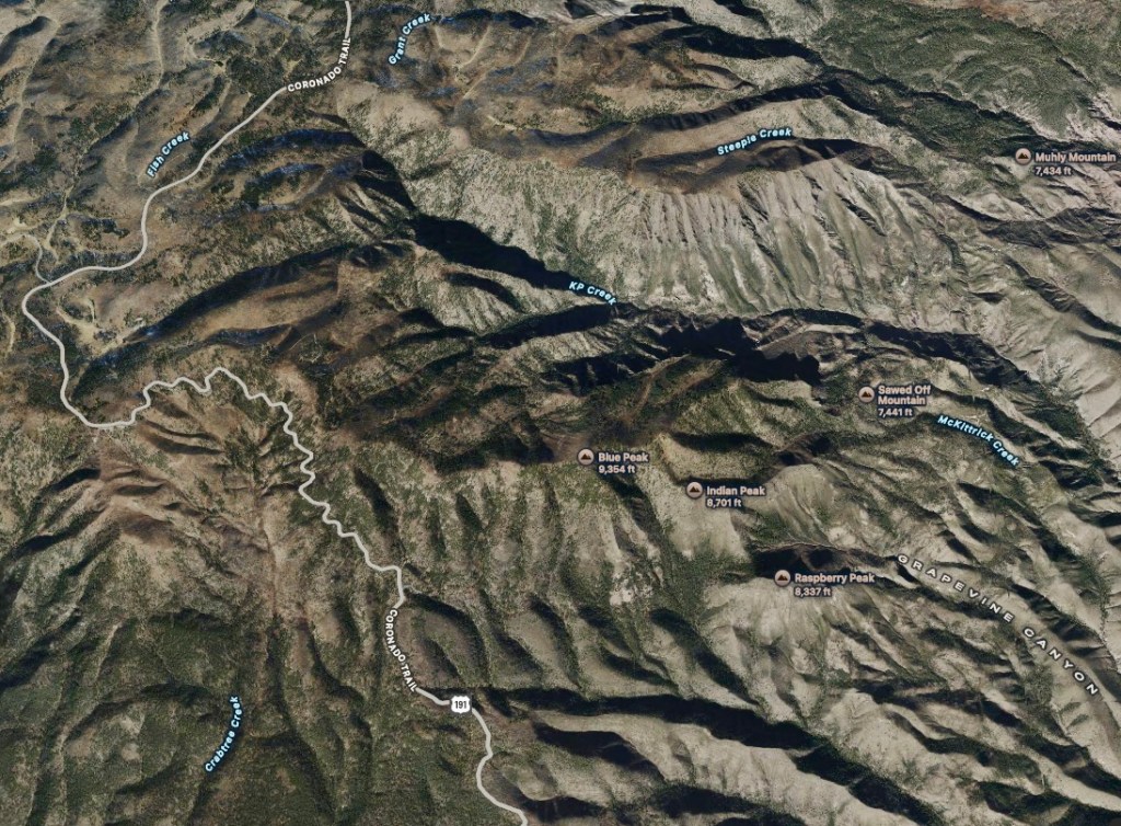
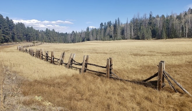
The first portion of the trail provides great views of the numerous canyons that fan out to the east and west of the trail. A bit further on the scenery turns to savannah-like grasslands which are home to beef cattle. Once past the mesa the trail begins to ascend again providing views of a number of peaks in the 8000′ to 9000′ range. These peaks include Raspberry Peak at 8337′, Indian Peak at 8701′, Rose Peak 8786′ and Blue Peak at 9364′. From a driving perspective we topped out at Hannagan Meadow which sits at 9300′. Quite impressive.

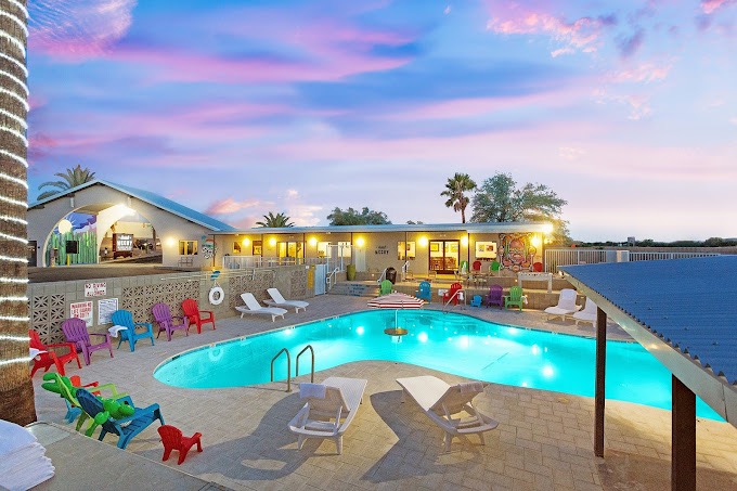
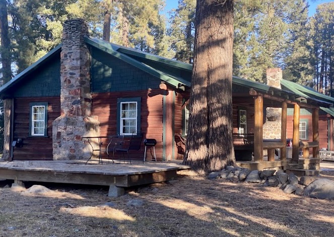
At Hannagan Meadow we stopped briefly to check out the Hannagan Meadow Lodge. The lodge has been in operation since 1916. The lodge sits in the Hannagan Meadow Recreation Area which is within the ASNF. This whole area is completely unspoilt and,with the exception of the lodge, is completely undeveloped. The lodge operates year-round and is a meca for outdoor enthusiasts. Hannagan Meadow is known for having the first and last snowfall of the season in Arizona due its elevation and location.
Alpine, Arizona (Founded 1876, Pop. 146, elevation 8006′)
From the lodge we continued north beginning to descend the north slope of the White Mountains. We stopped in the tiny settlement of Alpine for a late lunch. The towns businesses sit along the 191 for the most part. The town is probably best described as rustic. The one school in town is K-8 with 60 students. The closest high school is down the mountain in Springerville (27 miles north). Finally, cementing Alpine as a true country town – you are correct – there are no traffic lights!
Alpine is nestled in the largest Ponderosa Pine forest in the world. The town proper is surrounded by a number of meadows where we observed large herds of elk grazing. Quite spectacular for us city folk. Alpine, while tiny, attracts many outdoor enthusiasts which explains the six lodges in town.

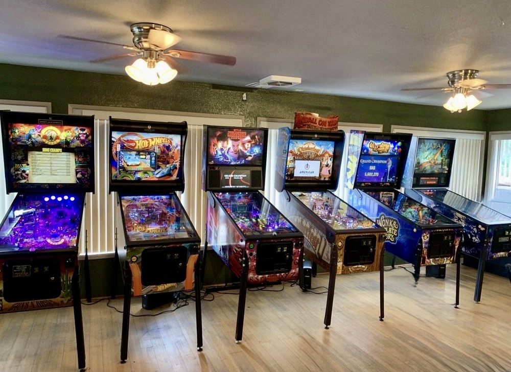
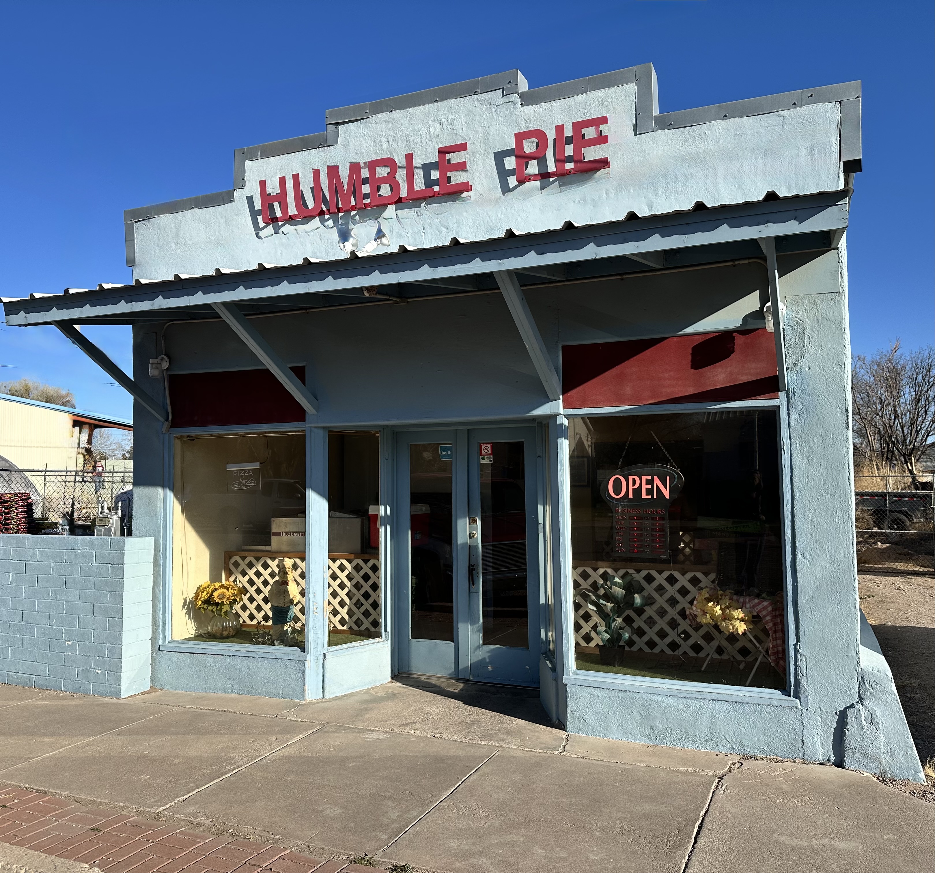
While we had several choices for lunch, the Alpine Grill and Still seemed to demand our trade – maybe the Still part of the name compelled us in that direction – and it did not hurt that the Still also had an ice cream bar (much needed after a giant burger with fries) and a row of working pinball machines! Sound.
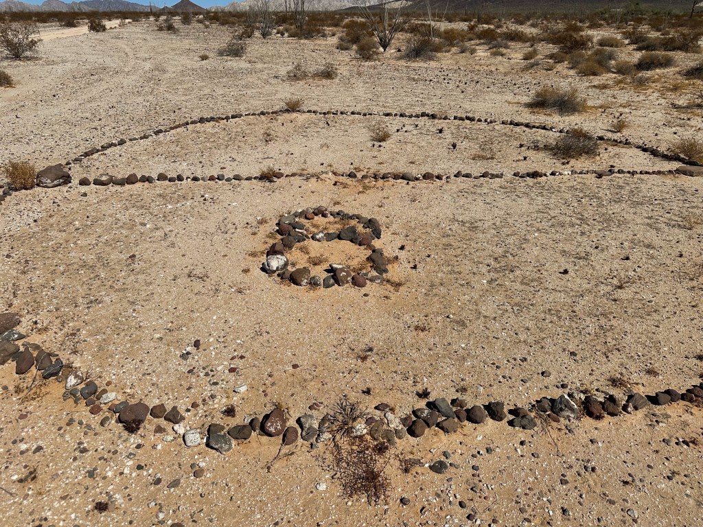
We noticed that there were a number of posters in town and at the entrance to the Still seeking information regarding the killing of wild horses in the area. Additionally, the National Forest Service is rounding up wild horses which are being sold for slaughter in Mexico according to the Arizona Wild Horse Association. Such a shame on both accounts – we have seen many herds of mustangs during our trips in the West and they are magnificent animals (and not a threat to anyone).

EAGER, ARIZONA (FOUNDED 1871, POP. 4473, ELEVATION 7000′)
After our lunch in Alpine we continued north on the CTSB, descending another 1000′ to Eager, at the northern base of the White Mountains, where we spent the night at the Best Western. Eager is another example of Mormons dispatched by Brigham Young to homestead a wilderness area and create a bounty of cattle, sheep and lumber (brief history embedded in the link above).
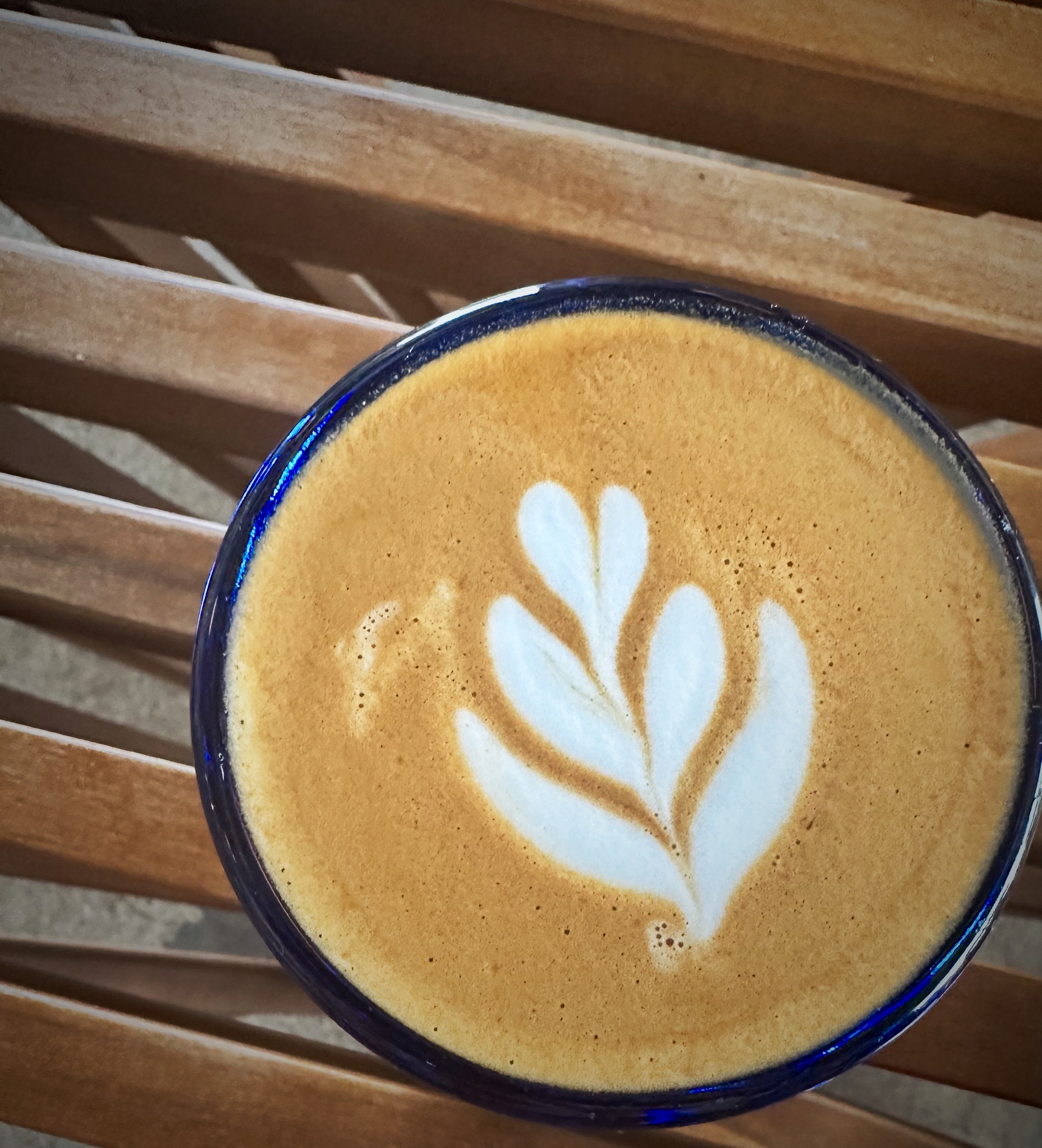
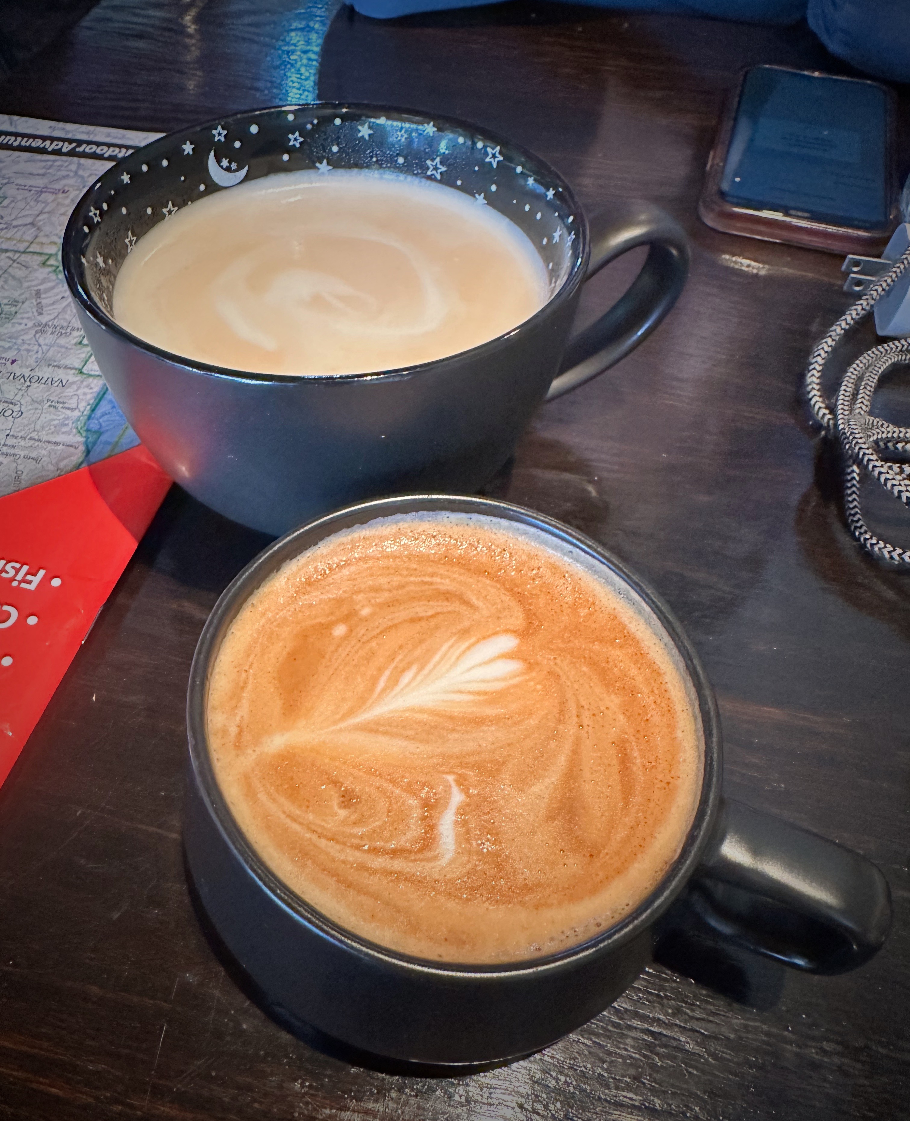
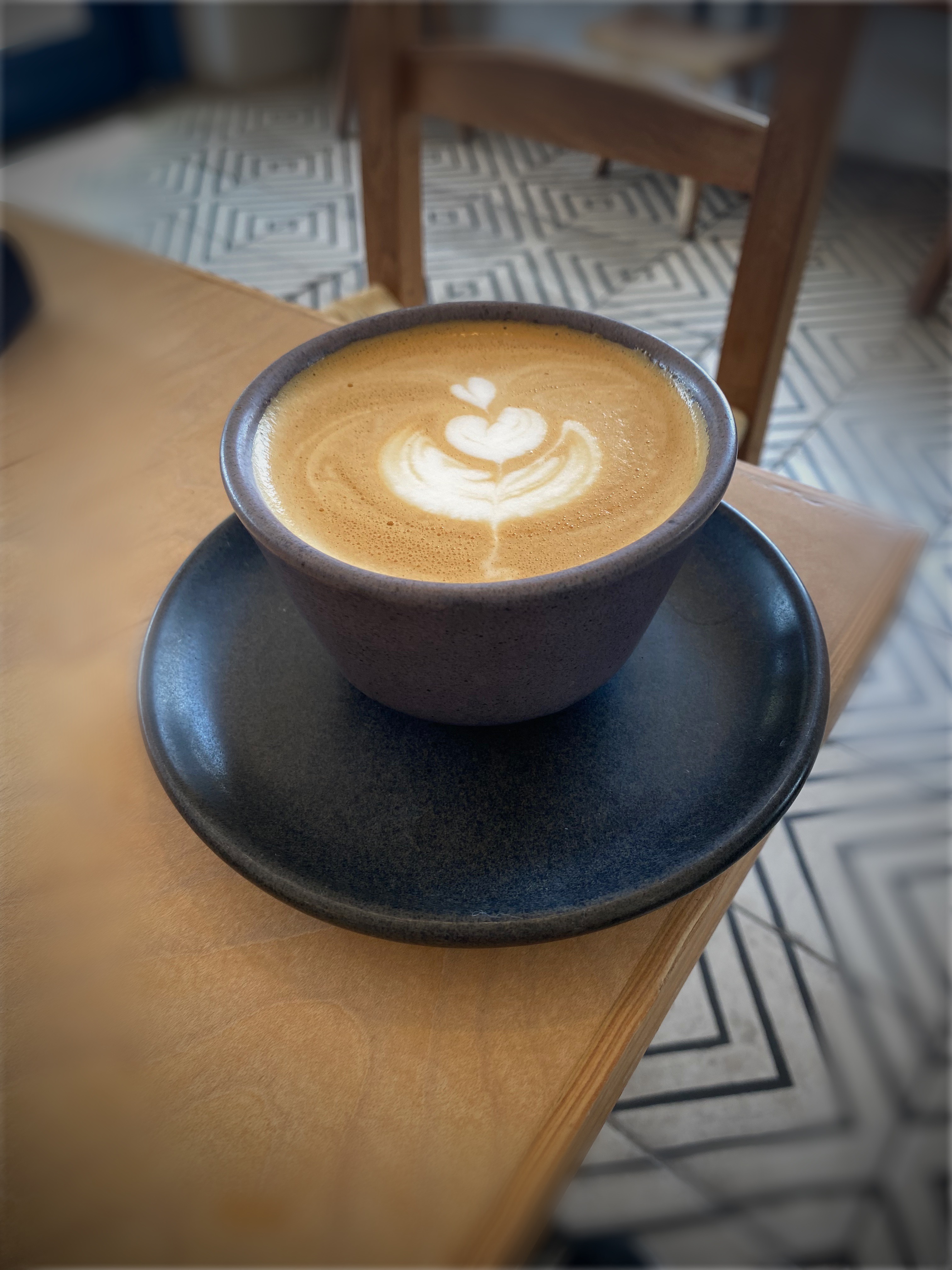
The next morning we found coffee and tea at Tin Can Coffee Co, met the owner and her daughter who were handling the morning rush (as it were in Eager). As sometimes happens when we (strangers) roll into a small town in the hinterlands, we were engaged by a friendly local eccentric who eagerly (ha ha) shared some of his theories on how much of what we see or believe is not real. It is hard to fathom that for all these years we had not realized that the moon landing was a hoax -travel can be so educational!


St. johns, Arizona (Founded c.1862, Pop. 3480, Elev. 5745′)
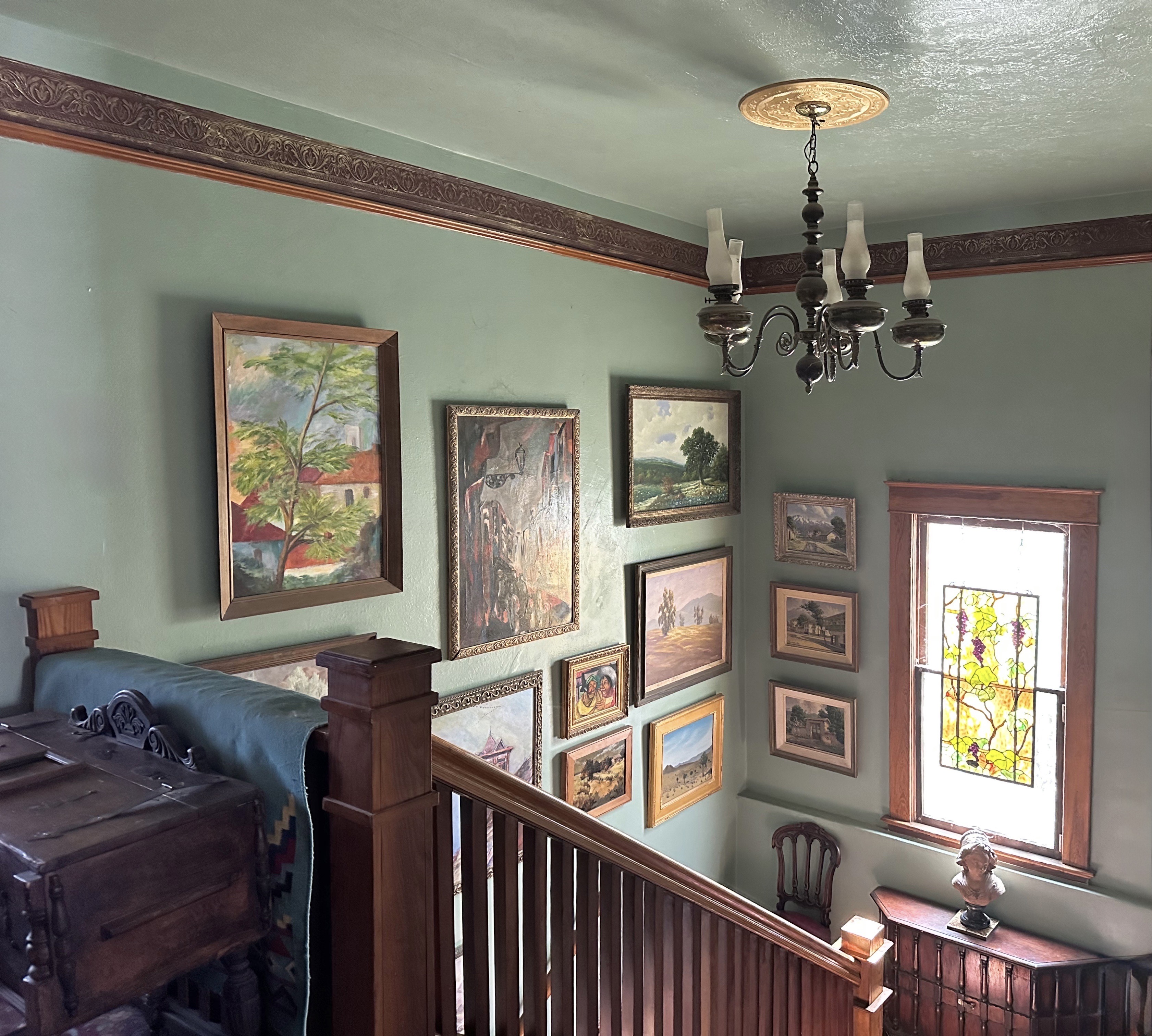
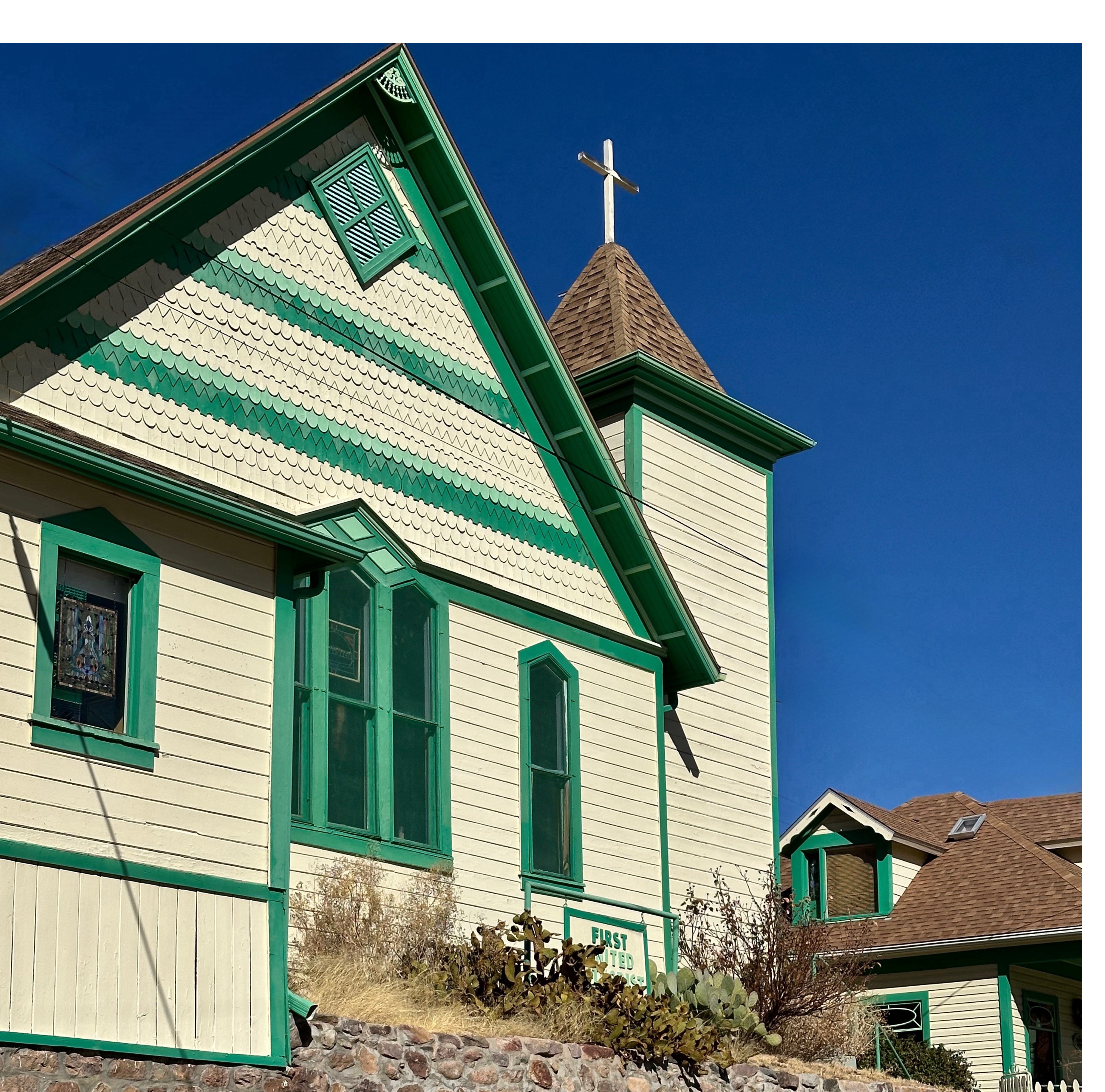
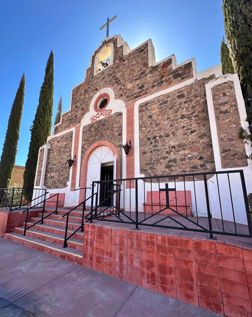
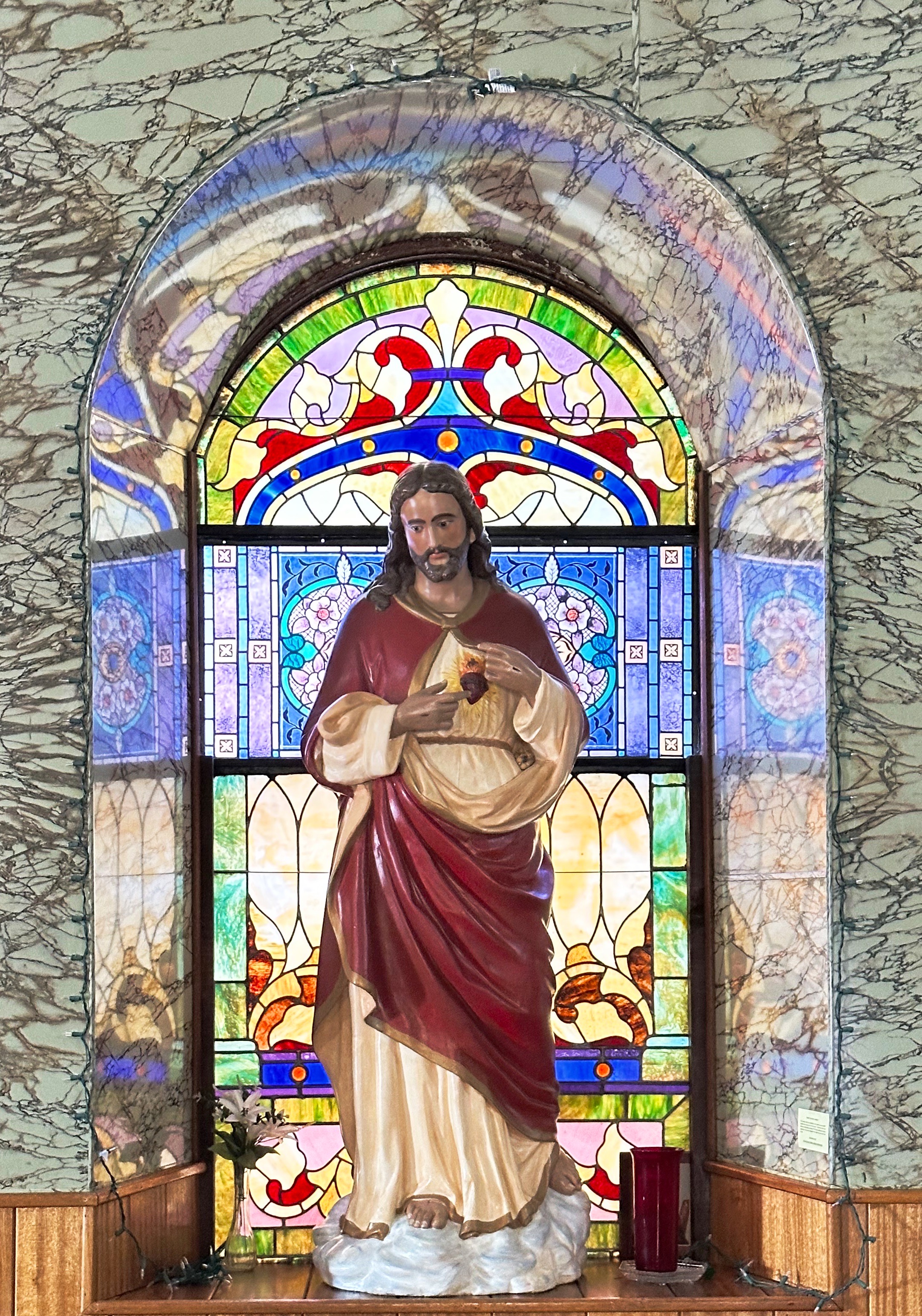
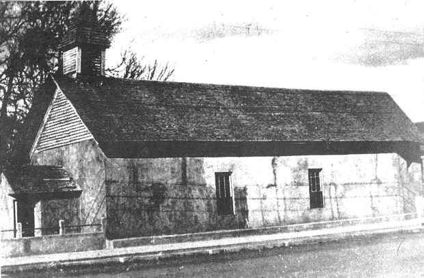
We stopped in St. Johns to take a look at the pleasing church pictured below (earlier version of the church pictured underneath). While walking around the grounds we met the church caretaker. He generously provided us with an oral history of the town. Intially, the town was a Spanish community with an agricultural economy. The town was named El Vadito (little crossing) by Spanish explorers crossing the Little Colorado River.


By 1879 a significant group of Mormon “pioneers” had arrived looking for a place where they could continue the illegal practice of polygamy. This led to significant conflict and violence as the local folks were not as keen on polygamy as their new Mormon neighbors.
As federal marshals were out actively pursuing polygamists many of the Mormon families fled to Mexico while others sought refuge in Utah. Among the prominent Mormon families in St Johns were the Udalls of American political fame.
We thanked the church caretaker for the enlightening history lesson, picked up the trail north and finished our day bunking down in Gallup, New Mexico (see our post Western New Mexico). Dinner at the El Rancho was just as good as we remembered from our last visit. Coffee and tea at the Gallup Coffee Company the following morning was as spot- on as we remembered from our prior visit.
Our departure from Gallup marked the beginning of the end of our Never Better Tour of the Southwest.


In our next and ultimate post of the trip we will share our experiences from our road trip through the heartland states of Kansas and Missouri en route to our home base in Connecticut.
Be seeing you!