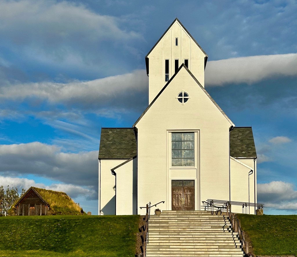
After our trek through the Coronado Monument and the San Rafael Valley (see previous post) we were ready for a city segment. While on our way north to Tucson we stopped at the THNP. This mission dates back to the late 1600s, and was one of 20 established by Padre Kino, a Jesuit missionary. Padre Kino is revered by the church for his work with the indigenous people of the Pima Alta (O’odham, Apache, Yaqui). There are other historians who have a different view of the work of Padre Kino and his fellow Jesuits. In this article we are not going to delve into the debate over the forced conversion of indigenous people to Catholicism. We have included links below regarding this topic.
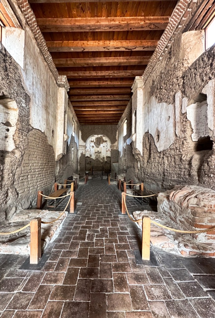
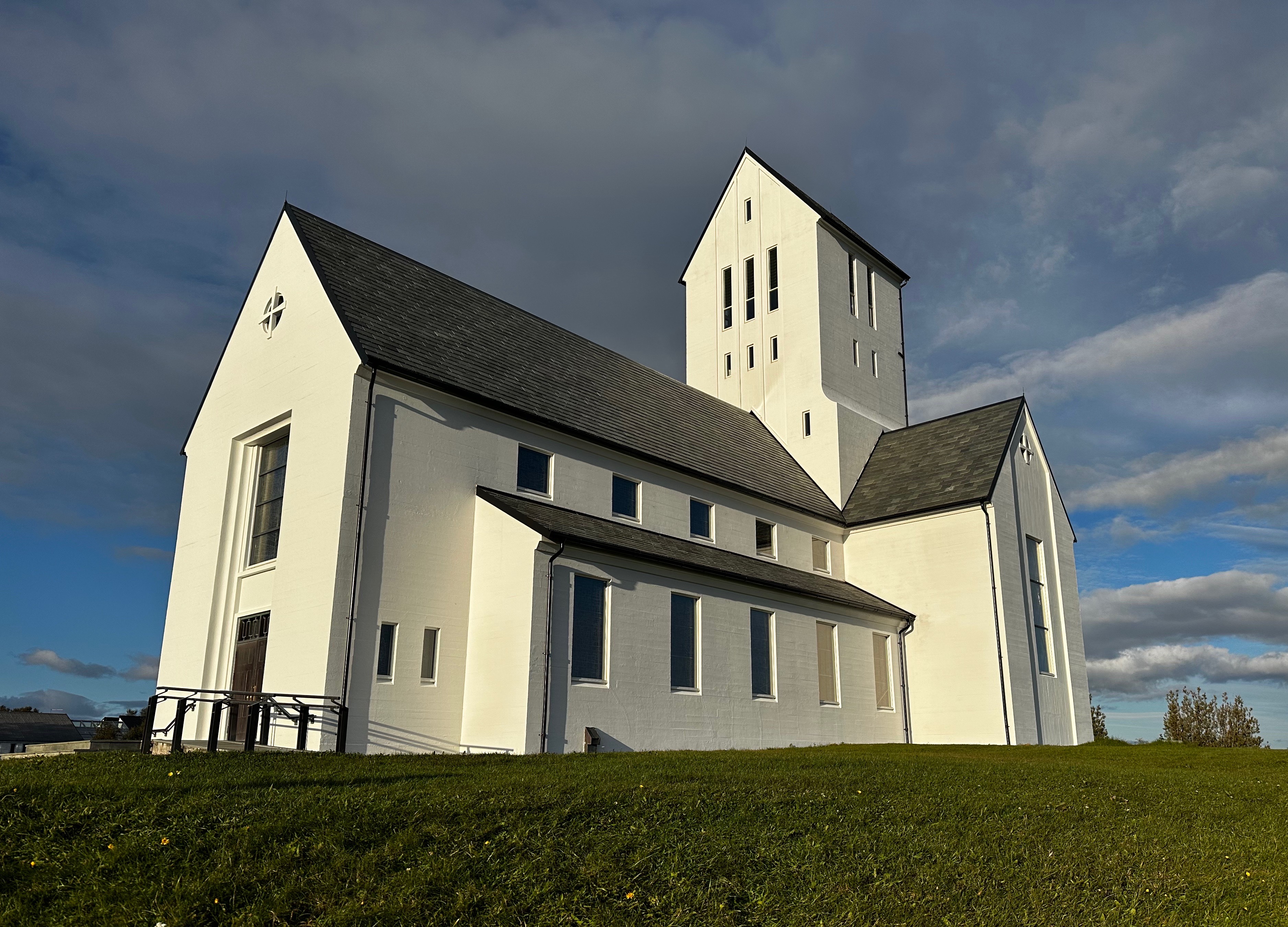
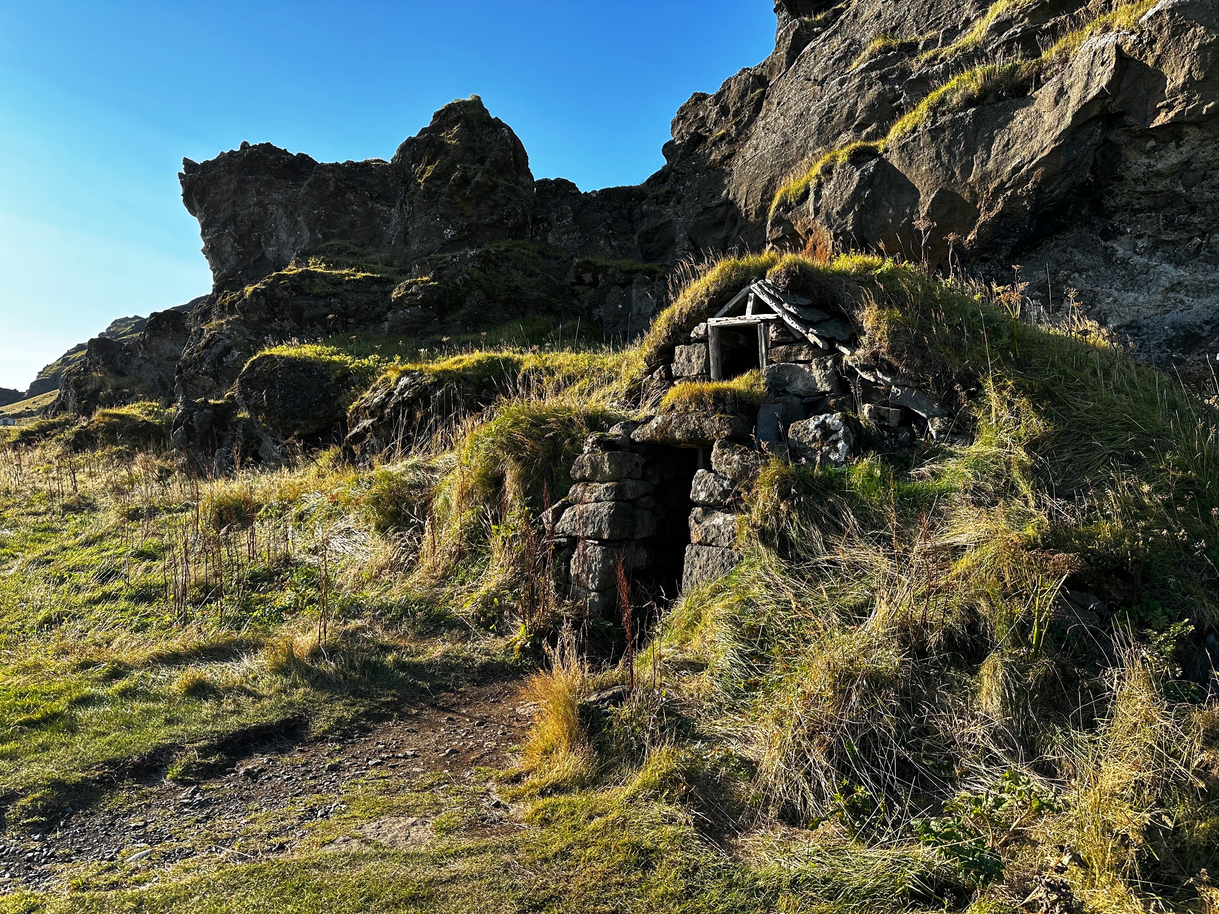
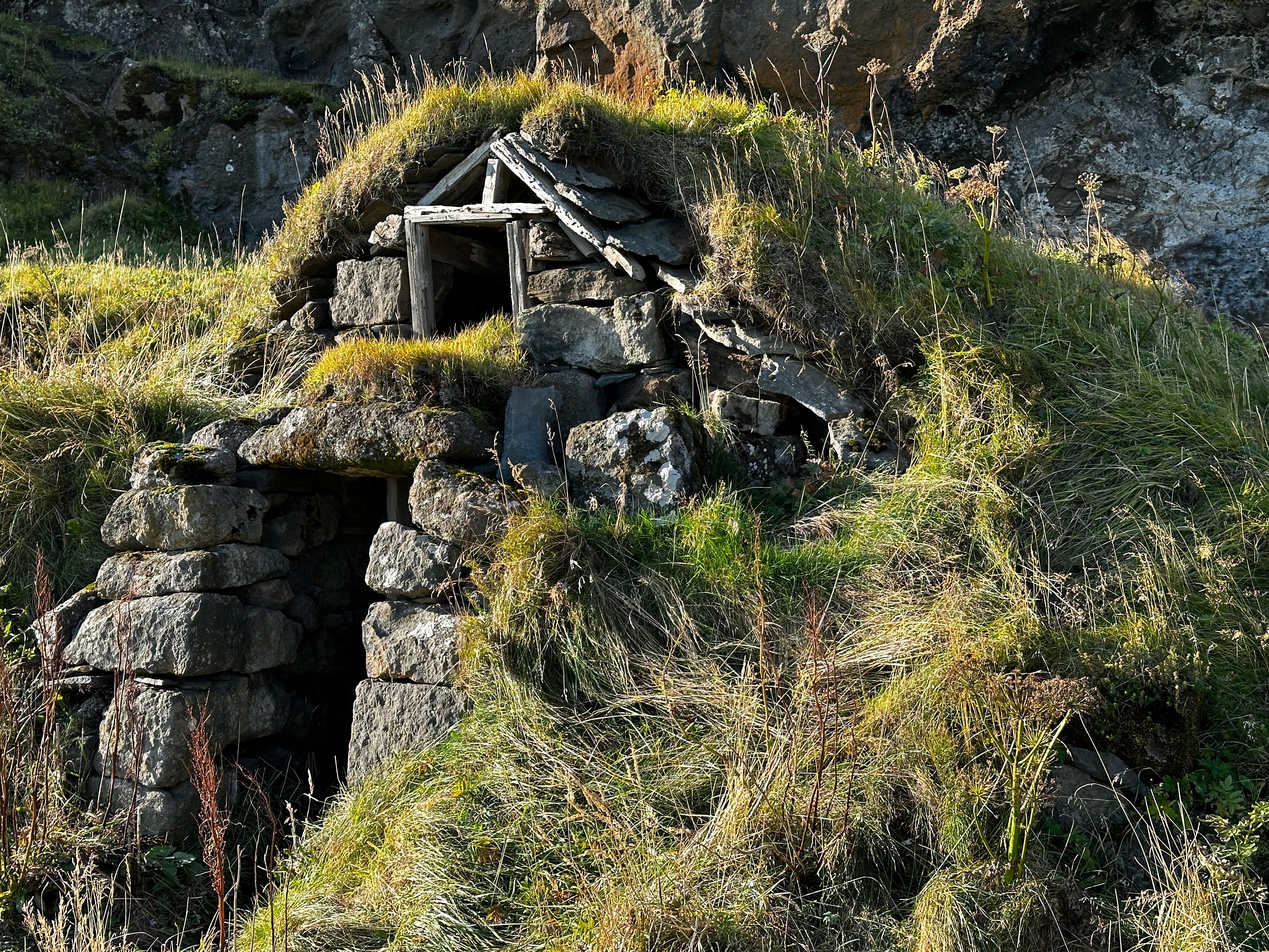
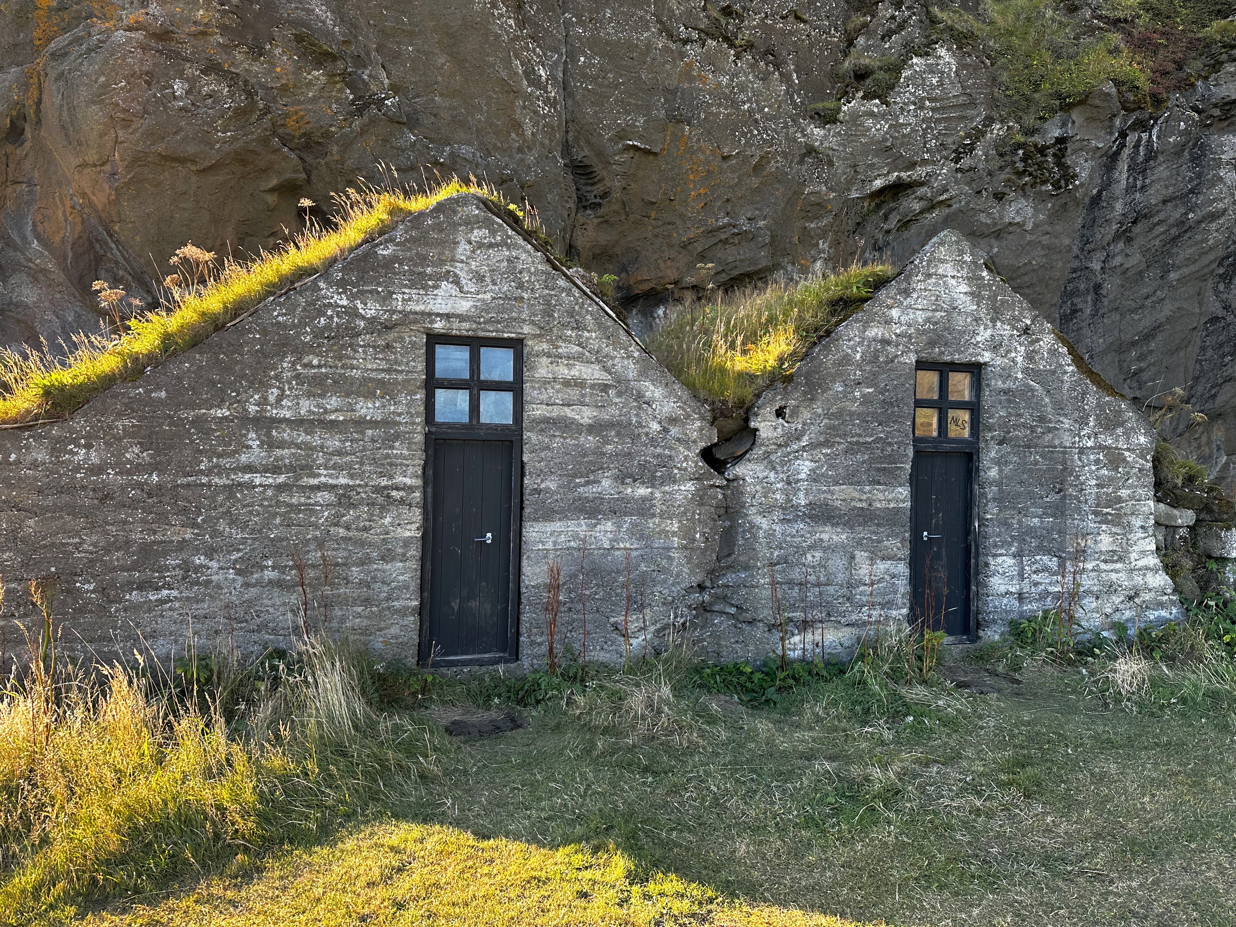
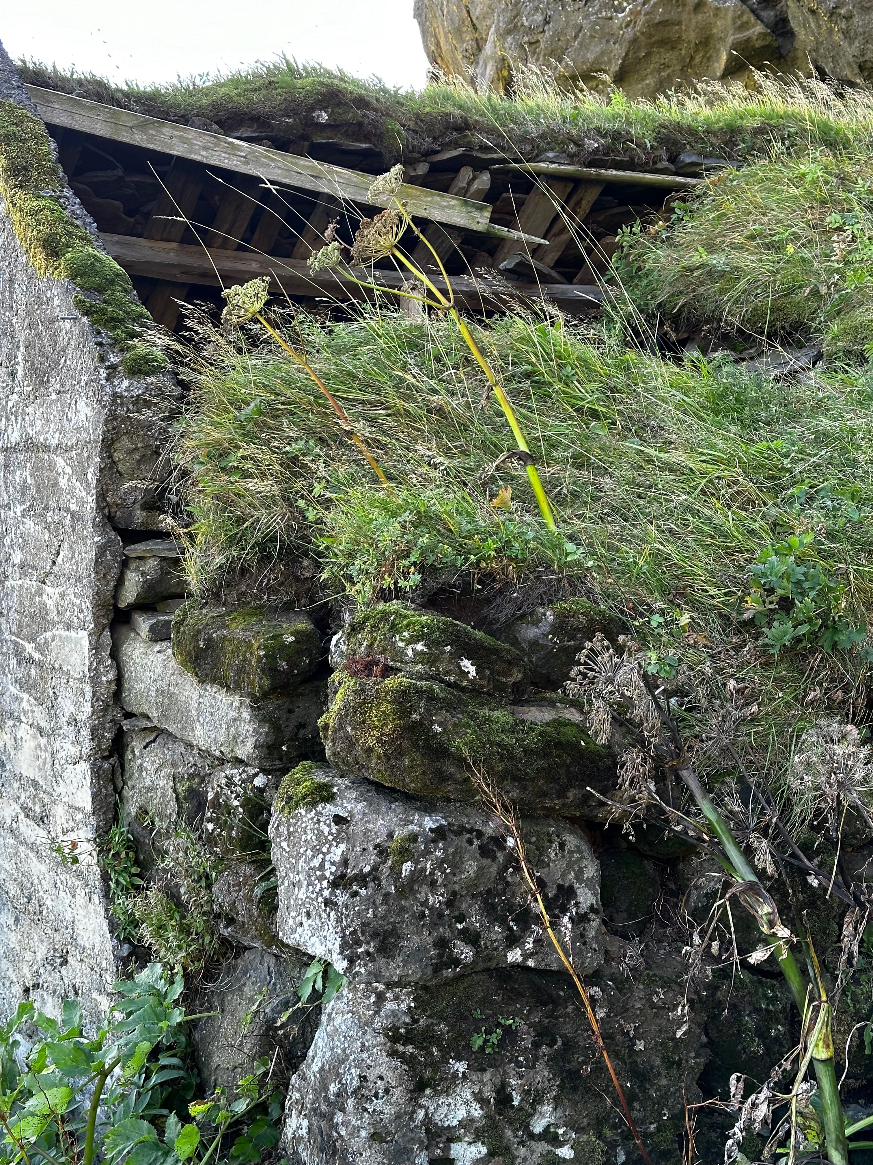
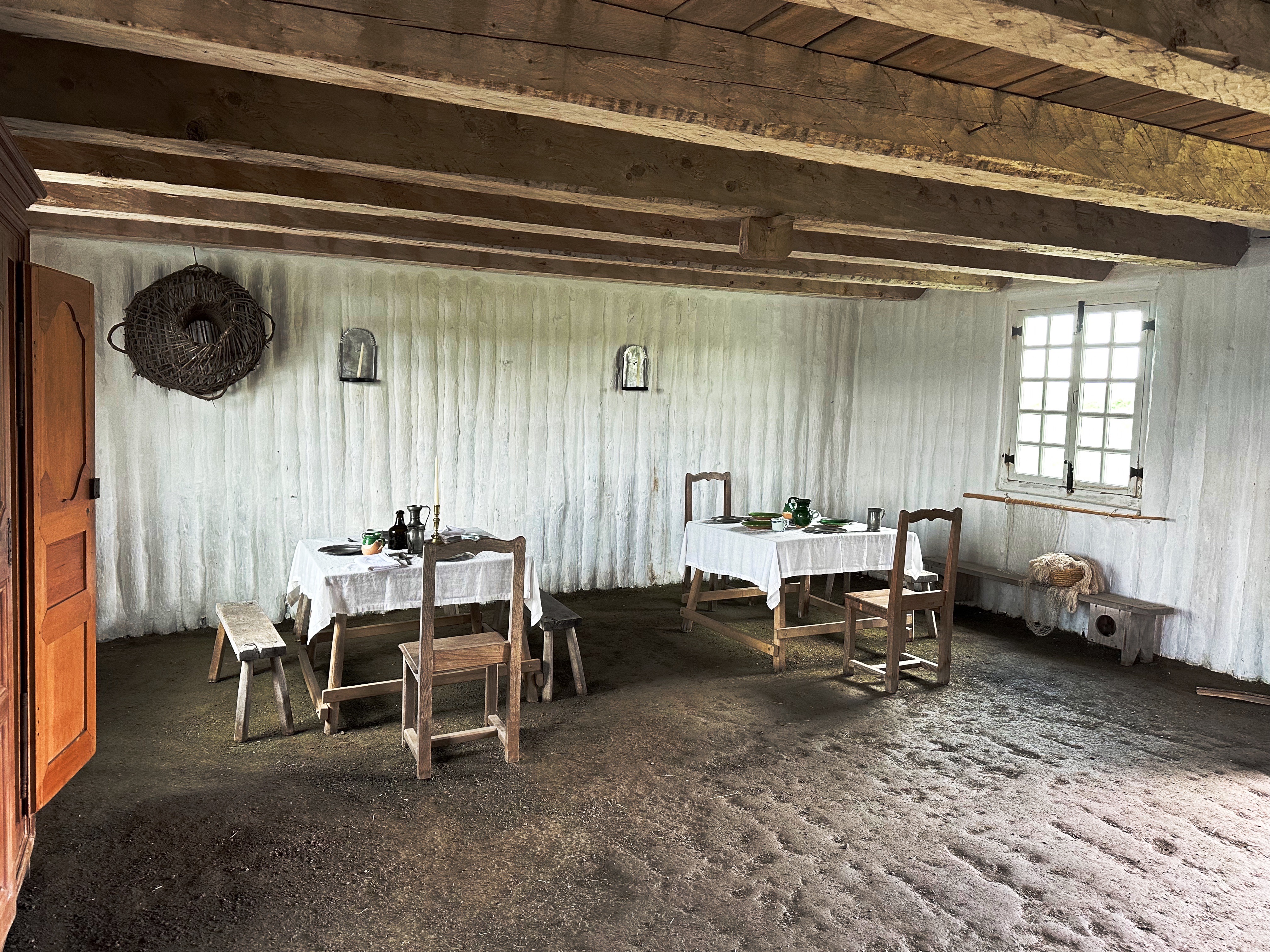
While the mission church is the centerpiece of the mission architecturally, it is important to remember that the mission was a self-sufficient community with approximately 200 people living within the mission wallls.
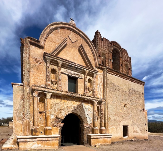
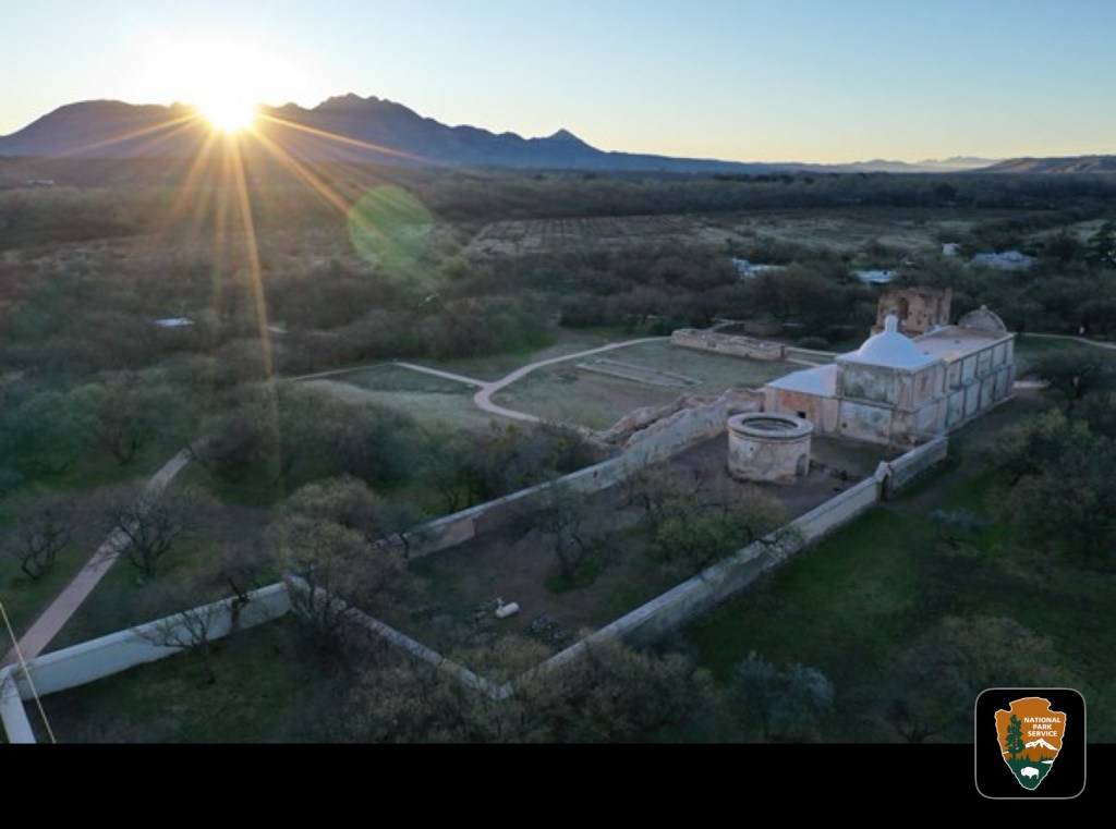
Tumacacori Mission (Photo courtesy of NPS)
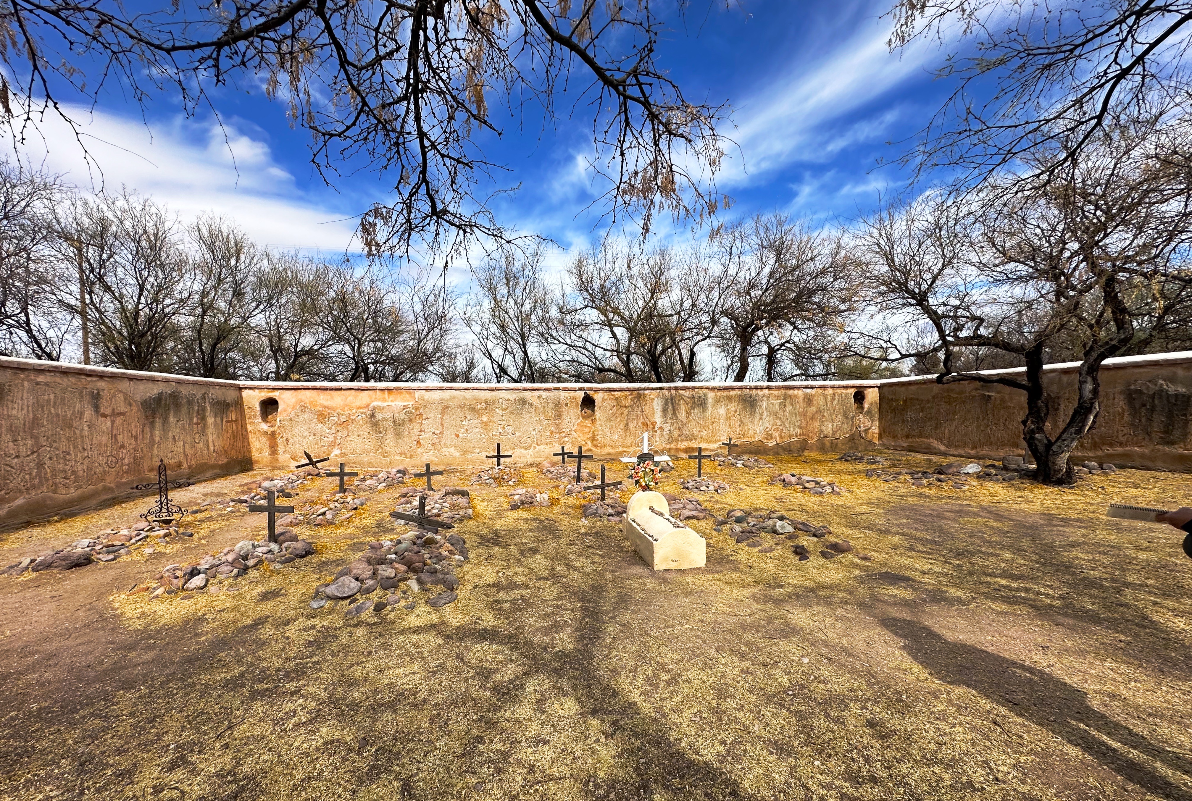
The photo above gives a sense of the mission with the church and the remains of storage buildings, cemetary, living quarters and kilns within the walls and fruit orchards outside.
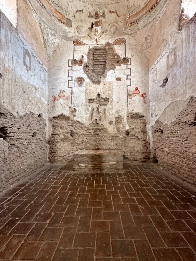
The church that stands within the mission grounds today was commissioned by Franciscan missionaries who had replaced the Jesuits by Spanish authorities who believed they had become too powerful. The Franciscans wanted a much larger church. They began work on a grand design in 1800. In 1820 they dedicated the new church, although over the 20 years of construction the design was changed due budget constraints. The new church, while larger than the orignal, was smaller and less ornate than the original design. Nonetheless, a beautiful structure in our opinion.
Church Nave
Church Sanctuary
Masses were conducted in Latin, but in recognition of the diversity of parishioners, readings and other parts of the mass were conducted in Spanish and O’odham. The O’odham, who were the victims signifcant physical violence from the Spanish settlers who were forcing their removal from their land, were not satisfied with this concession.
Finally, in 1751 the O’odham revolted under the leadership of Luis Oacpicagigua. The revolt was not long lived and the O’odham surrendered in early 1752. The O’odham cannily blamed the rebellion on the Jesuits (who were in much disfavor in Spain at that time) and the colonial governor promptly pardoned all of the O’odham who had participated in the rebellion.
The aftermath of the revolt, as well as the impact of Apache raids on the mission, led to its abandonment. Unfortunately, neglect and vandalism took its toll on the church. Fortunately, President Roosevelt declared the site a national monument in 1908 allowing for the preservation of the monument and no further vandalism or looting.
If you are a history buff, then we think that a two- to three-hour stop here will be worth your while. The self guided tour is well curated and the park staff were knowledgeable and helpful. There are also guided tours available several times a day.
Next is Tucson — comfy bed, hot showers, heated pool — the whole shebang!
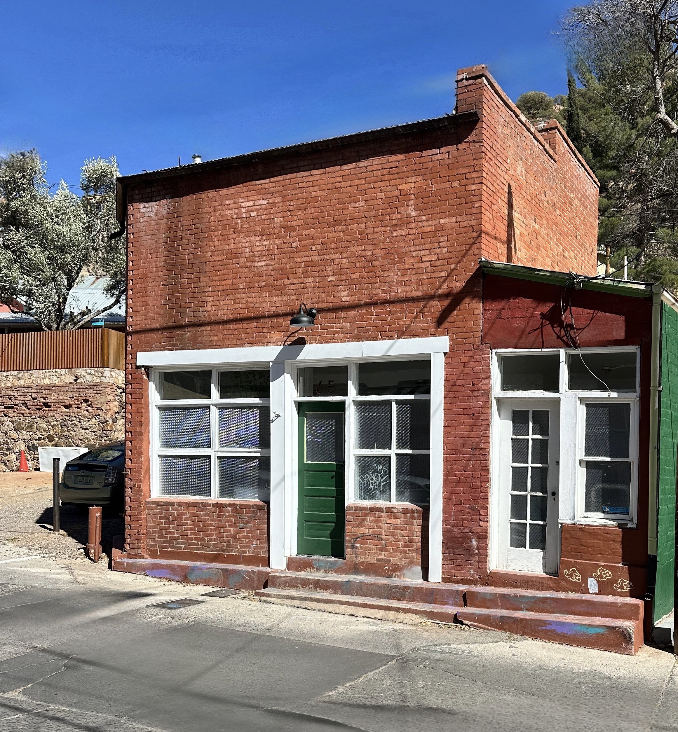
As we departed Bisbee (see previous post) we decided to make a quick detour to the border to check out the small town of Naco.
Naco, Arizona is a census designated place with a population of 1176. Naco, Sonora, the sister city (pop. 6064), is immediately on the other side of the border. While the border was finalized by the Gadsden Treaty of 1853, the two Nacos functioned as a single community regarding everyday living. Recently, Naco, Sonora was also very popular with United States citizens who could easily cross the border and purchase prescription drugs and other items (see Pancho Villa post) . Additionally, the younger drinking age in Mexico (18 vs. 21 Arizona) saw many teens crossing over for an evening of drinking.
The situation changed dramatically during the 1990’s as routes for smuggling migrants and drugs moved to this area after other parts of the border were more effectively sealed. The reverse flow of the smuggling business is the movement of large quantities of weapons south from the U.S. into Mexico for use by drug cartels (shameful).
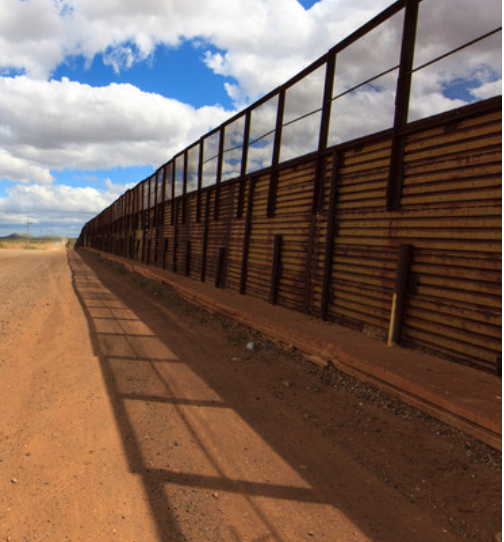
Border Fence, Naco, Arizona
The increase in smuggling coupled with 9/11 resulted in much tighter security. Residents were no longer able to cross back and forth across the border as freely. The completion of a new border fence in 2017 (pictured above) made the separation of the two towns very real. The residents of Naco, Arizona were not apprised of the new fence – they literally woke up one morning to the sound of construction equipment rolling into town.
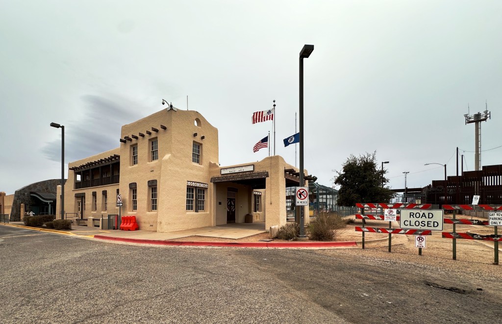
United States Border Station, Naco, Arizona
Many residents claim that this event was the beginning of the end for Naco from a business perspective. An additional factor is that the port of entry restricted its operating hours – moving from 24 hours per day to closing at 10:00 PM – sending more traffic to Douglas where the port of entry is 24/7. Today, there is just one remaining business in Naco.
Gay 90’s Bar, Naco, Arizona
The last business standing in Naco is not unsurprisingly a bar! But not just any bar it is the Gay 90’s Bar as in the 1890s! The bar, which serves food, has pool tables and live music, has been in business since 1931. Why anyone would open a bar during prohibition does not make sense on surface of the issue, but there is probably more to the story than we will ever know. More importantly, they are still in business despite all the turmoil and hard times.
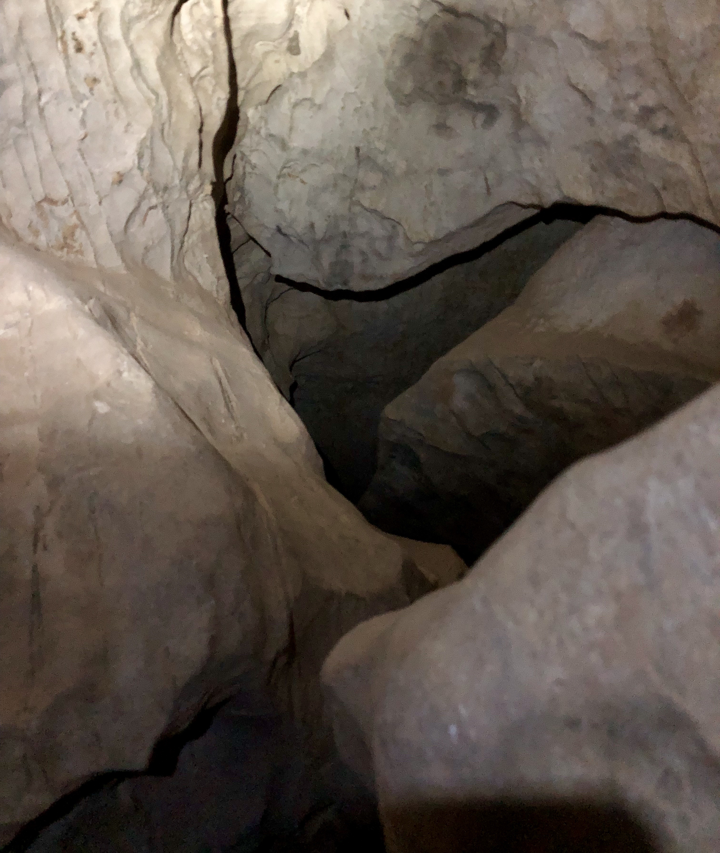
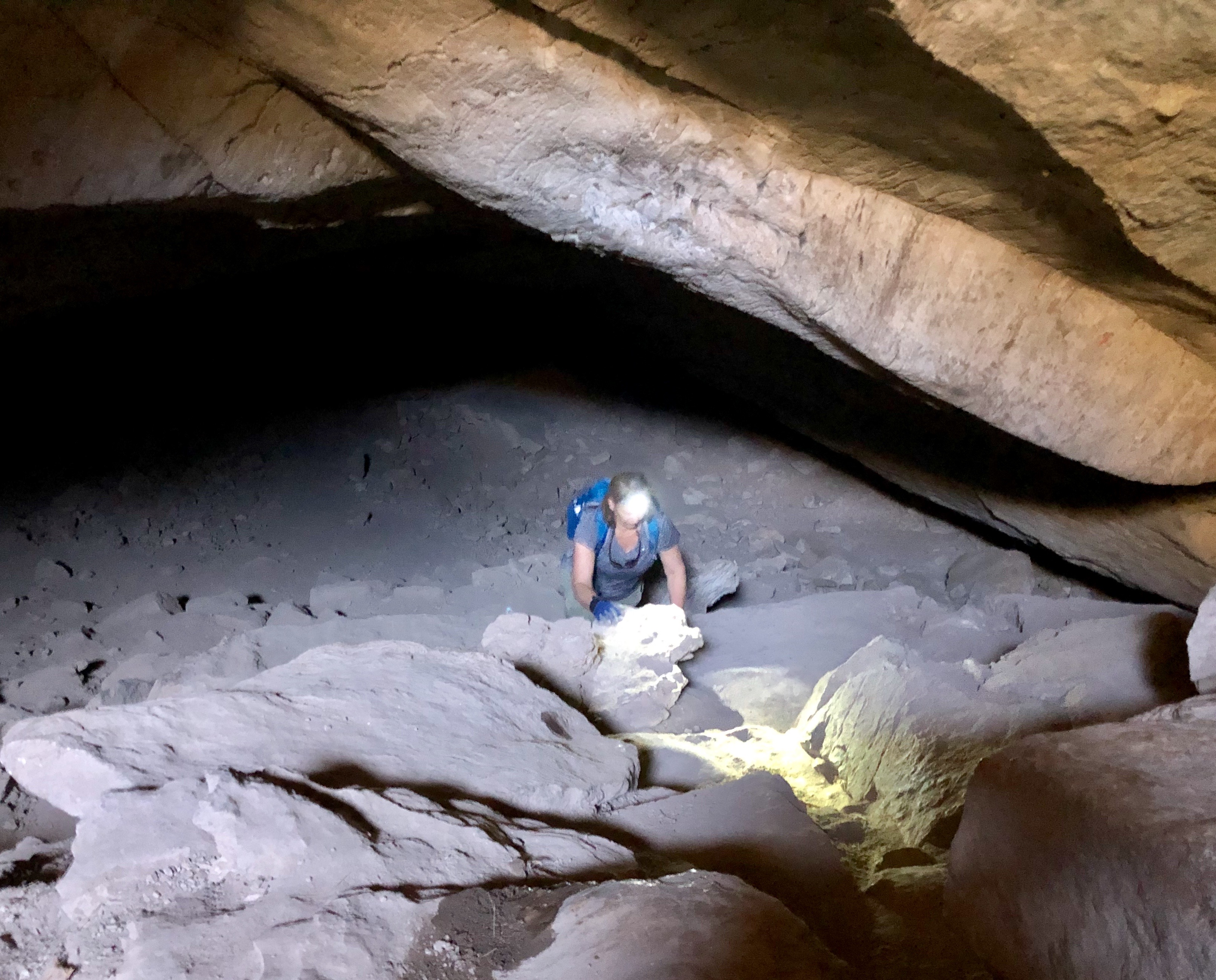
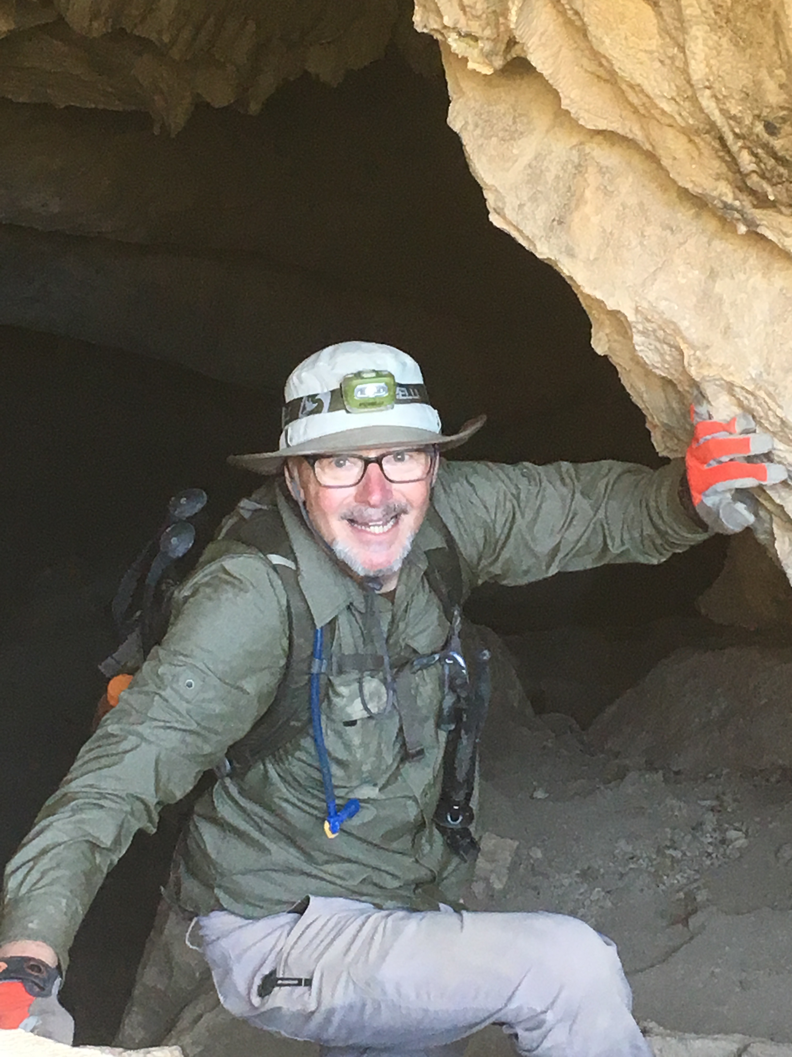
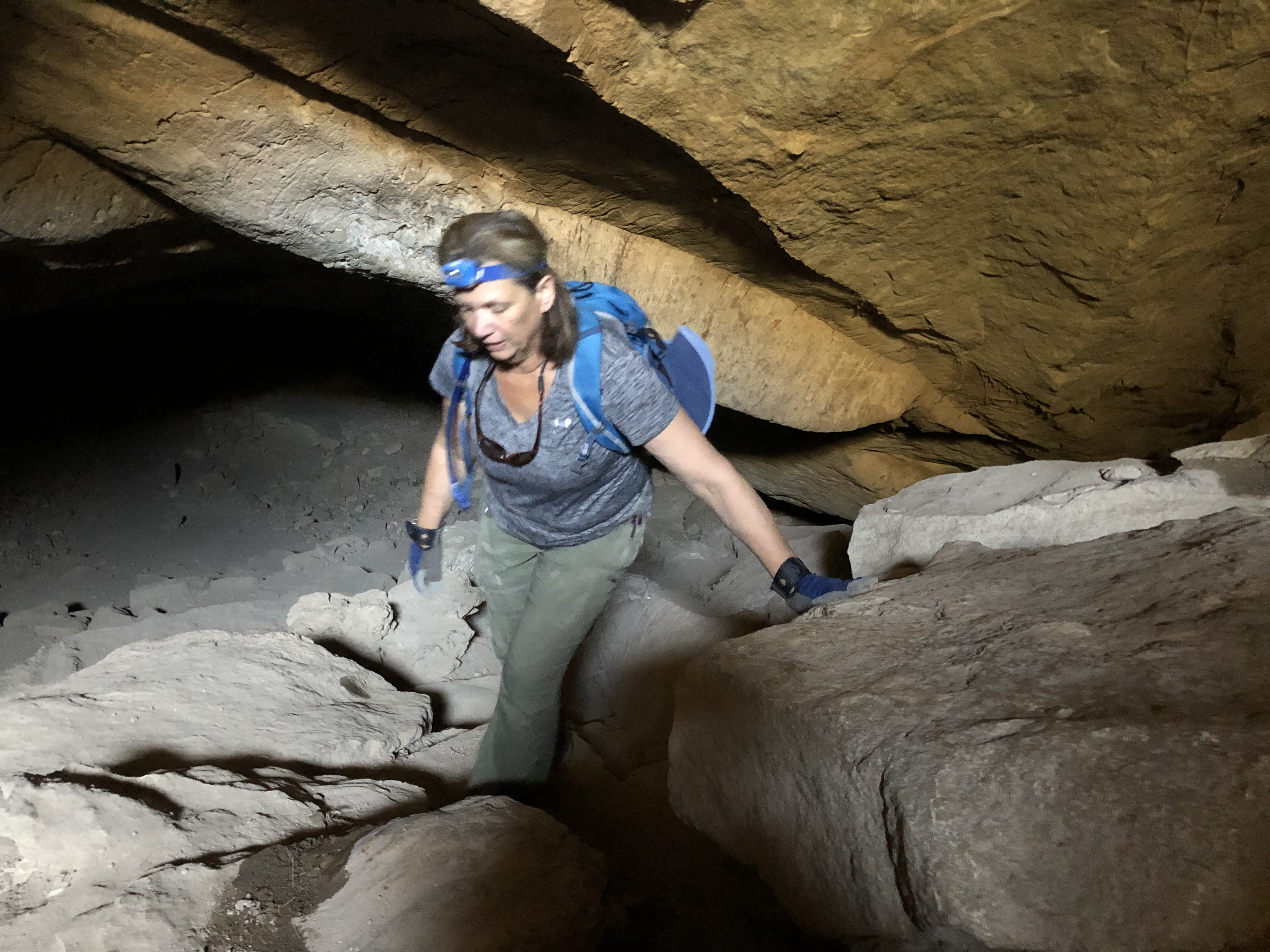
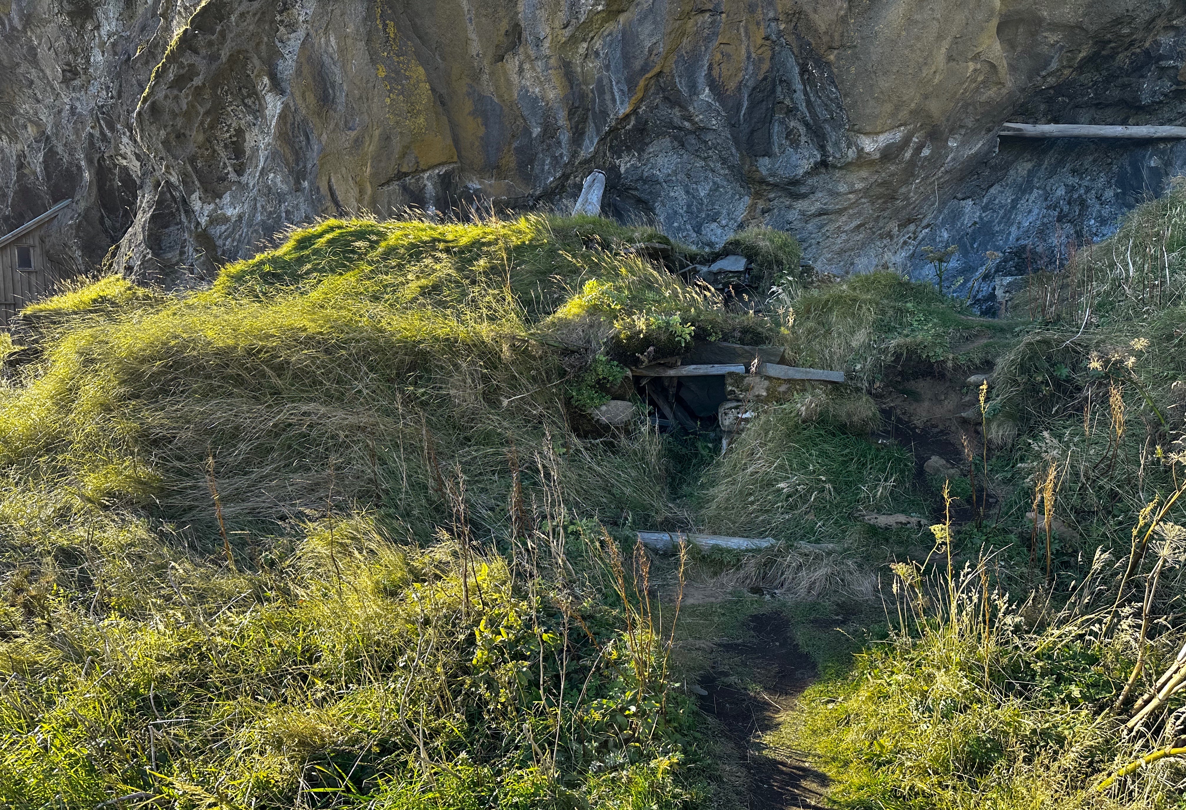
After our brief and somewhat depressing stop in Naco, we cotinued west across beautiful grasslands and entered the Coronado National Memorial. We had visited the Memorial in 2019 to explore the Coronado Cave but did not continue up to the pass. The photographs below are from our caving adventure in 2019. The entrance to the cave is a half mile hike up the south slope of Montezuma Peak and definitely worth the trip. The cave is 600 feet long with lots of small spurs.
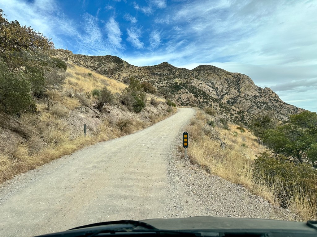
Montezuma Canyon Road
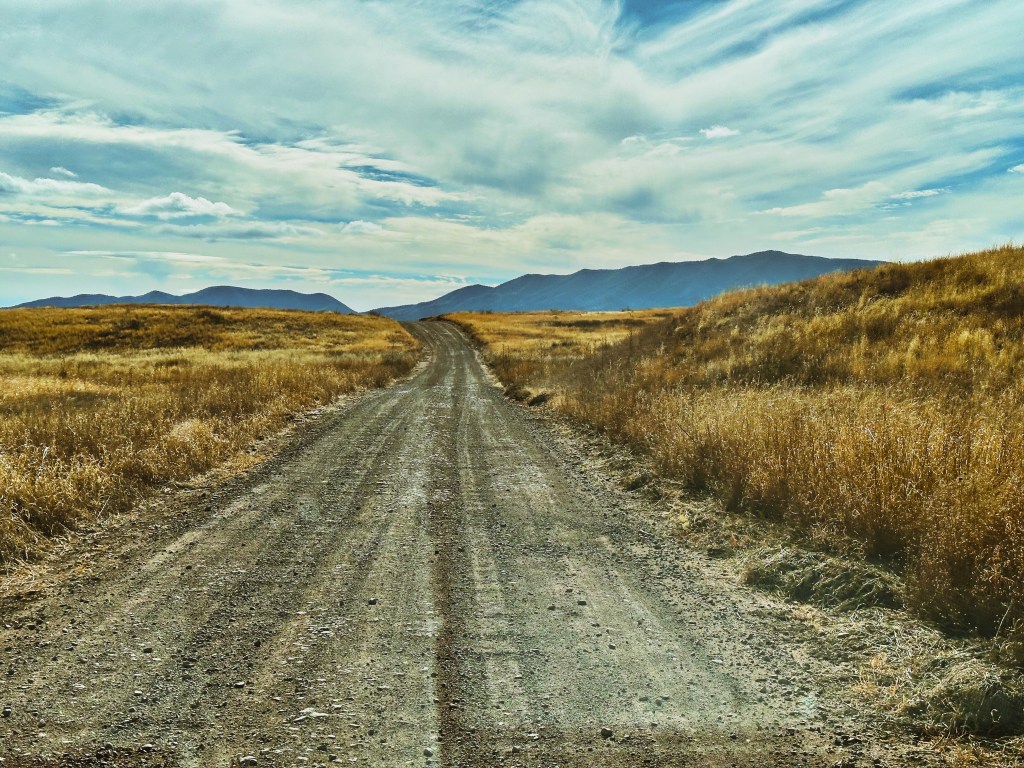
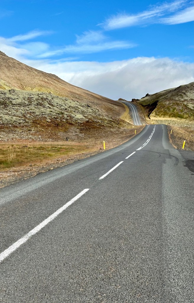
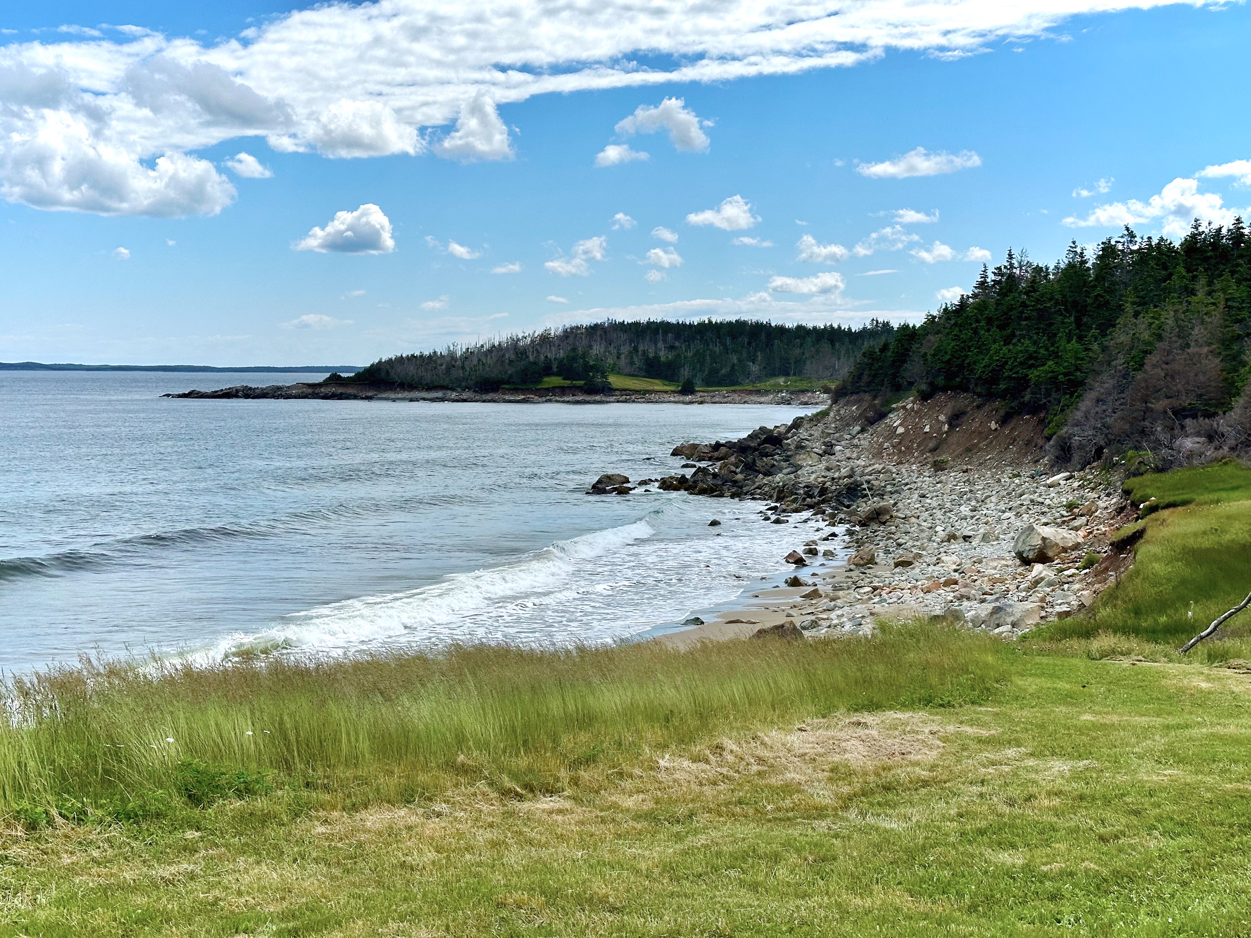
Back tothe present — we wound our way up the canyon road of the 7640 foot high Montezuma Peak and stopped at the pass to take in the views back to the east and west to the immense (330 square miles) San Rafael Valley.
Montezuma Canyon Road
View East from Montezuma Pass — Montezuma Canyon Road Visible Below — San Pedro Valley to the East
View West from Montezuma Pass — San Rafael Valley — Huachuca Mountains to the North
The road beyond the pass heading west is best suited to 4WD, high clearance vehicles as it becomes progressively more rutted and rocky.
Montezuma Canyon Road — San Rafael Valley — South and West
Montezuma Canyon Road
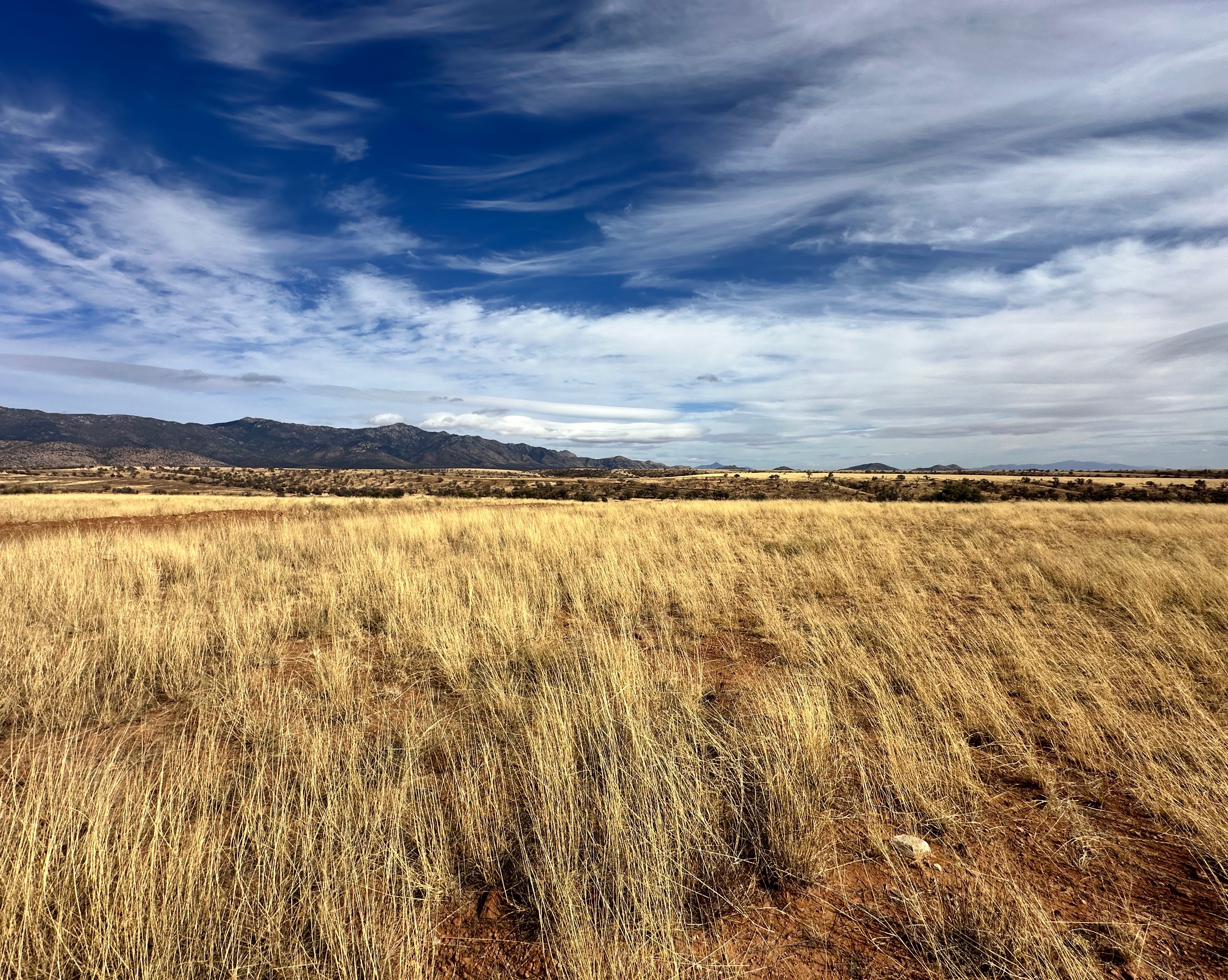
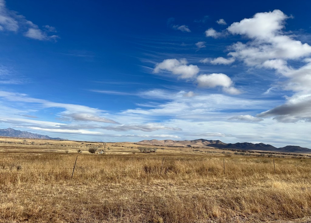
From the pass we continued down the road admiring the views of the valley below. It is hard for us to fathom that the majority of the valley’s 90,000 acres is privately owned by a handful of ranchers. But then again, the valley has been home to cattle ranching for 175 years!
San Rafael Valley
The largest ranch in the valley was owned and operated by the Sharp family from 1903 to 1999. The ranch, The San Rafael Ranch, lies in the center of the valley and consisted of 22,000 acres. The state acquired the land and designated it as natural area in order to protect what is considered the finest stand of grassland in the state. Sadly, when the state purchased the land and designated it as a natural area, it closed access to the ranch house and all of the property (although the state allows the remaining ranchers to graze their cattle on the land). The other interesting historical note is that the property that comprised the ranch was the last remaining intact Spanish Land Grant (well, we think it is interesting).
San Rafael Ranch House (Photo courtesy of SouthernArizonaGuide.com)
Being very cognizant of the fact that we were traveling through a fragile area, we carefully followed an established track which took us out through the grasslands. The video below provides some perspective of the experience of riding through the grasslands with the mountains ahead of us — quite spectacular!
San Rafael Valley
After our jaunt through the grass we returned to the road to complete our crossing of the valley.
San Rafael State Natural Area
Patagonia MountainsLeft — Canelo Hills Right
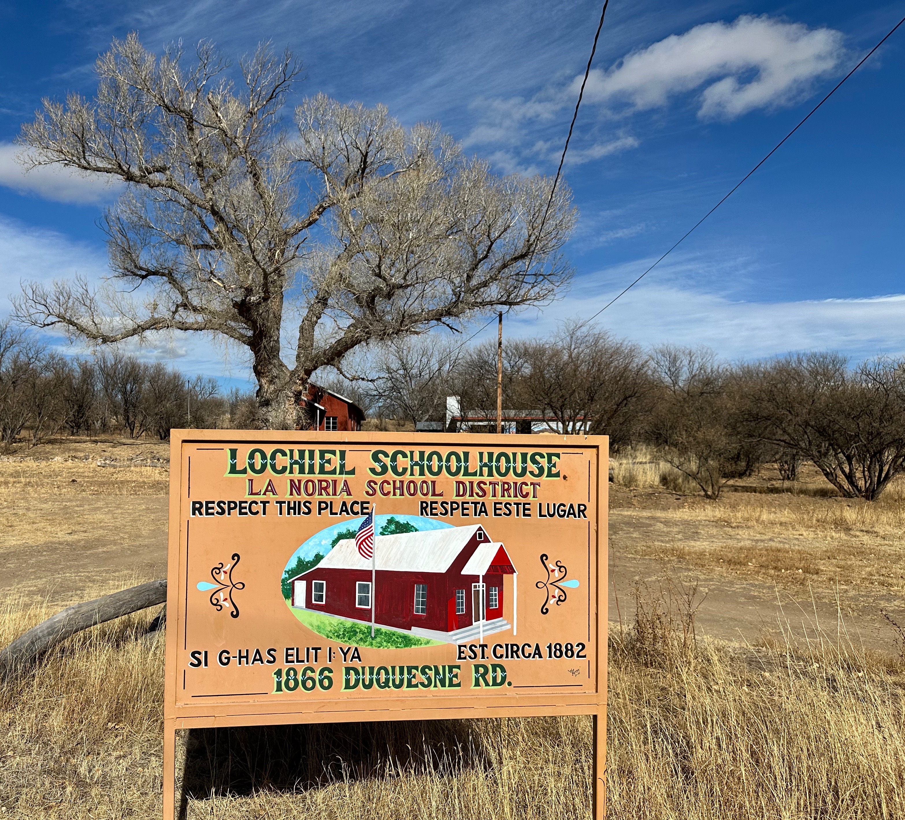
At the end of the drive across the valley, we arrived at the border town of Lochiel. The town was originally named La Noria by Mexican settlers. It was renamed Lochiel (Low—Keel) in 1885 by rancher Colin Cameron in honor of his Scottish ancestors.
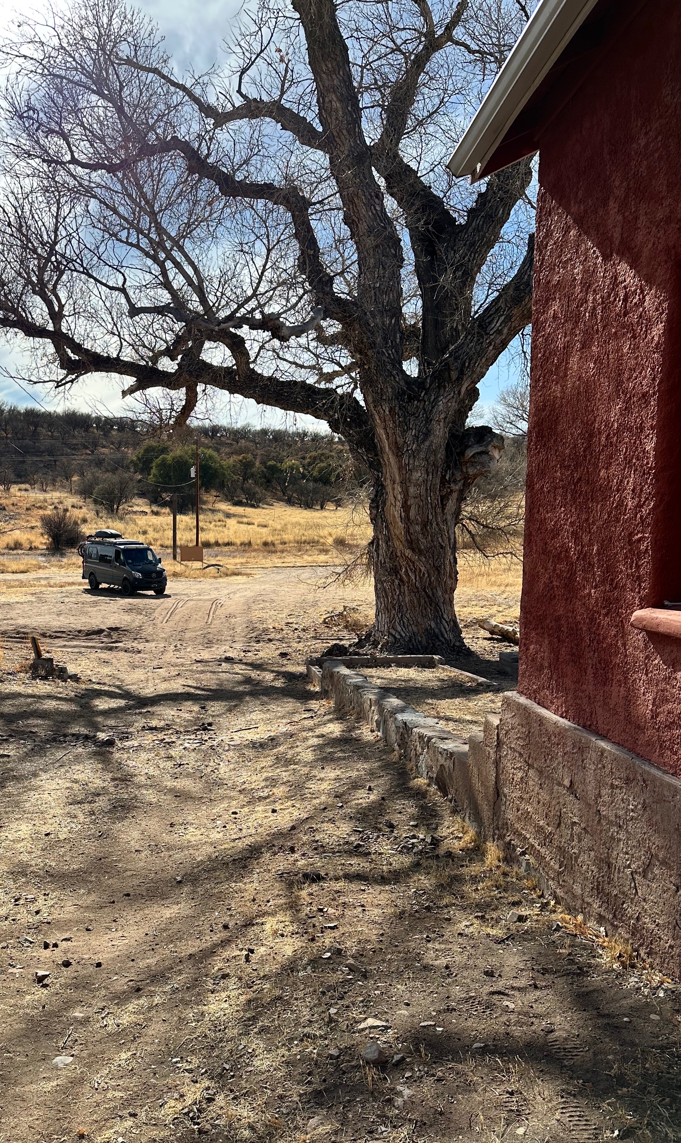
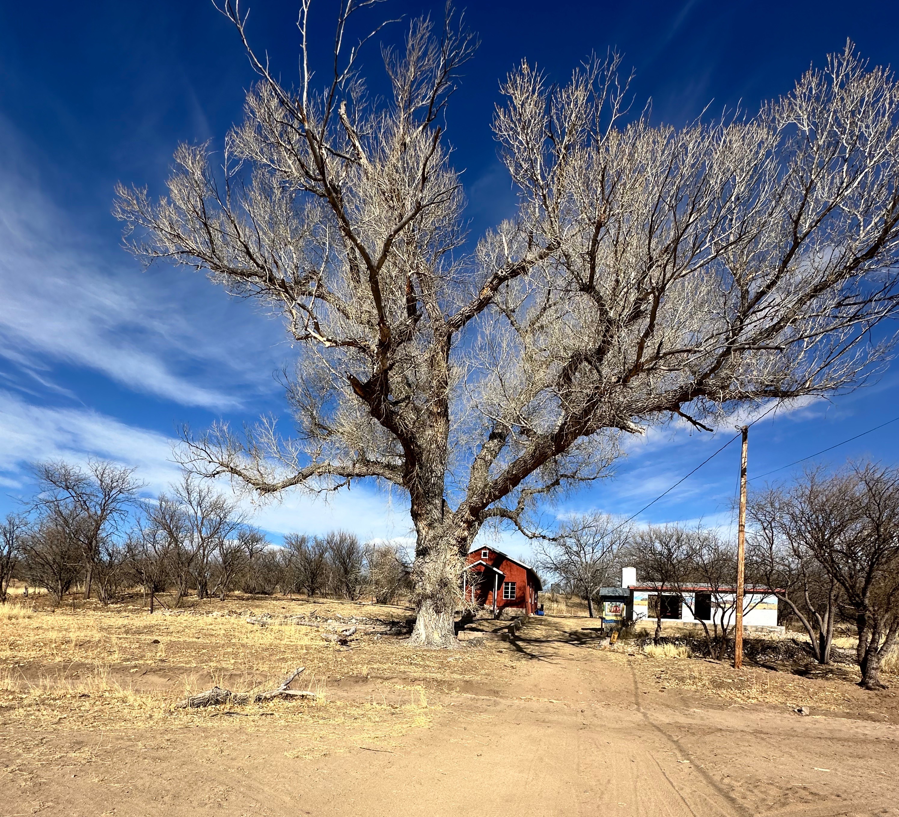
Lochiel, Arizona
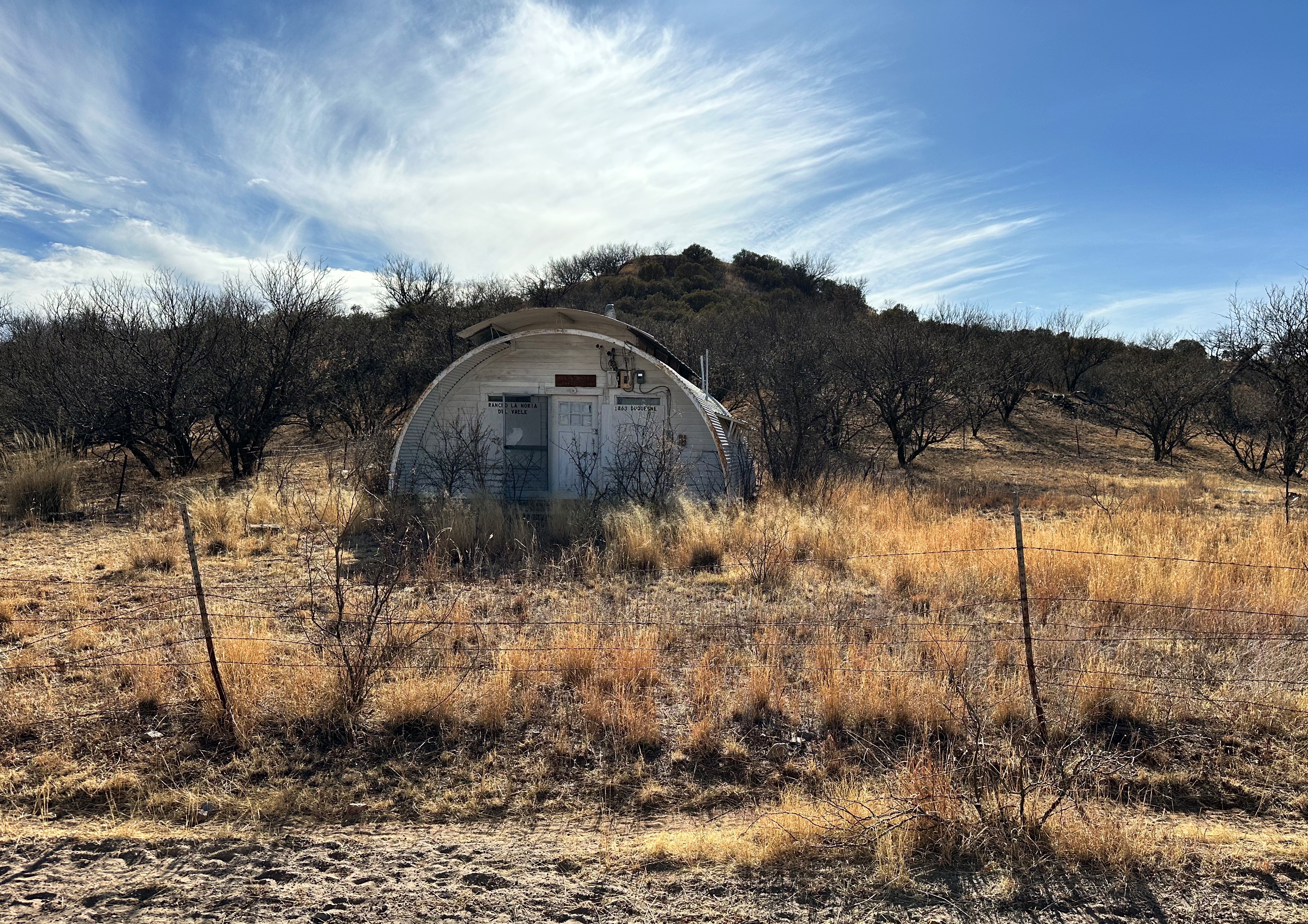
Lochiel is often described as a ghost town but it appears there a handful of inhabitants. Our research comes up with ten people. We don’t think anyone really knows and historical records indicate that the population peaked at 400 when the mine in nearby Patagonia was in full operation. We can’t warrant that anyone actually lives there because while we saw several dwellings that appeared to be inhabited we did not see any people while in Lochiel. In fact, we only saw one person during our ride across the valley — a man in a pick up truck — who we let pass us by as he was traveling at a much higher rate of speed than we could or would on the rough and winding road.
We visited the red schoolhouse pictured above. It is an adobe structure and operated as a classic one room schoolhouse for all of the children in town. The schoolhouse began operation in 1892 and closed in 1972 in response to declining enrollment. The remaining kids were bussed to school in Patagonia. Today the school is maintained by the Patagonia Museum.
There is also small church in Lochiel. We could not visit the church as the fence around the church is gated and locked. It appears to be of adobe construction as well. The fence directly behind the church is the border fence with Mexico. We unfortunately could not find any history regarding the church.
Lochiel Church (Photo courtesy of Wikimedia)
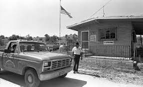
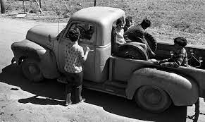
We mentioned that Lochiel is a border town. The border fence here is just a chain link fence with some barbed wire on top. Quite a contrast from the other sections of the border we have seen on this trip. Years ago, from the 1960s until 1983 there was a port of entry in Lochiel. It was operated by Customs Inspector Helen Mills during the 60s and 70s and then Custom Inspector Mike Daniels until closing in 1983. We found some fantastic photos (below) of Helen and the port of entry from an article in Tucson.com
Well, that is our report on our experience overlanding through the Coronado Memorial NM and the San Rafael Valley. This trip really helped us to envision a different time in our country.
From Lochiel we drove north and camped in the Patagonia Mountains for an evening. Our next segment will take us to Mission San Jose’ de Tumaca’cori north of Nogales and then on up to Tucson for a city segment.
The morning after our foray into Puerto Palomas we broke camp and lit out for the Arizona border. We followed NM 9 to its terminus just before the Arizona border (completing our crossing of New Mexico on NM 9). From there we rejoined US 80 (which we had driven on from Montgomery, Alabama to the Texas/New Mexico border) on the roughly three hour drive from Columbus, NM to another border town- Douglas, Arizona.
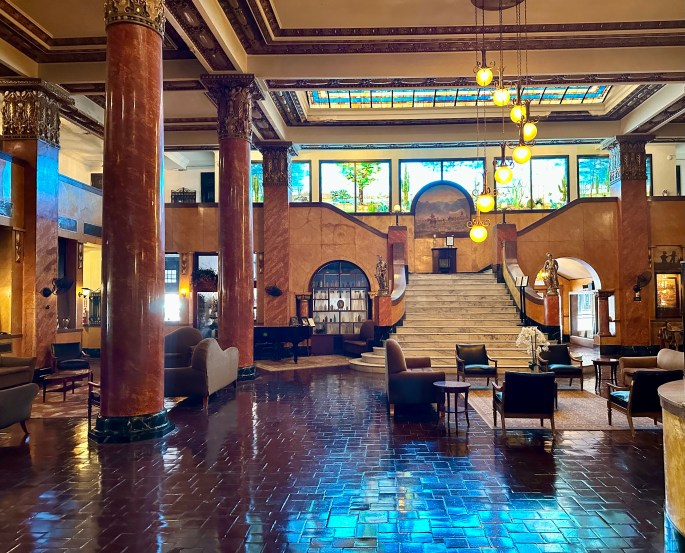
We had passed through Douglas in 2019 and stopped for lunch at the restaurant located in the Gadsden Hotel. We made a note that if any future road trips brought us close to Douglas, we would stay the night and enjoy cocktails sitting in the Henry Trost designed lobby. As we were ultimately heading to one of our favorite weird towns, Bisbee, just west of Douglas, that is just what we did.
The Gadsden is not much to look at from the outside, but the interior, especially the lobby, is quite impressive. We have stayed at six hotels designed by the architect Henry Trost (1860-1933). His firm, Trost & Trost was based in El Paso, Texas and designed over 600 buildings in Texas, New Mexico, Arizona as well as Mexico. Trost & Trost heavily influenced the look of the Southwest and still does today with over 100 of their structures still standing.
The article embedded below provides a brief history of the hotel and the town of Douglas.
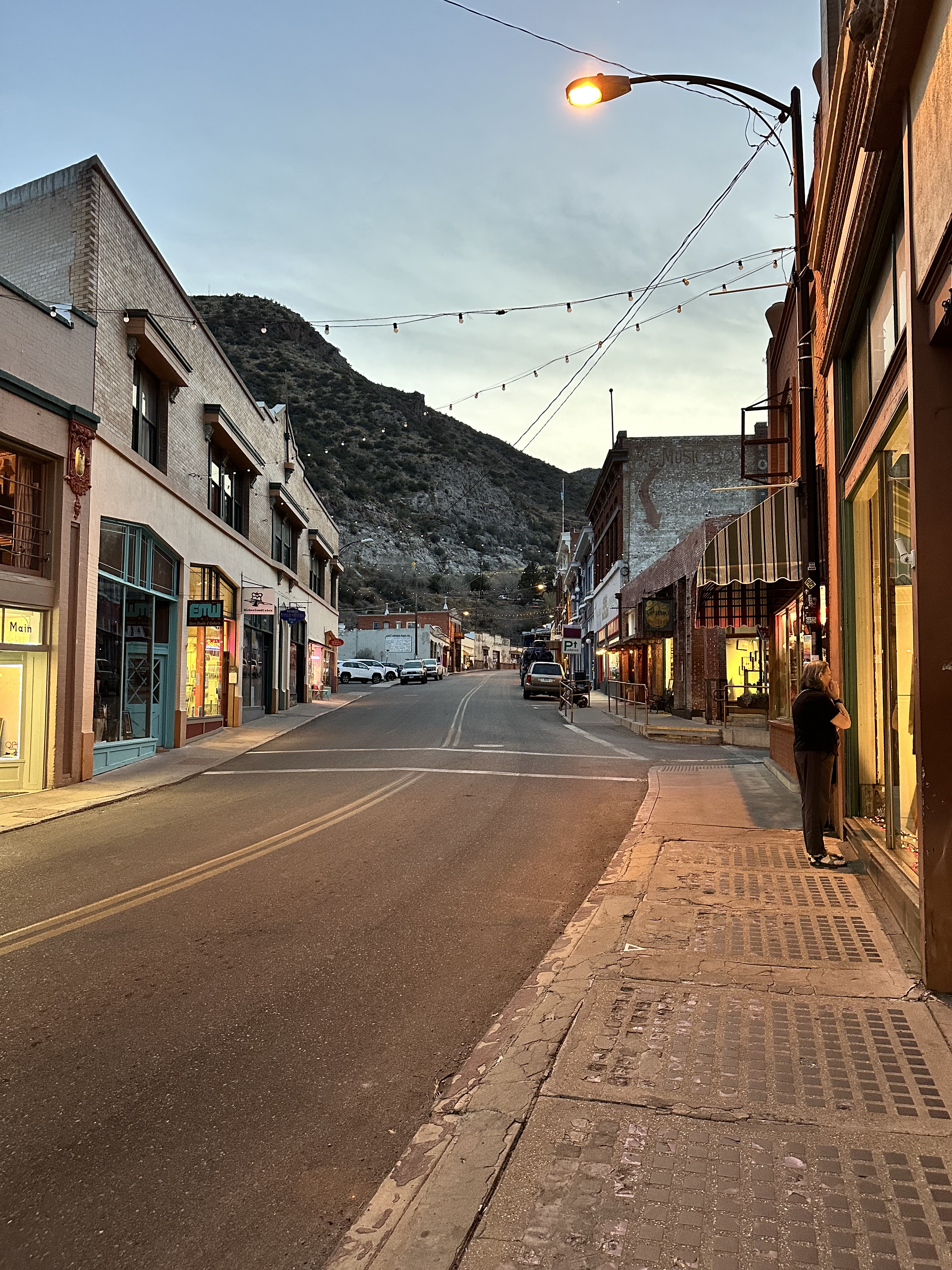
After our enjoyable night at the Gadsden Hotel we made the short trip to Bisbee. We had visited Bisbee in 2019 and chronicled the interesting history of the town at that time (see our post Bisbee, AZ 03.20.2019)
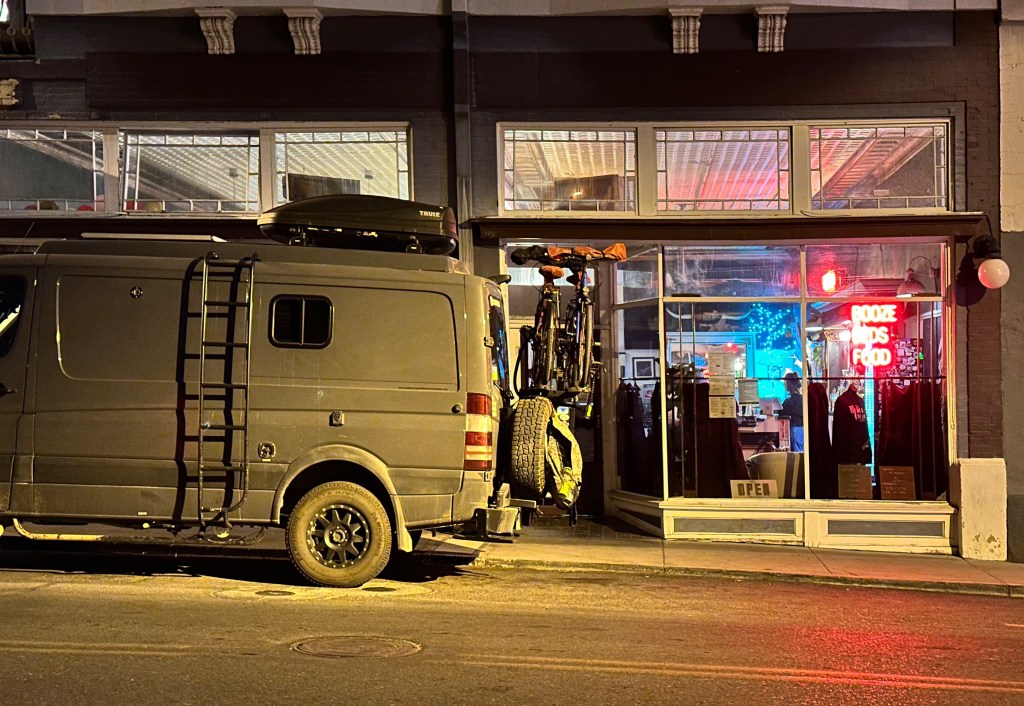
Booze, Beds, Food!
On this trip, we stayed at the Bisbee Grand Hotel right in the heart of downtown Bisbee. The Grand has been in business since 1906. The hotel describes itself as a place where “the rugged charm of the Old West blends with modern comfort”. Modern might be a bit of a stretch, but the hotel is great. Everyone on staff is friendly and helpful. The first floor has a great bar and restaurant, and there is live music just about every night. Booze, beds, food (and music)! The formula certainly works for us. We will come back to our stay at the Grand later in the post.
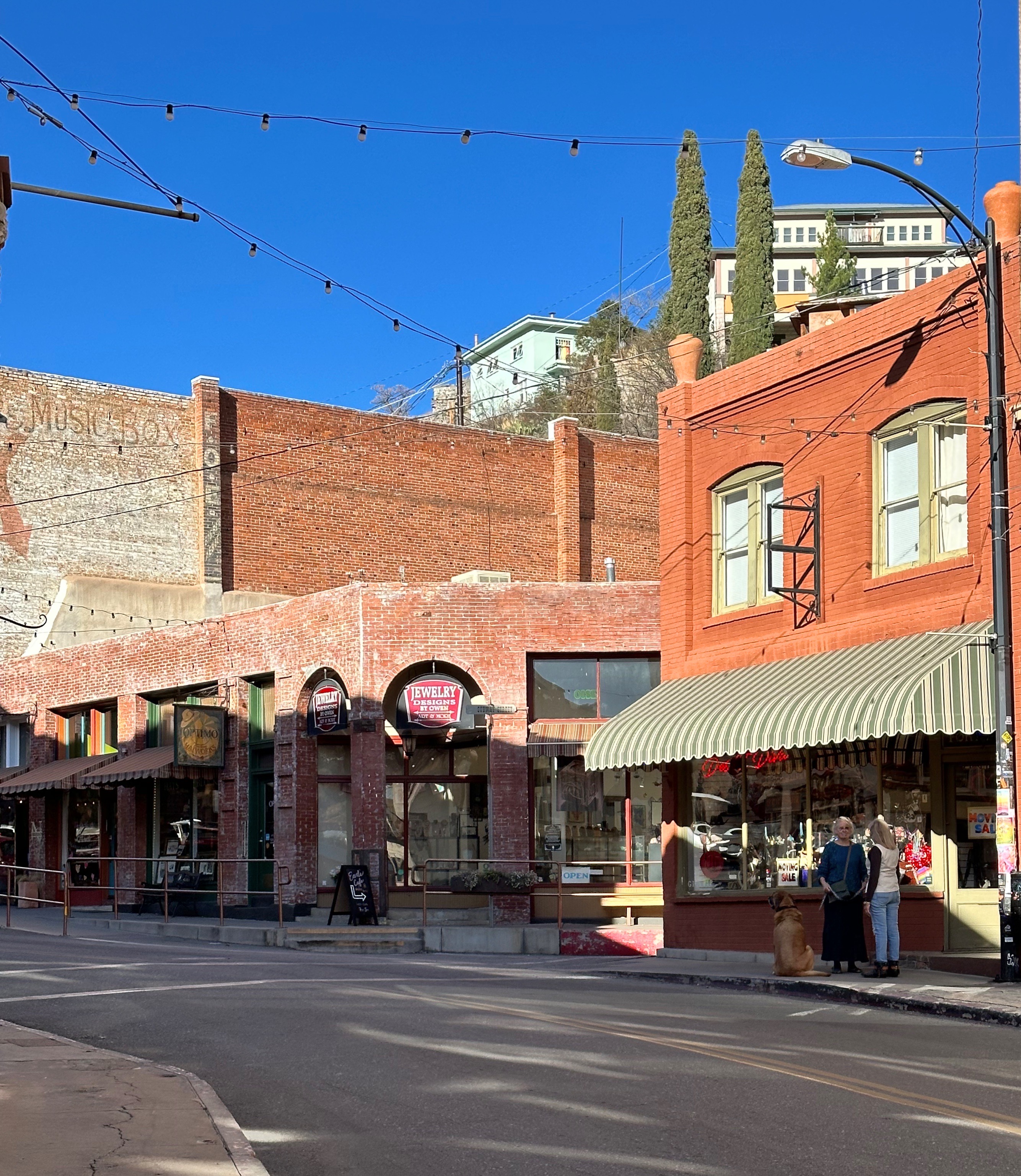
Bisbee is no longer a mining town, other than the daily tours of the Copper Queen Mine (we did the mine tour on our previous visit – it is excellent – you ride into the mine on the train that carried the miners deep into the mountain). After the mine closed the population decreased for several years but has reversed course as the town has become home to a plethora of artists, musicians and people who just want to do their own thing.
Doing Your Own Thing
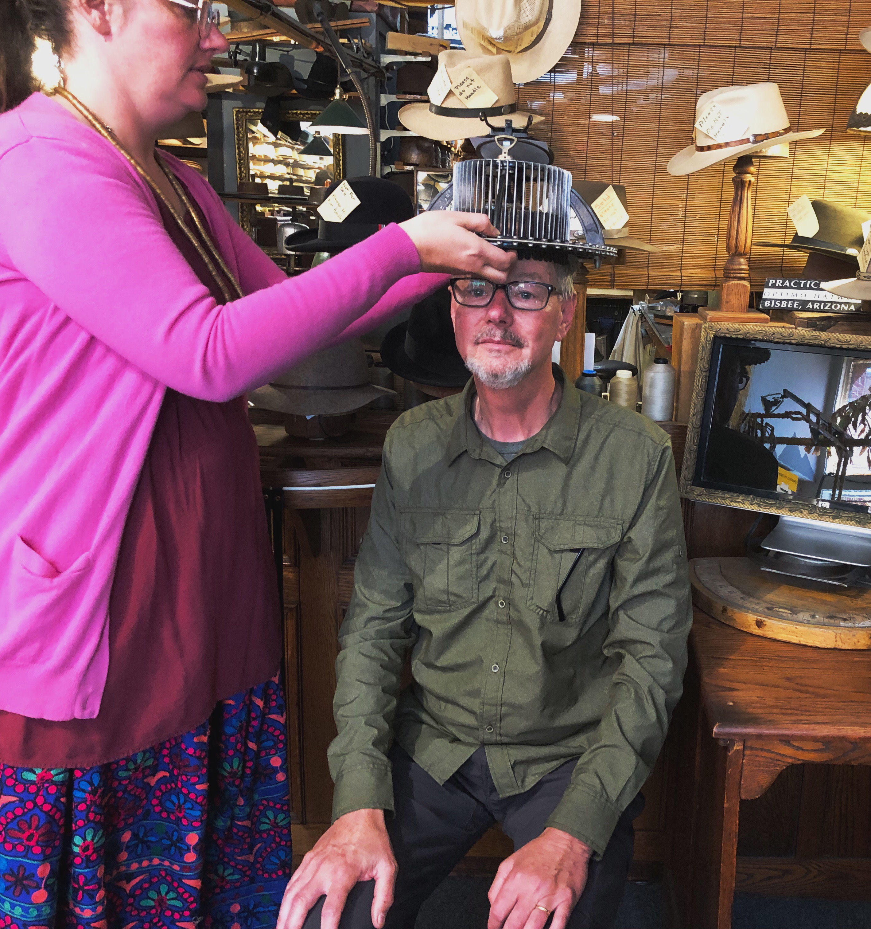
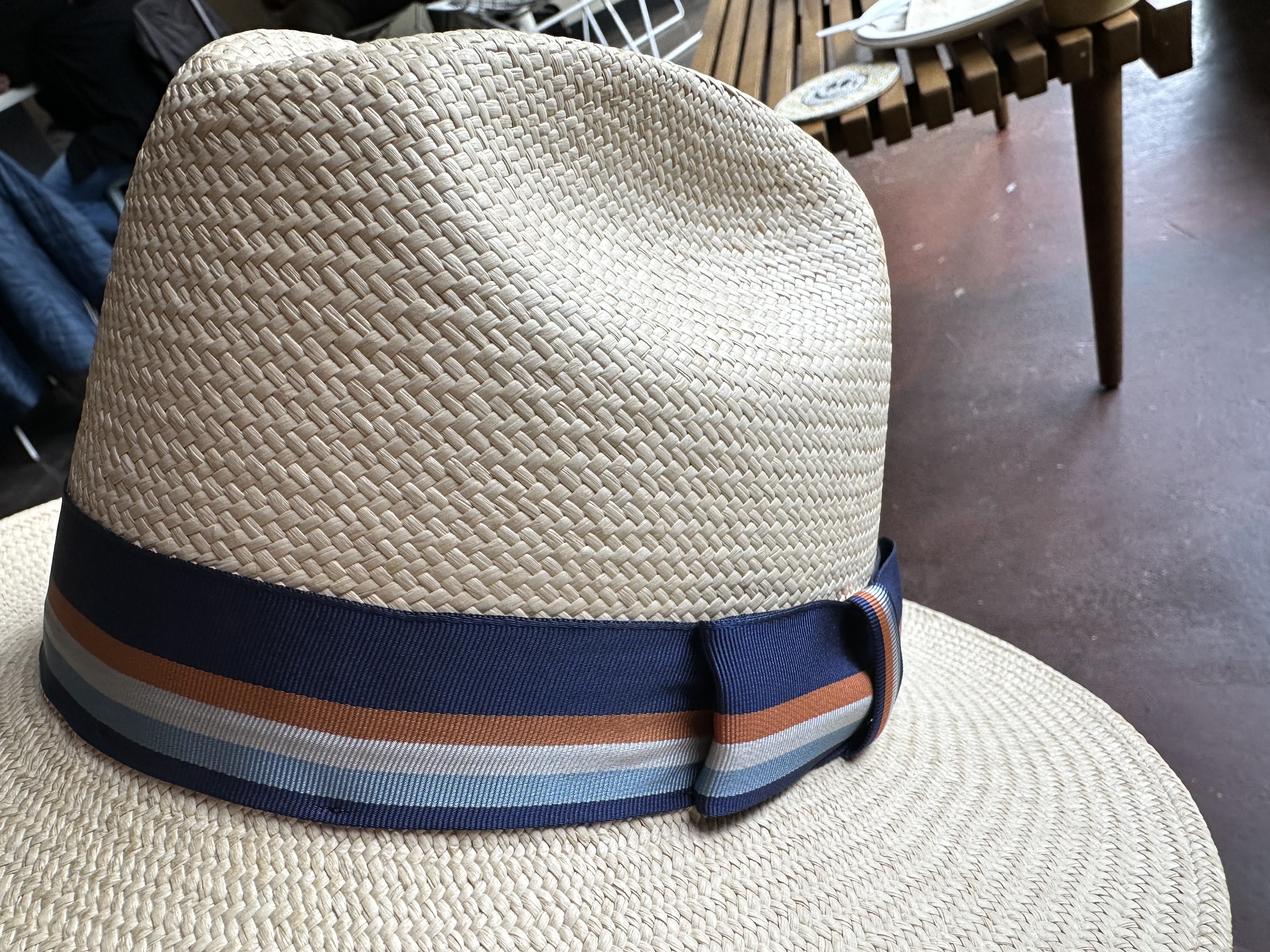
When we visited Bisbee in 2019 Stephen became a devoted customer of Optimo Hatworks. Optimo is a milliner and renovator. The shop has been in business for around 50 years. Knowing that we were heading back to Bisbee, Stephen planned on a renovation for his 2019 panama and having a new hat made. Below left, Karen fitting the hat with their hat fitting tool aka medieval torture device. Below right, renovated panama with new band.
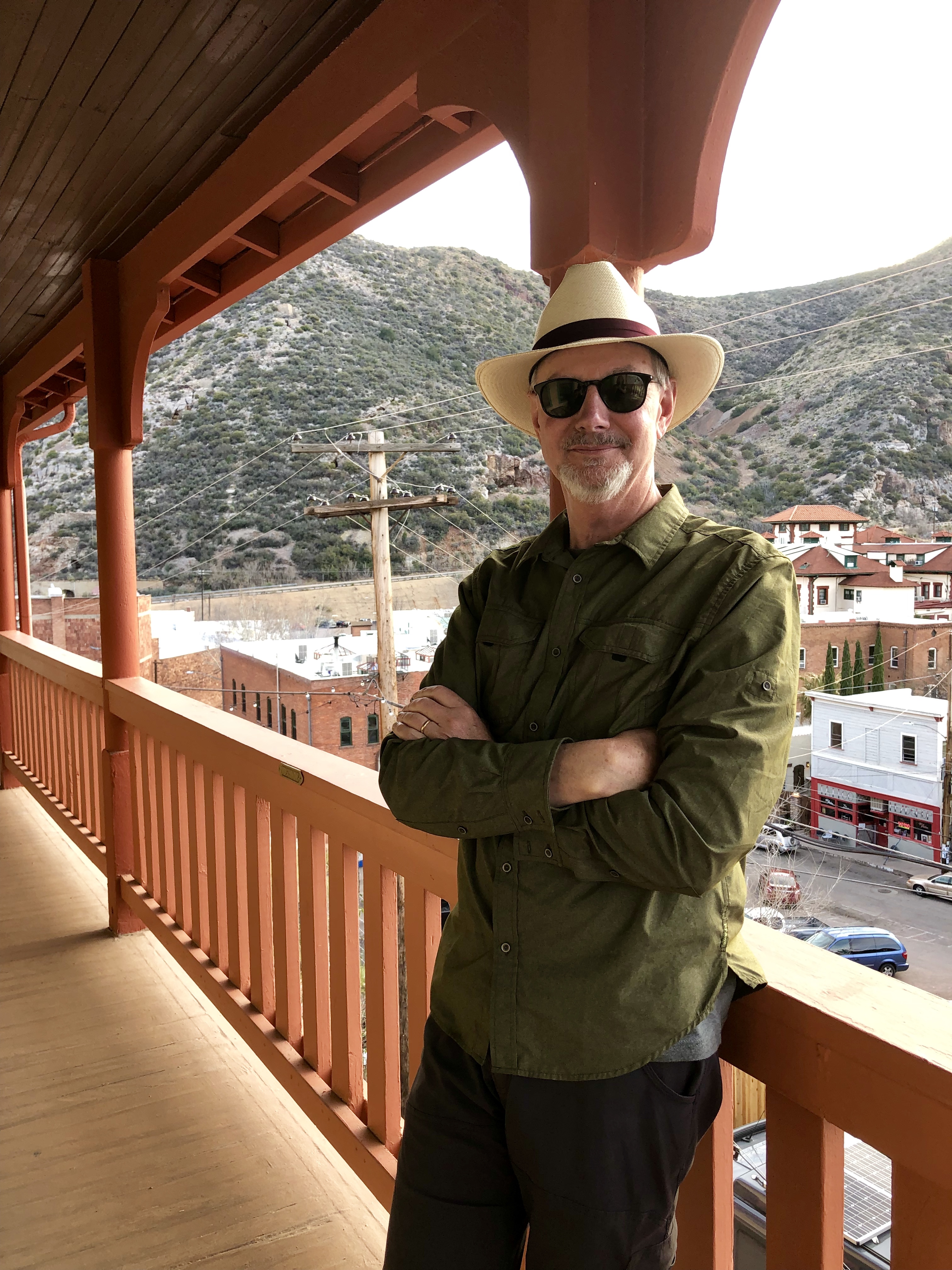
Now that a successful trip is assured with a renovated hat in hand and a new hat scheduled to arrive at The Fort in approximately three months, let’s get to the coffee portion of our Bisbee stay.
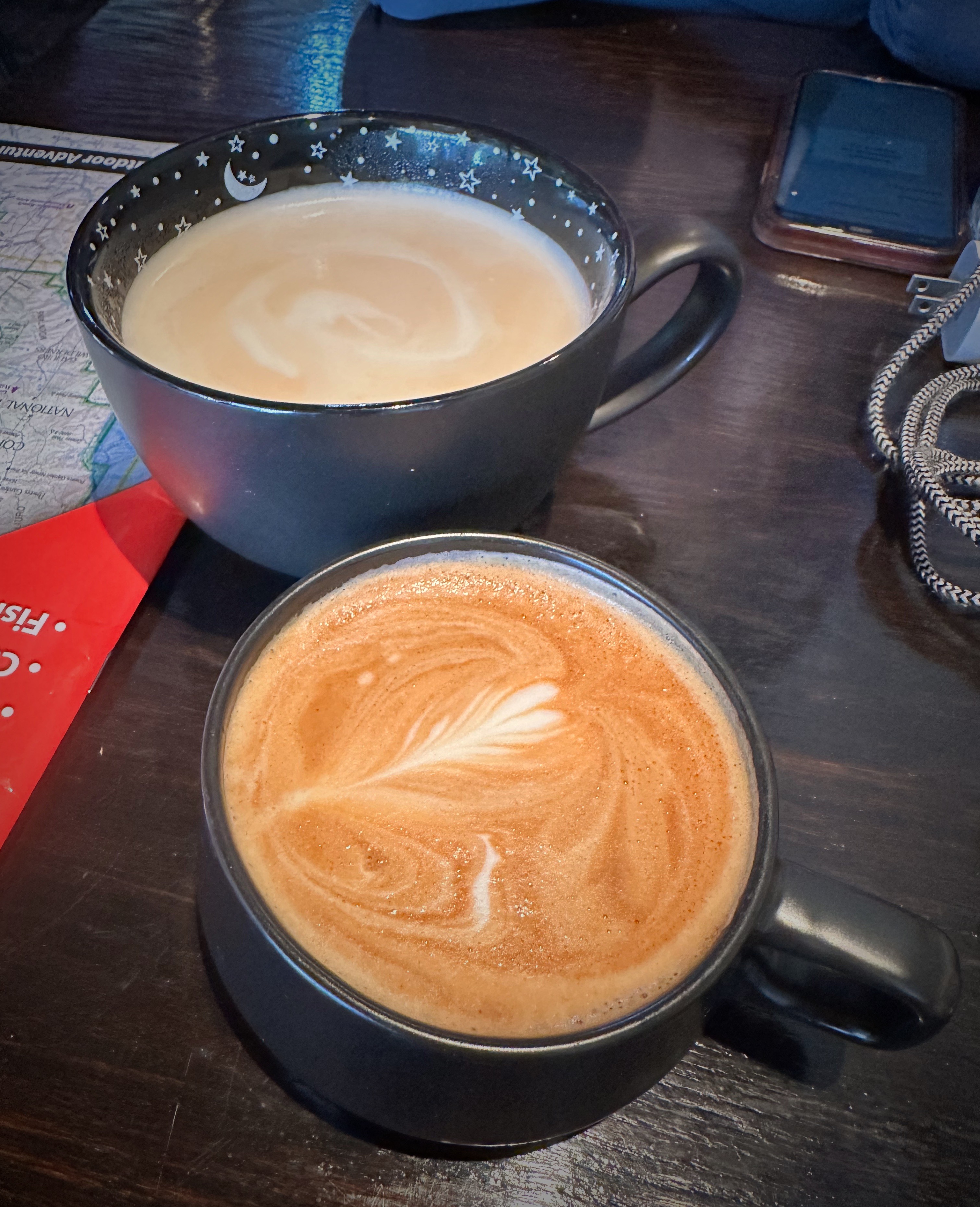
Allen & Co Espresso House opened in October 2024. The space was previously occupied by Kafka, another specialty coffee shop, for many years. When Kafka closed, husband and wife John and Kelsey Allen jumped at the chance to open their own cafe. When we were frequenting the cafe during our stay they had just celebrated the cafe’s four month anniversary.
Allen & Company Espresso House, Subway Street, Bisbee
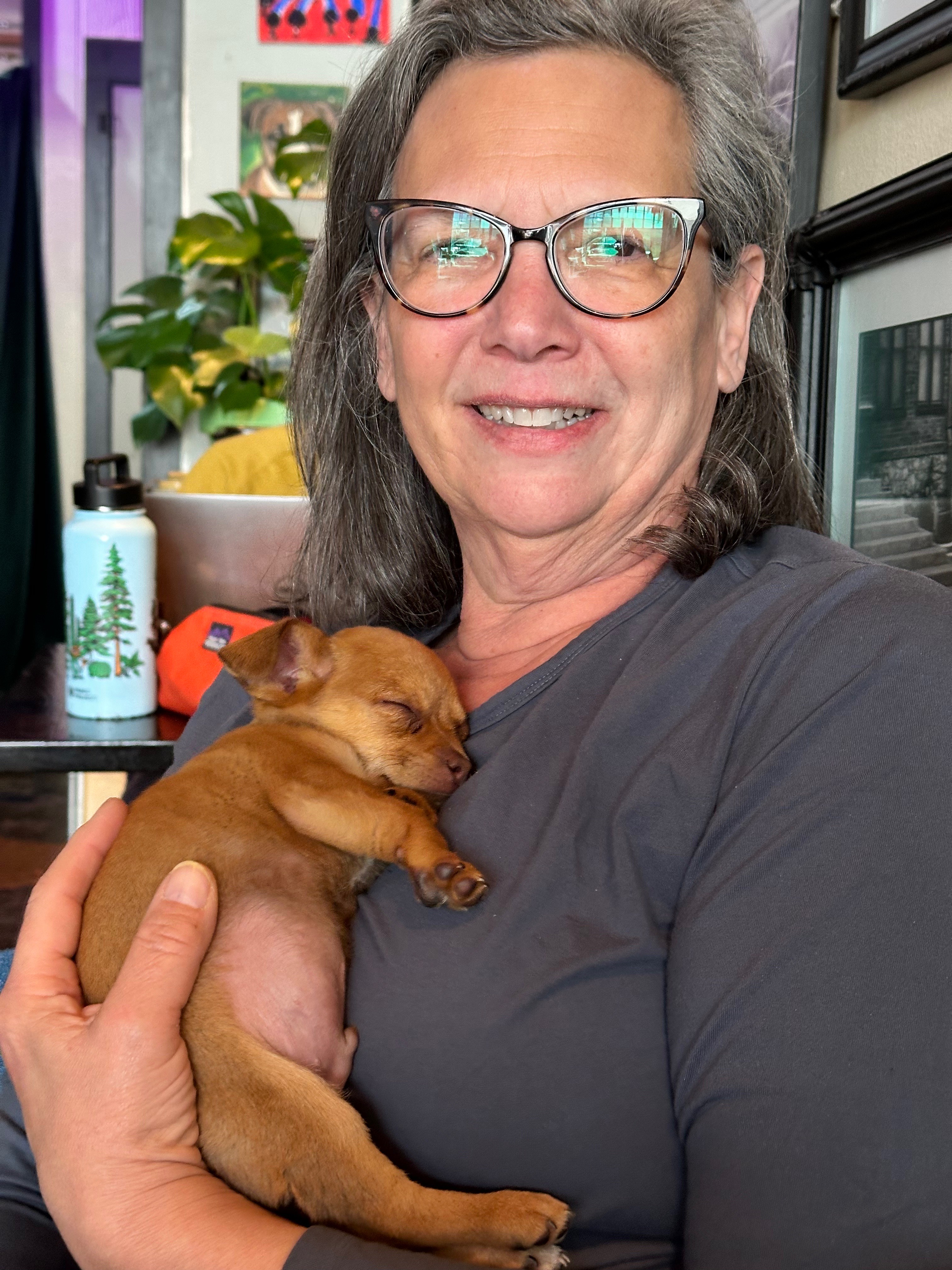
The timing of the opportunity worked perfectly as Scott and Kelsey had just returned from a one year, 29 state photography assignment when the space became available. Scott is also an experienced barista and he makes a mean cortado. Best of luck to Scott and Kelsey (and their newest family member Pip – pictured above with Maria)!
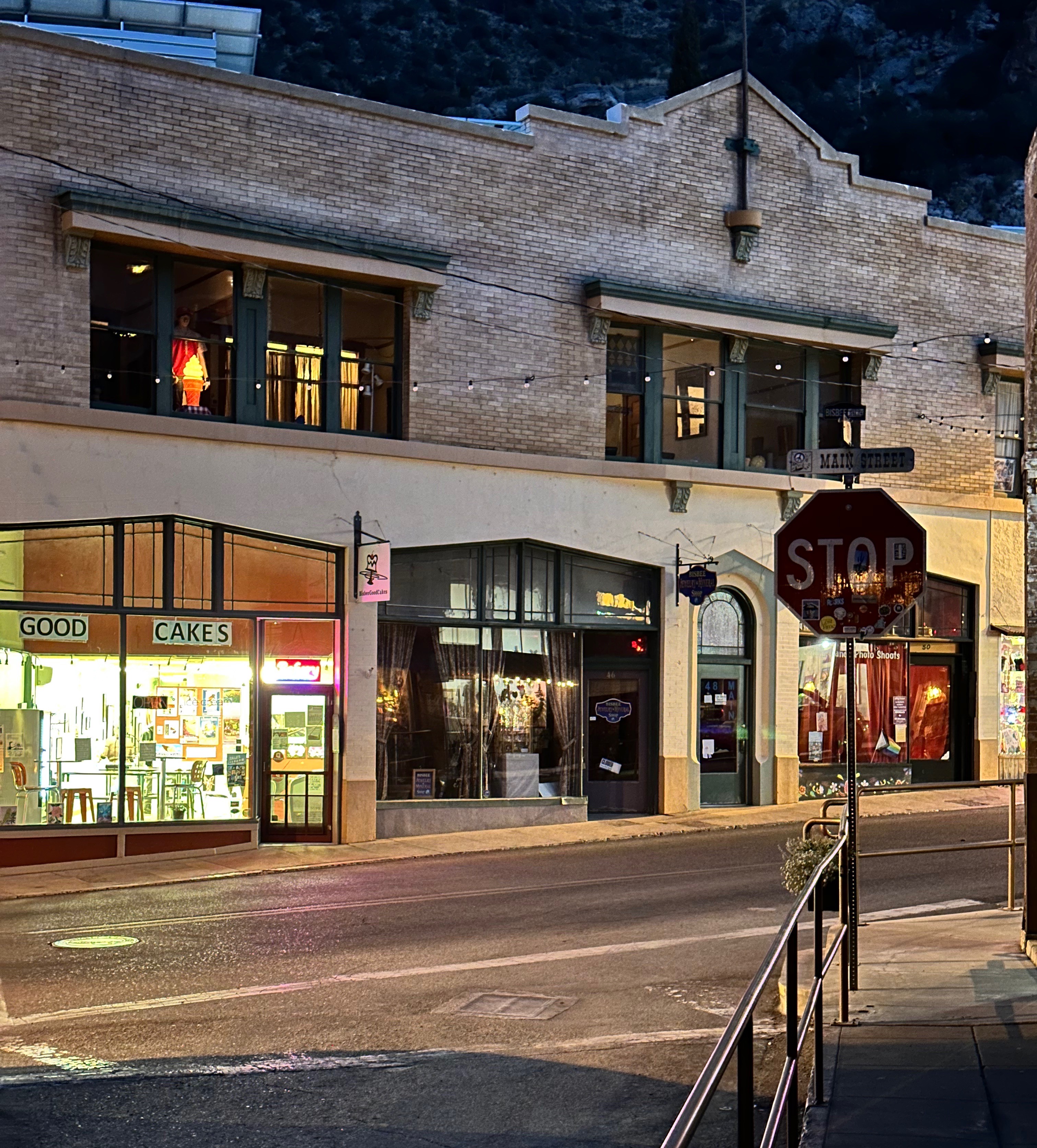
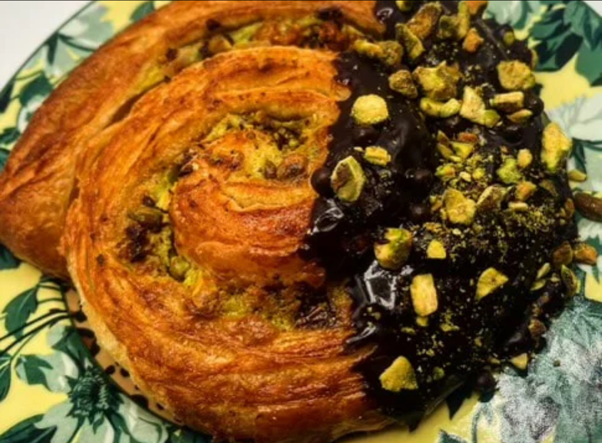
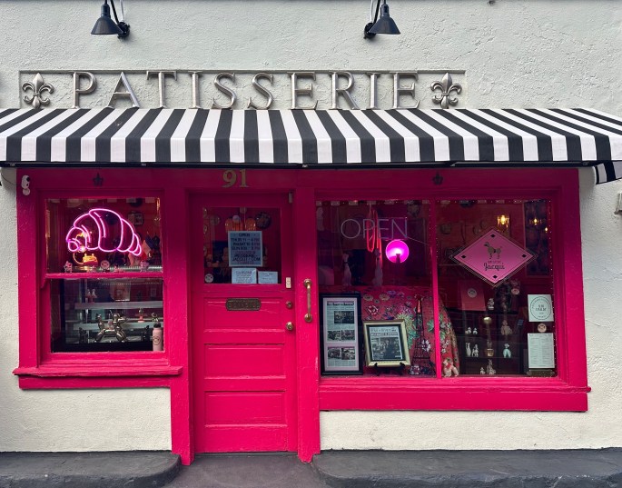
On a related topic Bisbee is home to Patisserie Jacqui. The patisserie was named a James Beard semifinalist in the outstanding bakery category. The patisserie has a line down the street each morning because they sell out quickly. As soon as we pulled up in front of the hotel, Maria bolted up the hill to get on line. She snagged a pistachio chocolate snail and a morning bun. Beyond delicious!
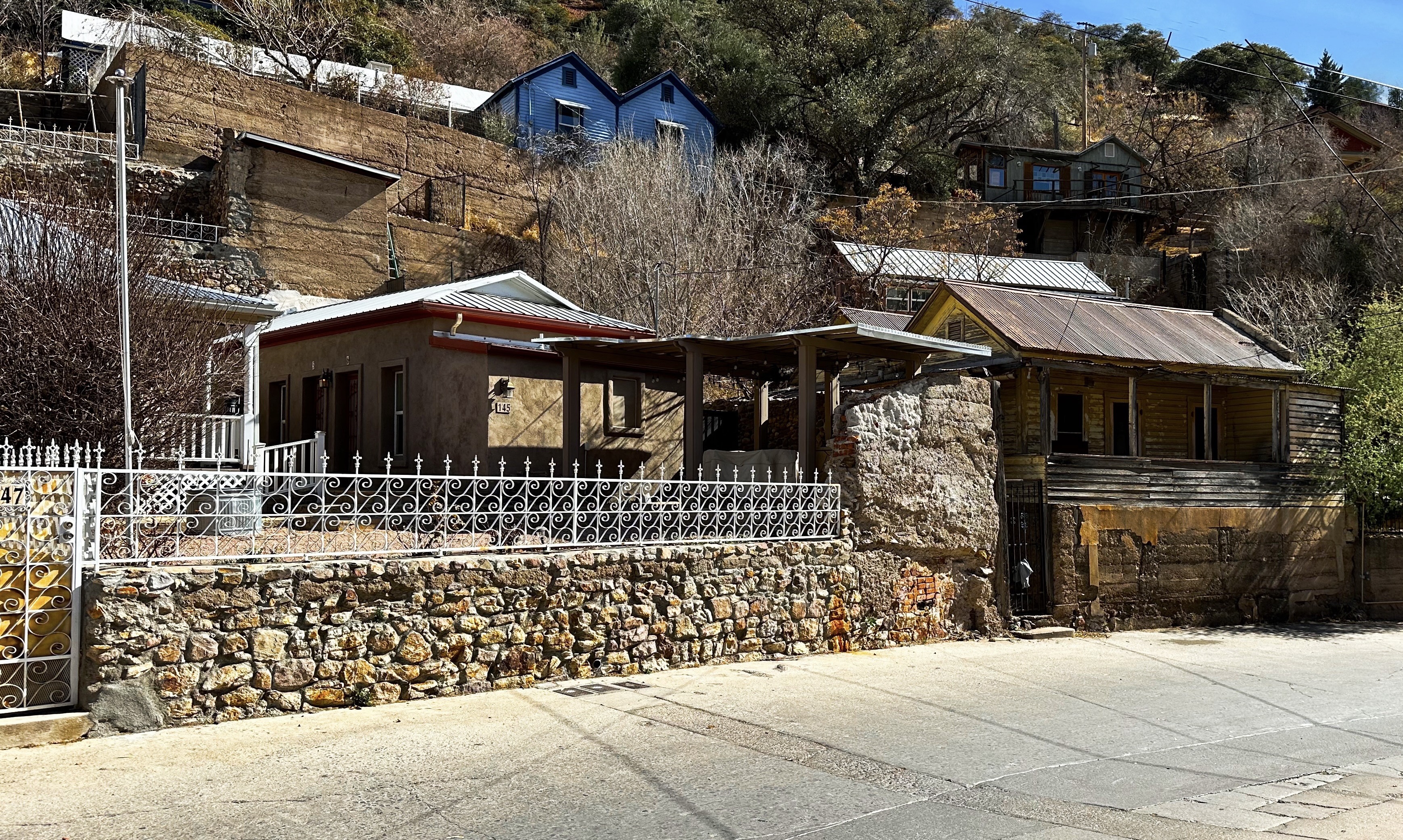
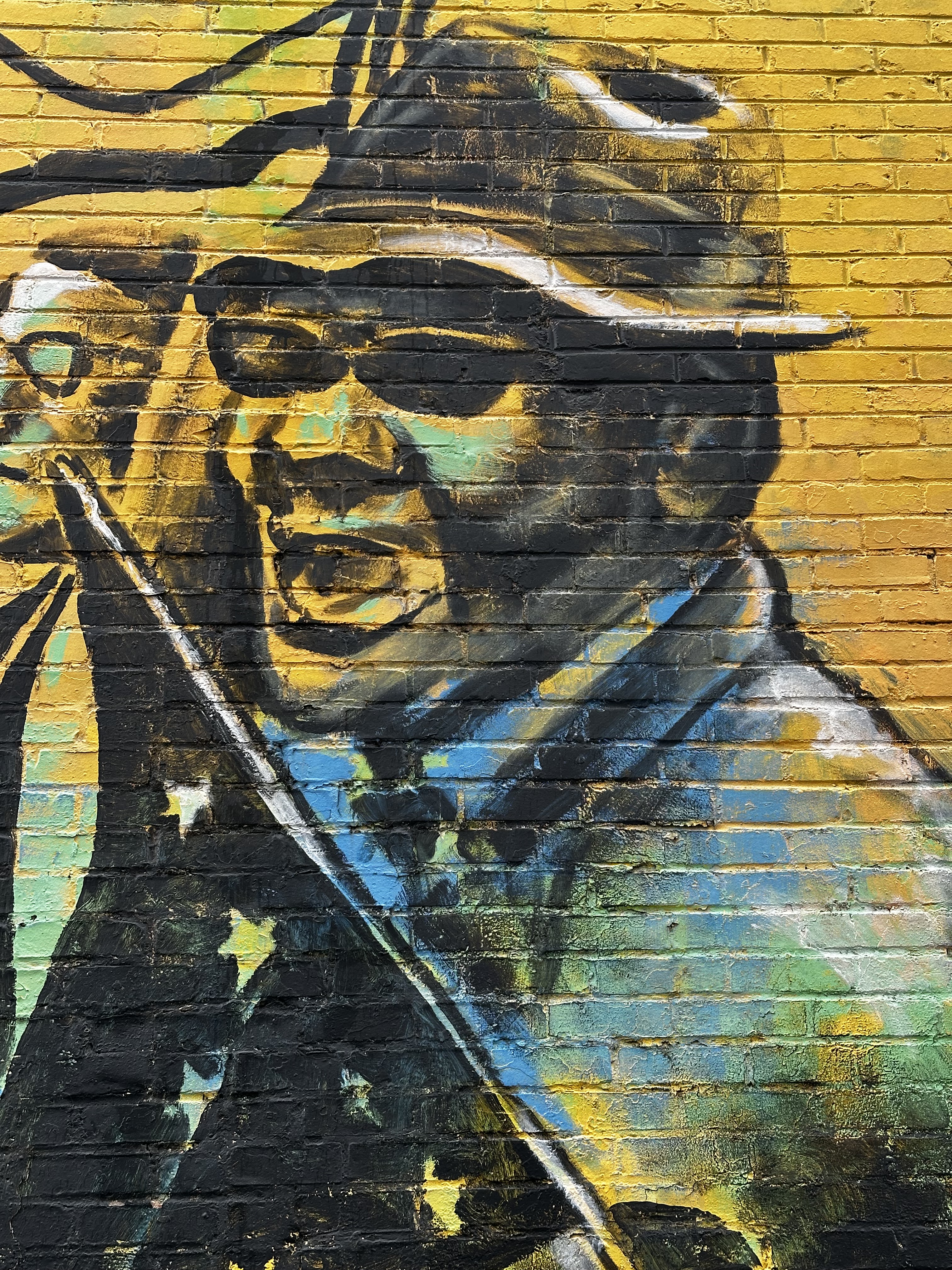
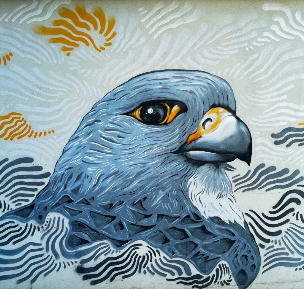
We mentioned earlier that Bisbee has become a hub for many artists. There is public art on display all around the town. We have included below several photos of artwork from around town and the Bisbee Art Wall located in the alleyway between 24 and 26 Broadway (the area below the alley is known locally as Beer Gulch — bars and brothels were located on this street in the mining era).
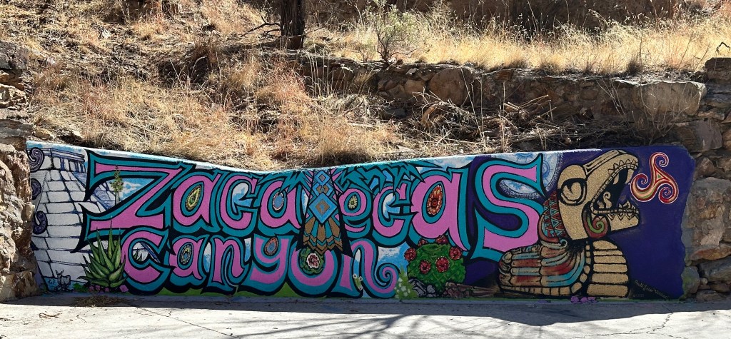
We spent an afternoon walkabout exploring some areas in the maze of streets and alleys that we had not visited during our previous stay. In particular, we walked out Brewery Avenue from the Old Bisbee Park until we reached Zacatecas Canyon. We followed the road up the canyon until we came upon a closed gate and private property signs. You do not under any circumstance trespass on private property in the West.
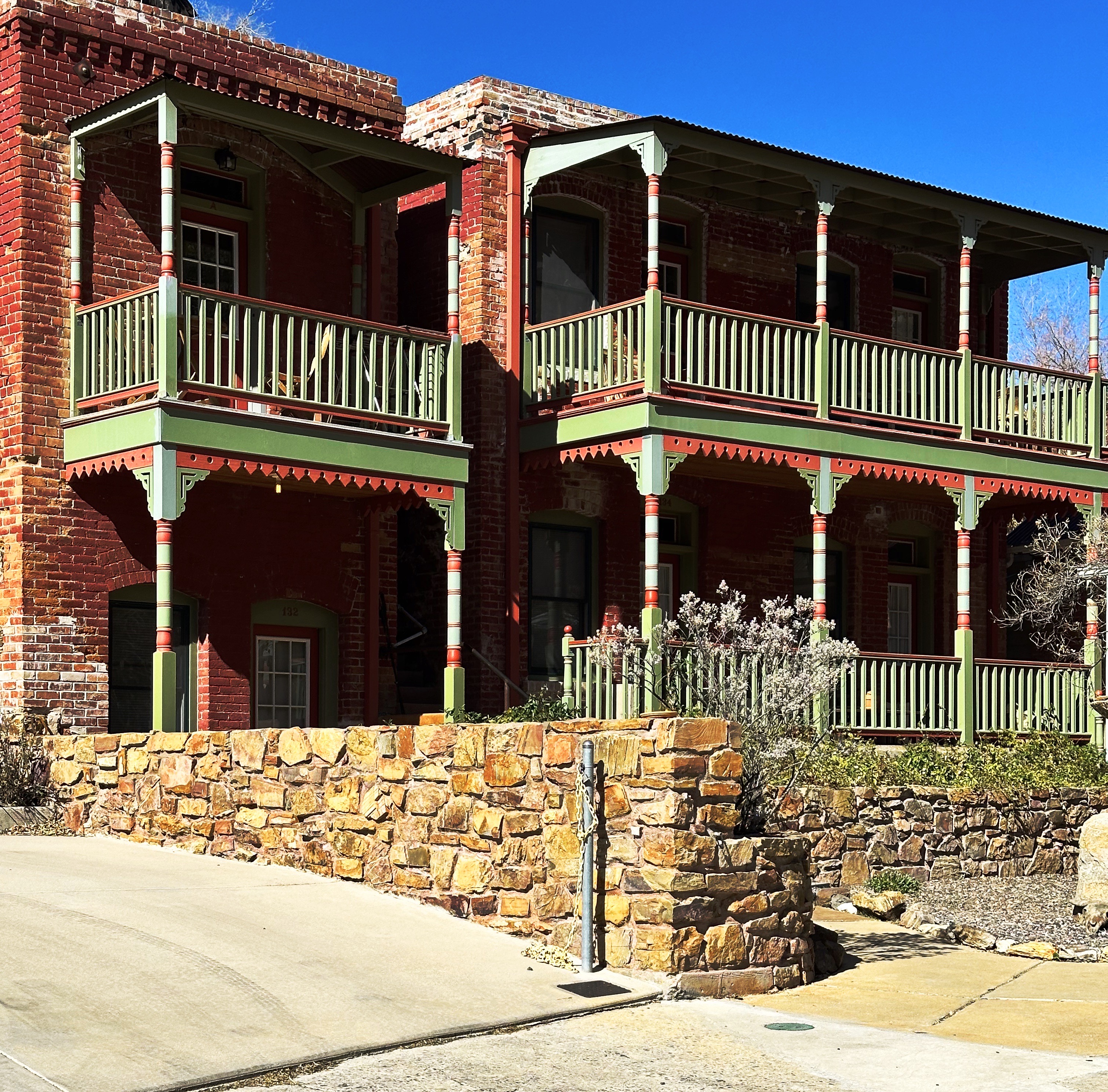
We spotted a number of interesting homes and buildings and nice views of the canyon walls (and great exercise at 5600 feet elevation).
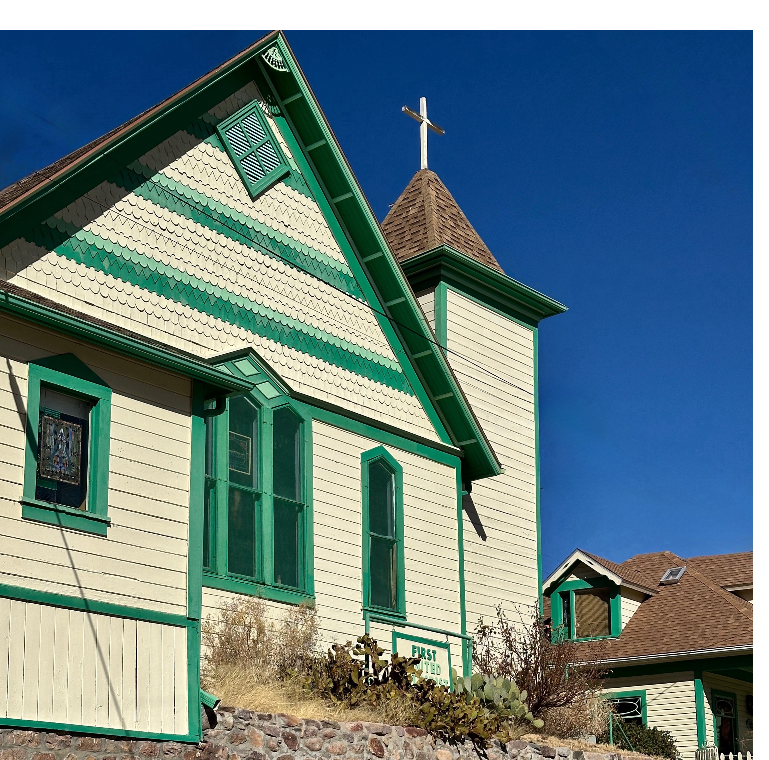
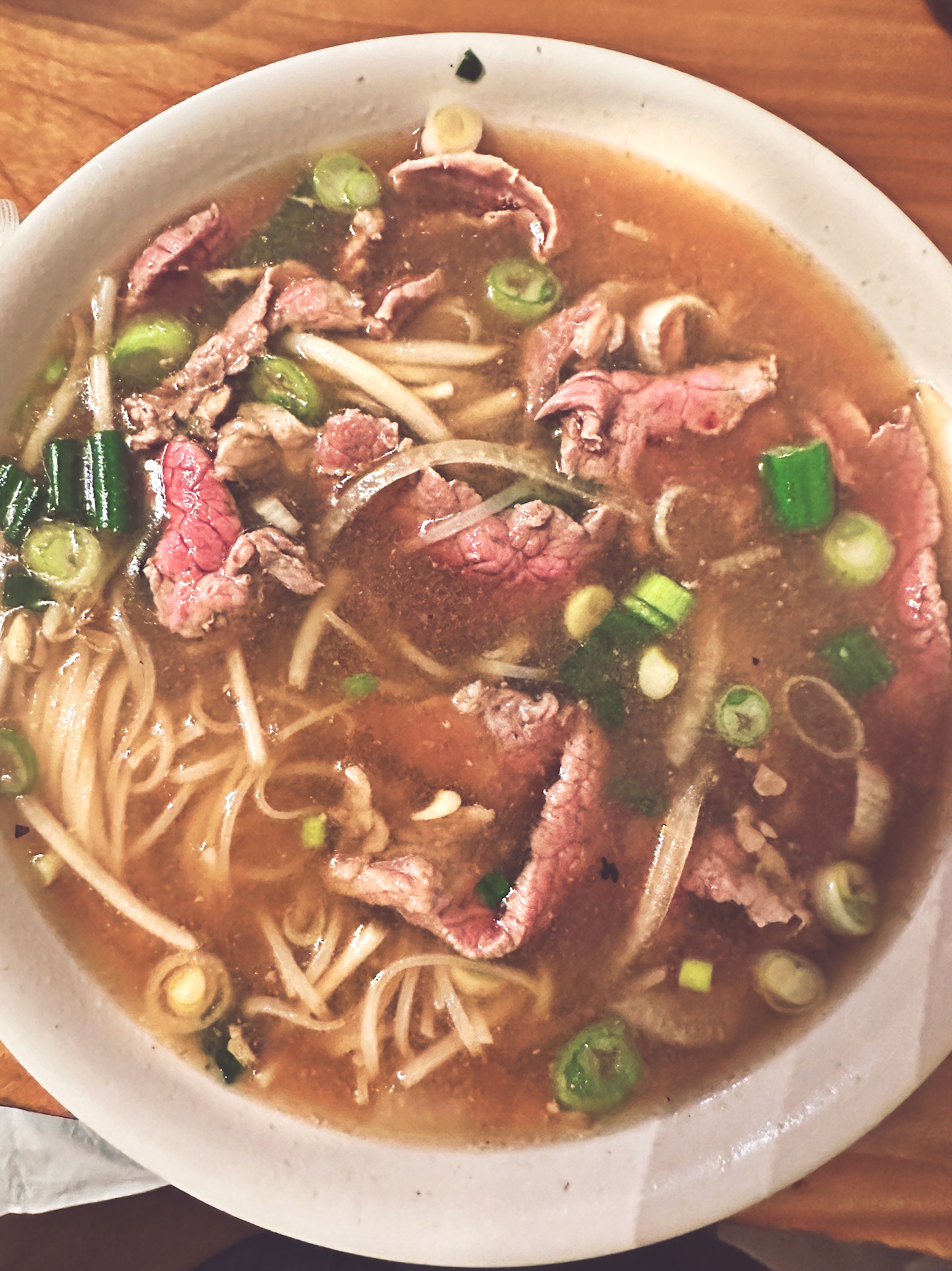
On our last evening in Bisbee, we walked up Tombstone Hill for dinner at Thuy’s Noodle Shop. We had read an article about Thuy Dang in Arizona Highways Magazine; she moved to Bisbee from Vietnam nine years ago. Thuy desperately missed Vietnamese food and decided to address the issue by opening a noodle shop. She spent two years perfecting her recipes before opening the shop.
The food was delicious! We have to admit that we probably would not have tried a pho shop in Bisbee if we had not seen the article and then spoken with John at Allen & Company Espresso. Lesson learned (although we have learned the hard way that pizza outside the northeast is invariably mediocre at best).
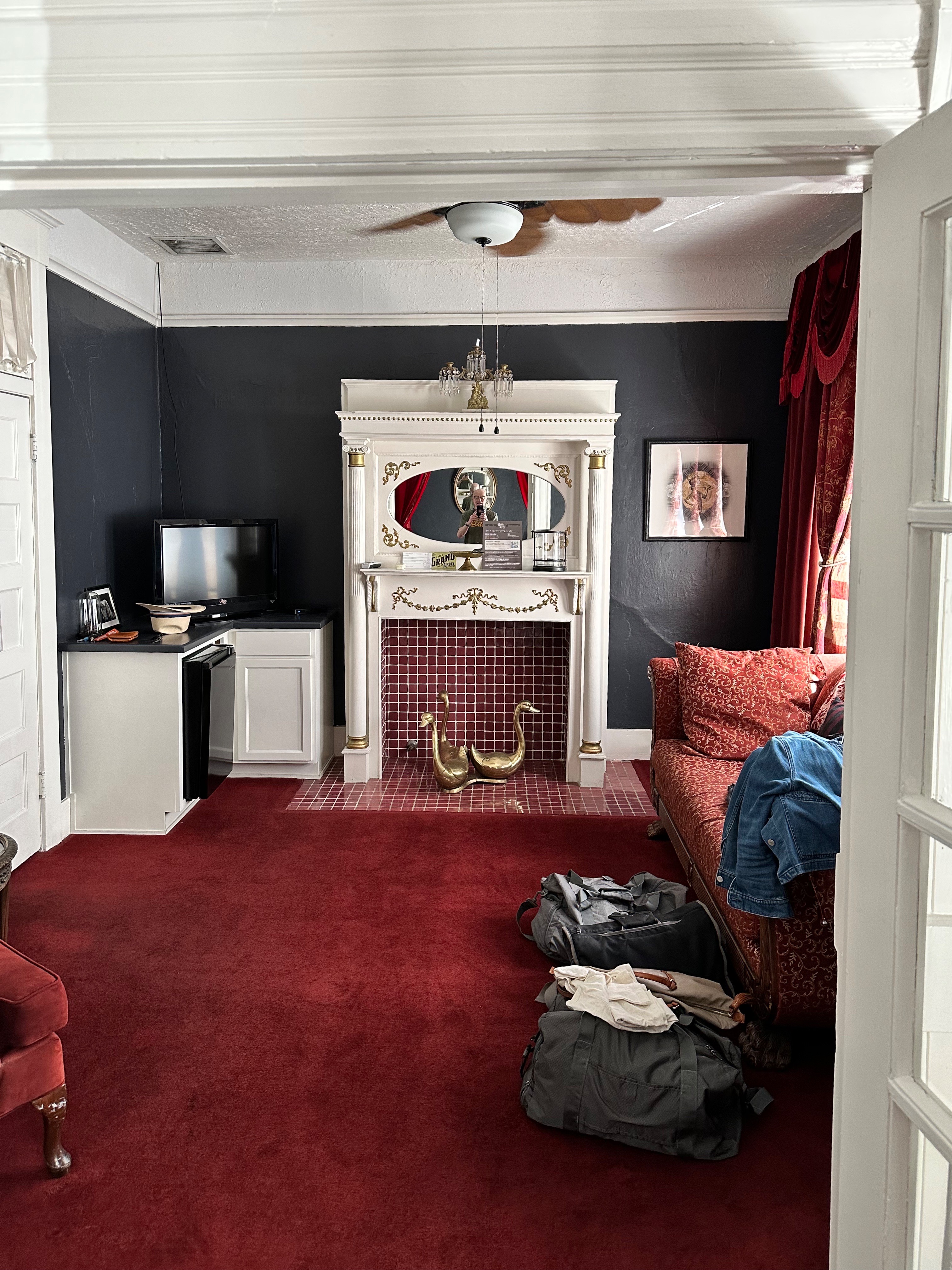
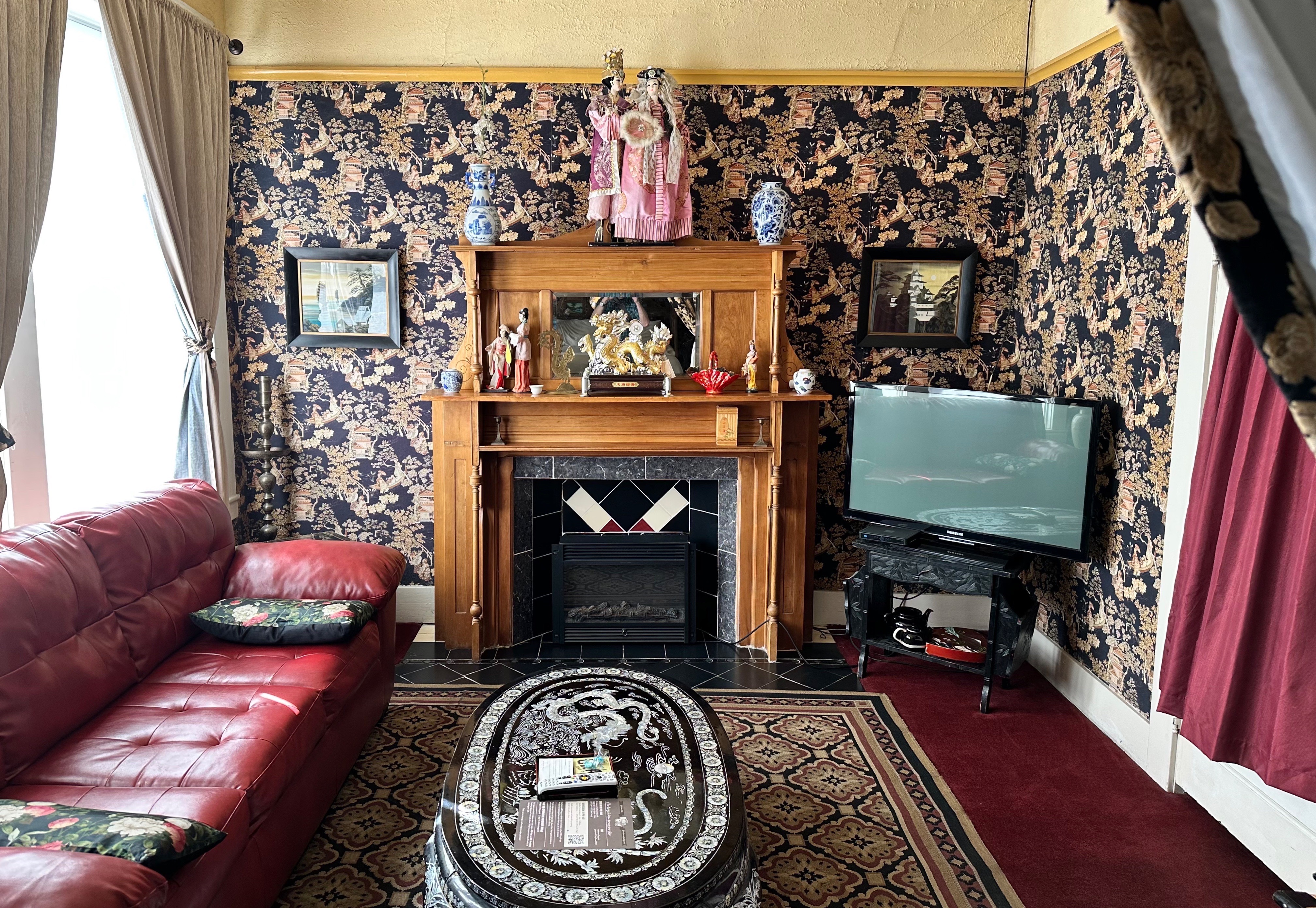
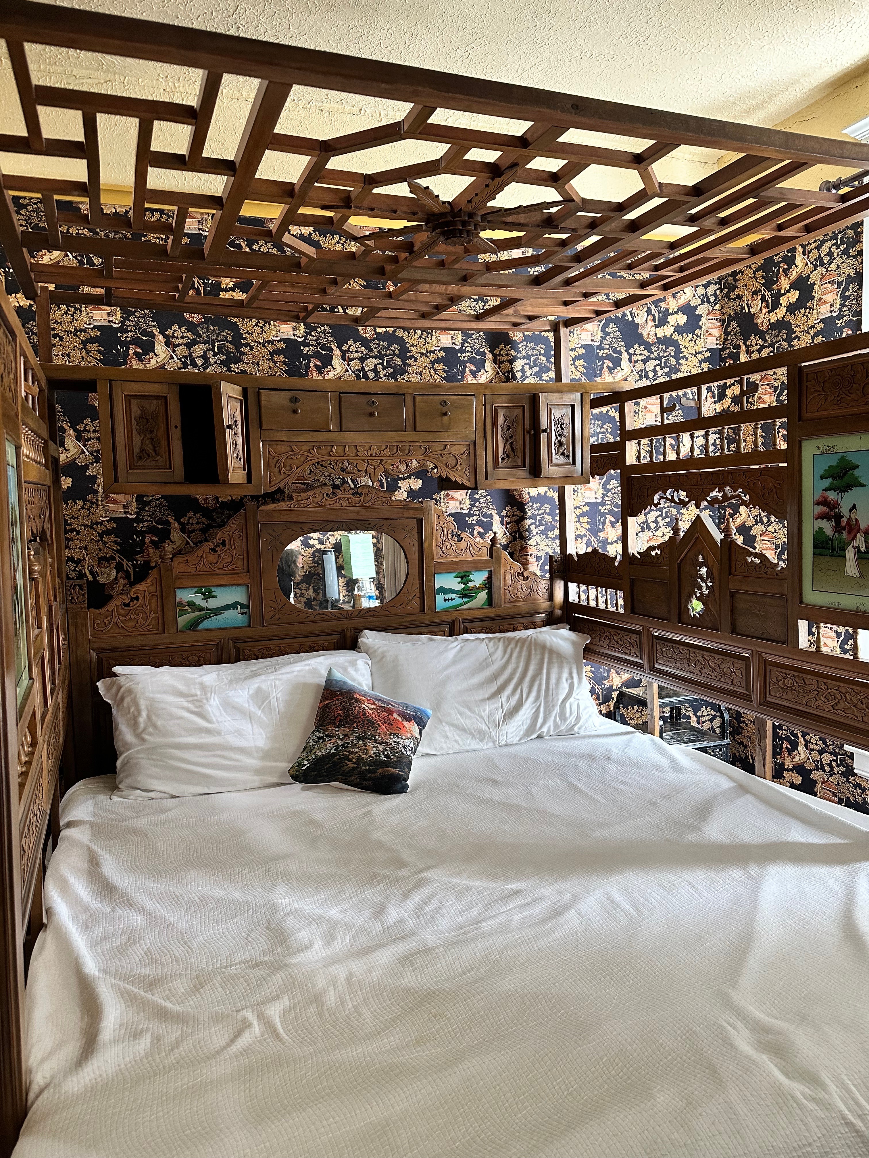
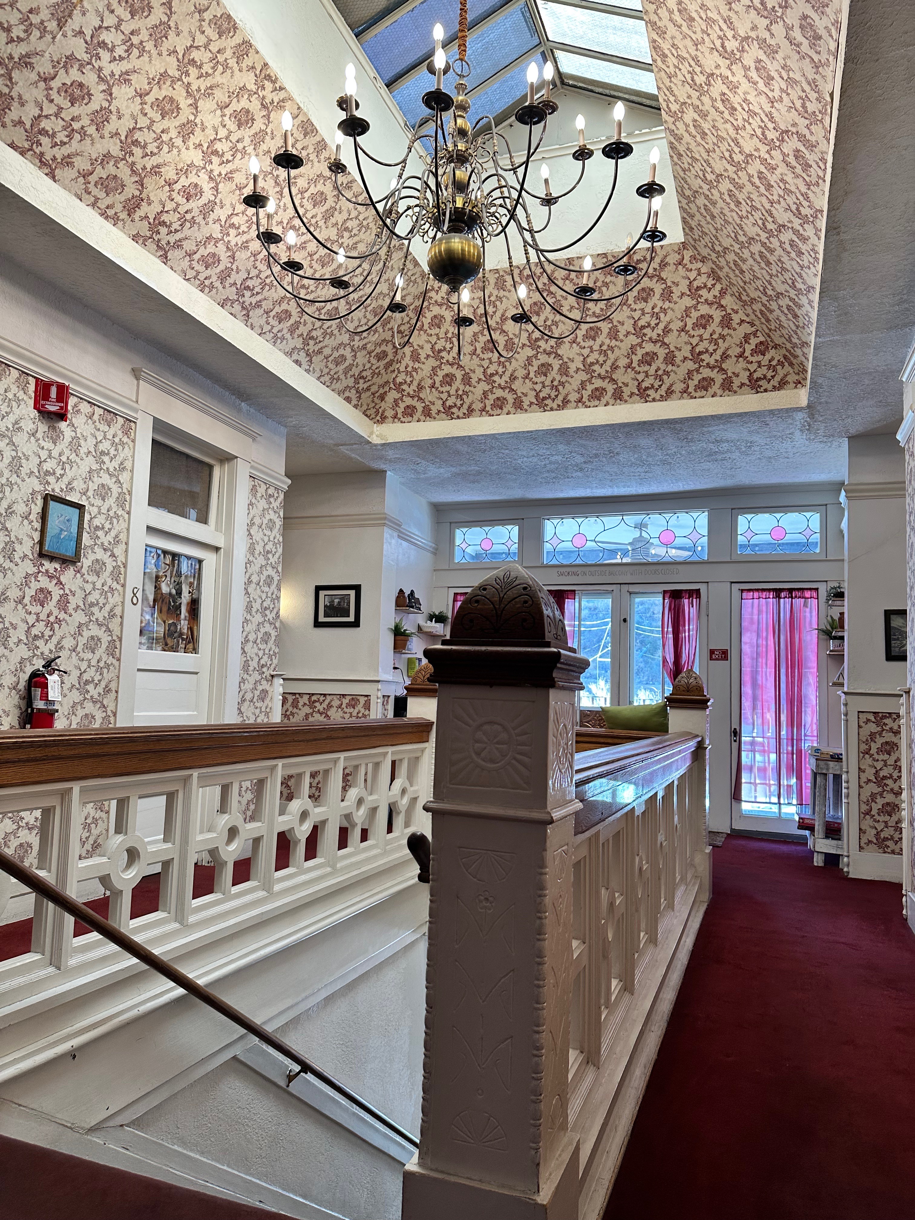
We will finish up this post with the Grand Bisbee Hotel. We had originally booked one night thinking we would have dinner, take care of business at Optimo Hatworks and be on our way. But there is just something about Bisbee (for us)- the place, the people that kept us from leaving. Everybody has a story in Bisbee (and they are usually quite interesting). So everyday we ended up at the bar/front desk asking to extend our stay. Fortunately the hotel was able to accommodate our requests, although we ended up staying in three different rooms, all “unique” for lack of a better term (photos below).
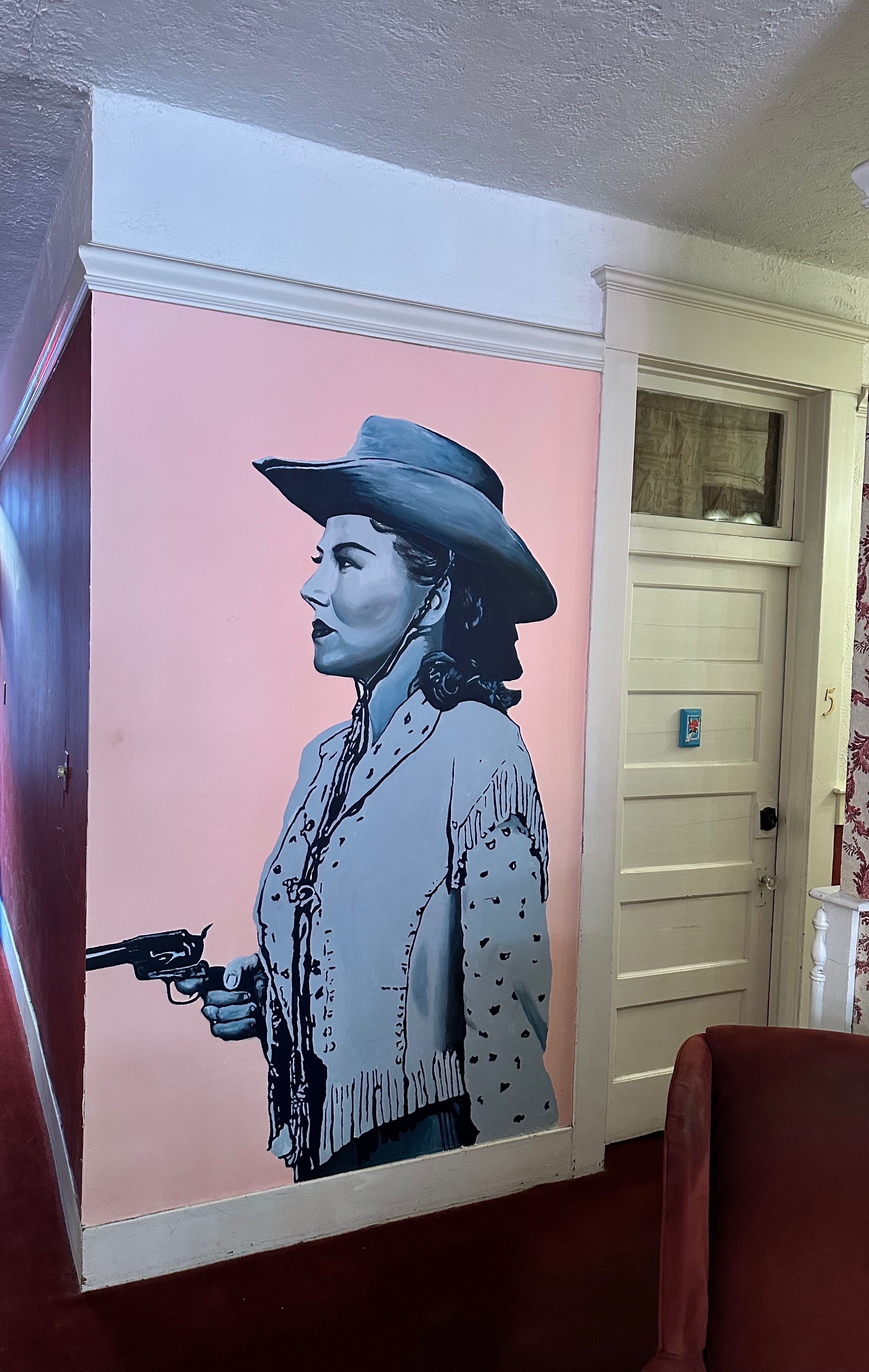
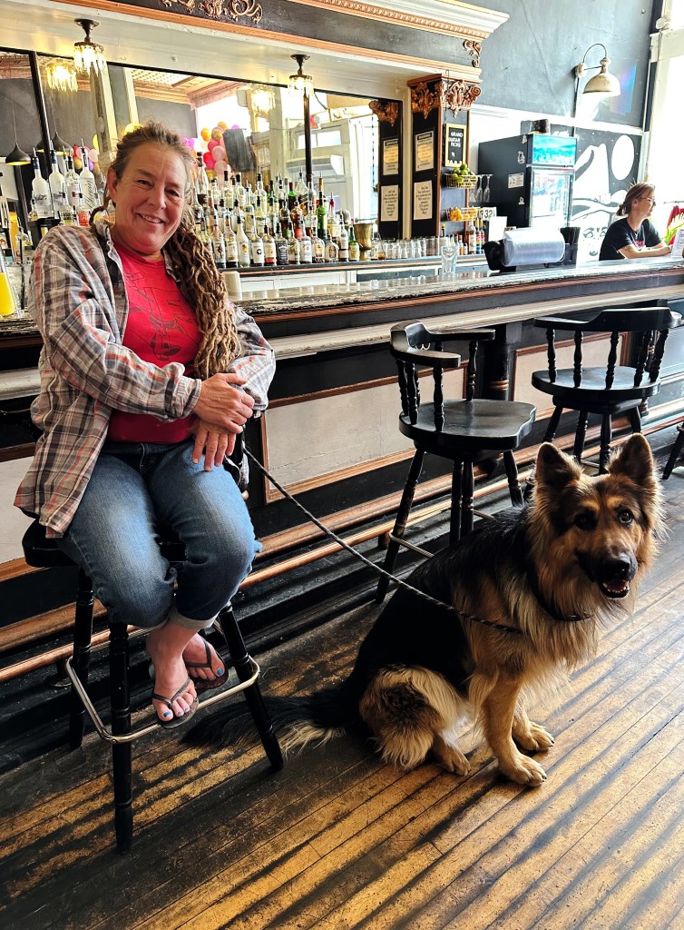
One of the interesting people we met in Bisbee was Alice. She was a competitive shooter wielding six shooters at targets while riding her horse. Alice also owned a bar in Sonoita (a nearby census designated place, population 803) for 15 years. She shared with us how she kept the peace when her bar filled up with thirsty and eventually rowdy bikers. Let’s just say don’t mess with Alice!
Our next segment will take us west through the Coronado National Monument and across the magnificent and isolated St. Raphael Valley (which extends into Mexico).
During a visit to Birmingham on a previous OTR we had taken in quite a lot of the history of the civil rights movement. At the time, a guide at the 16th Street Baptist Street Church had recommended that we visit Montgomery in the future to further our knowledge and understanding of the history of slavery and the civil rights movement in the United States. As we planned to head south before heading west to Arizona, we incorporated a stay in Montgomery into our journey.
We chose the Trilogy Hotel as our base. The hotel is located in the heart of the city and within walking distance to the museums we planned to visit (as well as coffee).
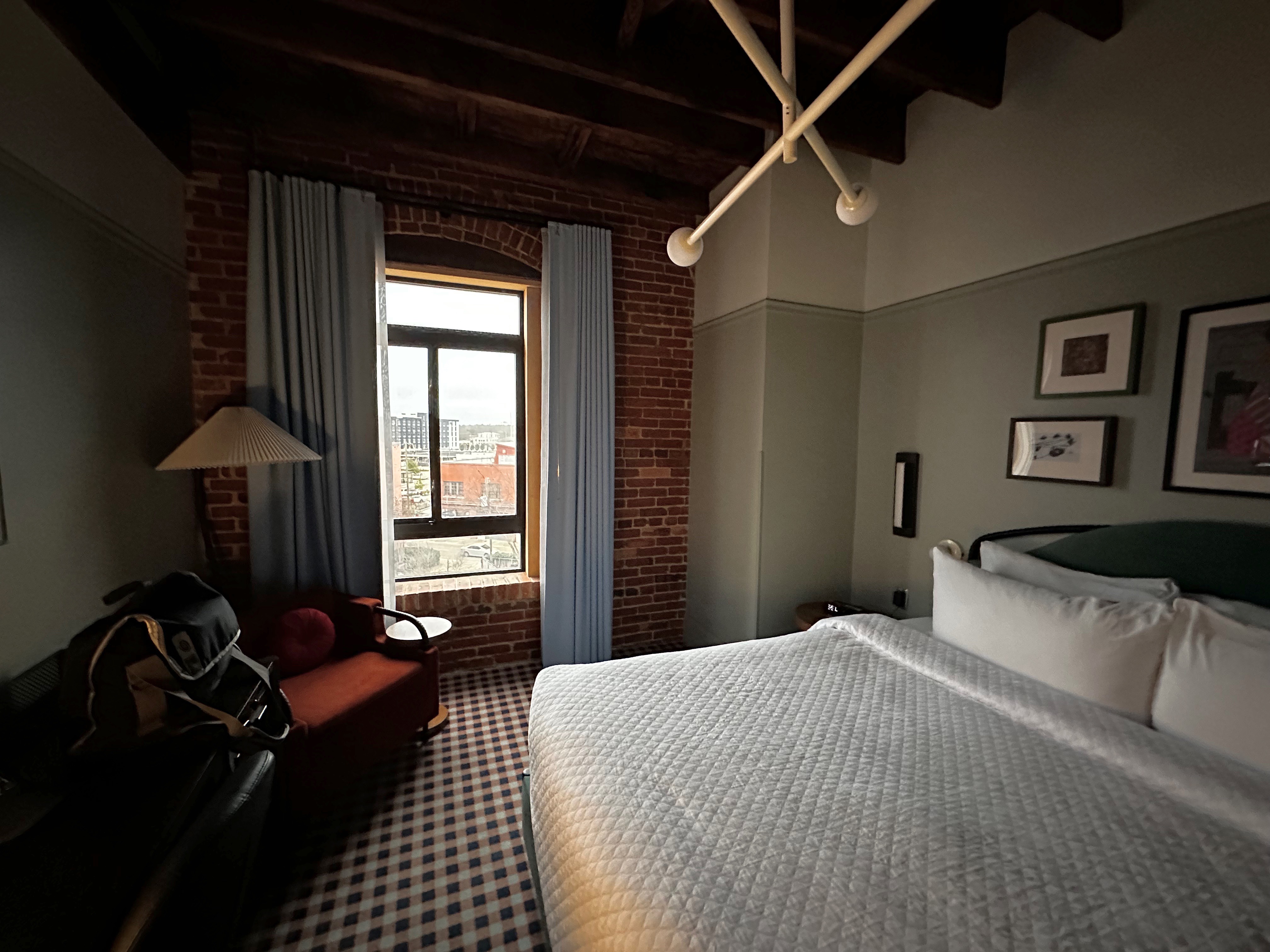
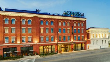
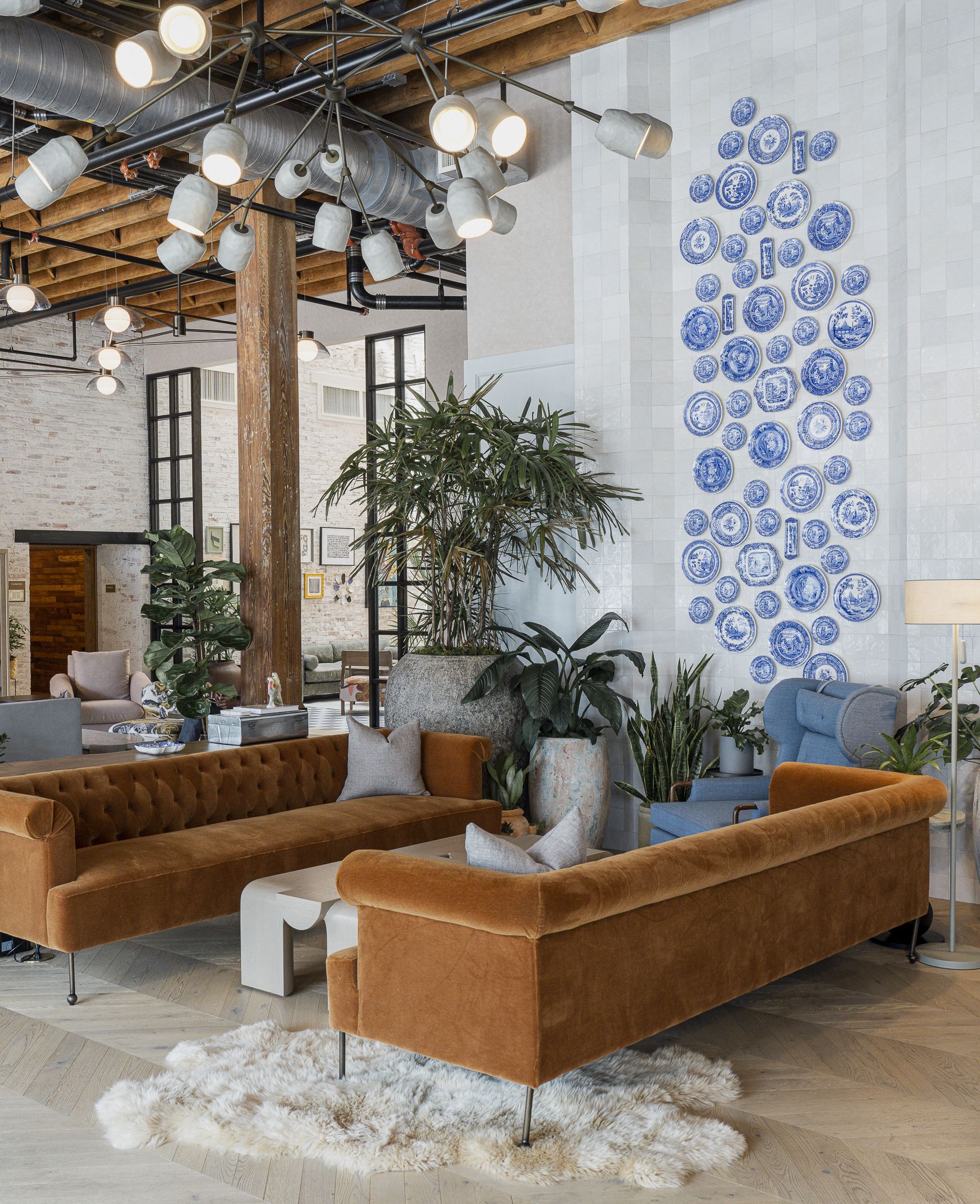
Trilogy Hotel, Montgomery, Alabama
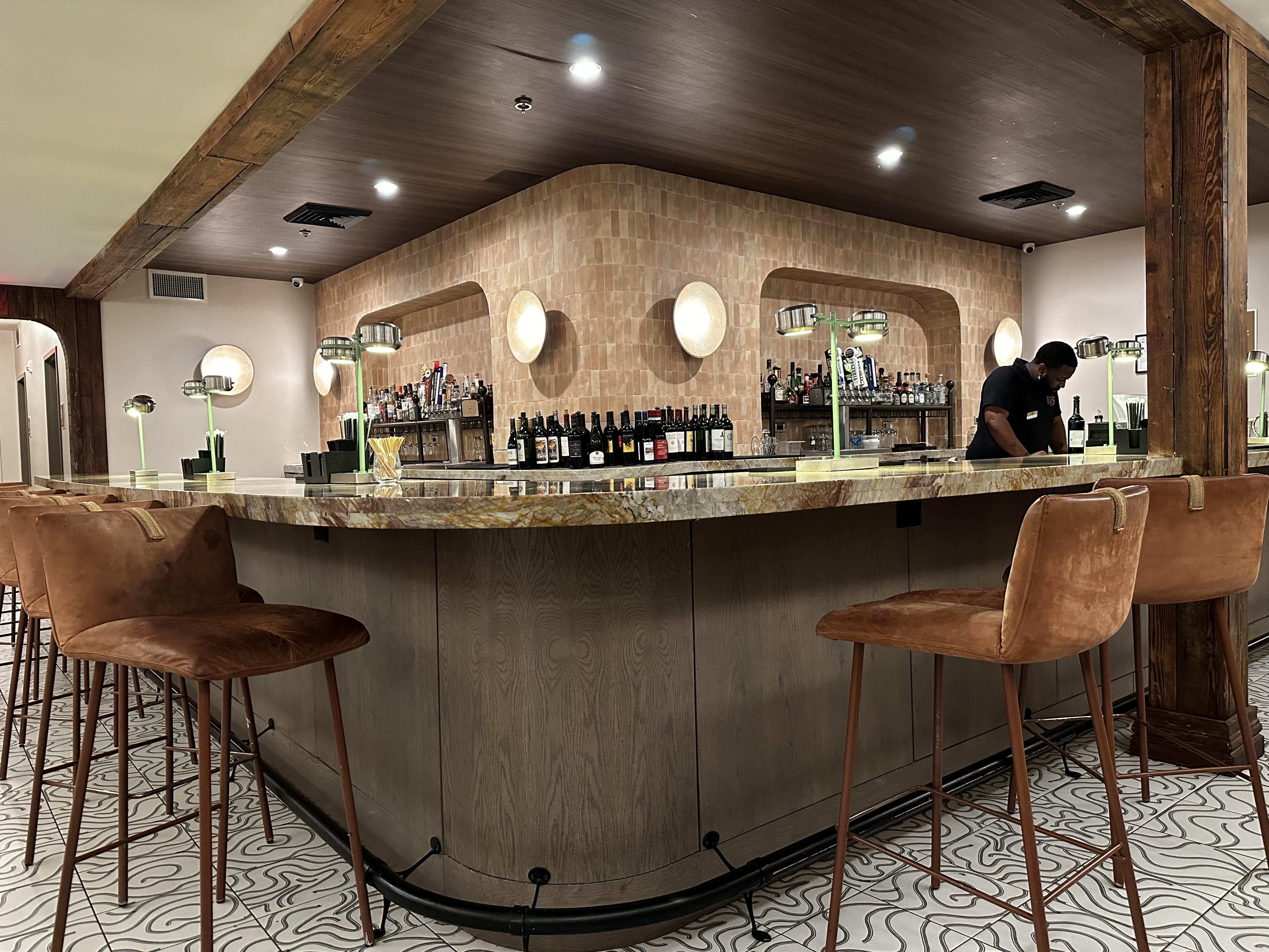
The Trilogy Hotel opened in 2023. The hotel reflects the history of the city, consisting of two renovated cotton warehouses joined with an 1851 Greek Revival mansion housing the hotel restaurant (The Kinsmith). The hotel is beautifully decorated with artwork and furnishings which are authentic to the area. The service was friendly and professional.
After checking in we departed for Prevail Union for coffee and tea. We were assured by our barista at Seeds (Birmingham) that Prevail is the only specialty coffee shop worth visiting in Monty.
We also met local artist Bob Adams while at Prevail. Bob worked for many years as a court room artist for the local television station in addition to producing his own work. The work clearly required an eye for detail and the ability to work quickly. Bob is 70 years old but still draws for about 90 minutes every day and has not lost any of his skills as you can see from the drawing below, which he completed while we were enjoying our drinks.
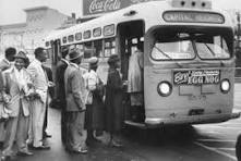
Our first museum visit was to the Rosa Parks Museum. The museum provides a re-creation of the fateful day when Rosa Parks refused to relinguish her seat on the bus in order that a white man could sit.
The re-creation is accomplished using an actual city bus from that time period with a digital representation of the people and characters involved visible through the bus windows. The exhibit is well done and quite moving.
We definitely recommend visiting the Rosa Parks Museum if you visit Montgomery. The link embedded is from the museum and provides an excellent overview of the life of Rosa Parks and the Montgomery Bus Boycott.
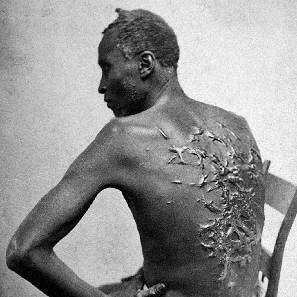
We also visited the Legacy Museum during our stay in Montgomery. The museum opened during April 2018 and was built on the site of a former cotton warehouse (there were many in Montgomery). The museum endeavors to tell the story of enslaved Africans starting with their kidnapping in Africa through to the years of Jim Crow and race issues which still persist today. (All photos courtesy of the Legacy Museum)
The museum is state of the art — making full use of technology to deliver an experience from the perspective of enslaved individuals. The exerience for us was quite intense.The physical and emotional suffering of the enslaved individuals is tragic. It is difficult for us to fathom how slave owners could have by any measure justified owning and brutalizng other human beings.
The museum also delves into the slave trade in detail. We commonly think about the hardships inflicted upon the enlaved individuals on the plantation while overlooking the misery and frequency of deaths that occurred on the slave ships. Over two million people died on the journey from Africa — starvation,sickness, beatings and sheer exhaustion.
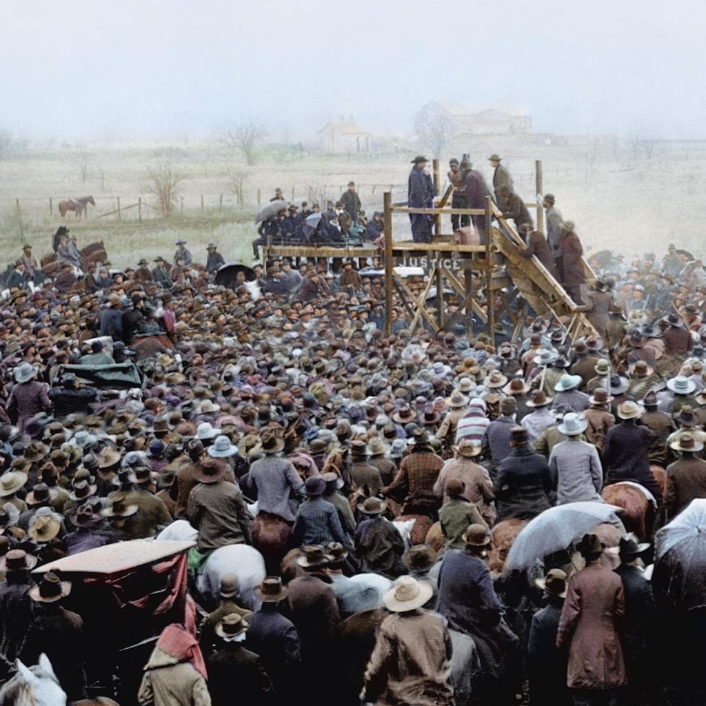
Of course, slavery did not truely end with emancipation in 1865. As southerners were allowed back into politics and positions of power most African Africans found themselves anything but free. White only laws and other barriers restricted blacks in every aspect of their daily lives.
Another dimension of the immoral treatment of African Americans occurred all too routinely during the 12 year period of Reconstruction (1865-1877). Lynching of blacks by white mobs and the KKK. Over 2000 lynchings have been documented during that 12 year period. Sadly, a additional 2000 lynchings have been documented from Post Construction to the end of World War II.
We could continue on but instead will provide you with a link to the Legacy Museum if you are interested in learning more. We will leave you with one quote that we think captures the essence and depth of racism that existed in the South for over 200 years.
“In the name of the greatest people that have ever trod this earth, I draw the line in the dust and toss the gauntlet before the feet of tyranny, and I say segregation now, segregation tomorrow, segregation forever”. George Wallace, Alabama Governor, 1963 Gubanatorial Inaugural Address
We learned quite a bit more about black history in the United States during our visits to the two museums. The town itself is was nice but seems a bit on the sleepy side. The museums are worth a visit if you are going to be nearby but not a destination in our opinion.
We are heading west from Montgomery on US 80 through Alabama, Mississippi, Louisiana and Texas. US 80 was, before the construction of the interstate system, one of a handful of coast to coast two lane highways We will keep you posted on what we find along the 80.
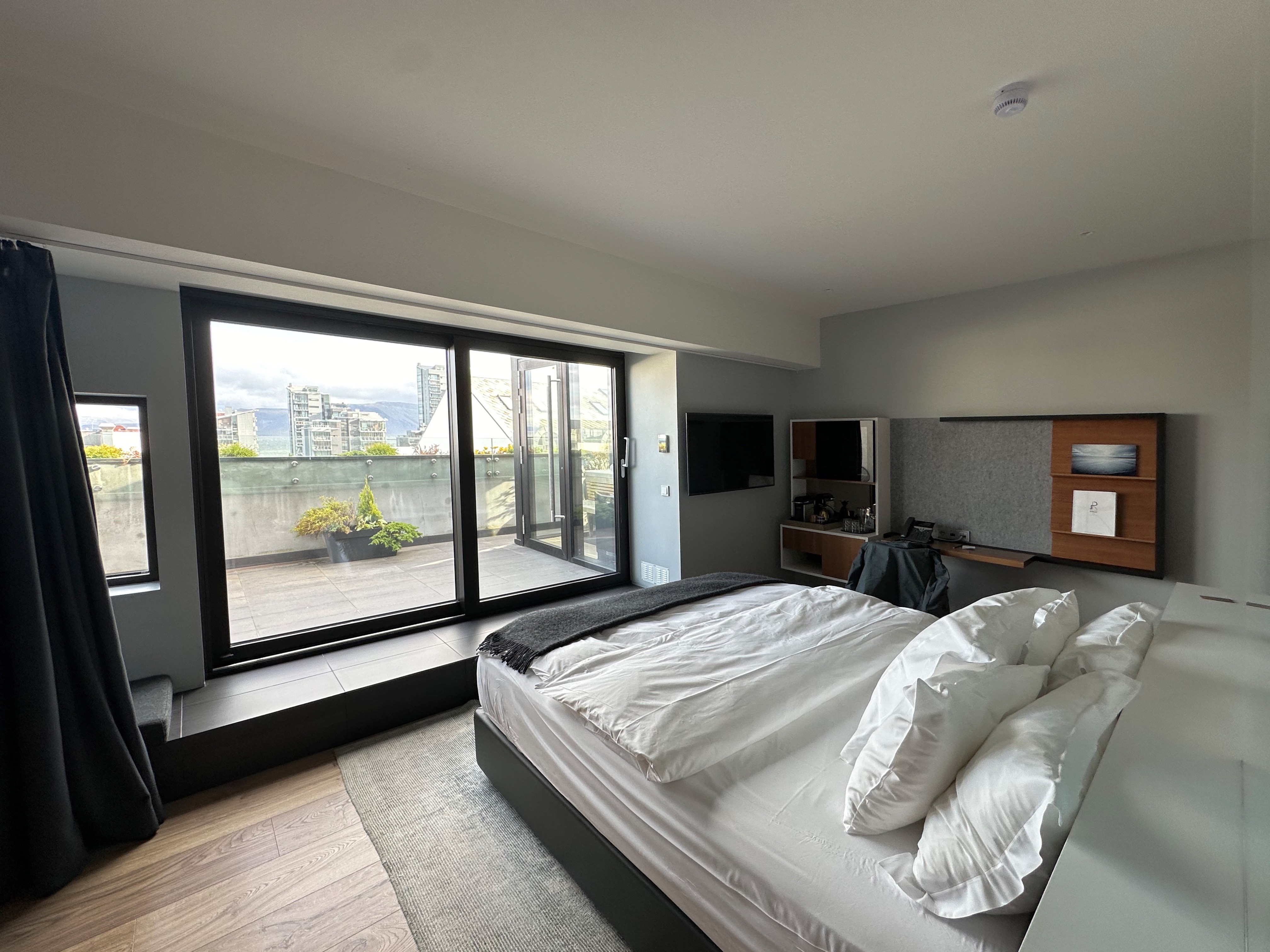
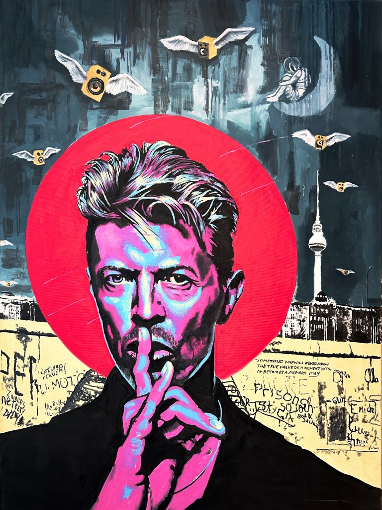
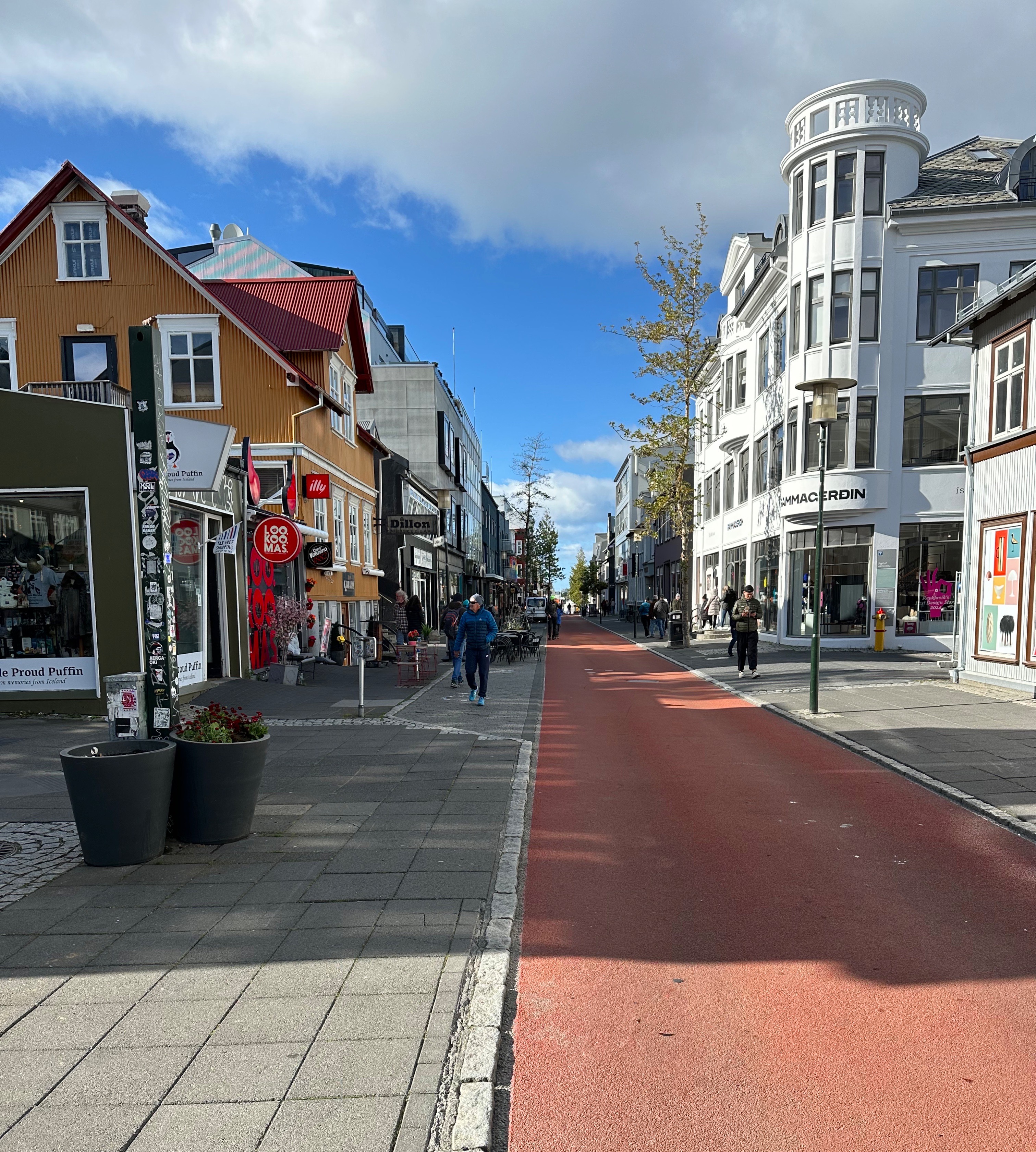
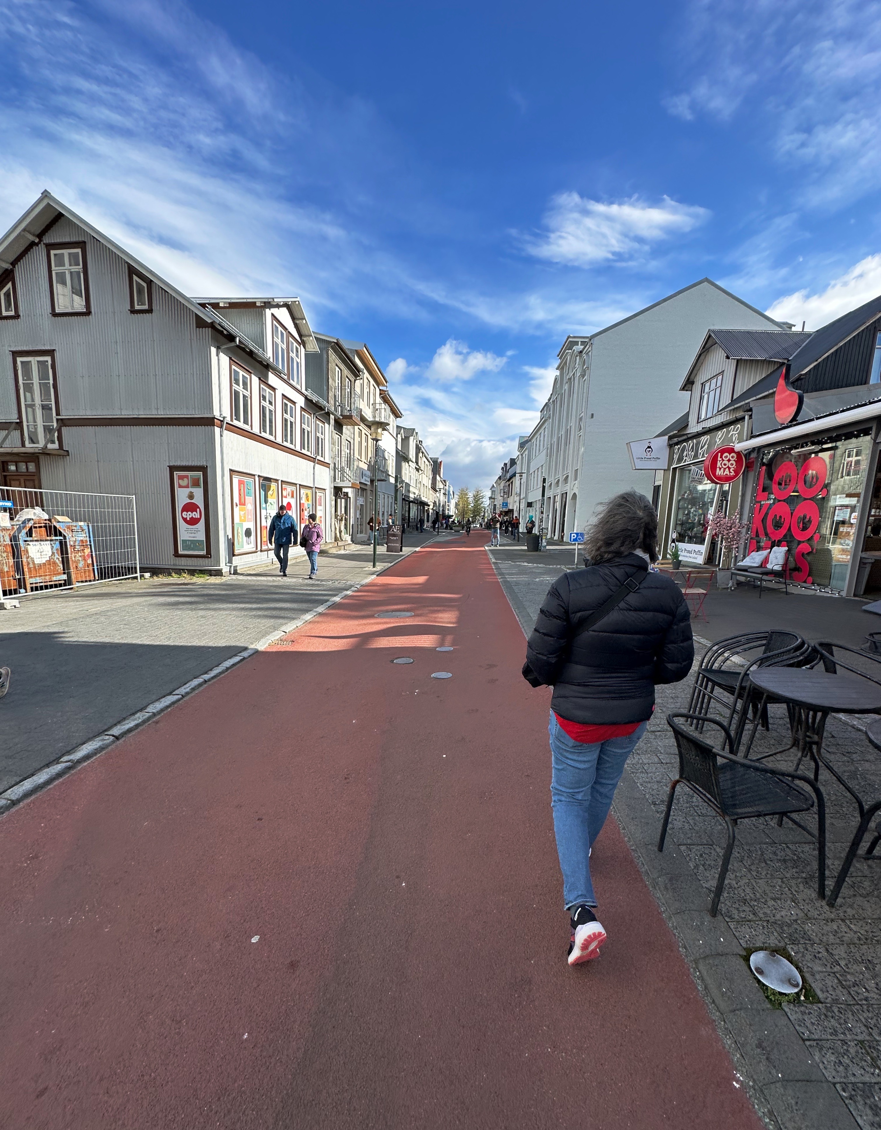
Since this was our first visit to Iceland we decided to stay in Reykjavik and use it as our base for the trip. We selected the Ion City Hotel which would put us in the heart of the city on Laugavegur, which is a bit touristy but has multiple specialty coffee shops and restaurants within a five minute walk. The hotel is small with just 18 rooms and its location provided us a view down to the harbor and the night sky. The lobby is tiny as the majority of the ground floor is occupied by Sumac, a restaurant specializing in Middle Eastern cuisine. We were very happy with our choice based on our stylish room, our view, our private sauna and the very friendly, helpful front desk staff.Lastly, how can you not like a hotel with a painting of David Bowie in the lobby! Takk fyrir.
We crashed at the hotel for a couple of hours after our overnight flight and then went out to do some exploring in the neighborhood.
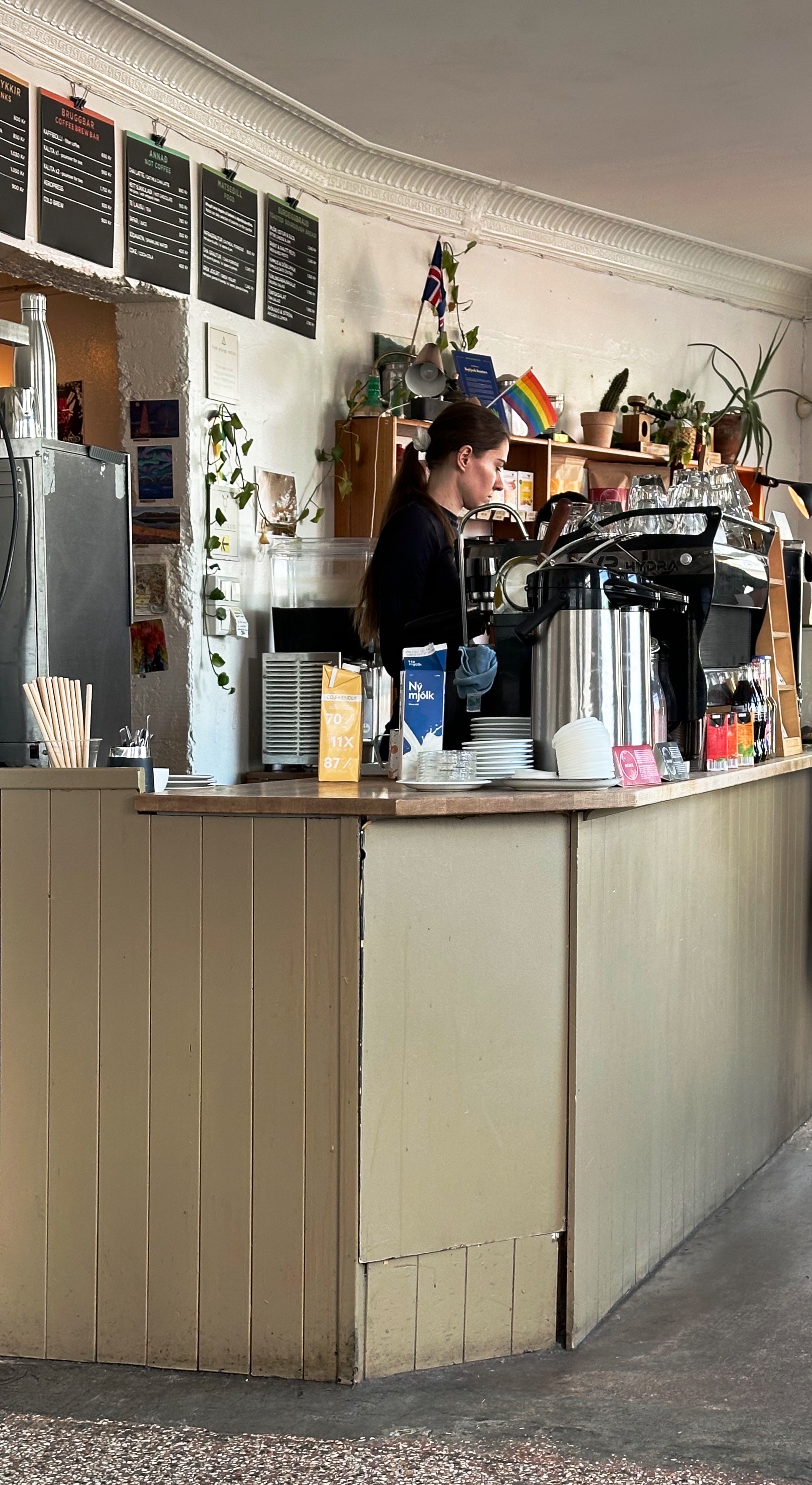
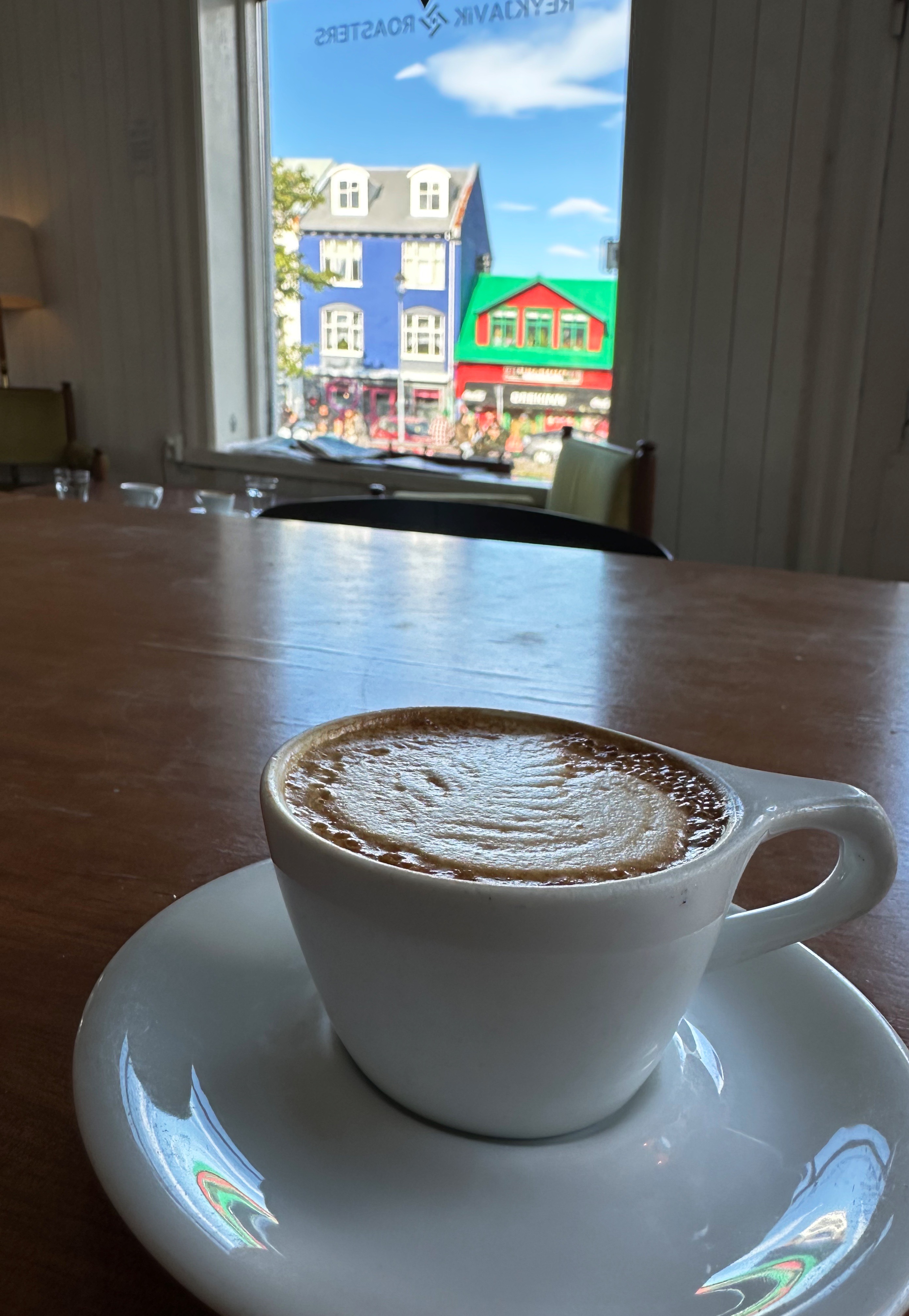
We made our first stop at Reykjavik Roasters, which is just around the corner from the hotel. We know you would expect nothing less of us. RR was founded in 2008 and has been a staple of the Reykjavik coffee scene ever since.
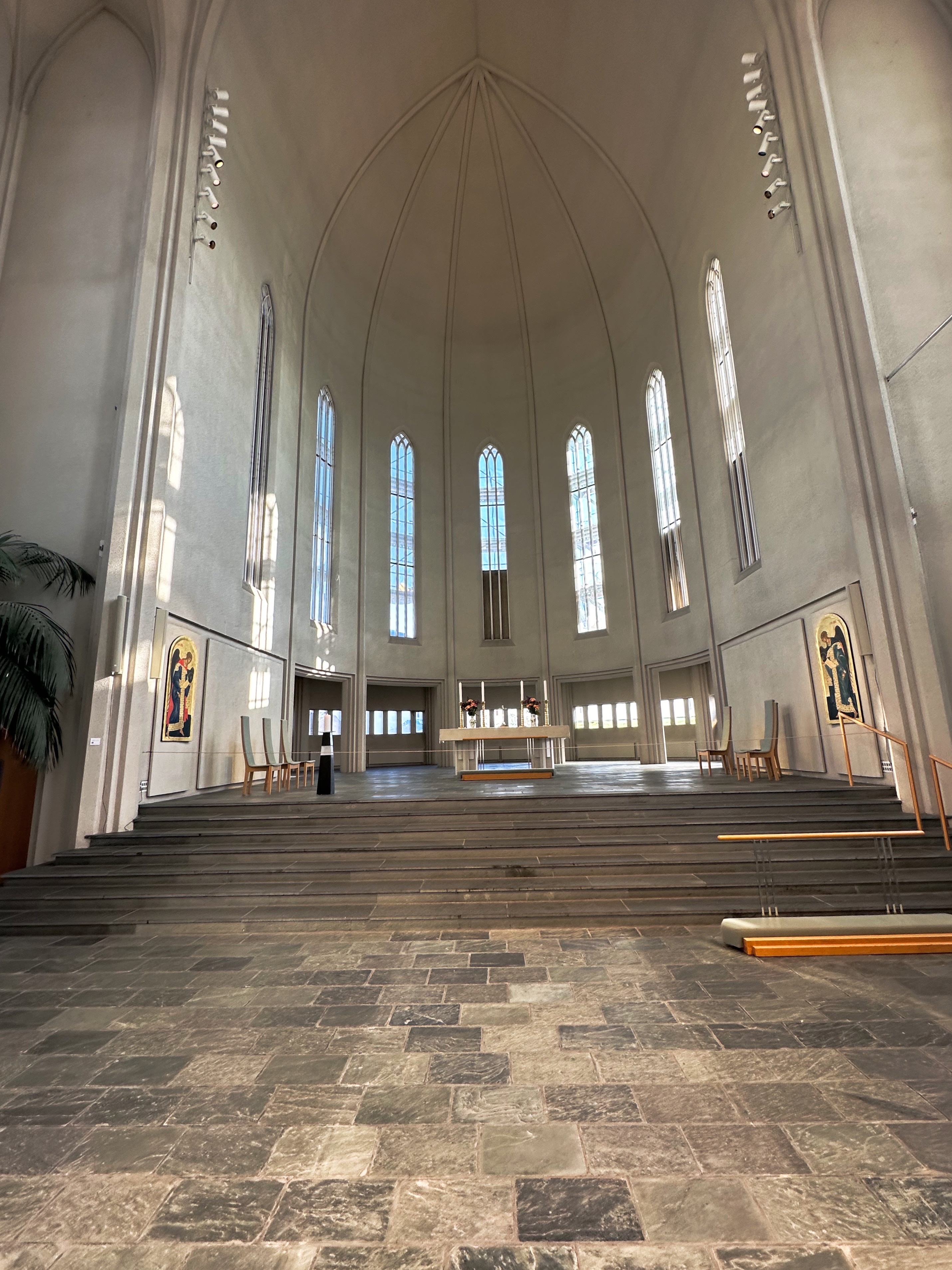
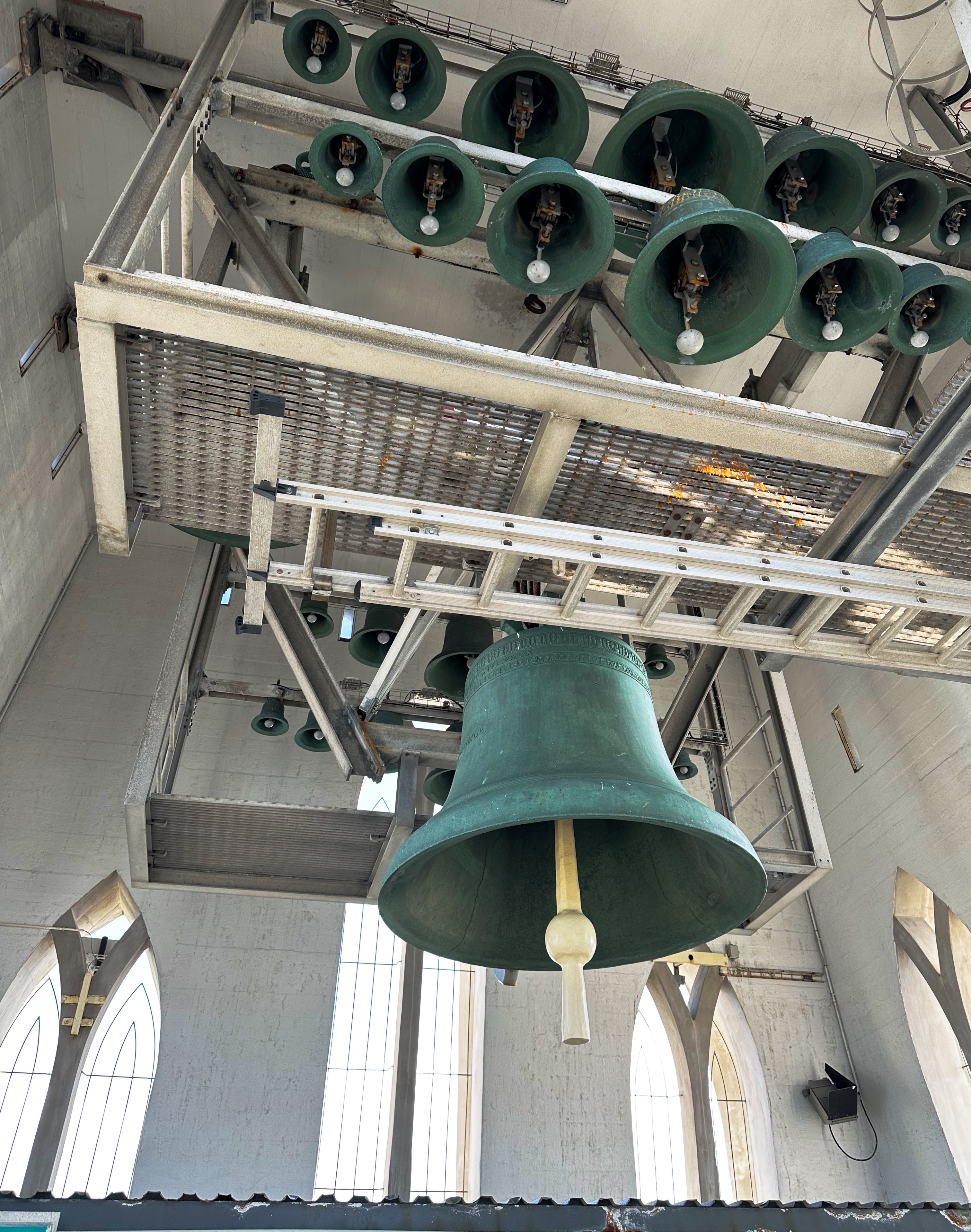
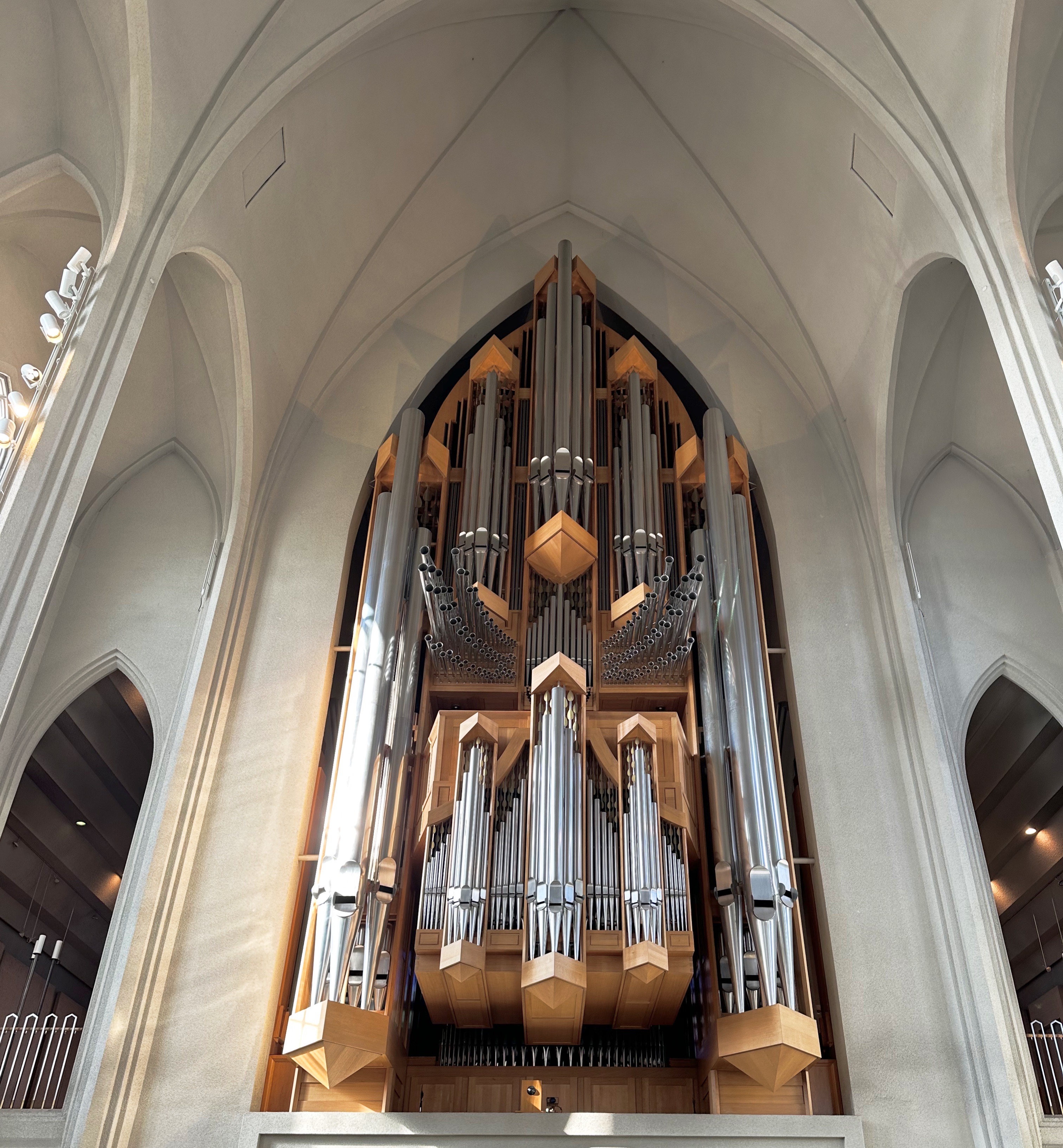
After finishing our drinks (and pastries) we walked up the hill to visit Hallgrímskirkja (the church of Hallgrimur). The church took 41 years to build. Construction started in 1945. Hallgrimskirkja is the tallest church in Iceland and provides fabulous views of the city, harbor, mountains and volcanoes from the top of the 243 foot tower.
Unlike the United States, Iceland has a state sponsored and protected national church – the Evangelical Lutheran Church of Iceland (hin evangelíska lúterska kirkja). There is religious freedom in Iceland and a number of other religious faiths are practiced in the country.
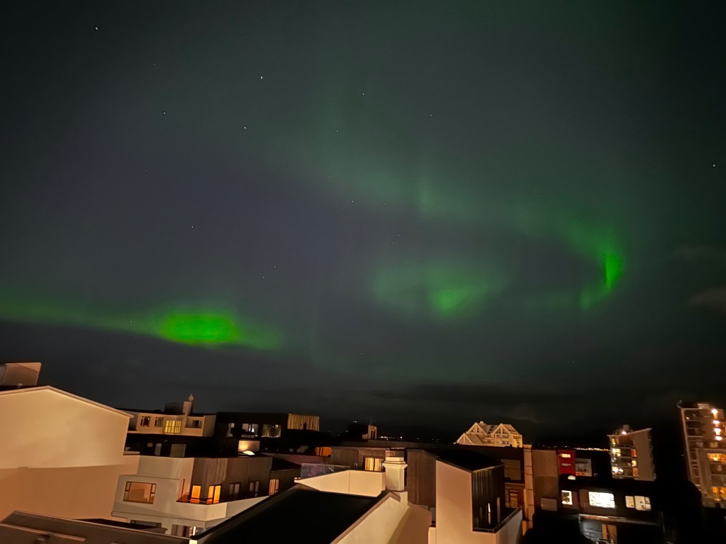
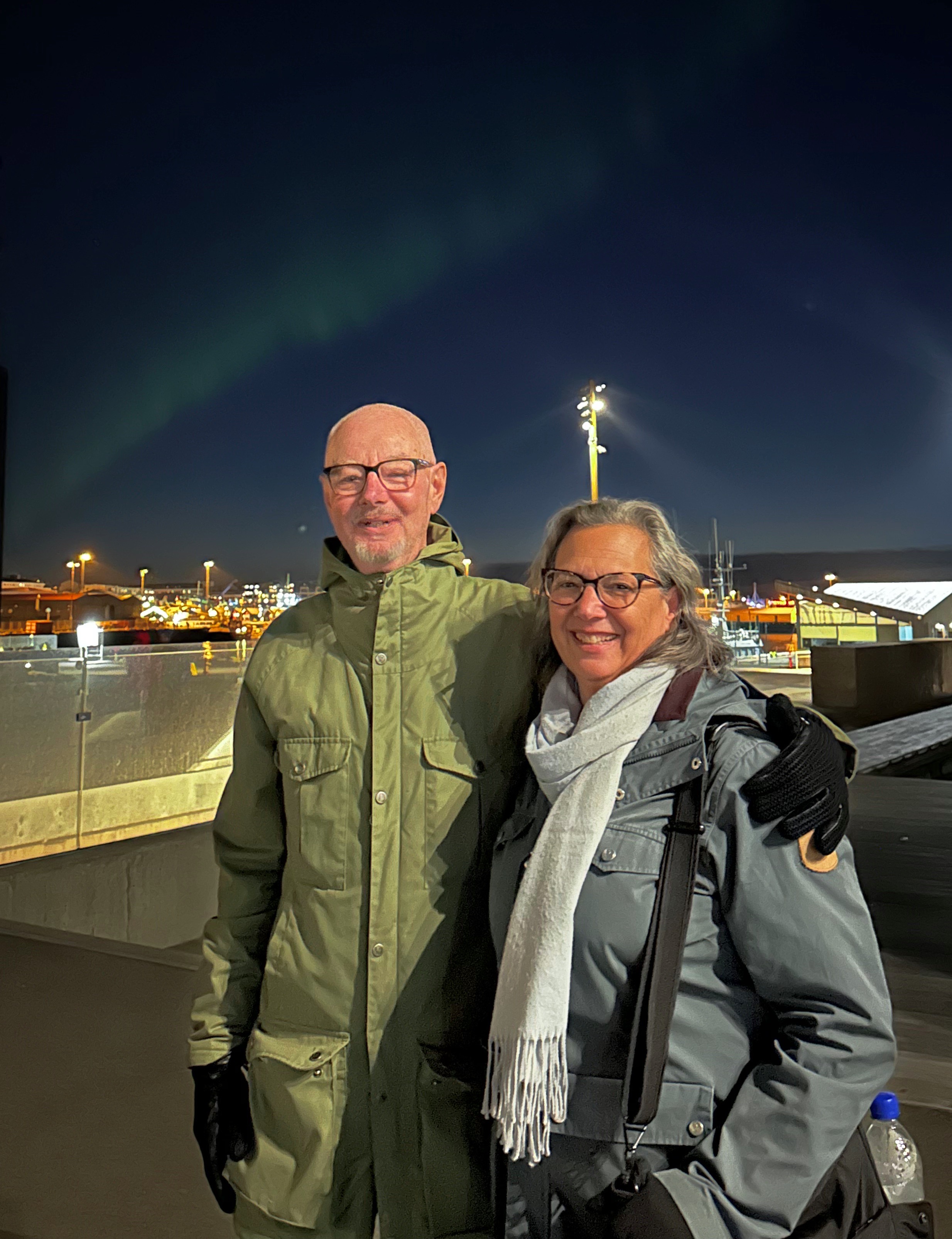
After visiting the church we did a bit more strolling, grabbed a quick fish and chips dinner and went back to our hotel satisfied with a good first day. As we lay in bed, as if on cue, the Aurora Borealis appeared and we jumped up and out onto our balcony to take in the show and snap some pictures. We upgraded our good first day to an excellent first day!Húrra!
Day two….DAGG tveir
In accordance with Rule One of Travel (all days must begin with tea and coffee) we checked out TE & KAFFI (directly across the way from the hotel). TE & KAFFI was up to snuff and we added the establishment to our inventory of specialty coffee shops for our stay in Reykjavik.
After fika we spent the morning exploring the city on foot and made our first visit to the waterfront. We also happened upon several more excellent street murals. While down at the old harbor we popped into the one of the three Reykjavik Art Museum locations. The exhibitions at this location when we visited were not a good fit for our sensibilities so we did not tarry.
Towards early afternoon we walked back up the hill from the old harbor area to check out one of the other art museums. This museum, Kjarvalsstaðirat, was exhibiting predominately landscape paintings by both professional and amateur Icelandic artists. The museum is named after Jóhannes Sveinsson Kjarval (1885-1972). Kjarval is Iceland’s most revered painter and many of his paintings are on display.
The art here was much more to our liking (or comprehension) and was a lovely mix of colorful renderings of the Icelandic countryside and cityscapes.
DAY THREE….DAGG PRIR
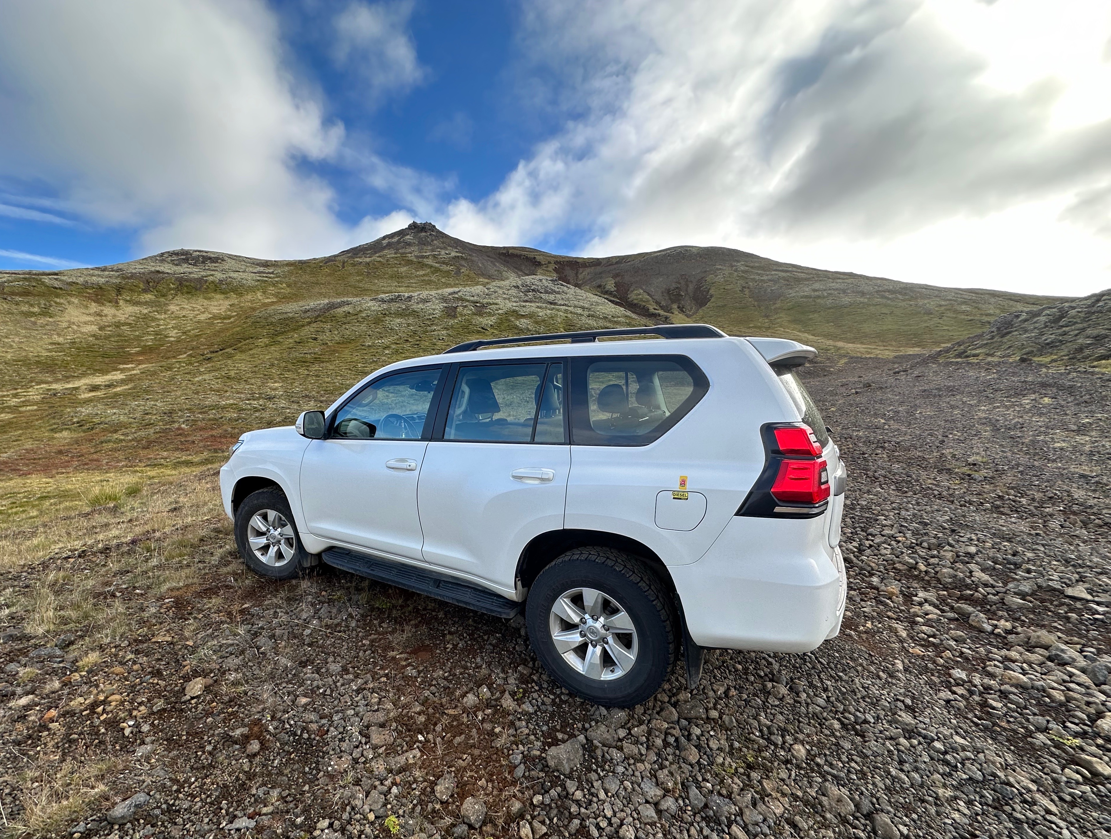
For our third day we hit the road (after coffee and tea) in pursuit of the Golden Circle (GC). We rented a 4WD SUV in case we found ourselves off the pavement in pursuit of getting up close to some of the natural features along or near the GC route. This worked out nicely as you can see from the photos directly below.
We made our way Þingvellir National Park (PNP) along an alternate route utilizing the excellent skills of our senior navigator. As we approached the park Þingvallavatn Lake came into view. It is the largest natural lake in Iceland. You may notice in the photo above left the large pipeline. In the States you might expect it to be an oil or gas pipeline – not in Iceland – this pipeline carries geothermally heated water. It carries millions of gallons per minute of boiling water and provides heat for most of the residents of Iceland.
The park is historically important to Iceland as it was the location of Iceland’s first parliament, which met there on the open plains from 930 until 1798. The park location is considered to be the birthplace of Iceland.
Prime Minister’s Summer Residence
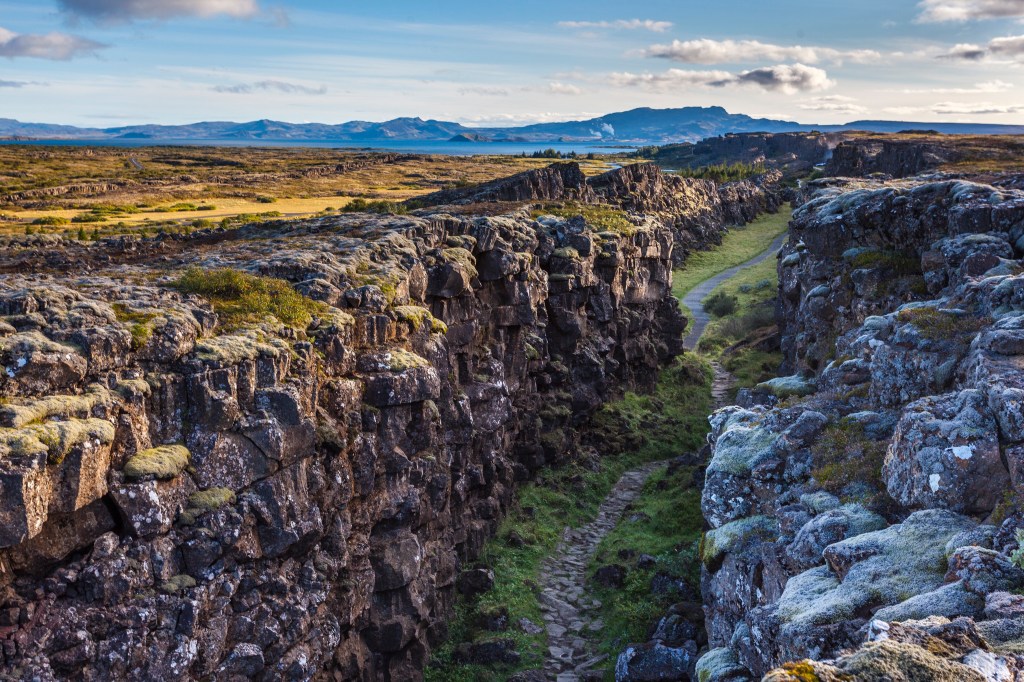
The other aspect that makes this beautiful park important is that within the park are the rift valleys that separates the continental plates. The rifts run north – south. The plate to the east is Eurasia while the plate to the west is North America. Some of the rifts are dry allowing visitors to walk through while others have filled with water.
Tectonic Rift
Tectonic Rift
After completing our hiking loop at PNP we continued north on the GC. We bypassed the popular Geysir Hot Springs as we have seen many a geyser (including Old Faithful) during our travels in the Western United States.
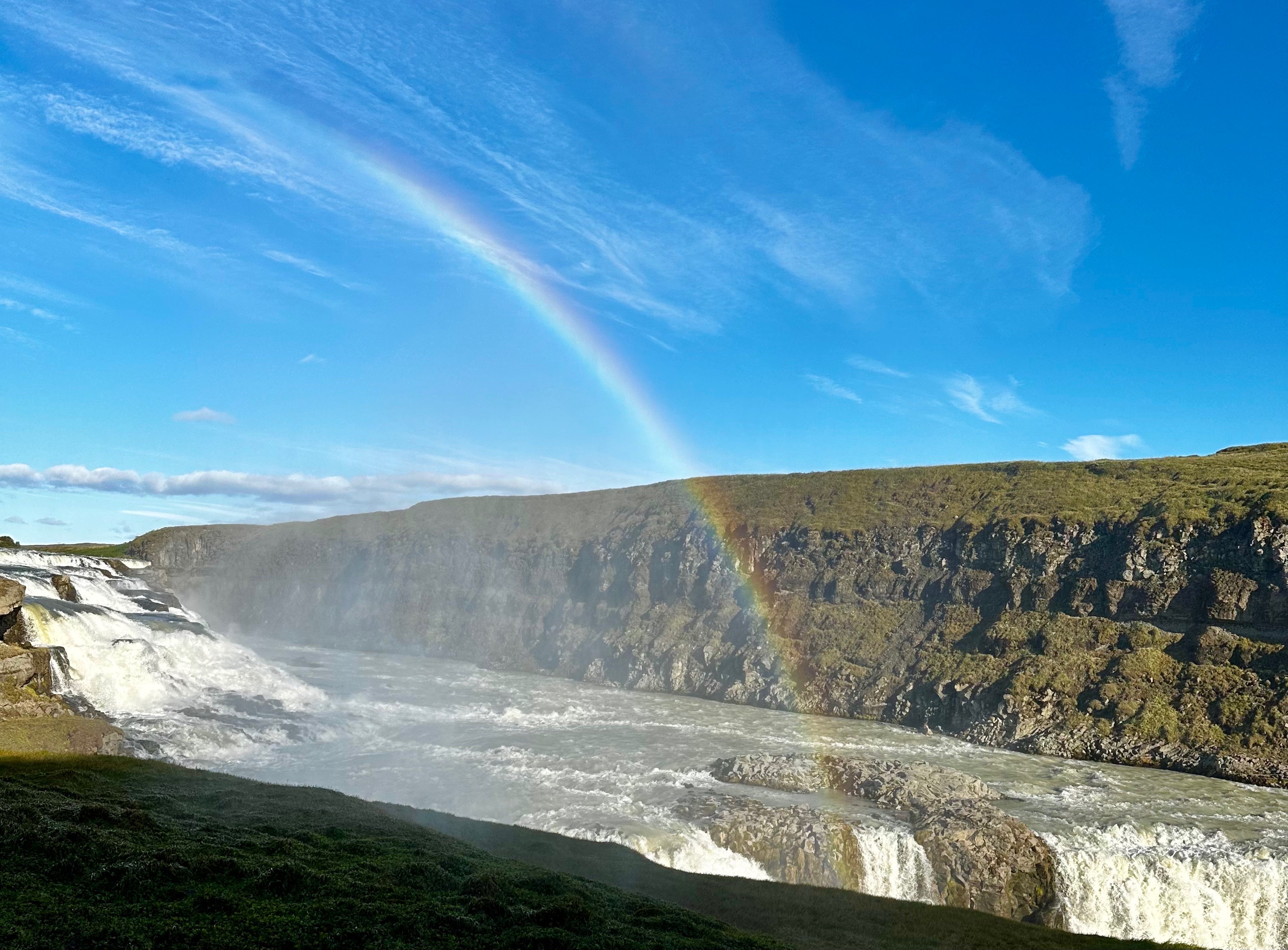
Gullfoss
Gullfoss (Golden Falls) is impressive for its sheer force and size – and – it is a traverse waterfall. The water falls 105 feet into a crevice and then flows sideways and then down through a canyon that reaches 230 feet in depth. The waterfall is located on the Hvítá (White) River and is fed by the Langjökull Glacier.
It is hard for us to fathom but Gullfoss was privately owned by a local sheep farmer – Tómas Tómasson. A British firm (it’s always the British) attempted to purchase the property to use it to generate electricity. Fortunately, that never came to fruition and the river and falls remain in their spectacular natural state (owned and protected by the government of Iceland).
Gullfoss
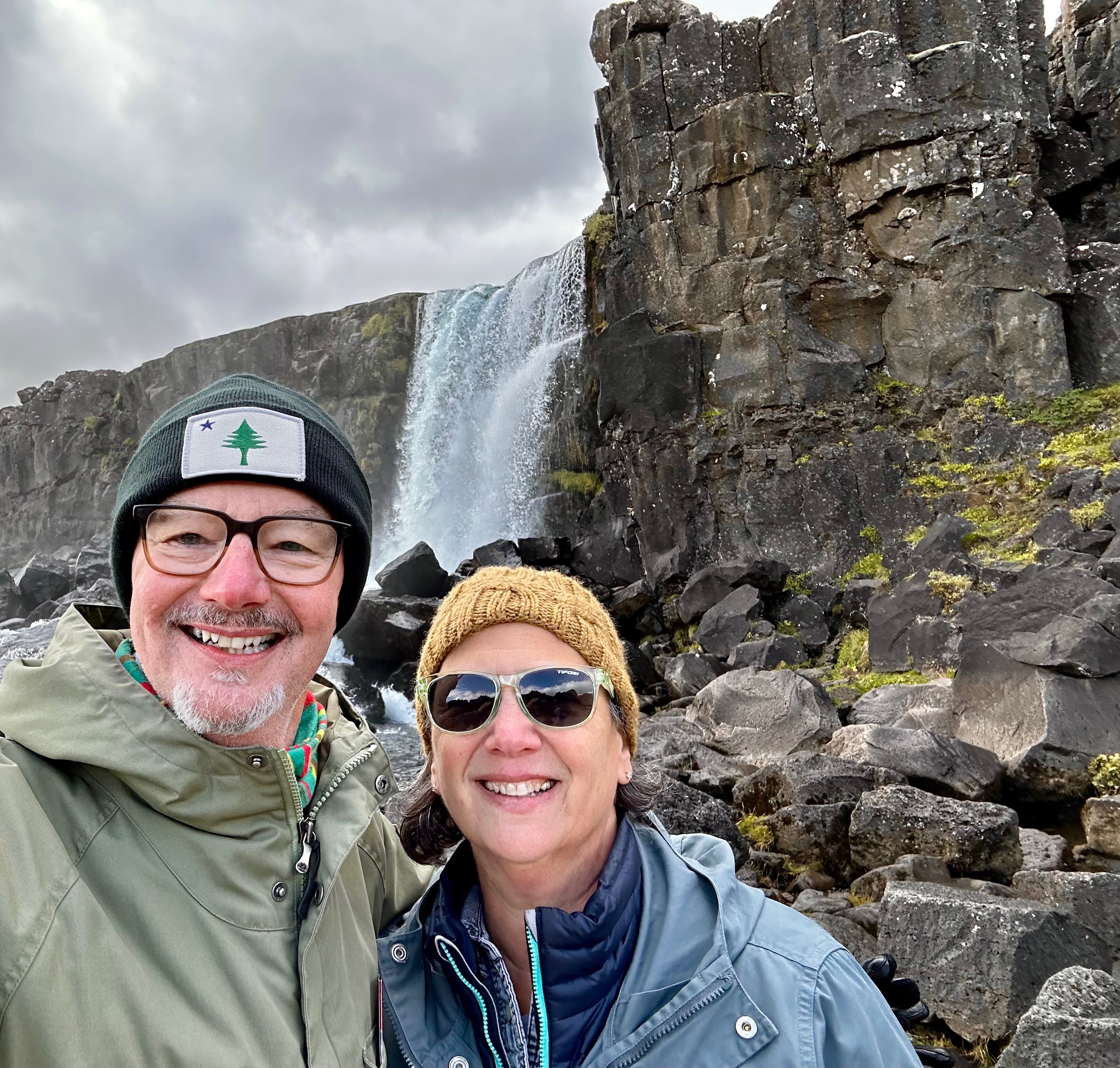
From Gullfoss we started our return to Reykjavik. We detoured across Route 31 to see the Skálholt Church. The first Episcopal church in Iceland was built at this location in the year 1000. By 1550 the Reformation was in full swing under the auspices of the King of Denmark. In order that everyone understood his intent he had Jón Arason, the Catholic Bishop Of Iceland (the last Catholic Bishop of Iceland) and his two sons executed at Skálholt. Lofið drottin! In other news, the current church was built between 1956 and 1963.
Hvítá River Viewed From Skálholt Church
DAY FOUR….DAGG fjórir
We booked a food tour with Wake Up Reykjavik on the recommendation of our good friend Brian. The tour was lots of fun and the food was quite good. The tour included five stops to sample different dishes. We have included below the five stops and a description of the food we sampled. Thank you Brian!
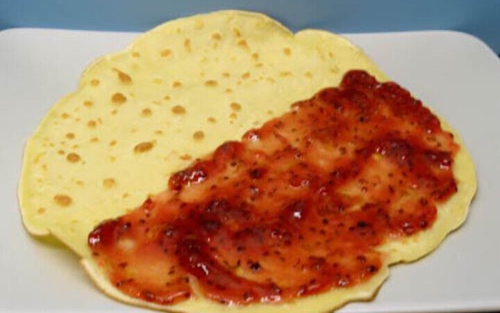
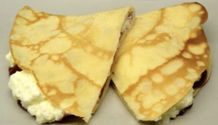
Hotel Borg (The oldest hotel in Iceland) Icelandic pancakes with sugar, jam and whipped cream.Ljúffengur!!
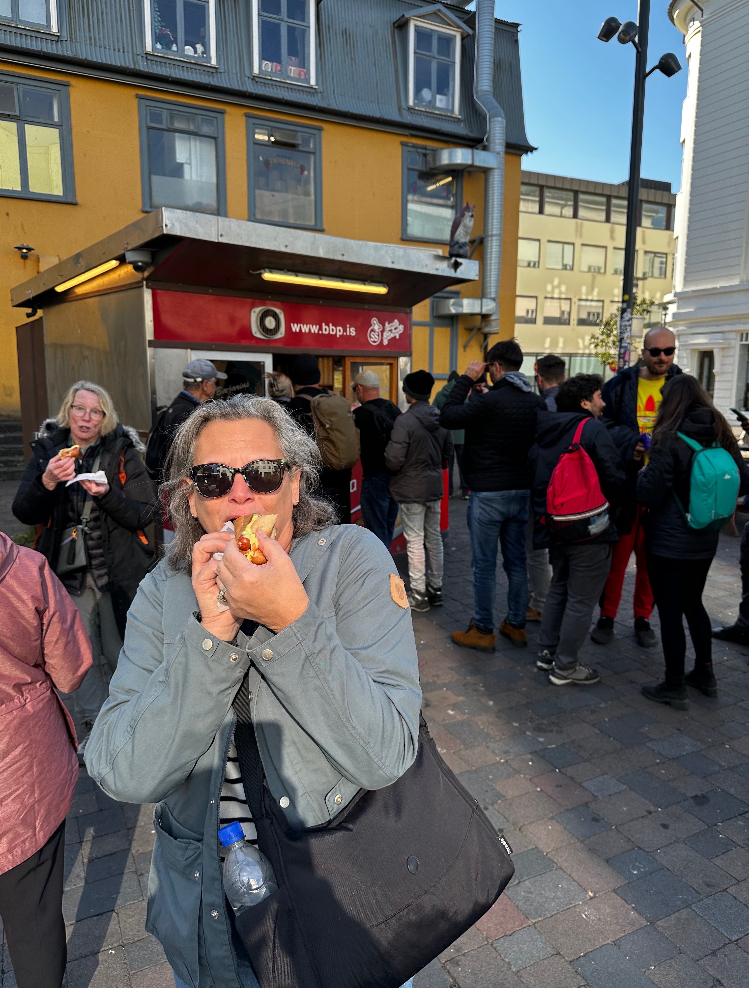
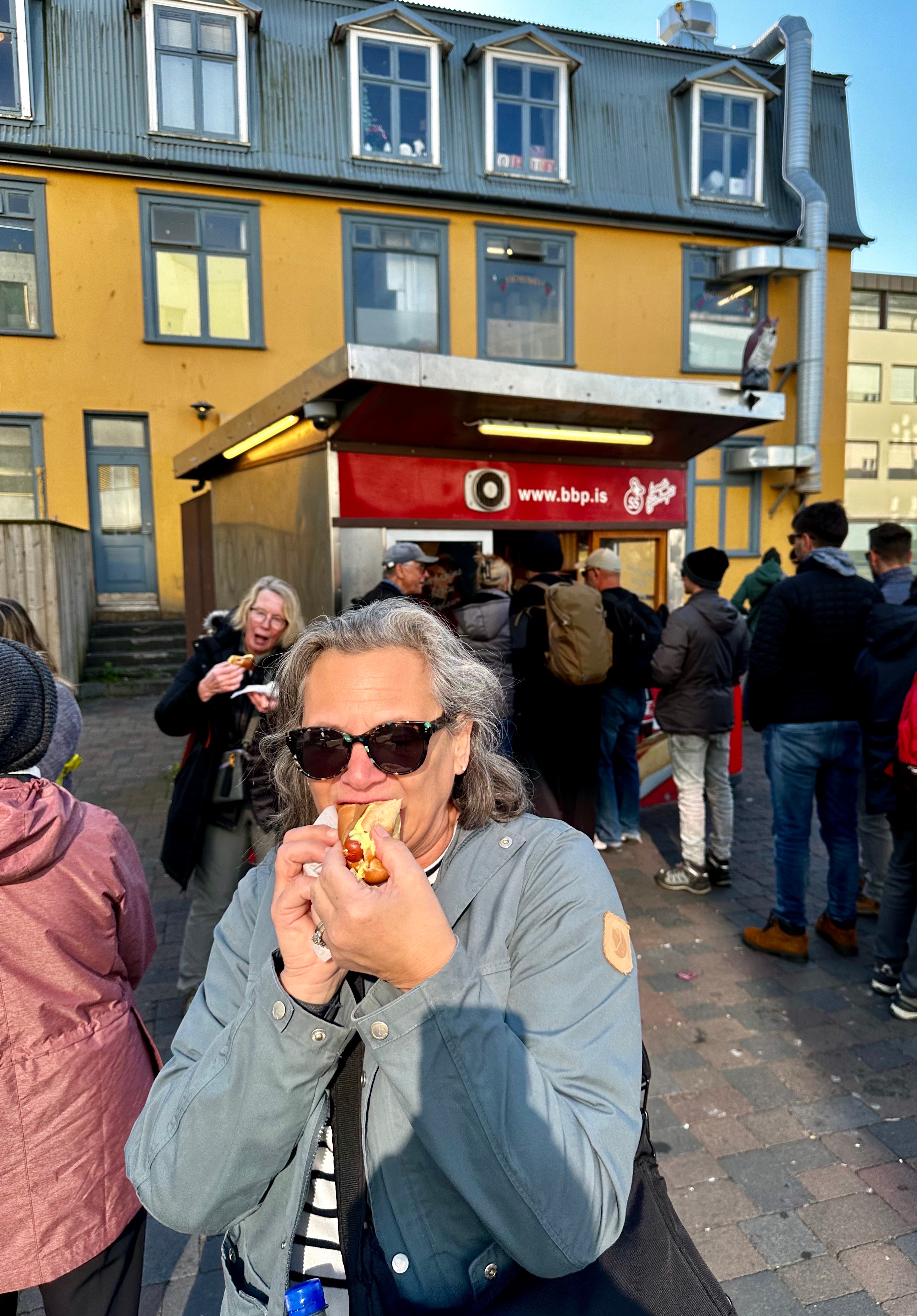
Bæjarins Beztu Pylsur (The Town’s Best Hot Dogs) Traditional Icelandic hot dog with Icelandic ketchup, Icelandic mustard, remoulade sauce (remúlaði), deep fried onions and raw onions. Made famous after Bill Clinton visited for a dog. He had mustard only – now known as a Clinton!
Sólon Islandus(The Salvador Dali place) Lamb chop with mustard umami sauce, mashed potatoes and grilled brocollini
The young woman in the photo (above right) is Alfhedur Kristin Hallgrimsdottir aka Alfie. Alfie was our quite entertaining and informative guide. She is holding the traditional and obligatory sample of fermented shark, which is washed down with a shot of a strong liqueur. The lamb was delicious – the shark is what we would describe as an acquired taste.
Sjávarréttagrillið(The seafood grill) Lobster taco on a soft taco shell with garlic sauce, spinach, pickled red onions, deep fried langoustine, date puree, cilantro and parmesan cheese.
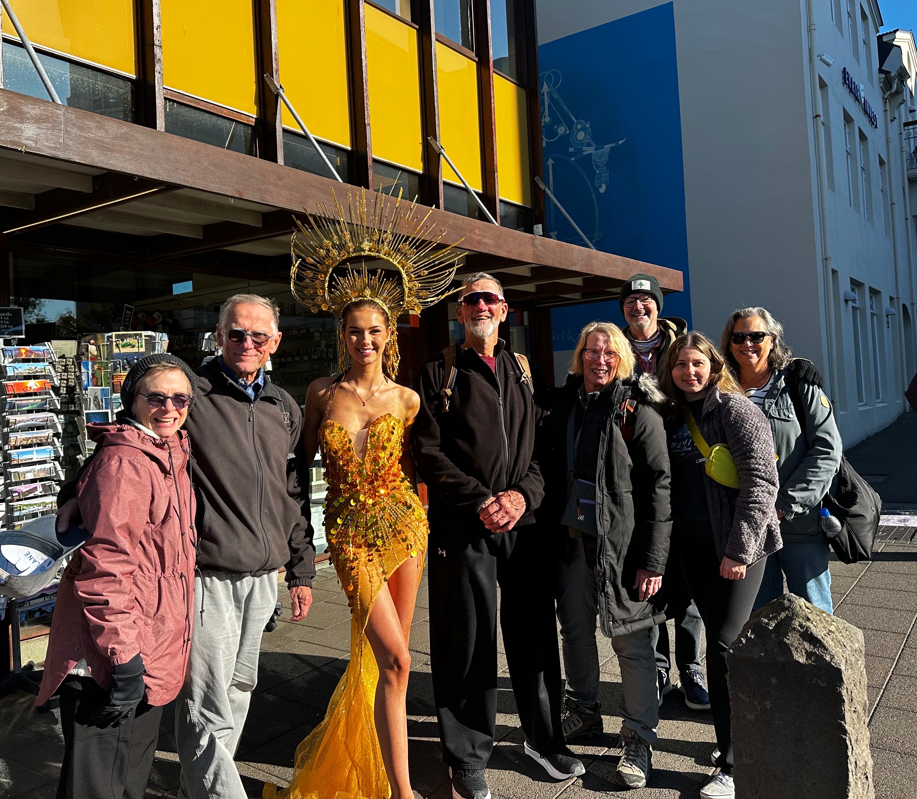
As we left Sjávarréttagrillið we happened upon a former Miss Iceland who was about to do a photo shoot. She graciously posed with our food tour group. She did not appear to mind being outdoors in the 40F temperature without much clothing. Icelanders are tough – and very nice!
Hannesarhollt (The poets/prime ministers cafe) Rhubarb crumble pie – Happy marriage cake! (Hjónabandssæla) Perfect timing as this trip was in celebration of our 45th wedding anniversary!
Icelandic Happy Marriage Cake (Photo courtesy of Autumn Carolyn)
After our afternoon food tour we were in no need of dinner so we retraced our tour route to photograph some interesting murals we had observed while on the tour and took a break at the hotel before venturing out for an evening of jazz.
The jazz concert was taking place at the modern and architecturally award winning Harpa Concert Hall and Convention Center. The Harpa was opened in 2011. This stunning facility sits directly on the waterfront and hosts the Icelandic Symphony, Icelandic Opera, Big Band and many other shows within the various venues housed here.
Harpa Concert Hall
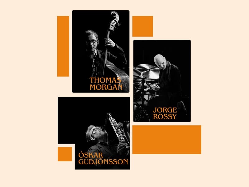
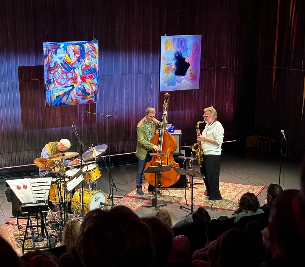
We were quite fortunate that the Trio Óskar Guðjónssonar, Jorge Rossy og Thomas Morgan was performing that night. The three members of the trio are all veteran performers who have toured extensively internationally and played with many renowned jazz bands.
The show was great. The trio played a number of their own compositions as well a several jazz standards. We also enjoyed the polite audience – no talking or videoing during the show! What a treat after experiencing so many disrespectful and boorish audiences at music events in the U.S.
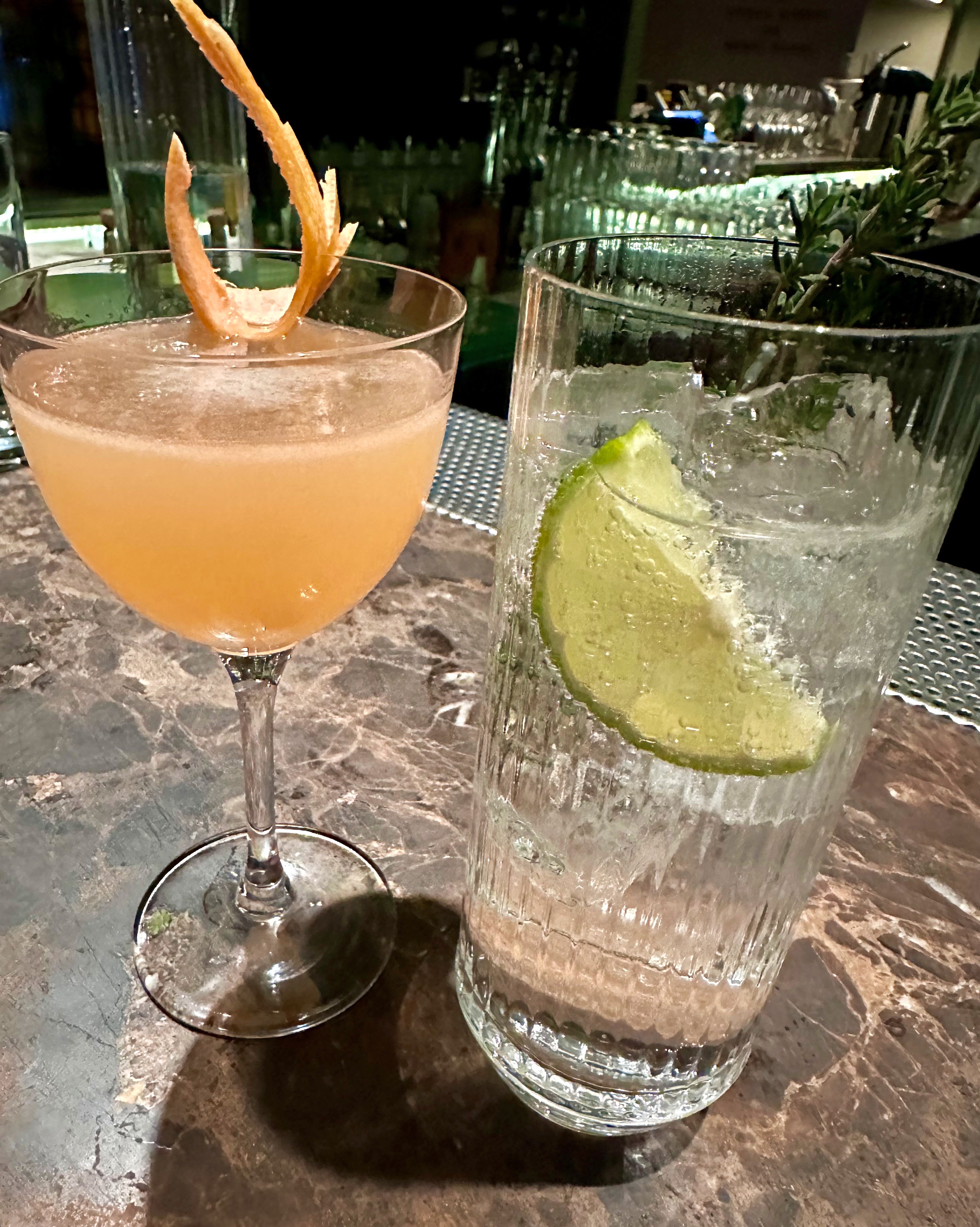
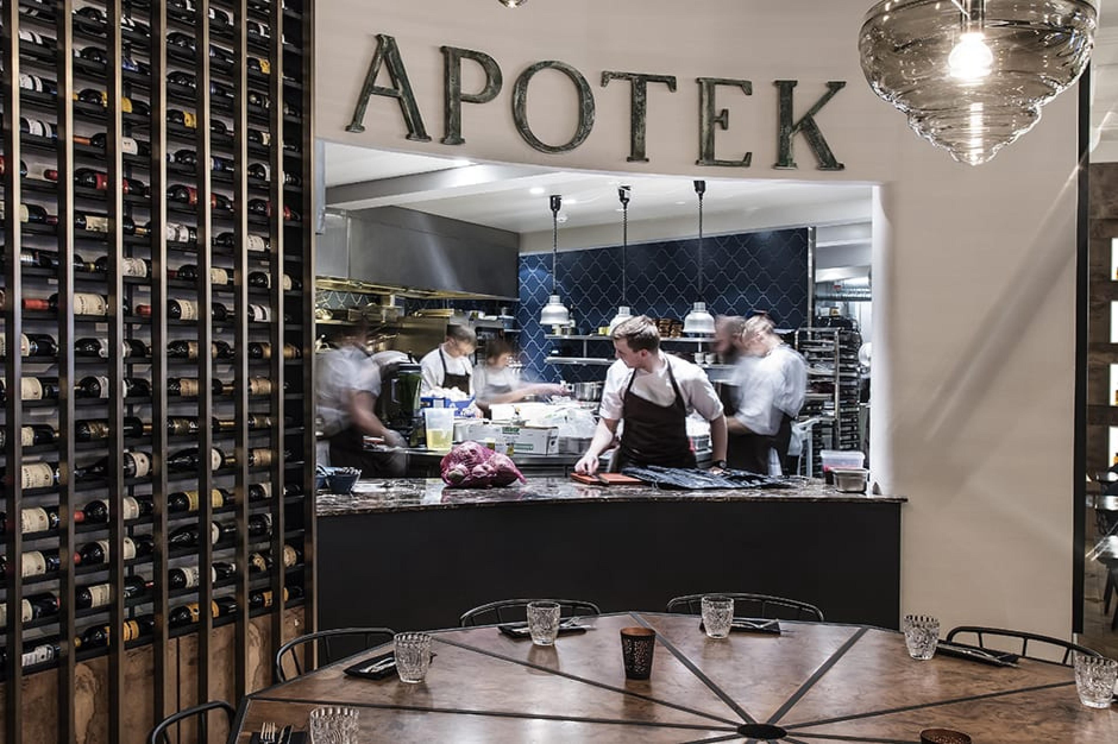
After the show we came outside to find the Aurora Borealis again dancing in the sky over the harbor! If seeing the Aurora Borealis four nights in a row doesn’t warrant a night cap we don’t know what does! We made the short walk over to Apotek. The place was hopping but we were able grab two seats at the bar and have our cocktails and a couple of appetizers. We had a great time discussing the upcoming U.S. election with our bartender – who is probably more knowledgable about our upcoming election than most Americans! Sorglegt!
DAY FIVE….DAGG FIMM
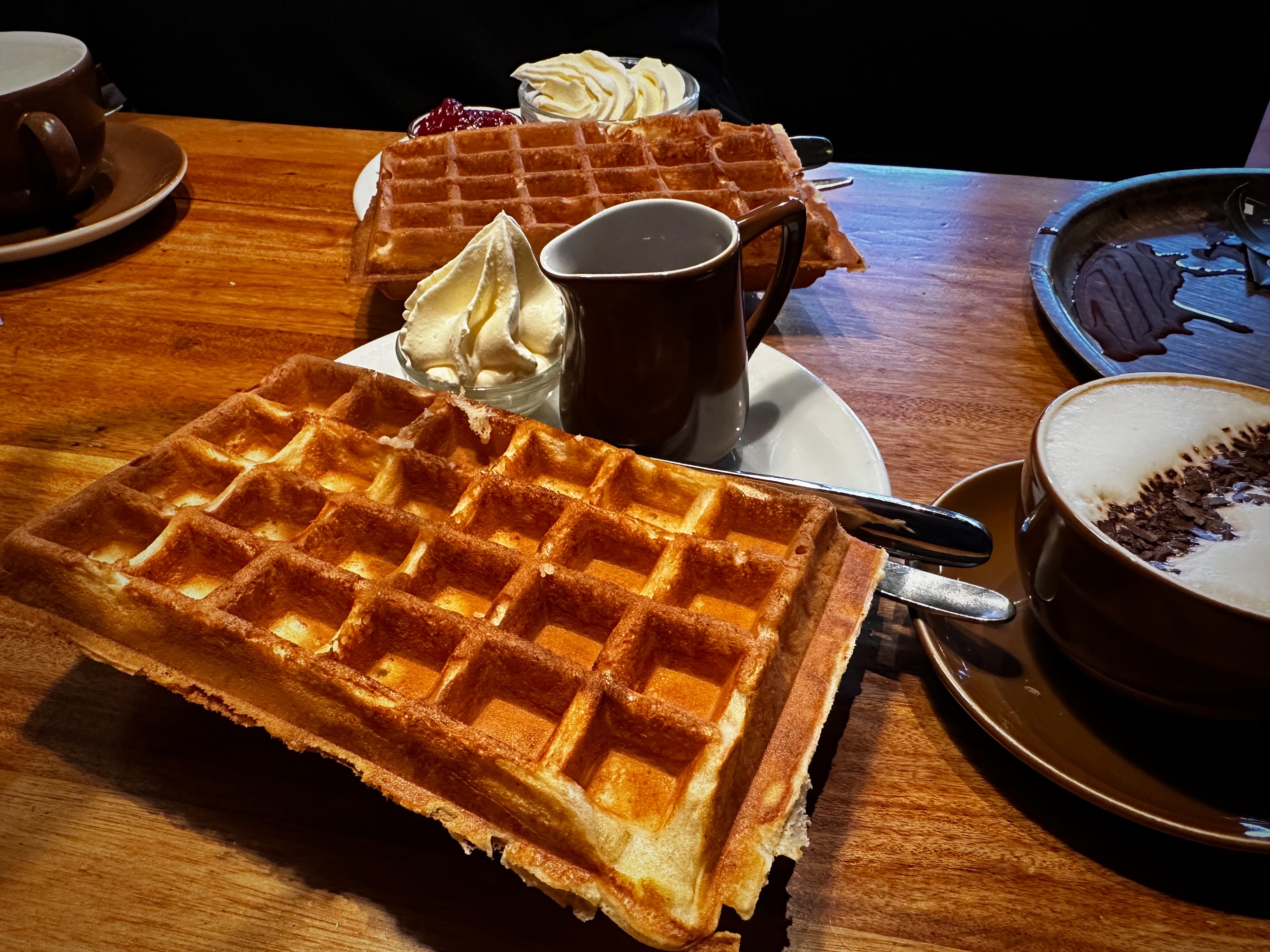
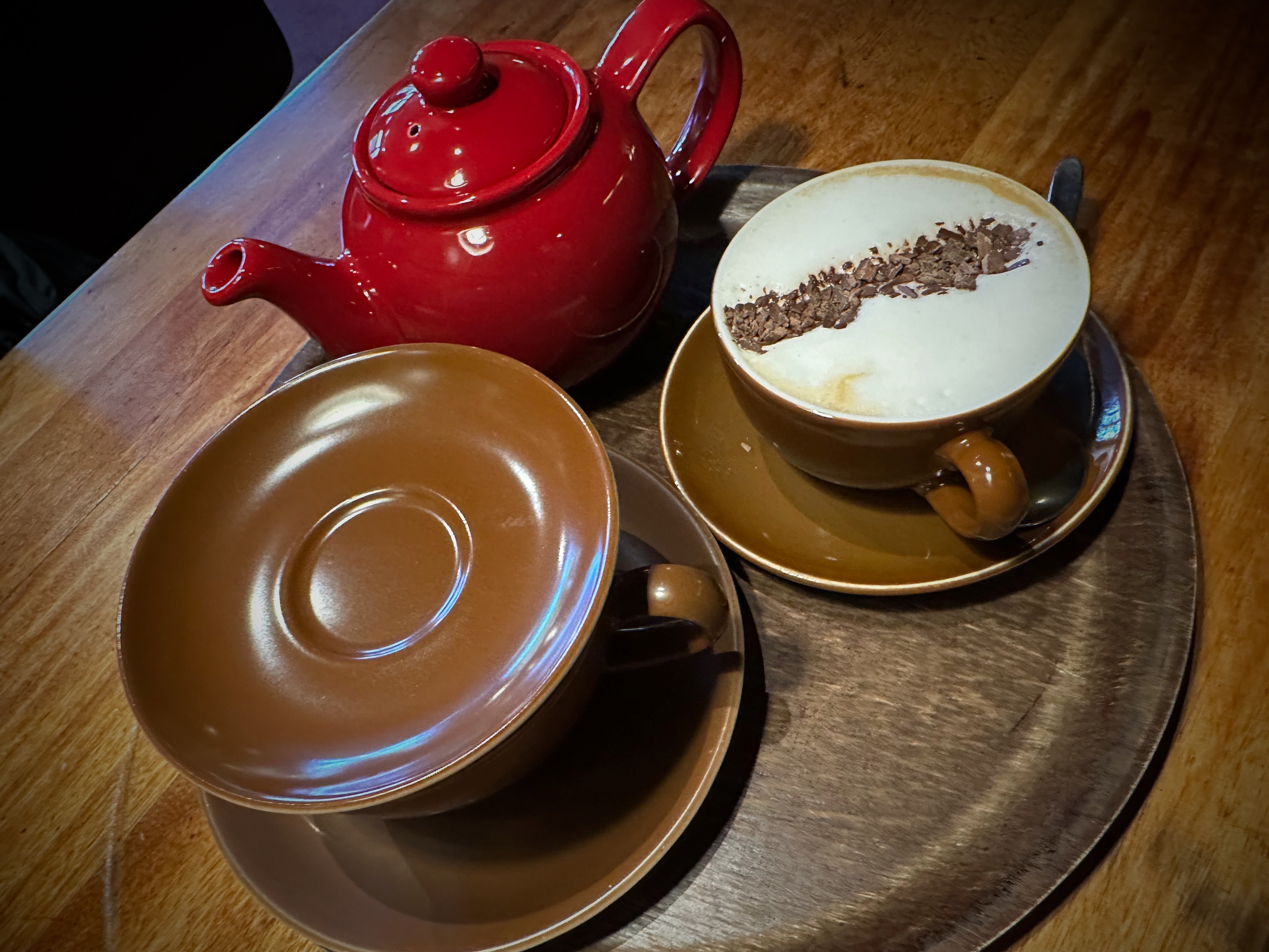
On day five we opted for a slower paced day as we were planning on a long day touring the South Coast the next day. We started our day at Mokka Kaffi. Our intel was that they have the best waffles. We do not know if they are the best in Reykjavik but they were dang good! A bit of shopping in the afternoon completed the day time portion of that day’s program.
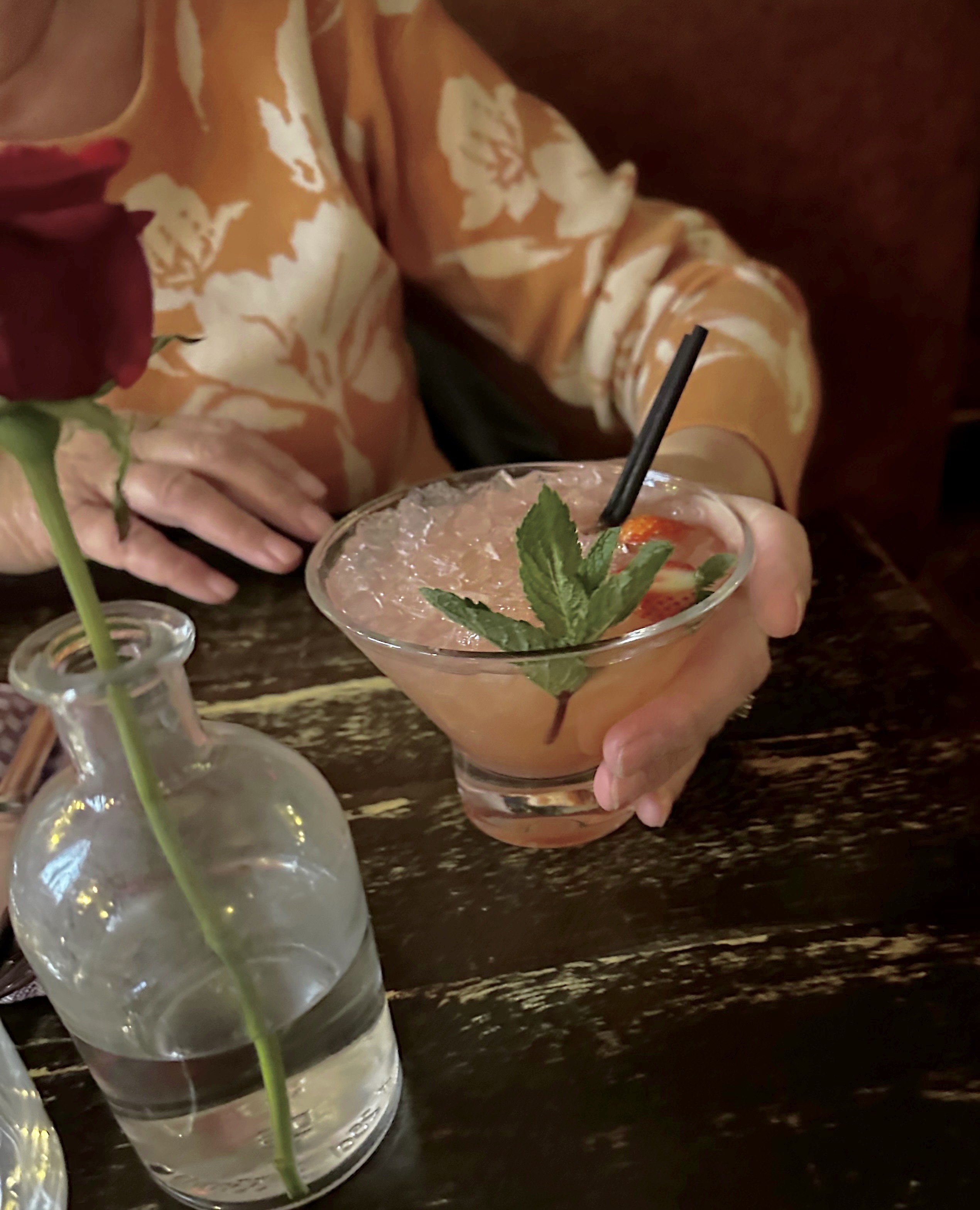
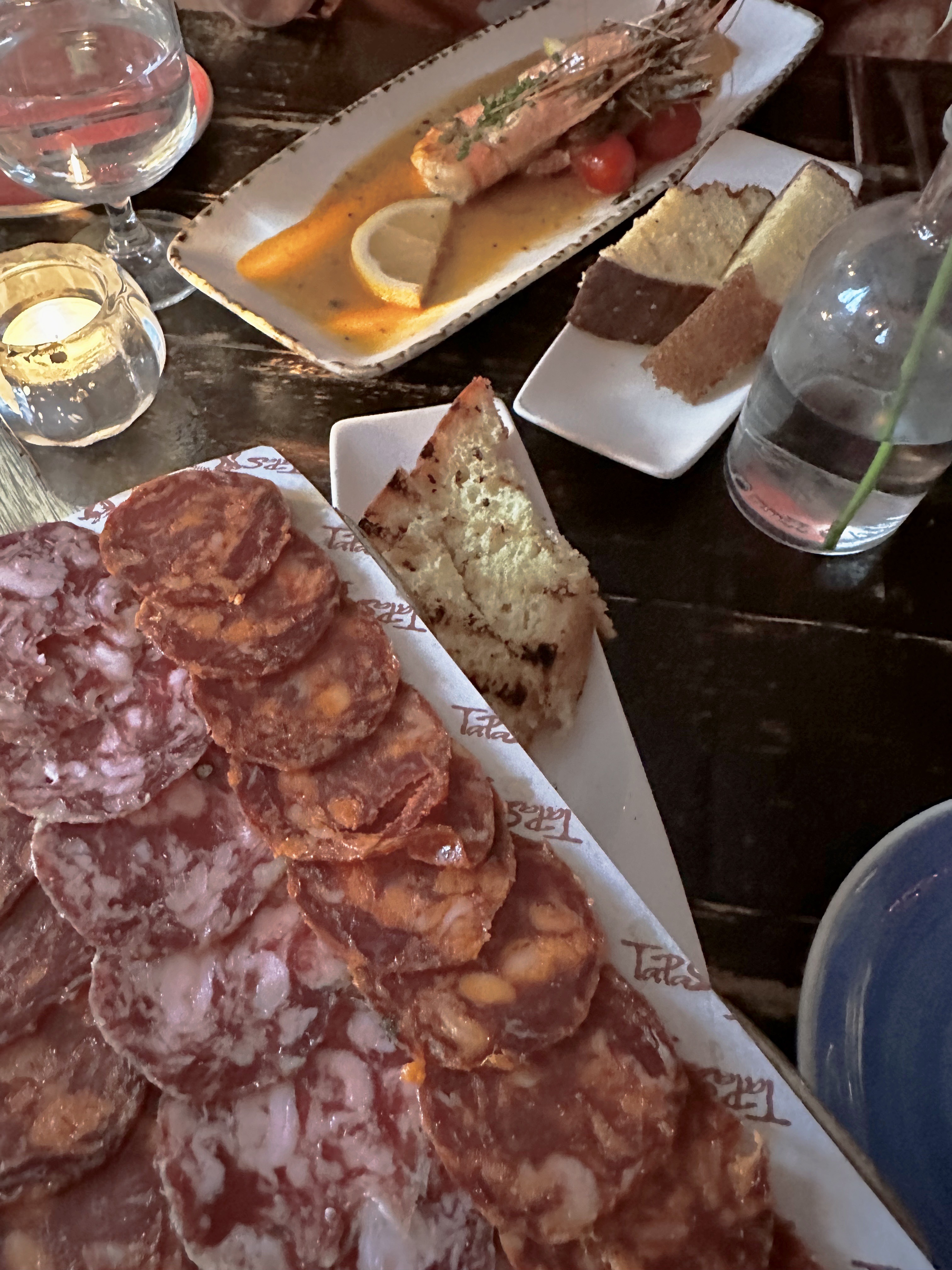
We finished our day with an excellent meal at the highly recommended (thank you Alfie) Tapas Barinn. We ordered several small plates starting with chorizo, followed by prawns, lamb and Icelandic foal. Ljúffengur!
Icelandic Foal
DAY SIX….DAGG SEX
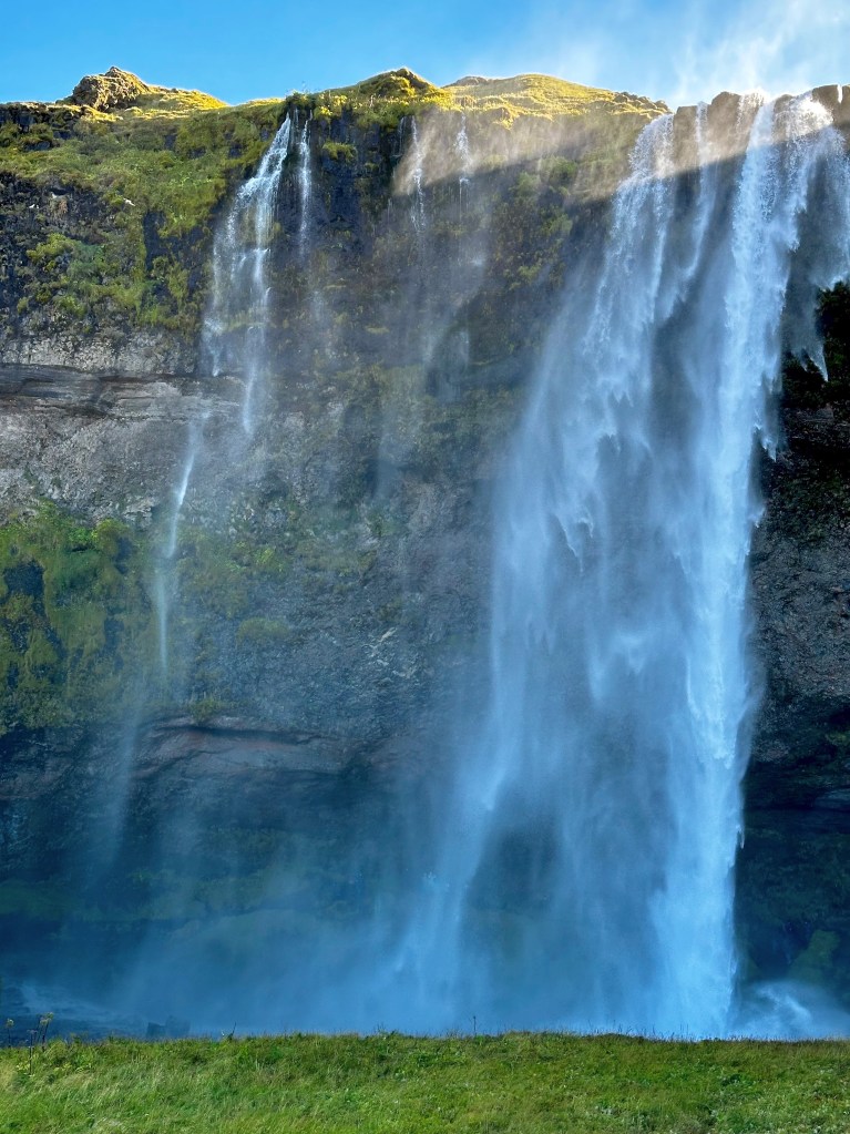
On day six we were back on the road for a tour along the south coast of Iceland following the Ring Road (Route 1). Our first stop was Seljalandsfoss, a popular tourist stop as it is visible from Route 1 and the walk from the parking area to the falls is relatively short and level. At 197 feet impressive, but not the best of the day in our view.
We continued along Route 1 making frequent stops to admire the views on a gorgeous blue sky day.
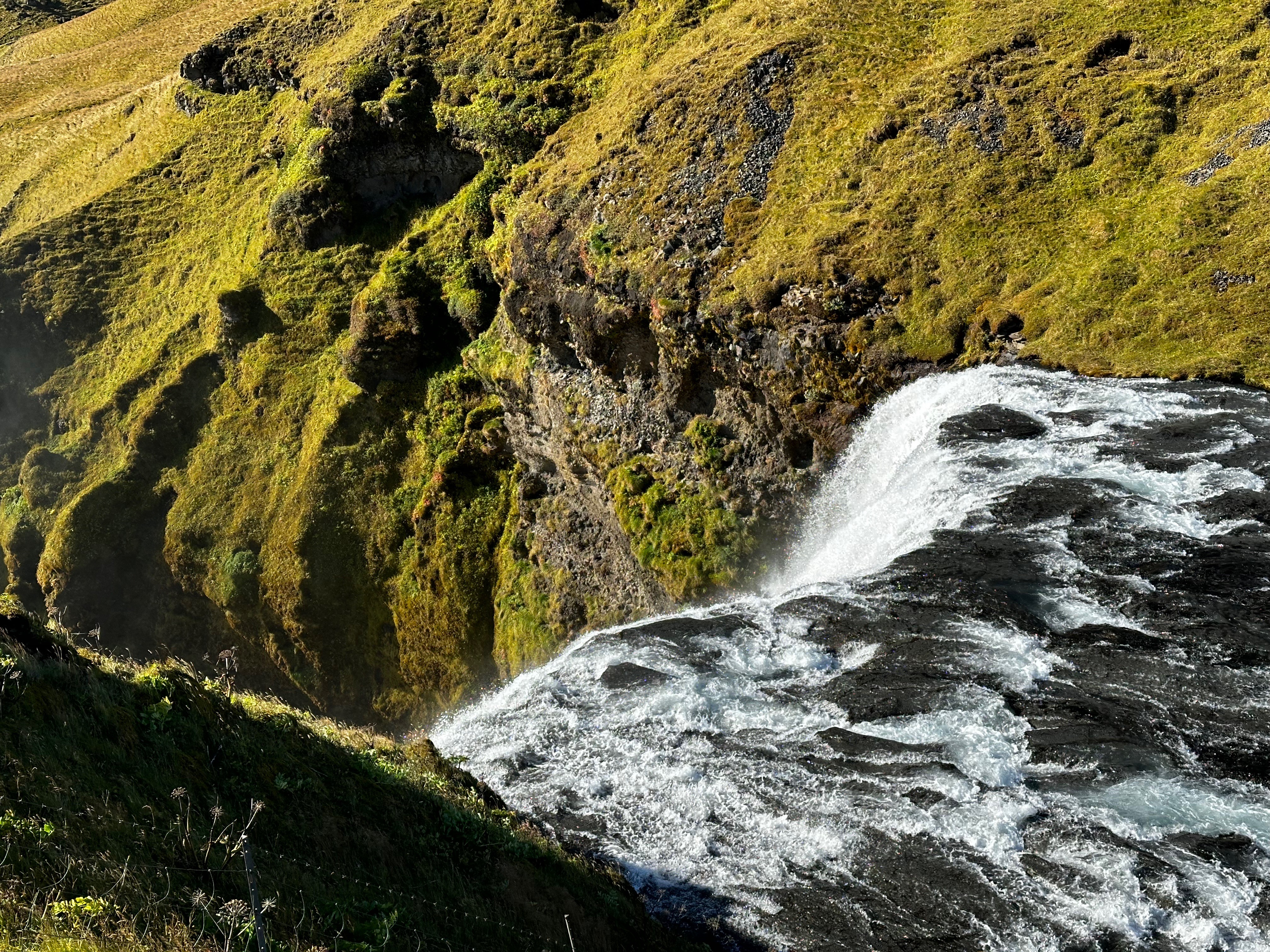
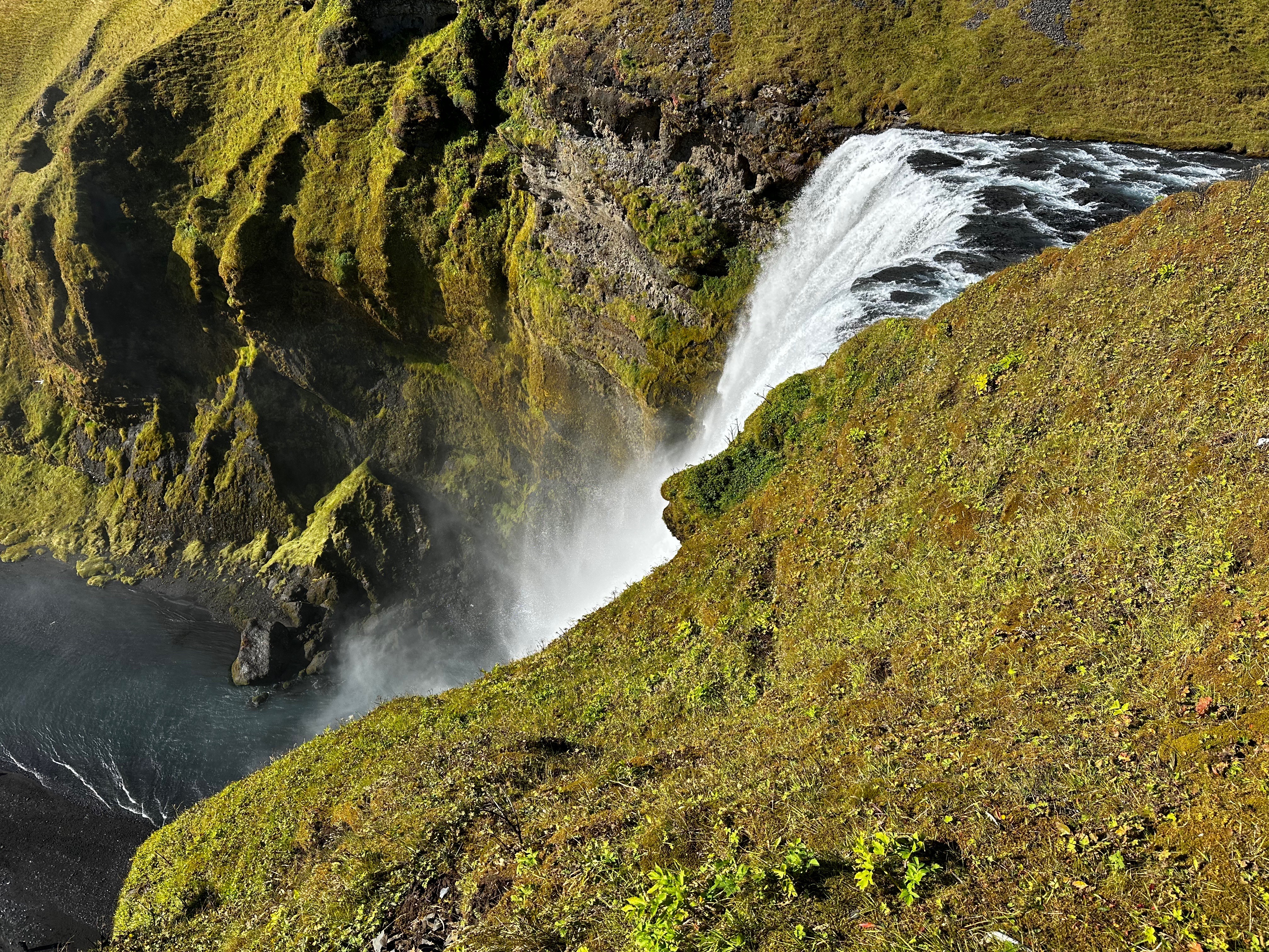
Several miles drive further along the Ring Road conveyed us to Skogafoss (foss translates to waterfall). This waterfall is impressive not just for its height of 200 feet but also its width of 82 feet. You can walk along the Skoga River and stand at the base of this thundering wall of water.
This was probably the waterfall that we enjoyed the most due to the ability to both stand at the base (and get wet) and also at the top of the waterfall via a steep 600 stair climb. From the top there is a fantastic view of the valley below that extends to the ocean. From here, the Fimmvörðuháls hiking trail (summertime only) continues up the mountain along the river providing access to additional waterfalls.
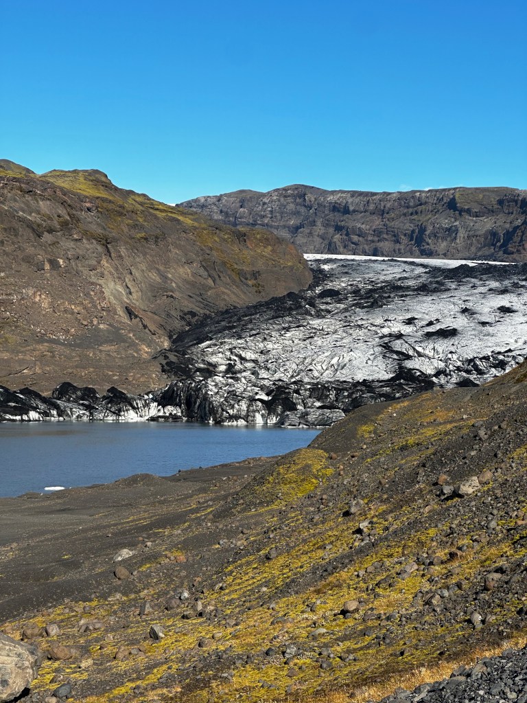
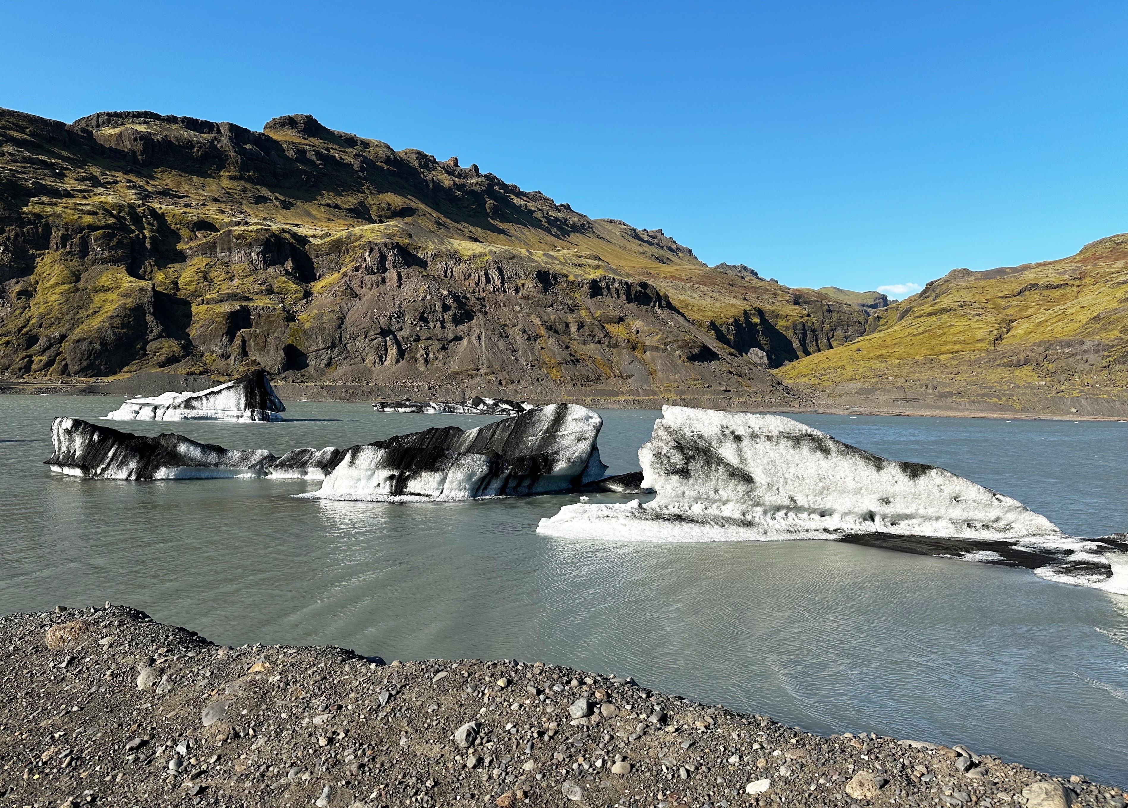
Approximately 15% of Iceland is covered by glaciers. We began to get glimpses of the Sólheimajökull Glacier heading east on Route 1. While we were not prepared to hike on the glacier on this trip (guide required) we wanted to get up close and the hike up to the tongue of Sólheimajökull was doable.
What was immediately apparent as we approached the tongue was that this glacier is currently in retreat. The glacier is currently about seven miles in length. It has had periods of retreat (1930-1969) and periods of advancement (1969-1995). The glacier has been retreating since 1995 and the rate of retreat has accelerated since 2000. Between 2000 and 2015 it shrank by slightly over half a mile. When it retreats the glacier also gets thinner. We hiked by posts indicating where the tongue of the glacier had ended over a period of years. The photo below at the bottom provides a feel for the magnitude of the retreat. While the demise of glaciers in Iceland is not imminent, about eleven million tons of glacial ice is melting annually. Slæmt!
Iceland has a rich history relating to Elves. We visited Drangurinn rock in Drangshlíð. This large rock sits alone in the middle of a field with a backdrop of the Eyjafjöll Mountains. There are a number of cow and hay sheds built into the rock.
The legend is that elves live inside the rock and would tend to the animals at night if a cow was close to giving birth so that the farmers would not need stay in the pitch dark sheds.
Our favorite tale is about a local farmer who went missing for several days. Upon returning he told the local folks that he had been with the elves in the rock. He also said that the elves were lovely, decent and as handsome as humans. Furthermore, he was going to marry an elf woman. Soon after the farmer disappeared but no one looked for him because they knew he was living in the rock with his elf wife. Ég elska þig!
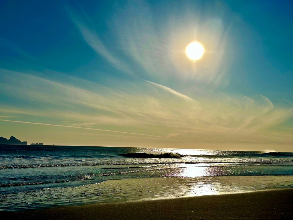
While it was a chilly day we were keen to drive south to the shore and visit a black sand beach. Route 254 took us south along the Markarfljot until we reached the shoreline at the ferry terminal for Vestmannaeyar (Westman Islands). The view from the beach of the sun heading down and the islands in silhouette was mesmerizing. While we did walk the beach there were no shoes off with feet in the water. This is the North Atlantic in September!
The Vestmannaeyjar consist of 15 islands and 30 rock stacks. The islands were created by underwater volcanic eruptions. The population is approximately 4300 people, all of whom live on the island of Heimaey. Heimaey has two volcanoes. None of the other tiny islands are inhabited on a full time basis.
The name of the islands – West Men – is named after the Irish slaves who fled the mainland to the islands to escape their servitude. Ireland was thought to be the farthest land west of the continent – hence West Men. The West Men were, of course, subsequently captured and killed. Frelsi!
Our friends Jim and Sally recommended that we stop at the Hotel Ranga for a cocktail if we were going to be touring the South Coast. The Ranga fit perfectly with our return leg to Reykjavik and of course all the fresh air and sunshine definitely engenders a thirst which can only be quenched by expertly made cocktails.
Takk fyrir, Jim and Sally! Excellent cocktails in a beautiful setting. The Hotel Ranga is definitely on our itinerary for our next visit to Iceland.
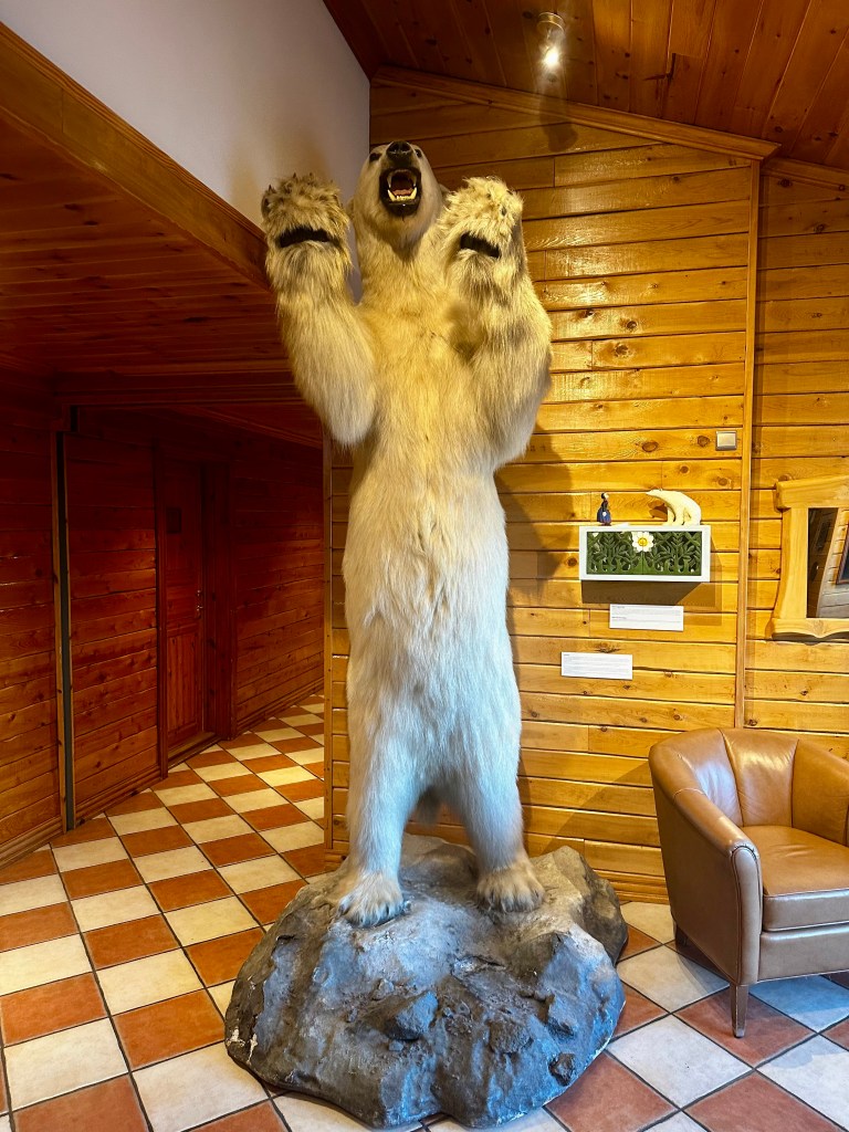
Polar Bear, Hotel Ranga, Hella, Iceland
DAY SEVEN….DAGG TI’U
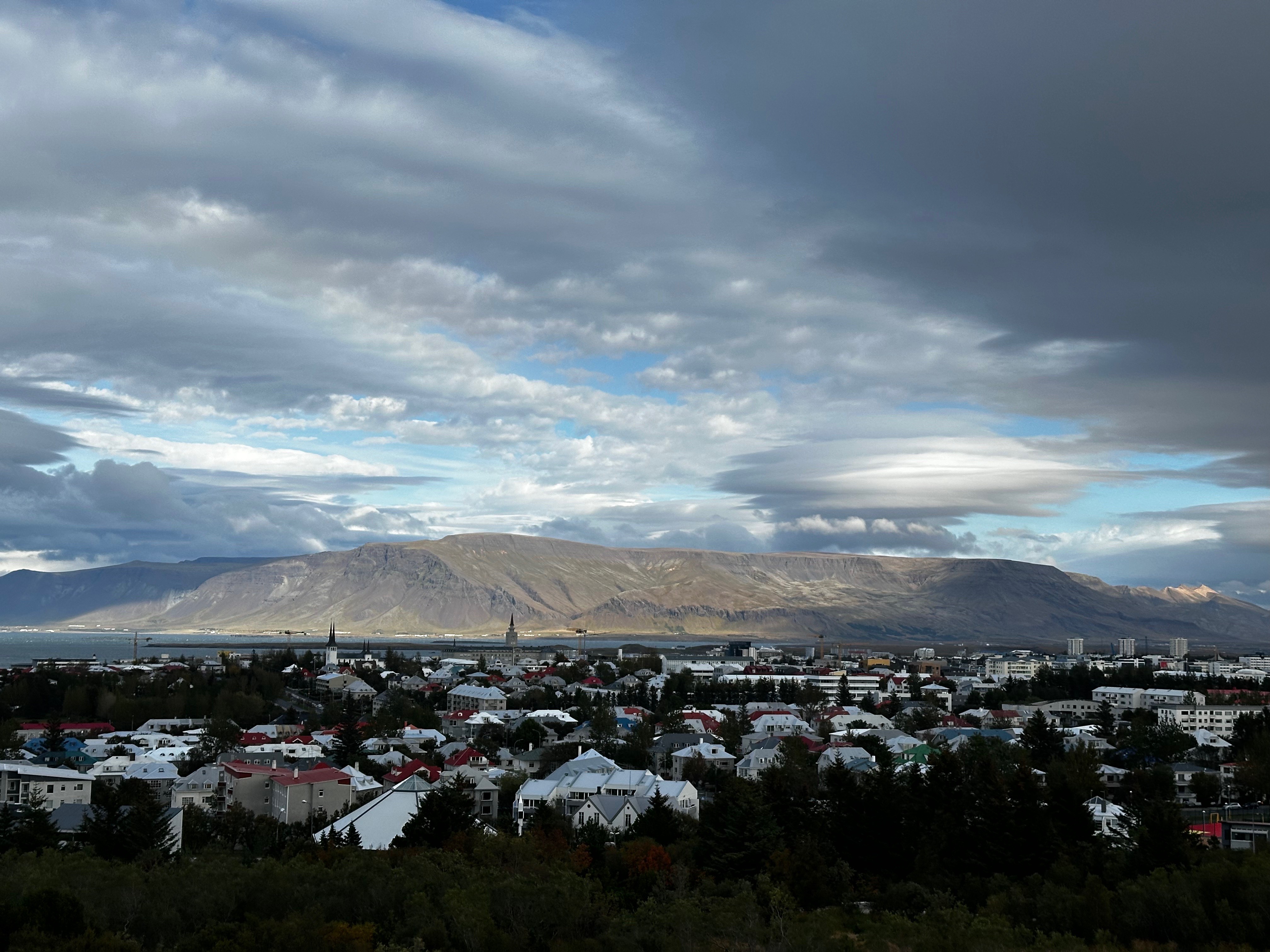
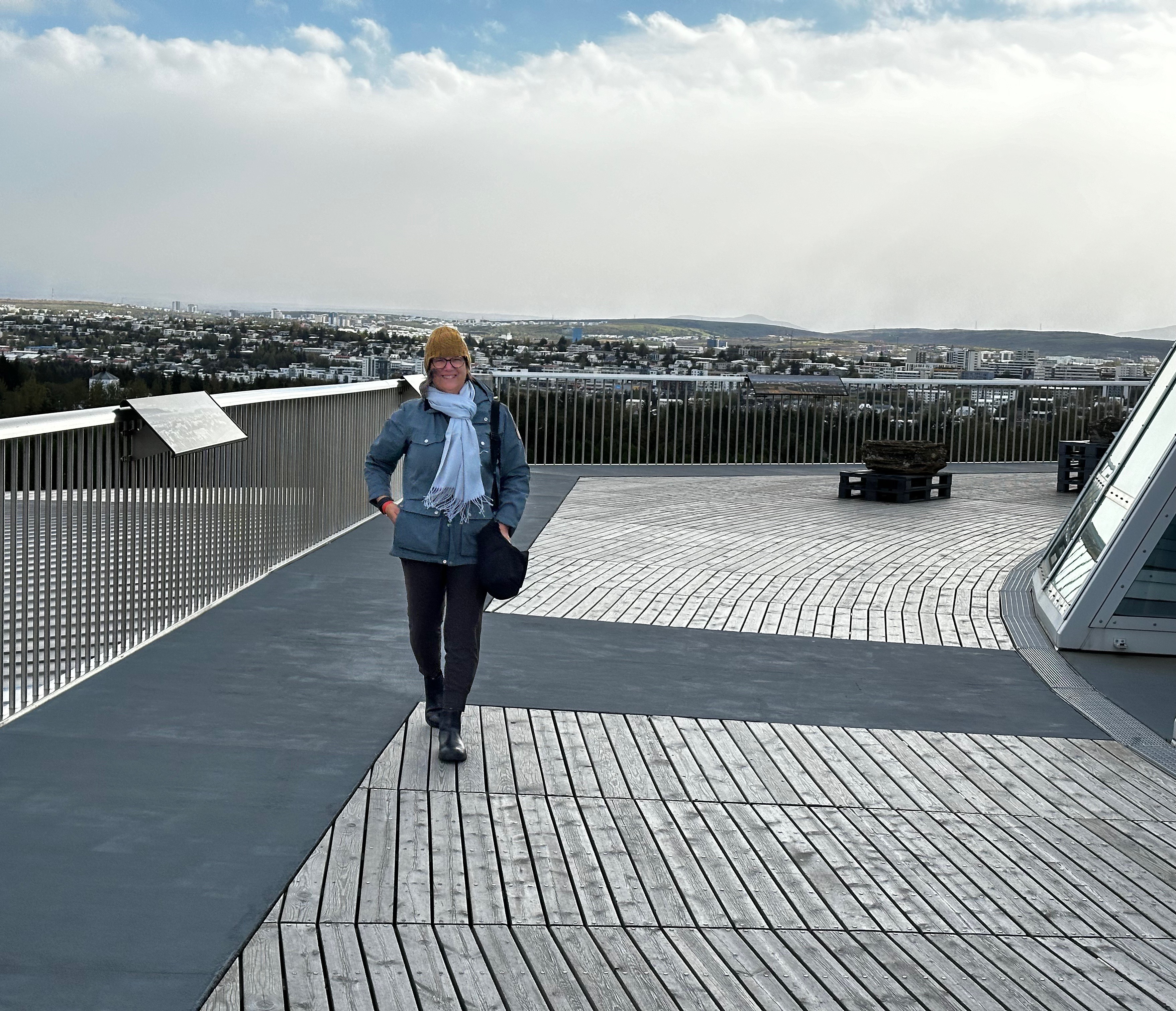
On our final day in Iceland the rains finally came (no complaints from us) so we decided to do what many other tourists do when it rains in Reykjavik. We visited the Perlan(The Pearl).
Perlan (Photo courtesy of Perlan)
Perlan sits on the highest hill in Reykjavik providing 360 degree views of the city and surrounding area from the roof top cafe and observation deck. The glass dome sits atop six geothermal functioning geothermal water tanks. Quite cool!
The food at the cafe is excellent and they have a full bar. The exhibits are also quite good and entertaining. The focus is on the forces of nature which dominate Iceland’s geography, weather and culture: volcanoes, glaciers, aurora borealis, wildlife and more.
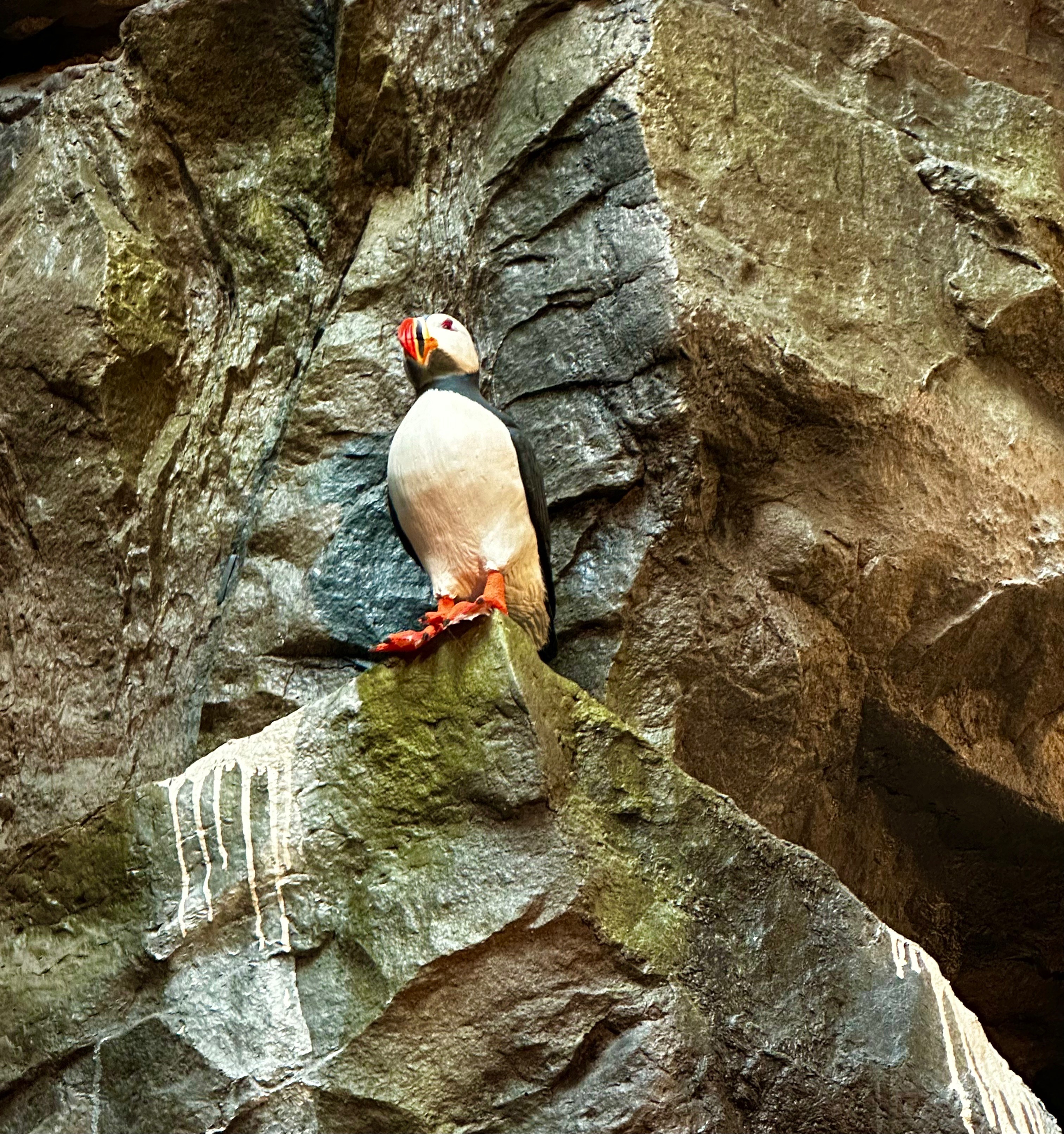
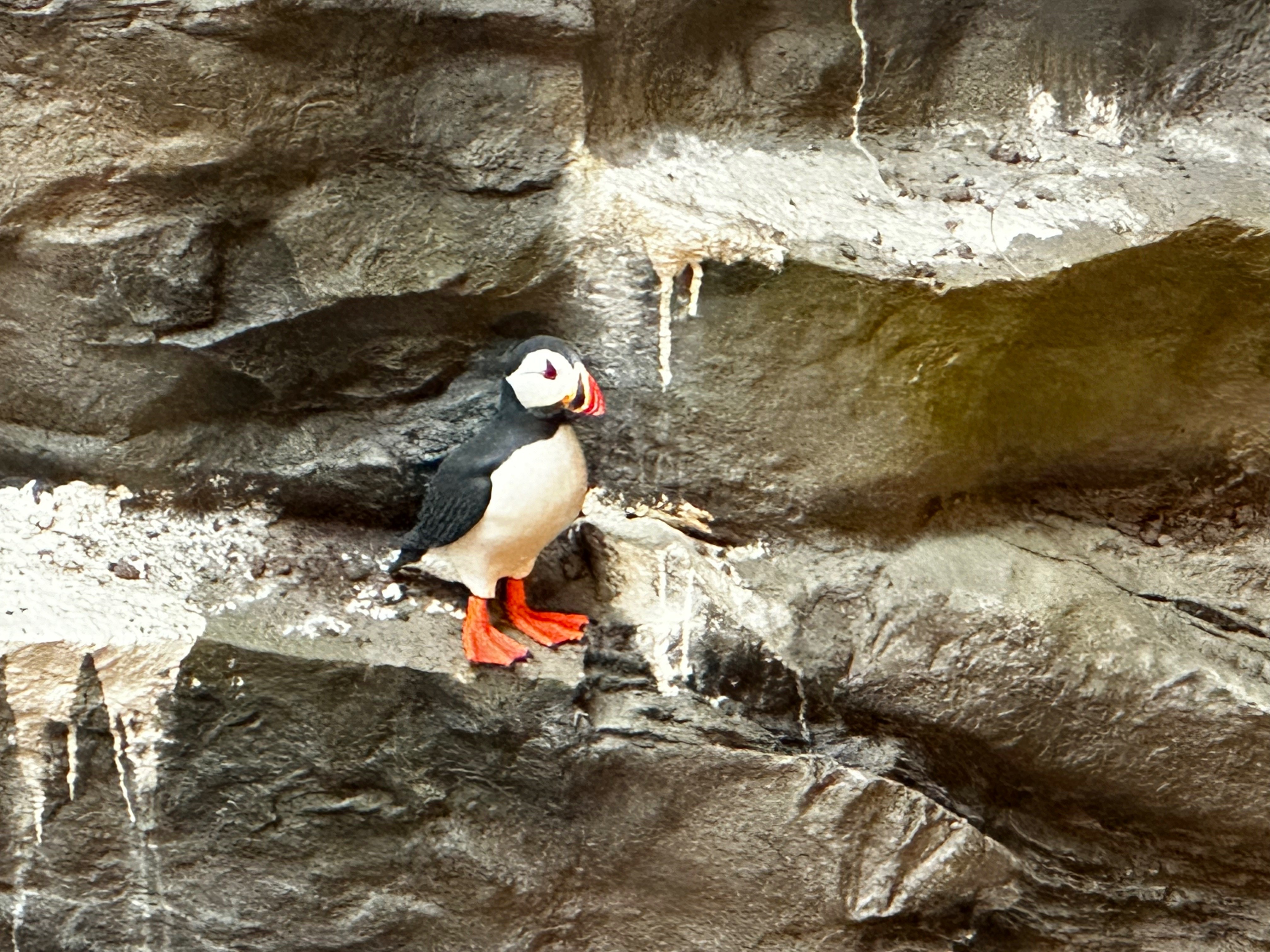
One thing we did not get to see were puffins. But fortunately, the Perlan has a very realistic bird cliff and we have included a couple of photos below with our only puffin sighting, albeit inside the Perlan.
We wrapped up our final day with an Icelandic tradition. A wonderful soak at the geothermal lagoon at Sky Lagoon in Reykjavik. Before entering the lagoon we went through a multi-step ritual starting with a sauna, followed by a cold rinse, a salt paste application and then into a steam bath (we skipped the cold water plunge) and finally the lagoon. Delightful! Oh, did we mention there is a bar in the lagoon – Prosecco please!(Photos courtesy of Sky Lagoon)
That’s it from Iceland…..we had a terrific time. It is a beautiful country with stunning landscapes which reflect the fire and ice theme which dominates. The Northern Lights…. what can we say…. first trip – four sightings….we almost feel guilty. The country is modern yet maintains deep connections to its ancient Viking heritage (including the Icelandic language which reflects the Old Norse spoken by the Vikings).
Every Icelander we met was friendly, polite and knowledgable. This is a country that is civilized and humane (with a living wage for all). Iceland is a literate society. Reykjavik is chock full of museums, book stores, galleries, music venues, street art and excellent food (and coffee).
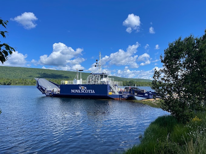
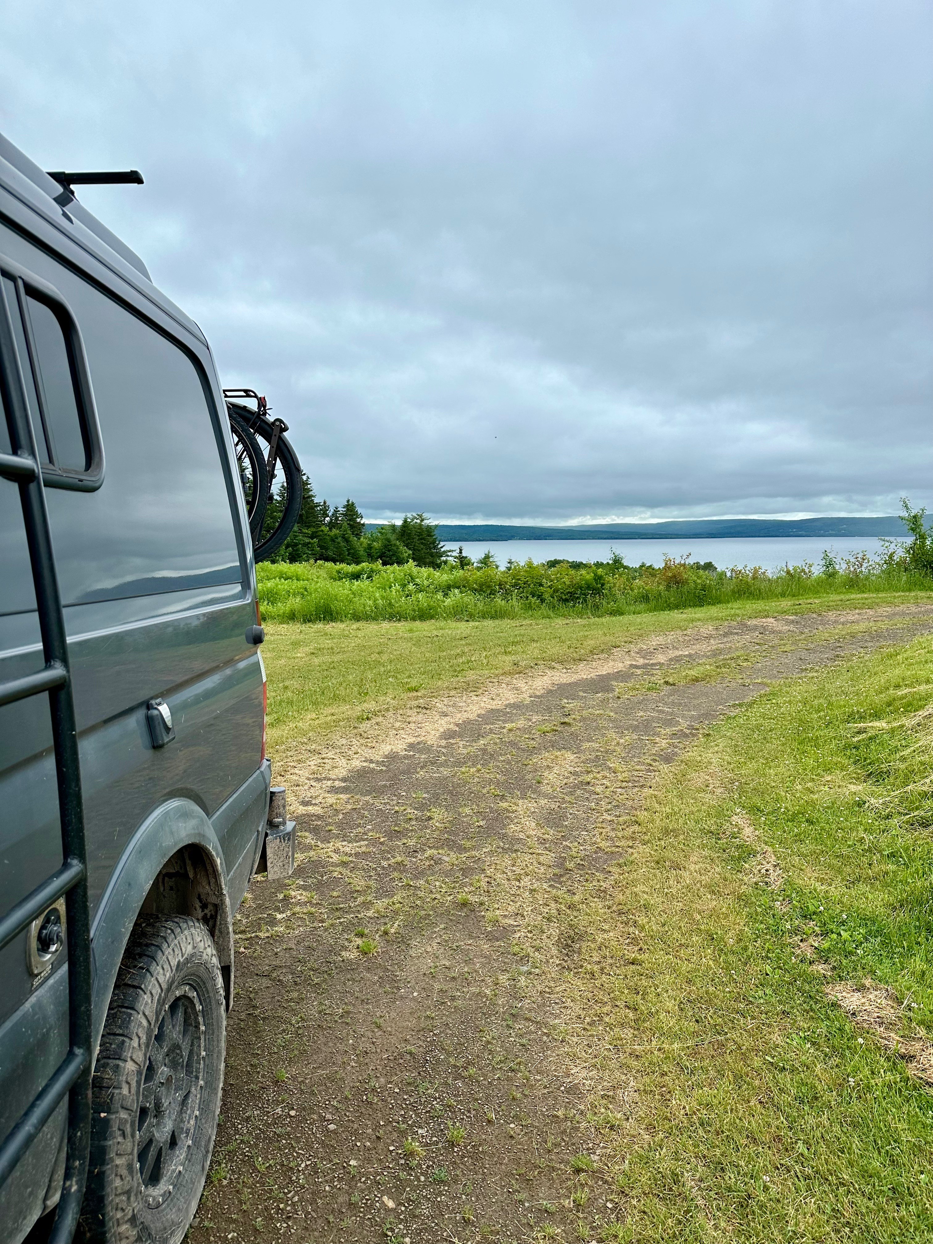
We wanted to take the most scenic and interesting route to Sydney so we crossed the Bras d’Or Lake at the Little Narrows on the Little Narrows ferry. The ferry operates on demand 24 hours a day and is free of charge. Quite the bargain! This is not the smallest ferry we have ever taken with the Beast but we would not venture out into the open ocean on this vessel!
Little Narrows Ferry, Cape Breton (Photo courtesy of Diana Robinson)
The ferry is a diesel powered cable ferry. This one of four cable ferries servicing Cape Breton and we believe the shortest crossing. The full ride across takes under three minutes. Dare we say it is cute?
After departing the ferry we followed Route 223 to the Grand Narrows where we again crossed a portion of the 62 mile long lake and continued on the Grand Narrows Highway (Route 223) towards Sydney and our appointment with Doktor Luke.
Finally, Doktor Luke’s -silly rabbit – not that kind of doctor! Doktor Luke’s| A Respectable Coffee House… where it is always TIME FOR A DAMN FINE CUP O’ COFFEE.
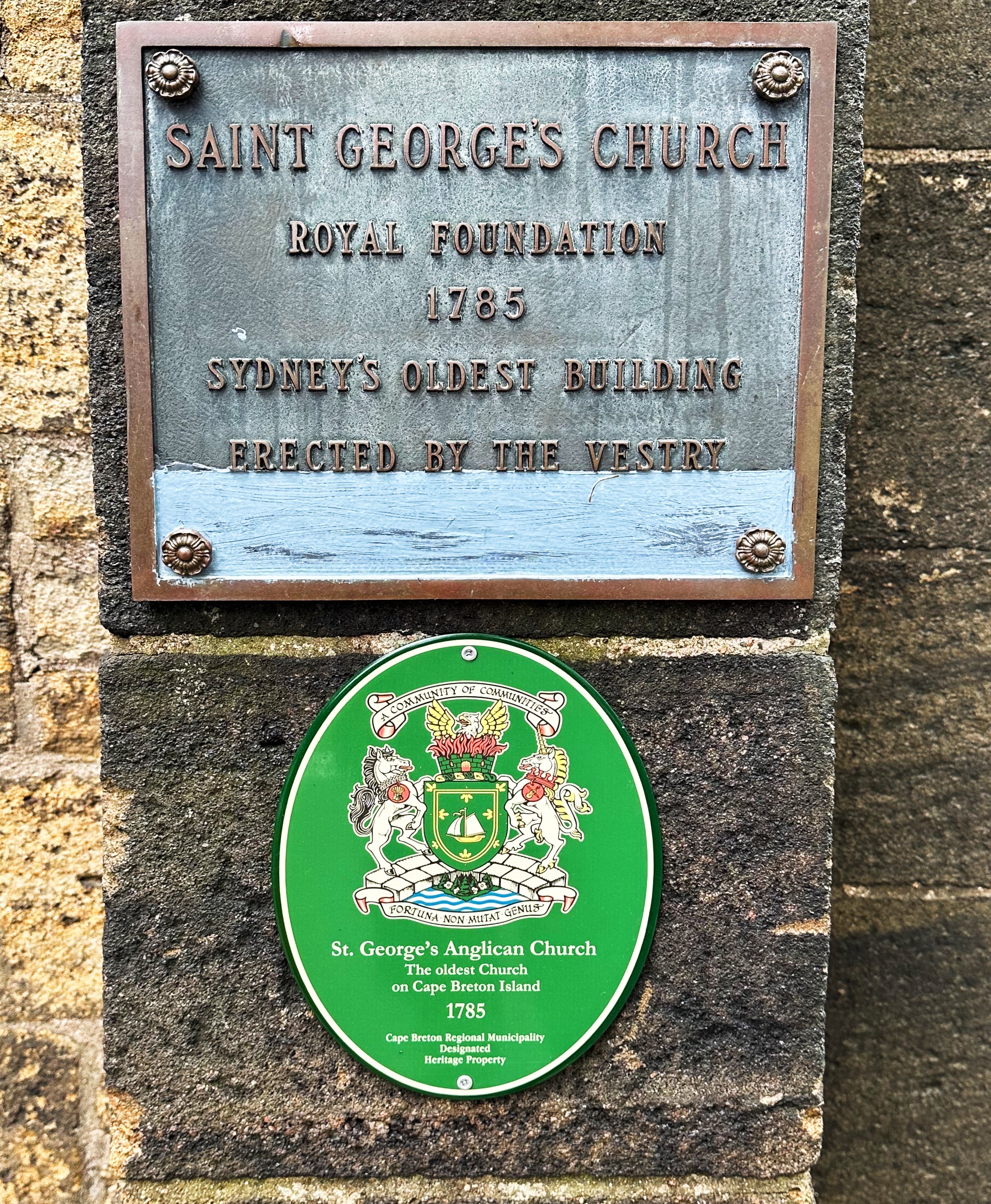
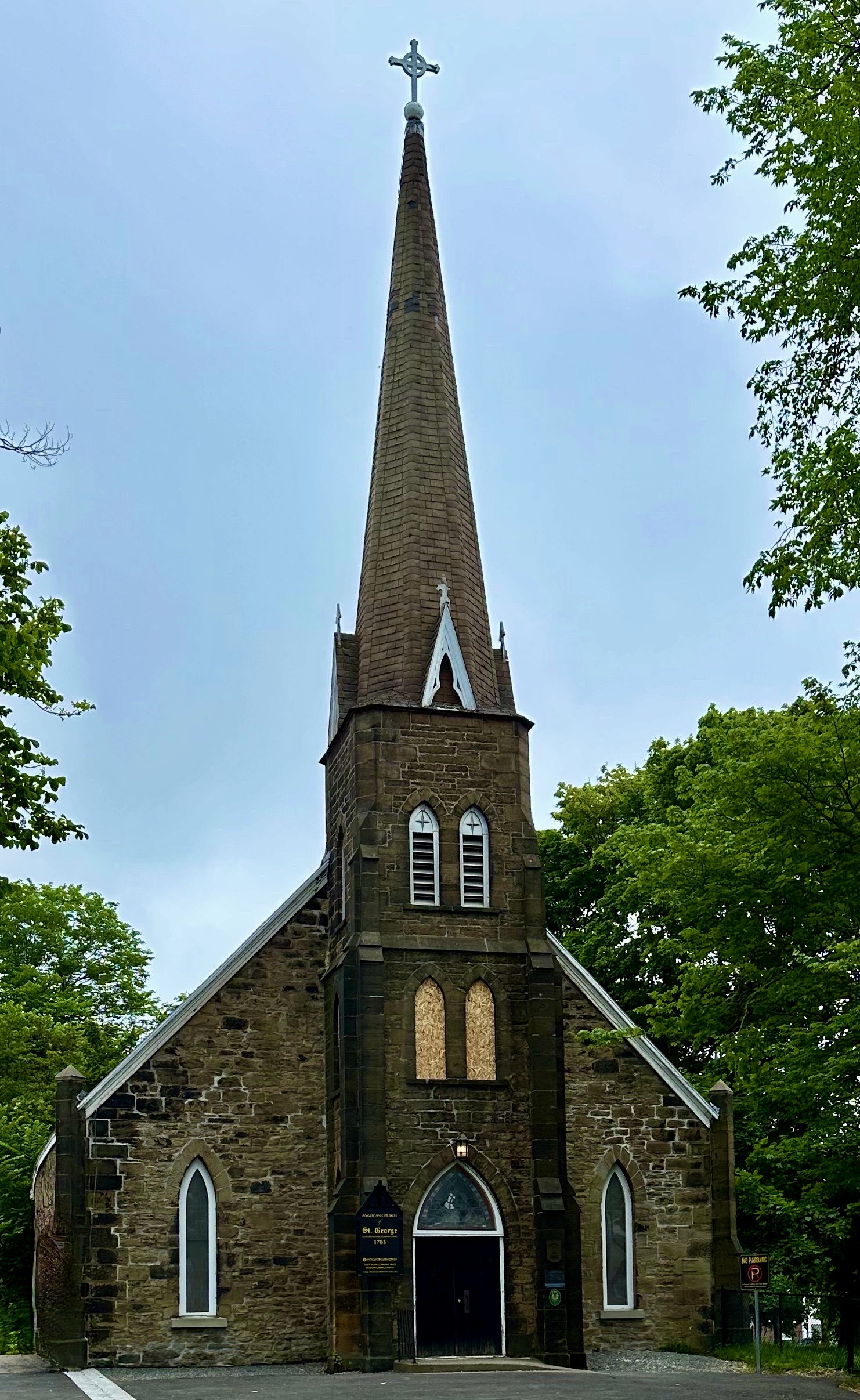
Sydney (pop. 30,000) sits on Sydney Harbour in eastern Cape Breton. The city was named for Thomas Townshend Baron Sydney (Viscount Sydney). The city’s origin is distinctly British as it’s founding (1785) was as a place for British loyalists who remained faithful to the Crown and in opposition to the establishment of the American Colonies as an independent nation. It is estimated that 100,000 colonist fled the American colonies during or after the Revolutionary War (we do not recall that fact being mentioned during history class). About 70% of the loyalists emigrated to Canada. The United Empire Loyalists Association of Canada (ULEAC) is an one of the organizations that continues to actively preserve the history of the loyalists (to learn more click the link below).
Sydney’s early economic engine was coal mining. There were over 100 coal mines in the area and these mines produced more coal than all of the other coal mines in Nova Scotia combined. The vast majority (similar to Inverness-see prior post) of the coal fields were underwater. As with so many places where coal was a major part the economy and culture, the coal industry began winding down in the 1970s. The last of the underground mines in Sydney ceased operation in 2001.
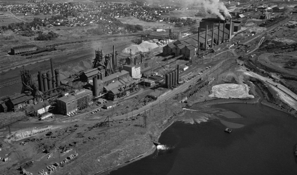
In addition to coal, Sydney was also anchored to the steel industry. Dominion Iron and Steel was one of the largest steel producers in Canada. Unfortunately, the company was also responsible for significant environmental damage. Steel operations shut down in 1988. Read a brief history below courtesy of Sydney Steel.
Sydney Steel Corporation is behind one of Canada’s biggest environmental disasters. At the very end of the 19th century, American investors formed the Dominion and Iron Steel Company LTD (DISCO) and began large scale steel production in Wintering Cove, Sydney. The area was ripe for steel production with iron ore, limestone and coal at hand in troves. It also has a good harbour for shipping and a good fresh water supply. Within a decade of opening, the steel mill was producing 800,000 tonnes of pig iron and 900,000 tonnes of crude steel – nearly half of Canada’s steel production. It was also one North America’s largest steel production company.
During production throughout the 20th and 21st centuries, operations had dire consequences for the surrounding environment – in particular the wetlands and harbour adjacent to the plant. The facility was situated directly adjacent to and north of the coke oven operations. These coke ovens produced a huge amount of hazardous materials that flowed freely into the subsequently named Tar Ponds.
Throughout the 1970s, as environmental activism began to take heed, concerns for the damage that these mills were causing had reached new heights. Environmental groups would consistently uncover evidence that the government didn’t know the damage that the mills were causing to the environment, or they did and were turning a blind eye. In 1980s, scientists discovered polycyclic aromatic hydrocarbons (PAHs) in the lobster caught in Sydney harbour – a direct result of contamination from the Tar Ponds.
Insistent pressure from various sources caused the steel mill to cease operations in 1988, when the Sydney Steel Corporation turned into an electric arc manufacturer. Industrial production ceased altogether in 2000.
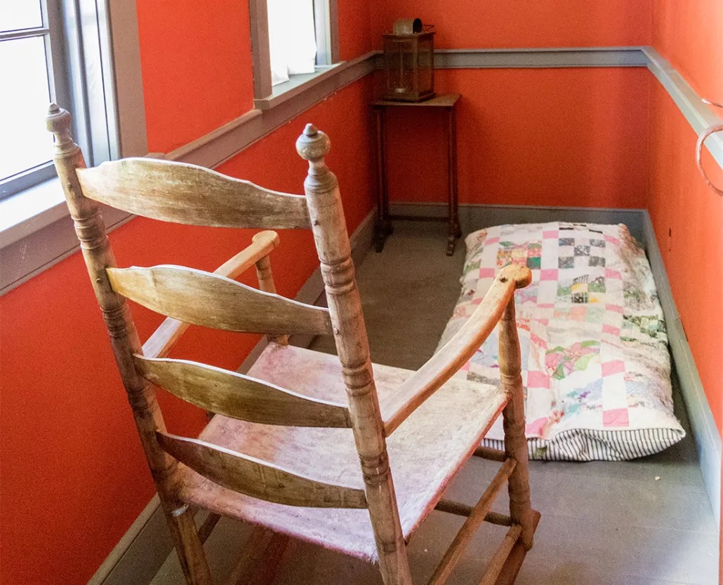
After our Damn Fine Cup O’ Coffee at Doktor Luke’s, we set off on a walkabout through the historic district. Our first stop was at Cossit House Museum. This house is the oldest standing residence in Sydney. It was built by Reverend Ranna Cossit in 1787. Cossit was the first Anglican minister in Sydney. The arrival in Sydney of an Anglican minister at this time is not surprising based on Sydney’s loyalist origin.
Cossit moved from New Hampshire as part of the establishment of the Anglican parish. He was accompanied by his wife, Thankful Brooks, and their six surviving children. Thankful provided the good reverend with another six children before departing for the next life while delivering their 13th child. The well used birthing room is pictured above.
Cossit Family (Photo courtesy of the museum)
The Cossit House Museum was well worth the visit. We had two period costumed guides who were both informative and interesting.
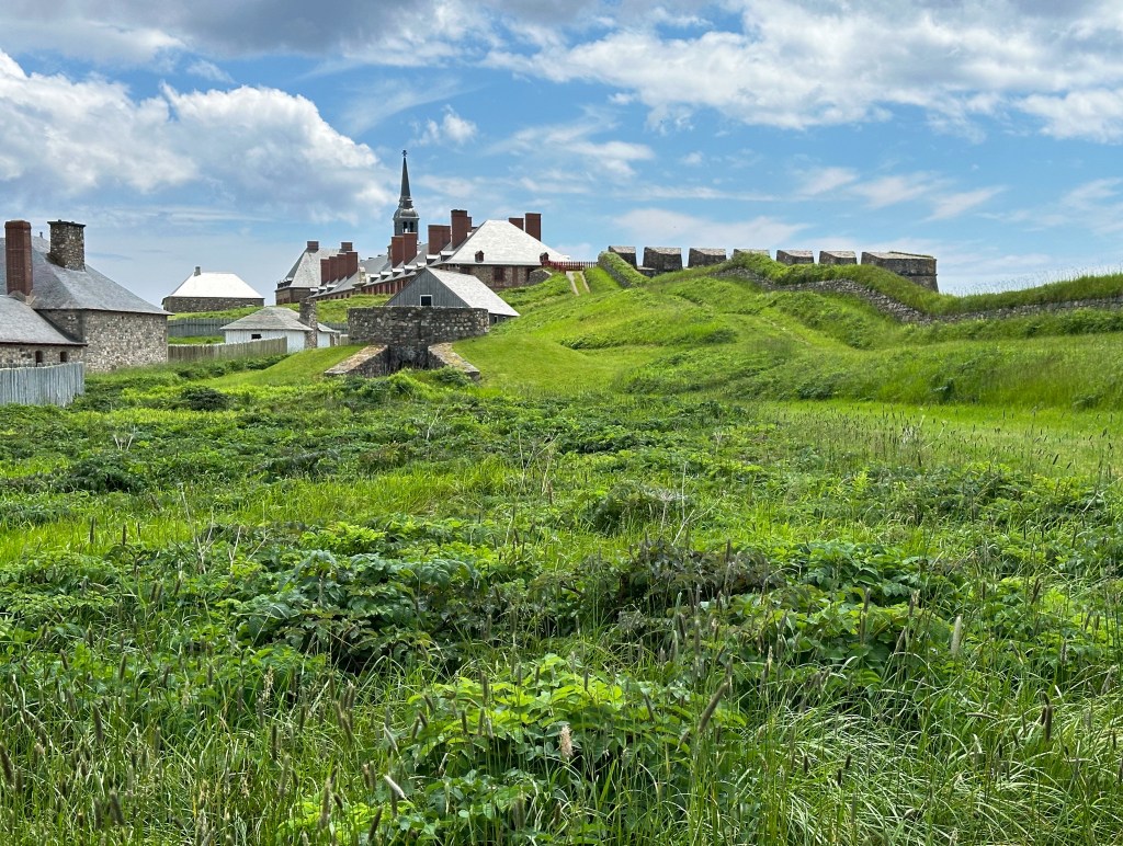
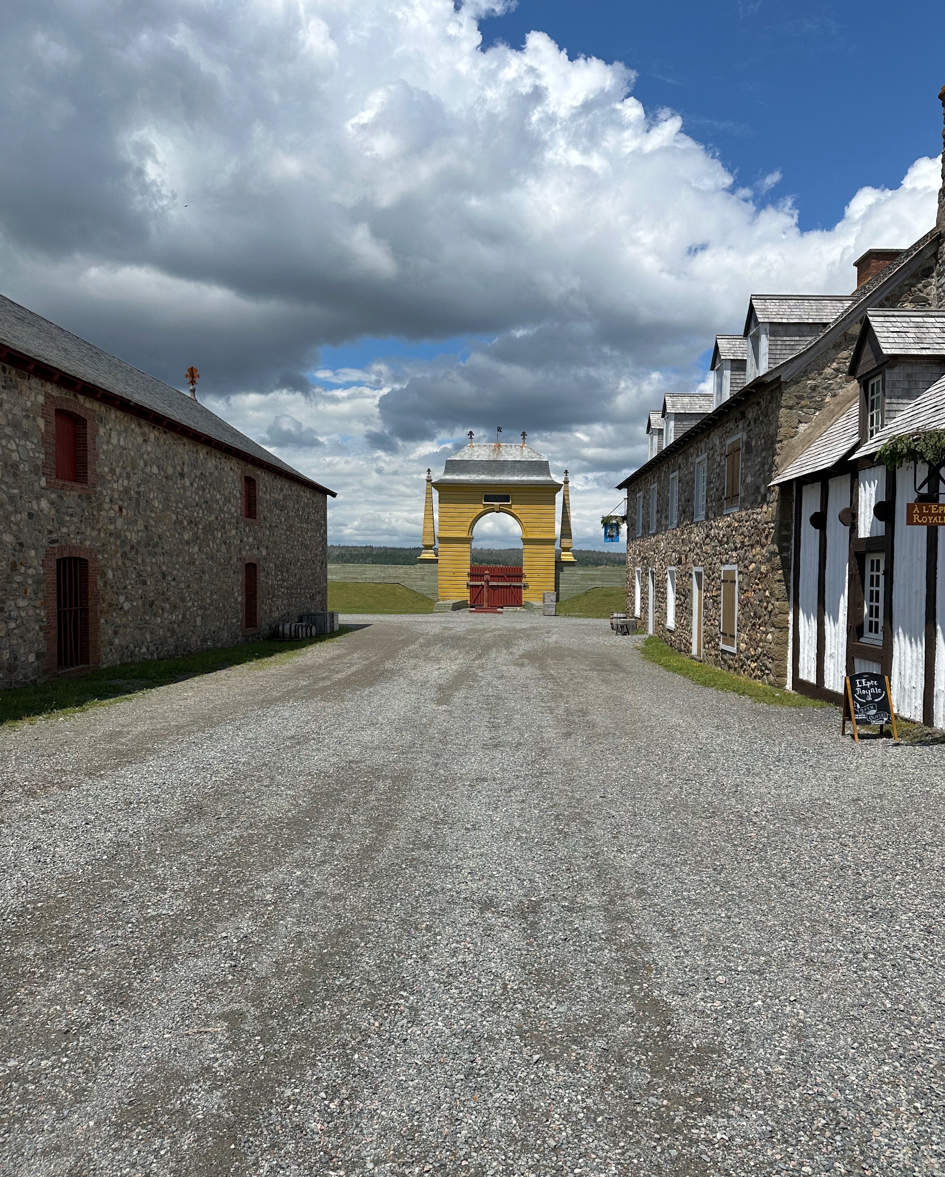
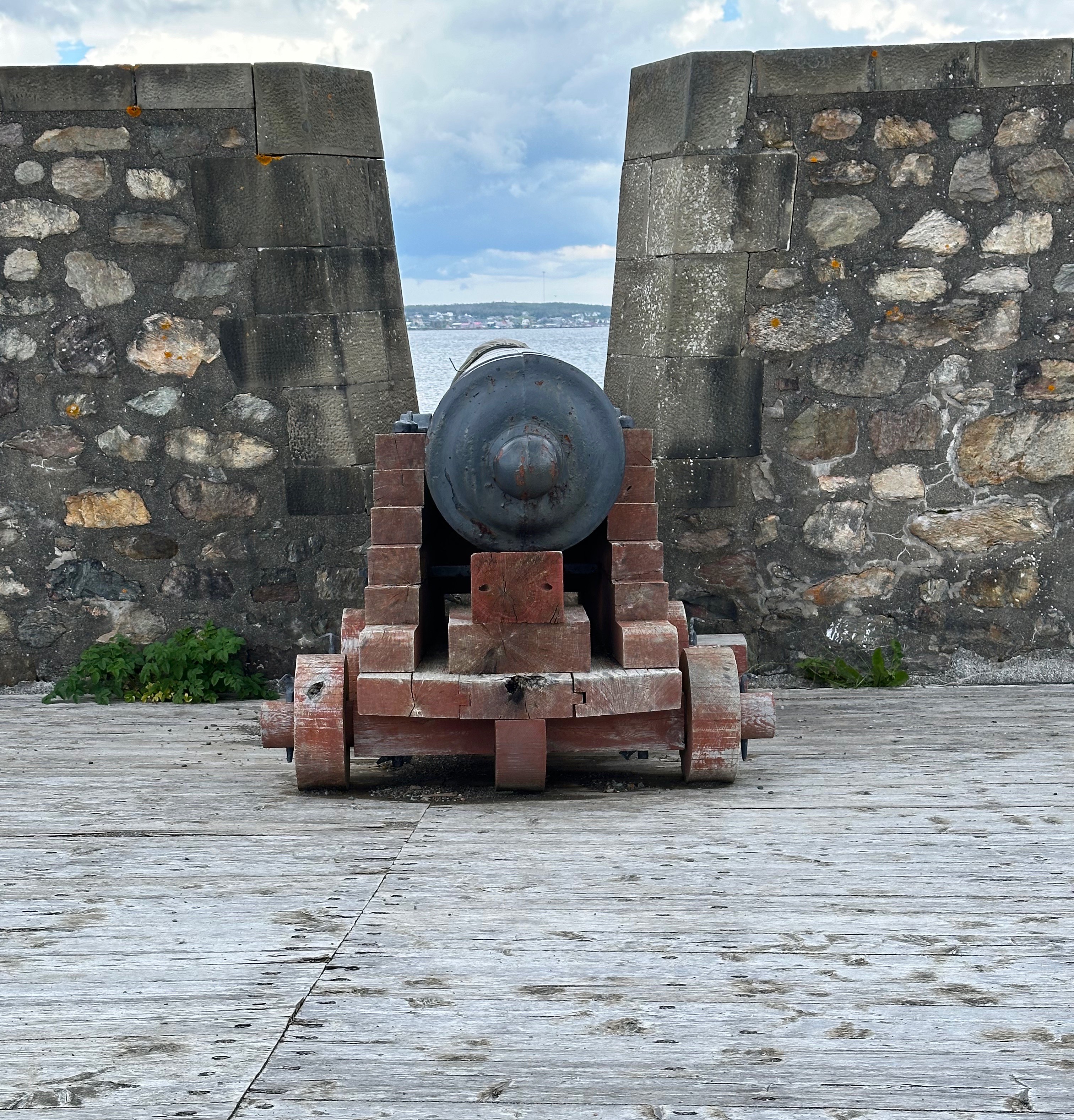
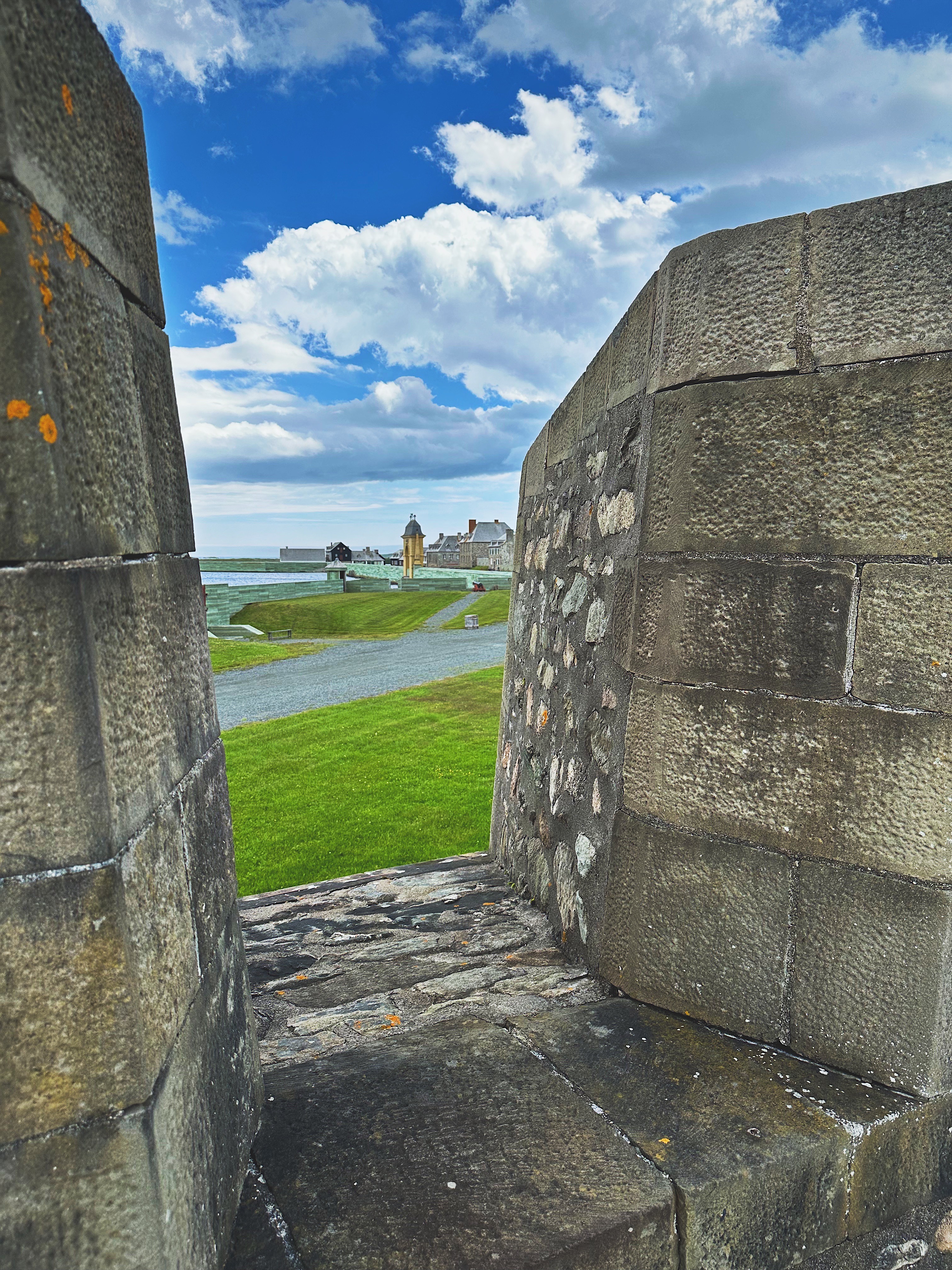
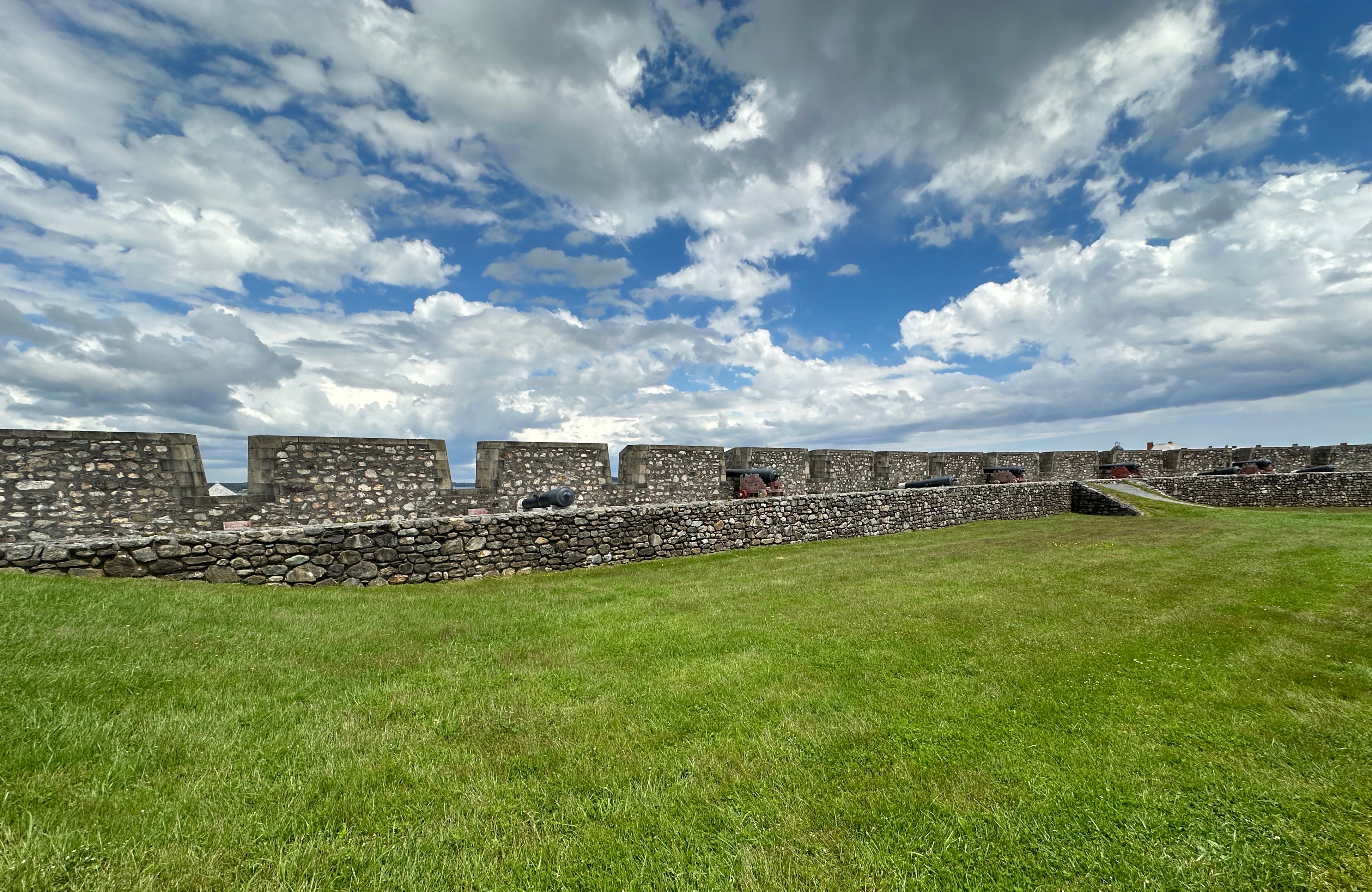
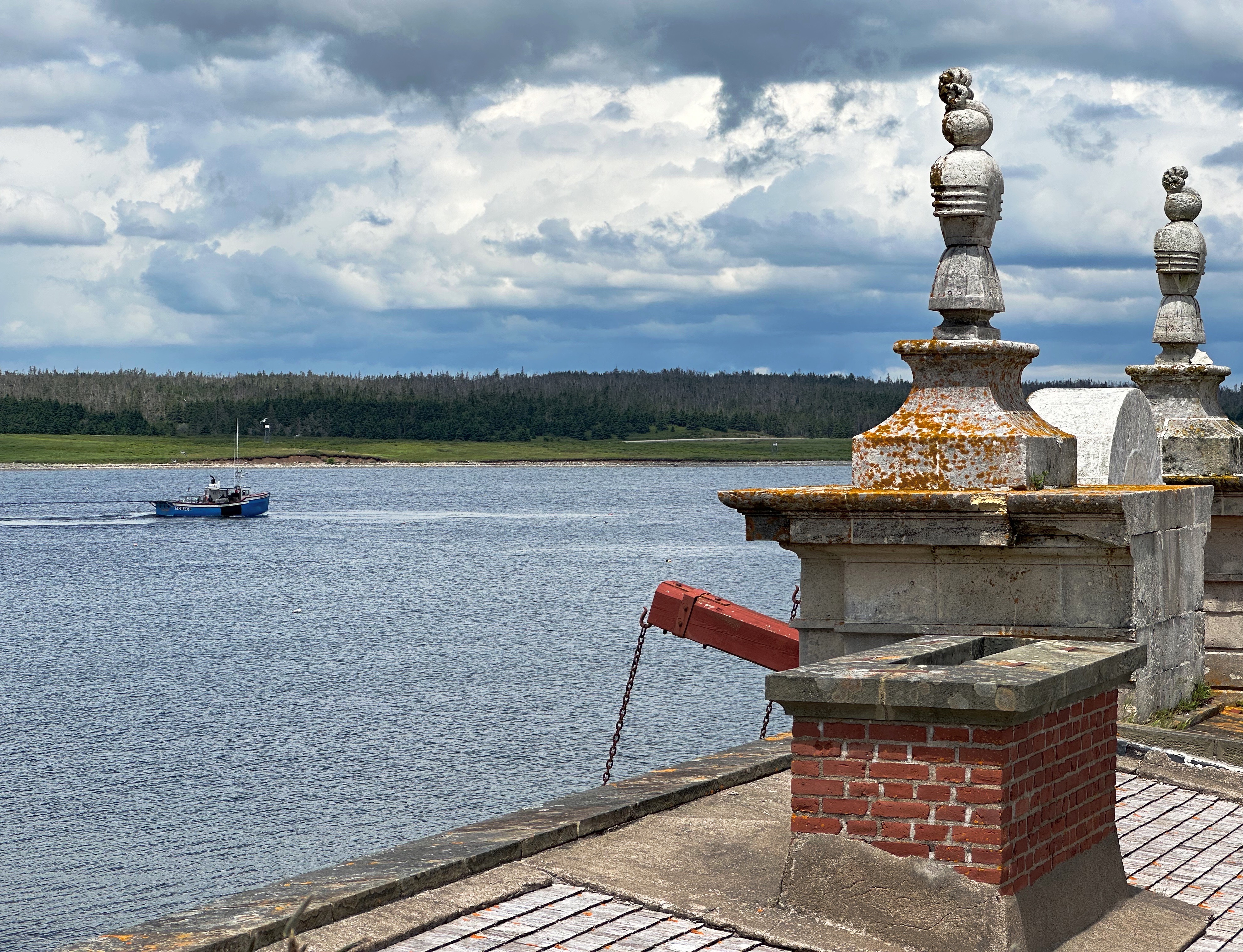
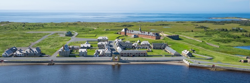
After another damn fine cup o’ coffee the next morning at Doktor Luke’s we set out to visit the Fortress Of Louisbourg (pronounced Lewis-Berg). The fortress is a national historic site located about 20 miles south of Sydney just outside the the fishing town of the same name (pop. 1000).
Fortress of Louisbourg National Historic Site
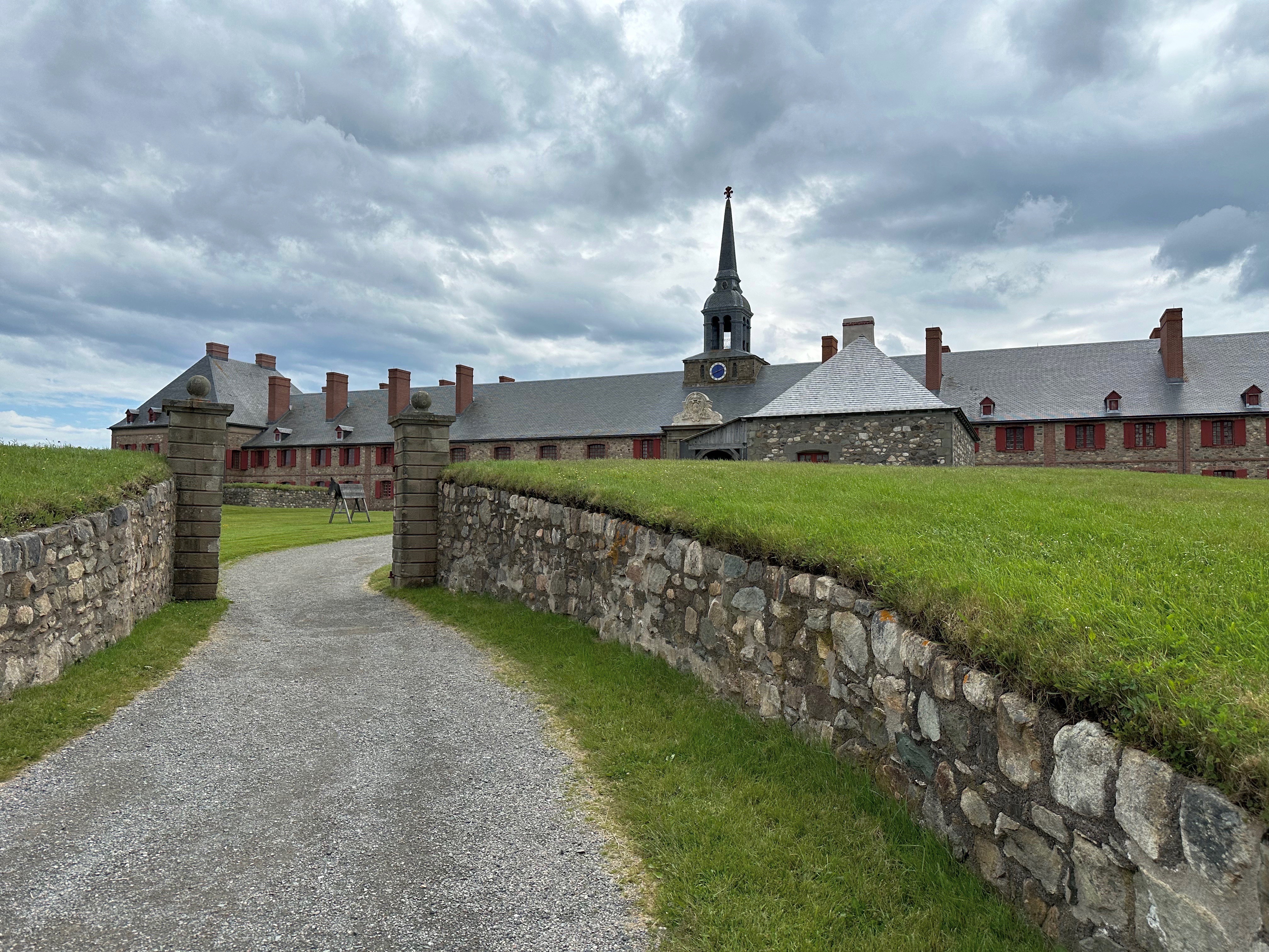
The construction of the fortress began in 1719 and was completed in 1745 by the French who came to this area after Newfoundland and Acadia were lost to the British in 1713. The settlers, who were primarily fishermen, were able to continue fishing the Grand Banks from Louisbourg. The cod fishery was the primary economic industry and was lucrative. The cod was dried and exported to France in exchange for goods.
Unfortunately, peace and prosperity were not long lived as the British and French went to war in 1745. With troops frm New England leading the attack, the British laid siege to the fort soon after war was declared.
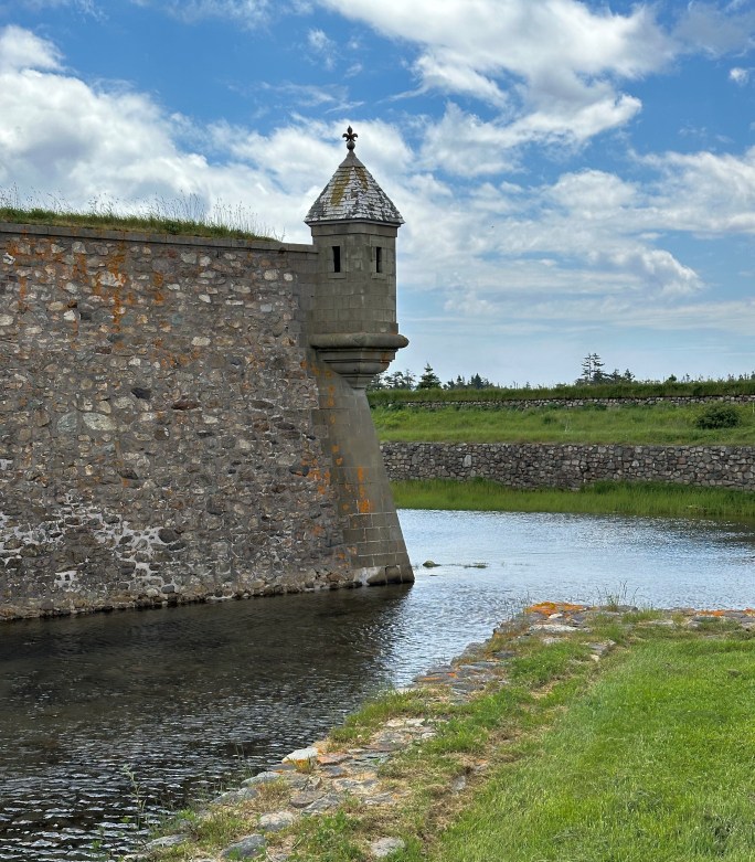
While the fortress is impressive to look at and the harbour side was well defended, the surrounding hills made the fortress vulnerable to the British batteries. The New Englanders captured the fortress in just 46 days.
A treaty signed in 1748 restored the fortress to the French. The French carried on for the next 13 years until once again the British and French were at war. The British attacked the fortress with a massive force of 13,000 soldiers supported by 14,000 sailors on board a fleet of 150 ships. The battle was over in seven weeks with the overmatched French losing once again. The British who were determined that the fortress would never be useful to the French at any time in the future completely demolished all of the fortress walls!
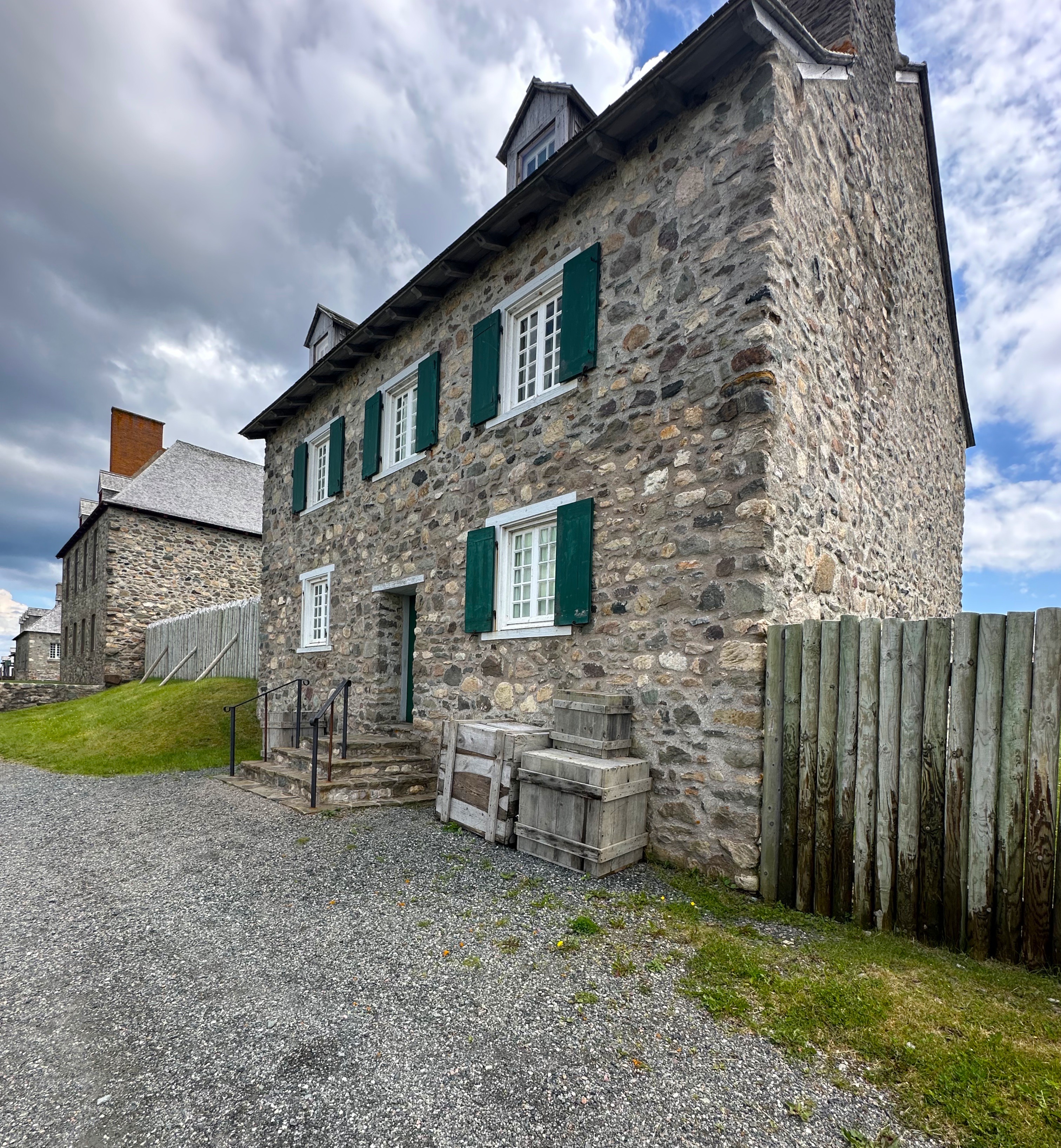
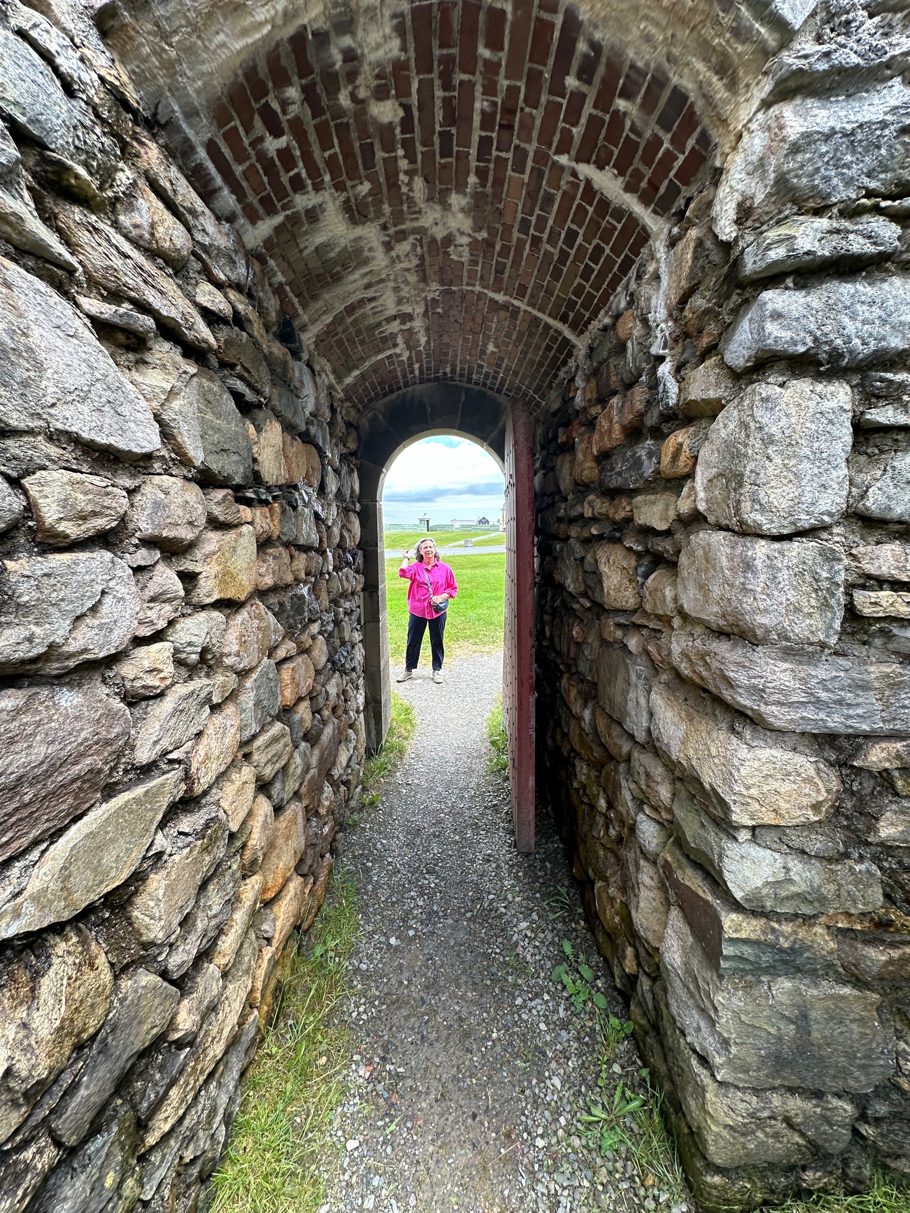
The photos in this post are of the re-created fortress and village. The fortress and 50 of the original buildings have been faithfully reconstructed to the specifications in the many documents left by the French. This is quite remarkable as not a single structure remained when the work began to re-create a portion of the village and fortress. The majority of restoration took place over a 20 year period between 1960 and 1980.Quite impressive!
The fortress is a fascinating look back into the history and lives of the French in this area of Cape Breton. The park is staffed by very knowledgable and friendly guides who are dressed in period costumes. We highly recommend spending a day at the Fortress of Louisbourg Historical site.
Fortress of Louisbourg National Historical Site(Photo courtesy of Parks Canada)
After finishing our tour of the fortress we departed for Battery Provincial Park. It appeared on our atlas that we would be able work our way down the coast on backcountry trails. However, we were ultimately thwarted by a locked gate and had to retrace our way back towards the fortress and pavement. Not all bad news because our back road jaunt did bring us to the beautiful Kennington Cove (photos below) where we paused and took in the marvelous views and the sound of the surf. It is all about the journey!
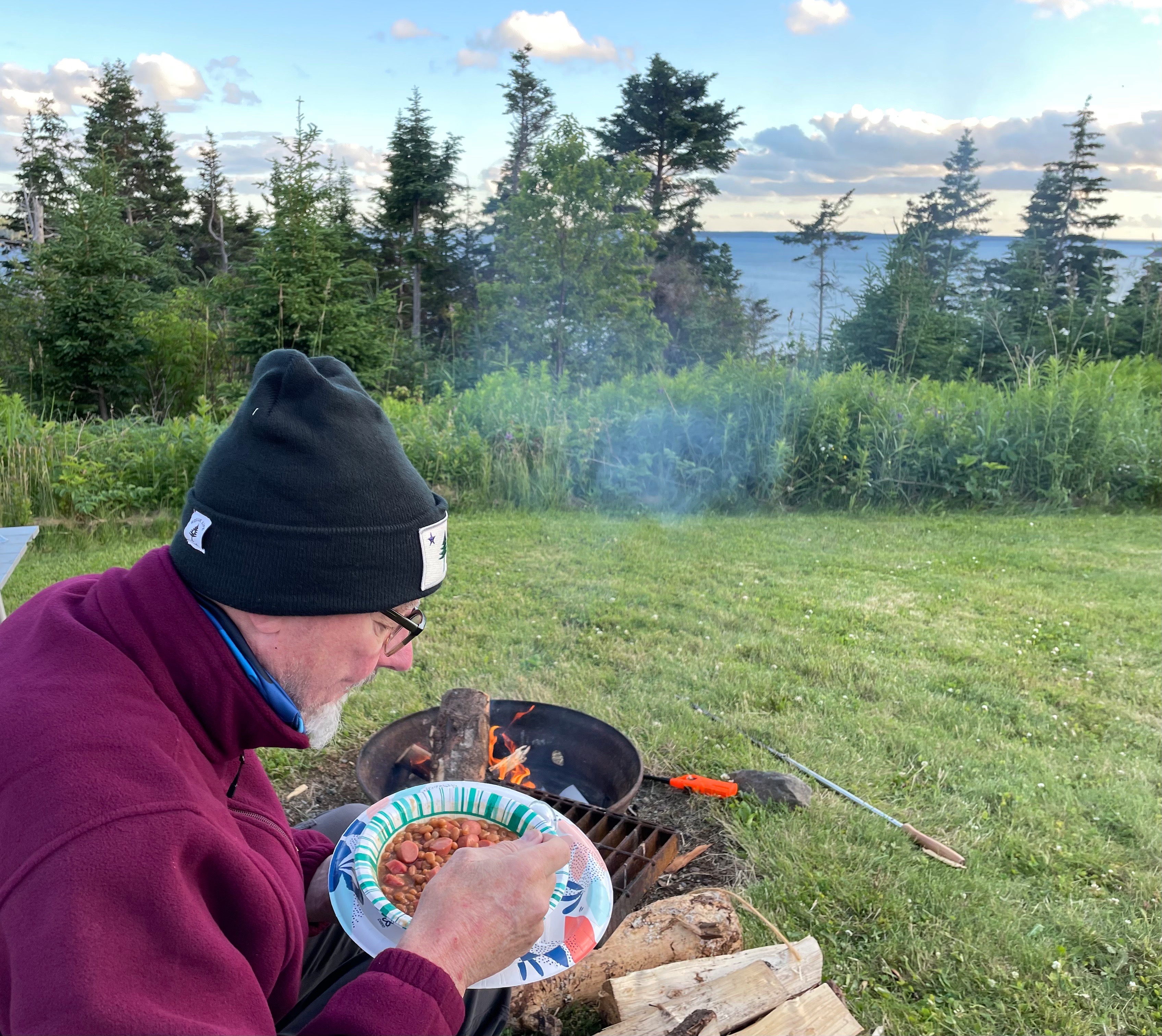
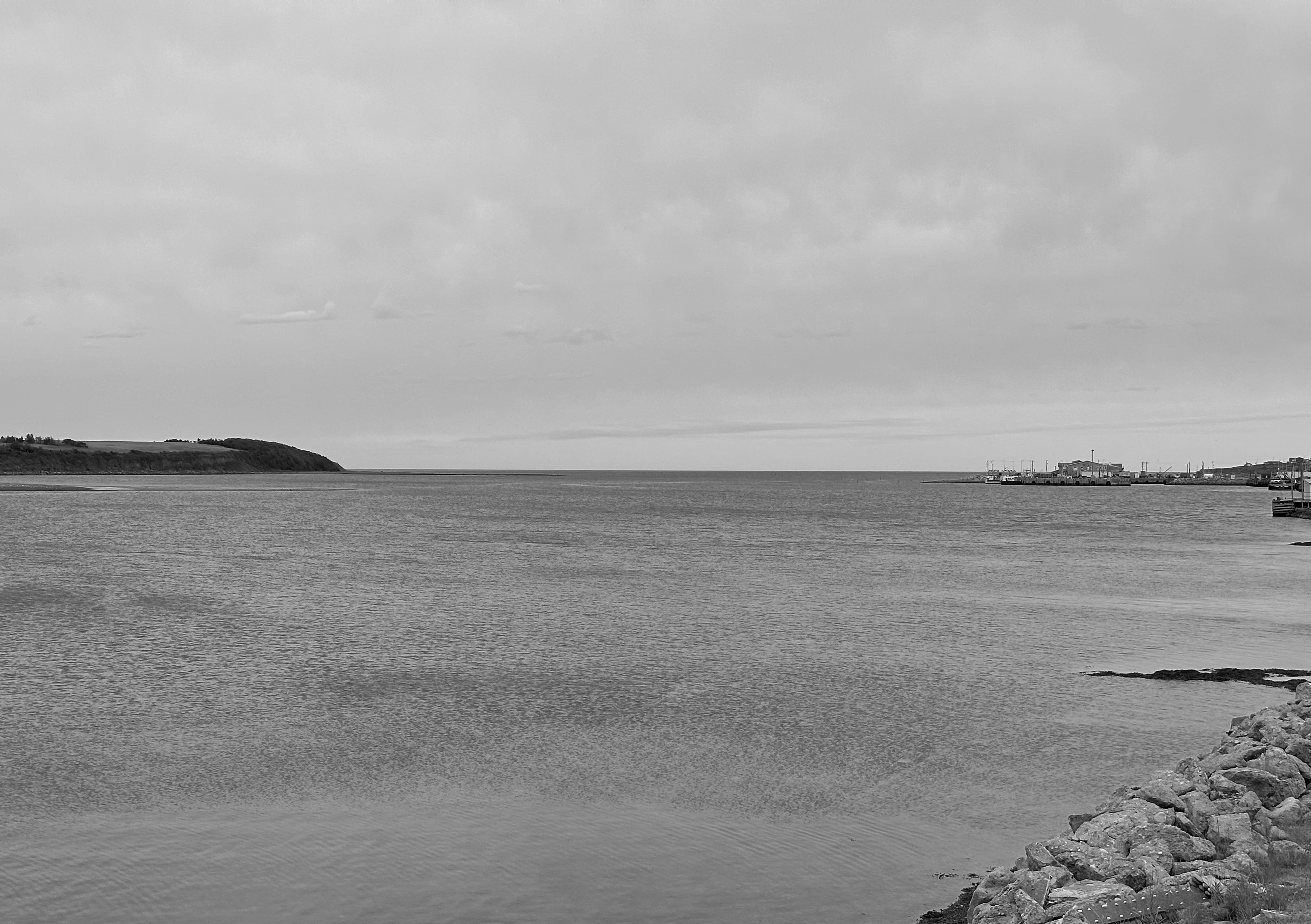
Back on pavement, we drove to Battery Provincial Park to camp for the evening. The park sits on a bluff above the historic St Peter’s Canal, which allows passage between the Bras d’Or and the Atlantic Ocean. Yes, those are franks and beans!
St. Peter’s Canal, Cape Breton
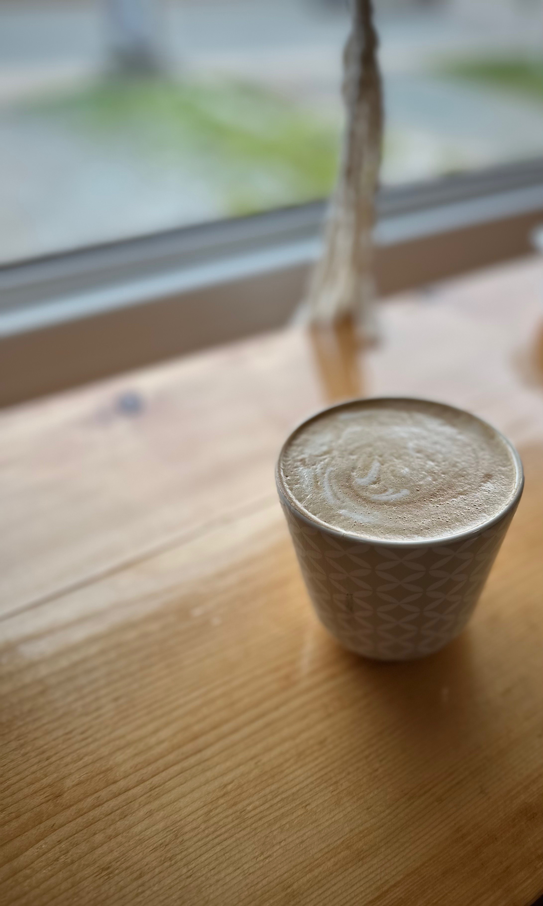
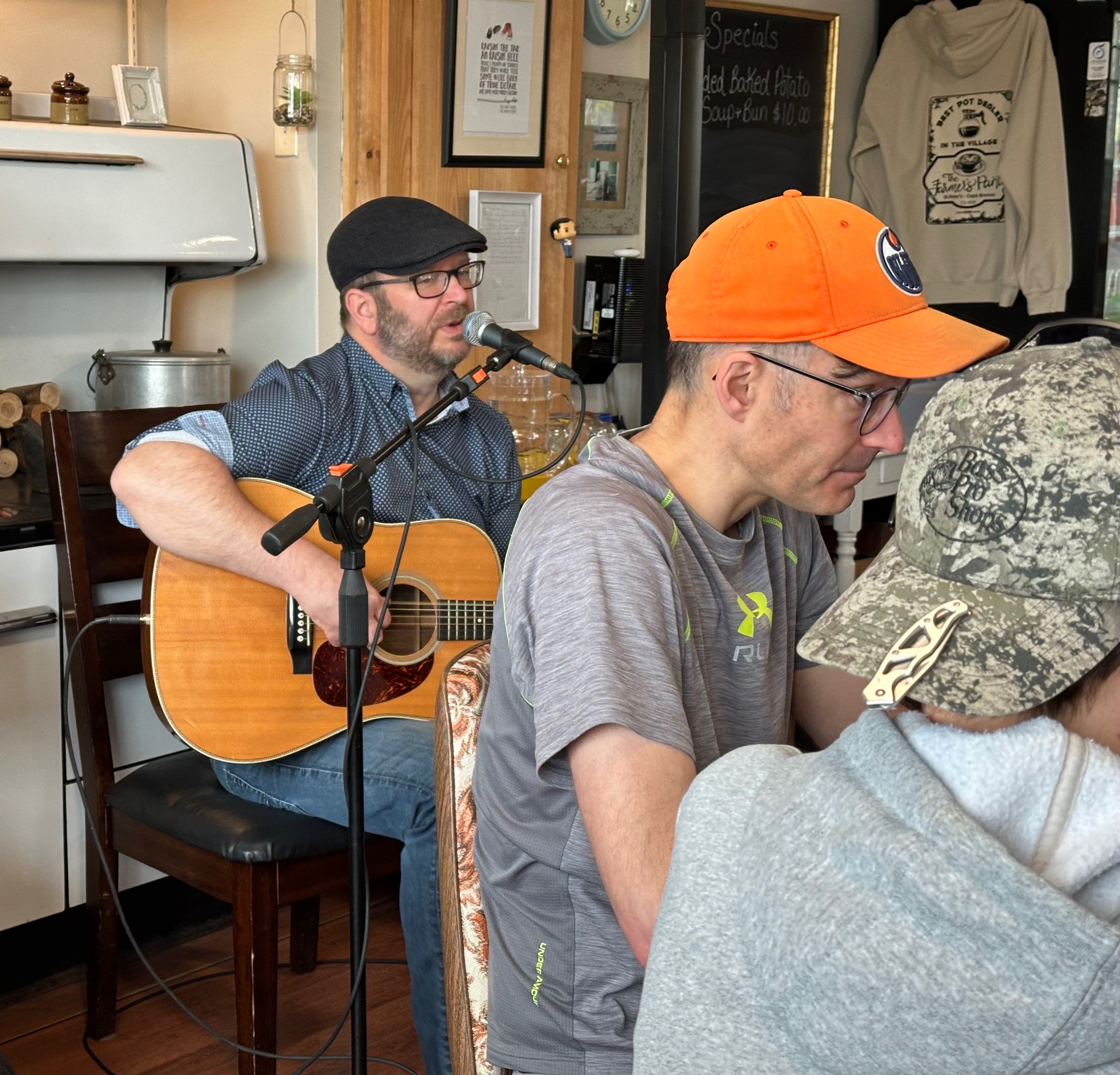
The next morning we were treated to coffee and music at the Farmers Pantry in St. Peter’s. Steve MacIntyre is a singer/songwiter who hails from Part Hawkesbury. Steve performed a set of original songs and covers of traditional Cape Breton music. Who doesn’t like live music with your first cappuccino!
Too Small a Town – Steve MacIntyre, Robyn Chisholm
Well, that’s a wrap from our travels on Cape Breton. We hope you found it interesting and perhaps helpful for your future travel plans. We enjoyed the scenery, people, history and music of Cape Breton immensely. We have one more post to publish which will chronicle our trip back through the Maine North Woods as we return to Connecticut.
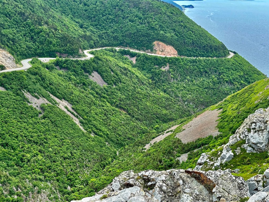
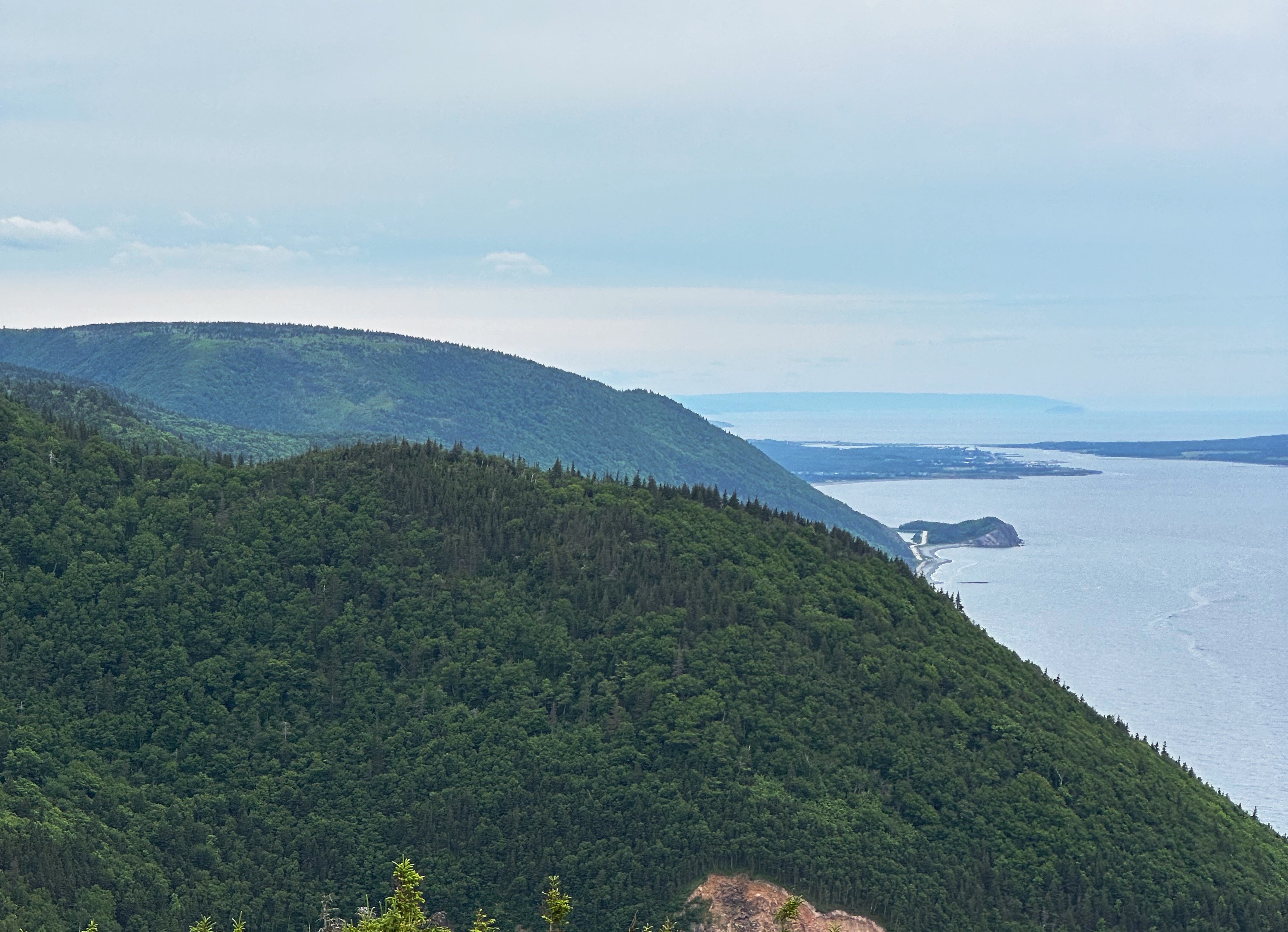
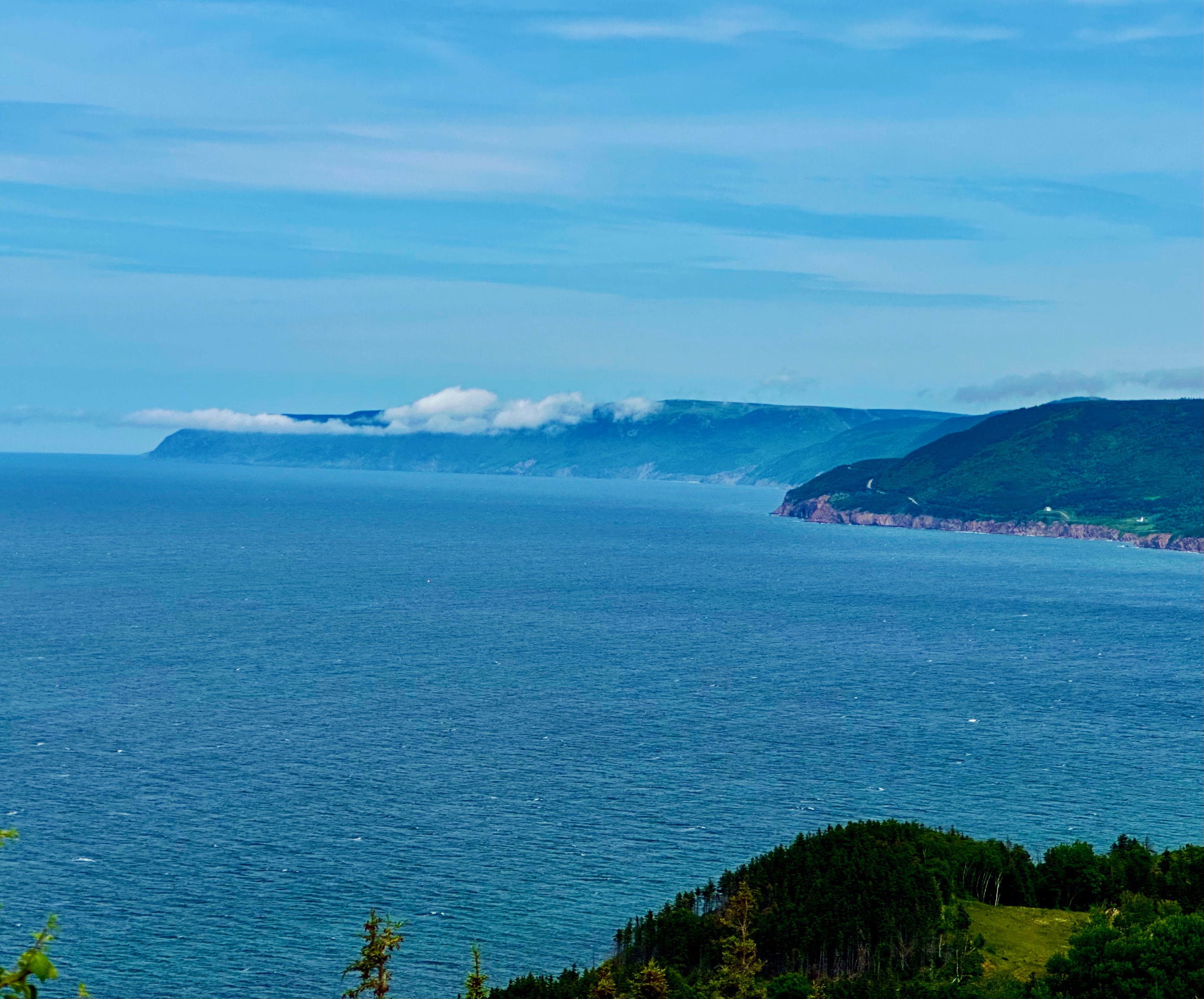
After departing Broad Cove we followed the Cabot Trail (CT) west along the northern perimeter of the Cape Breton Highlands National Park (CBHNP). This route took us up into the heart of the highlands and then back down along the western slope where the highlands meet the North Atlantic. As always, lots of spectacular scenery and driving.
Cabot Trail, Petit Etang
Along the way we stopped to hike the Skyline Trail, considered one of the best hikes in CBHNP. The trail leads out to cliffs providing dramatic views of the mountainous coastline and the ocean below. Although the weather began closing in during our hike, we were still able to see for several miles up and down the coast.
From the Skyline Trail we journeyed south on the CT to the Acadian community of Cheticamp. We had booked an AirBnb for two nights with a deck overlooking the harbour. Unfortunately, the rain moved in that evening squashing our plans for cocktails and nibbles on the deck (rough, eh?). We made the best of it— washed our laundry and got a good night’s sleep.
The next morning was still drizzly, so feeling chipper after a hot shower and wearing freshly laundered duds, we set off for coffee at Marguerite Boutique et Provisions. In the ‘it’s a small world’ category, we met a retired long-haul truck driver (J.P. — Jean Paul) who had lived in Meriden (our home base) for several years-and-a young man from Hamden, Connecticut (on a two year solo journey). We also met some folks from California and New Hampshire — all in all, an enjoyable fika segment!
After fika we poked around town a bit before returning to our our cottage for an afternoon lie down — perfetto on a rainy gray day. We capped off the day with a delicious dinner at L’abrie Restaurant, Cafe et Bar. This restaurant was recommended to us by our barista at the Periwinkle Cafe in Ingonish —thank you very much!
L’abrie is owned by the same partners that own Marguerite. You can read more about the partners, their mission and the restaurant by clicking on the link below.
Cheticamp (Photo courtesy of Societe Saint-Pierre)
Chéticamp is an Acadian region on the shores of the Gulf of St. Lawrence, on the western slope of Cape Breton Highlands in Nova Scotia. It is located between Cape Breton Highlands National Park to the north and Grand-Étang and Montagne des Écureuils to the south. These magnificent sites stretch for many kilometres along the Cabot Trail. It’s settlement began in the decade following the signing of the Treaty of Paris in 1763, ending the Seven Years’ War between France and Great Britain. Chéticamp takes its name from a Mi’kmaq expression meaning “rarely full”, presumably in reference to Petit Étang (small pond) in La Prairie (the prairie) near Buttereau at the foot of Grande Falaise (big cliff) in the estuary of the Chéticamp River. All these names are the legacy of a rich heritage in the heart of a landscape where wild habitats and the sea merge with extraordinary beauty.
Learn more about the fascinating history of Acadian communities around the world at: acadie-on-the-roads-of-the-acadian-people-map-articles-and-references-about-the-acadian-communities
We departed Cheticamp traveling along the coast on the CT through the scenic villages of Grand Etang and Margaree Harbour. At Margaree Harbour we said our final farewell to the CT and our widdershins loop of CB. From there we followed Route 219 to Southwest Margaree, then we veered inland to explore some of the interior of Cape Breton in the distinctly Scottish heritage area around Lake Ainslie.
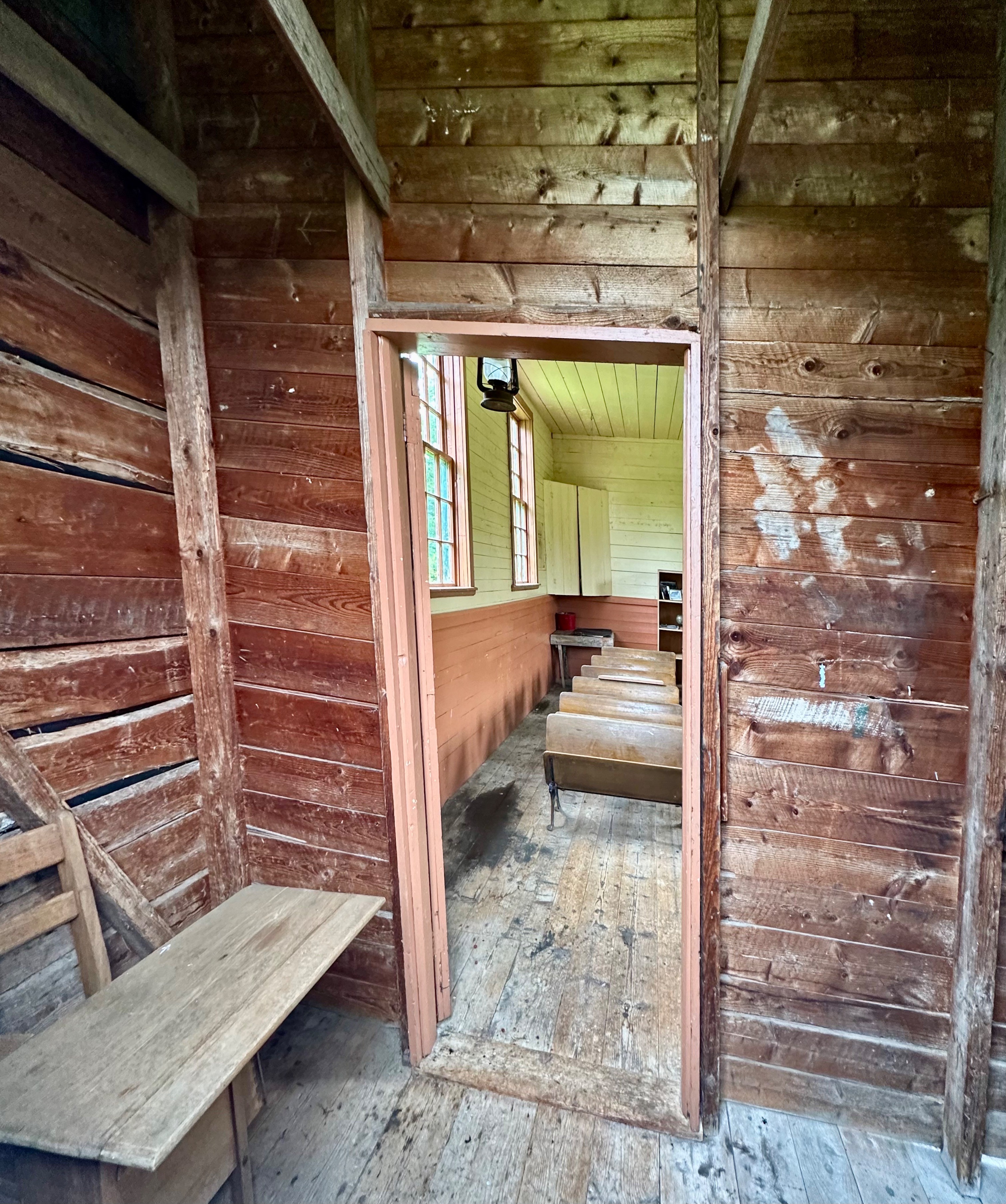
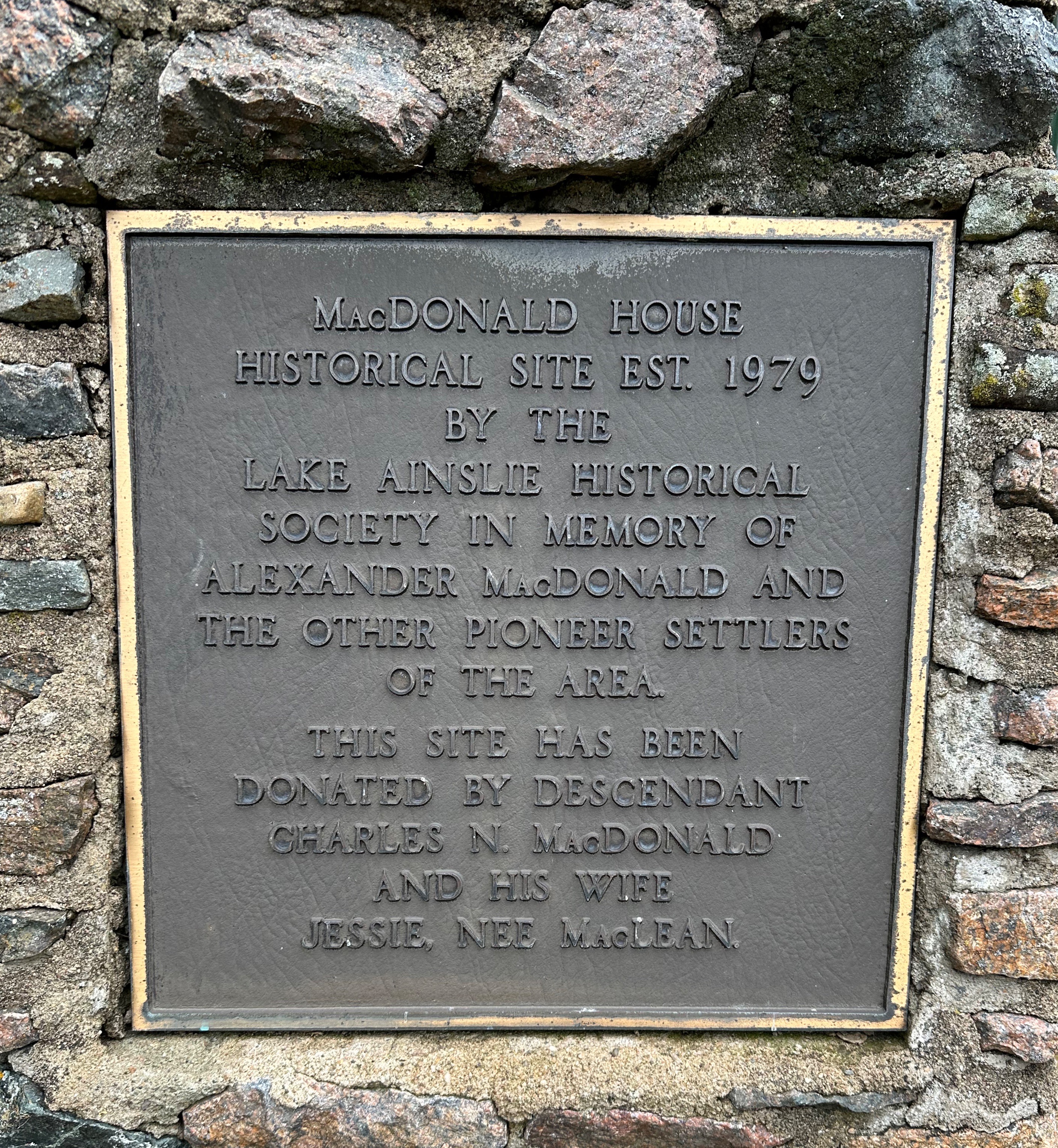
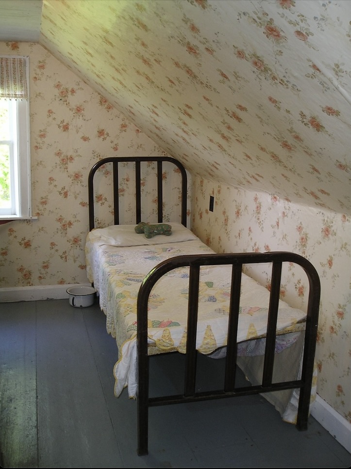
The photos above are from the MacDonald Farm in East Lake Ainslie – now operated as a museum by the local historical society. Alexander MacDonald emigrated from the Isle of Mull, Scotland in 1823 – receiving a land grant of 518 acres. His son Charles started the first mercantile in the area in 1848 and built the present house during the 1850s. He also established the first post office in 1876 – Charles also being the first postmaster. The post office operated until 1956!
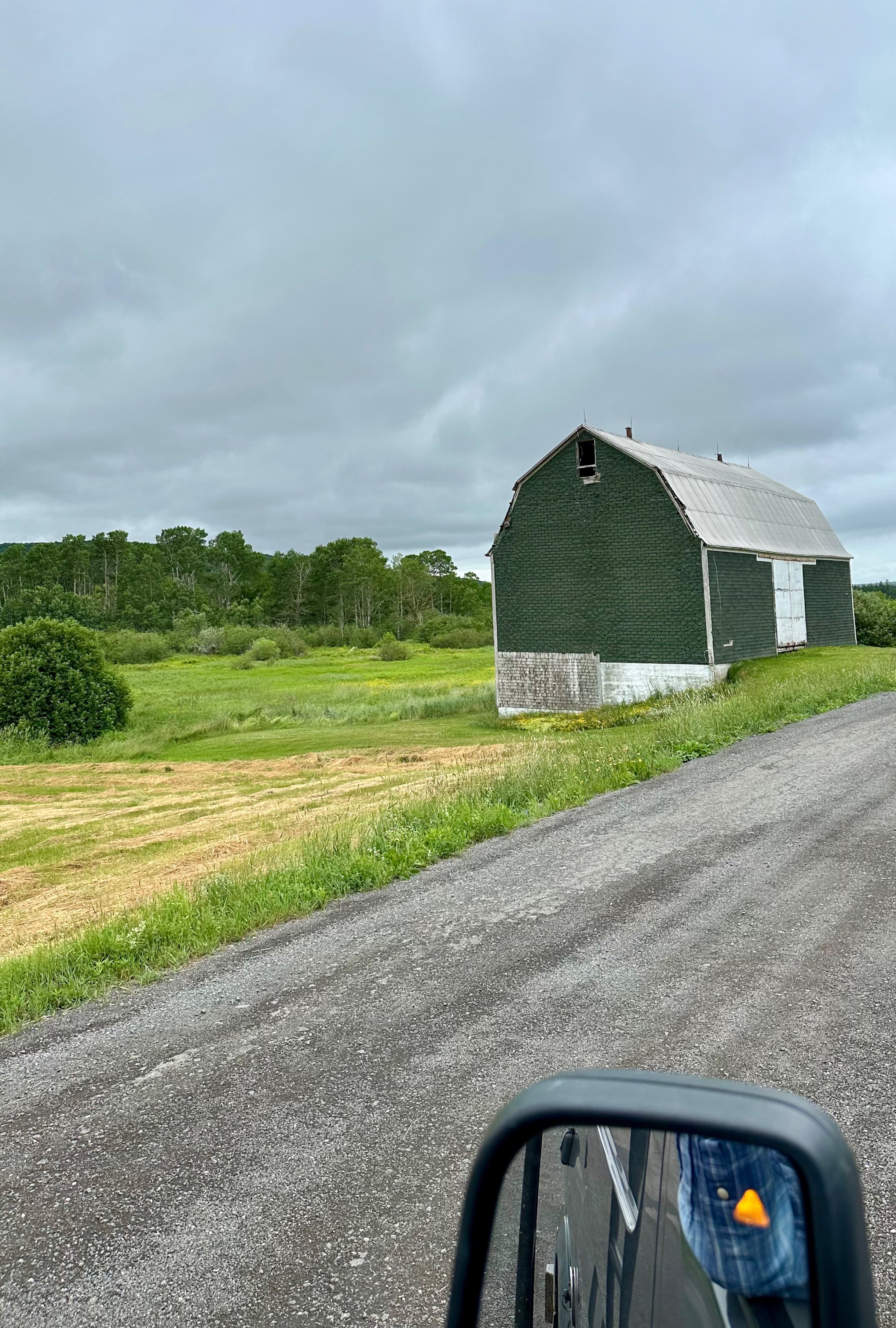
After exploring the farm we pressed on further into the interior on what appeared to be logging roads which eventually gave way to farmland.
East Lake Ainslie, Cape Breton
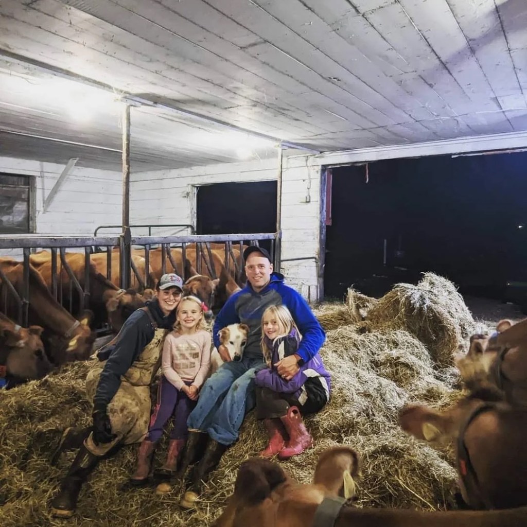
Much to our surprise and pleasure, after cresting a rise in the road, we found ourselves staring at a bright red building housing the Skye Glen Creamery! We crossed our fingers in hopes that the creamery was open. Fortunately, we had chanced upon the creamery a few minutes before closing and we met one of the owners, Meghan. She and her husband bought the dairy farm (jersey cows) in 2020 and opened the creamery soon after – lucky us! We bought cheese and delicious chocolate gelato. What a tasty way to finish a ramble.
Meghan, Matt, Sophie, and Heidi (Photo courtesy of Skye Glen Creamery)
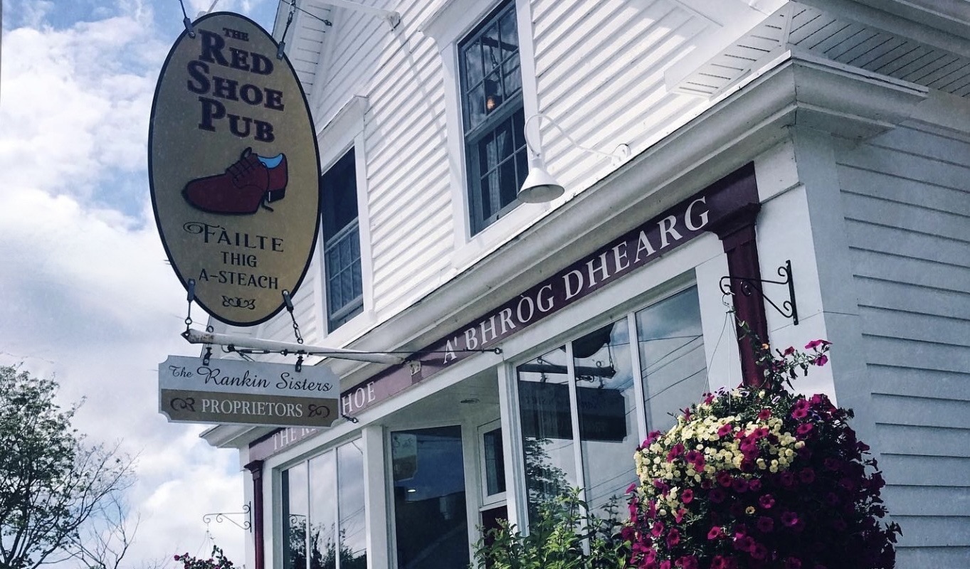
From the creamery we found our way to pavement and to the settlement of Mabou (Mi’kmaq for place where two rivers meet). Mabou was a definite on our itinerary due to its proximity to the Celtic Shores Coastal Bicycle Trail and the Red Shoe Pub. We checked in at the Mabou River Inn and then made the short trip across the river into town to dine and enjoy live music at the Pub.
The pub is owned by the Rankin Sisters, members of the multi-award winning Rankin Family musical group. The first generation of Rankins began performing during the 1970s. The Rankin family hails from Mabou and it is a big deal when the sisters drop in to perform at the pub. The pub boasts live music everyday and we were fortunate to hear the Campbell Sisters perform on the evening we dined at the pub.
American Loyalists were the first to settle in Mabou during the 1700s (as usual, if you exclude First Nations). The Loyalists were followed by British and Irish settlers but it was the Highland Scots that came to the forefront during the first half of the 1800s (emigrating as a result of the Highland Clearances). While fishing has always been part of the economy along with agriculture, a notable economic driver in Mabou and Inverness County was mining coal and gypsum. Coal mining persisted into the 1960s but was never successful on a large scale because the coal was under the ocean floor and was prone to flooding (not taking that mine tour!)The bike trail that we were looking forward to riding came about because of the abandonment of the rail line (I&R Railroad) as mining wound down.
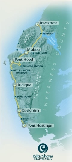
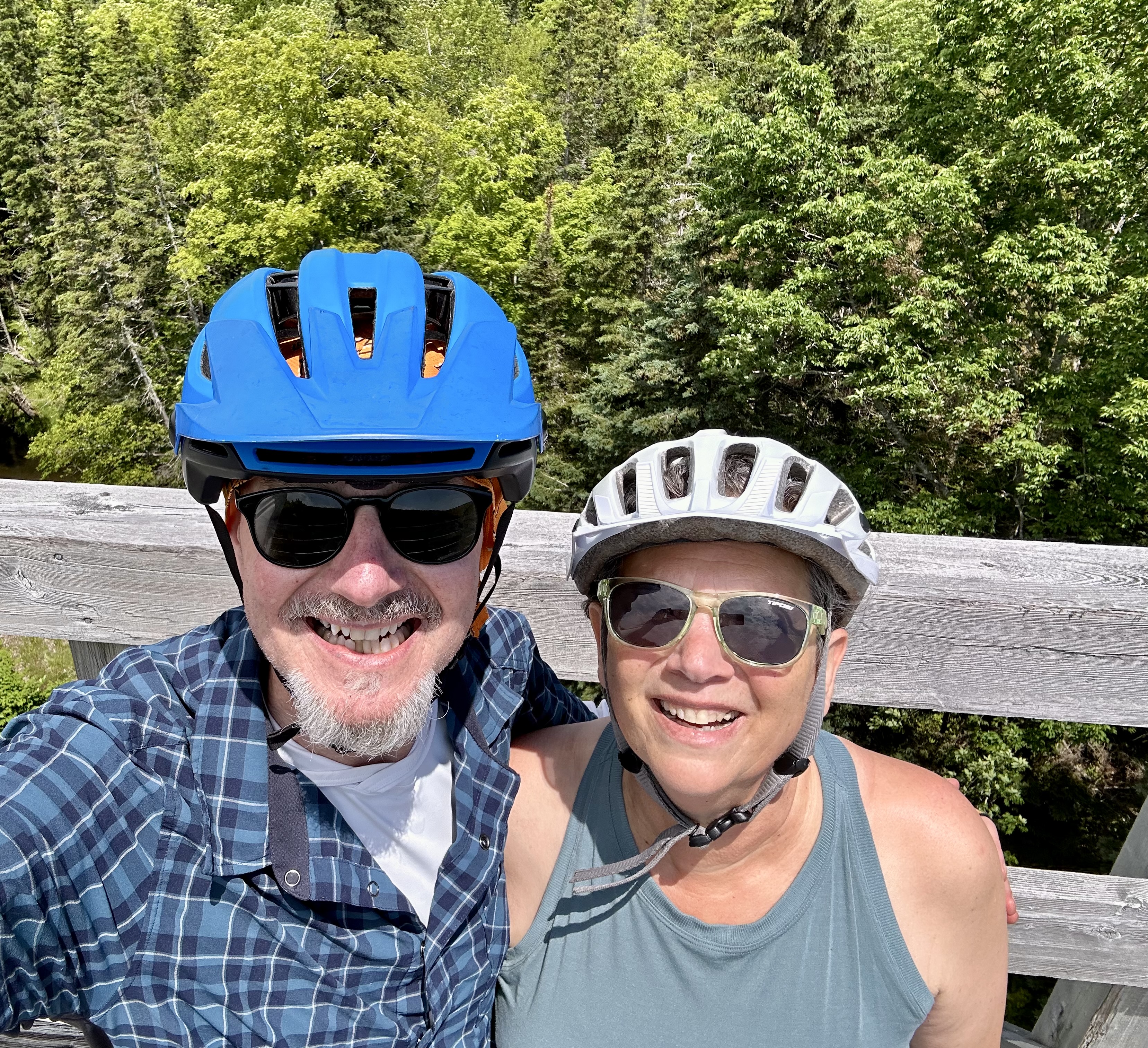
We set out the following morning to bike the Celtic Shores Coastal Trail (CSCT) from the Mabou Rivers trailhead north to Inverness (and back). The trail is 57 miles one way – our ride from Mabou Rivers to Inverness and back was approximately 34 miles. Inverness is the northern terminus of the trail and sits right on the ocean.
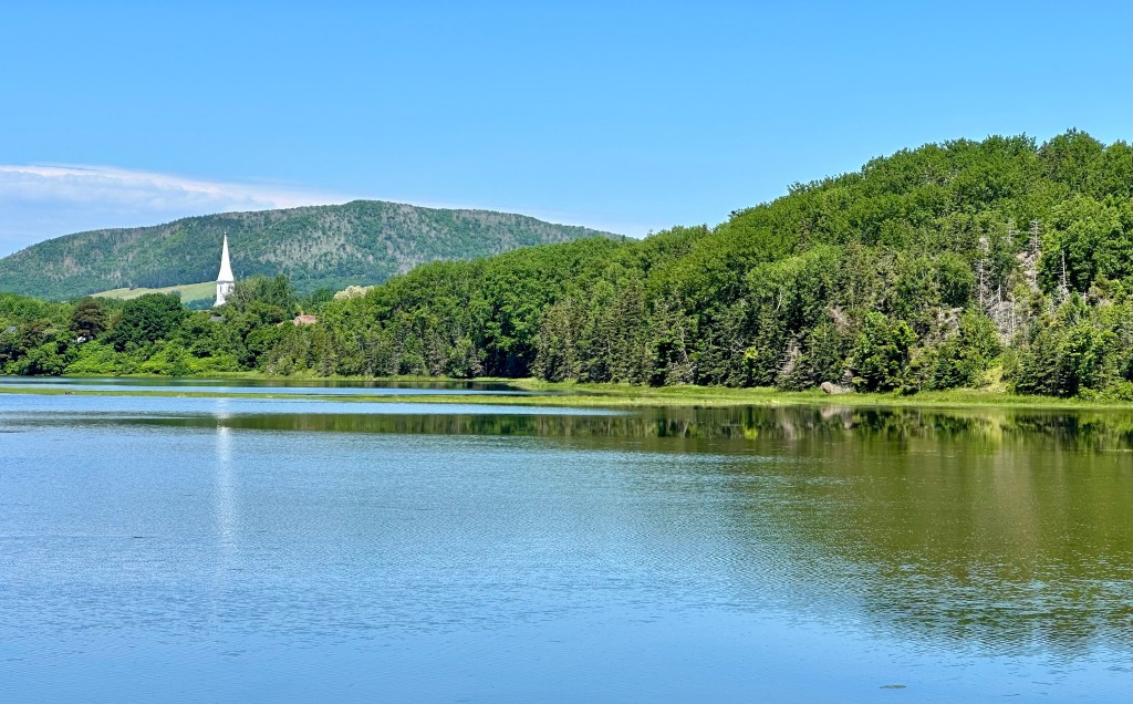
St Mary’s Roman Catholic Church (background) Mabou River (foreground)
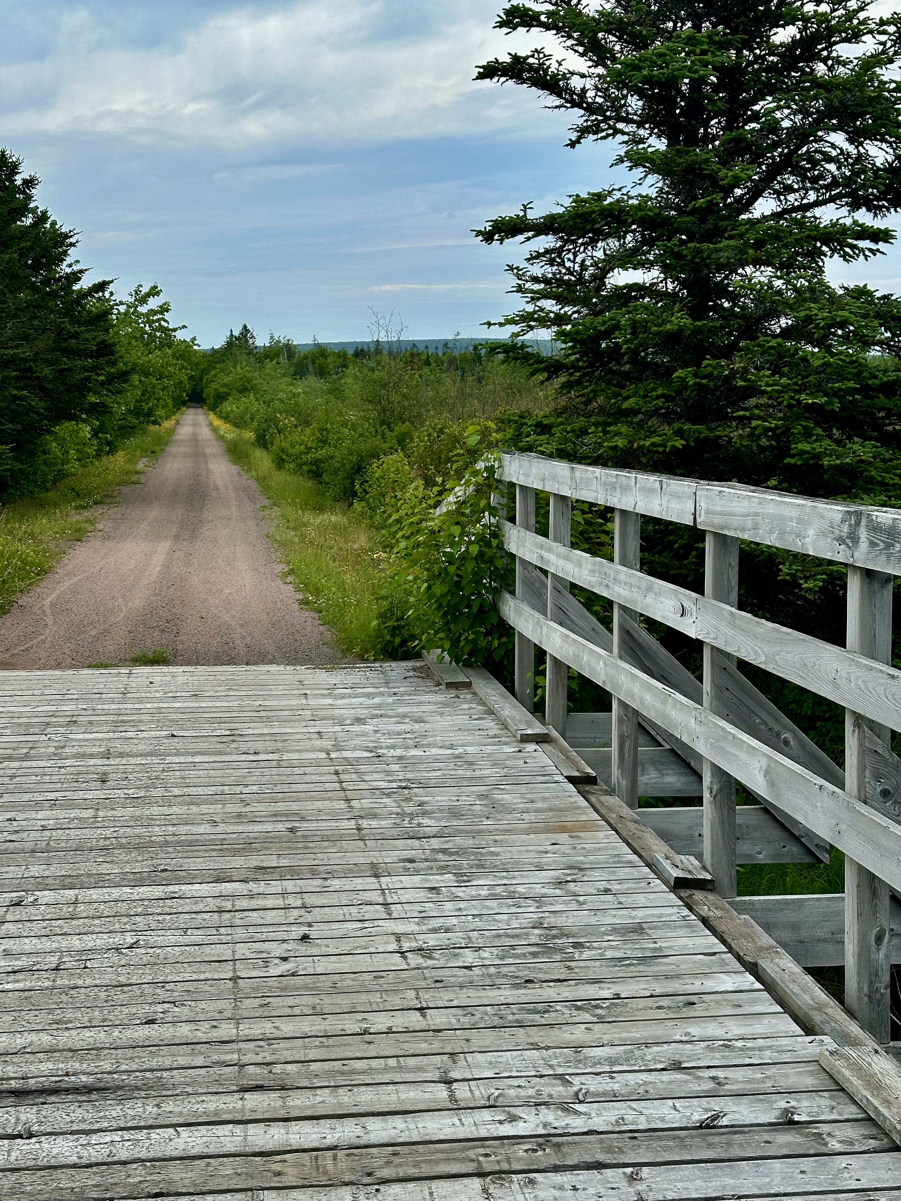
The trail is not paved but for the most part is smooth hard-pack and level. We chose this portion because segments to the south are quite windy making the riding difficult from both a wind and trail erosion perspective. The trail has very few road crossings (always a plus) and we only encountered one other cyclist over the entire 34 miles. We had been looking forward to riding this trail and we were not disappointed.
Upon arriving at the end of the trail we sought out lunch to refuel before riding back to Mabou. We felt it only right to dine at the Coal Miners Cafe & Lounge as the establishment is Biker Friendly. Good grub, definitely friendly and best of all – a Red Sox pub!
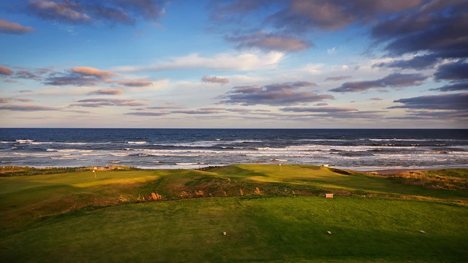
On our way back south we stopped to take in the view at Cabot Links Golf Course, which is adjacent to the trail terminus. We are not golfers but the course is laid out along the ocean and the combination of the course and the ocean view is quite magnificent (that’s for you Dorothy). The course actually sits on top of one of the reclaimed coal mines. Cabot Links is ranked as the 35th best course in the world while its sister course Cabot Cliffs is ranked as the 11th best. One of the people we met while at Marguerite for coffee had played at Cabot Cliffs – Twilight Round – nine holes at $350.00. The photos below are courtesy of Not Your Grandfather’s Mining Industry and Cape Breton University.
After completing our ride back to the trailhead at Mabou Rivers we made the short drive to Marble Hill and spent a relaxing evening watching the sky as the sun set over the Northumberland Straight.
We will pick up the final leg of our journey on Cape Bretonas we drive two hours for a much needed consultation with Doctor Luke in Sydney. More on that in our next post.