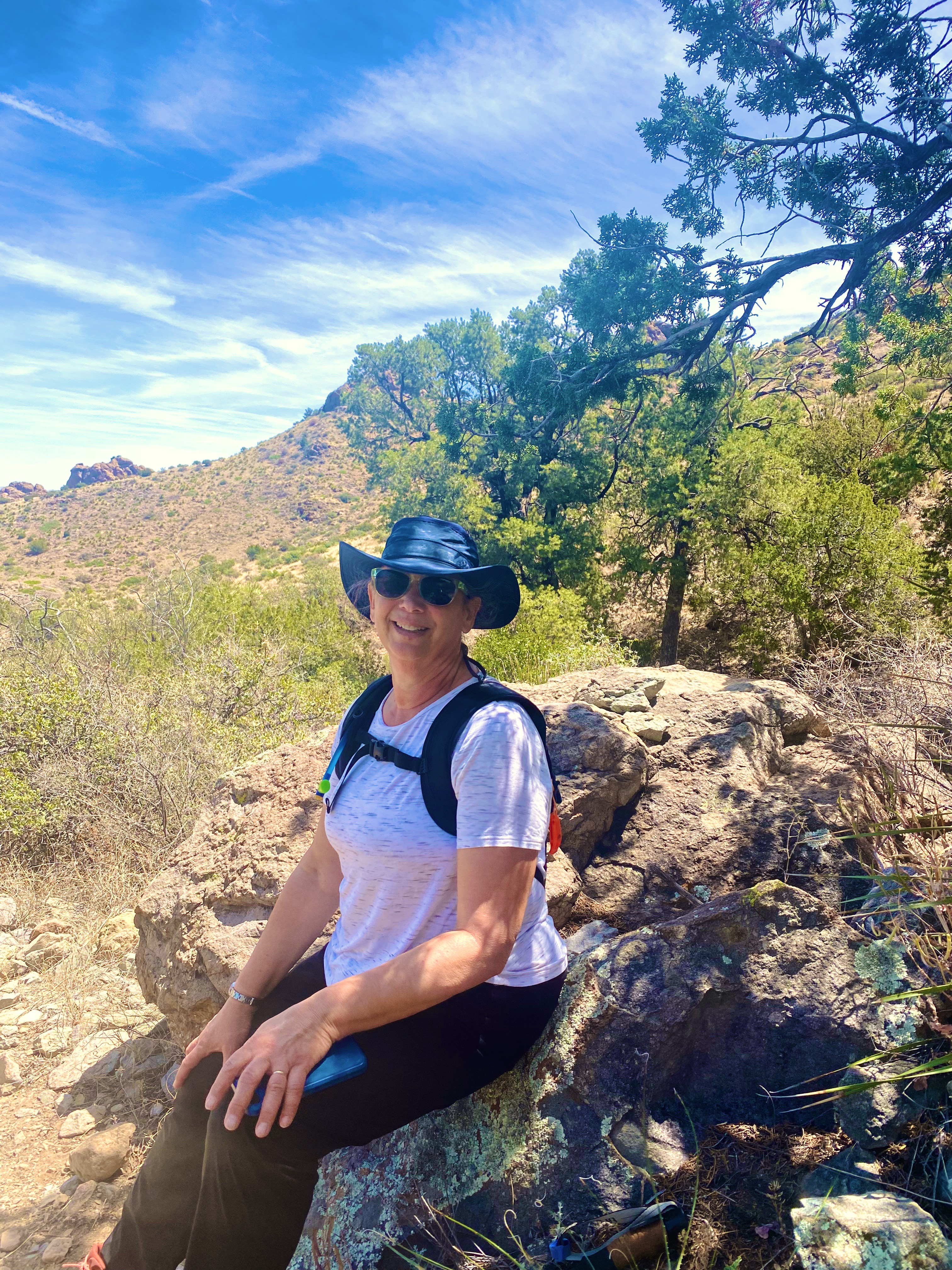
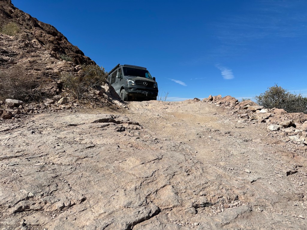
We are going to start this post with a question. Who thinks the Beast was able to navigate this ledge? We will provide the answer later in this post.
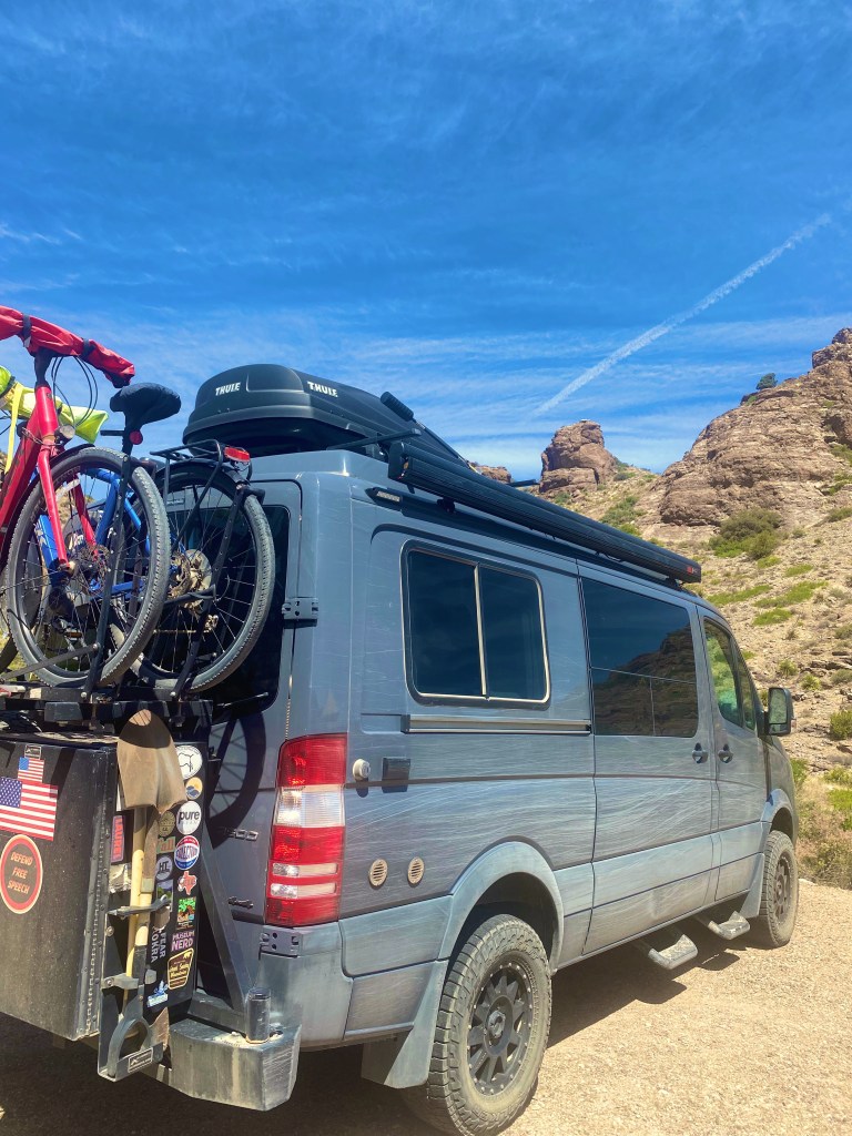
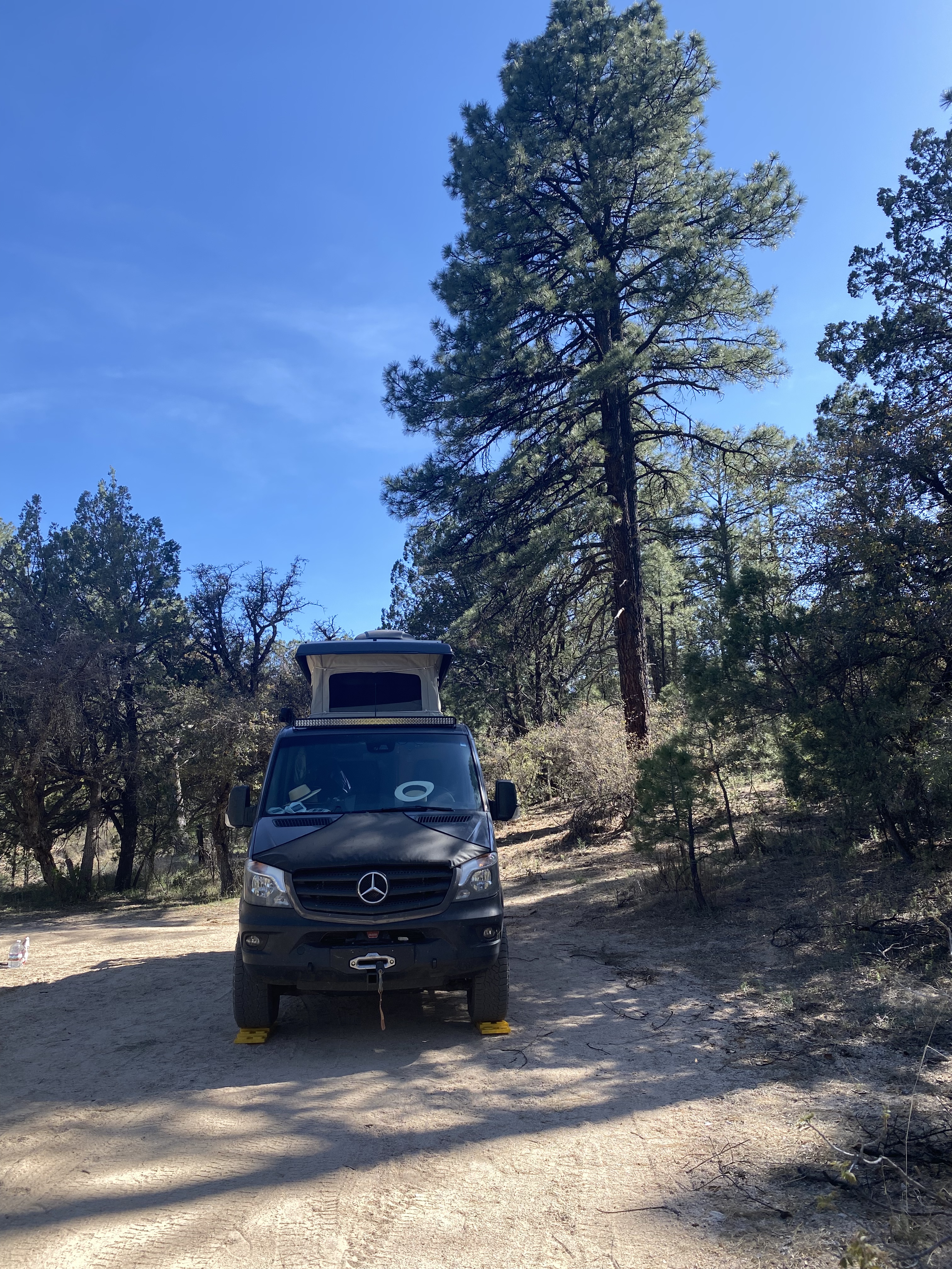
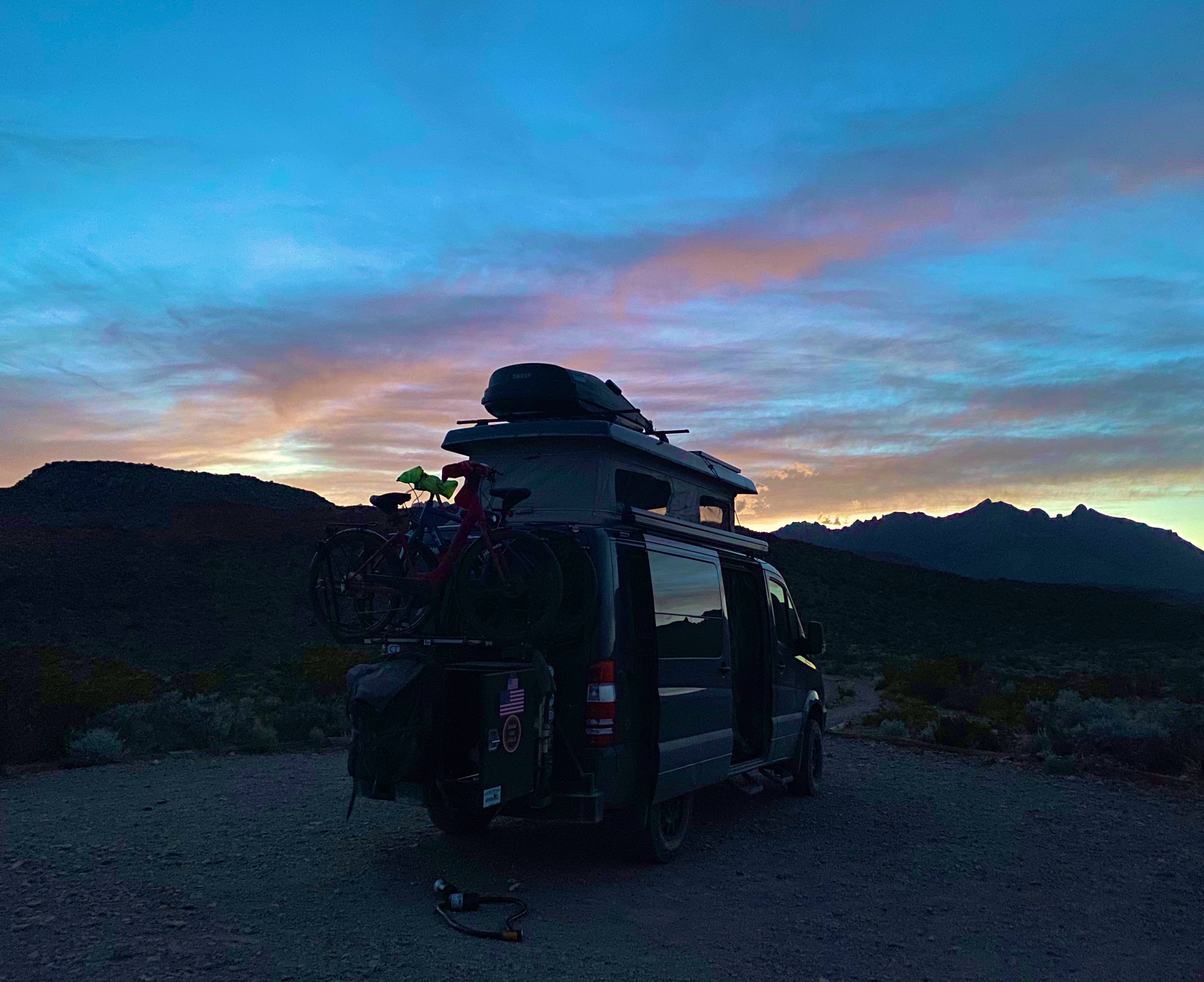
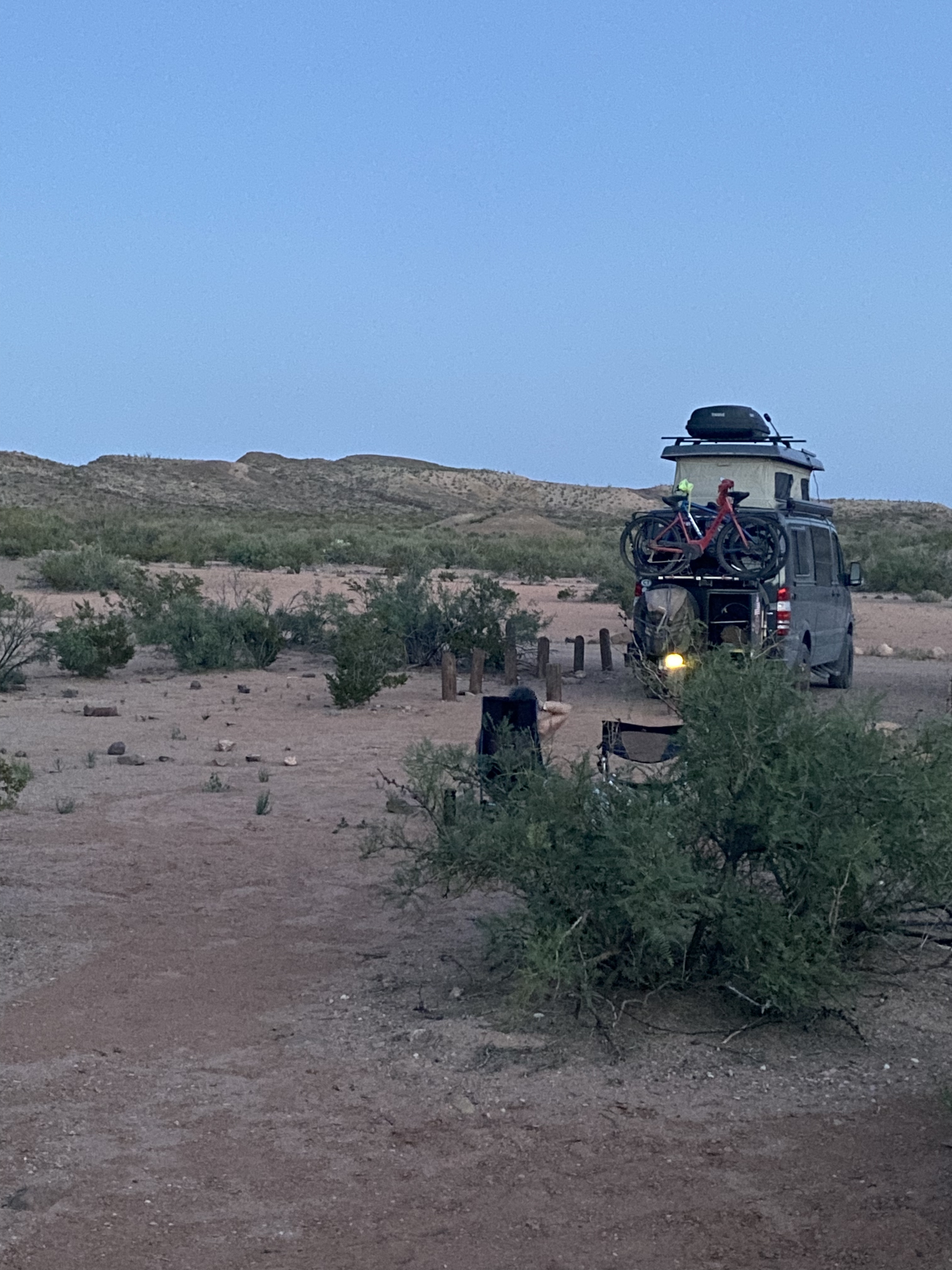
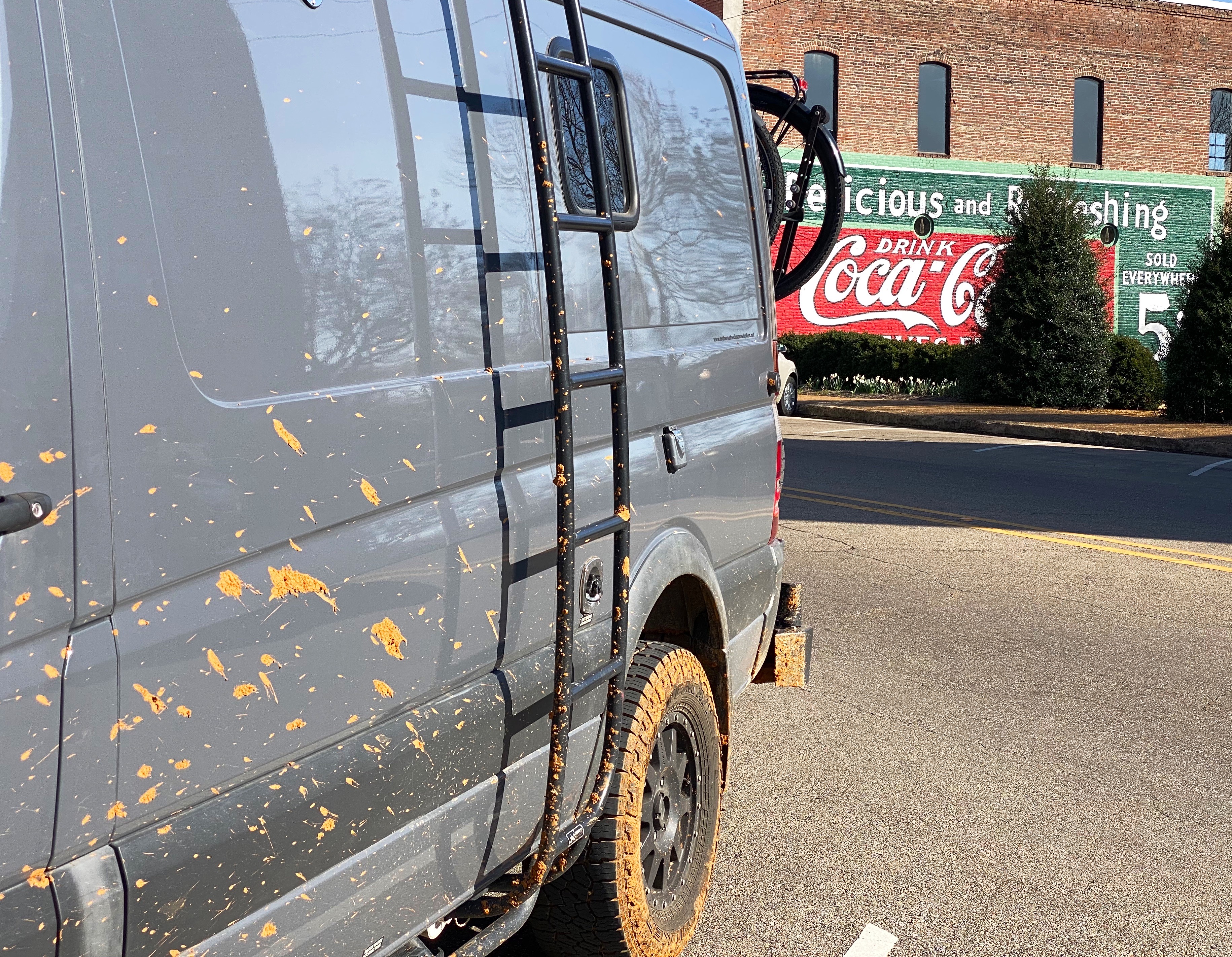
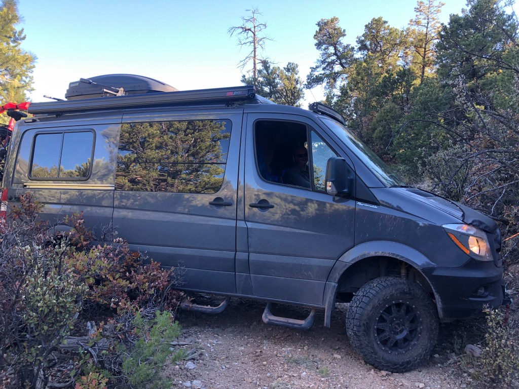
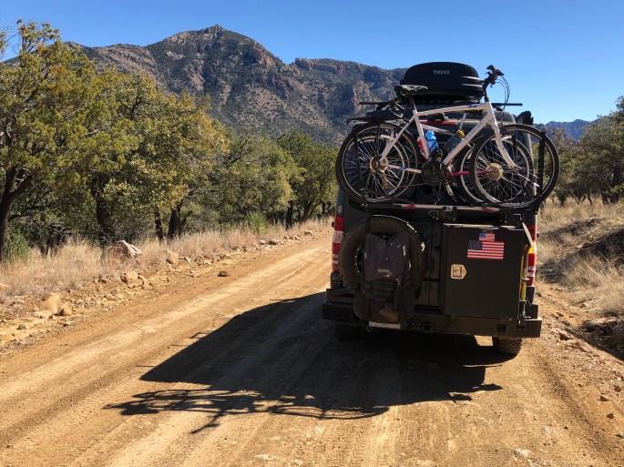
After our trip across El Camino del Diablo and up to the Fortuna Mine we spent a couple nights in Yuma. We cannot say that Yuma is our favorite town but we needed to have our bikes serviced and repaired as a result of the bike rack breaking as we crossed the El Camino. The photo below shows the Beast after we made makeshift repairs to secure the bikes and rack. Note the now oval shaped front wheel on the blue bike.
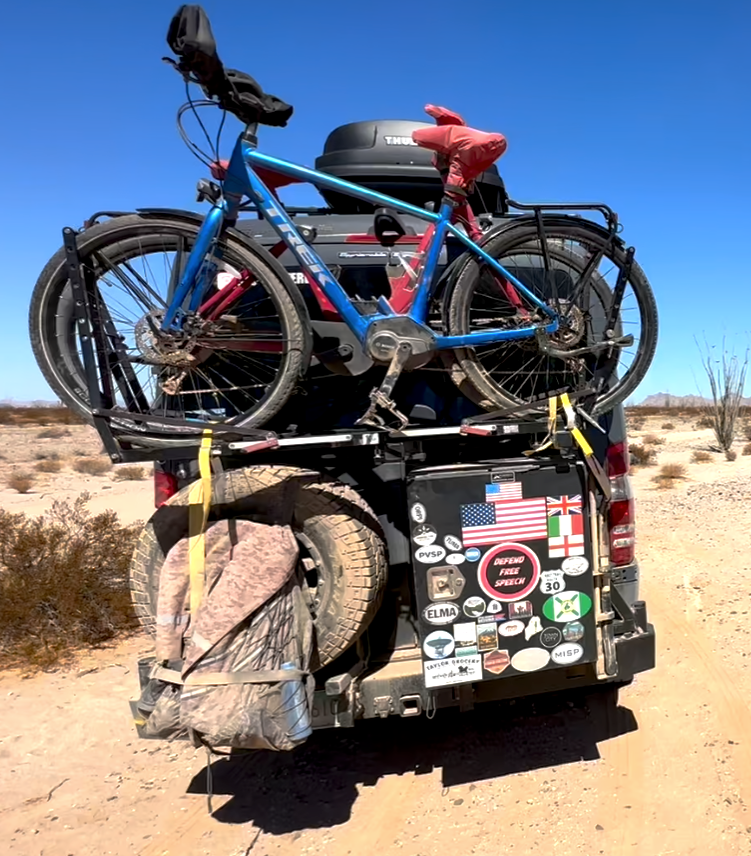
Our bikes would not be ready for five days as the misshapen front wheel was irrepairable and the new wheel was apparently coming via stagecoach.
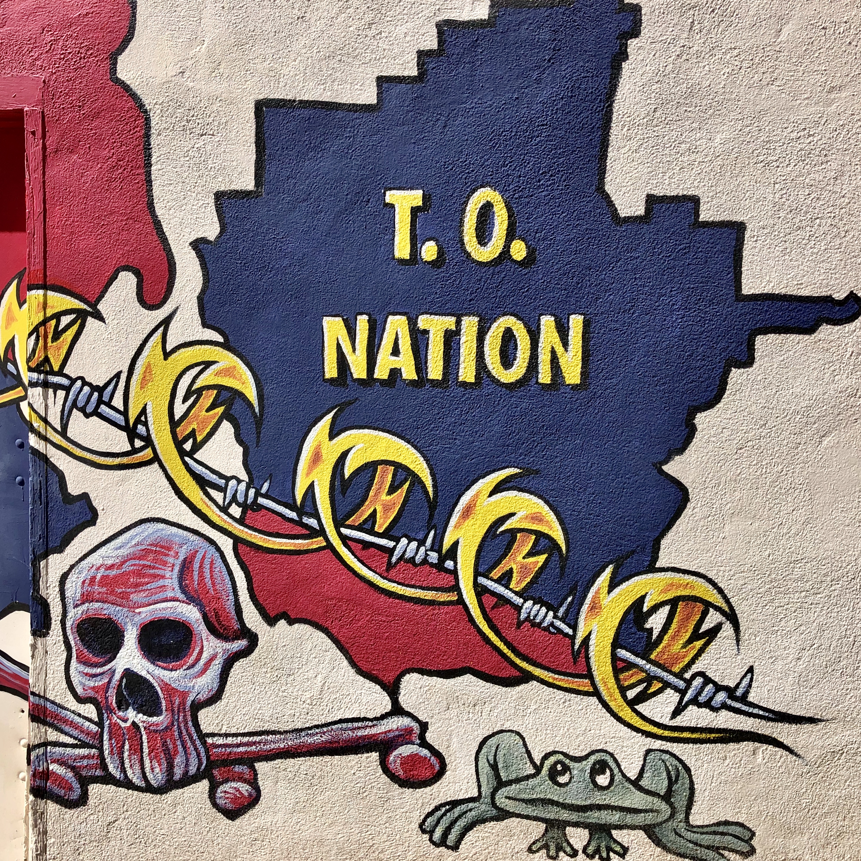
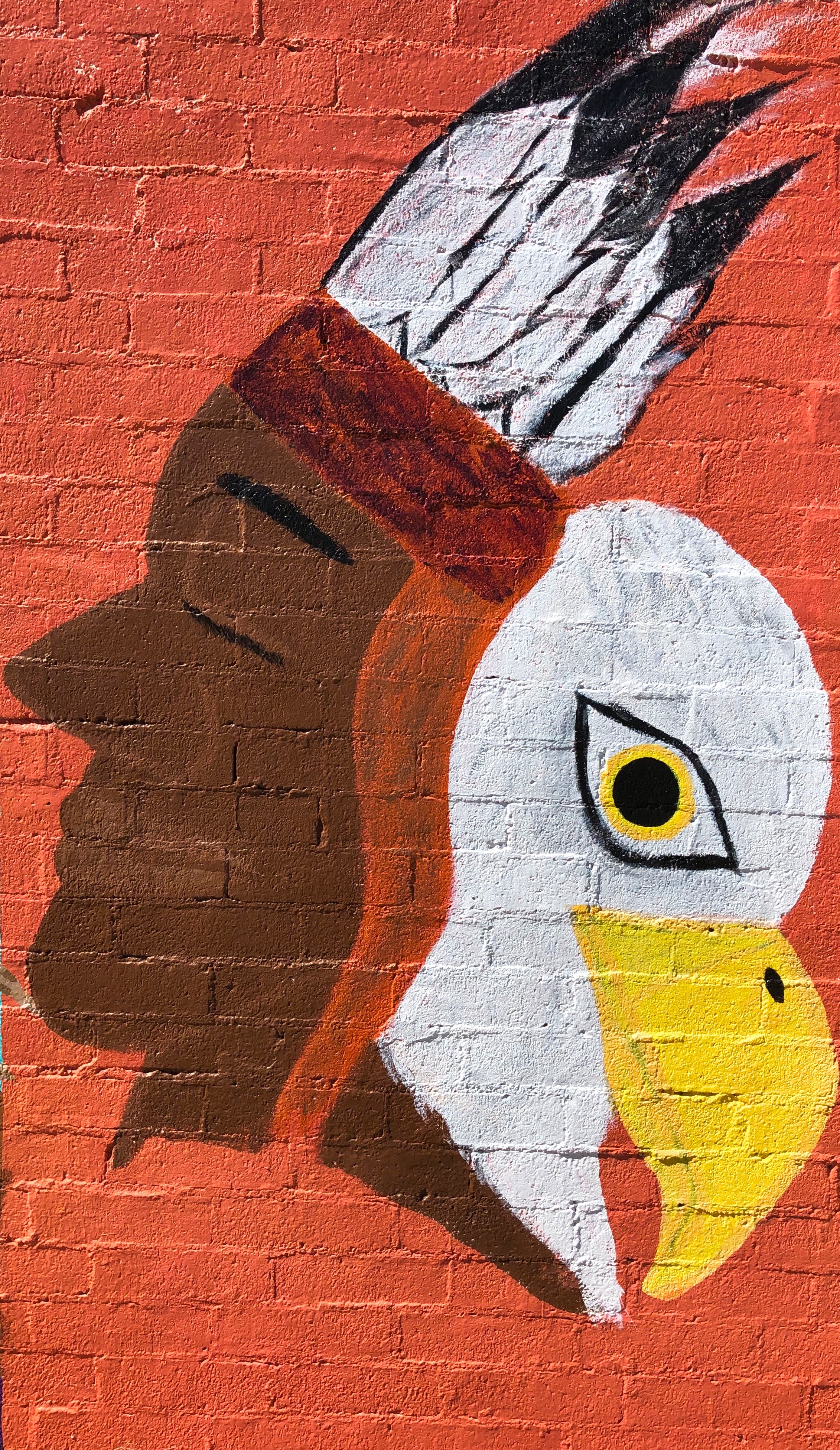
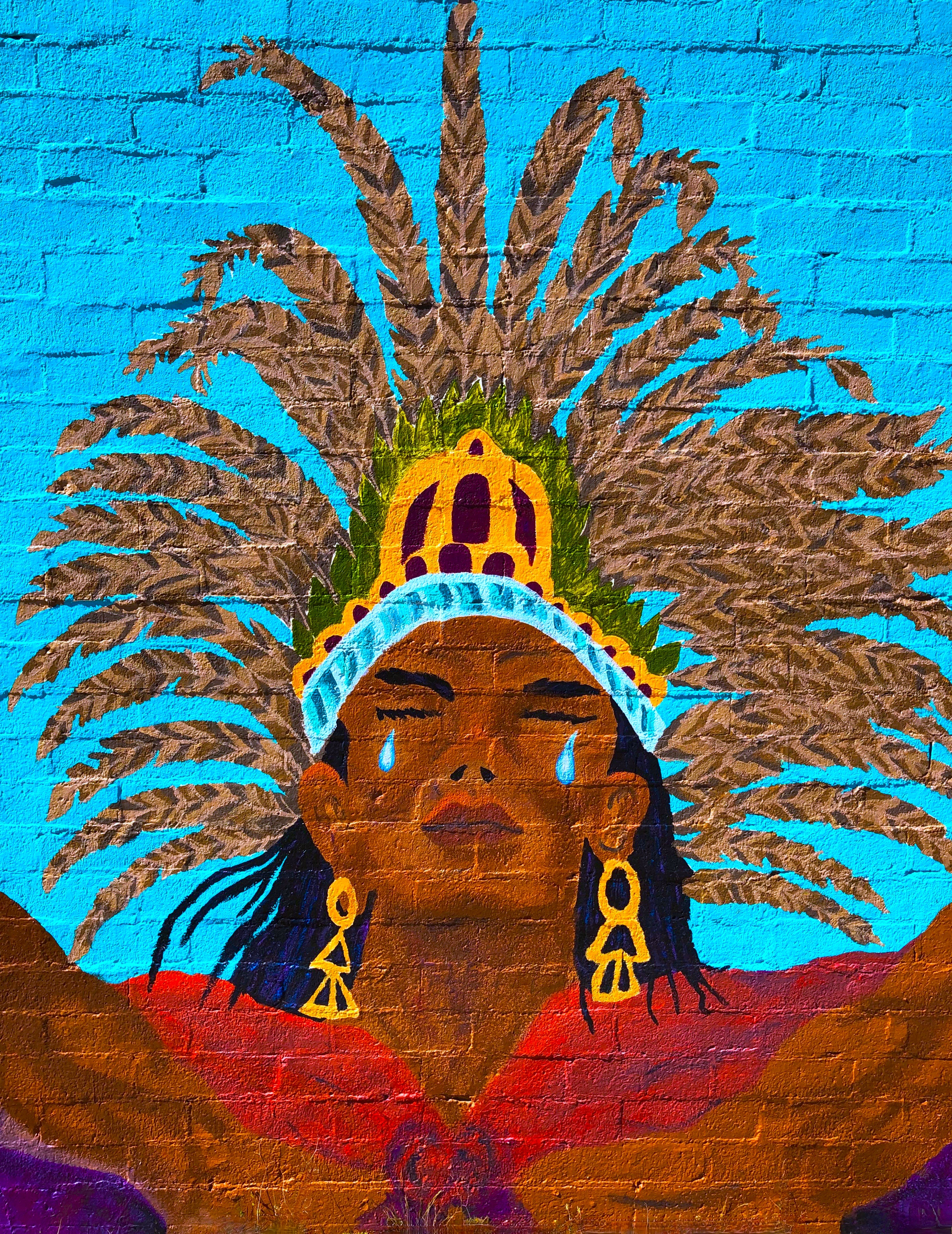
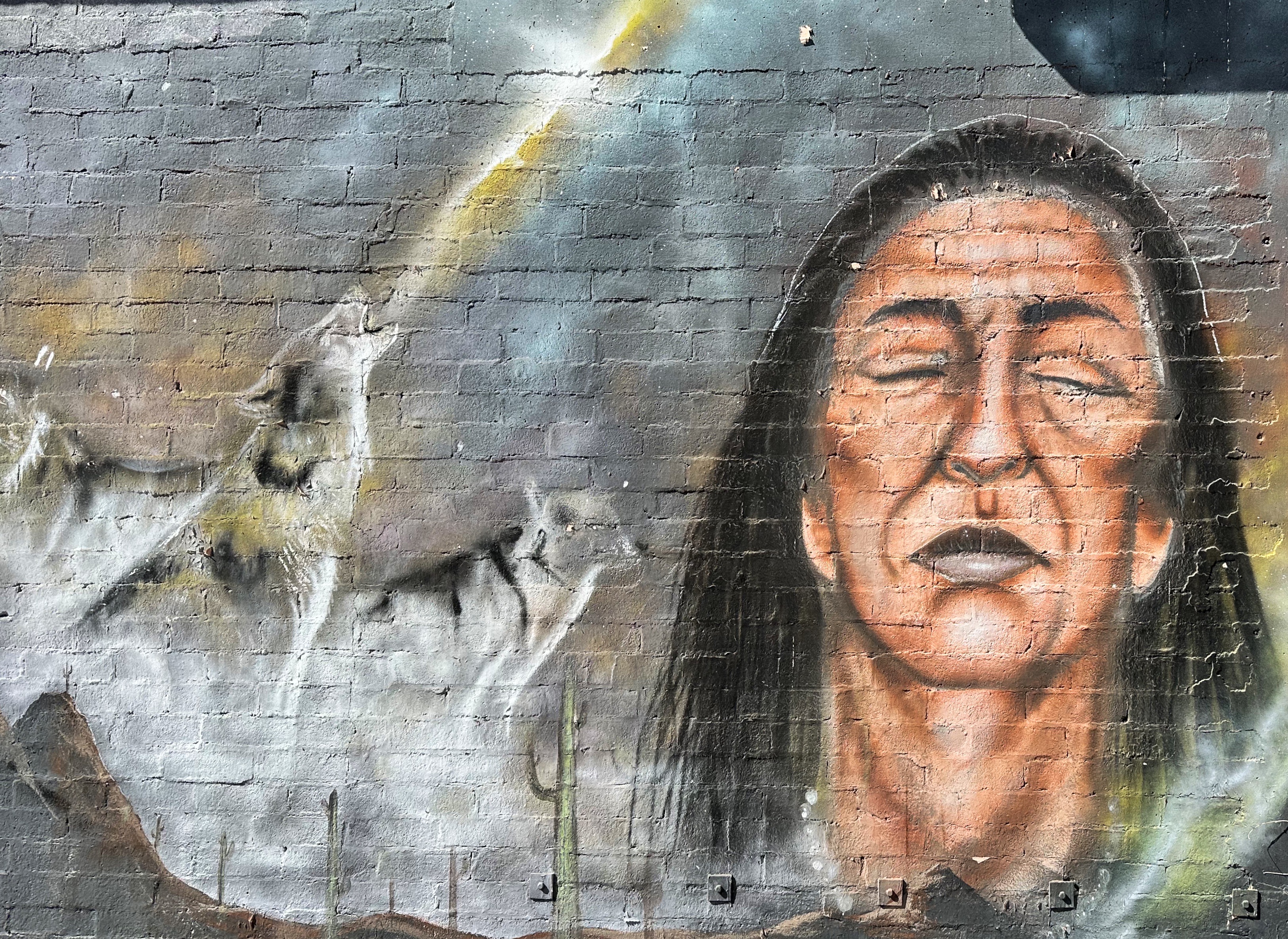
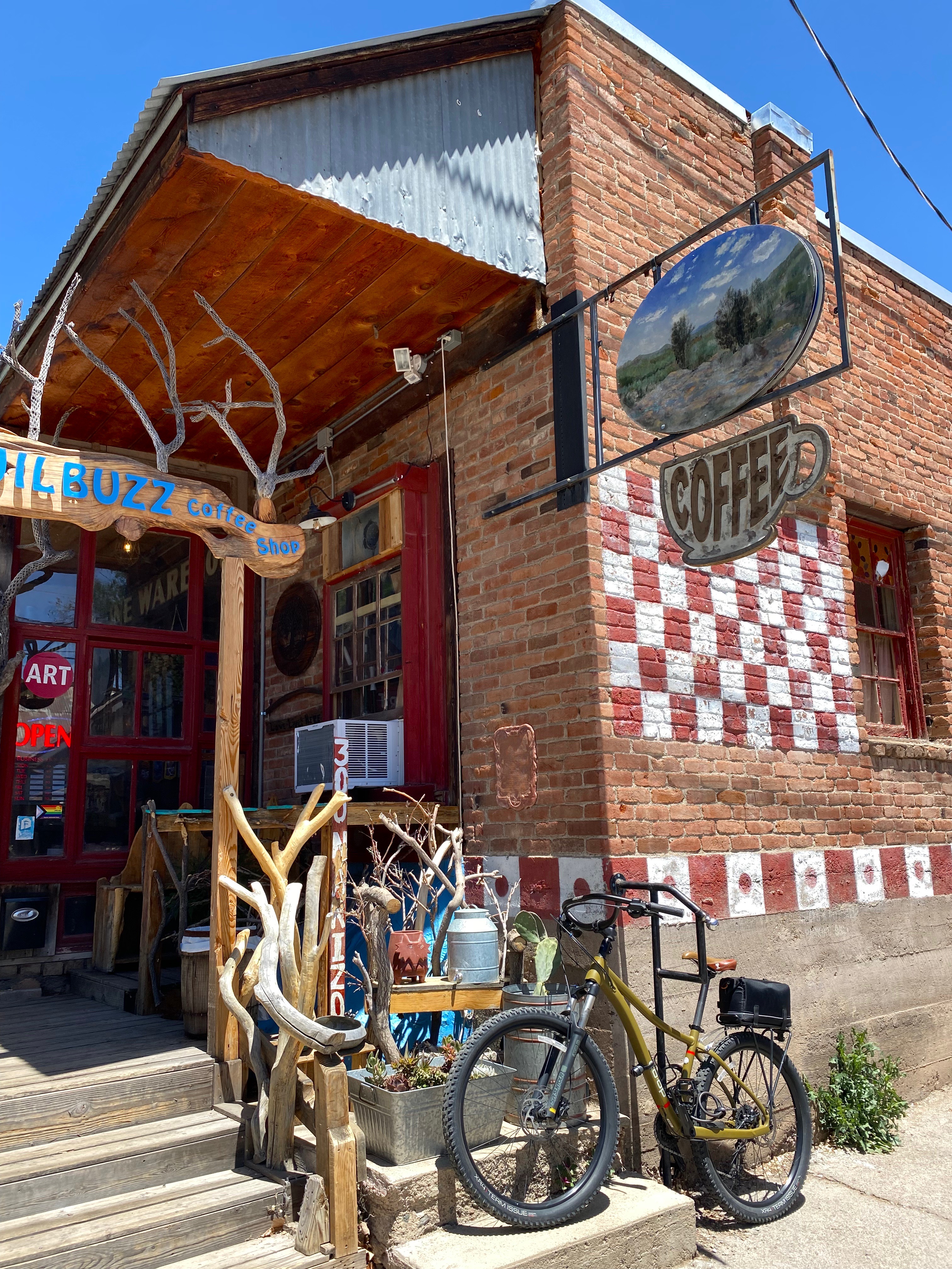
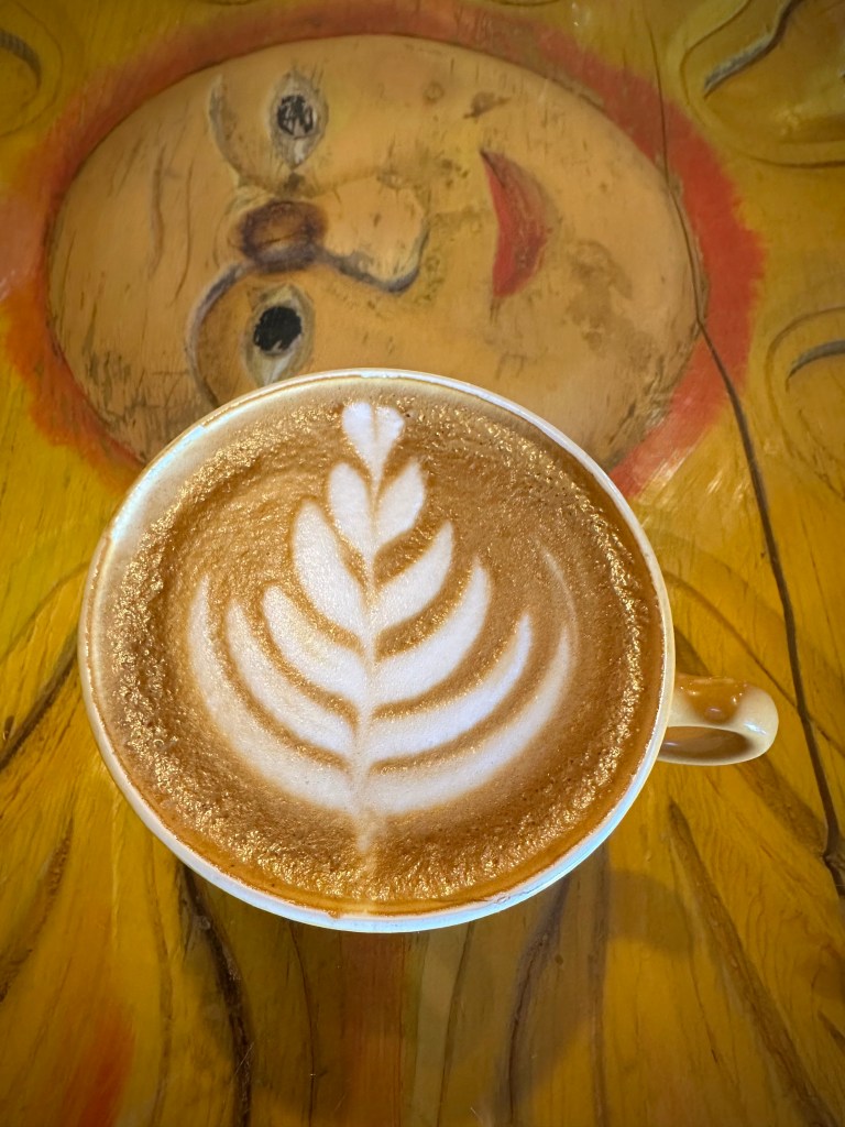
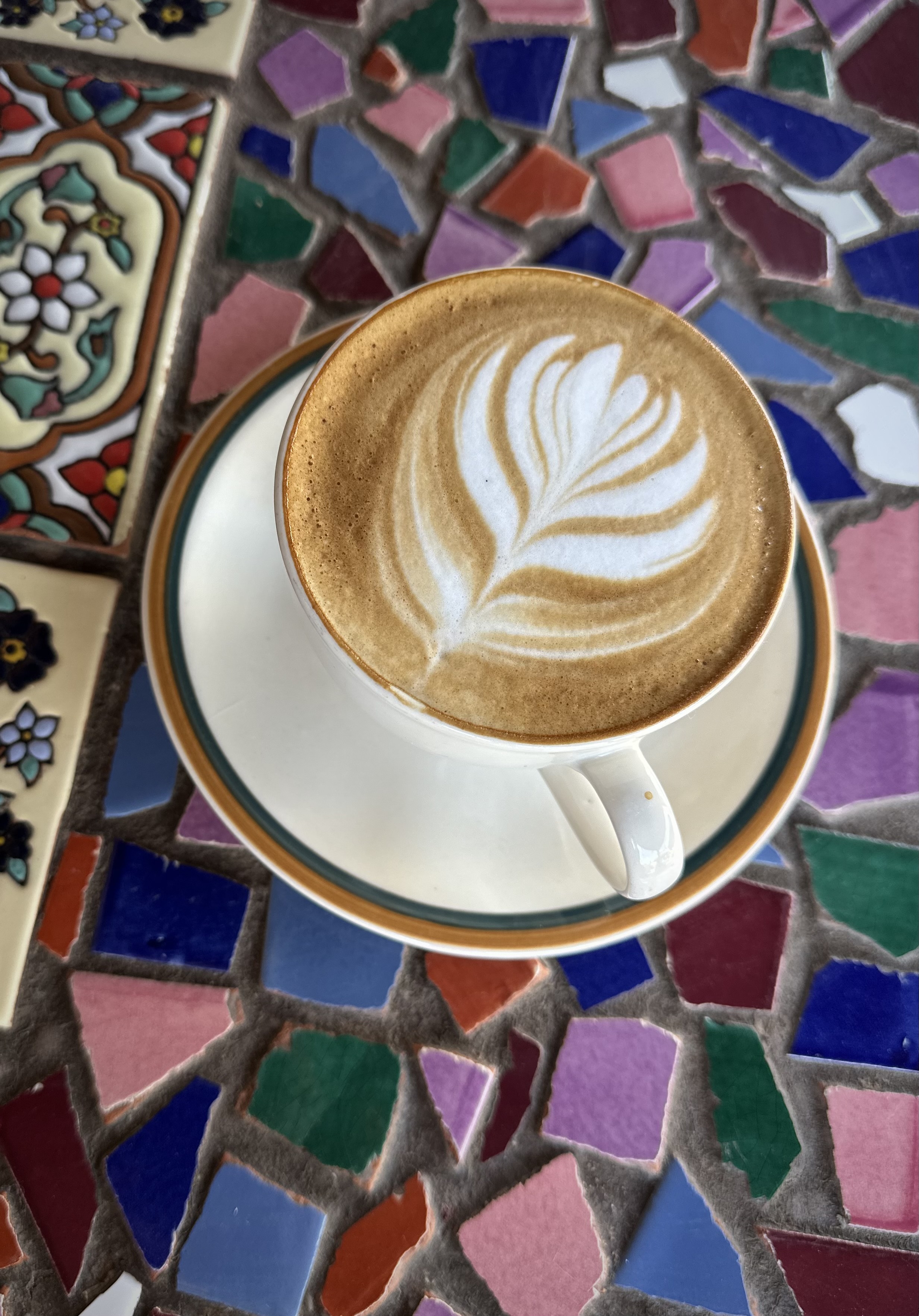
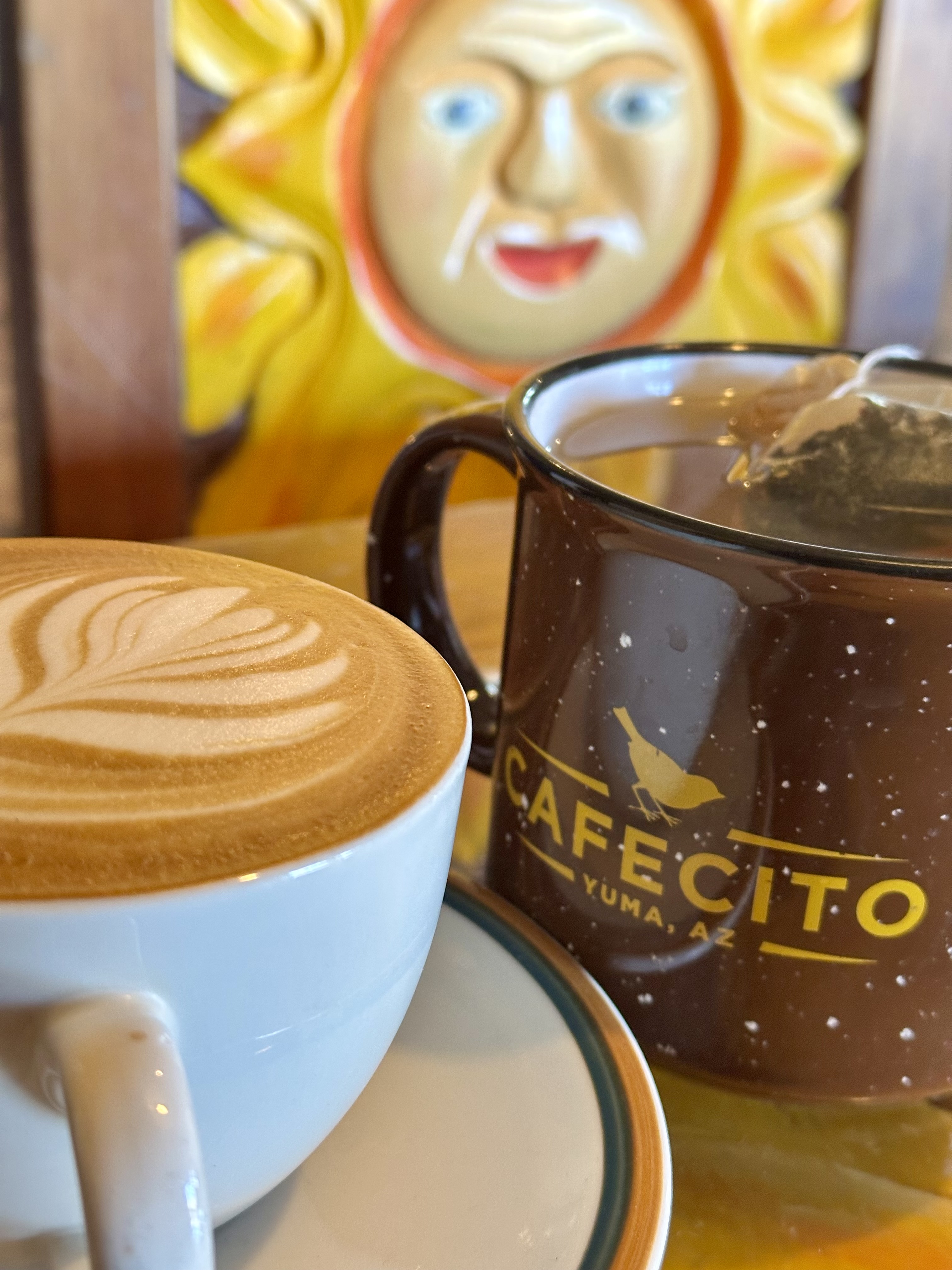
Cafecito, which was our home base in Yuma, is on Main Street along with several restaurants, bars, mercantiles, a theater and city governmental offices. Cafecito was the perfect spot for modifying our travel plans with its excellent drinks, toasts and bowls. The space is immense with 10,000 square feet of indoor and outdoor seating. Please find the owners’ bittersweet story in the link below. Here we revised our itinerary to head north to the Northern Sonoran Desert and the KOFA NWR and then loop back south to (hopefully) collect our bikes.
https://www.cafecitoyuma.com/our-story.html


We departed Yuma via 95 North passing through the Yuma Army Proving Ground and the Castle Dome Mountains ( we transited the Castle Dome on a previous adventure) to our east; then turning at Palm Canyon Road. We followed the road until its terminus at the entrance to the Palm Canyon Trail.
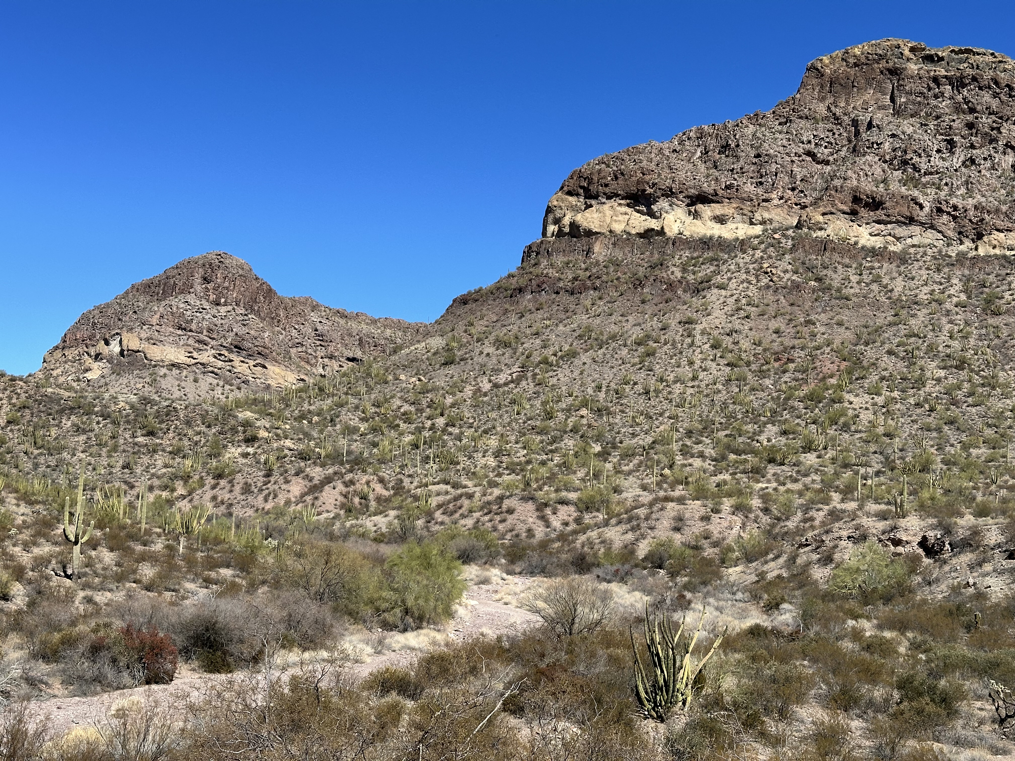
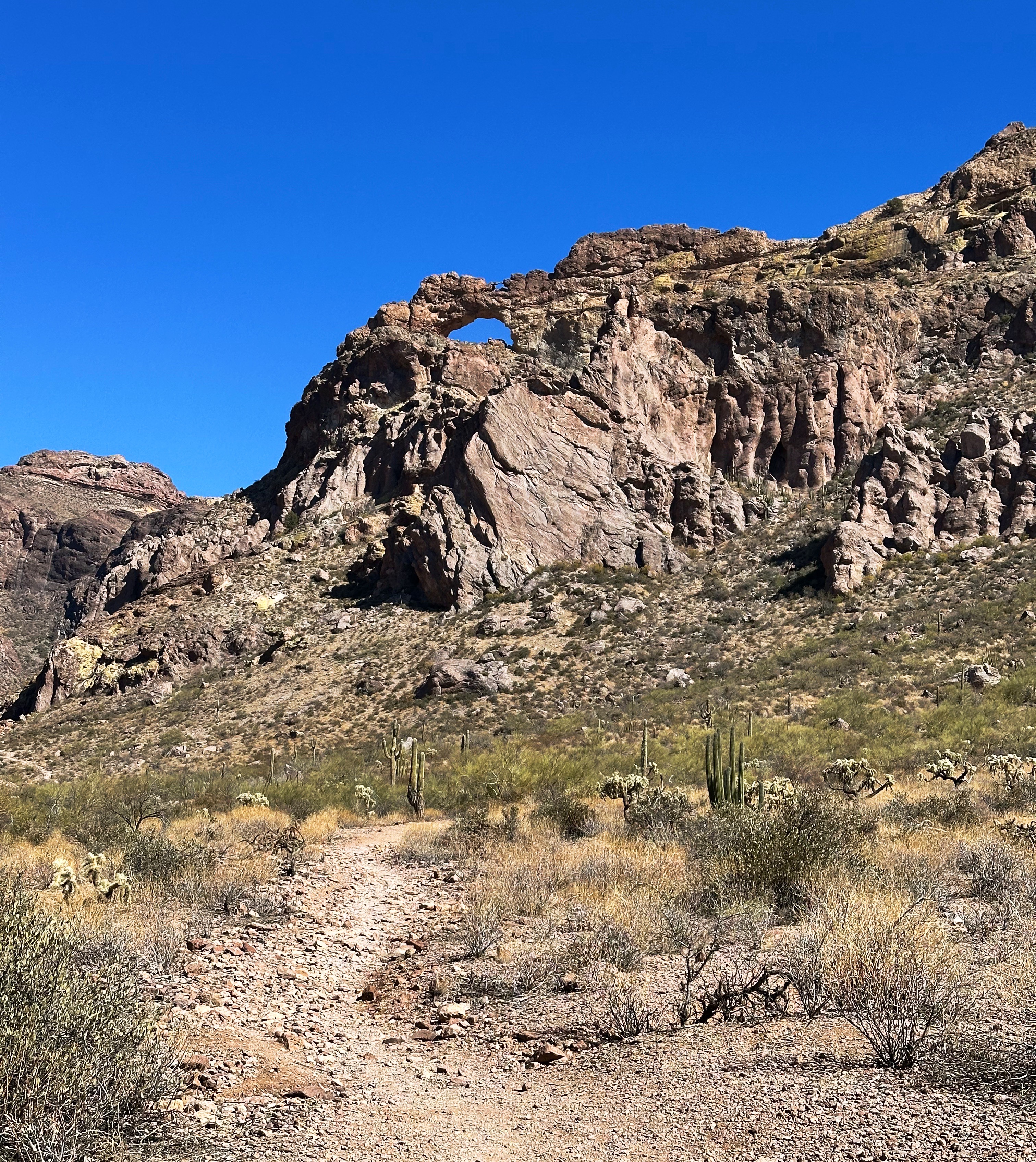
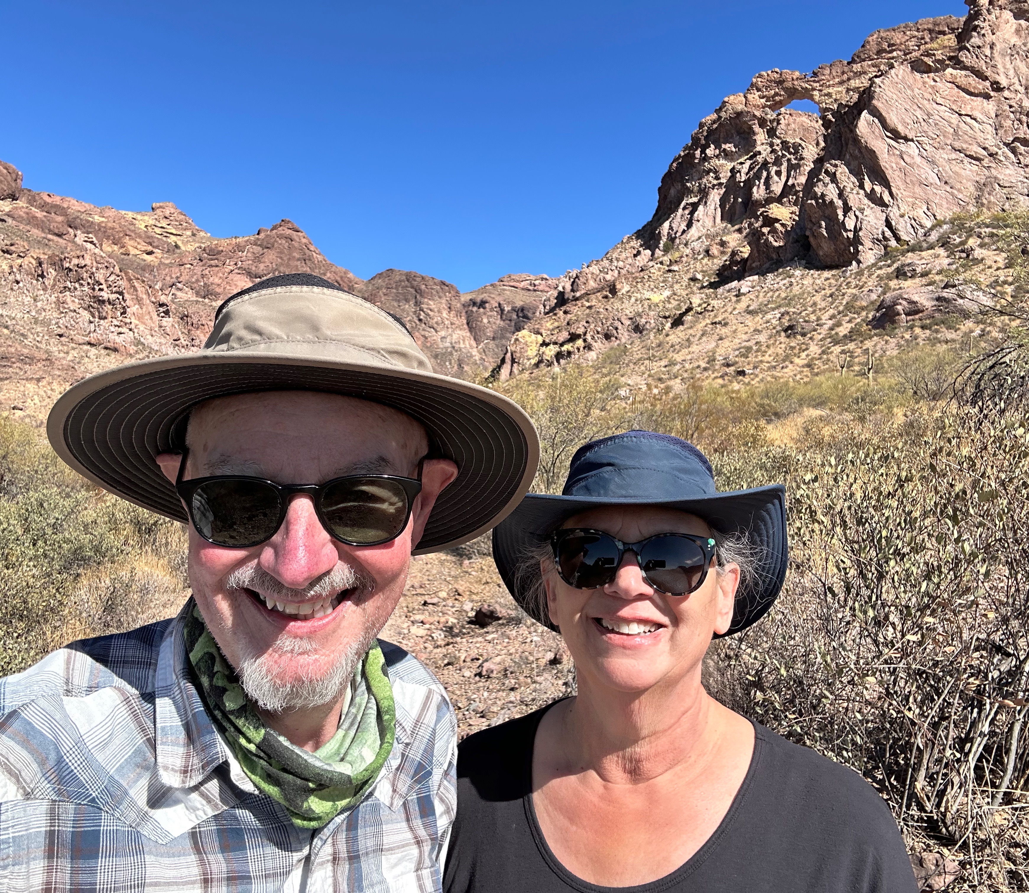
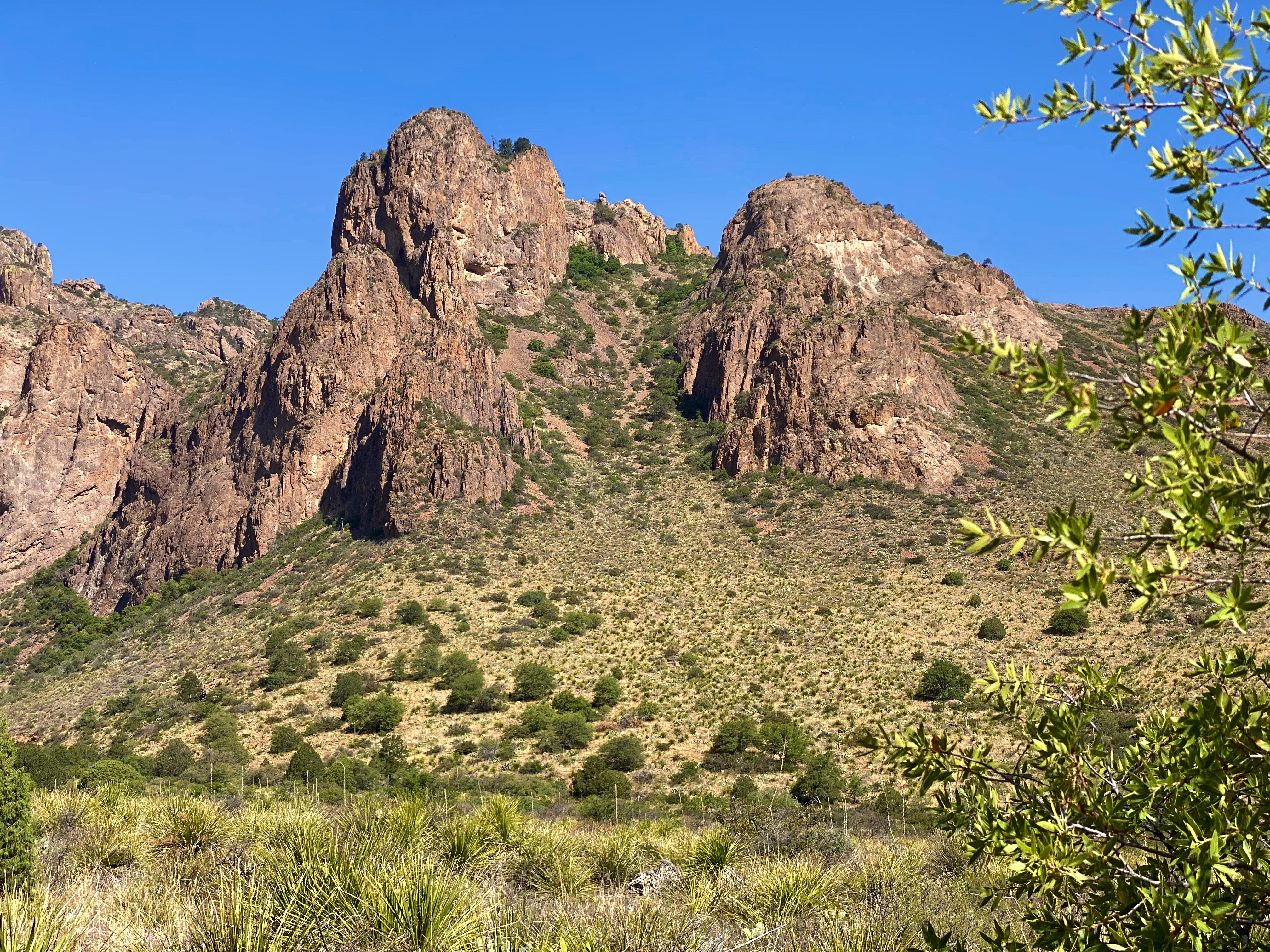
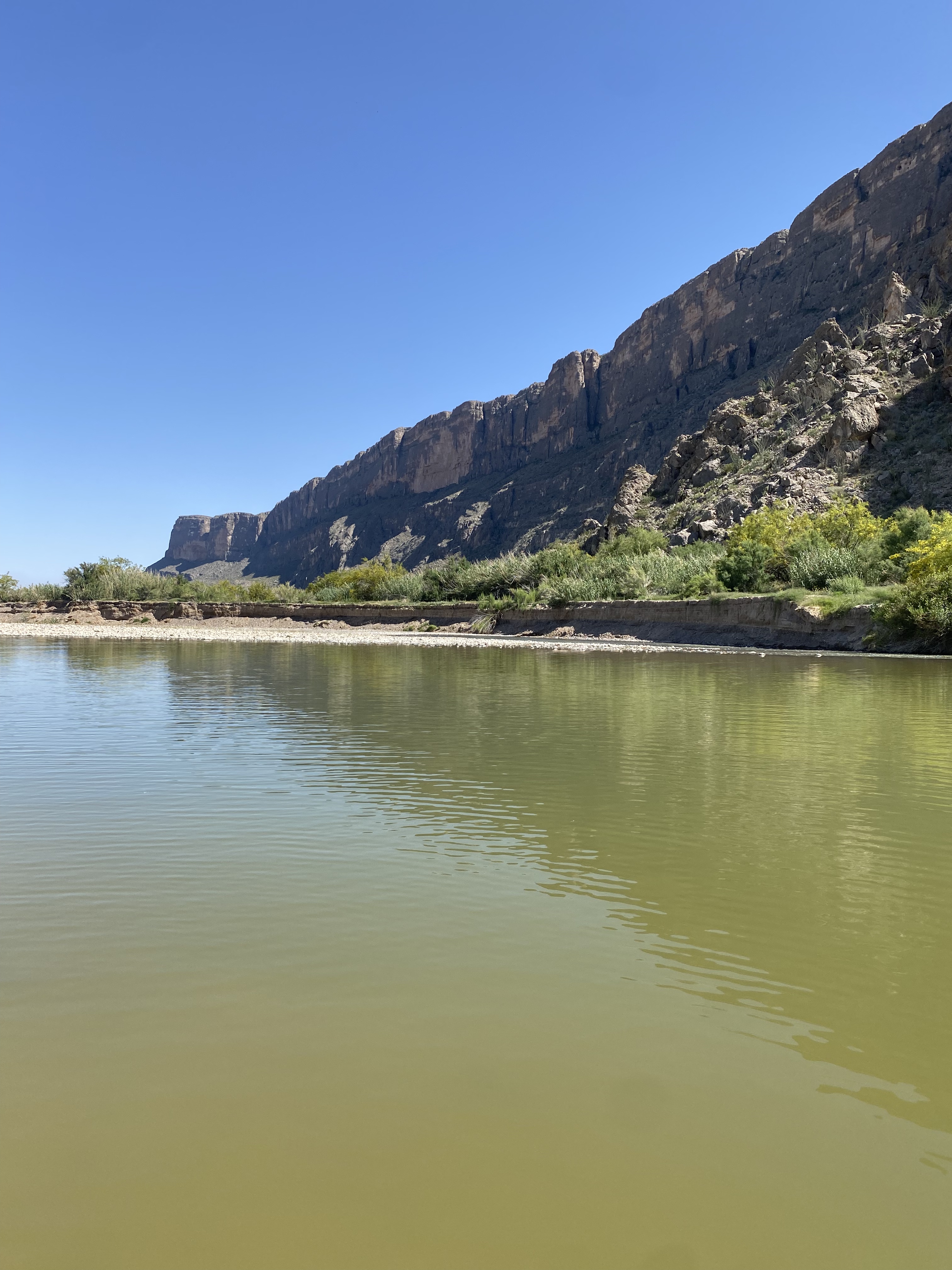
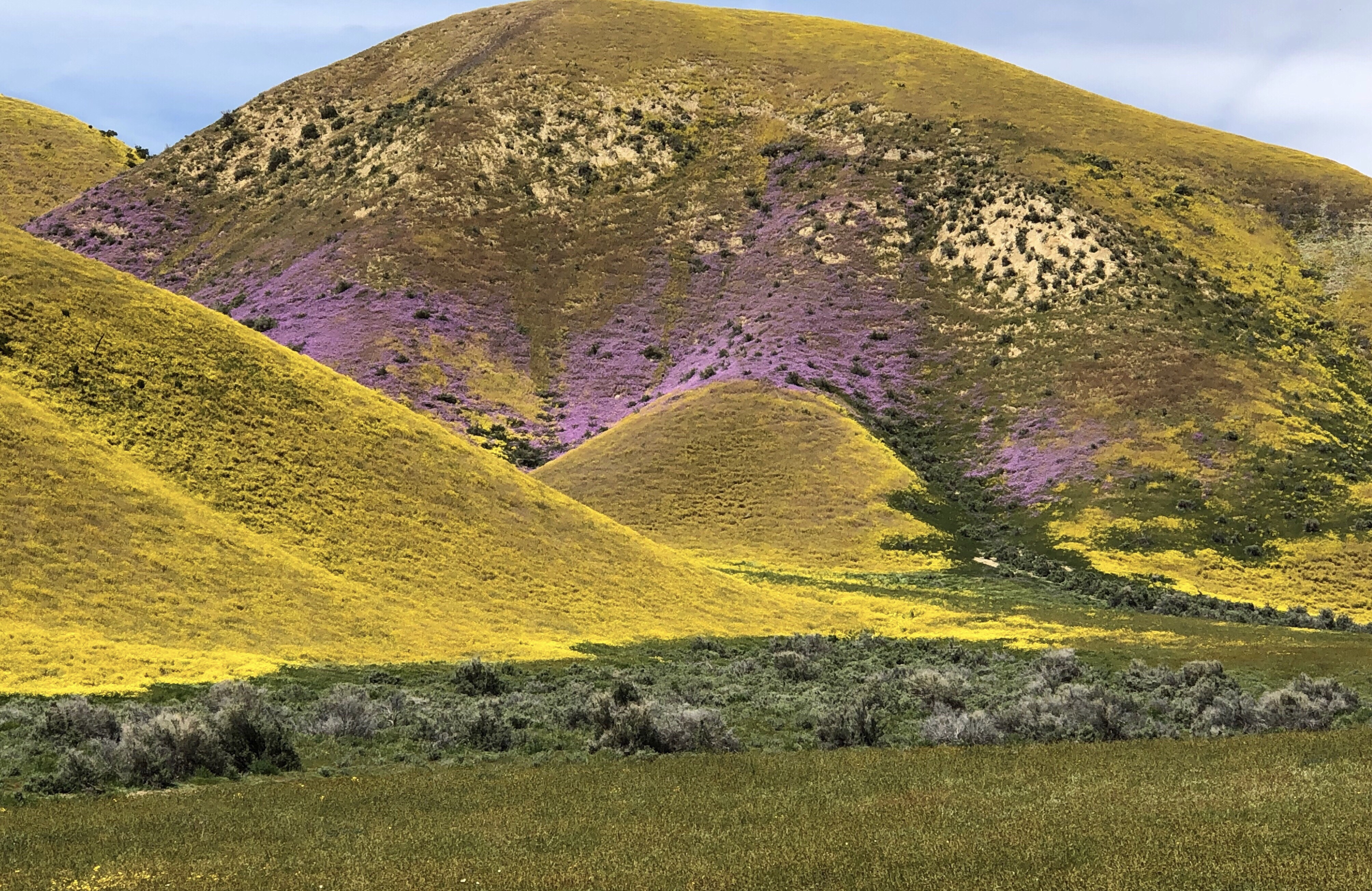
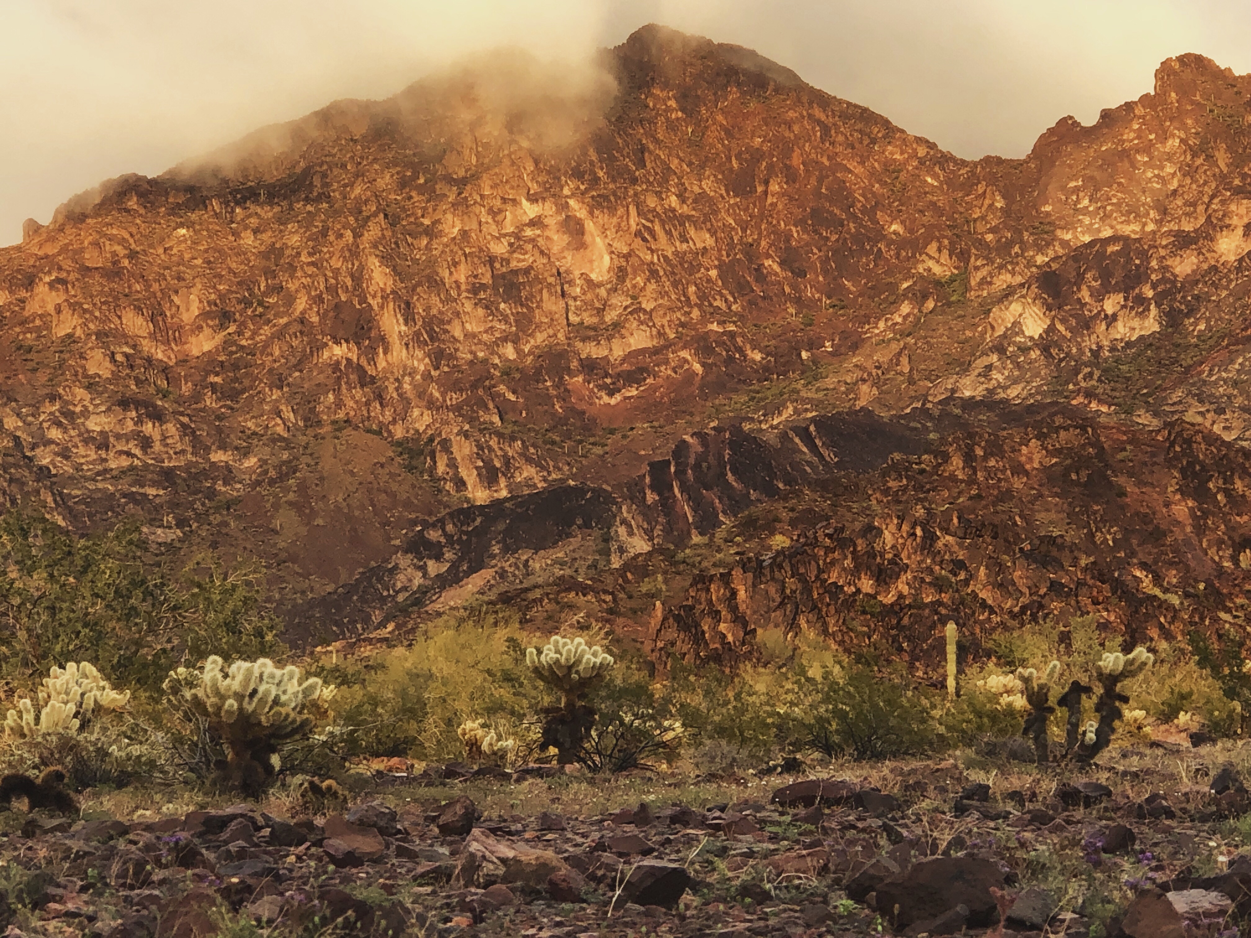
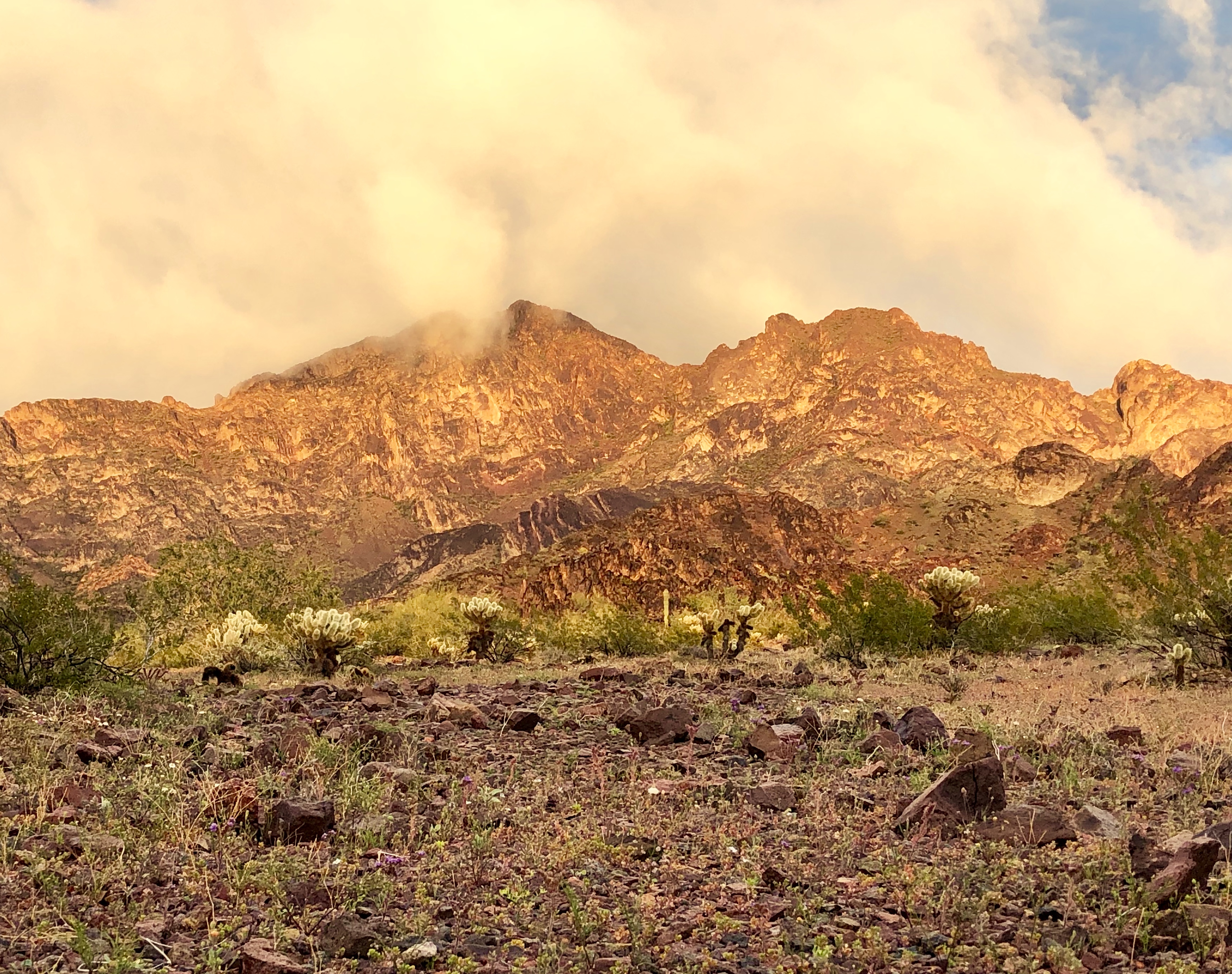
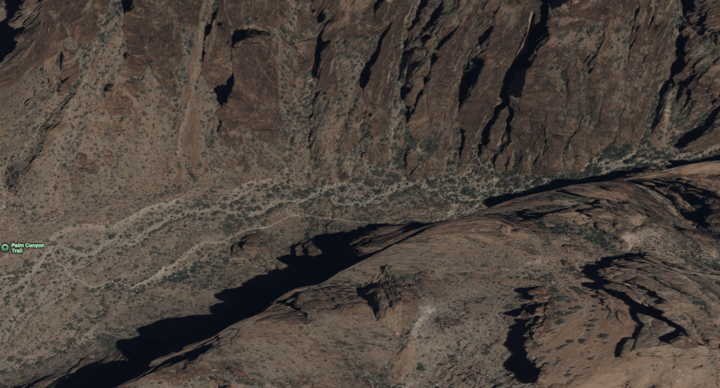
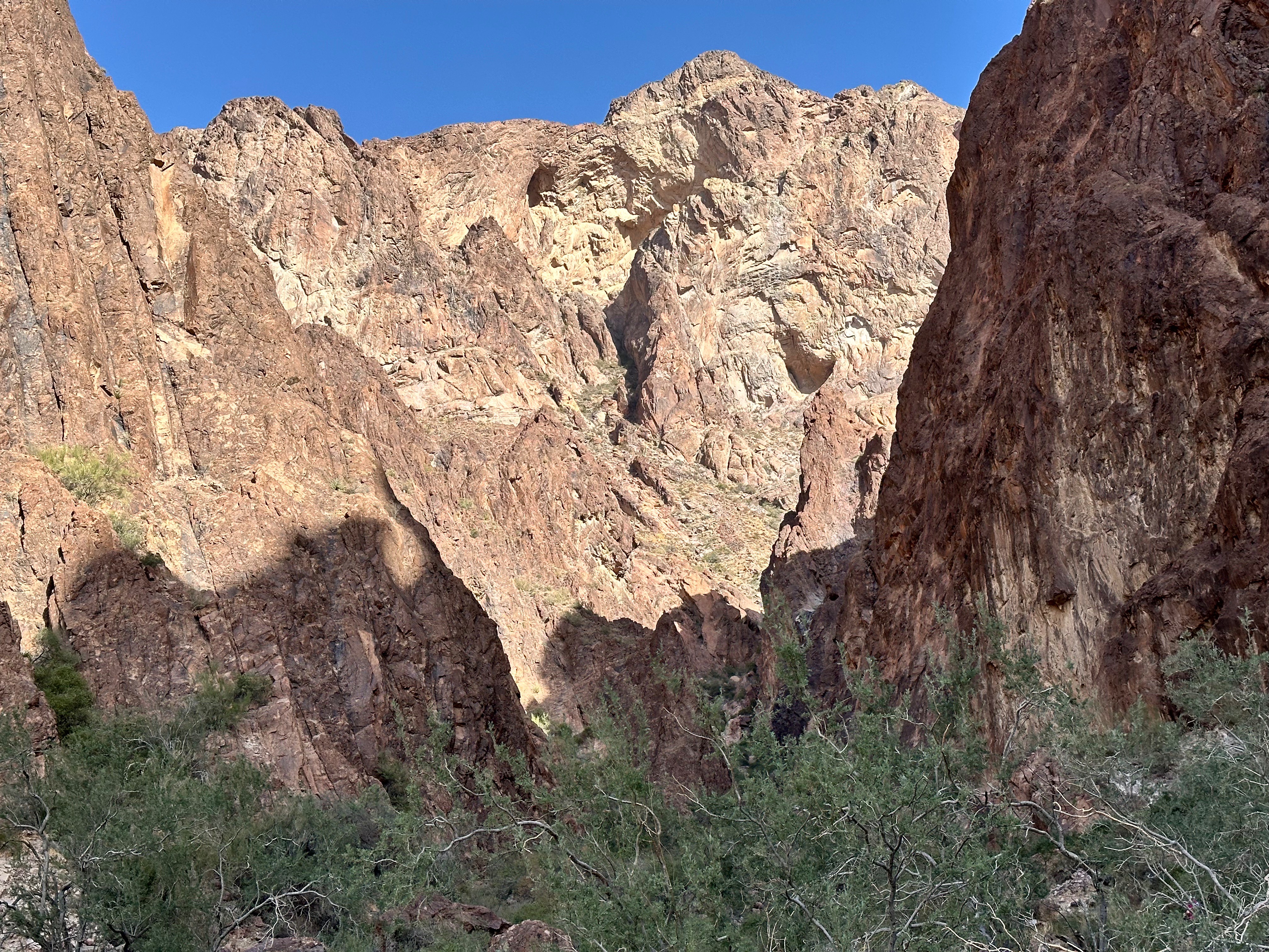
Palm Canyon is a narrow, relatively short but rugged canyon. What distinguishes this canyon from other canyons in the KOFA is that there are California Fan Palms nestled up on the north side of the canyon. These Fan Palms are believed to be the only California Palm Trees in Arizona. In the photo below left you can see the palms tucked into the side of the canyon.


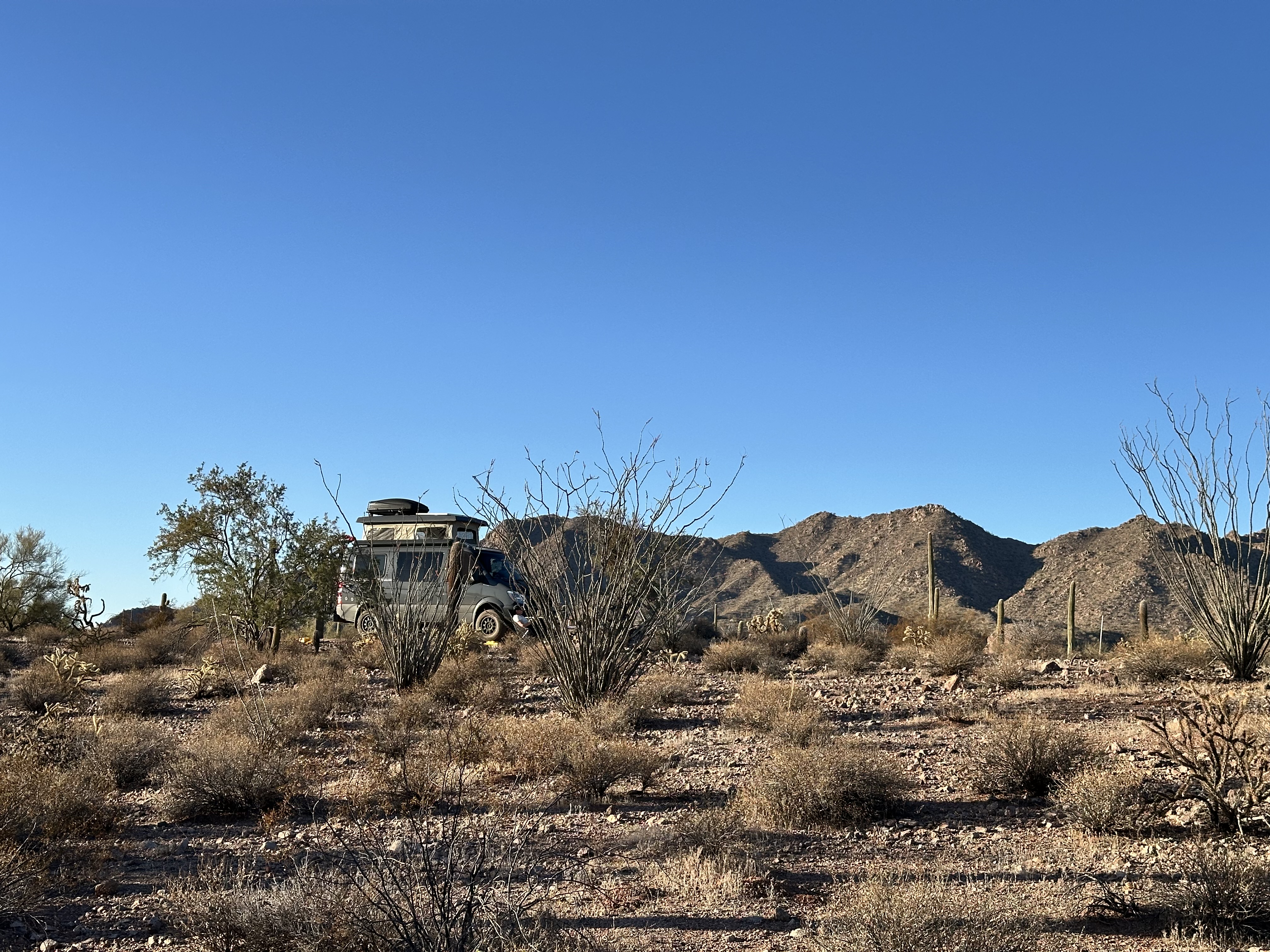
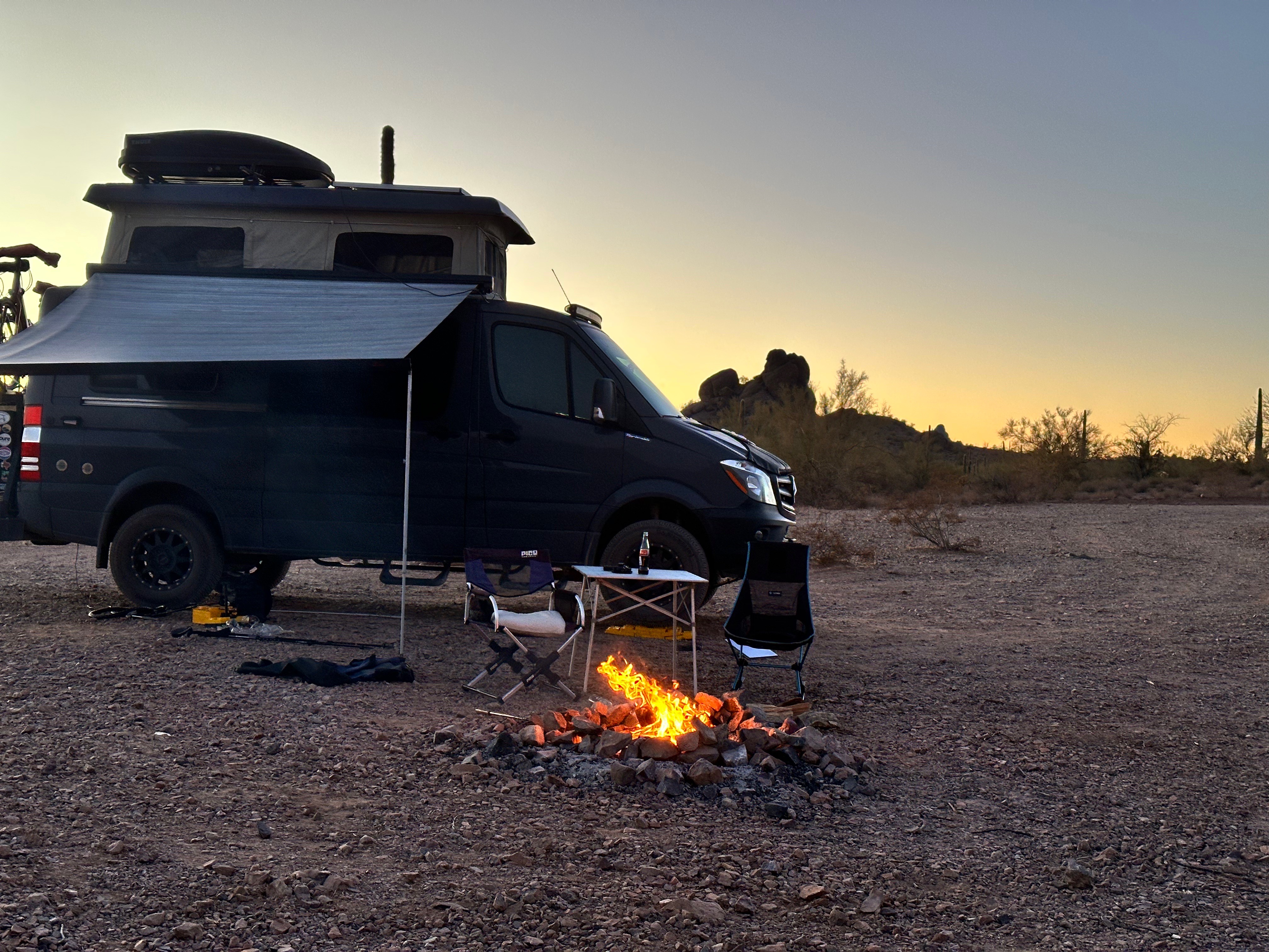
After hiking back down the canyon to the trailhead we drove back west on Palm Canyon Road to scout out a good camping spot – not to difficult actually!
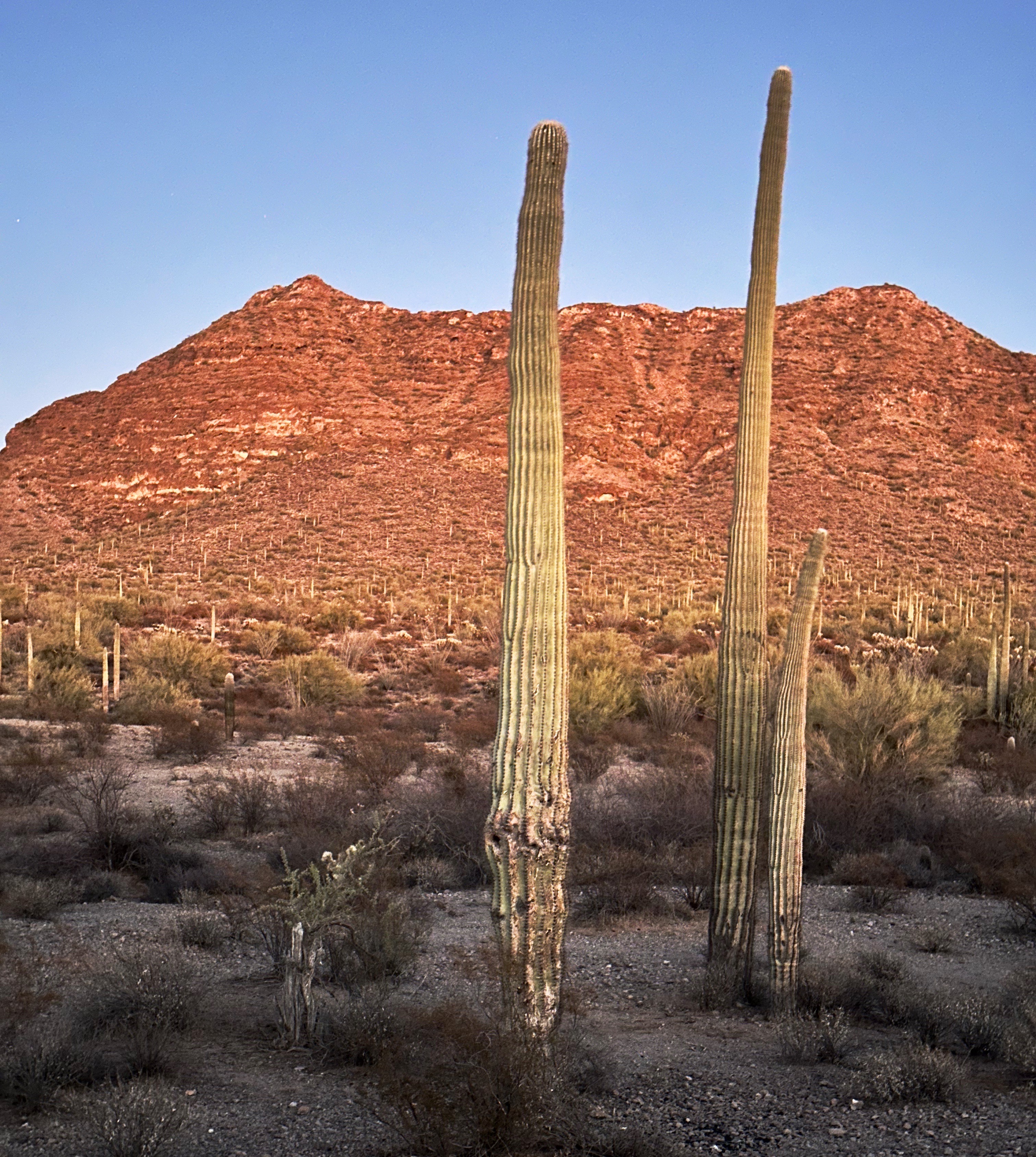
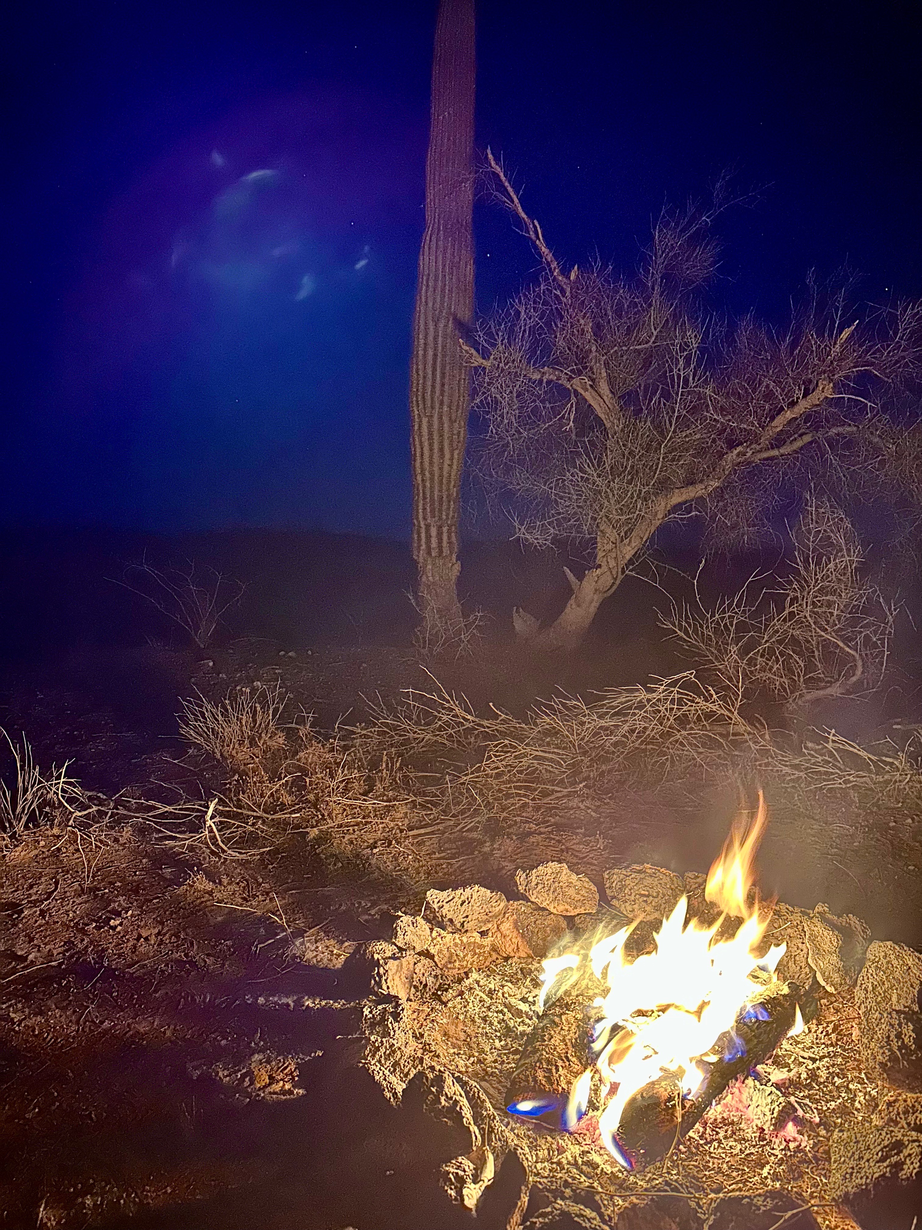
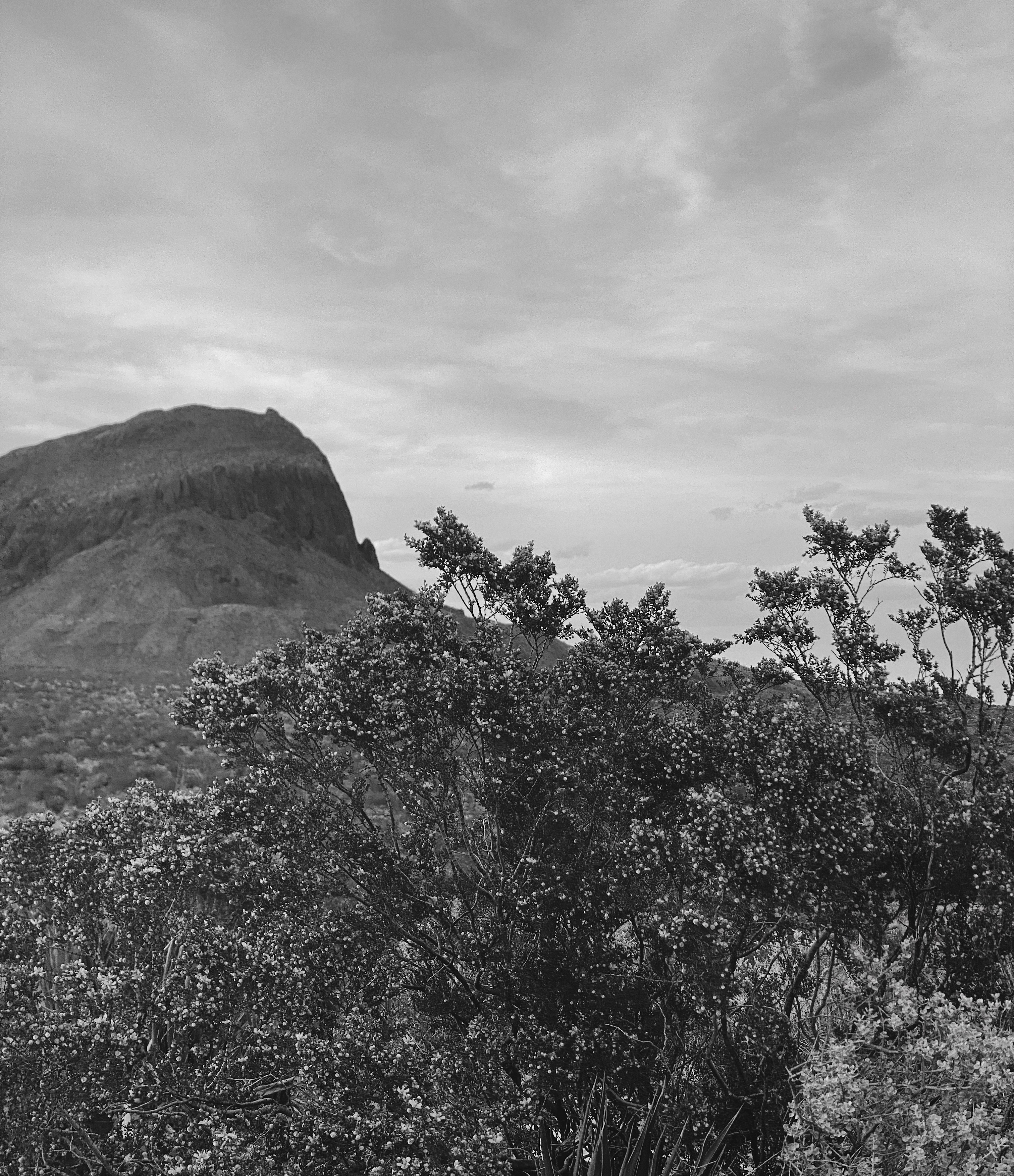
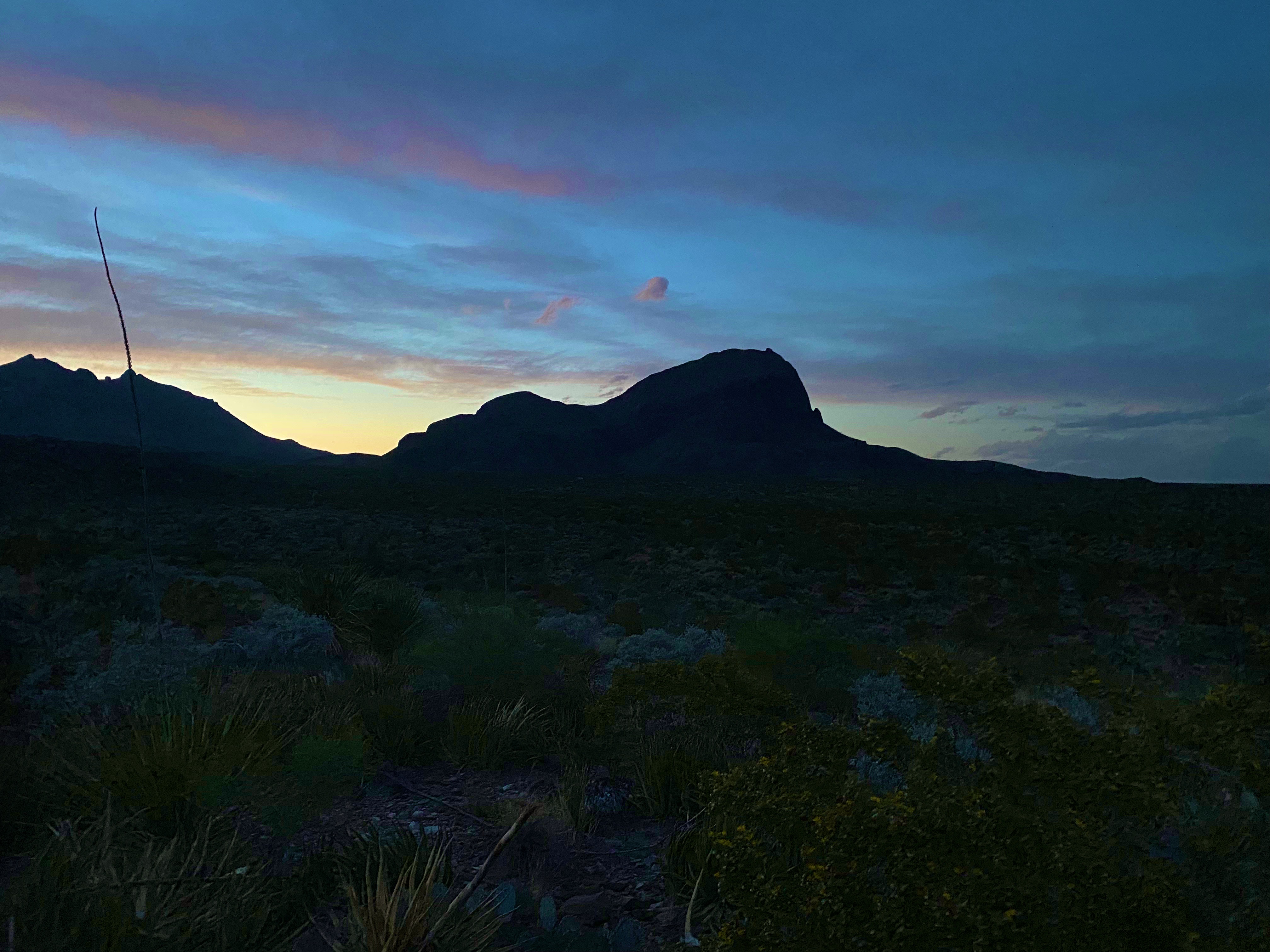
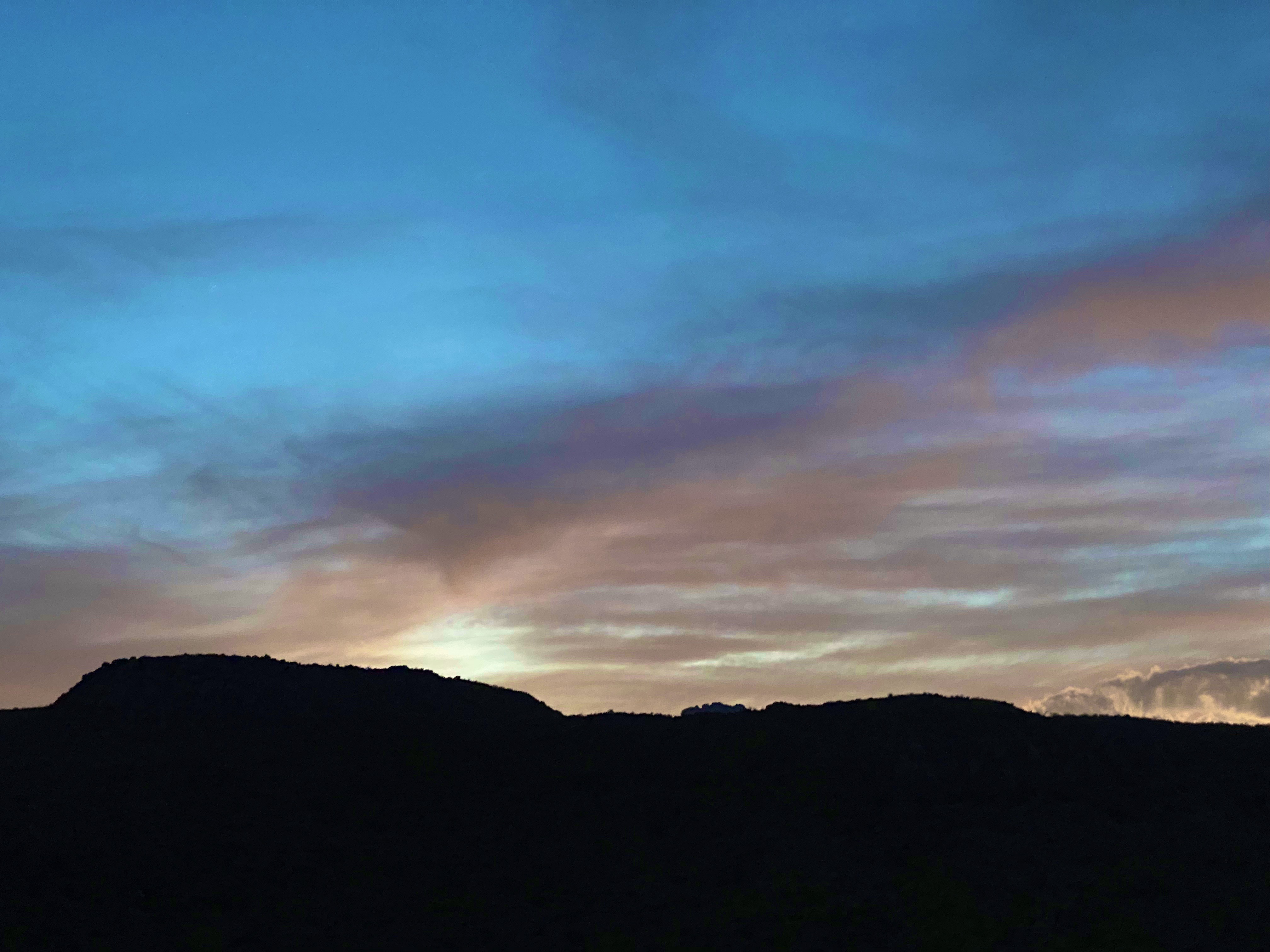
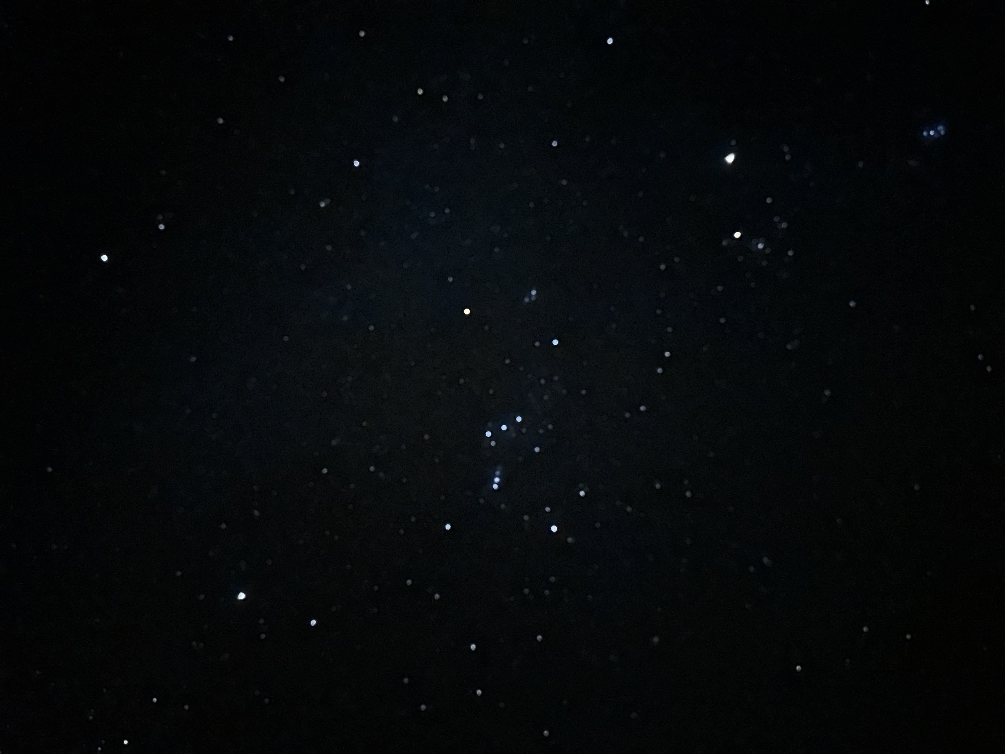
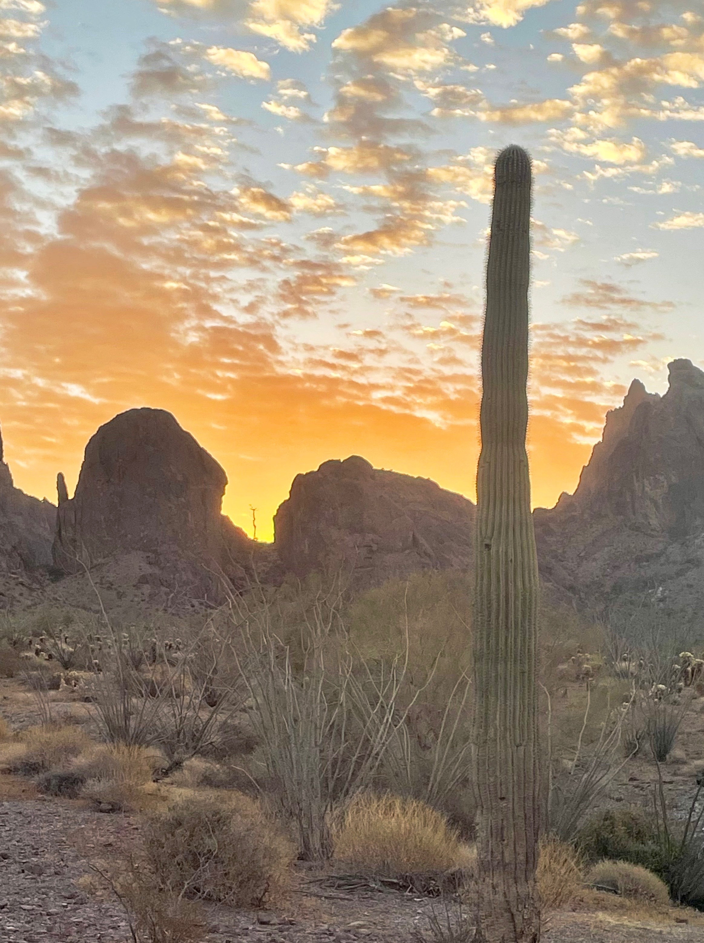
Every evening and morning is a treat in the desert with spectacular sunsets, starry black nights and gorgeous sunrises.


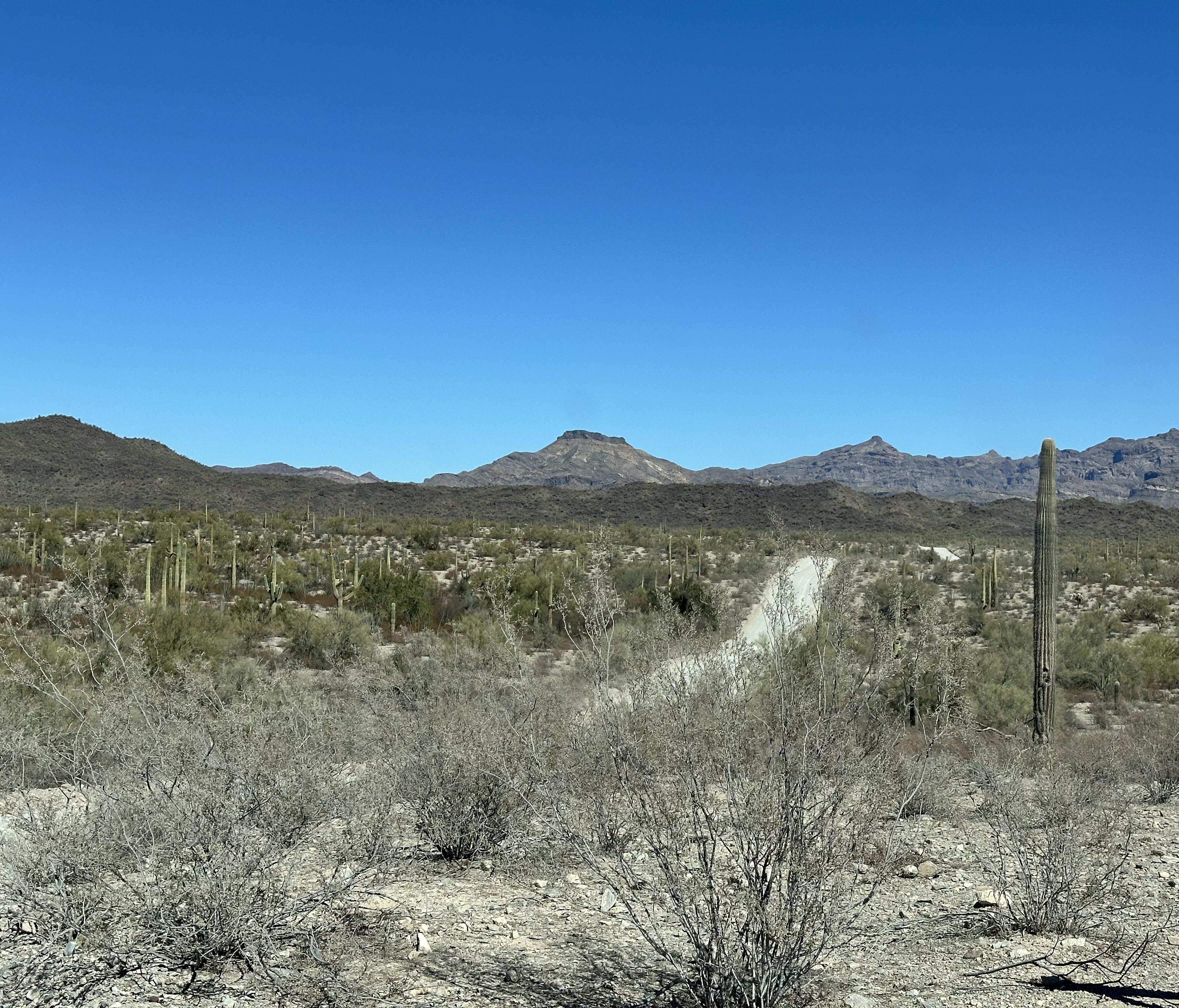
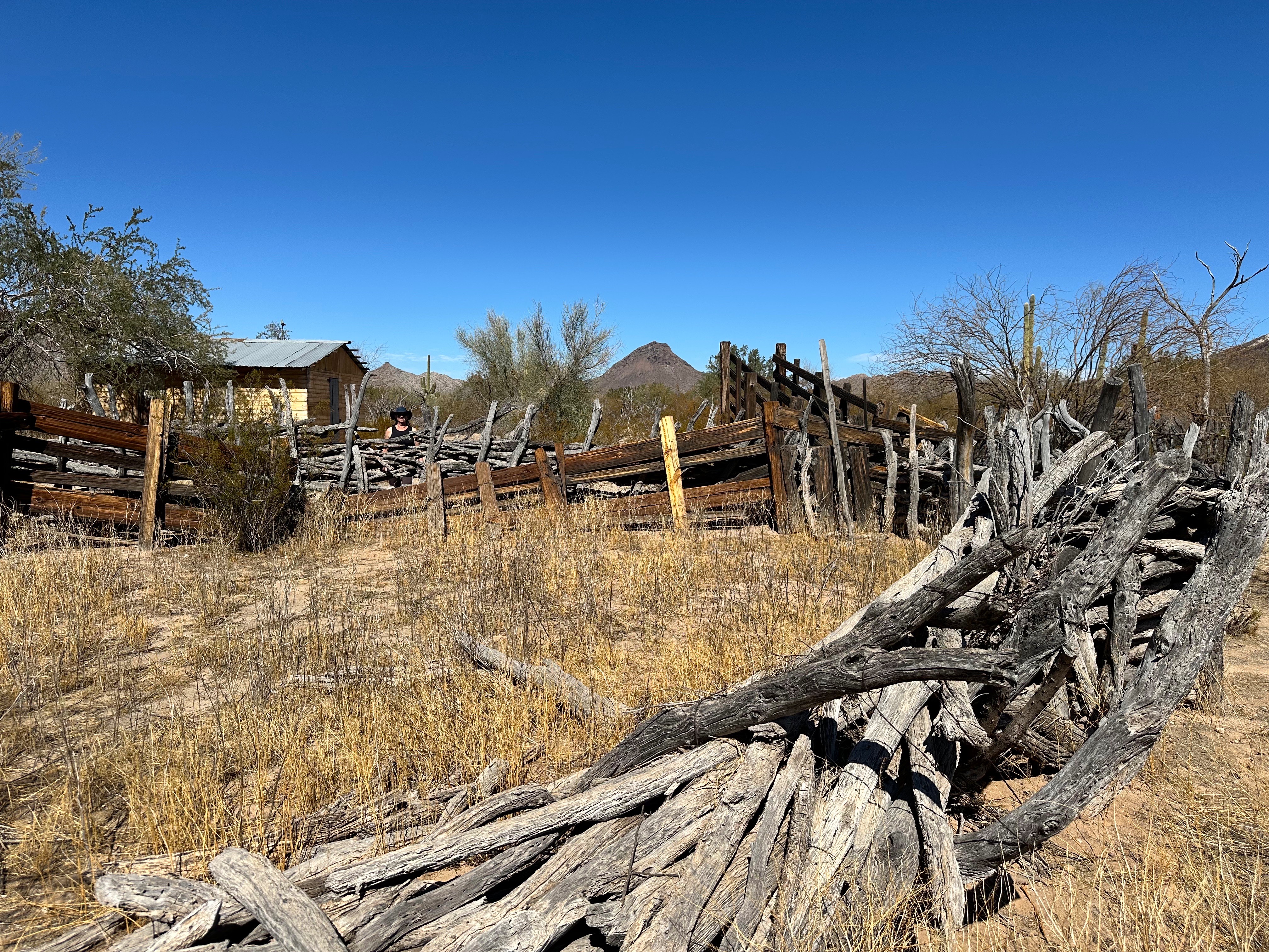
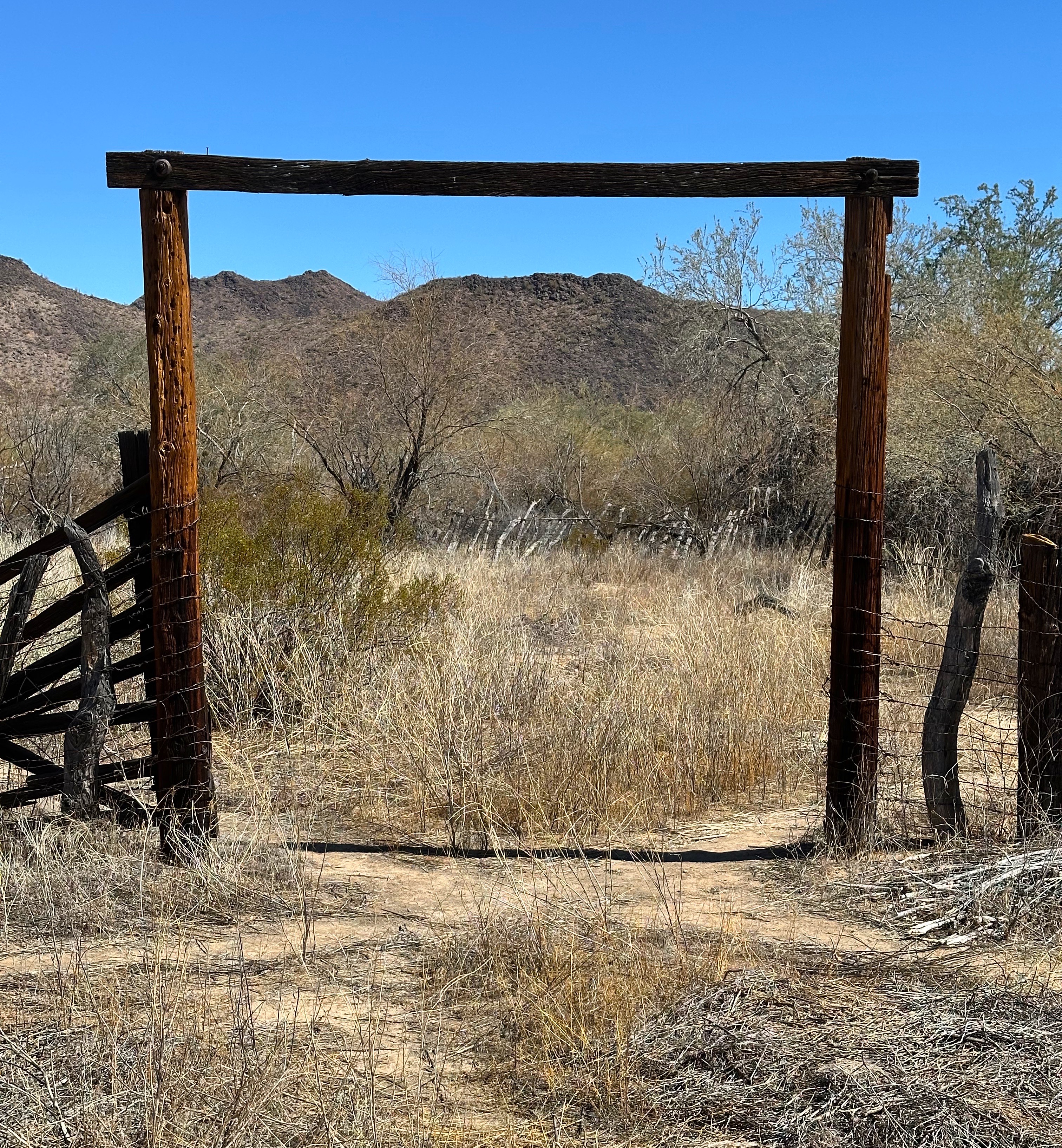
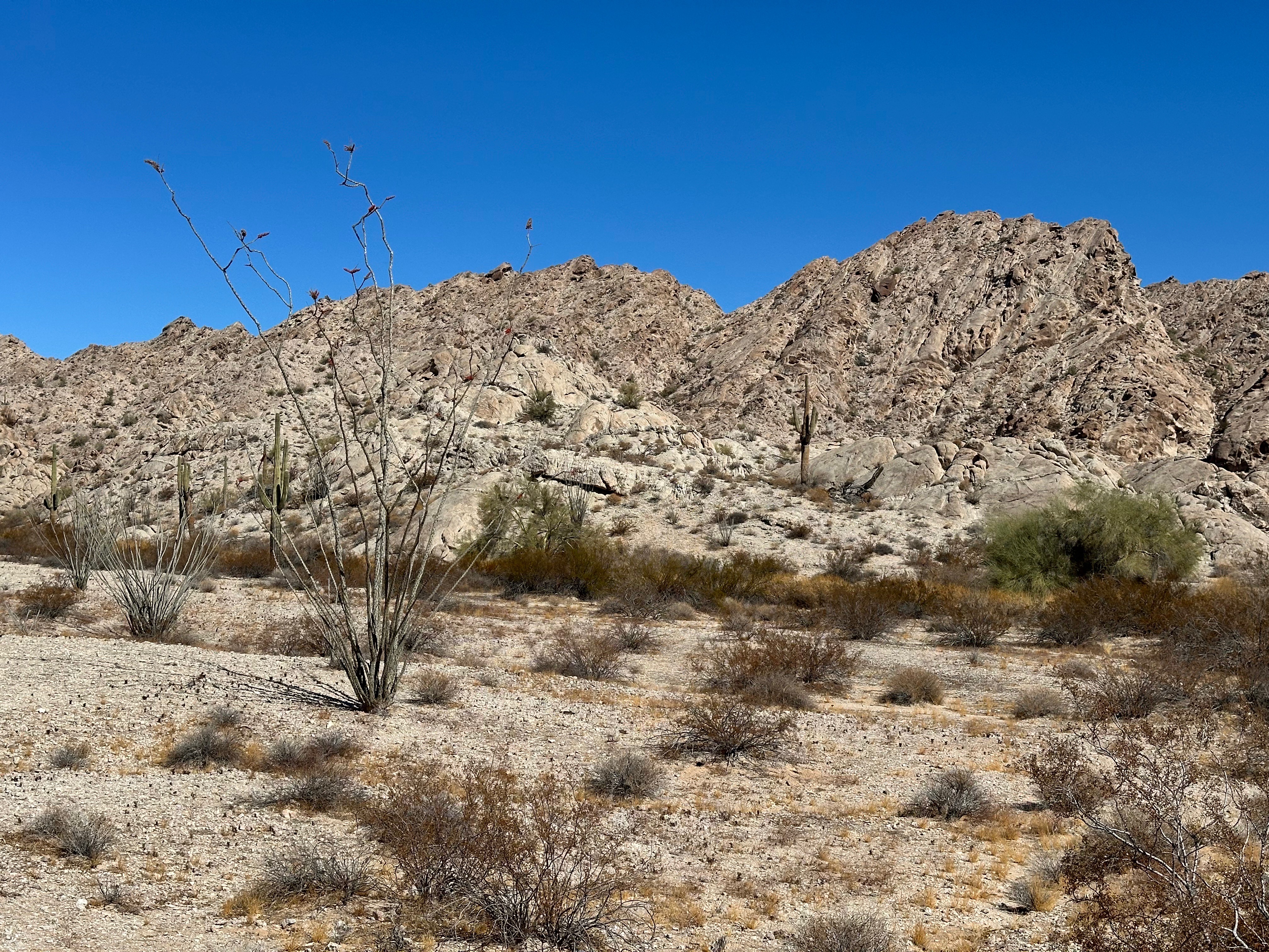
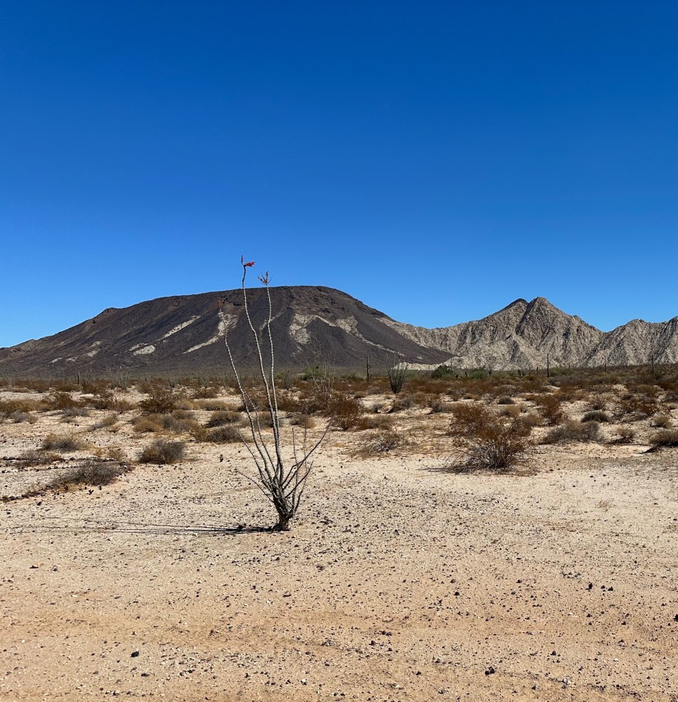
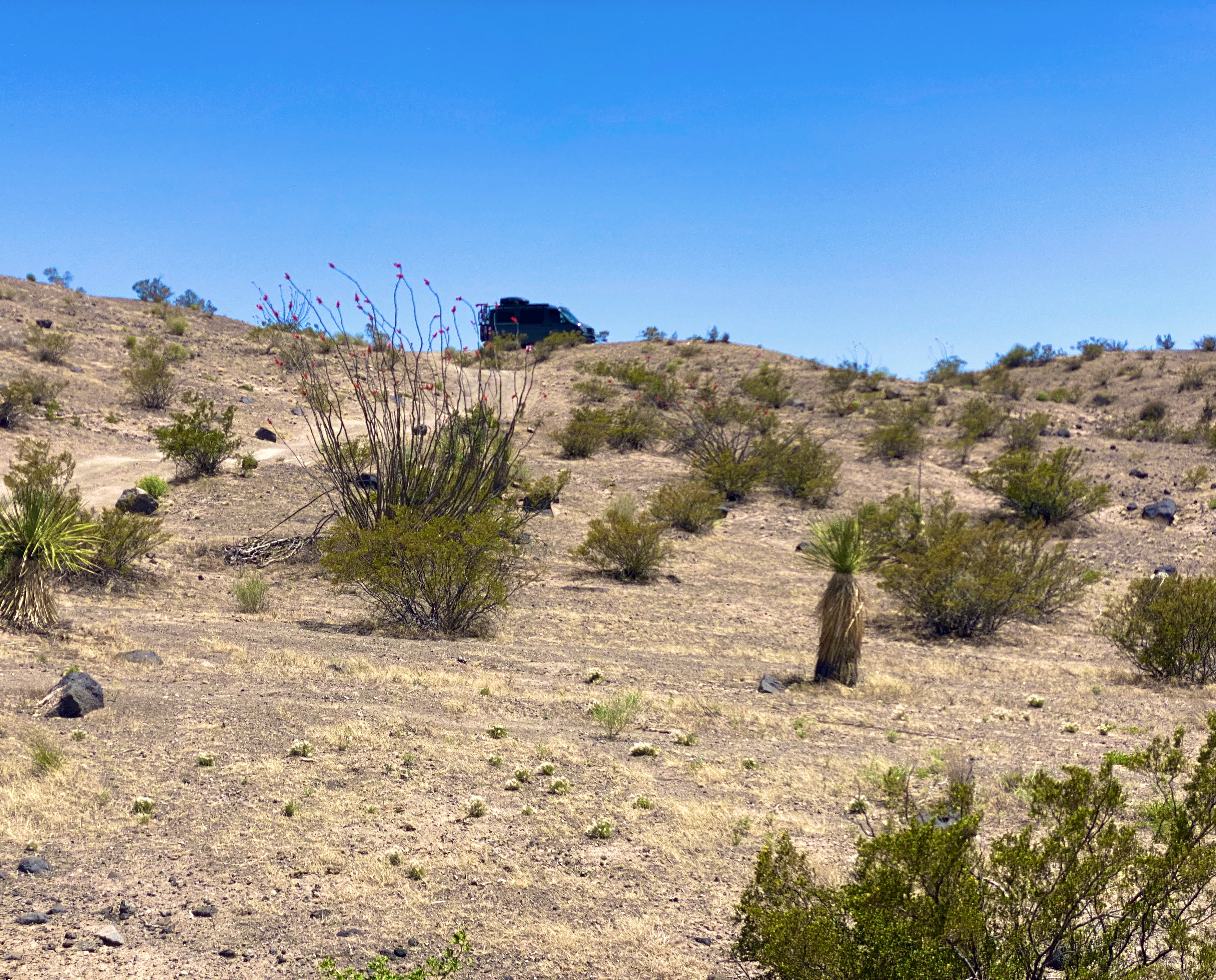
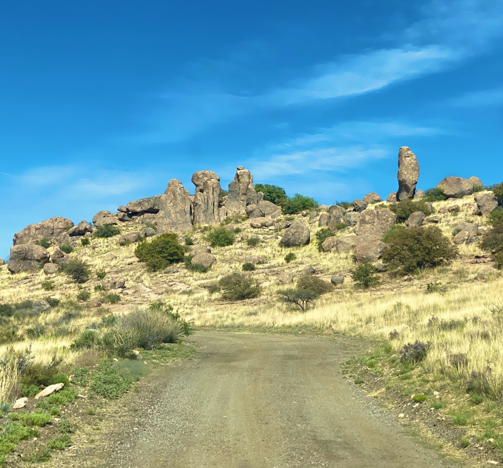
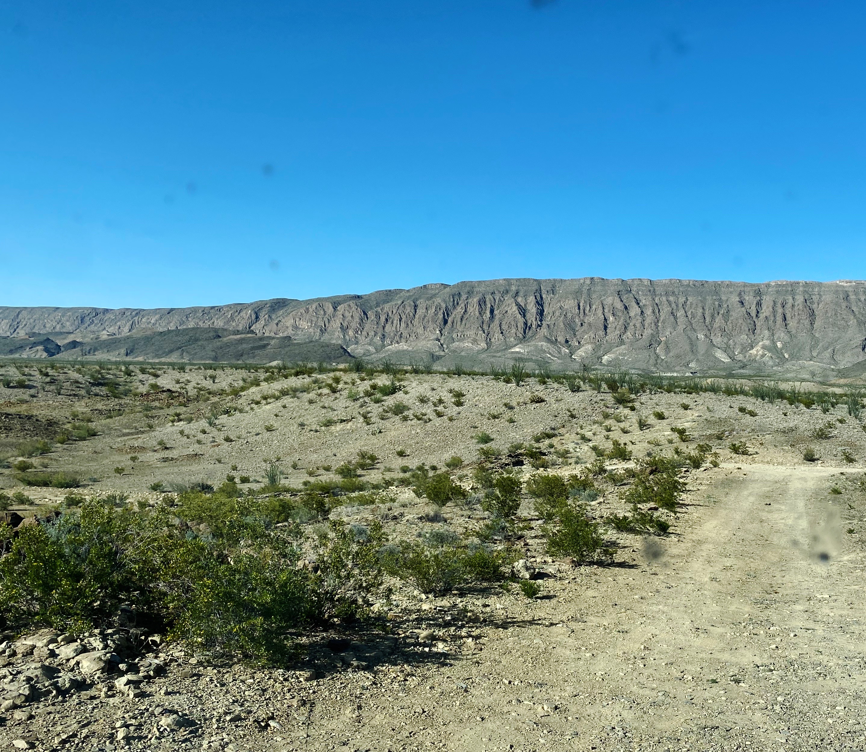
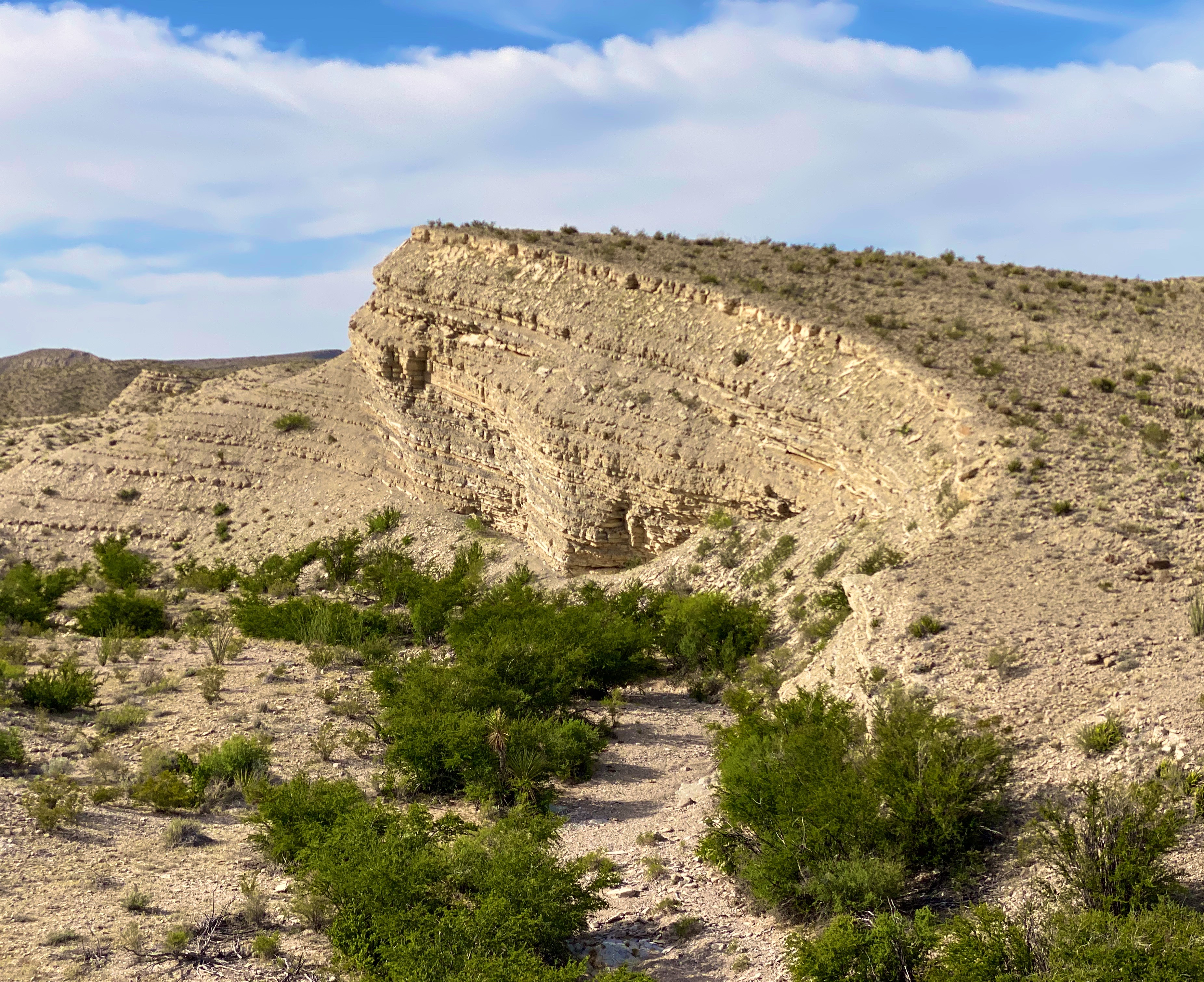
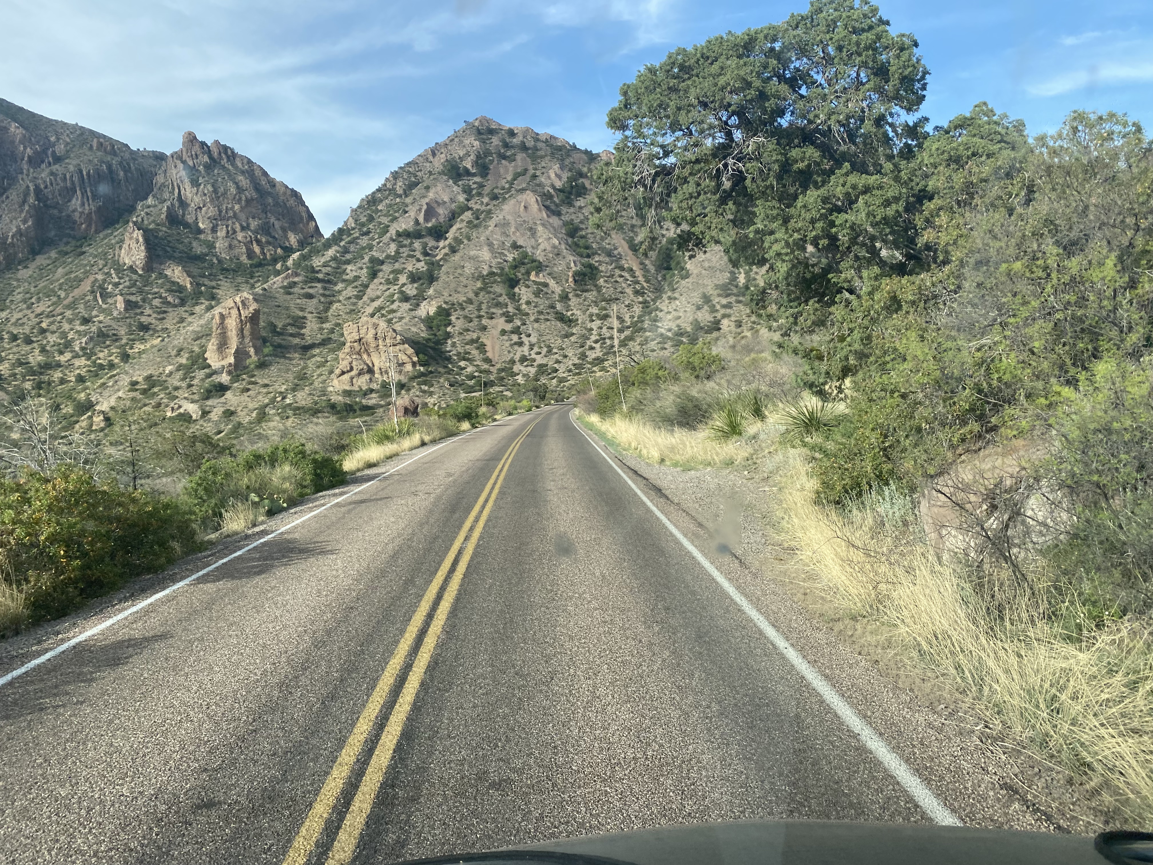
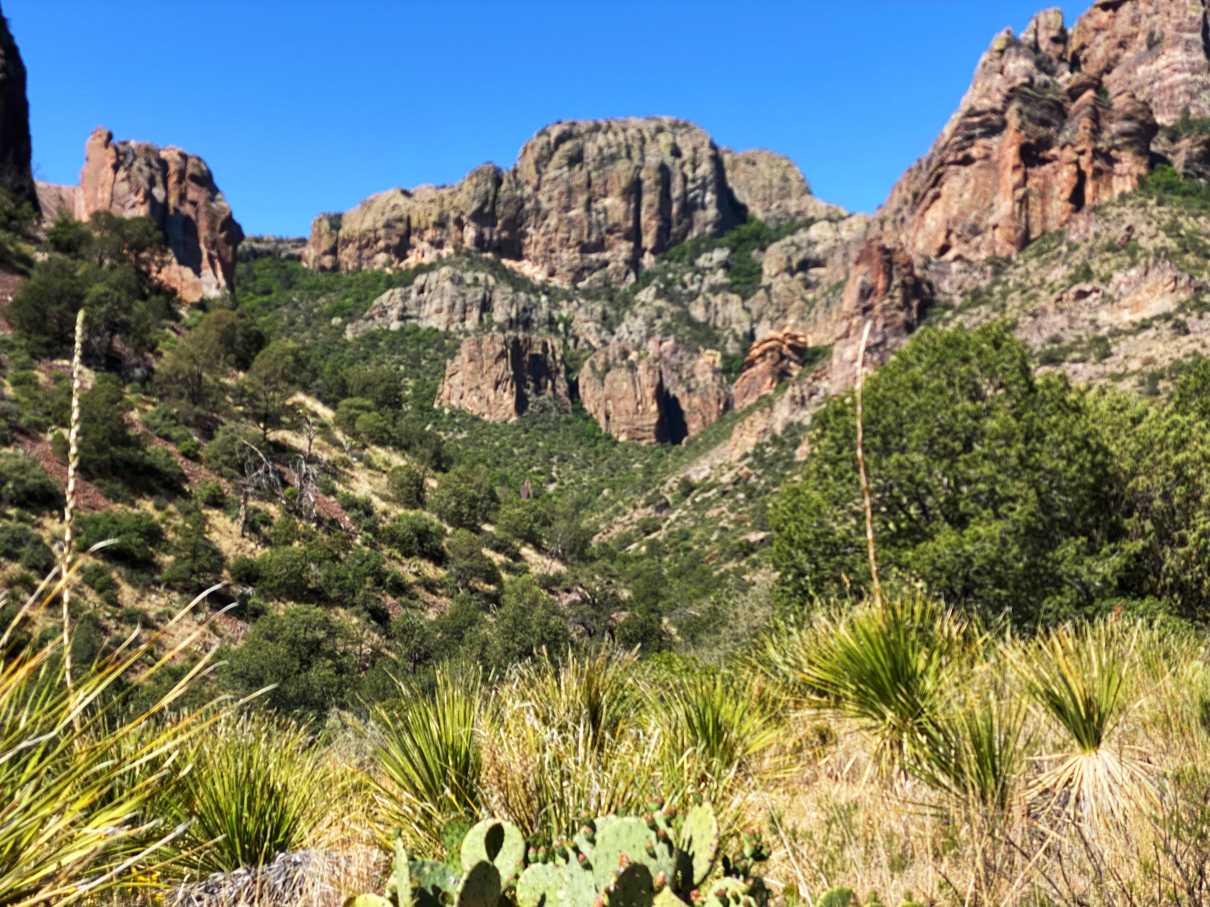
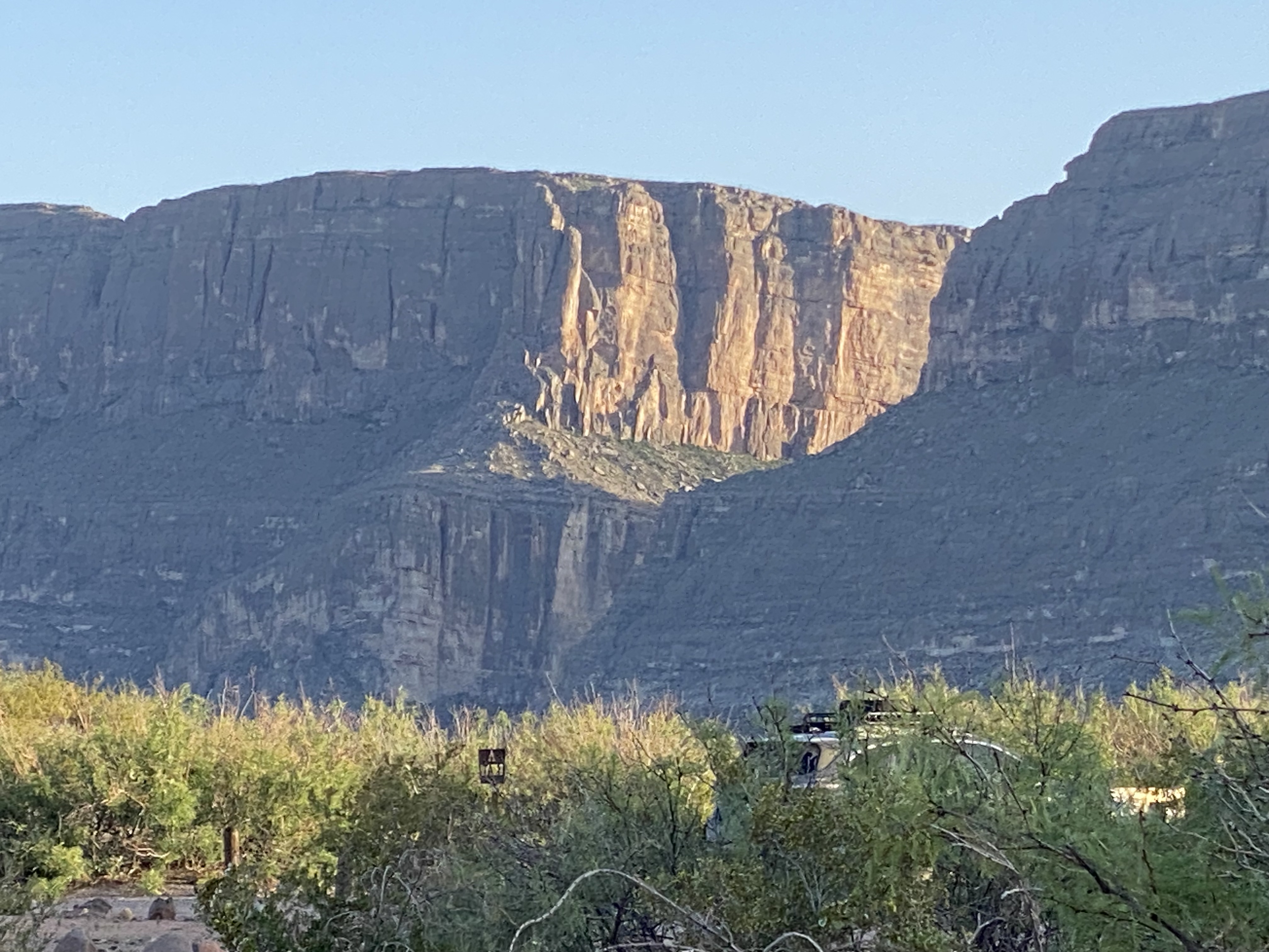
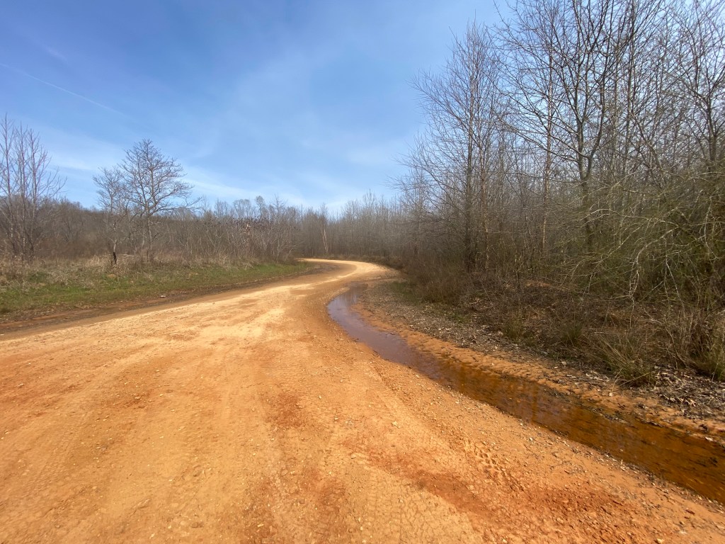
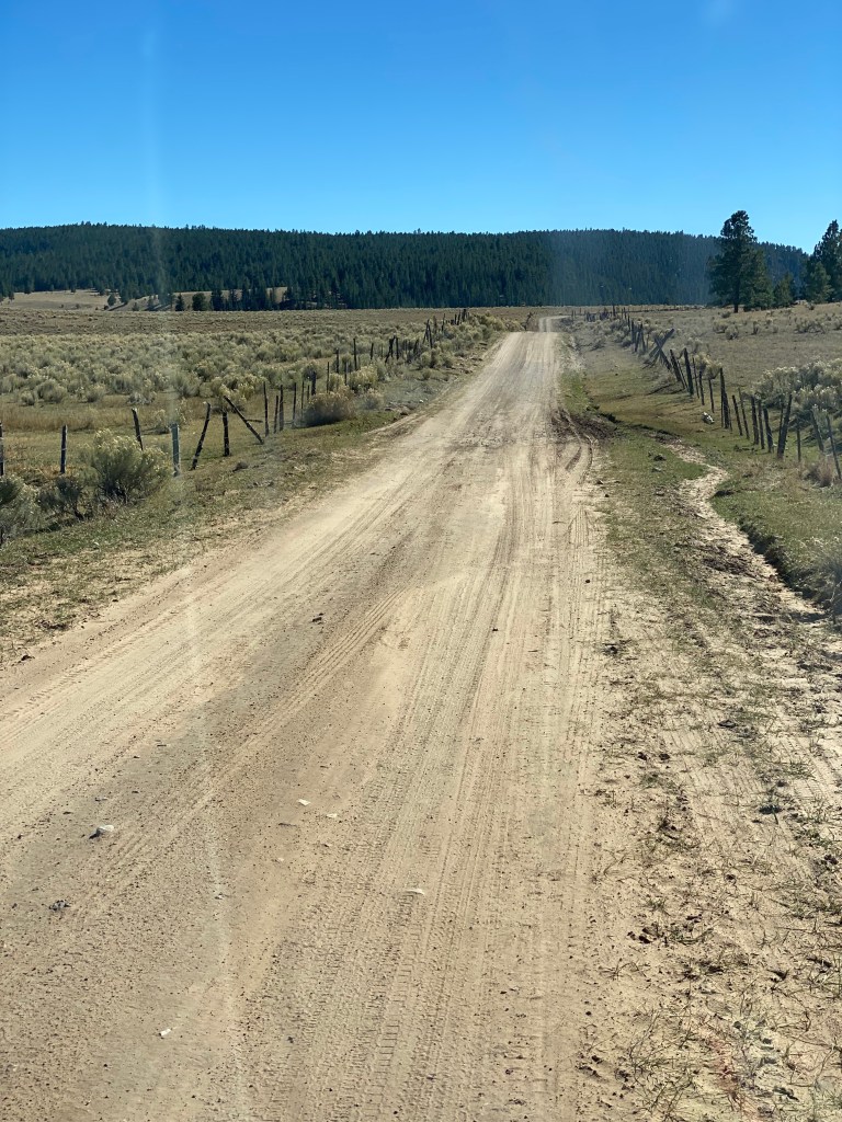
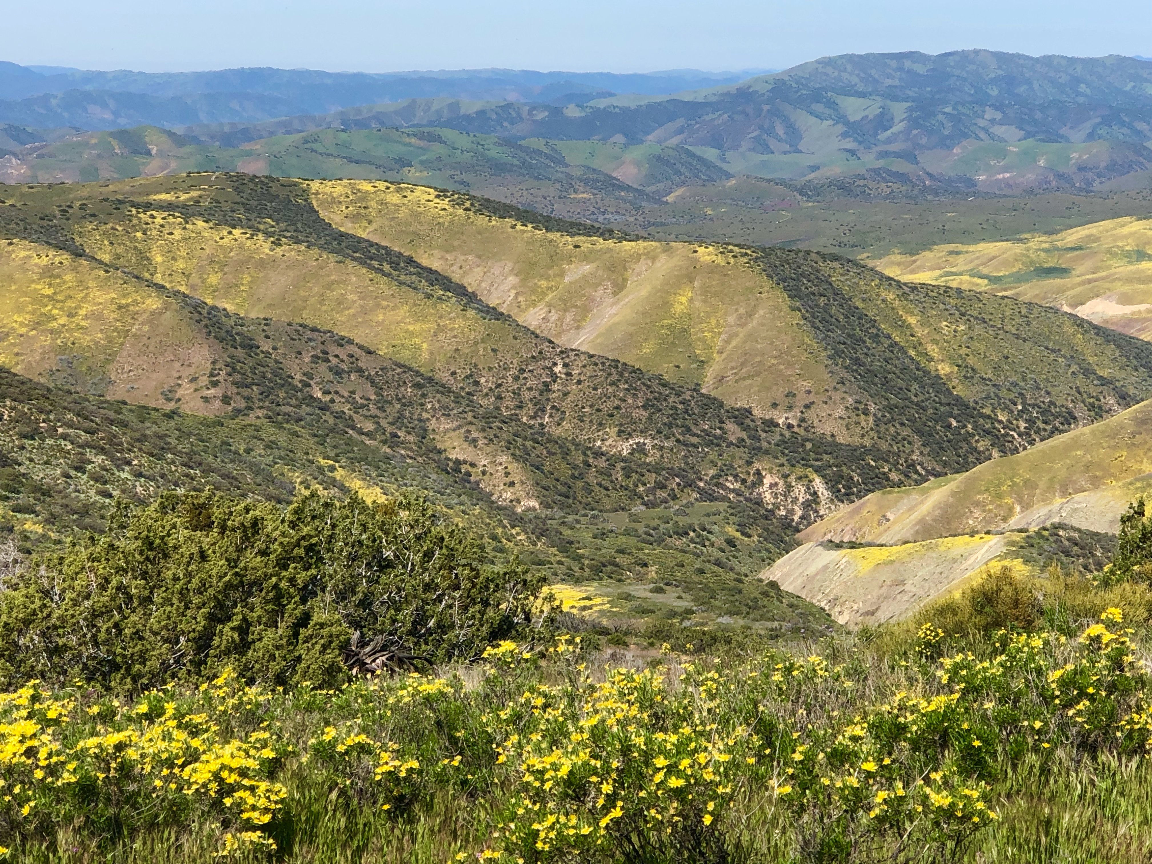
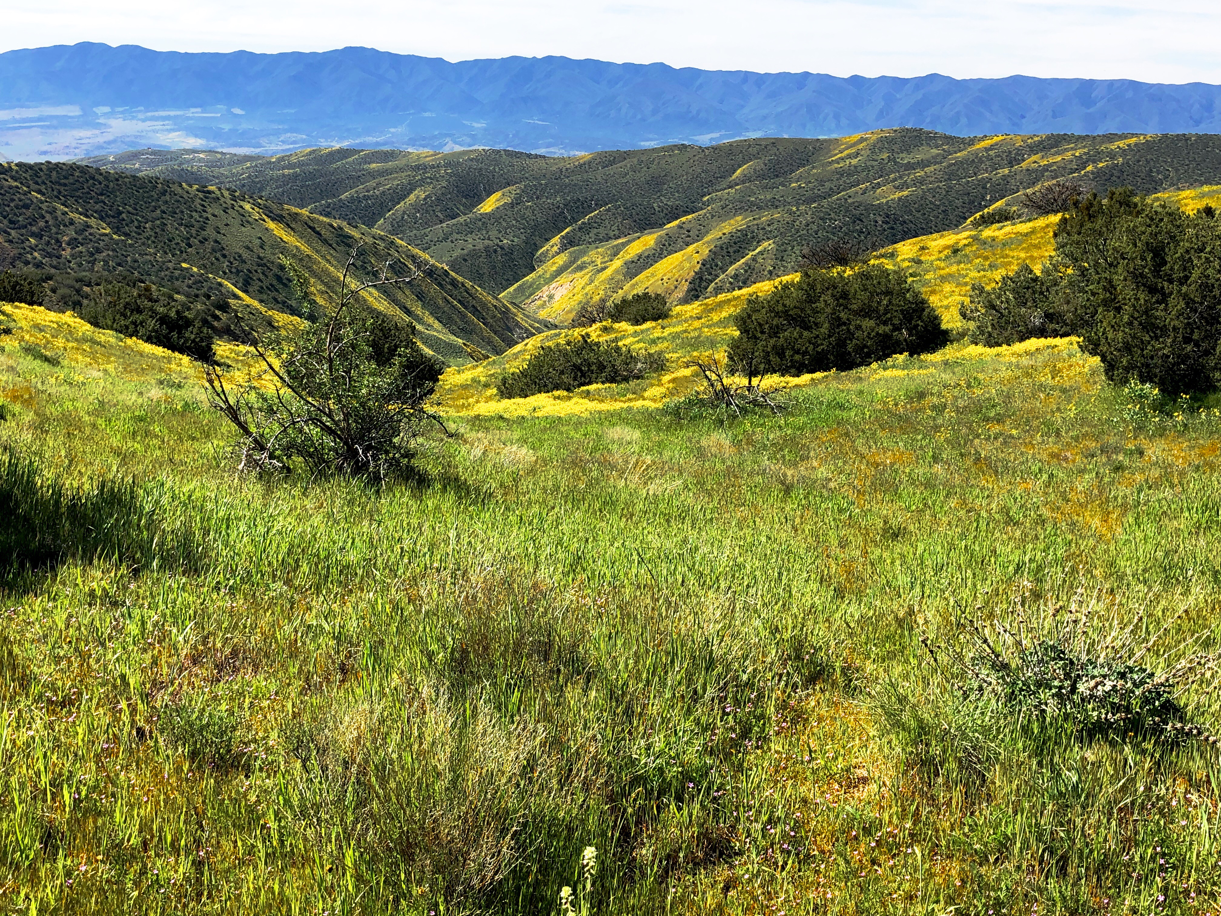
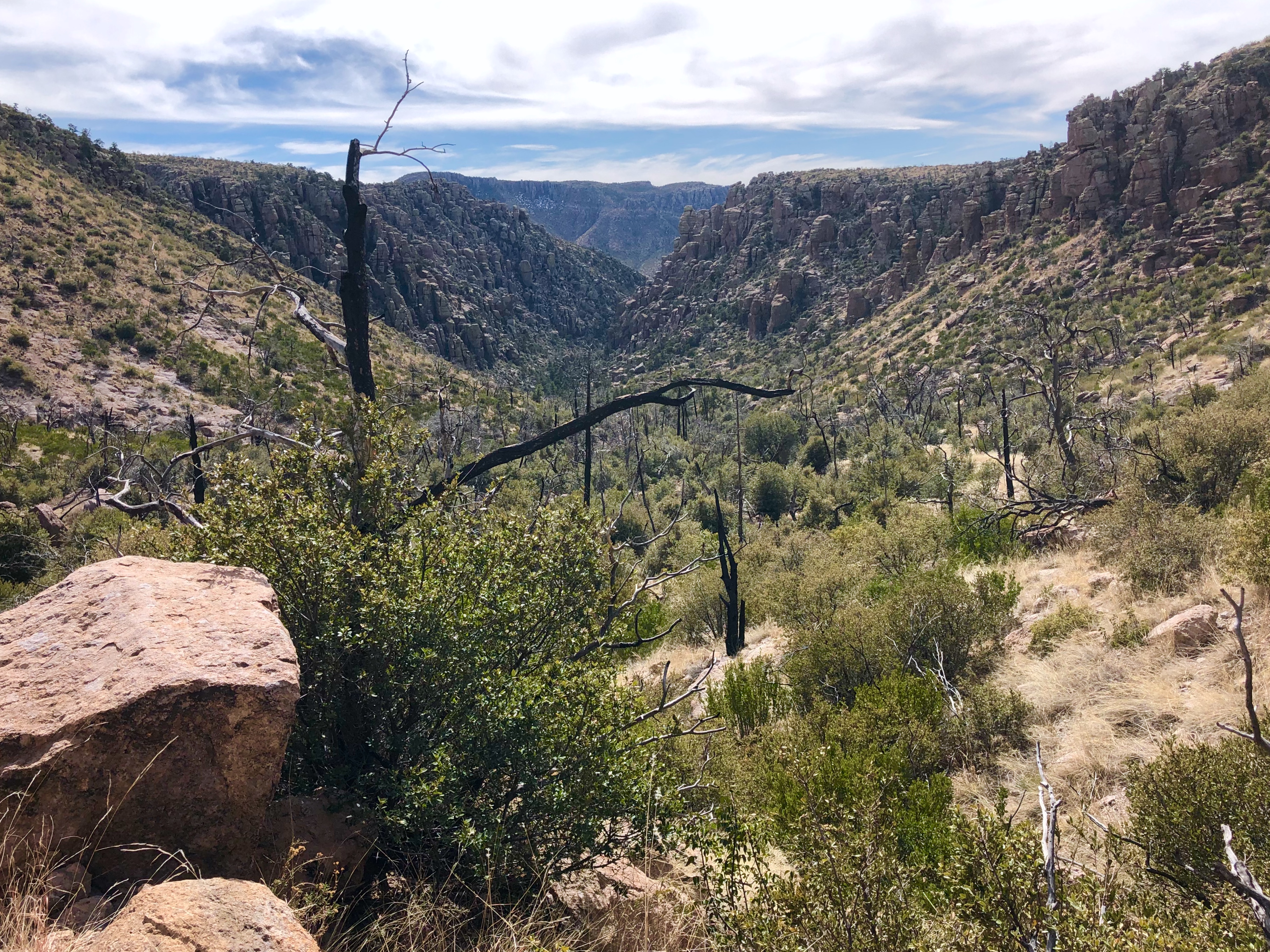
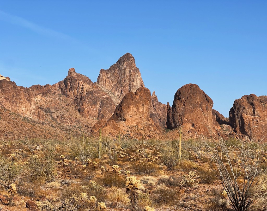
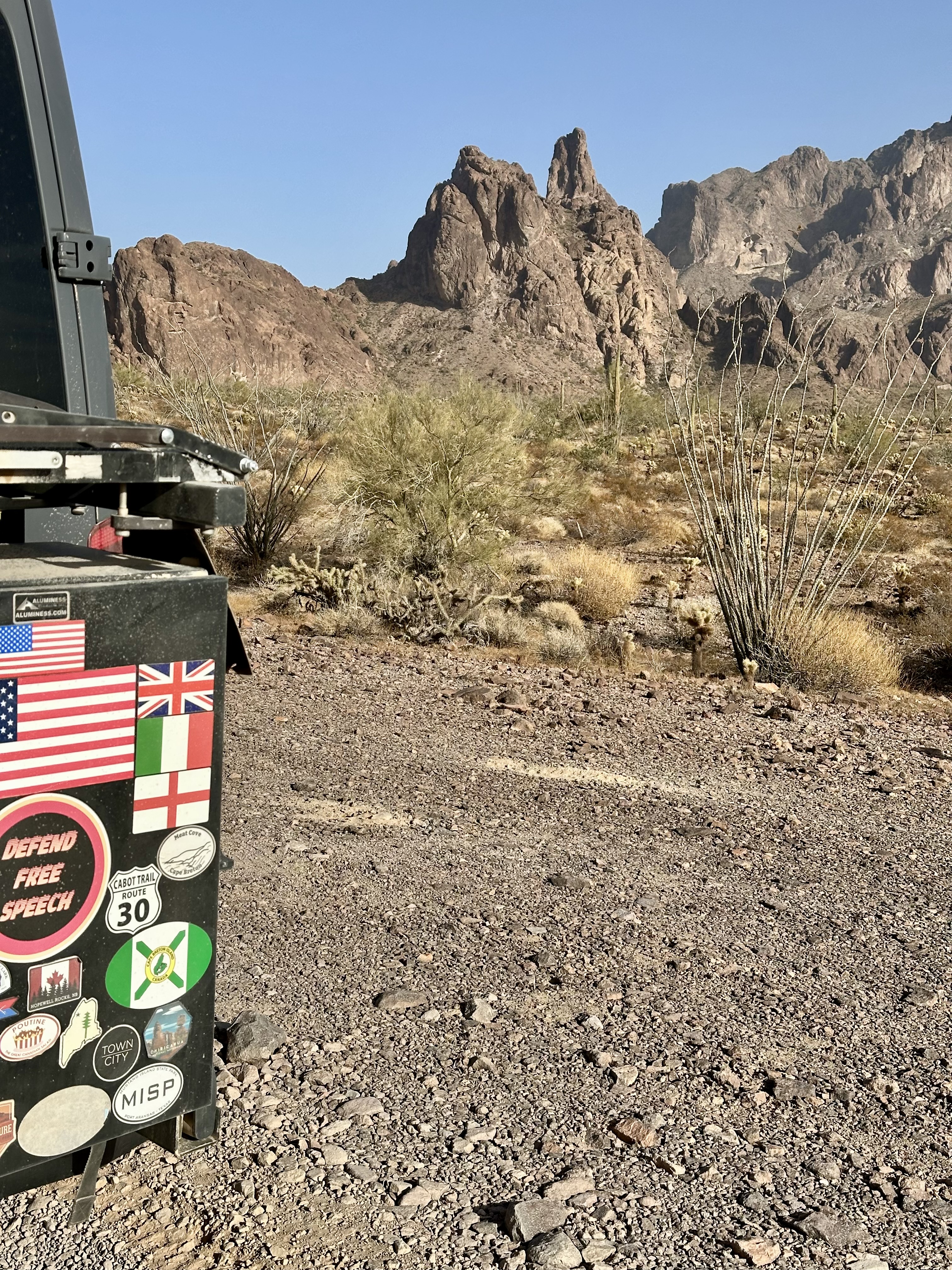
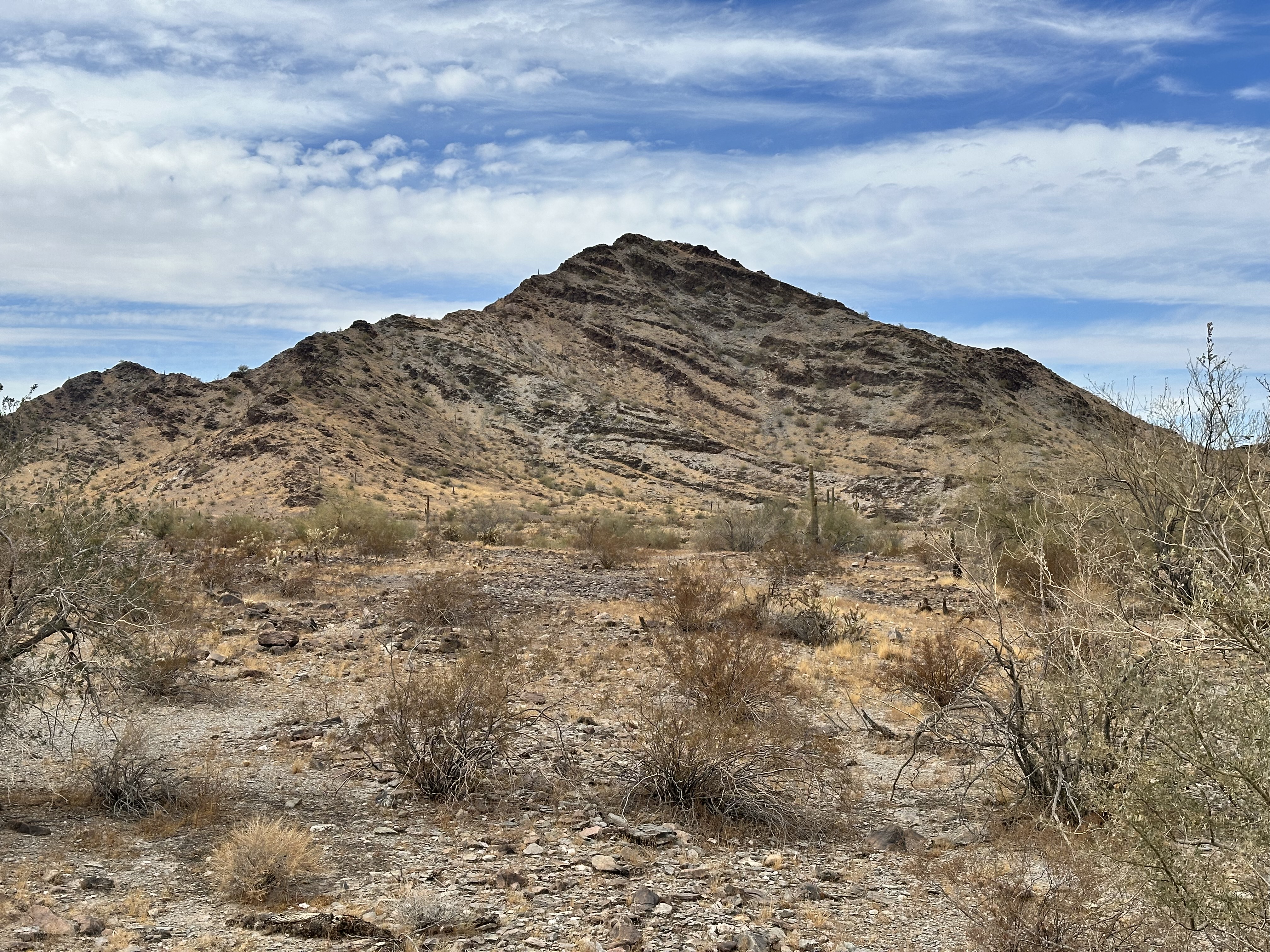
The next morning we set out to explore the nearby KOFA Queen Canyon Trail. The road is a rocky affair that winds up the narrow canyon with jagged peaks framing the canyon on both sides. The trail itself becomes progressively rougher and narrower. At the eight mile mark the USFWS has closed the trail to make sure people do not try to proceed further as the next mile of trail across the Big Horn Pass is impassable regardless of weather conditions.

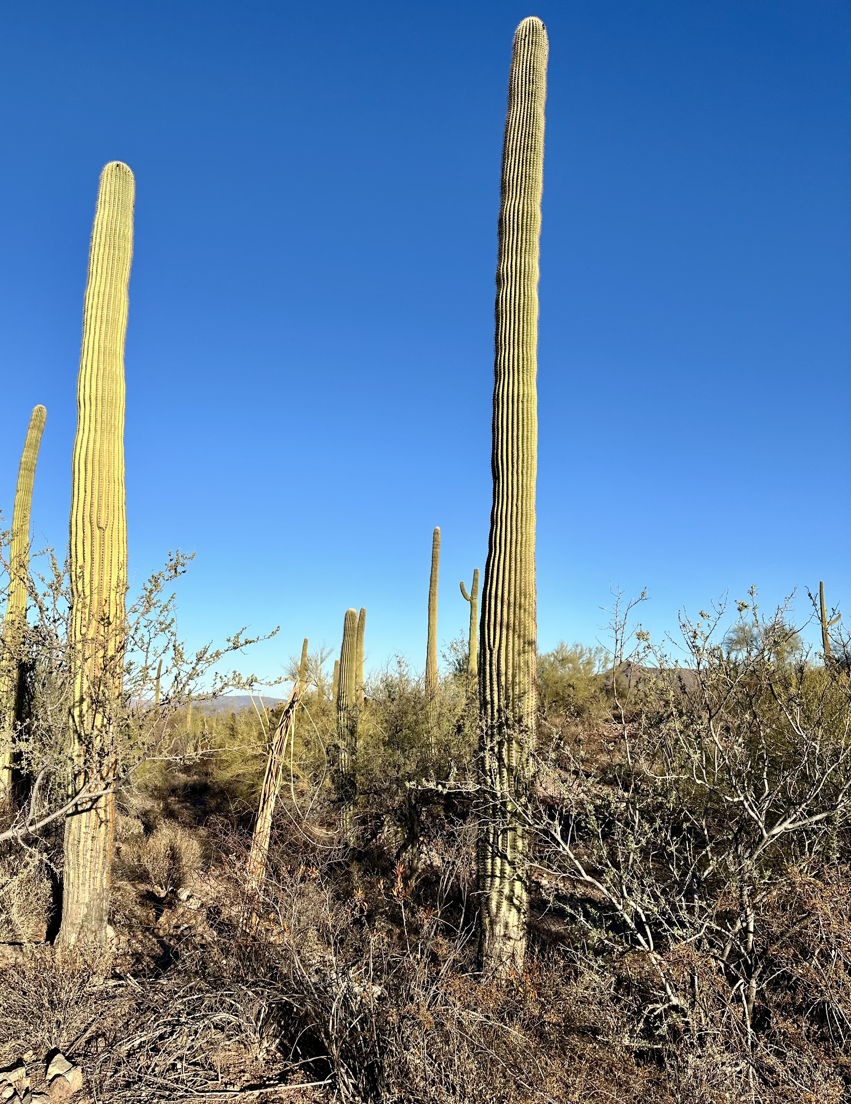
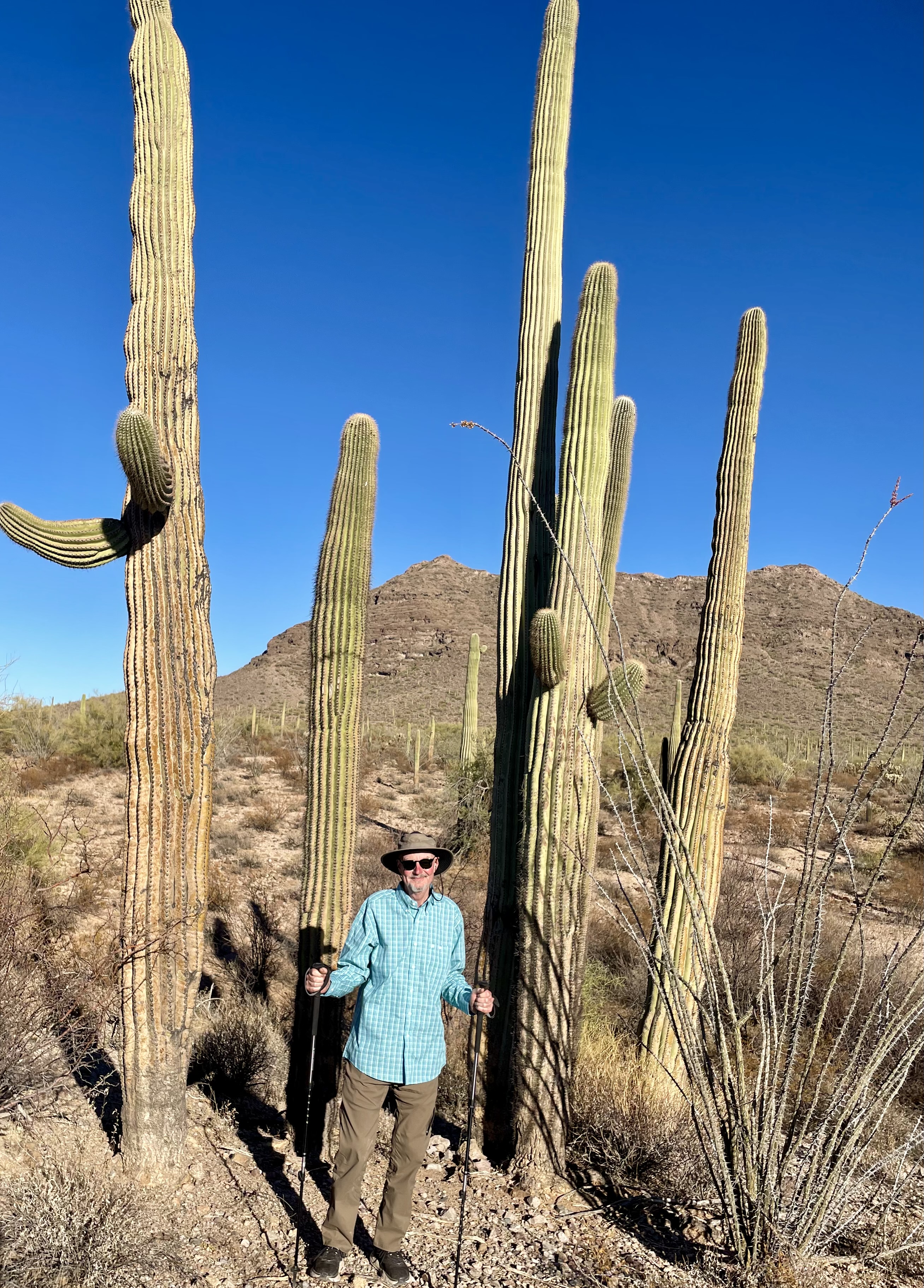
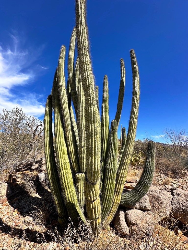
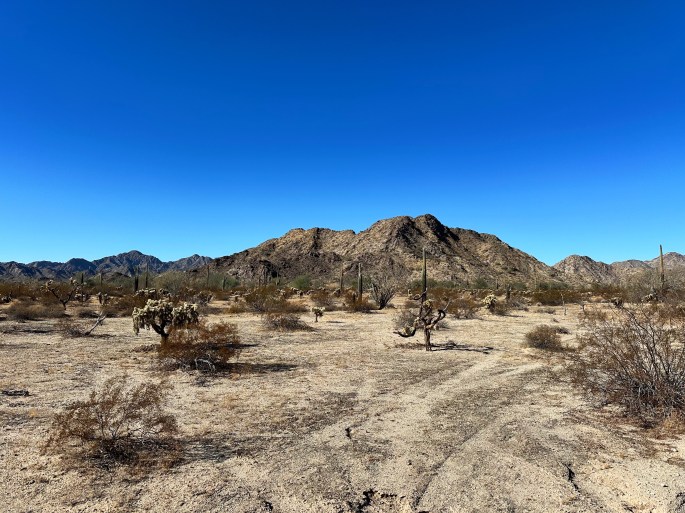
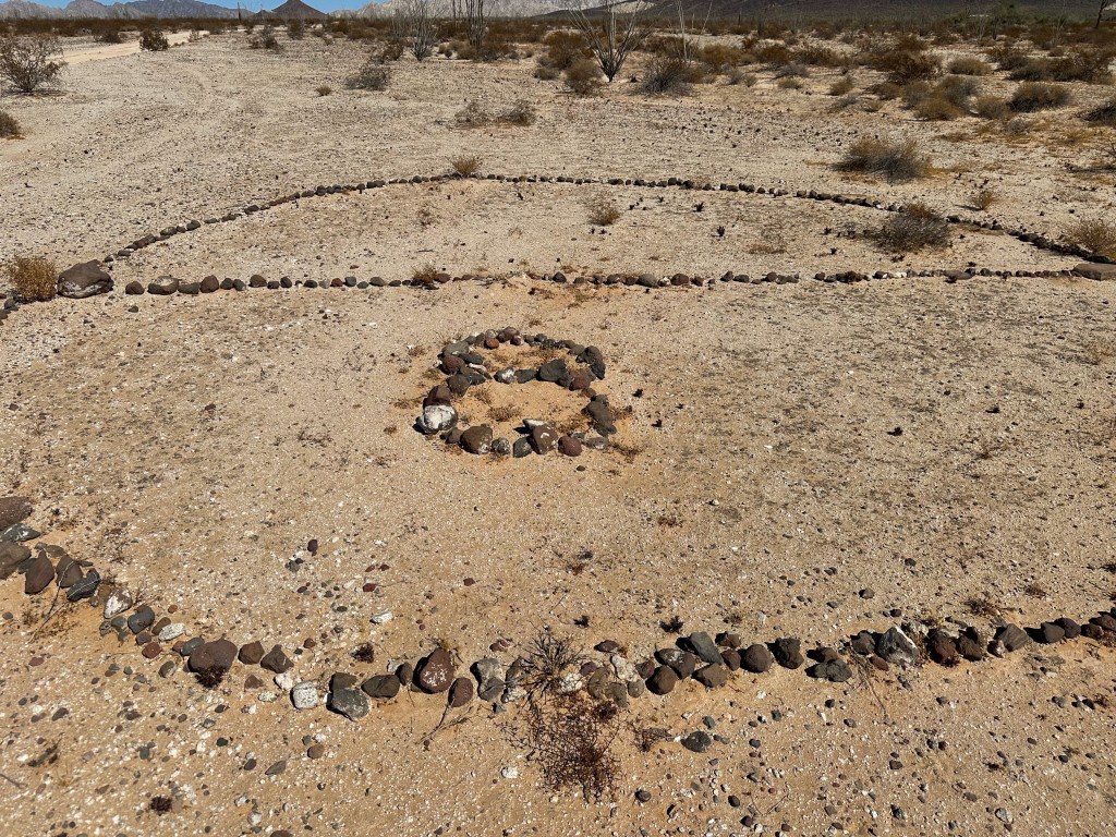
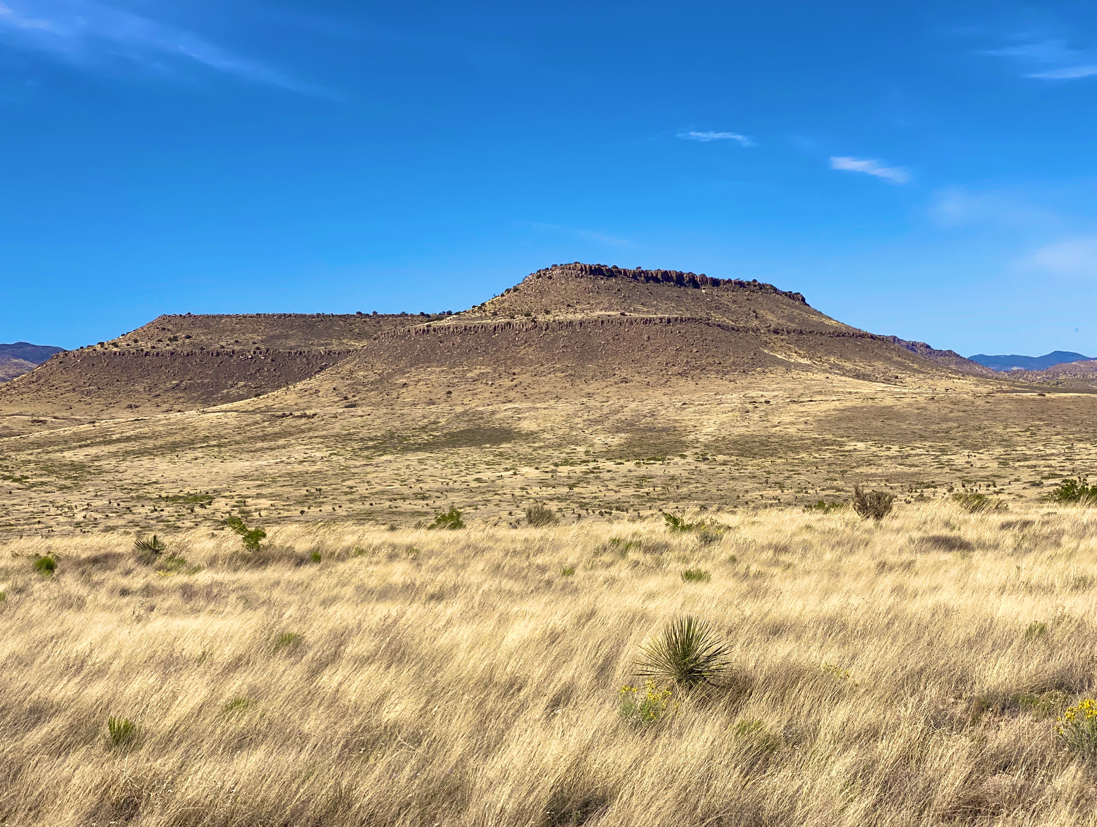
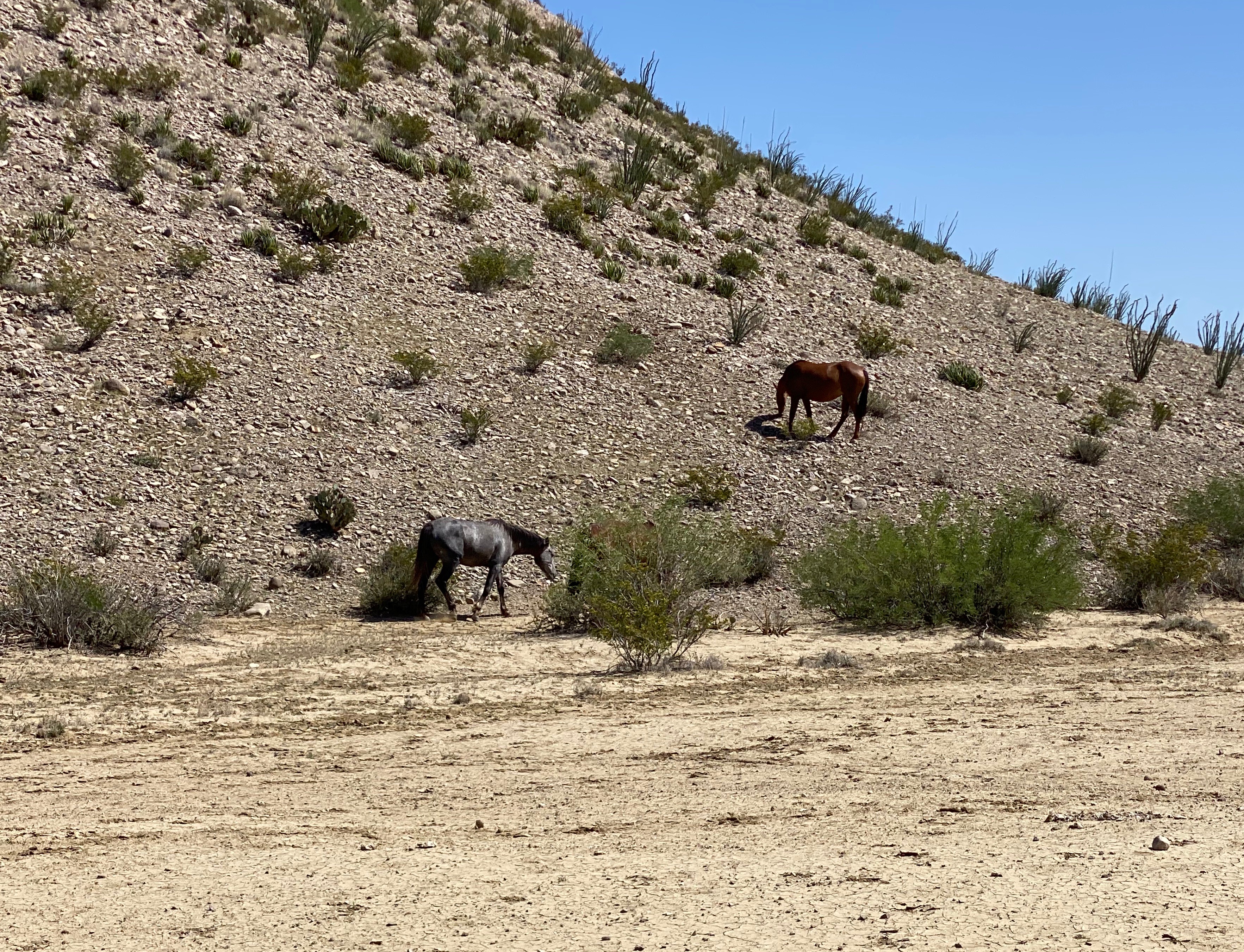
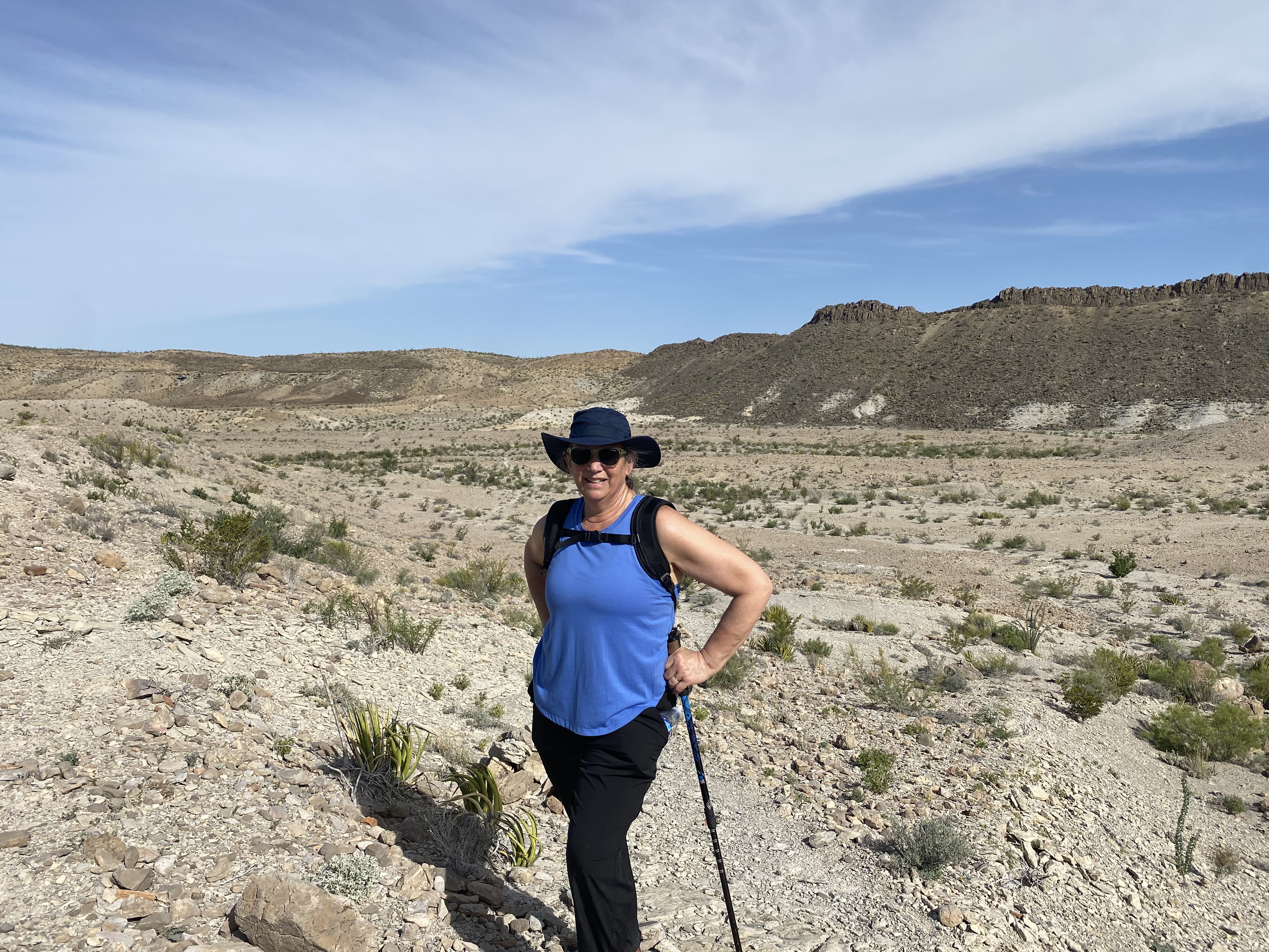
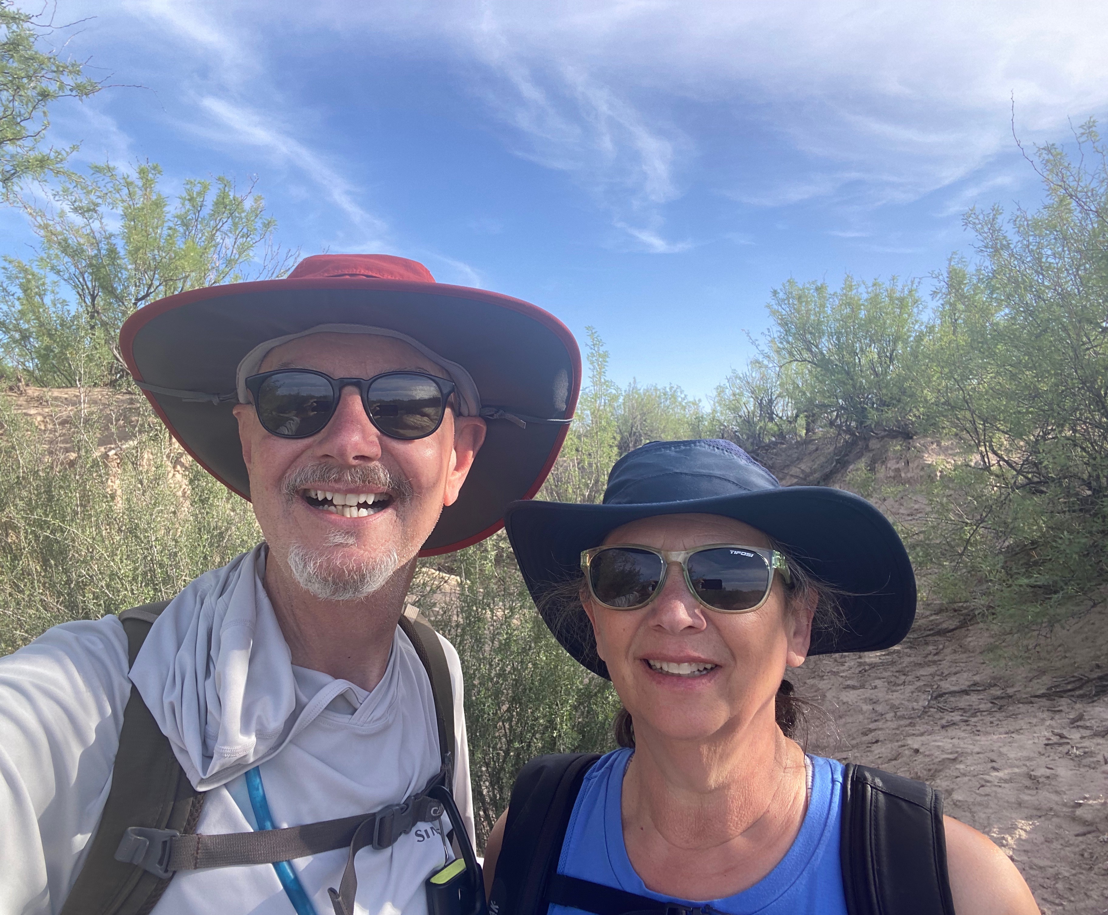
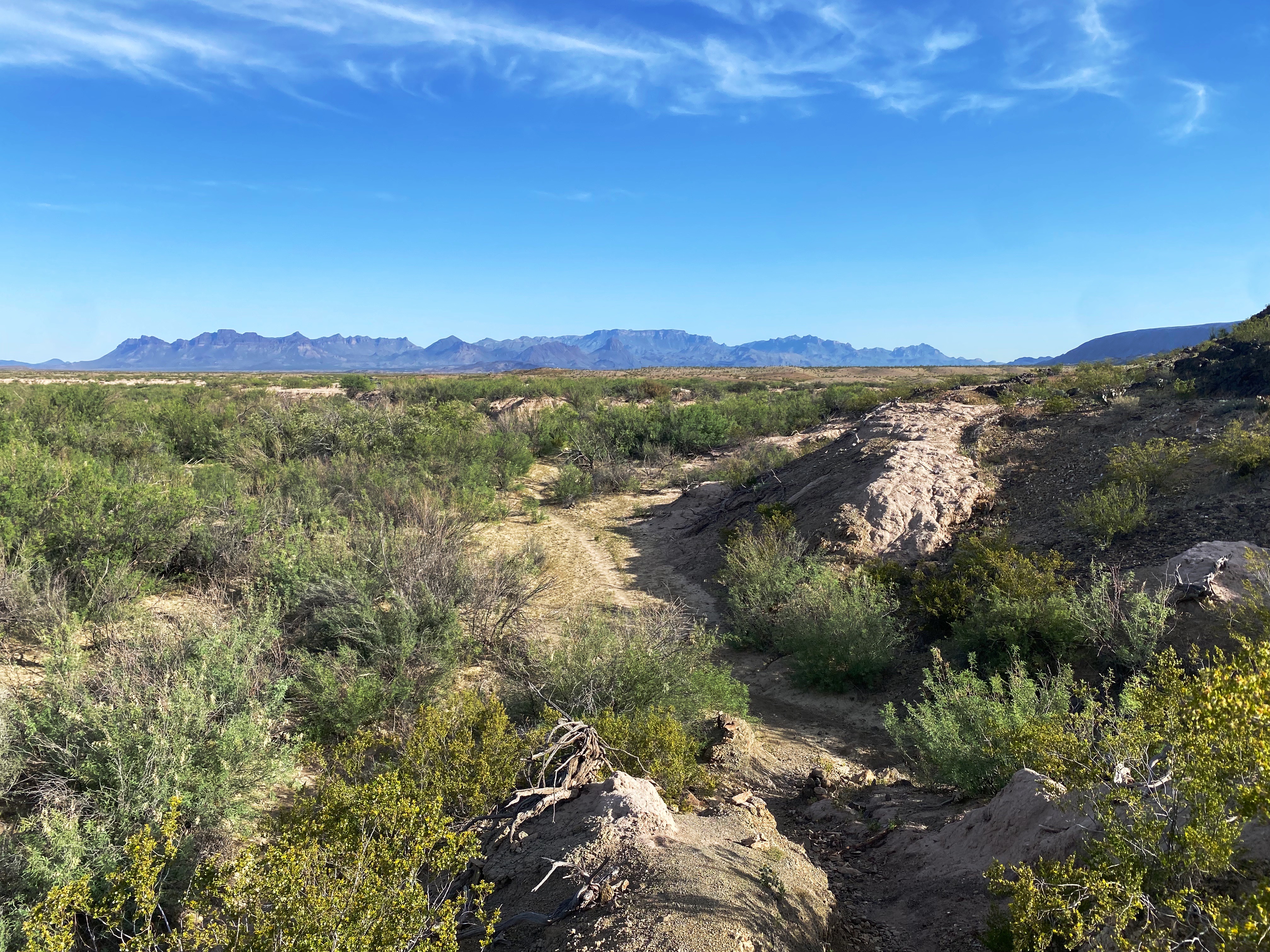
On the drive out and back we stopped several times and wandered out through several of the many washes that run through the canyon. Beautiful blue sky, a gentle breeze and total silence!


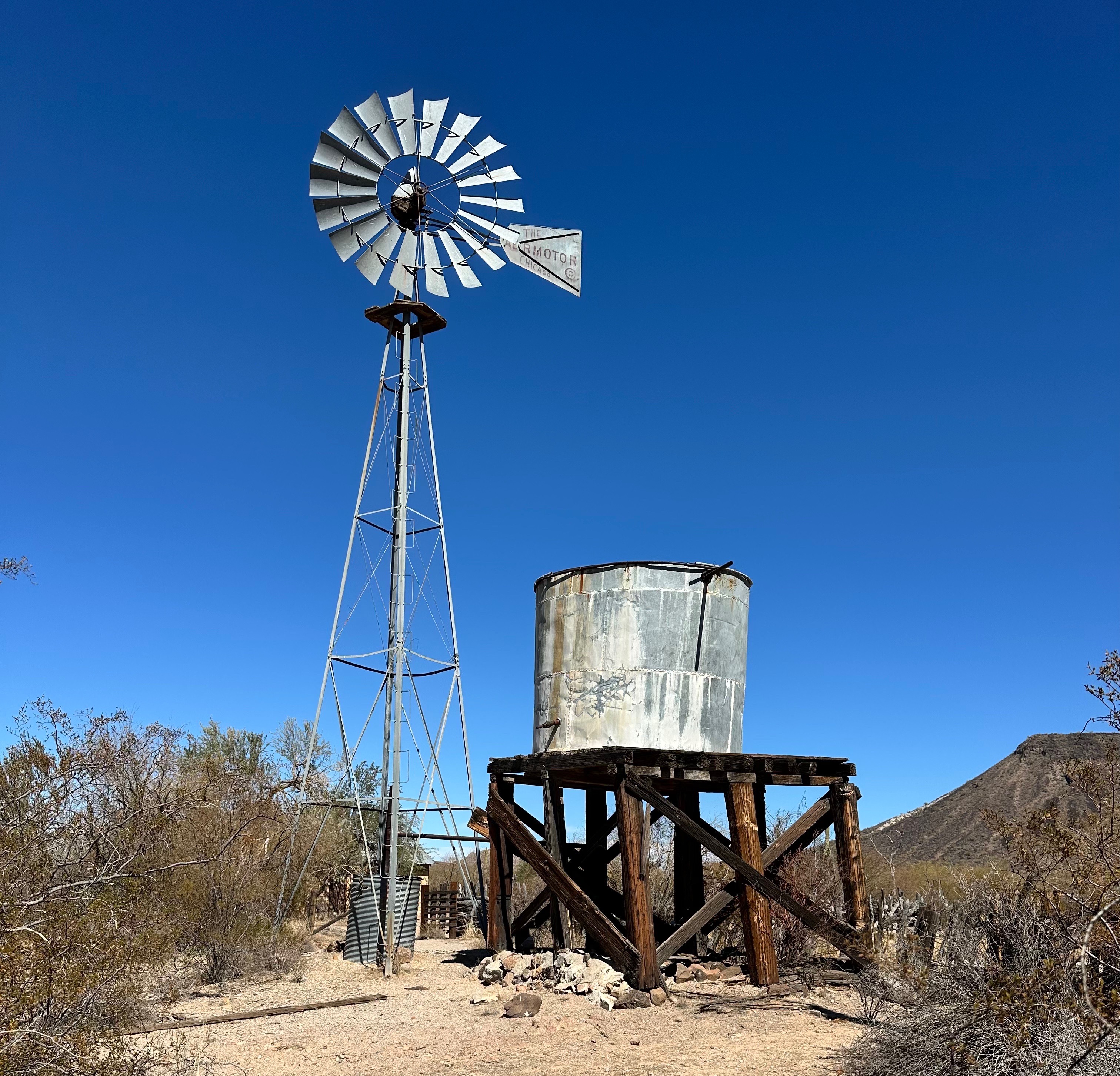
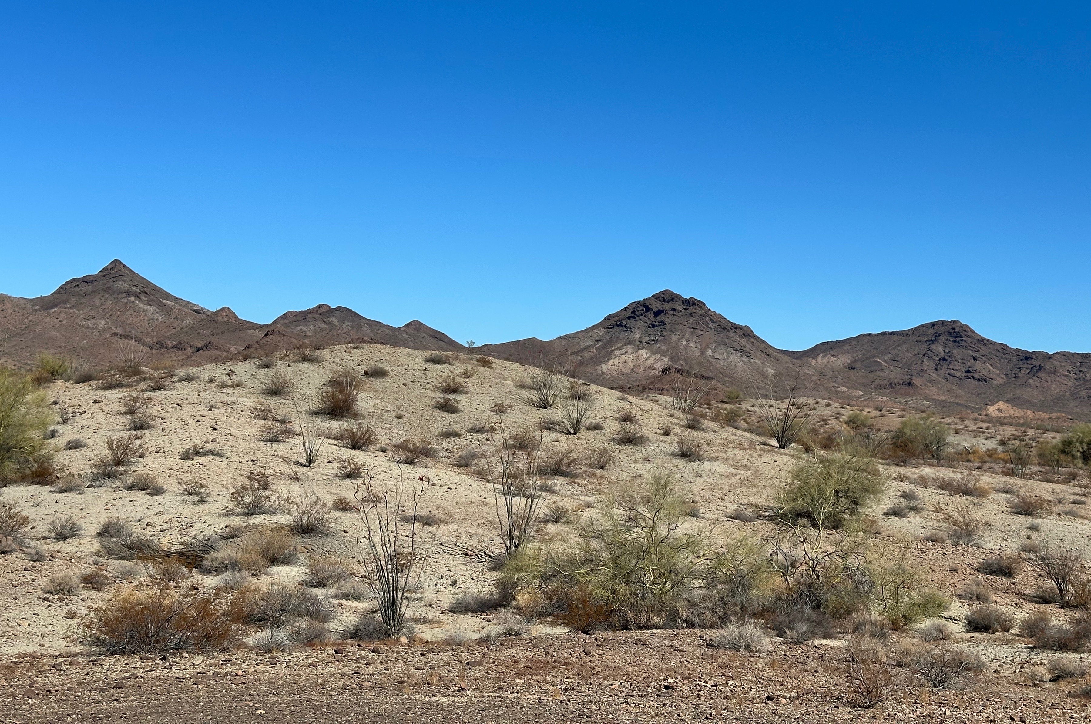
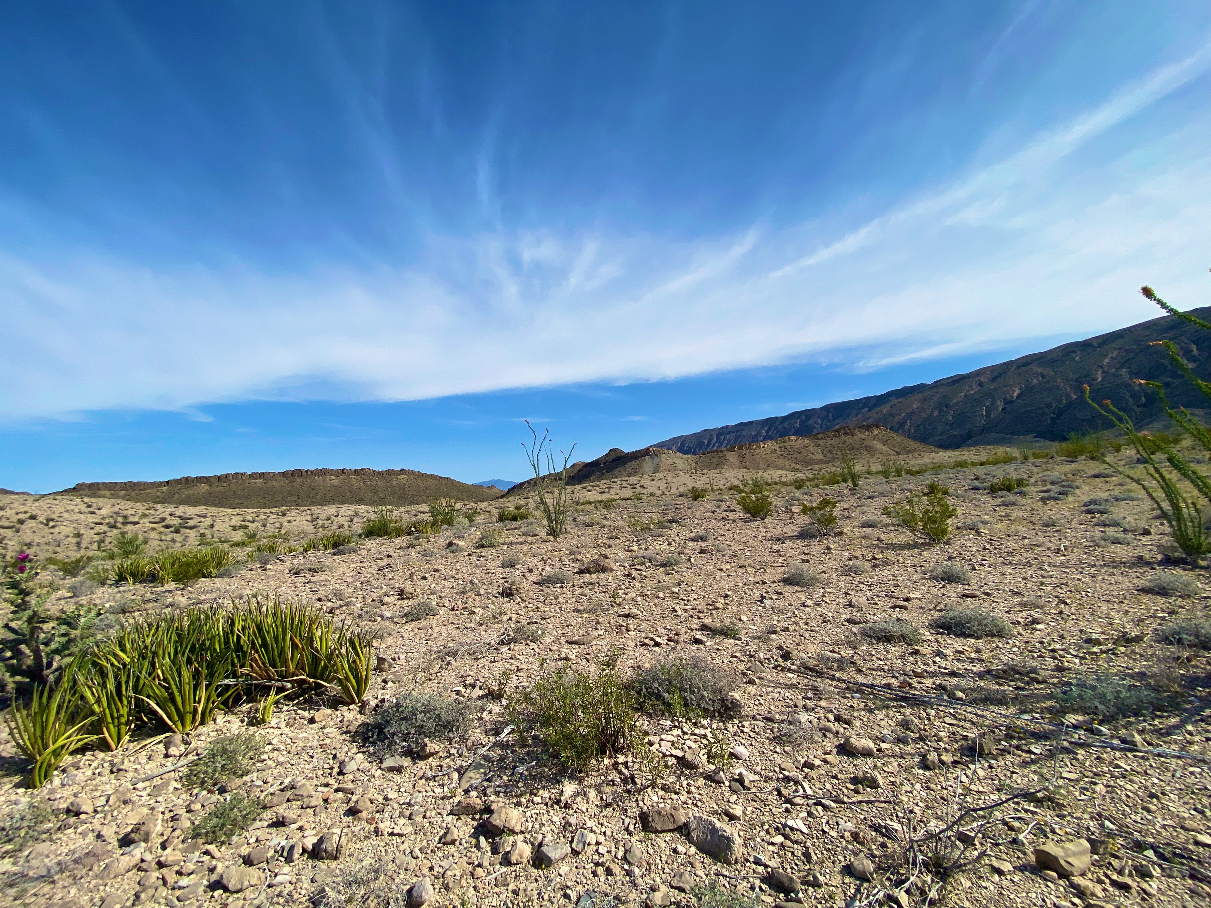
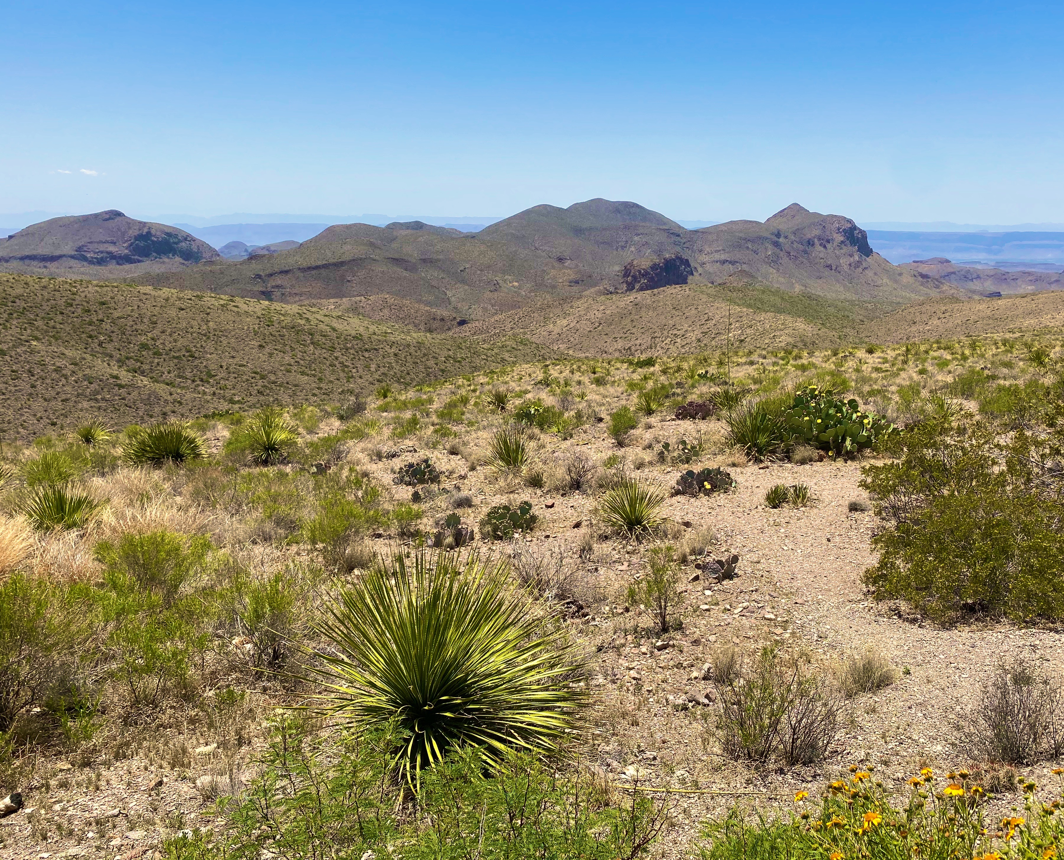
Waking up to another beautiful, sunny, blue sky day with 75F temperatures never becomes tiresome – in case you were wondering. For our third sortie in the KOFA we opted to go a bit further north and skirt the KOFA mountains and follow the Valve 2 Road eastward to the High Six. The High Six Tank is a deep bedrock water pool.

We assume somewhere in the vicinity of this road there is a Valve 2. The El Paso Natural Gas pipeline carries natural gas from the Permian Basin to a number of western states. The pipelines are buried but there are valves above ground that we observed in other parts of the desert.


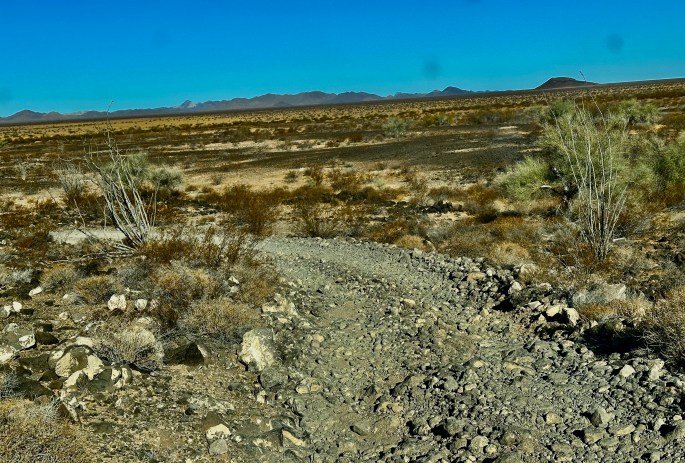
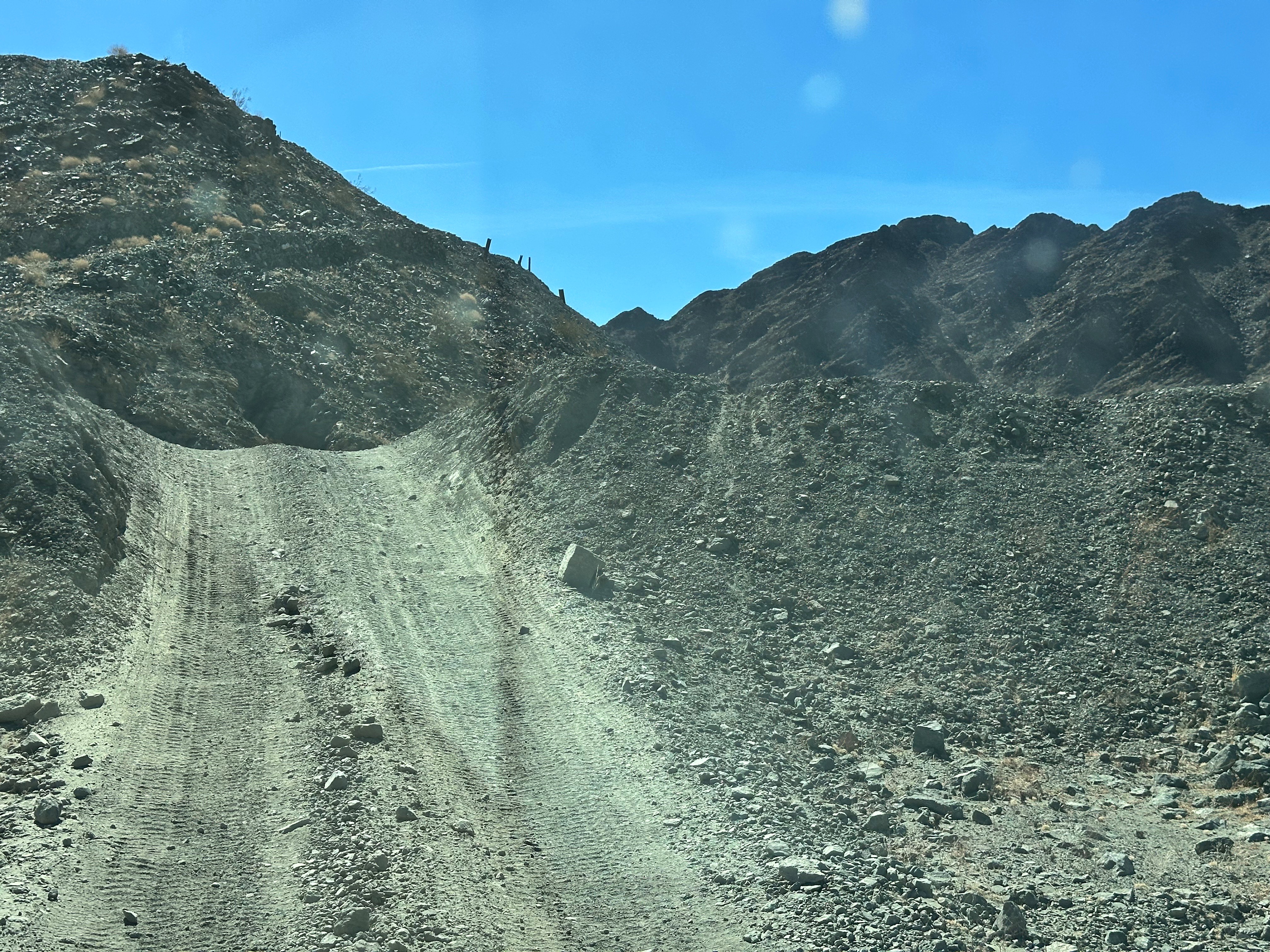
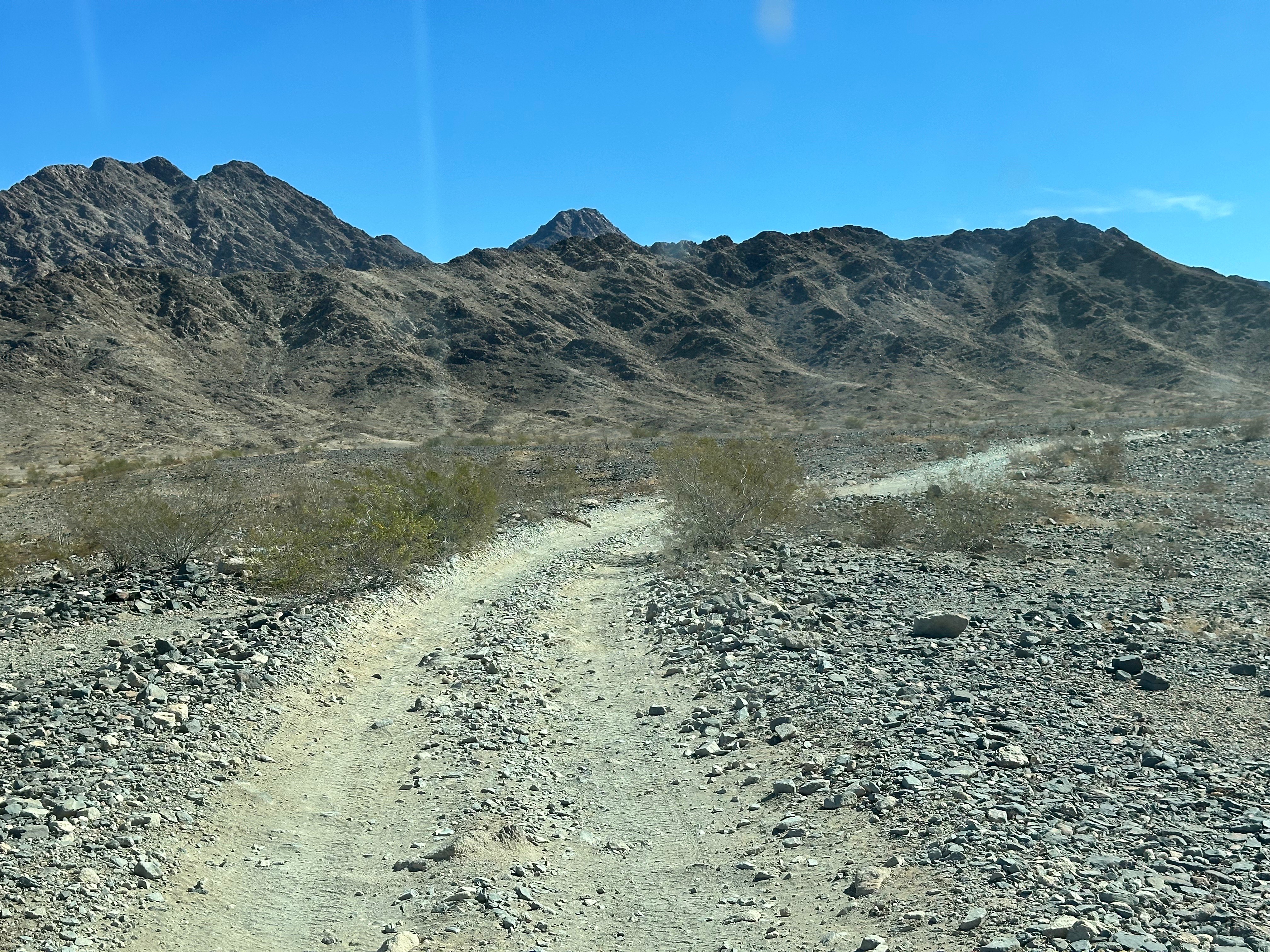
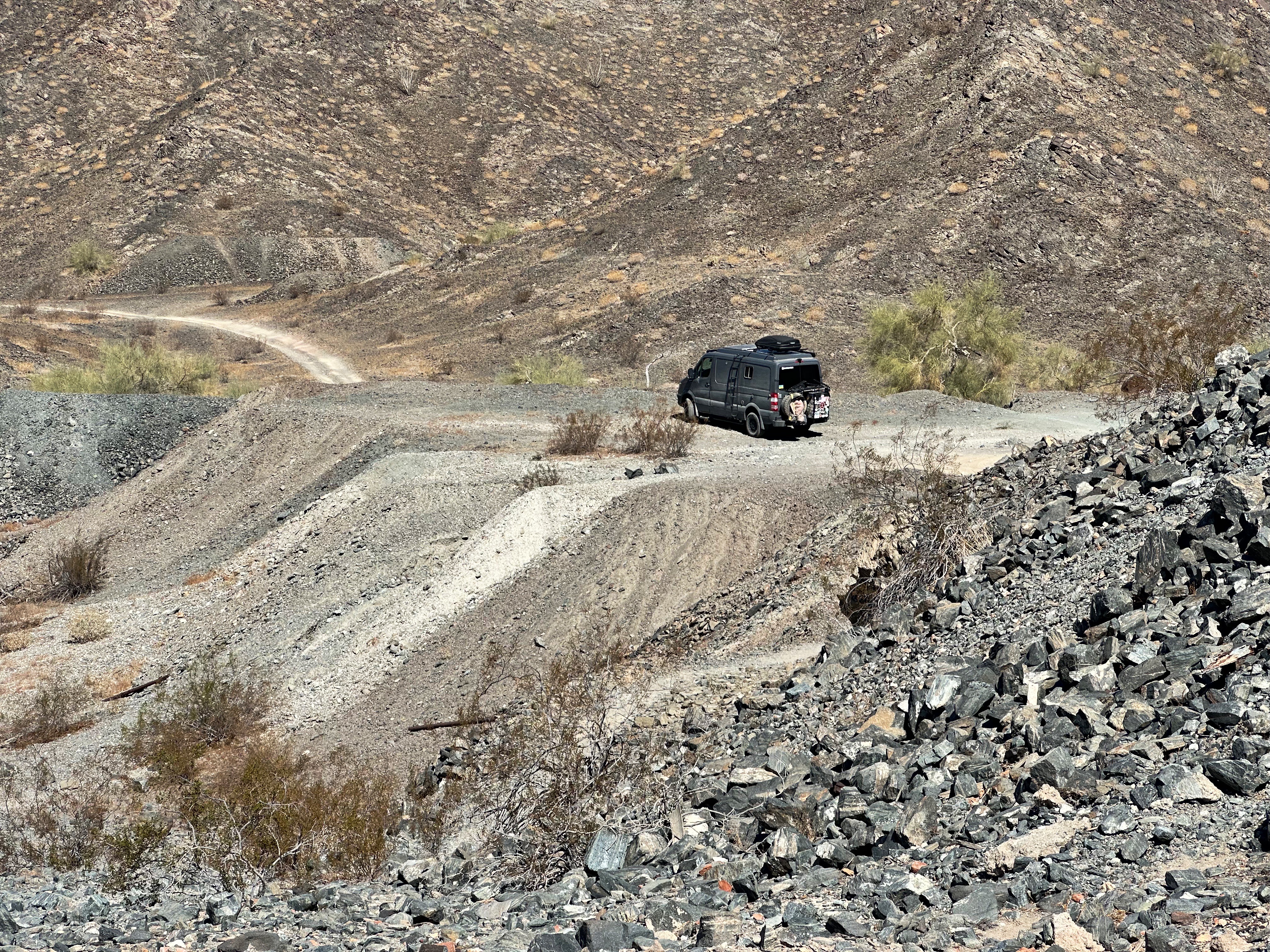
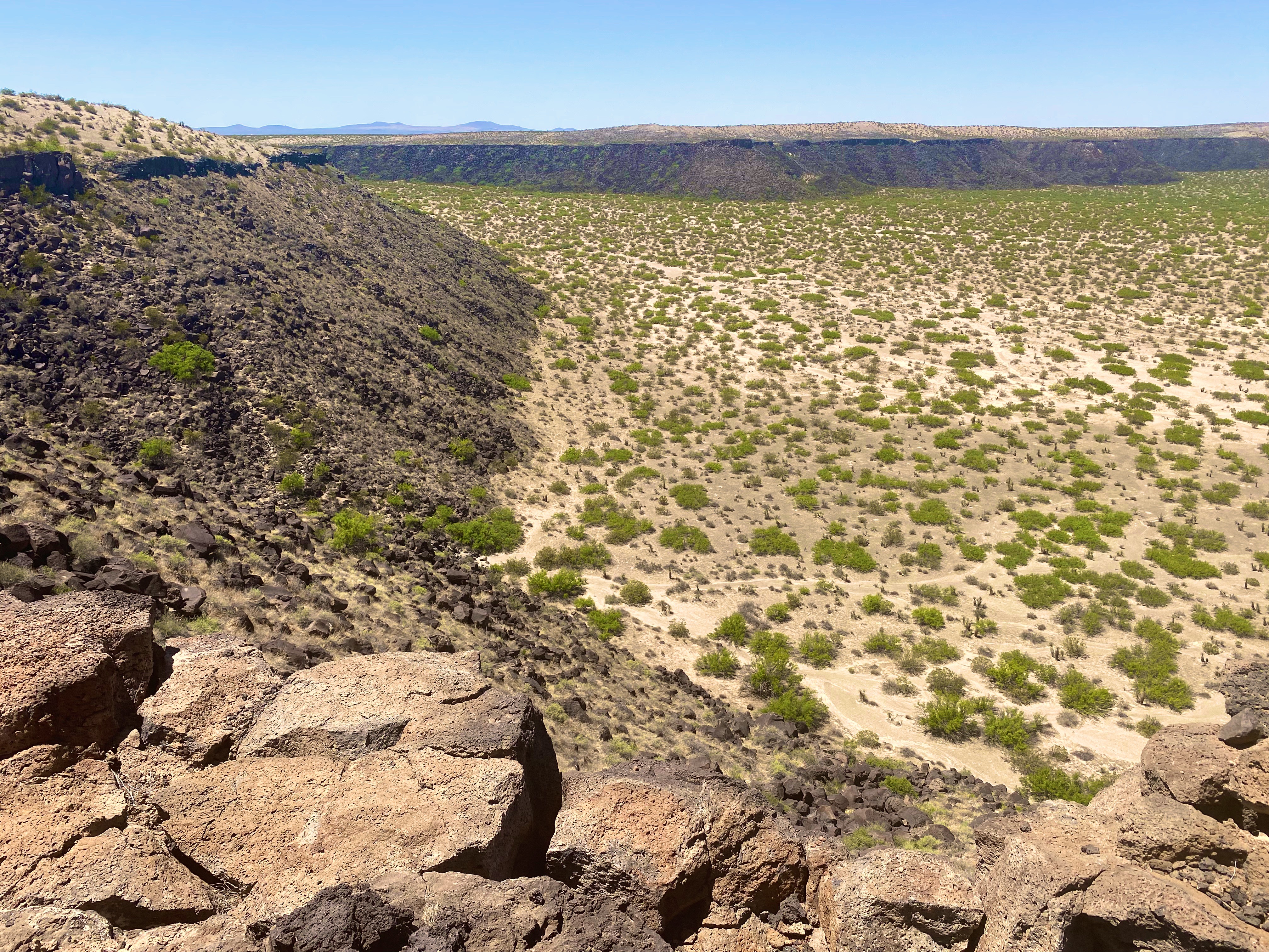
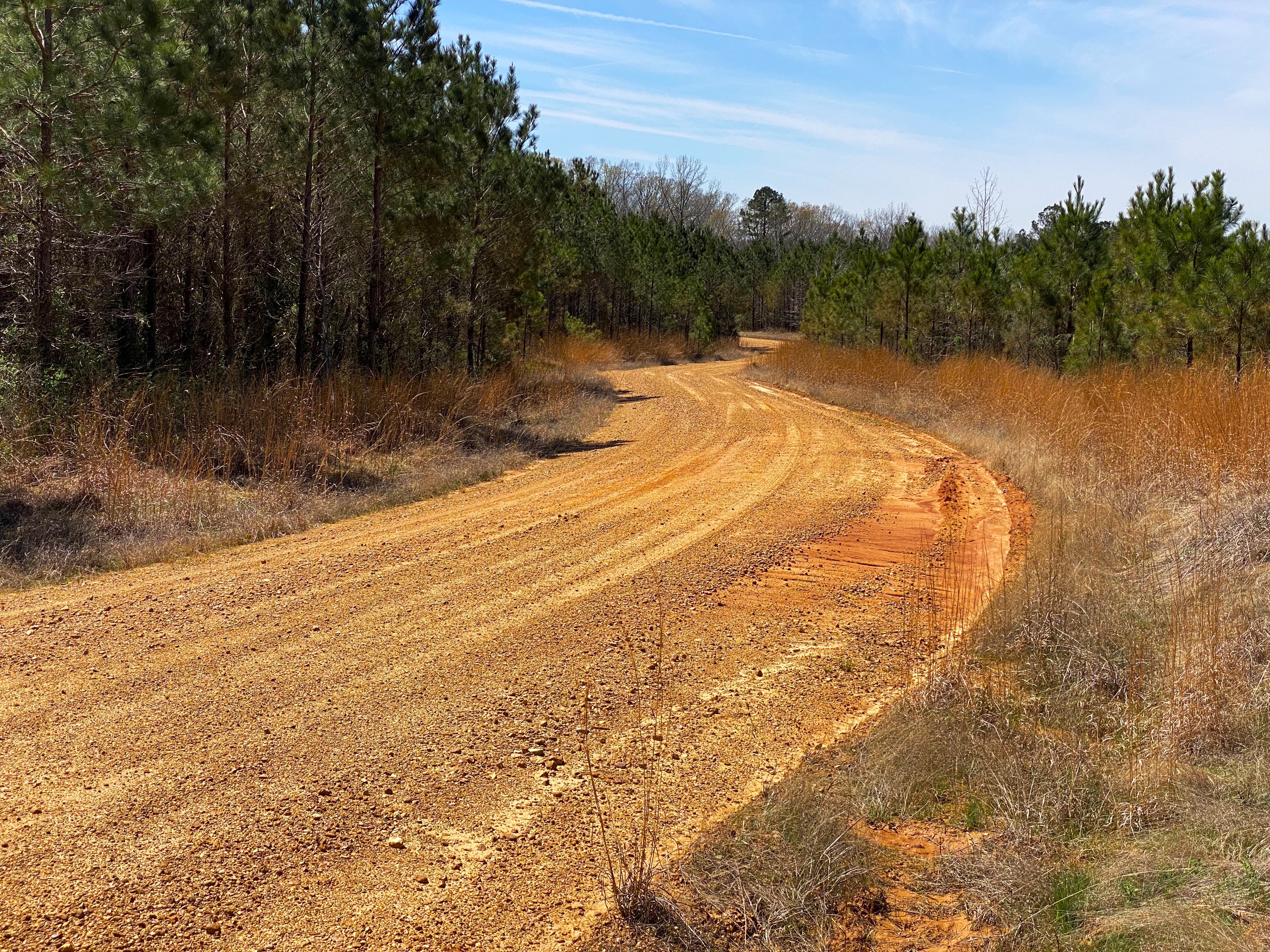
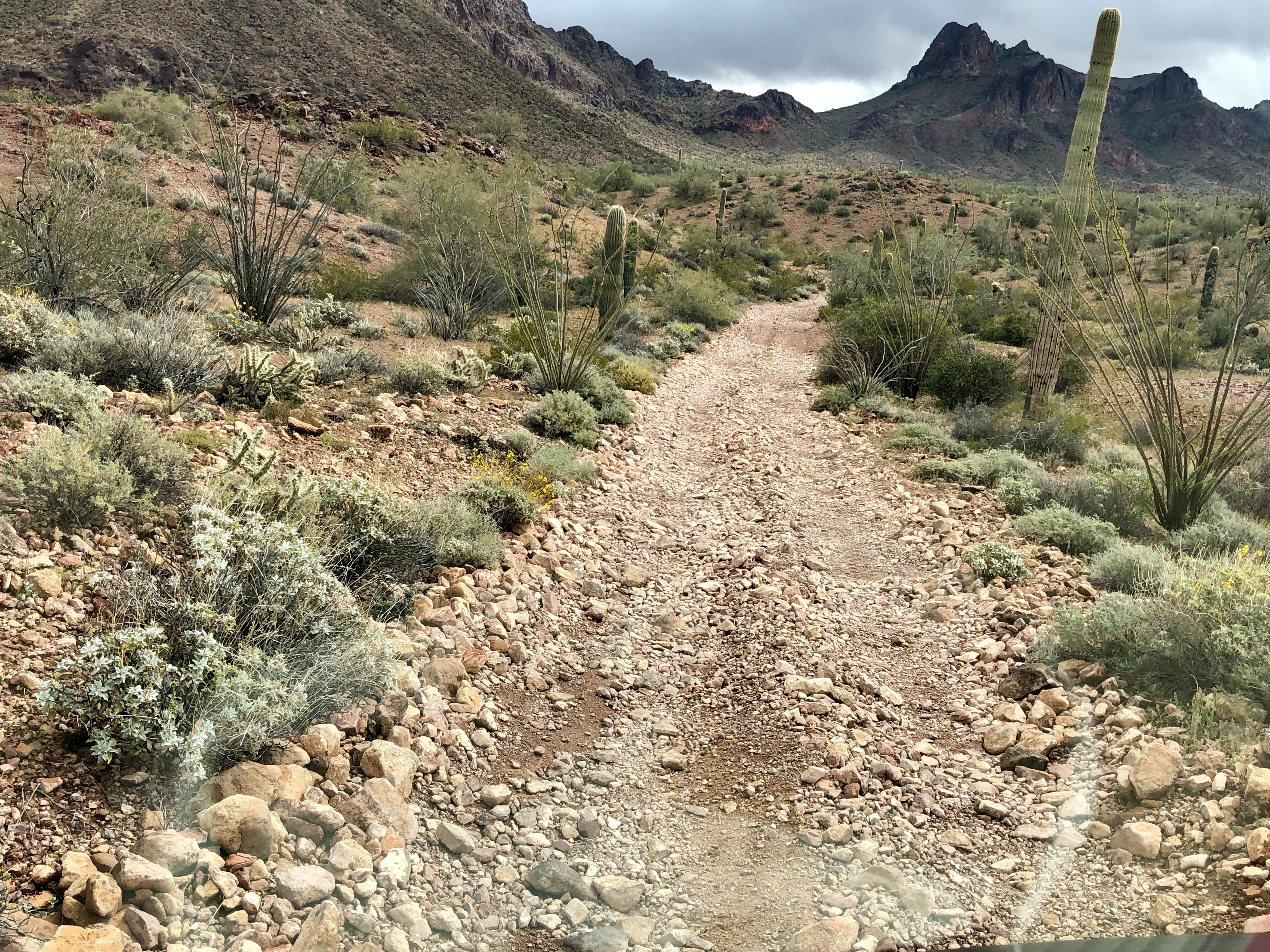
From our campsite we would need to navigate approximately ten miles with the Beast to reach the trail for the High Six. If we could reach the trail for the tank we planned to make the short climb up to the tank. It appeared based on our reading of the topo map that elevation gain from Valve 2 Road to the tank was only 150 feet.
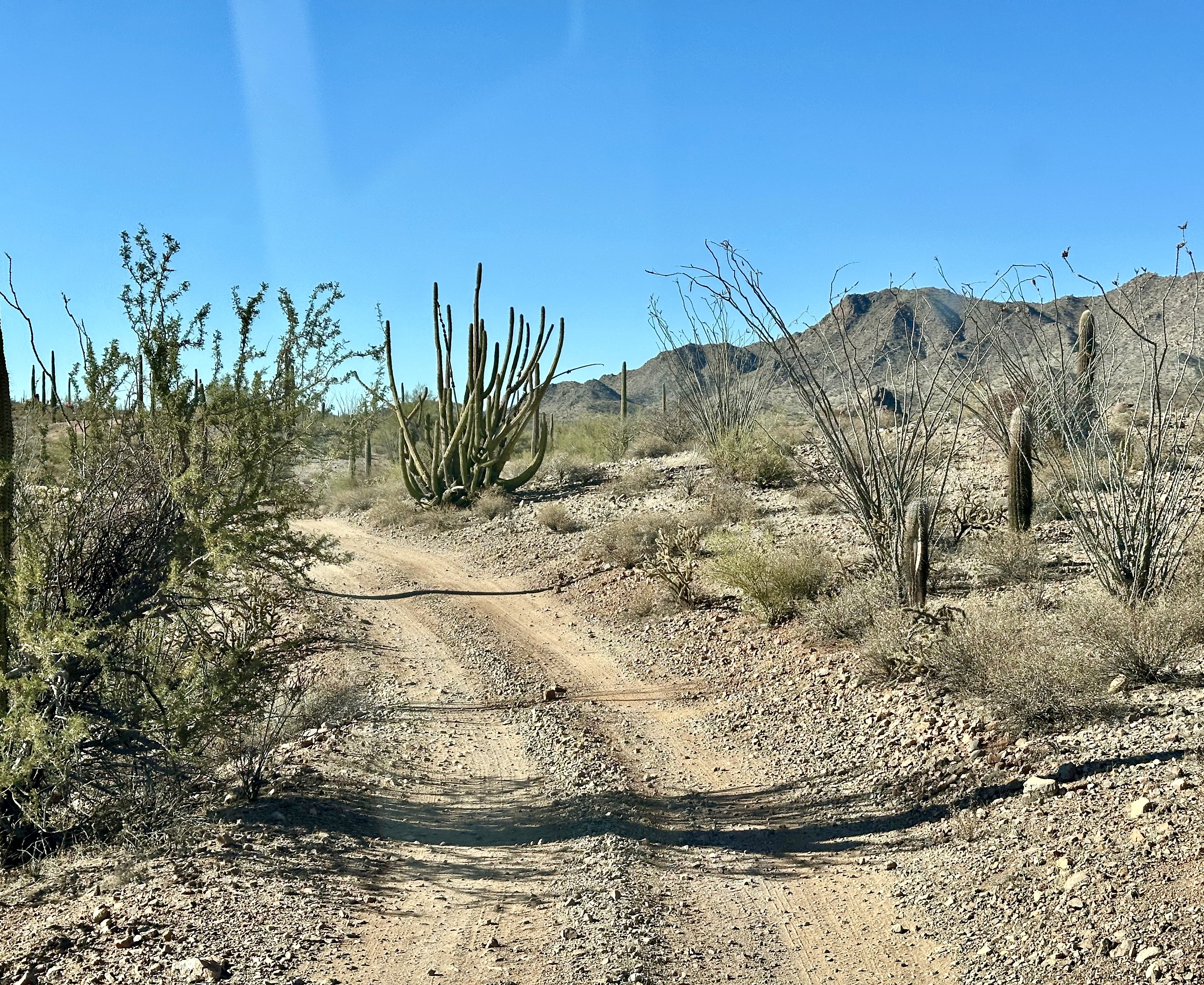
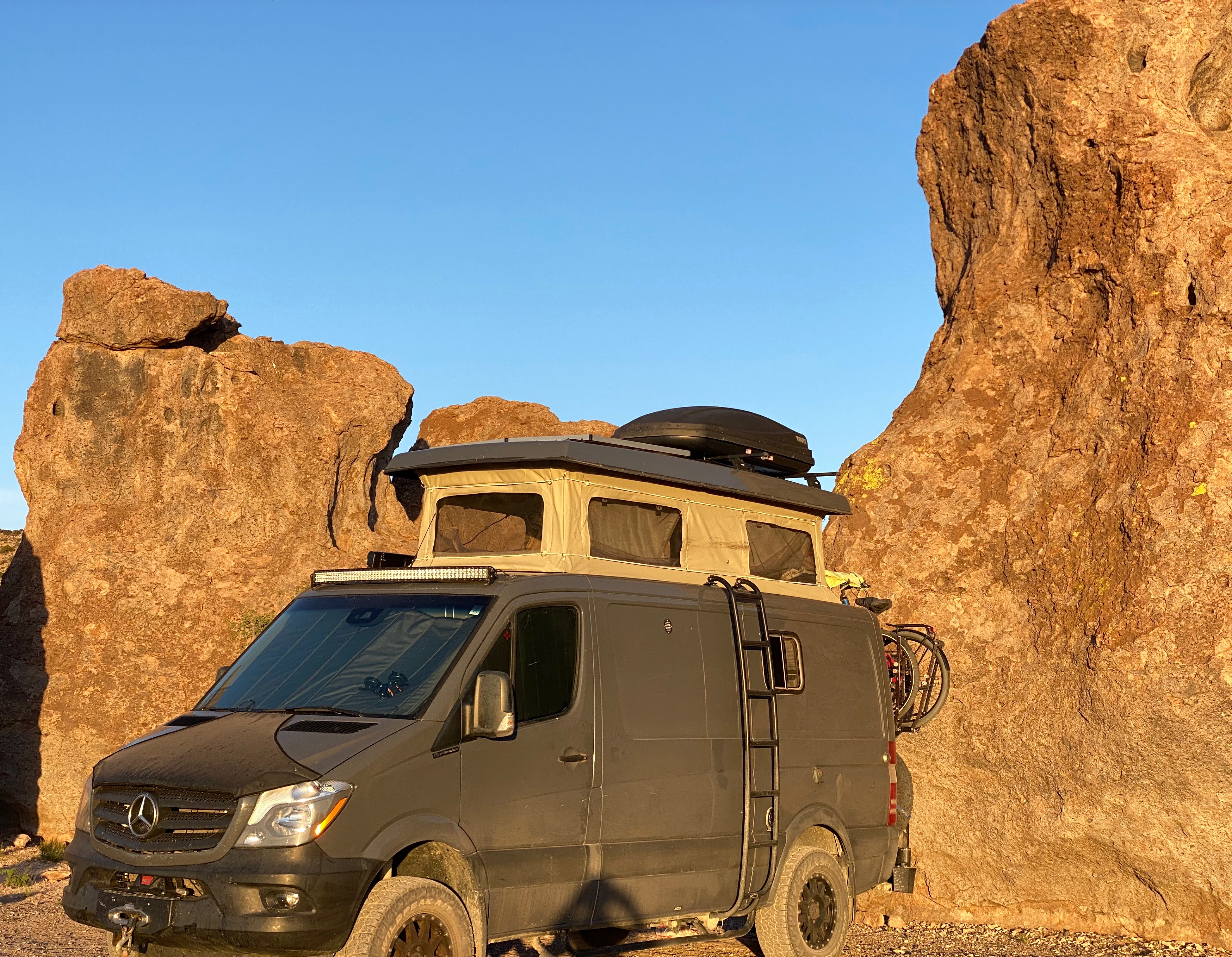
While ten miles doesn’t seem much like much terrain to cover we were not able to reach the High Six Trailhead.The photos below show the spot where we had to concede on getting to the High Six. We tried several different approaches to tackling this drop but we just did not have the clearance.

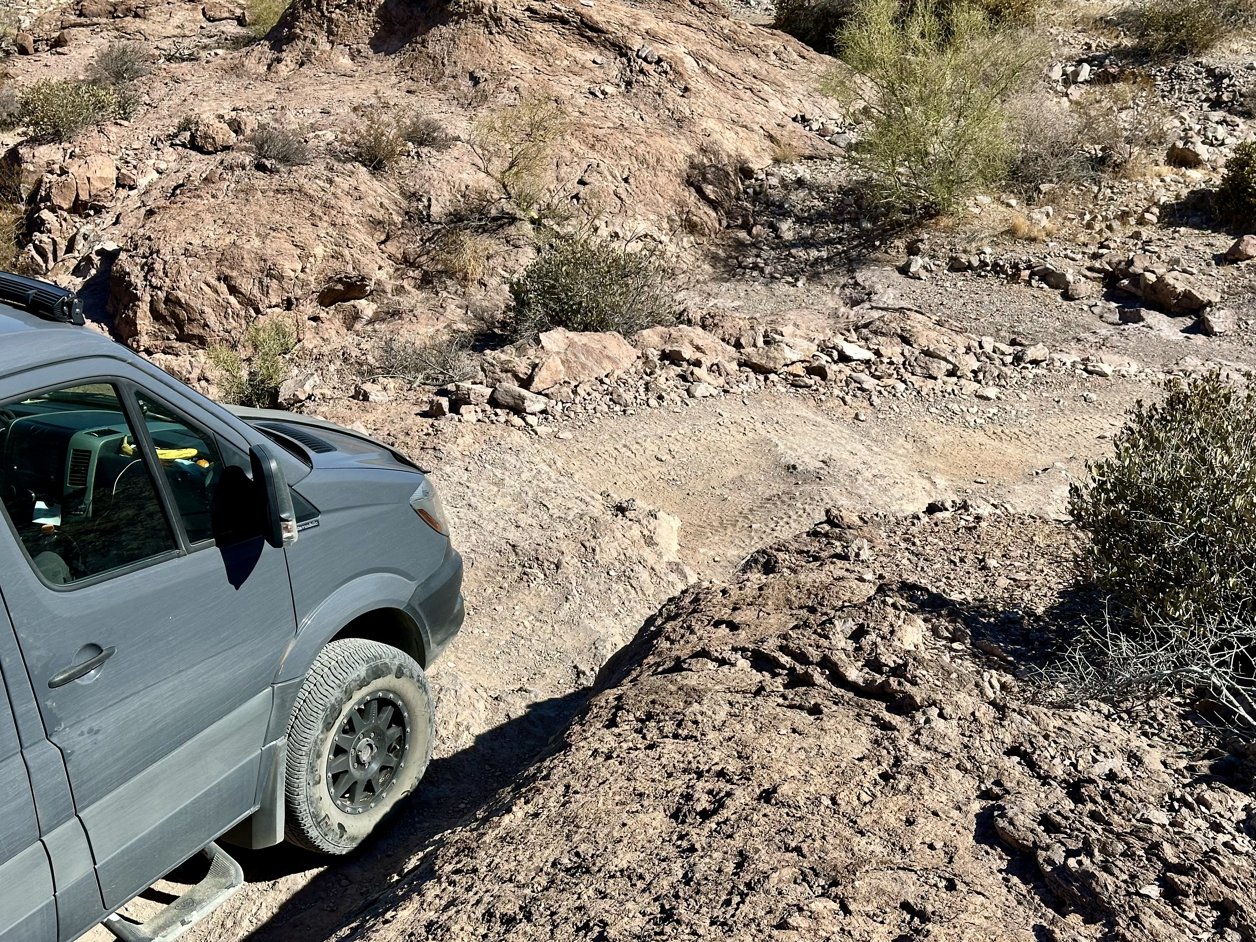


With the premature demise of this adventure we quickly regrouped and decided it was time for a cocktail! We backed down the trail until we found a spot for a 100-point K turn, headed west for the pavement and then north seeking food and beverages in Quartzite (about 20 miles north on Highway 95).

Silly Al’s Pizza was packed but we secured a hightop in the bar. If we had thought about it, we would have realized that Quartzite would have a crowd on a Sunday afternoon as the town is a major snowbird location and home to many gem and mineral shows during the winter months. The cocktails were excellent – the pizza decent – the restaurant makes their own dough. The problem is no one outside the Northeast puts enough char on the pie!
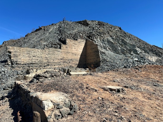
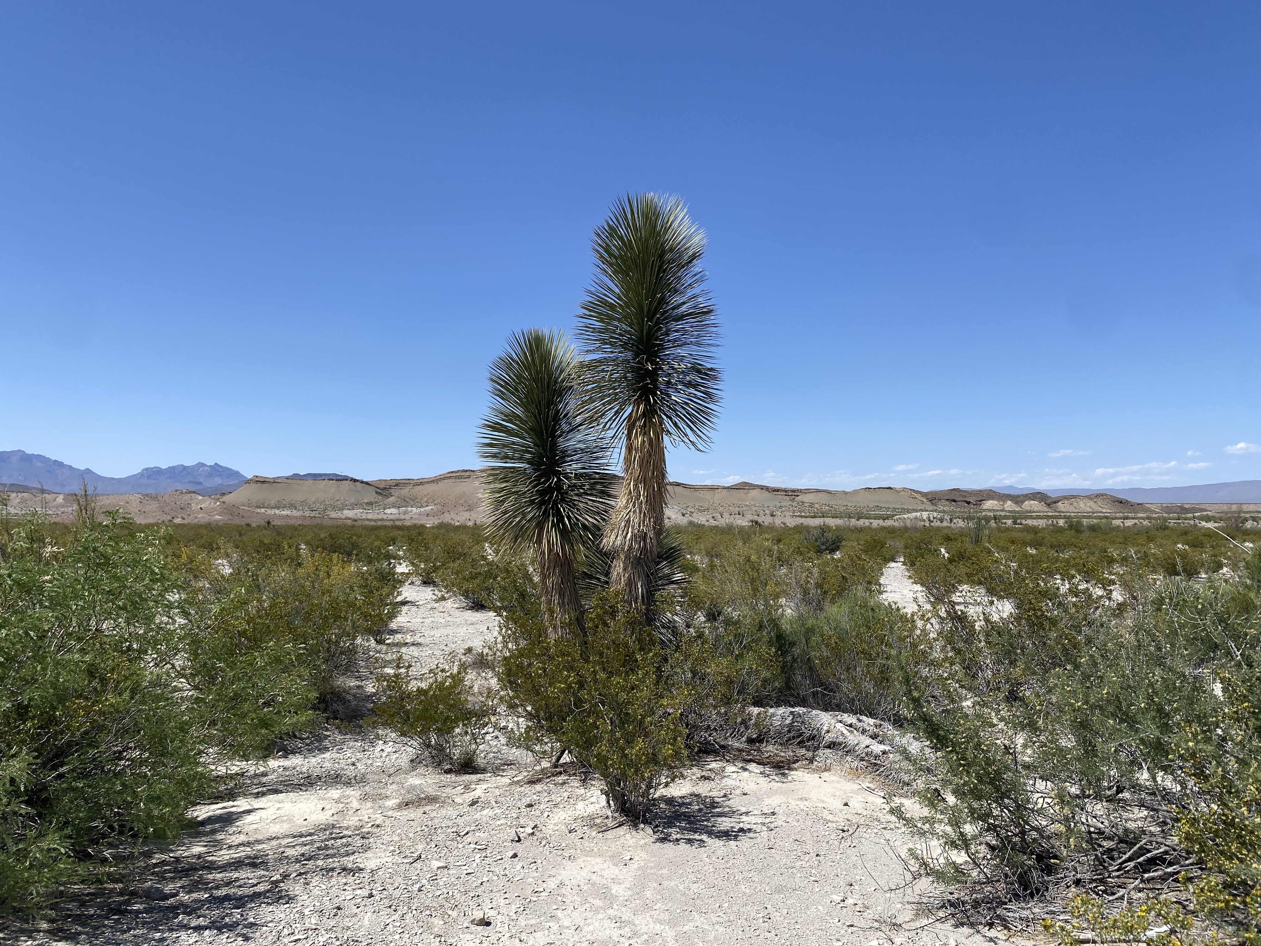
The following day we made our last foray into the desert before returning to Yuma to collect our bicycles. We opted to head west towards the California border and check out some old mining sights.

We visited the abandoned Gold Eye Mine, which was owned by Lehre Erdman. This not much history other than Erdman started this mine and worked it for 63 years. Erdman died in 1996. The remnants of the stone cottage he built and lived in are still standing at the mine sight.
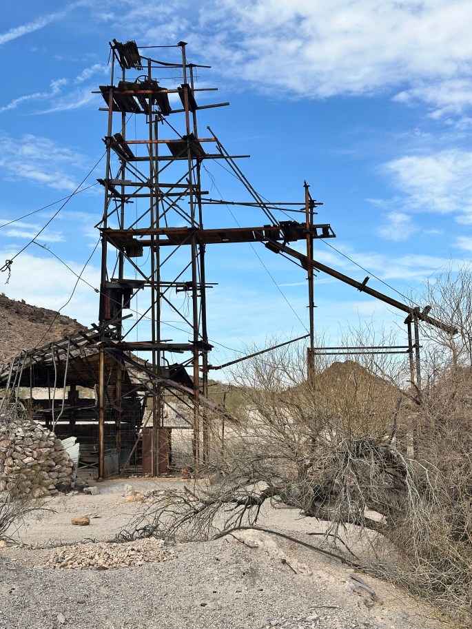
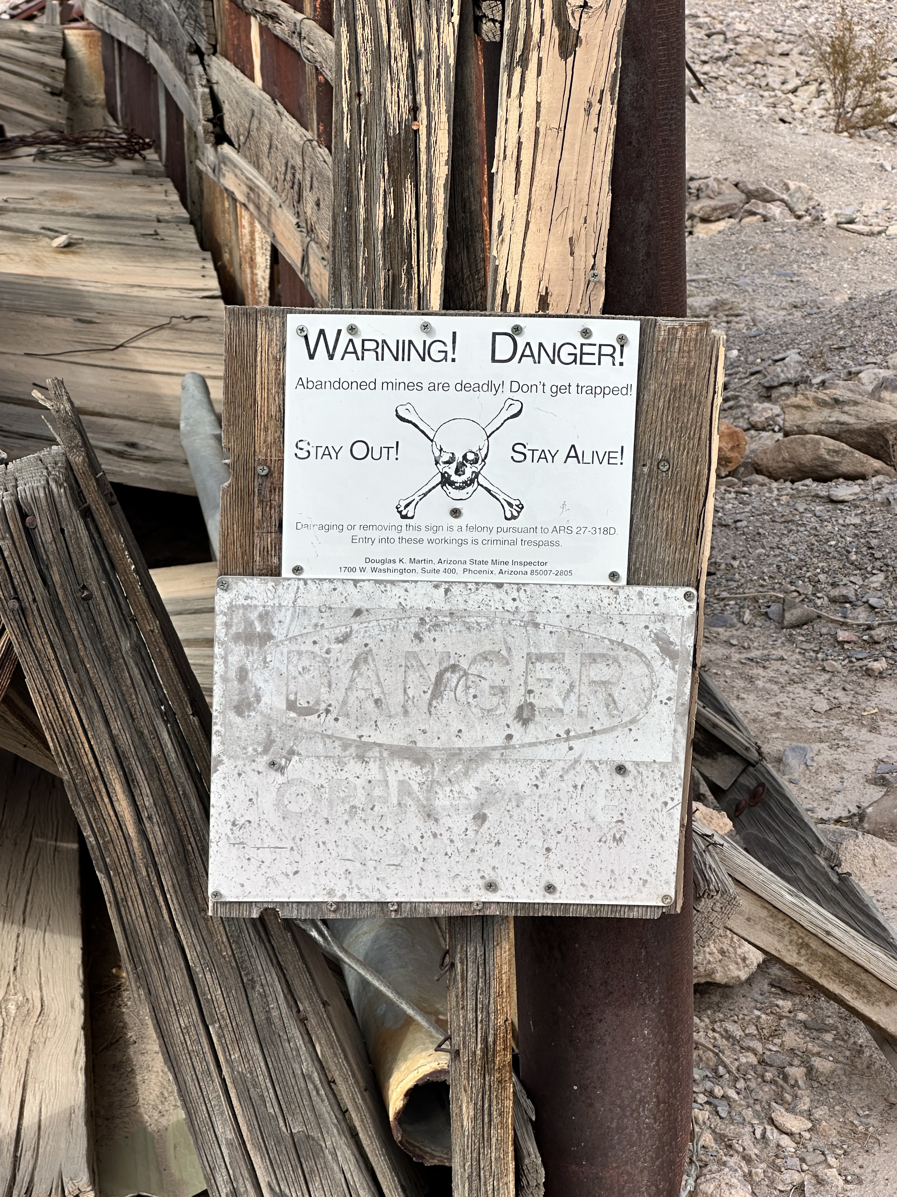
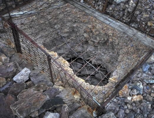

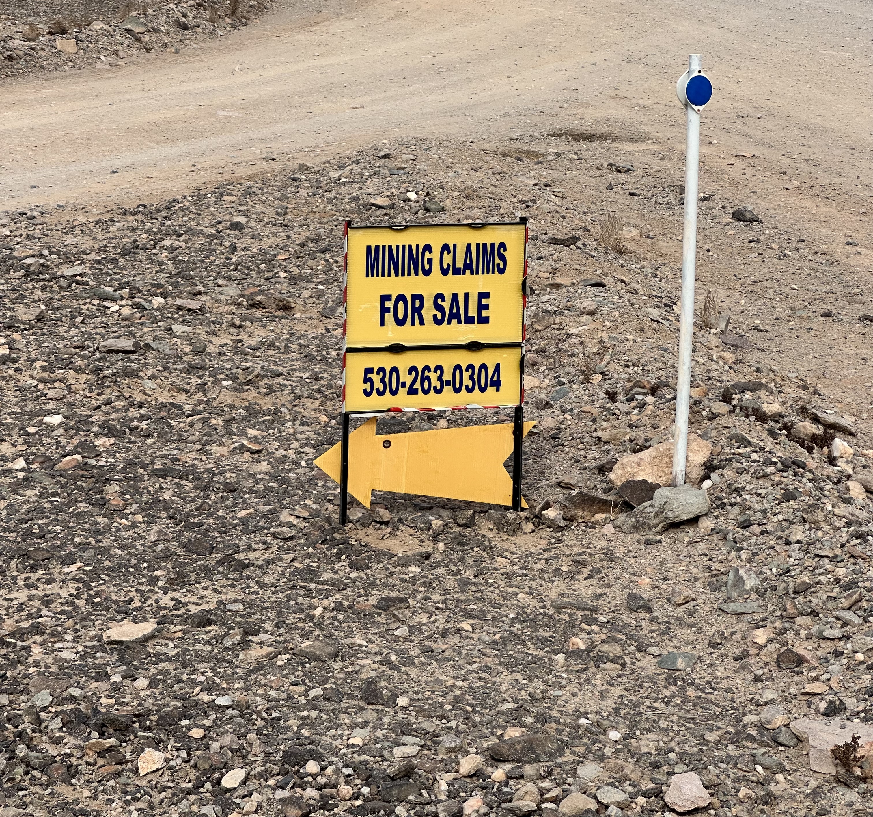
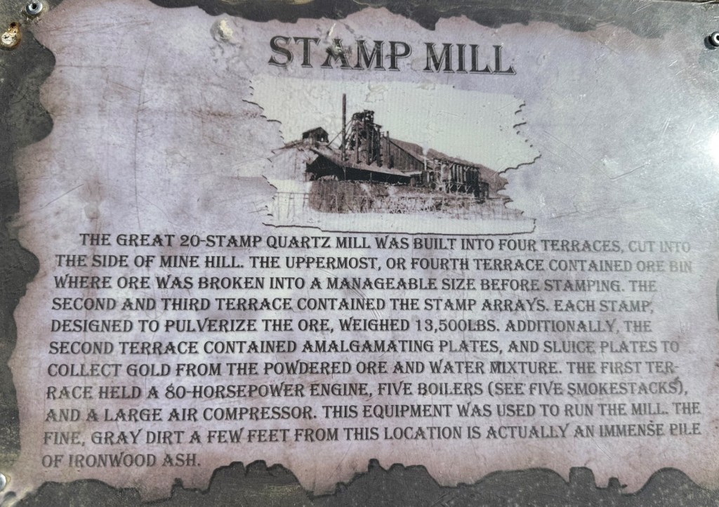
There are a number of mines in the area we explored. Many are abandoned but there are a fair number of claims being worked on a small scale. If you are interested in mining for gold call the phone number in the photo above!
Our next post will provide a glimpse of our visit to Phoenix.
Be seeing you!