fine art tourist: oklahoma city —- national cowboy & western heritage museum (ncwhm)

CAUGHT IN THE CIRCLE, 1903 —- Charles Marion Russell

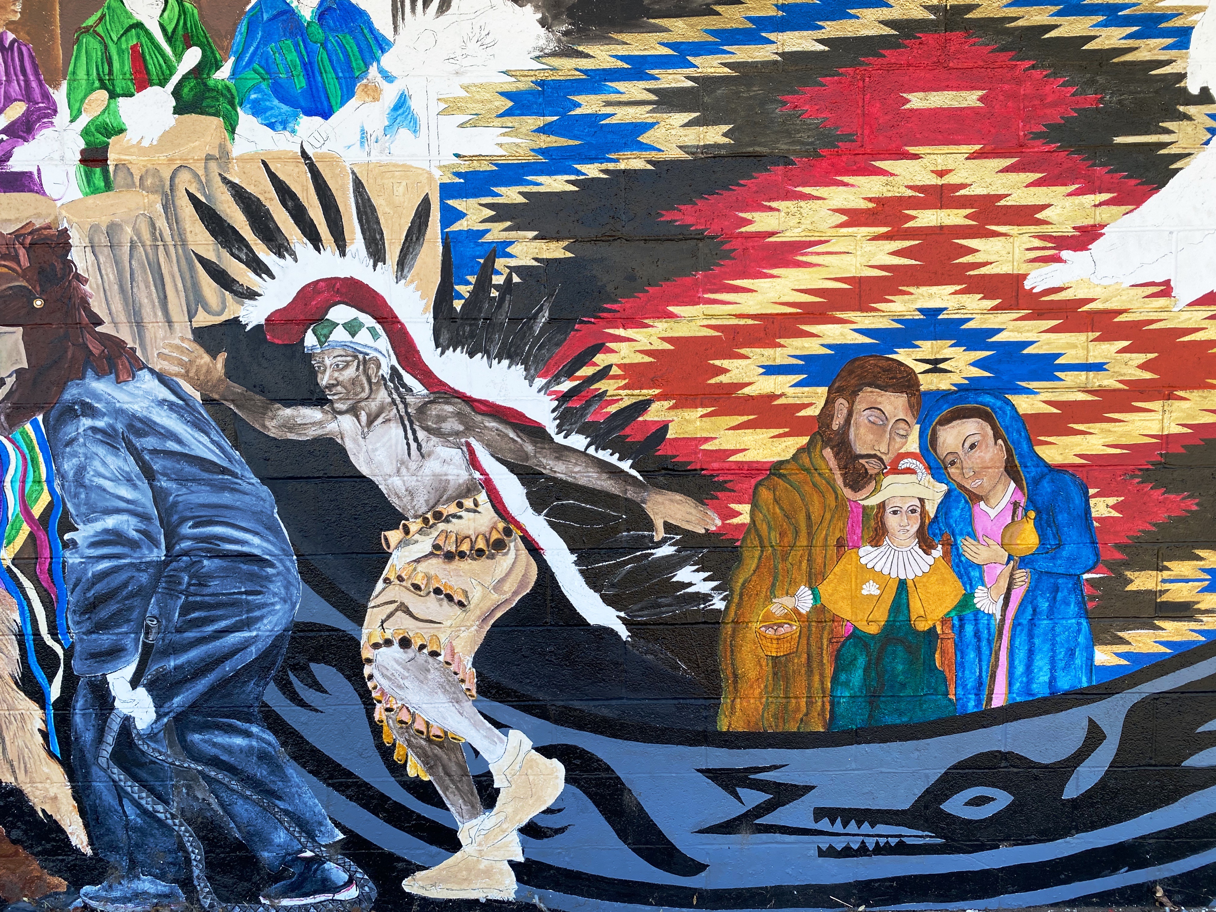
The NCWHM was founded in 1955 as the National Cowboy Hall of Fame and Museum with a focus on honoring the cowboy. Today the museum is a smorgasbord of history, culture and fine art. The museum has over 200,000 square feet of display space with twelve galleries including a replica of a western frontier town and a significant collection of firearms in addition to cowboy and Native American art and artifacts. https://nationalcowboymuseum.org/all-galleries/

This post will focus on three painters whose works are in the museum collection, and are well known for their depiction of western life and Native Americans.

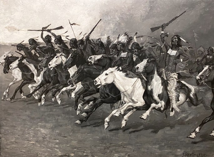
Federic Sackrider Remington (1861 – 1909) is undoubtedly one of the most widely recognized artists of the Old American West. As with many of his compatriots, Remington was an Easterner sent to the West to create illustrations for books and magazines which were focused on the romantized West of cowboys and indians.

PONIES PAWING IN THE SNOW, 1888 — Frederic Sackrider Remington

Unlike many of his fellow artists, he lived in the West for a period of time, owning a ranch and a saloon at different times (neither of which was successful). Remington’s start as a professional artist was actually the bartering of drawings to pay some of his debtors during the period of time he owned the saloon.

RAY’S TROOP, c. 1903 — Frederic Sackrider Remington

While he had very little formal art training, Remington became highly proficient at drawing cowboys, indians and cavalry officers (who paid him handsomely for portraits in uniform). He was quoted as saying “Cowboys are cash with me”.

The
THE HUNTERS’ SUPPER, 1909 — Frederic Sackrider Remington

Remington became quite successful financially, moving back East and taking up residence in a large mansion he had built for his family. Unfortunately for him, he adopted an oppulent life style and essentially ate and drank his way to an early death due to complications from his immense size.
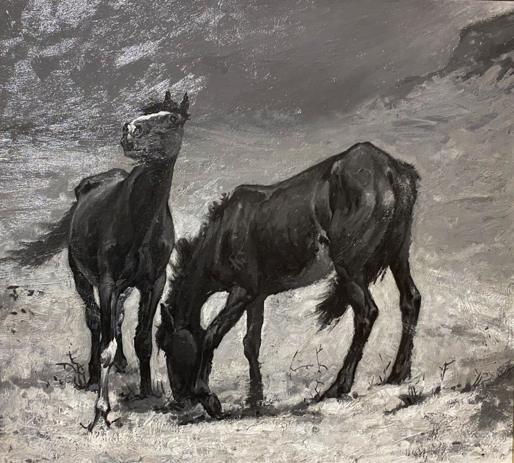
THE CHARGE ON THE SUN- POLE, c. 1890 — Frederic Sackrider Remington
IN FROM THE NIGHT HERD, 1907 — Frederic Sackrider Remington

Charles Marion Russell (1864 – 1926was born in Saint Louis, but from an early age was enamored of the West; by the age of 16 had left home to work as a ranch hand in Montana. He made Montana his home for the rest of his life, marrying Nancy Cooper and building a home in Great Falls.

WHEN TRAILS WERE DIM, 1919 — Charles Marion Russsell

Russell had no formal art training. He drew scenes from his life on the ranch as a way to record his experiences. “Between the pen and the brush there is little difference but I believe the man that makes word pictures is the greater.” —- Charles Marion Russell

WHEN MULES WEAR DIAMONDS, 1921 — Charles Marion Russell

Russell’s wife was influential in marketing his sketches, painting and drawings – as his work became popular he devoted himself full time to his artistic endeavors. By that time, he had spent eleven years ranching and had even lived for a time with a Native American tribe. His first hand knowledge of the West provided him with the ability to portray the West in a manner that other artists could not achieve. It is no wonder that Charlie (as he was known by his friends) is considered America’s true Cowboy Artist.

THE CALL OF THE LAW, 1911 — Charles Marion Russell

Russell is considered by many to be an early conservationist. ”A pioneer is a man who turned all the grass upside down, strung bob-wire over the dust that was left, poisoned the water, cut down the trees, killed the Indian who owned the land and called it progress.” —- Charles Marion Russell

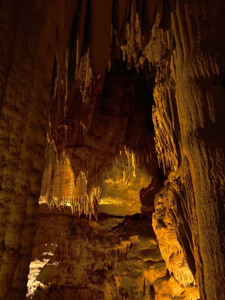
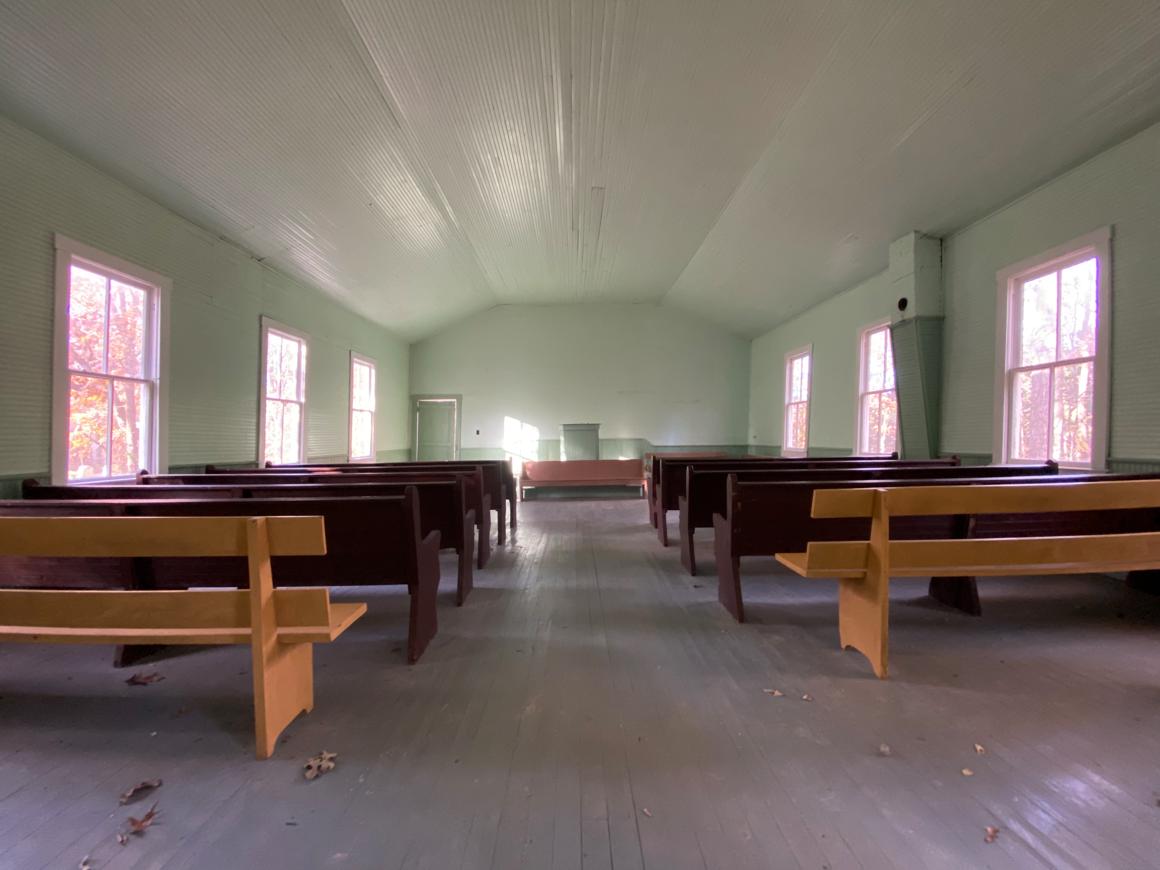
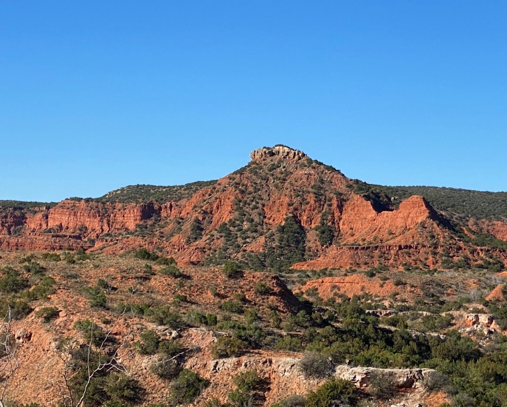
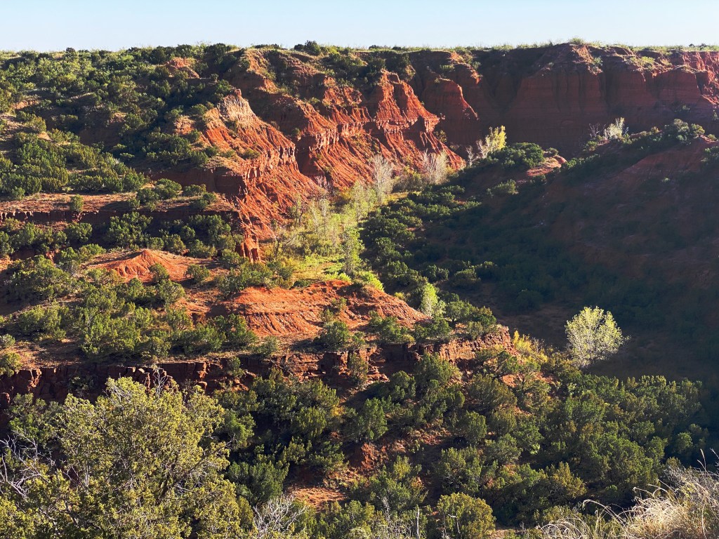
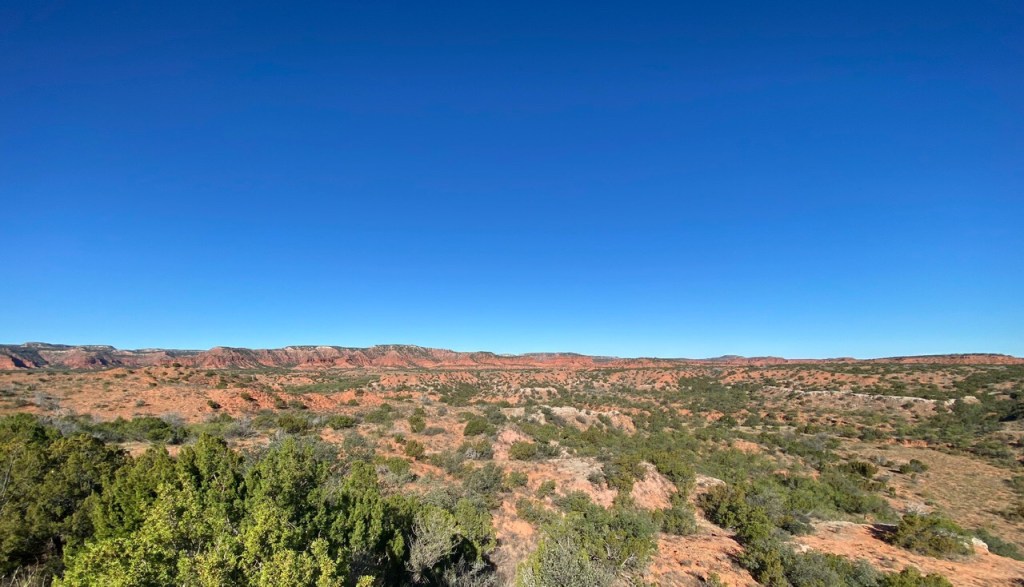
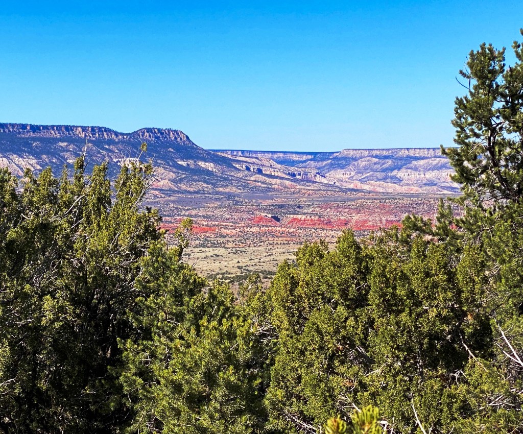
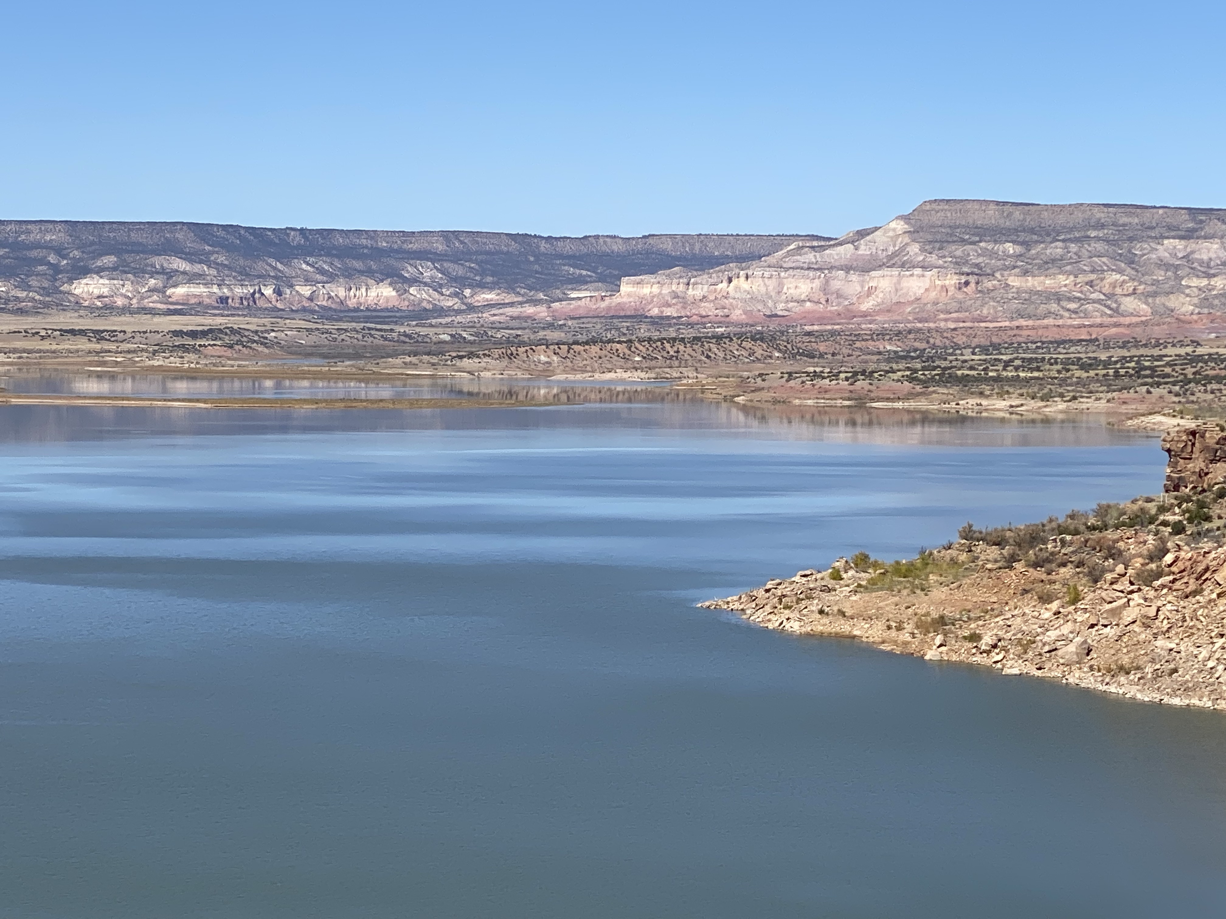
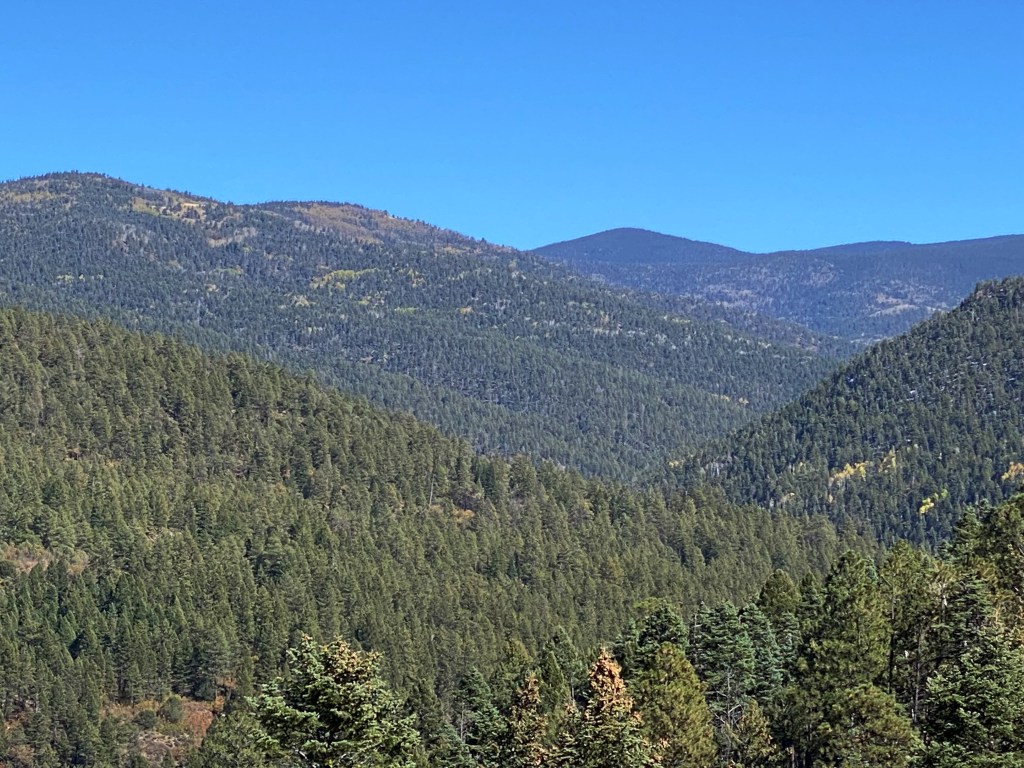
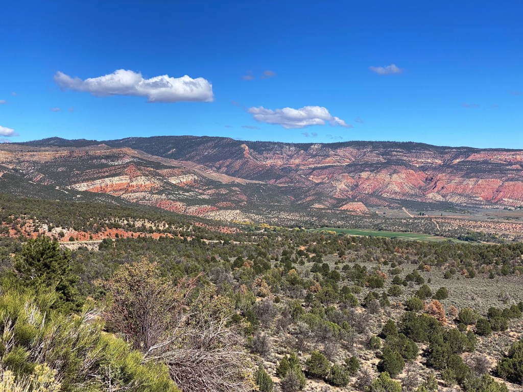
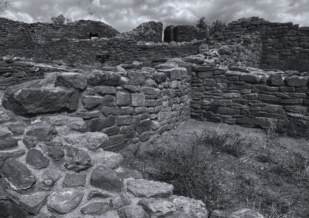
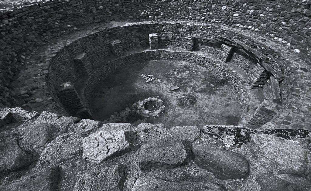
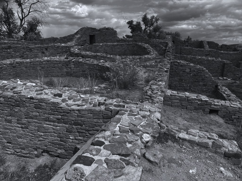
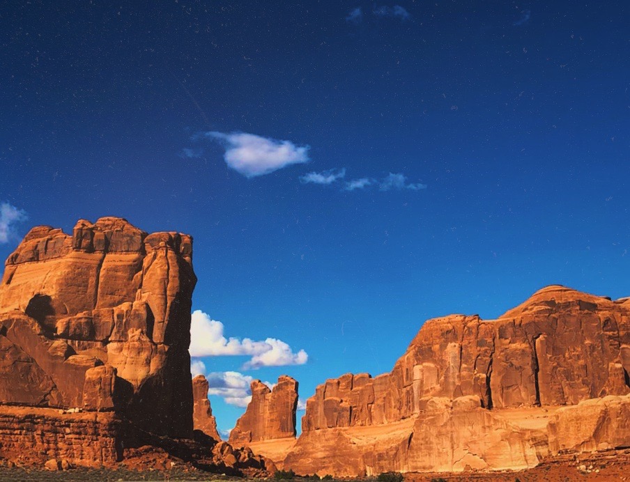
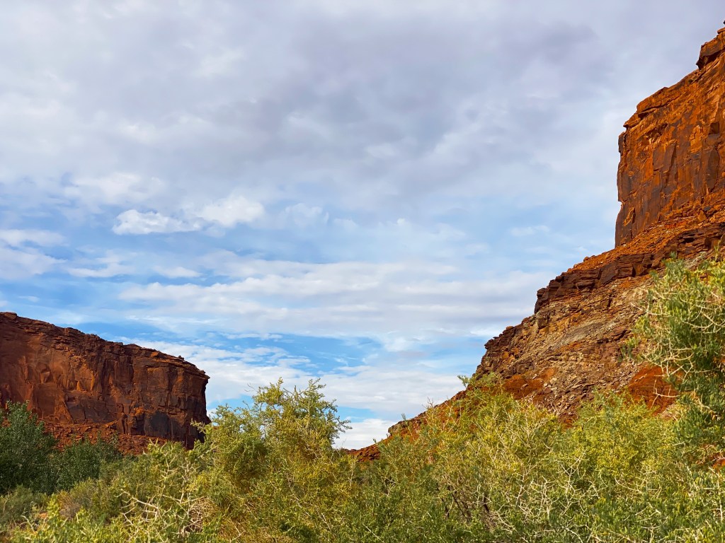
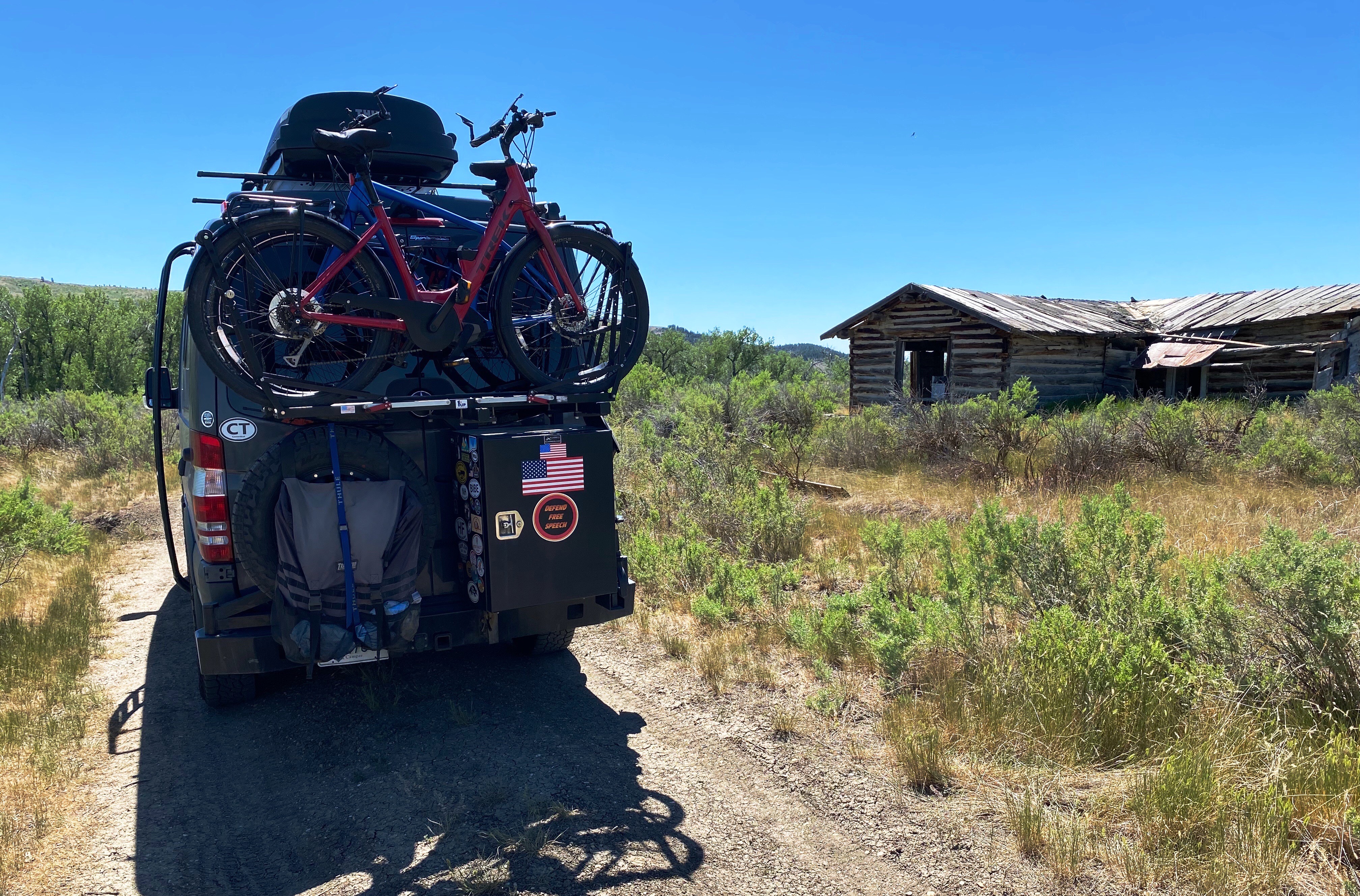
As an acknowledgement of his recognition of the need to preserve the environment, a 1.1 million acre national wildlife refuge stretching along a remote portion of the Missouri River in Montana bears his name. We visited the Charles M. Russell National Wildlife Refuge during the summmer of 2021 as part of OTR 6.0 ( see post – Montana Prairie…Sun, Heat, Wind and Beauty). The land within the refuge is much the same as it was during Russell’s lifetime. See photographs below. https://www.fws.gov/refuge/Charles_M_Russell/about.html

Russell had great respect and admiration for the Native Americans of the Plains and their way of life. Of the 4000 works that he completed during his career, 1700 featured Native Americans as the subject of the work.

THE SIGNAL GLASS, 1916Charles Marion Russell

“The Red man was the true American. They have almost all gone, but will never be forgotten. The history of how they fought for their country is written in blood, a stain that time cannot grind out. Their God was the Sun, their church all out doors. Their only book was nature and they knew all the pages.” —- Charles M.Russell

BEFORE THE WHITE MAN CAME, 1897 — Charles Marion Russell

Walter Ufer (1876-1936) was born in Germany in 1876, although he spent most of his youth in Louisville, Kentucky where there was a sizable German immigrant population. Unlike Remington and Russell, Ufer was a trained painter, having returned to Germany to study at the Royal Academy in Dresden. He returned to the United States and began work as a Commercial Artist before returning again to Germany to study in Munich.

In 1914, the mayor of Chicago, Carter Harrison and his business partner, Oscar Meyer (yes, that Oscar Meyer), both admirers of Ufer’s work, helped finance a visit to Taos to provide Ufer with new environment to continue his development as an artist (and, of course, sell his paintings back in chicago).

JIM AND HIS DAUGHTER, c. 1925Walter Ufer

The brilliant light, landscapes and Native American culture of New Mexico captivated Ufer. Ufer very quickly abandoned working in the studio and began working outdoors in order to capture the brilliant light of the southwest and the daily activites of Native Americans and Hispanos.

AT REST, 1926 — Walter Ufer

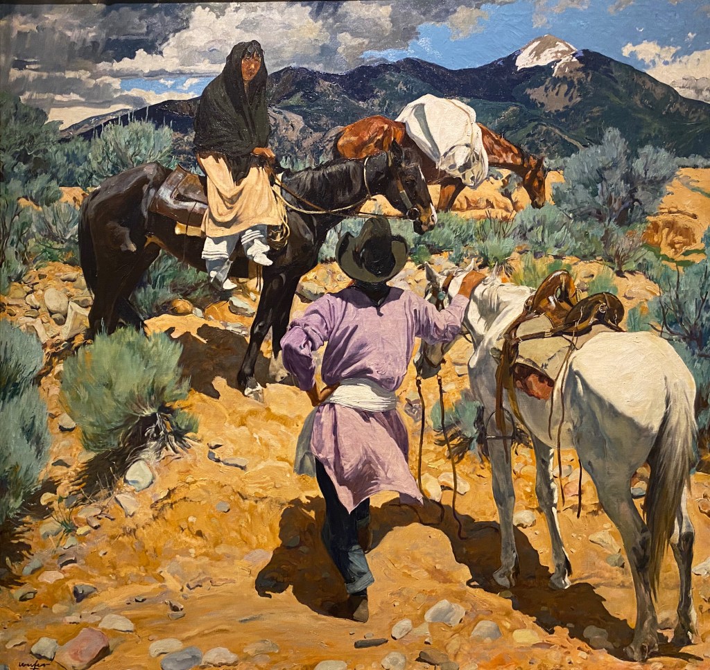
Ufer’s depictions of the Taos Pueblo Indians were rarely romanticized. He was a committed socialist and soon came to believe that the Euro-American settlers were largely responsible for the destruction of Native American culture and identity that had occurred in America.

“The Indian has lost his race pride, he wants only to be an American. Our civilization has terrific power. We don’t feel it, but that man out there in the mountains feels it, and he cannot cope with such pressure.” —- Walter Ufer

SLEEP, 1923 — Walter Ufer

Ufer realized both critical and commercial success from his depictions of Native Americans and the southwestern landscape. The stock market crash of 1929 and the ensuing Great Depression were diasterous for Ufer. The public fascination with art depicting Indians and the West diminished significantly as the financial crisis deepened and endured.

Sadly, as the sale of his work evaporated and his financial burdens mounted he turned to alcohol. He died in 1936 at the age of 60 as the result of a ruptured appendix.

At one time, the images of the West that were shared via the work of these three artists and others were viewed as illustrative of how the white man won the West and conquered the savage tribes of Indians. The winning of the West was considered a noble and necessary precursor to American greatness – our Manifest Destiny.

None other than Theodore Roosevelt said it is  “our manifest destiny to swallow up the land of all adjoining nations who were too weak to withstand us.” Many of the Western artists were, as such, unwitting propagandists for the conquering of the West through their depiction of Native Americans as savages who murdered innocent white settlers. Today it is commonly acknowledged that Native Americans were in fact fighting to remain on their sacred lands and maintain their way of life.

This post is not about villifying the featured artists – they painted the West as they saw and experienced it. Both Russell and Ufer were sympathetic to the plight of the Native American and Hispano peoples. Neither is the post meant to be critical of the museum – the NCWHM is a wonderful museum and we highly recommend a visit when your travels take you to Oklahoma City.

This is the final post from OTR 7.0. We will back on the road in early March. Be seeing you!

fikawithfiona: onyx coffee lab

After departing Tulsa we traveled across eastern Oklahoma to spend several days in the BentonvilleRogers (B-R) area of northwestern Arkansas. The B-R area is, of course, home to the world’s largest retailer – Walmart. As exciting as that is, our desire to visit the area emanated from the opportunity to bike the Razorback Greenway and, most importantly, visit the Onyx Coffee Lab. Having said that, there is plenty to do in the area in addition to biking and drinking coffee and tea. More on that at the end of the post.

Onyx Coffee Lab was founded in 2012 by husband and wife team Andrea and Jon Allen. In the relatively short period of time since founding Onyx they have achieved a world class reputation in the specialty coffee business (with good reason).

The cafe

As we entered the building for our first visit we were stunned – the space is gorgeous. The size and scale is beyond anything we had ever experienced in regard to specialty coffee.

In this soaring space, Onyx has captured the ultimate coffee experience including the important transition from caffeine to alcohol. Under this one roof there is the cafe, the roastery, a pastry shop, a cocktail bar and a restaurant as well as meeting and event facilities.

Perhaps it goes without saying,but we will say it -everything we ordered was impeccably presented and delicious.

rogers hq (photo courtesy sprudge)

The roastery

Onyx boasts six roasters at the Rogers HQ location. Many cafe/roasters of necessity have their roastery located in warehouse type facilities away from the cafe. Onyx (with its 30,000 sq ft of space) has placed the roastery out in the open for all to see and enjoy. As you can see in the photograph directly below they have created a bar directly in front of the roastery to allow for viewing the process and interacting with the roasting staff. So cool!

Bentonville Cafe

The Bentonville Cafe is close by the town square and is an aesthetically pleasing cafe in its own right. Despite the large amount of seating it can be difficult to find a seat if you arrive during the morning rush – an amalgamation of locals heading to work and tourists in need of that first hit of magic elixir. Regardless, make it a priority to spend time here if you find yourself in Bentonville for any reason. The local folks are friendly and will chat you up gladly.

Bentonville

In addition to Onyx and the Razorback Greenway (https://www.traillink.com/trail/razorback-regional-greenway/) there are a number of excellent restaurants ( we had an excellent Italian meal at Tavola Trattoria; http://tavolatrattoria.com/) and plenty of shopping (if that is your thing). Below is a gallery of photos from Bentonville.

There are also a number of museums in Bentonville including the spectacular Crystal Bridges Museum of Modern Art (founded and funded by Alice Walton).

crystal bridges museum, bentonville, arkansas

Be seeing you!

STREET ART TOURIST OTR 7.0

Regular followers of OTR know that, in addition to fine art and excellent coffee and tea, we are avid fans of street art (@streetartfromtheroad). This edition of OTR 7.0 presents a sampling of our favorite street murals from this trip. Some of the murals below we found purely by chance while others we sought out based on our research of public art in a particular area, town or neighborhood.

We should qualify that our focus is on street murals as opposed to graffiti or tagging. Marking public or private property is really a subversive activity and while we have our subversive moments, we do not support the defacing of public or private property. Okay, enough on that topic.

Street art is often very political and cultural in nature and at it’s best is powerful and moving. We also find that it is often highly creative, humorous and very often beautiful.

Please find below our favorites from OTR 7.0, we hope you enjoy the photographs. P.S. We have provided attribution wherever possible.

Utah: Moab

Muralist: @skyewalker_art

New Mexico: Taos

“El santero” muralist: george chacon

New Mexico: Plaza de Chimayo

New Mexico: Espanola

“El sembrador
Muralist: Rubel rael

New Mexico: Santa Fe

Texas: Quitaque (kitty-k)

Texas: Amarillo

blue sky texas burgers

Texas: Amarillo: Hoodo Mural Festival

Muralist: @daas
Muralist: @weshouldbestrangers
“Xochi” muralist: msyellowart
Muralist: @malcolm_byers
Muralist: @dtoxart

OK: OKC

Muralist: Eric tippeconnic (commanche nation of oklahoma)
Muralist @juuriart83

OK: Tulsa

Muralist: Aaron Whisner
In Memory of Madison Mcmanus” Muralist: @jeks_nc

Historical footnote: the Greenwood District of Tulsa was the site of the Tulsa race massacre also known as the Tulsa race riot. In the early 1900’s this area of Tulsa was known as Black Wall Street due to the concentration of wealth in this largely black community.

On May 31, 1921 multiple mobs of armed white residents of Tulsa (deputized by city officials) attacked the residents of the area killing and injuring scores of people and destroying a 40 block area of the district. Thirty-six blacks were killed and over 800 were hospitalized.

Some accounts indicate that the massacre was triggered by the arrest of a black man for assaulting a white woman. Most historians agree that this event was more the result of a growing resentment in the white community of the financial success of ”Black Wall Street”.

Muralist: @skiphillart

AR: Bentonville

Muralist: @steve.adair
muralist: @leftyeyeball
“When spirits dance free” muralist: karrie evenson

KY: Louisville

Be seeing you.

Ctsprinterlife: Mammoth cave national park

The cave

Mammoth Cave, located in southwestern Kentucky, was officially designated as a national park in 1941. The park is approximately 53,000 acres (small by national park standards); its main focus is the cave system which lies under the surface.

Mam Cave, as it is called locally, is the longest cave known to exist in the world at just under 400 miles. The 400 miles of cavern are not linear, but exist on six levels which crisscross and extend out in multiple directions, fitting inside a seven square mile area under the park.

We took a ranger led tour during our visit, venturing down 250 feet below the surface and then through a series of rooms as we gradually climbed back towards the surface to exit the mine.

The park offers a wide range of tours differing in time and the level of physical activity required to complete the tour. We took the Domes and Drips Tour where you are brought through some of the largest domes in the cave system and also to a wetter area where stalactites and stalagmites are still forming.

The lower two levels of the cave are underground rivers – with water draining down from the Green River and the numerous sinkholes in and around the park. In the past visitors could tour the lower cavern by boat but the practice was stopped to protect the environment.

Auto tour

Green River Ferry

A brief History of mam cave

As we mentioned above, Mam Cave became a national park in 1941. What we did not realize until we visited the park and spent time touring the scenic backways of the park was how the park came into being.

Road to Good Spring

The caves were originally mined for saltpeter which was used in the making of ammunition.The caves in the area were privately held and operated by the owners as tourist attractions from the early 1800s until the park became a national park.

Good Spring Baptist Church

There were many people in government, science and business who, for various reasons, wanted to see Mam Cave designated as a national park and thus be protected. The federal government would not buy land for the creation of a national park but would accept donated land for that purpose. As a result, a private organization was formed for the purpose of buying the privately owned land and donating the land to the federal government.

Over a period of several years the required amount of land was purchased (in some cases through eminent domain). There was also a land donation of 8,000 acres made by a single family.

The photographs above and below show the only remaining structures from three of the communities (Good Springs, Flint Ridge, Joppa Ridge) that ceased to exist as the residents moved to other towns outside of the park boundary. Some of the families and their descendants lived in theses communities for 200 years before they were displaced.

The park service has preserved these churches and the adjacent graveyards, providing a peak into life in early rural America. All other structures from these communities were razed when the National Park was established.

The families of the descendants are still able to use the churches for weddings, funerals and other special occasions. The cemetaries bear witness to this use as we observed newer monuments in each of the graveyards.

Conclusion

We enjoyed our two days at Mam Cave. The cave tour was well organized and interesting. We would have to say that from a persective of the cave only that Carlsbad (New Mexico) and Wind Cave (South Dakota) are more dramatic from a visual perspective.

Having said that, Mam Cave offers a number of hiking and mountain biking trails as well as a paved bike path. Additionally, the Green River which flows through the park provides the opportunity for kayaking and canoeing.

If you are a national park fan and have not yet visited, we recommend that you include Mam Cave in an upcoming park itinerary.

Be seeing you.

Ctsprinterlife: Touring the panhandle

Tex Randall, Canyon, Texas

PALO DURO CANYON

Palo Duro Canyon

Palo Duro Canyon is the second largest canyon in North America at approximately 120 miles in length and a depth of between 600 and 800 feet. While not as dramatic as the Grand Canyon or Hells Canyon in our opinion (primarily due to the fairly shallow depth) it is nonetheless a spectacular sight. We were fortunate to be able to camp on the canyon floor and complete several hikes while enjoying fantastic weather.

The canyon is noted in Texas history as the place where the decisive battle of The Red River War occured in the fall of 1874. Commanche, Kiowa and Cheyenne Indians were living on the floor of the canyon in five settlements. They had amassed a herd of 1400 horses and provisions for the upcoming winter.

These tribes were the last of the Southern Plains Indians not imprisoned on Indian reservations. The U.S. cavalry rode down into the canyon and attacked each of the settlements. The people of the tribes fled down the canyon with the cavalry pursuing.

After pursuing tribes far enough to ensure that they could not return, the cavalry destroyed all of the teepees and food in the settlements. And, of course, they killed all of the tribe’s horses-except the 200 that they kept for their own use.

The surviving tribal members, faced with starvation, accepted the same fate as their brethen before them, and relocated to the Indian reservation at Fort Sill, Oklahoma.

Bison at Caprock Canyon State Park

The land was cleared of the tribes, although large herds of bison were still living in the canyon. The land was opened for settlement; in 1876 the JA Ranch was established in the canyon for the purpose of raising cattle.

The cattlemen had no use for the bison. They needed the land and water for their cattle; so they allowed the bison to be hunted. Fortunately, the wife of one of the ranch owners, Mary Ann Goodnight, was able to convince her husband to stop the hunting as she was rightly concerned about the extinction of the species. The herd was eventually relocated to Caprock Canyon where it now resides and is protected as the official Texas State Bison Herd.

Quitaque (Kitty-Quay), Texas

TURKEY, TEXAS

Phillips 66 Station, 1929

Turkey is a short drive east of Quitaque and Palo Duro Canyon. If you prefer hotel accommodations while visiting Palo Duro and this area of the Panhandle, Turkey is the place to stay.

The town’s origins are agricultural – cotton, watermelon, sweet potatoes and peanuts. The town was platted in 1907. The current population is 396.

Despite the small size of Turkey and its rural location it is well known among afficiandos of Western Swing music as the home of Bob Wills. Wills was the town barber and a fiddler and songwriter and is widely acknowledged as the co-creator of Western Swing.

Bob Wills

As his music became more popular he formed a band – Bob Wills and his Texas Playboys. The band toured around Texas and Oklahoma and regularly played on radio shows in Oklahoma City.

Hotel turkey

The Hotel Turkey (HT) is hands down the place to stay in the area. The hotel has been in continuous operation since 1927. Hopefully, the photos below convey the western charm of this unique hotel.

HT has a full restaurant (Friday is the fried catfish special and Saturday is the steak special), outdoor bar and live musical entertainment several nights a week. Make reservations in advance – the hotel often sells out on weekends.

CAPROCK CANYON

Caprock Canyon Sate Park is a series of canyons covering about 13,000 acres. It is part of the Caprock Escarpment which runs north to south and seperates the great flat plains of the Texas Panhandle from the rolling plains to the east.

We traveled to Caprock after our stay at Palo Duro Canyon. We camped on the flats above the canyon within walking distance of the rim (photo below). Caprock, like Palo Duro, has many miles of hiking, horseback and mountain biking trails.

We initially had beautiful weather as you can see from the photographs. Unfortunately, a windstorm came roaring up from the south with 30 to 40 mile per hour winds and we spent most of our second day inside the van waiting out the storm.

Bison at CVaprock Canyon

We recommend both of these state parks if you enjoy hiking, mountain biking or camping. The are dozens of hikes of varying difficulty and length with one common feature – spectacular scenery.

Palo Duro is within 30 minutes of Amarillo if you are not interested in staying in the park. Similarly, Caprock Canyon is a reasonable drive from Lubbock.

Be seeing you.

Fine art tourist: BISTTRAM AT THE Panhandle plains historical museum (pphm)

The PPHM is located on the campus of West Texas A&M University in Canyon, Texas. The museum is dedicated to preserving all facets of the history of the Texas Panhandle Plains region of Texas. The museum houses exhibits on the petroleum industry, paleontology, archeology, geography, art and history. This museum literally has something for everyone.

We toured the museum but must admit to a keen interest in seeing the exhibit of modernist paintings by Emil Bisttram. We had seen his works previously at other museums featuring the works of Taos, New Mexico artists – most recently at the Yellowstone Art Museum in Billings, Montana.

Symphony in Blue, 1963 Oil on Masonite

This exhibit of Bisttram’s work features paintings from the latter part of his career. The paintings are dramatically different from his earlier work in Taos. Below is a photograph of one his landscapes completed in 1931.

Storm Over Taos, 1931
Celestial Structures, 1959 Enamel on Masonite

“I am always experimenting. As I paint today may not be the way I’ll paint next month. I’m always studying and I hope always growing.” — Emil Bisttram

Midsummer Night’s Dream, 1960 Enamel on Masonite

While we are not usually fans of abstract work, we enjoyed this exhibit. Perhaps because we are familiar with Bisttram’s earlier work, or perhaps because these later paintings, while abstract, contain more recognizable forms. Regardless, we admire his precision and use of color.

Waterfall, 1959 Acrylic on Canvas
Winter, 1959

We think the PPHM is absolutely worth a visit if you are planning to be in the Amarillo/Canyon area. And, as frosting on the cake, Palace Coffee’s original cafe is less than a ten minute walk from the museum.

Palace Coffee, Canyon

Lastly, it is a short drive from Canyon to the spectacular Palo Duro Canyon which you can enjoy by hiking or touring by automobile.

Palo Duro Canyon

Be seeing you.

Ctsprinterlife: OVERLAND adventure

CARSON NATIONAL FOREST

After camping in Chama, New Mexico, we followed Route 17 along the Colorado/New Mexico border to access the Carson NF for our trip south. Unfortunately, the heavy snow in the Colorado mountains had reached into northern New Mexico. After testing the road we decided that prudent risk taking required that we delay our start. As a result we traveled to Taos and spent several days exploring there (see posts Taos, The High Road to Taos and Taos is Art) while waiting for the roads to dry out and harden.

KML File

The above photo is from the KML file we overlaid on Google Earth to assist with navigation as we traveled through the forest and mountainous terrain.

Overlanding is currently defined as “self-reliant overland travel by vehicle where the journey is more important than the destination.” Overlanding has gained popularity in the United States over the last several years and particularly since the pandemic interrupted standard modes of travel.

FR45B

Our trips over the last three plus years have been a mix of overland adventures and standard touring. Overlanding is not for everyone due to the risks and the need for specialized gear (high clearance, 4wd, skid plates, winch, extended range, etc.) Overlanding also requires patience – it is often very slow going on rough, narrow, rutted roads and trails.

Case in point – the photo above is Forest Road 45B – after driving a number of miles down this rough and narrow route the trail became impassable. We we forced to back up the hill until we could turn the vehicle while causing the least damage possible.

EL RITO (pop. 808)

After two days on the trail we came out of the forest at El Rito on a crisp Sunday morning. We were hoping to have breakfast burritos at El Farito Restaurant but alas the restaurant was closed. We cannot vouch for the reported census – we met one person and one dog during our brief stop. We were surprised to learn that the Mars Polar Lander was designed and built here in town by a local scientist/artist!!!

Abiqui and south

We stopped in the town of Abiqui for diesel fuel and refreshments. Abiqui is the town where Georgia O’Keefe lived for many years on her ranch north of town. Many of her paintings include the surrounding mountains.

After refueling we headed back up into the forest to continue our overlanding trip south for another day – leaving the route near Los Alamos and then traveling to Santa Fe for much needed high quality coffee and tea.

Climbing towards Cerro Pedernal

The snow of the prior week caused us to shorten our time overlanding through the Carson National Forest, but it was a good trade off as the weather and conditions were much improved by the time we started on our overlanding adventure.

Be seeing you.

The high road to taos – scenic byway

The High Road to Taos is a scenic drive that connects Taos and Santa Fe. We drove a portion of the route while staying in Taos. Leaving from Taos heading south, the first 30 miles take you on a winding route up and over mountains within the Carson National Forest. The scenery as you might imagine is quite spectacular.

While the views are impressive we found the cultural aspects of the trip even more impressive. The villages, architecture, churches and food reflect the Old Spain of the early Spanish settlements.

Each of the small villages has a Spanish style church – many have been continuosly operating for over two hundred years. We traveled through the villages of Penasco, Chamisal, Trampas, Truchas, Cordova and Chimayo. These villages still maintain the wood carving and weaving expertise and traditions that came from Spain with the first settlers.

SANTUARIO DE Chimayo

We followed the byway as far as Chimayo where we stopped to visit El Santuario de Chimayo. The intial construction took place in 1813. Long before the Spanish arrived Pueblo Indians considered this ground as sacred with healing powers.

The Catholic Church carried forward the belief that the earth under what is now the Plaza del Cerro is sacred and has miraculous healing powers. As a result, the Santuario is a major pilgimage site drawing over 300,000 visitors annually.

The Santuario is considered one of the finest examples of Spanish Colonial architecture in the southwest. The evidence of the woodworking skills of the Spanish settlers is on display throughout the plaza – from the carved figures to the beautiful doors. The plaza is the sole remaining Spanish fortified plaza in New Mexico.

Arthur LowLow Meidna’s Low Low Ride Museum, Chimayo, New Mexico

Ranchero de chimayo

Any worthwhile pilgramage deserves to be rewarded with an excellent meal. Fortunately, while the total population of the small plazas that constitue Chimayo is only 3200 people, one of the best New Mexican cuisine restaurants is located here.

In fact, the Ranchero has been serving food here for 50 years to locals and travelers alike. Interestingly, for our fellow Nutmeggers, the owner, Florence Jaramillo was born in Hartford, Conneticut. Florence moved to Chimayo after marrying Arturo Jaramillo, who was a native of Chimayo. The site of the restaurant is Arturo’s ancestral home.

Espanola

We returned home via Espanola and the River Road (runs along the Rio Grande River).

The Espanola Chamber of Commerce and the McCune Foundation are sponsoring youth mural projects and we stopped in town to see some of the murals. We are glad that we did – as you can see from the photographs these are, without exception, excellent murals.

El Sembrador – Victor Joseph Villalpando

Be seeing you.

Follow the weather :Durango:chama:taos

Route 90 – Paradox Valley

After a brief but exhilarating visit to Moab (see post Moab = Fun and Adventure) we set out for Durango across Utah 46 which becomes Colorado 90 at the border. Colorado 90 is a gem – a beautiful ride up into the Southern Rocky Mountains within the Manti-La Sal National Forest. The pass at the top of route opens up to the panorama of the Paradox Valley. The majority of this route is very remote and we would not advise traveling this road in winter weather.

Climbing Route 90 Eastbound
Paradox Valley, Colorado
Descending into Paradox Valley

The Paradox Valley is a remote, thinly settled and beautiful place. The valley is approxiamtely 25 miles long running in a north – south direction. The width of the valley is between three and five miles. The paradox that led to the naming of the valley is the unusual east to west flow of the Dolores River which cuts across the valley, as opposed to running the length of the valley.

Paradox Valley from Slip Rock Hill

A Canadian company proposed building a uranium mill in the valley in 2009. Fortunately, the project was abandoned in 2020. As much as we recognize the need for extractive industries it would have been a shame to alter the beauty and character of this place with a uranium mill and everything that comes with the extraction of radioactive materials.

Bedrock Store, Bedrock, Colorado (pop. 56)

We were looking forward to taking a break at the Bedrock Store (serving outlaws since 1881). The Bedrock Store was used in the filming of the movie Thelma & Louise. Unfortunately, the store was not open.

Durango

Taste Coffee, Durango, Colorado

We made a brief stop in Durango, CO enroute to New Mexico. Durango is a mountain town which sits just below 8000 feet above sea level and is a base for the alpine ski mountains in the areas. The town sits along the Rio de las Animas Perdidas which provides wonderful scenery for the bike path nestled on the bank of the river.

As you might surmise from the photos we were quite taken with Taste Coffee as well as barista and co-owner Mike Clarke. P.S. There is a narrow gauge railroad that runs from Durango to Silverton – which we did not ride because we left town to avoid a predicted snowstorm – but it looks like a lot of fun.

Aztec

With heavy snow predicted in the Western Rockies we re-routed due south into New Mexico – stopping to visit the puebloan ruins located in the town of Aztec, Colorado.

The Aztec Ruins National Monument is located in the town of Aztec, New Mexico. The ruins are 900 years old. We utilized the excellent self-guided audio tour to explore the ruins. This is an impressive site with over 400 rooms and an a restored Pueblo Great House. It is well worth the visit if your travels will be taking you to northern New Mexico. ( https://www.nps.gov/azru/index.htm )

CHAMA

Camping on the Rio Chama

Change of plans

Route 17 Colorado

After our overnight in Chama we traveled north and east across Colorado Route 17 to access the Carson National Forest for our planned overland trip from the border to Jemez Springs, NM. When we arrived we found the forest roads still covered in snow with mud underneath. This is a bad recipe for safe travel on narrow mountain roads so we decided to hold off on overlanding (no paved roads) until conditions improved.

Carson National Forest

Taos

We decided to visit Taos while waiting for better conditions on our overland routes. We will report on our stay in Taos in our next post.

Rio Grande Gorge Bridge

Be seeing you.

Moab = Fun and Adventure

A Brief History of Moab

Moab was a sleepy trading post and farming community for most of its history. Its settlement dates back to about 1829 when people traveling north on what is now known as the Old Spanish Trail would attempt to cross the Colorado River in Moab and the local inhabitants would sell their goods to the travelers.

A little over 100 years later uranium was discovered in Moab. Uranium was in great demand for use in nuclear weapons post World War 2, so the federal government stepped in and passed laws mandating that all uranium mined in the United States could only be sold to the federal government. The economy of Moab shifted to mining overnight and Moab became known as the uranium capital of the world.

Unfortunately, as must, all booms result in some sort of bust. By 1960 the federal government declared it had all the uranium it needed. Since no one else could purchase uranium the mines in Moab began to close; the last of the mines closed in 1980. The population which had reached 6,000 declined to 1,000.

Arches Natiional Park

Today, the Moab area draws tourists who come to mountain bike, hike, rock climb, drive off road trails and boat on the Colorado. Additionally, Moab hosts two unique national parks – Arches and Canyonlands

While the town is prospering, there still remains the issue of remediating the uranium sites. When a visitor enters town for the first time driving south on route 191, it is hard to miss the large mound of contaminated pilings near the road.This pile consists of the remaining contaminated tailings. Over 16 million tons of tailings were produced from the uranium mills in Utah. The tailings are being removed and taken by train to a permanent disposal location in Colorado. More than 10 million tons have been removed so far under the auspices of the Uranium Mill Tailings Remedial Action (UMTRA) program paid for by the citizens of the United States.

Final note: many of the miners that worked in the Uranium mills were Navajo. There was little regard for their safety. The Navajo workers suffered significantly from lung cancer and other diseases. While the U.S. Public Health Service was aware of the effects as early as 1951, it was not until 1990 that the health impact was acknowledged. To make matters worse, the Navajo were not eligible for financial compensation until 2017.

Biking

Moab is certainly a mountain biking mecca – the good news is that for those of us in need of less demanding terrain, the town has developed a number of bike paths and bike lanes. One of the bike paths runs east along the Colorado River providing magnificent views of the river and red rock cliffs.

Camping with a view…

Camping on Ledge A: Hunter Canyon

Moab and the surrounding area offers scores of camping choices. Everything from in town RV resorts to remote primitive camping. We look forward to “boondocking” in Moab. We generally camp in a different location each night to enjoy different settings as well as the fantastic night sky and solitude.

4WD adventures

Kane Creek

One of the reasons we chose a high clearance 4wd equipped Sprinter was our desire to go places that we would never be able to see and experience without that capability. The Moab area provides a plethora of opportunities to put the Beast to the test. Above and below we have included a sample of several of our 4wd adventures.

Shafer Switchbacks
Shafer Trail

Moab Mural

Our favorite new Moab mural.

@skyewalker_art

Fine art

Artist Thomas Elmo Williams

Our trip from Salt Lake City to Moab usually involves a lunch and coffee stop in Helper, Utah. Helper has been undergoing a revitalization over the last several years and has become home to a number of artists. On this stop we discovered some wonderful paintings by Thomas Elmo Williams. Williams was a coal miner for 14 years before a mining accident put an end to that line of work for him. Williams started his new career sketching fellow miners and still focuses much of his art on the labor of working folks. He has a gallery in Helper.

Coal Miner Memorial, Helper, Utah

We love Utah and recommend that if you love outdoor recreational activities then a visit to Utah should be on your travel list, with a definite stop in Moab.

Be seeing you.