Ctsprinterlife: Touring the panhandle

Tex Randall, Canyon, Texas

PALO DURO CANYON

Palo Duro Canyon

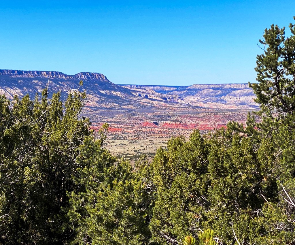
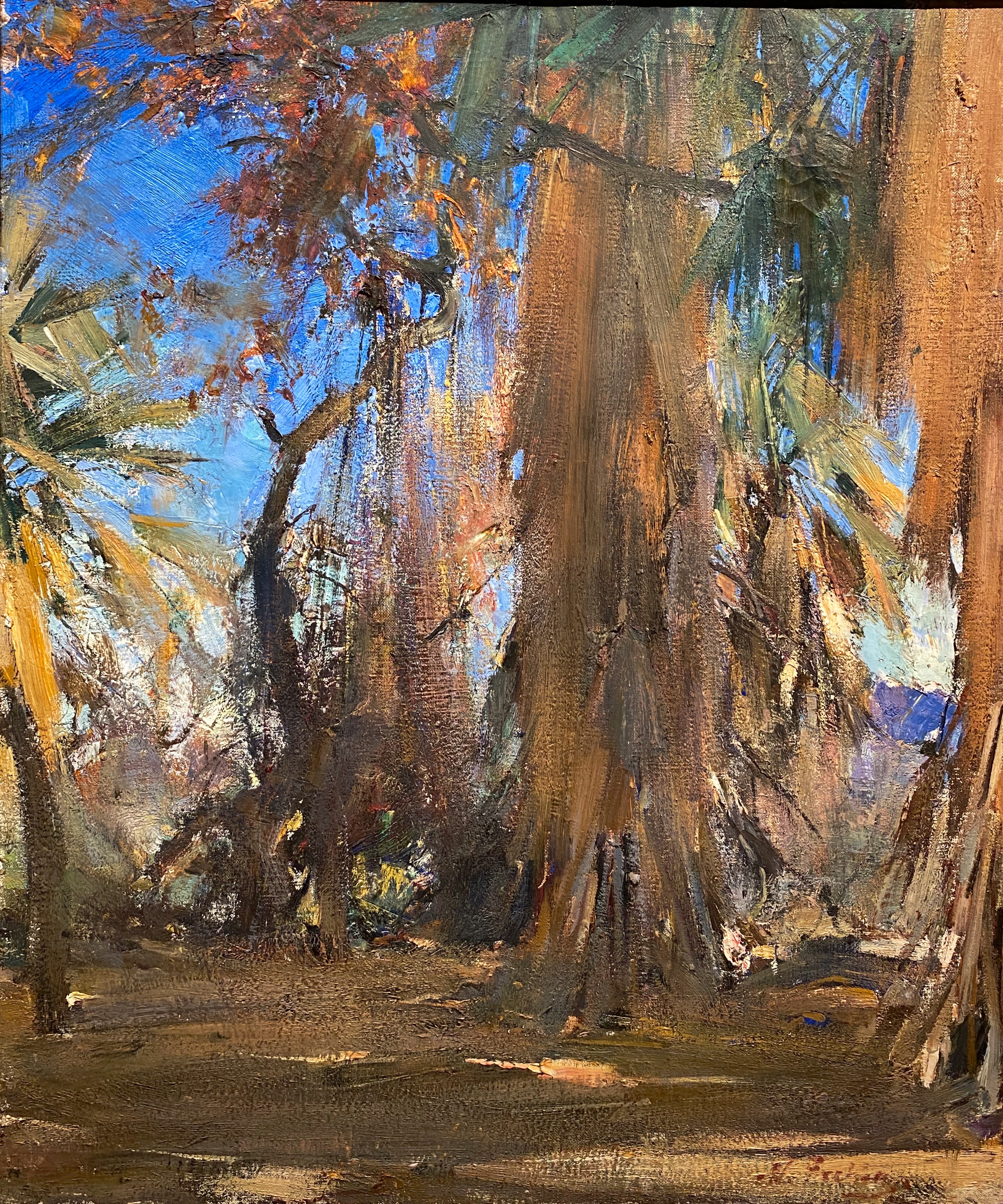
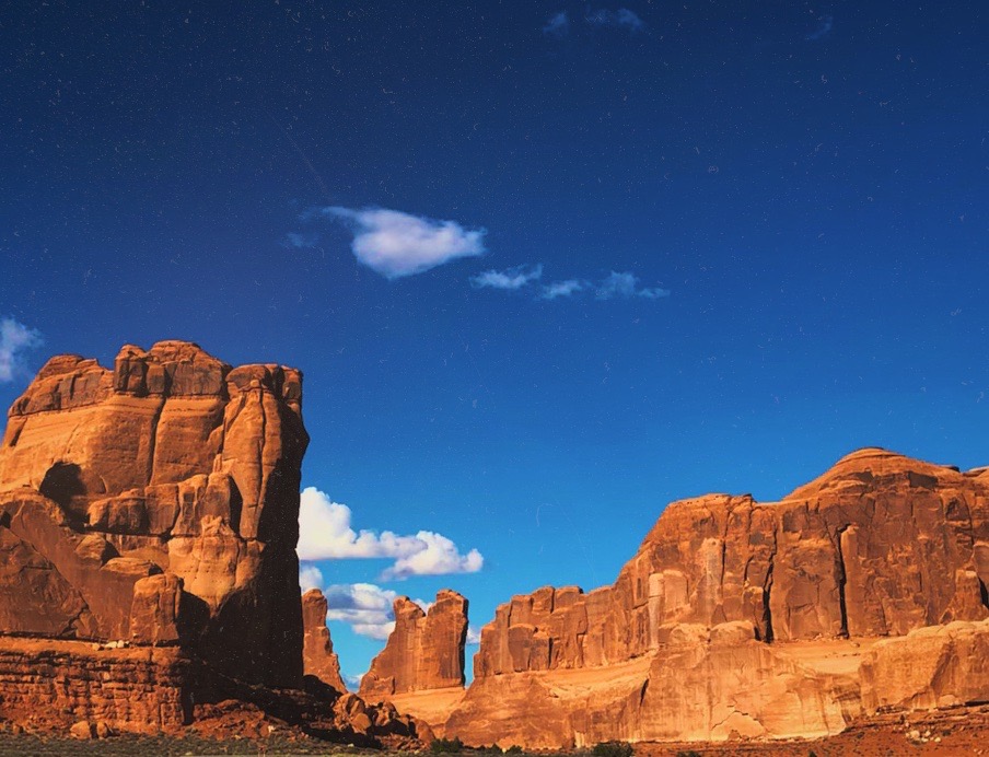
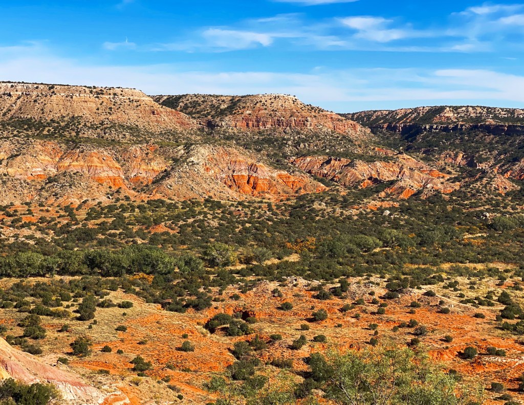
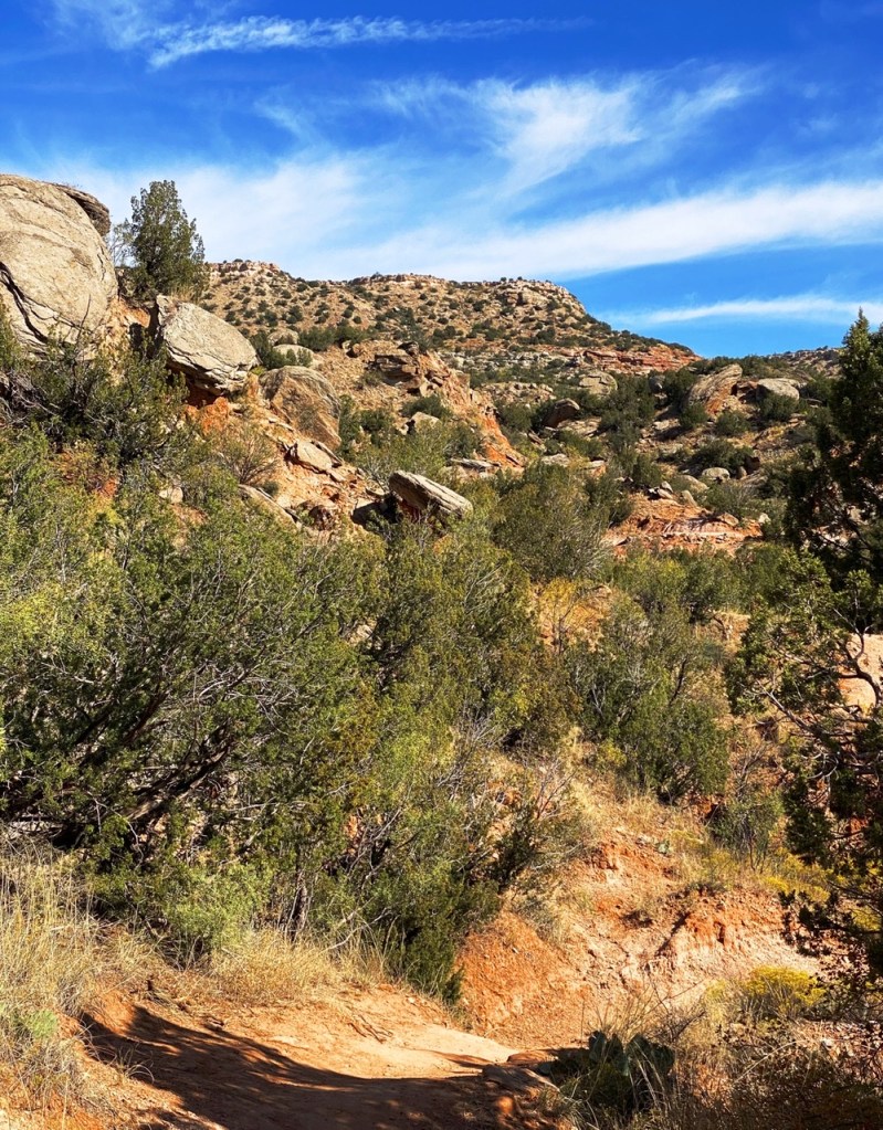
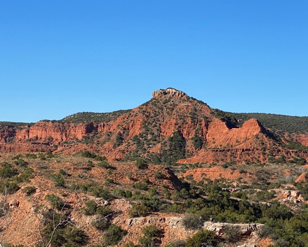
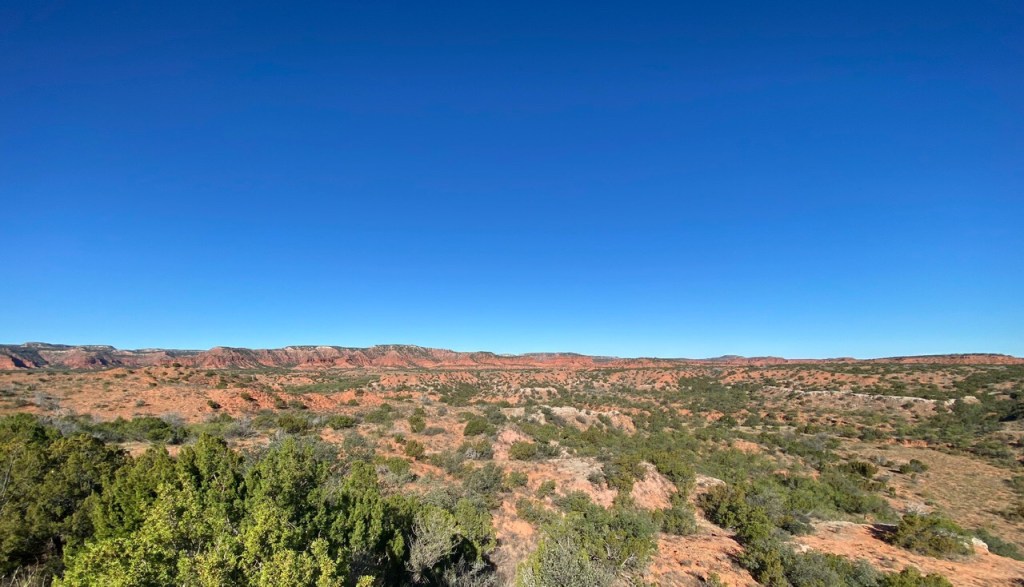
Palo Duro Canyon is the second largest canyon in North America at approximately 120 miles in length and a depth of between 600 and 800 feet. While not as dramatic as the Grand Canyon or Hells Canyon in our opinion (primarily due to the fairly shallow depth) it is nonetheless a spectacular sight. We were fortunate to be able to camp on the canyon floor and complete several hikes while enjoying fantastic weather.

The canyon is noted in Texas history as the place where the decisive battle of The Red River War occured in the fall of 1874. Commanche, Kiowa and Cheyenne Indians were living on the floor of the canyon in five settlements. They had amassed a herd of 1400 horses and provisions for the upcoming winter.

These tribes were the last of the Southern Plains Indians not imprisoned on Indian reservations. The U.S. cavalry rode down into the canyon and attacked each of the settlements. The people of the tribes fled down the canyon with the cavalry pursuing.

After pursuing tribes far enough to ensure that they could not return, the cavalry destroyed all of the teepees and food in the settlements. And, of course, they killed all of the tribe’s horses-except the 200 that they kept for their own use.

The surviving tribal members, faced with starvation, accepted the same fate as their brethen before them, and relocated to the Indian reservation at Fort Sill, Oklahoma.

Bison at Caprock Canyon State Park

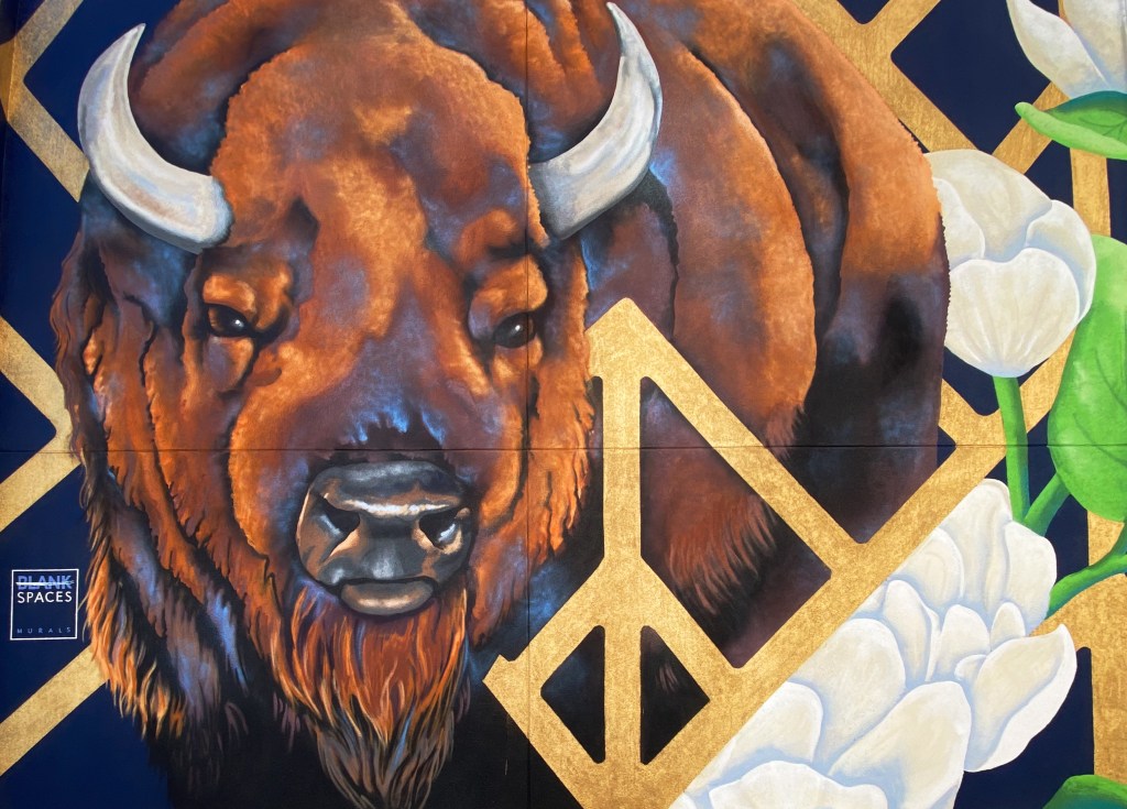
The land was cleared of the tribes, although large herds of bison were still living in the canyon. The land was opened for settlement; in 1876 the JA Ranch was established in the canyon for the purpose of raising cattle.

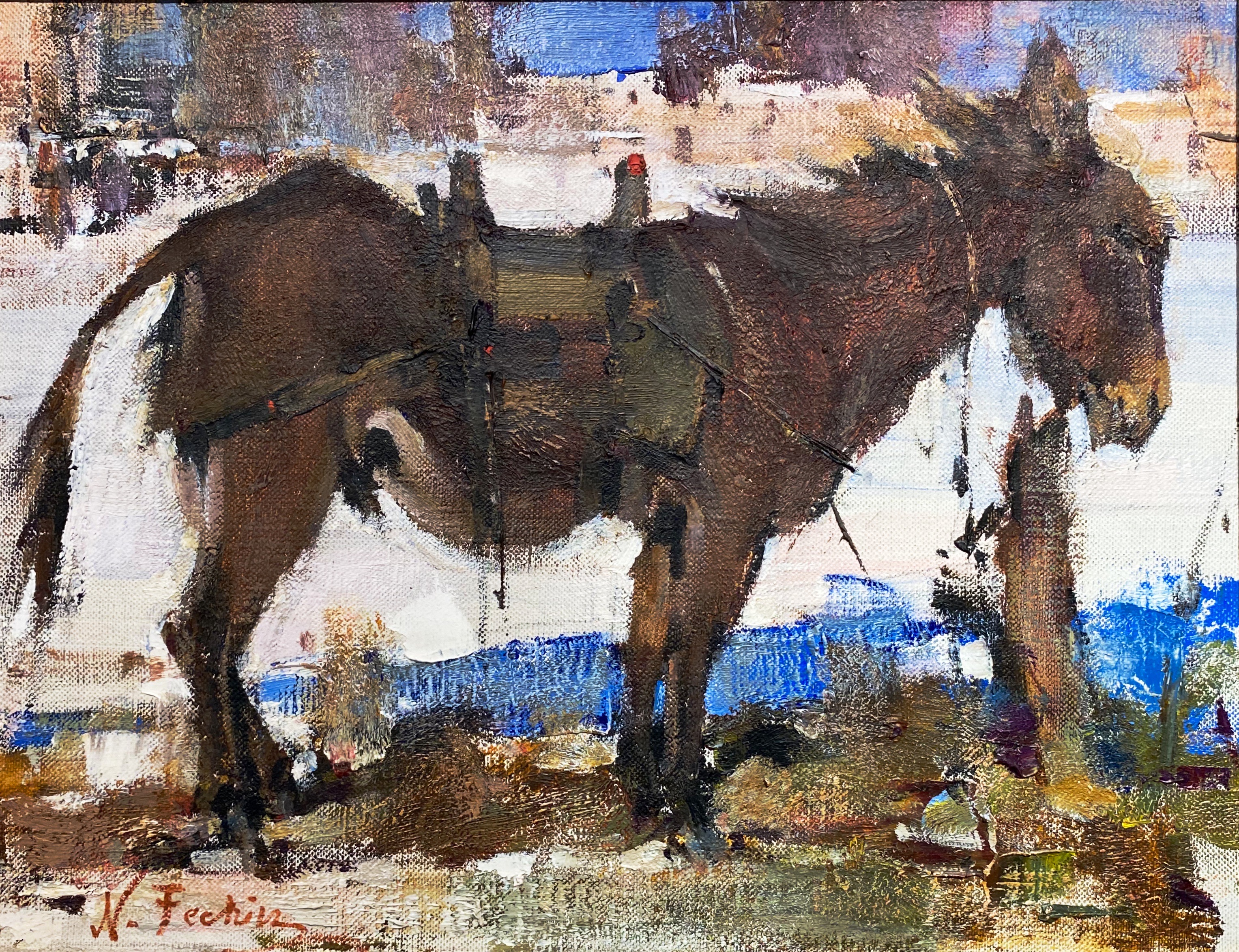
The cattlemen had no use for the bison. They needed the land and water for their cattle; so they allowed the bison to be hunted. Fortunately, the wife of one of the ranch owners, Mary Ann Goodnight, was able to convince her husband to stop the hunting as she was rightly concerned about the extinction of the species. The herd was eventually relocated to Caprock Canyon where it now resides and is protected as the official Texas State Bison Herd.

Quitaque (Kitty-Quay), Texas

TURKEY, TEXAS

Phillips 66 Station, 1929

Turkey is a short drive east of Quitaque and Palo Duro Canyon. If you prefer hotel accommodations while visiting Palo Duro and this area of the Panhandle, Turkey is the place to stay.

The town’s origins are agricultural – cotton, watermelon, sweet potatoes and peanuts. The town was platted in 1907. The current population is 396.

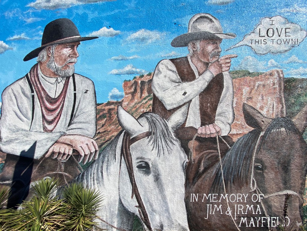
Despite the small size of Turkey and its rural location it is well known among afficiandos of Western Swing music as the home of Bob Wills. Wills was the town barber and a fiddler and songwriter and is widely acknowledged as the co-creator of Western Swing.

Bob Wills

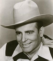
As his music became more popular he formed a band – Bob Wills and his Texas Playboys. The band toured around Texas and Oklahoma and regularly played on radio shows in Oklahoma City.
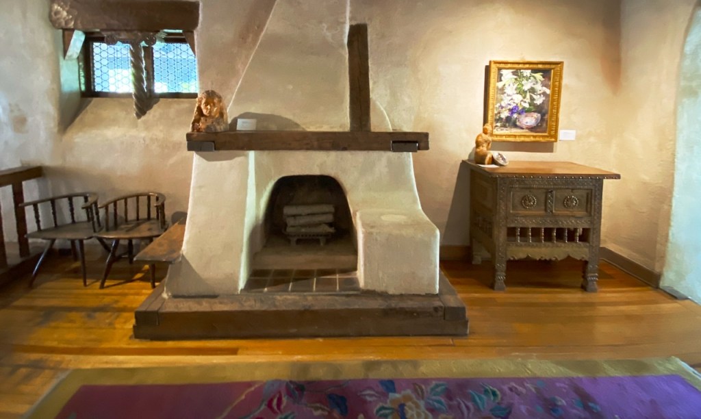
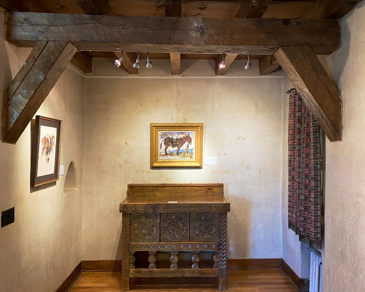
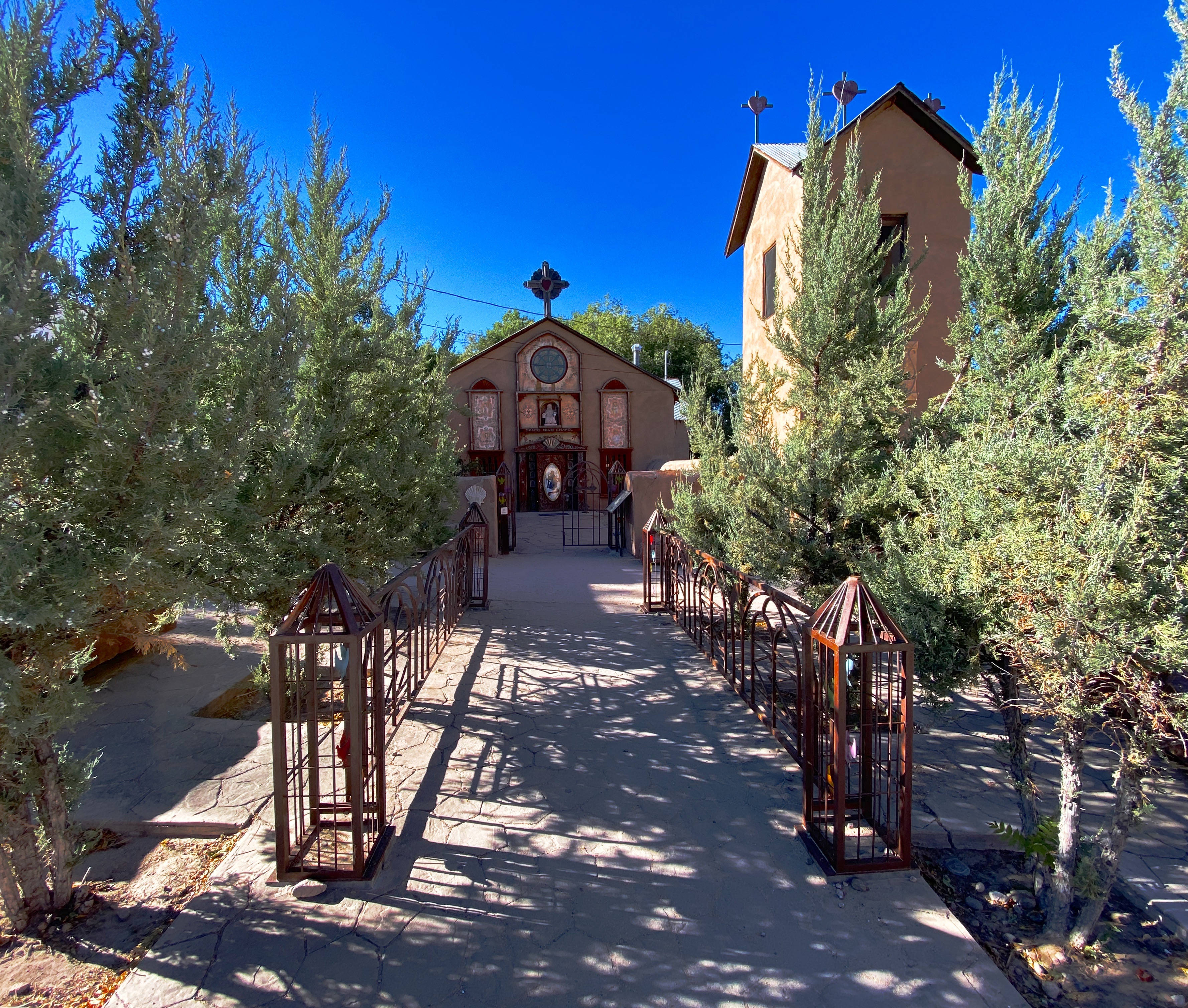
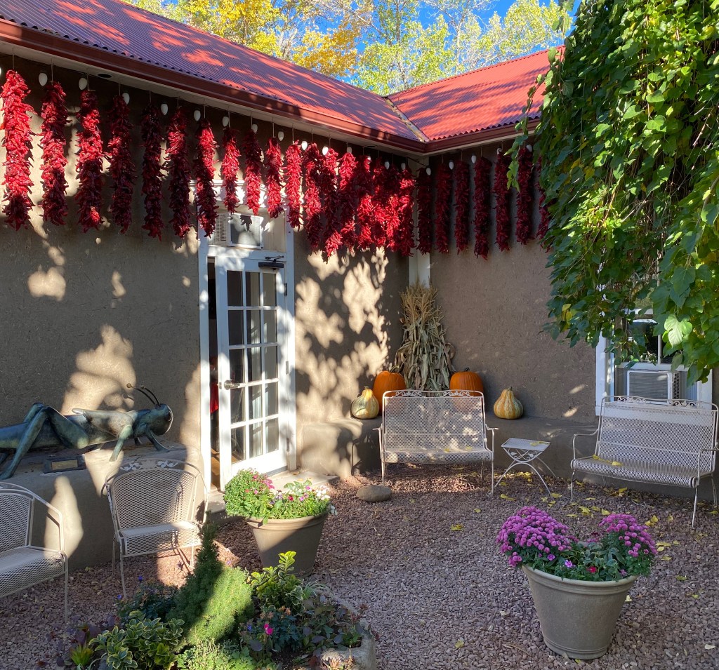
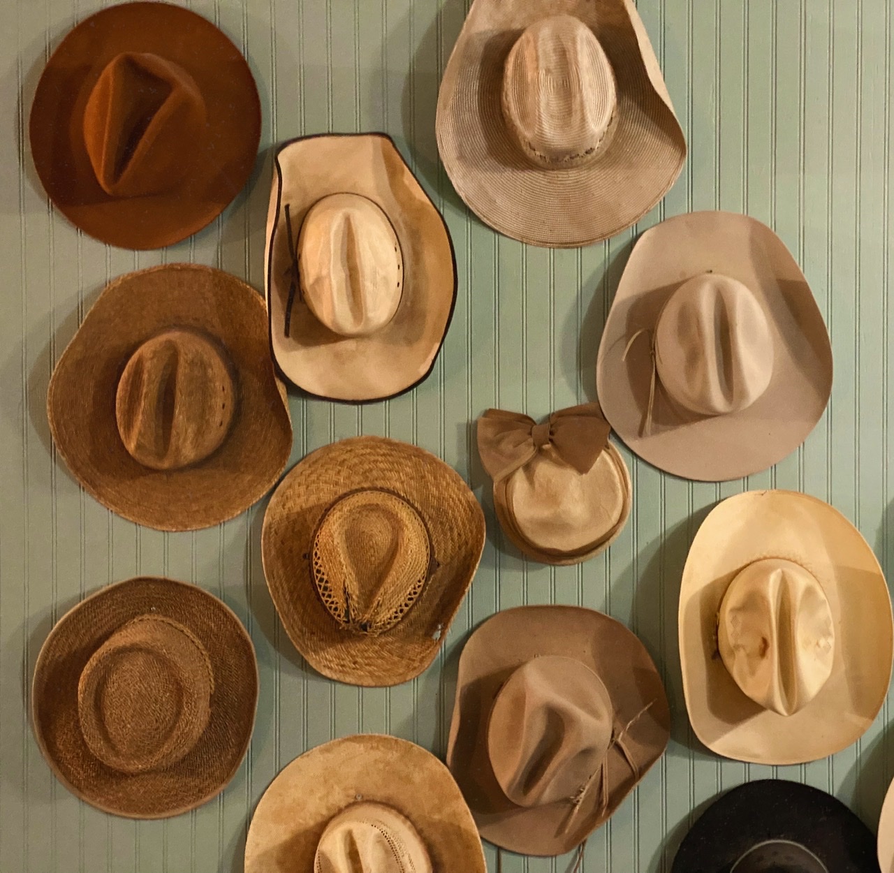
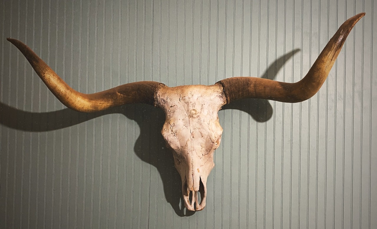
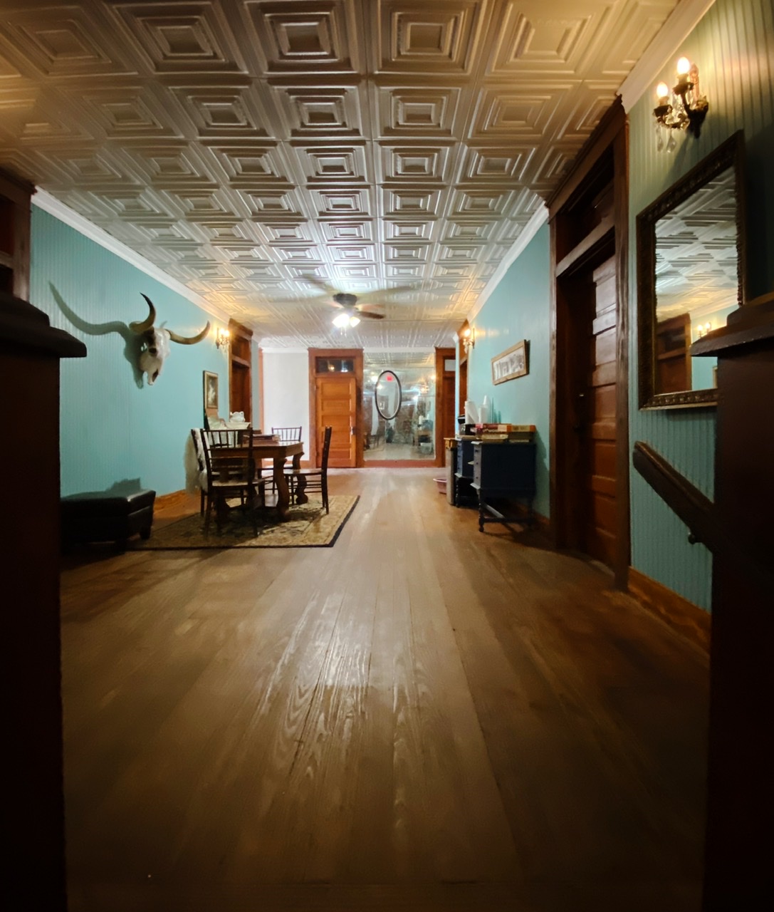
Hotel turkey

The Hotel Turkey (HT) is hands down the place to stay in the area. The hotel has been in continuous operation since 1927. Hopefully, the photos below convey the western charm of this unique hotel.

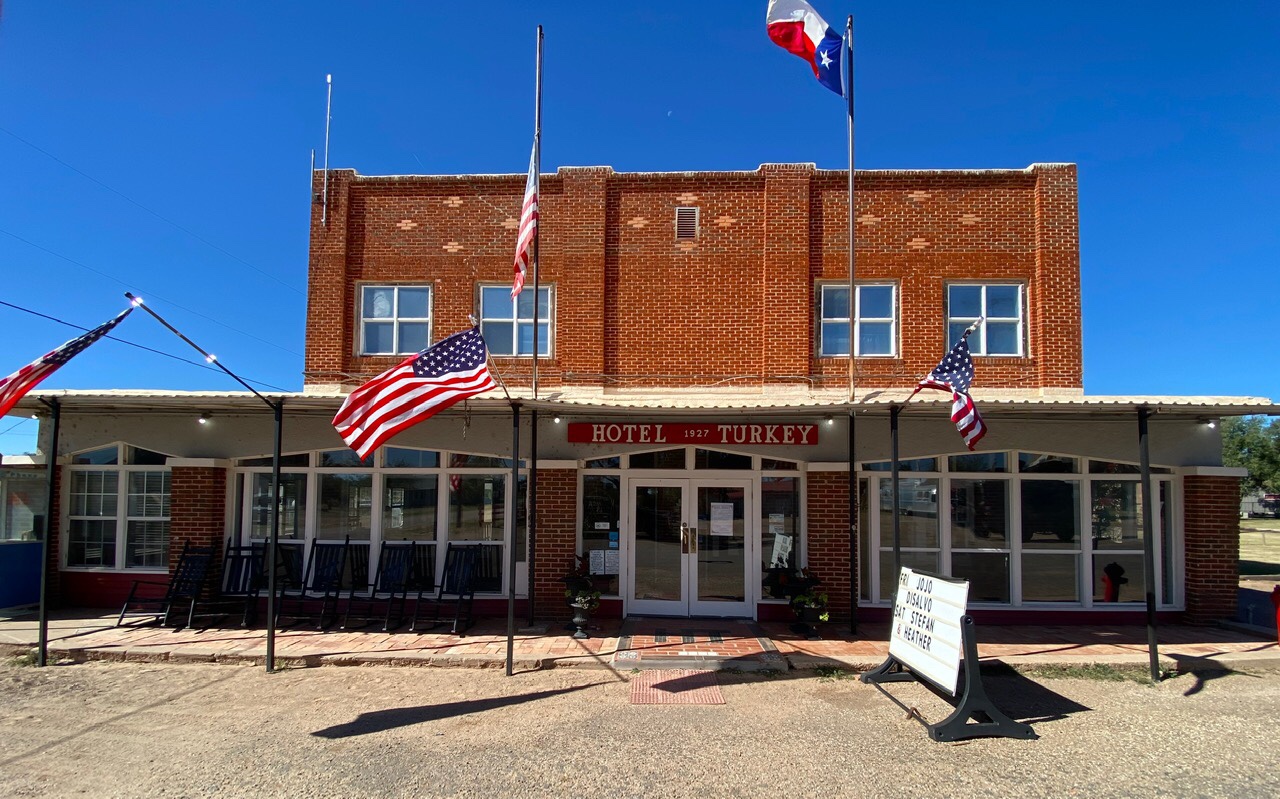
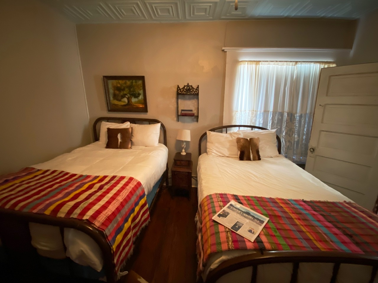
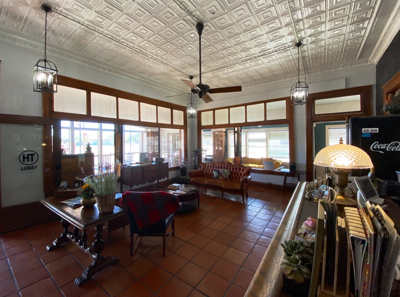
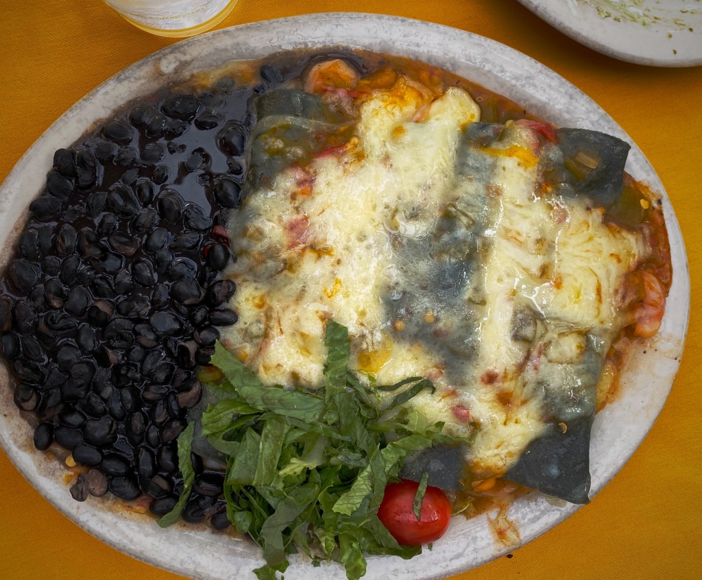
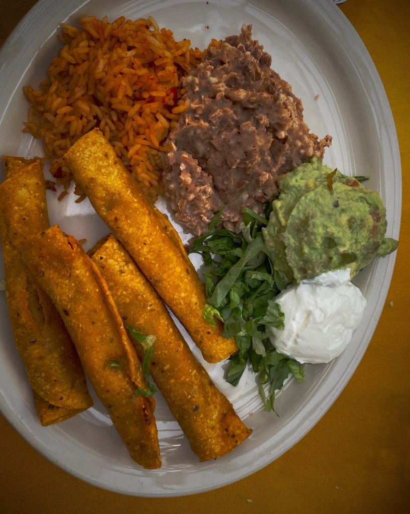
HT has a full restaurant (Friday is the fried catfish special and Saturday is the steak special), outdoor bar and live musical entertainment several nights a week. Make reservations in advance – the hotel often sells out on weekends.

CAPROCK CANYON

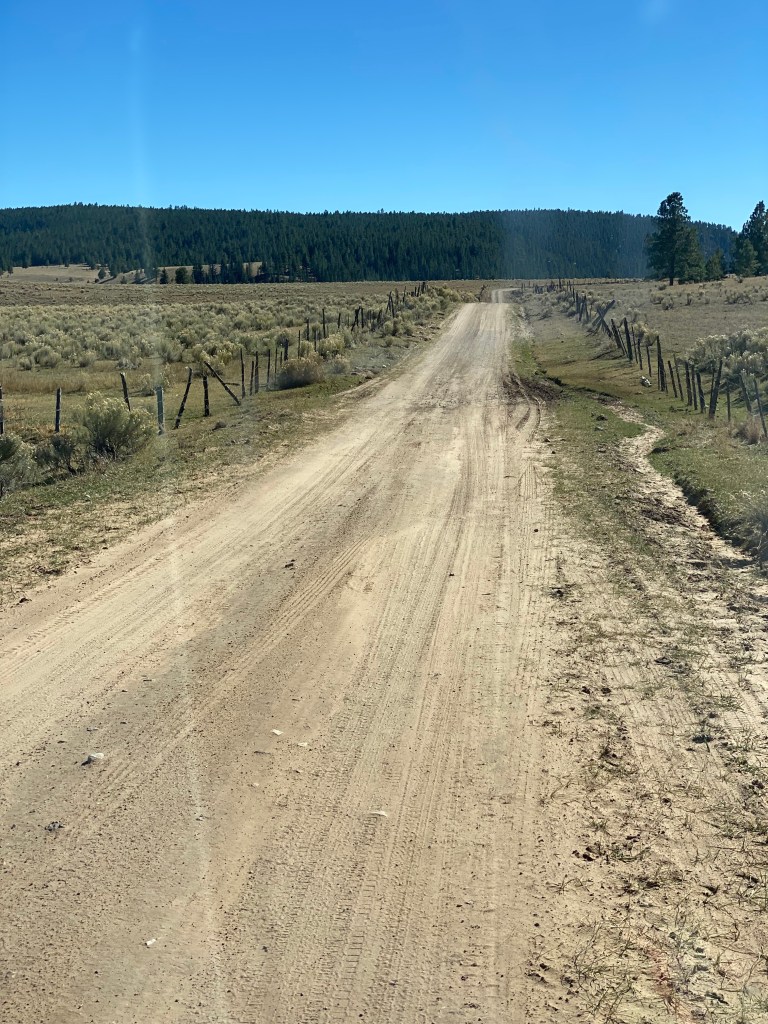
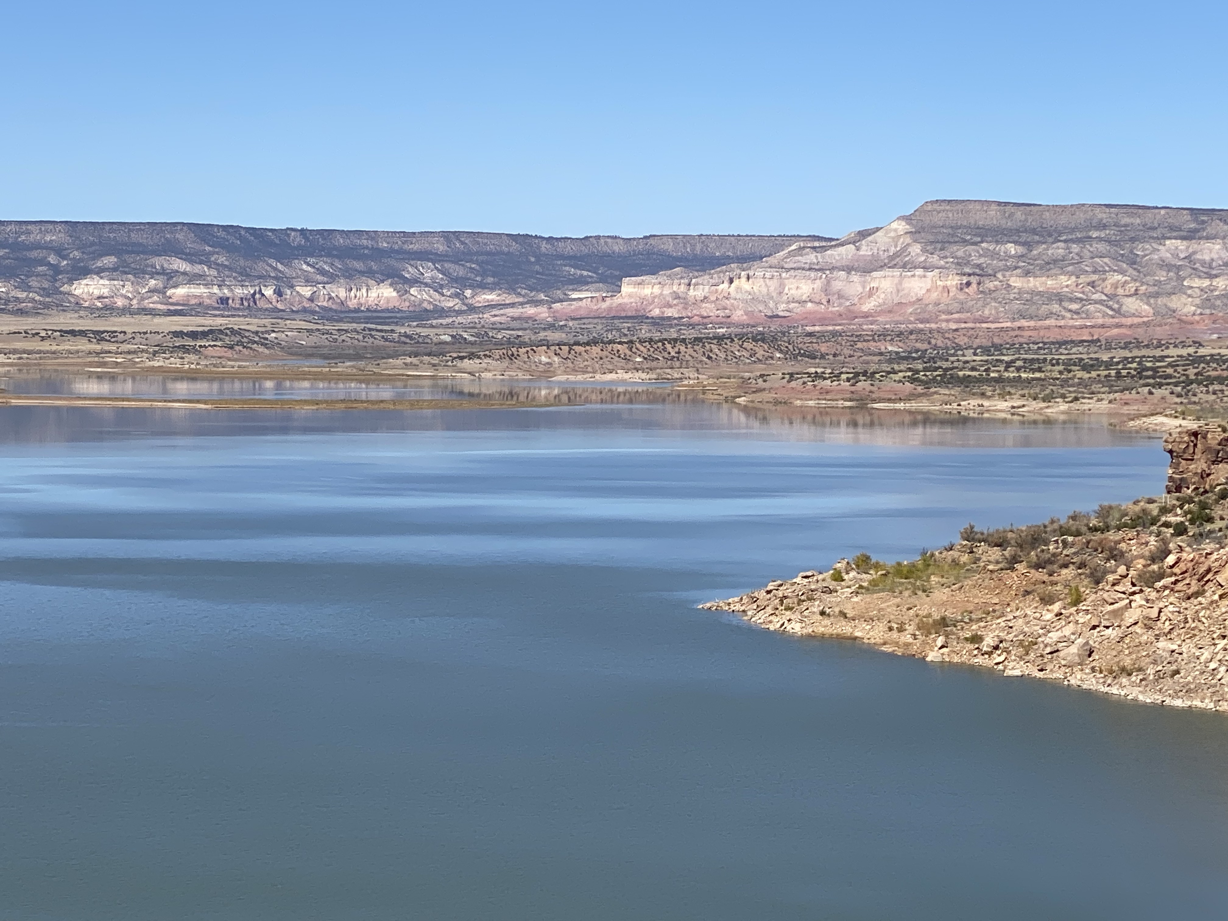
Caprock Canyon Sate Park is a series of canyons covering about 13,000 acres. It is part of the Caprock Escarpment which runs north to south and seperates the great flat plains of the Texas Panhandle from the rolling plains to the east.

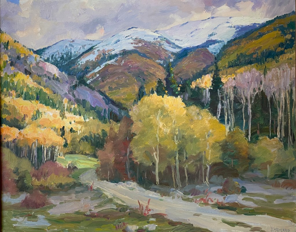
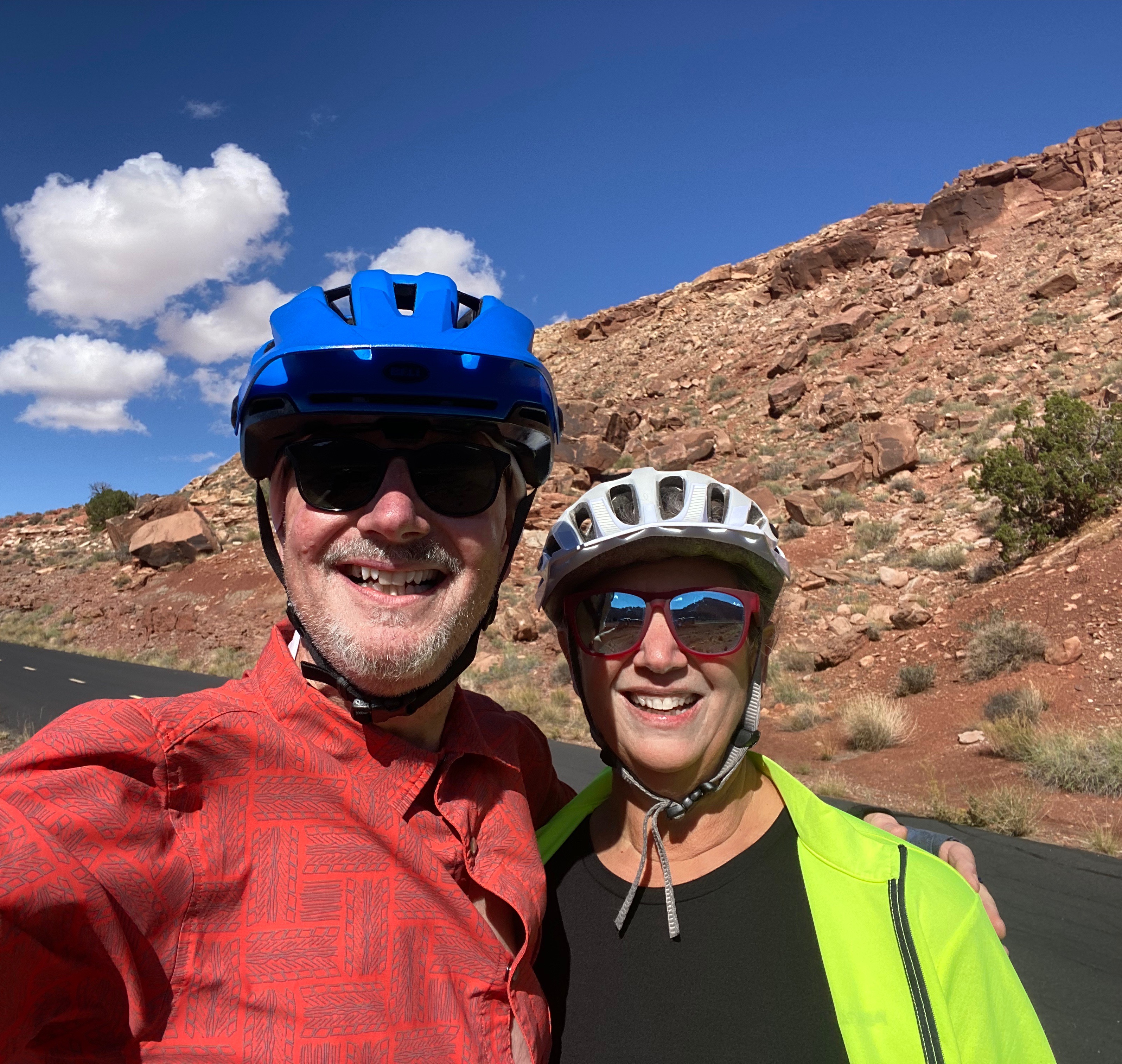
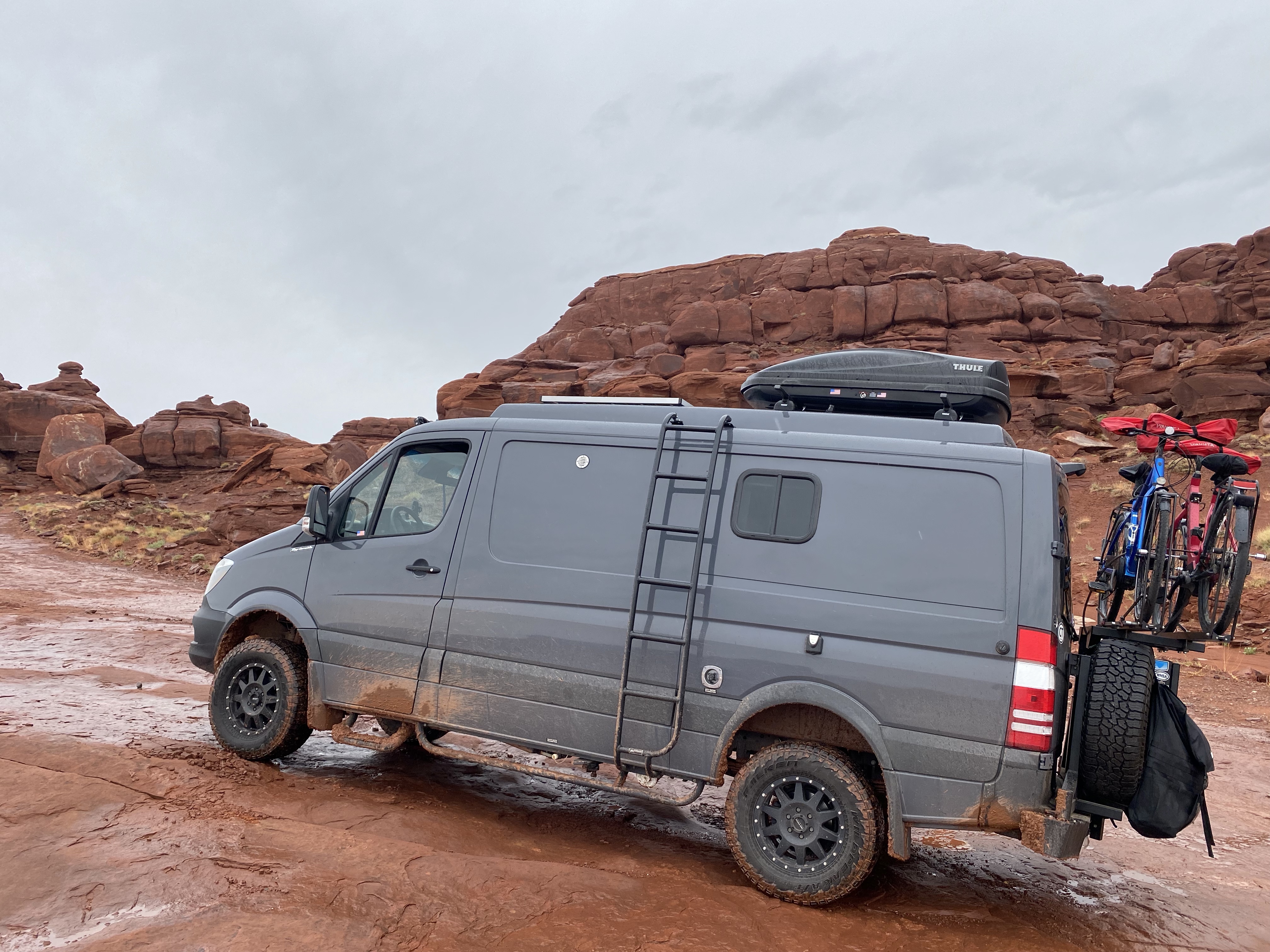
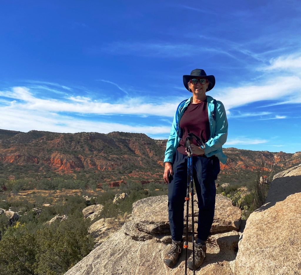
We traveled to Caprock after our stay at Palo Duro Canyon. We camped on the flats above the canyon within walking distance of the rim (photo below). Caprock, like Palo Duro, has many miles of hiking, horseback and mountain biking trails.

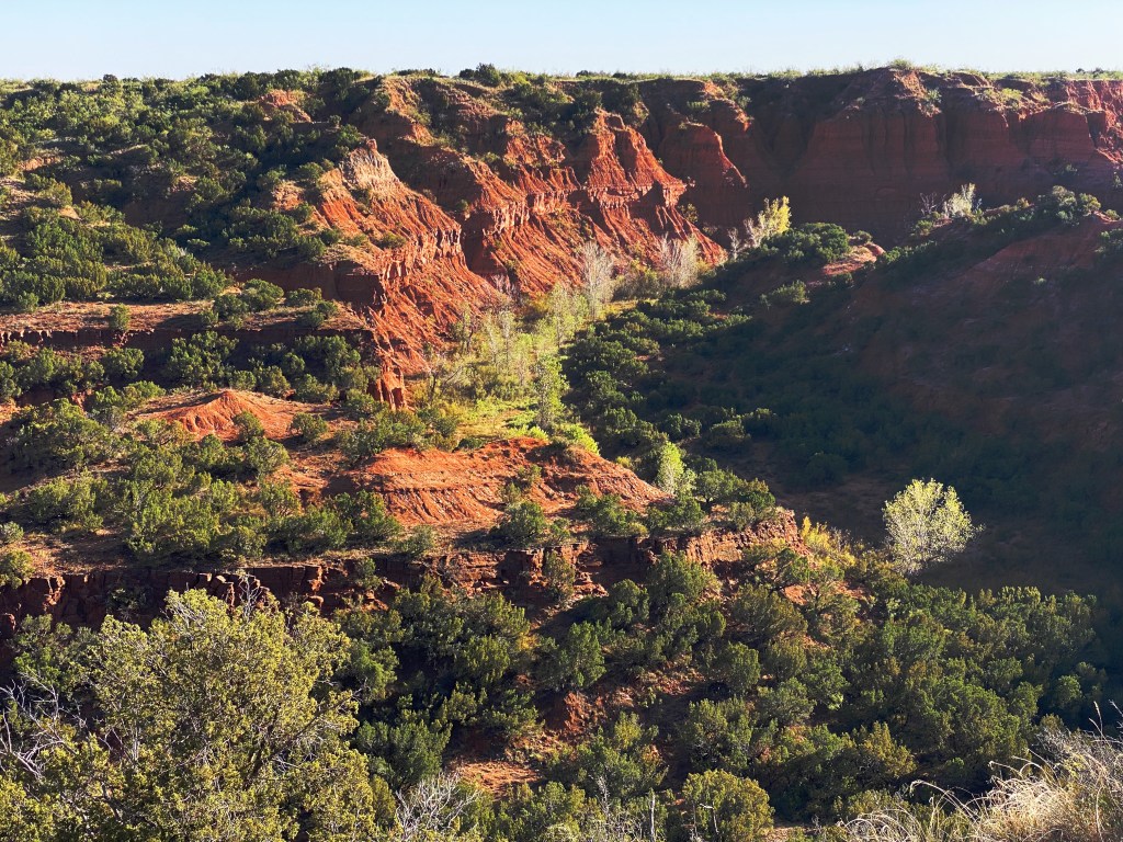
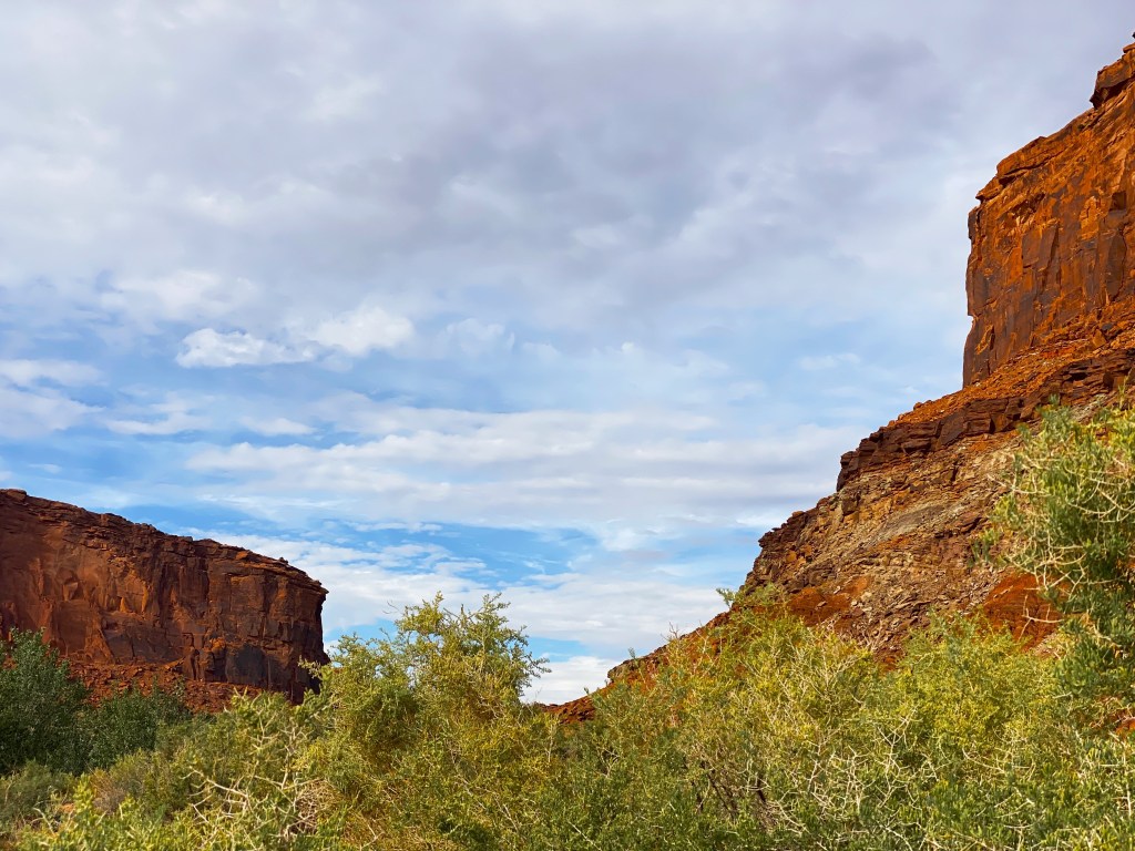
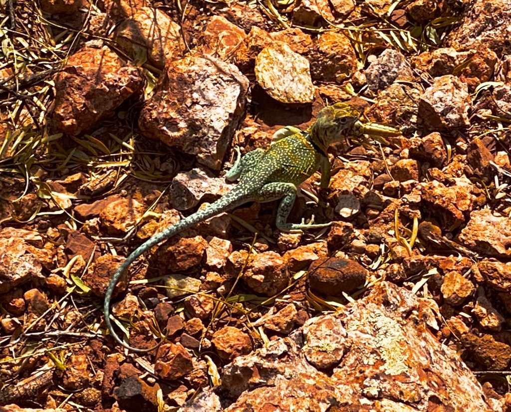
We initially had beautiful weather as you can see from the photographs. Unfortunately, a windstorm came roaring up from the south with 30 to 40 mile per hour winds and we spent most of our second day inside the van waiting out the storm.

Bison at CVaprock Canyon

We recommend both of these state parks if you enjoy hiking, mountain biking or camping. The are dozens of hikes of varying difficulty and length with one common feature – spectacular scenery.

Palo Duro is within 30 minutes of Amarillo if you are not interested in staying in the park. Similarly, Caprock Canyon is a reasonable drive from Lubbock.

Be seeing you.

Fine art tourist: BISTTRAM AT THE Panhandle plains historical museum (pphm)

The PPHM is located on the campus of West Texas A&M University in Canyon, Texas. The museum is dedicated to preserving all facets of the history of the Texas Panhandle Plains region of Texas. The museum houses exhibits on the petroleum industry, paleontology, archeology, geography, art and history. This museum literally has something for everyone.

We toured the museum but must admit to a keen interest in seeing the exhibit of modernist paintings by Emil Bisttram. We had seen his works previously at other museums featuring the works of Taos, New Mexico artists – most recently at the Yellowstone Art Museum in Billings, Montana.

Symphony in Blue, 1963 Oil on Masonite

This exhibit of Bisttram’s work features paintings from the latter part of his career. The paintings are dramatically different from his earlier work in Taos. Below is a photograph of one his landscapes completed in 1931.

Storm Over Taos, 1931
Celestial Structures, 1959 Enamel on Masonite

ā€œI am always experimenting. As I paint today may not be the way I’ll paint next month. I’m always studying and I hope always growing.ā€ — Emil Bisttram

Midsummer Night’s Dream, 1960 Enamel on Masonite

While we are not usually fans of abstract work, we enjoyed this exhibit. Perhaps because we are familiar with Bisttram’s earlier work, or perhaps because these later paintings, while abstract, contain more recognizable forms. Regardless, we admire his precision and use of color.

Waterfall, 1959 Acrylic on Canvas
Winter, 1959

We think the PPHM is absolutely worth a visit if you are planning to be in the Amarillo/Canyon area. And, as frosting on the cake, Palace Coffee’s original cafe is less than a ten minute walk from the museum.

Palace Coffee, Canyon

Lastly, it is a short drive from Canyon to the spectacular Palo Duro Canyon which you can enjoy by hiking or touring by automobile.

Palo Duro Canyon

Be seeing you.

Ctsprinterlife: OVERLAND adventure

CARSON NATIONAL FOREST

After camping in Chama, New Mexico, we followed Route 17 along the Colorado/New Mexico border to access the Carson NF for our trip south. Unfortunately, the heavy snow in the Colorado mountains had reached into northern New Mexico. After testing the road we decided that prudent risk taking required that we delay our start. As a result we traveled to Taos and spent several days exploring there (see posts Taos, The High Road to Taos and Taos is Art) while waiting for the roads to dry out and harden.

KML File

The above photo is from the KML file we overlaid on Google Earth to assist with navigation as we traveled through the forest and mountainous terrain.

Overlanding is currently defined as ā€œself-reliant overland travel by vehicle where the journey is more important than the destination.” Overlanding has gained popularity in the United States over the last several years and particularly since the pandemic interrupted standard modes of travel.

FR45B

Our trips over the last three plus years have been a mix of overland adventures and standard touring. Overlanding is not for everyone due to the risks and the need for specialized gear (high clearance, 4wd, skid plates, winch, extended range, etc.) Overlanding also requires patience – it is often very slow going on rough, narrow, rutted roads and trails.

Case in point – the photo above is Forest Road 45B – after driving a number of miles down this rough and narrow route the trail became impassable. We we forced to back up the hill until we could turn the vehicle while causing the least damage possible.

EL RITO (pop. 808)

After two days on the trail we came out of the forest at El Rito on a crisp Sunday morning. We were hoping to have breakfast burritos at El Farito Restaurant but alas the restaurant was closed. We cannot vouch for the reported census – we met one person and one dog during our brief stop. We were surprised to learn that the Mars Polar Lander was designed and built here in town by a local scientist/artist!!!

Abiqui and south

We stopped in the town of Abiqui for diesel fuel and refreshments. Abiqui is the town where Georgia O’Keefe lived for many years on her ranch north of town. Many of her paintings include the surrounding mountains.

After refueling we headed back up into the forest to continue our overlanding trip south for another day – leaving the route near Los Alamos and then traveling to Santa Fe for much needed high quality coffee and tea.

Climbing towards Cerro Pedernal

The snow of the prior week caused us to shorten our time overlanding through the Carson National Forest, but it was a good trade off as the weather and conditions were much improved by the time we started on our overlanding adventure.

Be seeing you.

Fine art tourist: Taos is art

Fechin’s house

Nicolai Fechin emigrated, along with his wife and daughter, from Russia to New York City in 1923. He was already a well-established artist when he arrived in the States. Fechin developed tuberculosis while living in New York City, visited Taos in 1926 in search of a healthier environment and moved to Taos in 1927.

Fechin purchased an adobe revival house and, along with several members of the Taos Pueblo, worked on expanding and renovating the property for about six years. The beautiful property pictured in this post is the result of those labors.

The house is now part of the Taos Art Museum, exhibiting paintings by Fechin and other well known southwest artists. The property surrounding the home was sold in order to raise the initial funds to convert the property to a museum. Fortunately, the family created covenants to prohibit the home from being occupied as a private residence.

Gallery, formerly Nicolai and Alexandra’s bedroom
Second floor siting room

With the exception of two pieces, all of the furniture in the house was hand carved by Fechin. Additionally, he carved all of the closets and interior doors throughout the house.

Fechin’s art

As we mentioned earlier in the post Fechin was an established artist when he emigrated to New York City. We have included below a gallery of some of his paintings which are on display throughout the house.

Taos museum of art at fehcin house

The collection at Fechin House also includes a number of paintings by other renowned artists. We have included photgrpahs of several of our favorites below.

Joseph Henry Sharp – Taos Landscape, n.d. Oil on canvas.
W. Herbert ā€œBuckā€ Dunton – Study, McMillian Guide, n.d. Oil on canvas.
W. Victor Higgins – Taos Landscape, Aspens, and Pines. n.d. Oil on canvas.
Oscar E. Berninghaus – Crossing the Arroyo, 1944. Oil on canvas.
Joseph Henry Sharp – The Entrance, n.d. Oil on canvas.

We have posted on our visit to Taos (The High Road to Taos and Taos) previously and recommended Taos as worthy of a several day visit. The Taos Museum of Art at Fechin House is an additional reason to visit Taos as part of your New Mexico travel plans.

Be seeing you.

Street art from the road: Amarillo street murals

Hoodoo mural festival

@DAAS

When we visited Amarillo the second Hoodoo Mural Festival had just wrapped up. Five large scale wall murals were commissioned for this year’s festival. We spent a relaxing Sunday afternoon viewing the murals. The murals are all within a very walkable area along Polk Street in downtown Amarillo.

@blankspacesmurals

All of the murals are impressive – not just for the scale – but for the quality, creativity and artistry. Please see the festival website for more information about the festival and the muralists. We have broken the murals down into sections due the large size.

Hoodoo Mural Festival: https://www.hoodoomural.com/#about

We have included the muralist’s Instagram account for the murals shown below.

@malcolm_byers (2019 Festival)

@ d r e w

@blankspacesmurals

Historic Route 66 district

Outside of downtown on a portion of 6th Avenue (Historic Route 66) there are a number of excellent murals that we have included.

@malcolm_byers
@ninawyre
@ninawyre

We feel compelled to include a local Amarillo landmark – Cadillac Ranch – bring your spray paint and have a go.

Be seeing you.

The high road to taos – scenic byway

The High Road to Taos is a scenic drive that connects Taos and Santa Fe. We drove a portion of the route while staying in Taos. Leaving from Taos heading south, the first 30 miles take you on a winding route up and over mountains within the Carson National Forest. The scenery as you might imagine is quite spectacular.

While the views are impressive we found the cultural aspects of the trip even more impressive. The villages, architecture, churches and food reflect the Old Spain of the early Spanish settlements.

Each of the small villages has a Spanish style church – many have been continuosly operating for over two hundred years. We traveled through the villages of Penasco, Chamisal, Trampas, Truchas, Cordova and Chimayo. These villages still maintain the wood carving and weaving expertise and traditions that came from Spain with the first settlers.

SANTUARIO DE Chimayo

We followed the byway as far as Chimayo where we stopped to visit El Santuario de Chimayo. The intial construction took place in 1813. Long before the Spanish arrived Pueblo Indians considered this ground as sacred with healing powers.

The Catholic Church carried forward the belief that the earth under what is now the Plaza del Cerro is sacred and has miraculous healing powers. As a result, the Santuario is a major pilgimage site drawing over 300,000 visitors annually.

The Santuario is considered one of the finest examples of Spanish Colonial architecture in the southwest. The evidence of the woodworking skills of the Spanish settlers is on display throughout the plaza – from the carved figures to the beautiful doors. The plaza is the sole remaining Spanish fortified plaza in New Mexico.

Arthur LowLow Meidna’s Low Low Ride Museum, Chimayo, New Mexico

Ranchero de chimayo

Any worthwhile pilgramage deserves to be rewarded with an excellent meal. Fortunately, while the total population of the small plazas that constitue Chimayo is only 3200 people, one of the best New Mexican cuisine restaurants is located here.

In fact, the Ranchero has been serving food here for 50 years to locals and travelers alike. Interestingly, for our fellow Nutmeggers, the owner, Florence Jaramillo was born in Hartford, Conneticut. Florence moved to Chimayo after marrying Arturo Jaramillo, who was a native of Chimayo. The site of the restaurant is Arturo’s ancestral home.

Espanola

We returned home via Espanola and the River Road (runs along the Rio Grande River).

The Espanola Chamber of Commerce and the McCune Foundation are sponsoring youth mural projects and we stopped in town to see some of the murals. We are glad that we did – as you can see from the photographs these are, without exception, excellent murals.

El Sembrador – Victor Joseph Villalpando

Be seeing you.

Taos

E. Martin Hennings,Thinning Aspens, Undated, Oil on Canvas

Taos: a brief history

The Taos Pueblo has been in existence for 1000 years. The first Europeans to arrive in Taos were the Spanish – who initially maintained friendly relations with the Tiwa Indians who inhabited the pueblo.

Afer a relatively short period of peaceful co-existence the Spanish exerted their might and will over the Tiwa, and as they would do many more times in the west, instituted rule over the indians and imposed Catholicism.

While the Town of Taos was incorporated in 1934, the Taos Pueblo has been continuously inhabited by the Tiwa Indians since its founding. The pueblo has about150 residents with another 1750 Tiwa living on pueblo lands.

The Town of Taos is a major tourist destination with a myriad of outdoor recreational activities including alpine skiing at the world class Taos Ski Valley. Taos is also a noted art colony dating back to the migration of eastern artists to Taos Valley and the formation of The Taos Society of Artists in the early 20th century.

Rio grande gorge

The Rio Grande Gorge is atypical of canyons this size in that it is a massive rift in the earth with the river filling the bottom after the formation of the rift. The gorge is 50 miles long and 800 feet deep at its deepest – quite impressive!

The river itself is impressive as well. The Rio Grande is the fourth longest river in North America. The river runs from Colorado through New Mexico (470 miles) and then forms the border between Texas and Mexico until it empties into the Gulf Of Mexico. The total length of the river is between 1800 and 1900 miles.

Big Horn Sheep

We hiked along the west rim of the gorge, enjoying the views of the river below, the mountains to the east and west and the Big Horn Sheep dotting the edge of the rim.

El Santero by George Chacon, Wall Mural
Elevation Coffee, Taos

We had the pleasure of spending an afternoon at the Taos Museum of Art at Fechin House. We will share photographs of some of the wonderful paintings and the architecture of the Fechin House in an upcoming post.

Be seeing you.

Follow the weather :Durango:chama:taos

Route 90 – Paradox Valley

After a brief but exhilarating visit to Moab (see post Moab = Fun and Adventure) we set out for Durango across Utah 46 which becomes Colorado 90 at the border. Colorado 90 is a gem – a beautiful ride up into the Southern Rocky Mountains within the Manti-La Sal National Forest. The pass at the top of route opens up to the panorama of the Paradox Valley. The majority of this route is very remote and we would not advise traveling this road in winter weather.

Climbing Route 90 Eastbound
Paradox Valley, Colorado
Descending into Paradox Valley

The Paradox Valley is a remote, thinly settled and beautiful place. The valley is approxiamtely 25 miles long running in a north – south direction. The width of the valley is between three and five miles. The paradox that led to the naming of the valley is the unusual east to west flow of the Dolores River which cuts across the valley, as opposed to running the length of the valley.

Paradox Valley from Slip Rock Hill

A Canadian company proposed building a uranium mill in the valley in 2009. Fortunately, the project was abandoned in 2020. As much as we recognize the need for extractive industries it would have been a shame to alter the beauty and character of this place with a uranium mill and everything that comes with the extraction of radioactive materials.

Bedrock Store, Bedrock, Colorado (pop. 56)

We were looking forward to taking a break at the Bedrock Store (serving outlaws since 1881). The Bedrock Store was used in the filming of the movie Thelma & Louise. Unfortunately, the store was not open.

Durango

Taste Coffee, Durango, Colorado

We made a brief stop in Durango, CO enroute to New Mexico. Durango is a mountain town which sits just below 8000 feet above sea level and is a base for the alpine ski mountains in the areas. The town sits along the Rio de las Animas Perdidas which provides wonderful scenery for the bike path nestled on the bank of the river.

As you might surmise from the photos we were quite taken with Taste Coffee as well as barista and co-owner Mike Clarke. P.S. There is a narrow gauge railroad that runs from Durango to Silverton – which we did not ride because we left town to avoid a predicted snowstorm – but it looks like a lot of fun.

Aztec

With heavy snow predicted in the Western Rockies we re-routed due south into New Mexico – stopping to visit the puebloan ruins located in the town of Aztec, Colorado.

The Aztec Ruins National Monument is located in the town of Aztec, New Mexico. The ruins are 900 years old. We utilized the excellent self-guided audio tour to explore the ruins. This is an impressive site with over 400 rooms and an a restored Pueblo Great House. It is well worth the visit if your travels will be taking you to northern New Mexico. ( https://www.nps.gov/azru/index.htm )

CHAMA

Camping on the Rio Chama

Change of plans

Route 17 Colorado

After our overnight in Chama we traveled north and east across Colorado Route 17 to access the Carson National Forest for our planned overland trip from the border to Jemez Springs, NM. When we arrived we found the forest roads still covered in snow with mud underneath. This is a bad recipe for safe travel on narrow mountain roads so we decided to hold off on overlanding (no paved roads) until conditions improved.

Carson National Forest

Taos

We decided to visit Taos while waiting for better conditions on our overland routes. We will report on our stay in Taos in our next post.

Rio Grande Gorge Bridge

Be seeing you.

Moab = Fun and Adventure

A Brief History of Moab

Moab was a sleepy trading post and farming community for most of its history. Its settlement dates back to about 1829 when people traveling north on what is now known as the Old Spanish Trail would attempt to cross the Colorado River in Moab and the local inhabitants would sell their goods to the travelers.

A little over 100 years later uranium was discovered in Moab. Uranium was in great demand for use in nuclear weapons post World War 2, so the federal government stepped in and passed laws mandating that all uranium mined in the United States could only be sold to the federal government. The economy of Moab shifted to mining overnight and Moab became known as the uranium capital of the world.

Unfortunately, as must, all booms result in some sort of bust. By 1960 the federal government declared it had all the uranium it needed. Since no one else could purchase uranium the mines in Moab began to close; the last of the mines closed in 1980. The population which had reached 6,000 declined to 1,000.

Arches Natiional Park

Today, the Moab area draws tourists who come to mountain bike, hike, rock climb, drive off road trails and boat on the Colorado. Additionally, Moab hosts two unique national parks – Arches and Canyonlands

While the town is prospering, there still remains the issue of remediating the uranium sites. When a visitor enters town for the first time driving south on route 191, it is hard to miss the large mound of contaminated pilings near the road.This pile consists of the remaining contaminated tailings. Over 16 million tons of tailings were produced from the uranium mills in Utah. The tailings are being removed and taken by train to a permanent disposal location in Colorado. More than 10 million tons have been removed so far under the auspices of the Uranium Mill Tailings Remedial Action (UMTRA) program paid for by the citizens of the United States.

Final note: many of the miners that worked in the Uranium mills were Navajo. There was little regard for their safety. The Navajo workers suffered significantly from lung cancer and other diseases. While the U.S. Public Health Service was aware of the effects as early as 1951, it was not until 1990 that the health impact was acknowledged. To make matters worse, the Navajo were not eligible for financial compensation until 2017.

Biking

Moab is certainly a mountain biking mecca – the good news is that for those of us in need of less demanding terrain, the town has developed a number of bike paths and bike lanes. One of the bike paths runs east along the Colorado River providing magnificent views of the river and red rock cliffs.

Camping with a view…

Camping on Ledge A: Hunter Canyon

Moab and the surrounding area offers scores of camping choices. Everything from in town RV resorts to remote primitive camping. We look forward to ā€œboondockingā€ in Moab. We generally camp in a different location each night to enjoy different settings as well as the fantastic night sky and solitude.

4WD adventures

Kane Creek

One of the reasons we chose a high clearance 4wd equipped Sprinter was our desire to go places that we would never be able to see and experience without that capability. The Moab area provides a plethora of opportunities to put the Beast to the test. Above and below we have included a sample of several of our 4wd adventures.

Shafer Switchbacks
Shafer Trail

Moab Mural

Our favorite new Moab mural.

@skyewalker_art

Fine art

Artist Thomas Elmo Williams

Our trip from Salt Lake City to Moab usually involves a lunch and coffee stop in Helper, Utah. Helper has been undergoing a revitalization over the last several years and has become home to a number of artists. On this stop we discovered some wonderful paintings by Thomas Elmo Williams. Williams was a coal miner for 14 years before a mining accident put an end to that line of work for him. Williams started his new career sketching fellow miners and still focuses much of his art on the labor of working folks. He has a gallery in Helper.

Coal Miner Memorial, Helper, Utah

We love Utah and recommend that if you love outdoor recreational activities then a visit to Utah should be on your travel list, with a definite stop in Moab.

Be seeing you.

Butte…..the Big Hole

We spent two hot days in Butte as we traveled south from the Sweet Grass Hills. Butte is a town we wanted to visit more from a historical perspective than because of its beautiful scenery or recreational opportunities.

Headframe, Orphan Girl Mine, Butte

Butte’s origins are exclusively related to the mining of silver and copper. The land area that is now Butte was nothing more than a scattering of mining camps on ā€œthe hillā€. Of course, once silver and copper was discovered in 1870 the boom was underway.

The town grew exponentially for a number of years until a fire in 1879 leveled the town. The town was quickly rebuilt using only stone and brick which is why so much of the Uptown Butte (downtown) area remains intact today.

All of the photos above are from the Orphan Girl mine. We toured the mine and were able to walk down (with a guide) to tunnels about 150 feet under the surface. The mine ultimately operated at 3000 feet under the surface.

The mine operated from 1875 until 1950 and produced 7.6 million ounces of silver as well as lead and zinc. In 1965 the mine was repurposed as a mining museum and opened to the public for tours. The mine is also utilized by students at the Monatana Technical University School of Mines and Engineering as a hands on laboratory for their Mining Engineering students. The campus sits adjacent to the Orphan Girl site and the school has its own entrance into the mine from within the campus.

While the Orphan Girl produced primarily silver, it was copper that drove the growth and prosperity of Butte. The introduction of electricity on a widespread basis created an insatiable demand for copper wiring. World War 1 added to the demand as military rifle ammunition used copper jackets.

Mine Elevator

Butte, unlike many other mining towns, continued to prosper well into the 20th century owing to the massive deposit of copper and the demand for copper for use in modern electronics. Over time the various copper mines were purchased and operated by the Anaconda Mining Company.

In the aftermath of all of the acquisitions, Anaconda sought to reduce expenses through the 1930s and 1940s which led inevitably to labor disputes and costly strikes. Ultimately, during the 1950s the company responded by beginning to strip mine for the copper.

Berkley Pit

All of silver and copper in and around Butte had been conducted as underground hard rock tunnel mining until 1952. The area around the mines were dotted with neighborhoods and small towns. The strip mining completely destroyed the area as people and businesses were forced to relocate. The photos above and below are of the flooded portion of the Berkely Pit.

The strip mining continued until 1982 by which time the pit was 7000 feet long, 5600 feet wide and 1600 feet deep. Two entire towns, Meaderville and McQueen as well as much of the east end of Butte were ultimately consumed by the pit.

When the mine ceased operations, the water pumps were shut down and the pit began to fill with heavily acidic water, resulting in the leaching of heavy metals and toxic chemicals into the water in the pit. The water level is currently at 900 feet.

Not surprisingly, the pit was declared a superfund site and is the largest such site in the United States. The site has been remediated and a water filtration plant is in operation to remove the metals and toxic chemicals that continue to leach from the sides of the pit.

The land adjacent to the Berkely Pit is still rich with copper – yes – strip mining for copper resumed in 1982 right next to the Berkely Pit. Let’s hope the environmental regulators have stayed on top of things with this mine.

P.S. We took the photos of the Berkely Pit from the viewing stand on top of the pit. Just three dollars per person to see the largest superfund site in America in person – yep, the pit is a tourist attraction – exit through the gift shop!

Berkely Pit, 1972, Courtesy Montana Standard

Mining is the reason for Butte and is still a major part of the local economy. The Berkley Pit will always be there as an ugly reminder of the decision to switch from tunnel mining to strip mining in order to lower labor costs. In the end, labor costs were minor in comparison to the initial cost of remediating the pit and associated ongoing costs.

Butte certainly has a colorful history as a mining town and a tough legacy as the location of the largest superfund site in America. A lesser claim to fame is that the longest continuosly running brothel in America was located in Butte, closing – you guessed it – in 1982 when the Berkely Pit shut down.

There is beautiful country and plenty of recreational opportunities all around Butte. Butte proper is not an attractive city but worth a quick visit if you have an interest in seeing and better understanding local history and the impact of large scale mining.

Be seeing you!